Special thanks goes to Jack Thomas for help with photo captions.
| Interstate 88 west |
|
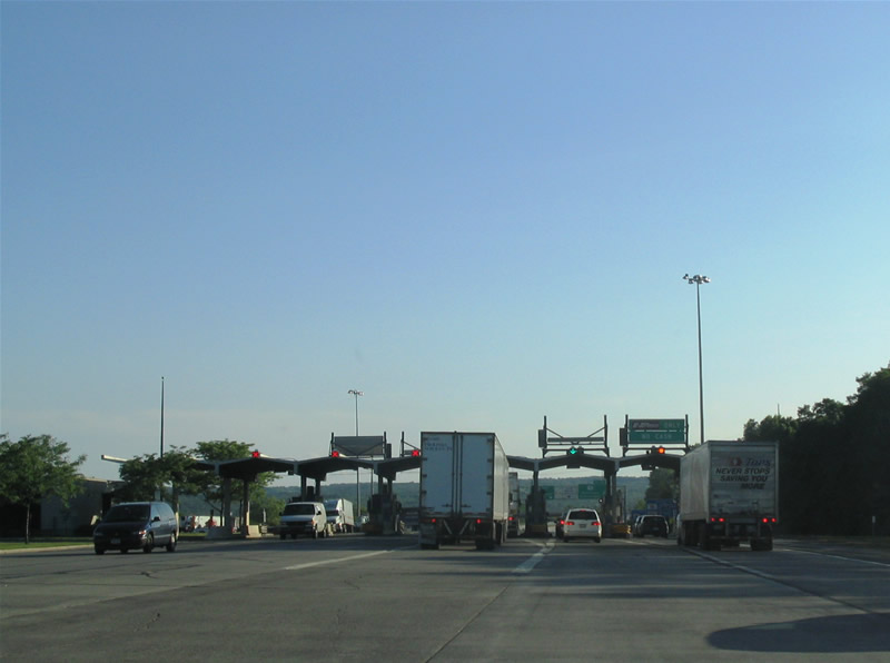
Entering the Exit 25A toll plaza of the New York Thruway mainline for the Interstate 88 westbound beginning. Photo taken 06/28/05. |
|
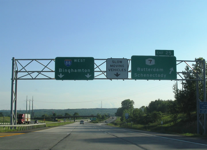
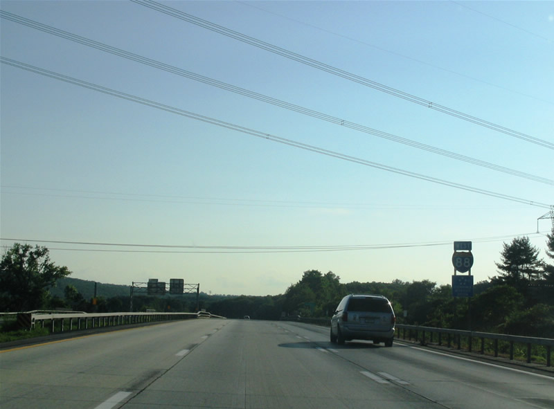
Interstate 88 westbound departs the Exit 25A tollbooths from the NY Thruway and approaches Exit 25, New York 7 (Duanesburg Road). The freeway quickly leaves the Schenectady urban area for rural environs parallel to New York 7 as the state route follows Duanesburg Road from Rotterdam to Princetown and Duanesburg. The undulation of Interstate 88 ahead necessitates the addition of third a truck crawling lane for slow moving vehicles. Photo taken 06/28/05. |
|
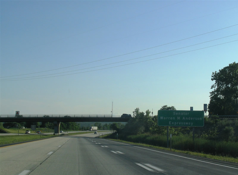
Proclamation sign informing motorists that Interstate 88 is known as the Senator Warren M. Anderson Expressway, posted at the Exit 25 diamond interchange with the New York 7 access road. Senator Warren M. Anderson, the former New York State Senate Majority Leader from Binghamton, was one of the driving forces in the creation of a freeway between Binghamton and the Capital District. Photo taken 06/28/05. |
|
Interstate 88 and Eisenhower Interstate System reassurance shield assembly posted after the Exit 25 on-ramp from New York 7. Photo taken 06/28/05. |
|
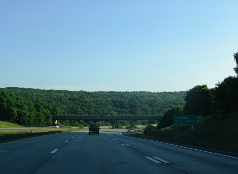
Westbound mileage sign featuring the control points for Oneonta and Binghamton. Interstate 88 ends in 117 miles at Binghamton, four miles north of downtown. Oneonta lies at the New York 7 crossroads with New York 23. Pangburn Road passes over the freeway in the background of this sign. Photo taken 06/28/05. |
|
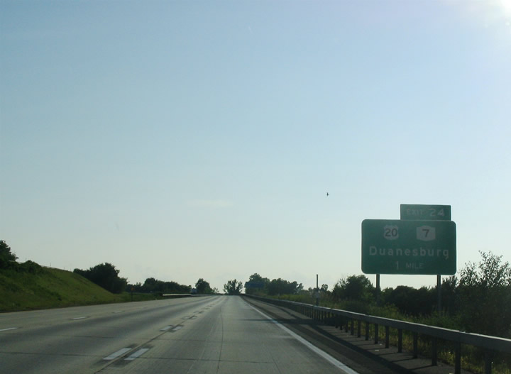
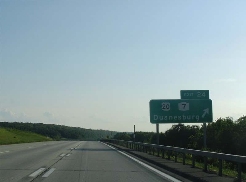
Next in line for westbound motorists is the Exit 24 diamond interchange for New York 7 (Duanesburg Road) and U.S. 20 (Western Turnpike). This exit marks the emergence from the Capital District. Photo taken 06/28/05. |
|
A short access road joins Interstate 88 with parallel New York 7 (Duanesburg Road) to the north and U.S. 20 (Western Turnpike) to the south. Both routes converge at the community of Duanesburg nearby to the west. U.S. 20 diverges from Interstate 88 toward Esperance and Carlisle beyond Duanesburg west of New York 7. Photo taken 06/28/05. |
|
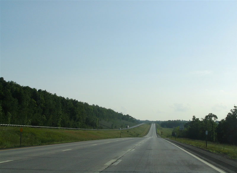
Beyond Exit 24, Interstate 88 continues to rise uphill with the continuation of the crawler lane. The freeway remains one of the last fully concrete roadways within New York State as of 2005. Too bad they're not built like this anymore... Photo taken 06/28/05. |
|
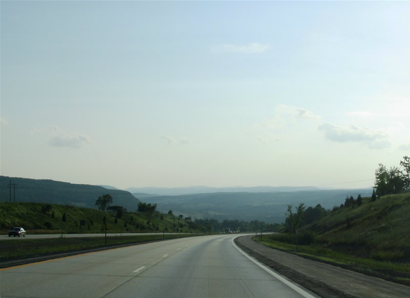
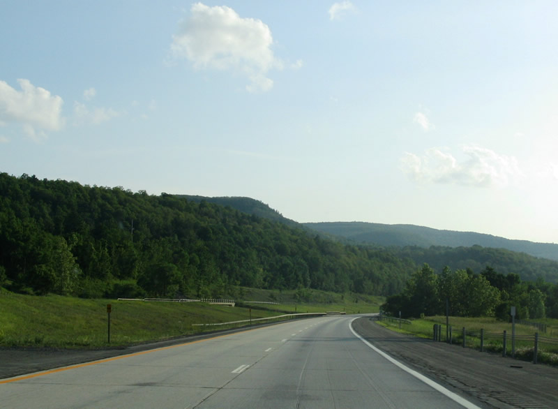
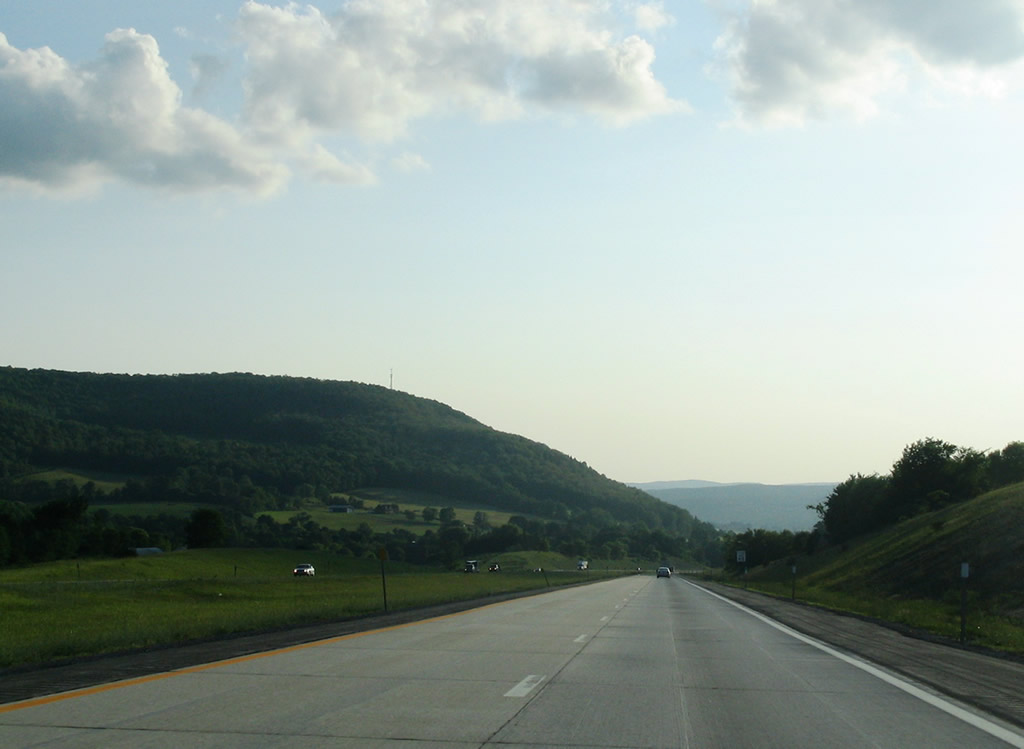
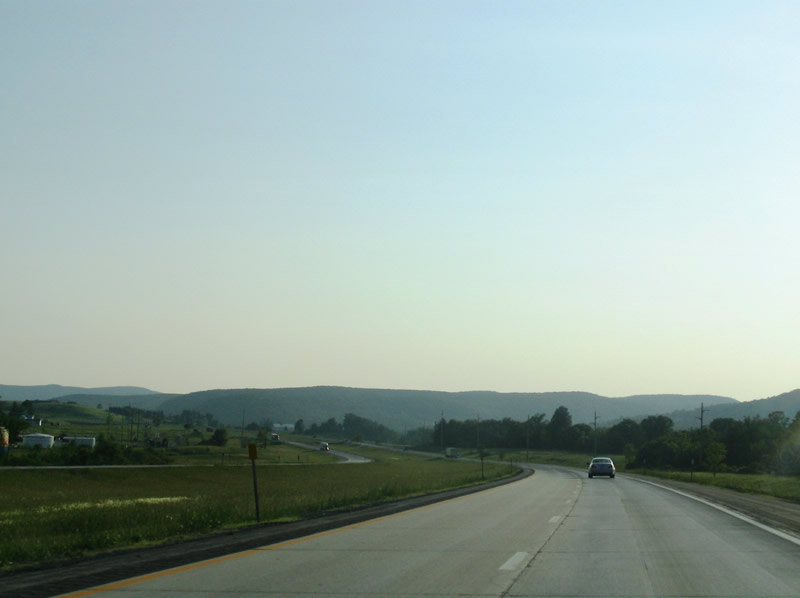
The freeway starts to curve downhill here, entering into the Scholarie Valley and the Central Leatherstocking Region. Interstate 88 is one of the most scenic roads in all of New York State with low traffic counts and majestic hills and mountaintops dominating the landscape. Photo taken 06/28/05. |
|
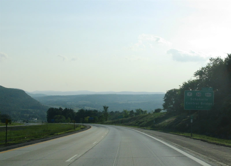
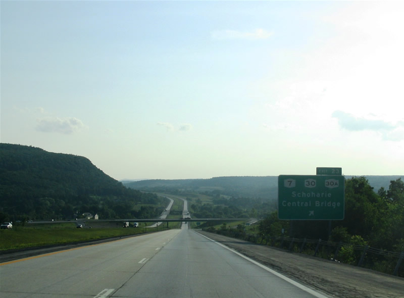
Interstate 88 finally leaves Schenectady County ahead of the Exit 23 diamond interchange with New York 30A near the community of Old Central Bridge. New York 30A intersects the freeway between New York 30 to the south and New York 7 to the north. Schoharie lies 3.5 miles south of the freeway via New York 30A and New York 30. Photo taken 06/28/05. |
|
Descending toward the Exit 23 off-ramp to New York 30A. New York 30A splits with New York 30 and ventures northwest to Old Central Bridge with New York 7. The north-south route provides an alternate for New York 30 between Scholarie and Mayfield, serving the towns of Sloansville, Fultonville, Johnstown and Gloversville along the way. New York 30 meanwhile travels northeast to the city of Amsterdam. New York 7 continues to parallel the freeway westward to Cobleskill. Photo taken 06/28/05. |
|
|
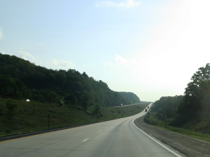
Past Exit 23, Interstate 88 curves through the valley westward offering expansive views of the surrounding terrain. Photos taken 06/28/05. |
|
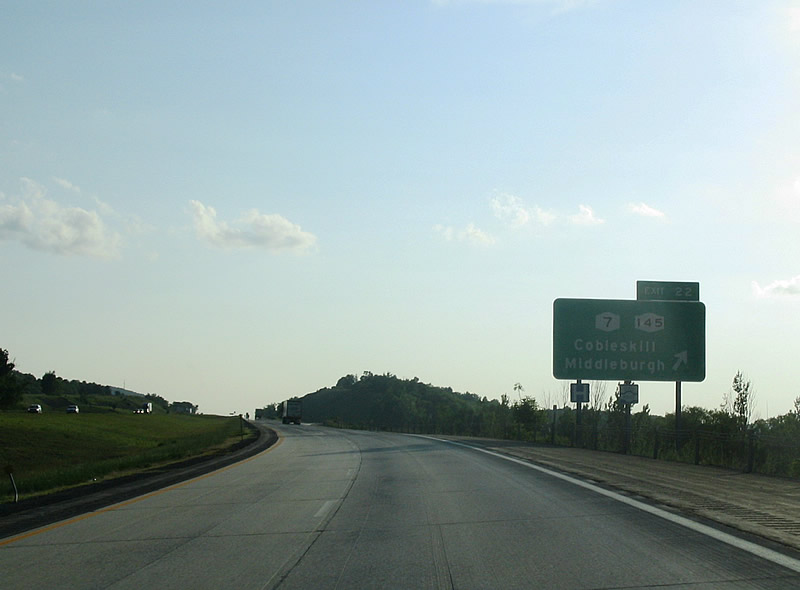
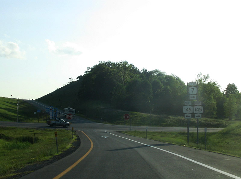
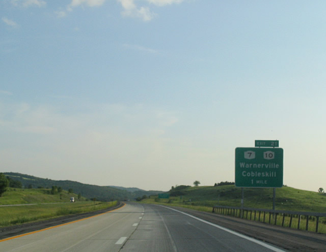
Exit 22 sees the appearance of New York 145 and New York 7 heading for Cobleskill to the immediate west and Middleburgh to the south. Photo taken 06/28/05. |
|
At the end of the Exit 22 offramp, we get the option of which direction to traverse on New York 145. The state route
heads south from Middleburgh to the towns of Preston Hollow and Durham, before ending at New York 23 outside of Cairo. New York 145 multiplexes New York 7 into Cobleskill and then heads north before ending at U.S. 20 in Sharon. Photo taken 06/28/05. |
|
A crawler lane for slow trucks and a westbound reassurance shield for Interstate 88 greet us past Exit 22. Photo taken 06/28/05. |
|
|
|
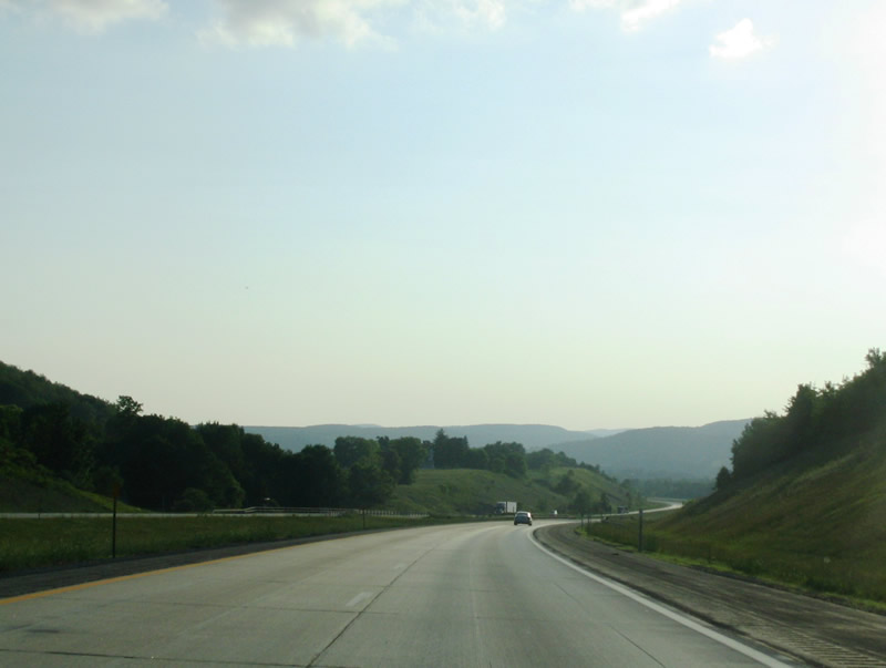
| Interstate 88 flows westward through the Schoharie River Valley. Twenty miles to the south lies the Gilboa Dam, which has been aging consiberably over the past decade. If it were to ever fail, it would wreak havoc across the valley, flooding the many small towns in the area. Many evacuation signs are posted on local roads. The interstate lacks these due to its relative elevation
in contrast to the rest of the area. Photos taken 06/28/05. |
|
Exit 21 is the second Cobleskill exit along Interstate 88. New York 10, while meeting New York 7, also heads north to Sharon Springs, Canajoharie, and Palatine Bridge. Photo taken 06/28/05. |
|
New York 10 north into Cobleskill also connects Interstate 88 with The State University of New York College of Agriculture and Technology at Cobleskill. Photo taken 06/28/05. |
|
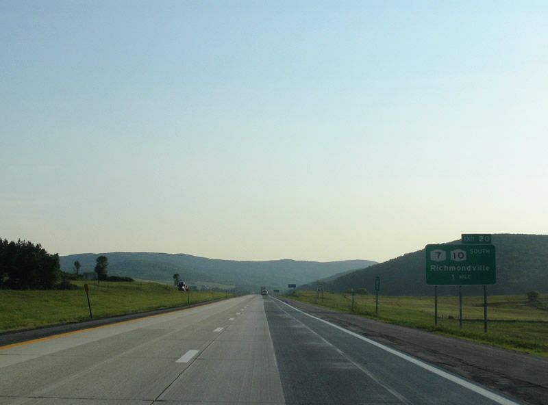
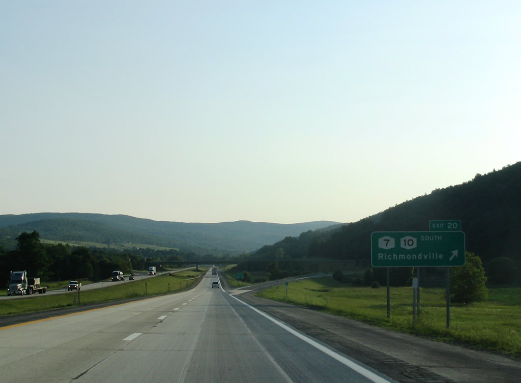
The next exit, 20 is for New York 10 South. Southward, New York 10 meets Stamford, Delhi and various other Catskill Mountain towns before ending at New York 17 in Deposit. Photo taken 06/28/05. |
|
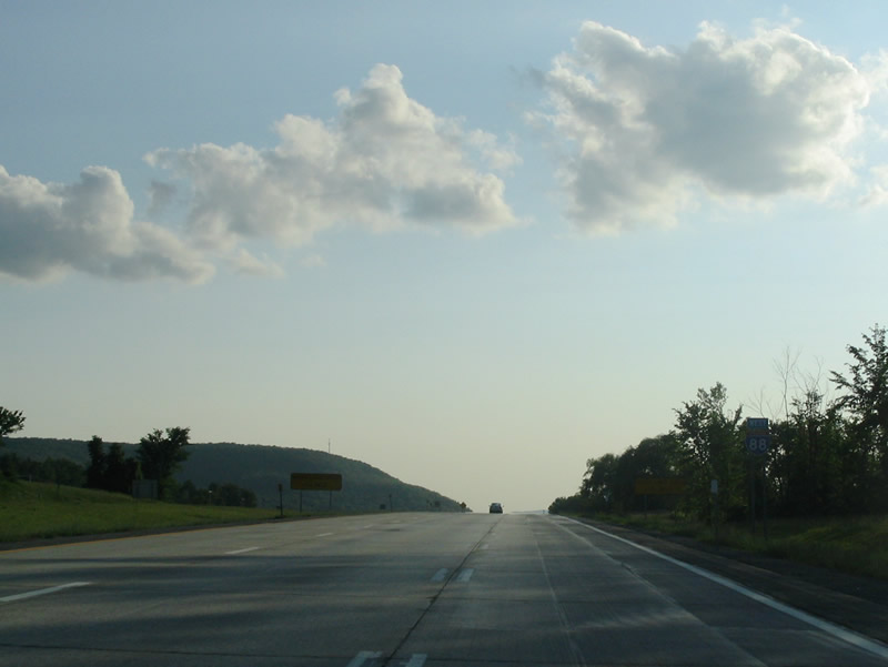
We meet Exit 20 as we continue westward towards Oneonta. We slowly transition into the Chesapeake Bay watershed as the Susquihanna River comes from the north at Otsego Lake in Cooperstown. Photo taken 06/28/05. |
Page Updated February 4, 2009.