
U.S. Highway 59 North - Houston Vicinity
| U.S. 59 north | |||||||||||||
|---|---|---|---|---|---|---|---|---|---|---|---|---|---|
This section of US 59 was built below grade in 1961, and widened (with bridge replacement) in 2001-02. Use the left two lanes to reach downtown via unsigned Spur 527. Photo taken July 16, 2006
| 
The left two lanes exit for Spur 527 (downtown) while the right three lanes continue as US 59. Photo taken July 16, 2006
| 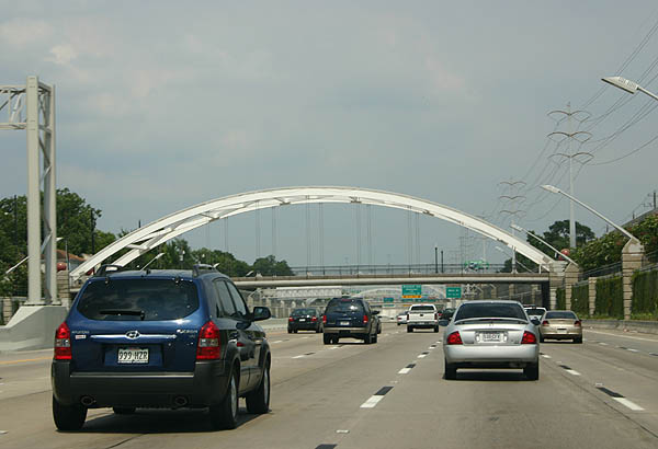
The distinctive arched bridges were added in the 2001 and 2005 reconstructions of this section of freeway. Photo taken July 16, 2006
| 
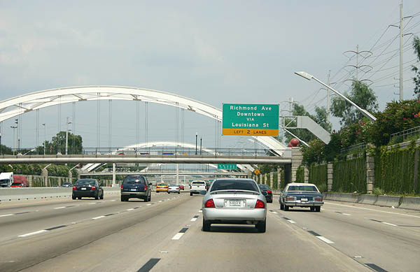
Now in the 2005 section of freeway, the next two exits are Spur 527 and Main Street. This section of freeway was built as a viaduct, and replaced between 2002 and 2006 in a widening project. Photo taken July 16, 2006
| 
Main Street and Spur 527 (signed Richmond Ave and Louisiana Ave) exit here. US 59 climbs out of the trench here. Photo taken July 16, 2006.
| 
US 59 becomes an elevated freeway for a short distance after these two ramps. Photo taken July 16, 2006.
| 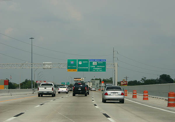
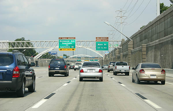
Approaching downtown, the next exit is SH 288 south. Photo taken July 16, 2006.
| | ||||||
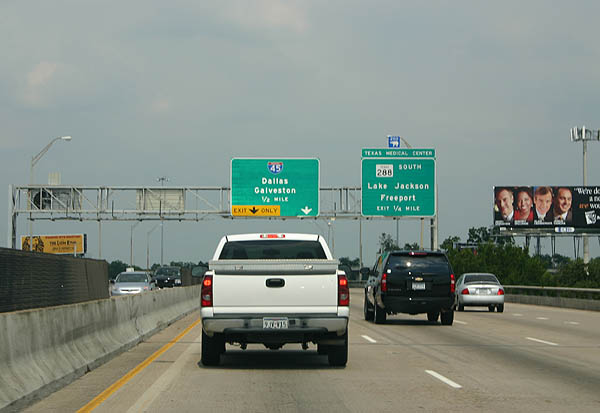
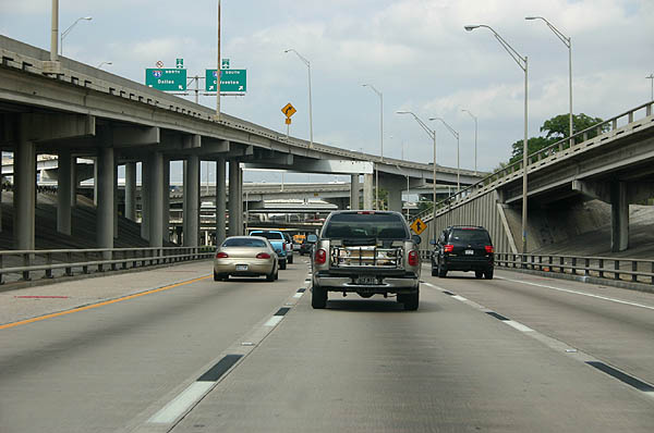
Use the right lane for SH 288, and the left two lanes for IH 45. We are quickly approaching the downtown interchange complex. Photo taken July 16, 2006.
| 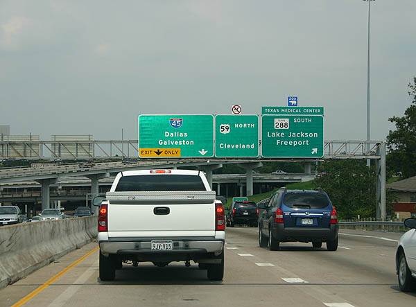
SH 288 departs here. The next exit is IH 45, as a left exit. Photo taken July 16, 2006.
| 
This is a view of the three level SH 288/US 59 interchange, with US 59 as the lowest level. Photo taken July 16, 2006.
| 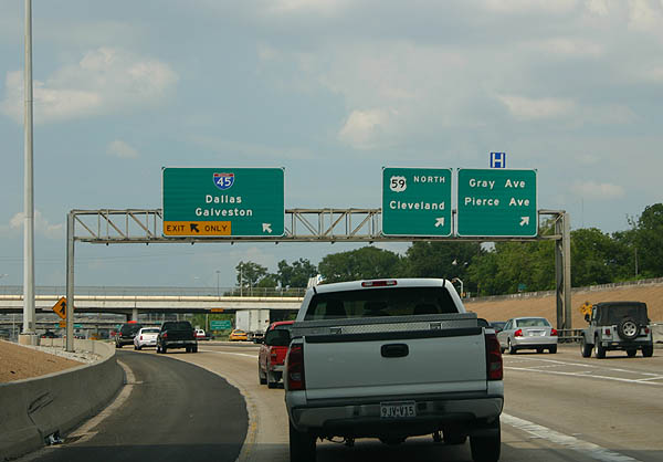
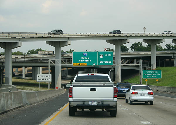
IH 45 exits as a left exit here. Gray Ave and Pierce Ave exit here, as a right hand exit. Photo taken July 16, 2006.
| 
This panorama shows the exit from US 59/SH 288 to IH 45 in the median. Photo taken April 21, 2006.
| 
Passing through the IH 45/US 59 interchange, US 59 occupies the lowest level of the interchange, below grade. Photo taken April 21, 2006.
| 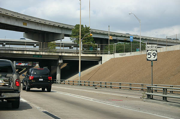
This US 59 reassurance marker is located in the shadow of the US 59/IH 45 interchange. Photo taken April 21, 2006.
| 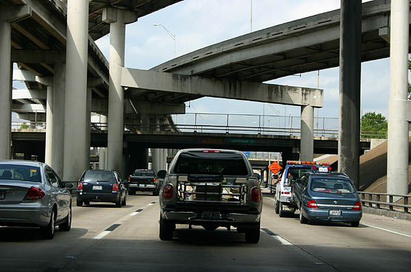
Many of the exits in this modified four-level interchange are left-hand exits, which is unusual for an interchange that was completed in 1972. Photo taken April 21, 2006.
| 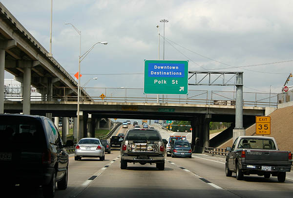
Polk Street is the final exit for downtown destinations. Beyond this point, US 59 climbs onto a viaduct around the east side of downtown. Photo taken April 21, 2006.
| 
This overhead reassurance sign is typical after freeway to freeway interchanges in Houston. US 59 passes the George Brown Convention Center and Minute Maid Park. Photo taken April 21, 2006.
| 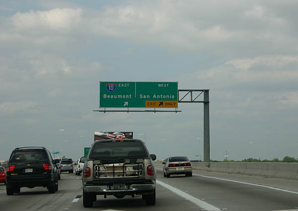
Interstate 10 is the next exit from this elevated viaduct. Photo taken April 21, 2006.
| 
The exit to IH 10 splits along the side ramp. An additional ramp from city streets joins the interchange. Photo taken April 21, 2006.
| 
The ramp from US 59 North to IH 10 is the only one that passes over US 59. US 59 is the third level of this four level interchange. Photo taken April 21, 2006.
| 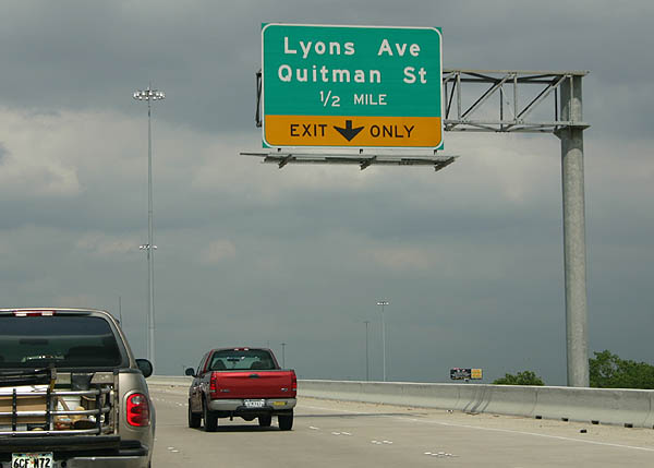
Advance signage for Lyons Ave and Quitman Street. Photo taken April 21, 2006.
| 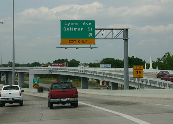
Lyons Ave and Quitman Street exit here. The ramp above the exit carries traffic from IH 10 to US 59 North. Photo taken April 21, 2006.
| 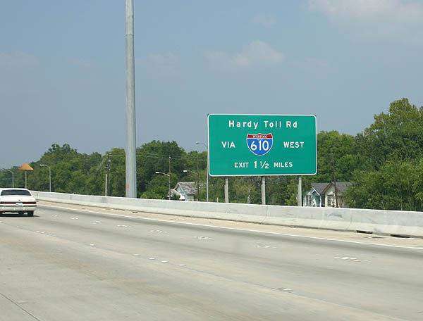
This sign advises motorists to use IH 610 to reach the Hardy Toll Road. Photo
taken 9/19/05.
| 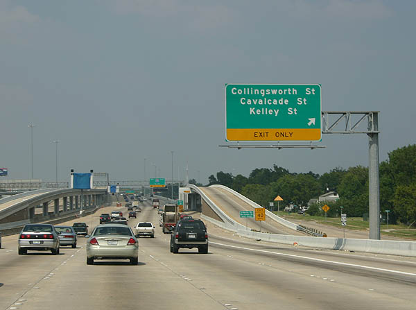
Collingsworth Street, Cavalcade Street, and Kelley Street all exit here. This is the second exit between IH 10 and IH 610, and the last before IH 610. Photo taken 9/19/05.
| 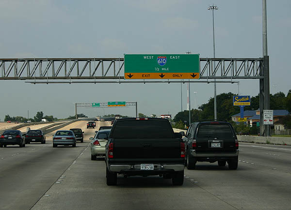
The right three lanes exit to IH 610, leaving three lanes traveling thru the IH 610/US 59 interchange northbound. Photo taken 9/19/05.
| 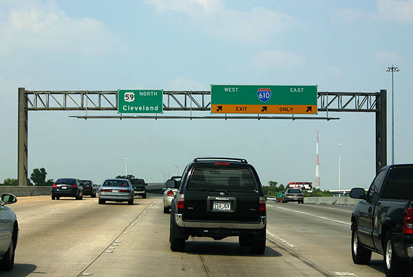
IH 610 separates from US 59 north here. Photo taken 9/19/05.
| 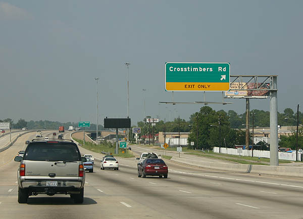
North of IH 610, the next exit is Crosstimbers Road. Photo taken 9/19/05.
| 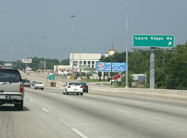
Laura Koppe Road exits here. Photo taken 9/19/05.
| 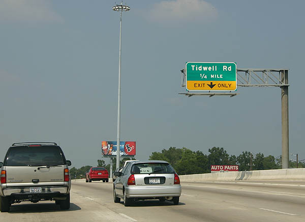
The next exit is Tidwell Road. Photo taken 9/19/05.
| 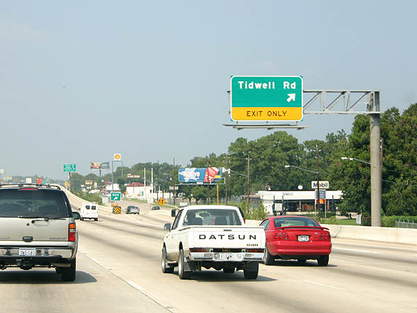
The auxiliary lane exits to Tidwell Road. The next exit is Little York Road. Photo taken 9/19/05.
| 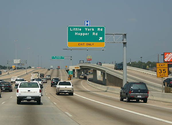
Little York Road and Hopper Road exit here. The next exit is East Mt. Houston Road. Photo taken 9/19/05.
| 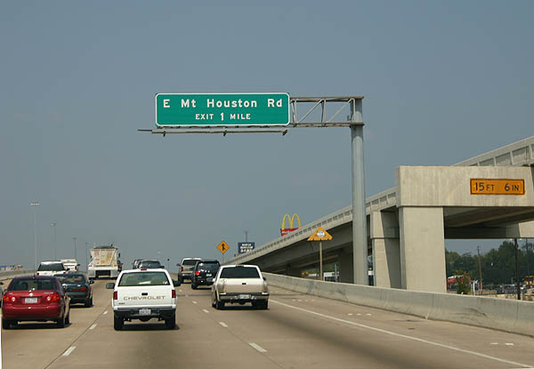
Advance signage for East Mt. Houston Road. The Eastex freeway does not have extensive development along the frontage roads, partially due to the widening and reconstruction in the mid-1990s. Photo taken 9/19/05.
| 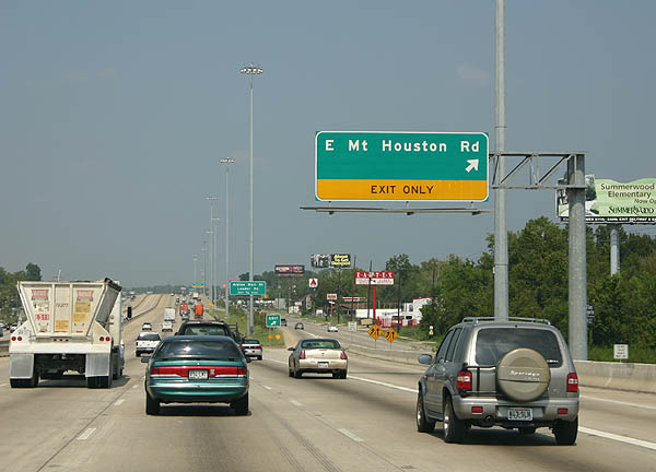
East Mt. Houston Road exits here. Photo taken 9/19/05.
| 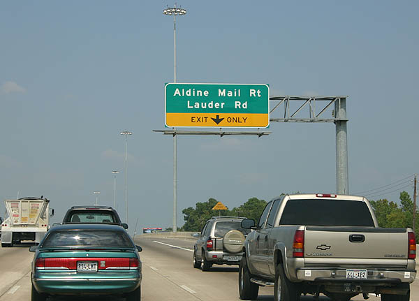
The next exit is Aldine Mail Route and Lauder Road. Photo taken 9/19/05.
| 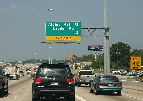
Aldine Mail Route and Lauder Road exit here. Photo taken 9/19/05.
| 
Approaching Beltway 8, the next exit is Old Humble Road and Lee Road. Photo taken 9/19/05.
| 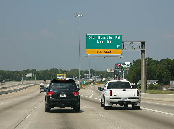
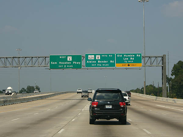
Old Humble Road and Lee Road exit here. The next exit is Aldine Bender Road and Beltway 8 Frontage Road. Photo taken 9/19/05.
| 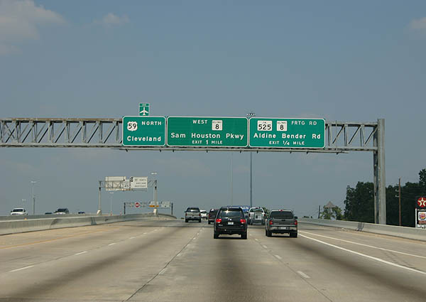
Use the Aldine Bender Road (FM 525) exit for Beltway 8 East. There is no direct connection from US 59 to Beltway 8 East at this time. Photo taken 9/19/05.
| 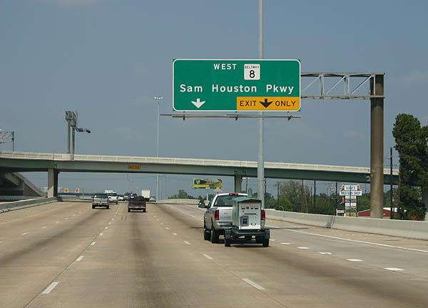
Beltway 8 West (Sam Houston Parkway) is the next exit. In the background is an overpass from the HOV lane to the Eastex Park & Ride. Photo taken 9/19/05.
| 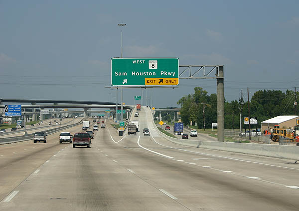
Beltway 8 (Sam Houston Parkway) west exits here. Photo taken 9/19/05.
| 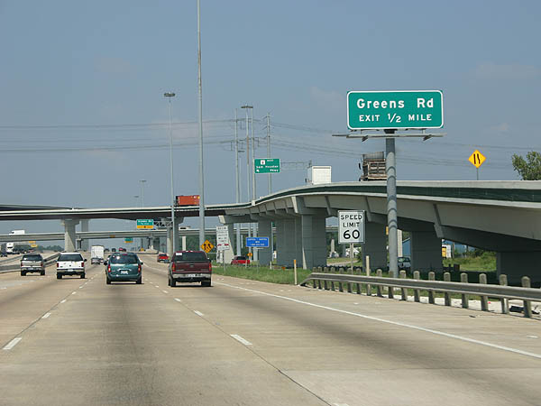
With the Beltway 8 interchange in the background, advance signage for Greens Road appears. Photo taken 9/19/05.
| 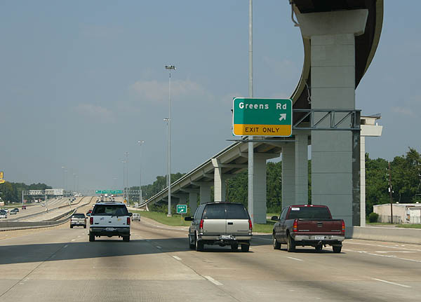
The ramp for Greens Road goes under the ramp from Beltway 8 East to US 59 North. Photo taken 9/19/05.
| 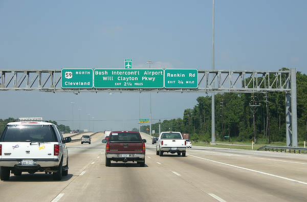
The next two exits are Rankin Road and Will Clayton Parkway. Photo taken 9/19/05.
| 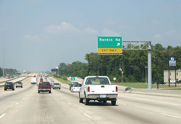
Rankin Road exits here. Photo taken 9/19/05.
| 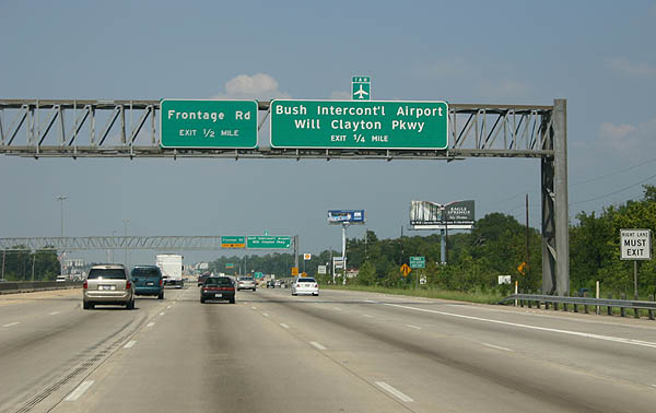
Use Will Clayton Parkway to reach Intercontinental Airport. US 59 follows the east boundary of IAH, with planes on final approach a common sight. Photo taken 9/19/05.
| 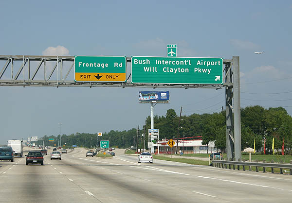
Will Clayton Parkway exits here. The next exit serves the frontage road. Photo taken 9/19/05.
| 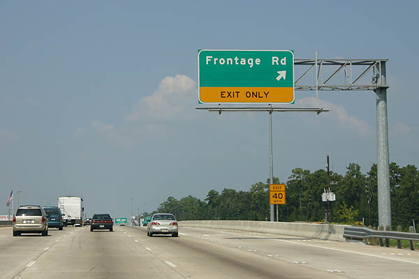
This exit serves the frontage road. We are about to enter the city of Humble, and businesses will soon line the freeway. Photo taken 9/19/05.
| 
The next exit serves FM 1960 and Business FM 1960 A. In the background is an overpass for the HOV lane to reach the Will Clayton park and ride. Photo taken 9/19/05.
| 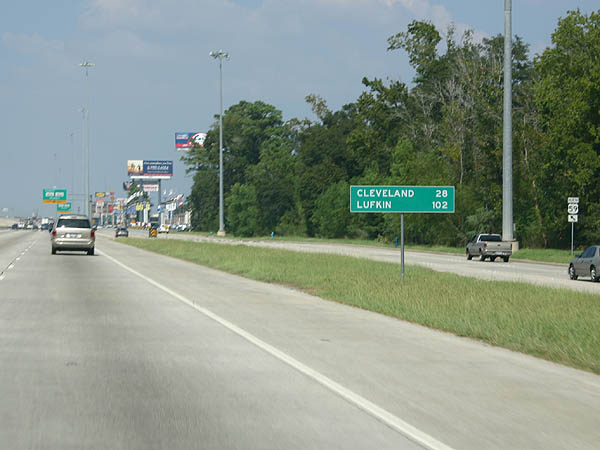
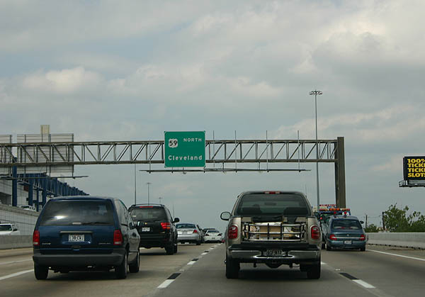
Distance sign to Cleveland and Lufkin. Photo taken 9/19/05.
| 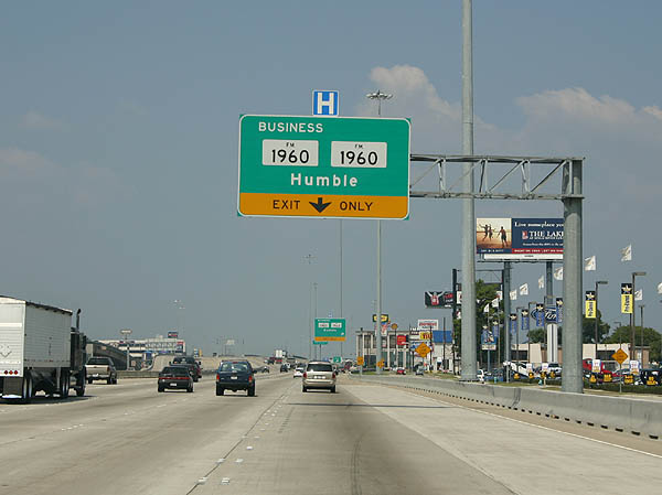
The right lane exits to FM 1960 and Business FM 1960A, serving downtown Humble. Photo taken 9/19/05.
| 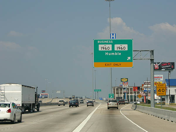
FM 1960 and Business FM 1960A exit here. The next exit is Townsen Boulevard. Photo taken 9/19/05.
| |
Page Updated July 18, 2006.
|
About Contact FAQ |
Spotlights Interstate Guide |
Social Media:
 |
|
© 2000-25 AARoads.com | All Rights Reserved | Privacy Policy / Terms of Use
|
||