
Enjoyed a break in the cloudy weather on our resent visit to Iowa to tag along with Bill and his son Joey on 300 mile day trip exploring various U.S., state and county routes across southeastern Iowa. Here are a few noteworthy things and photos from the drive on March 25.
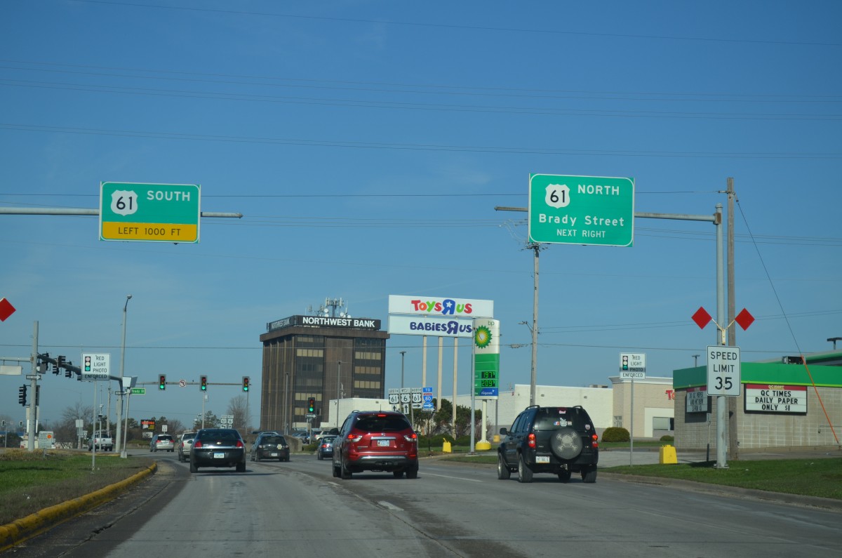
Six years after the realignment of U.S. 61 to bypass Davenport, signs along U.S. 6 still reflect the U.S. 61 mainline instead of the business route.
Not many Eagle Flatback signals still in use across Iowa, let alone the country. The Eagle Signal and Sign Company was located in the Quad Cities until 1988, following the consolidation with Mark IV Industries.
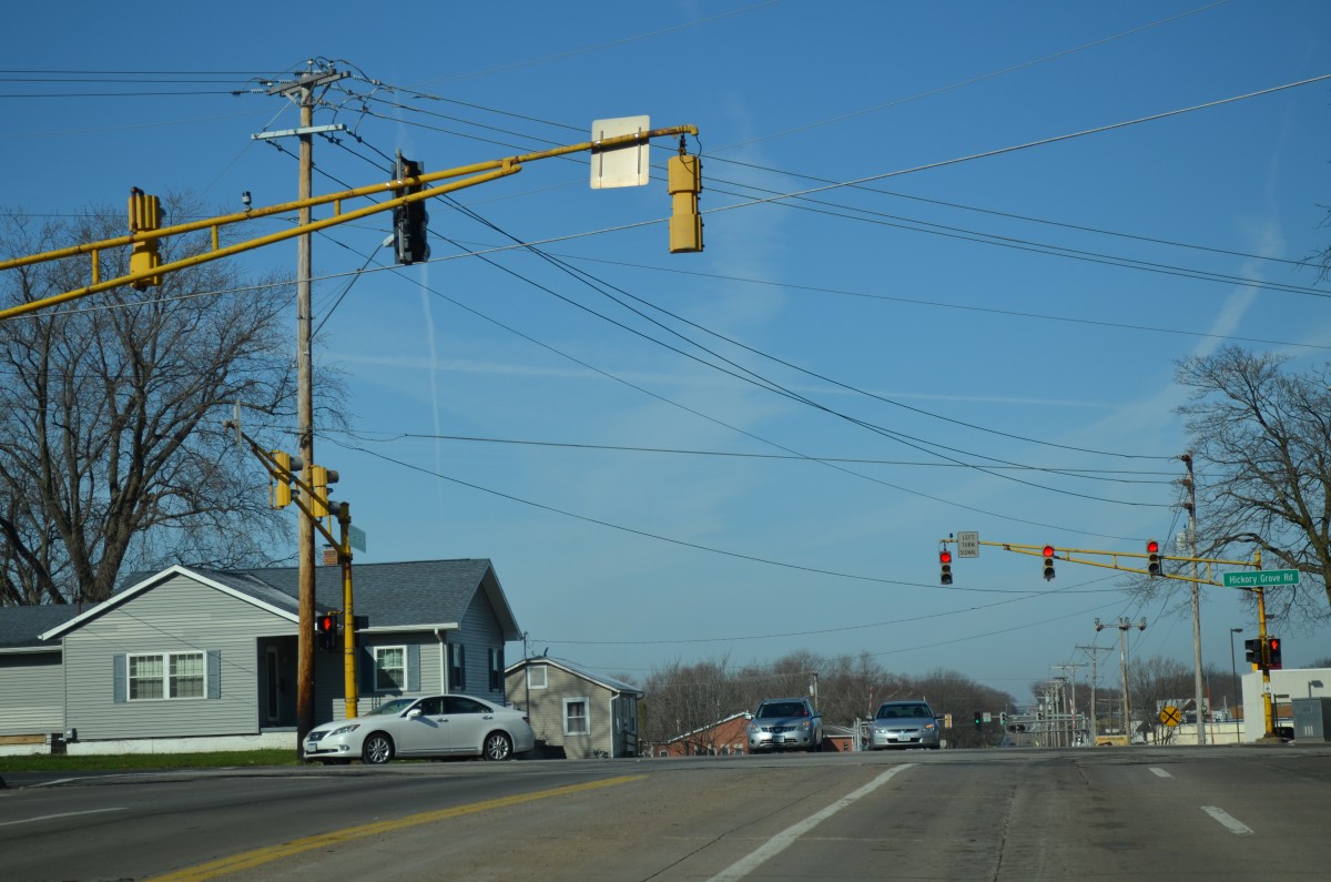
Central Park Avenue west at Hickory Grove Road.
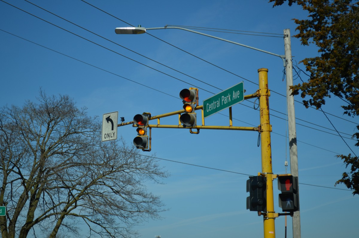
Davenport Eagle Traffic Lights on Central park Avenue.
Bill has previously located this set of mast arms along Central Park Avenue in Davenport. The assembly supports a variation of the Kentucky style of signals where the red and green lens use tunnel visors and the amber lens use cutout visors. The 12″ x 8″ x 12″ signal array is somewhat unique to us.
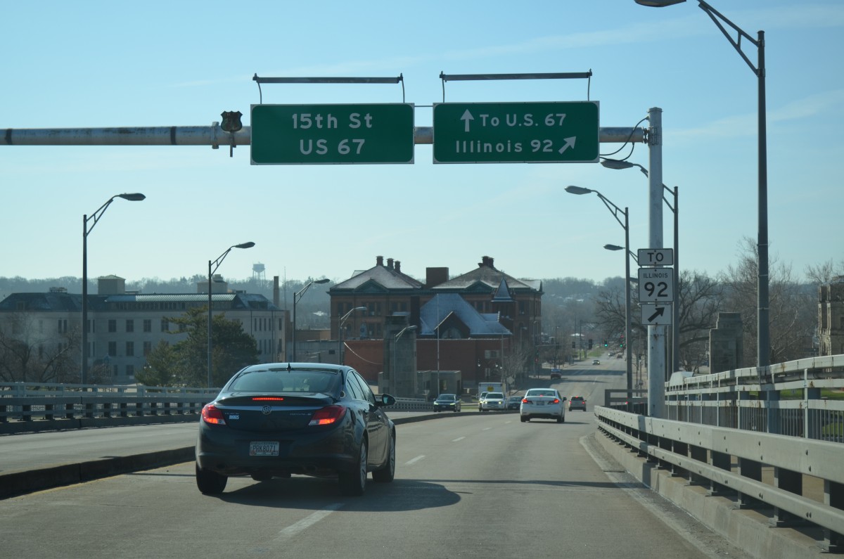
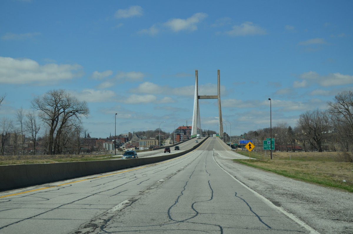
The classic cutout shield for U.S. 67 remains in service along the Centennial Bridge southbound as it lowers into Rock Island, Illinois.
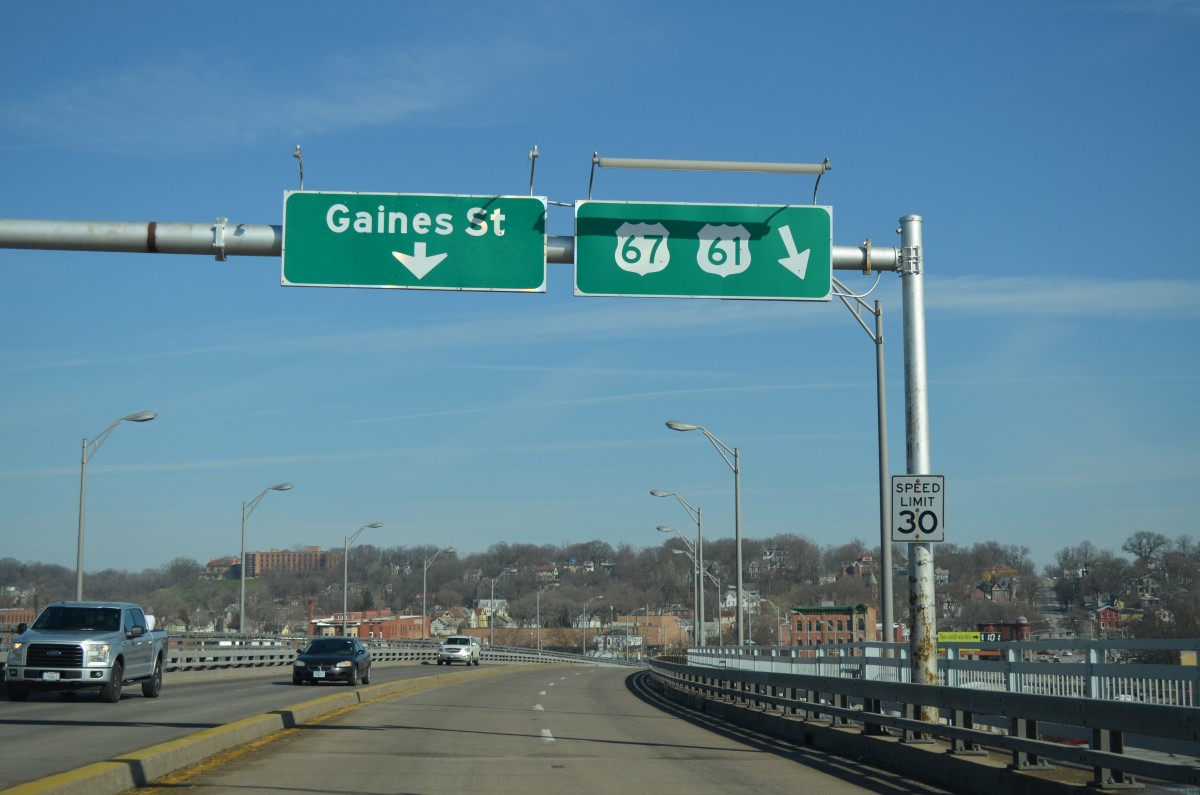
U.S. 61 and 67 shields with green numbers appear along the Centennial Bridge north as it lowers toward Gaines Street west of Downtown Davenport.
Some older 12″ x 8″ x 8″ signals remain in service along 4th Street west in Davenport, Iowa.
4th Street represents an early alignment of U.S. 61 from Main Street west to Pine Street.
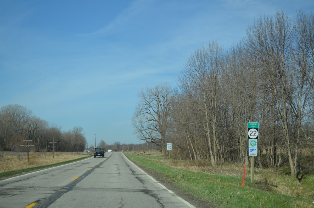
Iowa 22 doubles as the Great River Road / National Scenic Byway as it parallels the Mississippi River from Davenport west to Muscatine.
During the 1940s, Iowa 22 between the Quad Cities and Muscatine was the original alignment of U.S. 61. Then Iowa 22 traveled what is now U.S. 61, or along the modern expressway that the US route takes to the north.

Illinois 92 transitions into Iowa 92 across the Norbert F. Beckey Bridge into Muscatine.
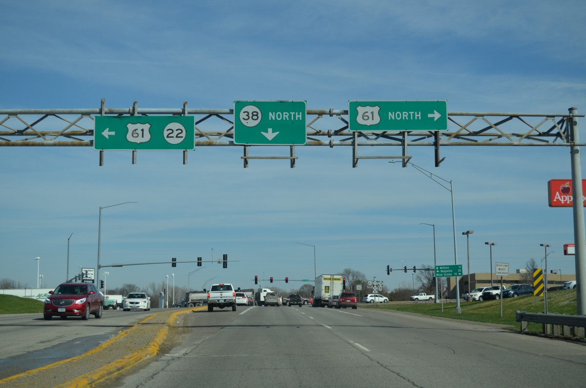
The Beckey Bridge opened to traffic on December 2, 1972. Iowa 92 lowers from the bridge to combine with U.S. 61 Business and Iowa 38 north along 2nd Street. The route previously turned south through Downtown, but that changed in September 2014 when maintenance of the route was turned over to the city of Muscatine.
Older style shields still in use at the north end of U.S. 61 Business in Muscatine.
U.S. 61 Business was designated in Muscatine in 1984 when the bypass to the north opened. Iowa 22 and 92 follow the bypass west.
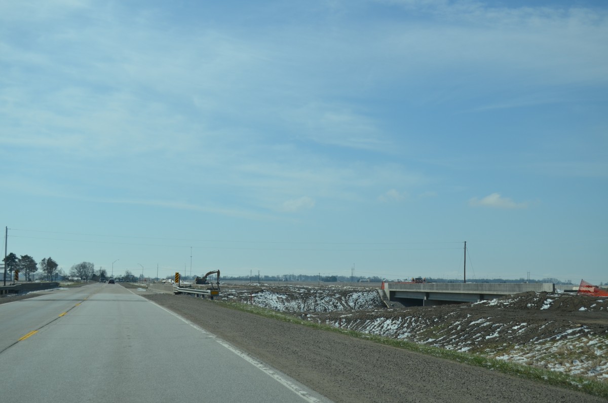
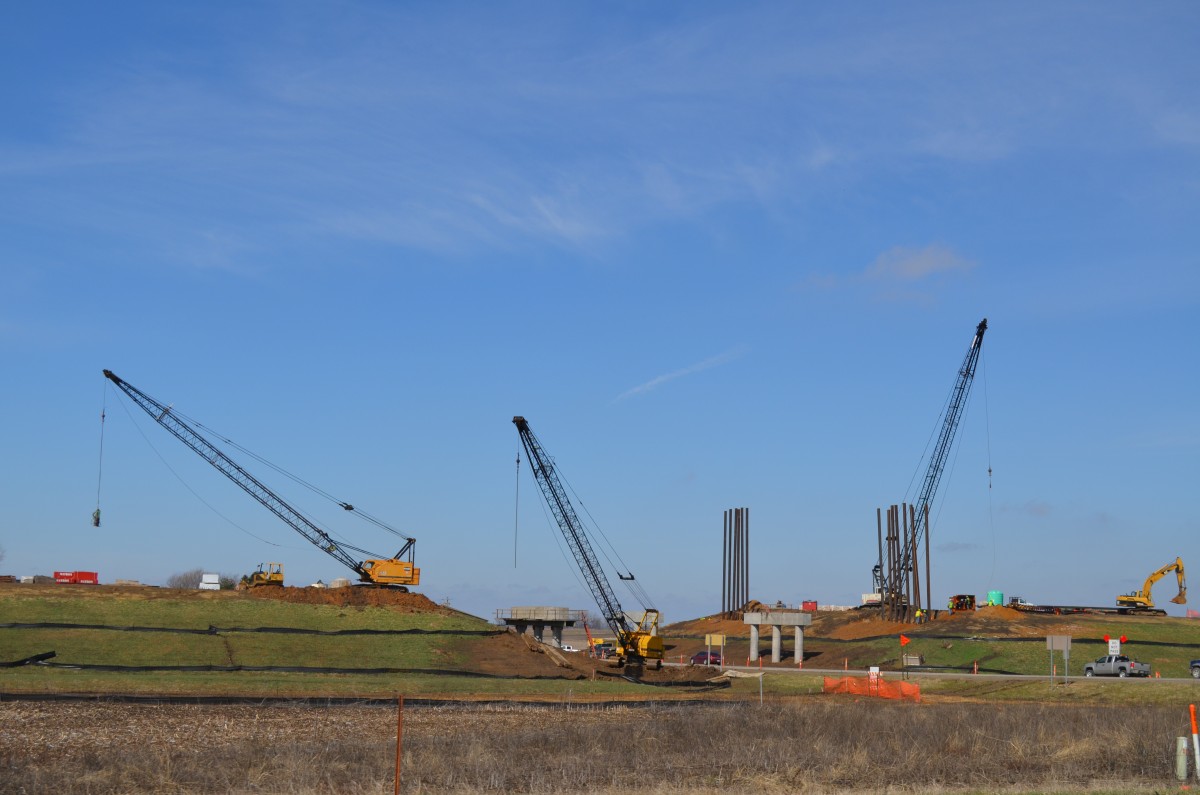
Construction to four lane U.S. 61 south of the Muscatine County line.
Widening is underway along a six mile stretch of U.S. 61 from the Muscatine County line to Turkey Run. The US highway is being upgraded to a controlled access highway with interchanges planned at the south split with Iowa 92 and at 170th Street.
A diamond interchange will join Iowa 92 with U.S. 61 just to the west of Grandview.
U.S. 61 enters the city of Burlington and expands to a four-lane commercial boulevard.
U.S. 34 and U.S. 61 cross paths at a parclo interchange in Burlington. The east-west route travels along a freeway between West Burlington and Gulf Port, Illinois. The freeway opened from U.S. 61 west in 1976.
A wide grassy median separates the carriageways of the US 34 freeway through to the Central Avenue off-ramp near Downtown Burlington.
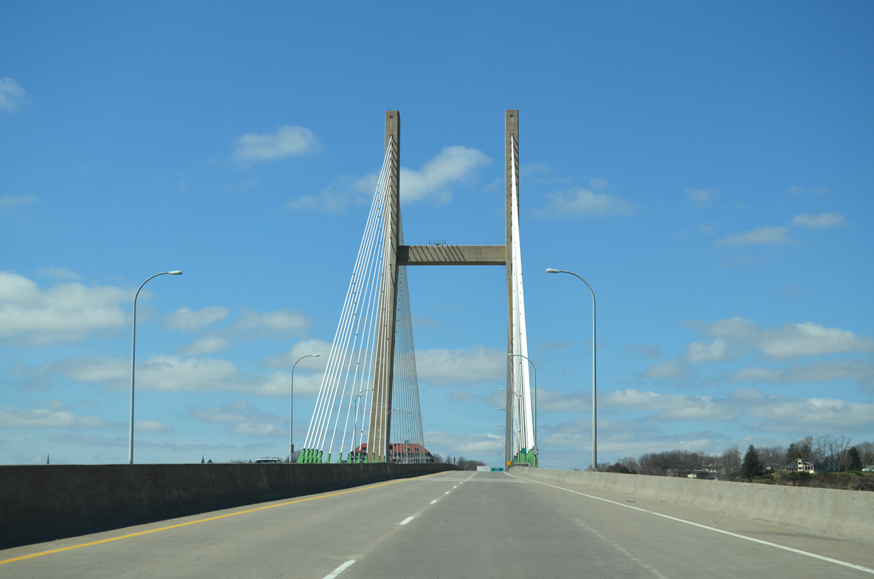
U.S. 34 spans the Mississippi River west from Gulfport, Illinois. The cable stayed bridge opened to traffic in 1993, replacing a two-lane toll bridge.
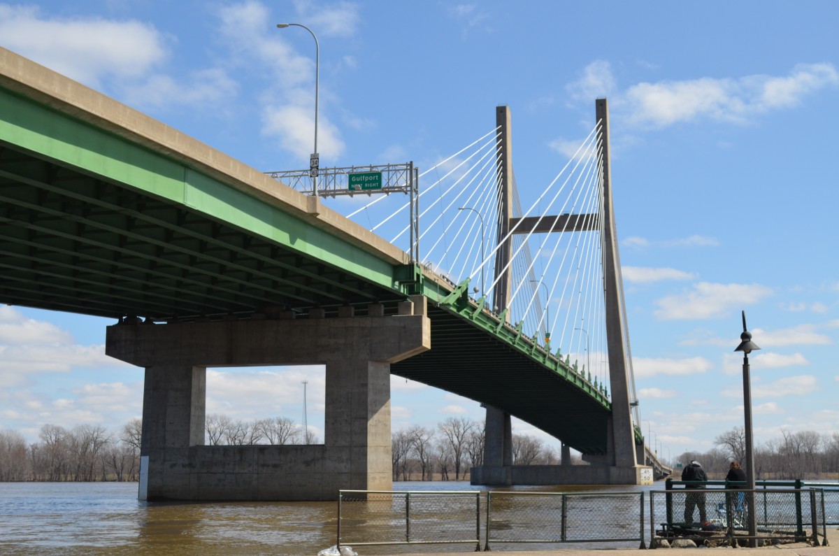
Looking at the US 34 bridge from a riverside park and boat ramp on the Burlington side of the river.
County X99 runs north from Downtown Burlington to Wapello. Some signs on the US 34 freeway reference the route as simply CR 99. This is related to its former status as Iowa 99.
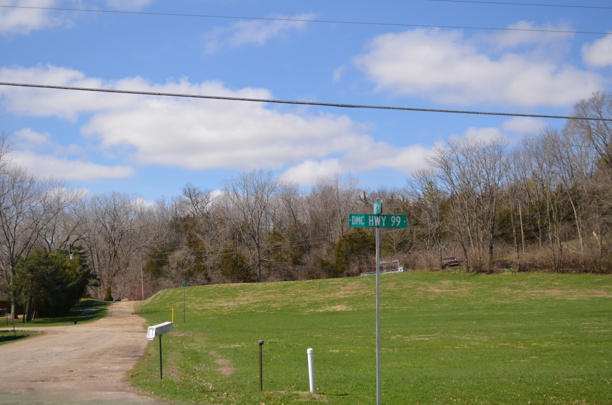
County Road X99 is formally signed as Highway 99. IA 99 was decommissioned on July 1, 2003. Street blades were greened out to reflect the status change.
Resuming a southward heading, we followed U.S. 61 to Lee County and the 2011-opened Fort Madison bypass. The 9.5 mile freeway sees three exits with County Roads, all using yellow back plates versus the standard white back plates you typically find across the state of Iowa.
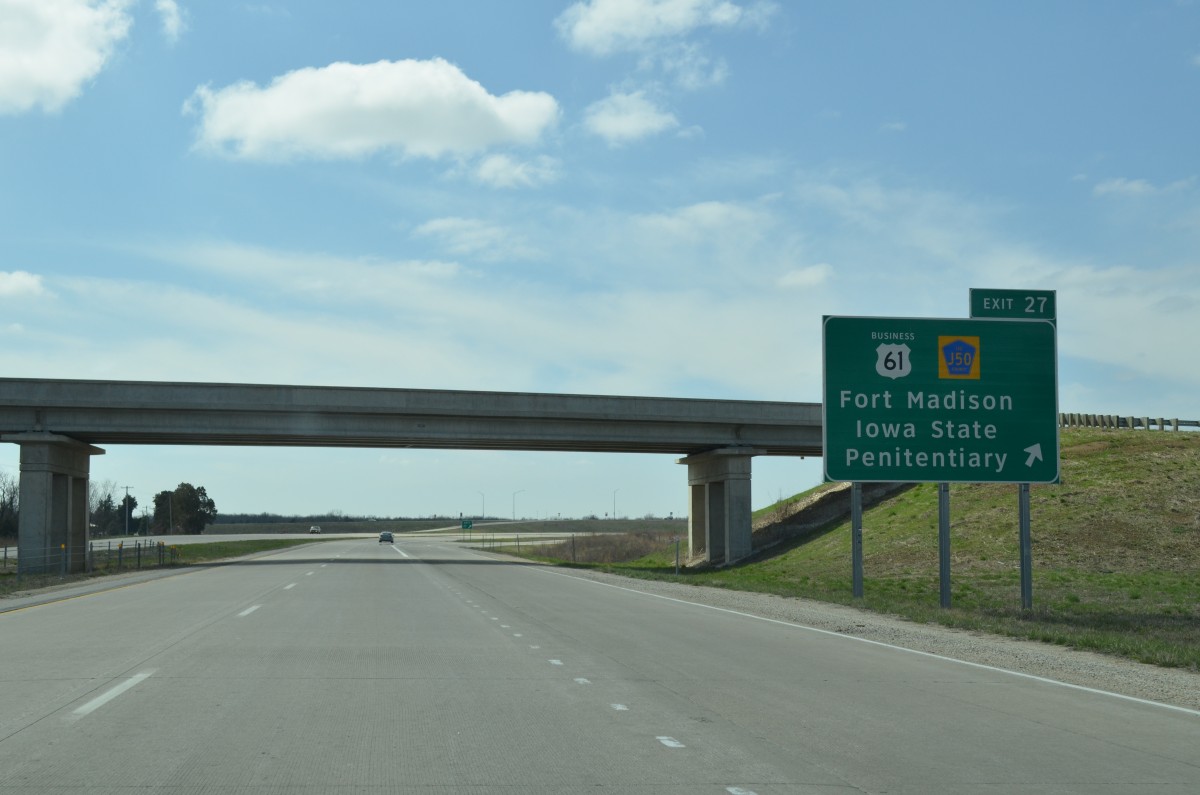
U.S. 61 southbound at the Fort Madison freeway bypass beginning.
We doubled back north on a more familiar road to all three of us, U.S. 218. Otherwise known as the Avenue of the Saints or Iowa 27, the expressway / freeway grade road provides a high speed route from the Keokuk area at the southeastern corner of the state north to Interstates 80 and 380 at Iowa City.
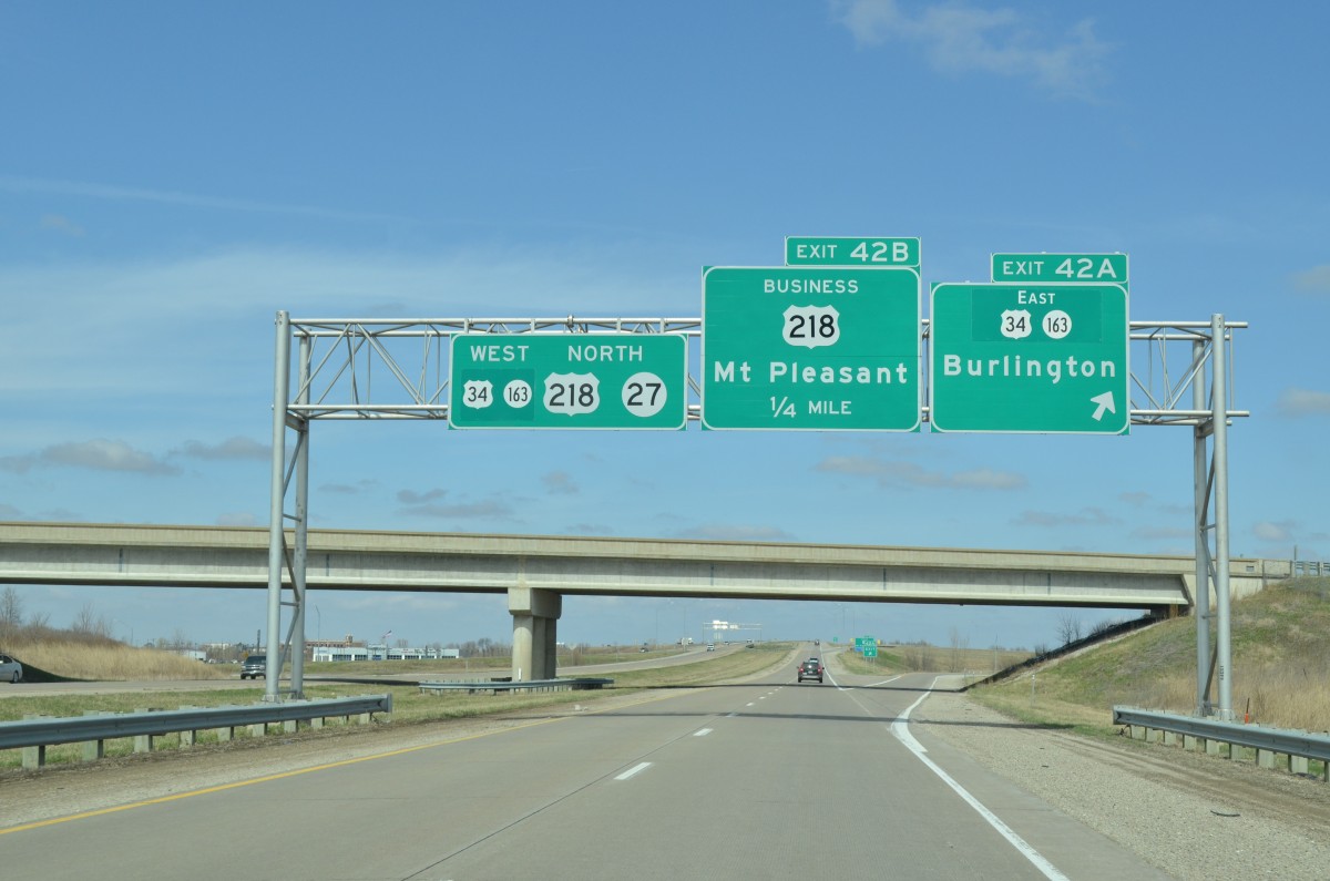
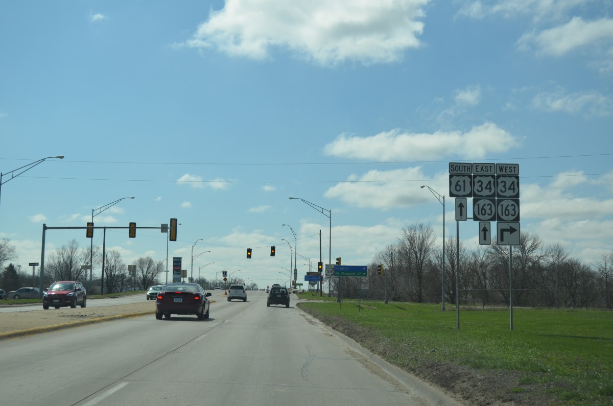
U.S. 34 overlaps with U.S. 218 as part of its bypass around Mount Pleasant. The route doubles as Iowa 163 between the Illinois state line and Ottumwa.
Throughout most of Washington County, we noted new larger signs posted for U.S. 218 & Iowa 27. Bill inquired with IowaDOT about this and was told the new installs went up approximately March 10th. Adhering to AASHTO standards, the signs measure at least 24 inches with the new reflectivity on them. New signs will be going on all route shields across the state for all highways (two and four lane) as needed after annual inspections of the signs.
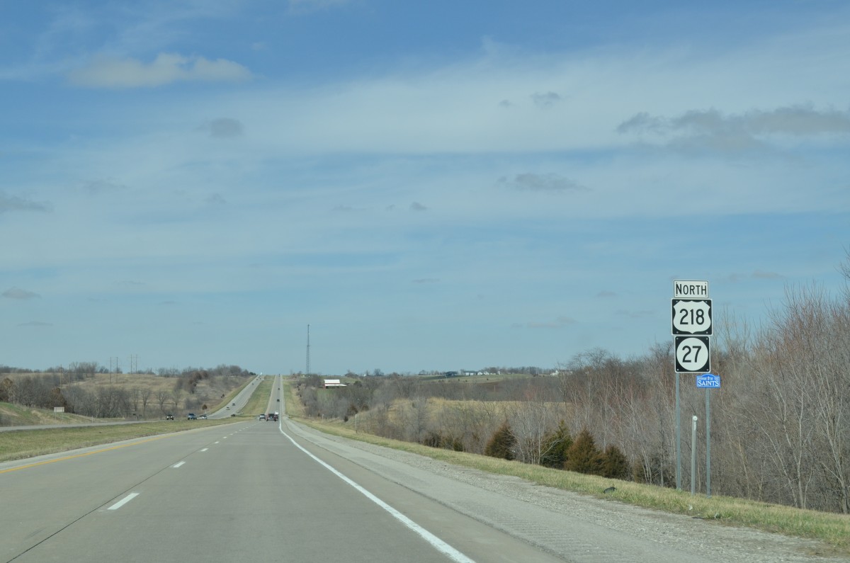
One of the new U.S. 218 & Iowa 27 shield assemblies posted in Washington County.
We turned east from the Avenue of the Saints (I-380) along U.S. 30 to Mt. Vernon, Stanwood and Lowden. U.S. 151 currently travels along side U.S. 30 through to the Betram area. Our long time friend and contributor Chris recently mentioned that once the Iowa 100 expressway is completed along the west side of Cedar Rapids, that U.S. 151 will be realigned onto it.1
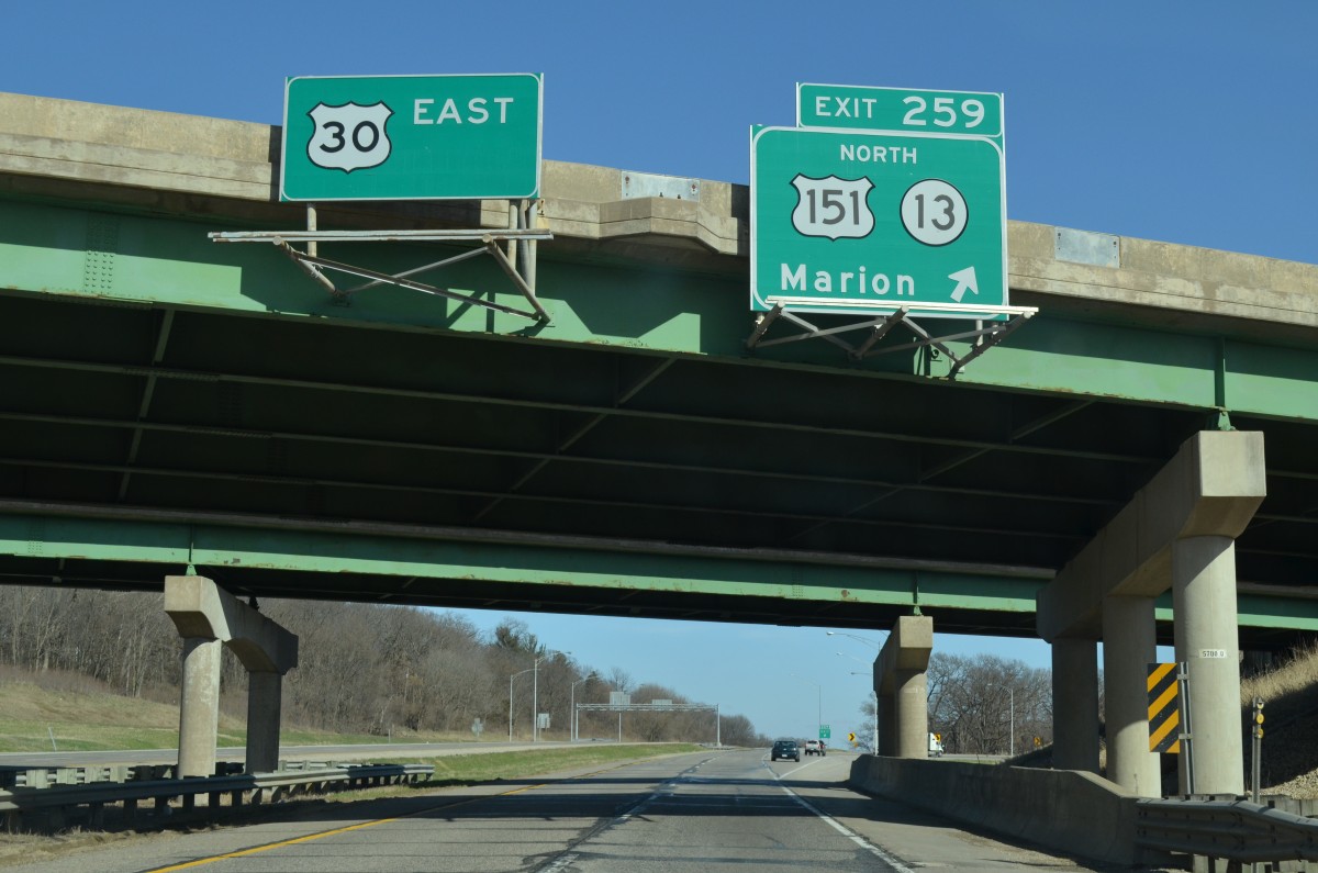
Older shield styles at the northbound separation of U.S. 151 from U.S. 30 east beyond the Cedar River.
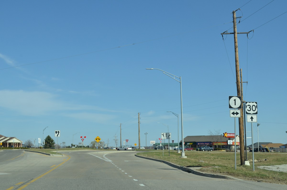
A roundabout joins US 30 and Iowa 1. This is the second roundabout along the route through Mt. Vernon. Both were added by October 2013.
Our last stop of the day took us to Maquoketa, where we photographed the last remaining known cutout in Iowa (per discussion with Jake). This style of sign was the original Iowa standard for state routes.
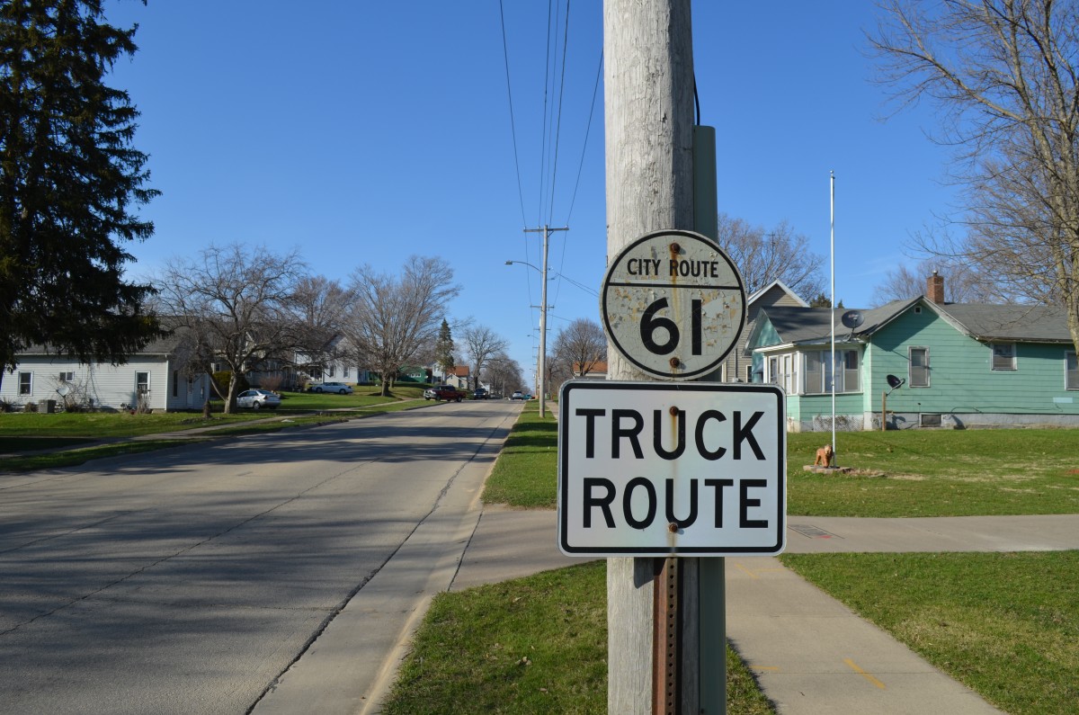
City Route 61 cutout in Maquoketa.
Main Street is the former alignment of U.S. 61. The route was approved as a Business Route for U.S. 61 in 1998, but signs were never erected outside of this cutout and another (since removed).
Sources:
http://www.corridormpo.com/component/content/article/100-special-projects/180-highway-100-corridor-management-plan


