
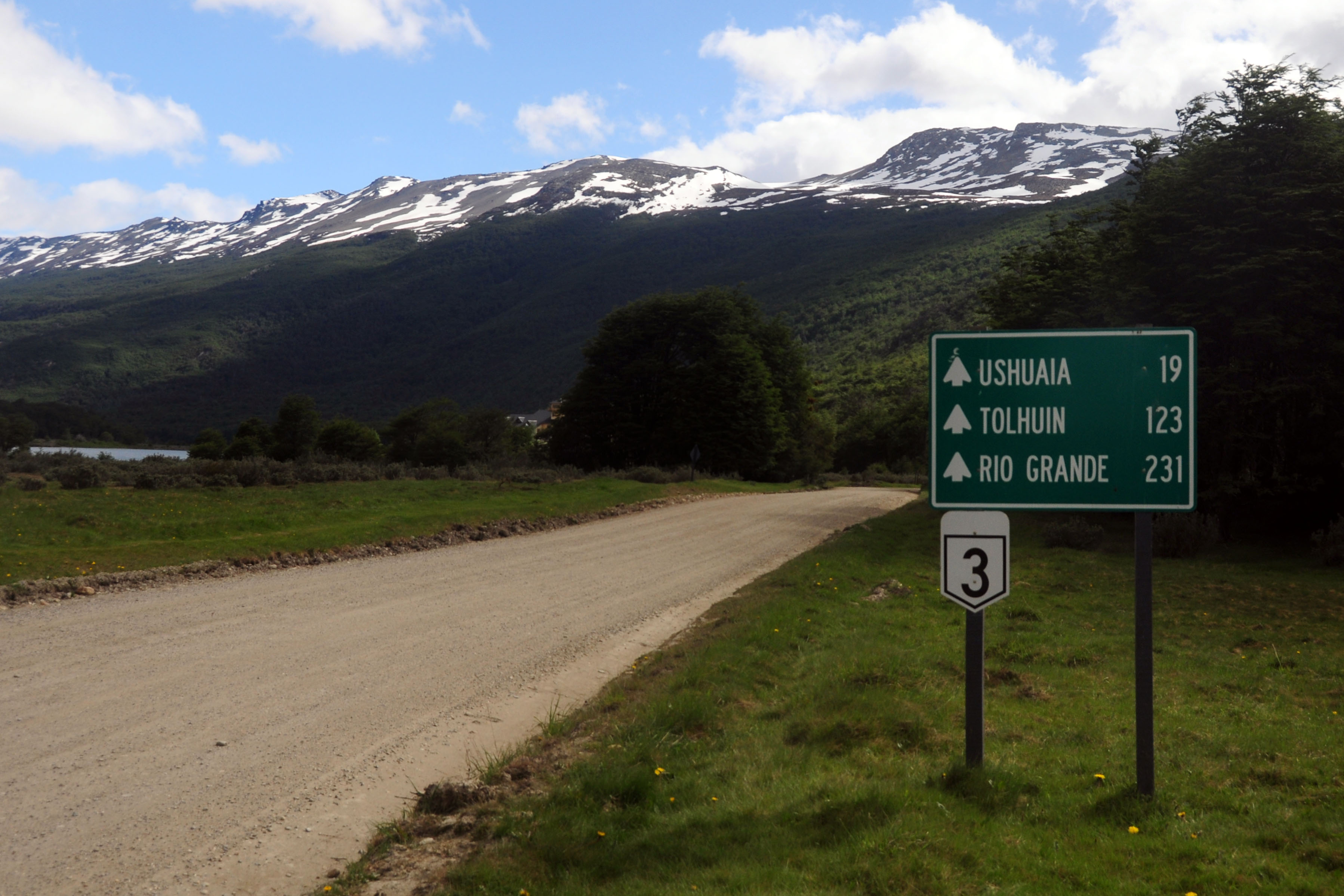
Our first full day in Patagonia. Here, we make the dash down to Ushuaia, the furthest-south city on the South American road network.
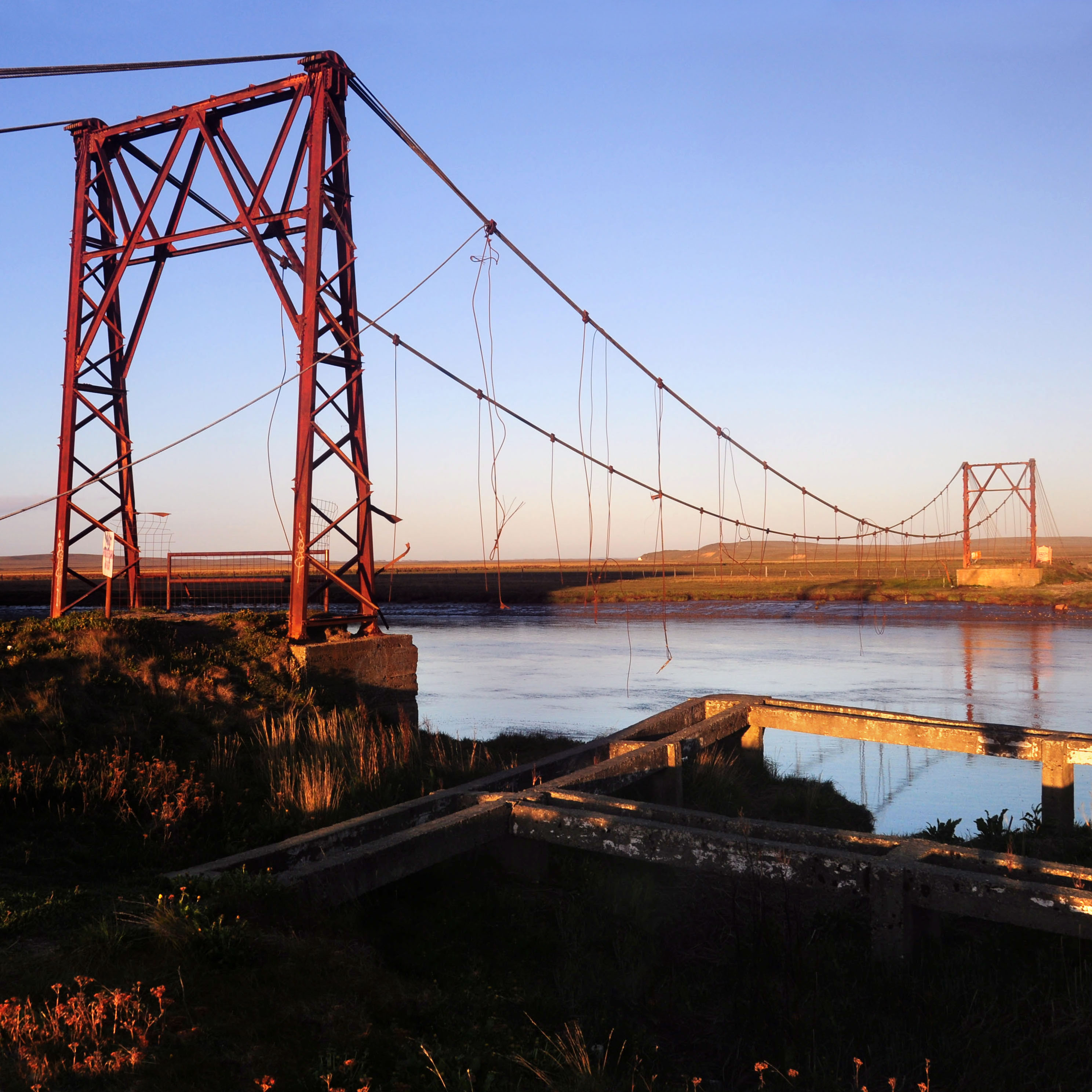
An old bridge at sunrise. The deck is entirely missing; a helpful sign points out that the bridge is, indeed, deteriorated.
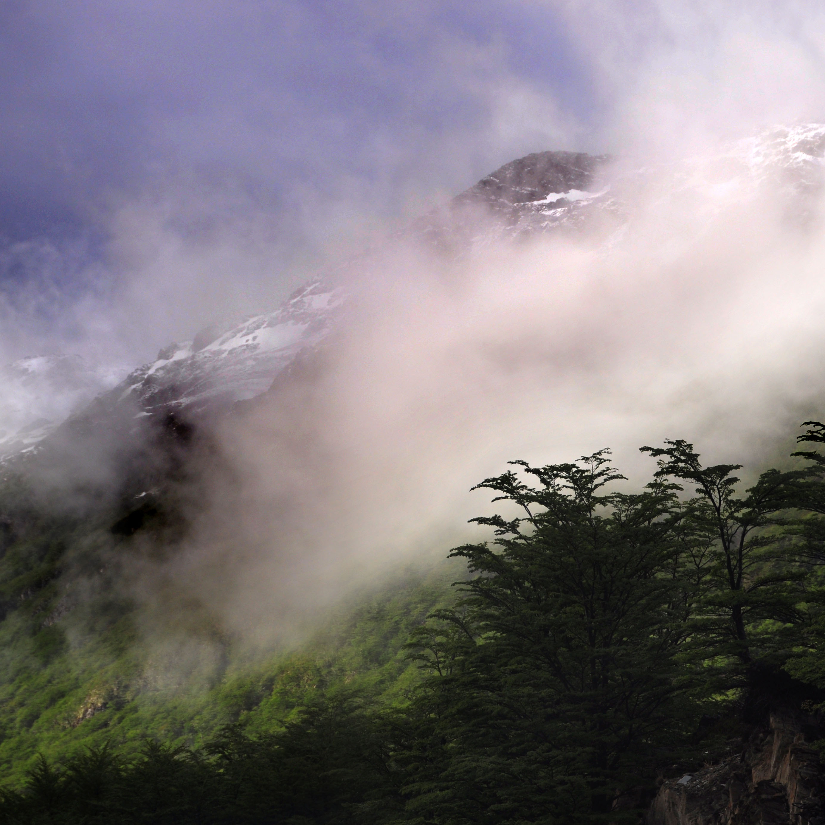
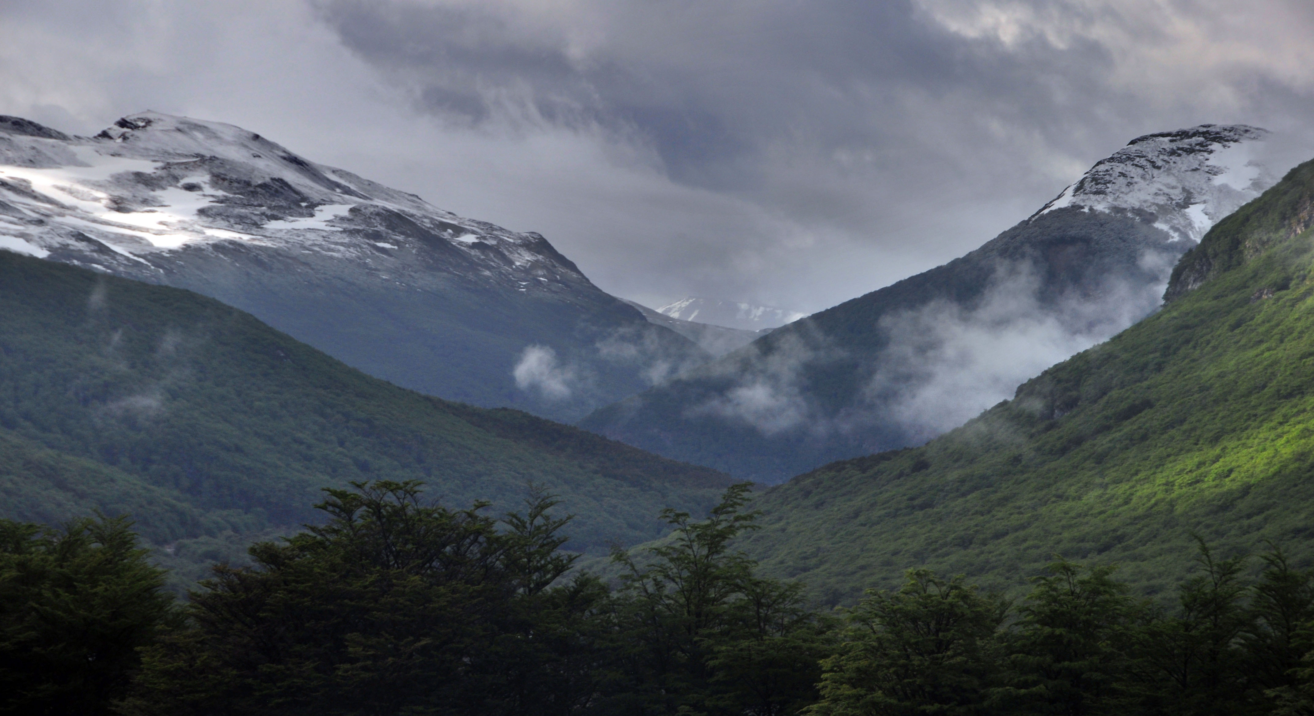
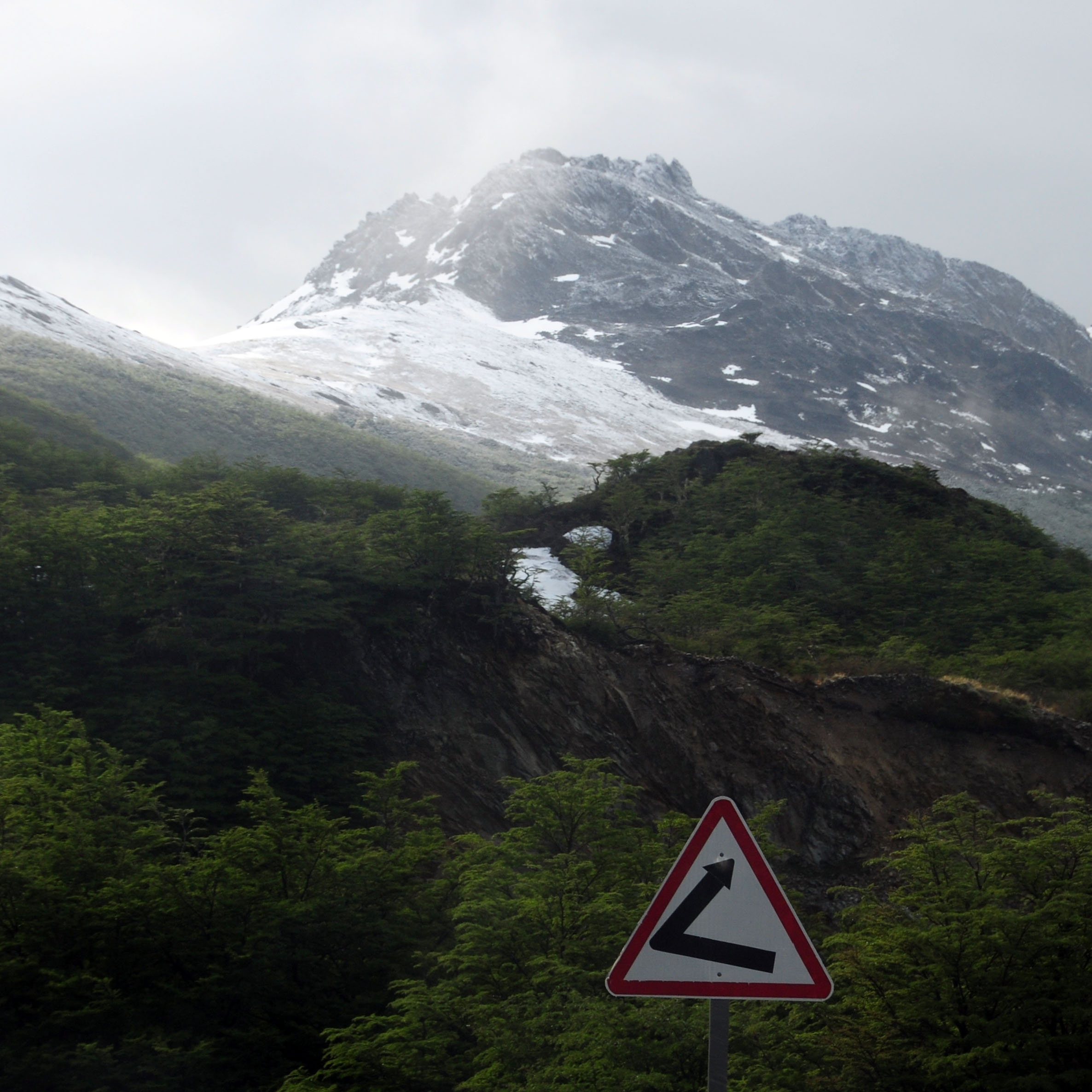
Fog in Garibaldi Pass, between Tolhuin and Ushuaia.

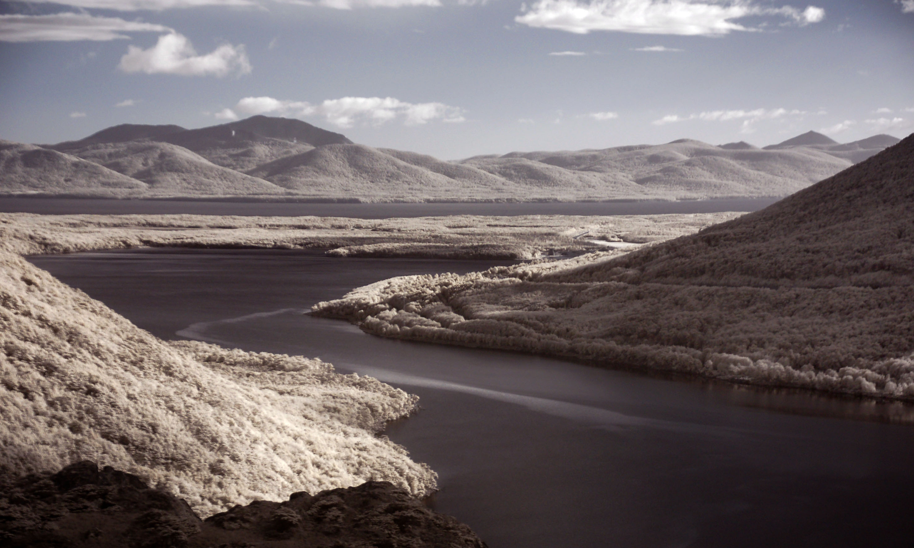
The kaiken, or upland goose. They are almost always seen in pairs. I took this photo in infrared, because that is the camera I happened to have in my hands at the time.
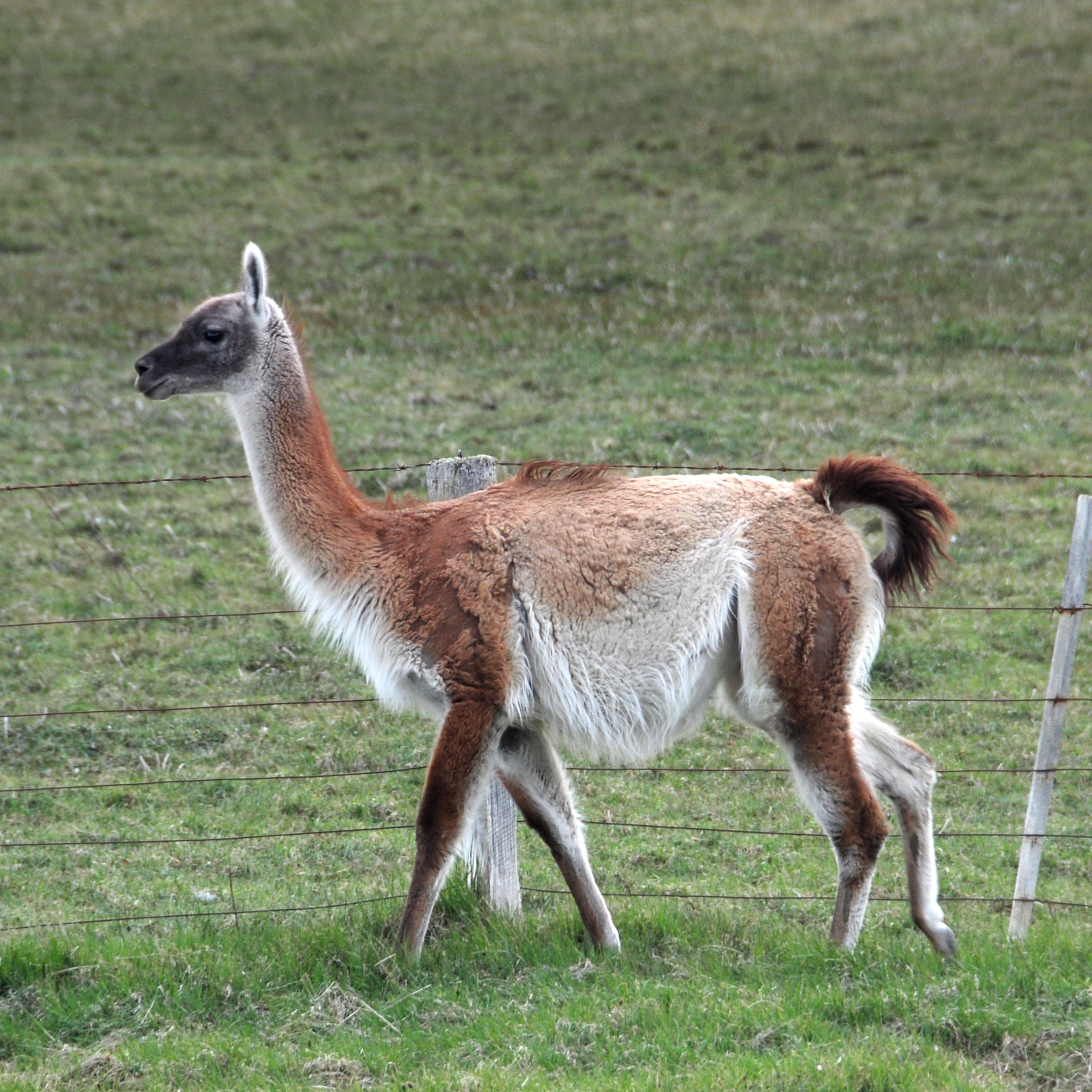
This is a guanaco. We will see much more over the course of our trip. They are most plentiful on Tierra del Fuego, due to the absence of their only predator: the puma. (aka mountain lion, aka cougar; they’re the same animal all over North and South America)
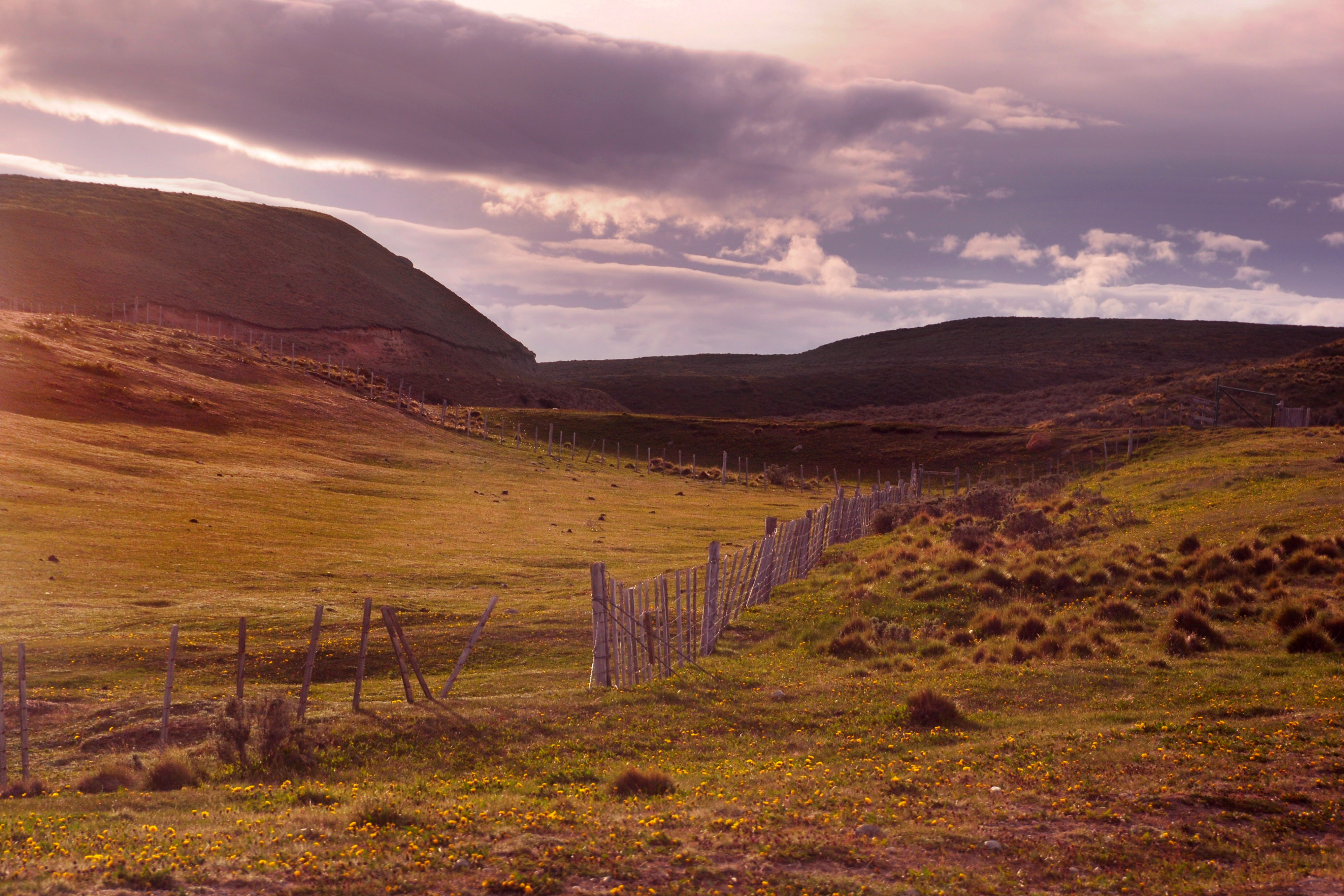
Between the plains and the mountains of Tierra del Fuego is this forest.
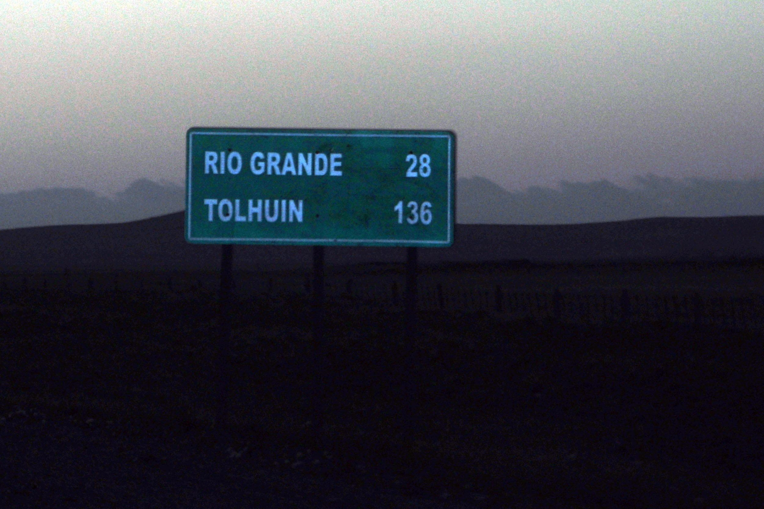
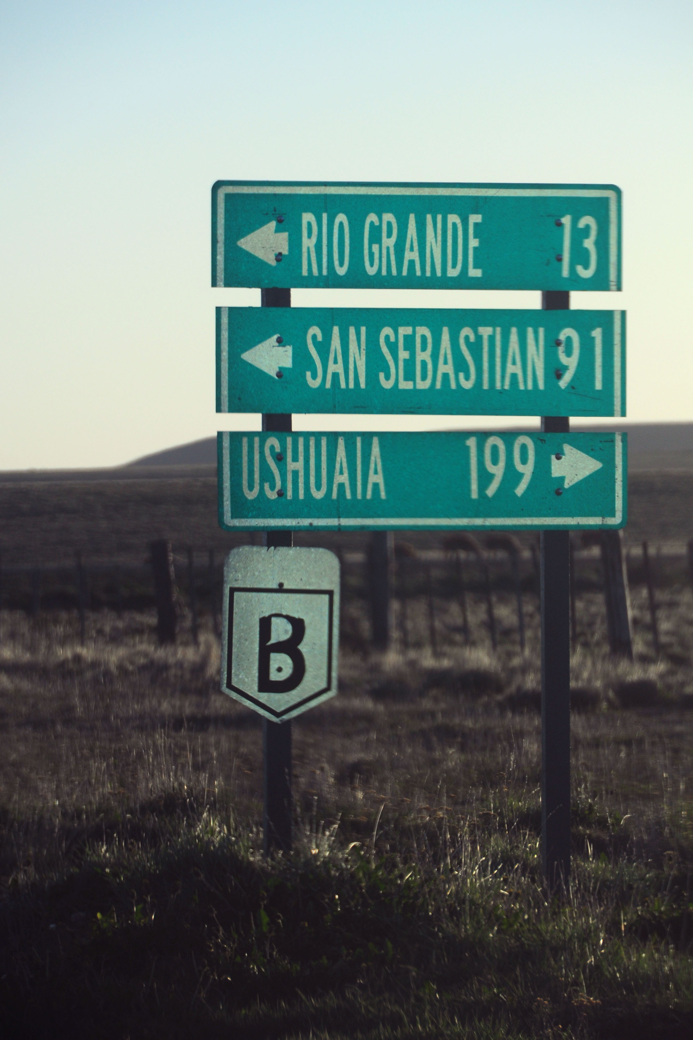
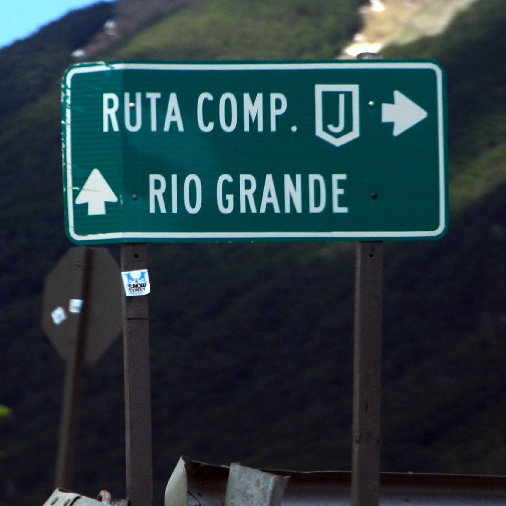
Rio Grande is the first large town in Argentina.
Heading southeast into Rio Grande. During the southern hemisphere summer, the sun rises in the southeast, tracks across the north, and sets in the southwest.
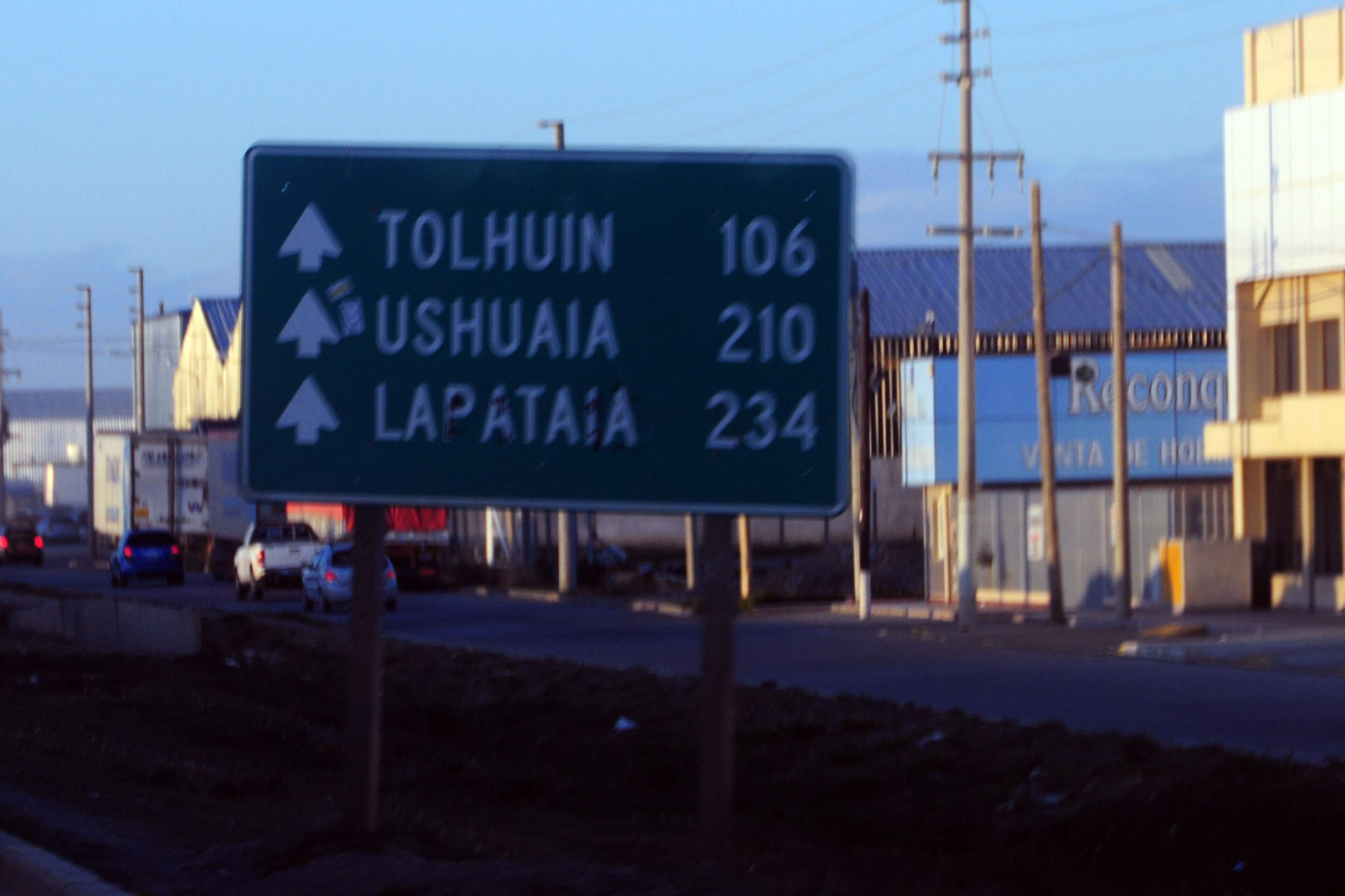
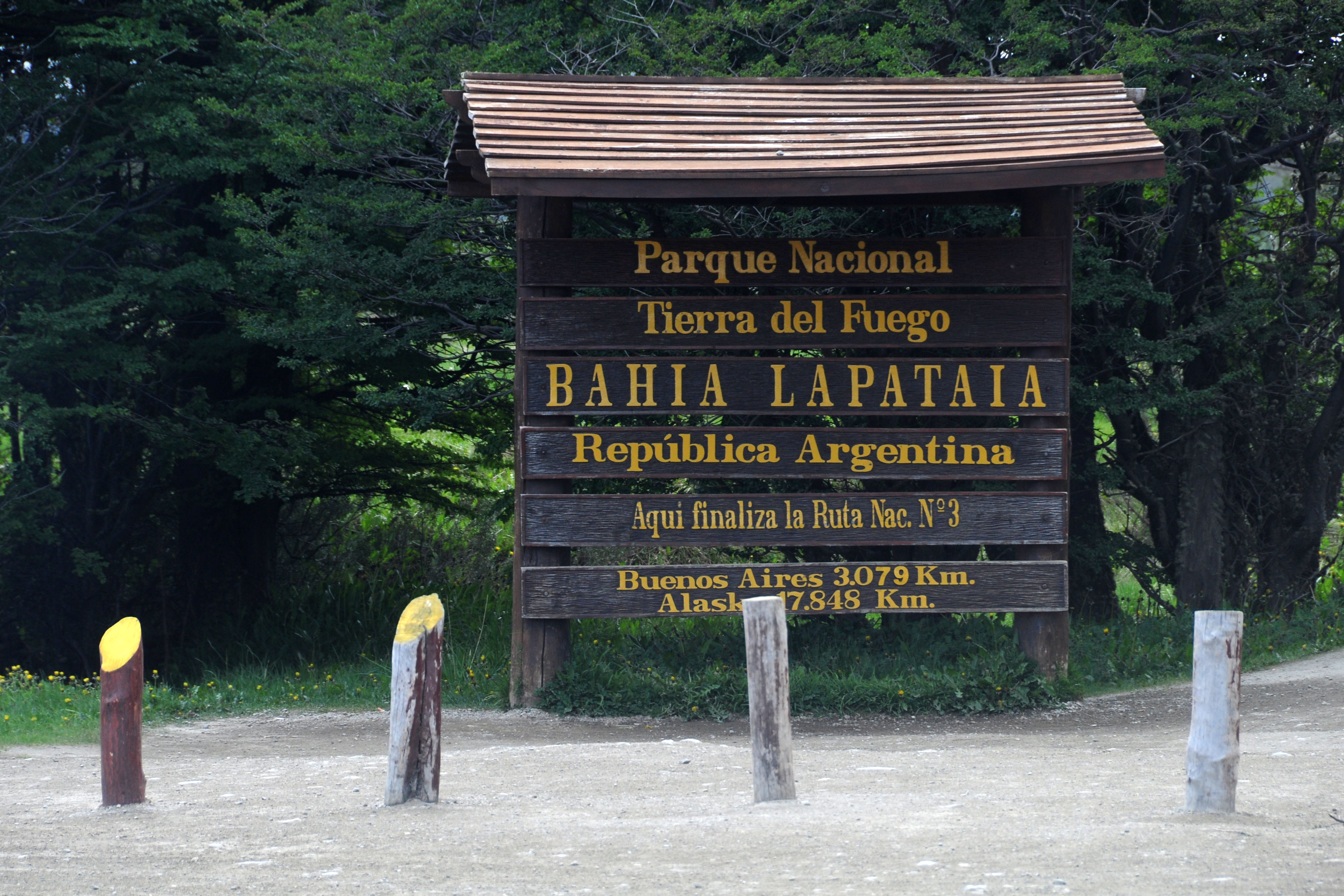
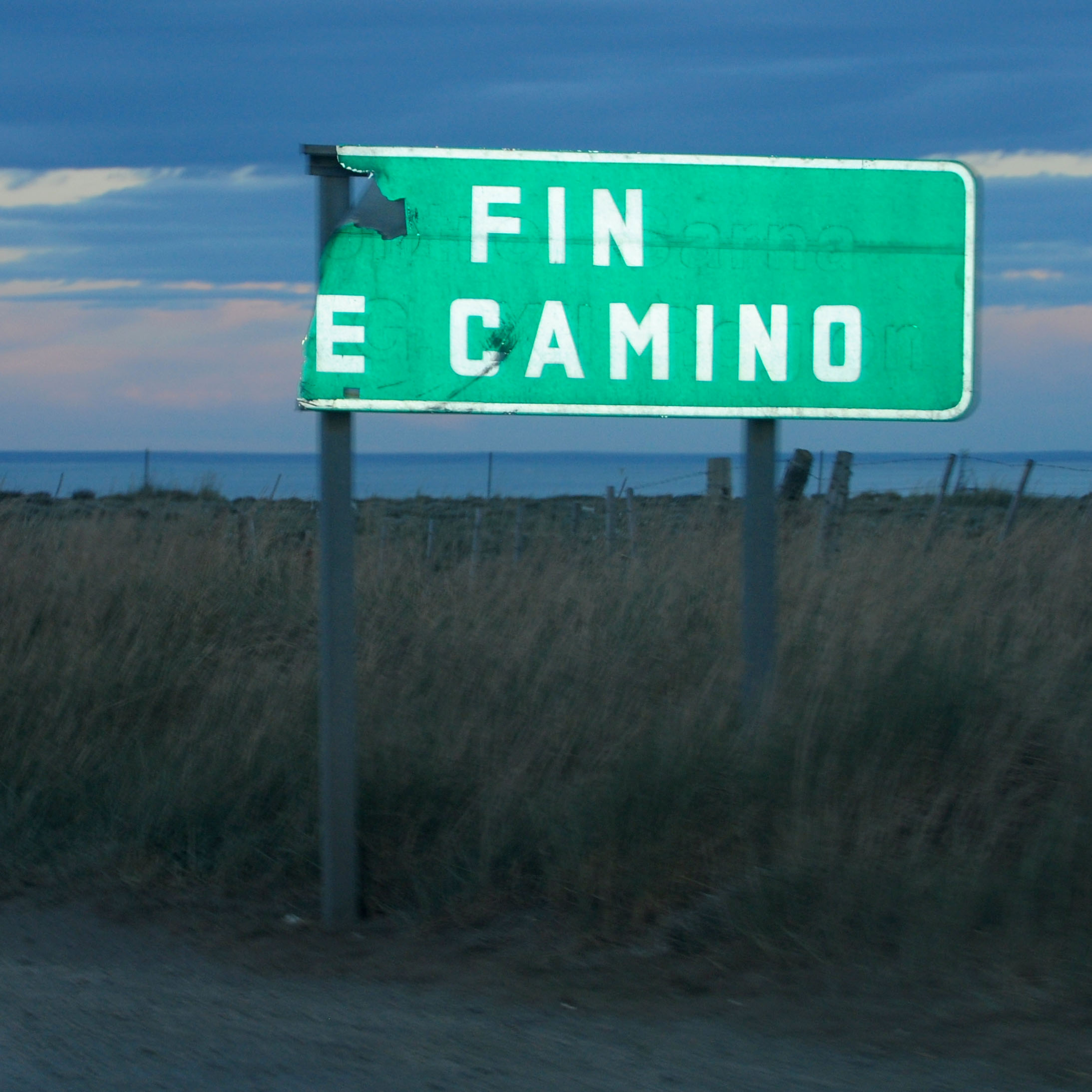
Lapataia is the actual end of the road. It’s a national park, just past Ushuaia.
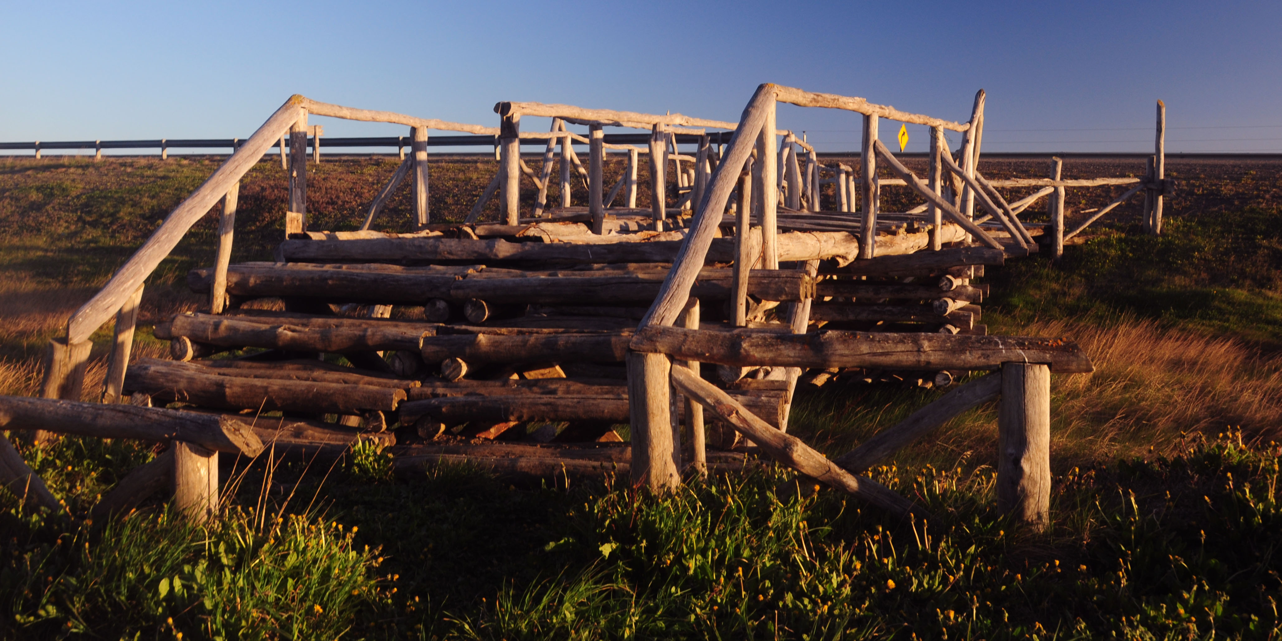
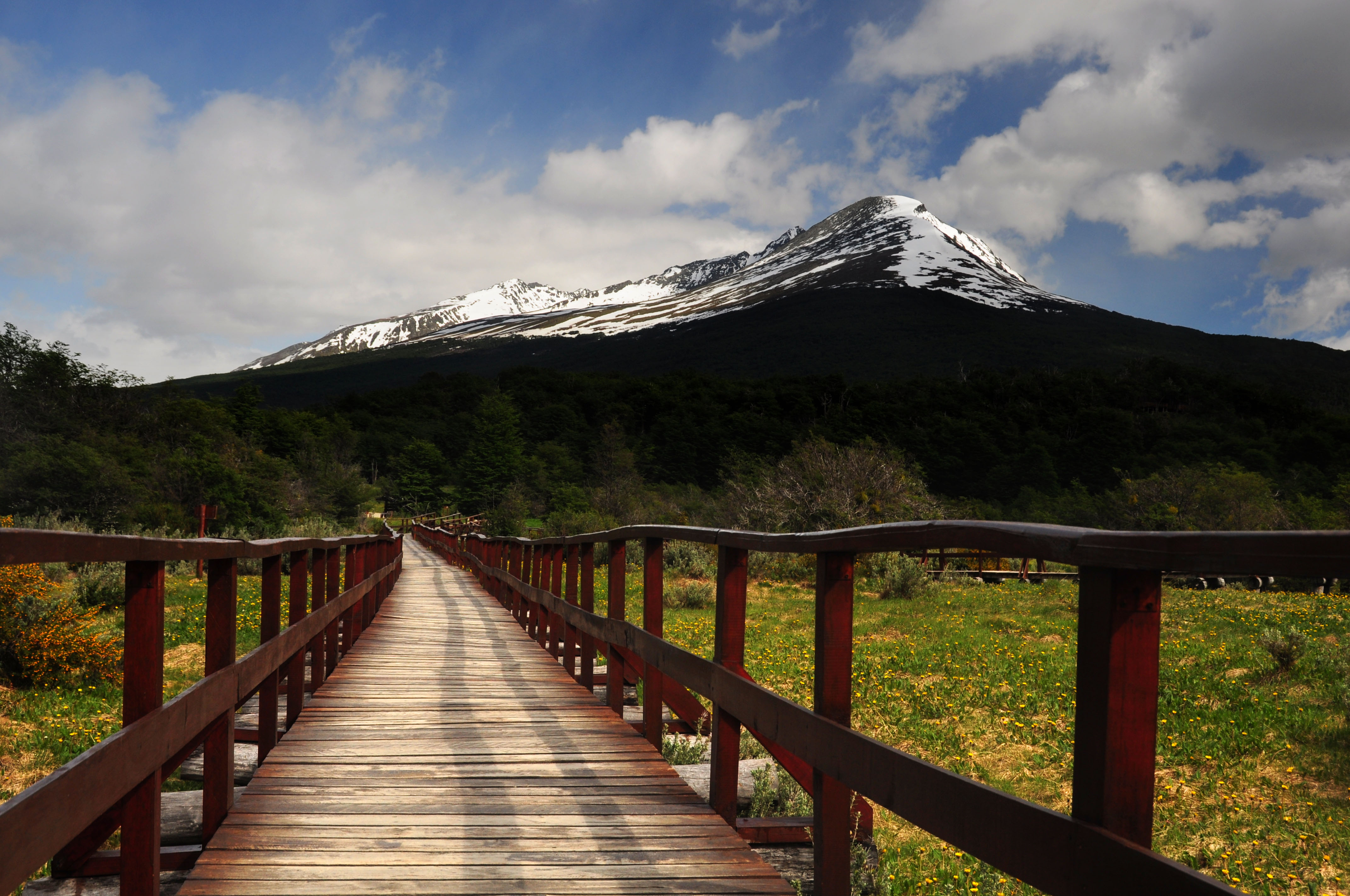
This footbridge is near the deteriorating one. We were able to drive up next to it, over a parallel culvert, but I am thinking the reason this was built was because if the water level rises, the path we took would become impossible.
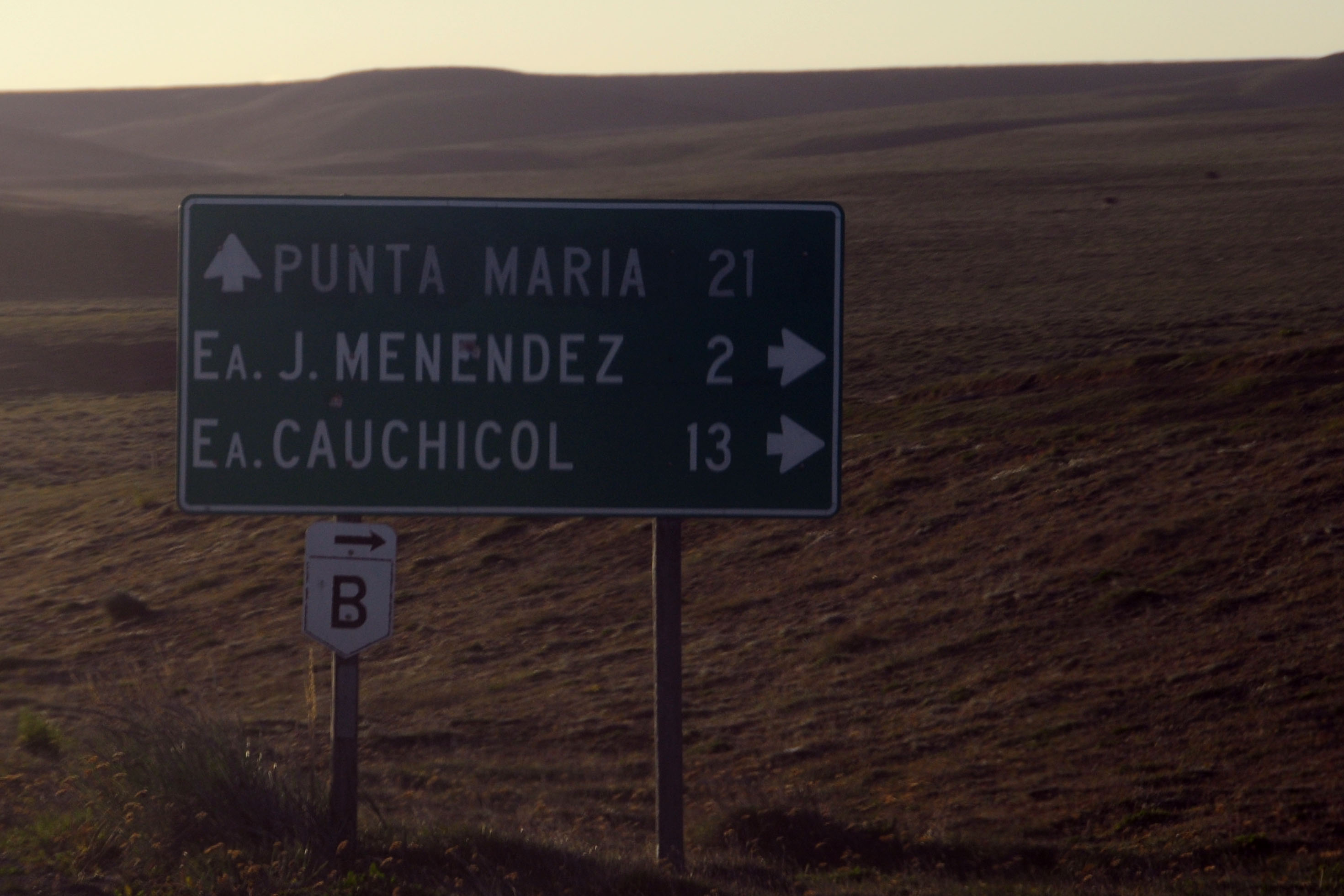
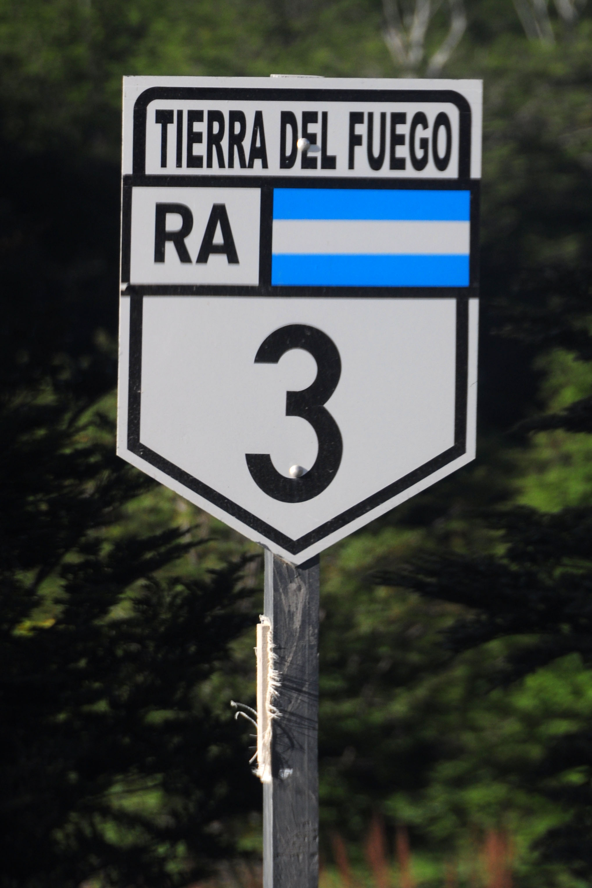
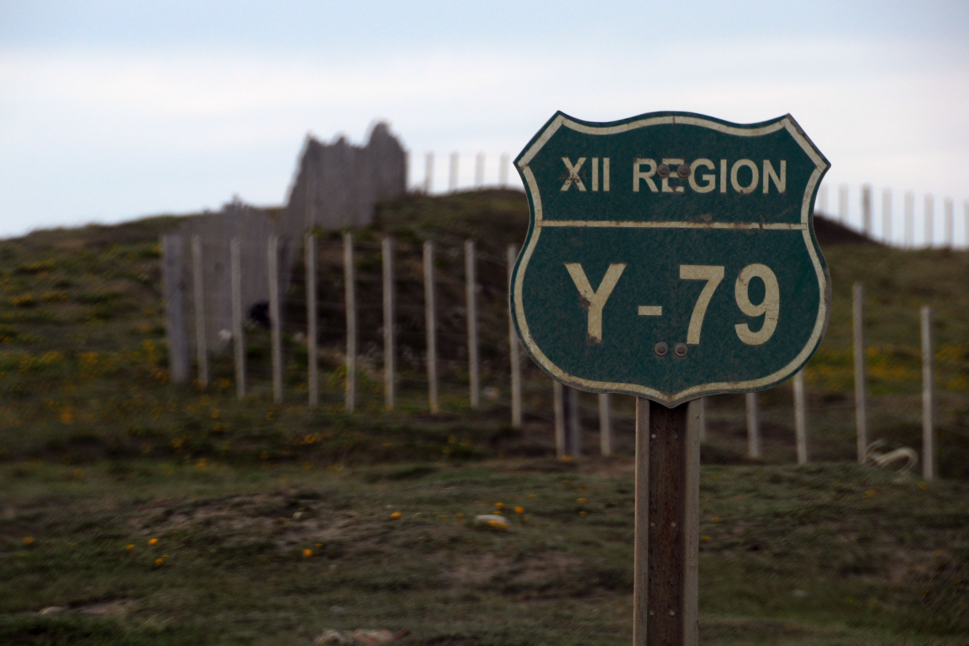
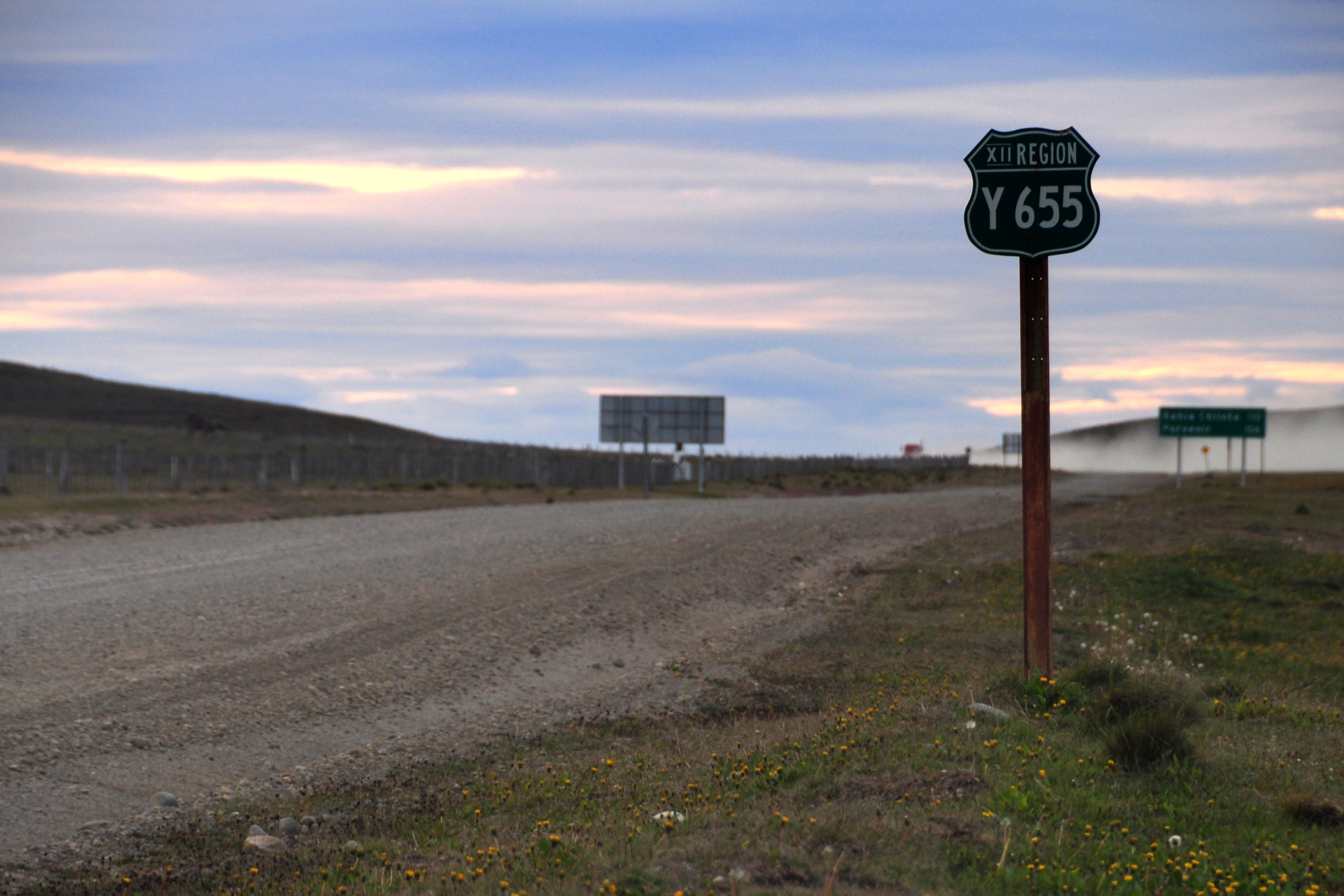
Tierra del Fuego seems to be unique among all of Argentina’s provinces for having these lettered routes. Here, we see the blank space on top of the shield being used for an arrow.
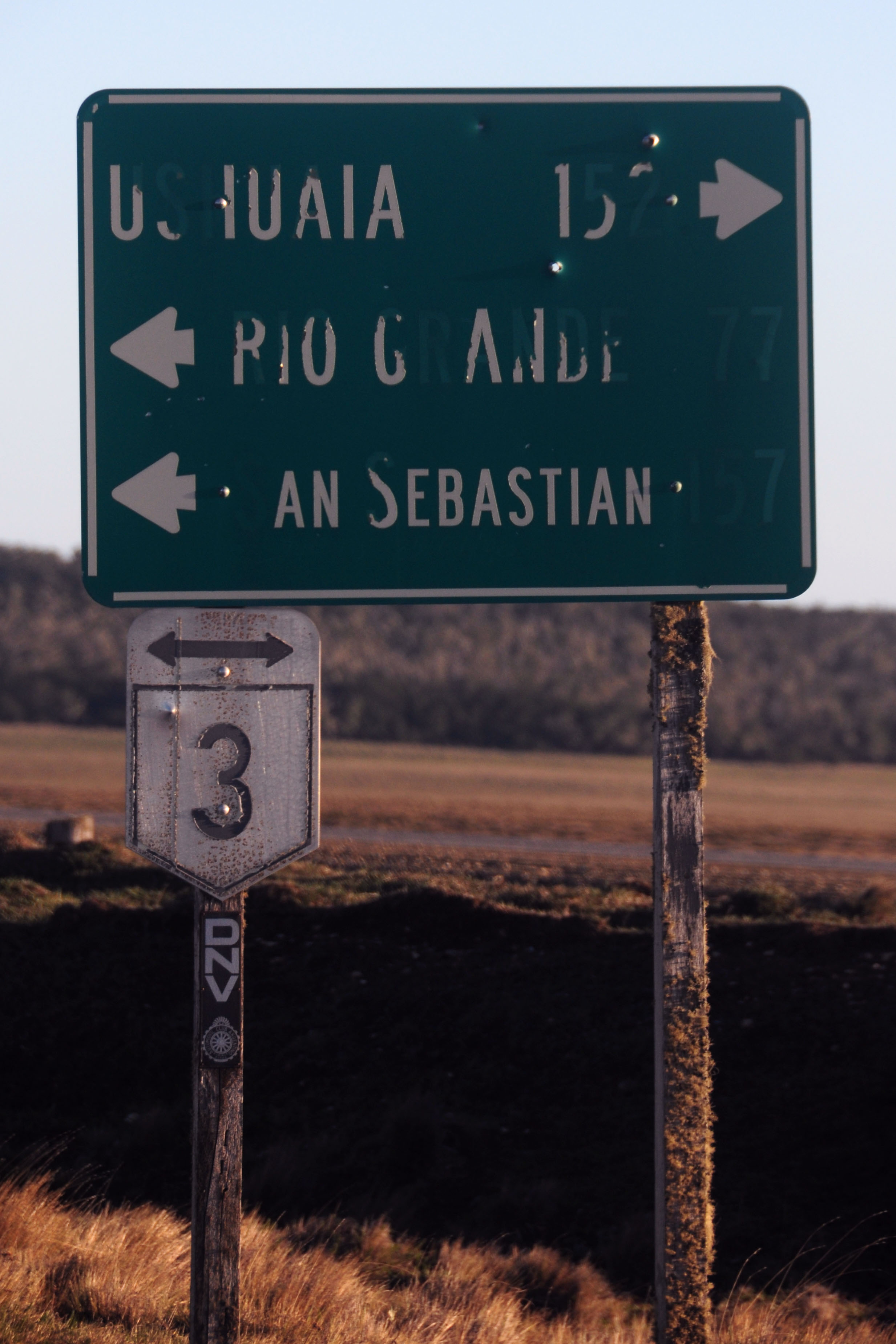
This single guide sign has been cut into three pieces, for unknown reasons.
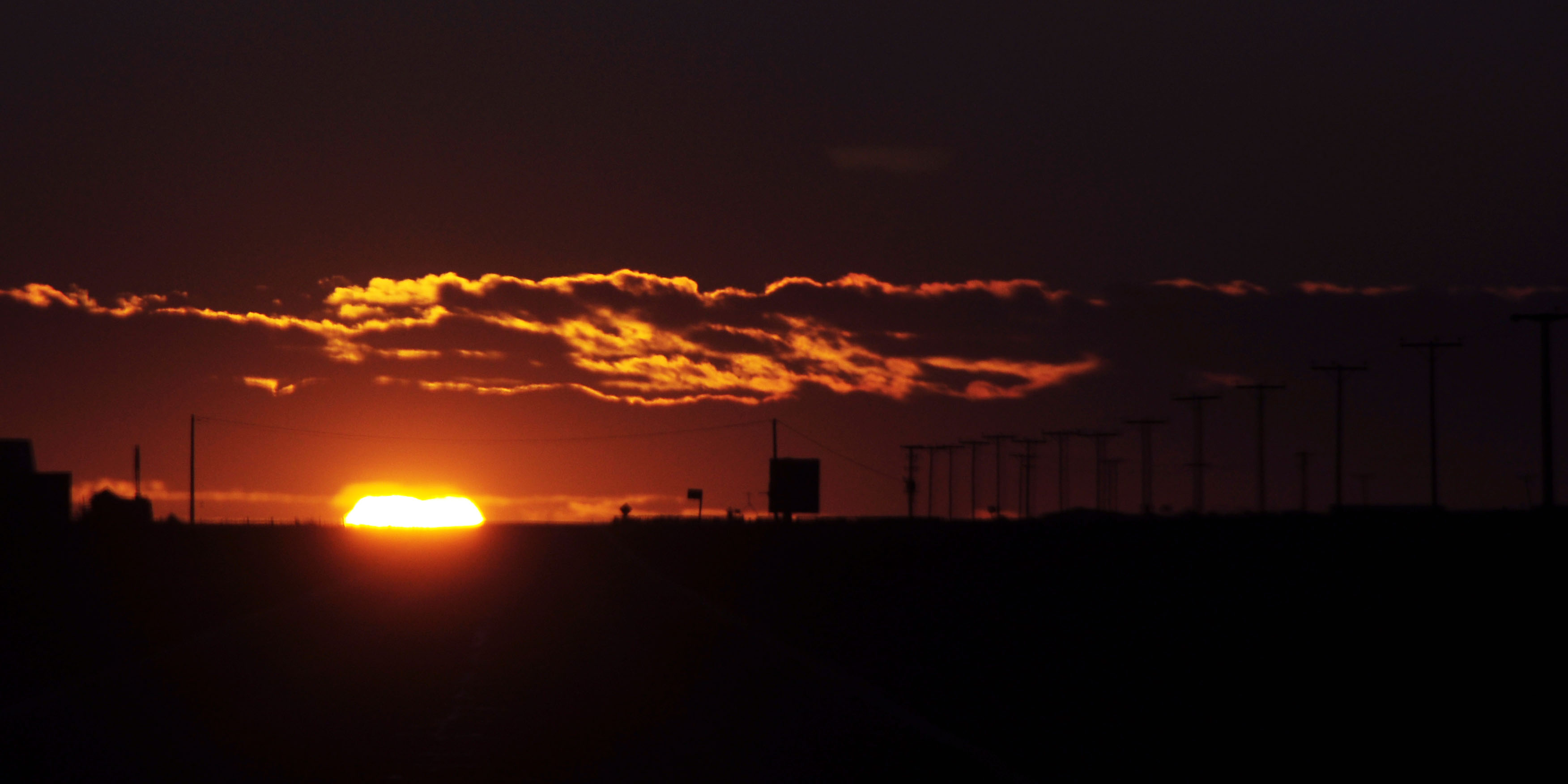
A sunny view.
Standard route 3 shield. The signposts in Argentina are all marked “DNV”, which is the Dirección Nacional de Vialidad.
Getting into some forests.
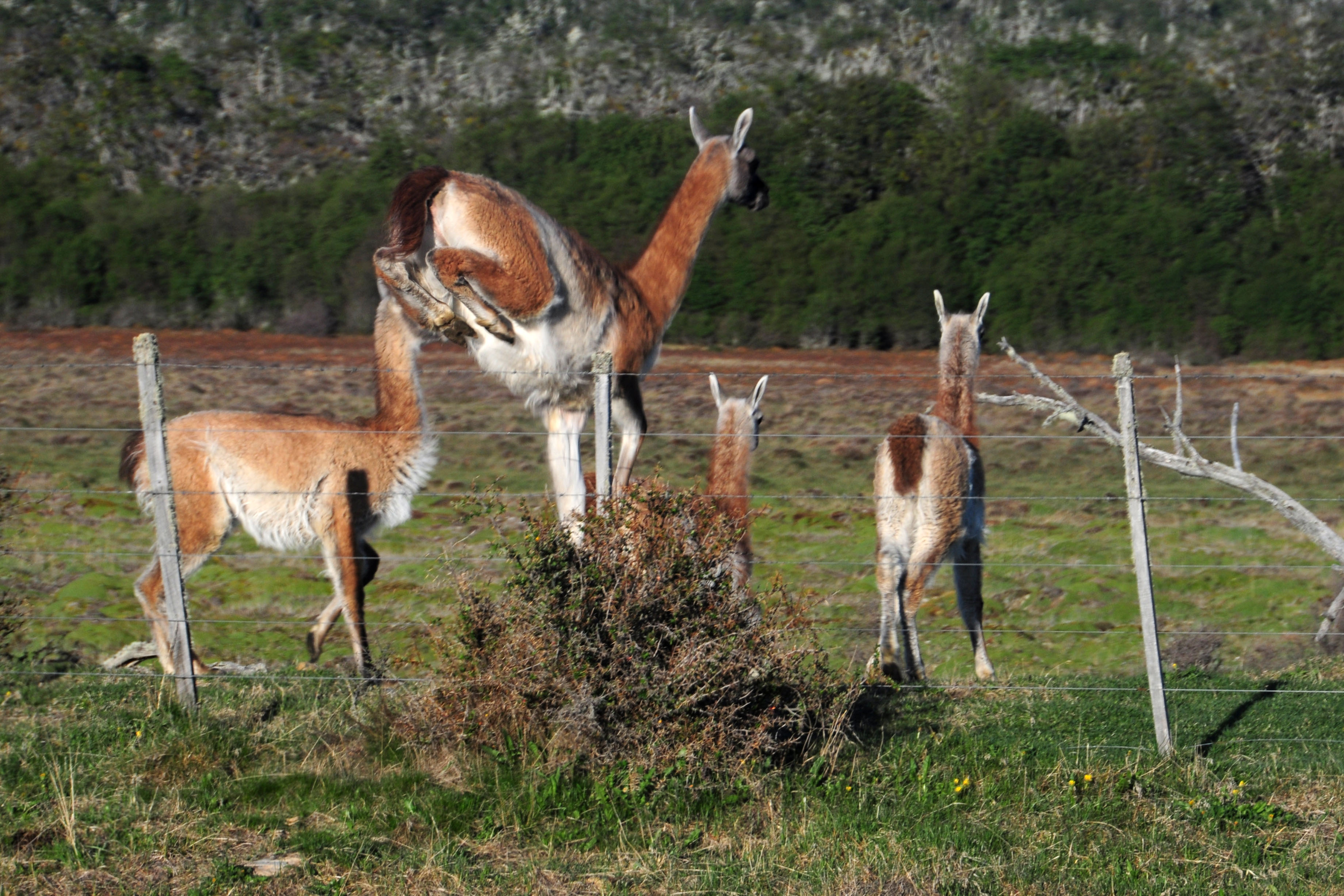
An assy guanaco photo.
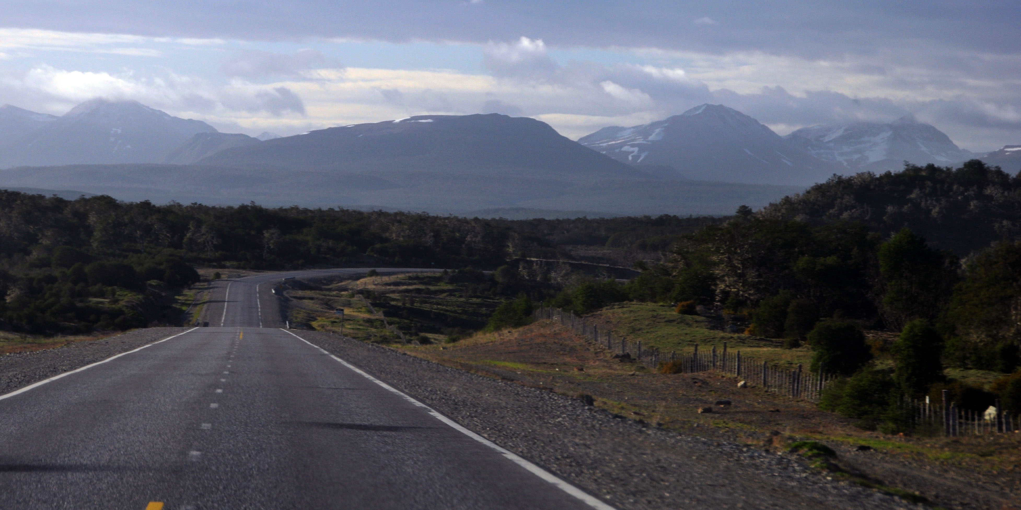
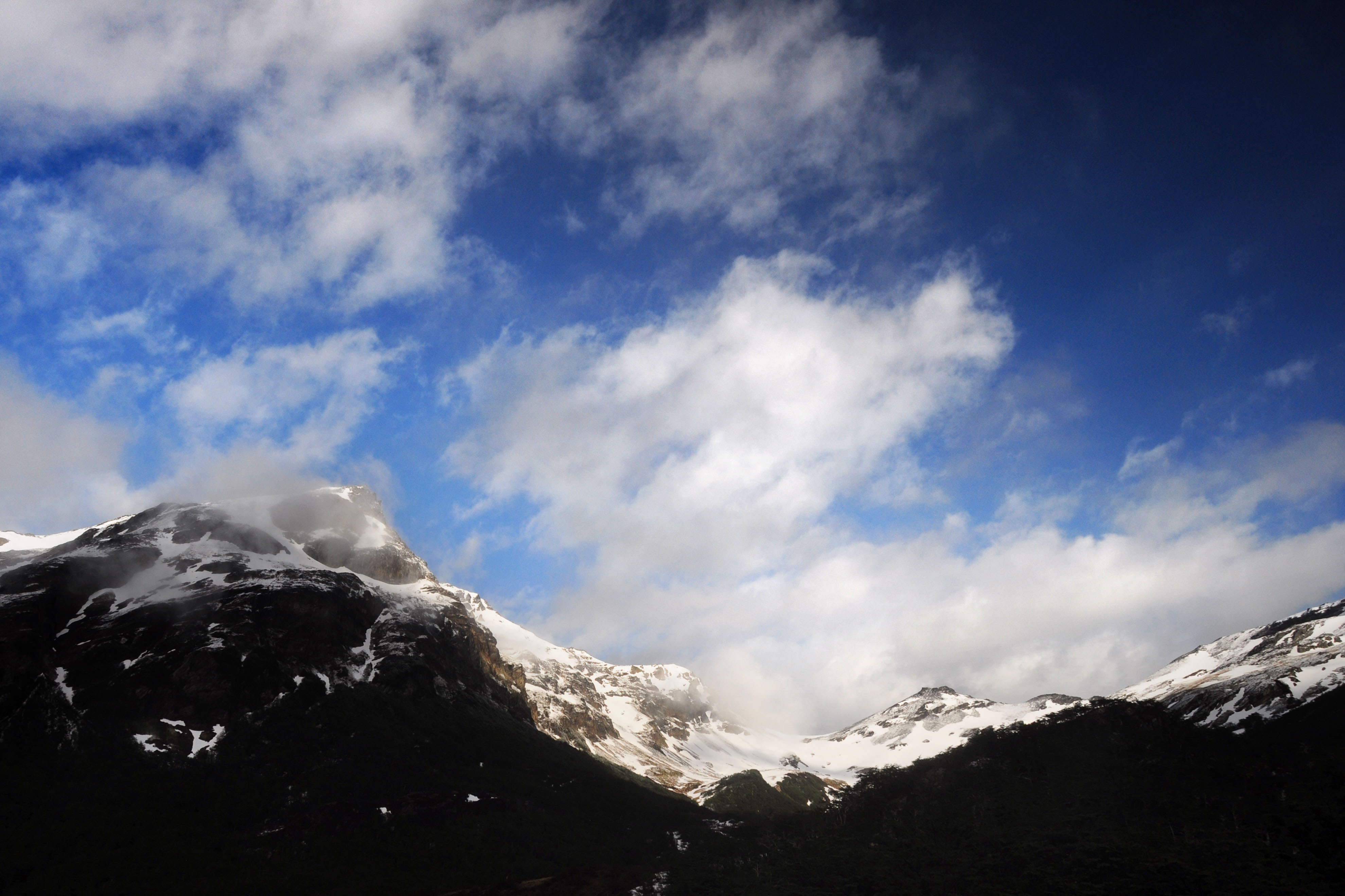
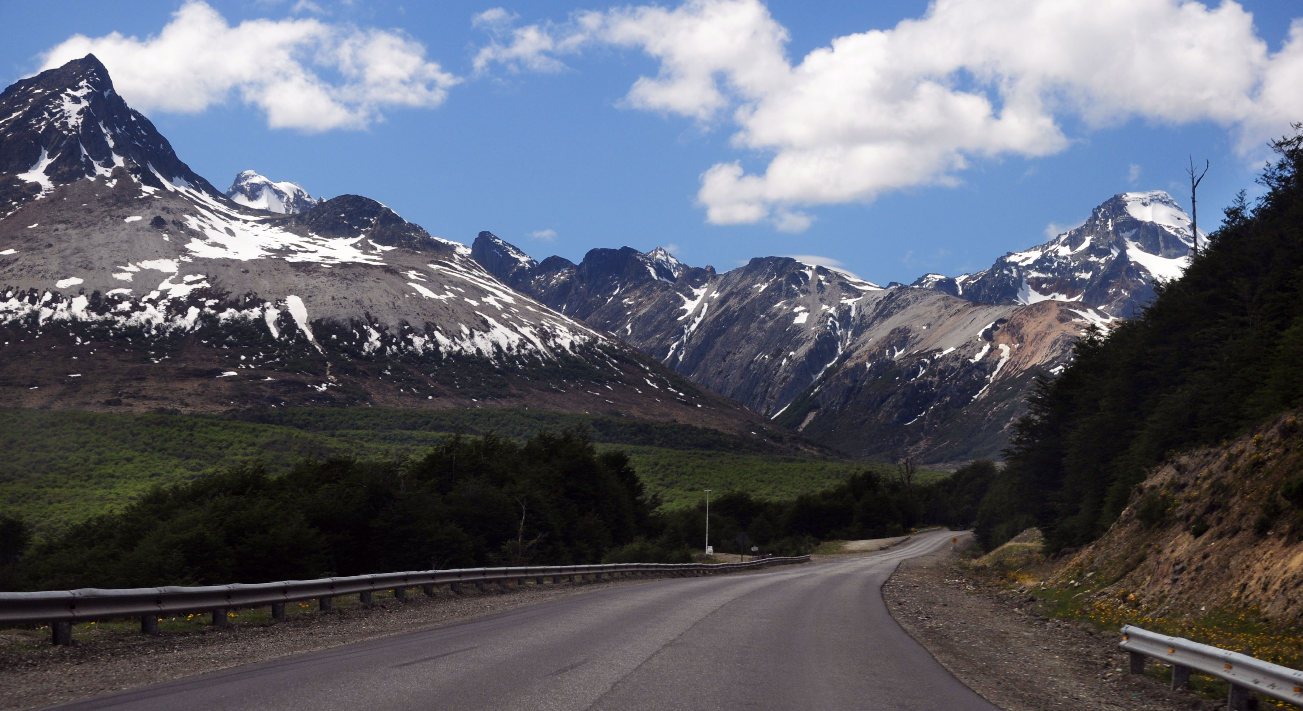
Past the forest is a mountain range – the last of the Andes.
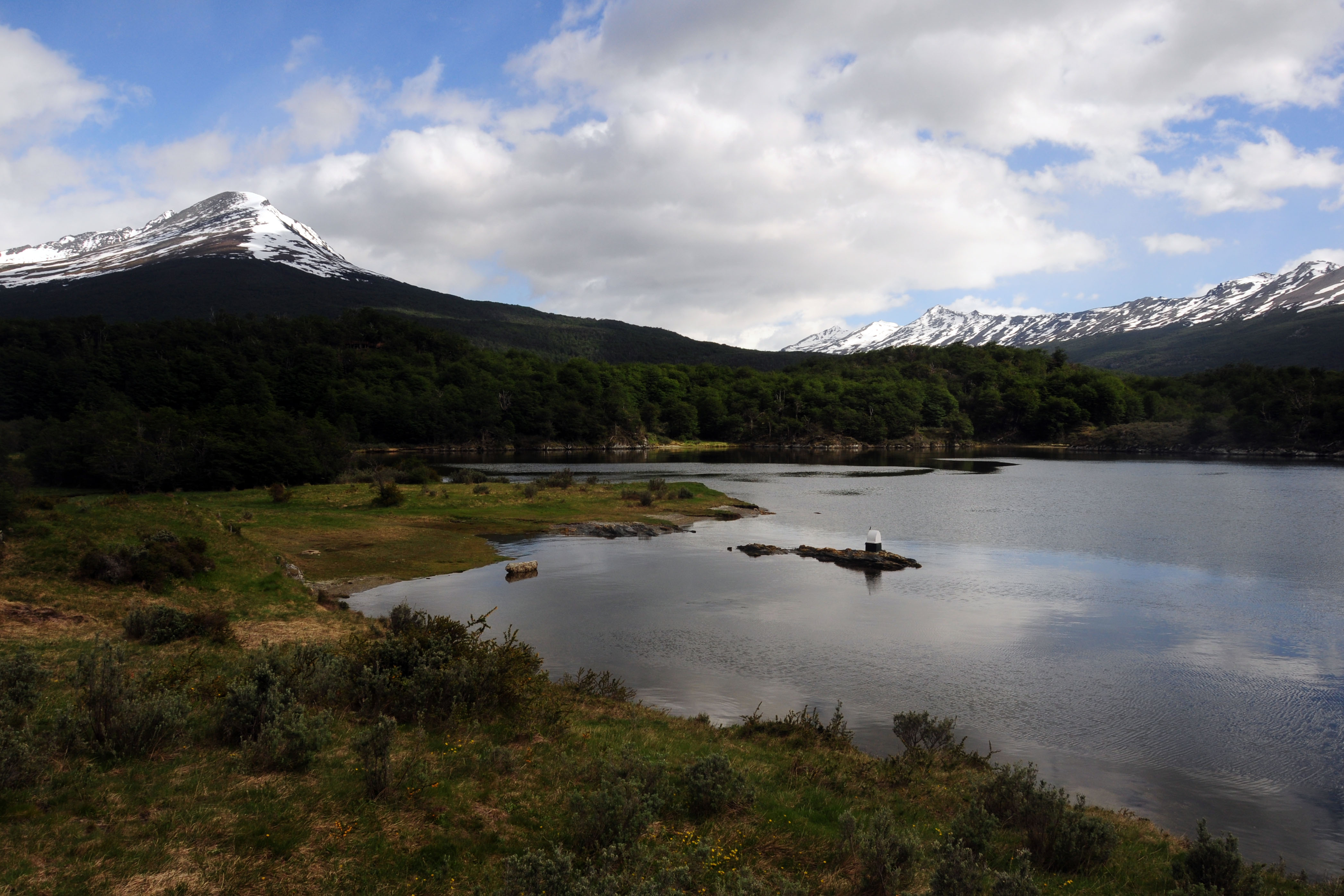
Lago Fagnano, and the mountains behind it.

Here comes the mountain pass.
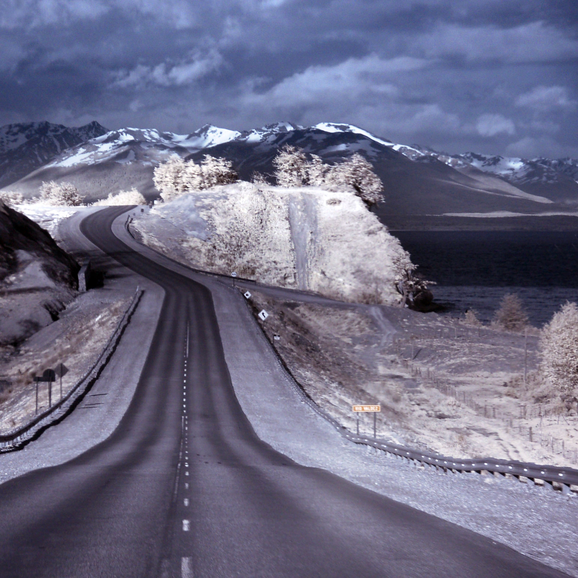
And one in infrared.
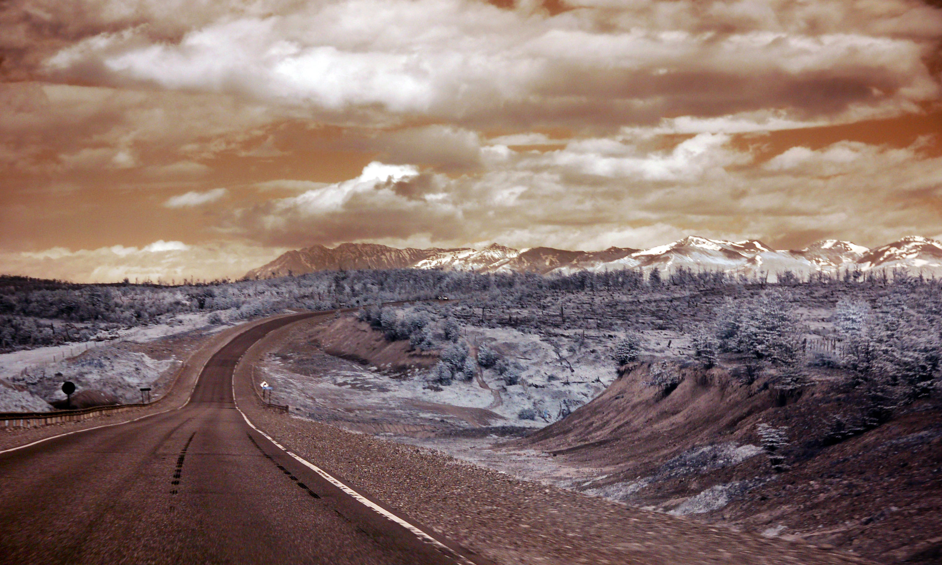
Another. Usually I reverse the red and blue channels (as the actual colors don’t matter – it’s just how the CCD of the camera perceives infrared light) but this time I liked the orange sky, so I kept it that way and bumped up the saturation some.

Cows are not transparent in infrared. This one seems especially displeased to have been made the subject of an experiment.

Getting more overcast as we approach the mountains.

I hope the Argentine highway department doesn’t find Andre and have a word with him. Full text of the graffiti:
This is nearly the end my friend!! The end of the world and the end of a big cycling-adventure. From Alaska to Tierra del Fuego!! Amazing!!
See you at the end of the world. I will order one or ten beers for us.
Suerte
Andre
9/10/12 and 24.500km

And here’s Dan’s photo of the same sign, in visible light.
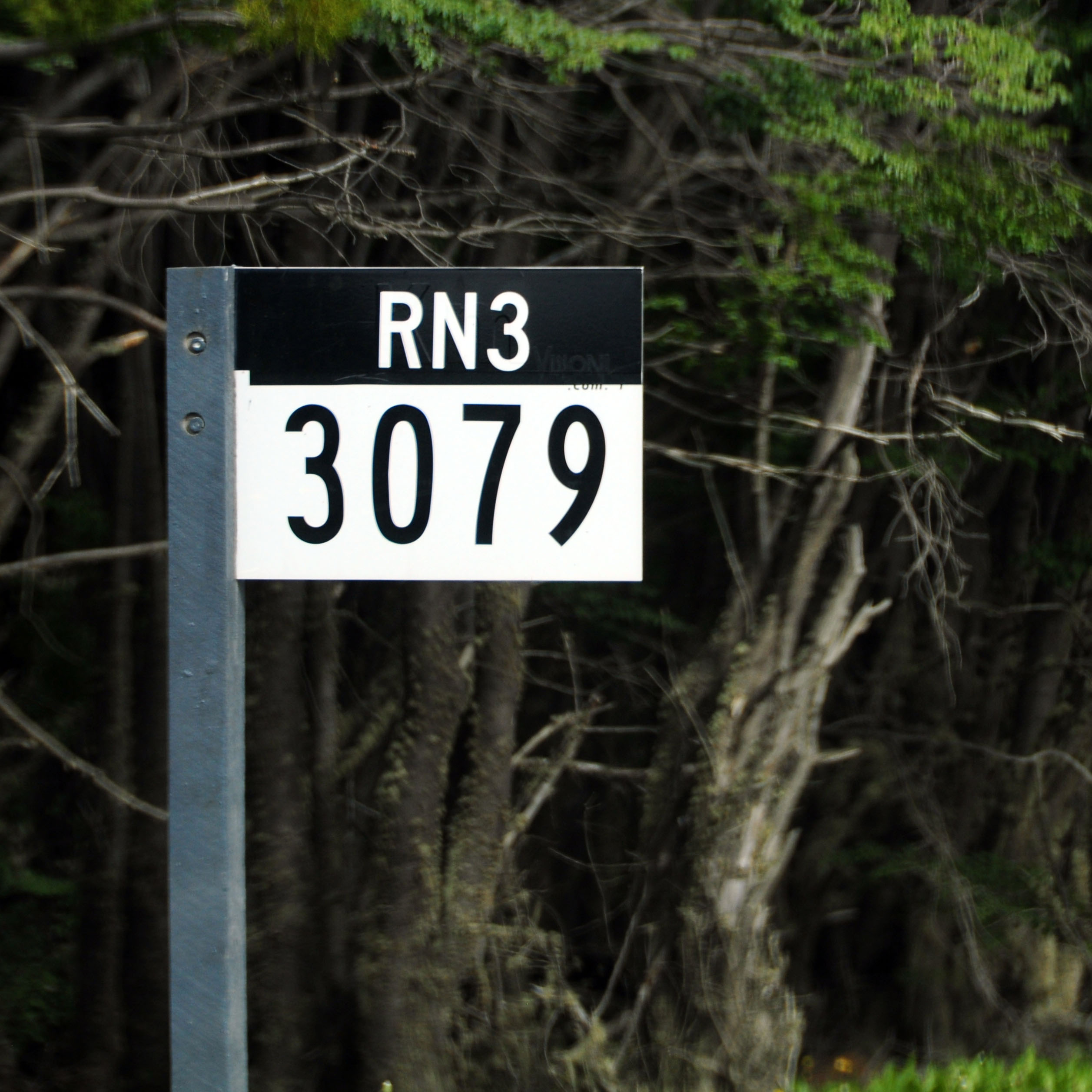
A fancy route marker, about four times the size of a standard one. These appear sporadically, without much rhyme or reason. Here, it replaces the kilometer 3000 marker for route 3.
A look through a green valley.
Fog rolls off the tops of the mountains.
The view to the north.

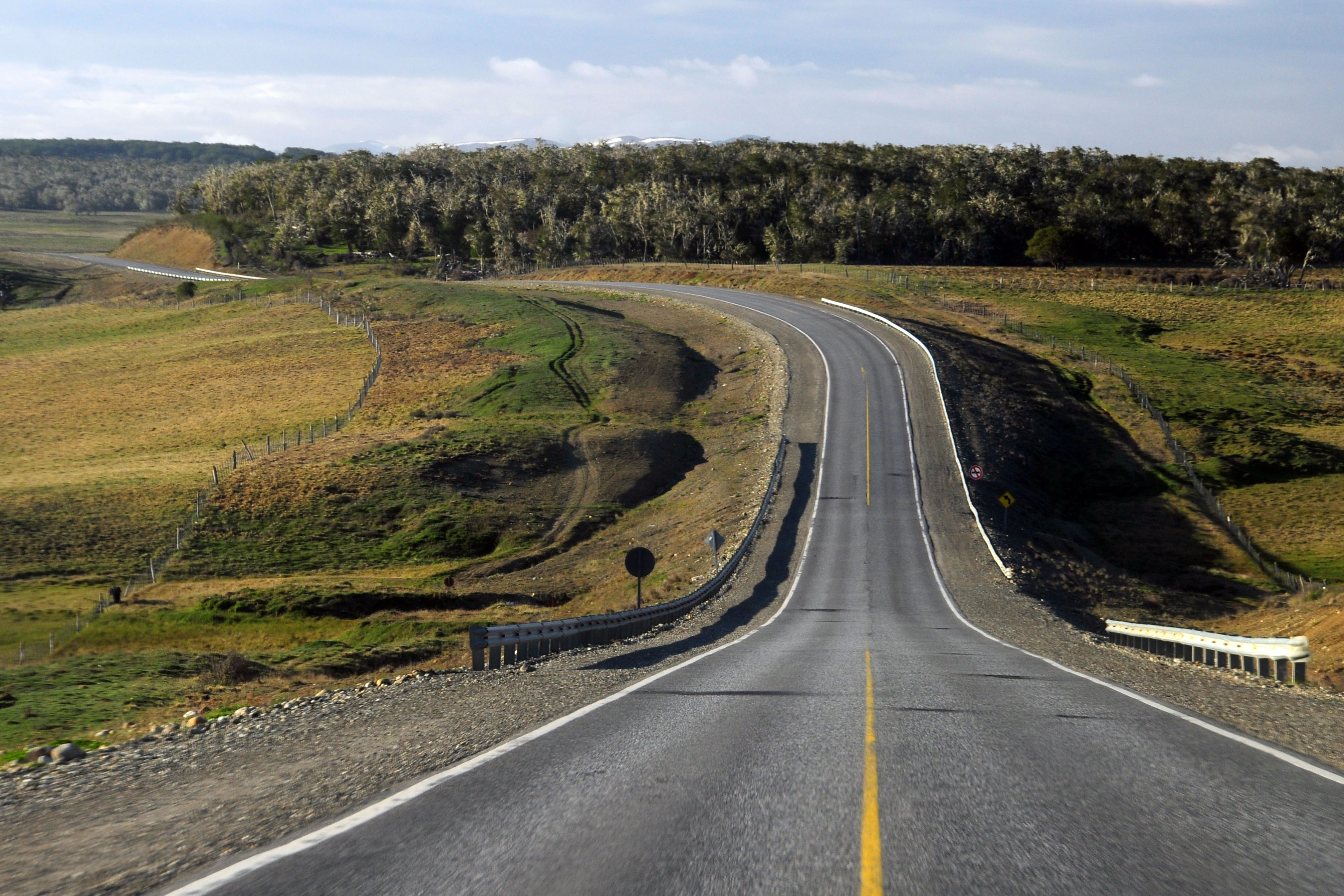
Around the curves we go.
Only in the Garibaldi Pass area did we see these European-style curve markers. Everywhere else was yellow diamonds.
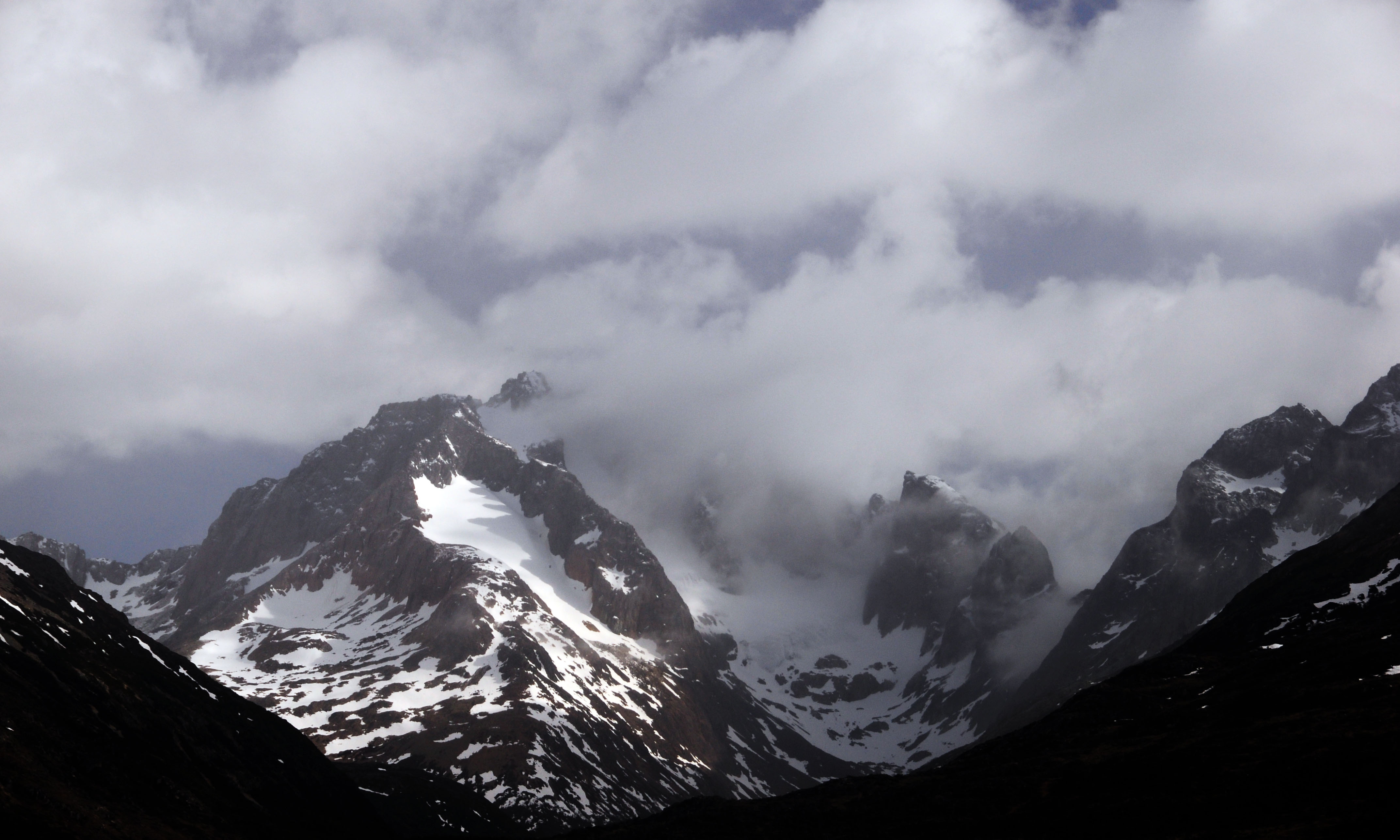
Just about the top of the pass.
There’s an eagle in there somewhere. Trust me. [Dan photo.]
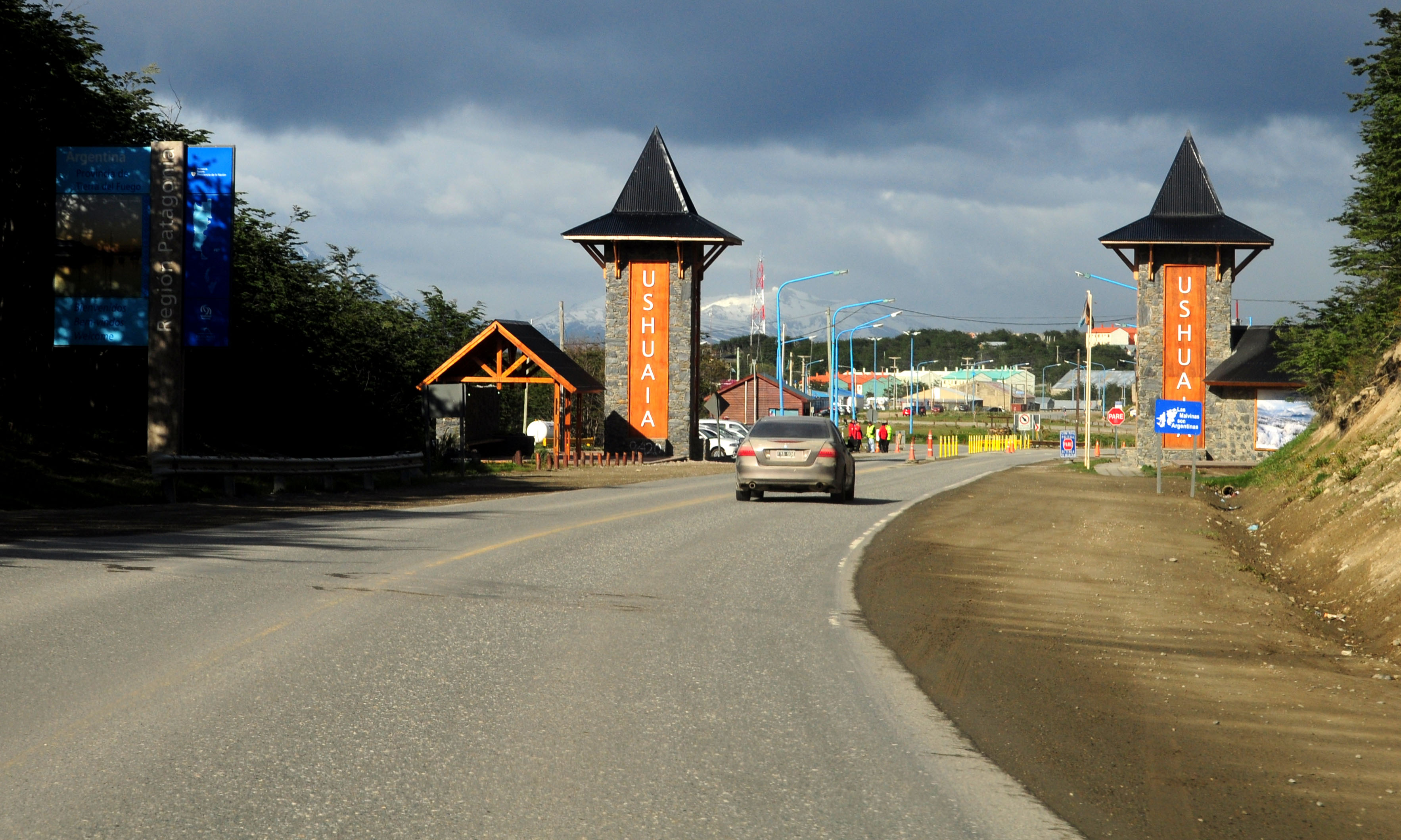
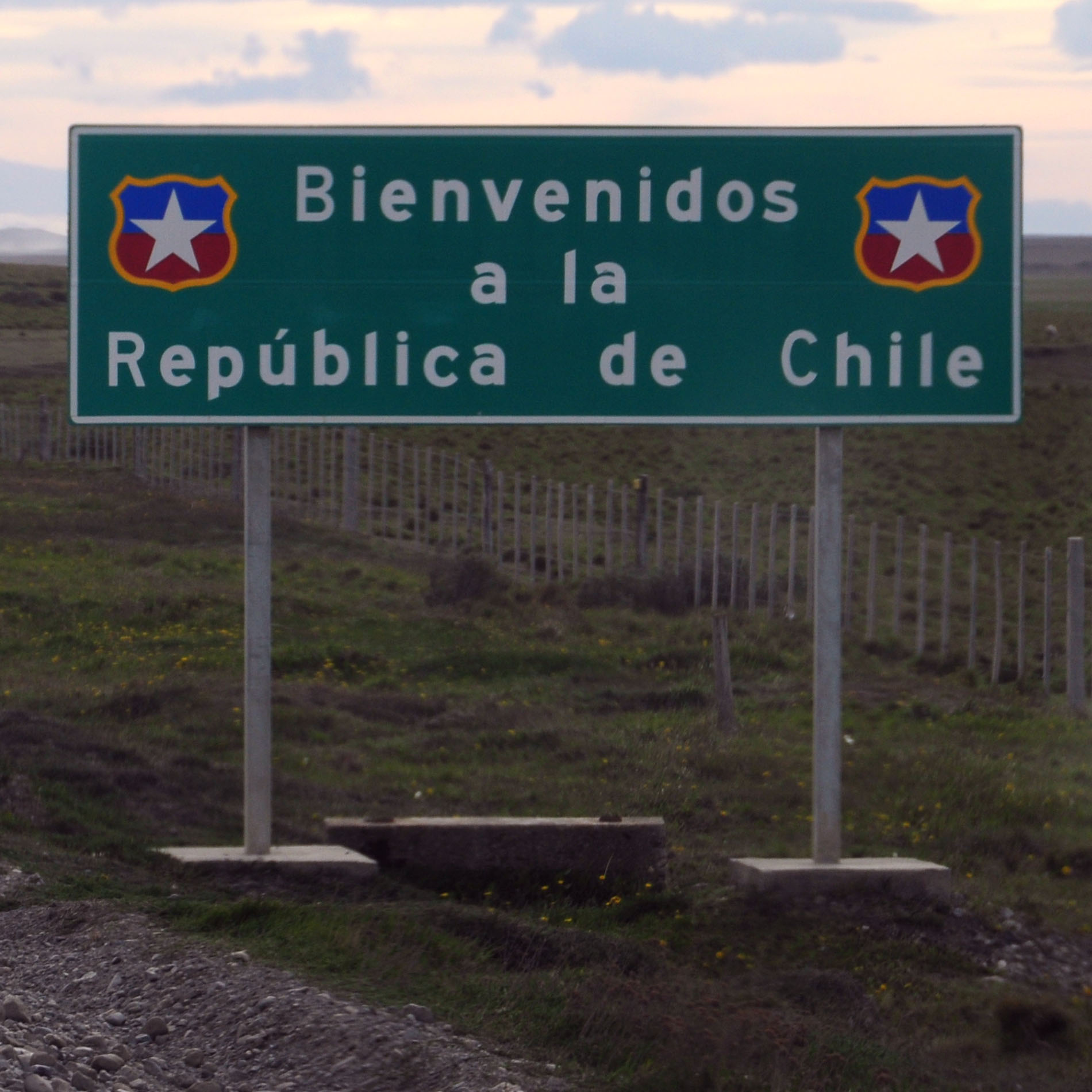
Bienvenido.
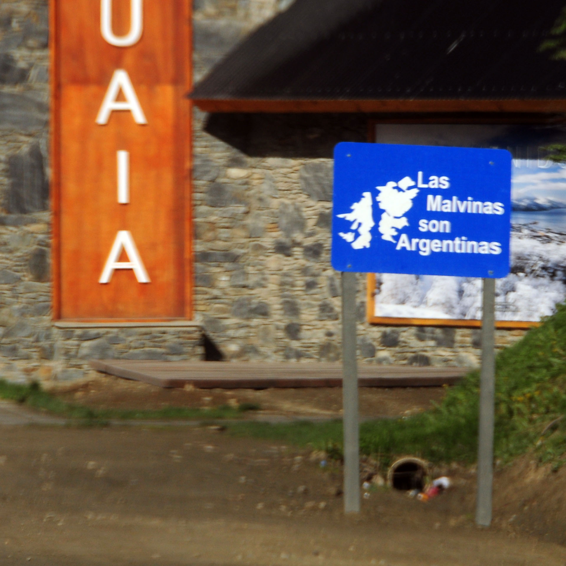
This is considered, in Argentina, to be a Very Important Matter.
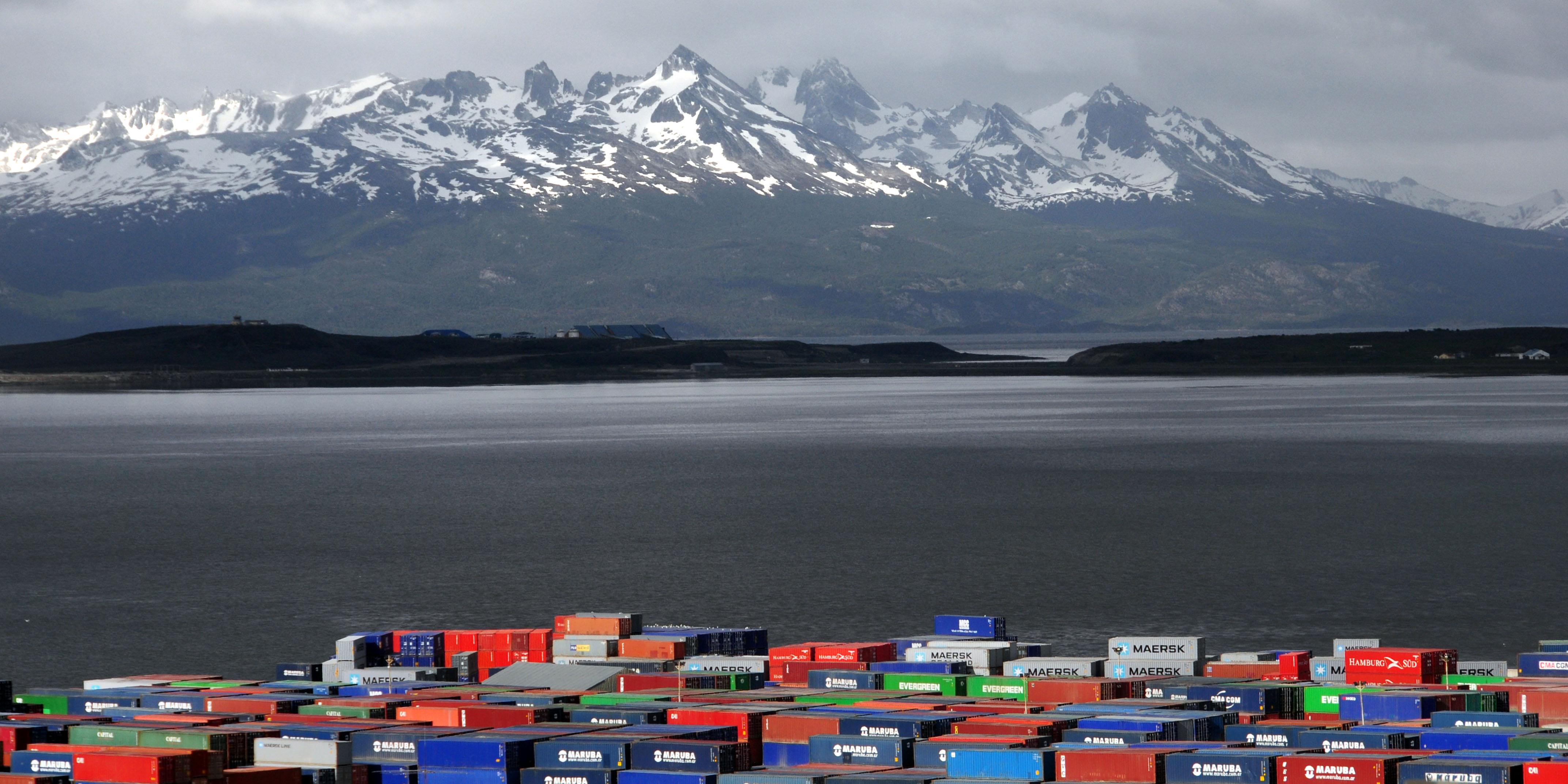
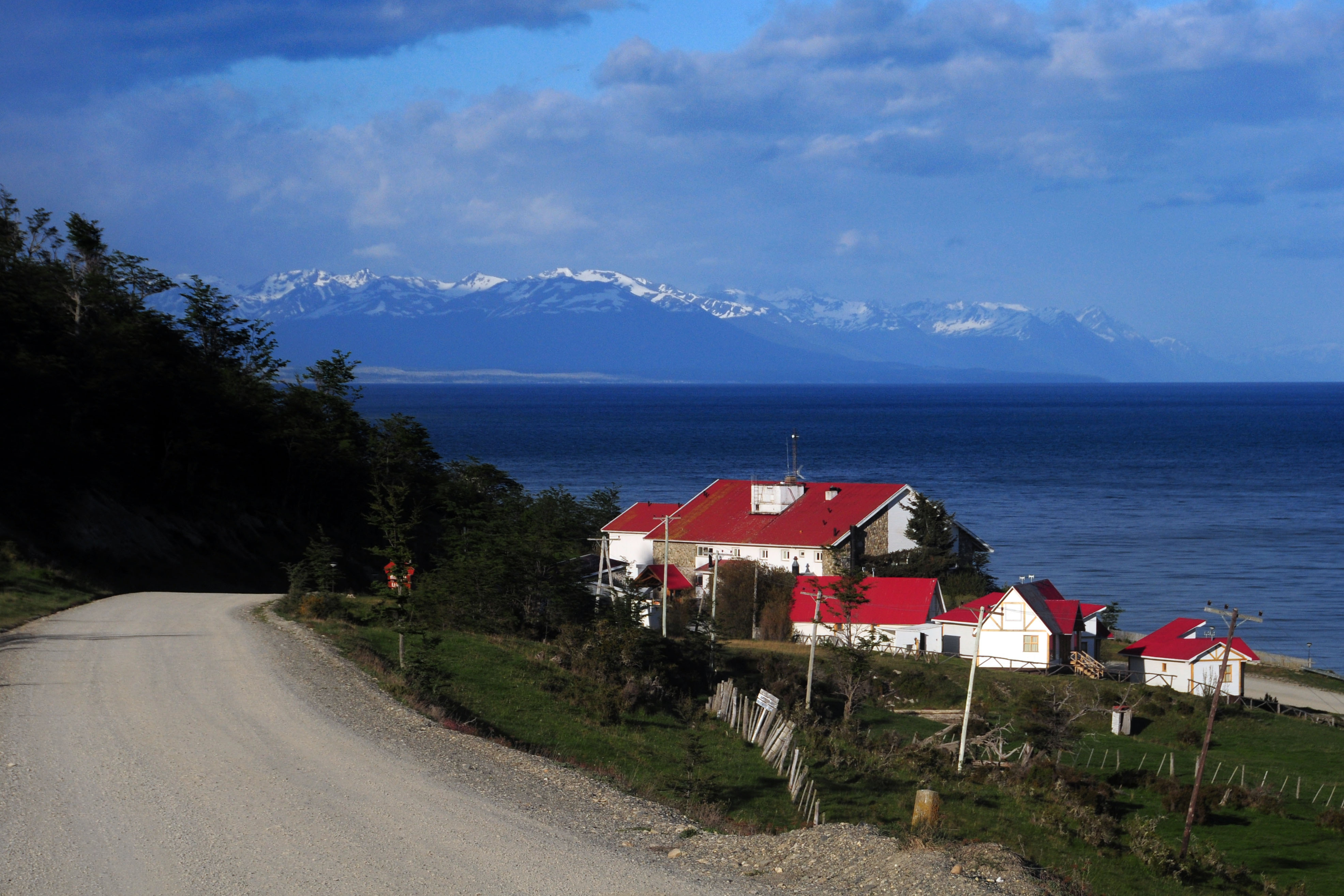
The Beagle Channel – allowing access to both the Atlantic and the Pacific – makes Ushuaia an important shipping port.
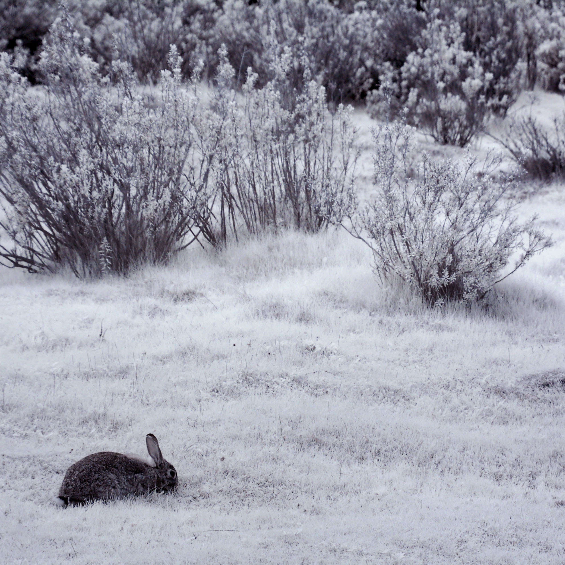
Rabbits are also not transparent in infrared.
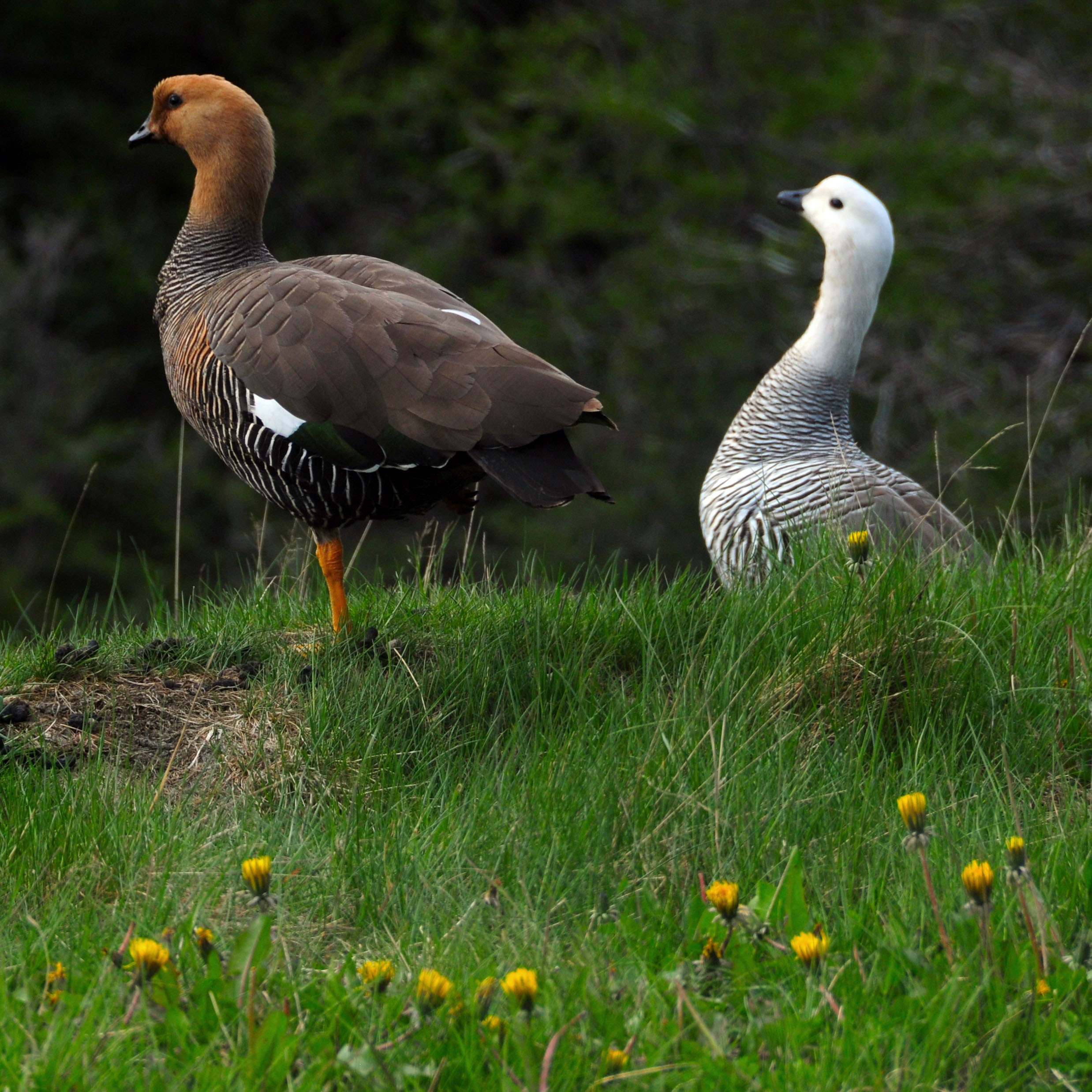
More kaikenes.

Almost to Lapataia.
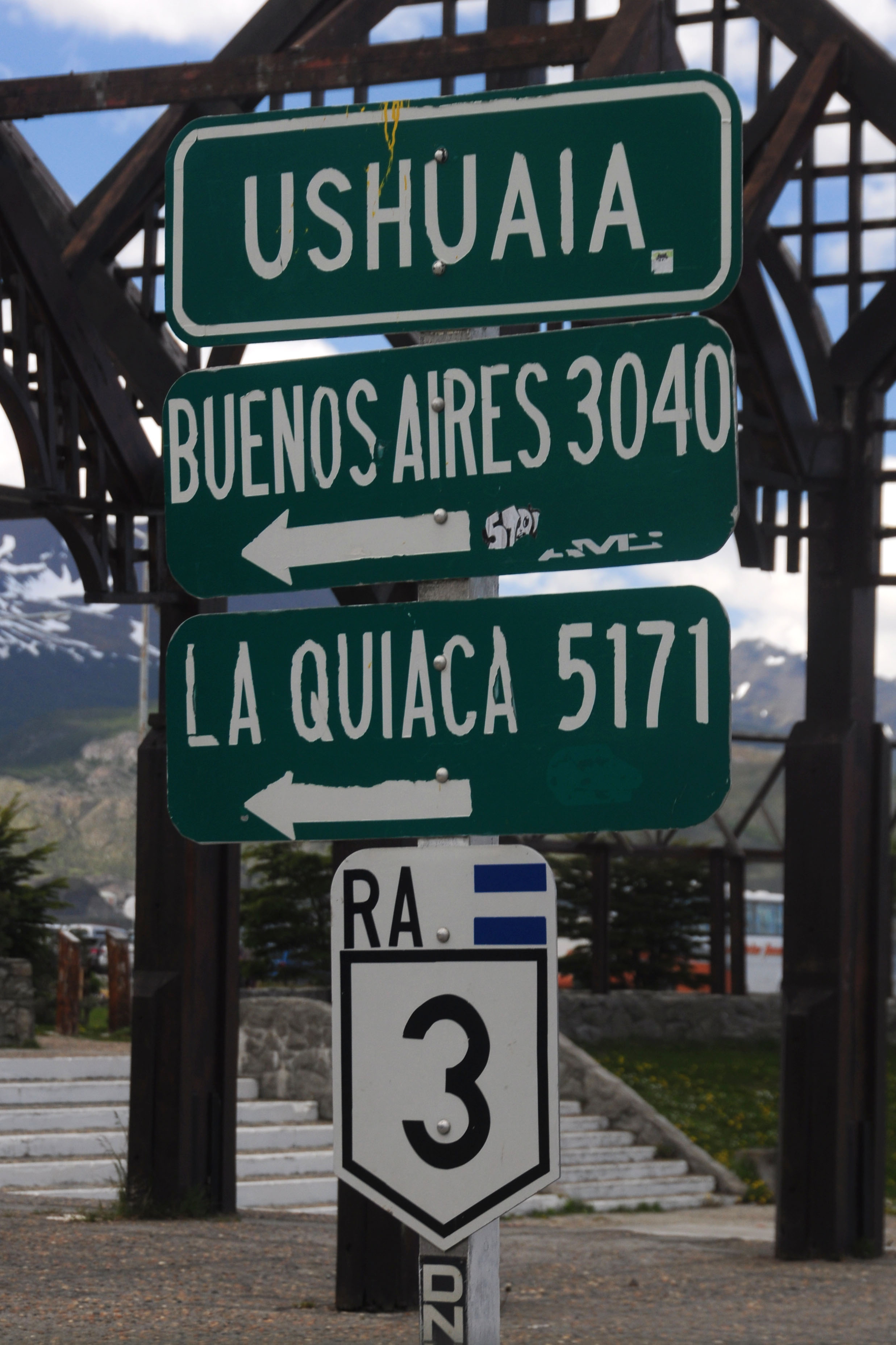
End of the line. 12000 miles to Deadhorse.
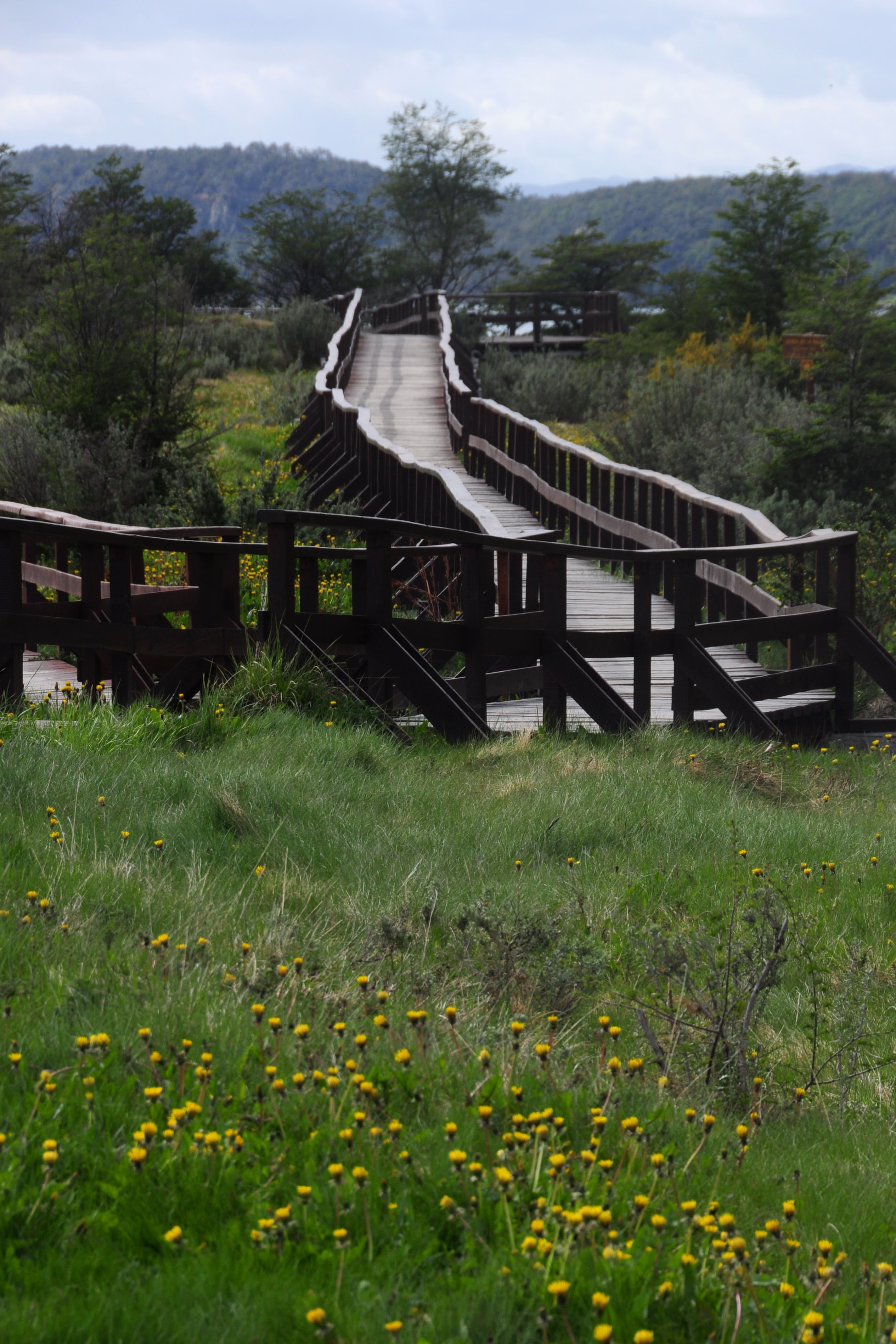
Several footpaths allow for a bit more access to the park.
And that’s as far as we can get down this path. A little bit of swimming would actually get us to Chile.
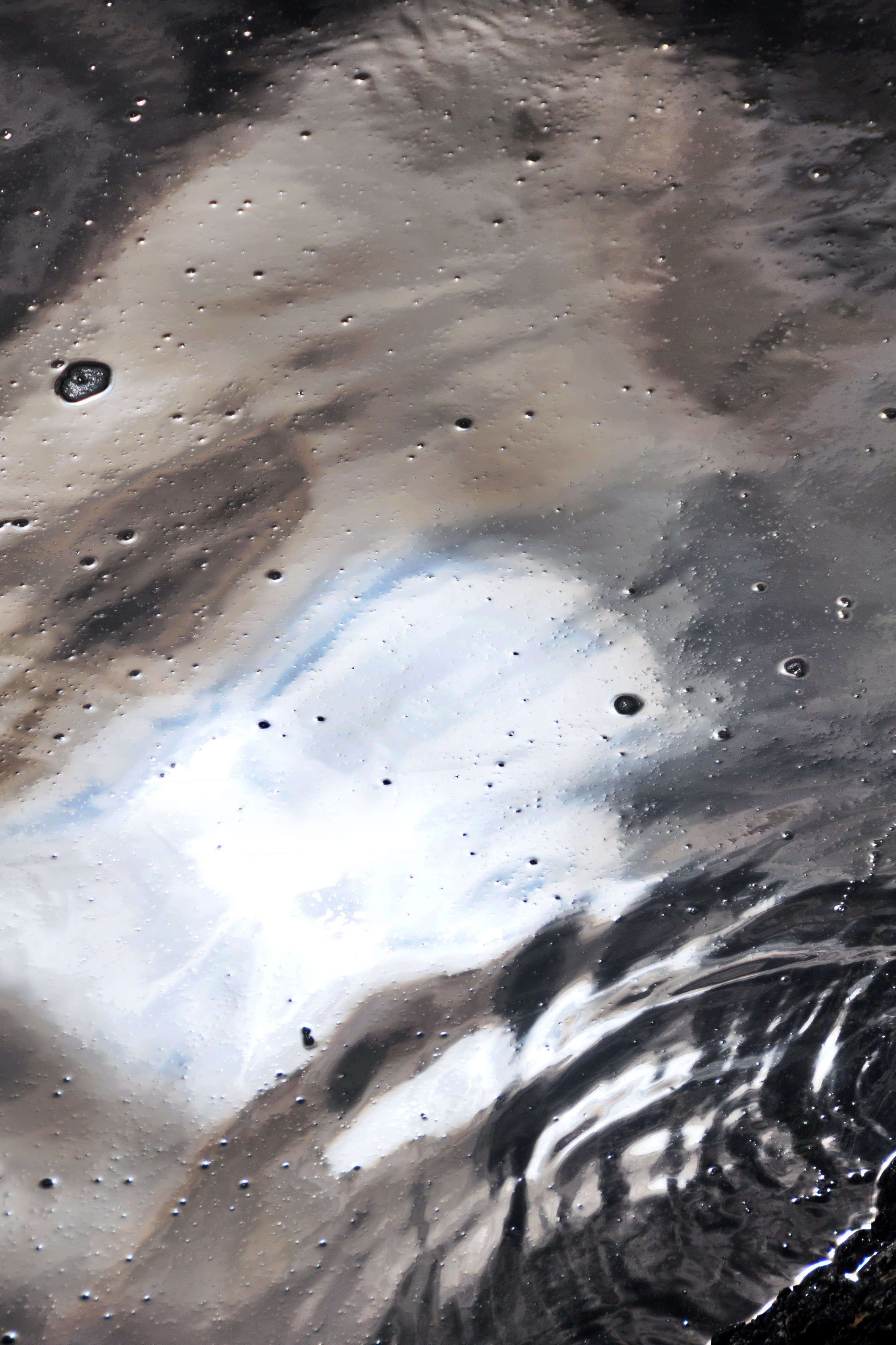
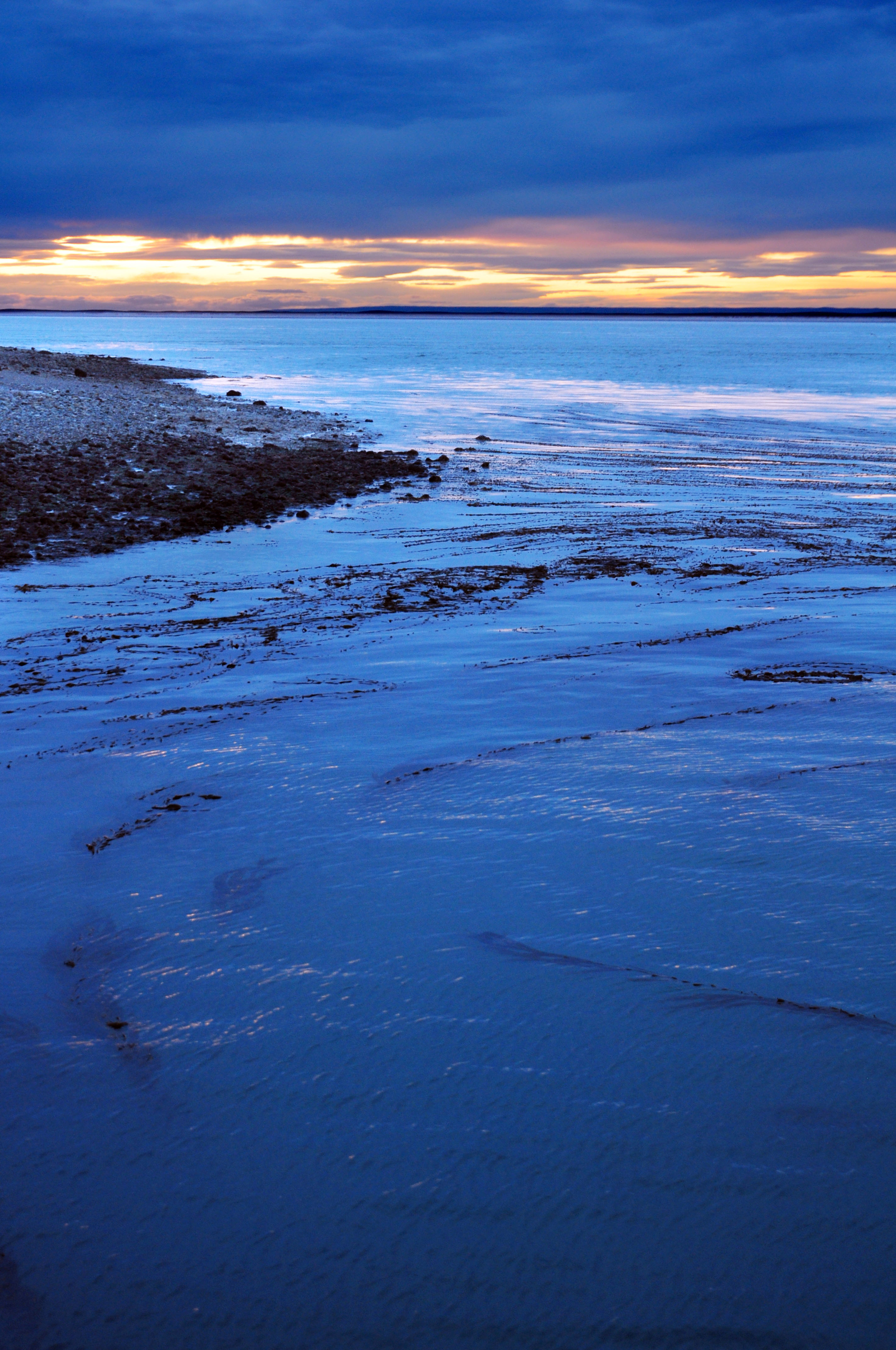
Close-up of the water.
Back up the footpath.
The highest-numbered kilometer post.
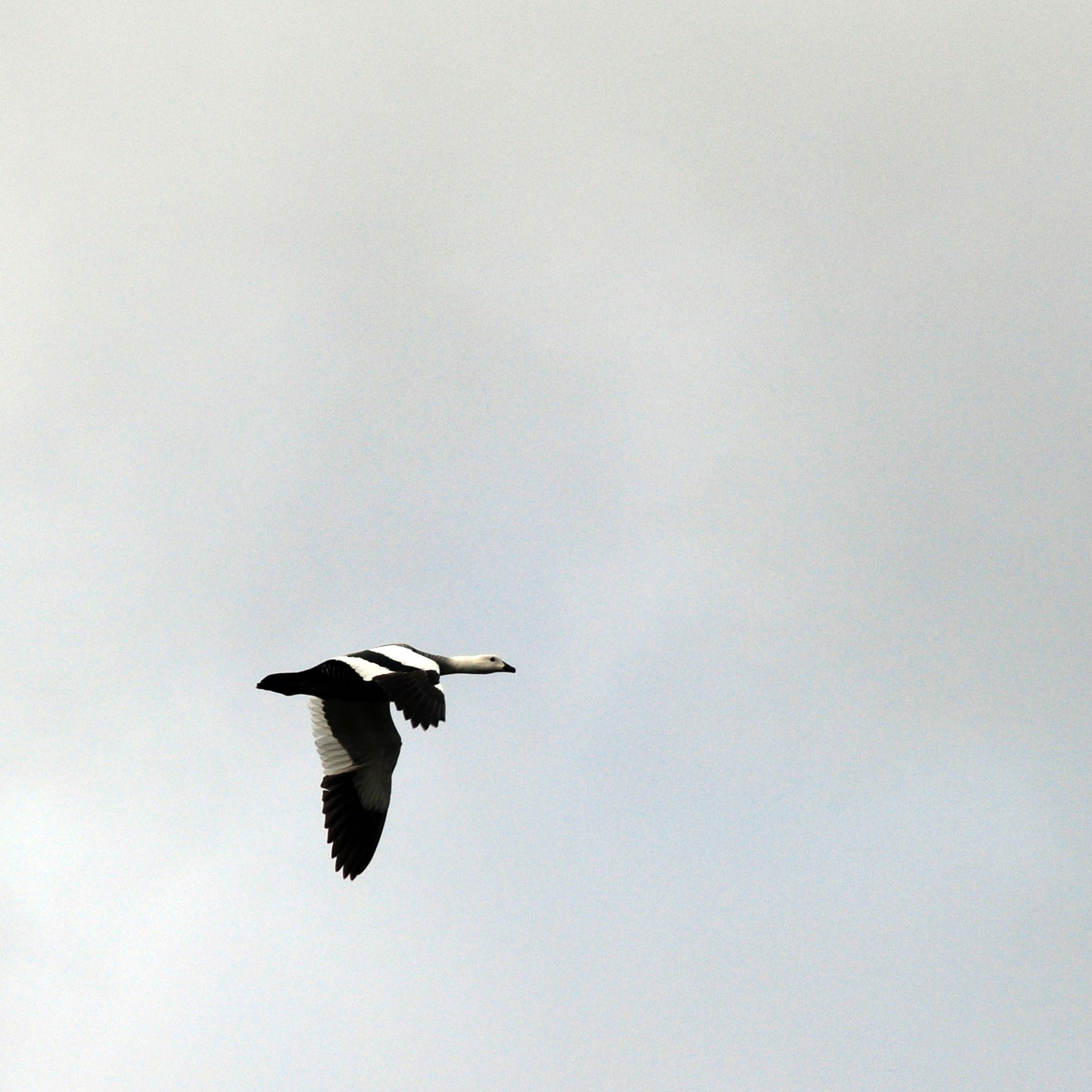
A goose in flight. The male kaiken is white.
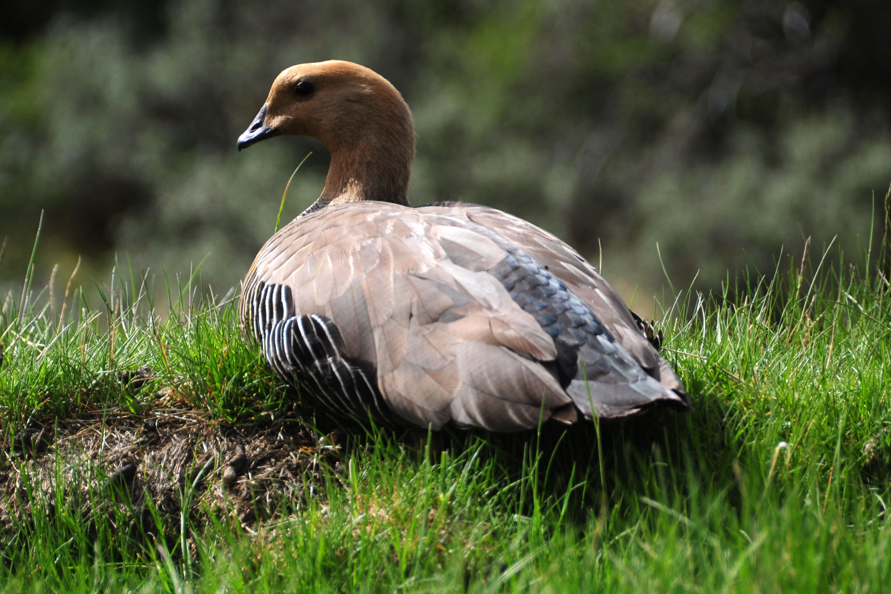
And one on the ground. The female kaiken is brown.
I believe this is the first 3 shield, heading back north.
And one on the old alignment, which has the flag. Has nothing to do with it being old – I think they added it for the special milepost.
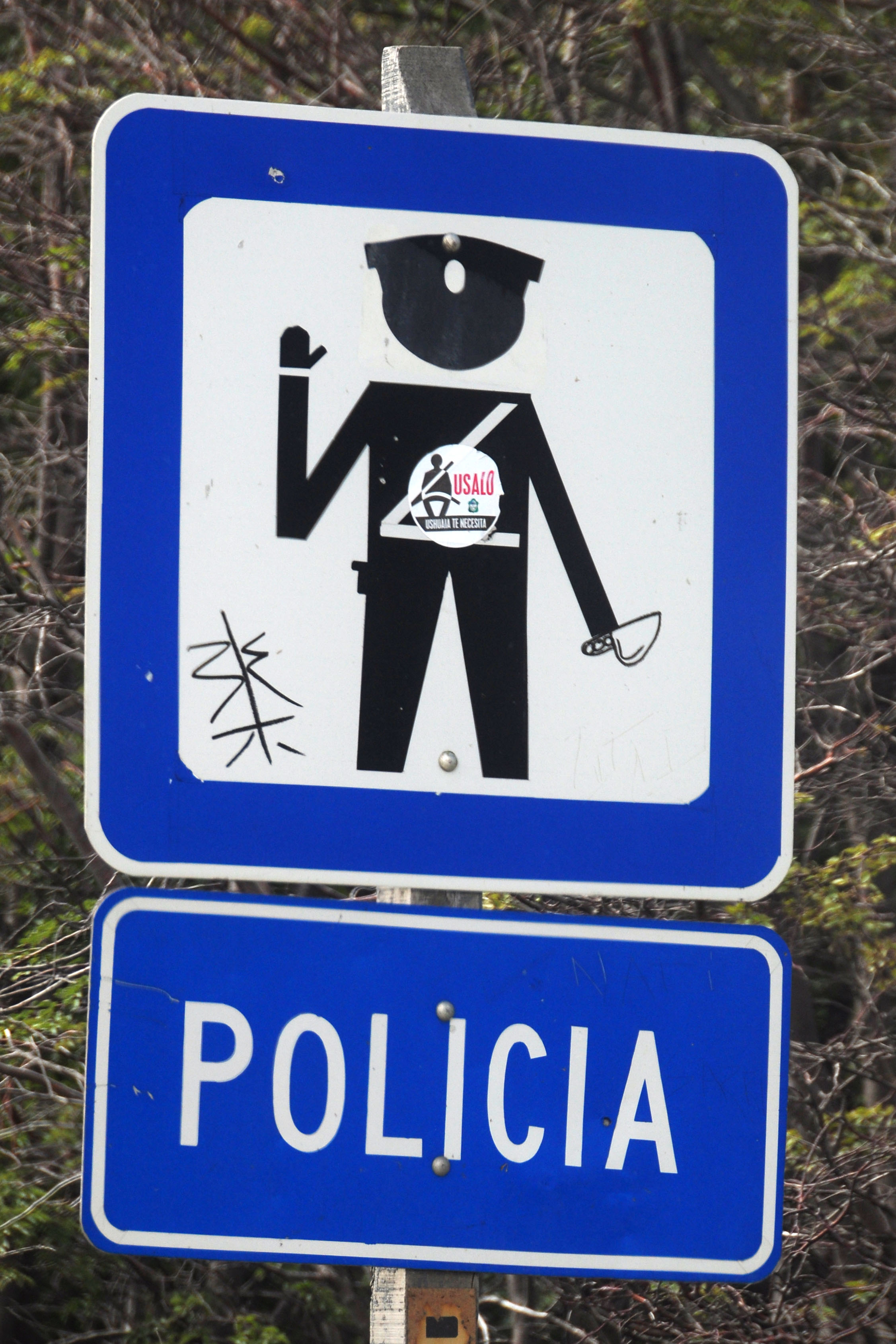
Police checkpoints are generally found at the edges of major towns. This was our first one – leaving Ushuaia.
Time to head back over the pass.
Outline shields show up on occasion.
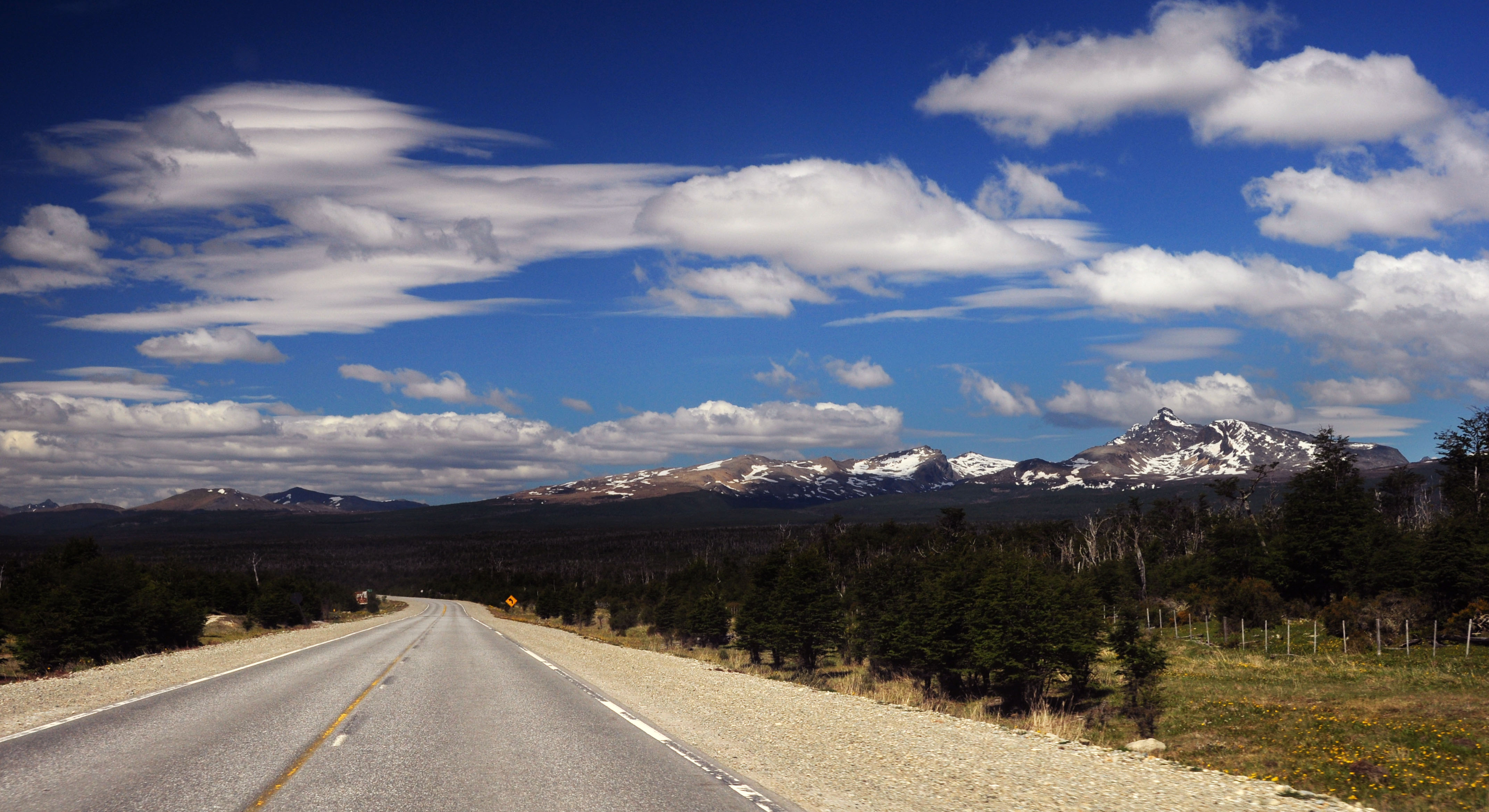
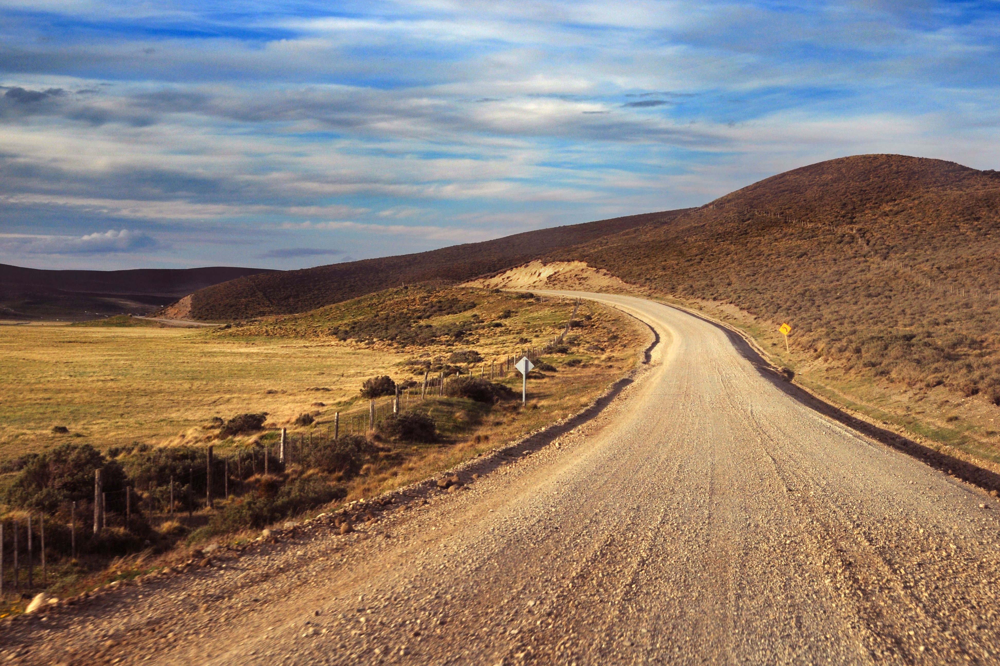
Fairly standard route 3 scenery.

Gunning for time, we didn’t take many pictures in Tolhuin, Rio Grande, or San Sebastian. There was gas in San Sebastian (open during daylight hours only), so we tanked up. Then we got on route 1, which is the road back to Chile.
And there we are. The use of lowercase Series EM and uppercase Series D is a Chile convention. They must have borrowed it from California, circa 1950-54; except that California increased the size of the capital letters so that the stroke widths were much more similar.
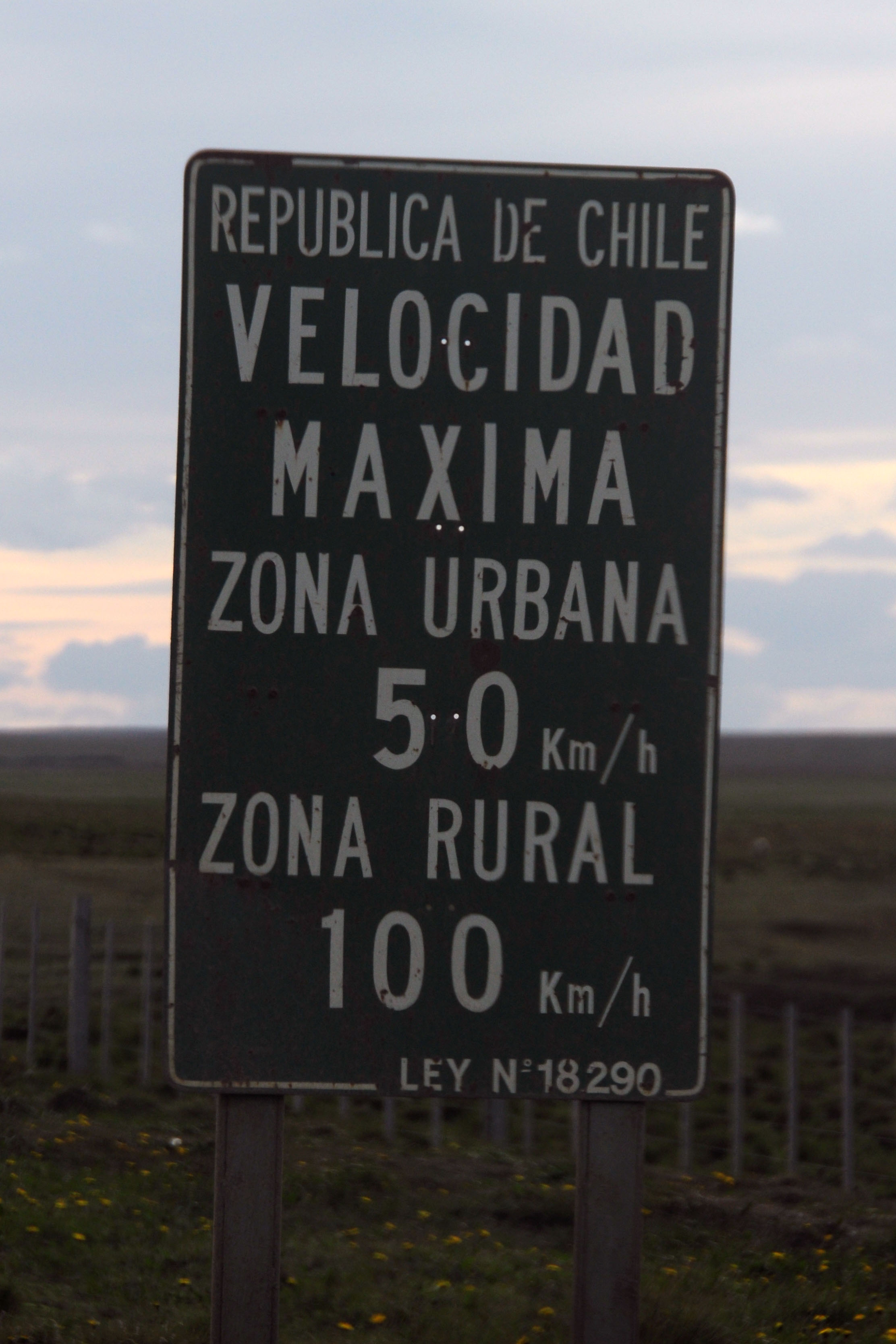
Older Chile signs are on a non-reflective drab green background.
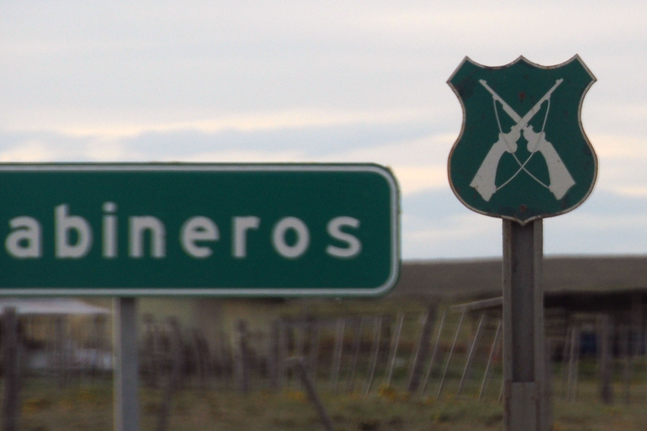
Chile uses a cutout to mark locations of the Carabineros, who are the federal police. One of their duties is border patrol – and that is our task here: to check in to Chile and get our passports stamped.
In 2007, Chile sometimes still used some pretty archaic fonts.
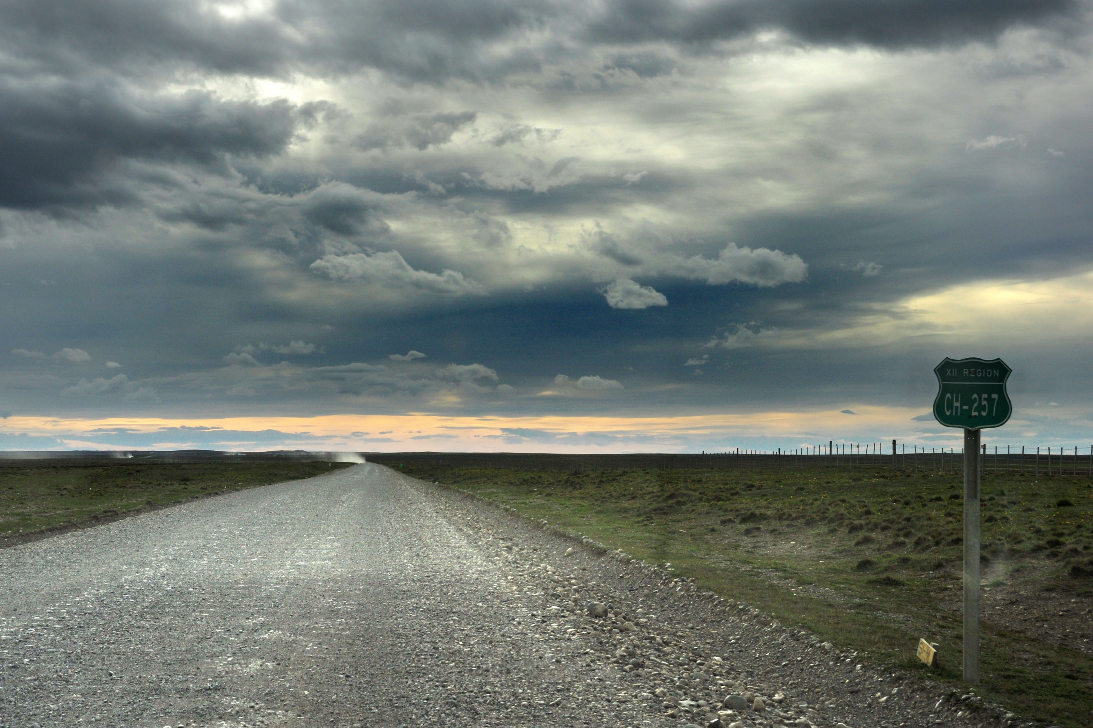
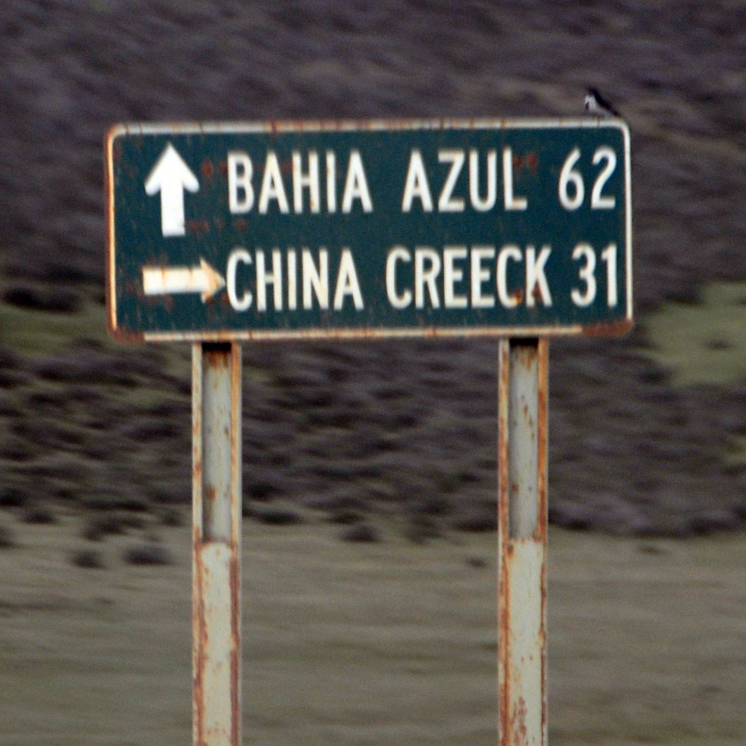
There are two major routes back to the ferry at Primera Angostura; we will now head back on the one we did not take on the way down. One is Y-79, and the other is CH-257, and we’re really not quite sure which is which because the maps, and the signage, are all inconsistent. Google Maps, for example, shows the two switched.
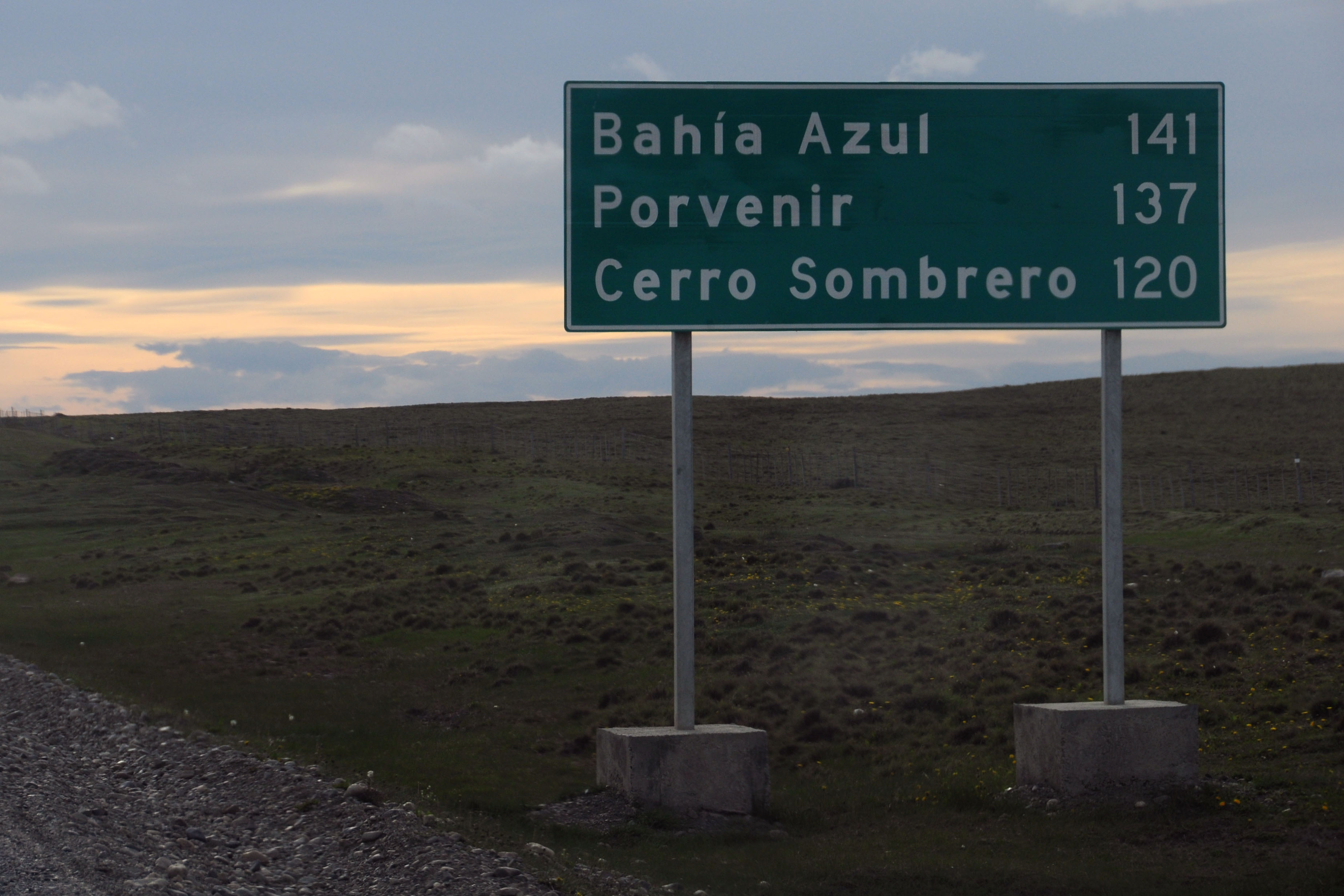
I also don’t think we ever quite figured out where Cerro Sombrero was. It’s not on the main road, but isn’t too far from it. Astonishingly, given the navigational difficulties just described, we didn’t get lost once, despite relying on a 10 year old map. Not too shabby.
This is … one of the routes.
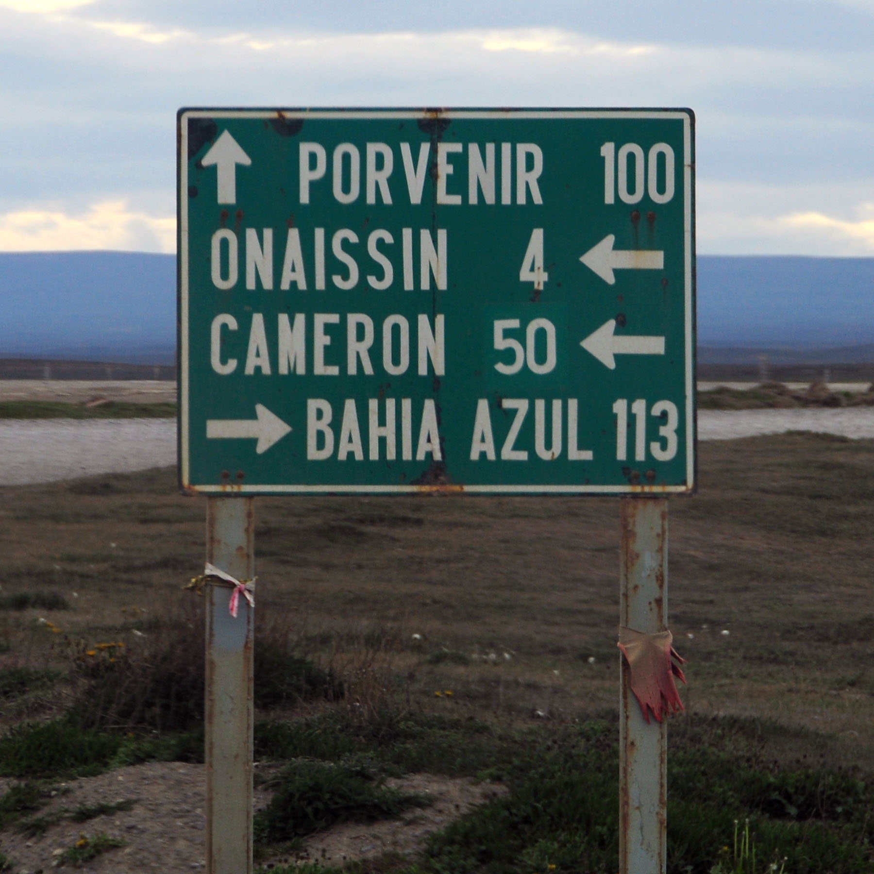
Older guide sign, with the distance to Cameron patched.
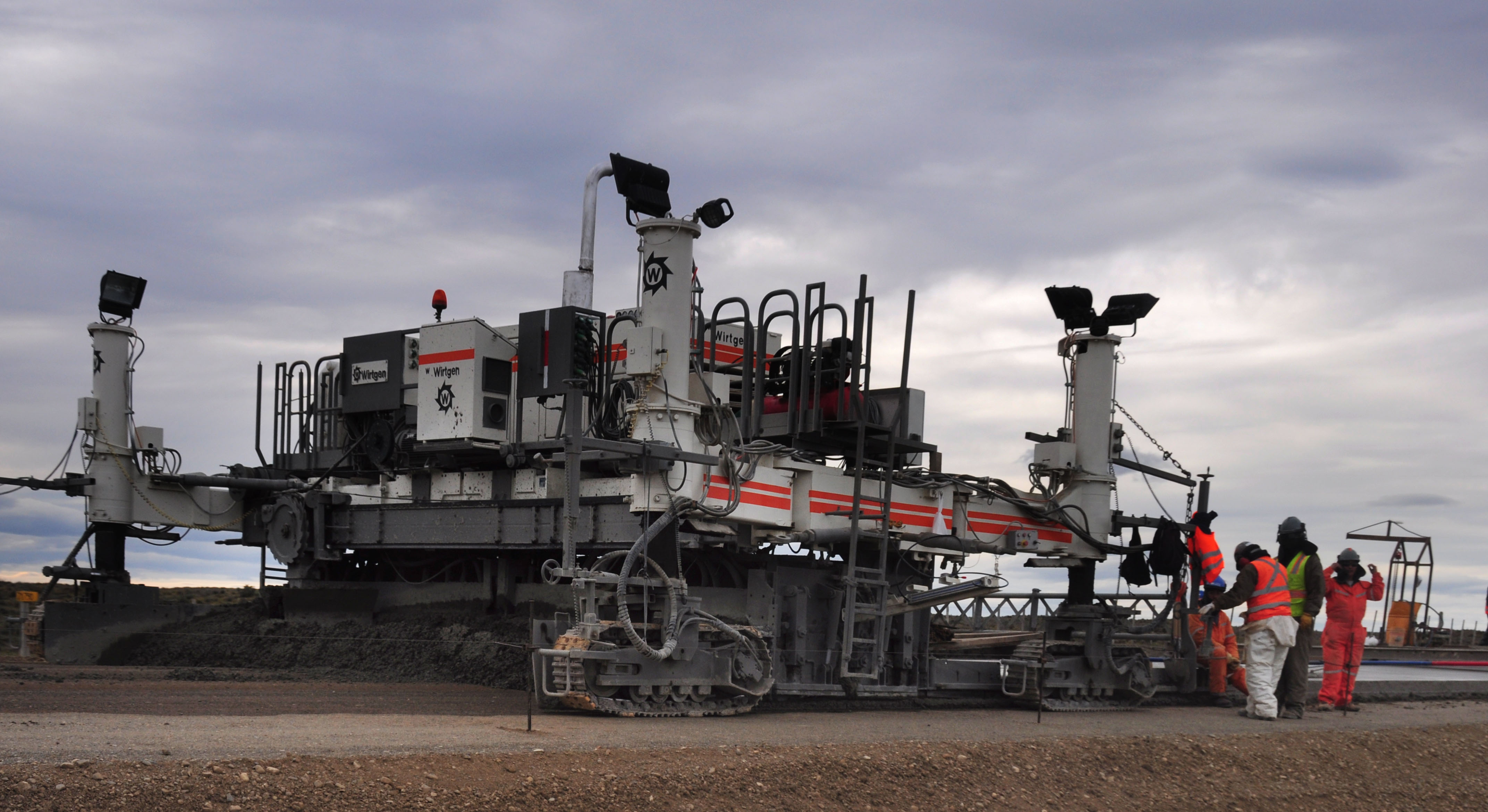
Roadbuilding is ongoing. The main road down to Argentina is going to be paved.

Leaping guanaco.
Glowing hills as we approach sunset.
A curve in the road.
English as a second language.
An older shields marks a road to Porvenir. Porvenir is directly opposite of Punta Arenas, and there is a ferry there too. We had been debating to take it or not, but decided against it since it is 3 hours long and runs on a limited schedule.
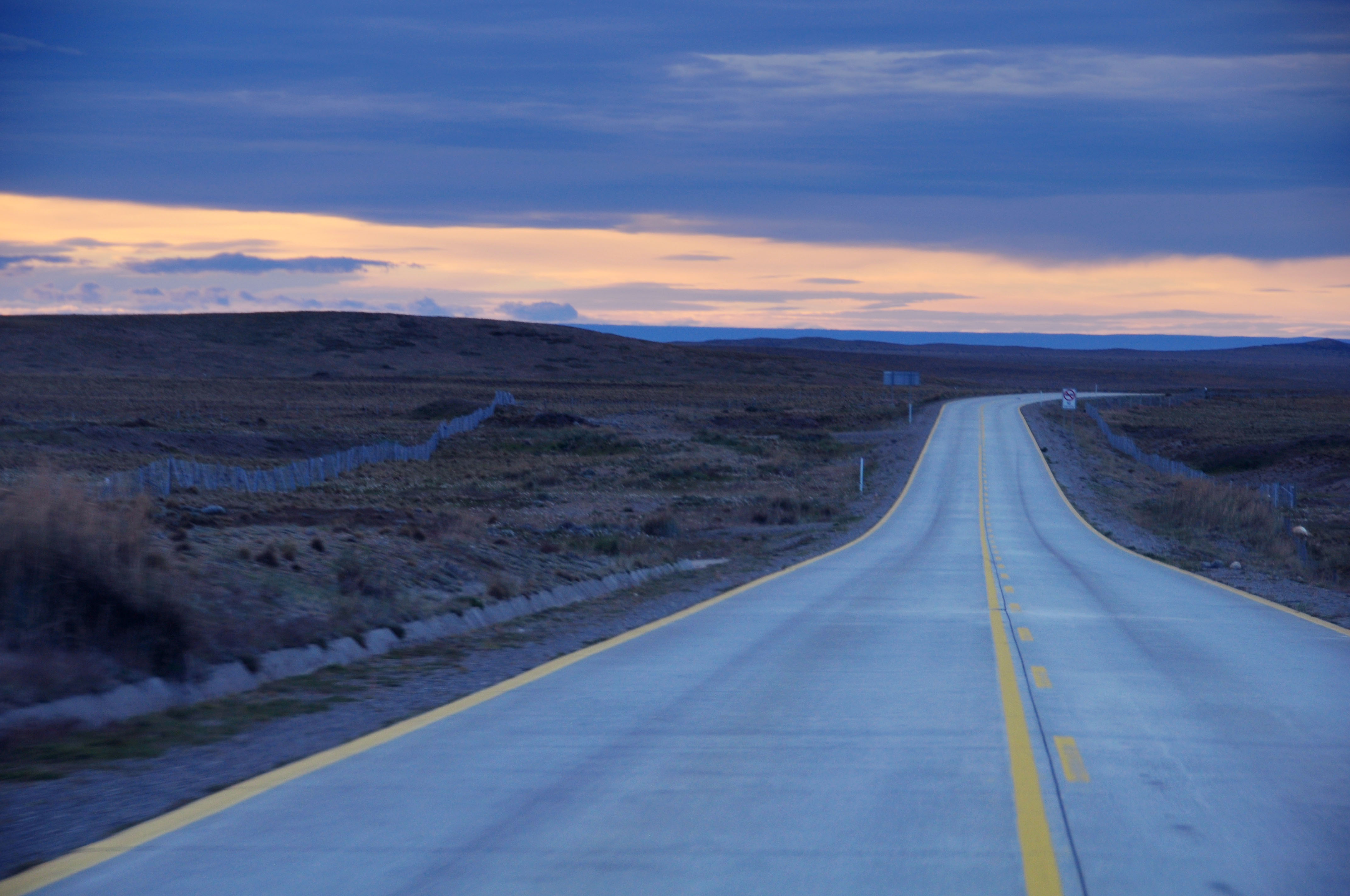
Back on the pavement.
This end-of-road sign at the ferry terminal has been repurposed from something else, but it’s tough to tell exactly what. Something about Sarna and the XII Region.

A fisheye shot, while we wait for the ferry.

Our ferry, the Pionero.
And we’re on the water.
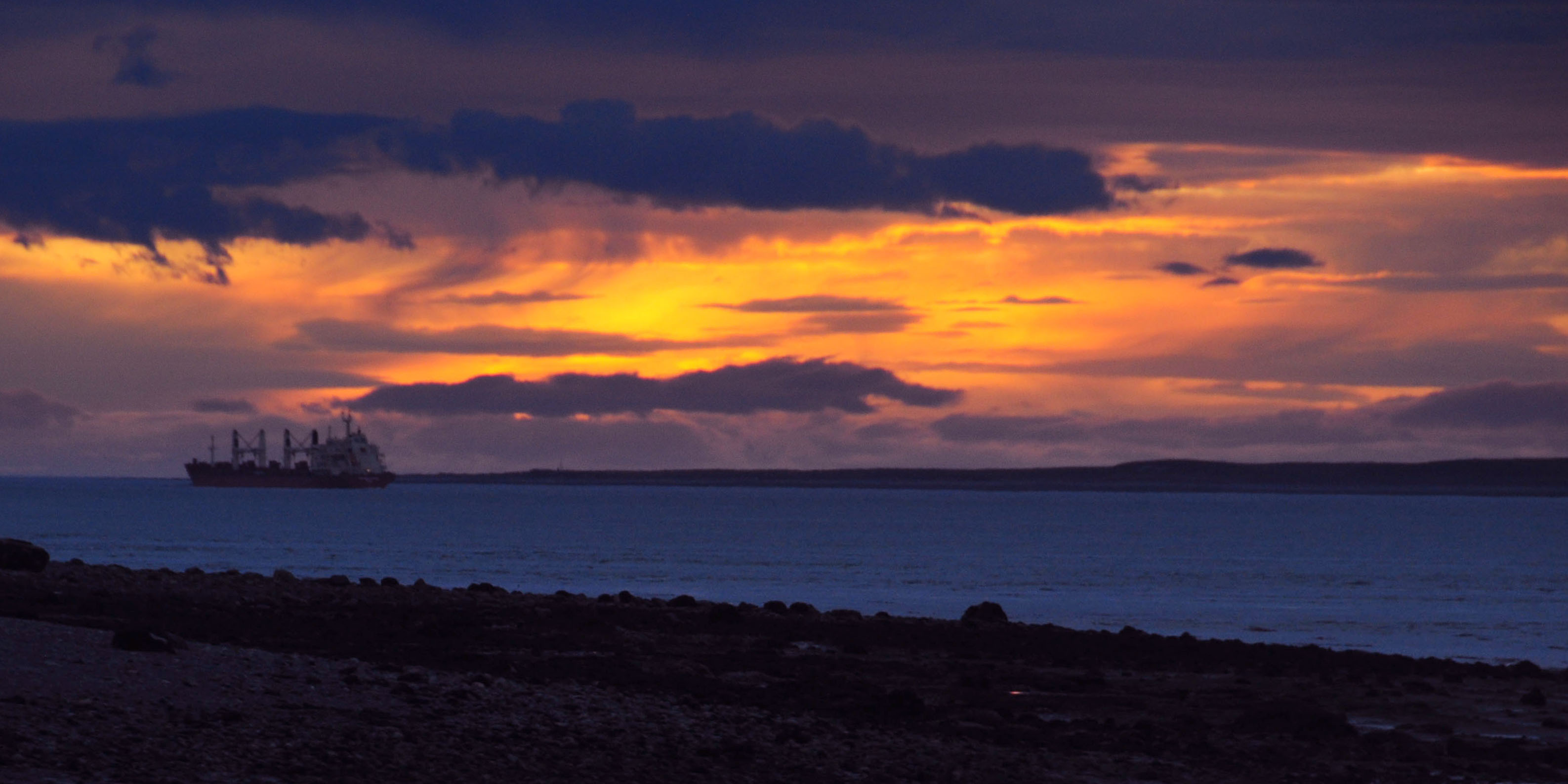
A ship about to exit the straits.

Eventually, it did get dark. We had about 16 hours of light every day.

A truck goes by, resulting in the lost Judas Priest album cover.
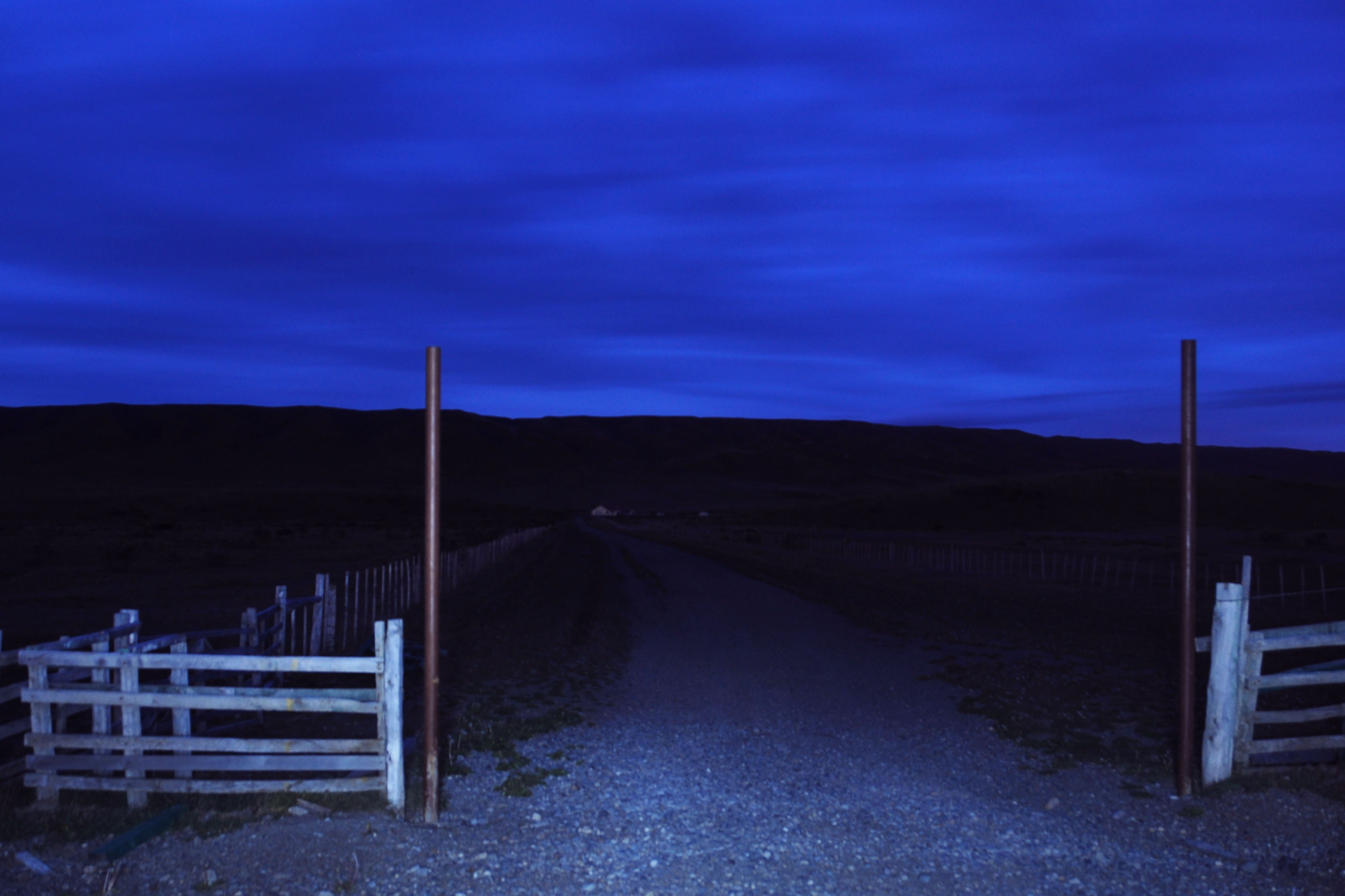
And we close with … some guy’s ranch gate. That’s it – next up, we head to Natales and the Torres del Paine national park!
I wanna go there ! Excellent . .
Those are amazing photo’s!!! You really have a woberful eye with the camera. My favorits are the infered and snowish looking ones.
I met you brefely at Watson’s with Gloria when you drove up to ask for Krystals hand. Congratulations she is a lucky girl to have a man with such a beatiful eye for beauty.
I wish you both the best.
Congrats
Jenn
Excellent pictures! I really love the sunsets on the coast contrasted with the stakness of the desert. I have always wanted to go to Argentina.
Your work is brilliant. Thank you!