
Having landed successfully in Punta Arenas, Chile, we hit the road to Ushuaia, Argentina – the southernmost part of the continent accessible by road.
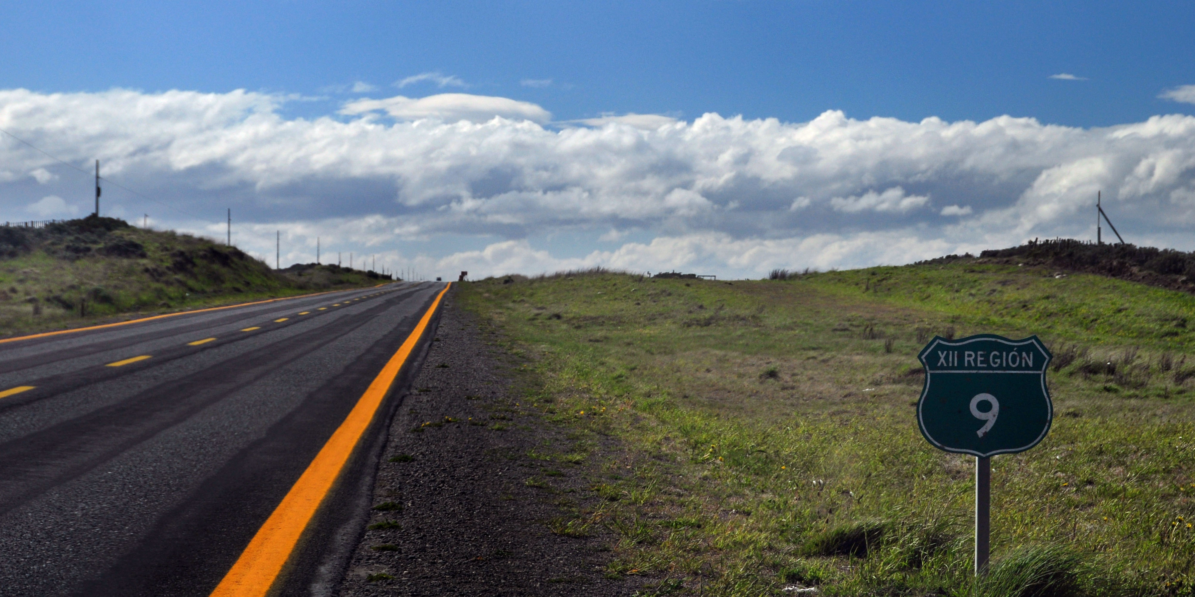
A brand-new section of road striping – and a cutout route marker. Chile uses cutouts everywhere.
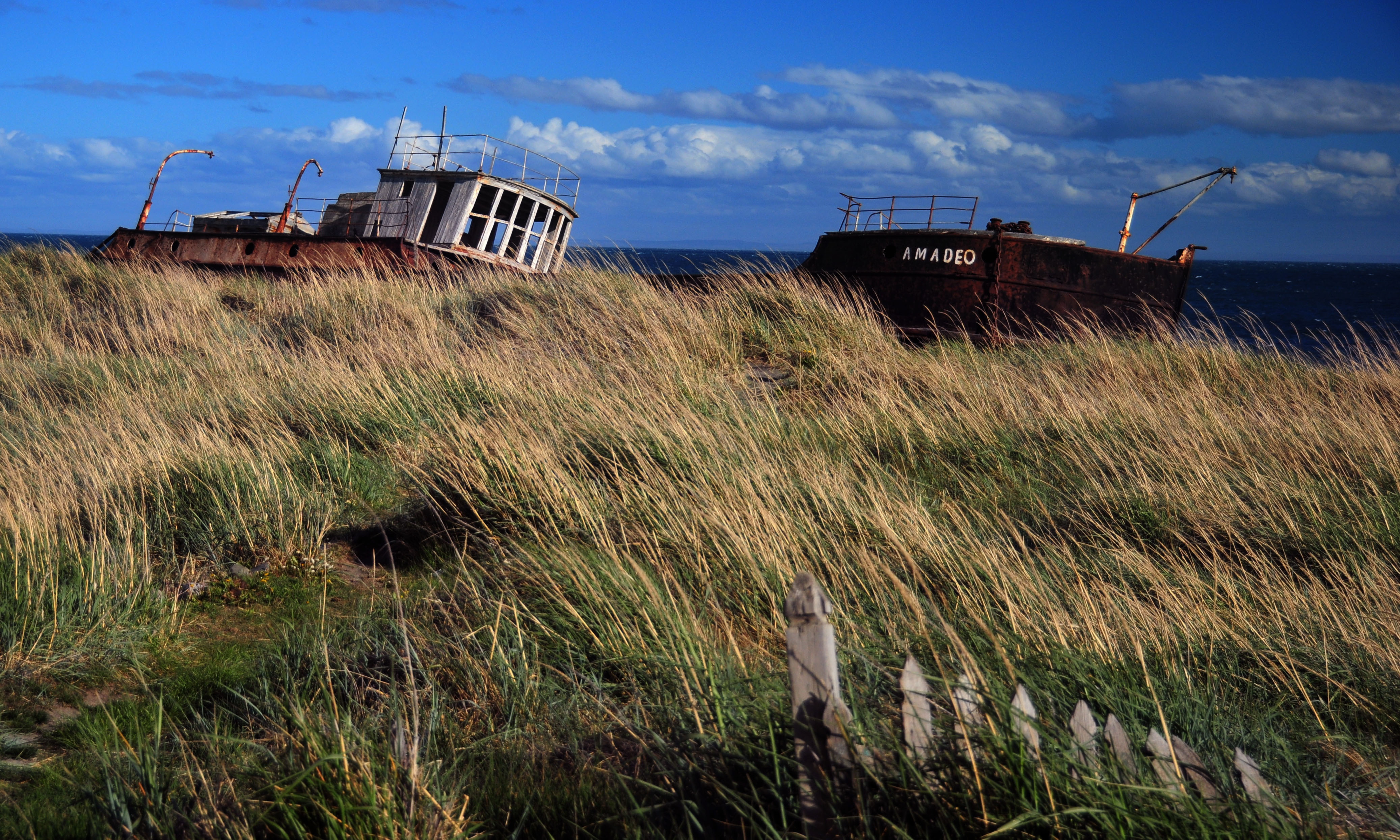
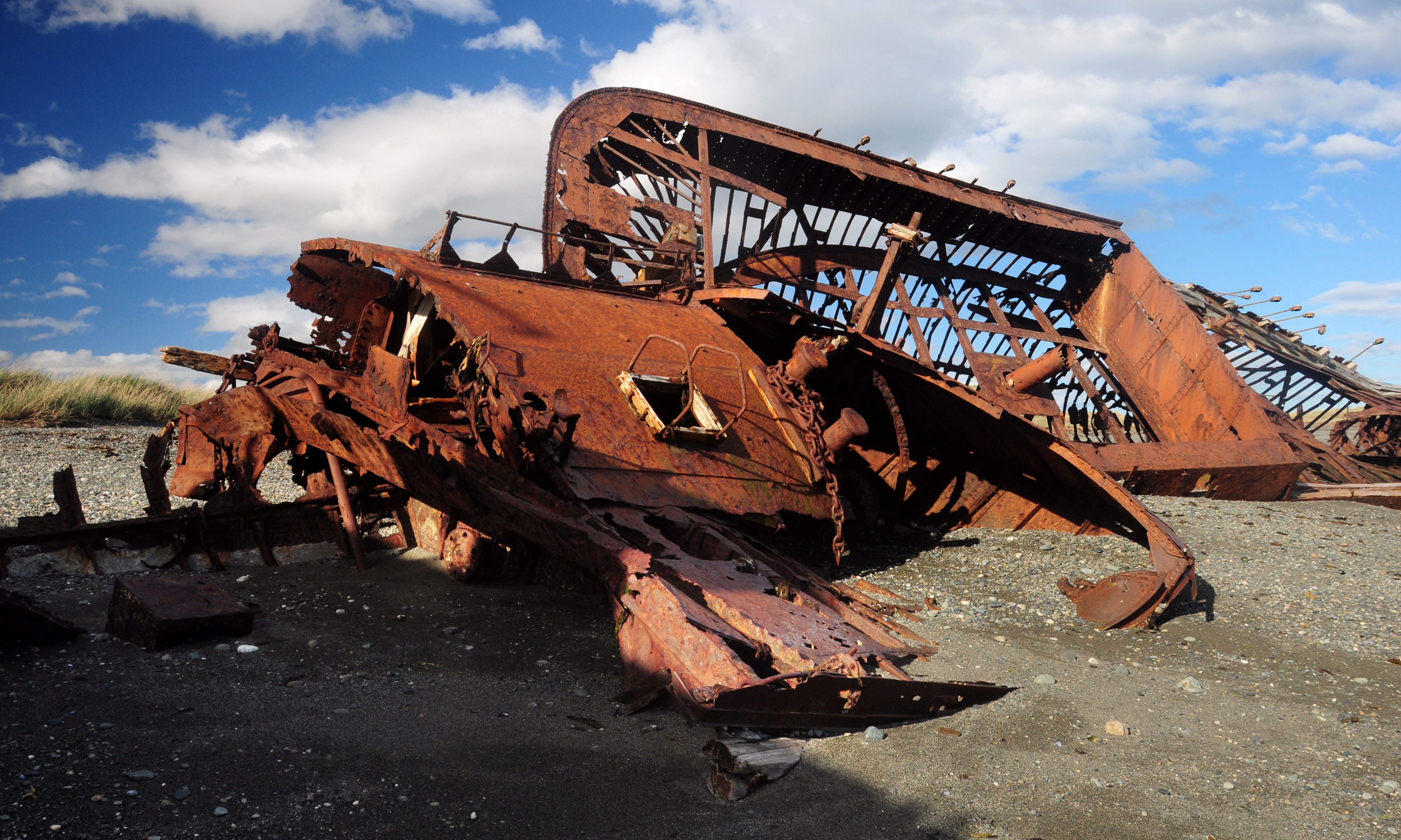
Plenty of ships pass through the Straits of Magellan. Some don’t. This is the Amadeo, wrecked in 1932. Behind it is the Ambassador, which has been sitting there since 1899.
The eastern end of the Straits of Magellan. Here, a ferry crosses to Tierra del Fuego island.

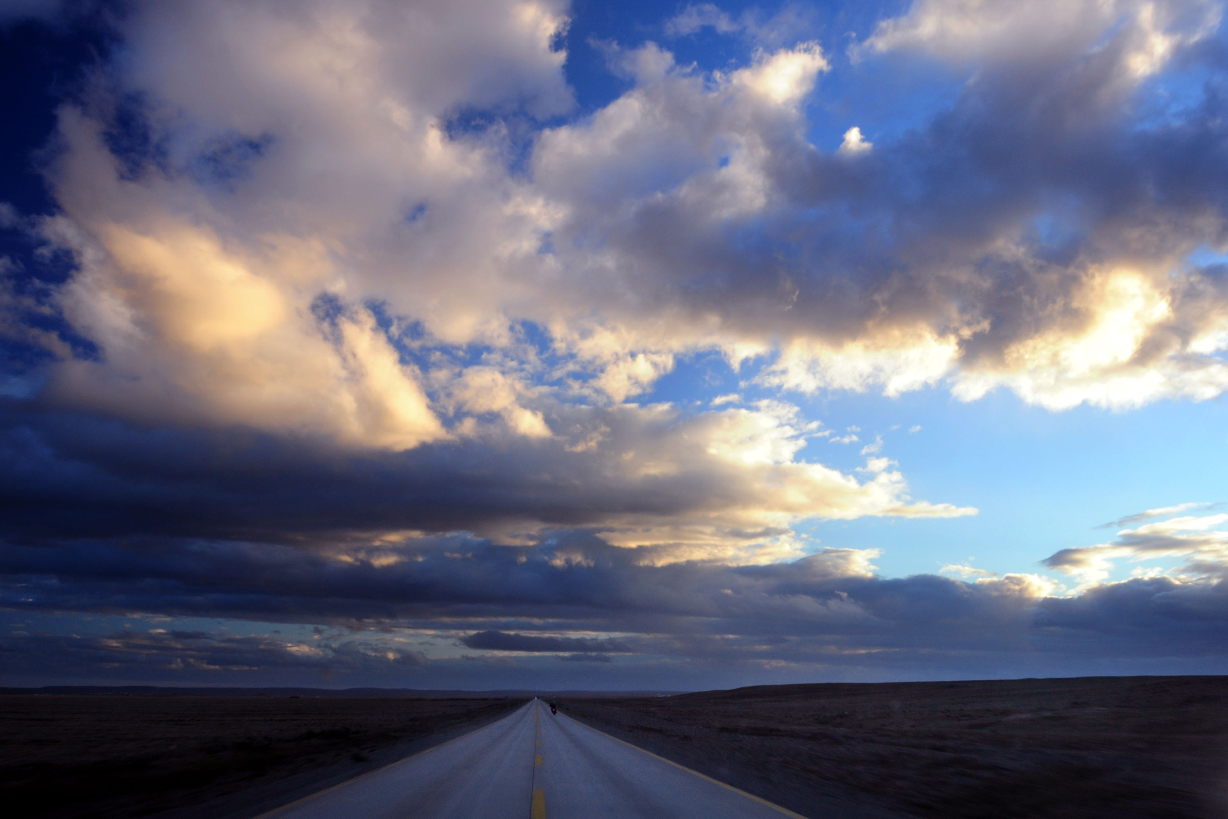
Some iridescent clouds at sunset.
our first traffic signs. we’re actually in a taxi from the airport to downtown, as that is where our rental car is.
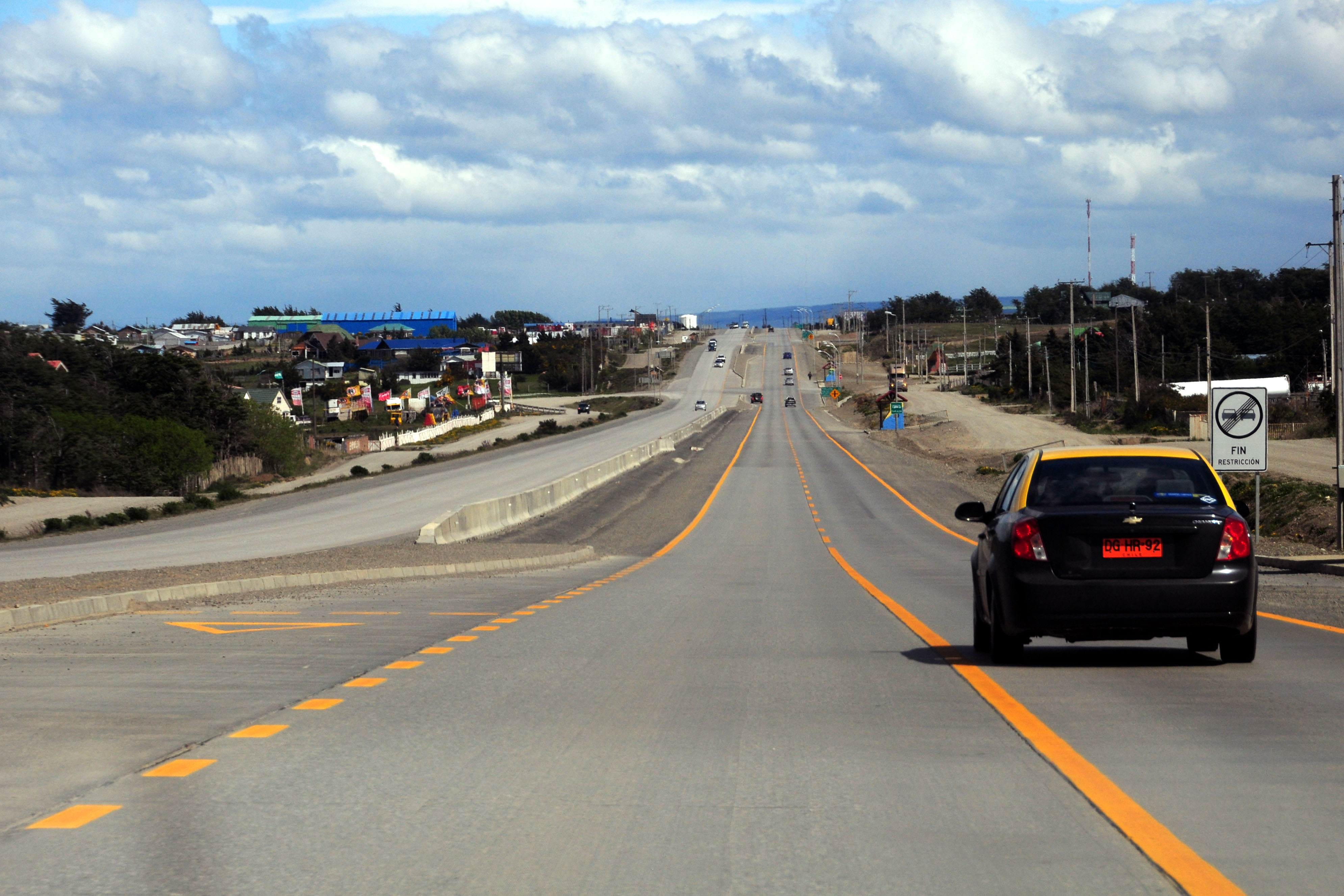
Chile uses yellow lane stripes only in snowy climates. Closer to Santiago, the stripes are white.
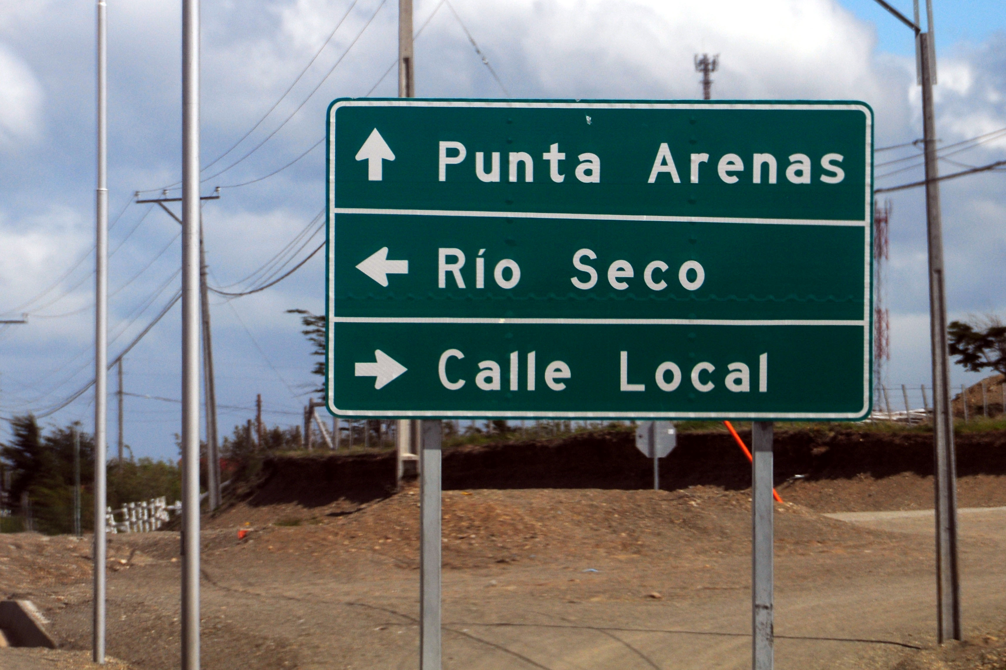
The prevailing highway sign font is basically the same as the one used in the US. However, there is plenty of Arial as well.
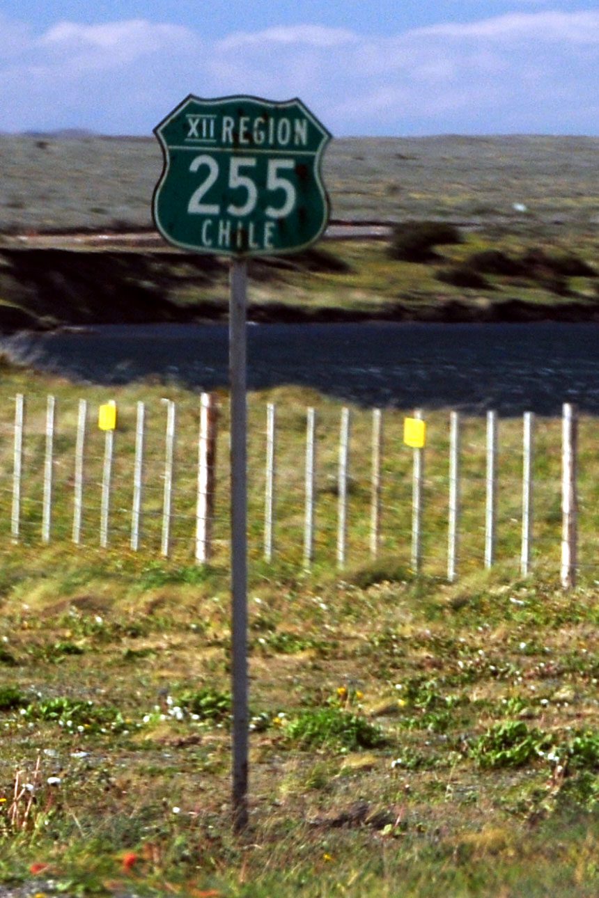
This older route marker has the country name, as well as a slightly different layout.
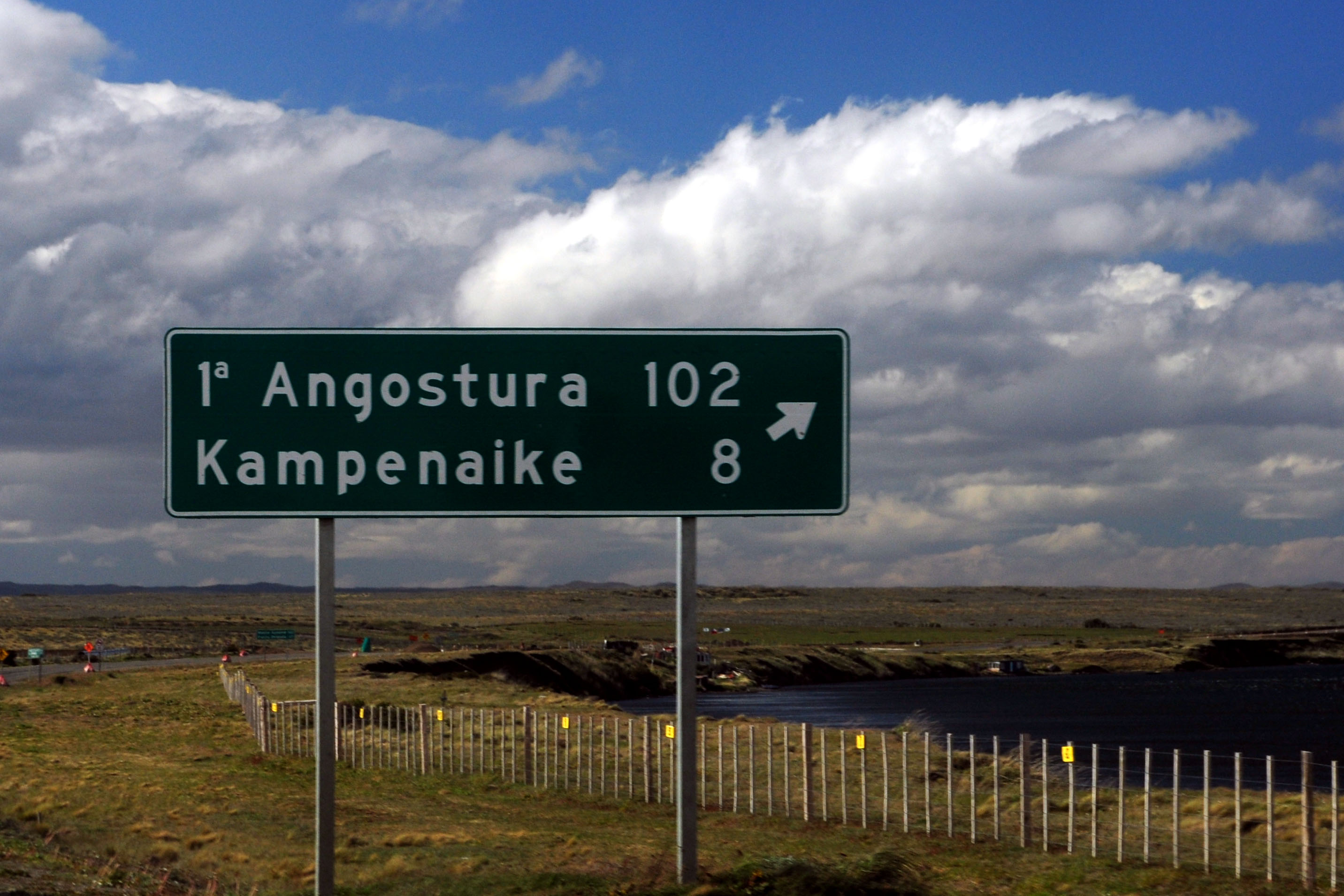
Primera Angostura is the first narrows of the Straits of Magellan. The ferry to Tierra del Fuego crosses there, and so will we.
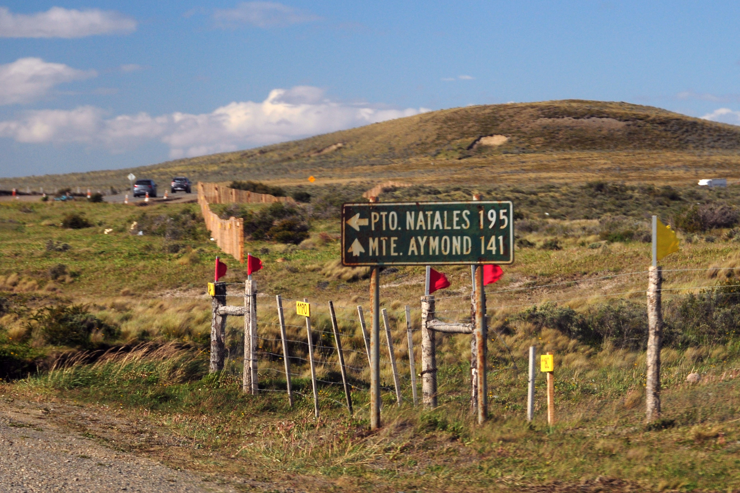
Older all-caps green guide signs are plentiful, but we did not see any that were white with black text.
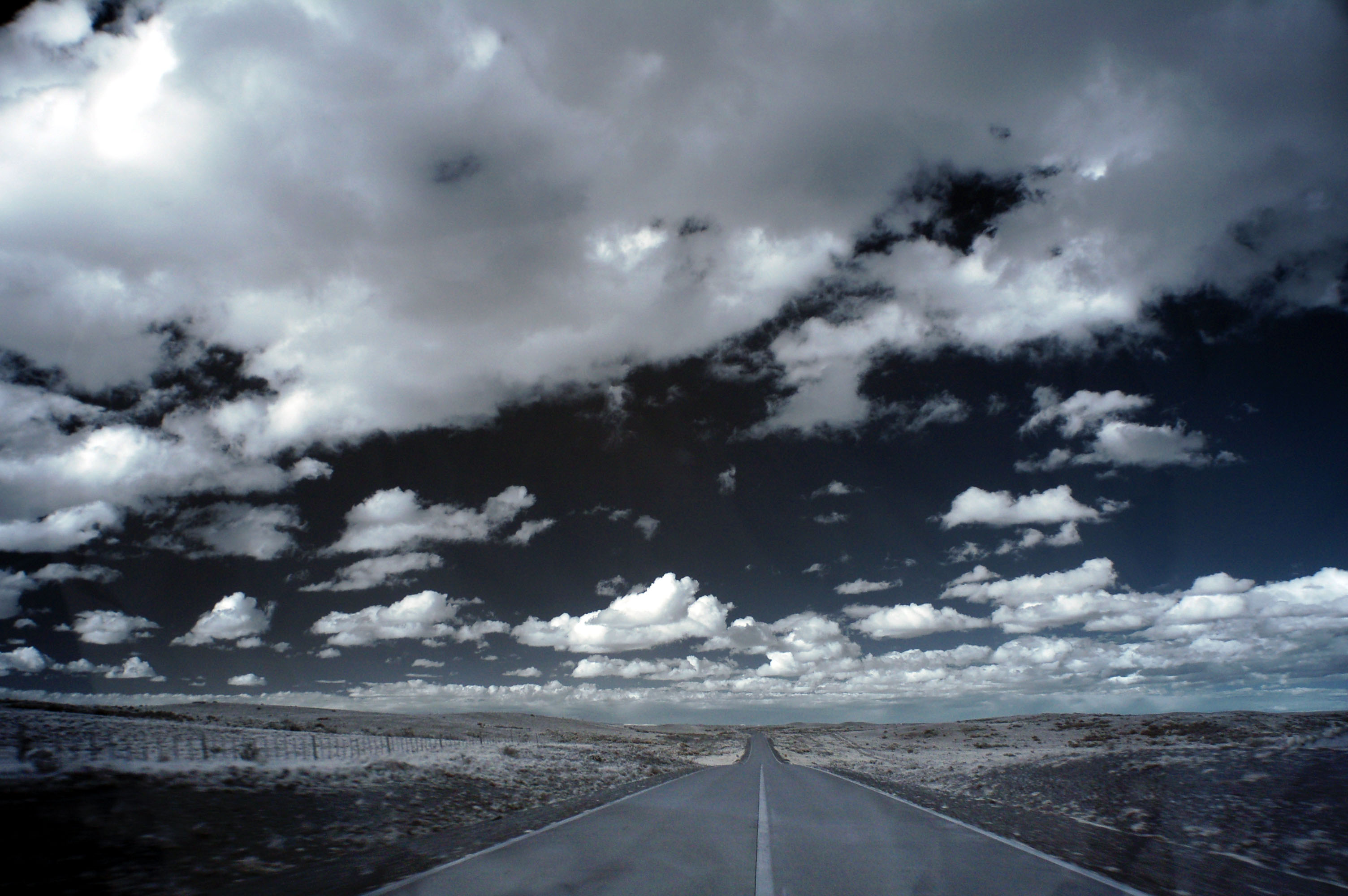
We broke out the IR camera on occasion. Due to dashboard reflections, the in-car photos were of inconsistent quality.
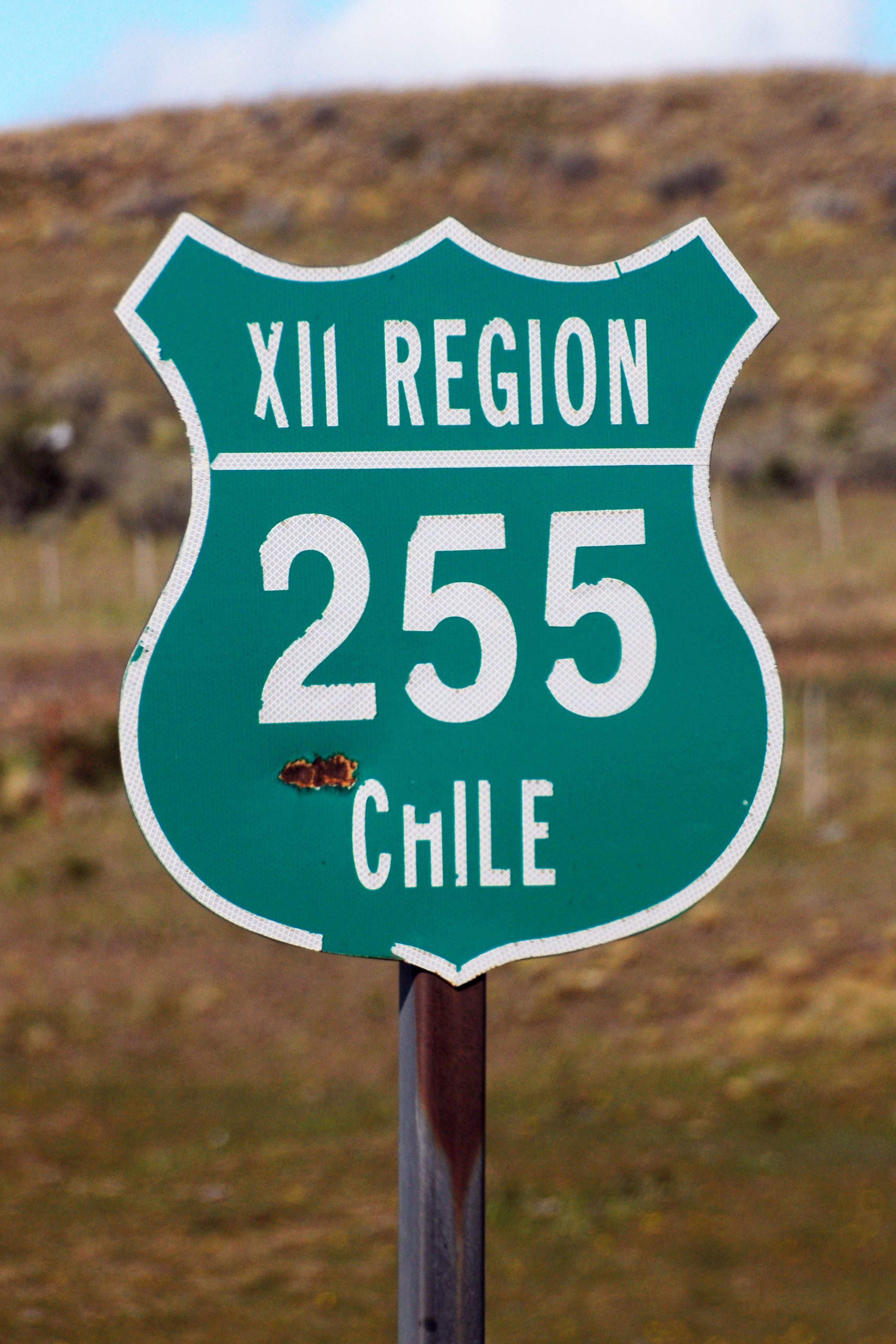
This narrower style of shield is quite plentiful.
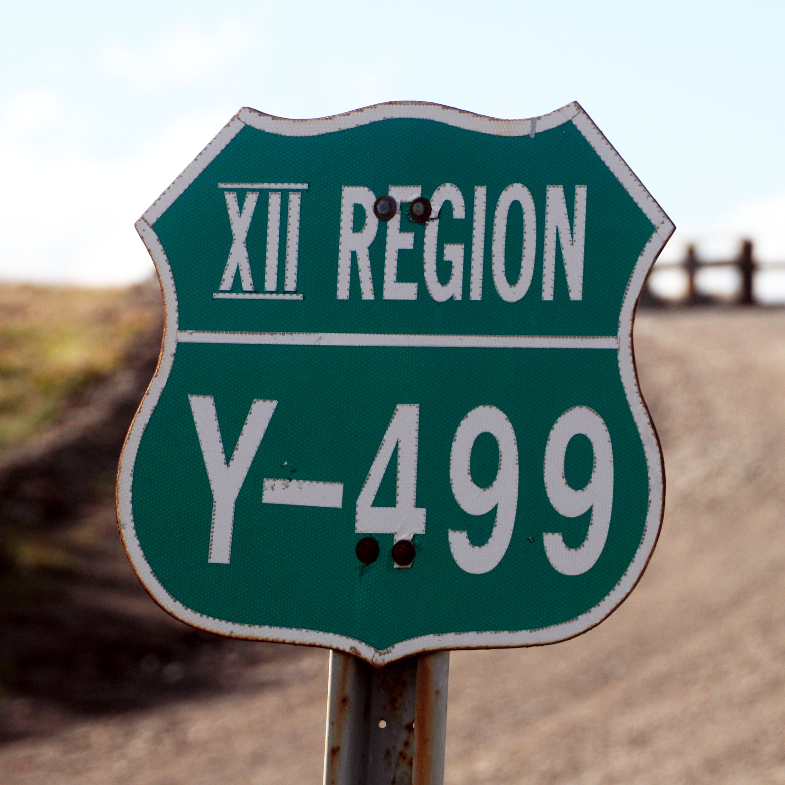
The Y roads are secondary, but I do not know why that letter was chosen as a prefix.
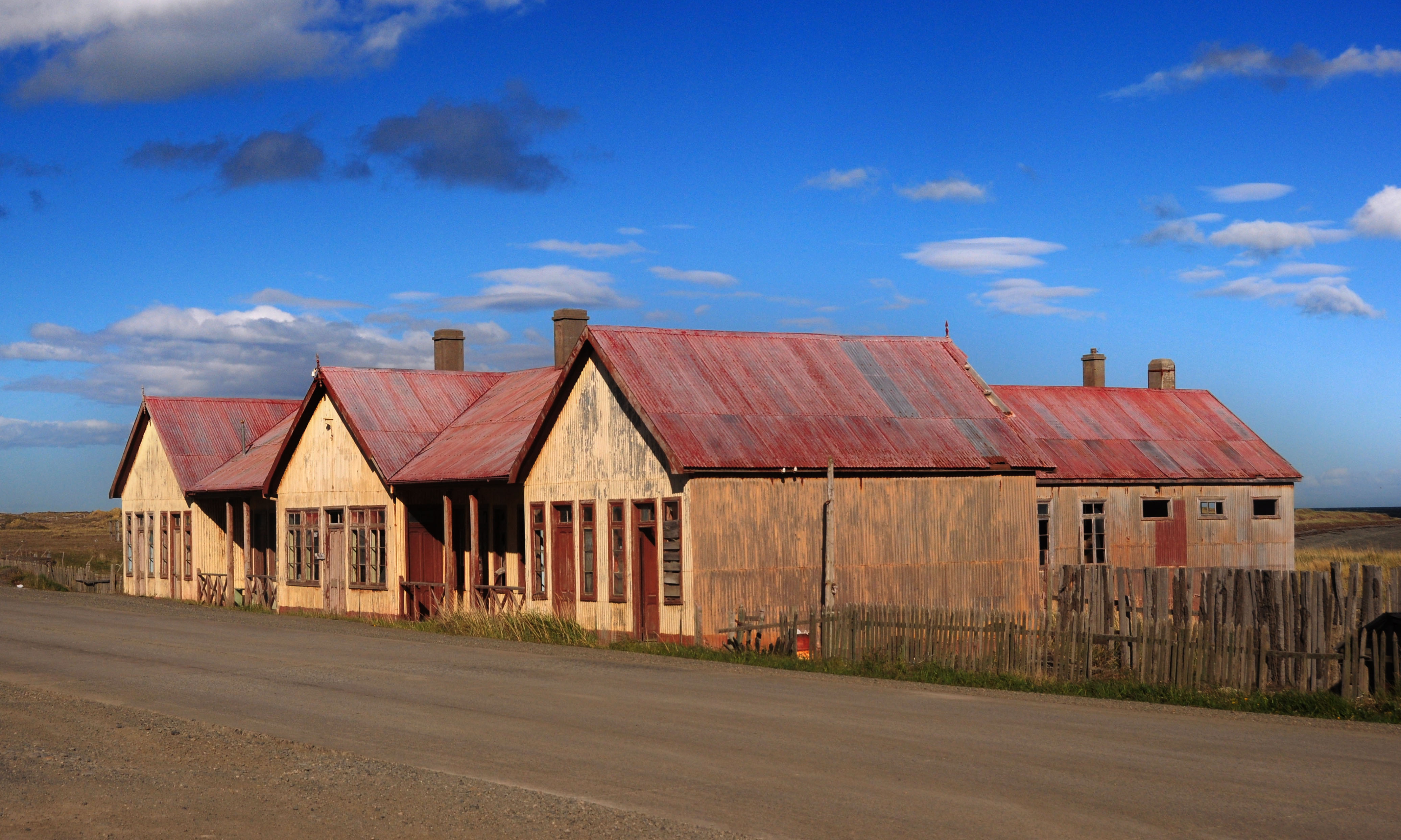
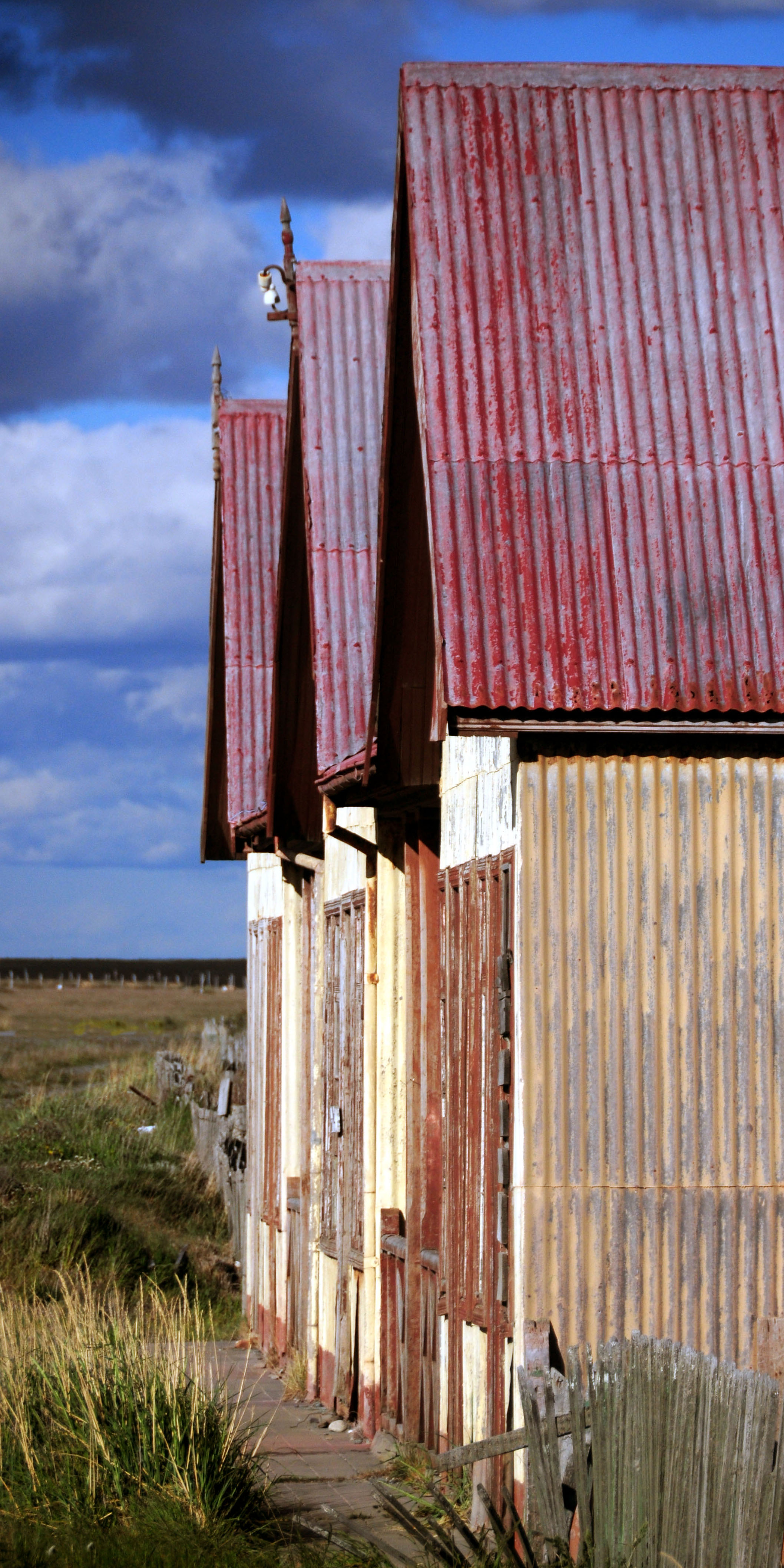
Estancia San Gregorio (thank you Roberto for identifying it!). Google Maps shows it as “Campo Harry”, but Google Maps shows a lot of things.
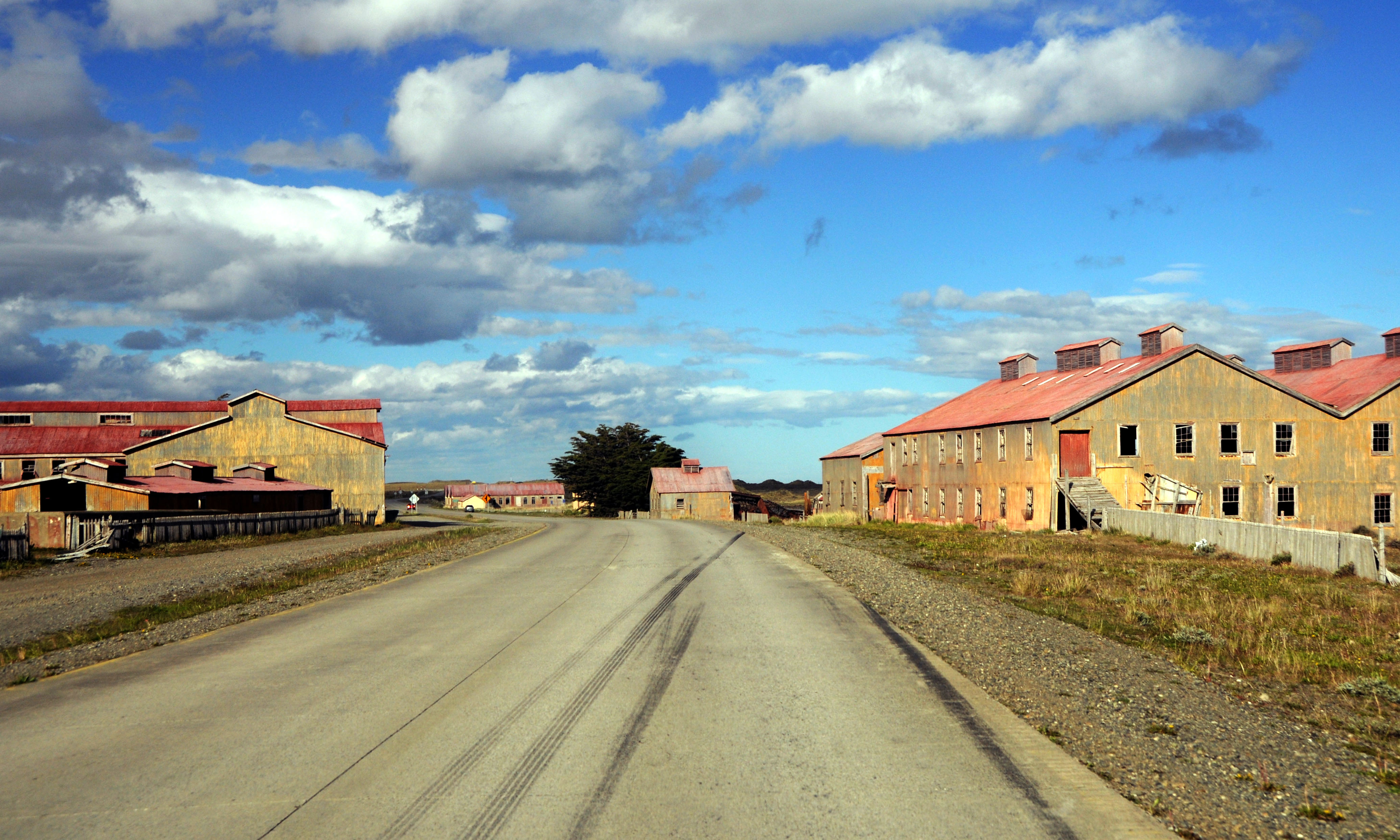
Another look at the town.
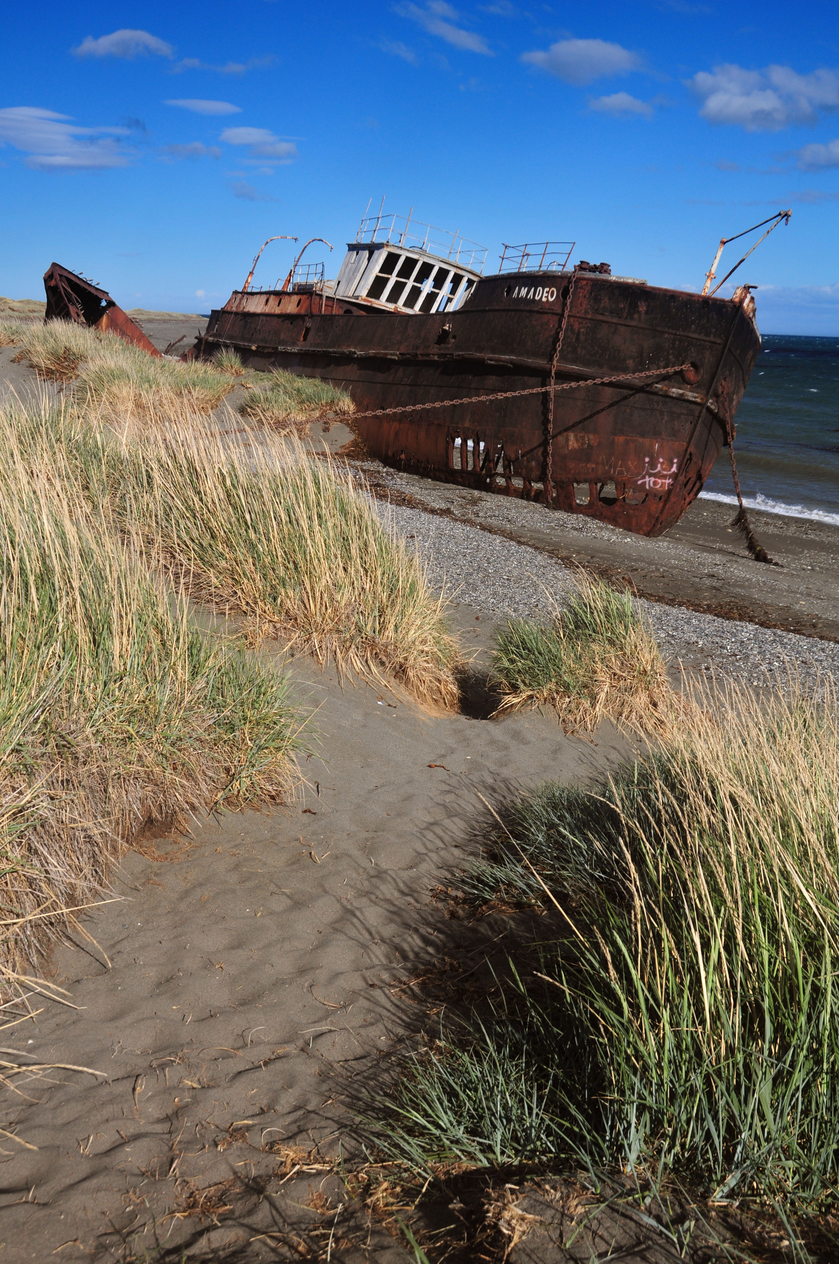
Approaching the Amadeo and the Ambassador. A trail leads down from the highway, so the two ships are easily photographed.
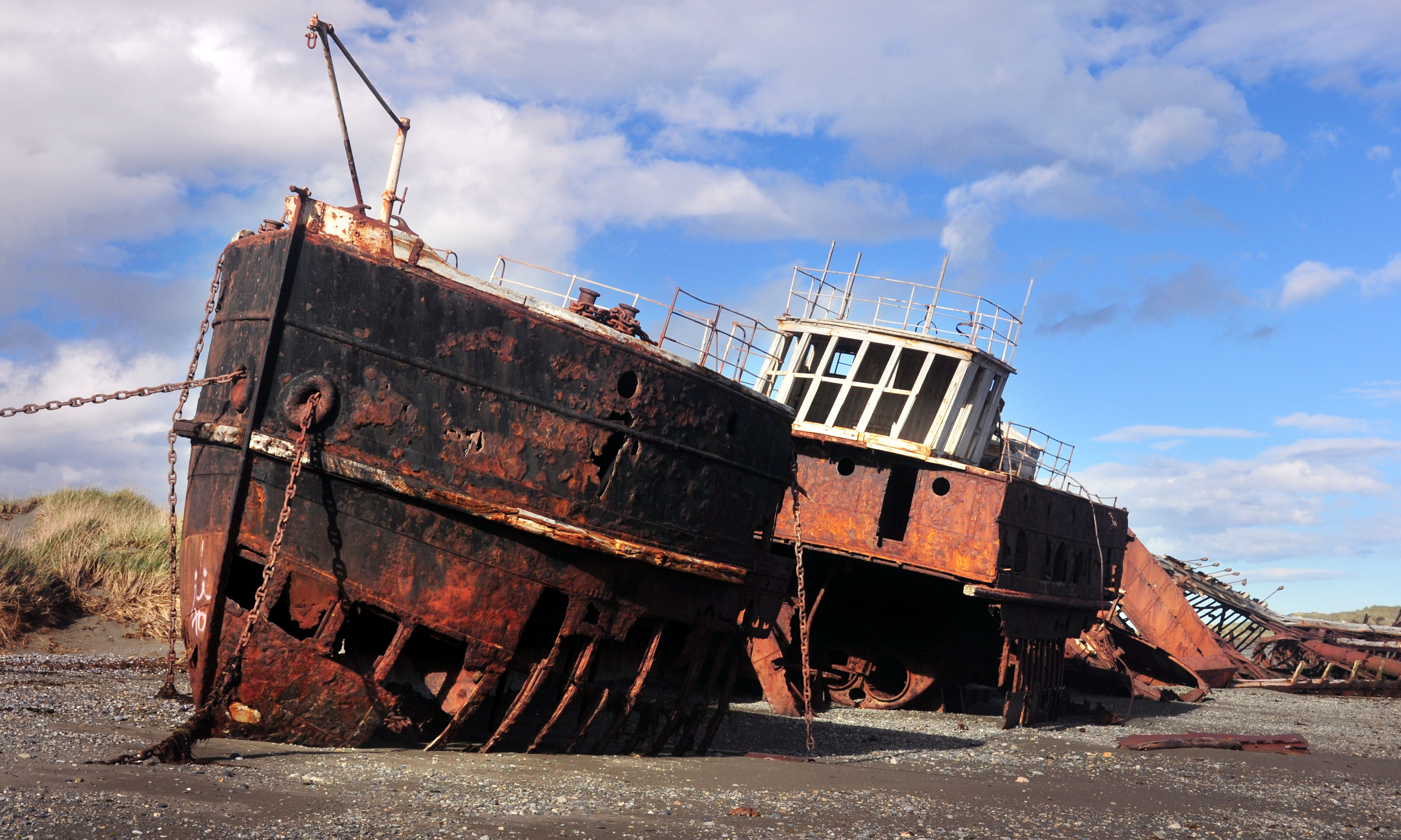
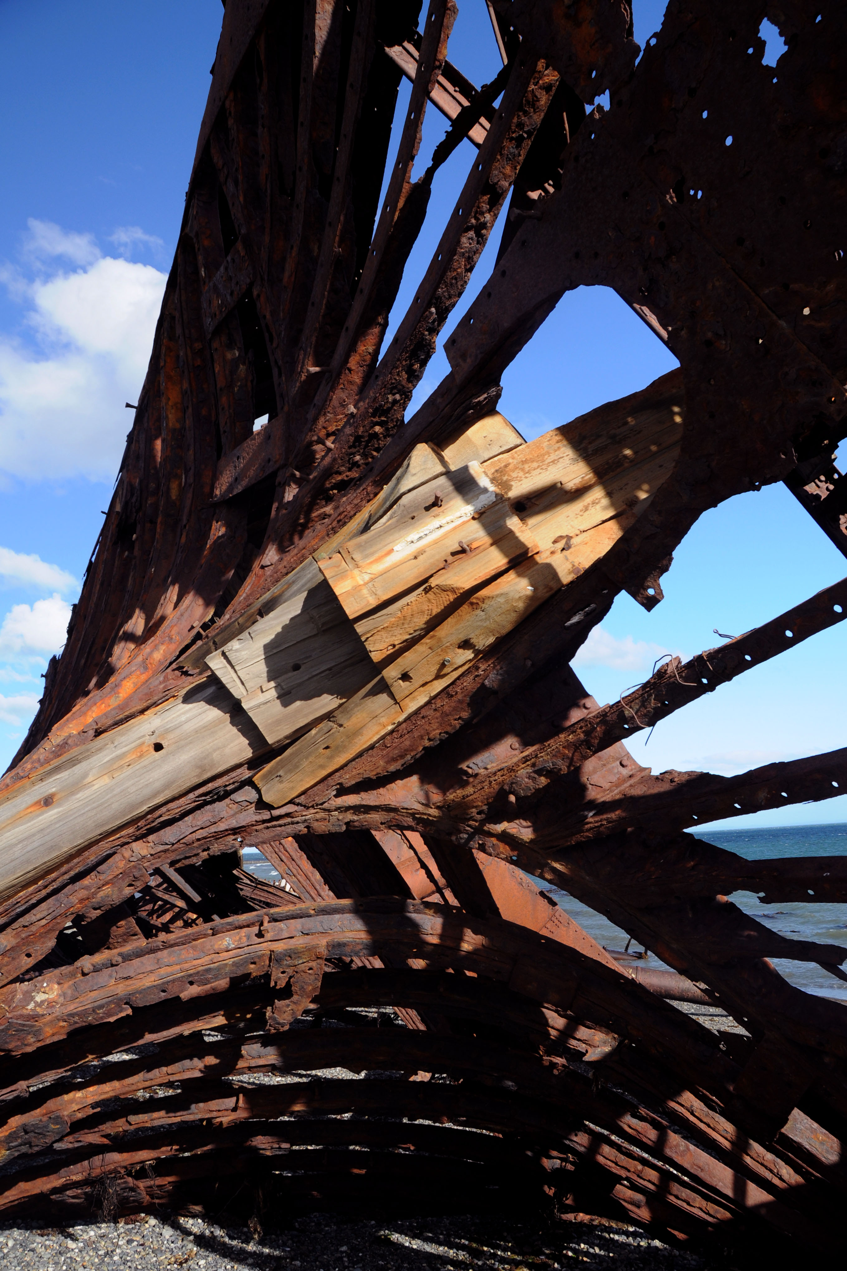
The Amadeo and the Ambassador. The Amadeo is a few major holes away from seaworthy, and the Ambassador is little more than the keel.
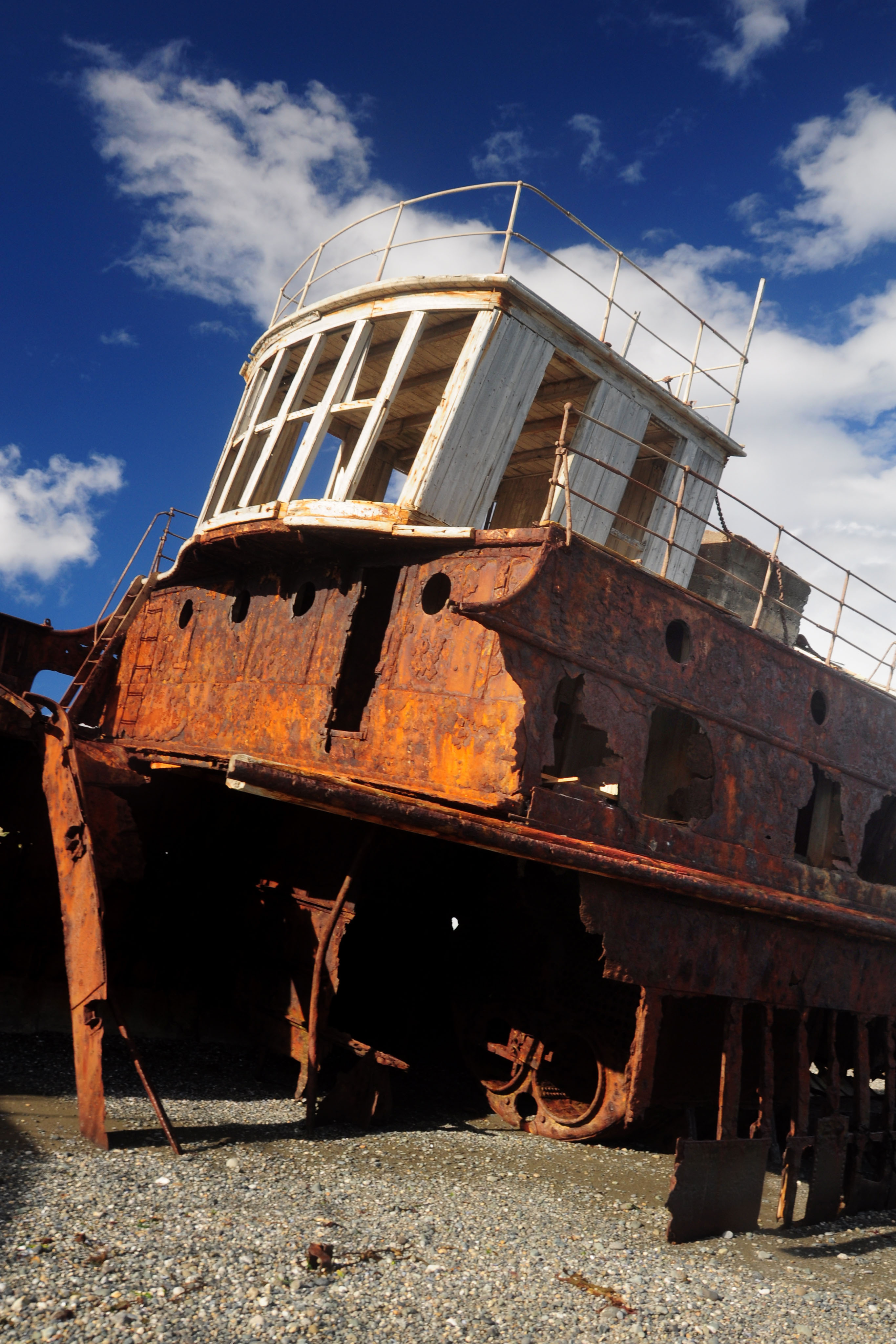
The pilot-house of the Amadeo.
Here is the Ambassador.
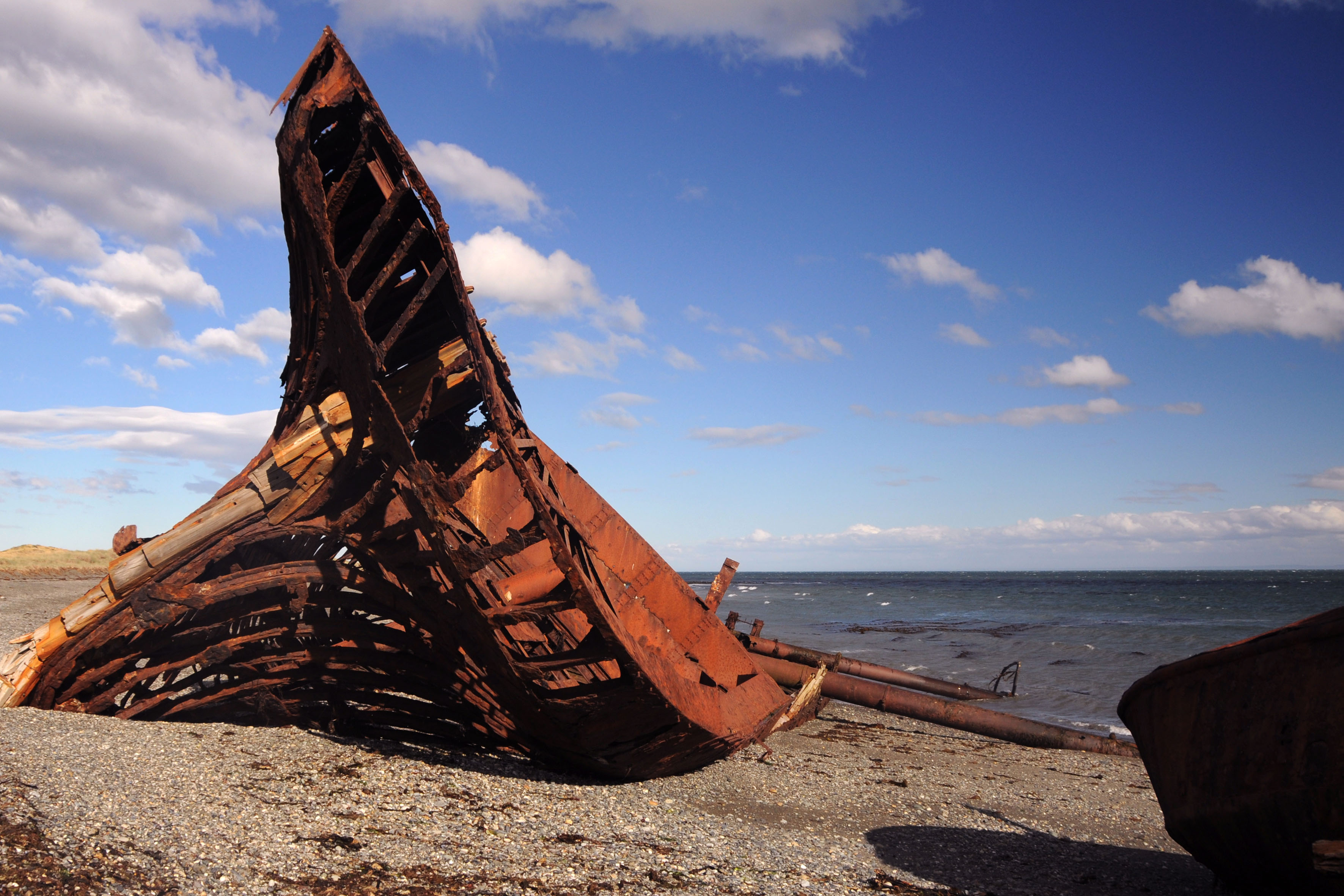
The Ambassador is in fine shape. [Dan photo.]
An even closer view. [Dan photo.]
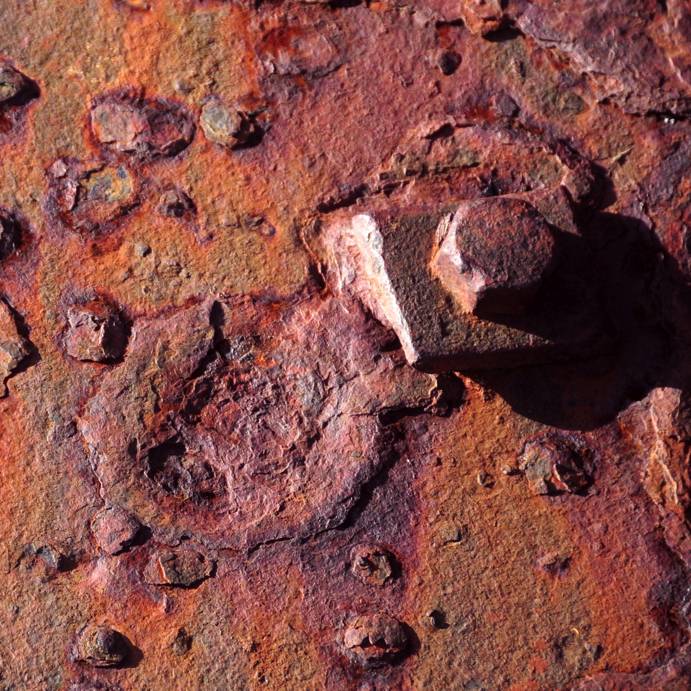
One of them (I forget which), in extreme close-up.

The waves wash over a piece of metal.
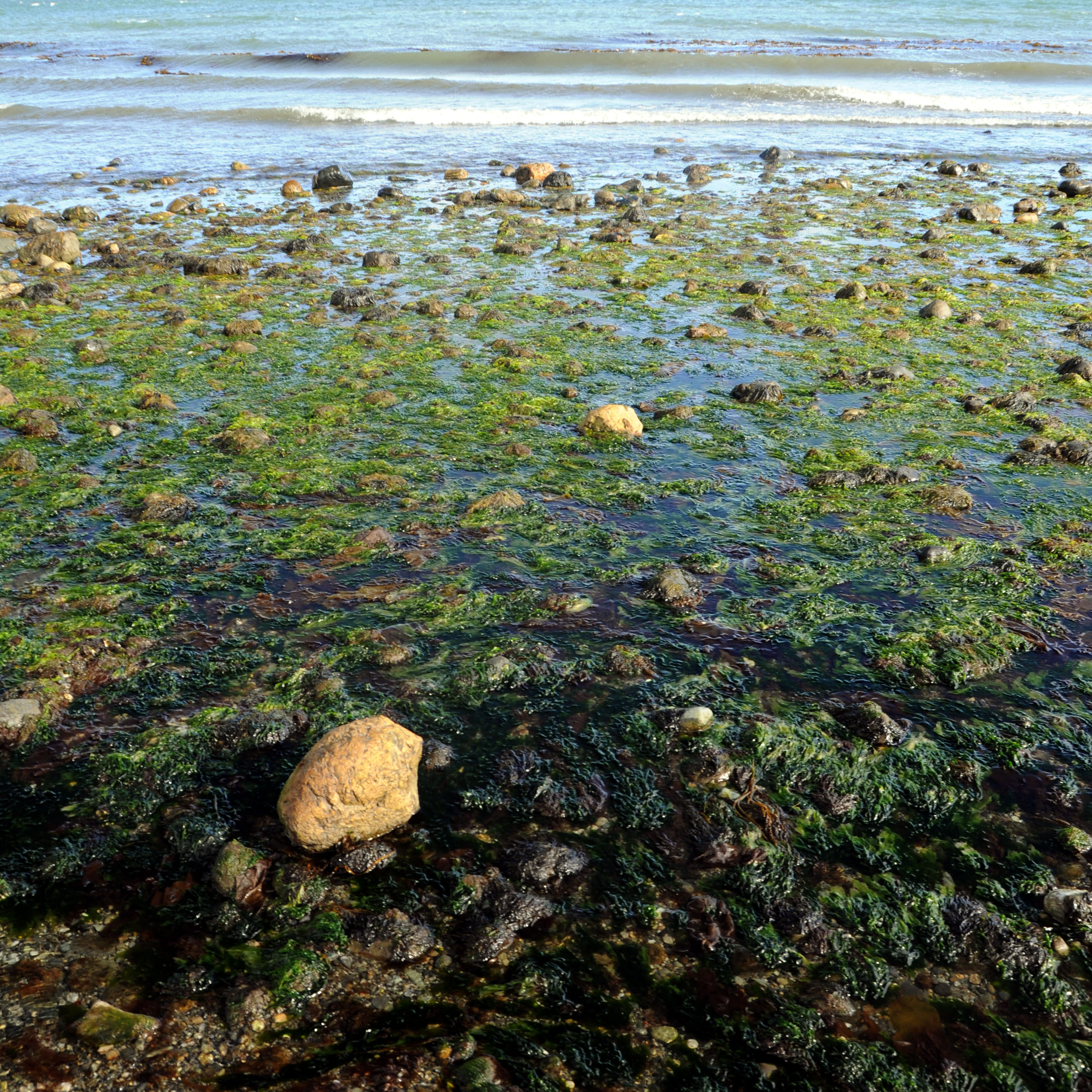
The water is filled with vegetation. [Dan photo.]
The last view of the settlement before we head east to the ferry.

A sheep. Behind it, trucks are lined up to get on the ferry.
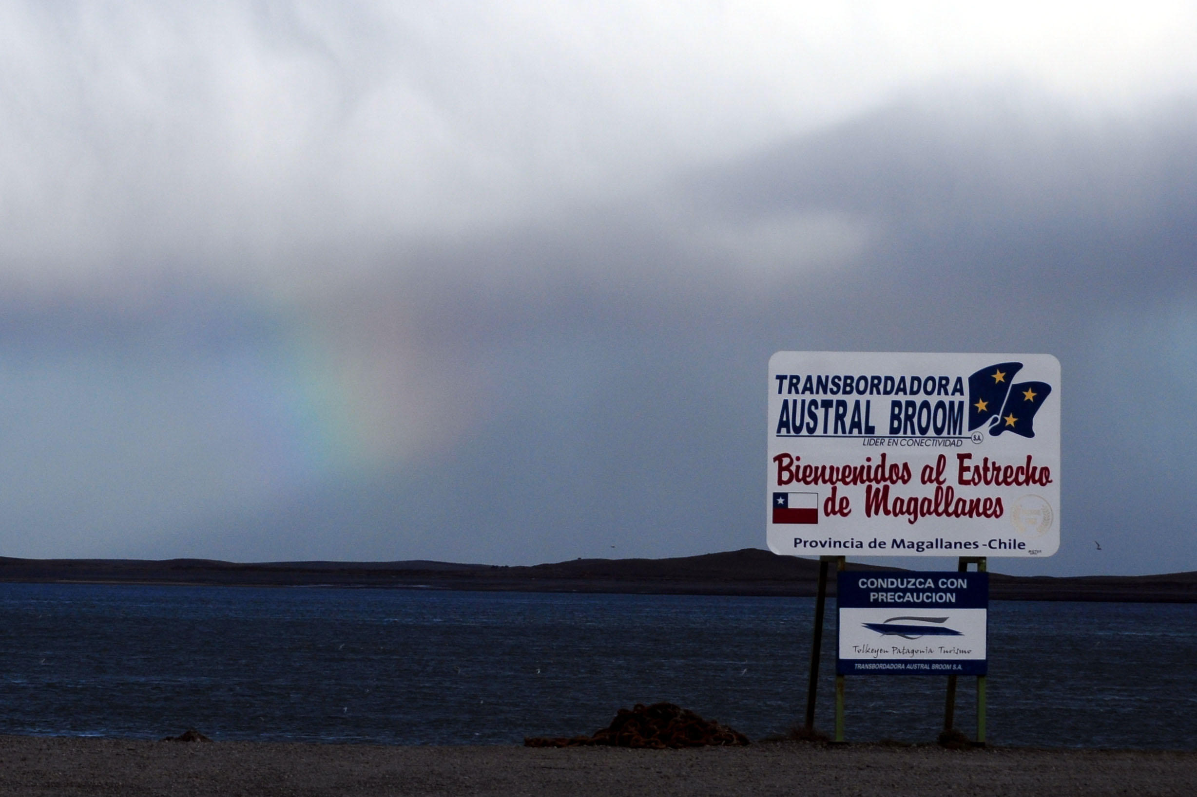
A bit of a rainbow over Tierra del Fuego.
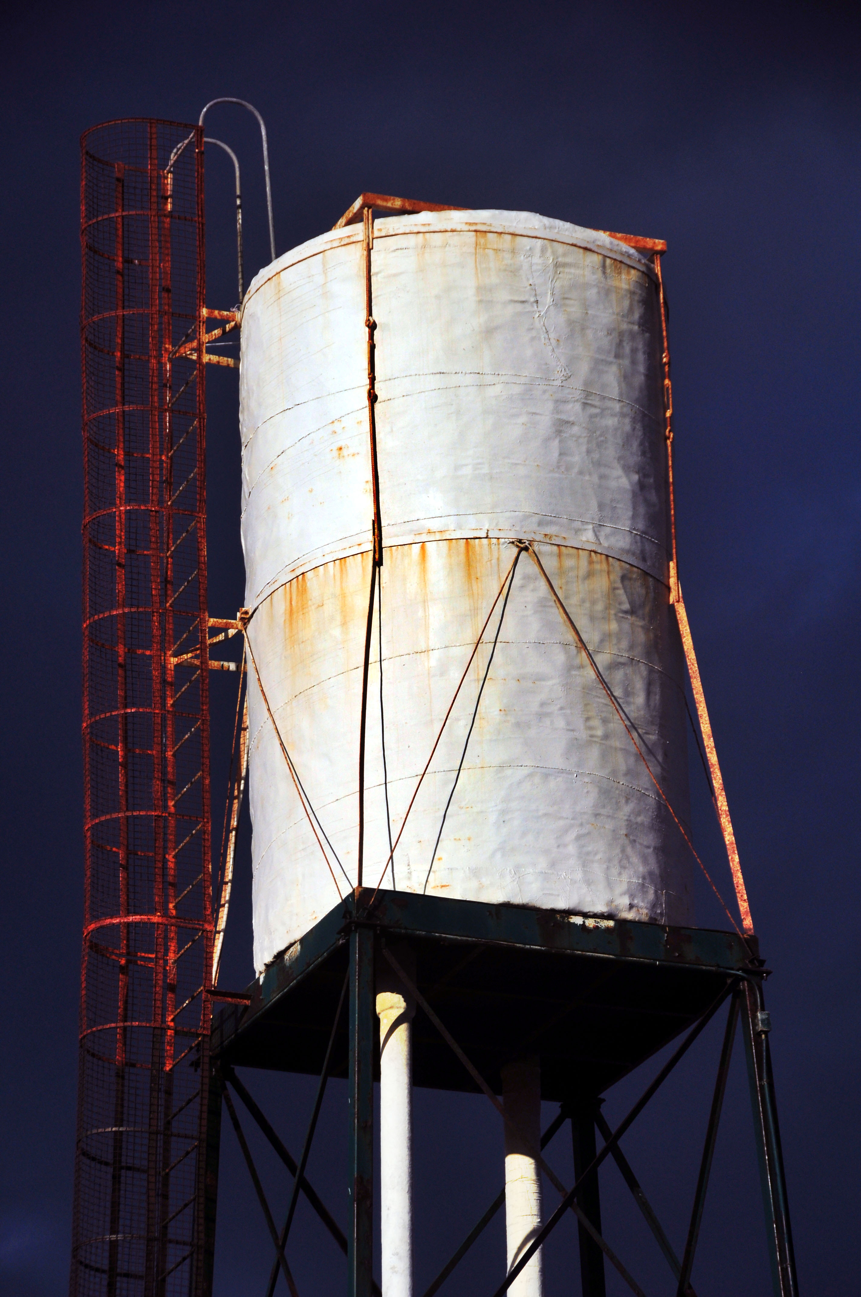
The water tower at the ferry station.
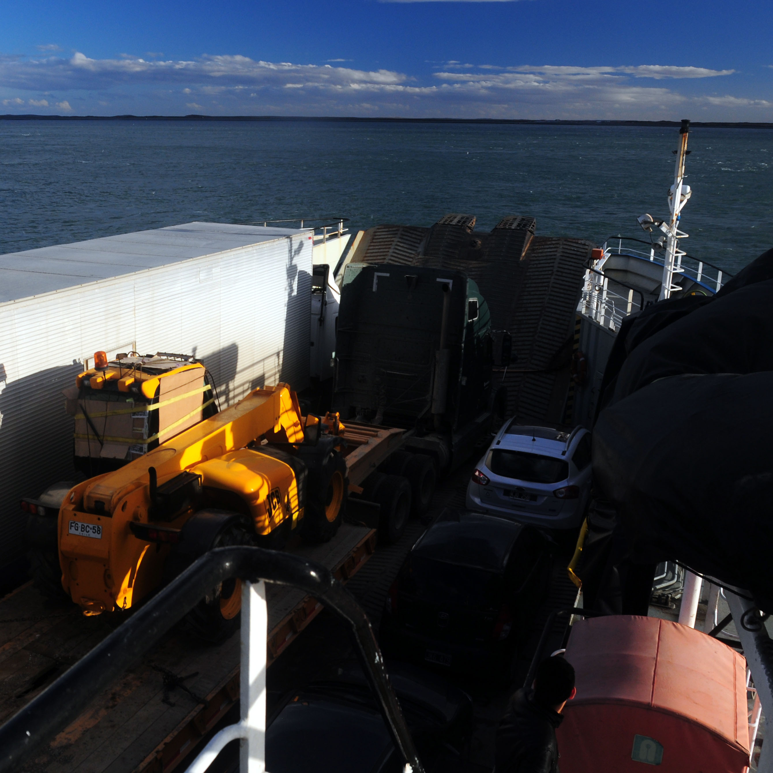
And we are in the water.
Plenty of European RVs in Chile and Argentina.

One last shot of iridescent clouds.
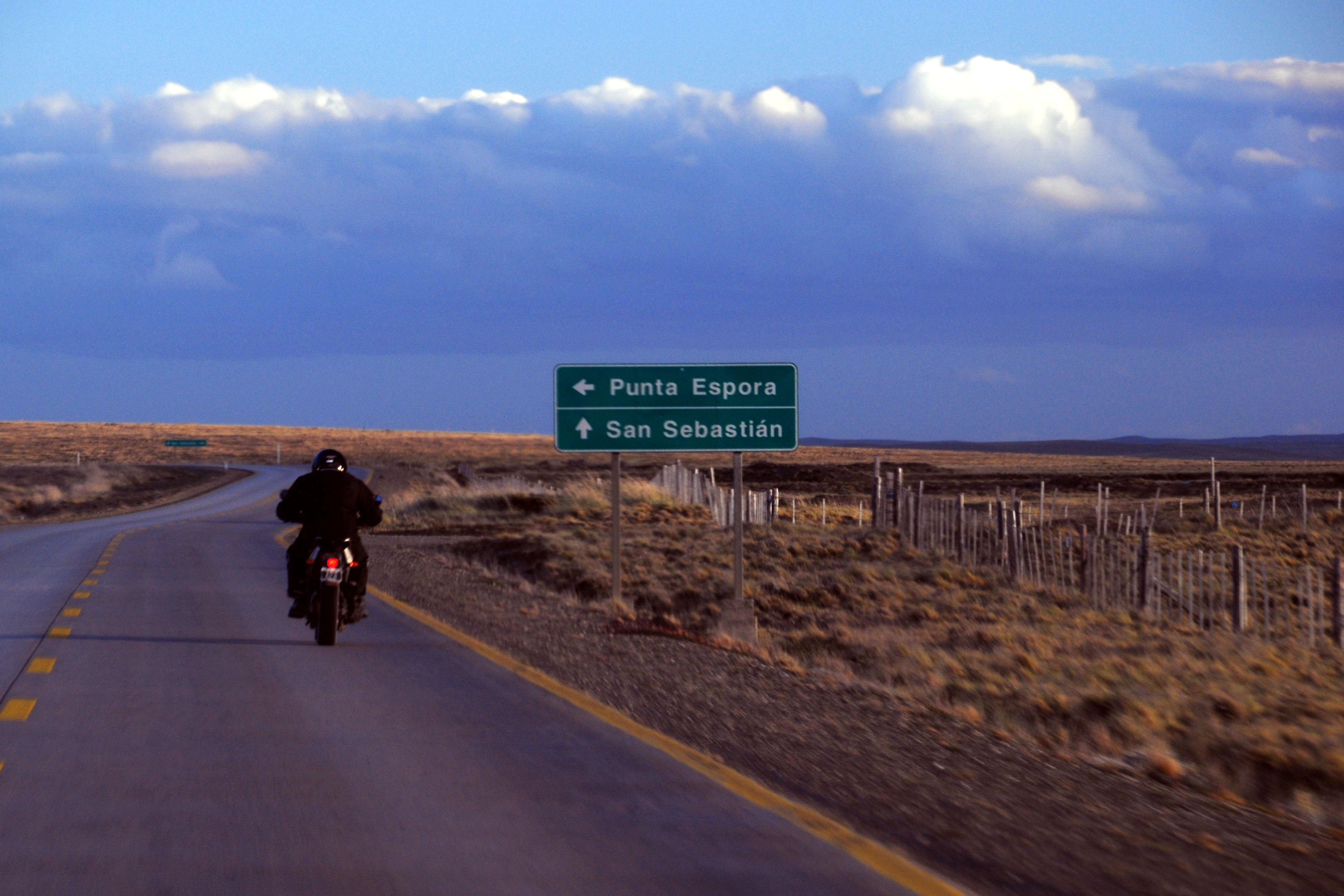
This motorcyclist is one of two who were riding back to Rio Grande, which is the first major town in Argentina on our way. The other motorcycle died, so the two were riding on one – except the dirt road from the ferry to the San Sebastian border crossing was so bad, that the other rider decided to hitchhike. He rode with us for about 90 kilometers, as we followed his companion. Thank you, Sebastian, for letting us practice our Spanish!
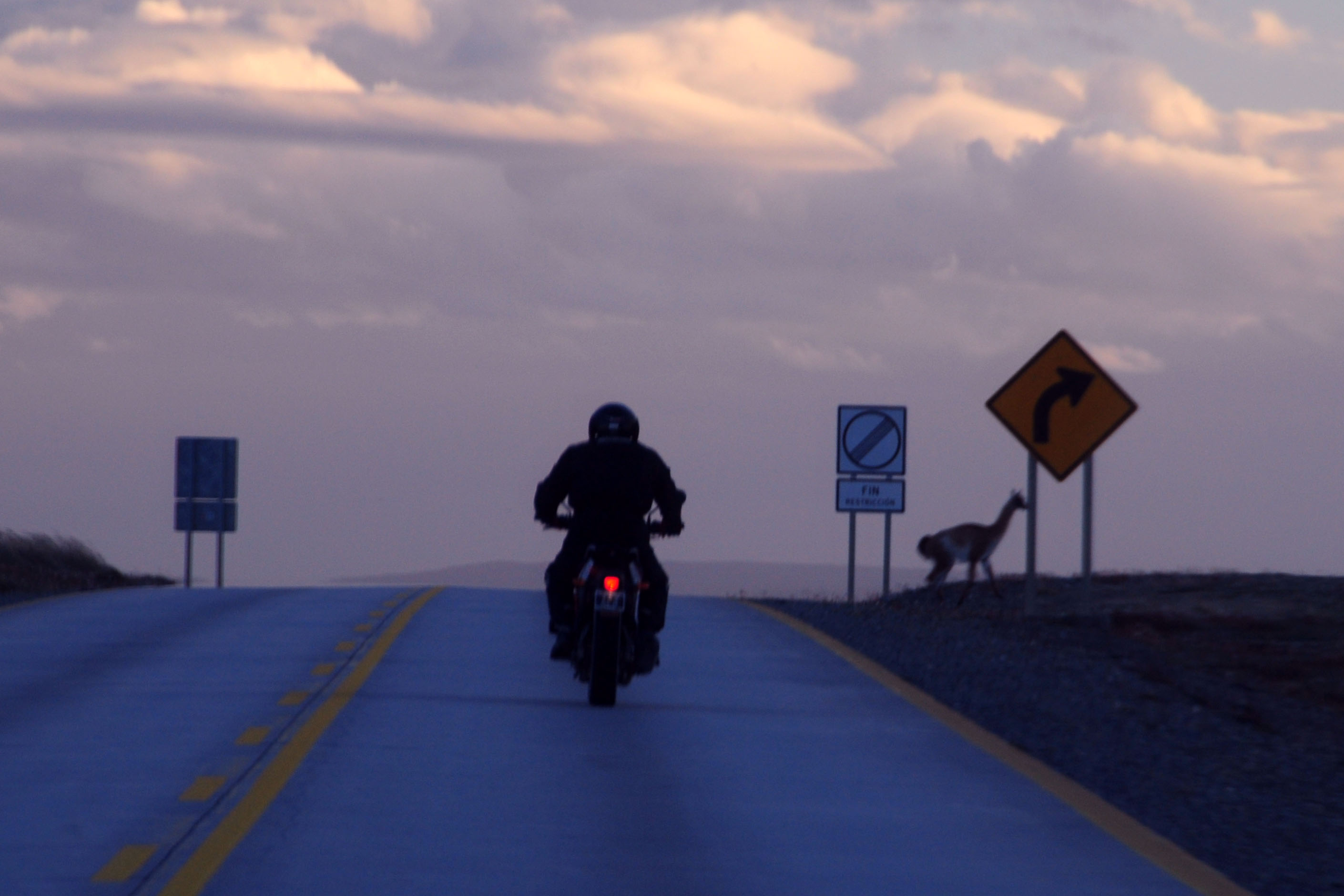
Our first guanaco sighting. There will be plenty more – especially on Tierra del Fuego, where there are no mountain lions.
Sebastian’s friend has zoomed way ahead of us, and we have not even started the dirt road section. We would catch up with him at the Chilean border station, as they had agreed.
That’s a truck on its side. Dan got a photo. Kinda.

The actual Chile-Argentina border. The border stations are located a fair way away from the actual line. First, we exit Chile, getting our passports stamped and surrendering our tourist cards. Then, we enter Argentina where new entry stamps and tourist cards are issued. All of our border crossings were extremely uneventful.
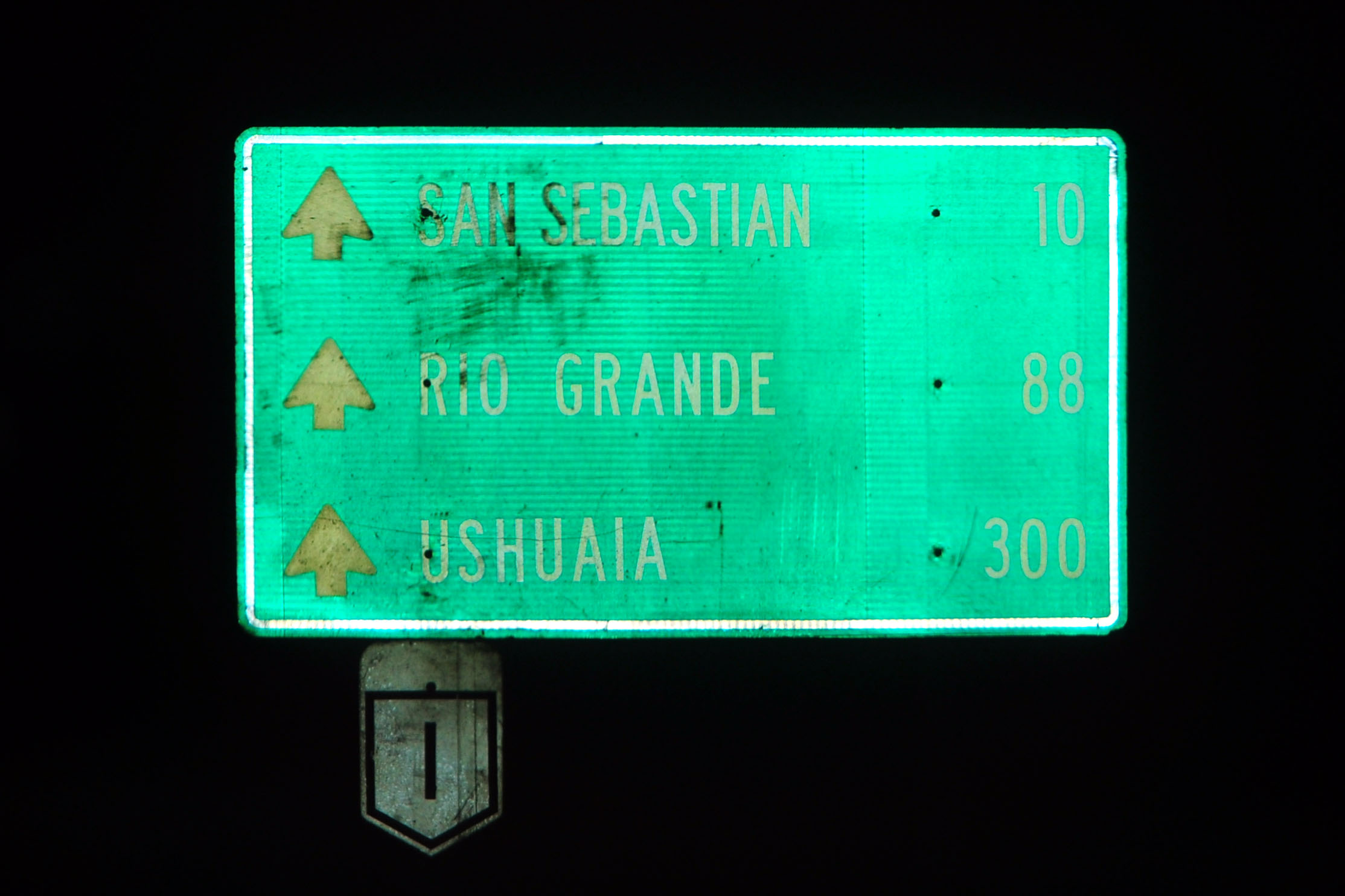
And our first Argentine route marker. This simple style appears the most frequently. In the next post we will see some other styles as well.
next up: to Ushuaia, and back.
I always enjoy your pictures. I have never been to Chile,it looks very remote and forgotten (the shipwrecks and camps).
It varies from area to area. Even in Patagonia (which is fairly remote), there are still some pretty busy cities. A lot of it is built at least partially around tourism, but Rio Grande and Rio Gallegos are fairly large without being tourist destinations. And that’s not counting what Chile and Argentina have further north (Santiago, Buenos Aires).