
The first part of our hike – up the hill to the campground where we would stay the night.
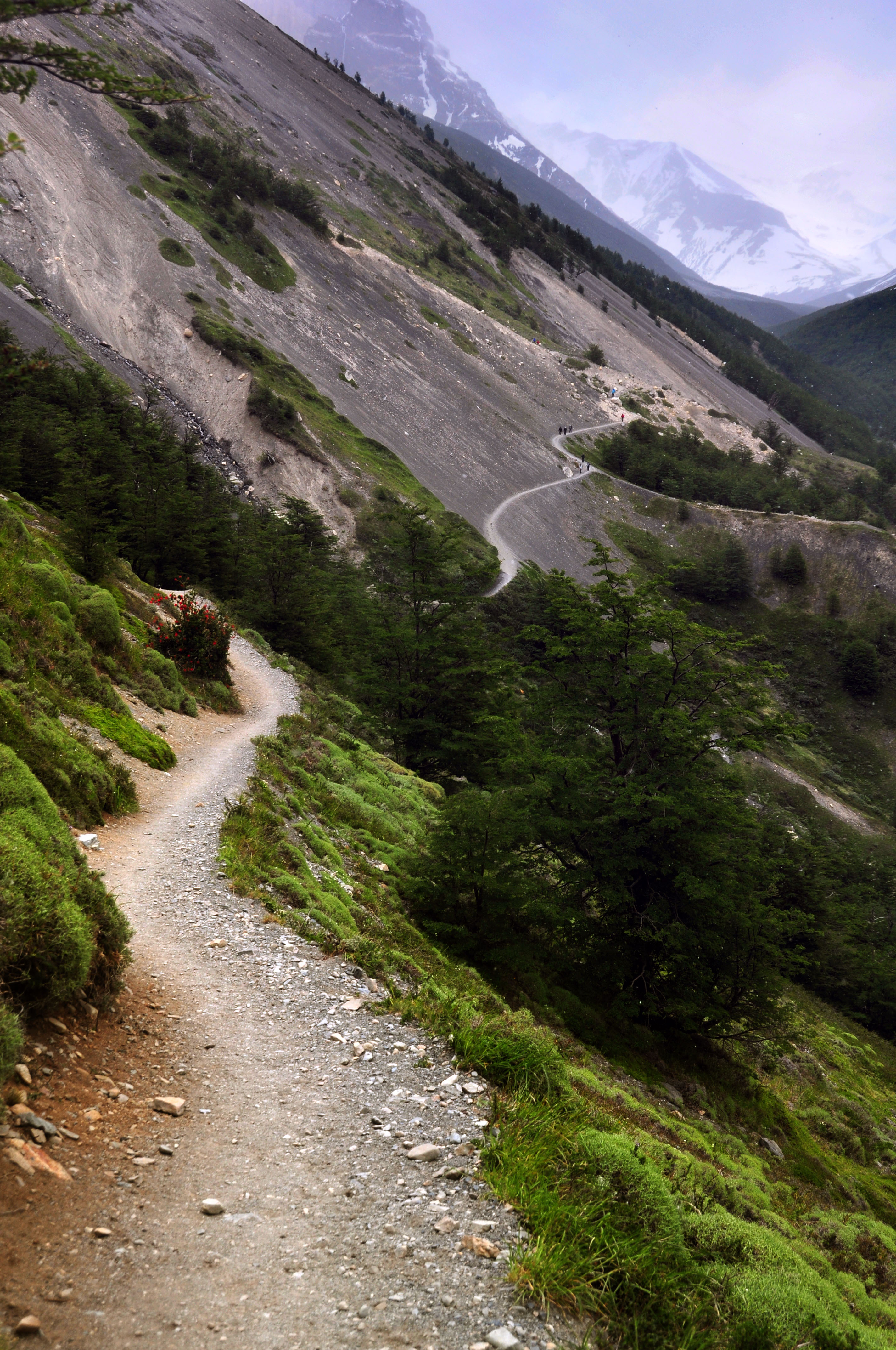
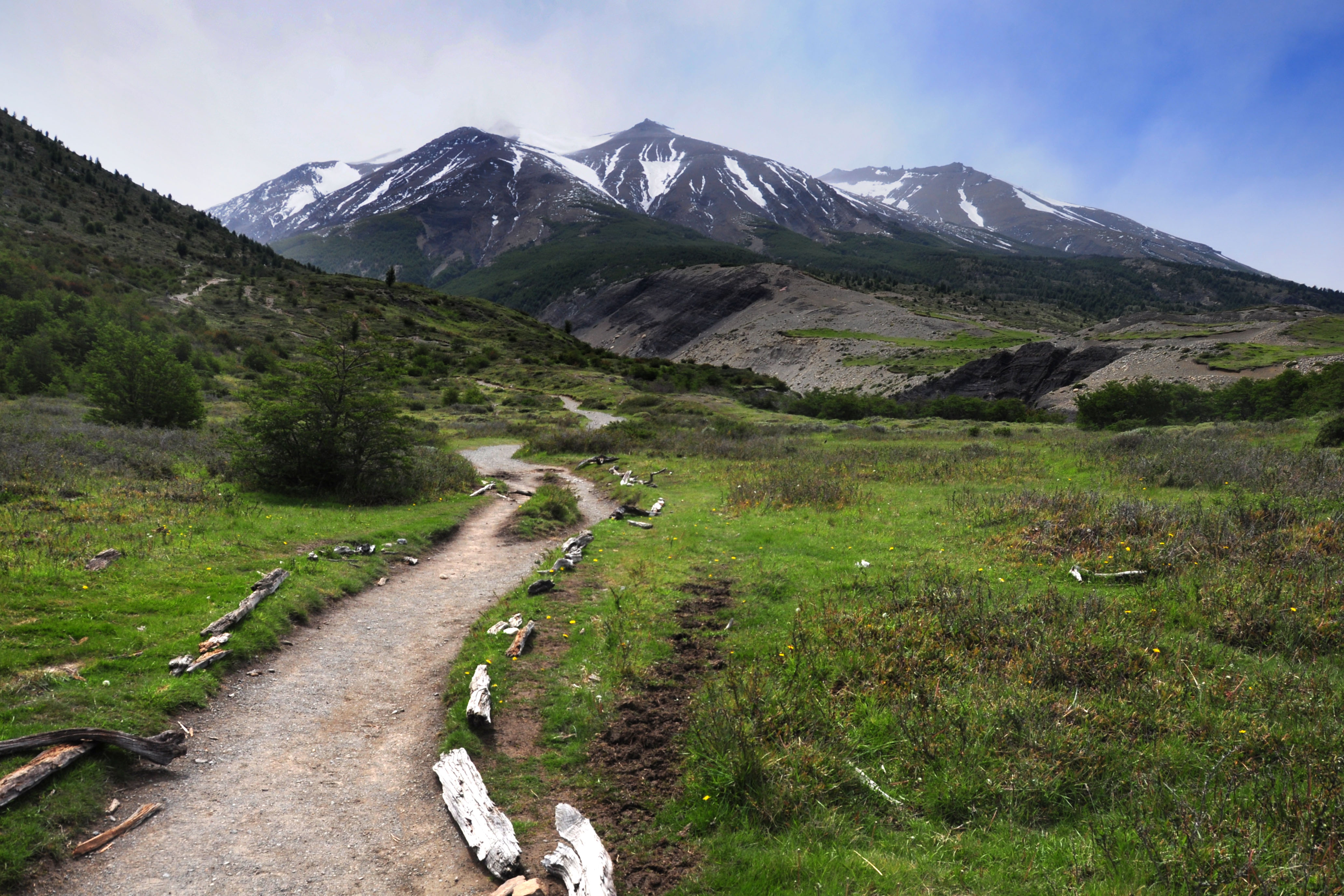
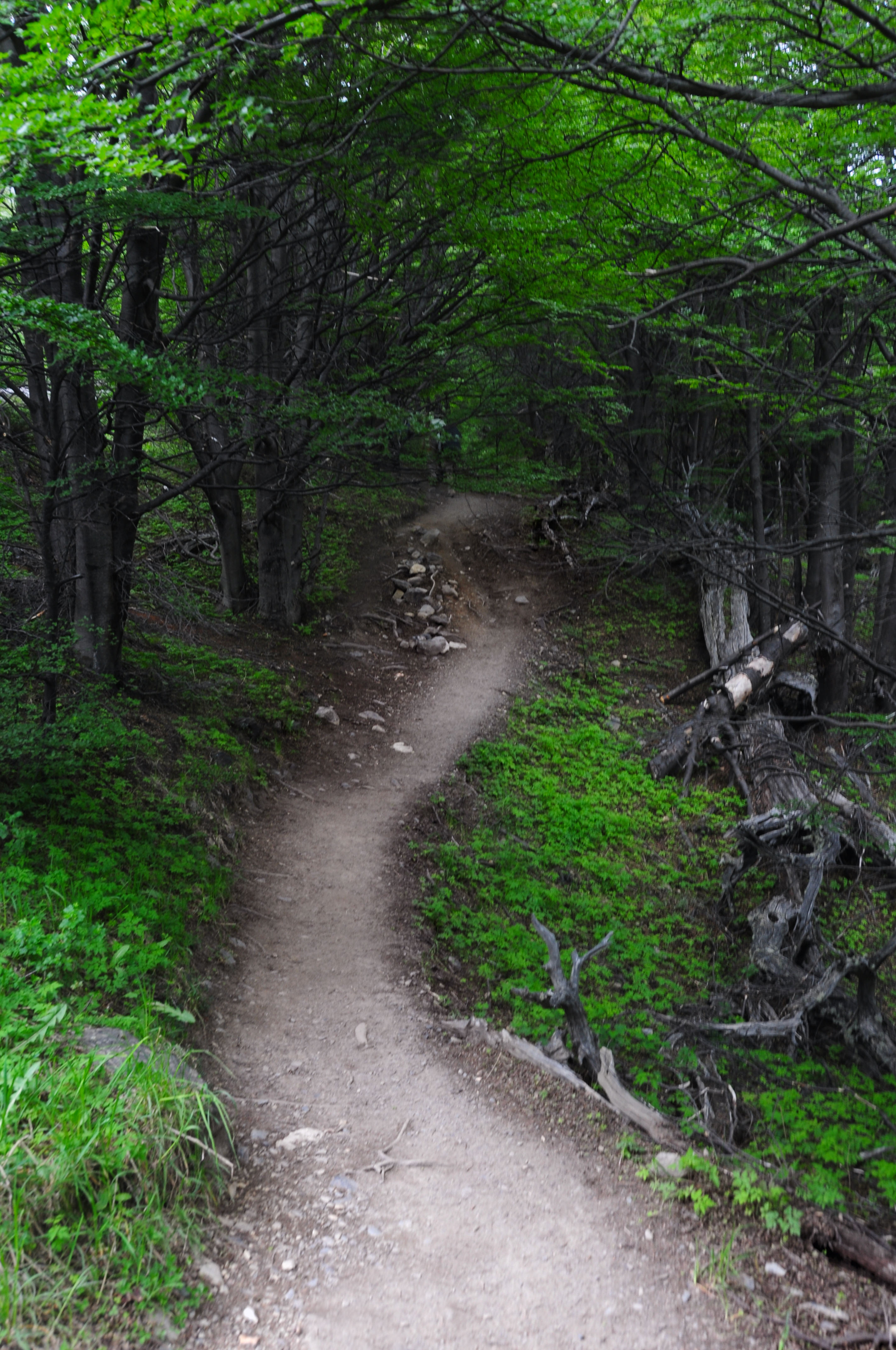
Typical afternoon scenery. A narrow trail that climbs gradually.
The sort of trees we’d see much of.

The flag of the Magallanes division of Chile. This example flies at the Hosteria where we parked to start our hike.
Sunny to start with.
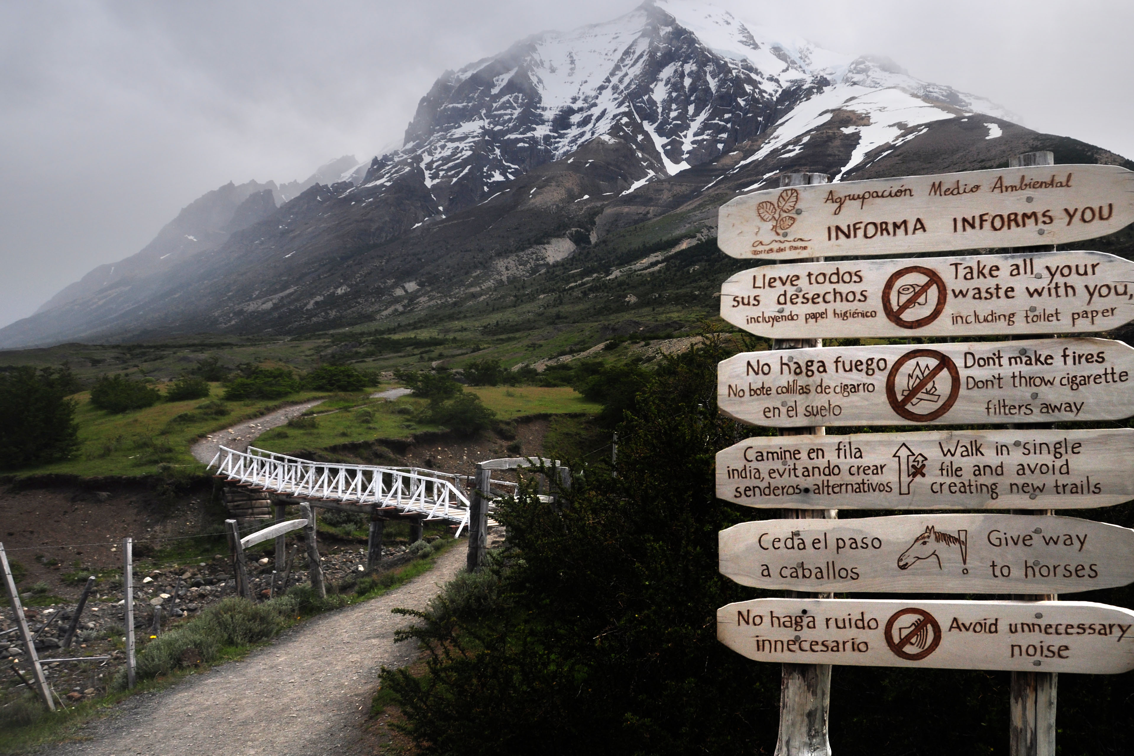
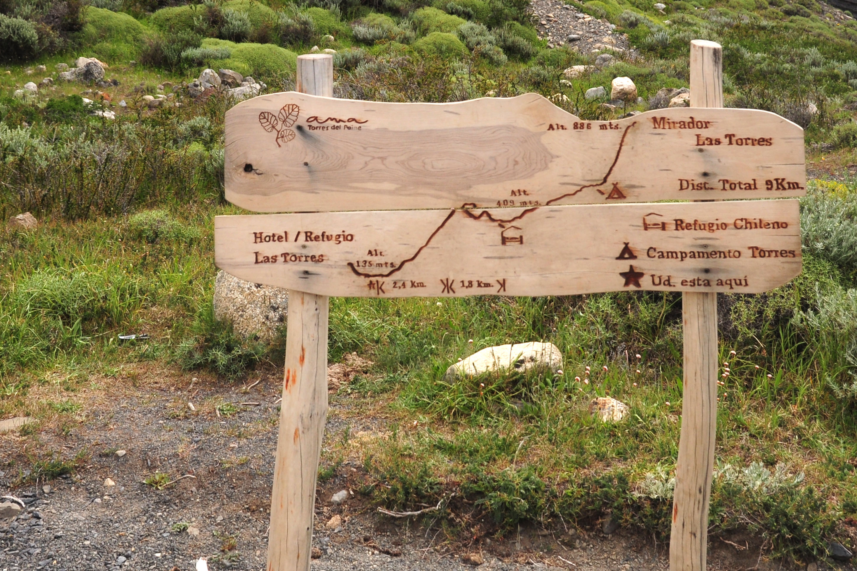
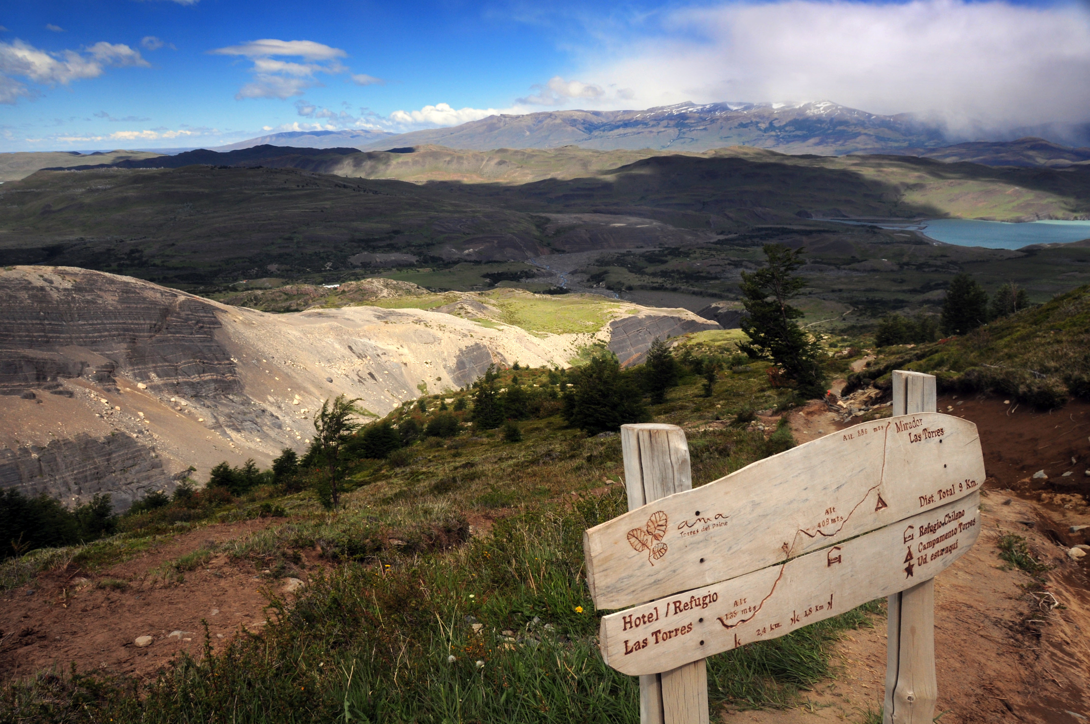
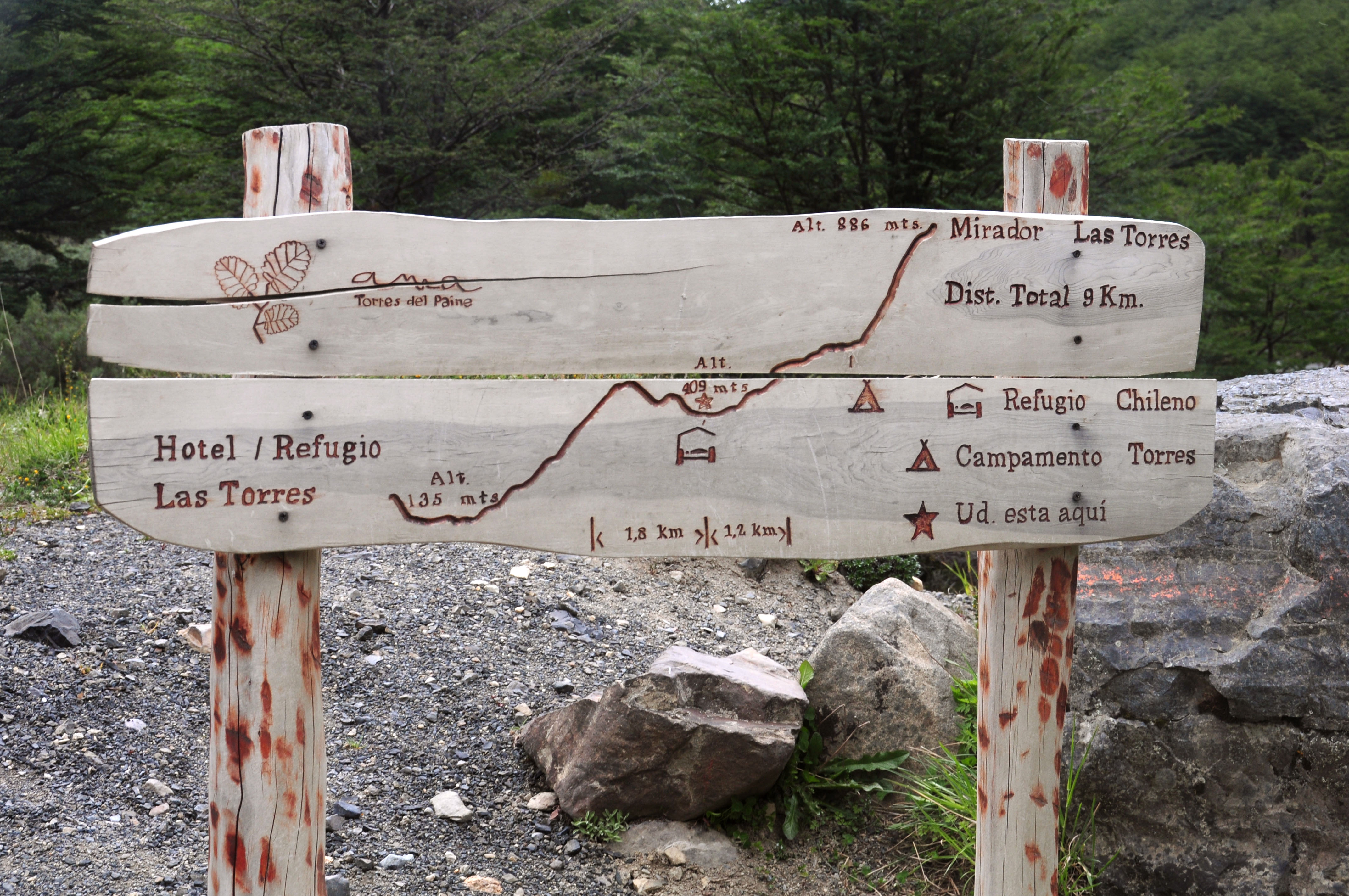
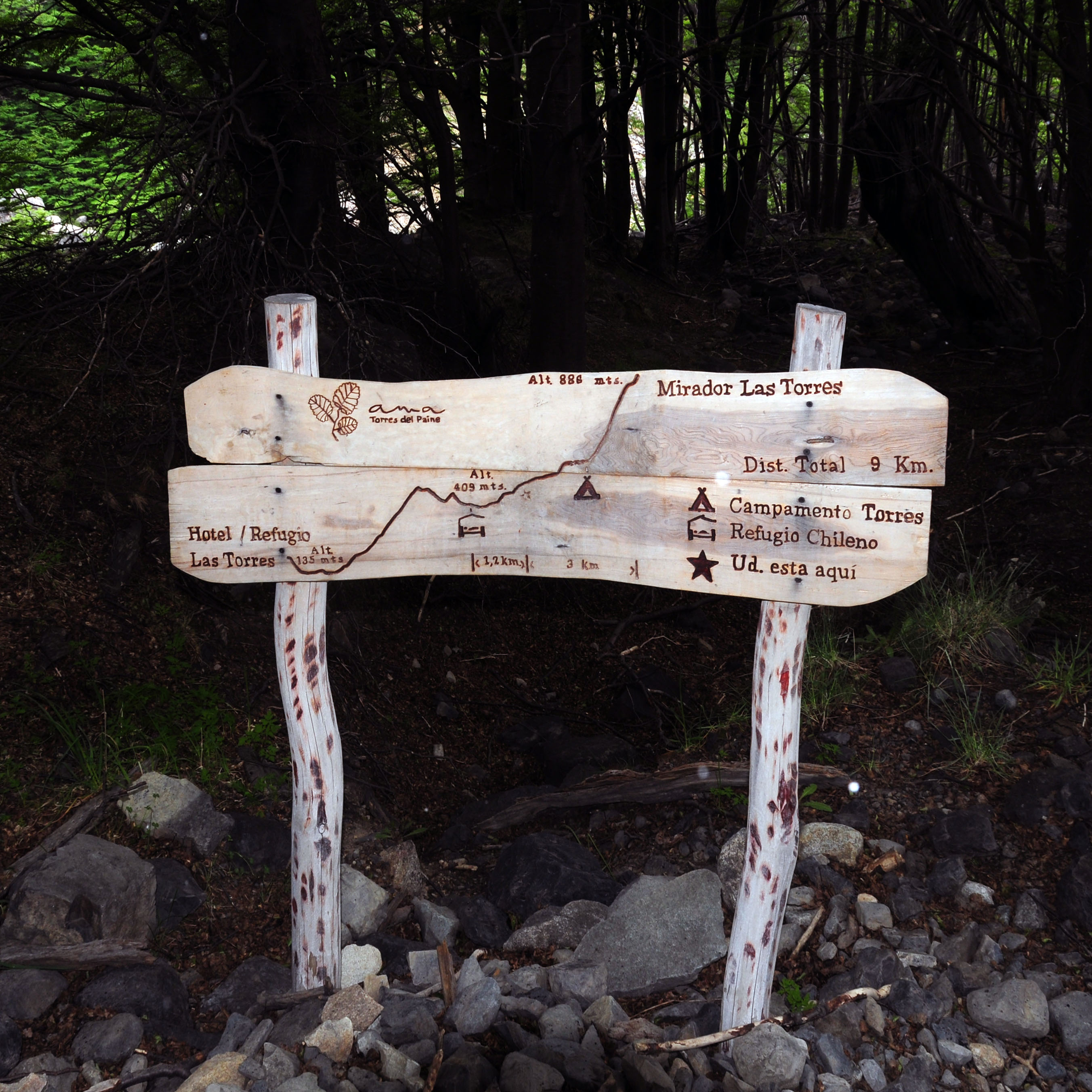
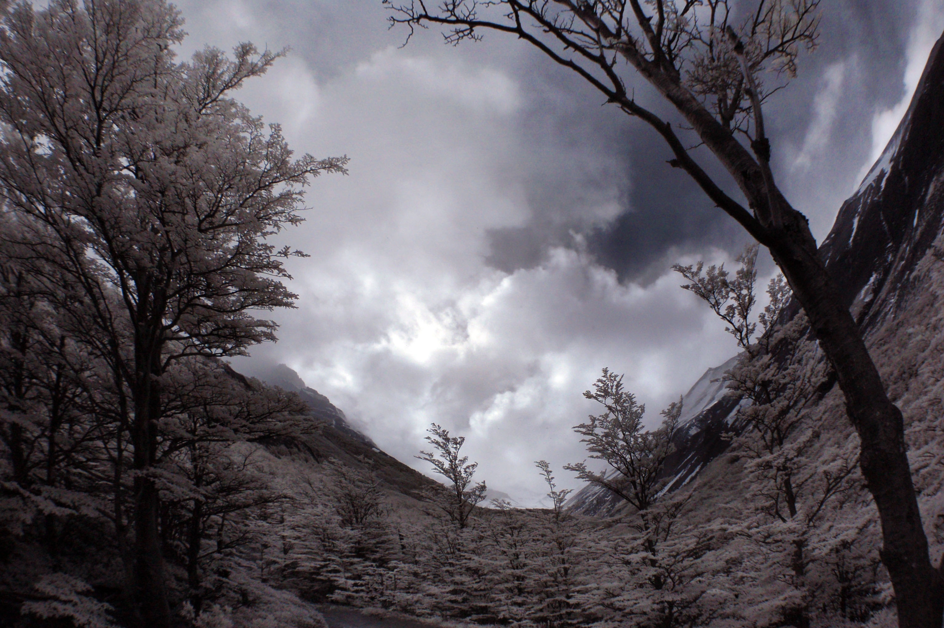
We will curve to the right of this mountain, after reading the signs of course. Interestingly, “single file” is referred to as “Indian file” down here.
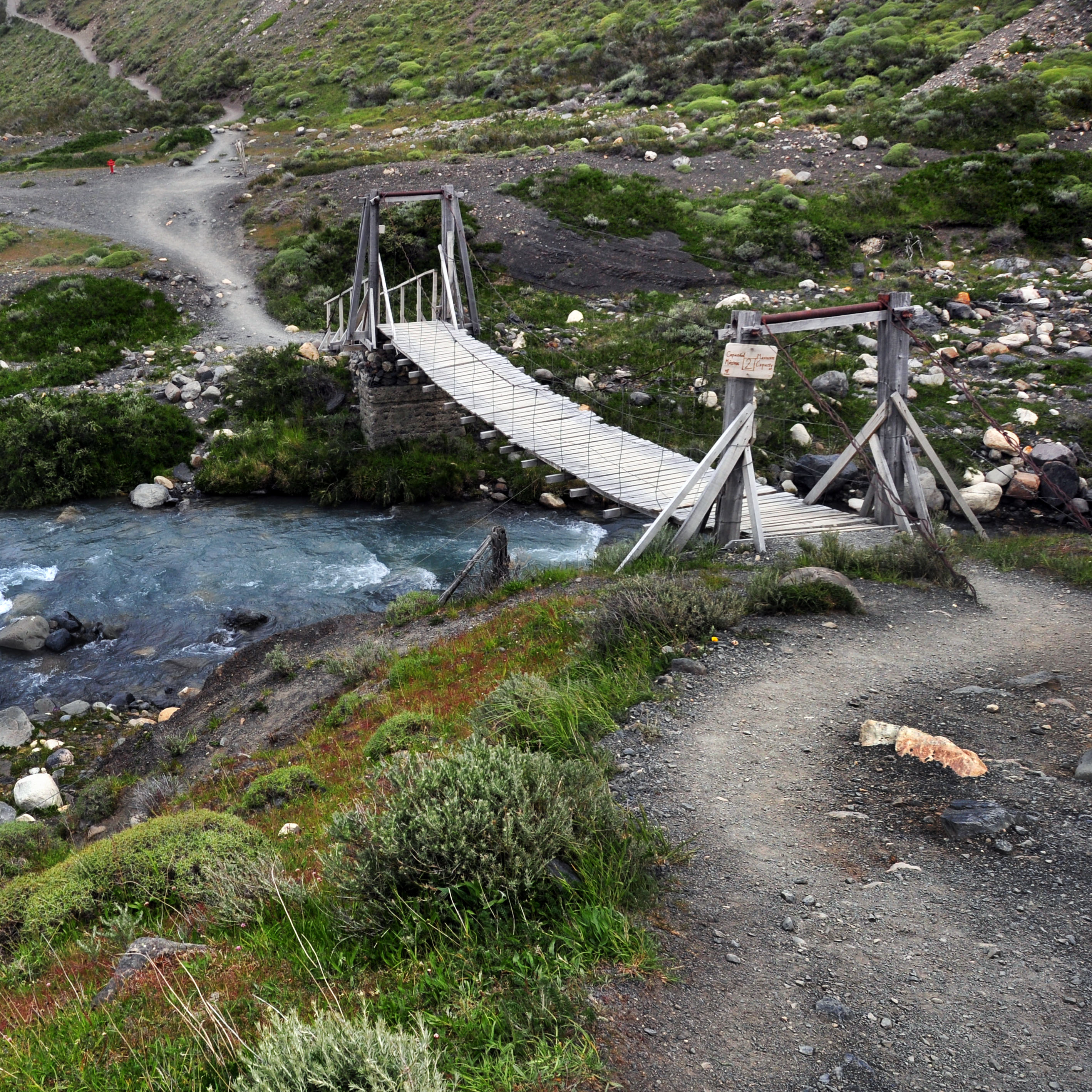
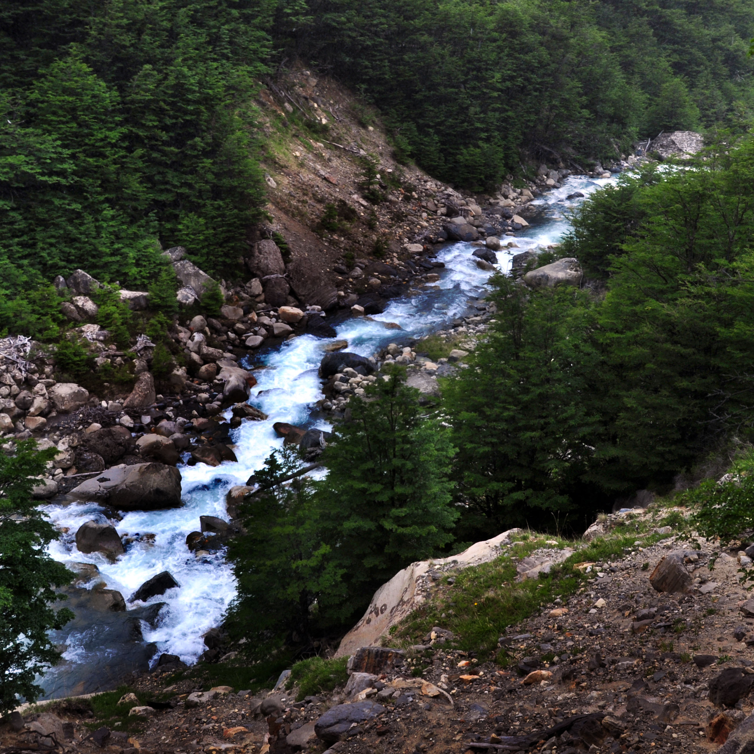
Our first river crossing.
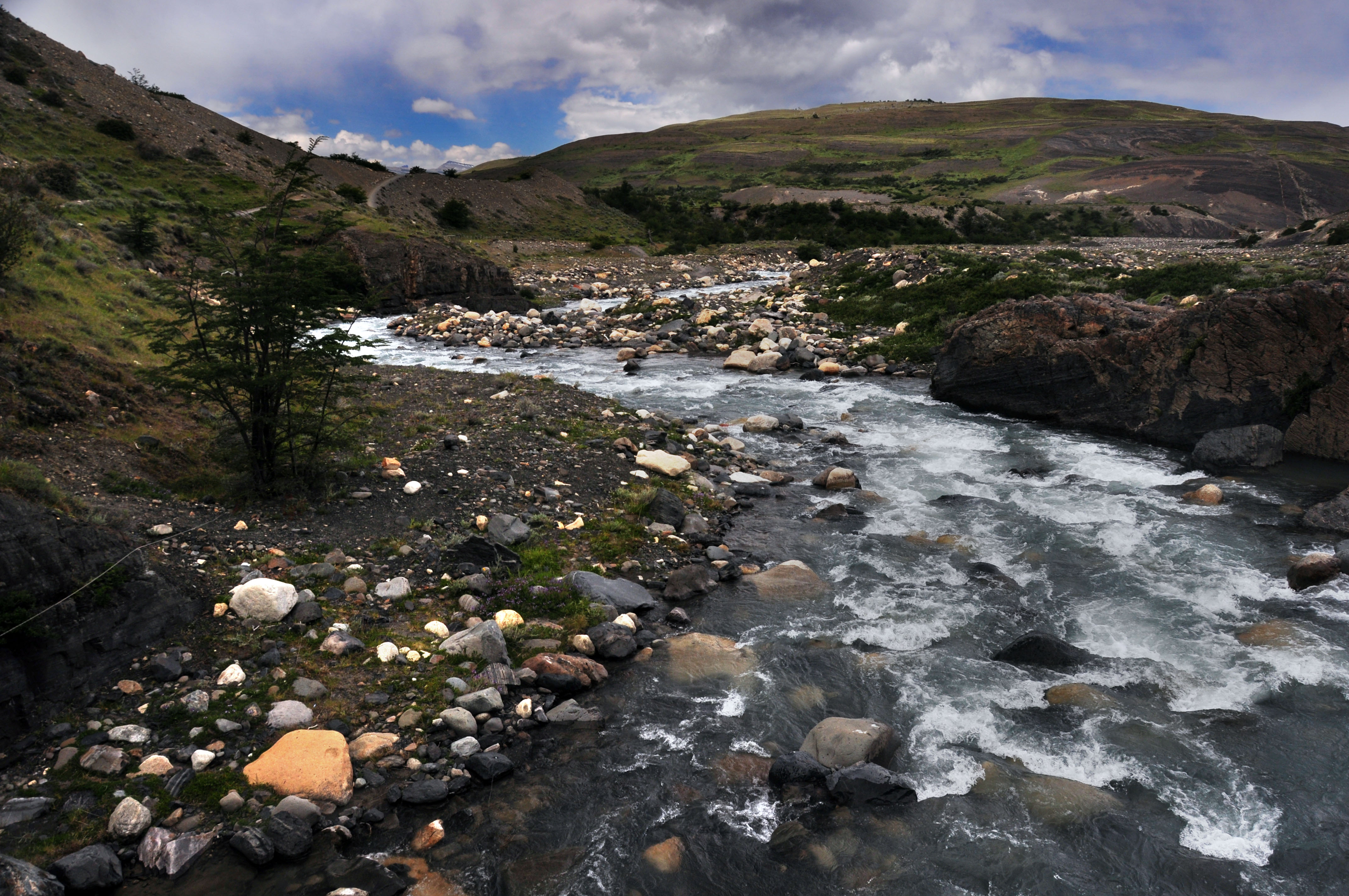
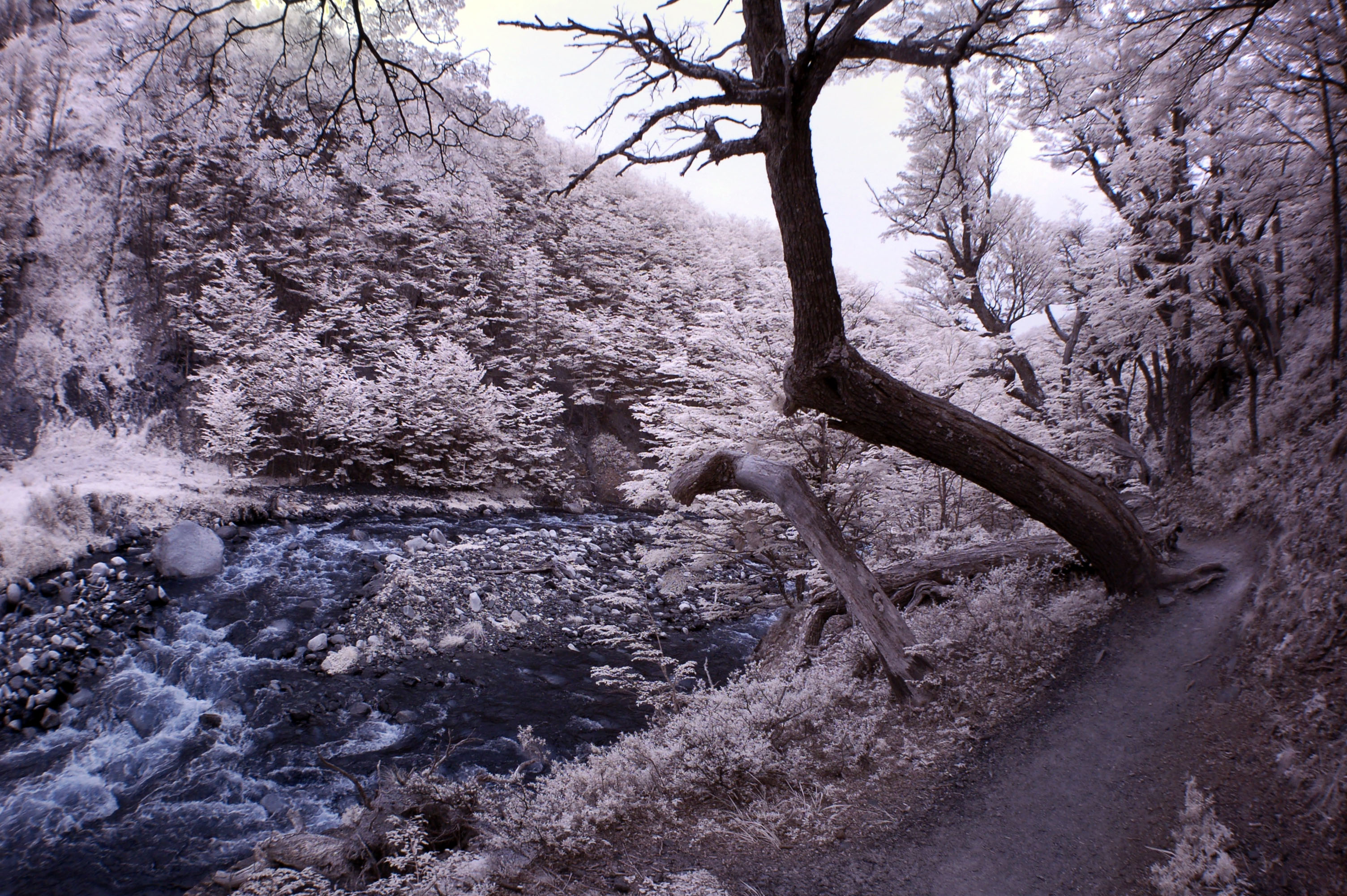
And the river itself.
In this post, the visible-light pictures will be rectilinear, and the infrared will be fisheye. I was carrying both cameras for a good portion of the hike.
This is the lowest part of the hike. The total hike is about 6 miles, each way – of which we will do the first 5 or so today.
So far, so good.
We’re getting up there. About 2/3 of the way up the steepest slope of the day.
Almost to the top.
Here’s the local maximum – quite a ways above the river. The refugio is at the river’s level.
And we’ve reached the refugio. Apart from a needed biological break, we did not go inside – 10 dollar bottles of water didn’t much hold appeal.
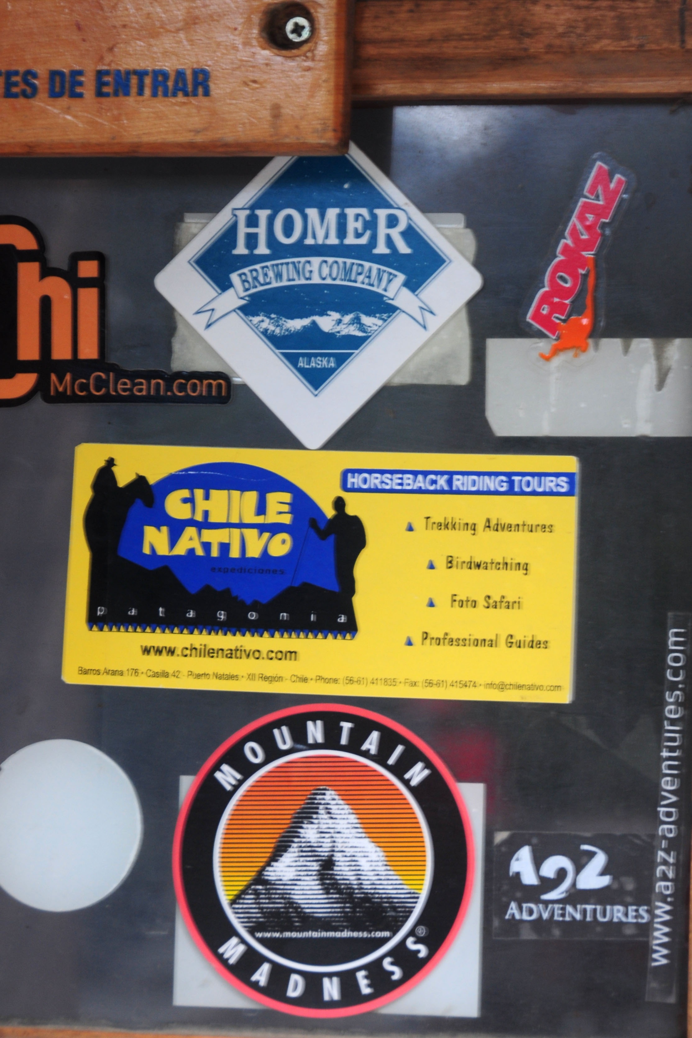
The Homer Brewing Company, on the other hand, seems like a place to visit.
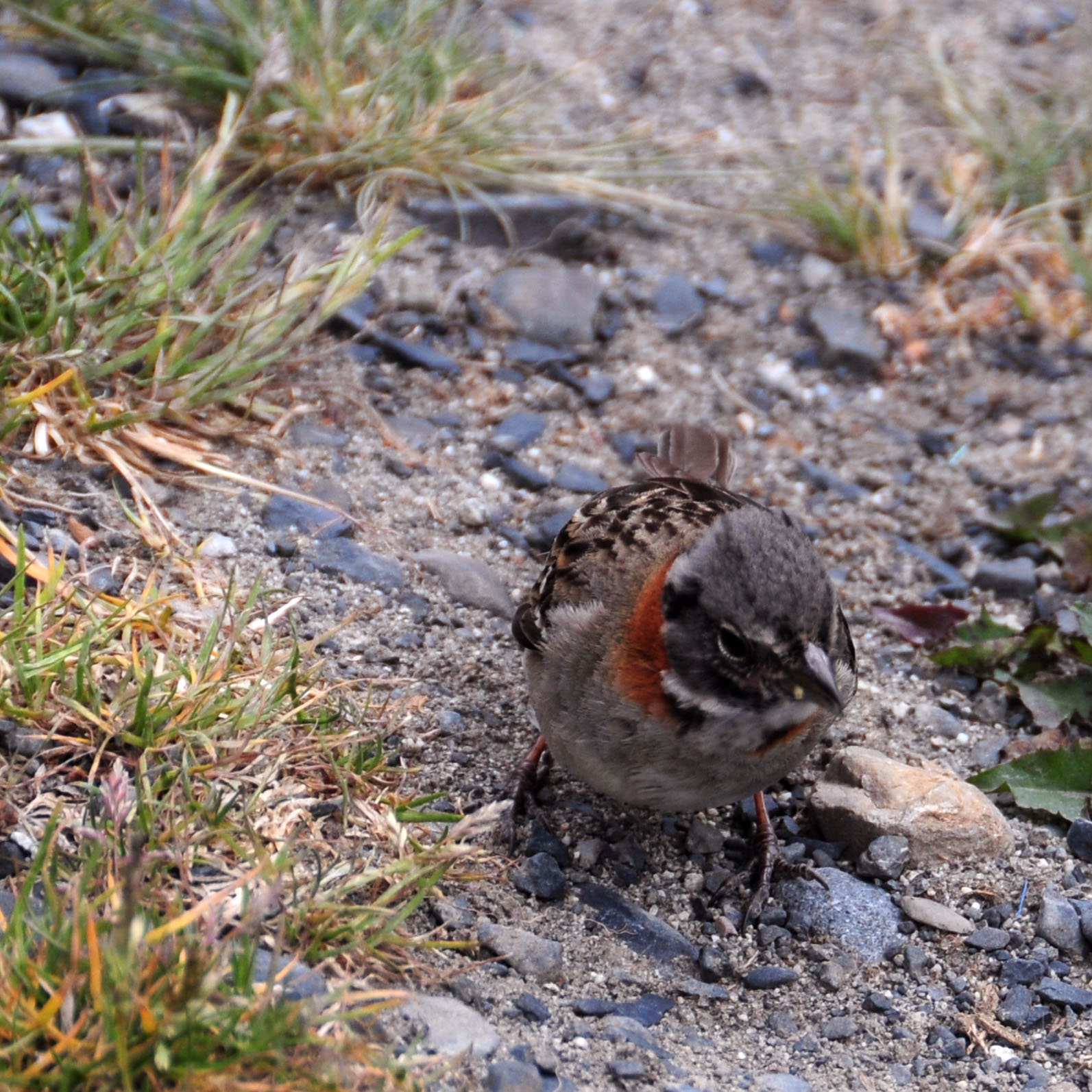
A small bird.
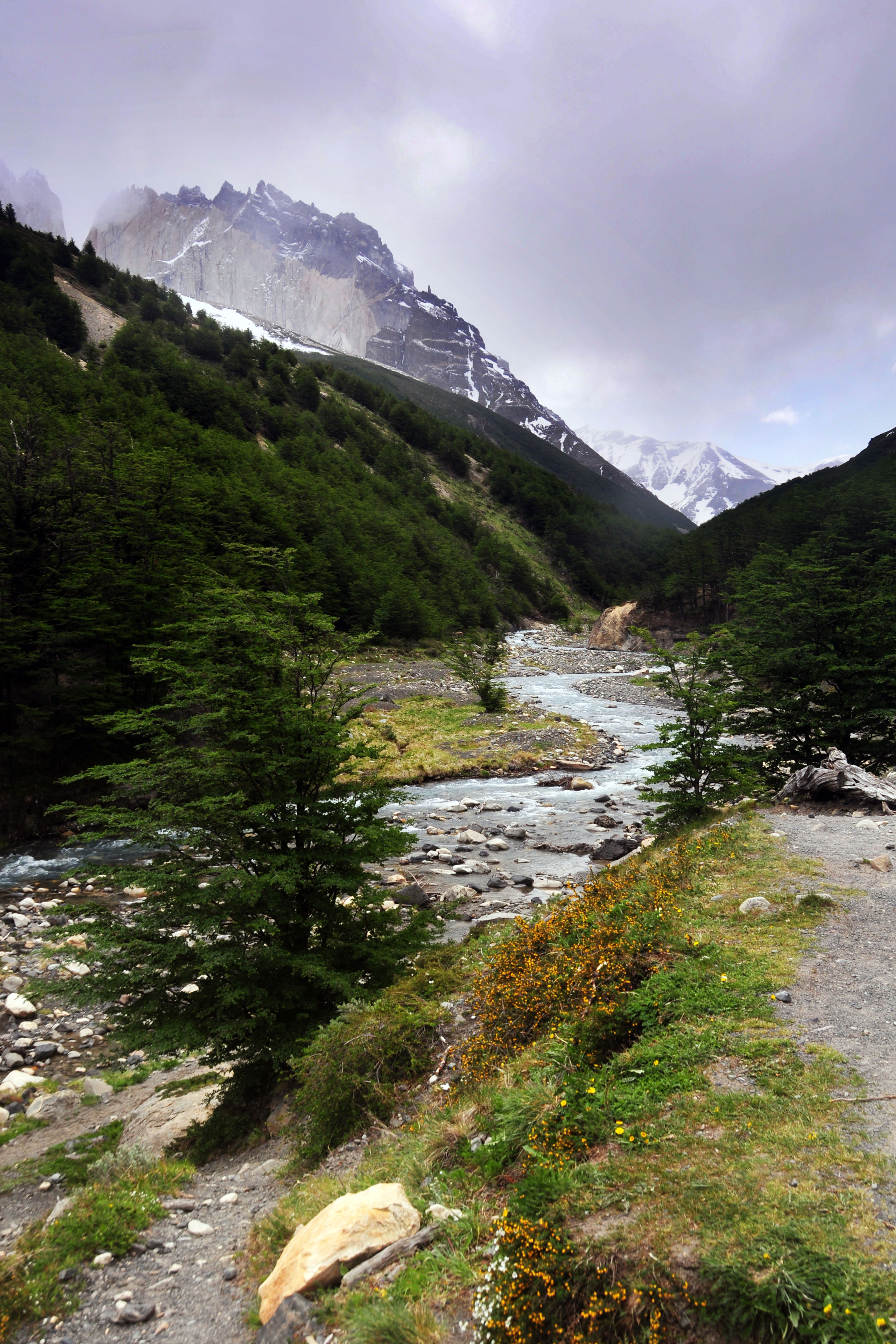
For a while, the trail is right alongside the river.
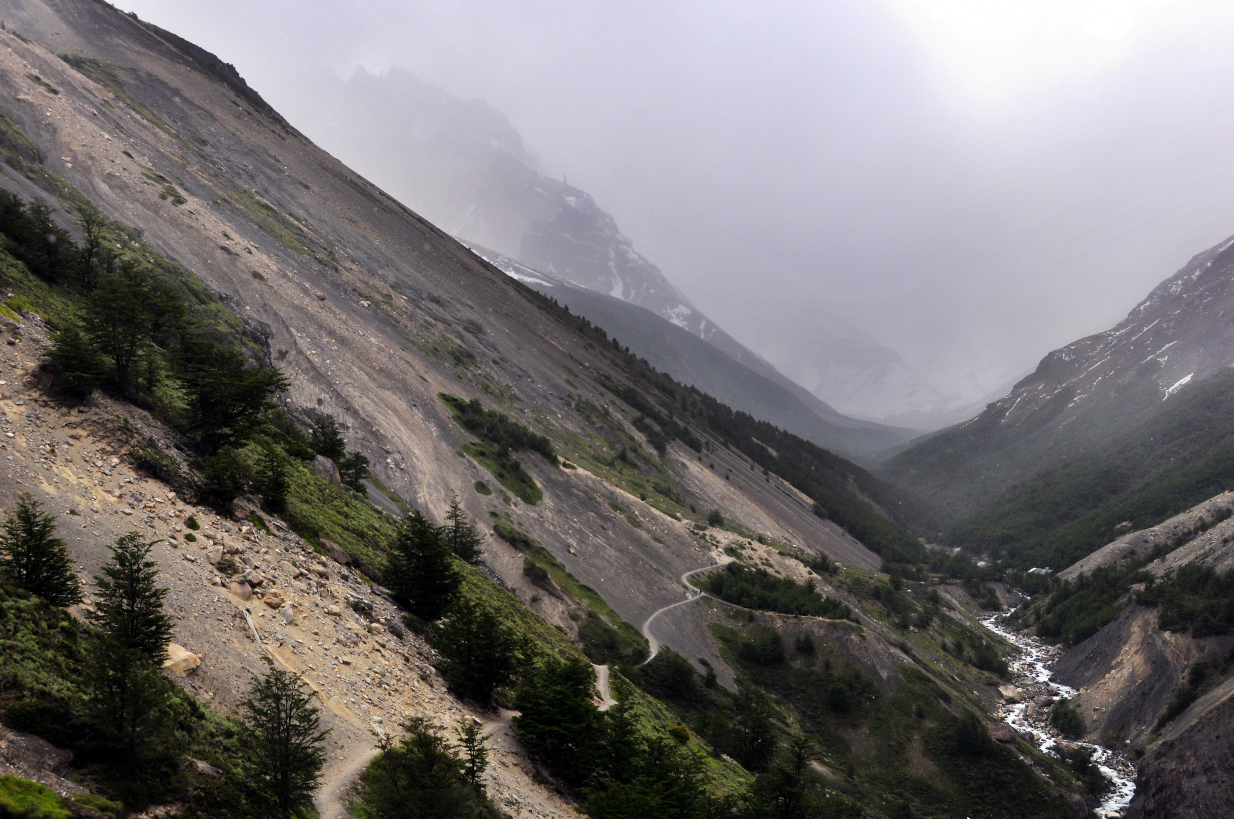
The next waypoint. It’s a large hill up to the campground.
Well above the river again.
Bright green leaves. It is springtime in Chile.
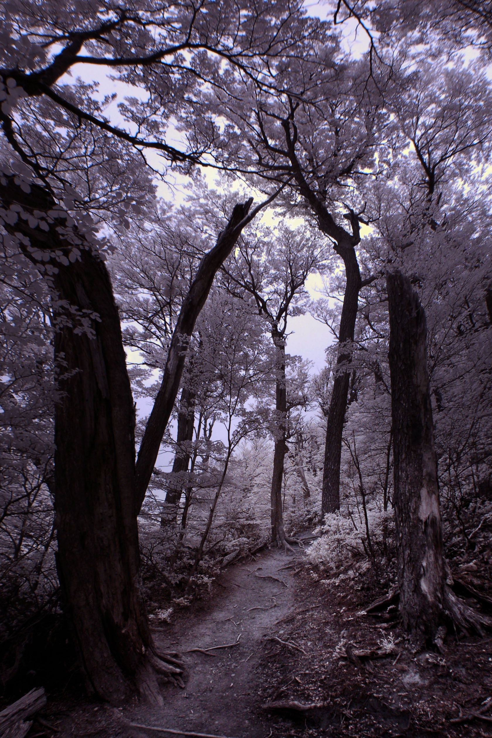
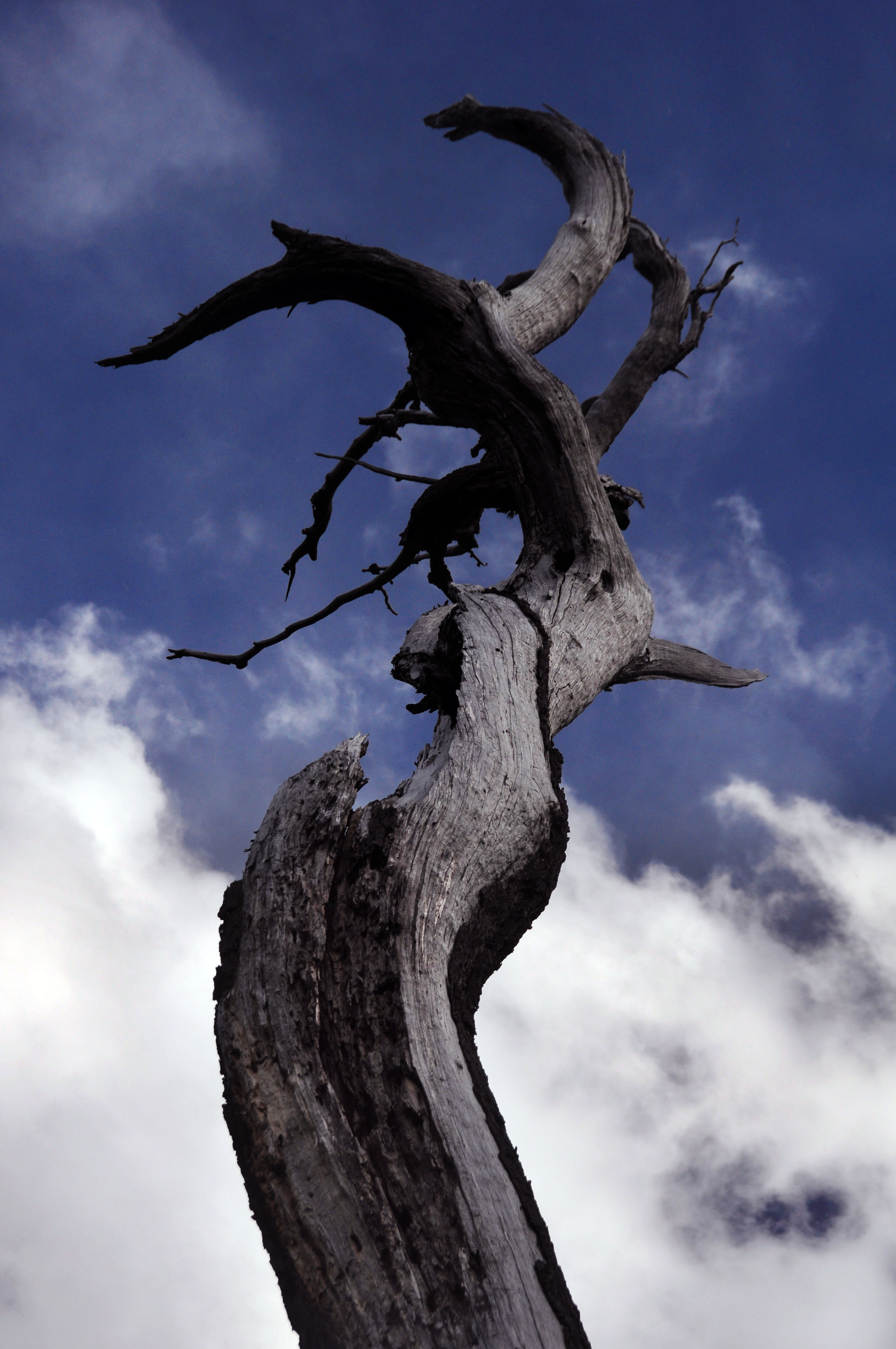
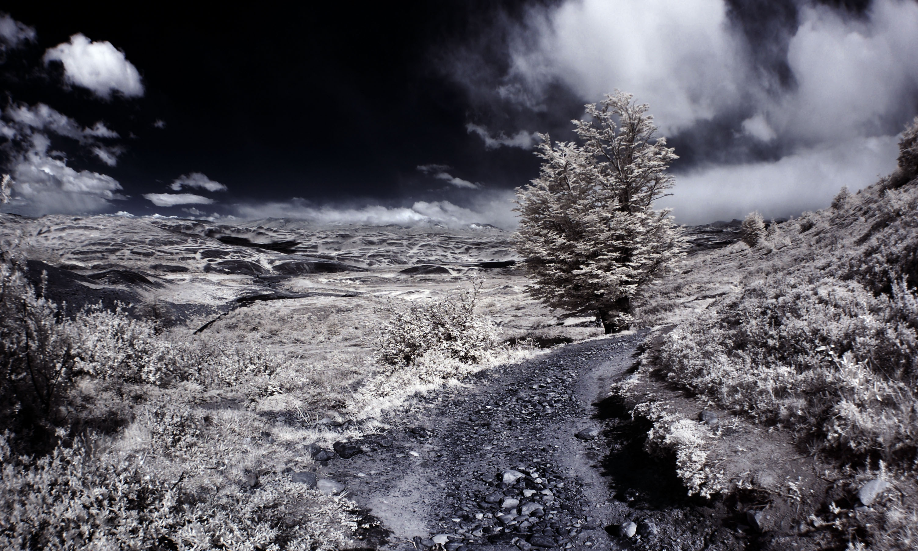
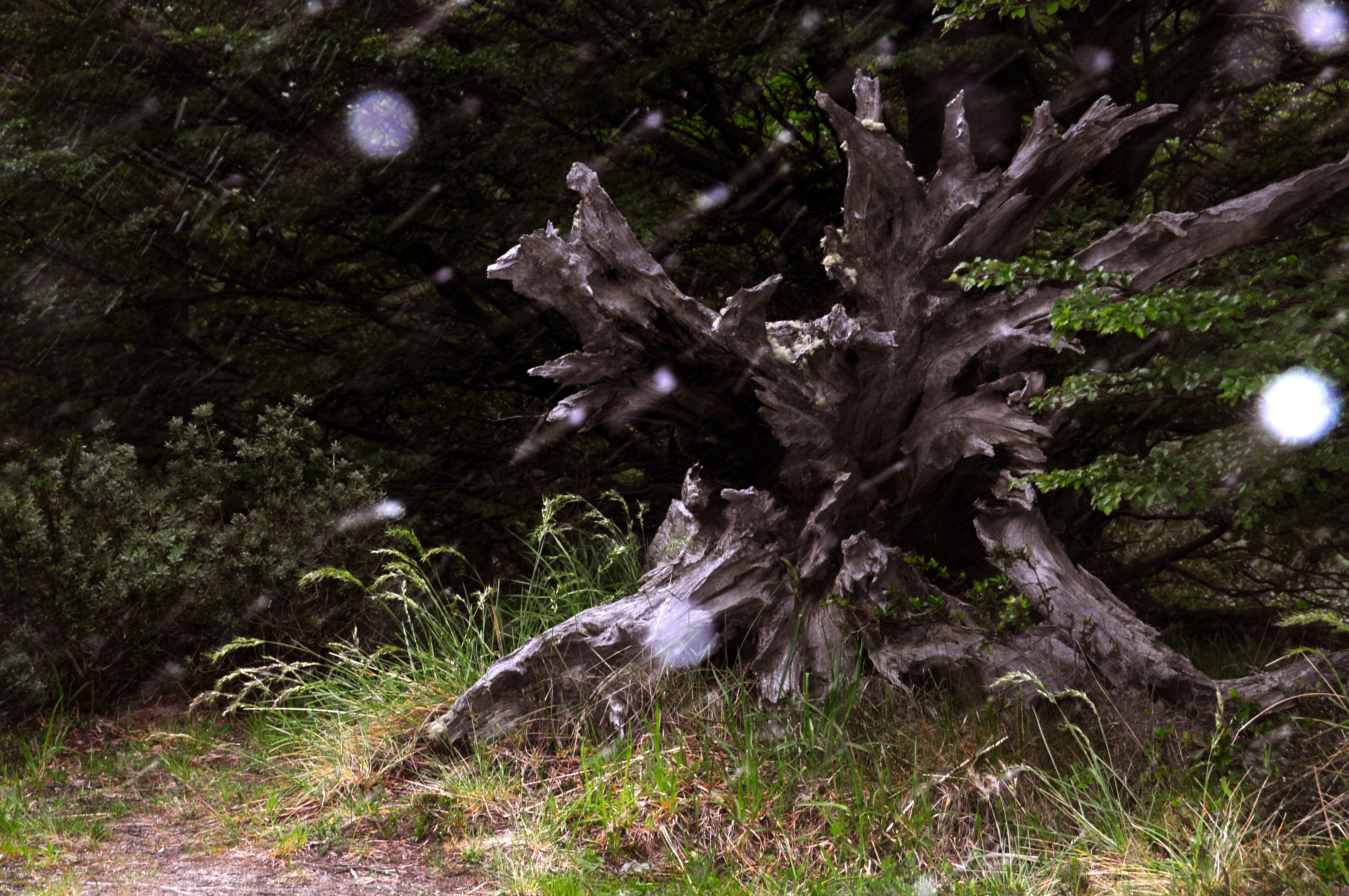
Martian forest.
Another one from that same place.
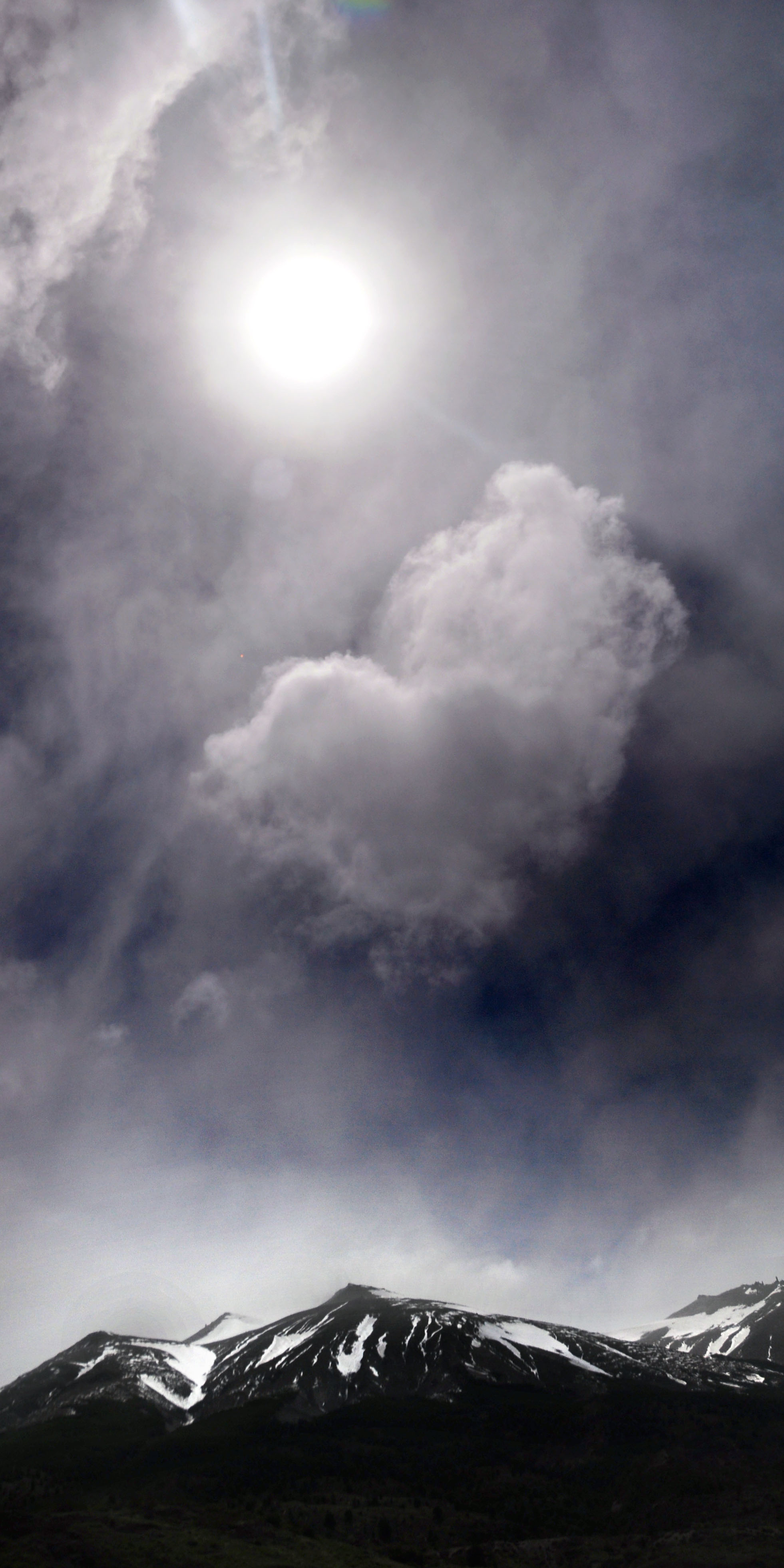
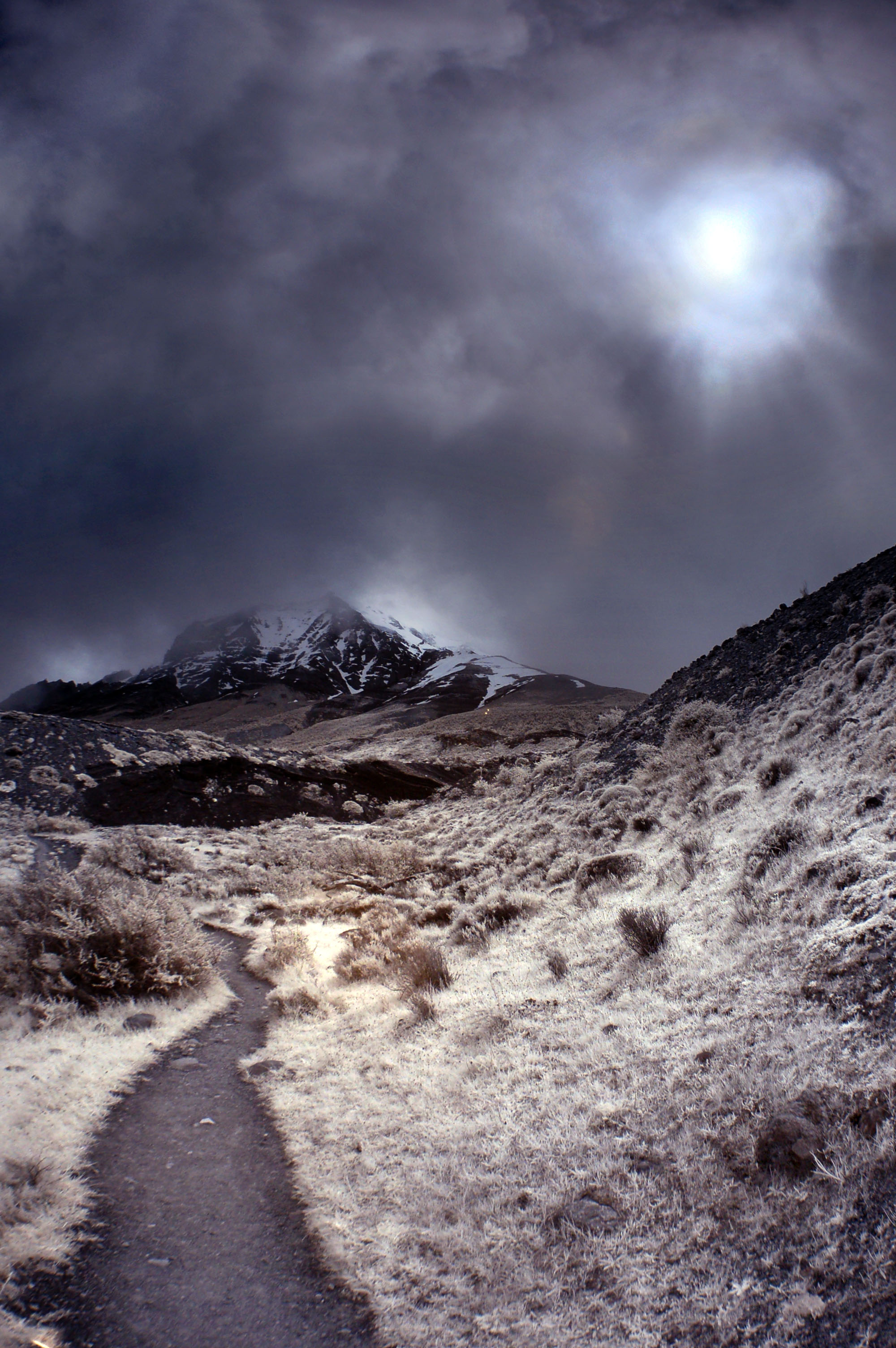
At some point it started to rain, but I don’t recall it being all that unpleasant.
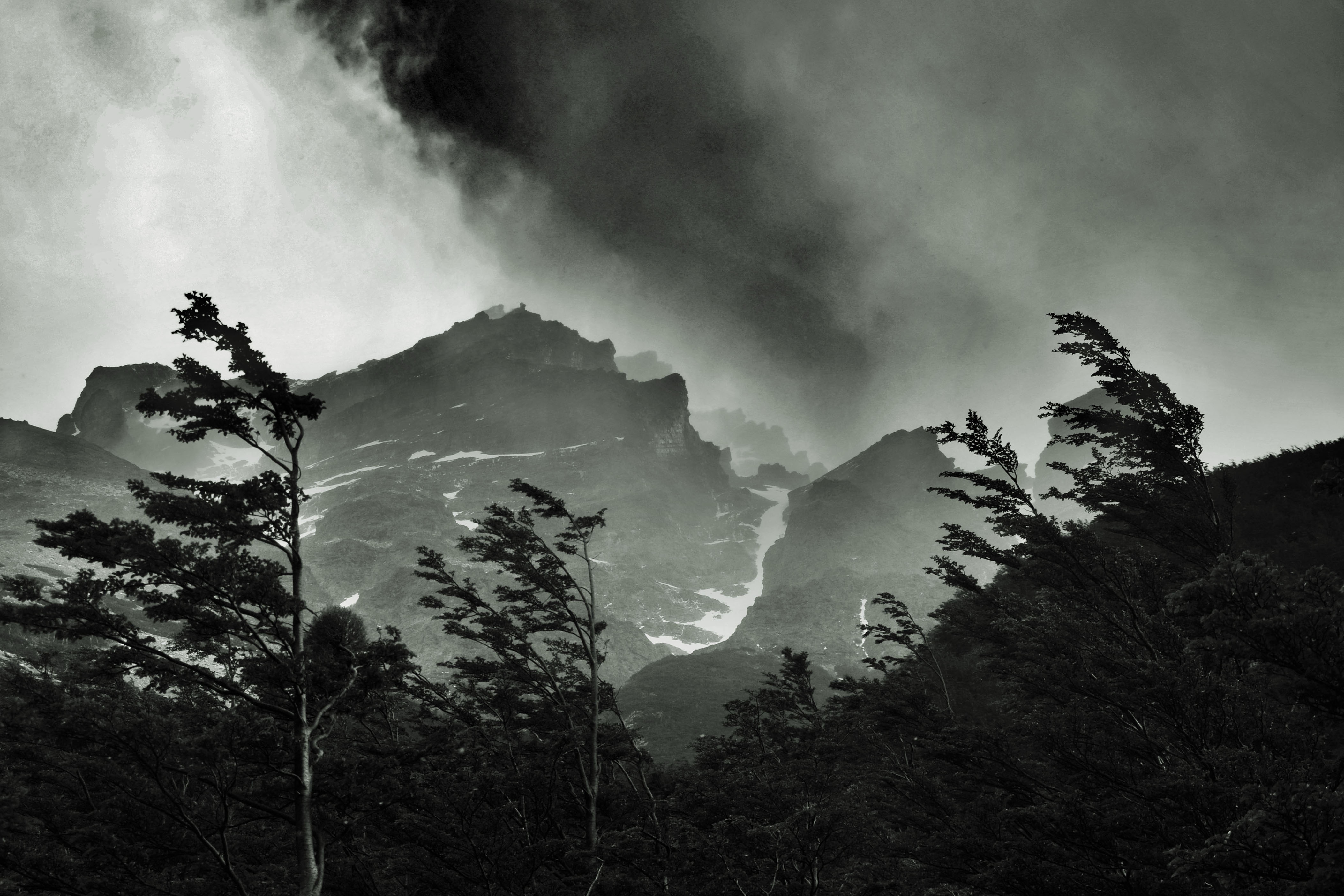
Heavy winds as well.
This is the only photo I took of the campground in the evening – we were too busy setting up the tent and falling asleep! Tune in next time to see if I took any campground photos in the morning. Oh yeah, and for the hike up to the Mirador de los Torres.
My kind of hike. My kind of place. Too bad it is at the other end of the planet. So, did you take fotos of the campground the next morning? I will, when i go . . . Keep ’em coming ! Later