
These photos are from the afternoon of the fifth day, and then all of the sixth. we do normal tourist stuff like get a hotel, exchange money, that sort of thing – and head north in Argentina to attempt to cross the border at Chile Chico.

the Andes, mostly in Chile here.
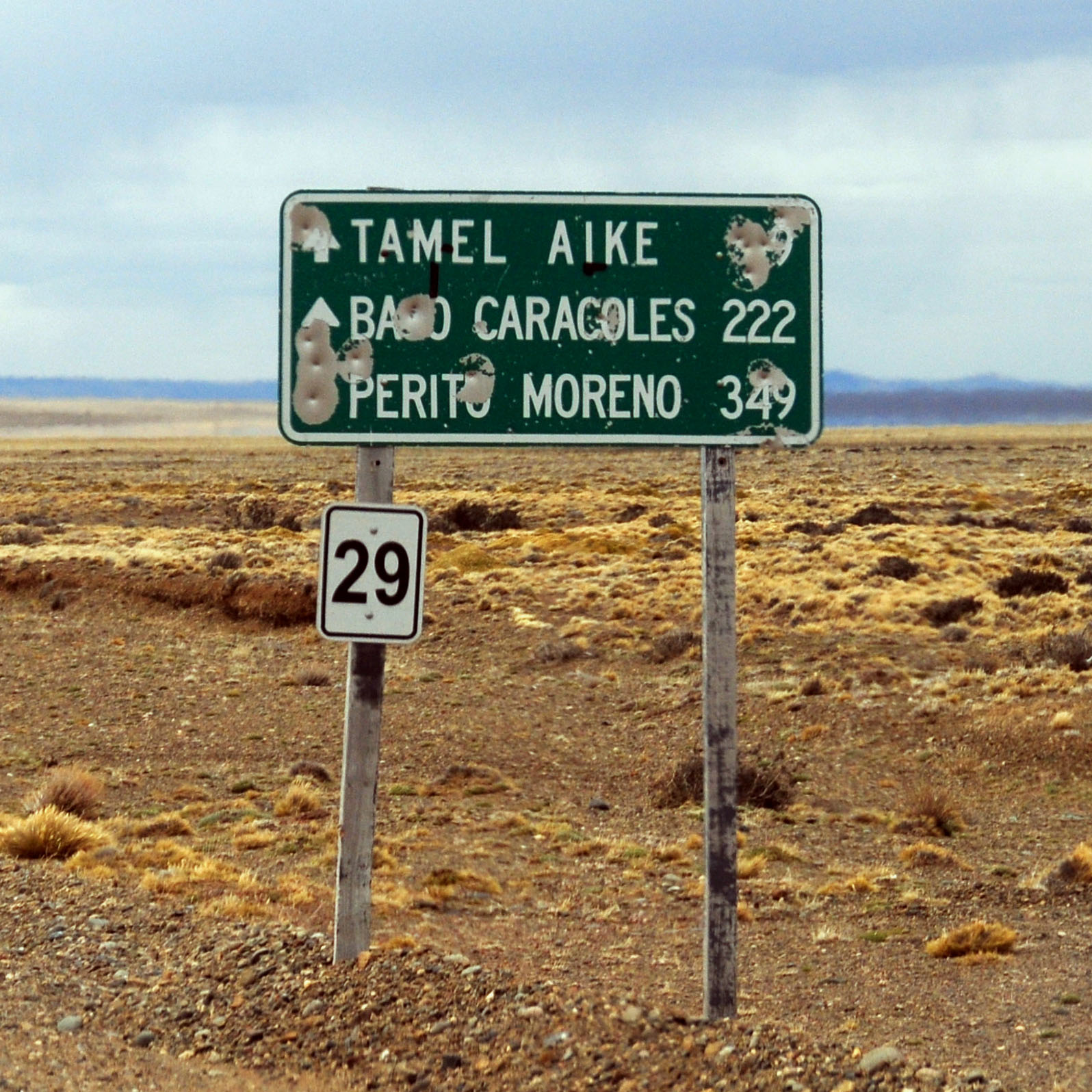
old signs in Bajo Caracoles. this used to be highway 40; now it is a barely recognizable dirt track, but still it got a new number.
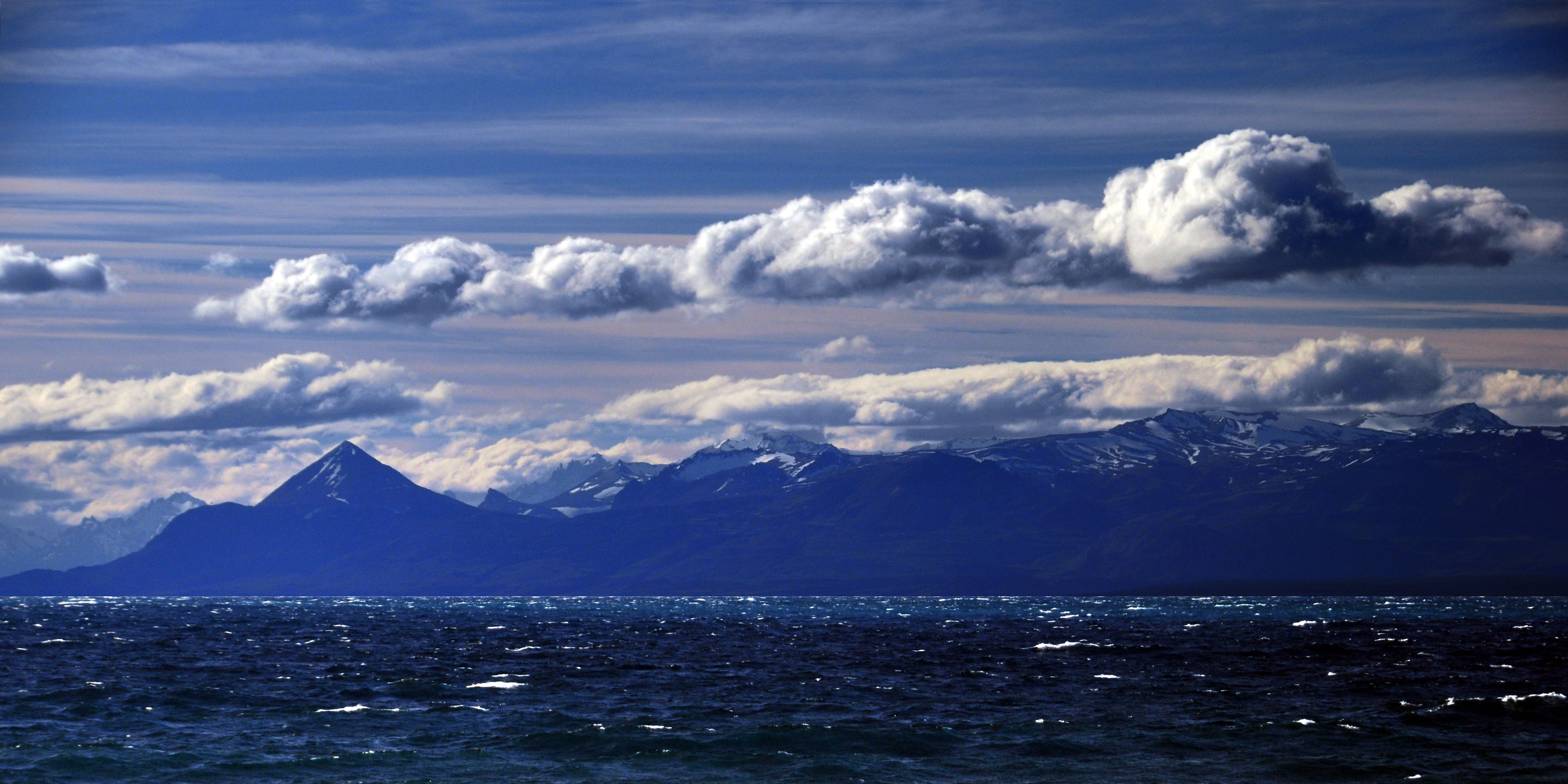
here is Lago Buenos Aires, near the Chile border. on the other side, it’s called Lago General Carrera. here is approximately where we stop for the night, after we get to the border just a few minutes after it has closed.
After leaving the Torres del Paine National Park, our first stop was the border between Chile and Argentina. We would spend the next day and a half or so in Argentina.
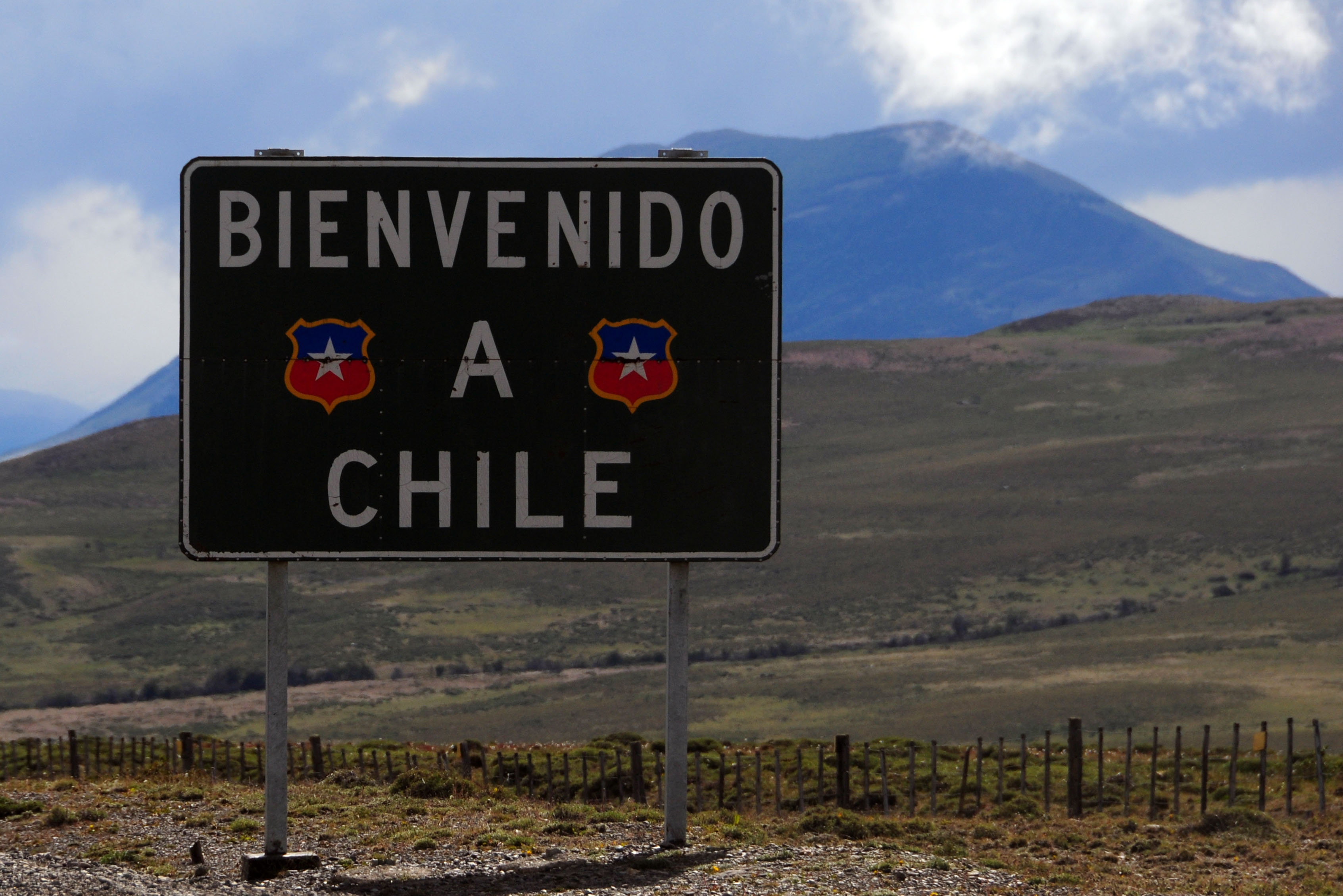
more like “adios, Chile”, as this sign is looking back towards where we came from.

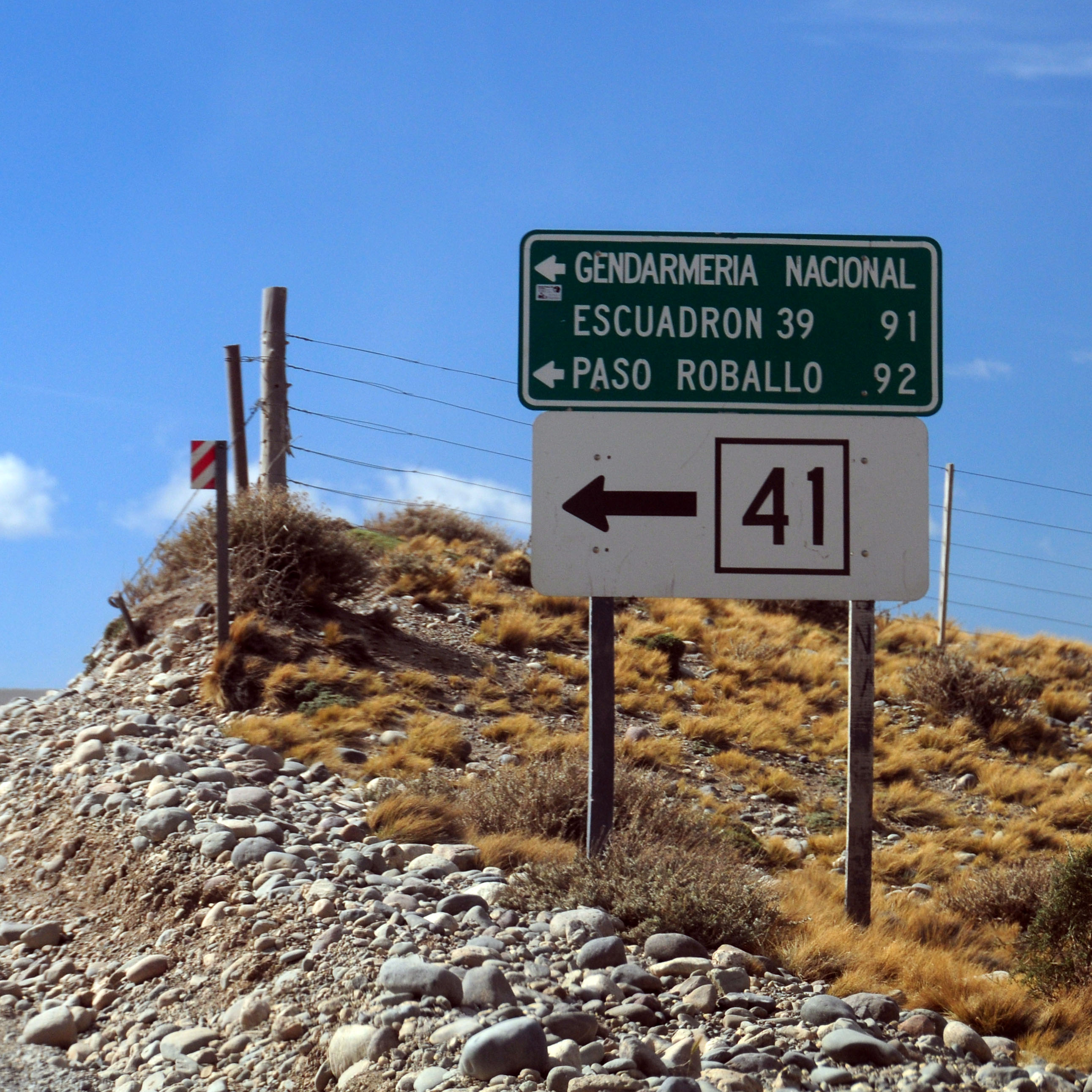
I don’t think we ever quite found out what A° stands for. In any case, we are in Argentina and here is a white guide sign!
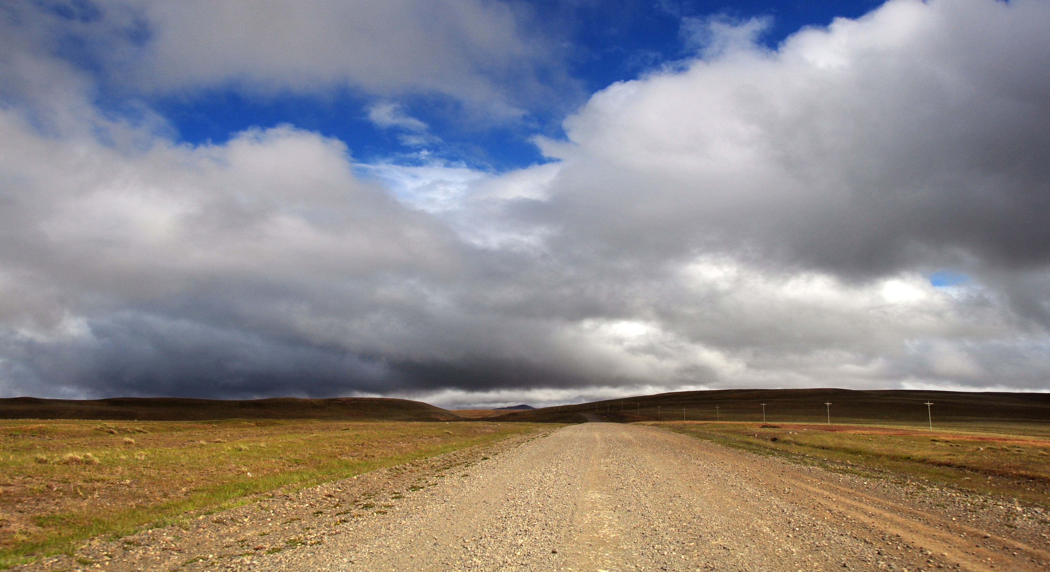
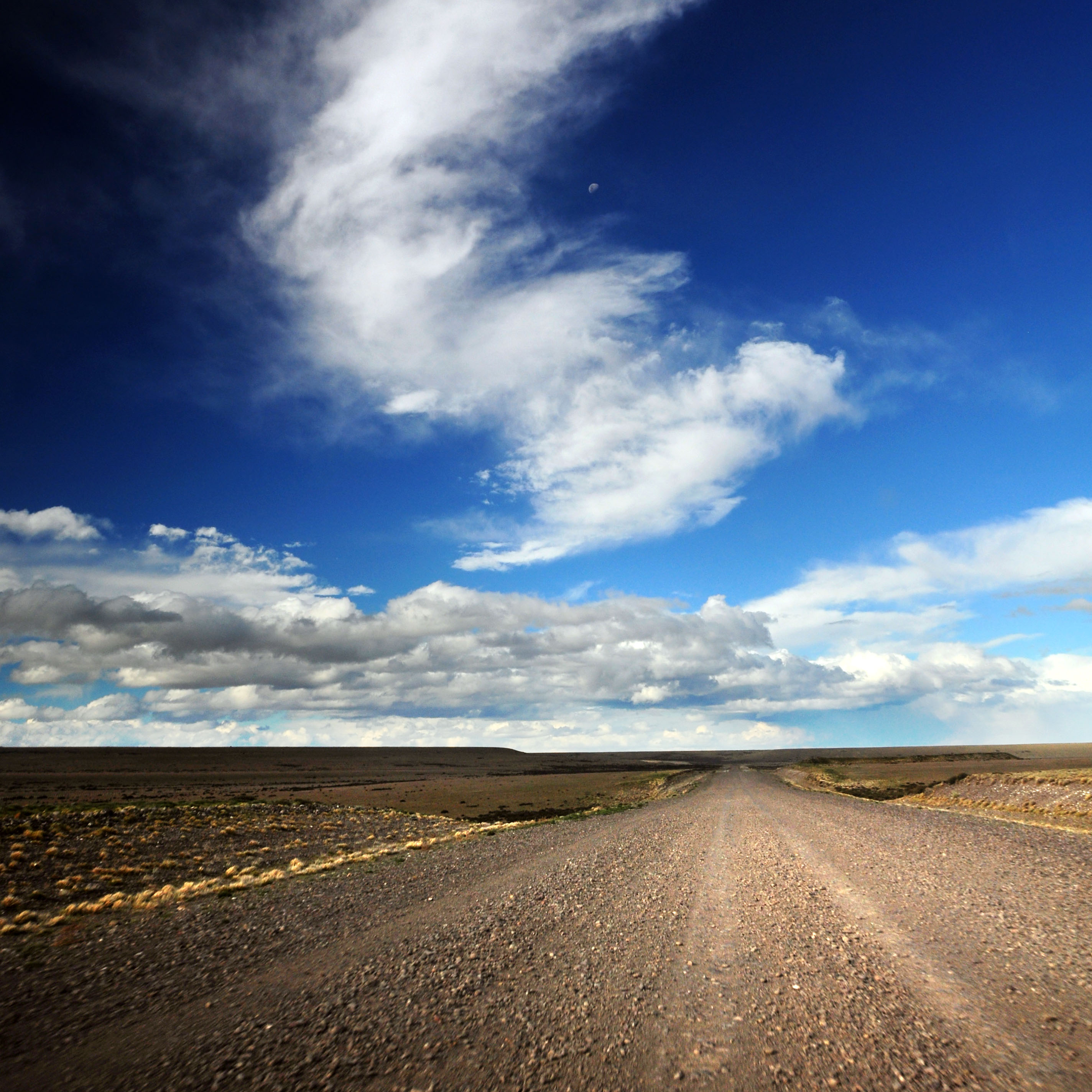
We would spend much time in Argentina driving over anonymous dirt roads like this one.
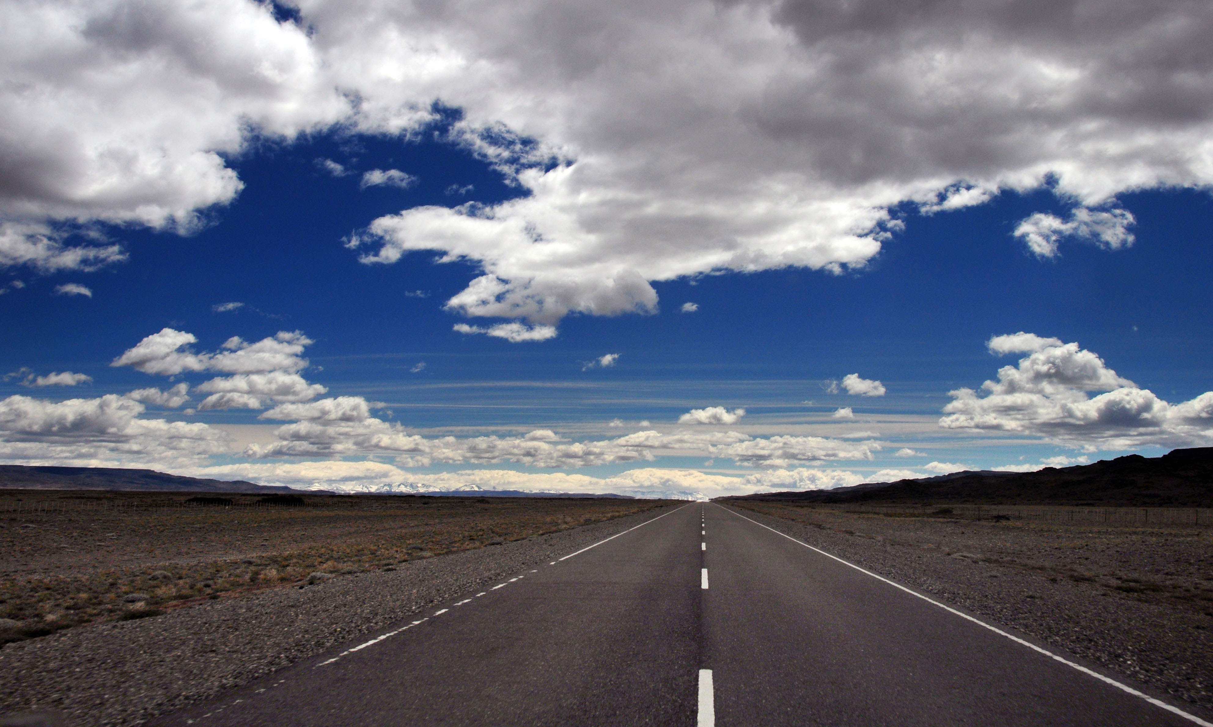
and anonymous paved roads like this one. It’s highway 40, btw. it’s the longest road in Argentina, and was originally built as a military trail to help guard the Chile border. Most of it has been upgraded to civilized standards recently, but there are apparently (well to the north, near Bolivia) some one-lane dirt segments.
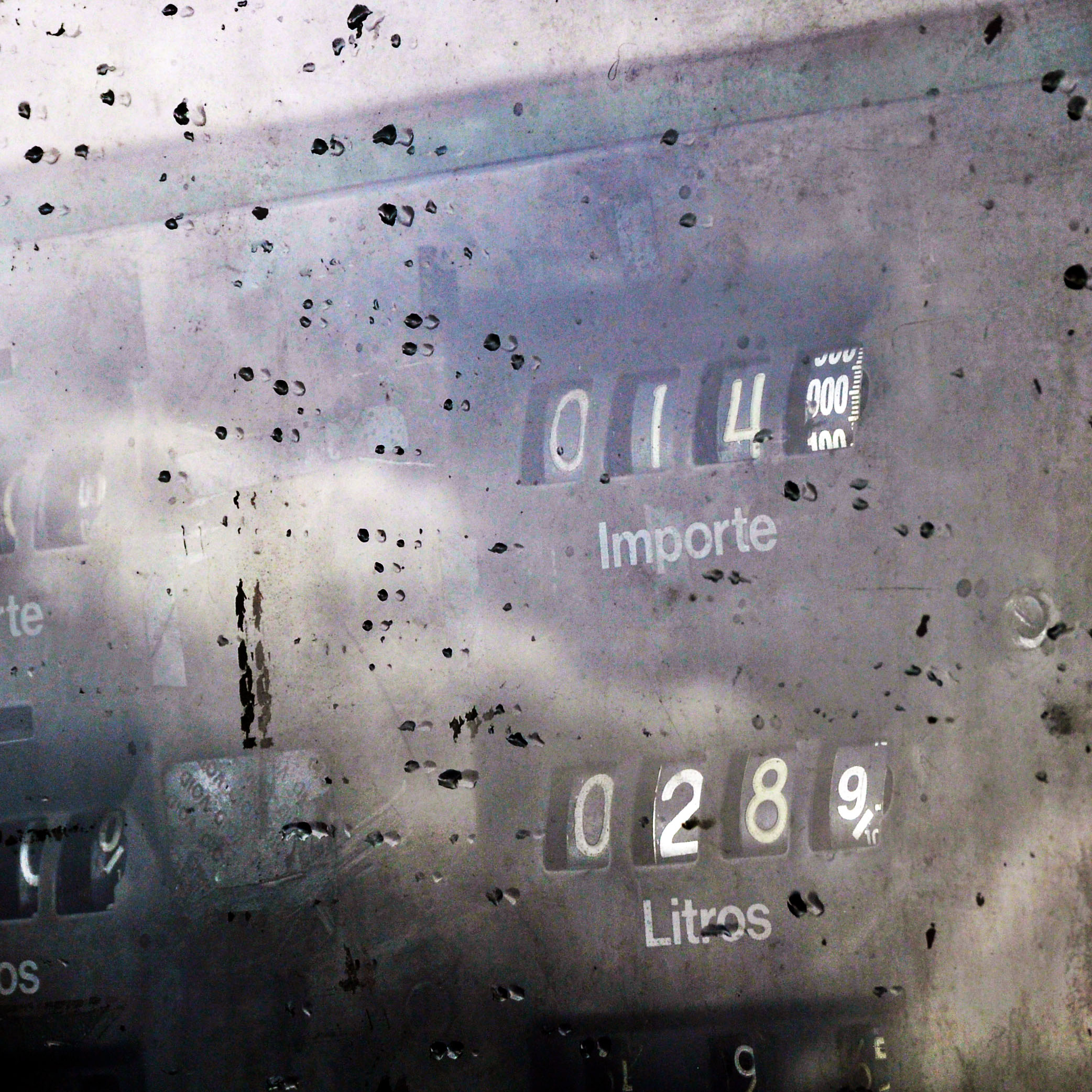
getting gas. there is indeed a gas station here, at the junction of routes 7 and 40, and it was operational each time we came through.
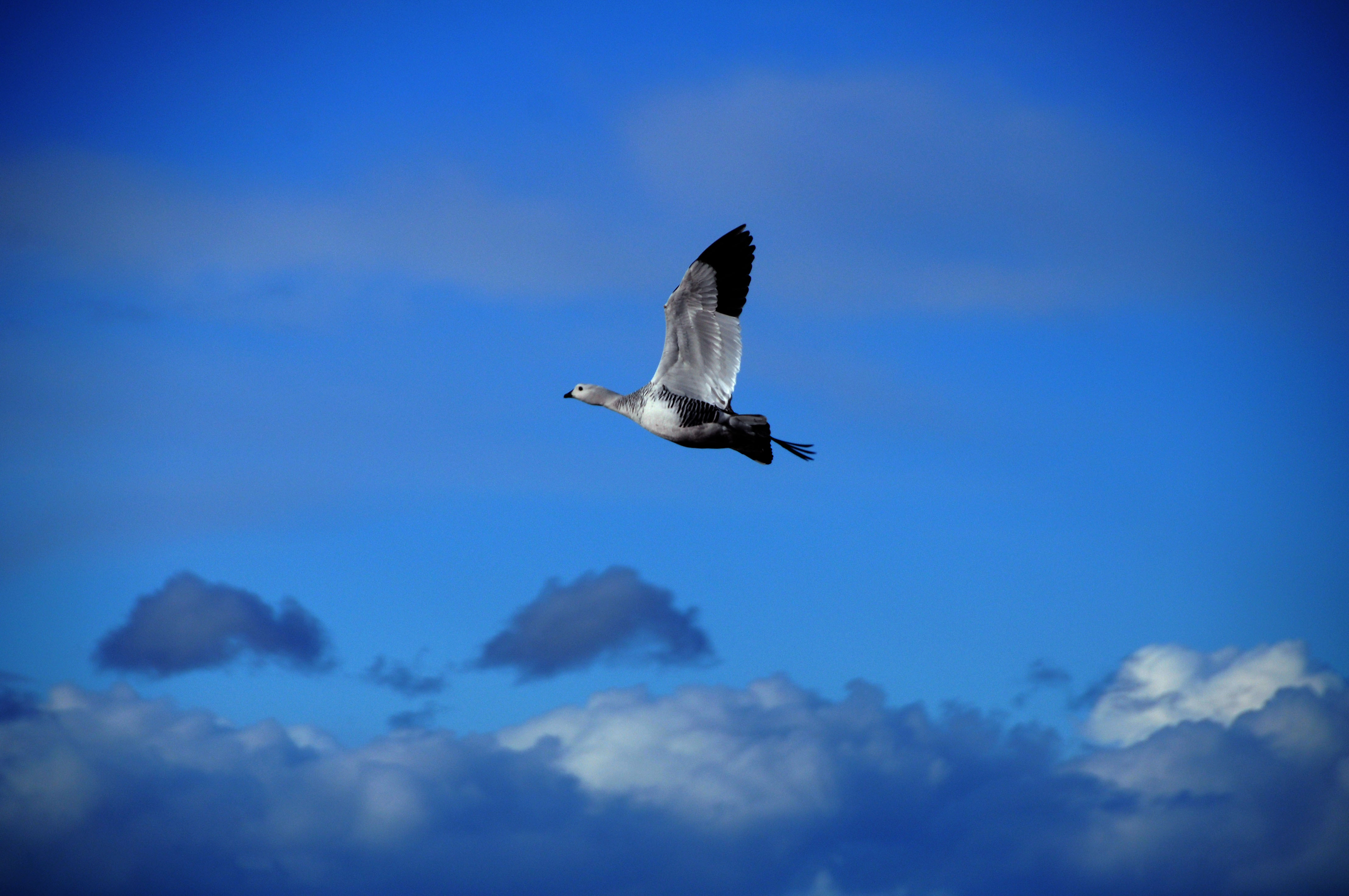
a goose takes off.
sometimes the road is as much as about five lanes wide.
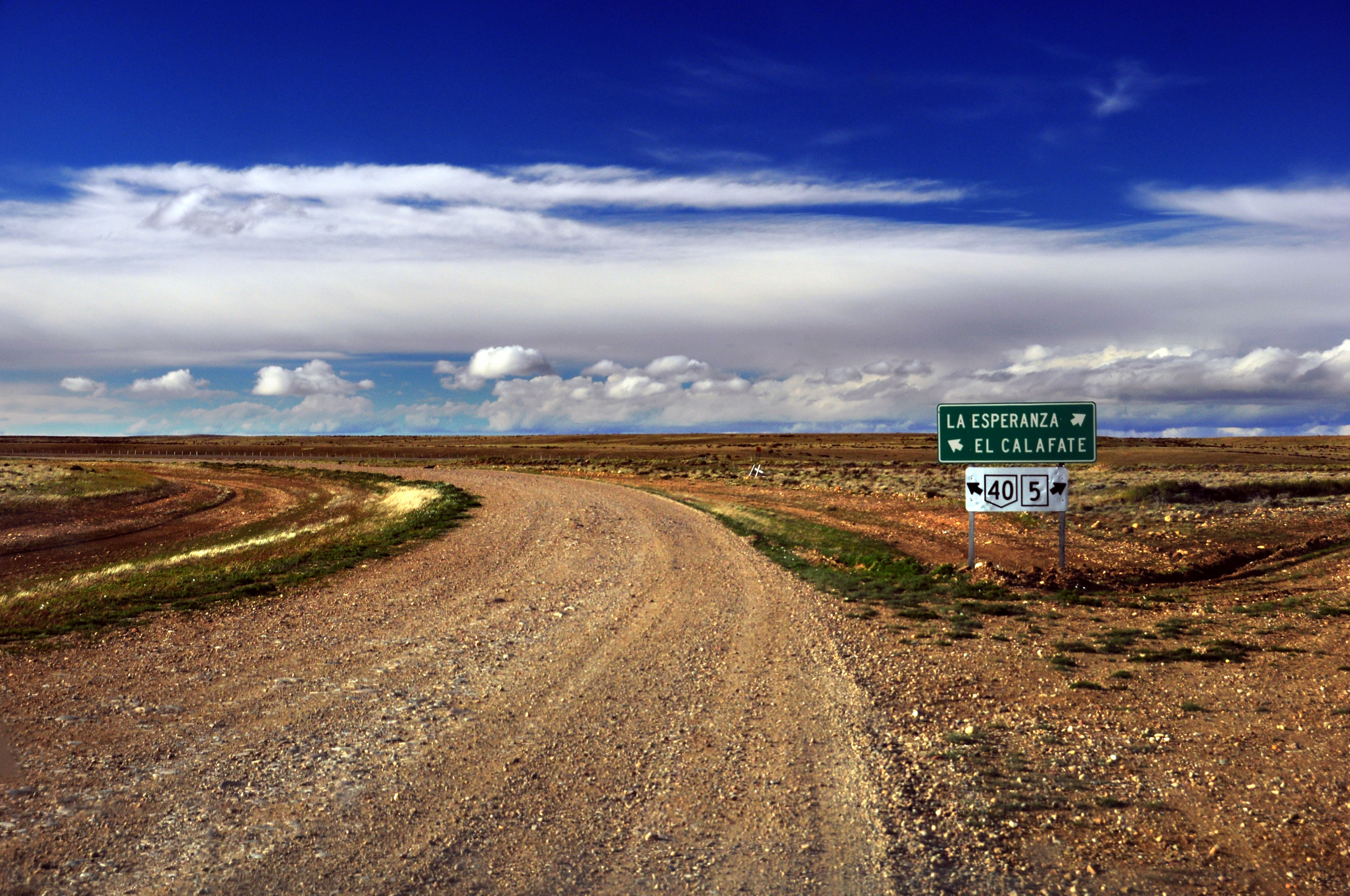
we are heading to El Calafate.
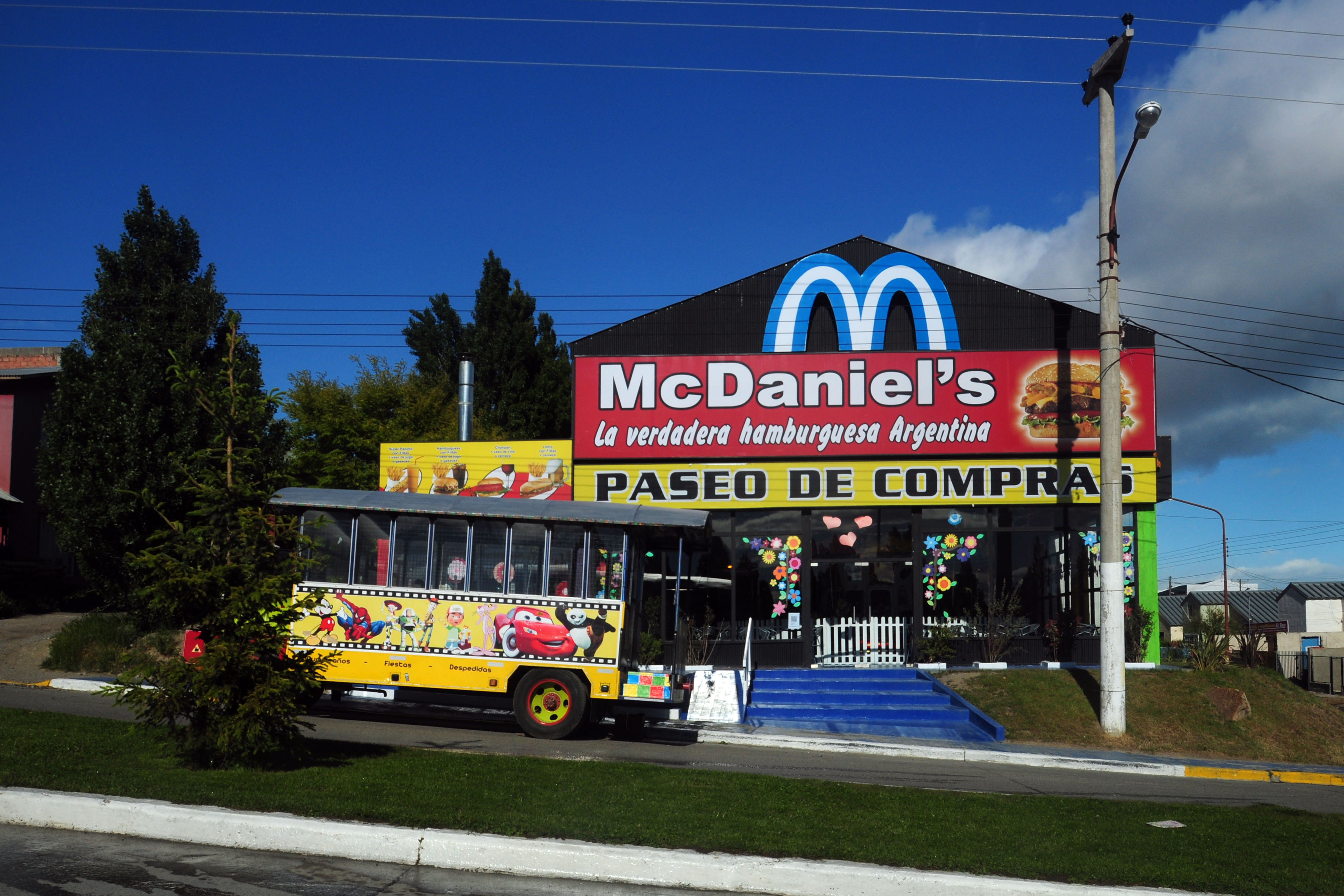
next morning, in El Calafate, we come across this.
we’re driving around, looking for an electronics shop, because we have managed to fry our power inverter – and thus are looking at being unable to charge items in the car. we ended up finding one – it weighs literally five pounds, and cost us $160… but it could probably power a locomotive.

old-fashioned Y-intersection at the end of one main road as it leads into another. these were extremely prevalent in the US until James Dean got killed at one.

plants, lake, mountain. we’ll be headed to the glaciers in the distance in several days, but right now we are going north past the lake.

here’s one in infrared.
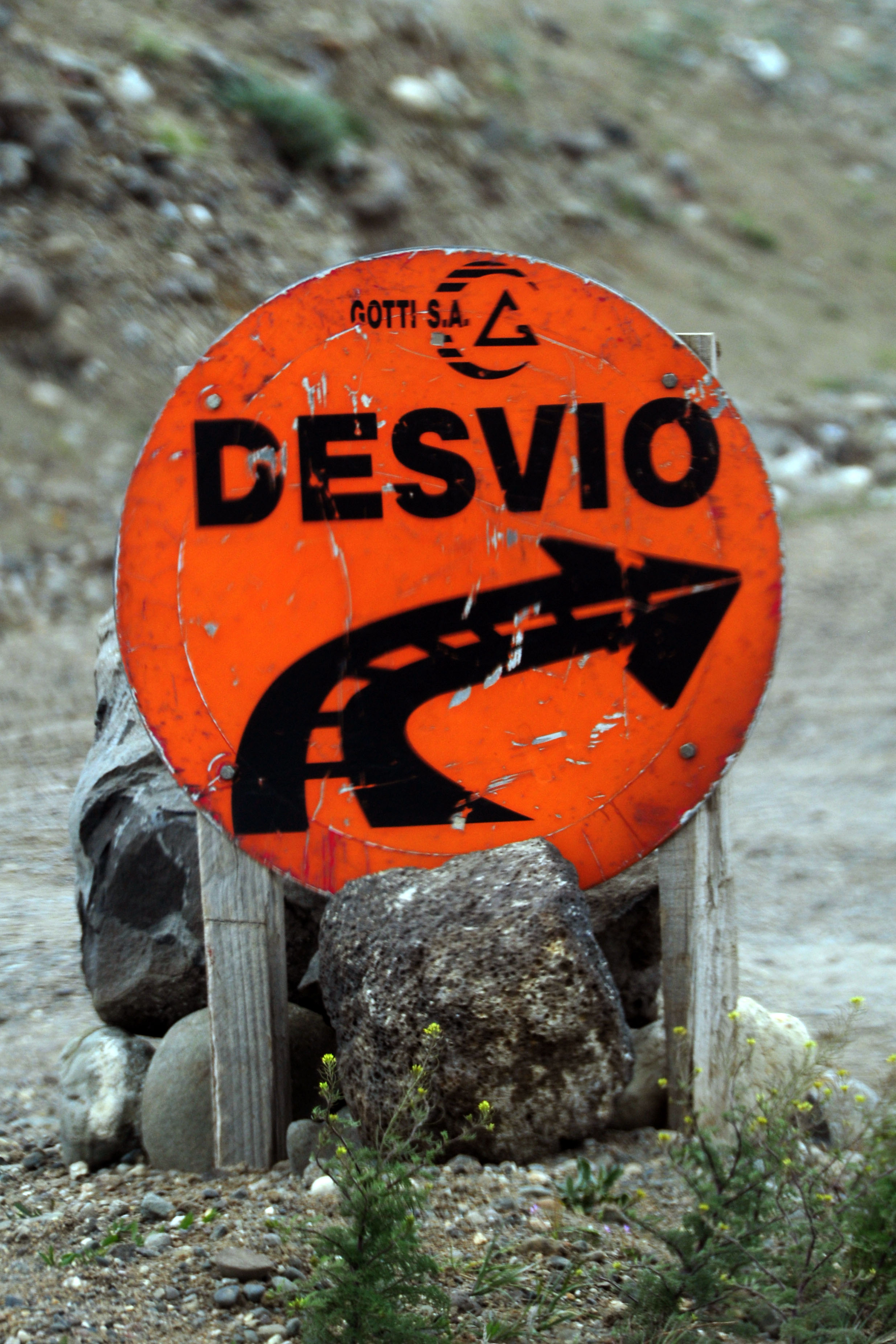
somewhere around Tres Lagos is this detour, which threw us completely off 40. a bad thing, when we were looking for the gas station. turns out, the gas station has been gone for years. luckily we have 800km of range, and have only used up about 200 of it. Bajo Caracoles is 330km away, and Perito Moreno is 460.

this side road receives a number – and a white guide sign.

I think this is the only view we got of Cerro Torre on this trip. it’s to the left of the middle. to the right is, partially obscured, Monte FitzRoy.
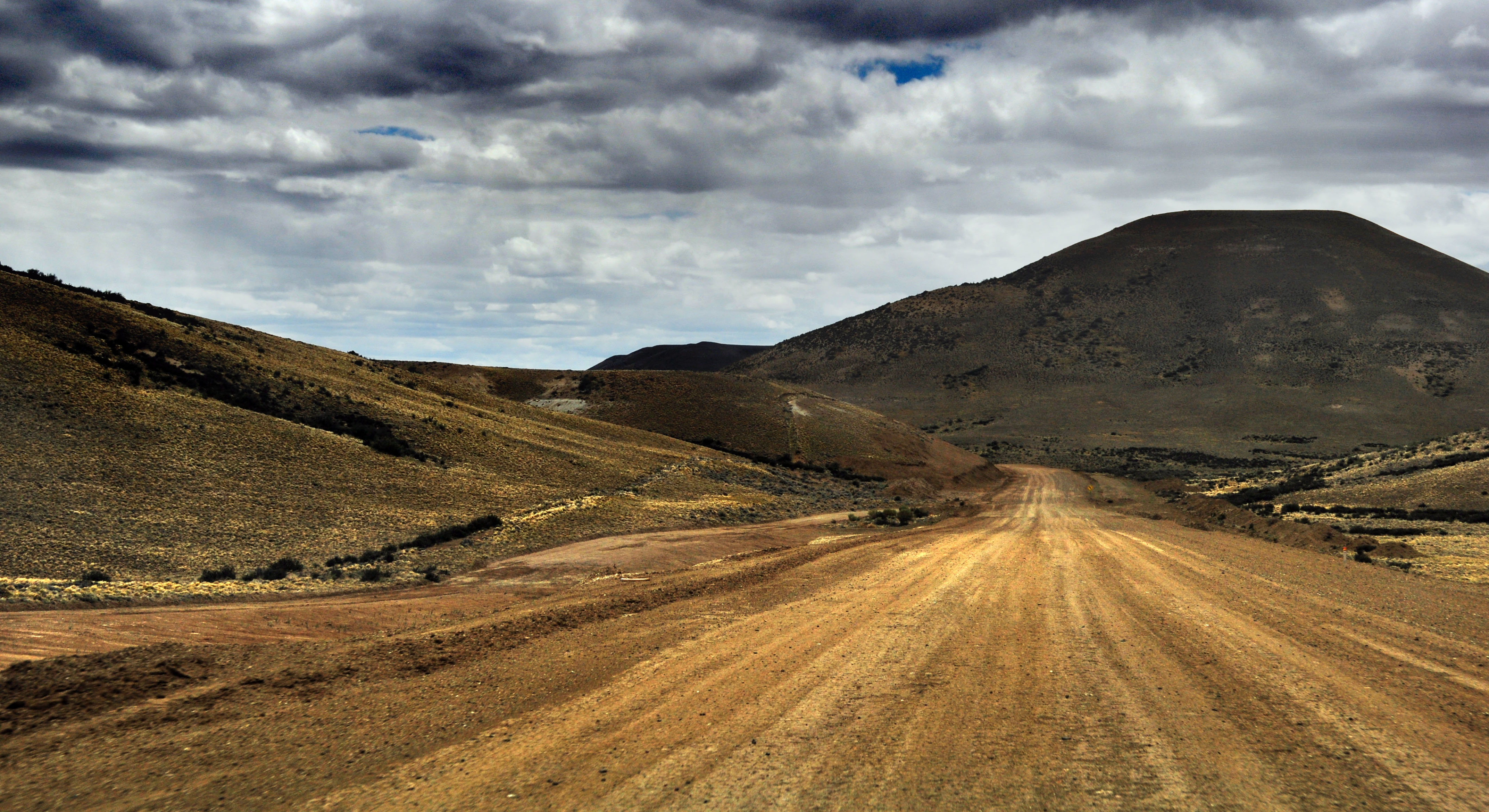
the sky turns overcast as we head down into some canyons.
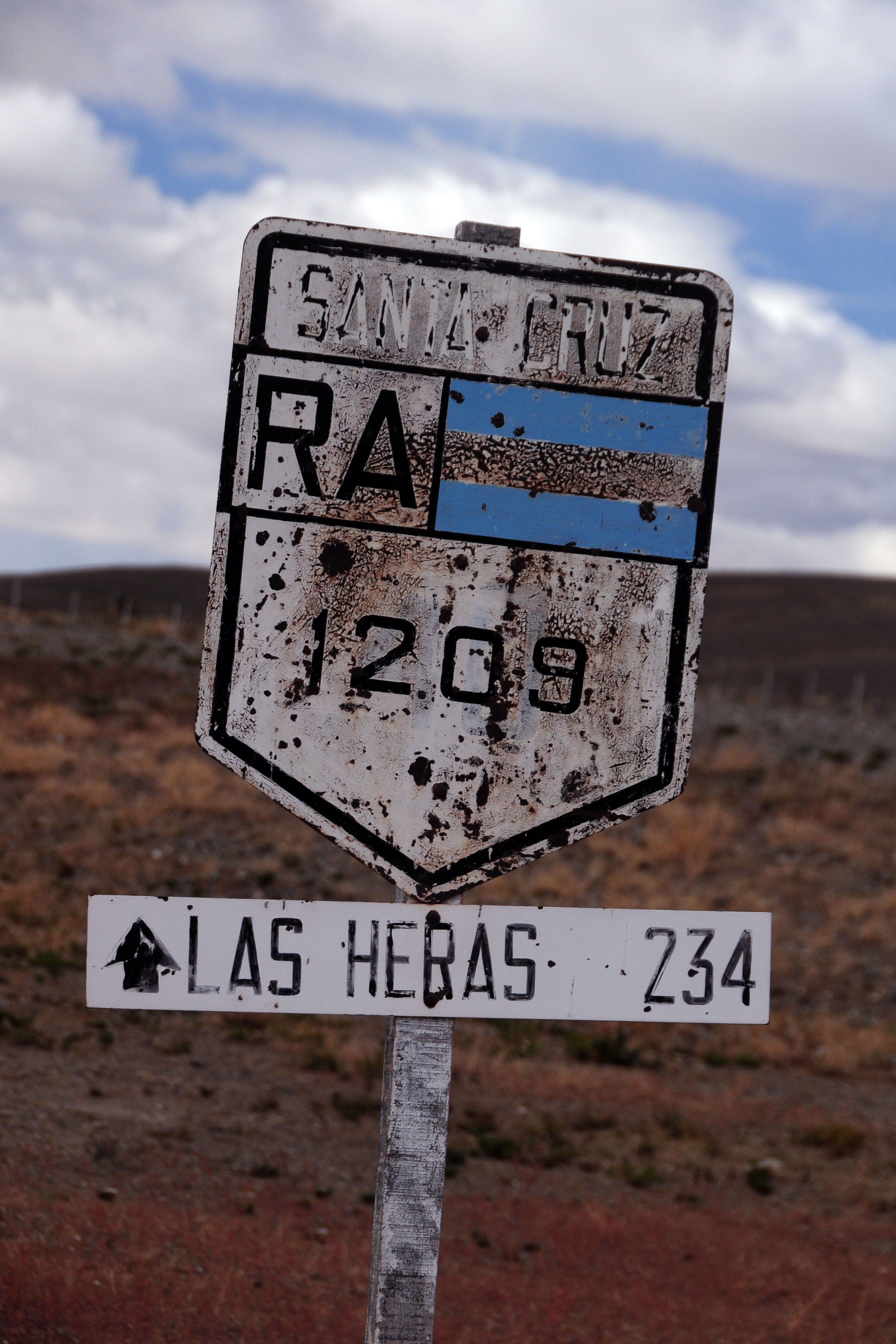
shooting up road signs is not strictly a North American phenomenon.
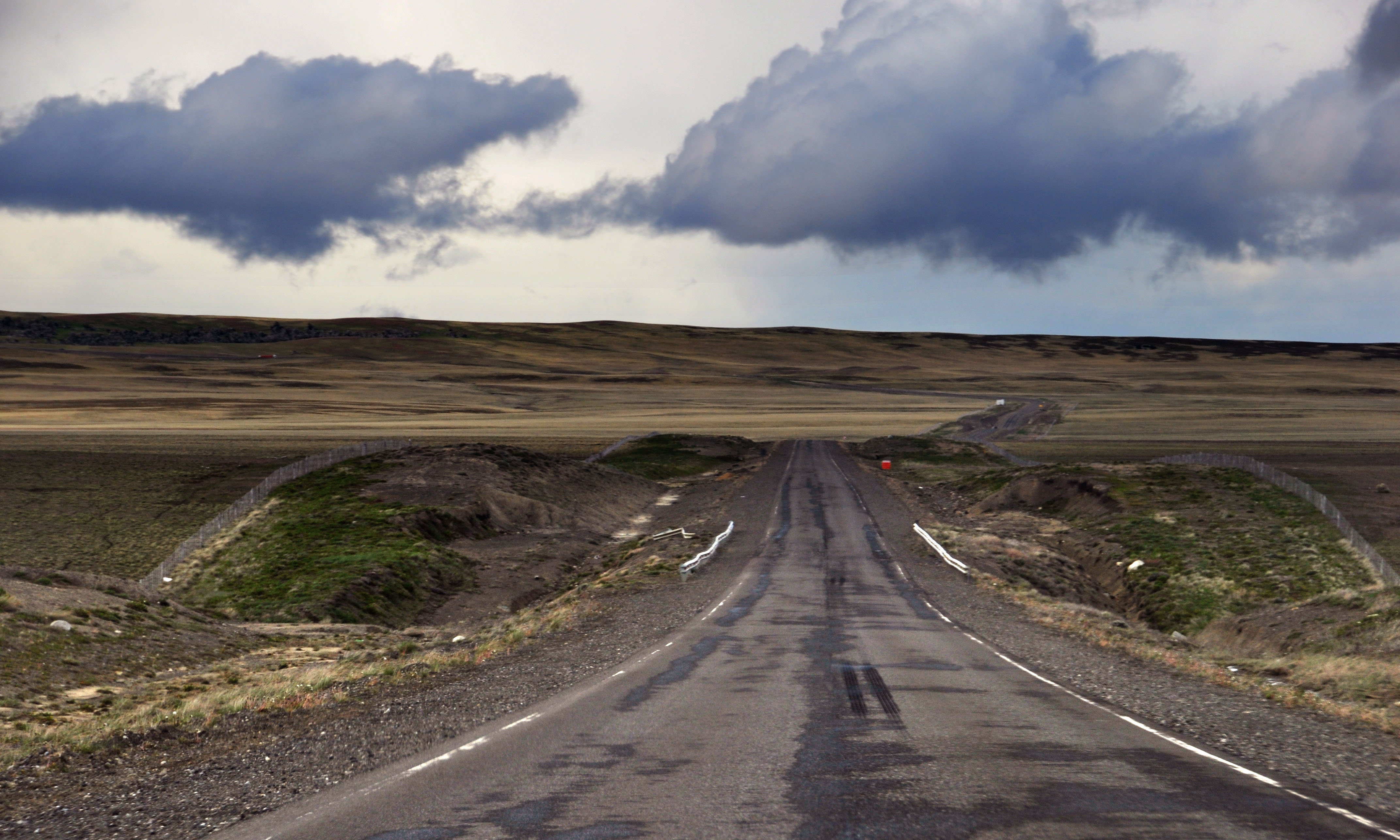
lots of long straight, empty sections of road. the only reason we didn’t do 100mph the whole way was because we didn’t want to run out of gas.

here, for a bit of variety, the track has started to get overgrown with bright green plants.

the mirage at the end of the road.

almost there.

this secondary route somehow merits an oversize shield.

abrupt beginning of road work.

and there’s Bajo Caracoles. yep, that’s all of it.

some more old signs in downtown Bajo Caracoles.
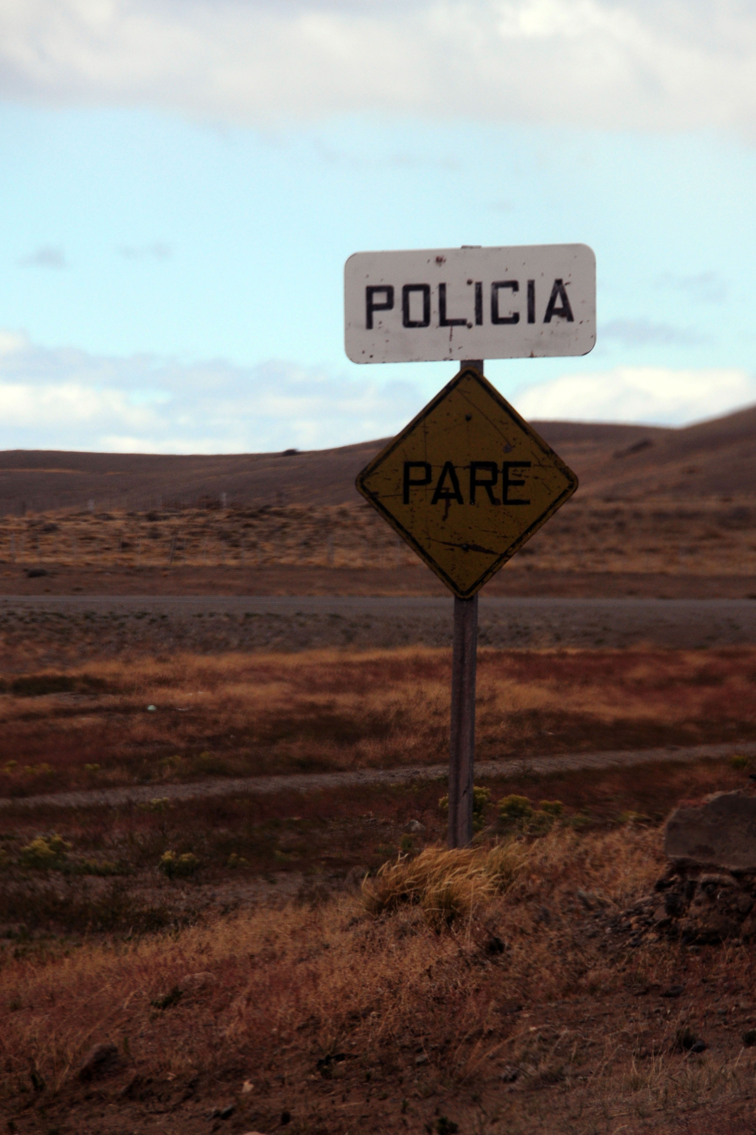
there weren’t actually any policia around.
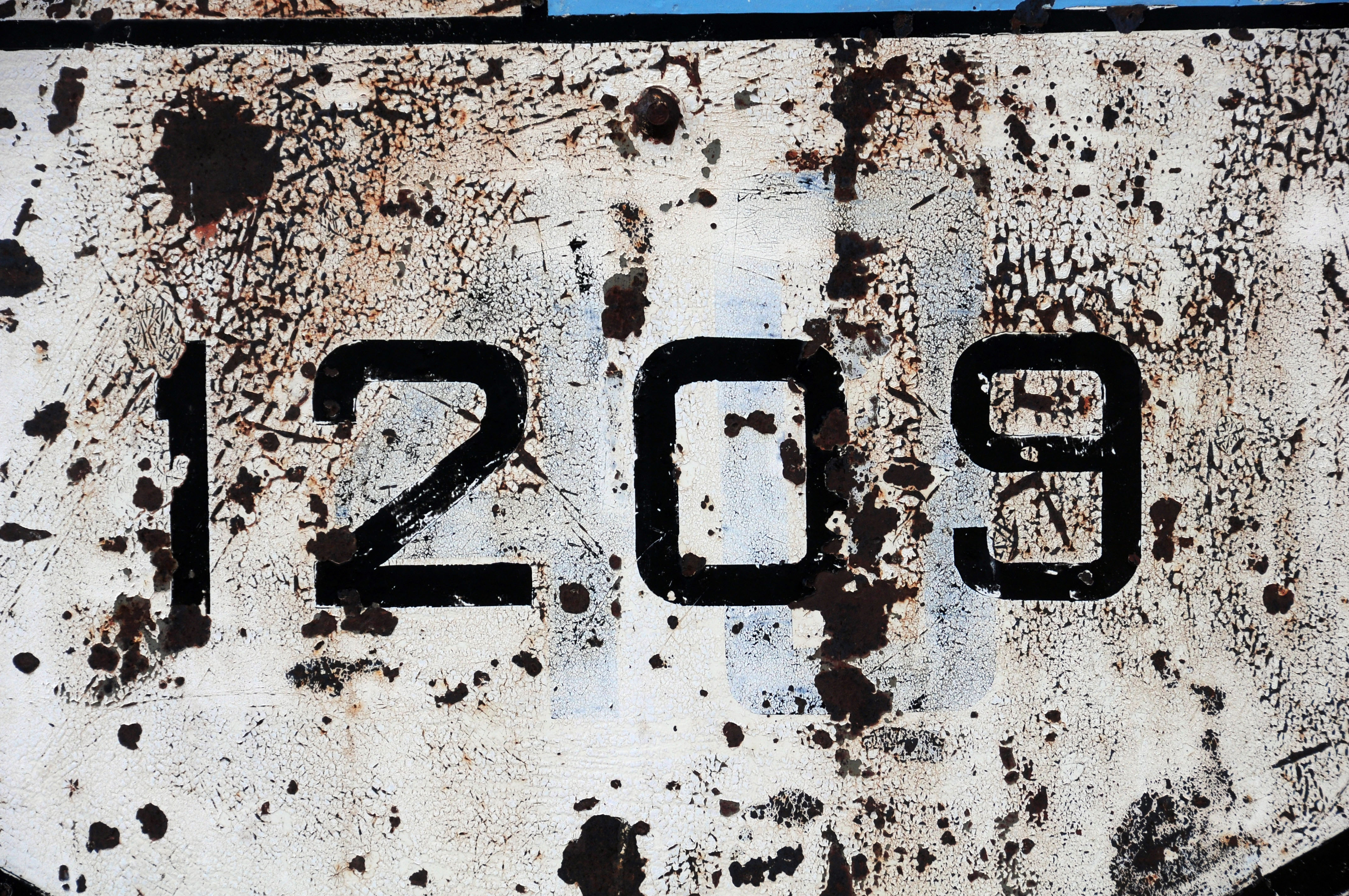
closeup of the old route marker, showing the previous designation of 40.
that is the way we are going to return, actually. but for now we keep heading north.

an old wooden sign for an estancia.
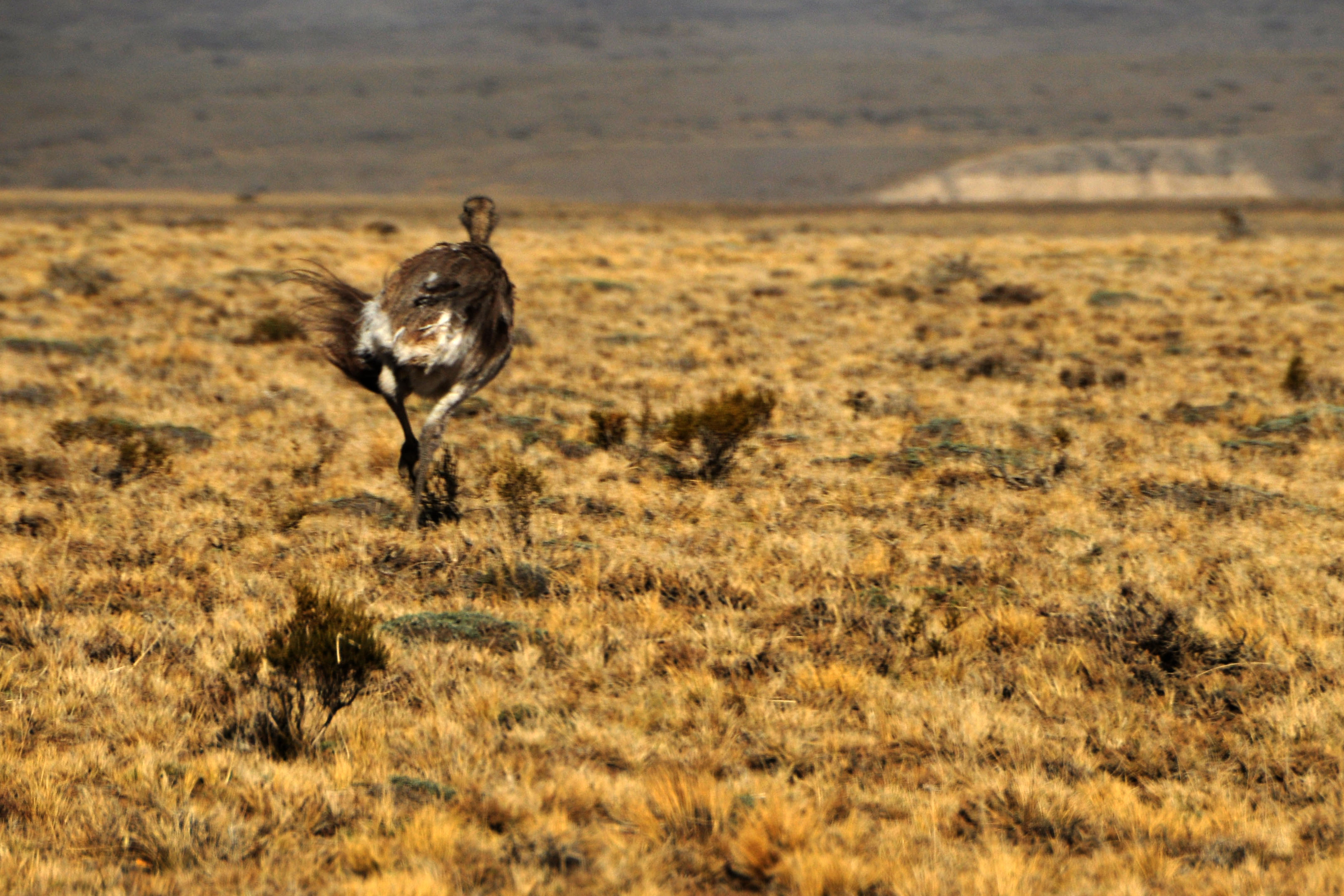
this rhea is running away.

some iridescent clouds.

we’re in Perito Moreno. somewhere in here is an outline shield.

the road to Los Antiguos.

and here’s a bright orange sunset.
Thanks for sharing these pictures of Patagonia Jake. :-) These photos would fit well for a diapoarama clip with the musical soundtrack of the movie “Once Upon a time in the west”. http://www.youtube.com/watch?v=2s0-wbXC3pQ
Hopefully you found out at some point what A° stood for. My best guess is arroyo. Maybe one day I can find out if I’m right or not!
A. in the shield A. Guillermo stands for “Arroyo” which means stream in English. Excellent blog by the way!