
California 1 North - Marin County
| U.S. 101/Golden Gate Bridge and California 1 north | |
|---|---|
| U.S. 101 (Redwood Highway) and California 1 north | |
| For pictures of the shared alignment of U.S. 101 and California 1 between the Golden Gate Bridge and Exit 445B, please see the U.S. 101 north in Marin County page. | |
| California 1 (Shoreline Highway) north | |
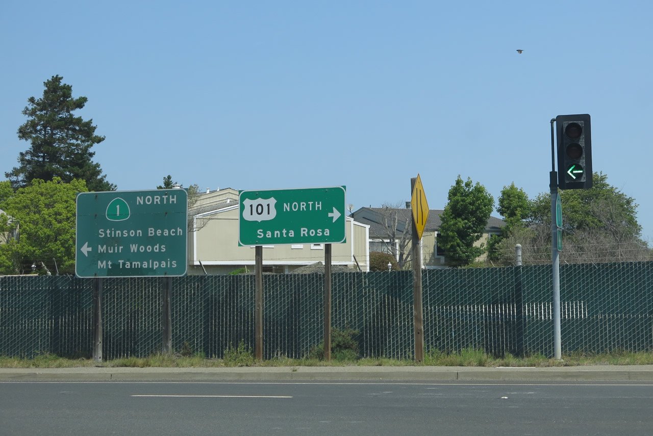 |
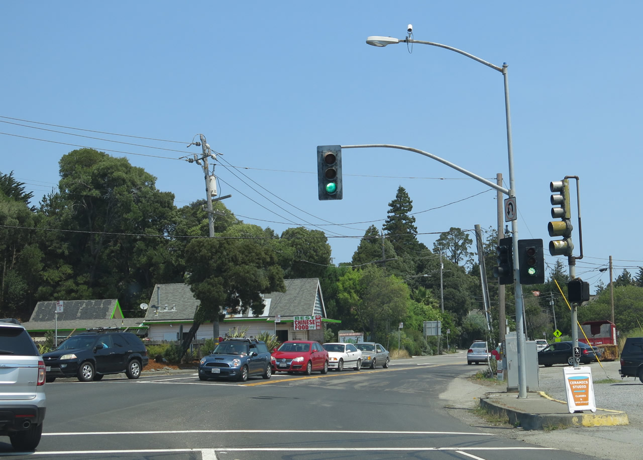
This sign is posted at the end of the transition ramp and frontage road connection to California 1 (Shoreline Highway) north. Departing U.S. 101 for the last time north of the Golden Gate Bridge and Sausalito, California 1 embarks on its own toward Stinson Beach and Mount Tamalpais. This last extant section of California 1 takes the coast highway to Point Reyes National Seashore, the picturesque town of Mendocino, and the city of Fort Bragg. When California 1 rejoins U.S. 101 in Leggett, California 1 reaches its northern terminus. Photo taken 07/02/13. |
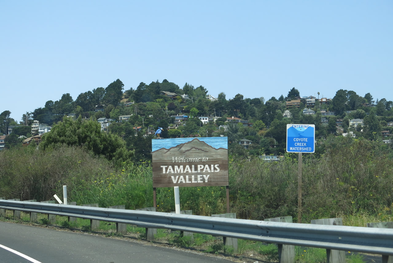 |
Northbound California 1 (Shoreline Highway) enters the unincorporated community of Tamalpais Valley as well as the Coyote Creek watershed. Photo taken 07/02/13. |
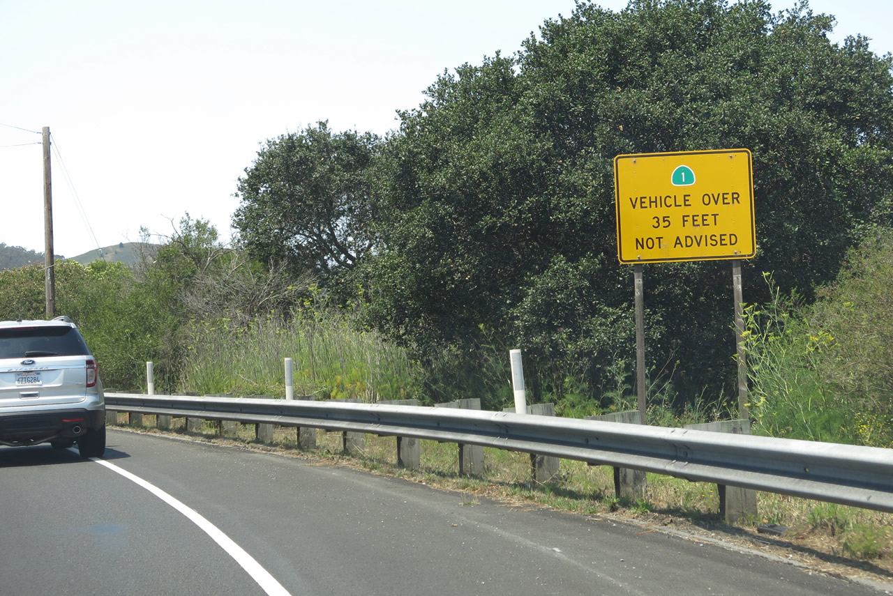 |
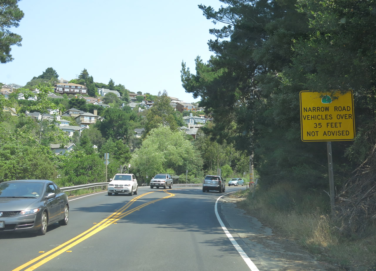
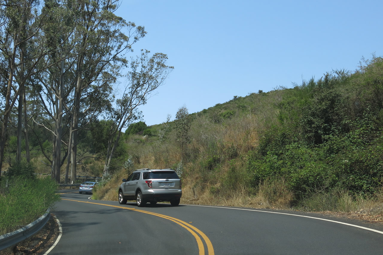
California 1 has advisories against vehicles over 35 feet in length due to some significant switchbacks located near Mount Tamalpais and Muir Woods. Photo taken 07/02/13. |
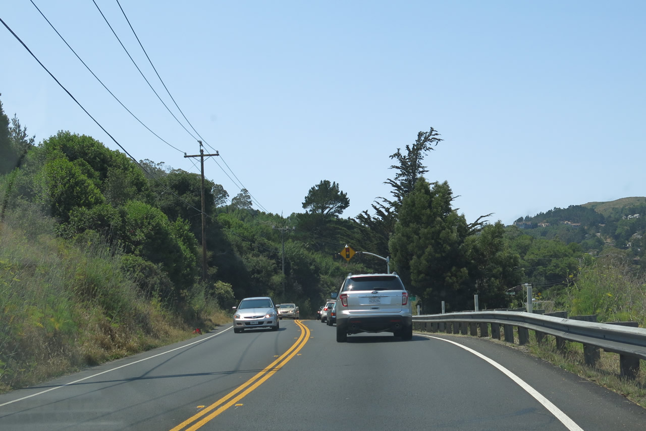 |
Two lanes carry California 1 north toward the signalized intersection with Tennessee Valley Road. Photo taken 07/02/13. |
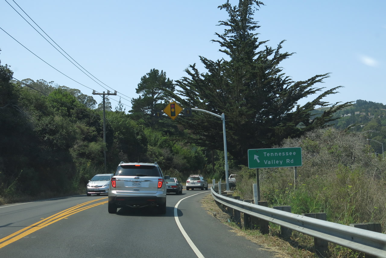 |
Use Tennessee Valley Road southwest to the Tennessee Valley Trailhead, which offers a 1.7-mile hike through a unit of the Golden Gate National Recreation Area to Tennessee Beach. Photo taken 07/02/13. |
 |
 |
 |
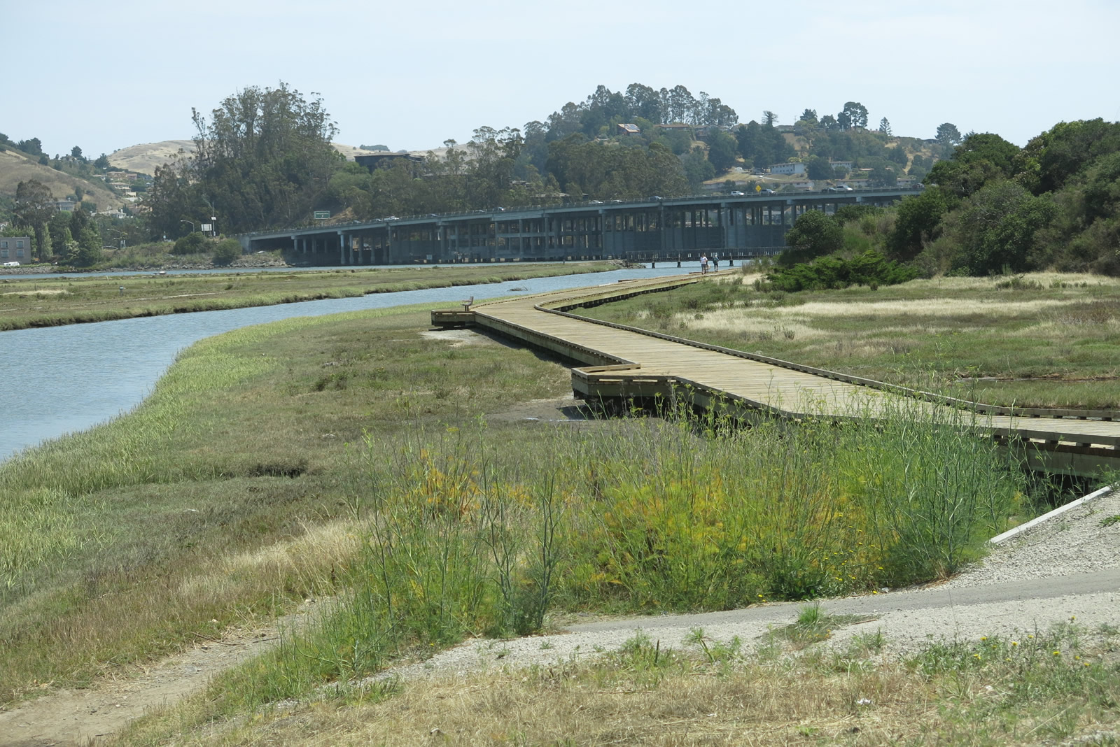 |
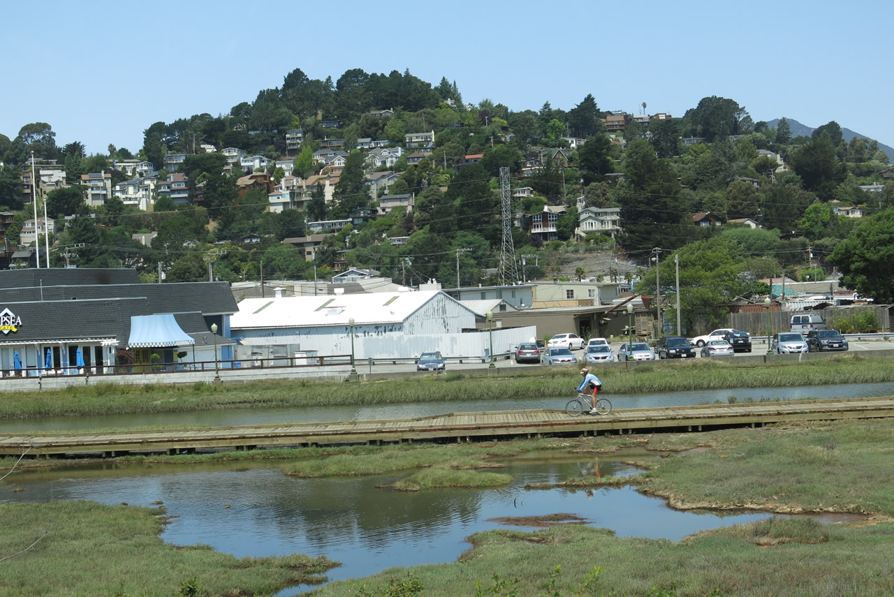
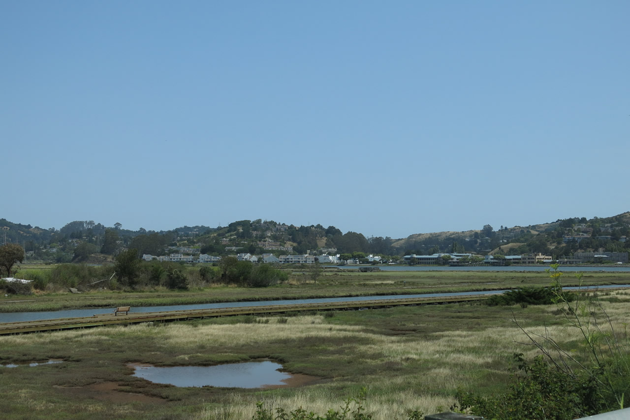
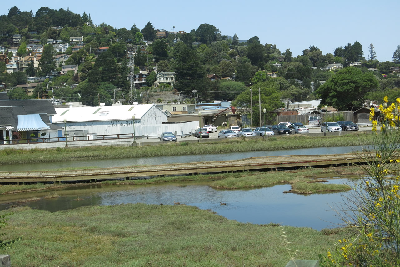
| Coyote Creek, which flows into the western edge of Richardson Bay, comes into view along the east side of California 1 near the Tennessee Valley Road intersection. A boardwalk trail parallels the creek, and the U.S. 101 freeway bridge over the bay is visible from this vantage point. Photos taken 07/02/13. | |||
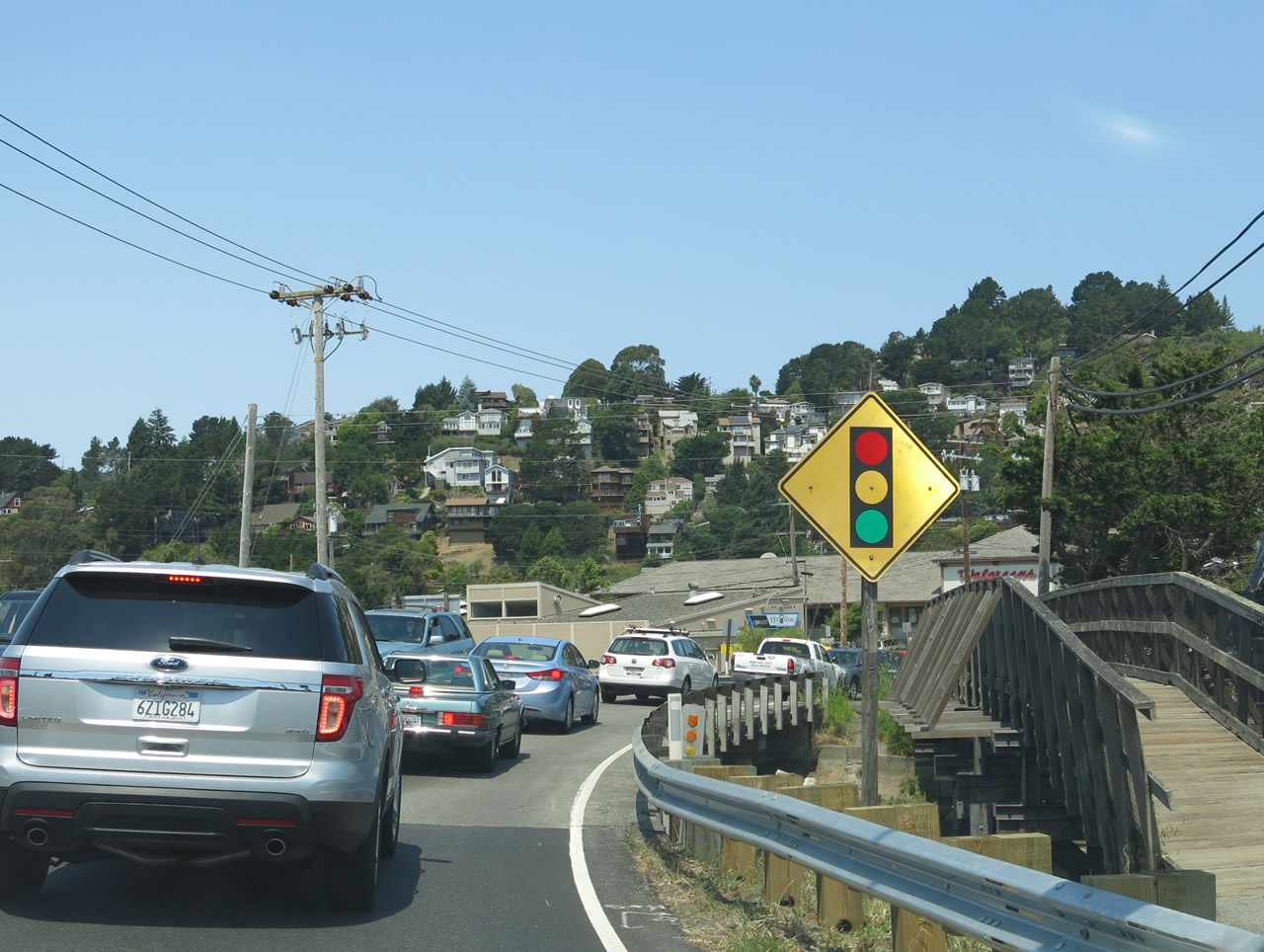 |
A line of cars ebbs and flows along California 1 north toward Muir Woods and Mount Tamalpais as we cross over Coyote Creek. Photo taken 07/02/13. |
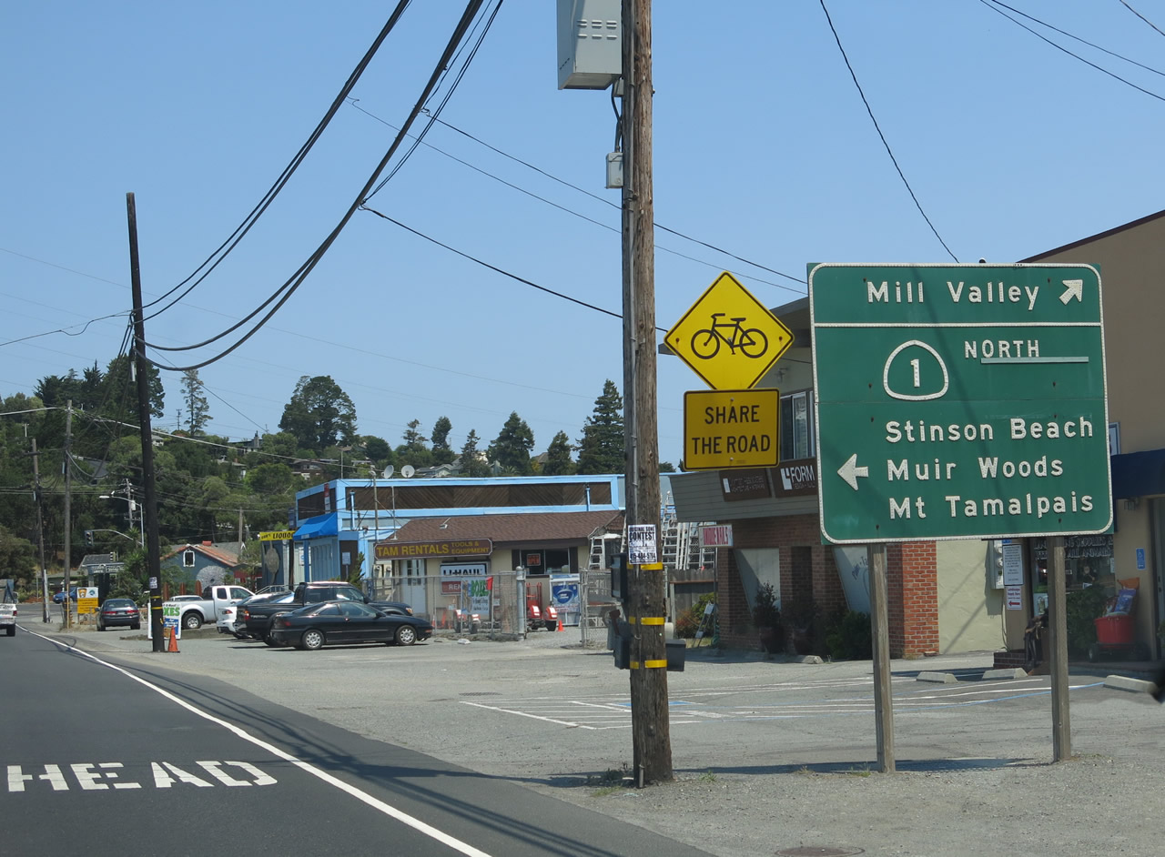 |
The next signalized intersection along California 1 (Shoreline Highway) north is with Miller Avenue/Almonte Boulevard. This sign advises that through traffic on California 1 should turn left (west) at the traffic signal to wrap around Tam Junction Center. Miller Avenue/Almonte Boulevard heads northeast to Mill Valley, while California 1 heads due west through Tamalpais Valley en route to Mount Tamalpais State Park, which includes the famous mountain with spectacular views from its summit. California 1 then continues its journey northwest to Stinson Beach, then onward to Point Reyes National Seashore. Photo taken 07/02/13. |
 |
California 1 (Shoreline Highway) splits from Miller Avenue/Almonte Boulevard at this traffic signal. Photo taken 07/02/13. |
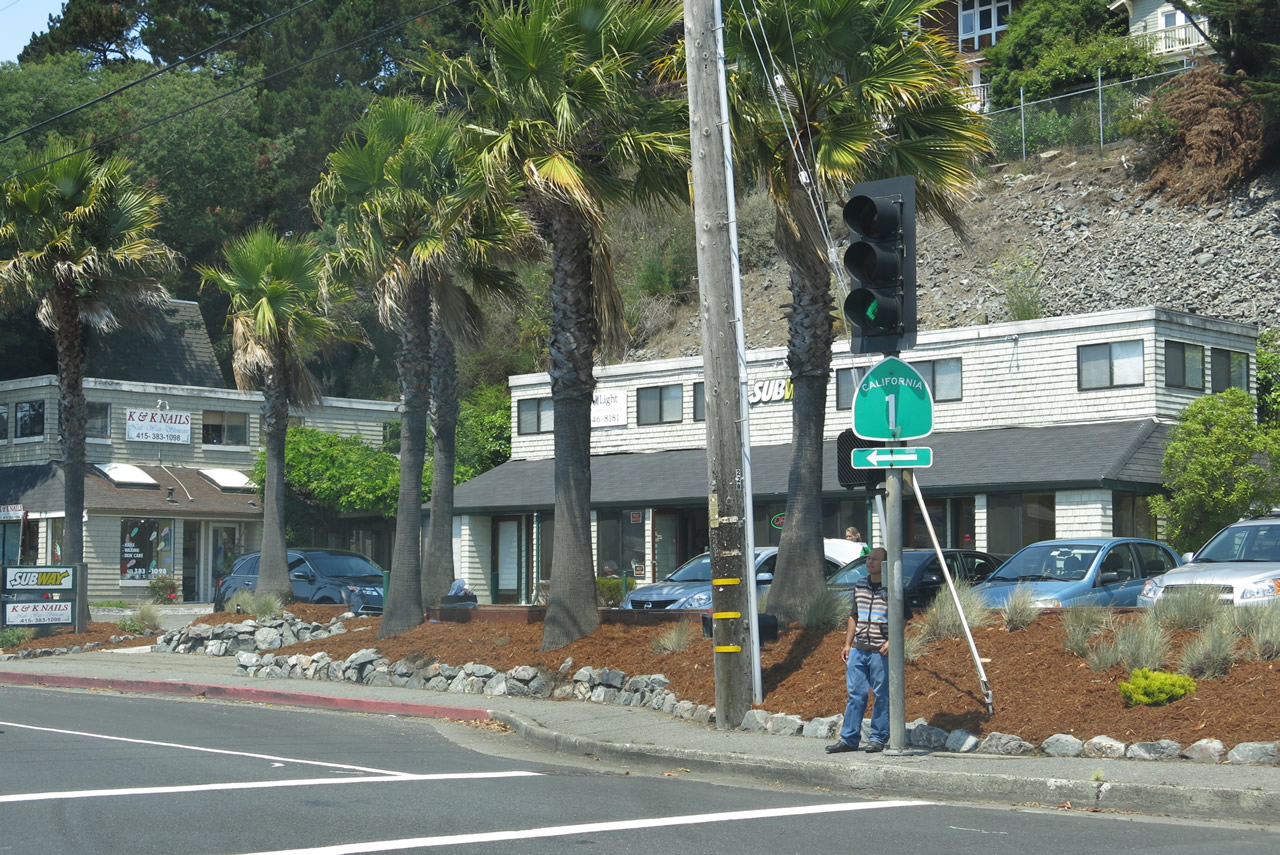 |
A California 1 trailblazer is posted at the point where Shoreline Highway and Miller Avenue/Almonte Boulevard split. Photo taken 07/02/13. |
 |
Northbound California 1 meets Gibson Avenue at this traffic signal. A eucalyptus forest awaits on the ridge as California 1 starts to gain elevation. Photo taken 07/02/13. |
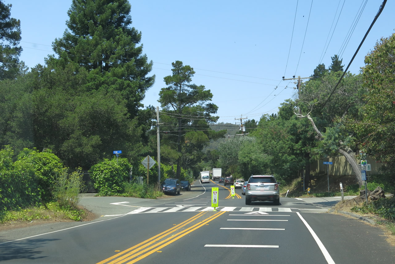 |
Plenty of traffic takes California 1 between U.S. 101 and Muir Woods; however, the road is fairly narrow and has several intersections along its path. Here, California 1 approaches Pine Street. Photo taken 07/02/13. |
 |
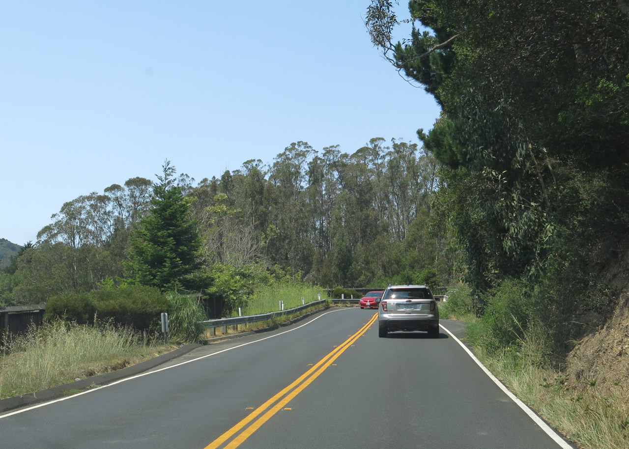
The state route will narrow and become more winding and curving as it ascends the southern flank of Mount Tamalpais. Photo taken 07/02/13. |
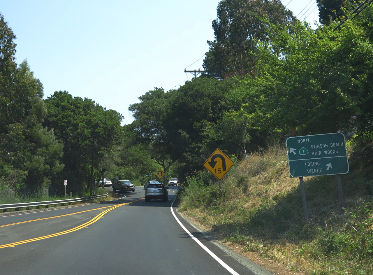 |
Northbound California 1 approaches Loring Street. Stay left for California 1 north to Muir Woods, Mount Tamalpais, and Stinson Beach. Photo taken 07/02/13. |
 |
Eucalyptus trees (many of the Tasmanian blue gum variety) line the right side of California 1 north. More of these trees, which are native to Australia and largely planted starting in 1853 as an ornamental tree, loom in the distance.1 Photo taken 07/02/13. |
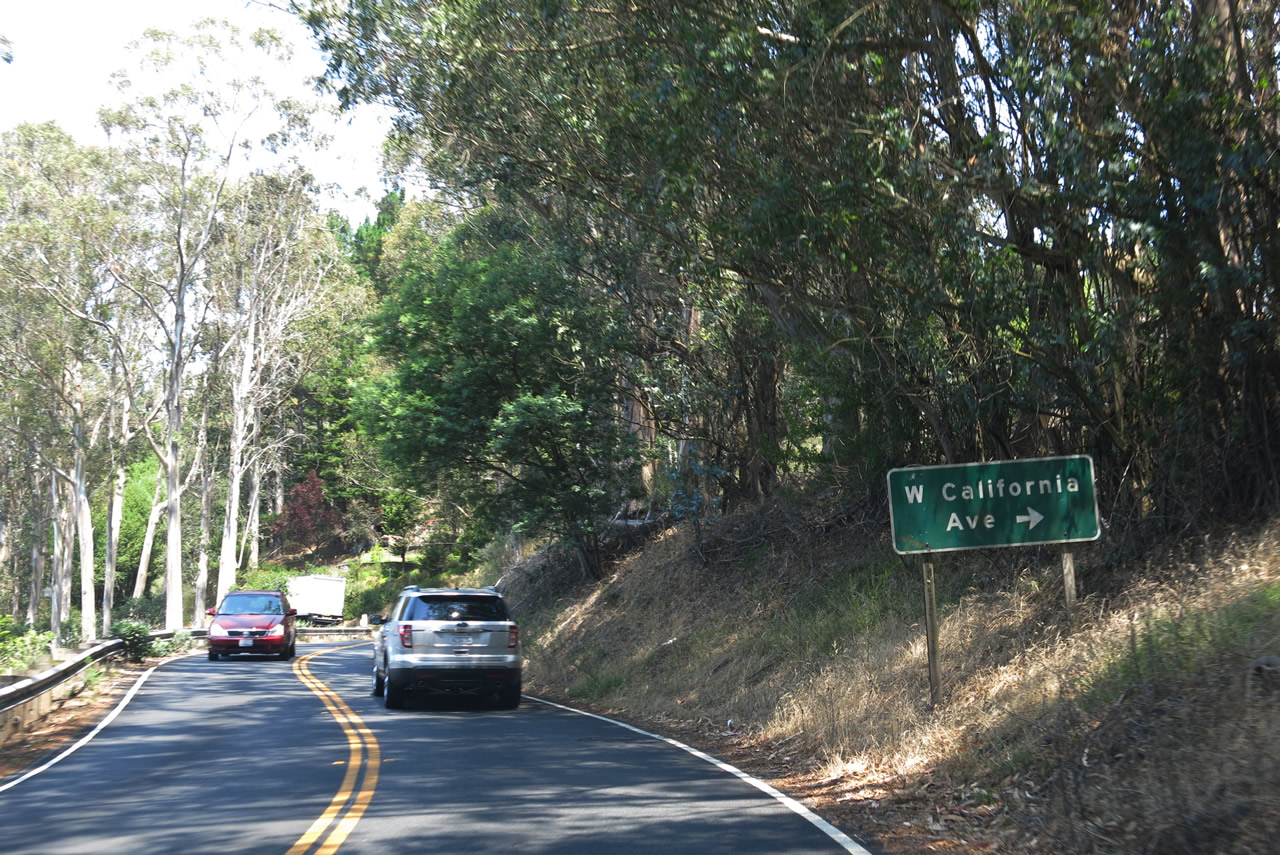 |
California 1 passes through a near-tunnel of eucalyptus trees. The next intersection is with West California Avenue. Photo taken 07/02/13. |
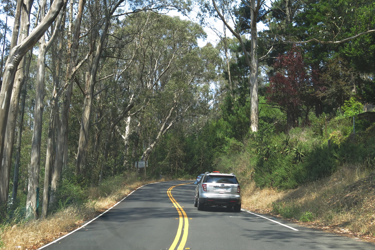 |
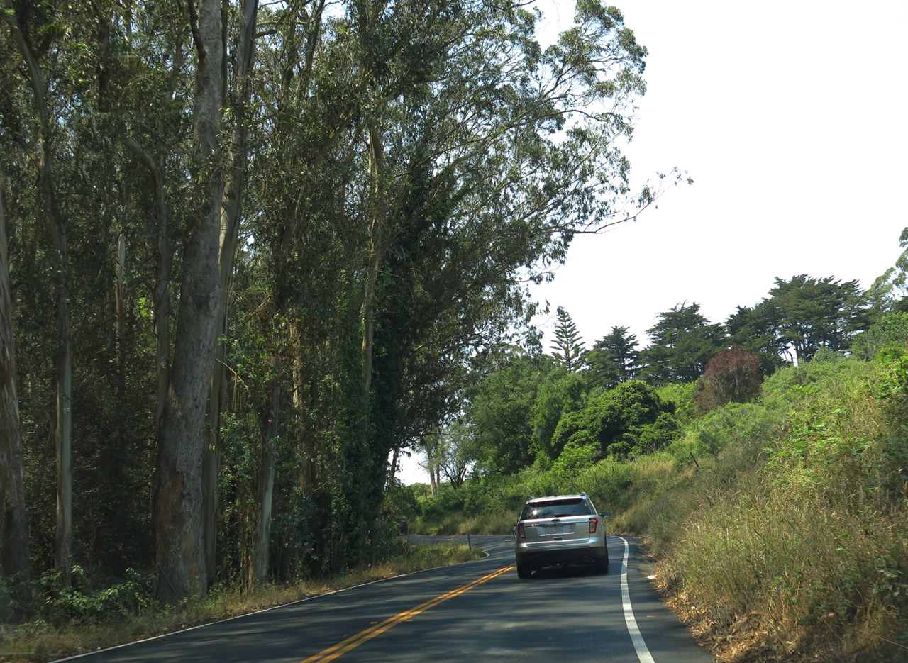
Northbound California 1 continues to gain elevation as it passes through the eucalyptus woodland. Photo taken 07/02/13. |
 |
Continuing to gain elevation, northbound California 1 reaches the higher end of the eucalyptus woodland and sees a transition to shrub. Photo taken 07/02/13. |
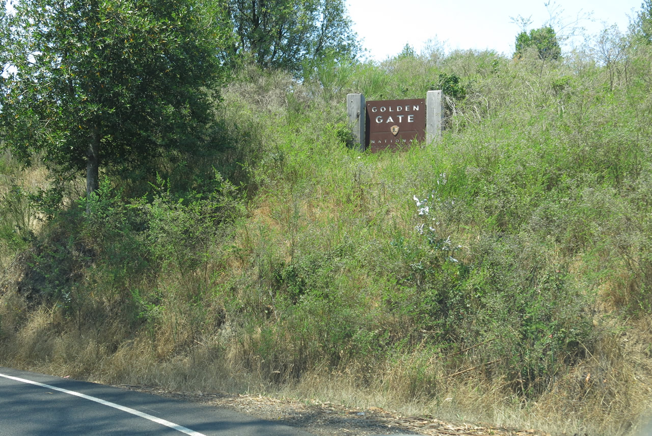 |
California 1 enters one of the northern reaches of the Golden Gate National Recreation Area, but it will soon leave the recreation area. Photo taken 07/02/13. |
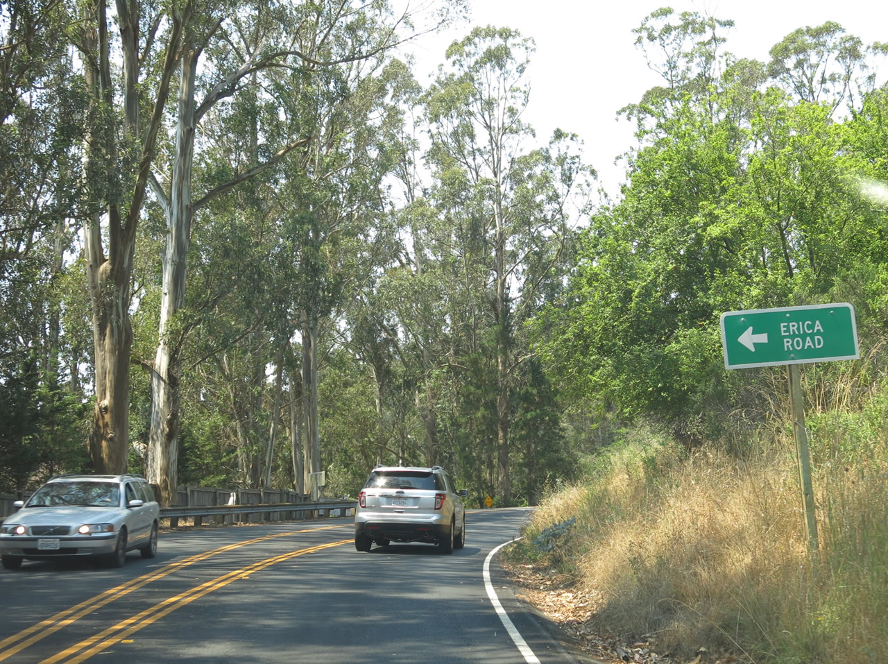 |
Northbound California 1 approaches the turnoff to Erica Road. Residential properties are located along Erica Road. Photo taken 07/02/13. |
 |
Eucalyptus trees line one side of California 1, while shrubs line the other side. The state route is generally traveling east-west at this point, as California 1 gradually heads uphill with the contours of the landscape. California 1 will eventually lose elevation as it winds its way into Stinson Beach. Photo taken 07/02/13. |
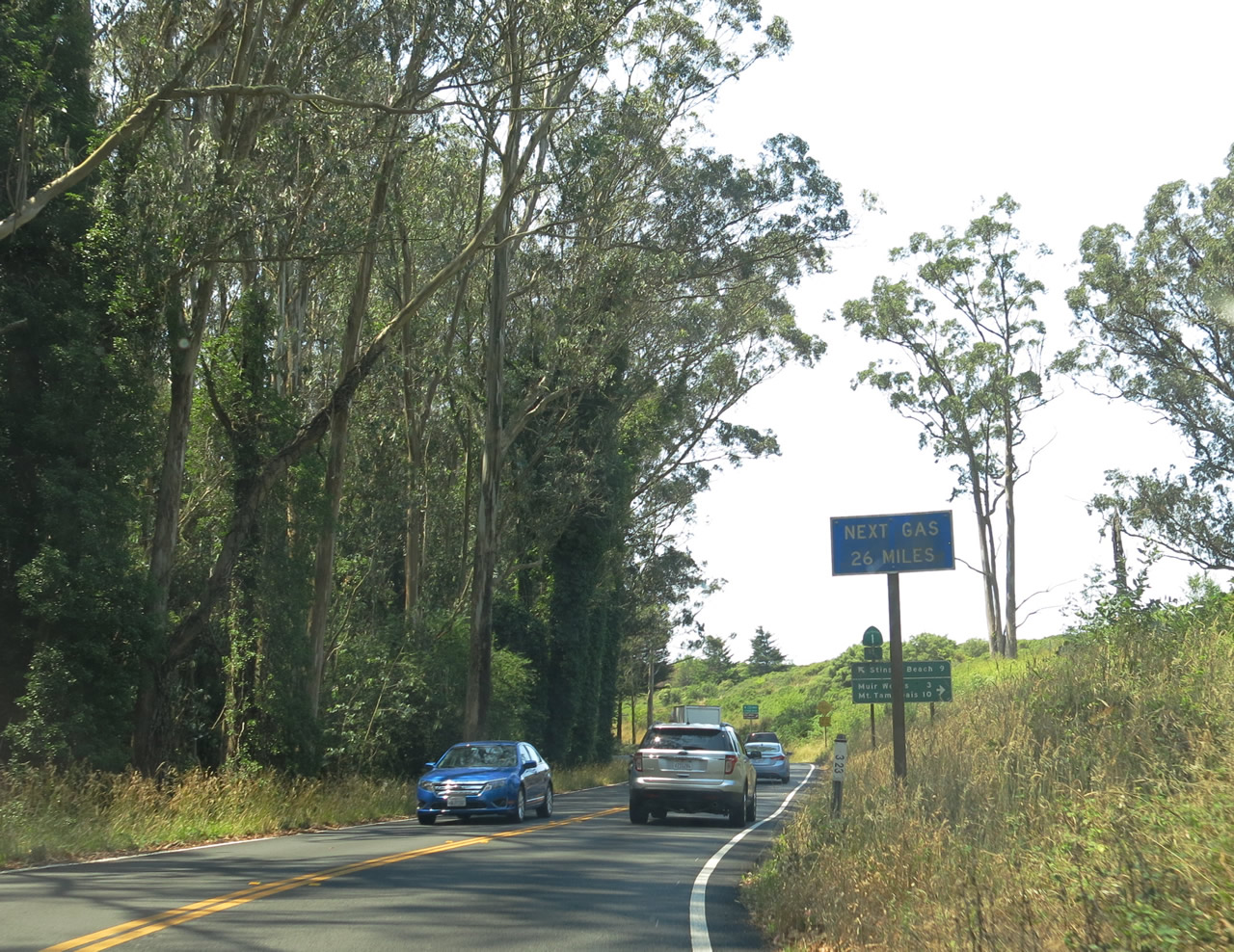 |
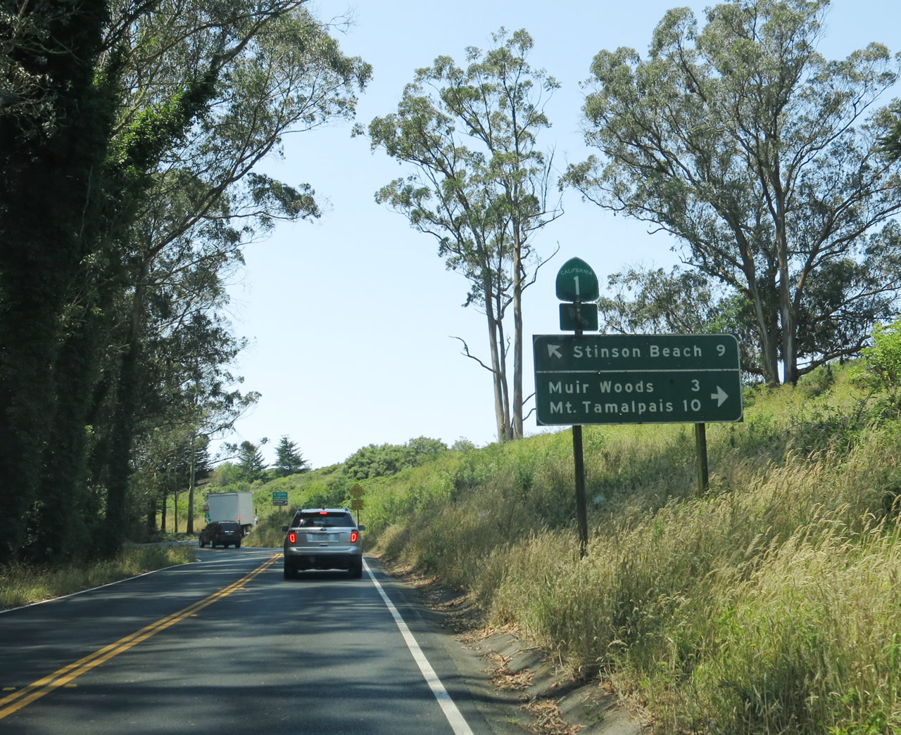
The section of California 1 between Tamalpais Valley and Stinson Beach is remote, and few motorist services are available. This includes gas; the sign here advises that the next gas station is 26 miles ahead, at Point Reyes Station. Due to the winding, curving nature of the road as the southern end of Mount Tamalpais, this is a long 26 miles. Photo taken 07/02/13. |
 |
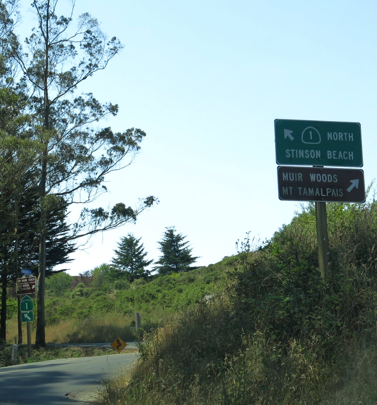
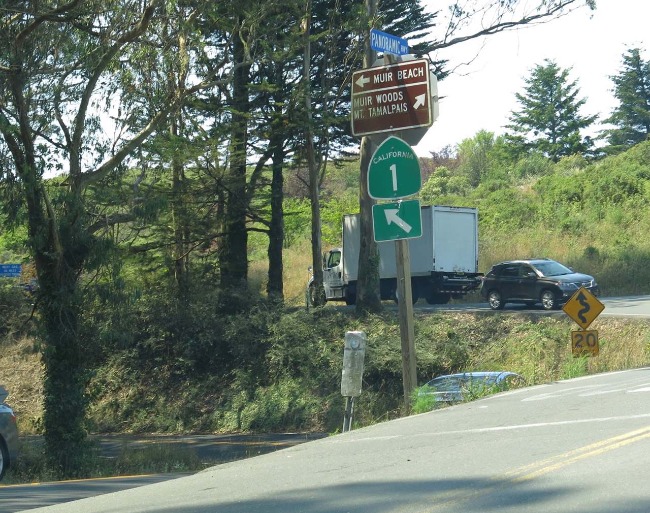
Northbound California 1 approaches the split with Panoramic Highway. Turn right here for Panoramic Highway north to Mount Tamalpais State Park and Muir Woods National Monument. Stay left for California 1 north (west) to Stinson Beach and Point Reyes National Seashore. Photo taken 07/02/13. |
 |
A second guide sign for the split between California 1 north and Panoramic Highway is posted shortly thereafter. Photo taken 07/02/13. |
 |
A trailblazer California 1 sign is posted at the intersection with Panoramic Highway. Photo taken 07/02/13. |
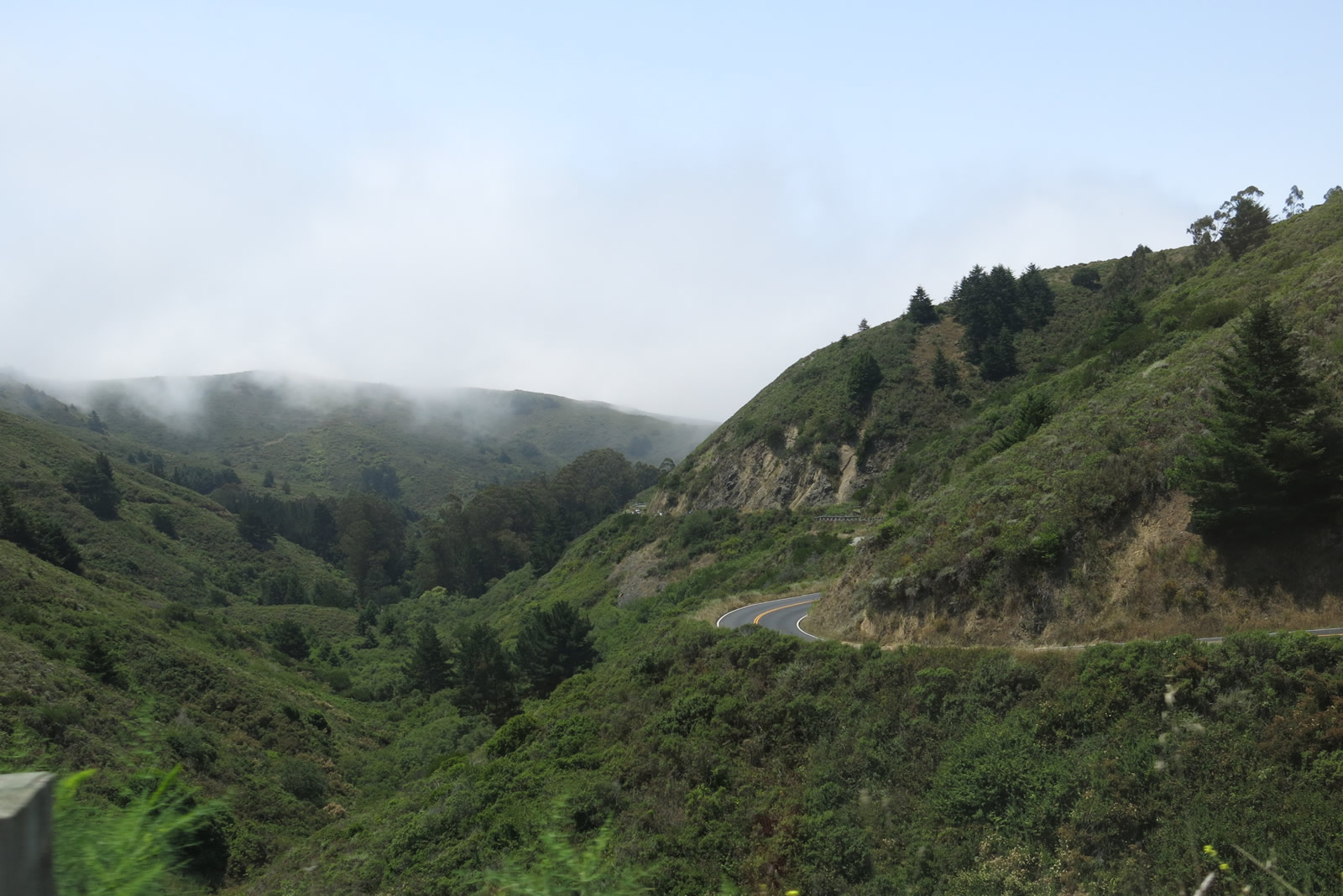 |
West of the Panoramic Highway intersection, this view looks west along northbound California 1 on the way toward Muir Beach and Stinson Beach. This winding, busy road stays above Green Gulch and rides below Dias Ridge as it descends back toward the oceanfront. Fog crept into the area on this early summer day. Photo taken 07/02/13. |
Sources:
- Eucalyptus: A Complex Challenge: Fire Management, Resource Protection, and the Legacy of Tasmanian Blue Gum by the National Park Service (retrieved July 2013)

Page Updated July 24, 2013.
|
About Contact Glossary |
In The News Interstate Guide |
Social Media:
 |
|
© 2000-25 AARoads.com | All Rights Reserved | Privacy Policy / Terms of Use
|
||