

California 14 North - Rosamond to California City
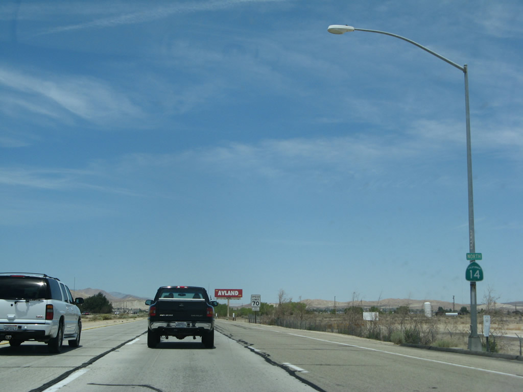 |
Now in Kern County, a standalone California 14 north reassurance shield is posted shortly after the on-ramp from Avenue A. Photo taken 07/04/07. |
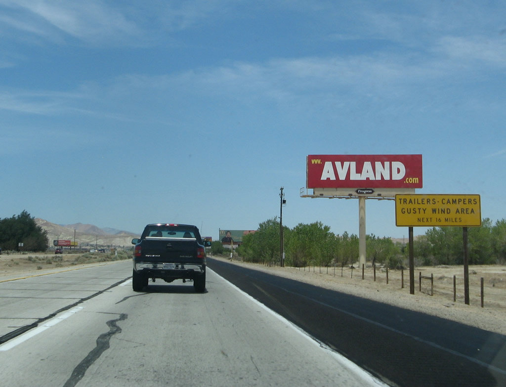 |
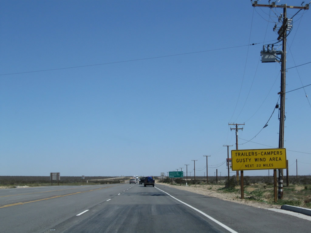
For the next 16 miles along California 14, watch for strong or gusting winds. Photo taken 07/04/07. |
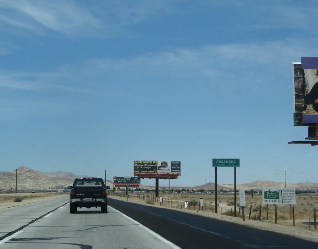 |
Northbound California 14 enters the unincorporated community of Rosamond, population 14,349 as of the 2000 Census. Photo taken 07/04/07. |
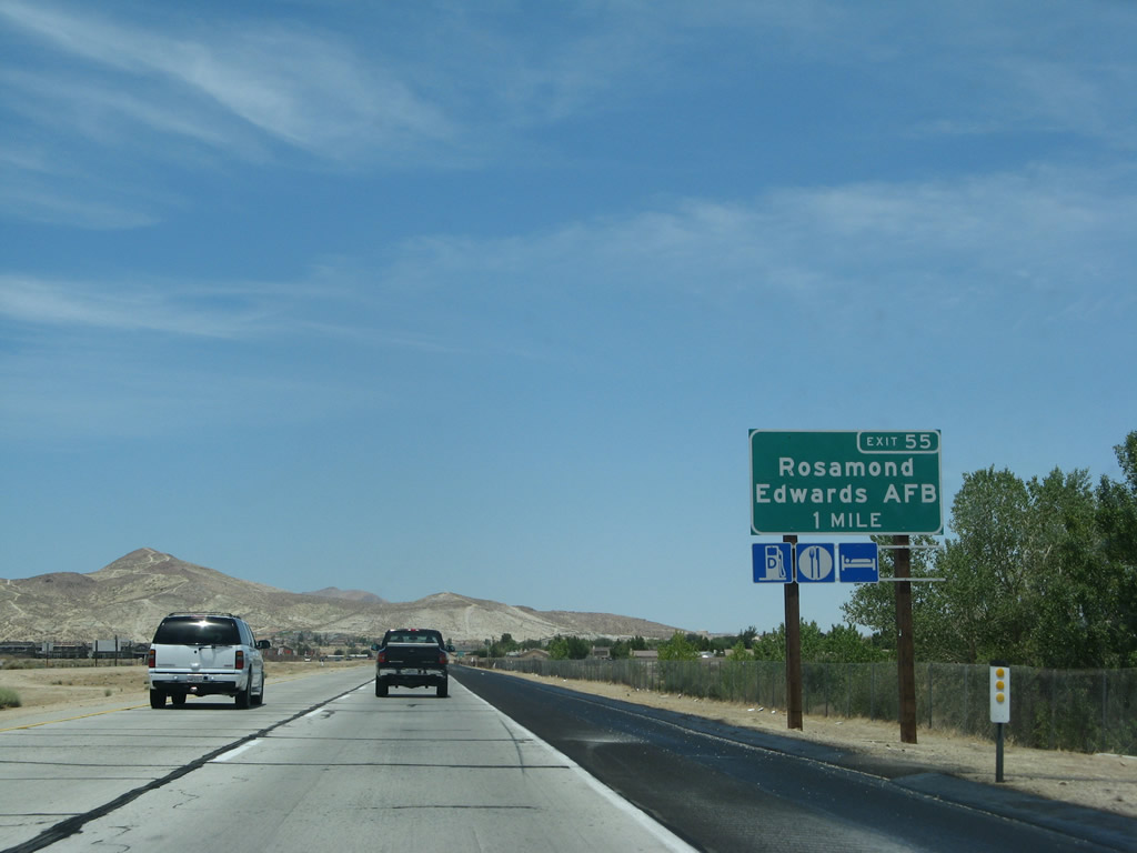 |
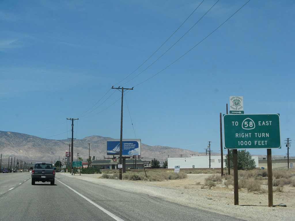
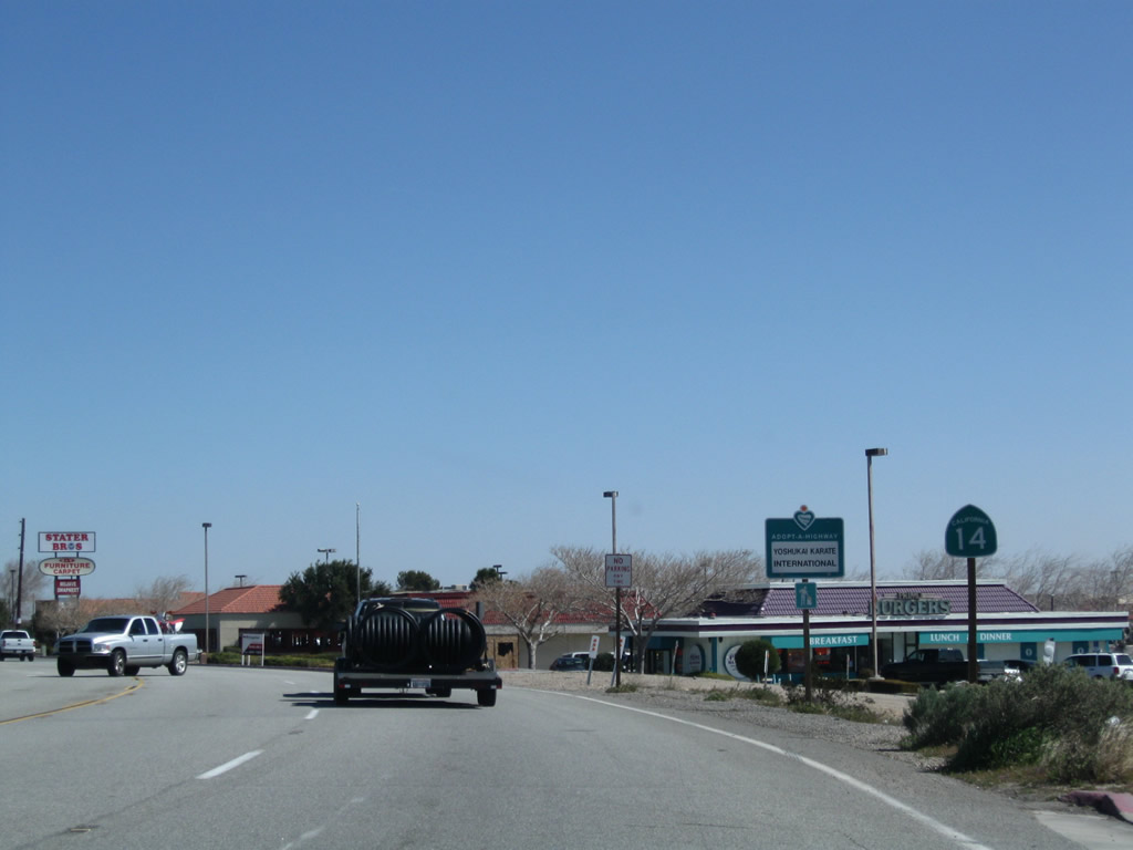
The next exit along northbound California 14 is Exit 55, Rosamond/Edwards Air Force Base, one mile. Rosamond serves as both a gateway to Edwards Air Force Base and a community for those who wish to commute from Kern County to Los Angeles County. Photo taken 07/04/07. |
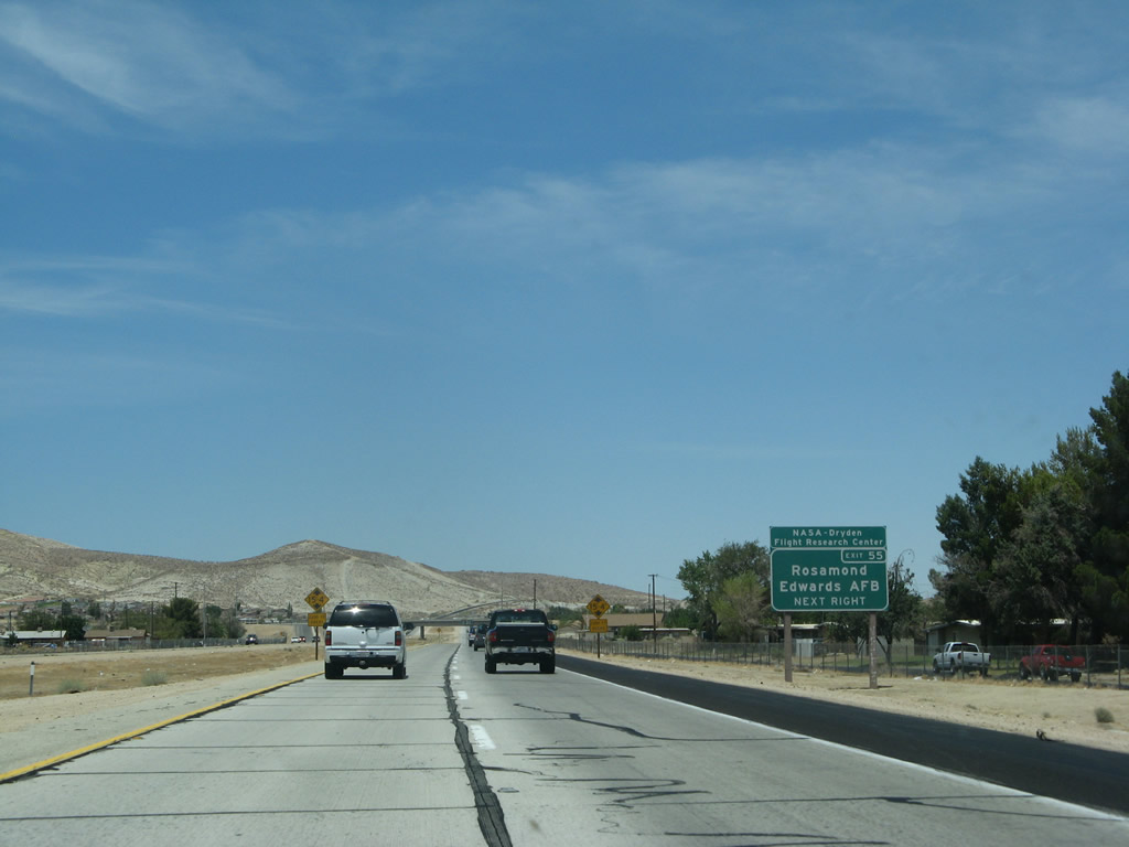 |
Use Exit 55 to Rosamond and Edwards Air Force Base. On certain occasions, Edwards Air Force Base rises to prominence when the space shuttle is landed in California. This generally occurs when there is inclement weather for several days at the Florida landing facility at Cape Canaveral (Kennedy Space Center). The base lies east of California 14, west of U.S. 395, and south of California 58, occupying a huge tract of land in southeastern Kern County. Photo taken 07/04/07. |
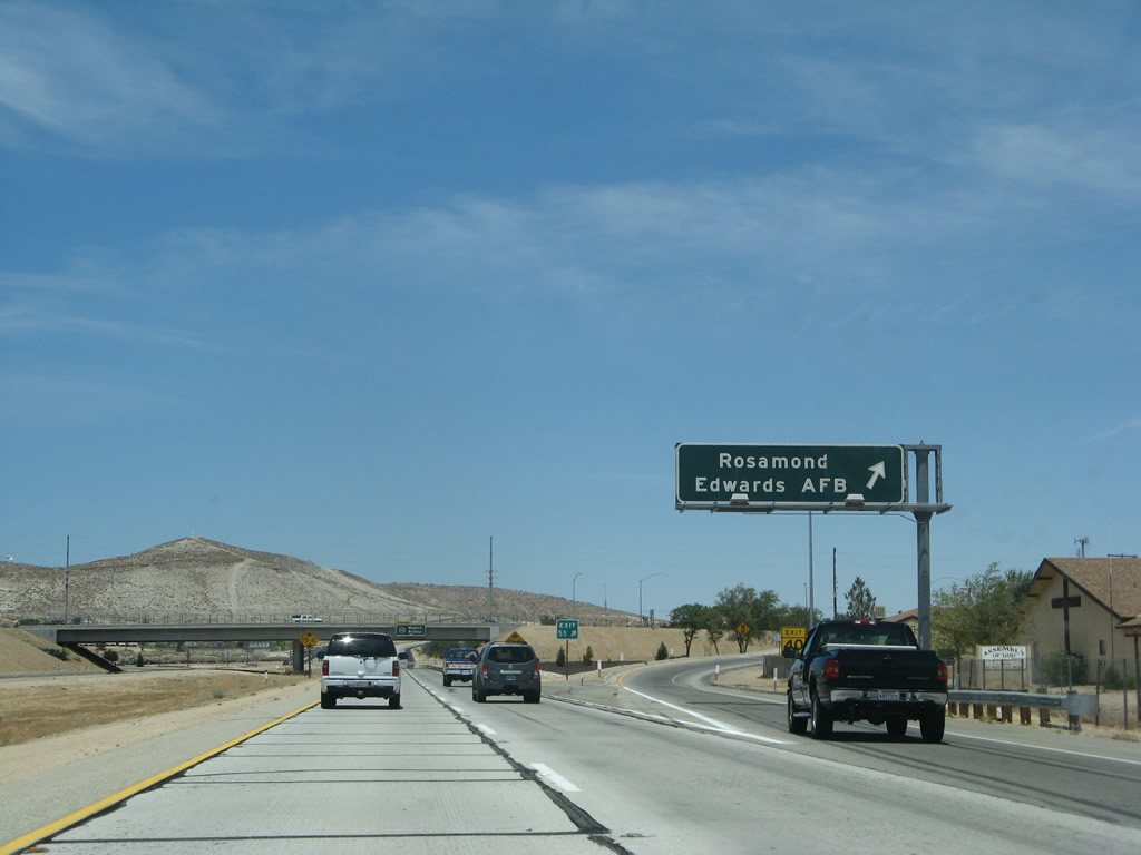 |
Reaching Exit 55, Rosamond/Edwards Air Force Base, northbound California 14 (Antelope Valley Freeway) skirts most of the development associated with this area. Old U.S. 6, which still serves as the original route through Palmdale, Lancaster, and Rosamond, still parallels the freeway to the east. As for California 14, it is only a short distance north to the community of Mojave. Photo taken 07/04/07. |
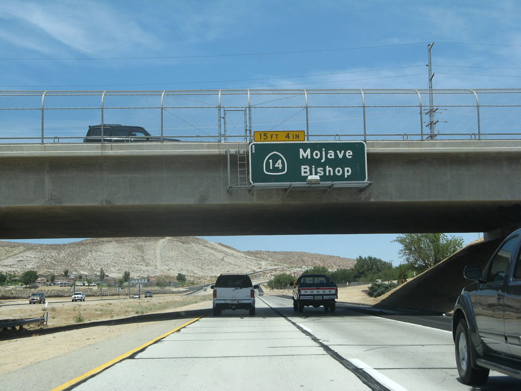 |
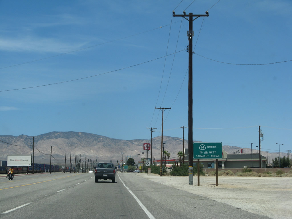
An overhead pull-through sign along northbound California 14 confirms that fact, with the destinations of Mojave and Bishop. Photo taken 07/04/07. |
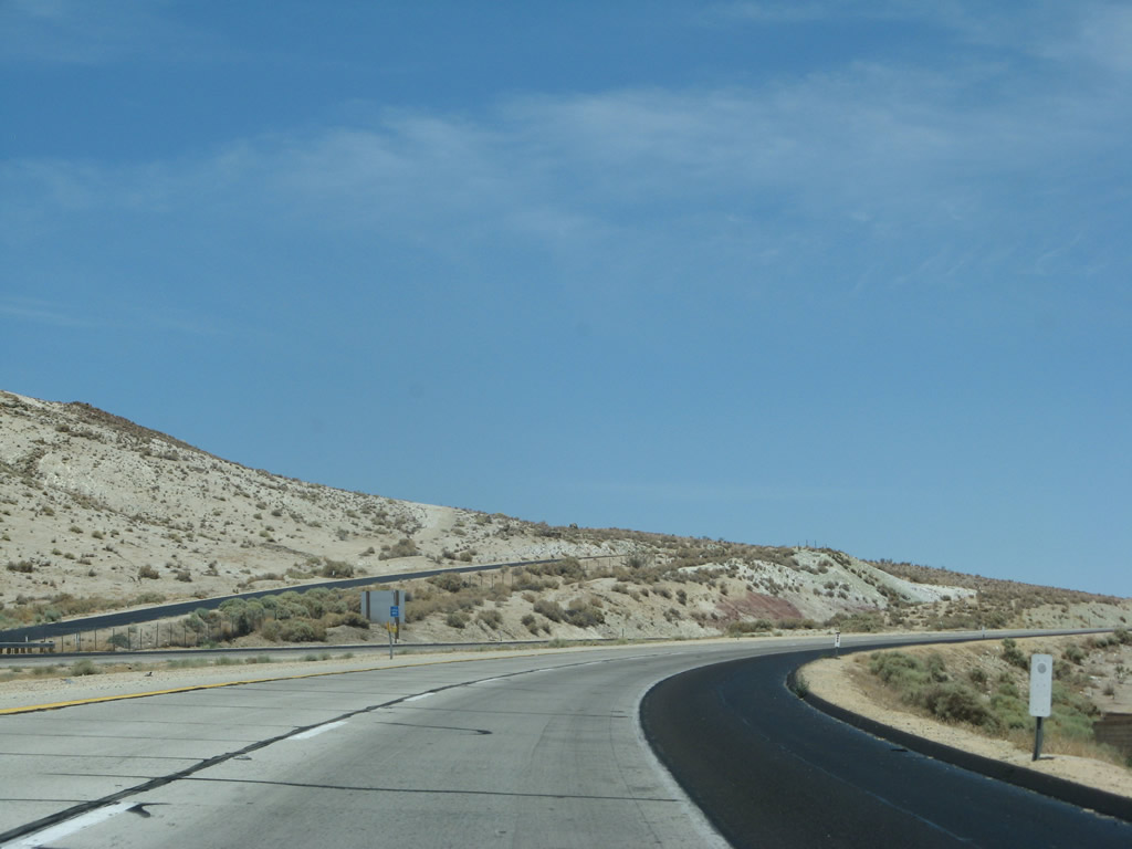 |
A nearly empty California 14 freeway proceeds north after leaving Rosamond. Photo taken 07/04/07. |
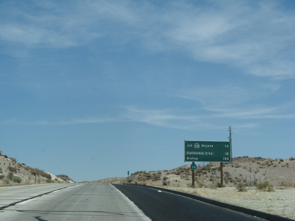 |
This mileage sign along California 14 north provides the distance to California 58 Business in Mojave (13 miles), California City (18 miles), and the control city of Bishop (U.S. 6 and U.S. 395, 185 miles). Photo taken 07/04/07. |
 |
 |
 |
The Caltrans standard is for concrete travel lanes and asphalt shoulders along this segment of California 14 freeway. The Kern County section of California 14 freeway has green mileposts indicating the distance from the southern terminus of the route. These signs were added shortly after the Mojave Bypass opened to traffic in December 2003. Photo taken 07/04/07. |
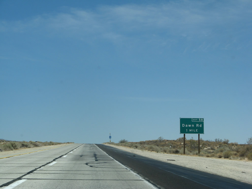 |
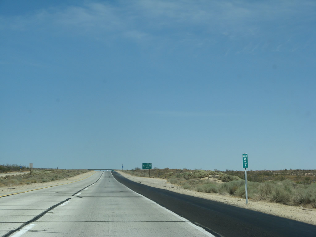
The next exit along northbound California 14 is Exit 58, Dawn Road (local access). Photo taken 07/04/07. |
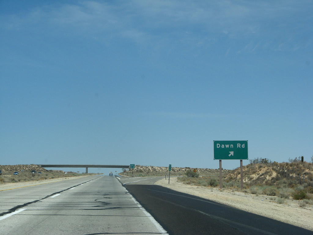 |
Northbound California 14 (Antelope Valley Freeway) reaches Exit 58, Dawn Road. Dawn Road leads east to connect with the original Sierra Highway (old U.S. 6). Photo taken 07/04/07. |
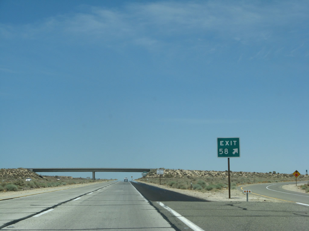 |
Exit 58 is signed with an exit number at the gore point. Photo taken 07/04/07. |
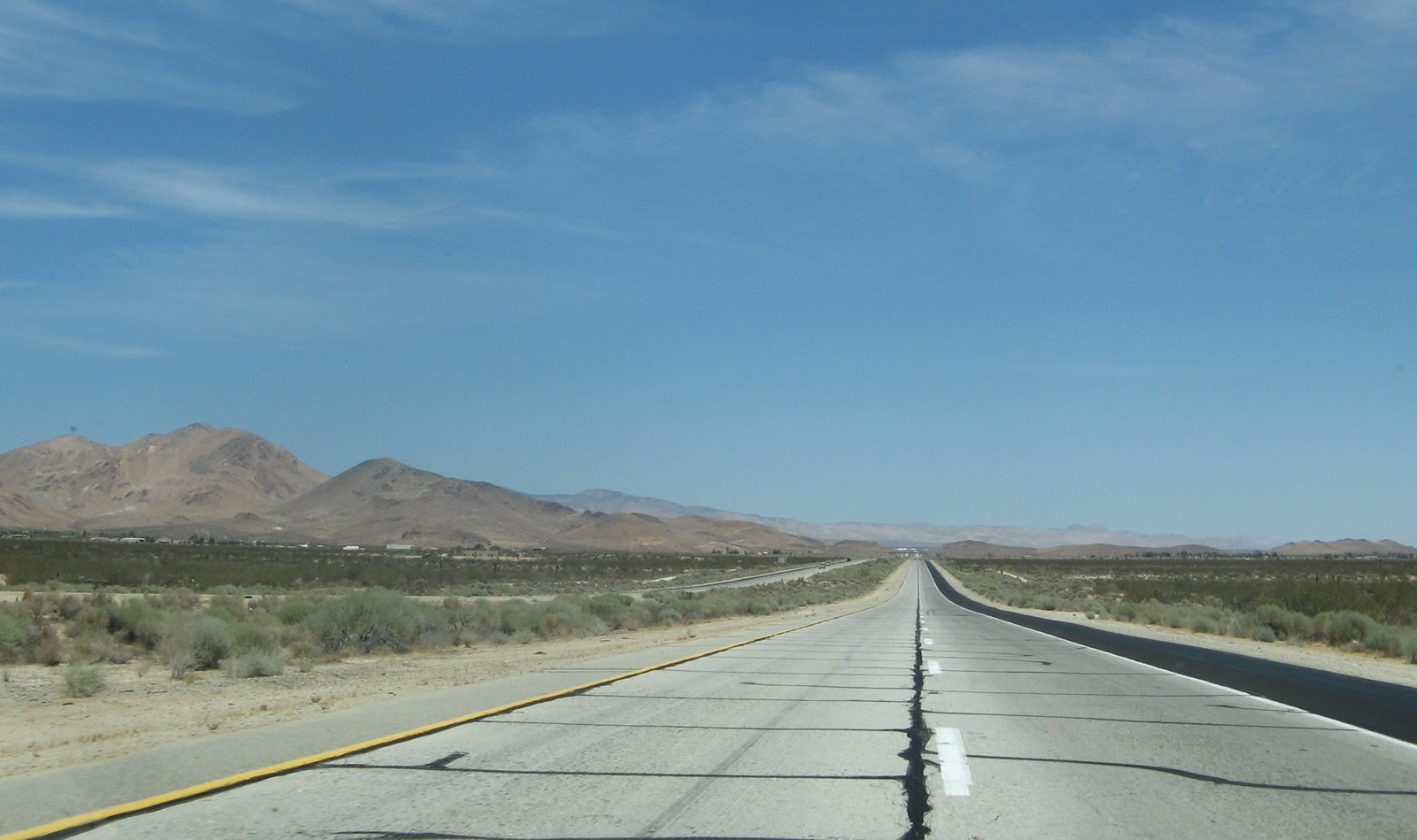 |
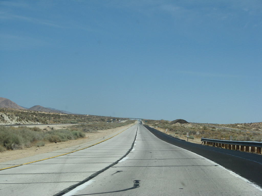
Traffic counts are much lower here than they were near Palmdale-Lancaster. Soledad Mountain rises to the west of the freeway. Photo taken 07/04/07. |
 |
The next exit along California 14 north is Exit 61, Backus Road. To the west of the freeway, Backus Road skirts the south edge of Soledad Mountain, elevation 4,190 feet. Photo taken 07/04/07. |
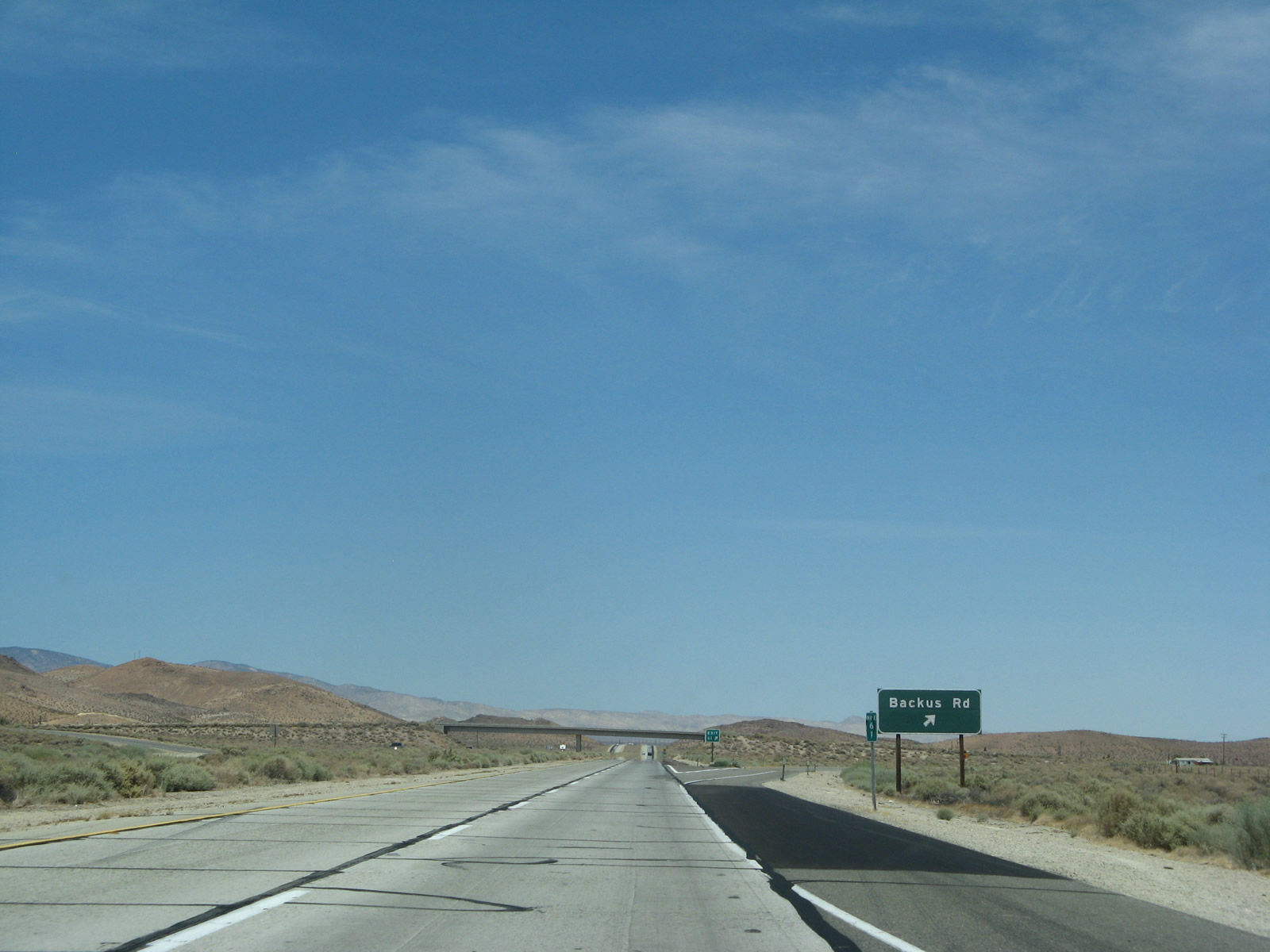 |
Northbound California 14 reaches Exit 61, Backus Road. Photo taken 07/04/07. |
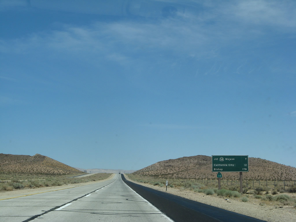 |
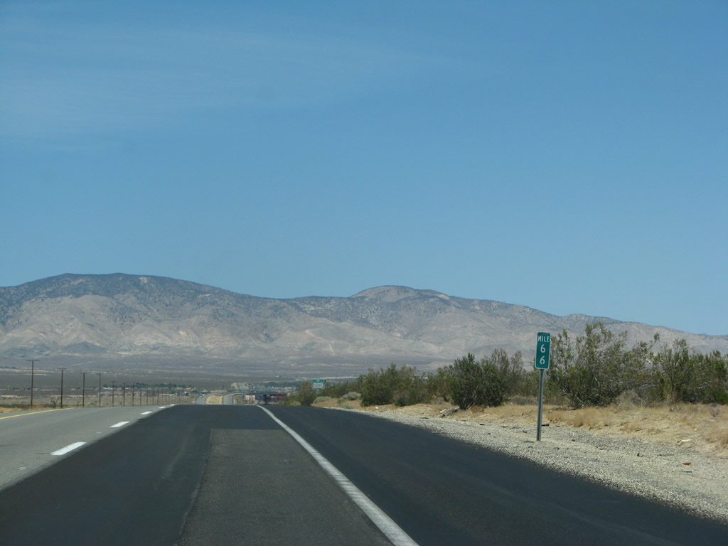
Continuing with the Kern County standard for mileage signs, this sign measures the distance to California 58 Business/Mojave, California City, and Bishop. Photo taken 07/04/07. |
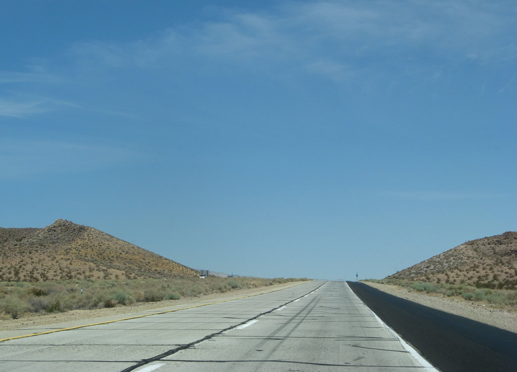 |
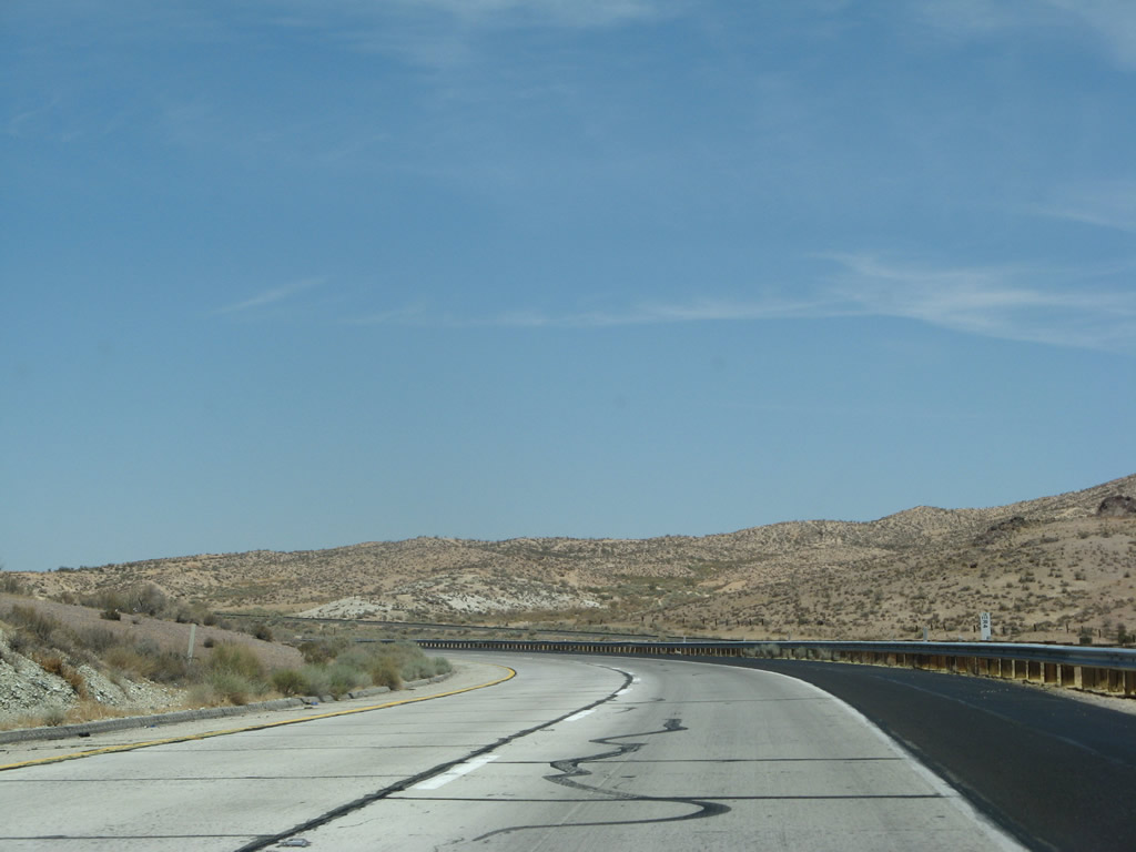
This segment of California 14 offers some beautiful desert scenery. Photo taken 07/04/07. |
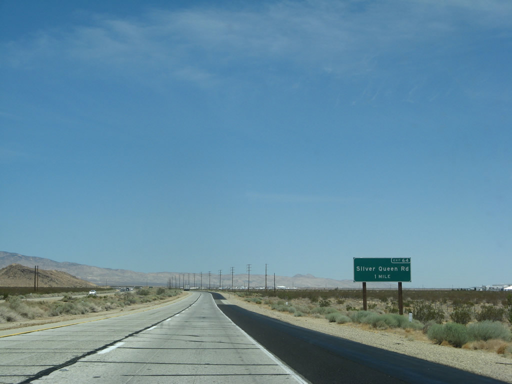 |
The next exit along California 14 north is Exit 64, Silver Queen Road. Photo taken 07/04/07. |
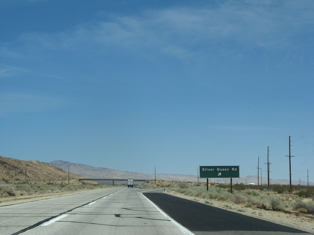 |
Northbound California 14 reaches Exit 64, Silver Queen Road. Silver Queen Road skirts the north edge of Soledad Mountain, then turns southwest toward Gem Hill and Tropico Hill via Mojave-Tropico Road. Photo taken 07/04/07. |
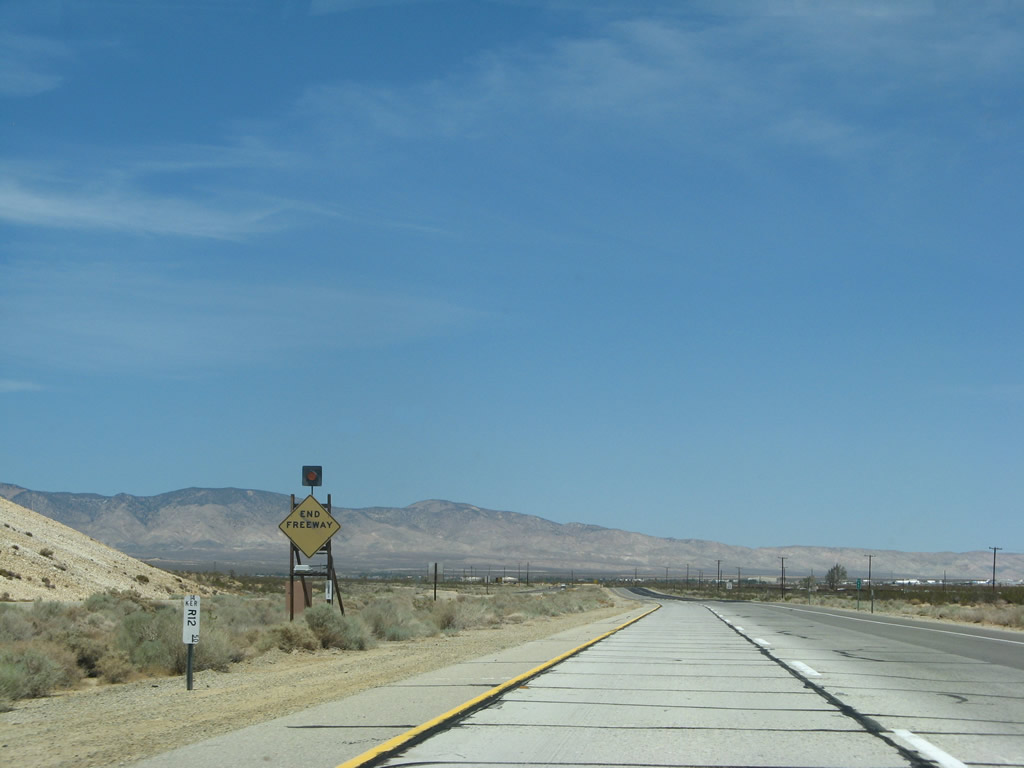 |
The freeway will end after the Silver Queen Road interchange. While eventual plans call for a continuation of the California 14 freeway to connect with California 58, such an extension is still many years away. Photo taken 07/04/07. |
| California 14 north | |
|---|---|
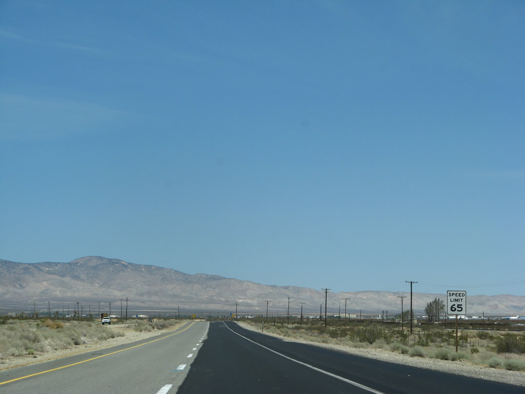 |
The speed limit also reduces to 65 miles per hour as California 14 is now an expressway rather than freeway. Photo taken 07/04/07. |
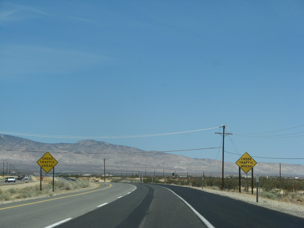 |
Watch for cross traffic ahead. Photo taken 07/04/07. |
 |
California 14 expressway is mileposted as it leads north into Mojave. Photo taken 07/04/07. |
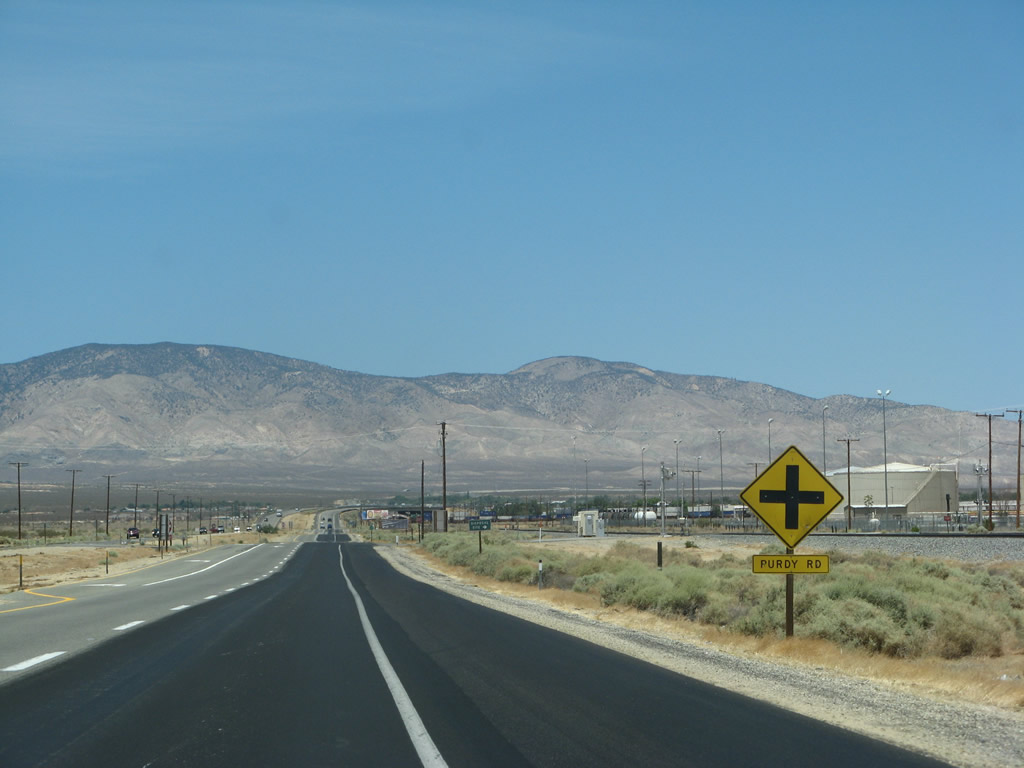 |
The first intersection along the California 14 expressway is Purdy Road. The speed limit again drops, this time to 55 miles per hour. Photo taken 07/04/07. |
 |
Another California 14 north shield is posted after the Purdy Road intersection. Photo taken 07/04/07. |
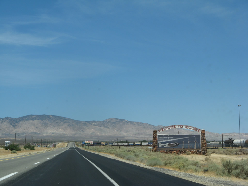 |
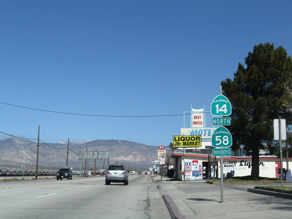
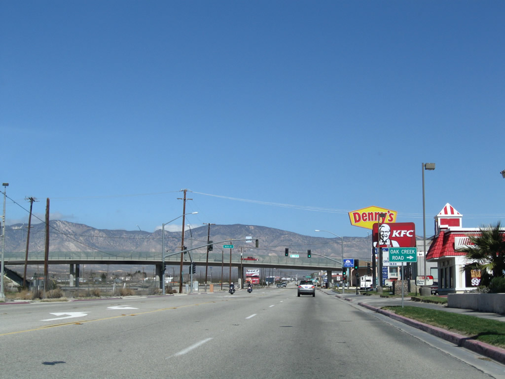
California 14 enters the unincorporated community of Mojave (the "Crossroads of the Future"), California 14 approaches its first major intersection since entering Kern County. Home to 3,836 people as of the 2000 Census, Mojave consists of 58.4 square miles and sits at an elevation of 2,762 feet. This first intersection is with California 58 Business. Prior to 2003, California 58 was routed through town, and California 14 met California 58 here. In Fall 2003, California 58 was rerouted onto the Mojave Bypass, and the original route became a business loop. California 14 northbound and California 58 Business westbound merge from this intersection until meeting the bypass north of town. Photo taken 07/04/07. |
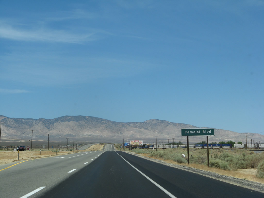 |
The next intersection along the California 14 expressway is with Camelot Boulevard. Photo taken 07/04/07. |
 |
This California 14 north shield assembly is posted after the Camelot Boulevard intersection. Photo taken 07/04/07. |
 |
 |
 |
 |
Upon crossing over the railroad tracks, California 14 will shift from a divided highway to a conventional highway. Roadside services (gas, food, and lodging) line the east side of the highway as we enter Mojave. Photos taken 07/04/07. |
 |
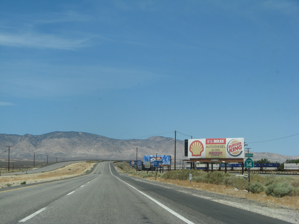
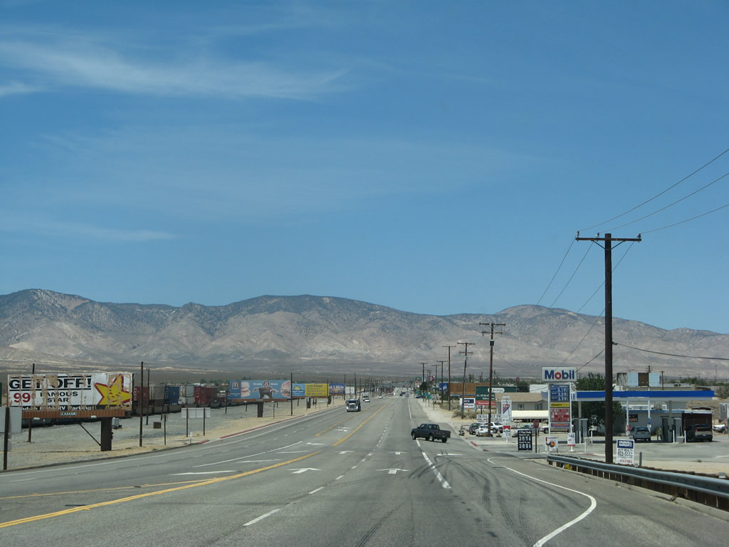
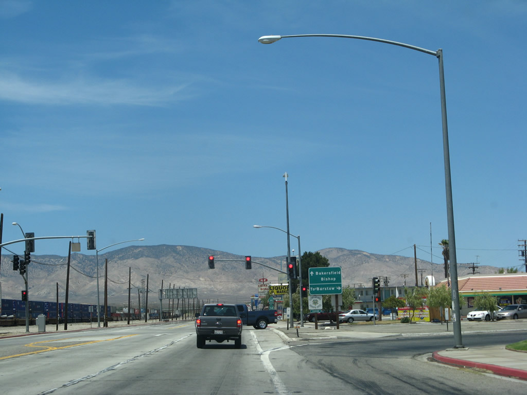
At Milepost 68 is this sign advising of the intersection with California 58 Business. To California 58 east to Boron and Barstow, turn right; to California 58 west to Bakersfield, continue straight ahead. Photo taken 07/04/07. |
 |
California 58 cuts across the northernmost tier of Southern California, passing through Santa Margarita, McKittrick, Bakersfield, and Mojave before connecting with Interstate 15 and Interstate 40 in Barstow. Much of this route east of Bakersfield was historic U.S. 466, decommissioned in 1964. Slowly, California 58 is being upgraded to an all-freeway corridor between Interstate 5 and Interstate 15. California 14 meets the California 58 business route at the southern end of the town of Mojave. Photo taken 07/04/07. |
 |
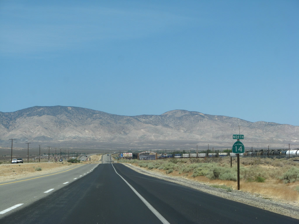
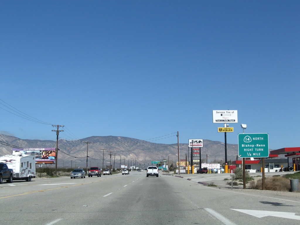
Northbound California 14 reaches Exit 68, California 58 Business. Turn right here to California 58 east to Boron and Barstow. To California 58 west to Bakersfield, continue straight ahead. Photo taken 07/04/07. |
| California 14 north and California 58 Business west | |
|---|---|
 |
After the California 58 Business intersection, this reassurance shield assembly is posted for both California 14 north and California 58 Business west. Photo taken 03/15/09. |
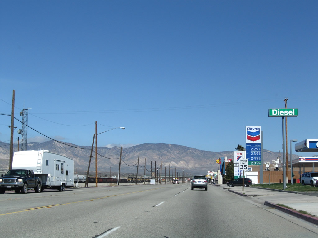 |
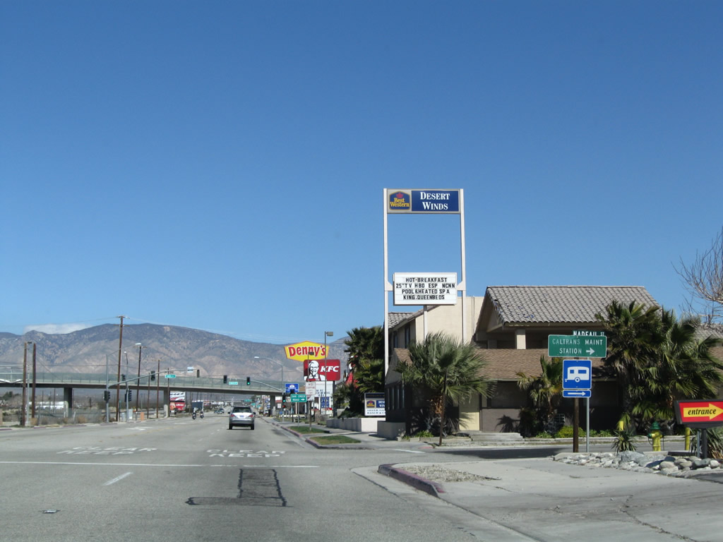
Food, gas, and lodging are located along this section of California 14 north and California 58 Business west as Sierra Highway proceeds through Mojave. Photo taken 03/15/09. |
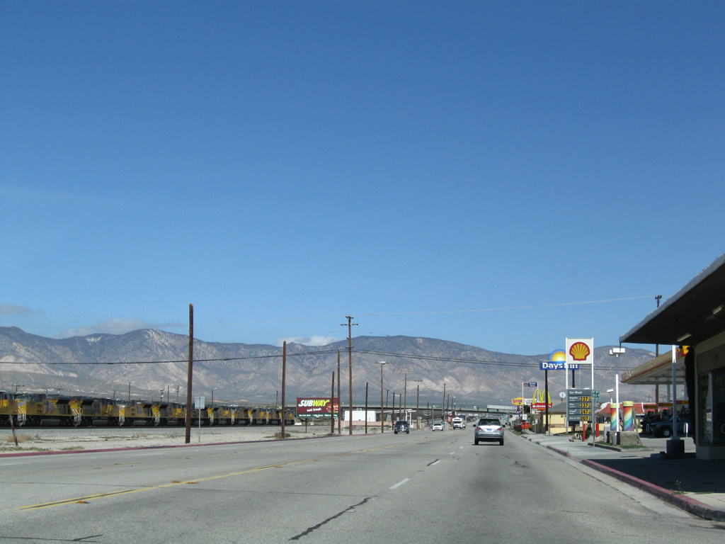 |
The railroad that parallels California 14 and California 58 Business on the west side of the highway widens into a busy railyard. Photo taken 03/15/09. |
 |
Borax was hauled by the Twenty Mule Team from Boron to Mojave; this site represents the western end of that mule haul route. Photo taken 03/15/09. |
 |
Turn right from California 14 north and California 58 Business west onto Nadeau Street east to the Caltrans Maintenance Station. Photo taken 03/15/09. |
 |
The next traffic signal along California 14 north is with Mono Street east to Oak Creek Road west. The overpass ahead carries Oak Creek Road over both California 14 and the railyard. Photo taken 03/15/09. |
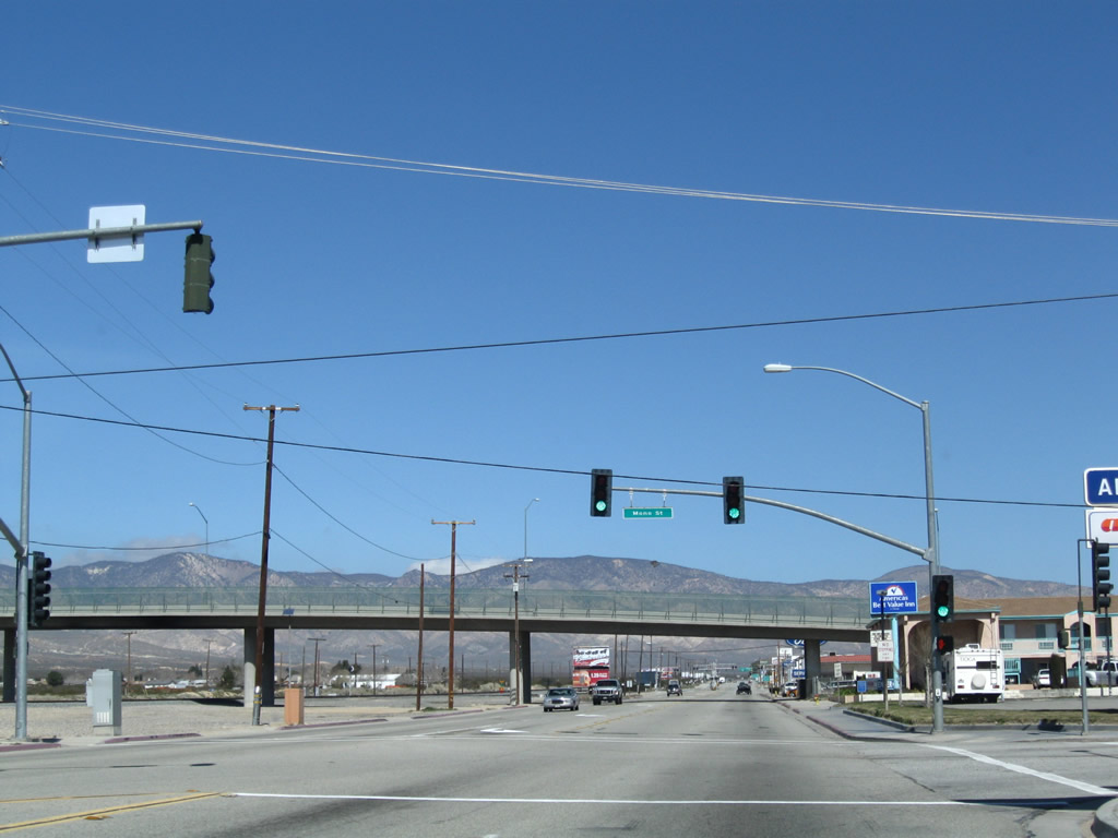 |
Northbound California 14 and westbound California 58 Business/Sierra Highway meet Mono Street (to Oak Creek Road west). Photo taken 03/15/09. |
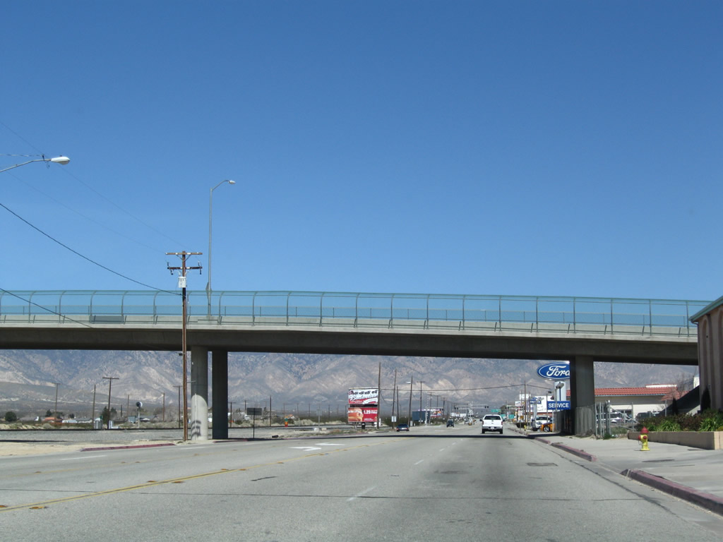 |
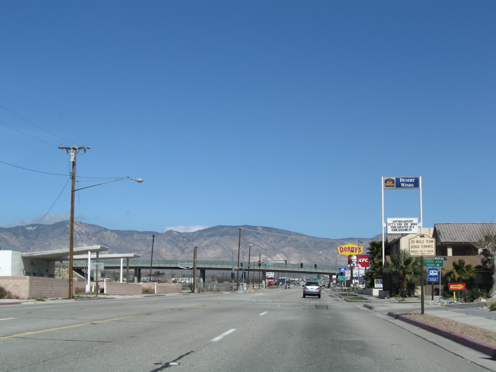
Oak Creek Road passes over California 14 and California 58 Business. Oak Creek Road travels west into the Tehachapi Mountains, eventually connecting with Tehachapi Willow Springs Road north to Tehachapi or south to Willow Springs and Antelope Acres (California 138). Photo taken 03/15/09. |
 |
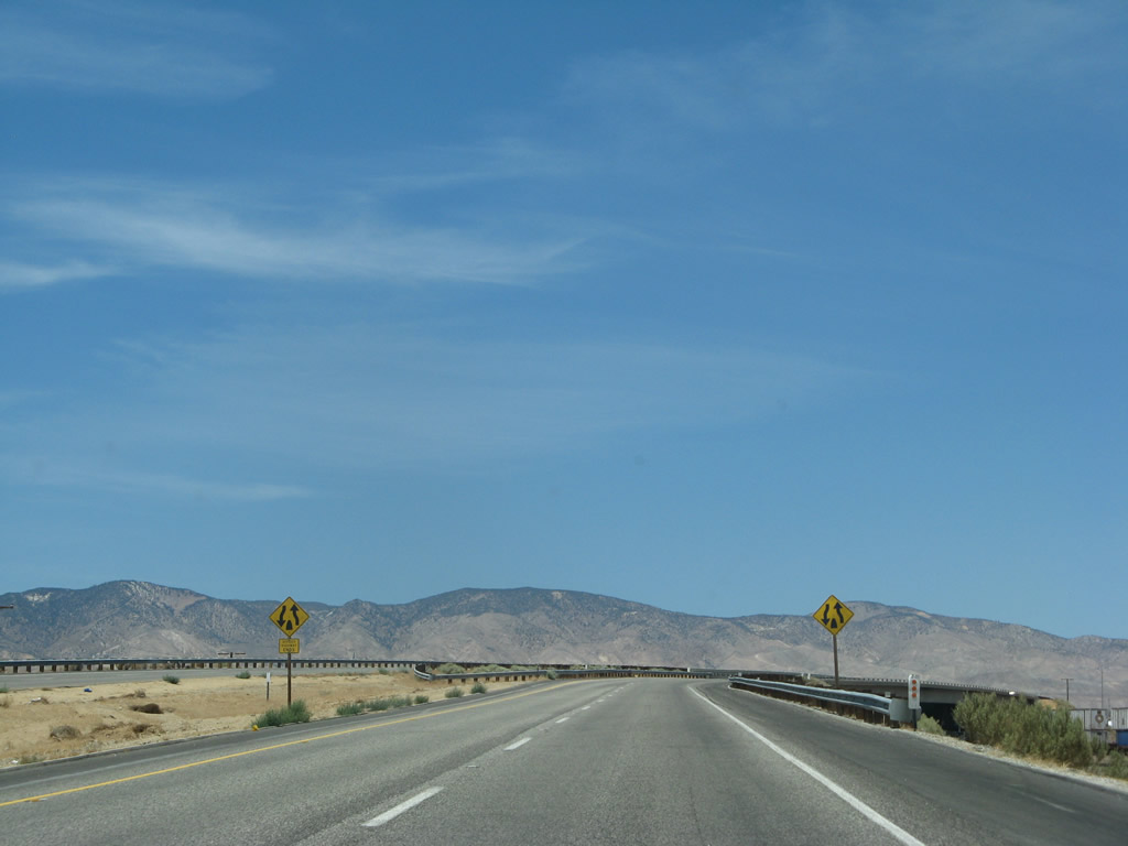
The routes divide about a half mile north of the Oak Creek Road overpass. Stay left to follow California 58 Business west back to California 58 or stay right to follow California 14 north to Lone Pine, Bishop, Lake Tahoe, and Reno. Photo taken 03/15/09. |
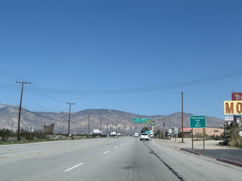 |
To Tehachapi, follow California 58 west. Photo taken 03/15/09. |
 |
At this point, the routes divide. California 58 turns northwest toward Tehachapi, Bakersfield, and points north and west in the Central Valley. California 14 turns northeast toward Inyokern, where it merges with U.S. 395. From there, U.S. 395 proceeds north through the Eastern Sierra toward Bishop and Reno. Photo taken 03/15/09. |
 |
California 14's depature northeast is well-signed, including another ground-mounted sign and a trailblazer. Photo taken 03/15/09. |
| California 14 north | |
 |
After splitting from California 58 Business, a reassurance shield for northbound California 14 is posted along Sierra Highway. Photo taken 03/15/09. |
 |
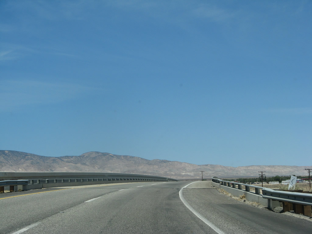
Owing to its location near the Tehachapi foothills, the next 22 miles of California 14 feature strong, gusty winds. Photo taken 03/15/09. |
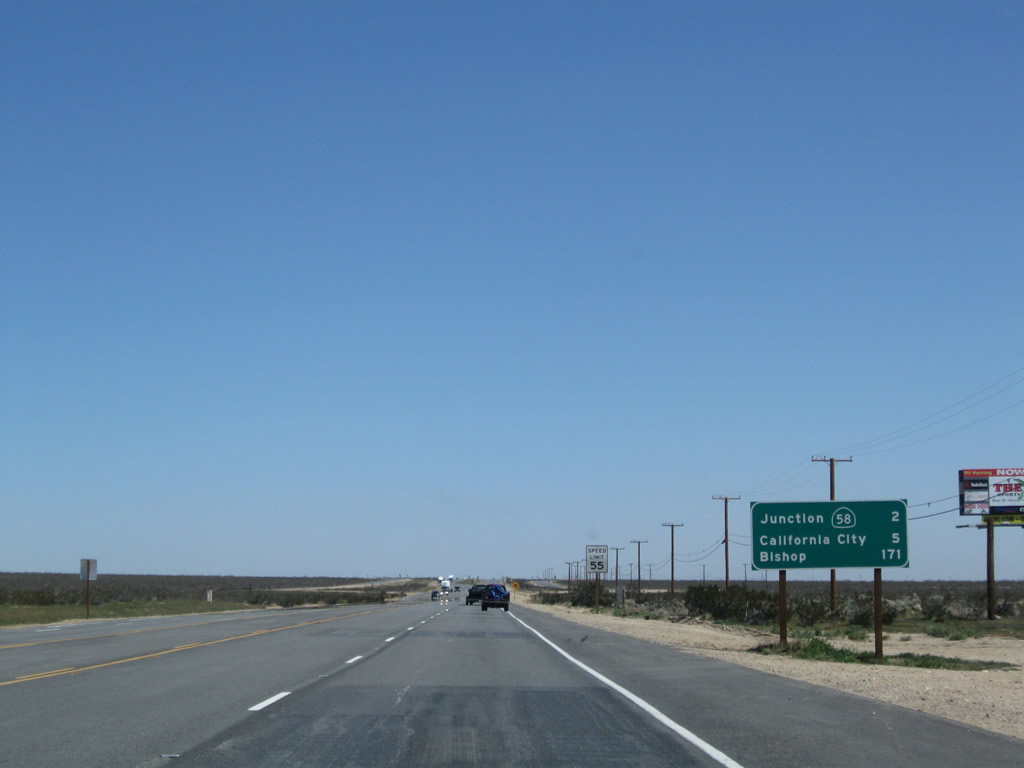 |
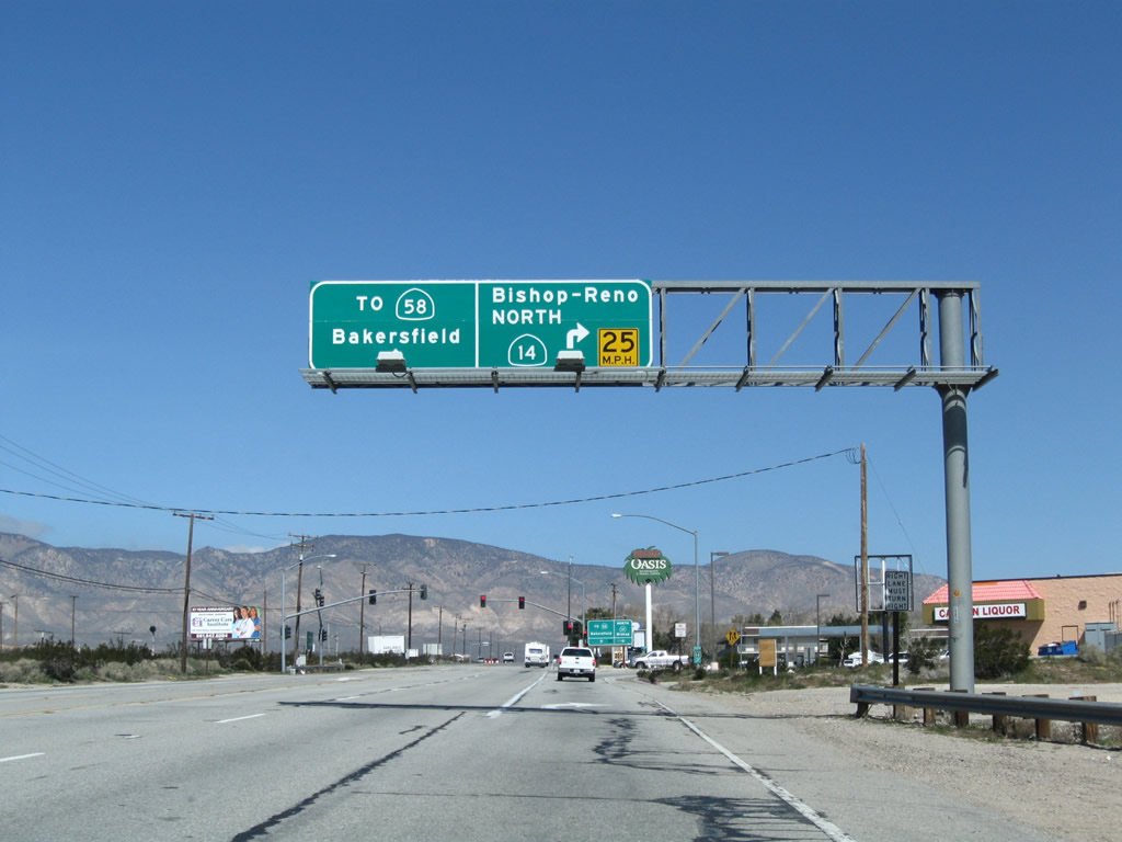
This mileage sign along California 14 provides the distance to California 58 (two miles), California City (five miles), and Bishop (171 miles). Photo taken 03/15/09. |
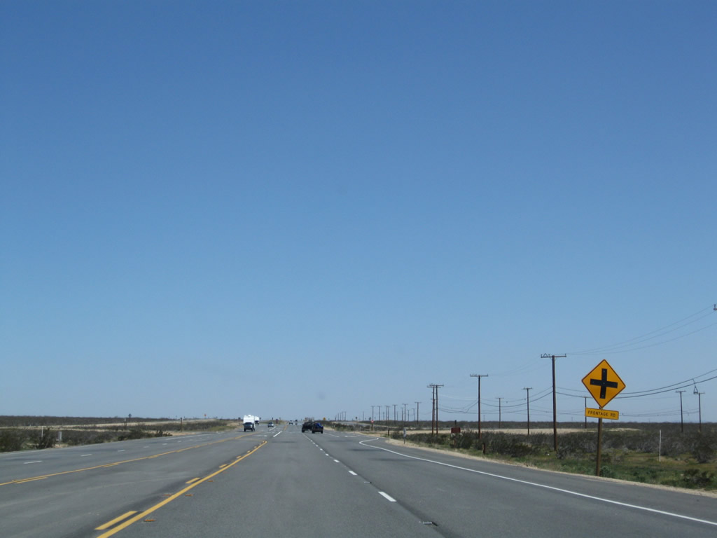 |
Northbound California 14 approaches an intersection with the California 58 frontage road. The next interchange will be with California 58 (Mojave Bypass), followed by Exit 71, California City Boulevard east to California City (both not photographed). Then California 14 proceeds north through Red Rock Canyon to Freeman Junction, where the highway meets California 178. Photo taken 03/15/09. |

Page Updated July 7, 2010.
|
About Contact Glossary |
In The News Interstate Guide |
Social Media:
 |
|
© 2000-25 AARoads.com | All Rights Reserved | Privacy Policy / Terms of Use
|
||