

California 58 West - Tehachapi to Bakersfield
| California 58 west | ||
|---|---|---|
 |
 |
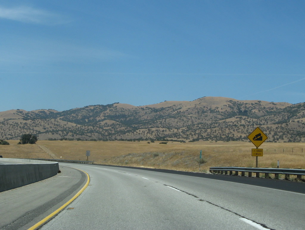
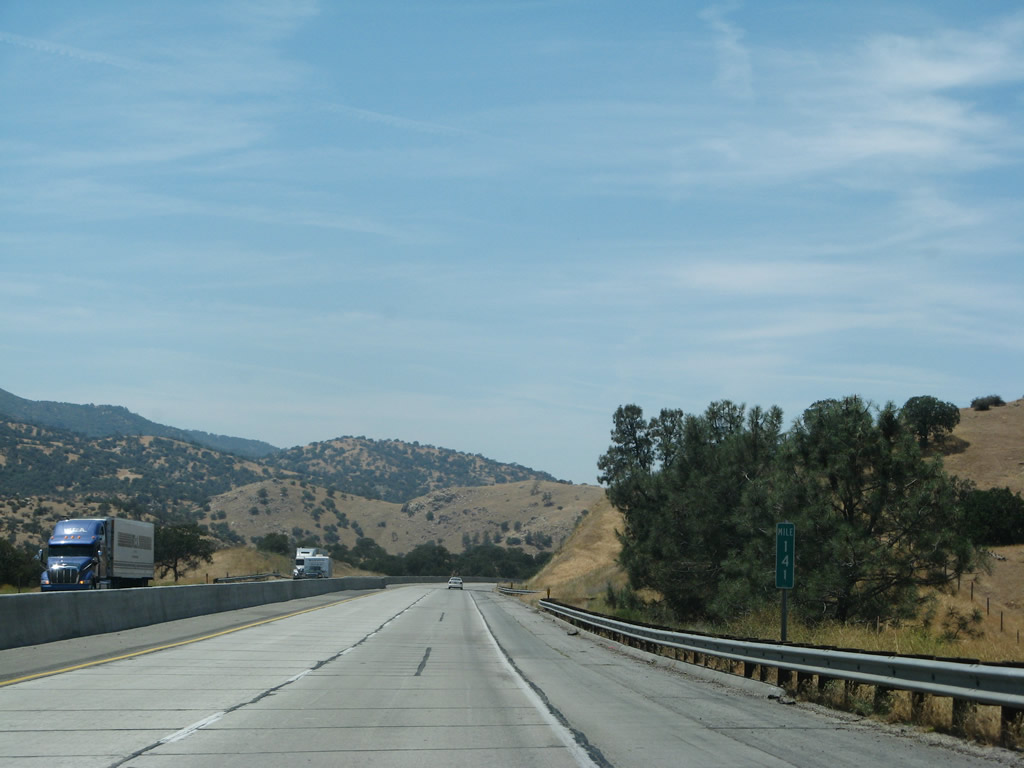
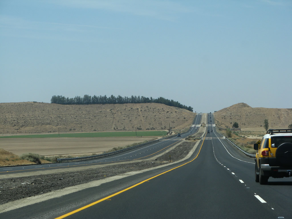
California 58 leaves Tehachapi after the California 202 interchange. While retaining freeway characteristics, the two directions of California 58 are now separated only by a jersey barrier as shown in this picture, rather than the wide median that is present around the city of Mojave or at the bottom of the grade, coming into Bakersfield. The freeway travels almost exclusively downhill as the route looses elevation. For safety purposes, the shoulders are standard freeway size. Photos taken 07/04/07. |
 |
 |
|
 |
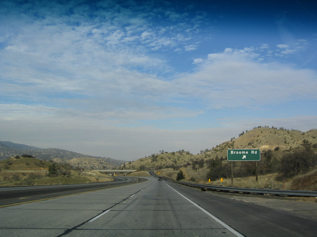 |
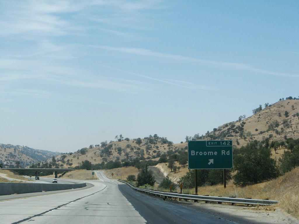
Westbound California 58 reaches Exit 142, Broome Road. An exit number sign was added between 2004 and 2007. Photos taken 07/04/07 and 01/21/04. |
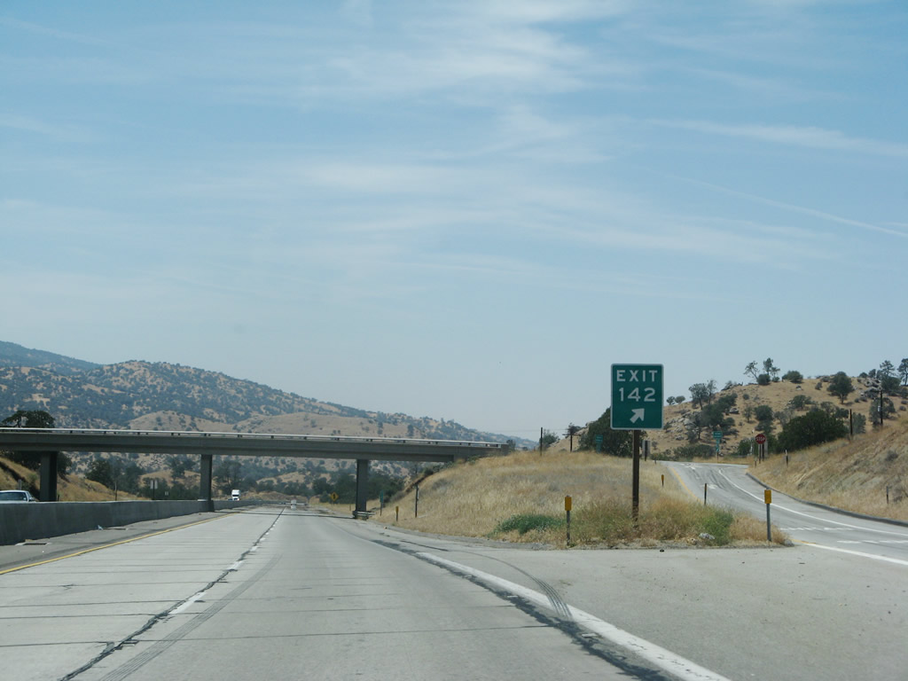 |
The gore point sign for Exit 142 includes the exit number. Photo taken 07/04/07. | |
 |
 |
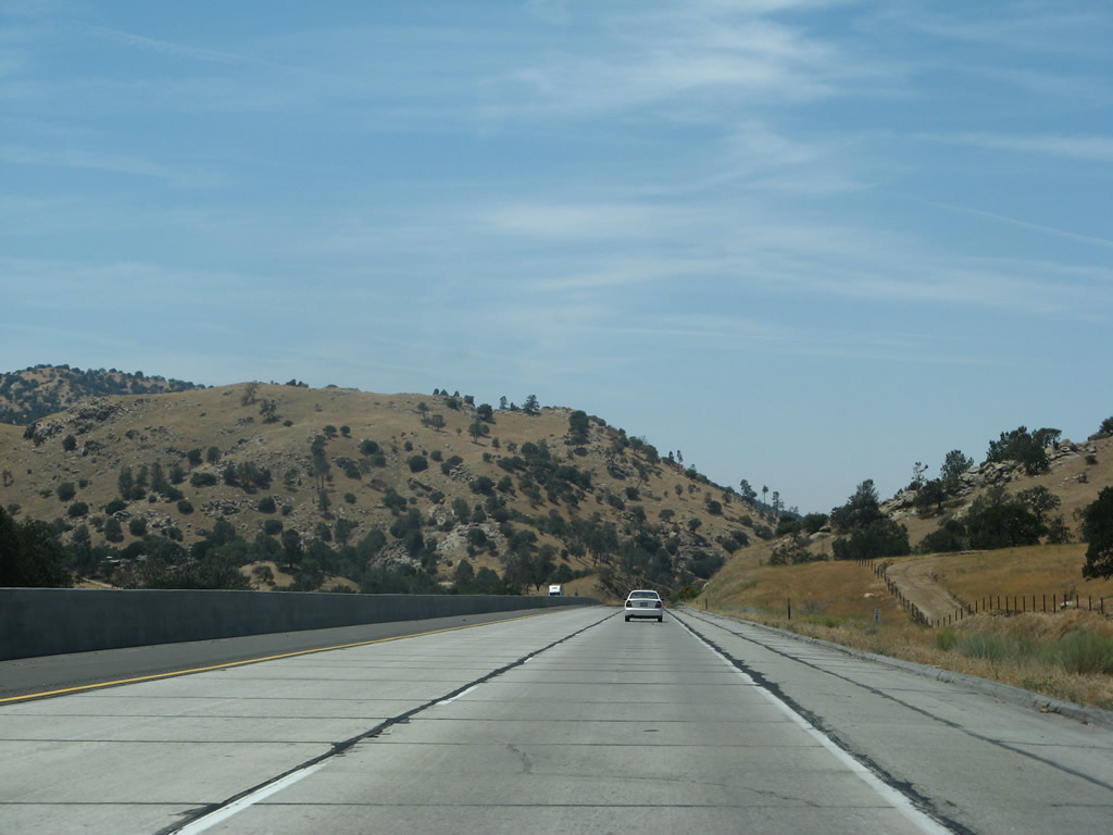 |
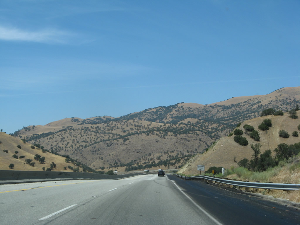
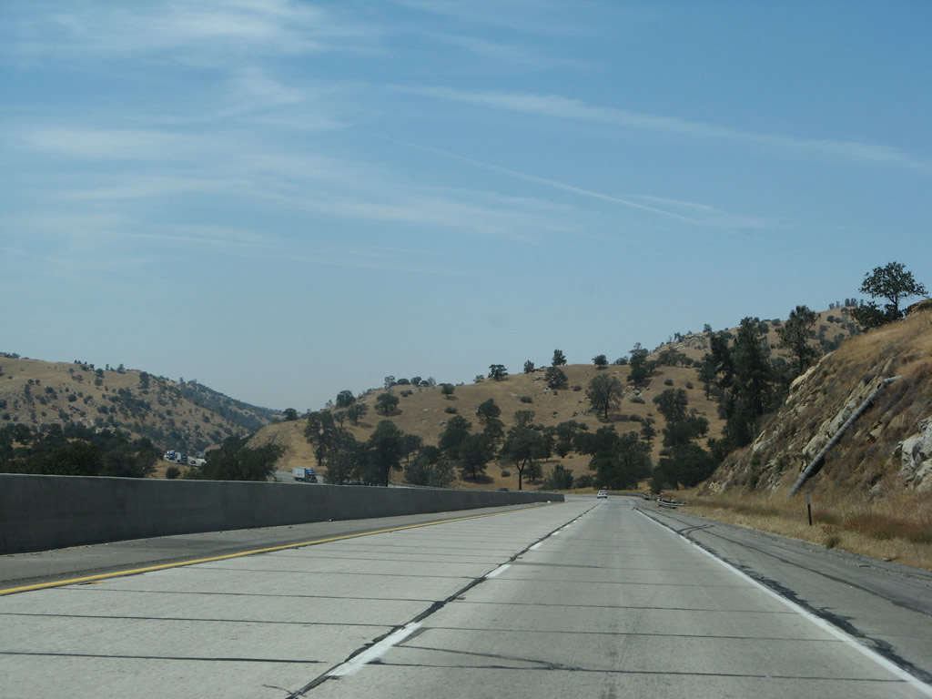
Now passing through the heart of the Tehachapi Mountains, California 58 continues with four lanes and the tall median barrier. However, this narrow configuration helps minimize the right of way required for the four-lane roadway. However, along some stretches, there is landscaped barrier between the two directions of traffic. Photos taken 07/04/07. |
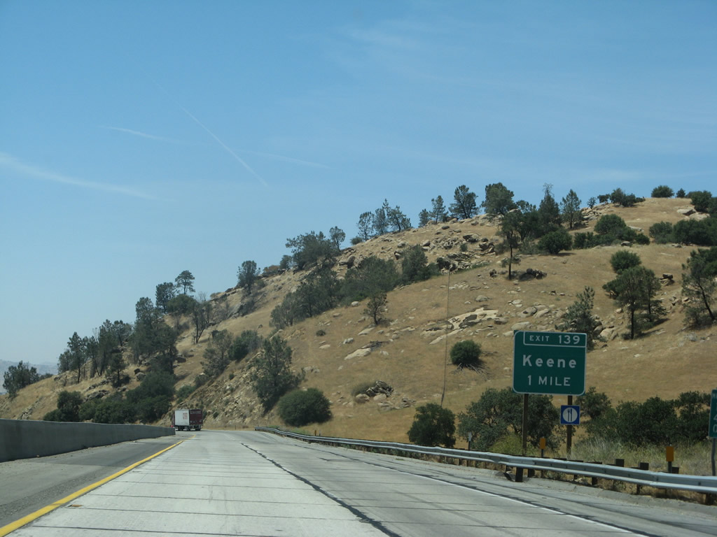 |
The next exit along California 58 west is Exit 139, U.S. 466/Woodford-Tehachapi Road east to Keene and Tehachapi Loop (one mile). Photo taken 07/04/07. |
 |
Located in the western foothills below Tehachapi Pass, the unincorporated community of Keene is located along the railroad near the Tehachapi Loop. The population was 339 people as of the 2000 Census and the community is located at 2,602 feet. Use Exit 139 to the National Cesar E. Chavez Center (headquarters of the United Farm Workers, a labor union) in Keene. A visitors center and memorial garden are located at the center. Photo taken 07/04/07. |
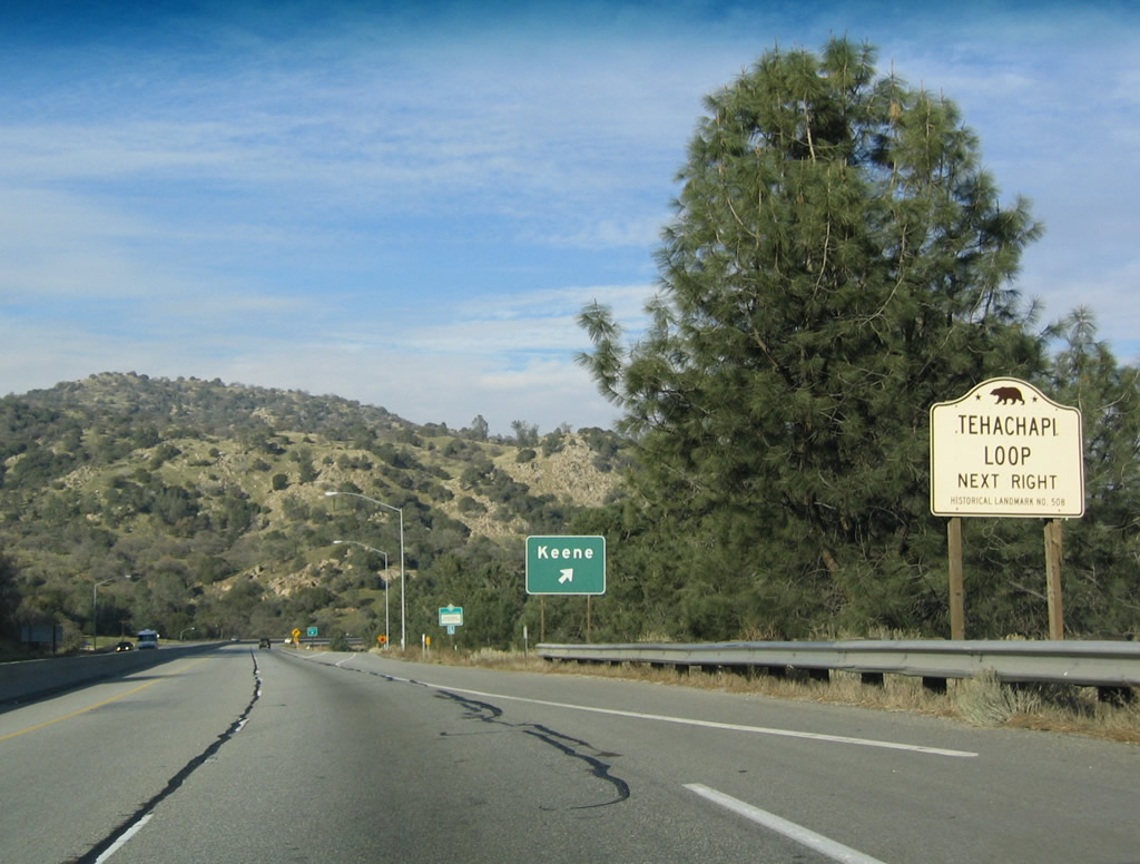 |
Westbound California 58 reaches Exit 139, U.S. 466/Woodford-Tehachapi Road east to Keene. Note how the trees are becoming more sporadic; in another couple miles, there will be far fewer trees. The Tehachapi Loop (note the historical marker) is part of the railroad that parallels California 58, and it is located about halfway up the Tehachapi Pass. The loop enables trains to climb the steep slope from Bakersfield to Tehachapi by way of a grade separated bridge. To reach the loop and the historical marker, take Exit 139 and follow the signs to the overlook. Photo taken 01/21/04. |
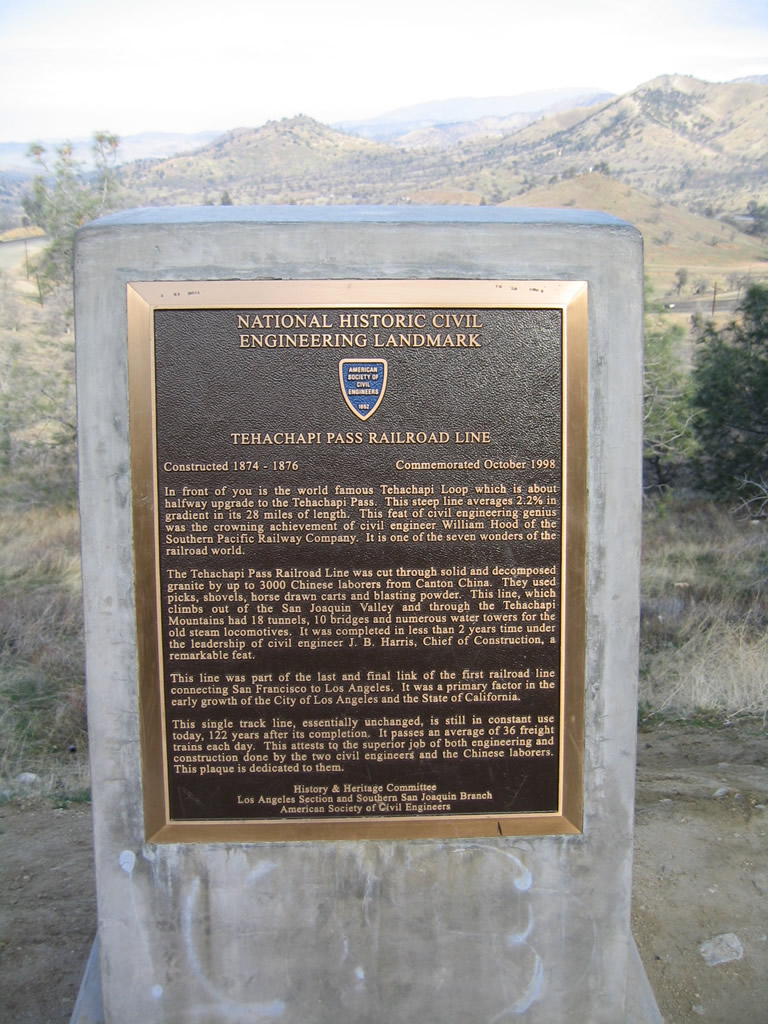 |
This marker, found off of Old U.S. 466 southwest of Exit 139, documents the importance and history of the Tehachapi Loop (built as part of the Southern Pacific Railroad, now part of the Union Pacific Railroad). Photo taken 01/21/04. |
 |
The exit number is posted at the gore point for Exit 139. Use this exit to follow U.S. 466 east to Tehachapi along its old alignment; to see U.S. 466 west, follow California 58's freeway west. Photo taken 07/04/07. |
 |
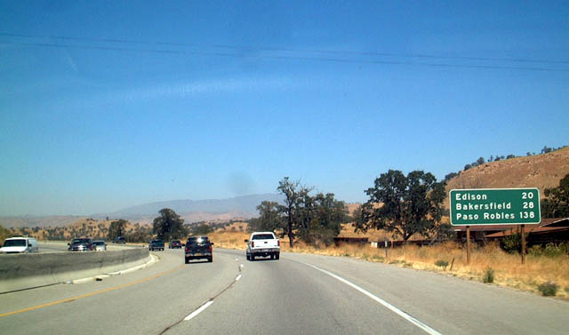 |
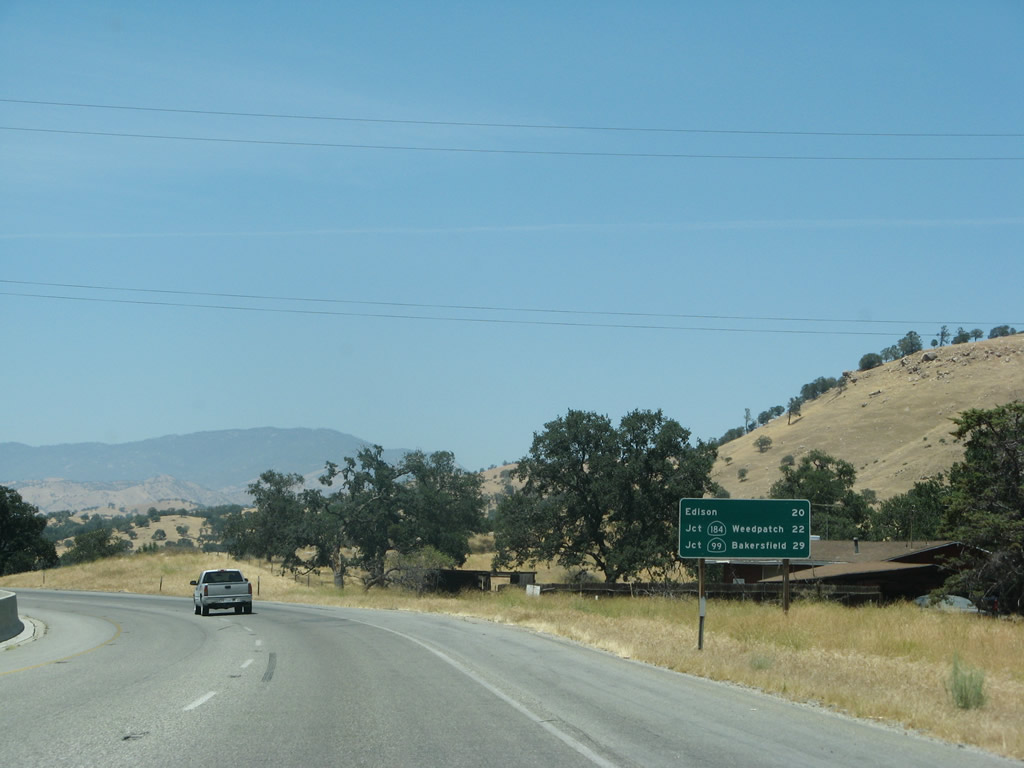
After Exit 139, this mileage sign along westbound California 58 provides the distance to Edison (20 miles), California 184 to Weedpatch (22 miles), and California 99 to Bakersfield (29 miles). The original sign posted the distance to Edison, Bakersfield, and Paso Robles. This last city was notable, since California 58 does not go to Paso Robles. That connection would be made by following the path of Old U.S. 466 via California 99 north and California 46 west. Photos taken 07/04/07 and 08/15/03. |
 |
 |
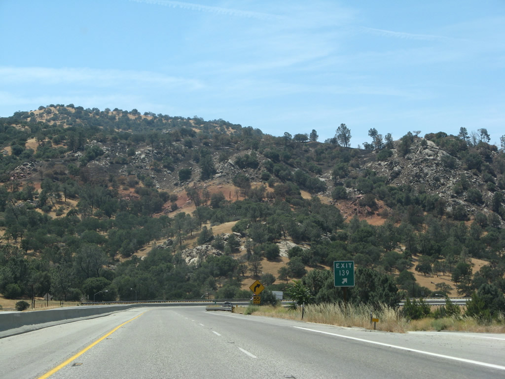
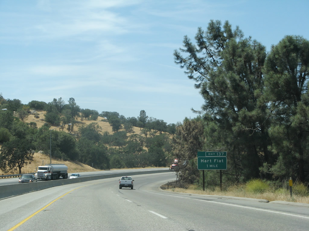
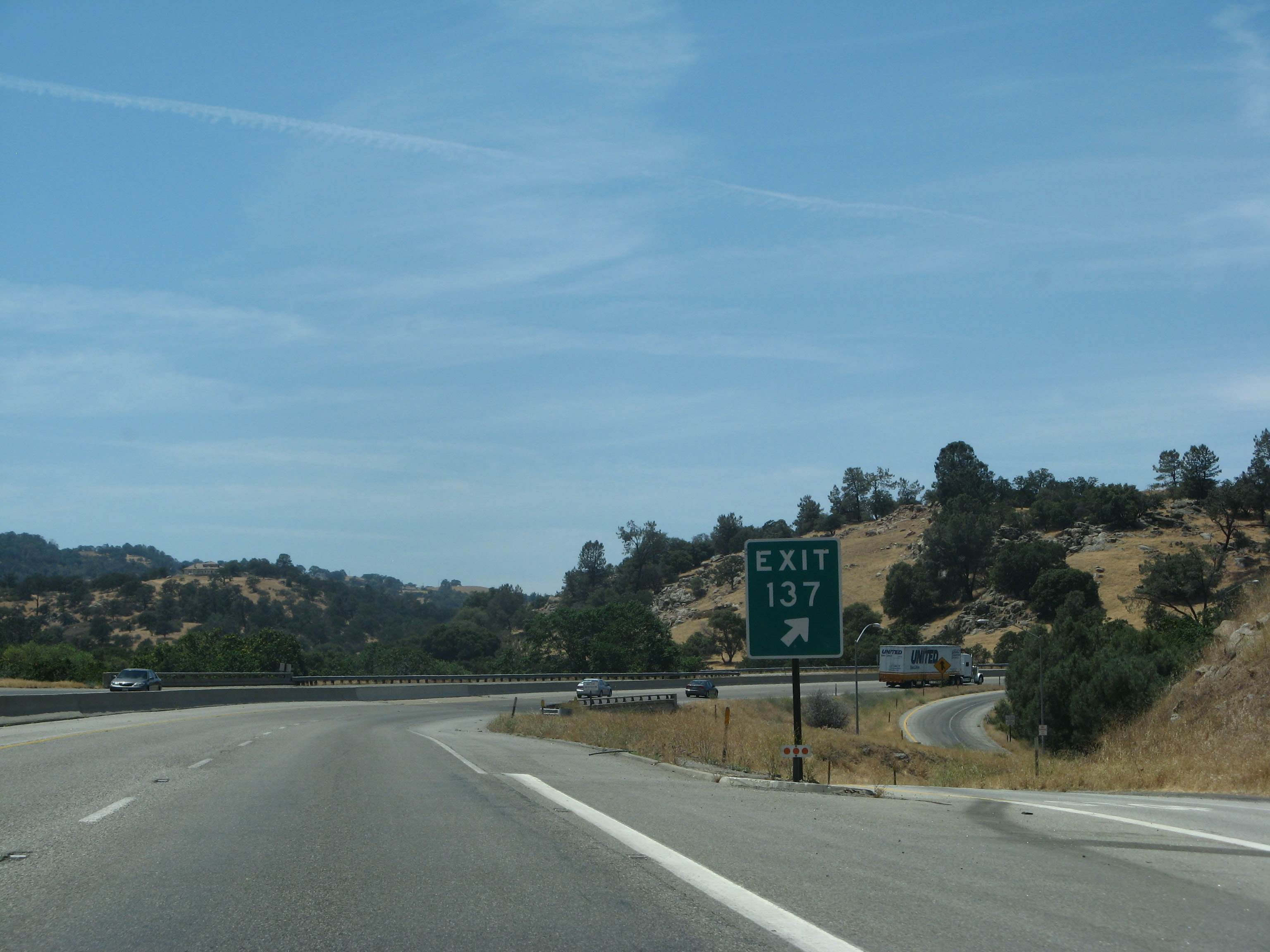
The next exit along California 58 west is Exit 137, Hart Flat Road (one mile). This exit serves local ranches and homes in the foothills. Although it is part of Old U.S. 466, it is not possible to drive a whole segment of U.S. 466 as the road dead ends. Photos taken 07/04/07 and 08/15/03. |
 |
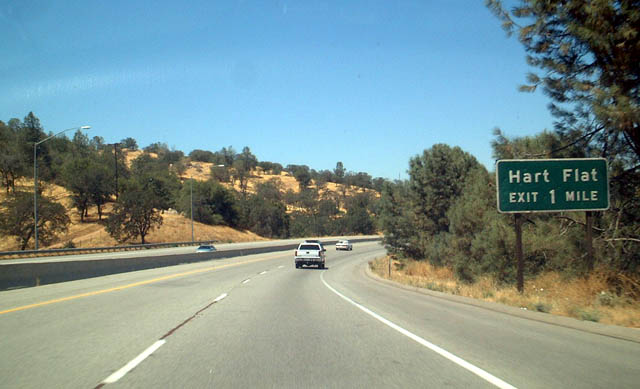
Westbound California 58 reaches Exit 137, Hart Flat Road (segment of Old U.S. 466). Photo taken 07/04/07. | |
 |
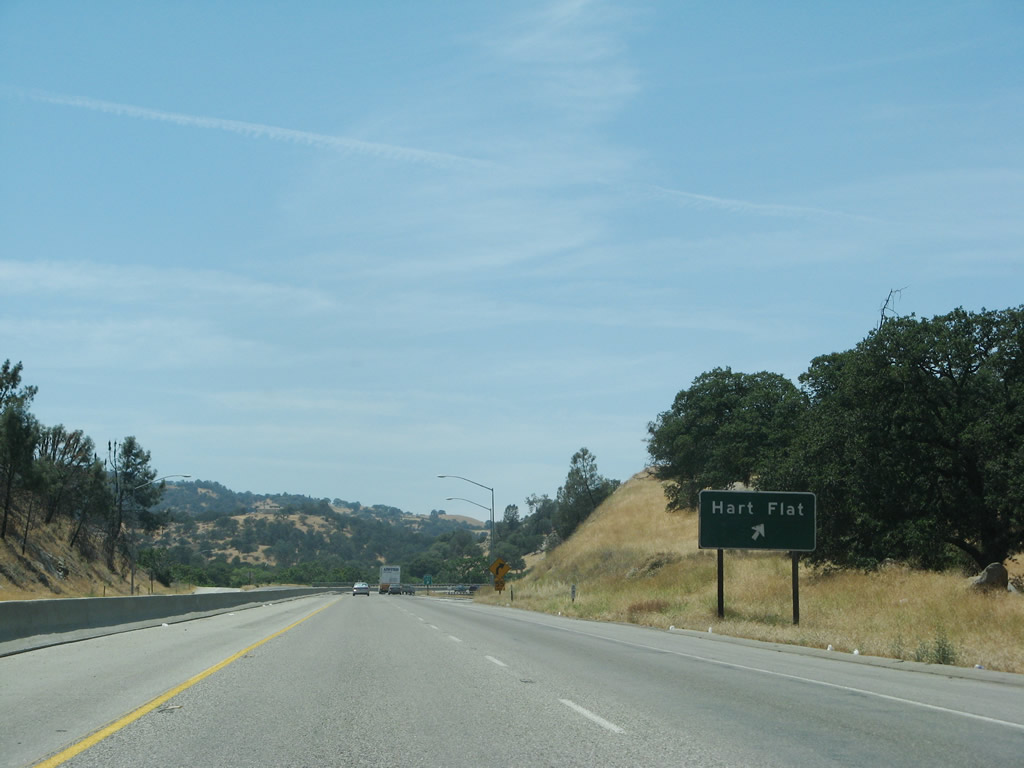
Like other gore point signs nearby, Exit 137 is signed with an exit number. Photo taken 07/04/07. | |
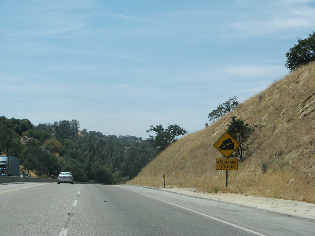 |
After Exit 137, another warning sign advises of steep grades continuing for the next three miles (at six percent). Photo taken 07/04/07. | |
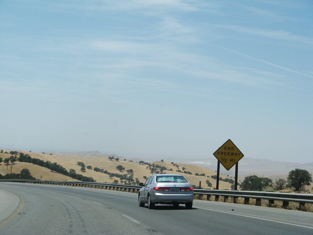 |
Prior to the Caliente cutoff, signs advise that the freeway ends. This is the first segment of at-grade intersections since east of Mojave. Photo taken 07/04/07. | |
 |
The median narrows to a jersey barrier as we approach the at-grade intersection with U.S. 466/Bealeville Road west to Caliente. At Caliente, U.S. 466 turns onto Caliente-Bodfish Road through a pastoral area. Photo taken 07/04/07. | |
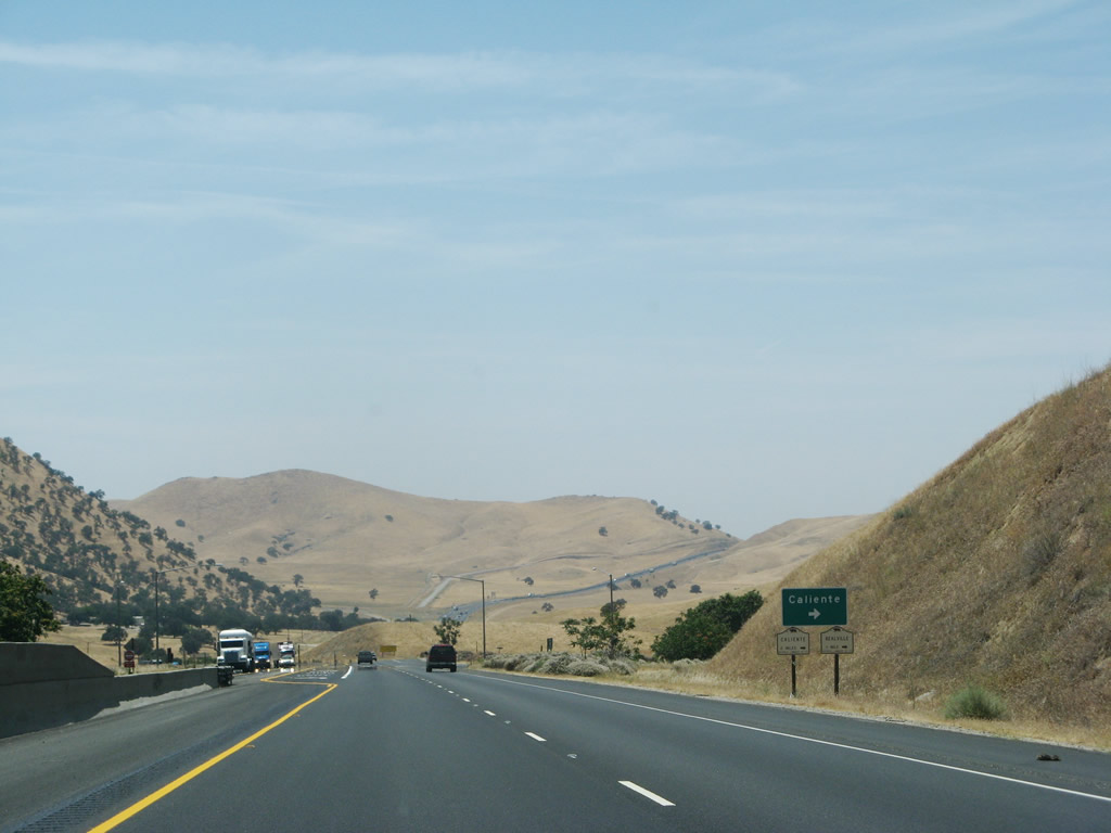 |
Westbound California 58 meets Bealeville Road north to Caliente. U.S. 466 follows Bealeville Road north, then turns west via Caliente-Bodfish Road. After leaving Caliente, Bealeville Road continues north to meet California 178 near Bodfish and Lake Isabella. Photo taken 07/04/07. | |
 |
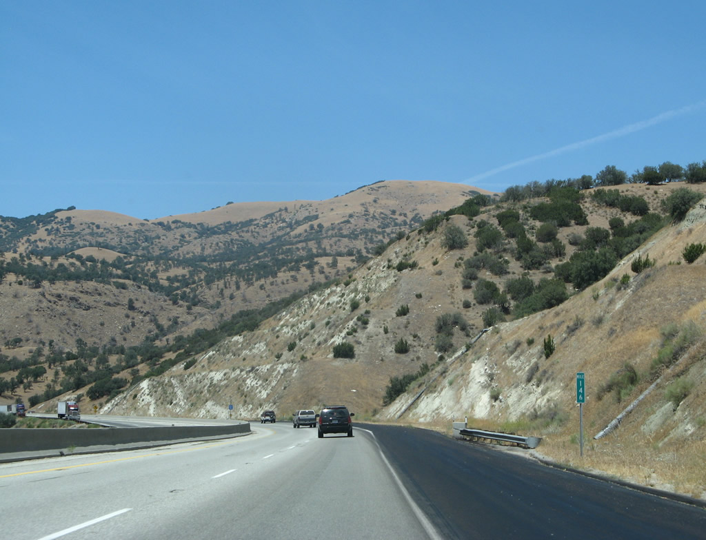
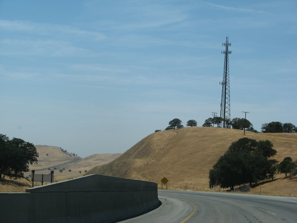
The next intersection along California 58 west is Exit 131, California 223 west to Arvin. The state route then continues west to meet California 99 before ending at Interstate 5 at Exit 239. Note how there are fewer trees as California 58 loses elevation. Photo taken 07/04/07. | |
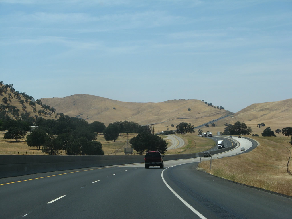 |
On the approach to Exit 131/California 223, a second alignment of U.S. 466 (California 58) is visible to the south of the expressway. While the original alignment followed Caliente-Bodfish Road, the south frontage road is the second generation alignment. Photo taken 07/04/07. | |
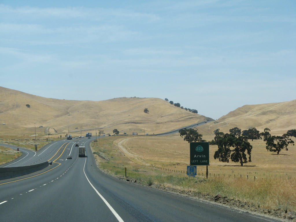 |
The next exit along California 58 west is Exit 131, California 223 west to Arvin. This stretch is one of the few remaining from Tehachapi west to Bakersfield that have not yet been upgraded to full freeway standards. Exit 131 is actually nothing more than a left turn off the highway, which can be a difficult proposition on a busy highway like California 58. Photo taken 07/04/07. | |
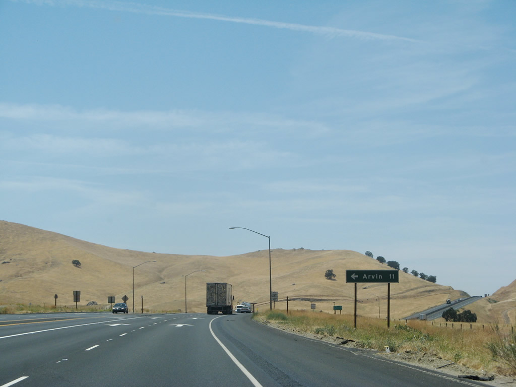 |
Westbound California 58 reaches Exit 131, California 223 west to Arvin and to California 99/Interstate 5. Arvin is 11 miles west of this intersection. Ahead, California 58 will convert back into freeway configuration for the final distance into Bakersfield. Photo taken 07/04/07. | |
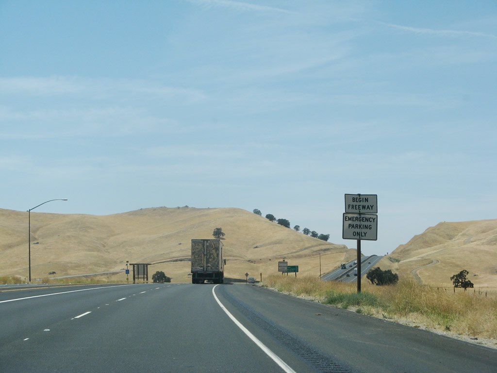 |
A begin freeway sign is posted after the California 223 intersection. No trees are to be seen as westbound California 58 passes over the last foothills before entering the Bakersfield metropolitan area. Photo taken 07/04/07. | |
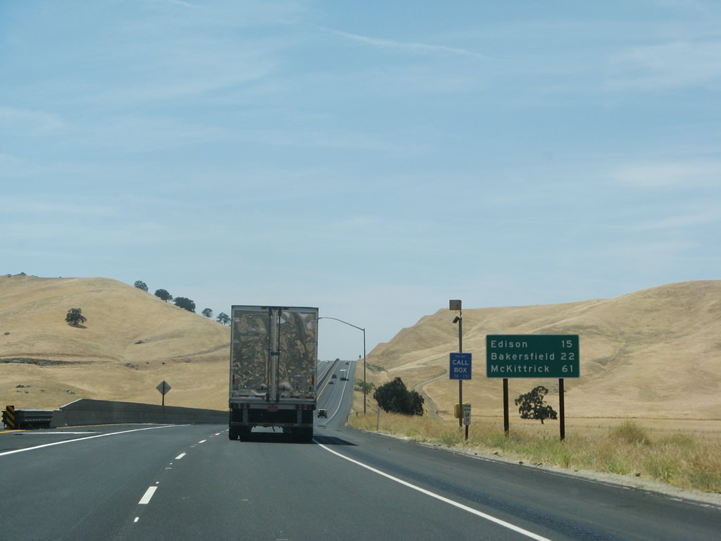 |
This mileage sign provides the distance to California 184 at Edison (15 miles), California 99 at Bakersfield (22 miles), and California 33 at McKittrick (61 miles). Photo taken 07/04/07. | |
 |
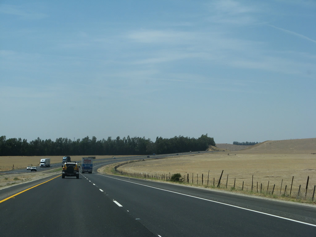
A final hill separates us from the sprawling Central Valley. Photo taken 07/04/07. | |
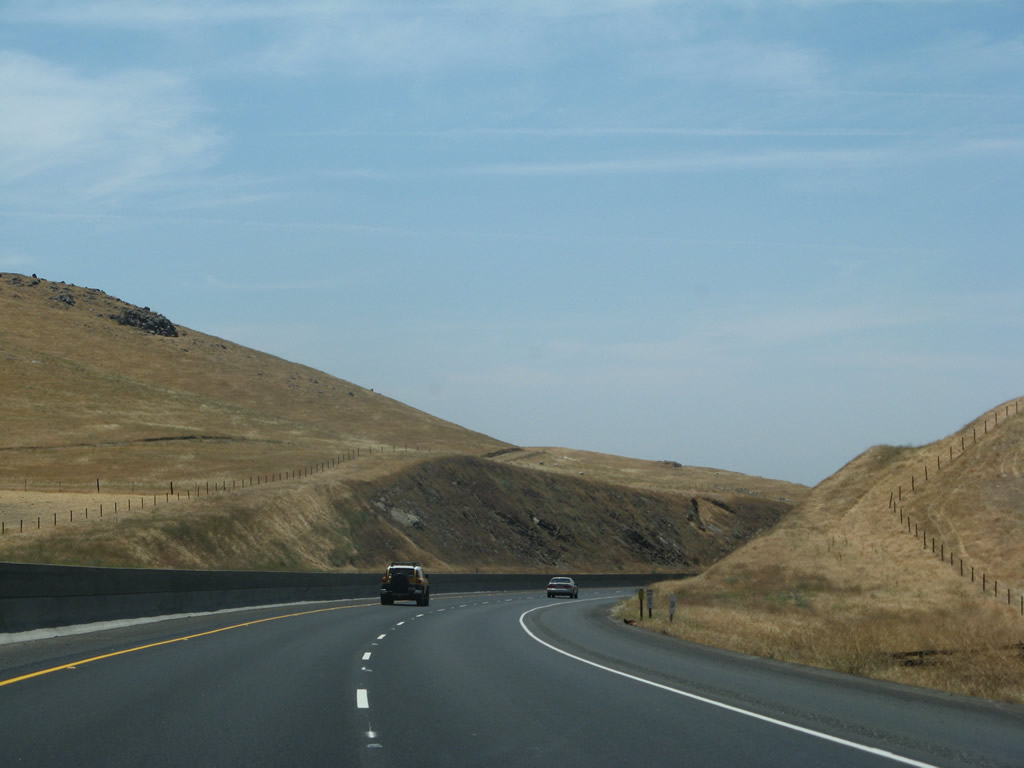 |
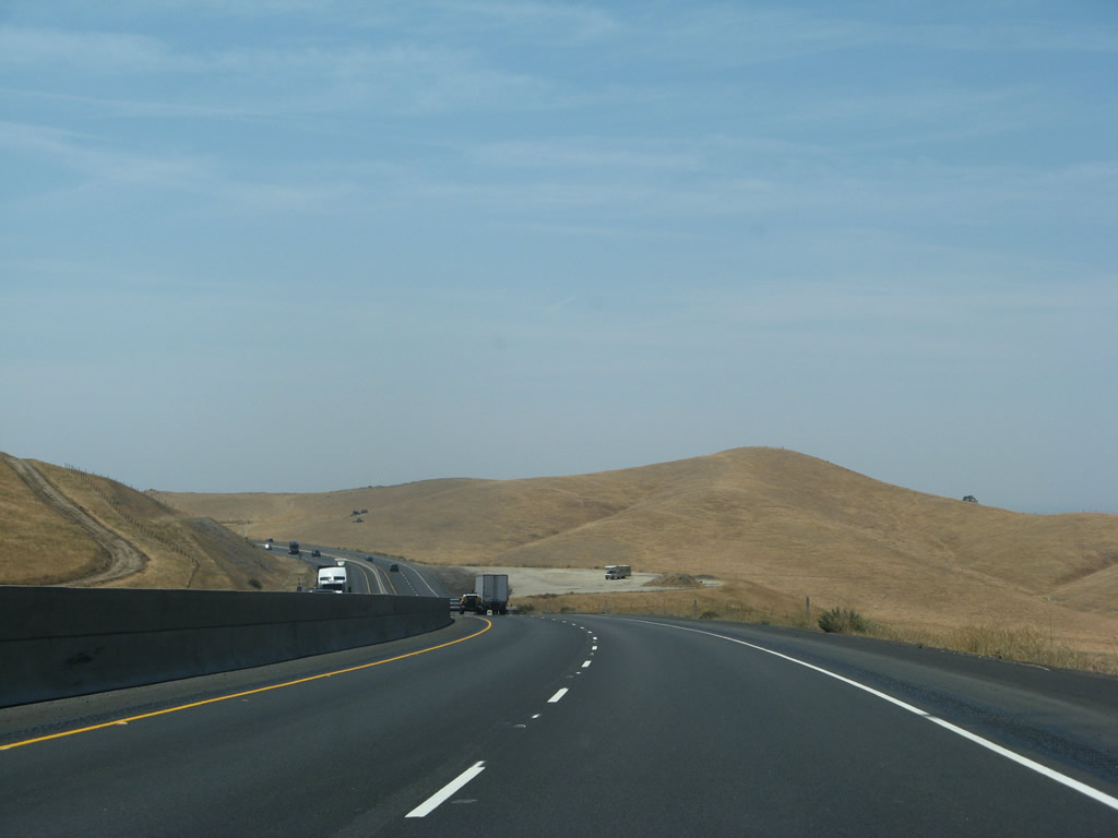
The freeway remains narrow with a jersey barrier to separate traffic; here we pass through a cut through the hill since in the previous photo. Photo taken 07/04/07. | |
 |
The Central Valley comes into view as we descend toward Bakersfield. Photo taken 07/04/07. | |
 |
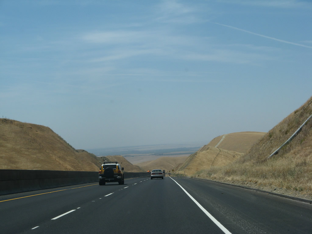
The next exit along California 58 west is Exit 127, General Beale Road (one mile). Photo taken 07/04/07. | |
 |
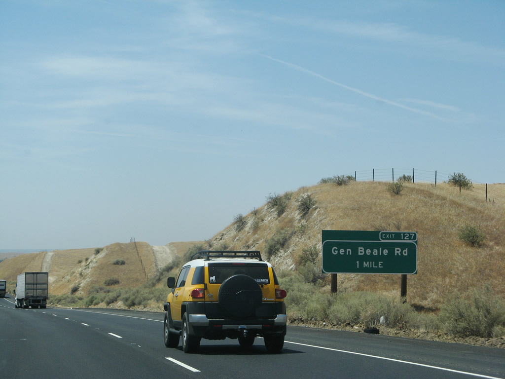
Westbound California 58 reaches Exit 127, General Beale Road. Photo taken 08/15/03. | |
 |
California has a Mediterranean climate that brings hot, dry summers and cool, wet winters. The grasses on these hills would be green in the winter and yellow in the summer. This view is found after the General Beale Road interchange. Photo taken 07/04/07. | |
 |
This view is similar to the last view, but it provides a constrant from the miles of farmland that awaits us on the valley floor. Photo taken 07/04/07. | |
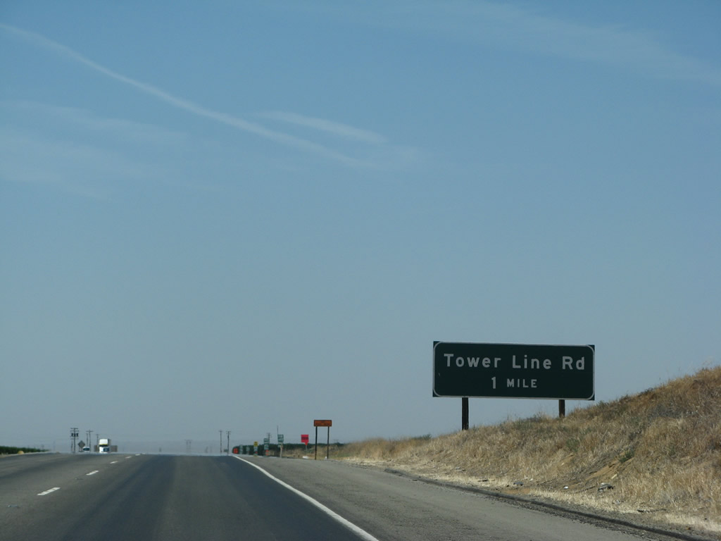 |
The next exit along California 58 west is Exit 123, Tower Line Road. Photo taken 07/04/07. | |
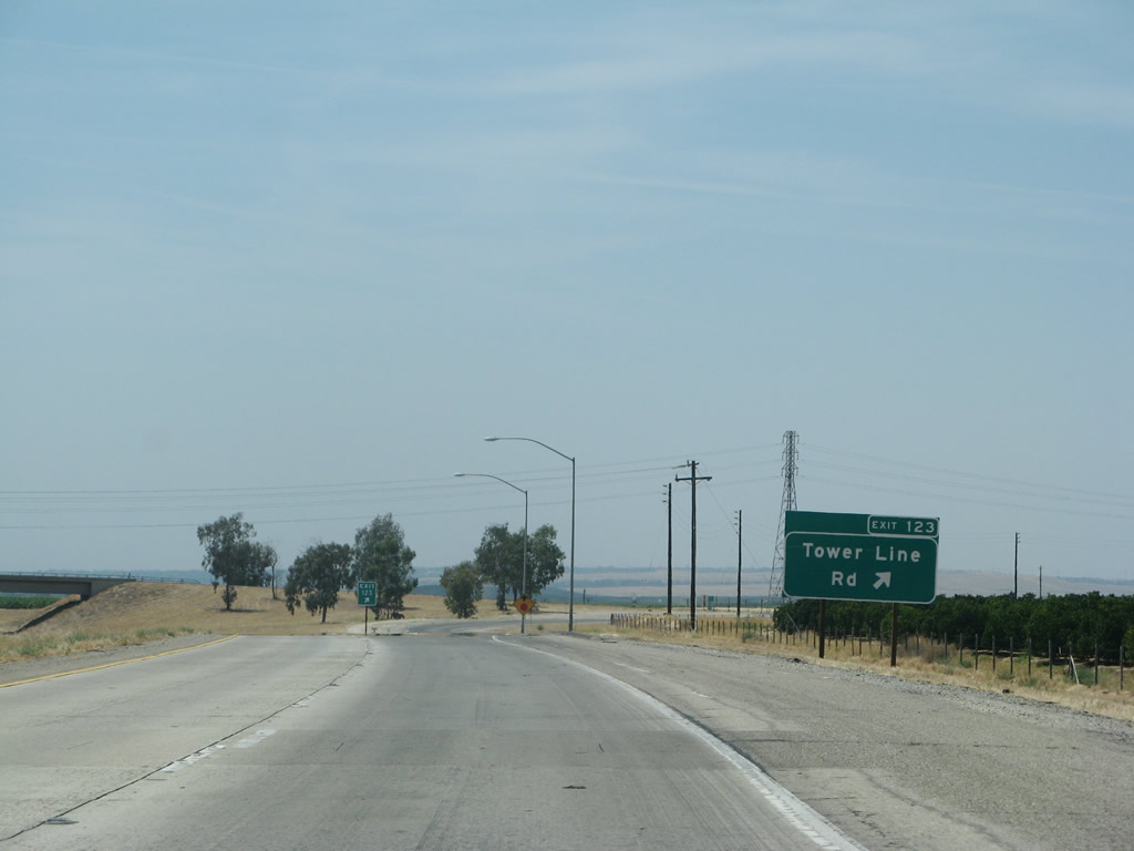 |
Westbound California 58 reaches Exit 123, Tower Line Road. Photo taken 07/04/07. | |
 |
The next exit along California 58 west is Exit 121, Comanche Drive to Edison, one mile. Photo taken 07/04/07. | |
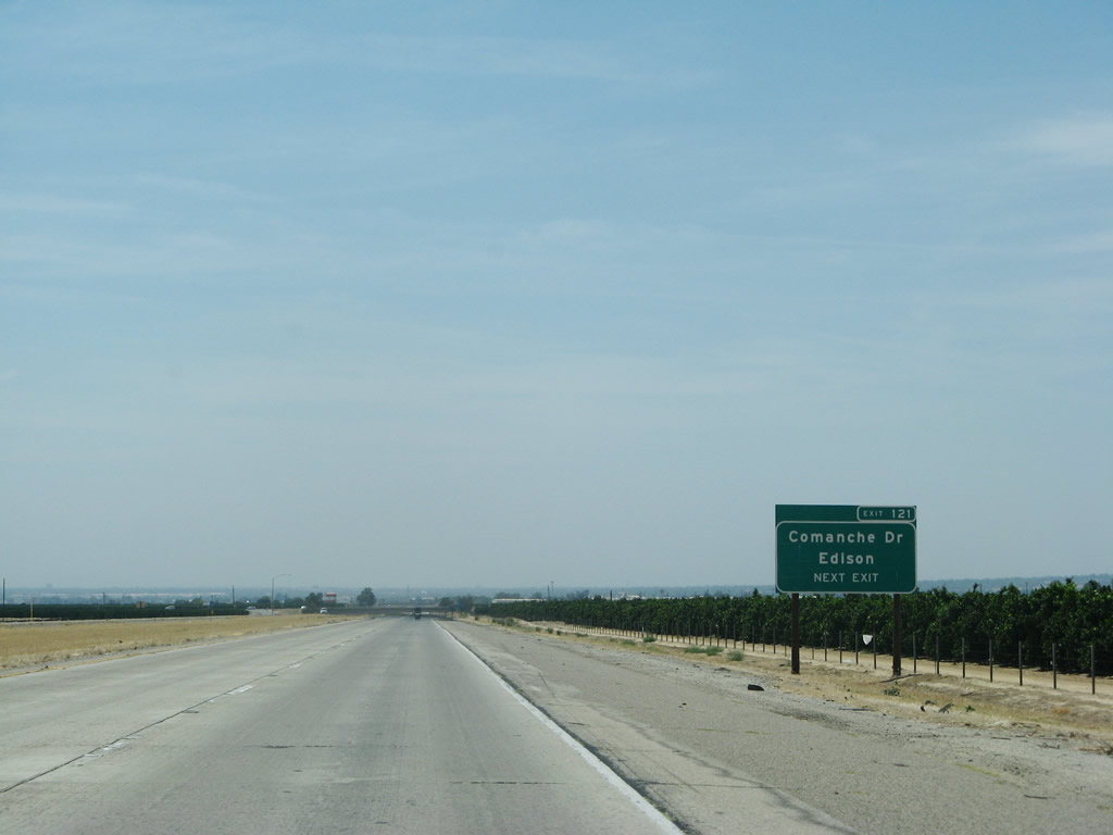 |
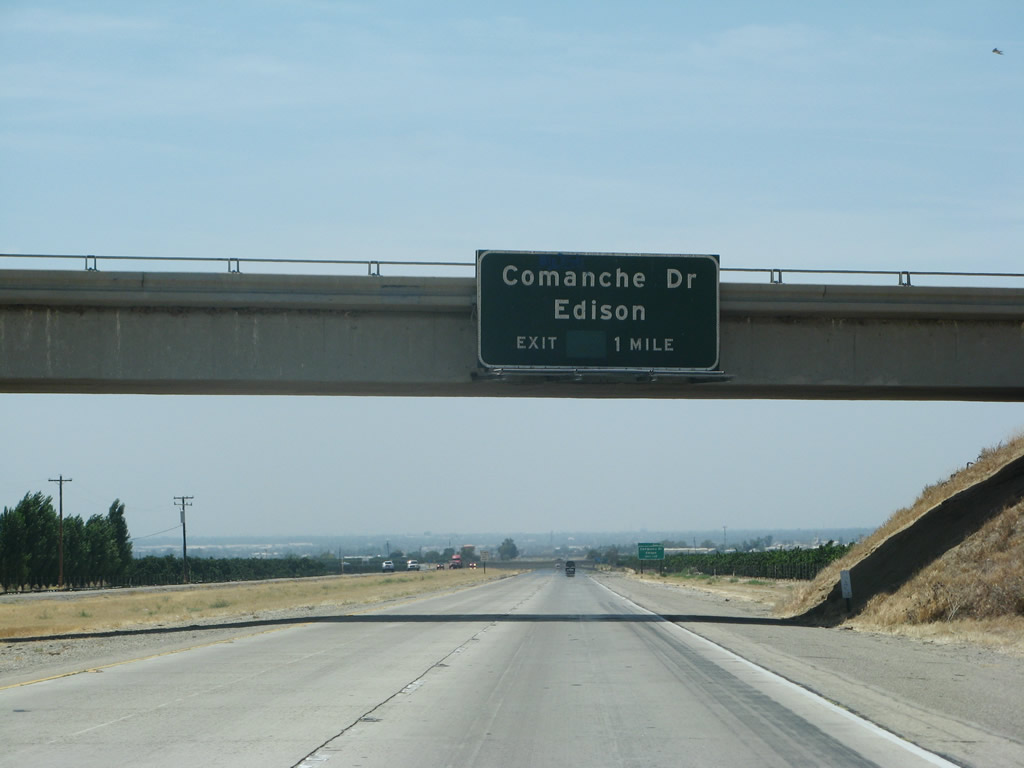
California 58 west approaches Exit 121, Comanche Drive to Edison. Photo taken 07/04/07. | |
 |
Westbound California 58 reaches Exit 121, Comanche Drive to Edison. Photo taken 07/04/07. | |
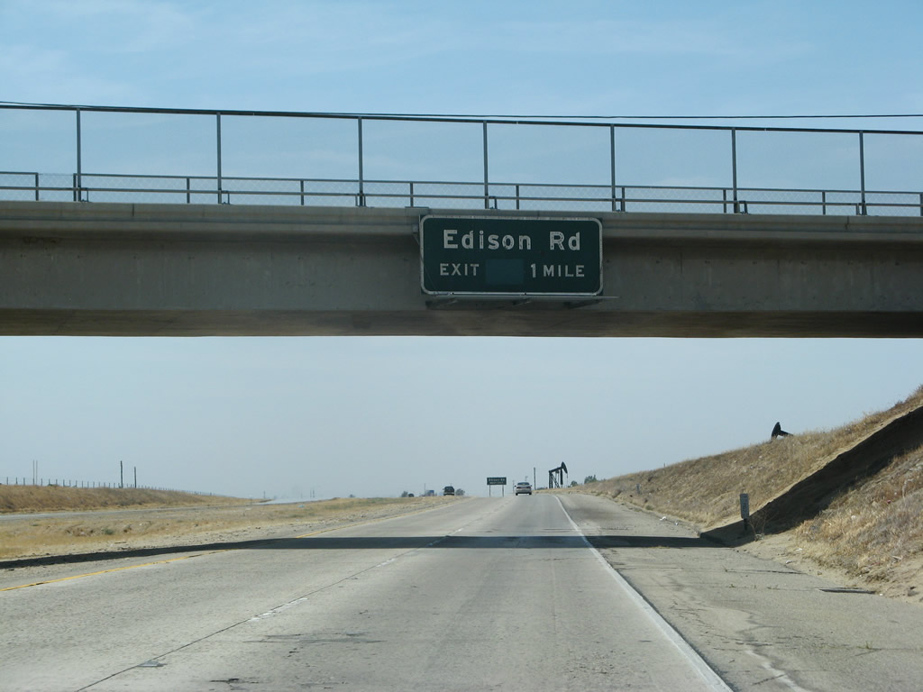 |
The next exit along California 58 west is Exit 119, Edison Road (one mile). Edison Road is a north-south county road, with connections to old U.S. 466 (Edison Highway) to the north of the freeway. Photo taken 07/04/07. | |
 |
An oil derrick is positioned next to this advance sign for Exit 119, Edison Road. Photo taken 07/04/07. | |
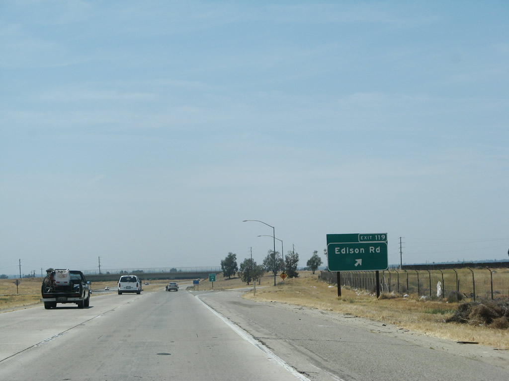 |
Westbound California 58 reaches Exit 119, Edison Road. Photo taken 07/04/07. | |
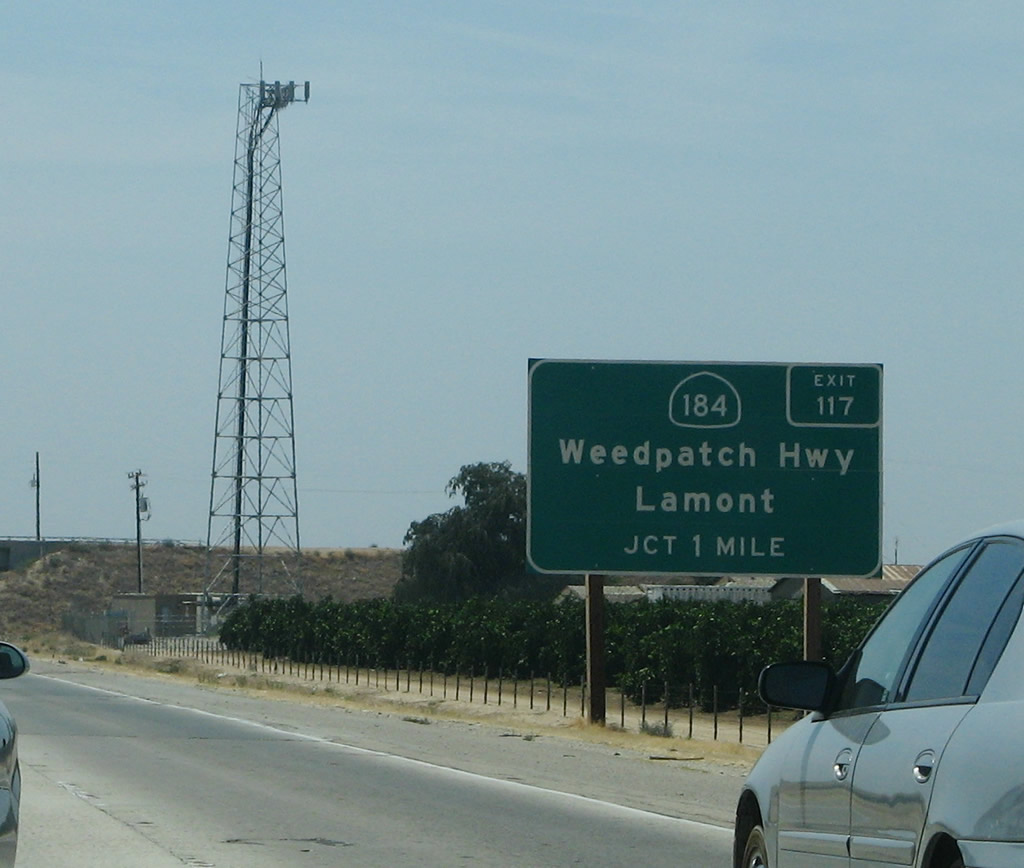 |
The next exit along California 58 west is Exit 117, California 184 (Weedpatch Highway). This state route connects California 178 east of Bakersfield with California 223 west of Arvin via Lamont and Weedpatch. Photo taken 07/04/07. | |
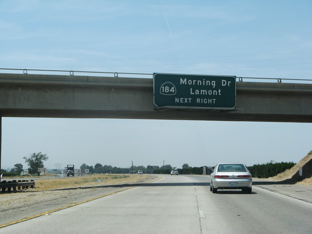 |
Exit 117 (California 184) is the first exit to serve the city of Bakersfield. As we continue west, the freeway will continue to take on more urban characteristics. Photo taken 07/04/07. | |
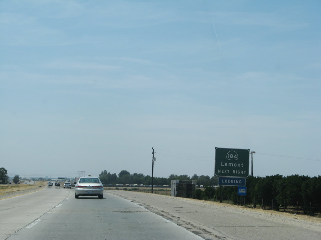 |
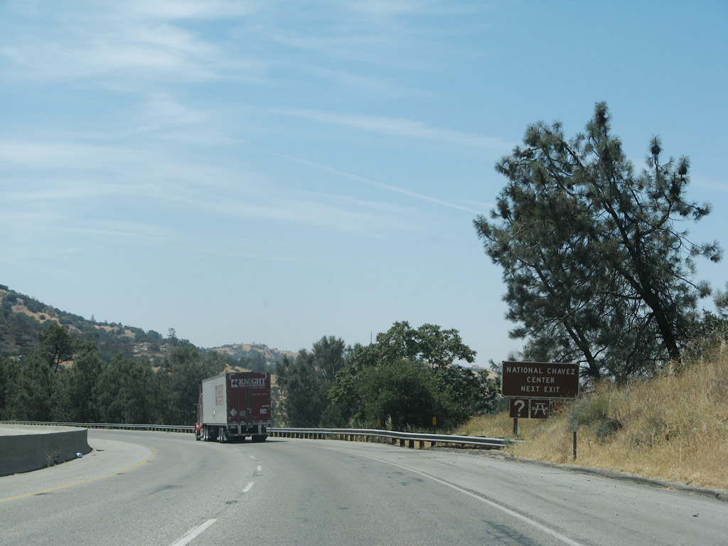
California 184 travels south to Lamont, ending at California 223. However, a county route continues south of California 223 and connects to Interstate 5 near Wheeler Ridge, just north of the Grapevine grade en route to Los Angeles. Use California 184 north to Old Historic U.S. 466 (Edison Highway), which was briefly known as California 58 Business. Photo taken 07/04/07. | |
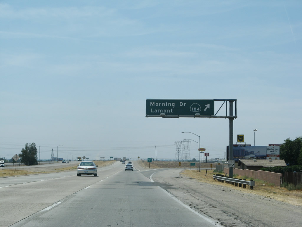 |
Westbound California 58 reaches Exit 117, California 184. Southbound California 184 follows Weedpatch Highway to Fuller Acres and Lamont. Northbound California 184 connects with westbound California 58 Business/Edison Highway and California 178 near the Mesa Marin Raceway. Photo taken 07/04/07. | |
| California 58/Rosa Parks Highway west | ||
|---|---|---|
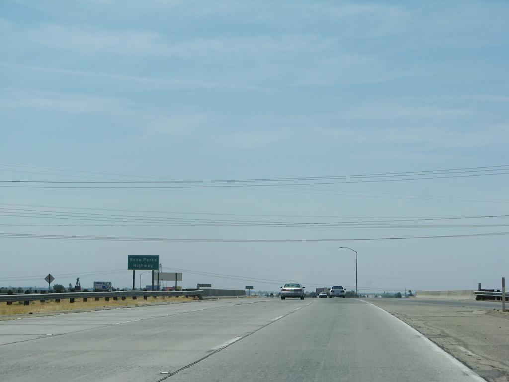 |
Between California 184 and California 58, California 58 is known as the Rosa Parks Highway. Photo taken 07/04/07. | |
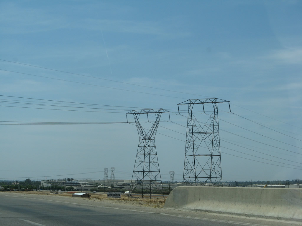 |
A set of Southern California Edison 220kV power lines pass over the freeway. These lines bring power from the Kern River Canyon south to greater Los Angeles. Photo taken 07/04/07. | |
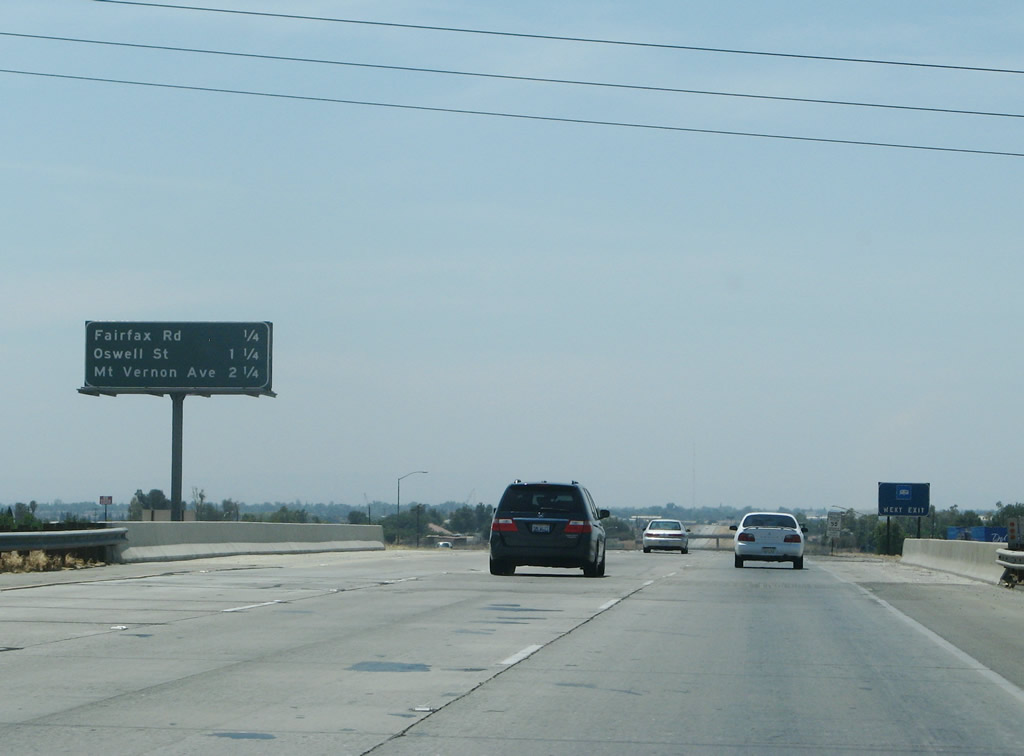 |
This interchange sequence sign provides the distance to the next three exits along westbound California 58: Exit 116, Fairfax Road; Exit 115, Oswell Street; and Exit 114, Mount Vernon Avenue. Photo taken 07/04/07. | |
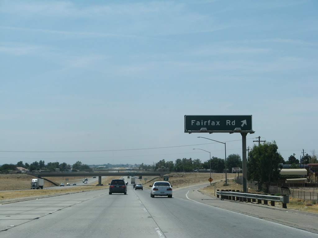 |
Westbound California 58 reaches Exit 116, Fairfax Road. Photo taken 07/04/07. | |
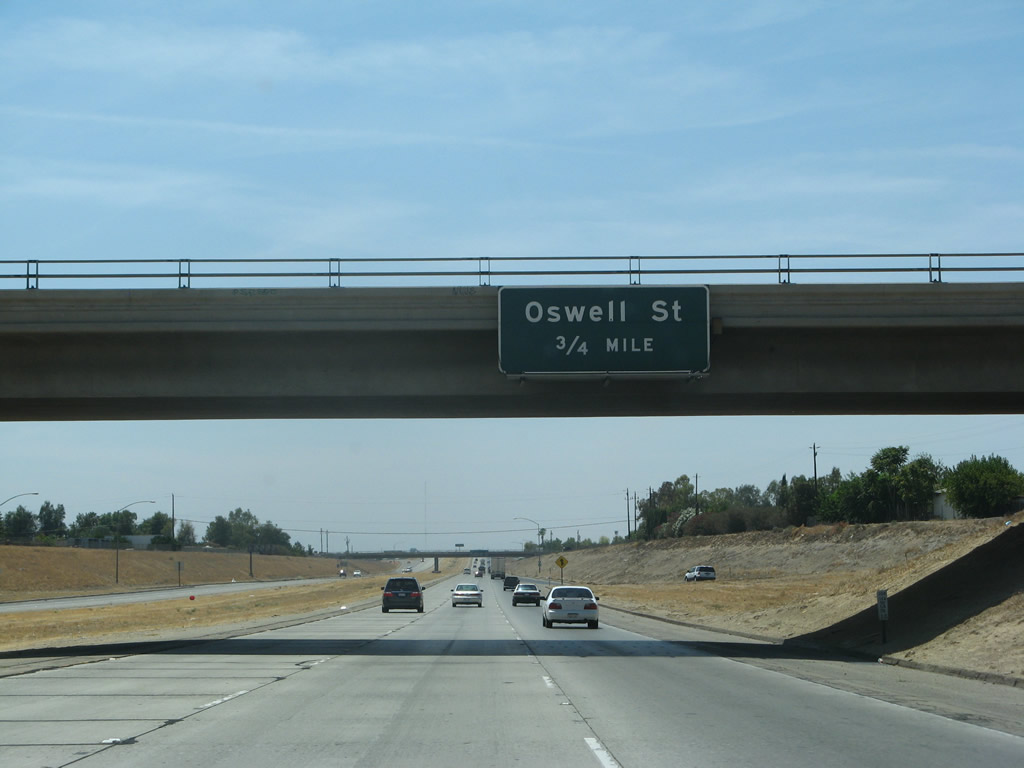 |
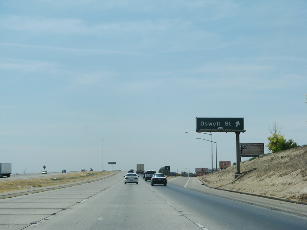
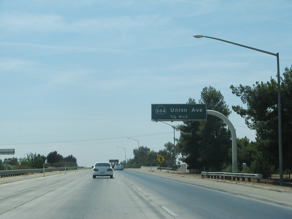
The next exit along California 58 west is Exit 115, Oswell Street, three-quarters of a mile. Photo taken 07/04/07. | |
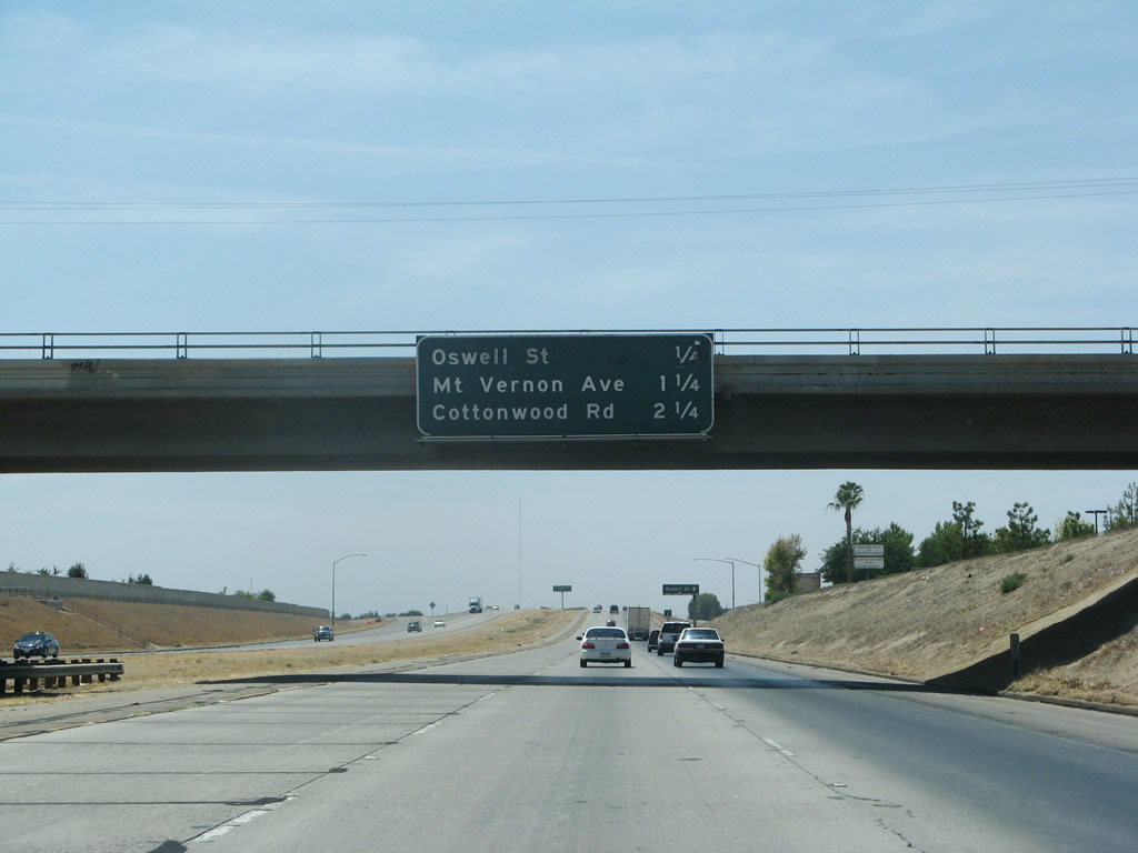 |
This mileage sign along westbound California 58 provides the distance to Exit 115, Oswell Street; Exit 114, Mount Vernon Avenue; and Exit 113, Cottonwood Road. Photo taken 07/04/07. | |
 |
Westbound California 58 reaches Exit 115, Oswell Street. Photo taken 07/04/07. | |
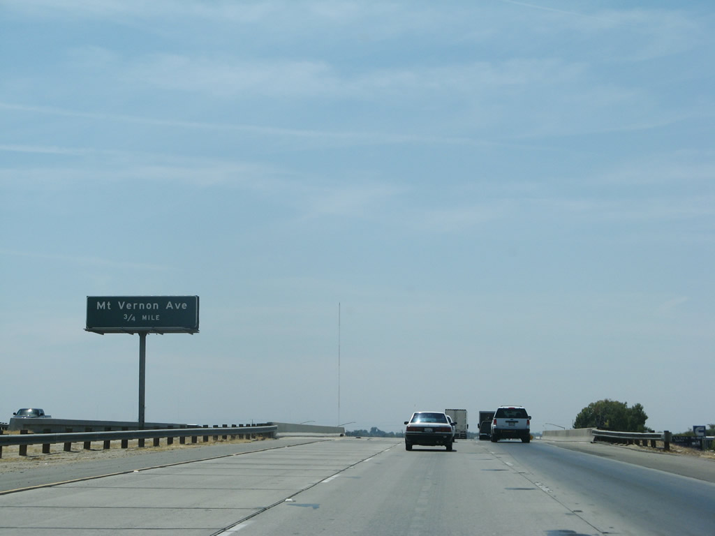 |
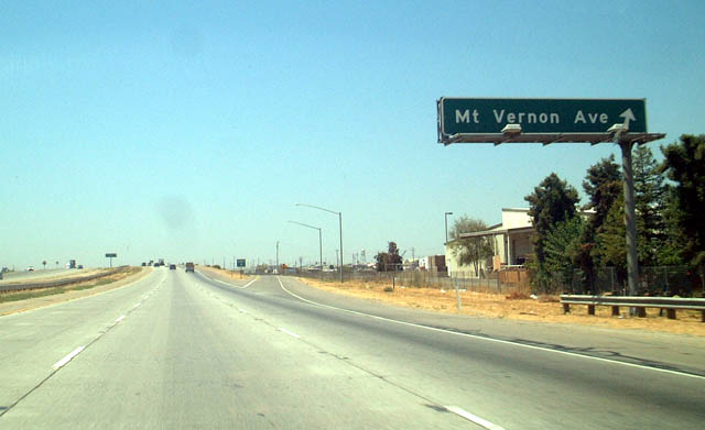
The next exit along California 58/Rosa Parks Highway is Exit 114, Mt. Vernon Avenue. Photo taken 07/04/07. | |
 |
This mileage sign along westbound California 58 provides the distance to Exit 114, Mount Vernon Avenue; Exit 113, Cottonwood Road; and Exit 112, California 204 north and California 99 Business (Union Avenue) north-south. At this point, California 58 enters the city of Bakersfield. Founded in 1869 and incorporated in 1873, Bakersfield is a regional agricultural hub and located near the major oil fields of Oildale and Taft. The city had a population of 247,057 people as of the 2000 Census and had grown throughout the ensuing decade. The city sits at an elevation of 408 feet above seal level, consists of 140.53 square miles, and is located at the southern end of the Central Valley. Located at the crossroads of California 58, California 99, and California 178, the city used to sit at the point where U.S. 99, U.S. 399, U.S. 466, and California 178 met. Photo taken 07/04/07. | |
 |
Westbound California 58 reaches Exit 114, Mt. Vernon Avenue. Photo taken 08/15/03. | |
 |
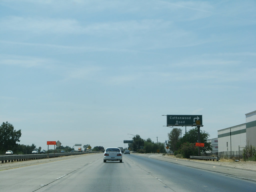
The next exit along westbound California 58 is Exit 113, Cottonwood Road (0.75 mile). Photo taken 07/04/07. | |
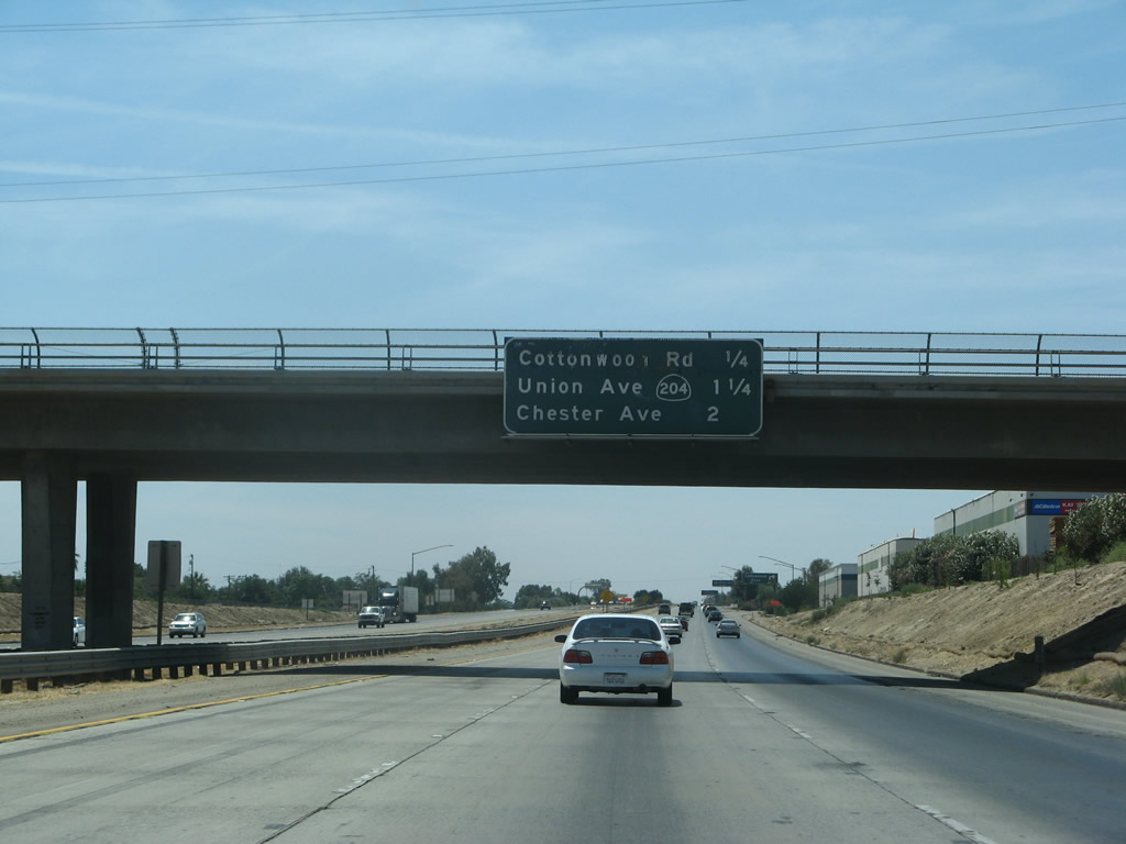 |
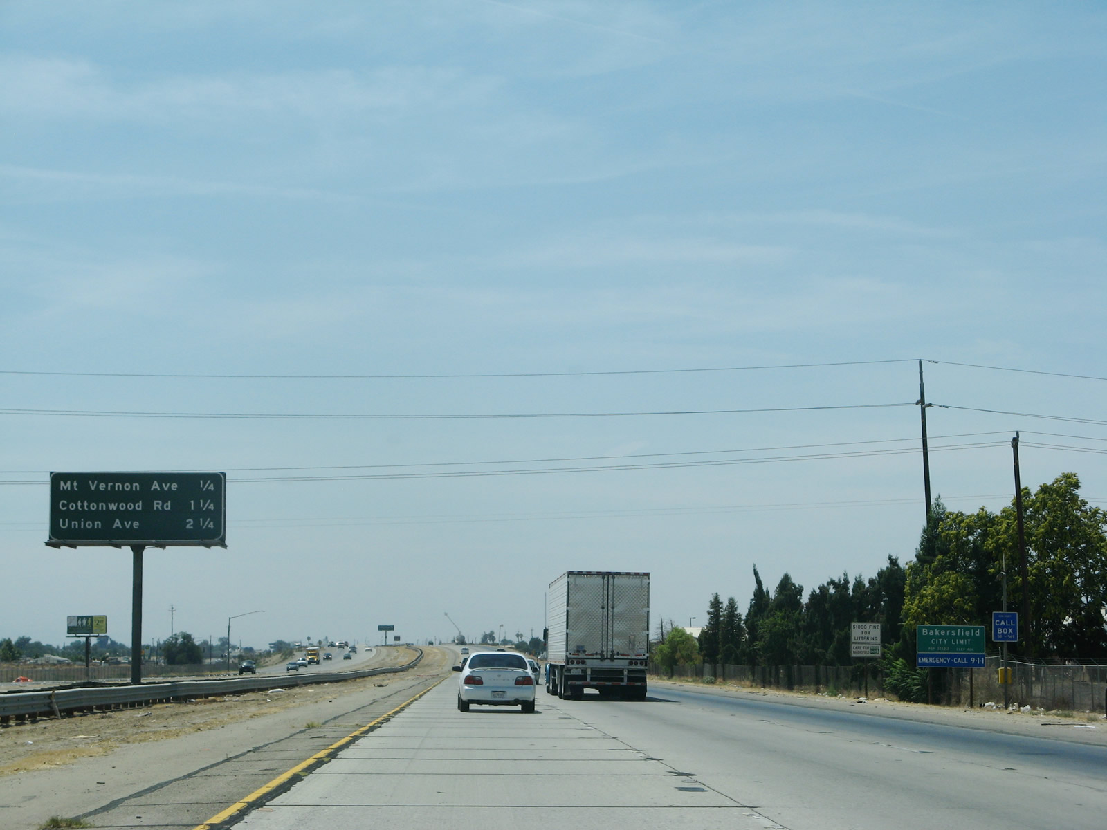
This mileage sign along westbound California 58 provides the distance to Exit 113, Cottonwood Road; Exit 112, California 204 north and California 99 Business (Union Avenue) north-south; and Exit 111, Chester Avenue and H Street. Photo taken 07/04/07. | |
 |
Westbound California 58 reaches Exit 113, Cottonwood Road. Photo taken 07/04/07. | |
 |
The next exit along California 58 west is Exit 112, California 204/Union Avenue and California 99 Business, three-quarters of a mile. Photo taken 07/04/07. | |
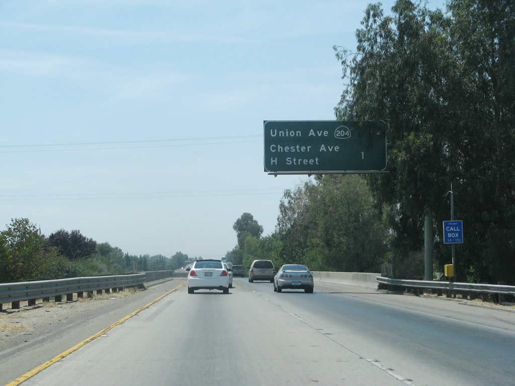 |
This mileage sign along California 58 west provides the distance to the next two exits: Exit 112, California 204 and California 99 Business (Union Avenue) and Exit 111, Chester Avenue and H Street. Photo taken 07/04/07. | |
 |
California 99 Business is signed once from California 58. This is unusual since most intersecting freeways do not have signage for other business routes. Photo taken 07/04/07. | |
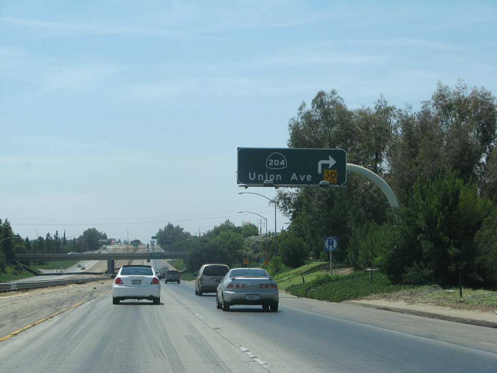 |
Westbound California 58 reaches Exit 112, northbound California 204 and California 99 Business (Union Avenue). Photo taken 07/04/07. | |
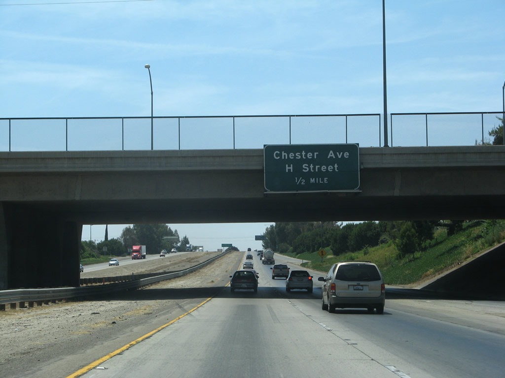 |
The next exit along California 58 west is Exit 111, Chester Avenue and H Street. Photo taken 07/04/07. | |
 |
This west California 58 reassurance shield is posted after the on-ramp from California 204 and California 99 Business. Photo taken 07/04/07. | |
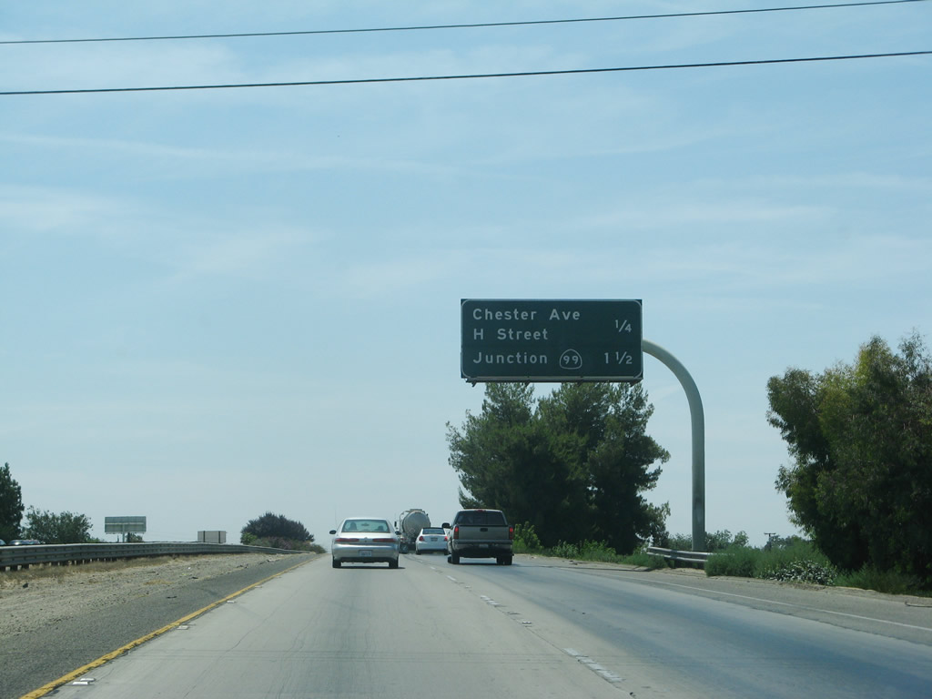 |
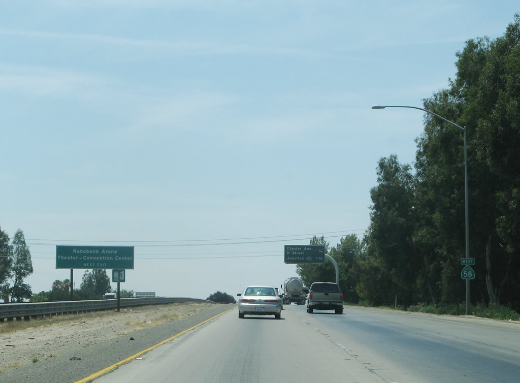
This mileage sign along westbound California 58 provides the distance to Exit 111, Chester Avenue and H Street and Exit 110, California 99 (Golden State Freeway) and Real Road. Photo taken 07/04/07. | |
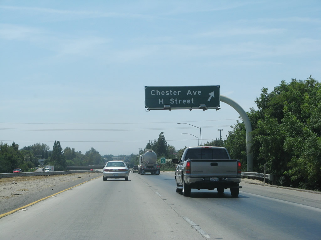 |
Westbound California 58 reaches Exit 111, Chester Avenue and H Street. Upon taking this exit, the first traffic signal is for north-south Chester Avenue, and the second traffic signal is for north-south H Street, which is two blocks west of Chester Avenue. Photo taken 07/04/07. | |
 |
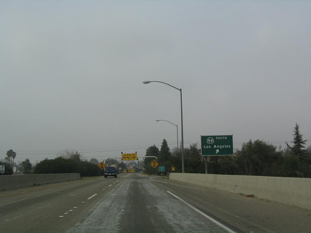
The next exit along California 58 west is Exit 110, California 99 and Real Road. California 58 will merge onto northbound California 99 (along the historical path of U.S. 99-466), and it will split off from California 99 only a few miles north of there. Photo taken 07/04/07. | |
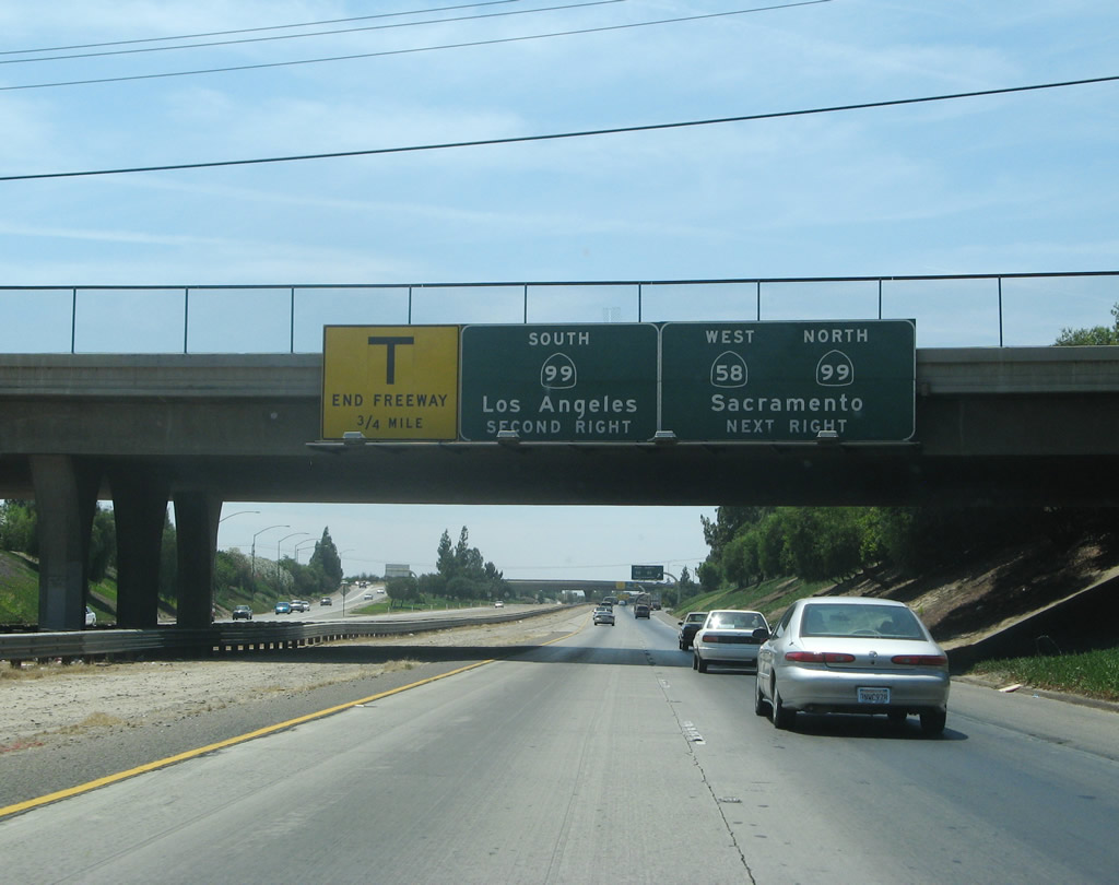 |
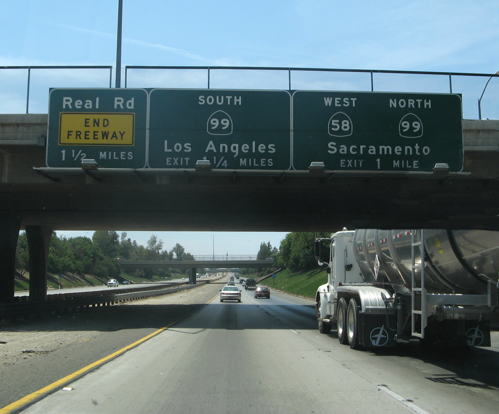
The next exit along California 58 west is Exit 110, California 99. Exit 110B leads to northbound California 99, while Exit 110A leads to southbound California 99 and Real Road. Photo taken 07/04/07. | |
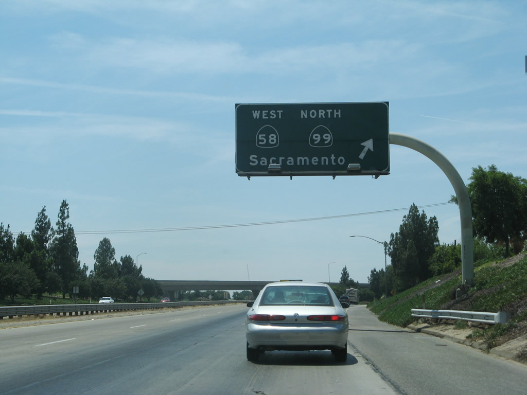 |
Westbound California 58 exits from itself, as through traffic needs to merge onto northbound California 99. California 58 will follow California 99 north for a few miles, then depart at the California 178 interchange. An orphaned section of freeway continues straight ahead to connect to California 99 south as well as link to Real Road at a "T" intersection. Photo taken 07/04/07. | |
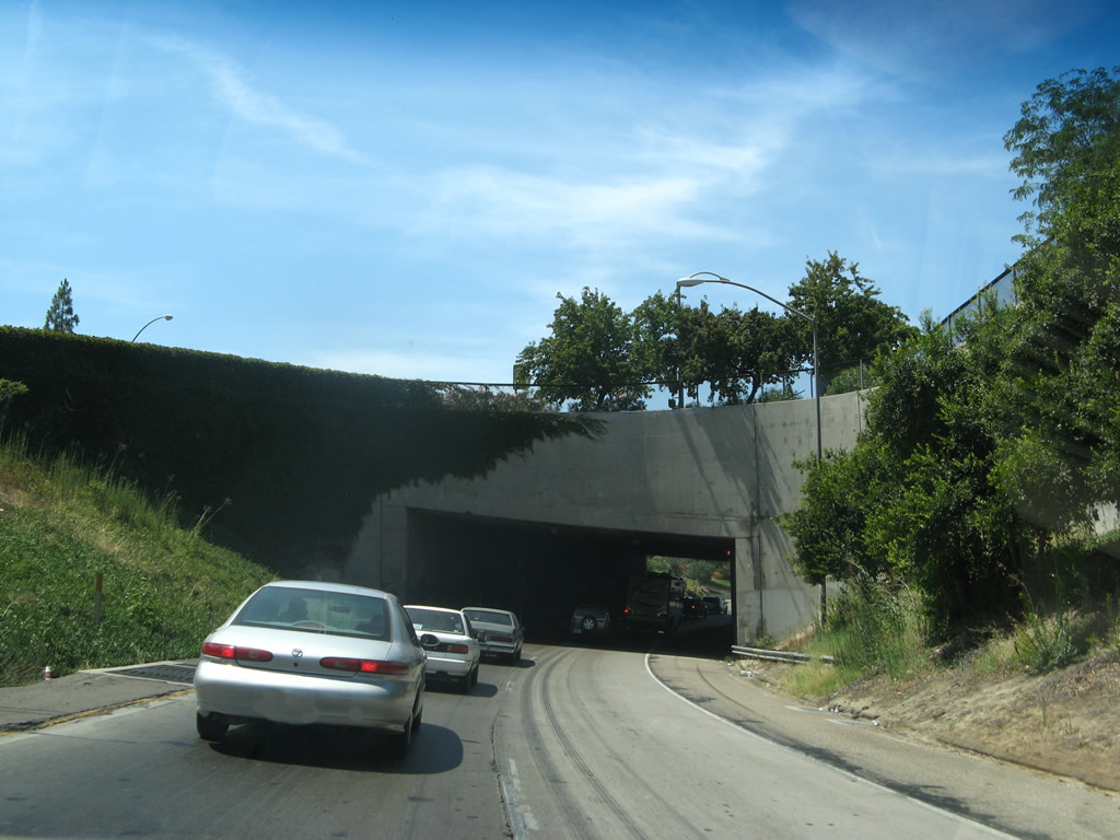 |
On the transition ramp from westbound California 58 to northbound California 99 is a subway that carries the single lane of traffic onto the "workhorse of California," which is the Golden State Freeway, California 99. Photo taken 07/04/07. | |
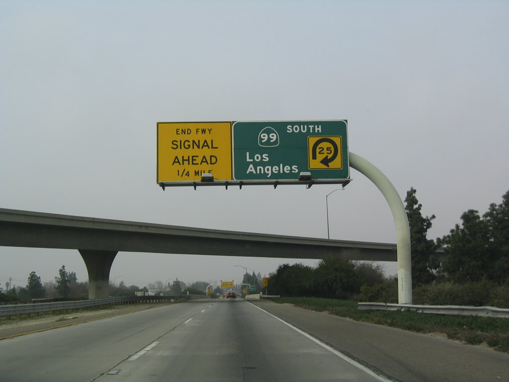 |
Back on what's left of the mainline freeway, there's only two exits left: the ramp to California 99 south and the T intersection with Real Road. The freeway ends at its intersection with Real Road. Photo taken 01/21/04. | |
 |
Two lanes carry the westbound orphaned freeway over California 99. The next exit is the loop ramp connection to southbound California 99. Stay left for the link to Real Road. Photo taken 01/21/04. | |
 |
This view is taken at the gore point of the ramp to California 99 (Golden State Freeway) south. Looking toward the end of the freeway at Real Road, yellow overhead signs point the way for all traffic. Due to the sharp turns onto Real Road, all must slow ahead. Photo taken 01/21/04. | |

Page Updated September 12, 2009.
|
About Contact Glossary |
In The News Interstate Guide |
Social Media:
 |
|
© 2000-25 AARoads.com | All Rights Reserved | Privacy Policy / Terms of Use
|
||