
California 78 East - Oceanside to Escondido
| California 78 east | |
|---|---|
 |
Vista Way east transitions from an Oceanside city street into the eastbound California 78 freeway as it crosses over Interstate 5. This interchange with Interstate 5 marks the western terminus of California 78. Vista Way is the original California 78, and the original terminus of the east-west route was at the intersection of Vista Way and Coast Highway (U.S. 101). The endpoint was changed once the Interstate 5 freeway bypass of Oceanside was constructed. Photo taken 07/18/04. |
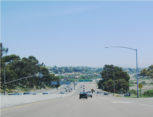 |
View of the eastbound California 78 freeway after the Interstate 5 interchange in Oceanside. Photo taken 07/18/04. |
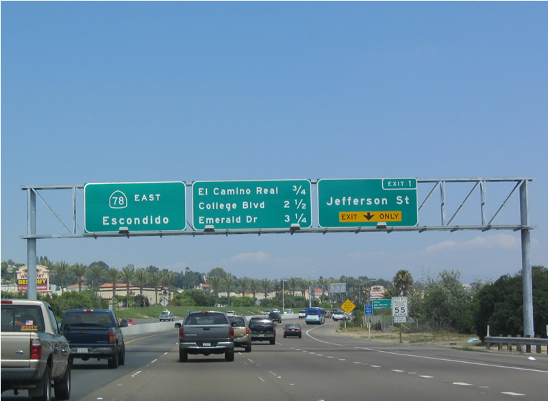 |
The first exit along eastbound California 78 after its junction with Interstate 5 is Exit 1, Jefferson Street. The freeway is still within the city limits of Oceanside. Photo taken 08/08/04. |
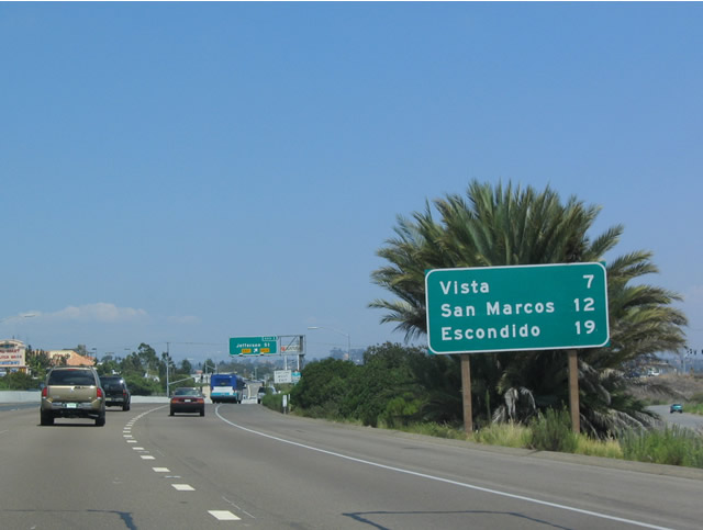 |
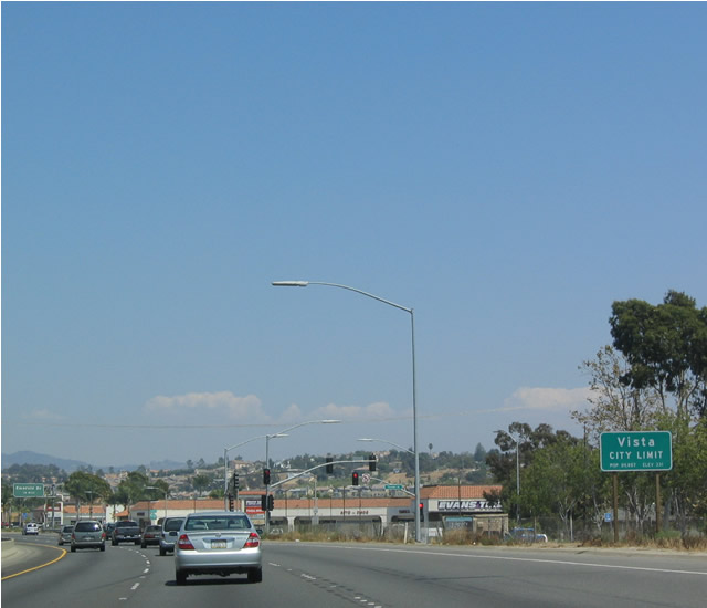
California 78 (Packard Freeway) serves the cities of Vista, San Marcos, and Escondido after it leaves Oceanside near Exit 4. Photo taken 08/08/04. |
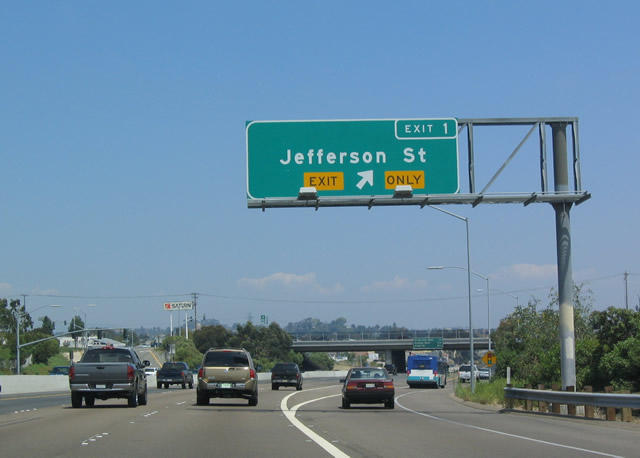 |
Eastbound California 78 (Packard Freeway) reaches Exit 1, Jefferson Street. Photo taken 08/08/04. |
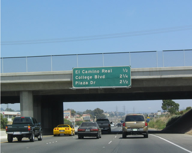 |
The next three exits along eastbound California 78 (Packard Freeway) are Exit 2, San Diego County S-11 (El Camino Real); Exit 3, College Boulevard; and Exit 4A, Plaza Drive. Photo taken 08/08/04. |
 |
San Diego County S-11 (El Camino Real) is the next exit along eastbound. El Camino Real begins at California 76 in the San Luis Rey community of the city of Oceanside, then extends south past California 78 into Carlsbad past Palomar Airport Road (San Diego County S-12) and La Costa before entering Encinitas. El Camino Real connects to Interstate 5 via Manchester Road. A noncontinuous section of El Camino Real also exists to the south within the city of San Diego, where El Camino Real extends from Via de la Valle south to Carmel Mountain Road in Torrey Hills. Photo taken 08/08/04. |
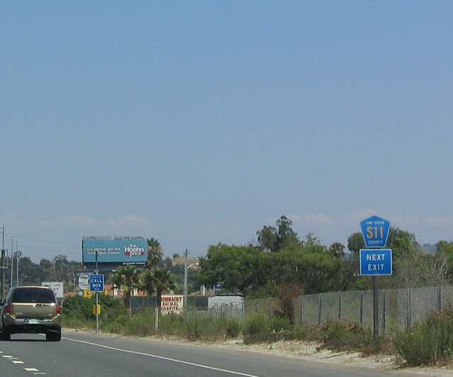 |
Of the entire El Camino Real corridor, only the section between California 78 and Encinitas Boulevard (San Diego County S-9) is designated as north-south San Diego County S-11. Photo taken 08/08/04. |
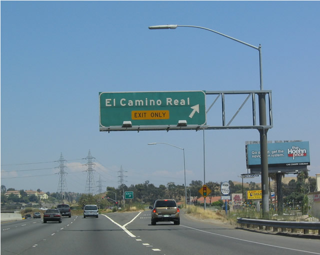 |
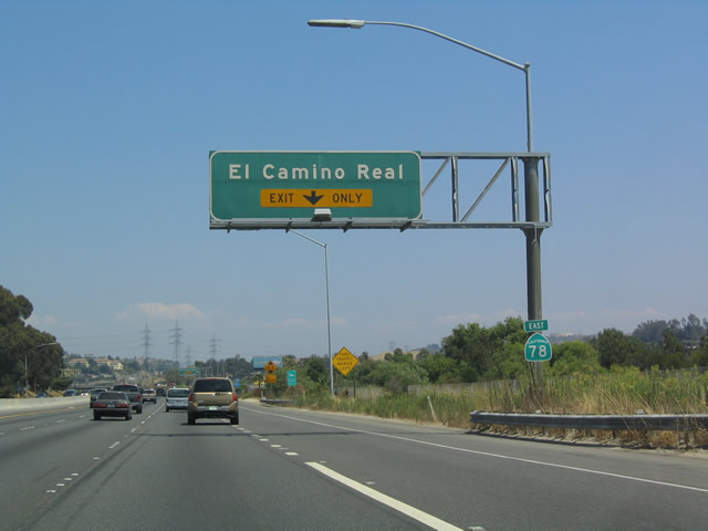
Eastbound California 78 (Packard Freeway) reaches Exit 2, San Diego County S-11 (El Camino Real). Photo taken 08/08/04. |
 |
After the interchange with San Diego County S-11 (El Camino Real), there are no exits for 1.75 miles (next exit is Exit 3, College Boulevard). Even so, the exit numbers only increase by one. Photo taken 08/08/04. |
 |
The next three exits along eastbound California 78 (Packard Freeway) are Exit 3, College Boulevard; Exit 4A, Plaza Drive; and Exit 4B, Emerald Drive. Photo taken 08/08/04. |
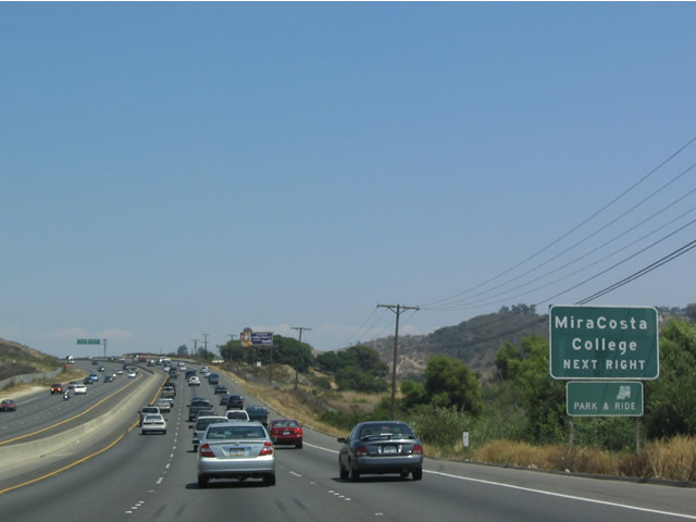 |
The "college" accessed by College Boulevard is Mira Costa College. Note the configuration of California 78: three lanes in each direction, with a concrete jersey barrier to separate the directions of traffic. Photo taken 08/08/04. |
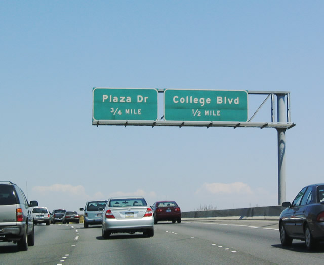 |
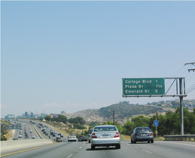
The next two exits along eastbound California 78 (Packard Freeway) are Exit 3, College Boulevard, 0.50 mile and Exit 4A, Plaza Drive, 0.75 mile. Photo taken 08/08/04. |
 |
As noted on this sign, the next exit ramp is for College Boulevard, while the second exit ramp is for Plaza Drive. Exit numbers will help with this type of sign. Photo taken 08/08/04. |
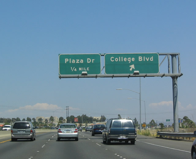 |
Eastbound California 78 (Packard Freeway) reaches Exit 3, College Boulevard; the next exit is Exit 4A, Plaza Drive. Photo taken 08/08/04. |
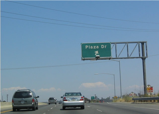 |
Eastbound California 78 (Packard Freeway) reaches the next interchange at Exit 4A, Plaza Drive. Photo taken 08/08/04. |
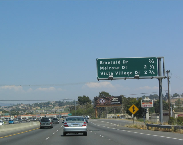 |
The next three exits along eastbound California 78 (Packard Freeway) are Exit 4B, Emerald Drive; Exit 6A, Melrose Drive; and Exit 6B, Vista Village Drive. Photo taken 08/08/04. |
 |
Between Exits 4A and 4B, California 78 departs the city of Oceanside and enters the city of Vista. Photo taken 08/08/04. |
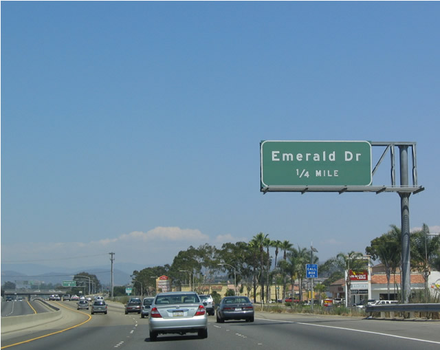 |
The first exit into Vista is Exit 4B, Emerald Drive, a north-south route through western Vista. Photo taken 08/08/04. |
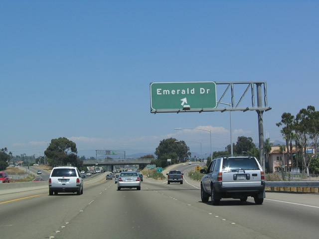 |
Eastbound California 78 reaches Exit 4B, Emerald Drive. Photo taken 08/08/04. |
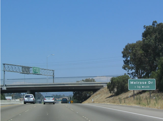 |
Before passing the Exit 4B/Emerald Drive overpass, this sign advises of the next interchange at Exit 6A, Melrose Drive. Photo taken 08/08/04. |
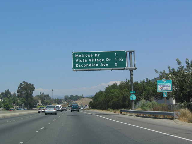 |
The next three exits along eastbound California 78 (Packard Freeway) are Exit 6A, Melrose Drive; Exit 6B, Vista Village Drive; and Exit 7, Escondido Avenue. Photo taken 08/08/04. |
 |
Eastbound California 78 (Packard Freeway) next approaches Exit 6A, Melrose Drive and Exit 6B, Vista Village Drive. Photo taken 08/08/04. |
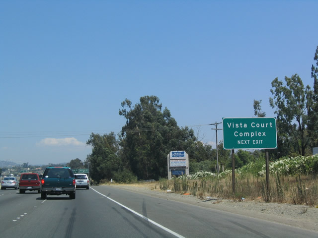 |
Use Exit 6A, Melrose Drive to reach the Vista Court Complex. Other San Diego County Courts are in downtown San Diego and Chula Vista. Photo taken 08/08/04. |
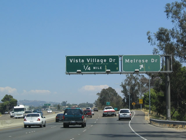 |
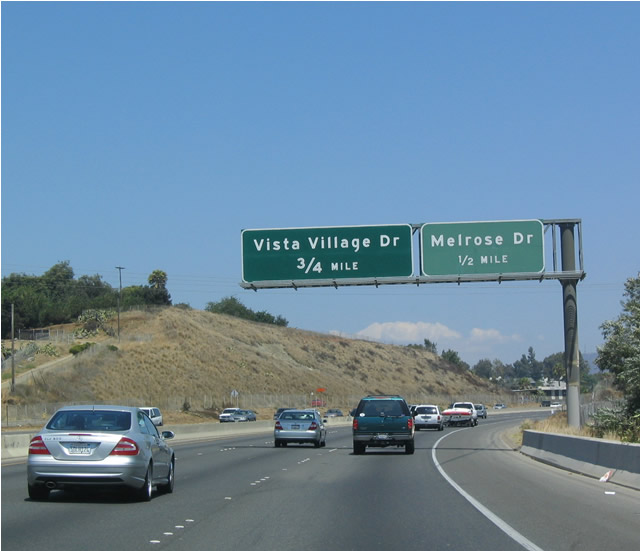
Eastbound California 78 (Packard Freeway) reaches Exit 6A, Melrose Drive, followed by Exit 6B, Vista Village Drive. Photo taken 08/08/04. |
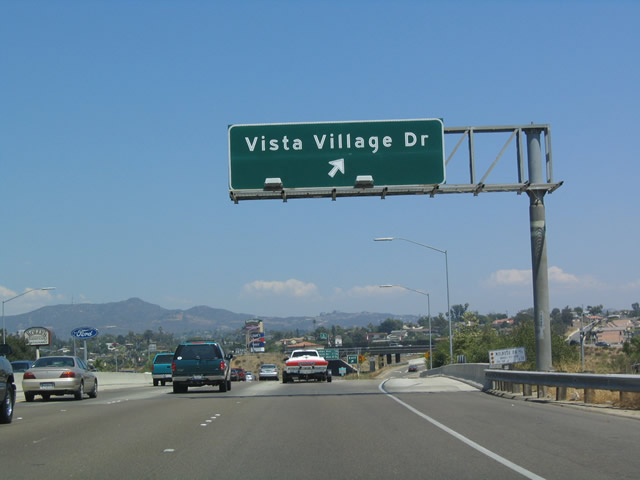 |
Use Exit 6B, Vista Village Drive, to enter the downtown area of Vista. From here, California 78 begins to trend southeasterly toward San Marcos and Escondido. Use this exit to reach Vista Way northbound (San Diego County S-13) to follow the original alignment of U.S. 395, which used to follow California 76 southeast to Bonsall, County Route S-13 south to California 78, and California 78 back to Escondido. Photo taken 08/08/04. |
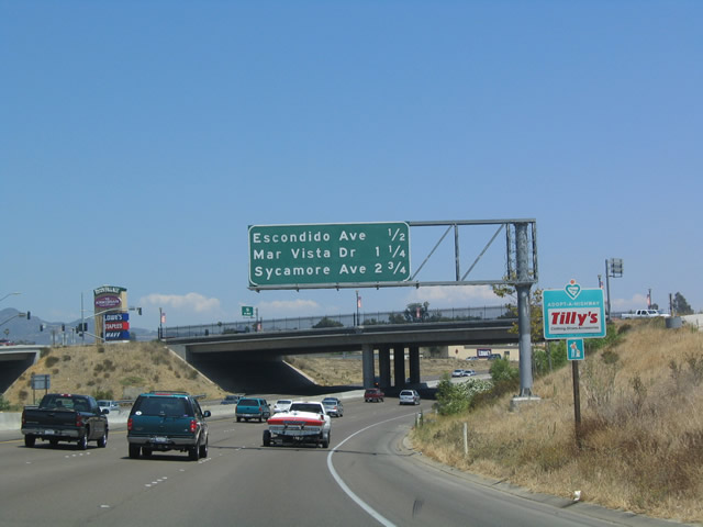 |
The next three exits along eastbound California 78 (Packard Freeway) are Exit 7, Escondido Avenue; Exit 8, Mar Vista Drive; and Exit 9, Sycamore Avenue. Photo taken 08/08/04. |
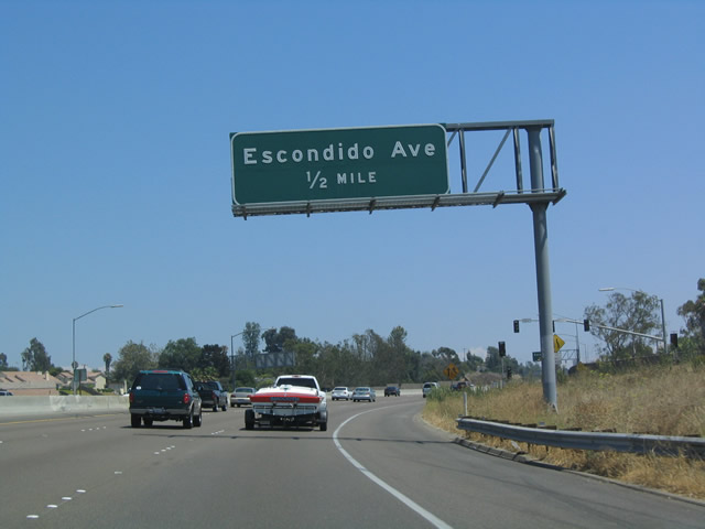 |
Escondido Avenue serves central Vista, connecting to East Vista Way and San Diego County S-13 northbound toward Bonsall. Photo taken 08/08/04. |
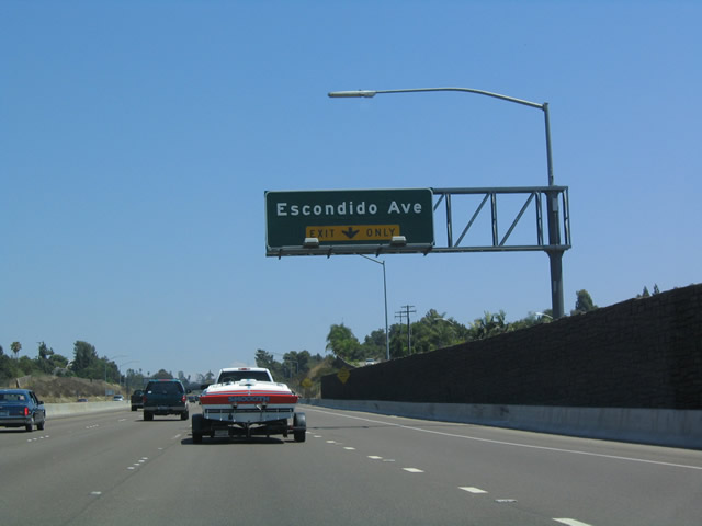 |
The right lane (#4 lane) becomes exit only for Exit 7, Escondido Avenue. Photo taken 08/08/04. |
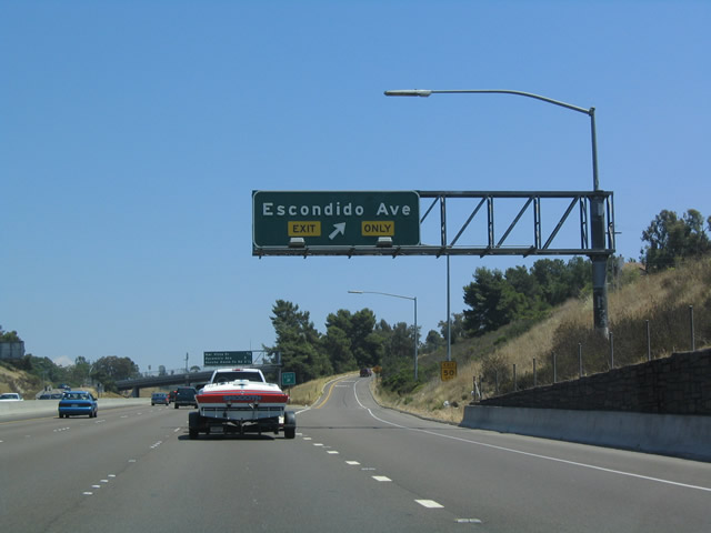 |
Eastbound California 78 (Packard Freeway) reaches Exit 7, Escondido Avenue in Vista. Photo taken 08/08/04. |
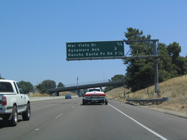 |
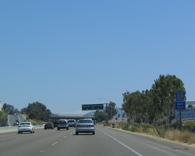
The next three exits along eastbound California 78 (Packard Freeway) are Exit 8, Mar Vista Drive; Exit 9, Sycamore Avenue; and Exit 11, San Diego County S-10 (Rancho Santa Fe Road). Photo taken 08/08/04. |
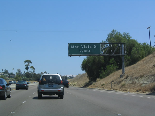 |
As California 78 continues southeast, it approaches the next exit for Mar Vista Drive (Exit 8), an east-west road in central Vista. Photo taken 08/08/04. |
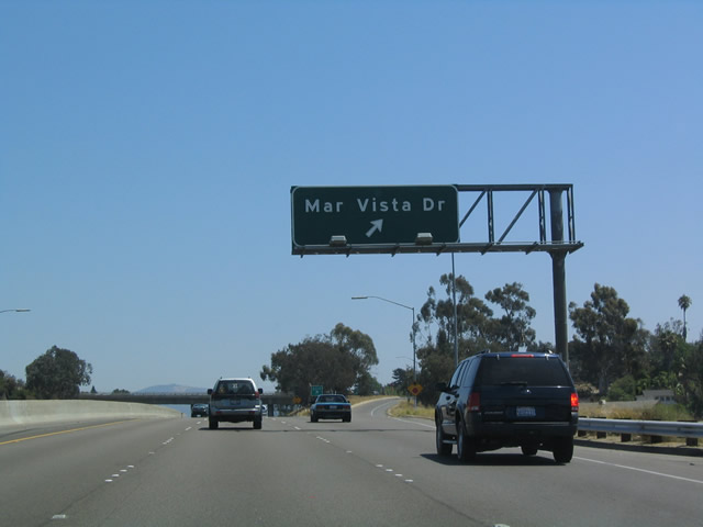 |
Eastbound California 78 (Packard Freeway) reaches Exit 8, Mar Vista Drive. Photo taken 08/08/04. |
 |
The next three exits along eastbound California 78 (Packard Freeway) are Exit 9, Sycamore Avenue; Exit 11, San Diego County S-10 (Rancho Santa Fe Road); and Exit 12, San Marcos Boulevard. Photo taken 08/08/04. |
 |
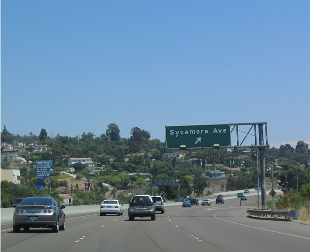
Sycamore Avenue heads southwest toward Buena Vista Park and northeast toward unincorporated Buena. In this vicinity, California 78 departs Vista and enters unincorporated county. It will enter San Marcos in another mile or so. Photo taken 08/08/04. |
 |
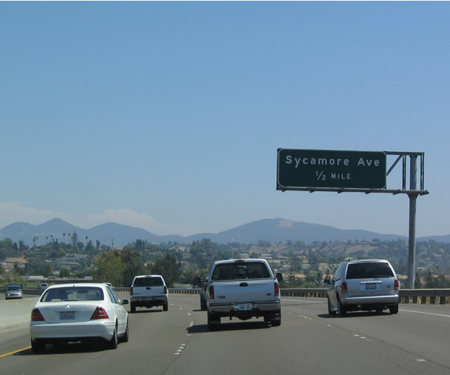
Eastbound California 78 (Packard Freeway) reaches Exit 9, Sycamore Avenue. Photo taken 08/08/04. |
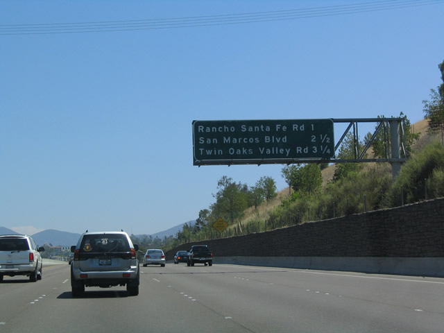 |
The next three exits along eastbound California 78 (Packard Freeway) are Exit 11, San Diego County S-10 (Rancho Santa Fe Road); Exit 12, San Marcos Boulevard; and Exit 13, Twin Oaks Valley Road. Photo taken 08/08/04. |
 |
San Diego County S-10 follows Rancho Santa Fe Road southwest to Lake San Marcos and La Costa in Carlsbad. At Leucadia Boulevard, County Route S-10 branches west to end at San Diego County S-11 (El Camino Real). Rancho Santa Fe Road then continues south into unincorporated Rancho Santa Fe Road. Photo taken 08/08/04. |
 |
Use Exit 11 to reach San Diego County S-10 (Rancho Santa Fe Road) north to San Diego County S-14 (Mission Road) and south to San Marcos Boulevard/San Diego County S-12. Photo taken 08/08/04. |
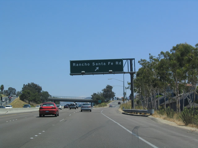 |
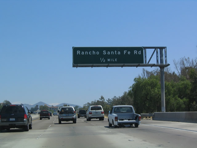
Eastbound California 78 (Packard Freeway) reaches Exit 11, San Diego County S-10 (Rancho Santa Fe Road). Photo taken 08/08/04. |
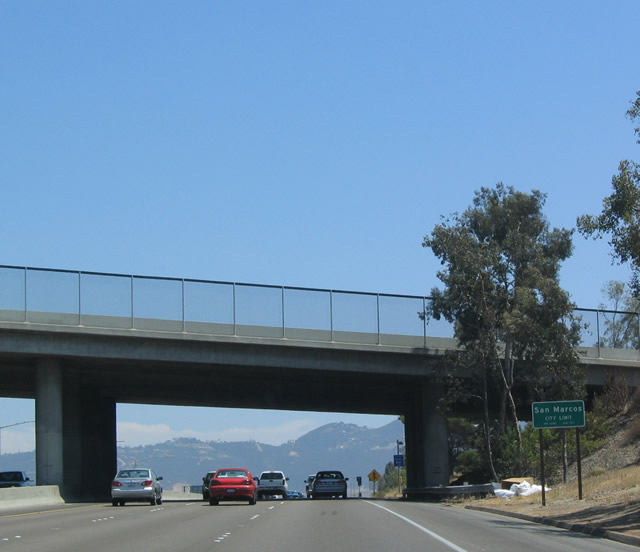 |
As eastbound California 78 (Packard Freeway) passes under San Diego County S-10 (Rancho Santa Fe Road), it enters the city of San Marcos. Photo taken 08/08/04. |
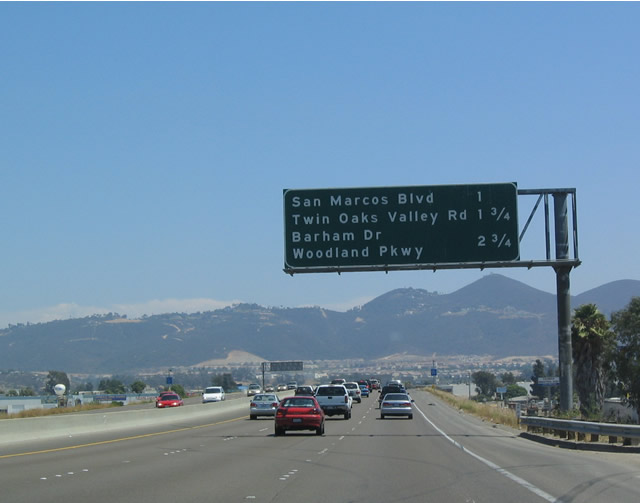 |
The next three exits along eastbound California 78 (Packard Freeway) are Exit 12, San Marcos Boulevard; Exit 13, Twin Oaks Valley Road; and Exit 14, Barham Drive. Photo taken 08/08/04. |
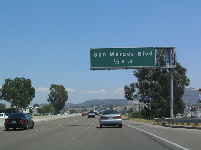 |
Eastbound California 78 (Packard Freeway) approaches Exit 12, San Diego County S-12 (San Marcos Boulevard), one-half mile. Photo taken 08/08/04. |
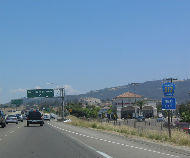 |
San Diego County S-12 (San Marcos Boulevard) heads west to Carlsbad (Palomar Airport Road) and east to Mission Road (San Diego County S-14). Photo taken 08/08/04. |
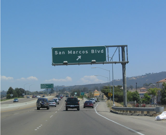 |
Eastbound California 78 (Packard Freeway) reaches Exit 12, San Diego County S-12 (San Marcos Boulevard). Photo taken 08/08/04. |
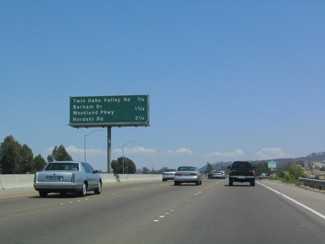 |
The next three exits along eastbound California 78 (Packard Freeway) are Exit 13, Twin Oaks Valley Road; Exit 14, Barham Drive; and Exit 15, Nordahl Road. Photo taken 08/08/04. |
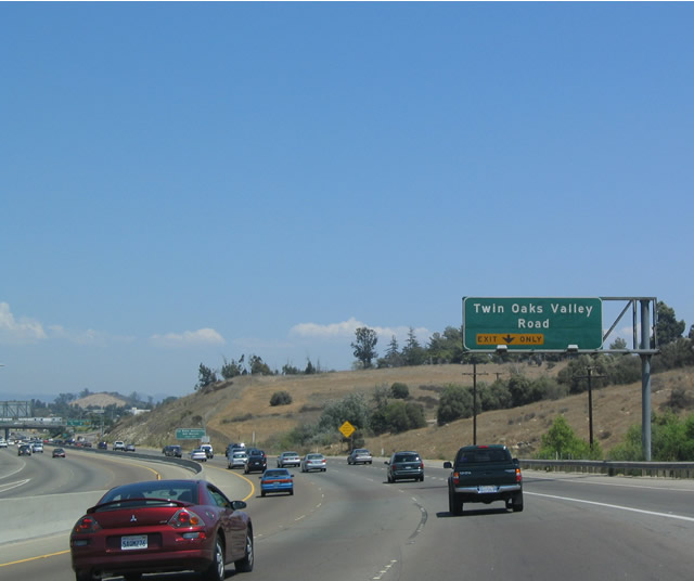 |
The next exit into the city of San Marcos is Exit 13, Twin Oaks Valley Road. The on-ramp from San Marcos Boulevard becomes the exit-only lane for Twin Oaks Valley Road. Photo taken 08/08/04. |
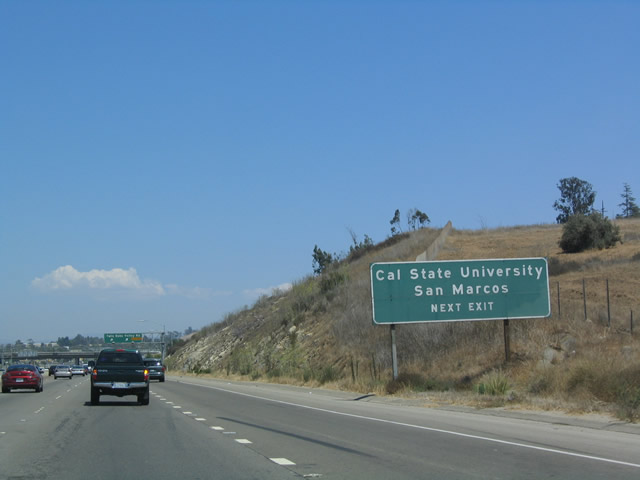 |
Use Twin Oaks Valley Road to reach California State University at San Marcos. Photo taken 08/08/04. |
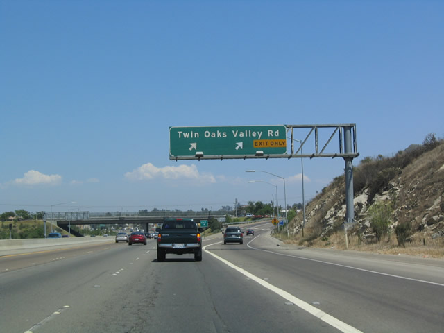 |
Eastbound California 78 (Packard Freeway) reaches Exit 13, Twin Oaks Valley Road. Photo taken 08/08/04. |
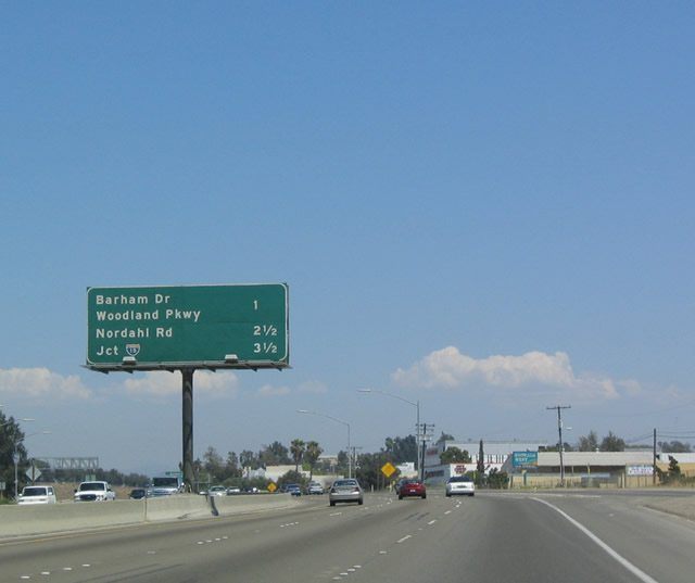 |
The next three exits along eastbound California 78 (Packard Freeway) are Exit 14, Barham Drive; Exit 15, Nordahl Road; and Exits 17A-B, Interstate 15/Avocado Highway. Photo taken 08/08/04. |
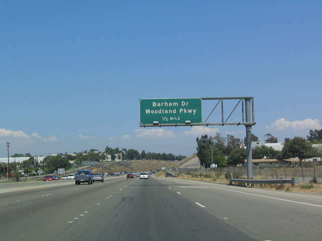 |
Eastbound California 78 (Packard Freeway) next approaches Exit 14, Barham Drive/Woodland Parkway, one-half mile. Photo taken 08/08/04. |
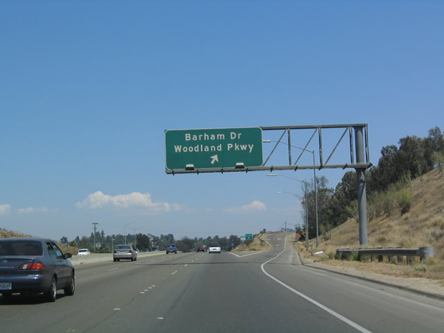 |
Eastbound California 78 (Packard Freeway) reaches Exit 14, Barham Drive/Woodland Parkway. Photo taken 08/08/04. |
 |
This mileage sign is located along eastbound California 78 as it approaches Exit 15, Nordahl Road, one mile. Interstate 15, a major interchange, follows as Exits 17A-B. Photo taken 08/08/04. |
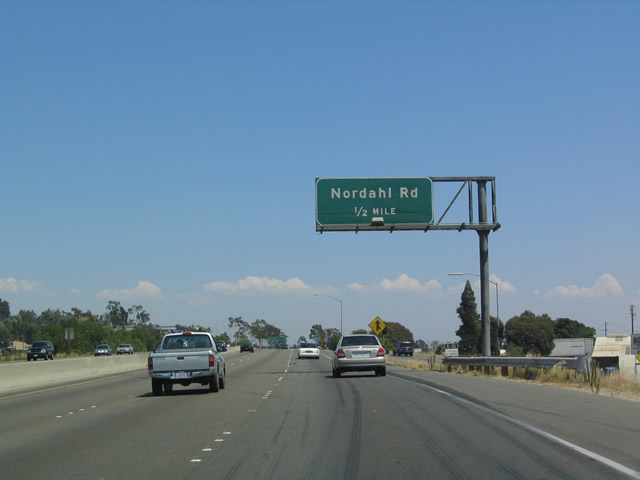 |
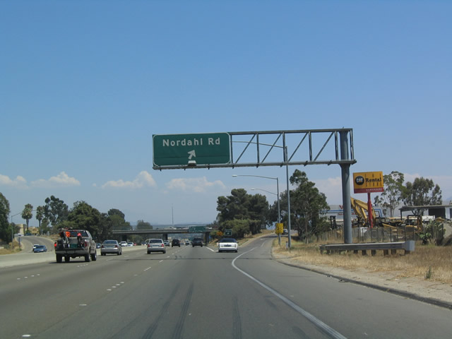
Eastbound California 78 approaches Exit 15, Nordahl Road, one-half mile. Photo taken 08/08/04. |
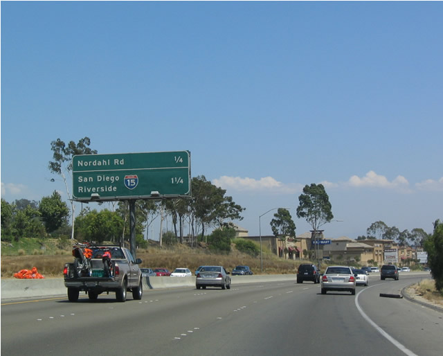 |
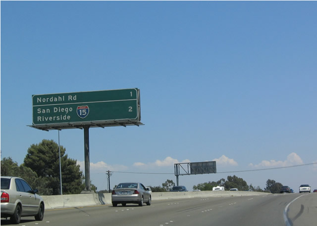
Another mileage sign follows on eastbound California 78 for Exit 15, Nordahl Road and Exits 16A-B, Interstate 15 north to Riverside and south to San Diego. Photo taken 08/08/04. |
 |
Eastbound California 78 reaches Exit 15, Nordahl Road. On rush hour mornings, back-ups created by Interstate 15 can come this far west on California 78. Photo taken 08/08/04. |
 |
Eastbound California 78 approaches Exits 17A-B, Interstate 15. Interstate 15 leads south into San Diego and north toward Temecula and Riverside. Photo taken 08/08/04. |
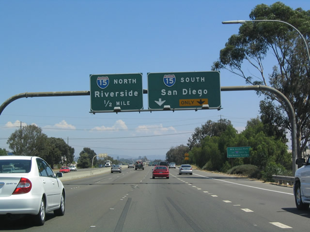 |
The right lane of eastbound California 78 becomes exit only to Exit 17A/Southbound Interstate 15. Photo taken 08/08/04. |
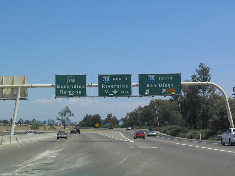 |
In this interchange, the first exit from eastbound California 78 is Exit 17A to southbound Interstate 15. The second ramp is a loop ramp that connects to Interstate 15 north via Exit 17B. Photo taken 08/08/04. |
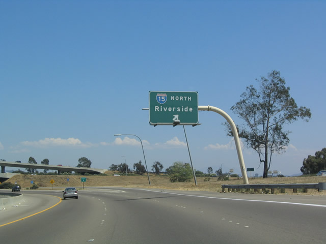 |
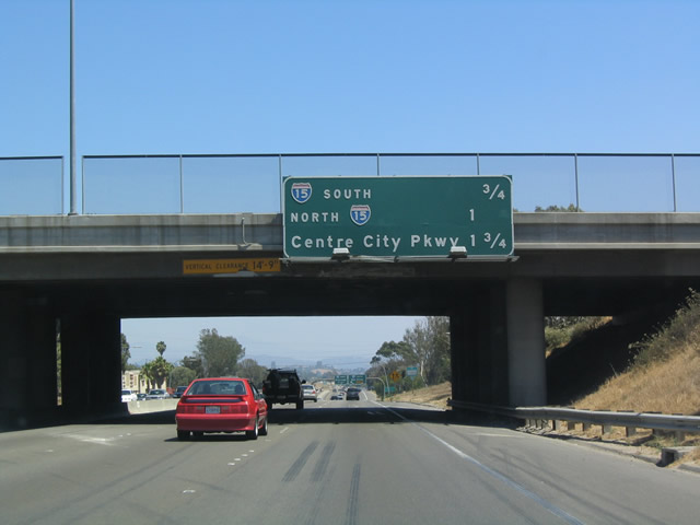
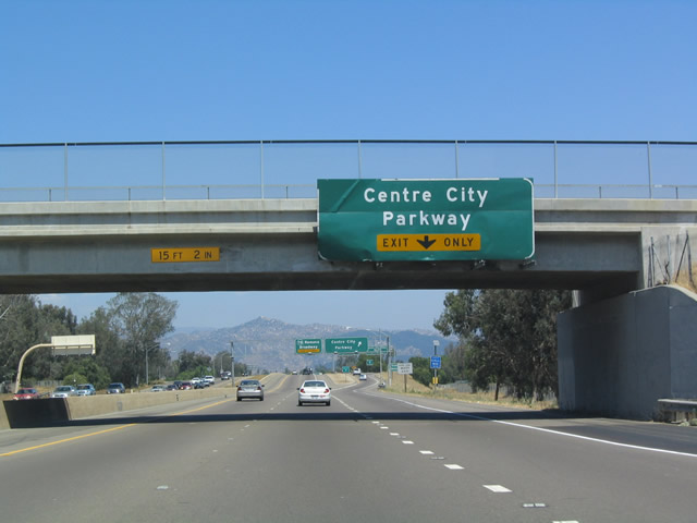
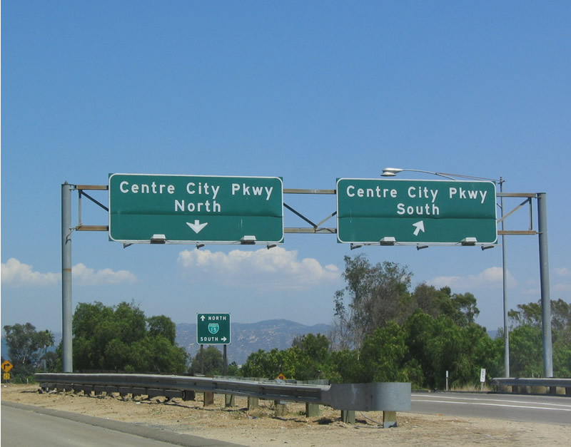
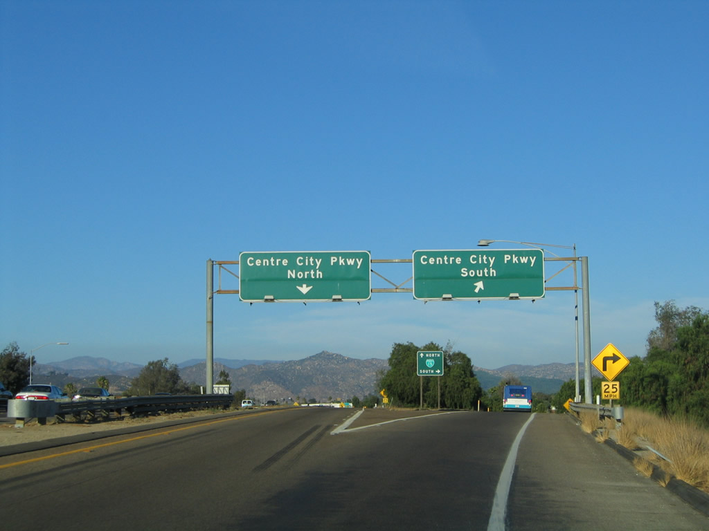
Eastbound California 78 reaches Exit 17B, Interstate 15 north to northern San Diego County and Riverside County (the Inland Empire). The next exit is Exit 17C, Business Loop I-15 (Centre City Parkway), and the freeway ends after that exit. Photo taken 08/08/04. |
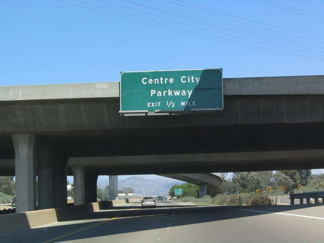 |
Eastbound California 78 next approaches Exit 17C, Business Loop I-15 (Centre City Parkway). Photo taken 08/08/04. |
 |
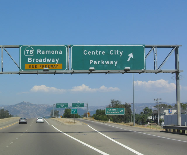
This rare Business Loop I-15 button copy shield is pasted on a green sign along eastbound California 78 (Packard Freeway) as it approaches Exit 17C, Business Loop I-15 (Centre City Parkway), immediately after the Interstate 15 overpass. Photo taken 08/08/04. |
 |
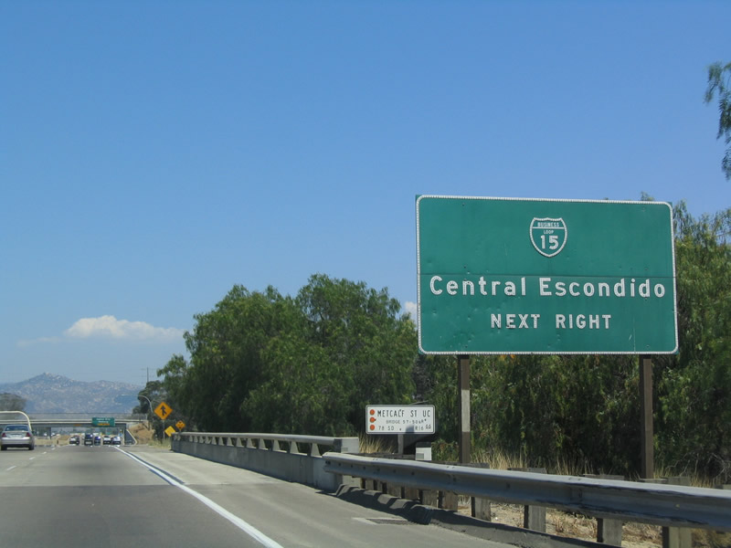
Business Loop I-15 (Centre City Parkway) heads south into downtown Escondido and north toward unincorporated north San Diego County along the old alignment of U.S. 395, the former Main Street of inland North County. Photo taken 08/08/04. |
 |
 |
After Exit 17C, eastbound California 78 changes from a freeway into a surface street at Broadway in the city of Escondido. California 78 will turn right (south) on Broadway as it turns into a surface street. There had been plans to extend the freeway eastward from here, but it is unclear if or when that might happen. Photos taken 08/08/04 and 08/23/04. |
 |
 |
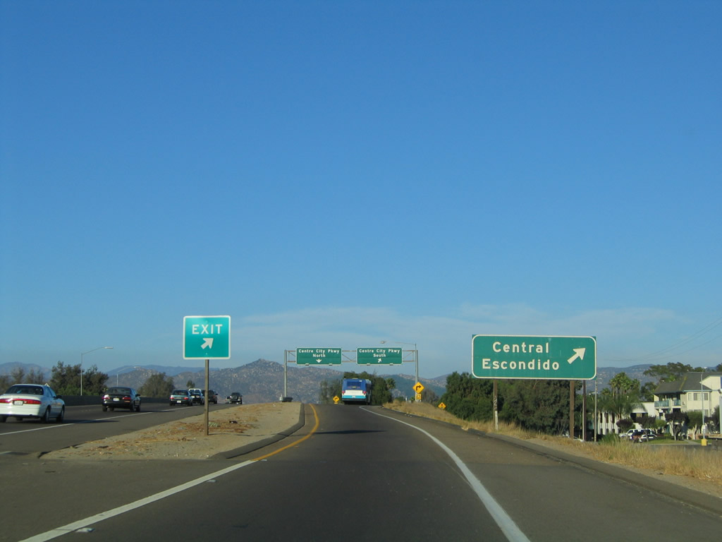
Now looking at the off-ramp to Exit 17C, this view shows the signage for the Business Loop I-15 interchange. Note the use of a second business loop shield on the gore point signage. Photos taken 08/08/04 and 08/23/04. |
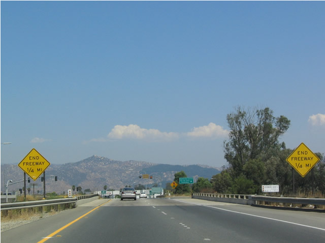 |
After Exit 17C, the freeway prepares to end. California 78 reverts into a city street as it approaches Escondido. Photo taken 08/08/04. |
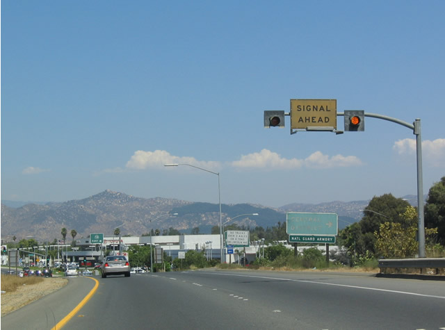 |
Turn right on Broadway to continue east on California 78 and to reach downtown Escondido. Photo taken 08/08/04. |
 |
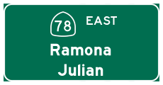
At one time, California 78 was proposed to continue as a freeway through Escondido and possibly through San Pasqual Valley to Ramona. However, that is a very unlikely scenario due to local opposition and environmental concerns in the agricultural San Pasqual Valley. Photo taken 08/08/04. |
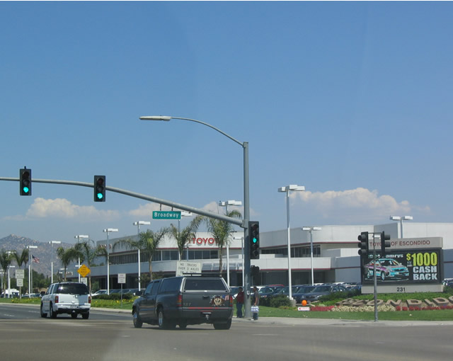 |
California 78 turns right from the eastbound freeway onto southbound Broadway in Escondido. Photo taken 08/08/04. |

Page Updated March 10, 2013.
|
About Contact Glossary |
In The News Interstate Guide |
Social Media:
 |
|
© 2000-25 AARoads.com | All Rights Reserved | Privacy Policy / Terms of Use
|
||