| California 79 north |
|
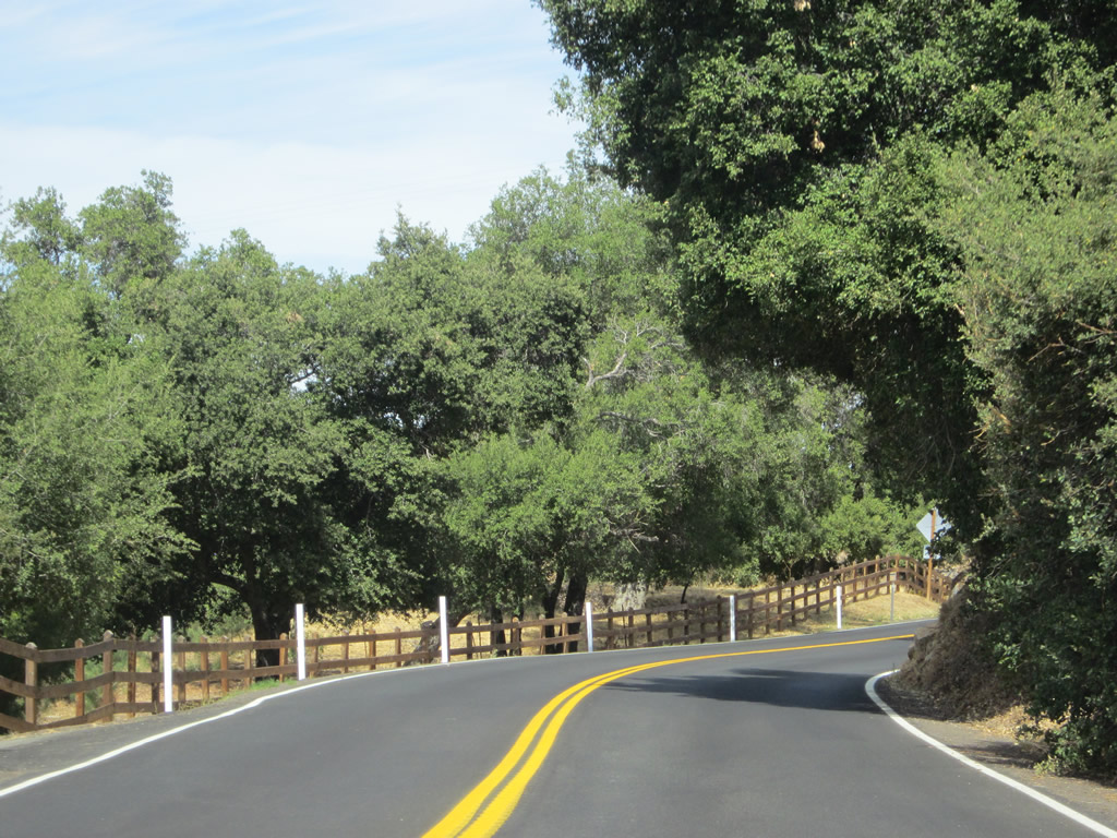
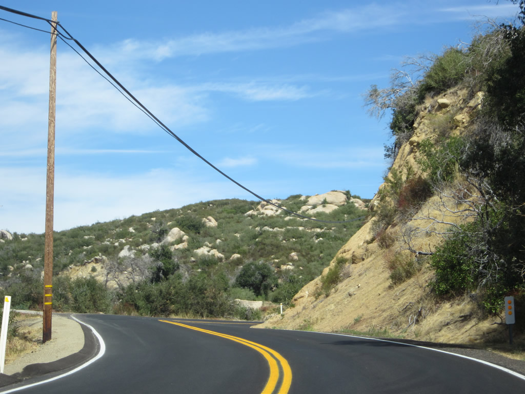
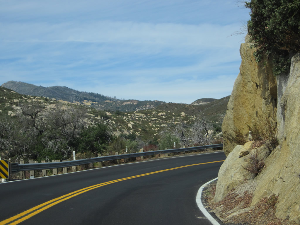
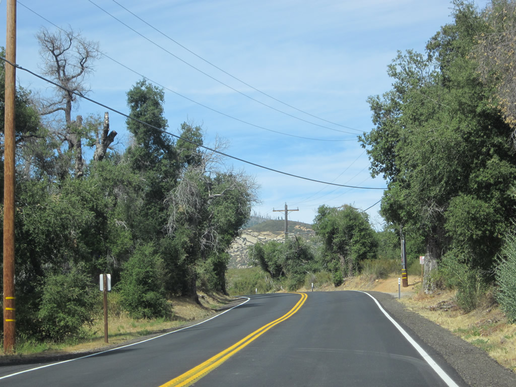
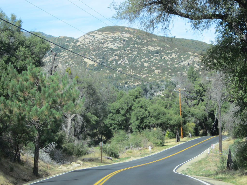
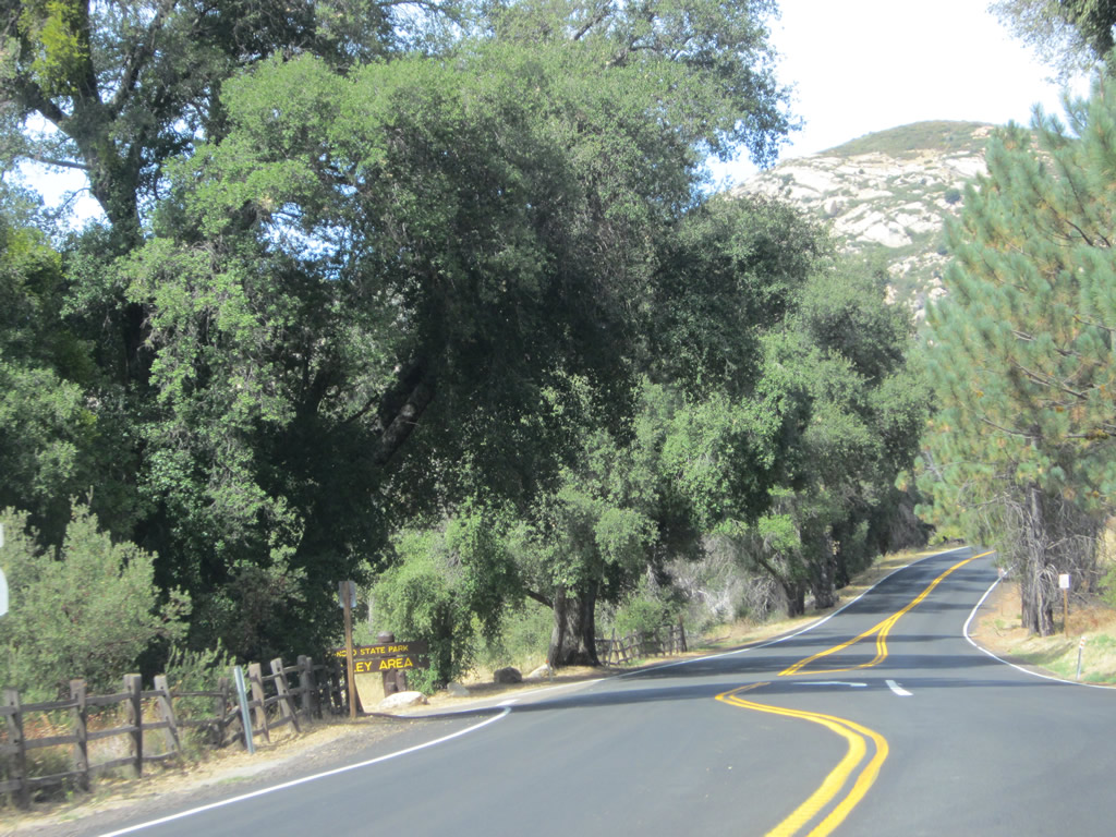
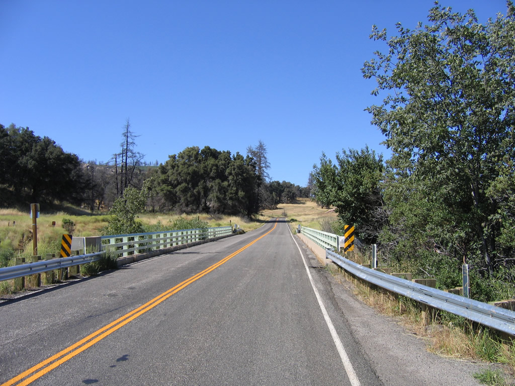
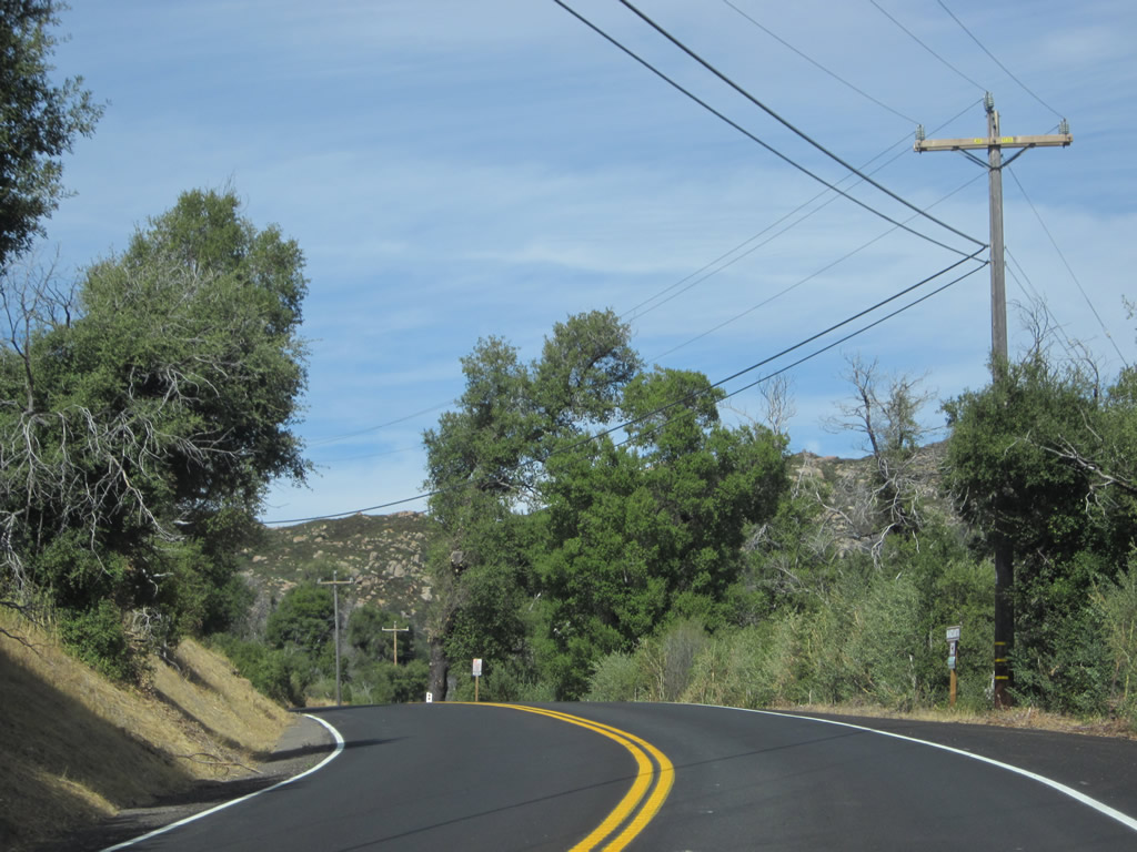
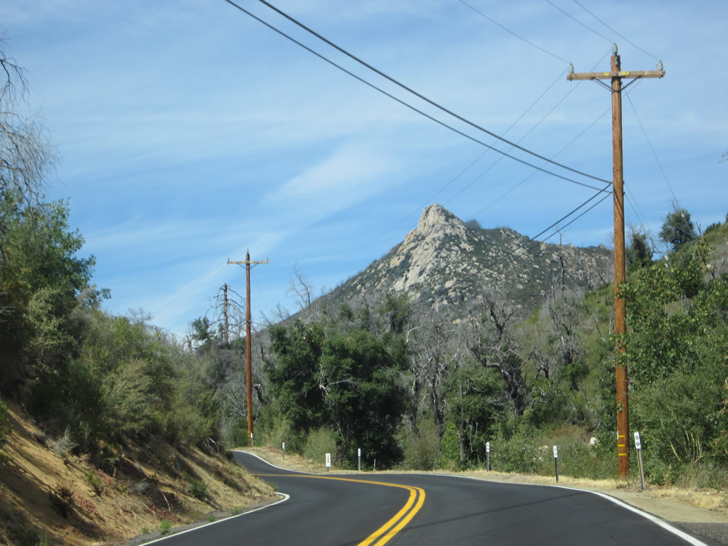
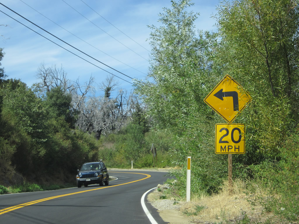
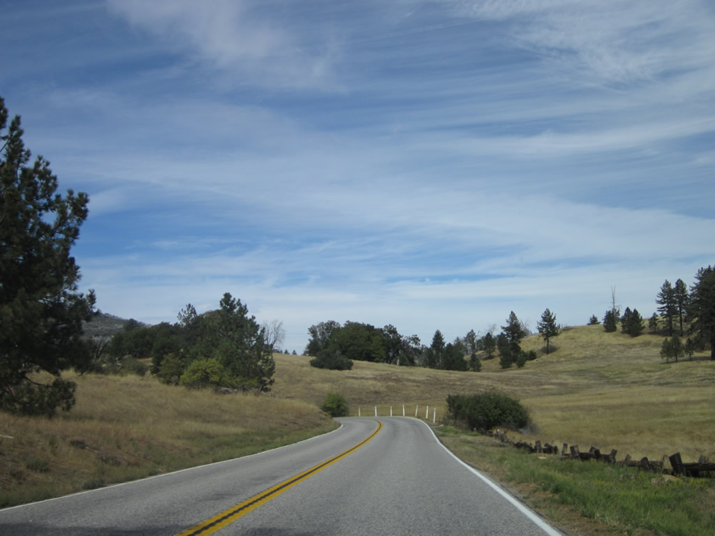
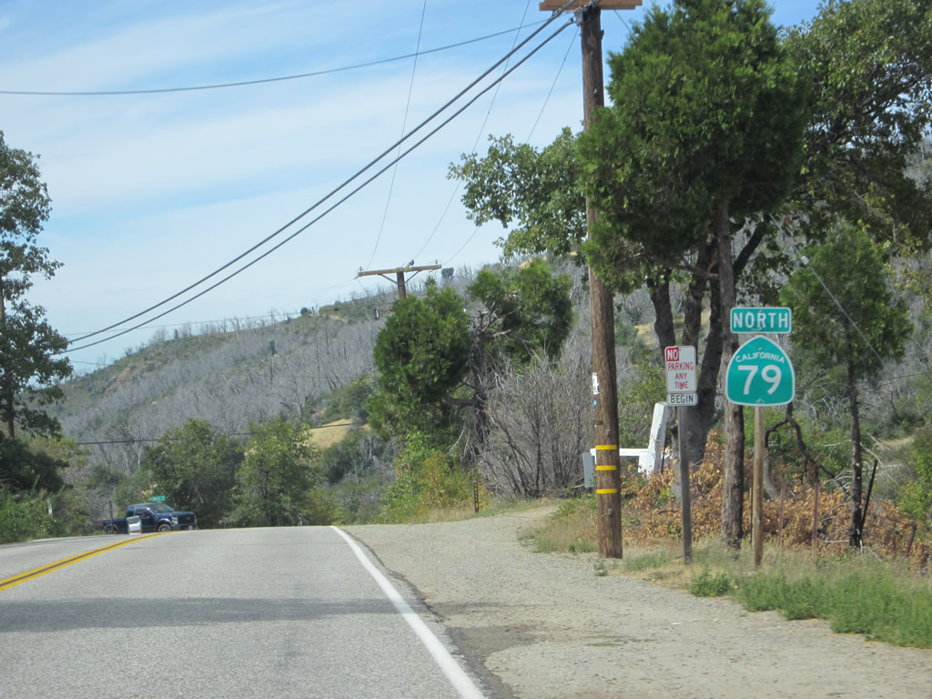
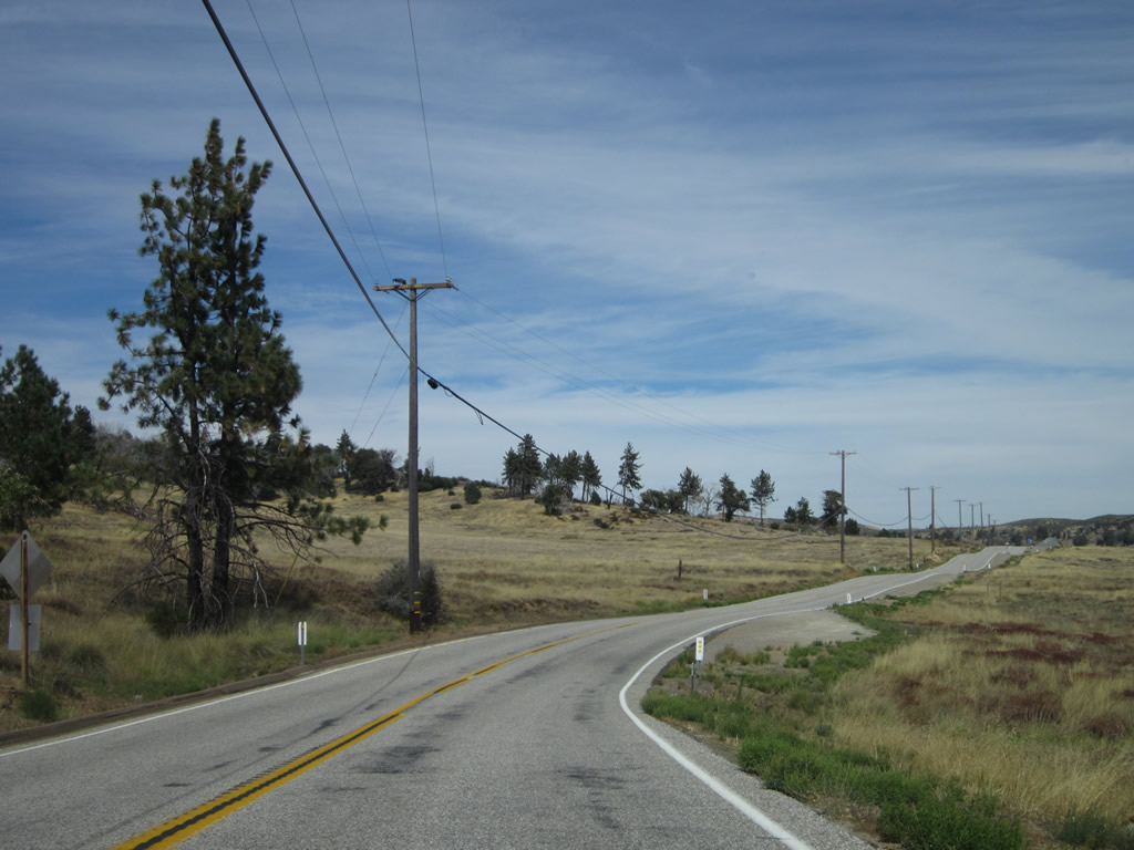
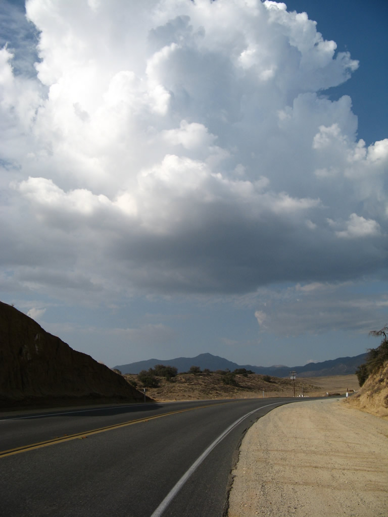
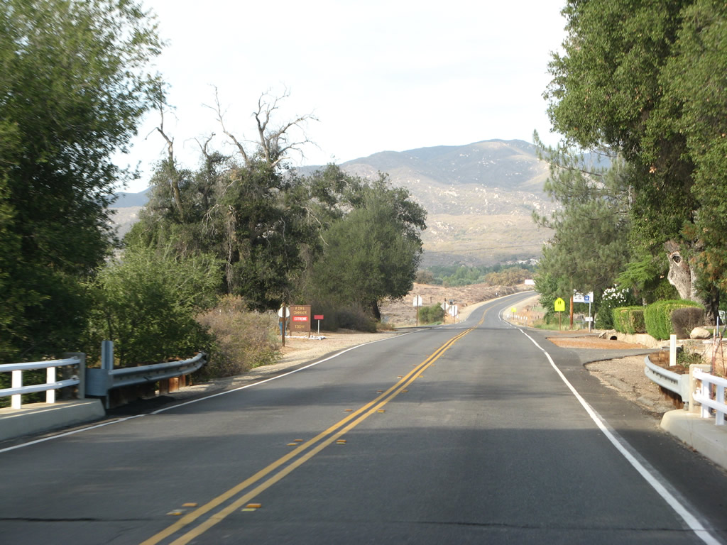
California 79 begins its northbound journey as Japatul Valley Road passes under Interstate 8 just south of Descanso at Exit 40. From here, California 79 will follow Japatul Valley Road to Old U.S. Highway 80, then curve north onto Cuyamaca Highway. Photo taken 02/11/12. |
|
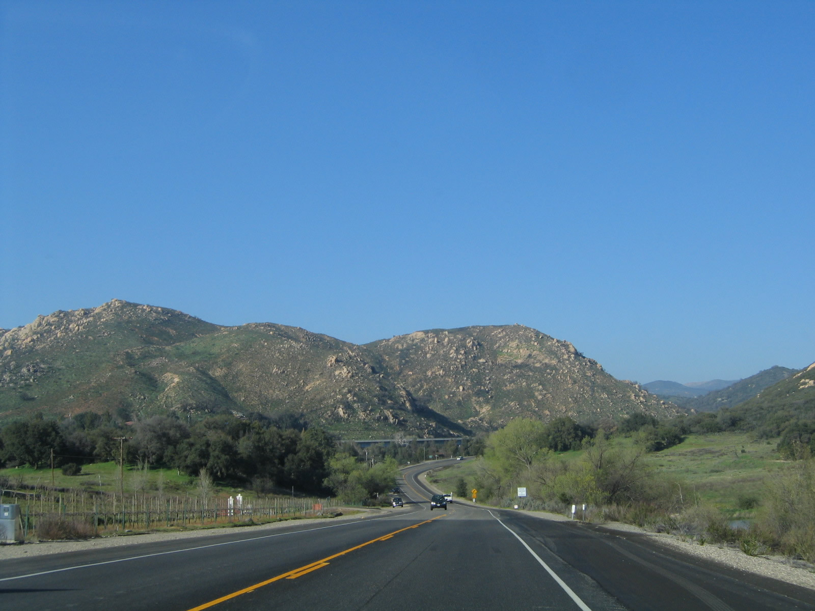
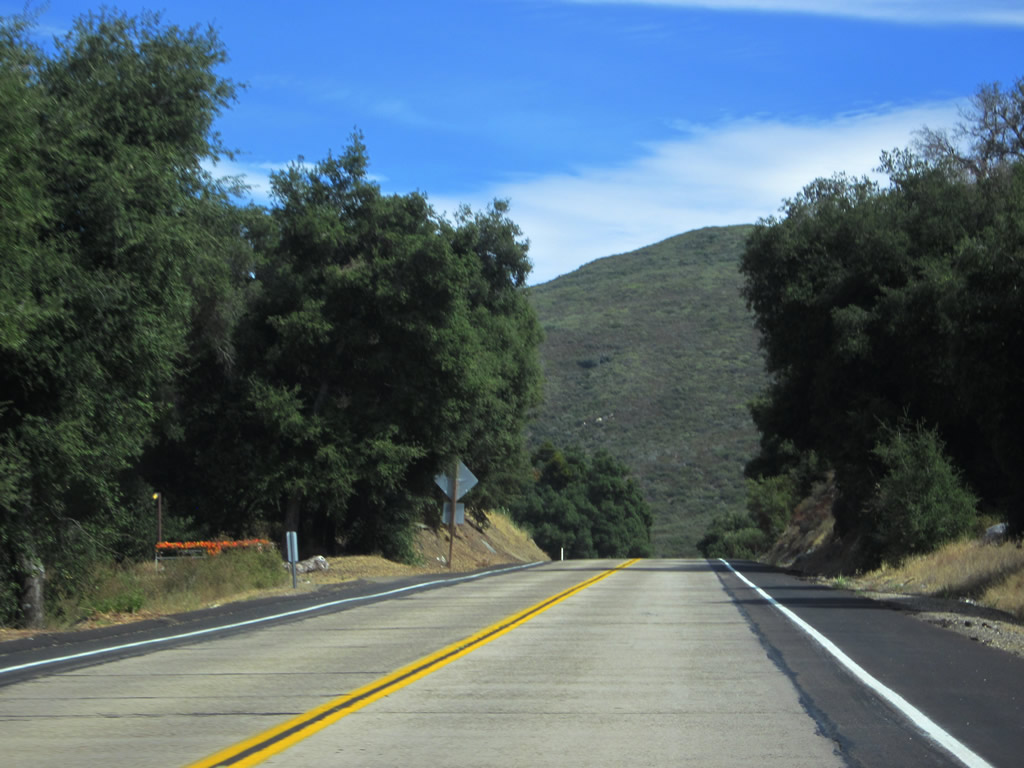
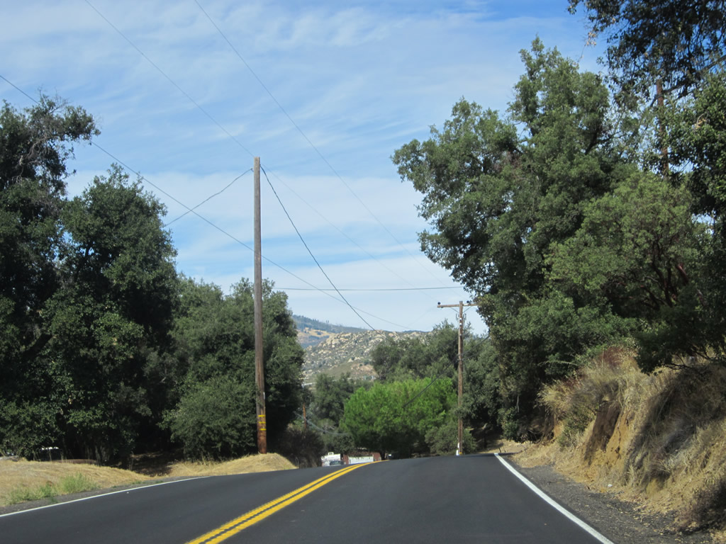
After passing under the Interstate 8 bridges, this view is afforded along northbound California 79. Coming into view is the Sweetwater River valley, along with the tall 1951 Wildwood Glen Lane bridge, visible in the distance. This bridge was to be part of Interstate 8 until it was decided that the freeway would avoid Descanso, Guatay, and Pine Valley and follow the crestline instead. As a result, the 1951 bridge, while impressive, leads to a dead end. Photo taken 03/12/05. |
|
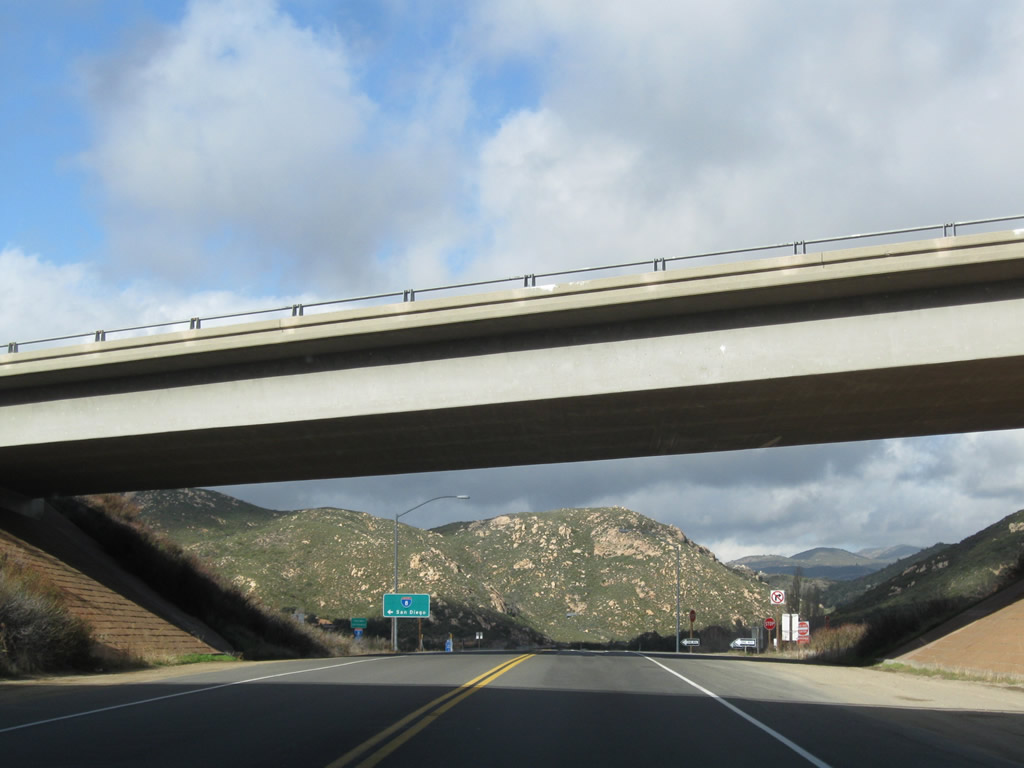
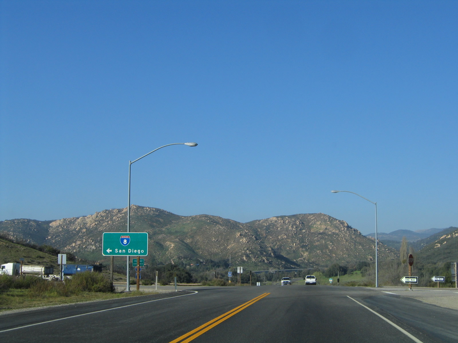
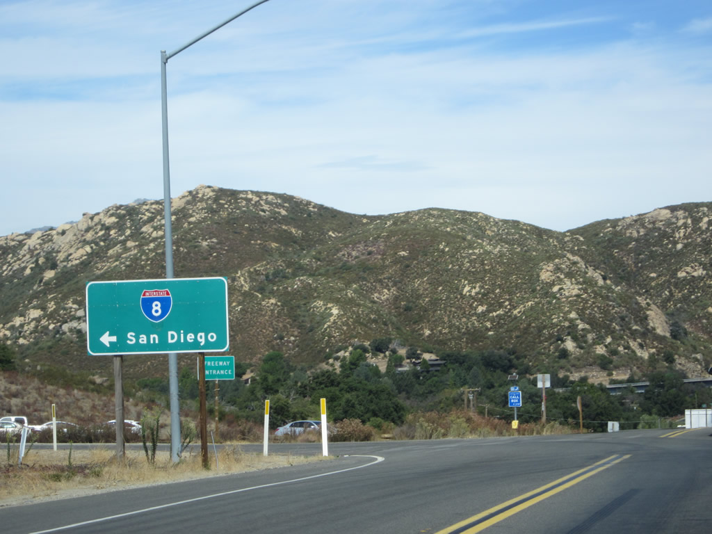
The first left turn from northbound California 79 connects to Interstate 8 (Kumeyaay Highway) west to Alpine, El Cajon, La Mesa, and San Diego. Photo taken 10/06/12. |
|
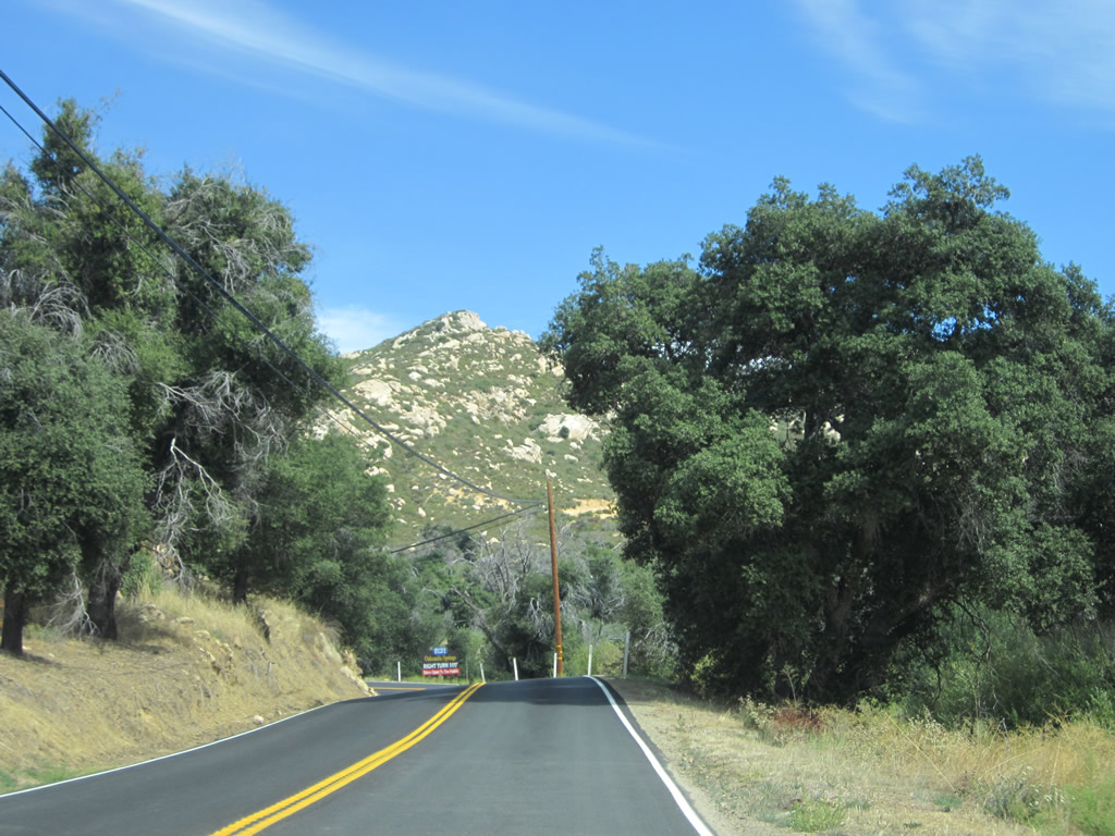
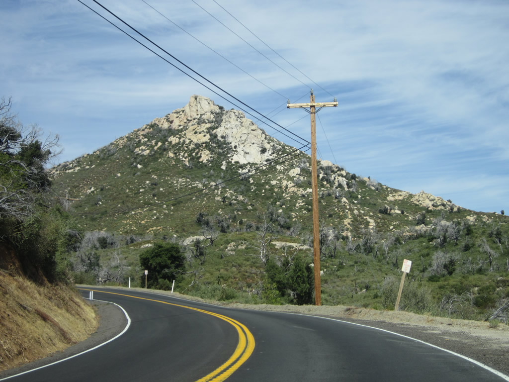
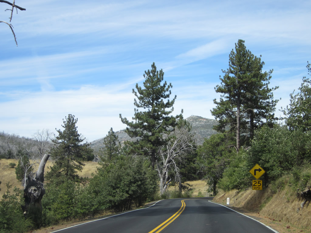
California 79 descends as it approaches the Los Terrinitos Road turnoff. The 1951 Wildwood Glen Lane bridge also remains in view just above the tree line due to its height. Photo taken 03/12/05. |
|
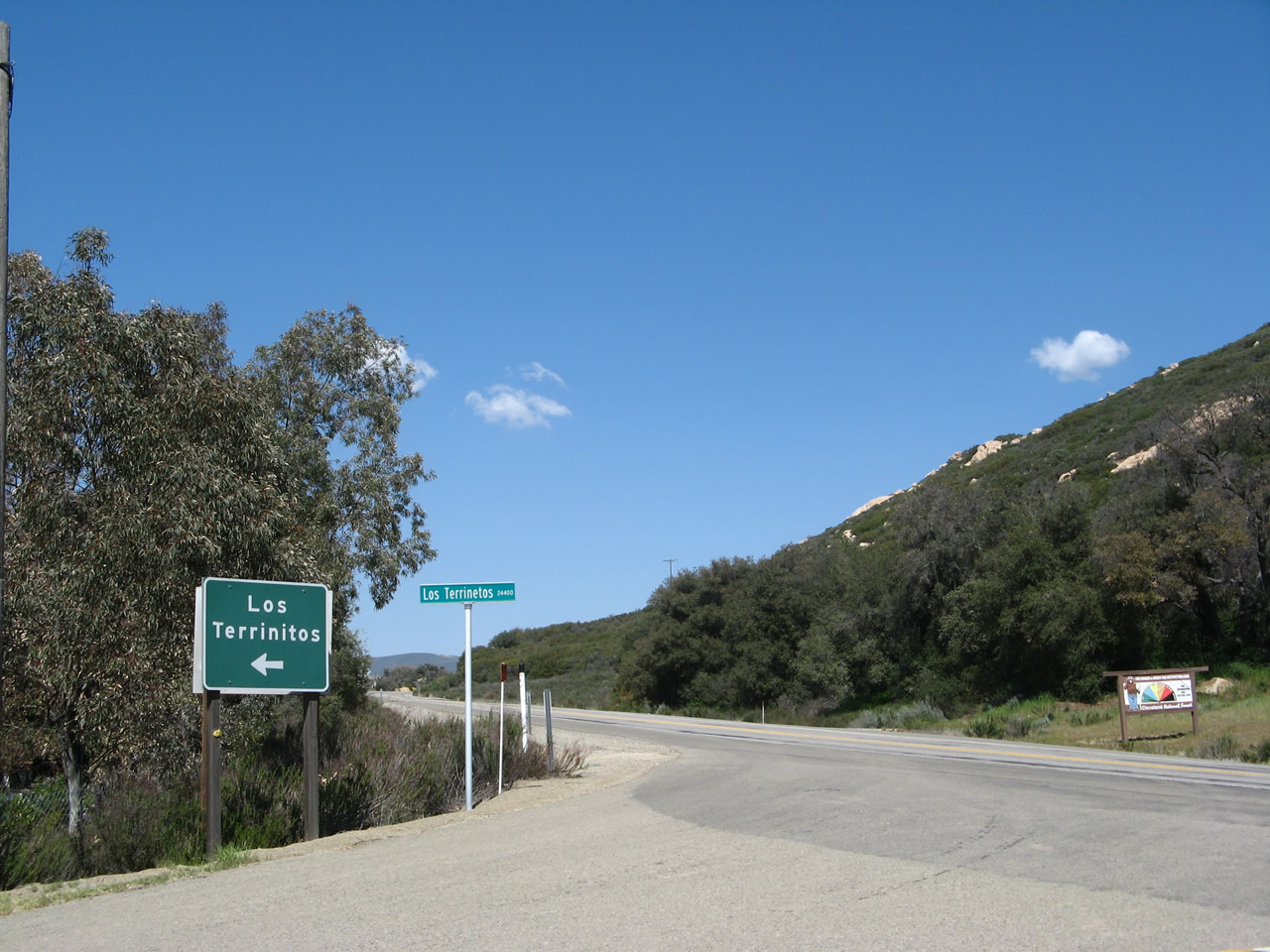
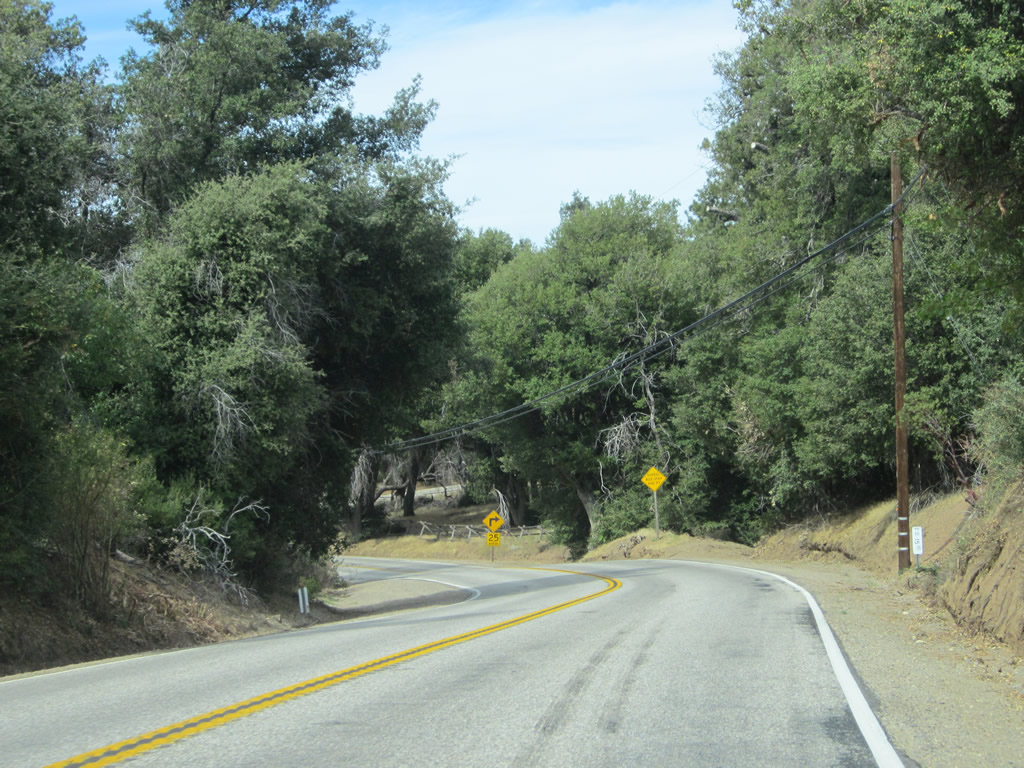
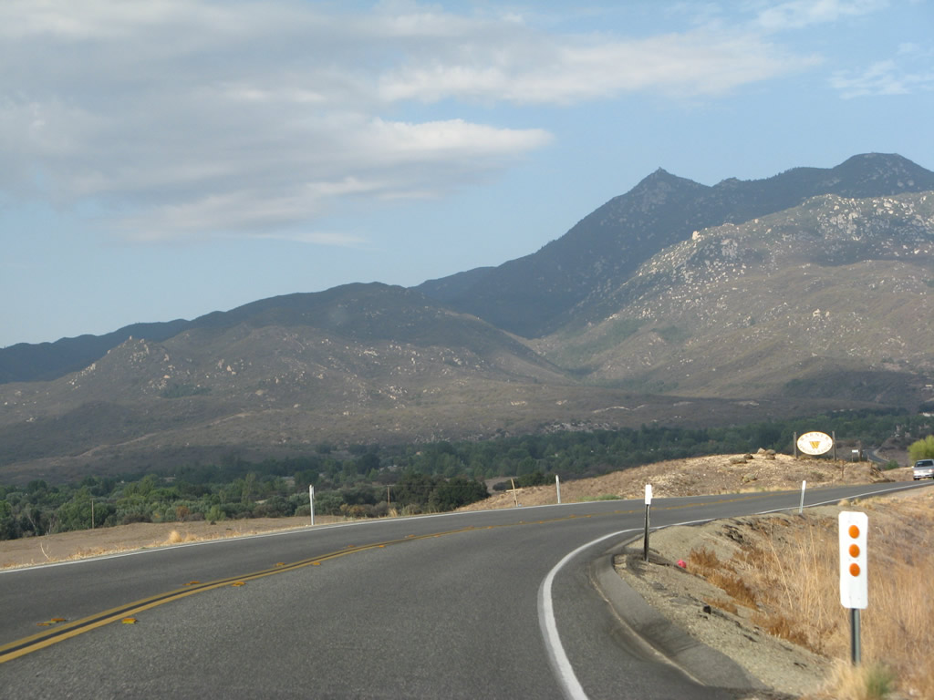
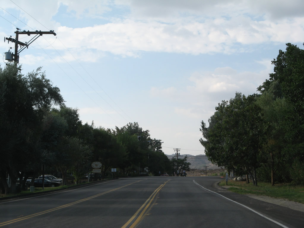
California 79 stays on the east bank of the Sweetwater River as it travels northeast toward Descanso. Two left turns connect to Historic U.S. 80 alignments: Los Terrinitos Road and Wildwood Glen Road. Los Terrinitos Road is the earlier U.S. 80 alignment; a historic 1917 concrete arch bridge carries the historic route over the Sweetwater River. Wildwood Glen Road was built as a bypass of Los Terrinitos and has a much taller bridge over the river (built in 1951). Had Interstate 8 been routed through Pine Valley rather than on the ridge above that community, the bridge over the Sweetwater River along Wildwood Glen Road would have become part of the freeway. Today, Los Terrinitos Road and Wildwood Glen Road meet just west of here, and then they dead end at a locked gate. Hikers can proceed past the gate to see some original U.S. 80 dual-lane concrete that is no longer in use by motorized traffic. Ahead, California 79 north and Historic U.S. 80 east will proceed toward Descanso. Photo taken 10/06/12. |
|
Northbound California 79 meets Los Terrinitos Road, which travels west across the Sweetwater River via the 1917 Los Terrinitos Bridge via the original alignment of the auto trail that preceded U.S. 80. Photo taken 04/29/07. |
|
|
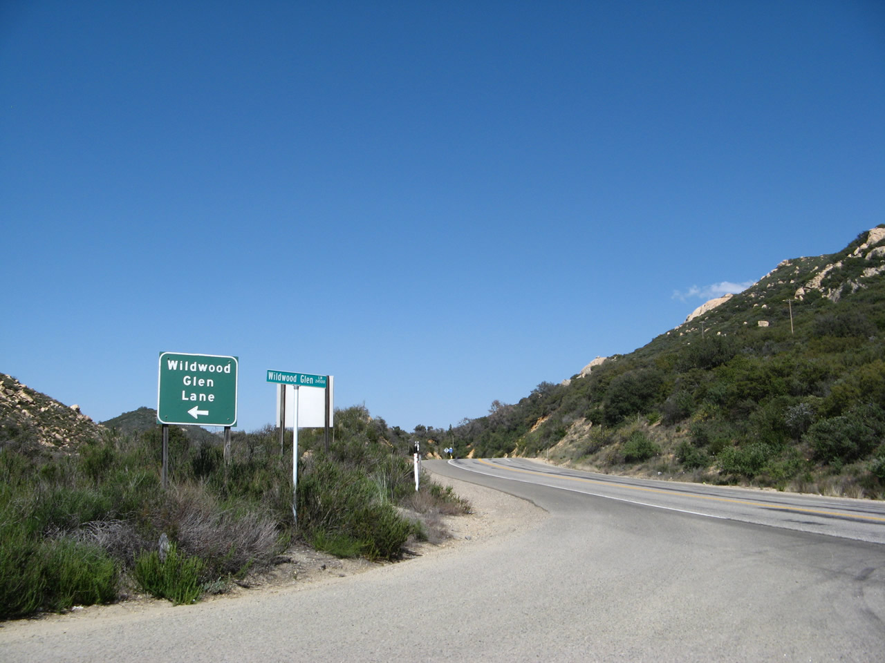
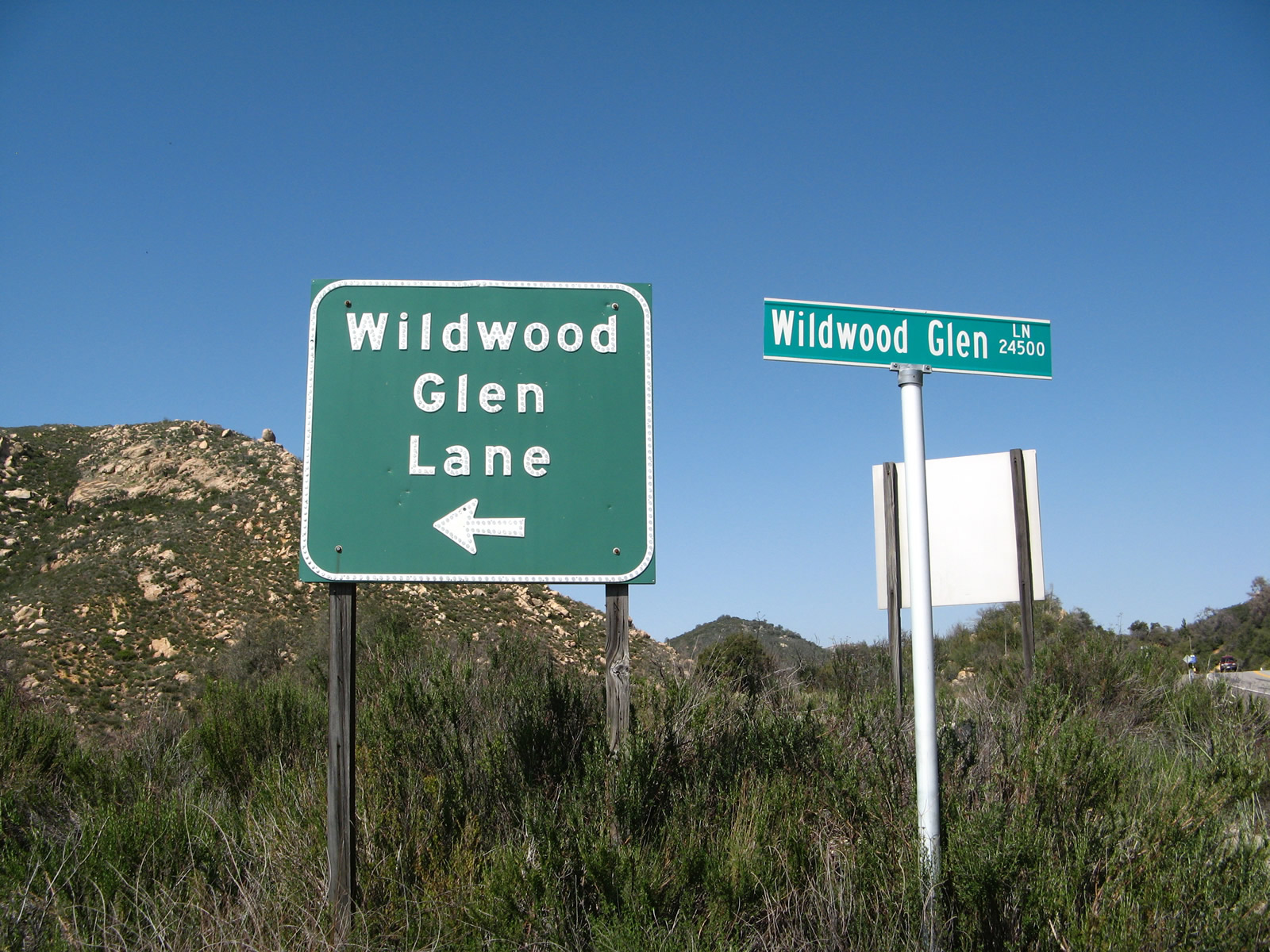
About a quarter mile north of the Los Terrinitos Road intersection, northbound California 79 meets Wildwood Glen Road. Turn left here for a dead-end stretch of Historic U.S. 80 that connects to the 1951 bridge that was visible in pictures shown above and leads to a long, unused section of twin-slab concrete that can be hiked. Photos taken 04/29/07. |
|
|
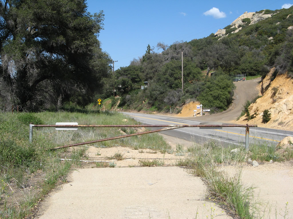
Old U.S. 80 twin-slab concrete meets northbound California 79 just north of the Wildwood Glen Lane intersection. From here to Descanso Junction, California 79 north and U.S. 80 east will share alignment. Photos taken 04/29/07. |
|
|
The first California 79 postmile is located near the point where the old twin-slab concrete alignment joins modern California 79. Photo taken 04/29/07. |
| California 79 north & Historic U.S. 80 east |
|
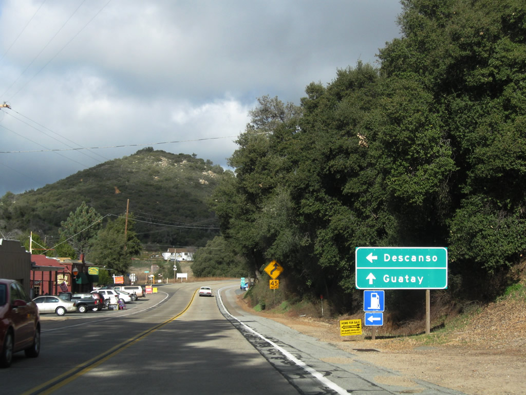
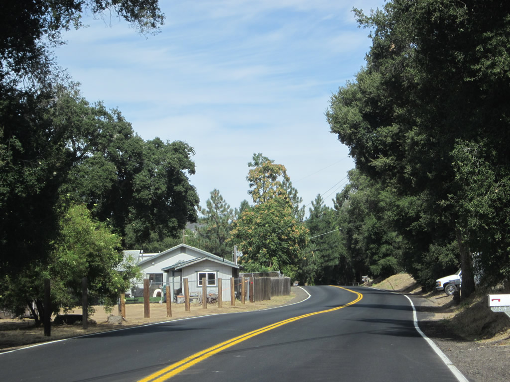
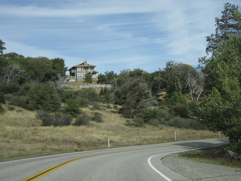
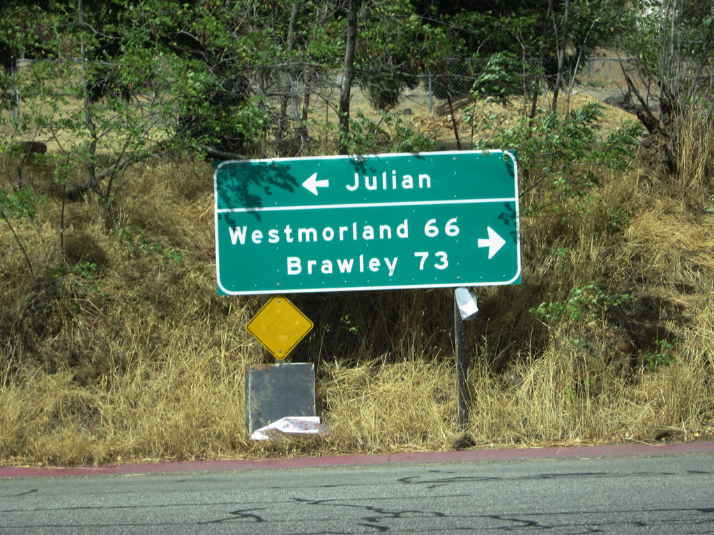
Northbound California 79 and eastbound Historic U.S. 80 enter a small business district at Descanso Junction, which is near the intersection with Riverside Drive. At this intersection, turn left on Riverside Drive to the unincorporated community of Descanso, or stay right for the continuation of California 79 north to Cuyamaca and Julian or U.S. 80 east to Guatay and Pine Valley. Riverside Drive loops away from California 79, but motorists may rejoin the northbound state highway via eastbound Viejas Boulevard. Photo taken 02/11/12. |
|
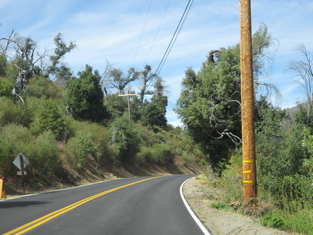
The section of California 79 and U.S. 80 between Wildwood Glen Lane and the Old Highway 80 (Cuyamaca Highway) split is notable for its concrete travel lanes and asphalt shoulders. This is a common design theme along most of Historic U.S. 80 in eastern San Diego County. Photo taken 10/06/12. |
|
|
|
The section of California 79 and U.S. 80 between Wildwood Glen Lane and the Old Highway 80 (Cuyamaca Highway) split is notable for its concrete travel lanes and asphalt shoulders. This is a common design theme along most of Historic U.S. 80 in eastern San Diego County: Much of the old road remains in use despite concrete dating from the 1920s and 1930s. Photos taken 10/06/12. |
|
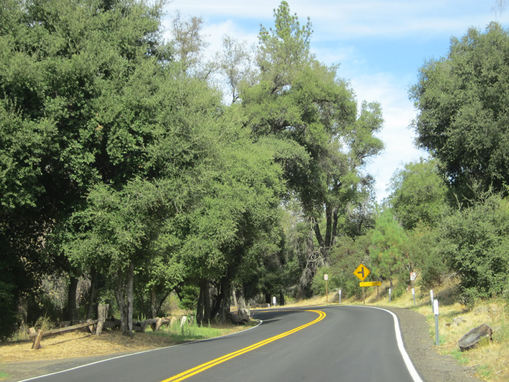
California 79 and U.S. 80 will split in one mile. California 79 will turn north onto Cuyamaca Highway, a winding yet scenic highway that leads into Cuyamaca Rancho State Park. Historic U.S. 80 will continue east into Pine Valley and stay parallel to Interstate 8 en route to Jacumba. Photo taken 10/06/12. |
|
|
|
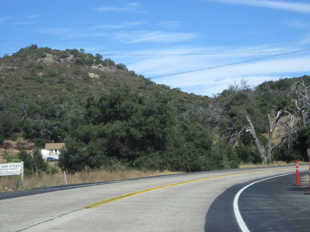
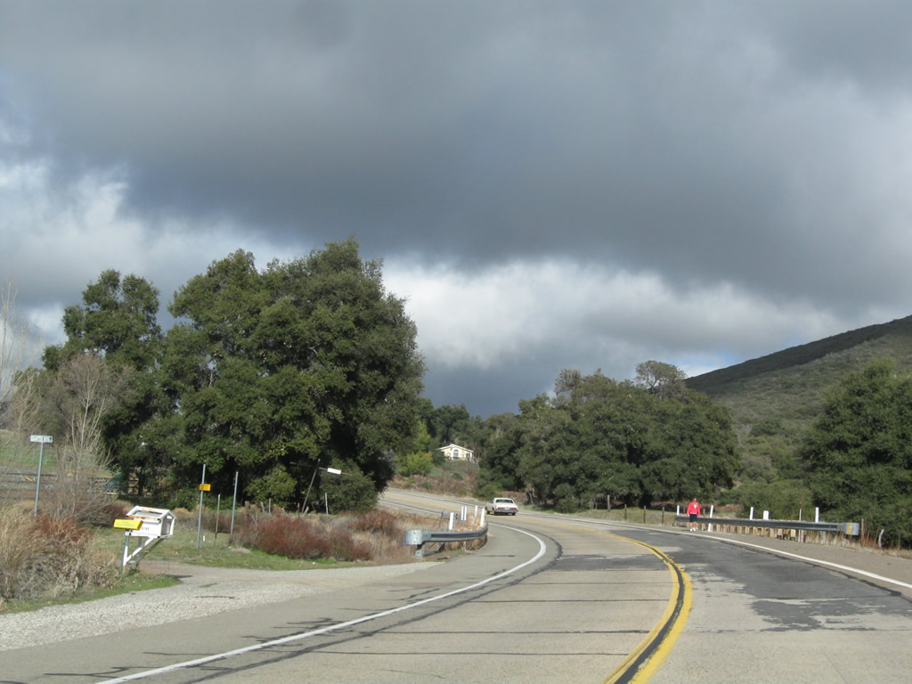
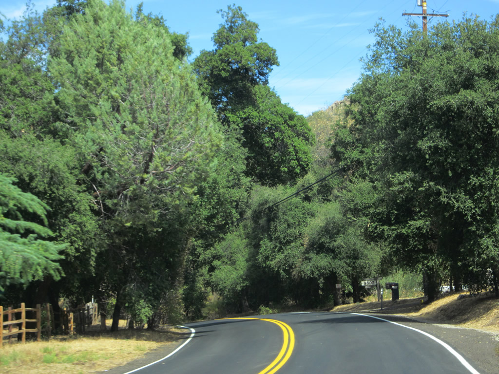
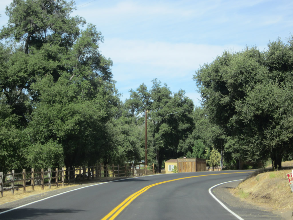
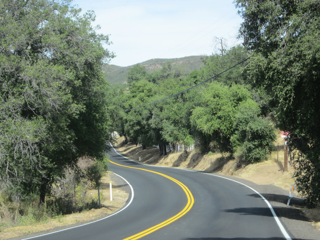
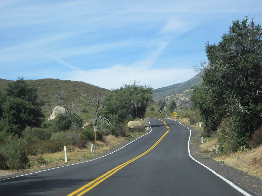
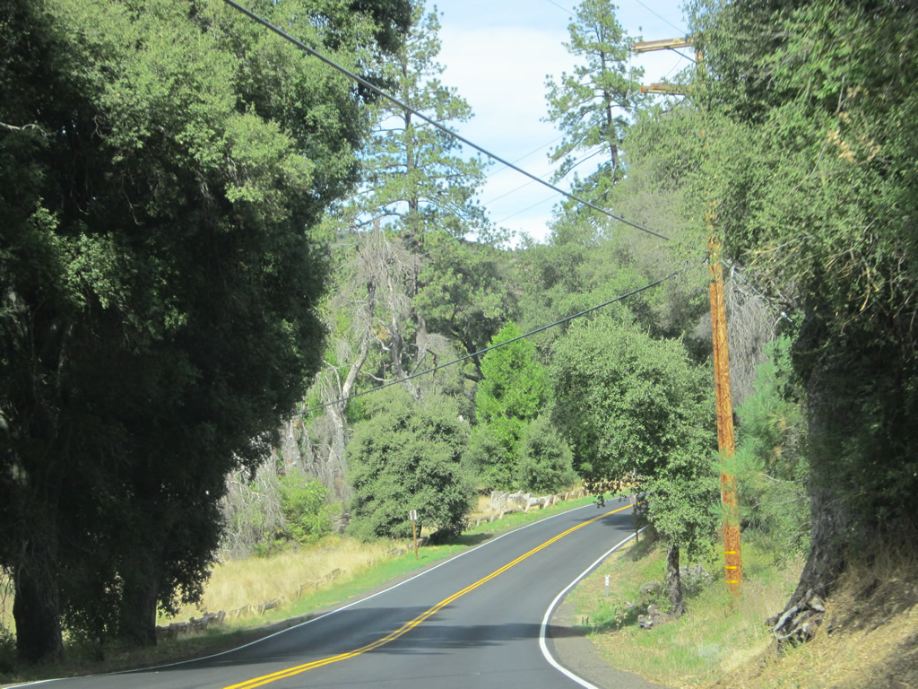
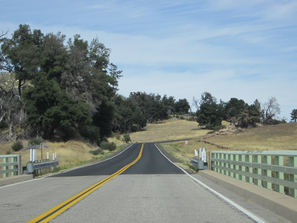
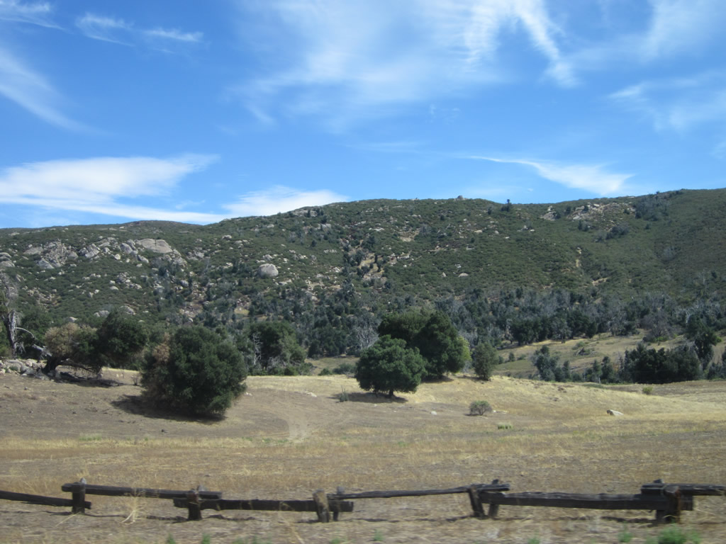
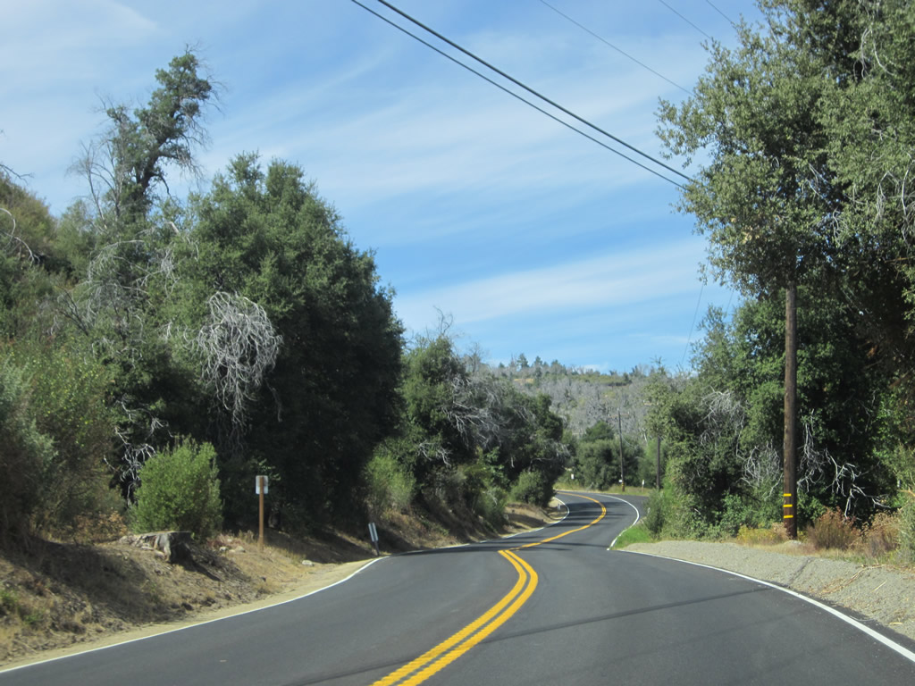
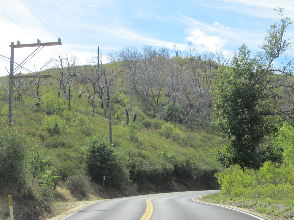
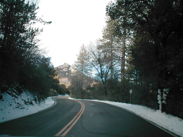
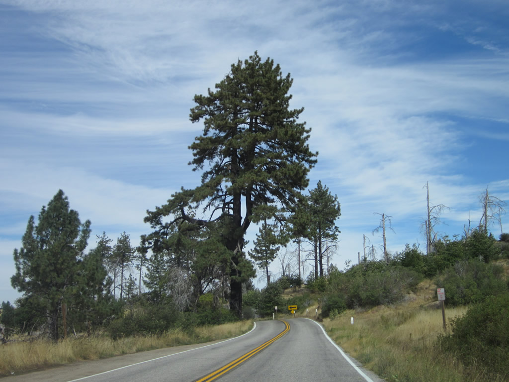
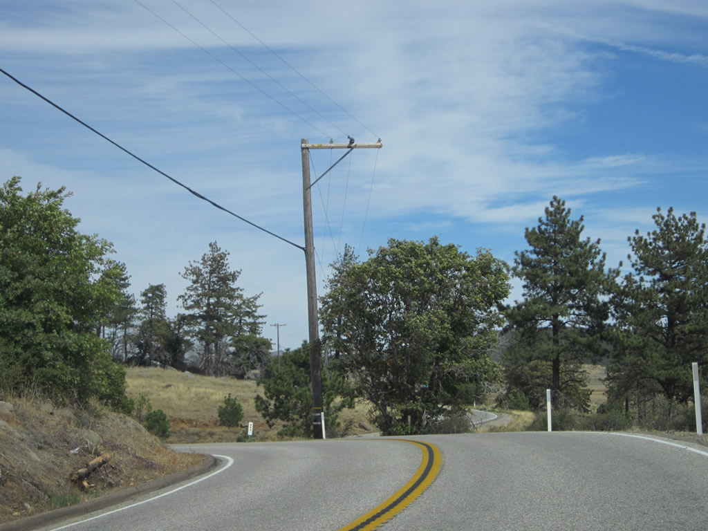
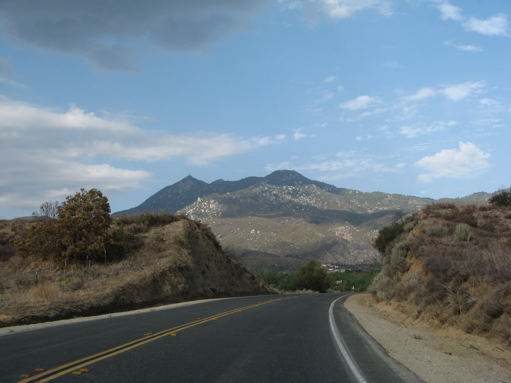
This series of pictures follows California 79 and U.S. 80 between Descanso Junction and the Cuyamaca Highway turnoff west of Guatay. On wintry days, a cloudy mix can dominate the skies and brings rain and snow. Photos taken 02/11/12 and 10/06/12. |
|
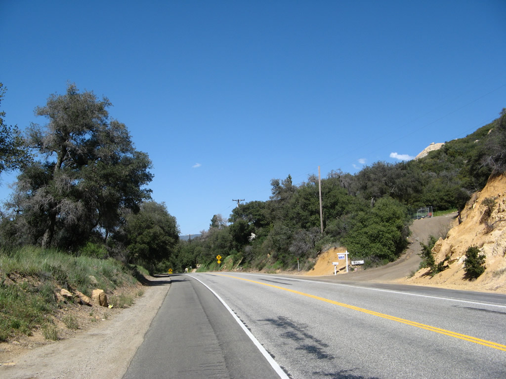
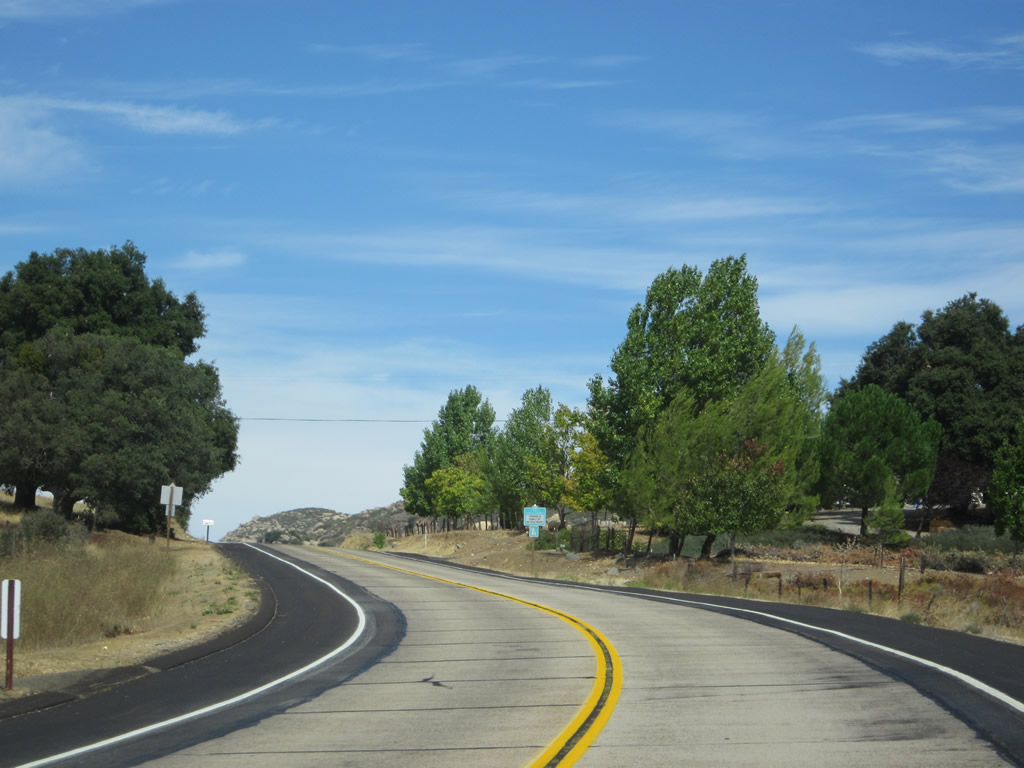
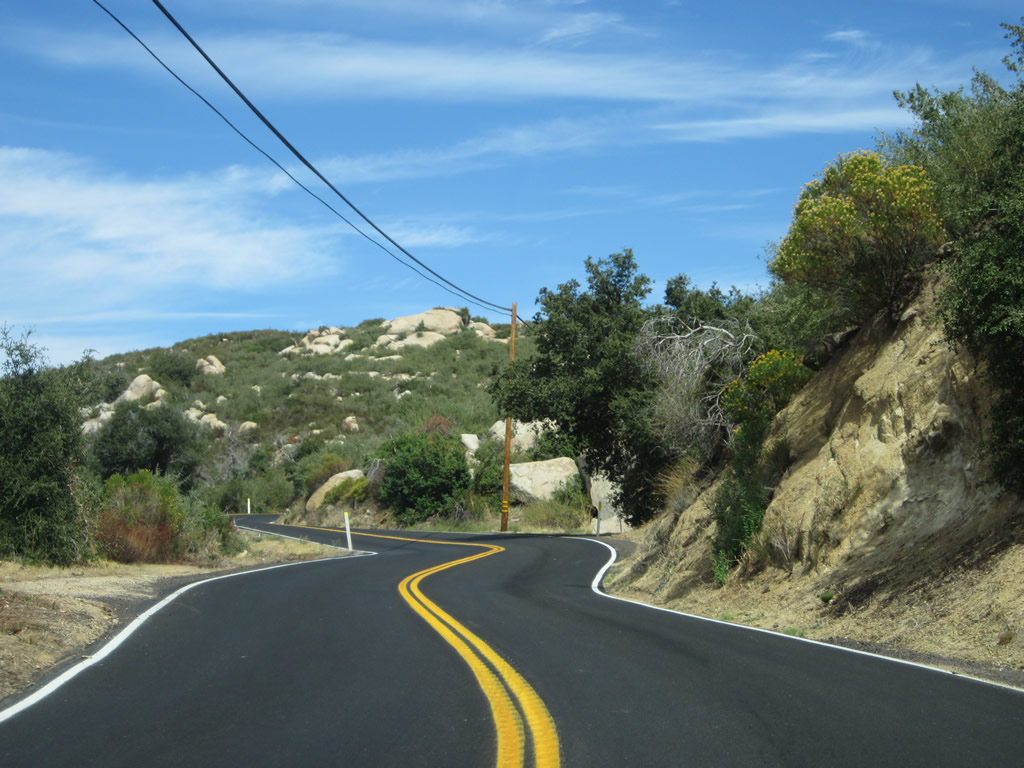
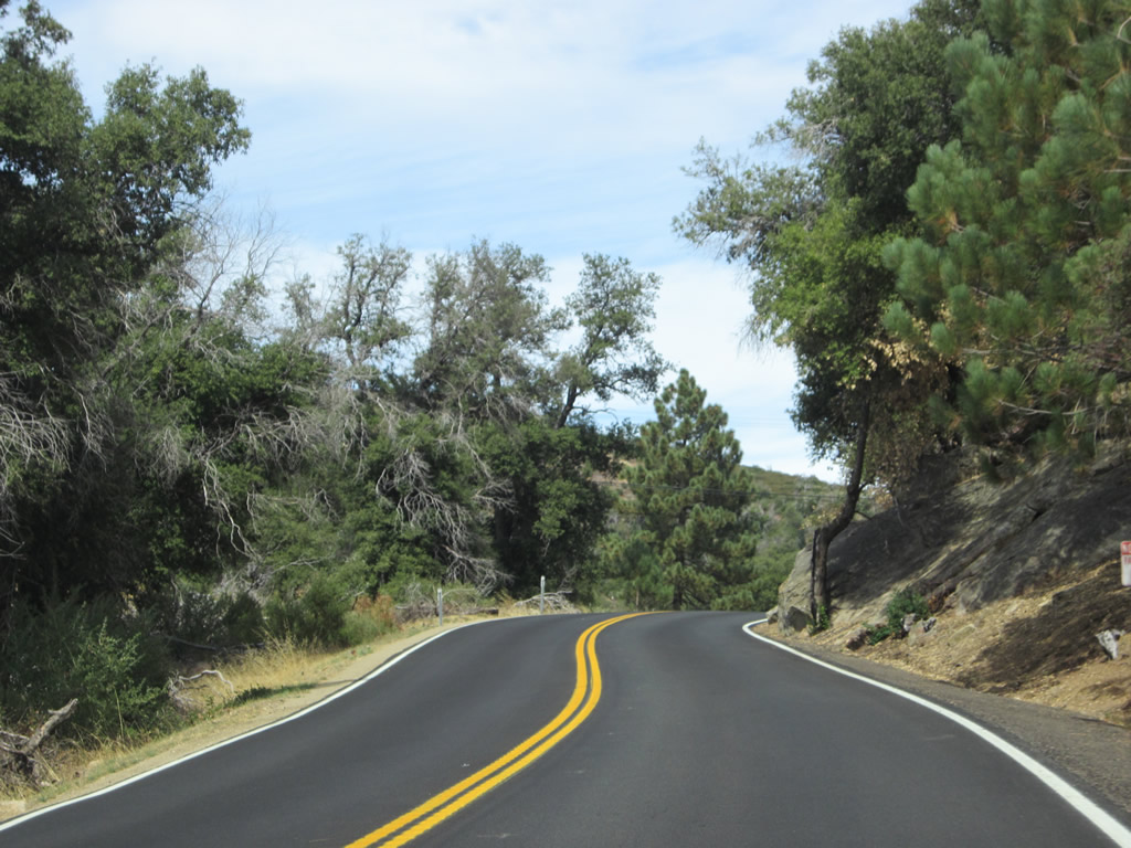
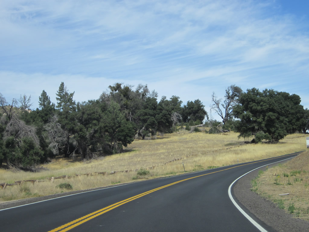
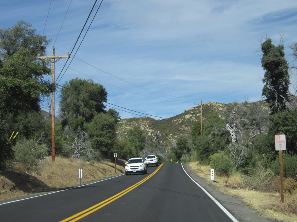
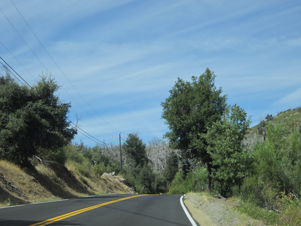
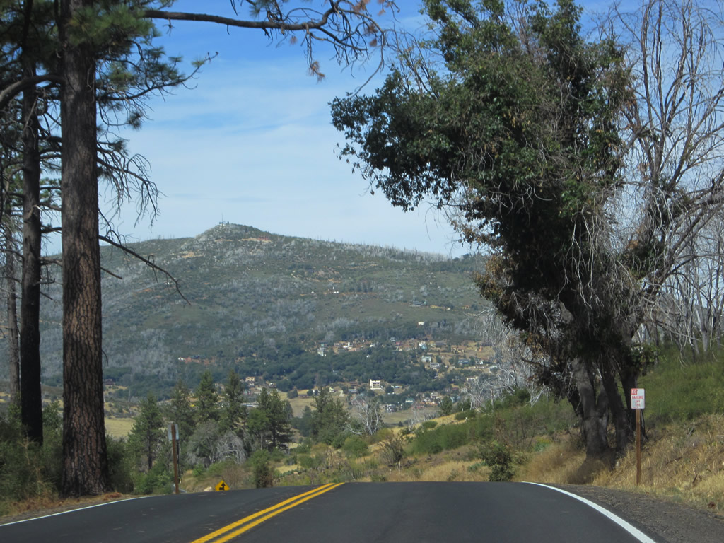
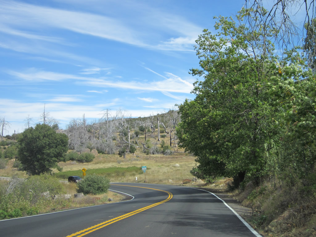
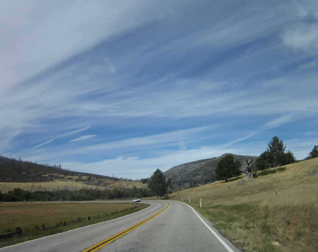
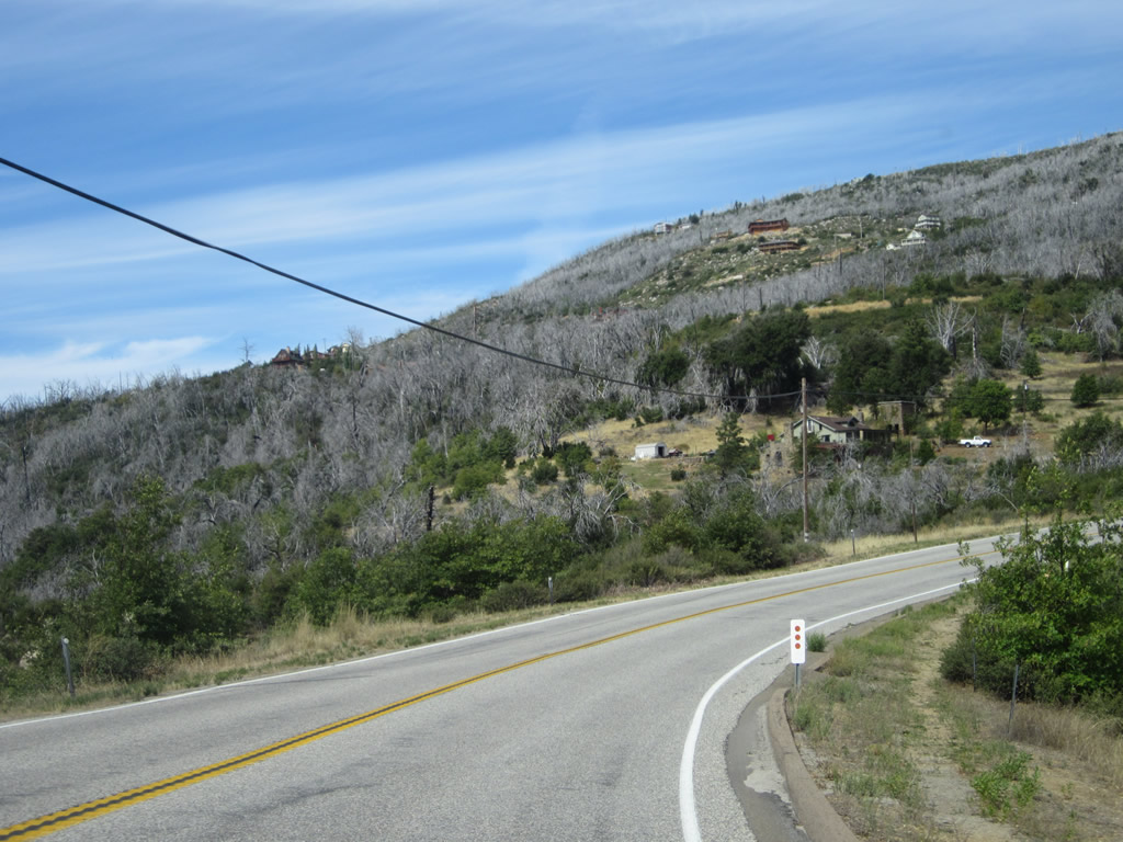
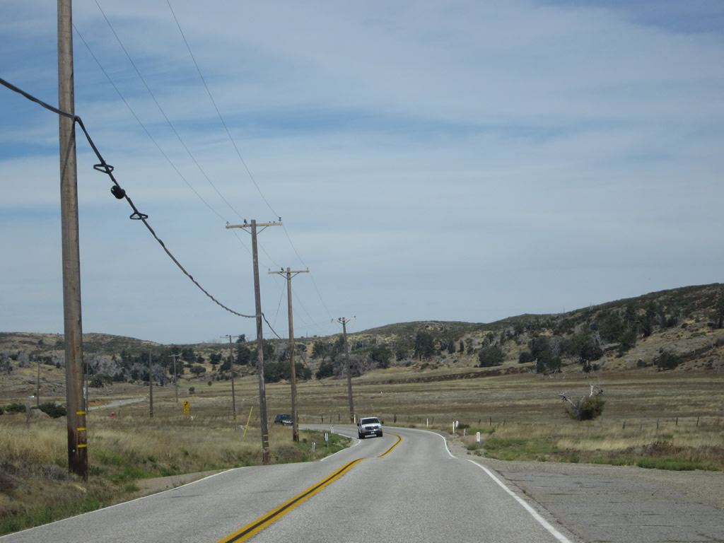
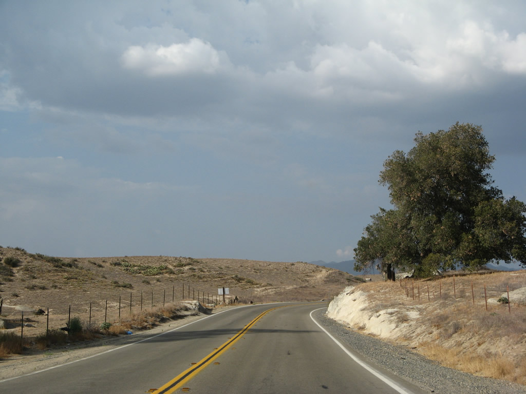
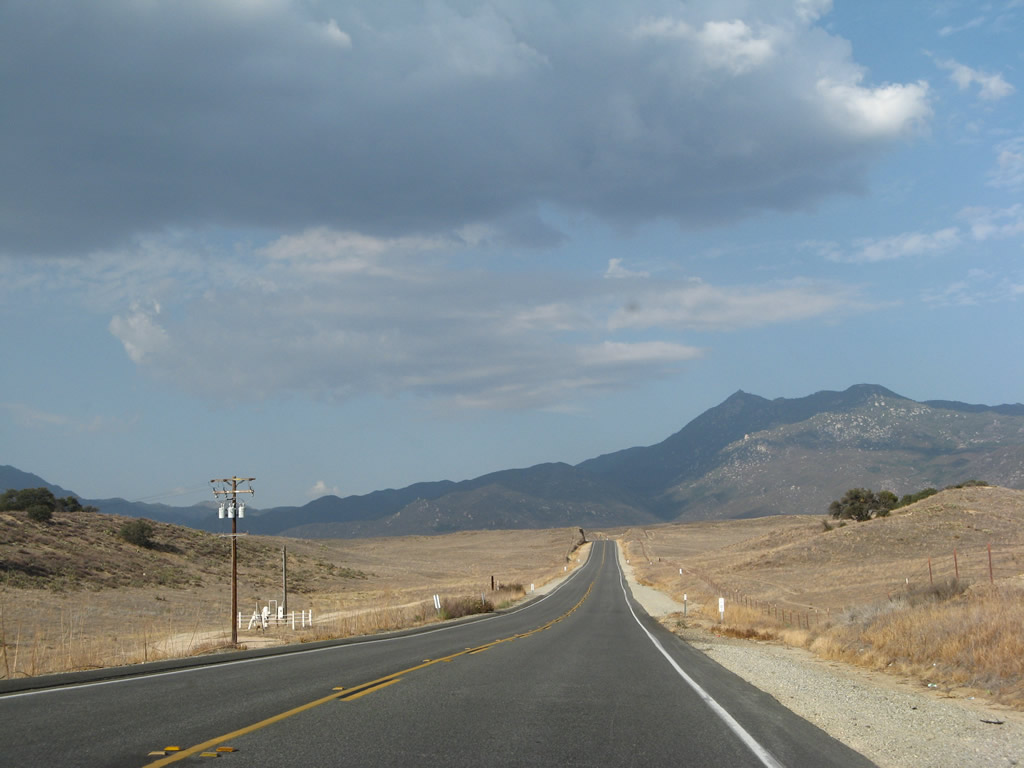
California 79 will see mountainous, rural terrain between Interstate 8 and Temecula. The state route will maintain a two-lane configuration and sees no cities and limited development along its route. This changes along the northern half of the state route, which passes through the rapidly growing cities of southern Riverside County. Photo taken 10/06/12. |
|
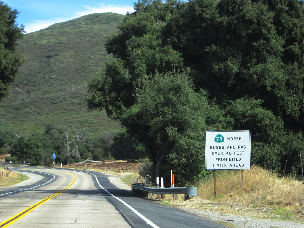
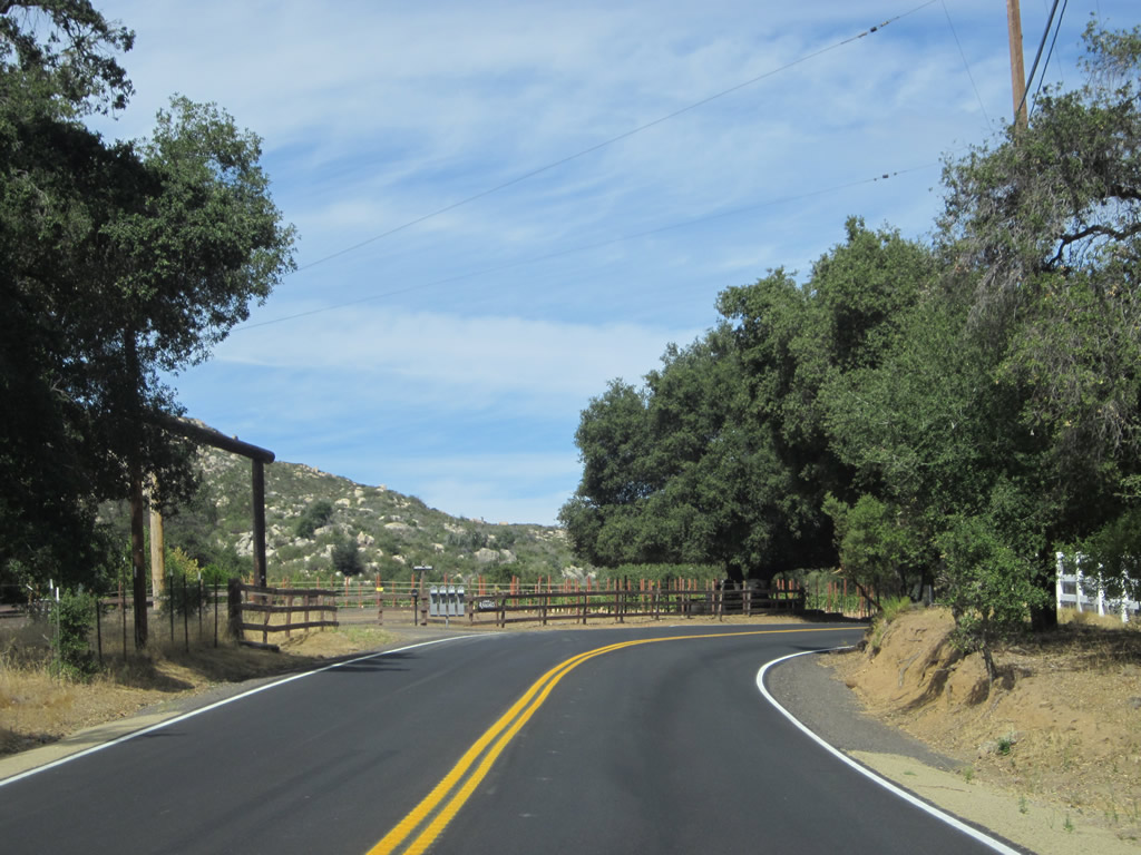
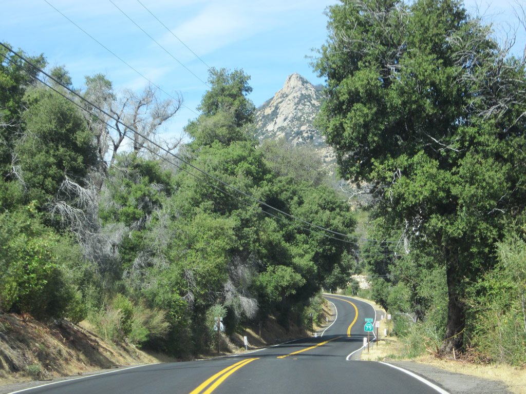
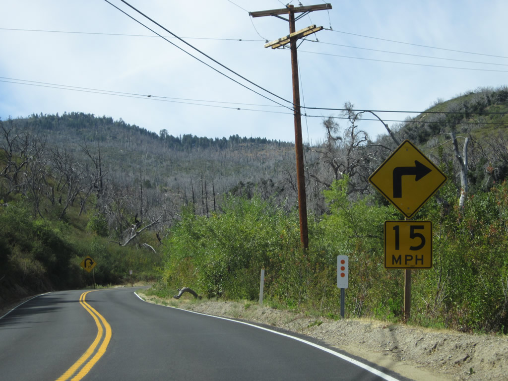
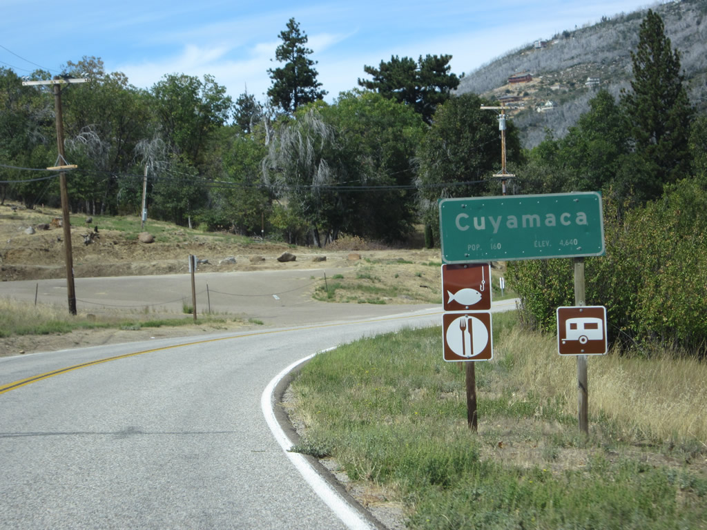
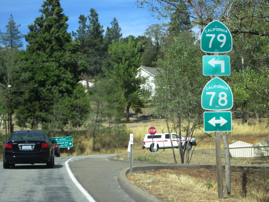
California 79 prepares to turn left onto Cuyamaca Highway. All traffic to Cuyamaca Rancho State Park, Cuyamaca, Julian, Santa Ysabel, Lake Henshaw, Warner Springs, Sunshine Summit, and Temecula should turn left here to follow California 79 north. Continue straight ahead for Old Highway 80 east to Guatay, Pine Valley, Live Oak Springs, Boulevard, Jacumba, and Desert View Tower. Photo taken 10/06/12. |
|
Turn left on California 79 north to Cuyamaca Rancho State Park and Lake Cuyamaca, a reservoir open for recreational boating and fishing. Photo taken 10/06/12. |
|
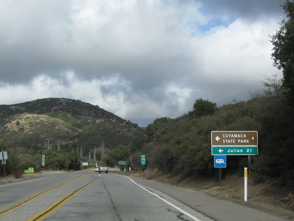
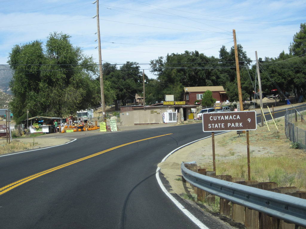
This mileage sign provides the distance to Cuyamaca Rancho State Park (nine miles) and Julian (21 miles). An easy day trip can be accomplished by traveling Interstate 8 east, California 79 north, California 78 west, and California 67 south with ample time for visiting Cuyamaca Rancho State Park and Julian. A side trip along Sunrise Highway (San Diego County S-1) is also well worth the drive. Photo taken 02/11/12. |
|
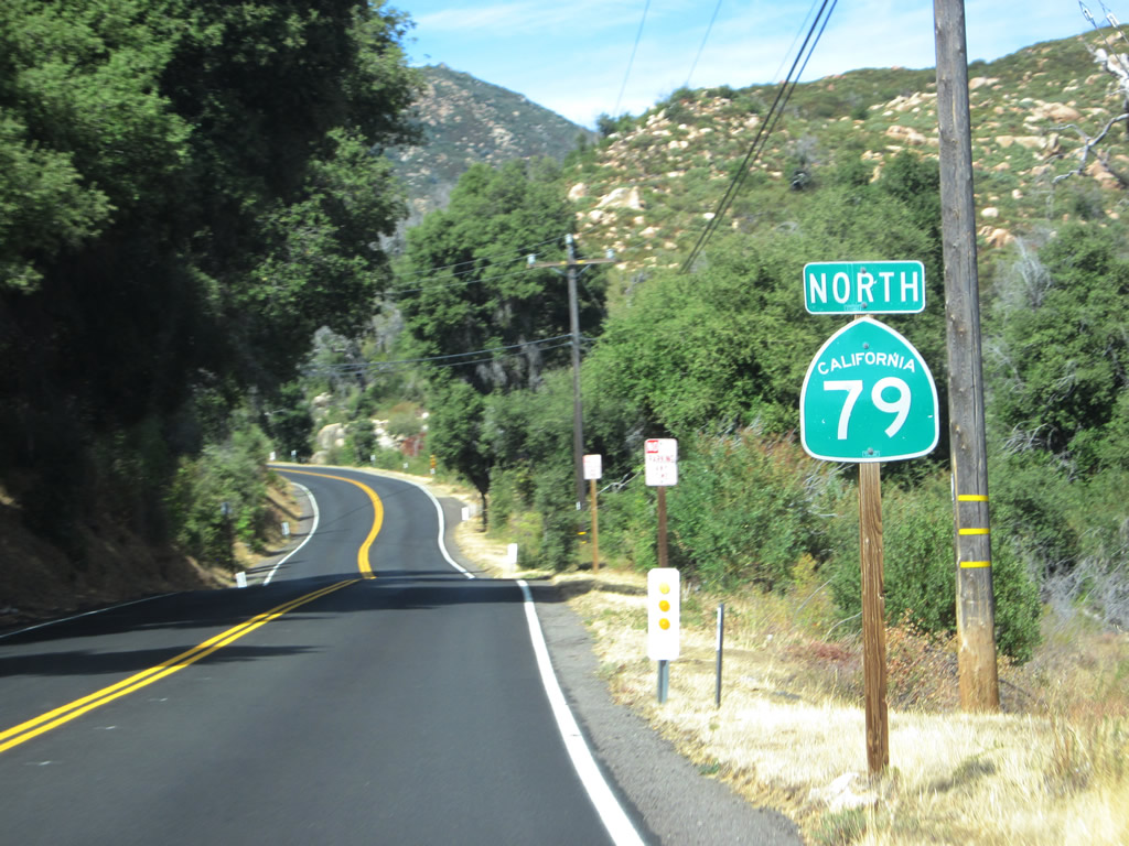
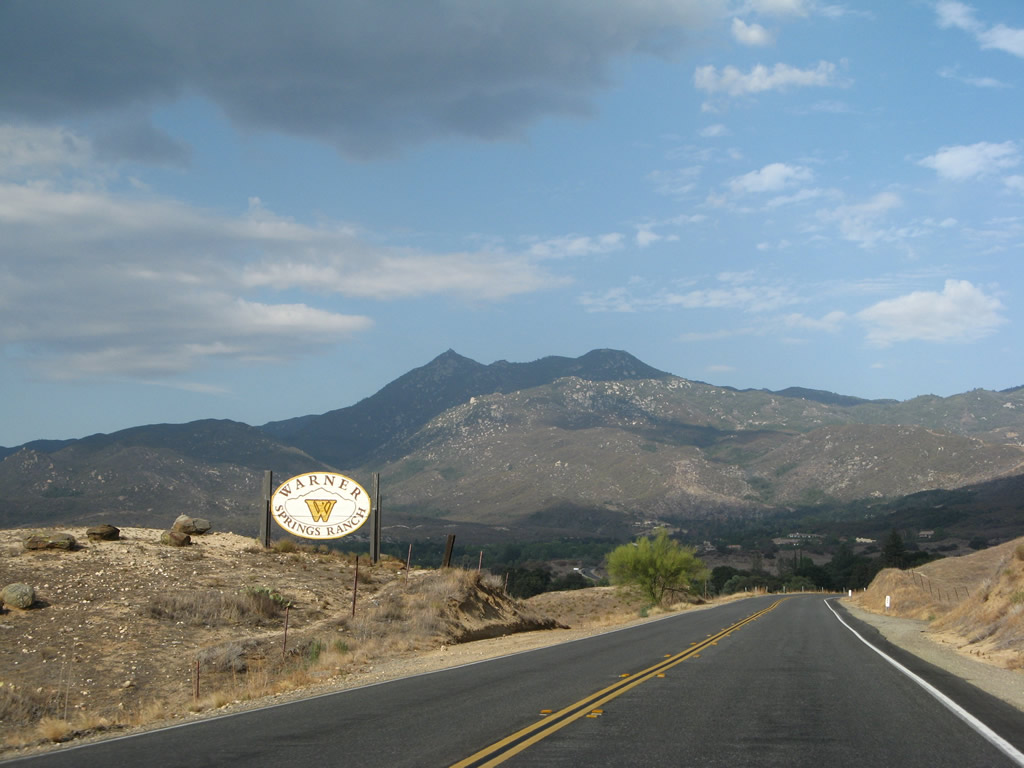
A second California 79 trailblazer is posted at the intersection with Cuyamaca Highway. Ideally, a Historic U.S. 80 brown route marker would also be posted here to clarify the continuation of the U.S. route. Historic U.S. 80 continues due east, passing through Guatay and Pine Valley on its way to rejoin Interstate 8 near the Sunrise Highway (San Diego County S-1) exit. Photo taken 10/06/12. |
|
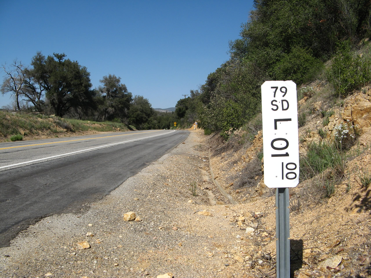
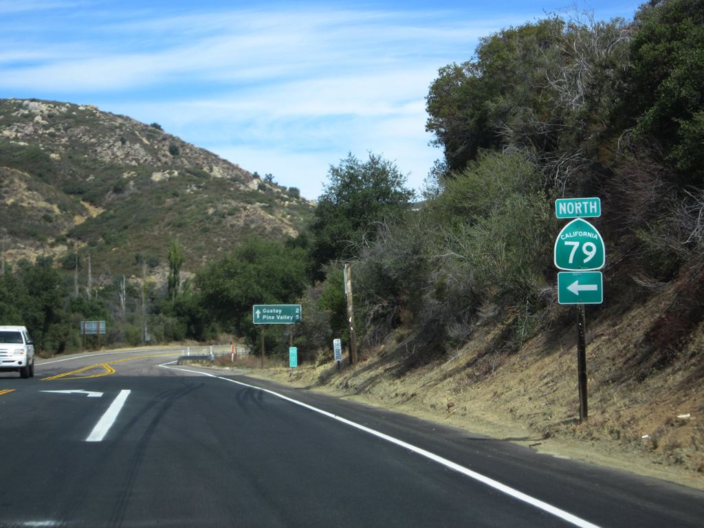
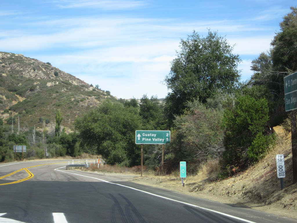
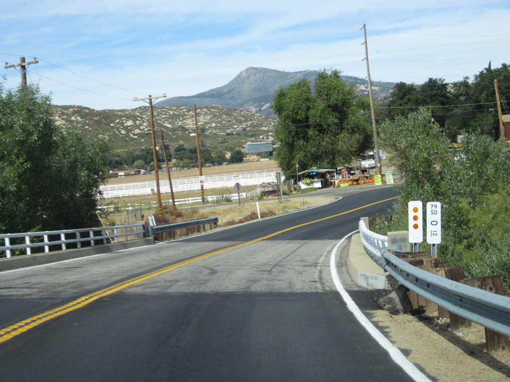
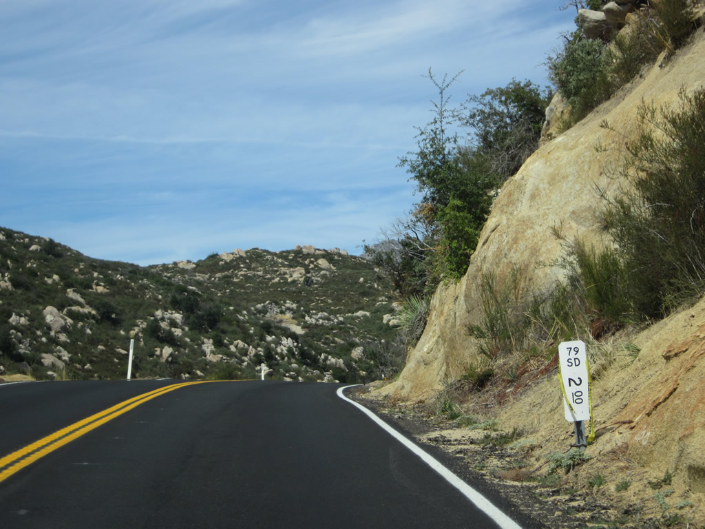
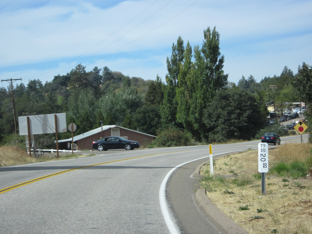
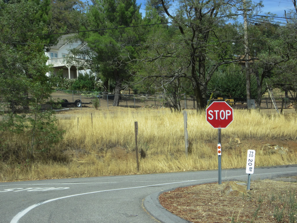
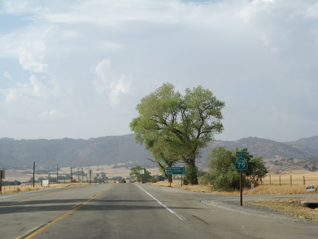
At the intersection, a white postmile marker resets the northbound California 79 mileage at zero, even though we are 2.75 miles from the actual southern terminus at Interstate 8. This is because originally, this intersection served as the southern terminus of California 79. When U.S. 80 was decommissioned, California 79 took over a portion of U.S. 80 to ensure the route connected directly with Interstate 8. Rather than renumber all the postmiles in San Diego County, Caltrans District XI opted to use a milepost equation that retains all postmiles north of here and adds a prefix "L" in front of all postmiles south of here. So at this point, postmile L2.75 equals regular postmile 0.00. Behind the white paddle, we see another mileage sign (placed by San Diego County Department of Public Works) provides the distance to Guatay (two miles) and Pine Valley (five miles) via Historic U.S. 80 east. Photo taken 10/06/12. |
| California 79 north |
|
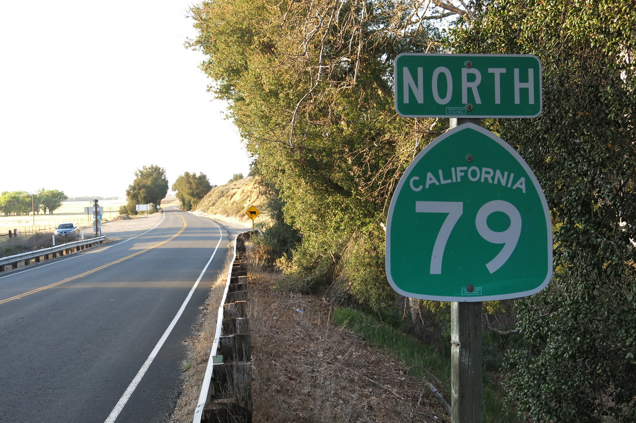
Upon leaving the intersection with Historic U.S. 80, a California 79 north reassurance shield is posted along northbound Cuyamaca Highway. Some ranchland is visible in the background. Photo taken 10/06/12. |
|
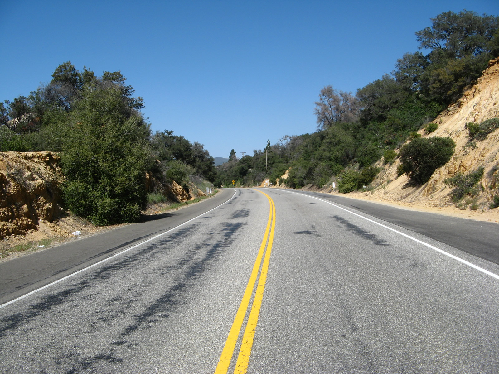
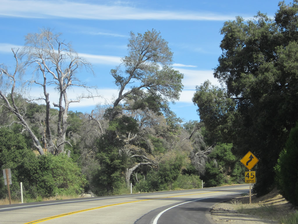
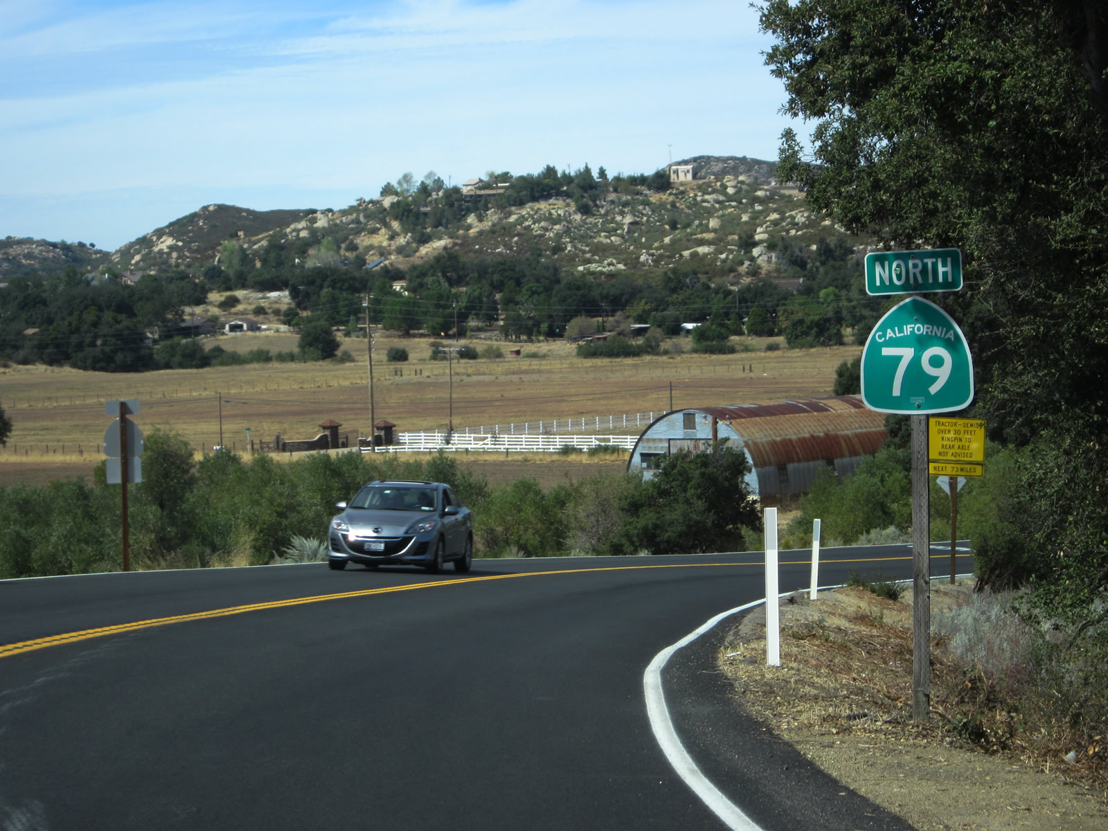
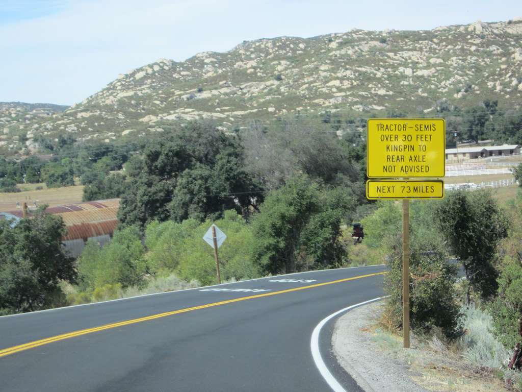
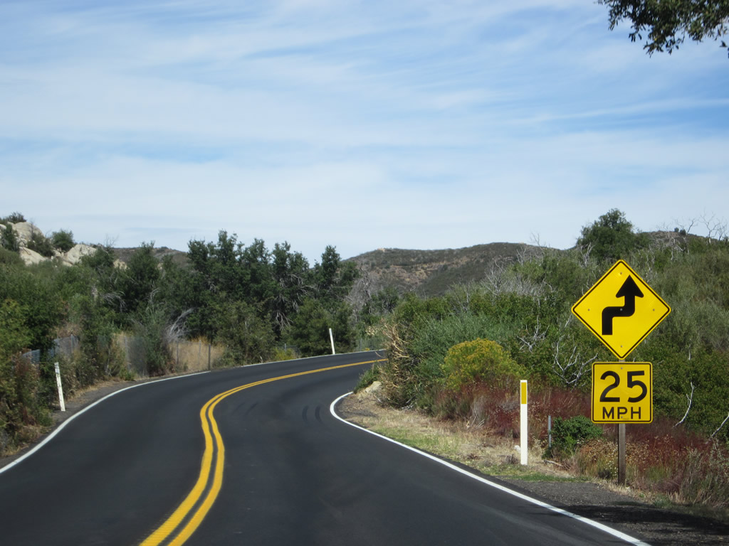
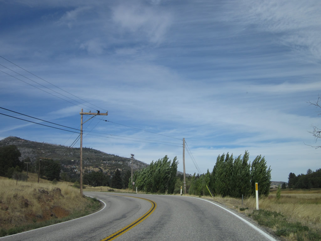
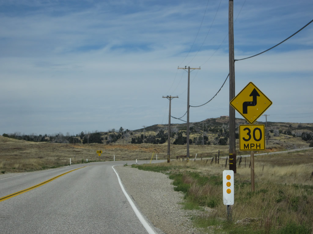
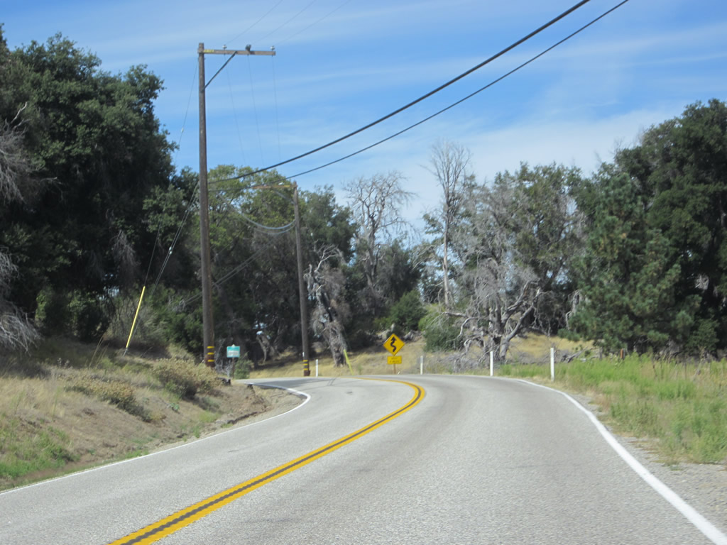
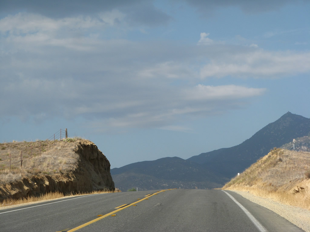
The highway has plenty of curves and limited sight distance, so larger/longer truck traffic is not advised. The 73-mile distance cited on this yellow caution sign likely encompasses the California 79 route between here and Temecula. Mapquest and similar GPS systems will advise taking Interstate 8 west and Interstate 15 north to travel between here and Temecula, but that's not the point of taking a scenic drive. Photo taken 10/06/12. |
|
Crossing over Samagatuma Creek at Postmile 0.12, northbound California 79 approaches an intersection with Viejas Boulevard. This bridge was built in 1946, along with much of Cuyamaca Highway. Turn left for westbound Viejas Boulevard to Descanso (with a connection to Riverside Drive to return to California 79 and U.S. 80 at Descanso Junction). Photo taken 10/06/12. |
|
A roadside mileage sign at the Viejas Boulevard intersection along northbound California 79 (Cuyamaca Highway) provides the distance to Cuyamaca Rancho State Park (nine miles). Photo taken 10/06/12. |
|
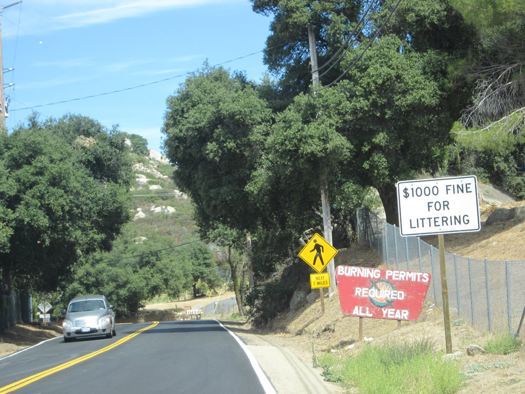
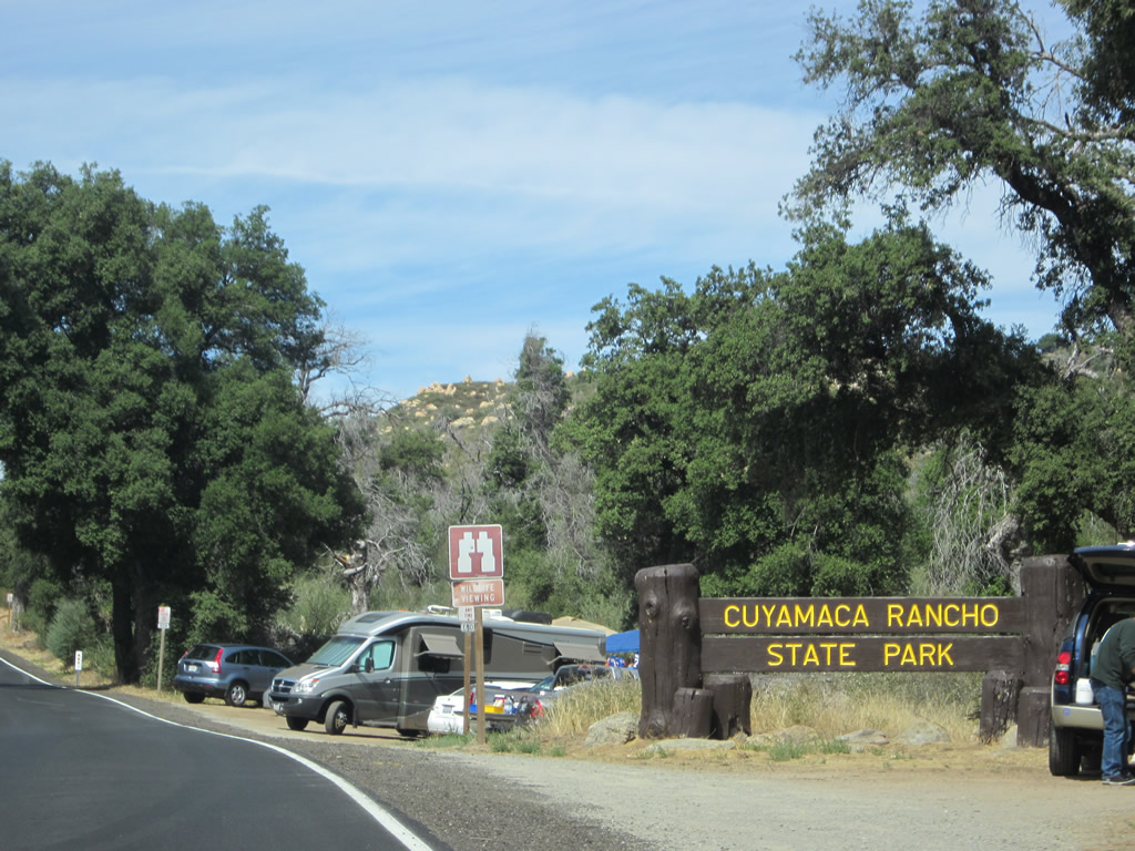
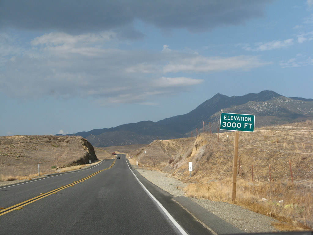
In October 2003, the Cedar Fire burned through significant portions of Cuyamaca Rancho State Park. The resultant damage to the flora and fauna of the park, including the long-standing oak and pine trees of the forest, was significant. The park continues to recover even a decade after the fire. As a result of this fire and another large complex of fires in November 2007, reminders such as this sign are in place to advise people to obtain burning permits and that open flame (such as campfires) can be restricted unless allowed in designated fire pits. Photo taken 10/06/12. |
|
|
|
|
|
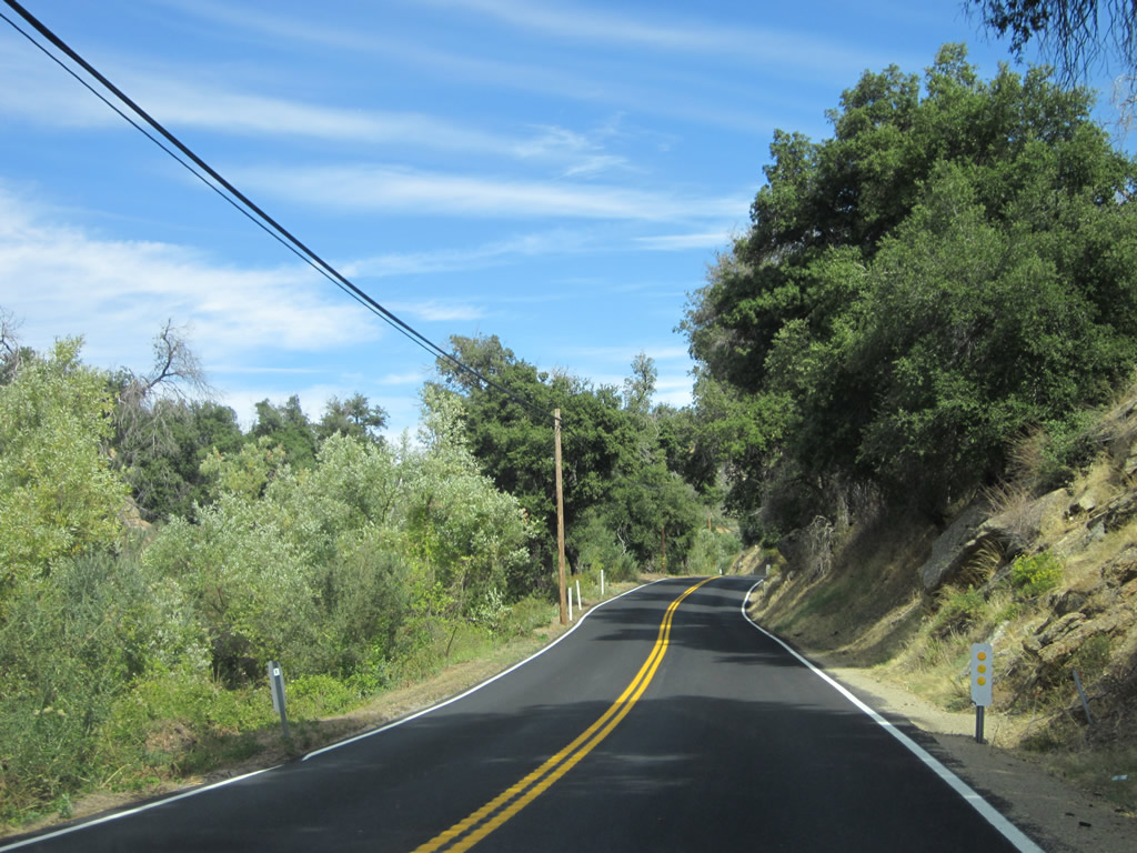
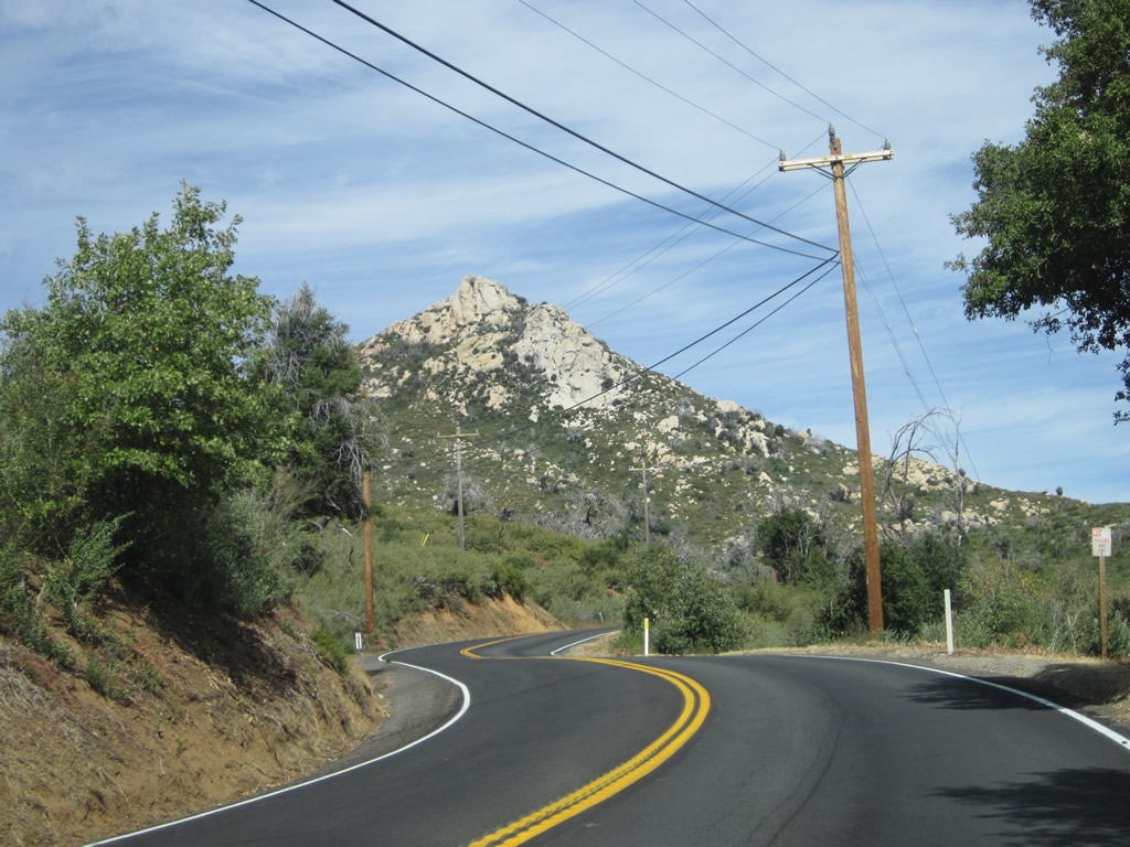
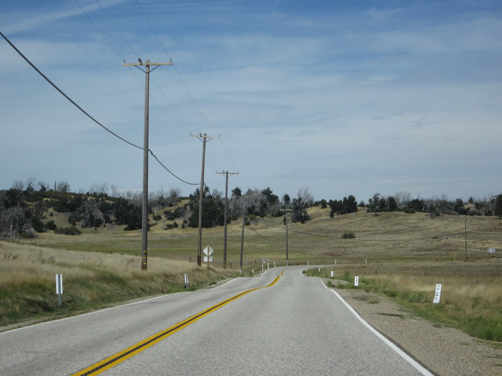
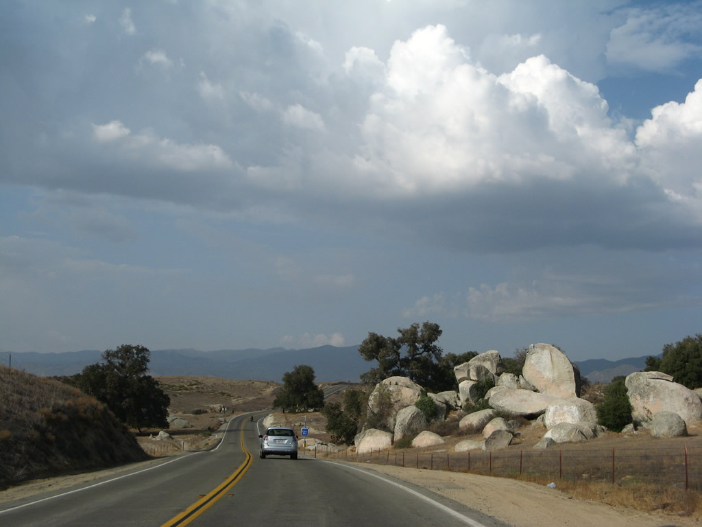
| Modest development lines California 79 between Descanso Junction and the state park boundary, including private homes, ranches, and an RV park/campground (Thousand Trails). Watch for limited sight distances, especially near the rock outcroppings. In the distance, Cuyamaca Peak comes into view on the left side of the highway. Photos taken 10/06/12. |
|
|
|
|
|
| Watch for limited sight distances, especially near the rock outcroppings. In the distance, Cuyamaca Peak comes into view on the left side of the highway. Photos taken 10/06/12. |
|
|
|
|
|
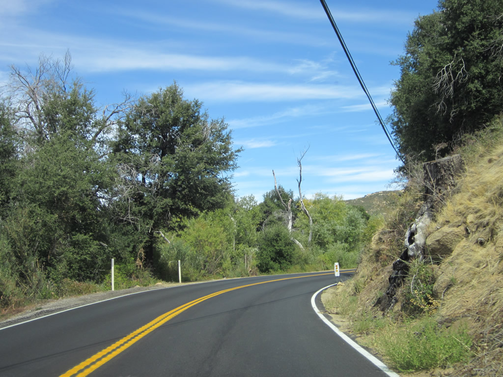
| California 79 will see increasing evidence of fire damage from the October 2003 Cedar Fire, mostly in the form of dead trees that may still have scorch marks on them. However, nature has taken over and, in many cases, brought new vegetation forward to replace the old. Photos taken 10/06/12. |
|
|
|
|
|
| Continuing north past the Oakzanita Campground, California 79 passes the southern boundary of Cuyamaca Rancho State Park. Limited motorist services are available in the park. Several popular hiking trails line California 79, including Green Valley and Paso Picacho/Stonewall Peak. Parking lots are typically accessible after paying a fee, but through traffic on California 79 does not need to pay an entrance fee for the park. Photos taken 10/06/12. |
|
|
|
|
|
| Fire damage continues to be evident along California 79 north once in the state park. Most of the power poles that line California 79 were replaced as a result of fire damage. Trees along the roadway that posed a safety risk were gradually removed or trimmed. Photos taken 10/06/12. |
|
|
|
|
|
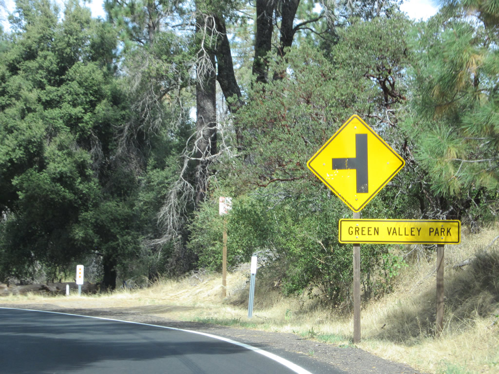
| Northbound California 79 (Cuyamaca Highway) approaches the left turn into Green Valley (el. 4,000 feet), which offers several hiking trails, picnicking area, campsites, and a small waterfall (Green Valley Falls). Photos taken 10/06/12. |
|
|
|
|
|
| Descending from Green Valley recreation area, California 79 enters a large meadow crossed by the Sweetwater River. The bridge that carries California 79 over the river was built in 1949 along with most of this state route through Cuyamaca Rancho State Park. Photos taken 10/06/12 and 06/26/05. |
|
|
|
|
|
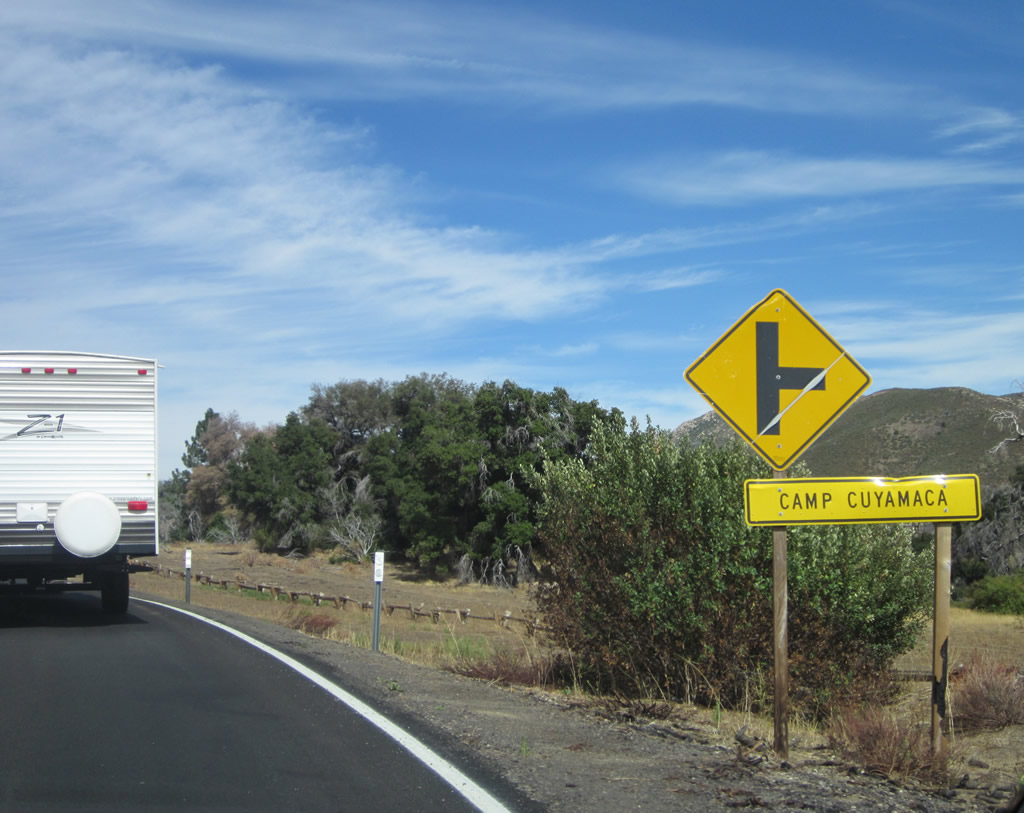
| California 79 (Cuyamaca Highway) proceeds north from the Sweetwater River bridge toward Camp Cuyamaca, which is the location of the visitors center and school camp. Photos taken 10/06/12. |
|
|
|
|
|
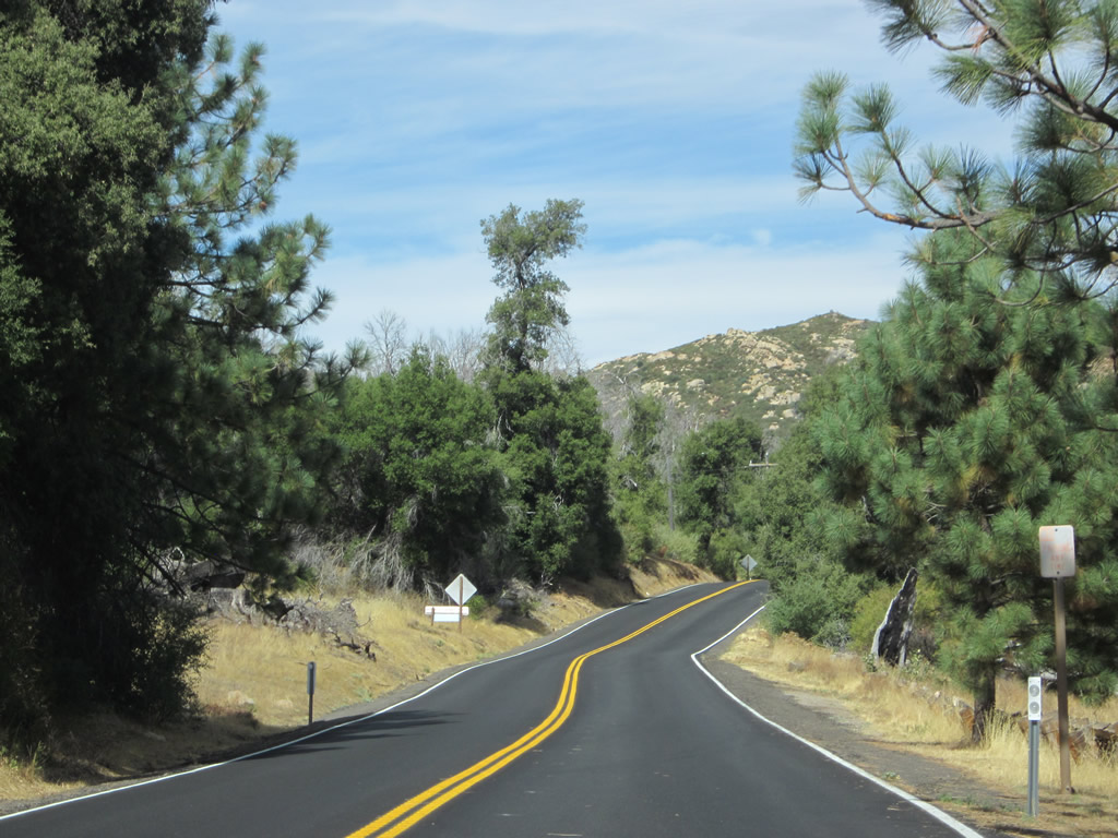
| North of the visitors center, California 79 enters the heart of Cuyamaca Rancho State Park. Scenic views abound on both sides of the state highway, with good views of Stonewall Peak coming in and out of view. Photos taken 10/06/12. |
|
|
|
|
|
| A California 79 reassurance shield is posted along northbound Cuyamaca Highway as the tip of Stonewall Peak comes into view. The state route will gain elevation through a series of switchbacks to make its way to Paso Picacho, which is the gateway to two popular hikes to Stonewall Peak and Cuyamaca Peak. Photos taken 10/06/12. |
|
|
|
|
|
| More fire damage is evident as California 79 begins its climb uphill toward Paso Picacho. This area used to be almost totally forested and now is open due to the loss of tree canopy. Photos taken 10/06/12. |
|
|
|
|
|
| Stonewall Peak becomes the dominant feature as California 79 approaches the Paso Picacho parking area. The highway takes a series of switchbacks to reach the Paso Picacho area, which is something of a mountain pass situated between Cuyamaca Peak to the southwest, Middle Peak to the northwest, and Stonewall Peak to the east. Photos taken 10/06/12. |
|
Snow in San Diego County? It can snow in the high country during the winter months, as shown by this picture along northbound California 79 in Rancho Cuyamaca State Park. Stonewall Peak (el. 5,730 feet) is visible in the background. Photo taken 03/15/02. |
|
At the top of the grade, northbound California 79 (Cuyamaca Highway) reaches the Paso Picacho area. This parking area, which requires a fee, allows for hiking to Stonewall Peak (el. 5,730 feet) and Cuyamaca Peak (el. 6,512 feet). Camping is available here, and travelers on California 79 should look for pedestrians and other park users in this area. North of Paso Picacho, California 79 (Cuyamaca Highway) will descend toward Lake Cuyamaca and unincorporated community of Cuyamaca. Photo taken 10/06/12. |
|
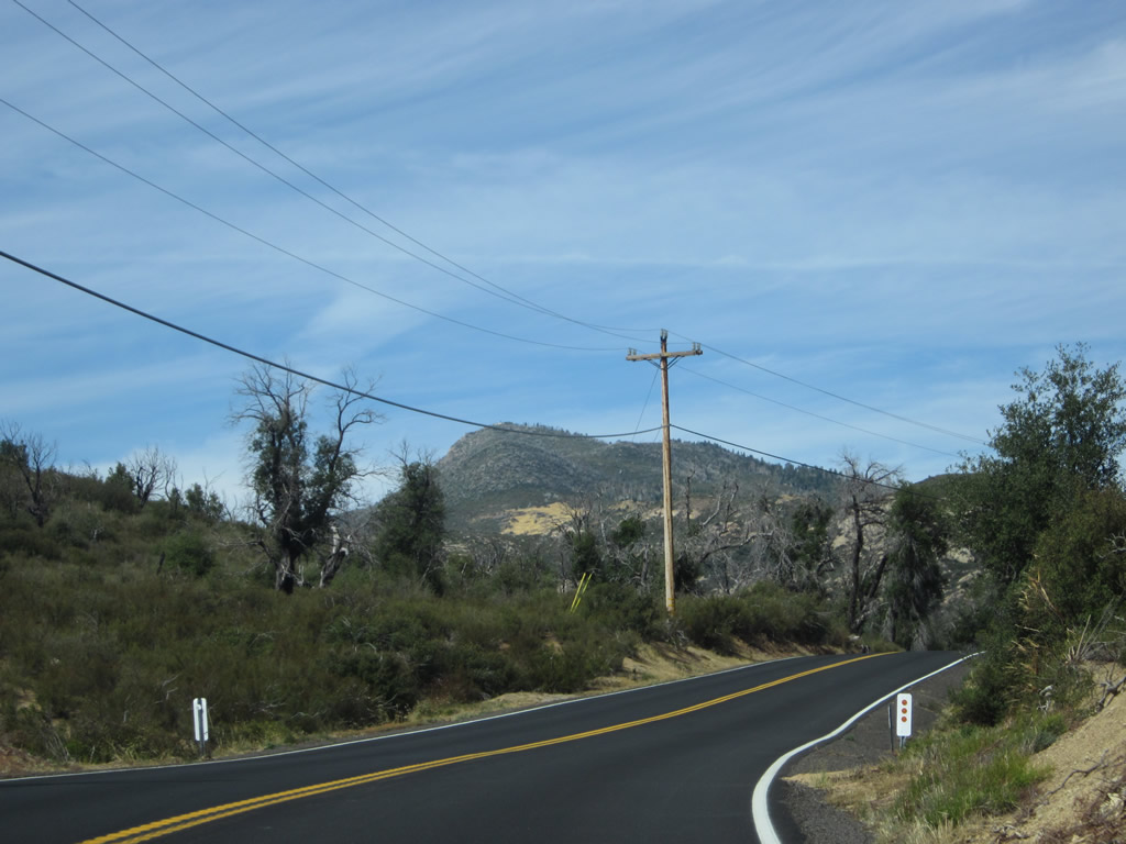
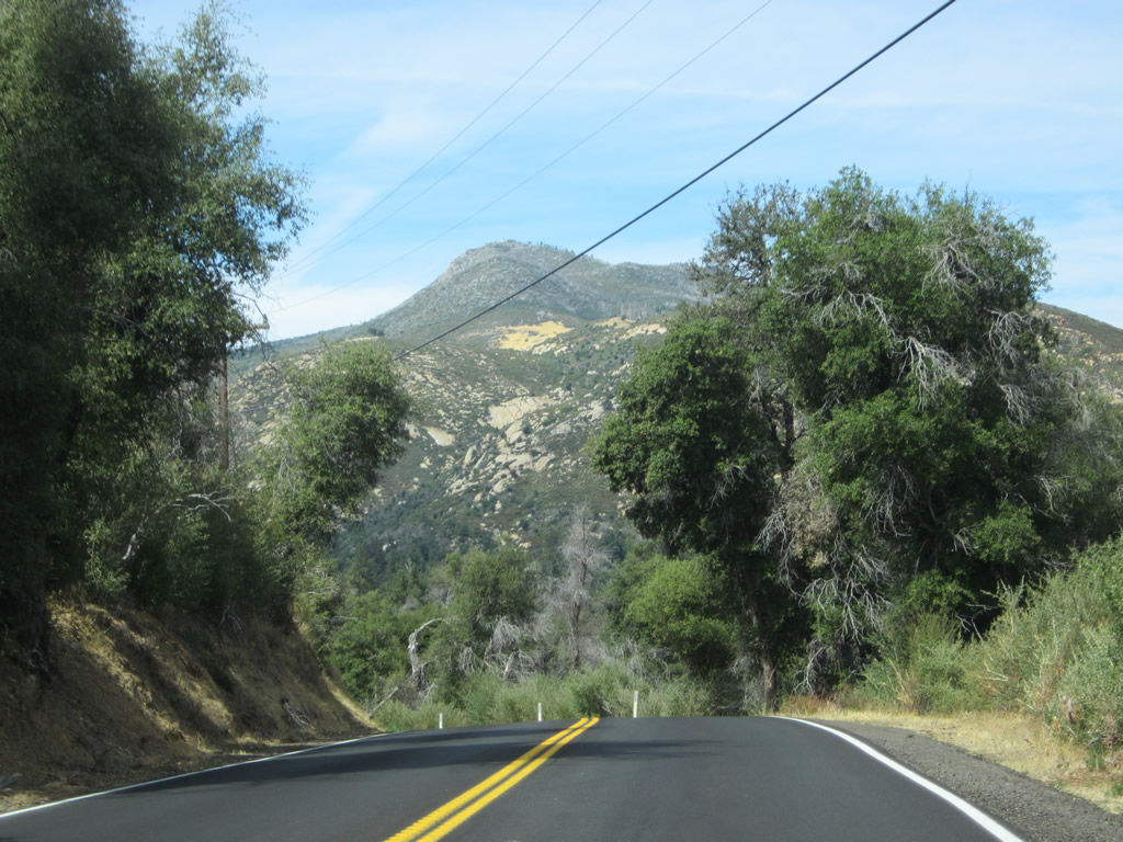
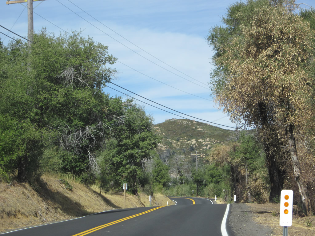
North Peak, which is located beyond the northern boundary of Cuyamaca Rancho State Park, comes into view along northbound California 79 (Cuyamaca Highway) after leaving the Paso Picacho area. North Peak sits at an elevation of 5,993 feet and was severely impacted by the Cedar Fire of October 2003. Even as of 2012, multiple dead trees were visible on the distant peak. Photos taken 10/06/12. |
|
|
|
|
|
| Leaving the vicinity of Paso Picacho and Stonewall Peak in Cuyamaca Rancho State Park, California 79 proceeds north to the northern boundary of the state park, where the state highway enters the unincorporated community of Cuyamaca and skirts the western and northern edges of Lake Cuyamaca. The many dead and dying trees visible in this series of pictures shows the ferocity of the 2003 Cedar Fire, which not only destroyed thousands of trees in the state park but also destroyed many houses and structures in the Cuyamaca area just north of the state park. Many of these trees which were burned in 2003 still stood in 2012, but remained dead. Those trees that posed a risk to highway and trail users or to private property were largely removed, but those in the deep forests were left to stand and fall on their own over time. Photos taken 10/06/12. |
|
|
|
|
|
| California 79 (Cuyamaca Highway) approaches the turnoff to the Cuyamaca Rancho State Park horse corrals, then leaves the state park and proceeds into Cuyamaca. Photos taken 10/06/12. |
|
|
|
|
|
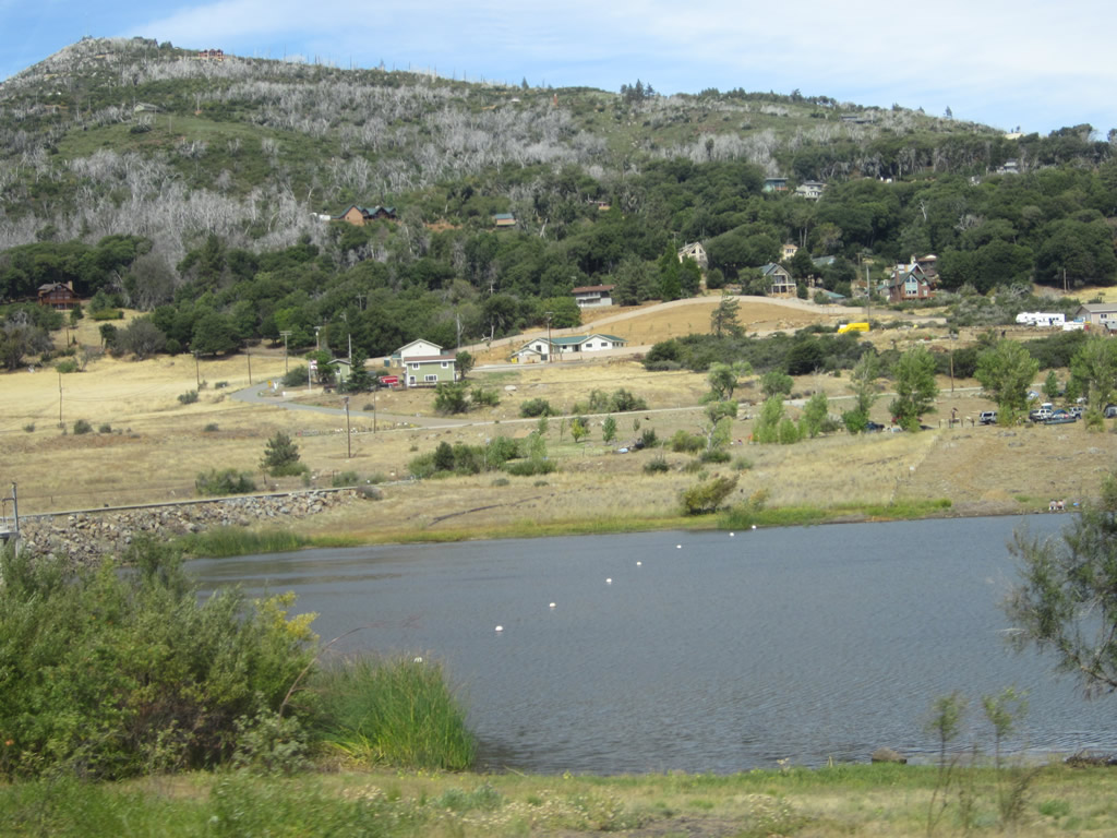
| Lake Cuyamaca comes into view as California 79 (Cuyamaca Highway) leaves Cuyamaca Rancho State Park and enters the community of Cuyamaca. Food and gas are available in Cuyamaca; look for the marina on the right (east) side of the highway. North Peak remains in view as California 79 skirts the western edge of the lake; the state highway will similarly avoid the peak by turning east along the northern edge of the lake toward a rendezvous with San Diego County S-1 (Sunrise Highway). Photos taken 10/06/12. |
|
|
|
|
|
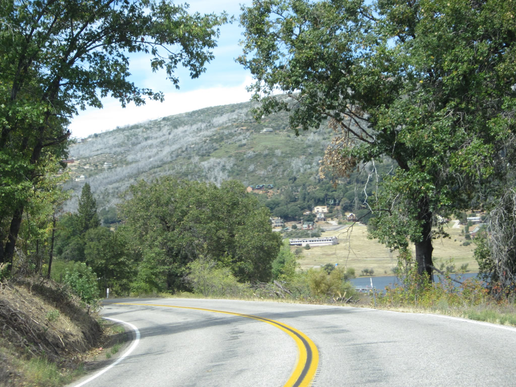
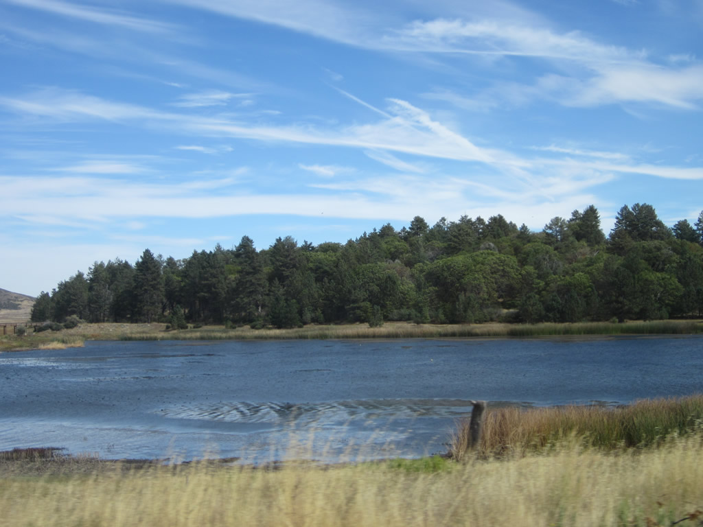
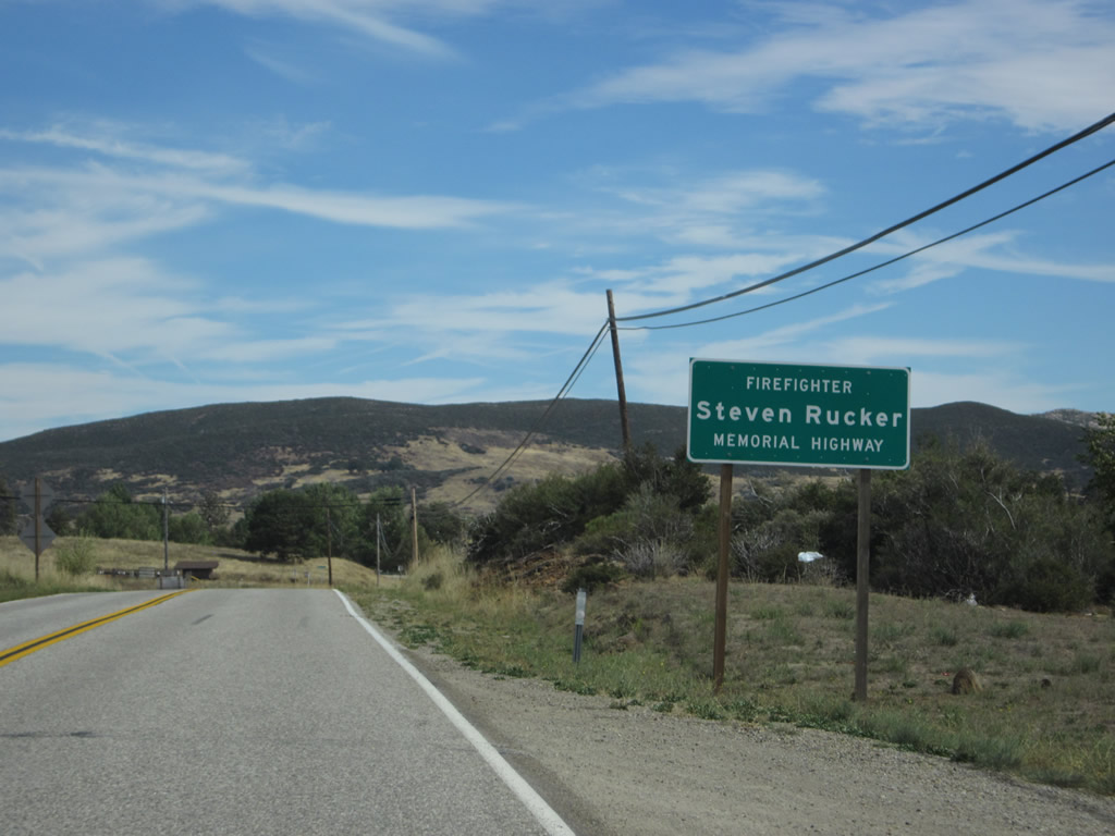
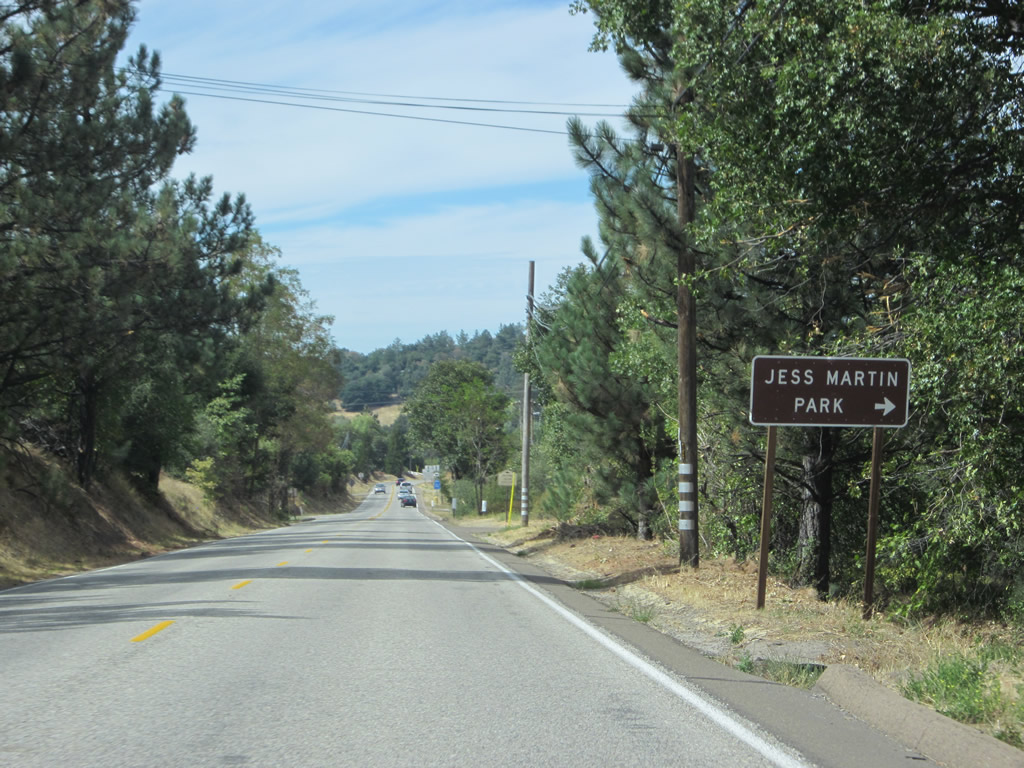
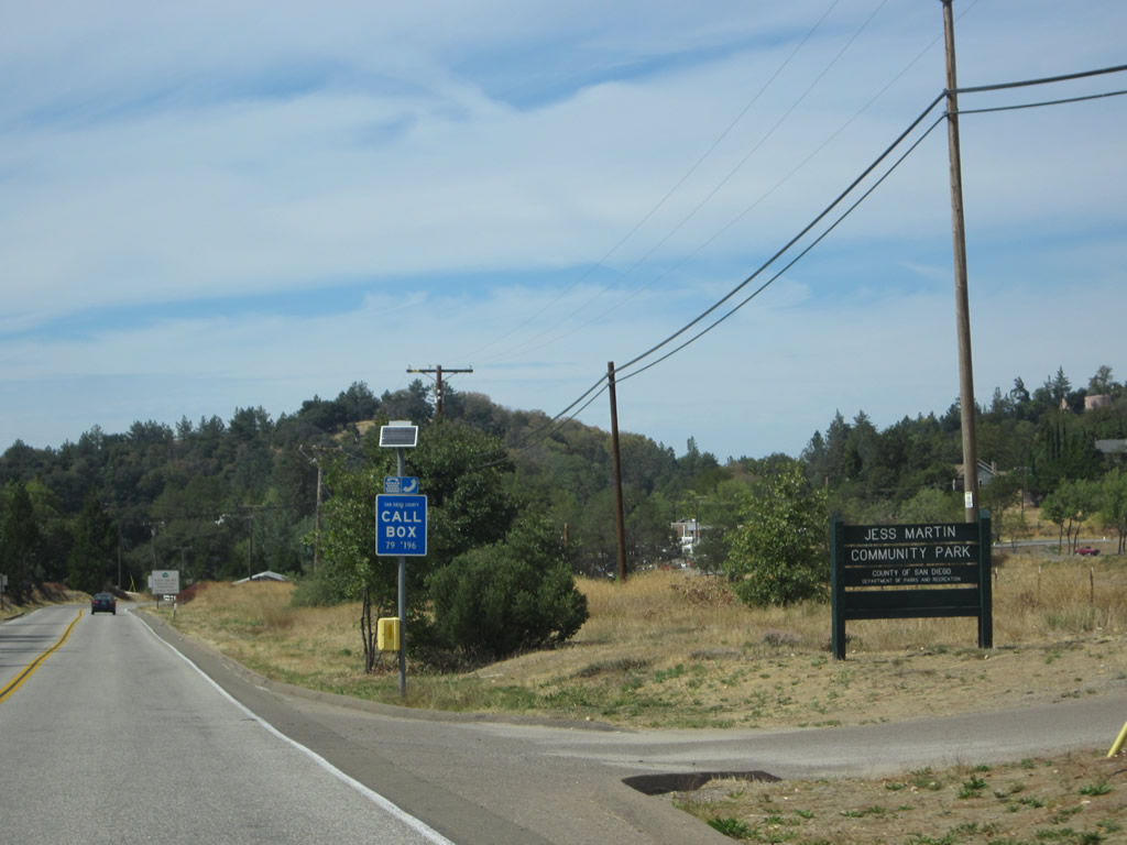
| The dam impounding Lake Cuyamaca is one of the oldest in California, having been built in 1888. Water used to be conveyed from the reservoir downhill toward San Diego, but that conveyance no longer exists. The lake is routinely stocked with fish, making this area a popular attraction for local fishermen. A boat launch is located at the marina. California 79 stays west of the earthen dam the proceeds toward the northeast along the north shore of this relatively small reservoir. The section of California 79 from Cuyamaca northwest to Santa Ysabel via Julian is also known as the Steven Rucker Memorial Highway (inclusive of the overlap with California 78). Engineer Rucker was a firefigher from Novato who was killed during the worst days of the 2003 Cedar Fire, trying to make a stand against the fire while protecting homes on a ridge near Santa Ysabel and Wynola on October 29, 2003. Photos taken 10/06/12. |
|
|
|
|
|
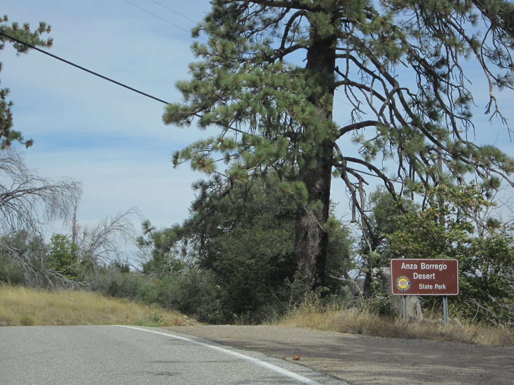
| California 79 (Cuyamaca Highway) curves north and then east along the northern edge of Lake Cuyamaca, then enters a corner of Anza-Borrego Desert State Park. This sprawling state park largely encompasses lands in the westernmost portions of the Colorado Desert in the Imperial Valley, but it also includes mountainous portions such as a short stretch of California 79 on the northwest shore of Lake Cuyamaca (as well as a significant portion of San Diego County S-1 (Sunrise Highway) at its northern end). At 915.5 square miles as of January 2013, Anza-Borrego Desert State Park is the largest state park in California. By comparison, at the same time Cuyamaca Rancho State Park had "only" 38.58 square miles. The majority of the park can be accessed via by California 78 east or San Diego County S-2 south to San Diego County S-22 east. Photos taken 10/06/12. |
|
|
|
|
|
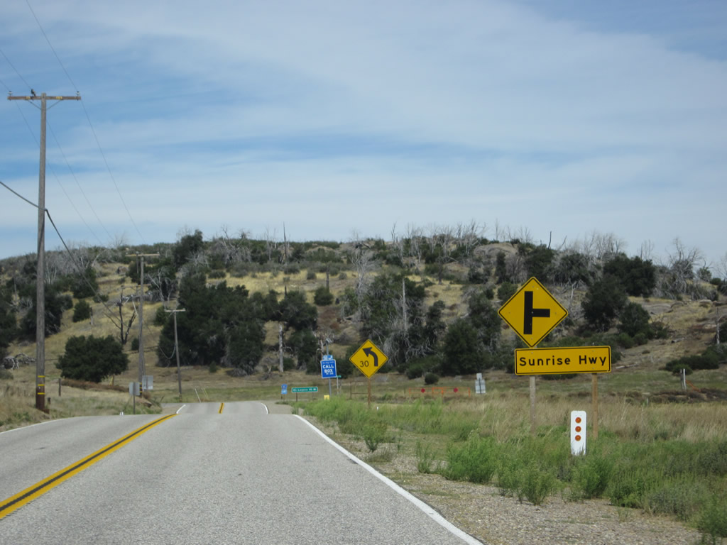
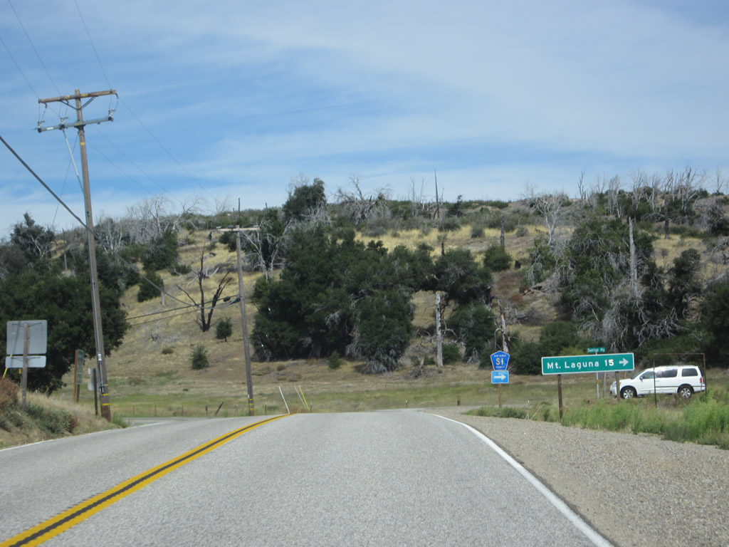
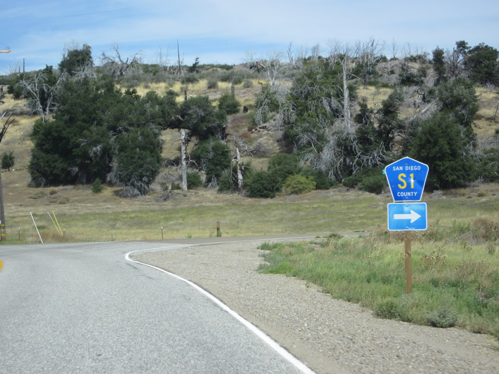
| Northbound California 79 (Cuyamaca Highway) approaches San Diego County S-1 (Sunrise Highway), which travels southeast to Mount Laguna and Pine Valley. An alternative to California 79, S-1 travels to higher elevations and offers views of the desert floor. S-1 also serves the small unincorporated community of Mount Laguna (15 miles southeast of here). In winter, S-1 may not be traverseable after weather events bring snow to the highway. S-1 is known as one of the most popular scenic drives in rural San Diego County and offers additional hiking and sight-seeing opportunities in Cleveland National Forest (Descanso district) in addition to those offered in the state parks along scenic California 79. Photos taken 10/06/12. |
|
|
|
|
|
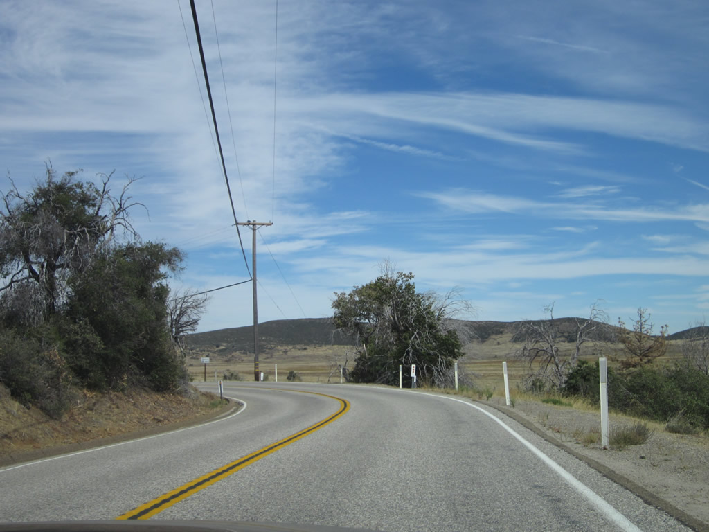
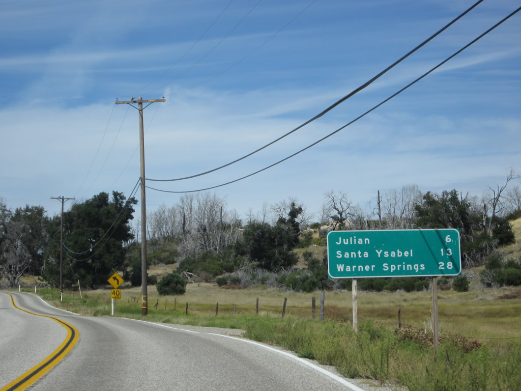
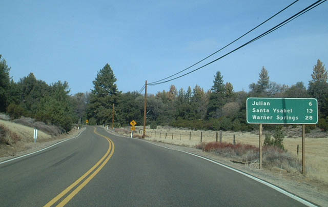
| Leaving the intersection with Sunrise Highway (San Diego County S-1), California 79 again turns north for the remainder of the journey into Julian. A mileage sign provides the distance to Julian (six miles), Santa Ysabel (13 miles), and Warner Springs (28 miles). More fire damage is evident initially, but soon we leave the most fire-damaged areas of the Cuyamaca Highway. Photos taken 10/06/12 and 12/14/02. |
|
|
|
|
|
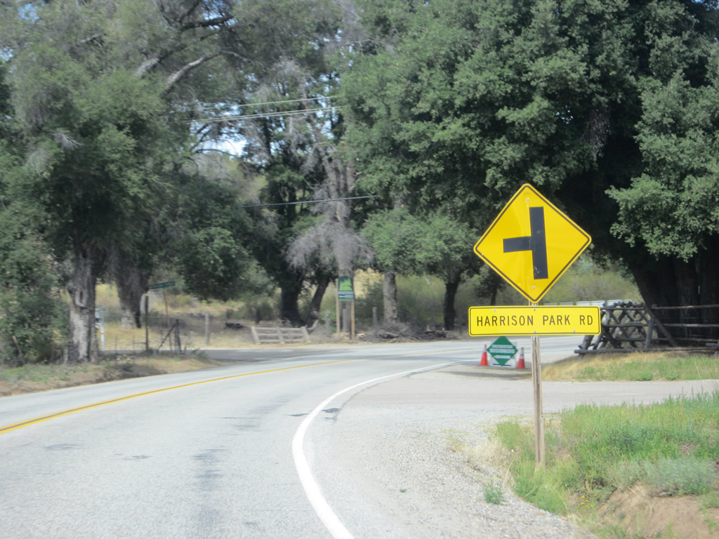
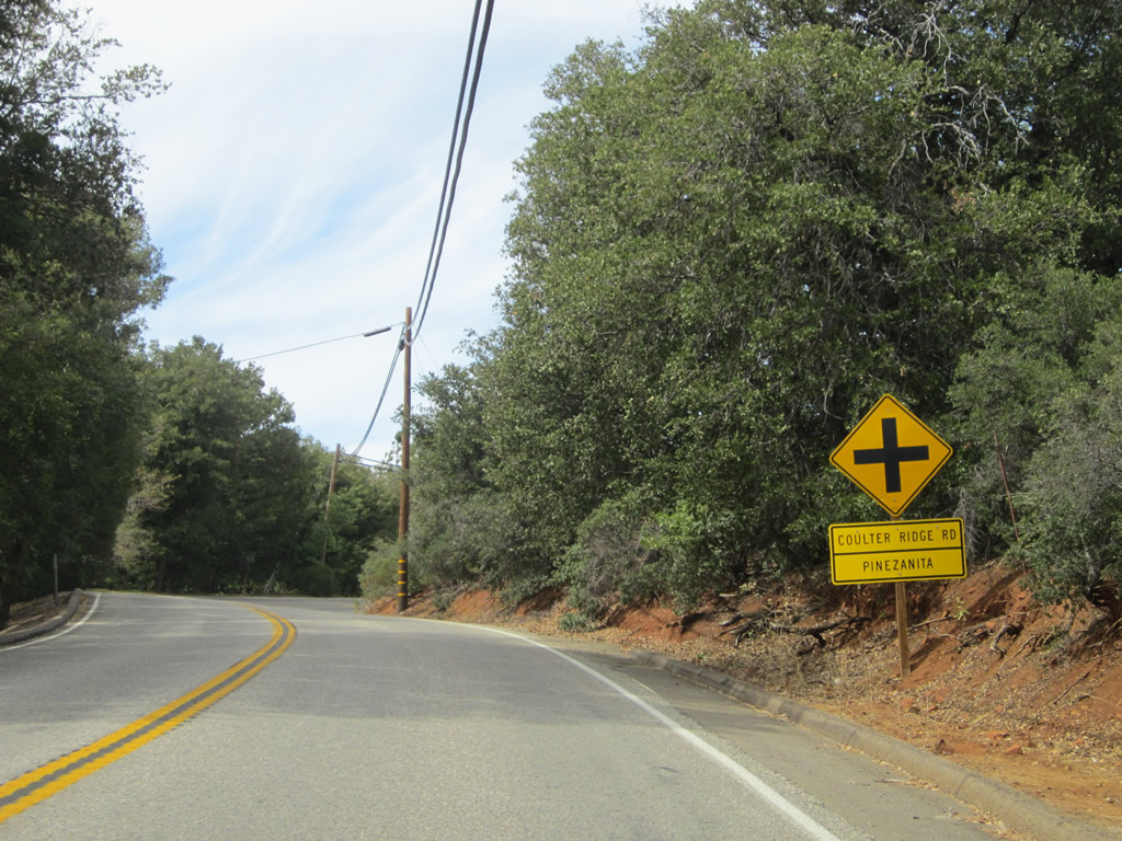
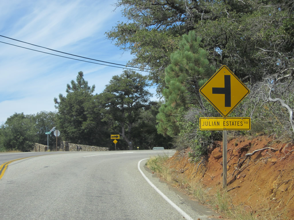
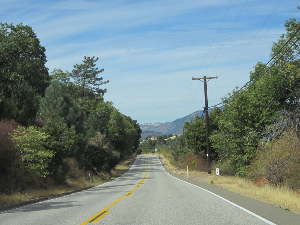
| Between the junctions with Sunrise Highway and California 78, California 79 (Cuyamaca Highway) sees more roadside development and intersecting streets leading to private homes, retreats, and campgrounds. California 79 passes through unincorporated communities such as Harrison Park, Pinezanita, and Julian Estates along this stretch. Photos taken 10/06/12. |
|
|
|
|
|
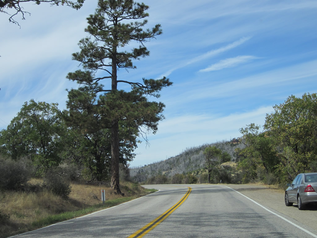
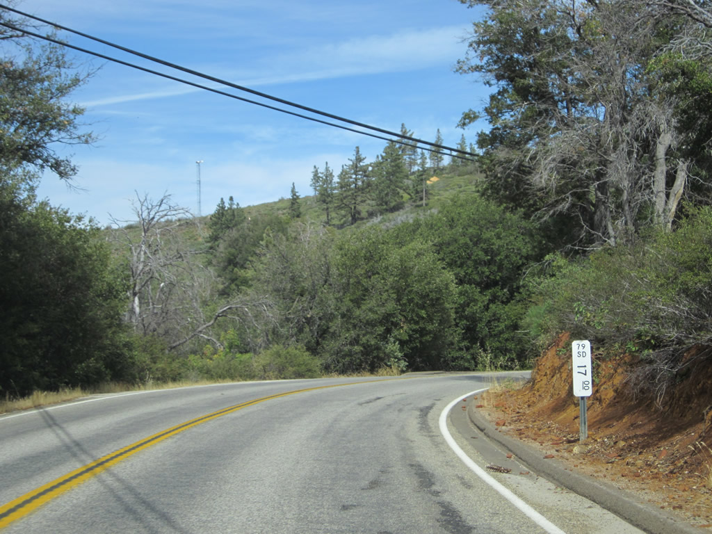
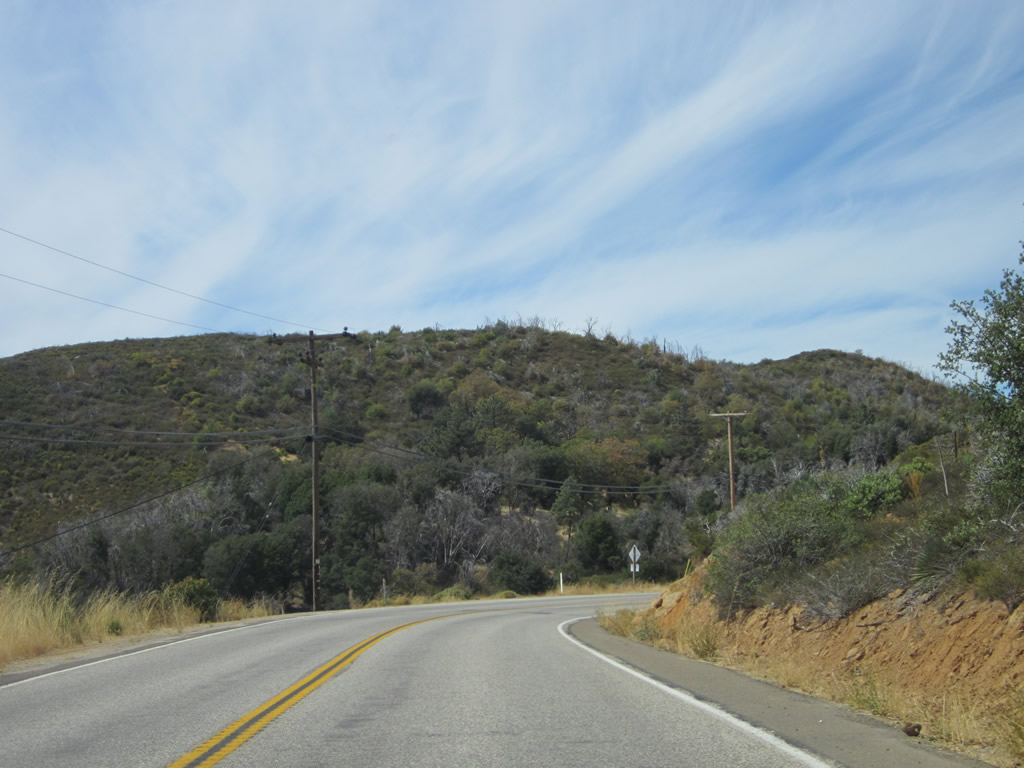
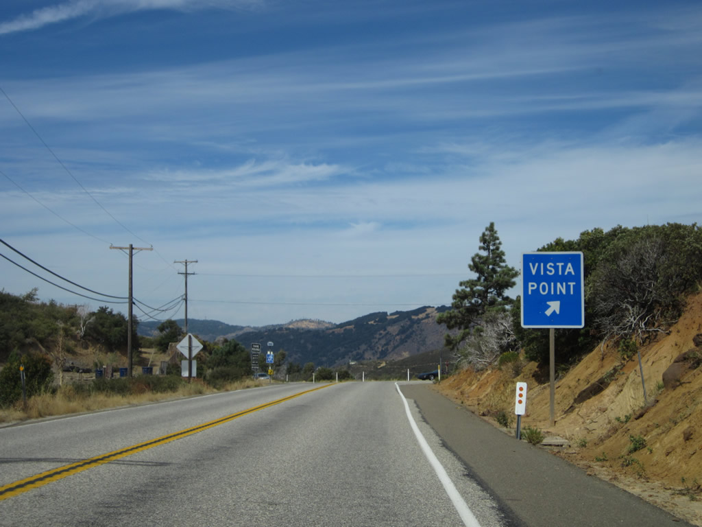
| Continuing north, California 79 follows a ridge of the Laguna Mountains high above Chariot Canyon below. A vista point offers a nice view of the Imperial Valley and Colorado Desert to the east. Photos taken 10/06/12. |
|
|
|
|
|
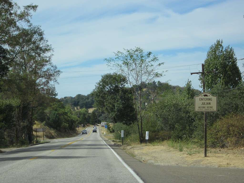
| California 79 enters the unincorporated community of Julian. Known throughout San Diego County for its apples and apple pie, Julian was home to 1,502 people as of the 2010 Census. Julian was originally founded in 1869-1870 as part of an early gold rush. Over the ensuing years, mining gave way to its current role of a mountain resort. With its four seasons and occasional winter snowfalls, Julian separates itself from its larger neighbors in coastal and valley San Diego County. Visitors commonly come to Julian during weekends for apples, food, and wine as well as a variety of tourist activities. All motorist services -- gas, food, and lodging -- are available in Julian. The 2003 Cedar Fire, which decimated most of Cuyamaca Rancho State Park and the community of Cuyamaca, narrowly avoided burning through Julian as well. Photos taken 10/06/12. |
|
|
|
|
|
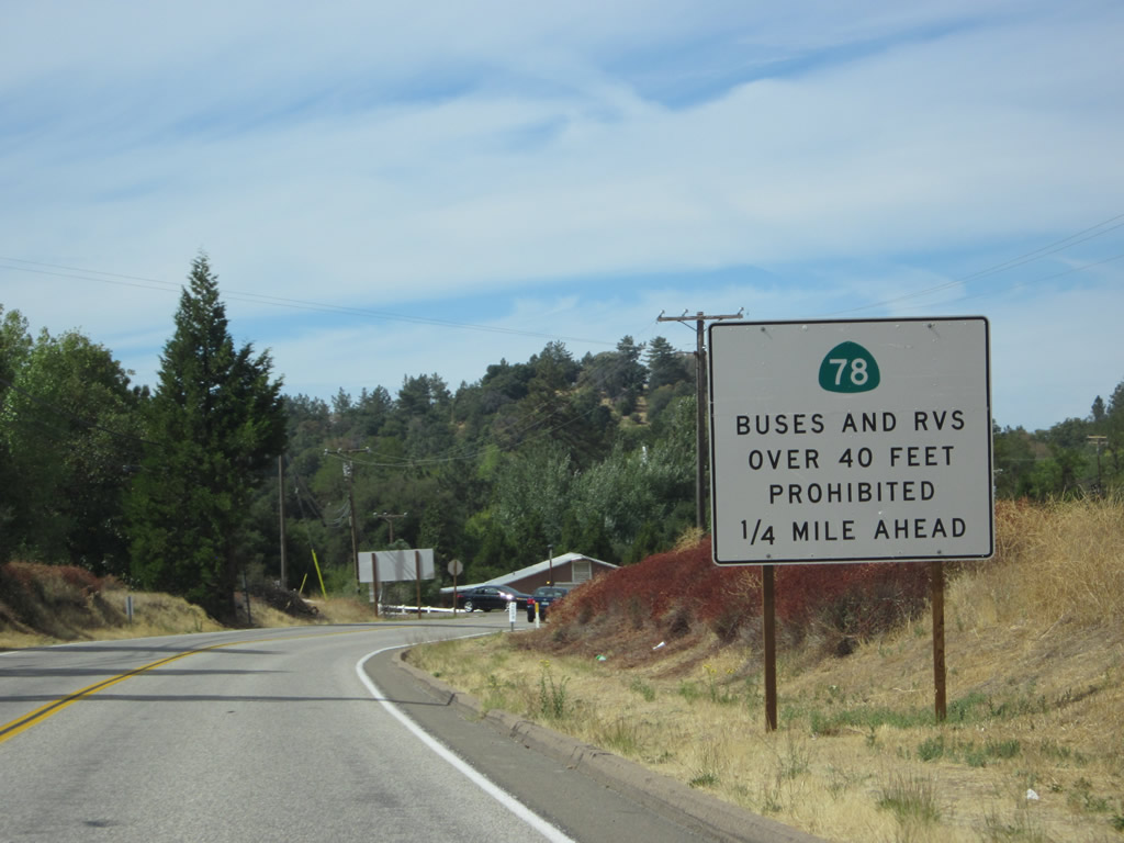
| Immediately after entering Julian, northbound California 79 approaches California 78. This major, east-west state route travels east to Whispering Pines, then descends the Banner Grade to Banner, Anza-Borrego Desert State Park, Westmorland, and Brawley. Note that buses and RV's over 40 feet in length are restricted from traveling east on Banner Grade into the Imperial Valley. To the west, California 78 and California 79 unite to enter downtown Julian. The two routes will share pavement through Julian and Wynola, then split at Santa Ysabel. Upon dividing, California 78 will continue west toward San Pasqual Valley and Escondido, while California 79 will proceed north again toward Warner Springs, then northwest toward Temecula. Photos taken 10/06/12. |
|
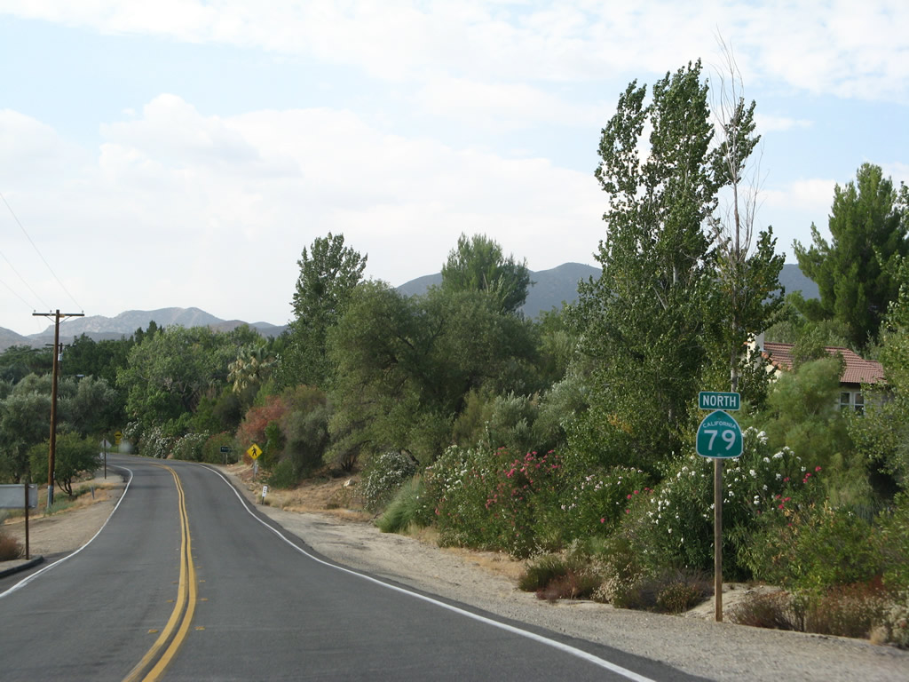
The two state routes -- California 78 and California 79 -- divide in Santa Ysabel. Leaving the California 78 shared alignment in Santa Ysabel, California 79 again proceeds north on its own en route to Warner Springs. The rural, two-lane highway will continue to avoid more populated areas to the west until it reaches the urban limits of Temecula in Riverside County. Photo taken 08/25/07. |
|
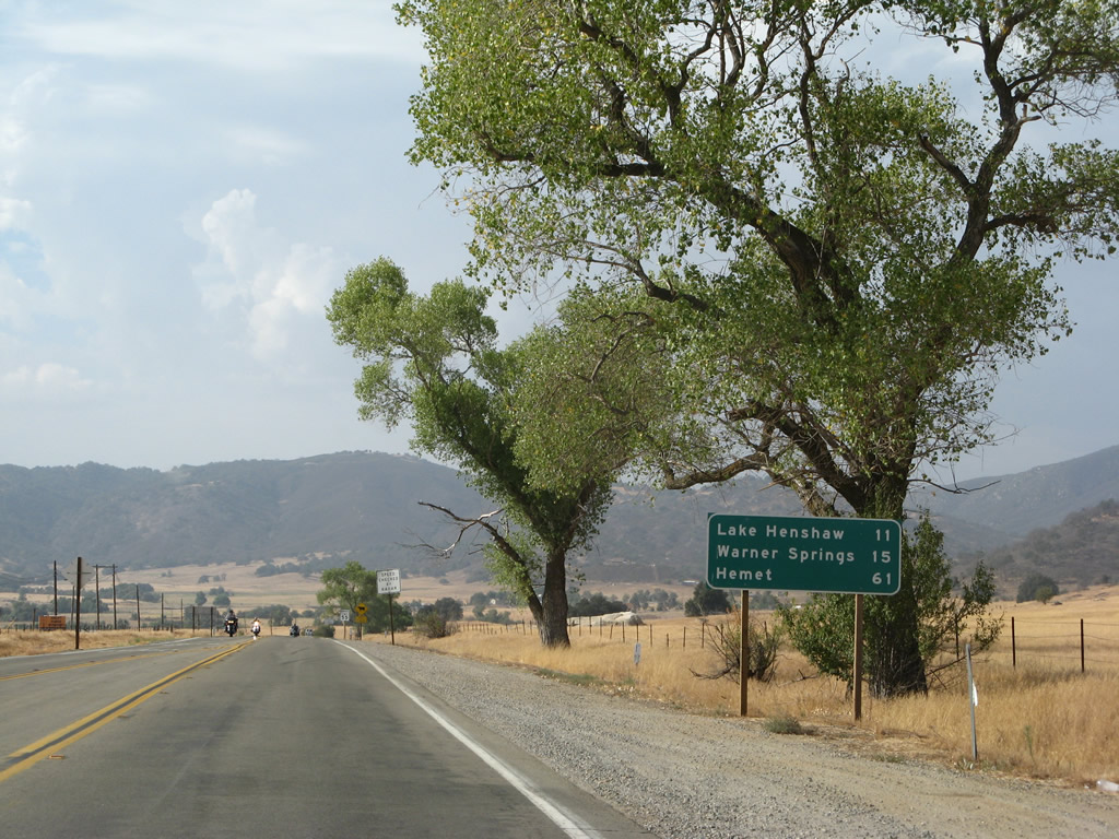
This mileage sign along California 78 north provides the distance to Lake Henshaw (11 miles), Warner Springs (15 miles), and Hemet (61 miles). Omitted is Temecula, the next city with a wide variety of motorist services. Photo taken 08/25/07. |
|
|
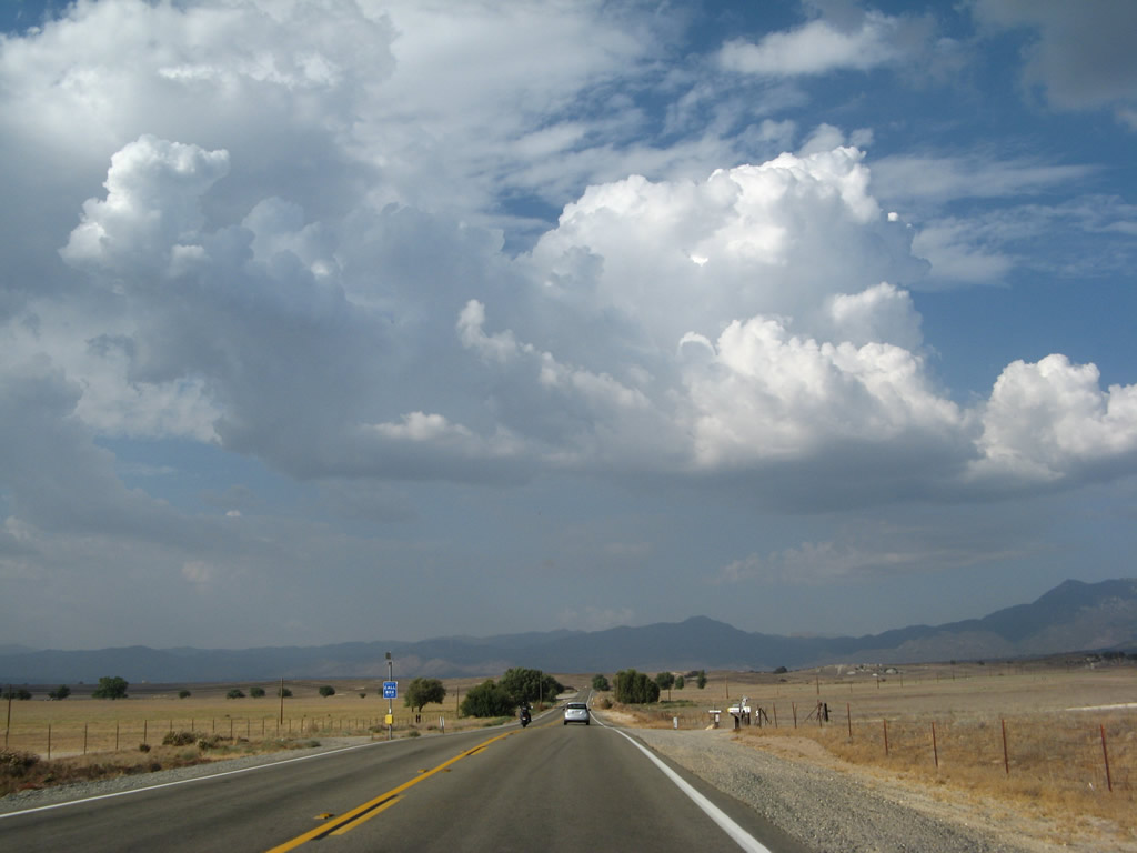
The high clouds in the distance were associated with area thunderstorms near Warner Springs and Sunshine Summit north of here. Photos taken 08/25/07. |
|
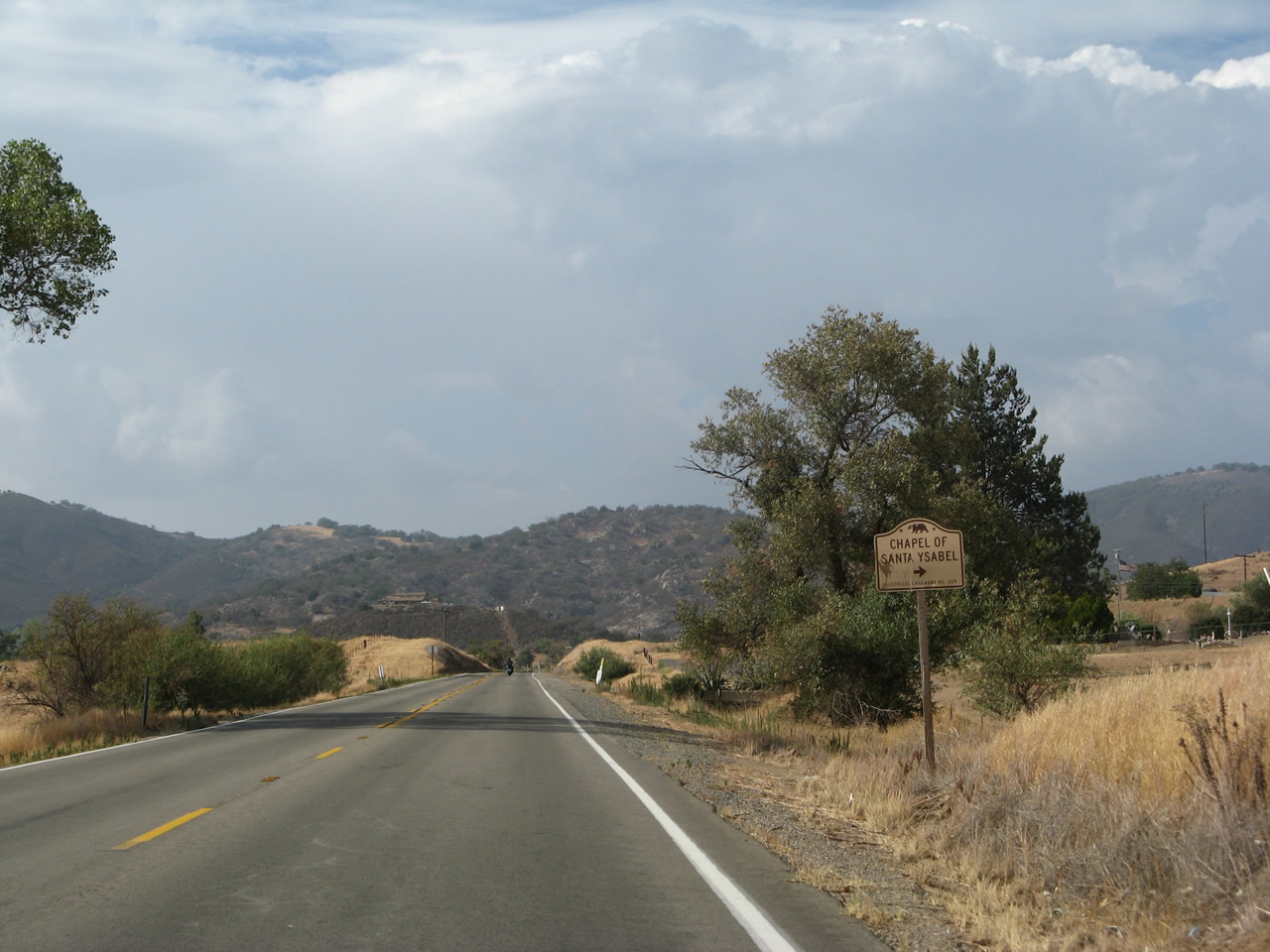
Turn right here for the entrance to Santa Ysabel Asistencia, which was founded on September 20, 1818. While not recognized as a full mission, it is seen as an annex to Mission San Diego de Alcalá (which is located in the city of San Diego at the east end of Mission Valley). Photo taken 08/25/07. |
|
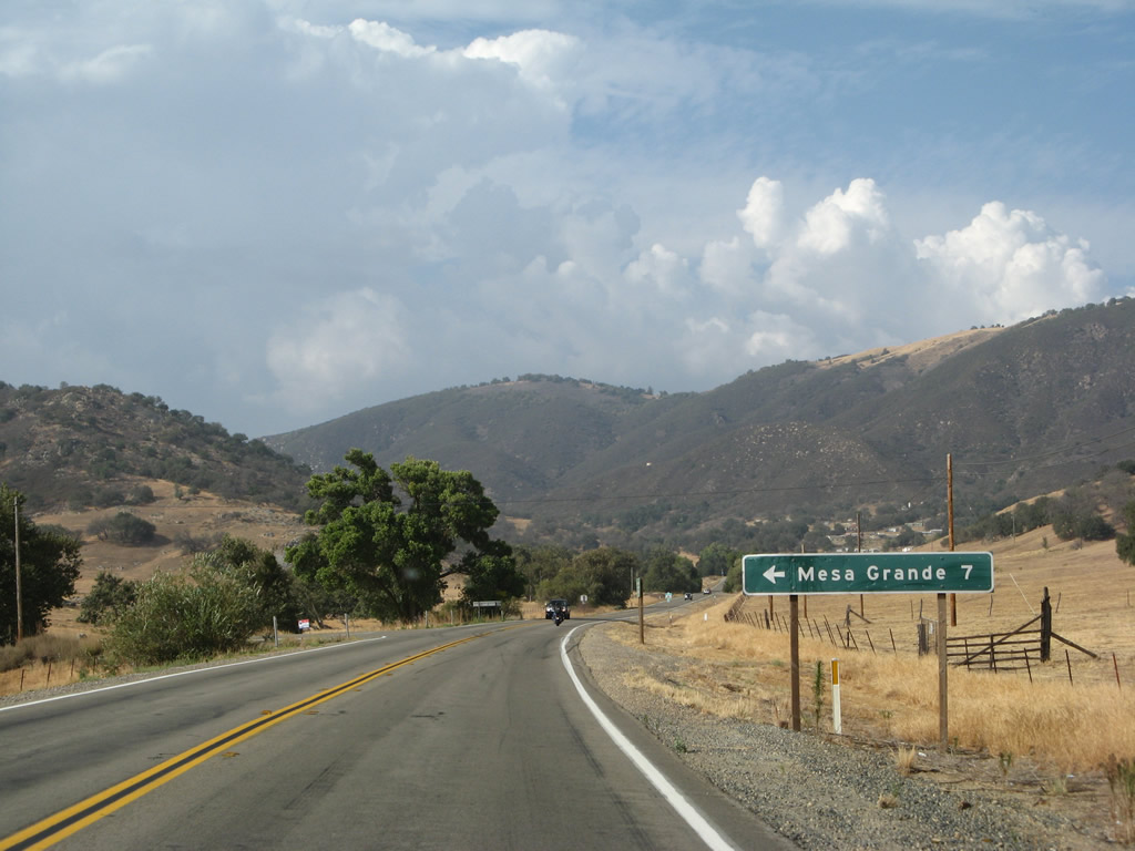
A short distance ahead, Mesa Grande Road departs to the west into the back country. Follow Mesa Grande Road west to Mesa Grande. Photo taken 08/25/07. |
|
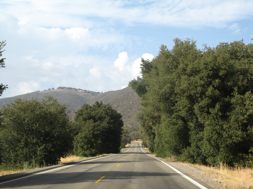
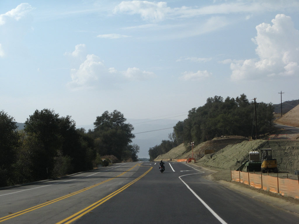
California 79 continues north past the Mesa Grande intersection toward the Santa Ysabel Indian Reservation. Photo taken 08/25/07. |
|
|
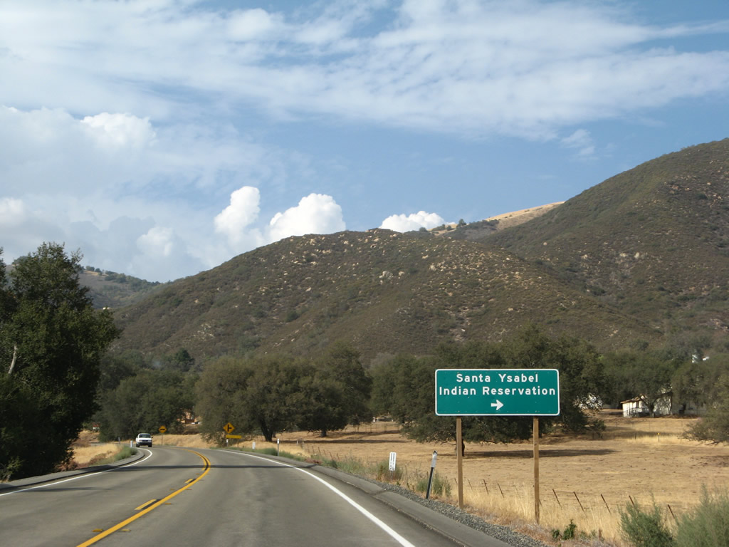
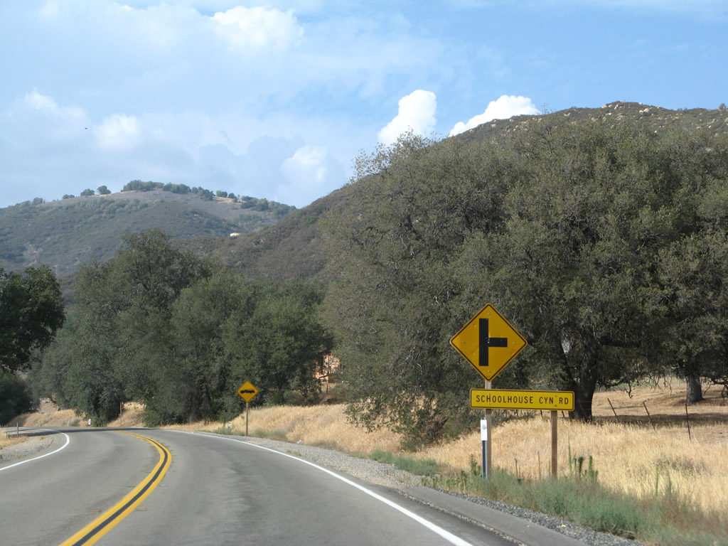
California 79 north approaches the turnoff to Schoolhouse Canyon Road, which connects to Santa Ysabel Indian Reservation. Schoolhouse Canyon Road is not a through paved road and does not reconnect to the state highway system. Photos taken 08/25/07. |
|
Turn right here for the Santa Ysabel Casino, which was under construction when this picture was taken. California 79 proceeds north toward Lake Henshaw. Photo taken 08/25/07. |
|
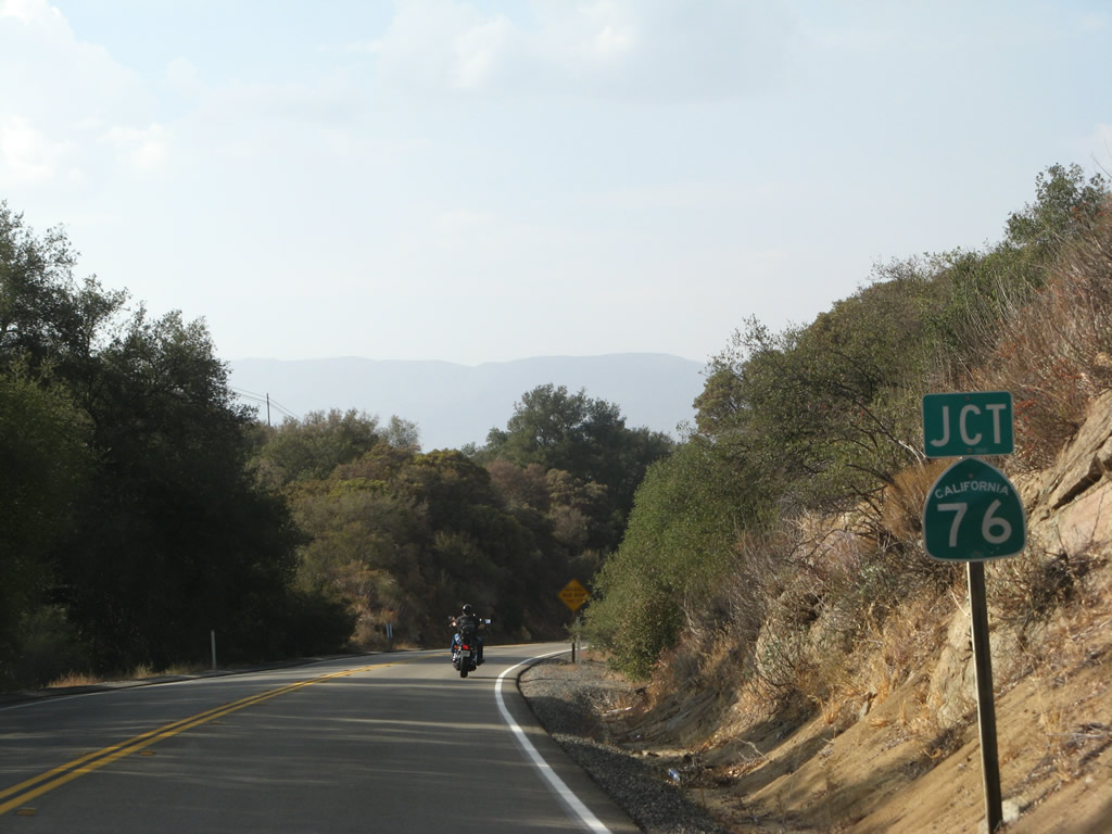
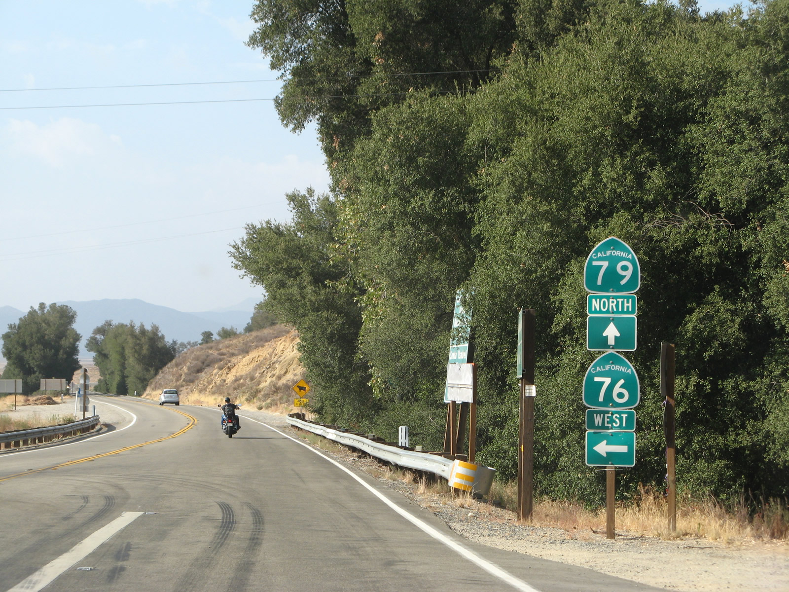
Prior to reaching Lake Henshaw, northbound California 79 approaches California 76. Turn left for California 76 west to Palomar Mountain, Pauma Valley, Pala, Bonsall, Fallbrook, and Oceanside, where the state highway ends at a junction with Interstate 5 and Coast Highway 101. Photo taken 08/25/07. |
|
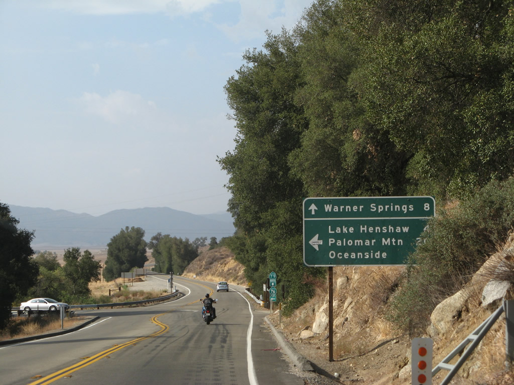
Use California 76 west to Lake Henshaw, Palomar Mountain, and Oceanside. Between Interstate 15 near Pala and Interstate 5 in Oceanside, California 76 is a very busy road, with the west end upgraded to expressway and plans calling for construction of additional expressway segments to help move traffic along the corridor. Most of California 76 east of Bonsall is only two lanes wide and has plenty of curves. Photo taken 08/25/07. |
|
A set of California 79 north and California 76 west trailblazers are posted immediately at the intersection between 79 and 76. Ahead, California 79 will proceed to Warner Springs and Sunshine Summit. Photo taken 08/25/07. |
|
Leaving the intersection, we find this California 79 north reassurance shield. Photo taken 08/25/07. |
|
California 79 proceeds north away from the California 76 intersection. Photo taken 04/20/13. |
|
|
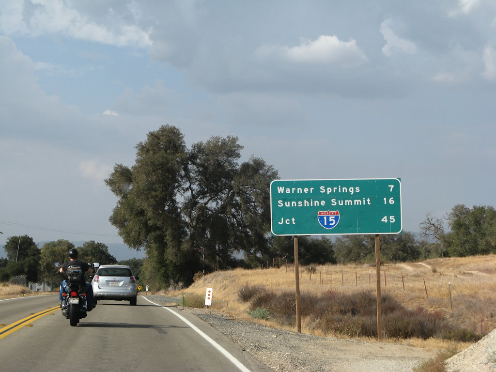
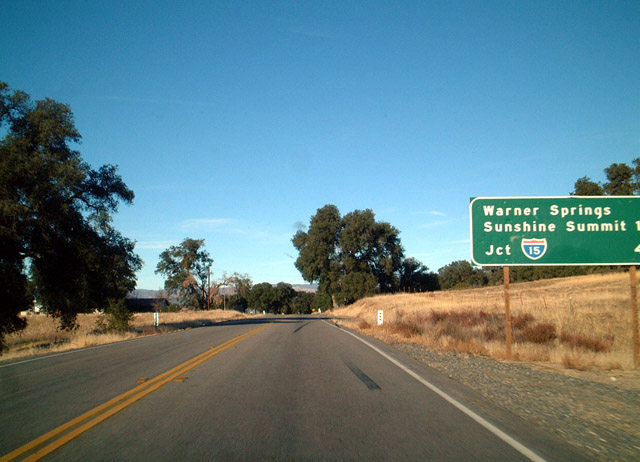
This mileage sign along California 79 north after the California 76 intersection near Lake Henshaw provides the distance to Warner Springs (seven miles), Sunshine Summit (16 miles), and Interstate 15 in Temecula (45 miles). Photos taken 08/25/07 and 05/03/02. |
|
California 79 proceeds due north toward Warner Springs. Warm moist air from the southwestern monsoon collides over cooler, drier air in this region, often resulting in pop-up thunderstorms. Photo taken 08/25/07. |
|
Northbound California 79 crosses Matagual Creek on this bridge, which was built in 1946. Photo taken 08/25/07. |
|
The two-lane highway continues northeast between the California 76 and San Diego County S-2 intersections, staying east of Lake Henshaw and Palomar Mountain and northwest of the Volcan Mountains. Photo taken 08/25/07. |
|
|
|
|
|
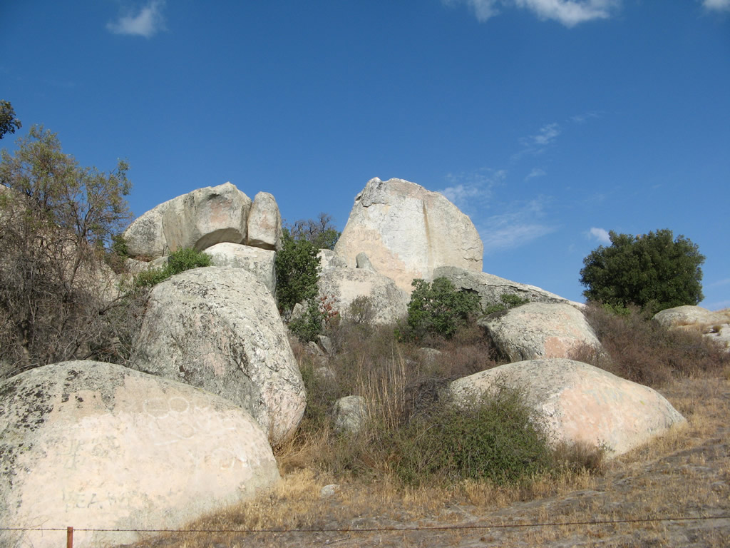
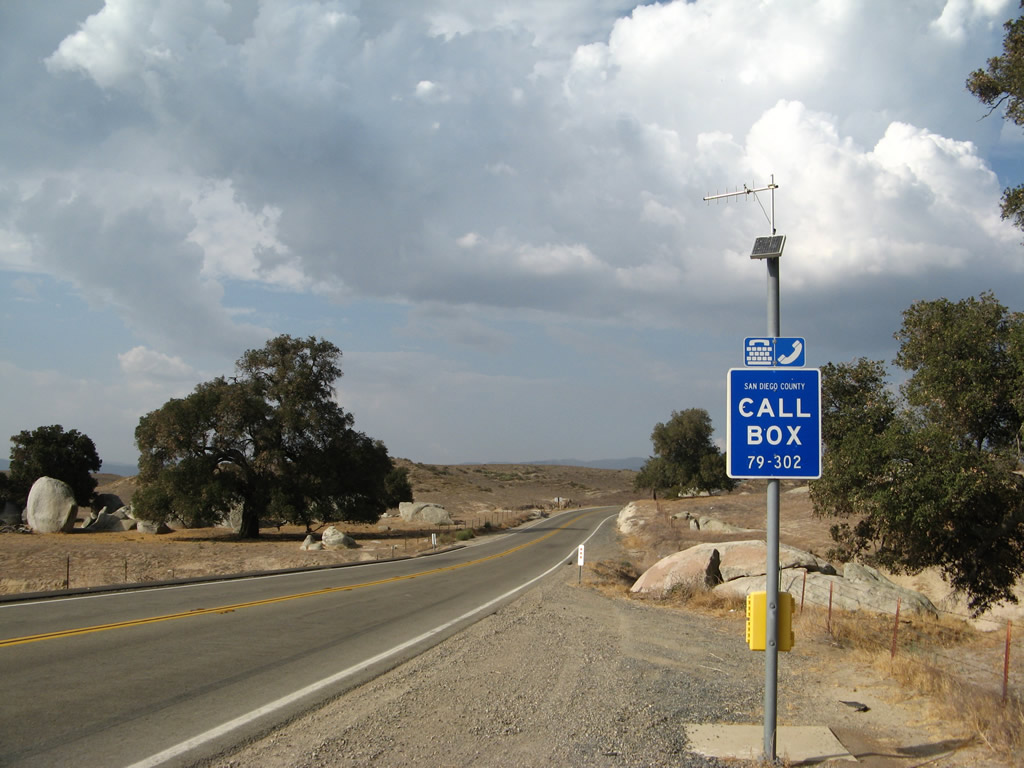
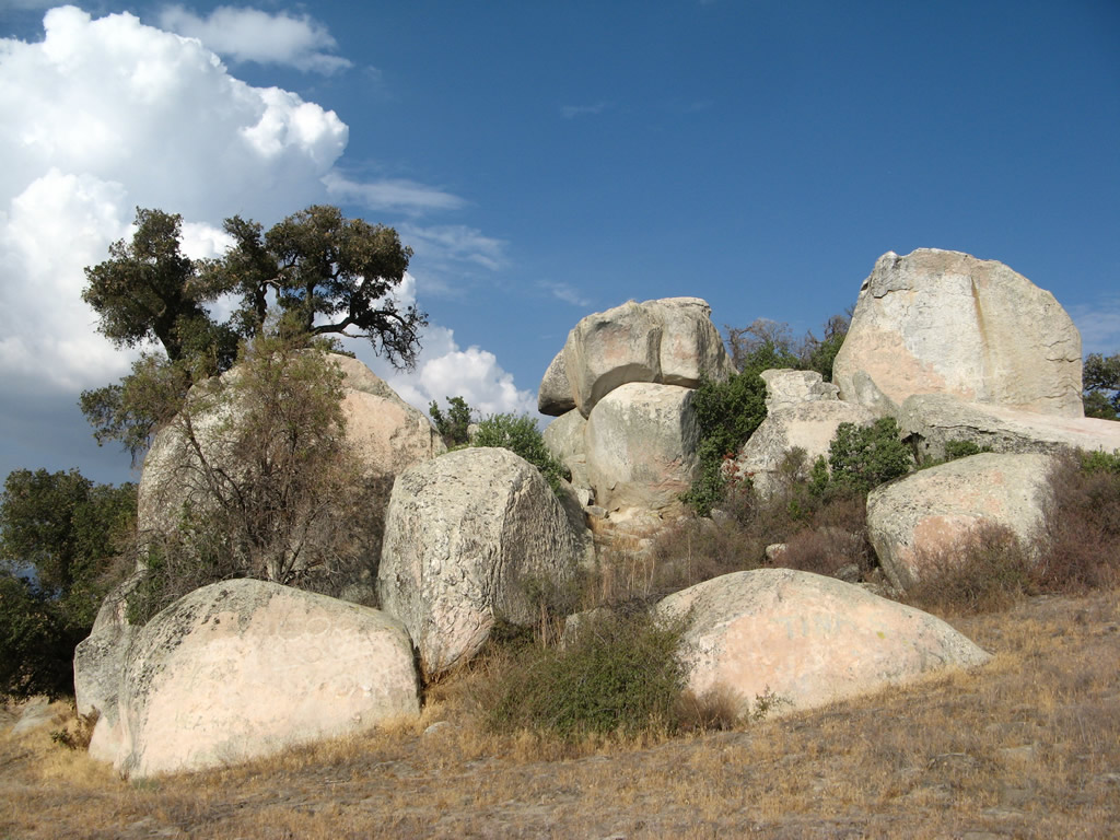
| A rock outcropping alongside California 79 makes for an interesting view as we travel northeast. An emergency call box and small turnout are located next to this geological feature. Photos taken 08/25/07. |
|
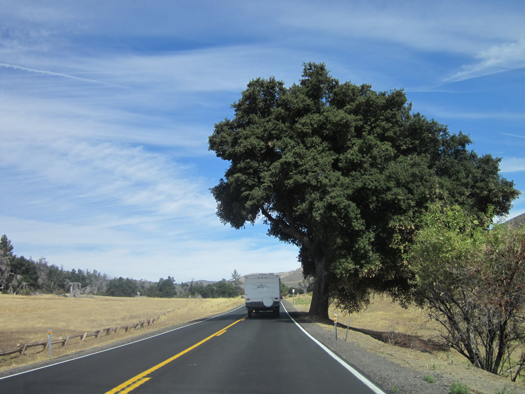
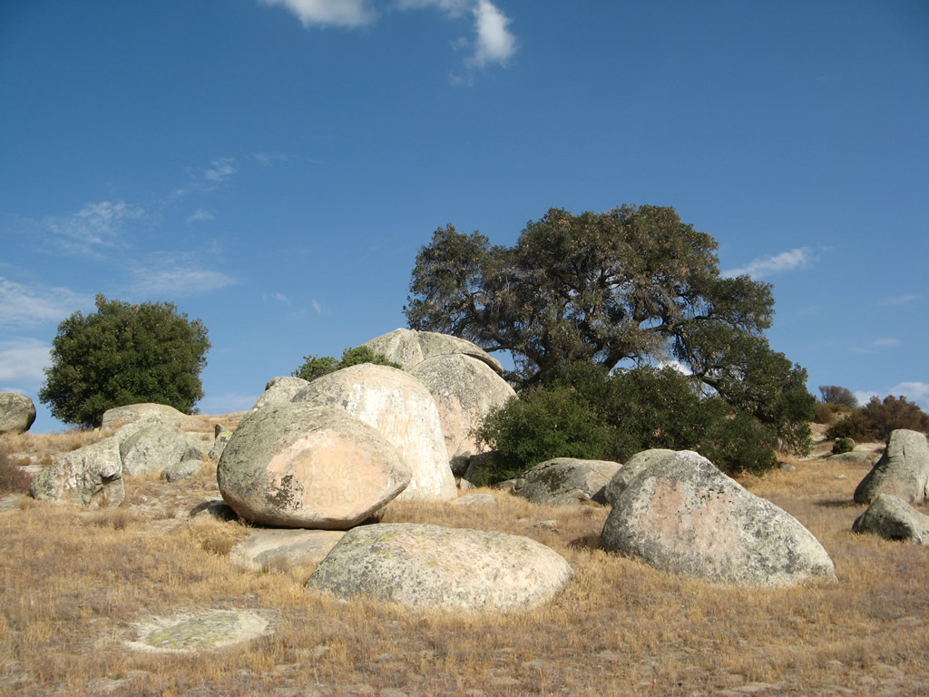
A large oak tree takes the role of sentinel as the state highway rolls along the undulating plains in the valley between the mountains. Photo taken 08/25/07. |
|
California 79 crosses over Buena Vista Creek on this 1948 bridge. Photo taken 08/25/07. |
|
|
|
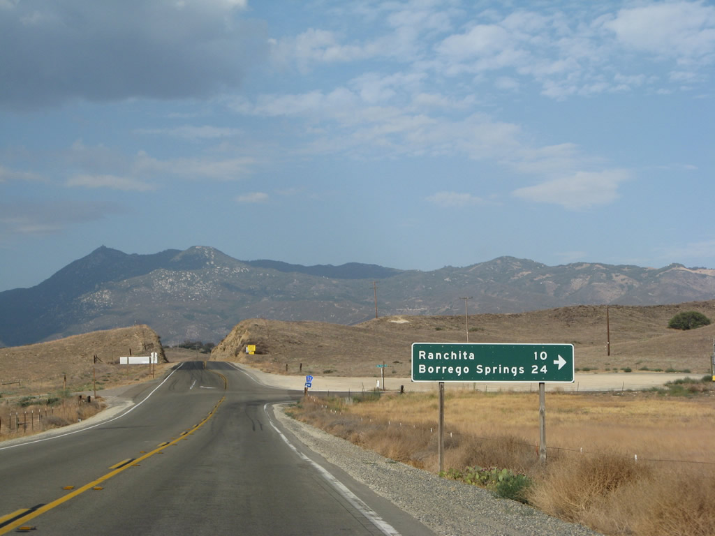
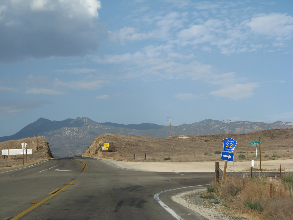
Northbound California 79 approaches and meets San Diego County S-2 (San Felipe Road). S-2 travels southeast from this intersection to San Felipe, Scissors Crossing (San Diego County S-22), Anza Borrego State Park, Shelter Valley, Agua Caliente, Canebrake, Sweeney Pass, and Ocotillo. S-2 ends at the far western edge of the Imperial Valley, where it meets Imperial County S-80 (Historic U.S. 80), Interstate 8, and California 98. CR S-2 west connects with CR S-22 to the community of Borrego Springs, one of the most distant outposts in the desert portion of San Diego County. Photos taken 08/25/07. |
|
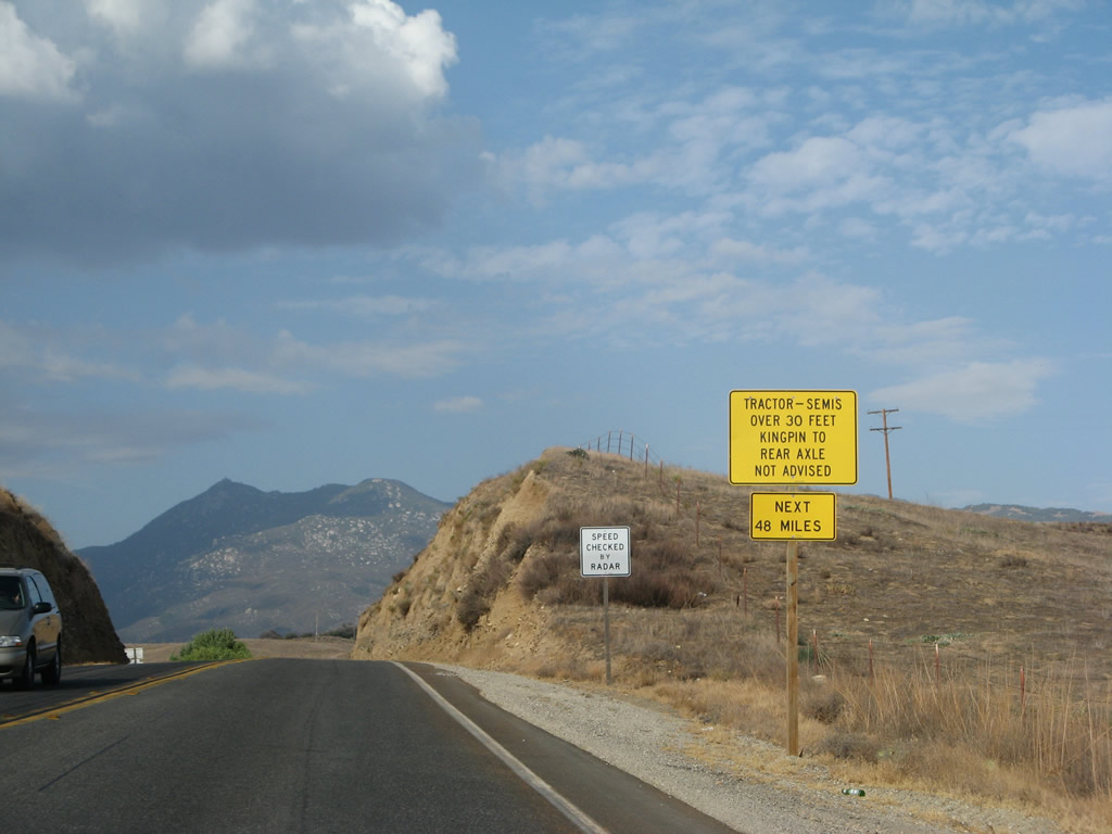
In lieu of a California 79 north reassurance shield, a warning sign advising larger vehicles to continue north with caution. The next 48 miles of California 79 north have a fair share of twists and turns making it a difficult route for through trucks and RVs. Photo taken 08/25/07. |
|
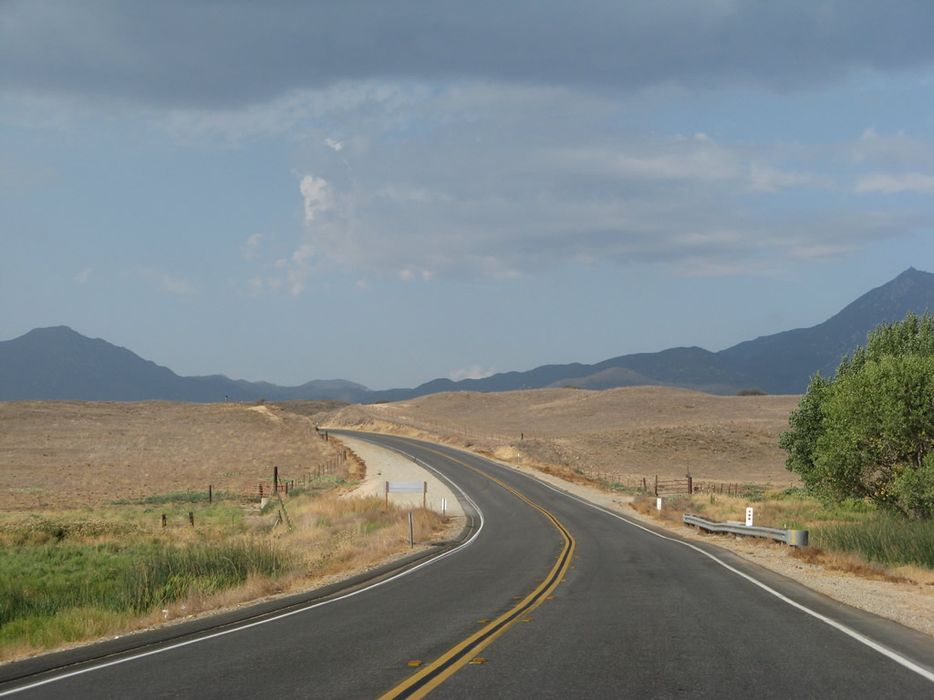
California 79 generally continues northeast toward Warner Springs, then will turn northwest toward Sunshine Summit. Photo taken 08/25/07. |
|
|
|
|
|
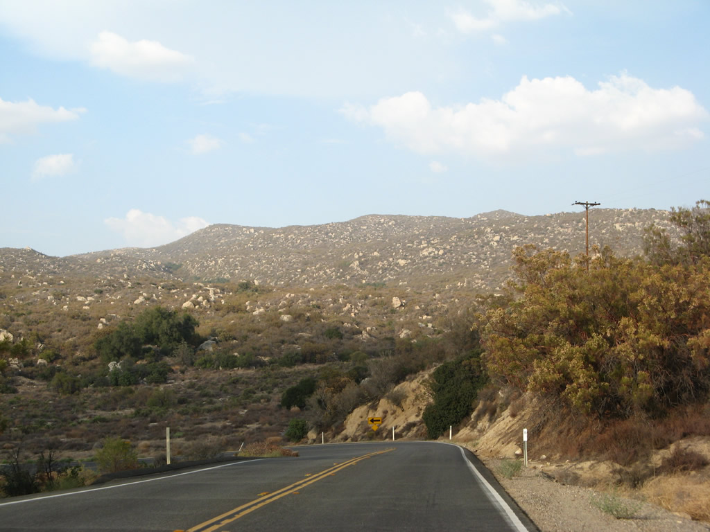
| The state route passes through a rock cut, then opens up again as it proceeds northeast en route to Warner Springs. The highway will reach 3,000 feet, then continue into Warner Springs (el. 3,132 feet). Photos taken 08/25/07. |
|
|
|
|
|
| California 79 passes by sprawling Warner Springs Ranch. The community lies in the valley ahead. California 79 passes by the Pacific Crest Trail as well as Canada Verde Creek (built 1946). In the distance is Hot Springs Mountain, which sits at an elevation of 6,533 feet. Photos taken 08/25/07. |
|
|
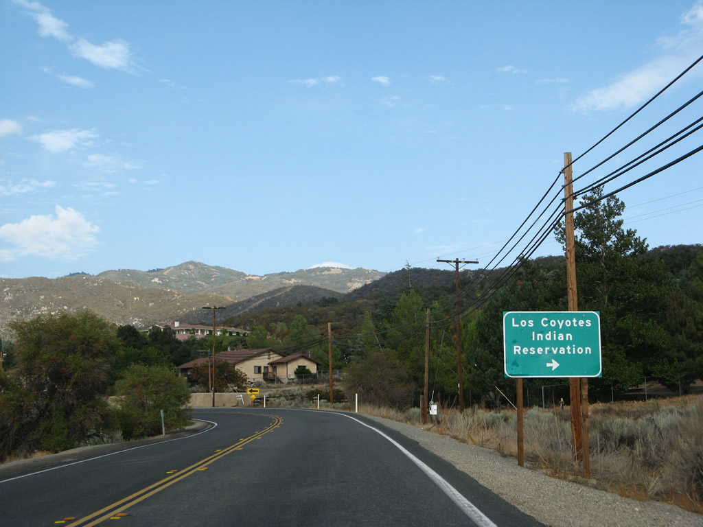
Northbound California 79 approaches Camino San Ignacio in Warner Springs. Use Camino San Ignacio east to Los Coyotes Indian Reservation. Photos taken 08/25/07. |
|
A California 79 north reassurance shield is posted after Camino San Ignacio. The state route makes a hard turn from northeast to northwest. Considering it is late in the day, this will cause us to drive into the sun. Photo taken 08/25/07. |
|
Entering the central area of Warner Springs, the main entrance to Warner Springs Ranch is available by a left turn from California 79 north. Photo taken 08/25/07. |
|
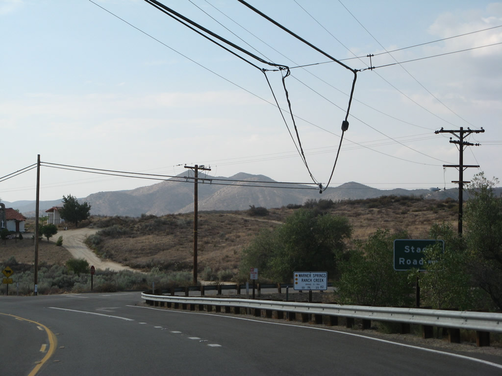
Northbound California 79 approaches Stage Road and crosses over Warner Springs Ranch Creek on a 1986 bridge. The state route then turns almost due west on its way toward Sunshine Summit. Photo taken 08/25/07. |
|
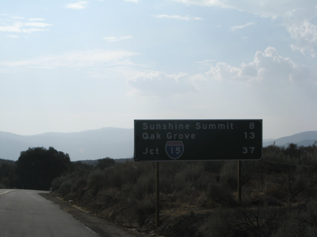
Leaving Warner Springs, this mileage sign along California 79 north provides the distance to Sunshine Summit (eight miles), Oak Grove (13 miles), and Interstate 15 in Temecula (37 miles). On the way out of town on the south side of California 79 is a small airport. Photo taken 08/25/07. |
|
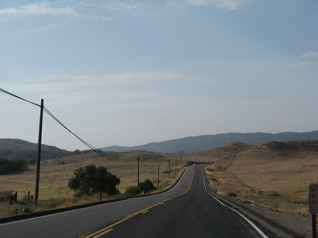
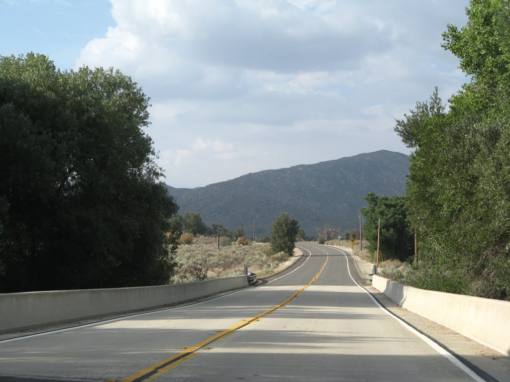
California 79 remains lightly traveled as the state highway continues northwest from Warner Springs to Sunshine Summit. Photo taken 08/25/07. |
|
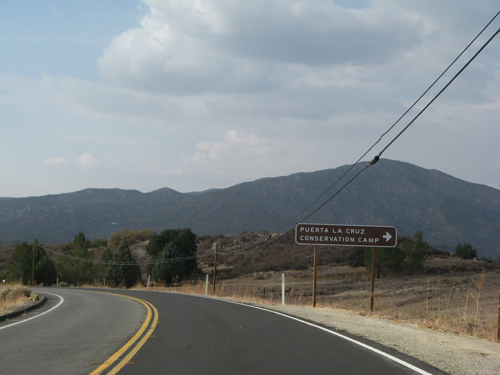
California 79 approaches the turnoff to Puerta La Cruz Conservation Camp. Photo taken 08/25/07. |
|
Soon thereafter, California 79 crosses the San Luis Rey River via a 1982 bridge. Photo taken 08/25/07. |
|
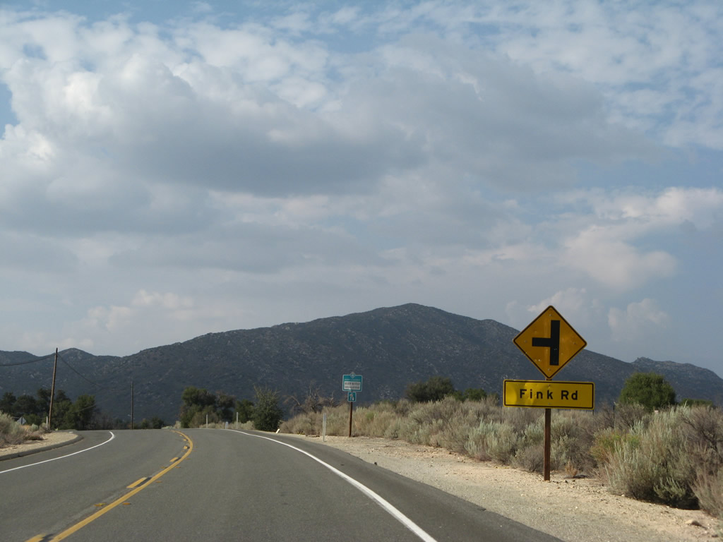
Northbound California 79 approaches Fink Road. Photo taken 08/25/07. |
|
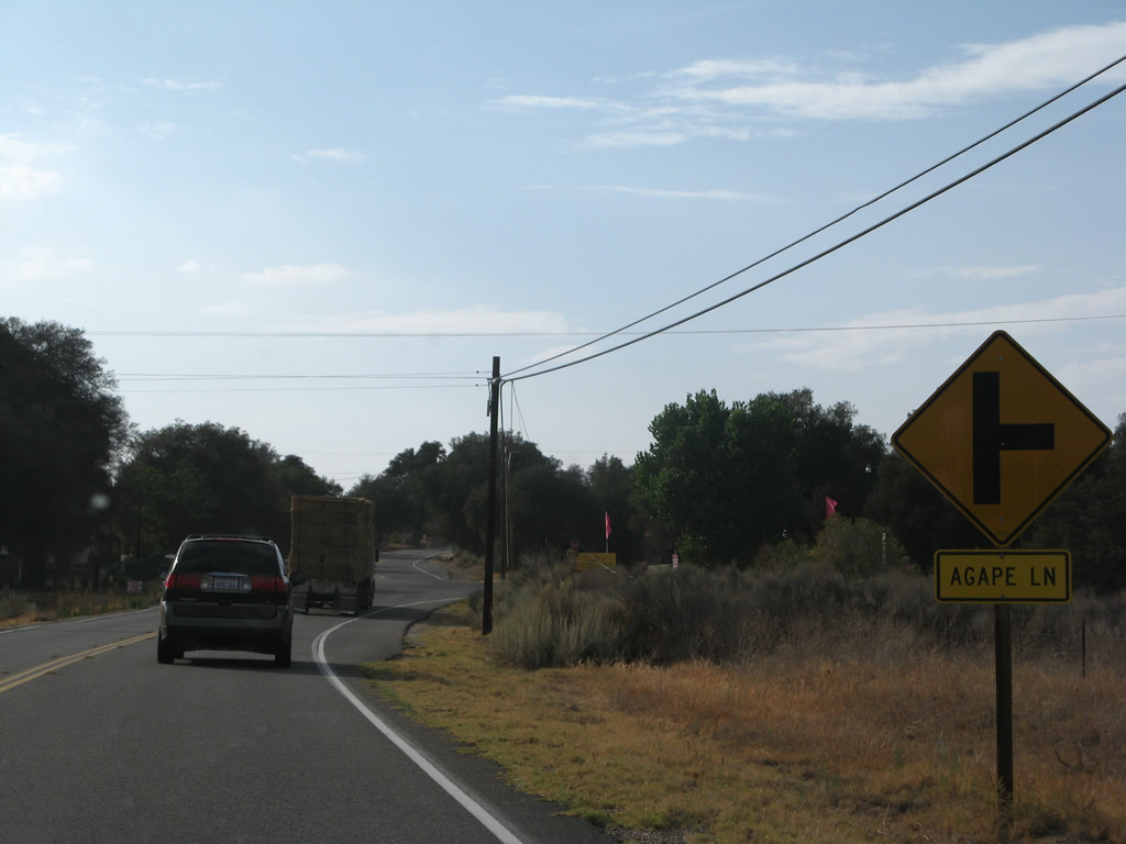
California 79 approaches the right turn to Agape Lane after the turnoff roadway to the U.S. Navy Remote Training Site. Photo taken 08/25/07. |
|
Continuing northwest, California 79 enters the unincorporated community of Sunshine Summit (also known as Holcomb Village on some maps). Photo taken 08/25/07. |
|
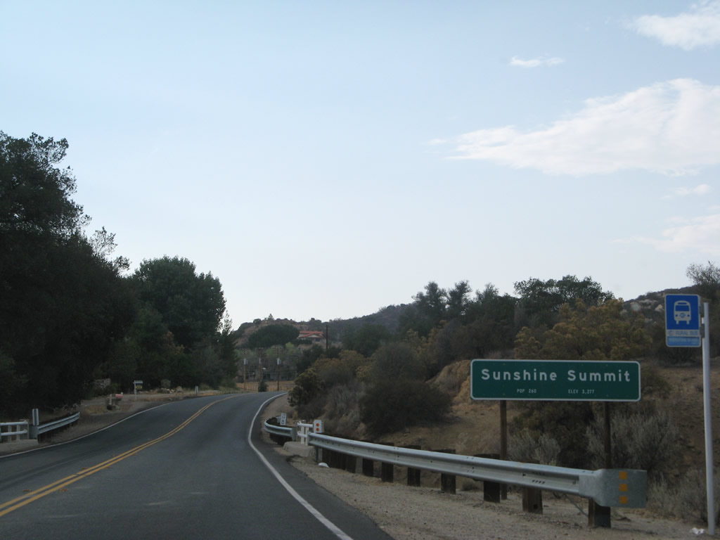
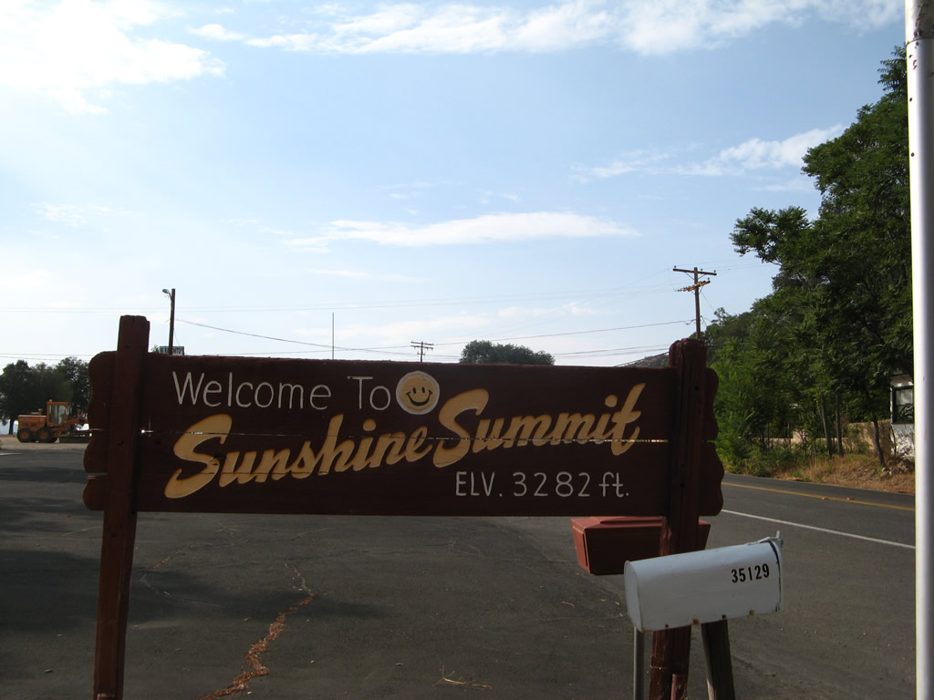
A short distance ahead and on the west side of California 79 is this small sign for Sunshine Summit. The unincorporated community sits at an elevation of 3,282 feet (in contrast to the elevation of the Caltrans community welcome sign at 3,277 feet). Photo taken 08/25/07. |
|
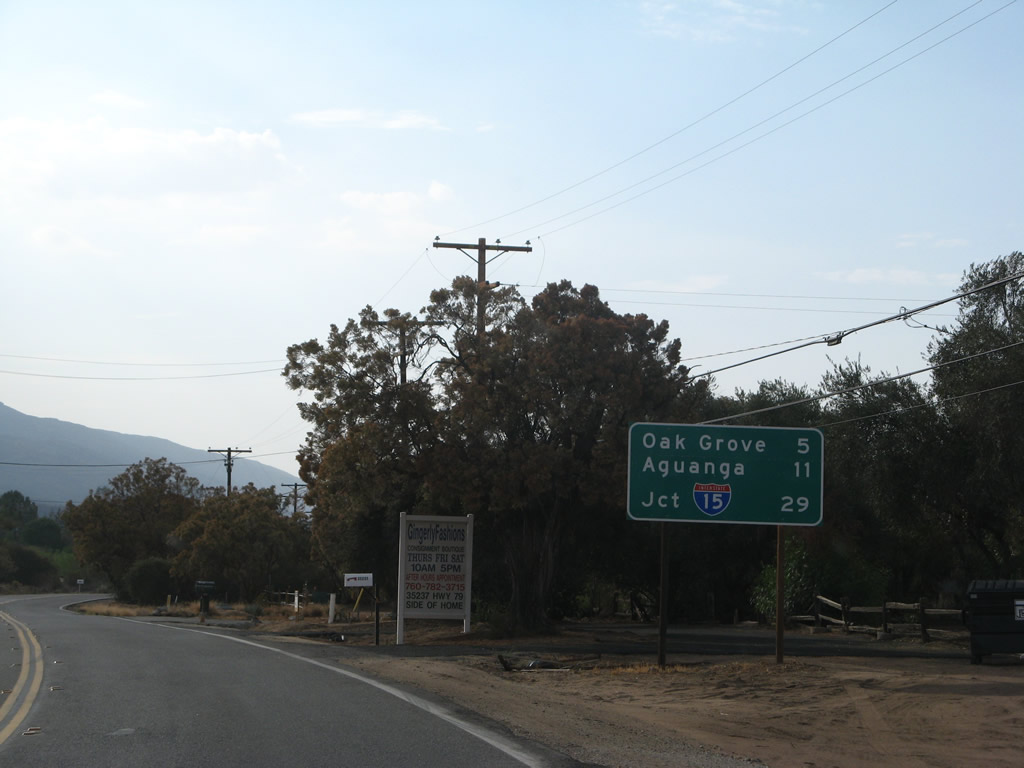
As California 79 north leaves Sunshine Summit, this mileage sign provides the distance to Oak Grove (five miles), Aguanga (11 miles), and Interstate 15 / Temecula (29 miles). Photo taken 08/25/07. |
|
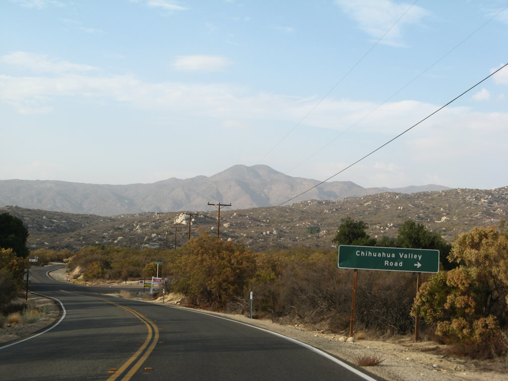
Northbound California 79 approaches Chihuahua Valley Road (next right). Photo taken 08/25/07. |
|
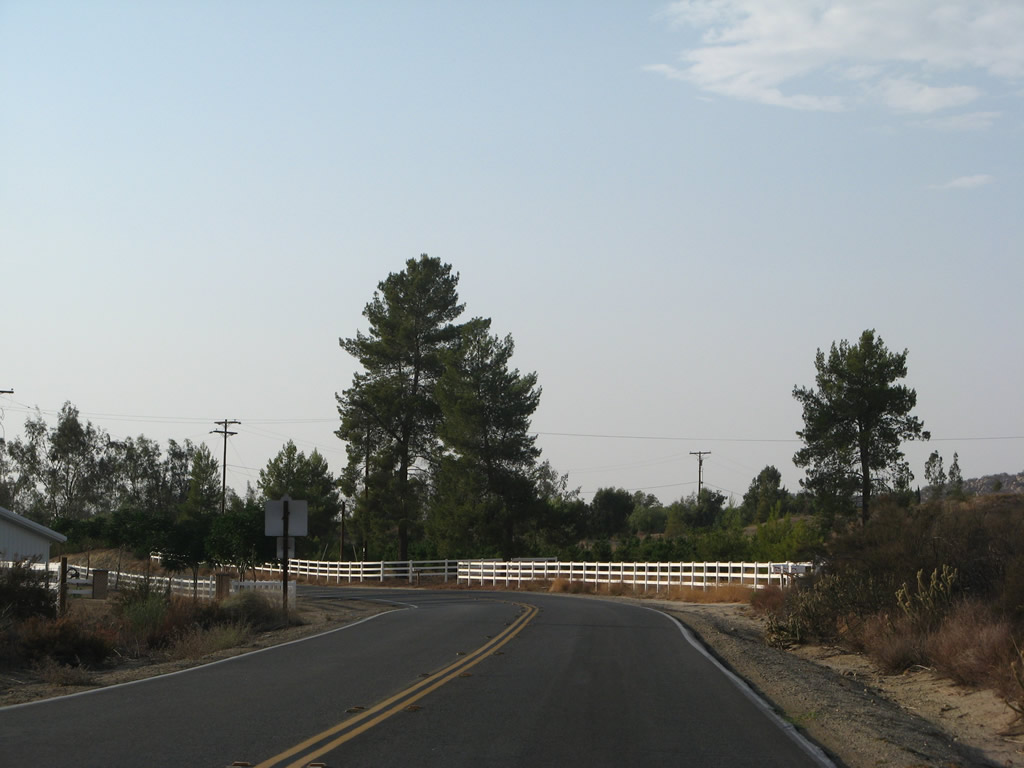
California 79 continues northwest toward Oak Grove, the northernmost community along California 79 before entering Riverside County. Photo taken 08/25/07. |
|
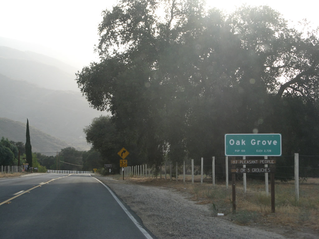
Northbound California 79 enters the unincorporated community of Oak Grove, complete with 97 pleasant people and "2 or 3 grouches." Photo taken 08/25/07. |
|
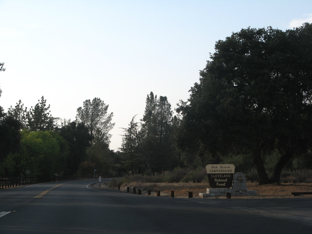
Look on the right side of California 79 for the Oak Grove campground, which is part of Cleveland National Forest. Photo taken 08/25/07. |
|
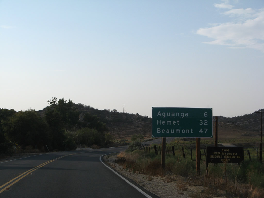
Leaving Oak Grove, another mileage sign provides the distance to Aguanga (six miles), Hemet (32 miles), and Beaumont / I-10 (47 miles). Photo taken 08/25/07. |
|
This 1941 bridge carries California 79 over Chihuahua Creek. Photo taken 08/25/07. |
|
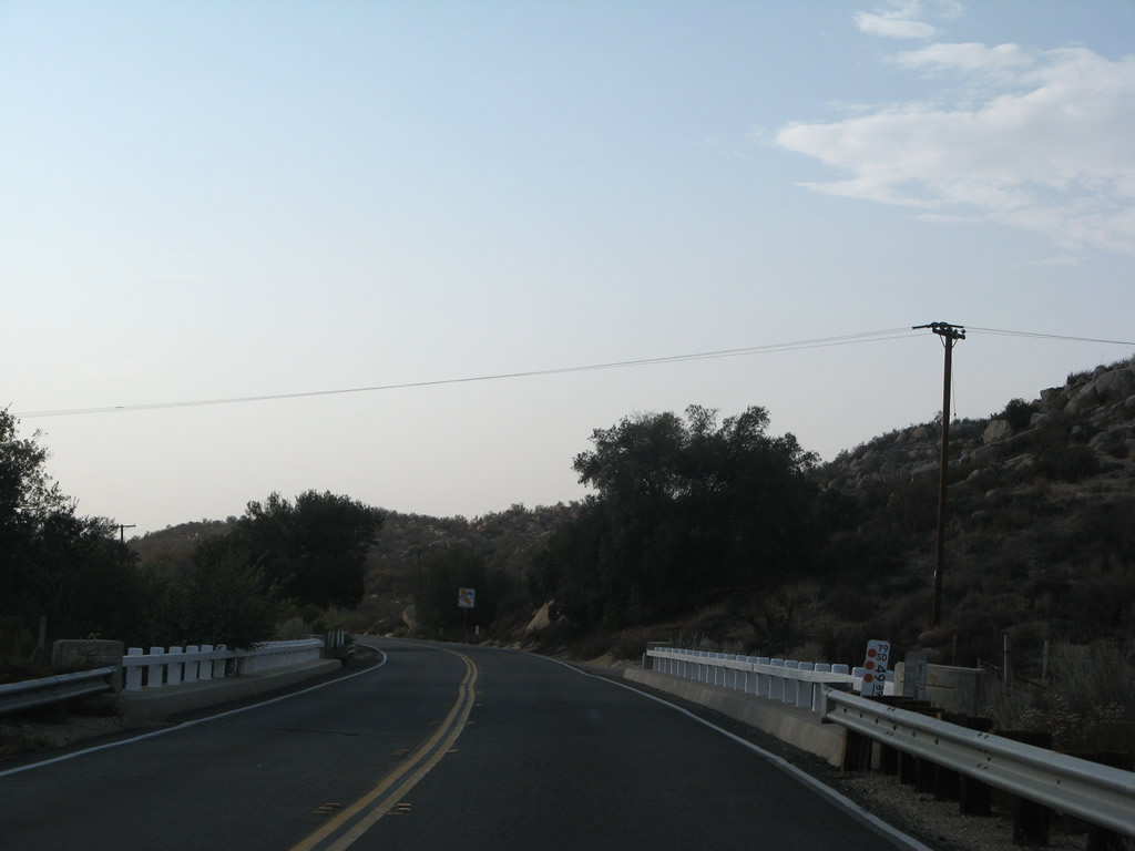
California 79 proceeds northwest through the area, passing by a few isolated ranches before crossing the county line. Photo taken 08/25/07. |
|
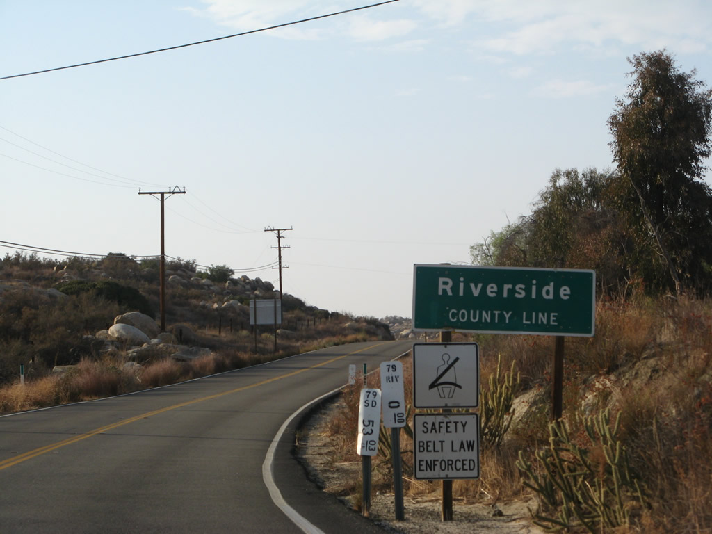
Northbound California 79 leaves San Diego County and enters Riverside County. Photo taken 08/25/07. |
Page Updated June 22, 2013.