| California 86 north |
|
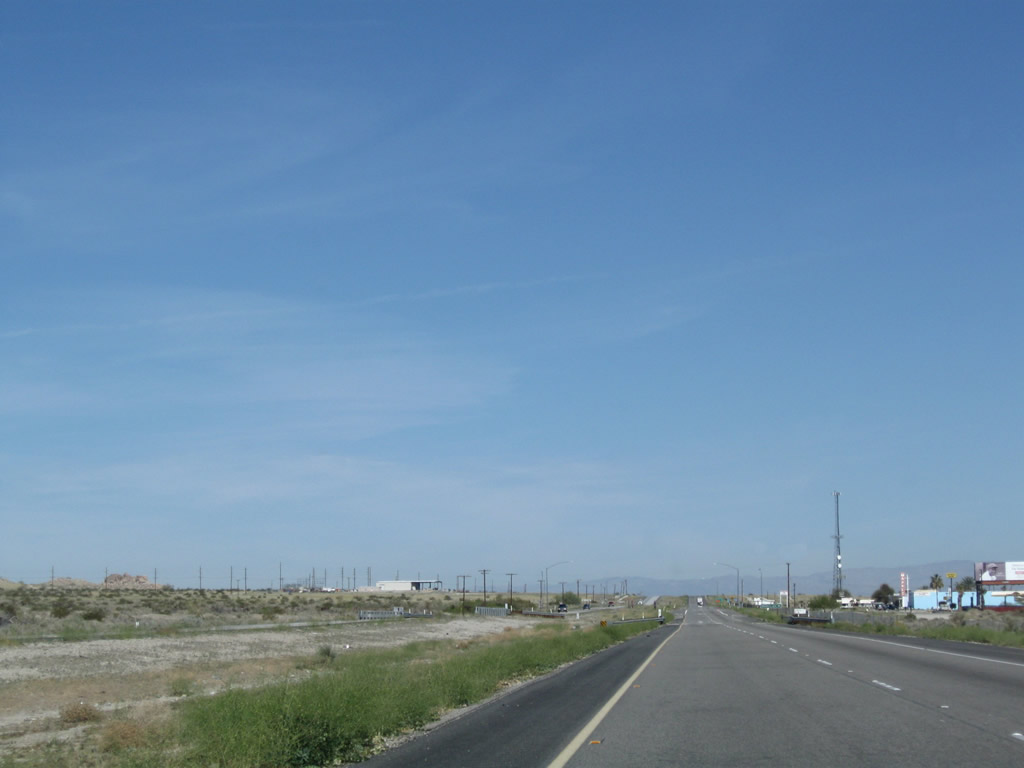
Northbound California 86 next enters unincorporated Desert Shores, the last community along California 86 north in Imperial County. It shares some governmental services with Salton City through the Salton Community Services District (SCSD); other services are rendered by Imperial County. Photo taken 03/14/09. |
|
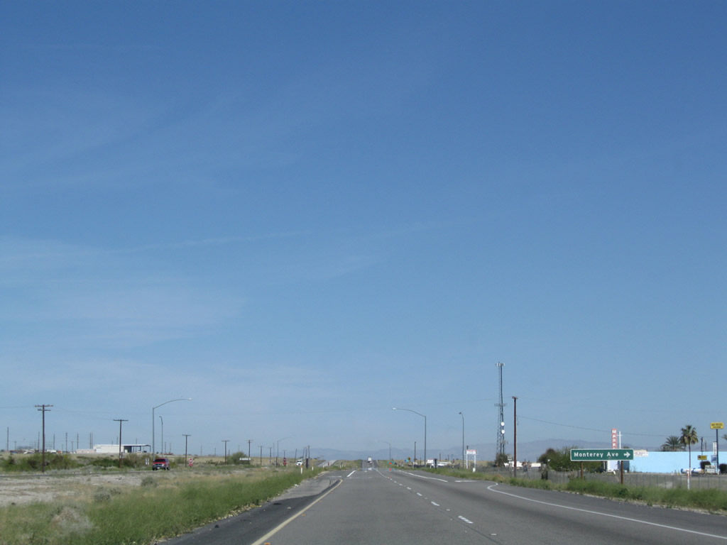
The next marked intersection along California 86 north is with Monterey Avenue. Photo taken 03/14/09. |
|
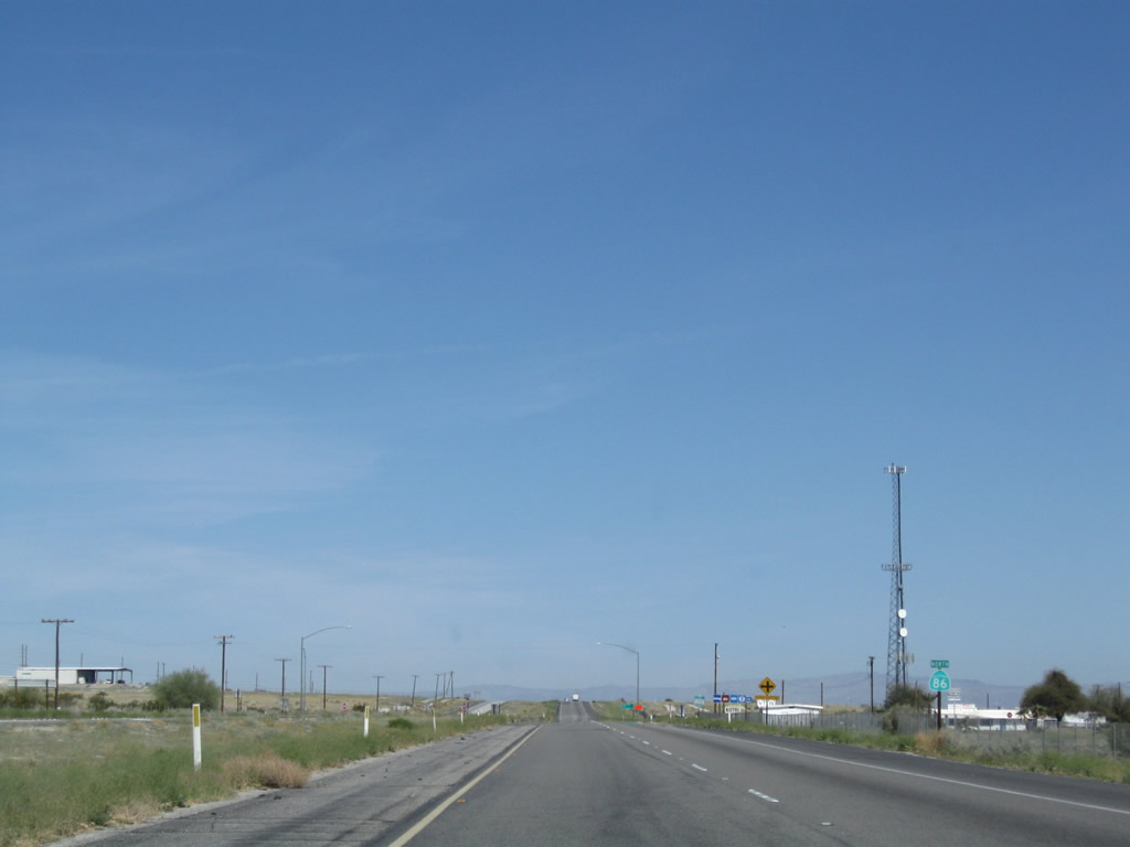
Another California 86 north reassurance shield is posted soon thereafter. Photo taken 03/14/09. |
|
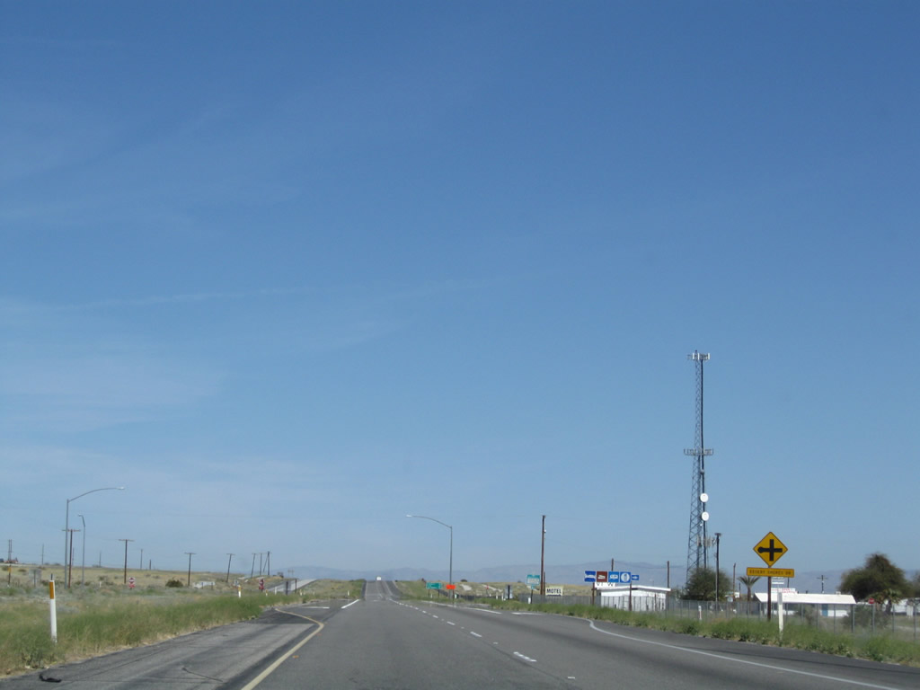
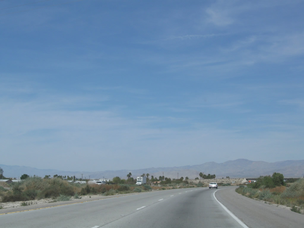
Northbound California 86 next approaches Desert Shores Road to Desert Shores. Photo taken 03/14/09. |
|
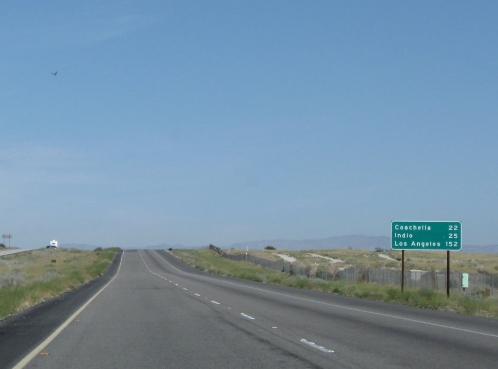
This mileage sign along California 86 north provides the distance to Coachella (22 miles), Indio (25 miles), and Los Angeles (152 miles). Photo taken 03/14/09. |
|
The north end of the historic segment of U.S. 99 (Collidge Springs Road) intersects California 86 after the Desert Shores Road intersection. Photo taken 03/14/09. |
|
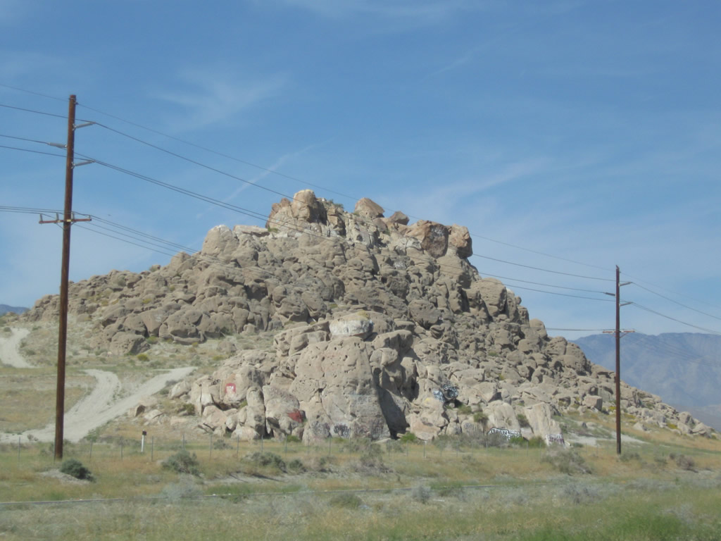
California 86 passes by Travertine Rock (el. 89 feet) near Desert Shores. Photo taken 03/14/09. |
|
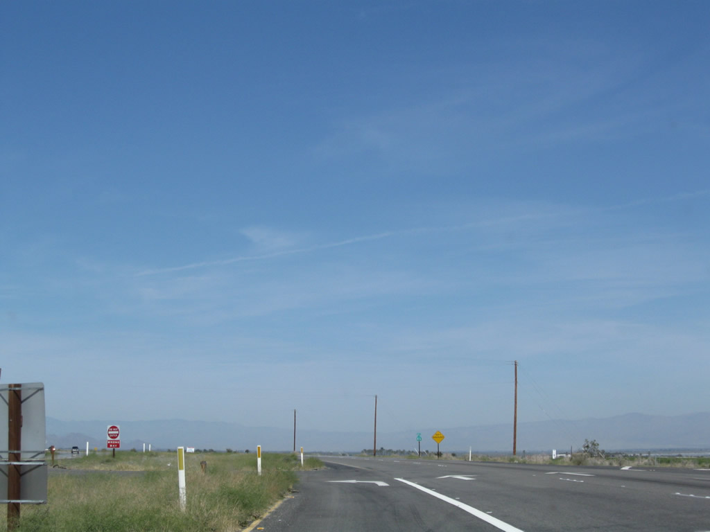
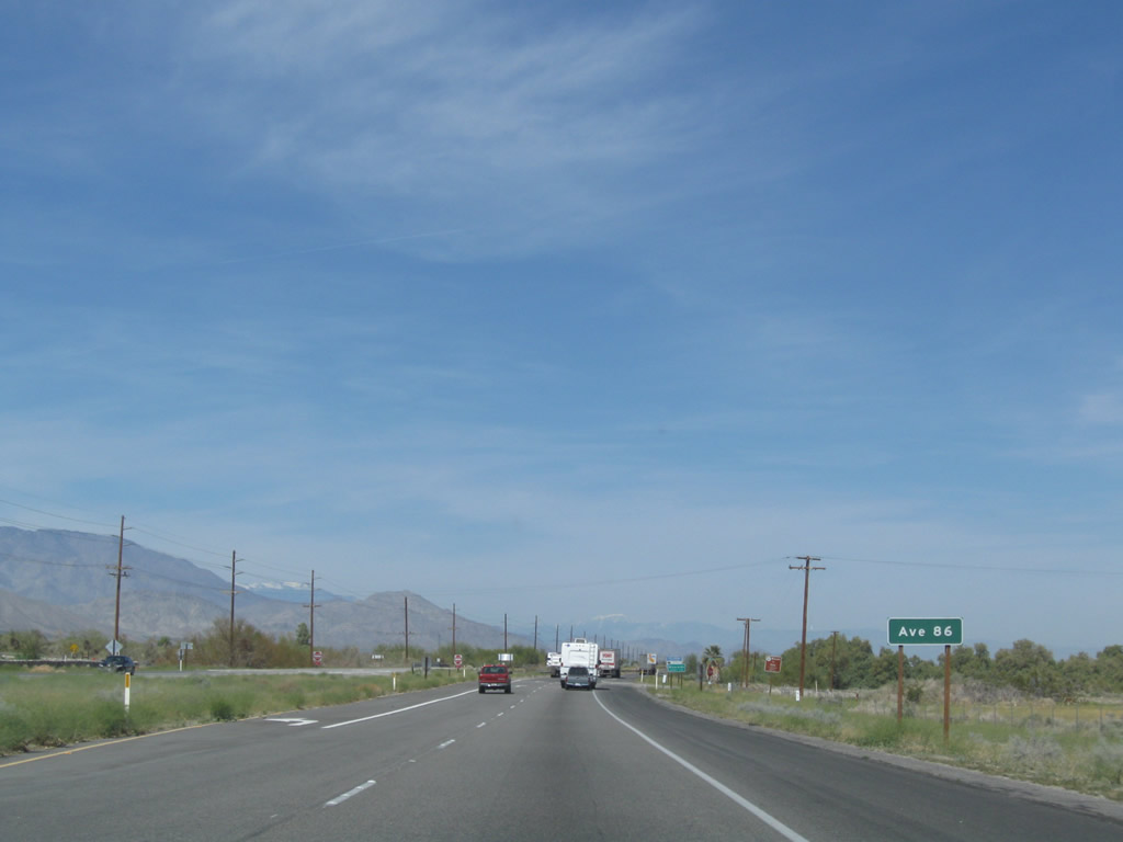
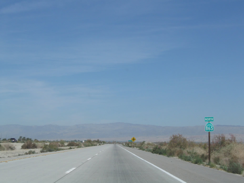
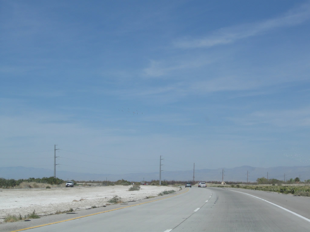
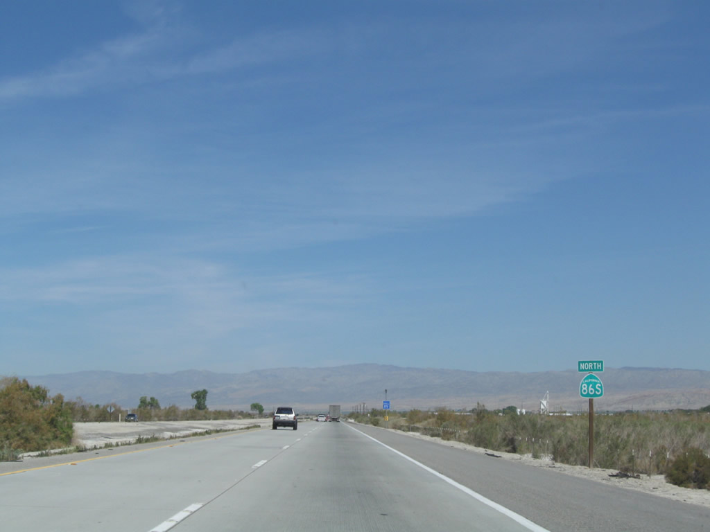
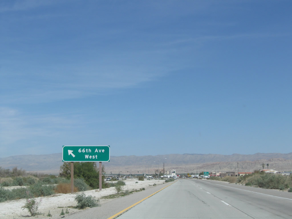
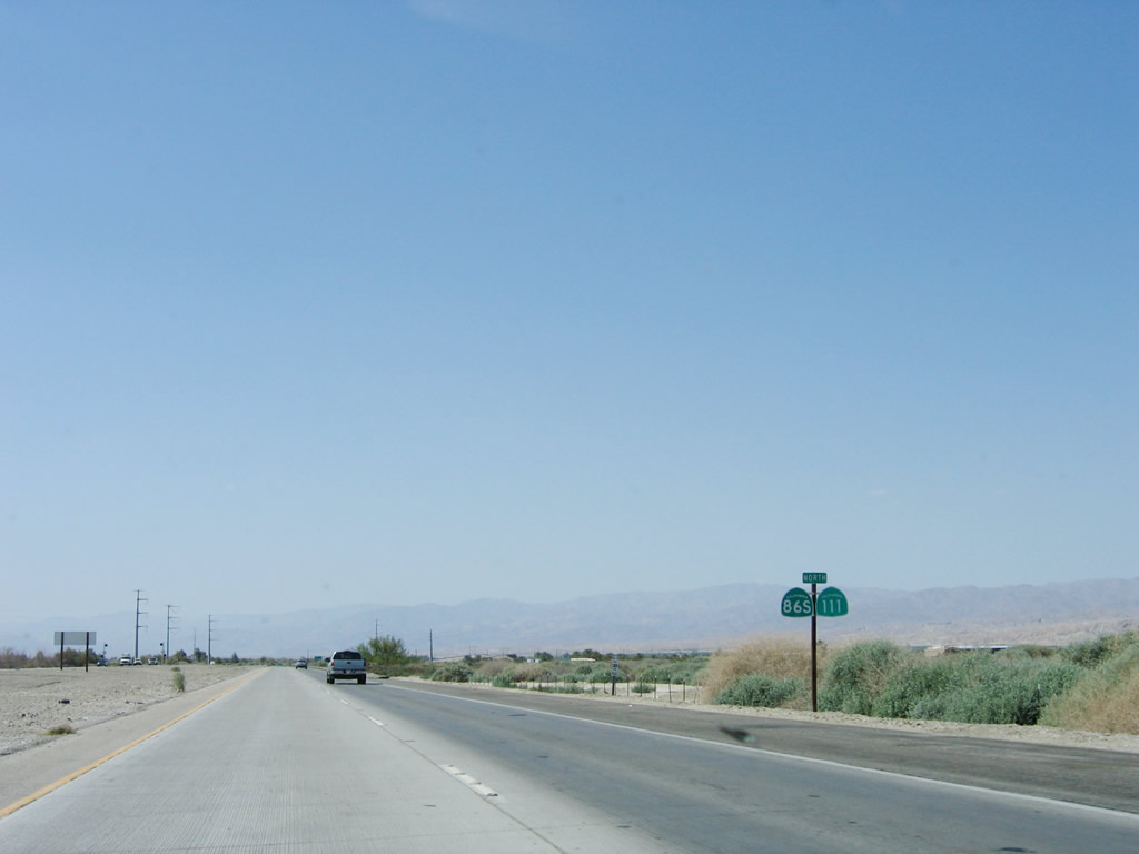
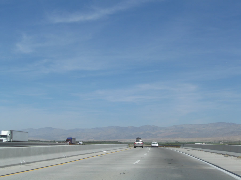
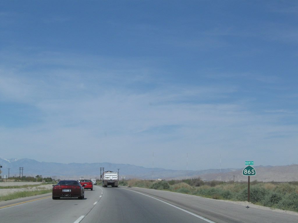
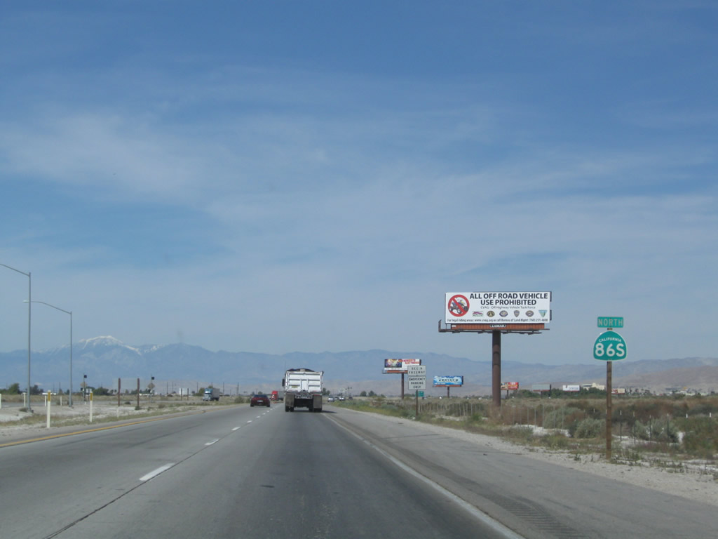
The next marked intersection along California 86 north is with Avenue 86, which serves as the county line between Imperial County and Riverside County. Photo taken 03/14/09. |
|
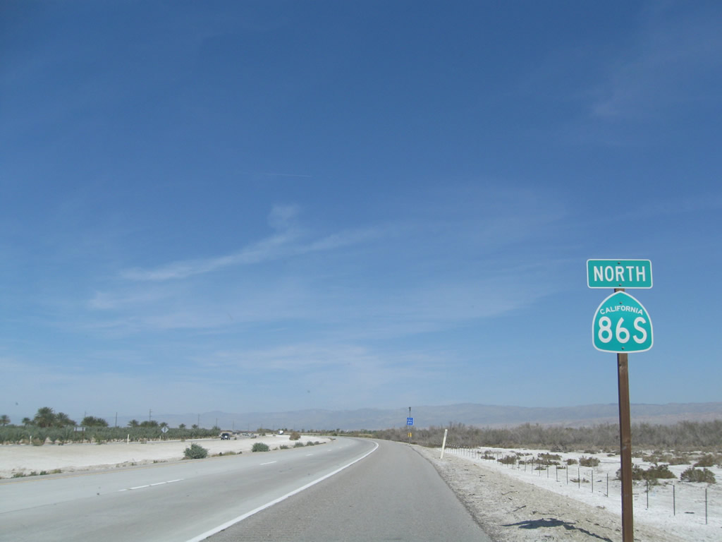
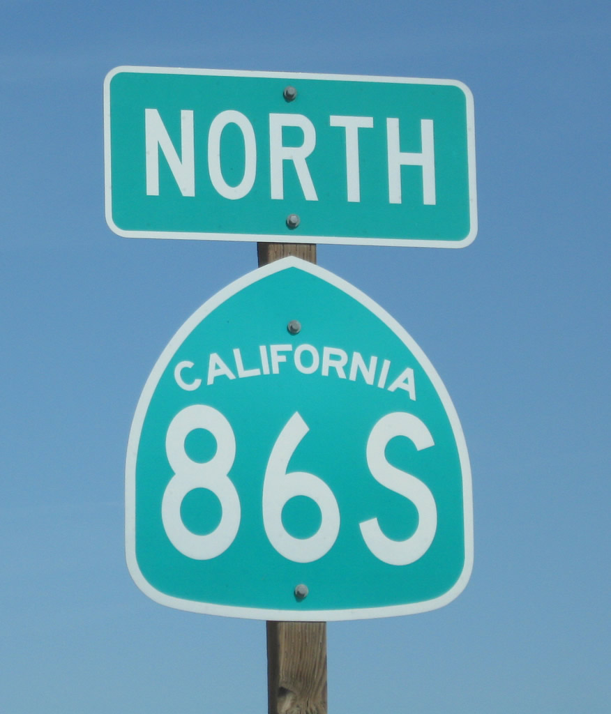
Northbound California 86 meets Avenue 86. At this point, California 86 leaves Desert Shores in Imperial County and enters the unincorporated community of Oasis in Riverside County. This is also where California 86 enters the Coachella Valley. Photo taken 03/14/09. |
|
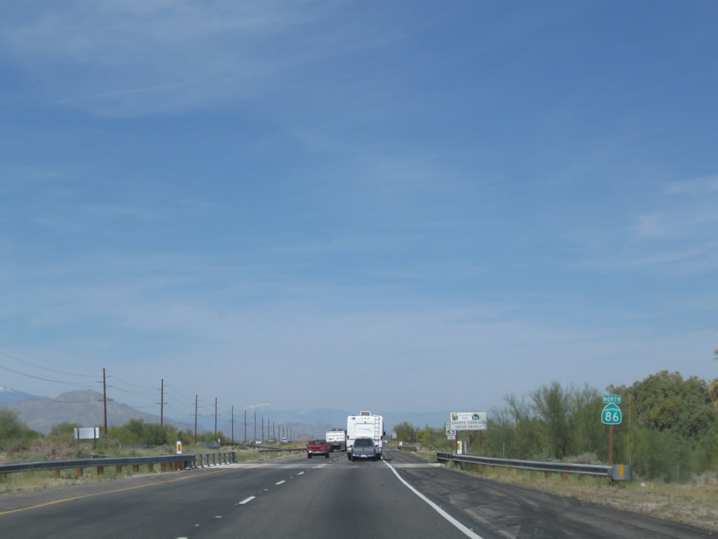
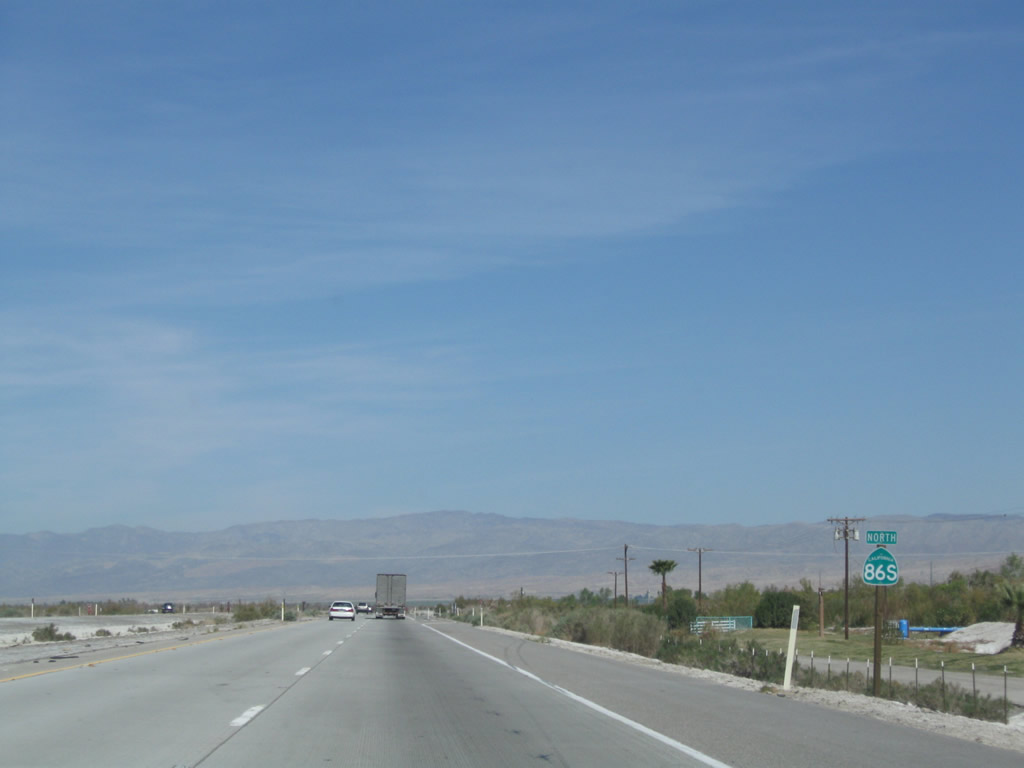
A California 86 reassurance shield is posted after Avenue 86. Photo taken 03/14/09. |
|
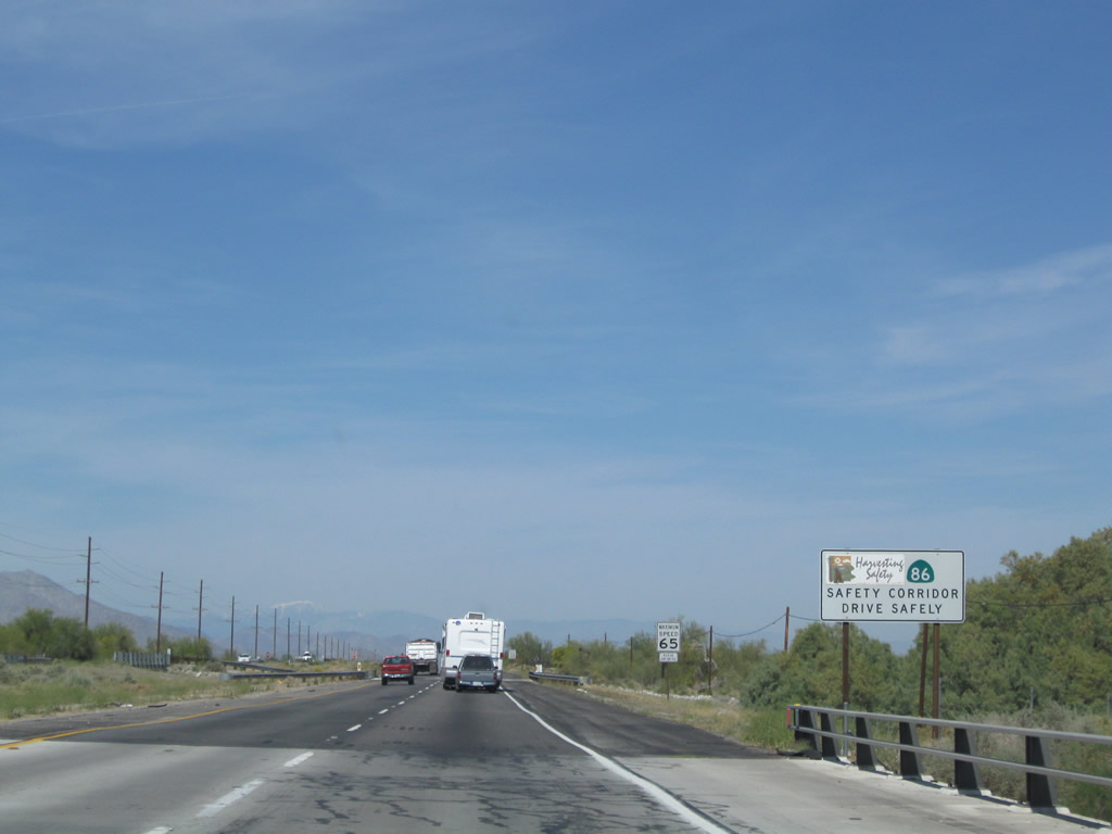
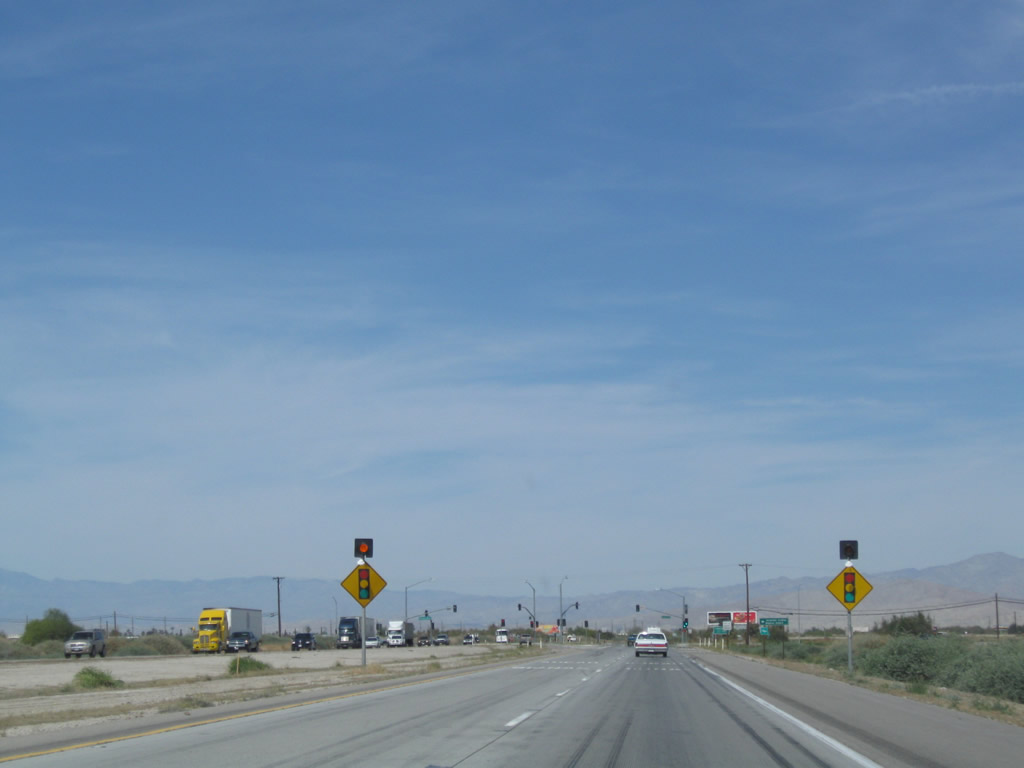
This section of California 86 is a designated safety corridor. Photo taken 03/14/09. |
|
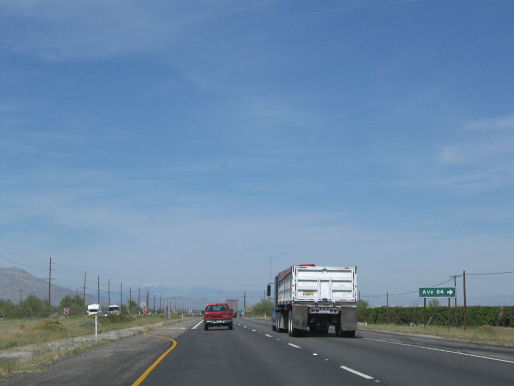
Northbound California 86 approaches Avenue 84. Photo taken 03/14/09. |
|
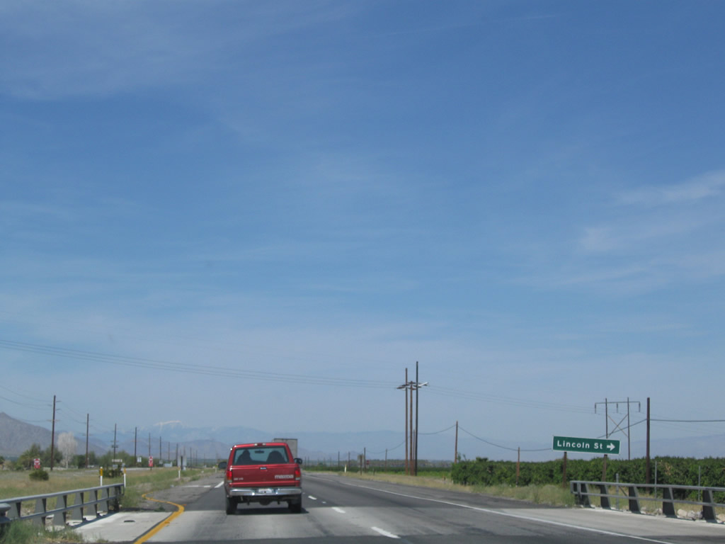
The next marked intersection along California 86 north is with Lincoln Street. Photo taken 03/14/09. |
|
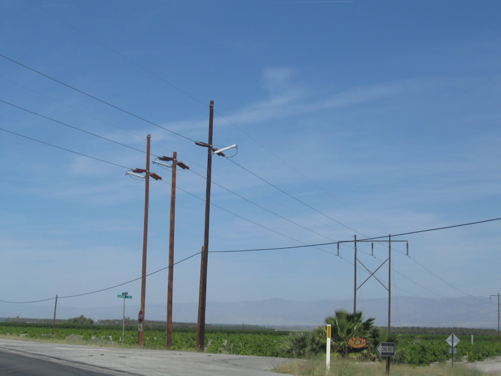
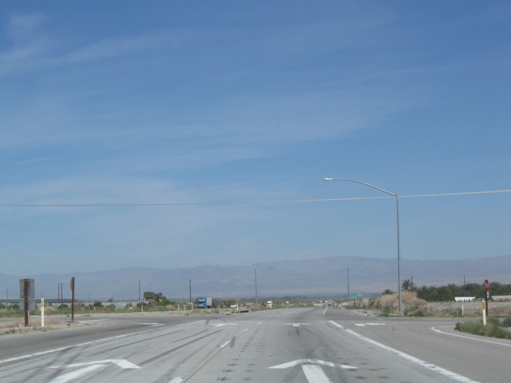
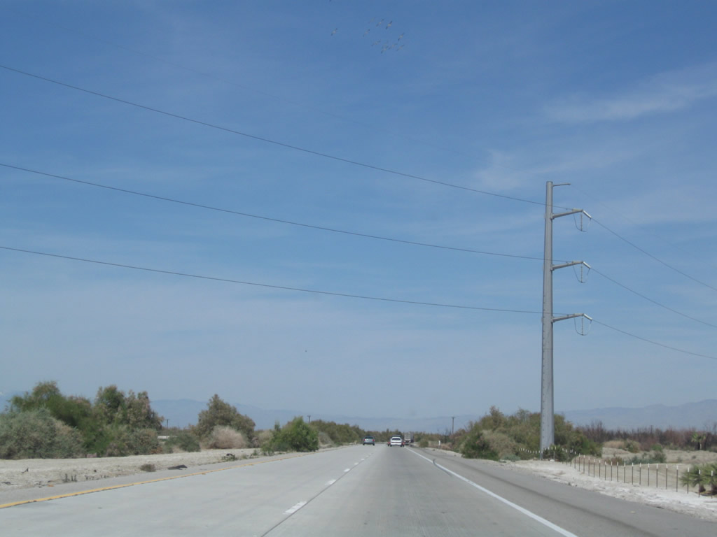
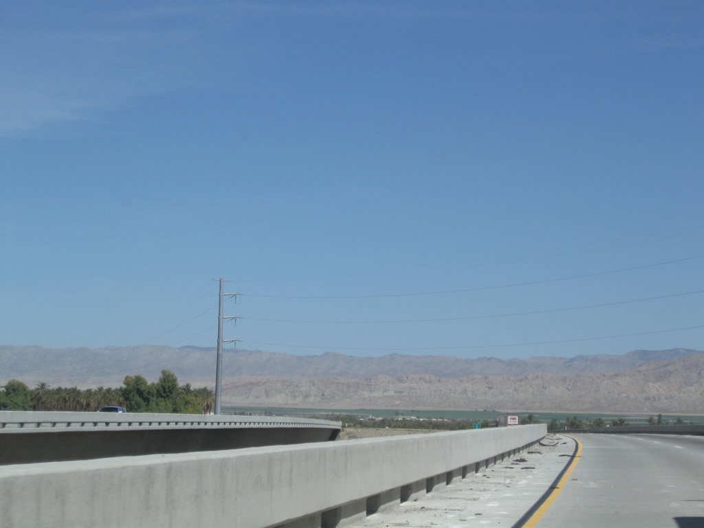
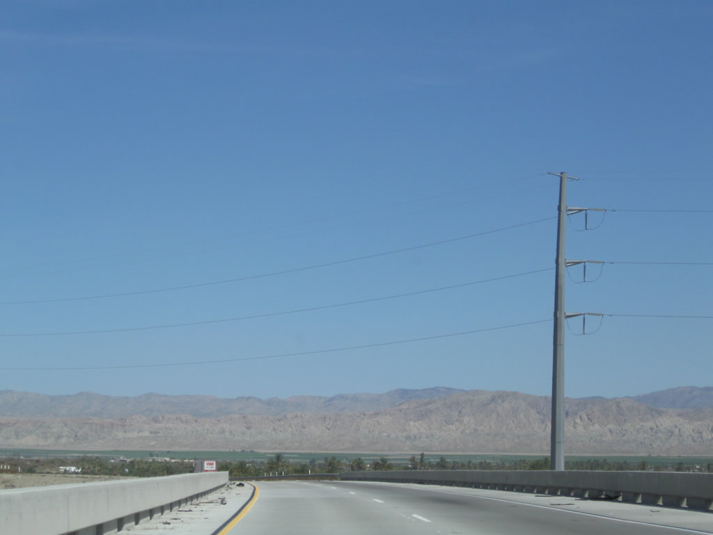
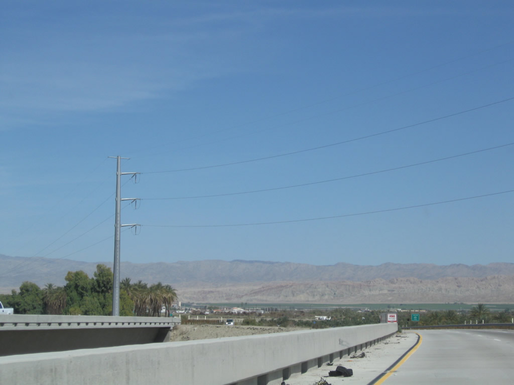
A set of power lines cross over California 86. Photo taken 03/14/09. |
|
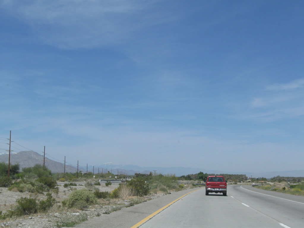
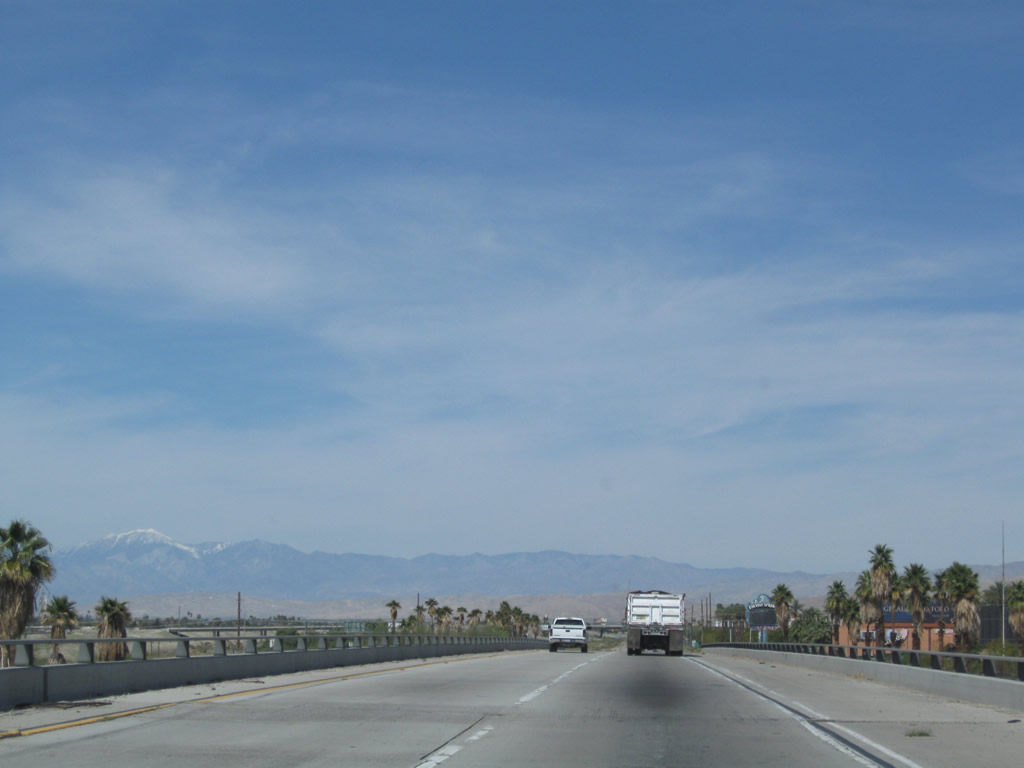
As the pavement shifts to concrete and the lanes turn away from the parallel power lines, California 86 turns onto its newest expressway segment and moves away from the old U.S. 99 alignment it has used through Oasis, Valerie Jean, Coachella, and Indio for years prior. The expressway was known as California 86S until 2012. Prior to that, California 86 followed the old alignment of U.S. 99 through those communities. Now Historic U.S. 99 is on its own alignment, separate from modern California 86 expressway. Photo taken 03/14/09. |
|
Northbound California 86 and California 86S used to split at 81st Avenue. Now there is no disruption in route continuity at this location. Photo taken 03/14/09. |
|
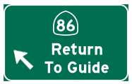
Turn left here to follow California 86 north to Oasis or continue straight ahead to follow the California 86S expressway north to Coachella, Indio, and Interstate 10. Photo taken 03/14/09. |
|
Based on the tire skid marks, it seems a lot of people have made last minutes decisions to stop or turn here. Photo taken 03/14/09. |
| California 86 Expressway (former California 86S) north |
|
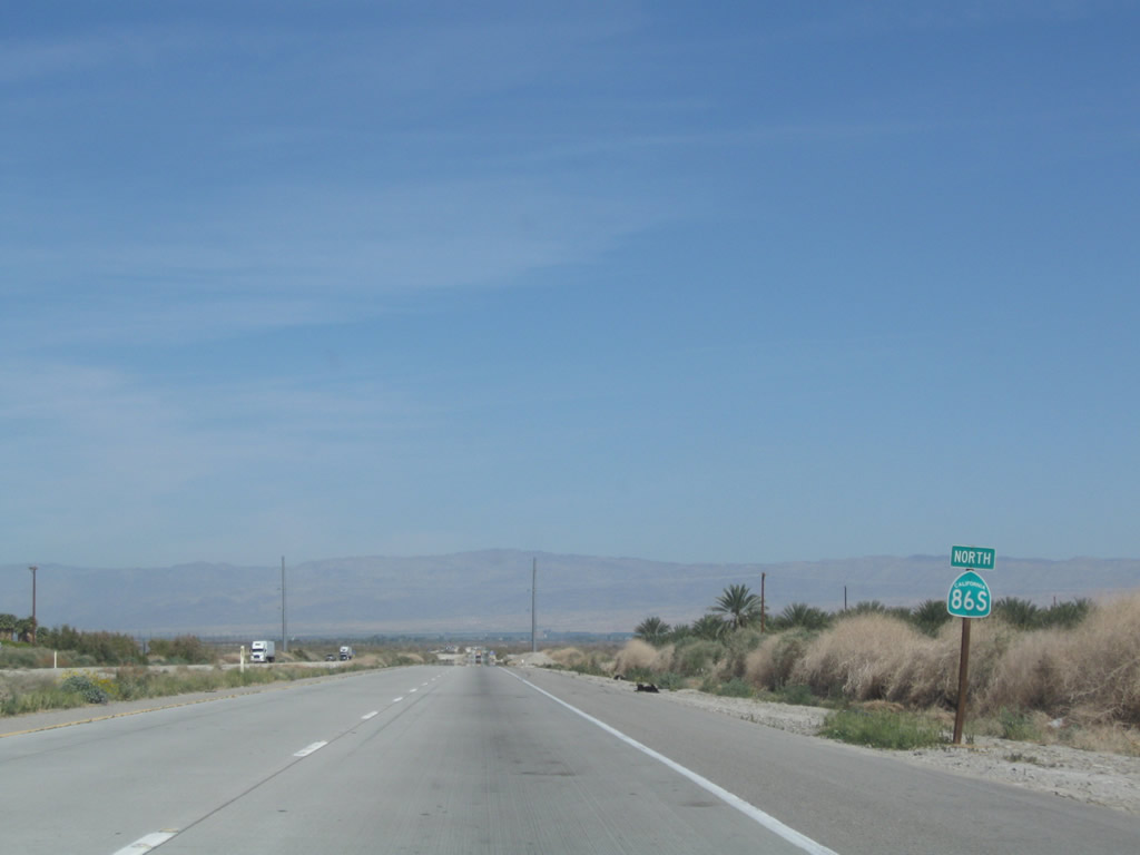
A California 86S north reassurance shield (now California 86) is posted after the 81st Avenue intersection (this was the 86-86S Split). The state route continues as a four-lane expressway through the Coachella Valley all the way to Interstate 10. Old California 86 has been fully decommissioned with the routing transferred onto the expressway alignment by late 2012. Photo taken 03/14/09. |
|
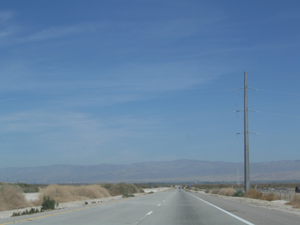
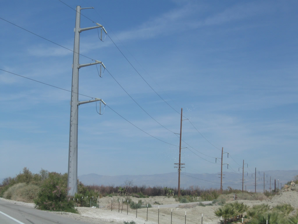
A set of power lines cross over the freeway; these lines were placed on metal poles when the expressway was completed in the early 2000s. Photo taken 03/14/09. |
|
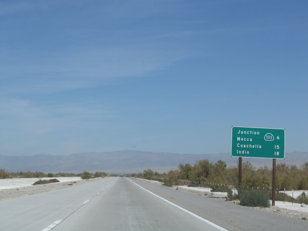
This mileage sign along California 86 expressway north provides the distance to California 195 east to California 111 and Mecca (six miles), Coachella (15 miles), and Indio (18 miles). Photo taken 03/14/09. |
|
Another California 86S north reassurance shield is posted prior to the 76th Avenue intersection. Photo taken 03/14/09. |
|
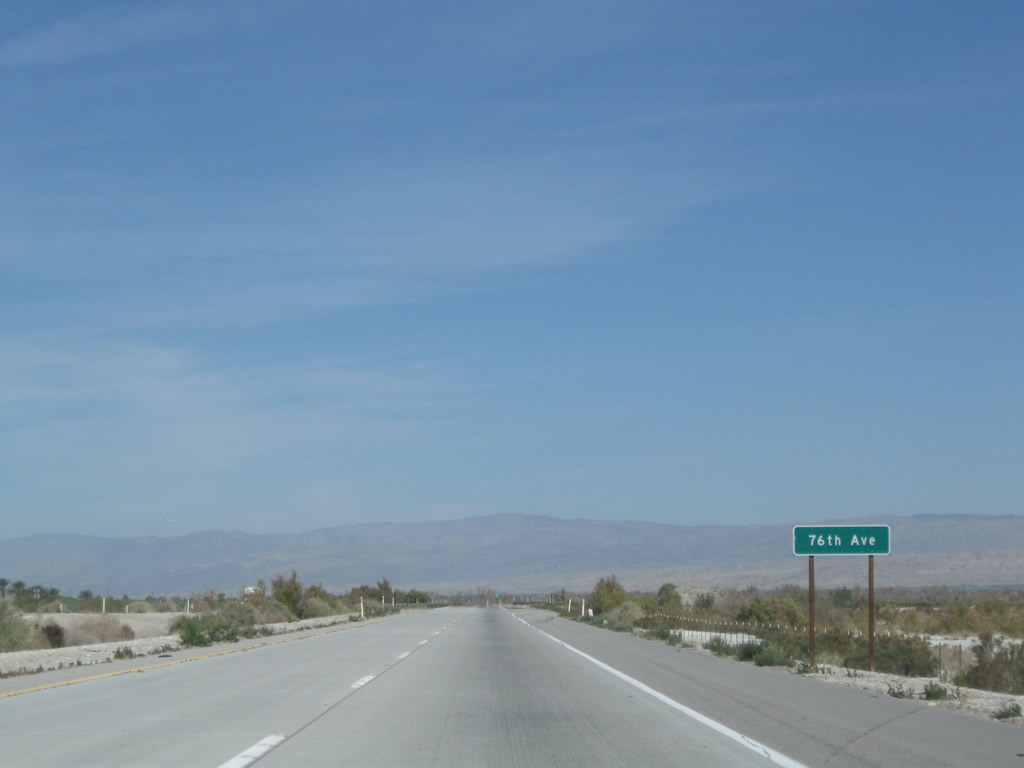
The next intersection along California 86 expressway north is with 76th Avenue. Photo taken 03/14/09. |
|
|
|
This suite of photos shows the next California 86S reassurance shield after the 76th Avenue intersection. It has since been replaced with a California 86 route marker as of 2012. Photos taken 03/14/09. |
|
|
|
Another high-voltage power line crosses the California 86 expressway shortly thereafter. These photos show the transition from wooden to metal poles. Photos taken 03/14/09. |
|
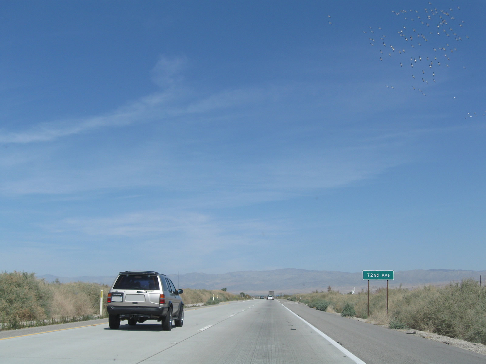
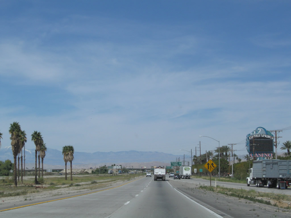
A flock of birds glides above California 86 expressway north prior to the 72nd Avenue intersection. The Salton Sea is located along a major migratory bird flyway, so it is quite common to see birds. We are nearly at the northern tip of the Salton Sea now; by the time we get to Mecca, California 86S will meet California 111, which follows the eastern shore of the Salton Sea. Photo taken 03/14/09. |
|
Another California 86S north reassurance shield (now California 86 route marker) is posted after the 72nd Avenue intersection. Photo taken 03/14/09. |
|
And still another California 86S north reassurance shield (now California 86 route marker) is posted after the 70th Avenue intersection. Photo taken 03/14/09. |
|
|
|
Northbound California 86 expressway crosses the Whitewater River on this concrete bridge (another bridge accommodates southbound traffic). The Whitewater River flows southeast into the Salton Sea from here. Photos taken 03/14/09. |
|
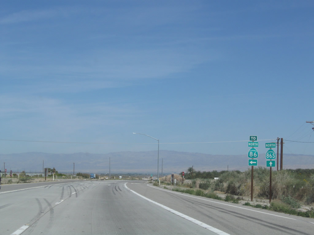
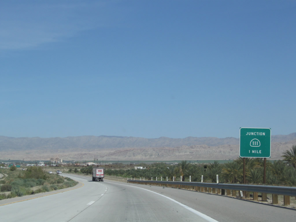
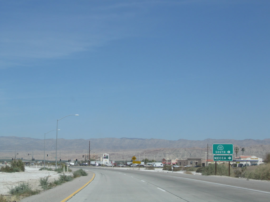
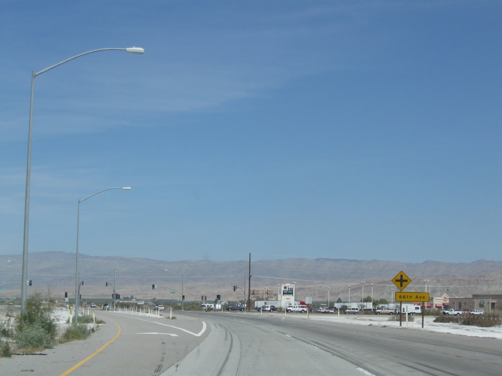
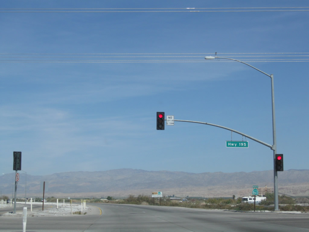
The next intersection along California 86 expressway (Former California 86S) north is with California 195 (66th Avenue), a short state route that connects California 86S with California 111 near Mecca. The former route of California 195 used to extend west and then south from this intersection along Pierce Street to the old alignment of California 86. Photo taken 03/14/09. |
|
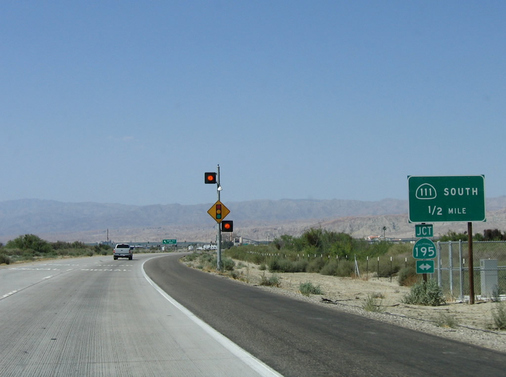
Aside from a couple of trailblazers and one reassurance shield, California 195 is mostly unsigned and about a mile long. Its primary purpose is to link the California 86 expressway and California 111. (There is no interchange where California 86 expressway crosses over California 111.) California 195 used to be longer, with a segment continuing east from California 111 at Mecca to Interstate 10 at Chiriaco Summit (via an old alignment of U.S. 60-70) and a segment continuing east and then south to the old alignment of California 86 via Pierce Street. Eventually, California 195 is planned to be fully replaced by California 111; the old route of California 111 through Coachella will be decommissioned and returned to local control. Photo taken 05/07/06. |
|
This guide sign advises of a junction with California 195 as well as California 111. Note the arrows pointing in both directions; this sign dates back to when California 195 used to travel both east and west of this upcoming intersection. Photo taken 05/07/06. |
|
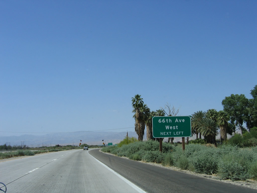
Follow 66th Avenue west to the unincorporated community of Valerie Jean. Photo taken 03/14/09. |
|
As for California 111, this major state route originates in the border city of Calexico, travels north through the Imperial Valley to Brawley, then continues north along the eastern shore of the Salton Sea through Calipatria and Bombay Beach before entering the Coachella Valley. At the city of Indio, California 111 turns northwest to serve the various cities of the Coachella Valley all the way to Palm Springs, then ends when it is absorbed into Interstate 10 east of San Gorgonio Pass. Photo taken 03/14/09. |
|
The intersection with 66th Avenue is the first signalized intersection along California 86 since leaving Brawley. Traffic turning left at 66th Avenue are given a long exit ramp to the traffic signal to allow for separation from fast moving through traffic when the light is green. This design is common for the next several signalized intersections along the California 86 expressway. Photo taken 03/14/09. |
|
Northbound California 86 expressway meets 66th Avenue and California 195 at this traffic signal. Turn left to follow 66th Avenue west to Valerie Jean; turn right to follow California 195 (66th Avenue) east to California 111 and Mecca. Photo taken 03/14/09. |
|
From here north to Interstate 10, California 86S and California 111 may be considered to share alignment (although currently only this one reassurance shield assembly indicates this "shared alignment"). California 111's alignment through Coachella and Indio has been transferred to city control, which means that California 111 technically has a route break. However, state law requires the cities to post signs to advise of the continuation of the route along the old alignment, and several segments of decommissioned California 111 are known as "Highway 111." Therefore, it is arguable as to whether California 111 actually merges onto California 86 or stays on its original route through the cities. Photo taken 05/07/06. |
|
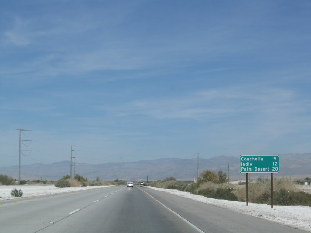
Meanwhile, this mileage sign along California 86 north provides the distance to Coachella (nine miles), Indio (12 miles), and Palm Desert (20 miles). Note that the commonly used control city of "Los Angeles" (seen along California 86 through the Imperial Valley) is omitted on this sign. Photo taken 03/14/09. |
|
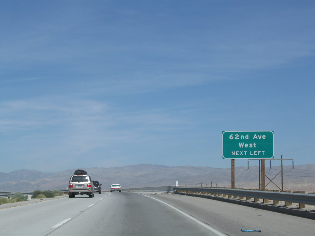
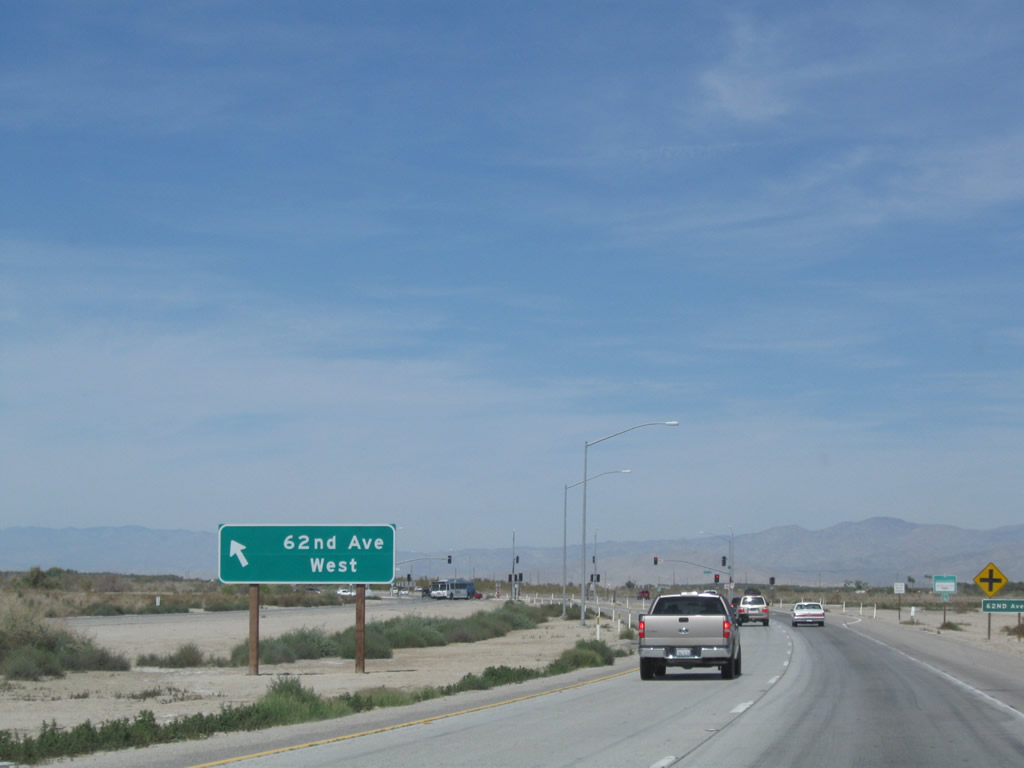
The next signalized intersection along California 86 expressway north is with 62nd Avenue. Photo taken 03/14/09. |
|
Power lines briefly follow California 86 between California 195/Sixty-Sixth Avenue and Sixty-Second Avenue. Photo taken 05/07/06. |
|
The expressway crosses over California 111 and the railroad at this point; there is no direct connection between California 86 expressway and California 111. Photo taken 03/14/09. |
|
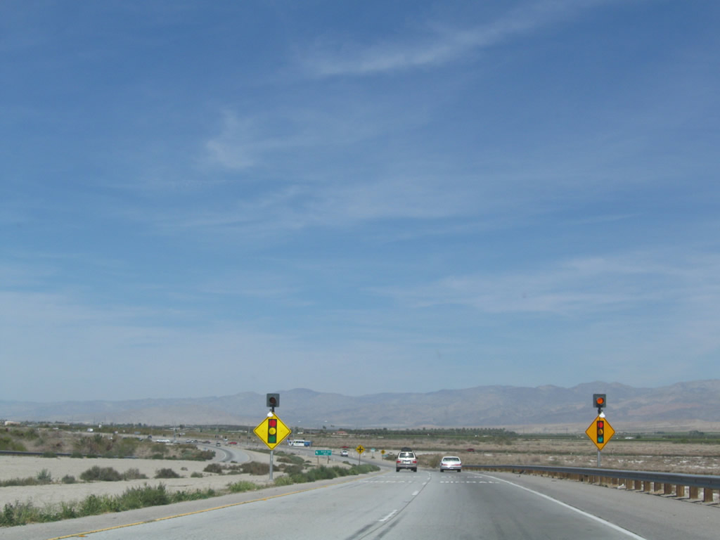
A pair of traffic signal warning signs is posted prior to the 62nd Avenue intersection. Photo taken 03/14/09. |
|
Another safe left turn pocket is available for the turn onto 62nd Avenue west. Photo taken 03/14/09. |
|
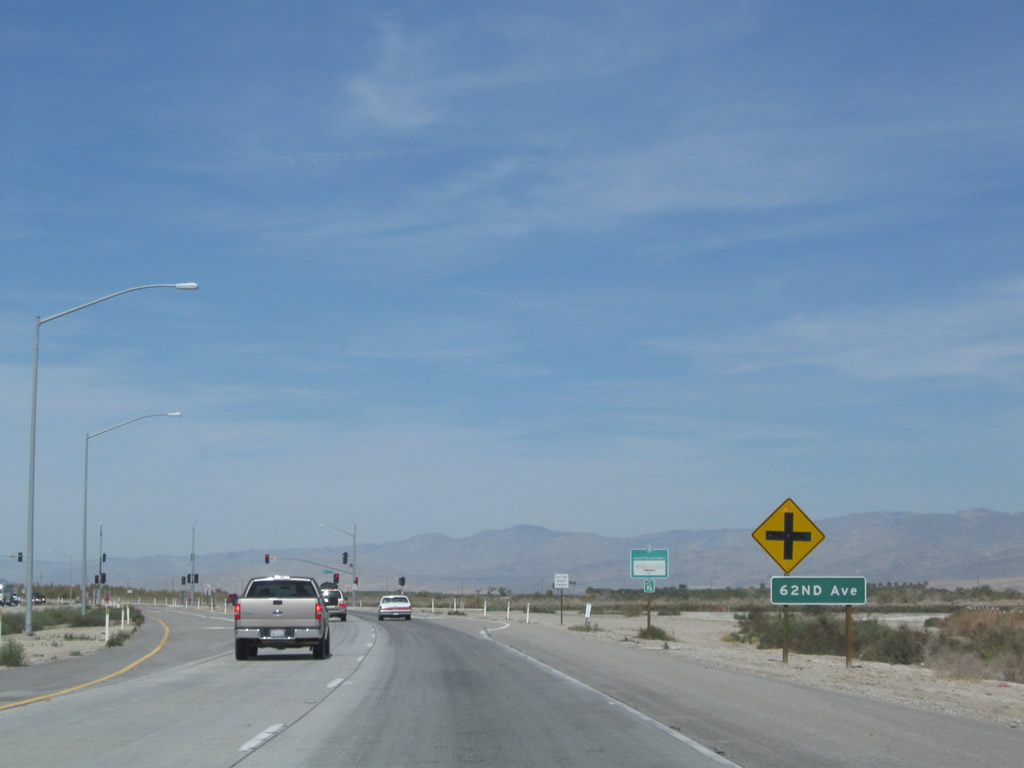
An intersection ahead sign is posted for 62nd Avenue. Watch for stopped or slow traffic. Photo taken 03/14/09. |
|
This California 86S north reassurance shield (replaced with California 86 in 2012) is posted after the 62nd Avenue intersection. Photo taken 03/14/09. |
|
An overpass ahead carries 58th Avenue over California 86 expressway. Photo taken 03/14/09. |
|
The next signalized intersection along California 86 expressway north is with Airport Boulevard (56th Avenue). Photo taken 03/14/09. |
|
Northbound California 86 expressway meets Airport Boulevard (56th Avenue) and enters the city of Coachella. Turn left on Airport Boulevard to the unincorporated community of Thermal, which is located at 120 feet below sea level and frequently sees temperatures in excess of 100 degrees in the summer. Thermal occasionally appears in the news as the hottest spot in the country during the summer. Photo taken 03/14/09. |
|
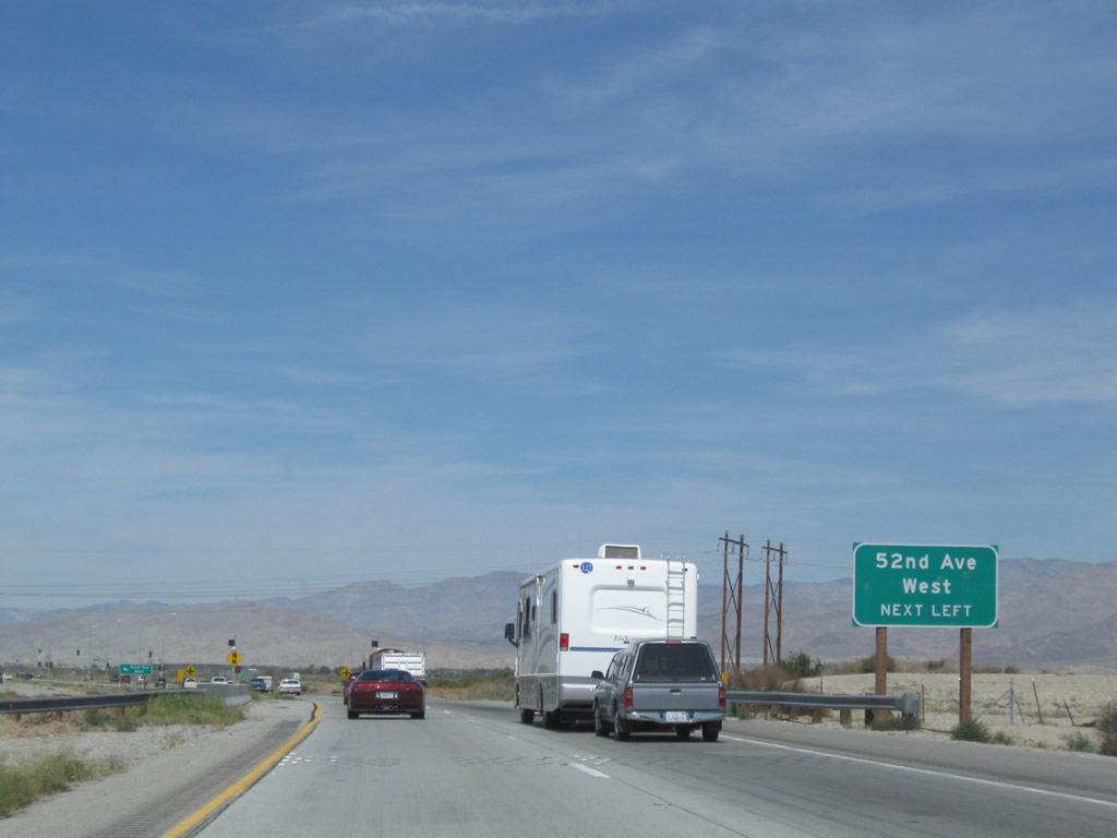
The next signalized intersection along California 86 expressway north is with 52nd Avenue, complete with safe left turn ramp. Photo taken 03/14/09. |
|
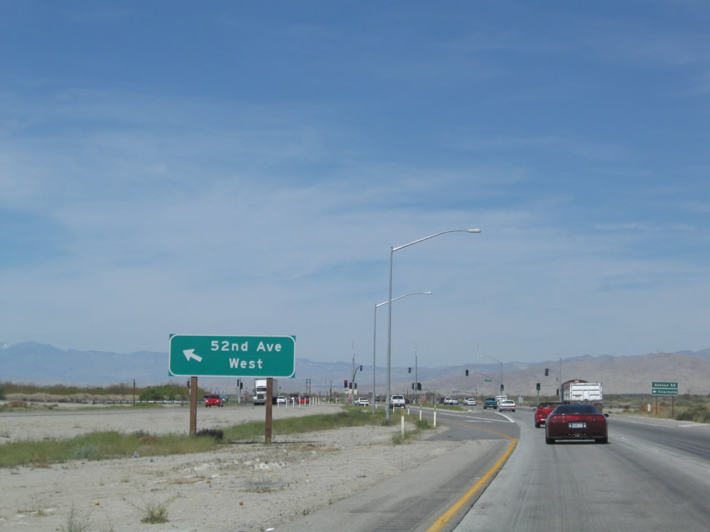
Fifty-second Avenue travels west into downtown Coachella after crossing the Whitewater River, railroad, and California 111 (Grapefruit Boulevard). Photo taken 03/14/09. |
|
A third guide sign for 52nd Avenue is posted along California 86 expressway north in Coachella. Photo taken 03/14/09. |
|
After the 52nd Avenue intersection, a California 86S reassurance shield was posted along northbound. This is now signed as California 86 as of 2012. Photo taken 03/14/09. |
|
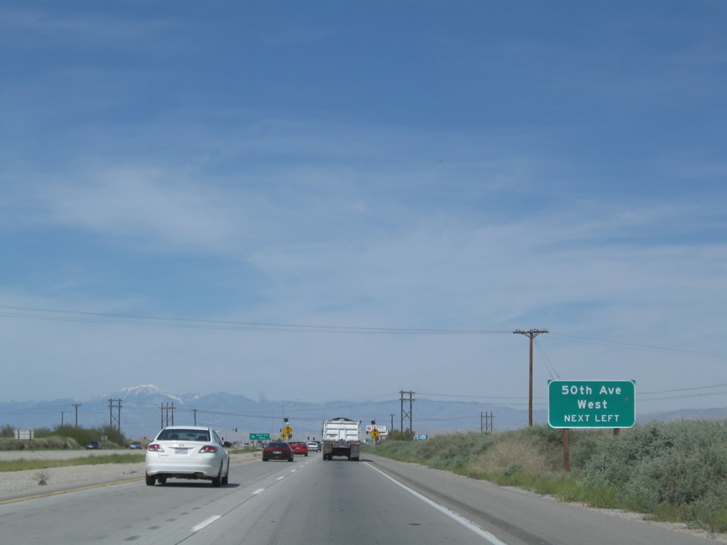
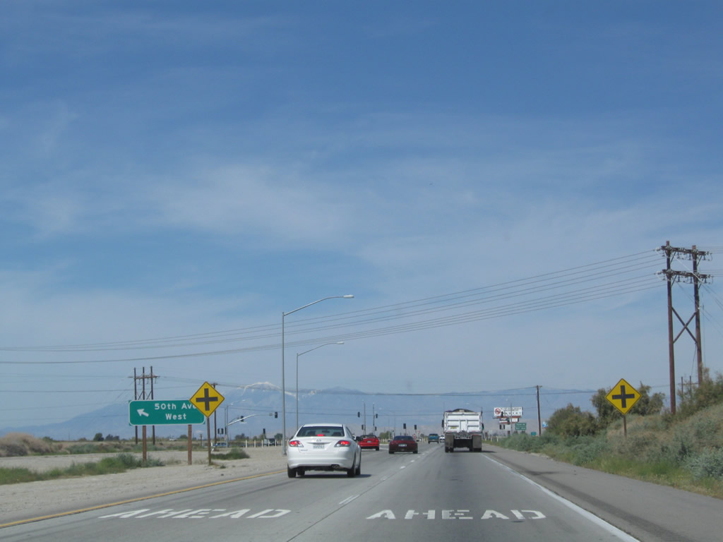
The next signalized intersection along California 86S north is with 50th Avenue. Photo taken 03/14/09. |
|
A dedicated left turn pocket is available for traffic turning from California 86 north to 50th Avenue west. Photo taken 03/14/09. |
|
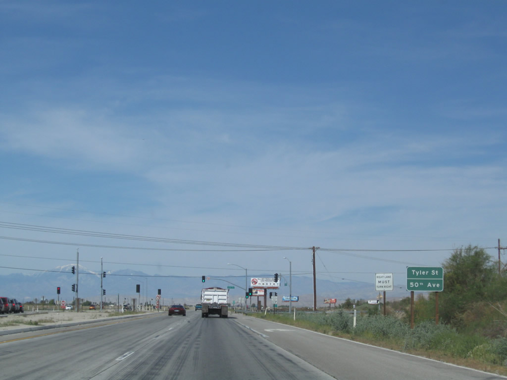
Northbound California 86 expressway meets 50th Avenue; this is the final traffic signal along California 86 north. Photo taken 03/14/09. |
|
A California 86S north reassurance shield (now California 86) is posted after the 50th Avenue. Photo taken 03/14/09. |
|
The California 86 expressway changes into a freeway configuration after the 50th Avenue intersection. Photo taken 03/14/09. |
|
|
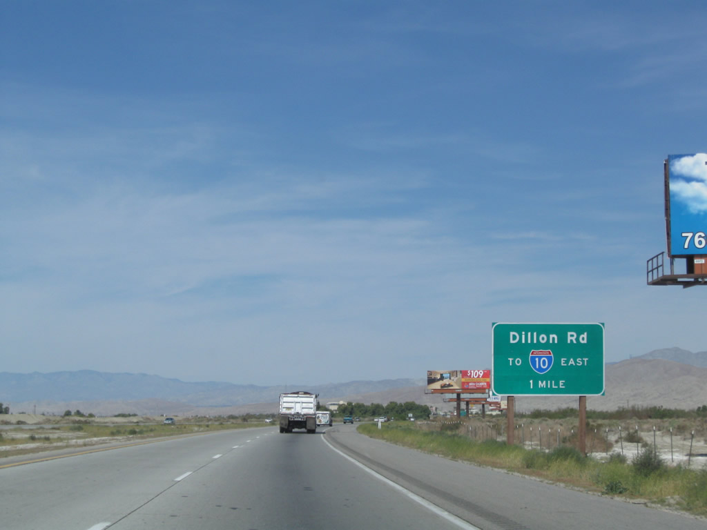
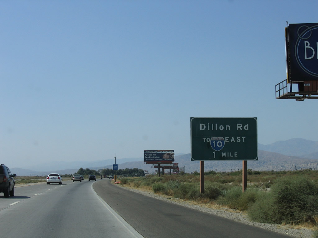
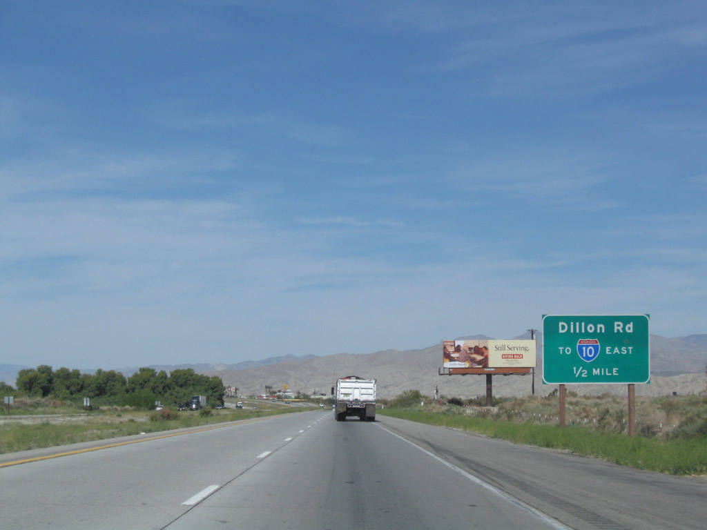
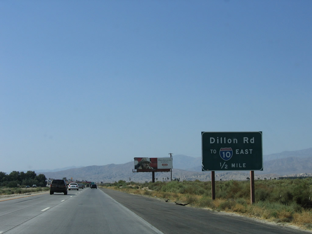
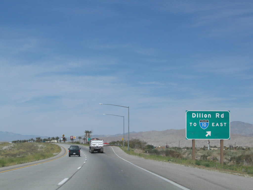
The only standalone interchange along California 86 at the north end is the junction with Business Loop I-10 (Dillon Road) east to Interstate 10 and west to Indio. The business route follows Dillon Road, Grapefruit Boulevard, and Indio Boulevard along old U.S. 60-70-99 through Indio. Photos taken 03/14/09 and 05/07/06. |
|
|
Dillon Road travels north and then northwest through Indio Hills, Sky Valley, and North Palm Springs before ending at California 62 southwest of Desert Hot Springs. Photos taken 03/14/09 and 05/07/06. |
|
Northbound California 86 meets Business Loop I-10 (Dillon Road) at this interchange. Use Dillon Road northeast to Interstate 10 east and use Dillon Road southwest to Indio and to Historic U.S. 60-70-99 (Indio Boulevard). An Indian Casino is located northeast of California 86 via the Dillon Road exit. Photo taken 03/14/09. |
|
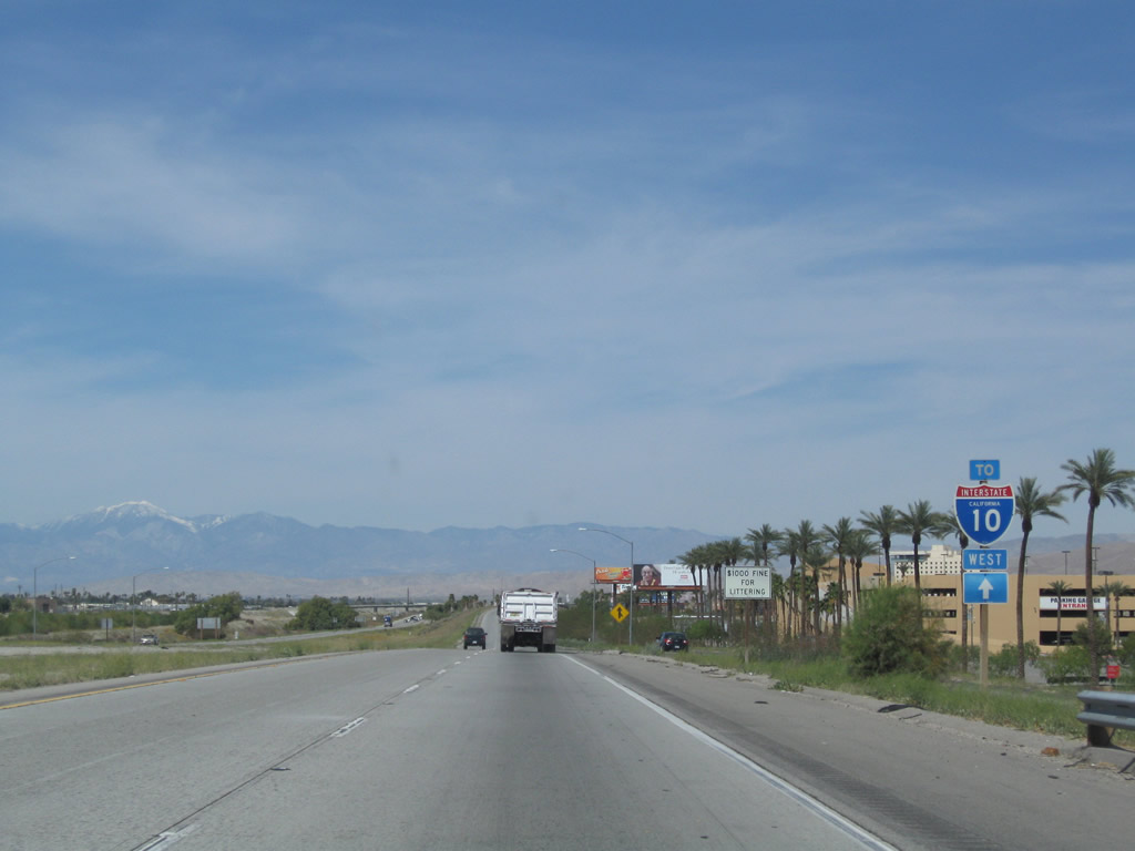
A trailblazer for Interstate 10 west is posted after the gore point for the Dillon Road interchange. Photo taken 03/14/09. |
|
A final California 86S reassurance shield (now California 86) is posted after the Dillon Road interchange. Photo taken 03/14/09. |
|
The northbound lanes of California 86 cross over the eastbound lanes of Interstate 10. This grade separation was constructed in 1972 according to the Caltrans District 8 Bridge Log. Photo taken 03/14/09. |
|
Northbound California 86 merges onto westbound Interstate 10 from the left. To continue along California 111 northwest through the Coachella Valley toward Palm Springs, use the next off-ramp to Golf Center Parkway. No end shield is posted for California 86. Photo taken 03/14/09. |
| Former California 86 north - Coachella and Indio |
|
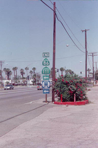
An end shield for California 86 north used to be posted along northbound California 111 at the intersection with Business Loop I-10 / Historic U.S. 99 northwest split in Indio; this sign assembly was gone by 2007. California 86 used to continue north all the way to Interstate 10 via Business Loop I-10 (Indio Boulevard), but the section of the business route north of this point was decommissioned by the state. This was an unusual ending point for California 86 since California rarely signs cosigned routes for routes that do not split apart (in other words, back in 1999, California 86 used to merge with California 111, but it never did become a solo route again). These signs were gone by 2006; now California 86 has been shifted onto the former California 86S expressway. Photo taken 06/12/99. |
Page Updated March 11, 2013.