| California 4 west & 89 south |
|
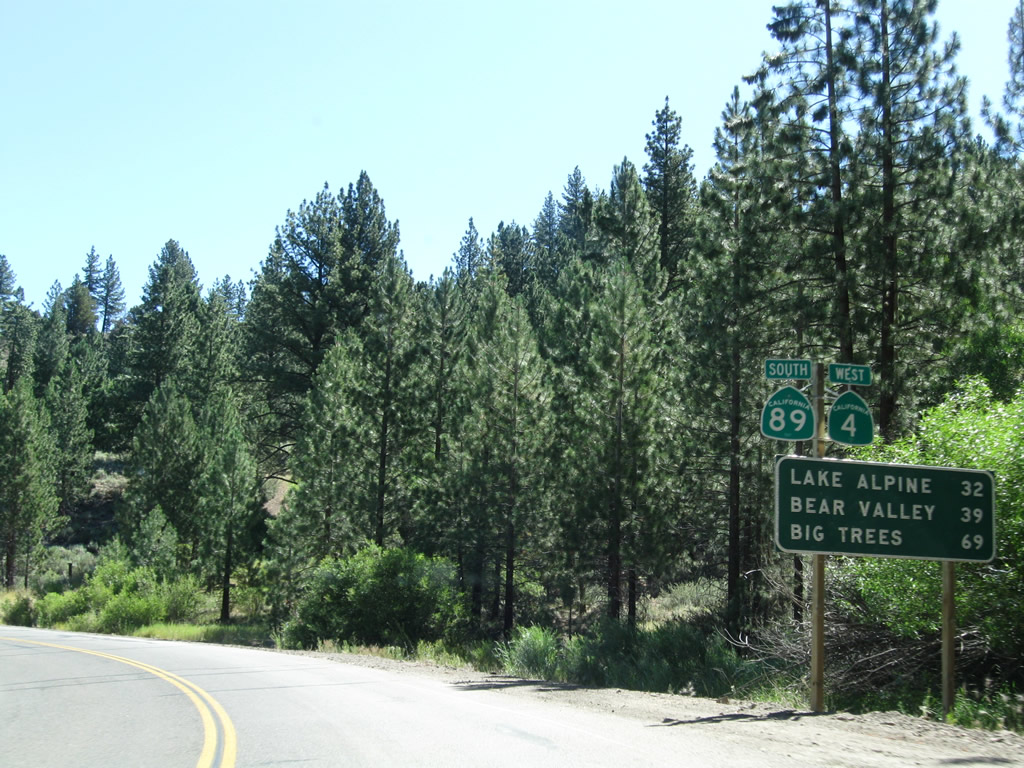
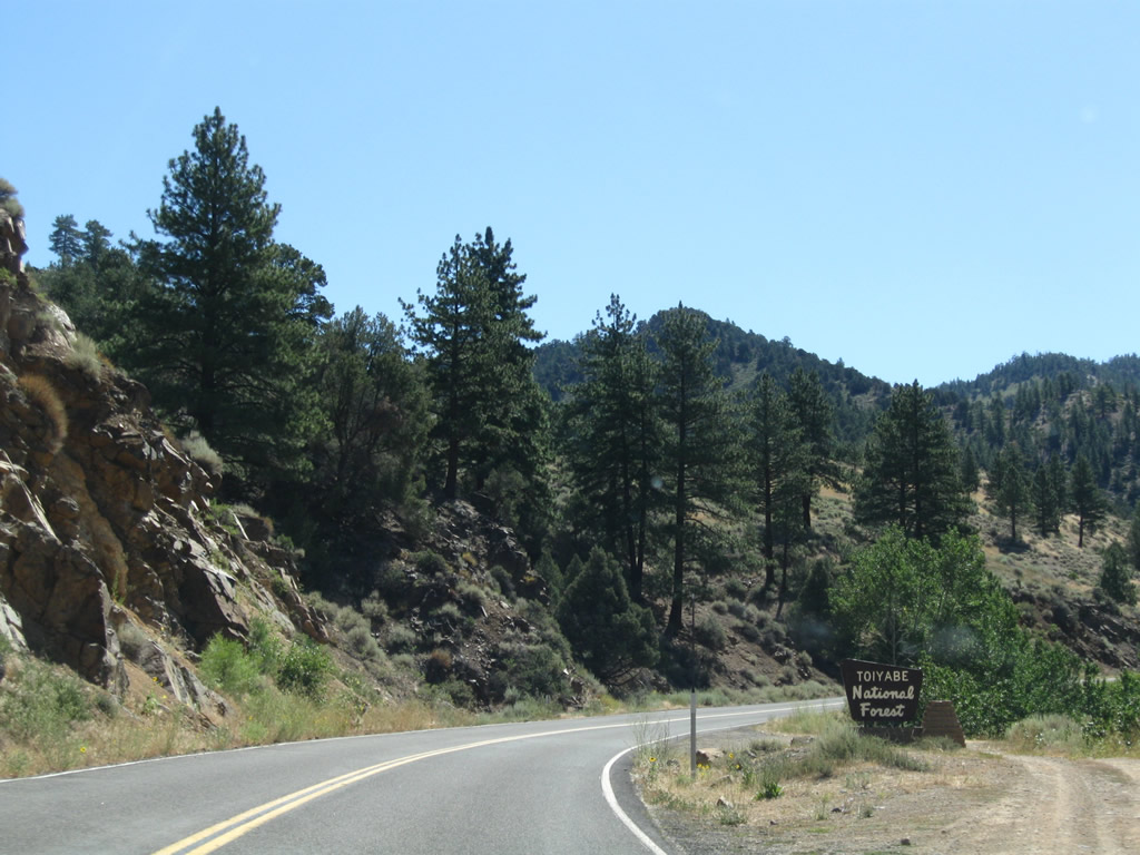
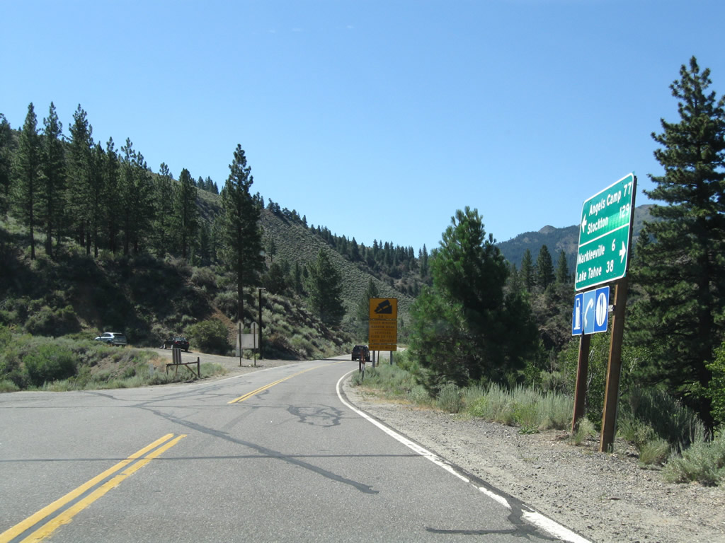
This mileage sign provides the distance to Lake Alpine (32 miles), Bear Valley (39 miles), and Big Trees State Park (69 miles). Omitted from this list are Angels Camp and Stockton; all five of these destinations are located along California 4 west. Once again, California 89 south destinations are omitted. Notably, both Lake Alpine and Bear Valley are in Alpine County, but they spend effectively half the year cut off from the rest of the county due to the winter closure on California 4. Photo taken 07/25/09. |
|
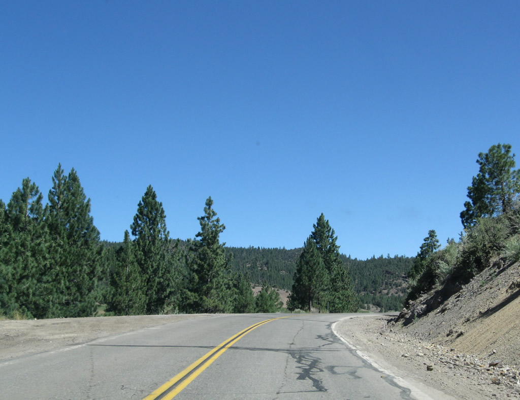
California 4 west and California 89 south resume their journey, traveling briefly east and then northeast prior to crossing the East Fork of the Carson River. Photo taken 07/25/09. |
|
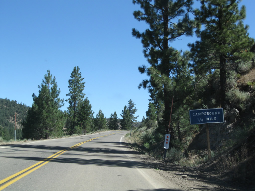
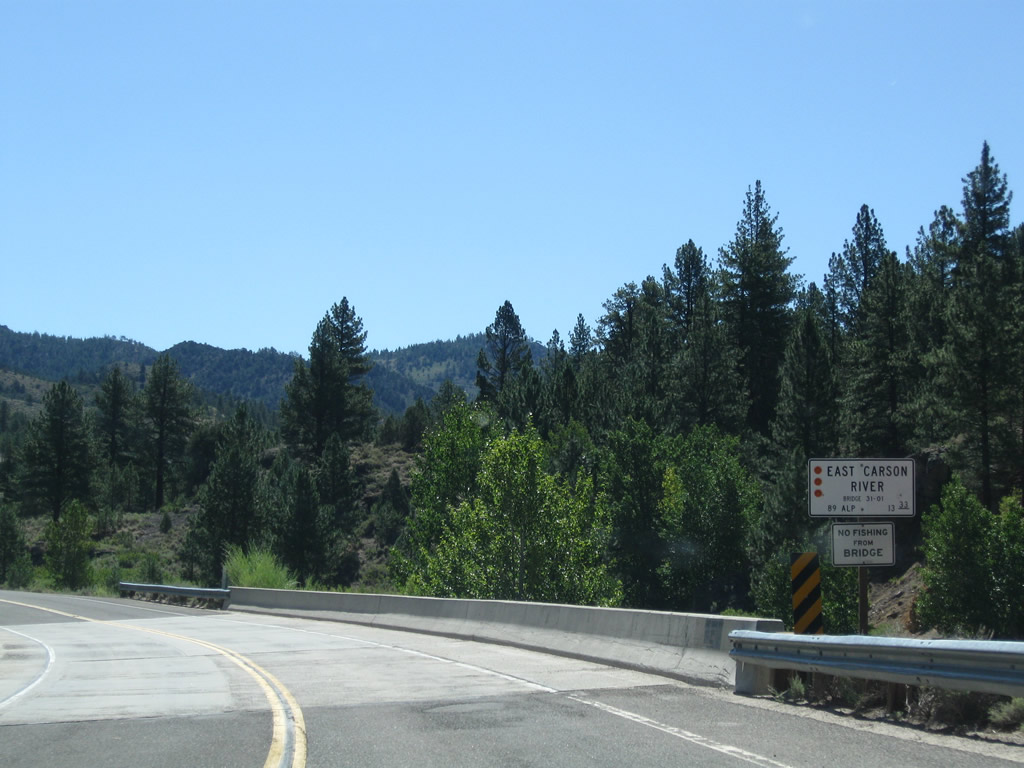
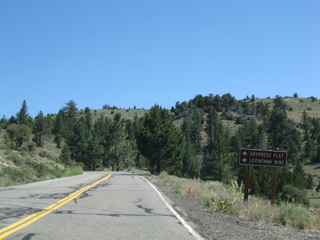
The Markleeville Campground (via Camp Marklee Road) is the next left from California 4 west and California 89 south; the campground is conveniently close to the East Fork of the Carson River for fishing. Photo taken 07/25/09. |
|
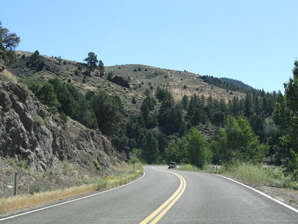
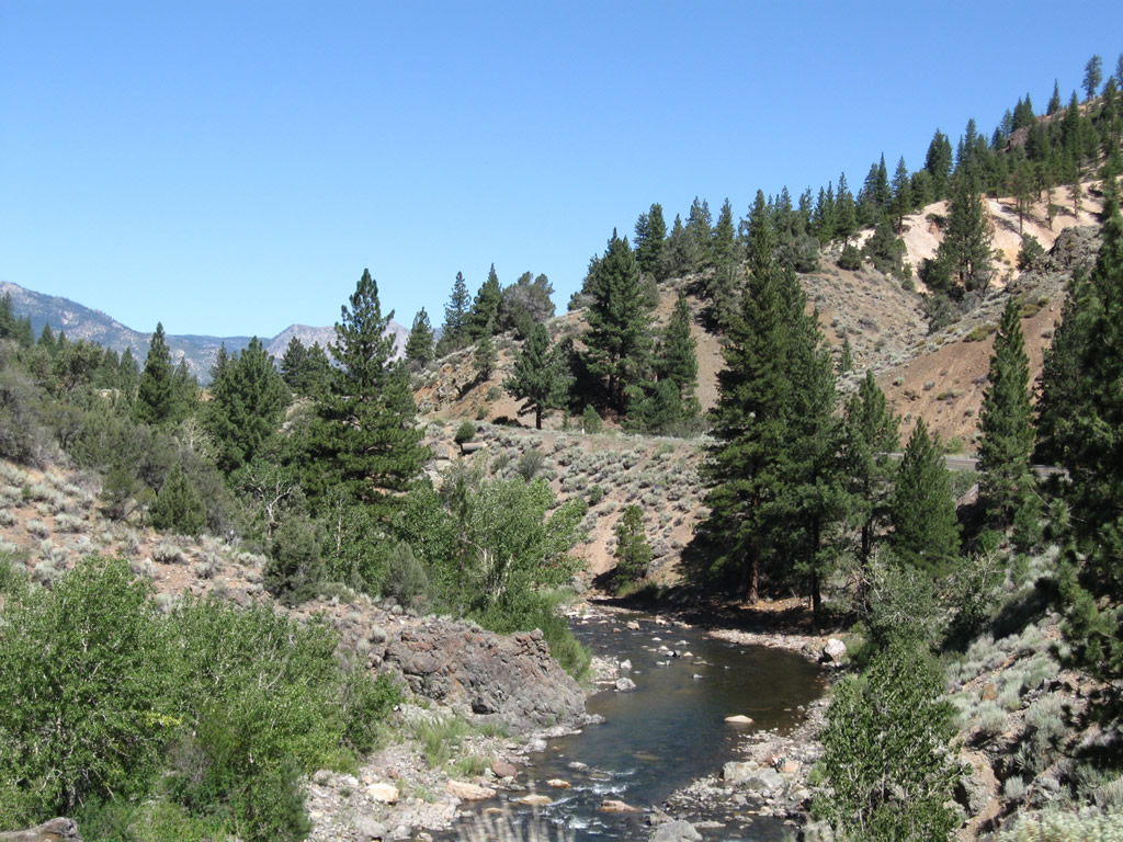
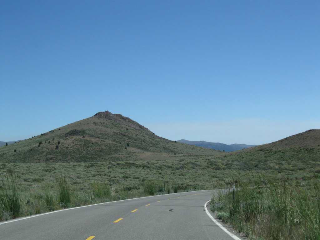
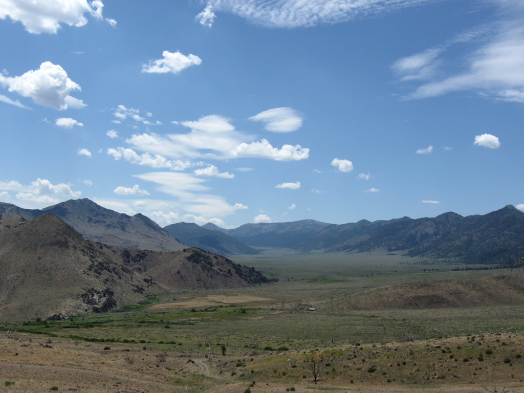
California 4 west and California 89 south descend into the valley of the East Fork of the Carson River. Photo taken 07/25/09. |
|
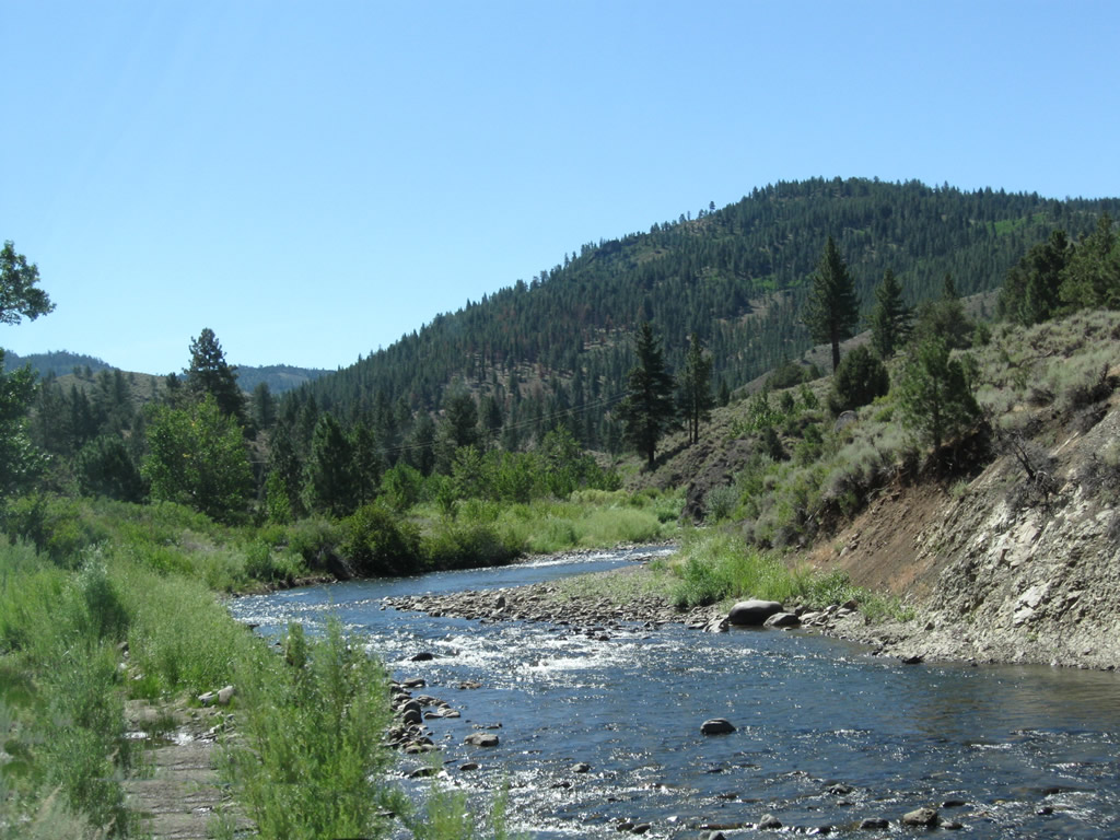
Hangmans Bridge carries California 4 west and California 89 south over the East Fork of the Carson River. The bridge was built in 1934 and widened in 1980; this is good spot for access to the river for fishing and rafting. Photo taken 07/25/09. |
|
|
|
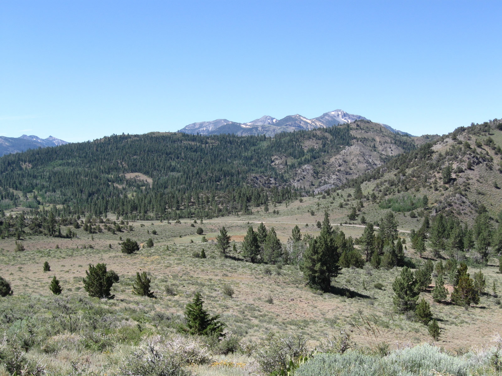
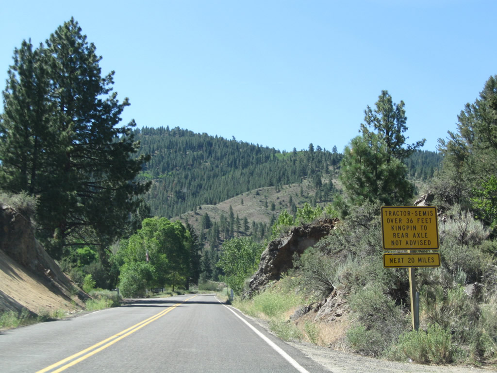
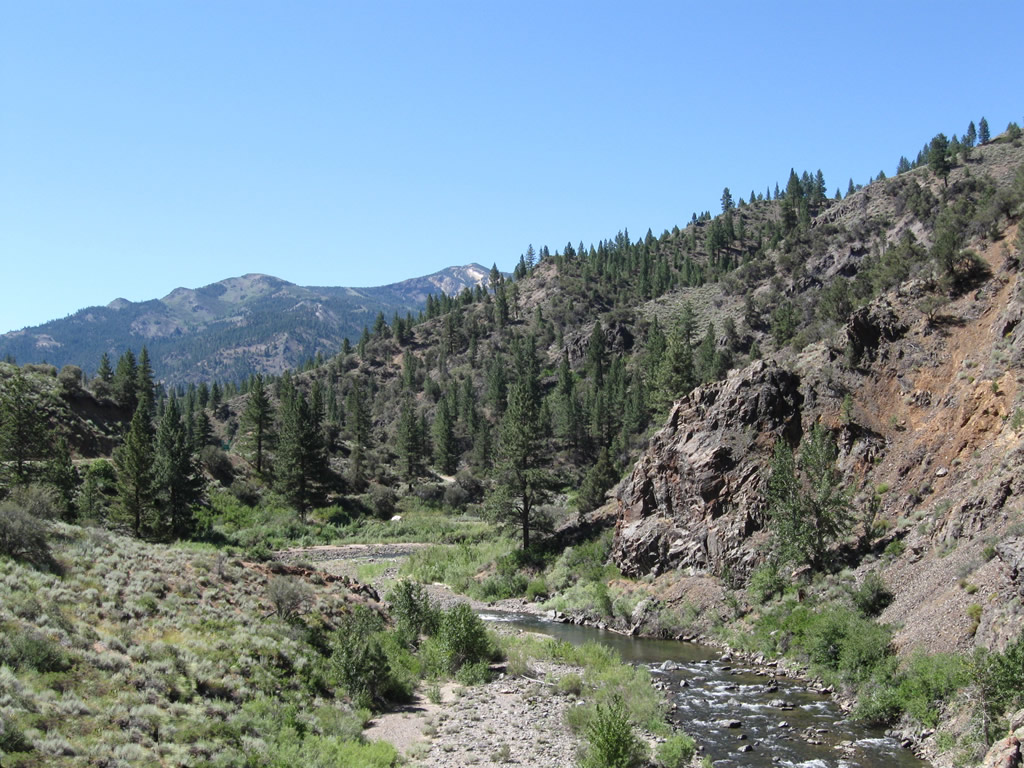
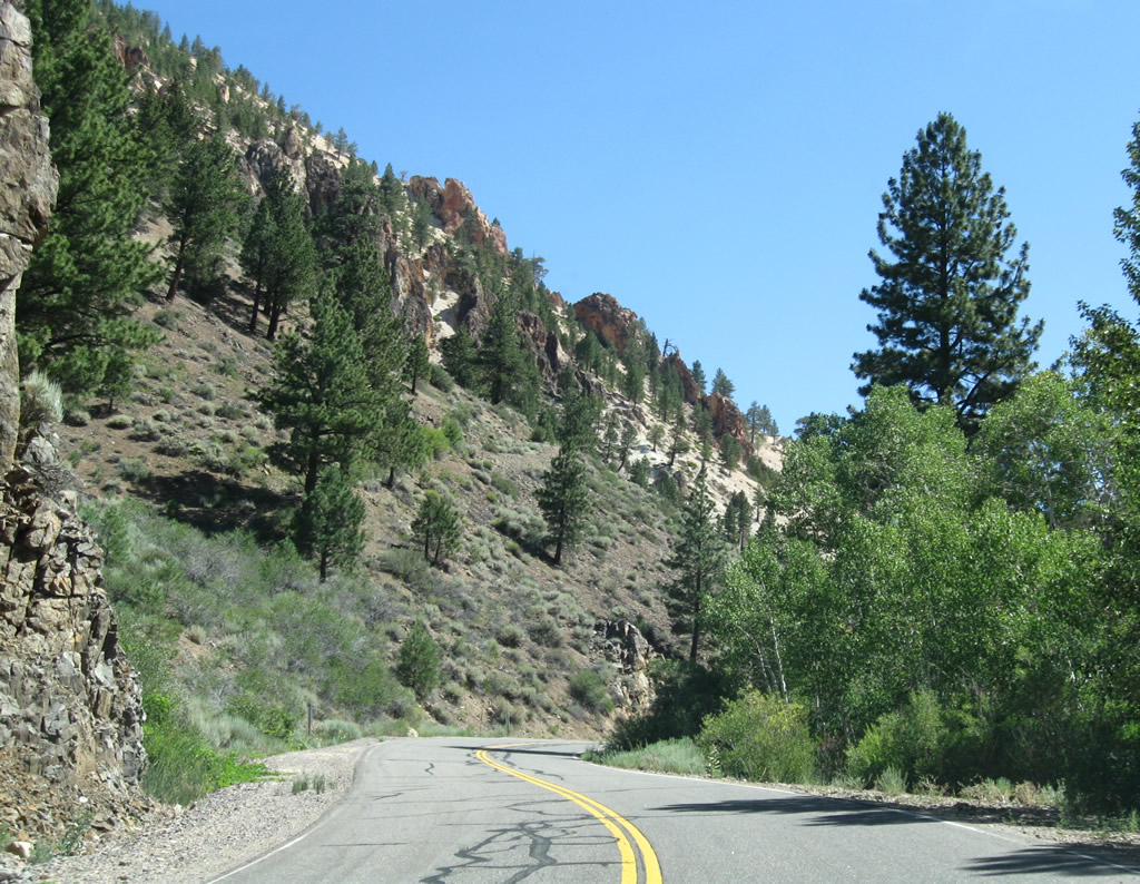
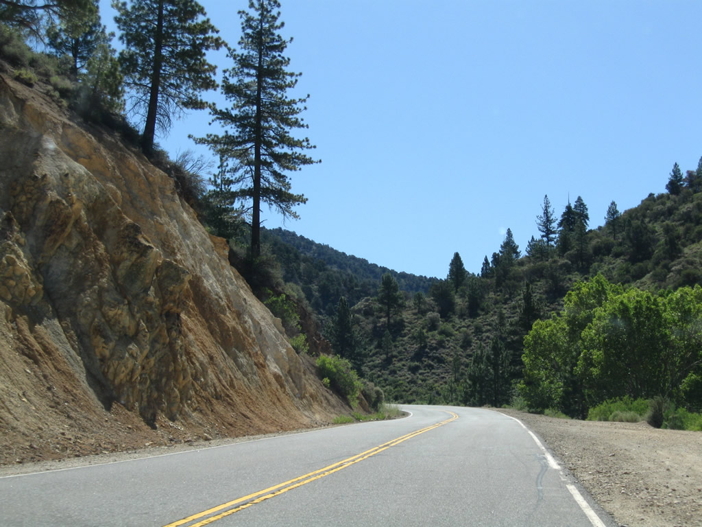
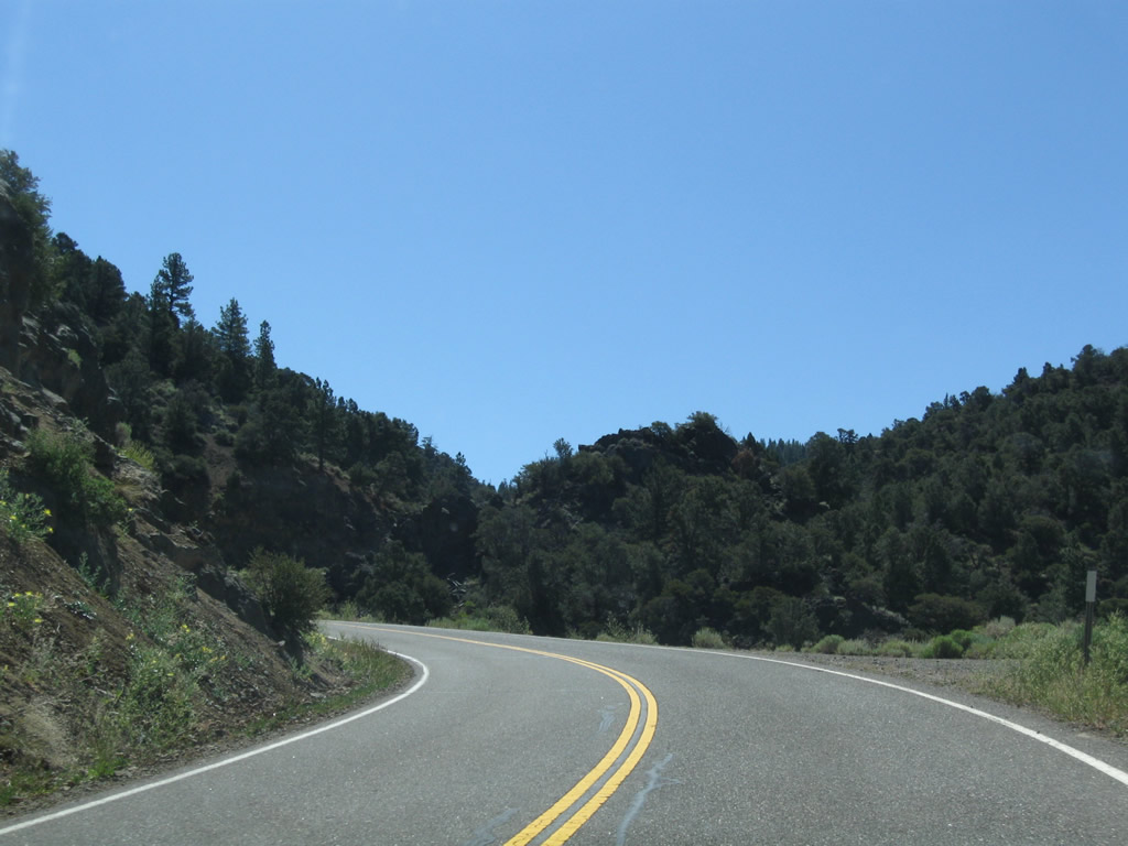
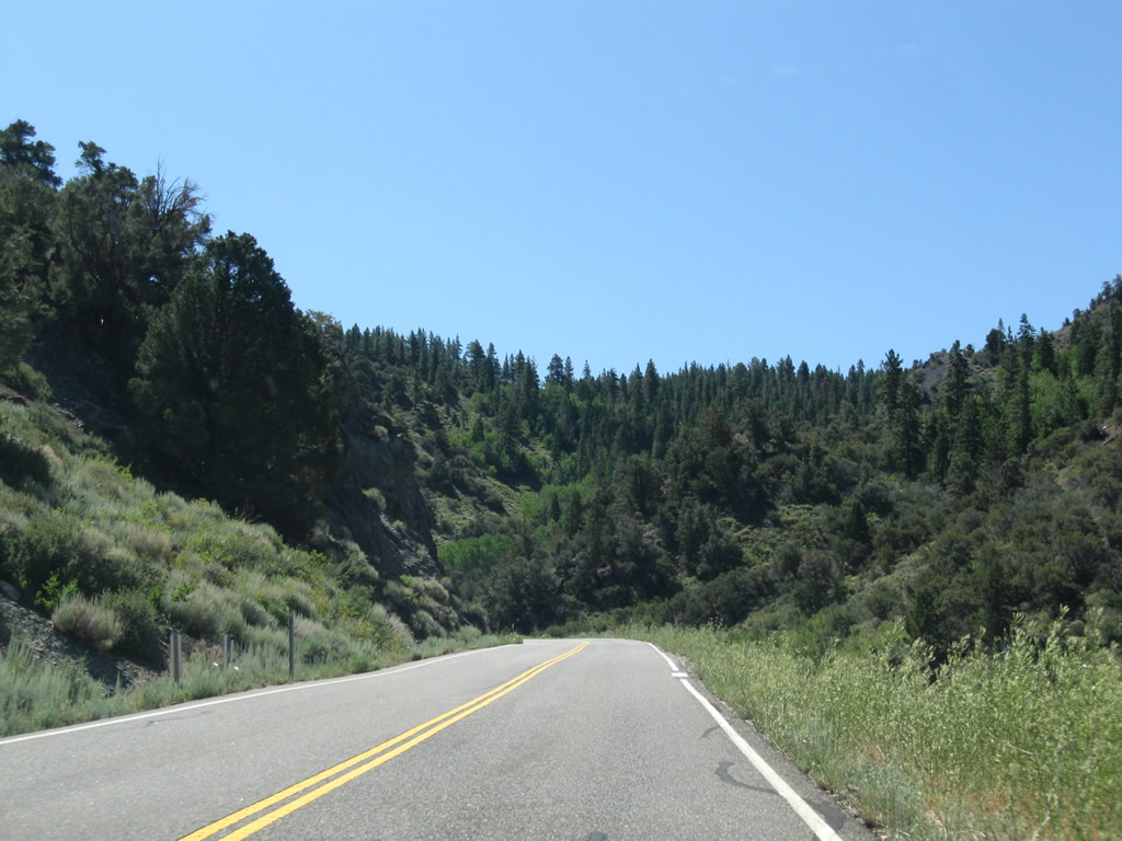
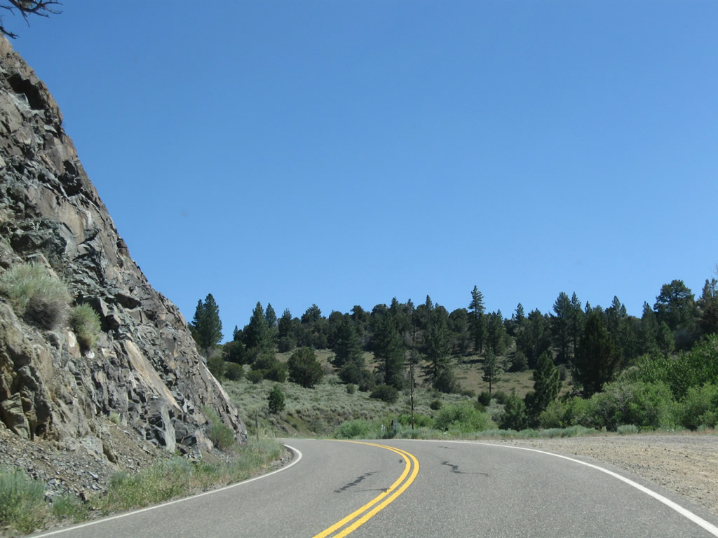
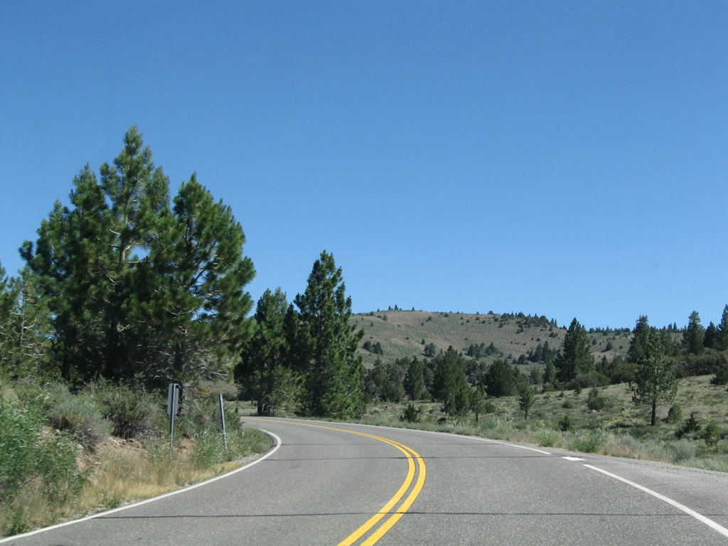
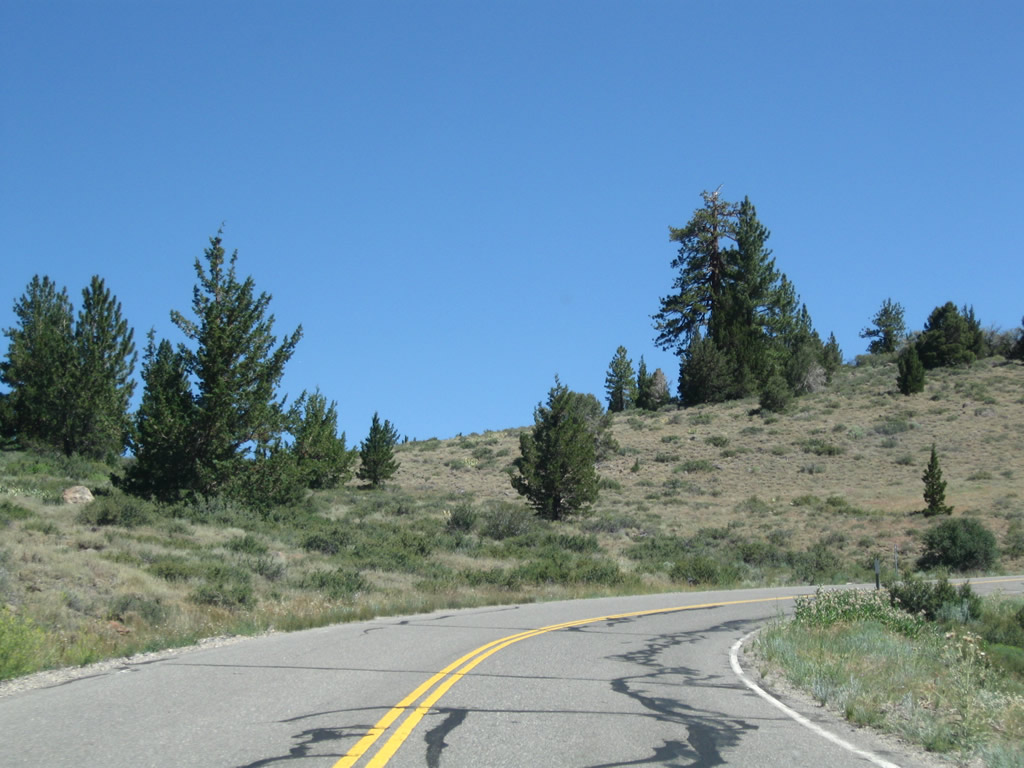
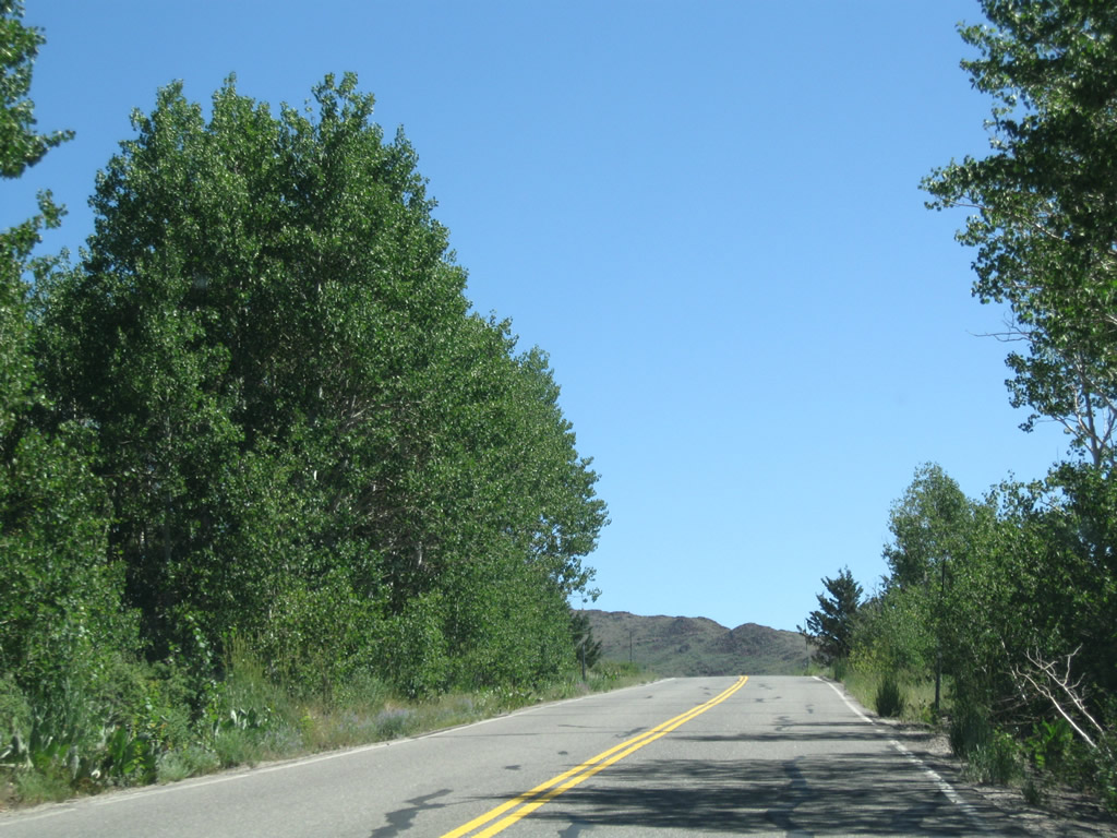
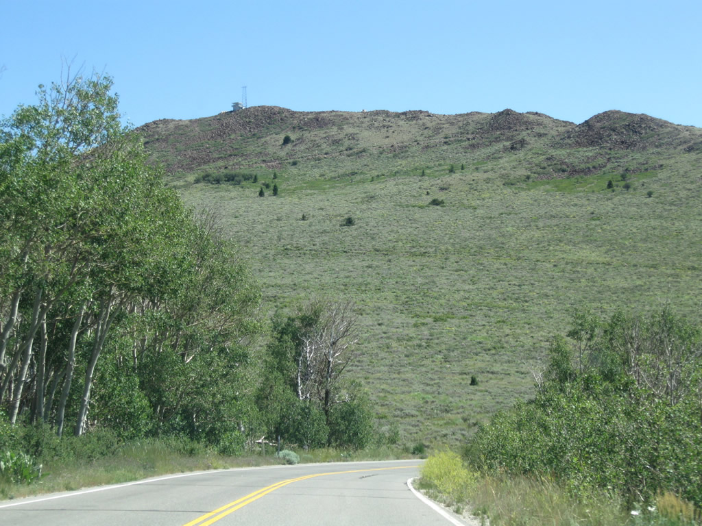
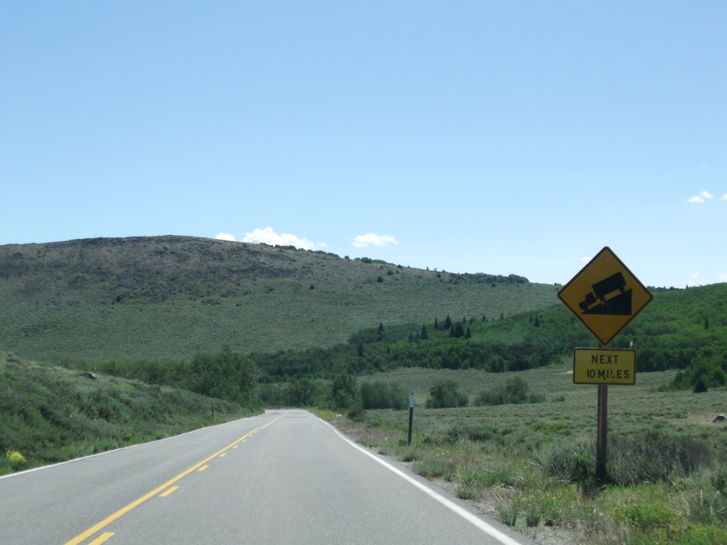
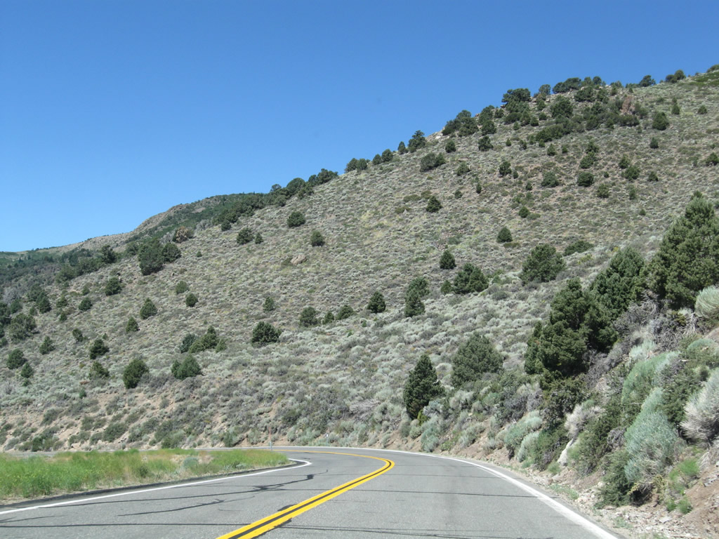
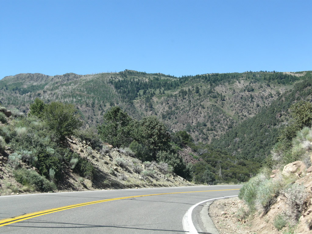
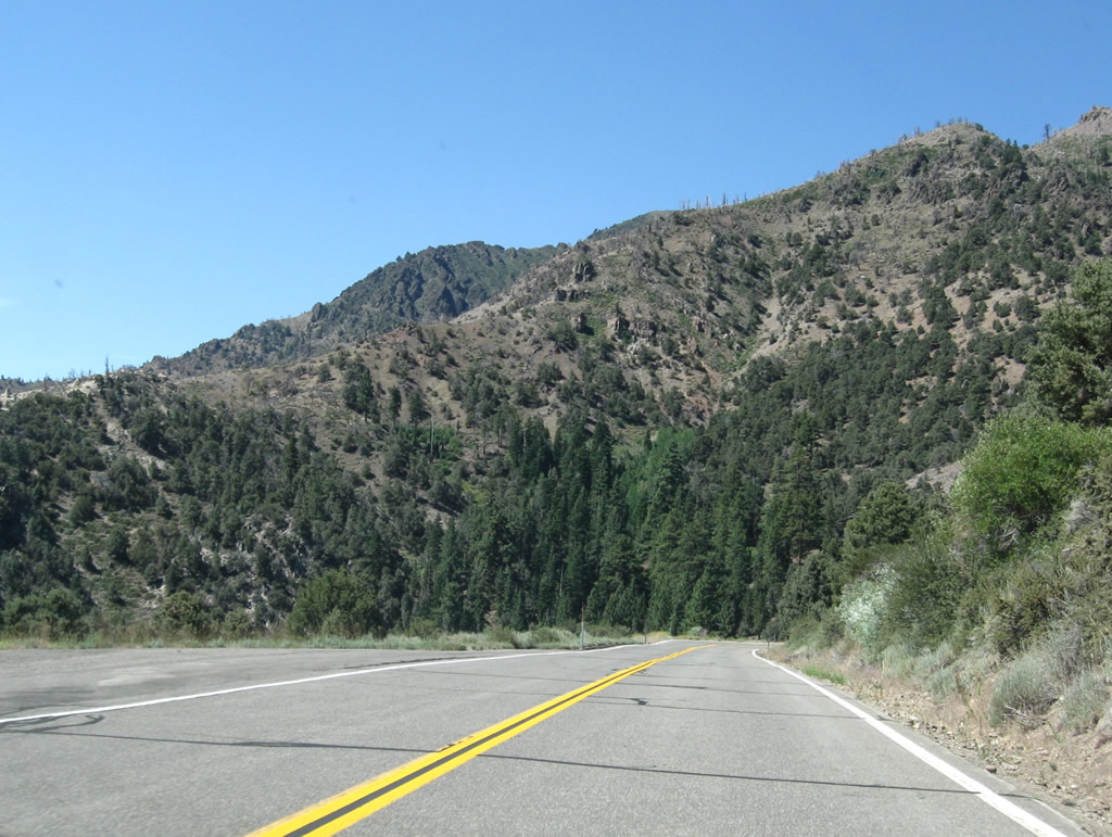
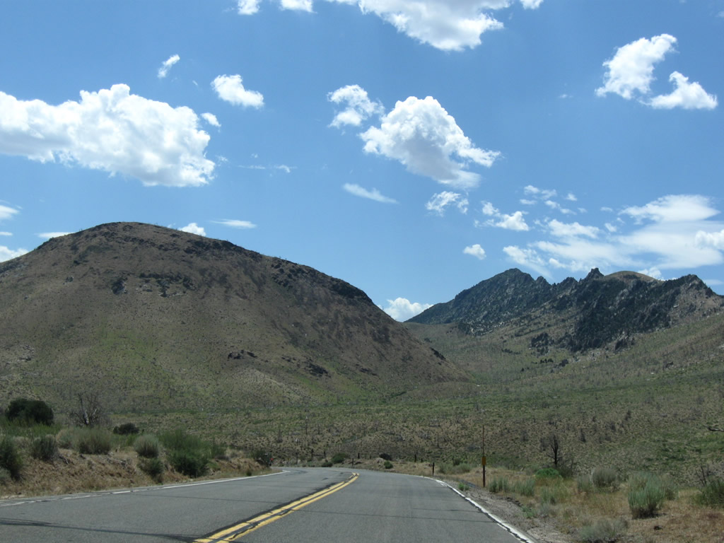
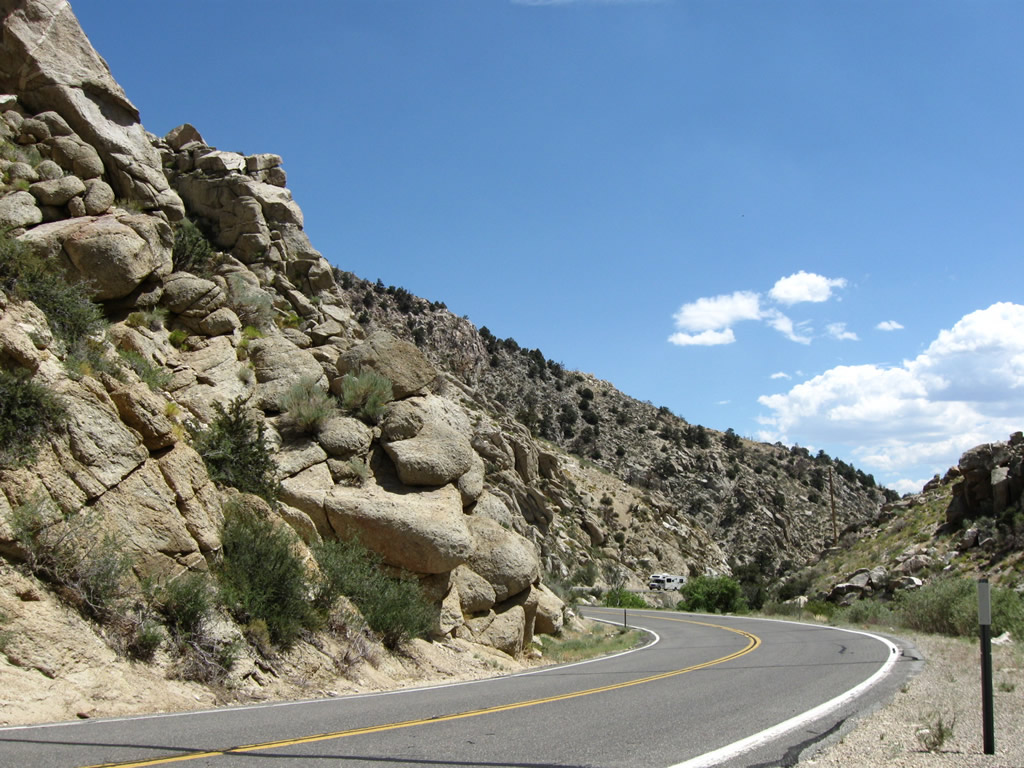
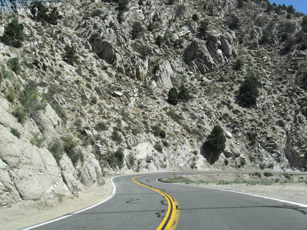
California 4 west and California 89 south follow the East Fork of the Carson River from Hangmans Bridge southeast to the point where the two state routes divide. Due to the curves over both Monitor Pass (California 89 south) and Ebbetts Pass and Pacific Grade Summit (California 4 west), trucks are not advised on either route. Photos taken 07/25/09. |
|
|
|
|
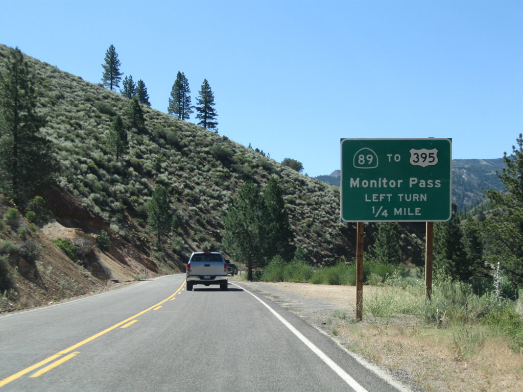
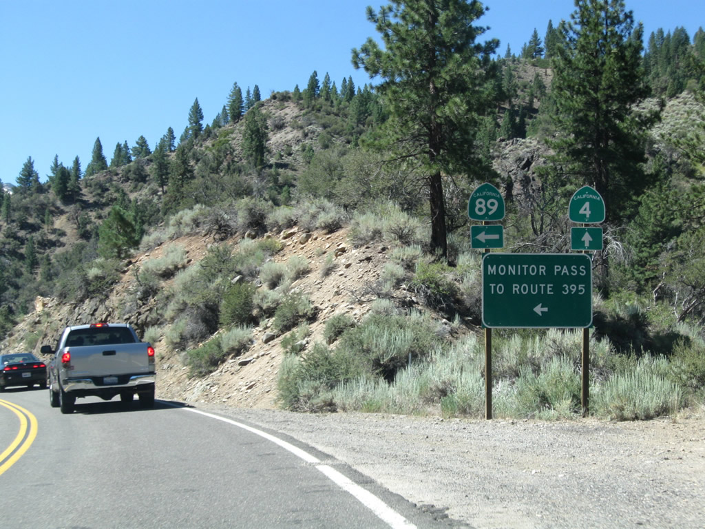
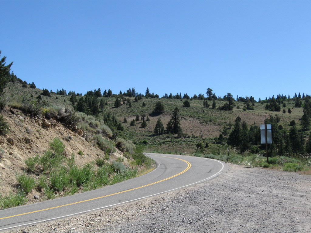
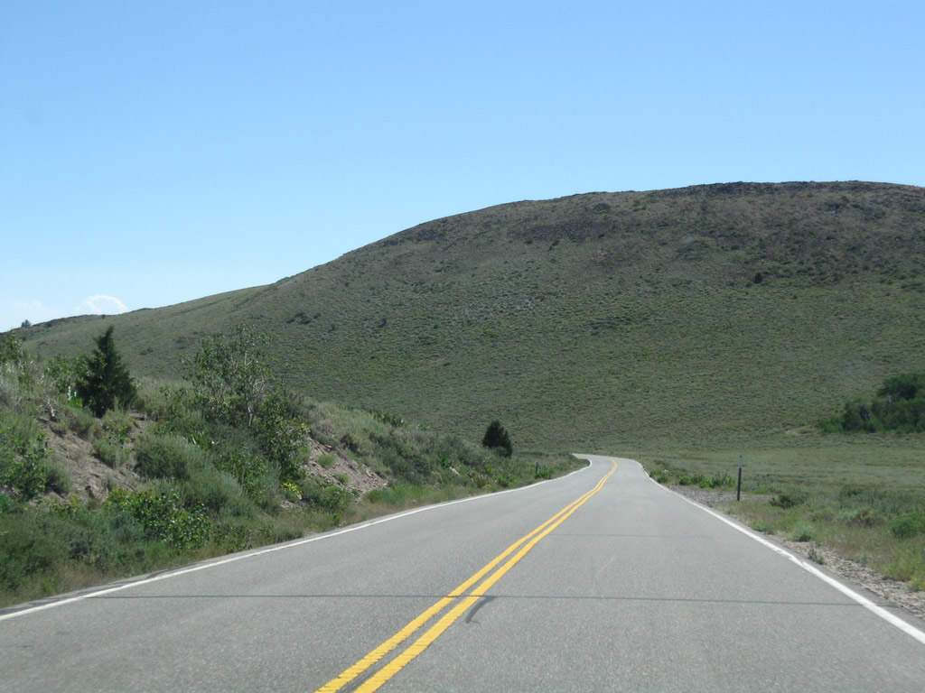
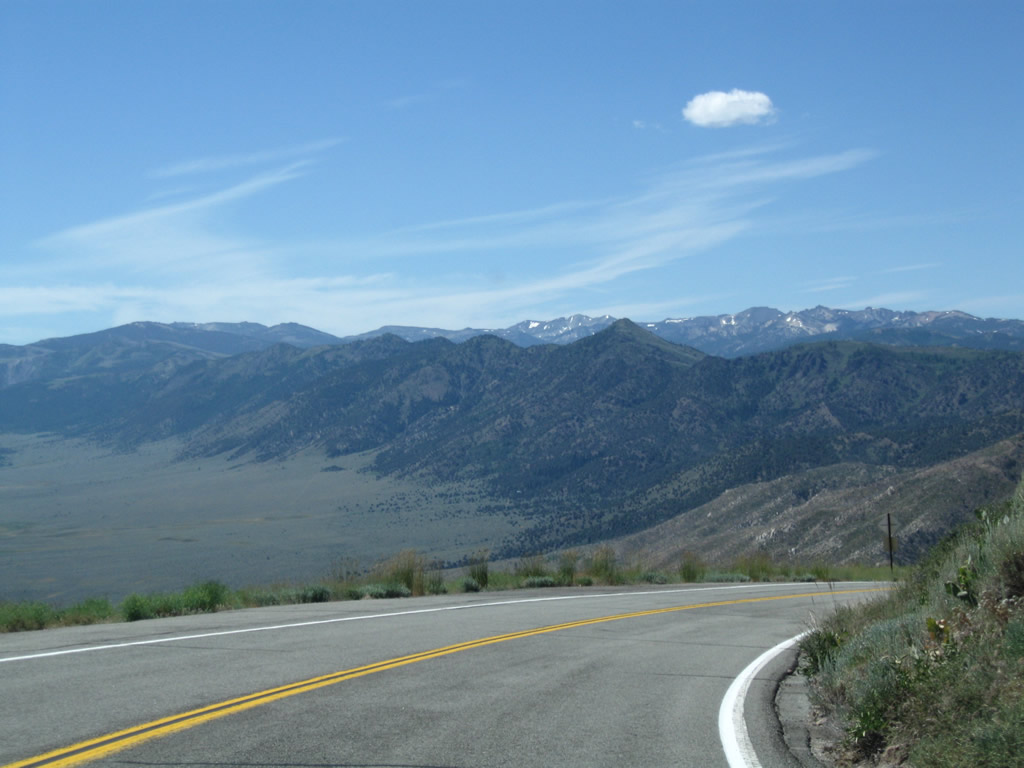
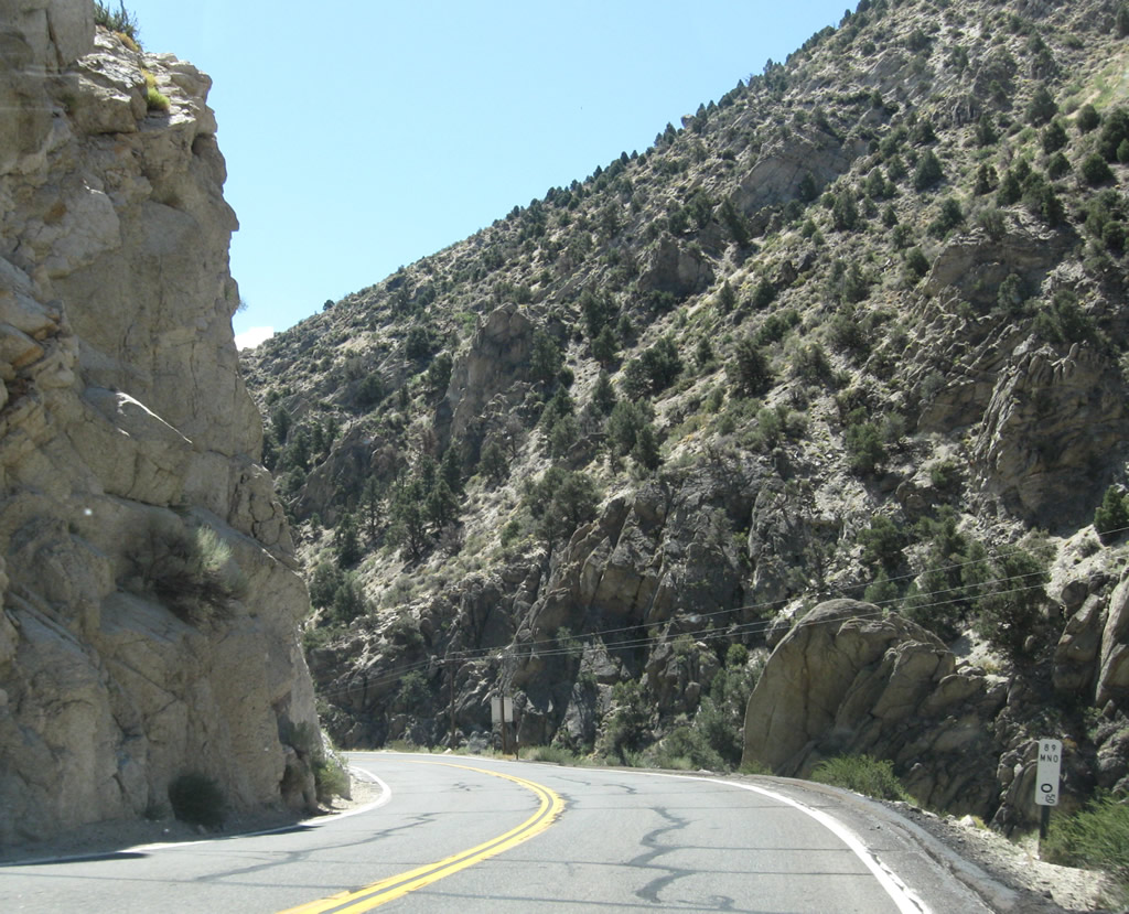
California 4 west and California 89 south divide in one-half mile. Turn left to follow California 89 east to U.S. 395 at Slinkard Junction near Topaz Lake. Photo taken 07/25/09. |
|
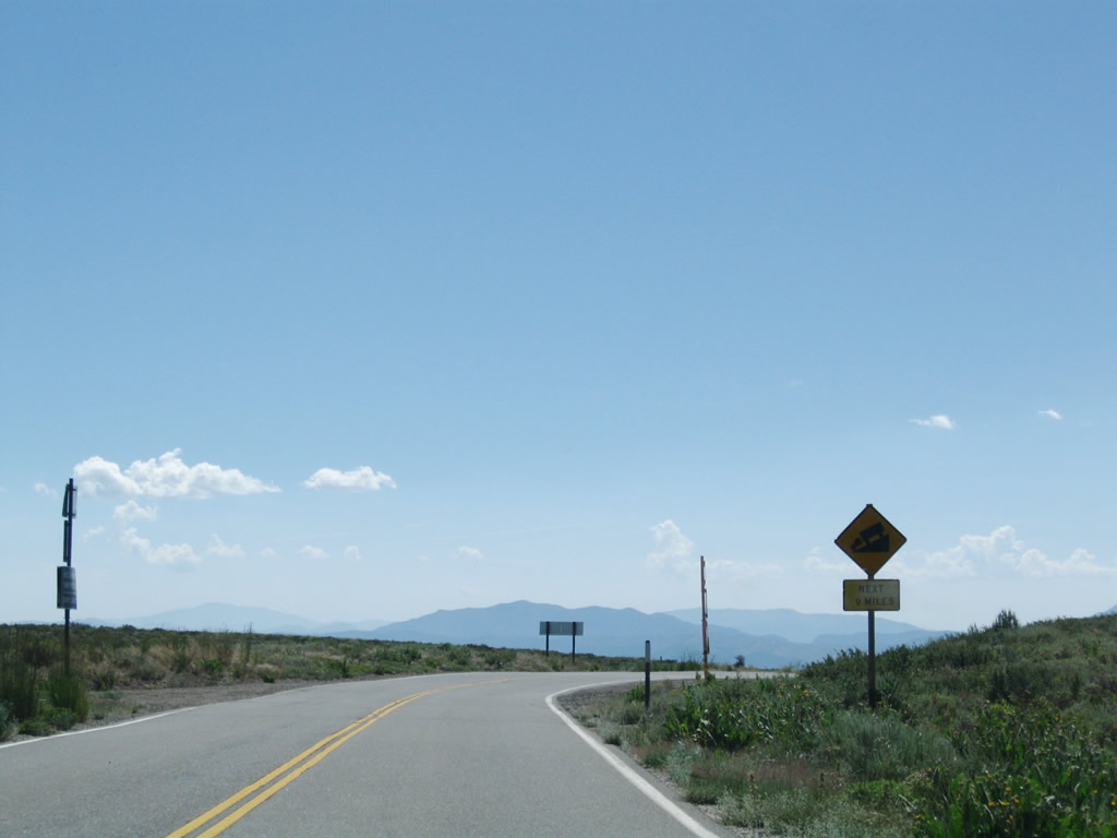
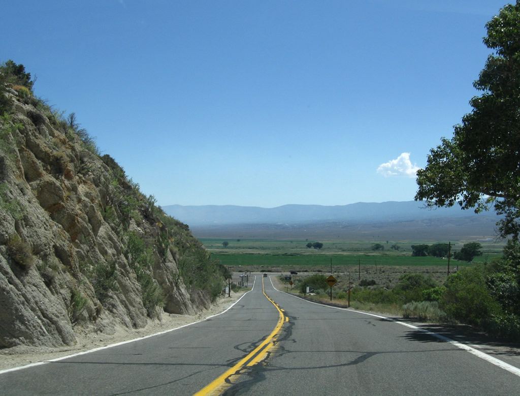
Stay right to follow California 4 west to Ebbetts Pass, Lake Alpine, Bear Valley Mountain Resort, Big Trees State Park, Arnold, Murphys, Angels Camp, Stockton, Concord, and Hercules. California 89 turns east for its final distance to U.S. 395 (Three Flags Highway) via Monitor Pass. California 89 ends at U.S. 395 at Slinkard Junction near Topaz Lake, ending a run that took California 89 from Mt. Shasta southeast through Lassen National Volcanic Park and Lake Tahoe to Alpine County. Photo taken 07/25/09. |
|
A mileage sign is posted at the intersection of California 4 west and California 89 south. Turn left to follow California 89 east to U.S. 395. Photo taken 07/25/09. |
| California 89 south |
|
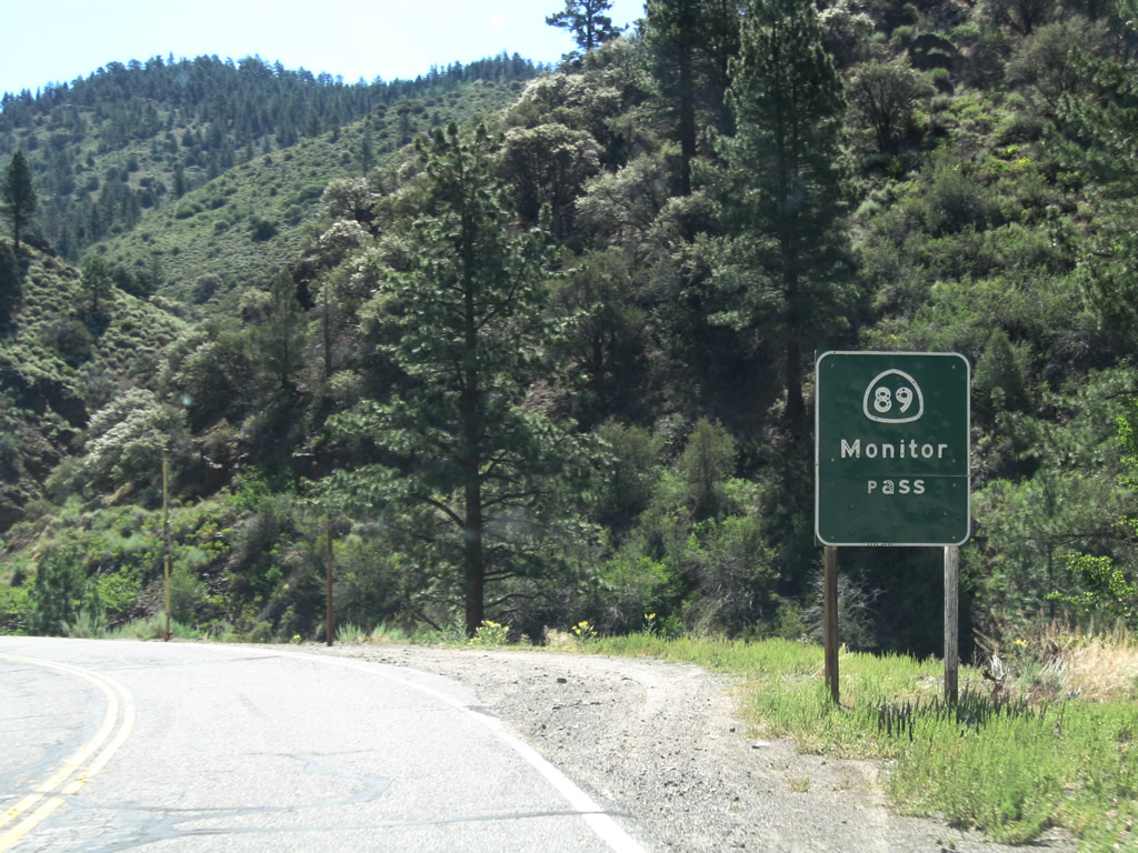
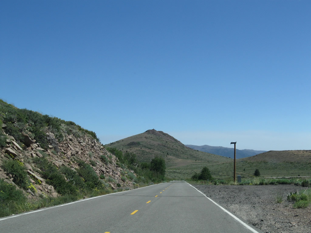
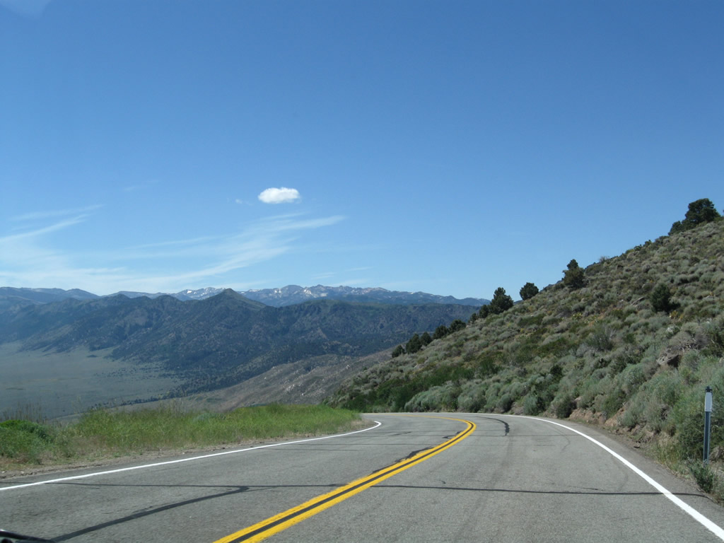
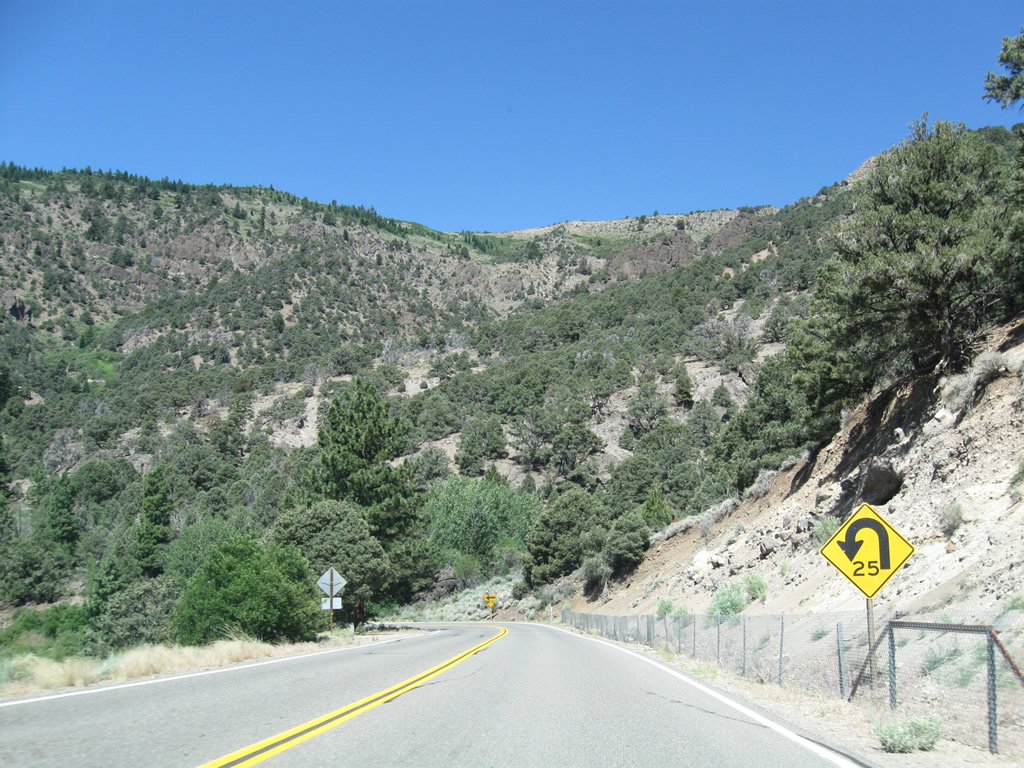
After splitting from California 4, eastbound California 89 passes by a sign indicating whether Monitor Pass is open. In winter, the pass is closed as snow is not regularly removed from the state route. Photo taken 07/25/09. |
|
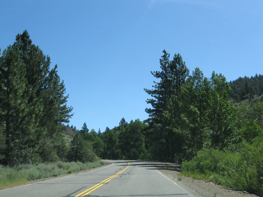
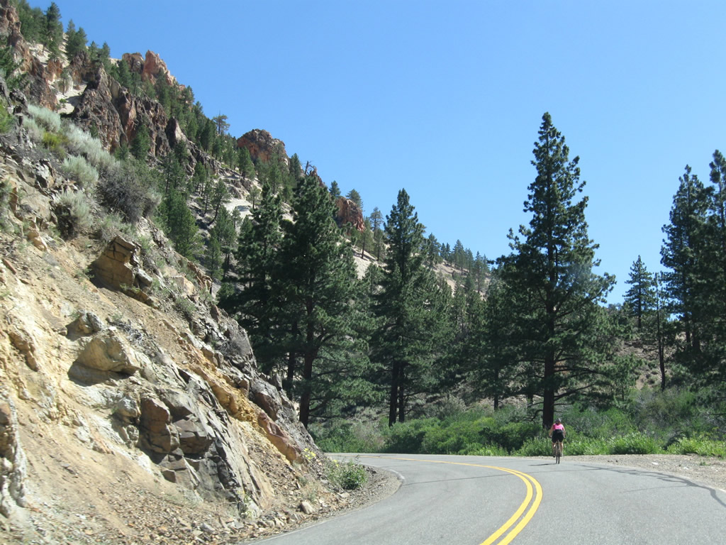
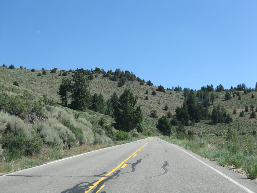
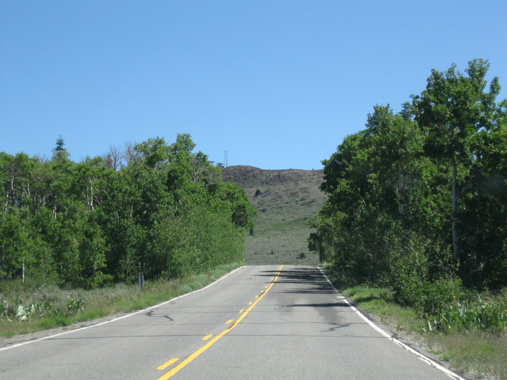
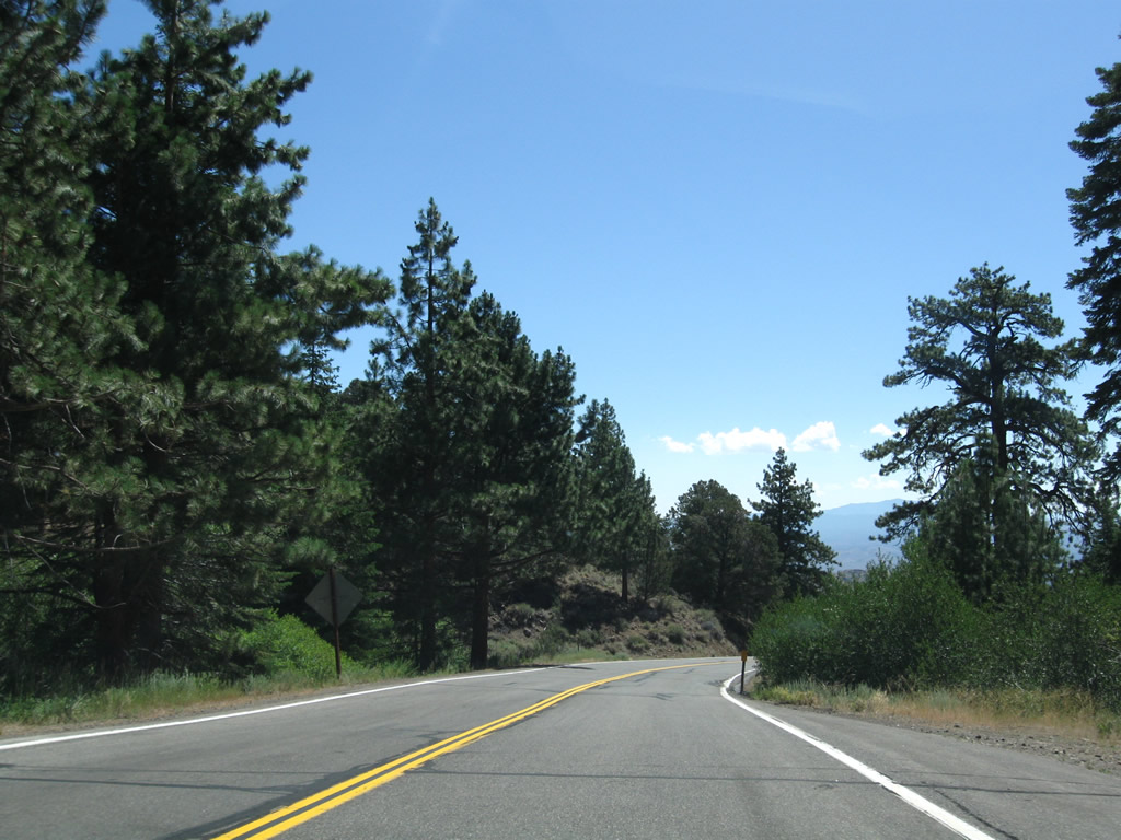
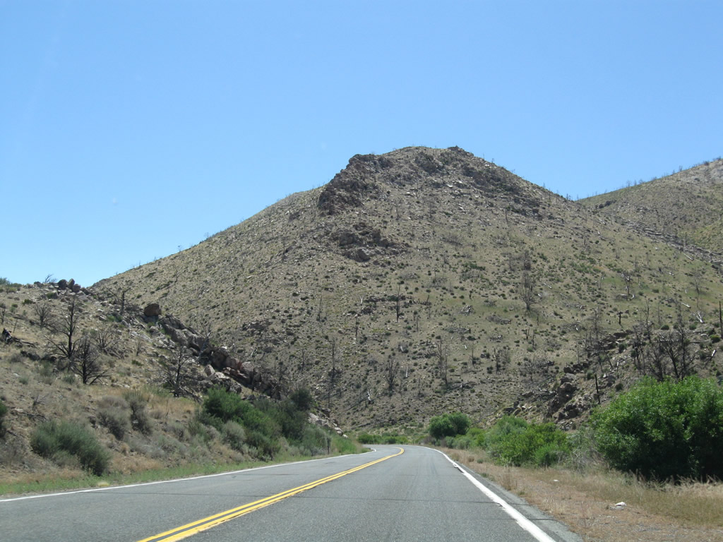
California 89 narrows a bit after splitting from California 4. The state route sees plenty of adventurous bicyclists looking for a steep climb and scenic viewpoints. Photo taken 07/25/09. |
|
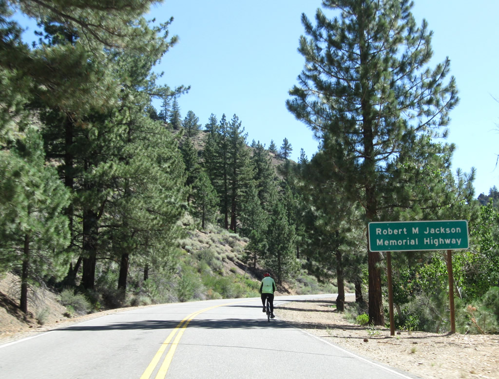
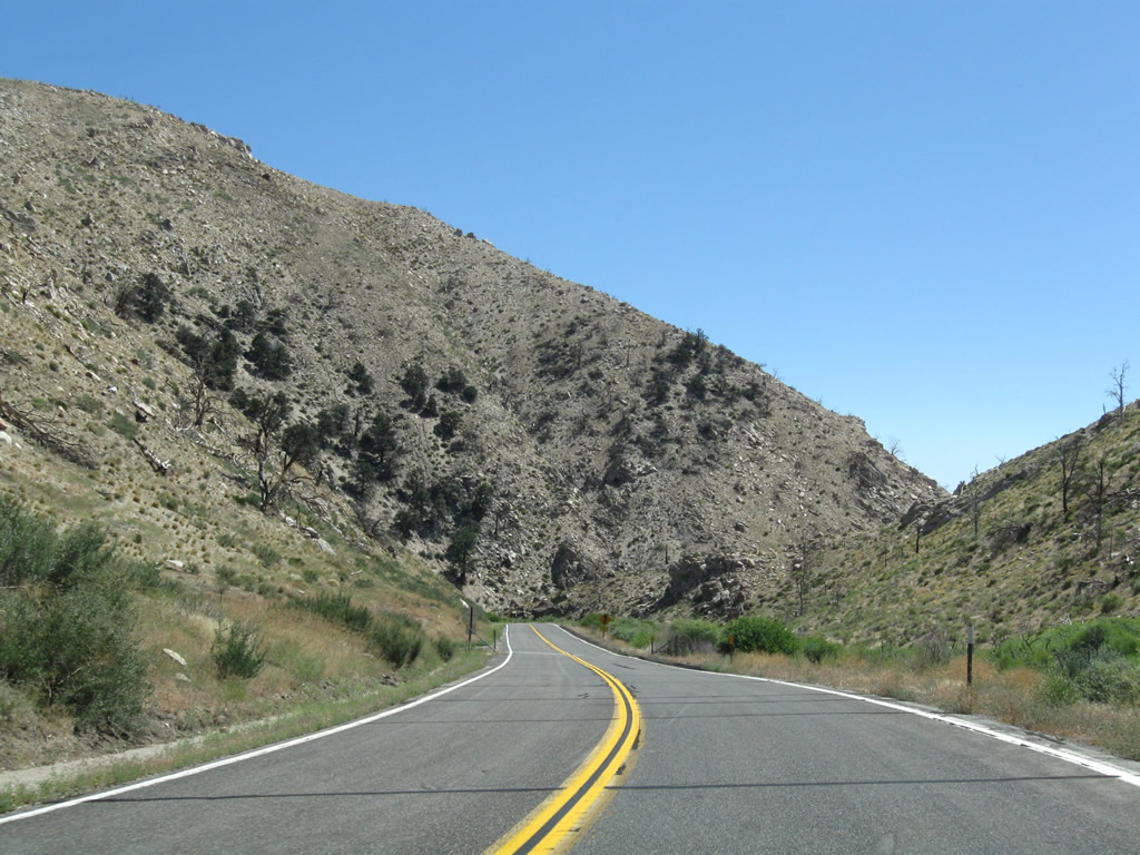
Between California 4 and U.S. 395, California 89 is also known as Monitor Pass Highway and as the Robert M. Jackson Memorial Highway. Photo taken 07/25/09. |
|
|
|
|
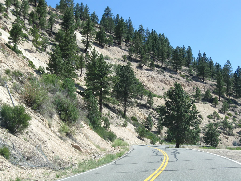
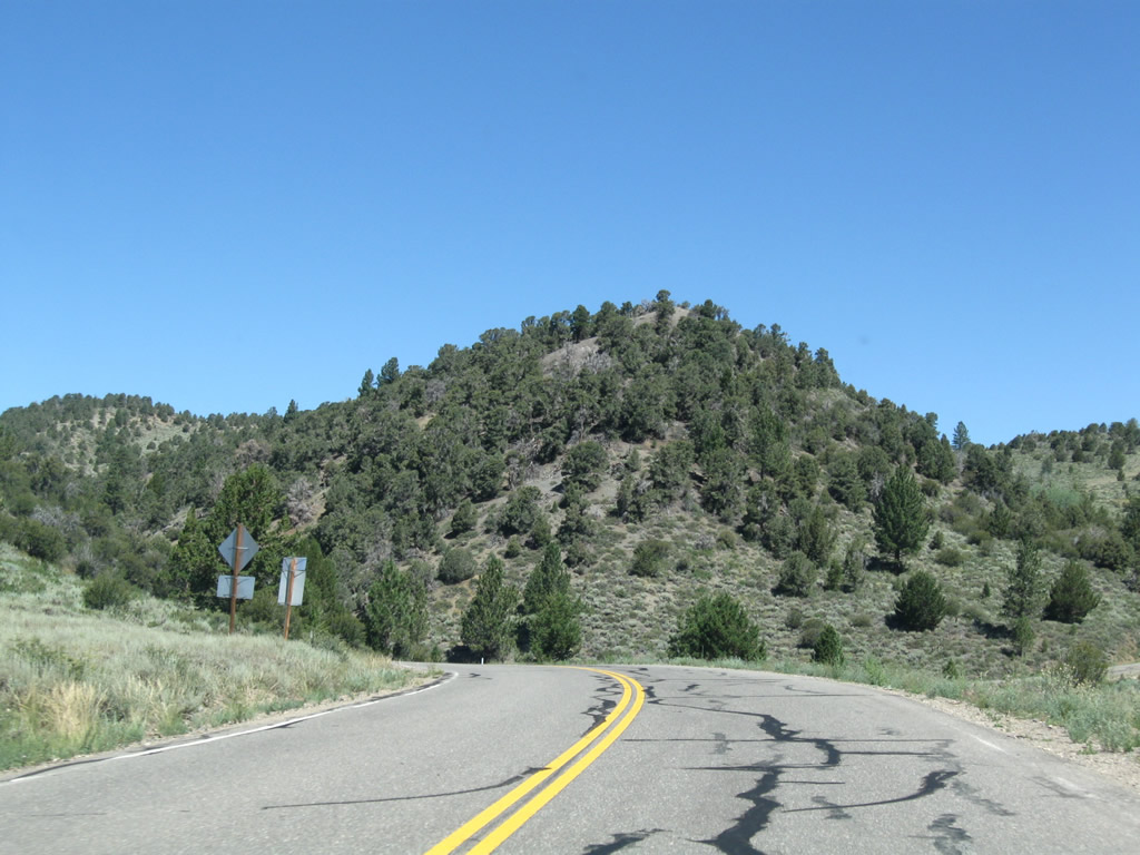
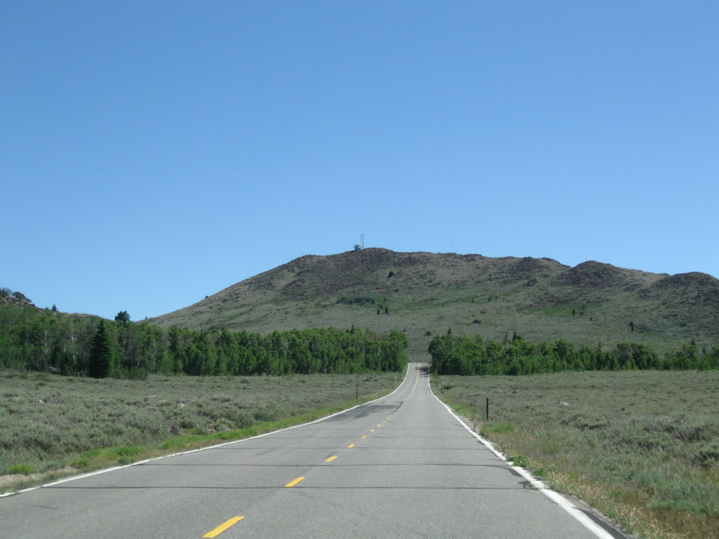
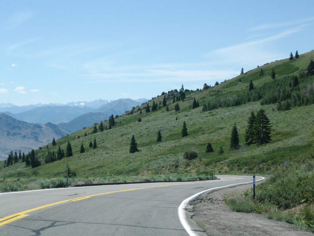
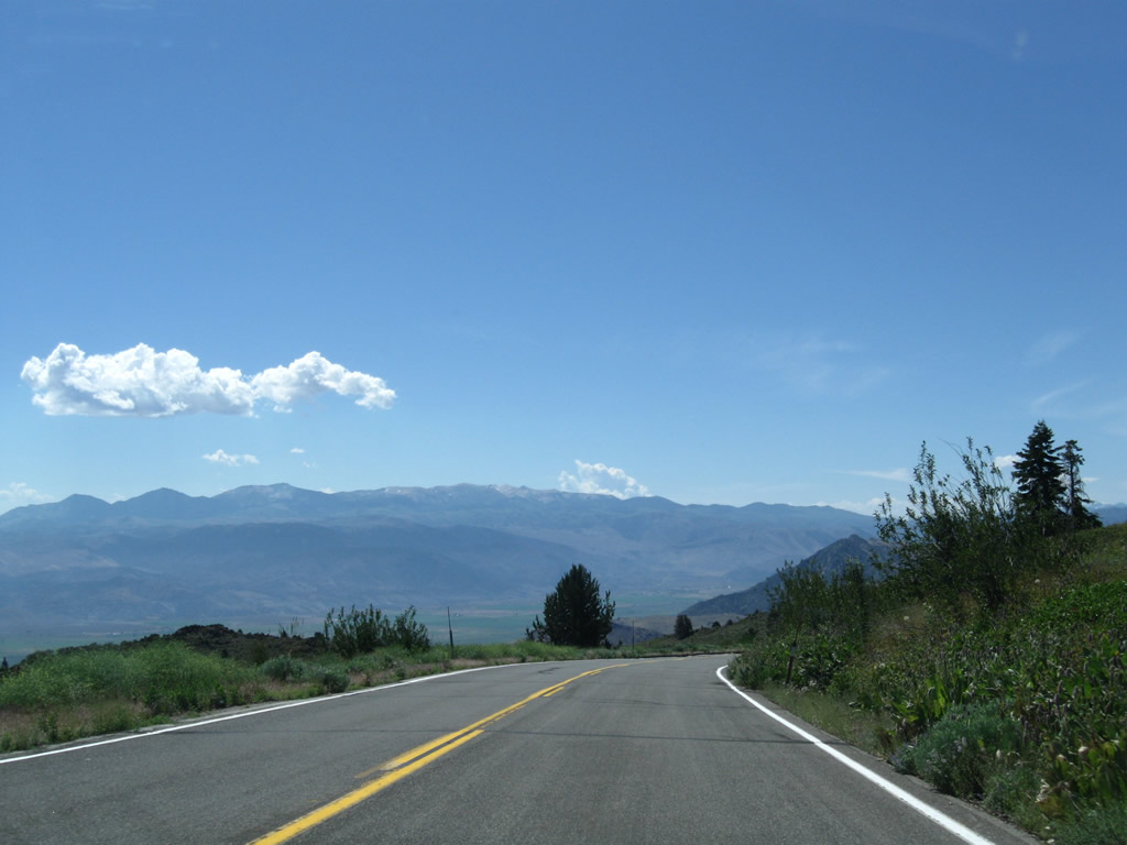
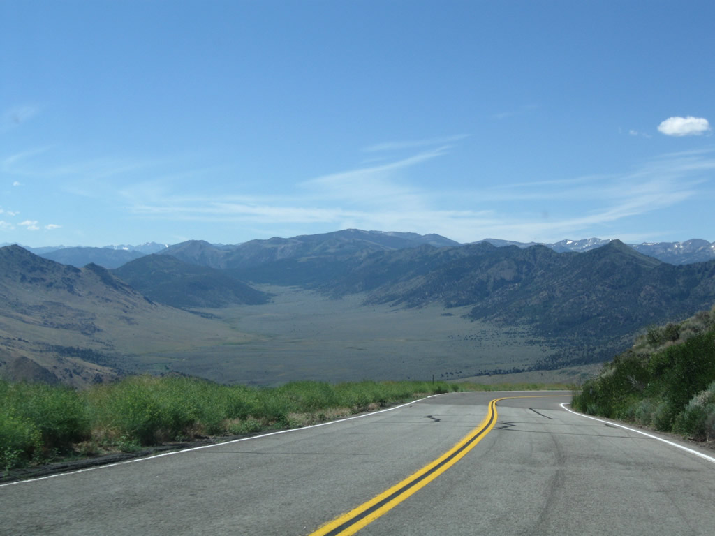
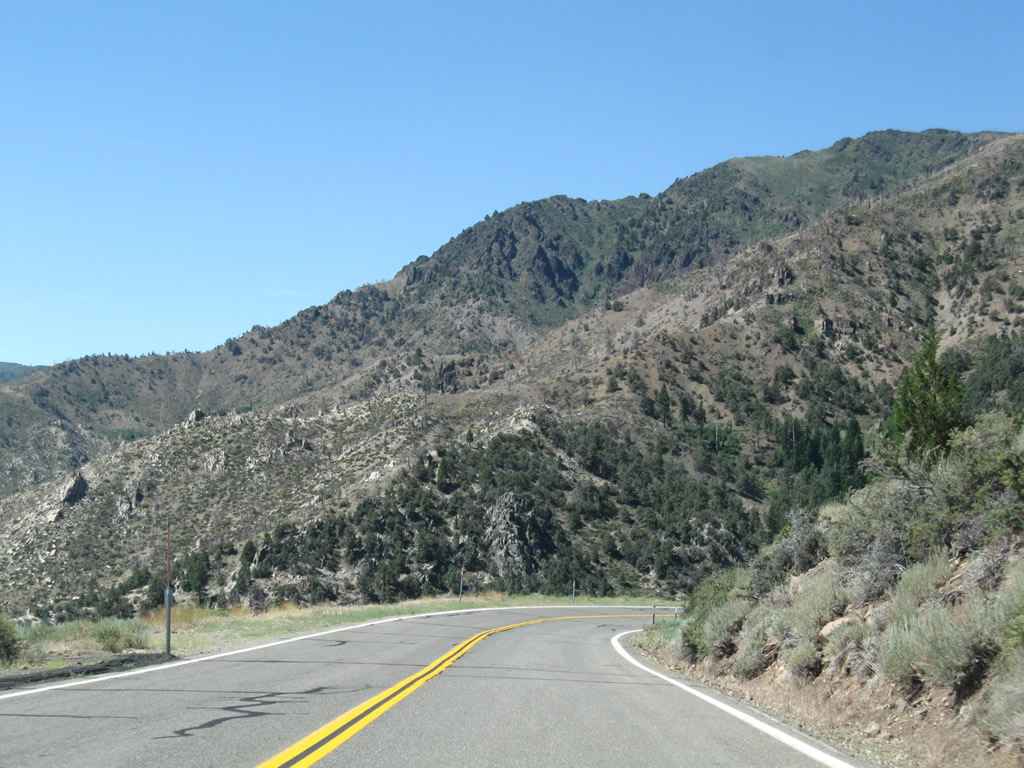
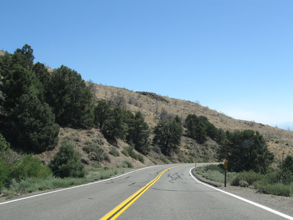
California 89 travels east and gains elevation as it ascends toward Monitor Pass and the Alpine-Mono County Line. No settlements or services are available along this scenic highway. Photos taken 07/25/09. |
|
|
|
|
|
|
|
|
|
This view looks west from the shoulder of California 89 (Robert M. Jackson Memorial Highway). The slowly climbing highway can be seen along the base of the foothills. Photo taken 07/25/09. |
|
Eastbound (southbound) California 89 (Robert M. Jackson Memorial Highway) proceeds uphill toward Monitor Pass, leaving highest peaks of the Sierra Nevada views behind. Photo taken 07/25/09. |
|
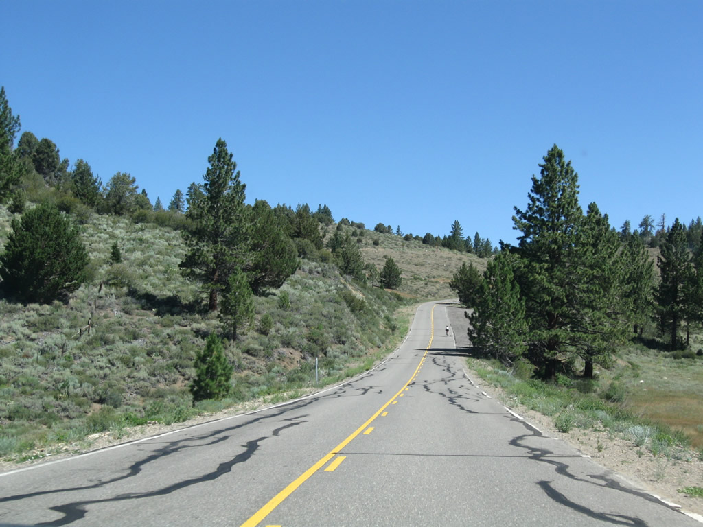
While much of California 89 (Robert M. Jackson Memorial Highway) over Monitor Pass has curves and switchbacks, some long, straight sections also come into play ... including some that go directly uphill. Photo taken 07/25/09. |
|
|
|
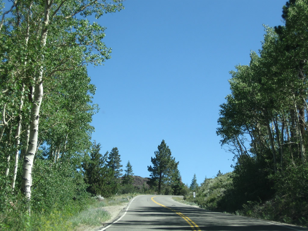
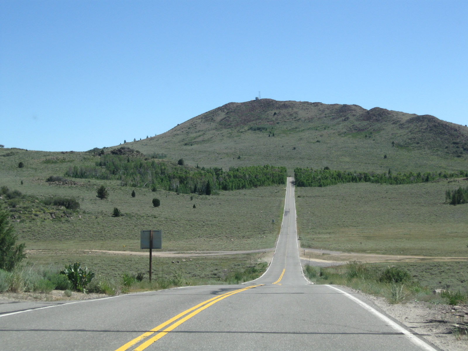
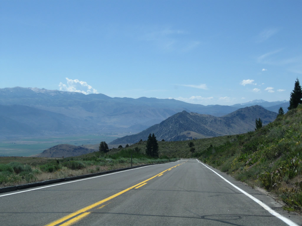
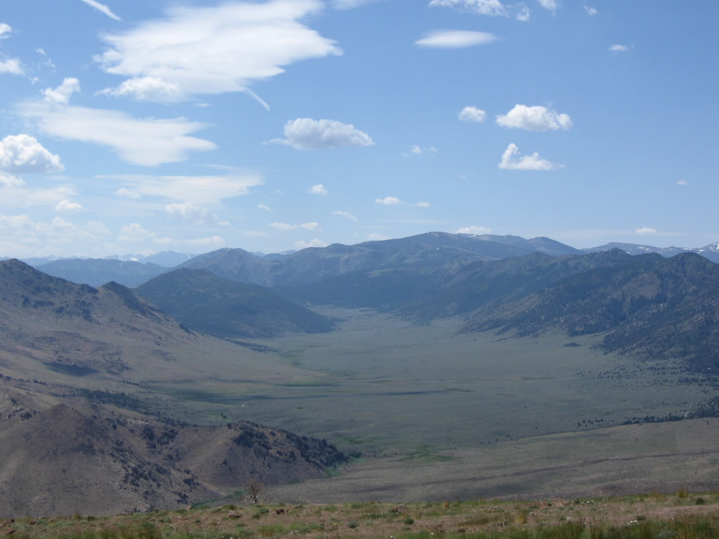
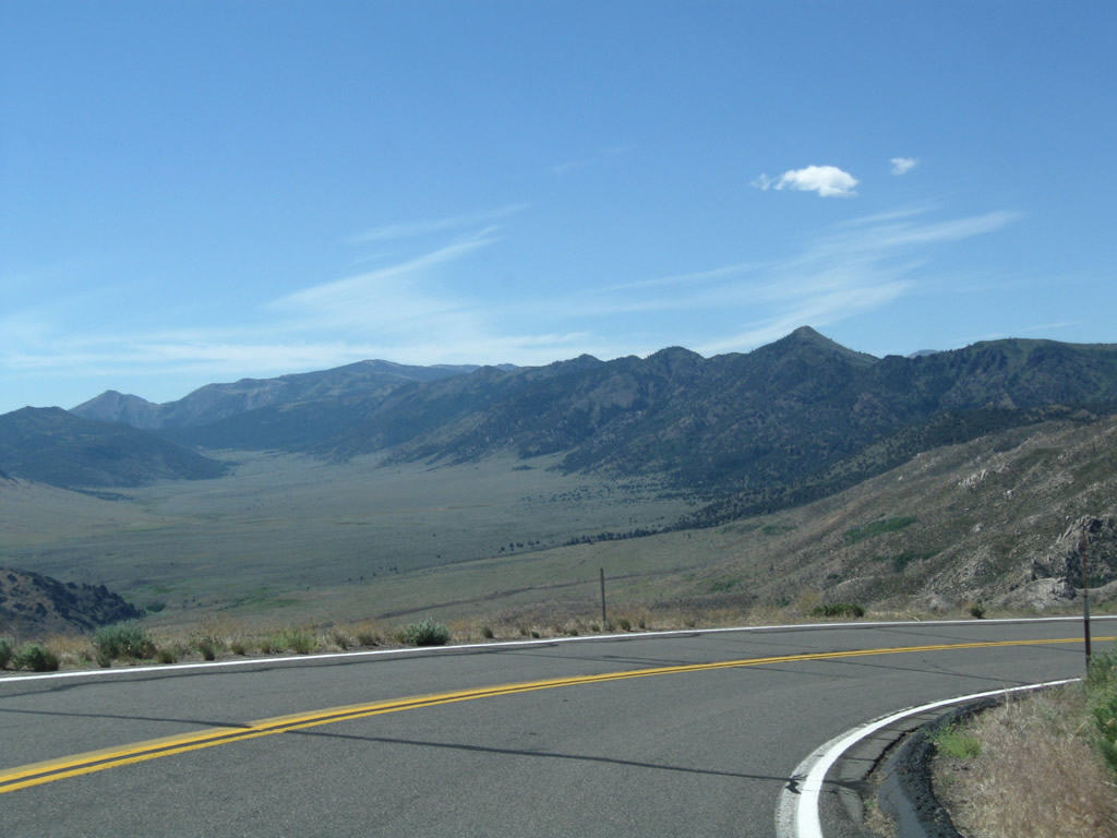
California 89 continues east through a few aspen groves as the trees get a bit more sparse at this high elevation. While Markleeville sits at an elevation of 5,531 feet, Monitor Pass is at an elevation of 8,314 feet. This elevation gain is achieved in about 10-15 miles. Clearing through the aspens, Monitor Pass comes into view along eastbound California 89. Photos taken 07/25/09. |
|
|
|
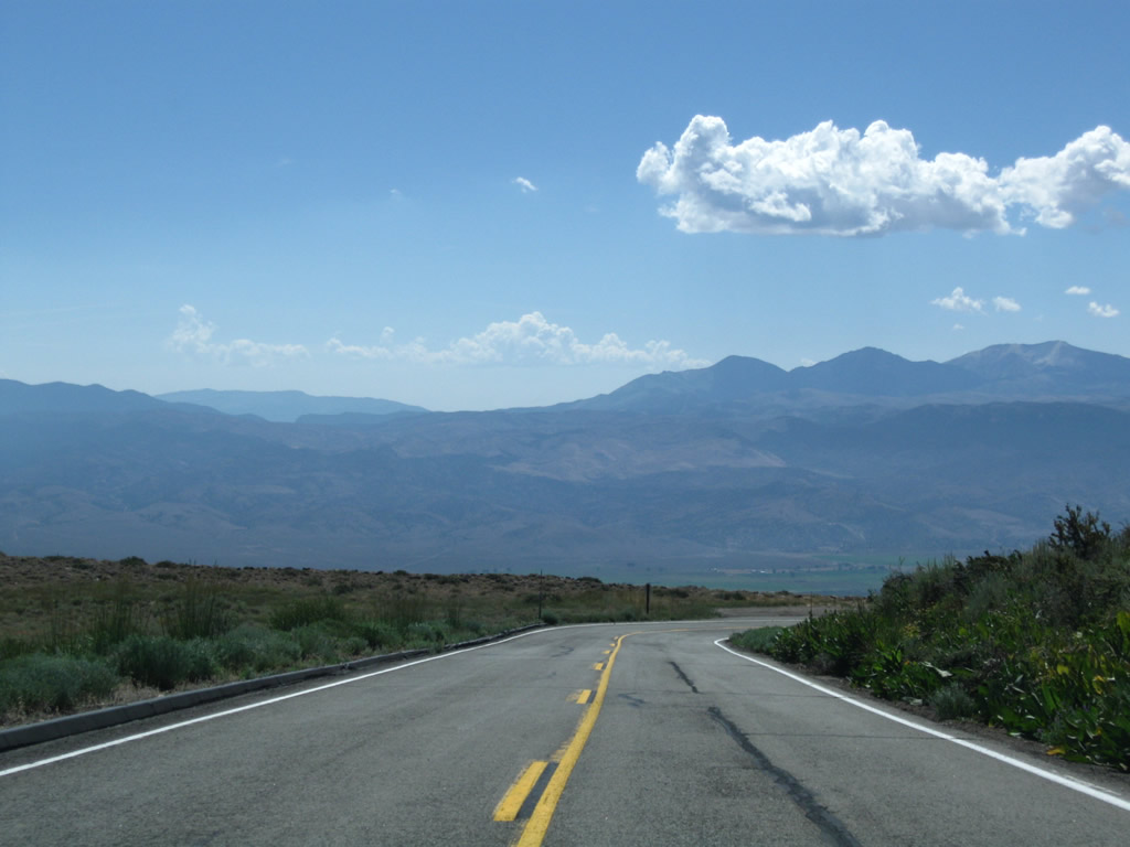
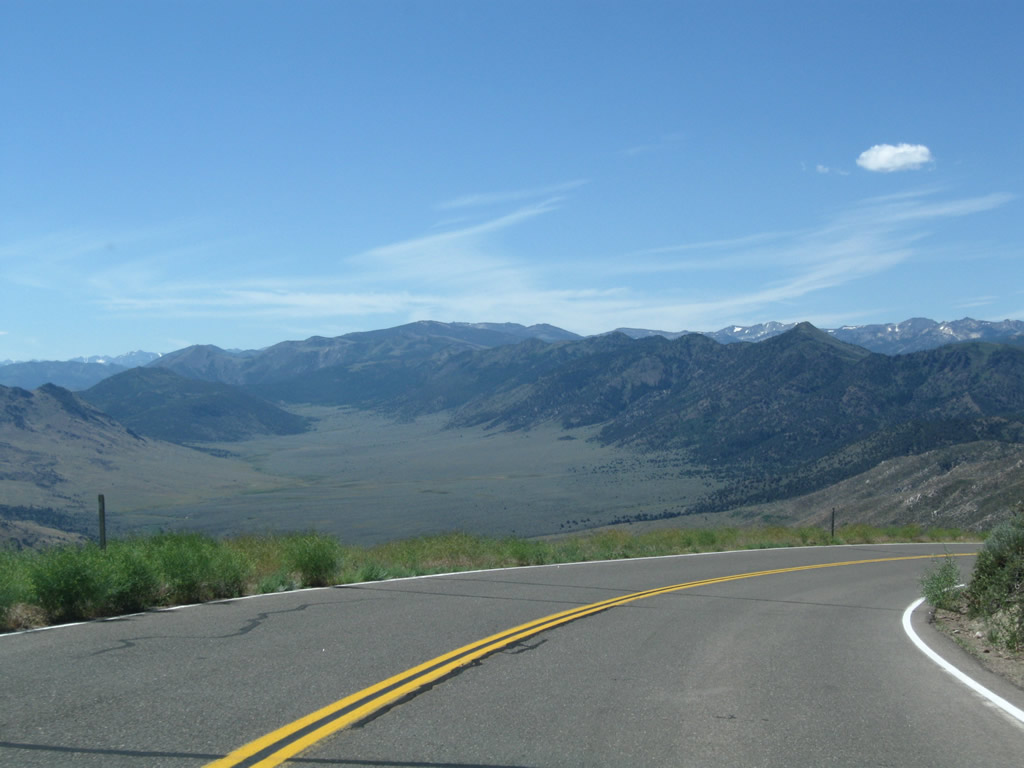
California 89 reaches Monitor Pass at an elevation of 8,314 feet. The highway generally travels in a northeast-southwest direction through the pass. Towering Leviathan Peak (el. 8,963 feet) rises above the pass. California 89 will skirt the peak and turn east to descend from the pass. Photos taken 07/25/09. |
|
|
|
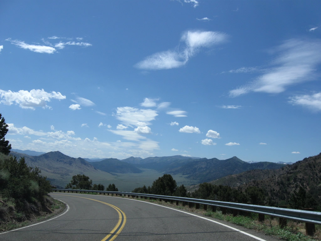
The route downhill along California 89 from Monitor Pass to U.S. 395 at Slinkard Junction is much more daunting than the route up from Markleeville. From here, the highway will see far more switchbacks and steep mountain grades. Photos taken 07/25/09. |
|
|
|
| California 89 (Monitor Pass Highway) south |
|---|
|
|
|
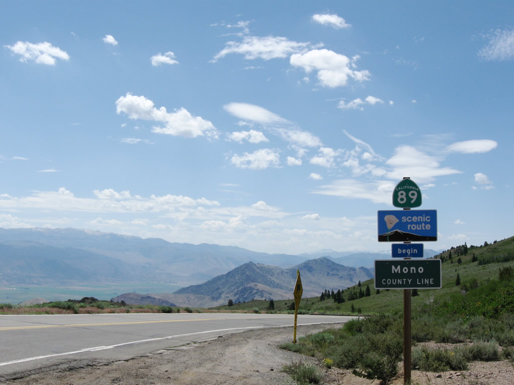
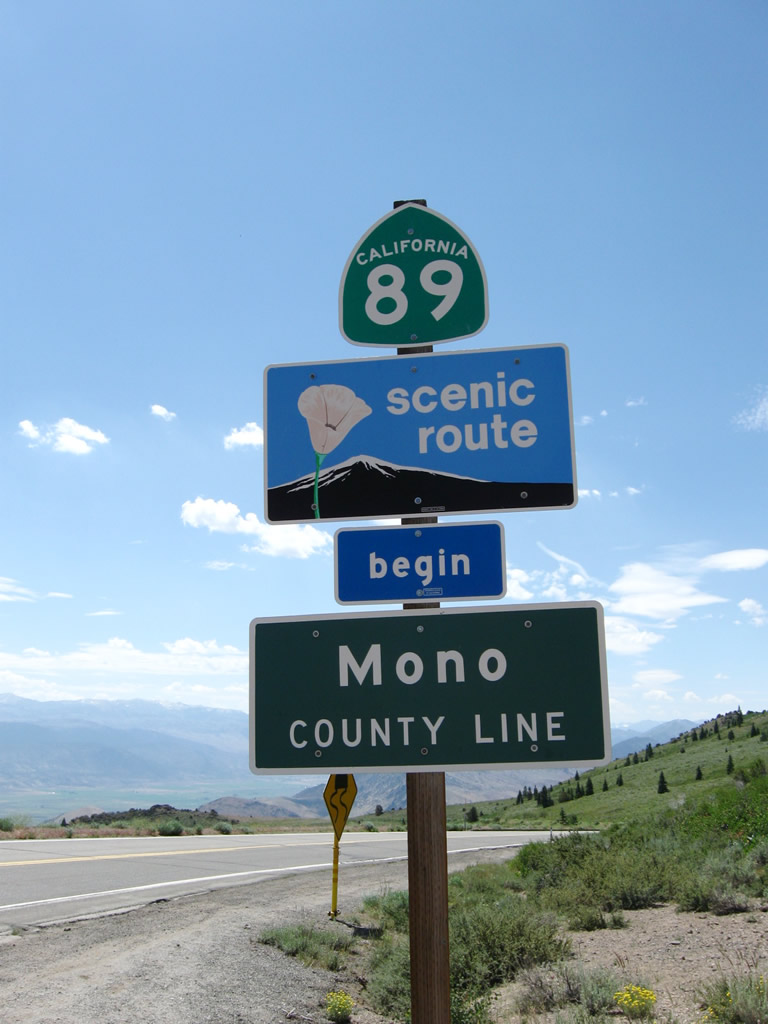
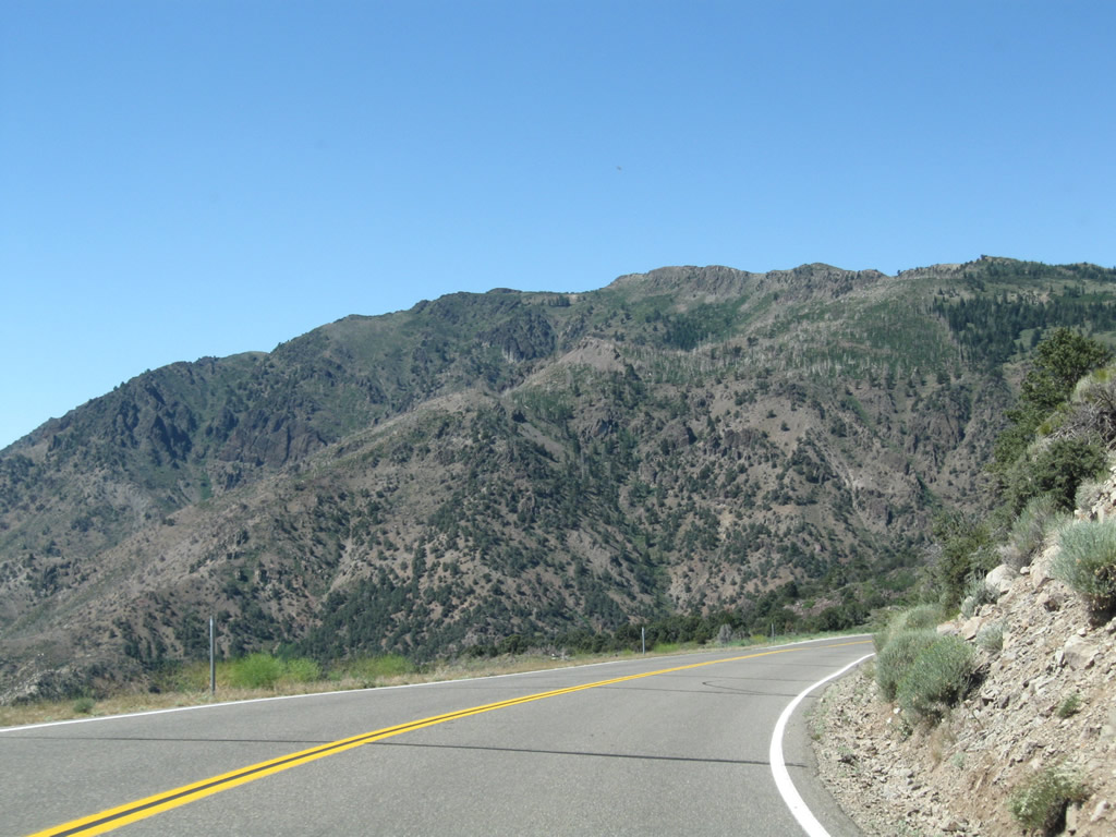
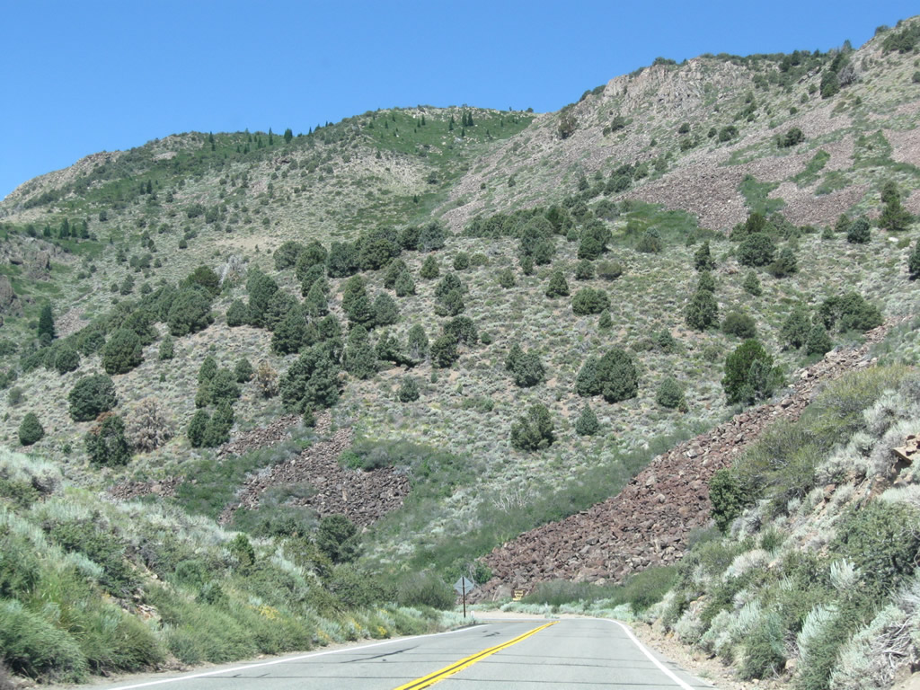
California 89 leaves Alpine County and enters Mono County. The steepest section of California 89 over Monitor Pass lies ahead, but the scenic views are unparalleled. The designation of Robert M. Jackson Memorial Highway ends here. Photos taken 07/19/09 and 07/25/09. |
|
|
|
Watch downhill speed as California 89 proceeds south and east over a series of switchbacks on a steep grade. To the south lies the sprawling Slinkard Creek valley, which is part of the Slinkard Wildlife Area. Photos taken 07/19/09 and 07/25/09. |
|
|
|
|
|
|
|
|
|
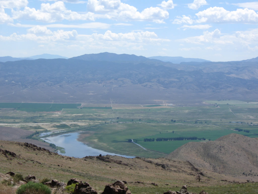
The view from California 89 not only includes Slinkard Creek valley but also includes views toward Antelope Valley, where Topaz Lake and U.S. 395 wait. California 89 will eventually find itself at the same elevation as the lake after fully descending from Monitor Pass. Photos taken 07/19/09 and 07/25/09. |
|
|
|
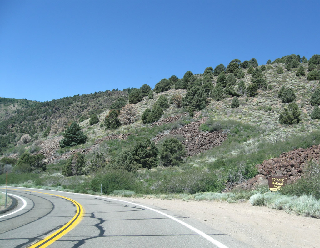
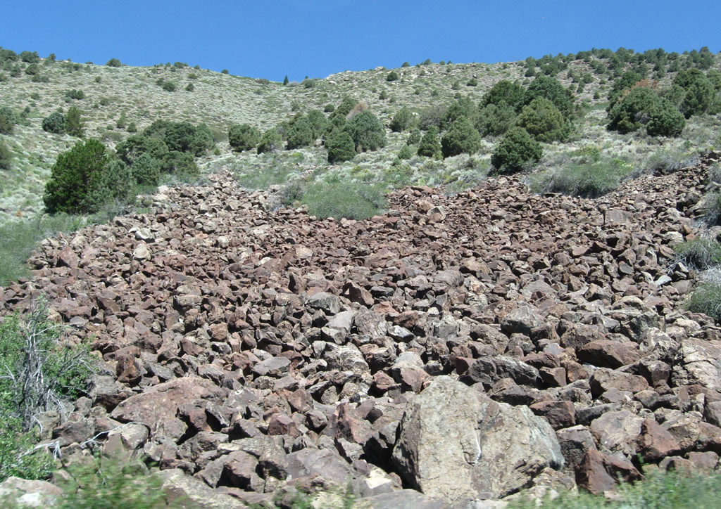
California 89 continues its descent from Monitor Pass. Leaving Humboldt-Toiyabe National Forest, California 89 sees volcanic rock lining the hillsides. Photos taken 07/19/09 and 07/25/09. |
|
|
|
|
|
|
California 89 sees a series of sweeping switchbacks with reduced speed limits. Slinkard Creek valley again comes into view as we descend. Photos taken 07/19/09 and 07/25/09. |
|
|
|
|
|
|
The Gate Complex of fires burned through this area in July 2002; the fire was started by a strike from a lightning storm. This fire burned 9,866 acres and consisted of the following components: Coleville Fire is 37 acres; the Gate Fire is 315 acres; the Buckeye Fire is estimated to be 861 acres; and the Slinkard Fire is 8,653 acres. Evidence of this fire can still be seen on California 89 as we approach Slinkard Creek. Photos taken 07/19/09 and 07/25/09. |
|
|
|
|
|
|
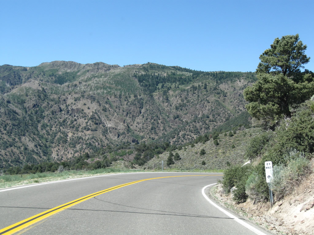
California 89 follows Slinkard Creek through a narrow pass to leave the Slinkard Creek valley and enter Antelope Valley. Photos taken 07/19/09 and 07/25/09. |
|
|
|
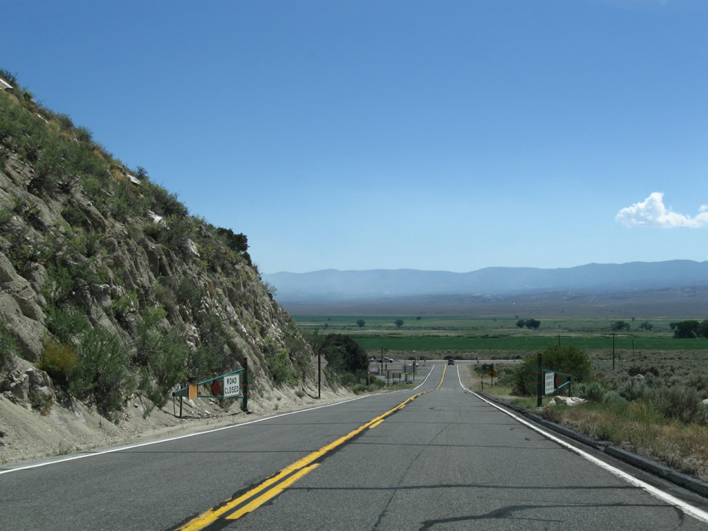
Passing through the final curve alongside Slinkard Creek, California 89 straightens out for the final half-mile to U.S. 395 at Slinkard Junction. Photos taken 07/19/09 and 07/25/09. |
|
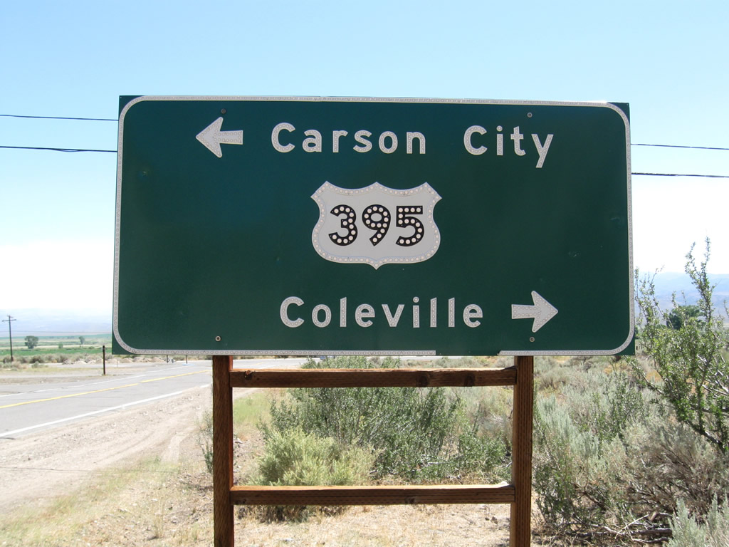
Eastbound California 89 approaches U.S. 395. Turn left to follow U.S. 395 north to cross the state line into Nevada. U.S. 395 serves Topaz Lake, Gardnerville, Minden, Carson City, and Reno in Nevada, then returns to California near Hallelujah Junction. To the south, U.S. 395 is the primary Eastern Sierra route toward Bridgeport, Lee Vining, Mammoth Lakes, Bishop, Independence, and ultimately San Bernadino (with a link to Los Angeles via California 14 south). Photo taken 07/25/09. |
|
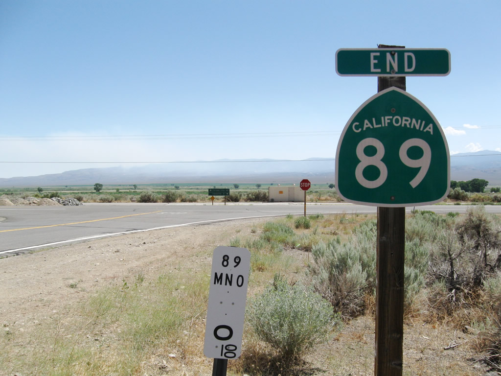
An end California 89 shield is posted next to the 0.00 postmile marker. Photo taken 07/25/09. |
|
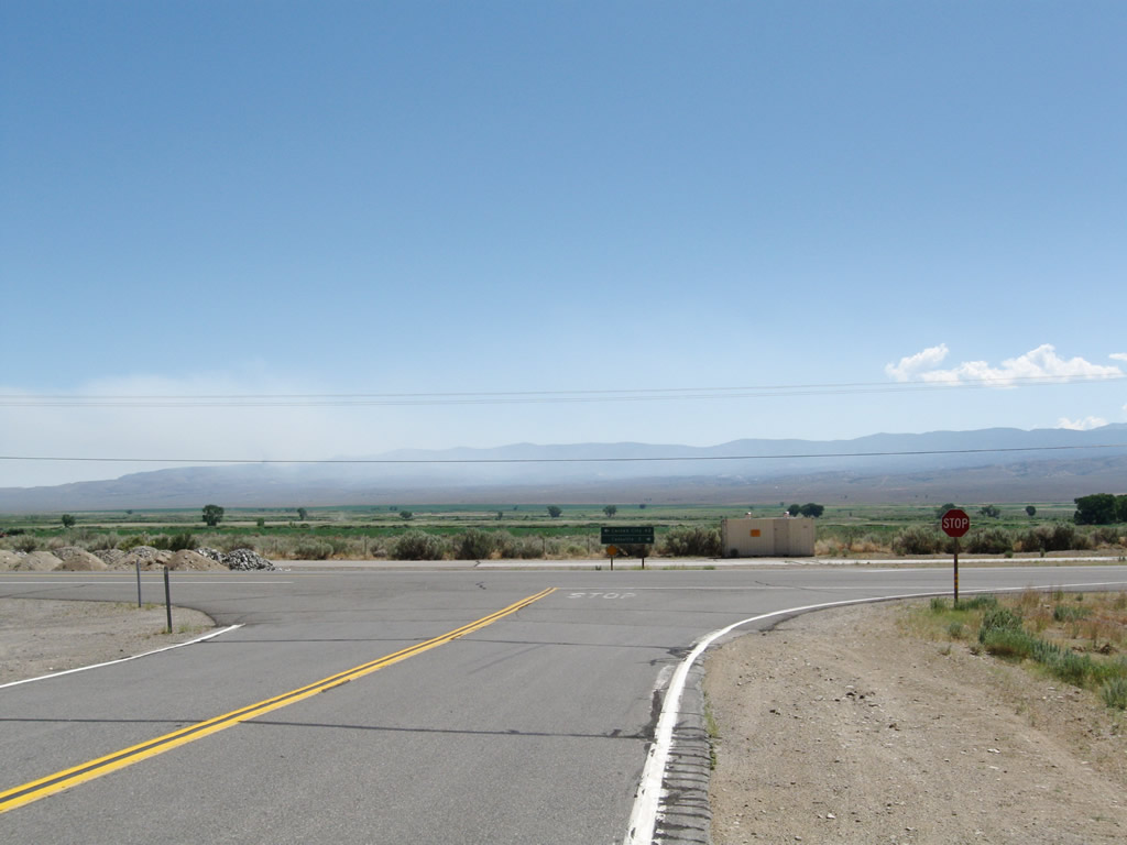
At the stop sign, a left turn connects to U.S. 395 north, while a right turn leads to U.S. 395 south. Photo taken 07/25/09. |
Page Updated October 8, 2009.