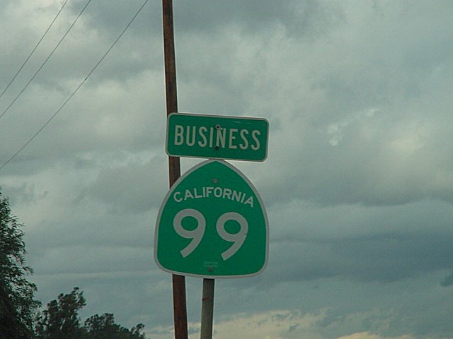
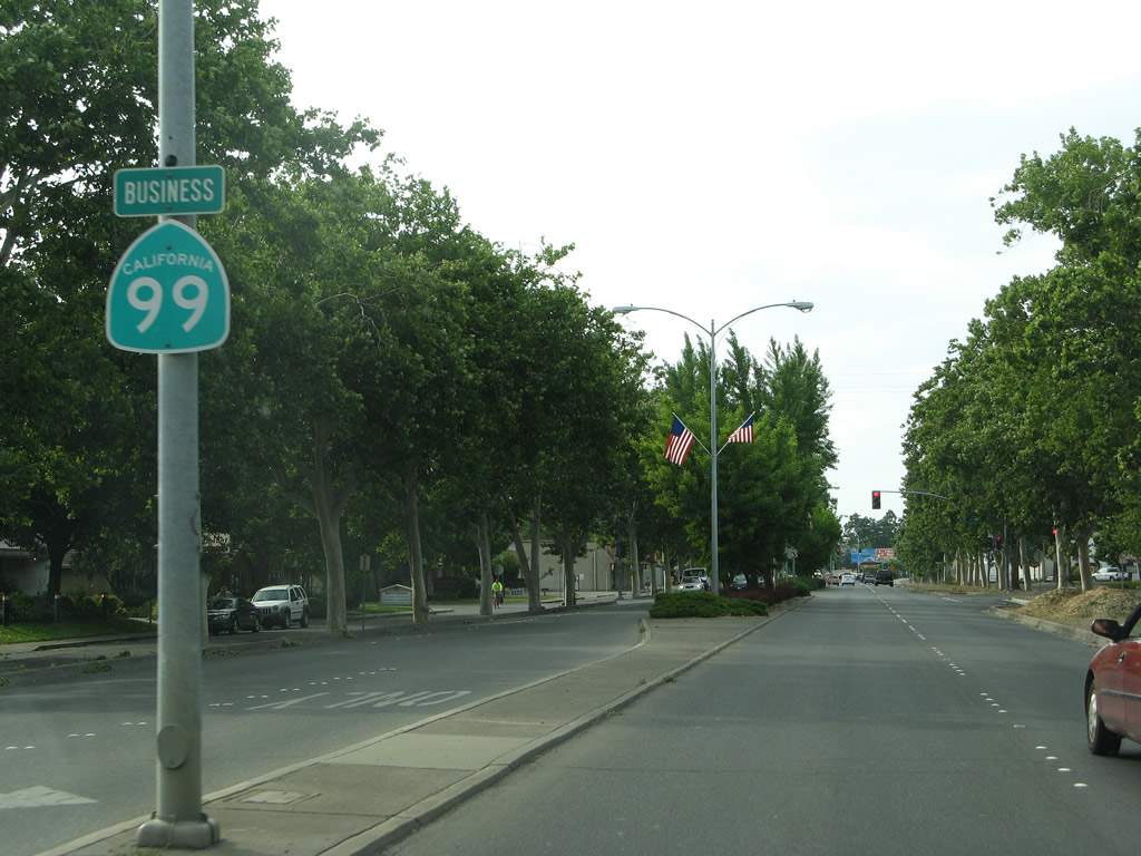
As various freeway and expressway segments of California 99 were constructed, the old sections of former U.S. 99 or former California 99 were designated as business routes. While many of these business routes are signed, some have gradually lost their signs due to neglect and lack of sign maintenance by the local agencies that assumed maintenance of the signs. The following is a list of business routes that are or have been signed along California 99:
No business routes were found in McFarland, Tipton, Chowchilla, Livingston, Ripon, Manteca, Galt, Elk Grove, Sacramento, Yuba City, Live Oak, Gridley, or Los Molinos. Old U.S. 99E on Midway south of Chico does not have a business route designation.
| BAKERSFIELD |
| California 99 Business north |
|
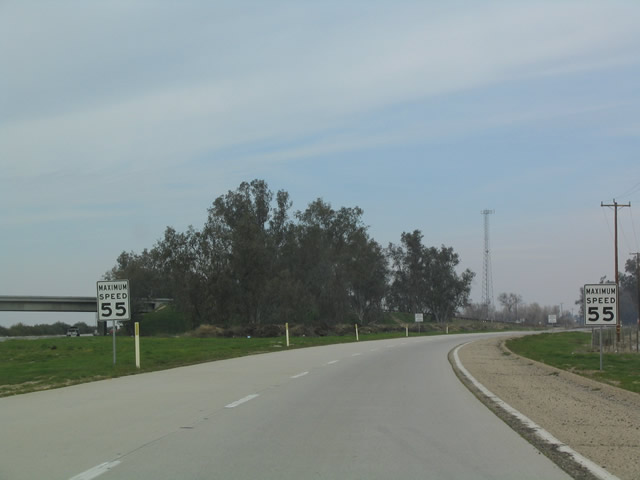
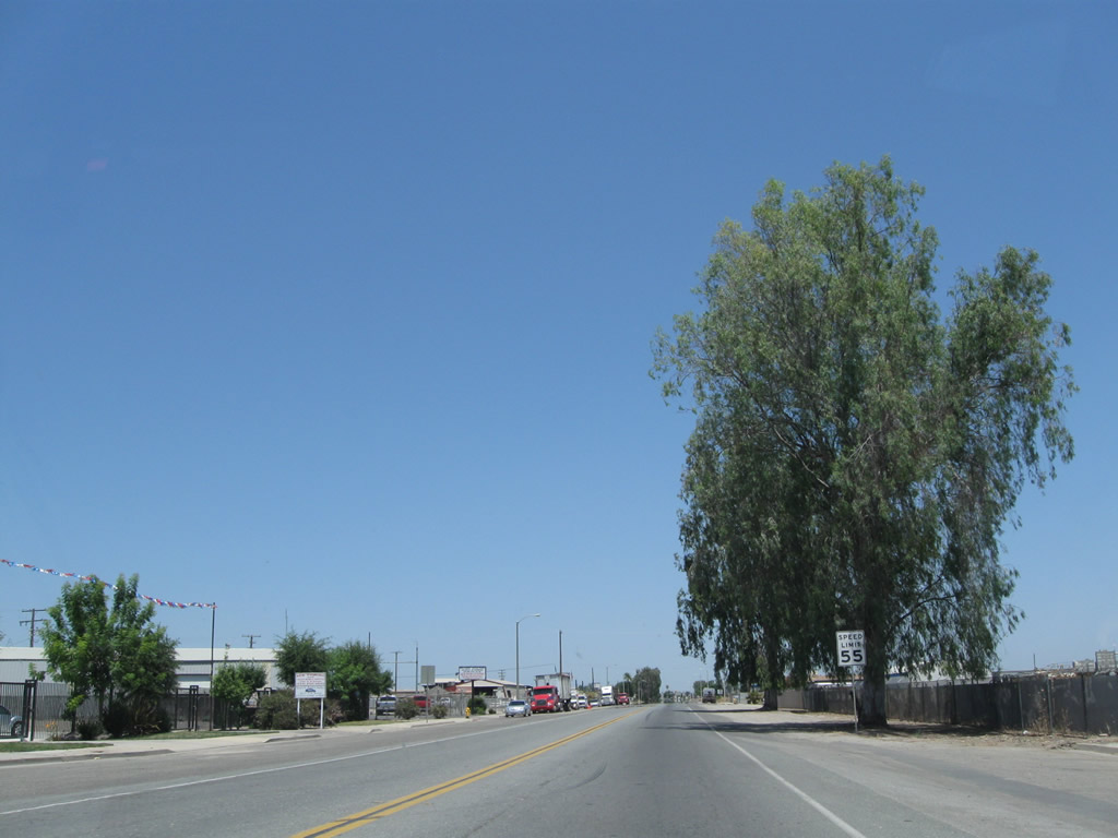
Upon departing from California 99, California 99 Business immediately takes on the characteristics of an old-style expressway, complete with older standard "Maximum Speed 55" signs. Photo taken 02/15/04. |
|
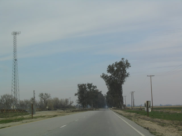
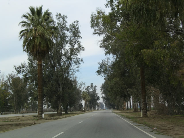
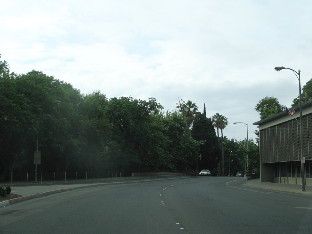
The eucalyptus trees in the distance were planted by highway crews, and they shade Union Avenue. The trees also make the road distinct from a distance, as they line the business route for much of its route into Bakersfield. Photo taken 02/15/04. |
|
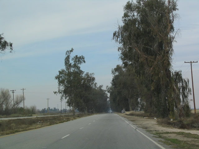
California 99 Business takes on expressway standards of yesterday, with a minimal shoulder and trees that are possibly too close to the edge of the roadway. Nevertheless, this business route gives an excellent example of old U.S. 99 that looks about the same as it did in earlier times. Photo taken 02/15/04. |
|
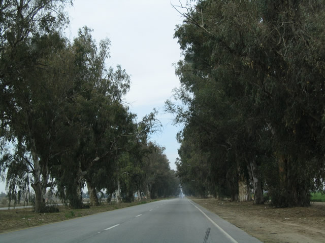
Highway crews used to plant eucalyptus trees as a matter of practice, but they are not native to California. These trees are arguably dangerous in dry, windy climate like California's, especially since they are made flammable by a high oil content within the tree and they can have shallow roots that may not hold during the fiercest wind storms. Photo taken 02/15/04. |
|
On occasion, palm trees were planted to break the monotony along the business route, as evidenced by this palm tree in the median along northbound. Photo taken 02/15/04. |
|
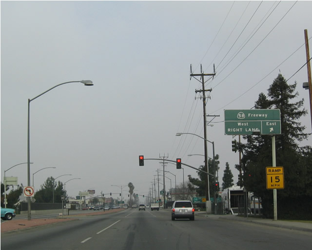
California 99 Business eventually meets up with the California 58 freeway south of downtown Bakersfield. Route 99 Business is signed on one auxiliary sign in each direction from California 58. Photo taken 01/21/04. |
|
Upon reaching California 58, California 99 Business gains an additional designation: California 204, because the remainder of old U.S. 99 from here north to California 99 is part of the state highway system. Both routes are consistently signed along Union Avenue and Golden State Avenue north of downtown. Photo taken 01/21/04. |
|
A California 99 Business north reassurance shield is posted at the interchange of Union Avenue and California 99 in Bakersfield. Much of this historic U.S. 99 route through Bakersfield is a vintage expressway that predates the modern freeway. Photo taken by Joel Windmiller, 01/07/02. |
|
Northbound California 99 Business meets the Oildale separation in Bakersfield. Photo taken by Joel Windmiller, 01/07/02. |
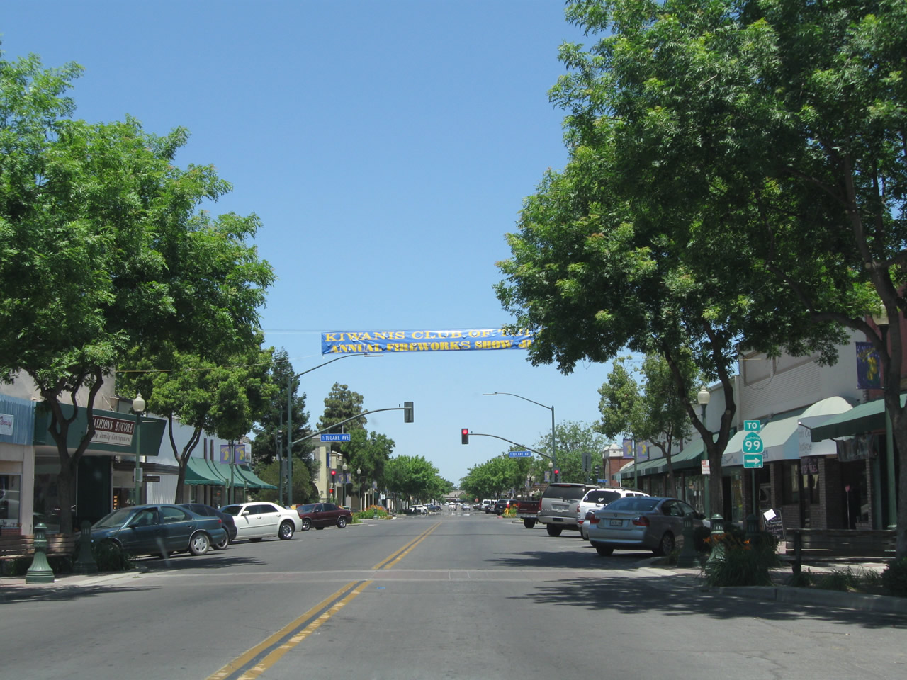
| TULARE |
| California 99 Business north |
|
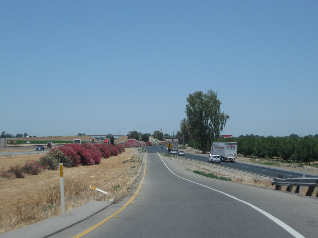
The business route through Tulare begins at Exit 83, Avenue 200 (Rankin Road), and extends north along K Street and J Street through downtown, reconnecting to California 99 at Exit 91. This view looks west on Avenue 200 as it crosses over California 99 and approaches the right turn onto K Street north. Photo taken 06/19/10. |
|
After crossing over California 99, Avenue 200 travels west toward K Street. Photo taken 06/19/10. |
|
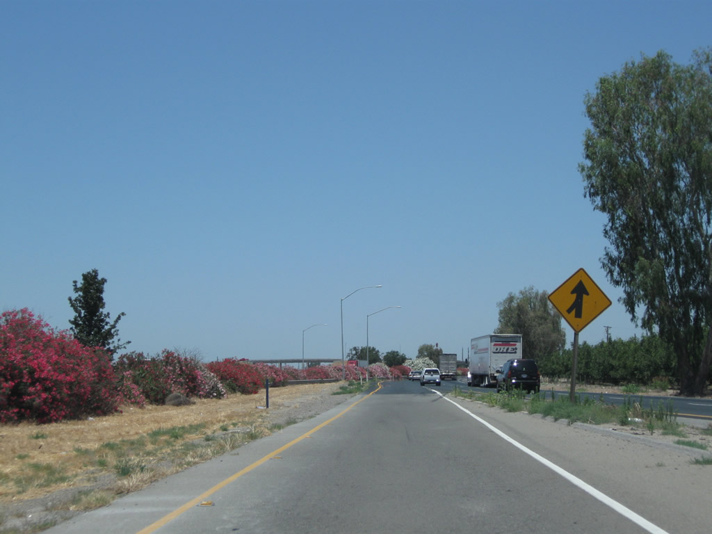
California 99 Business is mostly unsigned through Tulare. The next right (stop sign) connects to a loop ramp onto California 99 south to Bakersfield. Ahead, K Street will travel north into Tulare. Photo taken 06/19/10. |
|
California 99 Business (K Street) leaves the intersection with Avenue 200. Photo taken 06/19/10. |
|
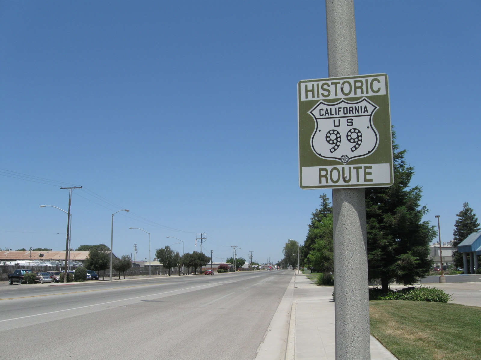
California 99 Business enters the city of Tulare, which had a population of 59,278 as of the 2010 Census and was incorporated on April 5, 1888. Photo taken 06/19/10. |
|
|
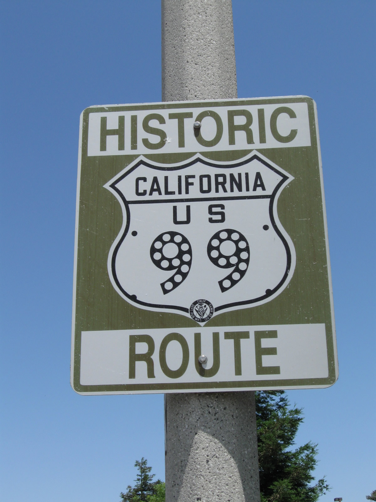
This Historic U.S. 99 marker is posted on northbound K Street after entering the city limits of Tulare. The historic route is signed sporadically along the business route. Photos taken 06/19/10. |
|
California 99 Business and Historic U.S. 99 proceed north along K Street through an industrial area. Photo taken 06/19/10. |
|
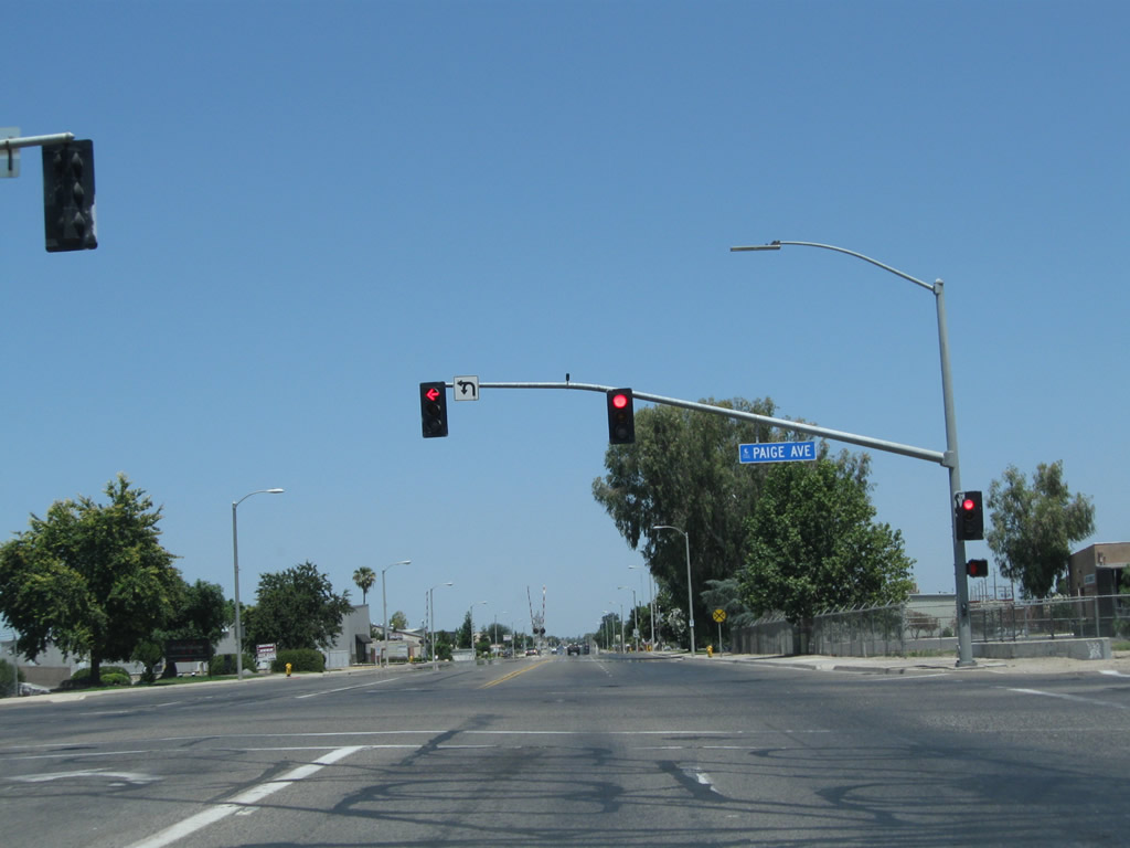
Northbound California 99 Business meets Paige Avenue at this traffic signal in Tulare. Photo taken 06/19/10. |
|
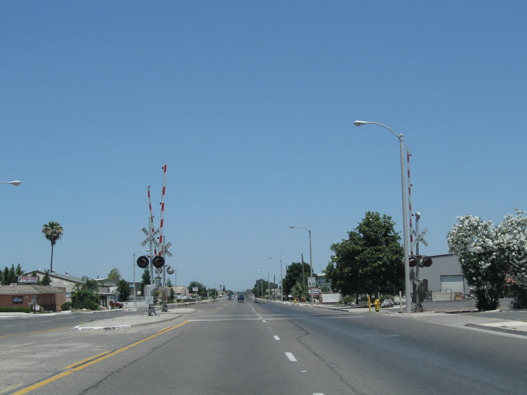
California 99 Business (K Street) widens to four lanes and approaches a railroad crossing. Photo taken 06/19/10. |
|
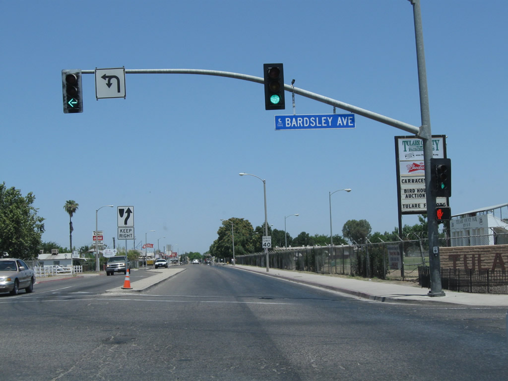
Northbound California 99 Business meets Bardsley Avenue at this traffic signal. On the right (east side) of the roadway are the Tulare County Fairgrounds. Photo taken 06/19/10. |
|
Downtown Tulare begins right after crossing the next set of railroad tracks shown here. Photo taken 06/19/10. |
|
California 99 Business splits from K Street at this intersection. K Street will continue north along the original alignment of U.S. 99, while California 99 Business curves left onto J Street to bypass downtown. Photo taken 06/19/10. |
|
This view looks north on California 99 Business after the Tulare Avenue intersection. Photo taken 06/19/10. |
|
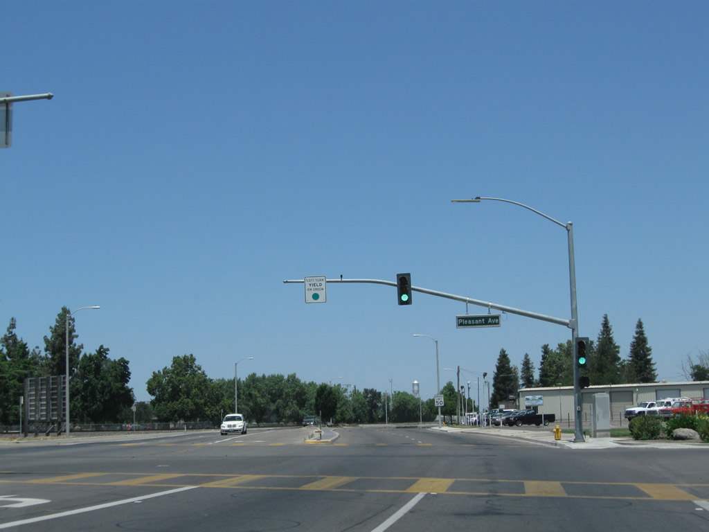
Northbound California 99 Business approaches Pleasant Avenue at this traffic signal. Photo taken 06/19/10. |
|
Certain sections of California 99 Business (J Street) between Tulare Avenue and Prosperity Avenue feature tree-lined medians such as this. Photo taken 06/19/10. |
|
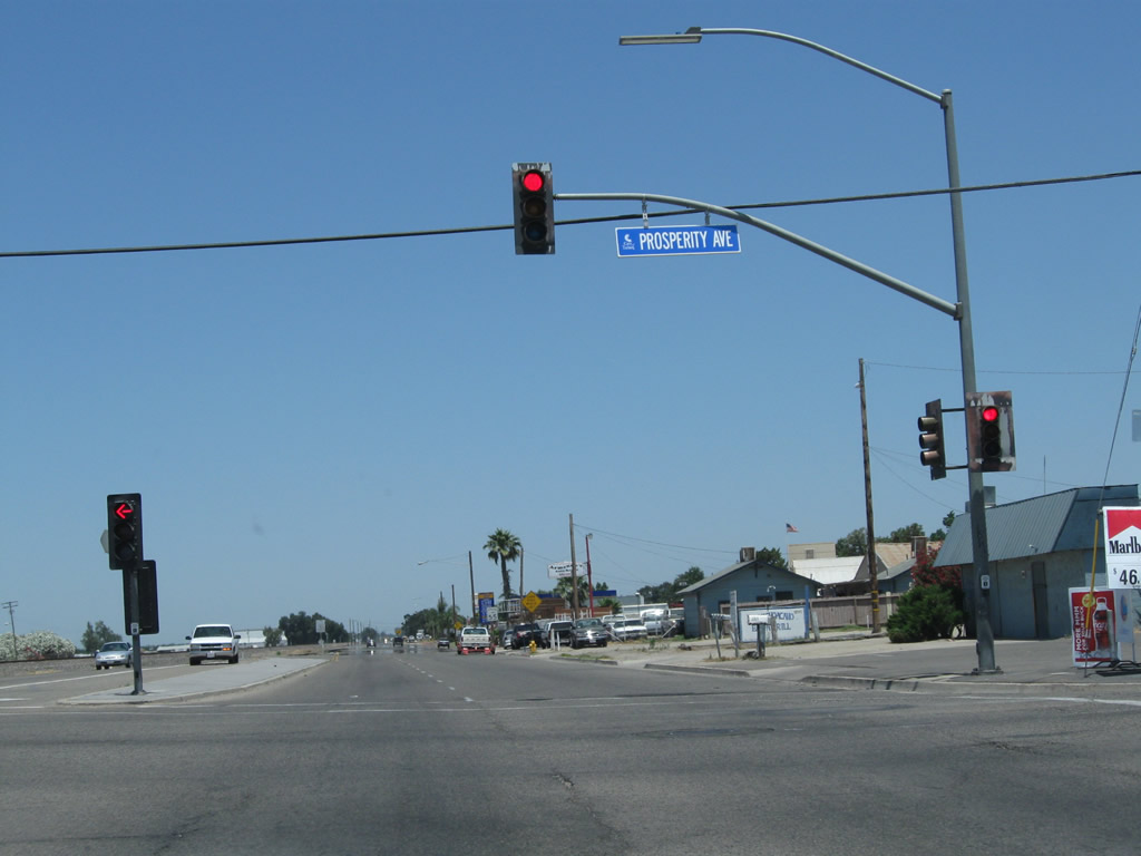
Northbound California 99 Business (J Street) meets Prosperity Avenue at this signalized intersection. Photo taken 06/19/10. |
|
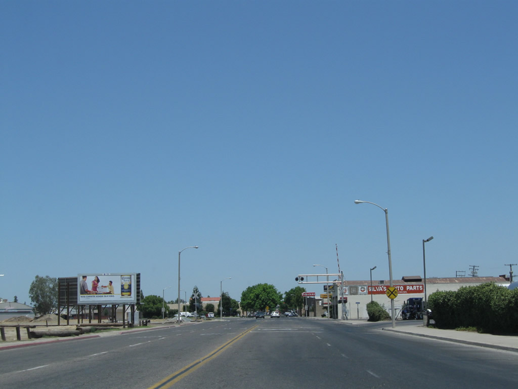
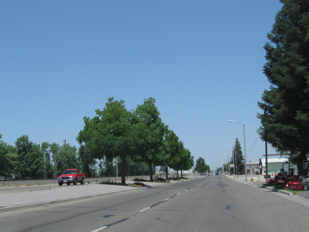
Leaving the urbanized area of Tulare, California 99 Business reduces to two lanes and closely follows the railroad tracks north out of town. Photo taken 06/19/10. |
|
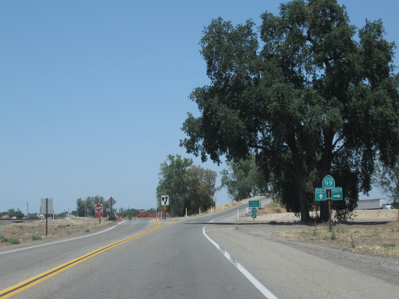
After the Cartmill Avenue stop sign intersection, northbound California 99 Business meets its northern terminus at its merge back onto California 99. Turn right for California 99 south to Bakersfield or continue straight ahead for the merge onto California 99 north. Photo taken 06/19/10. |
|
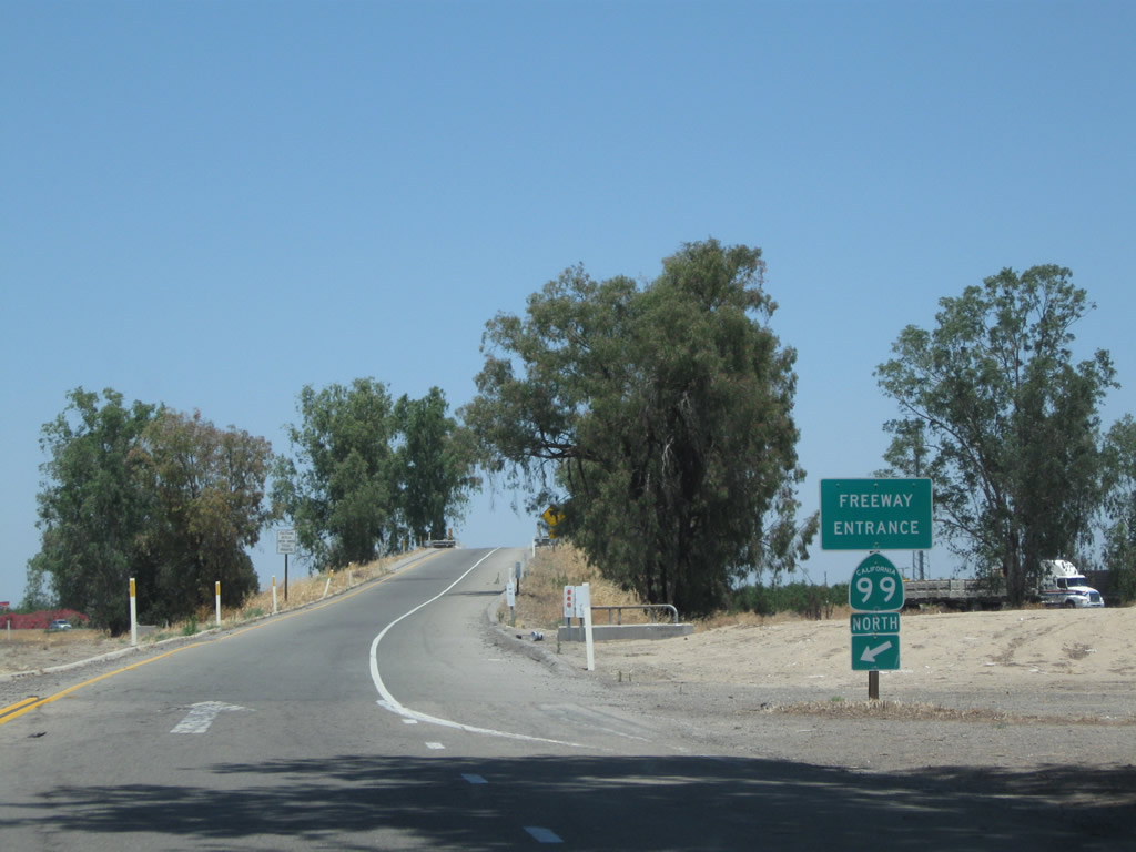
A California 99 north freeway entrance shield assembly is posted shortly thereafter. The on-ramp to California 99 will deliver traffic into a left merge onto the freeway. Photo taken 06/19/10. |
|
|
|
|
Traffic from California 99 Business merges onto the freeway from the left. Photos taken 06/19/10. |
|
|
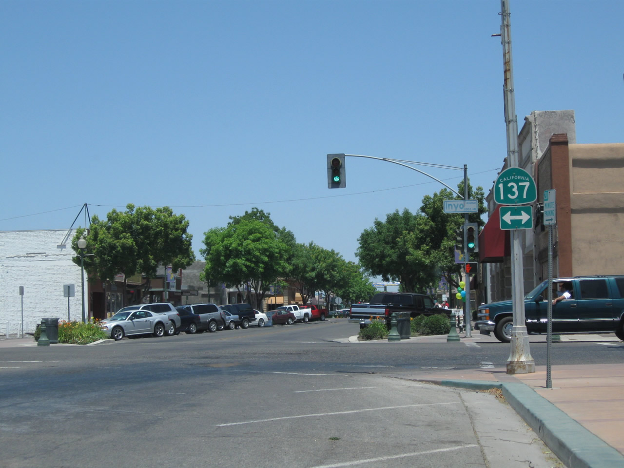
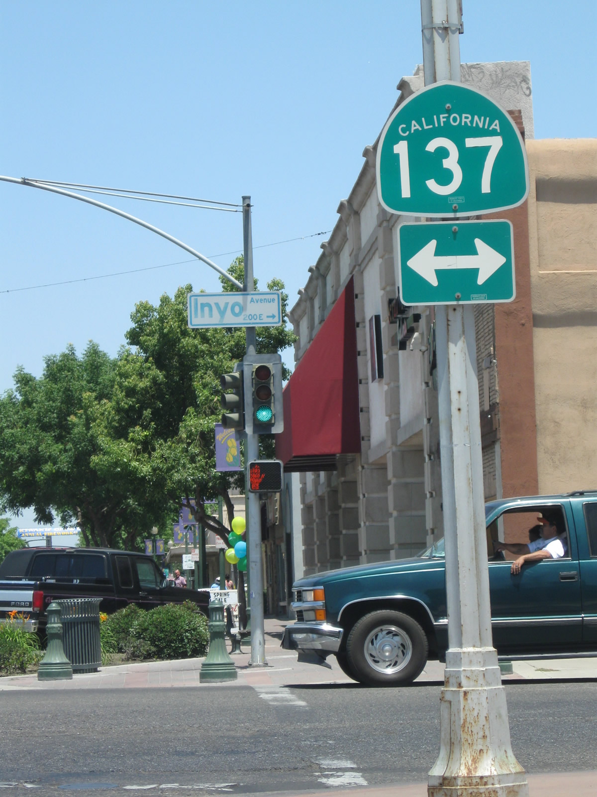
K Street (Historic U.S. 99) proceeds through downtown Tulare, meeting California 137 (Inyo Avenue) at this traffic signal. California 137 travels southwest to California 43 in Corcoran and east to California 63 (Mooney Boulevard) and ultimately California 65 near Lindsay. Photos taken 06/19/10. |
|
|
Now in downtown Tulare along tree-lined K Street, northbound Historic U.S. 99 approaches Tulare Avenue, which travels east to California 99. Photos taken 06/19/10. |
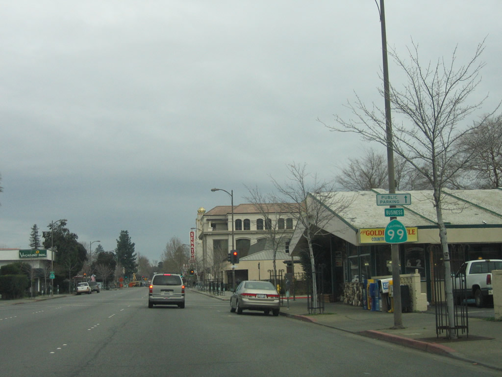
| CHICO |
| California 99 Business north |
|
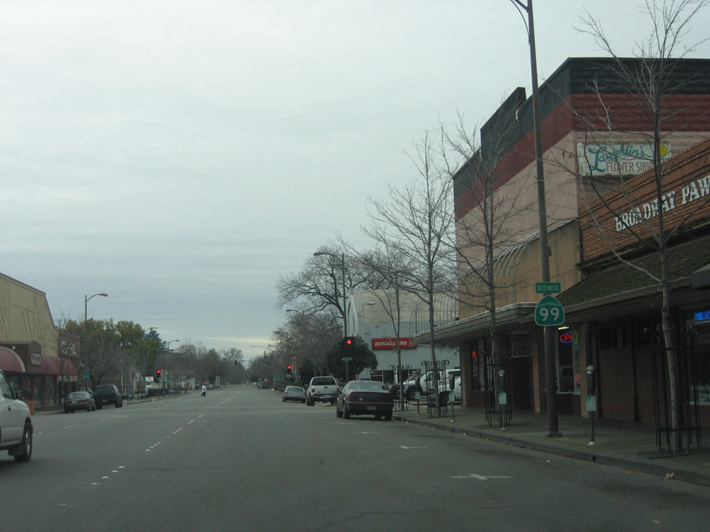
This California 99 Business reassurance shield is posted along northbound Main Street in downtown Chico after the intersection with California 32 (Eighth Street), next to the Thunderbird Lodge. Photo taken 01/15/06. |
|
This view looks north on California 99 Business (Main Street) at the Seventh Street intersection. Photo taken 05/24/08. |
|
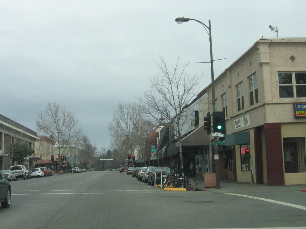
Northbound California 99 Business (Main Street) meets Fourth Street. Photo taken 01/15/06. |
|
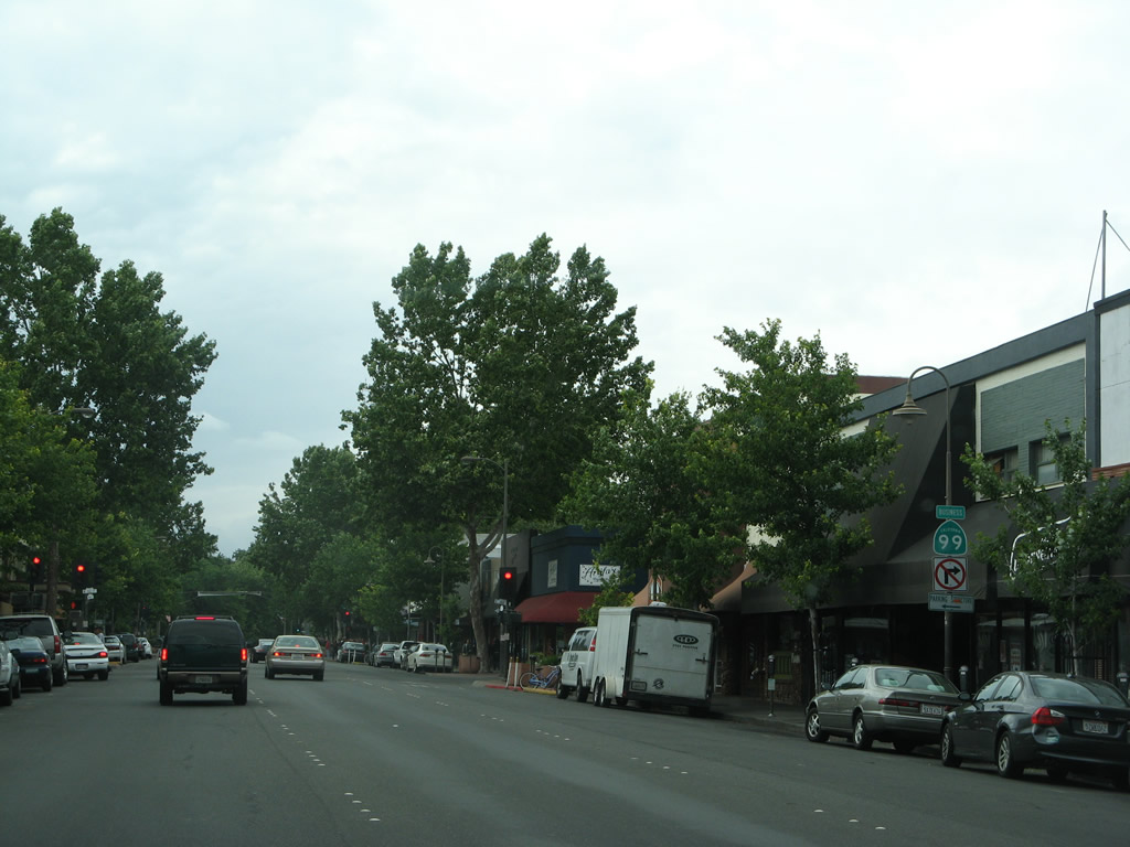
A California 99 Business reassurance shield is posted along northbound Main Street between Fourth Street and Third Street. Small shops and restaurants line both sides of Main Street. Photo taken 05/24/08. |
|
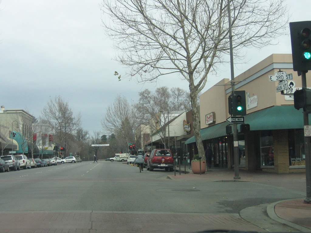
Northbound California 99 Business (Main Street) meets Third Street at this traffic signal. Photo taken 01/15/06. |
|
And soon thereafter, California 99 Business (Main Street) meets Second Street. Photo taken 01/15/06. |
|
This California 99 Business reassurance shield is posted along northbound Main Street between Second Street and First Street. Photo taken 05/24/08. |
|
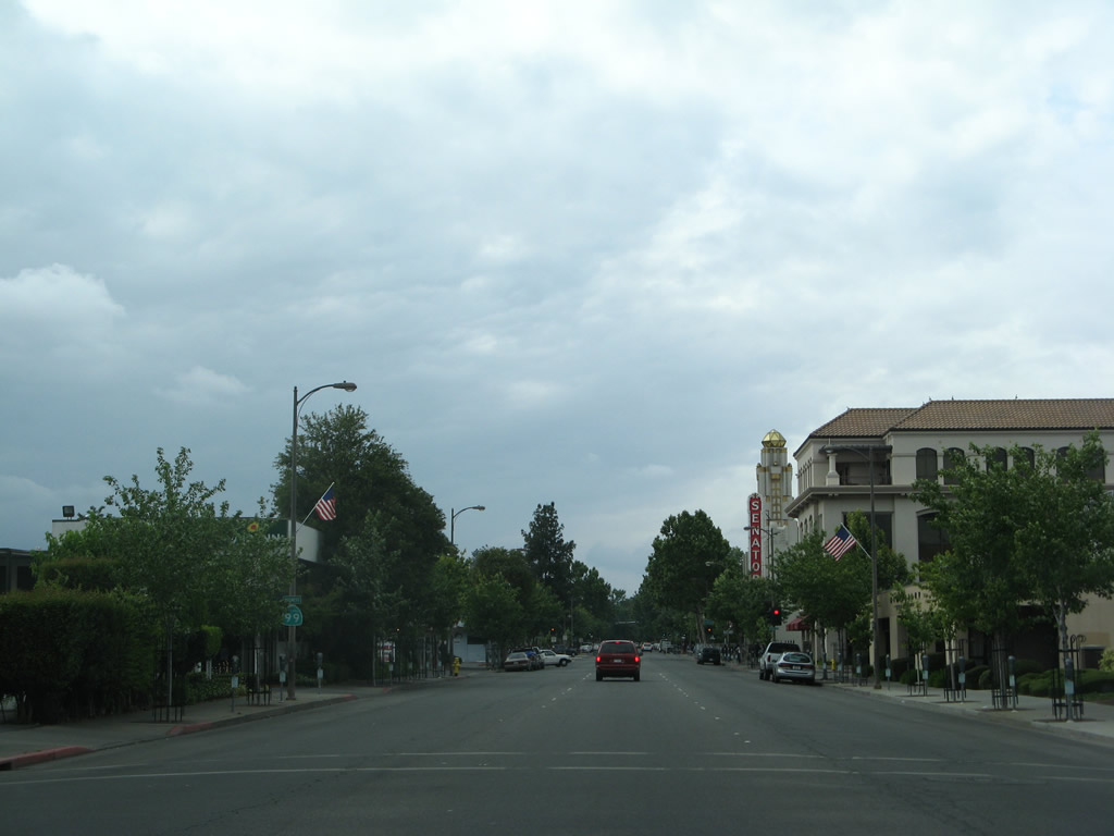
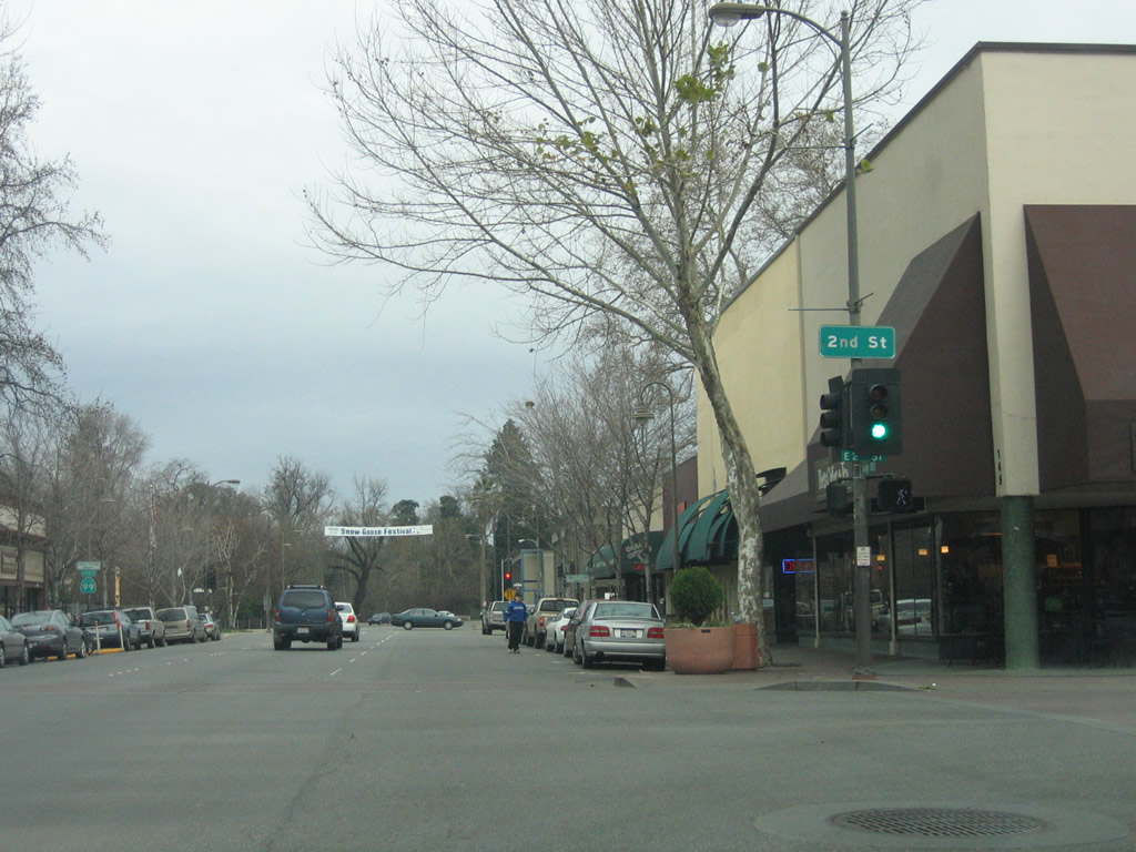
Main Street and Shasta Way merge together to bring the two directions of California 99 Business back together again after passing through downtown Chico. Ahead, California 99 Business (Old U.S. 99E) will follow the Esplanade north. Photo taken 05/24/08. |
|
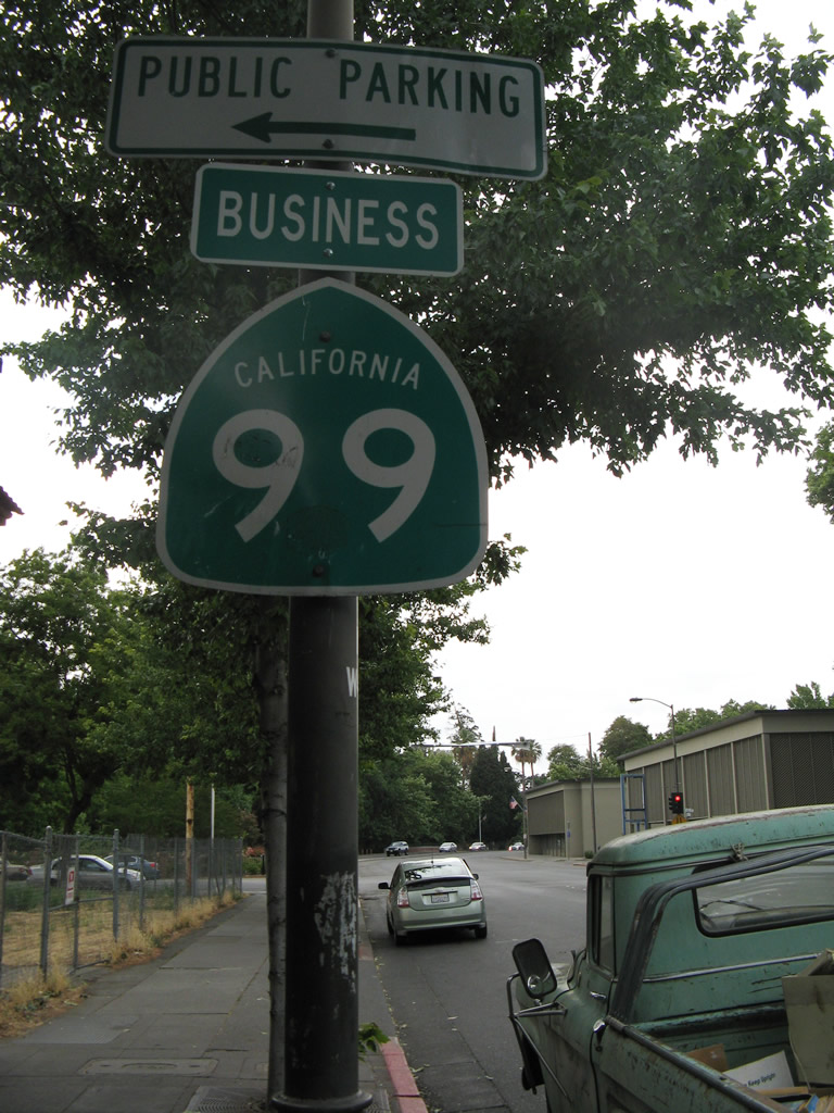
California 99 Business route marker is posted on the Esplanade between Eighth Avenue and Ninth Avenue. Photo taken 05/24/08. |
|
|
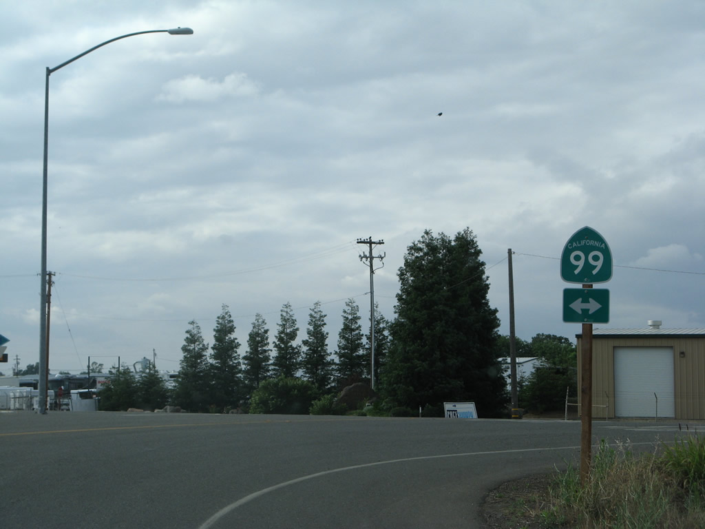
Much further north, northbound California 99 Business approaches California 99. Turn left for California 99 north to Red Bluff or right for California 99 south to Sacramento. Photos taken 05/24/08. |
| California 99 Business south |
|
This California 99 Business reassurance shield is posted along southbound Broadway Street between 6th Street and 7th Street. Photo taken 01/15/06. |
|
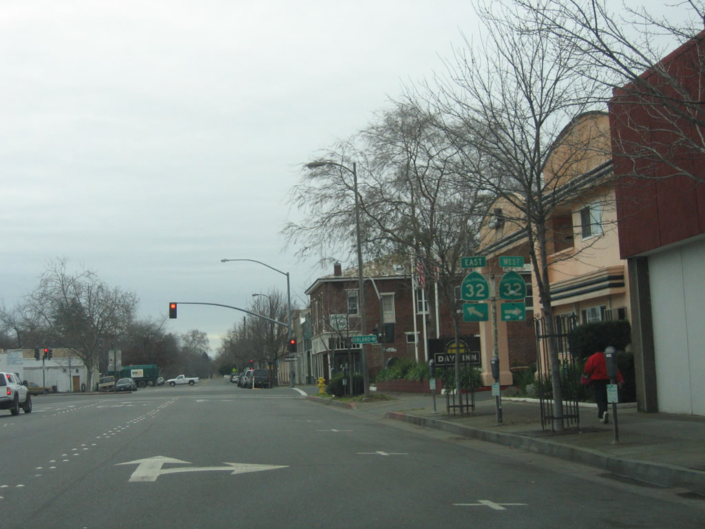
Southbound California 99 Business (Broadway Street) approaches California 32 (Eighth Street) west and California 32 (Ninth Street) east. Photo taken 01/15/06. |
Page Updated February 12, 2012.