
California 99 North - Sutter County
| California 99 north | |
|---|---|
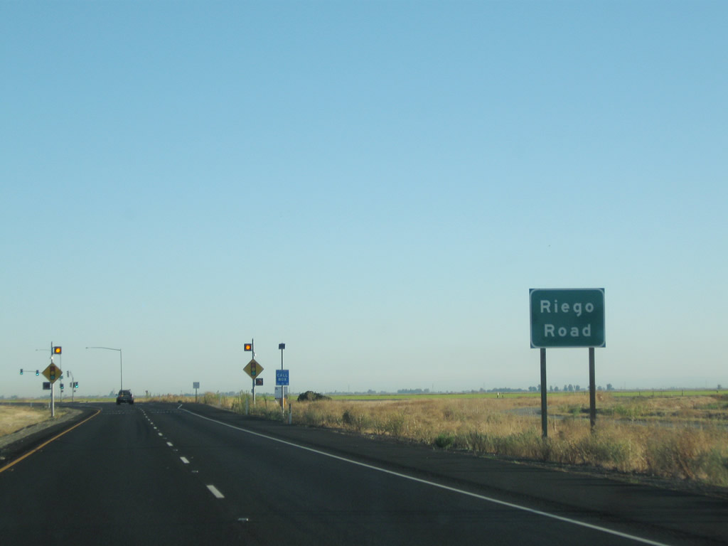 |
Northbound California 99 approaches the signalized intersection with Riego Road. Photo taken 09/04/10. |
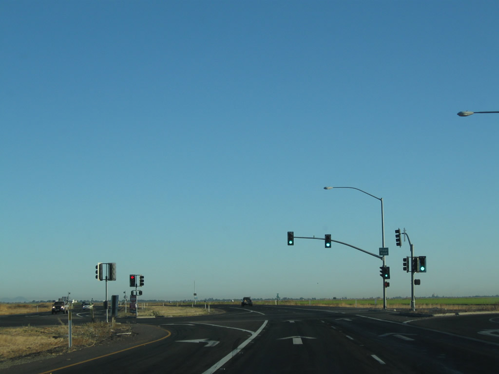 |
Meeting Riego Road, northbound California 99 continues north as an at-grade expressway with traffic signals. Photo taken 09/04/10. |
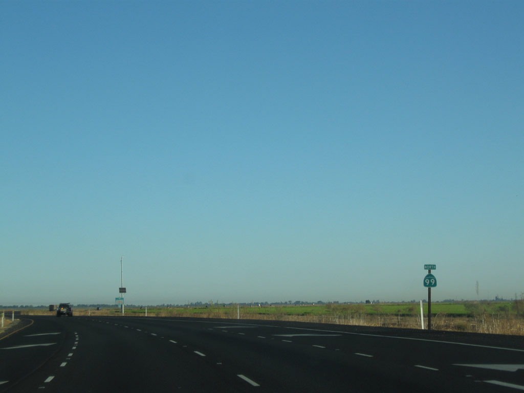 |
A California 99 north reassurance shield is posted after Riego Road. Photo taken 09/04/10. |
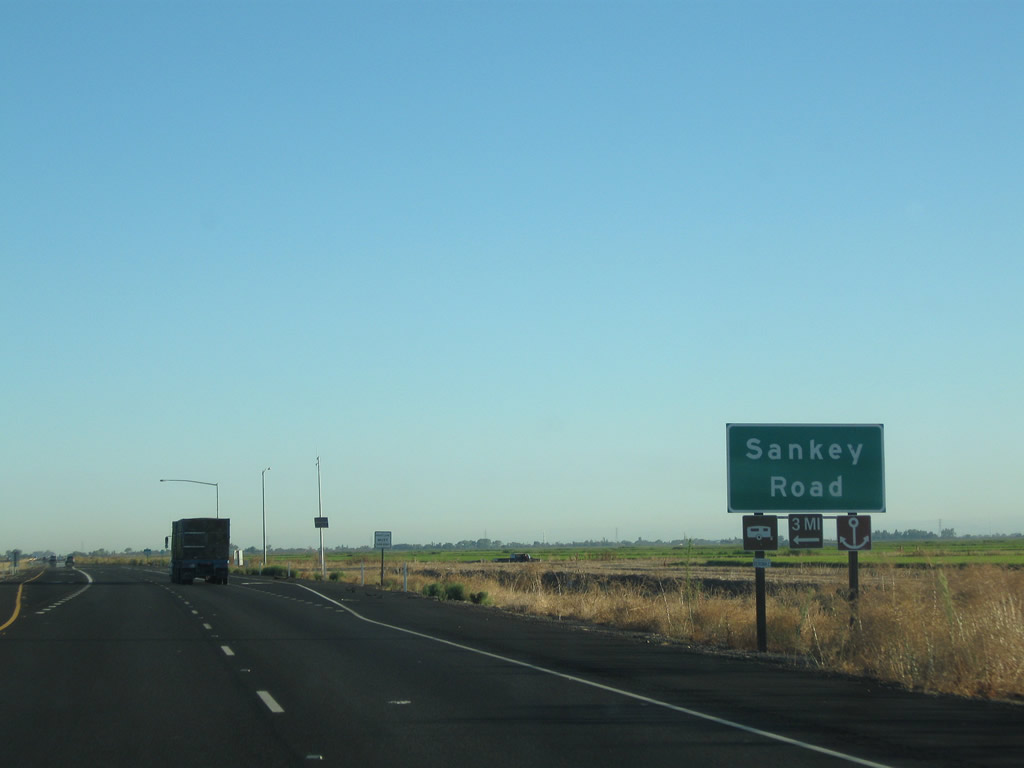 |
The next intersection along northbound California 99 is with Sankey Road. Photo taken 09/04/10. |
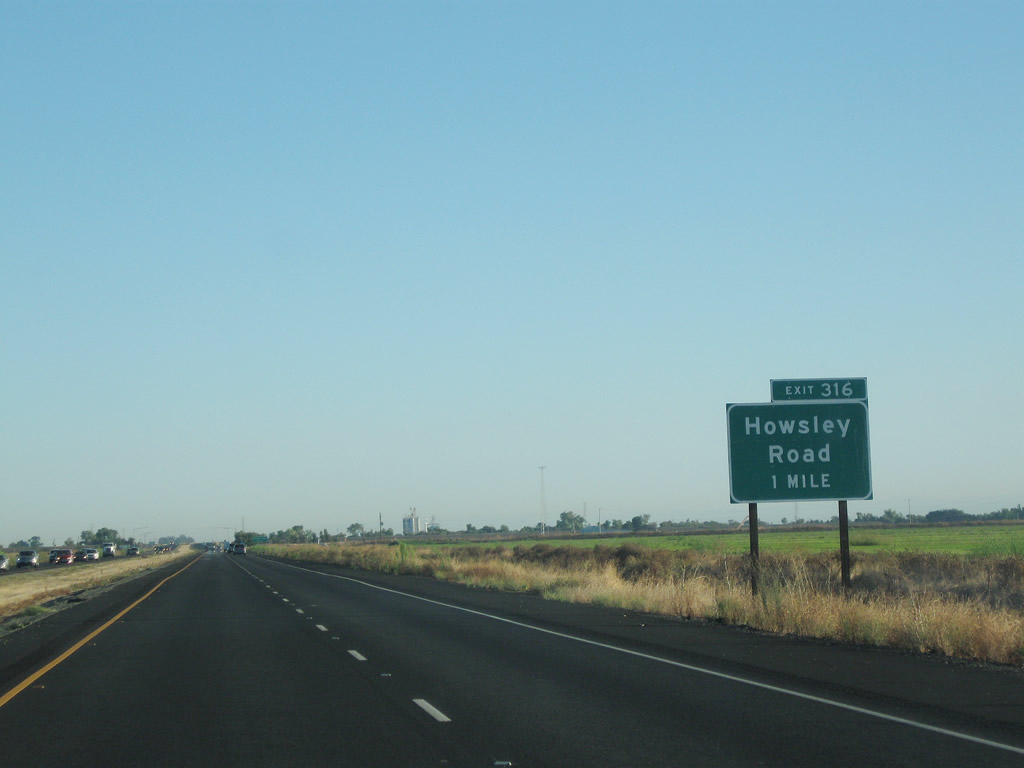 |
Resuming a freeway configuration, northbound California 99 next approaches Exit 316, Howsley Road (one mile). Photo taken 09/04/10. |
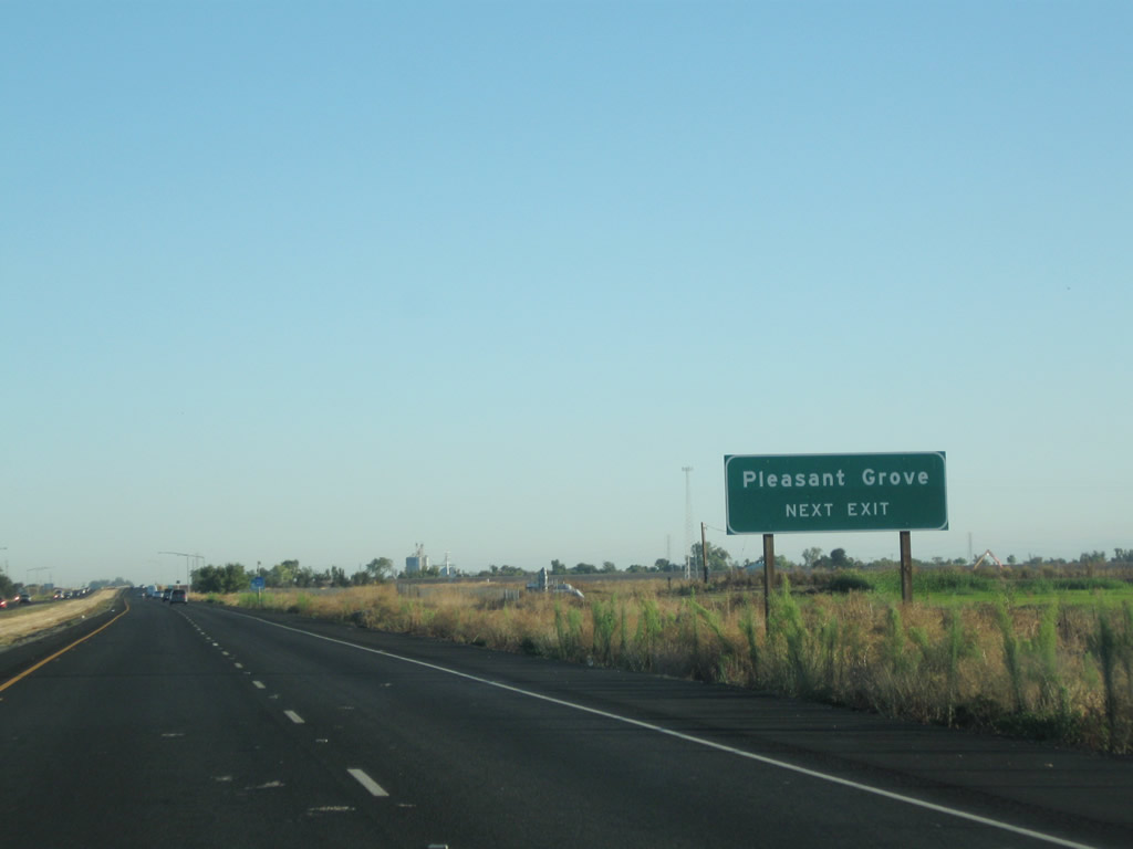 |
Use Howsley Road east to Pleasant Grove. Photo taken 09/04/10. |
 |
Northbound California 99 meets Exit 316, Howsley Road. Photo taken 01/15/06. |
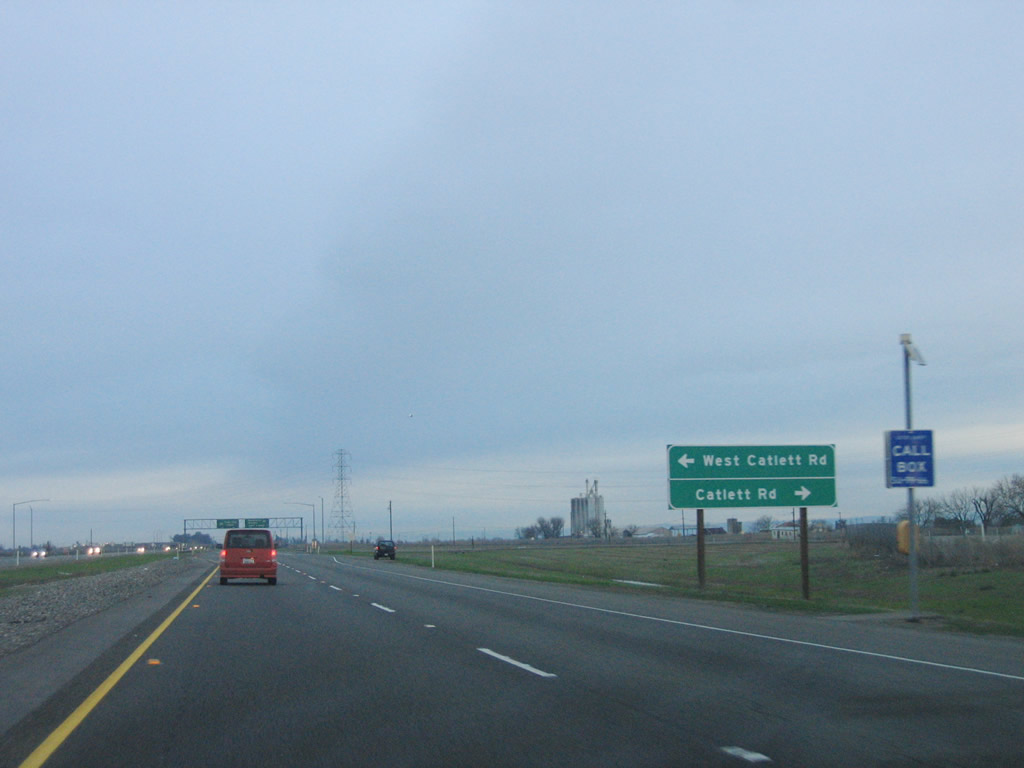 |
Another at-grade intersection is located between Exits 316 and 319. This intersection connects California 99 with Catlett Road. Photo taken 01/15/06. |
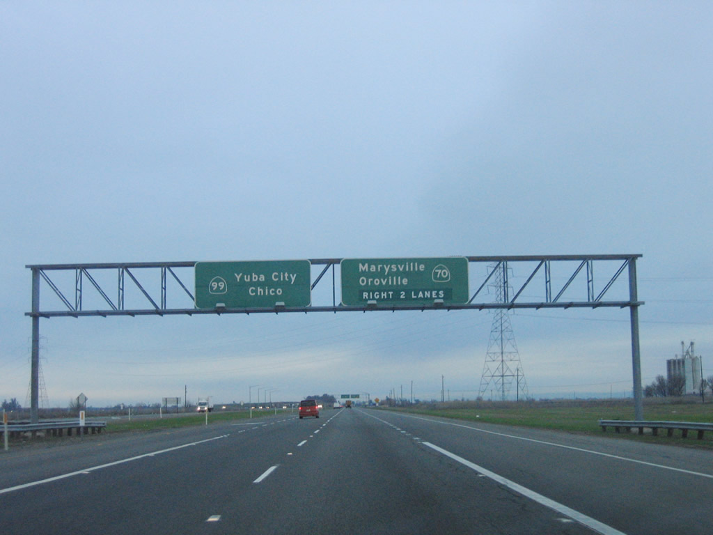 |
The next exit along California 99 north is Exit 319, California 70 north to Marysville and Oroville. At one time, California 70 and California 99 were cosigned between Interstate 5 and the upcoming split at Exit 319, but the California 70 signs were removed or covered in the late 1990s. Photo taken 01/15/06. |
 |
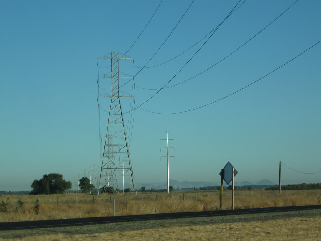 |
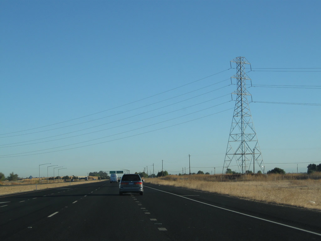
A Pacific Gas & Electric power line passes over California 99 just before the California 70 split. Photos taken 09/04/10. |
 |
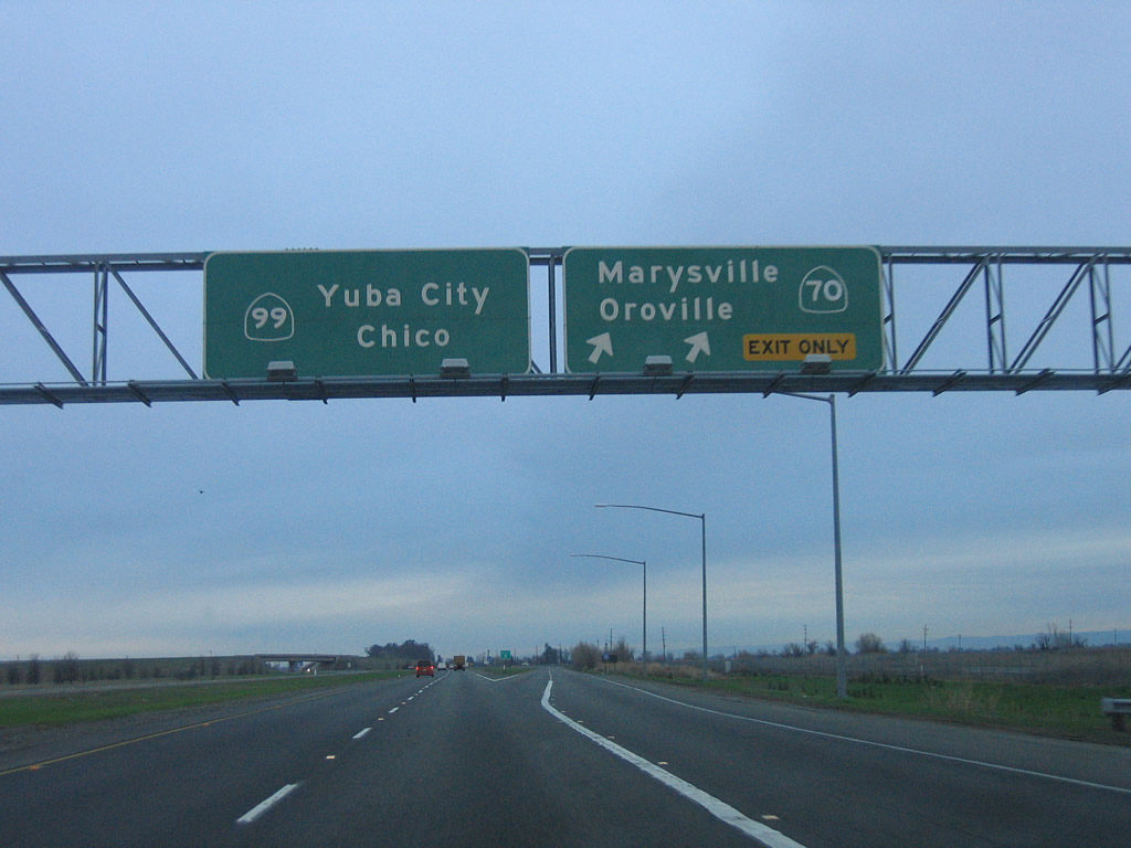 |
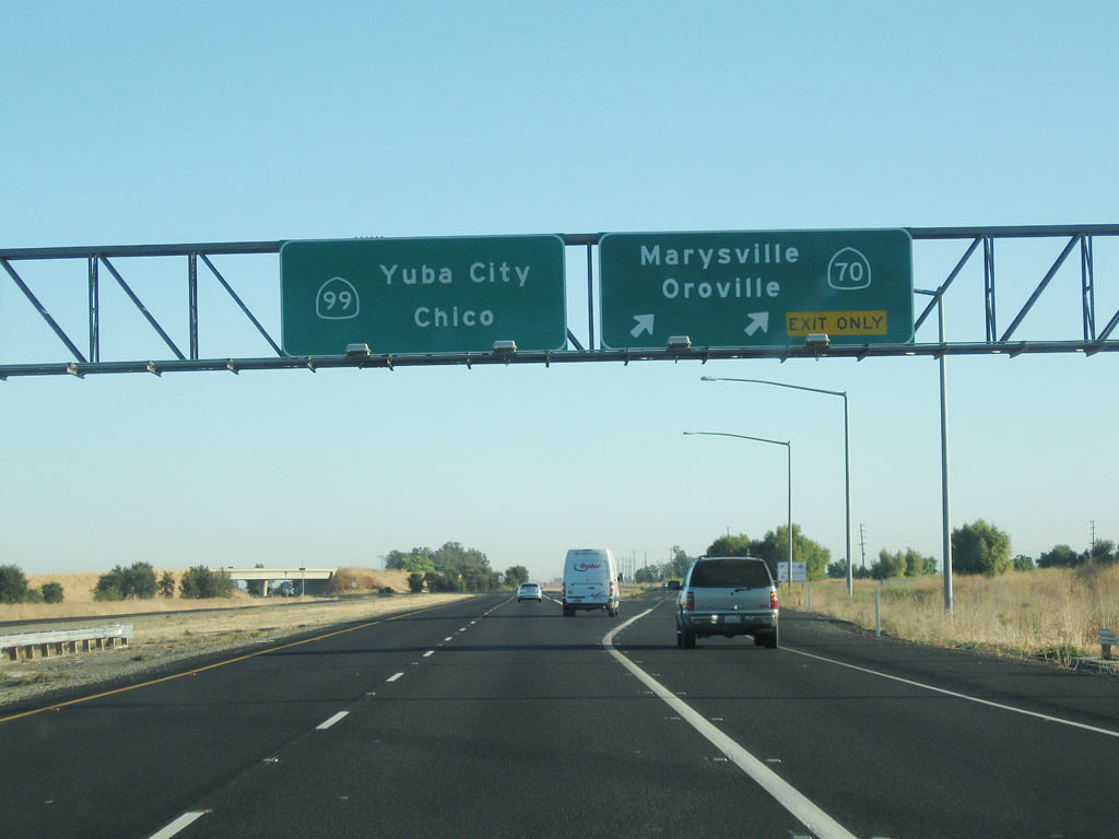
Northbound California 99 meets Exit 319, northbound California 70. California 70 roughly parallels California 99 to the east of the Feather River, while California 99 remains west of the Feather River. The Feather River is a major tributary of the Sacramento River. California 70 follows the north branch of the Feather River into the Sierra Nevada, following former U.S. 40 Alternate through the Feather River Canyon and ultimately to a junction with U.S. 395 just northwest of Reno, Nevada. Photos taken 09/04/10 and 01/15/06. |
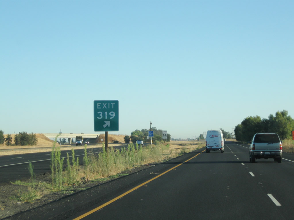 |
An Exit 319 gore point sign is posted at the separation between California 99 and California 70. Photo taken 09/04/10. |
 |
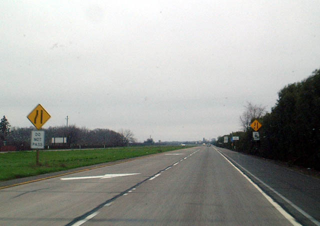
Continuing north, this view shows California 99 after Exit 319, the northbound California 70 split. Photo taken 01/20/03. |
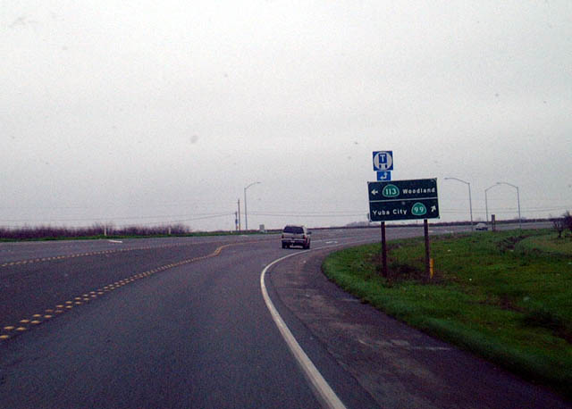 |
Two-lane California 99 continues as a busy highway after splitting off California 70. The next major intersection is with California 113, coming from Davis and Woodland and Interstate 5. California 113 carries a good amount of traffic itself, since it is a freeway between Davis and Woodland. A new four-lane expressway segment was built between Laurel Avenue and California 113, including a realignment of California 99 off of Garden Highway and Tudor Road that shortened the overall trip. This improvement was completed in 2010.1 Photo taken 01/20/03. |
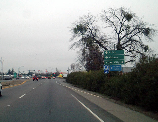 |
Heading into the metropolitan Yuba City-Marysville area, California 99 widens into four lanes as it passes through a commercial area. This photo shows northbound California 99 approaching California 20. Note the lack of a California 20 shield on the advance signs. Between 1954 and 1964, this section of California 99 was signed as U.S. 40 Alternate. The alternate route then turns east via California 20 between Yuba City and Marysville. Photo taken 01/20/03. |
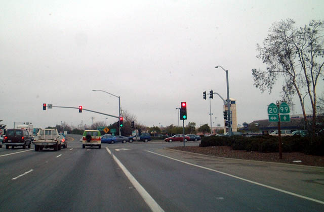 |
Northbound California 99 meets California 20 at this signalized intersection. California 20 leads east into downtown Yuba City and Marysville, then continues into the foothills via Grass Valley/Nevada City. Turn right here for the continuation of former U.S. 40 Alternate east. Westbound California 20 crosses the Central Valley, passing south of the Sutter Buttes, then crossing the Sacramento River near Colusa. California 20 meets Interstate 5 at Williams, then enters the Coast Range, skirting the north shore of Clear Lake en route to Ukiah and Fort Bragg on the coast. Photo taken 01/20/03. |
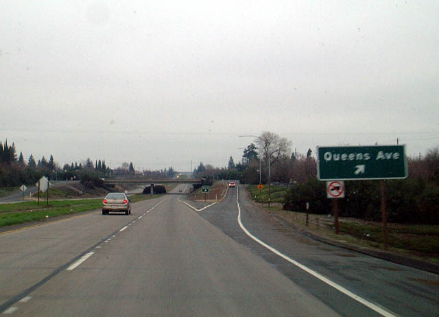 |
After passing California 20, northbound California 99 widens into a freeway. The first exit is Exit 342, Queens Avenue, in Yuba City. There are provisions to construct an interchange between California 99 and California 20 to the west of the current intersection, but no such construction has occurred. It is very clear as to how the road would connect to such an interchange as seen from southbound. Photo taken 01/20/03. |
|
Northbound California 99 meets Exit 342, Queens Avenue, in Yuba City. Photo taken 01/20/03. |
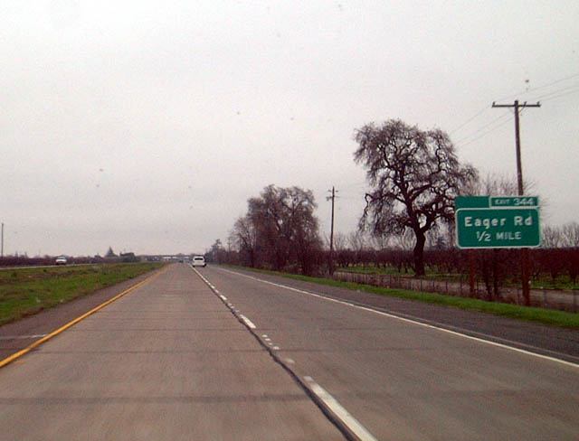 |
The next exit along California 99 north is Exit 344, Eager Road, one-half mile. Photo taken 01/20/03. |
 |
This section of freeway ends a few miles north of Yuba City, as northbound California 99 reverts to a busy, two-lane highway at the point where it merges with Live Oak Boulevard (old U.S. 99E). Photo taken 01/20/03. |
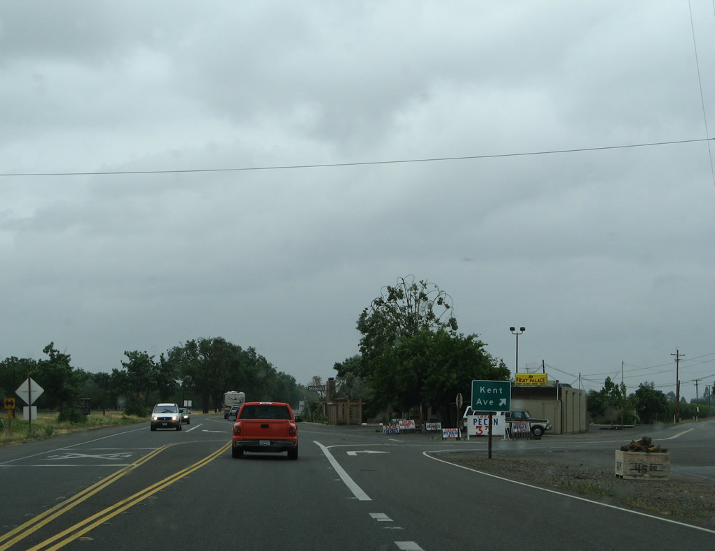 |
After the intersection with Live Oak Boulevard (old U.S. 99E), California 99 continues north as a two-lane highway. The next signed intersection is with Kent Avenue, which travels north while California 99 aims northwest. Photo taken 05/24/08. |
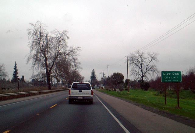 |
California 99 enters the city of Live Oak, which had a population of 8,392 as of the 2010 Census and was incorporated on January 22, 1947. Photo taken 01/20/03. |
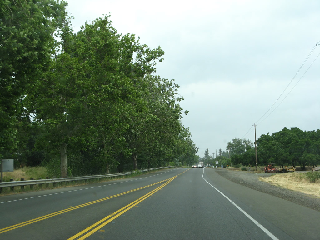 |
California 99 passes through orchards before reaching the urbanized areas of the city of Live Oak. Photo taken 05/24/08. |
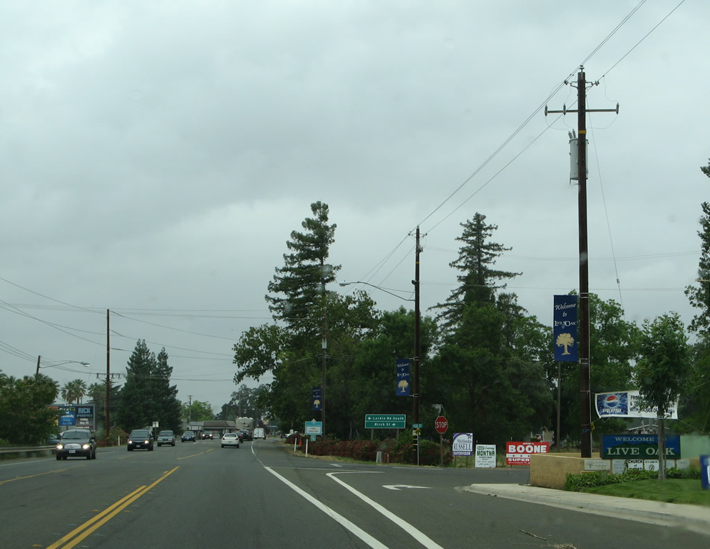 |
Northbound California 99 approaches Ash Street, followed by Birch Street and a connector road that links California 99 to southbound Larkin Road in Live Oak. This connector road merely carries traffic across the railroad tracks that parallel California 99 just west of here. Photo taken 05/24/08. |
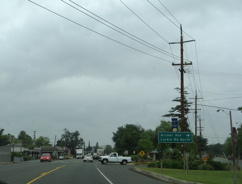 |
The next right turn connects to Archer Avenue east and Larkin Road north. Photo taken 05/24/08. |
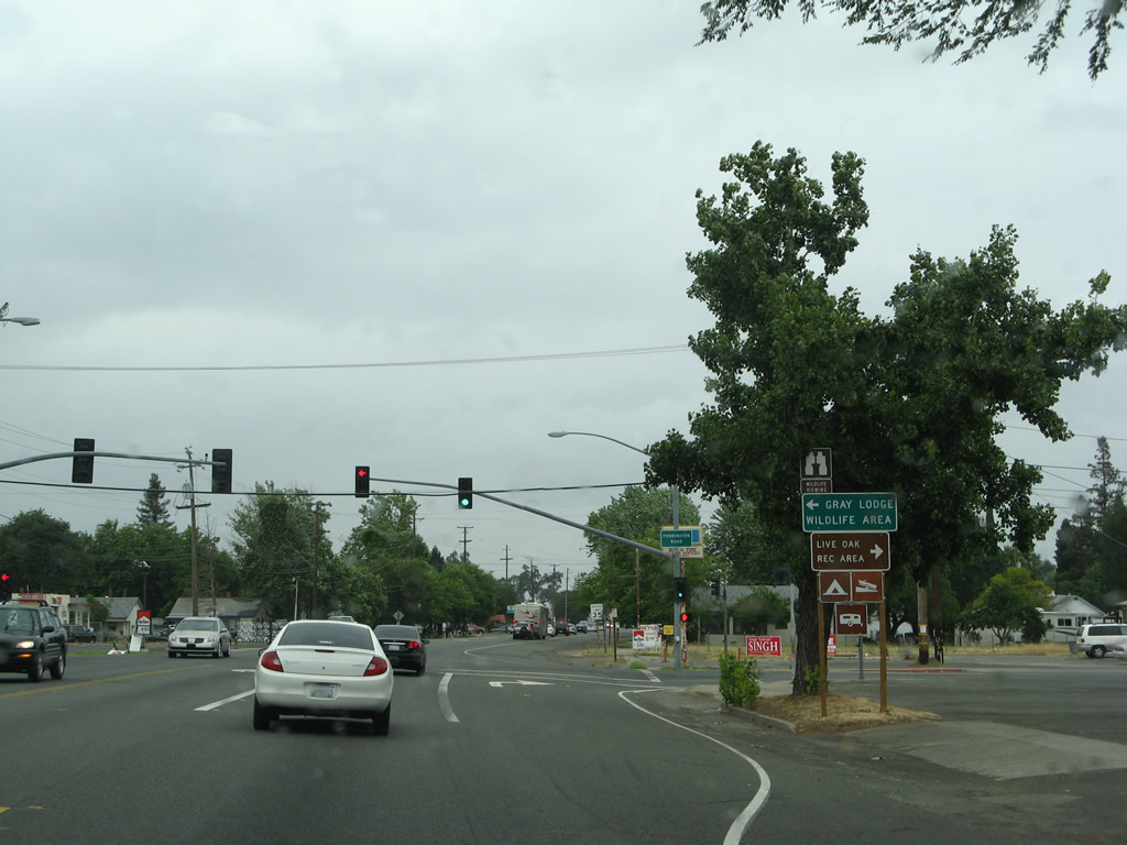 |
Northbound California 99 (old U.S. 99E) meets Pennington Road in downtown Live Oak. On the southeast corner of this intersection is the Live Oak city hall. Turn left for Pennington Road west to the Gray Lodge Wildlife Area in Butte County. Turn right for Pennington Road east to the Live Oak Recreation Area for camping and boating. Photo taken 05/24/08. |
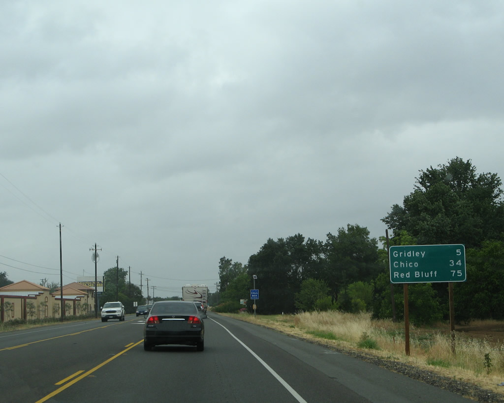 |
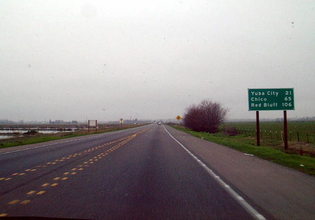
Leaving Live Oak, this mileage sign along California 99 north provides the distance to Gridley (five miles), Chico (34 miles), and Red Bluff (75 miles). Photo taken 05/24/08. |
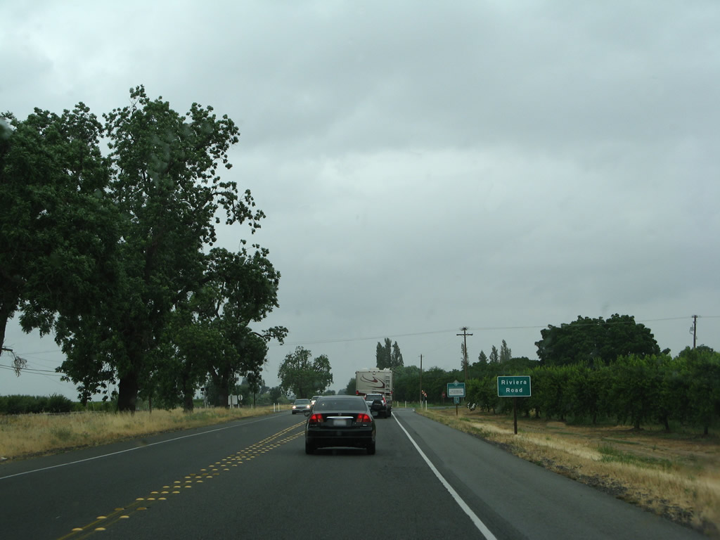 |
Northbound California 99 approaches Riviera Road and will soon leave Sutter County and enter Butte County. Photo taken 05/24/08. |
Sources:
- Caltrans Journal 2010-2011 Annual Report: Caltrans Extends a Thank You to Those Who Served. (Issue 2).

Page Updated January 15, 2012.
|
About Contact Glossary |
In The News Interstate Guide |
Social Media:
 |
|
© 2000-25 AARoads.com | All Rights Reserved | Privacy Policy / Terms of Use
|
||