
California 111 Business - Palm Springs
California 111 Business serves downtown Palm Springs via Palm Canyon Drive and Indian Canyon Drive. Between Vista Chino (California 111) in the north and Camino Parocela in the south, the business route follows a one-way couplet formed by Palm Canyon Drive (southbound) and Indian Canyon Drive (northbound).
| California 111 Business north | |
|---|---|
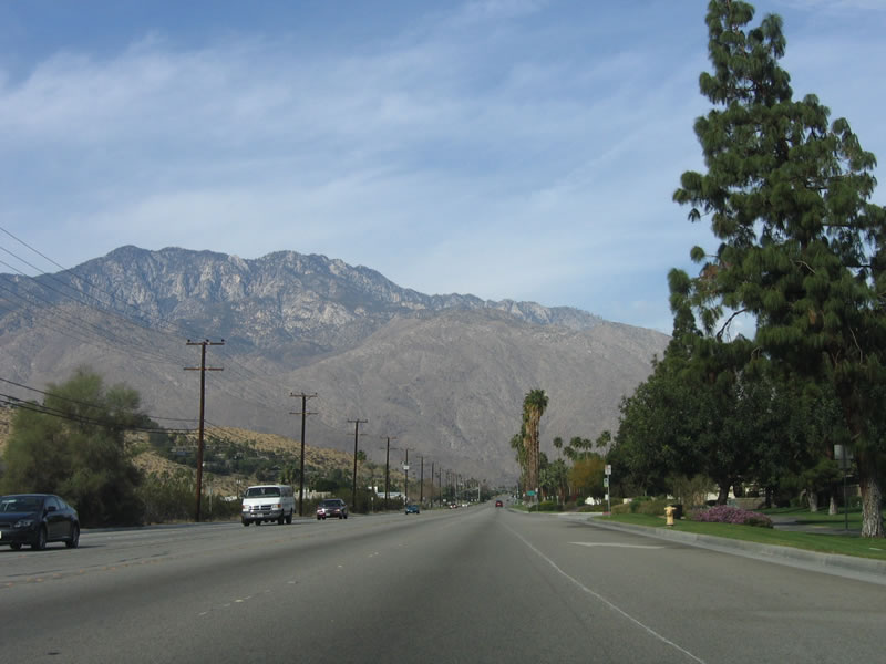 |
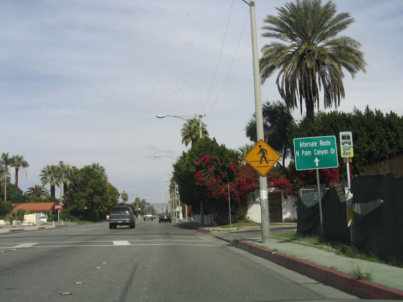
California 111 Business follows Palm Canyon Drive in a northwesterly direction after the split from California 111 at Gene Autry Trail. After Escoba Drive, the business loop travels due west, then turns north at South Palm Canyon Drive. At Camino Parocela, the business loop splits into a one-way couplet formed by Palm Canyon Drive and Indian Canyon Drive. Mount San Jacinto looms in the distance as California 111 Business approaches downtown Palm Springs. Photo taken 02/26/06. |
 |
The next traffic signal on northbound California 111 Business (Palm Canyon Drive) is with Cherokee Way. Photo taken 02/26/06. |
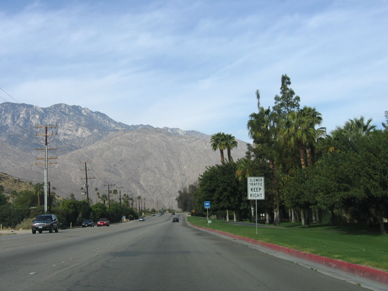 |
On this older expressway-style roadway, the city of Palm Springs maintains California 111 Business. Access is limited to certain intersections along this particular stretch of Palm Canyon Drive. All slower traffic must remain in the right lane. Photo taken 02/26/06. |
 |
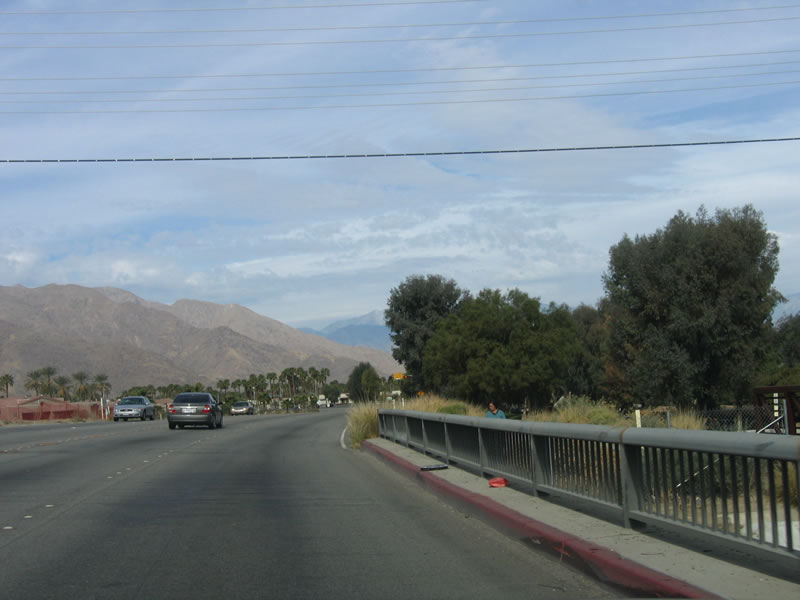 |
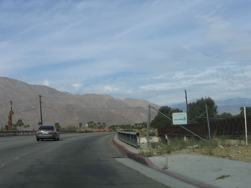
California 111 Business crosses the Palm Canyon Wash on this older bridge. Photos taken 02/26/06. |
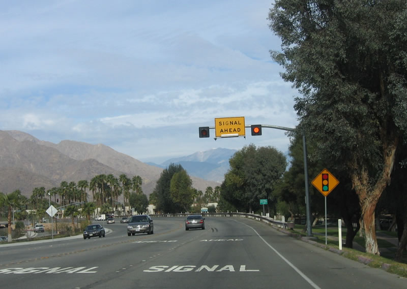 |
The next traffic signal is with Araby Drive and Escoba Drive. Photo taken 02/26/06. |
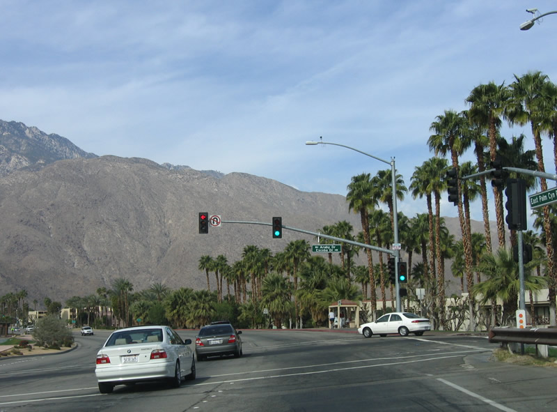 |
Araby Drive travels south for residential access before it dead ends. Escoba Drive travels east and connects to north-south El Cielo Road. El Cielo Road connects with Tony Jacobs Bel Air Gardens, Mesquite Country Club, and Palm Springs International Airport. Photo taken 02/26/06. |
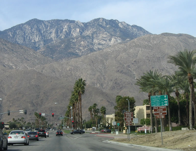 |
The next traffic signal is for Farrell Drive and Barona Road. This mileage sign provides the distance to destinations along northbound Farrell Drive: Tahquitz Canyon Road (1.5 miles), Palm Springs City Hall (2 miles), and Palm Springs International Airport (2 miles). Photo taken 02/26/06. |
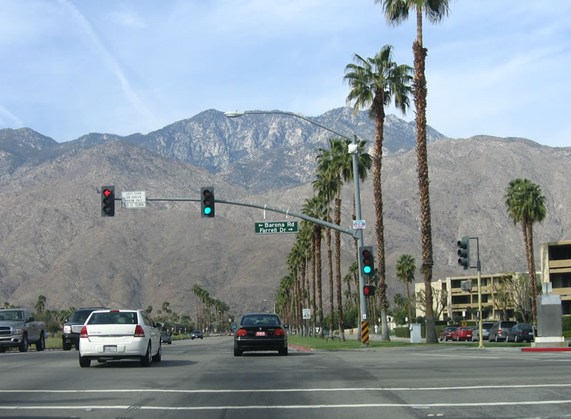 |
Northwestbound California 111 Business meets Farrell Drive and Barona Road at this intersection. Barona Road travels south to provide local access and dead ends at the Palm Canyon Wash. Photo taken 02/26/06. |
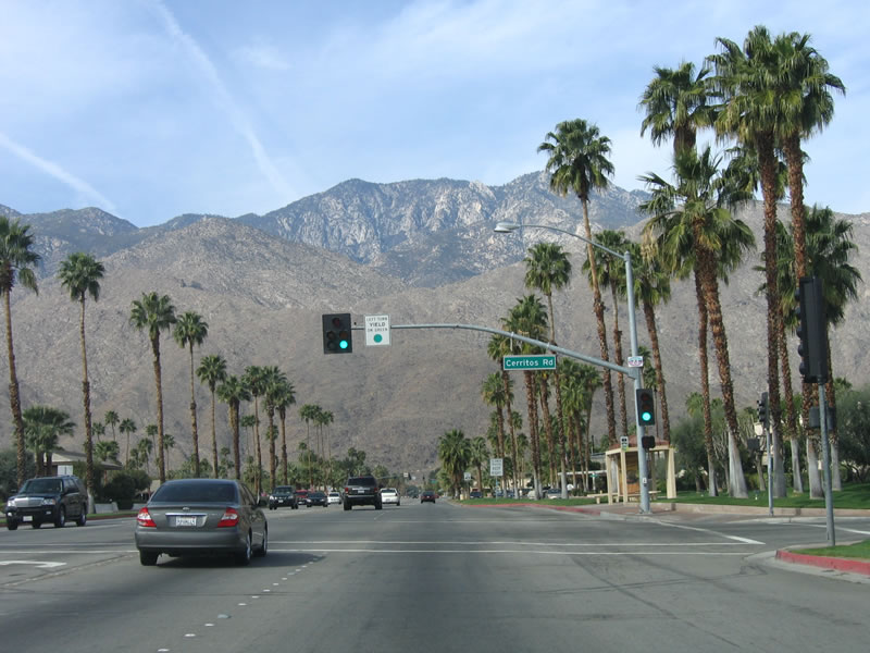 |
The next traffic signal along California 111 Business north is with Cerritos Drive, a local collector street. Photo taken 02/26/06. |
 |
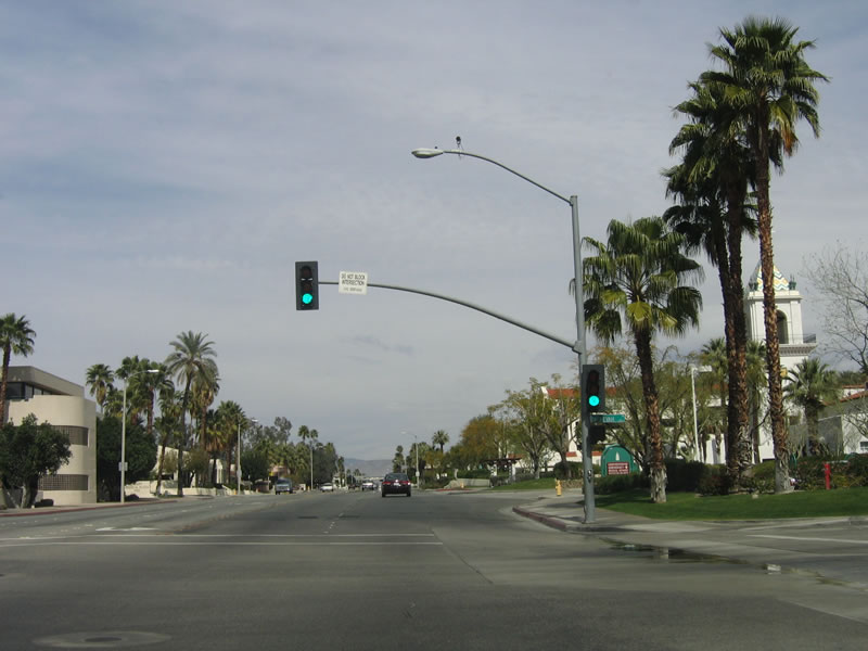
Continuing northwest, the next traffic signal is with Sunrise Way, a major north-south arterial that connects to Palm Springs Stadium and Sunrise Park (at the Ramon Road intersection). It then continues north to connect with California 111 (Vista Chino Drive) northeast of downtown Palm Springs. Turn south on Sunrise Way to La Verne Way and Toledo Avenue. Photo taken 02/26/06. |
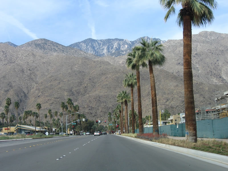 |
Like most desert cities in the Coachella Valley, streetscape often features drought-tolerant xeriscape and palm trees, including this landscape strip west of Sunrise Way along Palm Canyon Drive. Photo taken 02/26/06. |
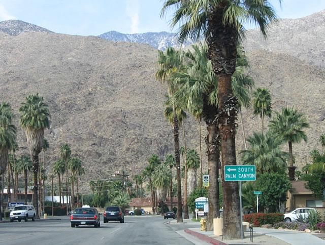 |
California 111 Business turns north at the intersection with South Palm Canyon Drive. The business route turns north into downtown Palm Springs. Photo taken 02/26/06. |
 |
South Palm Canyon Drive travels south to the southern extremes of the city of Palm Springs near Indian Canyons Golf Resort. The road dead ends near the golf course. Photo taken 02/26/06. |
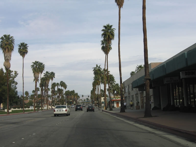 |
Some older storefronts are located along California 111 Business (South Palm Canyon Drive), but the main downtown lies ahead. Photo taken 02/26/06. |
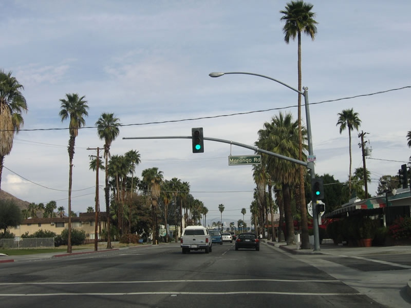 |
The next traffic signal along northbound is Morongo Road. Photo taken 02/26/06. |
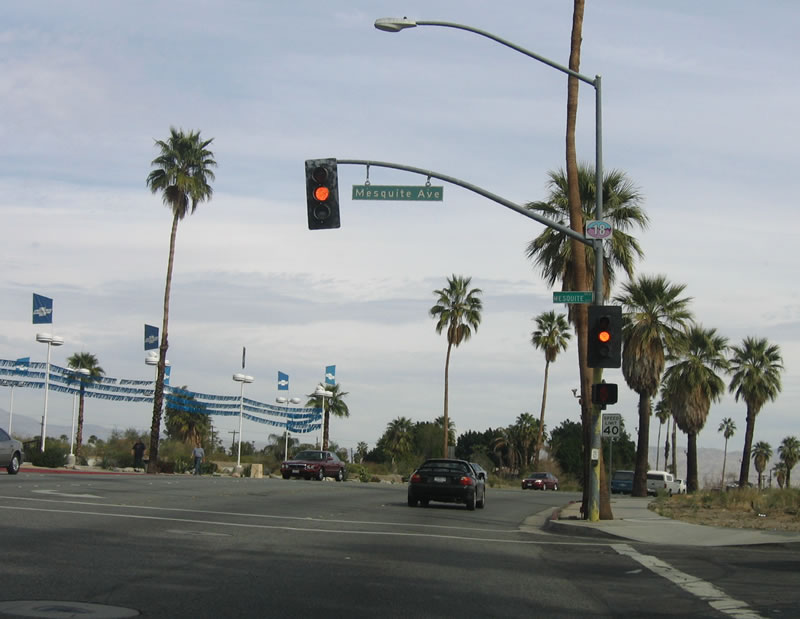 |
Mesquite Avenue travels east to Mesquite Country Club, connecting with Sunrise Way and Farrell Drive. Photo taken 02/26/06. |
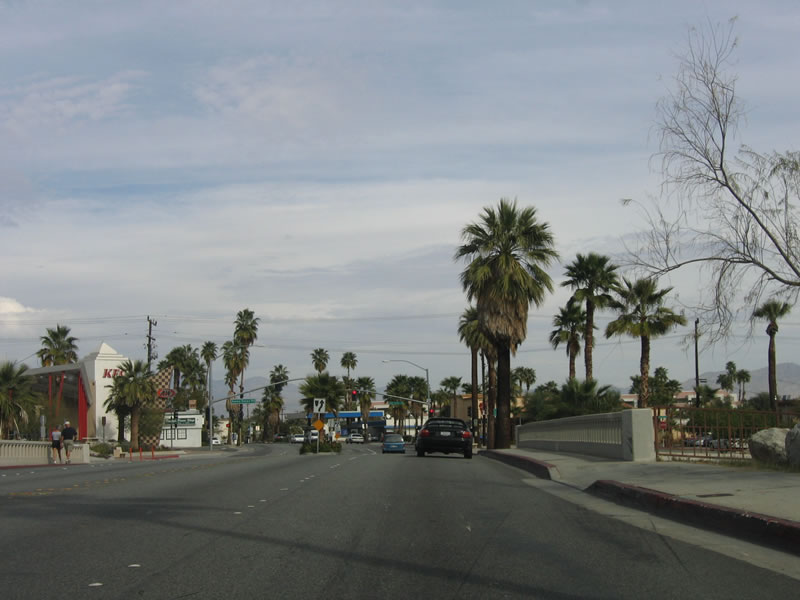 |
California 111 Business crosses the often dry Tahquitz Creek on this bridge. Photo taken 02/26/06. |
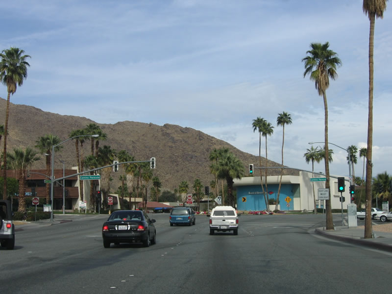 |
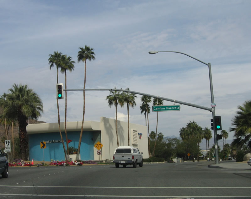 |
At Camino Parocela (the next traffic signal), California 111 Business splits into two one-way streets. Northbound changes into Indian Canyon Drive, while southbound retains the name Palm Canyon Drive. Photos taken 02/26/06. |
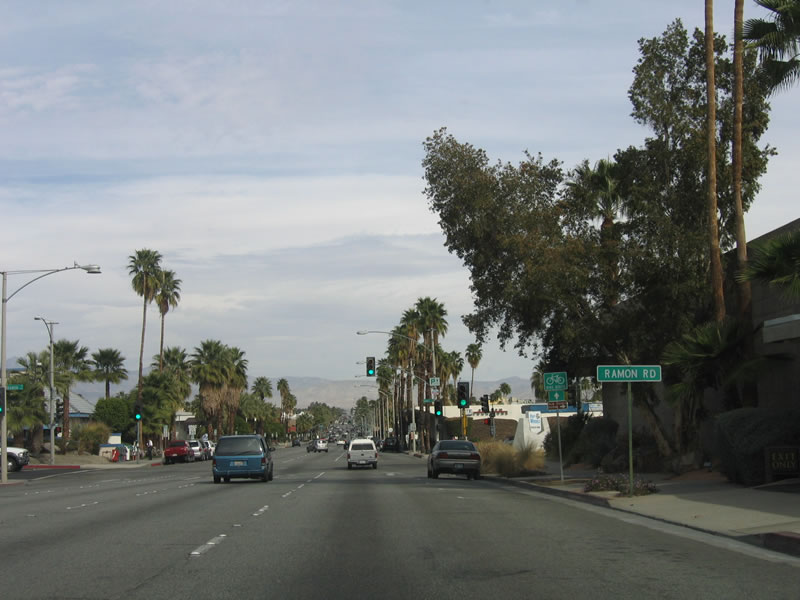 |
Now on a one-way road, northbound California 111 Business (Indian Canyon Road) has four lanes with a parking lane on the right. The next traffic signal is with Ramon Road, a major east-west arterial that connects with Palm Springs Stadium, skirts the southern edge of Palm Springs International Airport, and ultimately passes east out of Palm Springs into Cathedral City and Rancho Mirage. Photo taken 02/26/06. |
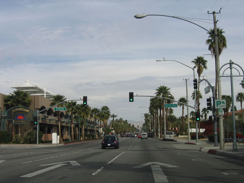 |
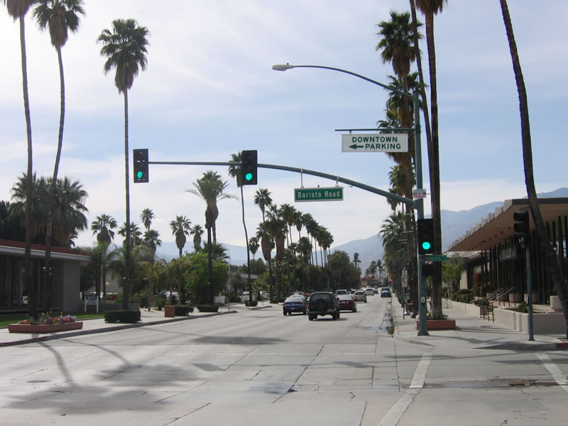
The next signal is with Barristo Road. A parking garage is located on the northwest corner of this intersection. Most of downtown is located along the Palm Canyon Road corridor, with some elements of downtown along Indian Canyon Drive. It is a good idea to find either on-street or garage parking, then walk over to the downtown strip. Photo taken 02/26/06. |
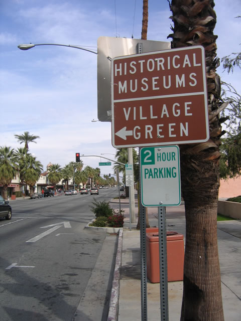 |
At Arenas Road, turn left to the Village Green, where several historical museums and related shops are located, including a 1930s-era general store. Photo taken 02/26/06. |
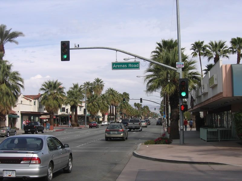 |
The next intersection is with Arenas Road. Photo taken 02/26/06. |
 |
Northbound California 111 Business approaches La Plaza. The next traffic signal is for Tahquitz Canyon Way. Photo taken 02/26/06. |
 |
Continuing north, the next traffic signal is with Tahquitz Canyon Way, a major east-west arterial that connects downtown with the Palm Springs Mall, international airport, and City Hall. Photo taken 02/26/06. |
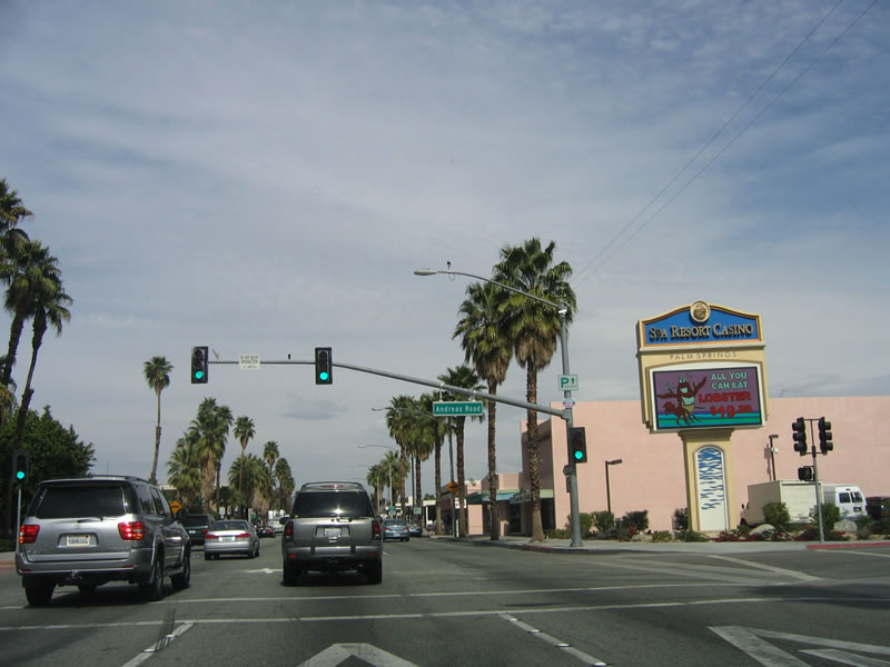 |
Now starting to leave the vicinity of downtown, northbound California 111 Business (Indian Canyon Drive) approaches Andreas Road. Photo taken 02/26/06. |
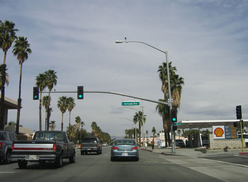 |
The next traffic signal on northbound is with Amado Road. Photo taken 02/26/06. |
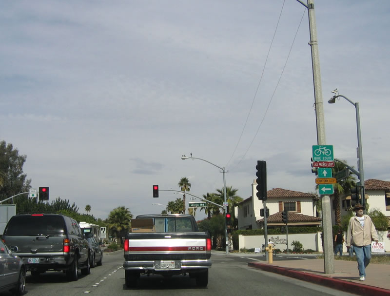 |
A bike route sign provides the directions to Las Palmas Loop and Downtown Loop. Palm Springs is a well respected location for bicycling. Photo taken 02/26/06. |
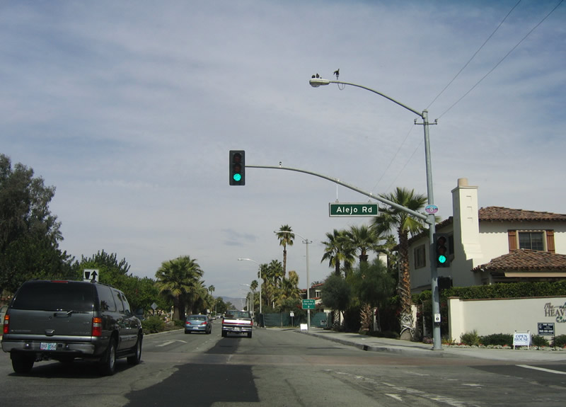 |
At Alejo Road, drivers have a choice: turn left and follow one block to return to Palm Canyon Drive, which becomes a two-way street from Alejo Road northward, or continue north on Indian Canyon Drive to Vista Chino (California 111). Either way works; the Indian Canyon Drive route is signed as an "alternate" to Palm Canyon Drive. North of Alejo Road, Indian Canyon Drive becomes two-way. Photo taken 02/26/06. |
 |
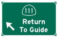
After Alejo Road, this sign advises motorists to use Indian Canyon Drive as an alternative to Palm Canyon Drive. Photo taken 02/26/06. |
 |
Northbound California 111 Business (Indian Canyon Drive) meets Tachevah Drive at this intersection. Photo taken 02/26/06. |
 |
California 111 Business ends at the intersection of Vista Chino (California 111) and Indian Canyon Drive (northbound alternate). The northbound business loop also ends at the intersection of Vista Chino and Palm Canyon Drive, one block west of here. Photo taken 02/26/06. |
| California 111 Business south | |
|---|---|
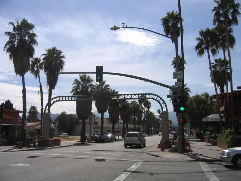 |
An arch passes over southbound California 111 Business after the Alejo Road intersection. Look for the Chamber of Commerce west of Palm Canyon Drive after the Amado Road intersection. Photo taken 02/26/06. |
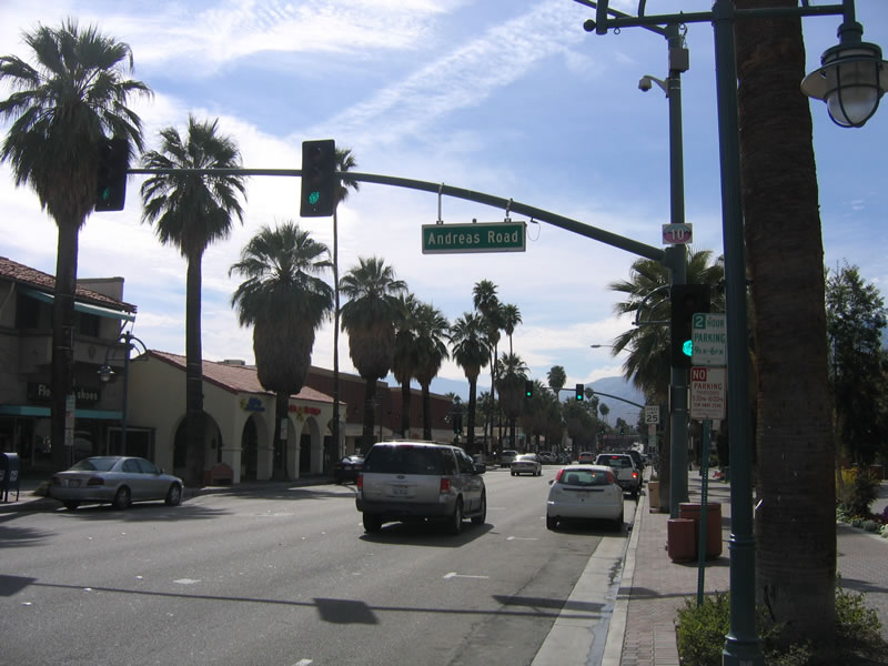 |
Southbound California 111 Business (Palm Canyon Drive) meets Andreas Road at this intersection. Photo taken 02/26/06. |
 |
Brick pavers cover the intersection between southbound Palm Canyon Drive and Tahquitz Canyon Way. On the northwestern corner of this intersection is the Palm Springs Promenade. Photo taken 02/26/06. |
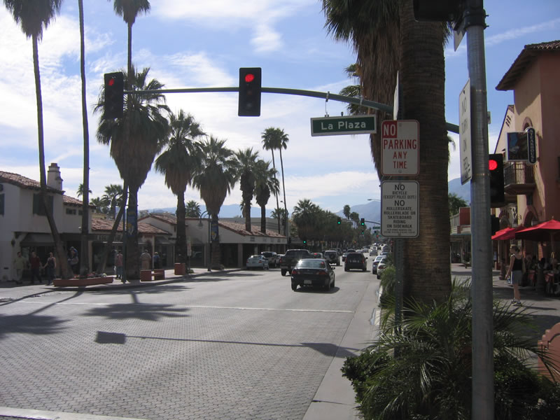 |
These same pavers are used at the La Plaza intersection. Ample shopping and eateries line the street through downtown Palm Springs. Photo taken 02/26/06. |
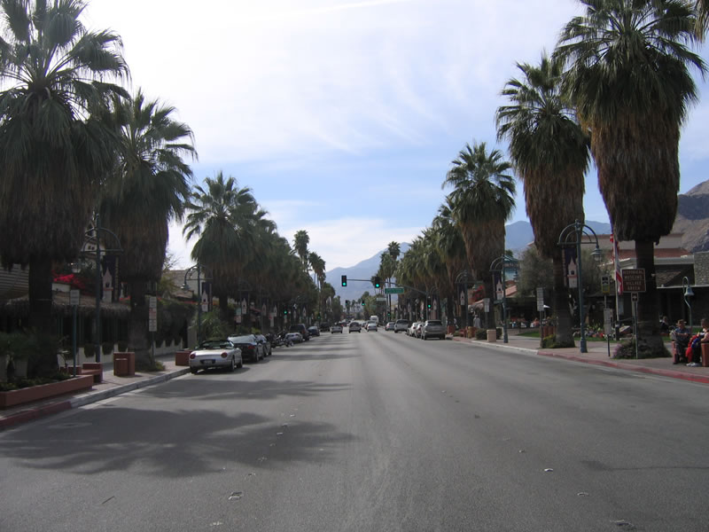 |
Unlike northbound Indian Canyon Drive, one-way Palm Canyon Drive features three through lanes for traffic plus two parking lanes. Photo taken 02/26/06. |
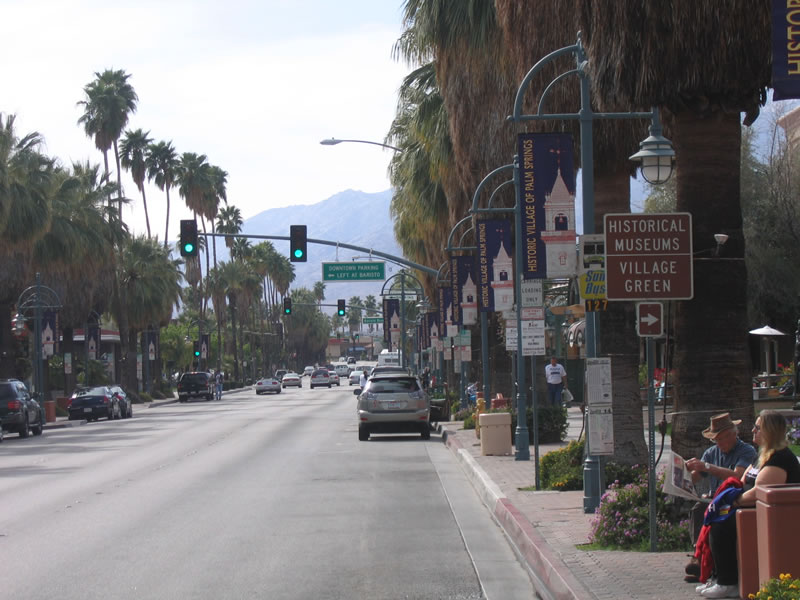 |
The Village Green, a pocket park surrounded by historical buildings, museums, and shops, is located on the west side of California 111 Business (Palm Canyon Drive) as the roadway passes through downtown Palm Springs. Photo taken 02/26/06. |
 |
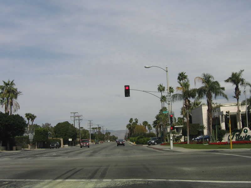
Southbound California 111 Business (Palm Canyon Drive) reaches Barristo Road as the business route starts to leave downtown Palm Springs. Photo taken 02/26/06. |
| California 111 Business scenes | |
 |
The Village Green, which is located at the intersection of Palm Canyon Drive and Arenas Road, features a small park and a semi-circle of small museums and shops. Photo taken 02/26/06. |
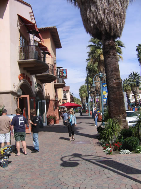 |
The walkway alongside the Village Green is wide and lined with bricks, offering an ambience to this very walkable downtown area. Photo taken 02/26/06. |
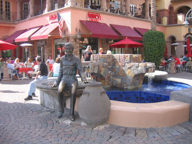 |
Near the intersection of La Plaza and southbound Palm Canyon Drive in downtown Palm Springs is a relatively new fountain that features Sonny Bono, a celebrity turned politician who died during a skiing accident. Photo taken 02/26/06. |
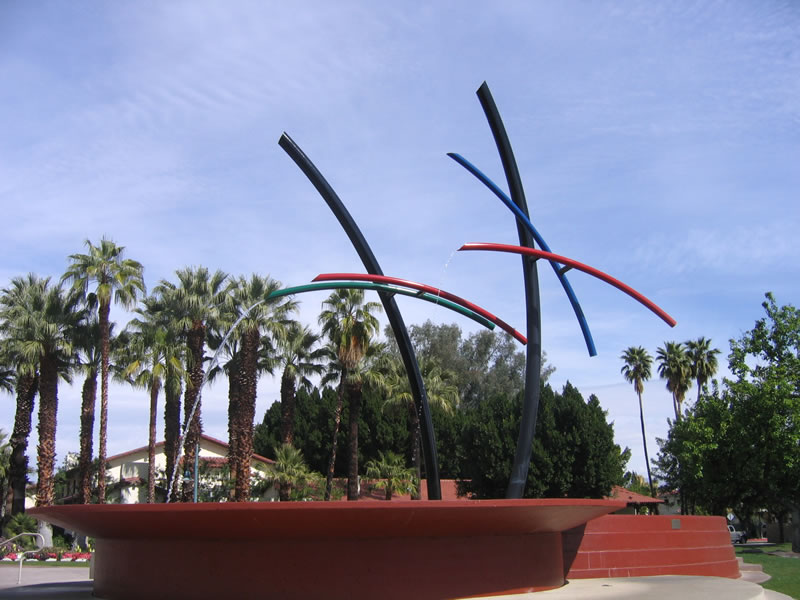 |
Between Palm Canyon Drive and Indian Canyon Drive north of Alejo Road, this water pipe fountain moves with the flow of the water. Photo taken 02/26/06. |

Page Updated April 29, 2006.
|
About Contact Glossary |
In The News Interstate Guide |
Social Media:
 |
|
© 2000-25 AARoads.com | All Rights Reserved | Privacy Policy / Terms of Use
|
||