

California 111 North - Brawley to Riverside County Line
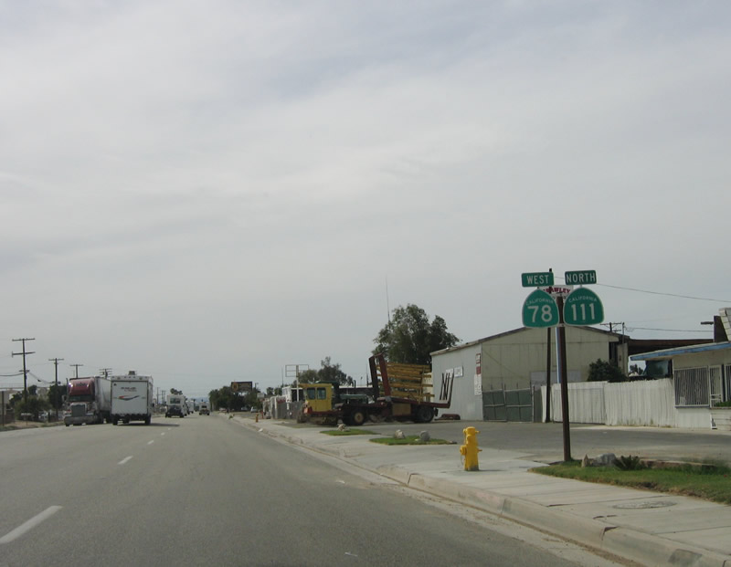
| California 78 west & 111 north | |
|---|---|
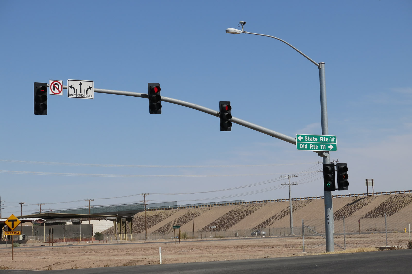 |
Old Highway 111 (CR S-31) travels north from Brawley to meet SR 78 and SR 111 at the Brawley Bypass. Photo taken 04/20/13. |
| Former California 78 west & Former California 111 north | |
 |
After the California 78 intersection, California 111 and California 78 are cosigned as they travel west via Main Street into Brawley. Photo taken 03/26/06. |
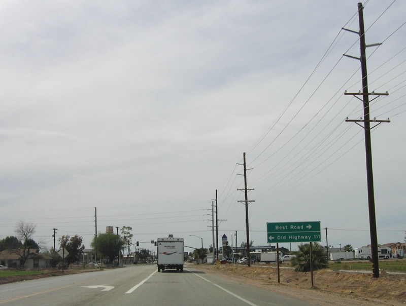 |
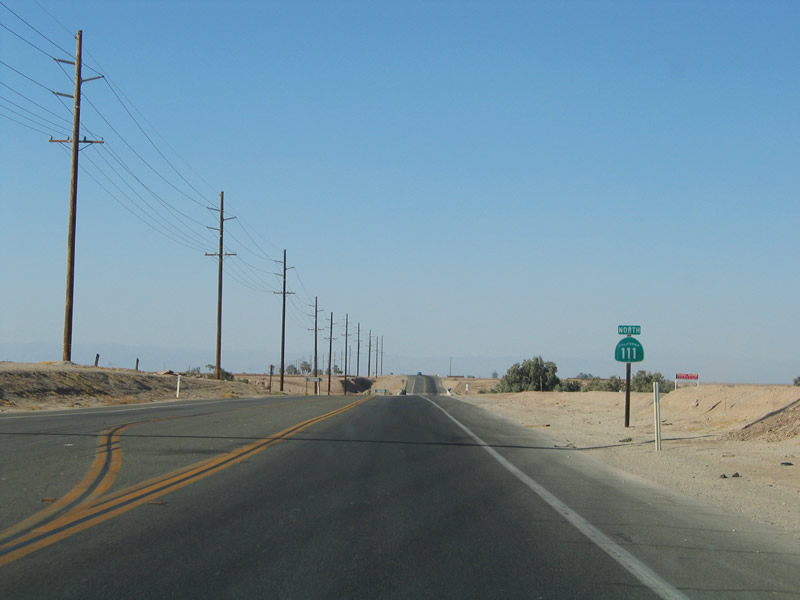
Shortly after the new expressway intersection, California 78 and California 111 approach the junction with Old Highway 111 and Best Road. Photo taken 03/26/06. |
 |
At this intersection is the first gas station located directly along California 111 since leaving Calexico. This is a temporary feature, since the completion of the California 111 bypass will keep the state highway off the city streets of Brawley. Photo taken 03/26/06. |
 |
California 78 and California 111 are signed on these reassurance shields after the Old Highway 111/Best Road intersection. Photo taken 03/26/06. |
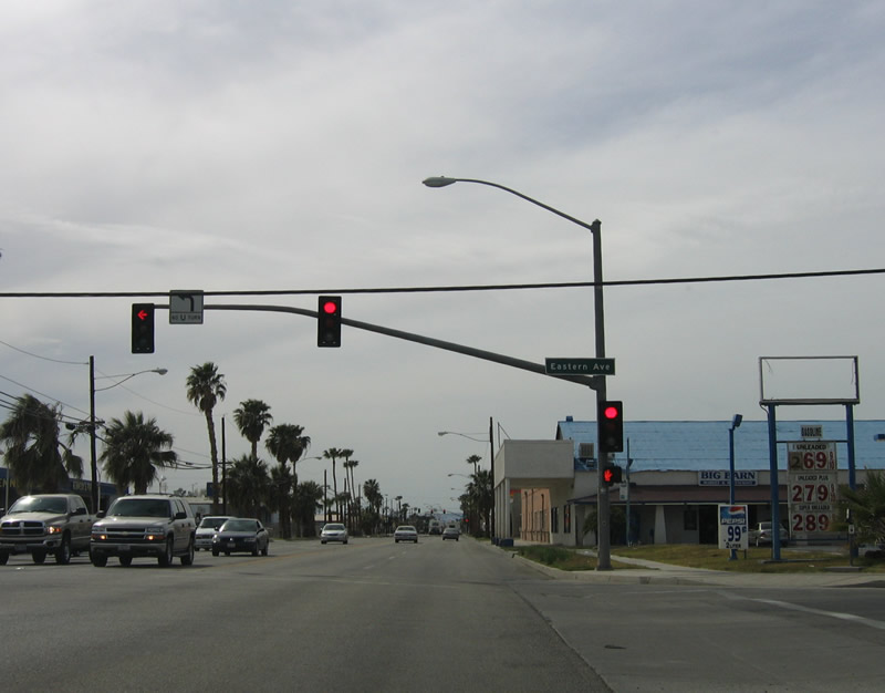 |
The next intersection is for Eastern Avenue. The city of Brawley was incorporated on April 6, 1908. It is situated just east of the New River in the northern Imperial Valley and Lower Colorado Desert. With a population of 24,953 (2010 Census), Brawley is situated along the Union Pacific Railroad, which generally follows California 111 north toward Indio, Coachella Valley, and Interstate 10. Photo taken 03/26/06. |
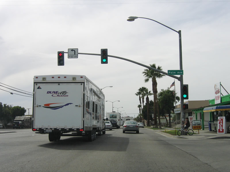 |
Recreational vehicles such as this one are a common sight in Brawley before and after weekends as "desert rats" vacate the coastal cities and spend long weekends enjoying off-road vehicles on the Algodones (Imperial) Sand Dunes, especially in Glamis along the California 78 corridor. Photo taken 03/26/06. |
 |
Owing to its origins as a farming town, labor leader Cesar E. Chavez is honored with a street in his name in eastern Brawley. This was formerly 10th Street. Photo taken 03/26/06. |
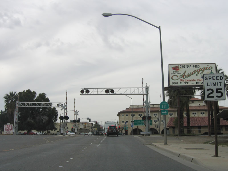 |
Approaching the railroad tracks, California 111 prepares to turn north along 8th Street. California 78 will continues west along Main Street, as it crosses downtown and connects with California 86 only a few blocks to the west. Photo taken 03/26/06. |
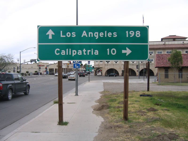 |
This mileage sign advises that it is an incredible 198 miles from Brawley to Los Angeles. For me, it is hard to believe how far it is downtown Brawley to the City of Angels. North on California 111 is the city of Calipatria. Photo taken 03/26/06. |
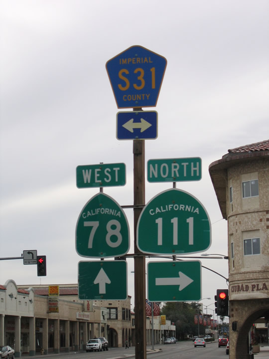 |
Continue straight ahead on California 78 to California 86. To the north, 8th Street (for now) serves as California 111, while to the south, 8th Street carries Imperial County S-31 south to H Street. The county route turns west on H Street briefly, then turns south on Imperial Avenue, which changes into Dogwood Road. Photo taken 03/26/06. |
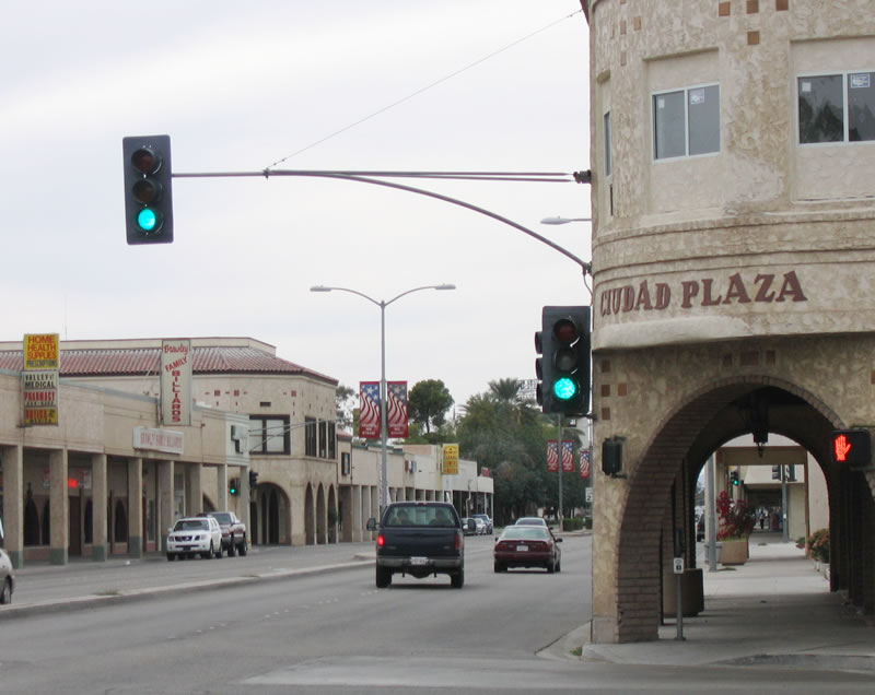 |
The traffic signal for westbound traffic is mounted into the Ciudad Plaza building. Sidewalks are covered in this downtown desert city, because it offers lunchtime relief from direct sunlight for those walking through town. Calexico's downtown is similarly arranged. Photo taken 03/26/06. |
| Imperial County S-31 & Former California 111 north | |
|---|---|
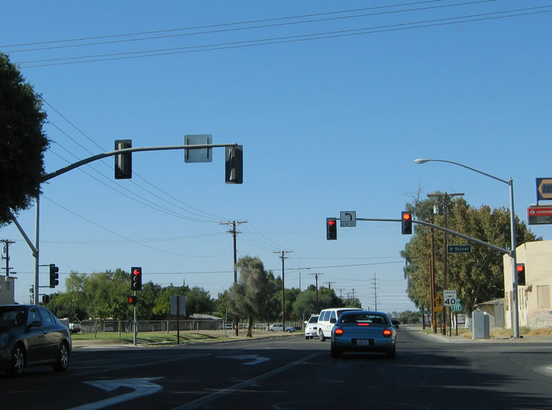 |
Now traveling north on Eighth Street (an extended Imperial County S-31), California 111 meets B Street. This route will likely be decommissioned from the state highway system once the new expressway is constructed. At that time, this will either become California 111 Business or an extension of Imperial County S-31. Photo taken 08/27/04. |
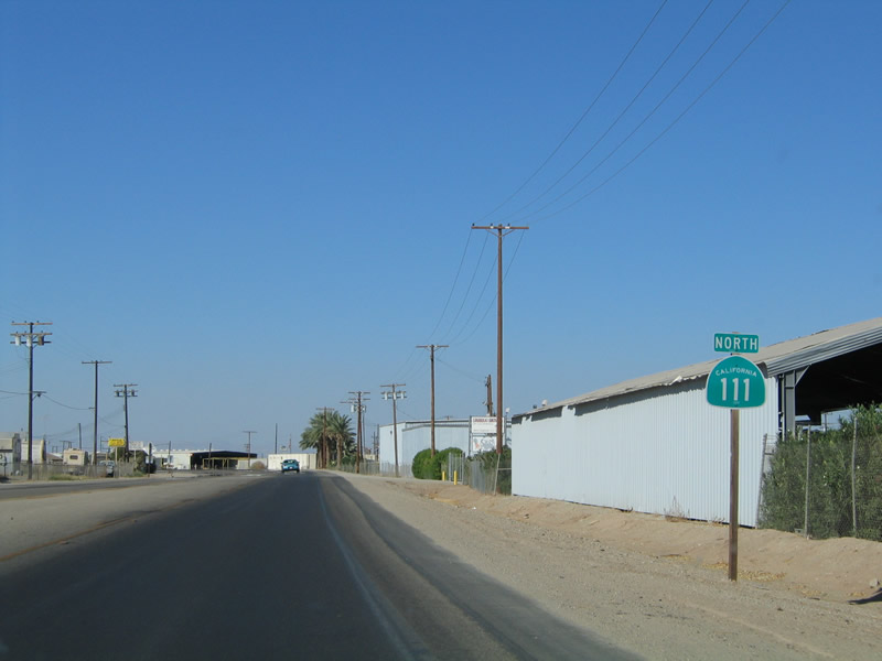 |
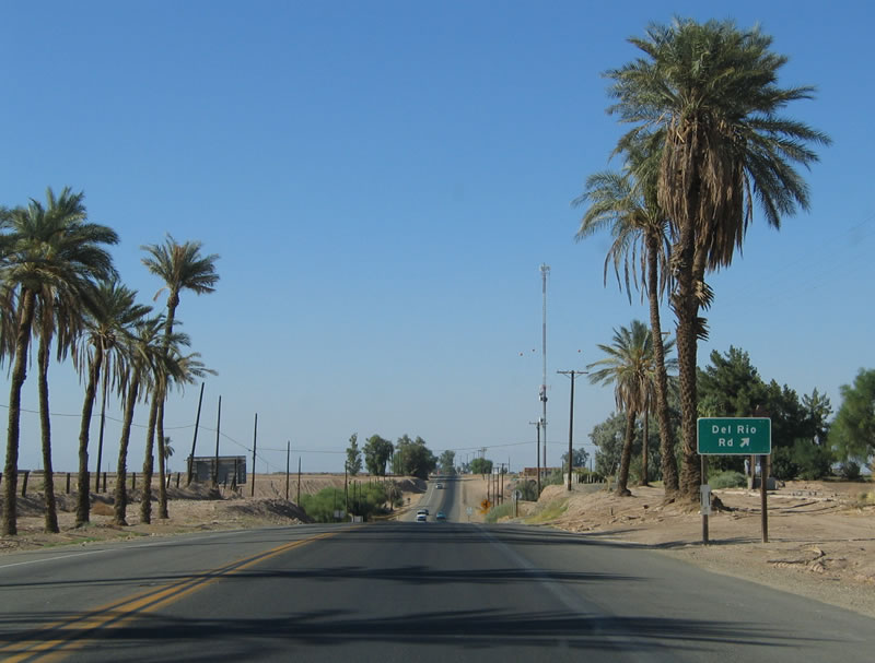
Passing by packing sheds and agricultural facilities, Eighth Street becomes Old Highway 111 and continues north out of Brawley. It is arguable whether this stretch is now an extended Imperial County S-31, since no new signage was added when California 78 and California 111 were removed from Main Street and Eighth Street in Brawley. Photo taken 08/27/04. |
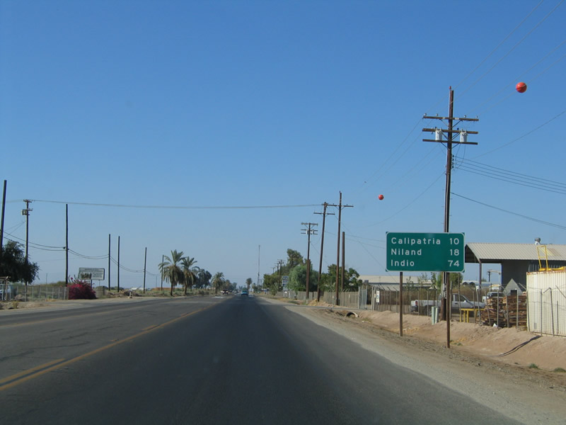 |
This mileage sign provides the distance to Calipatria (10 miles), Niland (18 miles), and Indio (74 miles). California 111 follows the northeastern shore of the Salton Sea. Photo taken 08/27/04. |
 |
Northbound Imperial County S-31 (Old Highway 111) approaches California 78-111 (Victor V. Veysey Expressway). The portion east of here opened in 2011, including an interchange at the point where existing California 111 meets this bypass route. The portion west of here opened in October 2012.1,2 Photo taken 04/20/13. |
 |
Old Highway 111 widens to four lanes for its junction with California 78-111 (folded diamond interchange, hence why there's two left turns ahead to access the eastbound and westbound expressway in sequence). The next left connects to a loop ramp linking to California 78 east and California 111 south. Continue ahead for the second left turn, which links to California 78 west. Note that California 78 was not particularly well-signed when we visited here in 2013. Photo taken 04/20/13. |
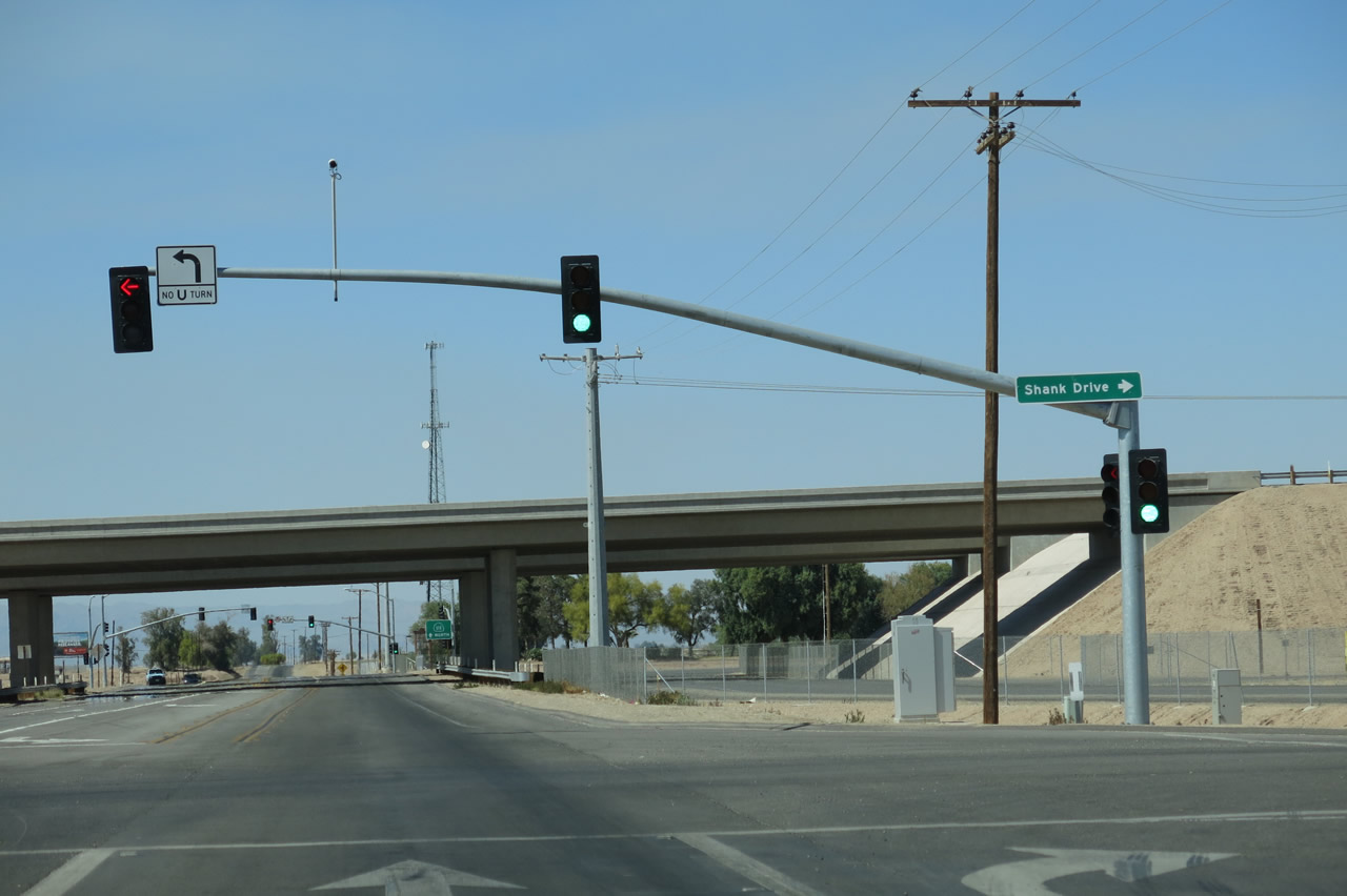 |
Northbound Imperial County S-31 (Old Highway 111) meet the on-ramp to California 78-111 (Victor V. Veysey Expressway) east. Turn right at this traffic signal to Shank Drive, which replaces Shank Road. Photo taken 04/20/13. |
 |
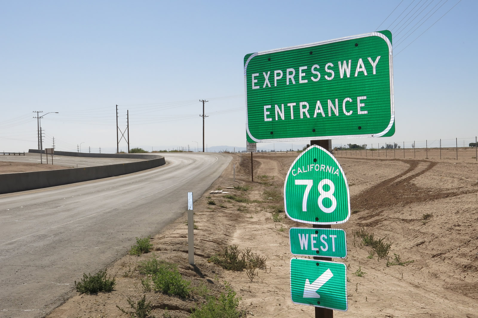
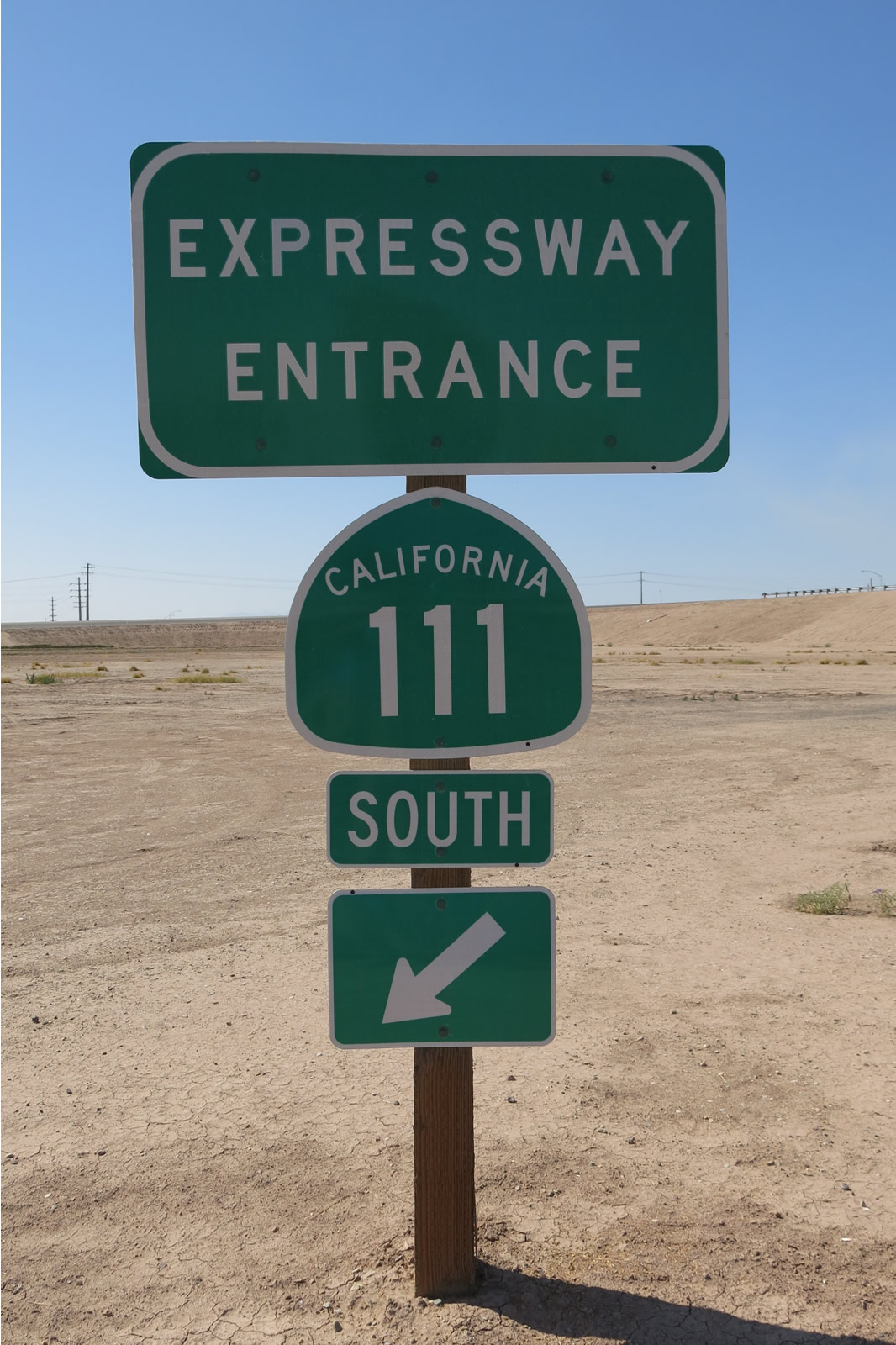 |
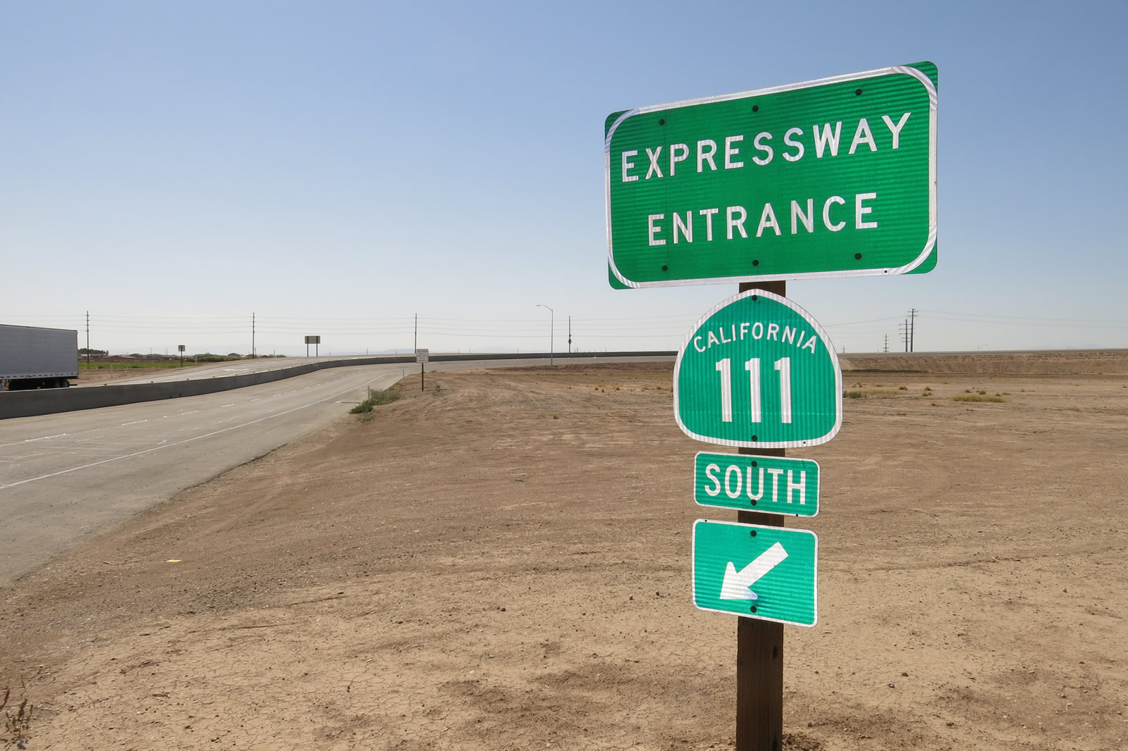
An uncommon "Expressway Entrance" shield assembly is posted at the point where Old Highway 111 meets the on-ramp to California 111 south and California 78 east. Omitted from this sign is any mention of California 78 east. Photos taken 04/20/13. |
 |
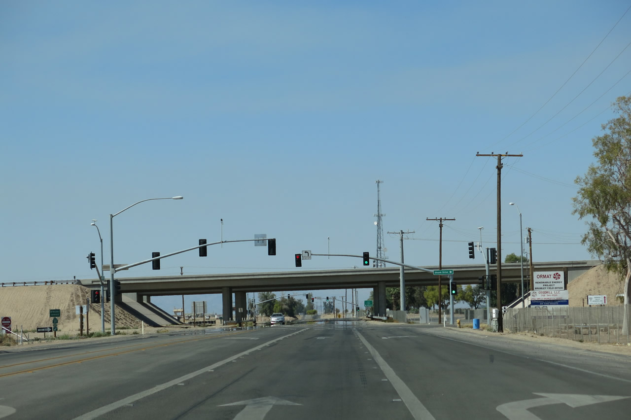
Old Highway 111 passes under California 78-111 (Victor V. Veysey Expressway). Northbound Imperial County S-31 effectively ends at this point. Photo taken 04/20/13. | |
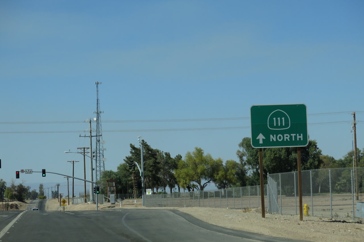 |
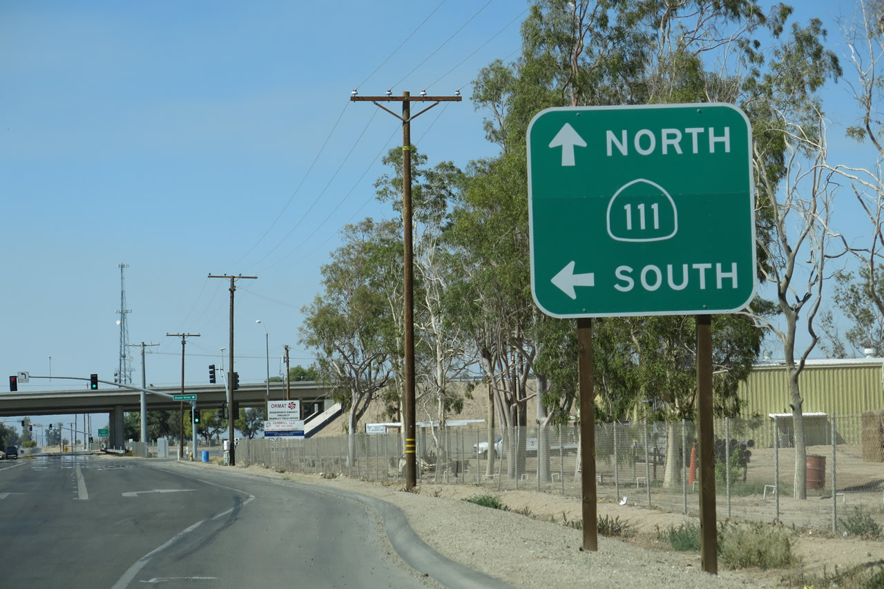
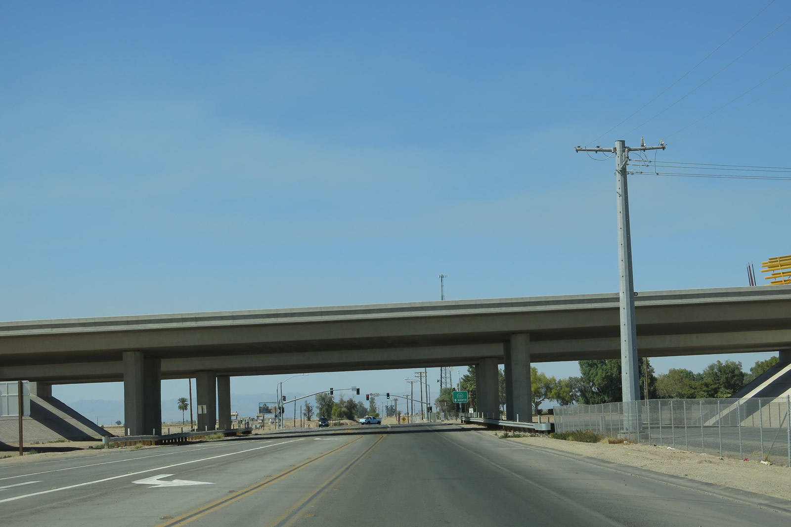
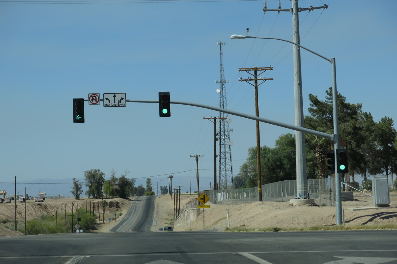
To continue north on California 111, proceed straight ahead. To California 78 west (not signed, oddly enough) turn left (west) at the upcoming traffic signal. Photo taken 04/20/13. | |
 |
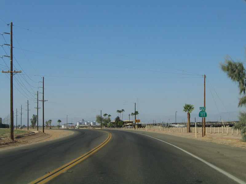
Northbound Old Highway 111 meets the on-ramp to California 78 (Victor V. Veysey Expressway) west to California 86 north to Indio. Ahead, California 111 continues toward Calipatria and ultimately Coachella and Indio, where it will rendezvous with California 86. Through traffic to Indio will probably prefer California 78 and California 86 since that route is four lanes throughout, while substatial sections of California 111 remains only two lanes. Photo taken 04/20/13. | |
 |
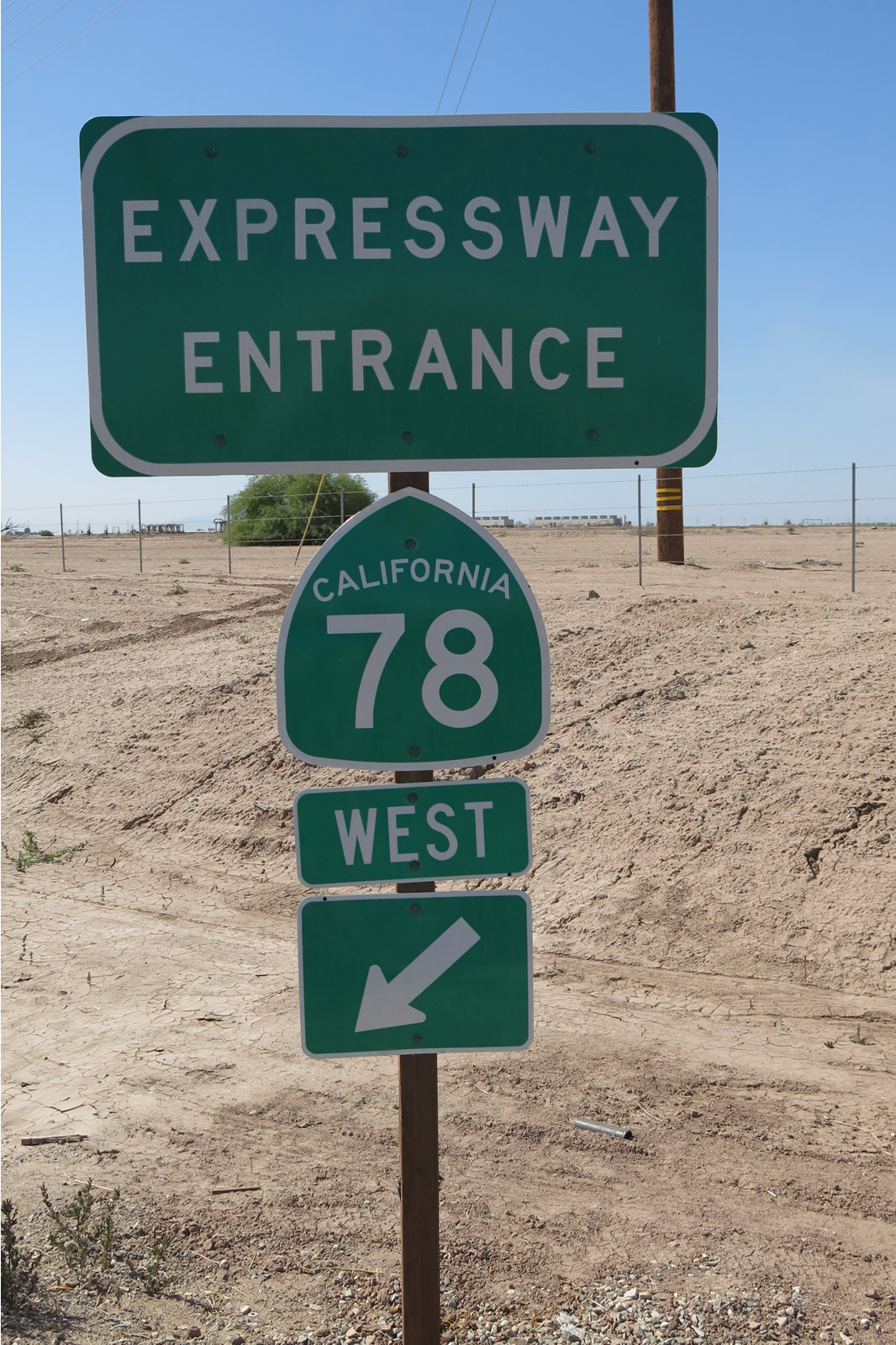 |
Another "Expressway Entrance" shield assembly is posted for California 78 west from the California 111 and Old Highway 111 interchange. Photos taken 04/20/13. |
| California 111 north | |
|---|---|
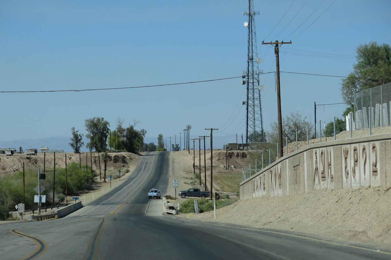 |
Northbound California 111 proceeds downhill toward the New River bridge. Photo taken 04/20/13. |
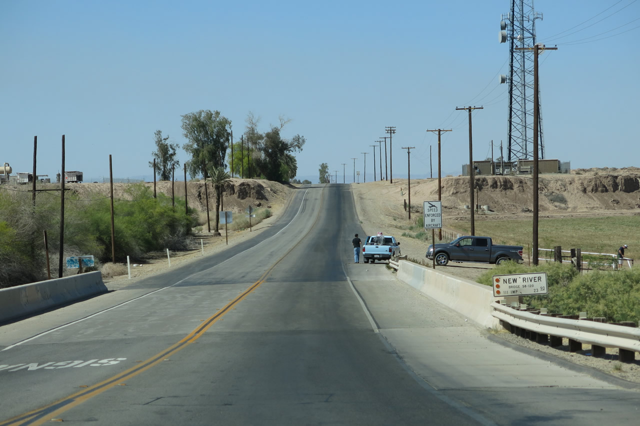 |
California 111 crosses over the New River on this bridge. The New River, which travels from Mexicali north through the irrigated fields of the Imperial Valley, empties into the Salton Sea north of here. A combination of urban and agricultural runoff has made this river flow perenially in the arid desert, and the river contains pollutants as a result. Photo taken 04/20/13. |
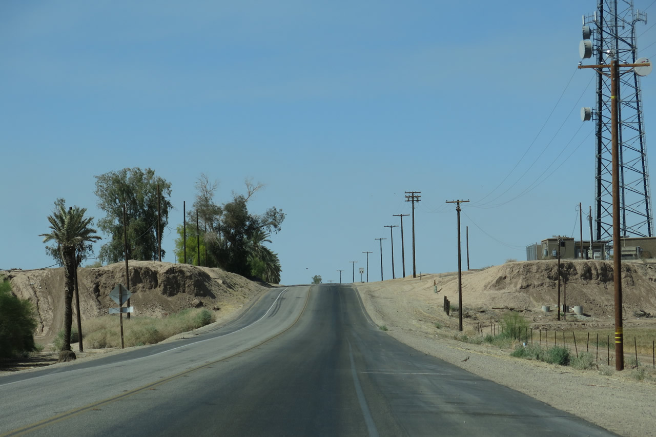 |
Upon climbing out of the valley formed by the New River, northbound California 111 will ascend to flat ground and return to a speed limit fo 65 miles per hour. Calipatria awaits. Photo taken 04/20/13. |
 |
While the farmed lands along California 111 are green and irrigated, the non-agricultural land adjacent to the farmed land remains comparably dusty and dry. Such is farming in the desert. Photo taken 08/27/04. |
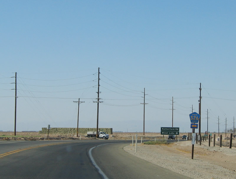 |
Continuing north, California 111 approaches Imperial County S-26 (Rutherford Road). S-26 is an east-west county road that travels west to Westmorland, ending at a nearly unsigned intersection with California 78-86. Photo taken 08/27/04. |
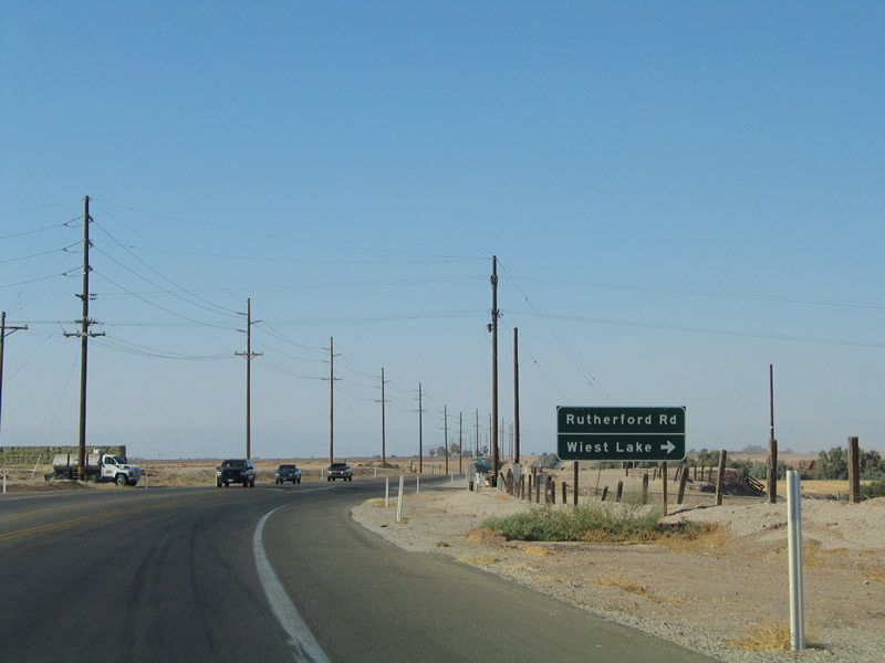 |
Follow Imperial County S-26 east to Rockwood and Wiest Lake. Wiest Lake lies at a lowly -166 foot elevation. Imperial County S-26 ends at the intersection with Imperial County S-32 (Butters Road) west of the Highline Canal. Photo taken 08/27/04. |
 |
This reassurance shield for California 111 north is posted after the Imperial County S-26 intersection. Photo taken 08/27/04. |
 |
Near Ramer Lake, a large dairy farm is located on the east side of the highway. Ramer Lake is formed along the Alamo River, which like its cousin the New River, has significant urban and agricultural runoff that feeds its perennial flow in a region that should only support seasonal flows based on rainfall. The Alamo River also originates in Mexicali and proceeds north to empty into the Salton Sea. Photo taken 08/27/04. |
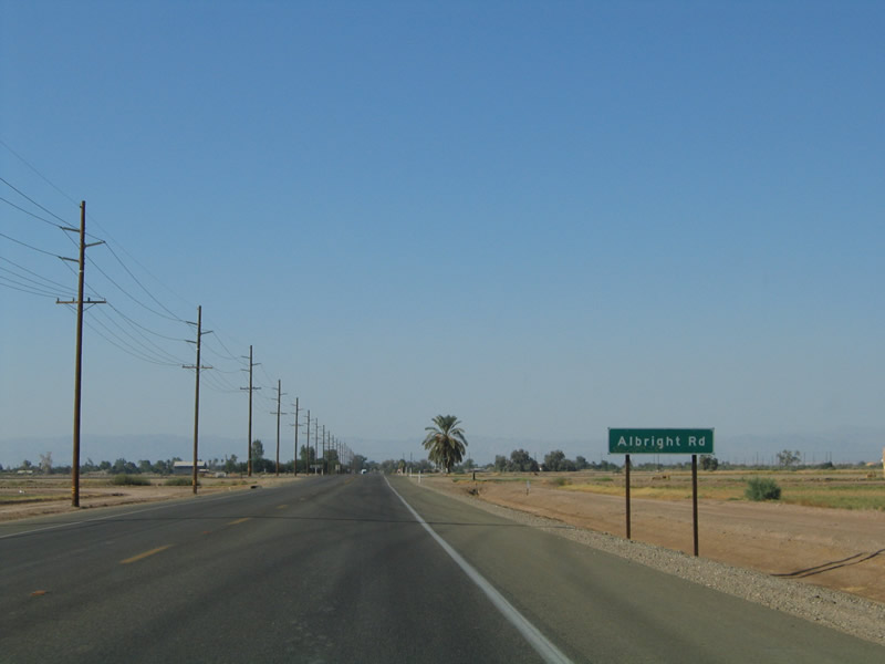 |
The city of Calipatria comes into view in the distance as California 111 approaches east-west Albright Road, another farm-to-market road. About two and a half miles south of Calipatria is the Two Rivers Rest Area (not photographed). Photo taken 08/27/04. |
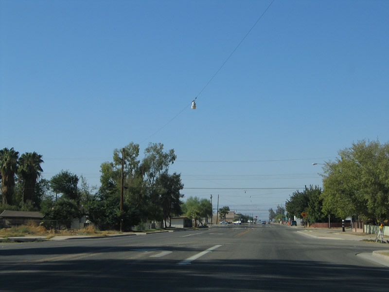 |
California 111 widens out as it enters the city of Calipatria. Located about 150 miles east of San Diego and 100 miles southeast of Palm Springs, Calipatria is based on the agricultural resources of north-central Imperial County. The city was founded on February 28, 1918, and it is known for a flagpole that extends some 184 feet above the town ... the same height as sea level! Photo taken 08/27/04. |
 |
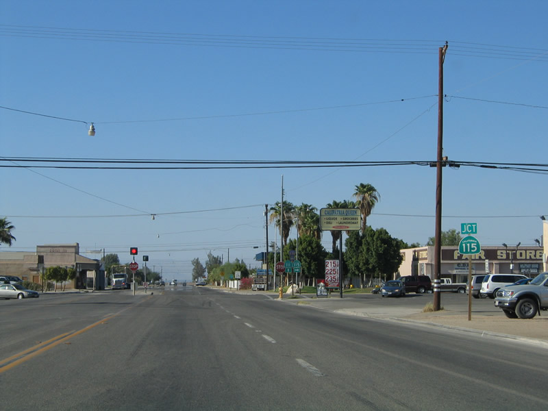 |
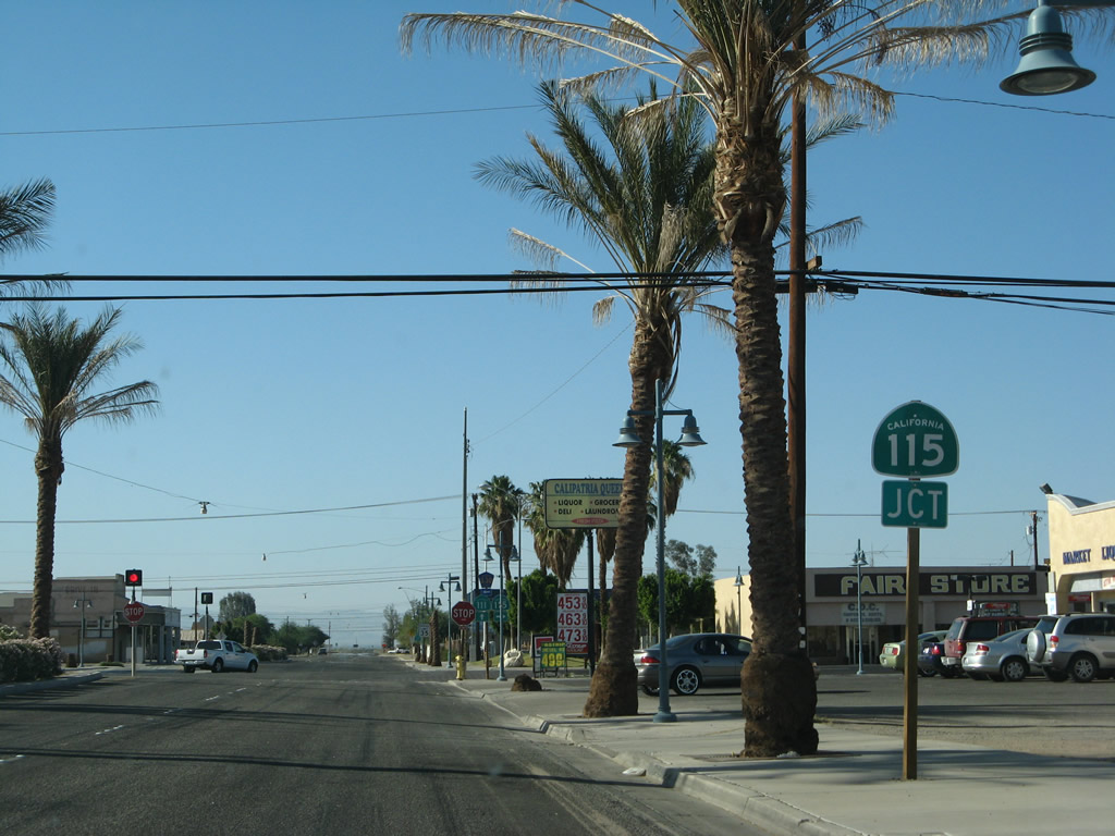
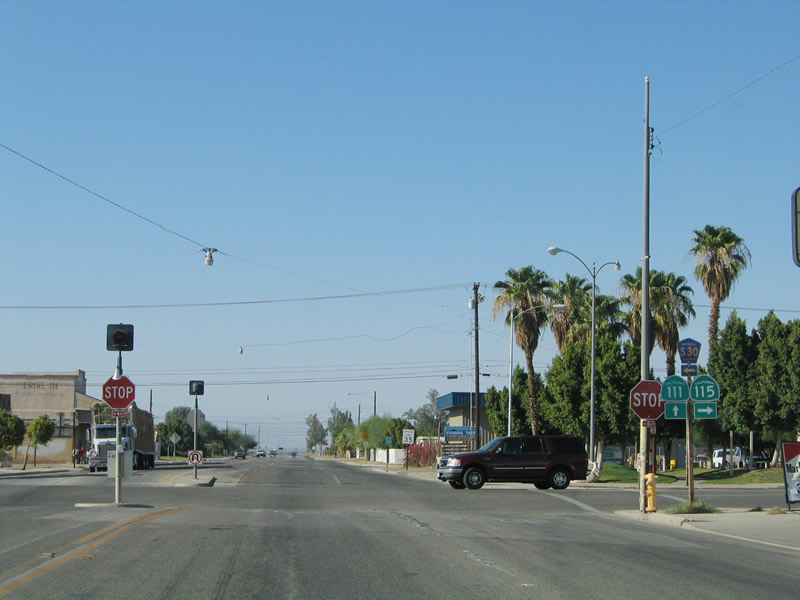
In downtown Calipatria, California 111 approaches a four-way stop intersection with California 115 and Imperial County S-30. Use California 115 east to farm and ranch access. The highway turns south, intersects California 78 east of Brawley, then passes through the city of Holtville via Old U.S. 80 before ending at Interstate 8 southeast of Holtville near the hot springs. Calipatria is home to 7,289 people as of the 2000 Census. For single women, Calipatria might be an excellent place to meet men, as the population is 78% male and 22% female per the 2000 Census. Photos taken 06/07/08 and 08/27/04. |
 |
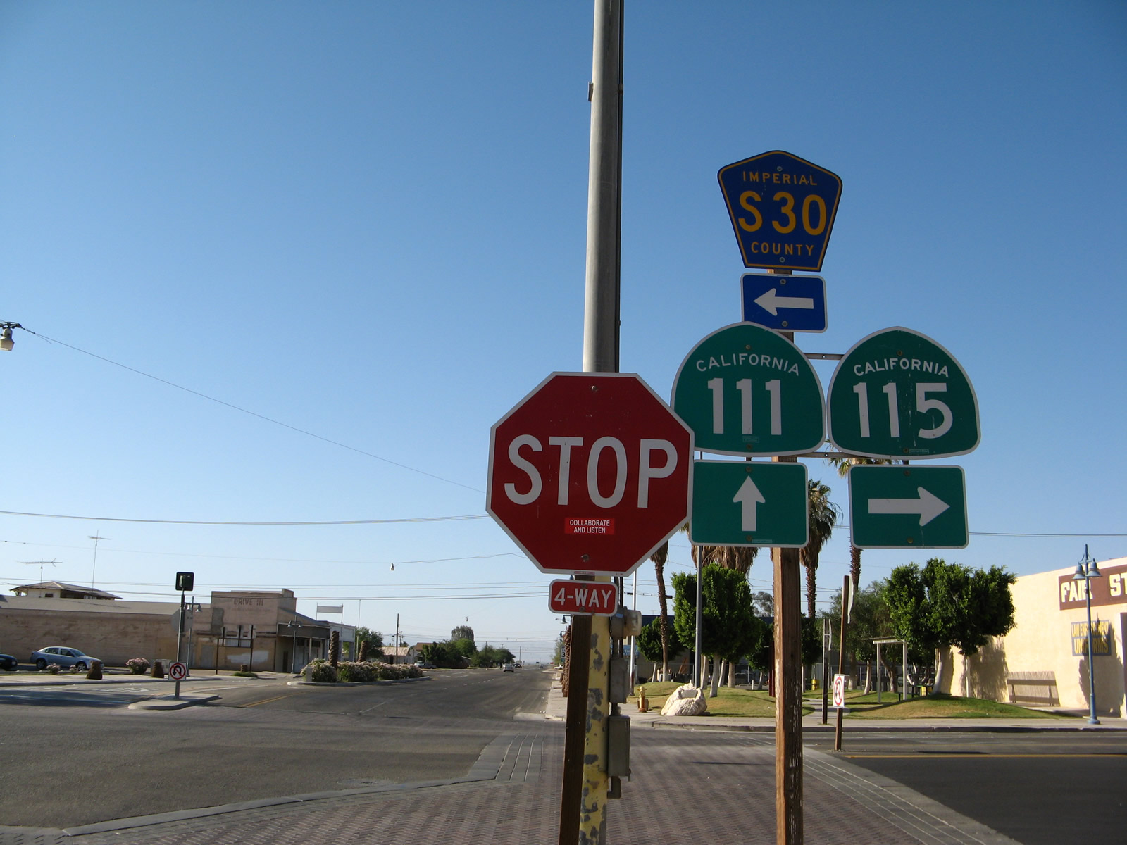 |
Northbound California 111 reaches the downtown intersection with California 115 east/south and Imperial County S-30 west/south. Follow Imperial County S-30 (Main Street, which changes into Eddins Road) west to the Salton Sea National Wildlife Refuge. There is a hiking trail available at the southeastern shore of the sea that offers ample views of the lake and its environs. Farms and geothermal power plants line the southern shores of the Salton Sea. After the turnoff to the wildlife refuge, Imperial County S-30 then turns south off Eddins Road, then follows Gentry Road then Forrester Road south through Westmorland, where the county route meets California 78 and California 86. Imperial County S-30 then continues south toward Imperial, El Centro, and Heber before ending at California 98. Photos taken 08/27/04 and 06/07/08. |
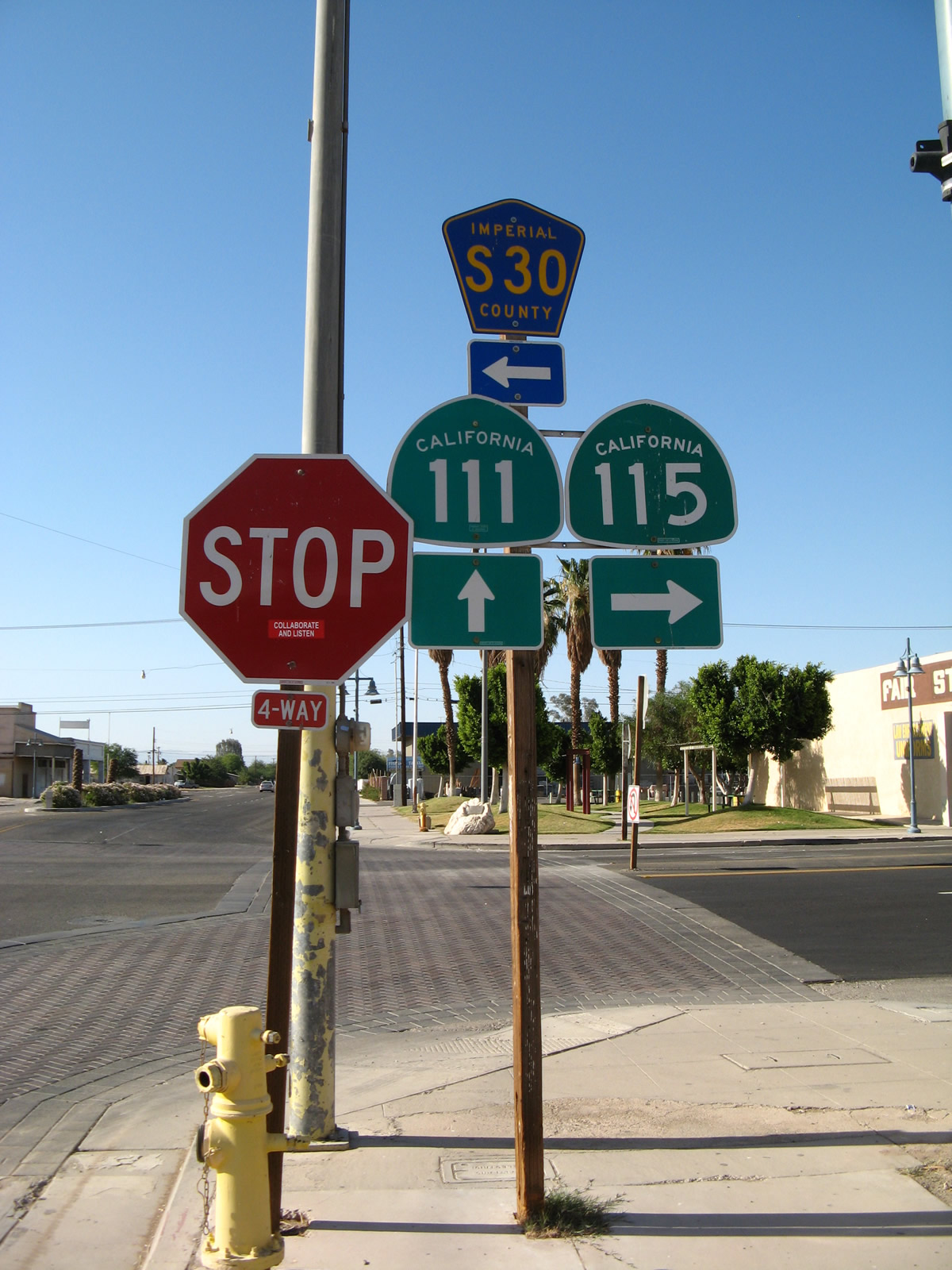 |
Northbound California 111 meets California 115 and Imperial County S-30 in downtown Calipatria. California 115 travels east and then south to California 78 and Holtville. Imperial County S-30 leads west to the Salton Sea National Wildlife Refuge. California 111 continues north toward Niland, then hugs the northeastern shore of the Salton Sea as the state route travels northwest toward the Coachella Valley. Much of the route from here to Indio is two lanes wide. Photo taken 06/07/08. |
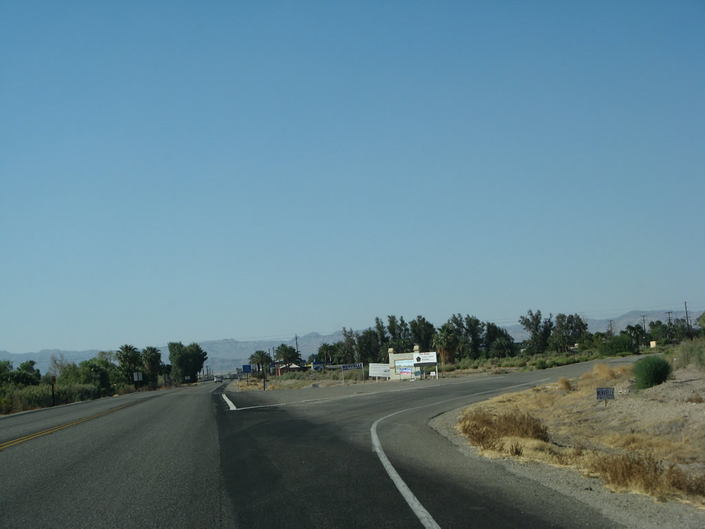 |
Skipping ahead a bit to the north, California 111 approaches the right turn to Niland Avenue, a 45-degree diagonal route that travels northeast into the community center of Niland. Some motorist services are ahead on California 111 in Niland. Photo taken 06/07/08. |
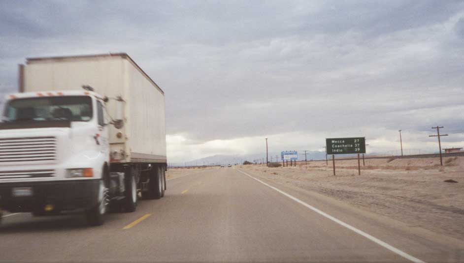 |
California 111 follows the northeastern shore of the Salton Sea. This mileage sign is approximately 27 miles southeast of Mecca along northbound. Photo taken 07/21/01. |
Sources:
- State Route 78-111 Brawley Bypass Fact Sheet by Caltrans District XI. Relevant quote: "The project will construct an eight-mile, four-lane divided expressway from State Route 86 north of the city of Brawley to 1.5 miles south of the eastern junction of SR-111 and SR-78 in Imperial County." The project is divided into three major phases: Phase 1 covers California 111 from Mead Road north to California 78; construction began in February 2004 and was completed in May 2005. Phase 2 covers California 78-111 from California 78 to California 111 north; construction began in February 2008 and was completed in June 2011. Phase 3 covers California 78 from California 111 north to a point northwest of Brawley where California 86 merges with the bypass; the highway opened to traffic in October 2012. The estimated cost of the Brawley Bypass project is $236 million. "California State Route 228" was originally the state highway designation assigned to the bypass when it was anticipated to bypass Brawley to the south; the route number was eliminated after the decision was made to route the bypass to the north of the city and reroute existing state routes onto the bypass.
- Dignitaries celebrate near-completion of Brawley Bypass by Jonathan Dale, Imperial Valley Press, October 18, 2012. Relevant quote: "Begun in 1993 as a project study report, Thursday's [10/18/12] event represents the first, second and third phases of the new State Route 78/State Route 111 Expressway, known collectively as the Brawley Bypass project. ... Beginning sometime next month, travelers on northbound Highway 111 will stay on the new bypass toward Shank Road, looping over the New River and slightly south again until connecting with Highway 86/Highway 78 near Fredricks Road. Five overpasses were included in the project, one each over North Eastern Road, the Southern Pacific Railroad, Highway 111 toward Calipatria, the New River, and Kalin Road."

Page Updated May 28, 2013.
|
About Contact Glossary |
In The News Interstate Guide |
Social Media:
 |
|
© 2000-25 AARoads.com | All Rights Reserved | Privacy Policy / Terms of Use
|
||