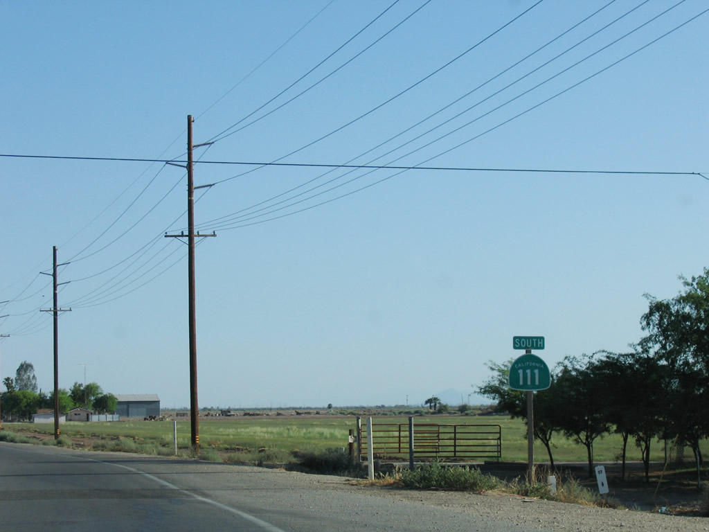
| California 111 south |
|
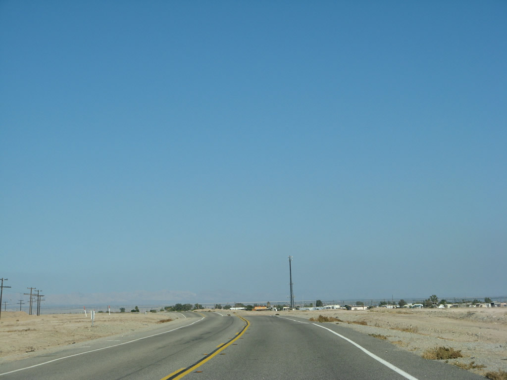
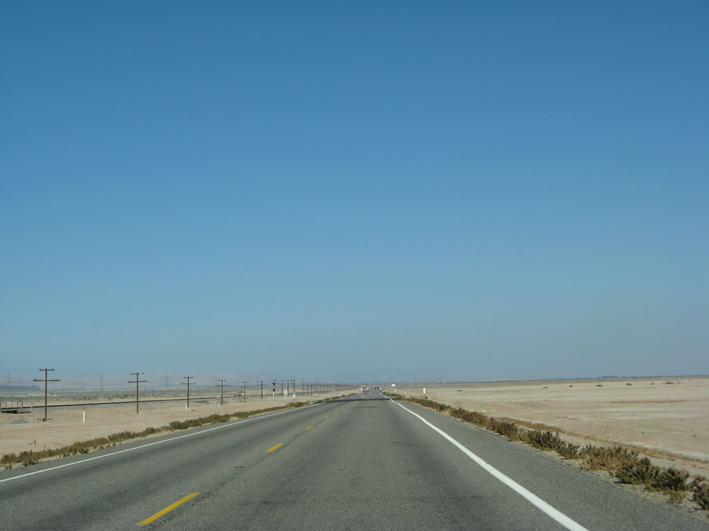
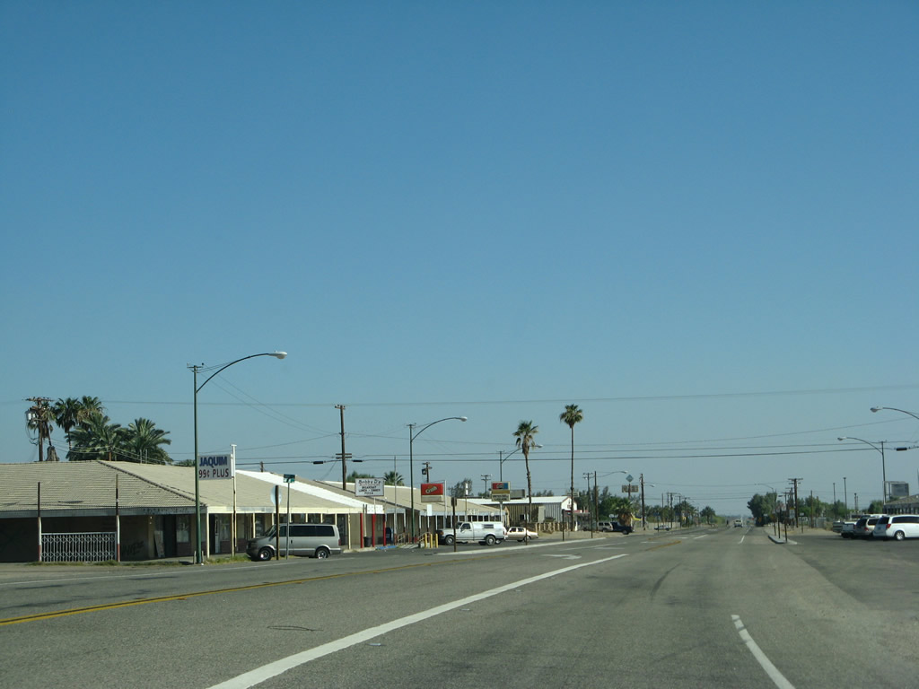
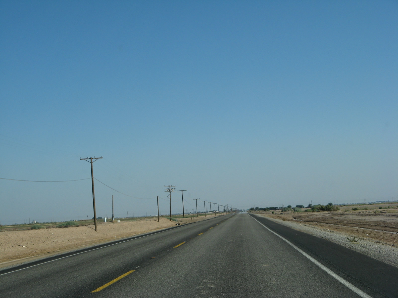
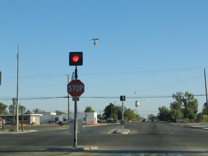
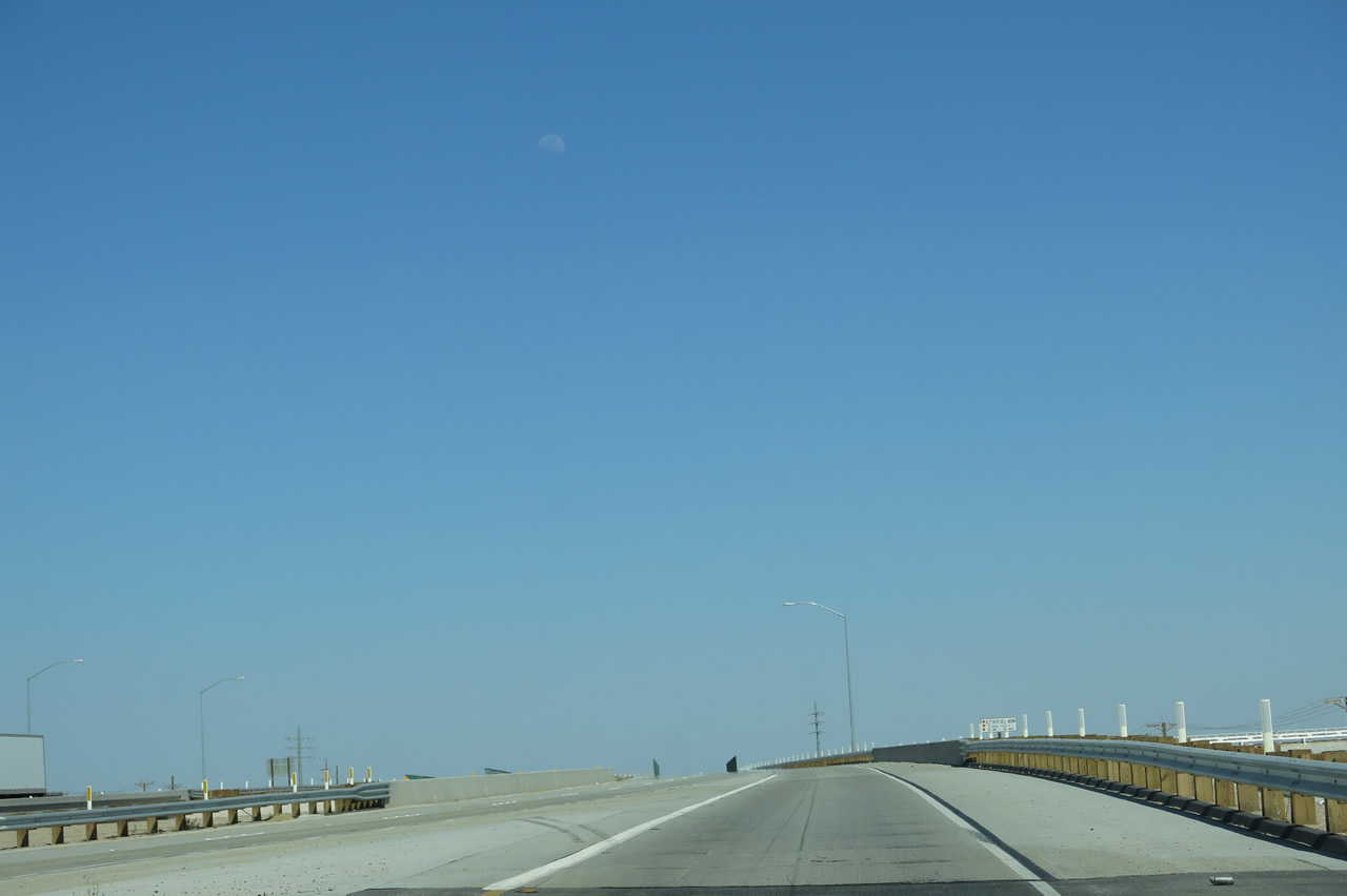
California 111 leaves Riverside County and enters Imperial County. Formed in 1907 as a split from San Diego County, Imperial County had a population of 174,528 as of the 2010 Census. The economy is multi-faceted, with its role as a border region coupled with fertile lands south of the Salton Sea among the most significant economic drivers. Photo taken 06/07/08. |
|
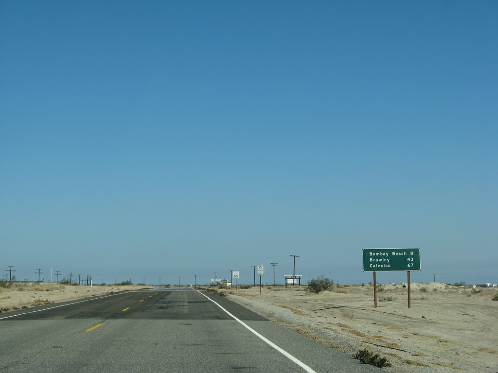
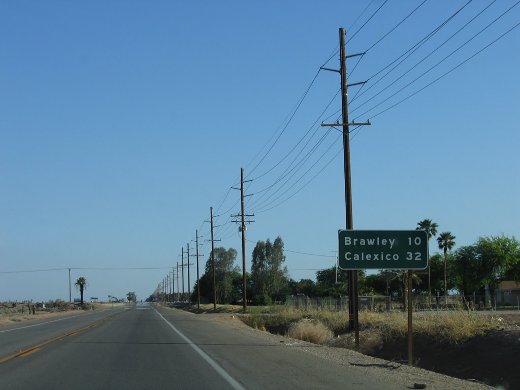
This mileage sign along California 111 at the Riverside-Imperial County Line provides the distance to Bombay Beach (eight miles), Brawley (43 miles), and Calexico (67 miles). Note the pavement change as we shift from Caltrans District VIII to Caltrans District XI maintenance. Photo taken 06/07/08. |
|
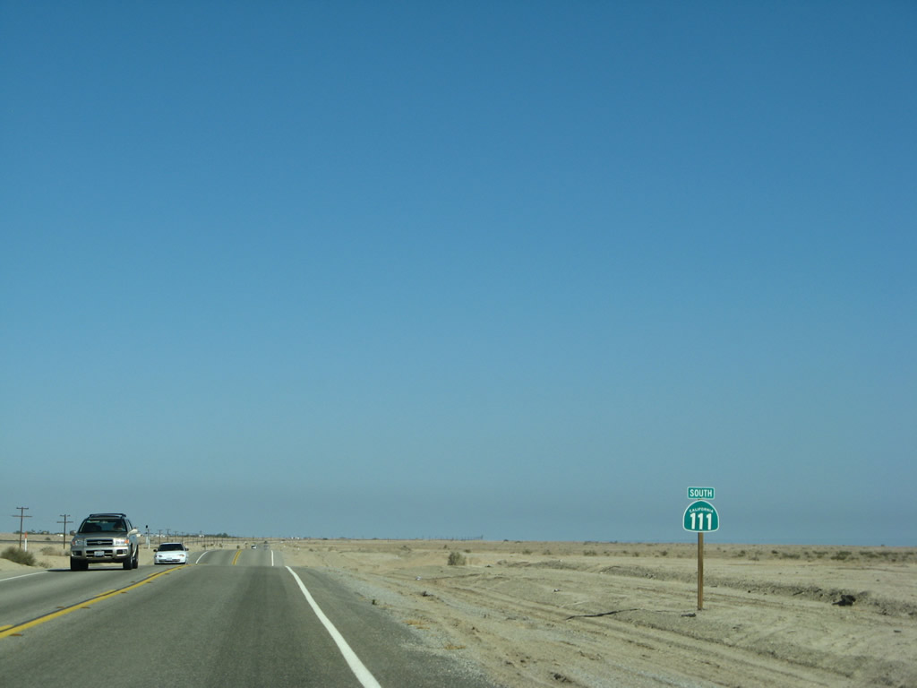
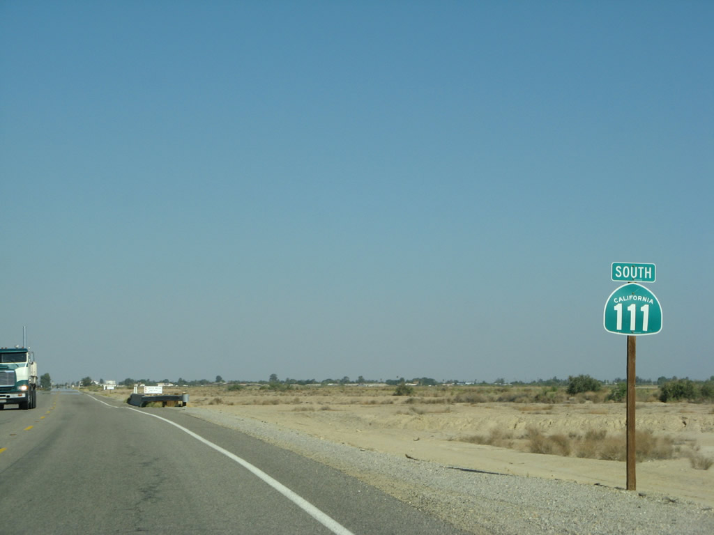
A California 111 reassurance shield is posted soon thereafter. Photo taken 06/07/08. |
|
|
|
|
|
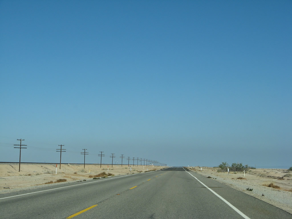
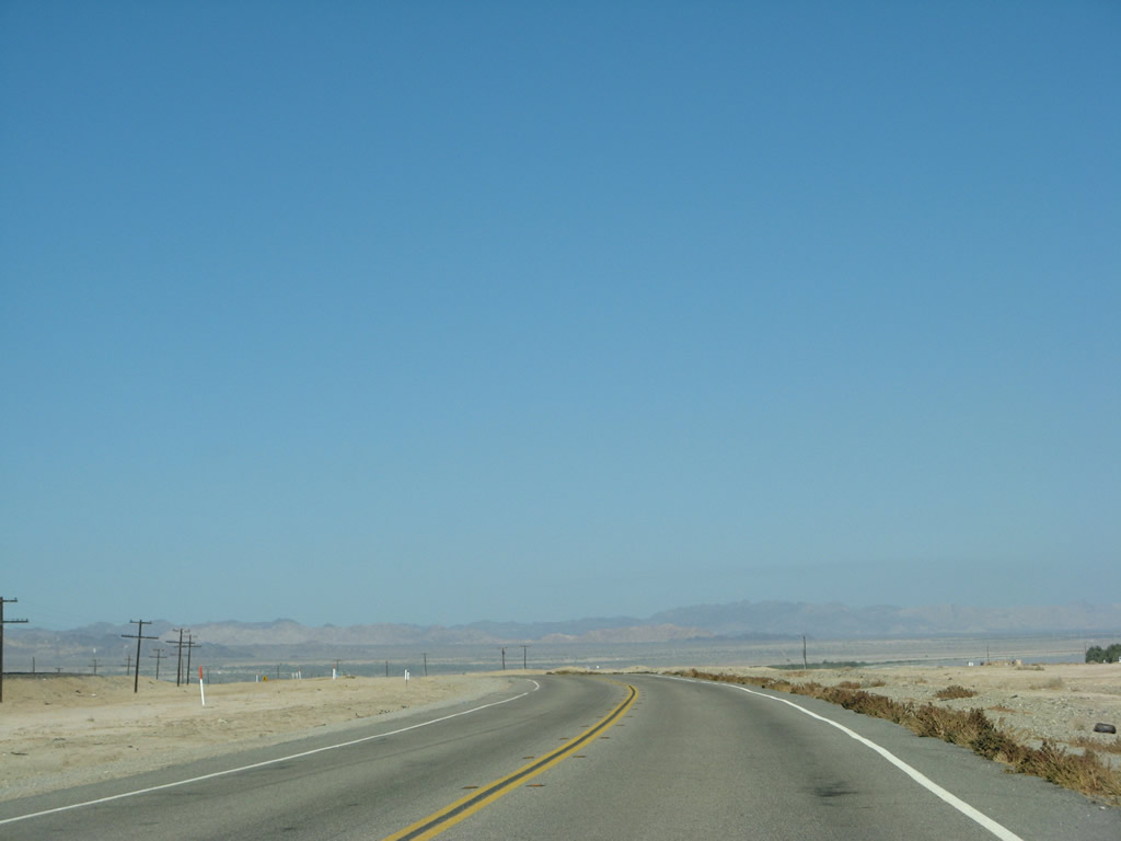
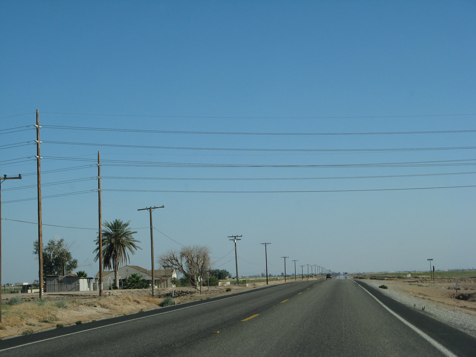
| Imperial County is one of the hottest regions in the United States. Just like low-lying areas of the southern Coachella Valley (such as Thermal and Mecca), much of Imperial County lies in a valley that sits below sea level and thus sees extreme, triple-digit in the summer months. Watch for routine temperatures exceeding 100 degrees Fahrenheit along California 111 throughout the Imperial County during the summer months, with some temperatures closing in on 110 or even 120 degrees Fahrenheit. This area is also extremely arid, with limited rainfall. While the Coachella Valley is very fertile and featured orchards and farms, the eastern shore of the Salton Sea is relatively infertile. More farms, orchards, and other agriculture await us further south of here in the Imperial Valley. Photo taken 06/07/08. |
|
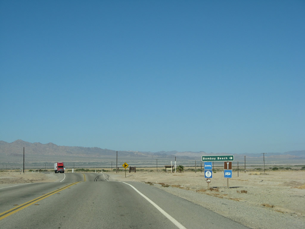
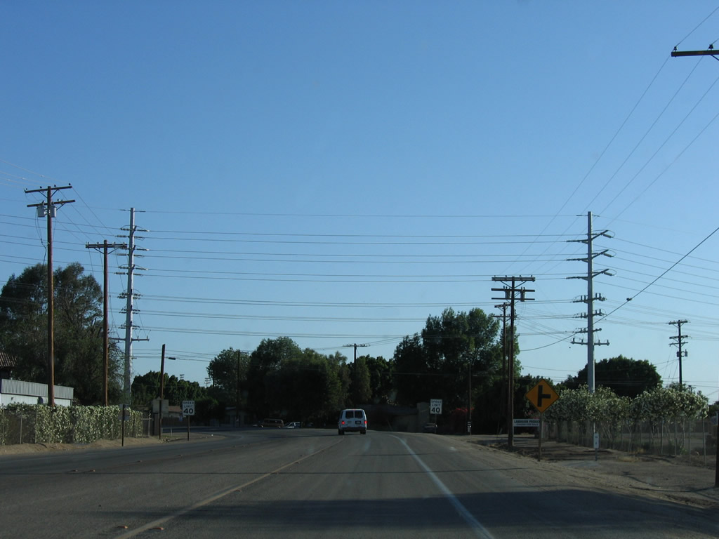
Southbound California 111 curves east yet again as it approaches the turnoff to Bombay Beach via Avenue A. Located at a low elevation of -223 feet below sea level, Bombay Beach is an unincorporated community of Imperial County with a population of 295 people as of the 2010 Census. For gas, plan to travel another 16 miles south to Niland. Photo taken 06/07/08. |
|
A wire span holds a street light over the intersection of California 111 and Avenue A. Photo taken 06/07/08. |
|
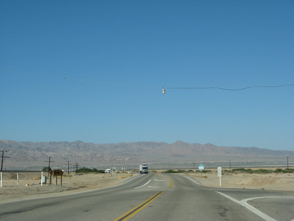
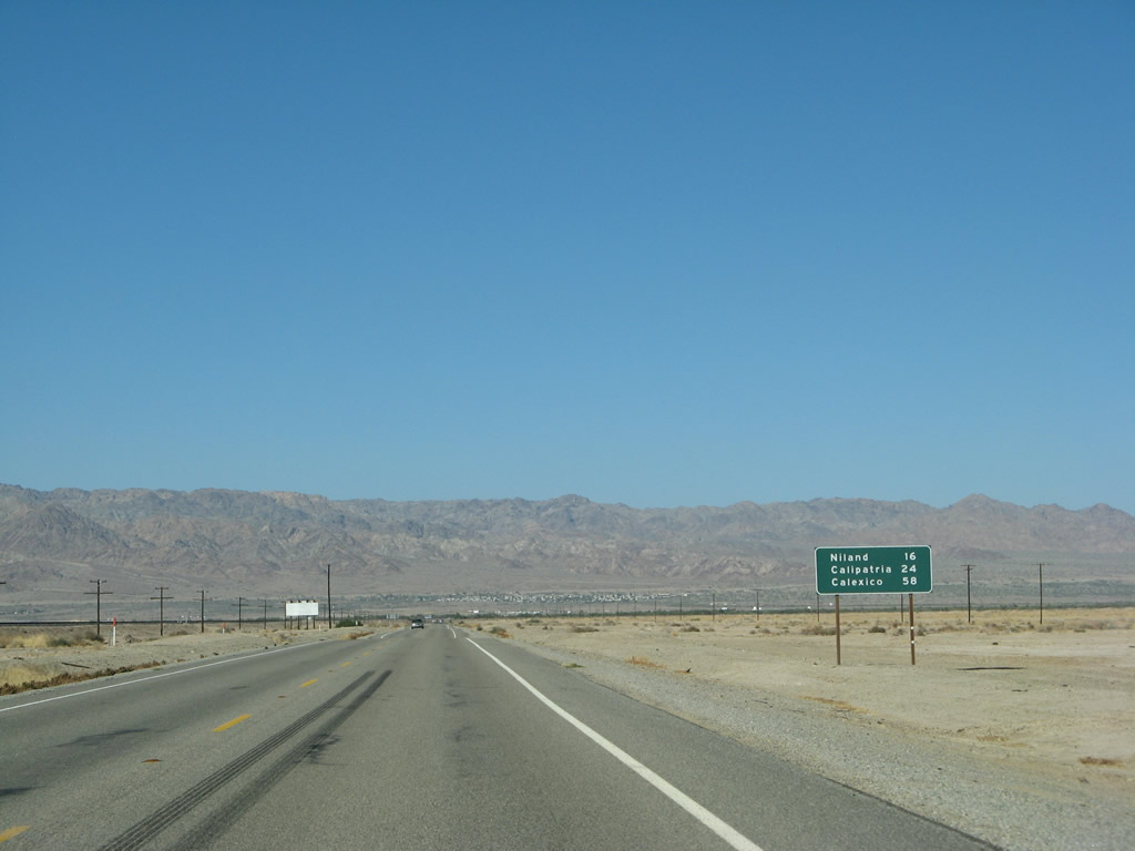
With the Chocolate Mountains coming into view, southbound California 111 continues east away from Bombay Beach. The state route will proceed east (almost northeast) for a few miles, then curves southeast again to follow the eastern shoreline of the Salton Sea. Now that we have left the state recreation area, California 111 will stay a bit further inland from the Salton Sea. A mileage sign provides the distance to Niland (16 miles), Calipatria (24 miles), and Calexico (58 miles). Photo taken 06/07/08. |
|
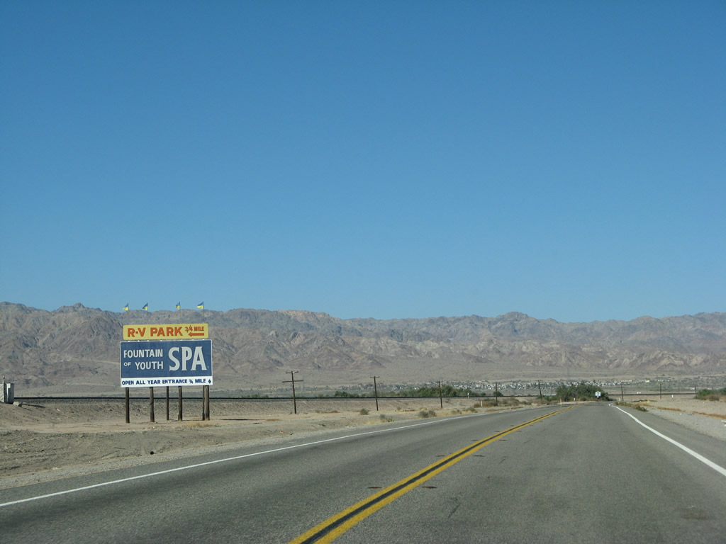
A large billboard advertises the Fountain of Youth Spa RV Resort, which is located a bit east of the California 111 corridor offers the desert experience away from the city. Several hot springs line the 111 corridor as it parallels the Salton Sea, with several geothermal power plants located in the Imperial Valley south of here. The hot springs located at the Fountain of Youth offer a place to bath, coupled with an RV park. Photo taken 06/07/08. |
|
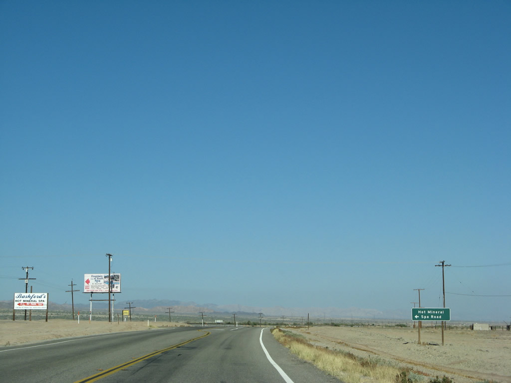
Southbound California 111 meets Hot Mineral Spa Road. Use this turnoff to access several of the spas located near the natural hot springs. This area is geothermally very active, as the Bombay Beach area of the Salton Sea is approximately the southern terminus of the San Andreas Fault, which extends over 800 miles through the state of California. South of here, the Brawley Seismic Zone and Imperial Fault Zone begin and result in scores of minor earthquakes, along with a few large earthquakes from time to time. In addition to producing earthquakes, the Brawley Seismic Zone and Imperial Fault Zone also provide the underground seismic activity necessary to produce the aforementioned heated water that heats local hot spring spas as well as geothermal power plants. Photo taken 06/07/08. |
|
|
|
|
|
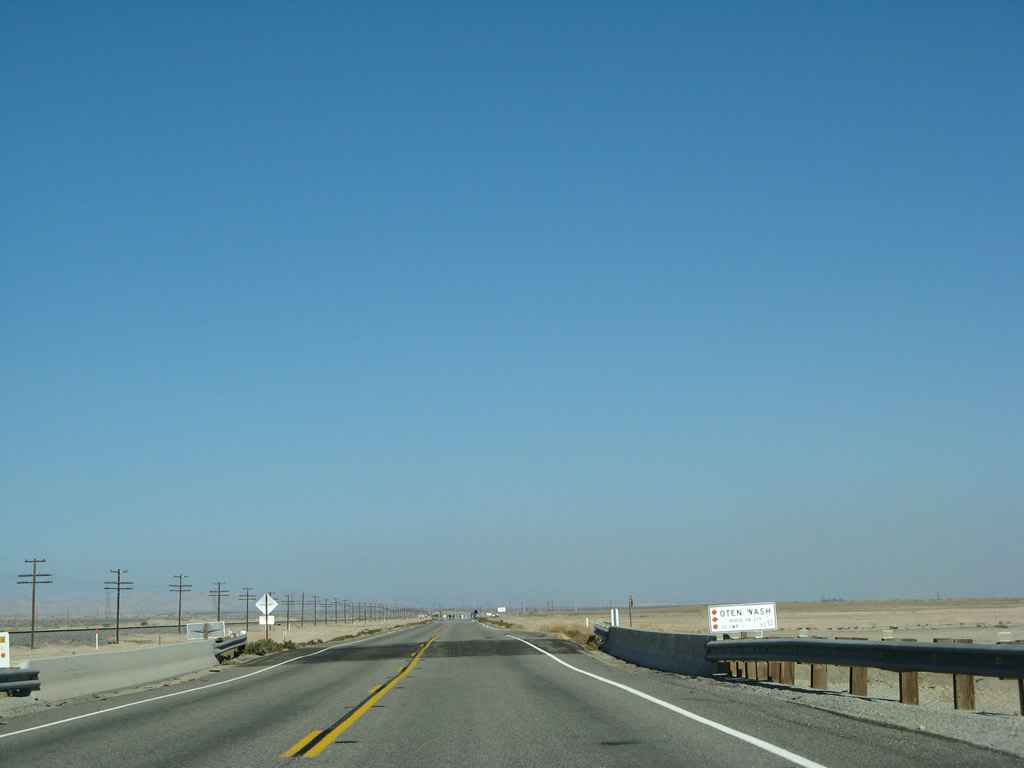
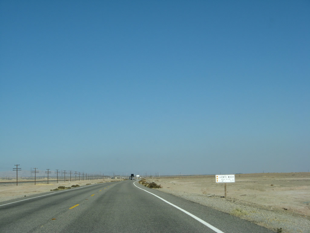
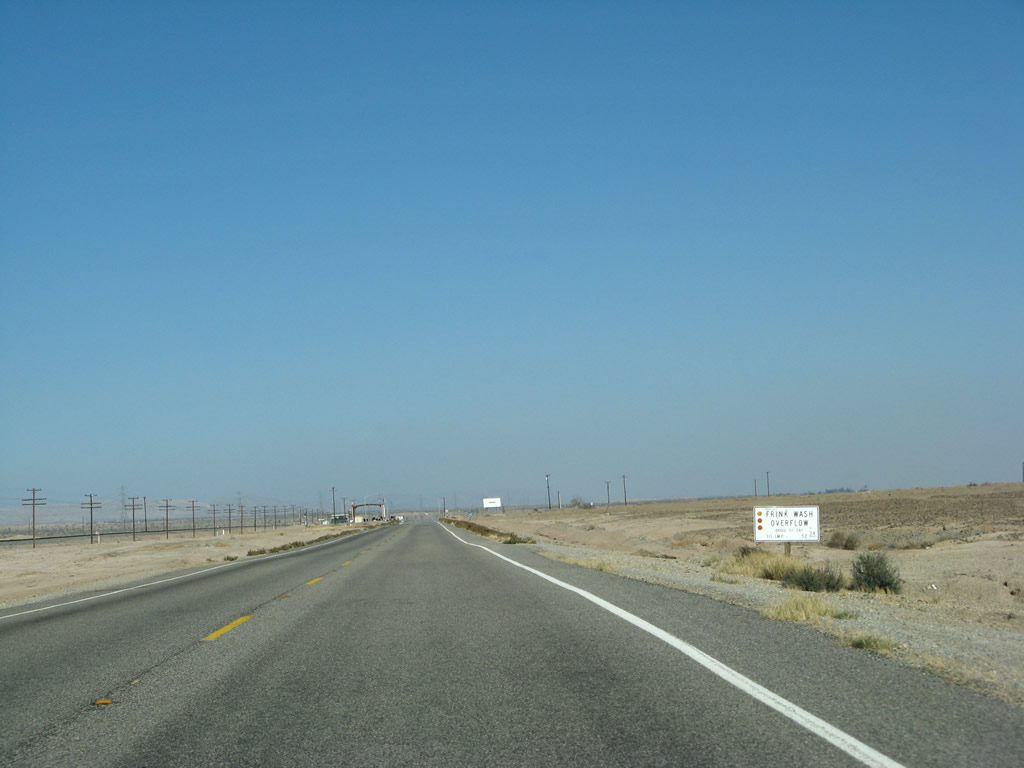
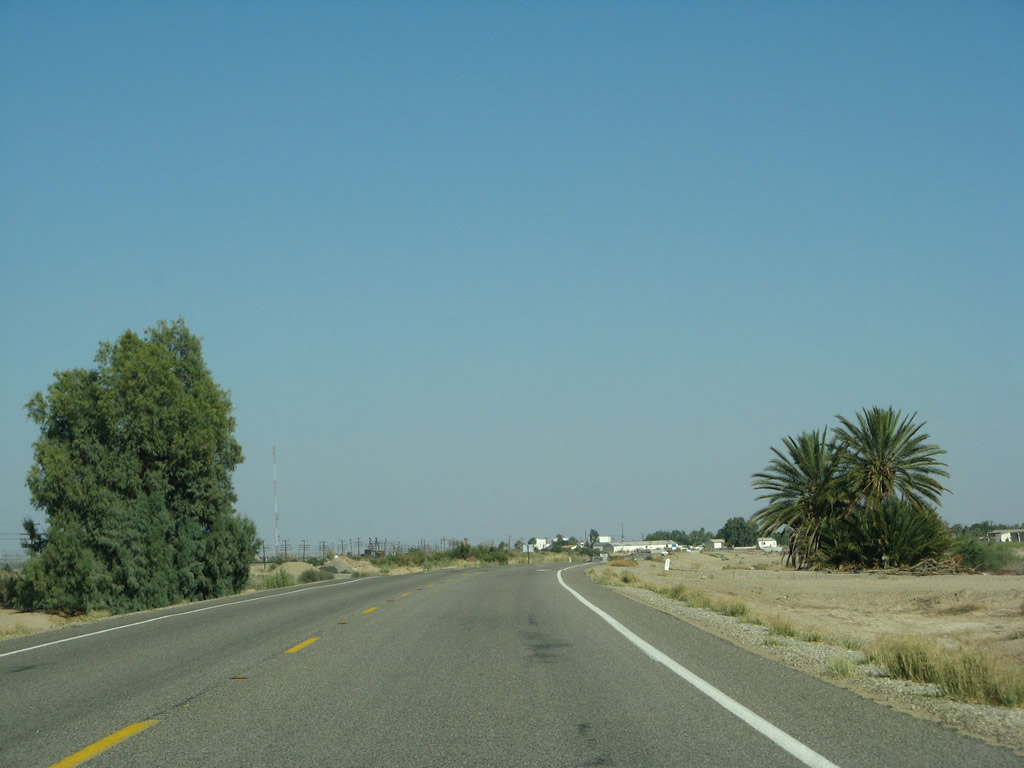
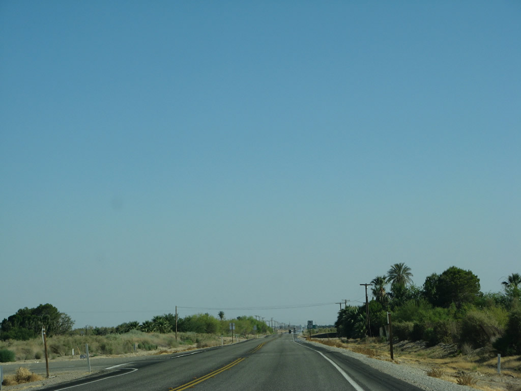
| California 111 becomes very straight as we leave the vicinity of the various spas near Bombay Beach and proceed past Frink and Wister en route to Niland and Calipatria. Not much vegetation of any sort grows alongside the state highway, owing to the salinity of the soil coupled with lack of rainfall. A series of washes pass under the state route. Photos taken 06/07/08. |
|
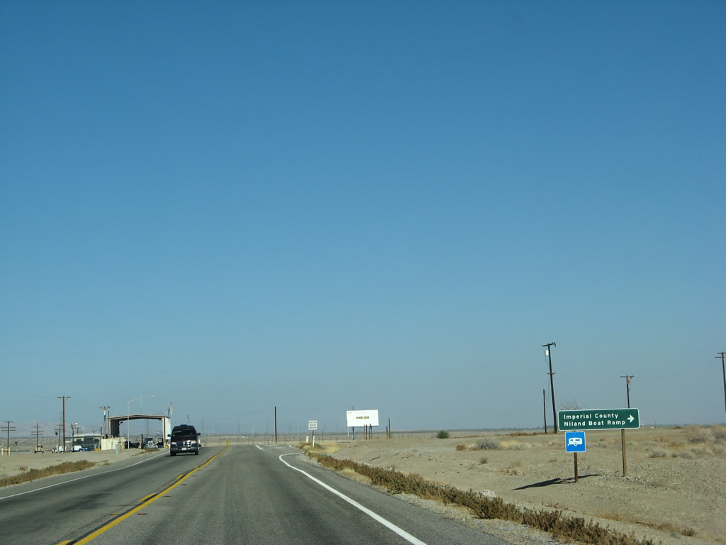
Southbound California 111 approaches the turnoff to the Imperial County Niland Boat Ramp. In addition, northbound traffic must pass through a U.S. Border Patrol Checkpoint. Southbound traffic may proceed through the intersection without stopping. Photos taken 06/07/08. |
|
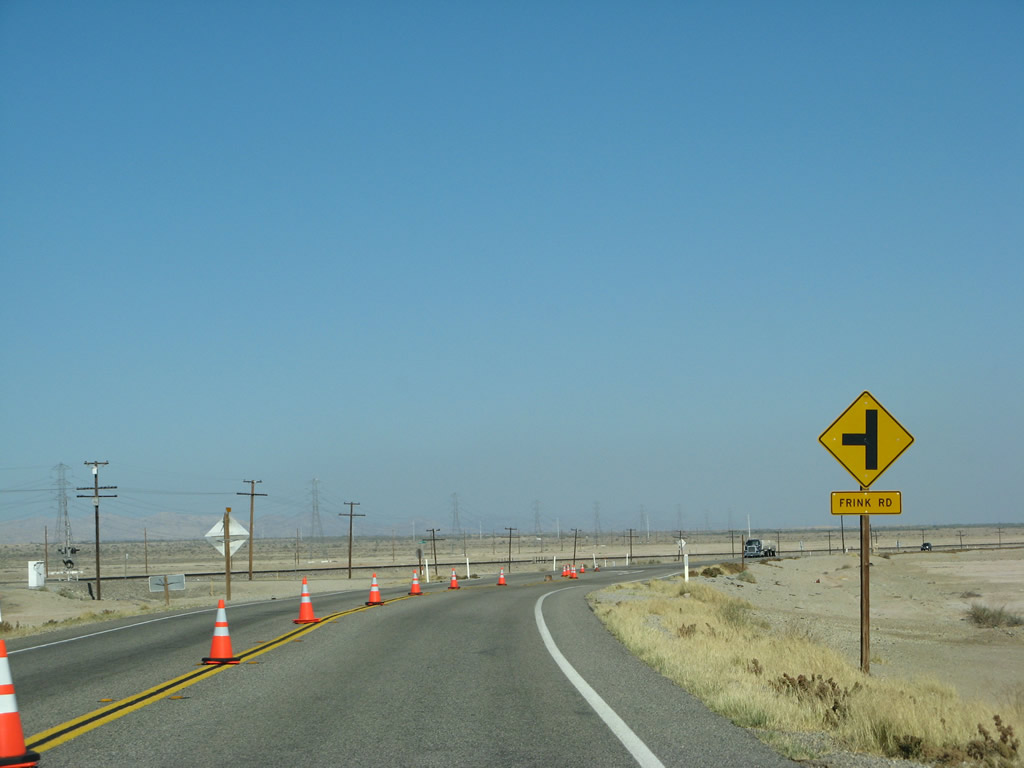
After the U.S. Border Patrol Checkpoint, California 111 south approaches the turnoff to Frink Road. A major north-south 220kV Southern California Edison power transmission line, which originates at a geothermal power plant near Holtville south of here, skirts alongside California 111 then pulls away to follow the Highline Canal toward Holtville. This line brings geothermal and other power generated in the Imperial County north into the Los Angeles-area power grid. This line will unite with other Southern California Edison power lines near the Dillon Road interchange with Interstate 10 northwest of here. Photos taken 06/07/08. |
|
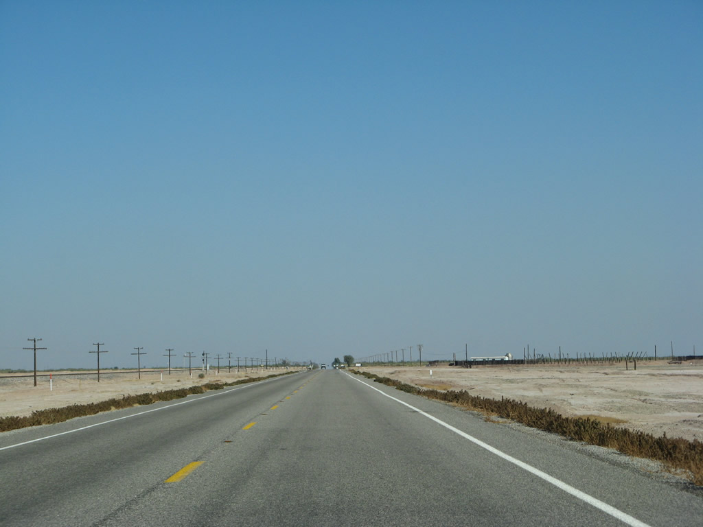
Leaving the Southern California Edison power line, California 111 and the railroad continue southeast through barren lands on the east shore of the Salton Sea. Photos taken 06/07/08. |
|
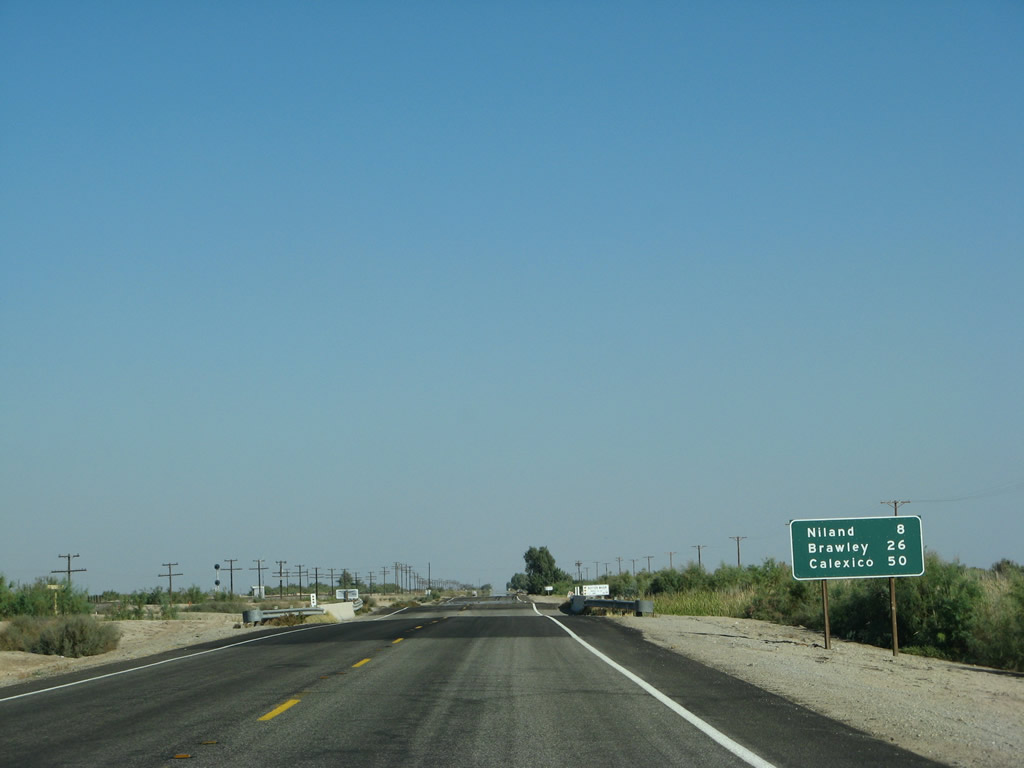
This mileage sign along California 111 south provides the distance to Niland (eight miles), Brawley (26 miles), and Calexico (50 miles). Photos taken 06/07/08. |
|
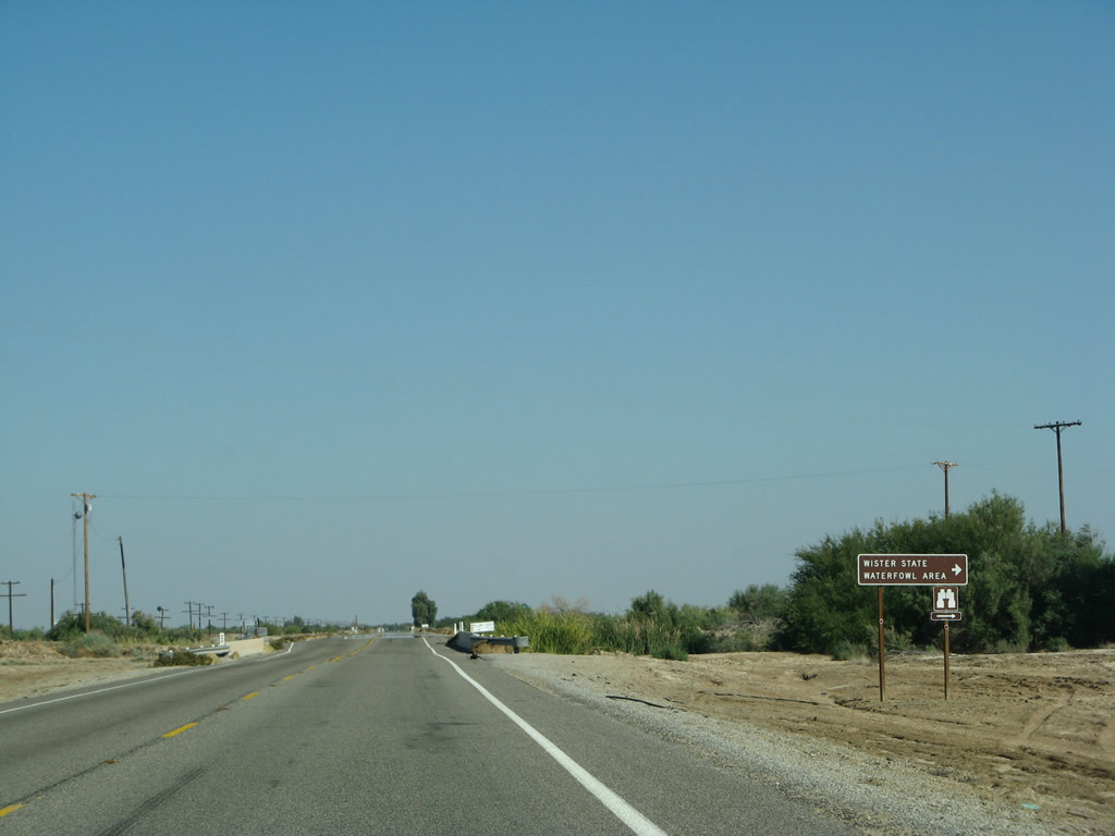
The turnoff ahead connects California 111 with Wister State Waterfowl Area. The preserve features geothermally active mudpots, birding, and views of the Salton Sea. Photos taken 06/07/08. |
|
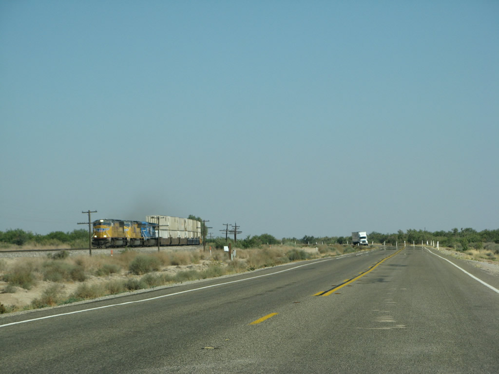
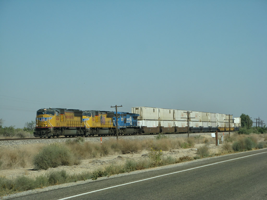
Freight moves by train and truck along this stretch of California 111. Photos taken 06/07/08. |
|
A Union Pacific locomotive moves the train toward the northwest en route to Riverside County and Greater Los Angeles. Photos taken 06/07/08. |
|
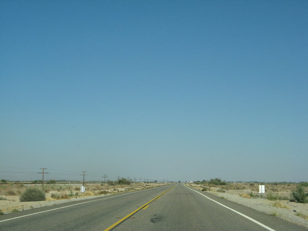
California 111 again straightens out. Photos taken 06/07/08. |
|
A California 111 south reassurance shield is posted soon thereafter. Photos taken 06/07/08. |
|
California 111 curves into the outskirts of Niland. Photos taken 06/07/08. |
|
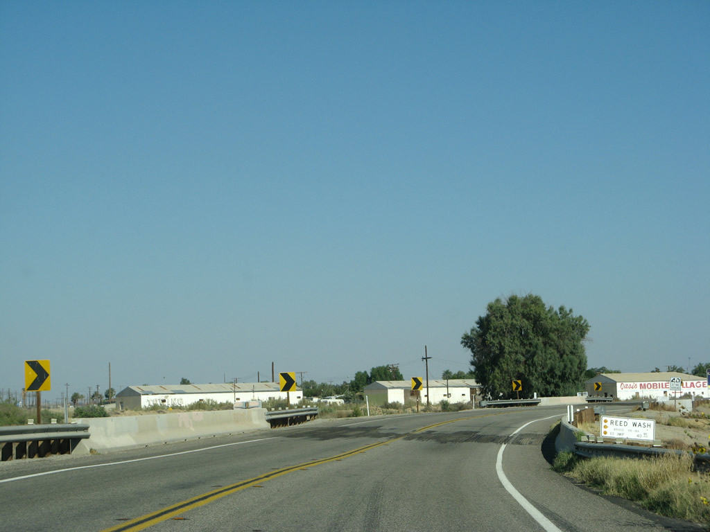
The speed limit will lower as California 111 passes over Reed Wash and X Drain. Photos taken 06/07/08. |
|
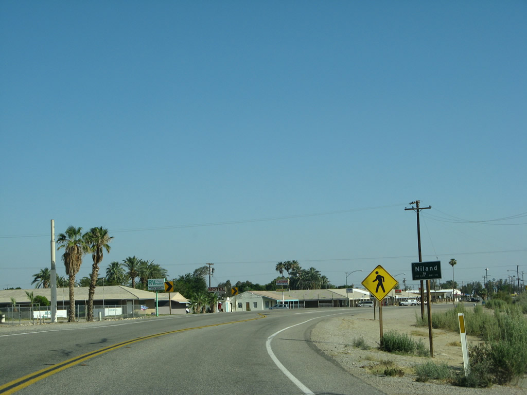
Southbound California 111 enters the unincorporated community of Niland. Most of the community sits on the east side of California 111 in a small grid, with Niland Avenue cutting through the grid at a 45-degree angle. The railroad acts as the eastern edge of Niland. The population here was 1,006 as of the 2010 Census. Photos taken 06/07/08. |
|
Businesses line California 111 as it passes through Niland. A nearby attraction to Niland is Slab City, which is in the foothills a bit east of here. Near Slab City is Salvation Mountain with its colorful art on an otherwise barren hillside. To both Slab City and Salvation Mountain, take Main Street (which becomes Beale Road) east. Photos taken 06/07/08. |
|
A school sits alongside California 111 in Niland. Photos taken 06/07/08. |
|
Near the southern edge of Niland, California 111 south approaches Niland Avenue, which travels northeast on a 45-degree angle back toward the center of the community. It is unclear as to whether this road may have served as an old alignment of California 111 in the past. Photos taken 06/07/08. |
|
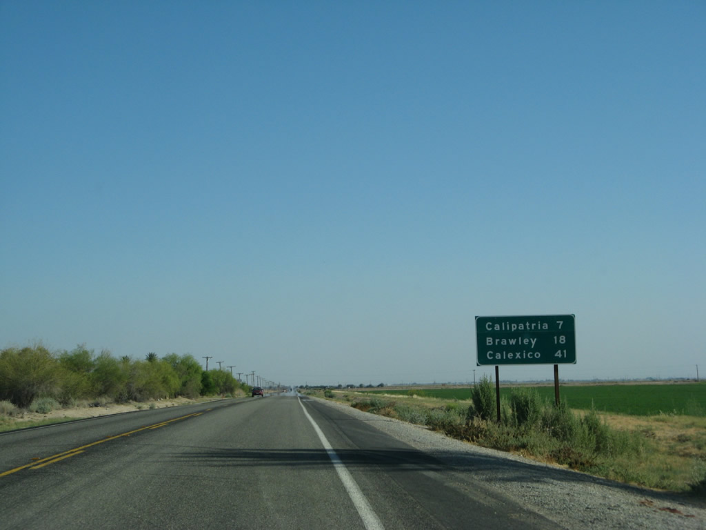
This mileage sign along California 111 south of Niland provides the distance to Calipatria (seven miles), Brawley (18 miles), and Calexico (41 miles). Photos taken 06/07/08. |
|
Niland represents the northern edge of the fertile Imperial Valley. Traveling south on California 111, we again see farmland just as we did in the Coachella Valley. California 111 stays well to the east of the Salton Sea, so the saltwater lake is no longer easily visible from the state route. Photos taken 06/07/08. |
|
Speeding south, California 111 meets Simpson Road. Most of the highways in the Imperial County are laid out in a grid pattern. Simpson Road, along with many intersecting rural roadways between Niland and Calipatria, travels east-west, while California 111 maintains a due north-south trajectory. There some exceptions to this general rule, but most of Imperial County is fairly uniform with respect to the grid pattern. Photos taken 06/07/08. |
|
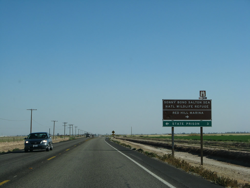
Southbound California 111 approaches the turnoff to Sinclair Road. To the Sonny Bono Salton Sea National Wildlife Refuge, turn right on Sinclair Road. Follow it west to the refuge, which features a hiking trail, information kiosk, and restrooms. Photos taken 06/07/08. |
|
This reassurance shield for California 111 is posted after the Sinclair Road intersection (about midway between Niland and Calipatria). California 111 heads due south toward Calipatria and Brawley. Photo taken 02/26/06. |
|
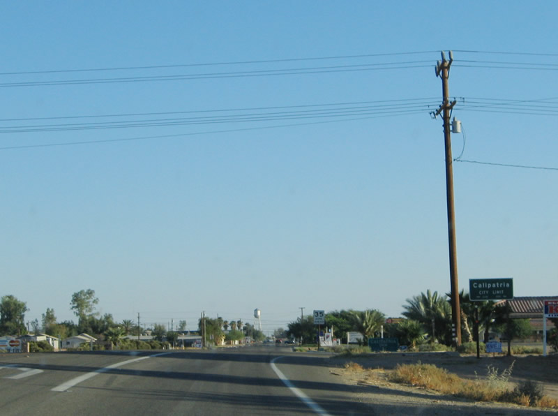
|
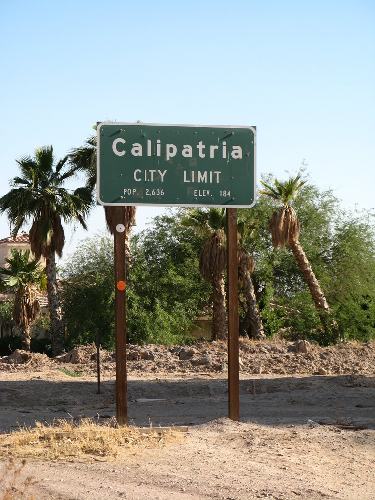
California 111 widens out as it enters the city of Calipatria. Located about 150 miles east of San Diego and 100 miles southeast of Palm Springs, Calipatria is based on the agricultural resources of north-central Imperial County. It is the lowest elevation city within the United States (-177 feet below sea level) and for that matter North America and even the Western Hemisphere. The city was founded on February 28, 1918, and it is known for a flagpole that extends some 184 feet above the town ... the same height as sea level! Photos taken 02/26/06 and 06/07/08. |
|
Another California 111 south reassurance shield is posted soon thereafter. Residences and businesses line the highway as we pass through the city. Calipatria had a population of 7,710 as of the 2010 Census and 7,289 as of the 2000 Census. For single women, Calipatria might be an excellent place to meet men, as the population is 78% male and 22% female per the 2000 Census. Photo taken 06/07/08. |
|
|
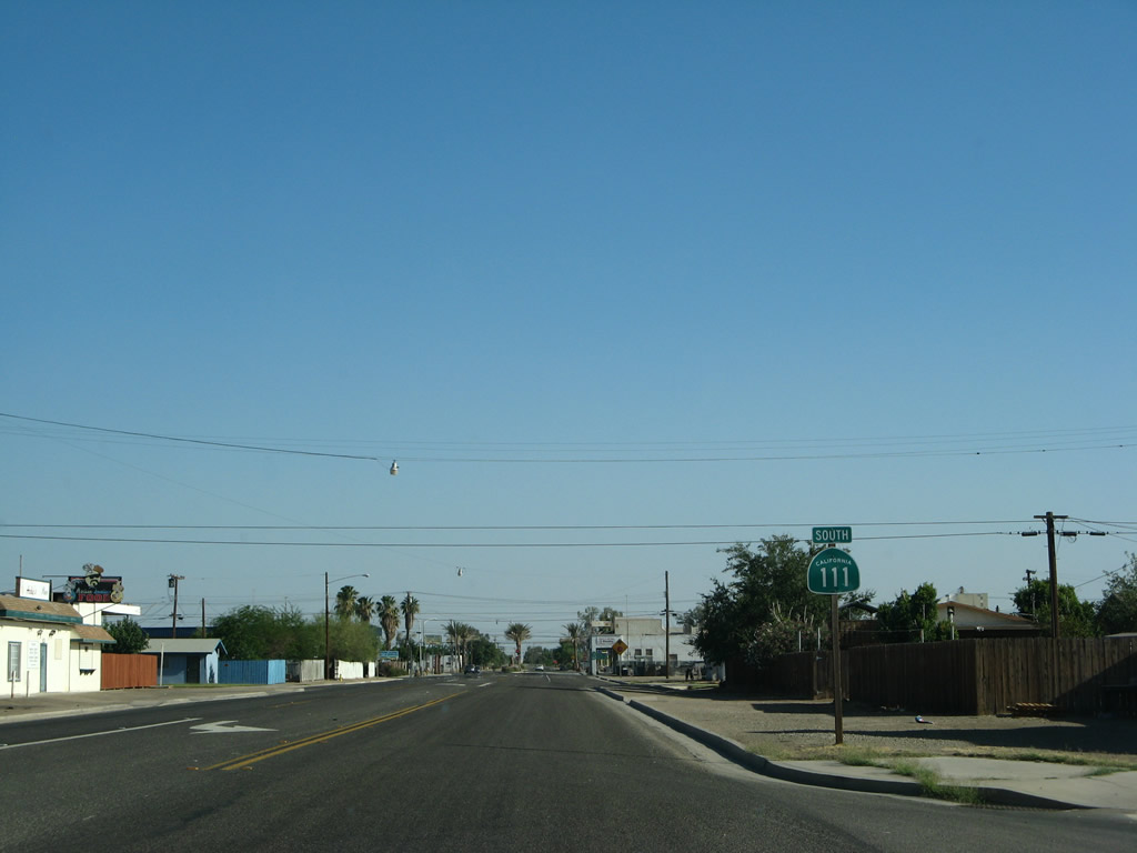
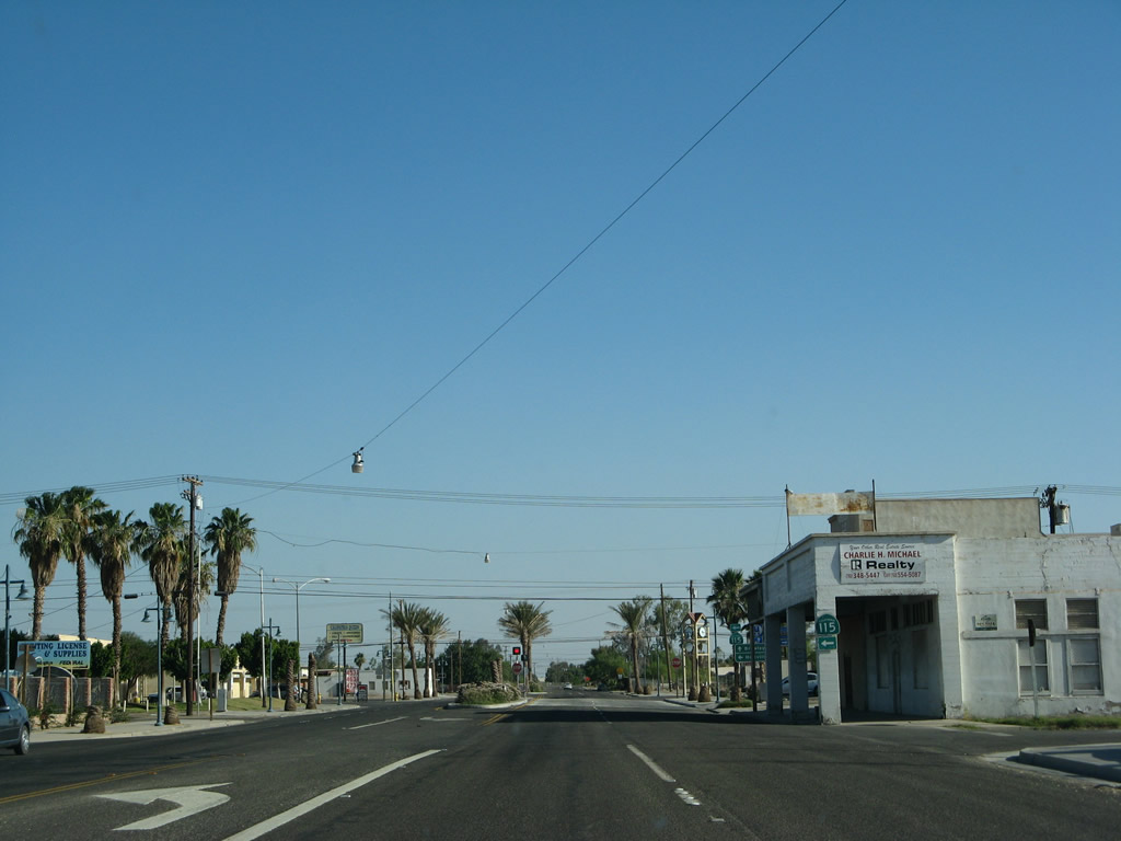
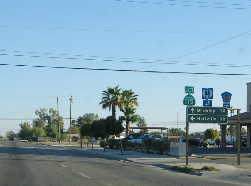
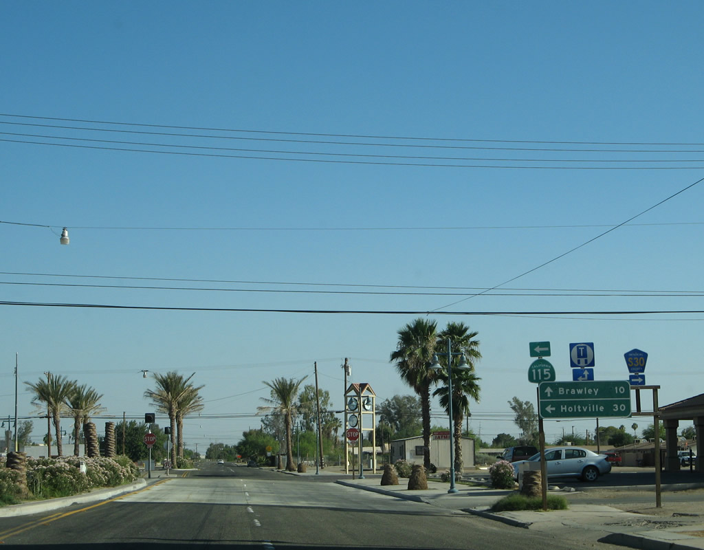
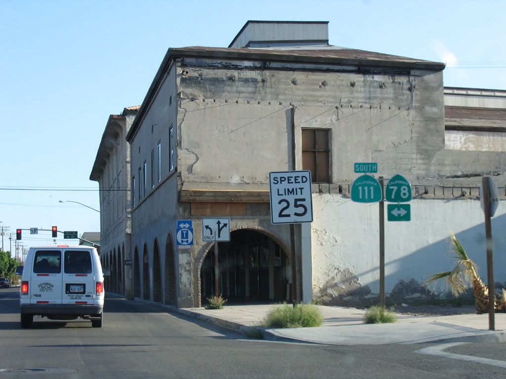
In downtown Calipatria, California 111 approaches a junction with California 115 east/south and Imperial County S-30 west/south. Use California 115 east to farm and ranch access. The highway turns south, intersects California 78 east of Brawley, then passes through the city of Holtville via Old U.S. 80 before ending at Interstate 8 southeast of Holtville near the hot springs. S-30 travels west and then south to meet California 78-86 in Westmorland. Photos taken 06/07/08 and 02/26/06. |
|
|
Follow Imperial County S-30 (Main Street, which changes into Eddins Road) west to the Salton Sea National Wildlife Refuge. There is a hiking trail available at the southeastern shore of the sea that offers ample views of the lake and its environs. Farms and geothermal power plants line the southern shores of the Salton Sea. After the turnoff to the wildlife refuge, Imperial County S-30 then turns south off Eddins Road, then follows Gentry Road then Forrester Road south through Westmorland, where the county route meets California 78 and California 86. Imperial County S-30 then continues south toward Imperial, El Centro, and Heber before ending at California 98. Photos taken 02/26/06 and 06/07/08. |
|
|
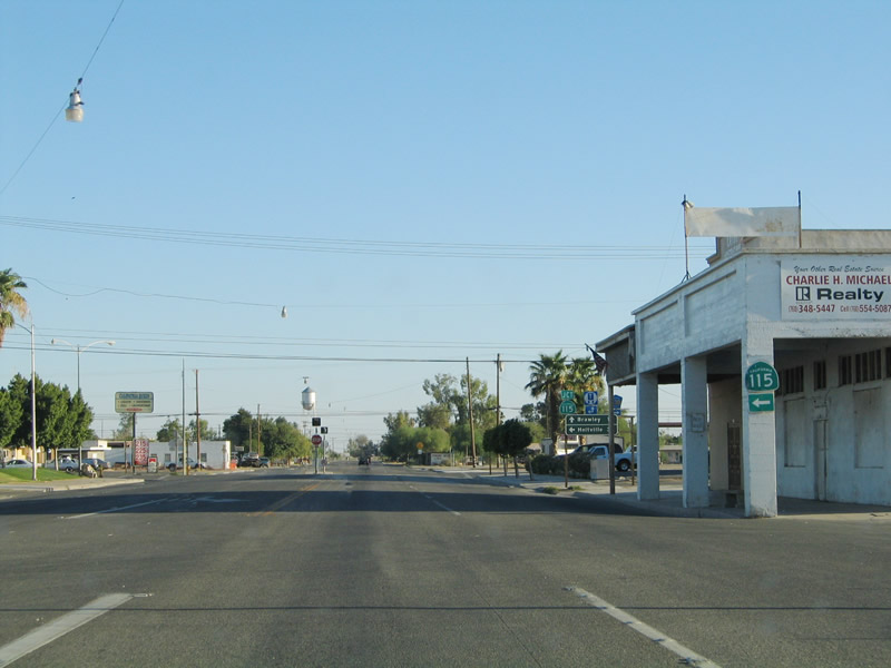
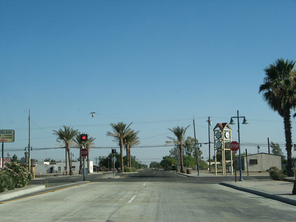
Southbound California 111 meets California 115 and Imperial County S-30 in downtown Calipatria. California 115 travels east and then south to California 78 and Holtville. Imperial County S-30 leads west to the Salton Sea National Wildlife Refuge. Some streetscape improvements and a clock tower were added here between 2006 and 2008. Photos taken 06/07/08 and 02/26/06. |
|
California 111 continues south from downtown Calipatria. Street lights hang over the center of the roadway. Photo taken 05/07/06. |
|
Leaving town, California 111 once again enters rural farmland. An Imperial Irrigation District powerline turns to join California 111 south of Calipatria. Photo taken 05/07/06. |
|
A California 111 south reassurance shield is posted soon thereafter. Photo taken 05/07/06. |
|
This mileage sign along California 111 south provides the distance to Brawley (10 miles) and Calexico (32 miles). Photo taken 05/07/06. |
|
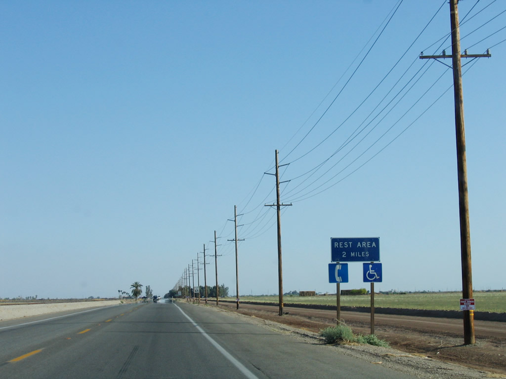
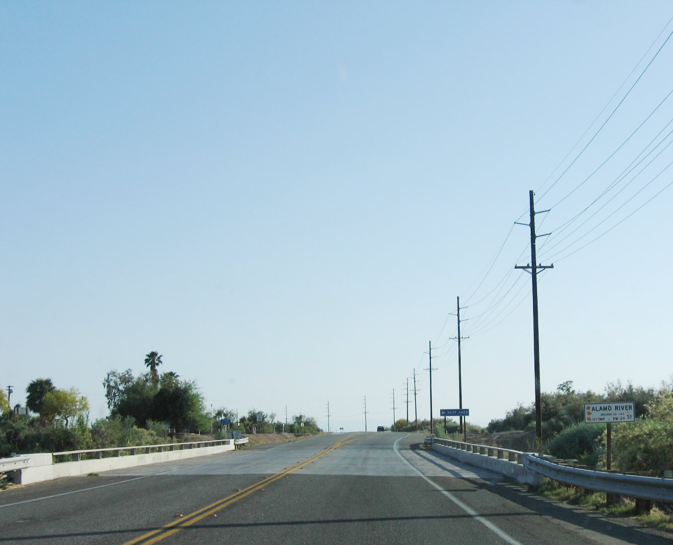
The Two Rivers Rest Area is located along California 111 about 2.5 miles south of Calipatria and about nine miles north of Brawley. This rest area offers restrooms, water, picnic tables, and telephone. Photo taken 05/07/06. |
|
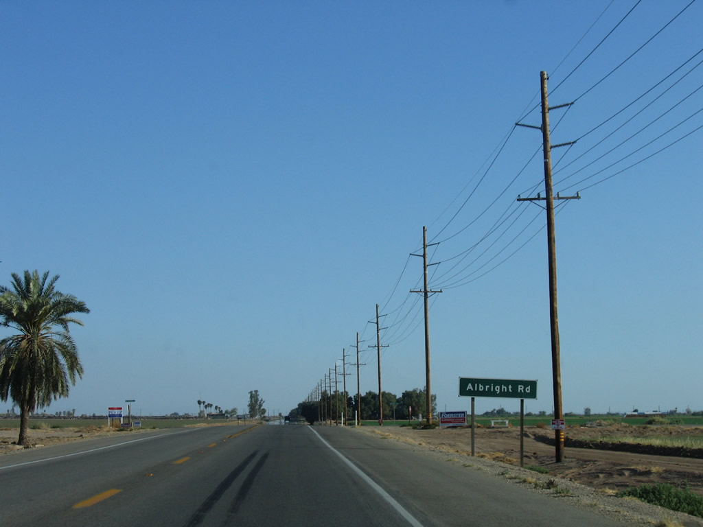
Southbound California 111 approaches Albright Road. Photo taken 05/07/06. |
|
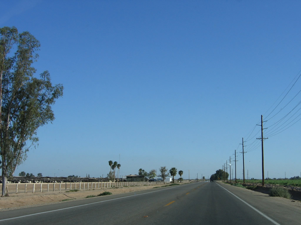
A large feed lot lines California 111 between Calipatria and the Alamo River crossing. The Two Rivers Rest Area is located just south of the Alamo River bridge. Photo taken 05/07/06. |
|
California 111 passes over the Alamo River and approaches the left turn to the Two Rivers Rest Area. The Alamo River carries water north from the Mexicali area and delivers it into the Salton Sea. Like its companion, the New River, the Alamo River carries its share of agricultural and urban runoff that has damaged the ecosystem of the Salton Sea. Photo taken 05/07/06. |
|
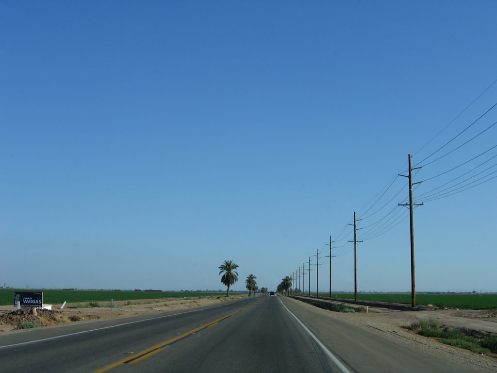
More farmland lines California 111 as it proceeds south from the Two Rivers Rest Area. Photo taken 05/07/06. |
|
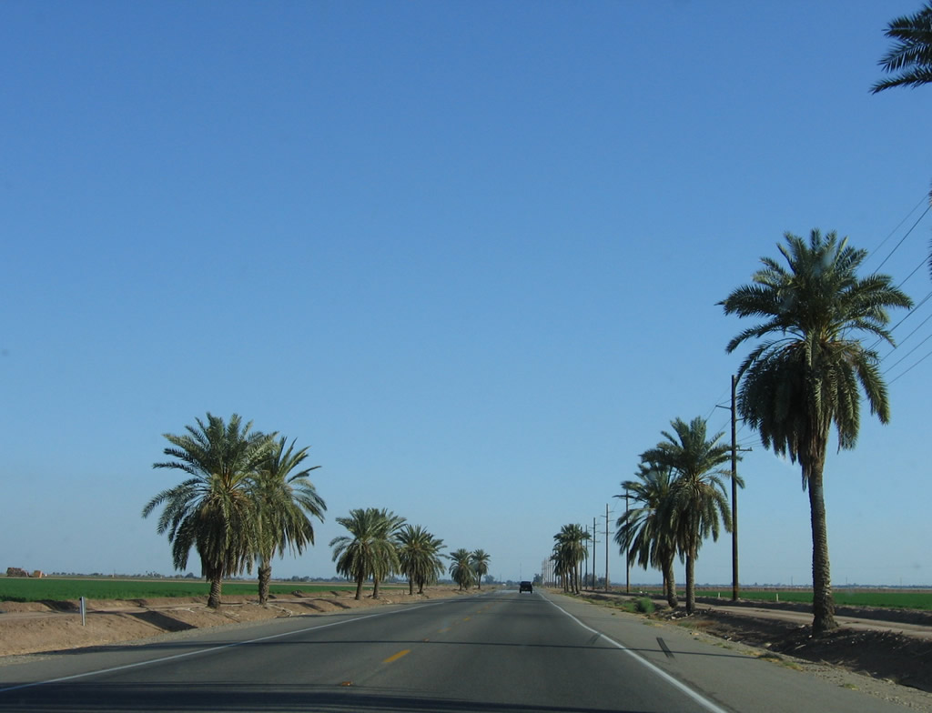
Palm trees line California 111. Photo taken 05/07/06. |
|
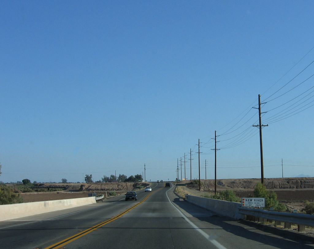
Soon thereafter, California 111 again loses elevation to cross over the New River, which also carries water north from Mexico to the Salton Sea. Absent runoff from farms, ranches, urban development, and industry, the New River would likely not carry any water. Photo taken 05/07/06. |
|
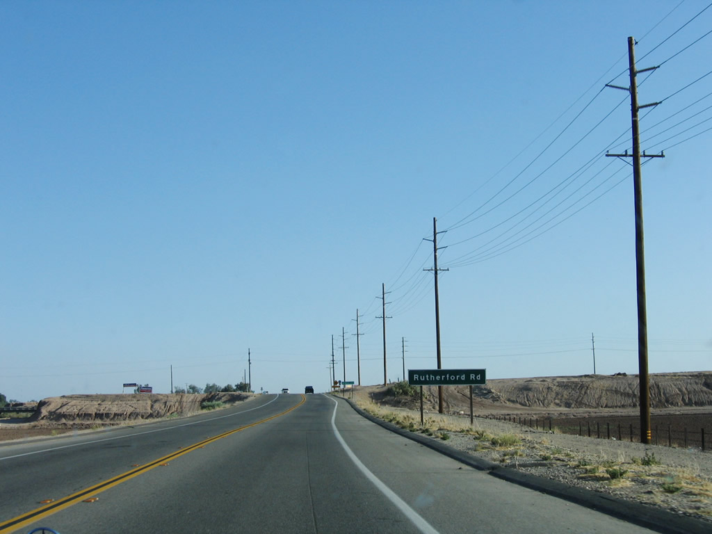
California 111 proceeds uphill from the New River and approaches Imperial County S-26 (Rutherford Road). S-26 is an east-west county highway that begins in Westmoreland at the intersection of California 78-86 with Boarts Road. From there, S-26 travels east along Boarts Road, north on Kalin Road, and east along Rutherford Road, ending at California 115. Photo taken 05/07/06. |
|
Southbound California 111 meets Imperial County S-26 (Rutherford Road). Use S-26 east to Wiest Lake or west to Westmorland. Photo taken 05/07/06. |
|
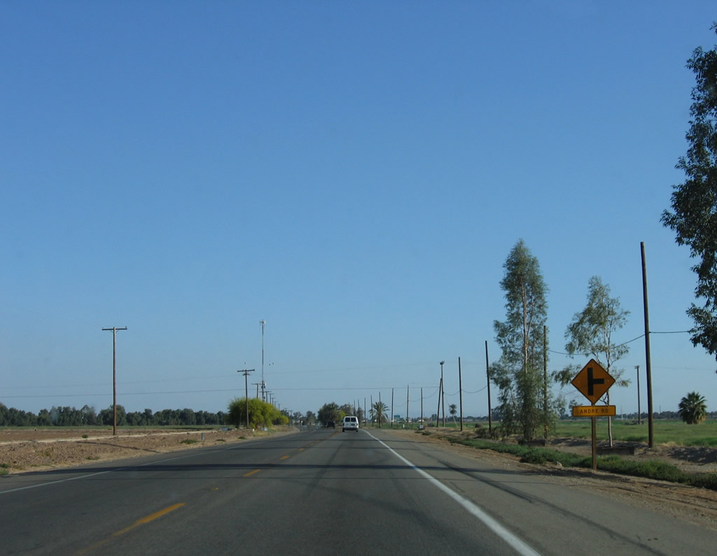
Continuing south, California 111 approaches Andre Road. Photo taken 05/07/06. |
|
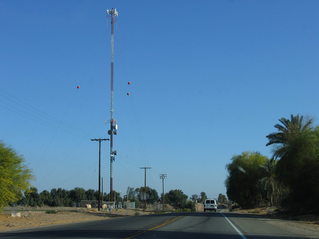
California 111 passes by a tall antenna just outside Brawley. Photo taken 05/07/06. |
|
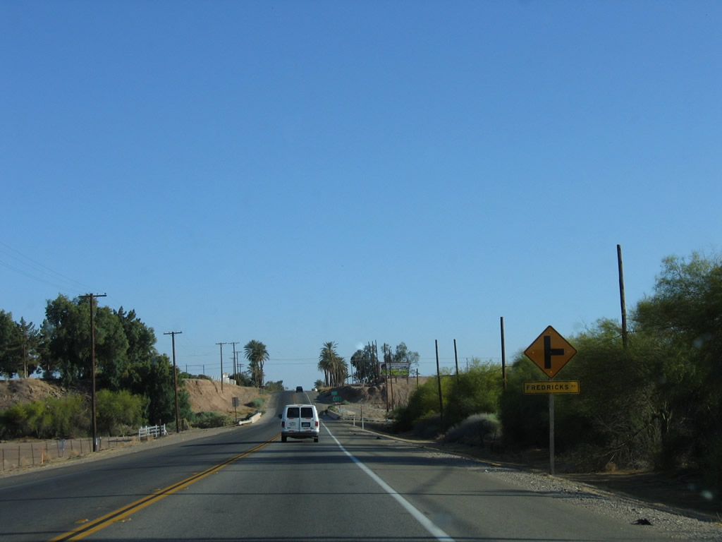
Southbound California 111 approaches Fredricks Road. Photo taken 05/07/06. |
|
|
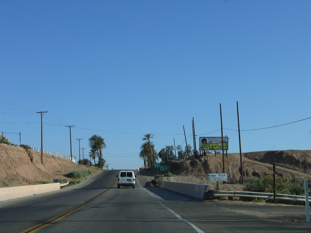
Reaching Fredricks Road, southbound California 111 again crosses the New River for the second and final time. The New River flows west of Brawley, while California 111 travels into the city center. Changes to this area occurred as a result of the construction and opening of the Brawley Bypass (Victor V. Veysey Expressway) as seen in the 2013 picture. Photos taken 04/20/13 and 05/07/06. |
|
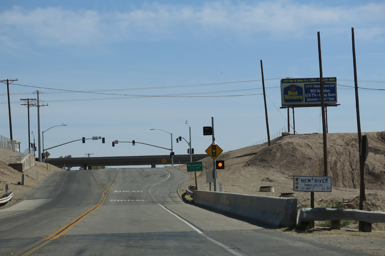
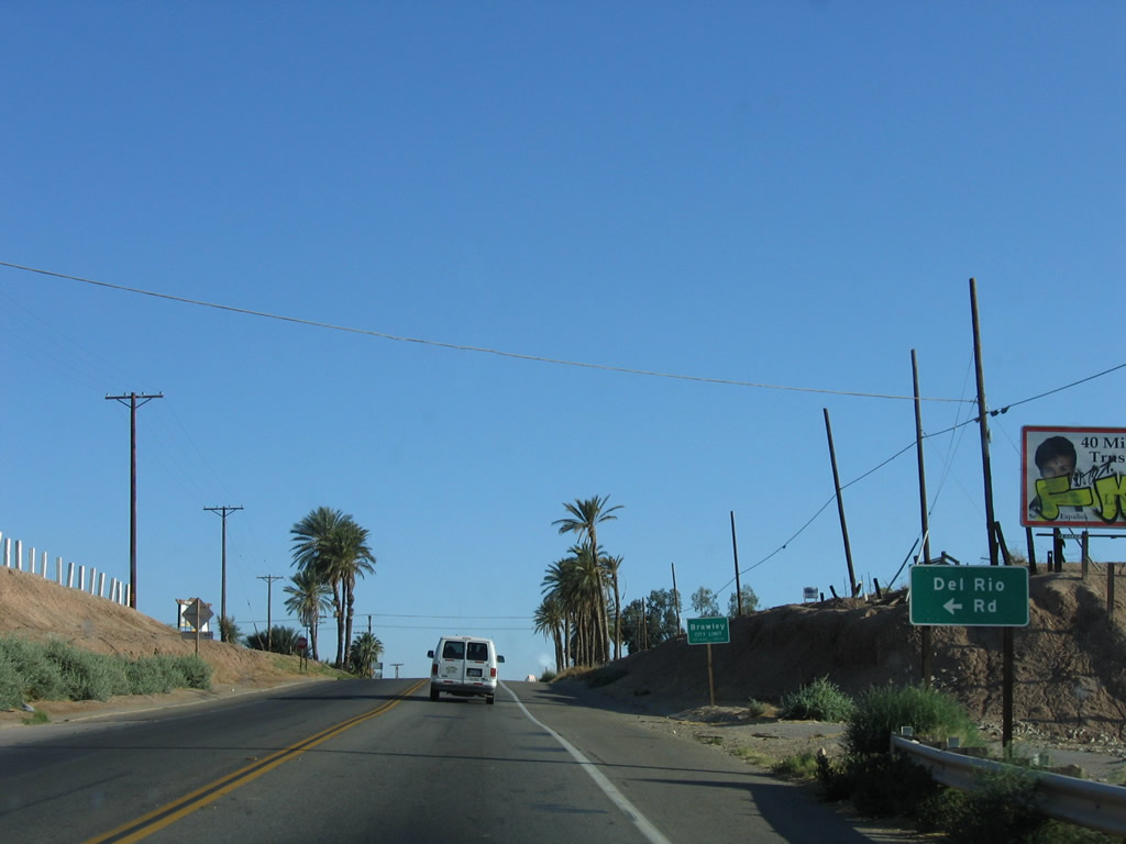
After the New River crossing, California 111 next approaches Del Rio Road and enters the city of Brawley, which was incorporated on April 6, 1908. It is situated just east of the New River in the northern Imperial Valley and Lower Colorado Desert. With a population of 24,953 (2010 Census), Brawley is situated along the Union Pacific Railroad, which generally follows California 111 north toward Indio, Coachella Valley, and Interstate 10. This area changed by 2013 with the completion of the Brawley Bypass. Photo taken 05/07/06. |
|
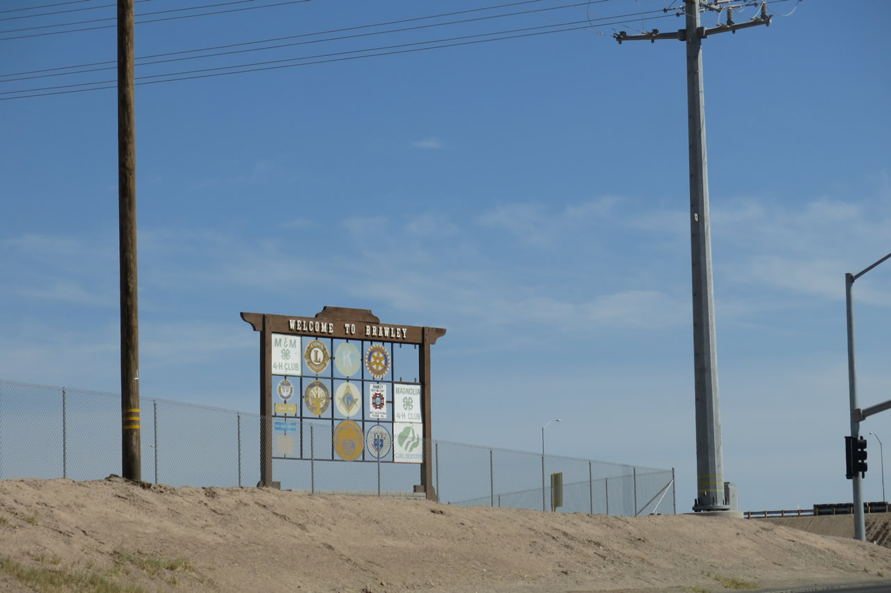
A Welcome to Brawley sign is posted on a hillside overlooking California 111. Photo taken 04/20/13. |
|
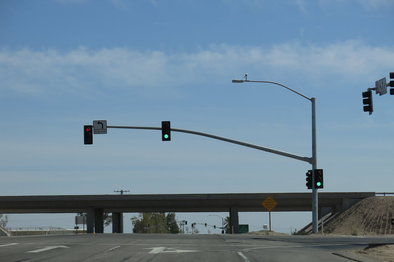
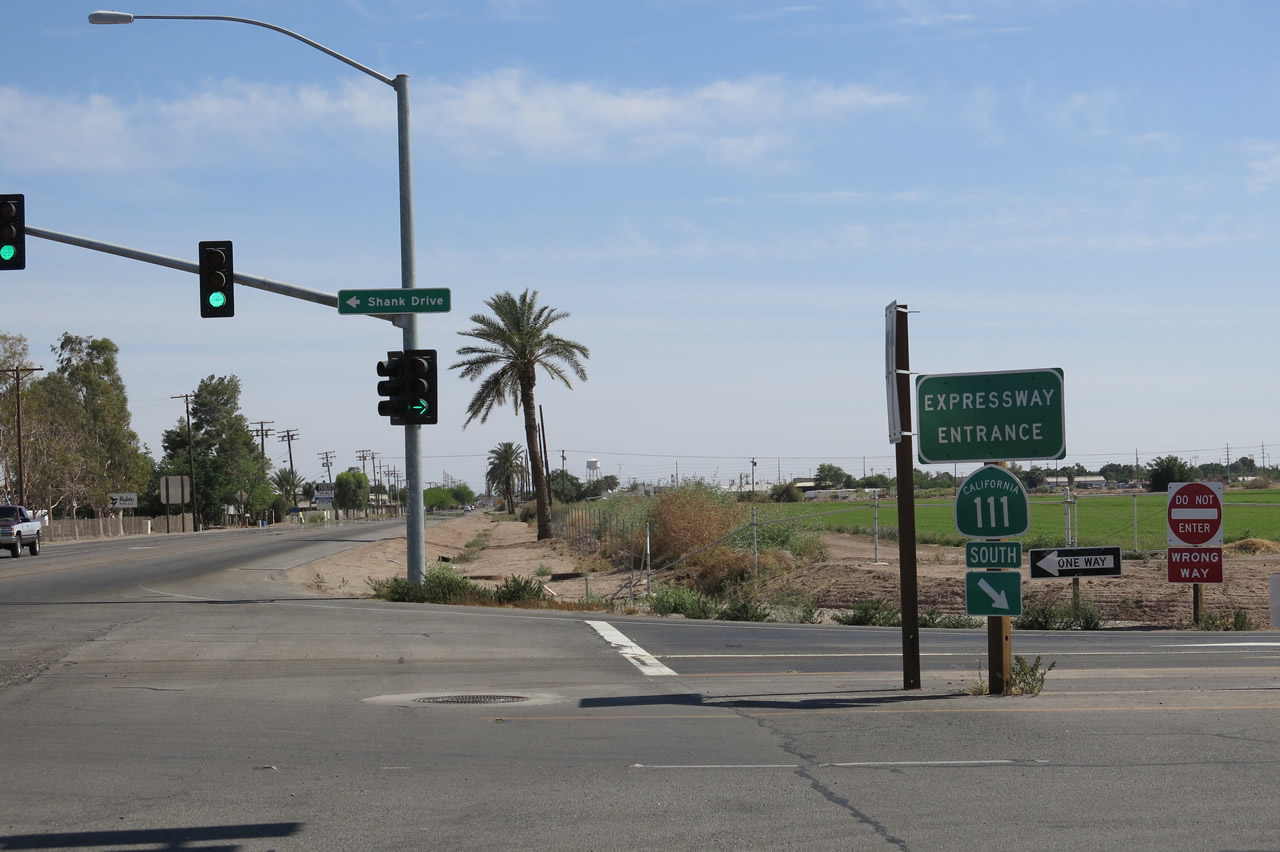
Southbound California 111 meets the first of two signalized intersections with the Brawley Bypass (California 78). The first ramp connects California 111 south with California 78 west. Photo taken 04/20/13. |
|
|
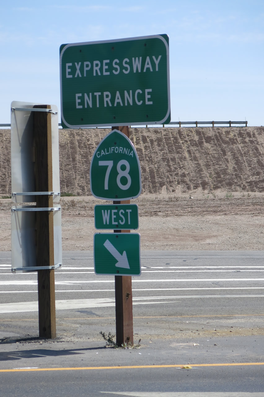
A pair of California 78 "Expressway Entrance" shield assemblies flanks the on-ramp to California 78 west. For now, the expressway entrance signs are the only signs in place for California 78; the advance junction signs had not yet been placed as of 2013. Photos taken 04/20/13. |
|
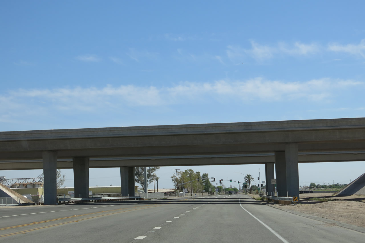
Southbound California 111 passes under the Brawley Bypass (California 78) and prepares to make the next right turn to join the bypass heading southeast. Ahead, Imperial County S-31 (Old Highway 111) will proceed toward downtown Brawley. Photo taken 04/20/13. |
|
Southbound California 111 approaches the second of two signalized intersections with the Brawley Bypass (California 78). The second right turn connects to the on-ramp for California 111 south and California 78 east. Old Highway 111 proceeds south, turning into Eighth Street once in the downtown area. Photo taken 04/20/13. |
|
|
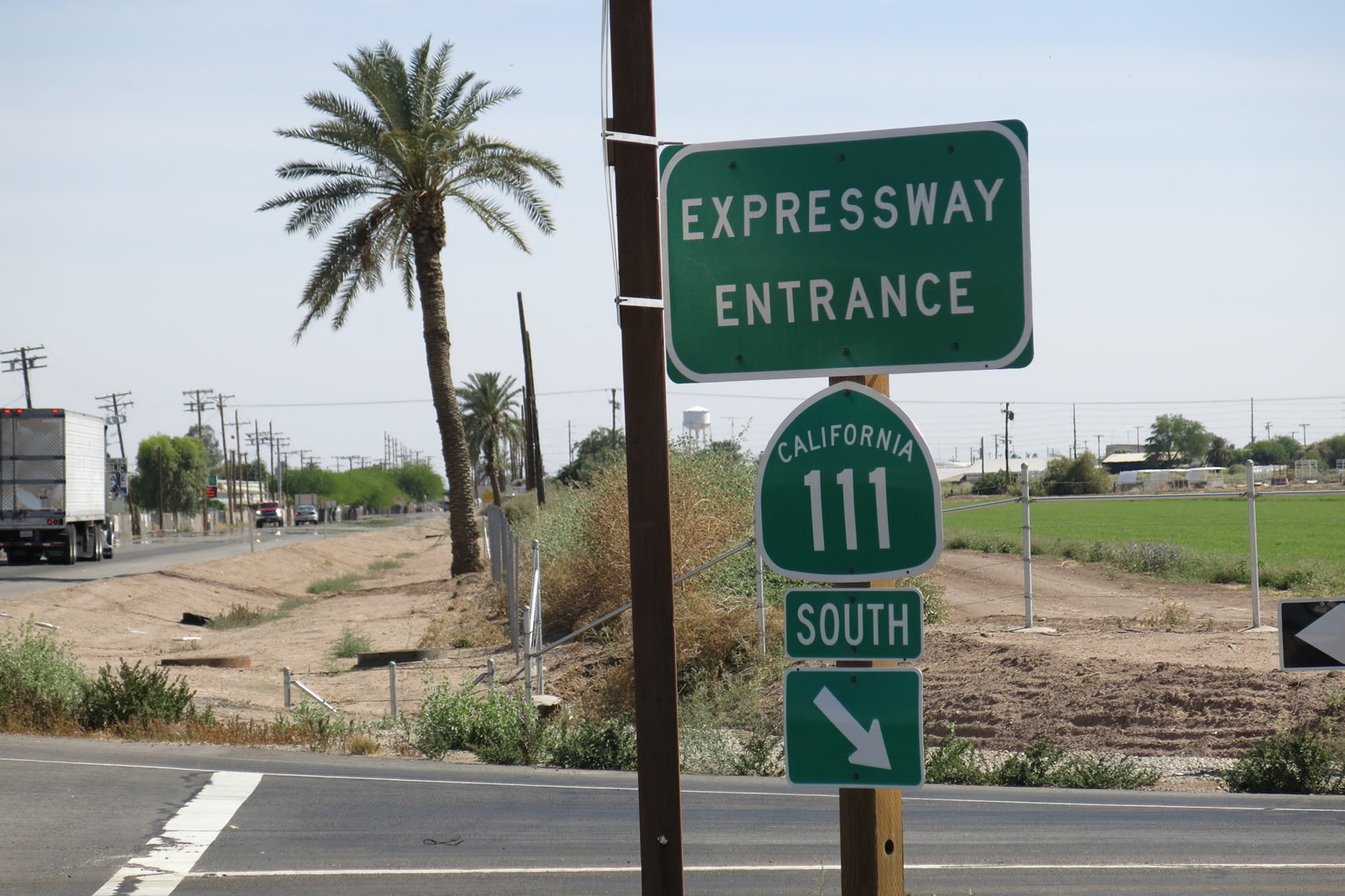
Immediately thereafter, southbound California 111 meets the on-ramp to California 78 east and California 111 south (Brawley Bypass or Victor V. Veysey Expressway). The "expressway entrance" signs only acknowledge California 111 south, not California 78 east. Photos taken 04/20/13. |
|
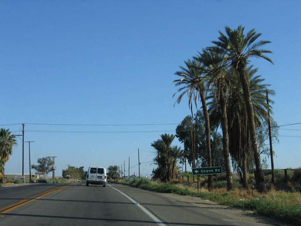
Back in 2006 near the same location, southbound California 111 used to meet Shank Road (now a frontage road called Shank Drive) here. This is the approximate location of the Brawley Bypass, which fully opened to traffic in October 2012. Conditions here have completely changed, and we'll update with new pictures once they are available. Photo taken 05/07/06. |
|
|
A single lane ramp carries southbound California 111 onto California 78 (Brawley Bypass). Photos taken 04/20/13. |
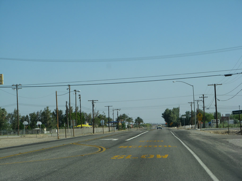
| Imperial County S-31 (Old Highway 111) south |
|
Leaving the interchange with the Brawley Bypass (California 78), Old Highway 111 proceeds south into Brawley. Development increases as we approach downtown Brawley. Photo taken 05/07/06. |
|
Southbound Old Highway 111 turns into North Eighth Street and approaches East River Drive (next right). Photo taken 05/07/06. |
|
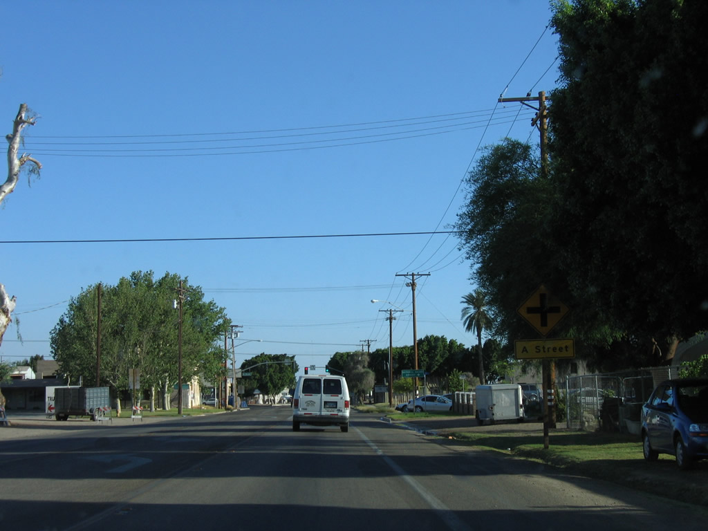
Continuing south, Old Highway 111 / North Eighth Street approaches A Street. The traffic signal visible in the distance is for B Street. Photo taken 05/07/06. |
|
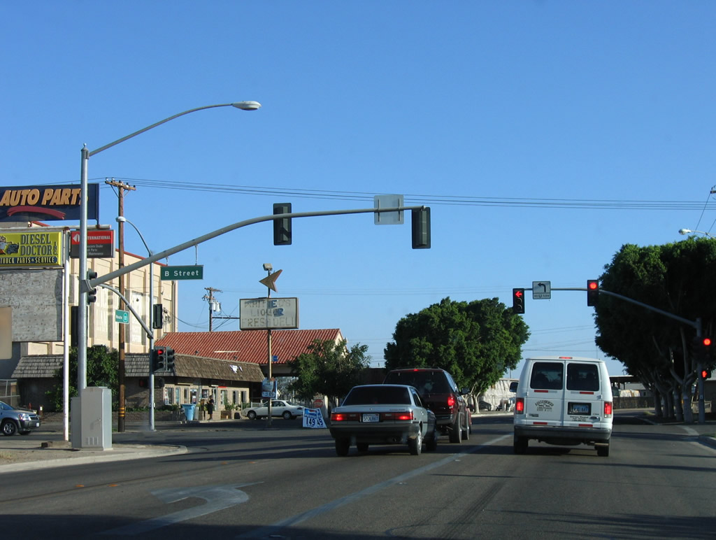
Southbound Old Highway 111 / North Eighth Street approaches B Street at this traffic signal. Photo taken 05/07/06. |
|
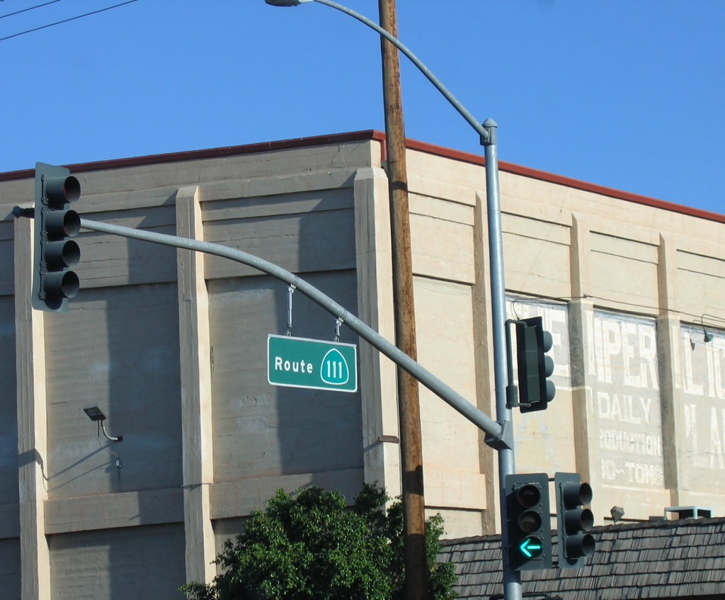
As is common with Caltrans District XI, when it was a state route, North Eighth Street was signed with "Route 111" signs hanging from the traffic signal mast arms. Photo taken 05/07/06. |
|
Southbound Old Highway 111 / North Eighth Street proceeds a few more blocks to its junction with Old California 78 / Main Street and Imperial County S-31 south. This trailblazer was posted along southbound Eighth Street at E Street; it was removed by 2012. Photo taken 05/07/06. |
|
At this traffic signal, southbound Old Highway 111 turns left onto Main Street. Turn left for Old California 78 (Main Street) east to Glamis or right for Old California 78 (Main Street) west to downtown Brawley and points west. To California 86 north, use Main Street west. Photo taken 05/07/06. |
|
A separate California 78 trailblazer is posted at the Main Street intersection. Unsigned here is Imperial County S-31, which travels south out of Brawley en route to El Centro via Dogwood Road. Continue south on Eighth Street for the continuation of S-31. Photo taken 05/07/06. |
Page Updated May 28, 2013.