

Interstate 5 North - Kings County
| Interstate 5 (West Side Freeway) north | |
|---|---|
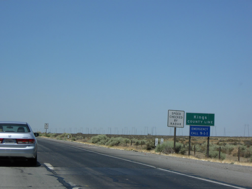 |
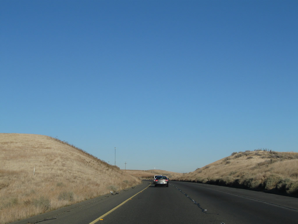
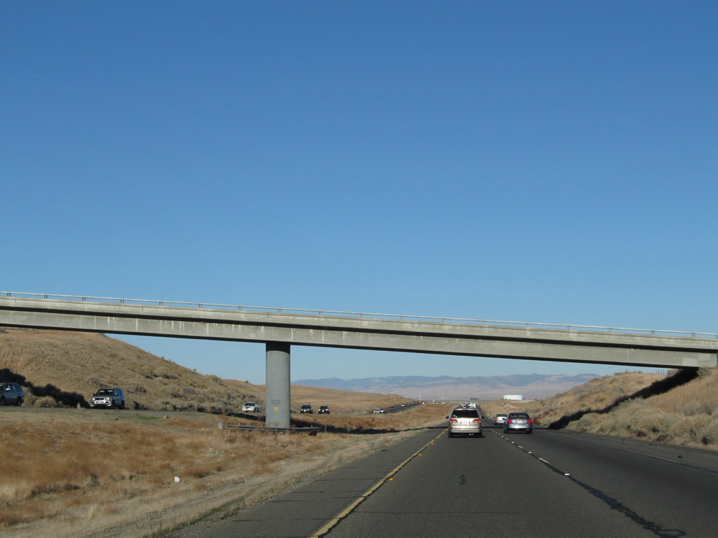
Soon after this point, Interstate 5 leaves Kern County and enters Kings County. This Central Valley county had a population of 152,982 as of the 2010 Census. Most of the agricultural and urban development of the county lies away from Interstate 5, mostly on California 198 (the county seat is Hanford, and nearby Lemoore is home to a military base). However, Interstate 5 will pass through the city of Avenal before leaving Kings County and entering Fresno County. Photo taken 07/15/09. |
 |
 |
 |
 |
 |
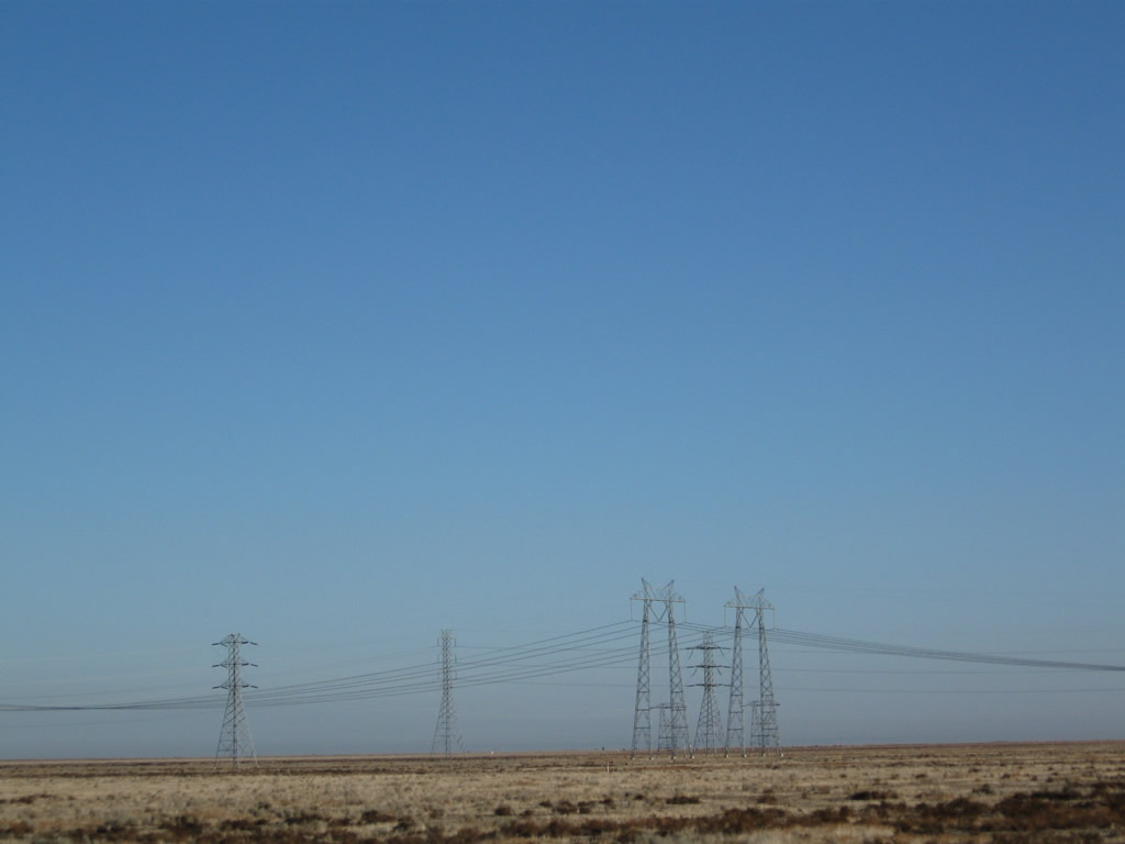
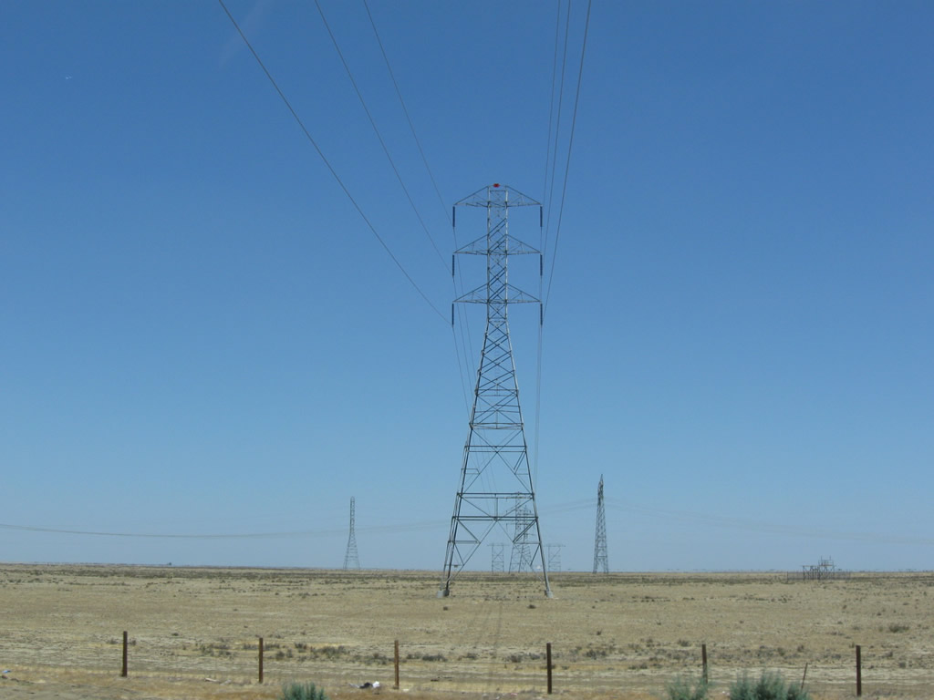
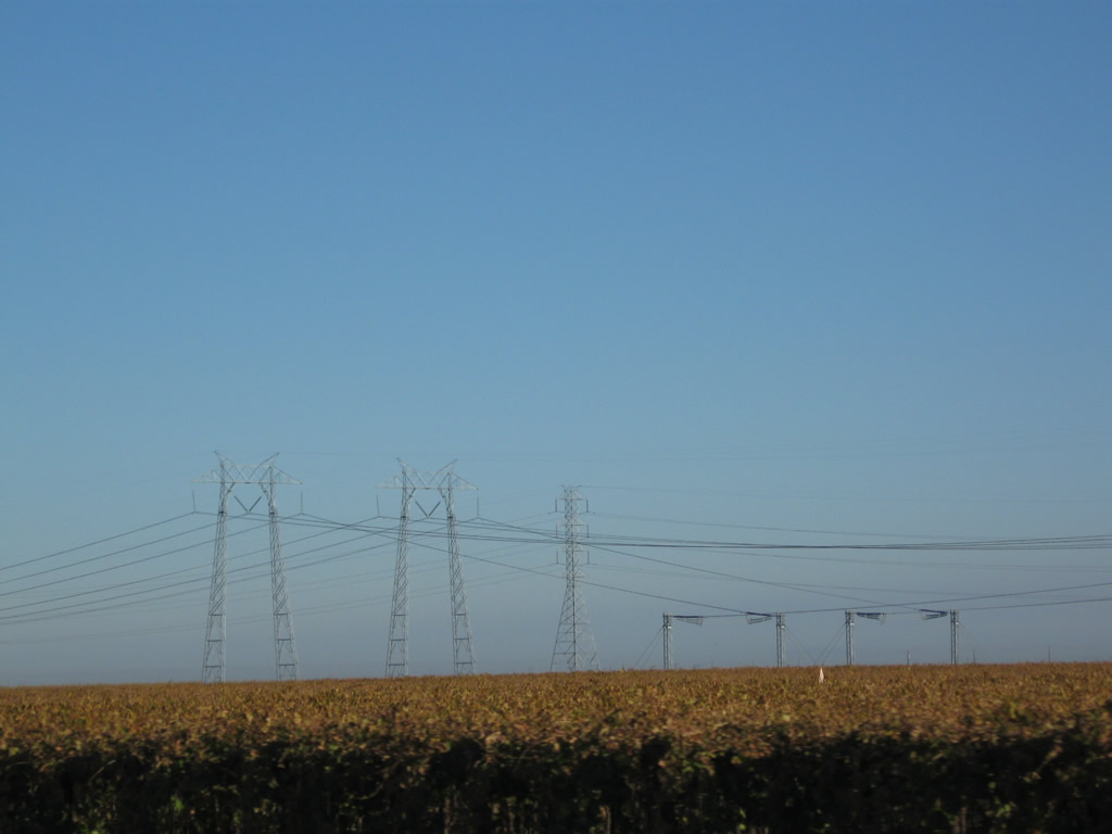
| The nearby Path 15 power lines offer some artificial, man-made scenery that provide something to look at when the land is flat and generally featureless. Here, the companion 230kV power line divides with a spur line leading west toward the coast. Photos taken 07/15/09 and 11/25/10. | ||||
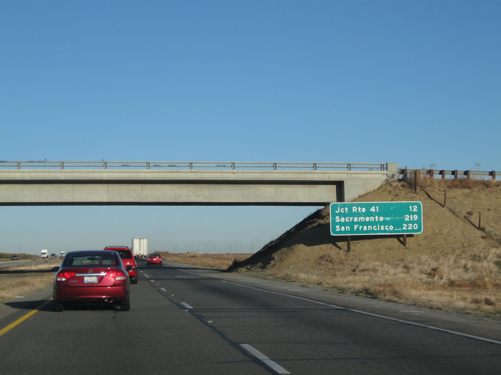 |
This mileage sign provides the distance to California 41 (12 miles), Sacramento (219 miles), and San Francisco (220 miles). Photo taken 11/25/10. | |
 |
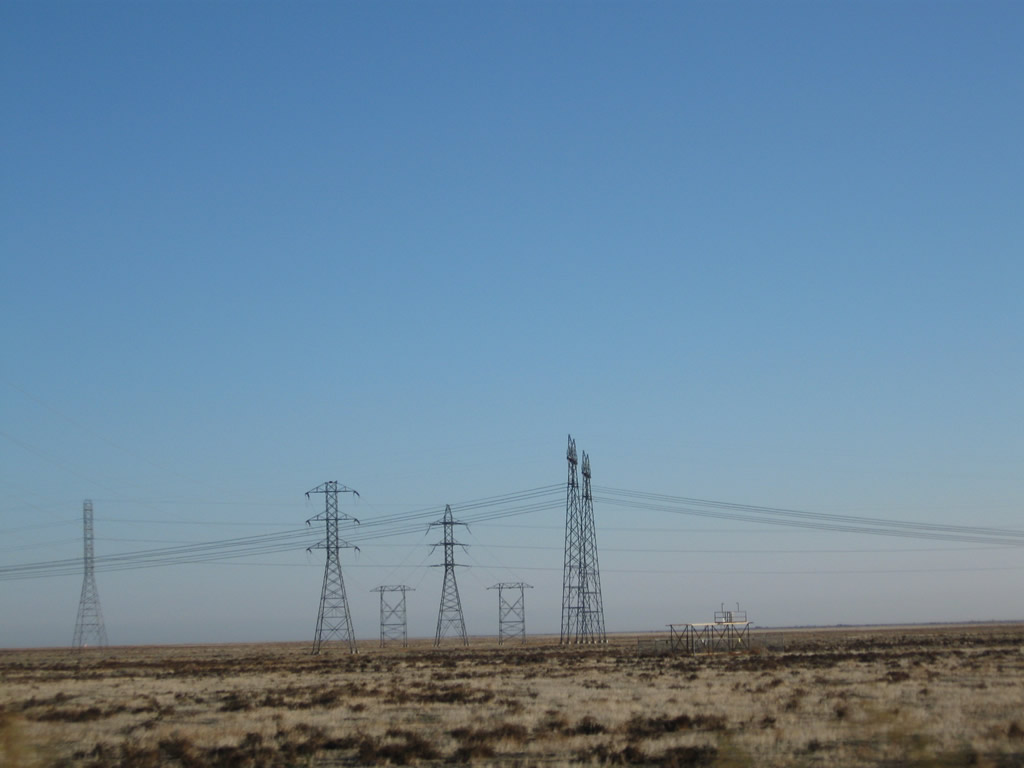
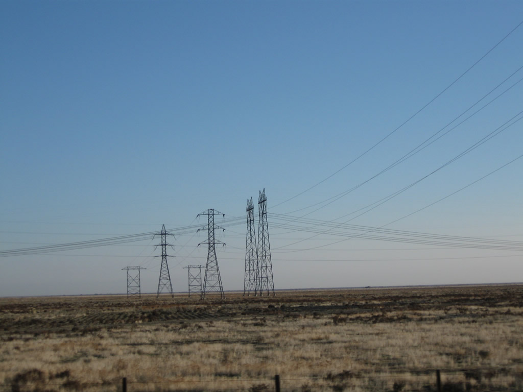
The two 500kV power lines have a phase shift, which shifts the order of lines from left to right. Photo taken 11/25/10. | |
 |
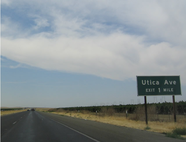 |
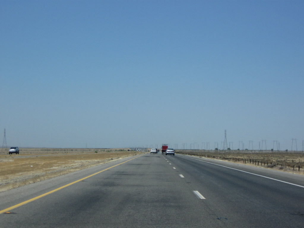
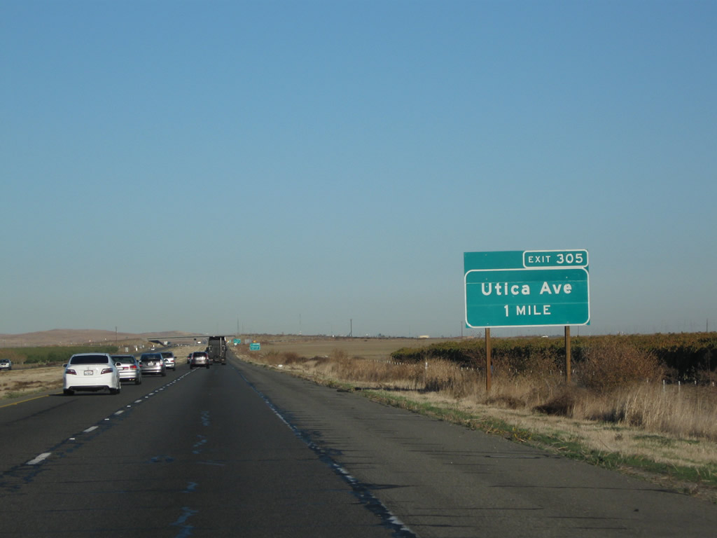
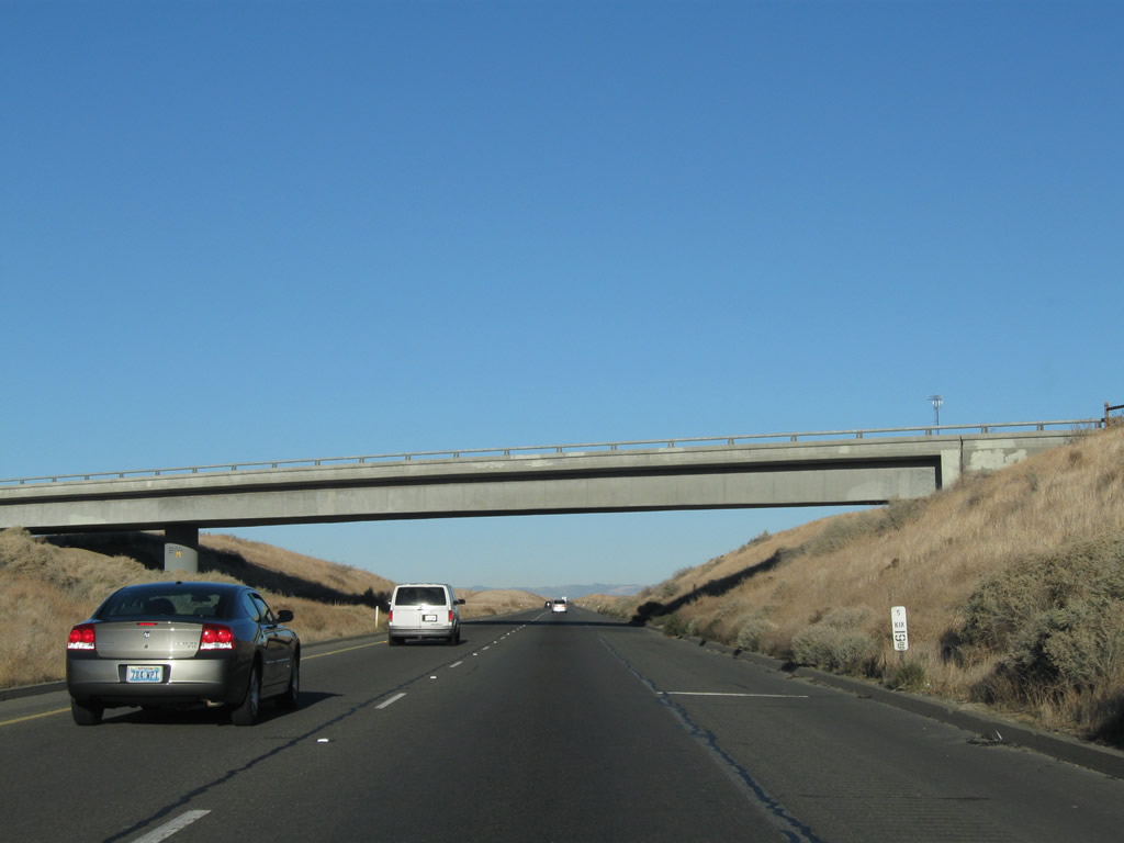
The next exit along Interstate 5 (West Side Freeway) north is Exit 305, Utica Avenue. The freeway retains its rural character through this county. The signs were changed between 2004 and 2011. Photos taken 11/25/10 and 07/02/04. |
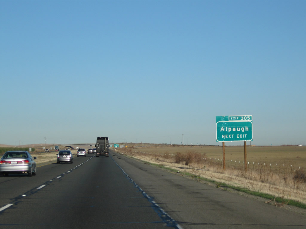 |
Use Utica Avenue east to the unincorporated community of Alpaugh. Photo taken 11/25/10. | |
 |
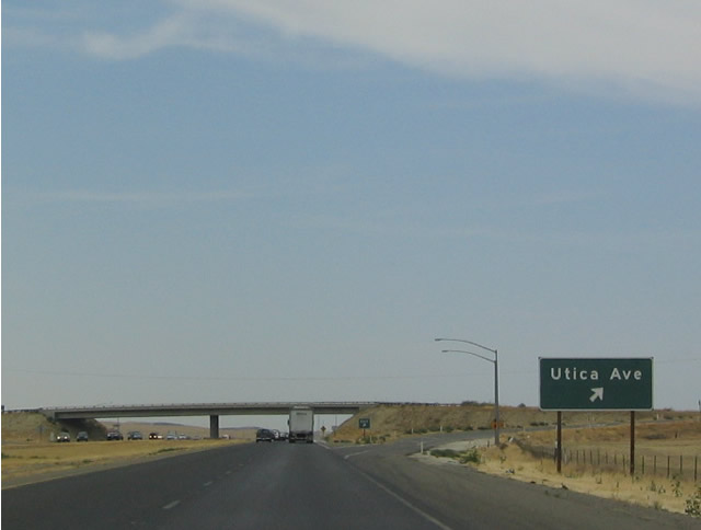 |
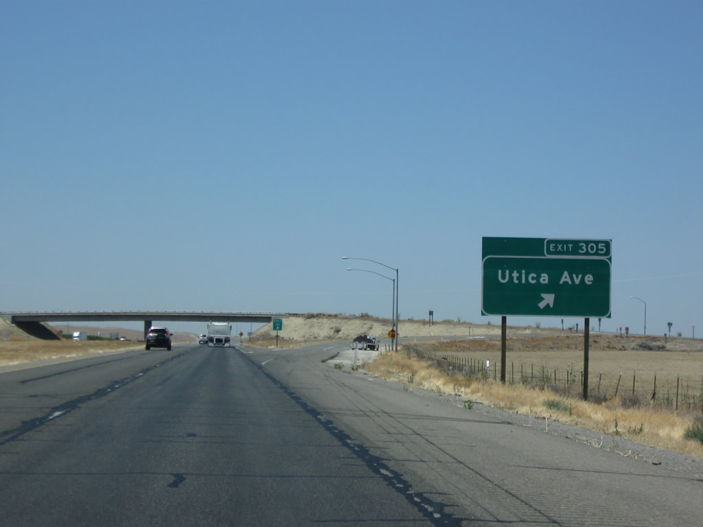
Northbound Interstate 5 (West Side Freeway) meets Exit 305, Utica Avenue. Photos taken 07/15/09 and 07/02/04. |
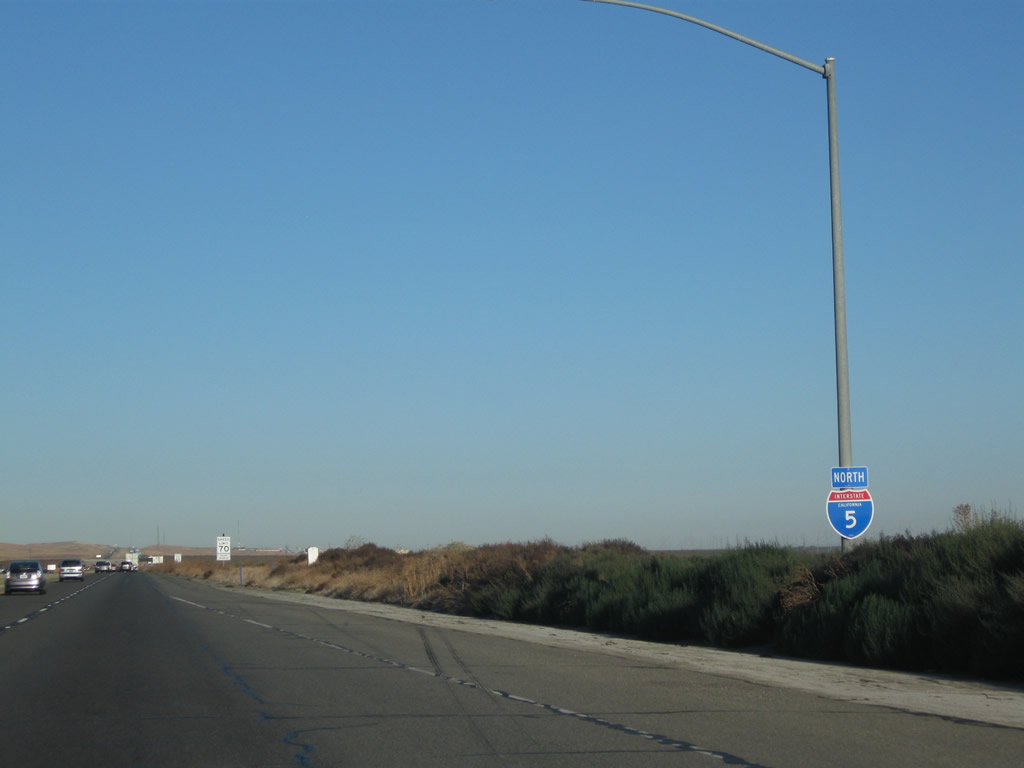 |
An Interstate 5 north reassurance shield is posted after the on-ramp from Utica Avenue. Photo taken 11/25/10. | |
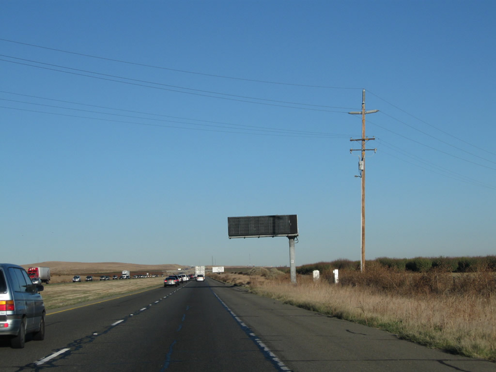 |
A dynamic message sign is posted shortly thereafter to advise of weather and traffic issues. Photo taken 11/25/10. | ||
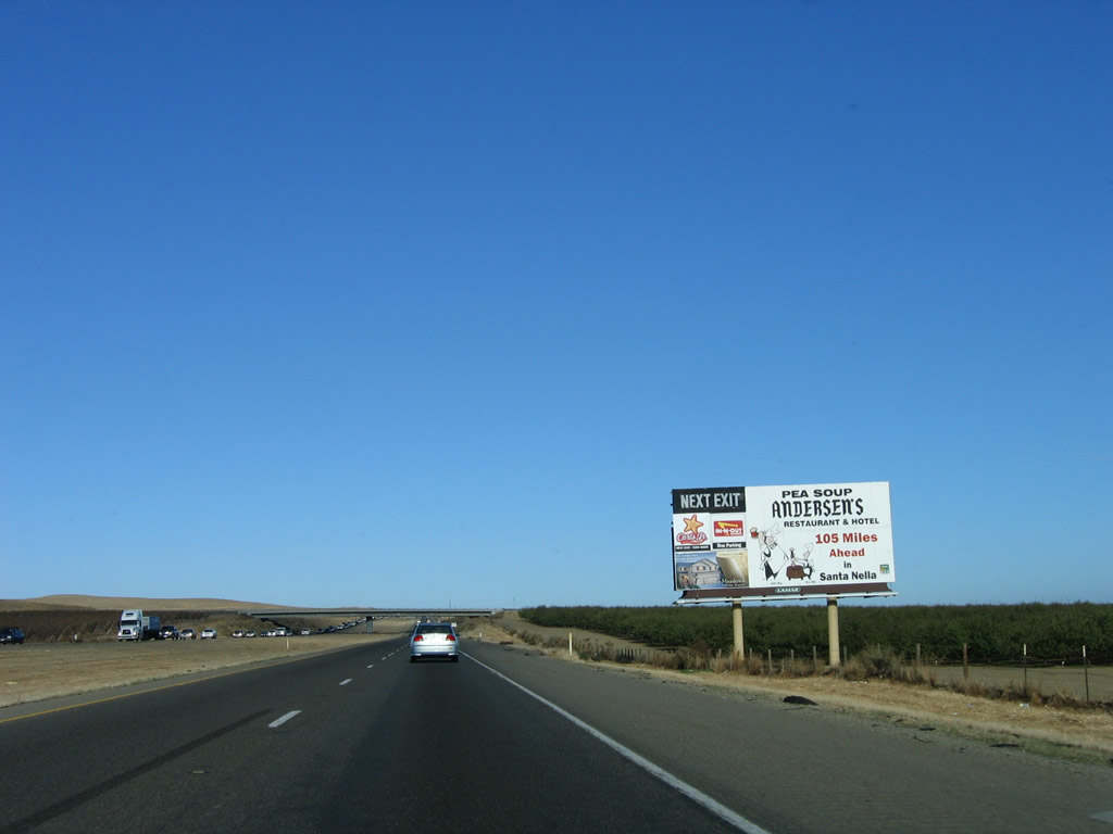 |
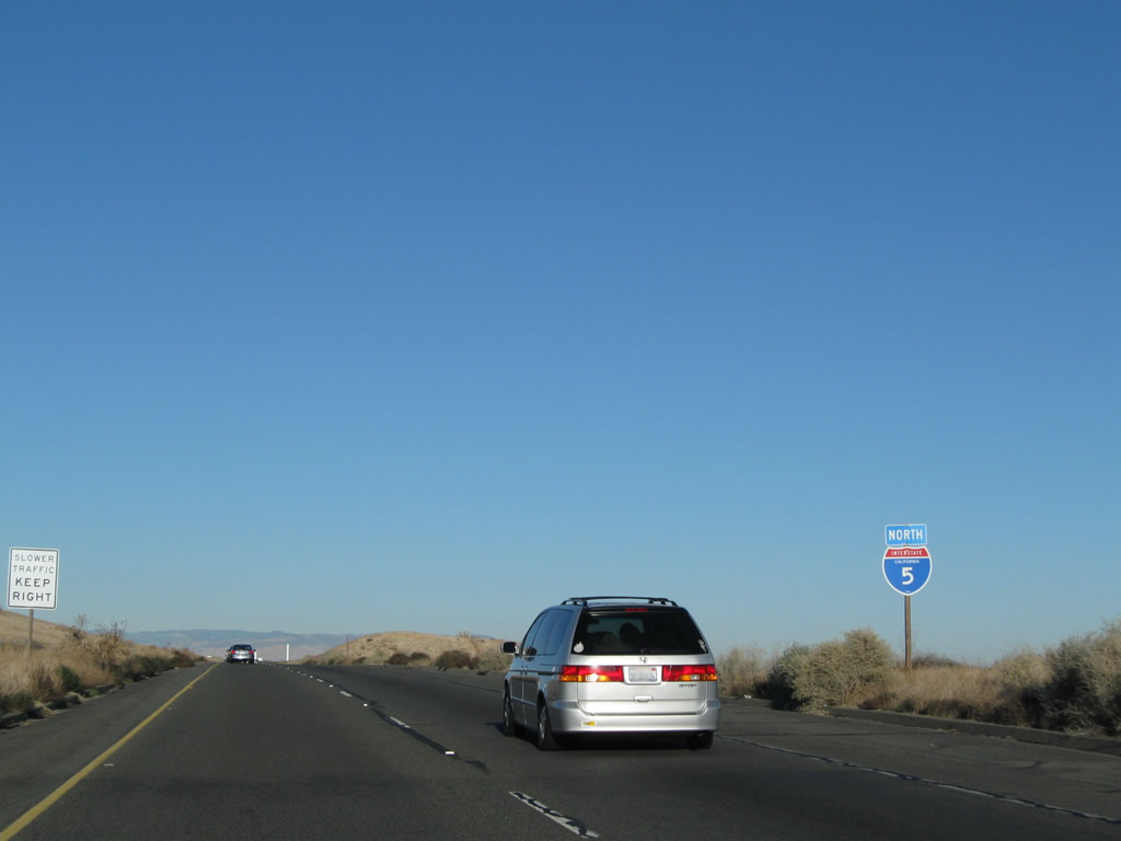
This billboard for Pea Soup Andersen's is posted 105 miles south of the restaurant (in Santa Nella). Distances are long when traveling this section of Interstate 5 in the Central Valley. Photo taken 11/23/06. | ||
 |
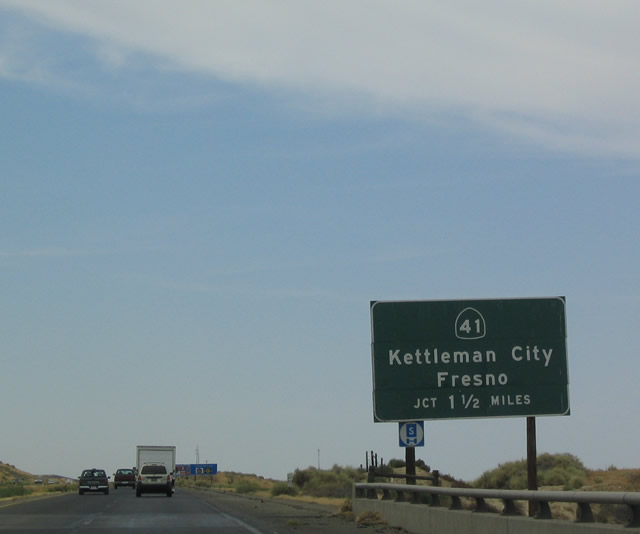 |
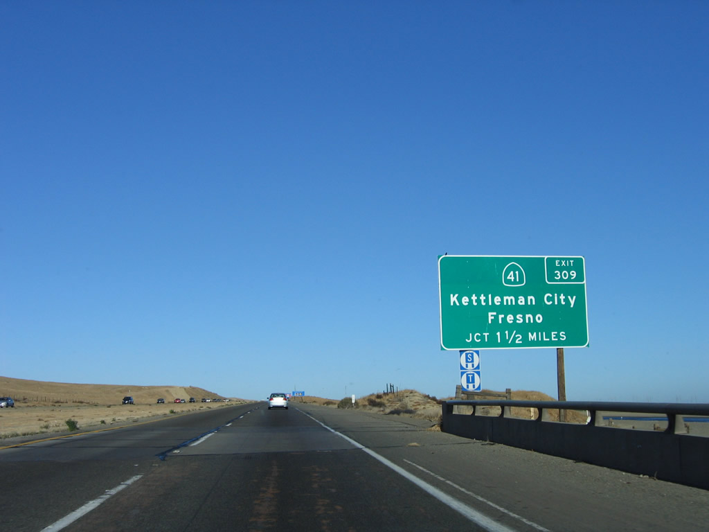
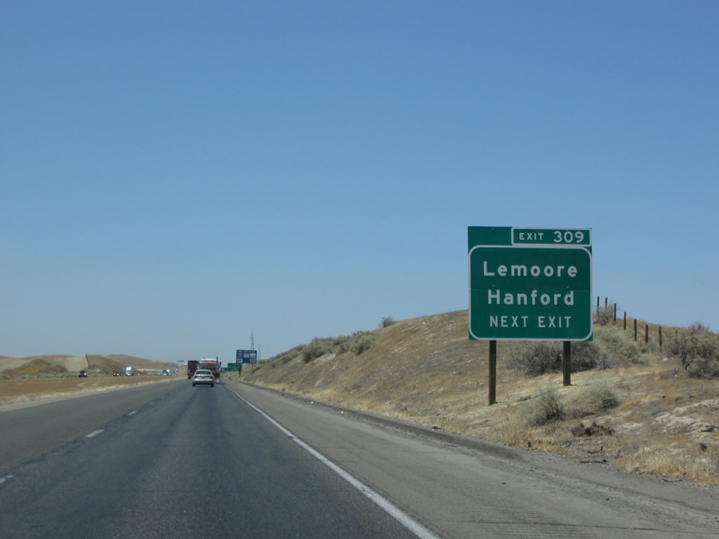
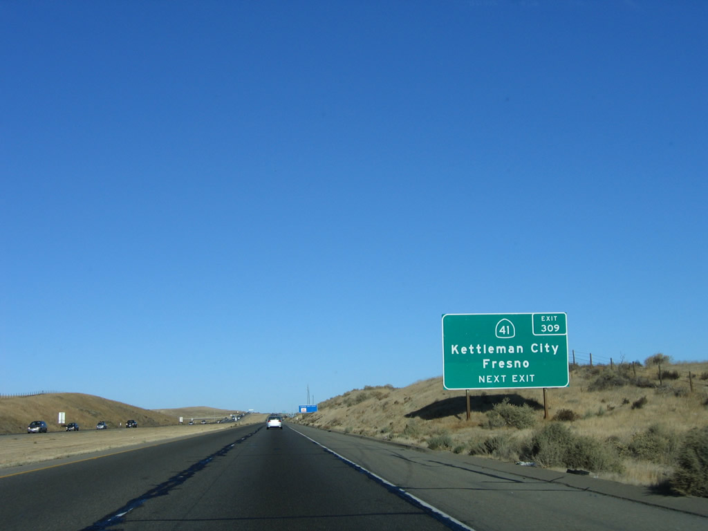
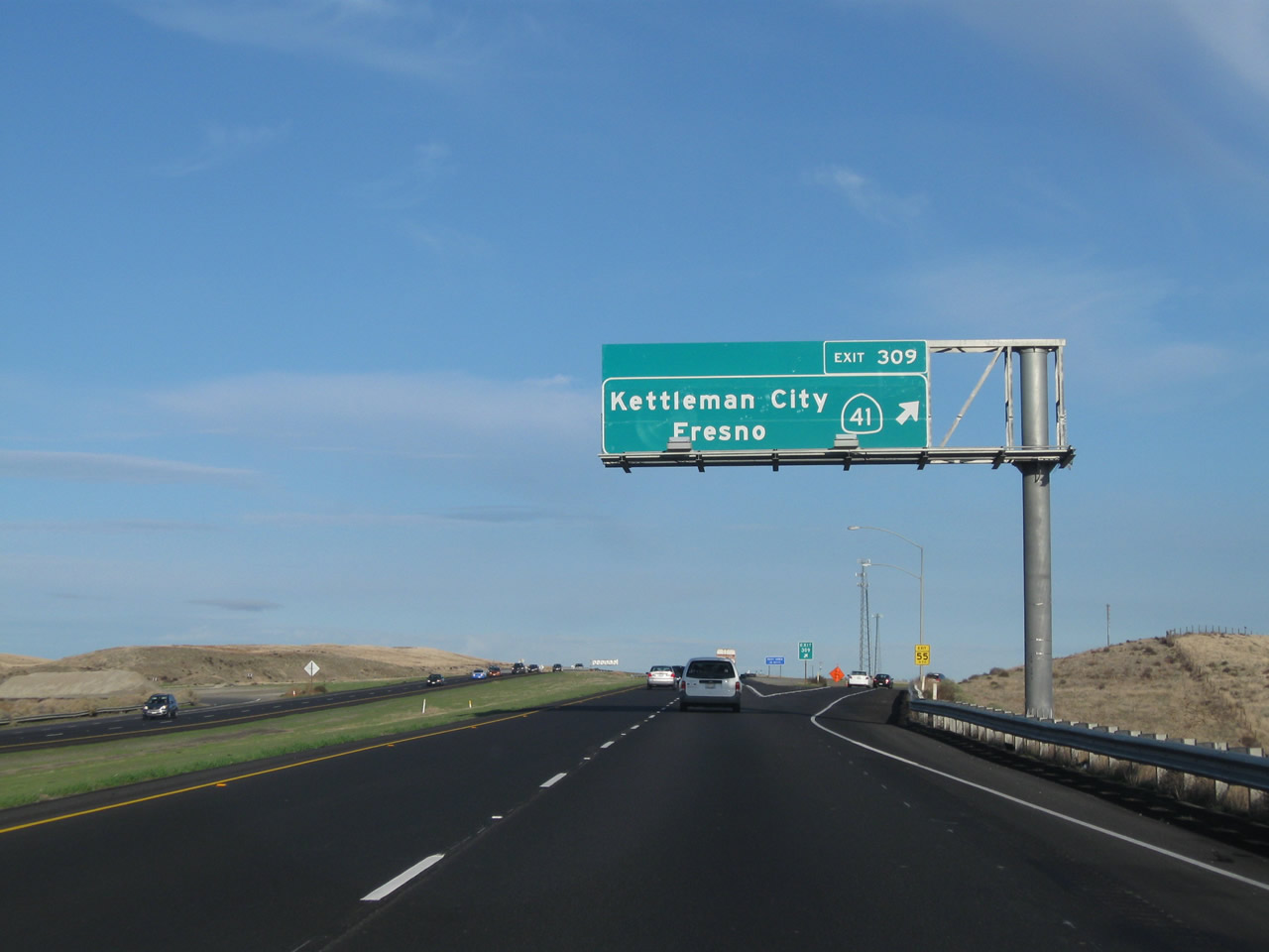
The next exit along Interstate 5 north is Exit 309, California 41/Brown Avenue. Northbound California 41 leads to Lemoore (California 198) and Fresno, while Southbound California 41 leads to Atascadero and Morro Bay. Photos taken 11/23/06 and 07/02/04. | |
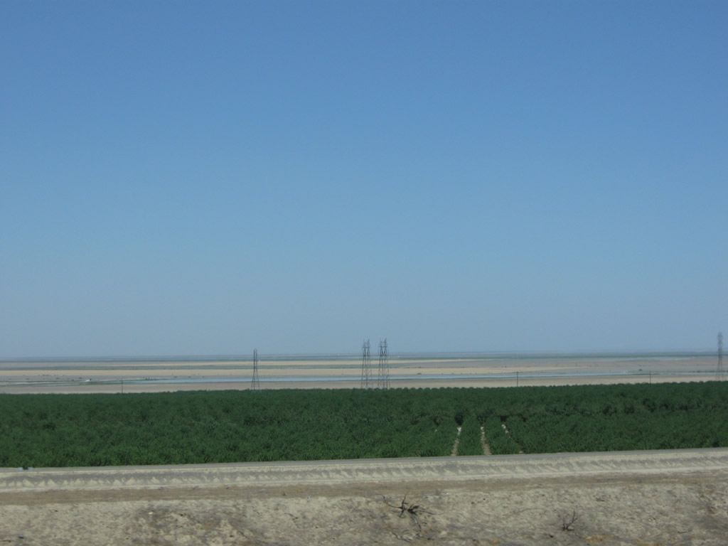 |
As Interstate 5 passes through the foothills on the west side of the Central Valley, a look to the east shows the farms and ranches in the valley. Photo taken 11/25/10. | ||
 |
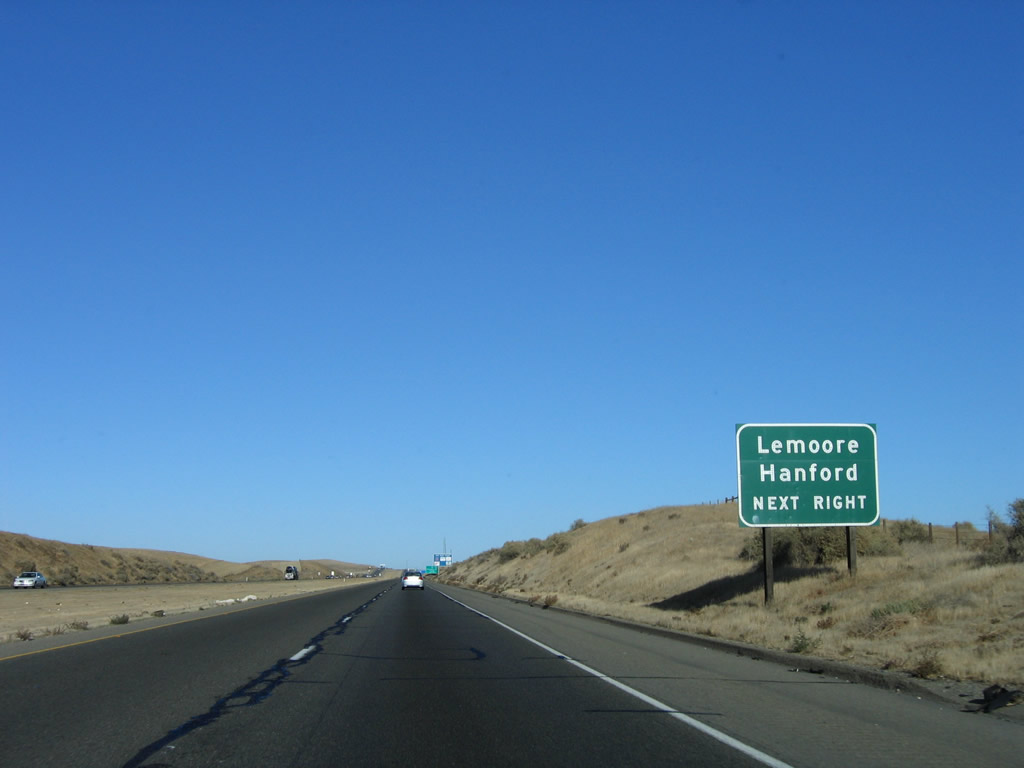 |
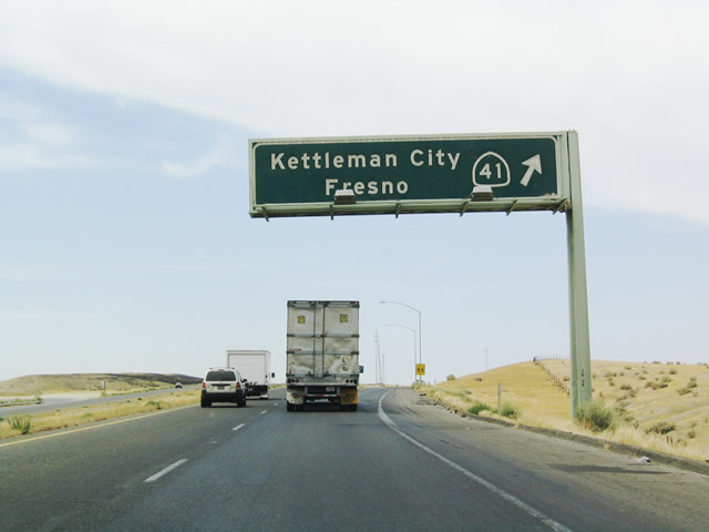
Use California 41 north to Lemoore and Hanford (the latter via California 198 east). This sign was replaced between 2006 and 2009 to incorporate the exit number. Photos taken 07/15/09 and 11/23/06. | |
 |
 |
Northbound Interstate 5 approaches Exit 309, California 41, next right. The signs were changed to include exit numbers between 2004 and 2006. Photos taken 11/23/06 and 07/02/04. | |
 |
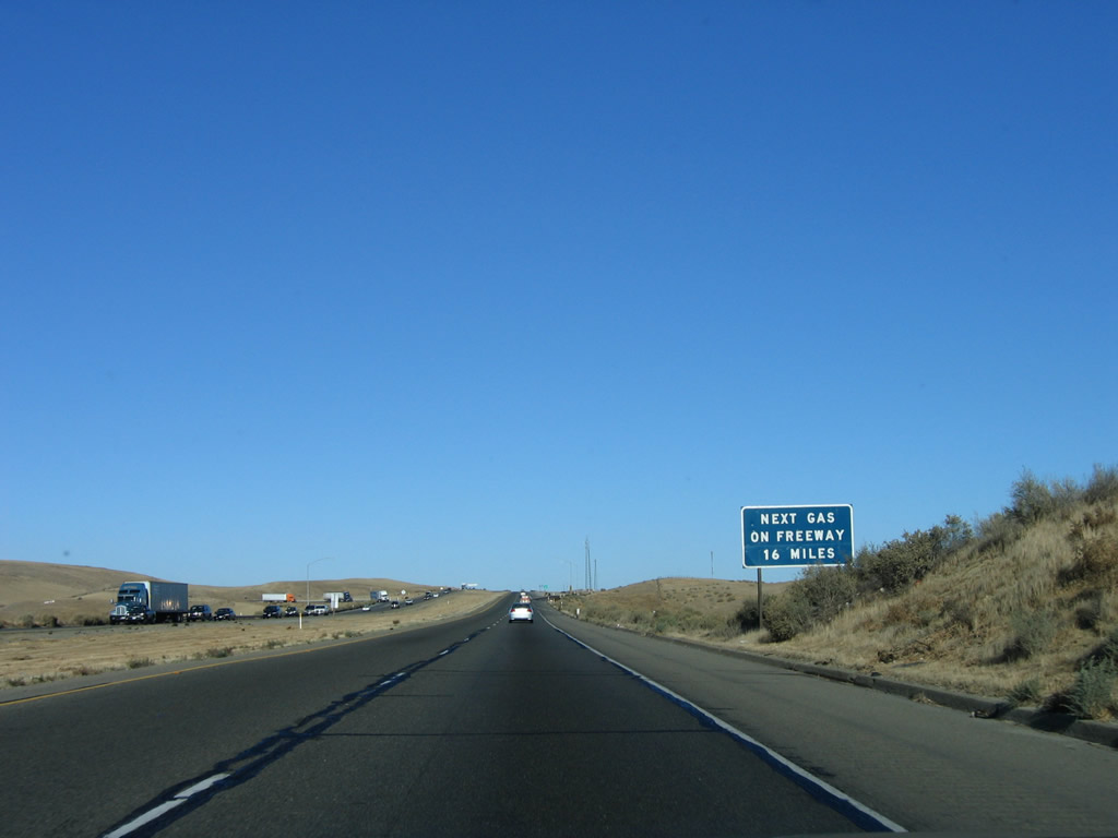 |
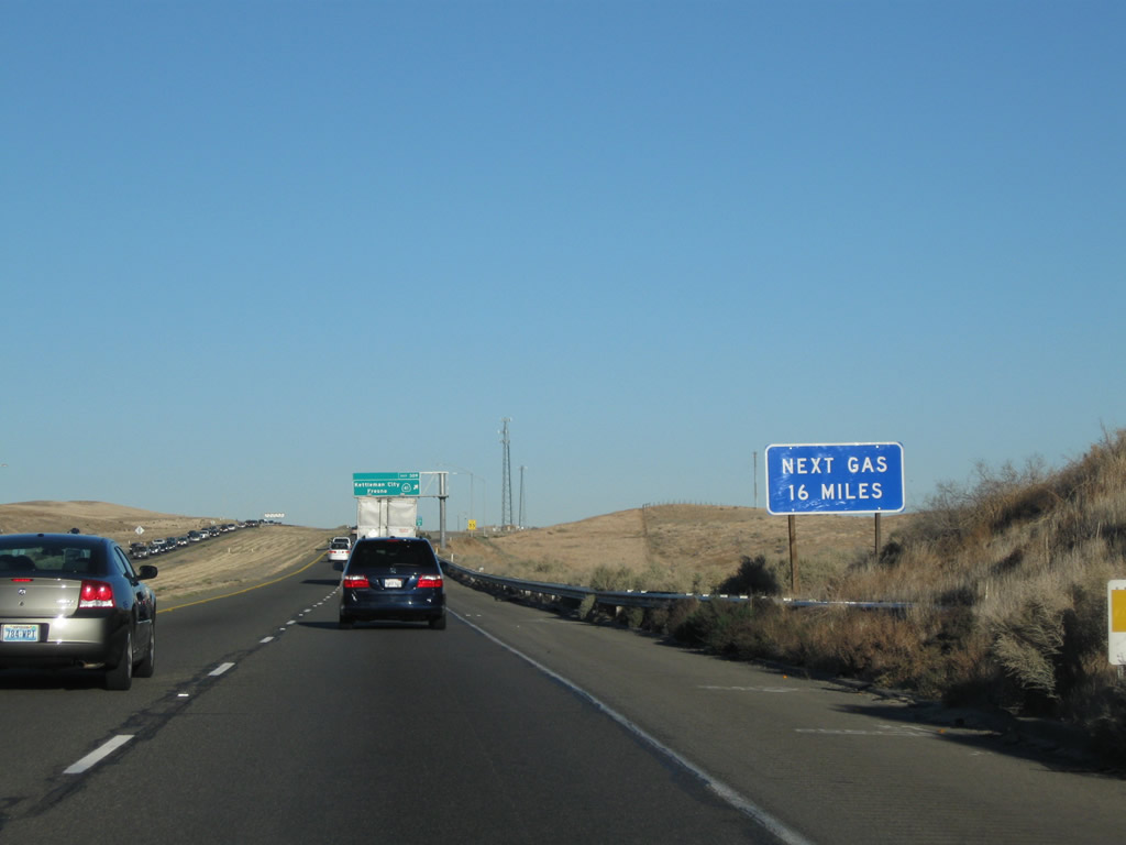
The next gas on the freeway is 16 miles ahead, at Exit 325, Jayne Avenue, in Fresno County. Photos taken 11/25/10 and 11/23/06. | |
 |
 |
Northbound Interstate 5 (West Side Freeway) reaches Exit 309, California 41. Photos taken 11/24/11 and 07/02/04. | |
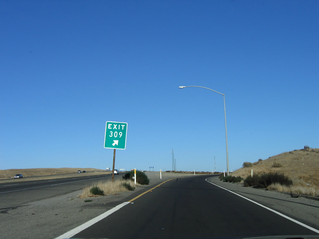 |
Departing the freeway, an exit number is posted on the gore point sign. Photo taken 11/23/06. | ||
 |
Now on the transition ramp, a left turn connects to California 41 southwest to Atascadero and a right turn connects to California 41 north to Kettleman City and Fresno. A variety of motorist services are available at this interchange. Photo taken 11/23/06. | ||
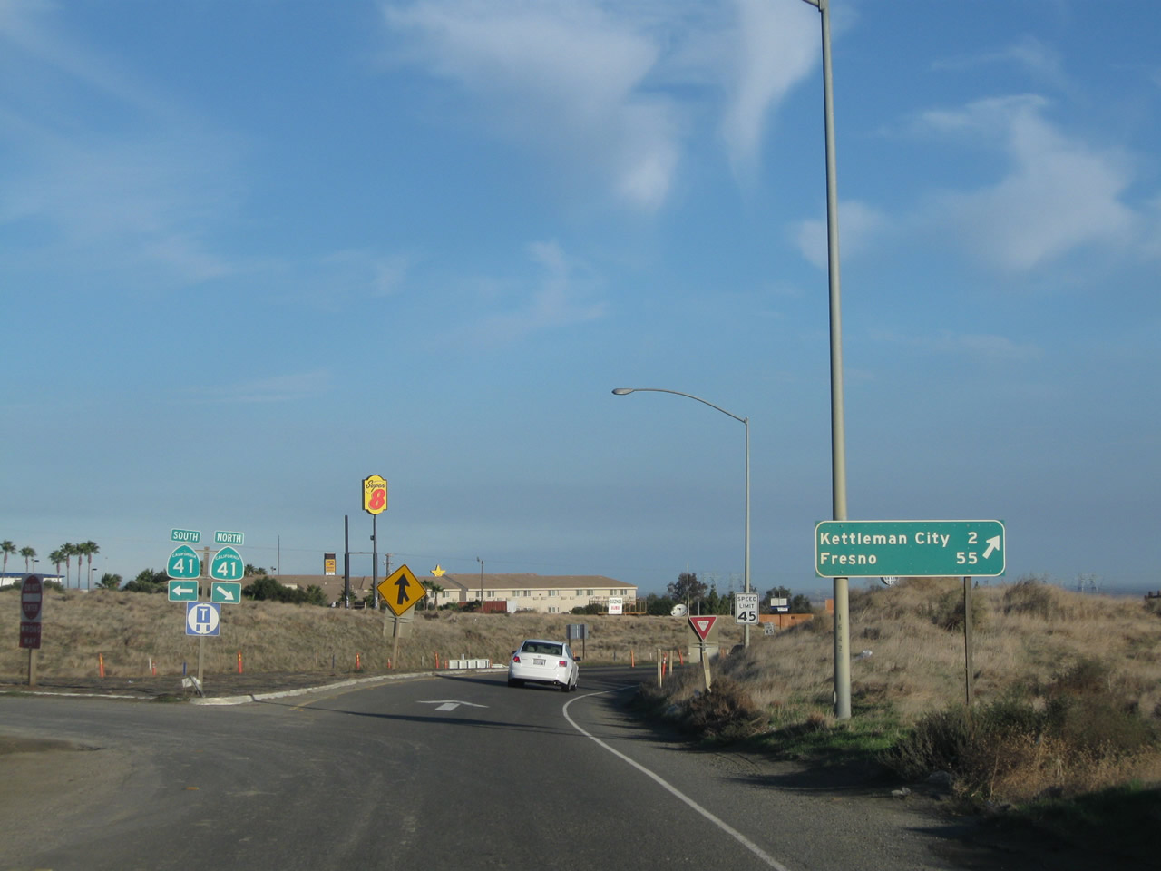 |
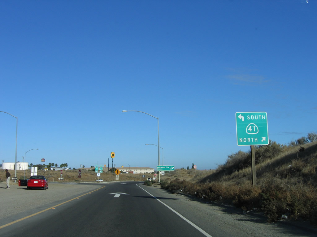
At the bottom of the off-ramp, stay right to merge onto California 41 north to Kettleman City (two miles) and Fresno (55 miles). Turn left for California 41 southwest to Paso Robles and Atascadero. Photo taken 11/24/11. | ||
 |
 |
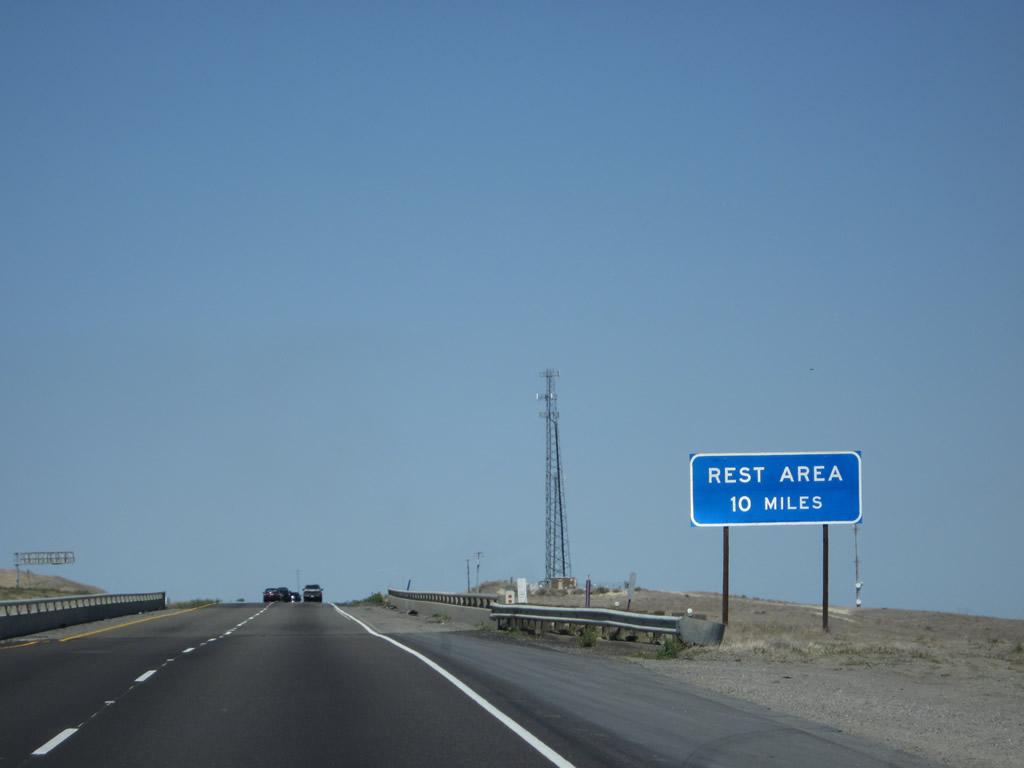
Back on the mainline and while passing through the California 41 interchange, a blue sign advises that the next rest area along northbound Interstate 5 is ten miles ahead (at Exit 320). Photos taken 04/06/12 and 07/15/09. | |
 |
An Interstate 5 north reassurance shield route marker is posted after the on-ramp from California 41. Photo taken 11/25/10. | ||
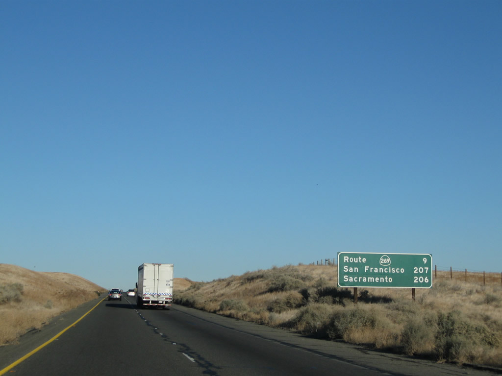 |
This mileage sign provides the distance to the next interchange (Exit 319, California 269/Lassen Avenue) as well as the control cities of Sacramento (206 miles) and San Francisco (207 miles). Photo taken 11/25/10. | ||
 |
 |
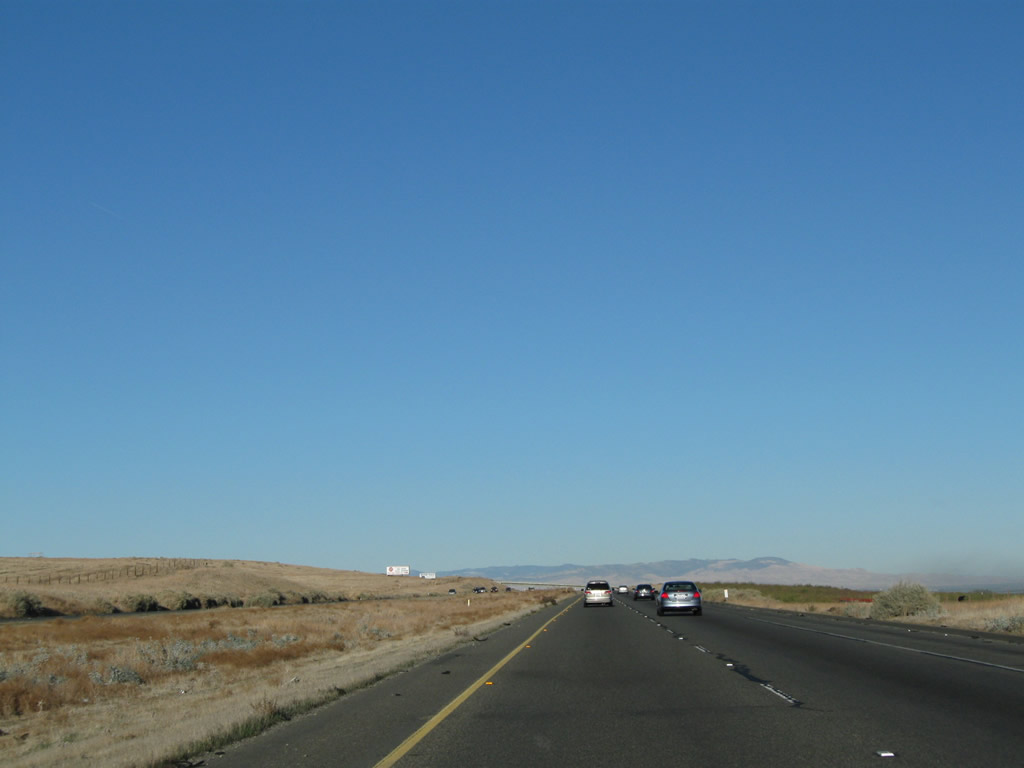
Interstate 5 proceeds north through some hills north of the Kettleman City interchange. Photos taken 11/25/10. | |
 |
Another Interstate 5 north reassurance shield is posted soon thereafter. Photo taken 11/25/10. | ||
 |
 |
Approaching Avenal, the terrain again flattens out, although not quite as flat as we were in Kern County. Photos taken 11/25/10. | |
 |
For the first time since leaving Santa Clarita, Interstate 5 enters a city: the city of Avenal, the "Oasis in the Sun." Home to 15,505 people as of the 2010 Census, Avenal sits at an elevation of 775 feet and is home to the Avenal State Prison, a major employment center. Agriculture is also a major component of the local economy, and its proximity to the California Aqueduct. Avenal incorporated as a city on September 11, 1979. Photo taken 11/25/10. | ||
 |
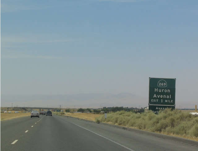 |
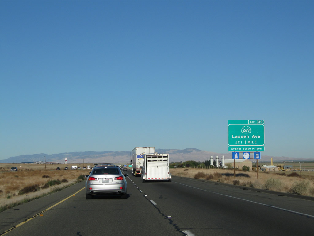
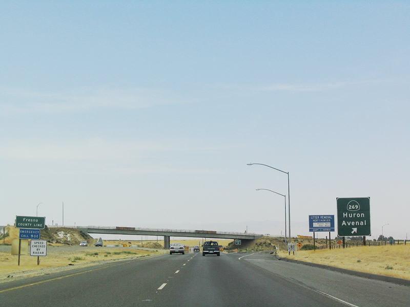
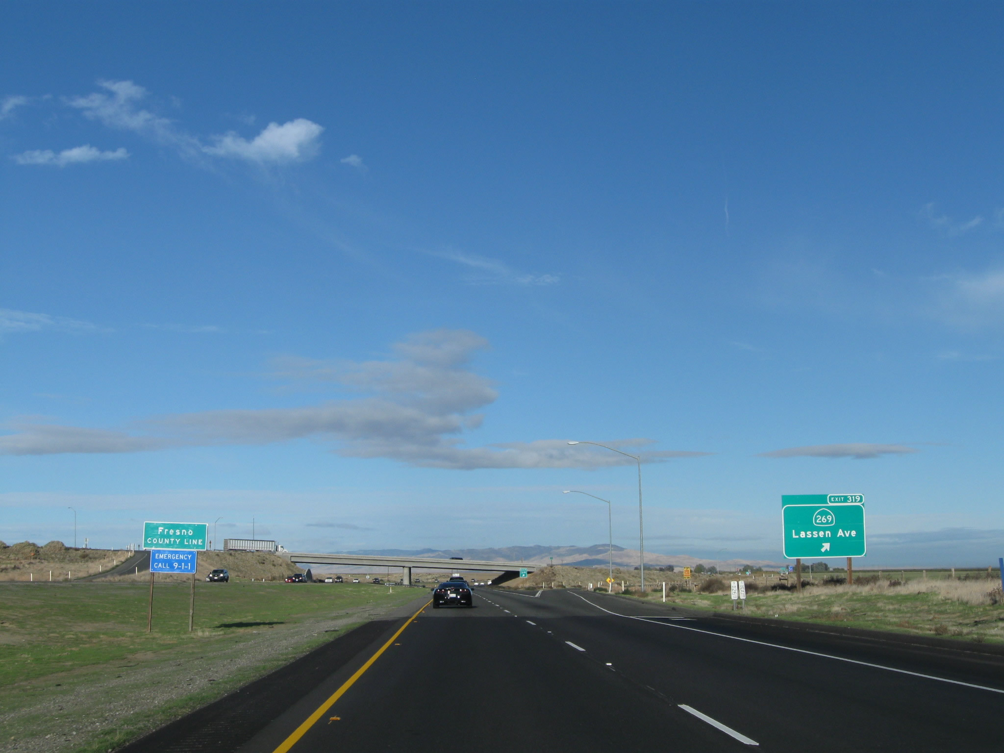
The next exit along Interstate 5 (West Side Freeway) north is Exit 319, California 269/Lassen Avenue north to Huron and Five Points (where California 269 meets California 145). To the south, California 269 follows Skyline Boulevard into downtown Avenal and its intersection with California 33. Interstate 5 intersects a variety of north-south routes because it is angled northwest through this area. Photos taken 11/25/10 and 07/02/04. | |
 |
 |
Northbound Interstate 5 approaches Exit 319, California 269, next right. Photos taken 11/25/10 and 07/02/04. | |
 |
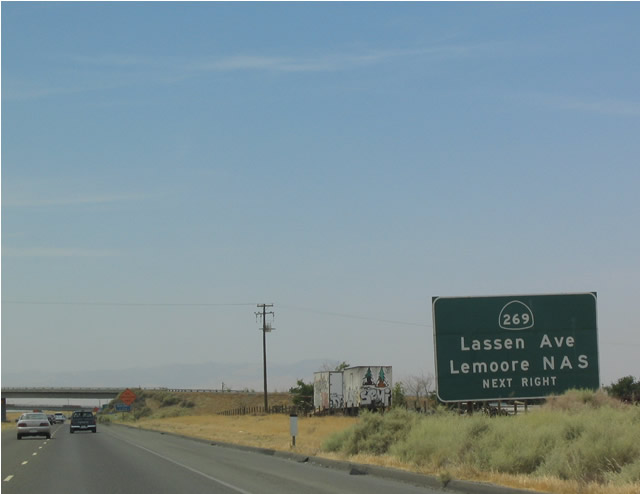
Use Exit 319 to Lemoore Naval Air Station (via California 269 north to California 198 east). This is more direct than taking Interstate 5 north to the California 198 interchange due to the angle/orientation of Interstate 5 toward the northwest. Photo taken 11/25/10. | ||
 |
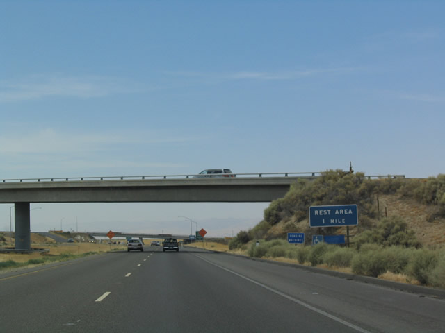 |
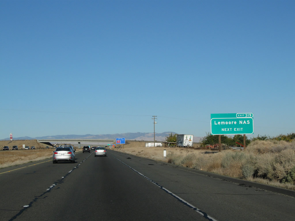
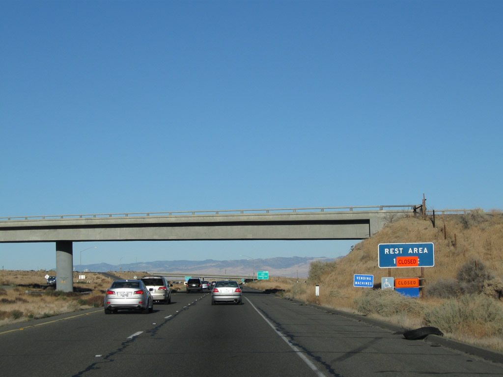
The second exit after Exit 319 (California 269) will be Exit 320, Rest Area. Photos taken 11/25/10 and 07/02/04. | |
 |
 |
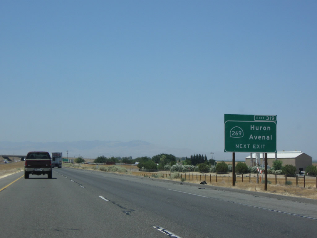
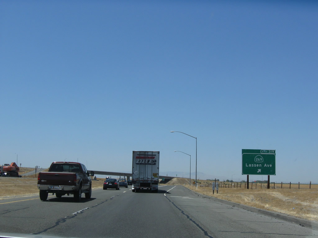
Northbound Interstate 5 meets Exit 319, California 269/Lassen Avenue. Photos taken 11/25/10 and 07/02/04. | |
 |
At the off-ramp to California 269/Lassen Avenue, Interstate 5 leaves Kings County and enters Fresno County. The miles pass by, but the scenery is largely unchanged since entering the Central Valley after the Grapevine grade. Photo taken 11/24/11. | ||


Page Updated September 16, 2012.
|
About Contact Glossary |
In The News Interstate Guide |
Social Media:
 |
|
© 2000-25 AARoads.com | All Rights Reserved | Privacy Policy / Terms of Use
|
||