

Interstate 5 South - Merced County
| Interstate 5 (West Side Freeway) south | |
|---|---|
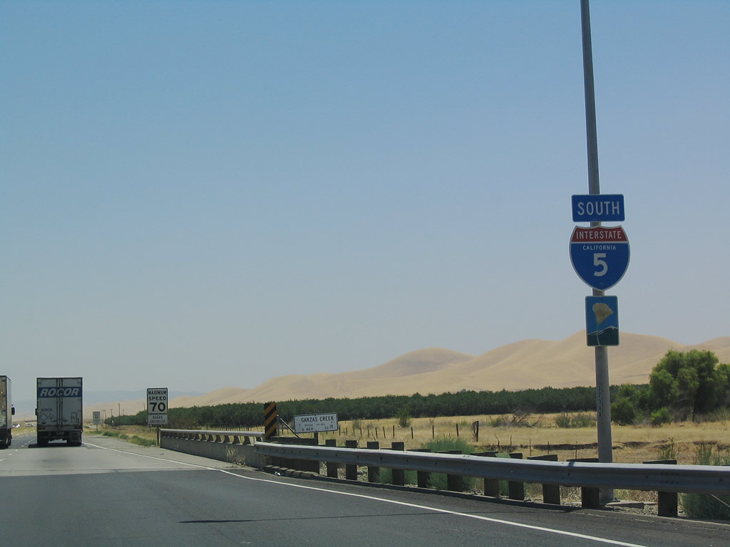 |
The next exit along southbound is Exit 407, some 10 miles south of Exit 418/California 140. Interstate 5 remains a scenic route now that it is in Merced County. Photo taken 07/06/04. |
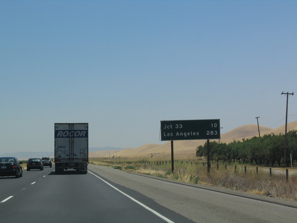 |
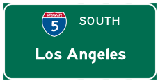
This mileage sign along southbound provides the distance to Exit 407, California 33 south and the control city of Los Angeles (still 283 miles away!). Note that the 33 is lacking a shield. Photo taken 07/06/04. |
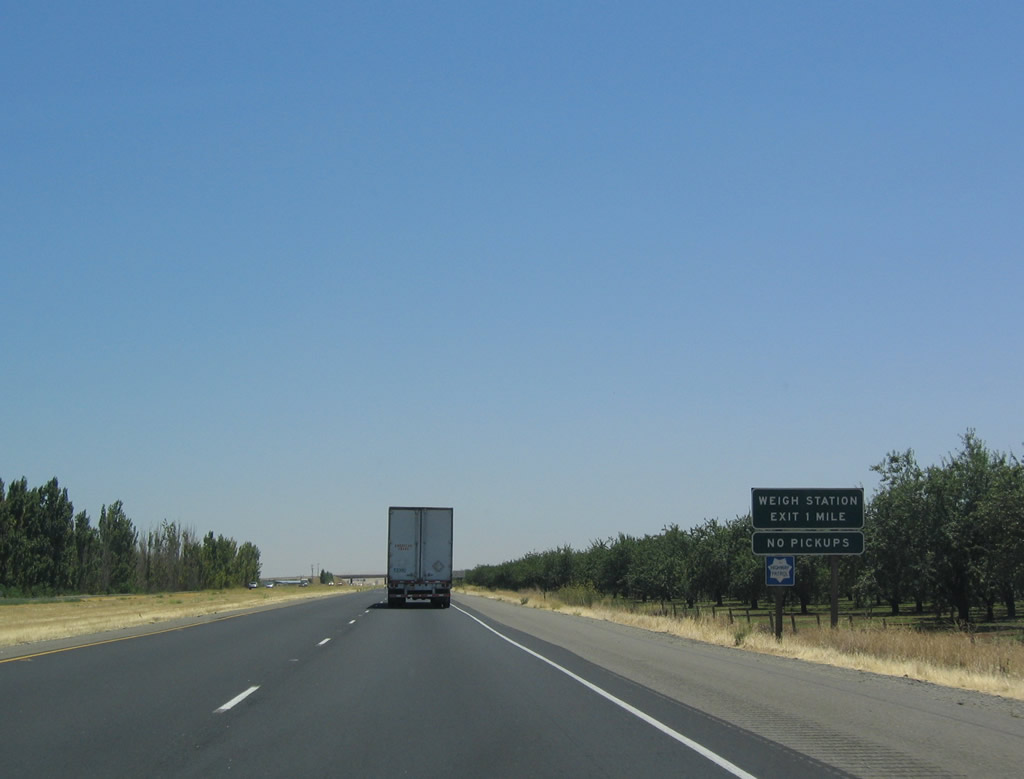 |
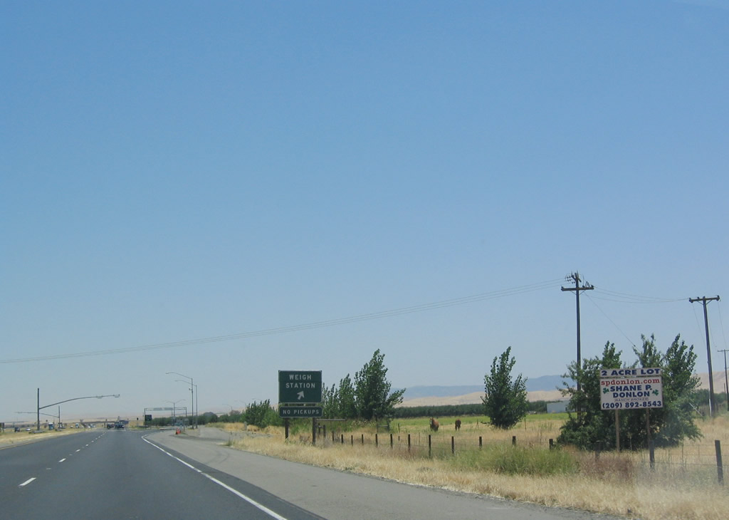
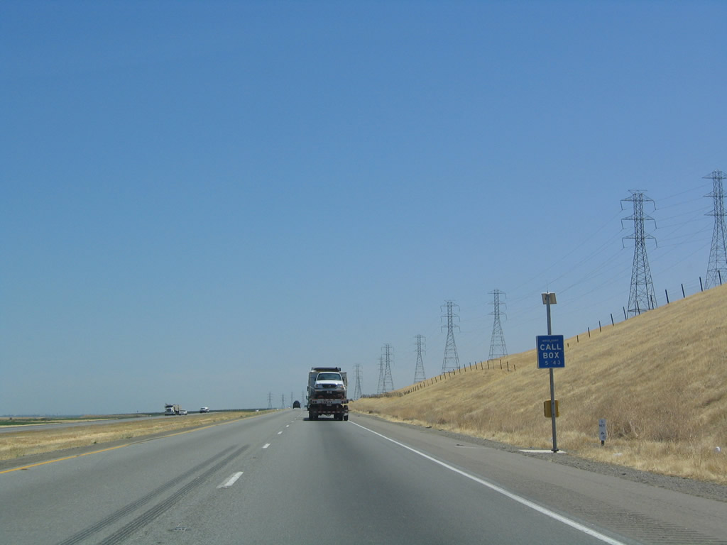
A weigh station is located just north of Exit 407 along southbound. Photo taken 07/06/04. |
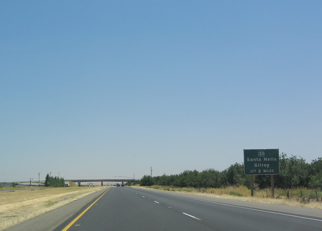 |
The next exit along southbound is Exit 407, California 33 south to Santa Nella and north to Gustine, two miles. Photo taken 07/06/04. |
 |
Commercial truck traffic along Interstate 5 south departs for the weigh station ahead of Exit 407. Photo taken 07/06/04. |
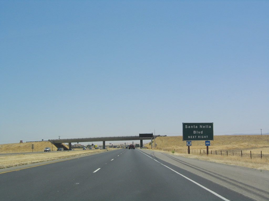 |
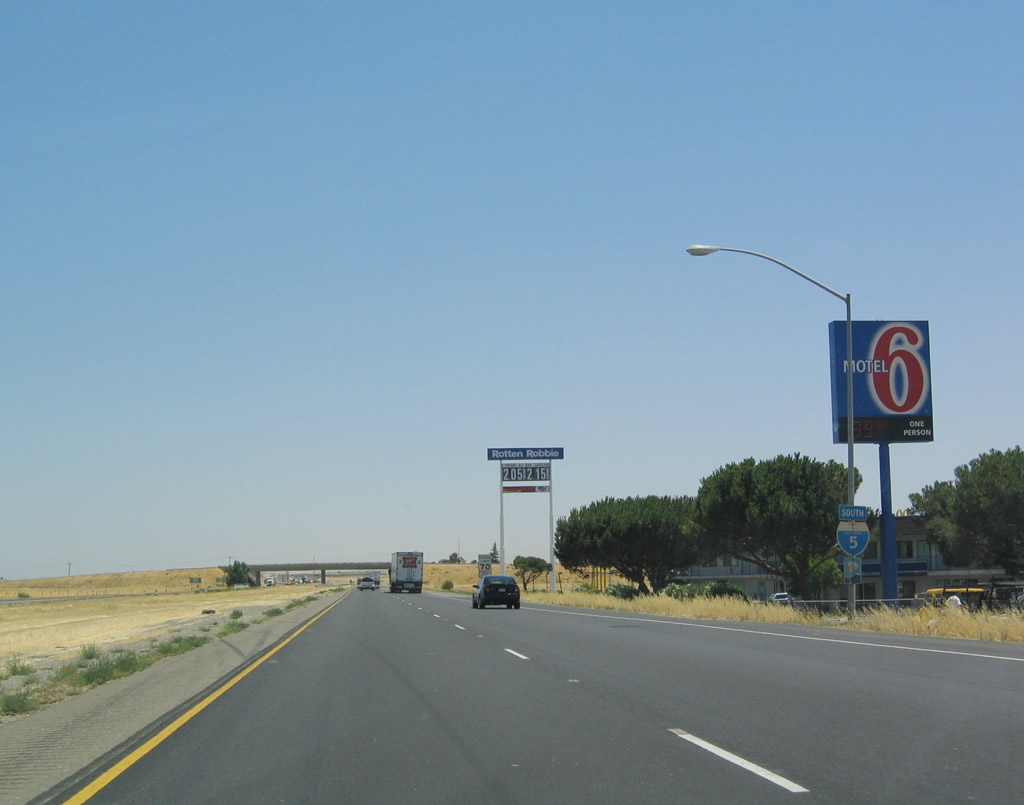
California 33 serves as Santa Nella Boulevard. While the older section of town is a bit southwest of the freeway, a huge cluster of services, including motels, gas stations, restaurants, and other motorist services have evolved around the interchange. Santa Nella is advertised as a stopover for most services for travelers en route to Southern California. Photo taken 07/06/04. |
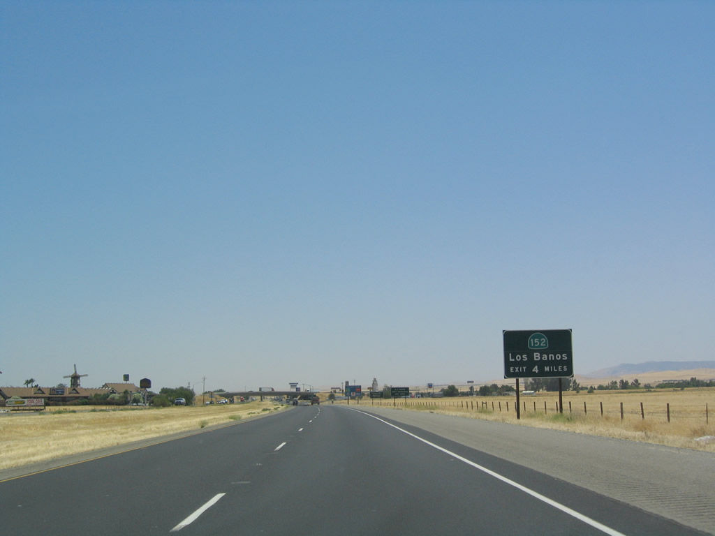 |
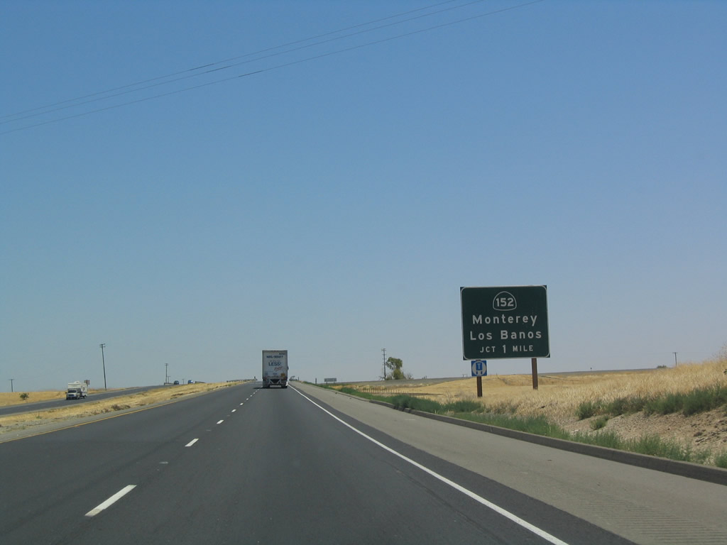
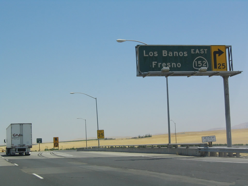
South of Santa Nella, Interstate 5 will interchange with California 152, a major east-west highway with connections east to Los Banos and Chowchilla and west to Monterey. At one time, this sign featured an Interstate 152 shield, but that shield was replaced with a standard California state shield. Through the Central Valley and west to U.S. 101, California 152 is mostly an expressway (four lanes, divided). This sign is so placed to discourage travelers along southbound Interstate 5 from using California 33 south through Santa Nella to reach California 152. The preferred route is to use the California 152 interchange. Photo taken 07/06/04. |
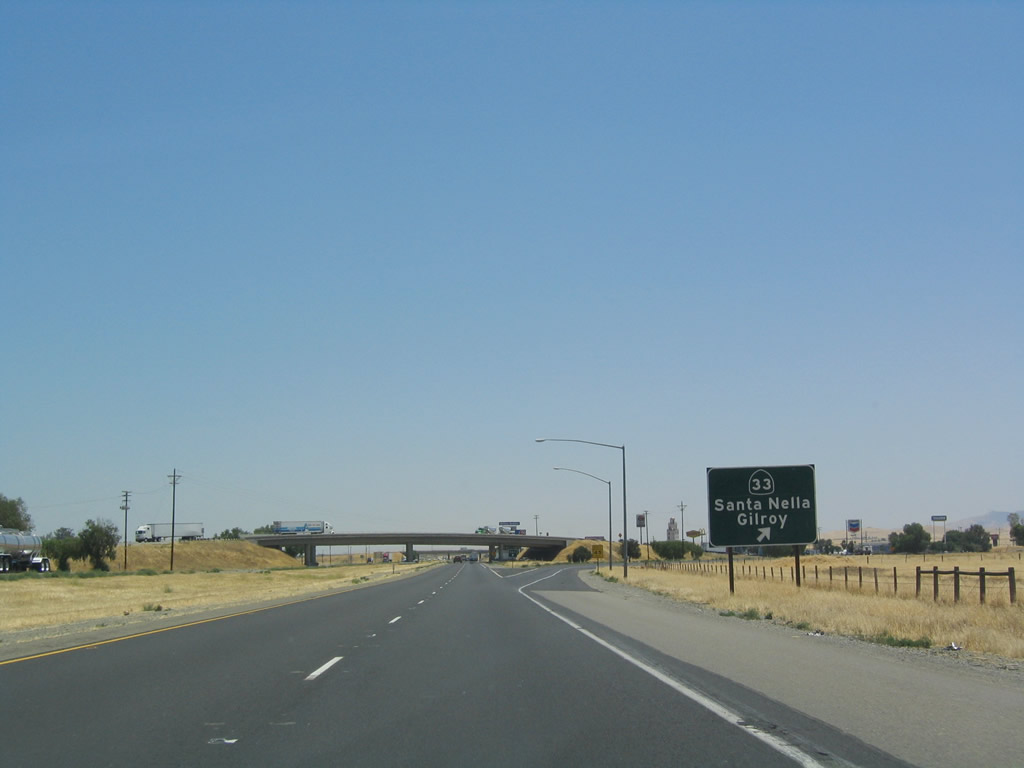 |
Southbound Interstate 5 reaches Exit 407, California 33 south to Santa Nella and north to Gustine. California 33 continues to parallel Interstate 5 north to Tracy and south to Coalinga. Photo taken 07/06/04. |
 |
Interstate 5 remains a scenic route after passing the California 33/Santa Nella interchange. From here, Interstate 5 plies along the western edge of the Central Valley, where it rises with the foothills to provide sometimes dramatic views of the surrounding valley's agricultural and open space lands. Several vista points are provided along the route. Photo taken 07/06/04. |
 |
The next exit along southbound Interstate 5 is Exit 403B-A, California 152, four miles. Notably, this is the same distance listed on the advance sign for California 152 north of the California 33 interchange. It is unclear which of the "four miles" is more accurate. Photo taken 07/06/04. |
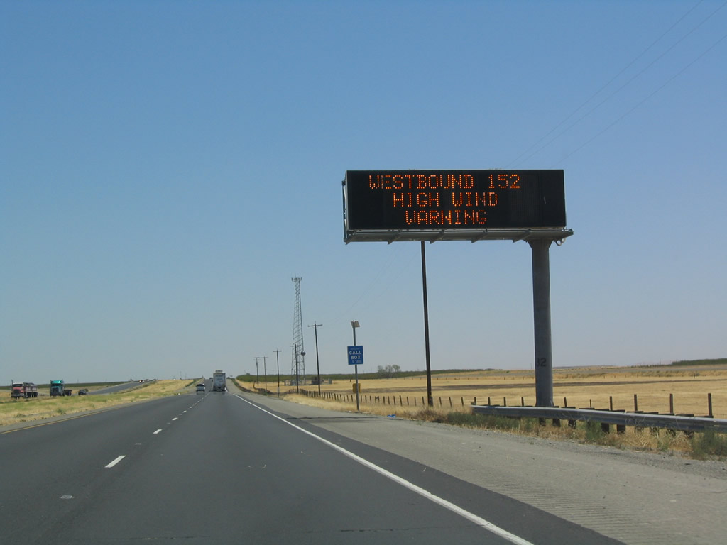 |
This variable message sign along southbound Interstate 5 is very useful for describing the variable weather and traffic conditions that might affect the drive along Interstate 5 south. Some infamous examples of inclement weather include total loss of visibility due to blowing dust, conditions that can create conditions ripe for tule fog, rainy conditions that result in flash floods (such as the one that wiped out an Interstate 5 bridge near Coalinga in Fresno County during the 1990s), and high winds. At the time this picture was taken, high winds was a concern for travelers using westbound California 152. Since Interstate 5 is the primary route from Northern California to Southern California, the road is frequently delayed due to high traffic volumes and high speeds, especially during holiday weekends. Photo taken 07/06/04. |
 |
Use Exit 403A, California 152 east (and California 33 south) as a route to Fresno via California 99 south. Photo taken 07/06/04. |
 |
Southbound Interstate 5 approaches Exits 403B-A, California 33-152, one mile. California 33, which is omitted from these signs, is merged with California 152 from south of Santa Nella east to Los Banos. To alleviate confusion (since Interstate 5 intersects California 33 five times on its southerly journey), California 33 is not signed here. Photo taken 07/06/04. |
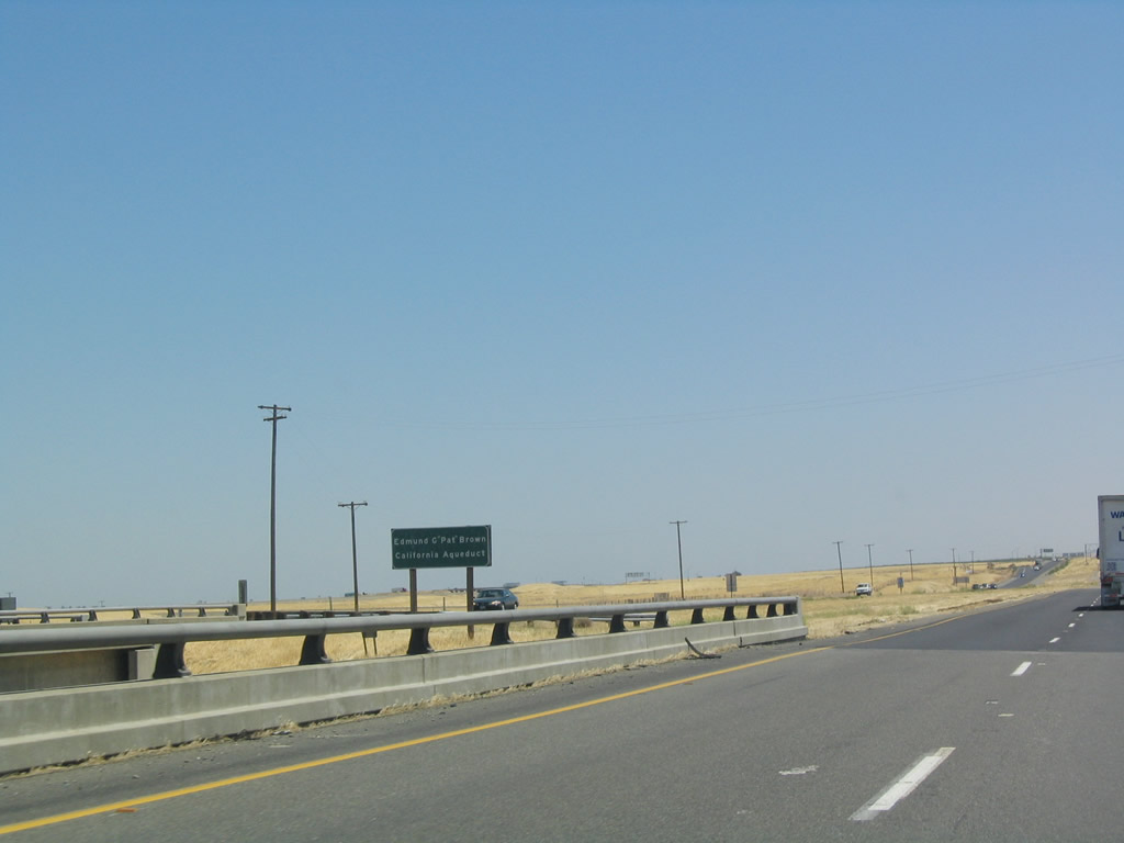 |
Upon crossing the California Aqueduct, signs such as this one greet southbound motorists. The entire acqueduct, which carries water from the mountains of the north to the deserts of the south, is named for Governor Edmund "Pat" Brown. Photo taken 07/06/04. |
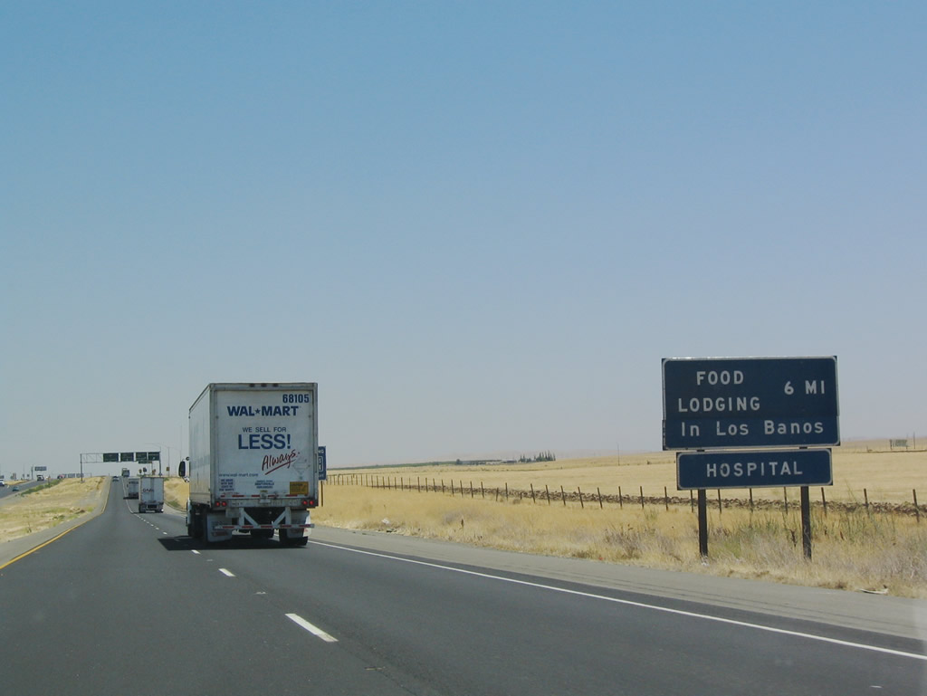 |
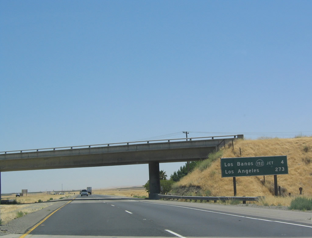
Although there are no services available at the cloverleaf interchange with California 152/33, there are several services available at the city of Los Banos, located six miles east of this interchange. Photo taken 07/06/04. |
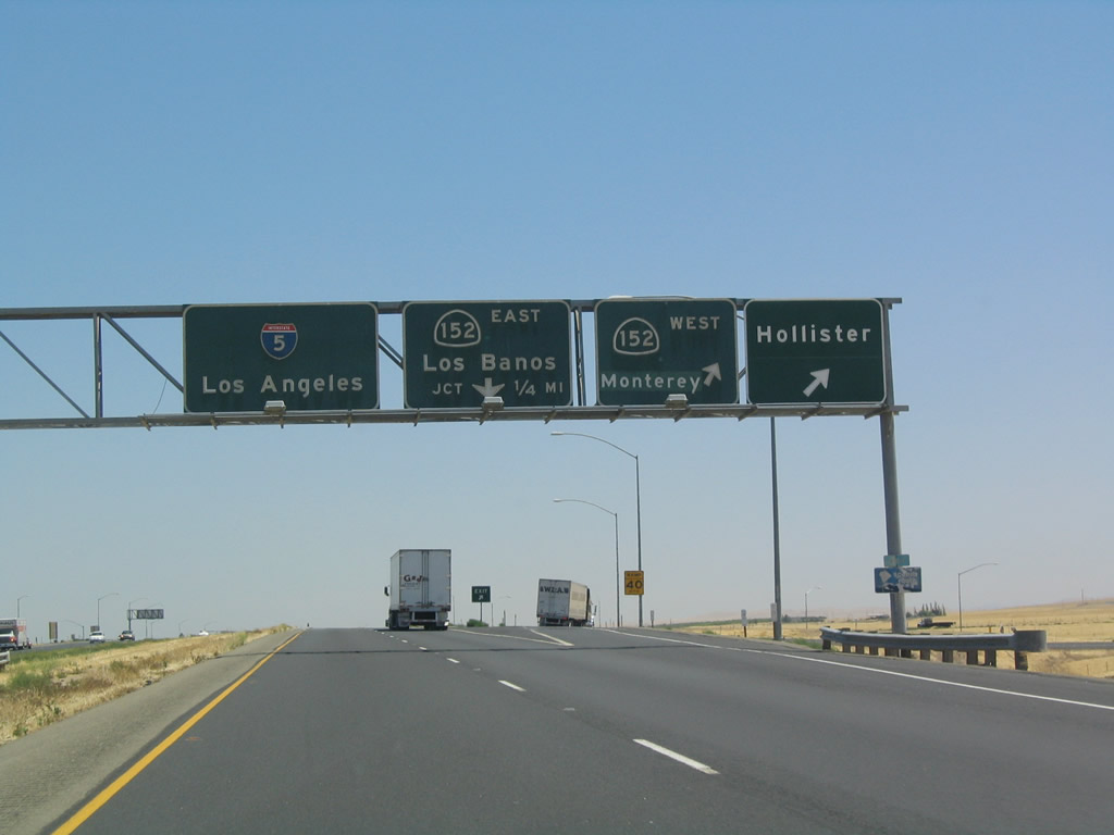 |
Southbound Interstate 5 reaches Exit 403B, California 152 west to San Luis Reservoir, Pacheco Pass, Gilroy, Hecker Pass, and Watsonville. Here, the Interstate 5 scenic route comes to its southern end (note faded, hard-to-read sign on the right). Use California 152 west to California 156 west to reach Hollister, San Juan Bautista, Prunedale, Castroville, and Monterey (via California 1). Use California 152 west to California 1 north to reach Santa Cruz. Finally, this ramp also connects to northbound California 33 back to Santa Nella. Photo taken 07/06/04. |
 |
The second ramp in this cloverleaf interchange connects southbound Interstate 5 with eastbound California 152/southbound California 33 to Los Banos. At the Dos Palos wye east of Los Banos, California 152 continues due east to Chowchilla, where it is absorbed by California 99. As for California 33, the highway departs via a diamond interchange south from California 152 toward the communities of Dos Palos, Firebaugh, and Mendota. California 33 will return to Interstate 5 south of Mendota at Exit 349 near Three Rocks. Photo taken 07/06/04. |
 |
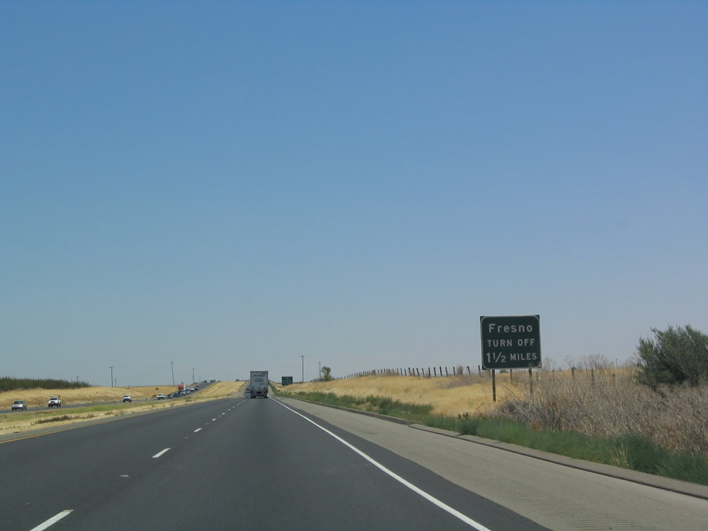
This mileage sign provides the distance to Exit 385, Nees Avenue east to Firebaugh in Fresno County and the control city of Los Angeles. However, this sign omits the distance to Exit 391, California 165/Mercy Hot Springs Road north to Los Banos. Photo taken 07/06/04. |
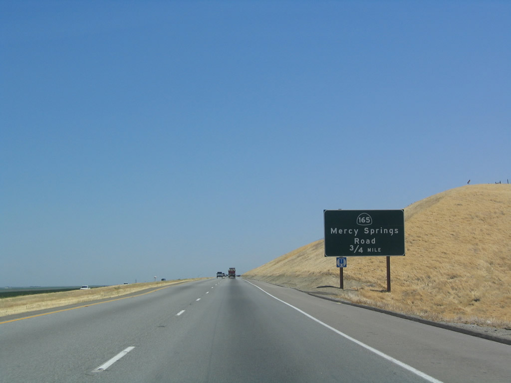 |
The next exit along southbound is Exit 391, California 165/Mercy Hot Springs Road north, 0.75 mile. Photo taken 07/06/04. |
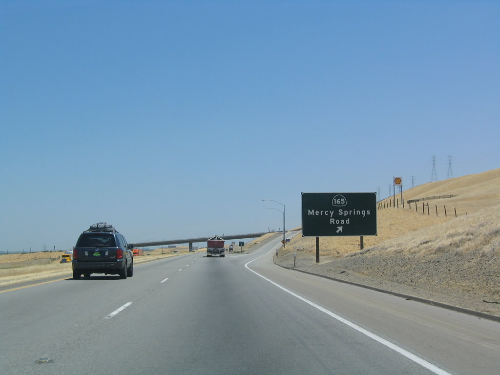 |
Southbound Interstate 5 reaches Exit 391, California 165/Mercy Hot Springs Road north. California 165 extends north through Los Banos, ending at California 99 in Turlock. Stanislaus County J-14 takes over the trajectory of California 165 in Turlock, continuing north to Oakdale (California 108-120). Photo taken 07/06/04. |
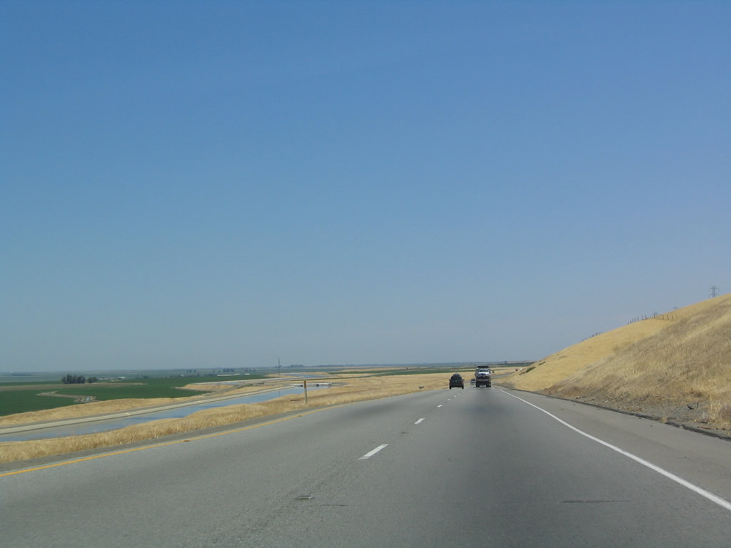 |
This view of the Central Valley is afforded along southbound after it passes Exit 391, California 165/Mercy Hot Springs Road. The Dos Amigos Pumping Station and Visitors Center is visible to the east of the freeway along the California Aqueduct. Photo taken 07/06/04. |
 |
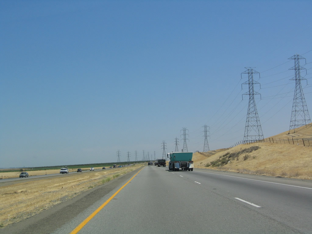
This pair of power lines deviates from the hilltop power lines to enter the Central Valley en route toward Fresno. The power lines catch up with the rough trajectory of San Joaquin River, which heads southeast toward the northern fringes of Fresno. Photo taken 07/06/04. |
 |
Here is another view of the same power lines as they cross the freeway. Photo taken 07/06/04. |
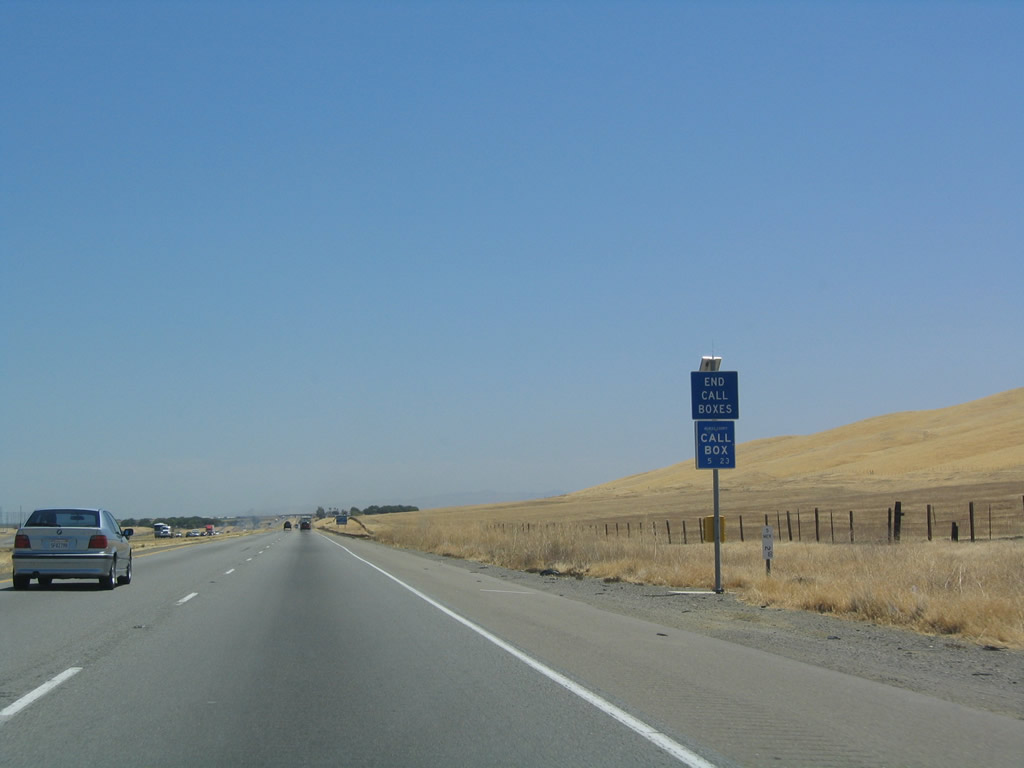 |
Call boxes come to an end along southbound Interstate 5 as the freeway prepares to depart Merced County and enter Fresno County. Photo taken 07/06/04. |
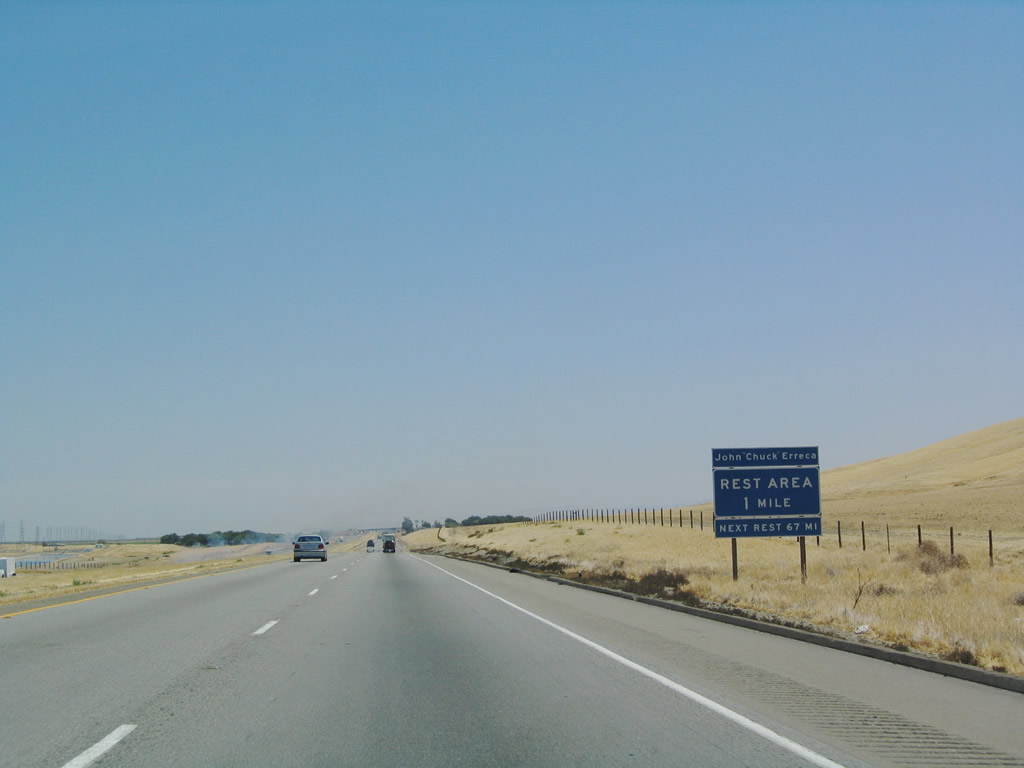 |
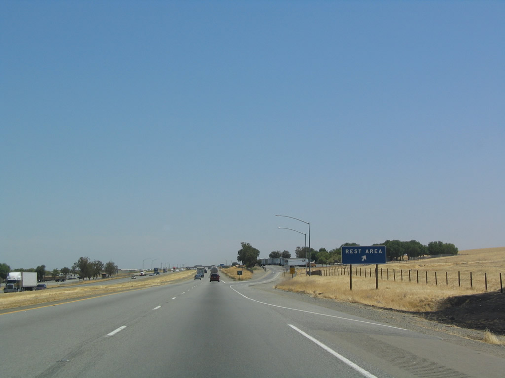
The next exit along southbound is Exit 386, Rest Area, one mile. The next rest area is located 67 miles south of here at Exit 320. Photo taken 07/06/04. |
 |
On this hot, dry day, a small brush fire erupted adjacent to the northbound lanes of Interstate 5. Fire fighters were on the scene shortly to extinguish the blaze, but with tinder dry grasses in the summer, any kind of incendiary device could potentially start the fire (including sparks from metal hitting the pavement, chains between a car and its trailer, and cigarettes). Photo taken 07/06/04. |
 |
Southbound Interstate 5 reaches Exit 386, Rest Area. After the rest area, Interstate 5 departs Merced County and enters Fresno County. Photo taken 07/06/04. |


Page Updated July 27, 2004.
|
About Contact Glossary |
In The News Interstate Guide |
Social Media:
 |
|
© 2000-25 AARoads.com | All Rights Reserved | Privacy Policy / Terms of Use
|
||