| Interstate 40 east |
|---|
|
|
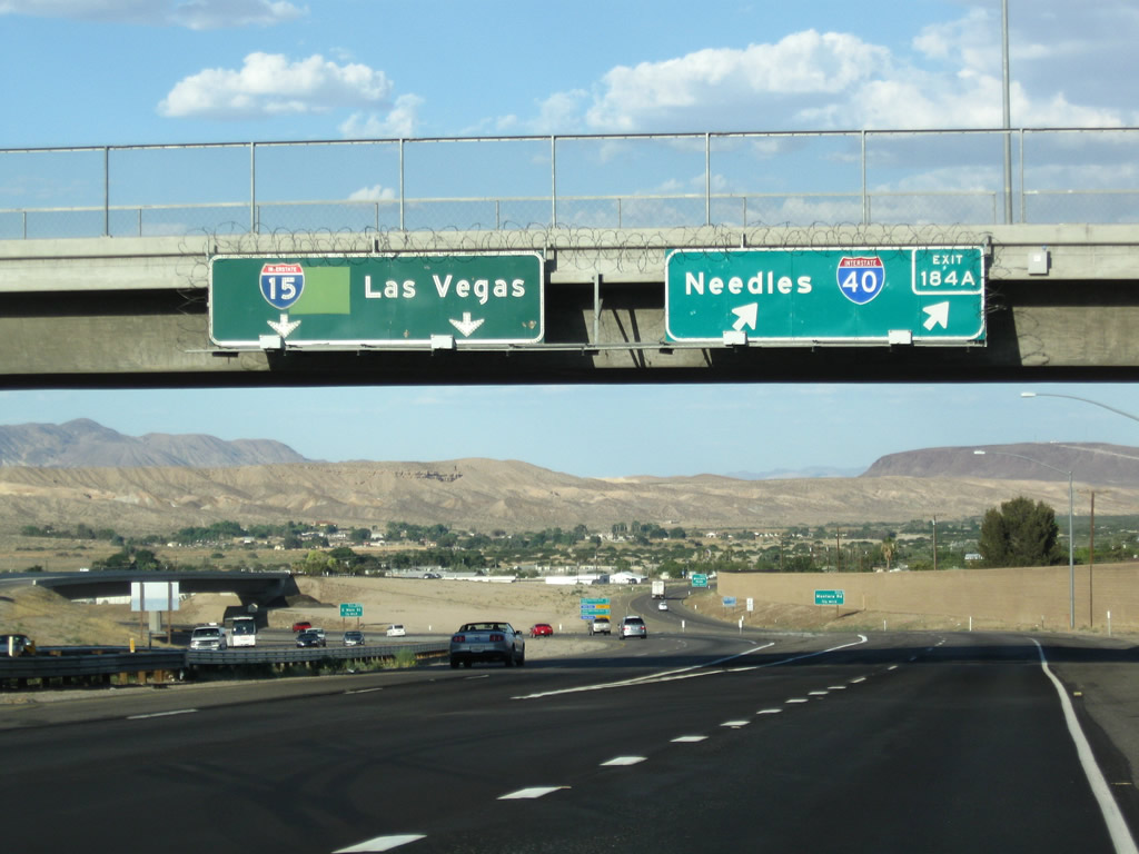
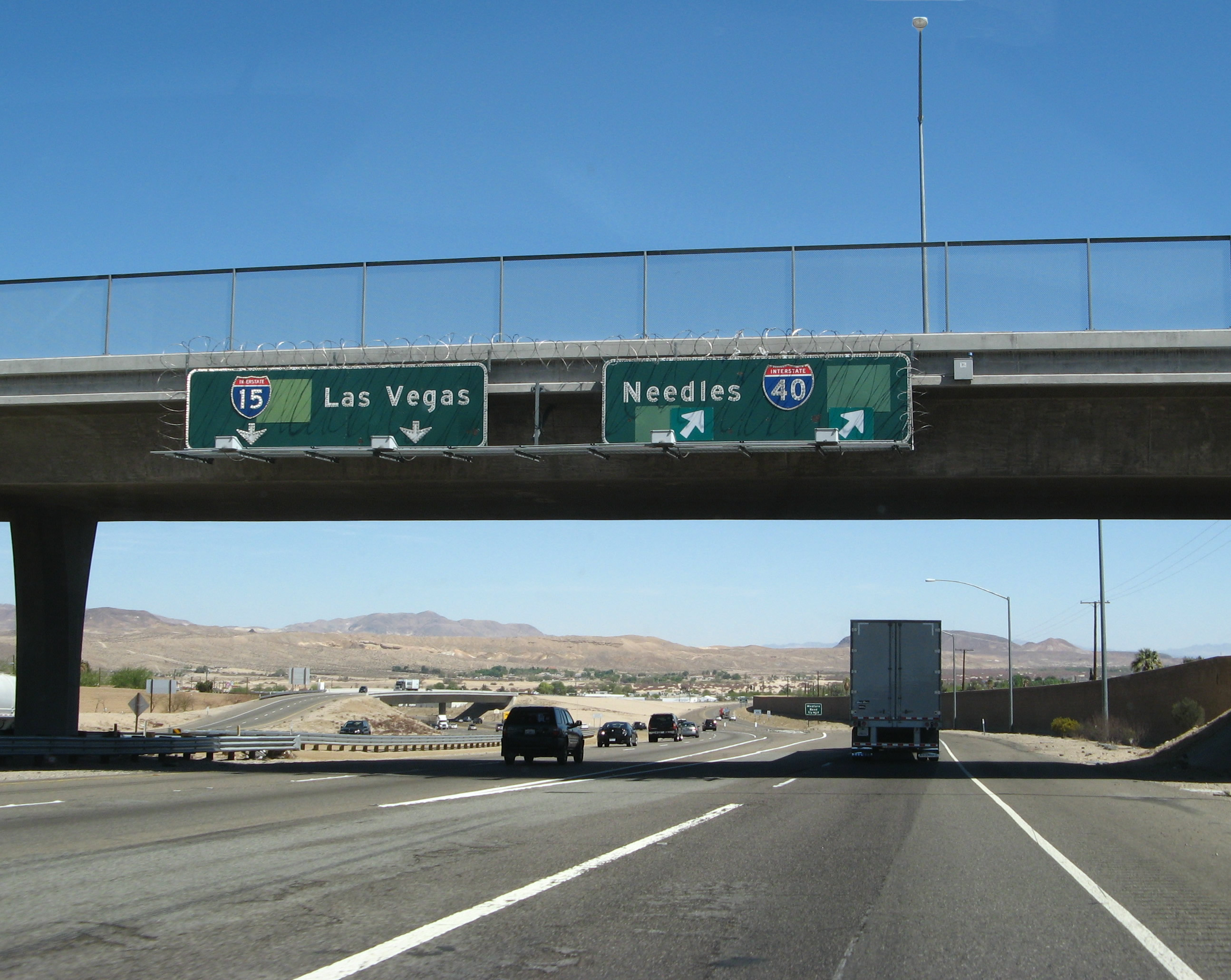
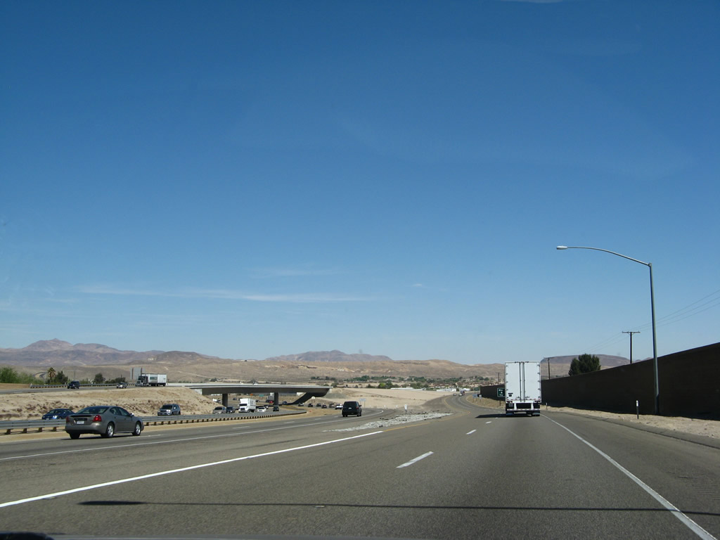
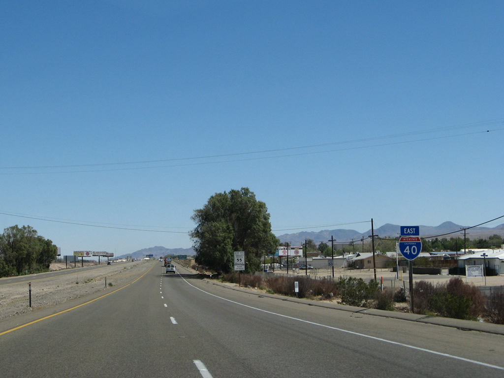
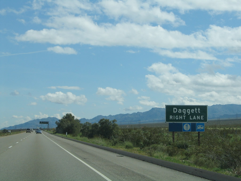
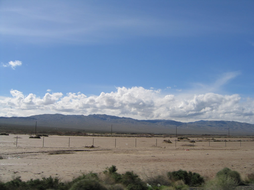
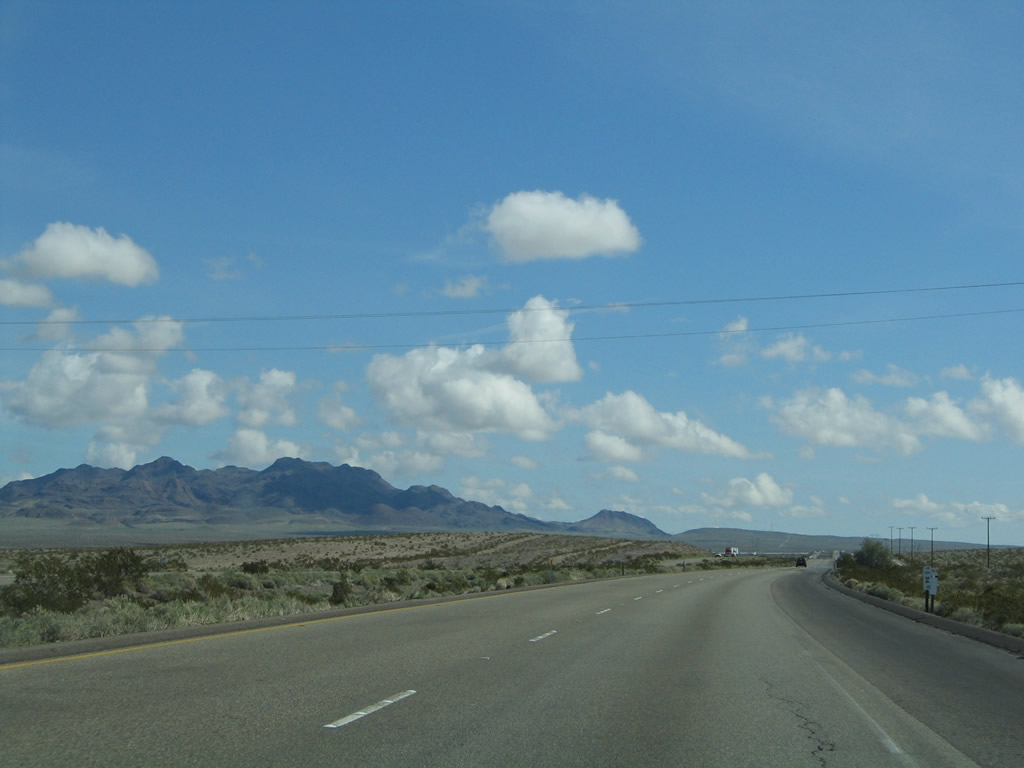
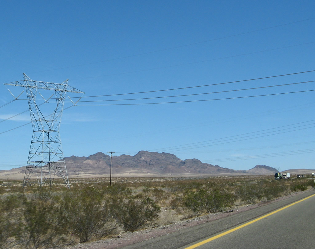
Interstate 15 and Interstate 40 part ways in Barstow. From here, Interstate 15 continues northeast to Las Vegas, while Interstate 40 curves east toward Needles, Kingman, and Flagstaff. Photos taken 06/27/09 and 03/30/07. |
|
|
The separation of Interstate 15 and Interstate 40 occurs prior to Interstate 15 crossing over the Mojave River. The river parallels Interstate 40 from Barstow east to Daggett, then turns northeast on a path parallel to Interstate 15. Photos taken 06/27/09 and 03/30/07. |
|
|
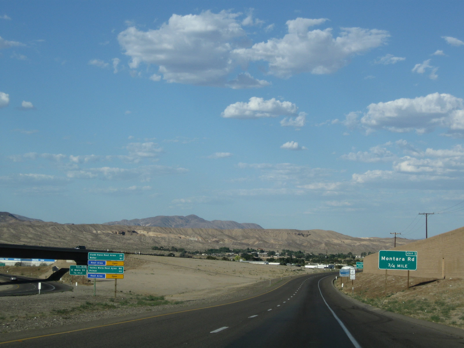
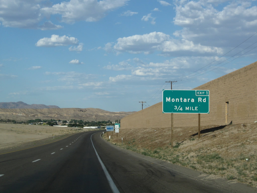
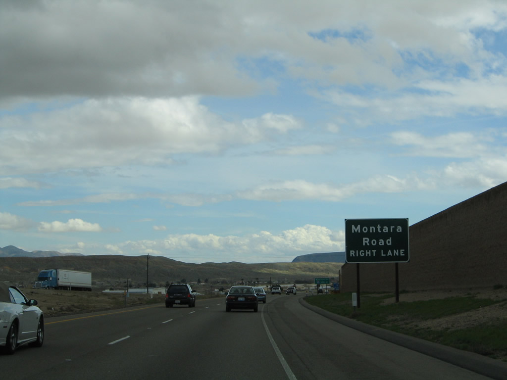
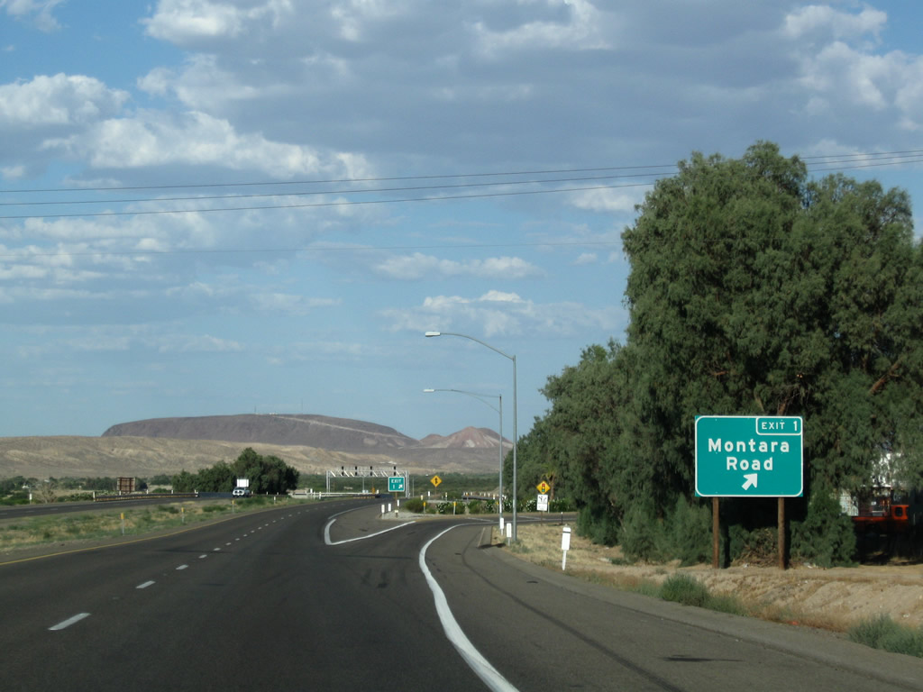
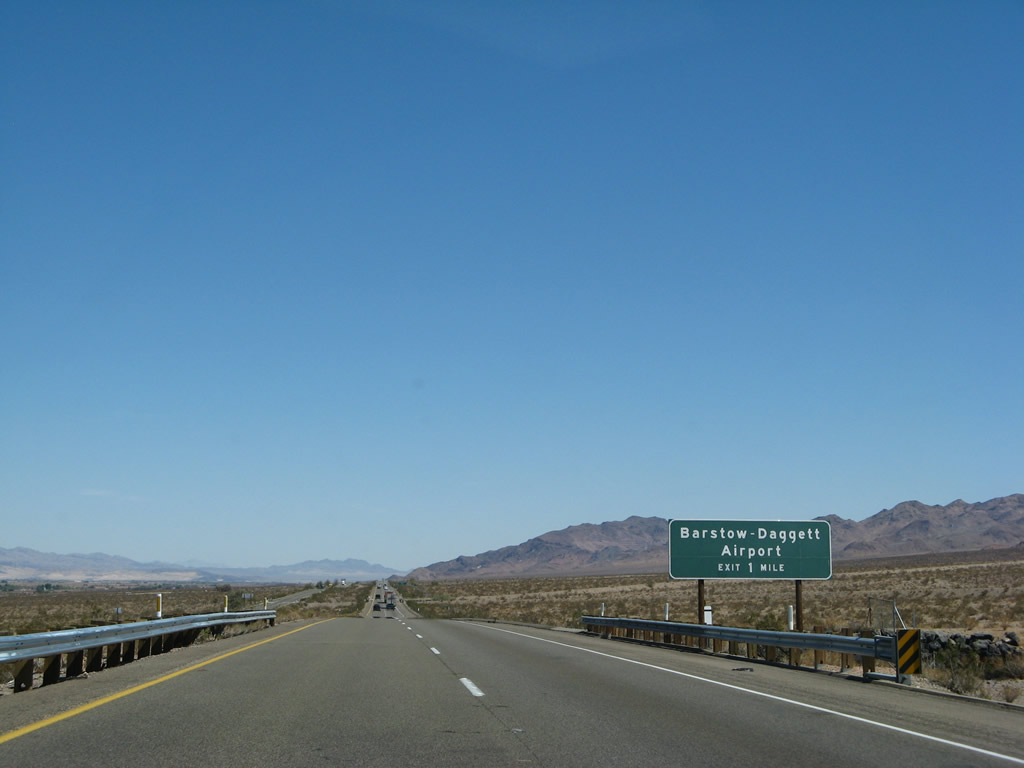
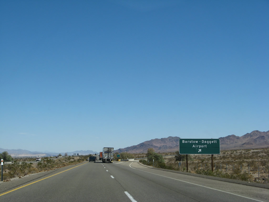
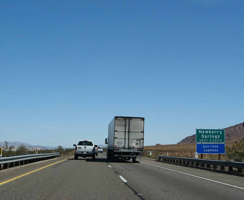
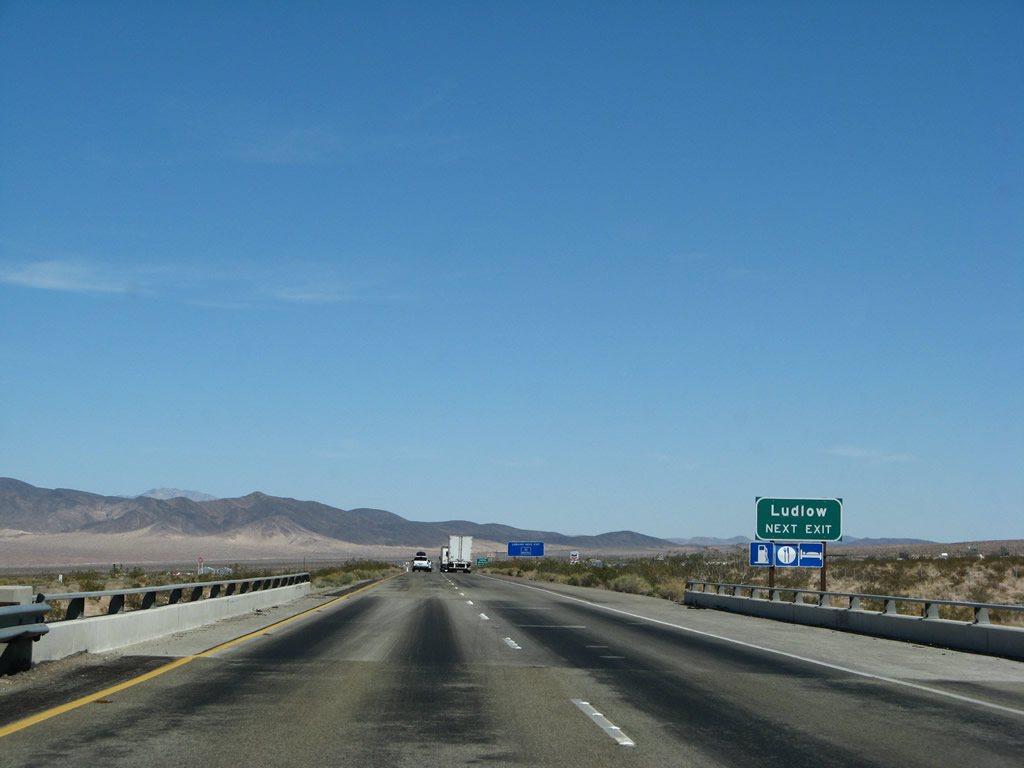
The first exit on eastbound Interstate 40 (Needles Freeway) is Exit 1, Business Loop I-15 and U.S. 66/East Main Street and Montara Road (0.75 mile). The Exit 1 interchange serves as the eastern terminus of Business Loop I-15 and offers Interstate 40's first exit to Historic U.S. 66. From here east to Oklahoma City, U.S. 66 will follow Interstate 40, and substantial sections of old alignment are still available for driving. Photos taken 06/27/09 and 03/30/07. |
|
|
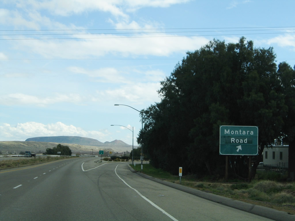
Stay right for the connection from eastbound Interstate 40 to Exit 1, Business Loop I-15 South/East Main Street and U.S. 66 to Montara Road. The National Trails Highway (U.S. 66, the Mother Road) proceeds east on its own alignment toward Daggett, although a portion of the route is restricted due to the U.S. Marine Corps Logistics Base. Photos taken 06/27/09 and 02/20/05. |
|
|
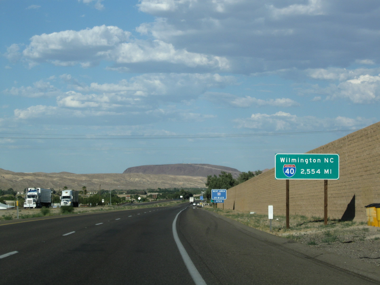
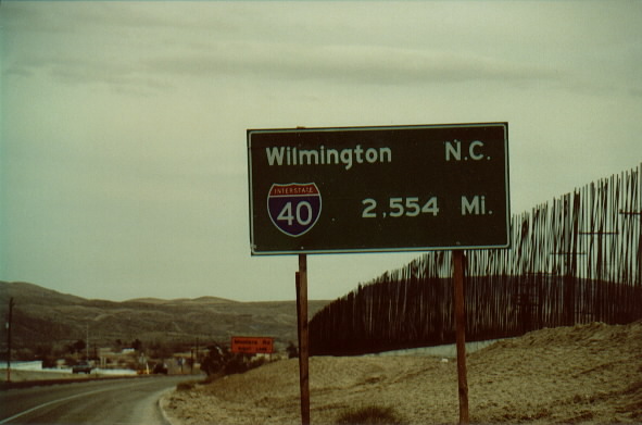
The first mileage sign on Interstate 40 east indicates the distance from Barstow to Wilmington, North Carolina, a distance of 2,554 miles. Profiled here are the original sign and its replacement sign (placed in 2003). Photos taken 06/27/09 and 08/00. |
|
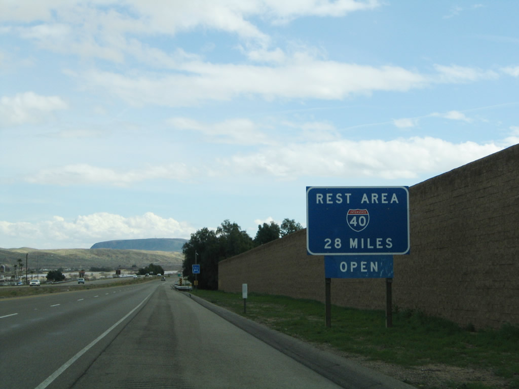
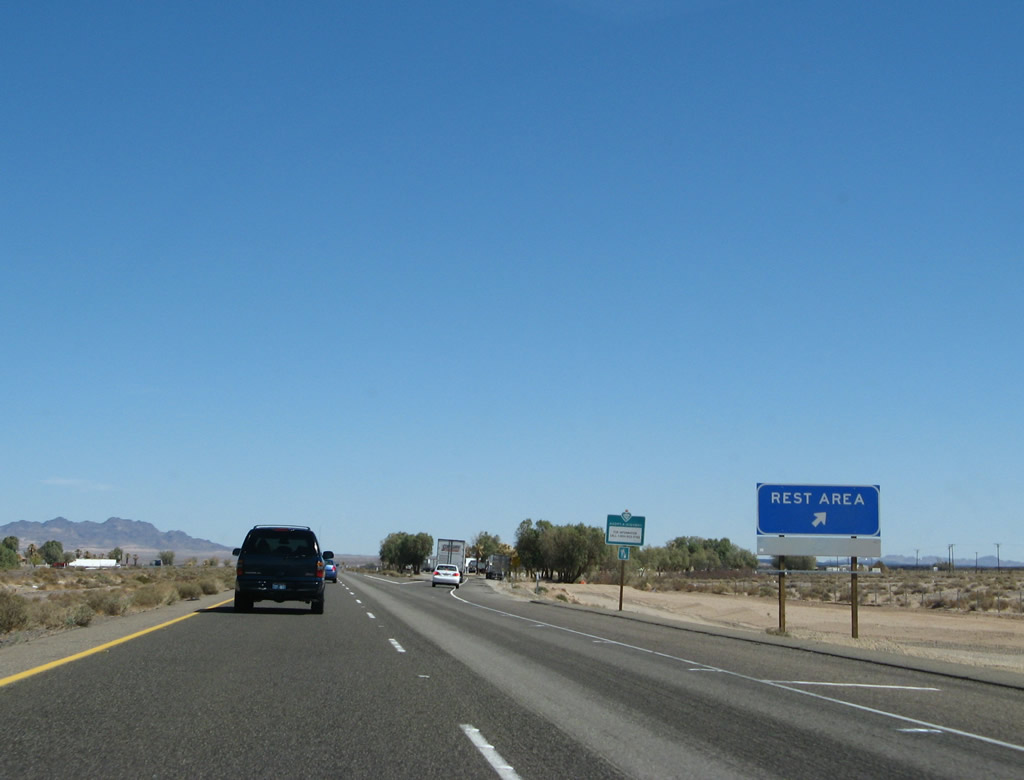
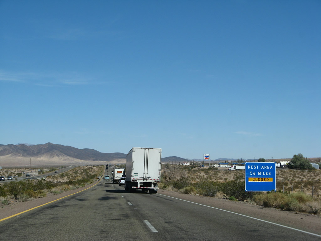
The first rest area along Interstate 40 east is located 28 miles from here near Troy Dry Lake. Motorist services are limited east of here, so it is helpful to know whether this rest area is open or closed. Photo taken 06/27/09. |
|
|
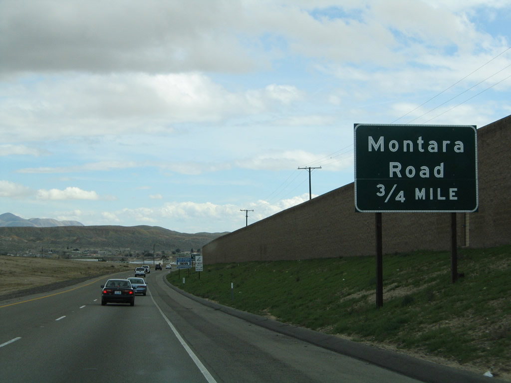
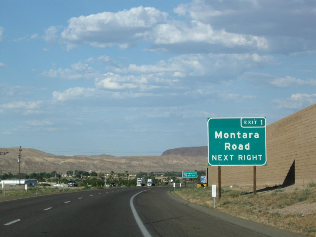
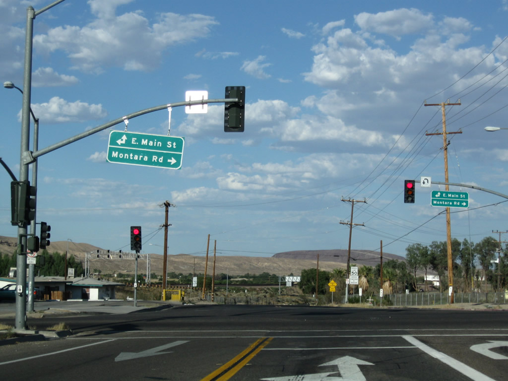
Eastbound Interstate 40 (Needles Freeway) meets Exit 1, Montara Road south and Business Loop I-15 and Historic U.S. 66 (Main Street) west to Barstow and east to the USMC Depot of Nebo Supplies. Photos taken 06/27/09 and 02/20/05. |
|
A traffic signal awaits at the end of the Montara Road off-ramp. Turn left to follow Business Loop I-15 and U.S. 66 west to Barstow or turn right to follow Montara Road south. Photo taken 06/27/09. |
|
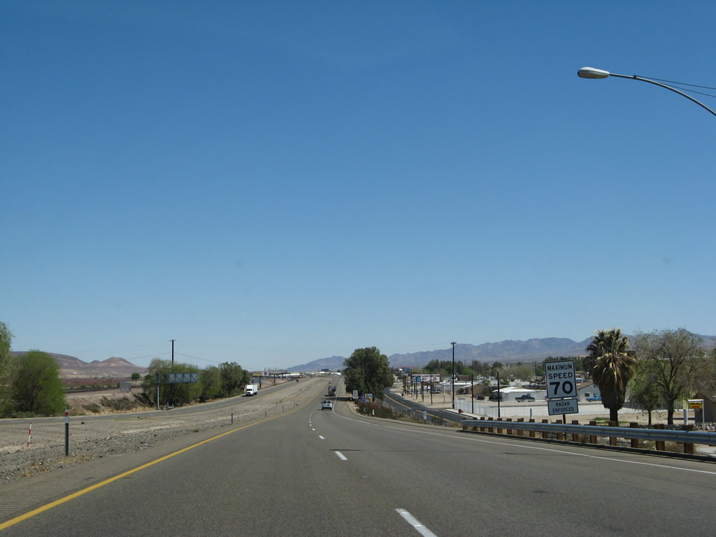
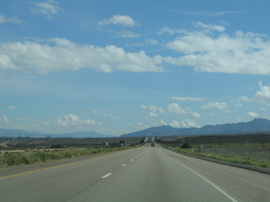
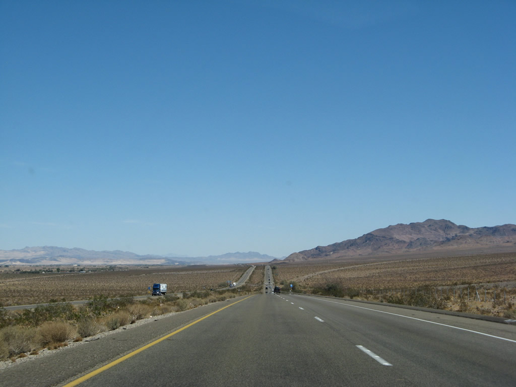
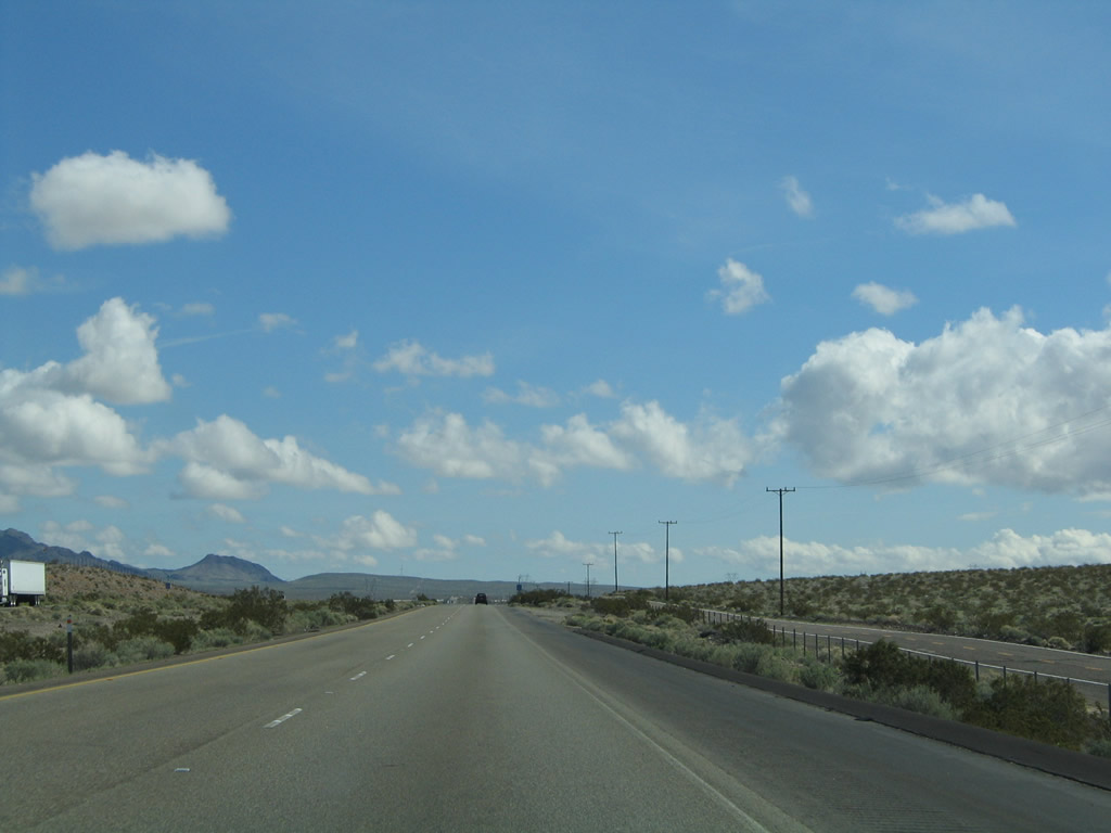
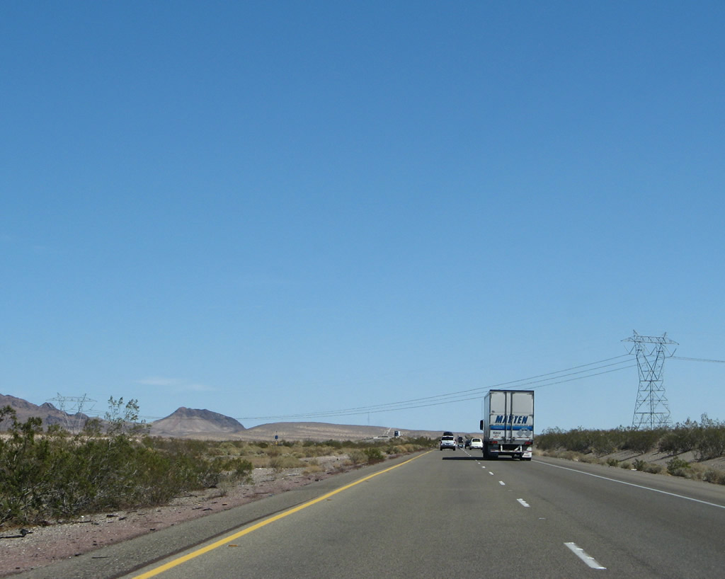
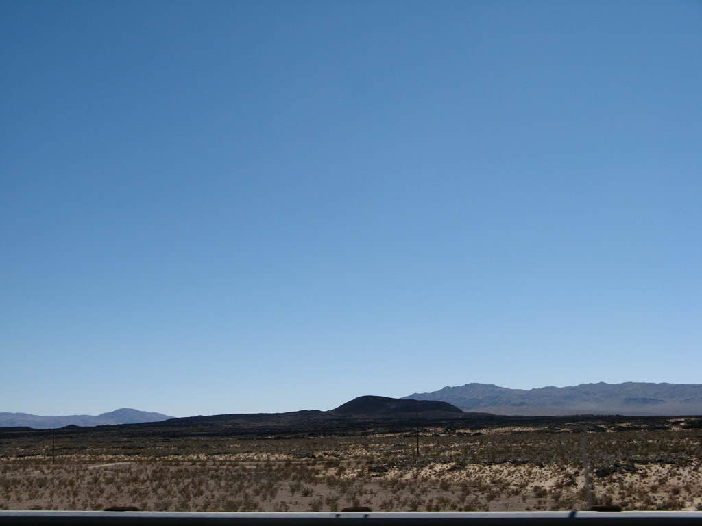
Interstate 40 has a 70 mile per hour speed limit for almost its entire route across the Mojave Desert. Services are few and far between, and motorists should ensure a supply of water and at least a half tank of gas at all times while crossing the desert. Photo taken 03/30/07. |
|
The first reassurance shield for Interstate 40 east is posted shortly thereafter. Photo taken 03/30/07. |
|
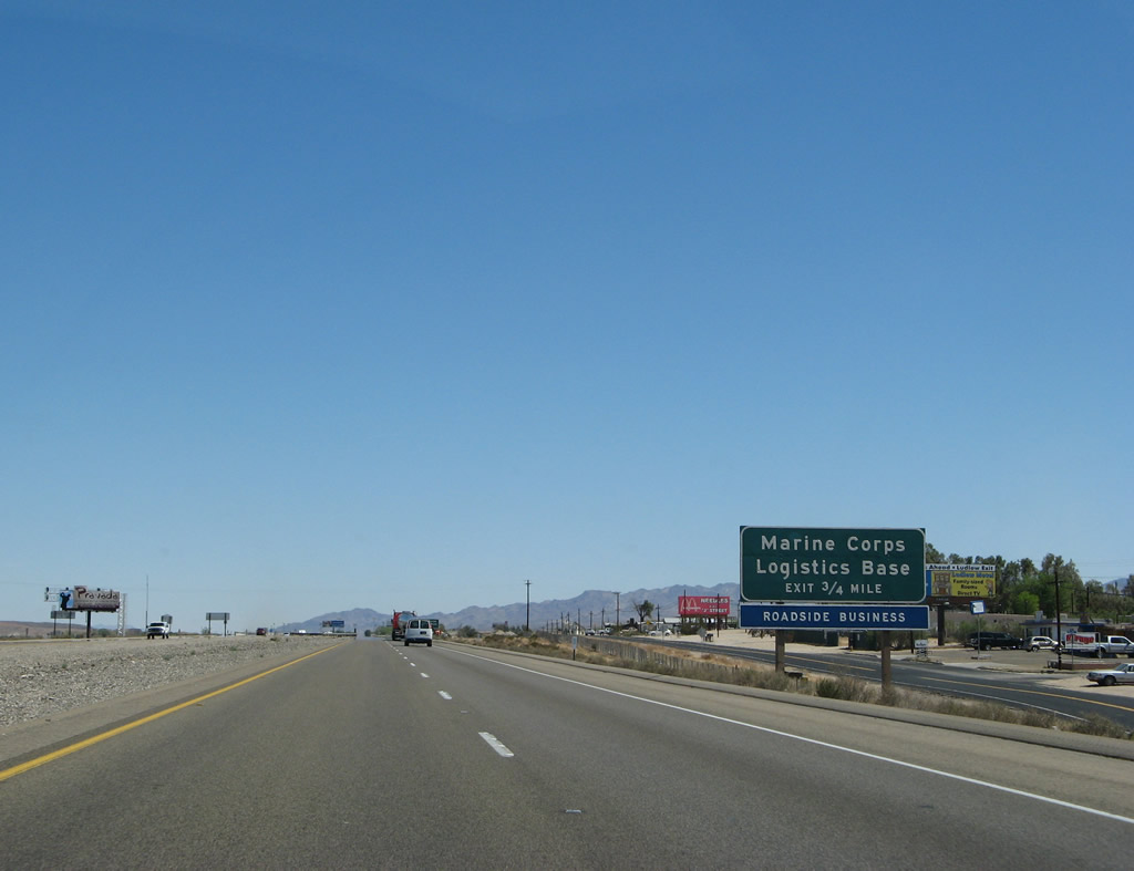
The next exit along Interstate 40 east is Exit 2, U.S. 66/East Main Street to the U.S. Marine Corps Logistics Base at Nebo Center. A blue services sign indicates that roadside business is available at this interchange. This kind of signage, not commonly found on California highways today, used to be quite common as the freeway system was developed and businesses located alongside the bypassed roadways were identified by this kind of standard signage. Photo taken 03/30/07. |
|
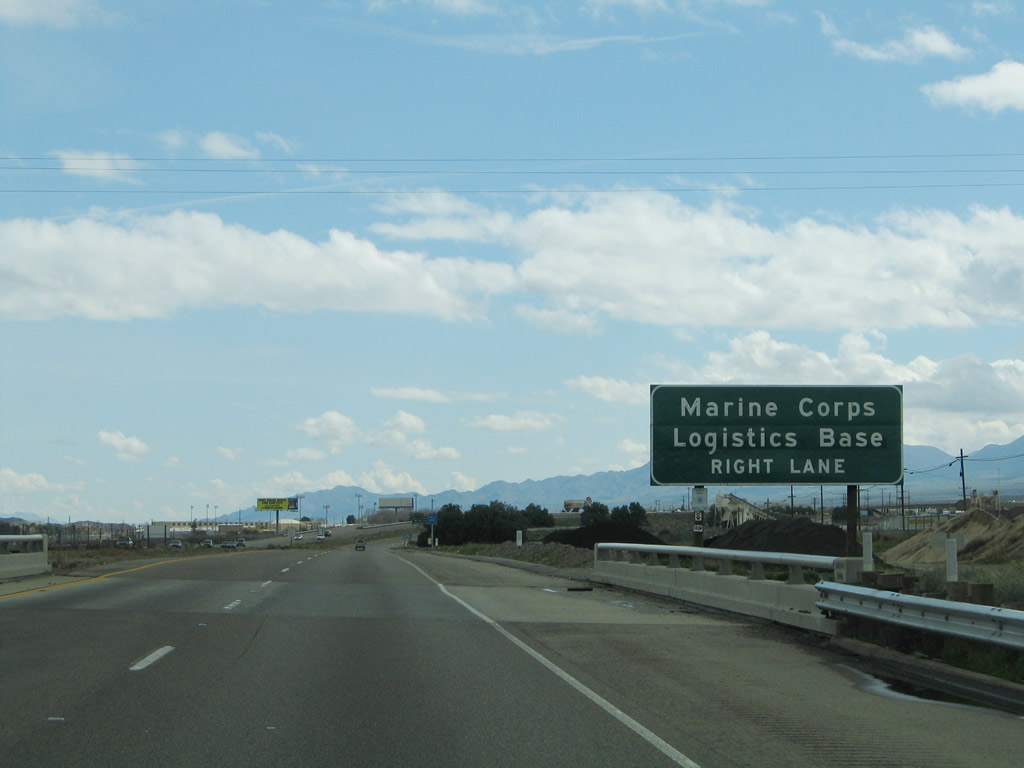
Gates may restrict access to eastbound Historic U.S. 66 (National Trails Highway) (Joseph L. Boll Avenue) through the U.S. Marine Corps Logistics Base at Nebo Center. Therefore, to continue east on U.S. 66, follow Interstate 40 east to Exit 5, Nebo Street. Photo taken 02/20/05. |
|
Eastbound Interstate 40 meets Exit 2, Historic U.S. 66 (National Trails Highway) (Joseph L. Boll Avenue) east to the U.S. Marine Corps Logistics Base at Nebo Center and U.S. 66/East Main Street west to Barstow. Photo taken 02/20/05. |
|
An Interstate 40 east reassurance shield is posted after the on-ramp from Exit 2. A dynamic message sign is placed after this on-ramp to warn of any pending traffic issues along the long desolate stretch of freeway en route to Needles, including inclement weather, traffic accidents, or road closures. Photo taken 02/20/05. |
|
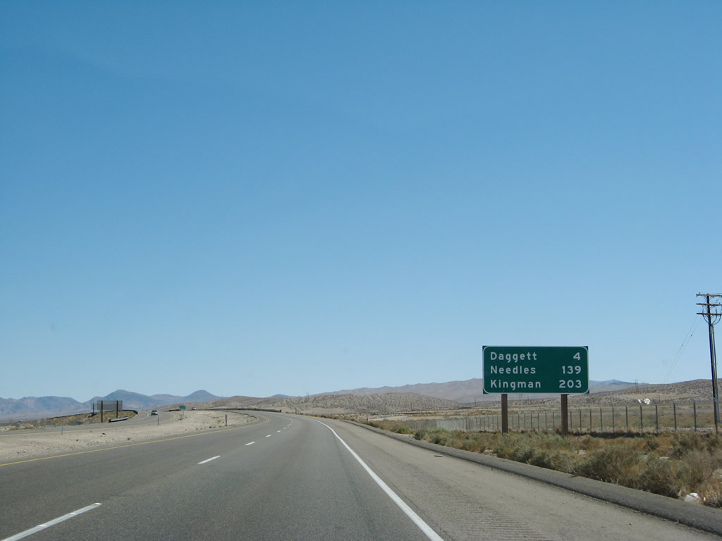
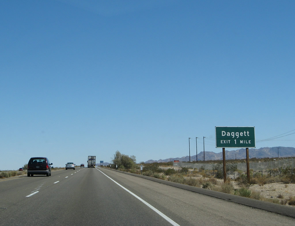
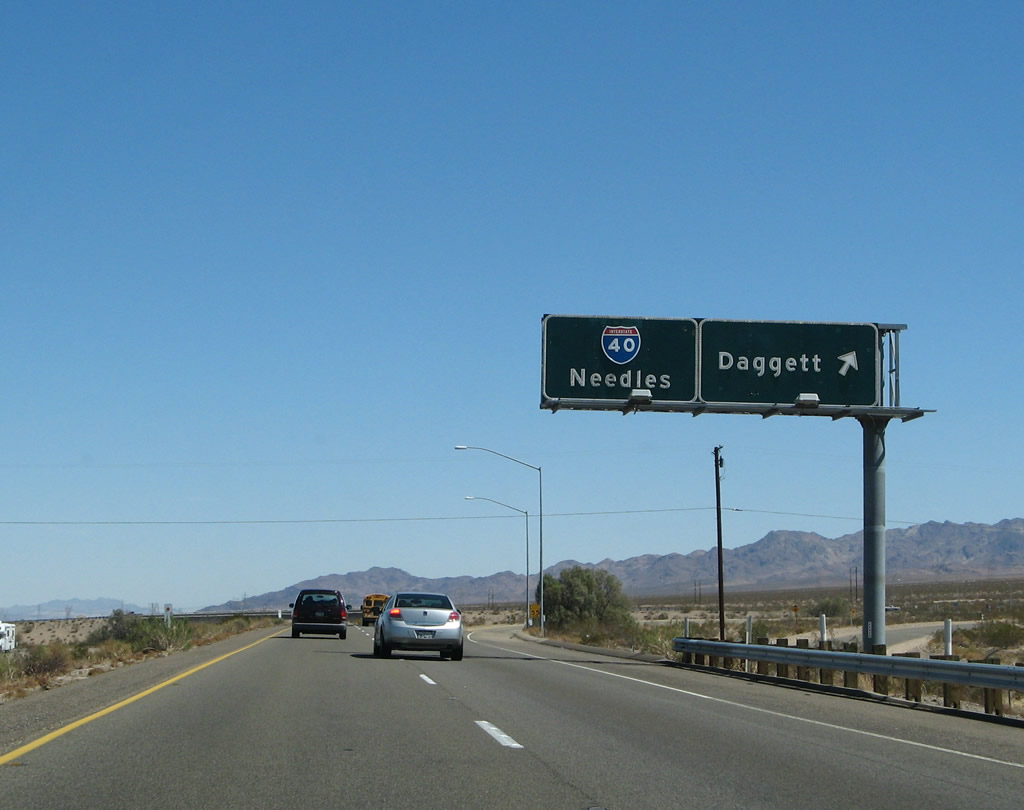
This mileage sign provides the distance to Daggett (four miles), Needles (139 miles), and Kingman, Arizona (203 miles). Despite the presence of Kingman on this sign, Caltrans seems to use Needles as the control city for Interstate 40 east across the Mojave Desert. Photo taken 03/30/07. |
|
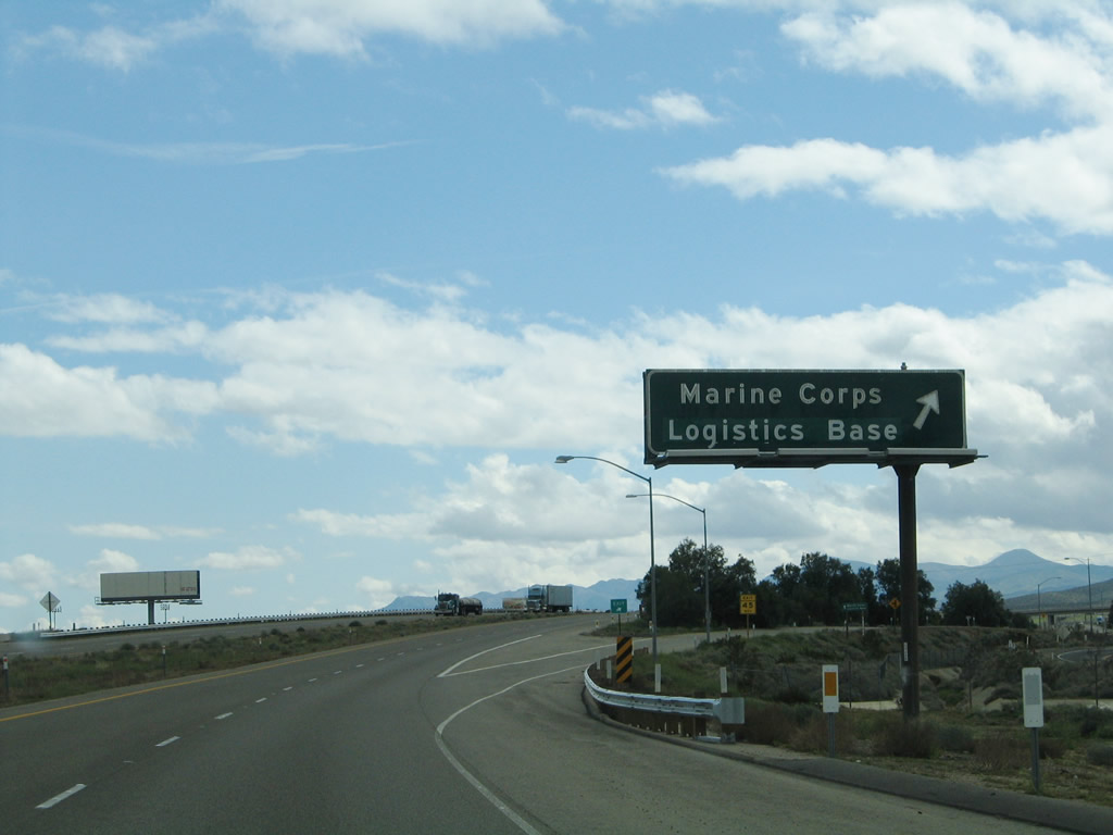
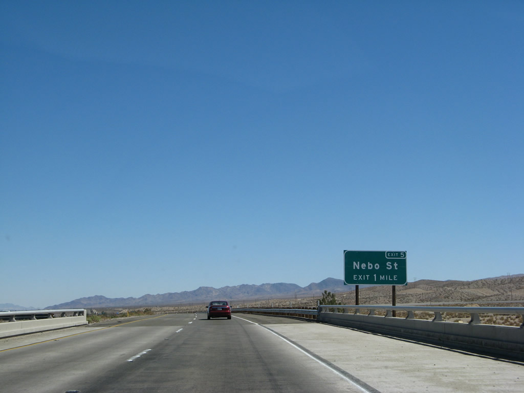
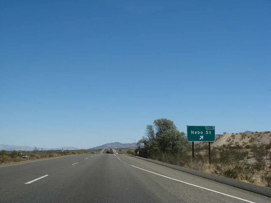
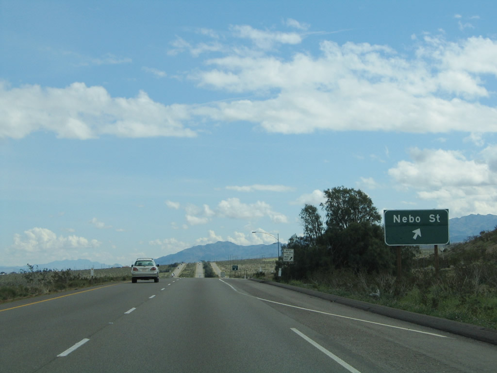
The next exit along Interstate 40 east is Exit 5, Nebo Street north to Historic U.S. 66 (National Trails Highway) and Nebo Center (one mile). Photo taken 03/30/07. |
|
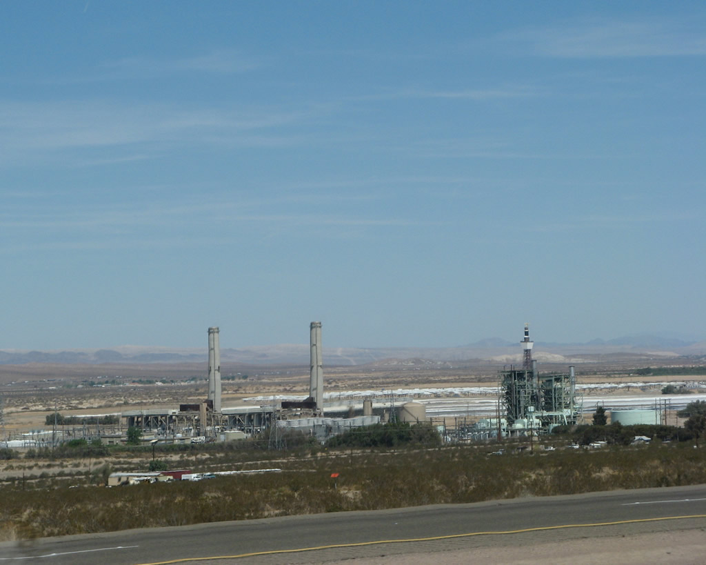
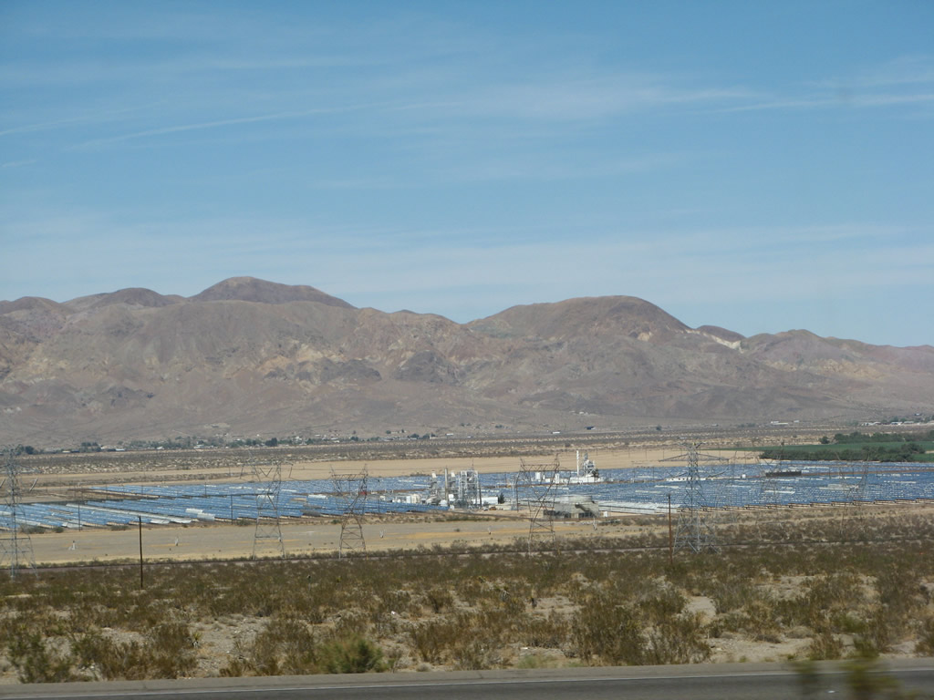
The vastness of the Mojave Desert spreads out in the distance ahead. The only development is the solar power site (telescope) seen in the distance east of Daggett. Photo taken 02/20/05. |
|
Use Nebo Street north to Historic U.S. 66 (National Trails Highway). Signs such as this are generally posted along Interstate 40 whenever the freeway intersects a segment of old U.S. 66. Photo taken 03/30/07. |
|
|
Eastbound Interstate 40 meets Exit 5, Nebo Street north to Historic U.S. 66 (National Trails Highway) and Nebo Center. An exit number sign was added by 2007. Photos taken 03/30/07 and 02/20/05. |
|
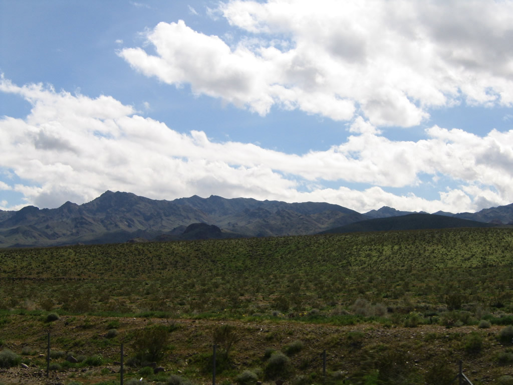
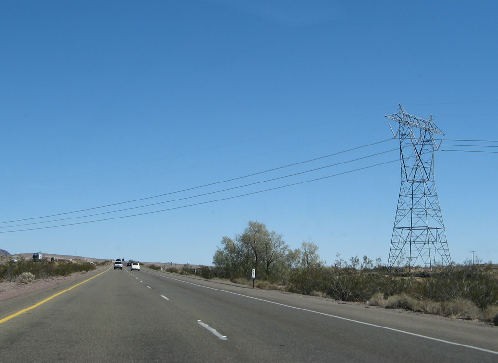
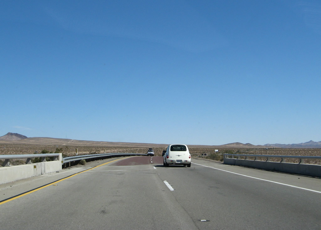
If you like wide-open scenes like this one, you'll love the drive across the Mojave Desert. Photo taken 03/30/07. |
|
The next exit along Interstate 40 east is Exit 7, A Street north to Daggett and Historic U.S. 66 (National Trails Highway) (one mile). Photo taken 03/30/07. |
|
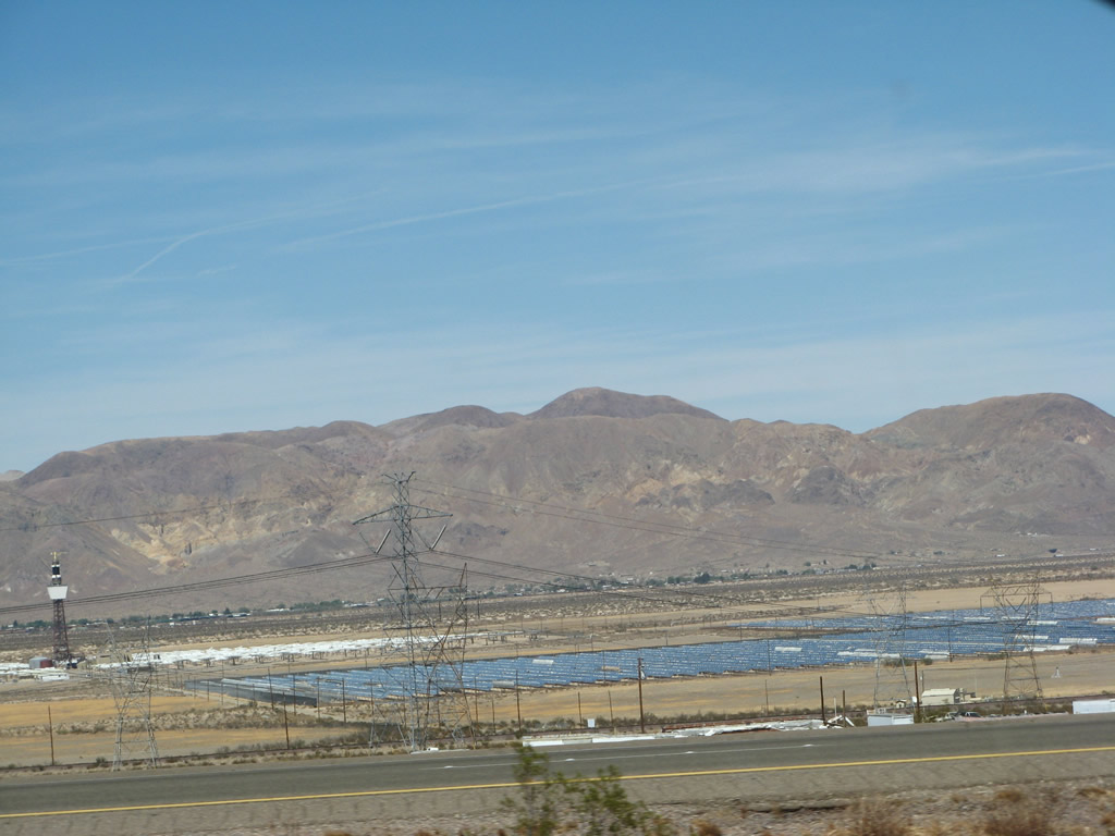
Daggett is an unincorporated community in San Bernardino County. Daggett is the location of Barstow-Daggett Airport and a large solar power generation plant that was built as Solar I and operated between 1981 and 1986. Hundreds of mirror panels (called "heliostats") aimed sunlight to a tower containing oil that was superheated by the sun's reflected and focused rays to create steam to turn turbines. A later iteration of this project, known as Solar II, operated from 1995 to 1999 using molten salt rather than oil. Today this site is known as C.A.C.T.U.S. (Converted Atmospheric Cherenkov Telescope Using Solar-2) and no longer functions as a power generation facility (it is instead a telescope). The C.A.C.T.U.S. is owned by Southern California Edison and operated by the University of California, Davis. For more on the solar project, see The Solar Project (Wikipedia). Photo taken 02/20/05. |
|
Eastbound Interstate 40 reaches Exit 7, A Street north to Daggett and Historic U.S. 66 (National Trails Highway). This porcelain overhead sign dates to the original construction of this freeway. It is possible that this Interstate 40 shield covers a U.S. 66 shield. Note the control city for Interstate 40 east is shown as Needles. Photo taken 03/30/07. |
|
This view looks north from the freeway toward the former Solar I and Solar II site. Photo taken 03/30/07. |
|
|
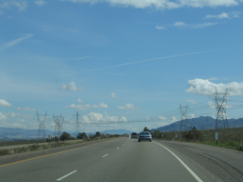
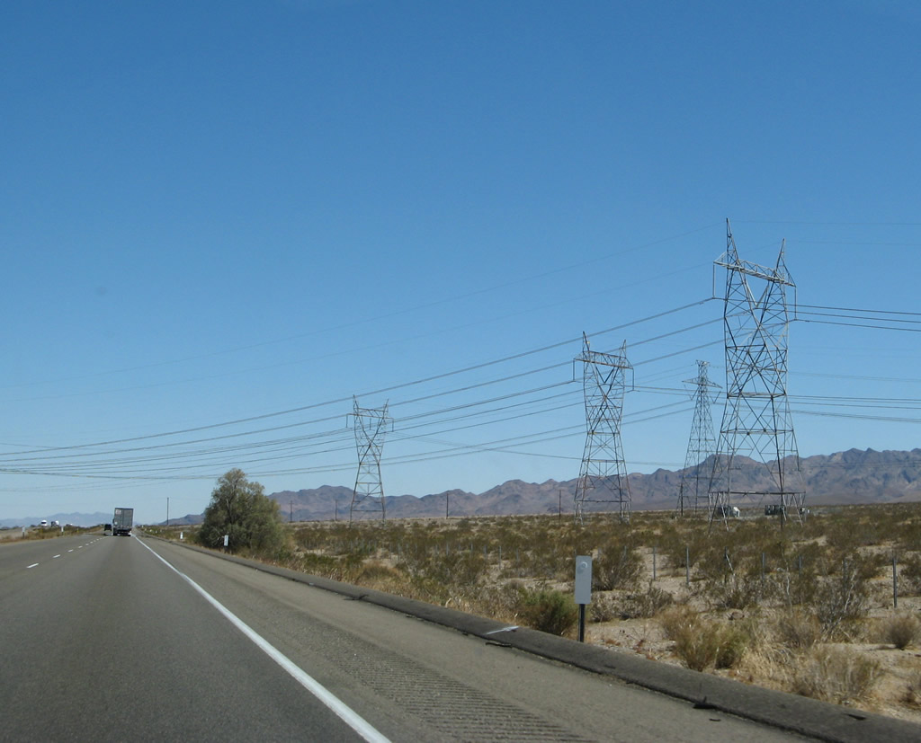
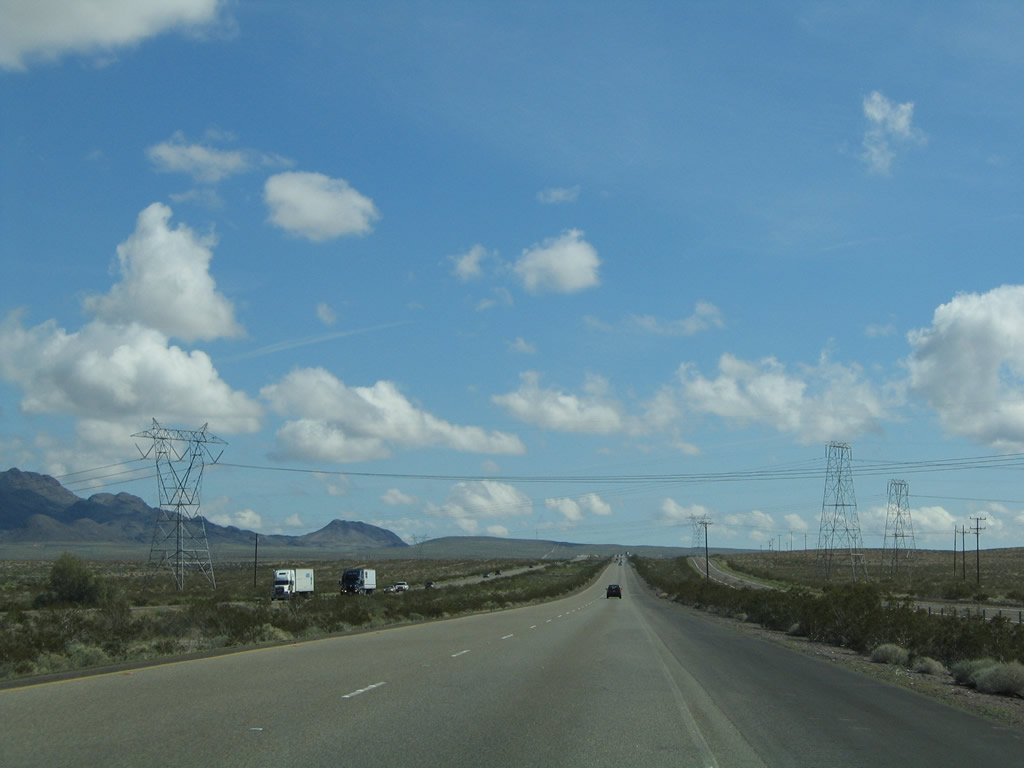
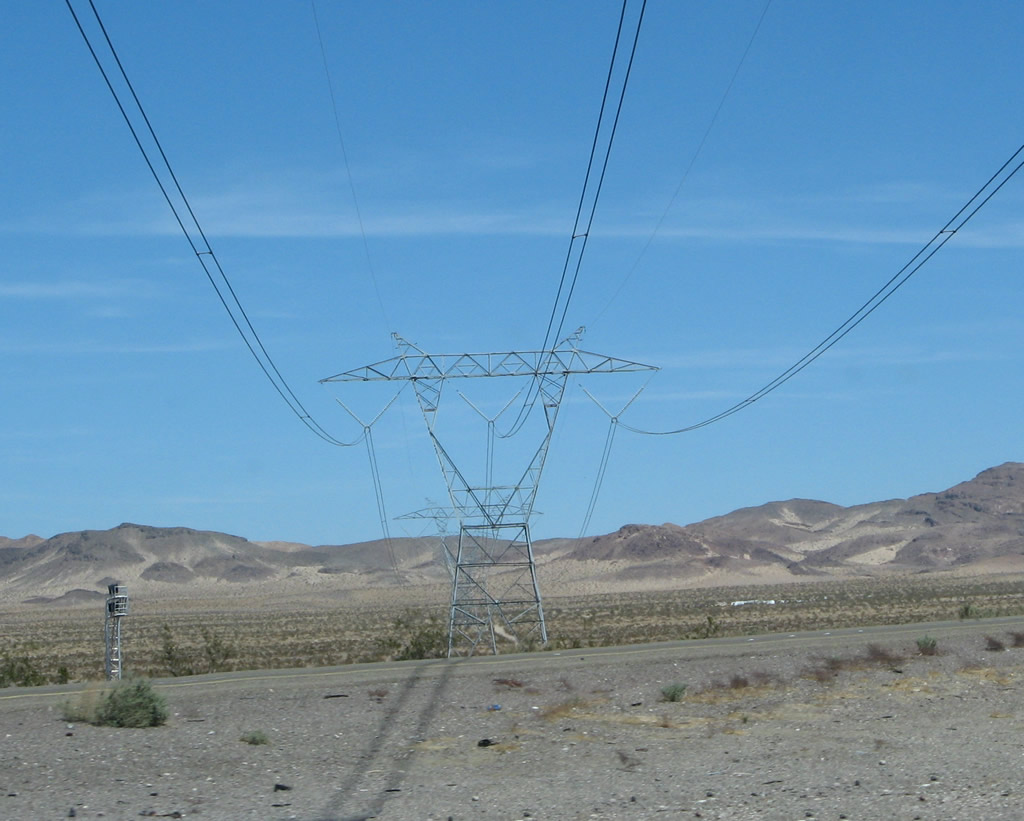
This suite of photos shows the group of 287, 345, and -500kV power lines that cross Interstate 40 between Exits 7 and 12. The first two lines to pass over Interstate 40 eastbound are part of Los Angeles Department of Water and Power's McCullough - Victorville transmission line; these two lines are part of the sprawling Path 46 series (345kV). (Path 46 is also referred to as West of Colorado River, Arizona-California West-of-the-River Path [WOR] and includes multiple segments of transmission line. We will see other Path 46 transmission lines as Interstate 40 continues east through the Mojave Desert.)1 The third line is part of the Hoover - Victorville 287 kV line. The last tower of the four is part of Path 27, a -500kV Intermountain High Voltage Direct Current (HVDC) transmission system. The Intermountain HVDC line is distinct from the other towers for having only two sets of wires rather than the three lines required to transmit alternating current (AC) power; it was built in 1986. Path 27 begins at the Intermountain power plant near Delta, Utah, and travels southwest to the Adelanto static inverter plant.2 This line is also owned by Los Angeles Department of Water and Power. Photos taken 03/30/07 and 02/20/05. |
|
|
|
|
|
The next exit along Interstate 40 east is Exit 12, Hidden Springs Road north to the Barstow-Daggett Airport (one mile). Photo taken 03/30/07. |
|
Eastbound Interstate 40 (Needles Freeway) reaches Exit 12, Hidden Springs Road north to the Barstow-Daggett Airport. Photo taken 03/30/07. |
|
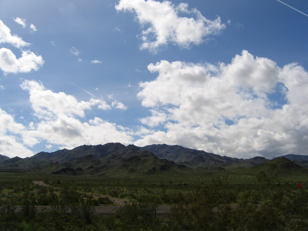
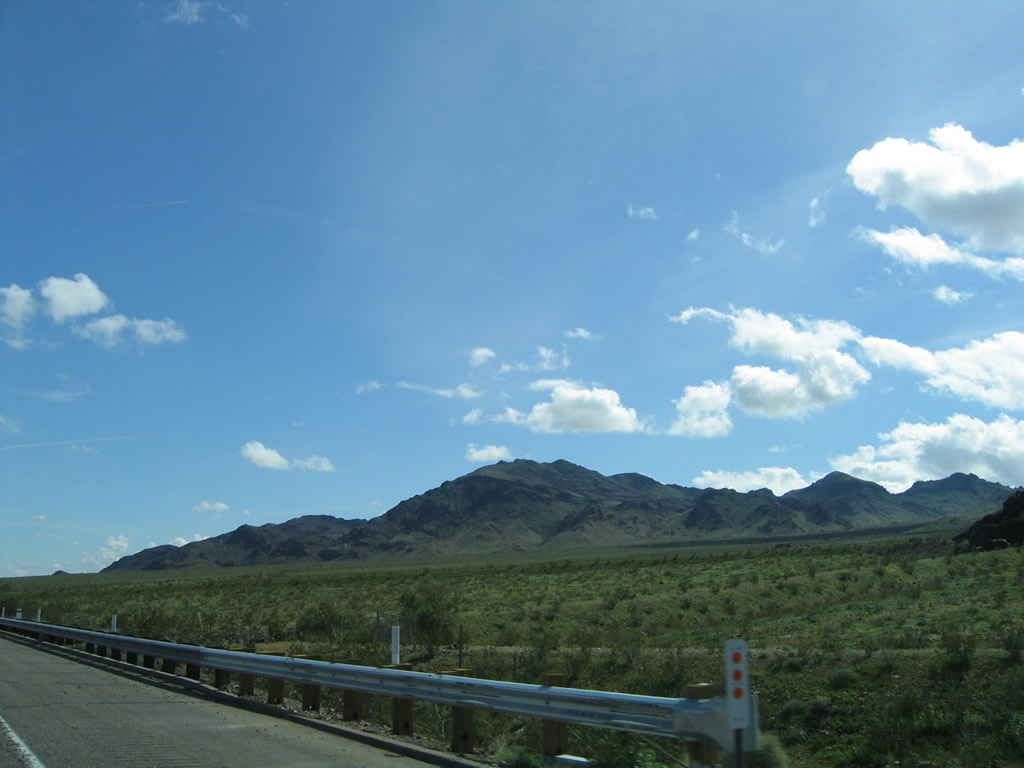
Interstate 40 continues east through the stark beauty of the Mojave Desert after the Exit 12 interchange. The Newberry Mountains rise in the distance south of the freeway; the Mojave River Valley extends to the north of the freeway. Photo taken 03/30/07. |
|
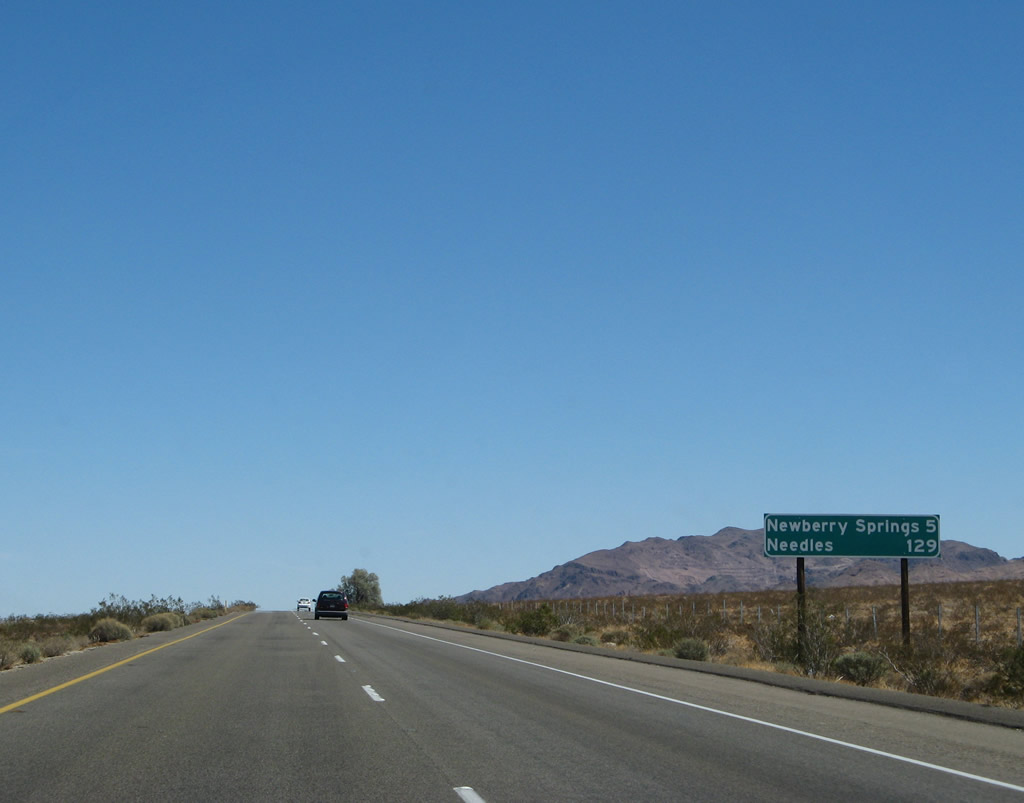
This mileage sign along Interstate 40 east provides the distance to Newberry Springs (five miles) and Needles (129 miles). Photo taken 03/30/07. |
|
|
|
The Newberry Mountains rise south of the freeway. Extensive winter rains over the course of several months between 2004 and 2005 brought unprecedented greenery to the desert. Photos taken 02/20/05. |
|
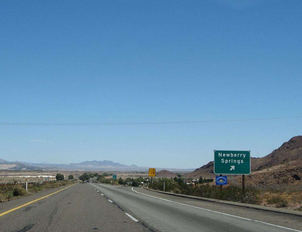
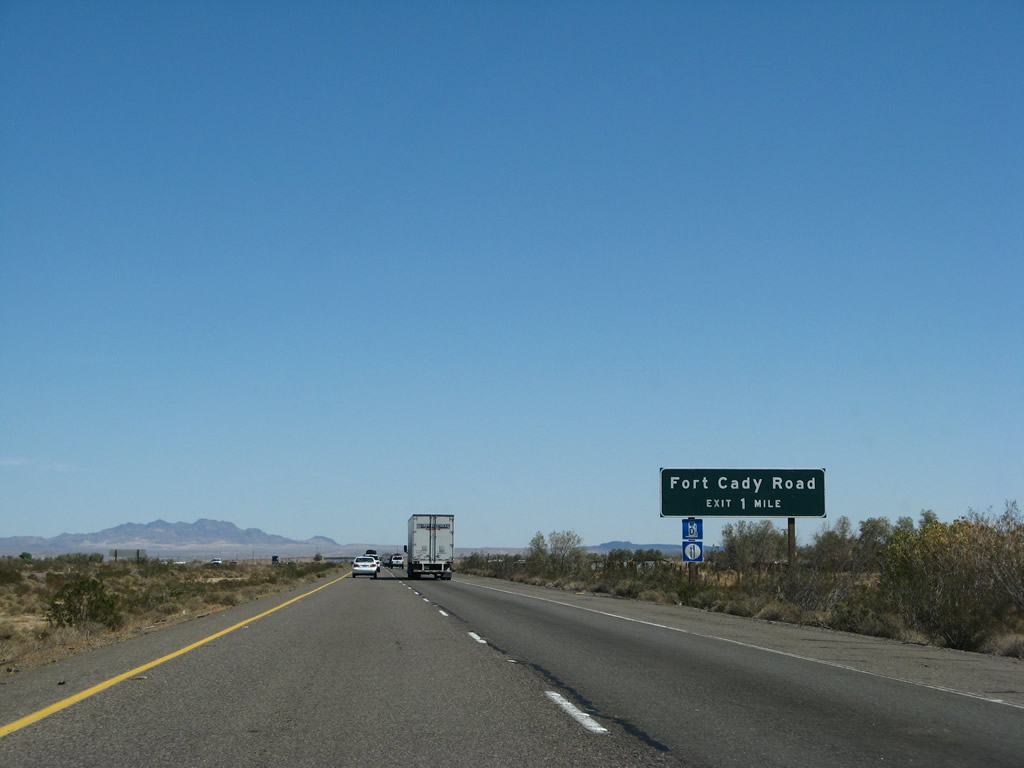
The next two exits along Interstate 40 (Needles Freeway) east serve the unincorporated community of Newberry Springs: Exit 18, Historic U.S. 66 (National Trails Highway) east to Newberry Springs and west to Barstow-Daggett Airport and Exit 23, Fort Cady Road south to U.S. 66. Photo taken 03/30/07. |
|
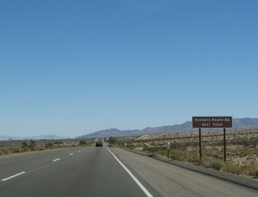
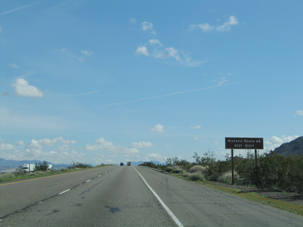
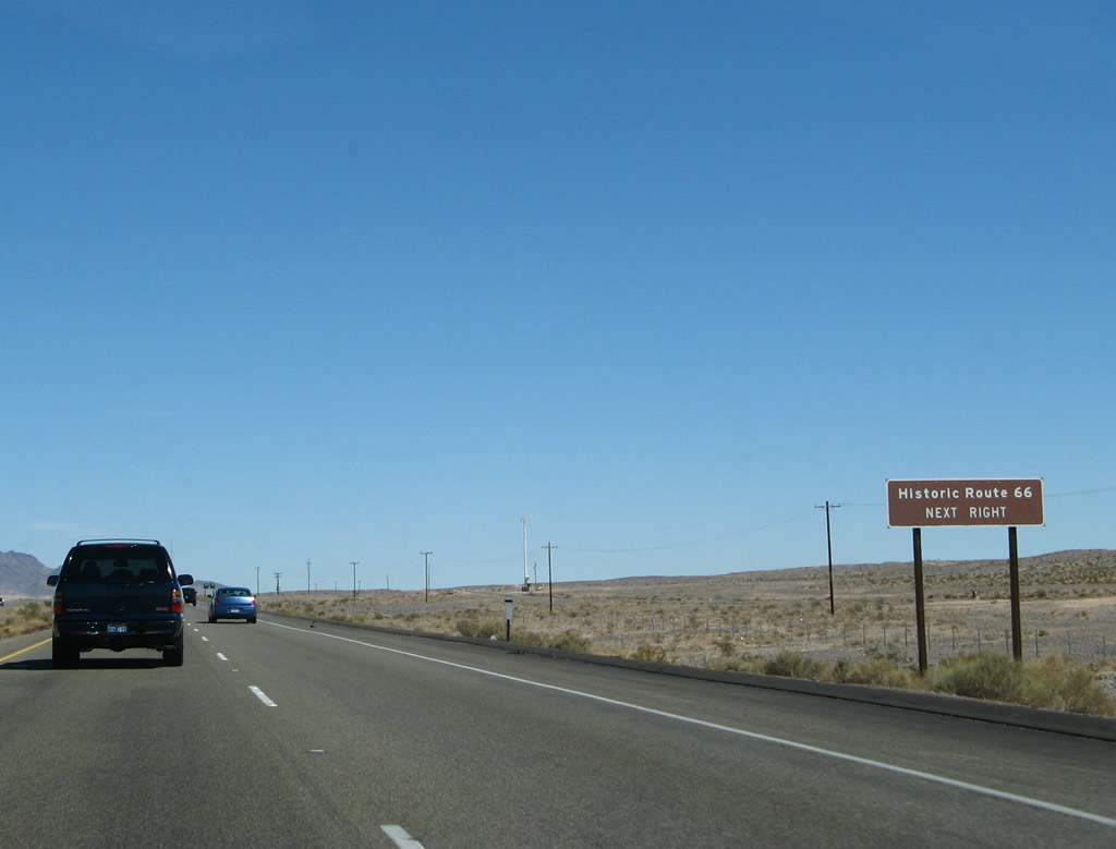
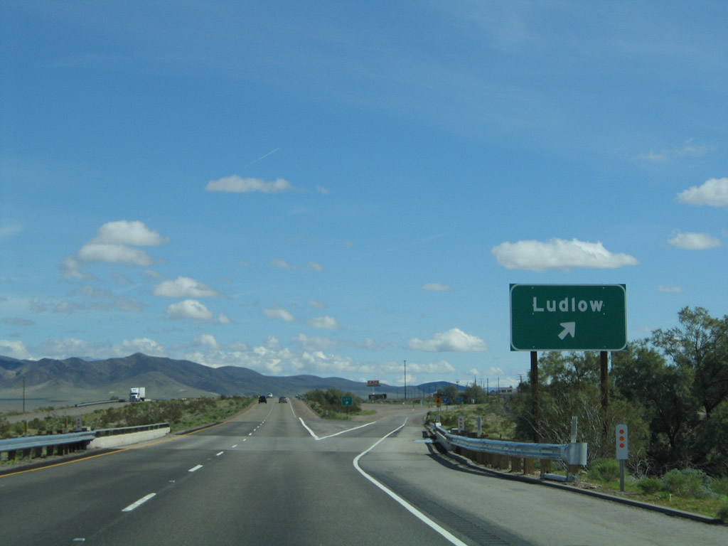
Interstate 40 again intersects U.S. 66, signed here as Historic Route 66. Between Newberry Springs and Ludlow, U.S. 66 follows the Interstate 40 alignment fairly closely; at Exit 18, the former U.S. route crosses from the north side of the freeway to the south side of the freeway. However, between Ludlow and Essex, U.S. 66 follows an alignment that takes the route away from the freeway via Amboy. Use Exit 50 to follow this long section of original U.S. 66 from Ludlow to Essex via Amboy. Photo taken 03/30/07. |
|
Eastbound Interstate 40 (Needles Freeway) reaches Exit 18, Historic U.S. 66 (National Trails Highway) east to Newberry Springs and west to Barstow-Daggett Airport. Limited motorist services are available via Exit 18; more are available at Exit 23. Photo taken 03/30/07. |
|
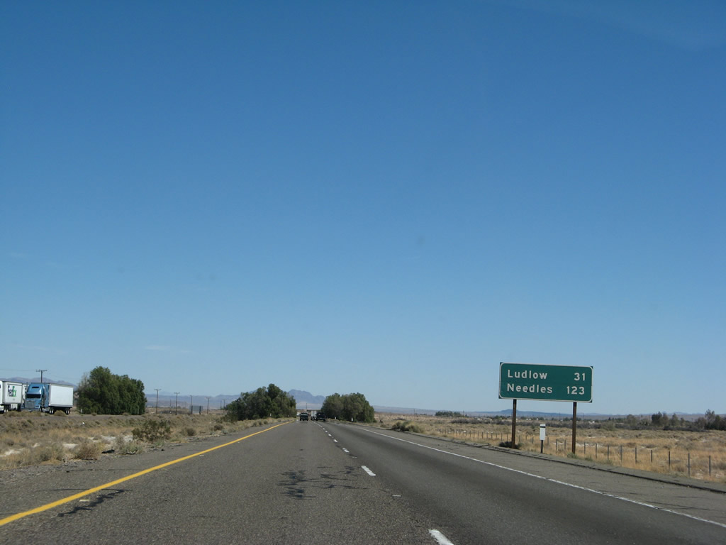
This mileage sign provides the distance to Ludlow (31 miles) and Needles (123 miles). Photo taken 03/30/07. |
|
The next exit along Interstate 40 (Needles Freeway) east is Exit 23, Fort Cady Road south to U.S. 66 and Newberry Springs. More motorist services are available at this interchange. Photo taken 03/30/07. |
|
|
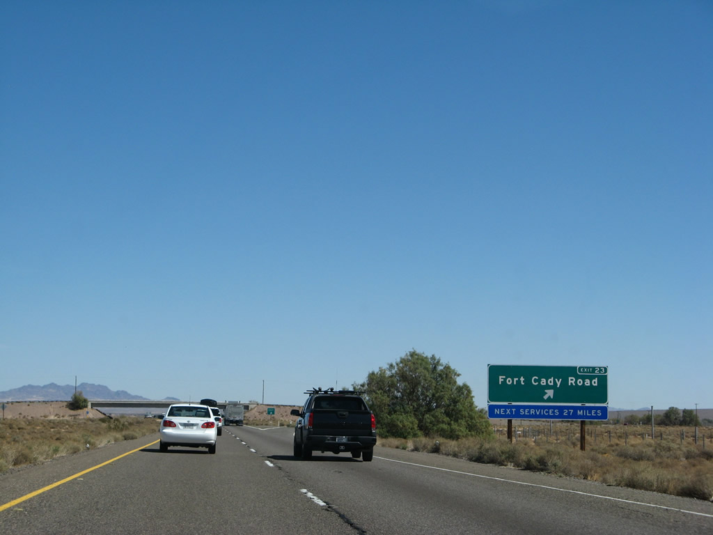
Eastbound Interstate 40 (Needles Freeway) reaches Exit 23, Fort Cady Road south to U.S. 66 and Newberry Springs. An exit number sign was added in 2007. The next services are 27 miles ahead; check for adequate supplies of gas, food, and water. Photos taken 03/30/07 and 02/20/05. |
|
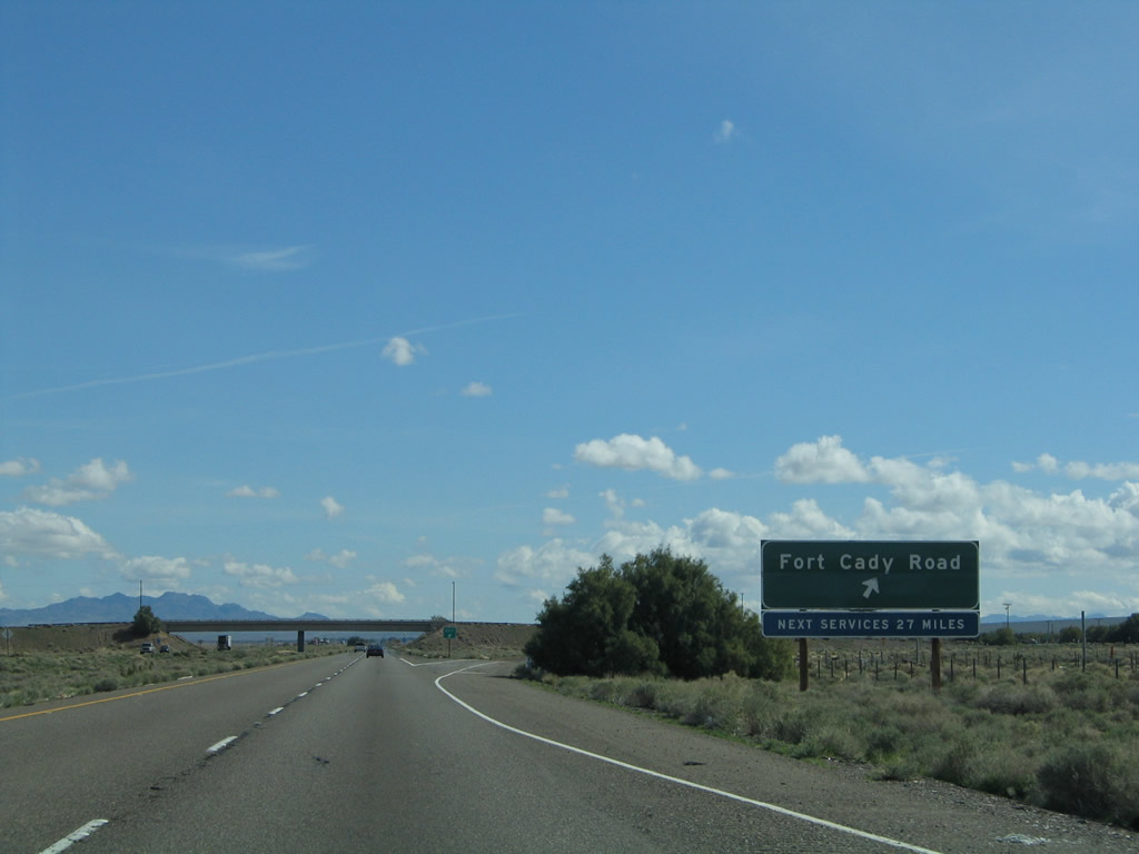
This Interstate 40 east reassurance shield is posted after the on-ramp from Fort Cady Road. Photo taken 03/30/07. |
|
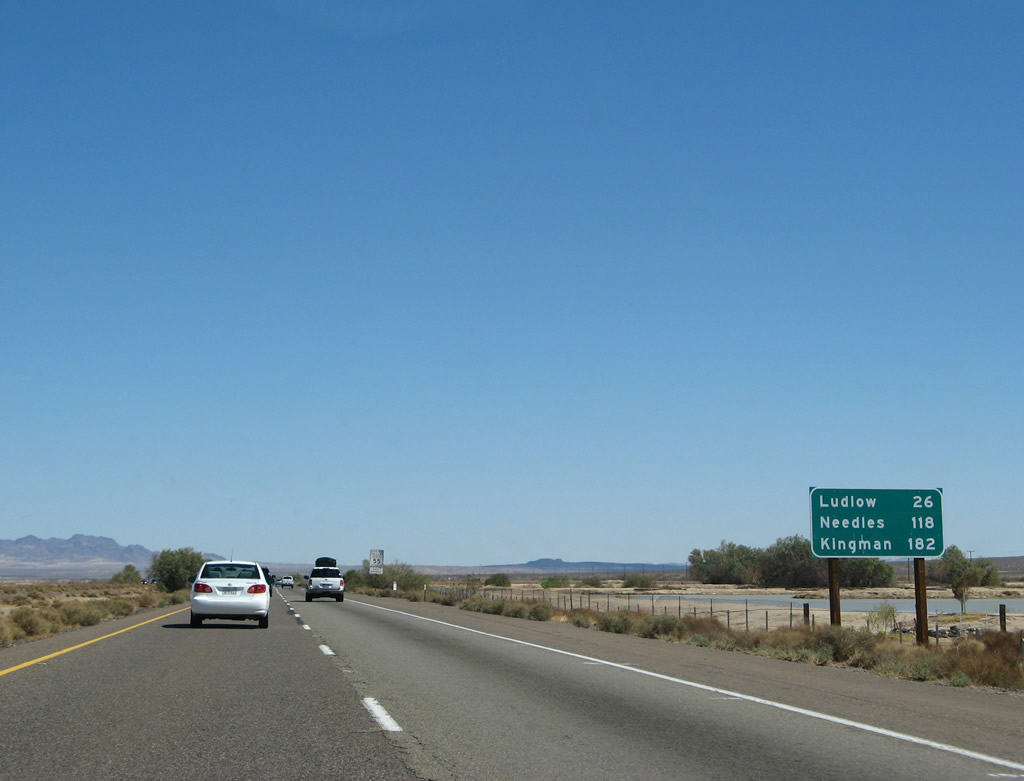
A mileage sign provides the distance to Ludlow (26 miles), Needles (118 miles), and Kingman, Arizona (182 miles). Behind this sign is the "dry" Troy Lake, which Interstate 40 crosses over without a bridge. Photo taken 03/30/07. |
|
|
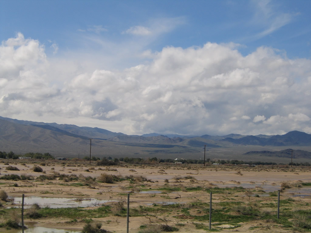
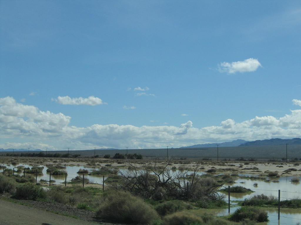
Interstate 40 passes through Troy Lake; water was present during the wet winter of 2005 (and again in spring 2007). Photos taken 02/20/05. |
|
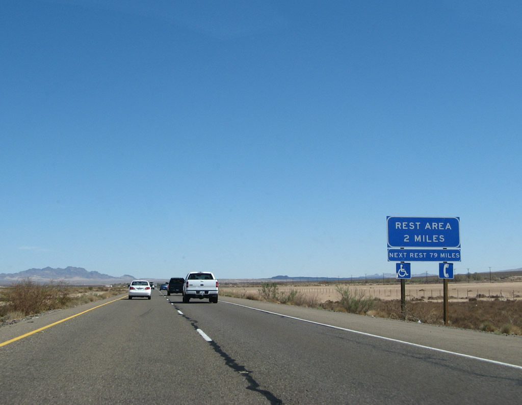
The next exit along Interstate 40 east is Exit 28, Desert Oasis Rest Area (two miles); the next rest area is Exit 106, John Wilkie Rest Area. Photo taken 03/30/07. |
|
The Desert Oasis Rest Area is located at the eastern edge of Lake Troy; this view looks north from Interstate 40 across the dry lake bed toward the distant Cady Mountains. The railroad parallels Interstate 40 on the north side; it generally follows the U.S. 66 alignment across the Mojave Desert. Photo taken 02/20/05. |
|
|
Eastbound Interstate 40 meets Exit 28, Desert Oasis Rest Area. Signs were replaced in 2007. Photos taken 03/30/07 and 02/20/05. |
|
This Interstate 40 east reassurance shield is posted after the on-ramp from Desert Oasis Rest Area. Interstate 40 leaves the Troy Lake bed behind and proceeds to gain elevation as it continues east toward Ludlow. Photo taken 03/30/07. |
|
Volcanic rocks become more prevalent as Interstate 40 travels east. These black rocks remind the traveler of the explosive past of the terrain through which this desolate freeway passes. Much of this volcanic rock originated from the Pisgah Crater, located about ten miles east of here. Pisgah Crater is part of the Lavic Lake volcanic field; an eruption could have occurred as recently as 2,000 years ago but more likely occurred 18,000 years ago.3 Photo taken 03/30/07. |
|
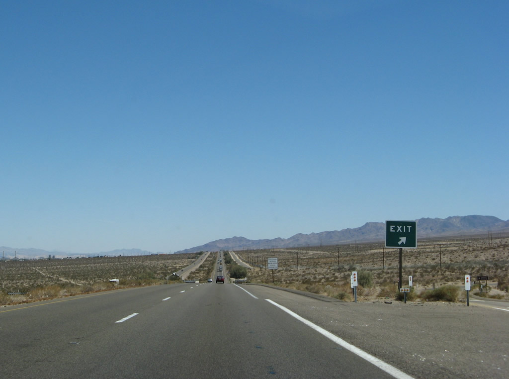
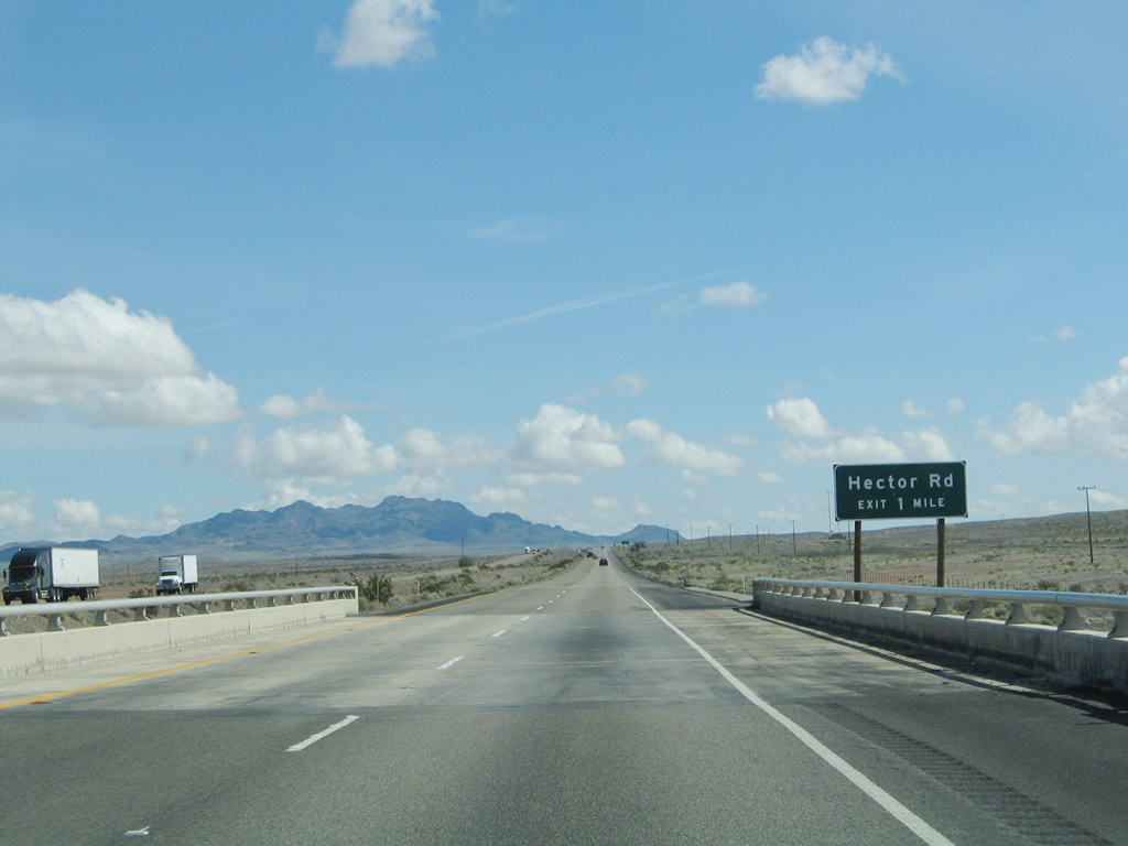
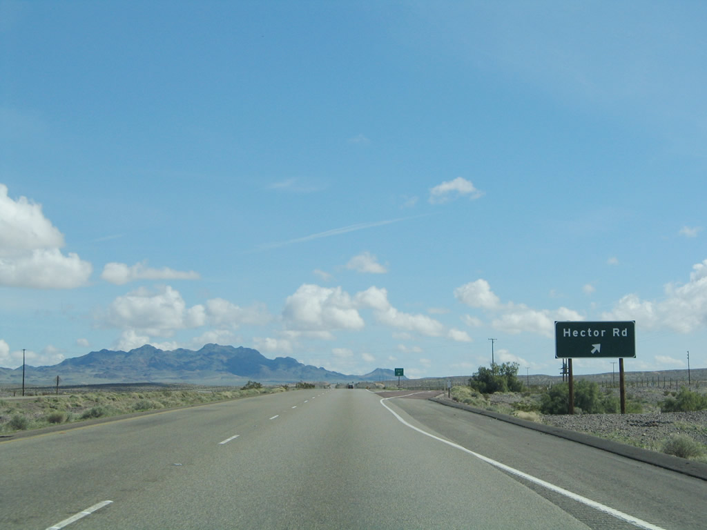
The next interchange along Interstate 40 (Needles Freeway) east is Exit 33, Hector Road south to U.S. 66 and north to the site of Hector. The next exit is 17 miles ahead, at Exit 50. Photo taken 02/20/05. |
|
Use Hector Road south to Historic U.S. 66, which parallels Interstate 40 on the south side of the freeway. Photo taken 03/30/07. |
|
Eastbound Interstate 40 (Needles Freeway) reaches Exit 33, Hector Road south to U.S. 66 and north to the site of Hector. No services are available at this interchange. Follow Hector Road south to Historic U.S. 66 (National Trails Highway) east to the turnoff for Pisgah Crater, a young volcano that is responsible for much of the volcanic rock seen scattered along the freeway between the Desert Oasis Rest Area and Sleeping Beauty (mountain peak visible in the distance ahead). The crater is on private property but is visible south of U.S. 66. To see a similar crater that is accessible to the public, visit Amboy Crater via U.S. 66 east. Photo taken 02/20/05. |
|
This Interstate 40 east reassurance shield is posted after the on-ramp from Hector Road. Photo taken 03/30/07. |
|
As Interstate 40 turns ever so slightly to the southeast, the freeway passes north of Pisgah Crater and south of Sleeping Beauty (el. 3,980 feet), which the southernmost peak in the Cady Mountains. Sleeping Beauty is visible from here along Interstate 40 east. Photo taken 02/20/05. |
|
U.S. 66 closely parallels Interstate 40 on the south side of the freeway as seen here. Photo taken 02/20/05. |
|
|
|
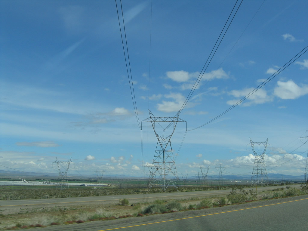
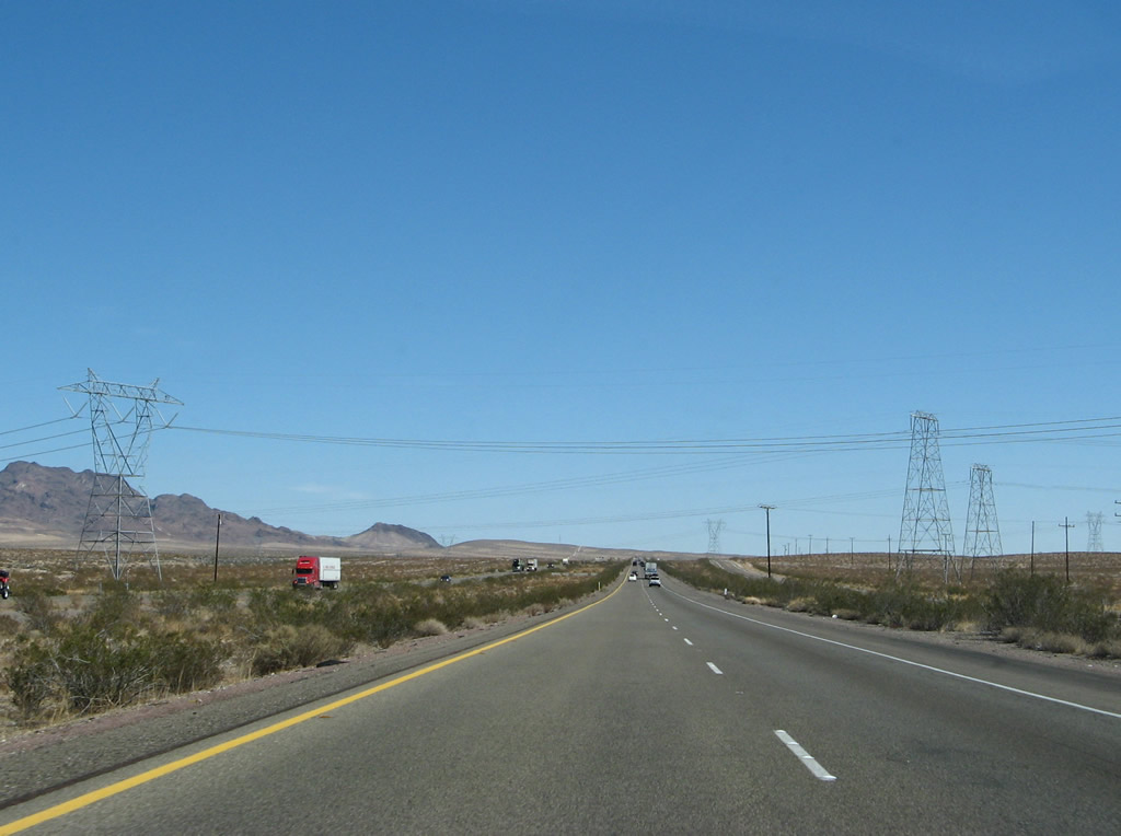
Interstate 40 passes under two 500kV power transmission lines near Sleeping Beauty (peak), both of which are owned by Southern California Edison. The first line (part of Path 46) travels northeast toward the Marketplace substation located near Hoover Dam in Boulder, Nevada. A pair of single-circuit 220kV lines parallel the 500kV power line. Photos taken 02/20/05 and 03/30/07. |
|
|
|
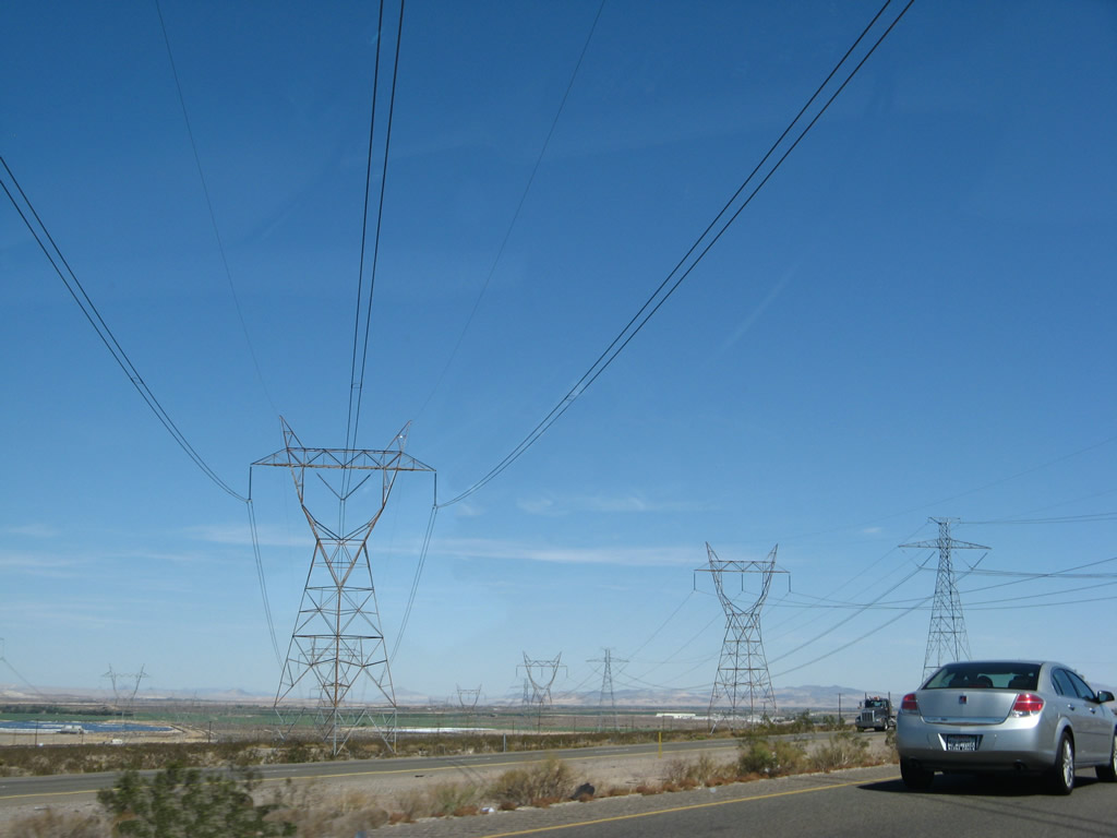
A short distance later, the second 500kV power transmission line crosses Interstate 40. This line (also part of Path 46) carries electricity generated from a power plant near Laughlin, Nevada southwest to the greater Los Angeles area. This line will generally parallel Interstate 40 east, then turn northeast into the tip of Nevada to connect with the power plant. Photos taken 03/30/07. |
|
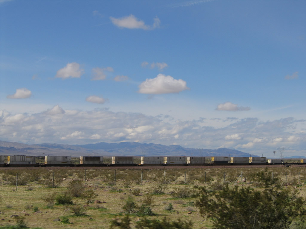
Looking north at the railroad, it is possible to see an entire train from end to end in the vast desert. This view shows one such railroad carrying goods between Southern California and points east. Photo taken 02/20/05. |
|
Pisgah Crater comes into view south of the freeway, with Sunshine Peak and the Bullion Mountains visible to the south. Photo taken 03/30/07. |
|
The freeway bends around Sleeping Beauty and continues east through the Mojave Desert. Photo taken 03/30/07. |
|
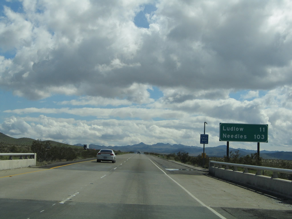
This mileage sign provides the distance on Interstate 40 east to Ludlow (11 miles) and Needles (103 miles). Photo taken 02/20/05. |
|
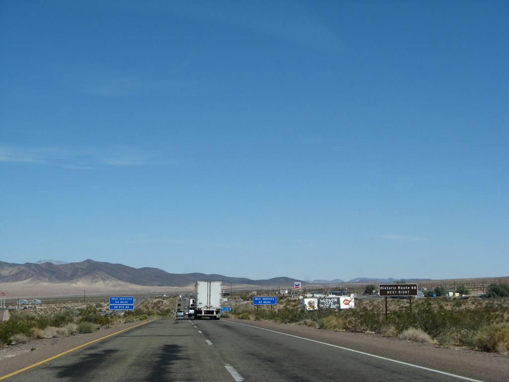
The next exit along Interstate 40 (Needles Freeway) east is Exit 50, Crucero Road and Historic U.S. 66 (National Trails Highway) east to Ludlow and Amboy and west to Pisgah. Motorist services are available at this interchange. Photo taken 03/30/07. |
|
Use U.S. 66 east to Amboy and Twentynine Palms via Amboy Road south. Photo taken 03/30/07. |
|
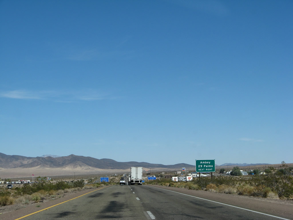
Old road enthusiasts, this exit serves to one of the greatest sections of old road in Southern California. Depart the freeway here to follow Historic U.S. 66 east to Amboy along the original National Trails Highway corridor. Plenty of old bridges, roadside attractions, abandoned buildings, and wide open spaces make for a great roadtrip. Photo taken 03/30/07. |
|
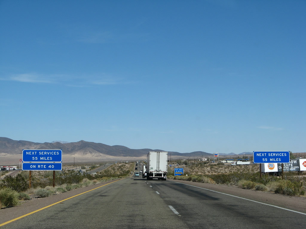
The next services along Interstate 40 east are 55 miles ahead; if you need food, gas, or water, exit here. The next (limited) services along U.S. 66 east are in Amboy. Photo taken 03/30/07. |
|
The rest area (Exit 106) was closed at the time this photo was taken, so that's another reason to exit here and use the bathroom. Photo taken 03/30/07. |
|
Eastbound Interstate 40 (Needles Freeway) reaches Exit 50, Crucero Road (U.S. 66 east) to Ludlow, Amboy, and Twentynine Palms. Old road enthusiasts might want to depart here to follow U.S. 66 east through some beautiful, stark desert lands. Photo taken 02/20/05. |
Page Updated January 13, 2013.