| Interstate 40 (Needles Freeway) east |
|---|
|
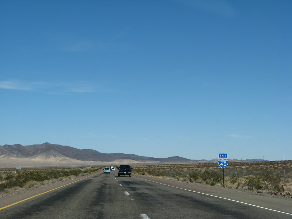
This Interstate 40 east reassurance shield is posted after the on-ramp from the Crucero Road interchange. Photo taken 03/30/07. |
|
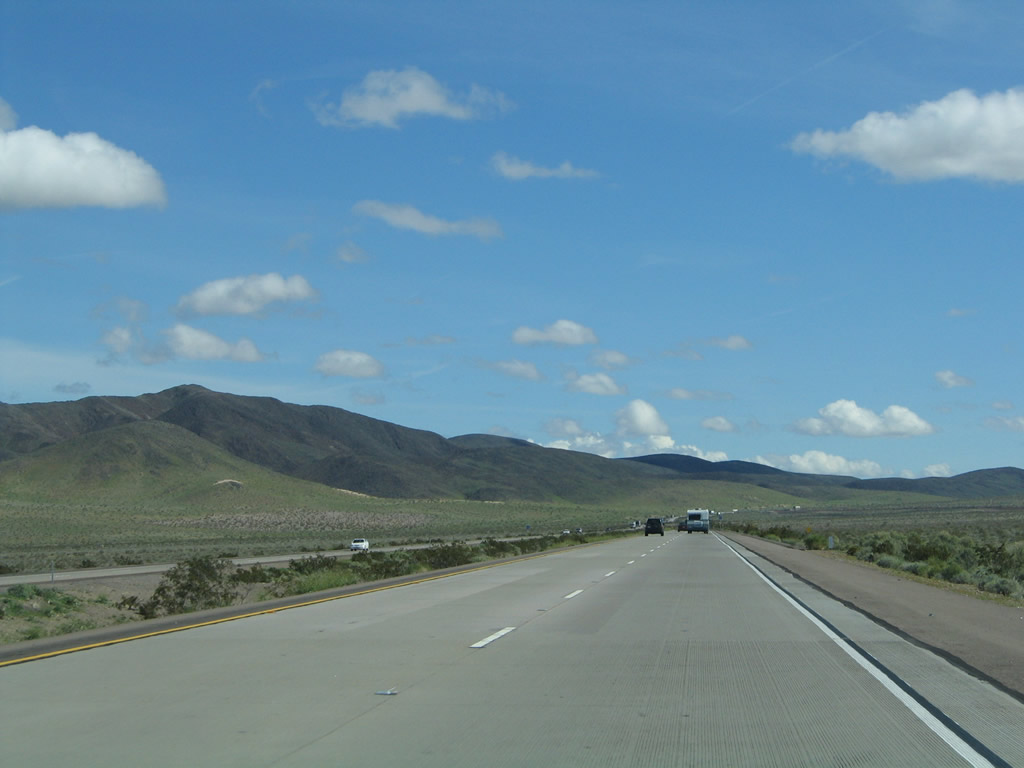
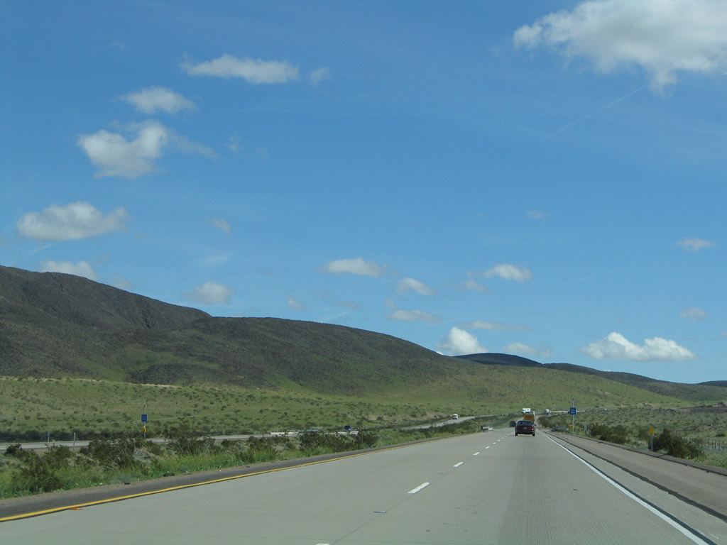
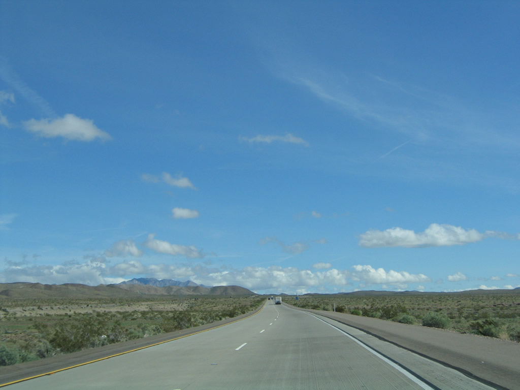
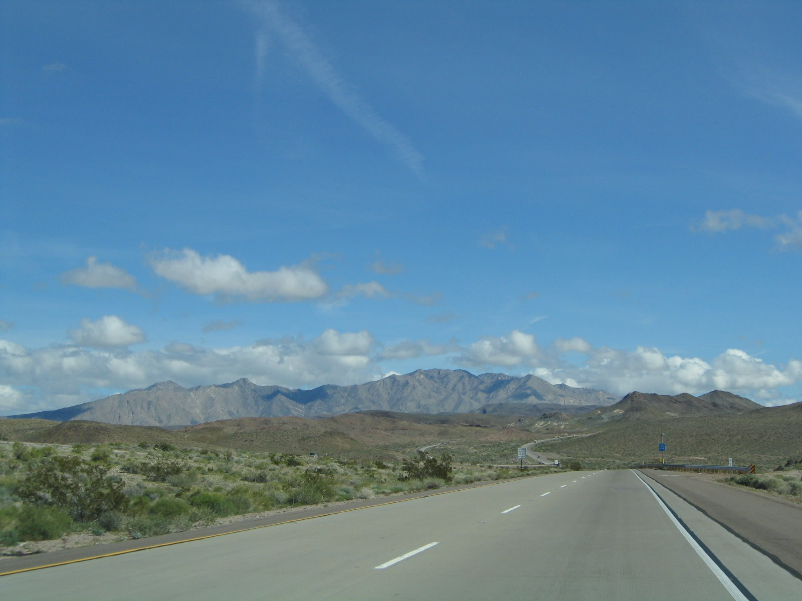
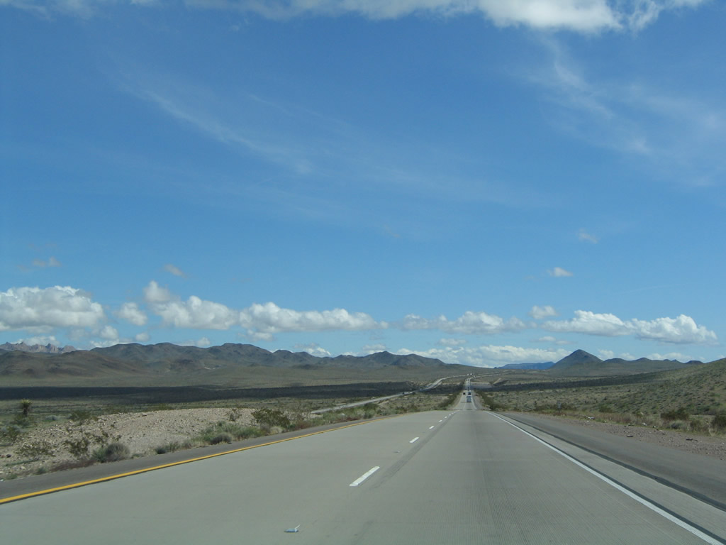
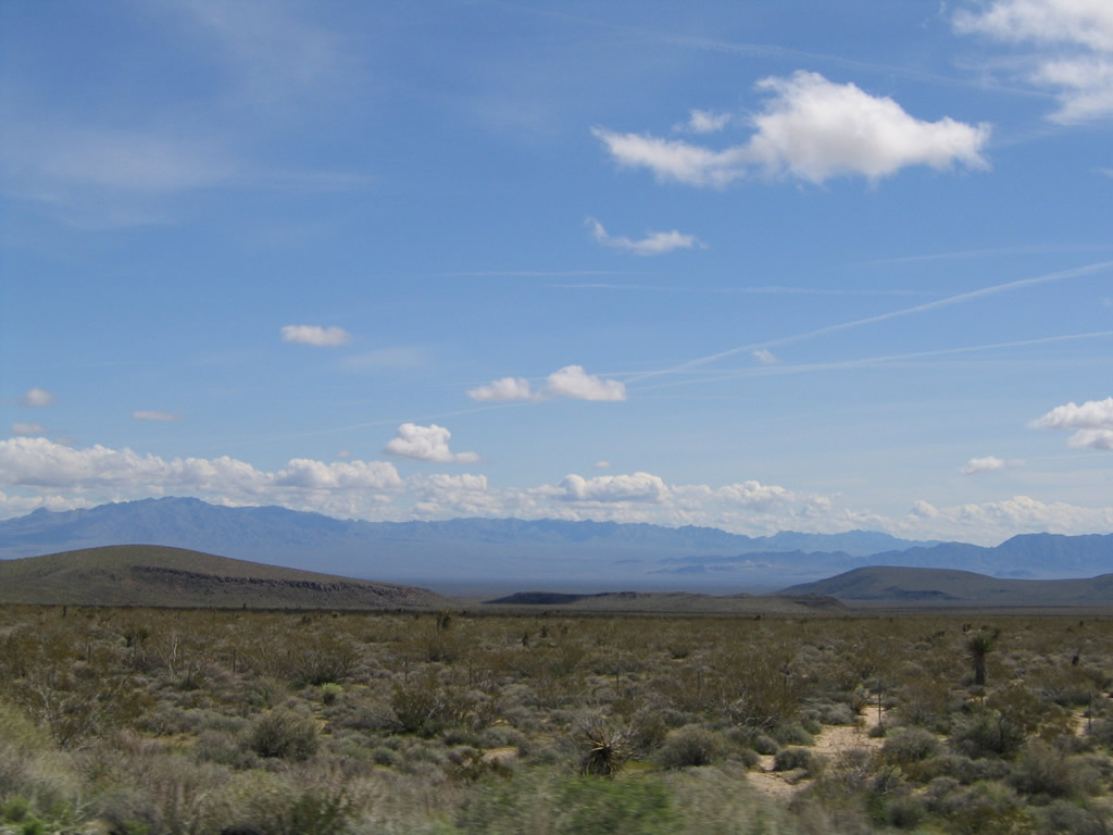
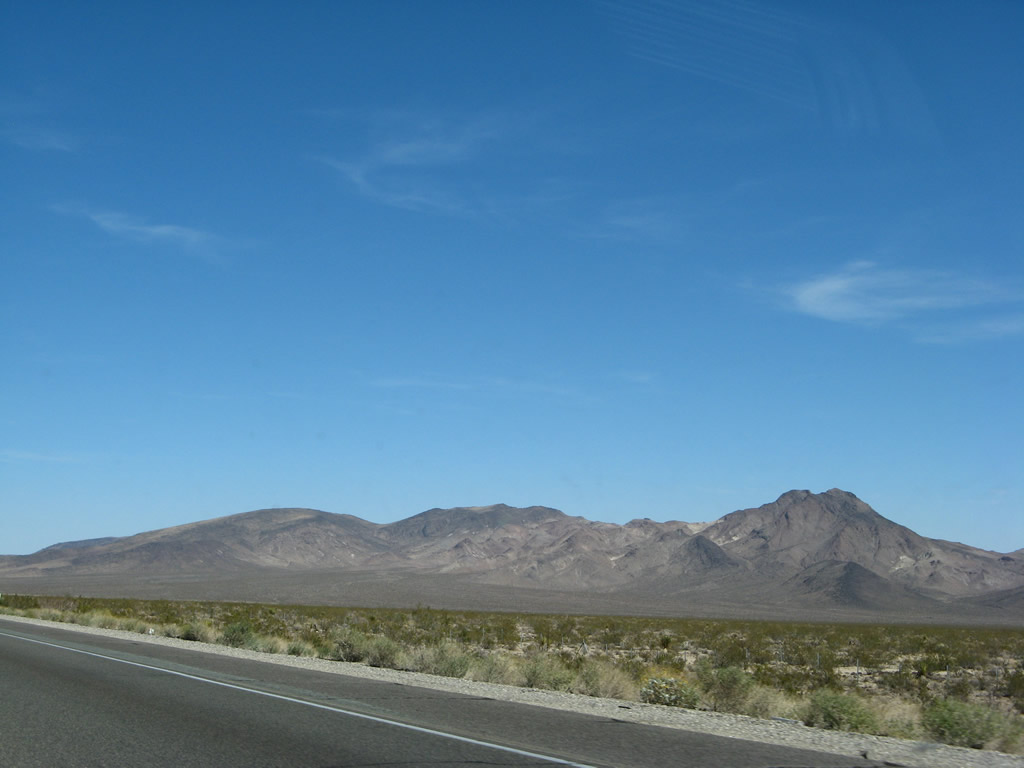
The Bristol Mountains rise ahead as Interstate 40 passes by another mountain range within the Mojave Desert. Photo taken 03/30/07. |
|
Generous rains brought rarely seen greenery to the Mojave Desert during the wet winter of 2004-2005. The Bristol Mountains look very green when compared to the previous photo from 2007. Photo taken 02/20/05. |
|
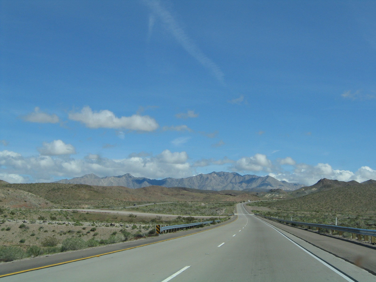
Gaining elevation, this section of Interstate 40 is constructed of concrete. Photo taken 03/30/07. |
|
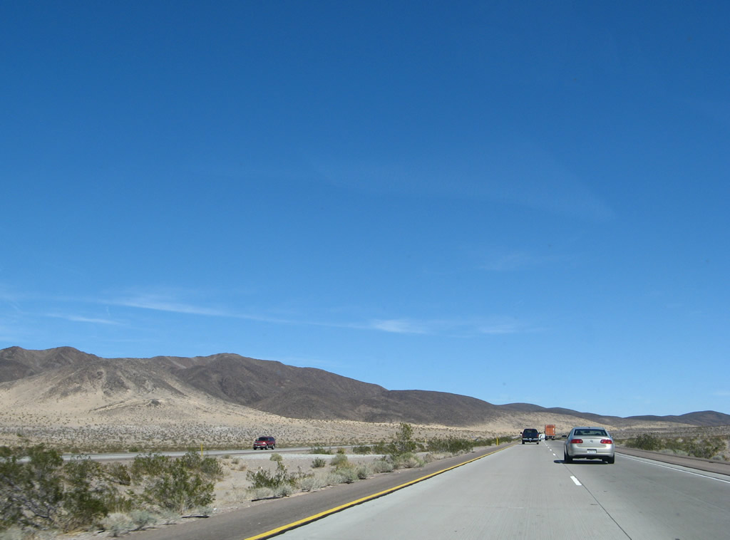
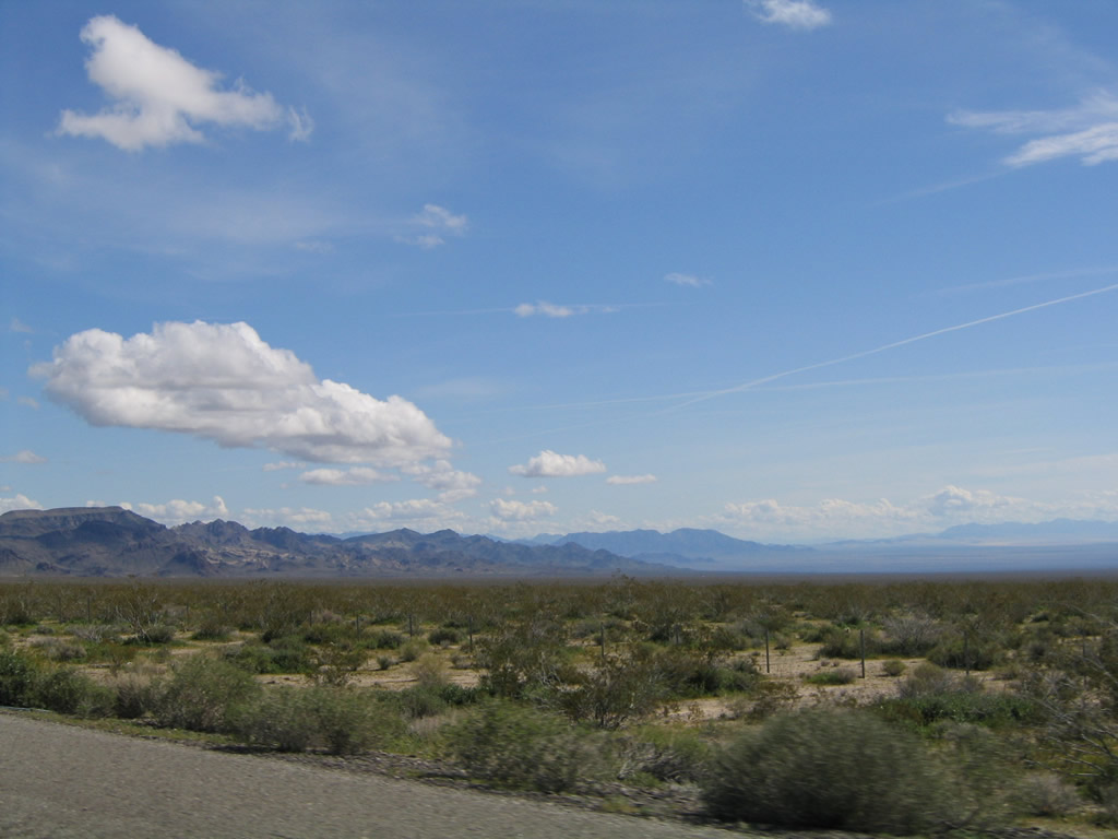
This view looks south through the Mojave Desert toward the distant Bullion Mountains. Photo taken 02/20/05. |
|
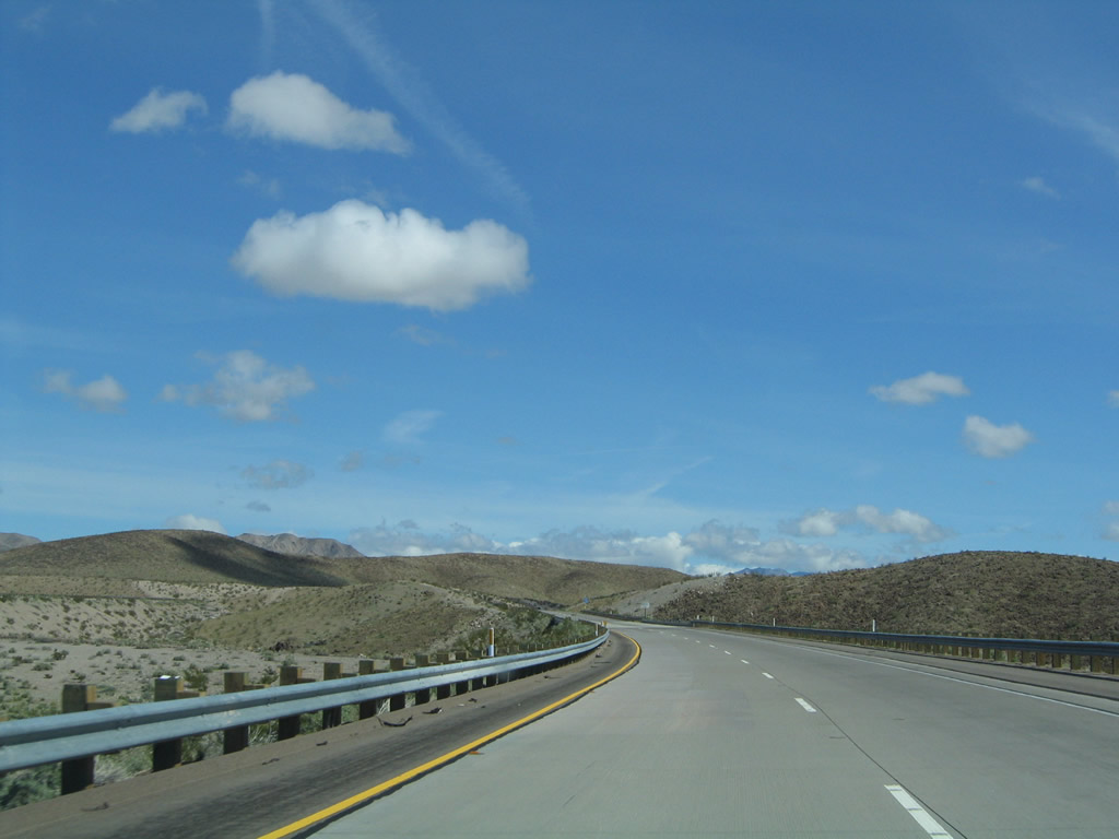
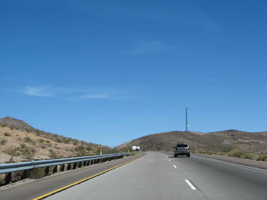
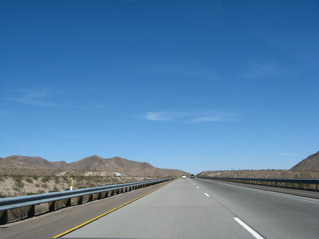
Interstate 40 through the Mojave Desert between Barstow and Needles opened in stages between 1972 and 1973, bypassing U.S. 66's route through Amboy and Essex to the south. This resulted in some services in the desert to reduce from their height during U.S. 66's heyday. However, U.S. 66 tourism keeps many of these towns along the old route somewhat active. Photo taken 03/30/07. |
|
|
|
|
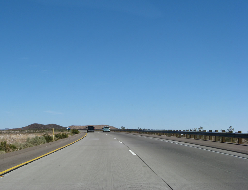
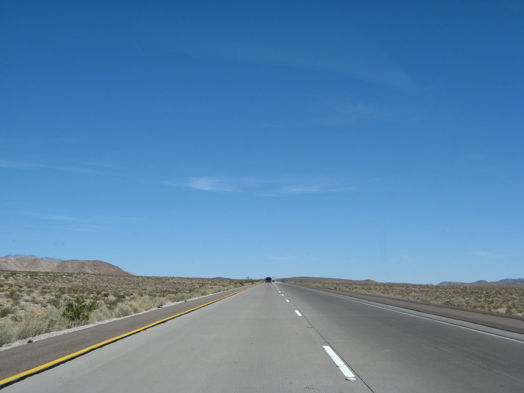
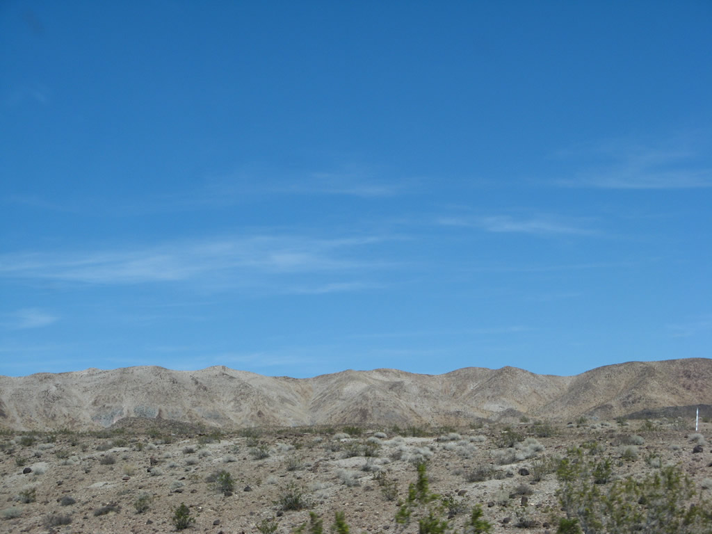
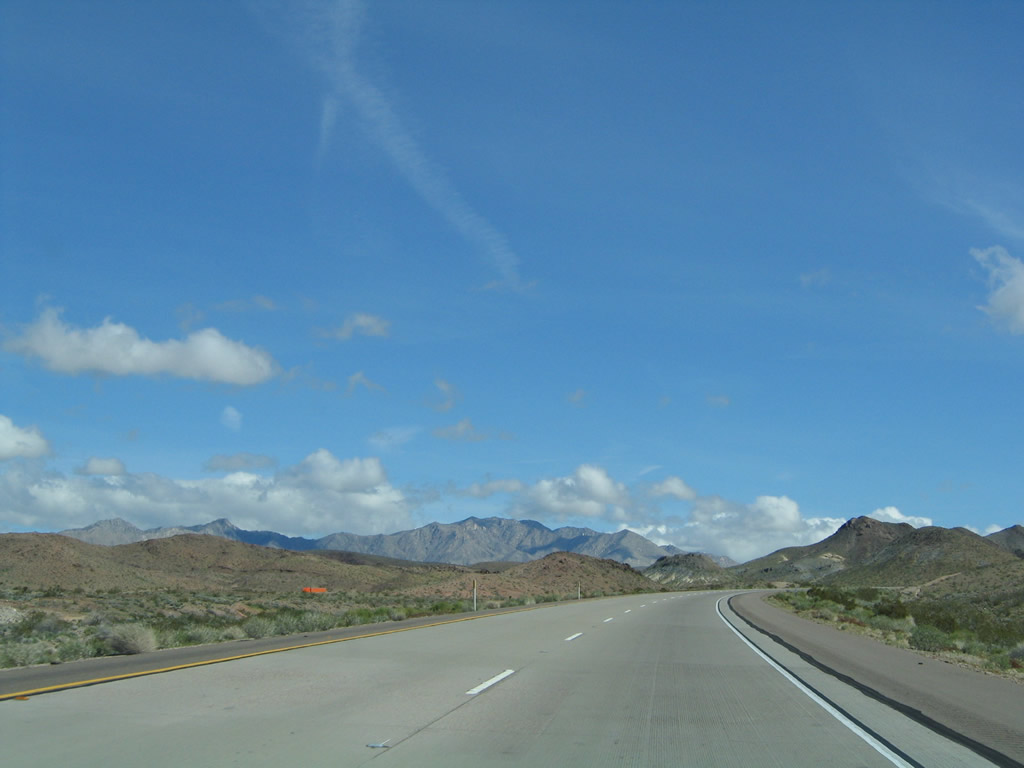
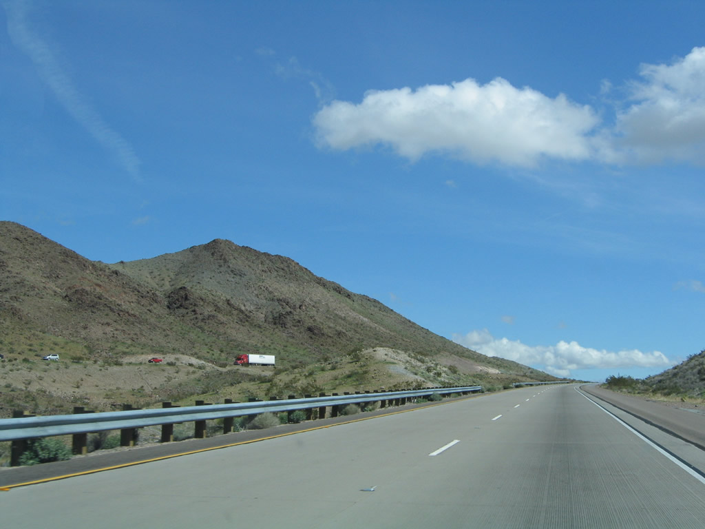
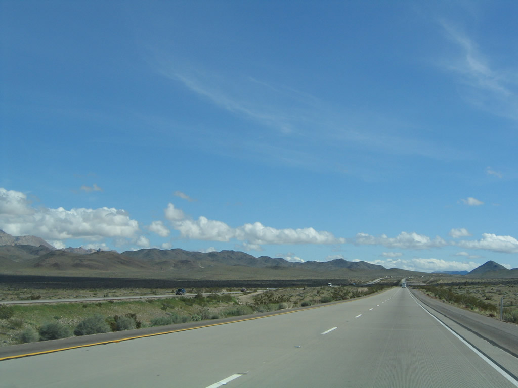
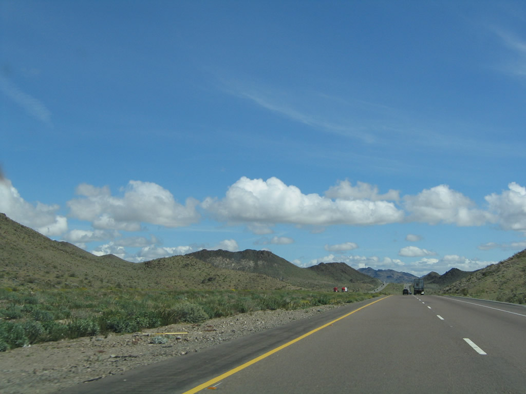
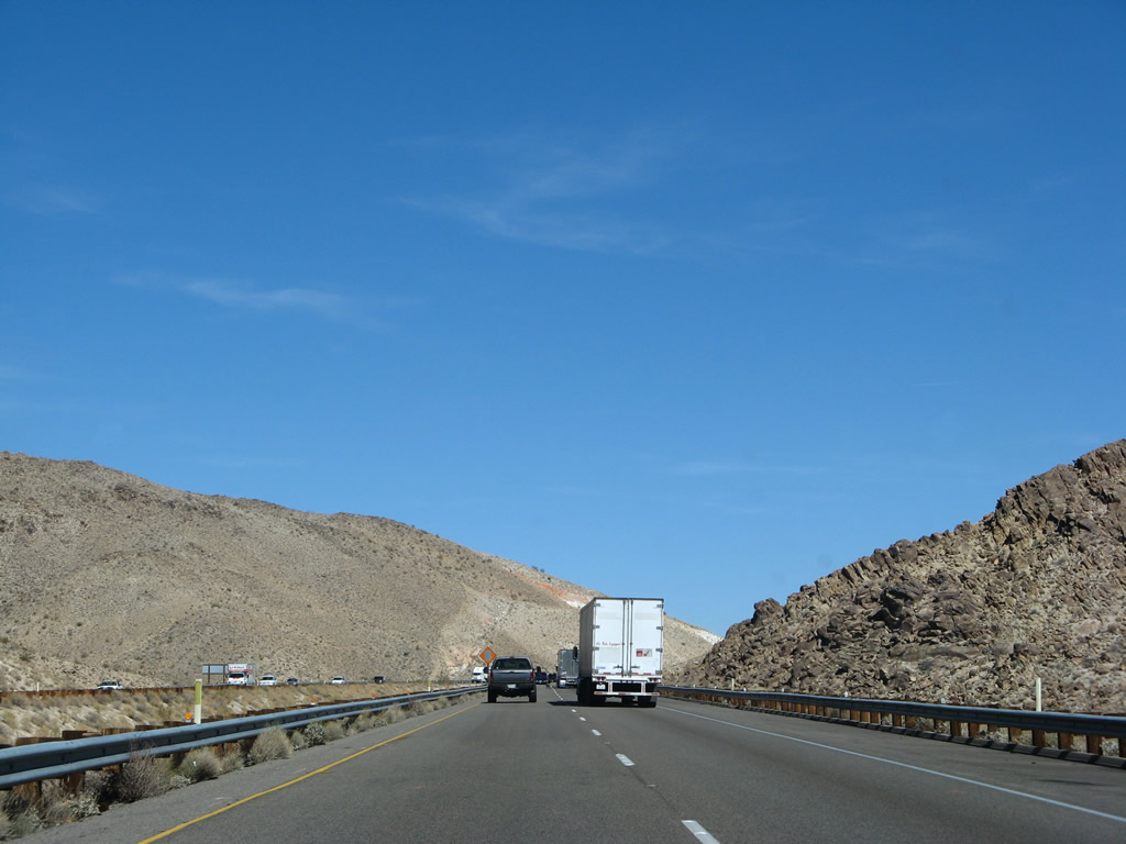
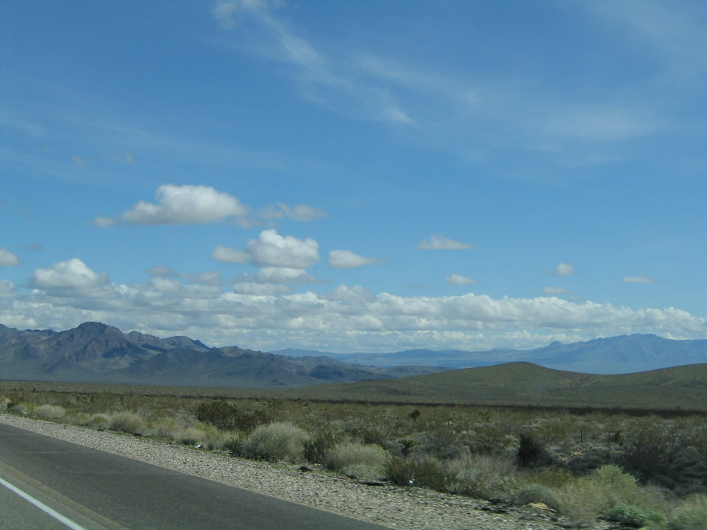
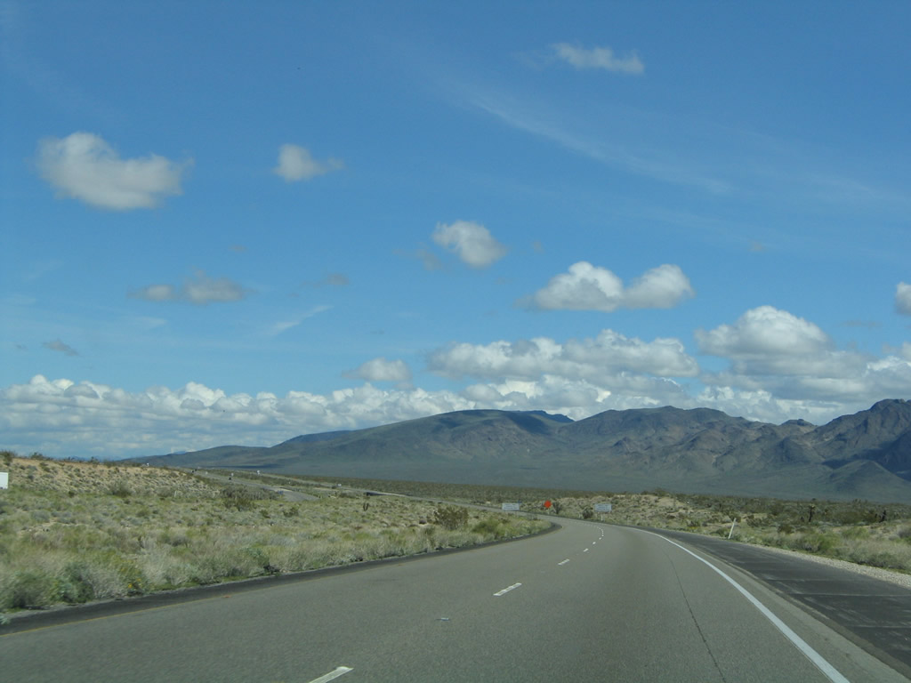
Continuing east, Interstate 40 follows a new alignment that is more direct than U.S. 66's southerly path through Amboy. As a result, the freeway tackles more mountain ridges and experiences elevation gains and drops. Photos taken 02/20/05 and 03/30/07. |
|
|
|
|
|
|
|
|
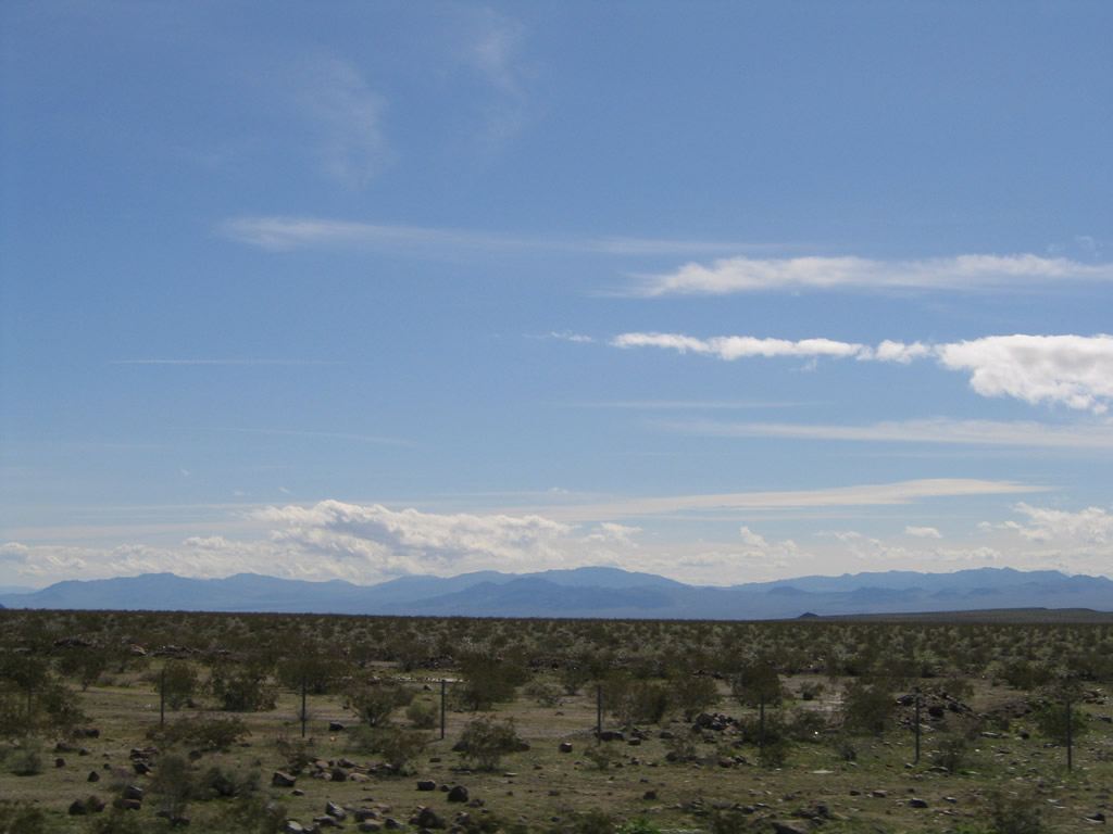
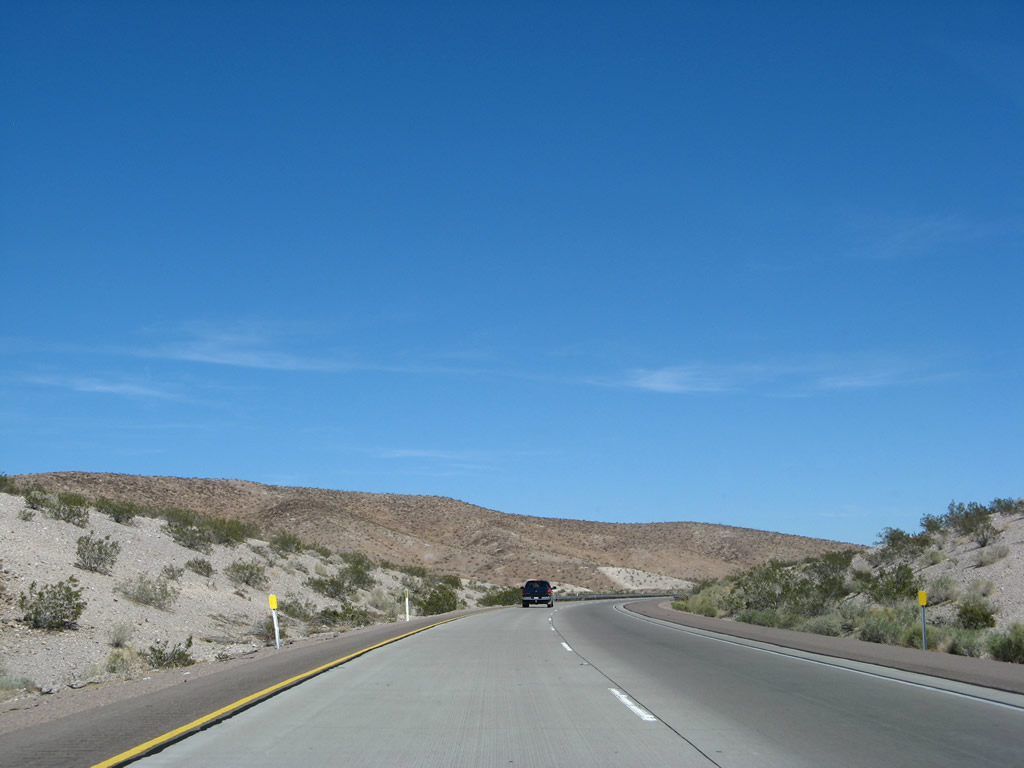
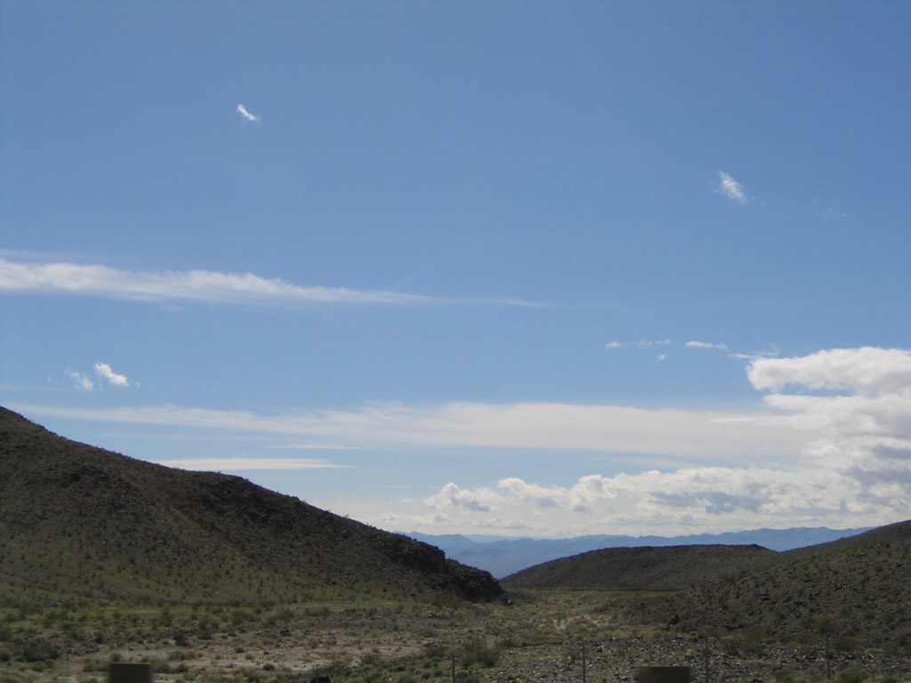
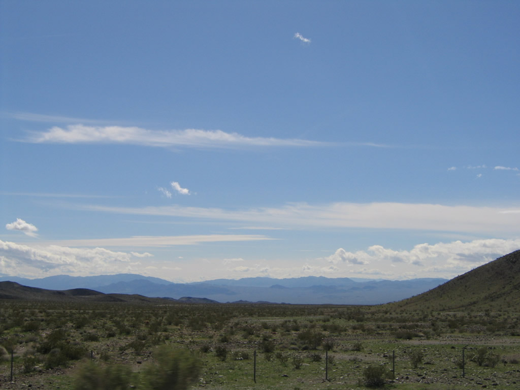
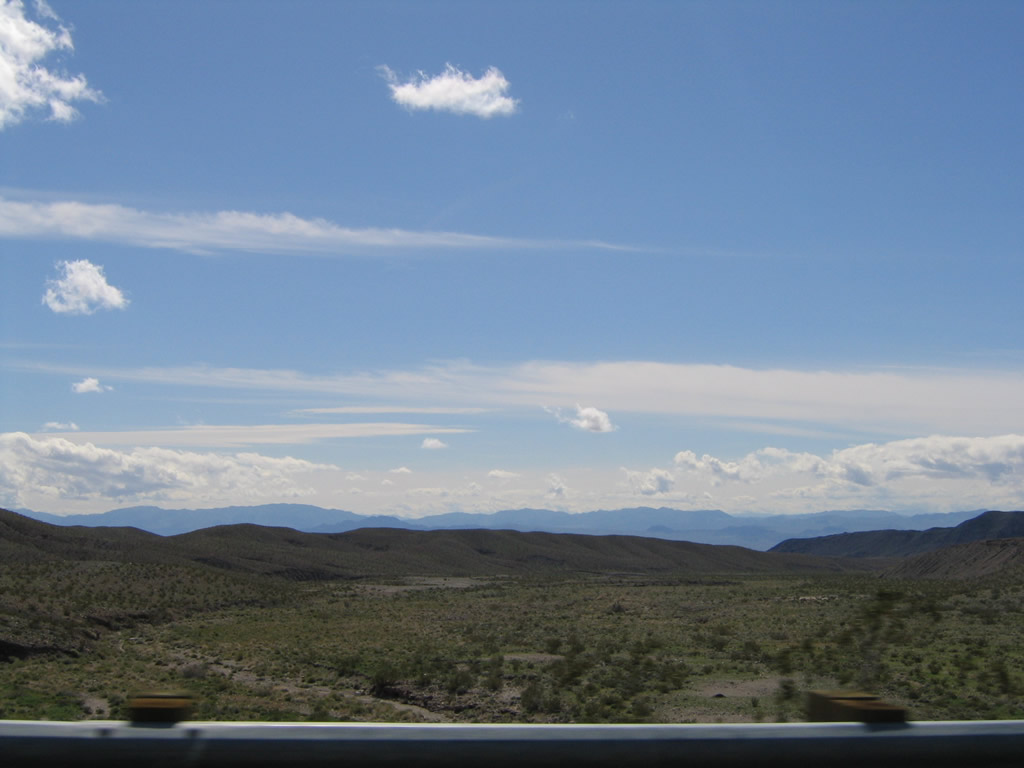
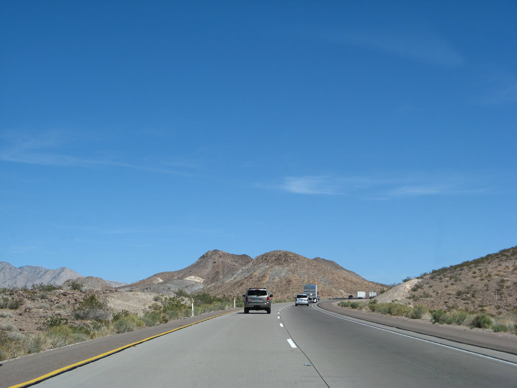
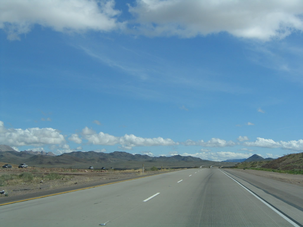
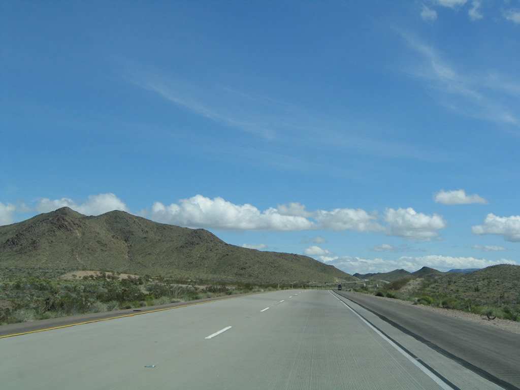
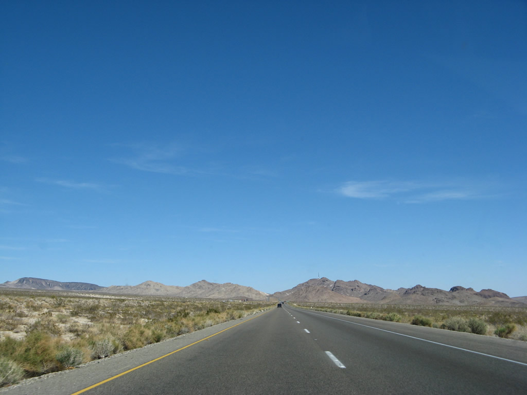
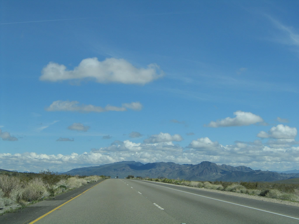
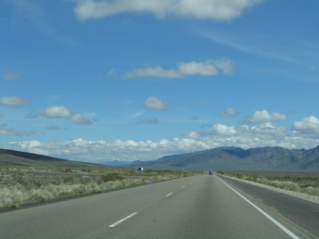
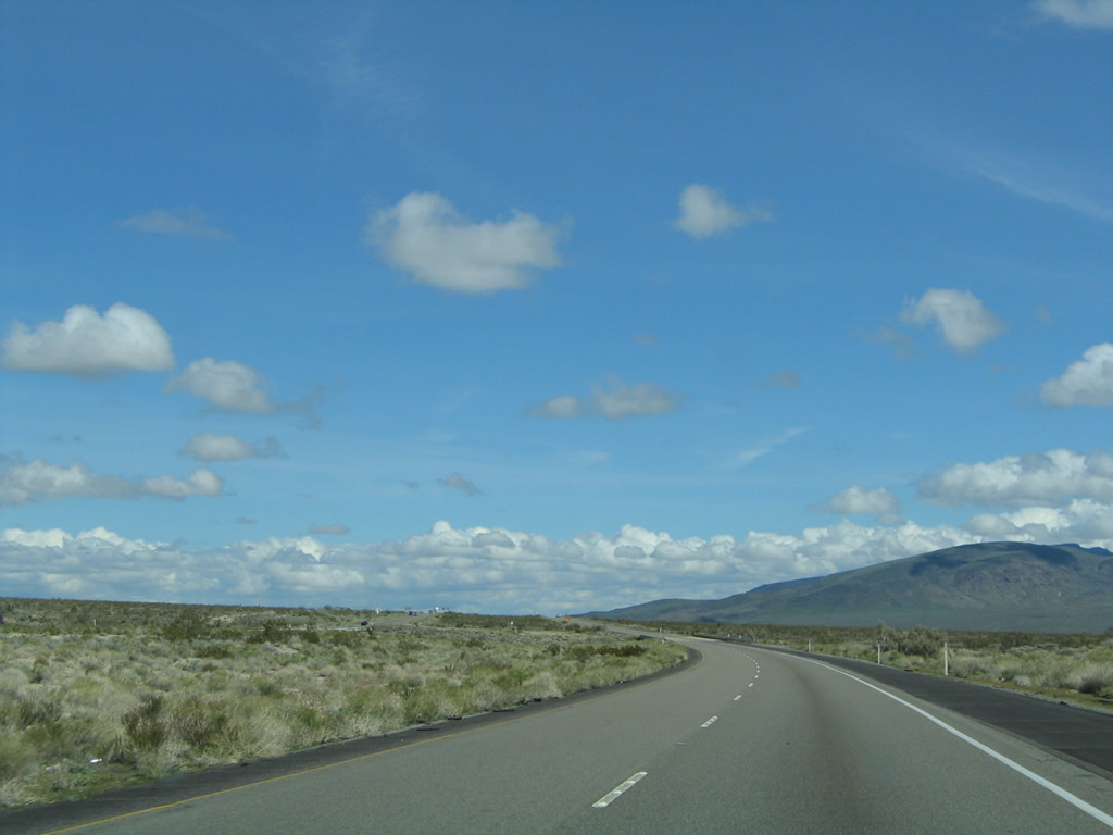
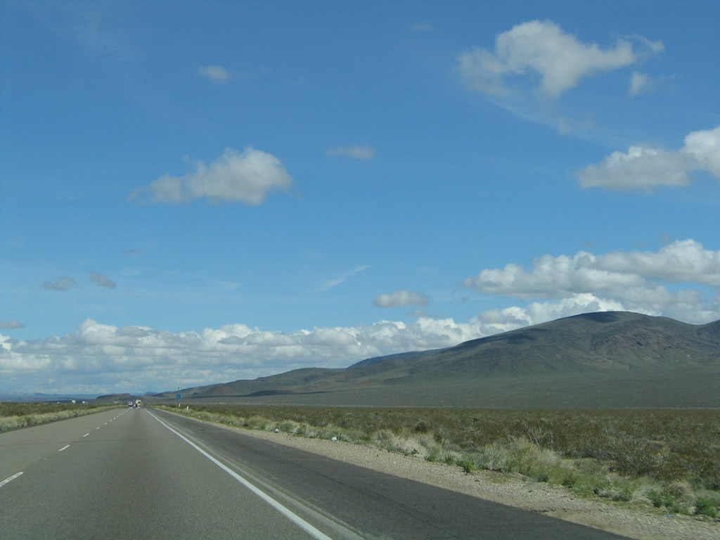
This suite of photos shows some of the views looking south (and one looks north) from Interstate 40 through the expansive, unpopulated desert. Photos taken 02/20/05 and 03/30/07. |
|
|
|
|
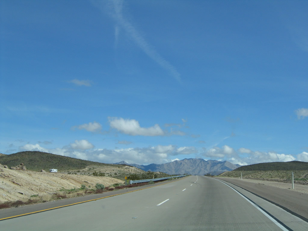
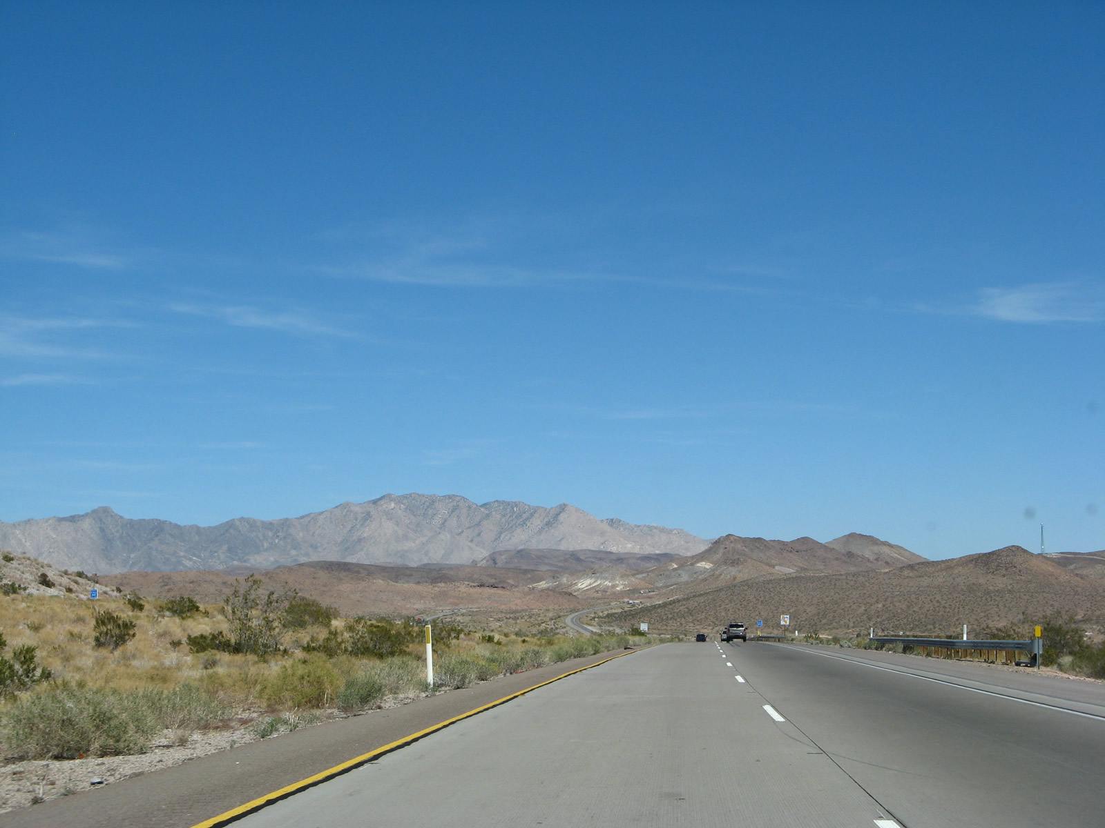
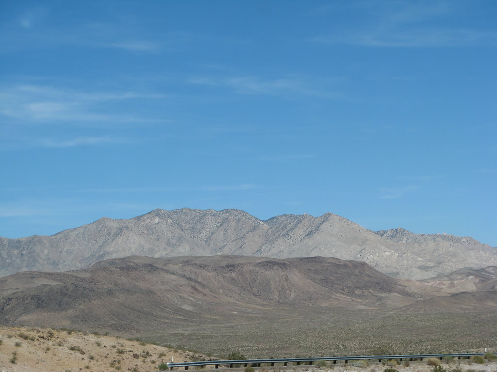
Granite Peak (el. 6,762 feet) comes into view as the freeway crest through the Old Dad Mountains. Photos taken 02/20/05 and 03/30/07. |
|
|
|
|
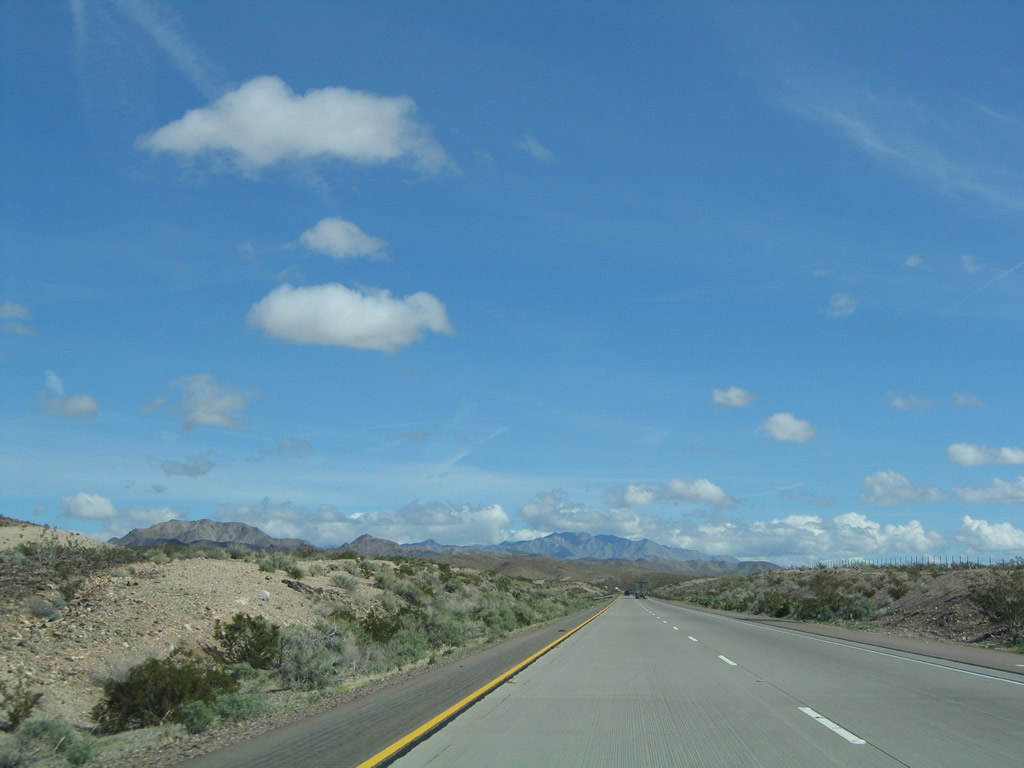
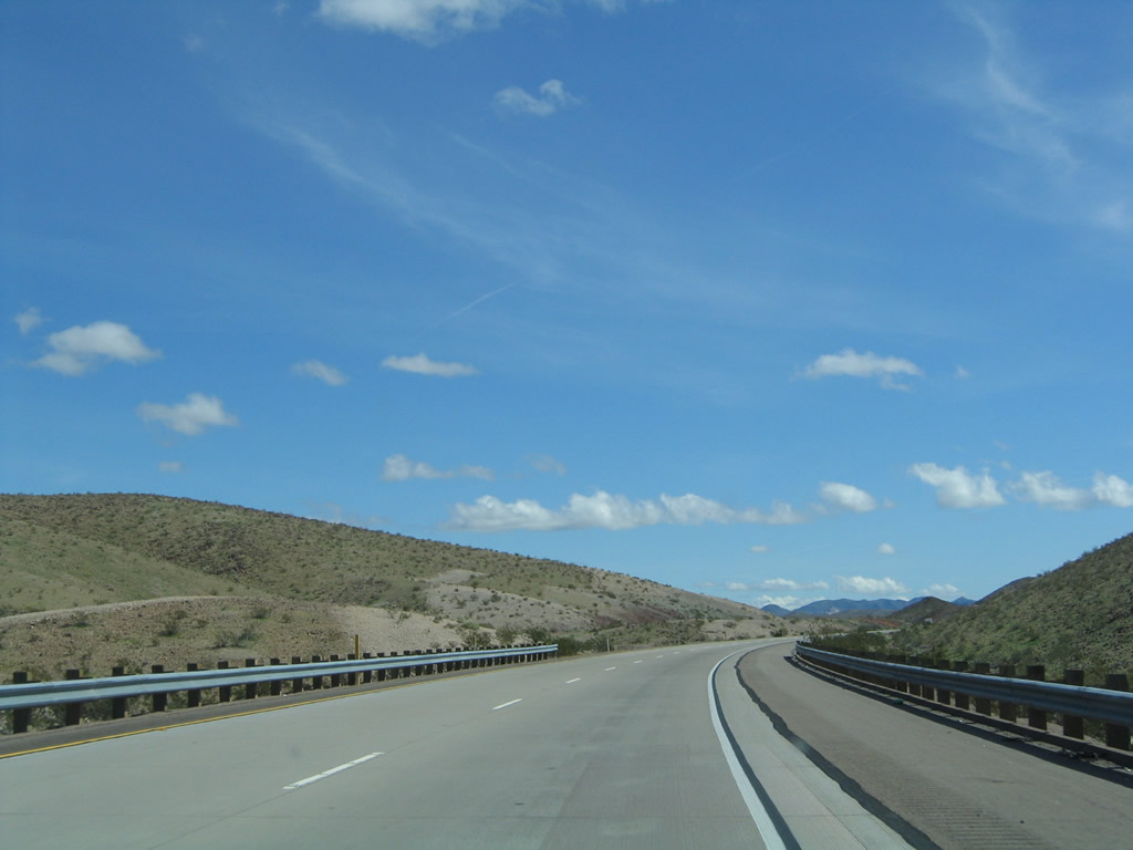
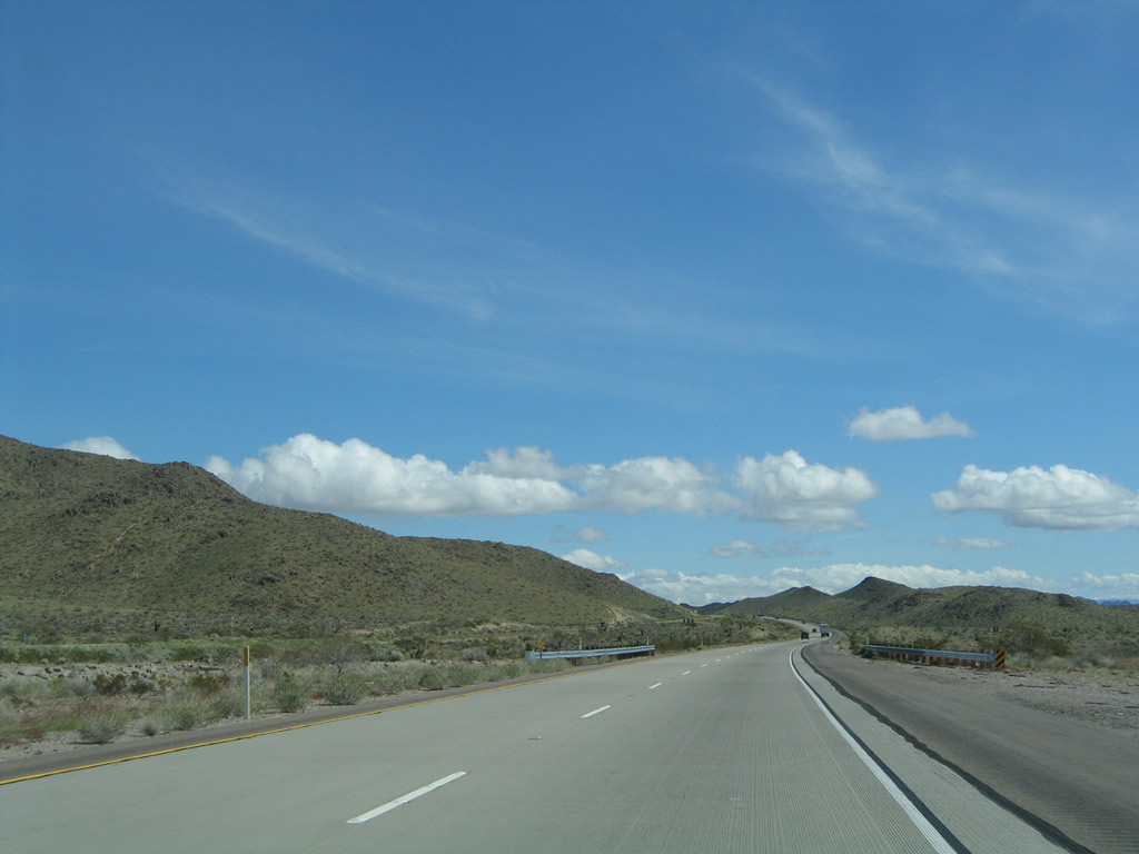
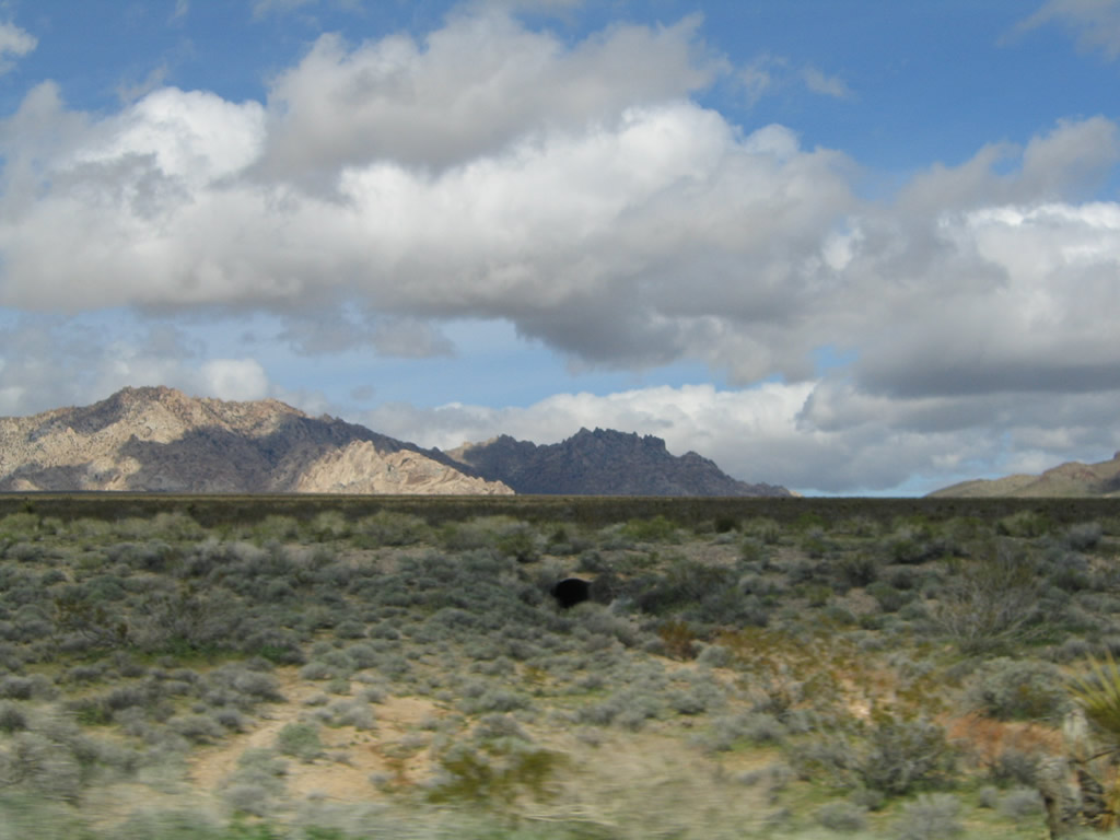
Interstate 40 continues east through the Bristol and Old Dad Mountains, which U.S. 66 avoids by traveling south of the mountains along with the railroad. At the top of the summit, Granite Peak again comes into view. Photos taken 02/20/05 and 03/30/07. |
|
This view looks north from Interstate 40 (Needles Freeway) toward Granite Peak. Photo taken 03/30/07. |
|
|
|
|
Interstate 40 continues east through the Bristol and Old Dad Mountains, which U.S. 66 avoids by traveling south of the mountains along with the railroad. At the top of the summit, Granite Peak again comes into view. Photos taken 02/20/05 and 03/30/07. |
|
|
|
|
|
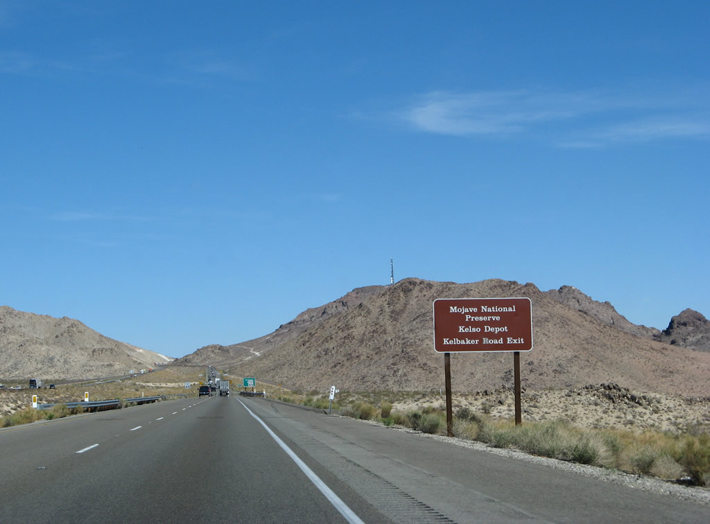
For the first time in 28 miles, eastbound Interstate 40 (Needles Freeway) approaches an interchange. The next exit along Interstate 40 east is Exit 78, Kelbaker Road north to Baker and south to Amboy. Kelbaker Road provides access to most points of interest and attractions with the Mojave National Preserve, which is located north of the Interstate 40 freeway. Photo taken 02/20/05. |
|
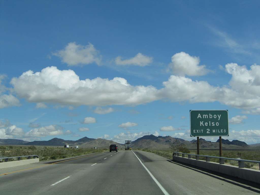
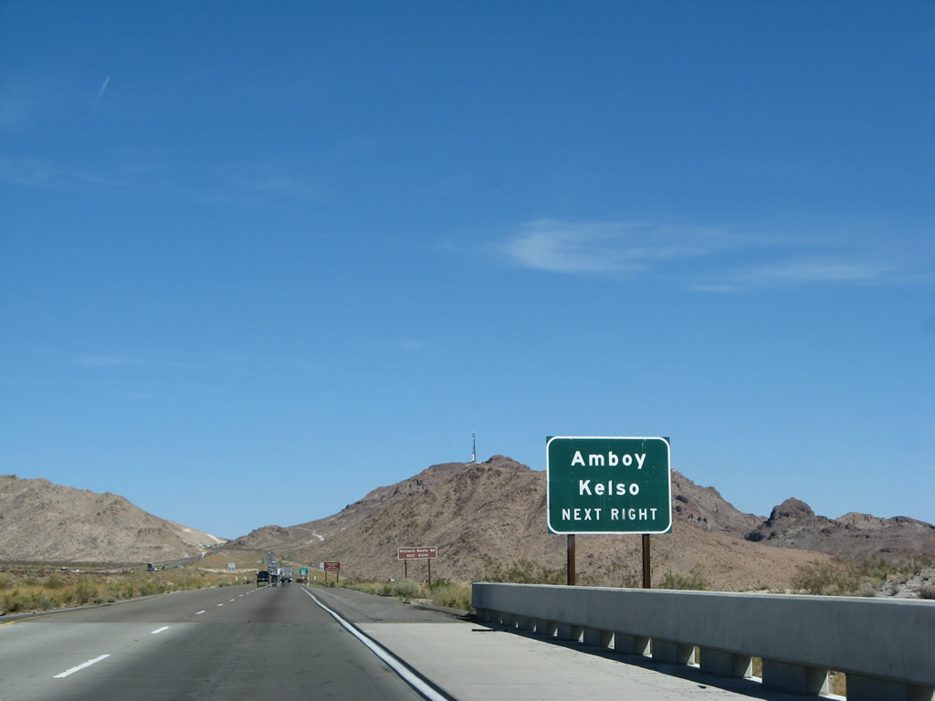
No services are available at Exit 78, Kelbaker Road. However, some limited services are available south of the freeway in Amboy (at Roy's Cafe). Kelbaker Road is part of the only major north-south highway corridor through the central Mojave Desert. Originating near Twentynine Palms, the north-south route begins as Amboy Road at California 62 and travels north to U.S. 66 in Amboy. After briefly following U.S. 66 east, Kelbaker Road then begins its journey north to Kelso and ultimately Baker, where the route directly links to California 127 and Interstate 15. California 127 proceeds north along the same trajectory toward Death Valley and points north in Nevada. Photo taken 03/30/07. |
|
Use Kelbaker Road north to Kelso and south to Amboy. The small community of Kelso, which was founded due its location on the railroad and nearby springs, was briefly a site for mining of iron and borax. Now the town serves as the main visitors center for Mojave National Preserve. Another unincorporated community is Amboy, which is nearly a ghost town but still features Roy's Cafe (still open as of July 2009), used to be far more bustling when U.S. 66 was the main east-west route through the Mojave Desert. Named in 1887, Amboy is the first of several towns found along the Burlington Northern Santa Fe Railroad named alphabetically for regularly-spaced stations through the desert. From west to east, the towns in order are Amboy, Cadiz, Danby, Essex, Fenner, Goffs, Homer, Ibis, and Klinefelter before the railroad enters Needles. In addition to U.S. 66 tourism, Amboy is also known for chloride mining from dry lake beds, with chloride salt canals found nearby. Photo taken 03/30/07. |
|
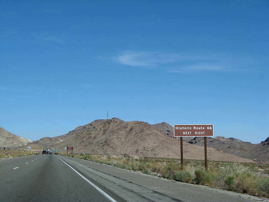
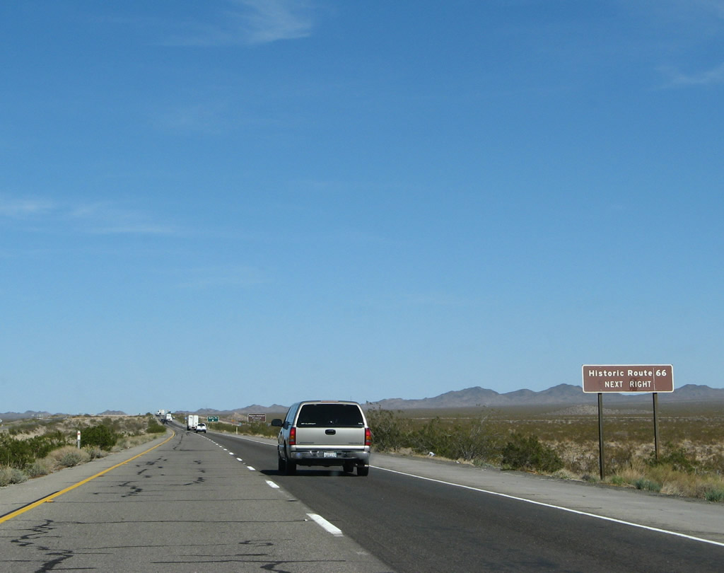
Use Kelbaker Road south to Historic U.S. 66, which follows a path parallel to Interstate 40 through Amboy, Chambless, and Essex. Despite what this sign might imply, this interchange is not with an actual U.S. 66 alignment. Photo taken 03/30/07. |
|
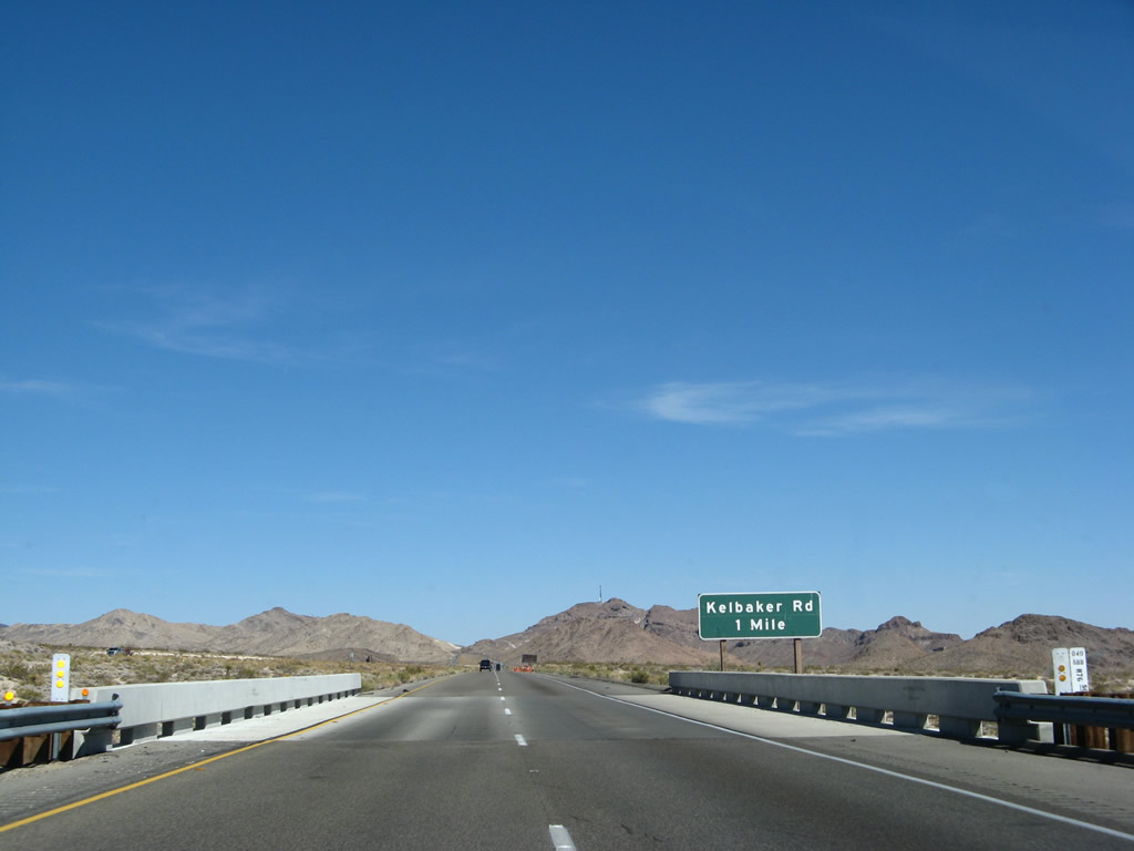
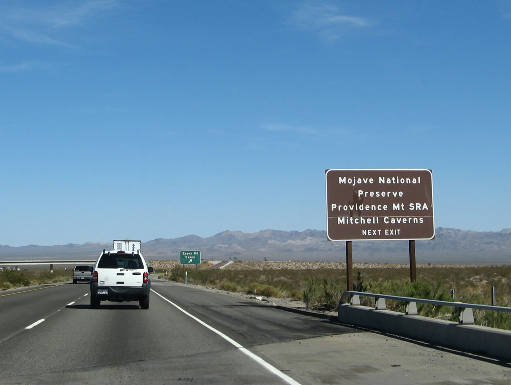
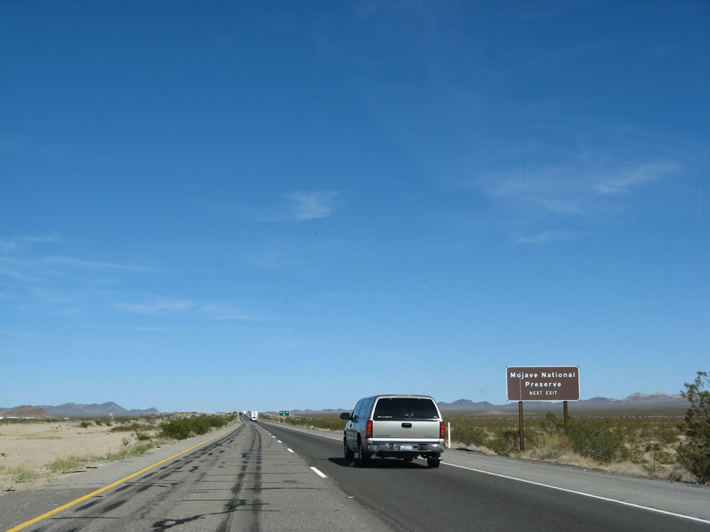
To the north, Kelbaker Road serves Mojave National Preserve, which is generally bounded by Interstate 40 to the south, Interstate 15 to the northwest, and the California-Nevada state line to the northeast. The park was established on October 31, 1994, with the passage of the federal California Desert Protection Act. A restored visitor center (former Kelso Depot, built in 1923 and restored in 2005) is located in the small community of Kelso, which is situated at the intersection of Kelbaker Road and the Railroad. Attractions include Kelso Dunes, Cima Dome, extensive Joshua tree groves, and two state parks surrounded by the national park (Mitchell Caverns Natural Preserve and Providence Mountains State Recreation Area). Photo taken 03/30/07. |
|
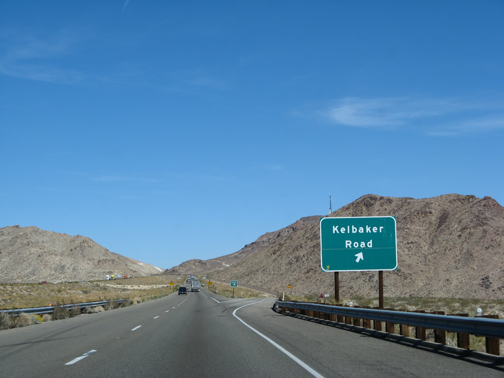
Eastbound Interstate 40 (Needles Freeway) meets Exit 78, Kelbaker Road north to Kelso and south to Amboy and Twentynine Palms. Use Kelbaker Road south about ten miles to the old alignment of historic U.S. 66. If you want services (food, gas, lodging) and don't want to drive south to Roy's Cafe for food and maybe gas (check online or call ahead to ensure it's open before traveling), keep heading east to Needles, which is still 63 miles east of here. Photo taken 03/30/07. |
|
Now leaving Kelbaker Road behind, eastbound Interstate 40 continues its journey through the Mojave Desert. A reassurance shield is posted after the on-ramp from Kelbaker Road. The next exit (Exit 100, Essex Road) is 22 miles ahead. Photo taken 02/20/05. |
|
|
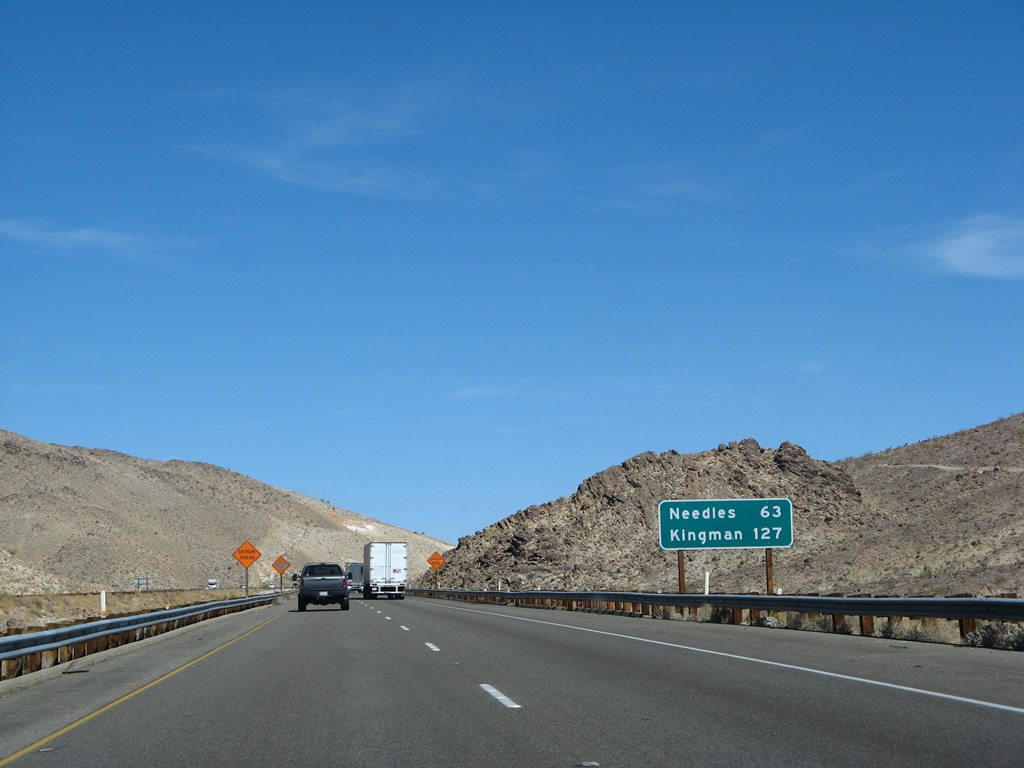
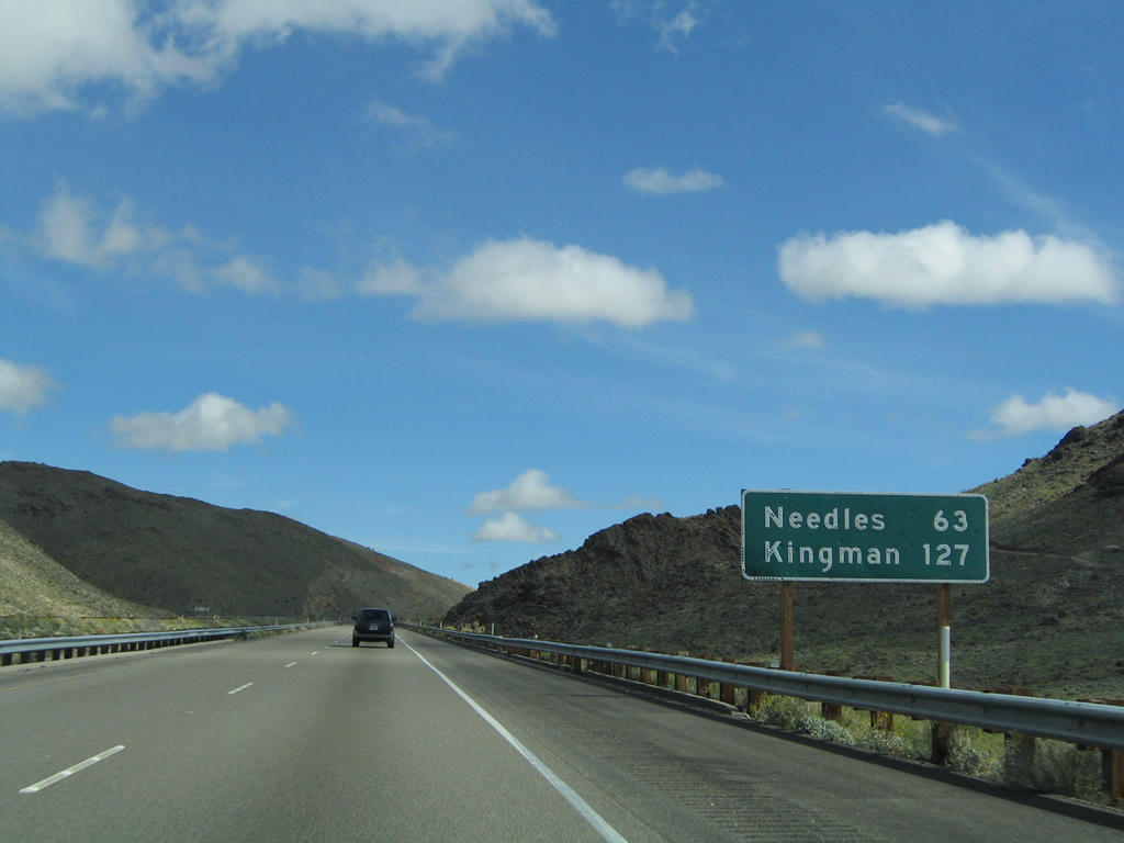
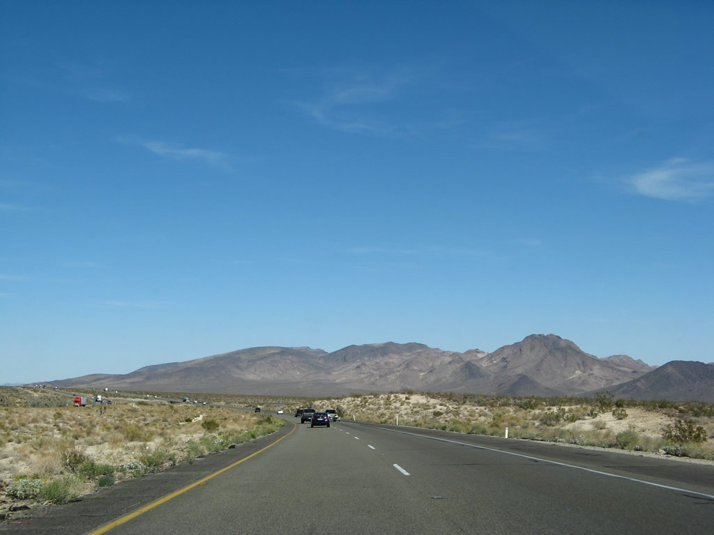
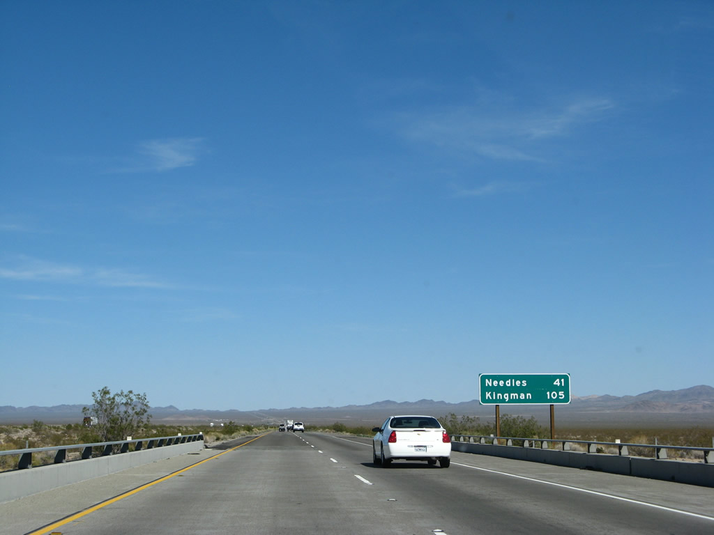
This mileage sign along Interstate 40 east provides the distance to Needles (63 miles) and Kingman, Arizona (127 miles). This sign was replaced in 2007 while bridge deck reconstruction was underway elsewhere on the freeway. Photos taken 03/30/07 and 02/20/05. |
|
Interstate 40 again climbs to pass the northern edge of the Marble Mountains, a short mountain range that extends southeast through the Trilobite Wilderness. The southern edge of this mountain range is located near Cadiz along the railroad; U.S. 66 crosses the Marble Mountains via Cadiz Summit. Photo taken 03/30/07. |
|
Reaching the top of the grade to a summit, Interstate 40 crests out, with the Clipper Mountains coming into view straight ahead. Photo taken 03/30/07. |
|
|
|
These views look north and south from Interstate 40 toward the eastern edge of the Granite Mountains (north) and the continuation of the Marble Mountains (south). To the southeast are the Middle Hills and Clipper Mountains. Photos taken 02/20/05. |
|
|
|
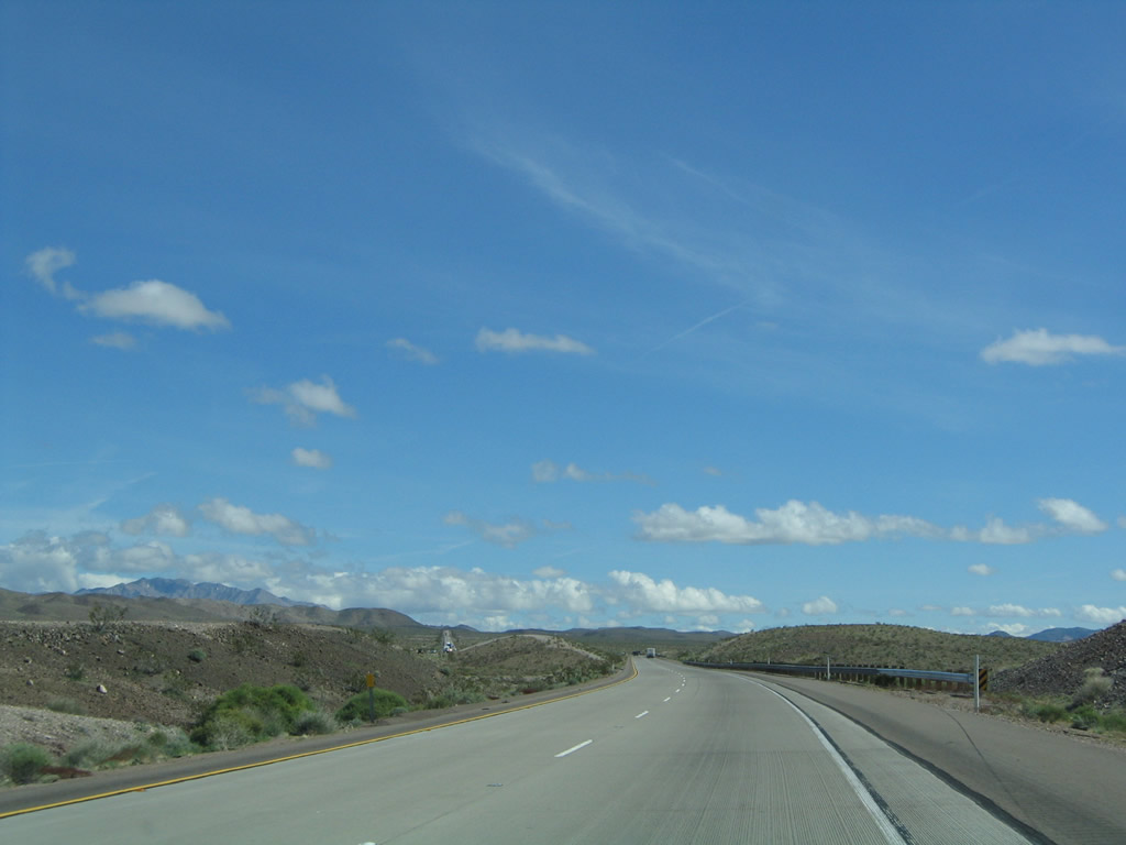
Continuing east, this suite of photos shows Interstate 40 is passes by the Clipper Mountains. Photos taken 02/20/05 and 03/30/07. |
|
|
|
|
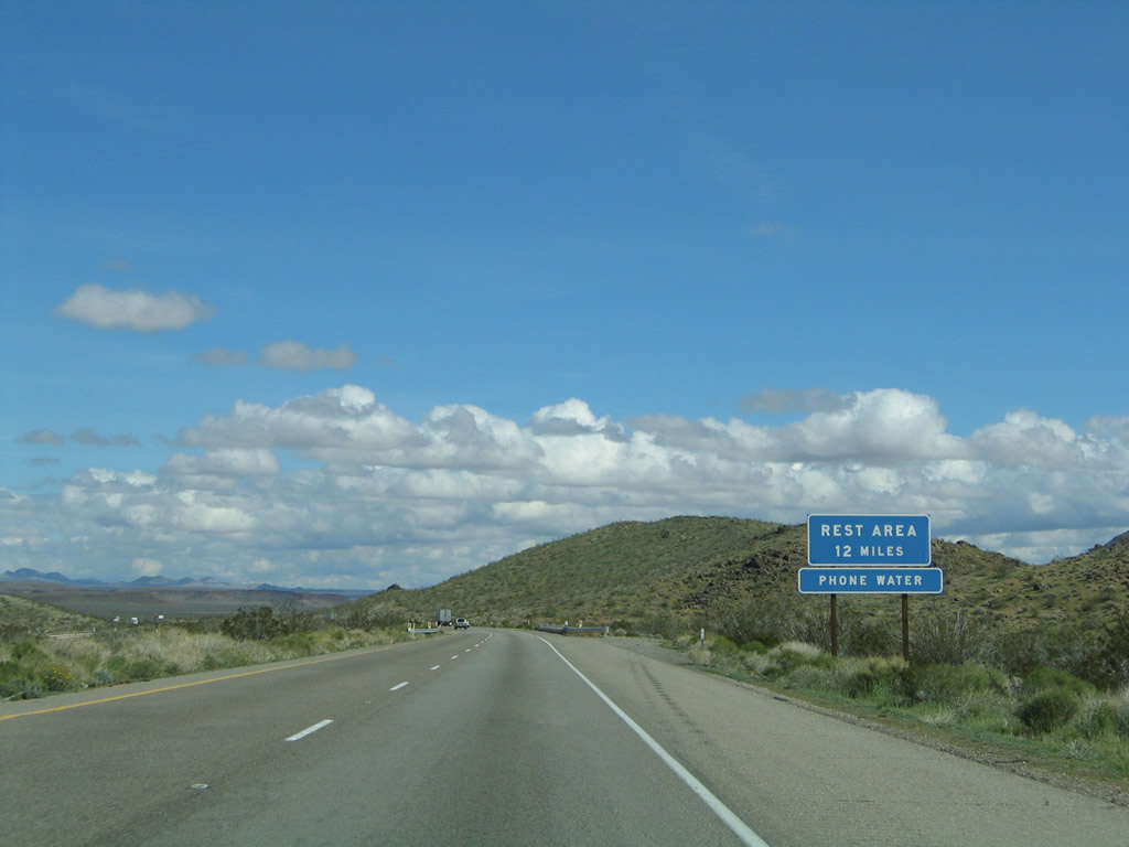
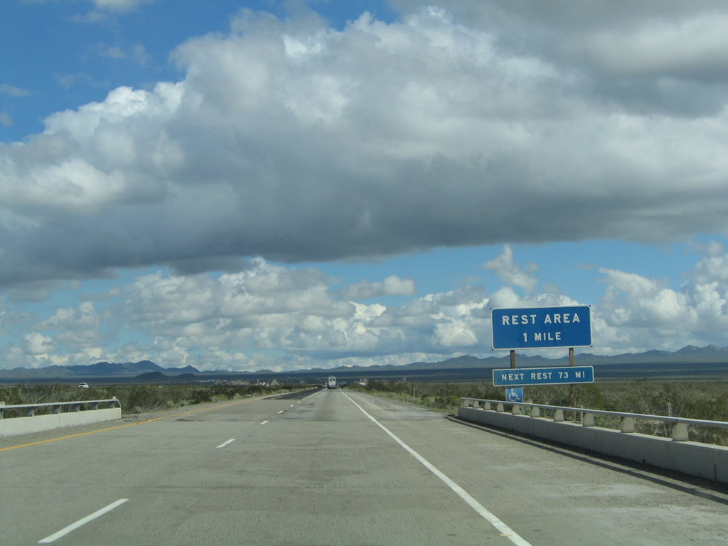
A rest area is located at Exit 106, which is 12 miles east of here and six miles after Exit 100, Essex Road. Phone and water are available at this rest area. Photo taken 02/20/05. |
|
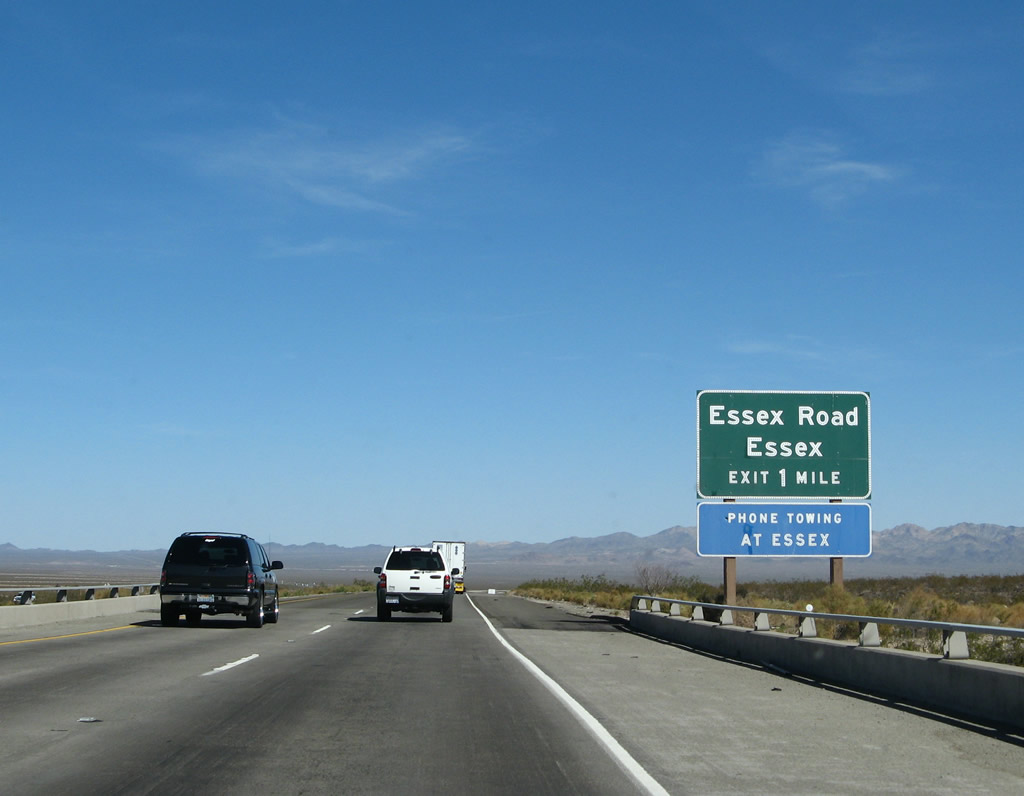
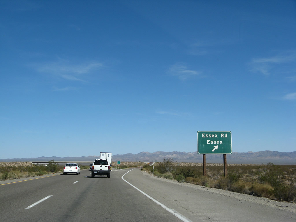
The next exit along Interstate 40 (Needles Freeway) is Exit 100, Essex Road (one mile). Essex Road travels southeast to Essex and northwest to Providence Mountains State Recreation Area and Mitchell Caverns. Via a connection with Black Canyon Road is access to Black Canyon, Wildhorse Canyon, and Hole-in-the-Wall. Photo taken 03/30/07. |
|
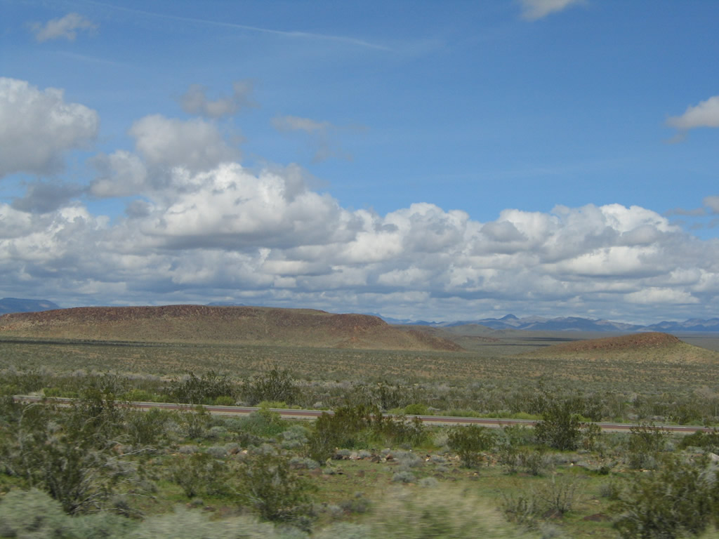
This view looks north through Clipper Valley toward the distant Providence Mountains. Photo taken 02/20/05. |
|
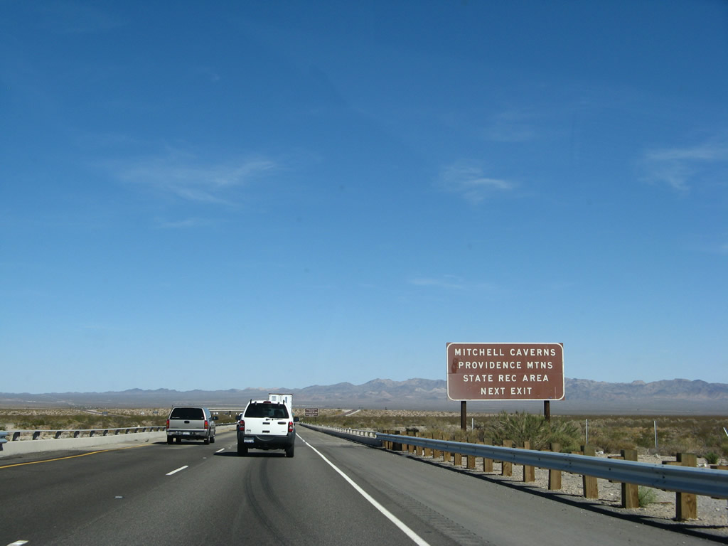
The Providence Mountains State Recreation Area, which includes the limestone Mitchell Caverns, is located northwest of here via Essex Road. The visitor center is located in the historic home of pioneers Jack and Ida Mitchell. The namesake Mitchells operated a resort within the state recreation area between 1934 and 1954, and recreation remains the main focus of this state park. Tours of Mitchell Caverns are available most days, bue be sure to check on-line before visiting for hours of operation; temperatures inside the caverns remain a constant 65 degrees, which is a nice respite on a very hot summer's day. Photo taken 03/30/07. |
|
In addition to Providence Mountains State Recreation Area, Essex Road north also serves Mojave National Preserve. Note that both while both Essex Road and Black Canyon Road are paved to their respective destinations, they do not remain paved beyond there. Therefore, through traffic to points north or west via Essex Road is not recommended. Photo taken 03/30/07. |
|
Eastbound Interstate 40 (Needles Freeway) meets Exit 100, Essex Road northwest to Mojave National Preserve, Providence Mountains State Recreation Area, and Mitchell Caverns and southeast to the community of Essex. Located along U.S. 66, Essex was founded near a well that provided free water to travelers (the well was installed by the Automobile Club of Southern California). Another sparsely settled community, Essex still has an operating school and post office (with minimal residents). This is remote. Photo taken 03/30/07. |
|
A mileage sign for Needles and Kingman is posted after the on-ramp from Exit 100, Essex Road. Photo taken 03/30/07. |
|
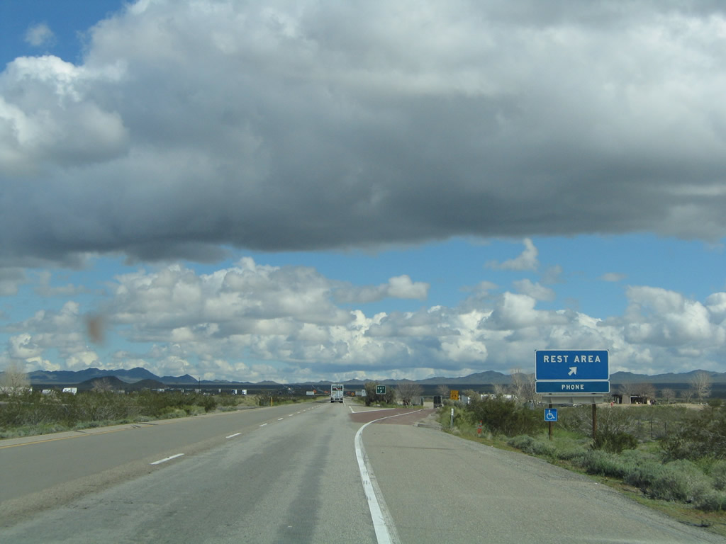
The next exit along Interstate 40 (Needles Freeway) east is Exit 106, Rest Area (one mile). Photo taken 02/20/05. |
|
Eastbound Interstate 40 (Needles Freeway) reaches Exit 106, Rest Area. Photo taken 02/20/05. |
|
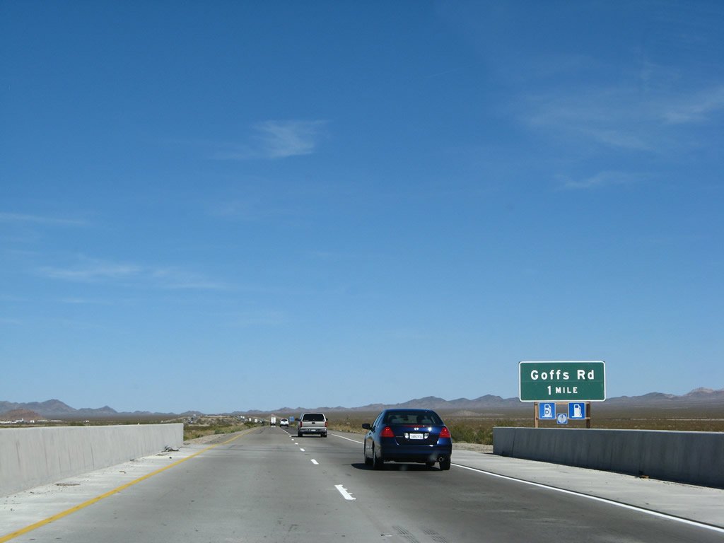
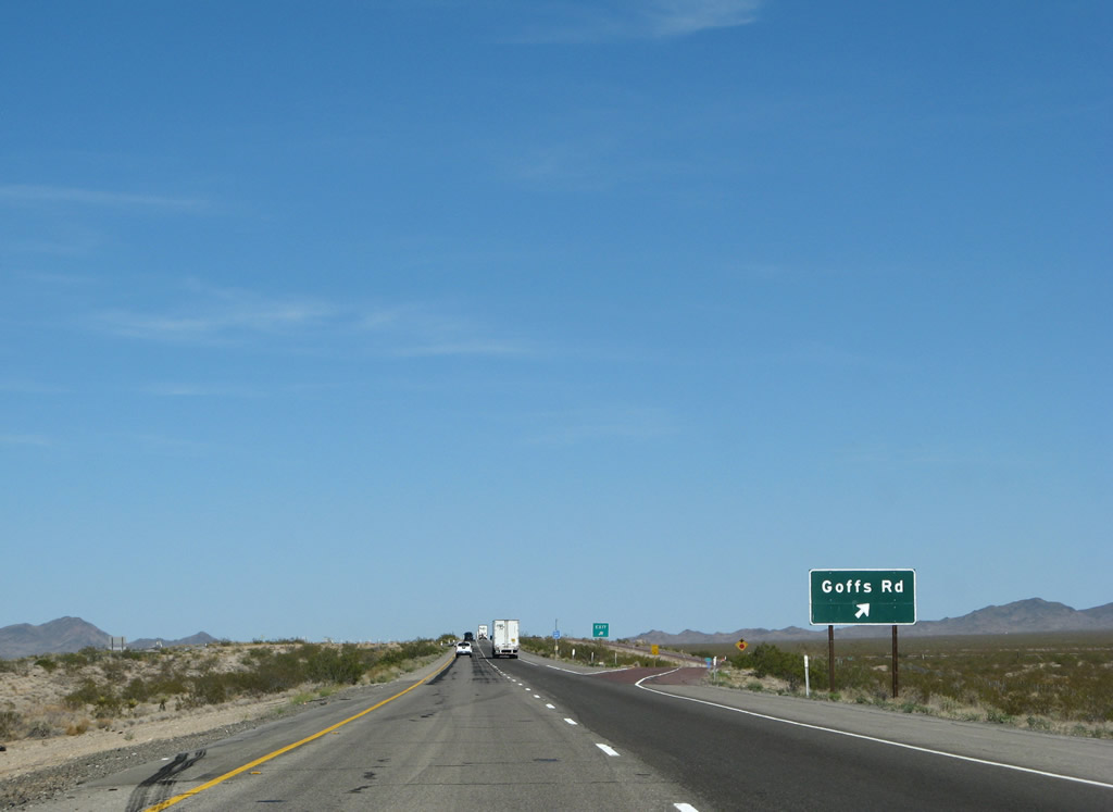
The next exit along Interstate 40 (Needles Freeway) is Exit 107, U.S. 66/Goffs Road west to Essex and north to Fenner and Goffs. Like Essex, Goffs is another old, nearly vacated U.S. 66 desert community. Photo taken 03/30/07. |
|
U.S. 66 followed two alignments between Essex and the U.S. 95 interchange. The first alignment (before 1931) follows Goffs Road through Fenner and Goffs, while the second alignment (after 1931) bypasses Goffs by following the National Trails Highway and modern Interstate 40 from Mountain Springs through South Pass to the U.S. 95 interchange. Photo taken 03/30/07. |
|
Use U.S. 66/Goffs Road northeast to Fenner, Goffs, and the eastern edge of Mojave National Preserve. Photo taken 03/30/07. |
|
Eastbound Interstate 40 (Needles Freeway) reaches Exit 107, U.S. 66/Goffs Road west to Essex and north to Fenner and Goffs. Photo taken 03/30/07. |
|
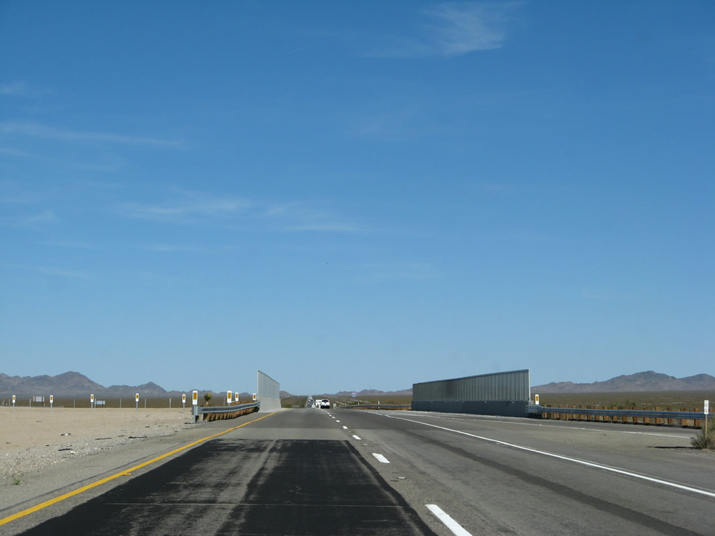
The U.S. 66/Goffs Road overpass was replaced in 2005, leaving this new concrete bridge. Photo taken 03/30/07. |
Page Updated July 4, 2009.