| Interstate 40 (Needles Freeway) east |
|---|
|
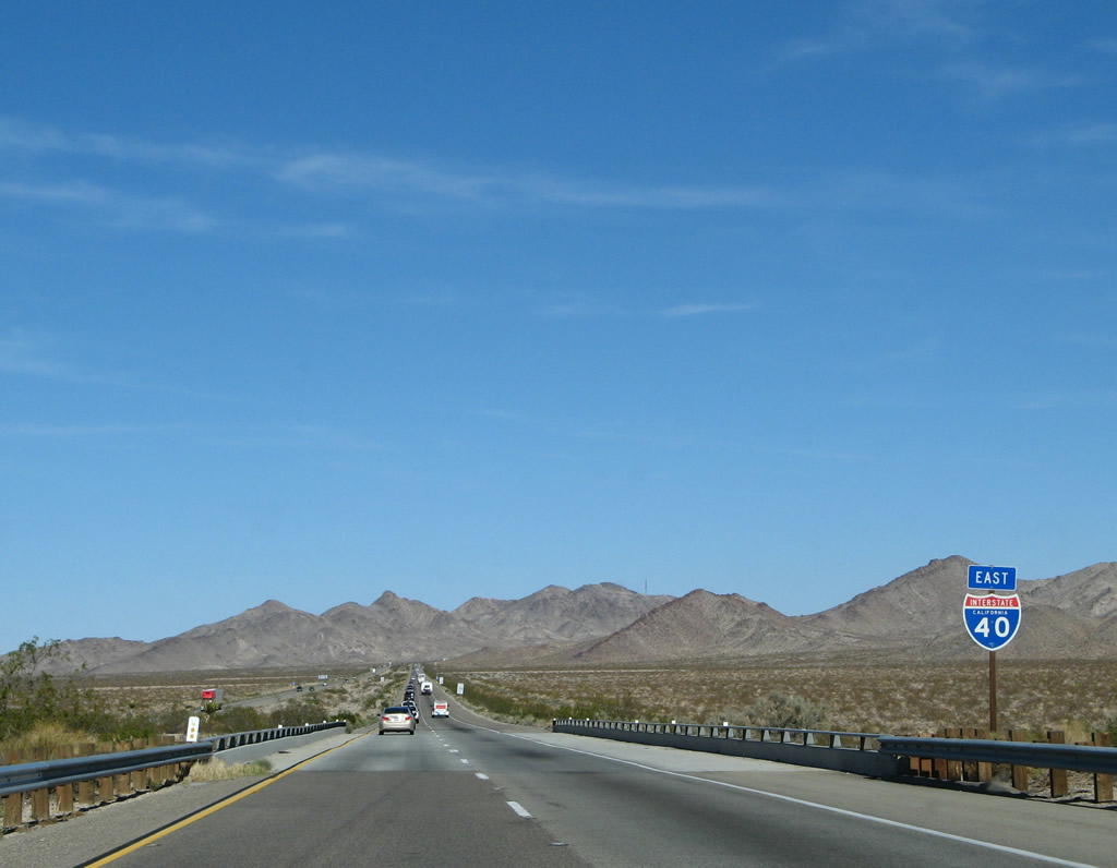
This Interstate 40 east reassurance shield is posted after the U.S. 66/Goffs Road interchange. The next interchange is Exit 115, about eight miles east of here. Photo taken 03/30/07. |
|
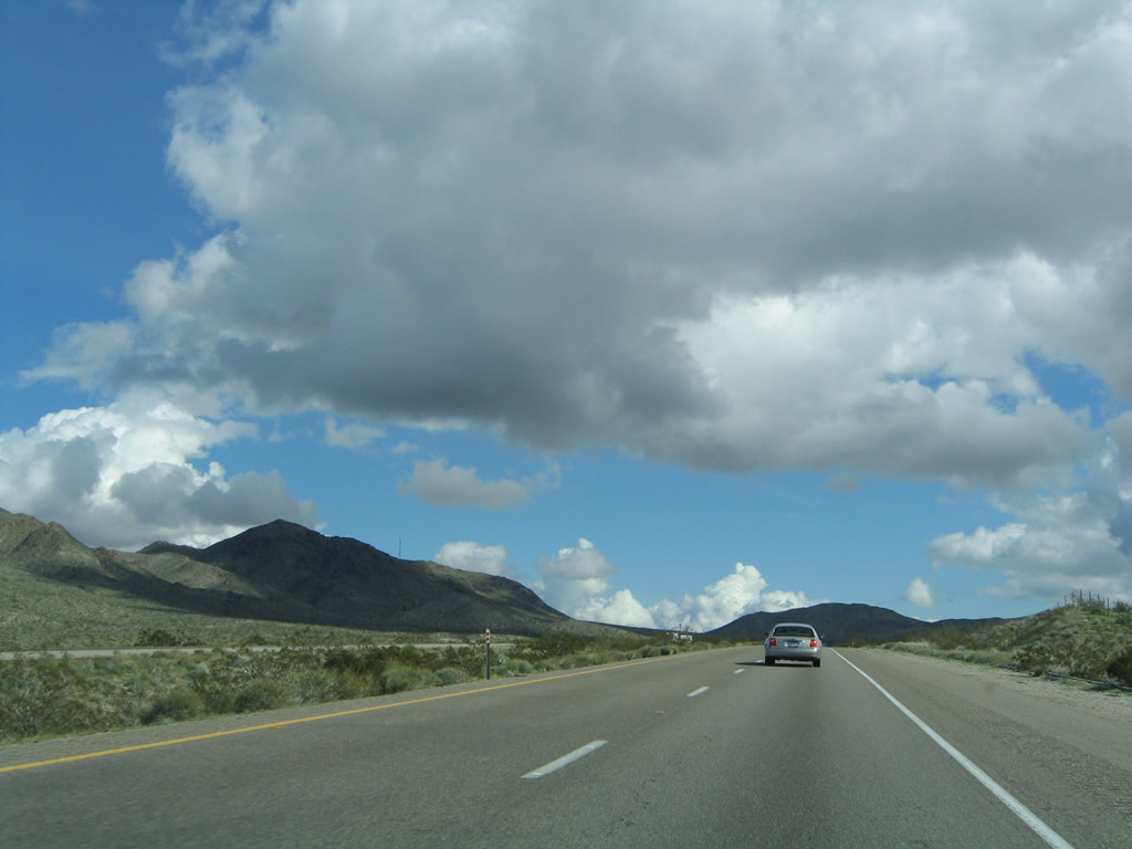
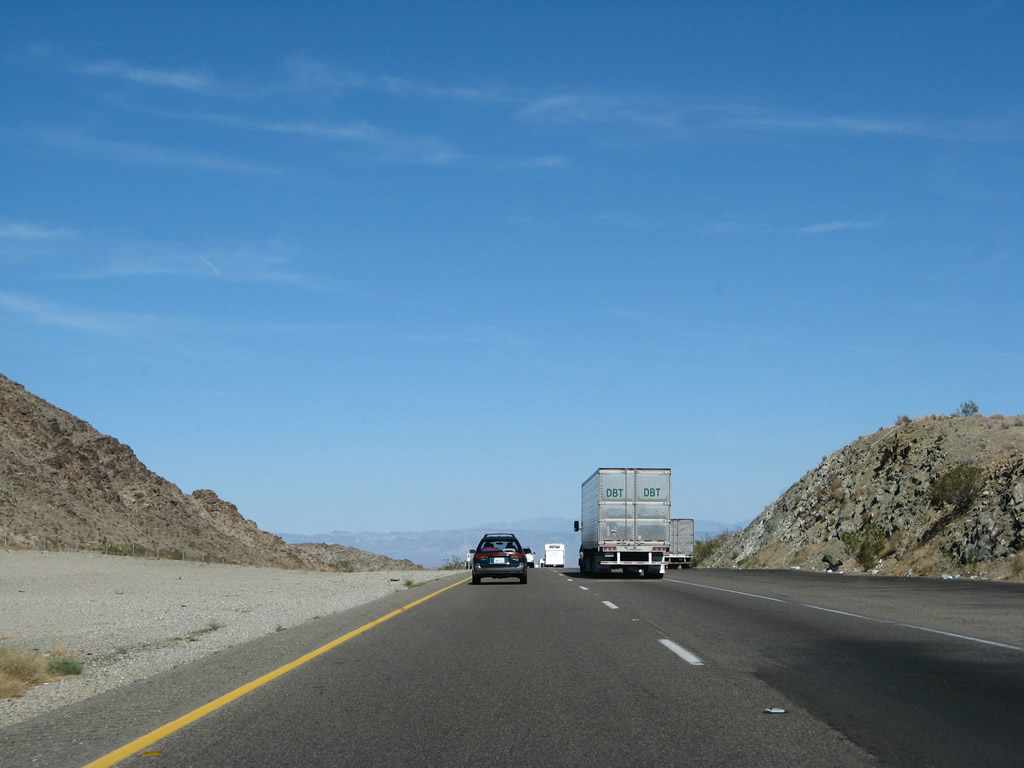
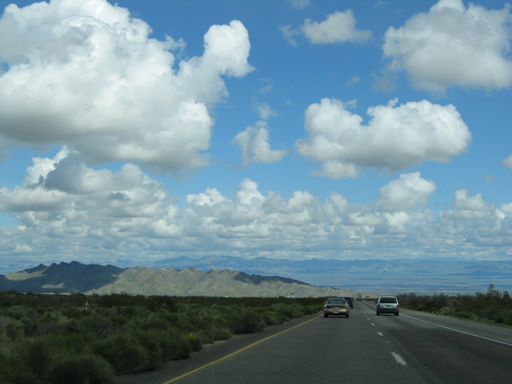
Interstate 40 gains elevation as it leads east toward Mountain Springs Summit (el. 2,770 feet) in the Piute Mountains. Photo taken 03/30/07. |
|
Still gaining elevation from Fenner, the next exit along Interstate 40 (Needles Freeway) is Exit 115, U.S. 66 (post-1931 alignment)/National Trails Highway southwest to Essex and Mountain Springs Road north to Goffs. This interchange is located at Mountain Springs Summit. Photo taken 02/20/05. |
|
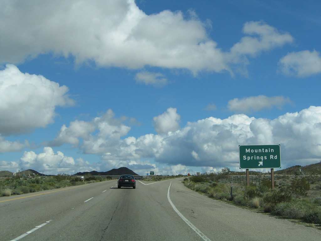
Eastbound Interstate 40 (Needles Freeway) reaches Exit 115, U.S. 66 (post-1931 alignment)/National Trails Highway southwest to Essex and Mountain Springs Road north to Goffs. Photo taken 02/20/05. |
|
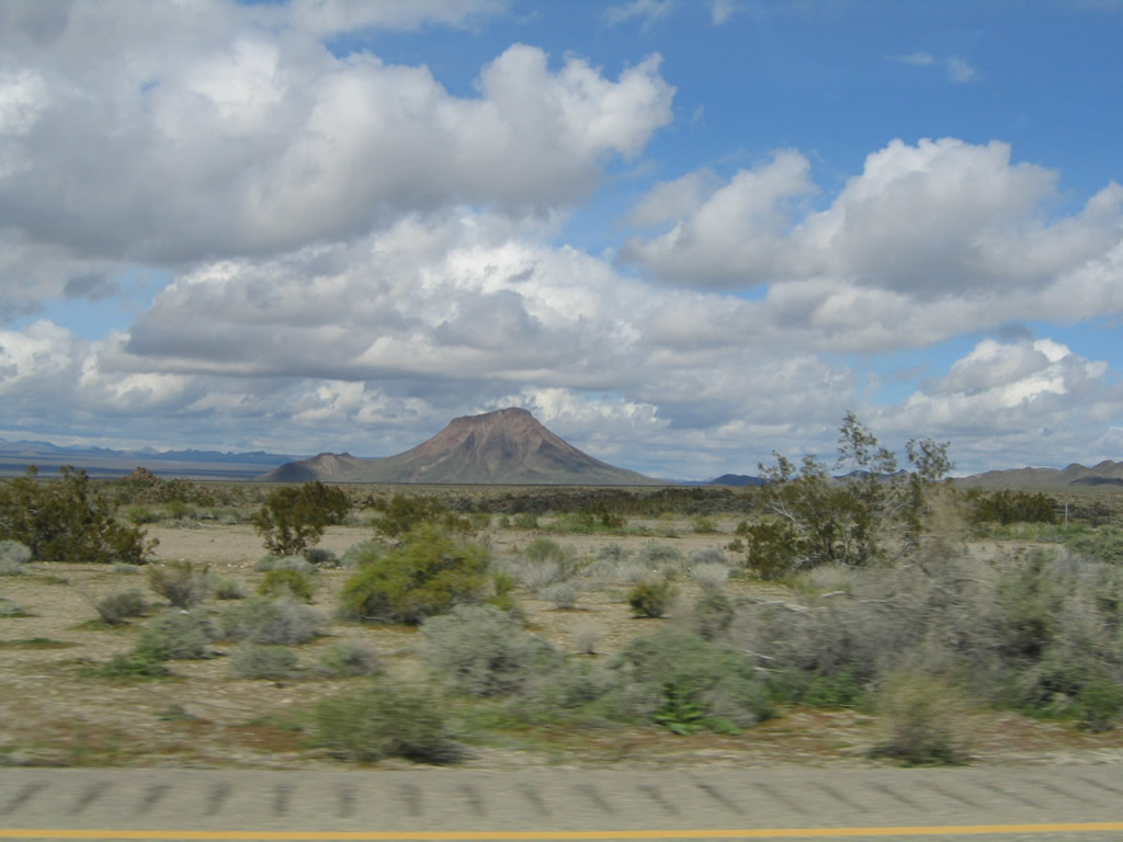
Looking north is this view of Goffs Butte (el. 3,612 feet). Photo taken 02/20/05. |
|
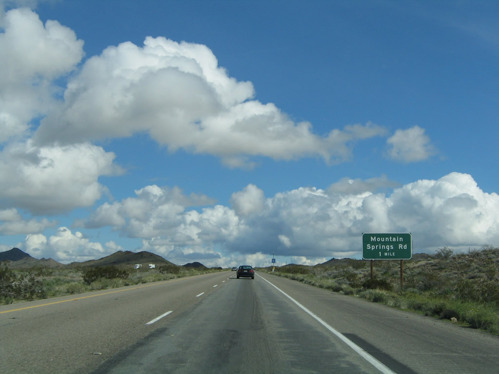
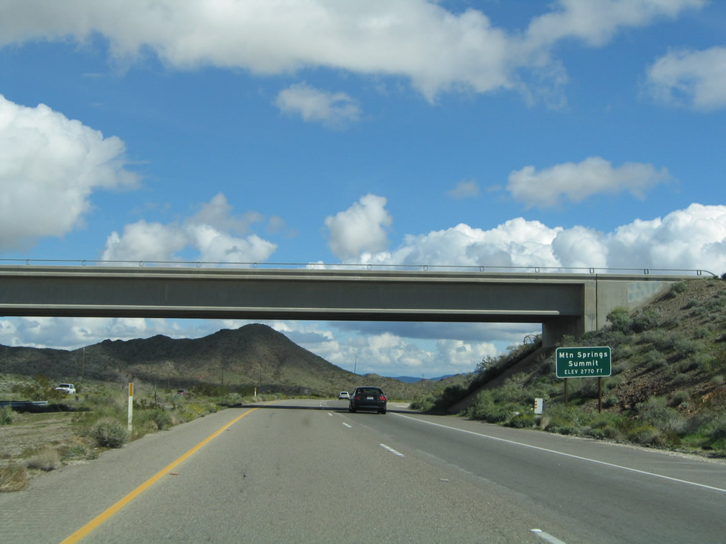
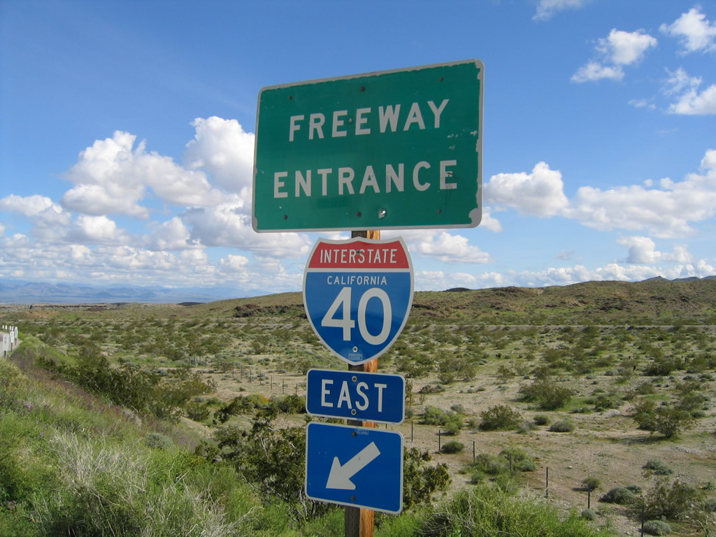
Mountain Springs Road crosses over the freeway as Interstate 40 crests at Mountain Springs Summit, elevation 2,770 feet. This is the highest point along Interstate 40 in California, as the freeway passes through the Piute Mountains. Photo taken 02/20/05. |
|
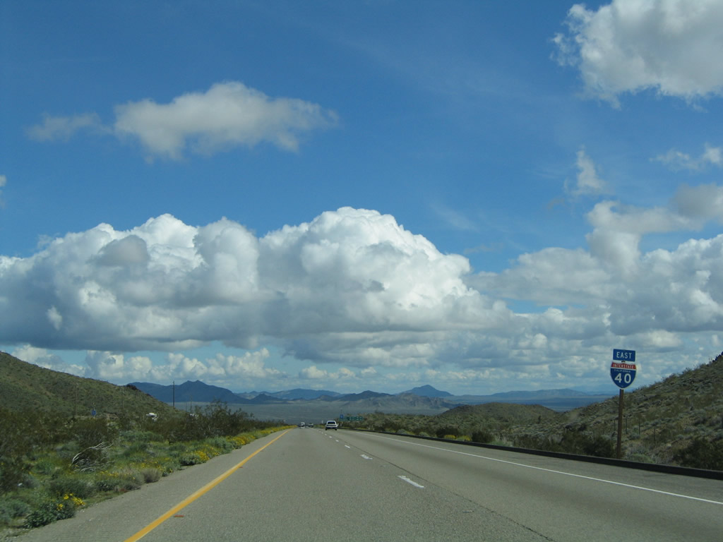
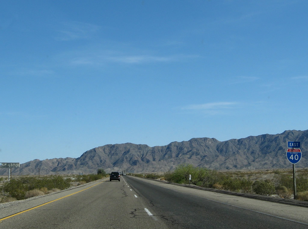
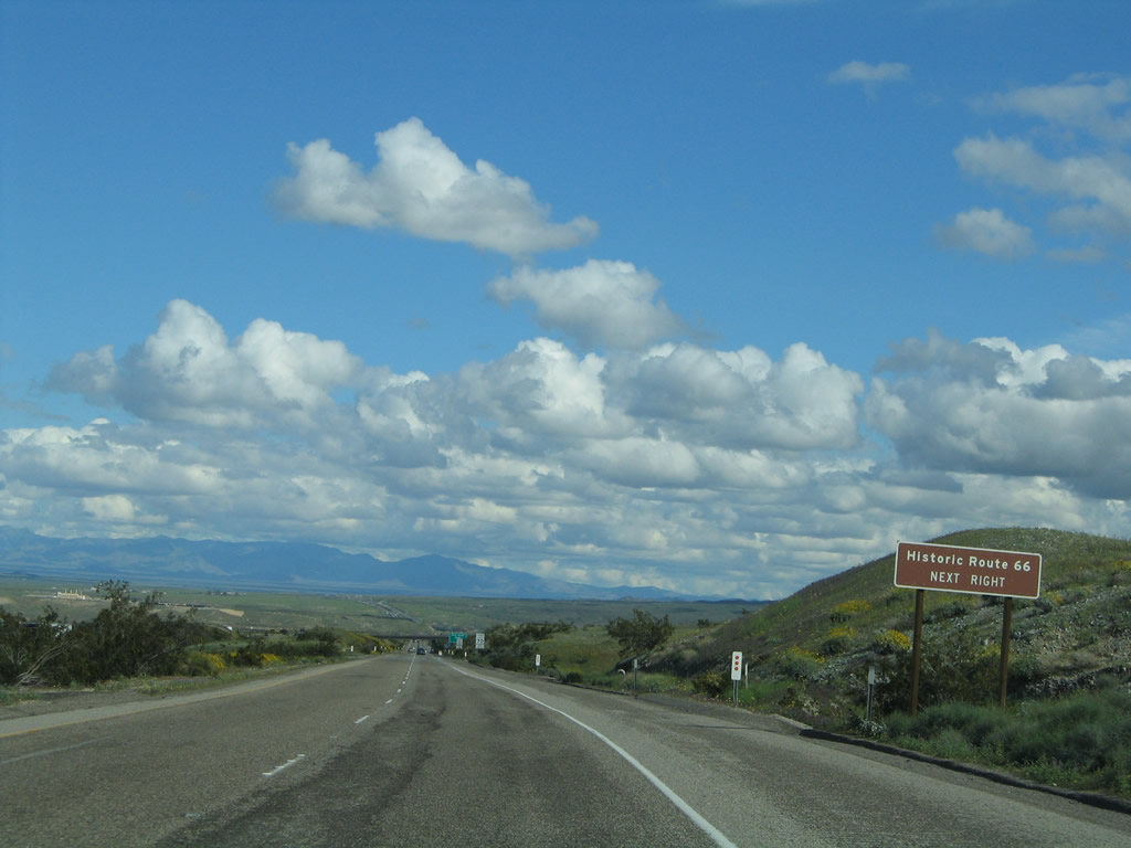
This Interstate 40 east reassurance shield is posted after the U.S. 66/Mountain Springs Road interchange. The post-1931 alignment of U.S. 66 mostly follows the freeway from here east to the U.S. 95 interchange, and from there east to Needles. Photo taken 02/20/05. |
|
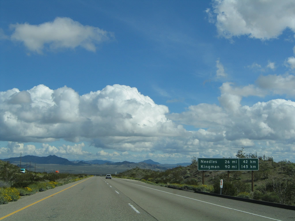
A distance sign provides the mileage and kilometers to Needles and Kingman, which dates this sign from the early 1970s. Photo taken 02/20/05. |
|
|
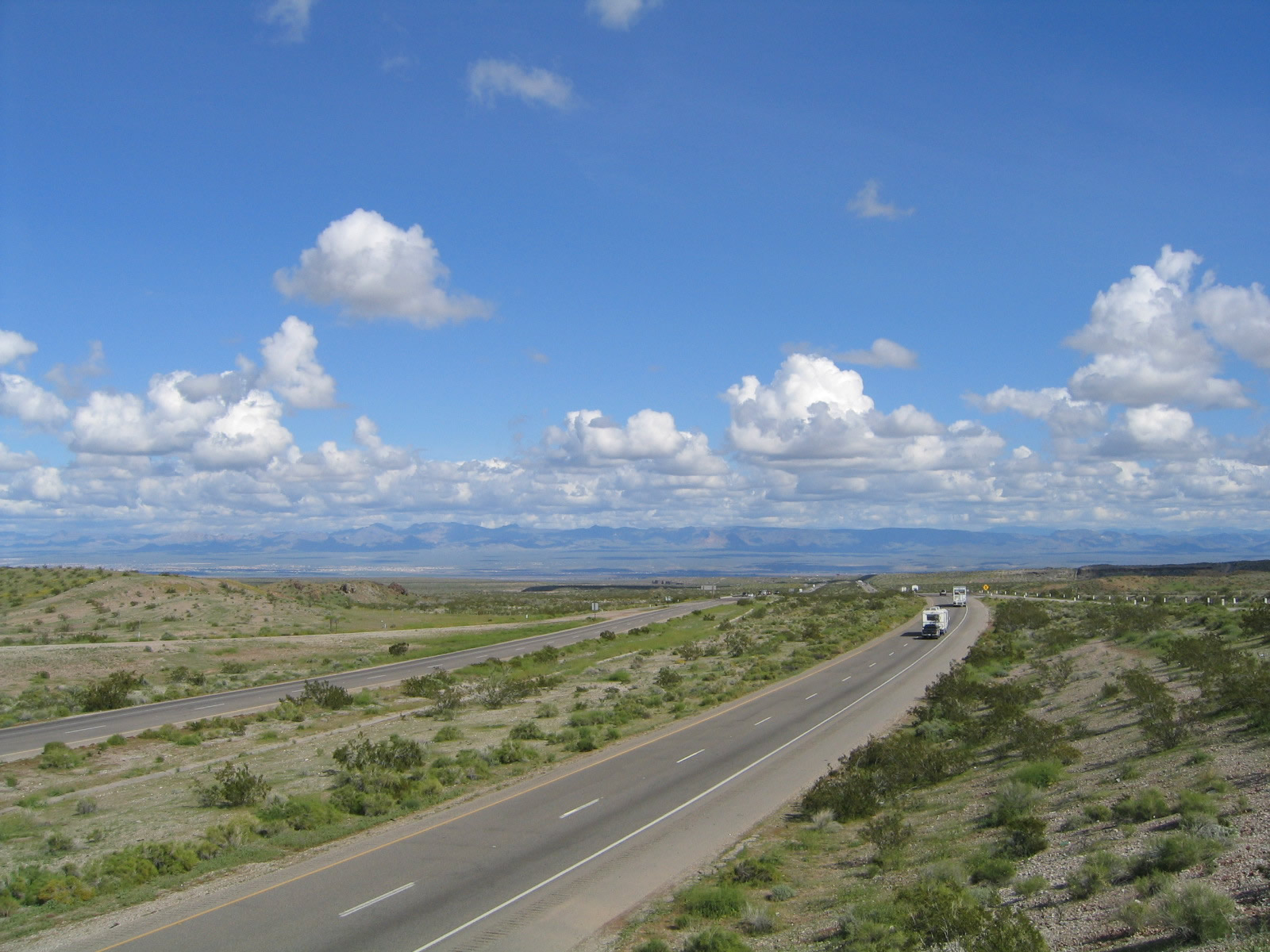
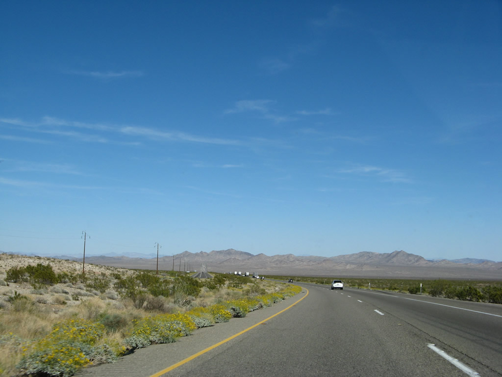
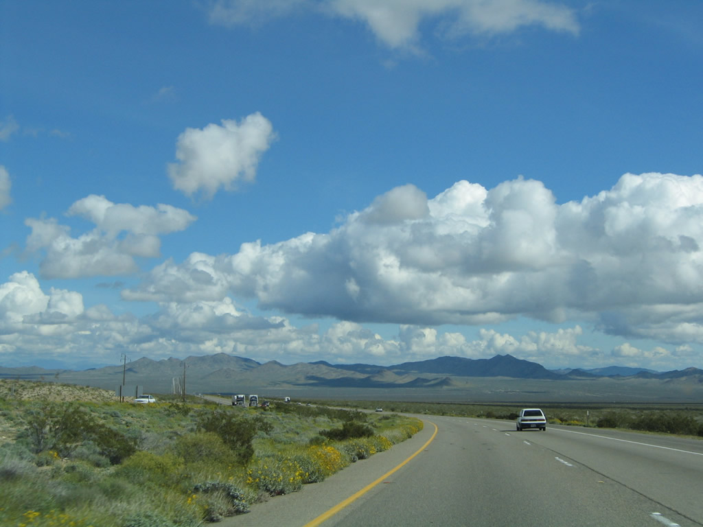
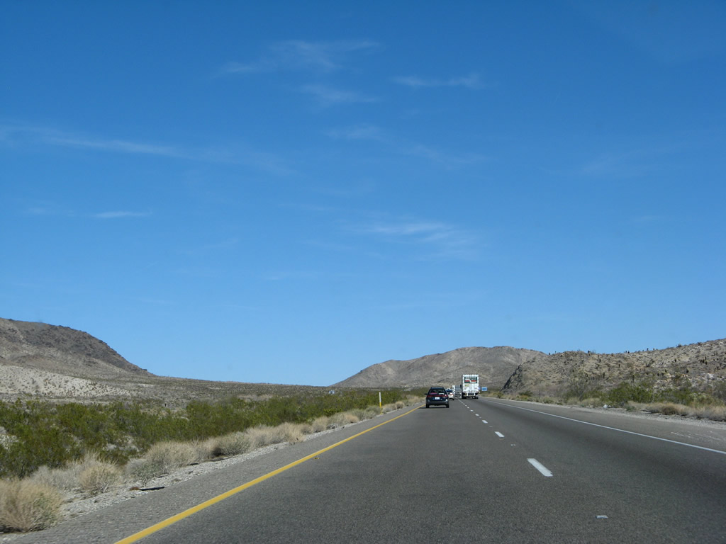
After passing through the Piute Mountains and descending a bit from Mountain Springs Summit, Interstate 40 passes through the northern end of Ward Valley, which lies between the Piute Mountains and South Pass. We have two views of the same spot looking southeast as the freeway bends east. Photos taken 03/30/07 and 02/20/05. |
|
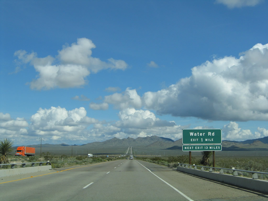
The next exit along Interstate 40 (Needles Freeway) east is Exit 120, Water Road (one mile); the next exit is 12 miles ahead. Photo taken 02/20/05. |
|
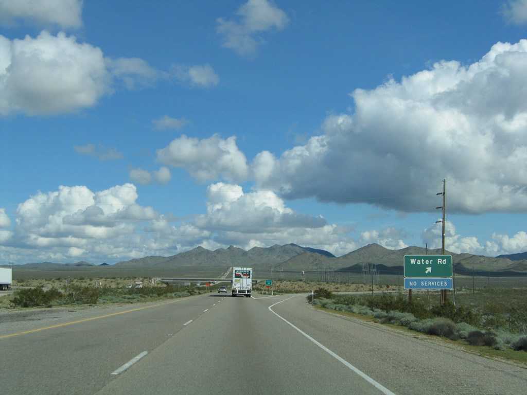
Eastbound Interstate 40 reaches Exit 120, Water Road. No services are available at this interchange. The second alignment of U.S. 66 continues to follow the path of Interstate 40 straight ahead, while the original U.S. 66 route lies on path parallel to the freeway the north of here. Water Road is not paved, so it is not a good route north to the older alignment. Photo taken 02/20/05. |
|
|
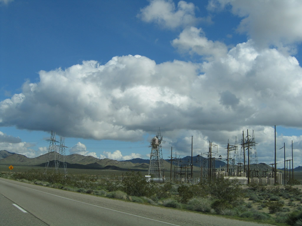
Embedded within the Water Road interchange is a Los Angeles Department of Water and Power substation. Water Road is likely named for its path that runs parallel to its power transmission lines that run north-south through the Ward Valley. Photos taken 03/30/07 and 02/20/05. |
|
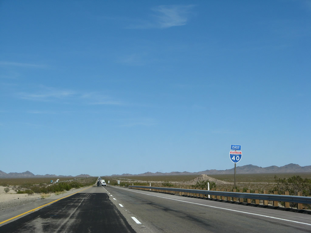
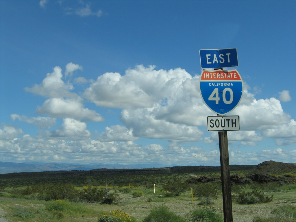
This Interstate 40 east reassurance shield is posted after the Water Road interchange. The next interchange is Exit 133 (U.S. 66-95), about 12 miles east of here. Photo taken 03/30/07. |
|
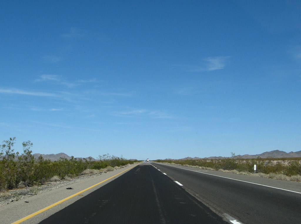
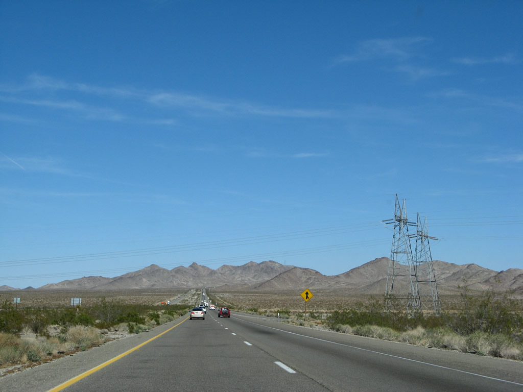
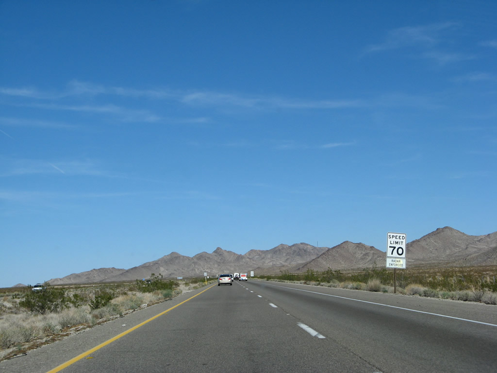
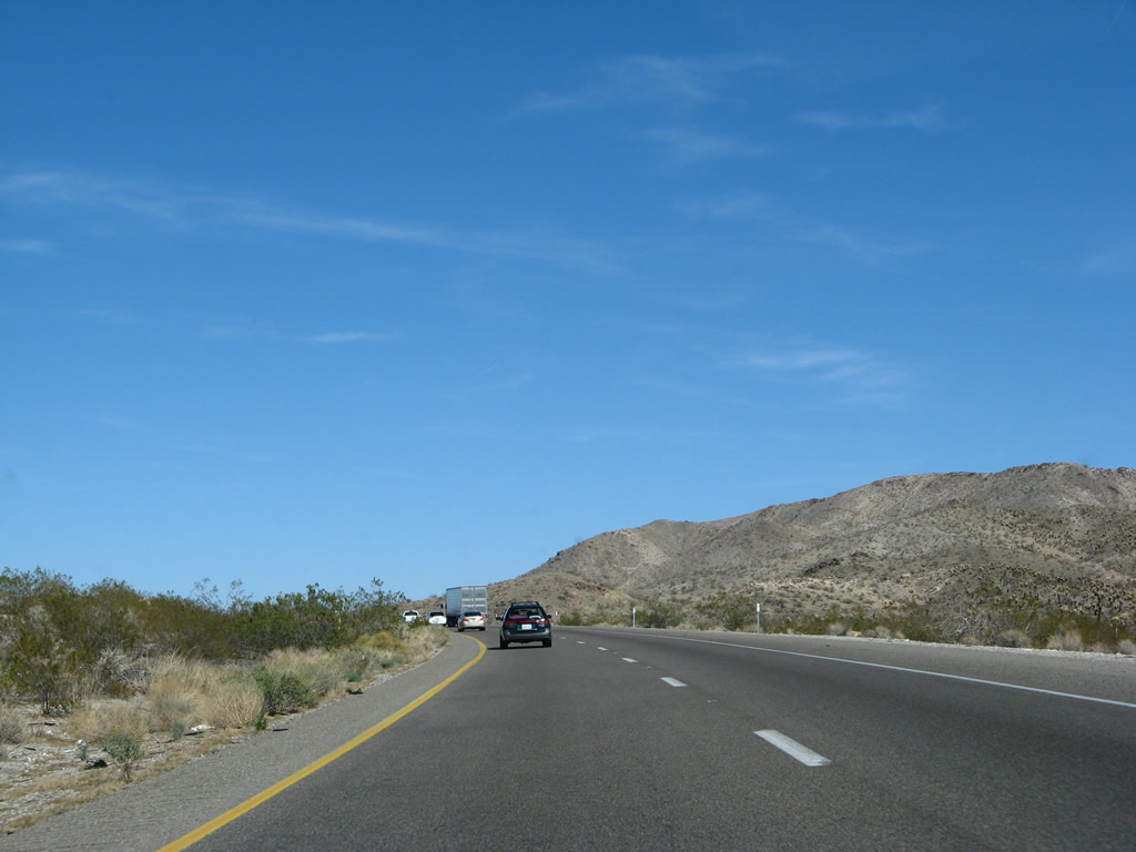
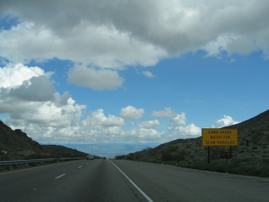
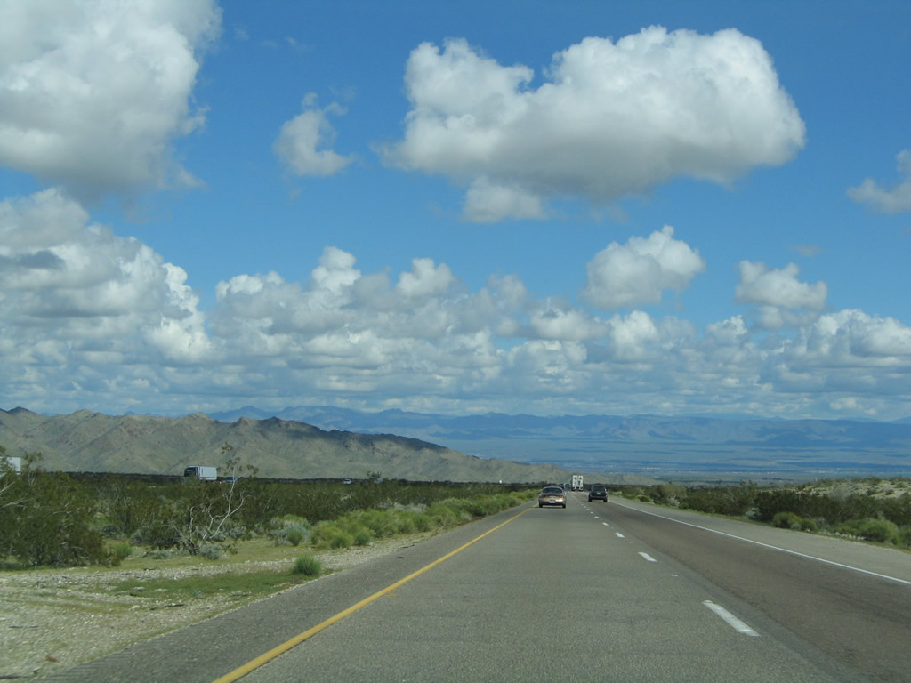
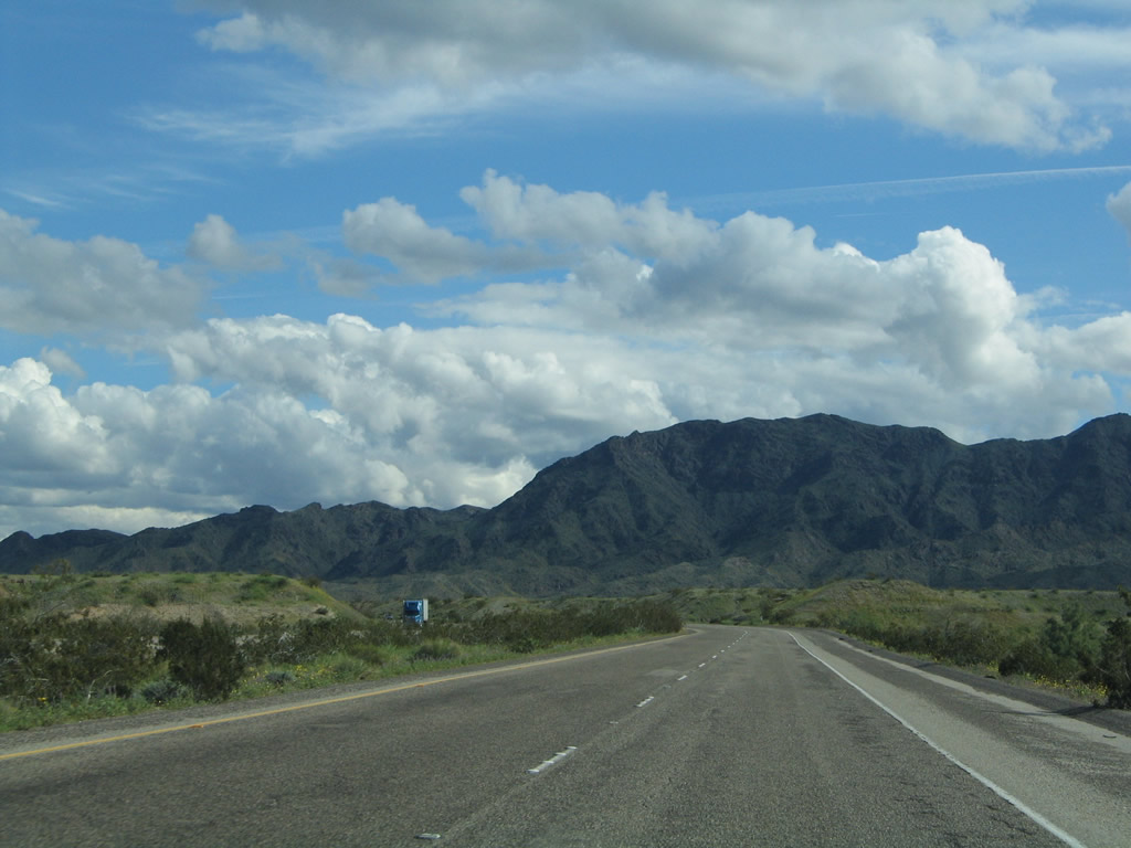
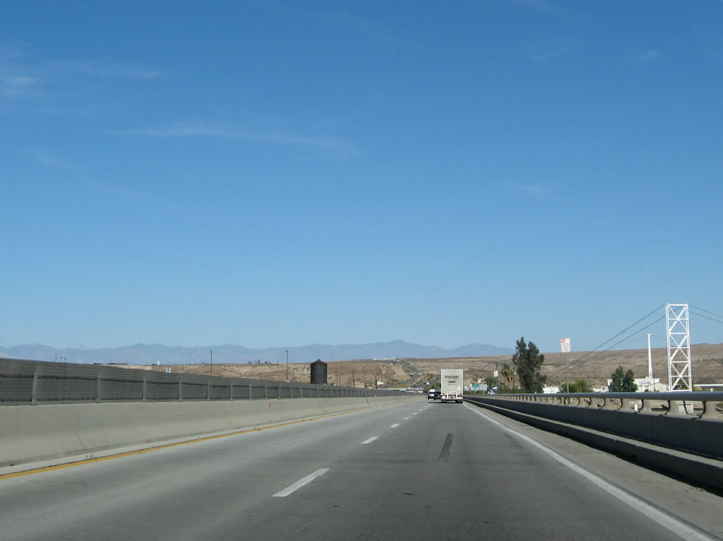
Bottoming out at the Water Road interchange, Interstate 40 begins climbing again, this time toward South Pass (el. 2,630 feet) in the Sacramento Mountains. The speed limit remains 70 miles per hour through this part of the Mojave Desert. Photo taken 03/30/07. |
|
|
|
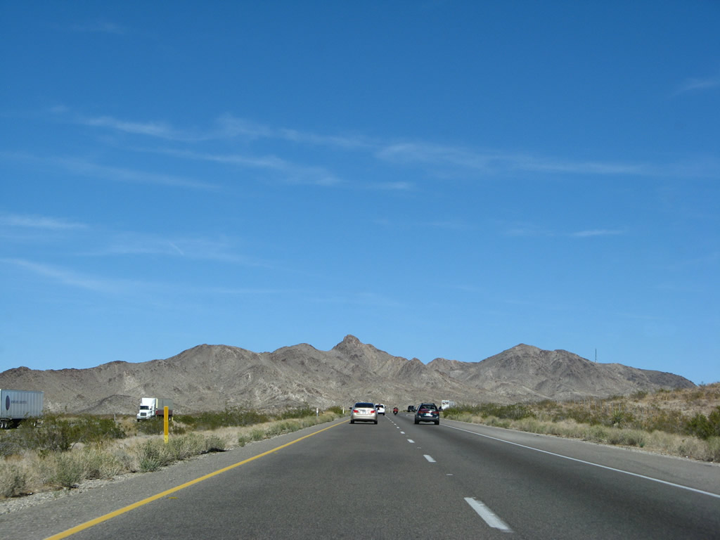
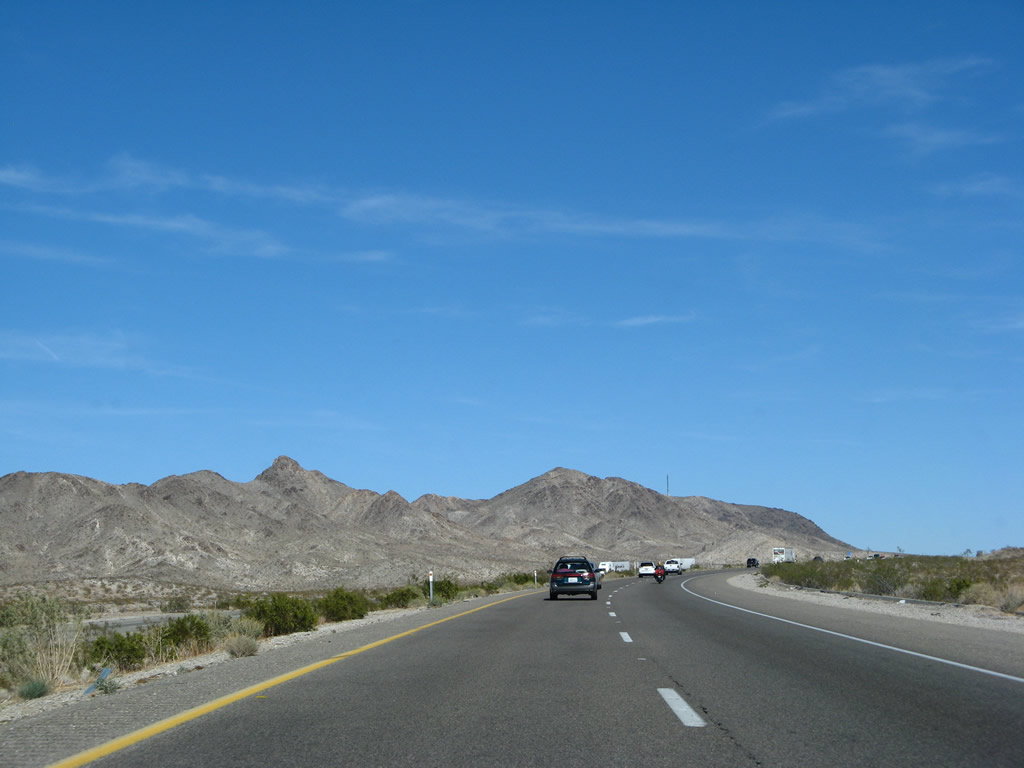
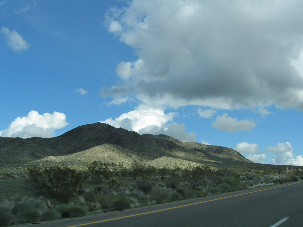
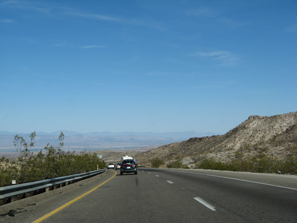
Continuing to gain elevation, Interstate 40 east approaches South Pass (el. 2,630 feet) in the Sacramento Mountains. Photos taken 03/30/07 and 02/20/05. |
|
|
|
|
Cresting out at South Pass (el. 2,630 feet) in the Sacramento Mountains, eastbound Interstate 40 begins a steep descent toward the Colorado River valley. Photo taken 03/30/07. |
|
This sign warns motorists of the steep descent for this stretch of Interstate 40. The westbound lanes have a climbing lane for trucks and other slow-moving vehicles due to the sharp grade. Photo taken 03/30/07. |
|
|
|
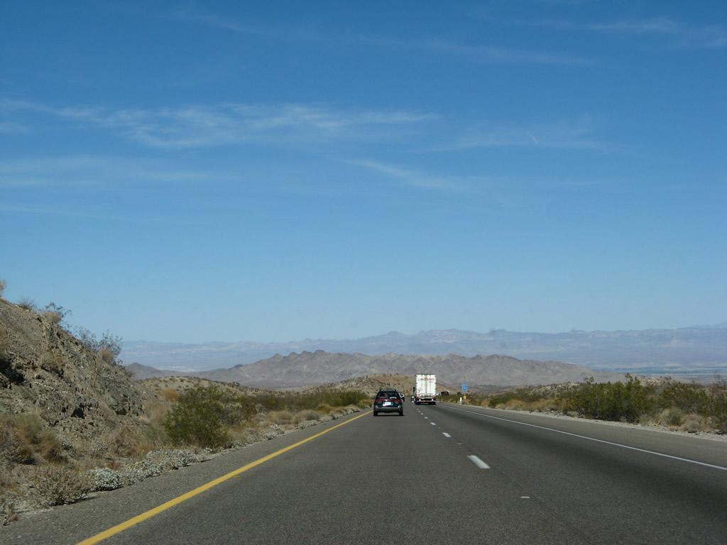
Continuing to descend from South Pass in the Sacramento Mountains, the Colorado River valley comes into view. The freeway will continue east to Needles, which sits on the river, then turn south to parallel the river to near Park Moabi and Topock, Arizona. Photos taken 03/30/07 and 02/20/05. |
|
|
|
|
|
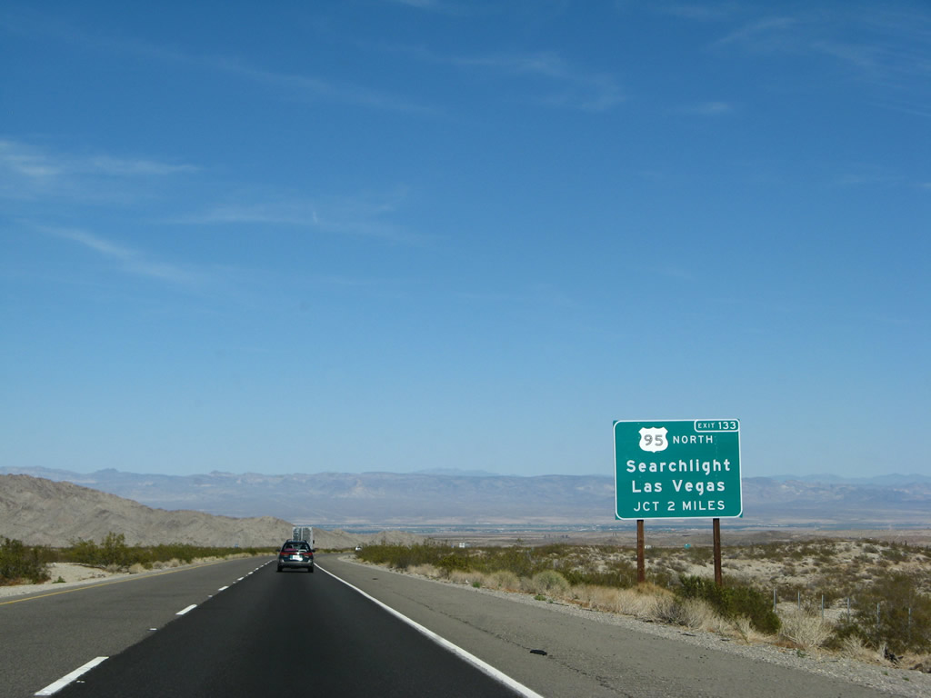
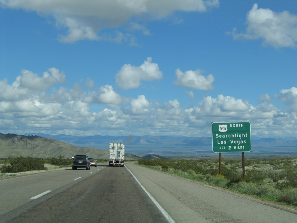
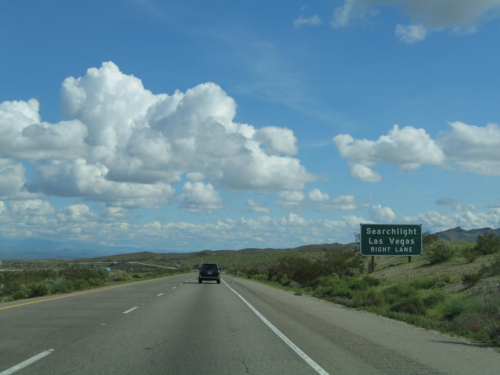
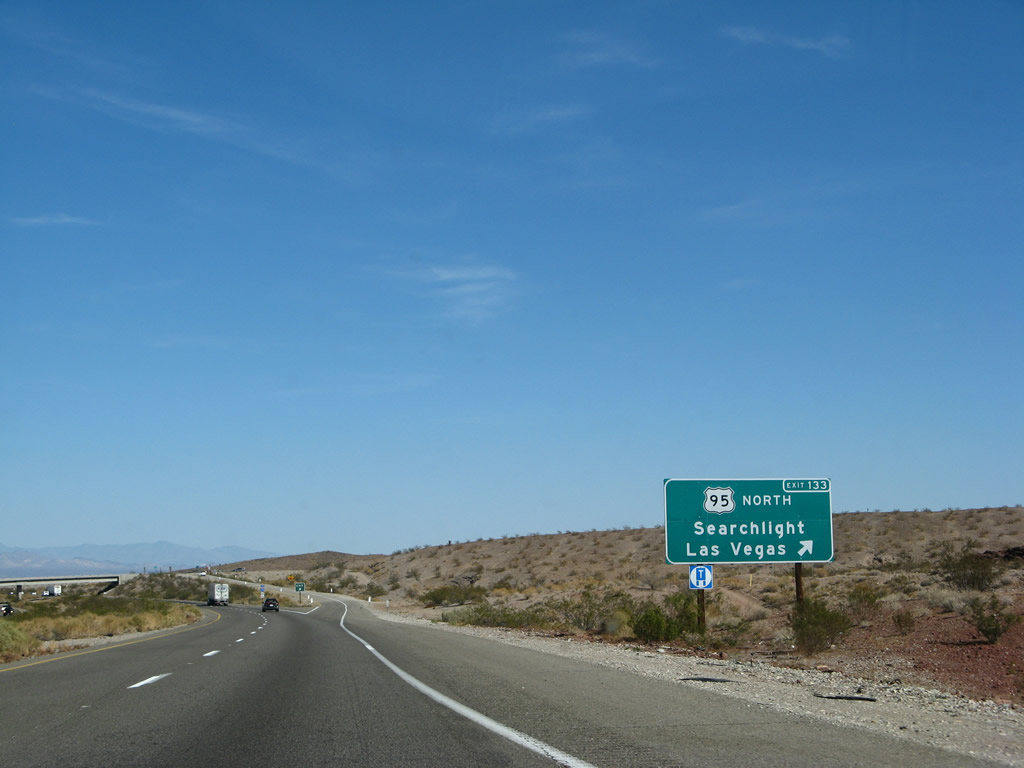
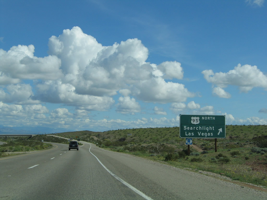
The next exit along Interstate 40 east is Exit 133, U.S. 95 north to Searchlight, Laughlin, and Las Vegas and U.S. 66 west to Goffs (two miles). These guide signs were replaced to include the exit number between 2005 and 2007. Photos taken 03/30/07 and 02/20/05. |
|
|
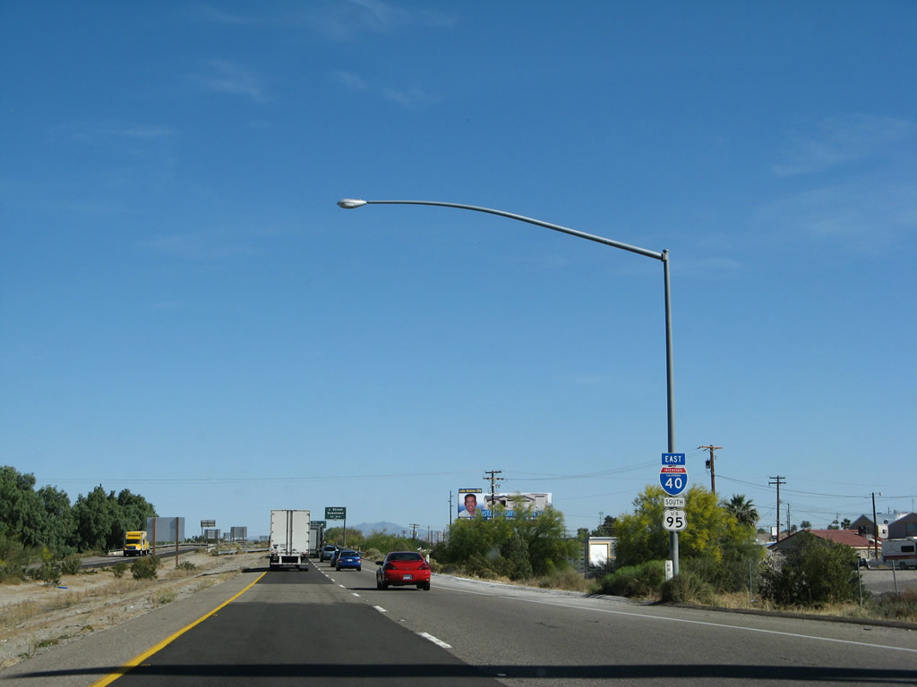
U.S. 95 is a major north-south, cross-country highway that originates at the international border with Mexico at San Luis, Arizona, and extends north through Arizona, California, Nevada, Oregon, and Idaho, ending at the international border with Canada near Eastport. It is the only highway that enters and exits the state of California; all other inbound highways terminate in California. While U.S. 95 originally was designated a short north-south route in Idaho as part of the original U.S. Highway System in 1926, it was extended south from its original southern terminus in Weiser, Idaho, in stages. First it was extended south to Winnemucca, Nevada, by 1937; to Blythe by 1939-1940; and finally to San Luis, Arizona, by 1960-1961 (by replacing Arizona 95 south of Quartzsite). Prior to 1939, today's U.S. 95 route was designated as California 195, perhaps in anticipation of its ultimate numerical designation. (today's California 195 is a short route between California 86 and California 111 in the Coachella Valley). Photos taken 03/30/07 and 02/20/05. |
|
|
The next guide sign was directly replaced except for the addition of an exit number. U.S. 95 travels north to Searchlight and Las Vegas, with connections via Nevada 163 to Laughlin and U.S. 93 to Boulder City. The most direct route to Laughlin is via Needles Highway (paved, non-state highway) on a route parallel to the Colorado River between California and Nevada. Photos taken 03/30/07 and 02/20/05. |
|
|
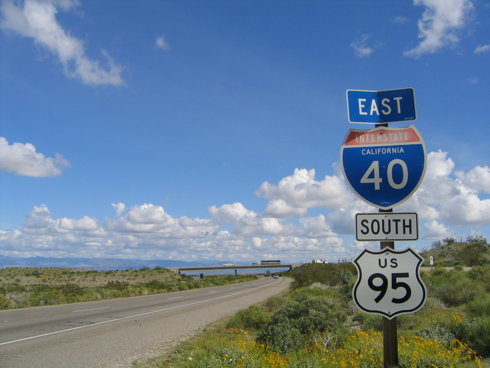
Eastbound Interstate 40 (Needles Freeway) reaches Exit 133, U.S. 95 north to Searchlight, Laughlin, and Las Vegas and U.S. 66 west to Goffs (two miles). U.S. 66 is not mentioned on any of these approach signs, even through this is the interchange where the pre-1931 alignment rejoins Interstate 40. The old alignment pretty much follows the Interstate until the Business Loop I-40 interchange. Photos taken 03/30/07 and 02/20/05. |
|
|
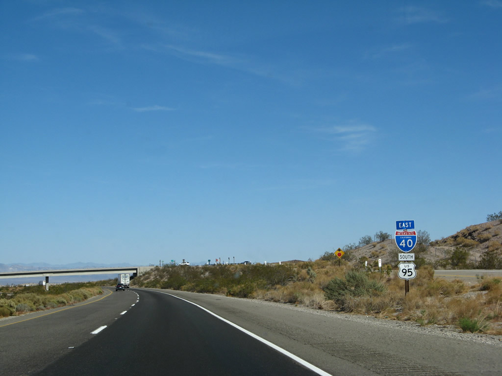
A reassurance shield assembly for Interstate 40 east and U.S. 95 south is posted immediately after the gore point for Exit 133. Note the replacement Interstate 40 shield, from original standards to new angular specifications. At least the state name was retained. Photos taken 03/30/07 and 02/20/05. |
|
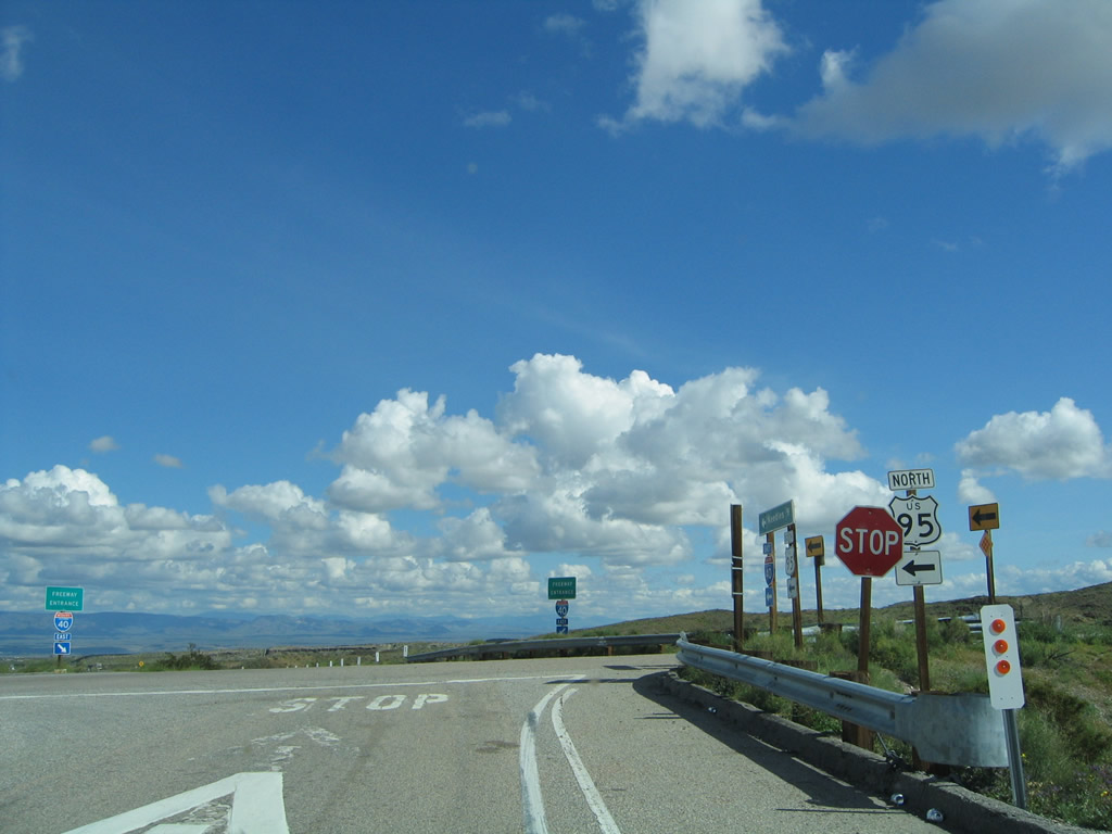
Now on the off-ramp for Exit 133, turn left to follow U.S. 95 north and U.S. 66 west to Searchlight and Nevada. Photo taken 02/20/05. |
|
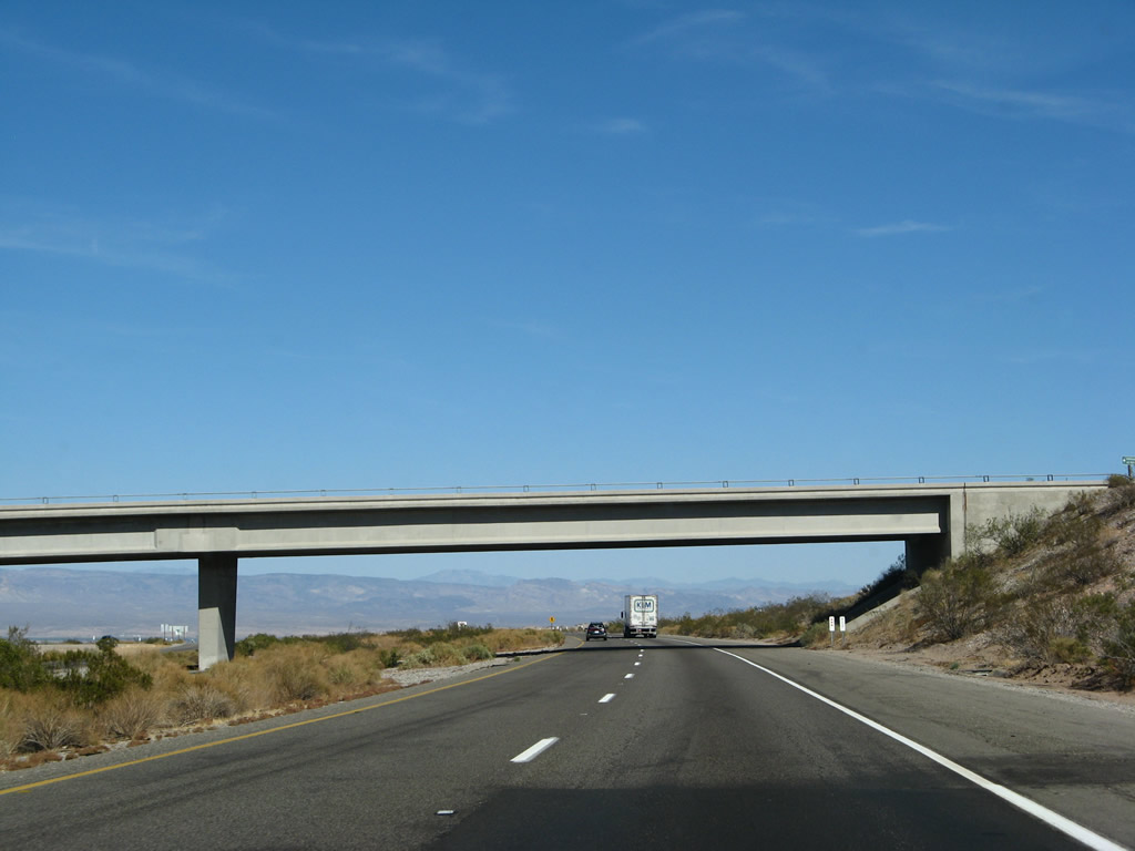
Back on the mainline, eastbound Interstate 40 passes under the U.S. 95 bridge. Photo taken 03/30/07. |
| Interstate 40 (Needles Freeway) east and U.S. 95 south |
|---|
|
|
Another set of reassurance shields for Interstate 40 east and U.S. 95 south are posted after the on-ramp from Exit 133. Photos taken 03/30/07 and 02/20/05. |
|
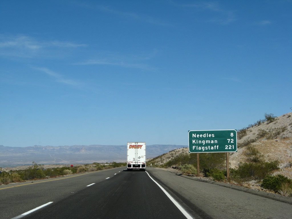
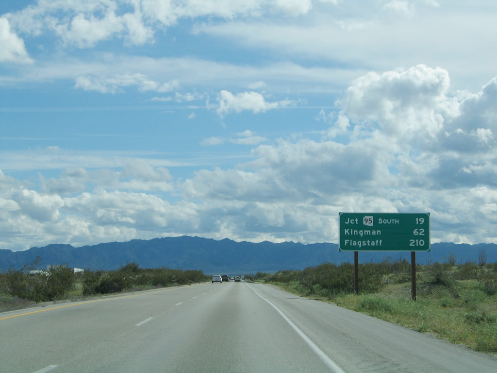
This mileage sign provides the distance to Needles (eight miles), Kingman (72 miles), and Flagstaff (221 miles). Photo taken 03/30/07. |
|
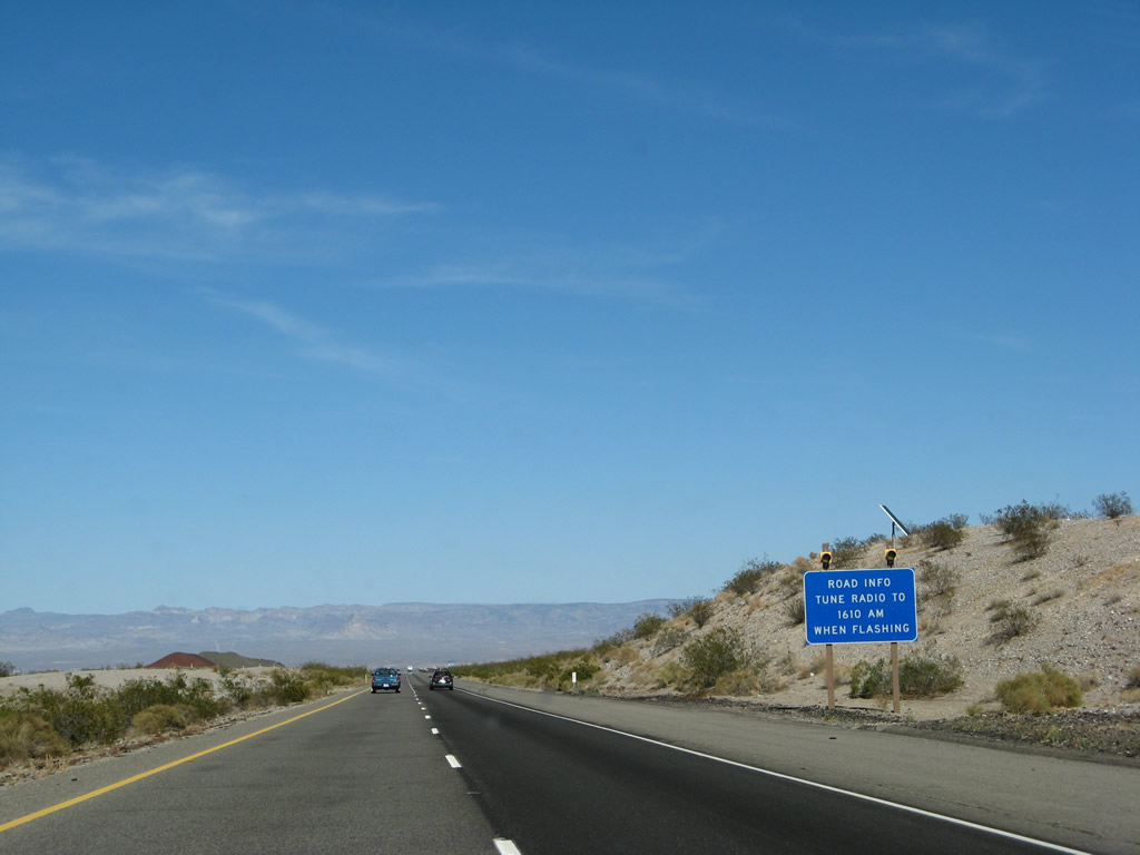
For motorist information, tune radio to AM 1610 when the lights are flashing. Photo taken 03/30/07. |
|
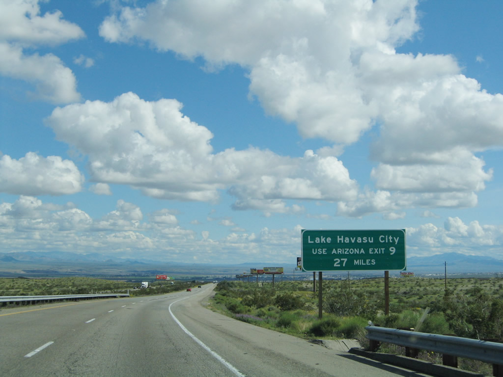
To Lake Havasu City, Arizona, follow Interstate 40 east to Exit 9, Arizona 95 south (27 miles from here). This was placed by the Arizona Department of Transportation by permit with Caltrans. Photo taken 02/20/05. |
|
Another Interstate 40 and U.S. 95 reassurance shield assembly is posted along eastbound. Photo taken 03/30/07. |
|
|
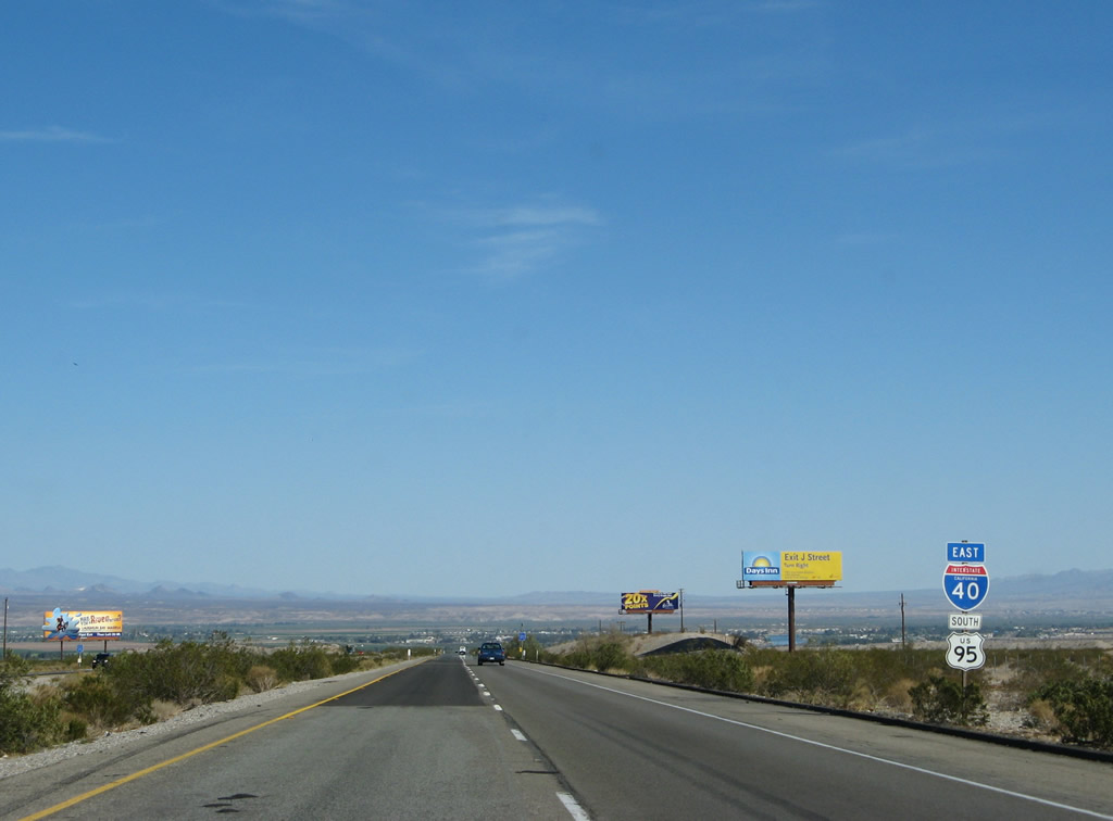
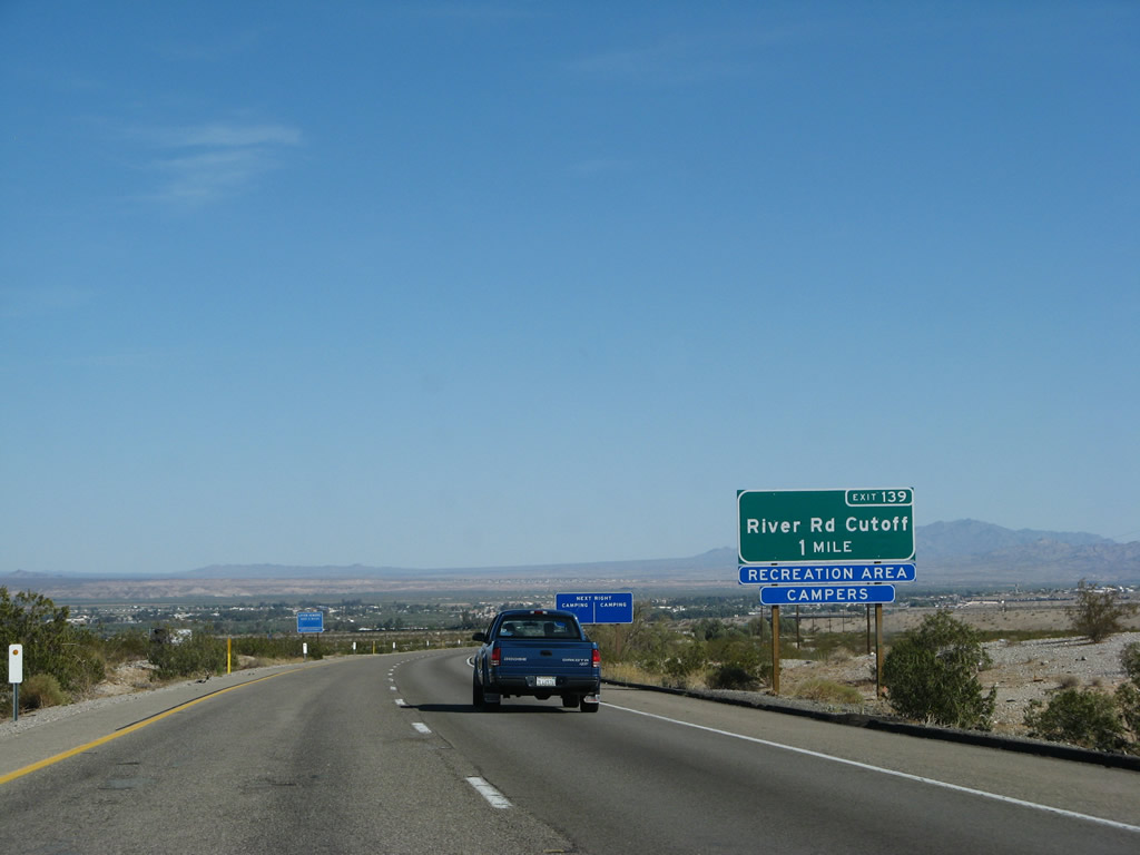
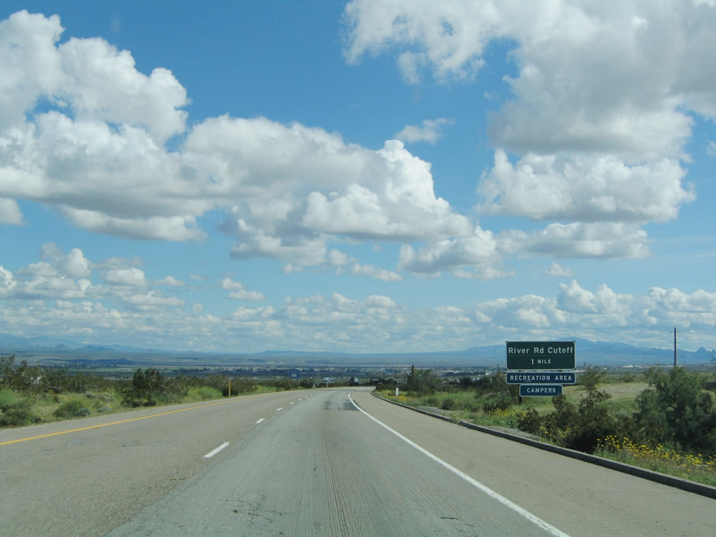
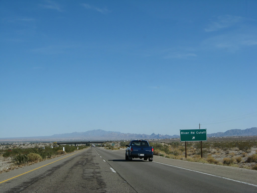
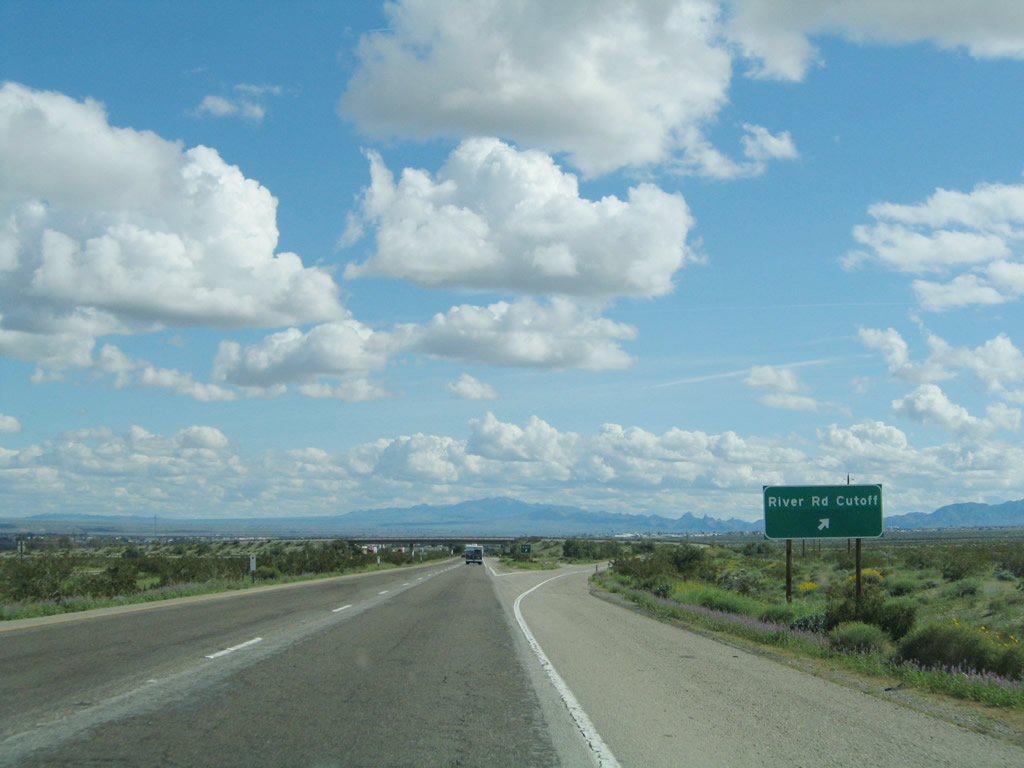
The next exit along Interstate 40 east and U.S. 95 south is Exit 139, U.S. 66 east and River Road Cutoff (Park Road) northeast (one mile). Use Park Road northeast to Needles Highway, which travels north to Laughlin along the east bank of the Colorado River north of Needles. An exit number sign was installed around 2007. Photos taken 03/30/07 and 02/20/05. |
|
|
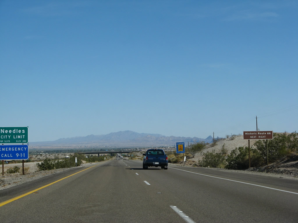
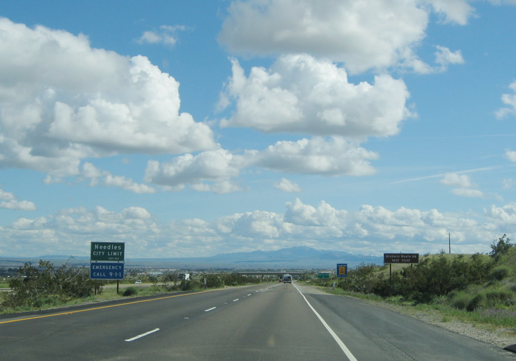
Interstate 40, U.S. 66, and U.S. 95 enter the city of Needles, located in the Mojave Valley through which the Colorado River runs. Founded in 1883 with the coming of the railroad, and incorporated October 30, 1913, Needles had a population of 4,830 people as of the 2000 Census. A welcome oasis in the desert, all motorist services are available in Needles. For travelers coming south on U.S. 95, Needles is the first city since leaving Henderson, Nevada, near Las Vegas. For Interstate 40 and U.S. 66 travelers, this is the first city since leaving Barstow on the Interstate 15 corridor. Needles is known for its extreme summer temperatures, which can climb in excess of 120 degrees. Be mindful of this when traveling through the desert. Photos taken 03/30/07 and 02/20/05. |
|
|
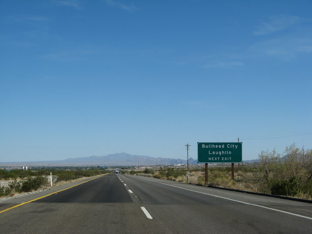
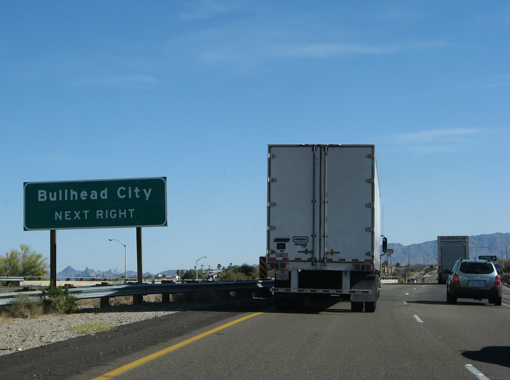
Eastbound Interstate 40 and southbound U.S. 95 reach Exit 139, U.S. 66/River Road Cutoff east. Immediately upon exiting, turn right to follow Old Historic U.S. 66 (National Trails Highway) east; continue straight to follow Park Road northeast to River Road. To Laughlin, use either Exit 139 (Park Road east) to Needles Highway north or Exit 141, Arizona 95 north via Bullhead City. Photos taken 03/30/07 and 02/20/05. |
|
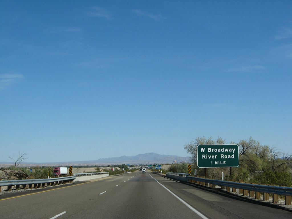
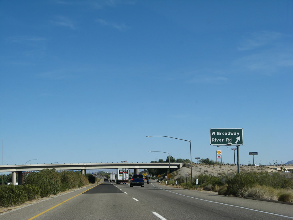
The next exit along Interstate 40 (Needles Freeway) east and U.S. 95 south is Exit 141, Business Loop I-40 and U.S. 66/Broadway east to Needles, with a link to Arizona 95 north to Bullhead City and Laughlin via a Colorado River bridge along K Street and Harbor Avenue. This interchange also serves River Road and Needles Highway north. Photo taken 03/30/07. |
|
U.S. 66 follows a winding path through the city of Needles. It departed Interstate 40 at Exit 139, crosses the freeway at Exit 141 to become West Broadway (Arch Street), makes a series of turns as it passes through town, and reconnects with Interstate 40 and U.S. 95 at Exit 144. Photo taken 03/30/07. |
|
Various Colorado River access points, with boat launches, camping, and other recreational opportunities, line River Road north of this interchange. Photo taken 03/30/07. |
|
Eastbound Interstate 40 (Needles Freeway) and southbound U.S. 95 approach Exit 141, Business Loop I-40 and U.S. 66/Broadway east to Needles, Needles Highway and River Road north, and Arizona 95 to Laughlin (one mile). Photo taken 03/30/07. |
|
The next three exits along Interstate 40 (Needles Freeway) east and U.S. 95 south serve the city of Needles: Exit 141, Business Loop I-40 and U.S. 66/Broadway; Exit 142, J Street; and Exit 144, U.S. 95 south, Business Loop I-40 west, and U.S. 66/East Broadway. Photo taken 03/30/07. |
|
An interchange sequence sign provides the distance to the next three exits, all of which serve Needles. Photo taken 03/30/07. |
|
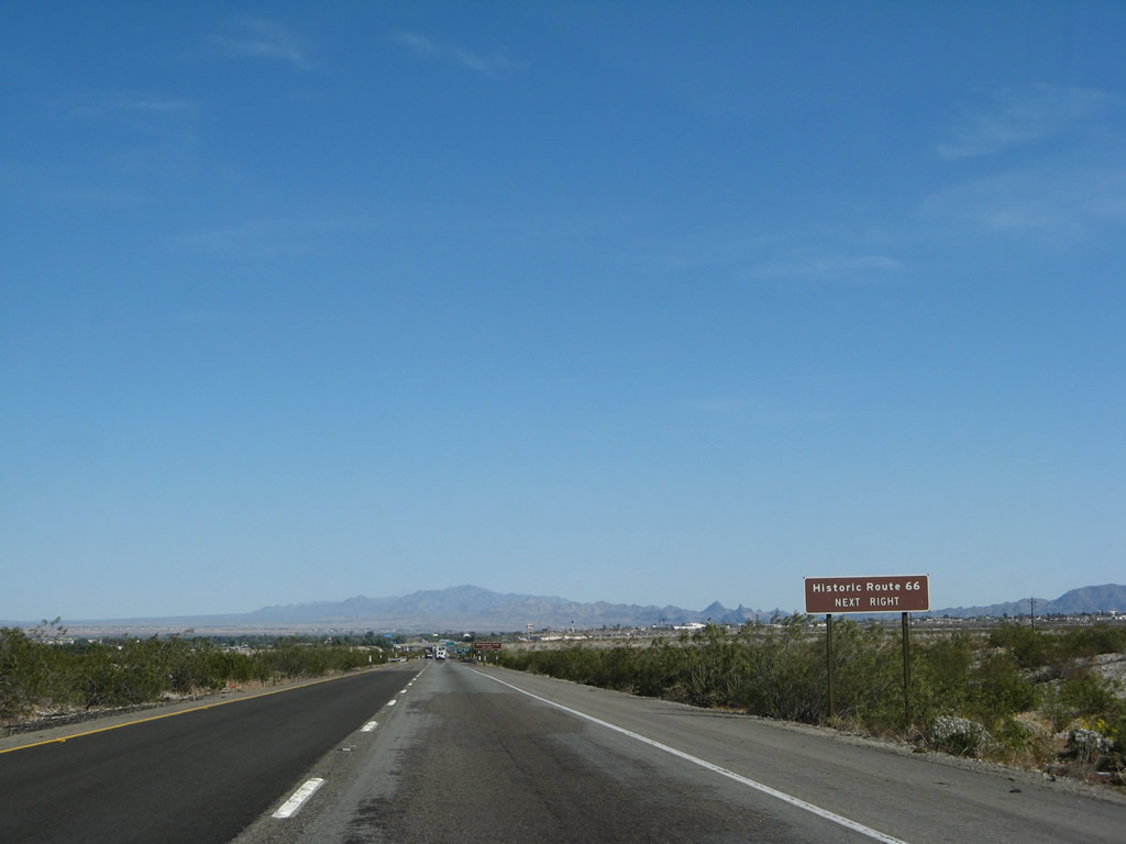
Business Loop I-40 follows Historic U.S. 66/Broadway east through Needles. It is generally well-signed, with some reassurance shields dating back to when business route was first commissioned. Photo taken 02/20/05. |
|
Eastbound Interstate 40 (Needles Freeway) and southbound U.S. 95 meet Exit 141, Business Loop I-40 and U.S. 66/Broadway east to Needles, with a link to Arizona 95 north to Bullhead City and Laughlin via a Colorado River bridge along K Street and Harbor Avenue. Photo taken 03/30/07. |
|
The ramp to Exit 141 is a loop ramp, meaning that a right turn goes north and a left turn goes southeast. At the end of the off-ramp to Exit 141 is this sign, advising a right turn to Laughlin (via River Road and Needles Highway) and a left turn to Needles and Bullhead City (via Arizona 95). A brown Historic U.S. 66 trailblazer is posted, but unposted is a Business Loop I-40 trailblazer. Turn left to follow the business loop into Needles. Photo taken 02/20/05. |
|
A reassurance shield for Interstate 40 east and U.S. 95 south is posted after the on-ramp from West Broadway and River Road. Photo taken 03/30/07. |
|
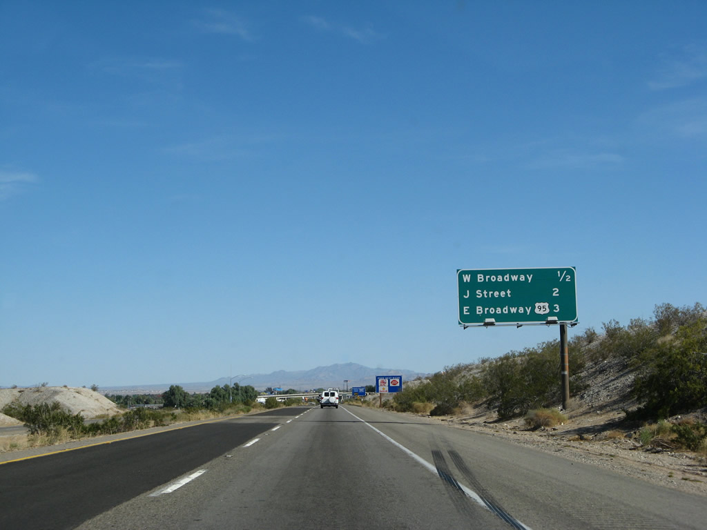
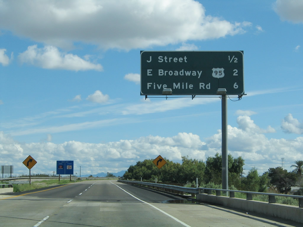
The next exit along Interstate 40 east and U.S. 95 south is Exit 142, J Street (one mile). J Street travels north into downtown Needles, where it meets Business Loop I-40 and U.S. 66/Broadway. Around this point, Interstate 40 turns southeast to follow the Colorado River toward Park Moabi and Topock. Photo taken 02/20/05. |
|
The next three exits along Interstate 40 (Needles Freeway) east and U.S. 95 south are: Exit 142, J Street; Exit 144, U.S. 95 south, Business Loop I-40 west, and U.S. 66/East Broadway; and Exit 148, Historic U.S. 66 (Five Mile Road). Photo taken 02/20/05. |
|
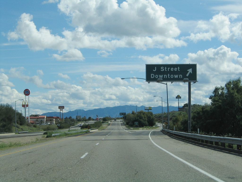
Use J Street north to downtown, then follow the trailblazer signs to the Arizona 95/Harbor Boulevard bridge to Mohave Valley and Bullhead City. Photo taken 03/30/07. |
|
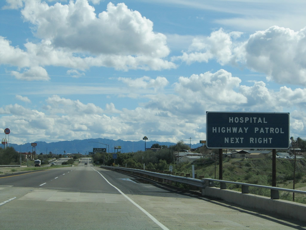
A hospital and the California Highway Patrol are located off the freeway via Exit 142, J Street in Needles. Photo taken 02/20/05. |
|
Eastbound Interstate 40 (Needles Freeway) and southbound U.S. 95 meet Exit 142, J Street. Photo taken 02/20/05. |
|
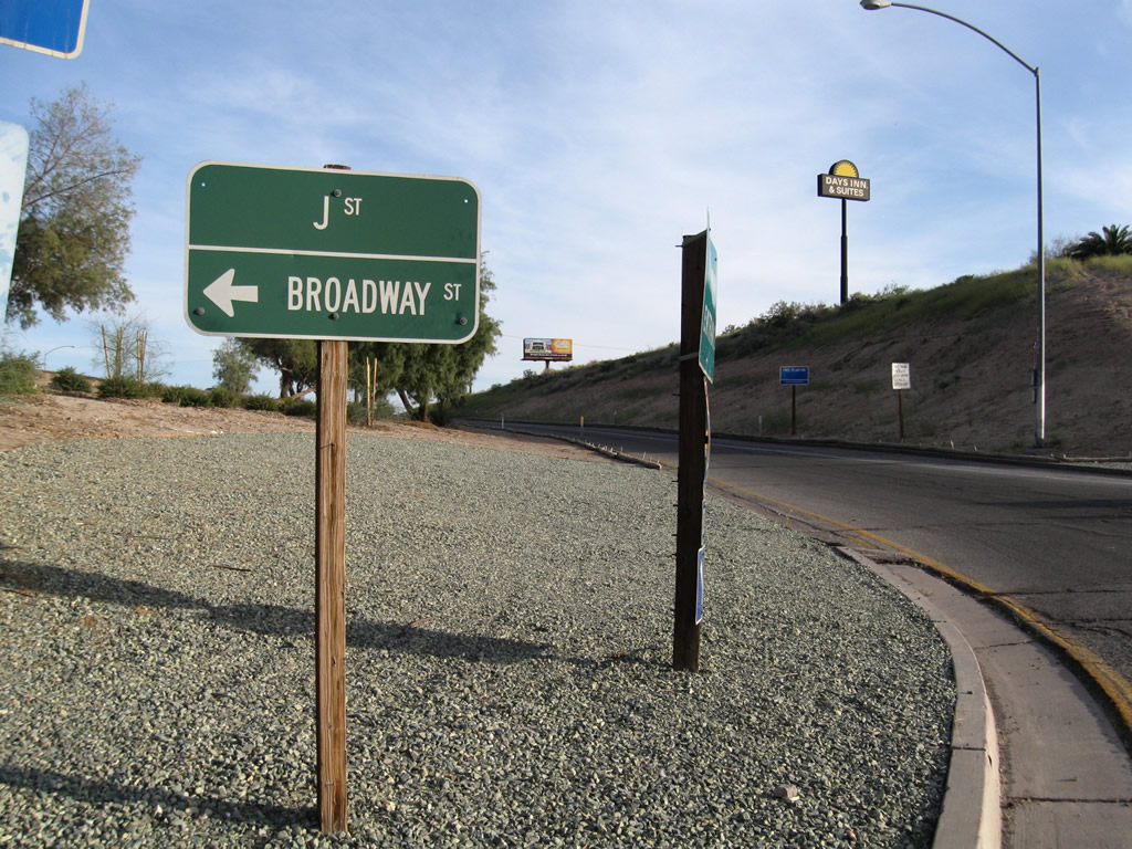
At the bottom of the ramp to Exit 142, this tiny sign indicates that J Street turns north to a connection with Broadway Street, which is Business Loop I-40 and U.S. 66. Photo taken 03/14/09. |
|
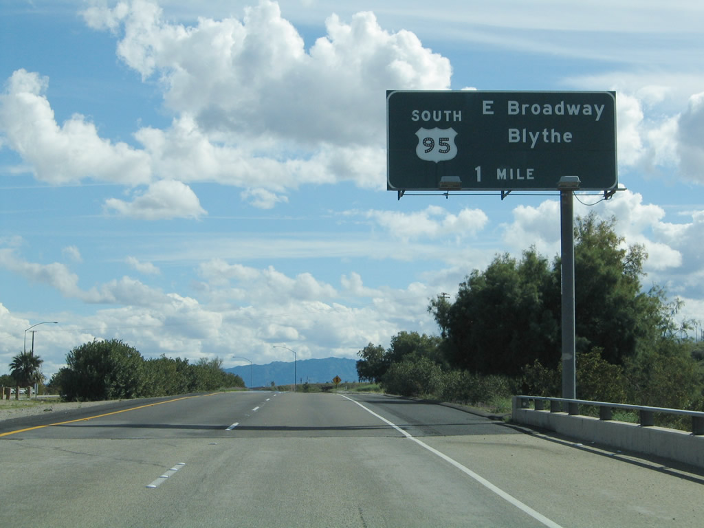
The next exit along Interstate 40 (Needles Freeway) east and U.S. 95 south is Exit 144, U.S. 95 south, Business Loop I-40 west, and U.S. 66/East Broadway. This is the final Needles interchange. Photo taken 02/20/05. |
|
This reassurance shield assembly only shows Interstate 40 east and omits U.S. 95 south. Photo taken 03/30/07. |
|
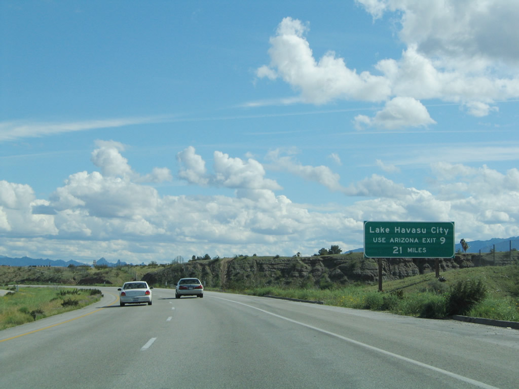
Another sign indicates that traffic to Lake Havasu City, Arizona, should continue east along Interstate 40 to Exit 9, Arizona 95 south. This signage is to allay confusion between U.S. 95 and Arizona 95, since there is no access to Lake Havasu City from U.S. 95. Photo taken 02/20/05. |
|
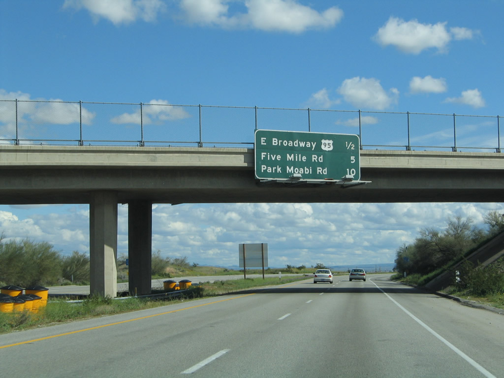
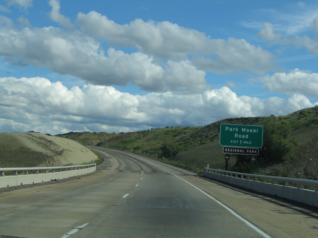
The final three California exits along Interstate 40 east are: Exit 144, U.S. 95 south, Business Loop I-40 west, and U.S. 66/East Broadway; Exit 148, Historic U.S. 66 (Five Mile Road); and Exit 153, Park Moabi Road. Photo taken 02/20/05. |
|
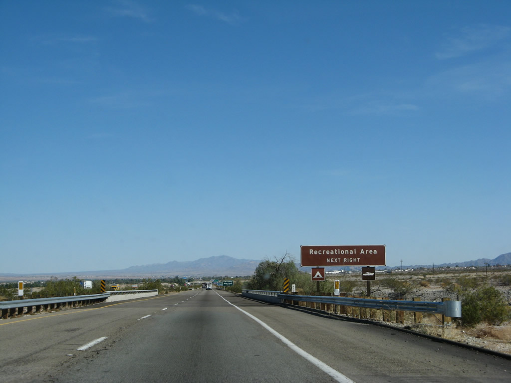
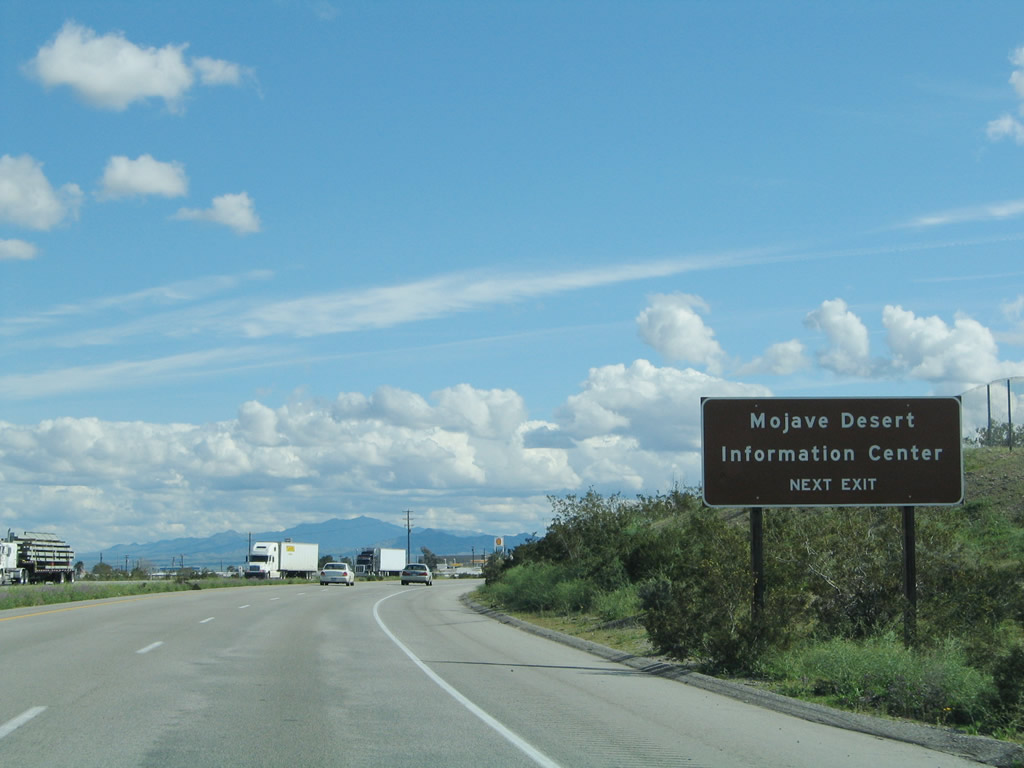
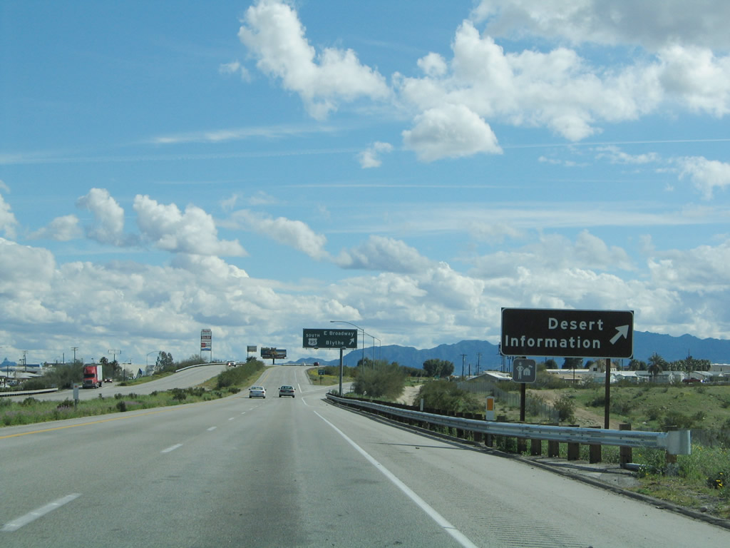
The Mojave Desert Information Center is located off the freeway at Exit 144; visit here for maps and attractions in the Mojave Desert. Photo taken 02/20/05. |
|
Another Desert Information sign is posted prior to the gore point for Exit 144. Photo taken 02/20/05. |
|
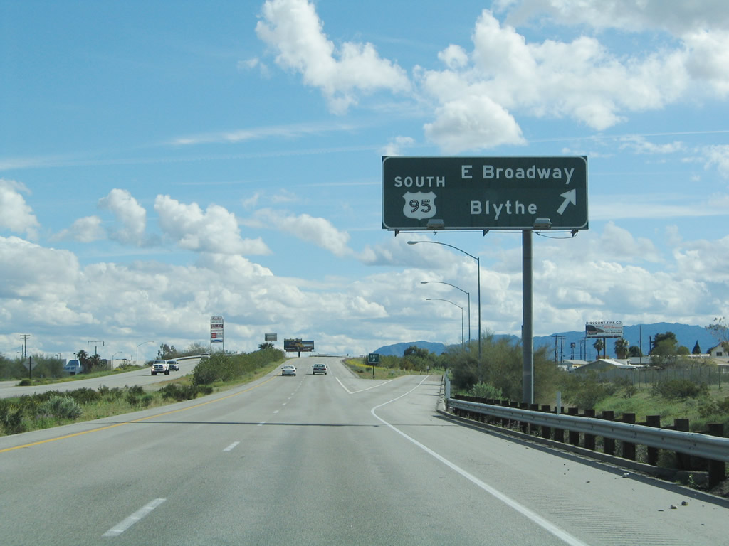
Interstate 40 east and U.S. 95 south split at Exit 144, U.S. 95 south. At this interchange, Business Loop I-40 and U.S. 66/East Broadway travel west back toward downtown Needles. U.S. 66 east, meanwhile, follows U.S. 95 south, then cuts east again via Five Mile Road to Interstate 40. At this interchange, the continuation of Arizona 95 joins the freeway. The state route will appear on an upcoming mileage sign and is cosigned with Interstate 40 upon crossing the Colorado River. Caltrans declined to cosign the route in California citing confusion with U.S. 95. Photo taken 02/20/05. |
| Interstate 40 east (and Arizona 95 south) |
|---|
|
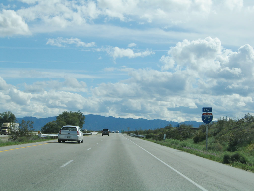
This reassurance shield assembly for Interstate 40 east is posted after the U.S. 95 south interchange. Photo taken 02/20/05. |
|
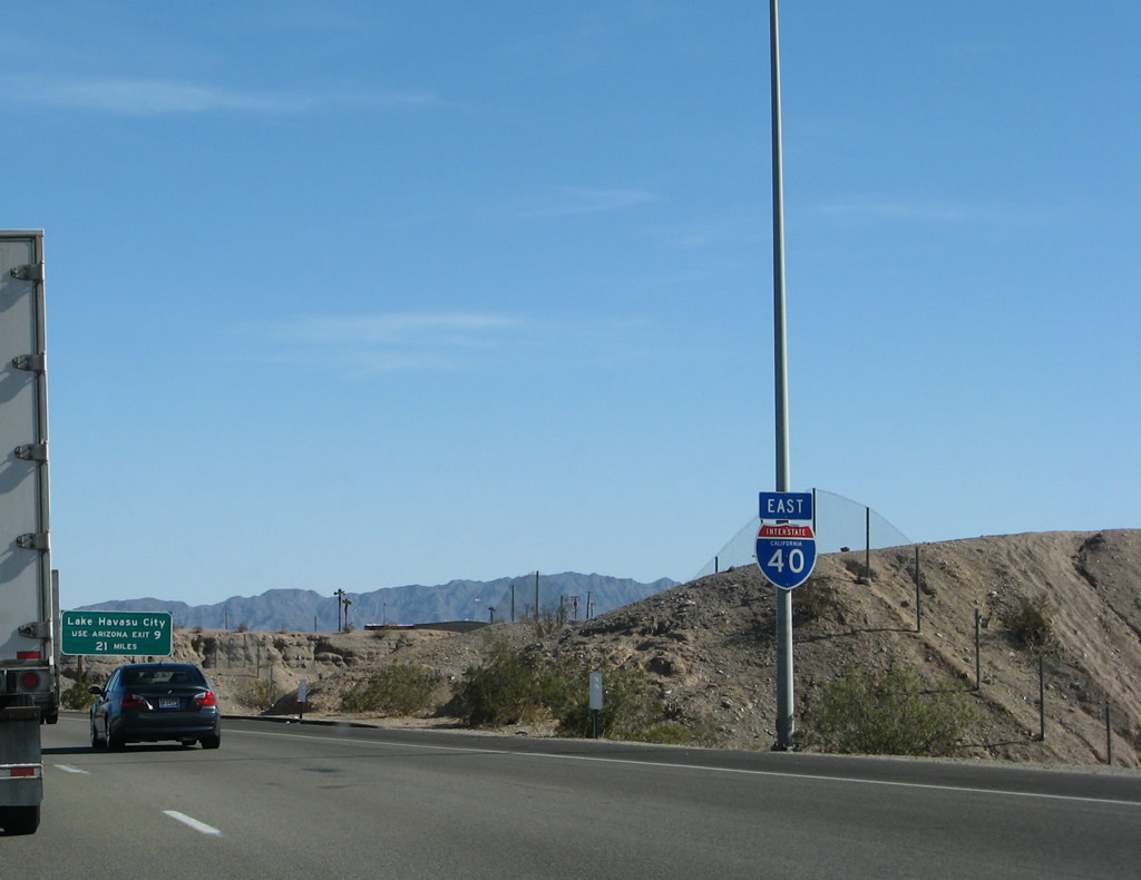
A mileage sign provides the distance to Exit 9, Arizona 95 south; Kingman; and Flagstaff. Photo taken 02/20/05. |
|
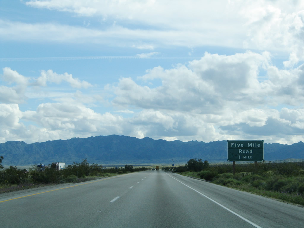
The next exit along Interstate 40 east is Exit 148, Historic U.S. 66 (Five Mile Road) (one mile). Photo taken 02/20/05. |
|
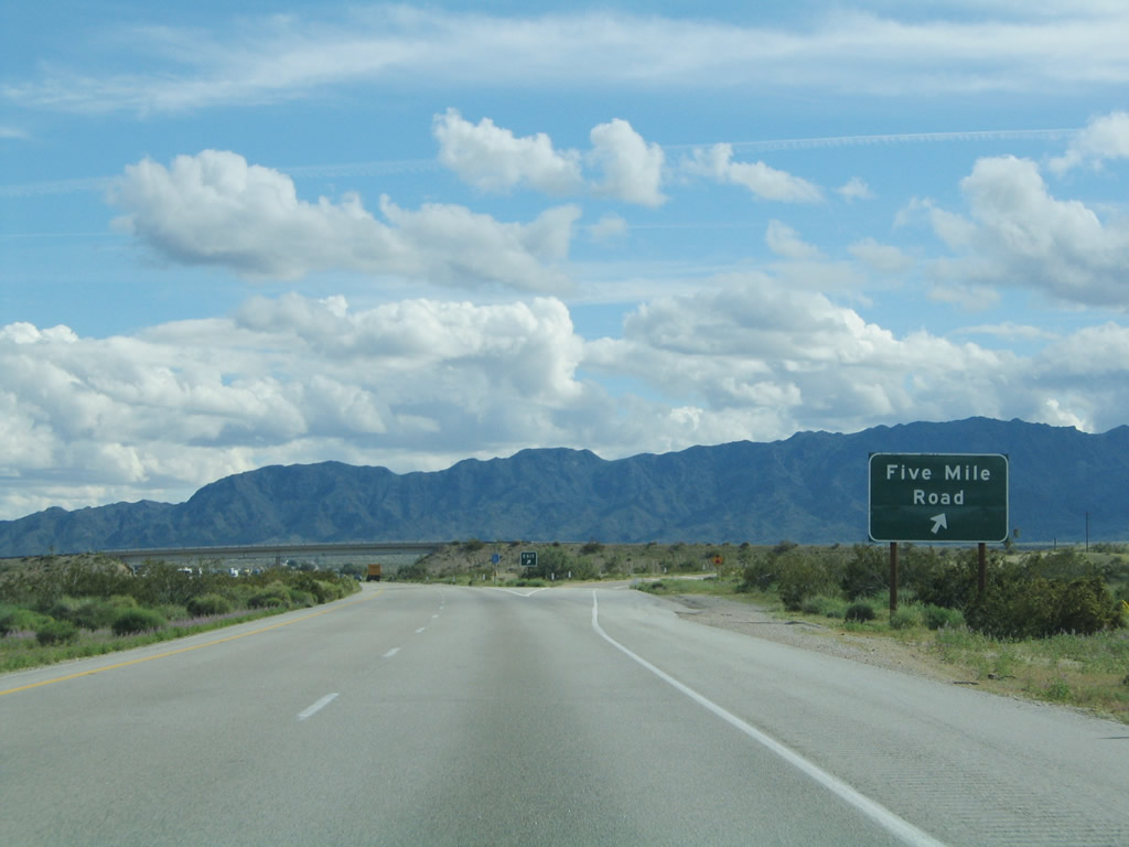
Eastbound Interstate 40 (and southbound Arizona 95) meets Exit 148, Historic U.S. 66 (Five Mile Road). This interchange connects to two old alignments of U.S. 66, one northeast of the freeway and one southwest of the freeway. Neither is a fast route. Photo taken 02/20/05. |
|
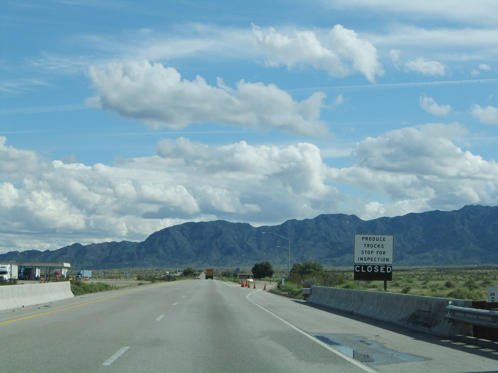
A truck/produce inspection station located after the Five Mile Road off-ramp was closed at the time this photo was taken. Photo taken 02/20/05. |
|
An Interstate 40 east reassurance shield is posted shortly thereafter. Photo taken 03/30/07. |
|
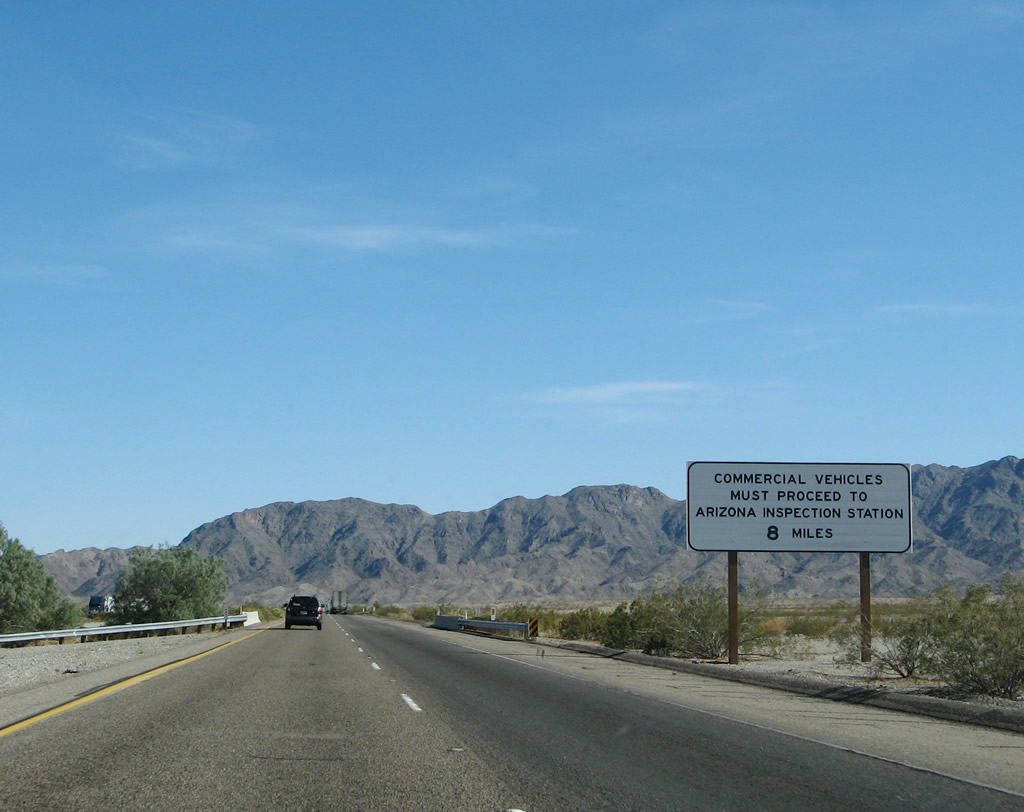
The Arizona Port of Entry and Truck Inspection Station is located across the Colorado River about eight miles ahead. All trucks must stop there. This sign was placed by the Arizona Department of Transportation. Photo taken 03/30/07. |
|
This view looks southeast toward the Chemehuevi Mountains. Photo taken 02/20/05. |
|
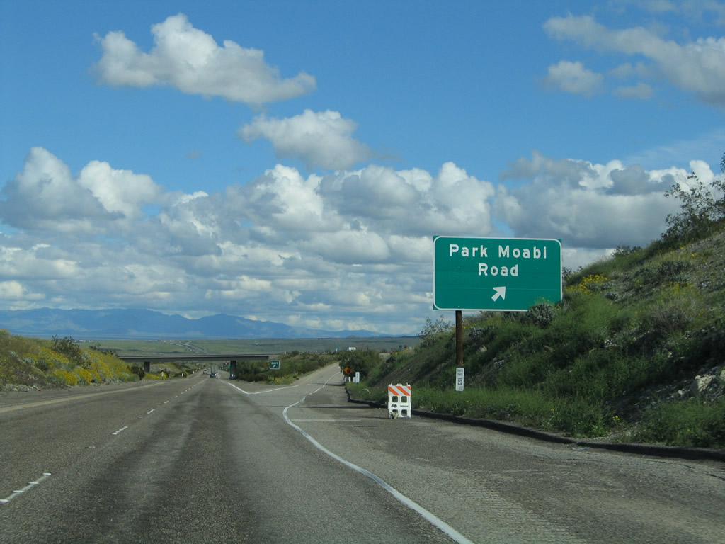
Crossing over an old alignment of U.S. 66, the final California exit along Interstate 40 east is Exit 153, Park Moabi Road. Photo taken 02/20/05. |
|
Use Park Moabi Road north to Historic U.S. 66/National Old Trails Highway. The old road leads east to the Colorado River's east bank, but it does not cross into Arizona. So aside from viewing the old highway bridge over the Colorado River (now in use for natural gas utilities) or looking at the newer Interstate 40 bridge, this exit does not provide a through route along U.S. 66 east into Arizona. Stay on Interstate 40 to Exit 1 for access to U.S. 66 east to Golden Shores and Oatman in Arizona. Photo taken 02/20/05. |
|
Eastbound Interstate 40 (and Arizona 95 south) meets Exit 153, Park Moabi Road to Historic U.S. 66. Continue straight to cross the Colorado River into Arizona. Photo taken 02/20/05. |
|
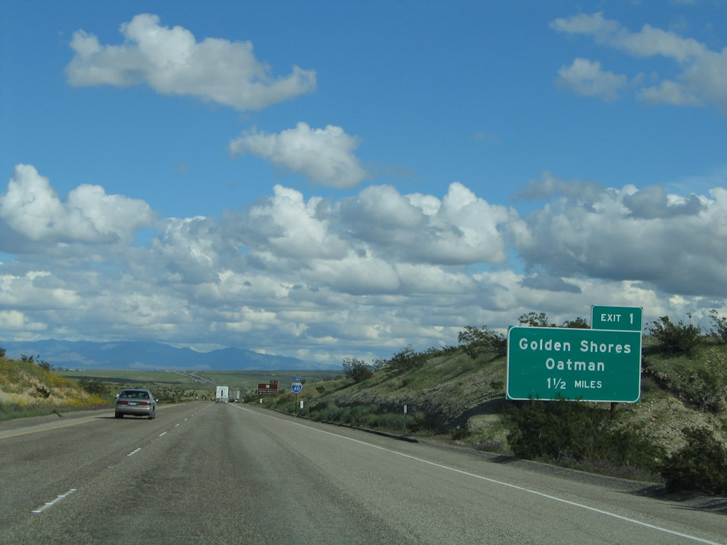
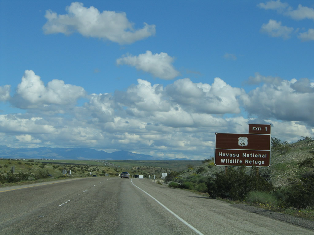
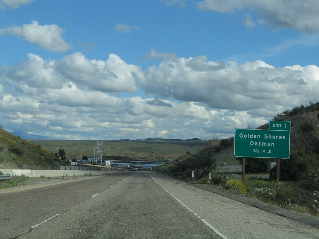
The next exit along Interstate 40 east is Exit 1, Historic U.S. 66/Oatman-Topock Highway northeast to Topock, Golden Shores, and Oatman. Exit 1 was the former route of Arizona 95 north before it was shifted into California via Needles; today that route is locally maintained as Mohave County Route 66 and Mohave County Route 227. Photo taken 02/20/05. |
|
A final Interstate 40 California reassurance shield is posted shortly thereafter. Photo taken 02/20/05. |
|
U.S. 66's historic route through Arizona is fairly well signed with brown U.S. 66 shields such as the one seen on this guide sign. Most of the rural route of U.S. 66 in San Bernardino County was not signed (except when painted on the pavement of the road). Use Exit 1 to Havasu National Wildlife Refuge south of the freeway. Photo taken 02/20/05. |
|
Eastbound Interstate 40 approaches Exit 1, Oatman-Topock Highway (Mohave County Route 66). Photo taken 02/20/05. |
|
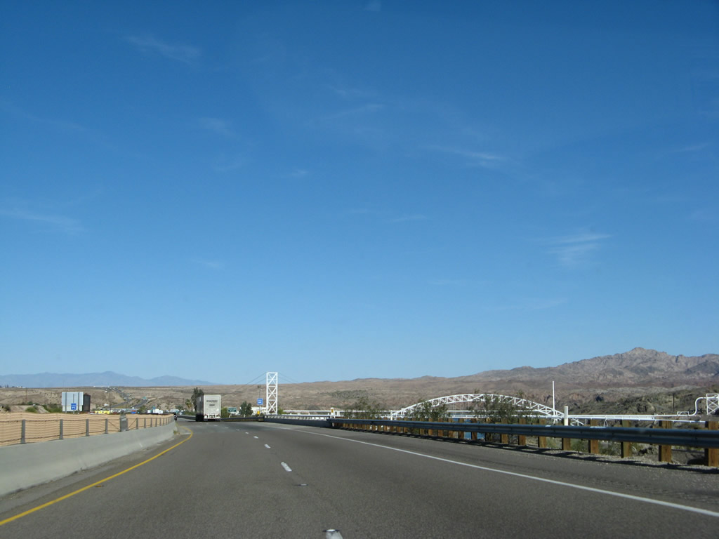
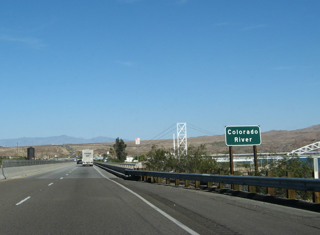
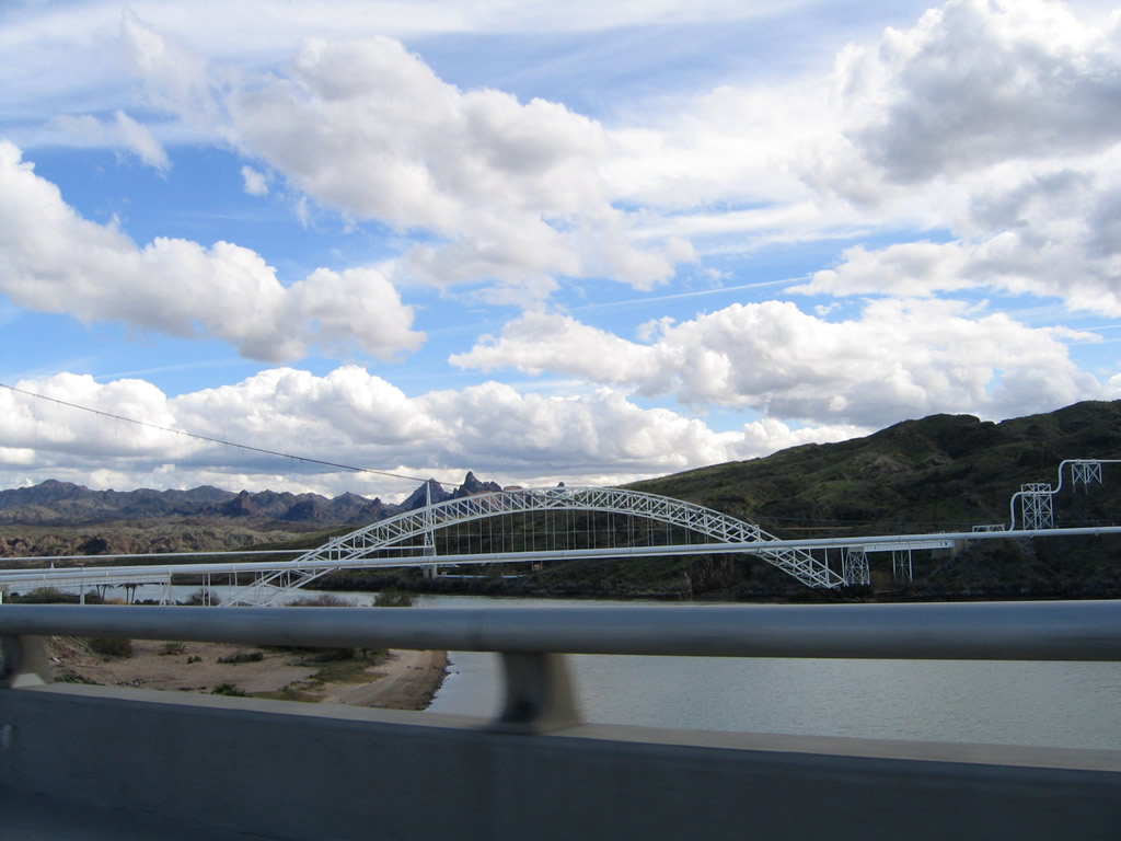
A series of bridges crosses the Colorado River, but only one is for highway travel (Interstate 40). Another bridge carries the railroad over the river, while two other bridges (both seen to the south of Interstate 40) carry natural gas pipelines over the river. One of these lines used to function as the U.S. 66 highway bridge before being converted to a pipeline bridge. Photo taken 03/30/07. |
|
|
Interstate 40 crosses the Colorado River on this 1967 bridge. Photo taken 03/30/07. |
|
|
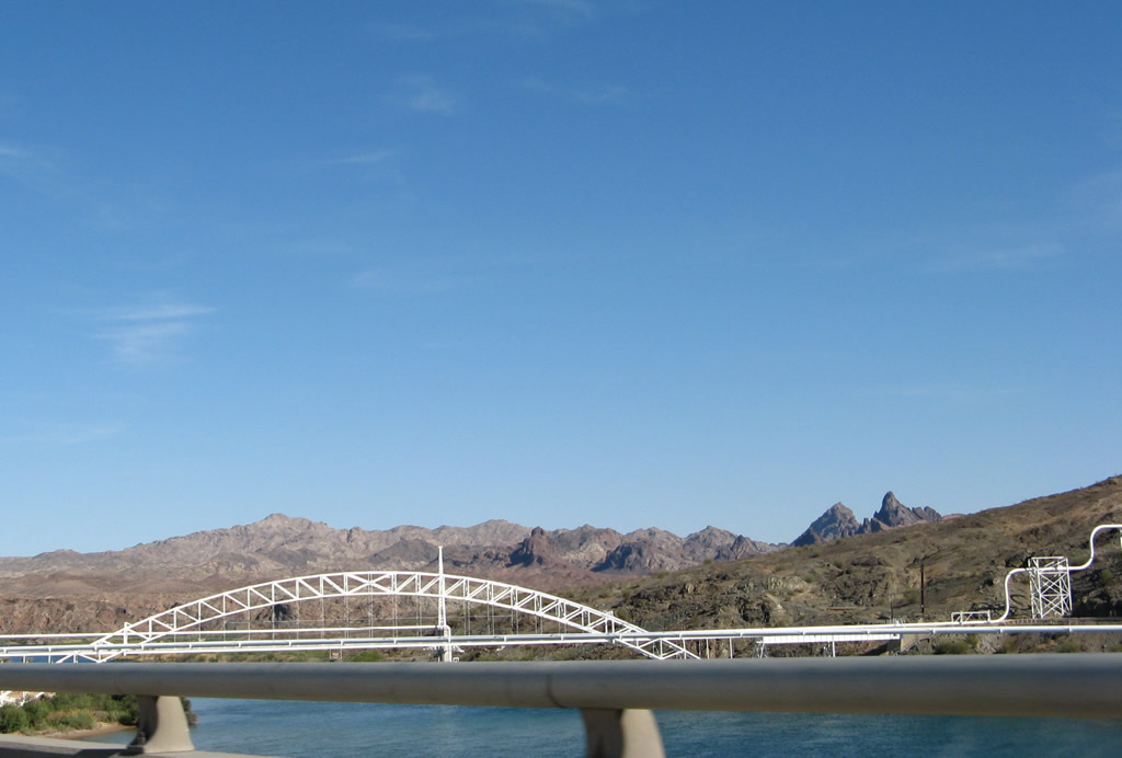
Looking south from Interstate 40, the white arch bridge that carries natural gas pipes across the Colorado River used to serve as the U.S. 66 highway bridge over the river. Photos taken 03/30/07 and 02/20/05. |
Page Updated July 5, 2009.