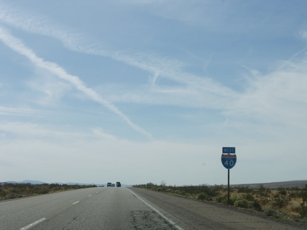
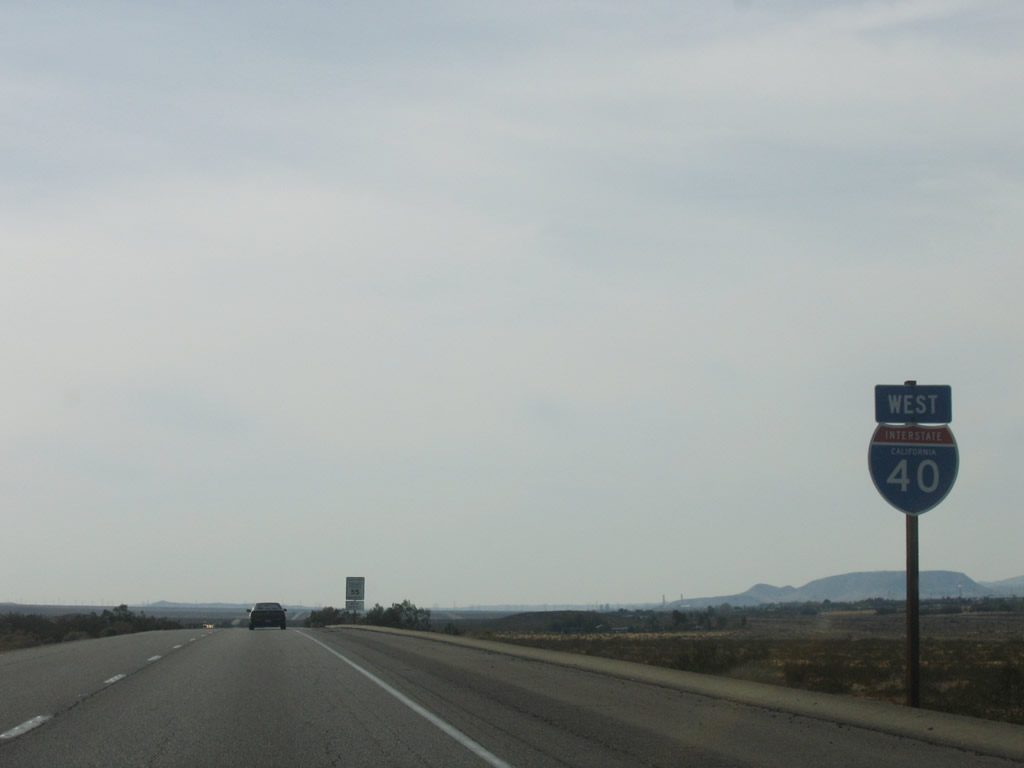
| Interstate 40 (Needles Freeway) west |
|
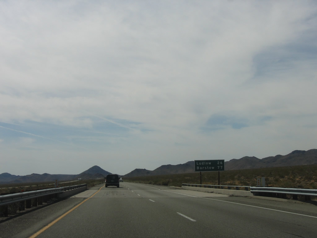
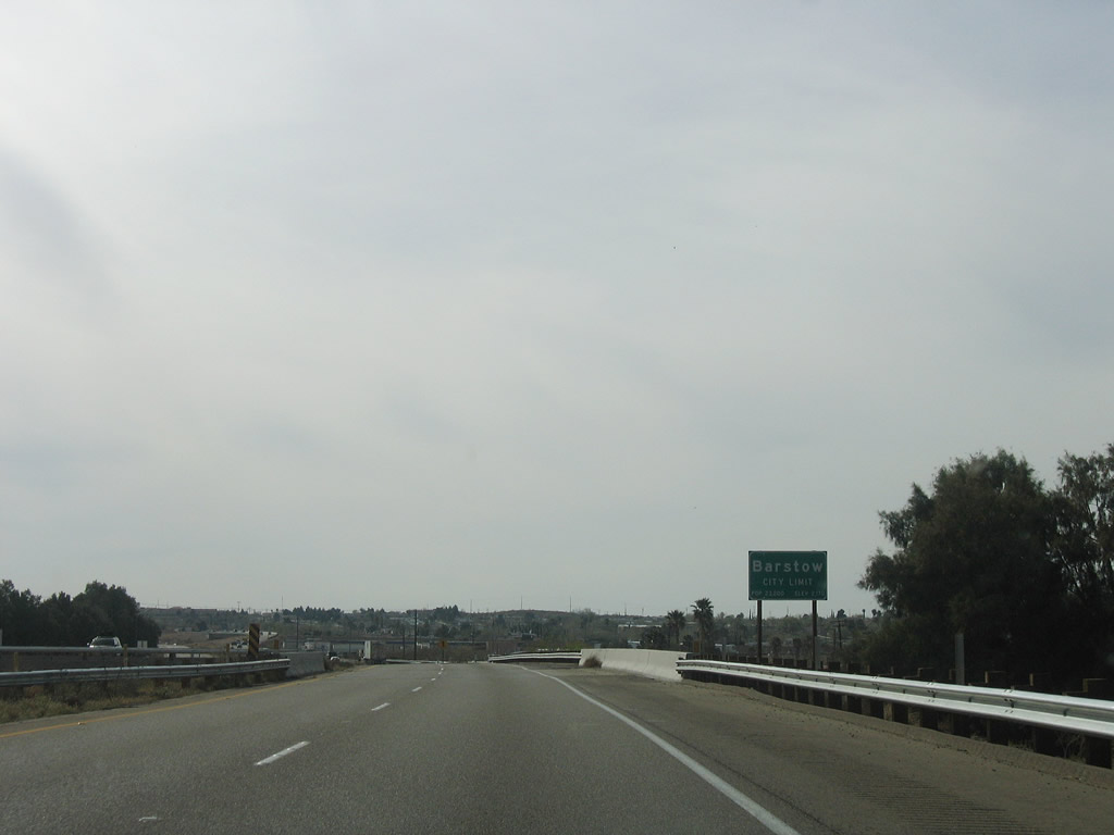
This mileage sign along westbound provides the distance to Ludlow (26 miles) and Barstow (77 miles). Even though most signs indicate the control city as Los Angeles, Interstate 40 ends far short of that city, as its current terminus is in Barstow. Photo taken 02/16/04. |
|
|
|
|
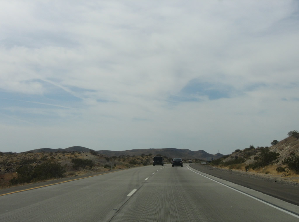
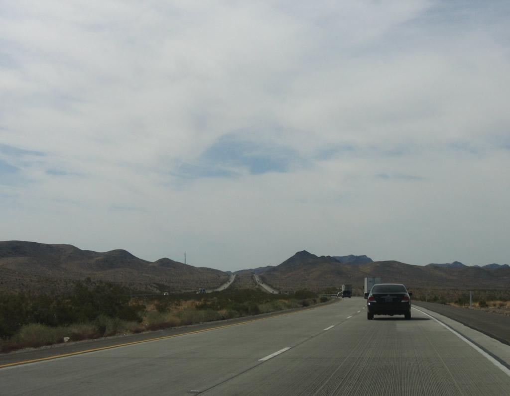
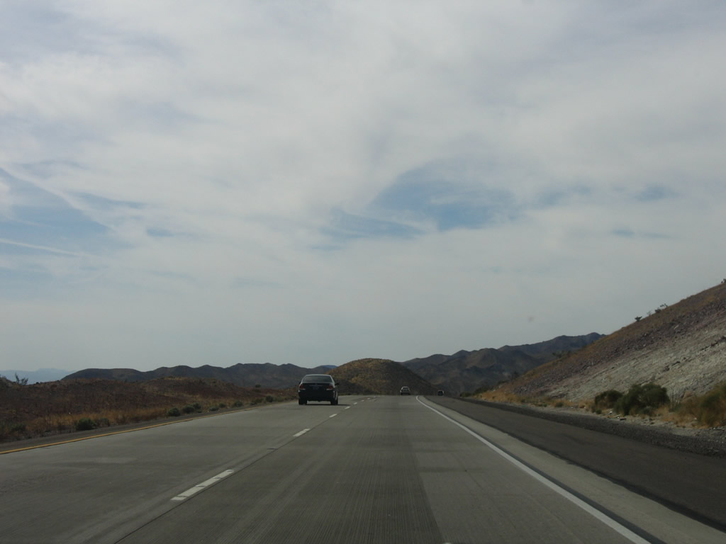
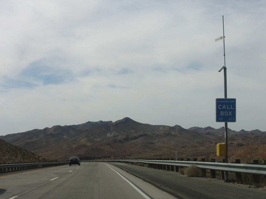
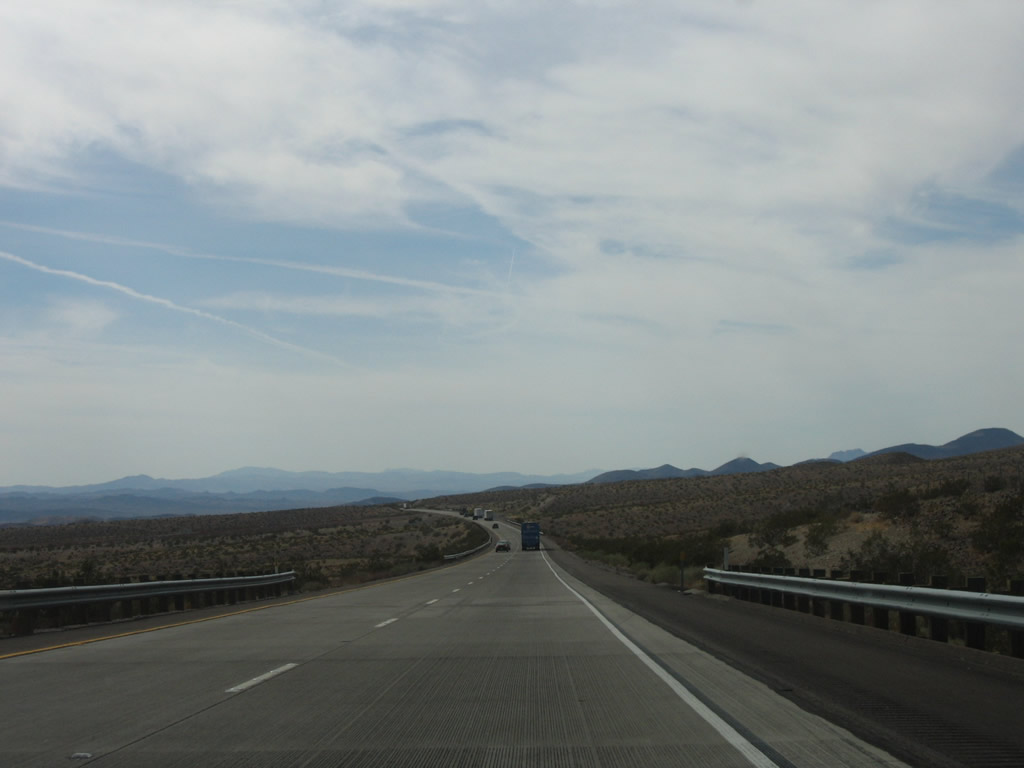
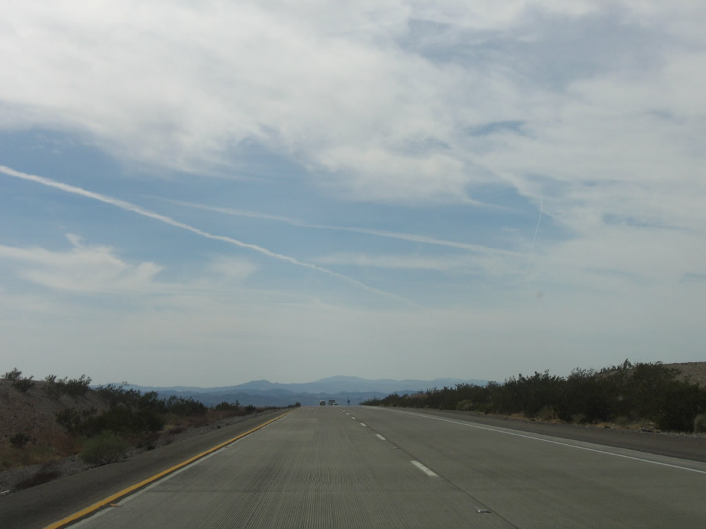
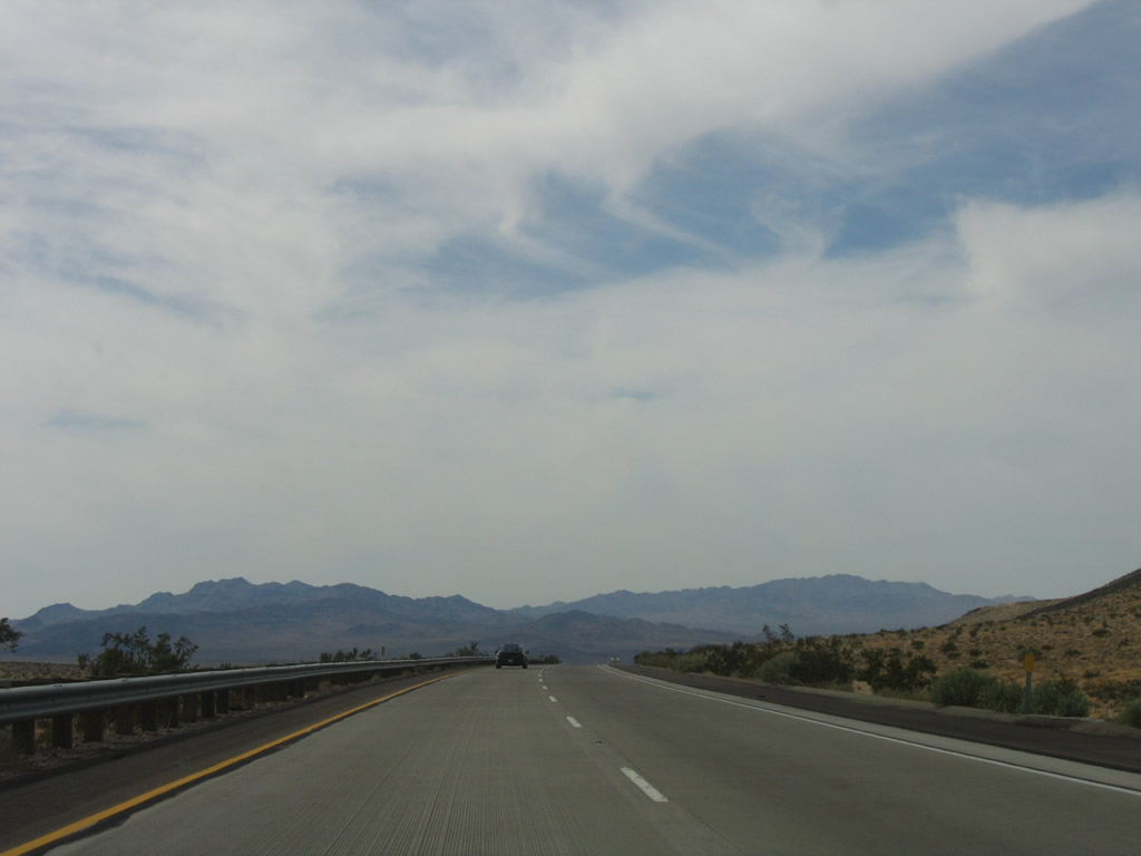
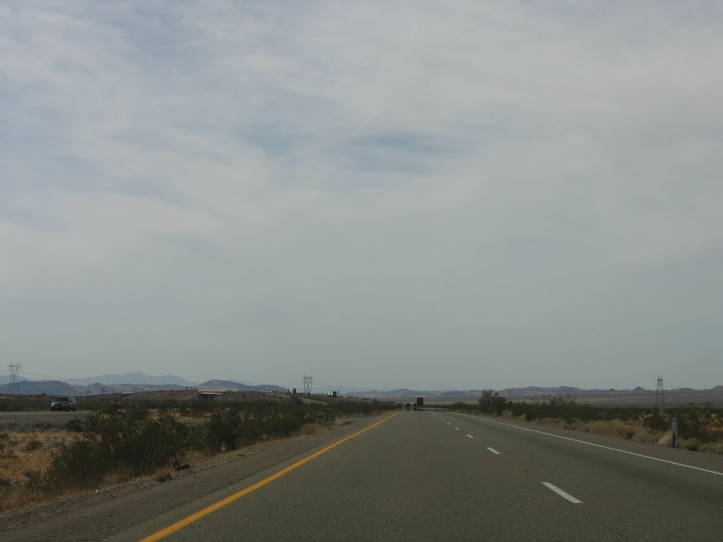
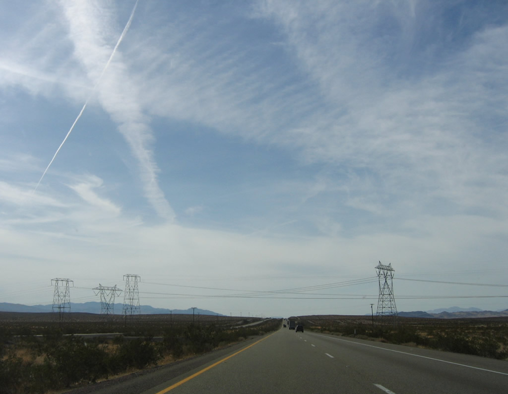
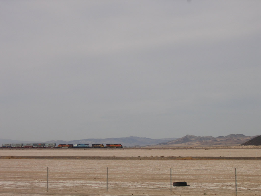
This suite of photos follows Interstate 40 west through the Mojave Desert between the Kelbaker Road interchange (Exit 78) and the Ludlow interchange (Exit 50, U.S. 66). The two carriageways (westbound and eastbound) separate by almost a mile as the freeway passes through the rugged Bristol Mountains. Photos taken 04/02/06. |
|
|
|
|
|
|
|
|
|
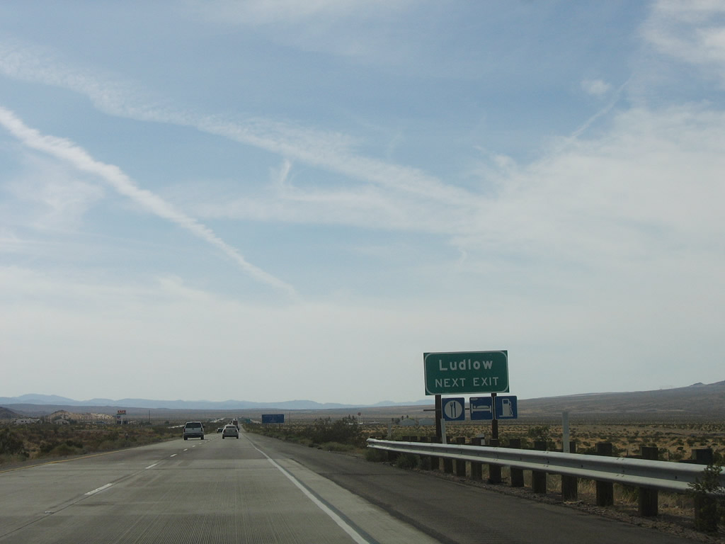
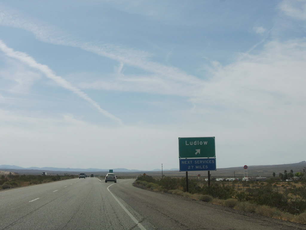
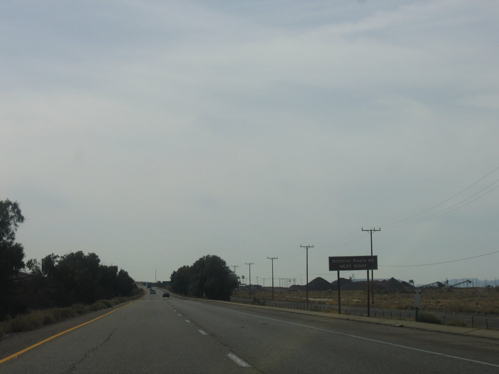
The next exit along Interstate 40 is Exit 50, U.S. 66 in Ludlow. This interchange connects Interstate 40 with one of the longest extant stretches of U.S. 66 left in California. The National Trails Highway heads east from here via Amboy, Chambless, and Essex before returning to the Interstate at Exit 107/Goffs Road. Photo taken 04/02/06. |
|
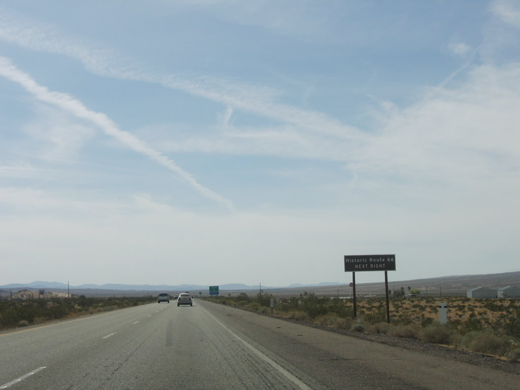
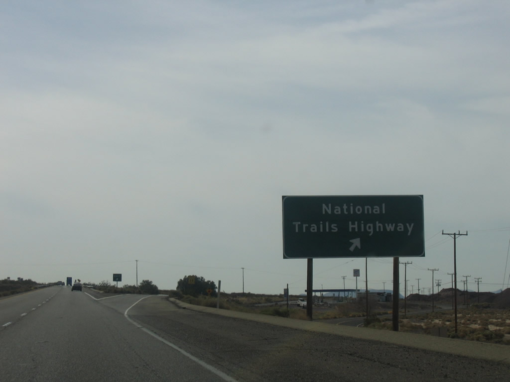
Exit 50 reconnects Interstate 40 to Historic U.S. 66, which follows the National Trails Highway through Essex and Amboy before returning to Interstate 40 at this interchange. Photo taken 04/02/06. |
|
Westbound Interstate 40 (Needles Freeway) reaches Exit 50, Historic U.S. 66 (National Trails Highway) to Ludlow. The next services, as indicated by the sign, are at Exit 23, Newberry Springs. Photo taken 04/02/06. |
|
An Interstate 40 reassurance shield is posted after the on-ramp from Exit 50. U.S. 66 will share alignment with Interstate 40 between Exits 50 and 33 as the original road is partially gravel and not passable. Photo taken 04/02/06. |
|
|
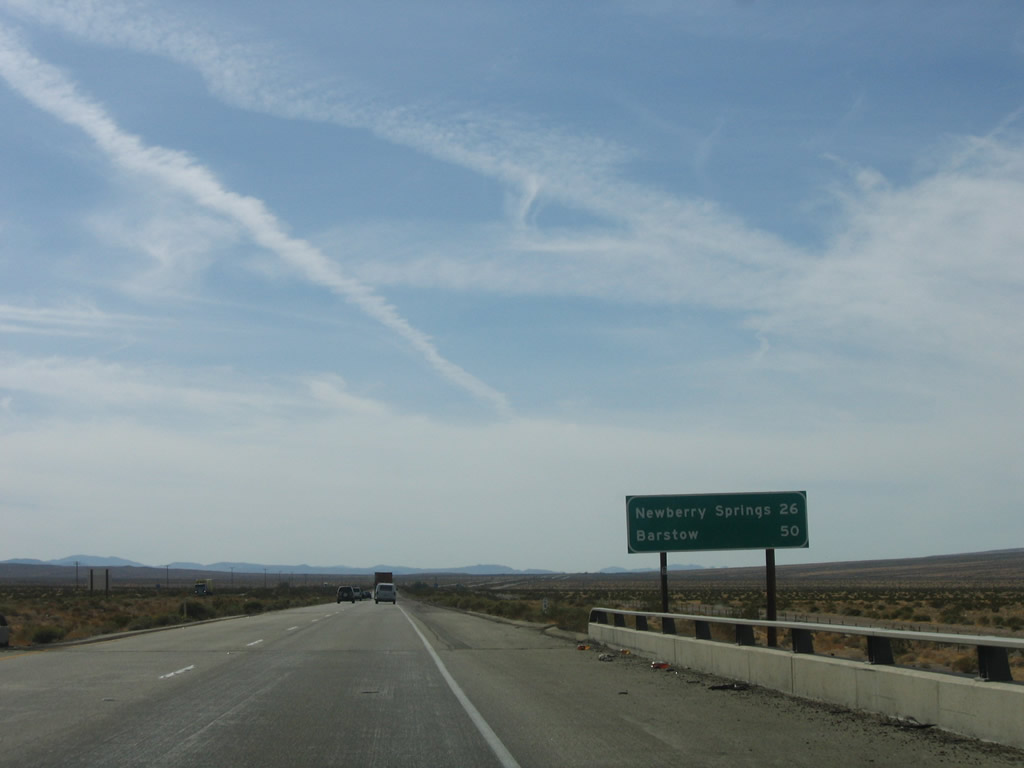
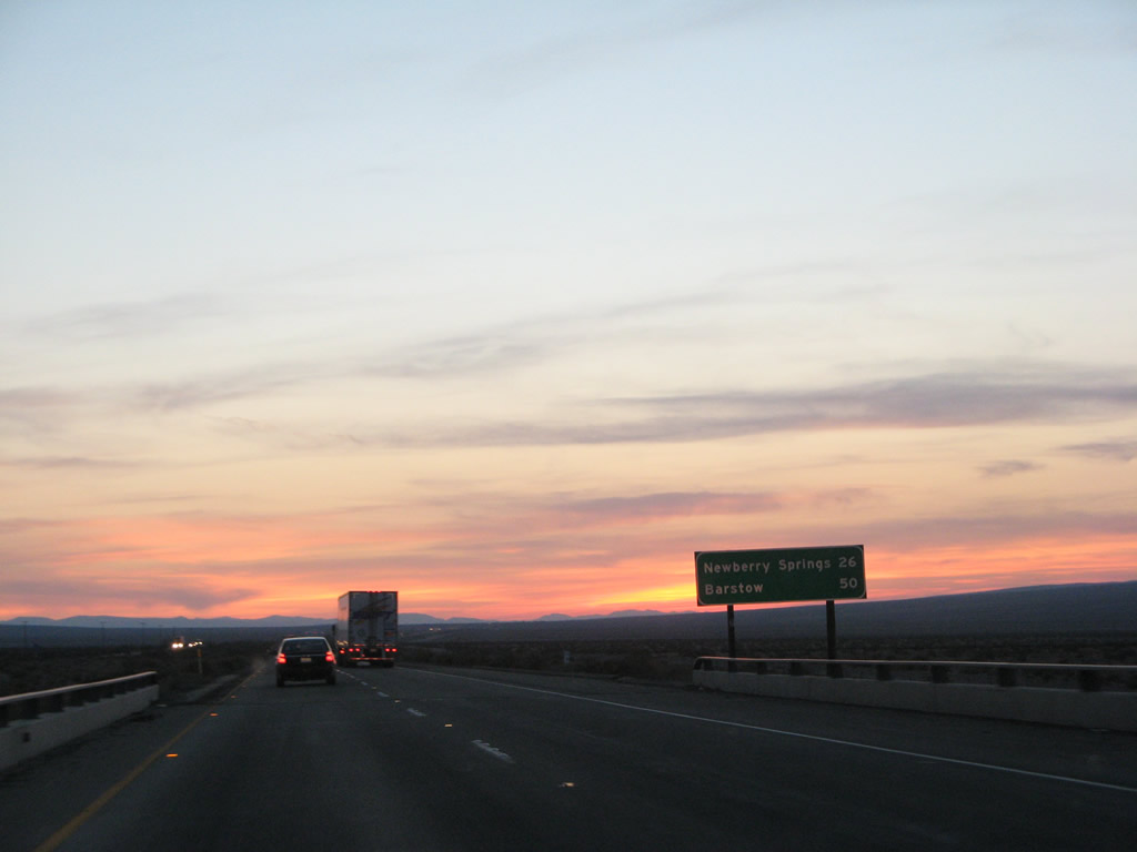
This mileage sign along westbound Interstate 40 (Needles Freeway) provides the distance to Newberry Springs (26 miles) and Barstow (50 miles). Photos taken 04/02/06 and 04/01/07. |
|
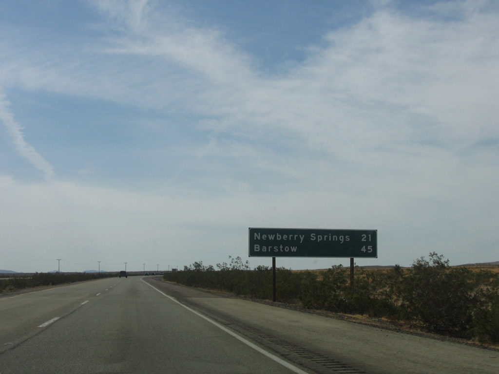
A second mileage sign about five miles further west on Interstate 40 west provides the distance to Newberry Springs (21 miles) and Barstow (45 miles). Photo taken 04/02/06. |
|
|
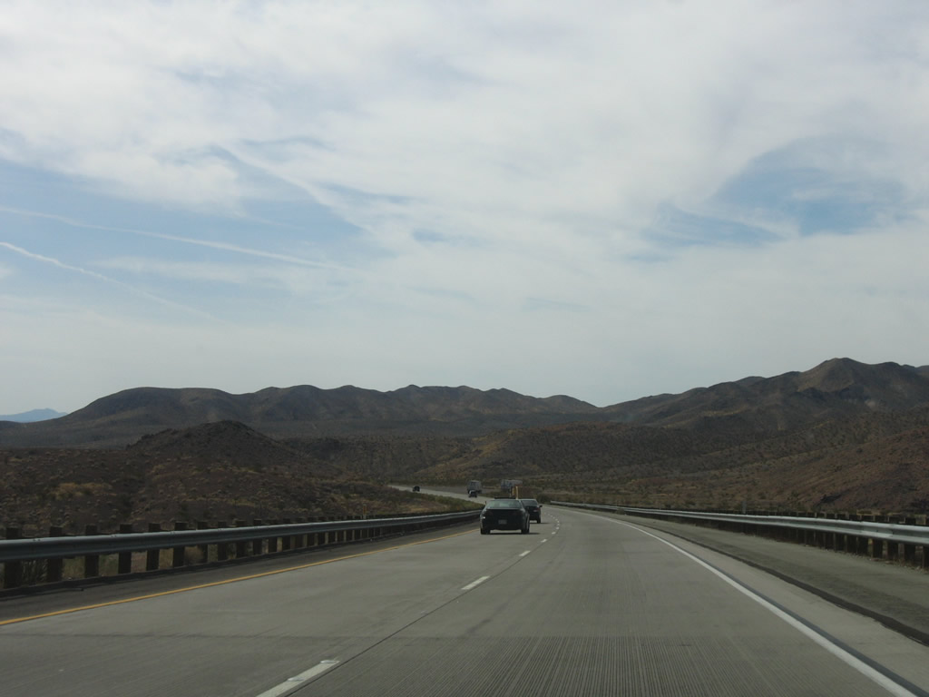
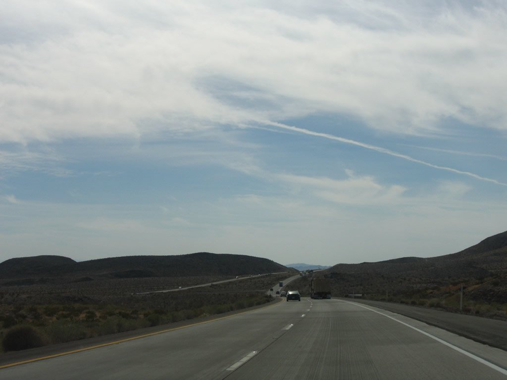
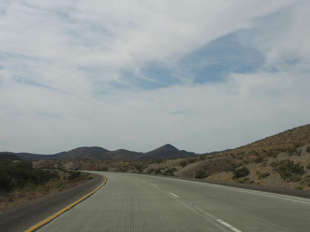
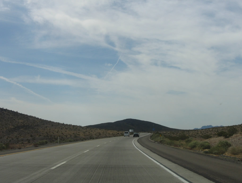
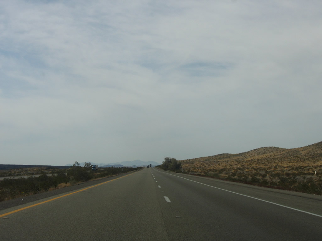
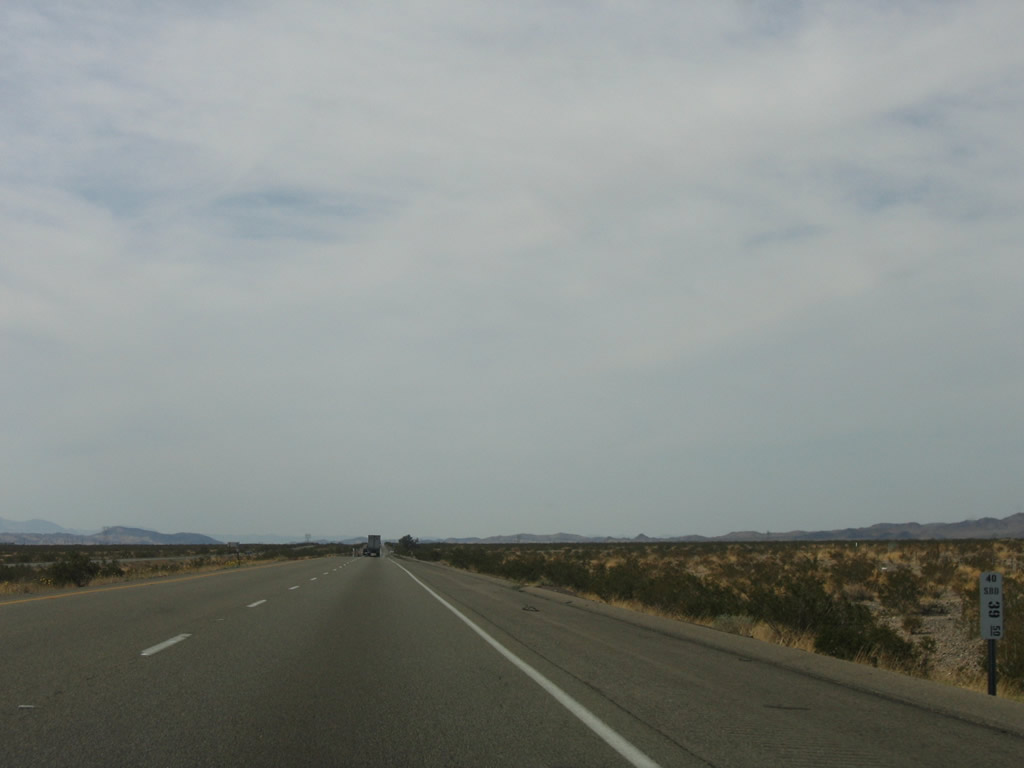
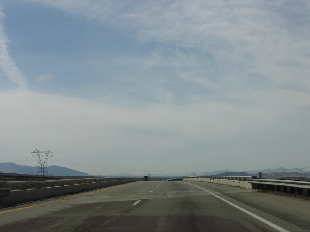
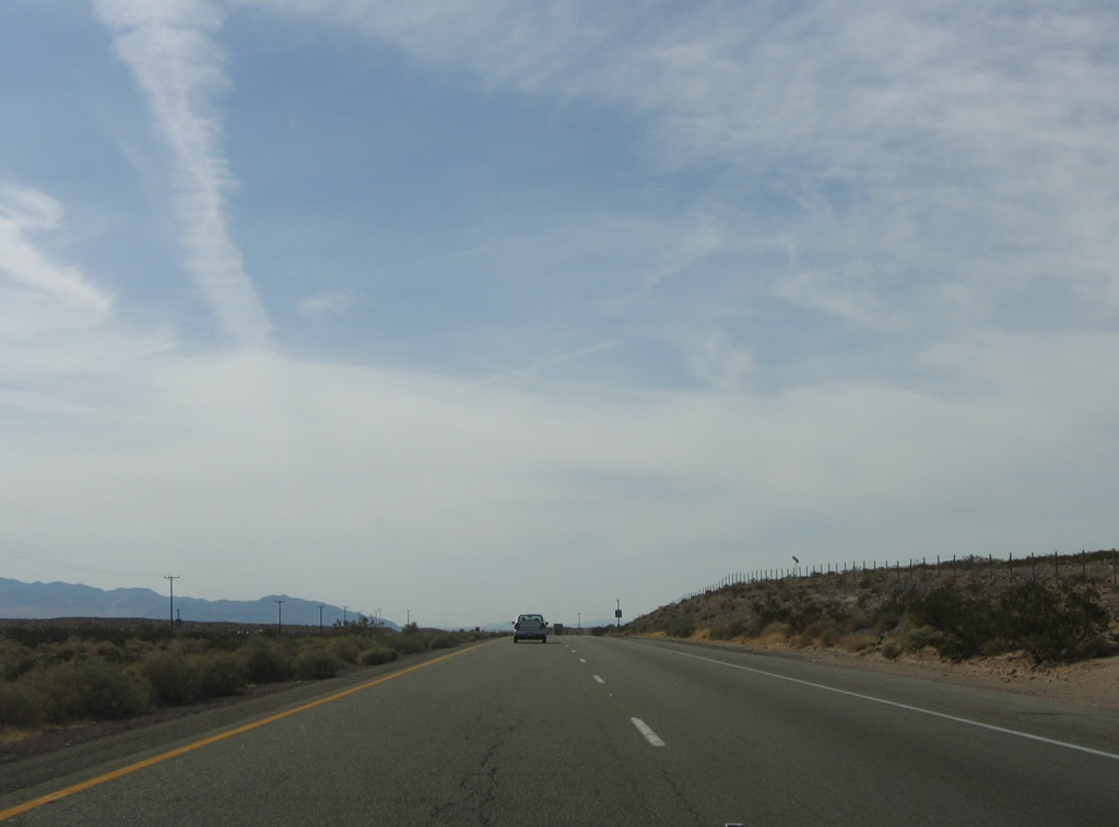
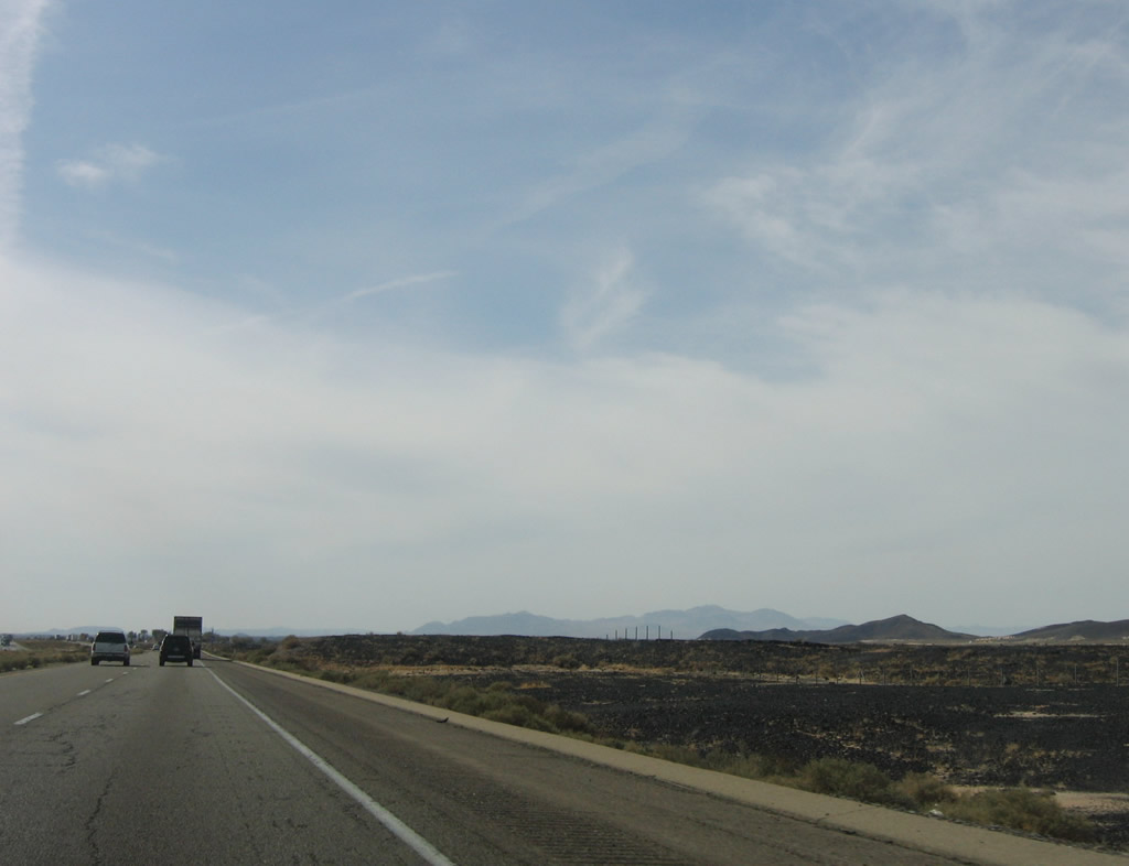
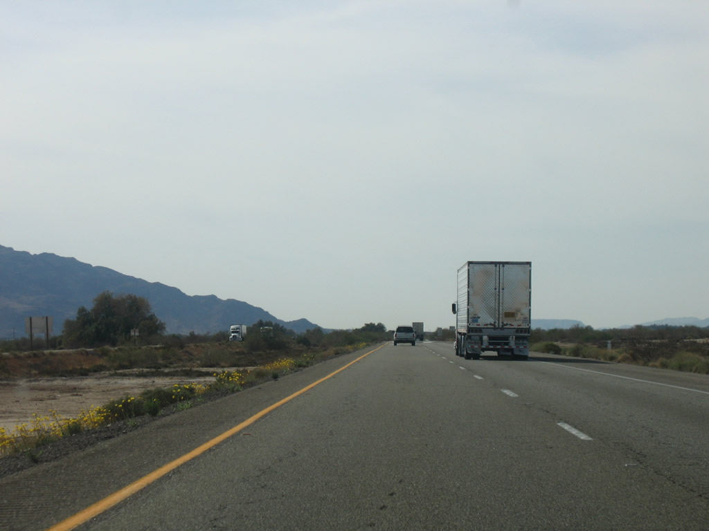
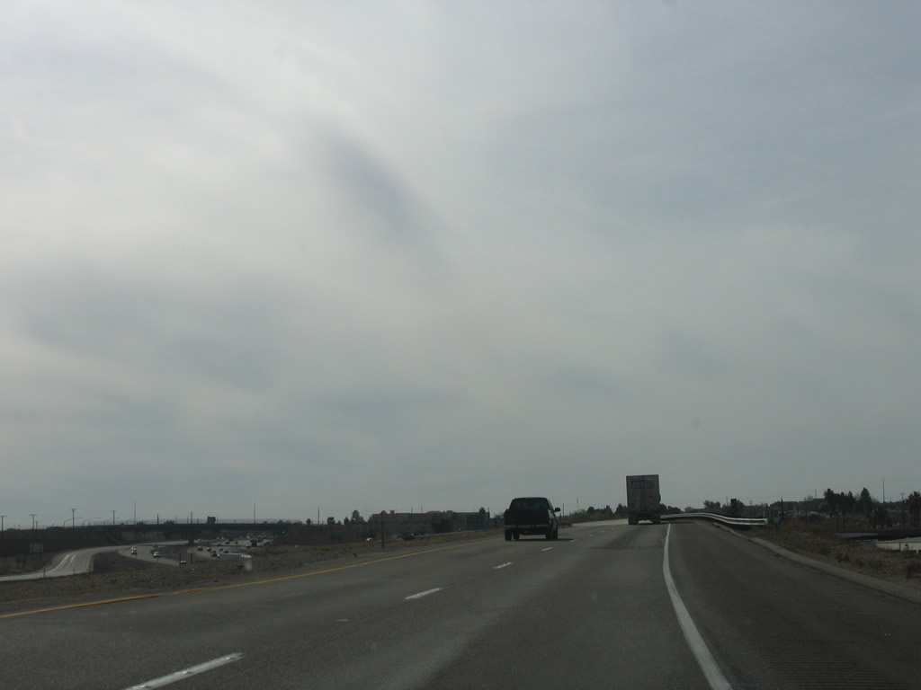
Interstate 40 continues west through the Mojave Desert between Ludlow and Newberry Springs. Traffic tends to be more commercial. Photos taken 04/02/06. |
|
|
|
|
|
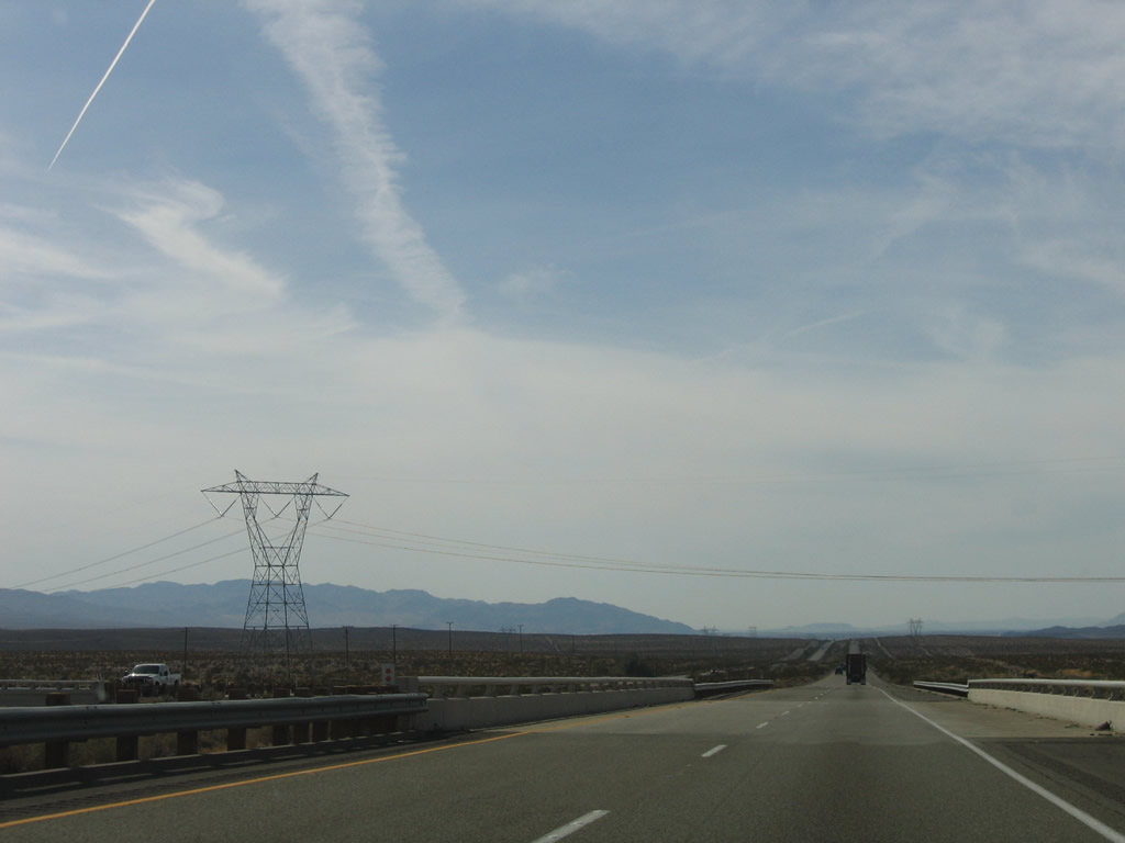
A 500kV Southern California Edison powerline (part of Path 46) crosses Interstate 40. This particular line brings power from a power substation near the non-functioning Mohave Generating Station near Laughlin, Nevada. Photos taken 04/02/06 and 04/01/07. |
|
|
|
Another set of power lines cross Interstate 40; this 500kV power line travels northeast to the Eldorado substation in the Eldorado Valley just west of U.S. 95 northwest of Searchlight, Nevada. This line is owned by Southern California Edison. Photos taken 04/02/06 and 04/01/07. |
|
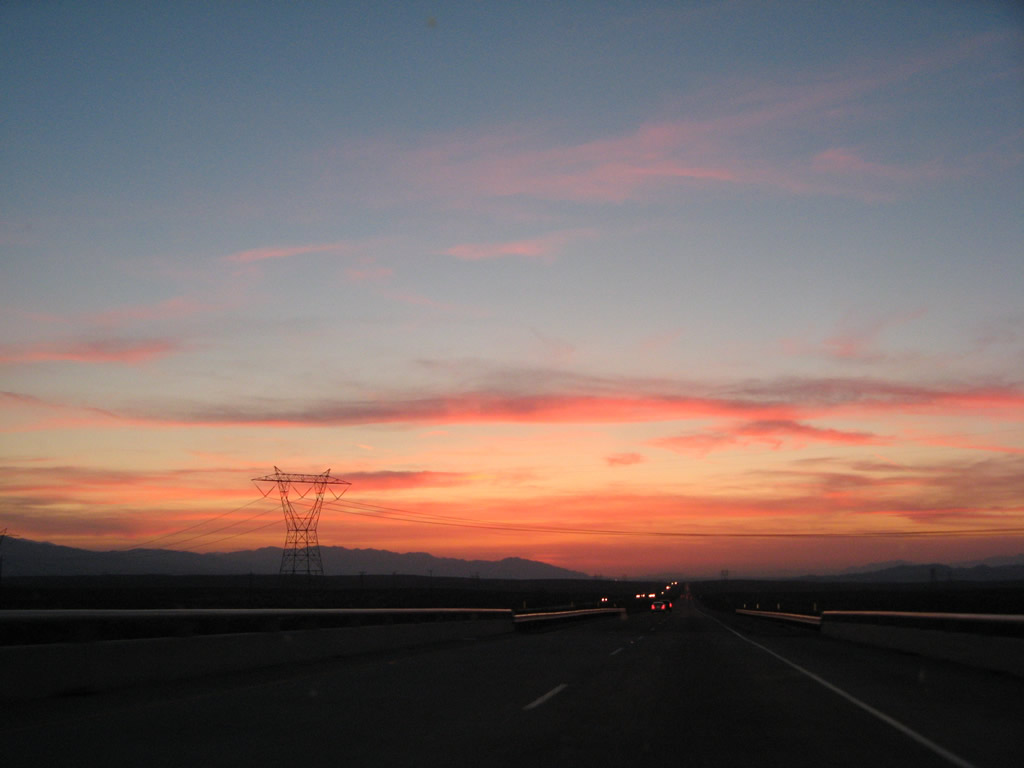
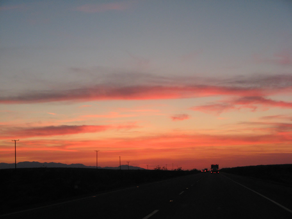
The Mojave Desert is known for sunsets like these, and they can be beautifully red and colorful even when cities on the coast don't experience quite the same sunset. Photo taken 04/01/07. |
|
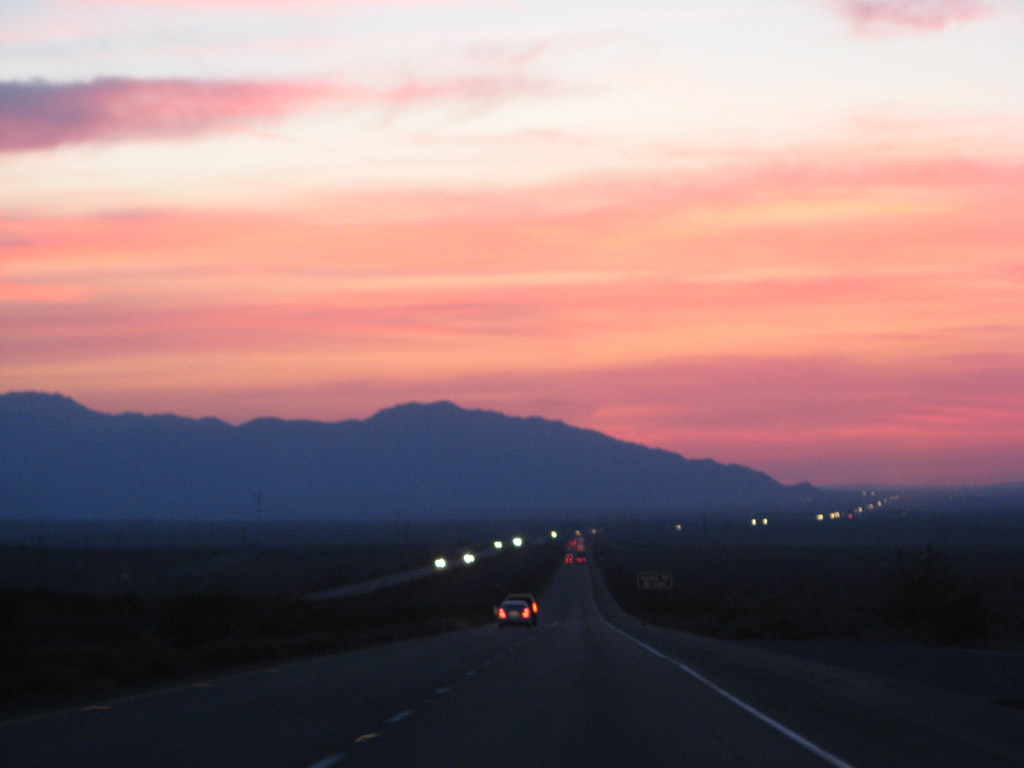
This view looks west during the dynamic spring sunset from 2007. Photo taken 04/01/07. |
|
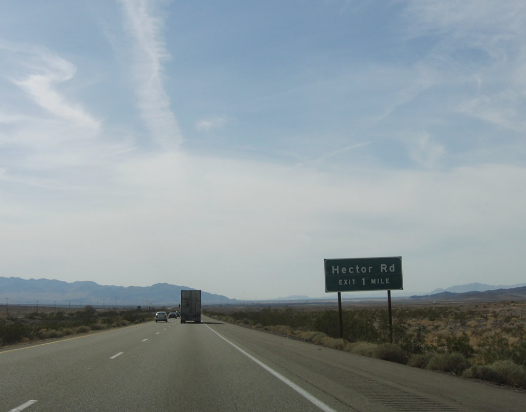
The next exit along westbound Interstate 40 is Exit 33, Hector Road (one mile). Photo taken 02/16/04. |
|
|
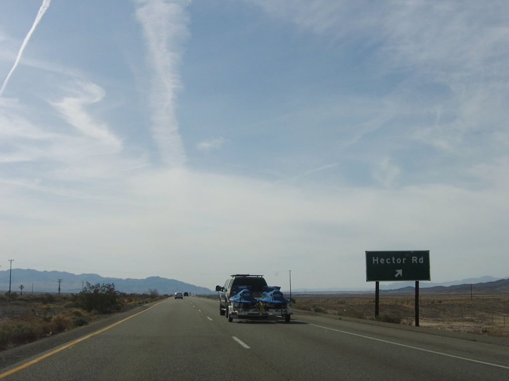
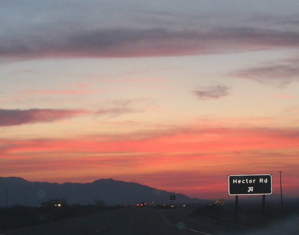
Westbound Interstate 40 (Needles Freeway) reaches Exit 33, Hector Road. Use Hector Road north to Hector and south to meet another extant segment of Old Historic U.S. 66 (National Trails Highway), which closely parallels Interstate 40 on the south side. U.S. 66 can be driven from this interchange west to Newberry Springs. Photos taken 04/02/06 and 04/01/07. |
|
This Interstate 40 west reassurance shield is posted after the on-ramp from Hector Road. Photo taken 04/02/06. |
|
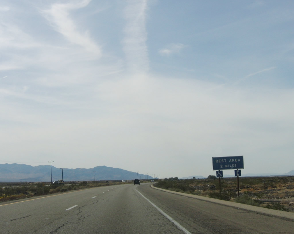
The next exit along Interstate 40 west is Exit 28, Rest Area (two miles). Photo taken 04/02/06. |
|
Looking north from the freeway is this view of the hardened lava field located north of the freeway as seen along westbound. Photo taken 04/02/06. |
|
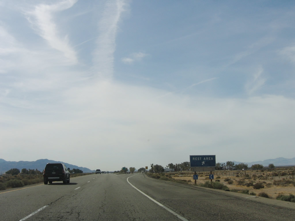
Westbound Interstate 40 reaches Exit 28, Rest Area. This is the final rest area along westbound before reaching Barstow and Interstate 15. Photo taken 04/02/06. |
|
|
|
Leaving the rest area and approaching Newberry Springs, Interstate 40 passes through Troy Dry Lake. The railroad still parallels the freeway and also crosses the dry lake. Upon reaching the lake, Interstate 40 enters Mojave Valley, which includes the area between Newberry Springs and Daggett. Photos taken 04/02/06. |
|
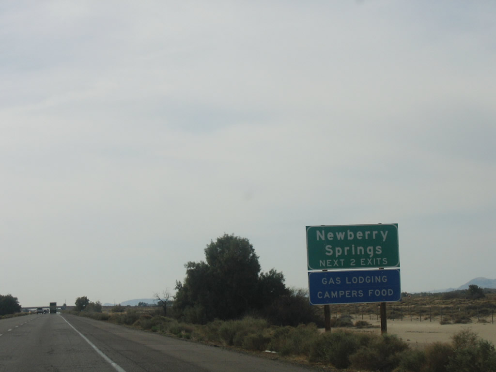
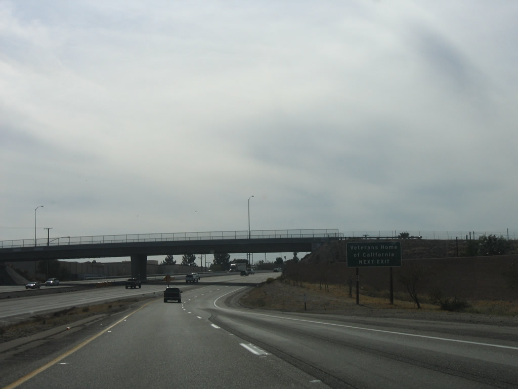
The next exit along Interstate 40 west is Exit 23, Fort Cady Road and Exit 18, Historic U.S. 66 (National Trails Highway). Both exits serve the unincorporated community of Newberry Springs. Photo taken 04/02/06. |
|
Westbound Interstate 40 reaches Exit 23, Fort Cady Road to Newberry Springs. Photo taken 04/02/06. |
|
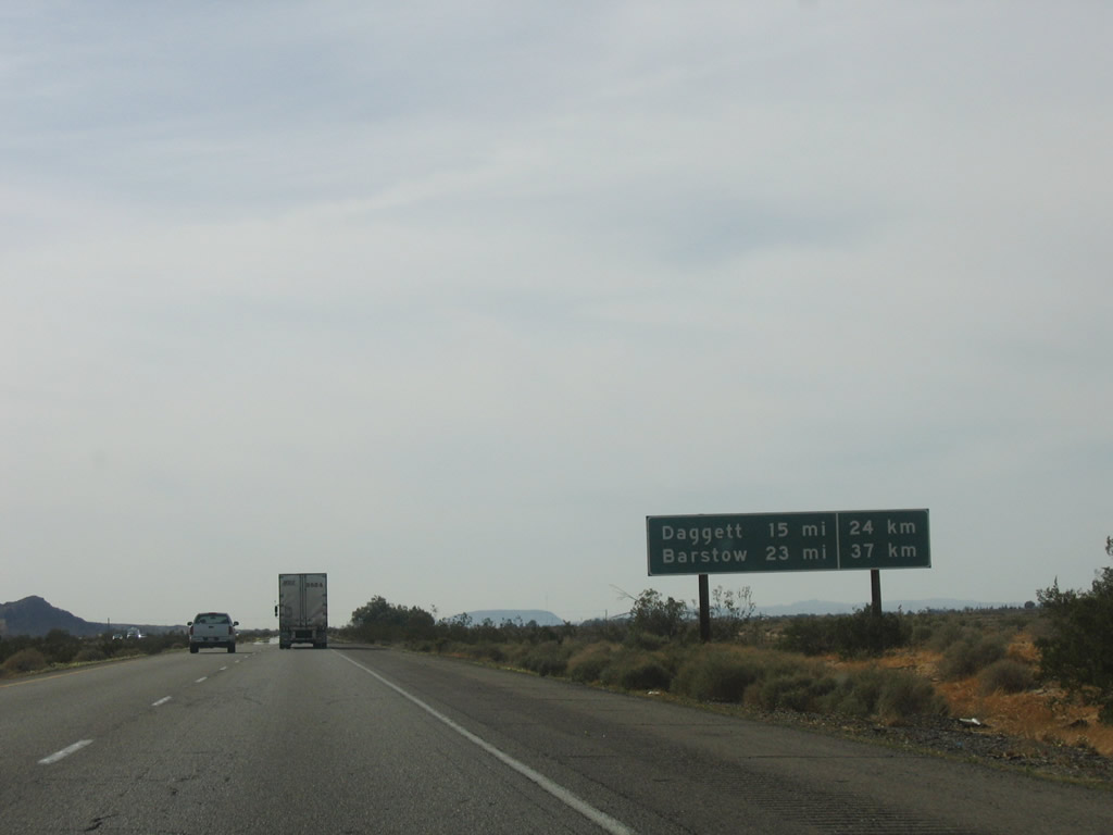
This mileage sign along Interstate 40 west provides the distance to Daggett (15 miles) and Barstow (23 miles). Photo taken 04/02/06. |
|
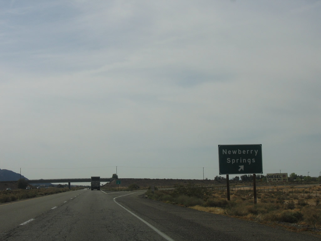
The next exit from Interstate 40 west is Exit 18, U.S. 66 east to Newberry Springs and west to Minneola. All motorist services are available in Newberry Springs. Photo taken 04/02/06. |
|
Westbound Interstate 40 reaches Exit 18, Historic U.S. 66 (National Trails Highway). Photo taken 04/02/06. |
|
This Interstate 40 west reassurance shield is posted after the on-ramp from U.S. 66. Photo taken 04/02/06. |
|
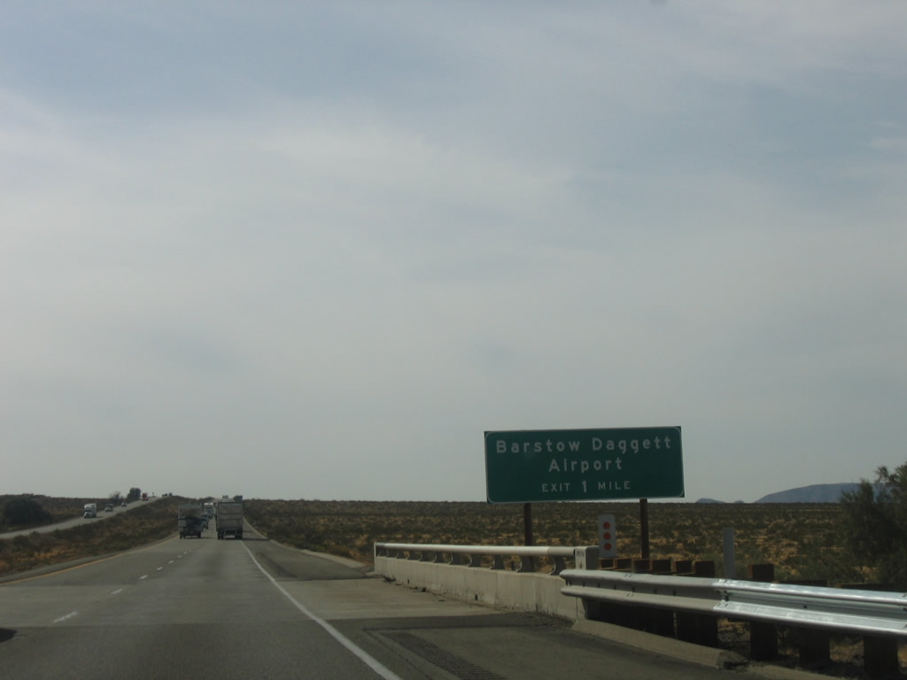
The next exit along Interstate 40 west is Exit 12, which connects to Barstow-Daggett Airport (one mile). Photo taken 04/02/06. |
|
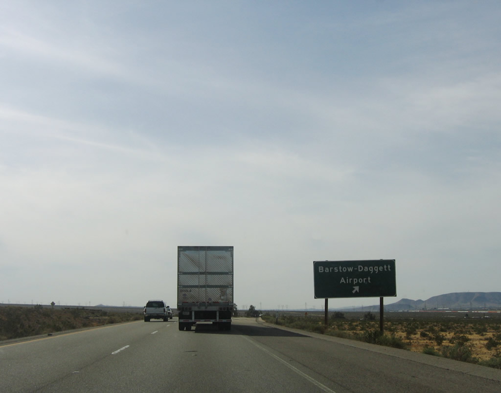
Westbound Interstate 40 (Needles Freeway) reaches Exit 12, Barstow-Daggett Airport. Photo taken 04/02/06. |
|
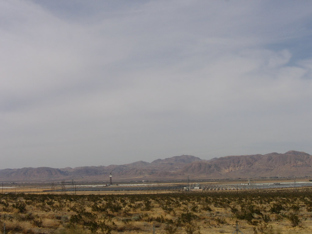
To the north of Interstate 40 after the airport exit is a large solar power generating facility, including a solar concentrator. Photo taken 04/02/06. |
|
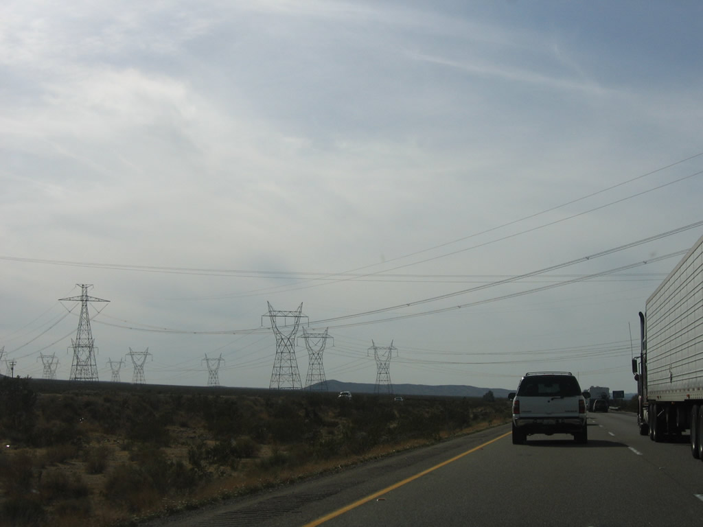
A major power transmission corridor passes over Interstate 40. The first power line is the Intermountain High Voltage Direct Current (Path 27), followed by three lines that constitute part of Path 46: the single circuit Hoover-Victorville 287kV line and the two McCullough-Victorville 500kV lines (owned by Los Angeles Department of Water and Power). Photo taken 04/02/06. |
|
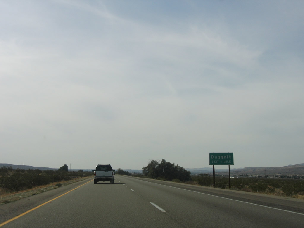
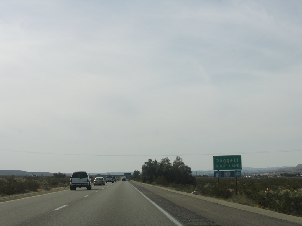
The next exit along Interstate 40 west is Exit 7, To U.S. 66 and Daggett. Photo taken 04/02/06. |
|
Daggett is located at the western end of Mojave Valley. Interstate 40 only has seven miles left until meeting Interstate 15 in Barstow. Photo taken 04/02/06. |
|
|
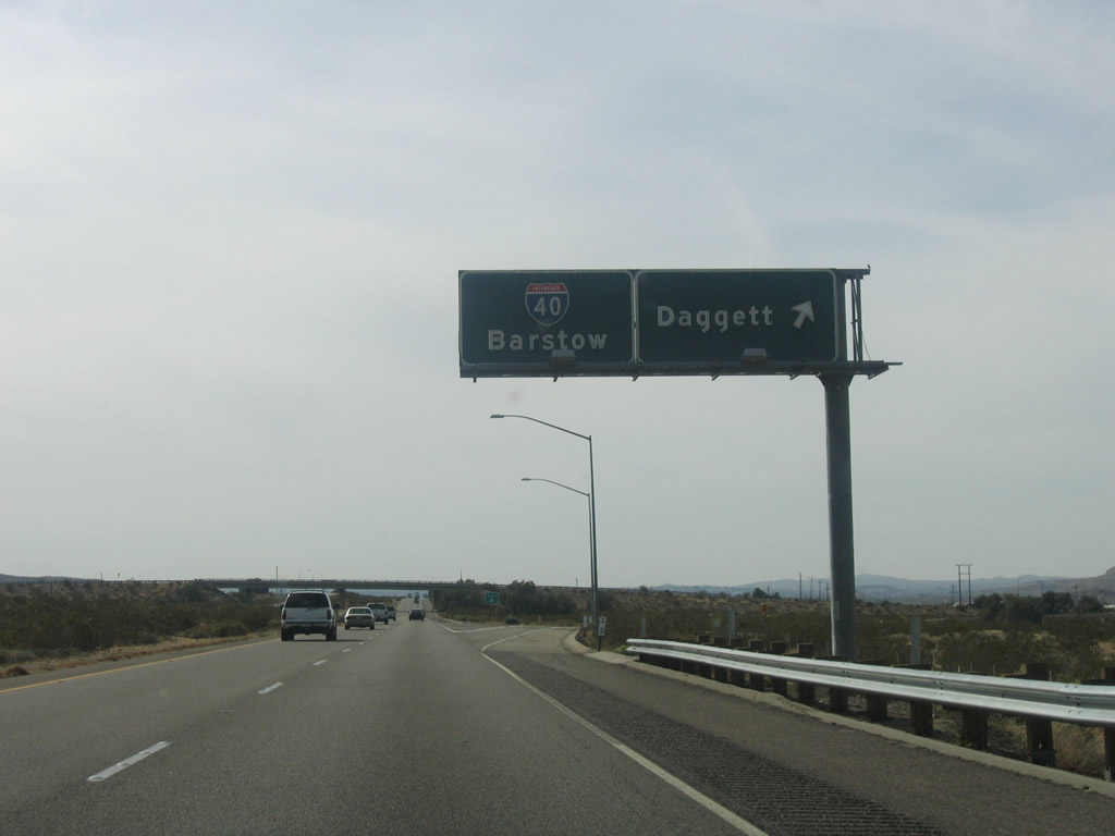
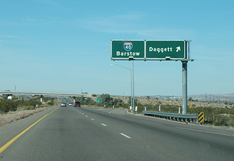
Continuing west, Interstate 40 reaches Exit 7, to U.S. 66 in Daggett. The control city for westbound remains Barstow. Interstate 40 will merge into Interstate 15 about seven miles west of here. Photos taken 04/02/06 and by Dave Billeci, 03/20/06. |
|
|
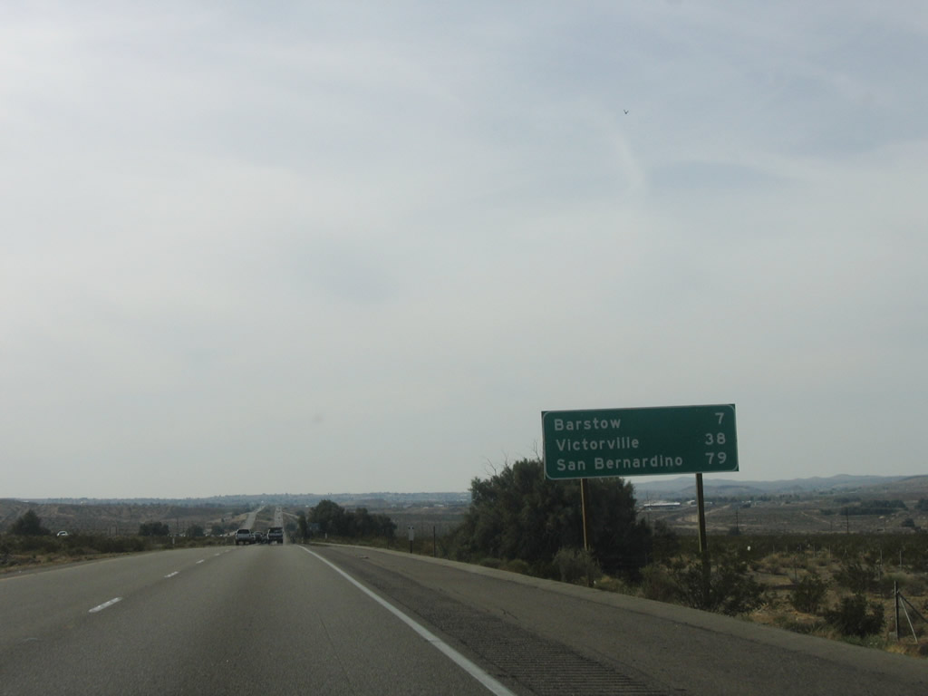
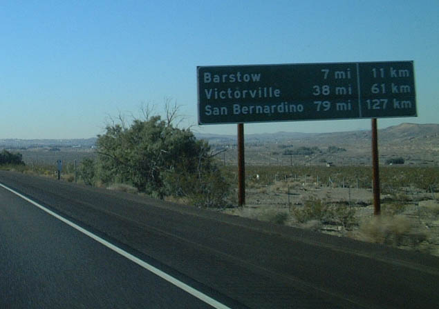
This mileage sign along westbound Interstate 40 provides the distance to Barstow. This was one of the few remaining mileage signs that also feature kilometer distances to various destinations; it was replaced by 2006. Photos taken 04/02/06 and 01/21/02. |
|
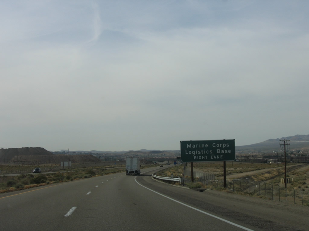
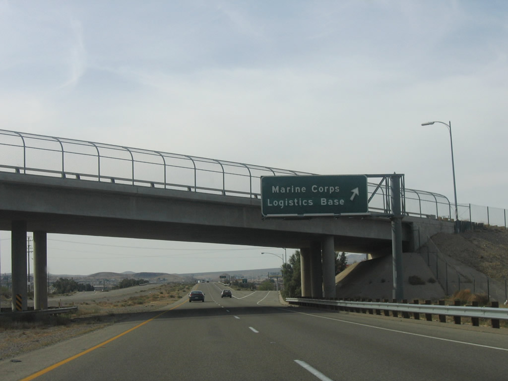
The next exit along Interstate 40 west is Exit 3, Marine Corps Logistics Base at Nebo Center. Photo taken 04/02/06. |
|
Westbound Interstate 40 reaches Exit 3, Marine Corps Logistics Base at Nebo Center. Photo taken 04/02/06. |
|
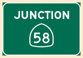
The next four exits along Interstate 40 west and Interstate 15 south serve the city of Barstow: Exit 1, Business Loop I-15 and Historic U.S. 66 (Main Street) west; Exit 183, California 247; Exit 181, Business Loop I-15/L Street north; and Exit 179, California 58 west. Photo taken 04/02/06. |
|
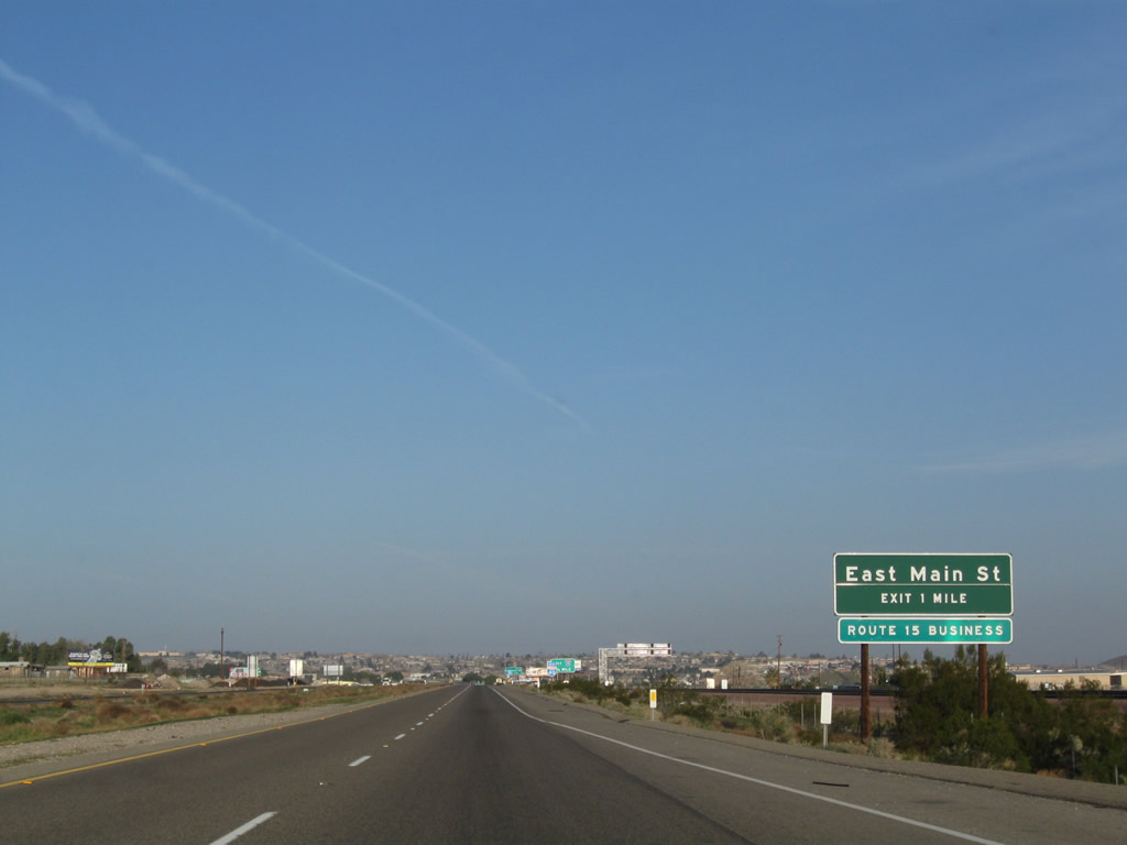
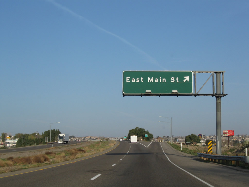
After passing by the Fort Nebo installation, westbound Interstate 40 (Needles Freeway) approaches its final standalone interchange: Exit 1, Business Loop I-15 and Historic U.S. 66 (Main Street) west to Barstow. The first guide sign indicates this is "Route 15 Business," which is unusual because the northern terminus of Business Loop I-15 is at Interstate 40 rather than its parent route, Interstate 15. Most of the business route is also signed as Historic U.S. 66. Photo taken 03/15/09. |
|
The penultimate Interstate 40 west shield is posted after the on-ramp from Fort Nebo. Photo taken 03/15/09. |
|
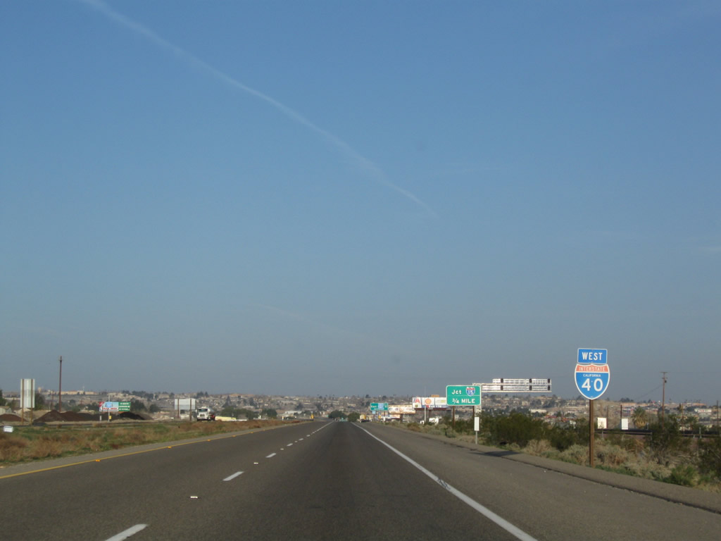
Two exits remain on Interstate 40 west. The next exit is Exit 1, Business Loop I-15 and U.S. 66 west to Barstow, with a connection to Interstate 15 north to Las Vegas. The final "exit" is actually the freeway-to-freeway transition of the westbound mainline of Interstate 40 onto Interstate 15 south. There is no direct ramp to Interstate 15 north, so traffic looking to go north must use the business route. Photo taken 03/15/09. |
|
An exit number sign is posted for Exit 1, Business Loop I-15 and Historic U.S. 66 (Main Street) west to Barstow. Photo taken 03/15/09. |
|
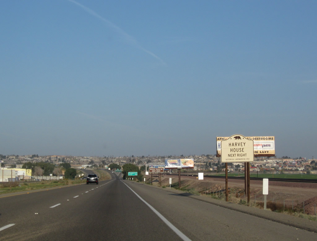
To the historic Harvey House and Route 66 Museum, follow Business Loop I-15 and Historic U.S. 66 (Main Street) west to First Avenue north to the train depot. Photo taken 03/15/09. |
|
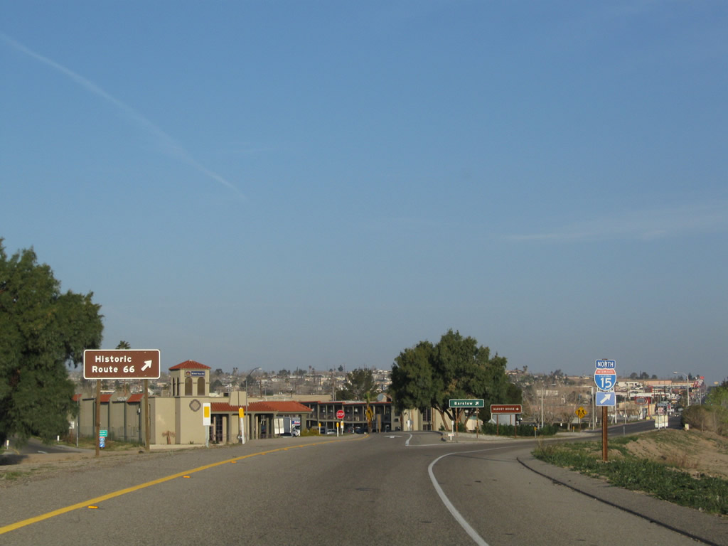
This segment of Historic U.S. 66 originates here and travels southwest through the city of Barstow, then continues southwest to Helendale, Oro Vista, and ultimately Victorville. Photo taken 03/15/09. |
|
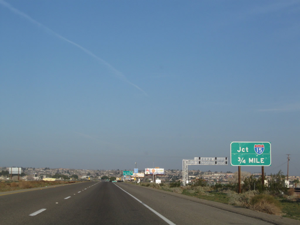
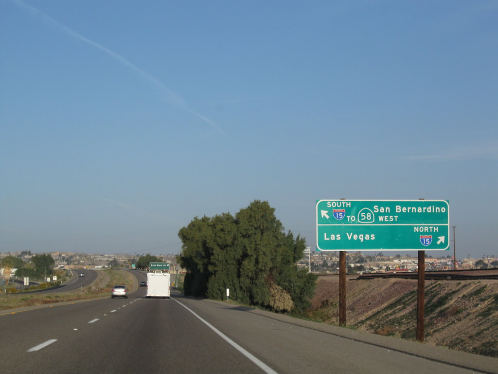
A newer sign points the way to Interstate 15 north to Las Vegas and points north via Exit 1. Stay left to follow Interstate 40 west to Interstate 15 south and California 58 west to Bakersfield and the San Francisco Bay Area via California 99 and Interstate 5. Photo taken 03/15/09. |
|
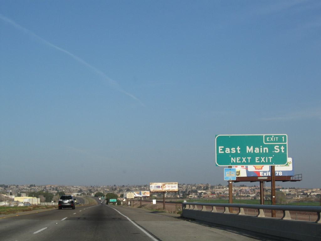
Westbound Interstate 40 (Needles Freeway) reaches Exit 1, Business Loop I-15 and Historic U.S. 66 (Main Street) west to Barstow. Photo taken 03/15/09. |
|
Upon exiting, stay right to follow Business Loop I-15 and U.S. 66 west to Barstow. Turn left to Montara Street south. Photo taken 03/15/09. |
|
Back on the mainline, Interstate 40 west enters the city of Barstow. Photo taken 04/02/06. |
|
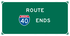
This is the final reassurance sheld for Interstate 40 west. All traffic defaults onto Interstate 15 south. Photo taken 04/02/06. |
|
The two westbound lanes of Interstate 40 transition directly onto Interstate 15 south at this wye interchange. Photo taken 04/02/06. |
|
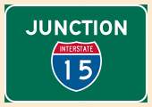
Interstate 40 ends as it merges onto Interstate 15 south. There is no end shield posted for Interstate 40. The next exit will be Exit 183, California 247/Barstow Road. Photo taken 04/02/06. |