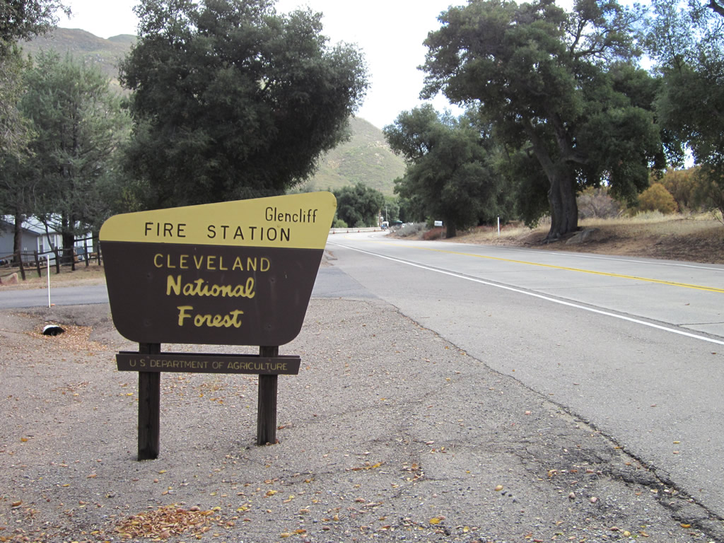
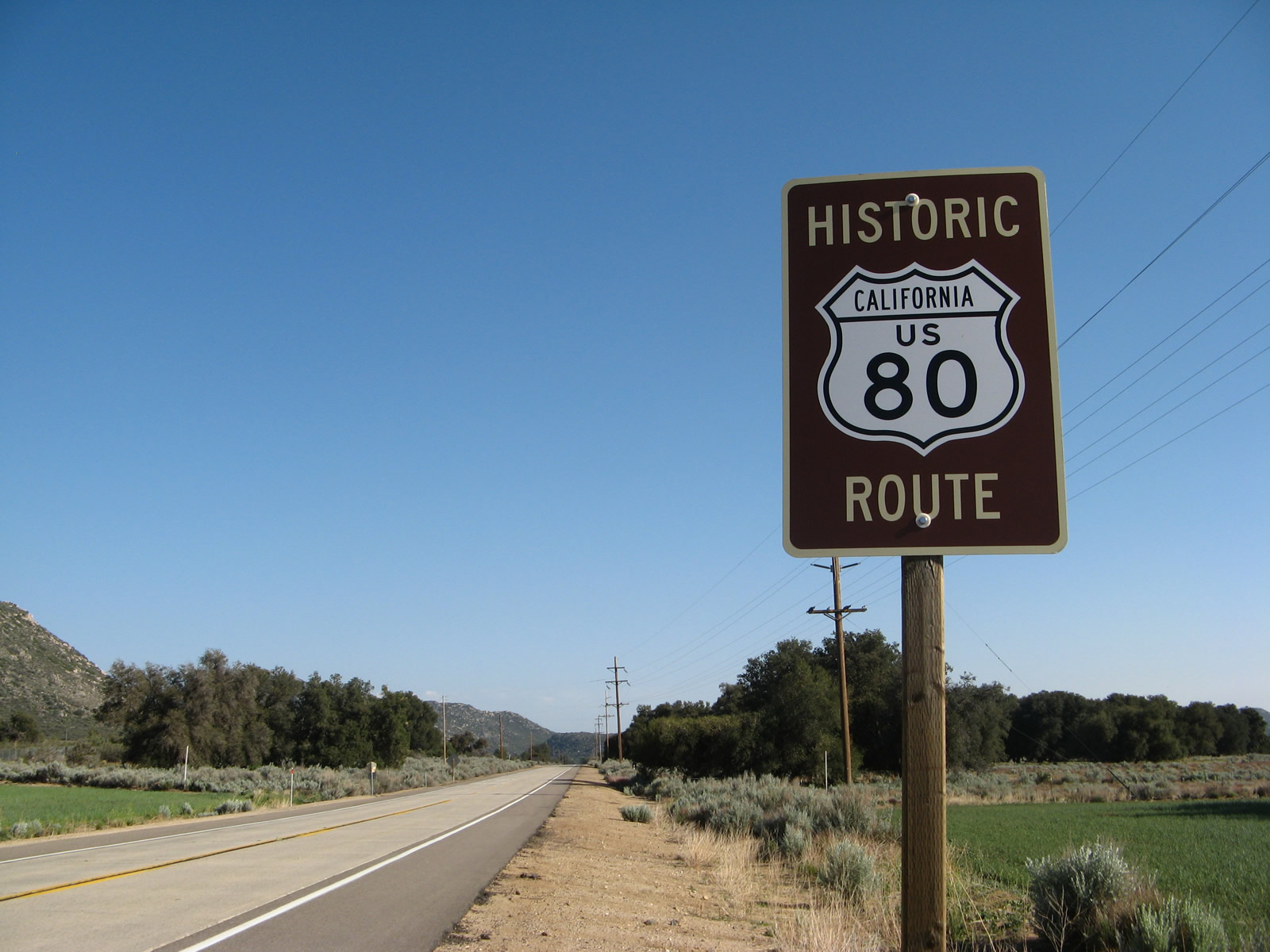
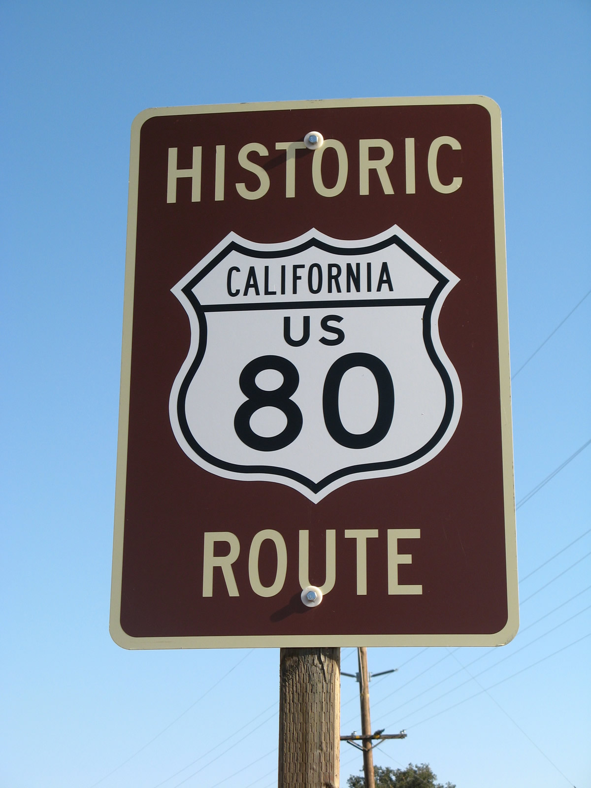
This page showcases extant segments of Historic U.S. 80 through Descanso Junction, Guatay, Pine Valley, Laguna Junction, and Buckman Springs.
|
|
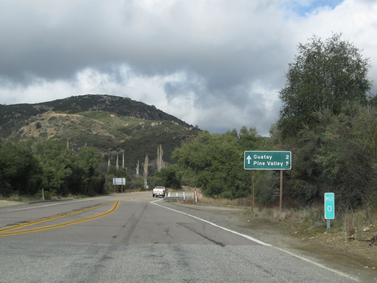
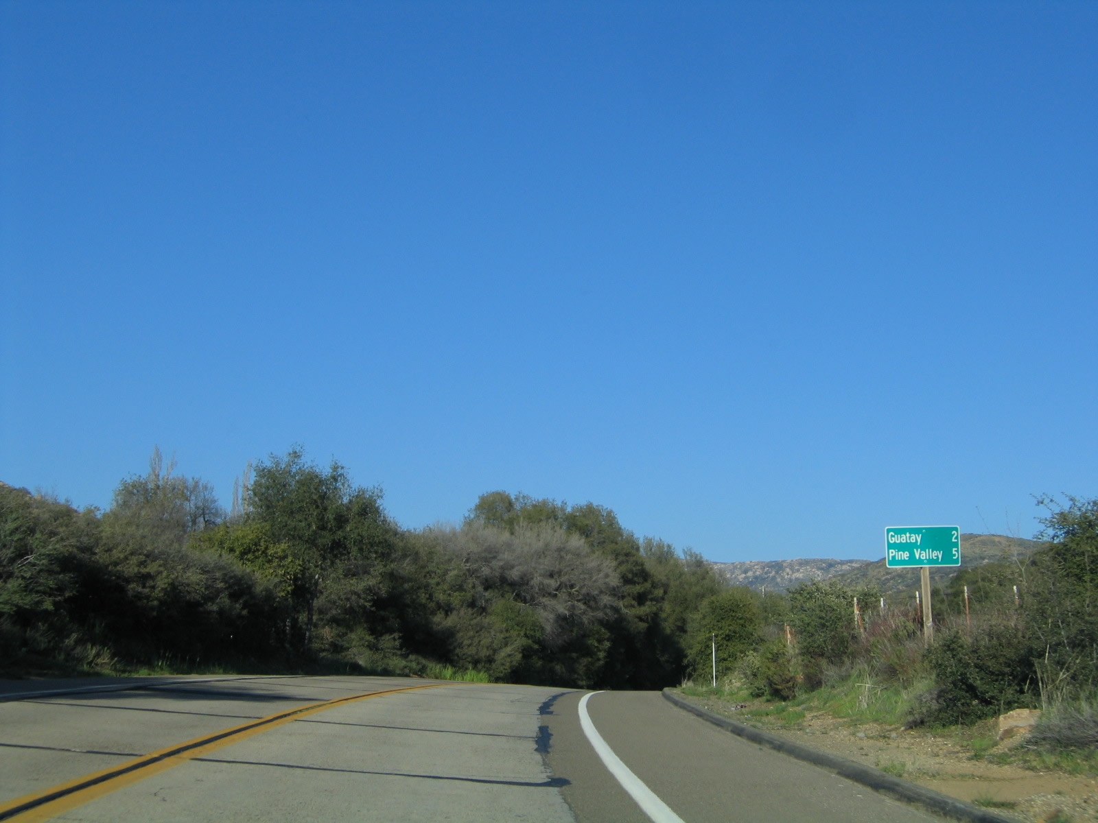
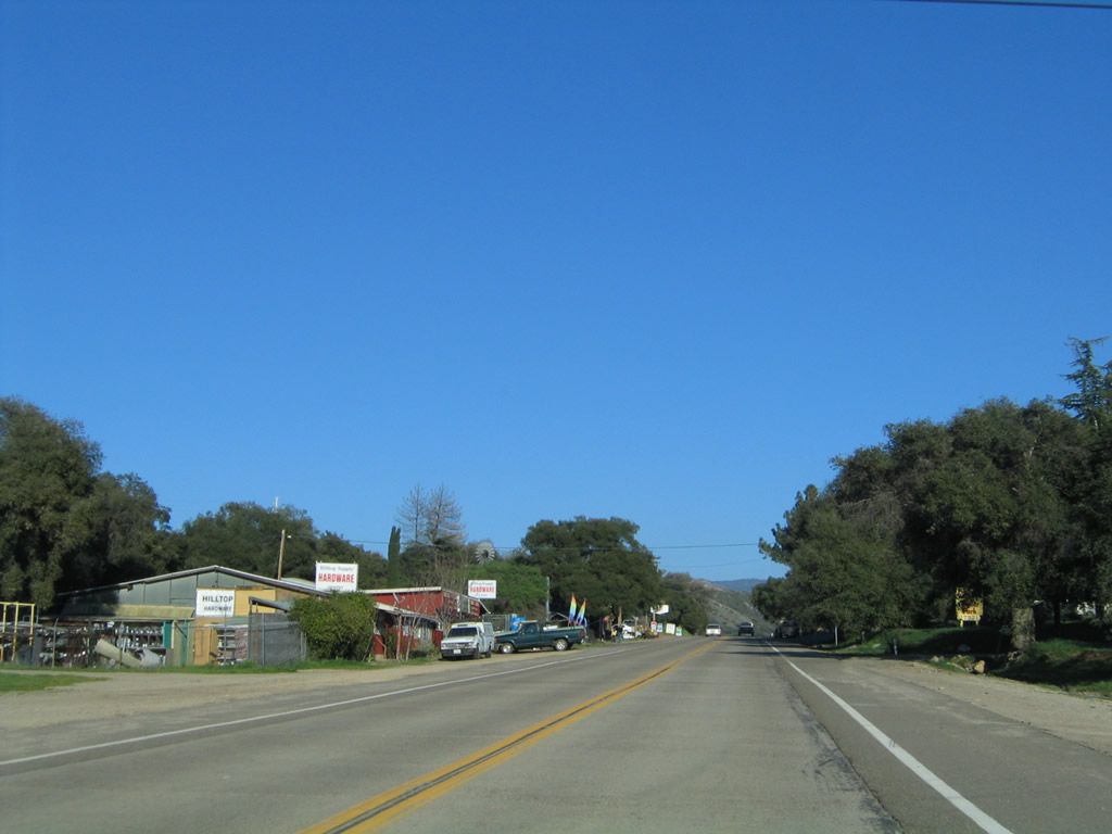
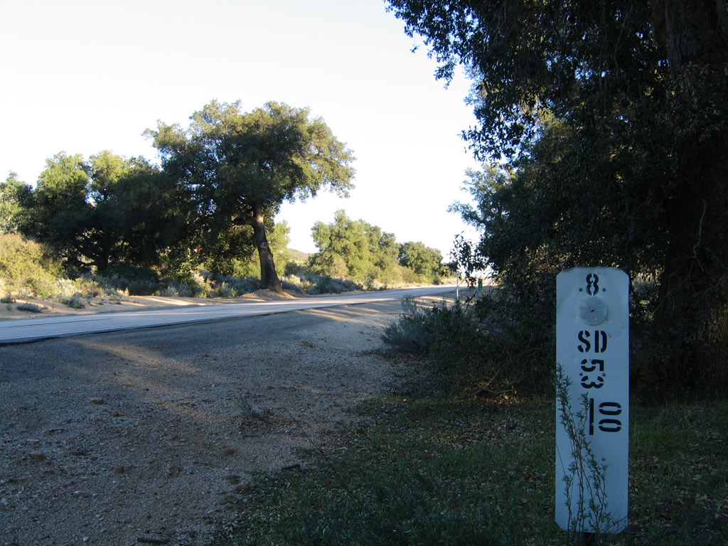
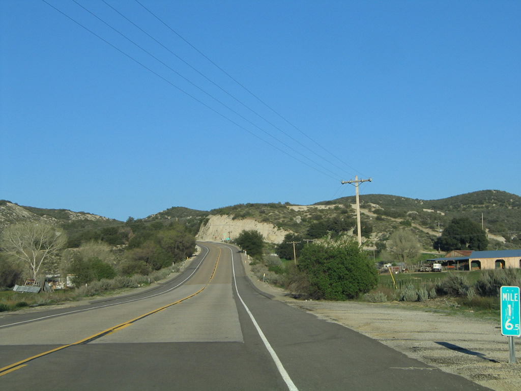
Leaving the California 79 (Cuyamaca Highway) intersection, this mileage sign provides the distance to Guatay and Pine Valley along eastbound Historic U.S. 80, which is maintained by San Diego County and is locally known as "Old Highway 80." The zero milepost is in place here because the historic route shifts from state to county maintenance at this point. San Diego County uses green mileposts at half-mile intervals on all of its county-maintained routes. Photos taken 02/11/12 and 03/12/05. |
|
|
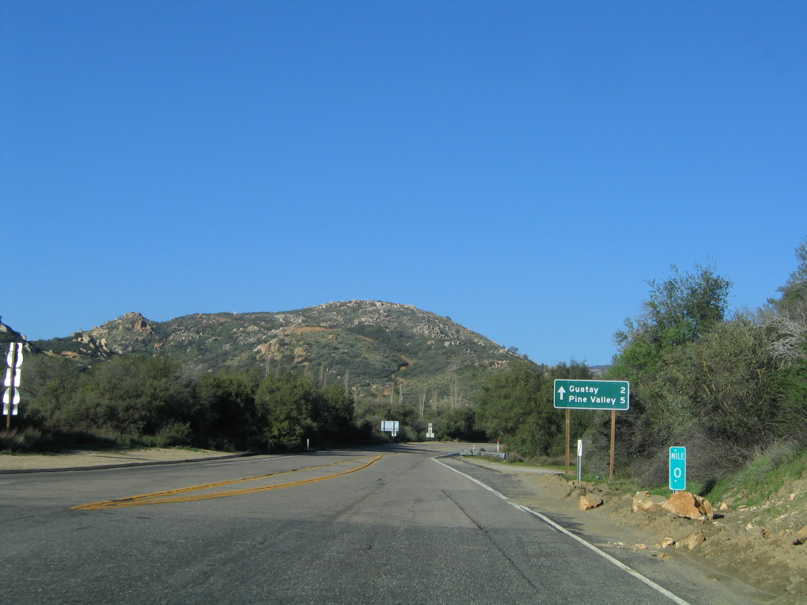
A second mileage sign provides the same information as the previous sign; this particular sign was posted by the county rather than the state. The original concrete remains in use as travel lanes, while asphalt was added later to serve as shoulders to the highway. Photos taken 02/11/12 and 03/12/05. |
|
|
|
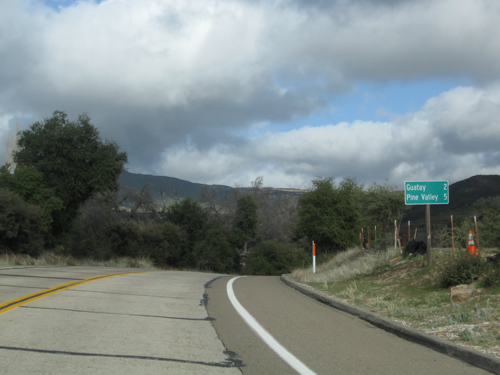
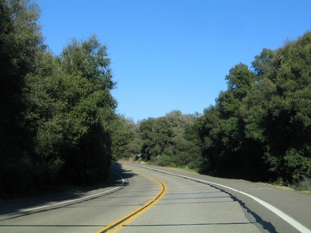
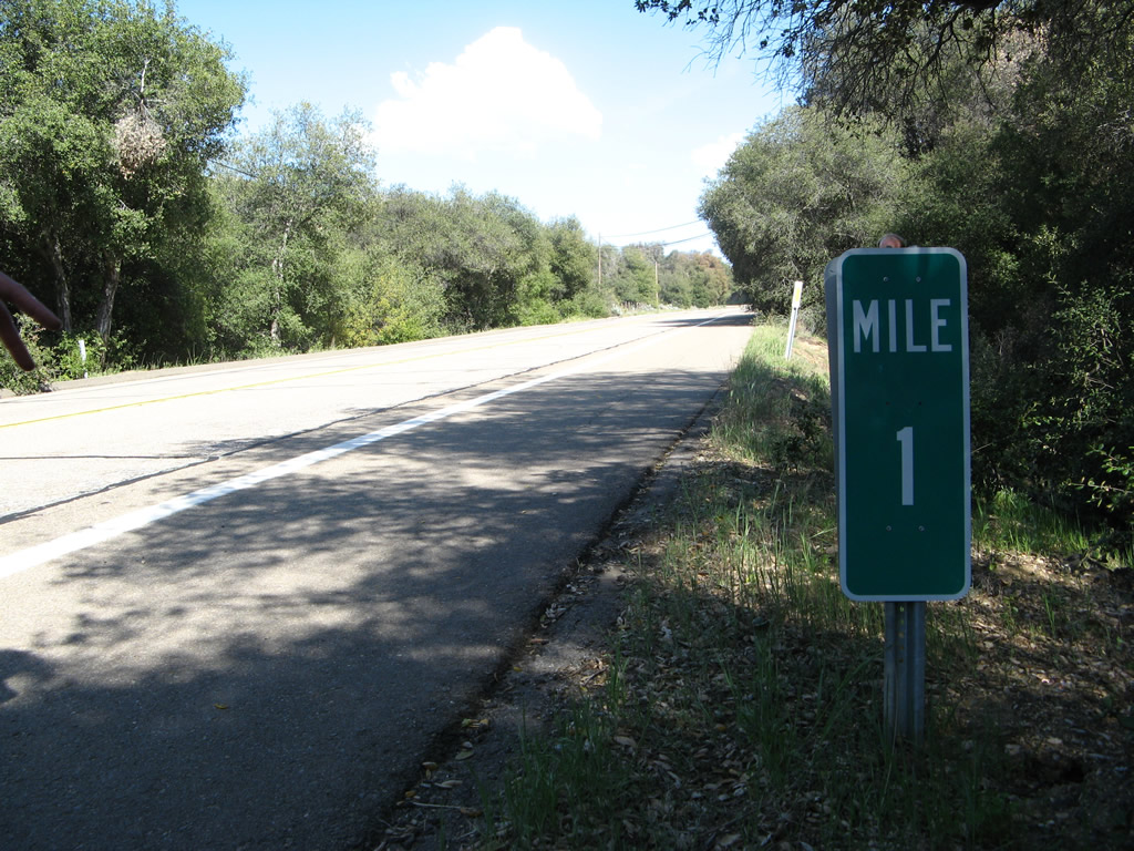
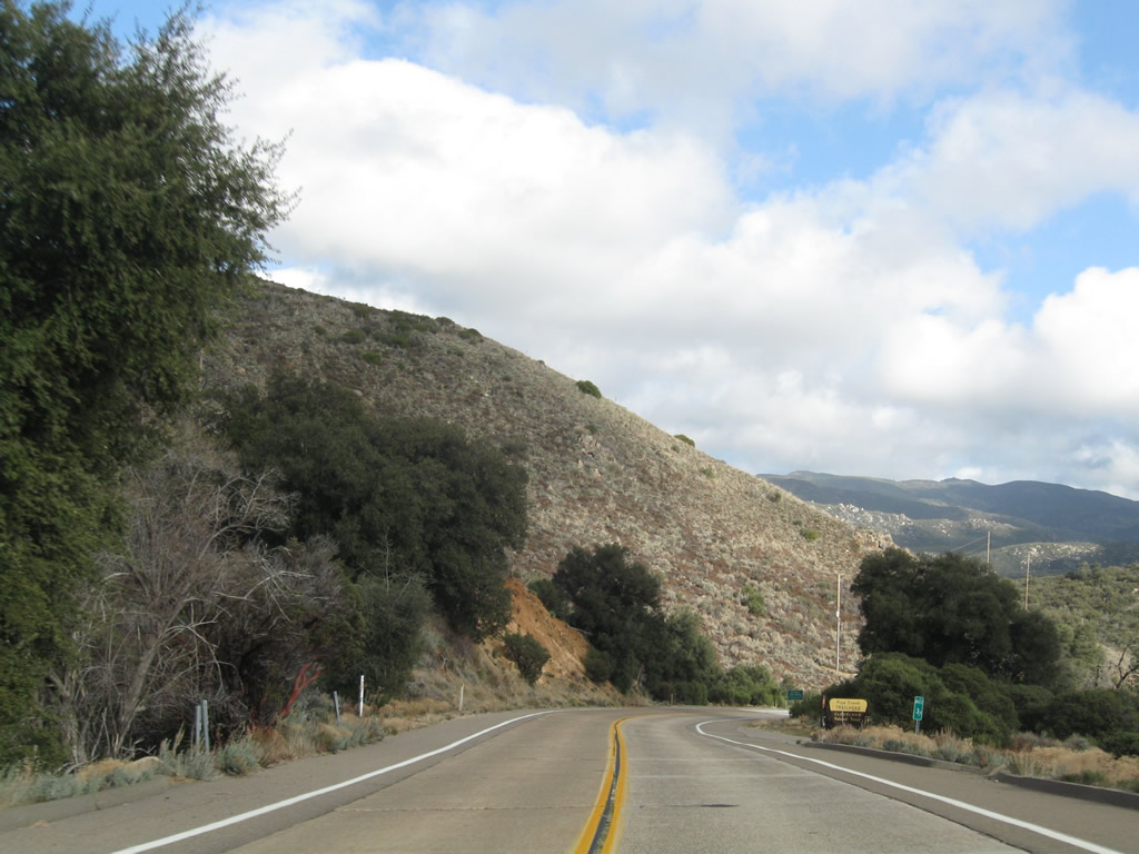
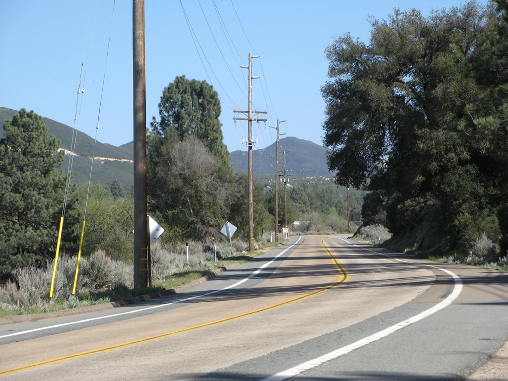
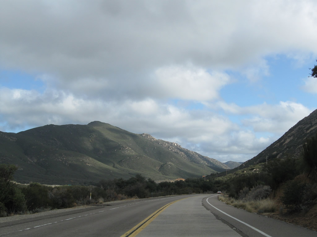
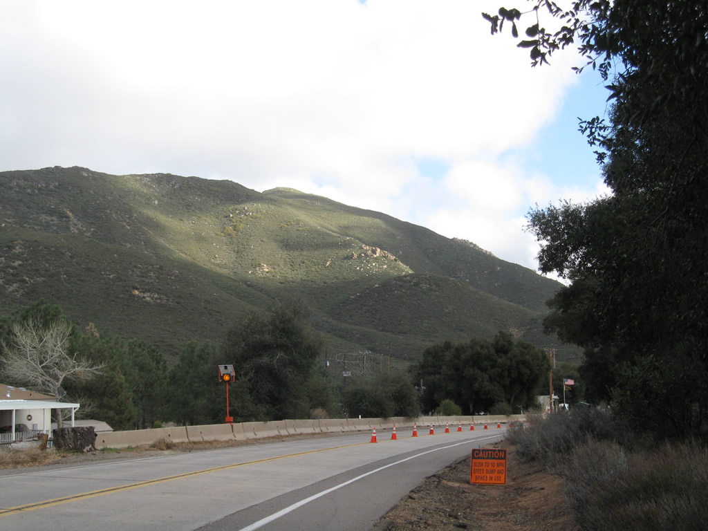
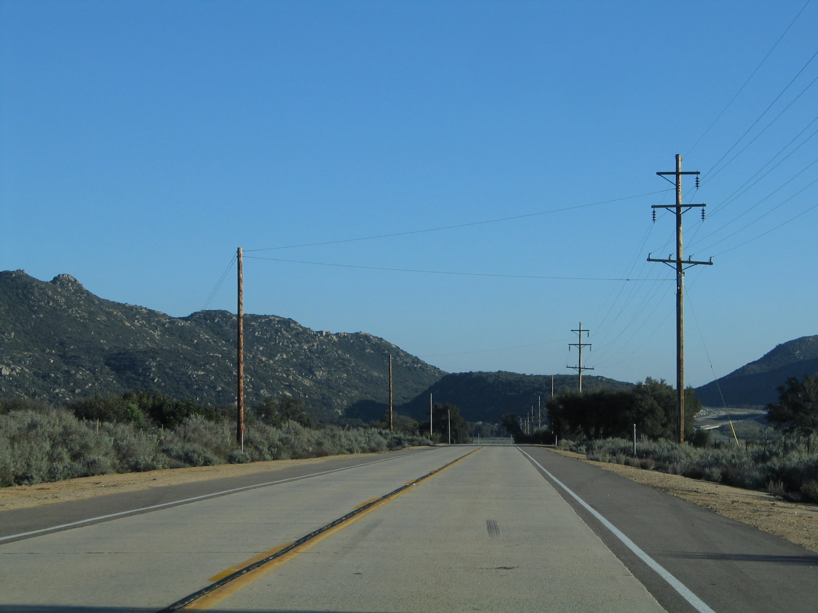
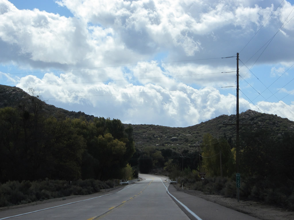
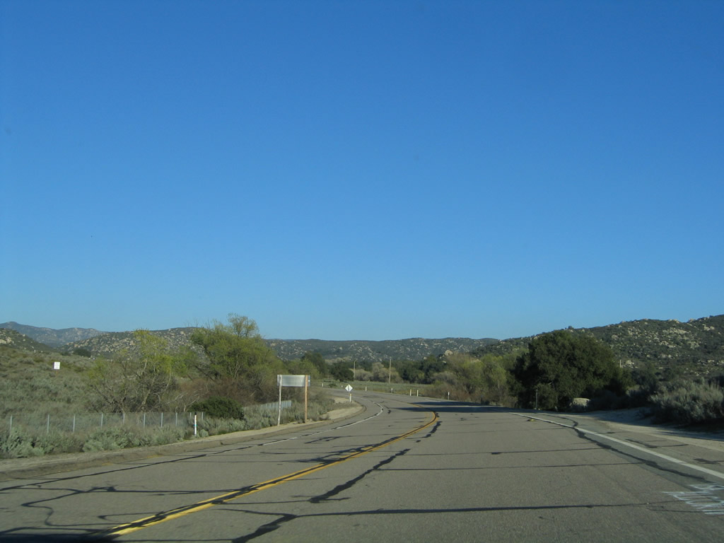
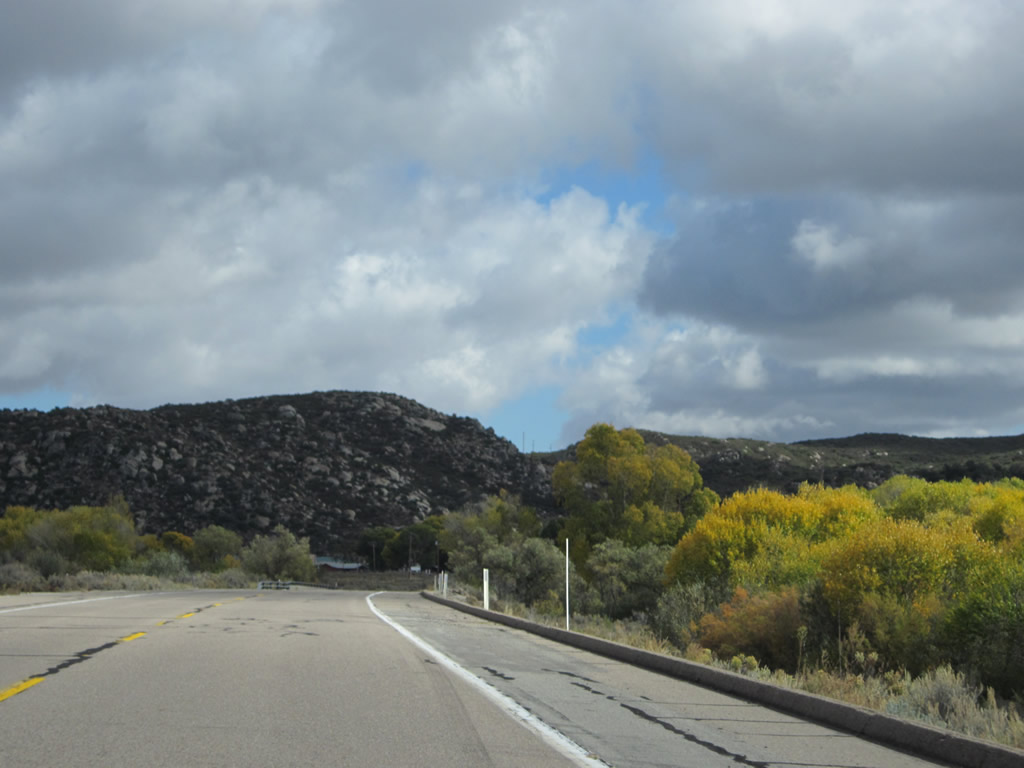
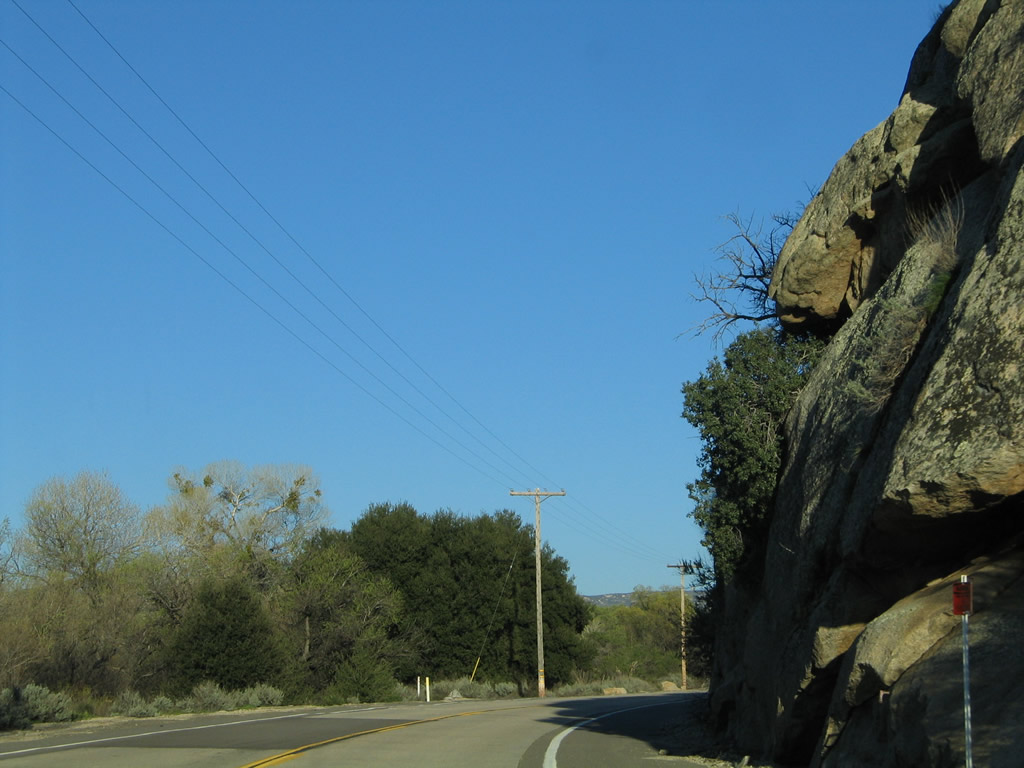
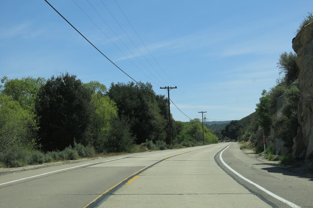
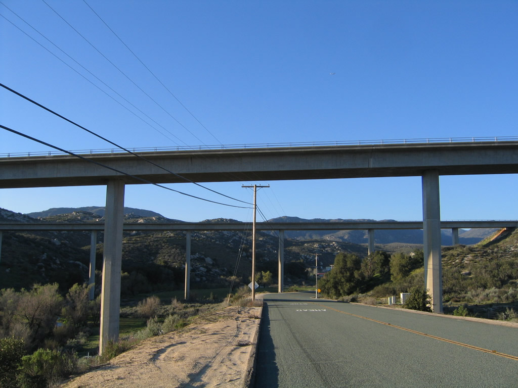
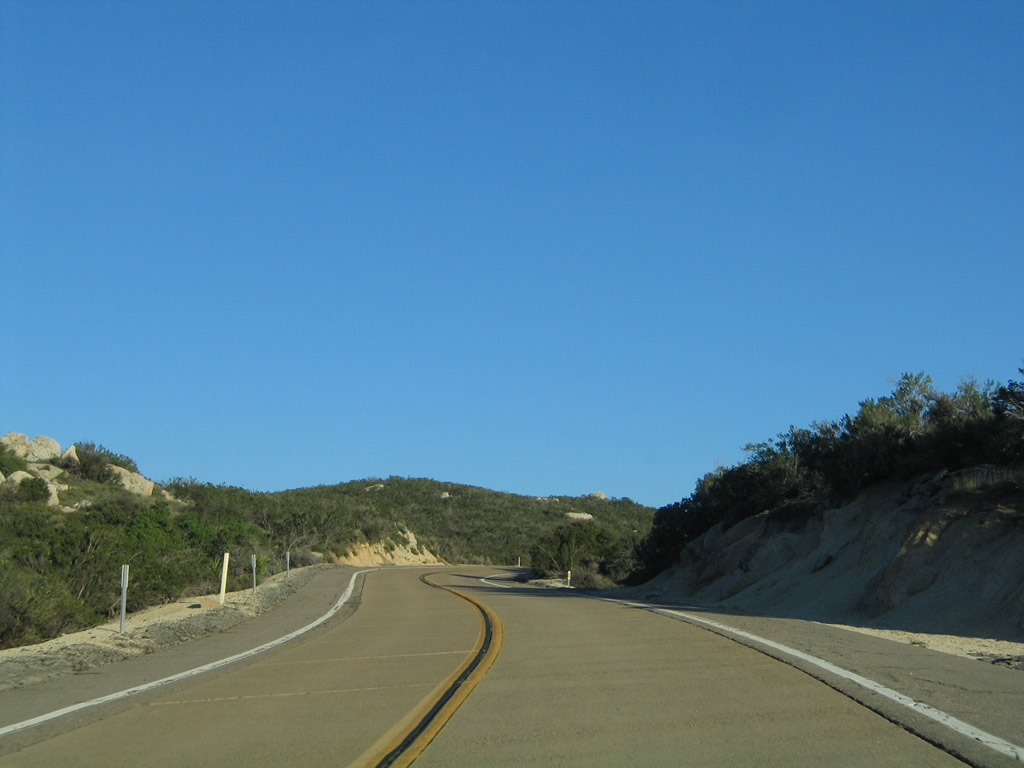
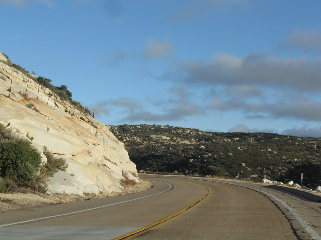
Historic U.S. 80 proceeds east between Descanso Junction and Guatay near Milepost 1. Much of this section of U.S. 80 has concrete travel lanes and asphalt shoulders. Photos taken 04/29/07 and 03/12/05. |
|
|
|
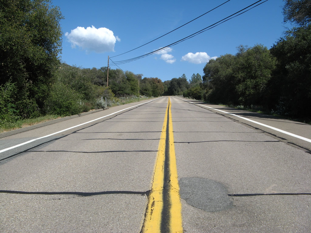
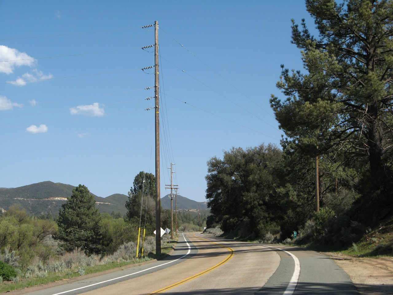
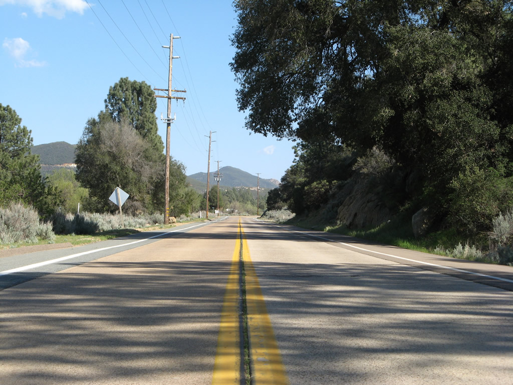
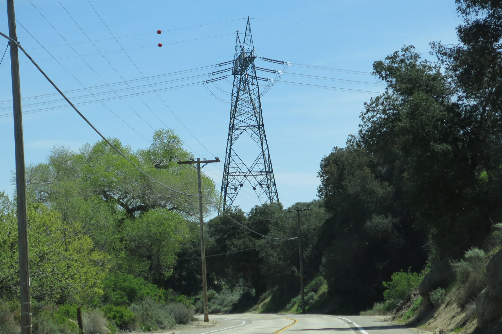
San Diego Gas & Electric power lines briefly follow Historic U.S. 80 east prior to entering Guatay. Photo taken 02/11/12, 03/12/05, and 04/29/07. |
|
|
|
|
|
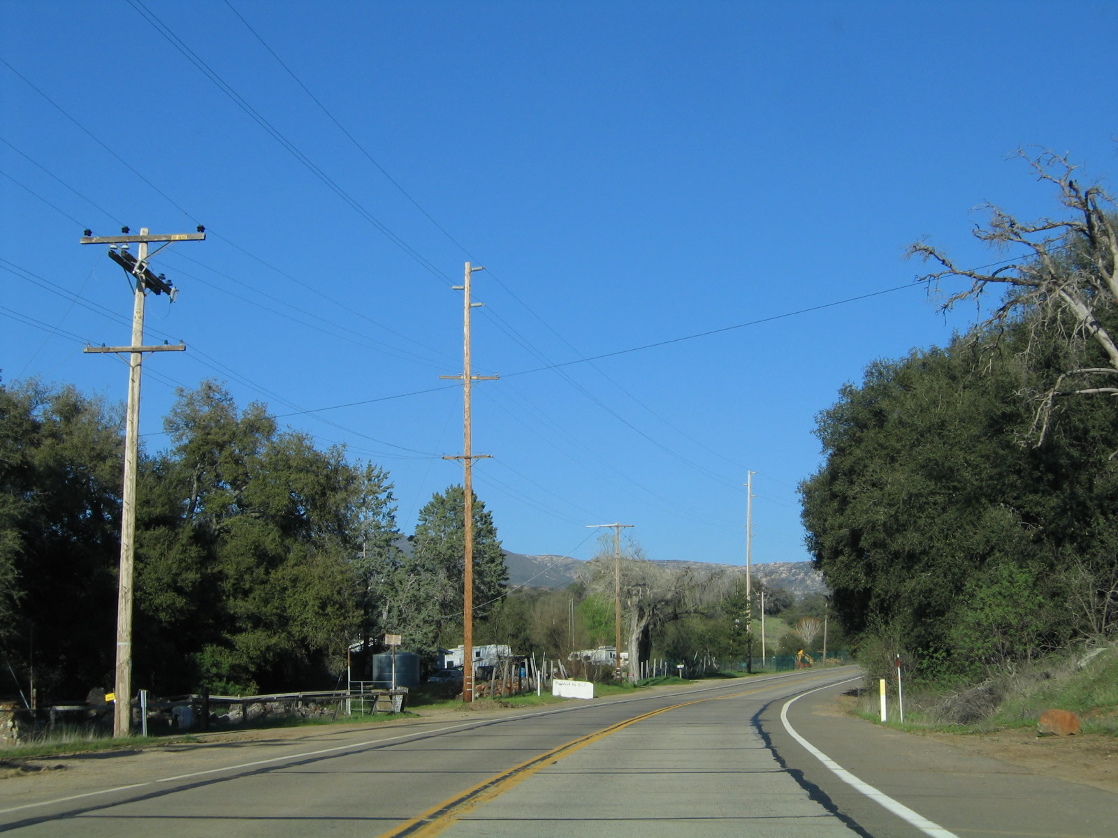
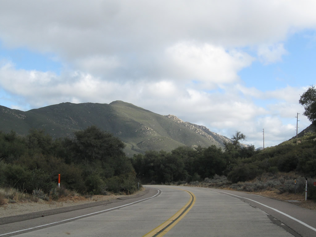
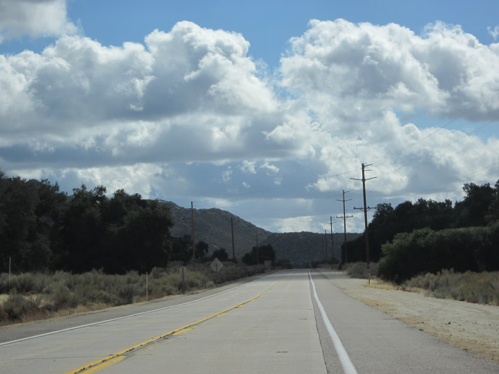
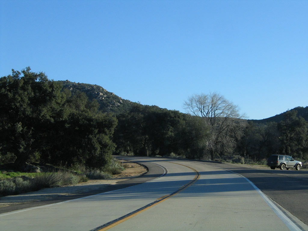
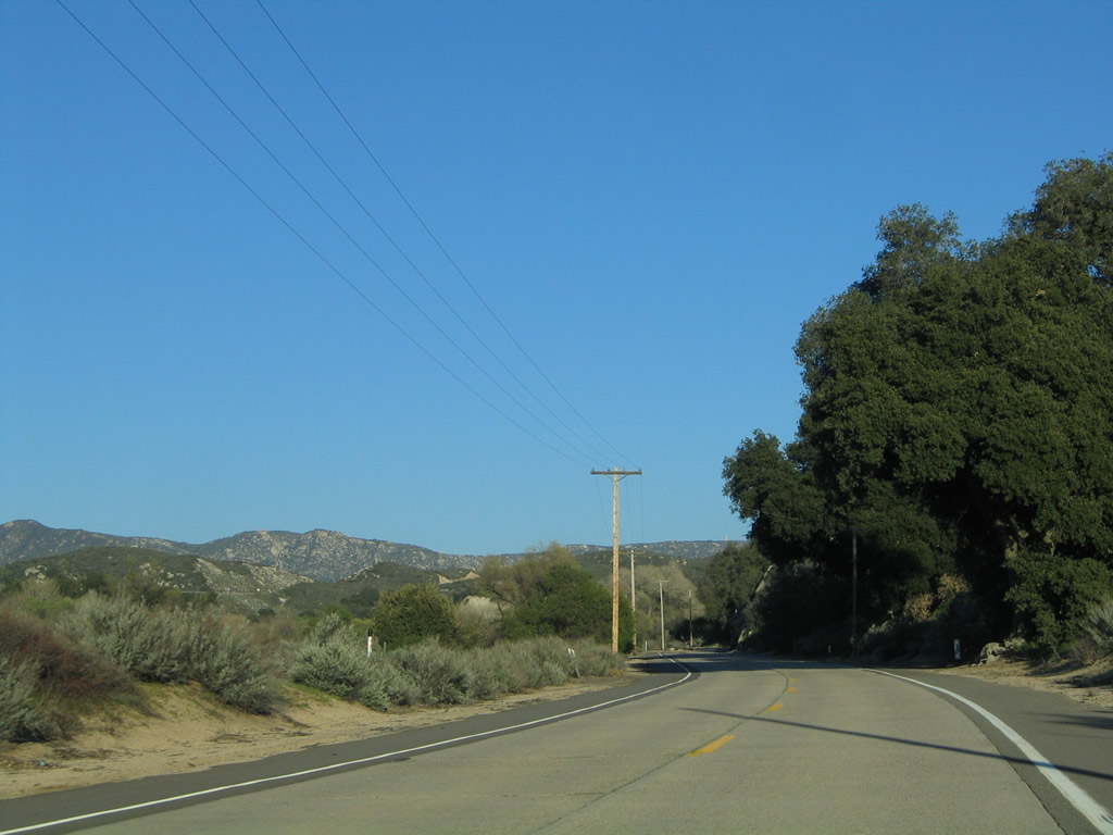
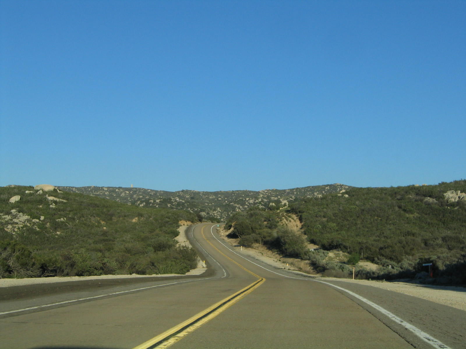
| Historic U.S. 80 passes through Guatay, then continues east toward Pine Valley. Note the reduced speed limit in Guatay and the mountain grade downhill between Guatay and Pine Valley. It is not uncommon in winter storms to see snowfall here in Guatay and rainfall in Pine Valley due to the difference in elevation. Photos taken 03/12/05 and 02/11/12. |
|
|
|
|
|
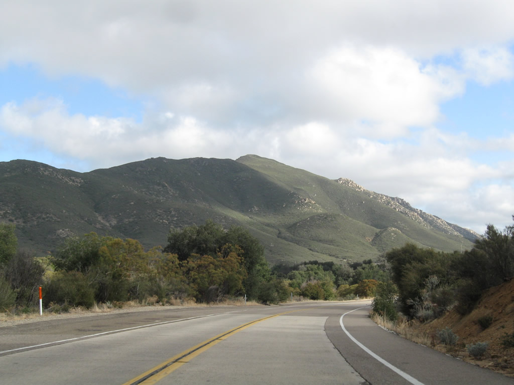
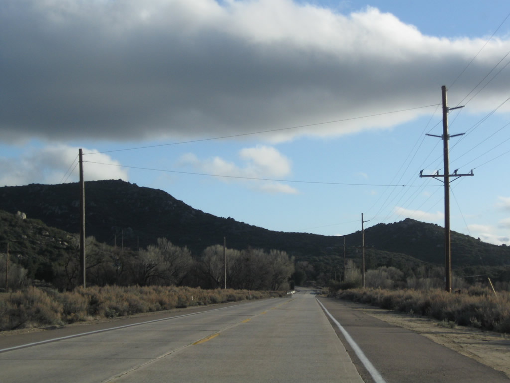
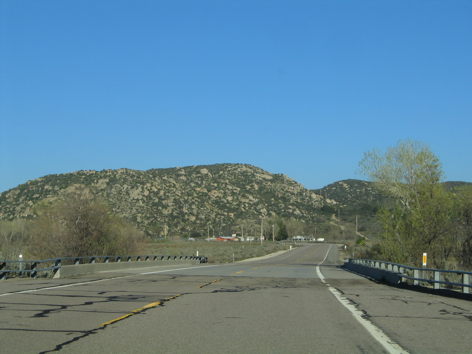
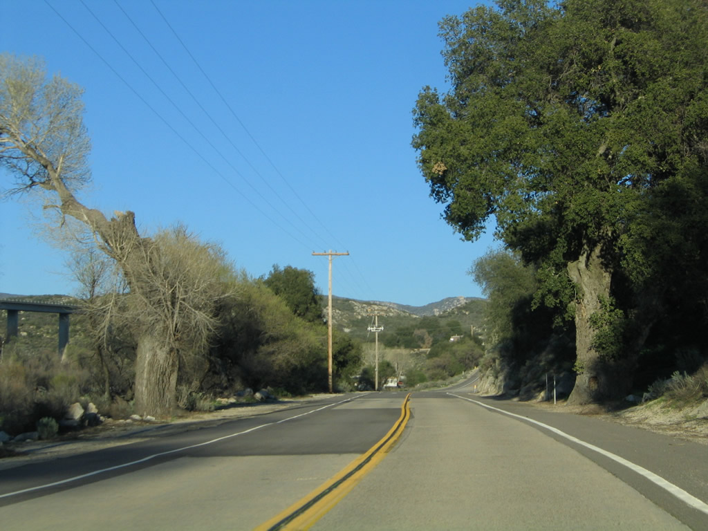
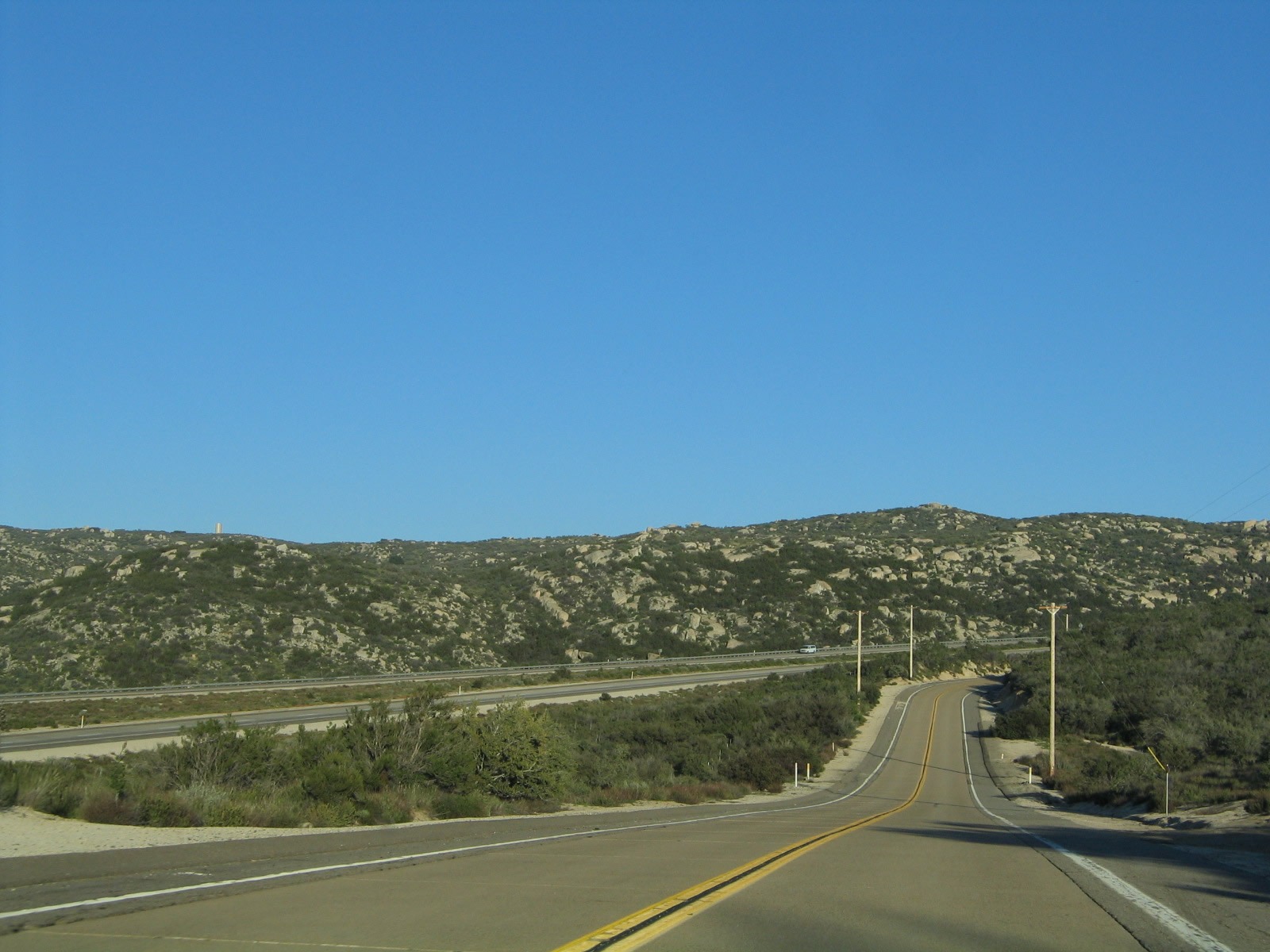
| Traveling downhill into Pine Valley, eastbound Historic U.S. 80 hurredly descends, passing the right turnoff to the Pine Valley Creek Trailhead along the way. The unincorporated community of Pine Valley, which sits at an elevation of 3,736 feet, had a population of 1,510 as of the 2010 Census. Photos taken 03/12/05 and 02/11/12. |
|
|
|
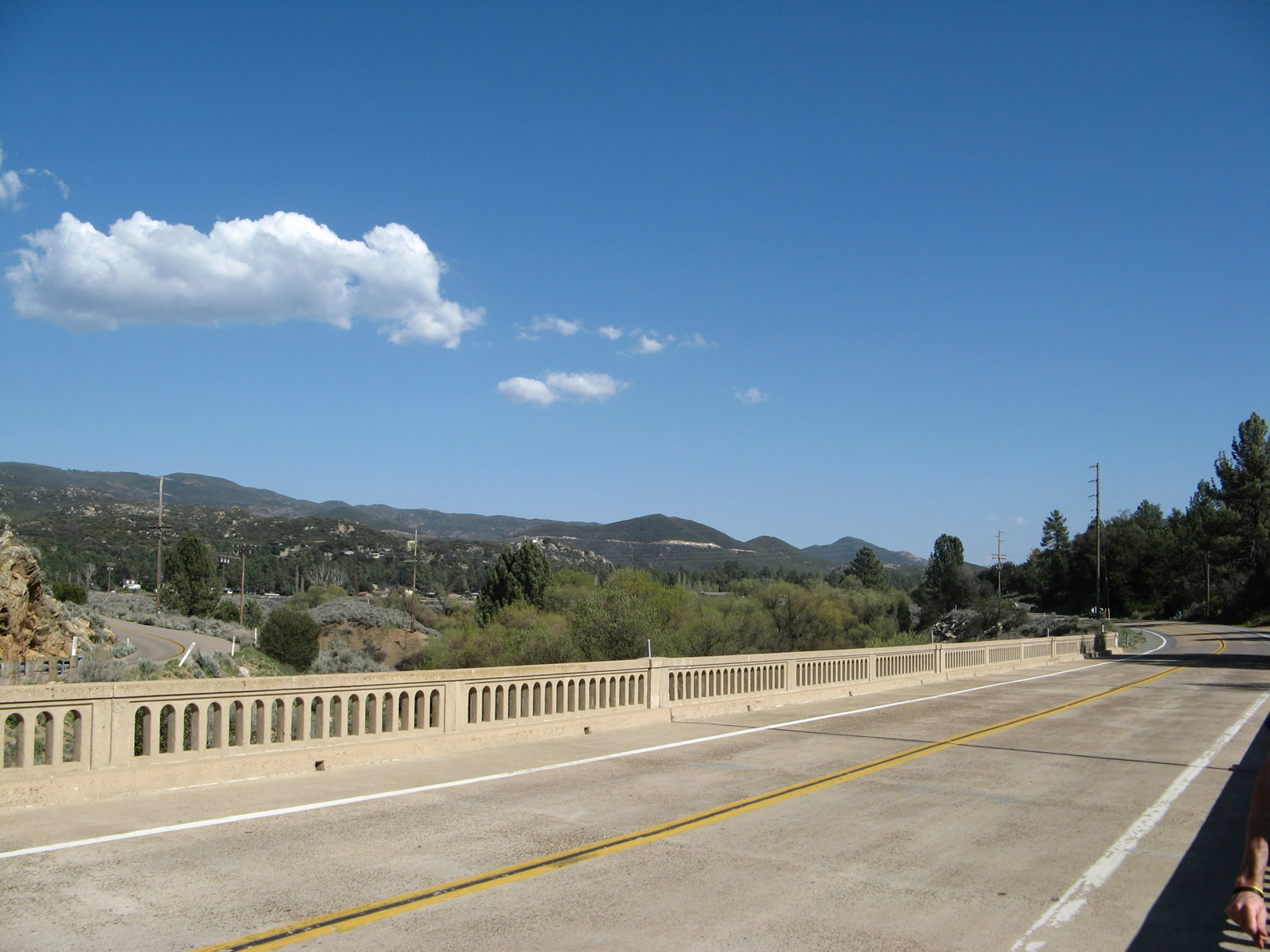
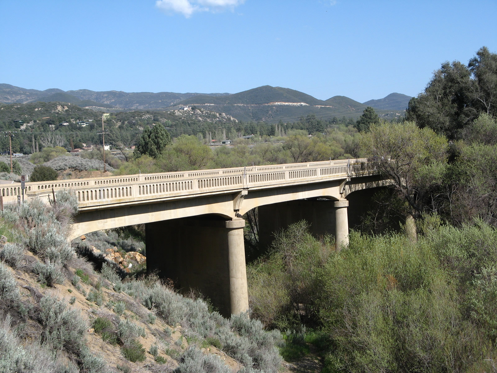
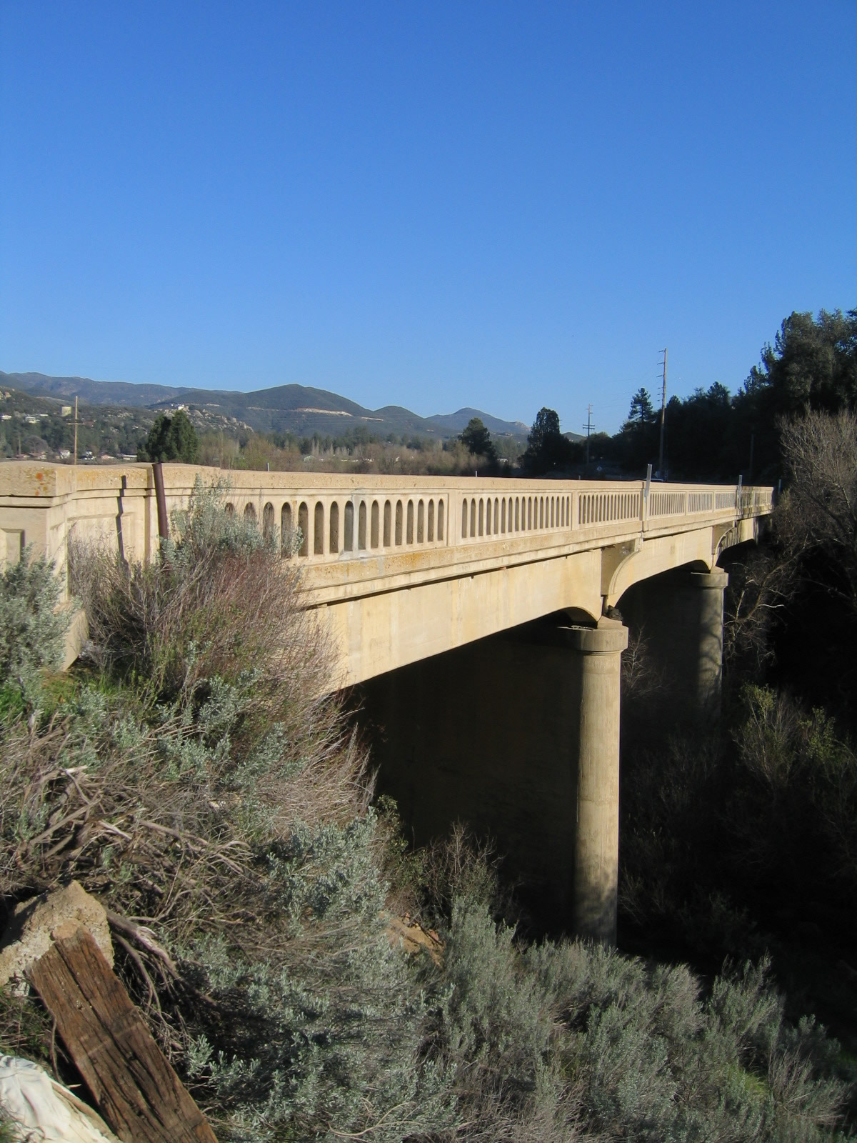
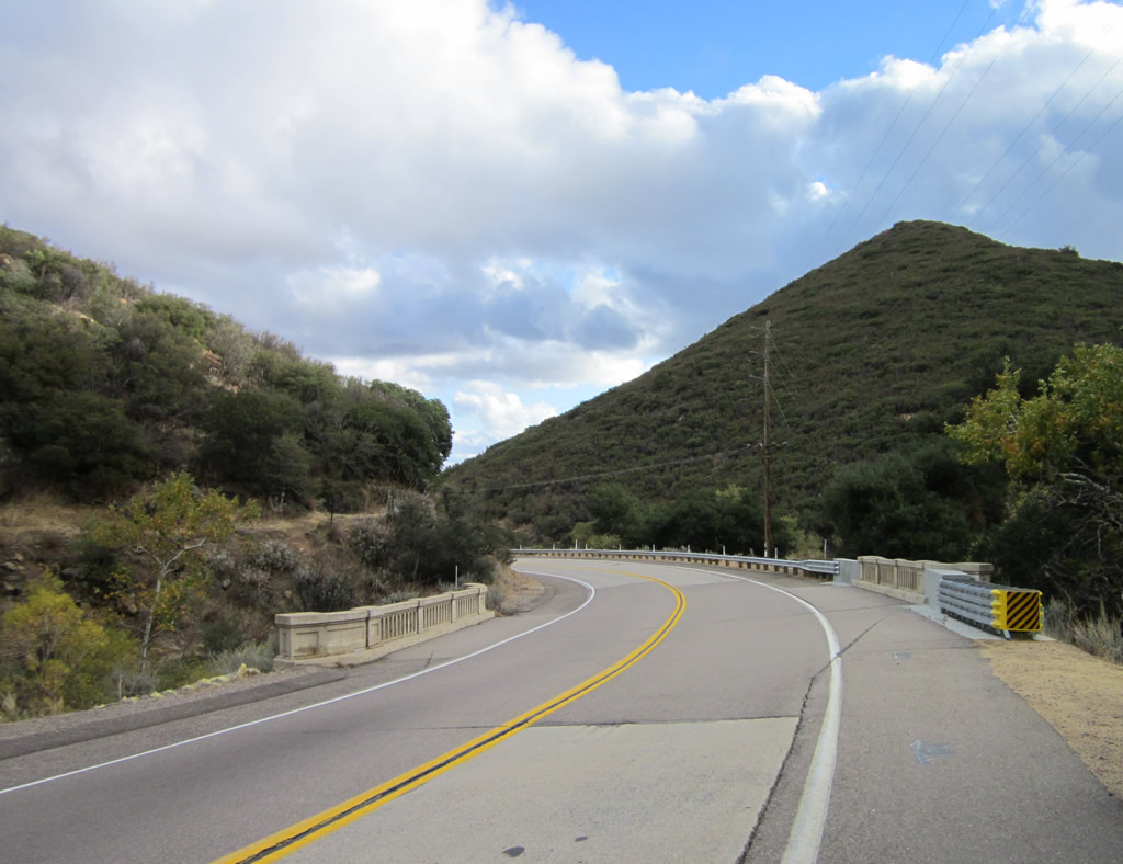
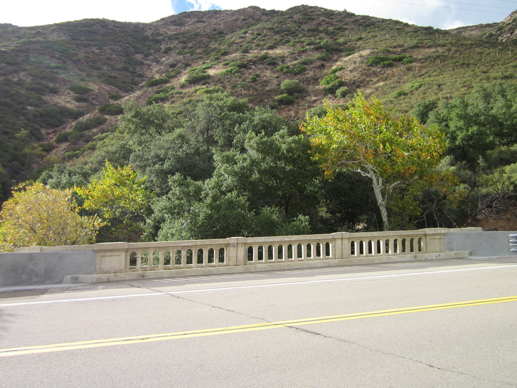
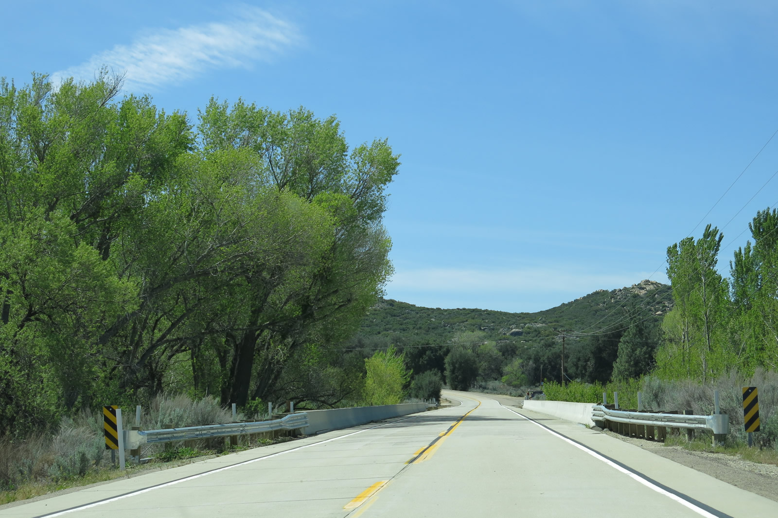
This series of pictures showcases the Pine Valley Creek bridge, which carries Historic U.S. 80 (Old Highway 80) over Pine Valley Creek. This 1929 bridge bypasses an even older 1916 arch bridge that now sits on private property but is still visible from the main roadway. Photos taken 03/12/05, 04/29/07, and 02/11/12. |
|
|
|
|
|
|
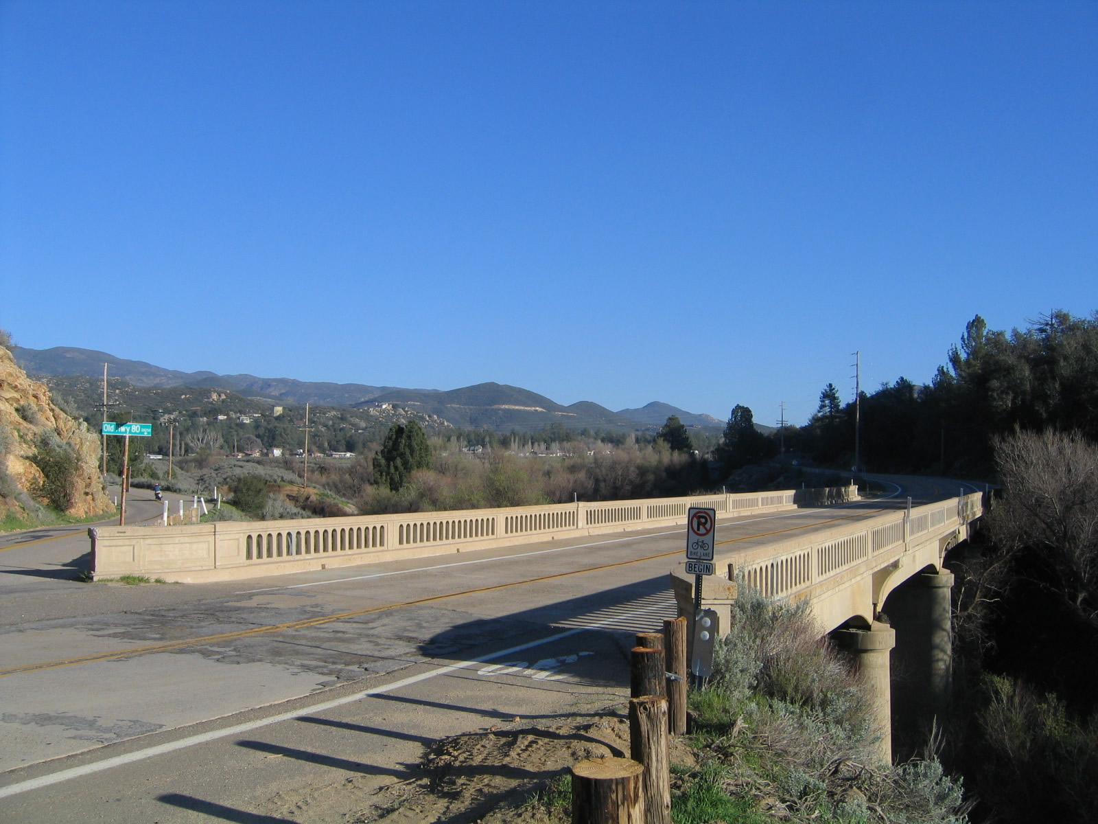
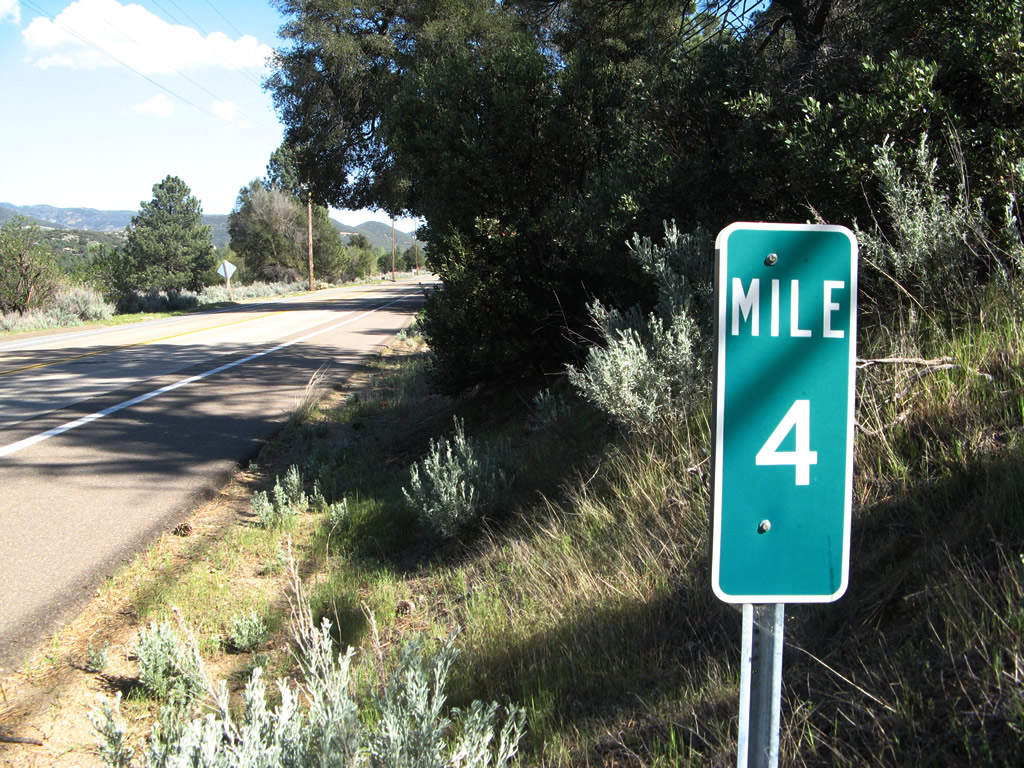
Passing Milepost 4, Historic U.S. 80 proceeds west after crossing Pine Valley Creek. Photo taken 04/29/07. |
|
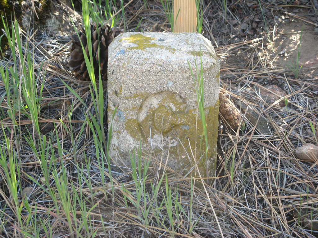
A C-block right of way monument is posted near Milepost 4 just east of the Pine Valley Creek Bridge. Photo taken 04/29/07. |
|
|
|
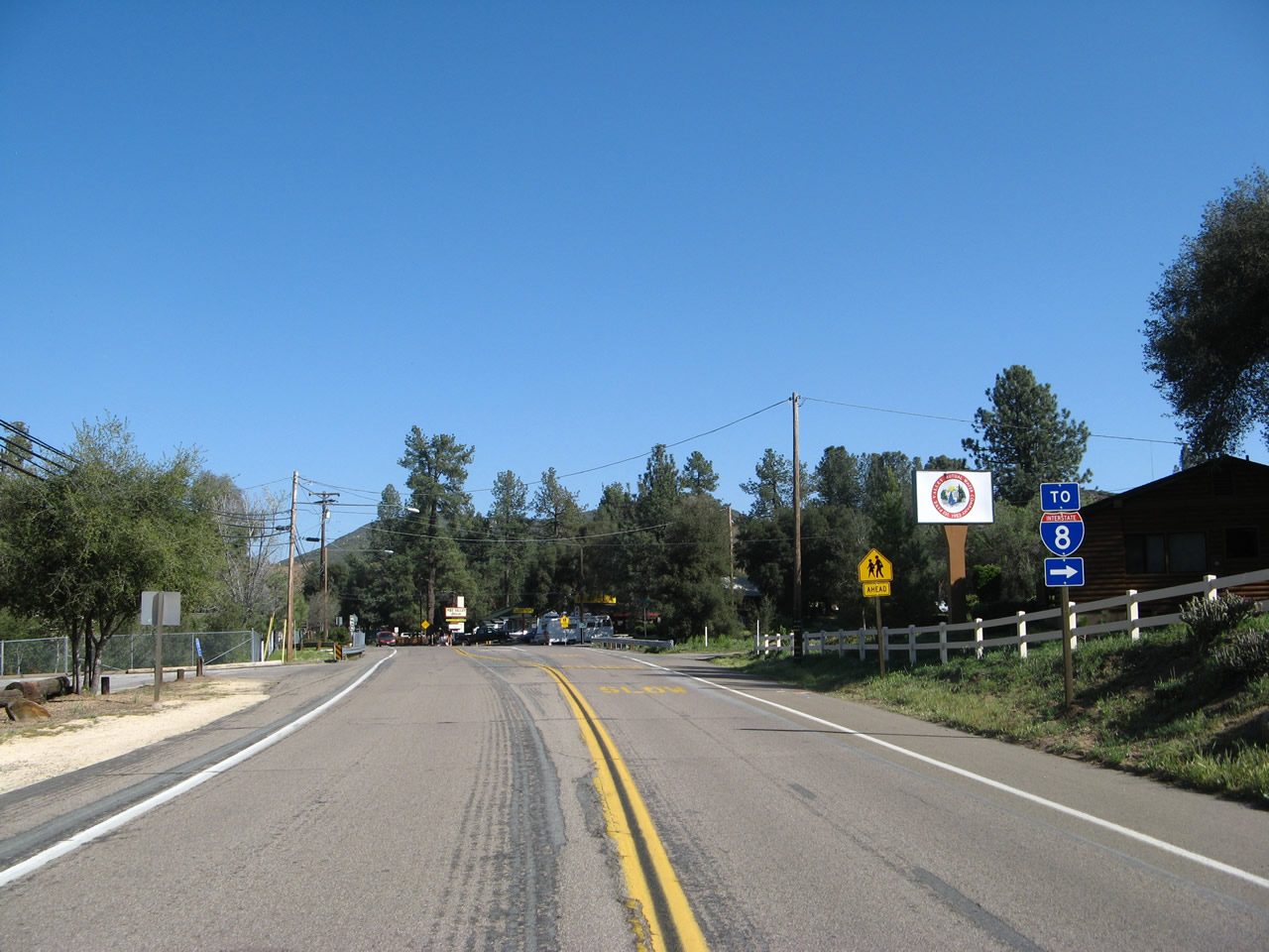
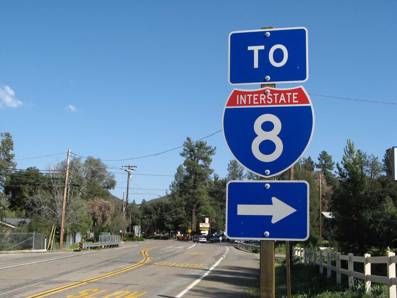
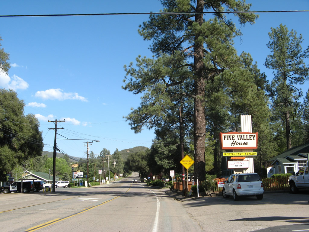
Eastbound Historic U.S. 80 approaches its intersection with Pine Valley Road in downtown Pine Valley. Turn right here for a connection back to Interstate 8, or proceed ahead into the Pine Valley business district, which includes restaurants, shops, and a gas station. Photo taken 04/29/07. |
|
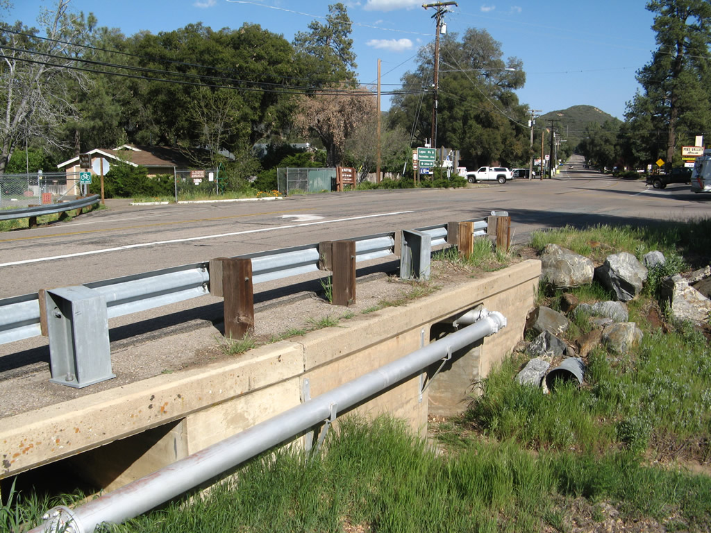
This side view of Old Highway 80 at Pine Valley Road includes a view of a 1930s-era culver that's still in use today. Photo taken 04/29/07. |
|
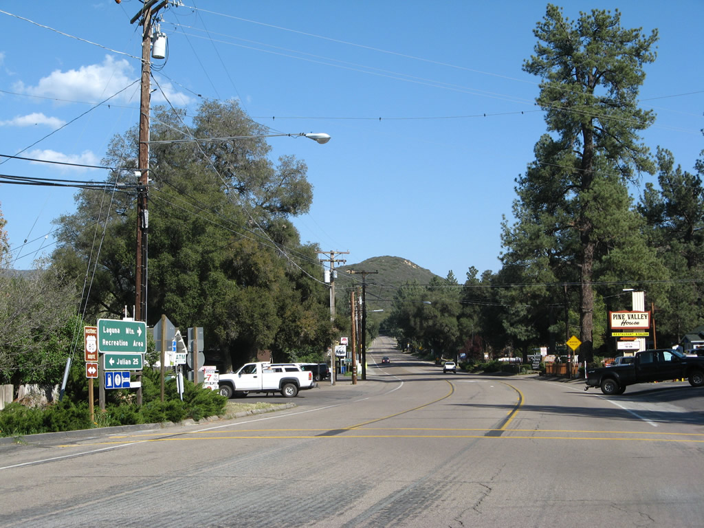
Eastbound Old Highway 80 enters the central business district of Pine Valley after passing through the Pine Valley intersection. Photo taken 04/29/07. |
|
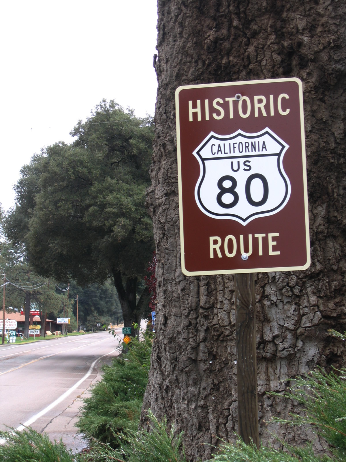
This Historic U.S. 80 route marker is posted in downtown Pine Valley just east of Pine Valley Road. Photo taken 10/14/06. |
|
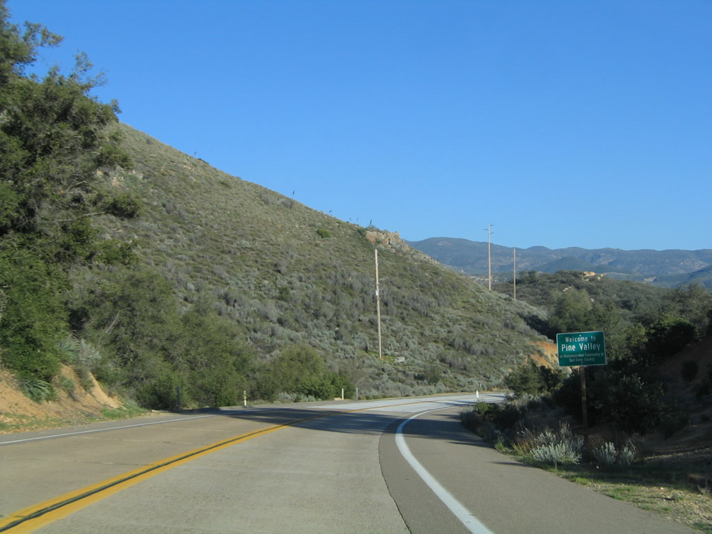
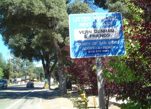
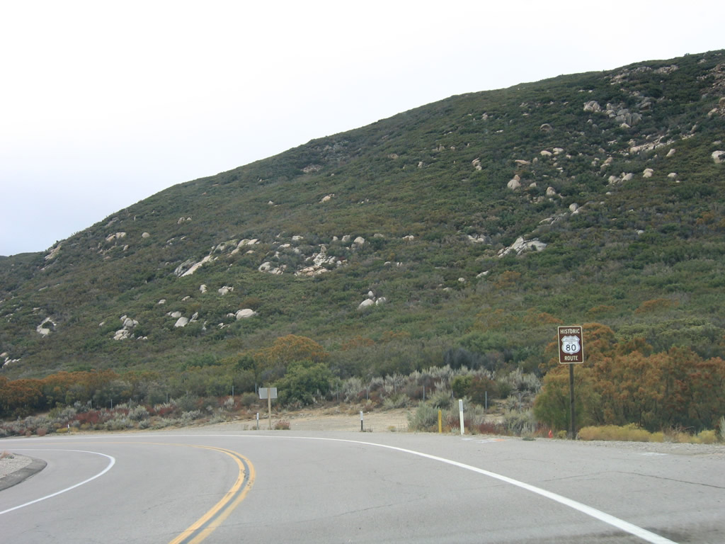
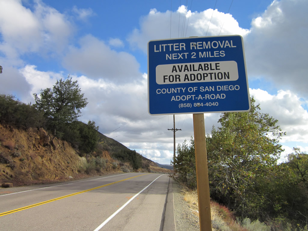
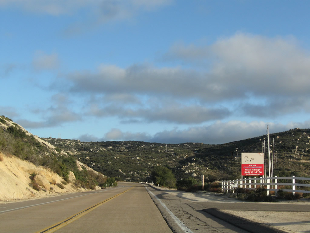
This adopt-a-highway litter control sign is posted at the eastern entrance into Pine Valley along eastbound Old Highway 80. Even San Diego County uses a litter control modeled after the state's program on its county routes. Note that even though the county operates this road, there is no assigned county route number or pentagon shield. It is well-known locally as "Old Highway 80." Photo taken 03/22/02. |
|
|
|
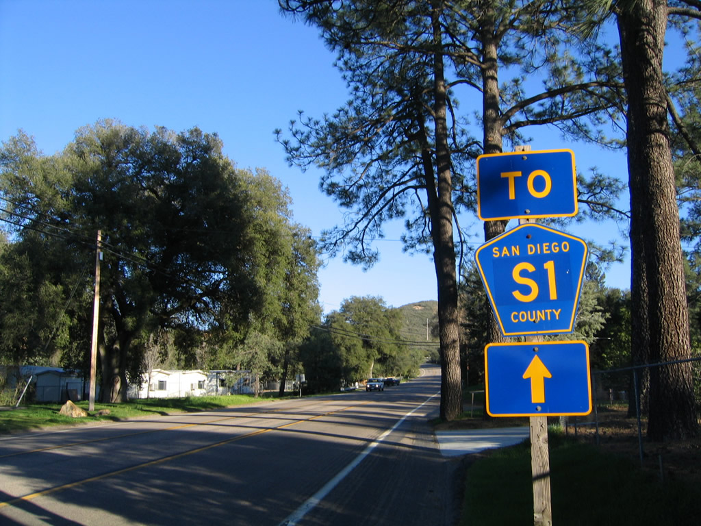
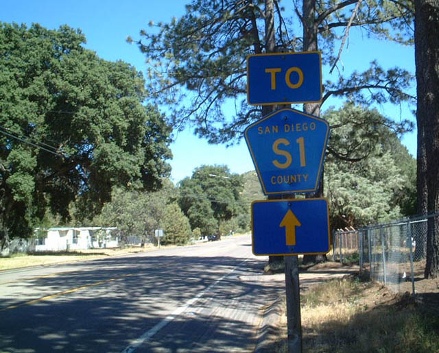
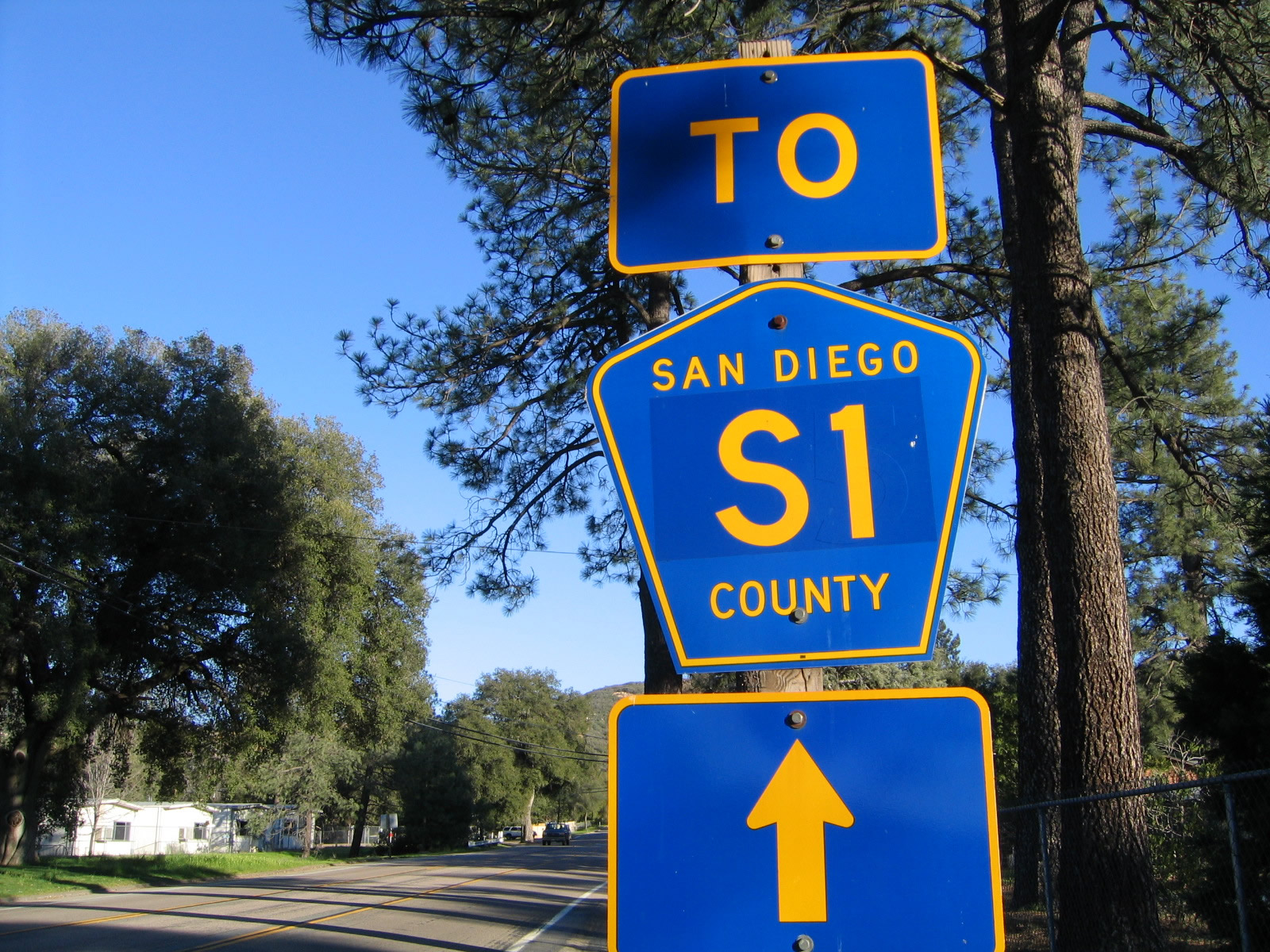
This San Diego County S-1 trailblazer sign is found along eastbound Historic U.S. 80 as it leaves the community of Pine Valley, pointing the way to the Sunrise Highway and some of the most beautiful mountain vistas in Southern California. This shield itself has a sticker affixed to it that says "S-1," so it is likely that this shield was used previously with a different number. Photos taken 03/12/05 and 03/22/02. |
|
|
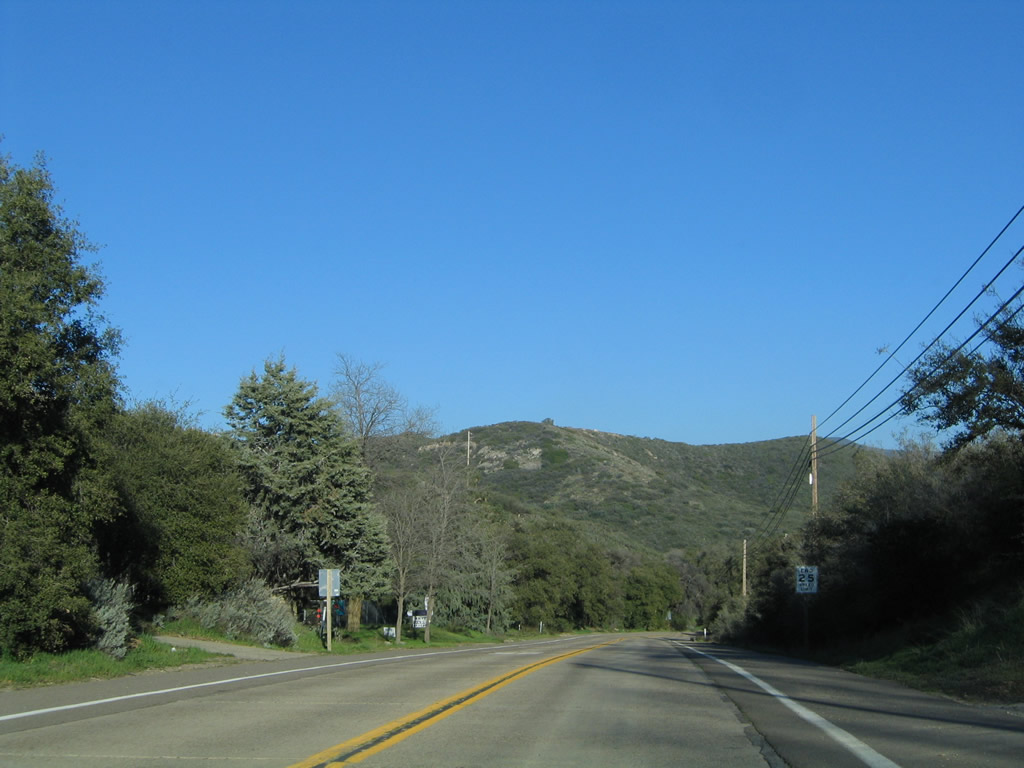
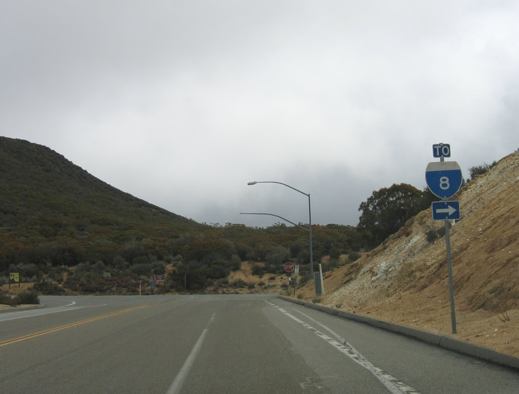
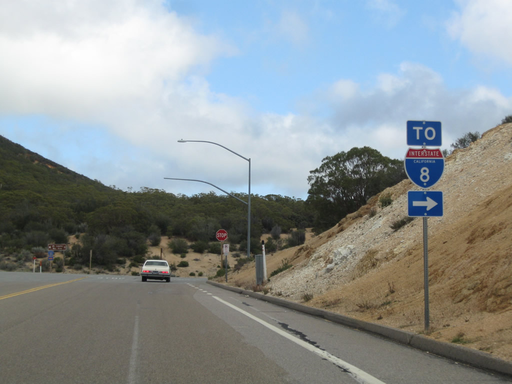
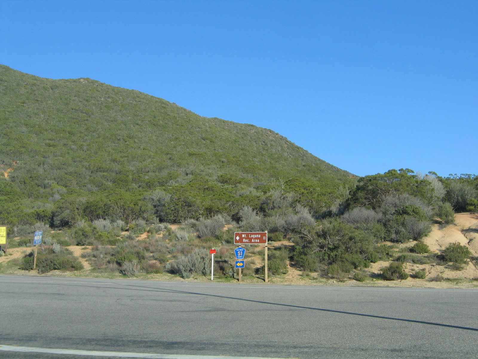
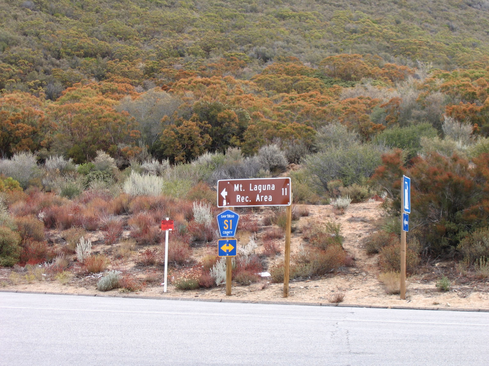
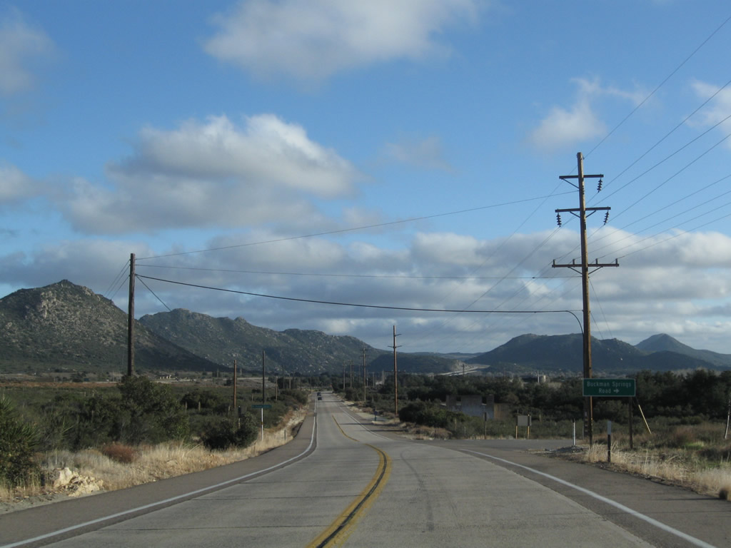
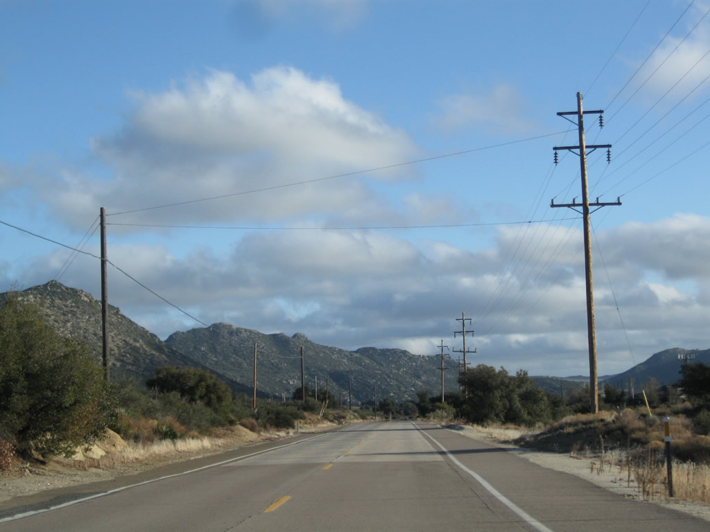
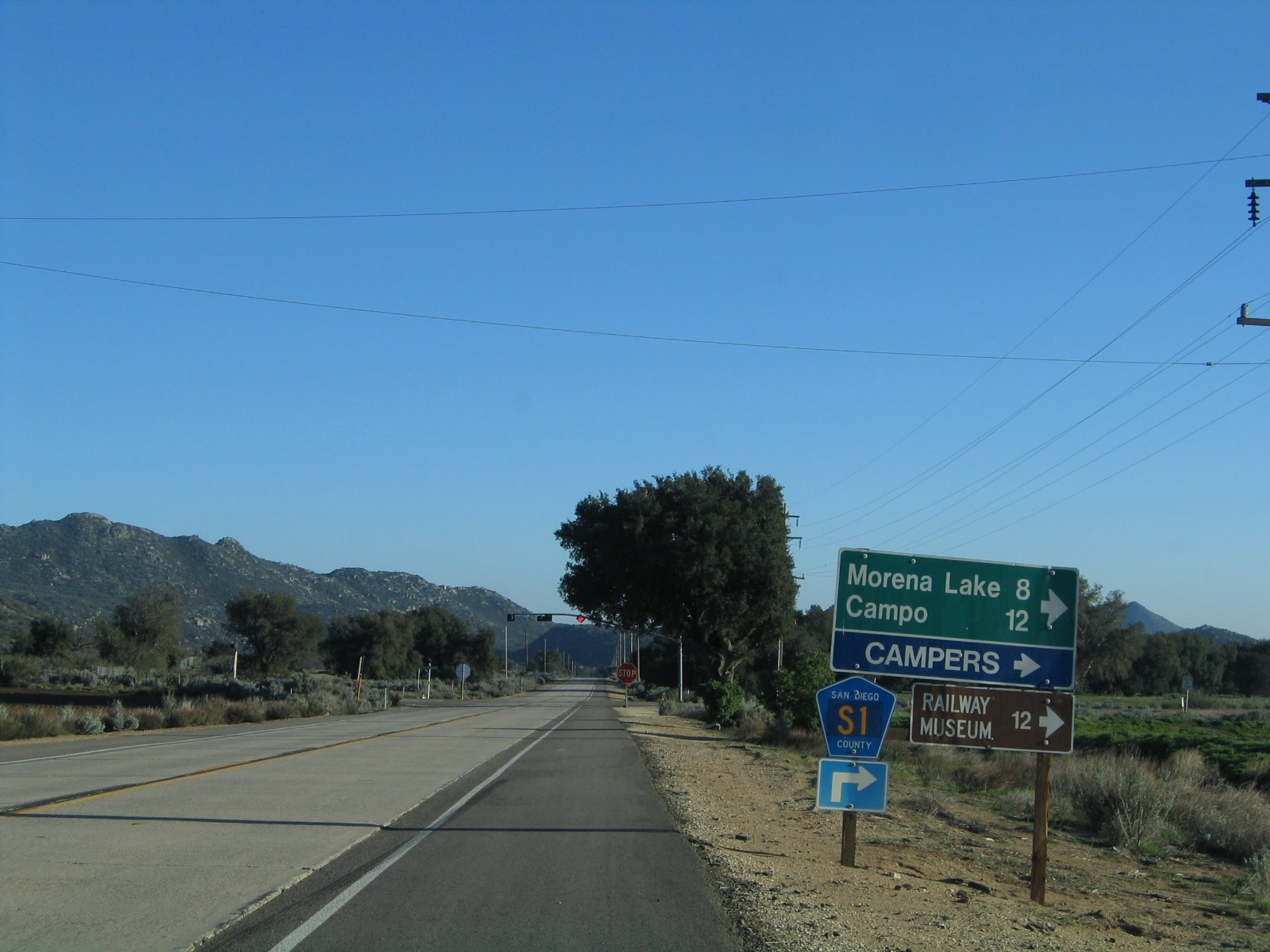
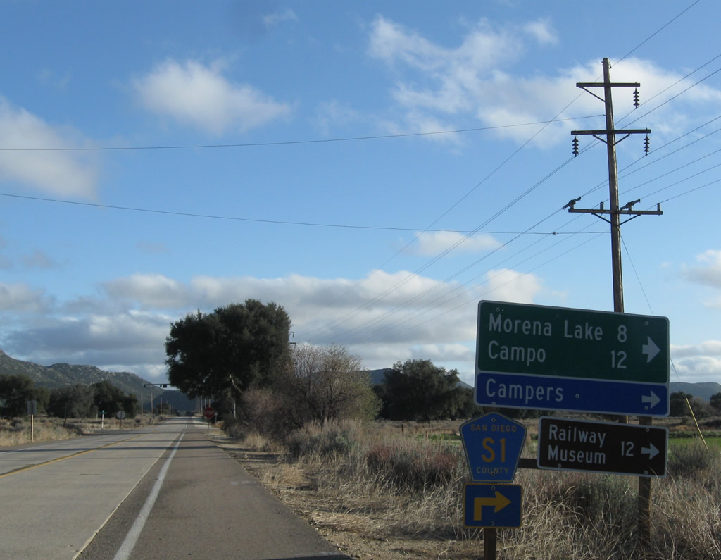
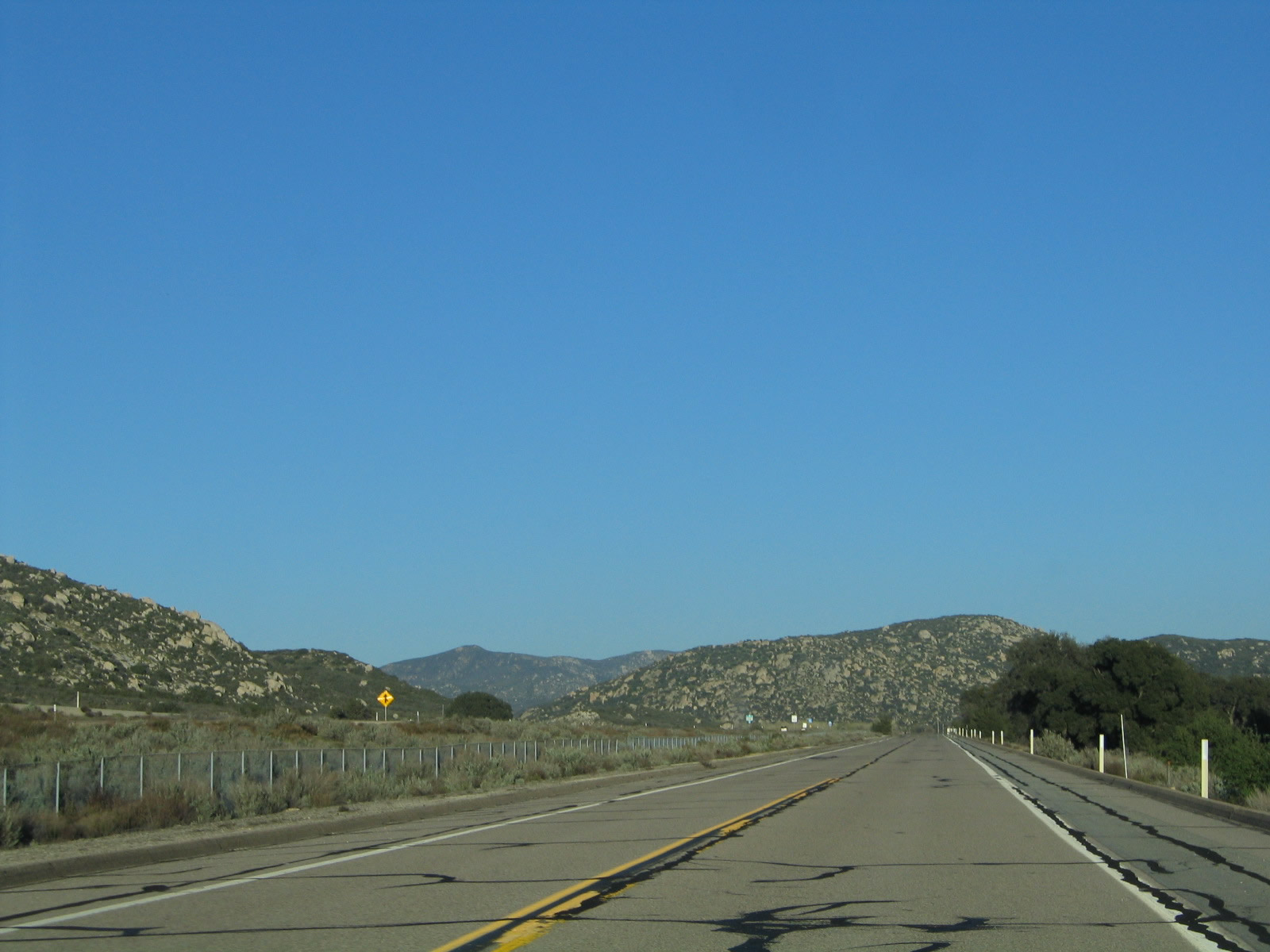
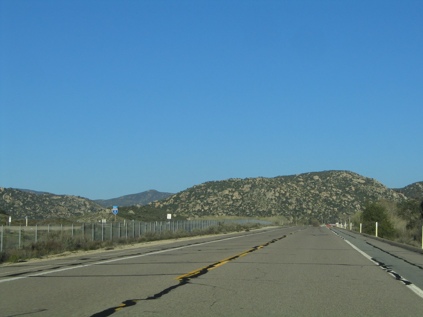
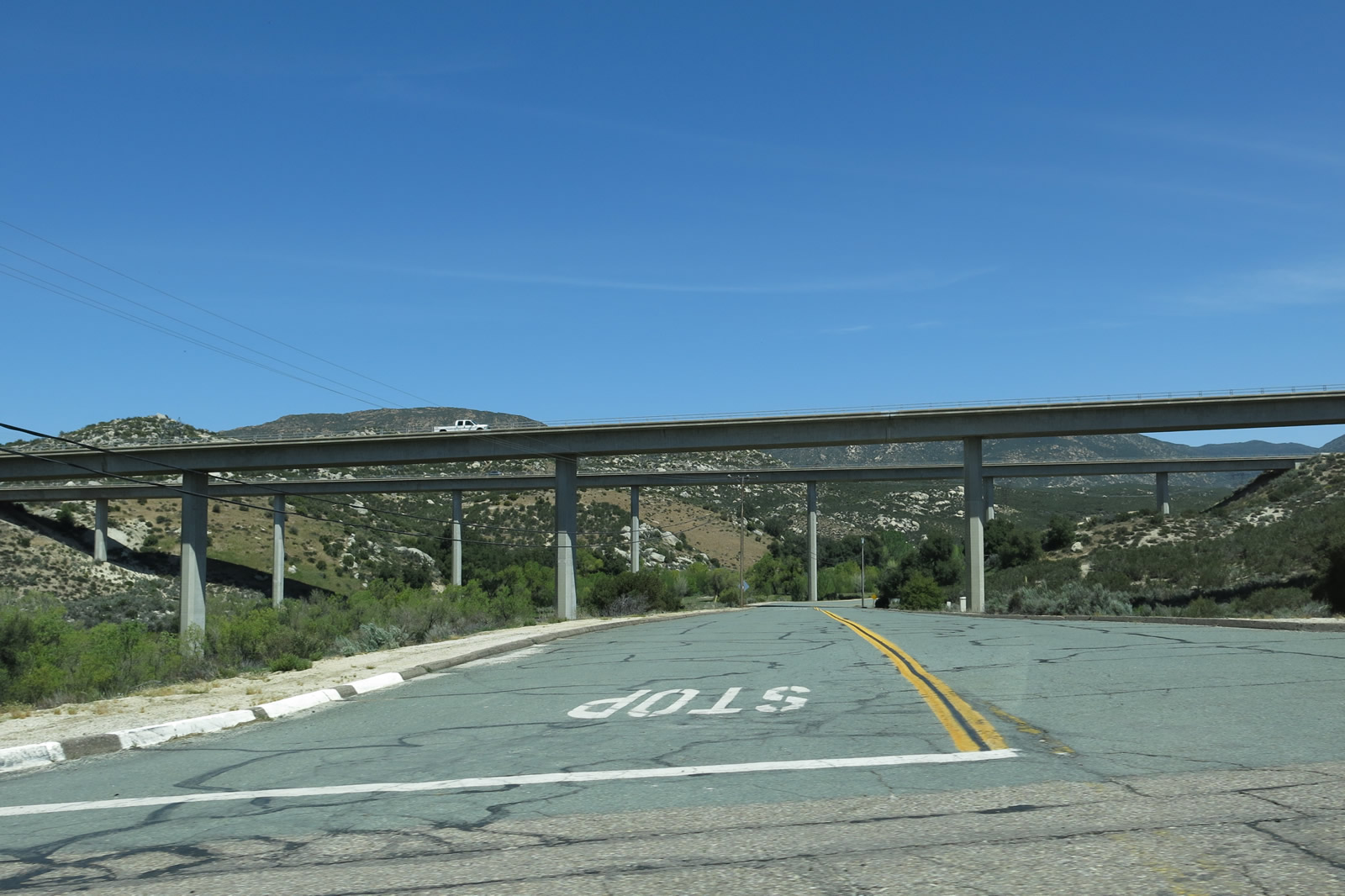
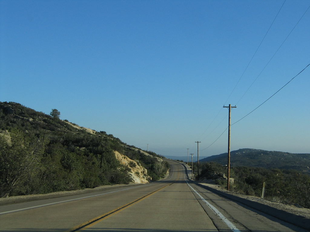
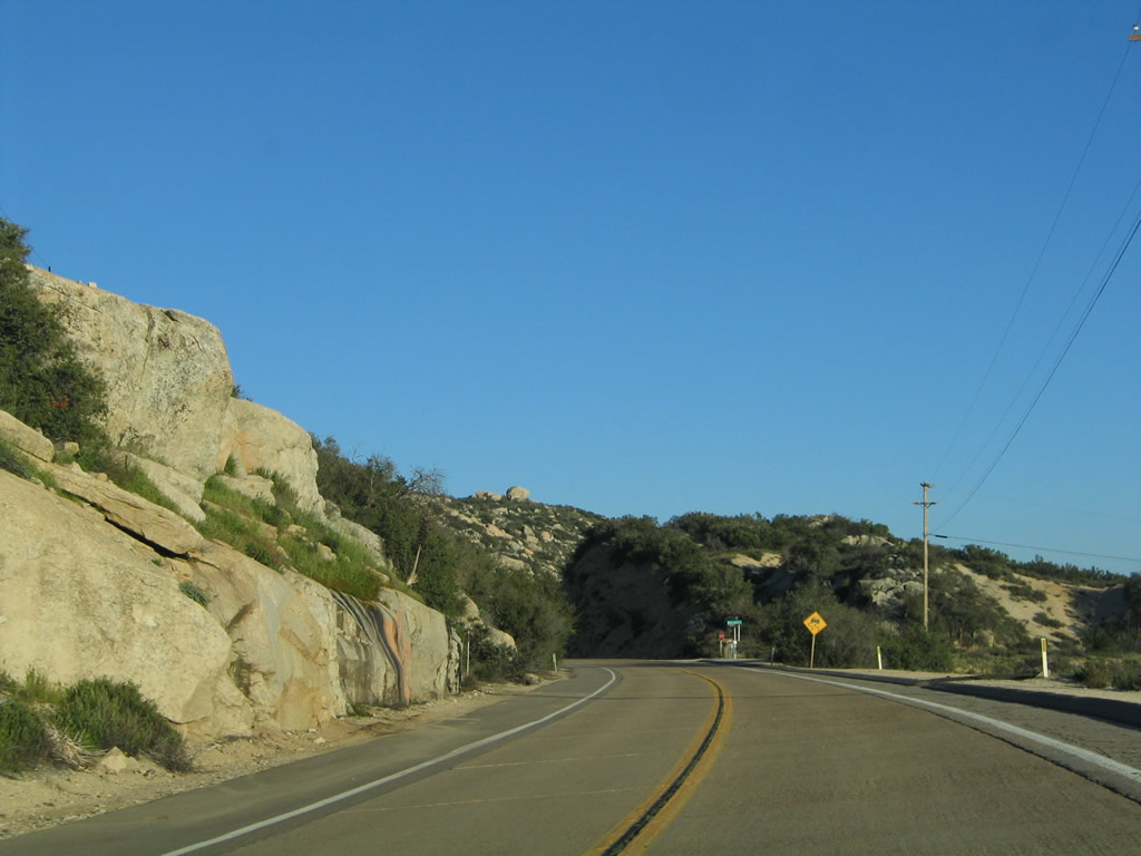
Leaving Pine Valley and gaining elevation toward Laguna Summit, eastbound Historic U.S. 80 approaches San Diego County S-1 and Interstate 8. Turn left for S-1 north to Mt. Laguna or right for S-1 south to Campo, U.S. 80 east to Jacumba, Interstate 8 east to El Centro, and Interstate 8 west to San Diego. Photos taken 10/14/06 and 02/11/12. |
|
|
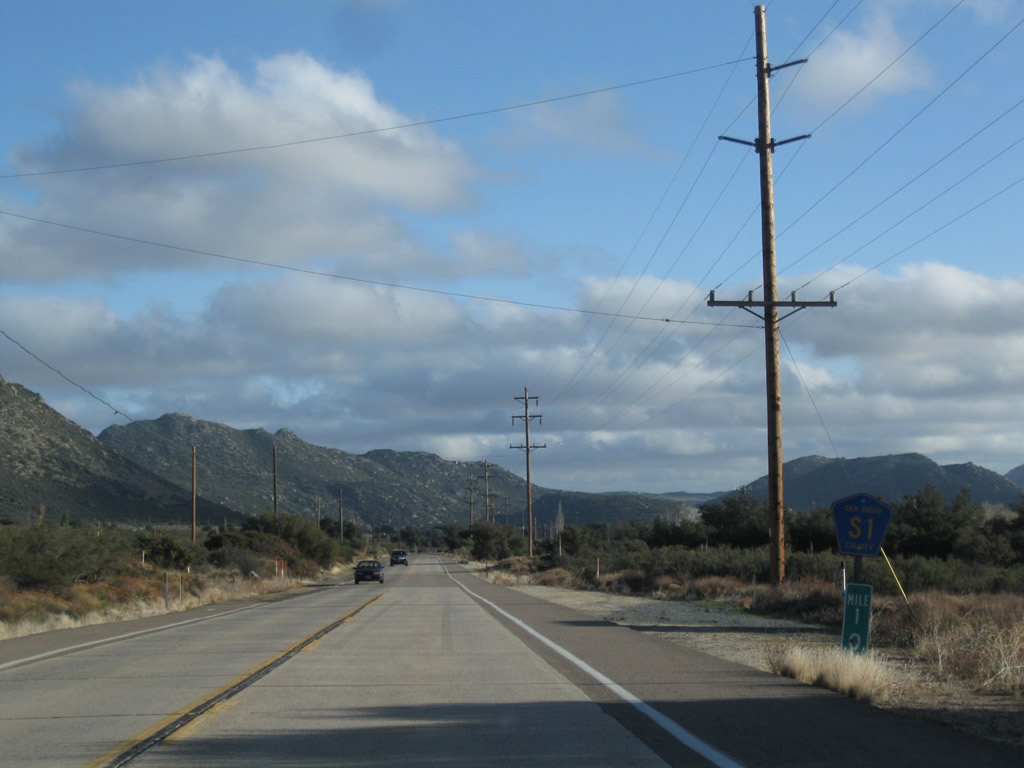
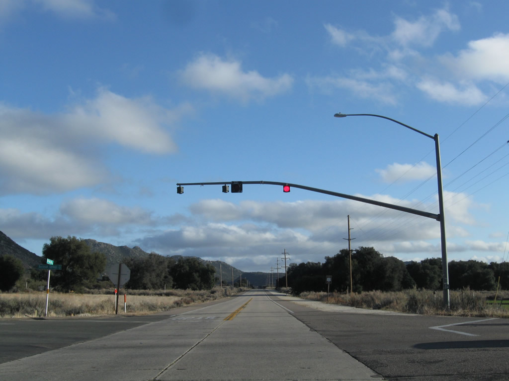
Eastbound Historic U.S. 80 meets San Diego County S-1 (Sunrise Highway) at this stop sign at Laguna Junction. S-1 leads north from here to the highest points of the Laguna Mountains via the Sunrise Highway, while U.S. 80 turns right to join San Diego County S-1 south to cross Interstate 8. Originally, the Sunrise Highway ended at U.S. 80, and there was no stop for eastbound at this intersection, but that changed with the construction of Interstate 8 and its interchange with the Sunrise Highway. The historic alignment of U.S. 80 had to be significantly modified to allow for the provision of a diamond interchange between Interstate 8, Sunrise Highway, and Old Highway 80. Photos taken 03/12/05 and 10/14/06. |
| Historic U.S. 80 east & San Diego County S-1 south |
|
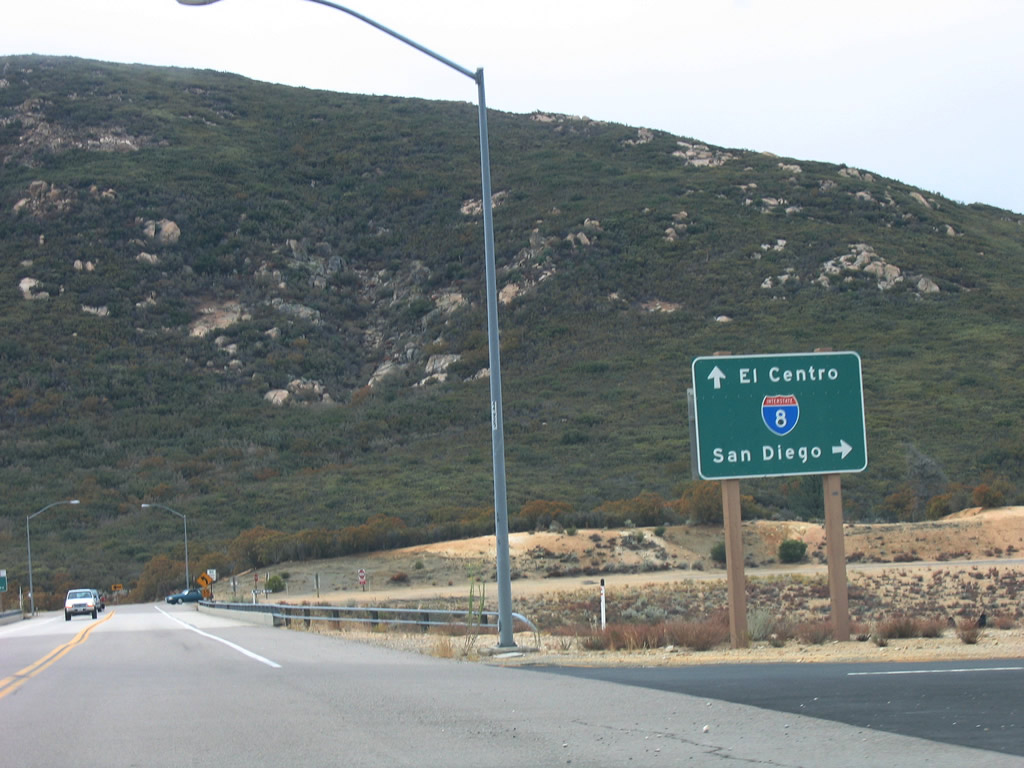
Eastbound Historic U.S. 80 and southbound San Diego County S-1 meet Interstate 8. Turn right for Interstate 8 west to San Diego, or proceed over the bridge and turn left for Interstate 8 east to El Centro. Continue ahead for U.S. 80 east and San Diego County S-1 south. Photo taken 10/14/06. |
|
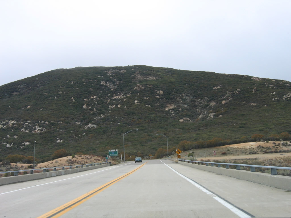
Traveling south briefly, Historic U.S. 80 and San Diego County S-1 cross over Interstate 8. Photo taken 10/14/06. |
|
Another Historic U.S. 80 route marker is posted after the Interstate 8 interchange. San Diego County S-1 is not signed here despite sharing alignment with Historic U.S. 80 for a few miles. Photo taken 10/14/06. |
|
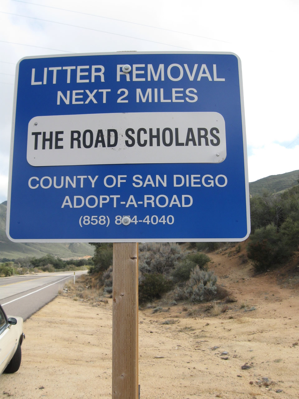
The next two miles of Historic U.S. 80 and San Diego County S-1 have been adopted by the "Road Scholars." Photo taken 02/11/12. |
|
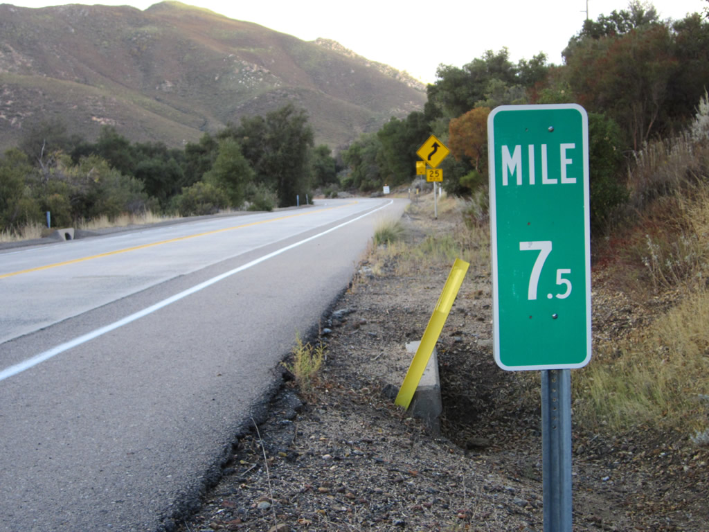
East of the U.S. Border Patrol Inspection Station, look for a couple of "Route 8" postmile markers on either side of Old Highway 80. These markers date back to when through traffic was still routed on the old alignment while Interstate 8 remained incomplete. Photo taken 11/10/12. |
|
This is also Mile 7.5 of Old Highway 80. Photo taken 11/10/12. |
|
|
|
|
|
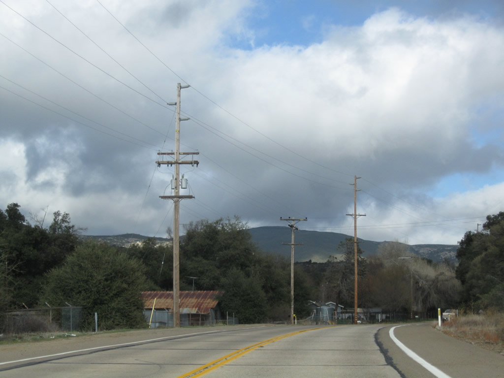
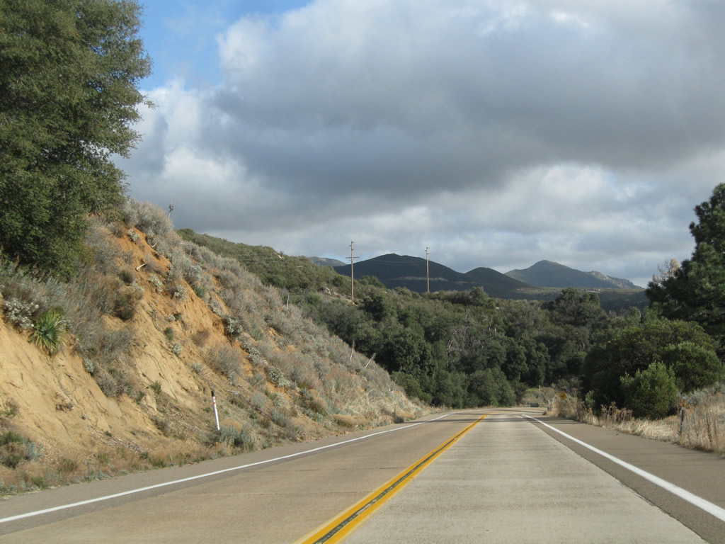
| Historic U.S. 80 and San Diego County S-1 wind their way downhill from Laguna Junction toward Buckman Springs, traveling almost due south for the duration of their shared alignment. Two-lane concrete from the 1930s constitute the main travel lanes, similar to the section of U.S. 80 through Pine Valley. A U.S. Border Patrol checkpoint is located along this stretch of Old Highway 80. Look for the old road's passage over Cottonwood Creek, which features a nice 1928 culvert. Photos taken 02/11/12. |
|
|
|
|
|
|
|
Old Highway 80 meets Old Buckman Springs Road at this intersection. This is also the site of what is left of Buckman Springs. S-1 will follow U.S. 80 a bit longer, then separate at "new" Buckman Springs Road. Note there is an S-1 reassurance shield on Old Highway 80 between Old Buckman Springs Road and Buckman Springs Road. Photos taken 02/11/12. |
|
Still traveling almost due south along this stretch of Old Highway 80, the Interstate 8 freeway also parallels Old Highway 80 toward the Buckman Springs area. Photos taken 02/11/12. |
|
|
Historic U.S. 80 and San Diego County S-1 approach their split at the intersection of Old Highway 80 and Buckman Springs Road. Turn right for S-1 (Buckman Springs Road) south to Campo. Turn left for Buckman Springs Road north to Interstate 8. Continue ahead on Historic U.S. 80 to Boulevard and Jacumba. This sign was replaced between 2006 and 2012. Photos taken 03/12/05 and 02/11/12. |
|
Eastbound Historic U.S. 80 and San Diego County S-1/Old Highway 80 meet Buckman Springs Road. San Diego County S-1 turns south onto Buckman Springs Road to Campo. Turn left for Buckman Springs Road north to the Interstate 8 interchange (Exit 51) and a rest area. S-1 will aim south toward Lake Morena and Campo. U.S. 80 will turn southeast, then south until meeting Kitchen Creek. At that point, both U.S. 80 and Interstate 8 will turn east. Photo taken 10/14/06. |
| Historic U.S. 80 east |
|---|
|
|
A Historic U.S. 80 route marker is posted after the intersection with San Diego County S-1 (Buckman Springs Road). Photos taken 04/27/07. |
|
Old Highway 80 proceeds south from Buckman Springs toward Kitchen Creek. Photo taken 03/12/05. |
|
|
|
|
|
| This series of pictures follows Historic U.S. 80 as it travels south along Old Highway 80 between Buckman Springs and Kitchen Creek. The original Kitchen Creek bridge was replaced with a modern bridge in 1994. The Boulder Oaks Campground turnoff is on the right side of Old Highway 80. Photos taken 03/12/05, 02/11/12, and 11/12/12. |
|
|
|
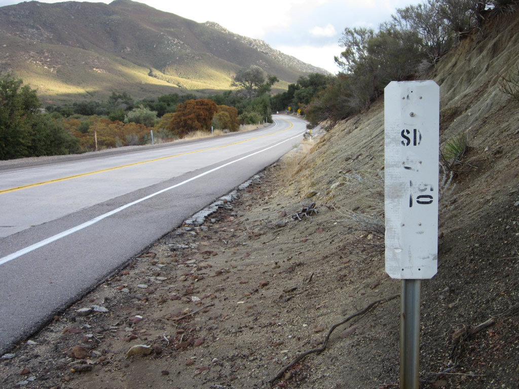
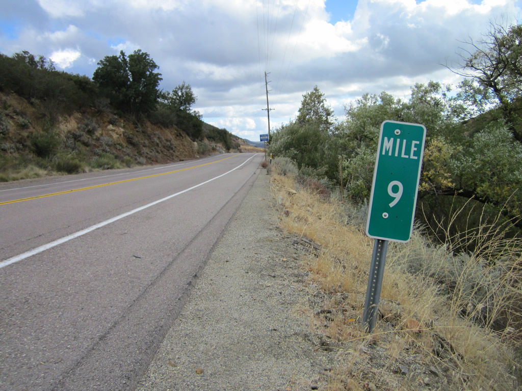
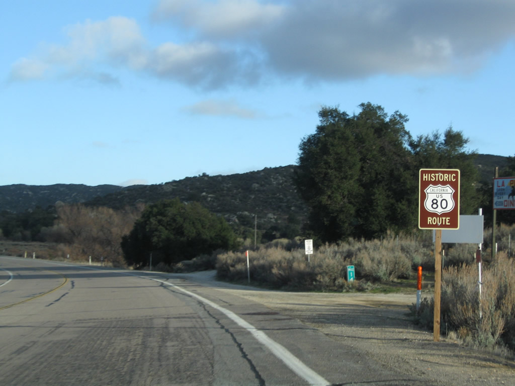
This section of Old Highway 80 was legislatively designated as Route 8 in 1964 as a temporary alignment pending construction of the freeway. As a result, a few postmile markers remain along Historic U.S. 80 between Laguna Junction and Kitchen Creek. This particular postmile is located near Old Highway 80 Mile 13. Photos taken 03/12/05, 02/11/12, and 11/12/12. |
|
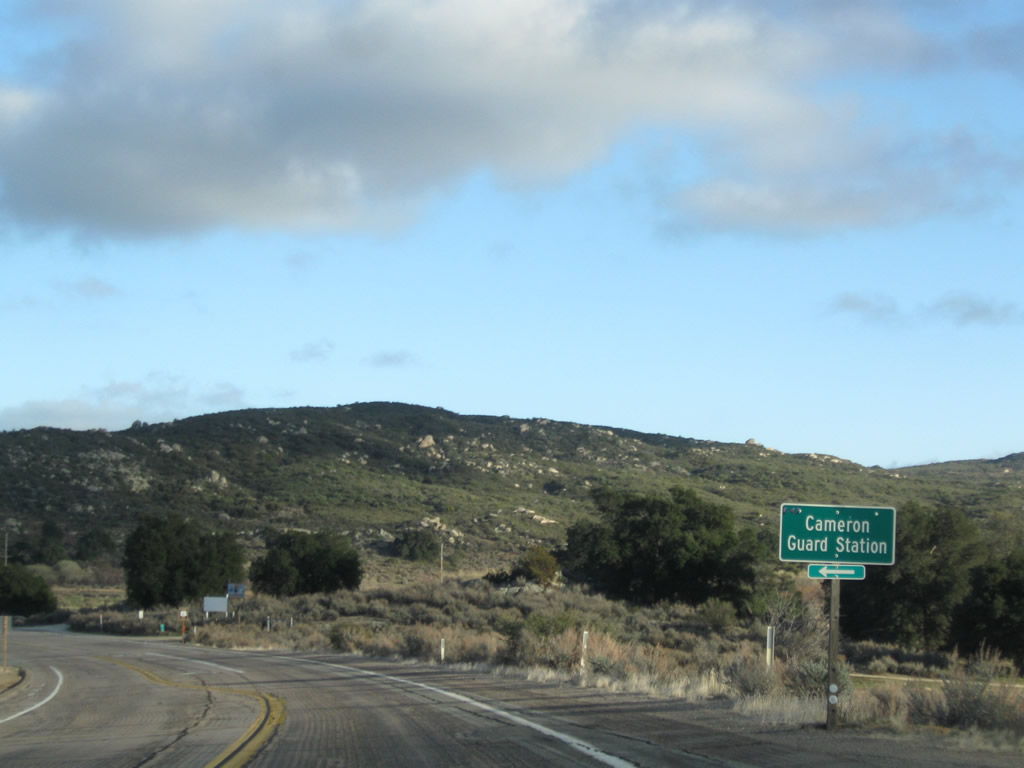
Eastbound Historic U.S. 80 (Old Highway 80) approaches Kitchen Creek Road. Turn left at this intersection to Interstate 8 Exit 54 and Cameron Guard Station. Photo taken 02/11/12. |
|
|
|
Another Historic U.S. 80 route marker is posted along eastbound Old Highway 80 after the Kitchen Creek Road intersection. Beyond the intersection, Old Highway 80 closely follows Interstate 8, almost like a frontage road. At the La Posta Creek bridge, the two highways will diverge. Photos taken 02/11/12 and 03/12/05. |
|
|
Historically, a direct access ramp used to link this stretch of Old Highway 80 with modern Interstate 8. Remnants of this old connection can still be seen with a trained eye just east of Kitchen Creek Road as the old and new highways run side by side. After a brief time next to each other, the two routes will diverge. Photos taken 02/11/12 and 03/12/05. |
|
|
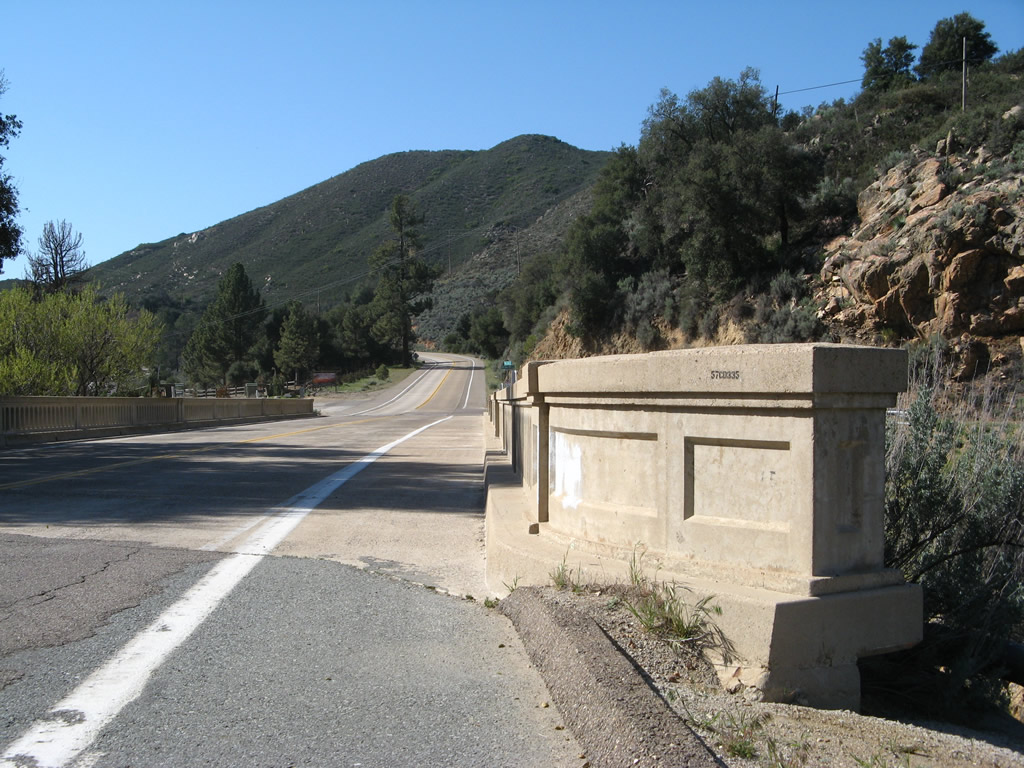
U.S. 80 comes alongside La Posta Creek and crosses it on a 1973 bridge, which while not nearly as old as other nearby bridges is still 40 years old as of this writing. Photos taken 02/11/12 and 03/12/05. |
|
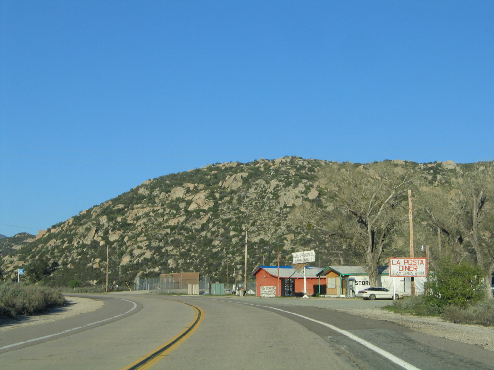
The small community of La Posta is located along Old Highway 80 after crossing the La Posta Creek bridge. Photo taken 03/12/05. |
|
|
|
|
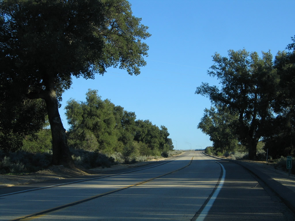
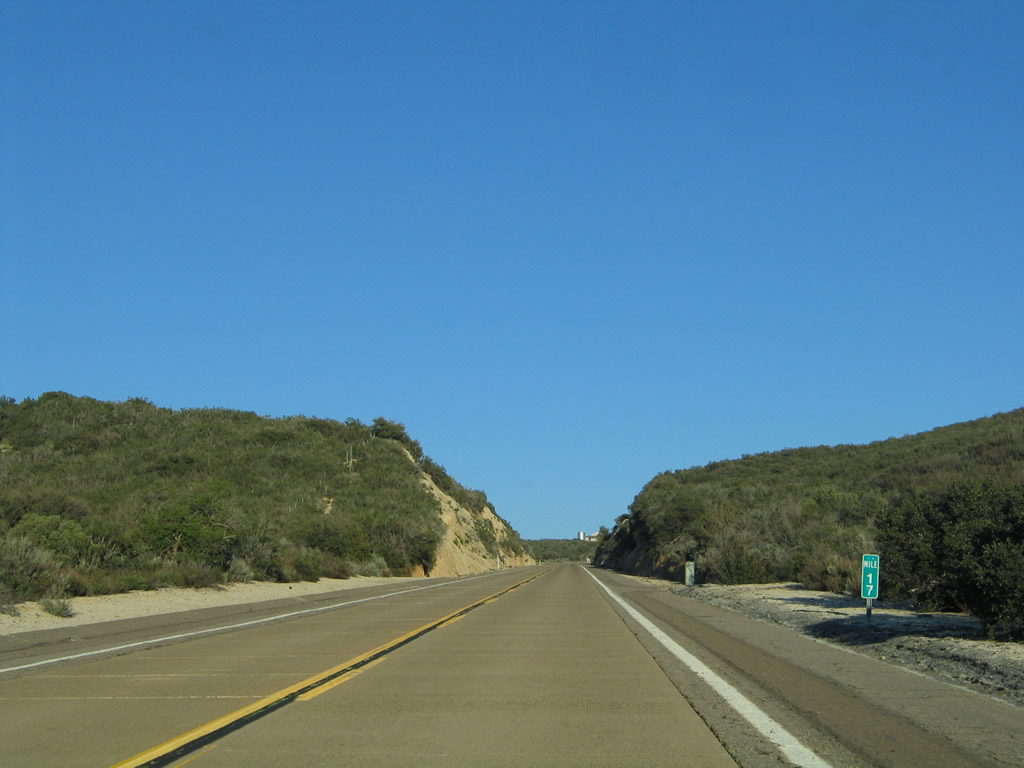
| This series of pictures follows Historic U.S. 80 as it travels east along Old Highway 80 between La Posta Creek and La Posta Road. Concrete lanes again come into view along eastbound Old Highway 80. Look for the Sunrise Powerlink, a 500kV San Diego Gas & Electric power line, to pass over Old Highway 80 for the first time near La Posta Road. The Sunrise Powerlink was activated on July 26, 2012, traveling 117 miles from the Imperial Valley Substation west to Alpine and Sycamore Canyon substations at a cost of $1.883 billion. It parallels the Southwest Powerlink, which was built in the 1980s on a course that connects Imperial Valley with the Miguel Substation near California 125. Photos taken 03/12/05, 02/11/12, and 11/12/12. |
|
|
|
|
| New to this section of Old Highway 80 is the Sunrise Powerlink, a 500kV San Diego Gas & Electric power line that crosses the Laguna Mountains. Just before the La Posta Road intersection, Old Highway 80 passes under the Sunrise Powerlink for the first time. Old Highway 80 will pass under the Sunrise Powerlink a few more times before the Desert View Tower near In-Ko-Pah Gorge. The power line was activated on July 26, 2012, and travels 117 miles from the Imperial Valley Substation west to Alpine and Sycamore Canyon substations. Estimates peg the cost at $1.883 billion. The Sunrise Powerlink generally parallels the 500kV Southwest Powerlink, which was built in the 1980s on a course that connects Imperial Valley with the Miguel Substation near California 125. Photos taken 02/11/12, 11/12/12, and 04/20/13. |
|
After passing under the Sunrise Powerlink, eastbound U.S. 80 (Old Highway 80) proceeds toward La Posta. Photo taken 03/12/05. |
|
|
|
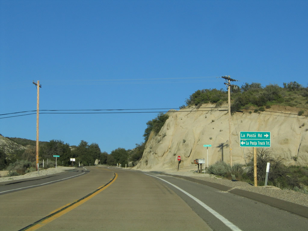
Eastbound Historic U.S. 80 (Old Highway 80) approaches La Posta Road. Turn left for La Posta Indian Reservation. Continue east on Historic U.S. 80 toward Golden Acorn Casino and Crestwood Summit. A sight to see is the La Posta Bridges (see second picture), which carry Interstate 8 over La Posta Road and are visible from Old Highway 80. Photos taken 03/12/05 and 04/20/13. |
|
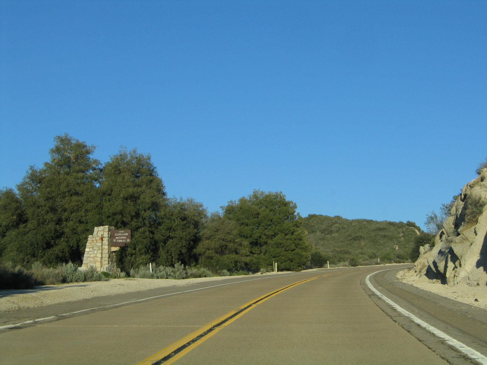
Historic U.S. 80 (Old Highway 80) leaves Cleveland National Forest and enters lands either privately held or administered by the Bureau of Land Management. Photo taken 03/12/05. |
|
|
|
|
|
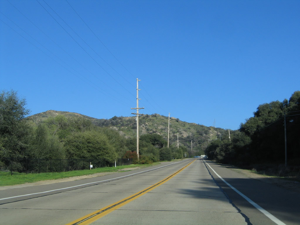
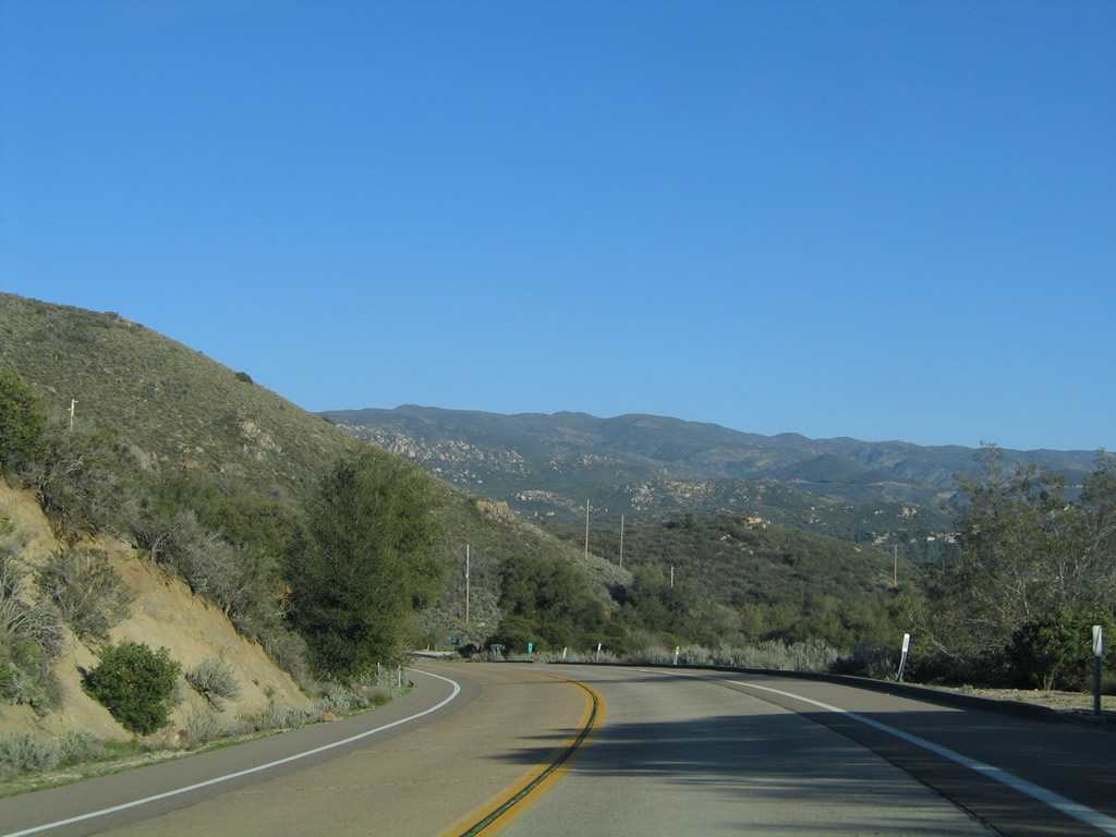
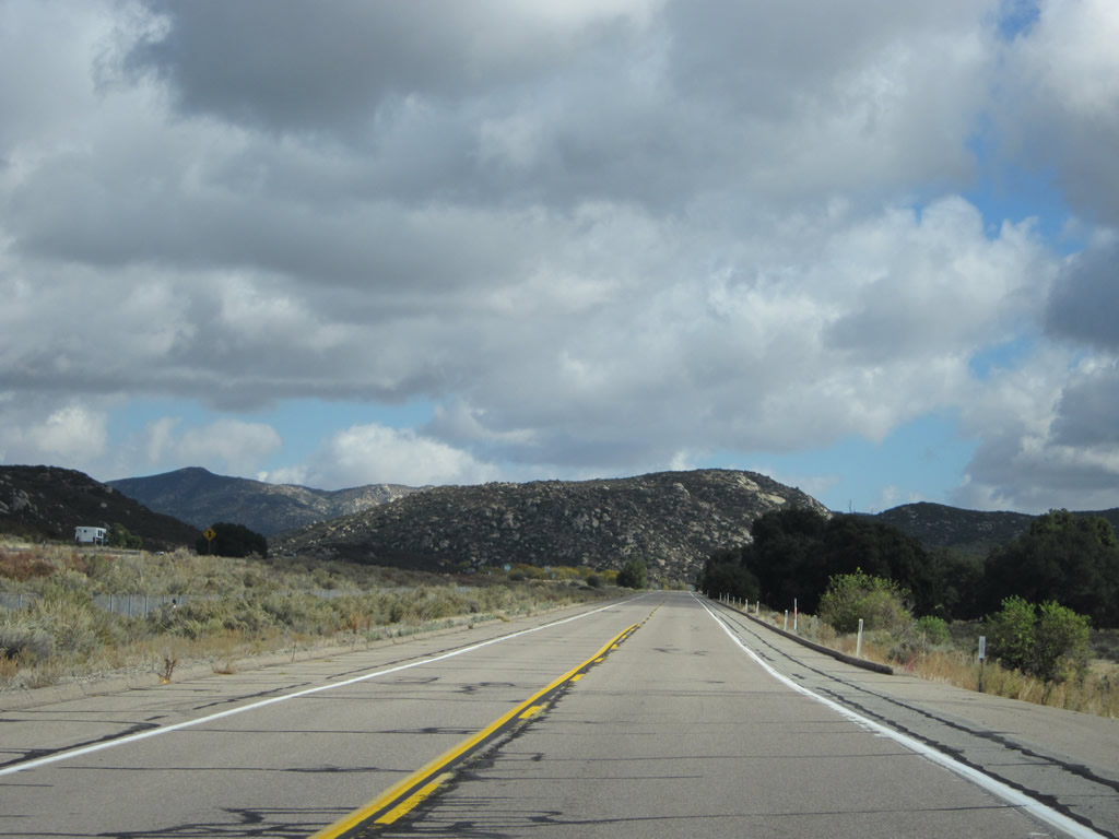
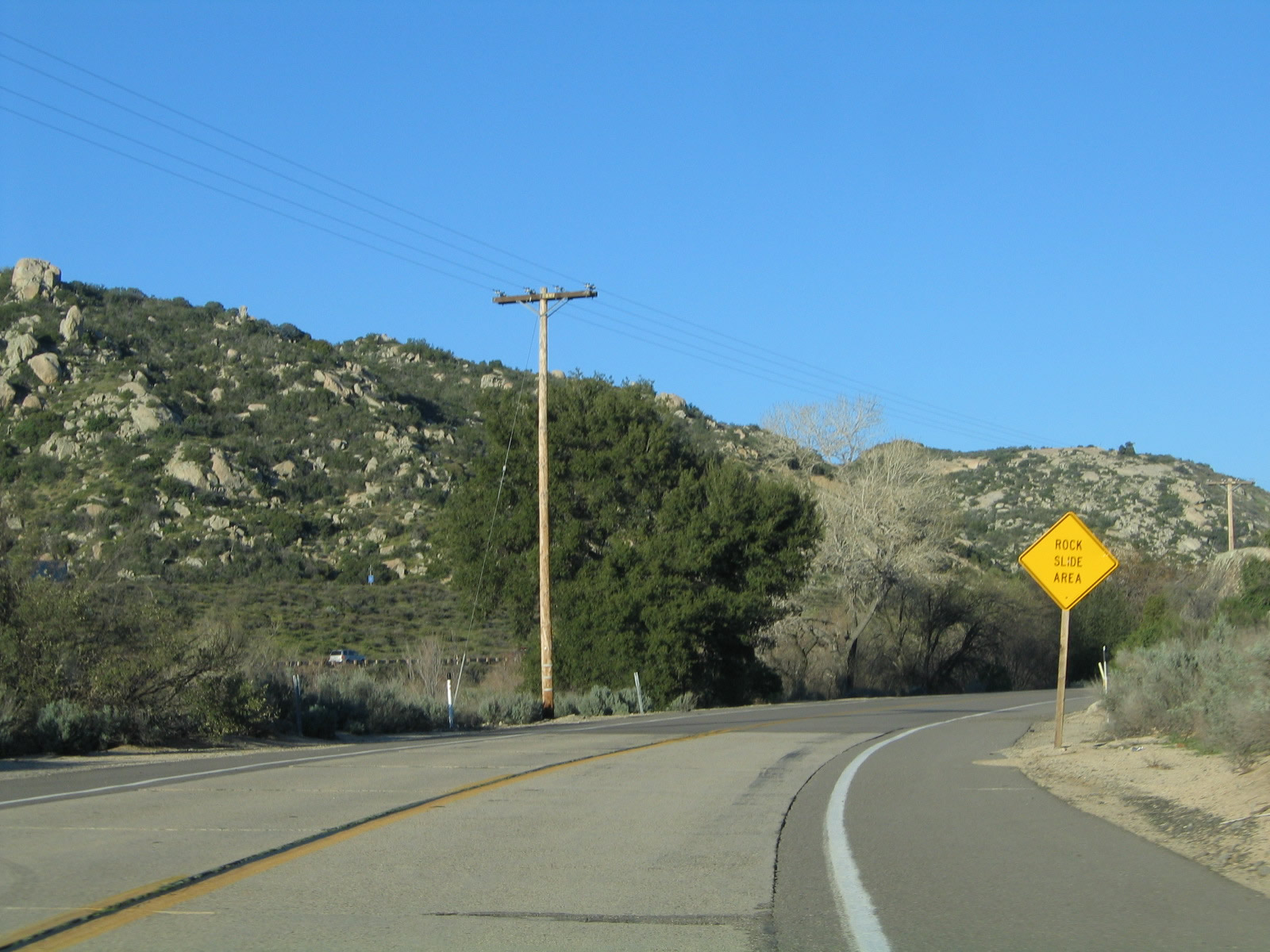
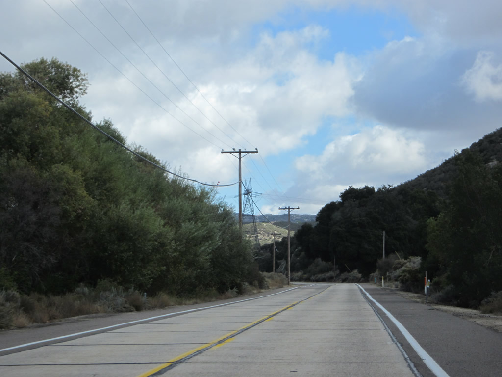
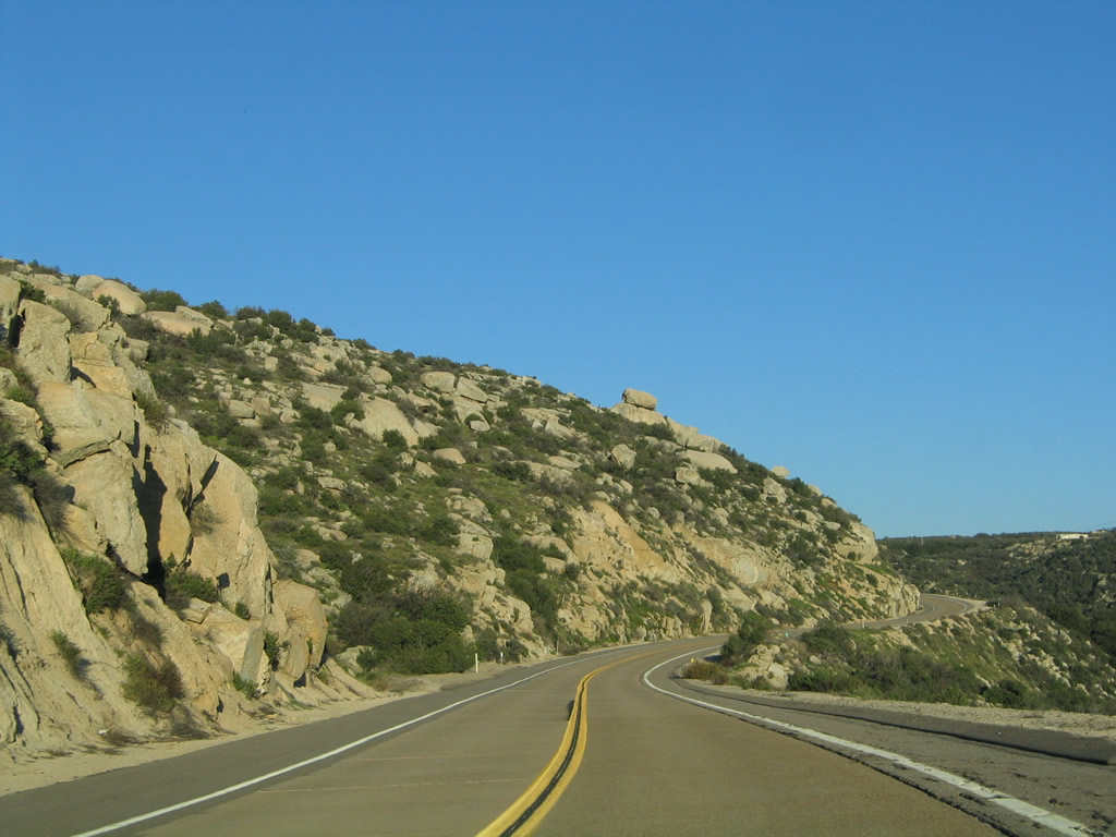
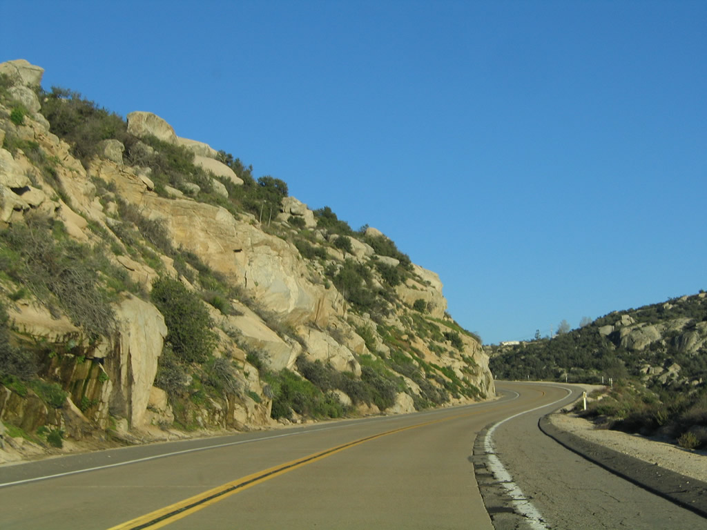
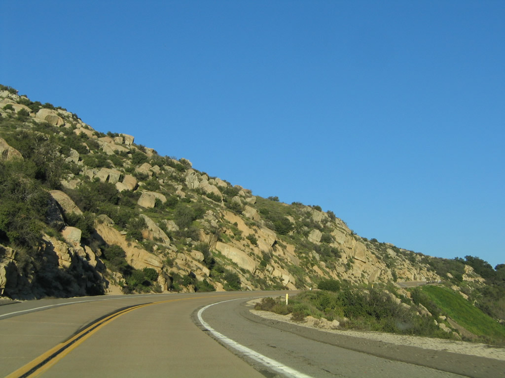
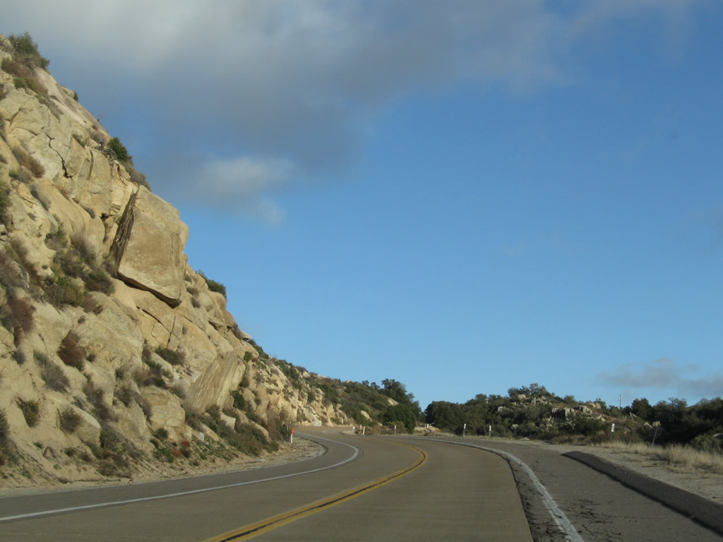
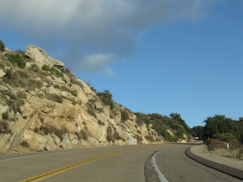
| Old Highway 80 proceeds east through the rocky outcroppings as the historic route finds its way up and down hills near Crestwood Summit. Interstate 8 comes into view along the way, but Old Highway 80 largely takes its own route and generally avoids the freeway. These rural sections of highway are scenic with several rock formations along the way to Crestwood Summit. Photos taken 03/12/05, 10/14/06, 04/27/07, 02/11/12, and 11/12/12. |
|
|
|
|
|
|
|
|
|
|
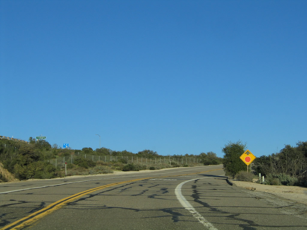
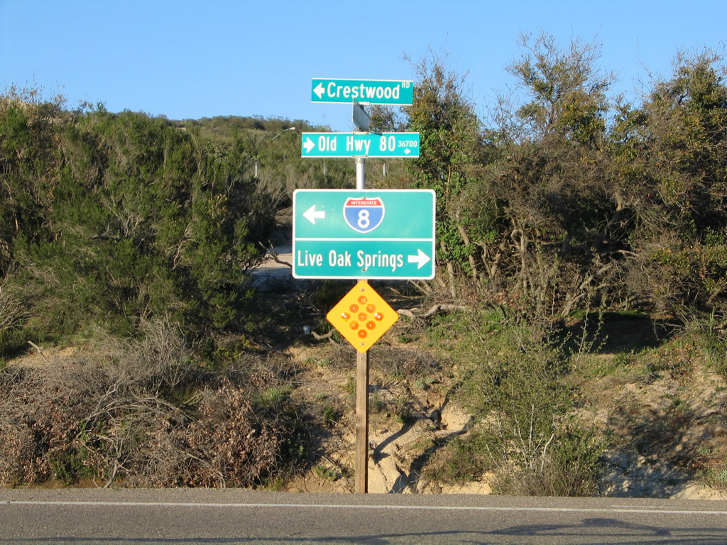
| The final distance to Crestwood Summit is almost all uphill along the edge of a craggy cliff. Nearing the top of the summit, Old Highway 80 approaches a stop sign with Crestwood Road. Turn left here for Crestwood Road to Interstate 8 Exit 61. Turn right for the continuation of Old Highway 80 east to Golden Acorn Casino and Live Oak Springs. This intersection was not always like it is today; prior to the construction of Interstate 8, a gentle curve carried U.S. 80 through this area rather than a full stop. An intersection was needed due to the creation of the Exit 61 interchange, as well as nearby Golden Acorn Casino. Photos taken 03/12/05, 02/11/12, and 11/12/12. |
Page Updated April 22, 2013.