In Monterey County, U.S. 101 does not come close to the famous Monterey Bay or the 17-Mile Drive. However, it does pass through some scenic farming country, including land familiar to author John Steinbeck, who wrote the book The Grapes of Wrath, which told the story of the Joad Family as it left Oklahoma during the Great Depression for the riches of the Central Valley of California. This is a must-read for any road enthusiast, especially with its telling description of U.S. 66 throughout the story. Several Steinbeck artifacts may be found in Salinas, the largest city along U.S. 101 between Santa Barbara and San Jose. U.S. 101 leaves Monterey County in a eucalyptus forest near Prunedale.
| U.S. 101 north |
|
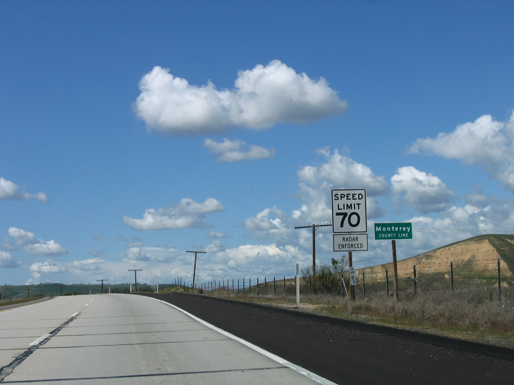
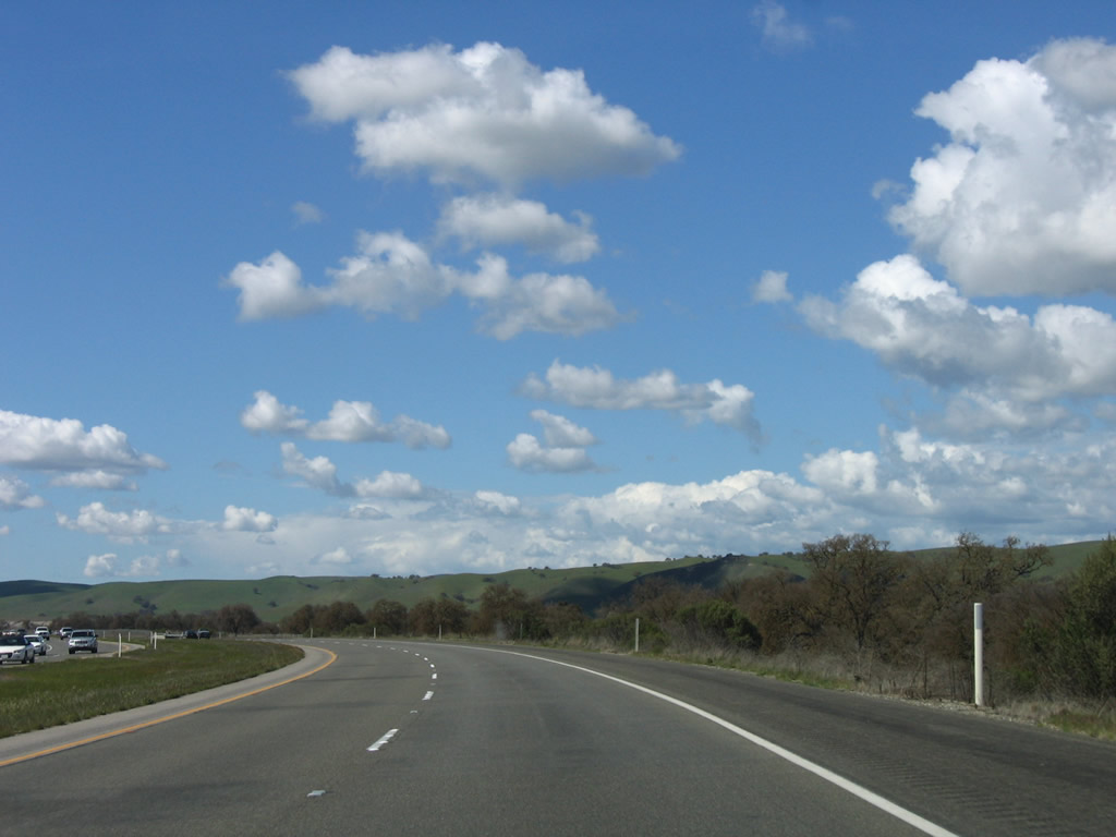
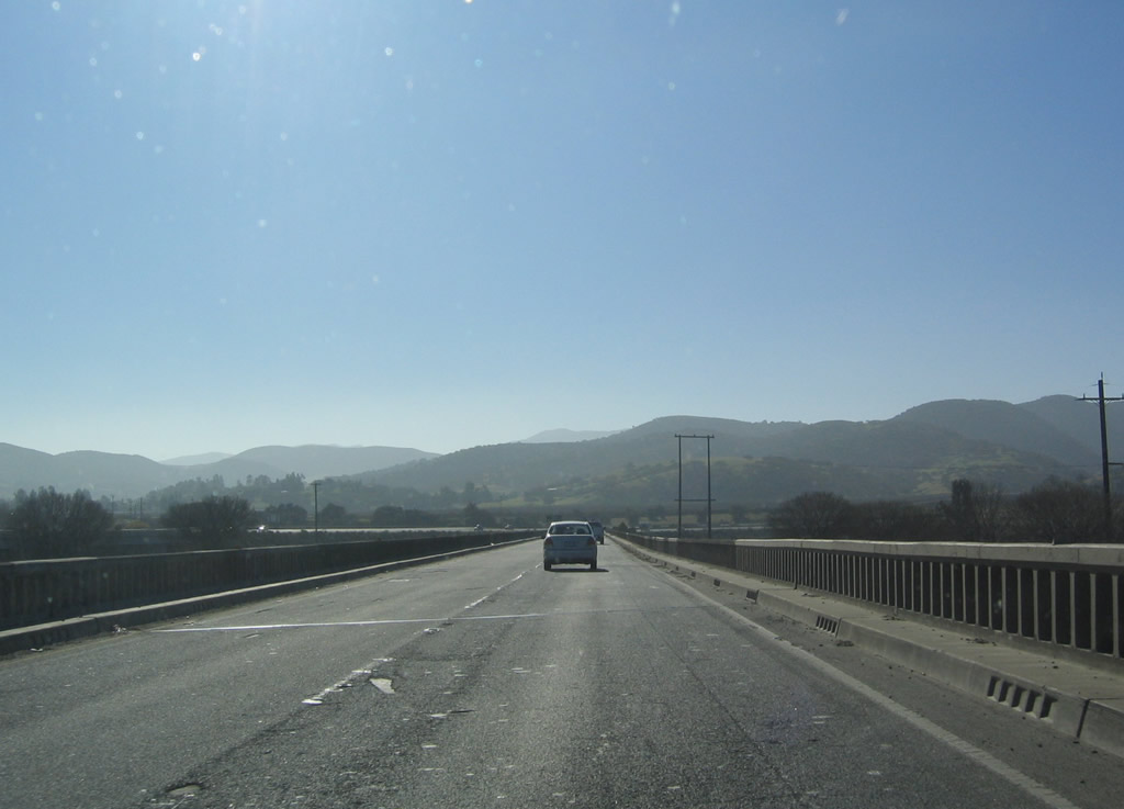
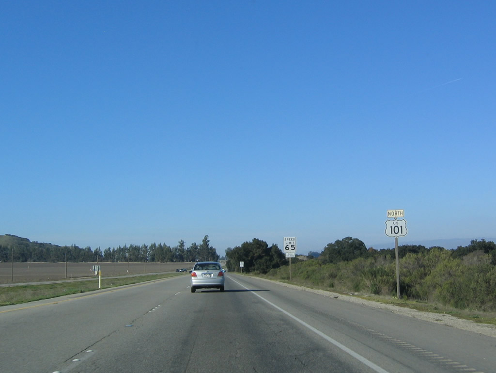
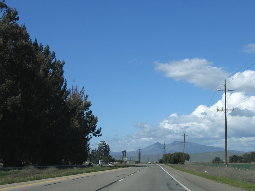
U.S. 101 leaves San Luis Obispo County and enters Monterey County. Photo taken 03/18/06. |
|
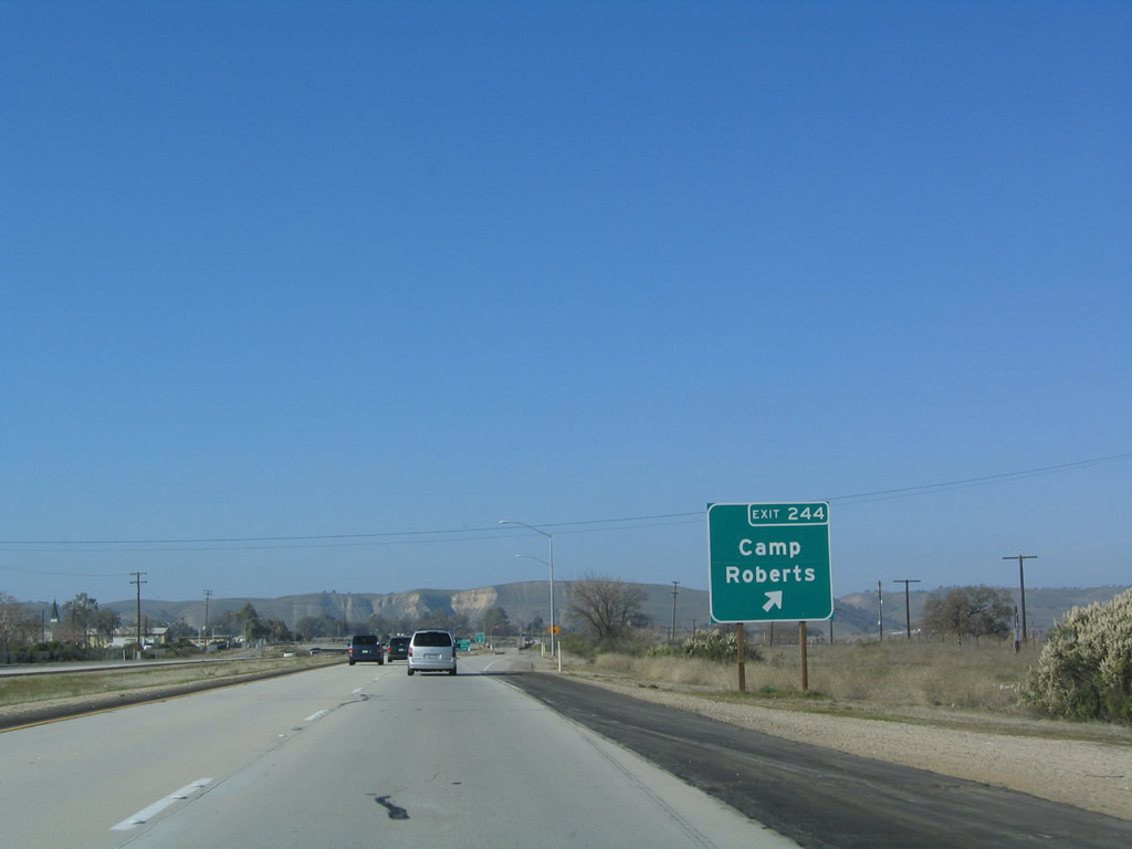
Northbound U.S. 101 reaches Exit 244, Camp Roberts (main gate) in Monterey County. Photo taken 12/23/04. |
|
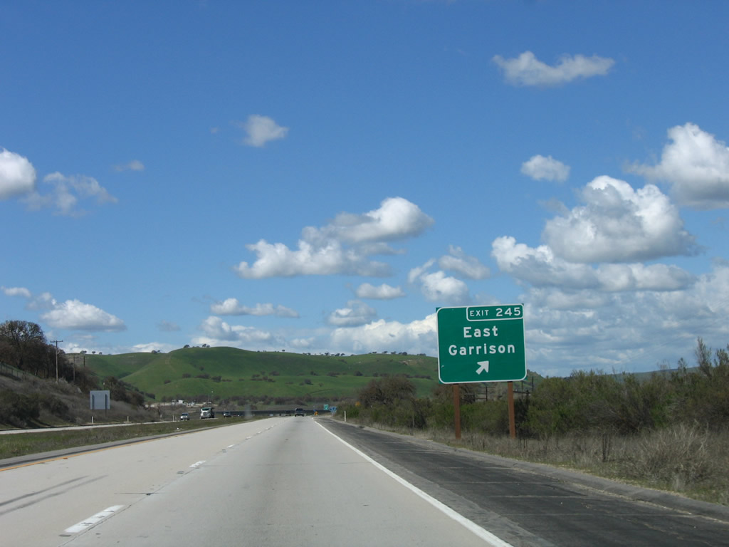
The next exit along U.S. 101 north is Exit 245, East Garrison (one mile). Photo taken 12/23/04. |
|
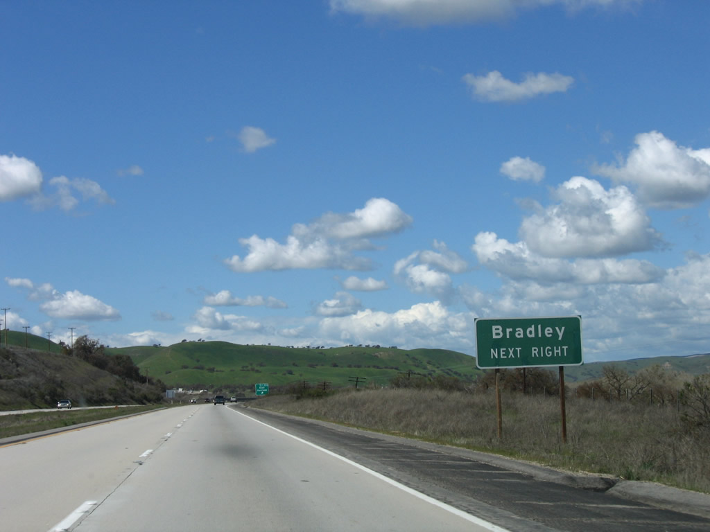
Use Exit 245 (East Garrison) to Bradley Road (old U.S. 101) north to the unincorporated community of Bradley. The old road moves to the east bank of the Salinas River then crosses back to the west bank at Exit 251 after passing through Bradley, thus avoiding a crossing over the Nacimiento River. Photo taken 03/18/06. |
|
Northbound U.S. 101 (El Camino Real) reaches Exit 245, East Garrison and Bradley Road (Old U.S. 101) north to Bradley. Photo taken 03/18/06. |
|
This exit ramp is fully signed with an exit number. Photo taken 03/18/06. |
|
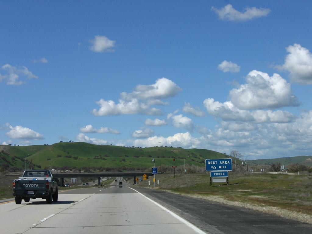
The next exit along U.S. 101 north is Exit 246, Rest Area (0.75 mile). This is only the second rest area on U.S. 101 north; the first rest area was way back in Gaviota Gorge in Santa Barbara County. Photo taken 03/18/06. |
|
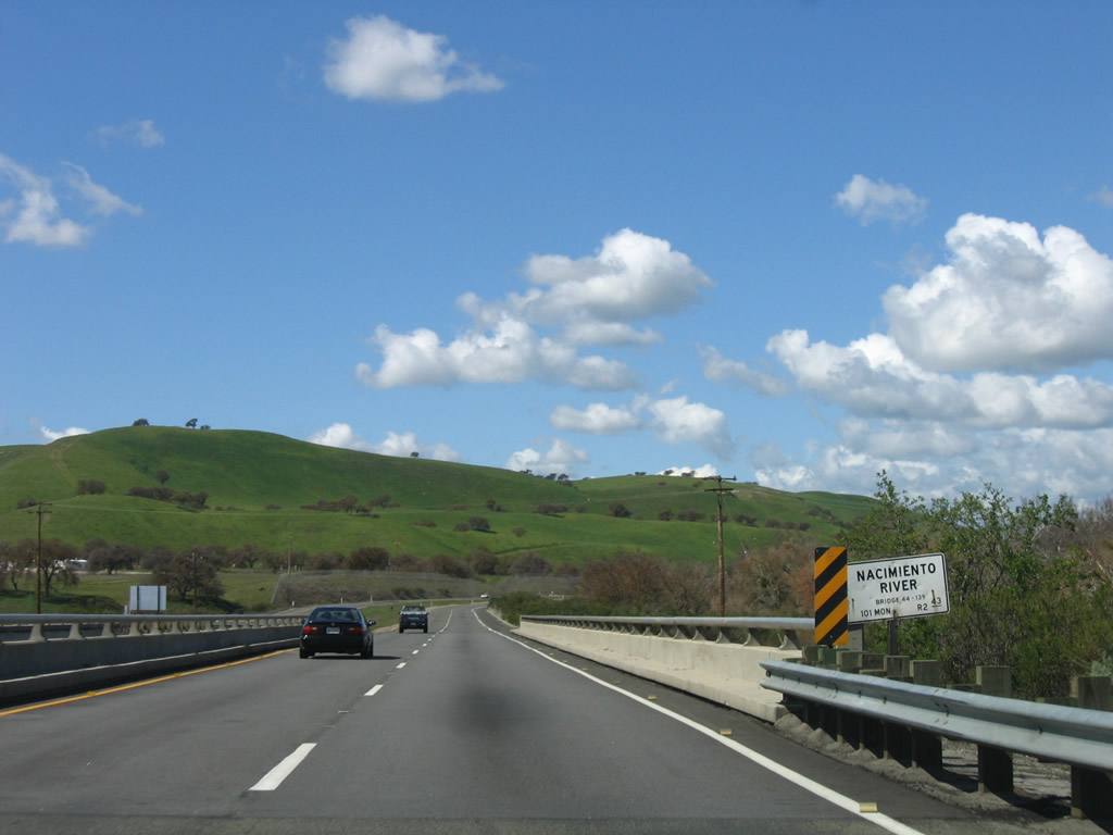
U.S. 101 crosses the Nacimiento River on this four-lane bridge. The river flows from Lake Nacimiento in the Santa Lucia Range west of here. Photo taken 03/18/06. |
|
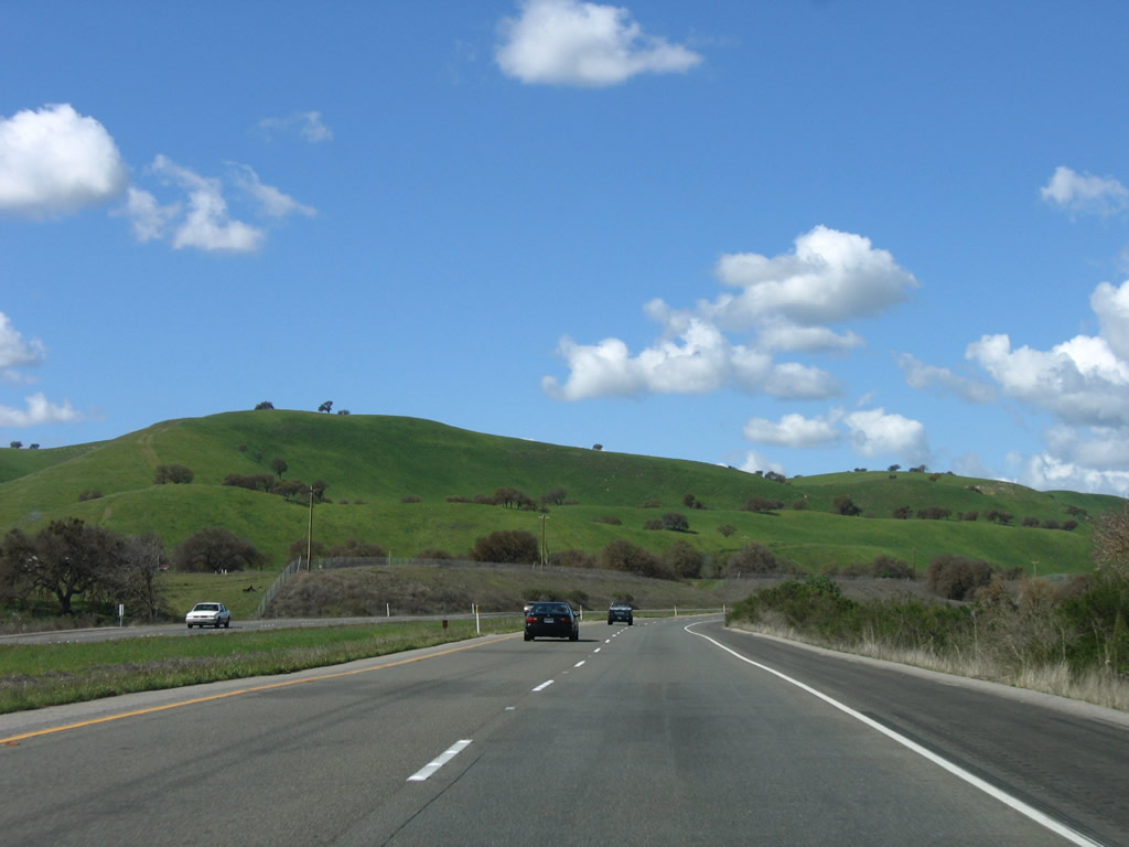
Beautiful green hills rise in springtime glory along U.S. 101 north of the Nacimiento River bridge. Photo taken 03/18/06. |
|
Northbound U.S. 101 (El Camino Real) reaches Exit 246, Rest Area. Photo taken 03/18/06. |
|
U.S. 101 remains on the west bank of the Salinas River. Photo taken 03/18/06. |
|
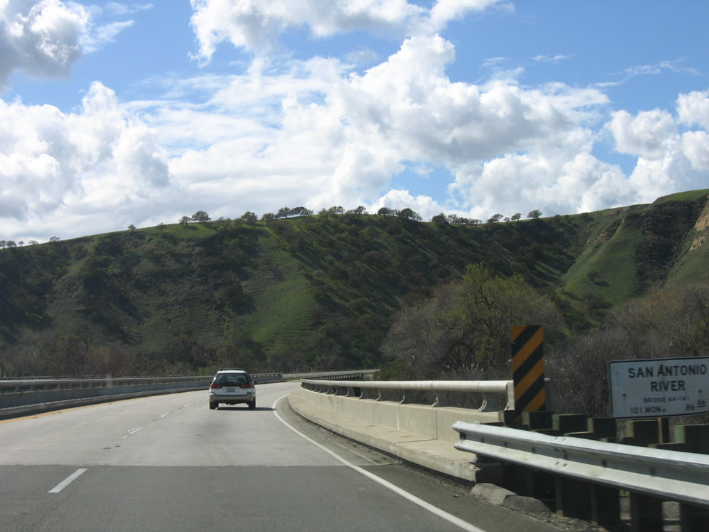
U.S. 101 soon crosses over the San Antonio River, which flows from Lake San Antonio east to the Salinas River. Photo taken 03/18/06. |
|
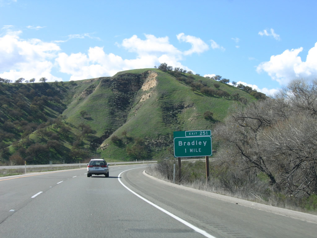
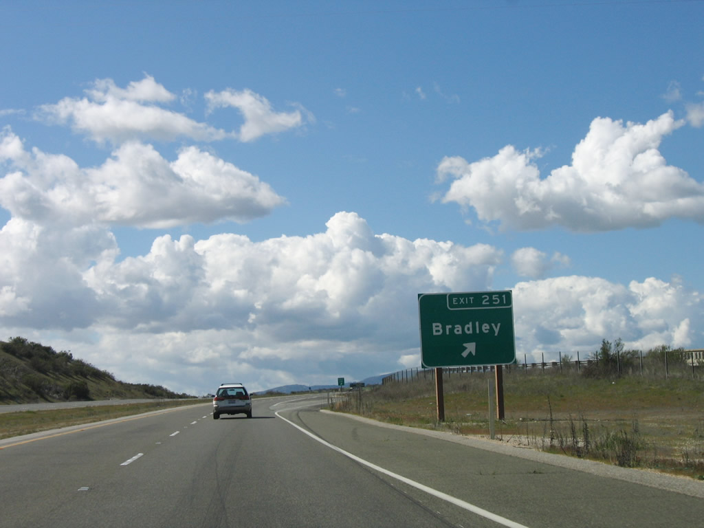
The next exit along U.S. 101 north is Exit 251, Bradley Road east to Bradley (one mile). Photo taken 03/18/06. |
|
Looking to the northeast, historic U.S. 101 crosses the Salinas River from Bradley to rejoin the U.S. 101 freeway. The deck truss bridge was constructed in 1930 and is worth a stop to check it out. Photo taken 12/23/04. |
|
Northbound U.S. 101 (El Camino Real) reaches Exit 251, Bradley Road east to Bradley. Photo taken 03/18/06. |
|
Upon departing the freeway at Exit 251, turn right to follow Bradley Road east to Bradley. A freeway entrance shield assembly to return to U.S. 101 is posted across from the end of the off-ramp. Photo taken 03/18/06. |
|
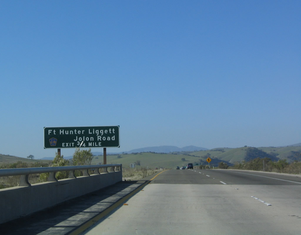
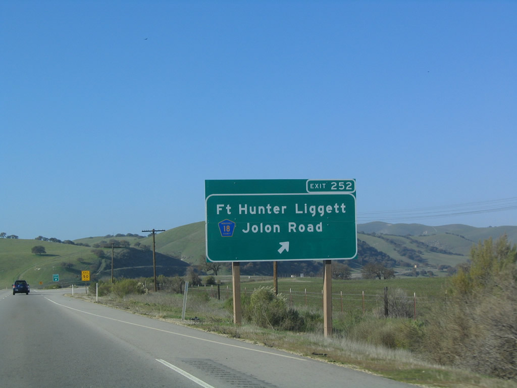
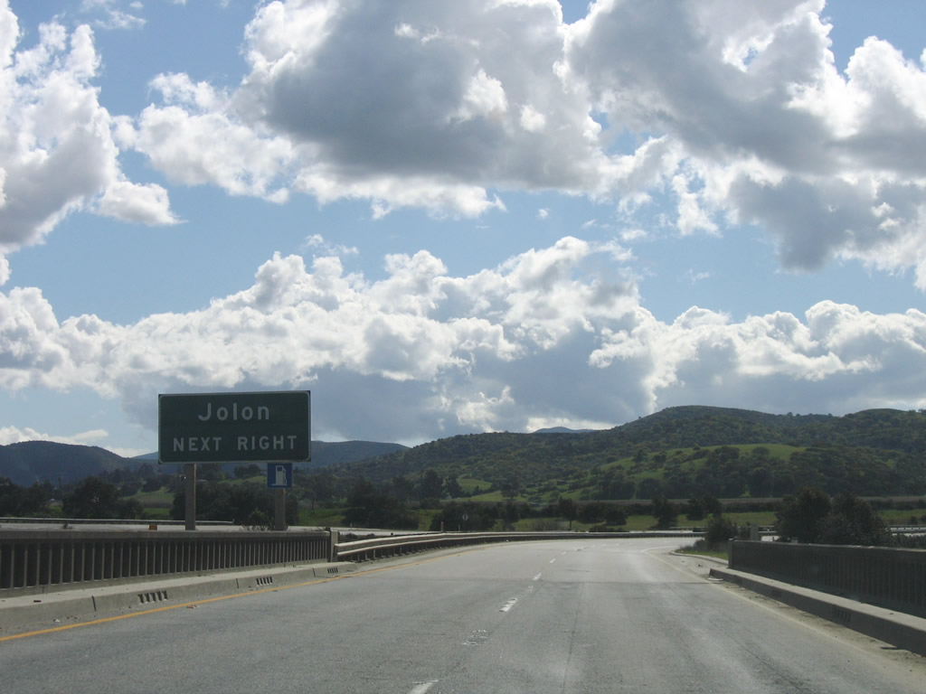
The next exit along U.S. 101 (El Camino Real) north is Exit 252, Monterey County G-18/Jolon Road and Monterey County G-19/Lake Nacimiento Drive south to San Luis Obispo County G-14/Interlake Road south of San Antonio Reservoir. Photo taken 12/23/04. |
|
This mileage sign provides the distance to San Ardo (nine miles), Salinas (77 miles), and San Francisco (184 miles). Photo taken 12/23/04. |
|
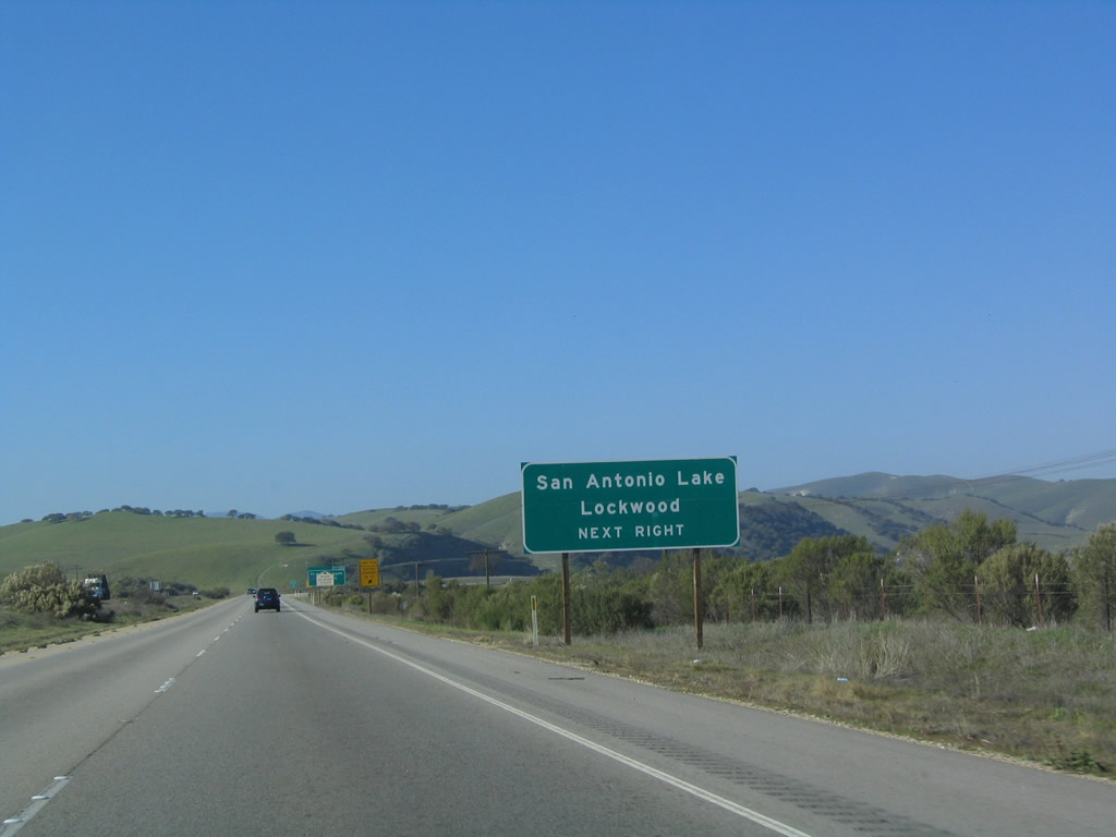
Use Monterey County G-18/Jolon Road northwest to Lockwood and Monterey County G-19/Lake Nacimiento Drive south to Lake San Antonio and Lake Nacimiento. Photo taken 12/23/04. |
|
Northbound U.S. 101 (El Camino Real) reaches Exit 252, Monterey County G-18/Jolon Road. Two of the advance guide signs for Exit 252 feature a county shield, which is very unusual for Caltrans. Photo taken 12/23/04. |
|
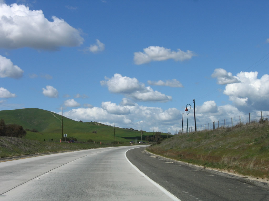
After the on-ramp from Exit 252, U.S. 101 continues north toward San Ardo. Photo taken 03/18/06. |
|
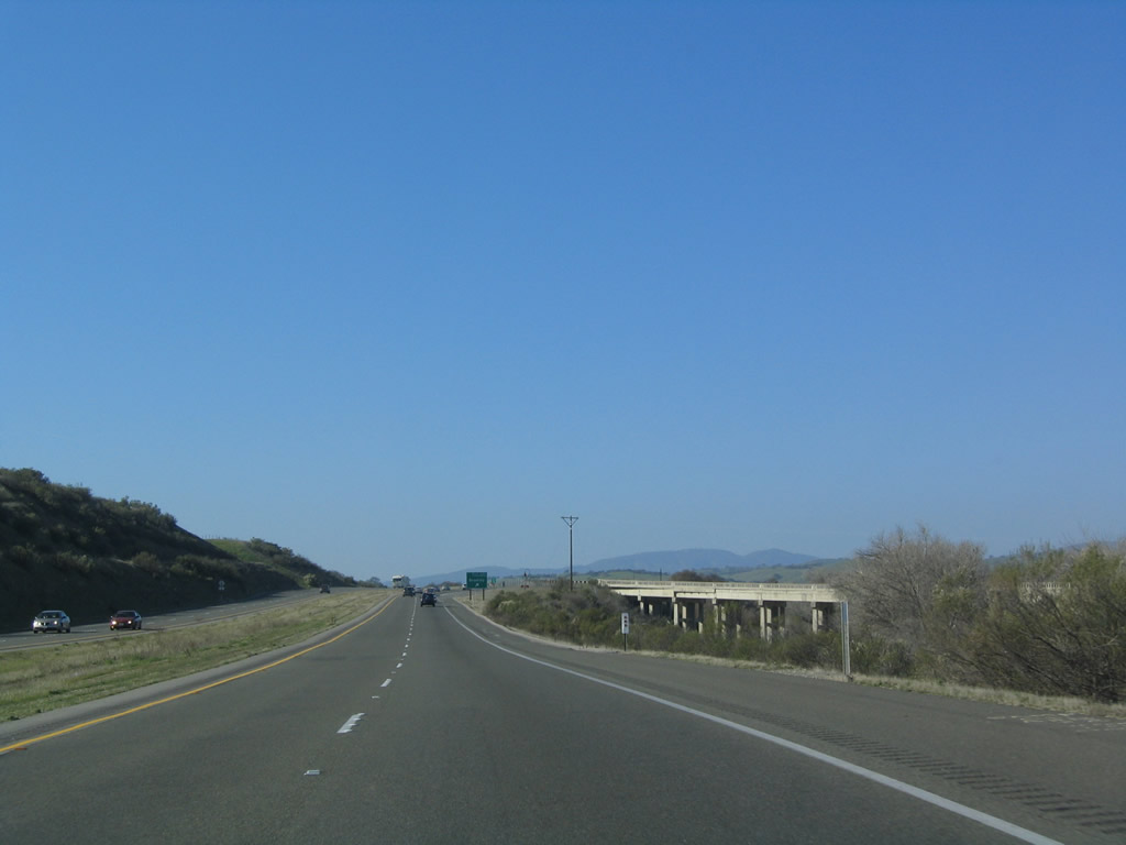
The freeway continues through the rural Salinas River Valley. Photo taken 03/18/06. |
|
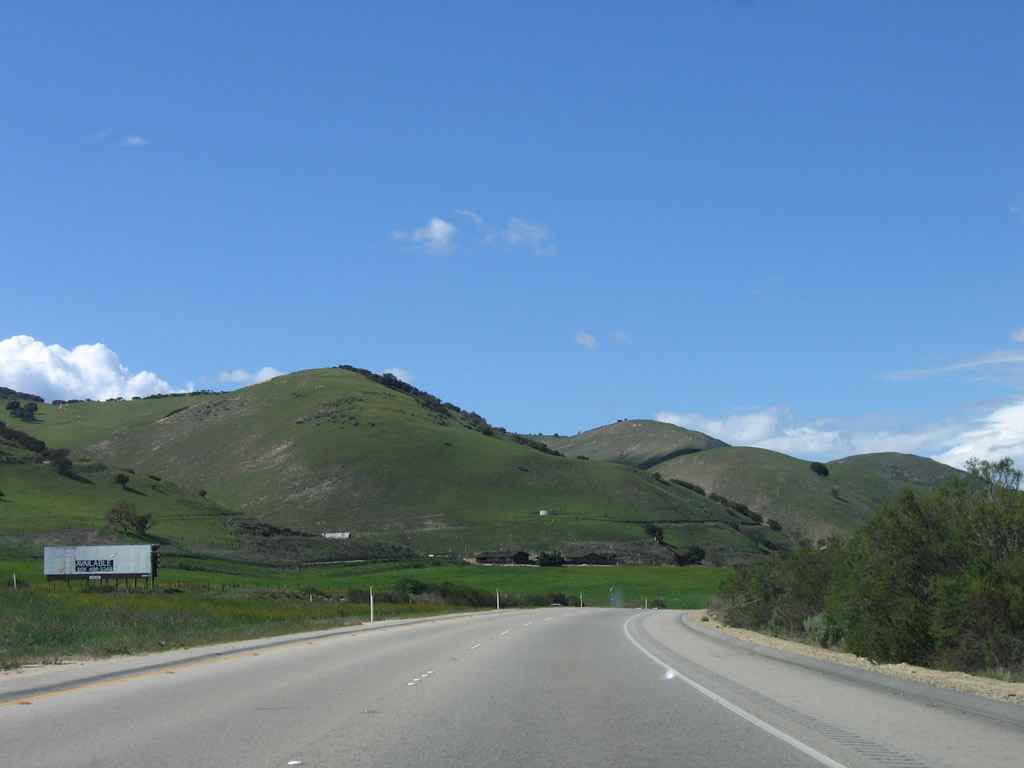
Large rolling green hills dominate the view as U.S. 101 skirts the eastern foothills of the massive Santa Lucia Range, which separates the Salinas River Valley from the coast. Photo taken 03/18/06. |
|
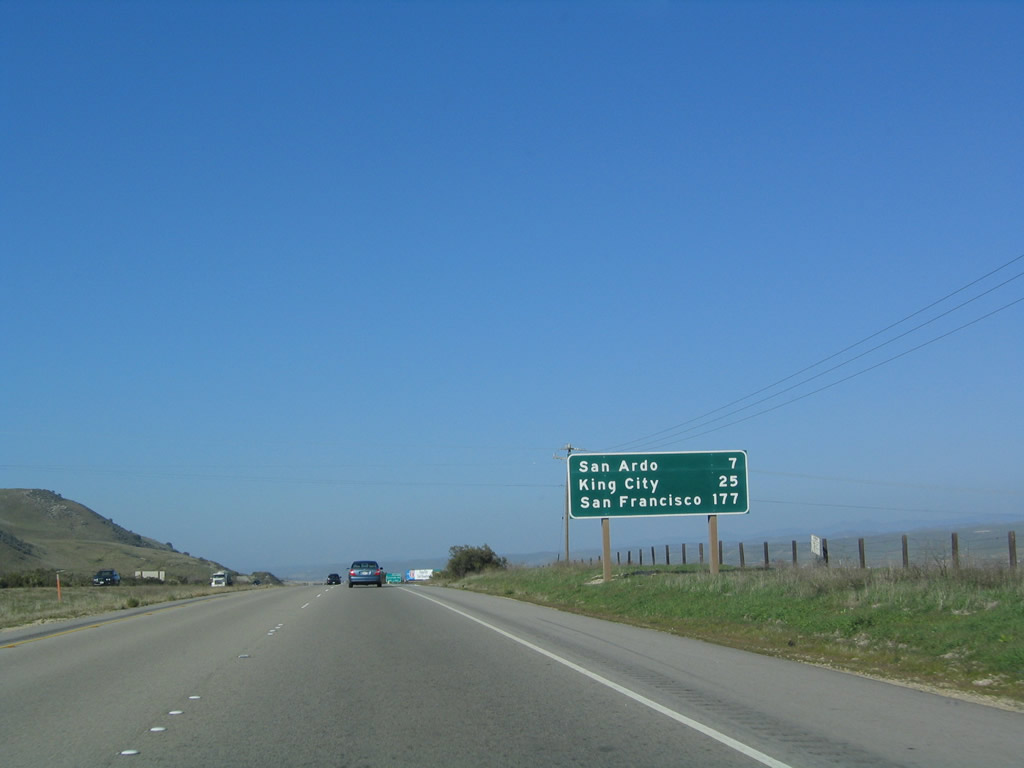
This mileage sign provides the distance to San Ardo (seven miles), King City (25 miles), and San Francisco (177 miles). Photo taken 12/23/04. |
|
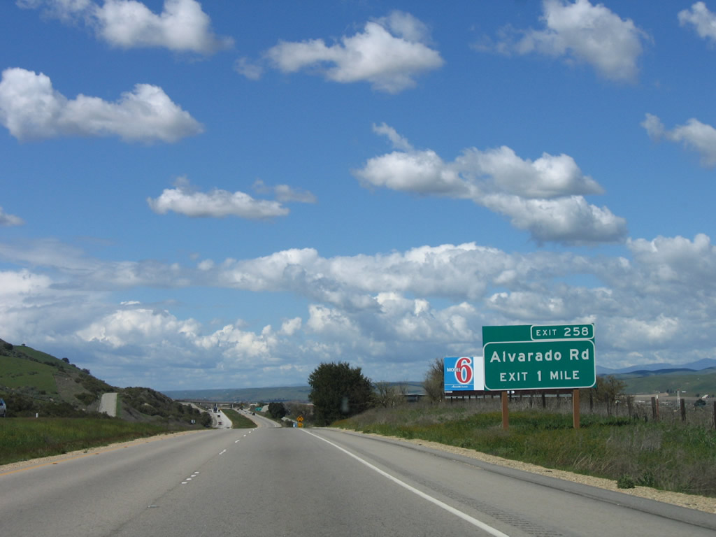
The next exit along U.S. 101 (El Camino Real) north is Exit 258, Alvarado Road (one mile). Photo taken 03/18/06. |
|
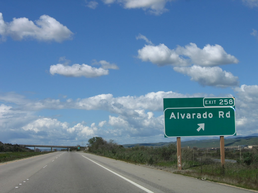
Northbound U.S. 101 reaches Exit 258, Alvarado Road to the San Ardo Oil Field (east of the freeway). Photo taken 03/18/06. |
|
This U.S. 101 north reassurance shield is posted after the on-ramp from Alvarado Road. Photo taken 03/18/06. |
|
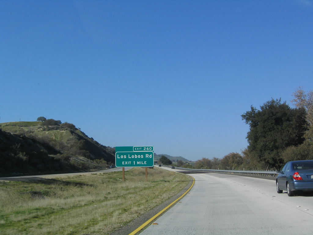
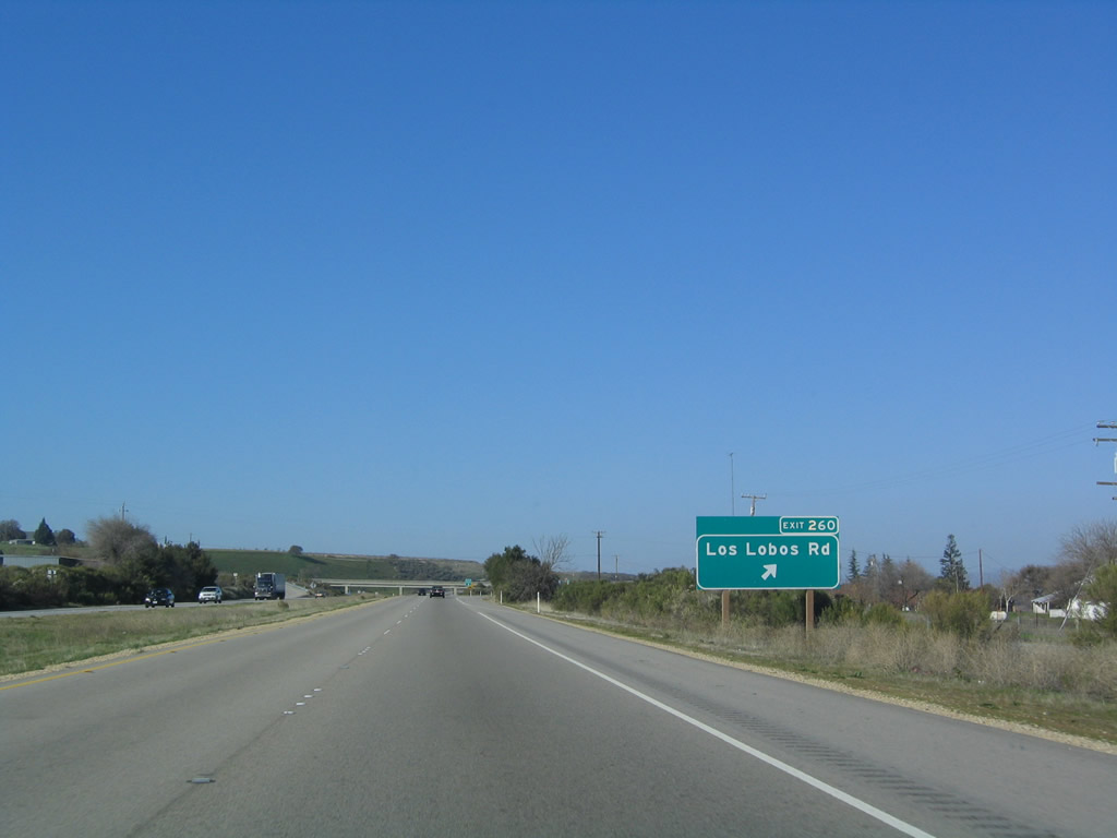
The next exit along U.S. 101 north is Exit 260, Los Lobos Road (one mile). Photo taken 12/23/04. |
|
Northbound U.S. 101 reaches Exit 260, Los Lobos Road. Photo taken 12/23/04. |
|
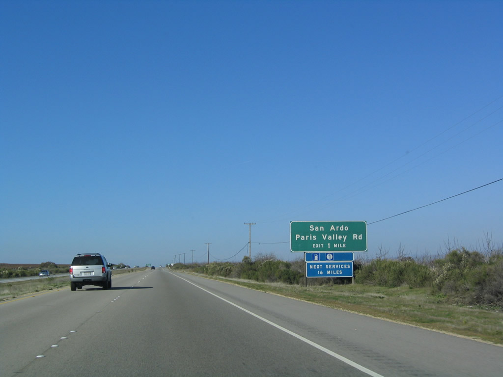
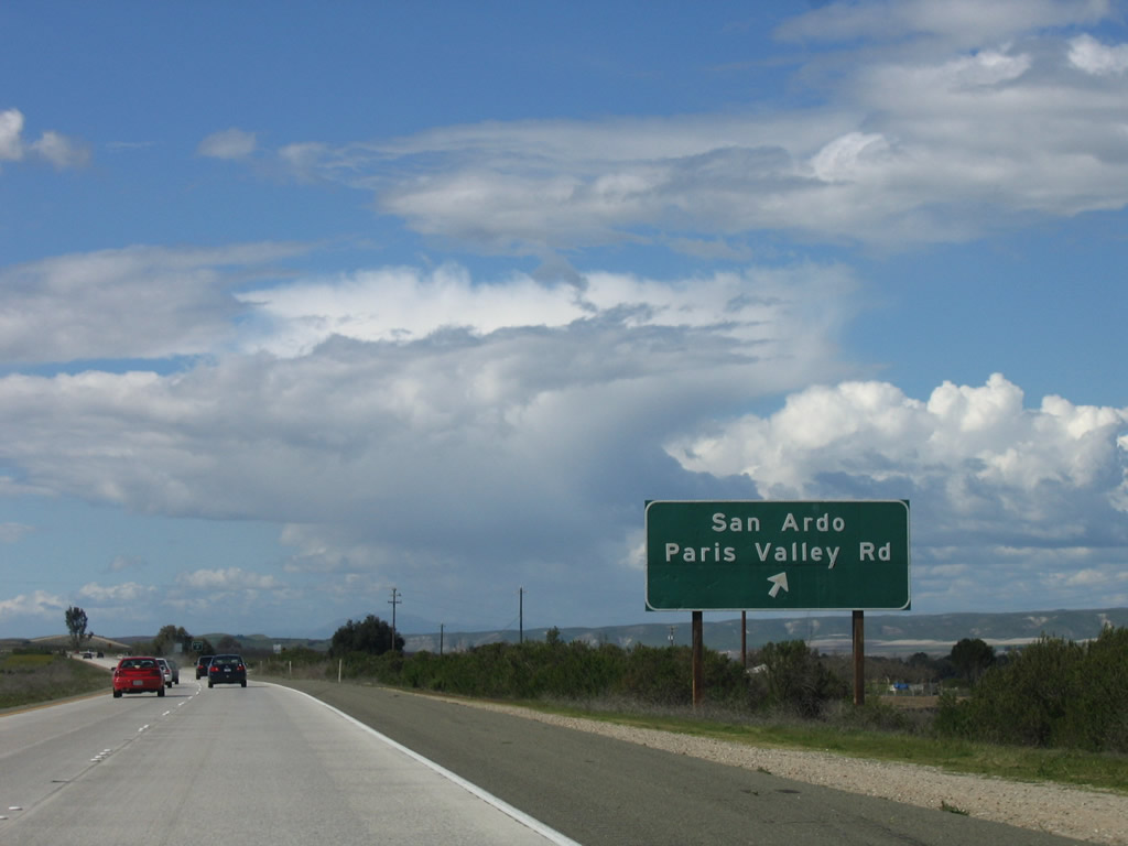
The next exit along U.S. 101 north is Exit 263, Paris Valley Road to San Ardo (one mile). Photo taken 12/23/04. |
|
U.S. 101 north approaches Exit 263, Paris Valley Road to San Ardo. Photo taken 03/18/06. |
|
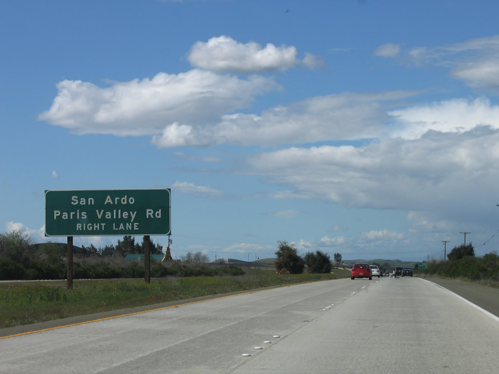
Northbound U.S. 101 (El Camino Real) reaches Exit 263, Paris Valley Road to San Ardo. Paris Valley Road will parallel U.S. 101 and is likely to be the old alignment of U.S. 101. Photo taken 03/18/06. |
|
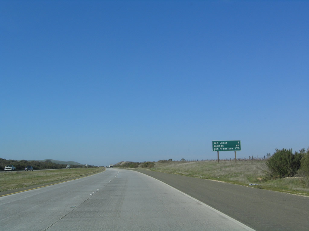
This mileage sign provides the distance to San Lucas (nine miles), Salinas (64 miles), and San Francisco (170 miles). Photo taken 12/23/04. |
|
A mission bell replica is posted alongside the freeway as U.S. 101 (El Camino Real) continues north through the Salinas River Valley. This section of U.S. 101 is comparable to some sections of Interstate 5 through the Central Valley. Photo taken 12/23/04. |
|
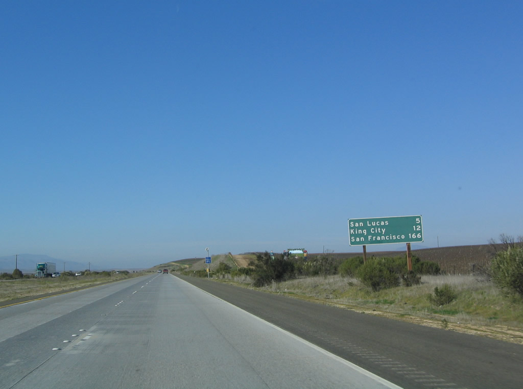
Another mileage sign provides the distance to San Lucas (five miles), King City (12 miles), and San Francisco (166 miles). Photo taken 12/23/04. |
|
This view shows the valley spread out ahead as U.S. 101 proceeds north toward San Lucas. Photo taken 12/23/04. |
|
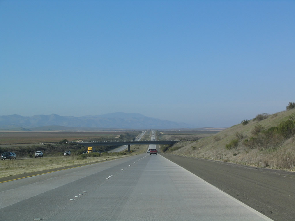
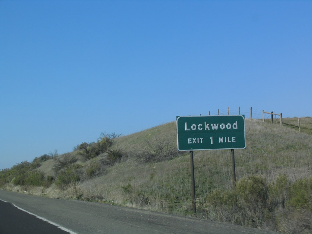
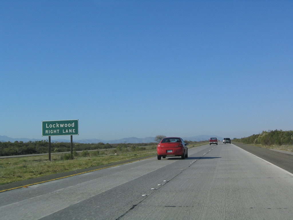
The next exit along U.S. 101 (El Camino Real) north is Exit 271, Lockwood Road south to Lockwood and north to Paris Valley Road. Photo taken 12/23/04. |
|
Another advance guide sign for Exit 271, Lockwood Road is posted in the median. Photo taken 12/23/04. |
|
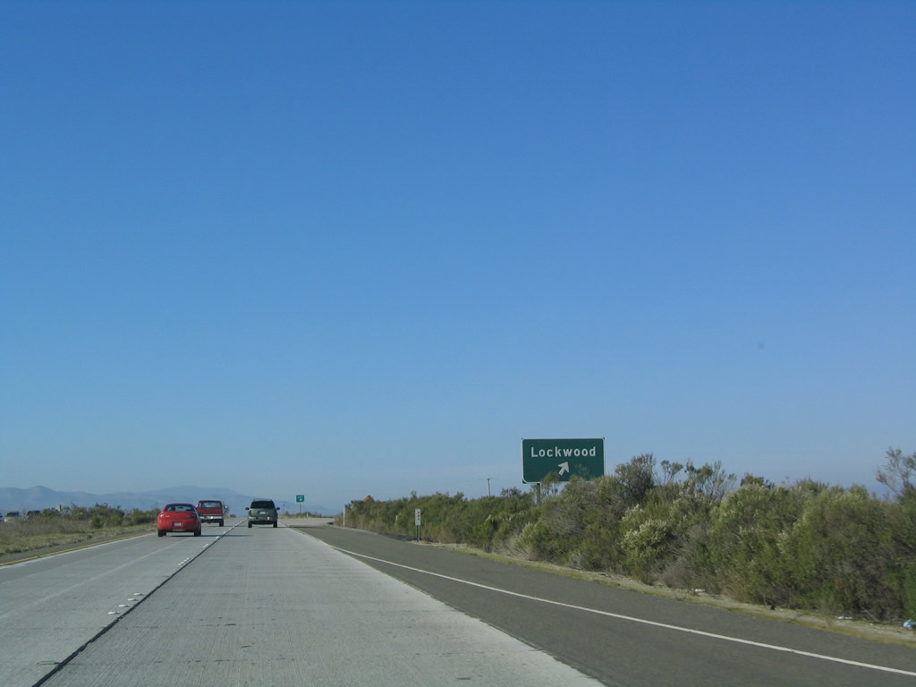
Northbound U.S. 101 (El Camino Real) reaches Exit 271, Lockwood Road south to Lockwood and north to Paris Valley Road. Photo taken 12/23/04. |
|
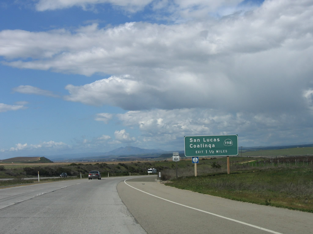
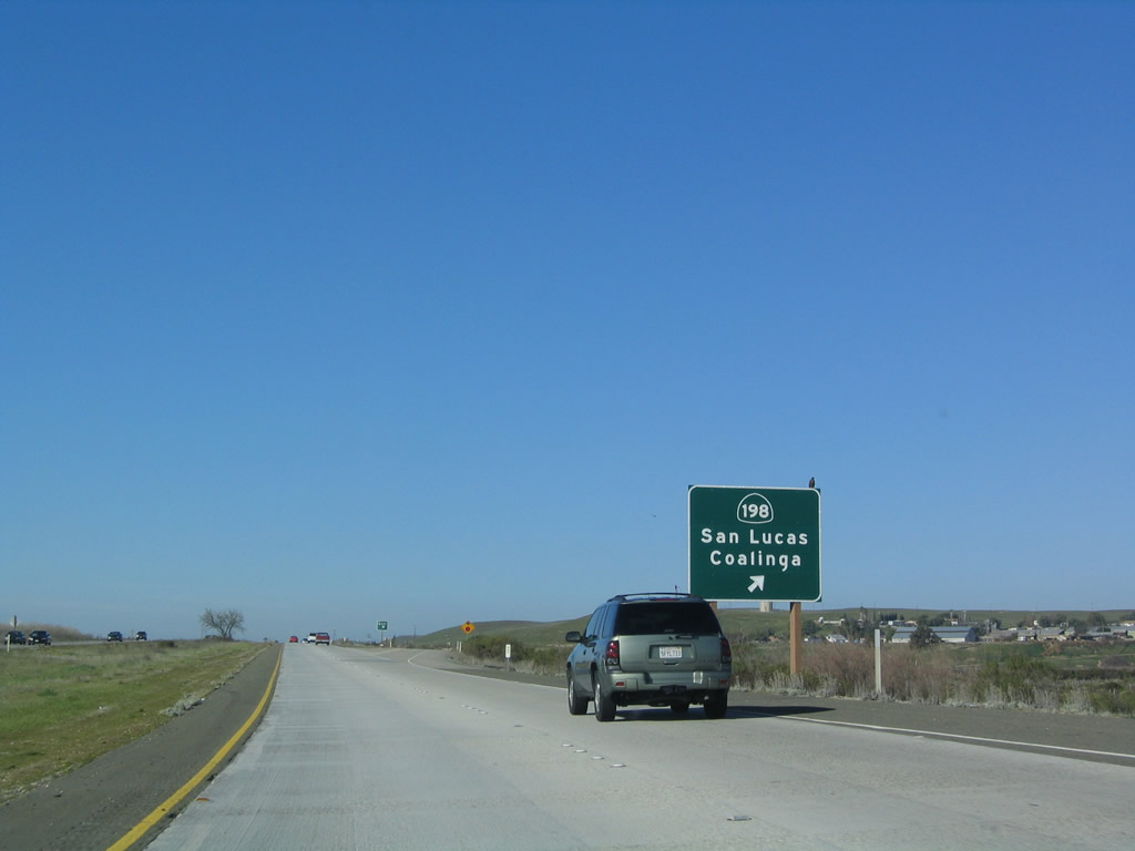
The next exit along U.S. 101 (El Camino Real) north is Exit 273, California 198 east to San Lucas, Coalinga, and Visalia. By this point, U.S. 101 has entered a wide valley formed by the Salinas River. Photo taken 03/18/06. |
|
|
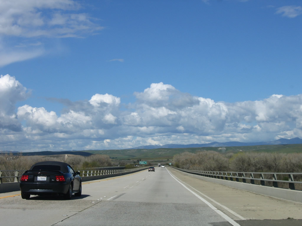
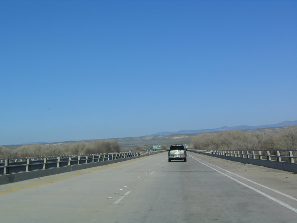
U.S. 101 crosses the Salinas River via this dual bridge. The freeway continues north through the Salinas Valley. Photos taken 12/23/04 and 03/18/06. |
|
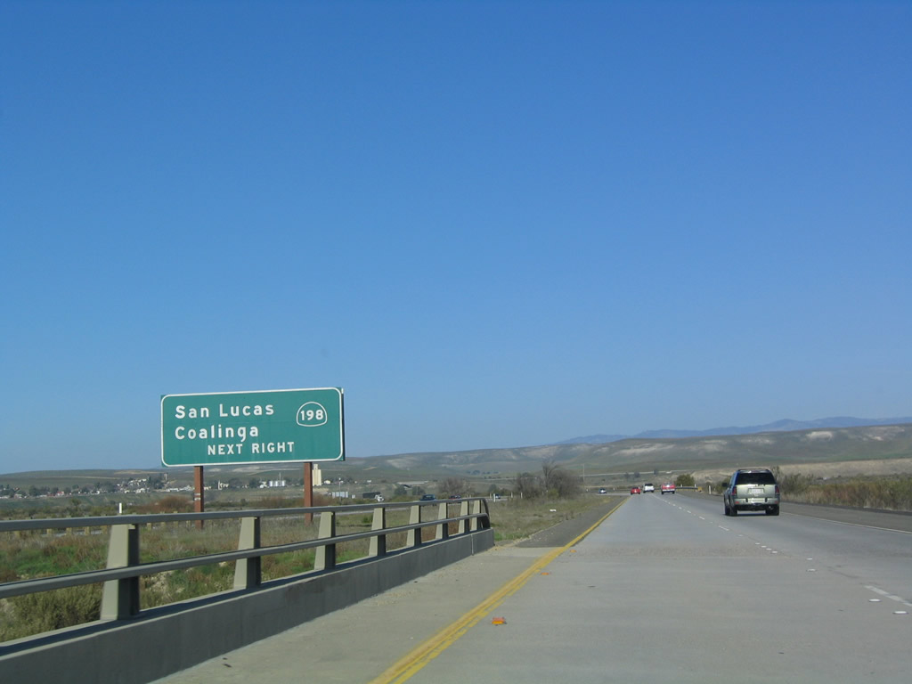
At the end of the Salinas River bridge is another sign on U.S. 101 (El Camino Real) north for Exit 273, California 198 east. Photo taken 12/23/04. |
|
Northbound U.S. 101 (El Camino Real) reaches Exit 273, California 198 east to San Lucas and Coalinga. California 198 continues east to meet Interstate 5 just east of Coalinga, then meets California 99 near Visalia. California 198 ends in the vicinity of Kings Canyon-Sequoia National Parks. Photo taken 12/23/04. |
|
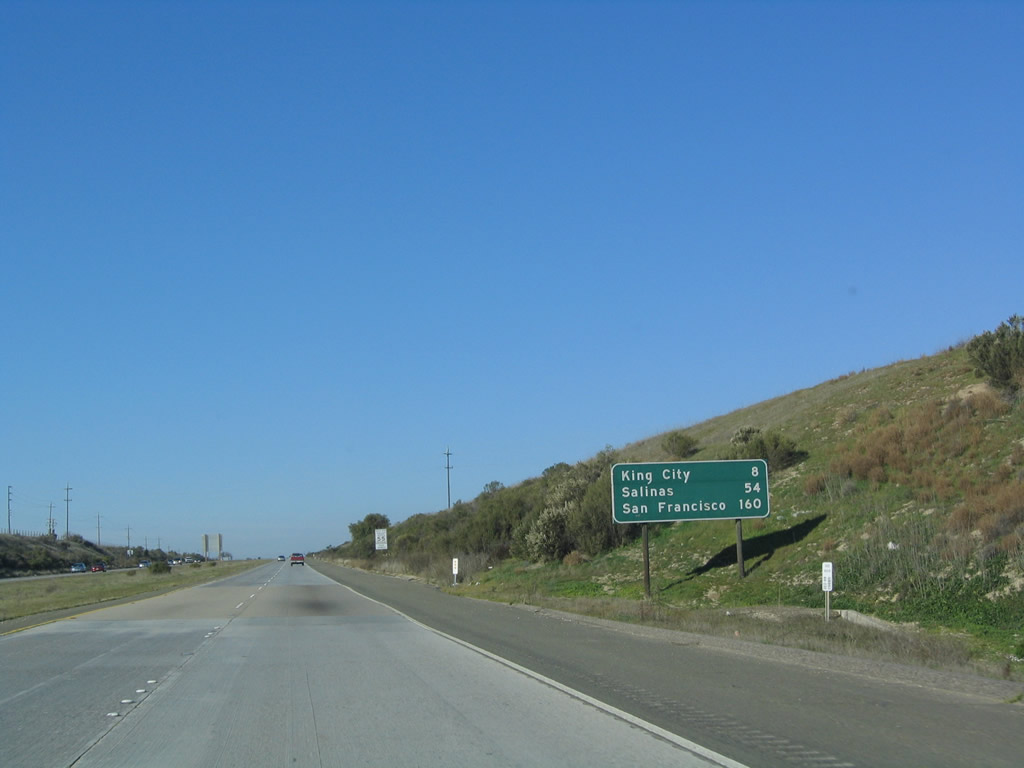
This mileage sign provides the distance to King City (eight miles), Salinas (54 miles), and San Francisco (160 miles). Photo taken 12/23/04. |
|
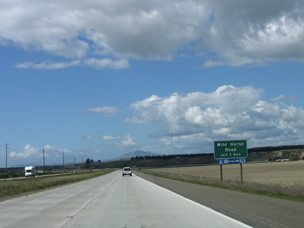
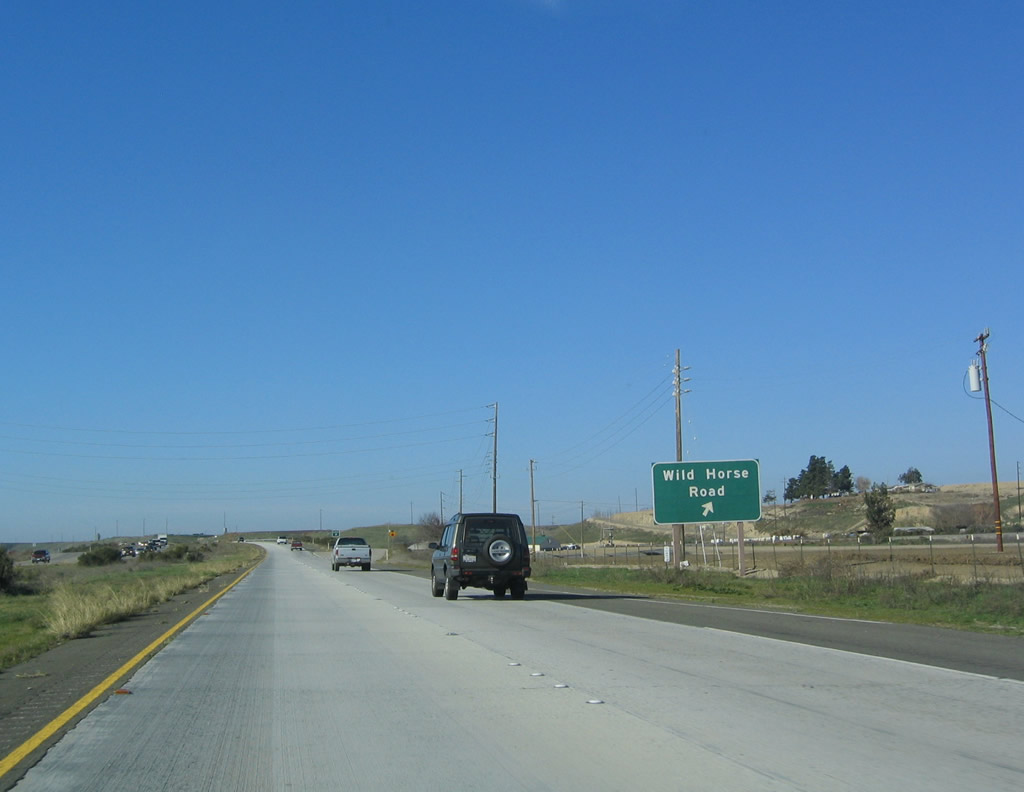
The next exit along U.S. 101 (El Camino Real) north is Exit 278, Wild Horse Road (one mile). Photo taken 03/18/06. |
|
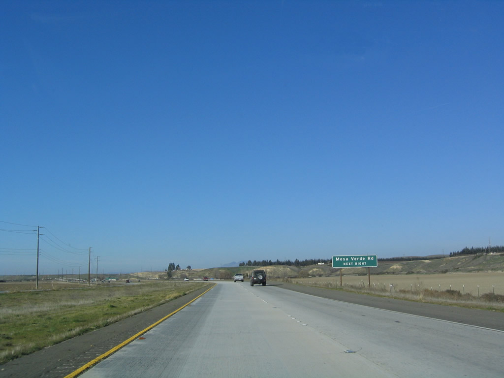
Use Exit 278 to Mesa Verde Road, which is the frontage road on the west side of the freeway north to Kings City. Photo taken 12/23/04. |
|
Northbound U.S. 101 (El Camino Real) reaches Exit 278, Wild Horse Road and Mesa Verde Road. Photo taken 12/23/04. |
|
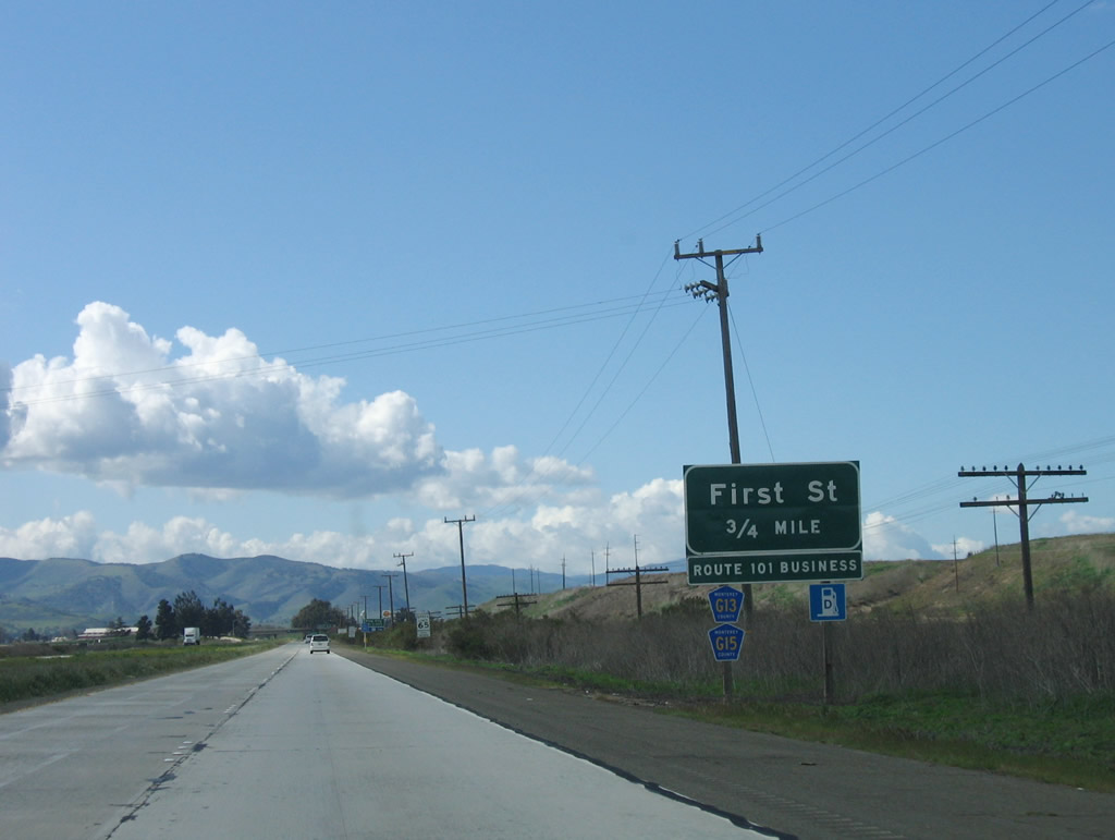
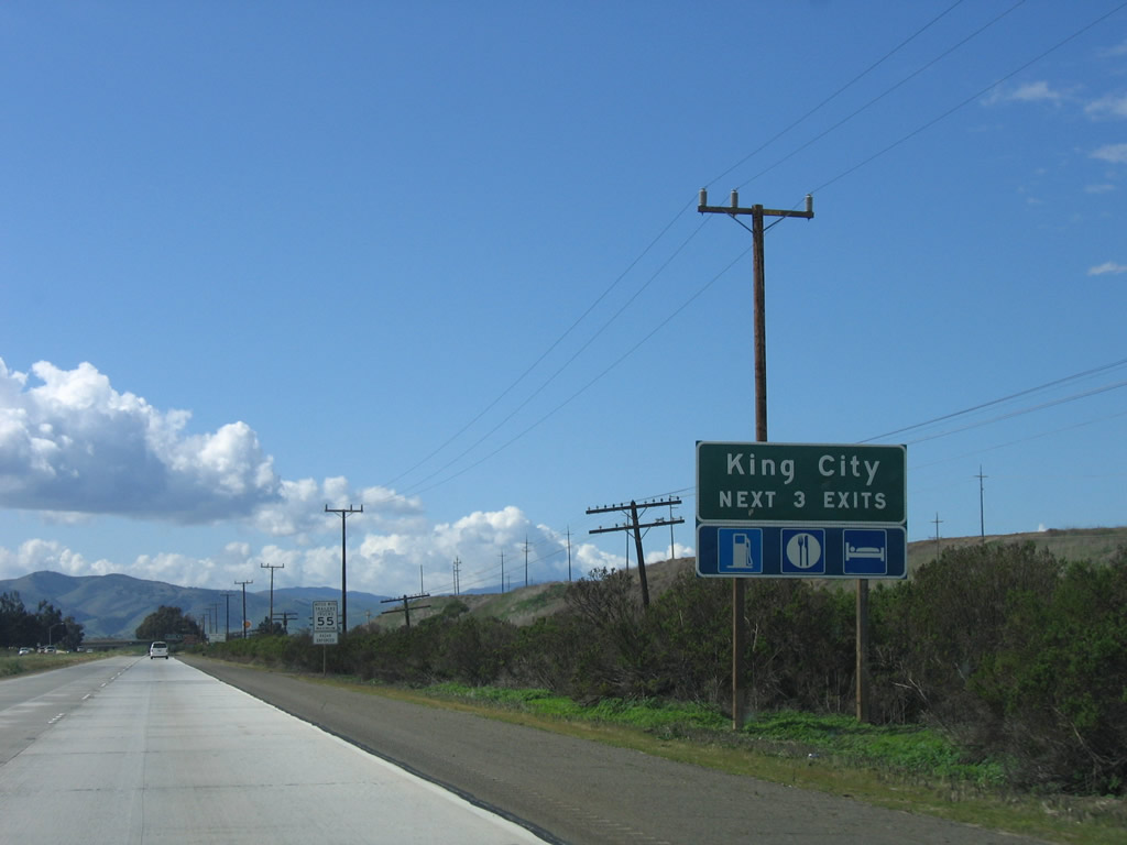
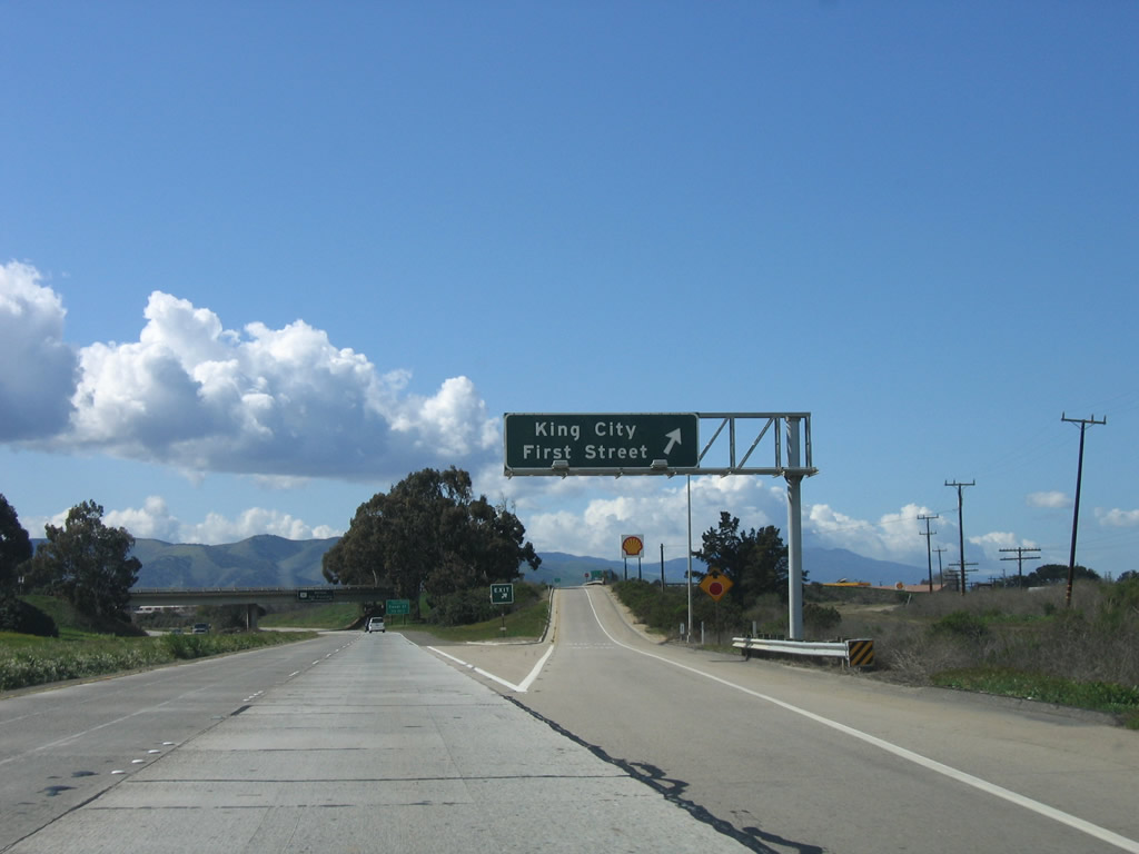
The next exit along U.S. 101 (El Camino Real) north is Exit 281, U.S. 101 Business/First Street (0.75 mile). Use Exit 281 (U.S. 101 Business north) to Monterey County G-13/Bitterwater Road northeast to California 25 at Bitterwater and to Monterey County G-15 (Metz Road) north to Soledad (via a connection with California 146). This is the first of three exits to serve the city of King City. Photo taken 03/18/06. |
|
The next three exits along U.S. 101 serve the city of King City: Exit 281, U.S. 101 Business/First Street; Exit 282A, Canal Street; and Exit 282B, Broadway Street. The business loop follows First Street north to Broadway Street west through downtown King City. Photo taken 03/18/06. |
|
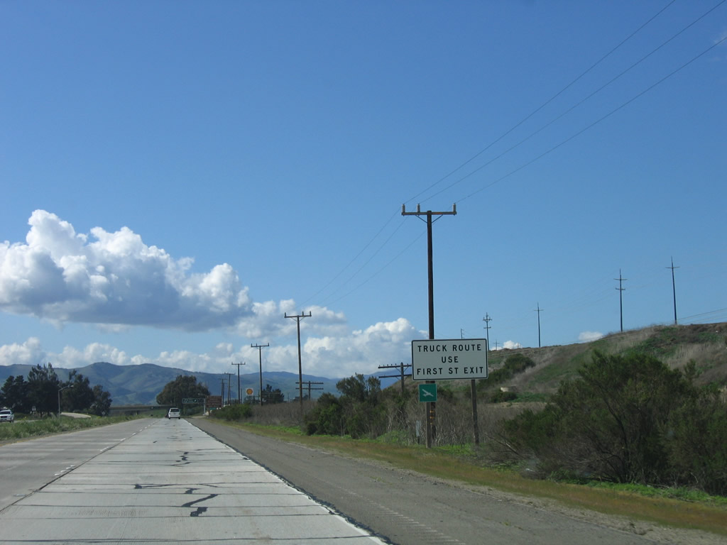
Local delivery trucks should use Exit 281. Photo taken 03/18/06. |
|
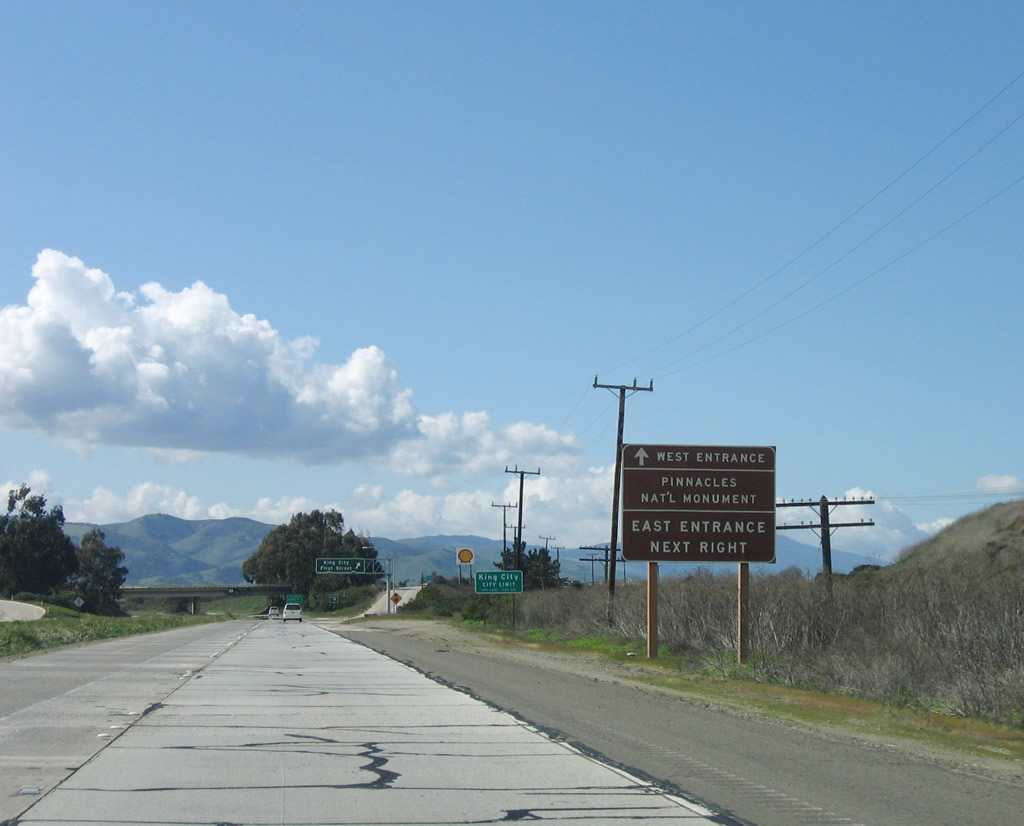
Follow Monterey County G-15 (Metz Road) north to California 146 east to Pinnacles National Monument's west entrance. Use Monterey County G-13/Bitterwater Road northeast to California 25 north to the east entrance to Pinnacles National Monument. Photo taken 03/18/06. |
|
Northbound U.S. 101 (El Camino Real) north reaches Exit 281, U.S. 101 Business/First Street in King City. The business route is sporadically signed, but basically follows First Street north to Broadway Street west. Exit 281 is the best route to the two aforementioned county routes and is the best route to the east entrance of Pinnacles National Monument via Monterey County G-13 and California 25. Photo taken 03/18/06. |
|
|
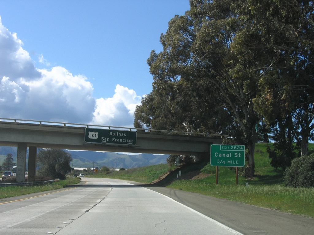
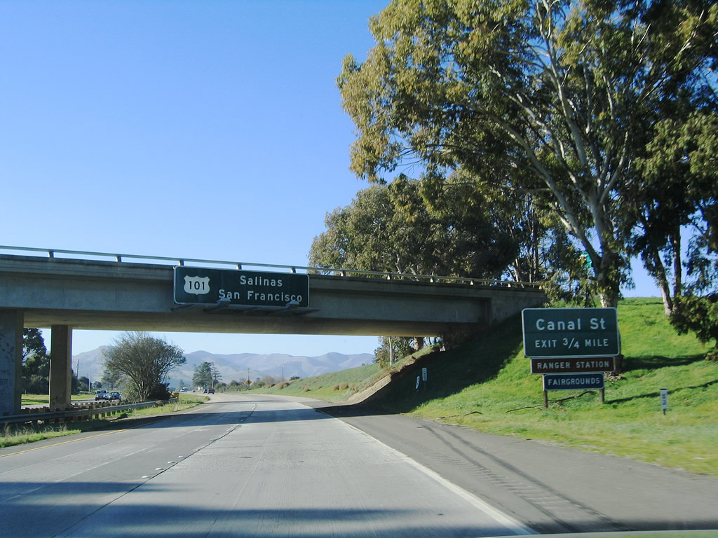
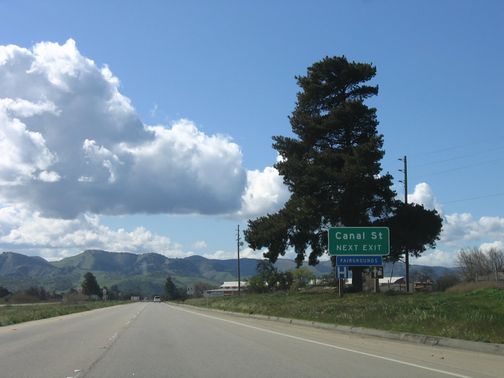
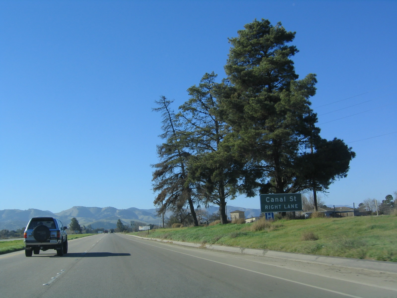
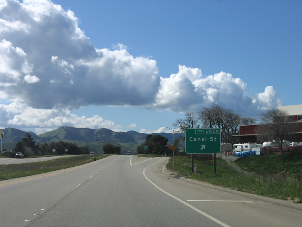
The next exit along U.S. 101 (El Camino Real) north is Exit 282A, Canal Street. The roadside sign for Exit 282A was replaced between 2004 and 2006; the overhead, porcelain-enamel, pull-through sign for U.S. 101 north remains the same. Photos taken 03/18/06 and 12/23/04. |
|
|
Canal Street is the second exit to serve the city of King City. Photos taken 03/18/06 and 12/23/04. |
|
|
Northbound U.S. 101 (El Camino Real) reaches Exit 282A, Canal Street. Photos taken 03/18/06 and 12/23/04. |
|
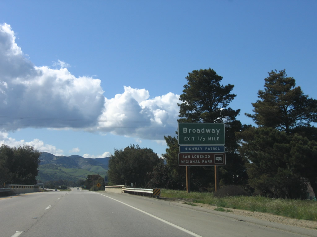
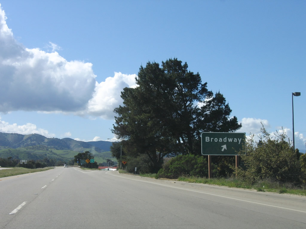
The next exit along U.S. 101 (El Camino Real) north is Exit 282B, U.S. 101 Business (Broadway) Street (0.50 mile). Photo taken 03/18/06. |
|
Northbound U.S. 101 (El Camino Real) reaches Exit 282B, U.S. 101 Business (Broadway) Street. Photo taken 03/18/06. |
|
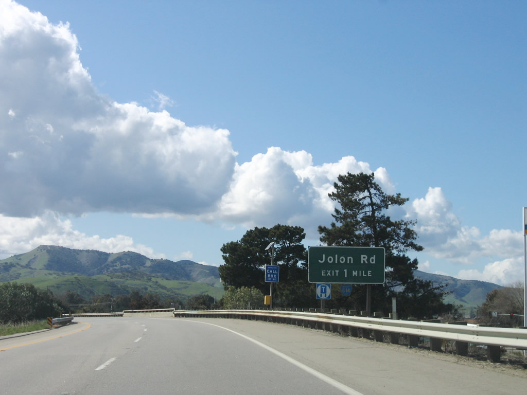
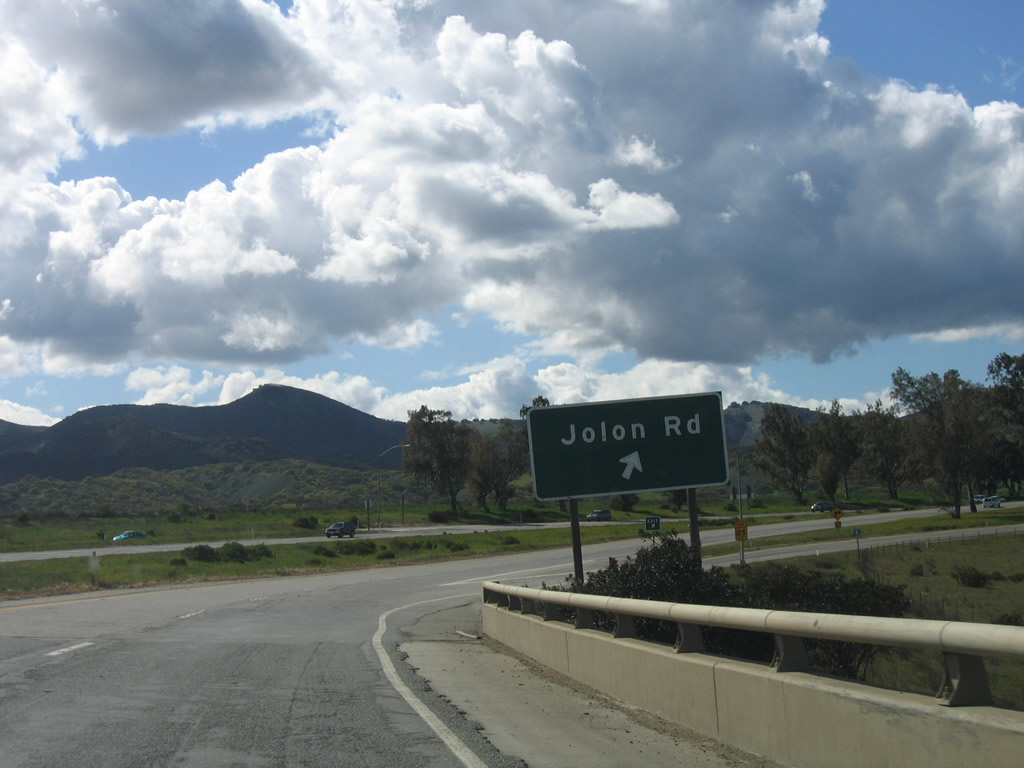
The next exit along U.S. 101 (El Camino Real) north is Exit 283, Monterey County G-14/Jolon Road south ot Jolon and Lockwood (one mile). Photo taken 03/18/06. |
|
Turning almost due west again, U.S. 101 crosses the Salinas River after the on-ramp from Broadway Street. After the Jolon Road interchange, U.S. 101 again turns north to follow the Salinas River on its west bank en route to Greenfield. Photo taken 03/18/06. |
|
|
U.S. 101 crosses the Salinas River. The northbound lanes cross a bridge built in 1956 and widened in 1968. Some of the original curbing and railing is still intact as shown here. Photos taken 03/18/06 and 12/23/04. |
|
U.S. 101 approaches Exit 283, Jolon Road (Monterey County G-14). County Route G-14 travels south along Jolon Road to Jolon, then turns southeast to Lockwood, then turns south on Interlake Road between Lake San Antonio and Lake Nacimiento to County Route G-19, then follows Nacimiento Lake Road southeast to Paso Robles in San Luis Obispo County. Photo taken 03/18/06. |
|
Northbound U.S. 101 (El Camino Real) reaches Exit 283, Monterey County G-14/Jolon Road south to Jolon and Lockwood. This interchange is the northern terminus of County Route G-14. Photo taken 03/18/06. |
|
The freeway again downgrades to an expressway configuration, and cross traffic and intersections are found along U.S. 101 between Jolon Road and Greenfield. Photo taken 12/23/04. |
|
A U.S. 101 reassurance shield is posted shortly thereafter, and the speed limit reduces to 65 miles per hour. Photo taken 12/23/04. |
|
This mileage sign provides the distance in miles and kilometers to Greenfield (10 miles), Salinas (44 miles), and San Francisco (150 miles). As we get closer to the San Francisco Bay Area, U.S. 101 becomes more of a Northern California highway and less of a Southern California highway. The dividing line could be between Monterey and San Luis Obispo Counties, but the distinction is less clear than that. Photo taken 12/23/04. |
|
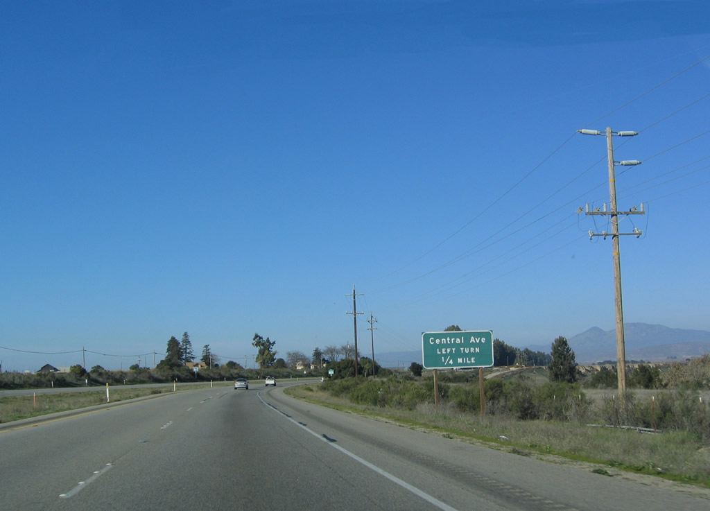
The next intersection along U.S. 101 north is with Central Avenue north. Central Avenue parallels U.S. 101 between here and Monterey County G-16/Elm Avneue west of Greenfield. Photo taken 12/23/04. |
|
Northbound U.S. 101 meets Central Avenue north. Photo taken 12/23/04. |
|
|
|
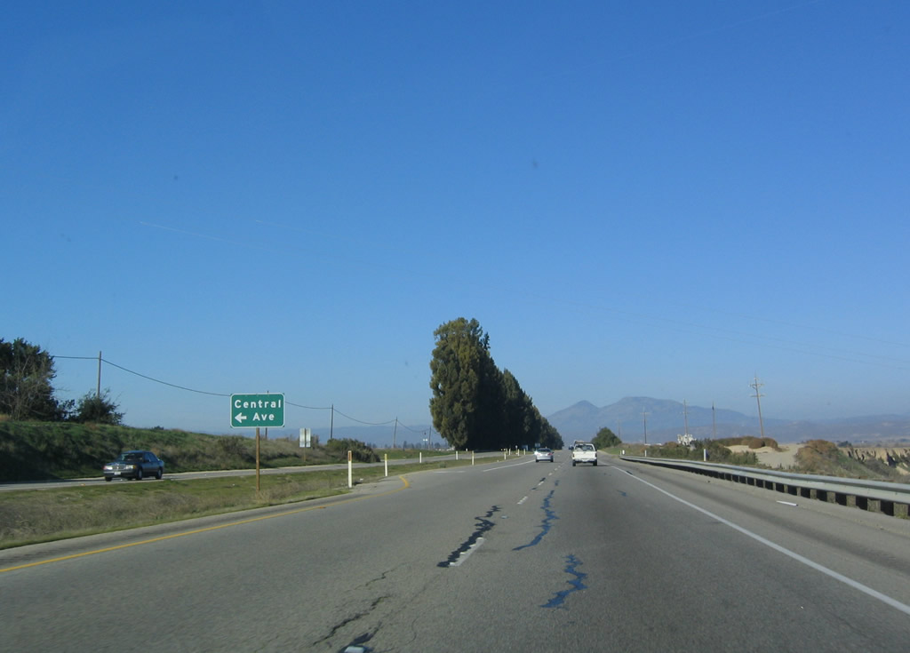
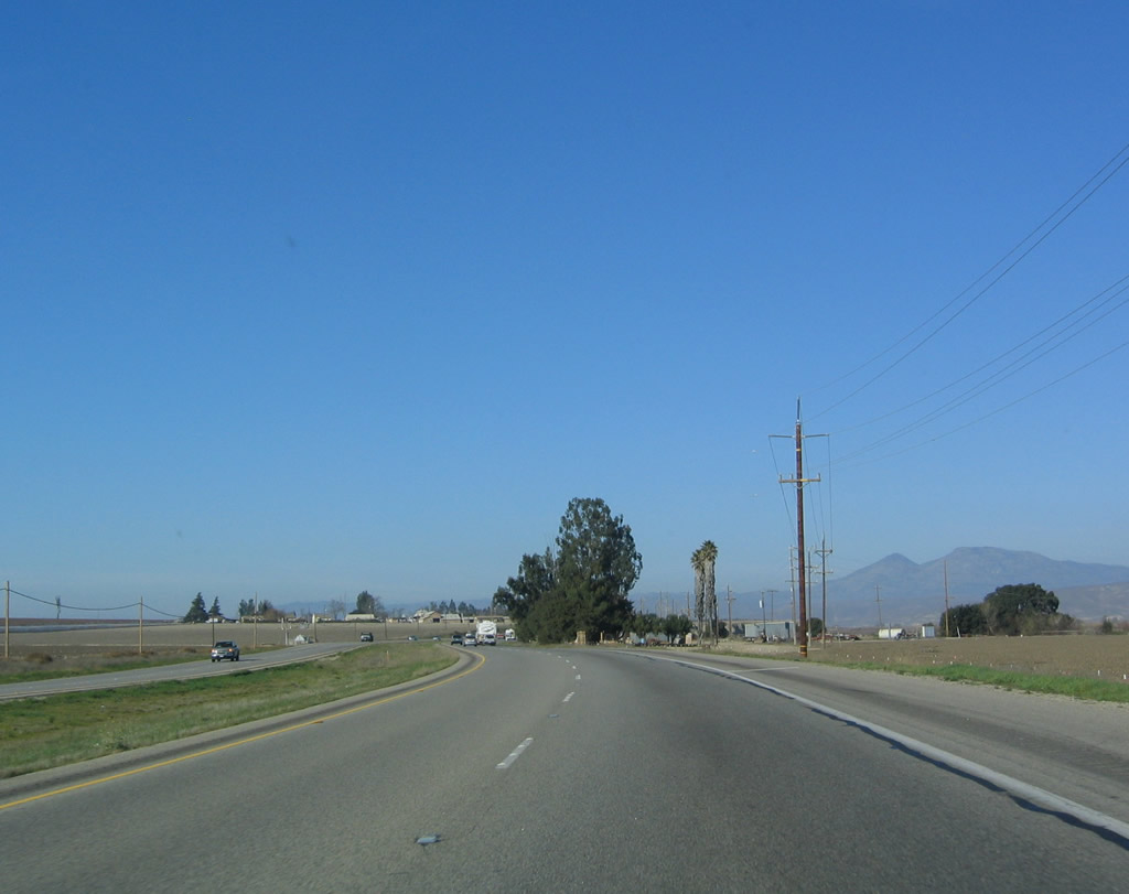
After the Central Avenue interchange, U.S. 101 proceeds north alongside a tall hedge of trees in the otherwise wide open Salinas River Valley. The expressway retains a rural feel as it continues north toward Greenfield. Photos taken 03/18/06 and 12/23/04. |
|
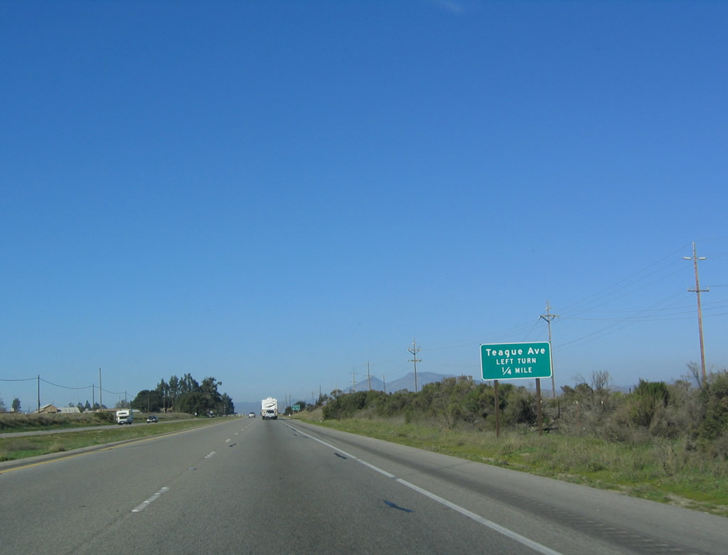
The next intersection along U.S. 101 (El Camino Real) is with Teague Avenue west. Teague Avenue provides local access and connects with Central Avenue west of here. Photo taken 12/23/04. |
|
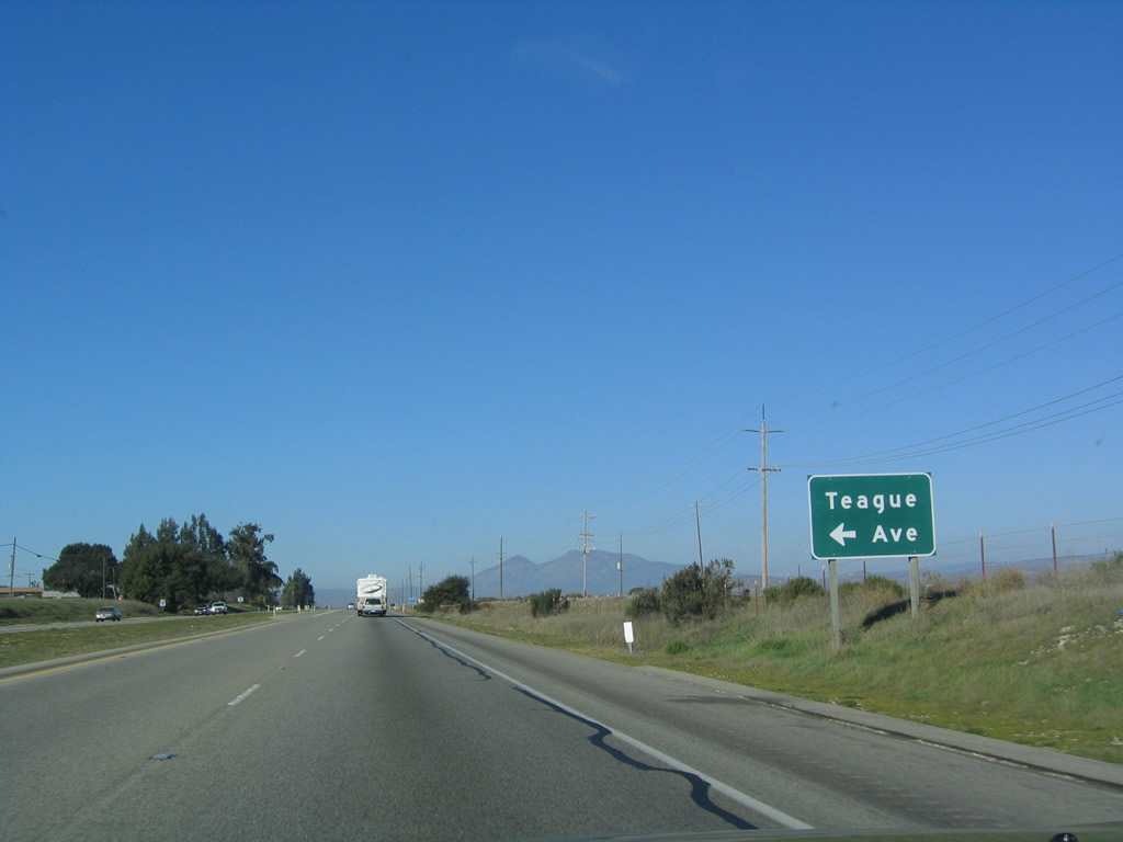
Northbound U.S. 101 (El Camino Real) meets Teague Avenue west at this intersection. Photo taken 12/23/04. |
|
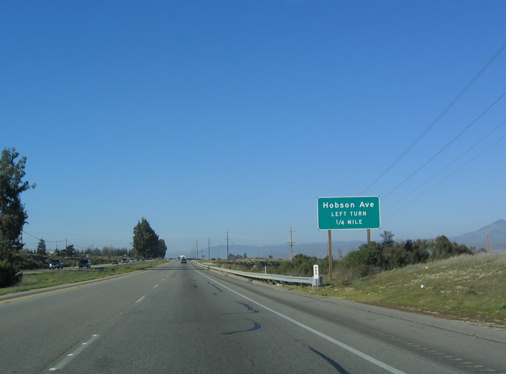
The next intersection along U.S. 101 (El Camino Real) is with Hobson Avenue west. Like Teague Avenue, Hobson Avenue provides local access and connects with Central Avenue west of here. Photo taken 12/23/04. |
|
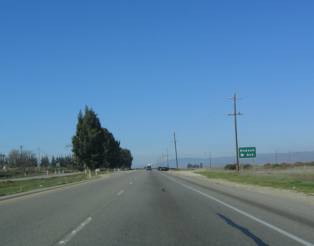
Northbound U.S. 101 (El Camino Real) meets Hobson Avenue west at this intersection. Photo taken 12/23/04. |
|
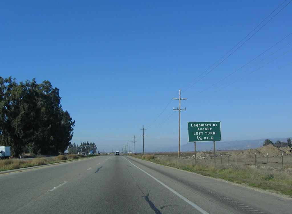
The next intersection along U.S. 101 (El Camino Real) is with Lagomarsino Avenue west. Like Teague Avenue and Hobson Avenue, Lagomarsino Avenue provides local access and connects with Central Avenue west of here. Photo taken 12/23/04. |
|
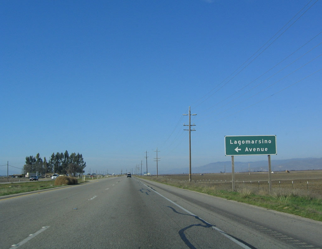
Northbound U.S. 101 (El Camino Real) meets Lagomarsino Avenue west. Photo taken 12/23/04. |
|
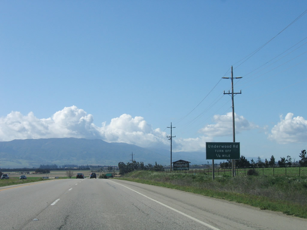
The next intersection along U.S. 101 (El Camino Real) is with Underwood Avenue. Photo taken 03/18/06. |
|
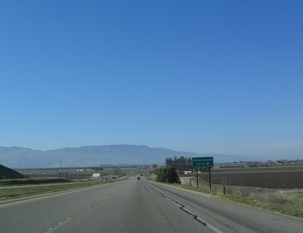
Northbound U.S. 101 (El Camino Real) meets Underwood Avenue east to nearby ranches and farms. Photo taken 12/23/04. |
|
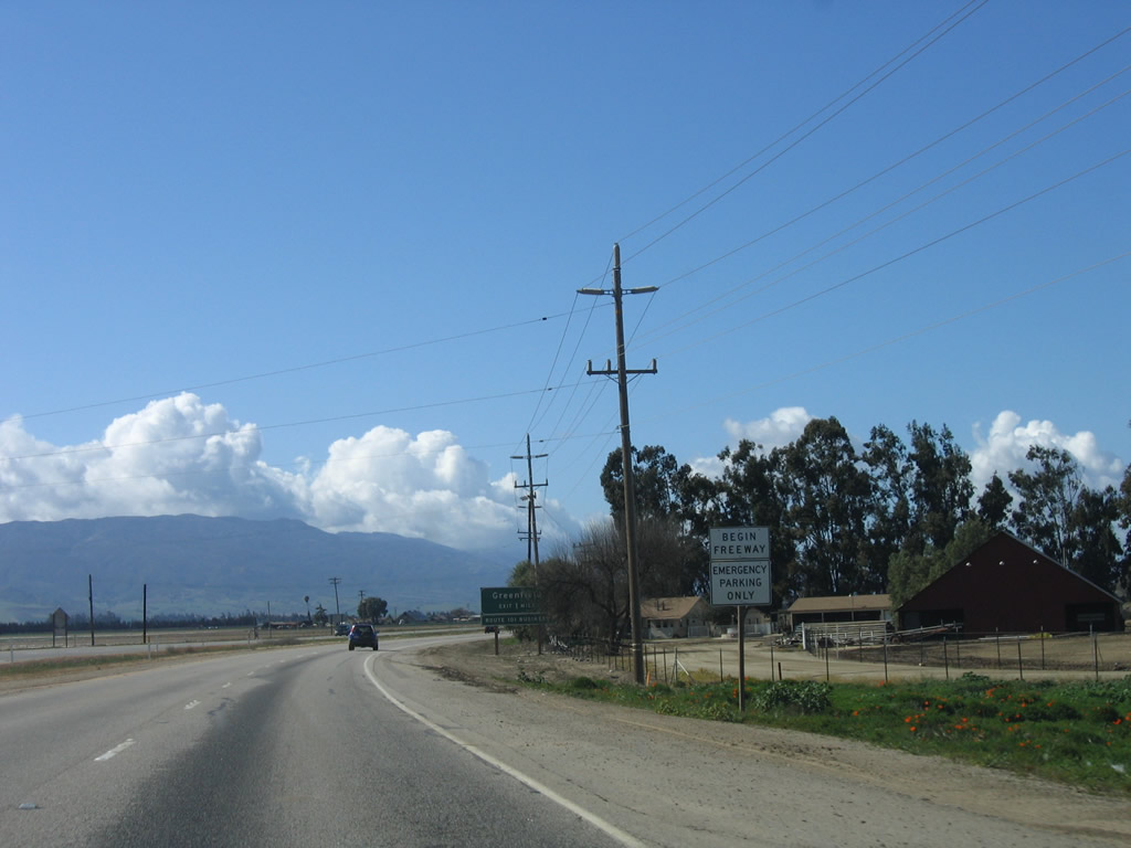
After Underwood Avenue, the freeway again resumes and will carry U.S. 101 around the city of Greenfield. North of Greenfield, U.S. 101 will again revert to expressway standards. Photo taken 12/23/04. |
|
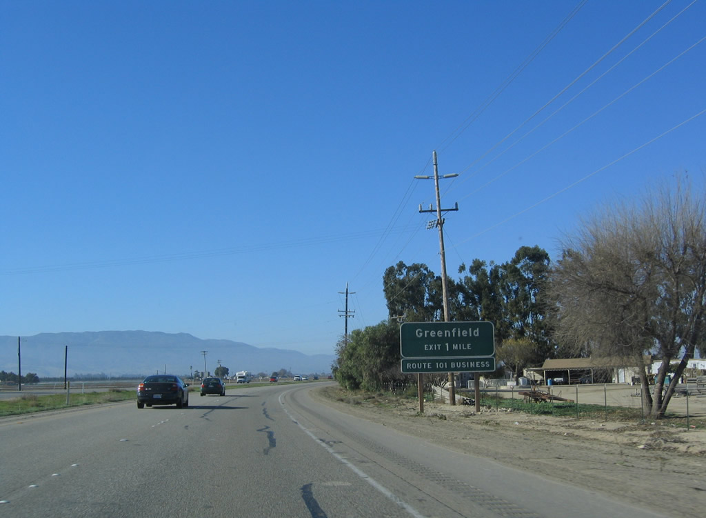
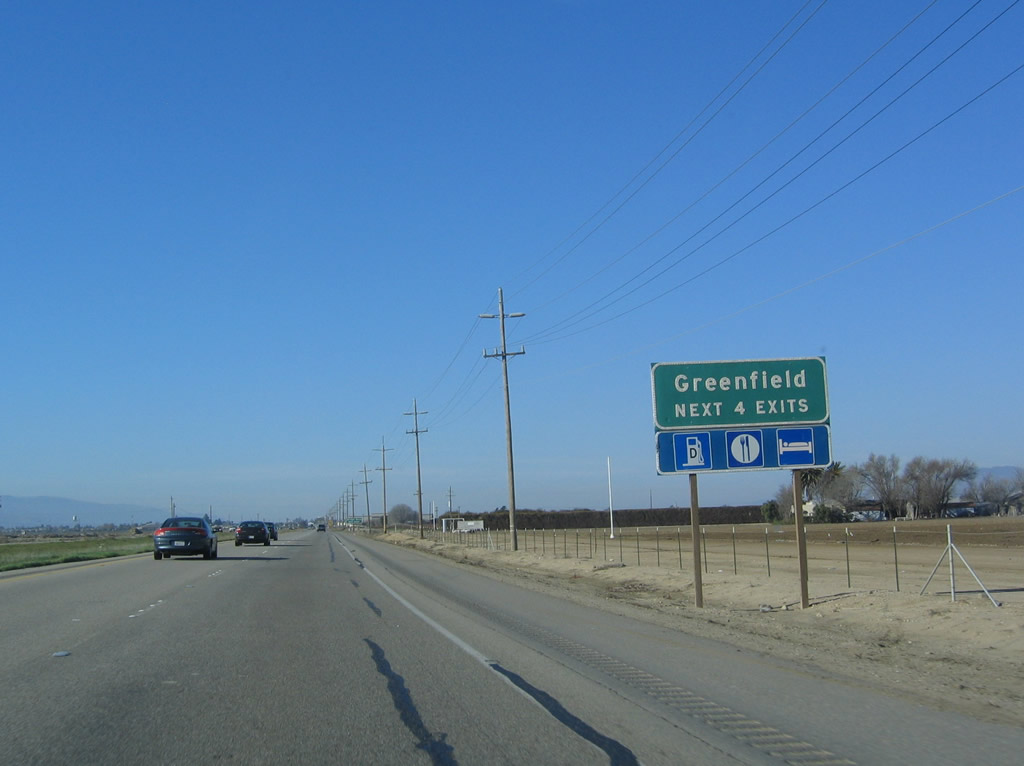
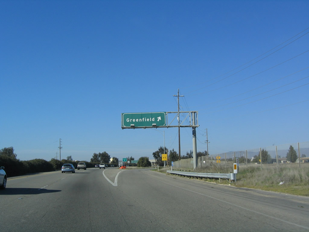
The next exit along U.S. 101 (El Camino Real) north is Exit 293, U.S. 101 Business/El Camino Real north to Greenfield, the "Broccoli Capital of the World" (population 12,583 as of the 2000 Census, area 1.7 square miles, founded in 1947). The city is known for the annual Harvest Festival and is known as "Where Historic El Camino Real Meets Monterey Wine Country." Use Exit 293 to Monterey County G-16 (Elm Avenue). Photo taken 12/23/04. |
|
The next four exits along U.S. 101 (El Camino Real) north serve the city of Greenfield: Exit 293, U.S. 101 Business/El Camino Real north to Monterey County G-16 (Elm Avenue); Exit 294A, Oak Avenue; Exit 294B, Walnut Avenue; and Exit 295, Thorne Road and U.S. 101 Business/El Camino Real south. Photo taken 12/23/04. |
|
To Arroyo Seco and its scenic canyon, follow Monterey County G-16 (Elm Avenue) west out of town into the foothills. Photo taken 12/23/04. |
|
A standalone trailblazer for Monterey County G-16 is along U.S. 101 (El Camino Real) north prior to Exit 293 in Greenfield. These standalone shields are difficult to read at high speeds because they are so small. Photo taken 12/23/04. |
|
Northbound U.S. 101 (El Camino Real) reaches Exit 293, U.S. 101 Business/El Camino Real to Monterey County G-16 (Elm Avenue) in Greenfield. Photo taken 12/23/04. |
|
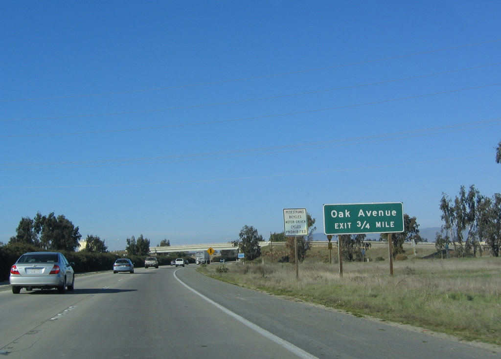
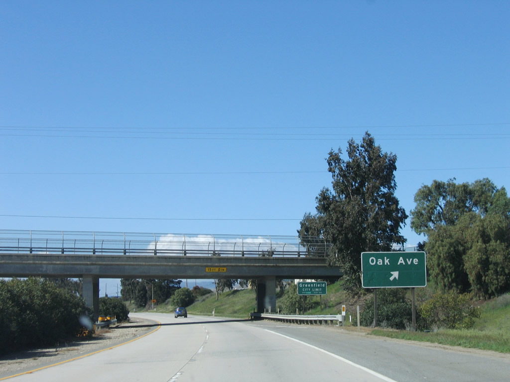
The next exit along U.S. 101 (El Camino Real) north is Exit 294A, Oak Avenue. Photo taken 12/23/04. |
|
A U.S. 101 north reassurance shield is posted after the on-ramp from El Camino Real. Photo taken 03/18/06. |
|
Northbound U.S. 101 (El Camino Real) reaches Exit 294A, Oak Avenue. Photo taken 03/18/06. |
|
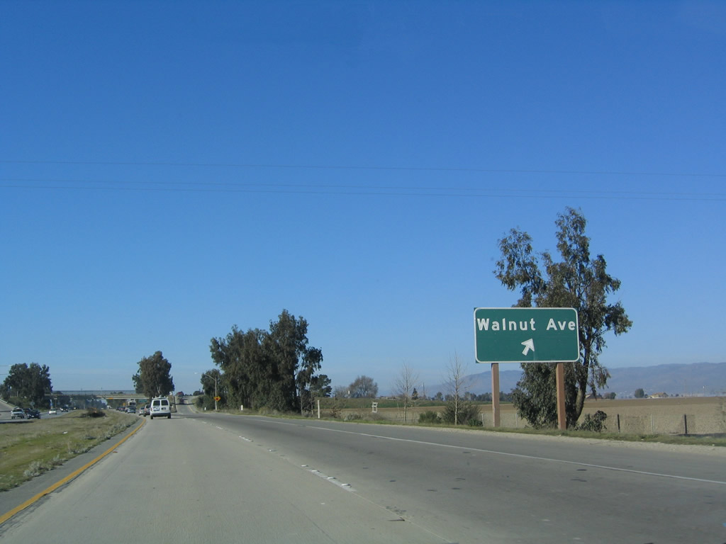
The next exit along U.S. 101 (El Camino Real) north is Exit 294B, Walnut Avenue. Photo taken 03/18/06. |
|
Northbound U.S. 101 (El Camino Real) reaches Exit 294B, Walnut Avenue. Photo taken 12/23/04. |
|
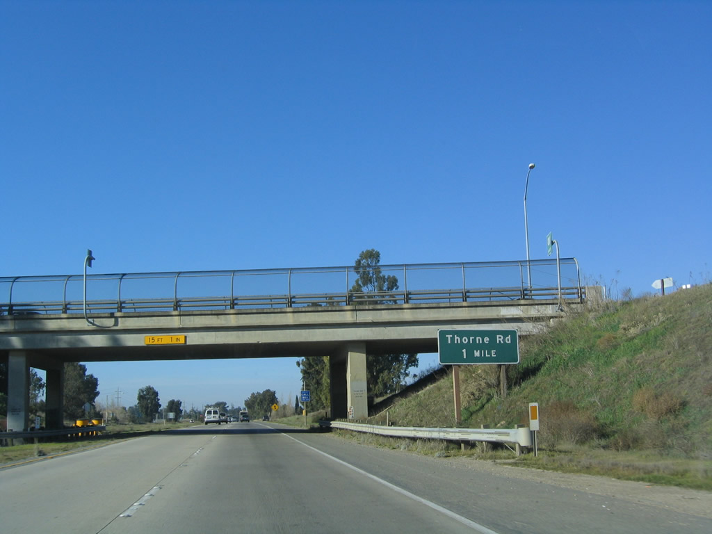
The next exit along U.S. 101 (El Camino Real) north is Exit 295, Thorne Road and U.S. 101 Business south (one mile). Photo taken 12/23/04. |
|
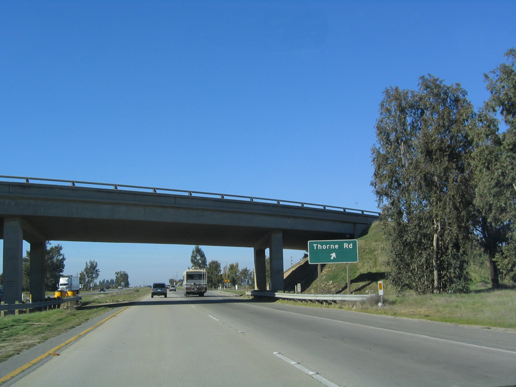
Northbound U.S. 101 (El Camino Real) reaches Exit 295, Thorne Road and U.S. 101 Business south. Photo taken 12/23/04. |
|
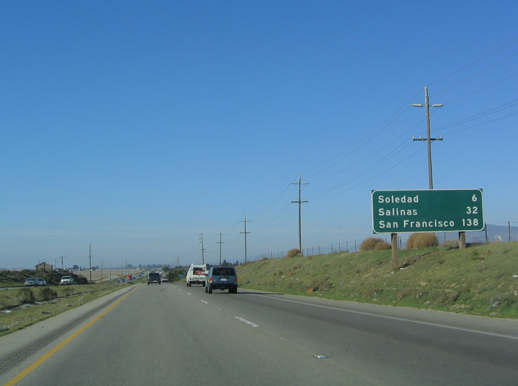
This mileage sign provides the distance to Soledad (six miles), Salinas (32 miles), and San Francisco (138 miles). Photo taken 12/23/04. |
|
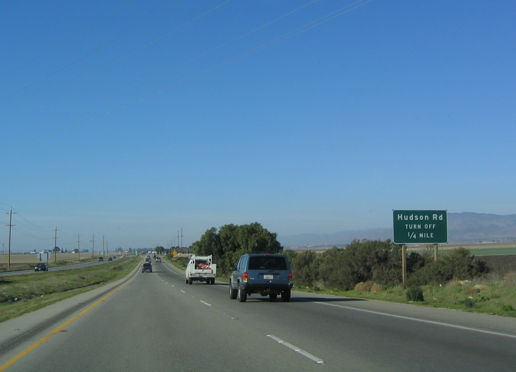
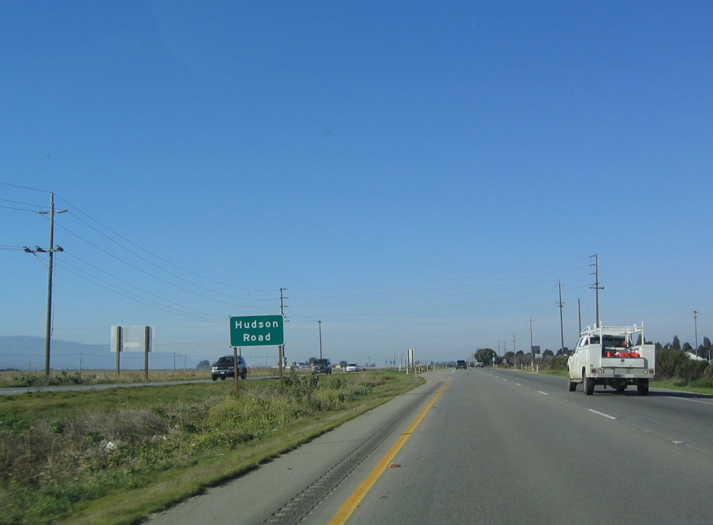
The next intersection along U.S. 101 north is Hudson Road east/west. Photo taken 12/23/04. |
|
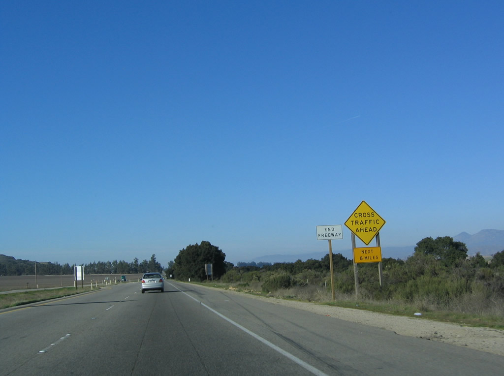
U.S. 101 again loses its freeway status and downgrades to an expressway. Look for at-grade intersections for the next three miles. Photo taken 03/18/06. |
|
Northbound U.S. 101 approaches Hudson Road. While Hudson Road travels east and west from this intersection, its primarily role is for local access and not for through traffic in the Salinas Valley. Photo taken 12/23/04. |
|
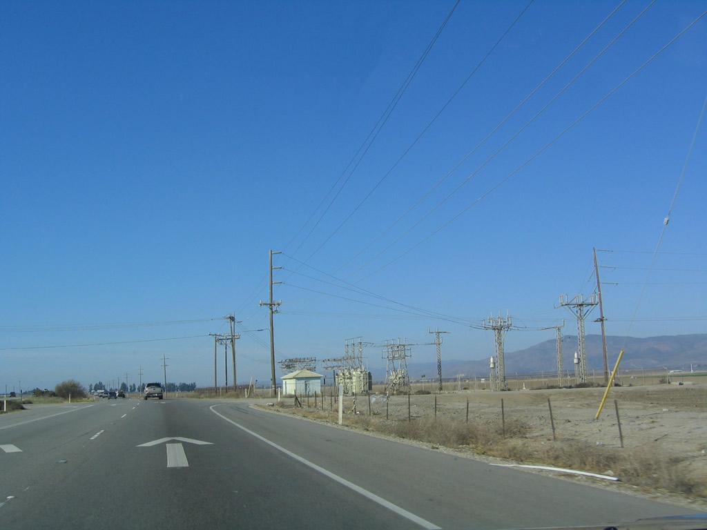
A small power substation is located at the intersection of U.S. 101 and Hudson Road in the Salinas Valley. Photo taken 12/23/04. |
|
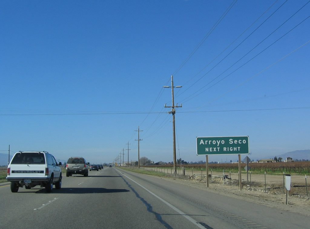
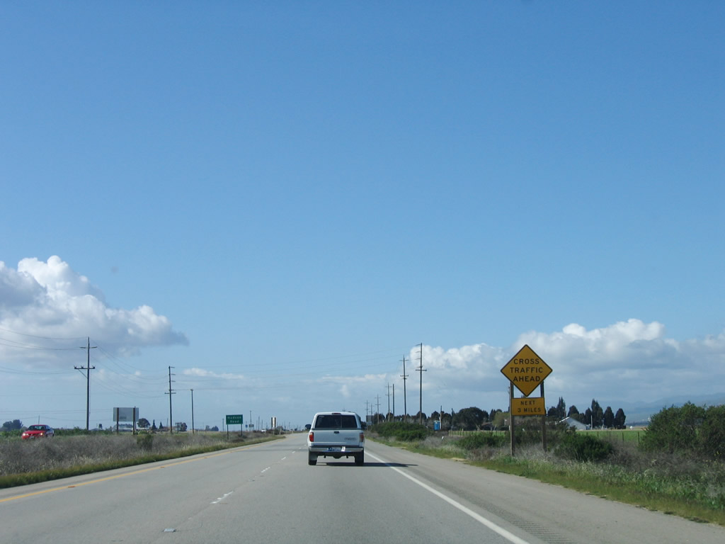
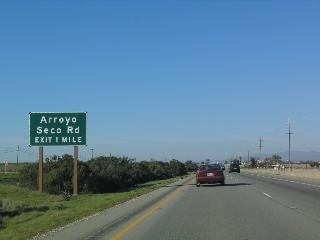
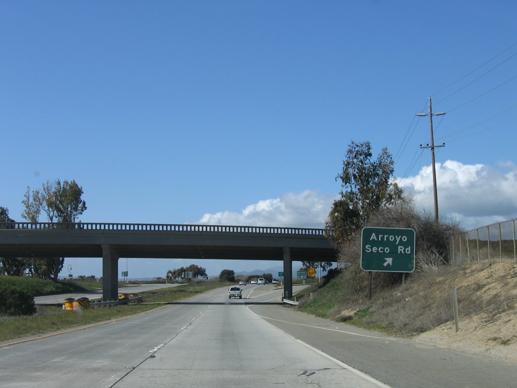
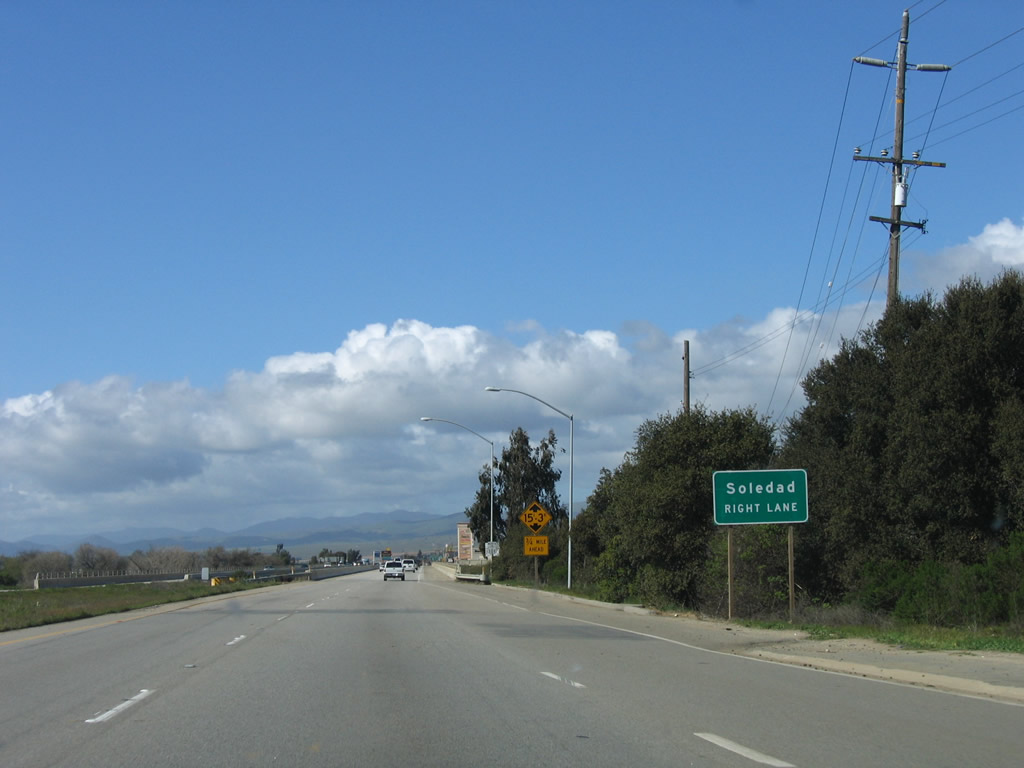
The next exit along U.S. 101 (El Camino Real) north is Exit 301, Arroyo Seco Road west to Monterey County G-17 northwest to Mission Nuestra Se-ora de la Soledad and thence toward the coast, ending at California 1 at Marina. Photo taken 12/23/04. |
|
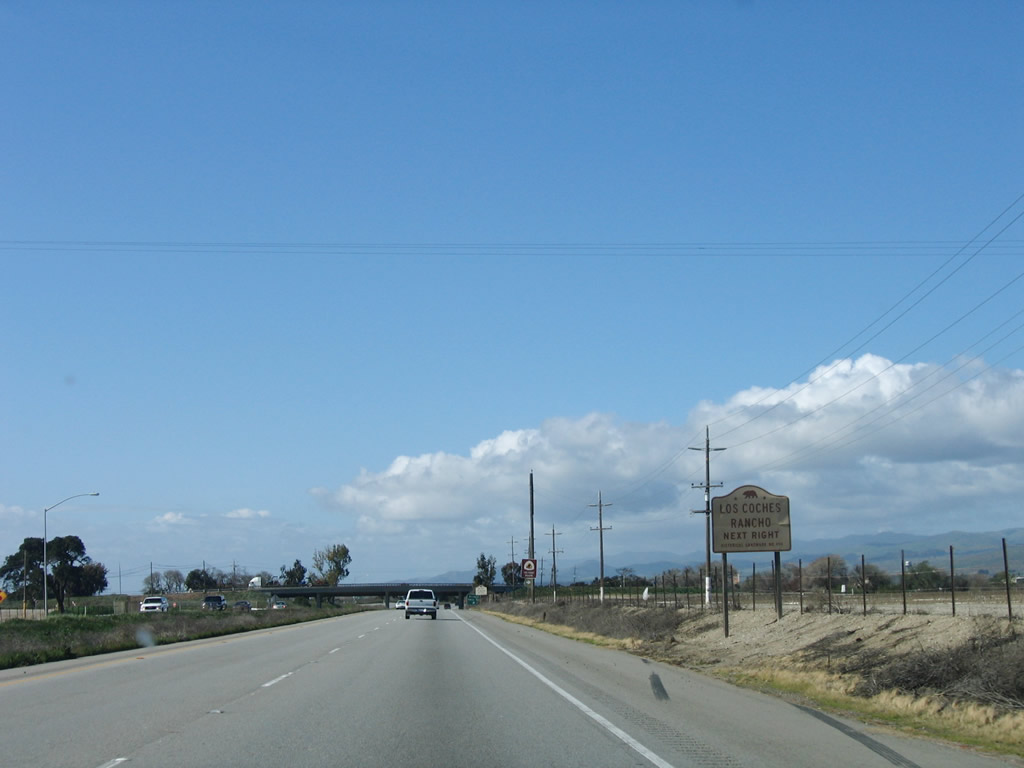
Use Exit 301 to Los Coches Rancho. Photo taken 03/18/06. |
|
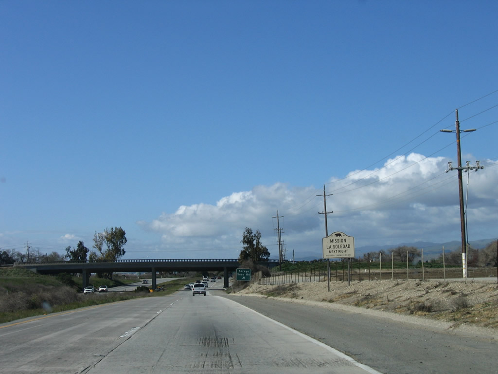
Use Exit 301 to Mission Nuestra Se-ora de la Soledad. Photo taken 03/18/06. |
|
Northbound U.S. 101 (El Camino Real) reaches Exit 301, Arroyo Seco Road west to Monterey County G-17. Photo taken 03/18/06. |
|
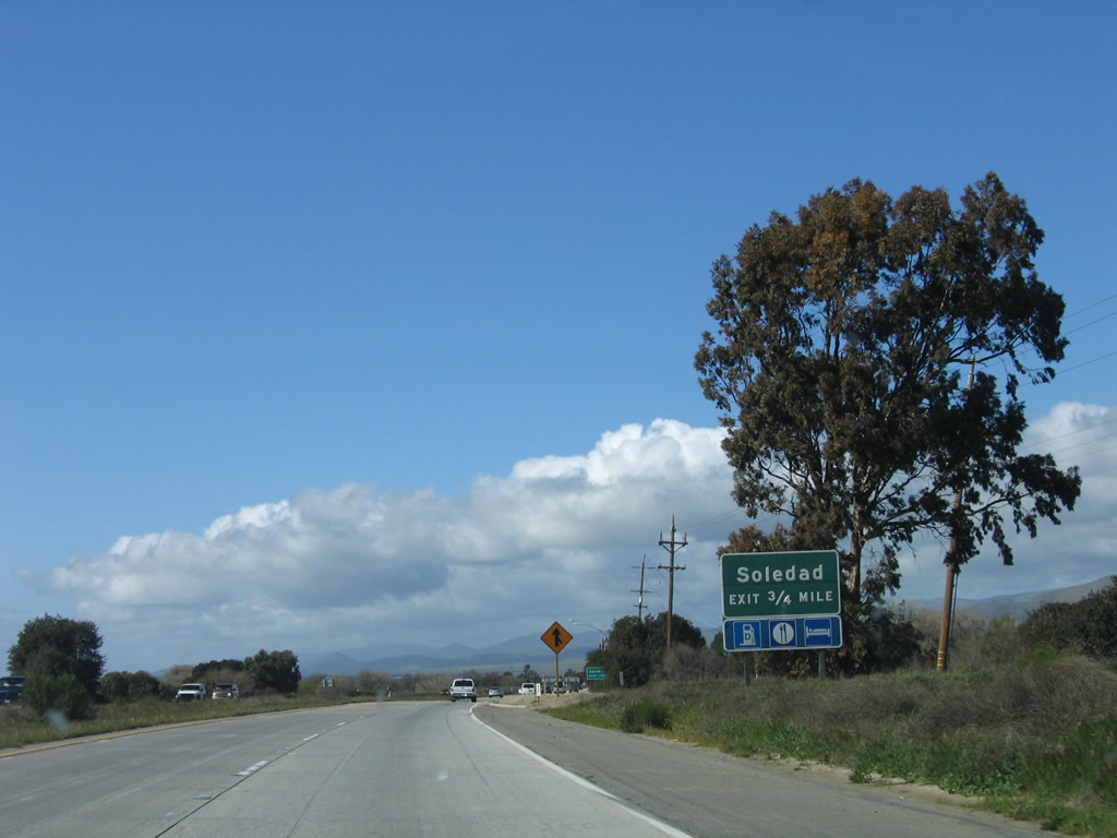
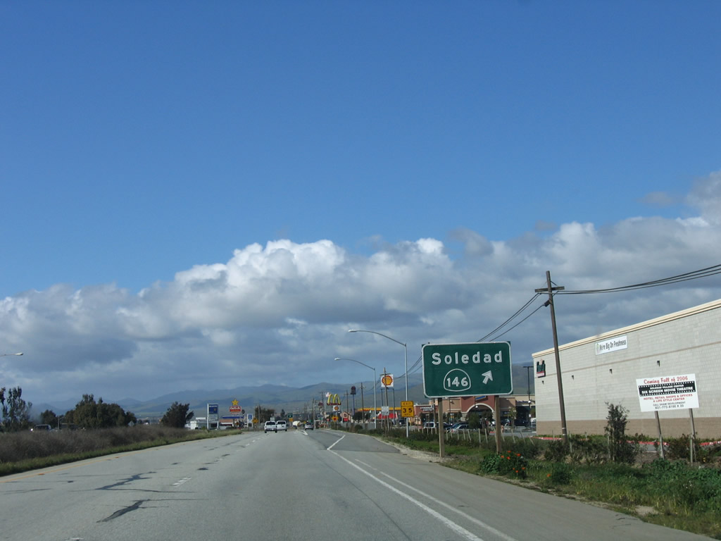
As the freeway again resumes, the next exit along U.S. 101 (El Camino Real) north is Exit 302, U.S. 101 Business and California 146 in Soledad. California 146 is the best route to the west entrance for Pinnacles National Monument. Note that the California 146 shield is missing on the first sign. Photo taken 03/18/06. |
|
The city of Soledad is served by the next two exits: Exit 302, U.S. 101 Business (Front Street) north to California 146/Metz Road east to Pinnacles National Monument (west entrance). Photo taken 03/18/06. |
|
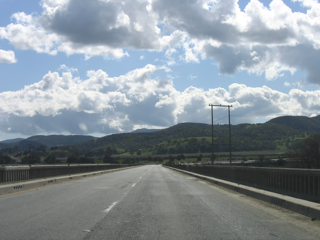
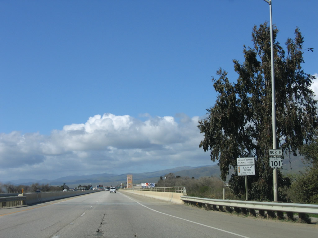
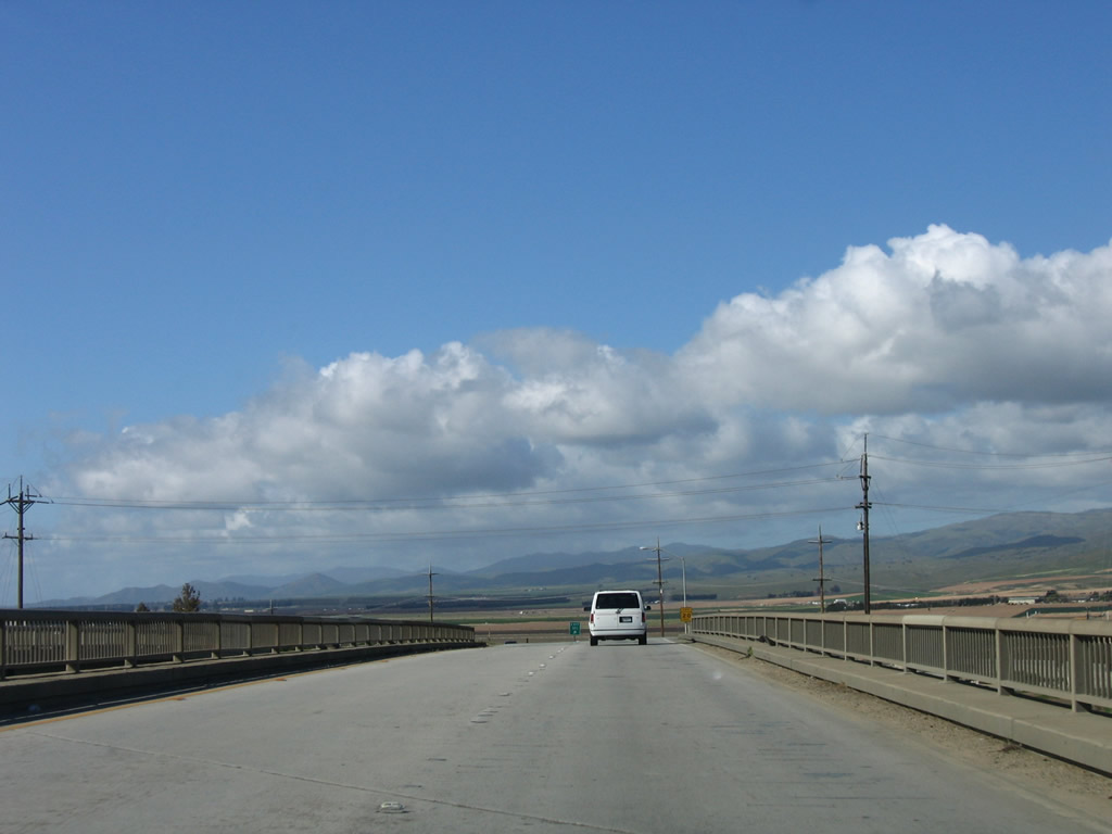
For a final time along northbound, U.S. 101 crosses the Salinas River. The river aims northwest toward the city of Salinas parallel to U.S. 101, then empties into the Pacific Ocean southwest of Castroville and northeast of Marina. Photo taken 03/18/06. |
|
As we continue north across the Salinas River bridge, note the differences between this more modern bridge and some of the older Salinas River bridges seen south of here. Photo taken 03/18/06. |
|
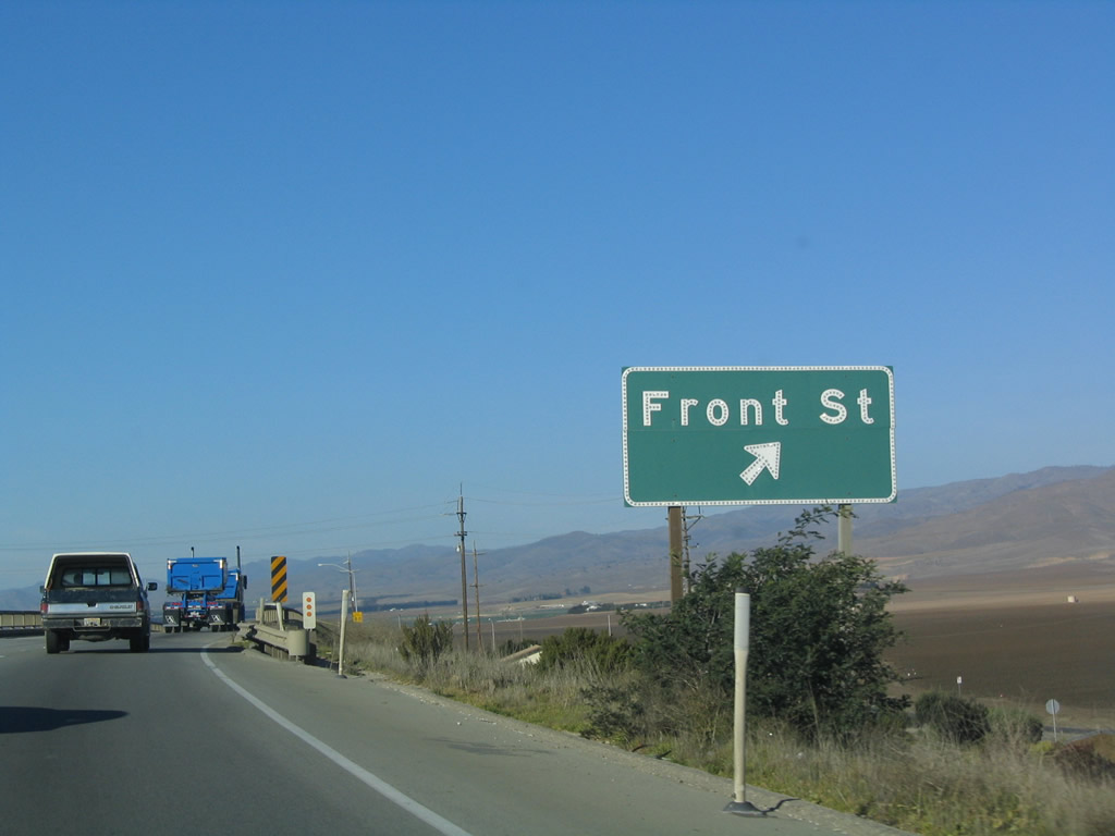
U.S. 101 Business follows Front Street through downtown Soledad between Exits 302 and 303. Photo taken 12/23/04. |
|
Northbound U.S. 101 (El Camino Real) reaches Exit 302, U.S. 101 Business (Front Street) north and California 146 east to Soledad and Pinnacles National Monument (west entrance). Most services (gas, food, lodging) are available at this interchange. Photo taken 03/18/06. |
|
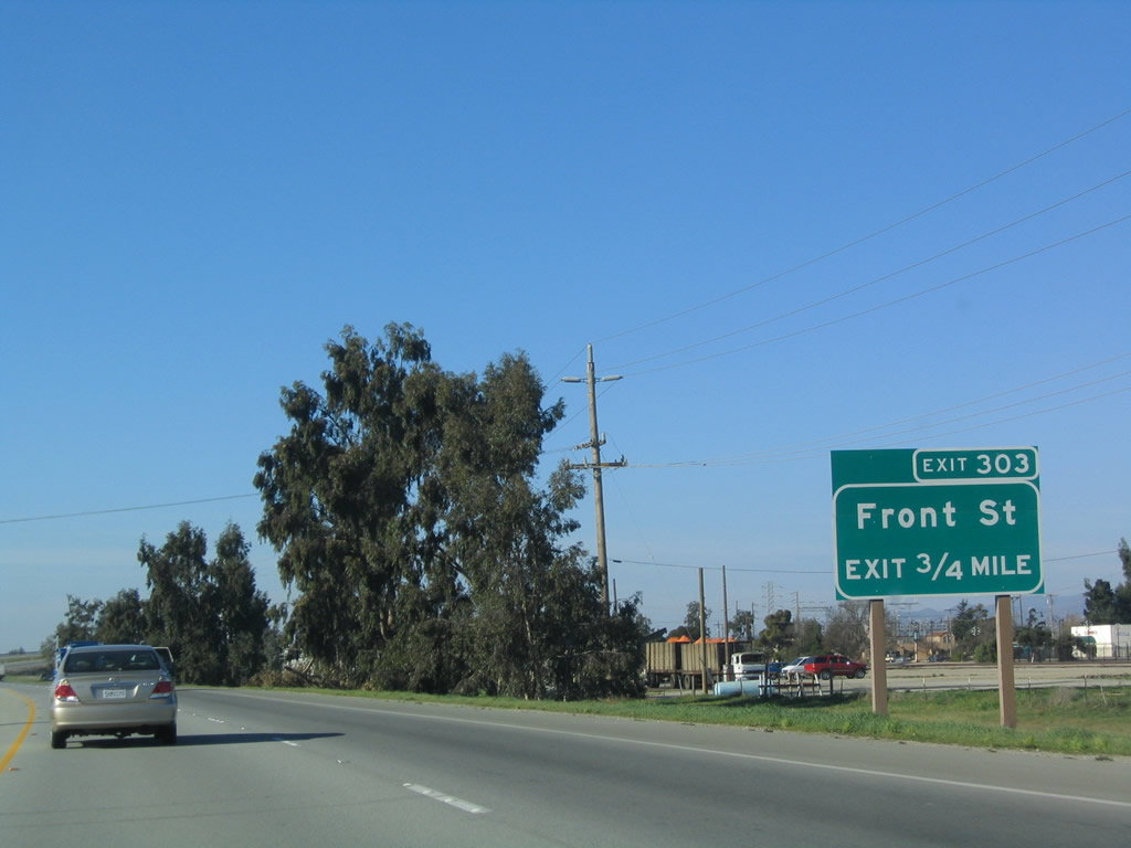
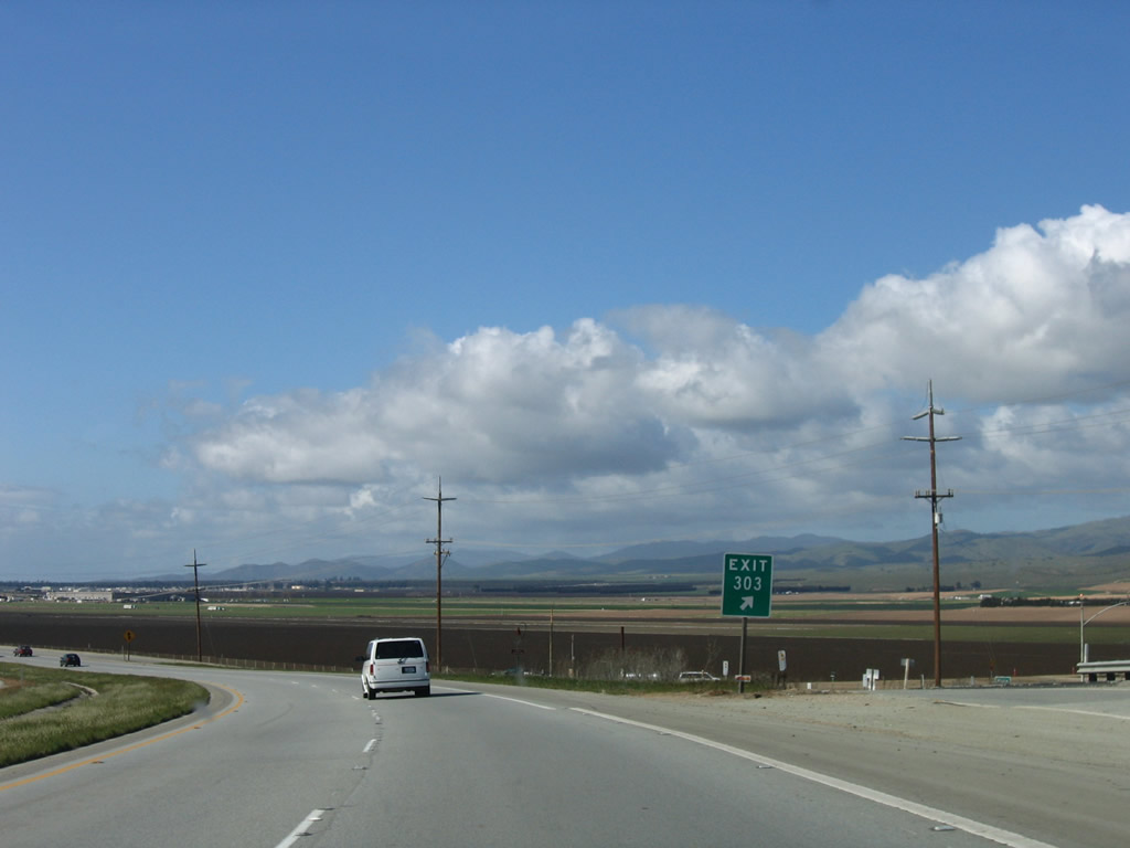
The next exit along U.S. 101 north is Exit 303, U.S. 101 Business (Front Street) south to Soledad. Photo taken 03/18/06. |
|
Northbound U.S. 101 reaches Exit 303, U.S. 101 Business (Front Street) south to Soledad. Photo taken 03/18/06. |
|
The bridge over U.S. 101 Business (Front Street) is older and features neat old guardrail. Photo taken 03/18/06. |
|
Now at the gore point for Exit 303, fertile farmland abounds in the distance. Leaving Soledad, the next city along U.S. 101 north is Gonzales. Photo taken 03/18/06. |
|
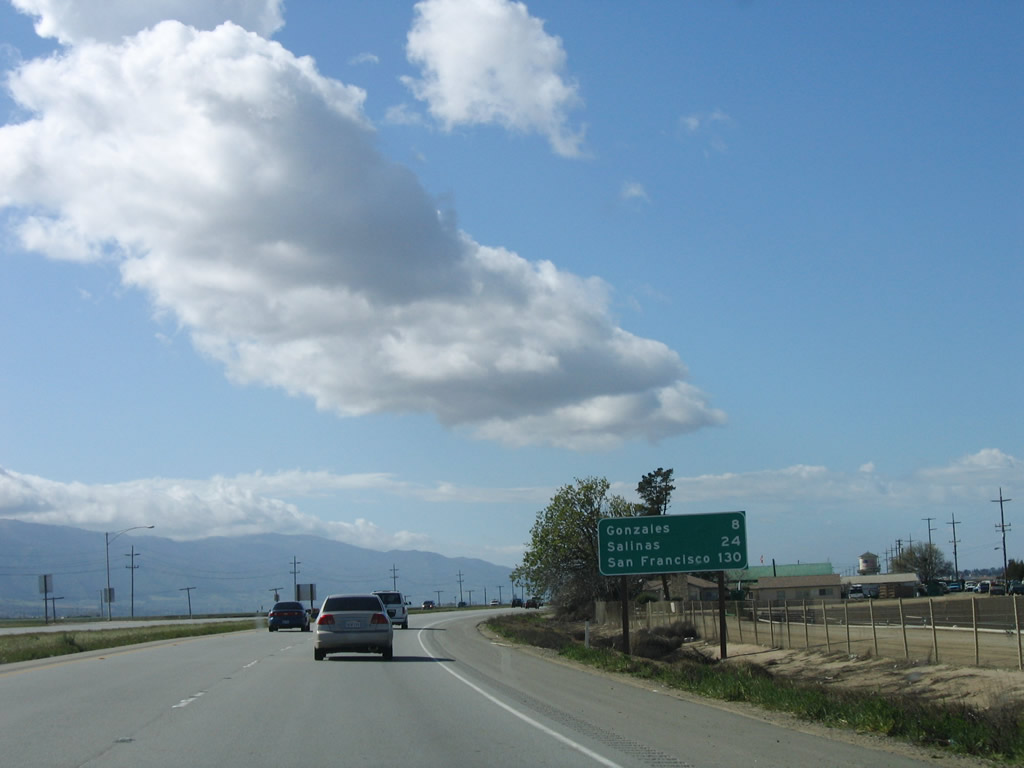
After the Front Street interchange north of Soledad, this mileage sign provides the distance to Gonzales (eight miles), Salinas (24 miles), and San Francisco (130 miles). Photo taken 03/18/06. |
|
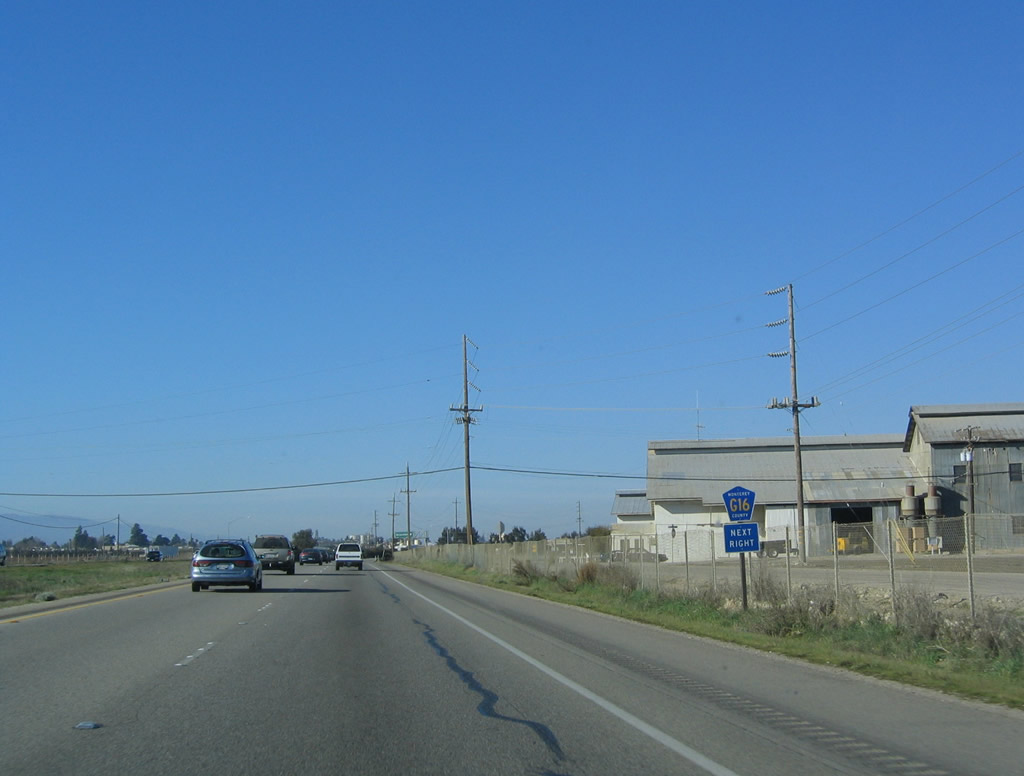
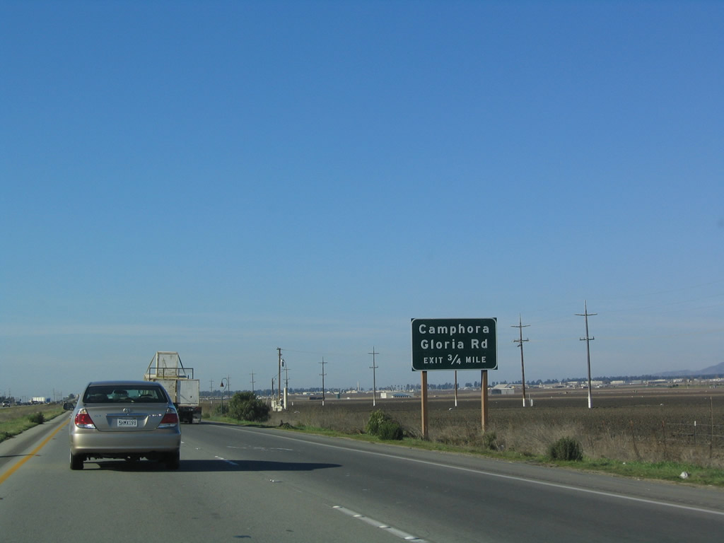
The next exit along U.S. 101 north is Exit 305, Camphora Gloria Road and McCoy Road. Use this exit to the west frontage road (Silliman Road) and the east frontage road (McCoy Road). U.S. 101 continues north as a freeway (for now). Photo taken 12/23/04. |
|
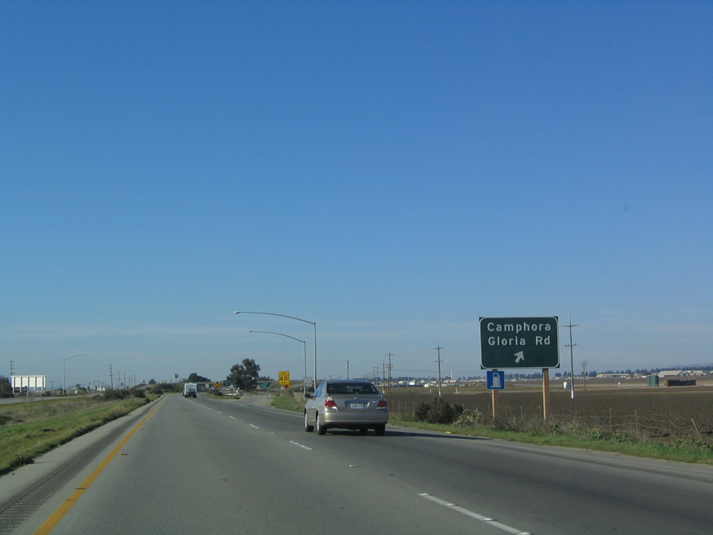
Northbound U.S. 101 (El Camino Real) reaches Exit 305, Camphora Gloria Road and McCoy Road. Camphora Gloria Road travels northeast through farms and ranchland until meeting Gloria Road. Photo taken 03/18/06. |
Page Updated April 27, 2009.