

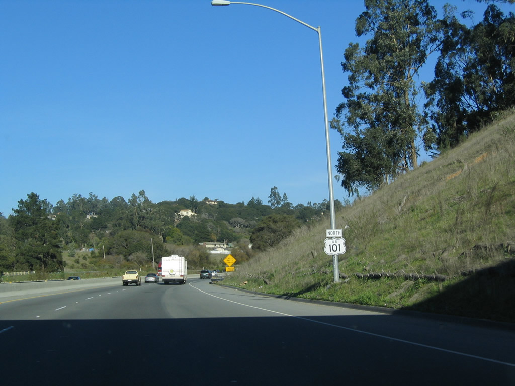
U.S. 101 North - Monterey County
In Monterey County, U.S. 101 does not come close to the famous Monterey Bay or the 17-Mile Drive. However, it does pass through some scenic farming country, including land familiar to author John Steinbeck, who wrote the book The Grapes of Wrath, which told the story of the Joad Family as it left Oklahoma during the Great Depression for the riches of the Central Valley of California. This is a must-read for any road enthusiast, especially with its telling description of U.S. 66 throughout the story. Several Steinbeck artifacts may be found in Salinas, the largest city along U.S. 101 between Santa Barbara and San Jose. U.S. 101 leaves Monterey County in a eucalyptus forest near Prunedale.
| U.S. 101 north | |
|---|---|
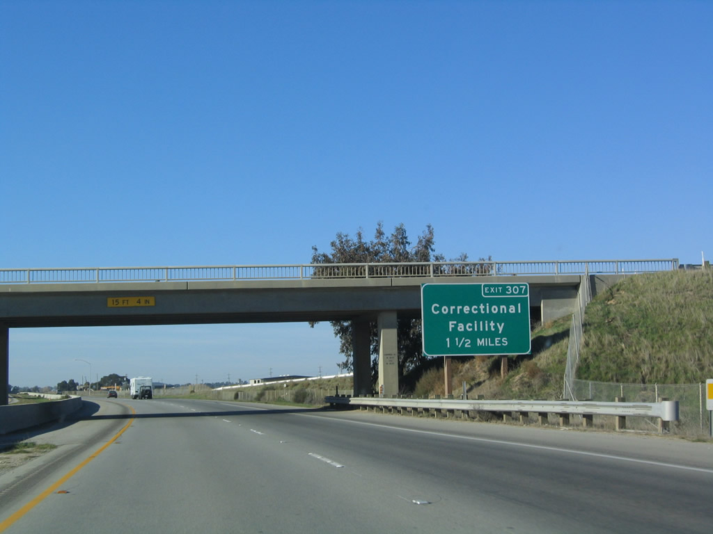 |
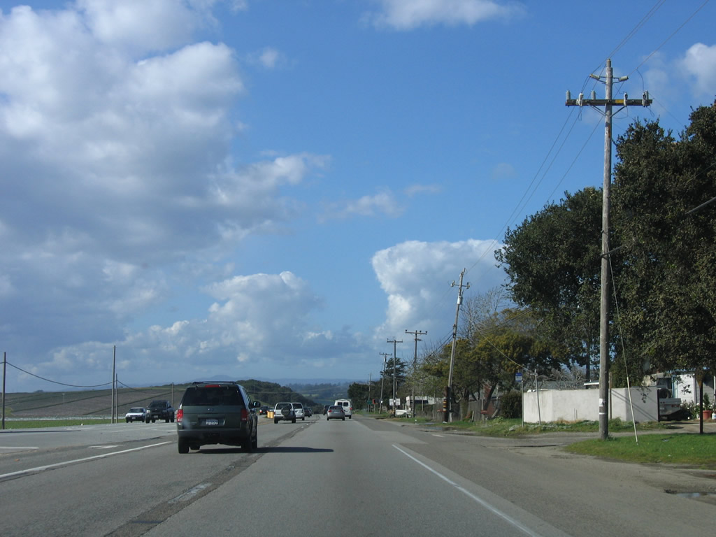
Passing under the Camphora Gloria Road overpass (which connects Silliman Road and McCoy Road), the next exit along U.S. 101 north is Exit 307, Correctional Facility (1.50 miles). Photo taken 12/23/04. |
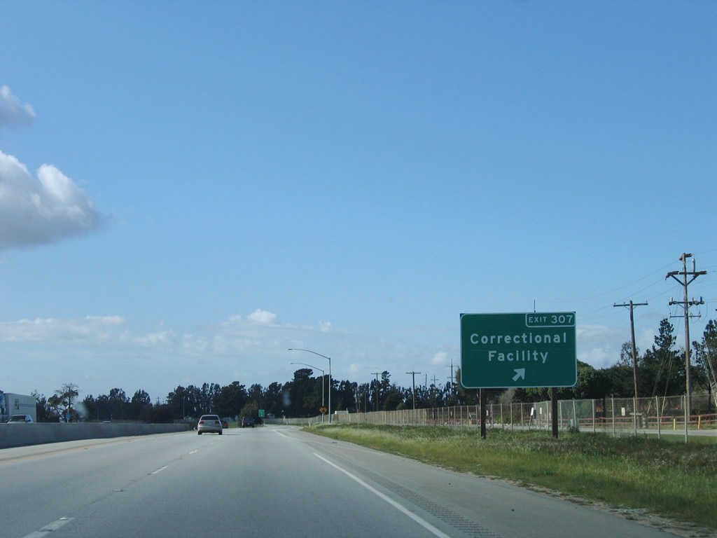 |
Northbound U.S. 101 (El Camino Real) reaches Exit 307, Correctional Facility. Photo taken 03/18/06. |
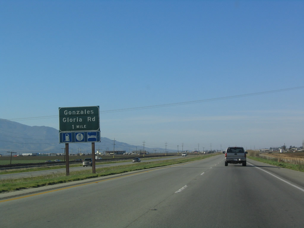 |
The next exit along U.S. 101 (El Camino Real) north is Exit 310, U.S. 101 Business/Alta Street north to Gonzales and Gloria Road east to San Benito County. Photo taken 12/23/04. |
 |
This instance of U.S. 101 Business follows Alta Street through downtown Gonzales and reconnects to U.S. 101 at Exit 313 (Old Stage Road). Photo taken 12/23/04. |
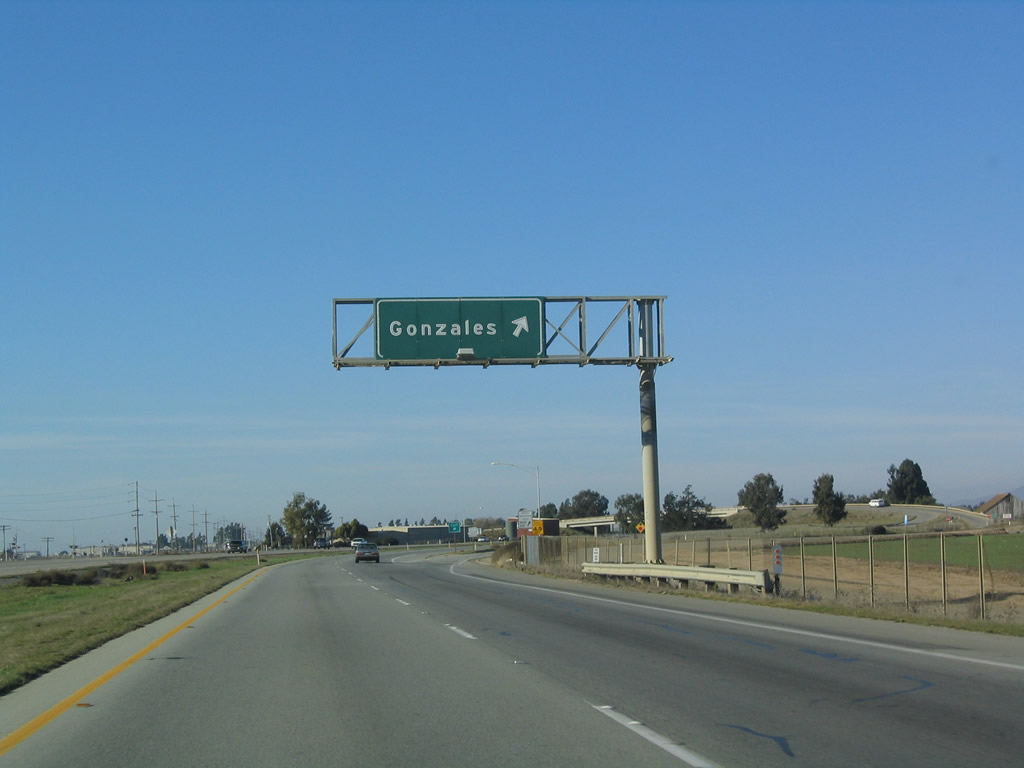 |
Northbound U.S. 101 (El Camino Real) reaches Exit 310, U.S. 101 Business in Gonzales. Photo taken 12/23/04. |
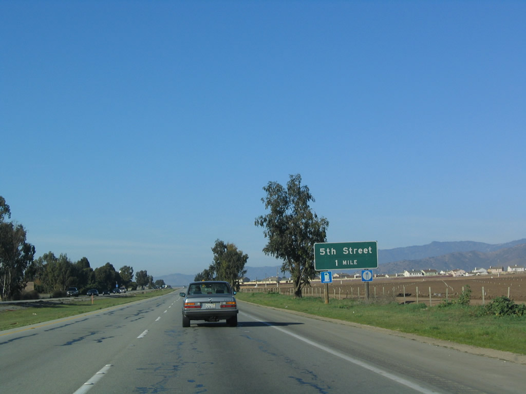 |
The next exit along U.S. 101 (El Camino Real) north is Exit 311, Fifth Street (one mile). Near the interchange with Fifth Street, U.S. 101 enters the city of Gonzales, known as the "Wine Capital of California." Home to 7,525 people as of the 2000 Census, Gonzales sits at an elevation of 135 feet and consists of 1.4 square miles. Photo taken 12/23/04. |
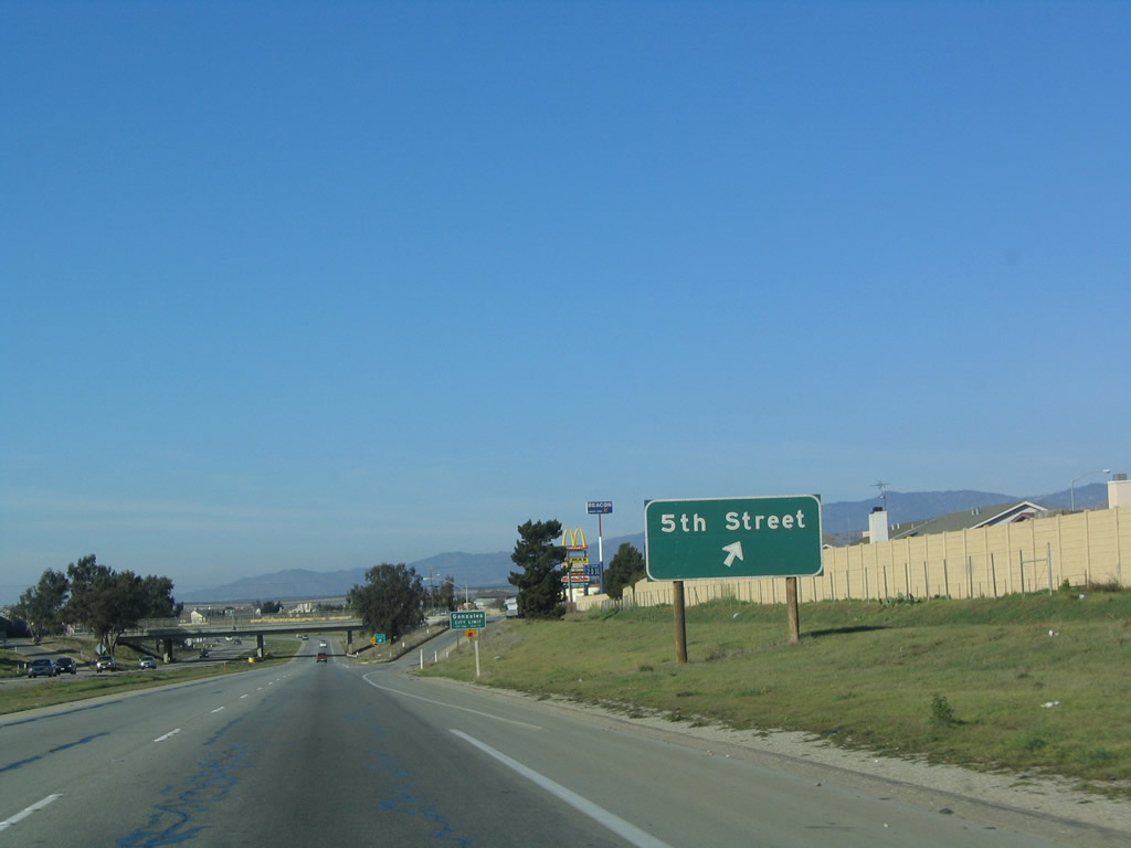 |
Northbound U.S. 101 (El Camino Real) reaches Exit 311, Fifth Street. The city limits sign is posted just prior to the gore point. Photo taken 12/23/04. |
 |
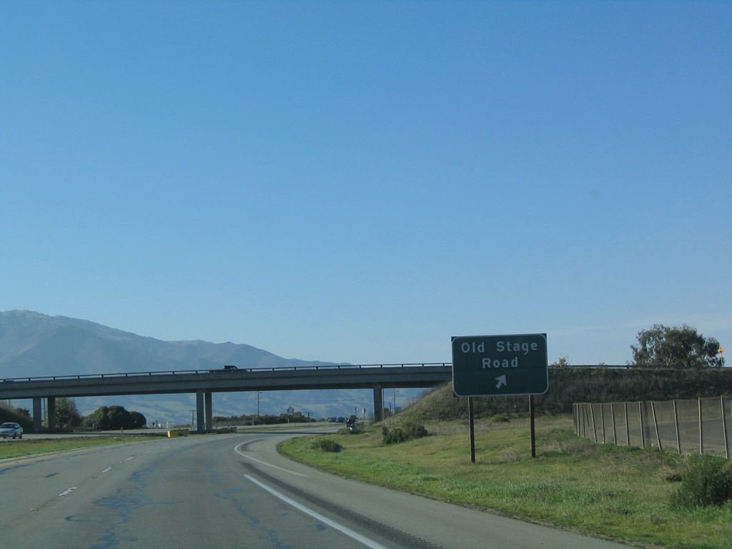
The next exit along U.S. 101 (El Camino Real) north is Exit 313, Old Stage Road and U.S. 101 Business/Alta Street south to Gonzales. Photo taken 12/23/04. |
 |
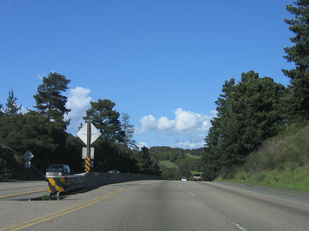
Northbound U.S. 101 (El Camino Real) reaches Exit 313, Old Stage Road and U.S. 101 Business/Alta Street south to Gonzales. Old Stage Road travels north to skirt the eastern edges of greater Salinas before turning northeast toward San Juan Bautista in San Benito County (California 156 by way of The Alameda). The section of Old Stage Road through the foothills is only one lane wide and not recommended for through traffic (it is Old U.S. 101 dating from 1931-1932 [including San Juan Grade Road] before the U.S. highway was rerouted through Prunedale). During studies to bypass U.S. 101 through Prunedale, the Old Stage Road segment east of Salinas had been considered as an alternative called the "Eastside Expressway" in 2004.1 However, Caltrans and Monterey County plan to upgrade the existing U.S. 101 corridor through Prunedale into freeway standards rather than construct a new freeway alignment, and the Eastside Expressway is thus shelved. Photo taken 12/23/04. |
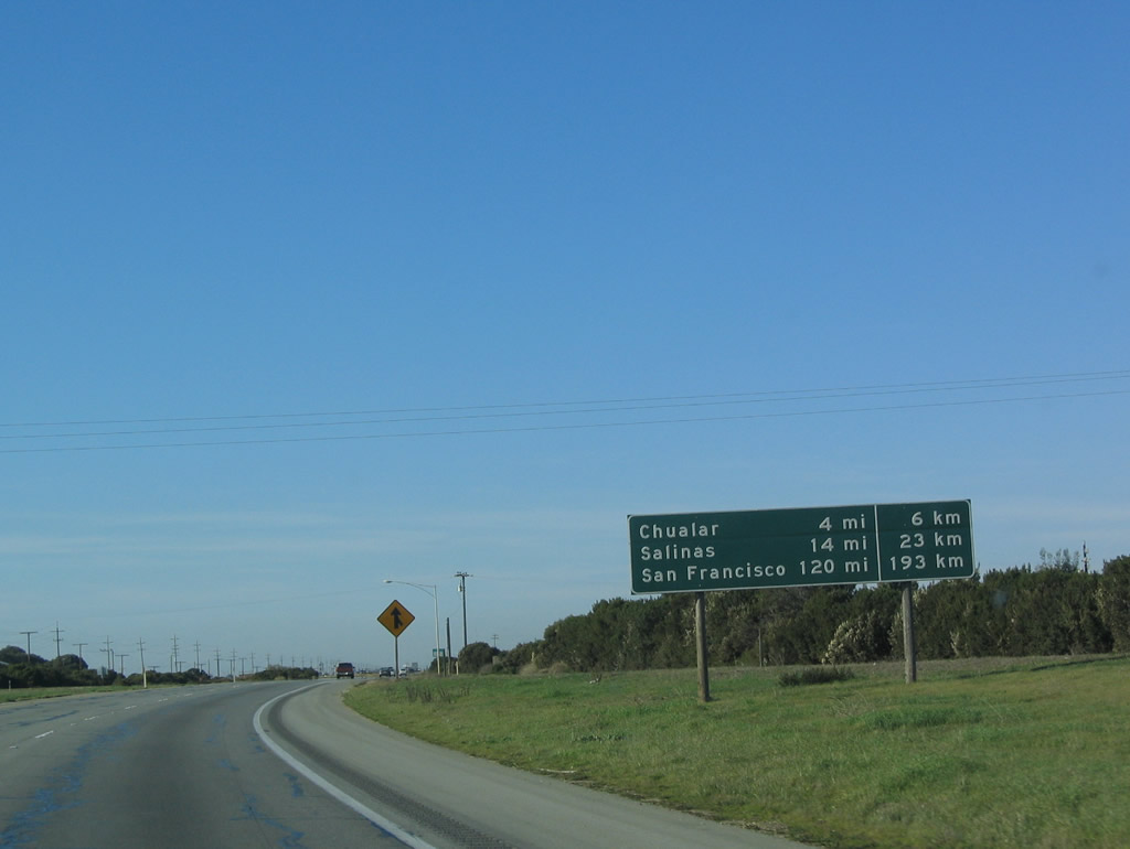 |
This mileage sign provides the distance to Chualar (four miles), Salinas (14 miles), and San Francisco (120 miles). Photo taken 12/23/04. |
 |
Northbound U.S. 101 again reverts to an expressway between Gonzales and Salinas, with this section of at-grade expressway standards extending for two miles until the Chualar interchange. Photo taken 12/23/04. |
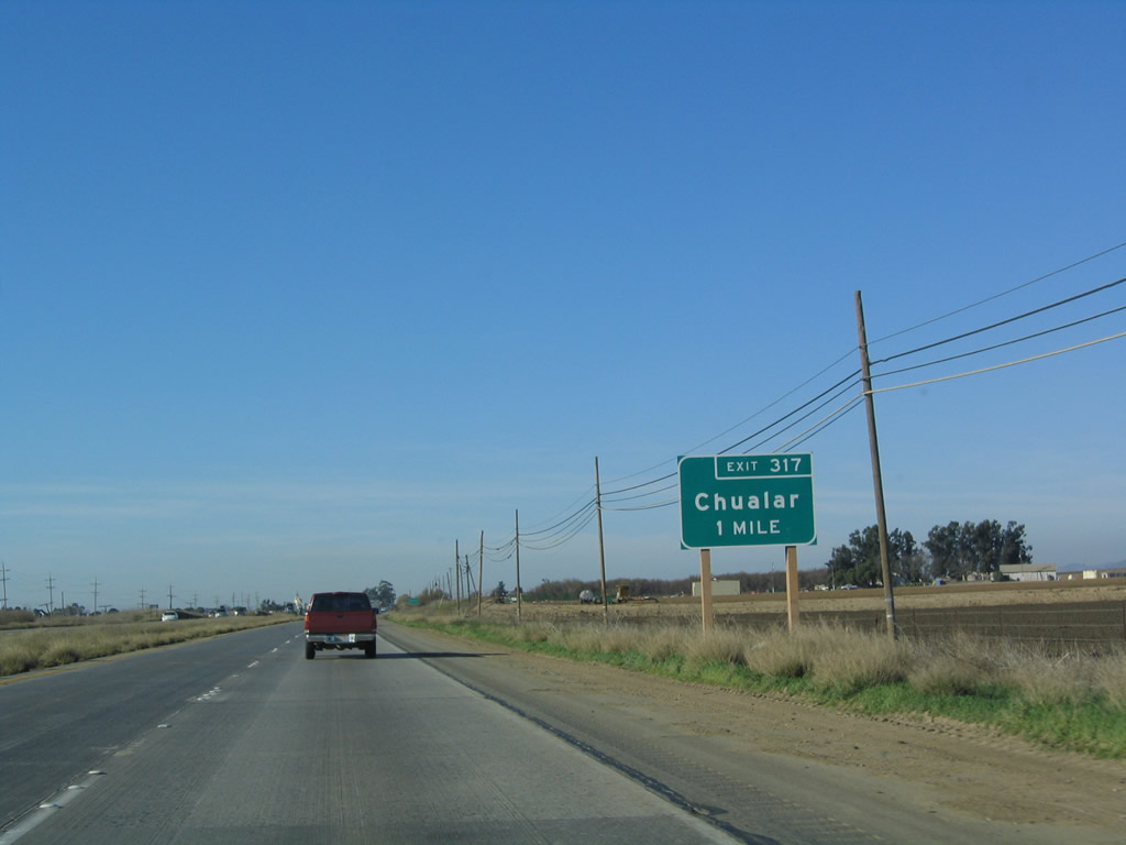 |
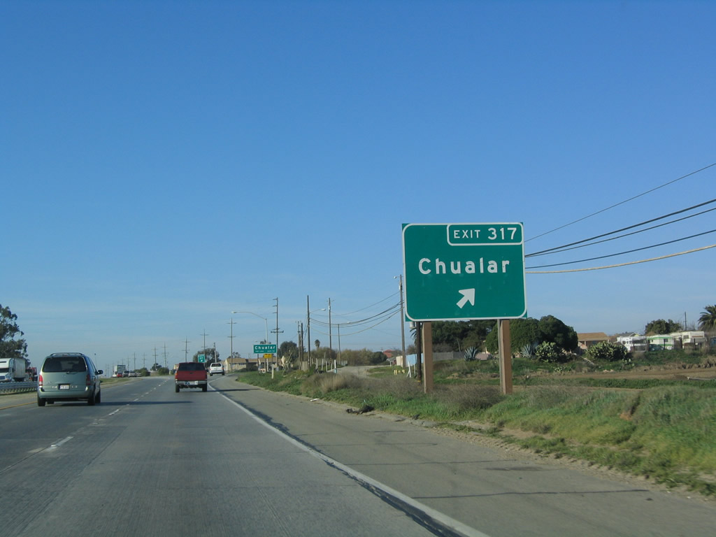
The next exit along U.S. 101 north is Exit 317, Grant Street and Main Street to the unincorporated community of Chualar. Photo taken 12/23/04. |
 |
Chualar is an unincorporated community in Monterey County. The primary economic force is farming and agriculture. Photo taken 12/23/04. |
 |
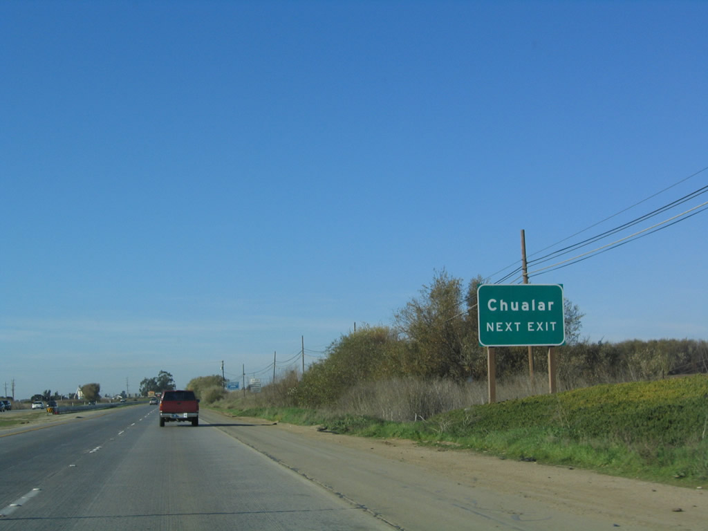
Freeway standards return to U.S. 101 although only briefly. After the interchange with Grant Street and Main Street in Chualar, U.S. 101 again reverts to expressway standards. Photo taken 12/23/04. |
 |
Northbound U.S. 101 (El Camino Real) reaches Exit 317, Grant Street and Main Street to Chualar. Photo taken 12/23/04. |
 |
U.S. 101 (El Camino Real) passes under Main Street near downtown Chualar. The freeway bypass stays close to downtown Chualar and remains below grade as it passes through town. Photo taken 12/23/04. |
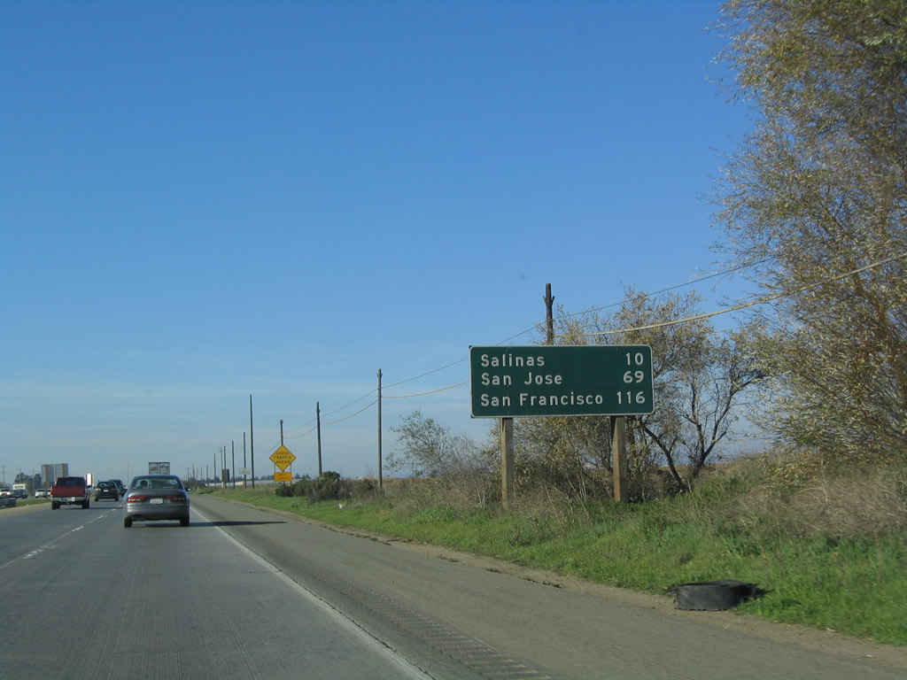 |
This mileage sign provides the distance to Salinas (10 miles), San Jose (69 miles), and San Francisco (116 miles). While San Jose serves as a control city for U.S. 101 south leaving San Francisco, it is only mentioned on mileage signs as a destination on northbound U.S. 101. San Francisco remains the control city. This is the first time San Jose is listed on a northbound U.S. 101 mileage sign. Photo taken 12/23/04. |
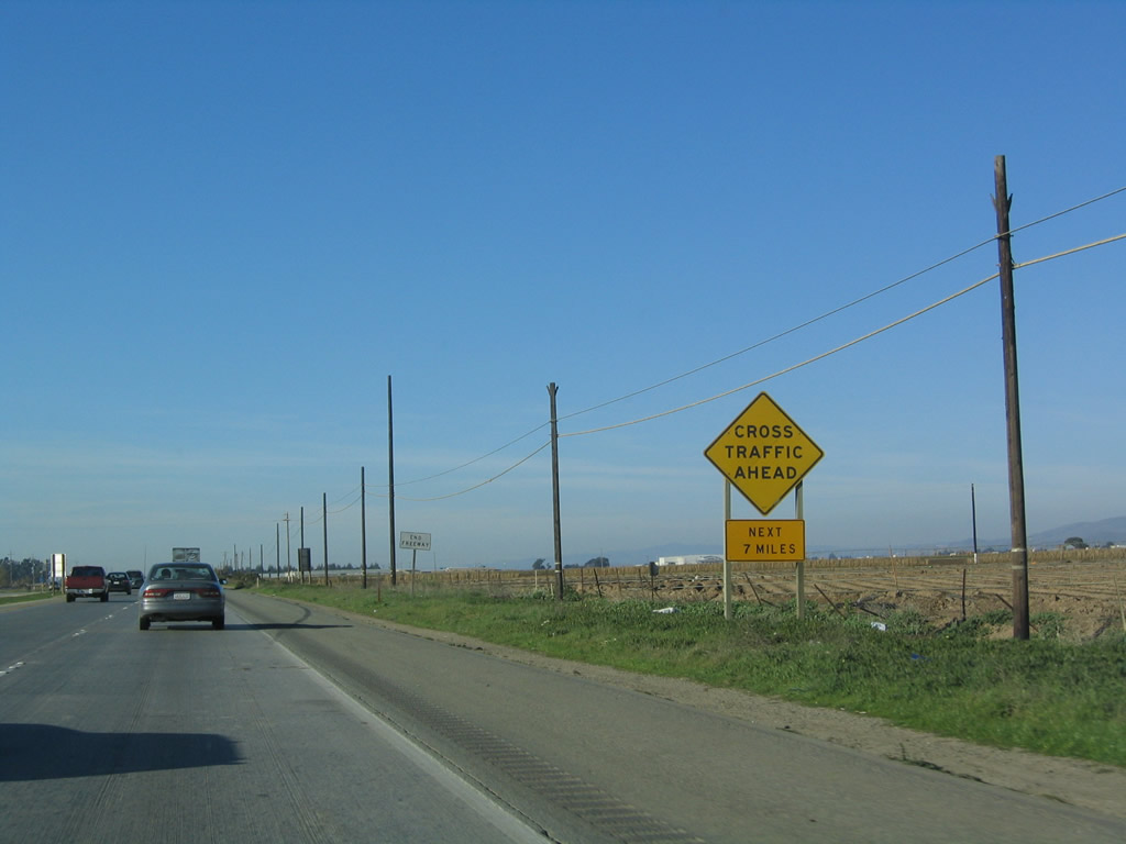 |
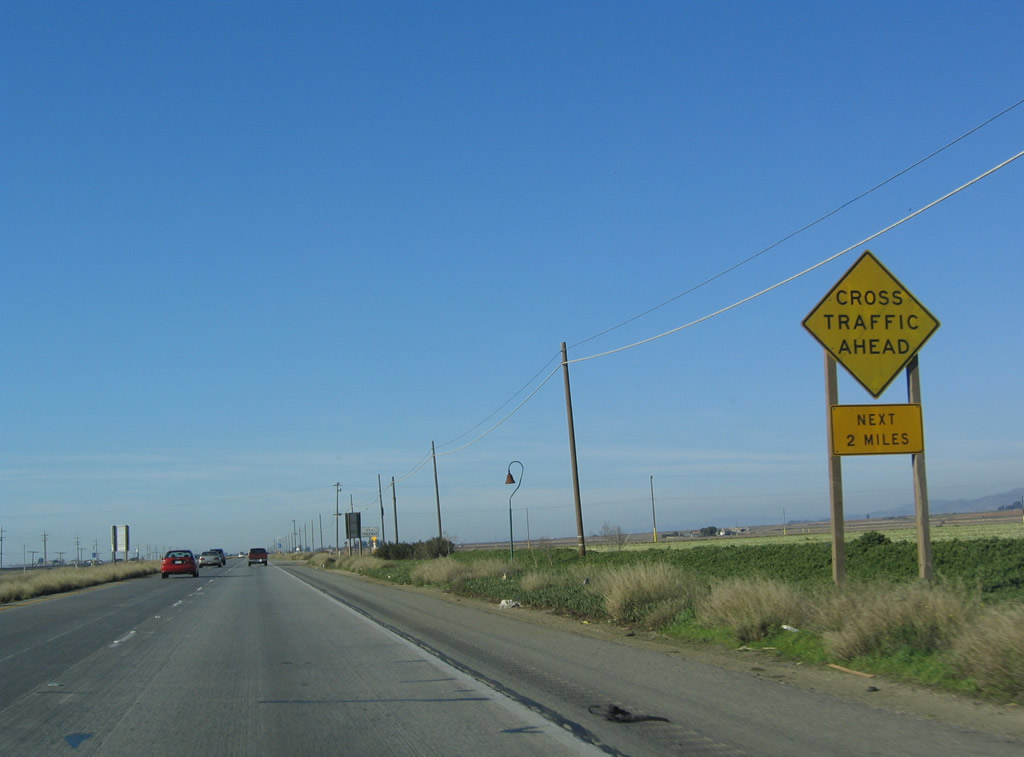
Once again, U.S. 101 returns to expressway standards. Watch for cross traffic along this seven-mile stretch of expressway. Photo taken 12/23/04. |
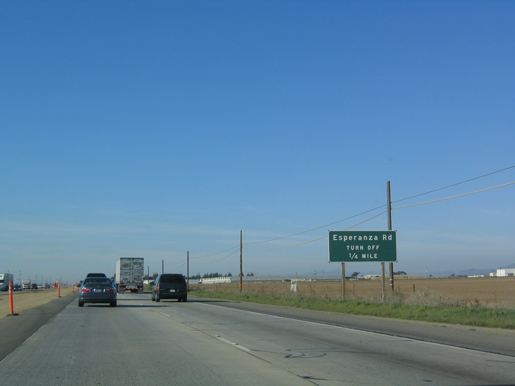 |
The first intersection along this at-grade section of U.S. 101 is with Esperanza Road. Use Esperanza Road east to Old Stage Road through farming and ranch properties in the Salinas Valley. Photo taken 12/23/04. |
 |
Northbound U.S. 101 (El Camino Real) meets Esperanza Road at this intersection. Photo taken 12/23/04. |
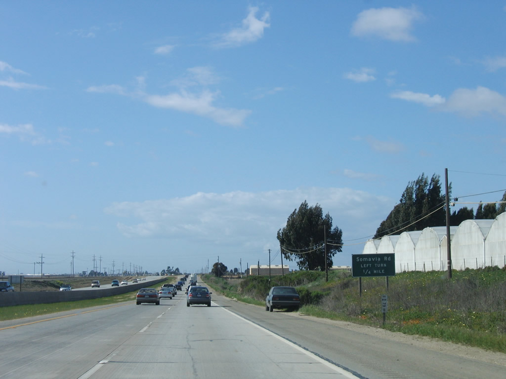 |
The next intersection along U.S. 101 (El Camino Real) north is with Somavia Road , a local farming access road that culminates in a dead end. Photo taken 03/18/06. |
 |
Northbound U.S. 101 (El Camino Real) meets Somavia Road. Watch carefully for cross traffic here. Note that a project to install a median barrier was completed between 2004 and 2006 (evidence of construction could be seen in the 2004 pictures through this stretch). Photo taken 03/18/06. |
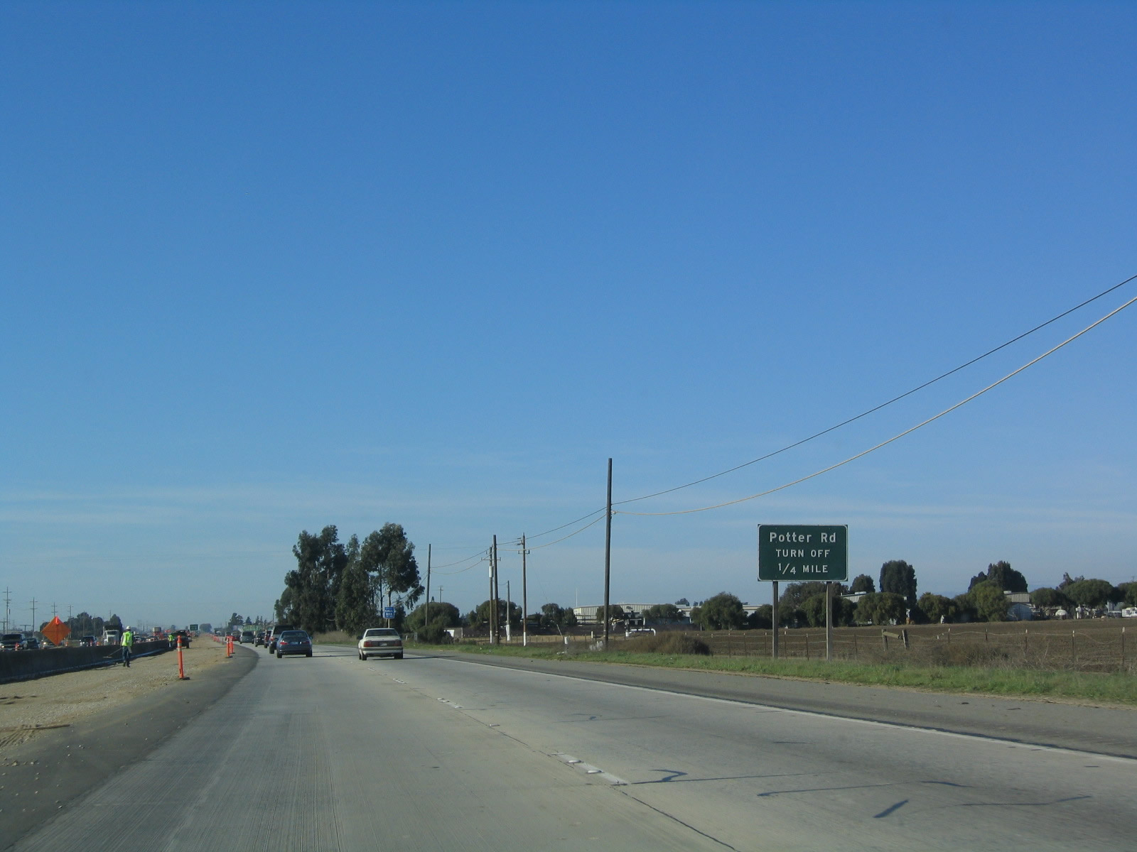 |
The next intersection along U.S. 101 (El Camino Real) north is with Potter Road. Photo taken 12/23/04. |
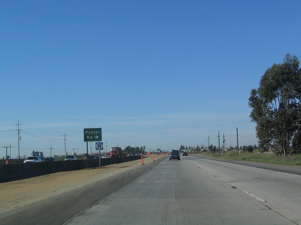 |
Northbound U.S. 101 (El Camino Real) meets Potter Road. Potter Road travels east to Old Stage Road and Encinal Road. Photo taken 12/23/04. |
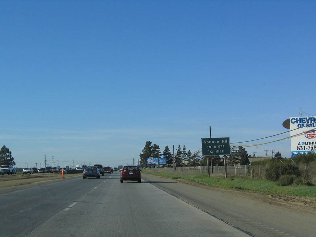 |
The next intersection along U.S. 101 (El Camino Real) north is with Spence Road. Photo taken 12/23/04. |
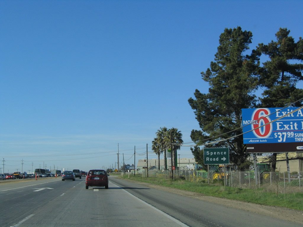 |
Northbound U.S. 101 (El Camino Real) meets Spence Road. Spence Road travels east past farms to Old Stage Road. Photo taken 12/23/04. |
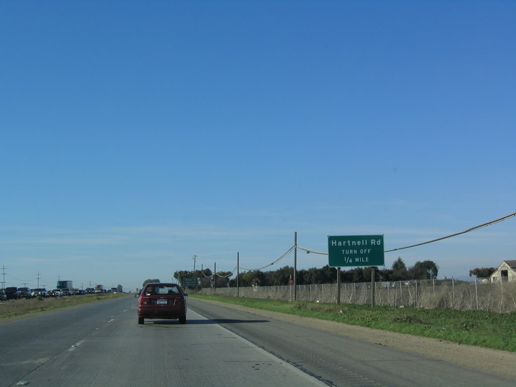 |
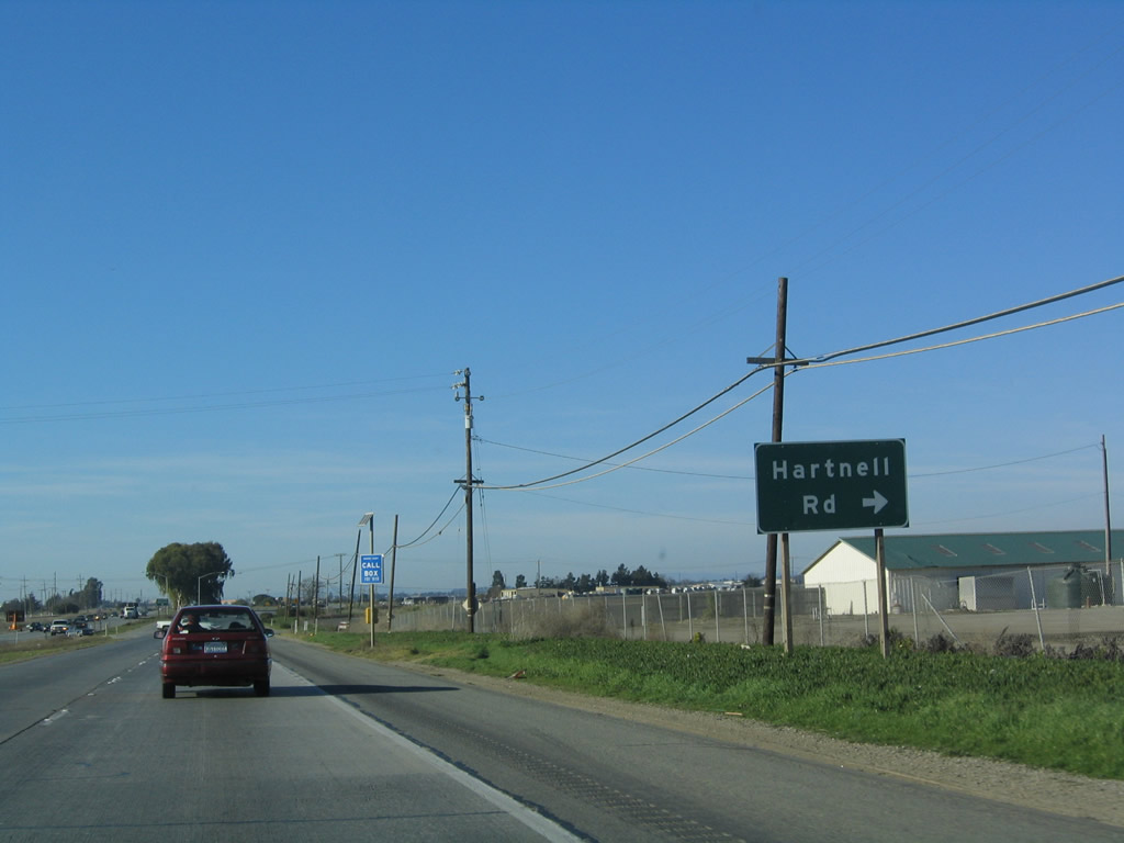
The next intersection along U.S. 101 (El Camino Real) north is with Hartnell Road. Hartnell Road travels north to Alisal Road through farming country; Alisal Road becomes Alisal Street upon entering the city of Salinas. Photo taken 12/23/04. |
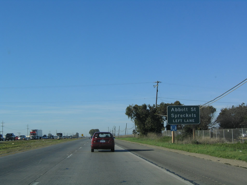 |
Prior to the Hartnell Road intersection is this advance sign for a left exit to U.S. 101 Business (Abbott Street) north to Salinas. Photo taken 12/23/04. |
 |
Northbound U.S. 101 (El Camino Real) meets Hartnell Road at this intersection; the next exit along U.S. 101 north is what would be Exit 323, U.S. 101 Business (Abbott Street) north to Salinas. Photo taken 12/23/04. |
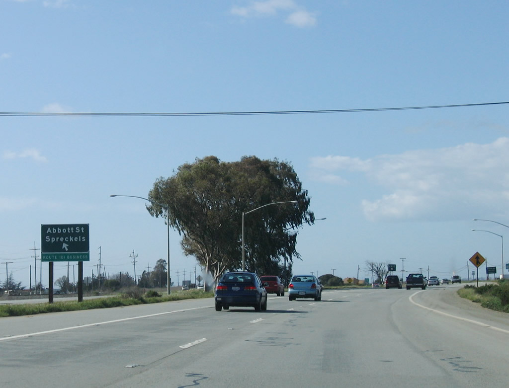 |
Northbound U.S. 101 (El Camino Real) reaches Exit 323, U.S. 101 Business (Abbott Street) north to Salinas (left exit). The business route exit, in fact, is a left turn from the highway. According to Chris Sampang, the left exit exists because this street was the mainline as late as the mid-1960s. This planned freeway was described in a 1960s California Highways and Public Works (CHPW) magazine, which documents the planned route adoptions, which also include proposed/unbuilt California 68 and California 183 freeways. This U.S. 101 Business incorporates portions of both state routes in Salinas. After continuing north on Abbott Street, U.S. 101 Business makes a left on John Street (California 68) and continues west into town, where via Salinas Street and Main Street, the route continues north. At Market Street, U.S. 101 Business northbound picks up California 183 southbound; California 183 ends co-signed with U.S. 101 Business at the freeway. U.S. 101 Business continues north to return to U.S. 101 at the Boronda Road interchange. The Salinas business loop is probably one of the longest signed business routes for U.S. 101 in the state, on a par with the Gilroy-Morgan Hill-San Jose business route. Photo taken 12/23/04. |
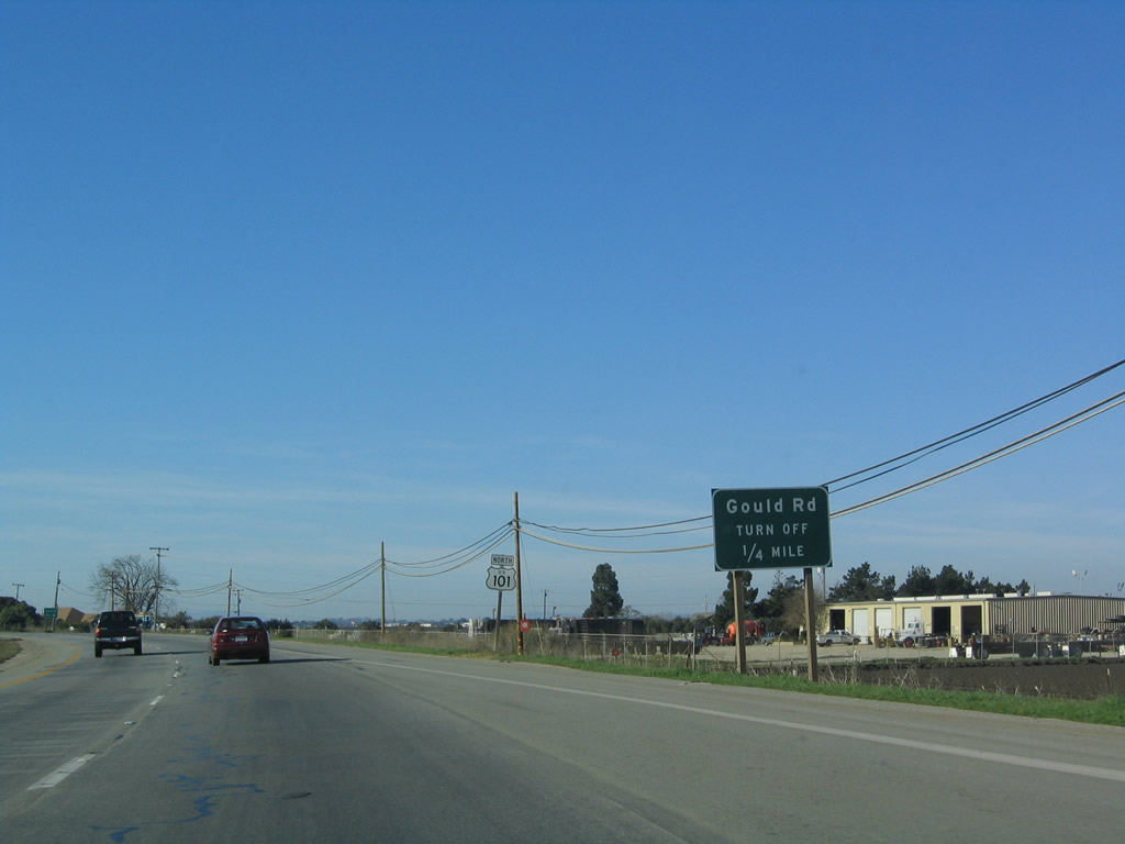 |
The next intersection along U.S. 101 (El Camino Real) north is with Gould Road. Photo taken 12/23/04. |
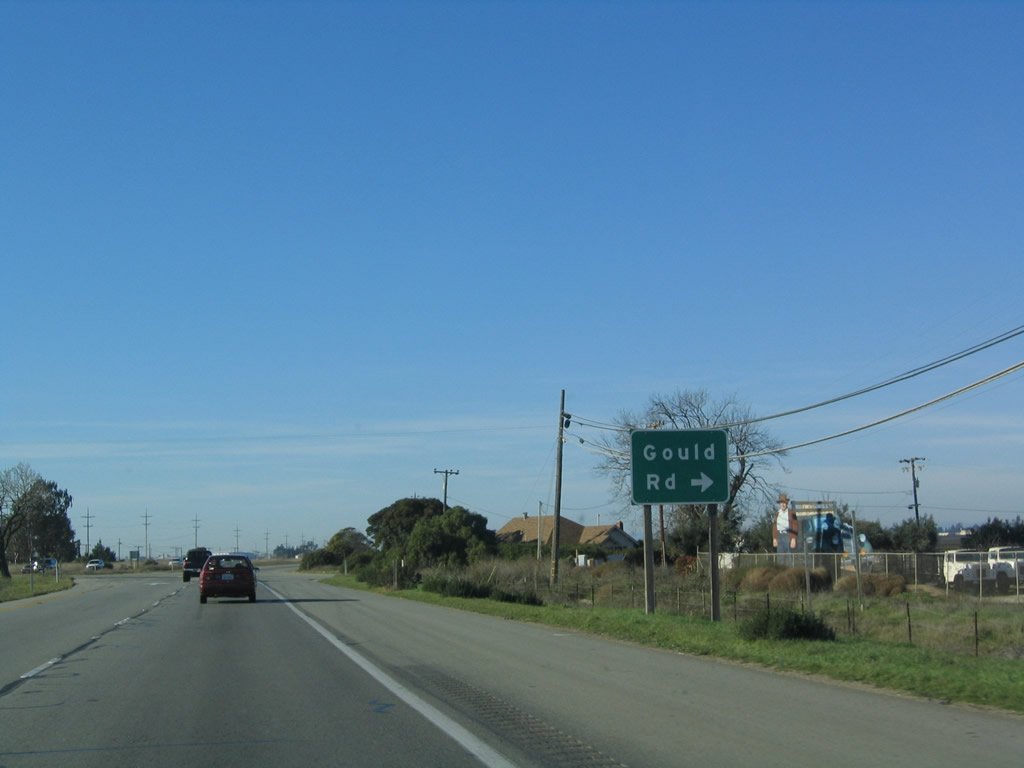 |
Northbound U.S. 101 (El Camino Real) meets Gould Road. Gould Road travels north on an alignment parallel to Hartnell Road to provide local farm access. Photo taken 12/23/04. |
 |
U.S. 101 assumes freeway characteristics again for the route through Salinas. Gould Road was the final at-grade intersection along the expressway stretch south of Salinas. Prepare for an urban-style freeway experience ahead for the first time since leaving Paso Robles. Photo taken 12/23/04. |
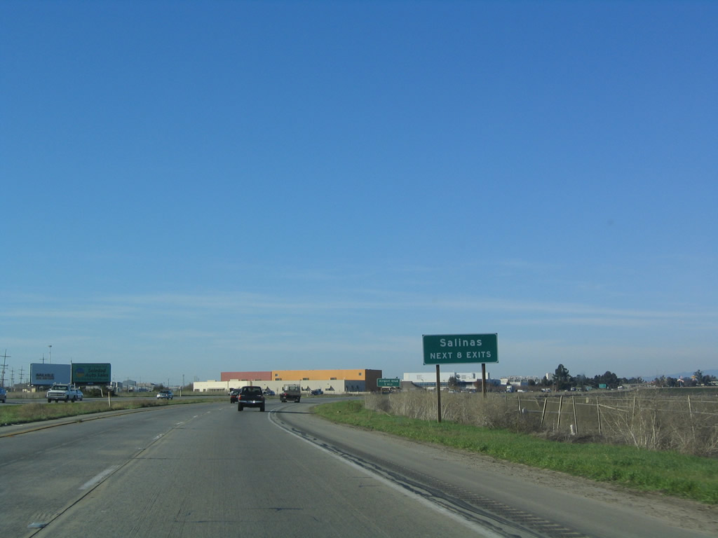 |
The next eight interchanges serve the city of Salinas. Photo taken 12/23/04. |
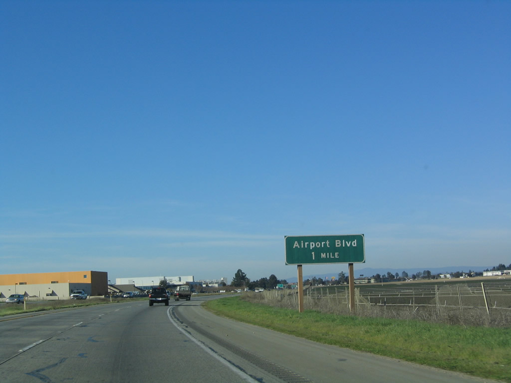 |
The next exit along U.S. 101 (El Camino Real) north is Exit 326A, Airport Boulevard (one mile). Photo taken 12/23/04. |
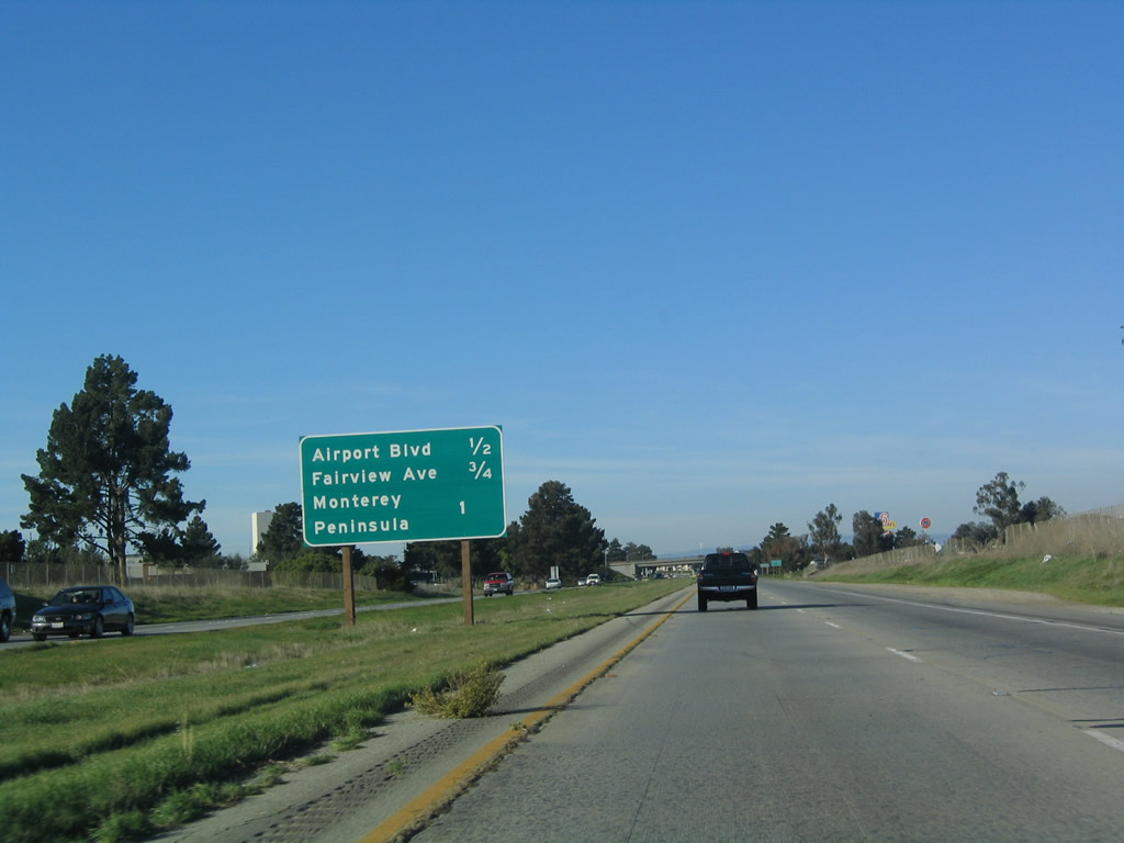 |
This interchange sequence sign provides the distance to the next three exits along U.S. 101 (El Camino Real) north: Exit 326A, Airport Boulevard; Exit 326B, Fairview Avenue; and Exit 326C, Sanborn Road (signed here as "Monterey Peninsula"). The fourth Salinas interchange is Exit 327, California 68 (John Street), which takes a less direct route to the Monterey Peninsula . Photo taken 12/23/04. |
 |
Incorporated in 1872, the city of Salinas is perhaps most famous as the home of author John Steinbeck, author of The Grapes of Wrath and many other novels and short stories. Salinas was named for a nearby salt marsh and has about 14.4 inches of precipitation per year. Agriculture reigns in this community, as farms are a key economic engine to this region. Home to 143,920 people per the 2000 Census, Salinas is expected to continue to grow dramatically in the coming years. Photo taken 03/18/06. |
 |
Northbound U.S. 101 (El Camino Real) reaches Exit 326A, Airport Boulevard in Salinas. The next exit is Exit 326B, Fairview Avenue followed by Exit 326C, Sanborn Road. Photo taken 12/23/04. |
 |
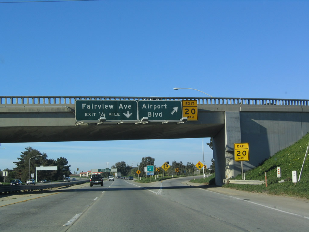
The next exit along U.S. 101 (El Camino Real) north is Exit 326B, Fairview Avenue, followed by Exit 326C, Sanborn Road north to eastern Salinas and southwest to Blanco Road en route to California 68/Main Street southwest to the Monterey Peninsula. Photo taken 12/23/04. |
 |
Northbound U.S. 101 (El Camino Real) reaches Exit 326B, Fairview Avenue. The next exit along northbound is Exit 326C, Sanborn Road. Photo taken 12/23/04. |
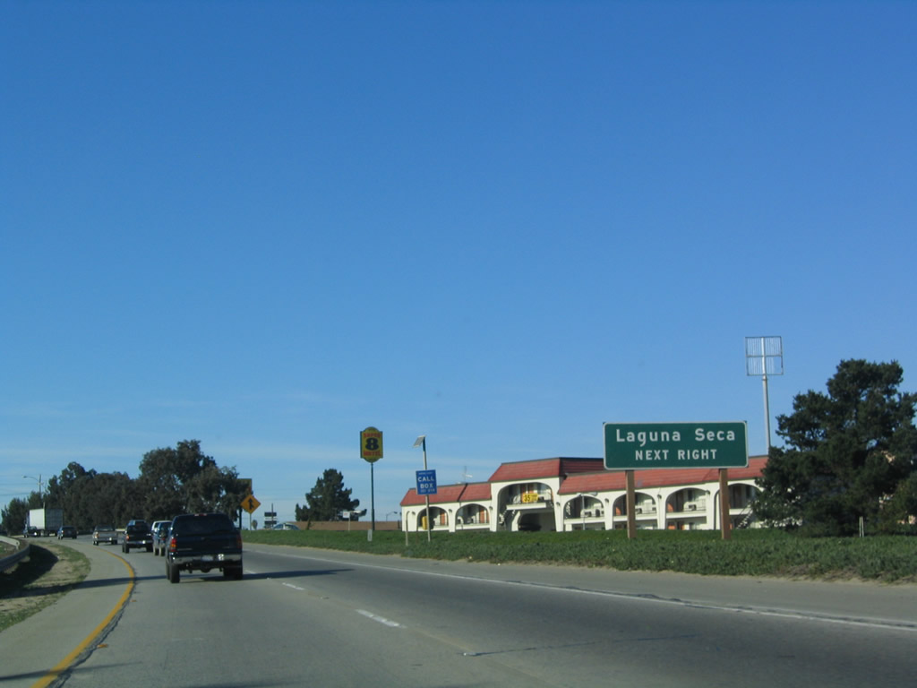 |
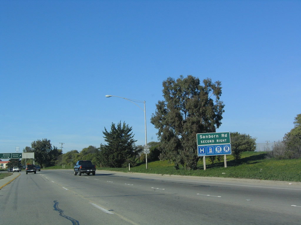
Use Exit 326C (Sanborn Road) southwest to Blanco Road to California 68/Main Street west to Laguna Seca (at the intersection with Monterey County G-20/Laureles Grade). Photo taken 12/23/04. |
 |
Northbound U.S. 101 (El Camino Real) reaches Exit 326C, Sanborn Road ("Monterey Peninsula" exit). Despire the signing of this exit, it is not clear if Exit 326C were supposed to have direct access to California 68 or become a realignment of California 68. However, this exit does connect to California 68 by way of Sanborn Road southwest and Blanco Road west. Photo taken 03/18/06. |
 |
The next exit along U.S. 101 (El Camino Real) north is Exit 327, California 68 (John Street) in downtown Salinas. Photo taken 03/18/06. |
 |
A standalone California 68 trailblazer is posted prior to the off-ramp for John Street andn downtown Salinas. Photo taken 03/18/06. |
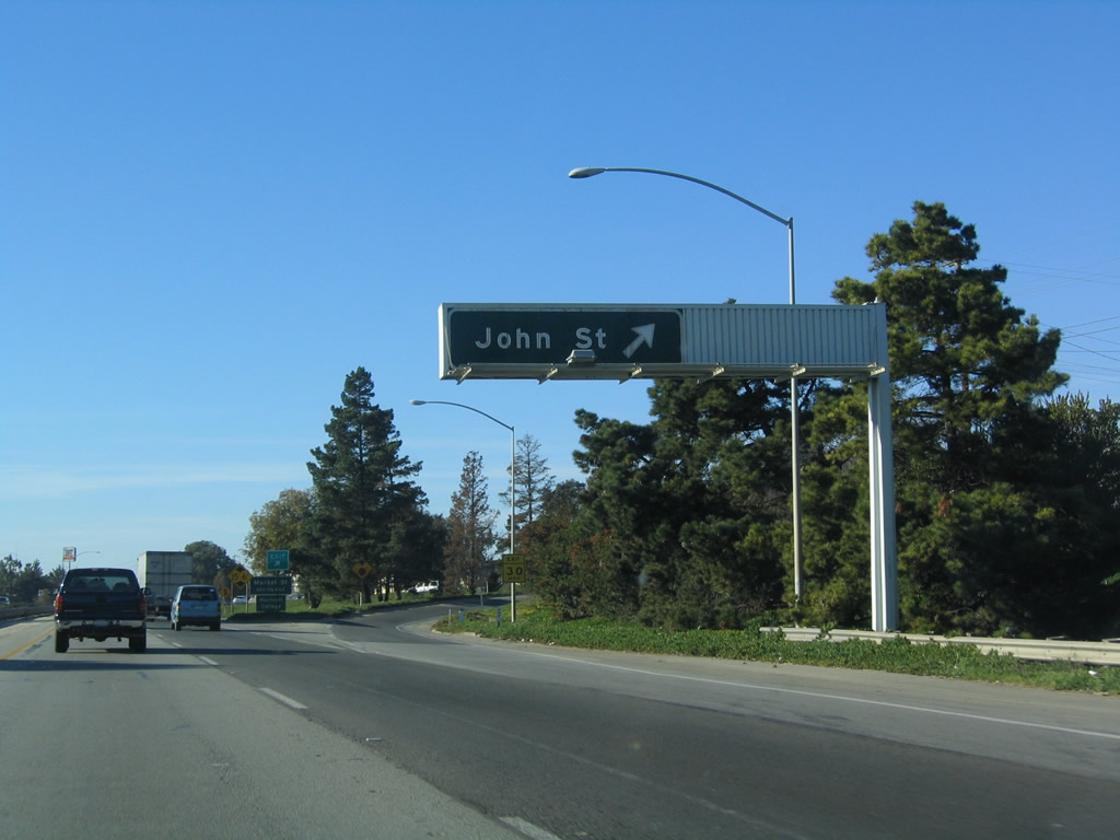 |
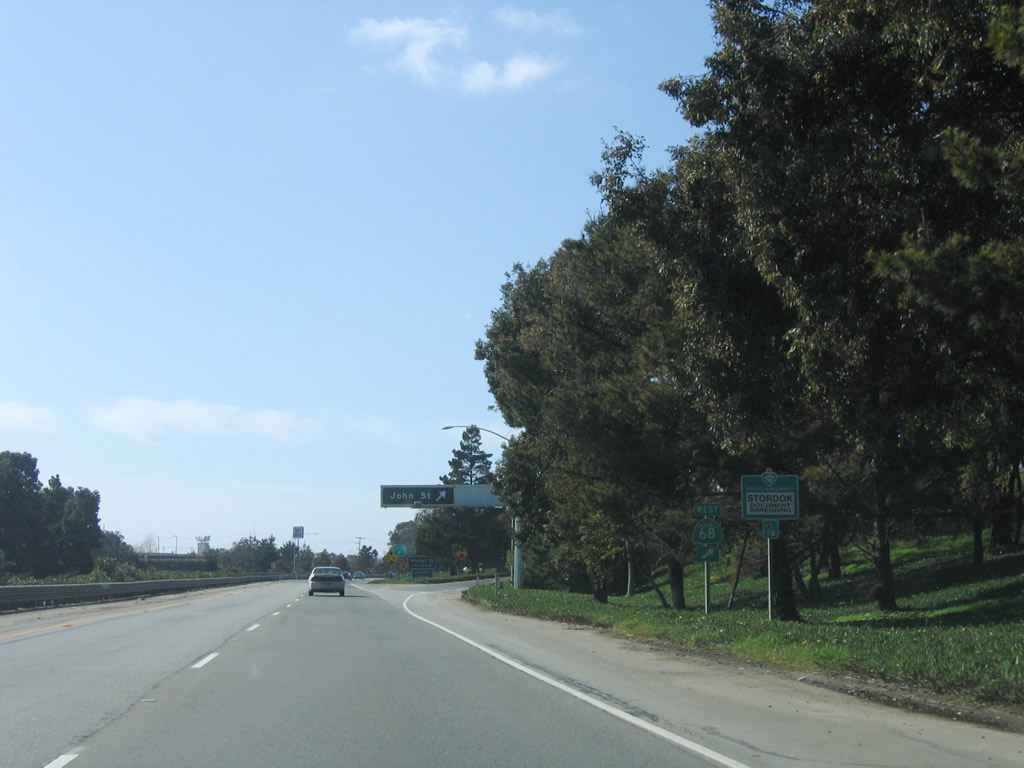
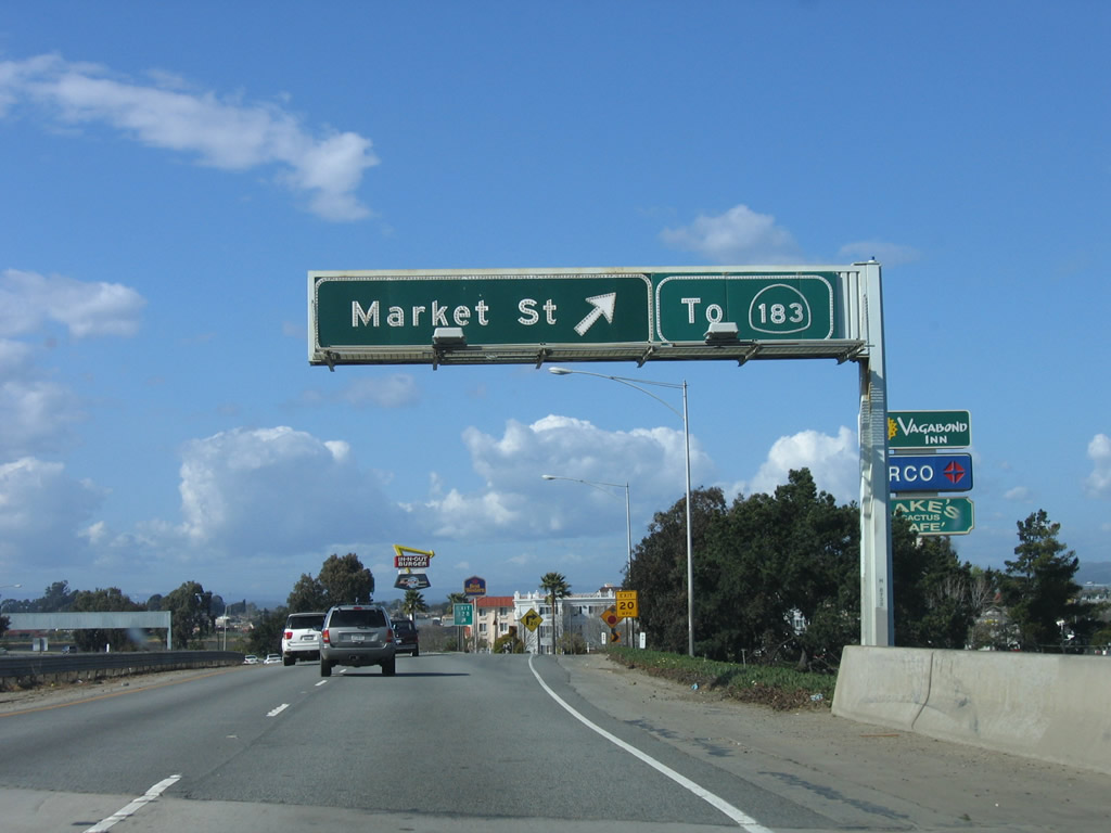
Northbound U.S. 101 (El Camino Real) reaches Exit 327, California 68 (John Street) in downtown Salinas. Substandard signage for the connection of U.S. 101 to California 68 suggests that the state route might be realigned away from John Street. This is partially true. Originally, a California 68 freeway was proposed to follow Davis Road south of U.S. 101 before diagonally reaching the current alignment south of town. One interchange for this freeway was constructed on Davis Road, at Market Street (California 183). Davis Road connects with U.S. 101 north of town at Exit 330 and travels west; a connection back to current California 68 would have been facilitated by new alignment. This is now unlikely to be constructed. Another proposal was to reroute California 68 along the southern edges of the city of Salinas to meet U.S. 101; this could still happen but is fiscally unlikely. [Thanks to Chris Sampang for information on a proposed California 68 freeway.] Photo taken 12/23/04. |
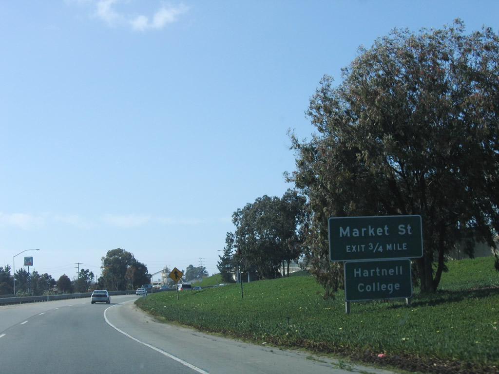 |
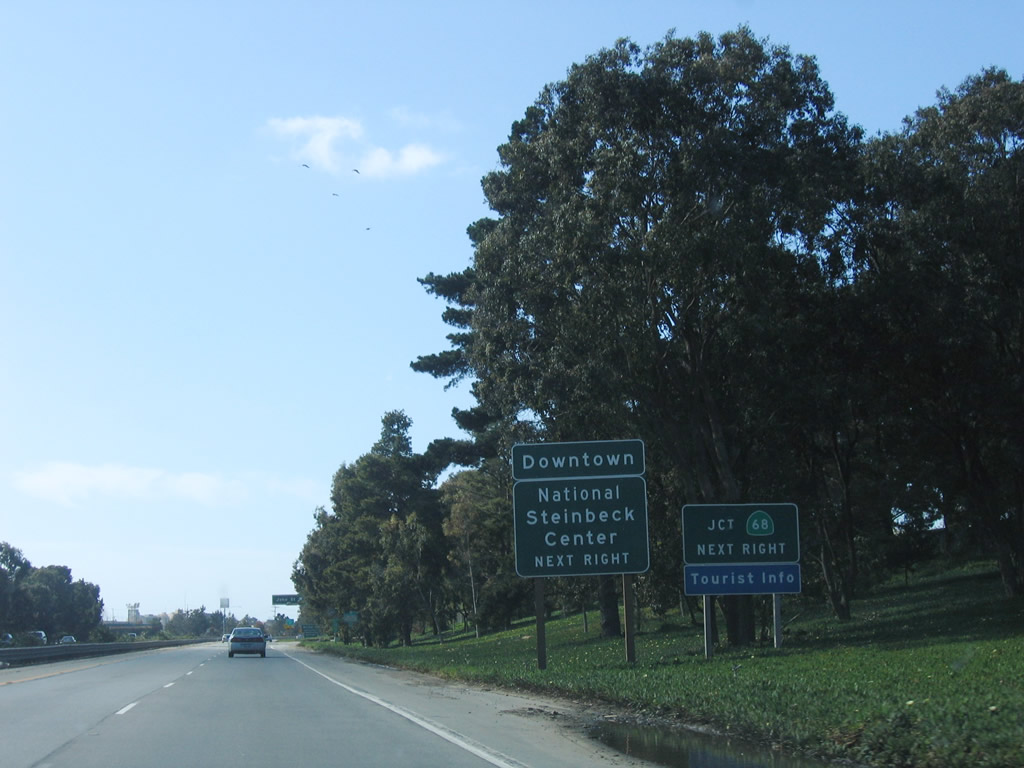
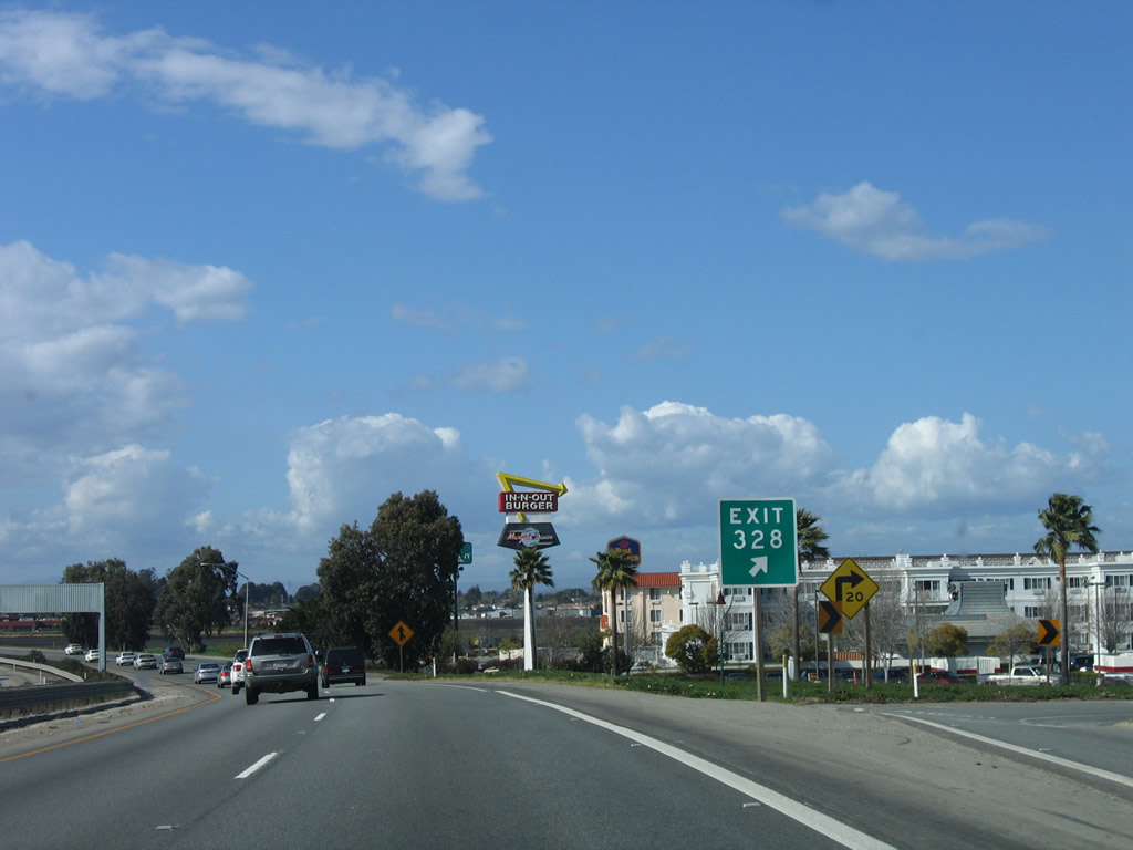
The next exit along U.S. 101 (El Camino Real) north is Exit 328, East Market Street to California 183 north. East Market Street west goes into downtown Salinas, where it becomes West Market Street and joins California 183 west en route to Santa Cruz. East Market Street eastbound heads toward a golf course and airport. Photo taken 12/23/04. |
 |
California 183 is a short north-south state route that begins at U.S. 101 Exit 329 and travels northwest along the northeast bank of the Salinas River through fertile farmland and ending at California 1 in Castroville. This highway is currently the most direct route from U.S. 101 north to California 1 north en route to Santa Cruz. Since California 183 has an odd jog along Main Street in downtown Salinas, the most direct connection to California 183 is via westbound Market Street, then turn north on Market Street. Photo taken 12/23/04. |
 |
Passing under John Street (California 68), the next exit along U.S. 101 north is Exit 328, East Market Street to California 183, followed by Exit 329, California 183/Main Street and Exit 330, Laurel Drive. Photo taken 12/23/04. |
 |
A U.S. 101 north reassurance shield is posted after the on-ramp from John Street (California 68). Photo taken 03/18/06. |
 |
Northbound U.S. 101 (El Camino Real) reaches Exit 328, East Market Street to California 183 northwest to Santa Cruz. The section of Market Street between U.S. 101 and California 183 (Market Street) and U.S. 101 Business is not part of the state highway system. Photo taken 03/18/06. |
 |
An exit number is posted at the gore point. Photo taken 03/18/06. |
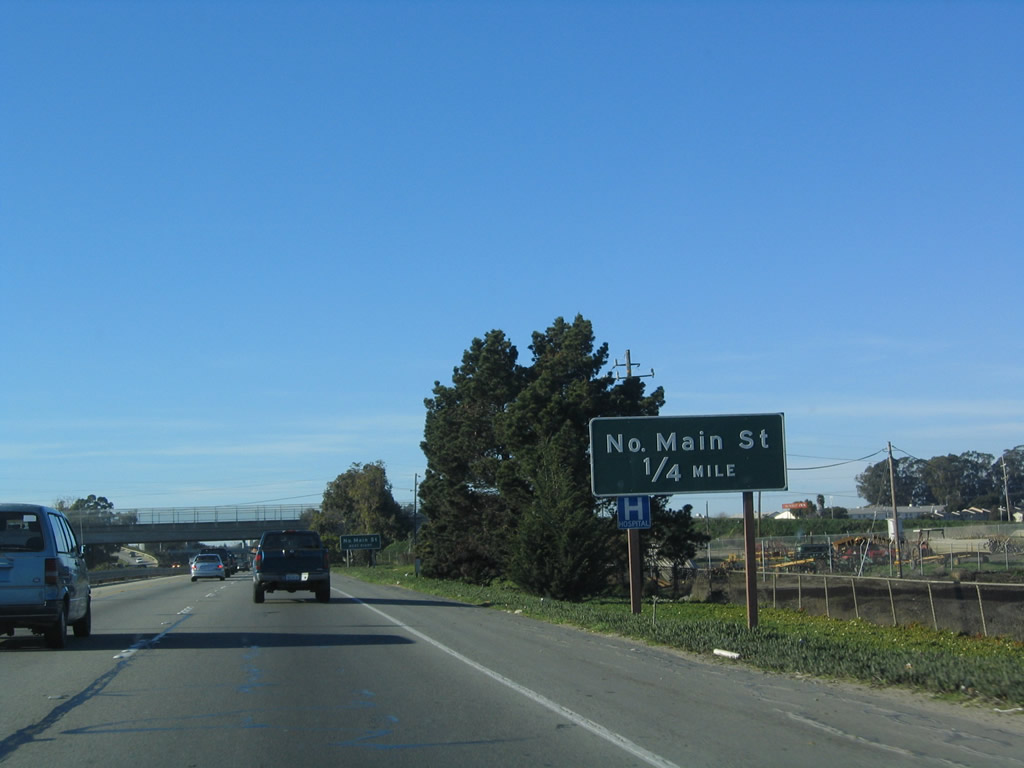 |
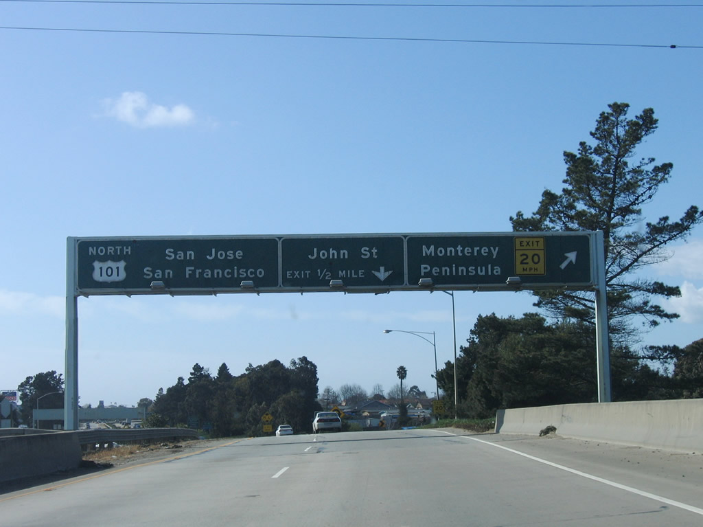
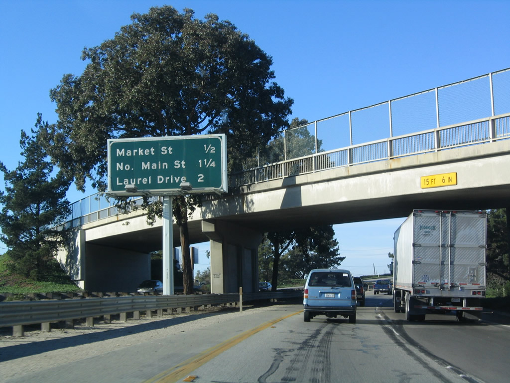
The next exit along U.S. 101 (El Camino Real) north is Exit 329, U.S. 101 Business (Main Street) north. There is no direct access to California 183 and U.S. 101 Business (Main Street) south back toward downtown Salinas; this is why you must take Exit 328 (Market Street) to California 183 north. Photo taken 12/23/04. |
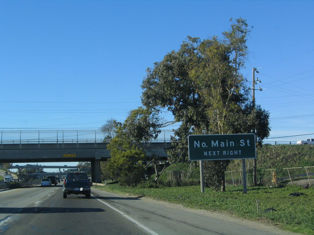 |
Northbound U.S. 101 (El Camino Real) approaches Exit 329, U.S. 101 Business (Main Street) north. Photo taken 12/23/04. |
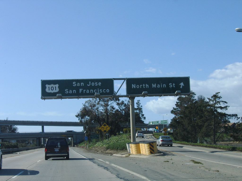 |
Northbound U.S. 101 (El Camino Real) reaches Exit 329, U.S. 101 Business (Main Street) north; there's no access to southbound. This is the first stack interchange seen on U.S. 101 north since leaving Southern California. Photo taken 03/18/06. |
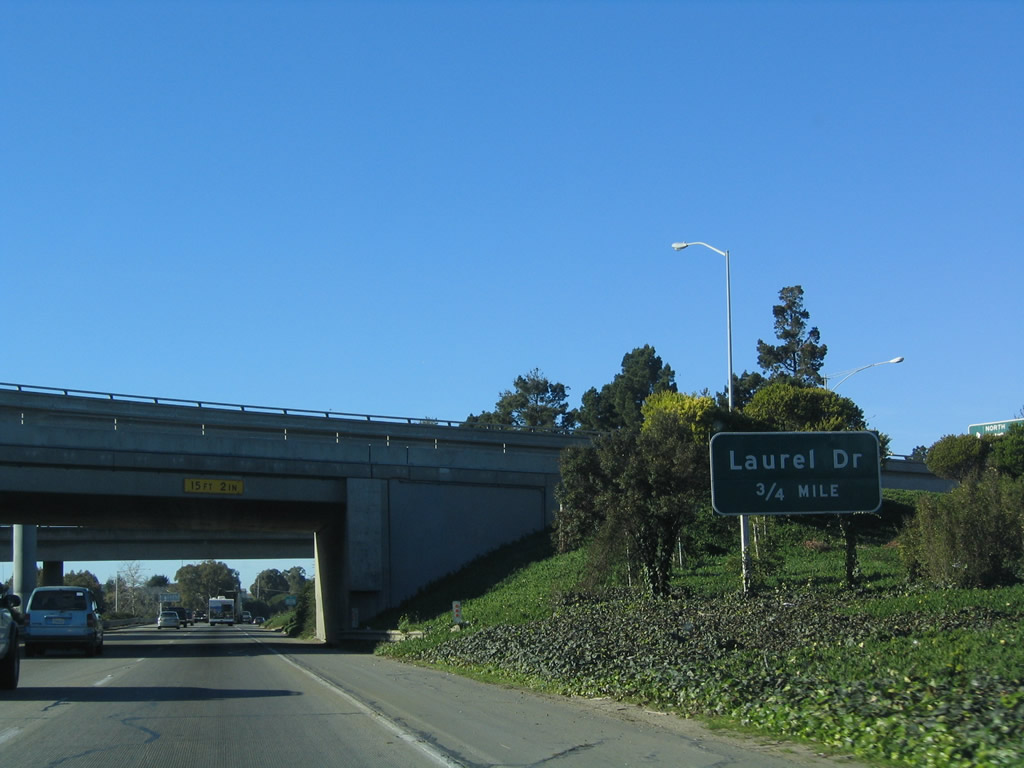 |
The next exit along U.S. 101 (El Camino Real) north is Exit 330, Laurel Drive. Photo taken 12/23/04. |
 |
Laurel Drive is an east-west arterial between Davis Road, Main Street (U.S. 101 Business), Natividad Road, and Sanborn Road. At this interchange, one of the alternatives the once-proposed California 68 freeway would have connected with U.S. 101. Photo taken 12/23/04. |
 |
Northbound U.S. 101 (El Camino Real) reaches Exit 330, Laurel Drive. Photo taken 12/23/04. |
 |
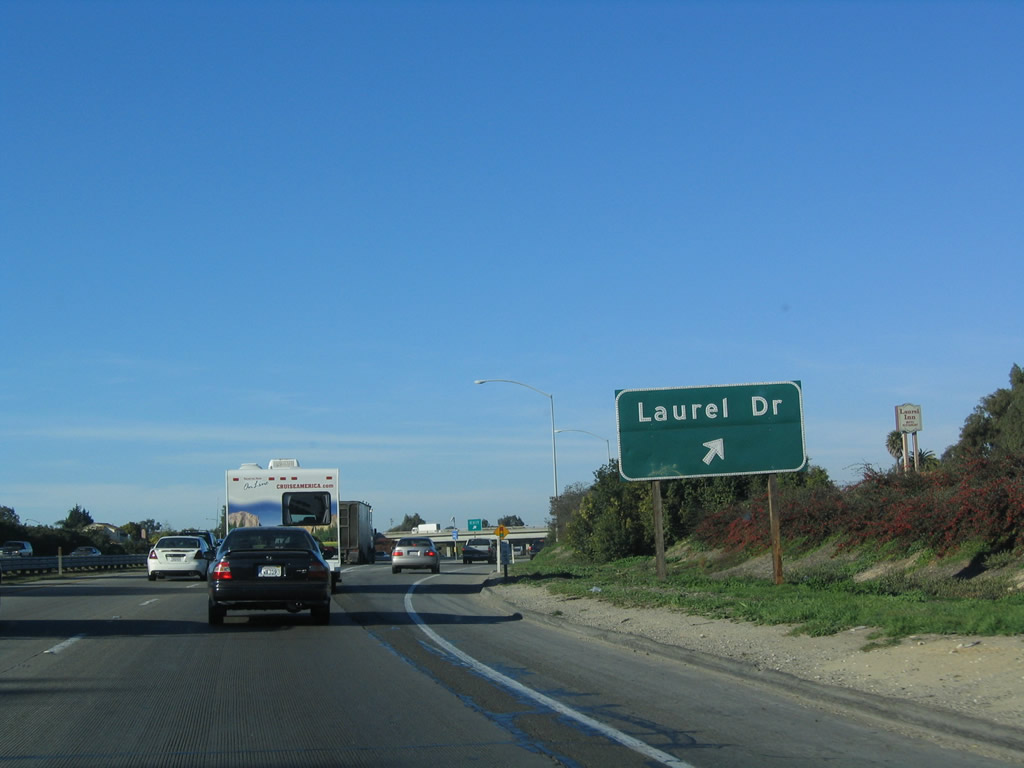
A U.S. 101 north reassurance shield is posted after the on-ramp from Laurel Drive. Photo taken 03/18/06. |
 |
The next exit along U.S. 101 (El Camino Real) north is Exit 331, Boronda Road (0.50 mile). Photo taken 12/23/04. |
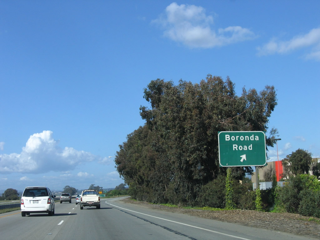 |
Northbound U.S. 101 (El Camino Real) reaches Exit 331, Boronda Road. This is the northern terminus of Salinas' U.S. 101 Business. Use Boronda Road east to San Juan Grade Road northeast to San Juan Bautista via the original alignment of U.S. 101. Photo taken 03/18/06. |
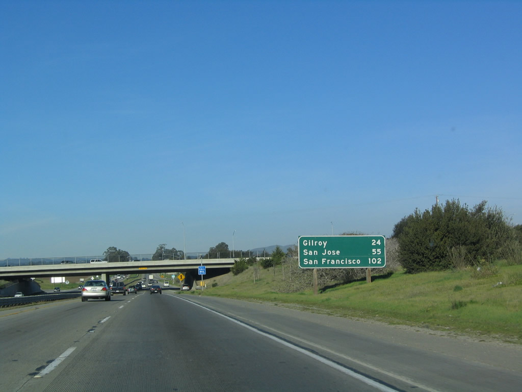 |
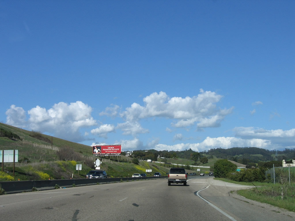
This mileage sign provides the distance to Gilroy (24 miles), San Jose (55 miles), and San Francisco (102 miles). Photo taken 12/23/04. |
 |
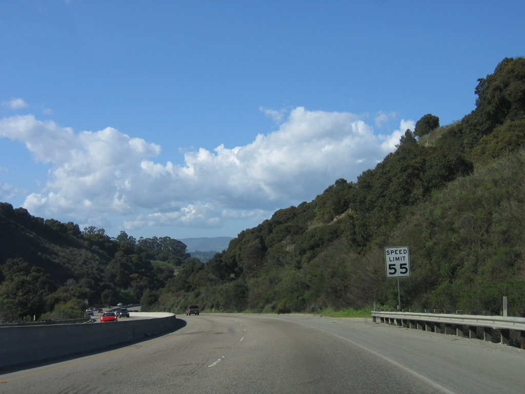
U.S. 101 is a safety corridor from north of Salinas through Prunedale to near San Juan Bautista. Another expressway segment lies ahead. Photo taken 03/18/06. |
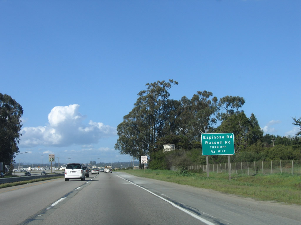 |
The first at-grade intersection along this section of U.S. 101 expressway is with Espinosa Road and Russell Road. Use Russell Road east along the northern edge of development for Salinas; it connects to Main Street (Old U.S. 101) just east of the expressway. Photo taken 03/18/06. |
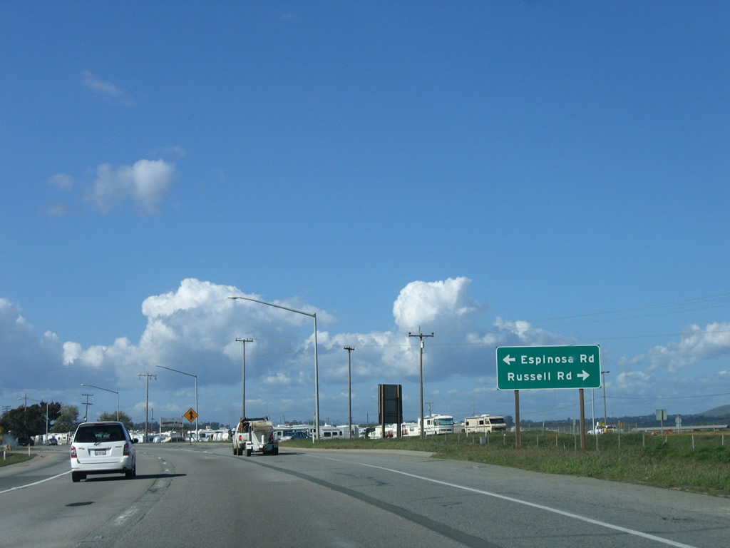 |
Northbound U.S. 101 meets Espinosa Road and Russell Road. This would likely be Exit 332 if upgraded to freeway standards. Espinosa Road travels west through fertile farmland en route to California 183 (Castroville Road). Photo taken 03/18/06. |
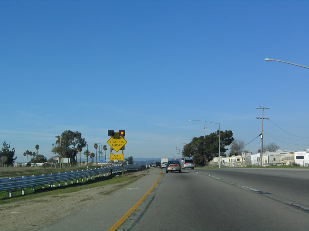 |
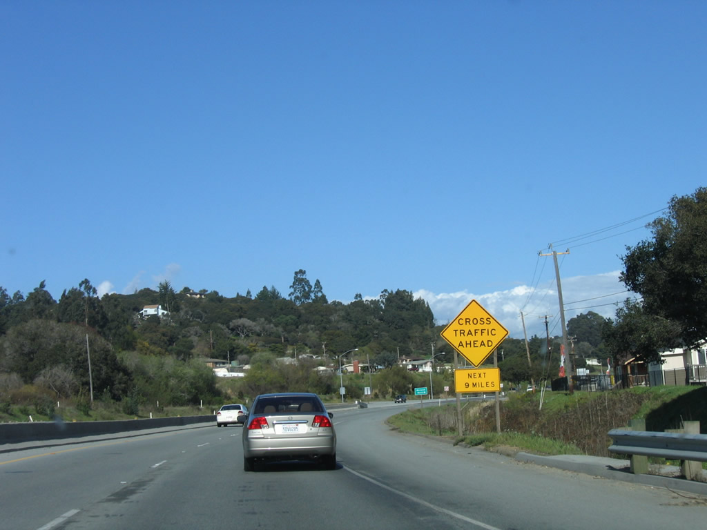
This expressway segment lasts for 12 miles and is the second-to-last expressway segment for U.S. 101 before entering the San Francisco Bay Area in Santa Clara County. A recently completed interchange at California 156 in Prunedale removes one of the most hazardous intersections on U.S. 101, but other side traffic through this section has made improvements to this stretch of U.S. 101 a top priority for state and local governments. Look for changes along this section of highway in the coming years. Photo taken 03/18/06. |
 |
Leaving the Espinosa Road and Russell Road intersection, it may not even be correct to classify this section of U.S. 101 as an expressway due to the presence of side road and driveway access points to the highway. Watch carefully for entering and exiting traffic. Photo taken 03/18/06. |
 |
 |
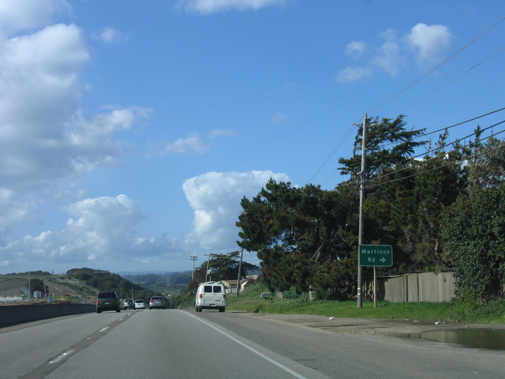 |
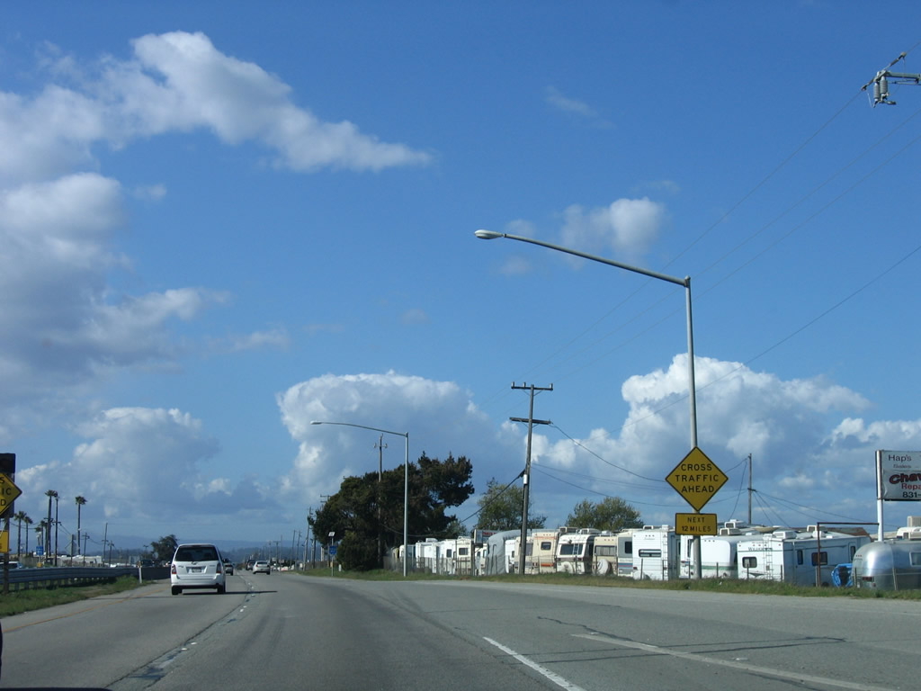
Driveway and side road accesses begin shortly thereafter, as seen in this series of photos. The last intersection is marked for Martines Road, but the other accesses are for driveways and local business. Photos taken 03/18/06. |
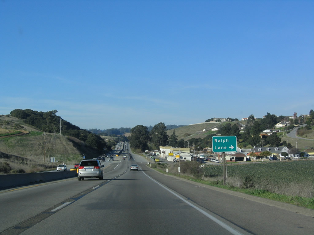 |
The next major intersection along U.S. 101 north is with Ralph Road, which travels east into a housing development. The Queen of Heaven Cemetery is tucked away in this area. Photo taken 12/23/04. |
 |
A concrete barrier divides the two directions of traffic as U.S. 101 retains its expressway characteristics. Photo taken 03/18/06. |
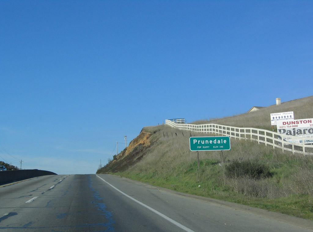 |
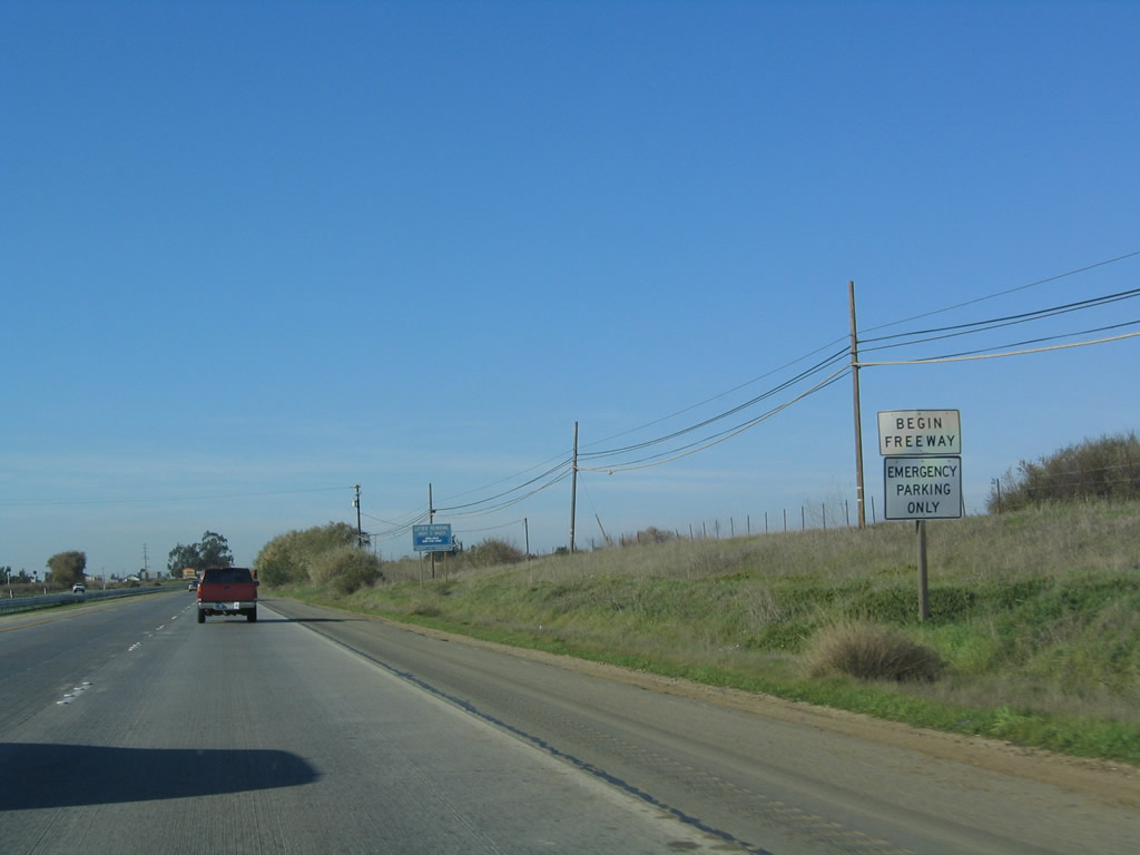
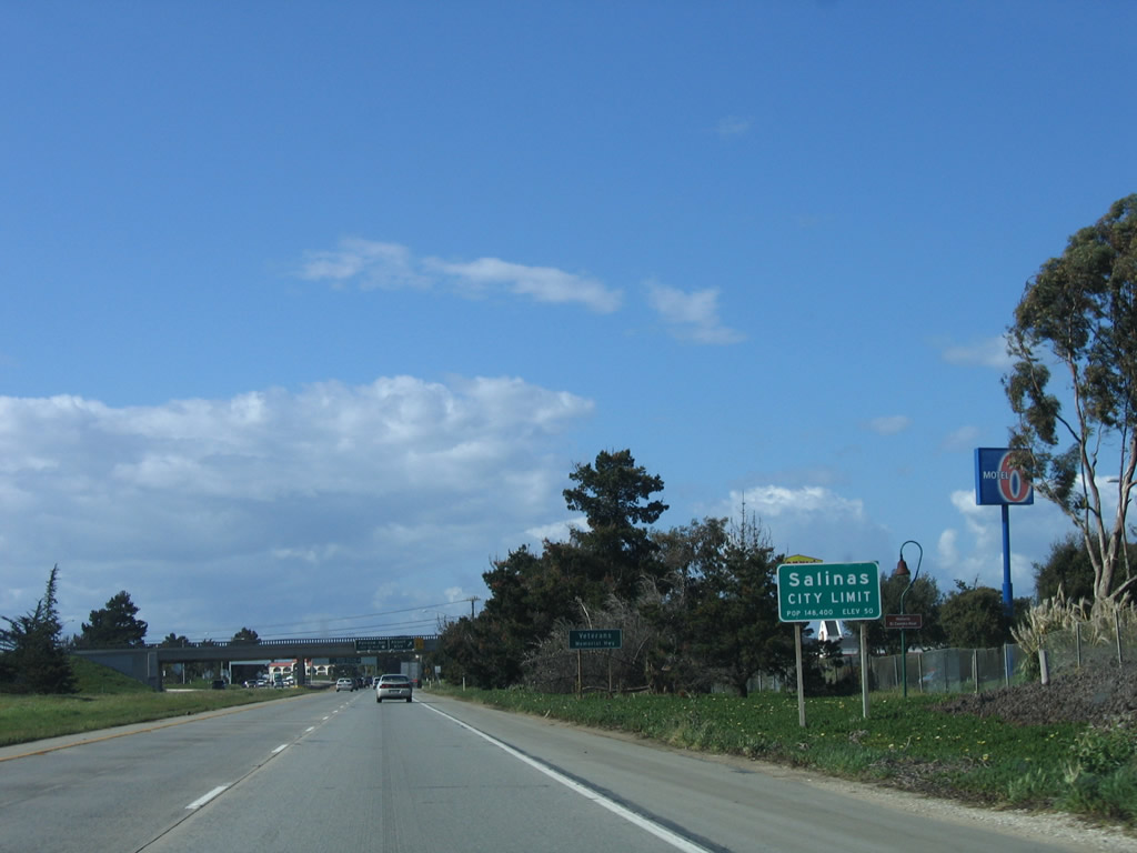
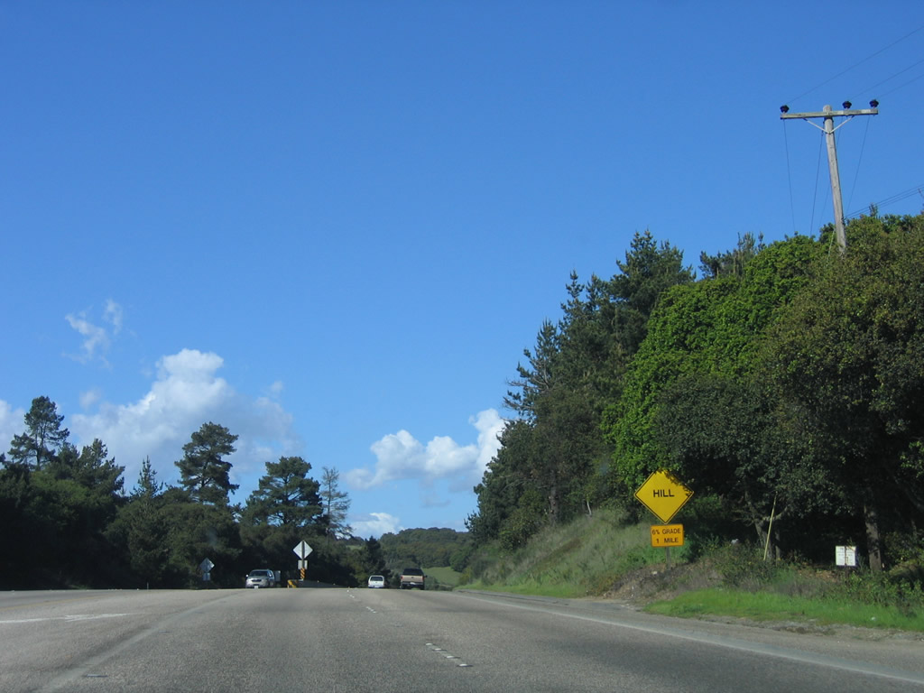
U.S. 101 enters the unincorporated community of Prunedale, which had a population of 16,432 as of the 2000 Census and consists of 46.1 square miles per the Census tract. Prunedale is known to U.S. 101 travelers as a congested stretch of highway that only recently has seen improvements starting with the California 156 interchange. Plans to bypass Prunedale did not materialize after detailed studies in 2004, and with scarce funds available, U.S. 101 is being improved through its current Prunedale alignment. Photo taken 12/23/04. |
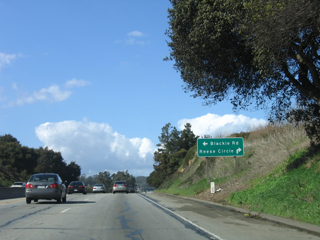 |
Northbound U.S. 101 next approaches the intersection with Blackie Road and Reese Circle. Blackie Road travels northwest and then west to meet California 183 in Castroville. Reese Circle travels east into the neighborhoods and residential areas east of the expressway. Photo taken 03/18/06. |
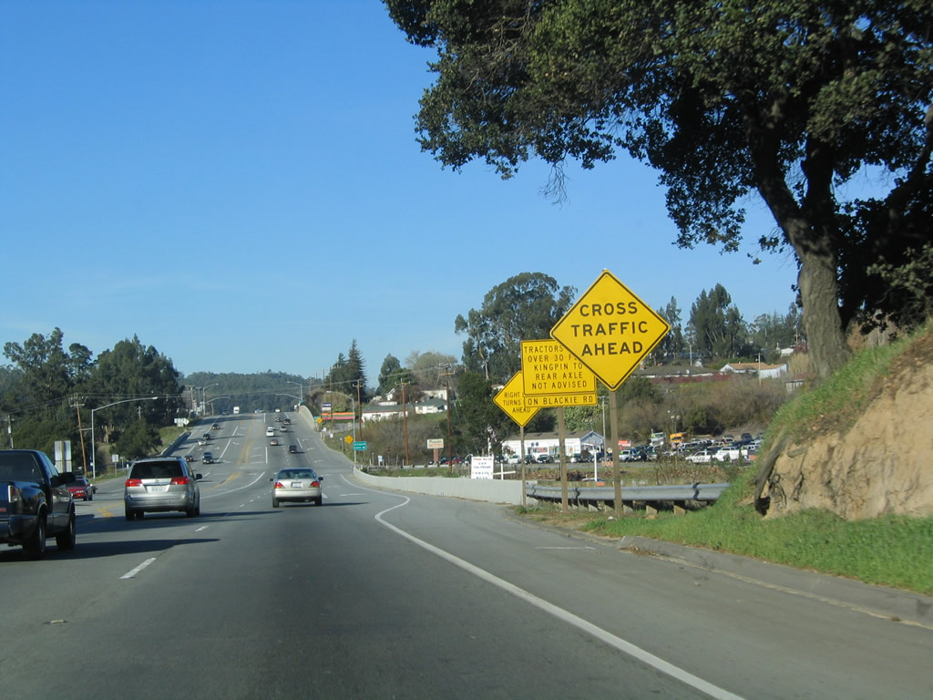 |
A series of warning signs advises of upcoming cross traffic, at-grade intersections, and a winding route along Blackie Road west to Castroville. A better route to Castroville might be via California 156 west. Photo taken 12/23/04. |
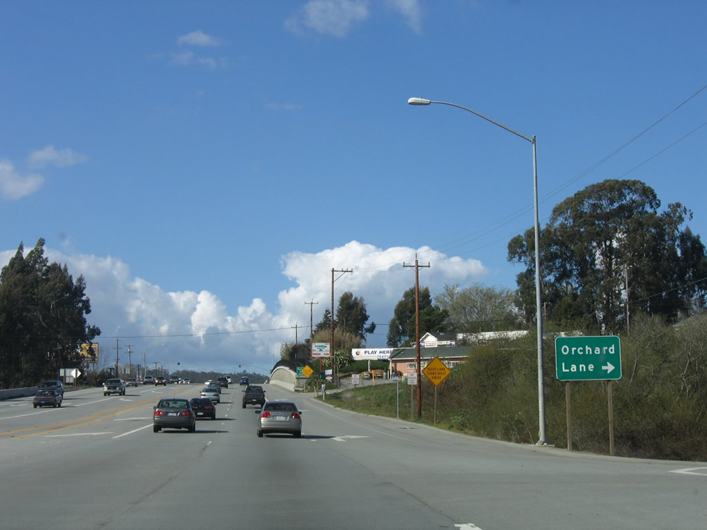 |
Northbound U.S. 101 (El Camino Real) meets Blackie Road/Reese Circle and next approaches Orchard Lane. Photo taken 03/18/06. |
 |
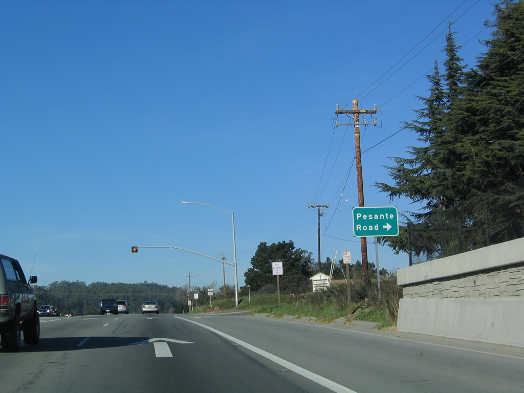
After the Orchard Lane intersection, the next intersection along U.S. 101 (El Camino Real) north is Pesante Road (600 feet). Photo taken 03/18/06. |
 |
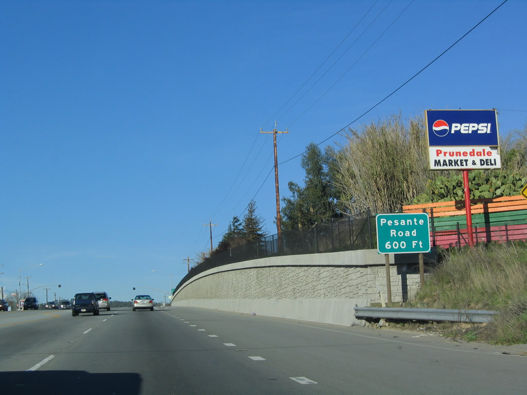
A flashing yellow beacon on top of the hill marks the intersection between U.S. 101 (El Camino Real) and Pesante Road. Use Pesante Road east to local residential and ranch access. Photo taken 12/23/04. |
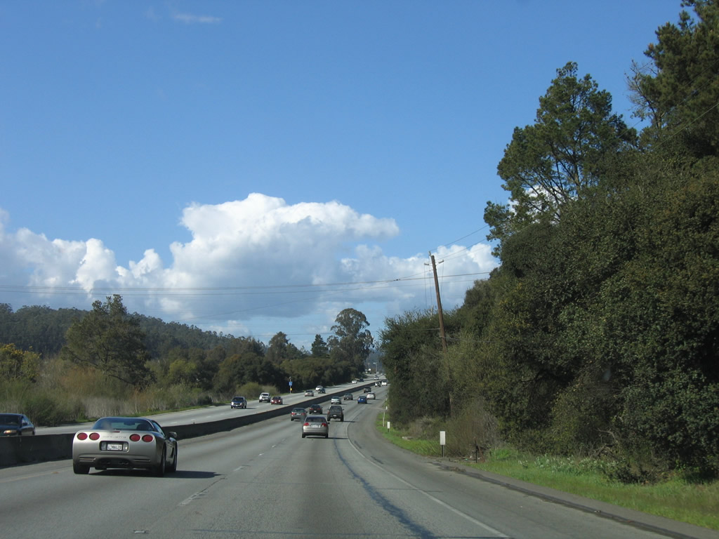 |
After that brief developed area, U.S. 101 again passes through a relatively undeveloped area. Photo taken 03/18/06. |
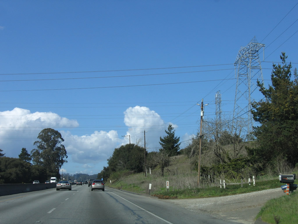 |
Next to a driveway, northbound U.S. 101 (El Camino Real) passes under the 500kV power lines that connect the Moss Landing Power Generating Station with busy Path 15, which carries electricity north and south in the Central Valley. Photo taken 03/18/06. |
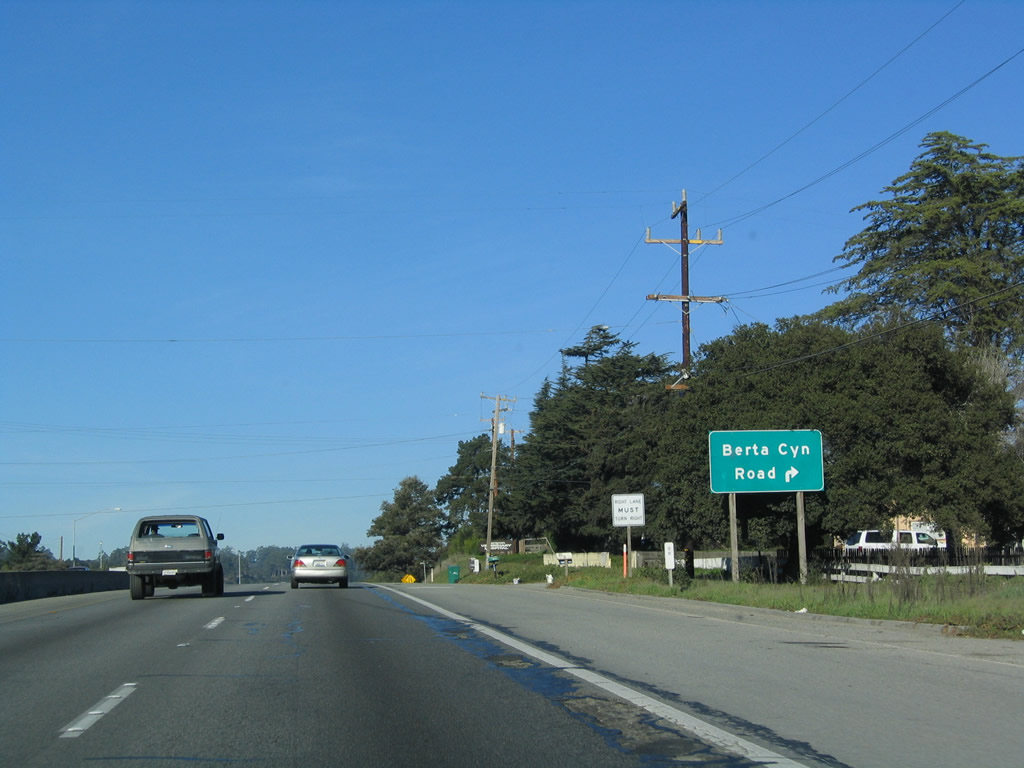 |
Northbound U.S. 101 (El Camino Real) approaches Berta Canyon Road (next right). This is the last at-grade intersection before Exit 336, California 156 west to Castroville, Seaside, and Monterey. Photo taken 12/23/04. |
 |
The first approach sign for Exit 336 is currently posted only a quarter mile prior to the off-ramp to California 156 west. Photo taken 03/18/06. |
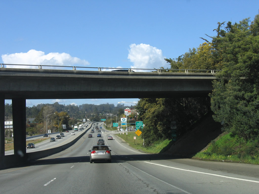 |
U.S. 101 passes under the bridge that carries traffic to California 156 west; stay right for the exit. Photo taken 03/18/06. |
 |
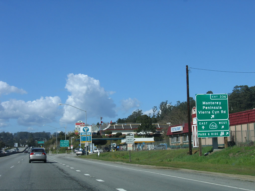
Continue straight ahead to follow U.S. 101 north to Gilroy and San Jose and California 156 east to Hollister. These shields are posted in the shadow of the bridge and are difficult to spot. California 156 is a state route that begins at California 1 (Cabrillo Highway) in Castroville and extends east to U.S. 101 in Prunedale. After a brief overlap, California 156 turns east to Hollister and then north to end at California 152 (Pacheco Pass Road). To California 156 east and the Central Valley, continue north on U.S. 101. Photo taken 03/18/06. |
 |
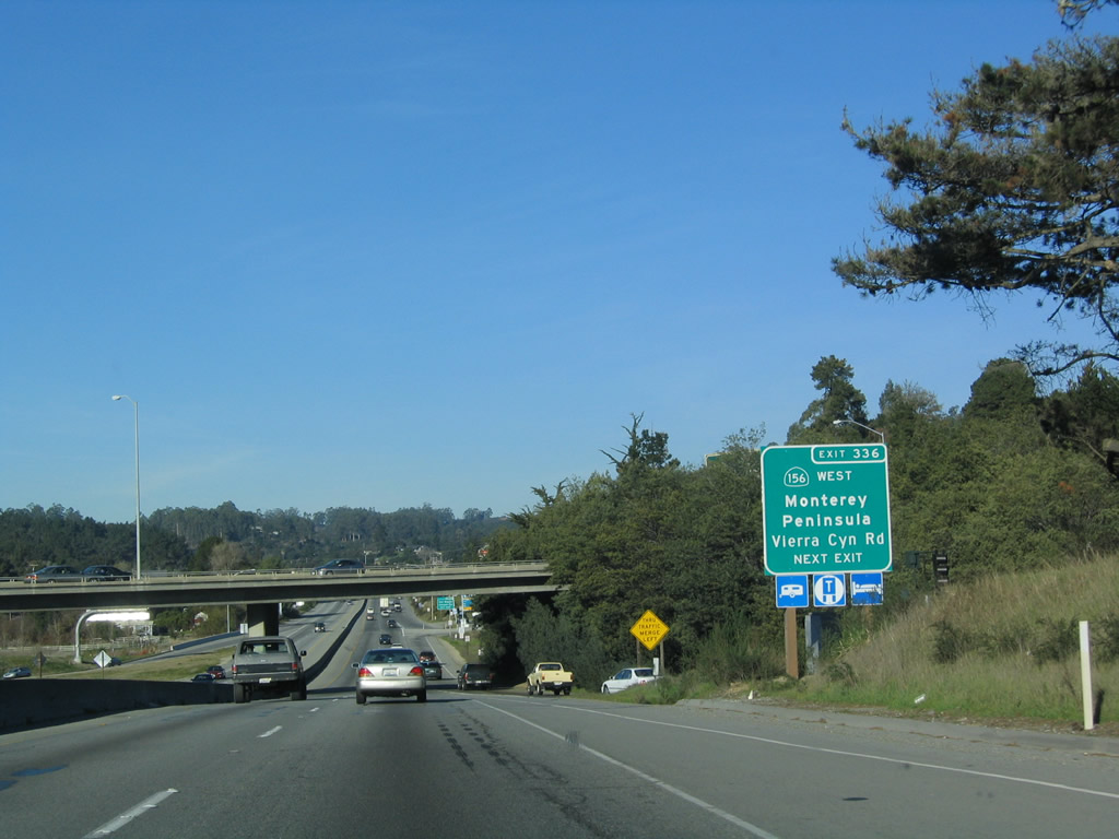
Northbound U.S. 101 (El Camino Real) reaches Exit 336, California 156 west and Vierra Canyon Road east. This is a sharp right turn exit so be sure to slow down before taking this turn. This interchange was constructed in the early 2000s in order to alleviate a major choke point on both U.S. 101 and California 156. Work is not done with either road, as U.S. 101 and California 156 are both planned for expansion. Photo taken 03/18/06. |
| U.S. 101 (El Camino Real) north and California 156 east | |
|---|---|
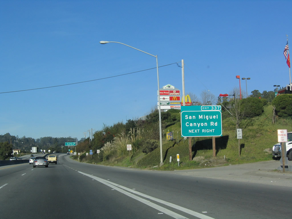 |
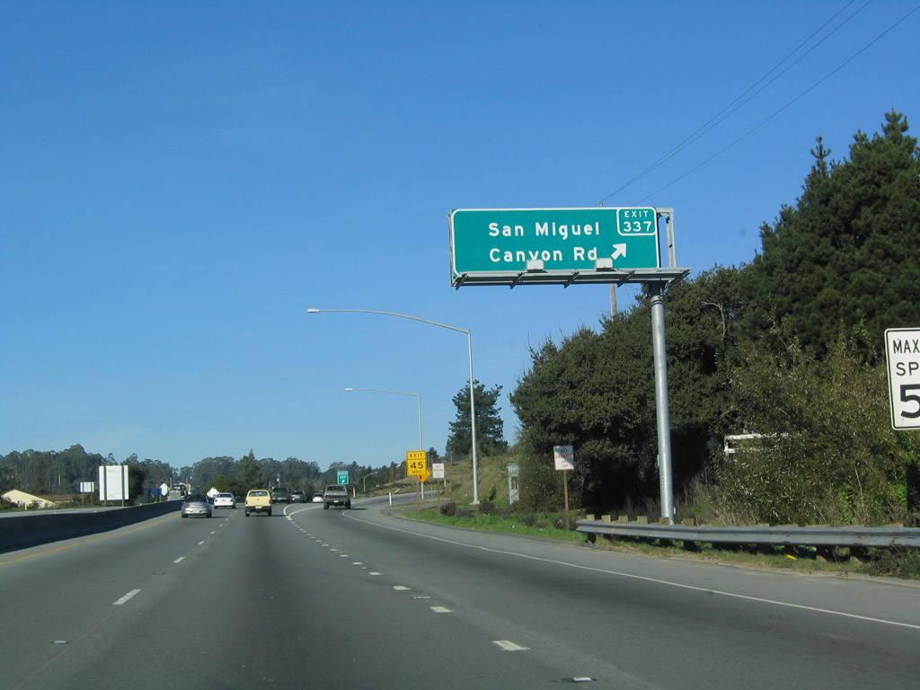
The next exit along northbound U.S. 101 and eastbound California 156 is Exit 337, Monterey County G-12/San Miguel Canyon Road northwest to Las Lomas and Watsonville. Exit 337 is a trumpet interchange that was built in the early 2000s. Note the gas station driveway located next to the exit sign, reminding us that this expressway is still not fully access controlled. Watch for cross traffic and hidden intersections. Photo taken 12/23/04. |
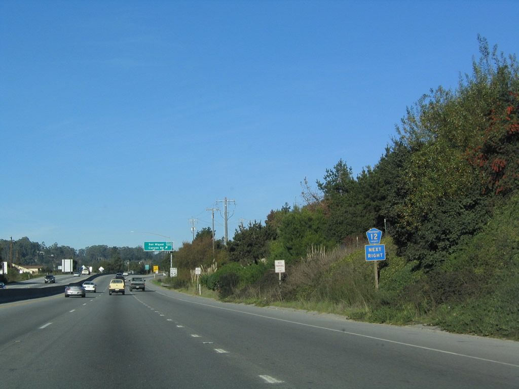 |
A Monterey County G-12 trailblazer is posted prior to Exit 337, San Miguel Canyon Road. The county shield omits the letter "G" so it appears to say Monterey County 12. Photo taken 12/23/04. |
 |
Northbound U.S. 101 and eastbound California 156 reach Exit 337, Monterey County G-12/San Miguel Canyon Road. Photo taken 12/23/04. |
 |
The bridge connecting San Miguel Canyon Road to U.S. 101 north and California 156 east passes over the expressway. Photo taken 03/18/06. |
 |
A U.S. 101 north reassurance shield is posted after the on-ramp from Exit 337; California 156 is omitted on this shield assembly. Photo taken 12/23/04. |
 |
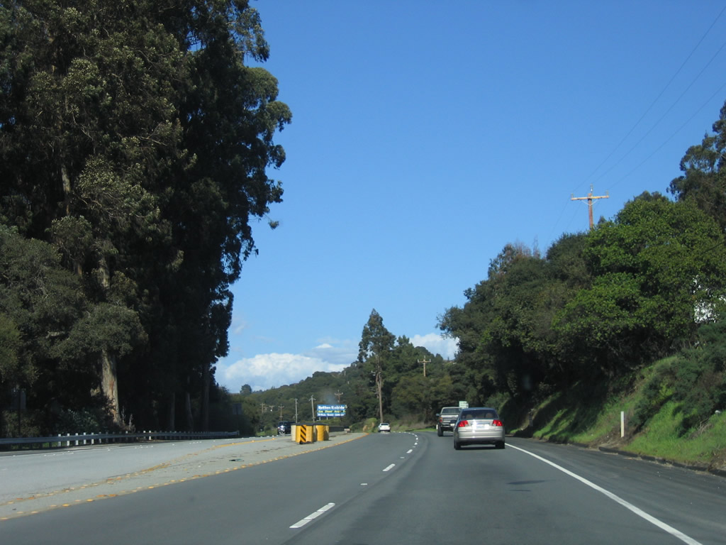
Nine more miles of cross traffic lies ahead after the Miguel Canyon Road interchange. Photo taken 03/18/06. |
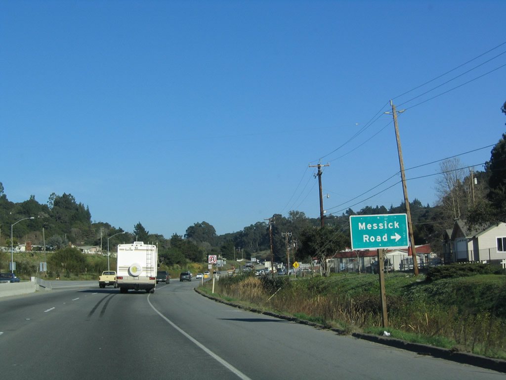 |
The next intersection along U.S. 101 north and California 156 east is with Messick Road (provides local access to north Prunedale). Photo taken 12/23/04. |
 |
U.S. 101 north and California 156 east continue through north Prunedale. Photo taken 03/18/06. |
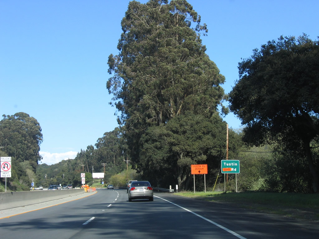 |
The next intersection along U.S. 101 north and California 156 east is with Tustin Road , which was closed when this picture was taken. Photo taken 03/18/06. |
 |
After the Tustin Road intersection, U.S. 101 briefly has no median separation, then resumes its semi-expressway characteristics. Photo taken 03/18/06. |
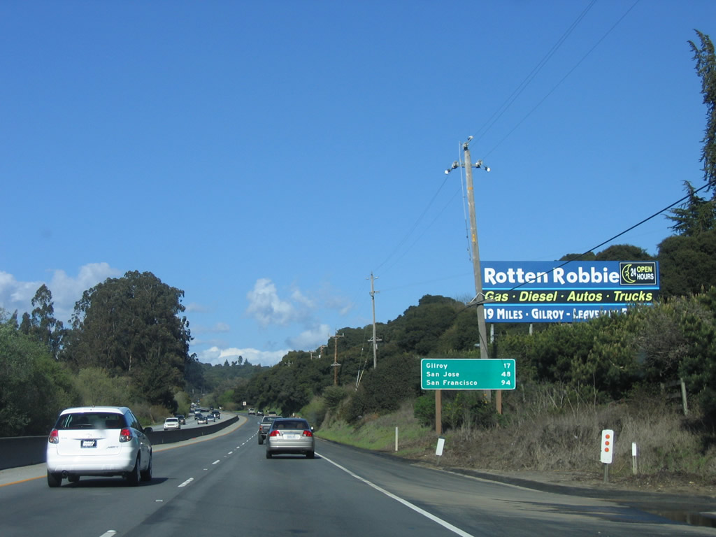 |
This mileage sign provides the distance to Gilroy (17 miles), San Jose (48 miles), and San Francisco (94 miles). The distance to the control city of San Francisco is now in the double digits. Photo taken 03/18/06. |
 |
Northbound U.S. 101 (El Camino Real) meets Beatrice Drive at this at-grade intersection. Photo taken 03/18/06. |
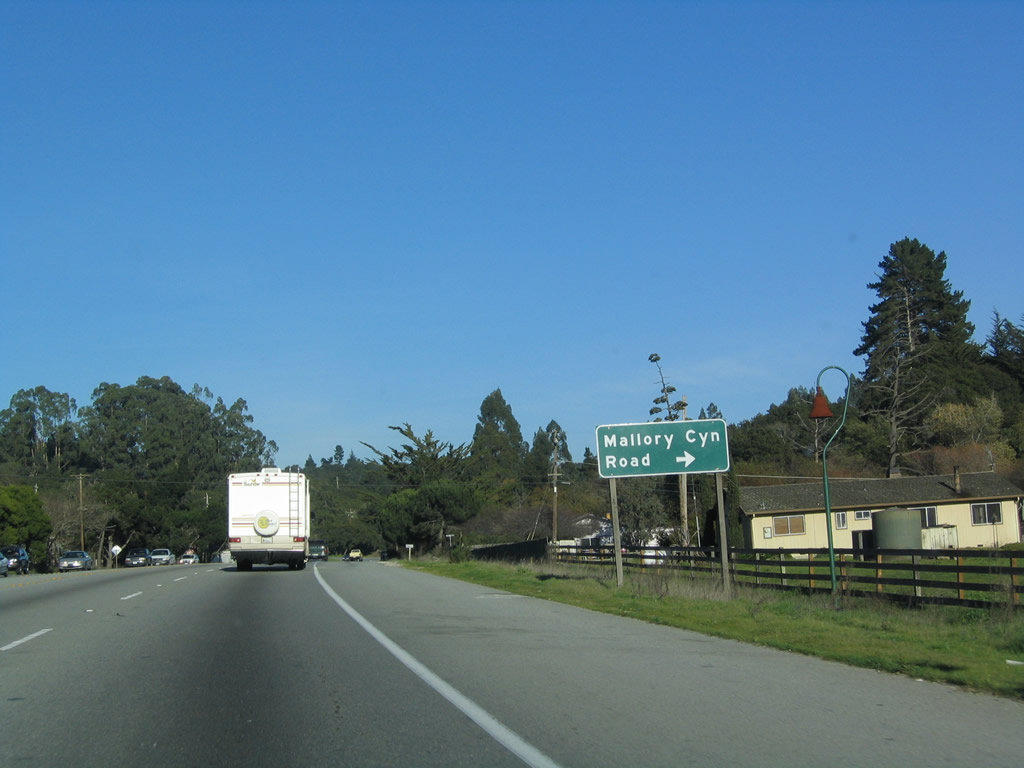 |
The next major intersection along U.S. 101 north is with Mallory Canyon Road east into a residential development. Photo taken 12/23/04. |
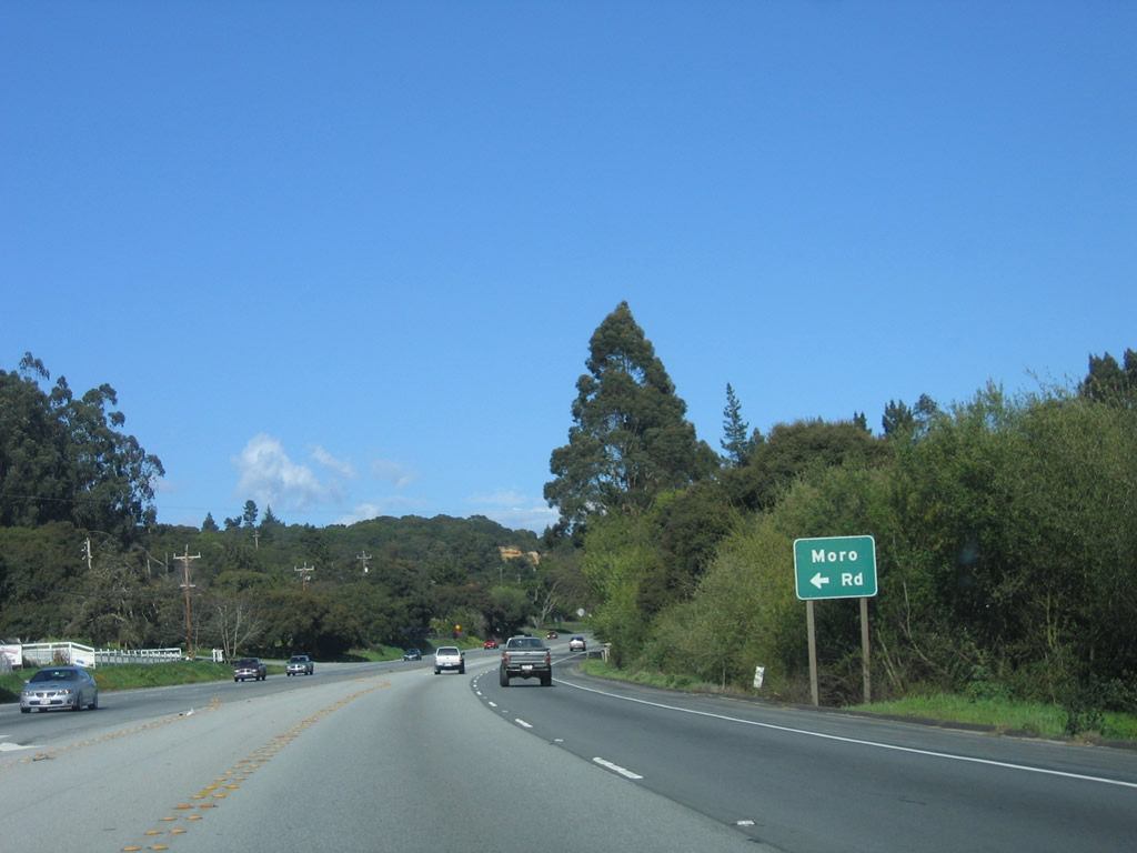 |
Shortly thereafter, the next major intersection along U.S. 101 (El Camino Real) north is with Moro Road southwest to San Miguel Canyon Road. This road parallels U.S. 101 between San Miguel Canyon Road and this intersection. Photo taken 03/18/06. |
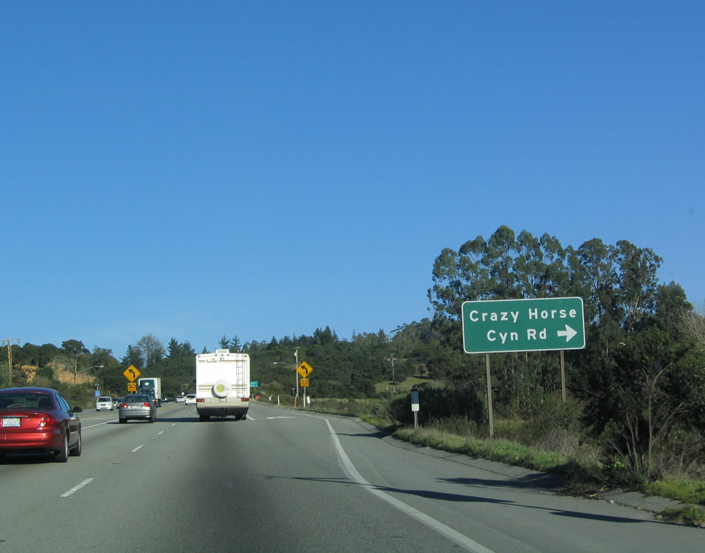 |
Northbound U.S. 101 (El Camino Real) meets Crazy Horse Canyon Road east to Lagunita Lake and San Juan Grade Road (Old U.S. 101). Photo taken 12/23/04. |
 |
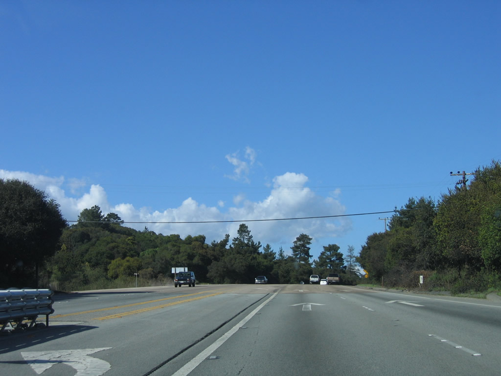
As U.S. 101 (El Camino Real) and California 156 continue to climb a grade, watch for a 50 mile per hour curve ahead. Photo taken 03/18/06. |
 |
The next major intersection along U.S. 101 (El Camino Real) north and California 156 east is with Echo Valley Road west to San Miguel Canyon Road. Photo taken 12/23/04. |
 |
Northbound U.S. 101 (El Camino Real) and eastbound California 156 meet Echo Valley Road west at this intersection. Photo taken 03/18/06. |
 |
 |
 |
Reaching a summit, the expressway will descend along a six percent grade for one mile. These photos follow the expressway downhill toward Dumbarton Road. Photos taken 03/18/06. |
 |
 |
 |
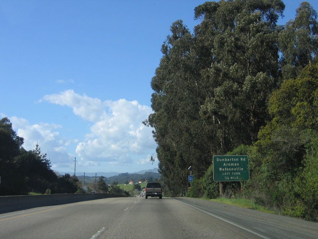 |
Northbound U.S. 101 and eastbound California 156 approach Dunbarton Road north to Monterey County G-11/San Juan Road west to Aromas and Watsonville. Dunbarton Road leads north from U.S. 101, then intersects with California 129 just north of Aromas. Taking this route instead of staying on U.S. 101 until Exit 347 cuts several miles off the journey from Prunedale to Watsonville. Photo taken 03/18/06. |
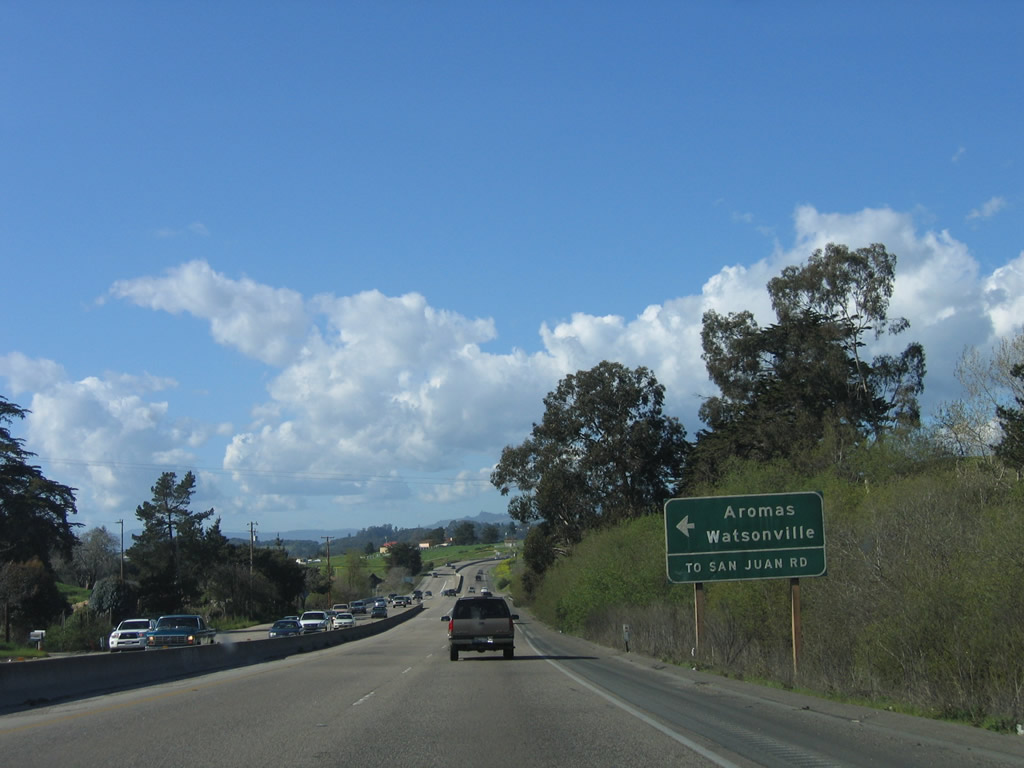 |
Northbound U.S. 101 and eastbound California 156 meets Dunbarton Road north to Monterey County G-11 west at this at-grade intersection. There is no access to County Route G-11/San Juan Road west at the at-grade intersection ahead. Photo taken 03/18/06. |
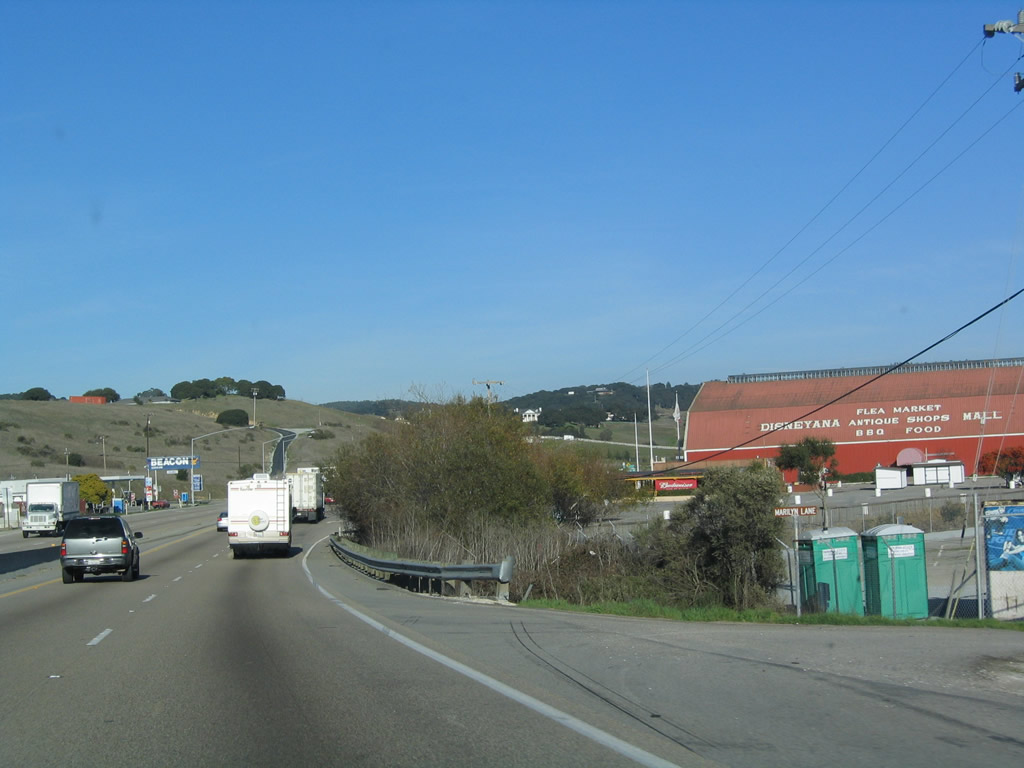 |
Continuing to descend, a large red barn (now an antique mall with the writing "Disneyana, Flea Market, Antique Shops, BBQ, Food" on the side of the building) comes into view along U.S. 101 north and California 156 east. This flea market mall operates on Sundays, and the barn is open Wednesday through Saturday. The big red barn is located at the intersection with Monterey County G-11/San Juan Road west, but there is no access from U.S. 101 north to Monterey County G-11 west (hopefully traffic used Dunbarton Road instead). Photo taken 12/23/04. |
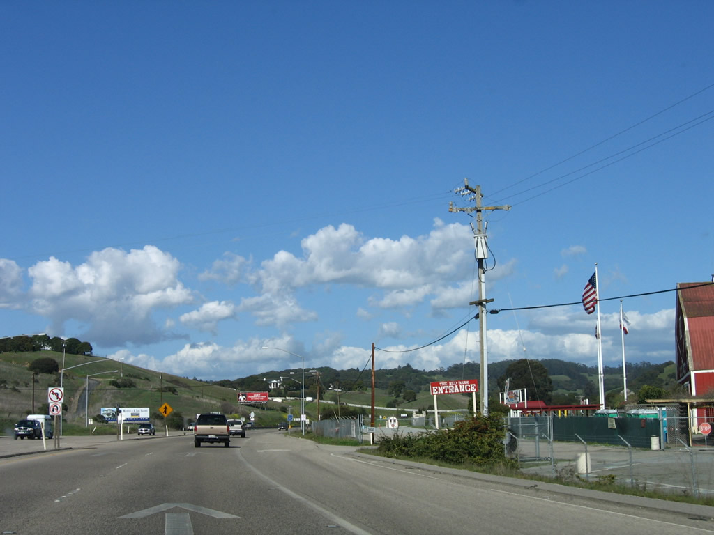 |
The entrance to the big red mall is located on the right side of the highway ahead. Now in unincorporated Aromas, U.S. 101 continues north toward San Juan Bautista and Gilroy. Note the signage in the median; there is no access to County Route G-11/San Juan Road west here. Photo taken 03/18/06. |
 |
Continuing northeast, U.S. 101 and California 156 will leave Aromas and Monterey County and enter San Benito County. Photo taken 03/18/06. |
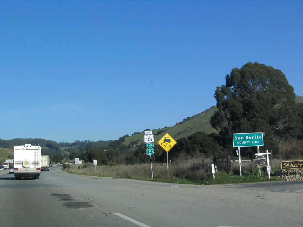 |
U.S. 101 and California 156 enter San Benito County. Photo taken 03/18/06. |
Sources:
- City of Salinas and Monterey County Reach Understanding on Rancho San Juan Despite Voter Response - Rancho San Juan Opposition Coalition Committee Against Measure C (August 28, 2006), Letter from Julie Engell (Chair Rancho San Juan Opposition Coalition) to Mayor Anna Caballero and Salinas City Council and Chairman Jerry Smith and the Monterey County Board of Supervisors, which states, "[O]ne of the MOU-s mapped road segments running along Old Stage Road, the Eastside Expressway, was briefly adopted as a preferred alternative to the Prunedale Bypass during the review period for Rancho San Juan-s DEIR. According to TAMC, the estimated cost for the Eastside Expressway was $380 million and its estimated traffic capacity was 30,000 average daily vehicle trips. Traffic generated by Rancho San Juan alone is more than twice what the Eastside Expressway could accommodate."


Page Updated April 27, 2009.
|
About Contact Glossary |
In The News Interstate Guide |
Social Media:
 |
|
© 2000-25 AARoads.com | All Rights Reserved | Privacy Policy / Terms of Use
|
||