|
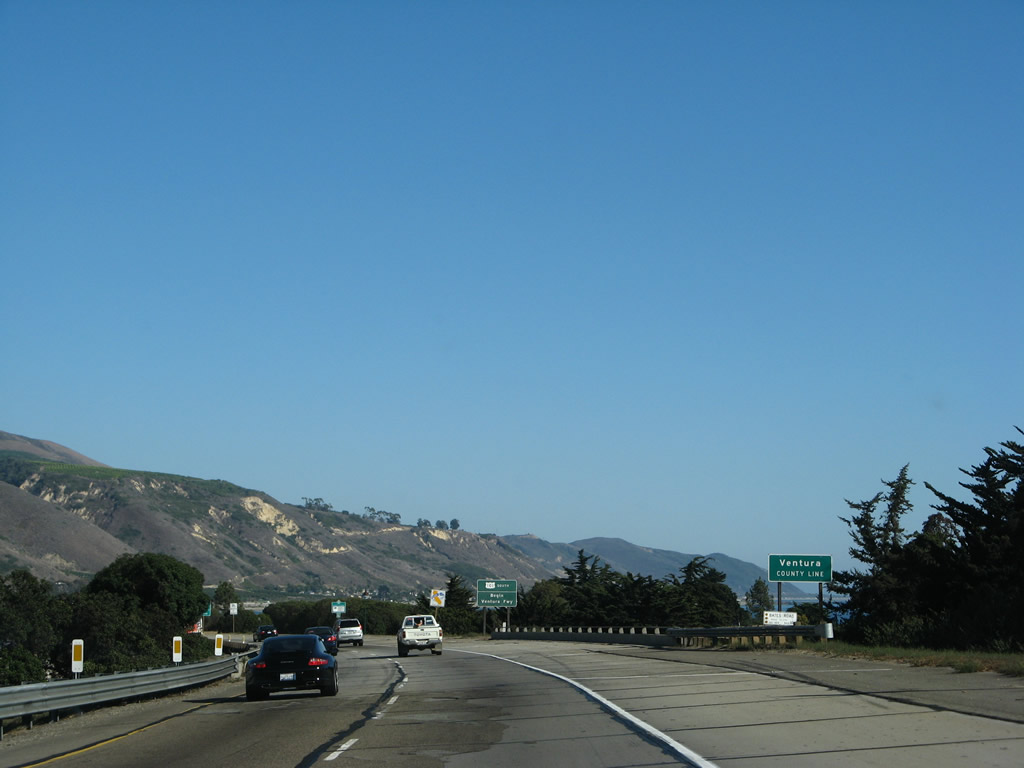
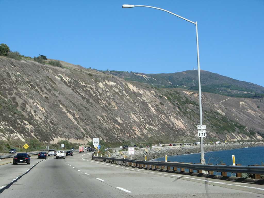
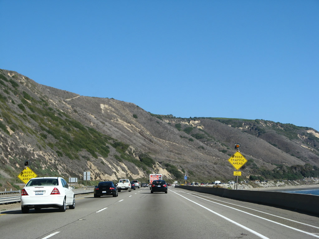
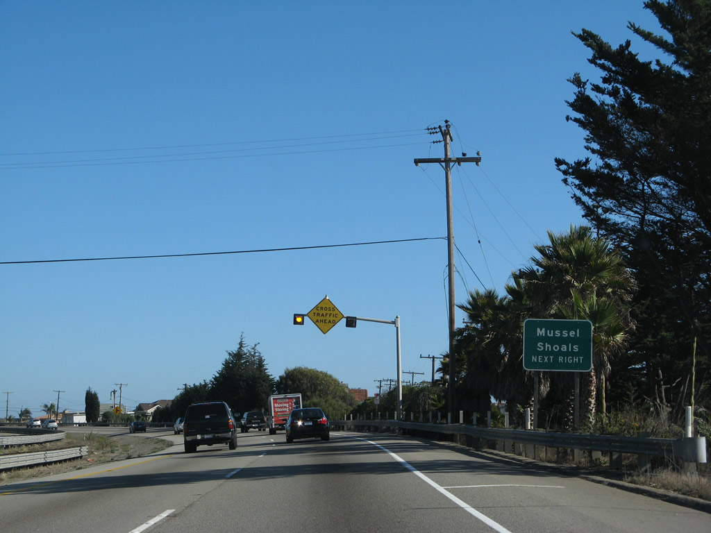
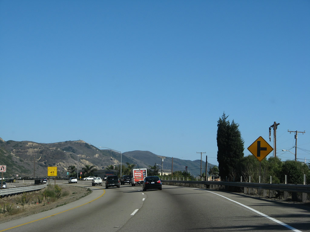
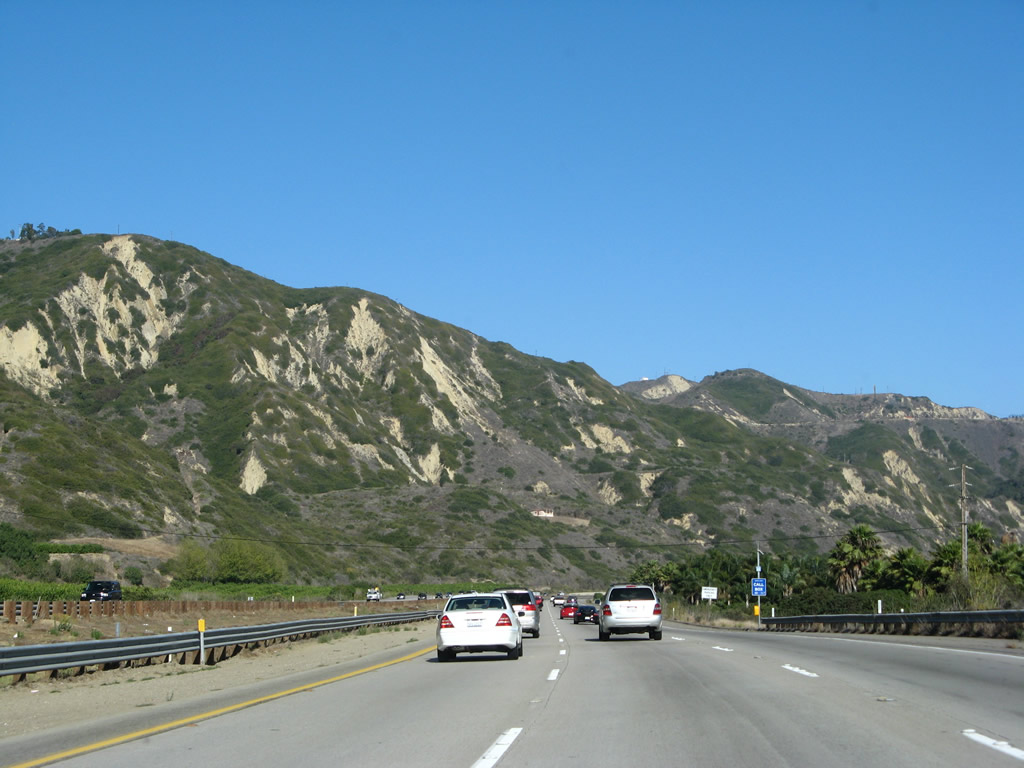
Several at-grade intersections lie ahead, hence the "Cross Traffic Ahead" sign. Due to the limited real estate along this section of U.S. 101, plus California Coastal Commission requirements, any improvements to this section of U.S. 101 (such as interchanges) would likely be too expensive or technically infeasible to complete. Photo taken 09/29/07. |
|
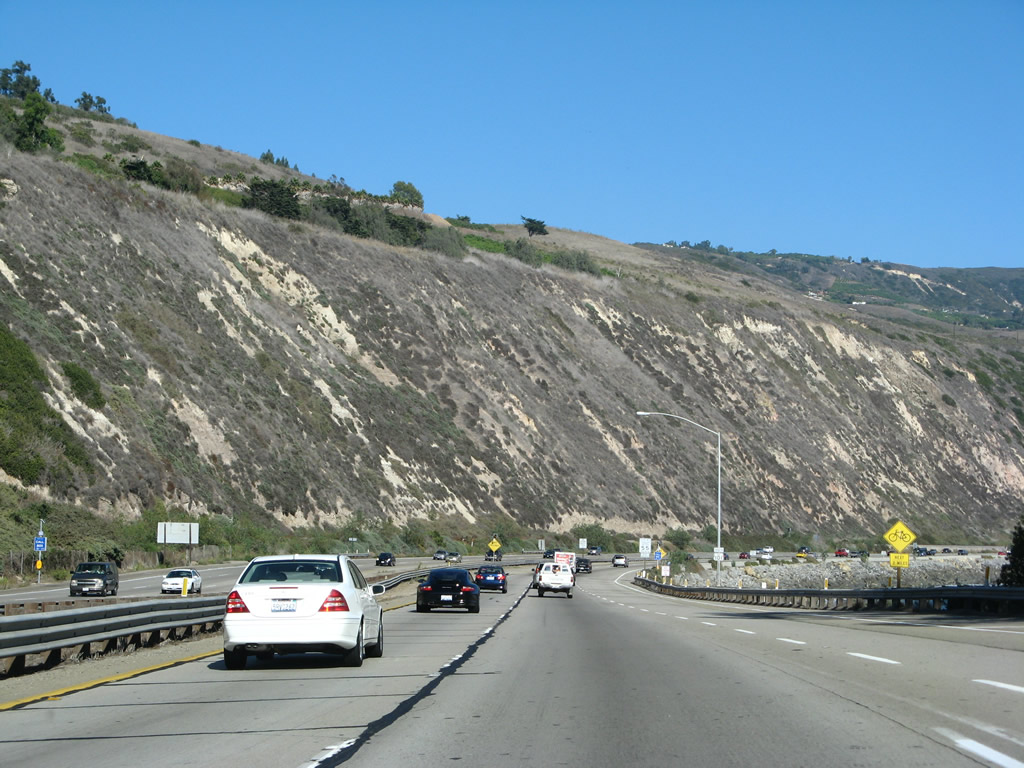
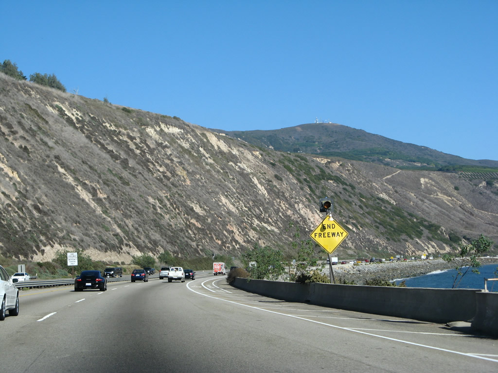
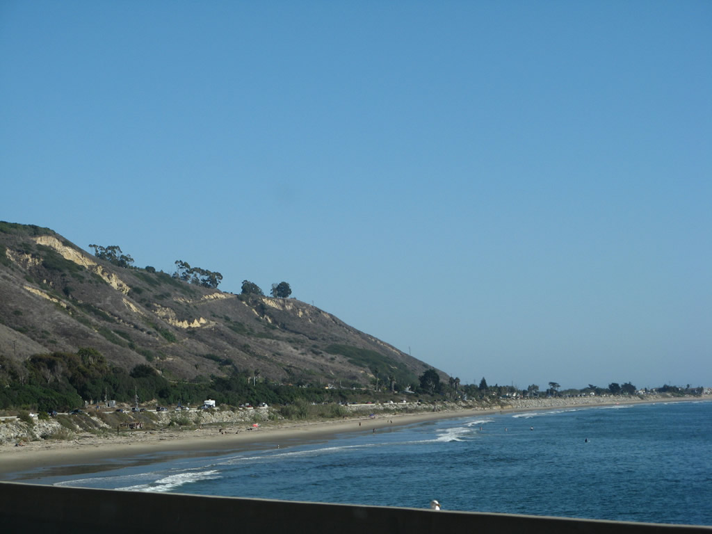
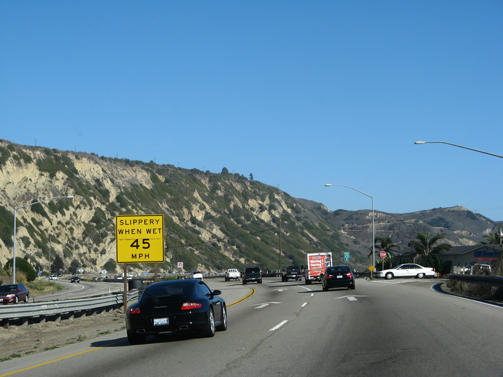
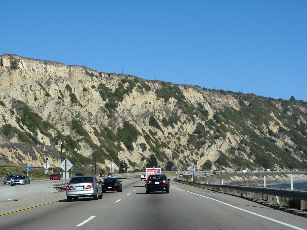
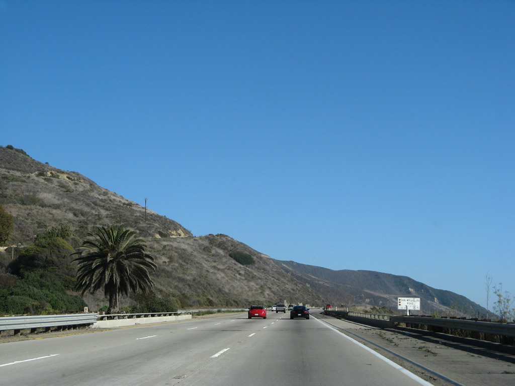
Landslide activity can be seen in the hills above the freeway when looking toward La Conchita and Mussel Shoals across the bay. During the winter of 2005, a massive landslide devastated this small unincorporated community of 338 people (per 2000 Census). On January 10, 2005, a slide buried four blocks of La Conchita with over 30 feet of mud and sand. Ten people were killed, and 14 people were injured. Several houses were destroyed, and others were condemned as unsafe for habitation. U.S. 101 and the adjacent railroad were directly affected by that slide (and earlier slides in 1995); repairs had to be made before either facility could reopen. This section of highway will always be potentially impacted by future slides, since this flank of Rincon Mountain is likely to continue to have earth movements. Photo taken 09/29/07. |
|
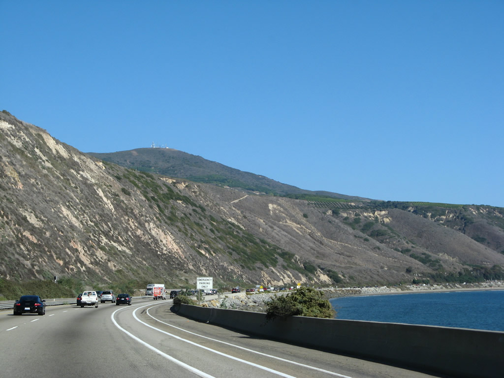
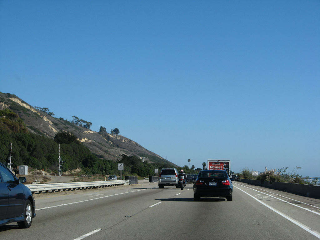
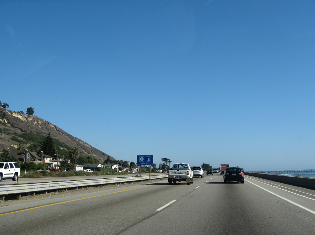
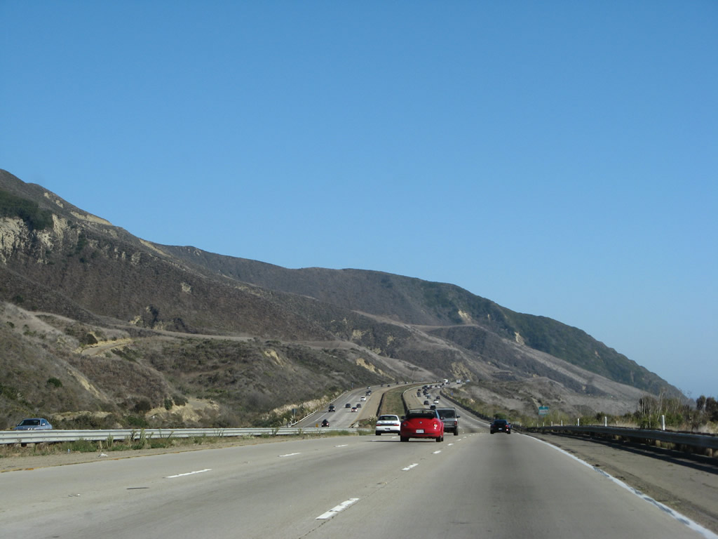
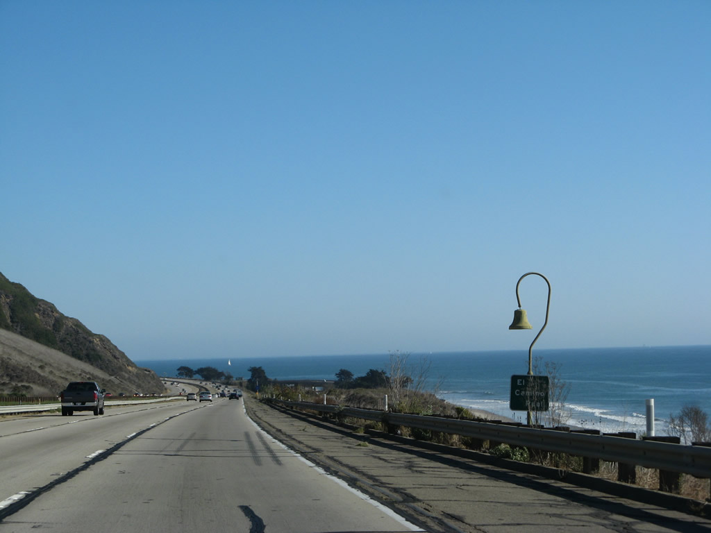
A long left-turn pocket allows for traffic to turn off U.S. 101 to local/ranch access. As noted by the sign, U-Turns are also permitted here. Photo taken 09/29/07. |
|
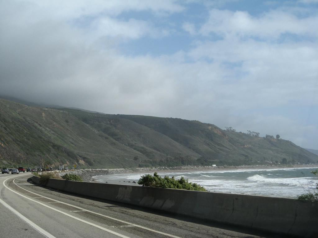
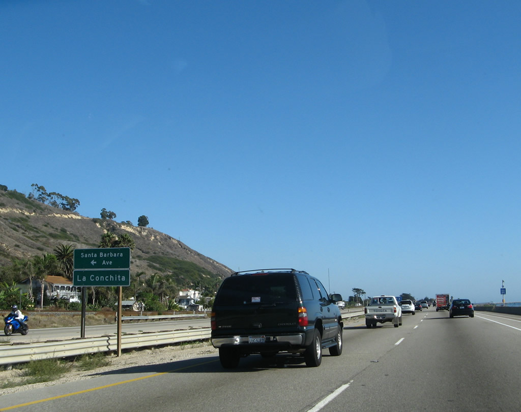
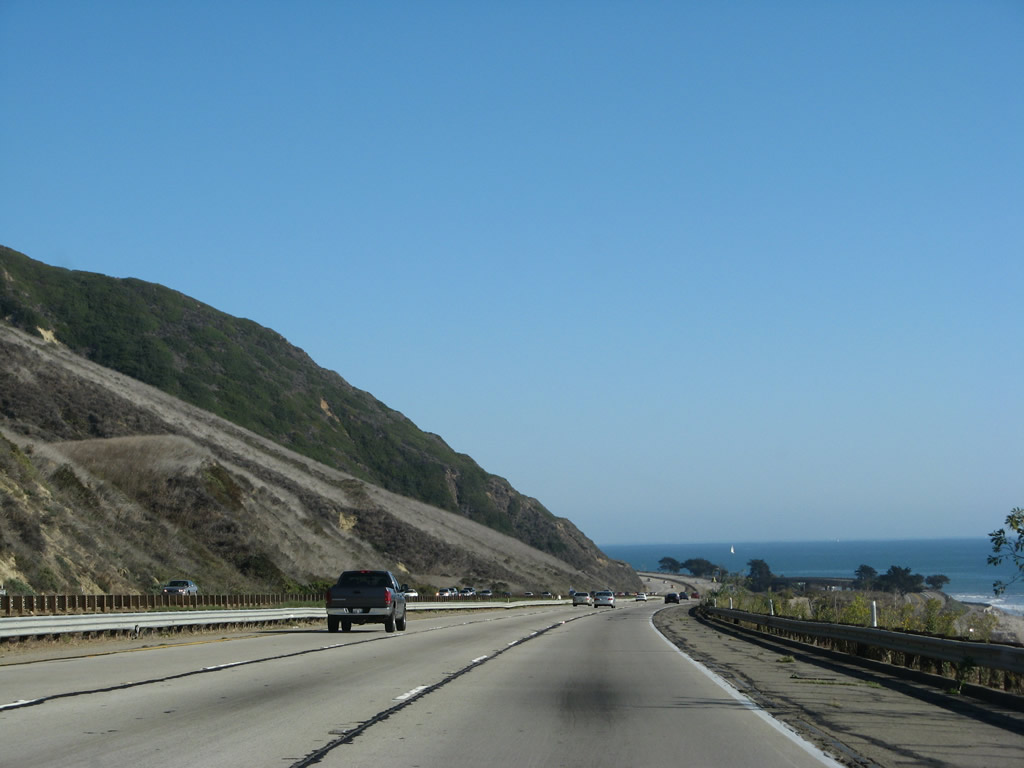
Southbound U.S. 101/Ventura Highway approaches Santa Barbara Avenue east into unincorporated La Conchita, which was home to 338 people as of the 2000 Census. Photo taken 09/29/07. |
|
Food and gas are available at La Conchita. Photo taken 09/29/07. |
|
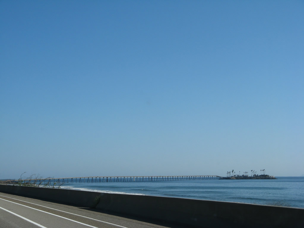
Looking south from La Conchita is Richfield Island and the Richfield Pier, which carries an oil pipeline from offshore drilling onto the mainland. This island and pier were built by Richland Oil Company in 1956 and 1957. Photo taken 09/29/07. |
|
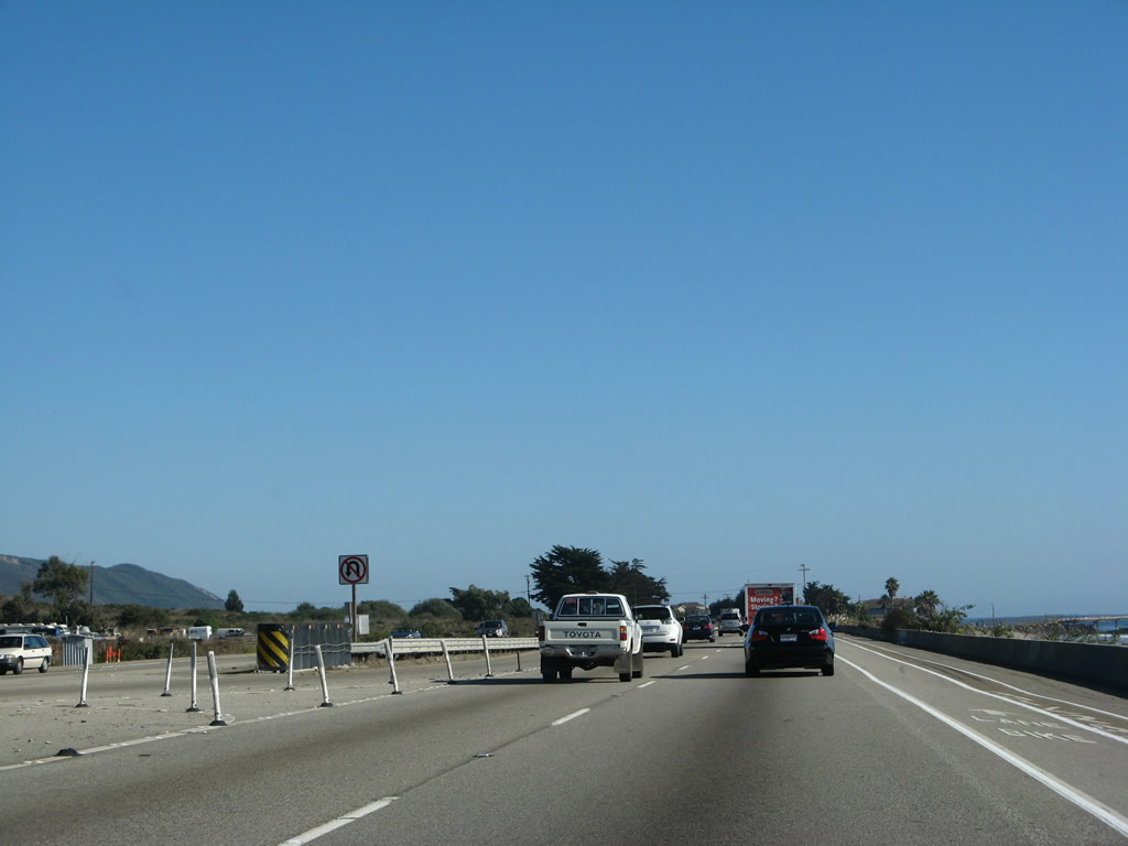
No U-Turn is permitted at the La Conchita turn-off (Exit 81). The two right lanes of U.S. 101 continue east toward Mussel Shoals and Ventura. Photo taken 09/29/07. |
|
The next exit along U.S. 101 south is Exit 79, Mussel Shoals. Exit 79 connects to Old Pacific Coast Highway to the Richfield Pier. Photo taken 09/29/07. |
|
Turn right ahead to Old Pacific Coast Highway to Mussel Shoals and the Richfield Pier. Photo taken 09/29/07. |
|
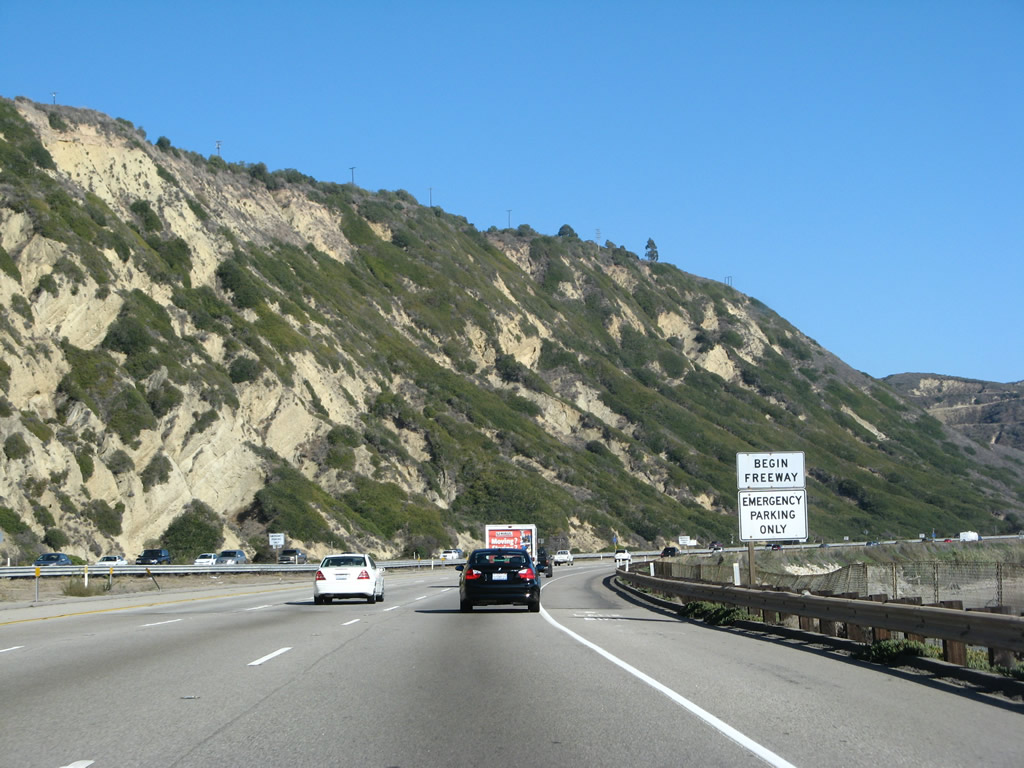
After the Mussel Shoals exit, U.S. 101 again becomes a freeway; U.S. 101 will remain at a freeway configuration for the remainder of its route southeast to Los Angeles. Photo taken 09/29/07. |
|
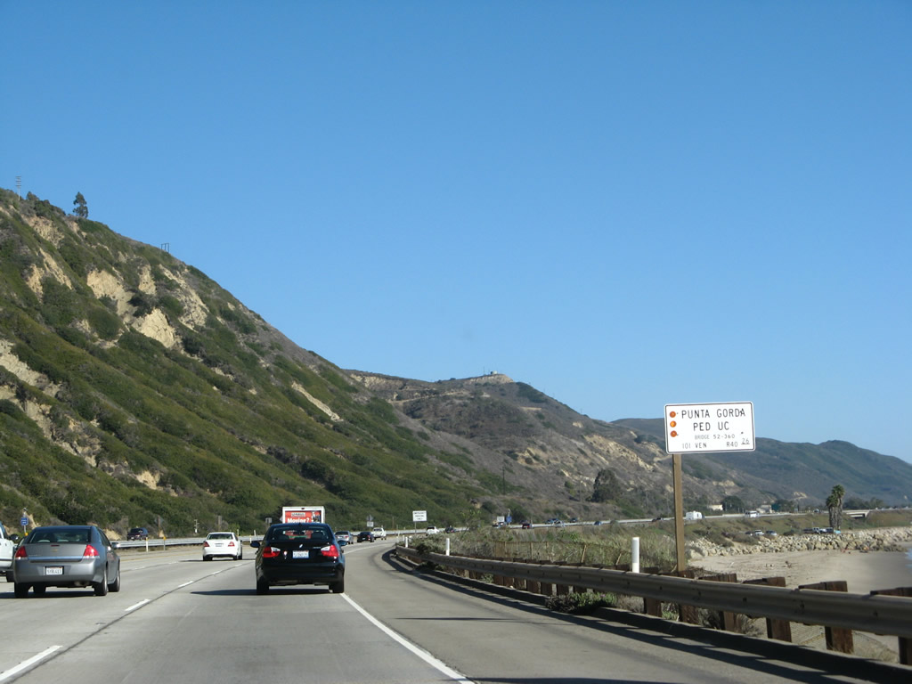
The Punta Gorda Pedestrian Undercrossing allows people to pass under U.S. 101 to connect La Conchita with Mussel Shoals and the beach. Photo taken 09/29/07. |
|
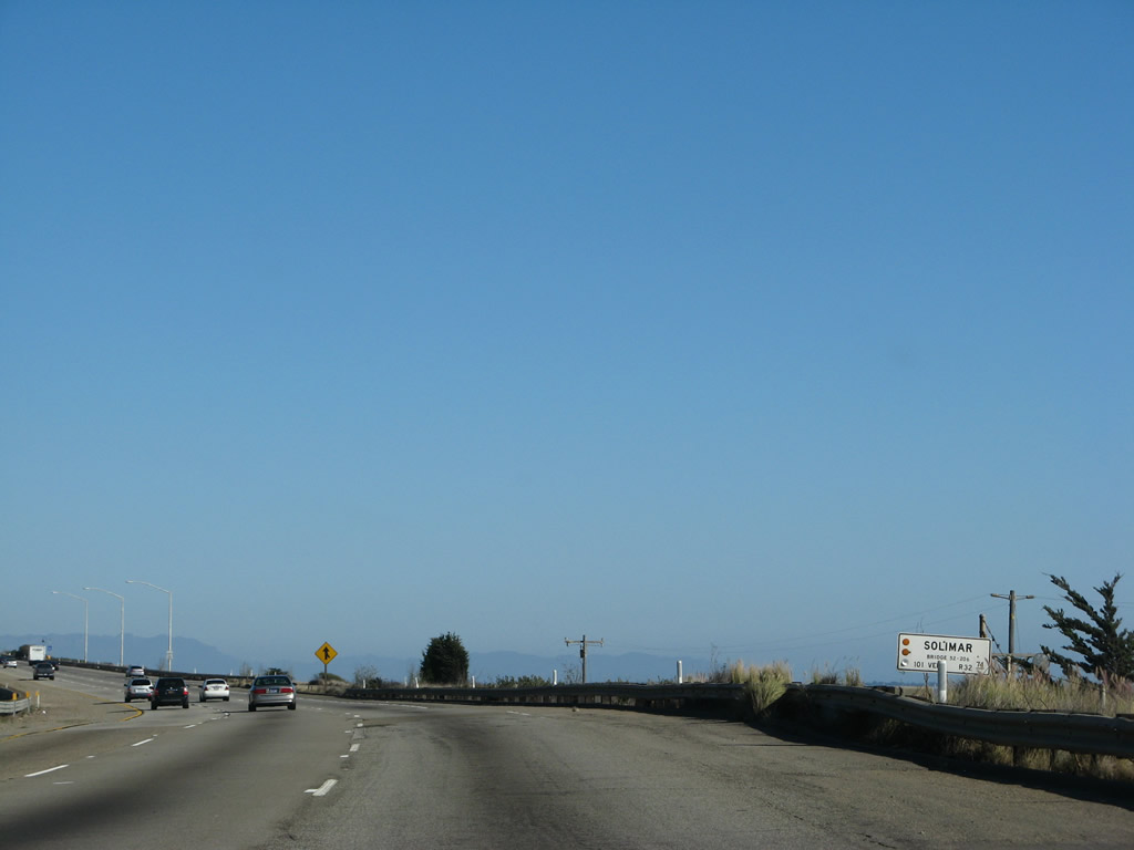
Between Exits 78 and 72, California 1 (Pacific Coast Highway) departs from U.S. 101 (Ventura Freeway / El Camino Real) in order to serve the communities of Seacliff, Faria Beach, and Solimar Beach. All beach and local access is via California 1, not U.S. 101. Photo taken 09/29/07. |
|
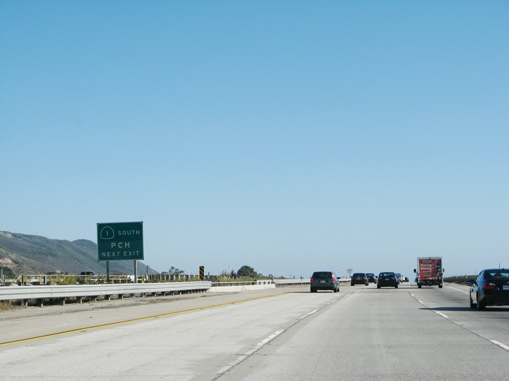
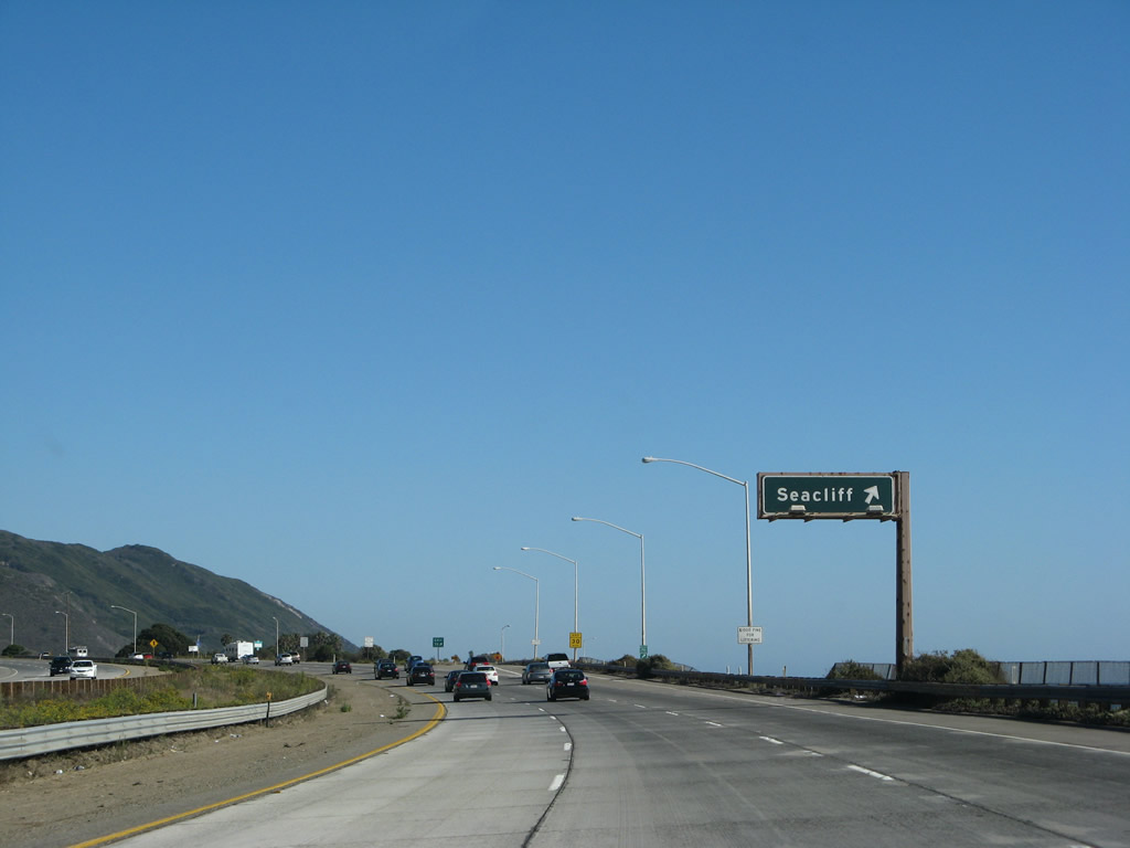
The next exit along U.S. 101 south is Exit 78, California 1 (Pacific Coast Highway) (Old Rincon Highway) southeast to Seacliff, Faria Beach, and Solimar Beach. Photo taken 09/29/07. |
|
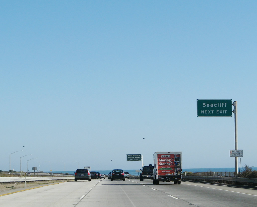
Exit 78 serves two county parks and a state beach: Hobson County Park, Faria County Park, and Emma Wood State Beach. Photo taken 09/29/07. |
|
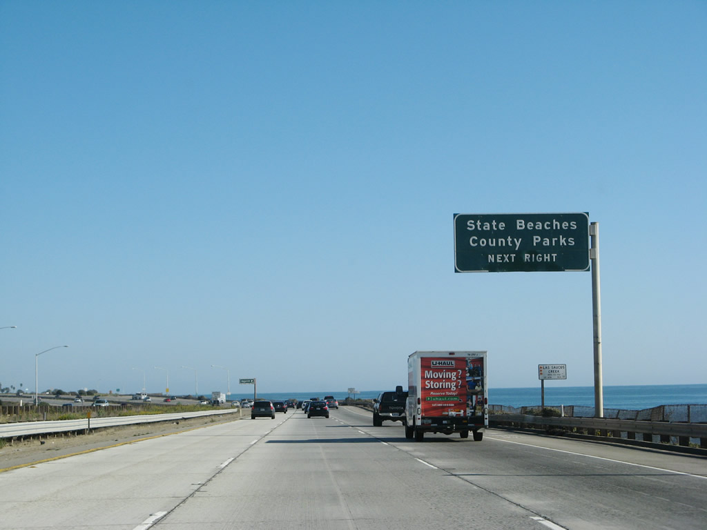
Southbound U.S. 101 (Ventura Freeway) reaches Exit 78, California 1 (Pacific Coast Highway) (Old Rincon Highway) southeast to Seacliff, Faria Beach, and Solimar Beach. This exit also serves Hobson County Park, Faria County Park, and Emma Wood State Beach. Photo taken 09/29/07. |
| U.S. 101 (Ventura Freeway / El Camino Real) south |
|---|
|
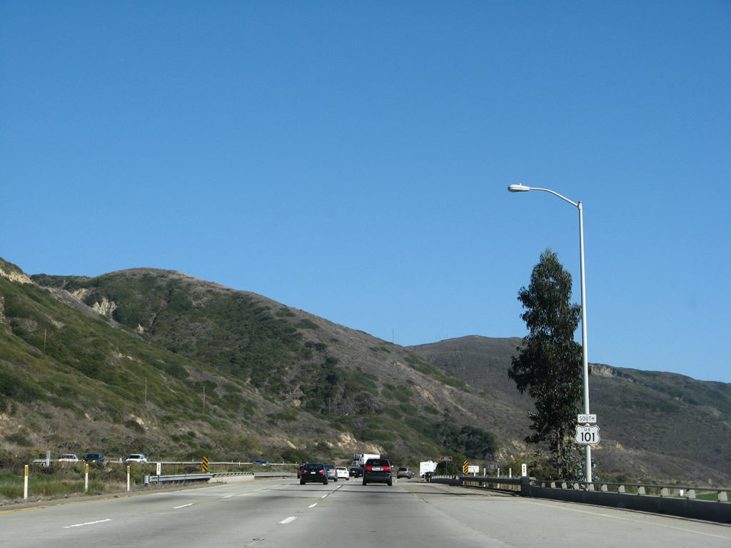
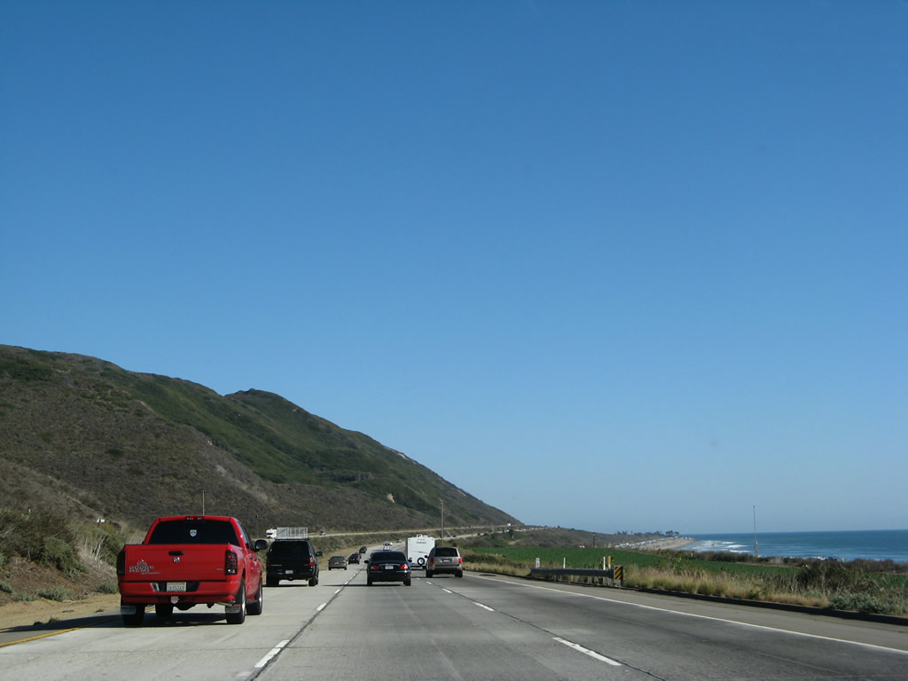
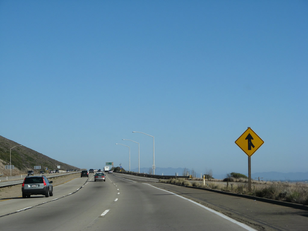
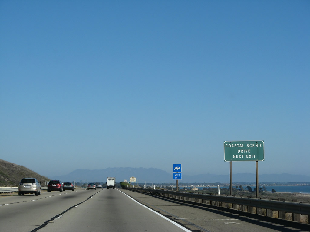
After the routes divide, U.S. 101 has an exitless stretch for seven miles. The freeway gains a third lane, and U.S. 101 continues southeast toward the city of Ventura. Photo taken 09/29/07. |
| U.S. 101 (Ventura Freeway / El Camino Real) and California 1 (Pacific Coast Highway) south |
|---|
|
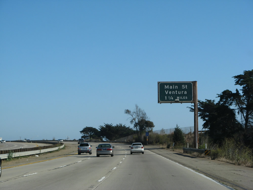
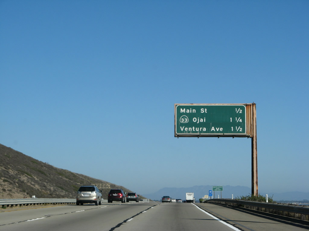
The next three exits along U.S. 101 (Ventura Freeway / El Camino Real) and California 1 (Pacific Coast Highway) south are Exit 71, U.S. 101 Business (Main Street); Exit 70B, California 33/Ojai Freeway (Former U.S. 399) north to Ojai; and Exit 70A, Ventura Avenue. Prior to Exit 71, U.S. 101 and California 1 cross over the Ventura River (built in 1962, widened in 1974). The old alignment of U.S. 101 is the modern business route through Ventura. U.S. 101 from Exit 71 south (east) to Exit 70A (Ventura Avenue) was built in 1963. Photo taken 09/29/07. |
|
Use Main Street east to downtown Ventura. At Garden Street, U.S. 101 Business turns south on Garden Street, then east on Thompson Boulevard. While the business route avoids downtown Ventura, U.S. 101 Business connects to Figueroa Street south to Seaside Park and Ventura County Fairgrounds. A few blocks further east, the business route intersects with California Street south to Harbor Boulevard and San Buenaventura State Beach. The business route returns to U.S. 101 at Exit 66 (Main Street). Photo taken 09/29/07. |
|
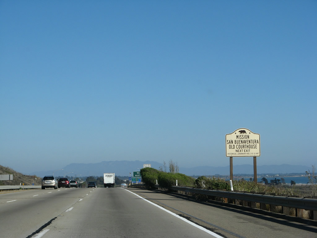
Follow Main Street east into downtown Ventura, which is the location of the Mission San Buenaventura and Old Ventura County Courthouse. The courthouse is situated at the south end of Grant Park. The park is also home to Father Junipero Serra Cross, and the mission is located a few blocks south of the cross along Main Street. Photo taken 09/29/07. |
|
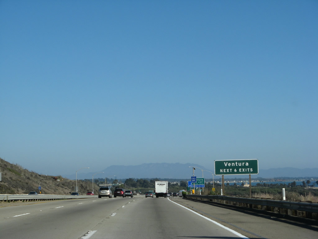
The next six exits all serve the city of Ventura, which is the seat of Ventura County: Exit 71, U.S. 101 Business (Main Street); Exit 70B, California 33/Ojai Freeway (Former U.S. 399) north to Ojai; Exit 70A, Ventura Avenue (Old U.S. 399/California 33 before the freeway was built); Exit 68, Seaward Avenue and Harbor Boulevard to the Ventura Harbor; Exit 66, California 126 (Santa Paula Freeway) east to Santa Clarita; and Exit 65, Telephone Road. Photo taken 09/29/07. |
|
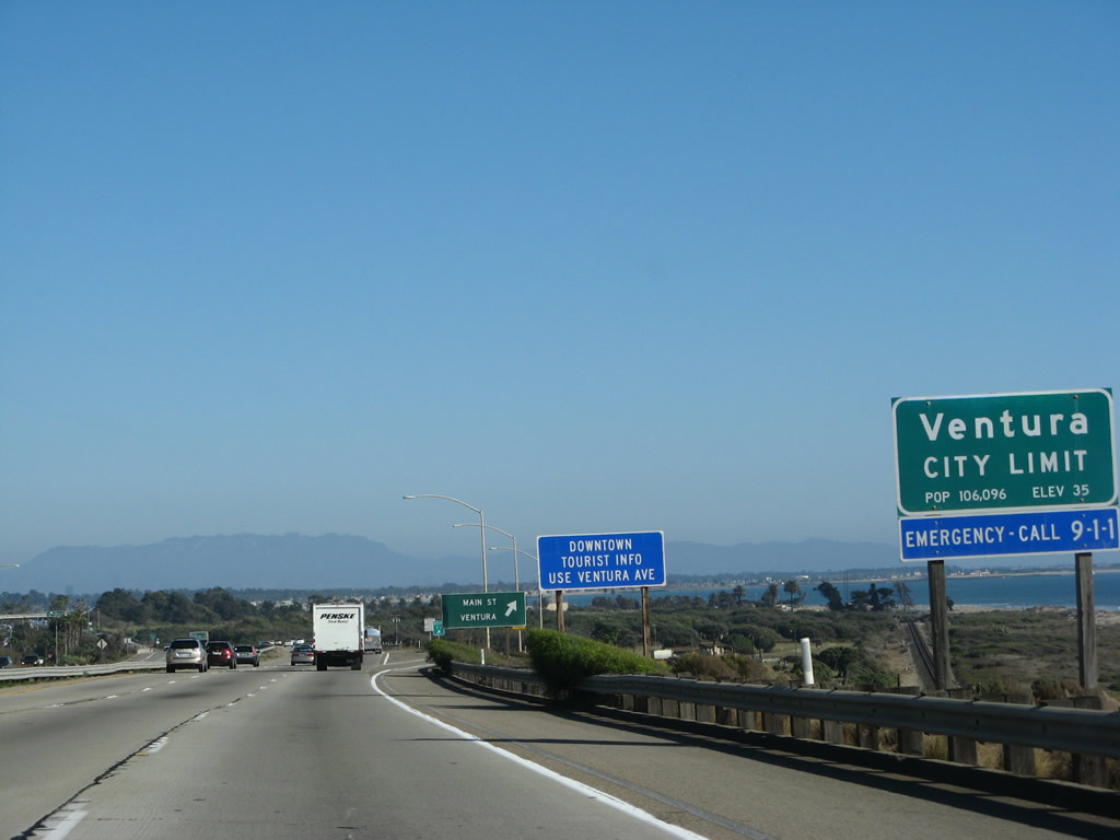
The city of San Buenaventura (Ventura) is the seat of Ventura County and home to 100,916 as of the 2000 Census. Although the city is officially San Buenaventura, it is commonly known as Ventura. Father Junipero Serra founded Mission San Buenaventura in 1782, and the city was incorporated in 1866. Oil played a major role in the early development of this area, and exploration reached out from Ventura inland and toward the sea. The city has a downtown dominated by the mission and Grant Park, and a harbor accessible at Exit 68. The Ventura Freeway section around the city of Ventura was constructed between 1961 and 1963. Photo taken 09/29/07. |
|
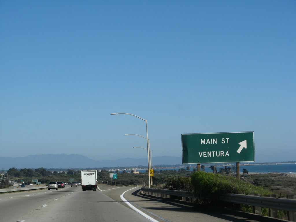
Southbound U.S. 101 and California 1 reach Exit 71, U.S. 101 Business (Main Street). The business route follows the old alignment of U.S. 101 and is the last remaining business route for U.S. 101 south. A former business route in Los Angeles along Ventura Boulevard was decommissioned in the 1970s. Through traffic for Los Angeles should continue southeast on U.S. 101 (Ventura Freeway). To historic downtown Ventura, exit here. Photo taken 09/29/07. |
|
The next two exits along U.S. 101 and California 1 south are Exit 70B, California 33/Ojai Freeway north to Ojai and Exit 70A, Ventura Avenue. Use Exit 70A, Ventura Avenue to the Ventura County Fairgrounds and Surfers Point at Seaside Park. Ventura Avenue is the old alignment of U.S. 399 (the original designation of California 33 prior to 1964). The old alignment and the freeway merge together north of Ventura. Photo taken 09/29/07. |
|
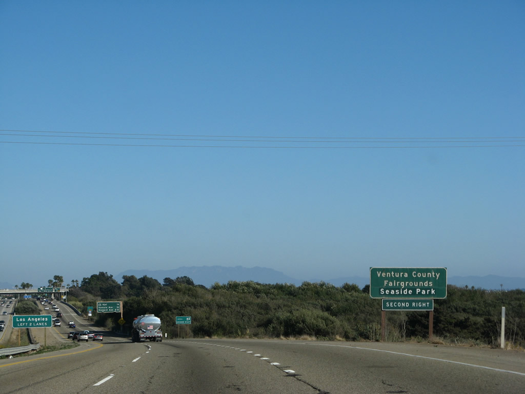
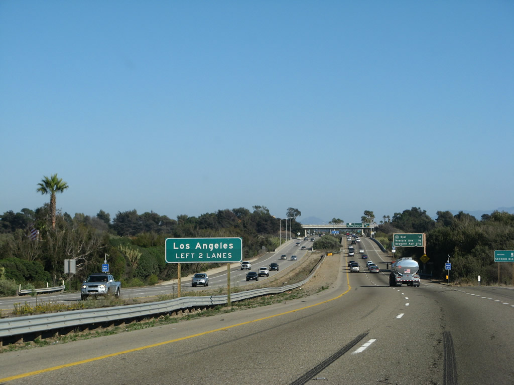
Through traffic for U.S. 101 and California 1 south (east) to Los Angeles should use the left two lanes. Photo taken 09/29/07. |
|
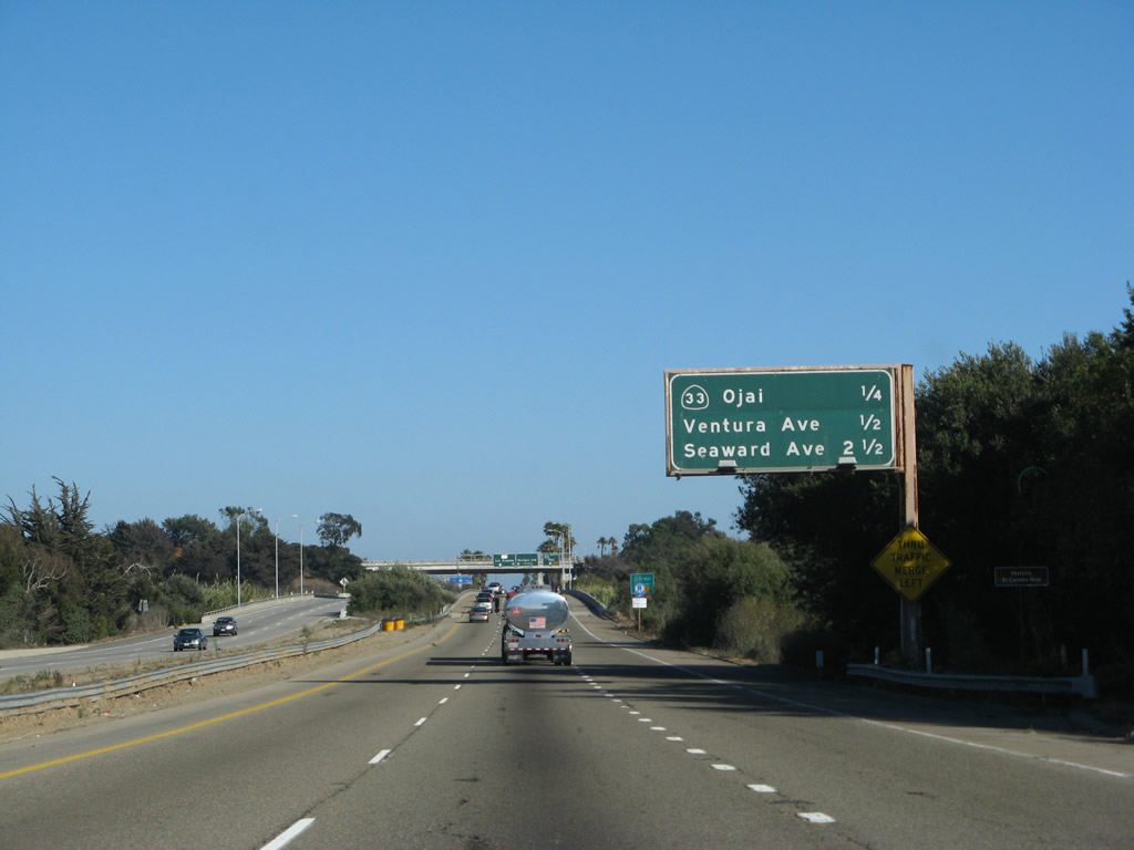
The next three exits along U.S. 101 and California 1 south are Exit 70B, California 33/Ojai Freeway north to Ojai; Exit 70A, Ventura Avenue; and Exit 68, Seaward Avenue and Harbor Boulevard to the Ventura Harbor. Photo taken 09/29/07. |
|
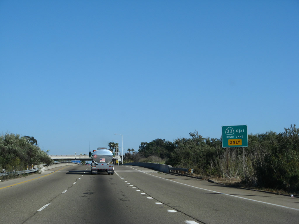
The right lane of U.S. 101 and California 1 south becomes exit only for Exit 70B, California 33/Ojai Freeway north to Ojai. California 33 is a very long north-south state route that follows old U.S. 399 north through Ojai, Wheeler Gorge, and Sespe Gorge to Pine Mountain Summit (el. 5,080 feet). After a brief overlap with California 166, California 33 serves Maricopa and Taft. While old U.S. 399 turned northeast to Bakersfield via today's California 119, California 33 continues north of Taft along the western edge of the Central Valley to Avenal, Coalinga, Los Banos, and Vernalis (including brief overlaps with California 198, Interstate 5, and California 152). The state route ends at Interstate 5 southeast of Tracy. Photo taken 09/29/07. |
|
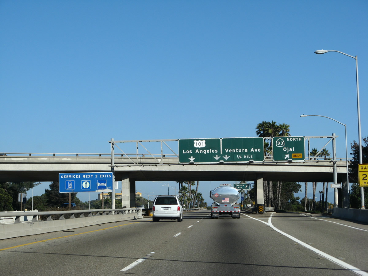
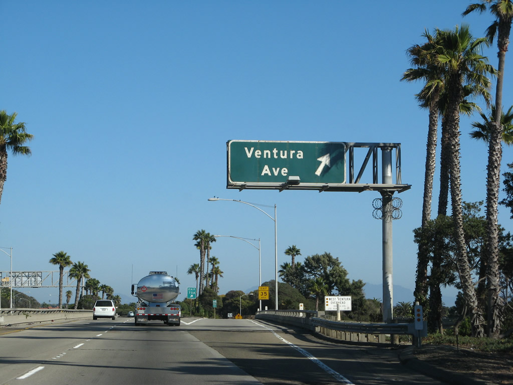
Southbound (eastbound) U.S. 101 and California 1 reach Exit 70B, California 33/Ojai Freeway north to Ojai. The next off-ramp is for Exit 70A, Ventura Avenue (old U.S. 399/old California 33). Photo taken 09/29/07. |
|
Immediately thereafter, U.S. 101 and California 1 south reach Exit 70A, Ventura Avenue to the county fairgrounds, Surfers Point, and Seaside Park. Photo taken 09/29/07. |
|
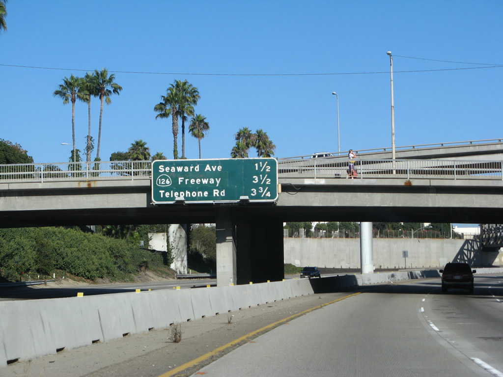
This mileage sign provides the distance to the next three exits along U.S. 101 south: Exit 68, Seaward Avenue and Harbor Boulevard to the Ventura Harbor; Exit 66, California 126 (Santa Paula Freeway) east to Santa Clarita; and Exit 65, Telephone Road. After the Figueroa Street separation, U.S. 101 from Exit 70A east to Exit 65 (Telephone Road) was built in 1961. Photo taken 09/29/07. |
|
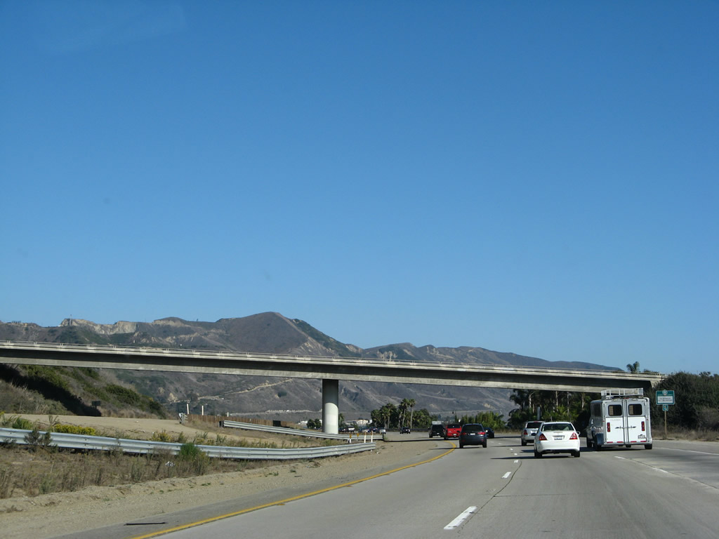
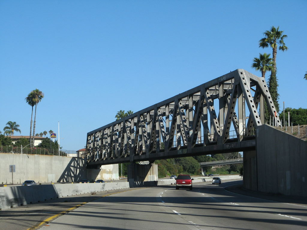
A rare steel through truss railroad bridge crosses over U.S. 101 (Ventura Freeway) after the Ventura Avenue off-ramp (built in 1961). Photo taken 09/29/07. |
|
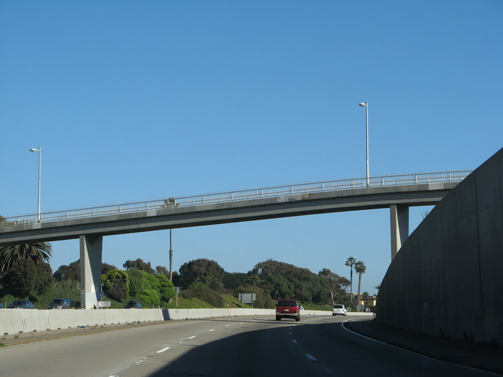
The Ash Street pedestrian overcrossing passes over U.S. 101 (Ventura Freeway) and California 1 (Pacific Coast Highway) (built in 1961). Photo taken 09/29/07. |
|
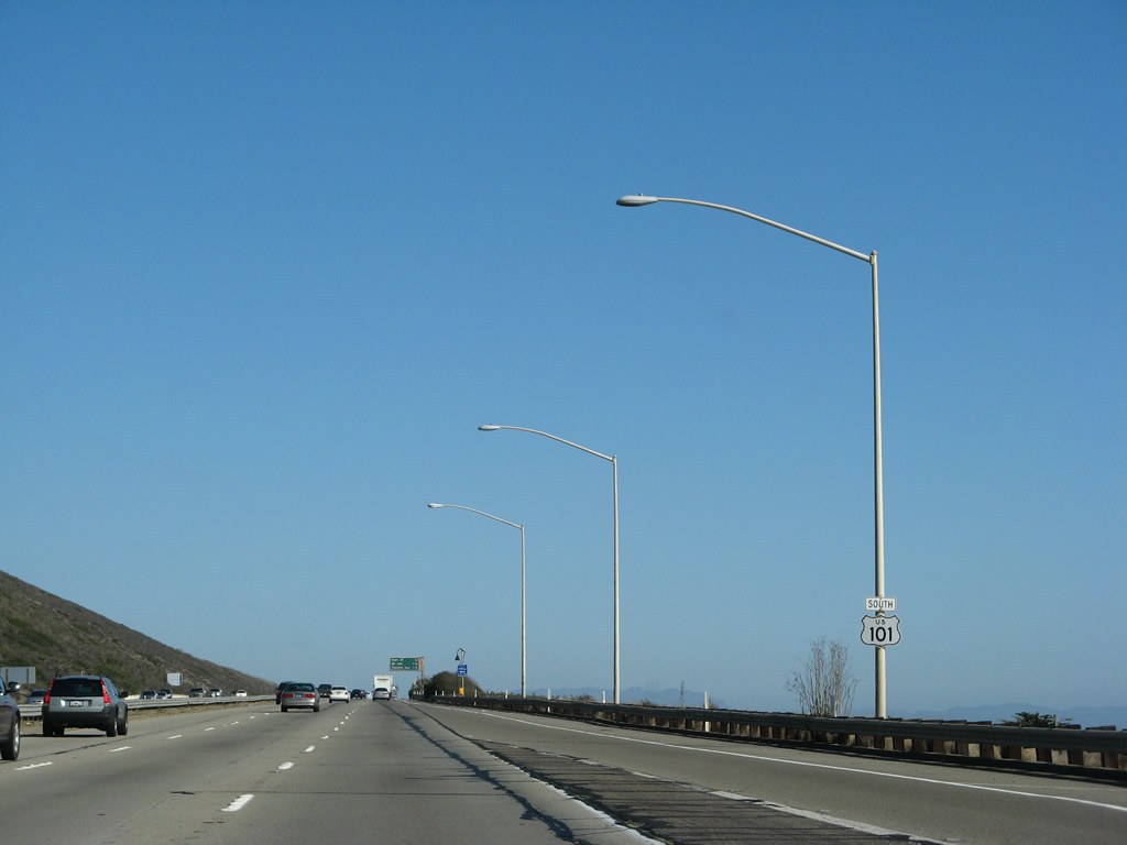
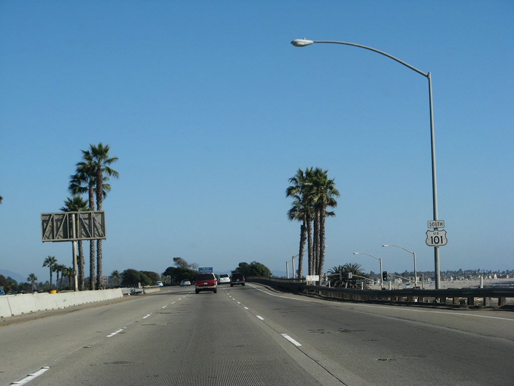
A reassurance shield for U.S. 101 (California 1 is still unsigned through here) is posted after the on-ramp from California Street and Harbor Boulevard and prior to the San Jon Creek (San Jon Road) bridge. Photo taken 09/29/07. |
|
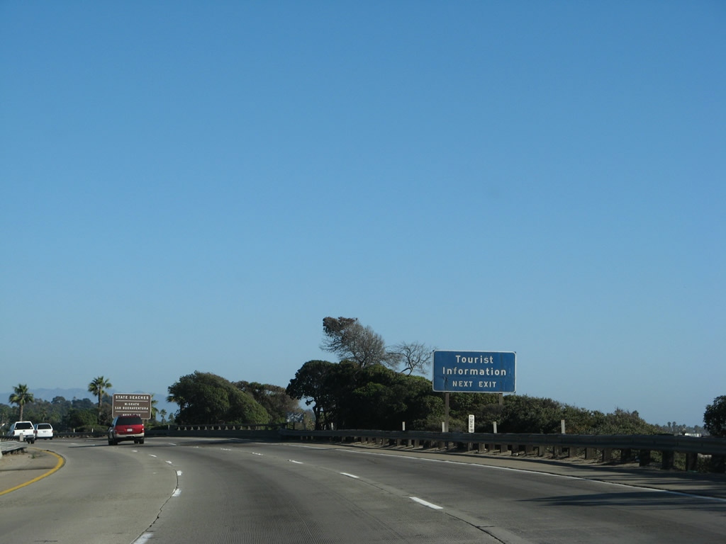
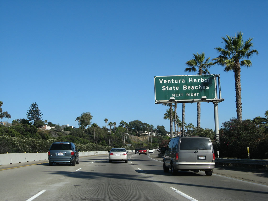
All motorist services including a tourist information center are available at the next interchange: Exit 68, Seaward Avenue and Harbor Boulevard to Ventura Harbor. Photo taken 09/29/07. |
|
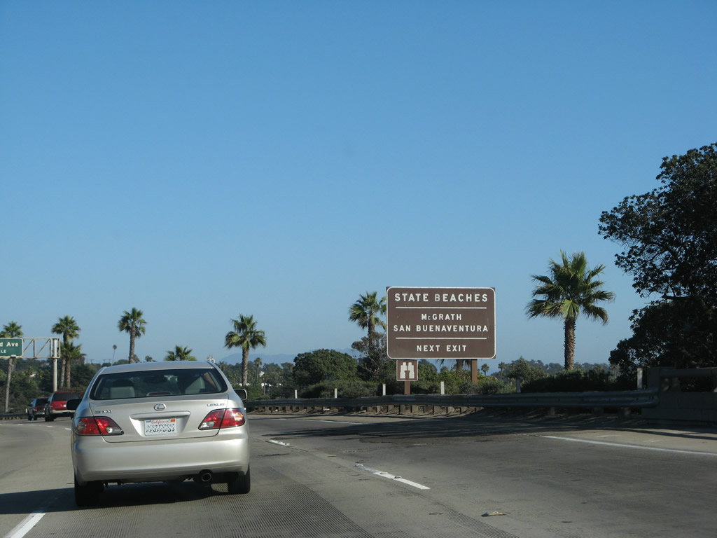
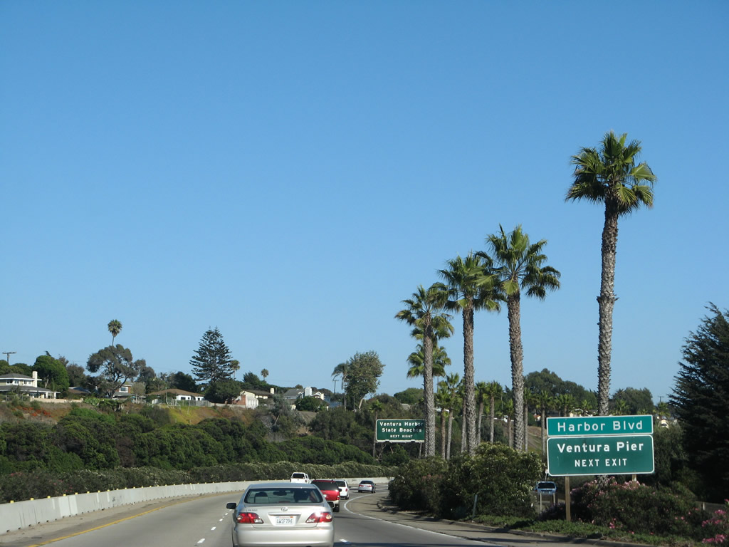
Use Exit 68 (Seaward Avenue) to Harbor Boulevard north to San Buenaventura State Beach and south to Ventura Harbor and McGrath State Beach. Photo taken 09/29/07. |
|
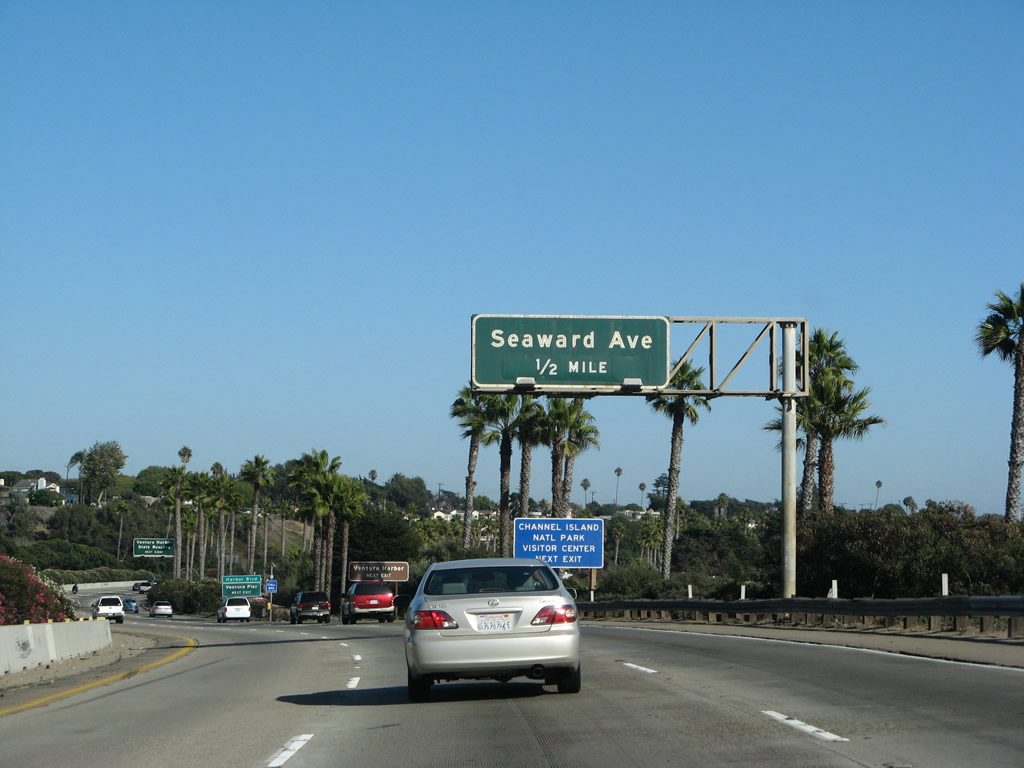
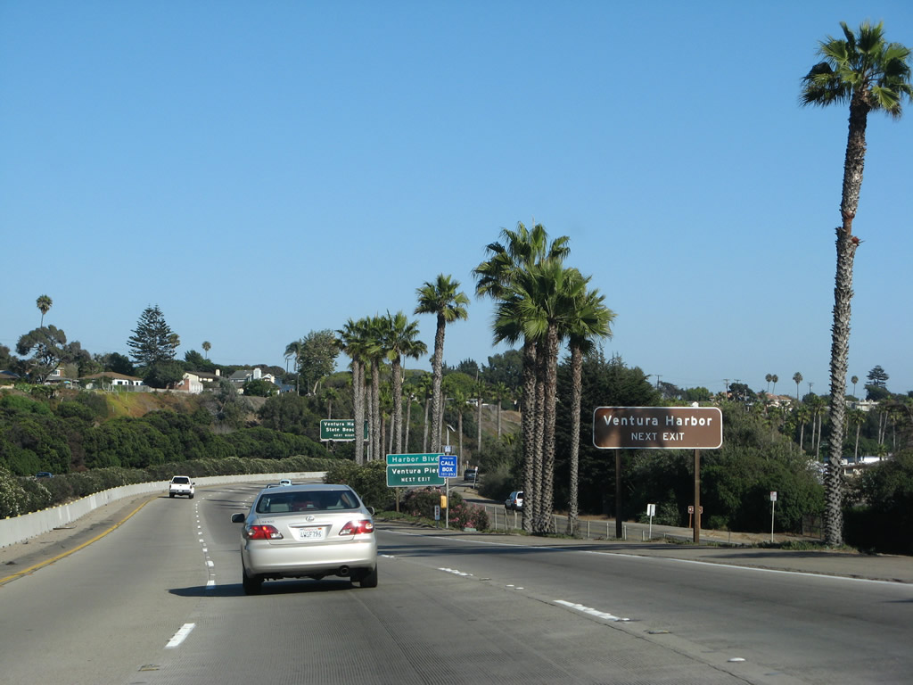
Southbound U.S. 101 (Ventura Freeway / El Camino Real) and California 1 (Pacific Coast Highway) approach Exit 68, Seaward Avenue and Harbor Boulevard to the Ventura Harbor. Photo taken 09/29/07. |
|
Use Exit 68, Seaward Avenue to Harbor Boulevard southeast to Ventura Harbor. Ventura Harbor is one of the gateways to Channel Islands National Park. The park consists of five largely undeveloped and pristine islands (Anacapa, Santa Cruz, Santa Rosa, San Miguel, and Santa Barbara) located in the Pacific Ocean south of Ventura. Boats leave Ventura Harbor and Channel Islands Harbor (use Exit 64) on a regular basis to the islands. In addition, Ventura Harbor provides beach activities, a carousel, arcade, shopping, dining, and plenty of charters for fishing or whale watching expeditions. Photo taken 09/29/07. |
|
Use Exit 68, Seaward Avenue to Harbor Boulevard west to Ventura Pier. The Ventura Pier is the longest such structure in California at 1,958 feet long. It was built in 1872 and is popular for fishing and related activities. Use Harbor Boulevard west to the pier; it is not located at Ventura Harbor (via Harbor Boulevard southeast). Photo taken 09/29/07. |
|
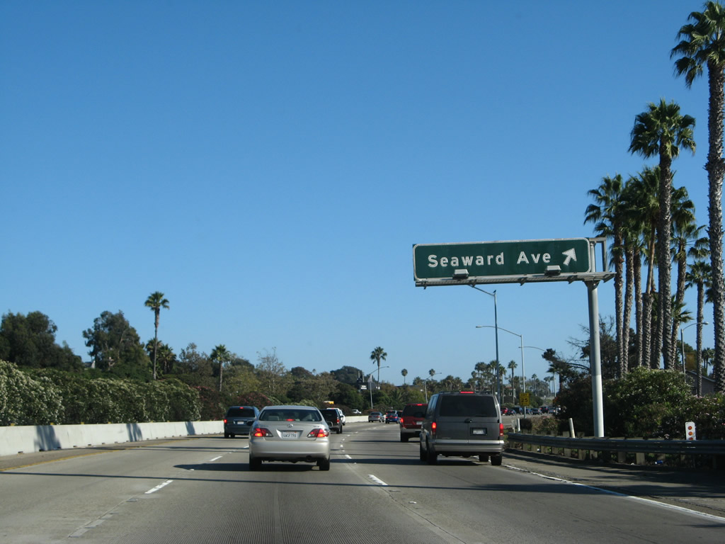
As noted earlier, Exit 68 provides access to two state beaches and Ventura Harbor via Harbor Boulevard. Additionally, lodging, food, and gas are located at this interchange. Finally, Seaward Avenue also travels north from this interchange toward Ventura High School and eventually connects to Hall Canyon Road and Poli Street east. Seaward Avenue also links to U.S. 101 Business/Thompson Boulevard and Main Street. Photo taken 09/29/07. |
|
Southbound U.S. 101 (Ventura Freeway / El Camino Real) and California 1 (Pacific Coast Highway) reach Exit 68, Seaward Avenue to Harbor Boulevard and Ventura Harbor. Photo taken 09/29/07. |
|
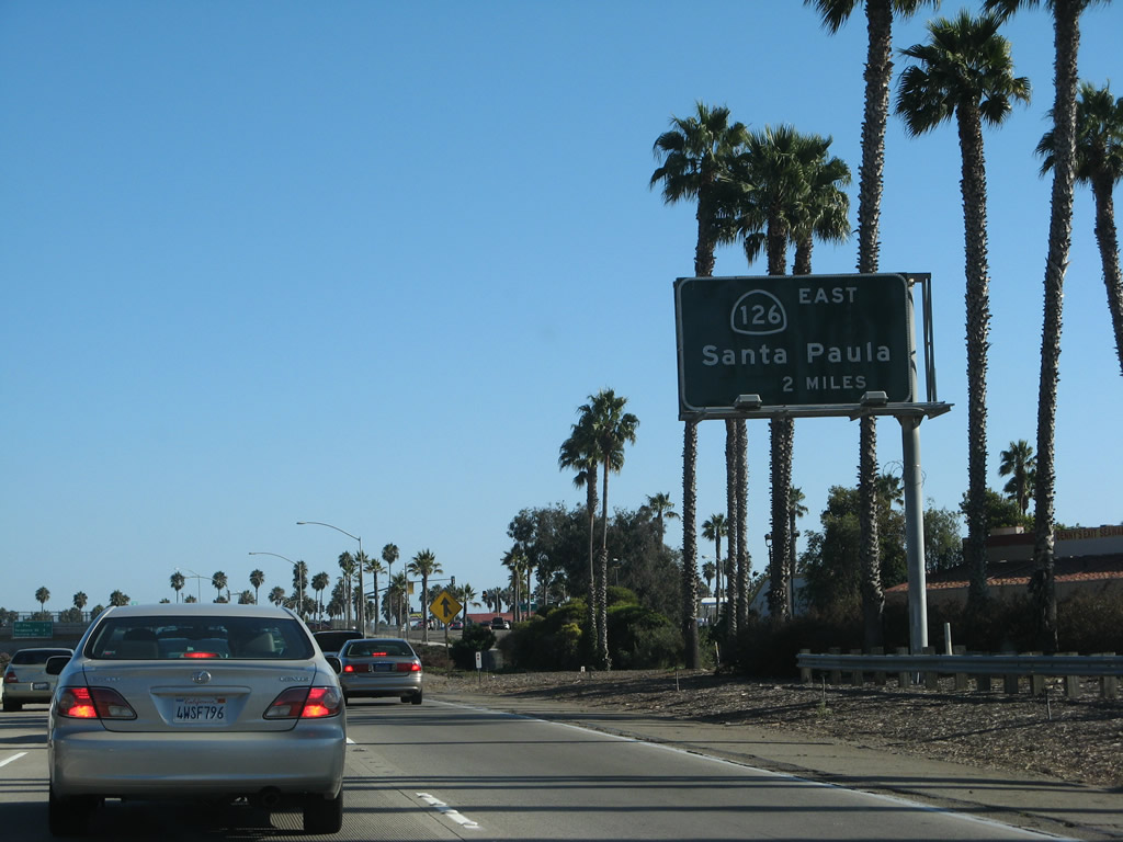
The next exit along southbound U.S. 101 (Ventura Freeway / El Camino Real) and California 1 (Pacific Coast Highway) is Exit 66, California 126 (Santa Paula Freeway) east to Santa Clarita. Photo taken 09/29/07. |
|
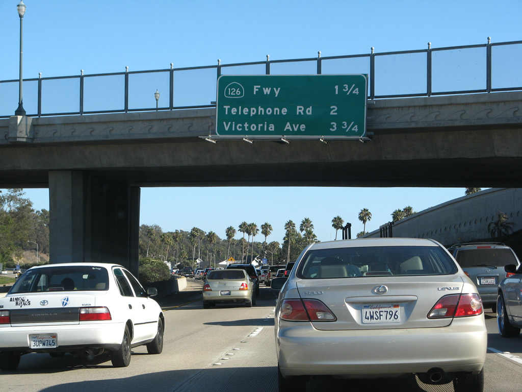
The next three exits along southbound U.S. 101 (Ventura Freeway / El Camino Real) and California 1 (Pacific Coast Highway) are Exit 66, California 126 (Santa Paula Freeway) east to Santa Paula and Santa Clarita; Exit 65, Telephone Road; and Exit 64, Victoria Avenue. Photo taken 09/29/07. |
|
California 126 connects Ventura with Santa Clarita via Santa Paula and Fillmore while following the Santa Clara River. From Ventura to Santa Paula, California 126 is a four to six-lane freeway. At Santa Paula, California 126 meets California 150 and downgrades to an expressway alignment. Upon entering Fillmore, California 126 becomes a conventional city street. To the east, California 126 continues along the Santa Clara River, passing the community of Piru and then crosses into Los Angeles County. The state route ends in rapidly expanding Santa Clarita, and further development of the 126 corridor from Fillmore to Santa Clarita is likely in the next 30 years. The question remains whether California 126 can absorb the additional traffic generated by such development as a four-lane highway or if it needs to be upgraded as development occurs. A planned extension of California 126 to California 14 was never built, and the old alignment of California 126 through downtown Santa Clarita was decommissioned in the early to mid-2000s. Photo taken 09/29/07. |
|
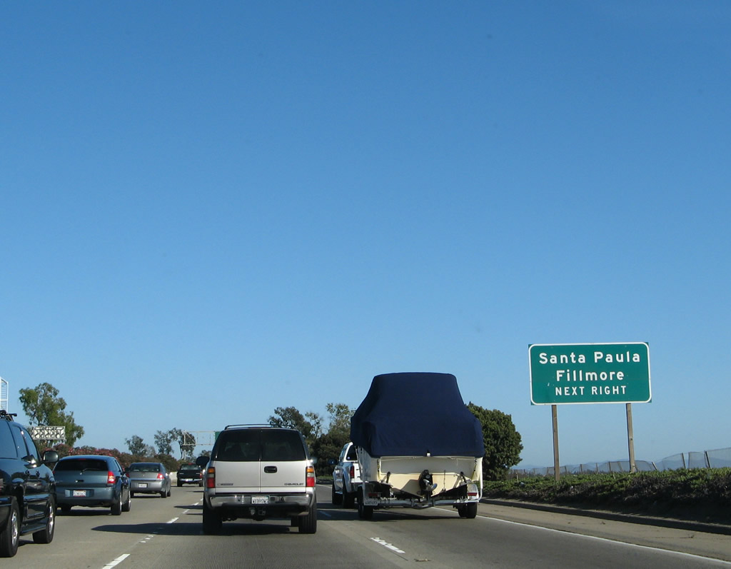
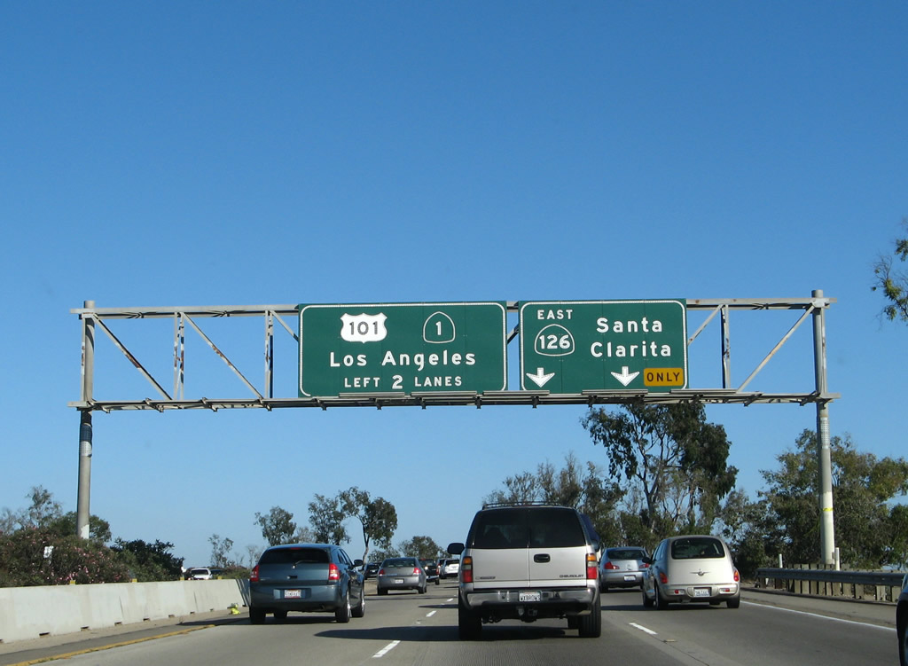
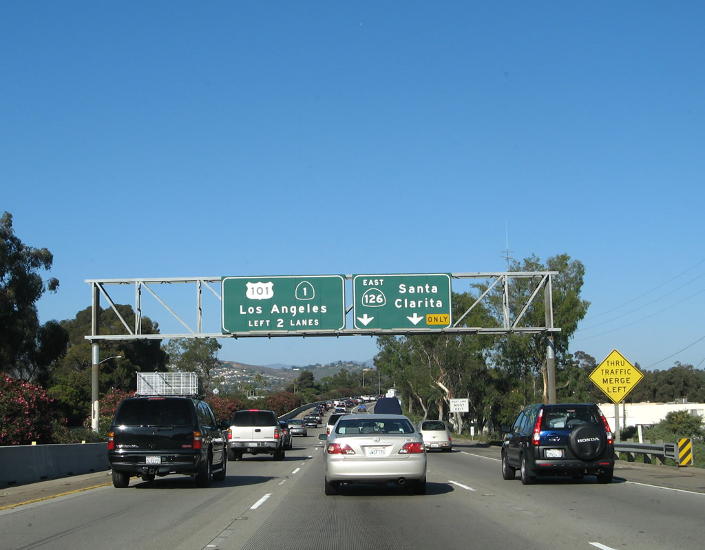
Southbound U.S. 101 (Ventura Freeway / El Camino Real) and California 1 (Pacific Coast Highway) are both signed on the pull-through overhead prior to Exit 66, California 126 (Santa Paula Freeway) east to Santa Paula and Santa Clarita. The right two lanes will connect to California 126; the left two lanes will continue south (east) on U.S. 101 and California 1. Use California 126 east to California 118 (Los Angeles Avenue) east to Simi Valley (note that California 118 is not a freeway until east of the California 23 interchange). Photo taken 09/29/07. |
|
Another overhead sign advises of the lane allocation for U.S. 101 (Ventura Freeway / El Camino Real) and California 1 (Pacific Coast Highway) south and California 126 (Santa Paula Freeway) east. Through traffic to Los Angeles should stay in the left two lanes. Photo taken 09/29/07. |
|
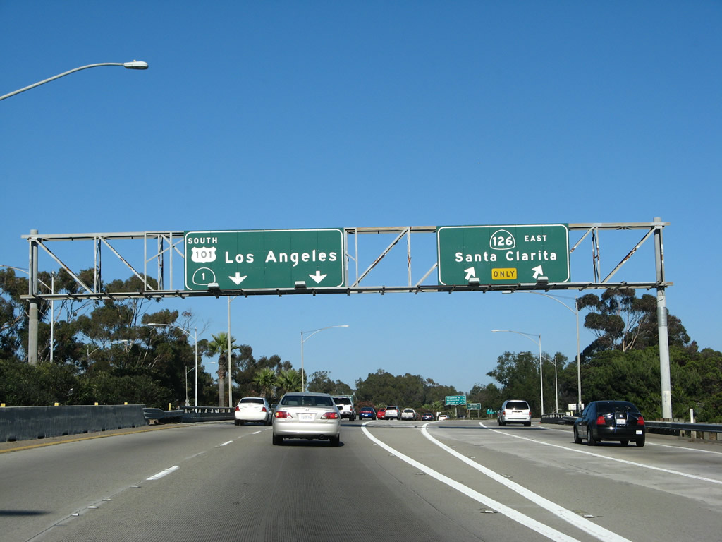
Southbound U.S. 101 (Ventura Freeway / El Camino Real) and California 1 (Pacific Coast Highway) reach Exit 66, California 126 (Santa Paula Freeway) east to California 118, Santa Paula, and Santa Clarita (two-lane right exit). Stay left to continue on California 1 and U.S. 101 south. Photo taken 09/29/07. |
|
The next exit along southbound U.S. 101 (Ventura Freeway / El Camino Real) and California 1 (Pacific Coast Highway) is Exit 65, Telephone Road and U.S. 101 Business (Main Street) west to Ventura. Photo taken 09/29/07. |
|
While U.S. 101 Business begins at Exit 66B for northbound traffic, the southbound business route does not merge back onto U.S. 101 until Exit 65. Photo taken 09/29/07. |
|
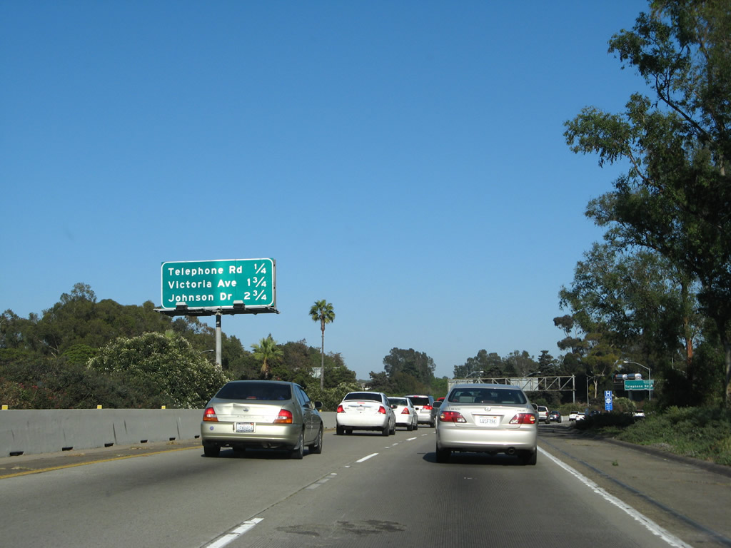
This mileage sign provides the distance to the next three exits along southbound U.S. 101 (Ventura Freeway / El Camino Real) and California 1 (Pacific Coast Highway): Exit 65, Telephone Road; Exit 64, Victoria Avenue; and Exit 63B, Johnson Drive. Photo taken 09/29/07. |
|
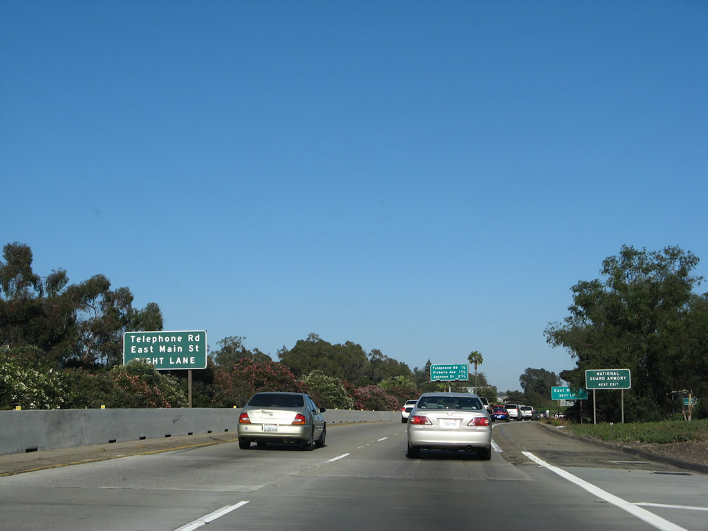
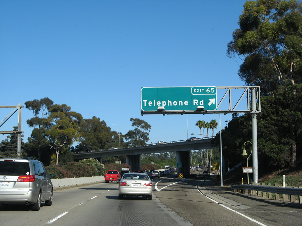
Southbound U.S. 101 (Ventura Freeway / El Camino Real) and California 1 (Pacific Coast Highway) reach Exit 65, Telephone Road. Telephone Road travels northeast on an alignment parallel to the California 126 freeway, ending at California 118/Wells Road (Los Angeles Avenue) in Saticoy. Photo taken 09/29/07. |
|
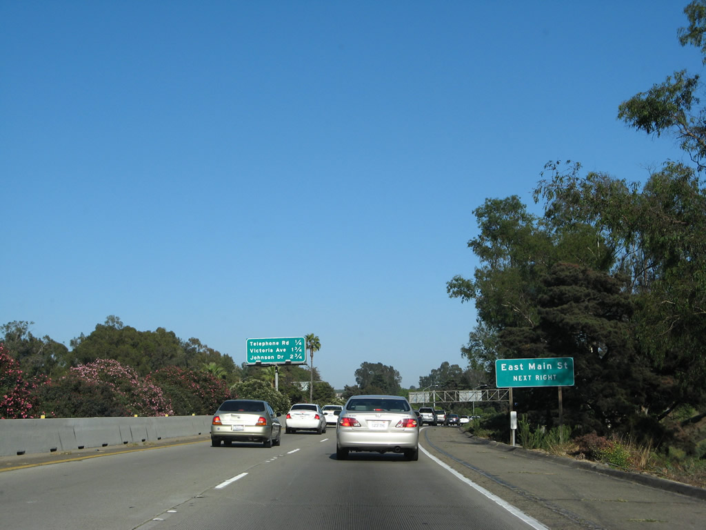
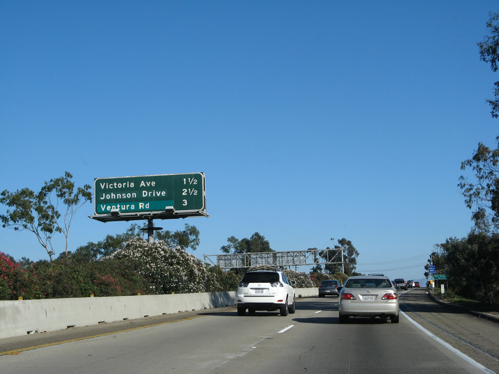
This interchange sequence sign provides the distance to the next three exits along southbound U.S. 101 (Ventura Freeway / El Camino Real) and California 1 (Pacific Coast Highway): Exit 64, Victoria Avenue; Exit 63B, Johnson Drive; and Exit 63A, Ventura Road in the city of Oxnard. Photo taken 09/29/07. |
|
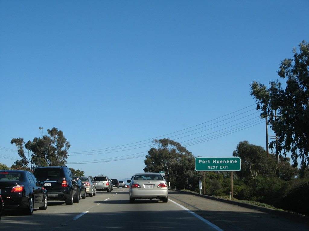
Use Victoria Avenue south to the western section of the city of Oxnard (including Oxnard Airport, Hollywood Beach, Hollywood by the Sea, and Silver Strand) and the city of Port Hueneme (which includes a picturesque beach and a large naval installation). Photo taken 09/29/07. |
|
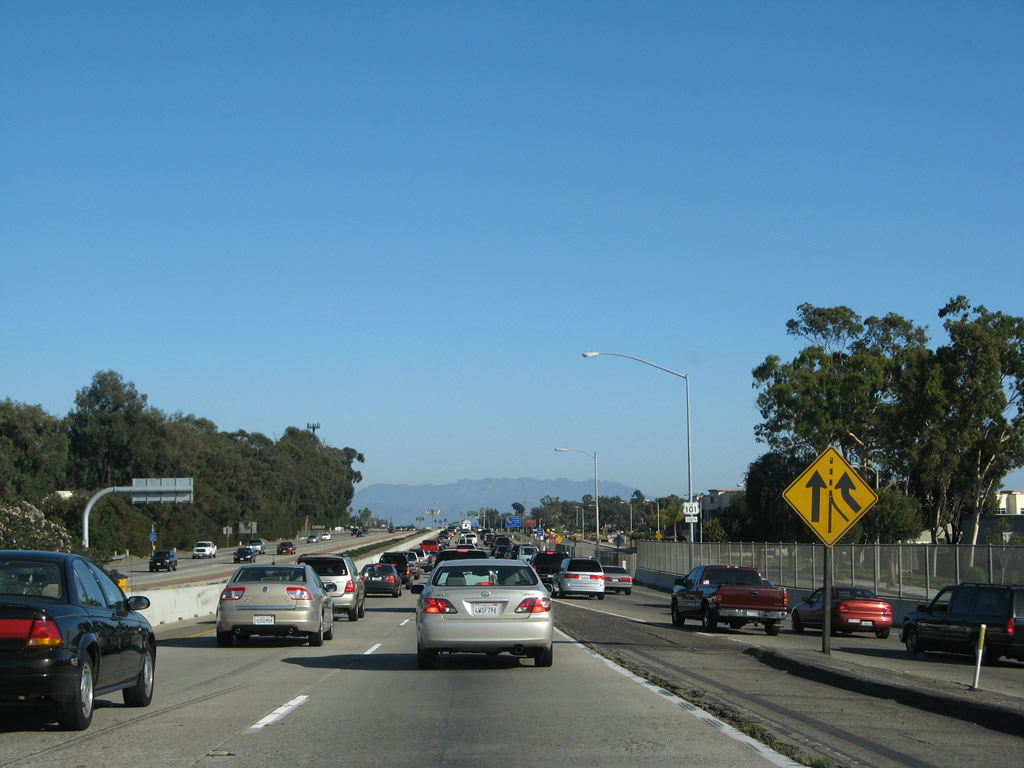
A stream of traffic from Main Street (which includes U.S. 101 Business and part of the transition from California 126 west to U.S. 101 south) merges with mainline U.S. 101. The two left lanes continue east, but the strain of traffic resulted in a slow drive on this day. Photo taken 09/29/07. |
|
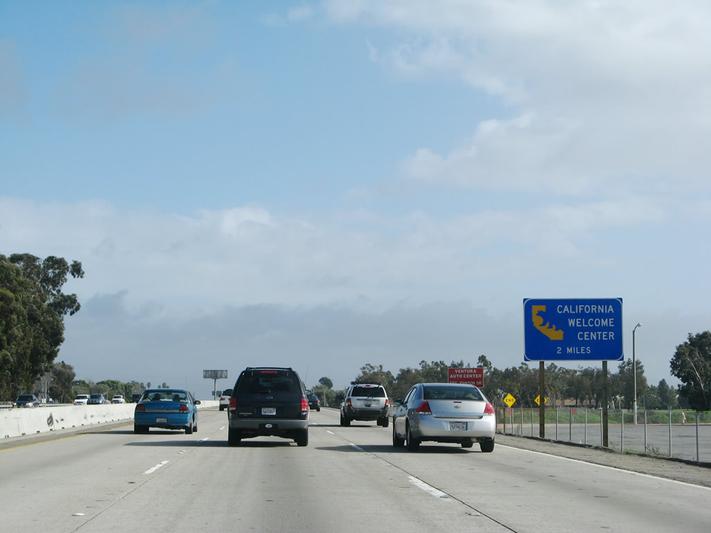
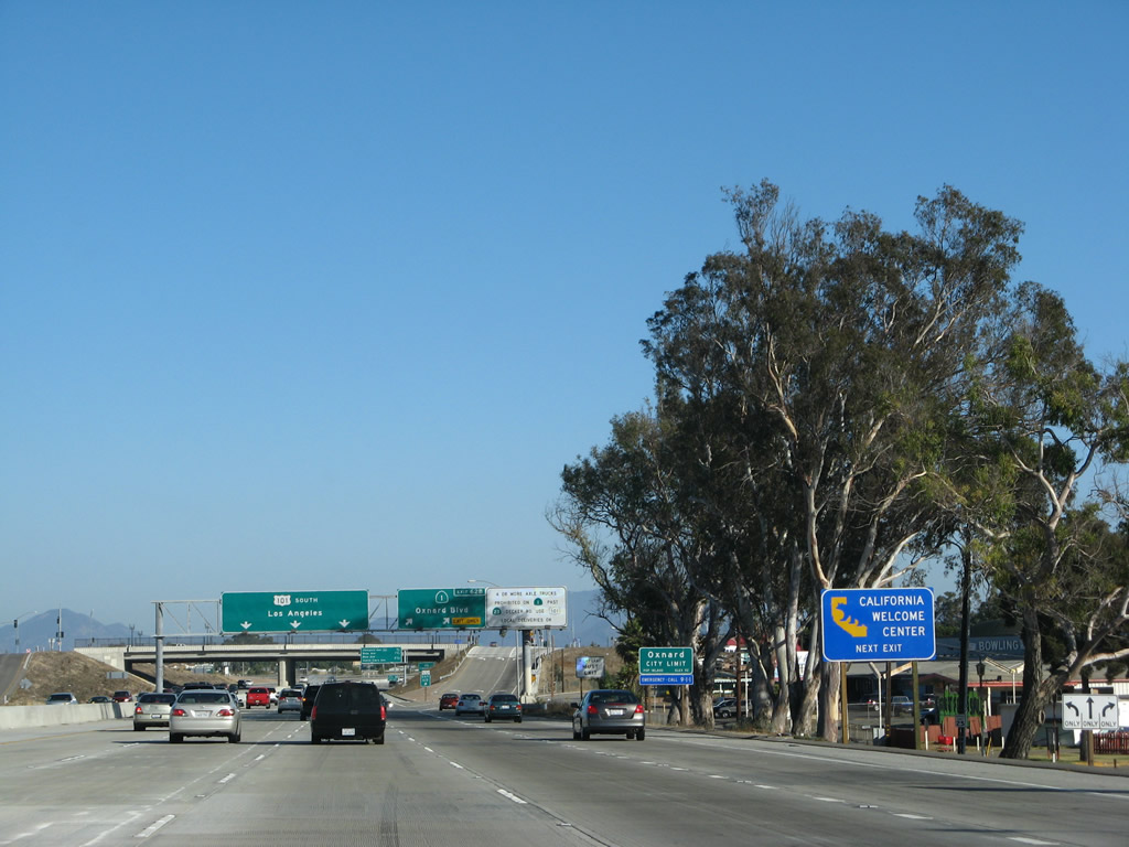
A California Welcome Center is located at Exit 62B, California 1/Oxnard Boulevard (Pacific Coast Highway) south. Photo taken 02/02/08. |
|
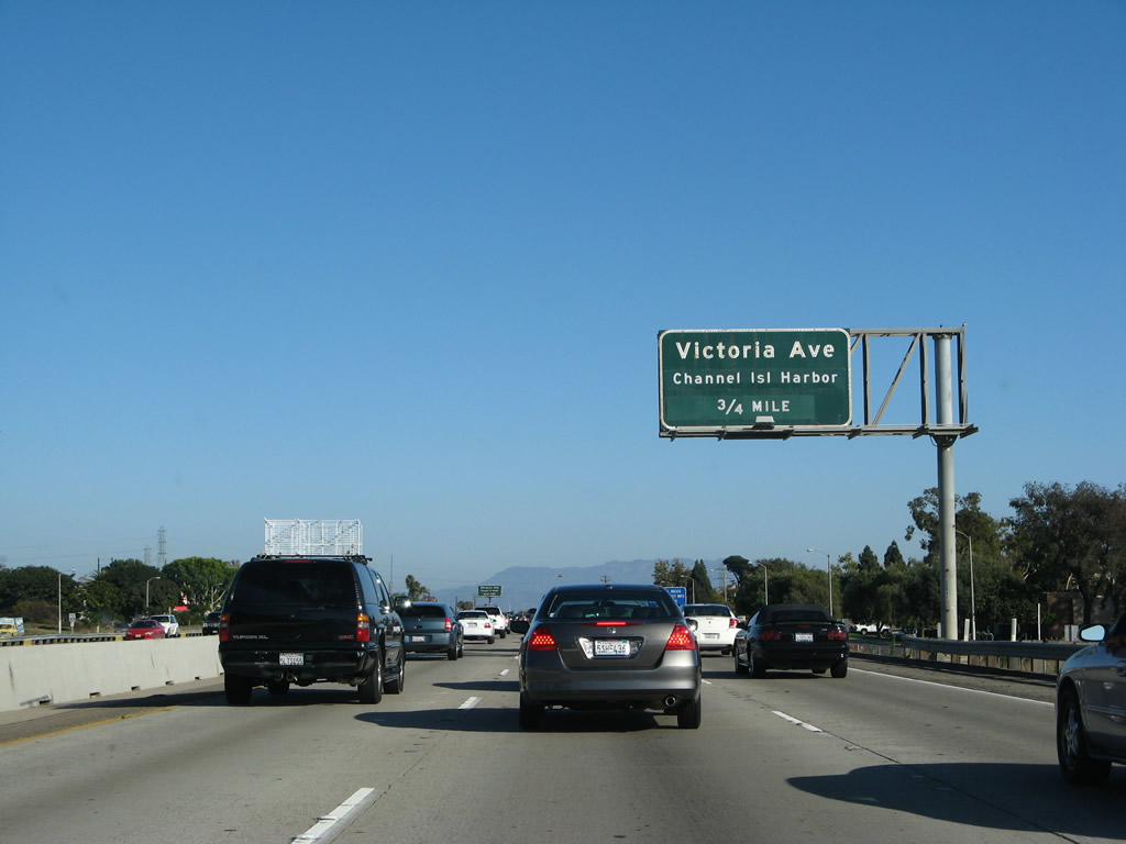
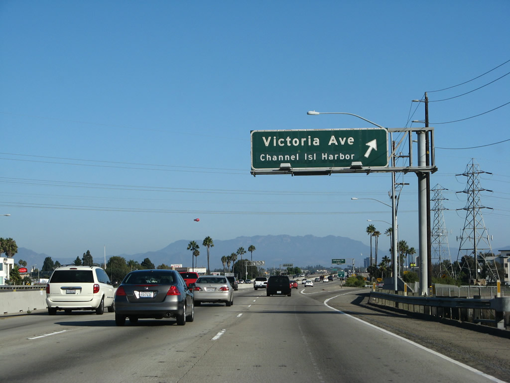
The next exit along U.S. 101 south is Exit 64, Victoria Avenue. Access to Channel Islands National Park can also be afforded via Channel Islands Harbor, which is located in the city of Oxnard near the communities of Hollywood Beach and Silver Strand. Follow Victoria Avenue south to Channel Islands Boulevard west to the ship terminal and harbor landing. Photo taken 09/29/07. |
|
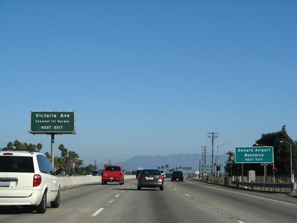
Use Victoria Avenue south to the Oxnard Airport and Channel Islands Harbor. This interchange is located in the Montalvo community of the city of Ventura. This is the second to last interchange to serve the city of Ventura. Photo taken 09/29/07. |
|
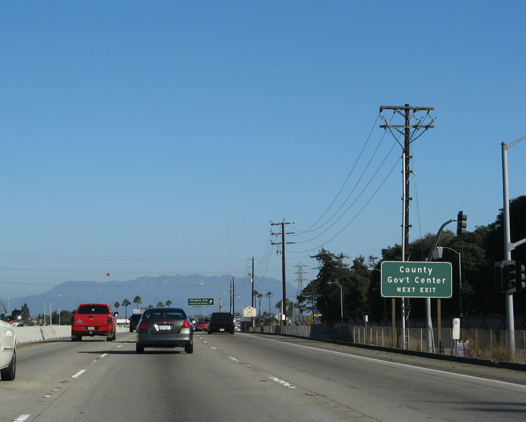
Use Victoria Avenue north to the Ventura County Administration Center, which is located at the interchange between Victoria Avenue and California 126 (Santa Paula Freeway). Photo taken 09/29/07. |
|
Southbound U.S. 101 and California 1 reach Exit 64, Victoria Avenue. Photo taken 09/29/07. |
|
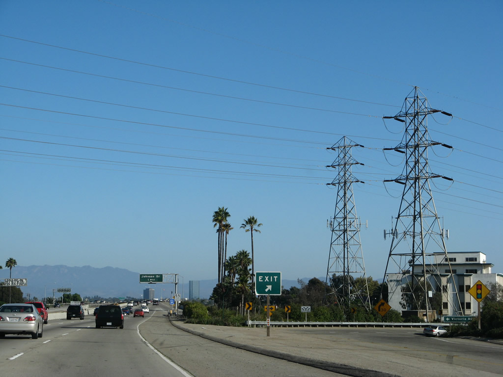
A pair of Southern California Edison transmission wires (one set 230kV and the smaller likely 138kV) cross U.S. 101. These lines connect with the main Ventura to Santa Clarita power transmission line that roughly parallels U.S. 101 to the north. Photo taken 09/29/07. |
|
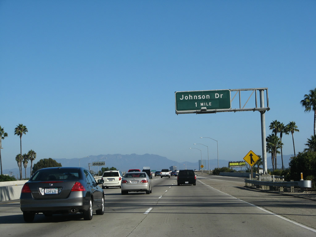
The next exit along U.S. 101 and California 1 south is Exit 63B, Johnson Drive north to the community of Montalvo in the eastern part of the city of Ventura. Photo taken 09/29/07. |
|
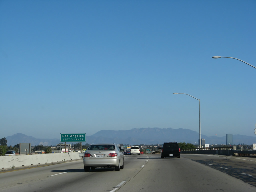
For through traffic to Los Angeles via U.S. 101, use the left three lanes. Local traffic (including traffic to California 1 south) south use the right lanes. Photo taken 09/29/07. |
|
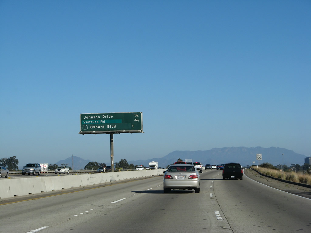
This mileage sign provides the distance to the next three exits along southbound U.S. 101 (Ventura Freeway / El Camino Real) and California 1 (Pacific Coast Highway): Exit 63B, Johnson Drive; Exit 63A, Ventura Road; and Exit 62B, California 1/Oxnard Boulevard (Pacific Coast Highway) south to Oxnard. Photo taken 09/29/07. |
|
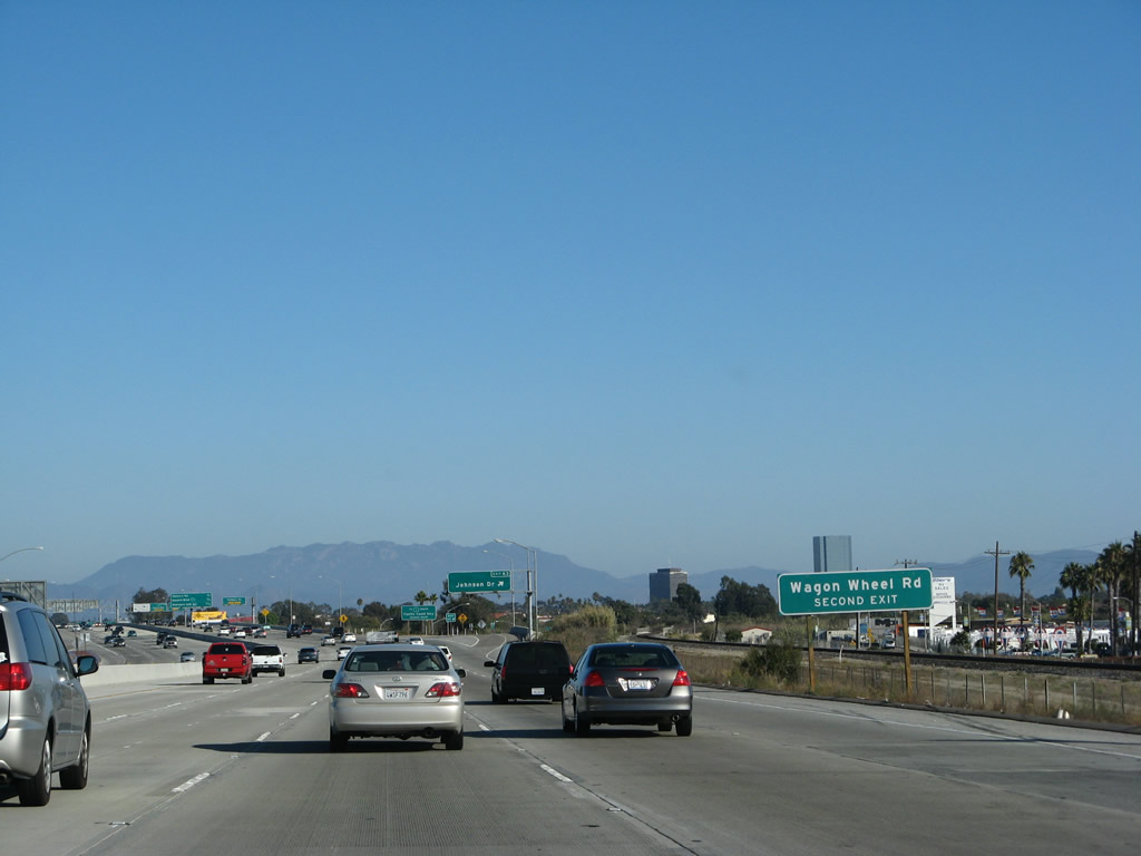
Use Exit 63A to Wagon Wheel Road, which is the southern frontage road for the Ventura Freeway. Photo taken 09/29/07. |
|
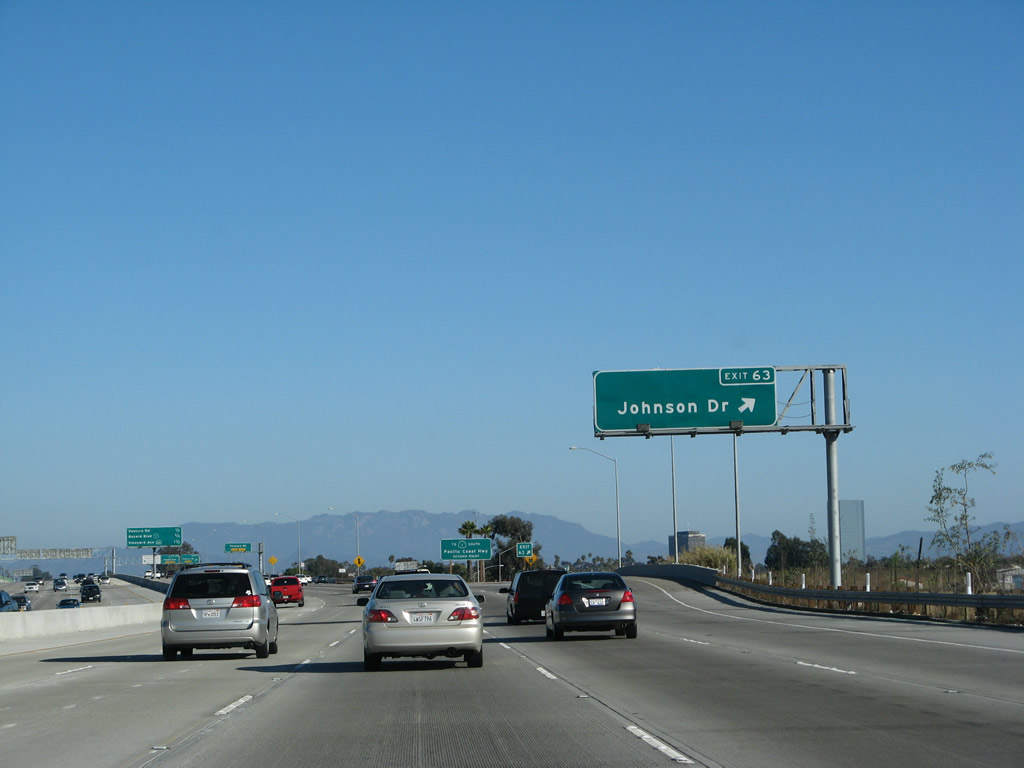
Southbound U.S. 101 (Ventura Freeway / El Camino Real) and California 1 (Pacific Coast Highway) reaches Exit 63B, Johnson Drive. This is the final city of Ventura interchange. After this interchange, U.S. 101 and California 1 will cross the Santa Clara River before entering the city of Oxnard. Photo taken 09/29/07. |
|
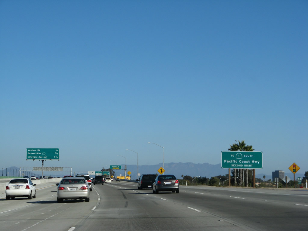
Use Exit 62B, California 1/Oxnard Boulevard south to the continuation of the Pacific Coast Highway, which follows the coast from Oxnard past Point Mugu to Malibu, Santa Monica, and Los Angeles (Venice Beach). After Exit 62B, U.S. 101 will not intersect California 1 again. Prior to 1964, this section of California 1 was known as Alternate U.S. 101, and the alternate route rejoined U.S. 101 in San Juan Capistrano at the current California 1 and Interstate 5 interchange in Orange County. Now that U.S. 101 has been decommissioned south of downtown Los Angeles, U.S. 101 does not enter Orange or San Diego Counties. Photo taken 09/29/07. |
|
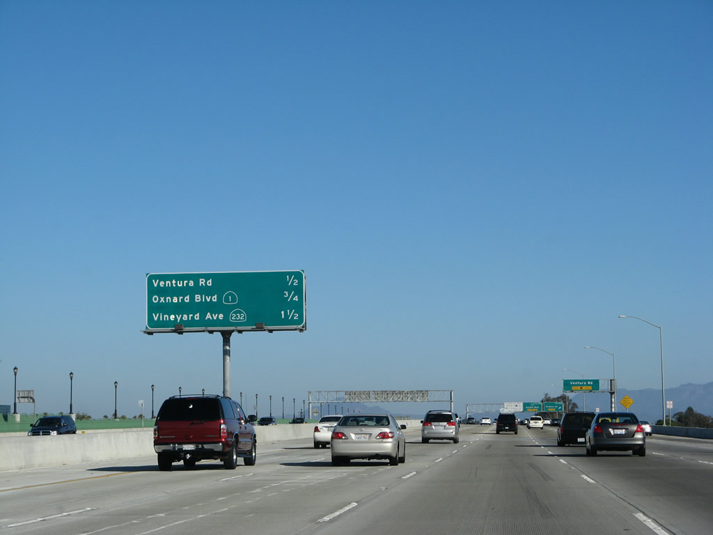
Six lanes of U.S. 101 and California 1 south cross the Santa Clarita River. This bridge was expanded and rebuilt in the mid-2000s. This mileage sign provides the distance to the next three exits along southbound U.S. 101 (Ventura Freeway / El Camino Real) and California 1 (Pacific Coast Highway): Exit 63A, Ventura Road; Exit 62B, California 1/Oxnard Boulevard (Pacific Coast Highway) south to Oxnard; and Exit 62A, California 232 (Vineyard Avenue). Photo taken 09/29/07. |
|
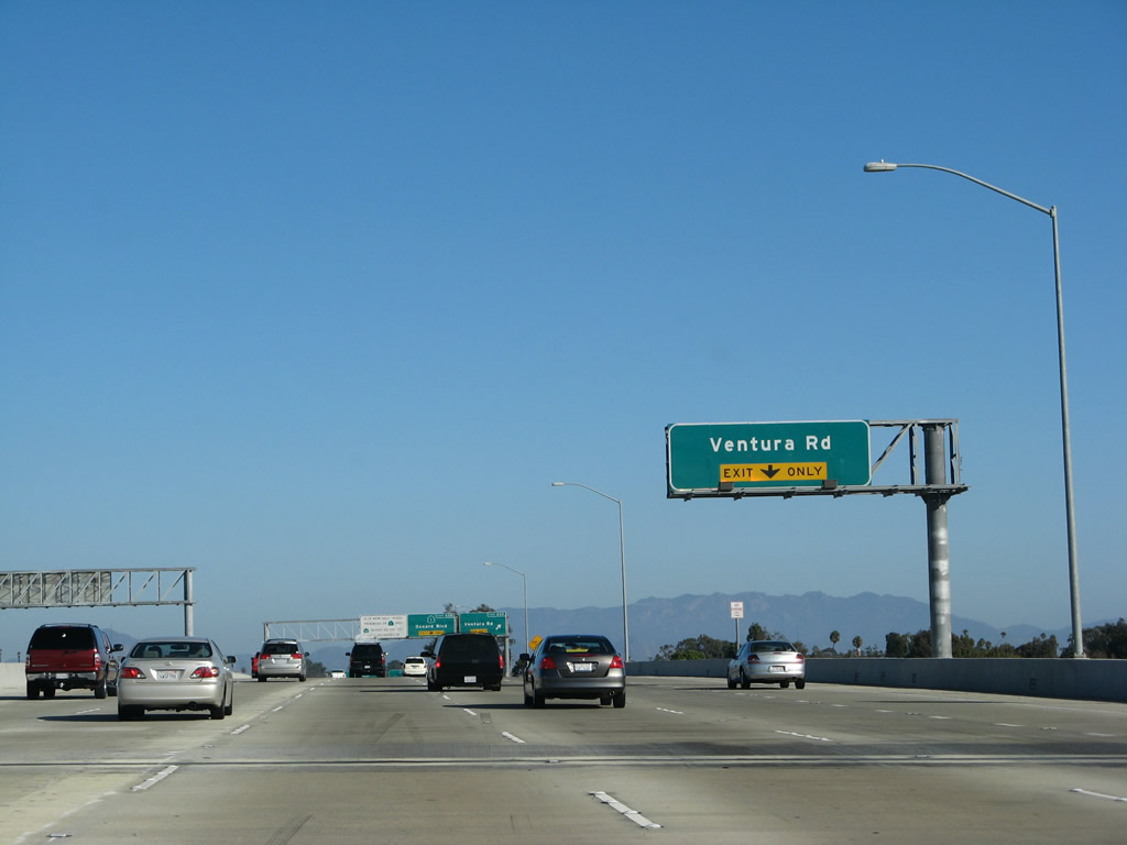
The right lane of southbound U.S. 101 (Ventura Freeway / El Camino Real) and California 1 (Pacific Coast Highway) becomes exit only for Exit 63A, Ventura Road and Wagon Wheel Road. Photo taken 09/29/07. |
|
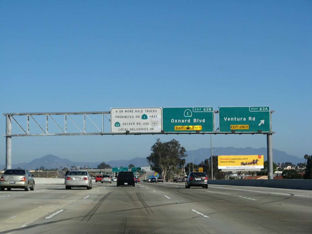
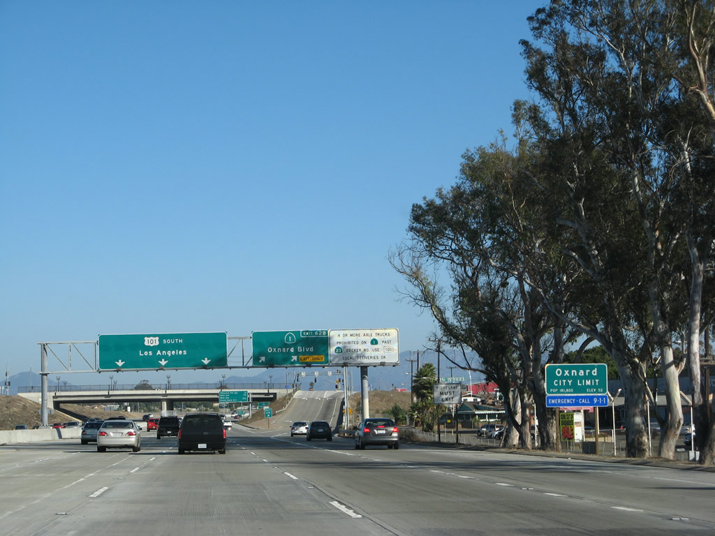
After crossing the Santa Clara River, southbound U.S. 101 (Ventura Freeway / El Camino Real) and California 1 (Pacific Coast Highway) reach Exit 63A, Ventura Road and Wagon Wheel Road. The next exit is Exit 62B, California 1/Oxnard Boulevard south into Oxnard. There are plans to relocate California 1 onto Rice Avenue (Exit 60), which would enable California 1 to avoid downtown Oxnard and to have a freeway or expressway alignment south to Point Mugu. However, such a realignment requires further upgrades to the Rice Avenue corridor. Also note the truck restriction for California 1 (Pacific Coast Highway) south of the California 23/Decker Road intersection - no through trucks are allowed the city of Malibu. Use U.S. 101 for through trucks instead. Photo taken 09/29/07. |
|
Use Exit 62B (California 1/Oxnard Boulevard) to the State of California Welcome Center at Oxnard, located at 1000 Town Center Drive
Suite 120. Turn left onto Oxnard Boulevard north, then turn left at Town Center Drive. The center is located on the bottom floor of a high rise tower. Photo taken 09/29/07. |
|
Southbound U.S. 101 and California 1 enter the city of Oxnard, the largest city in Ventura County (population 170,358 people as of 2000 Census) and part of California's Strawberry Coast. Two military installations (Port Hueneme and Point Mugu) are located near Oxnard, and agriculture is a major part of the local economy. Oxnard was incorporated as a city on June 30, 1903. The city consists of multiple diverse neighborhoods, and has multiple beaches on its west and south sides. Photo taken 09/29/07. |
|
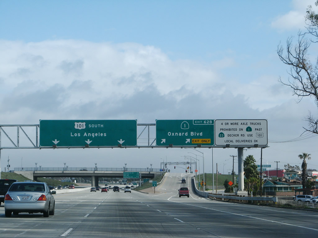
U.S. 101 and California 1 divide at Exit 62B and end their shared alignment. Since San Luis Obispo, the two routes have intersected each other multiple times. After Exit 62B, the two routes will not meet again. U.S. 101 will continue east toward Los Angeles, while California 1 turns south through Oxnard, then southeast to Point Mugu, and then east to Malibu and Santa Monica. While California 1 is the prettier and more scenic route, it is much slower than U.S. 101 due to development and sizeable traffic volumes. California 1 connects directly with Interstate 10 (Santa Monica Freeway) in Santa Monica, and Interstate 10 travels east toward downtown Los Angeles for those opting for the coastal route to Los Angeles. This exit also is the first to serve the city of Oxnard. Photo taken 02/02/08. |
|
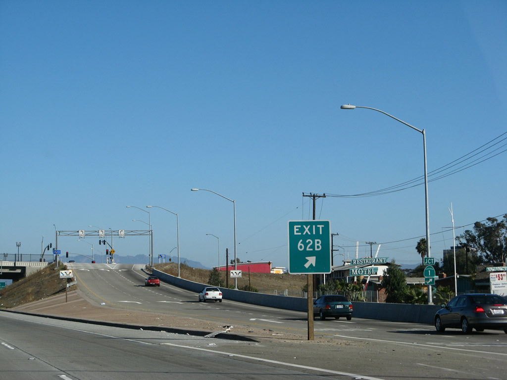
Upon exiting from U.S. 101 (Ventura Freeway / El Camino Real) south, a "California 1" trailblazer is posted on the off-ramp to Oxnard Boulevard. Photo taken 09/29/07. |
Page Updated March 23, 2008.