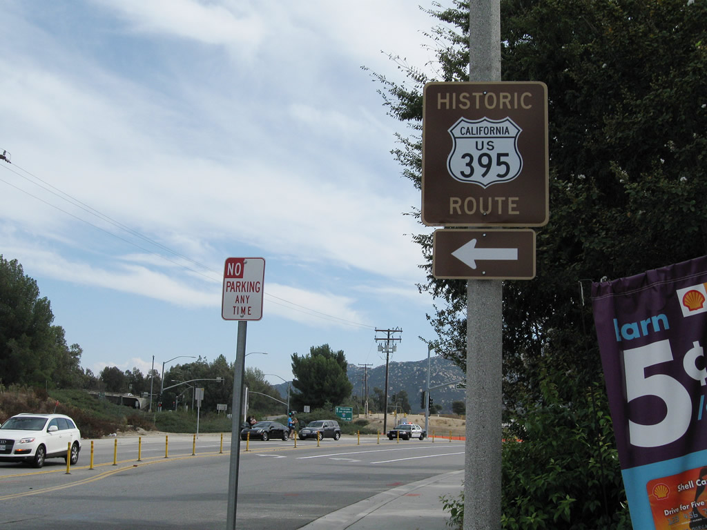
| Historic U.S. 395 north |
|
At this intersection, turn left for Old Highway 395 (1950's U.S. 395 alignment) south or turn right onto Rainbow Canyon Road for Historic U.S. 395 north to Temecula. Photo taken 01/21/13. |
|
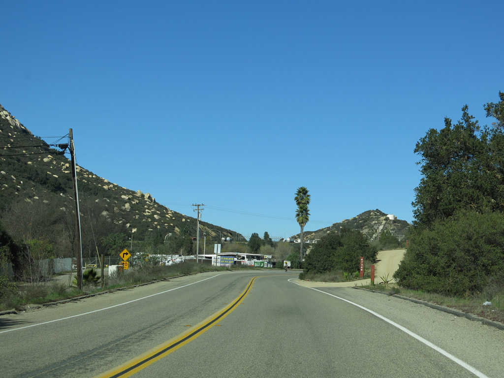
Now on Rainbow Canyon Road in Riverside County, Historic U.S. 395 proceeds north toward Rainbow Canyon and Temecula. Photo taken 01/21/13. |
|
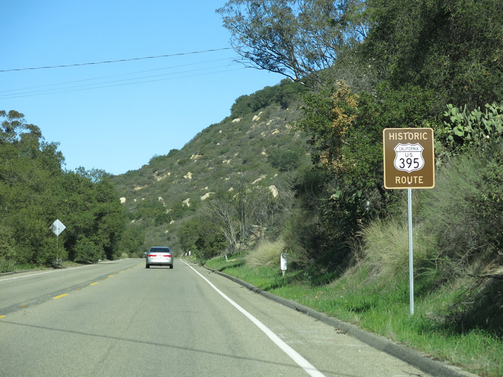
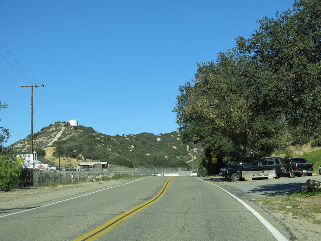
Old Rainbow Valley Boulevard and Historic U.S. 395 (Rainbow Canyon Road) travel alongside one another briefly. Photo taken 01/21/13. |
|
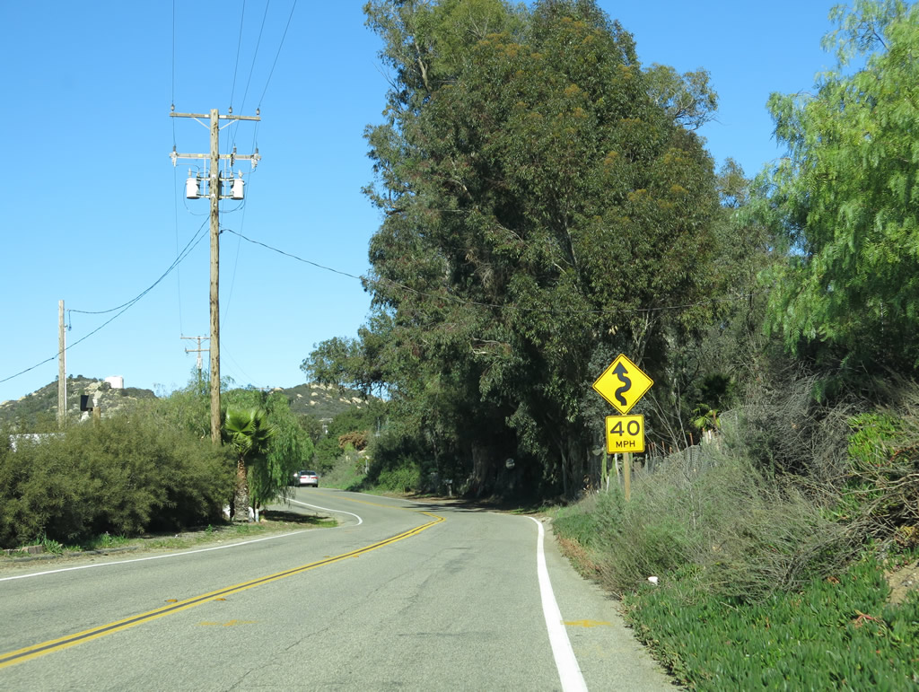
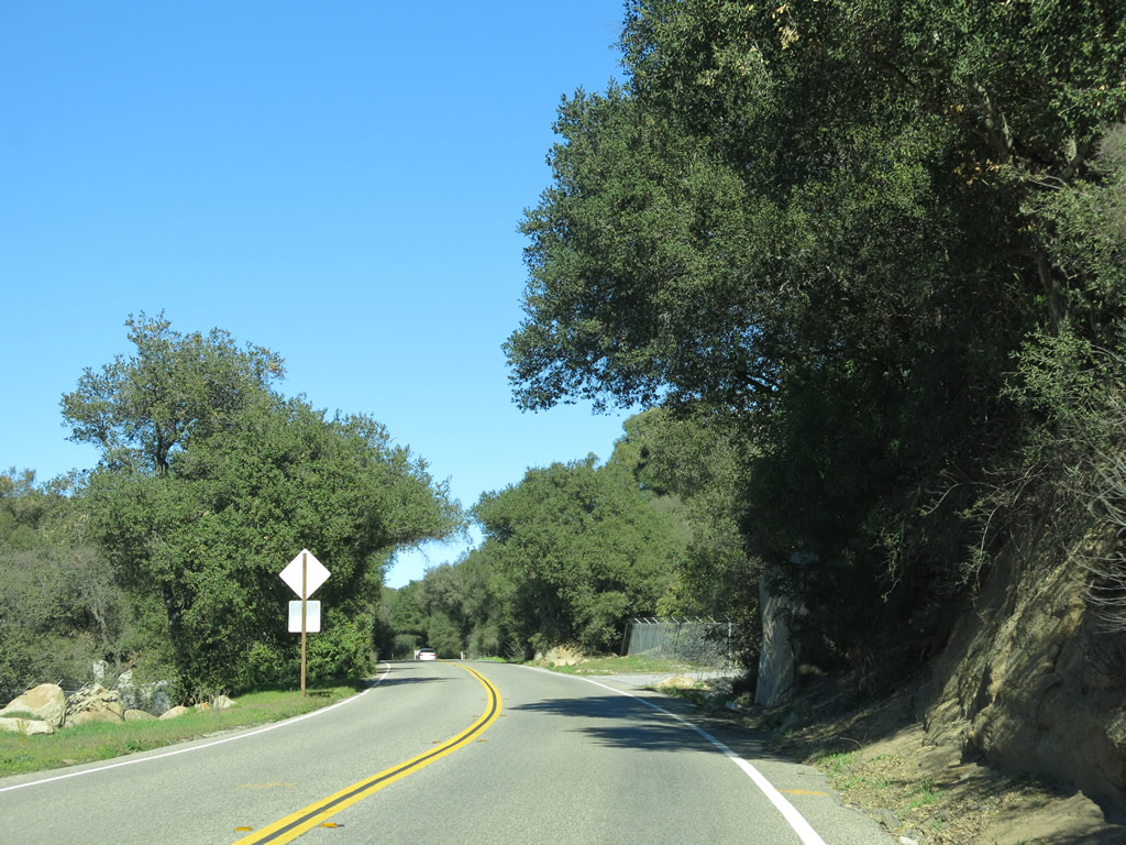
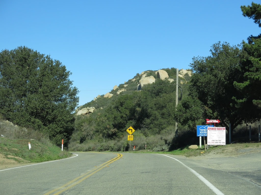
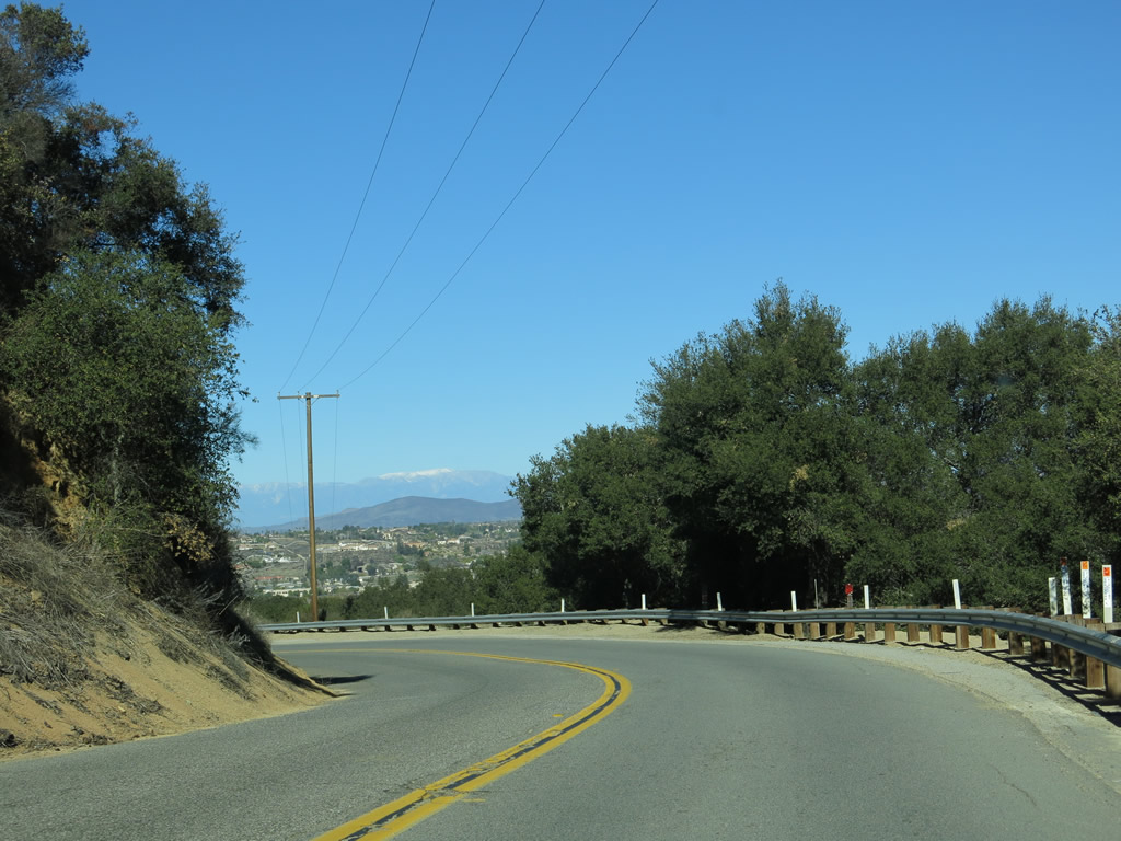
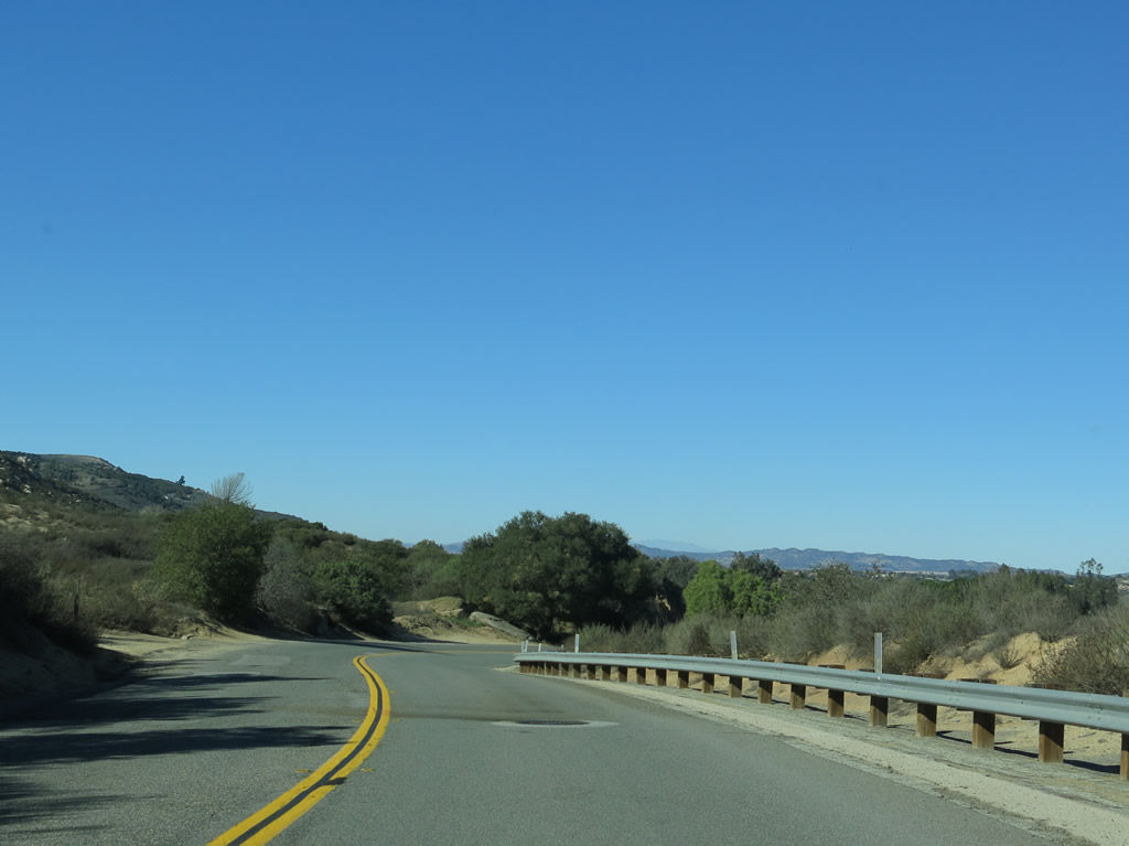
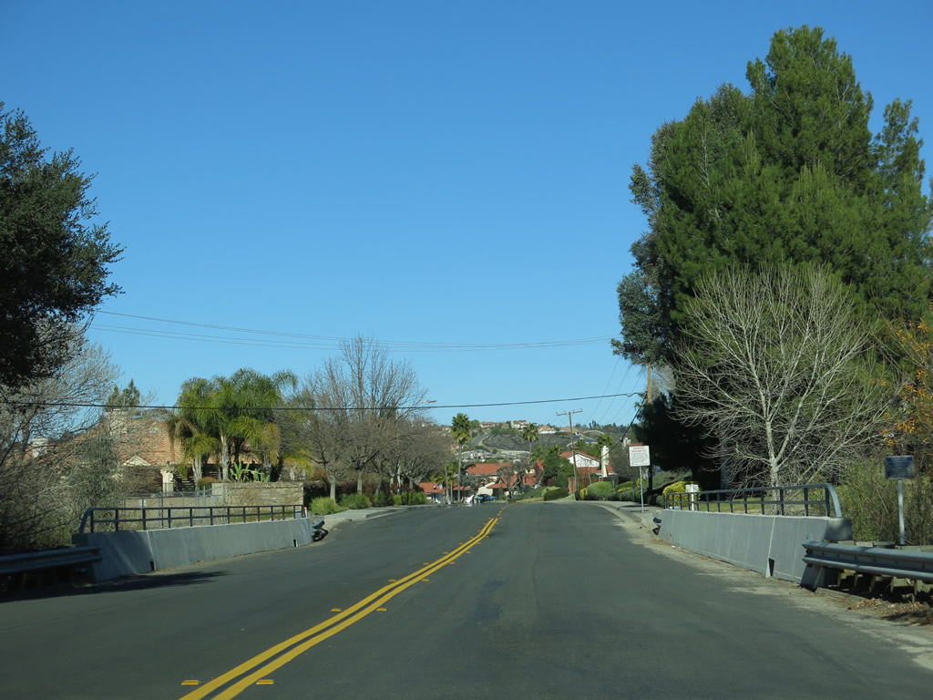
It's a winding road ahead as Old Highway 395 prepares to descend through Rainbow Canyon into Temecula. Photo taken 01/21/13. |
|
|
|
|
|
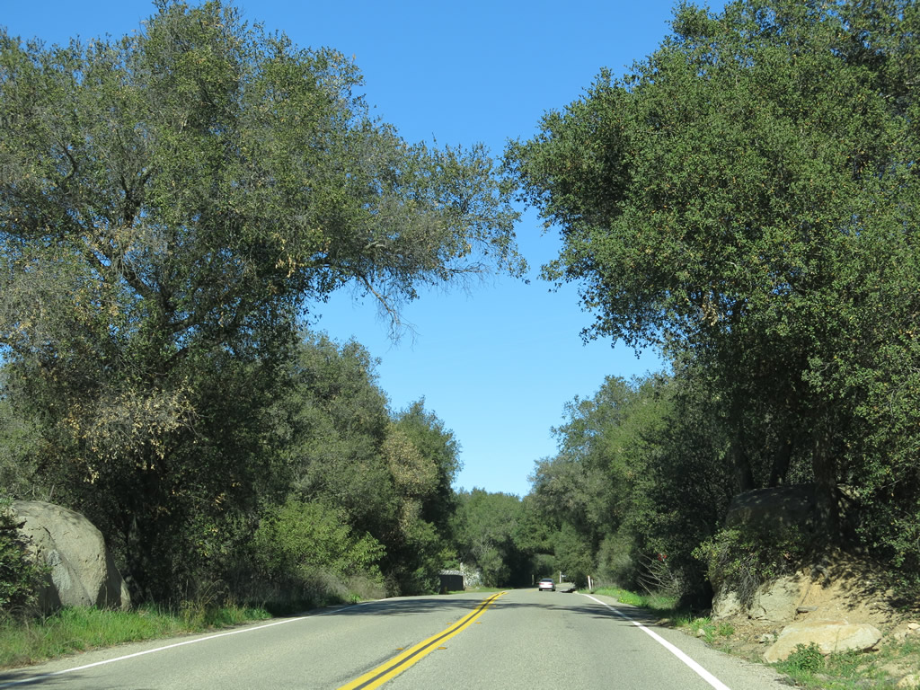
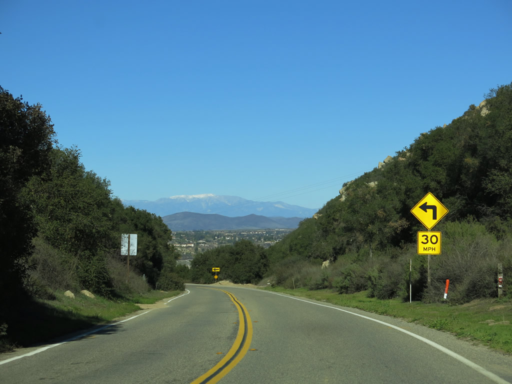
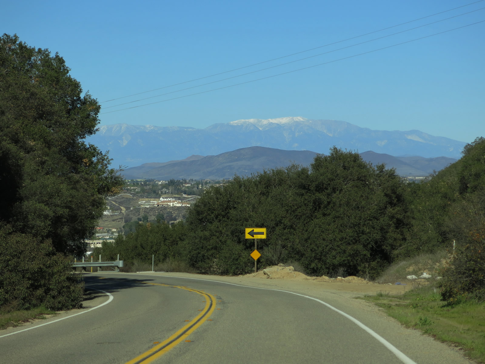
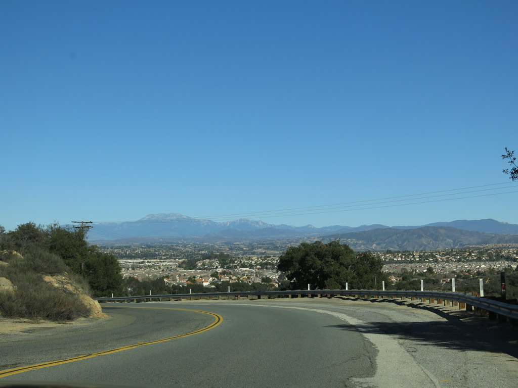
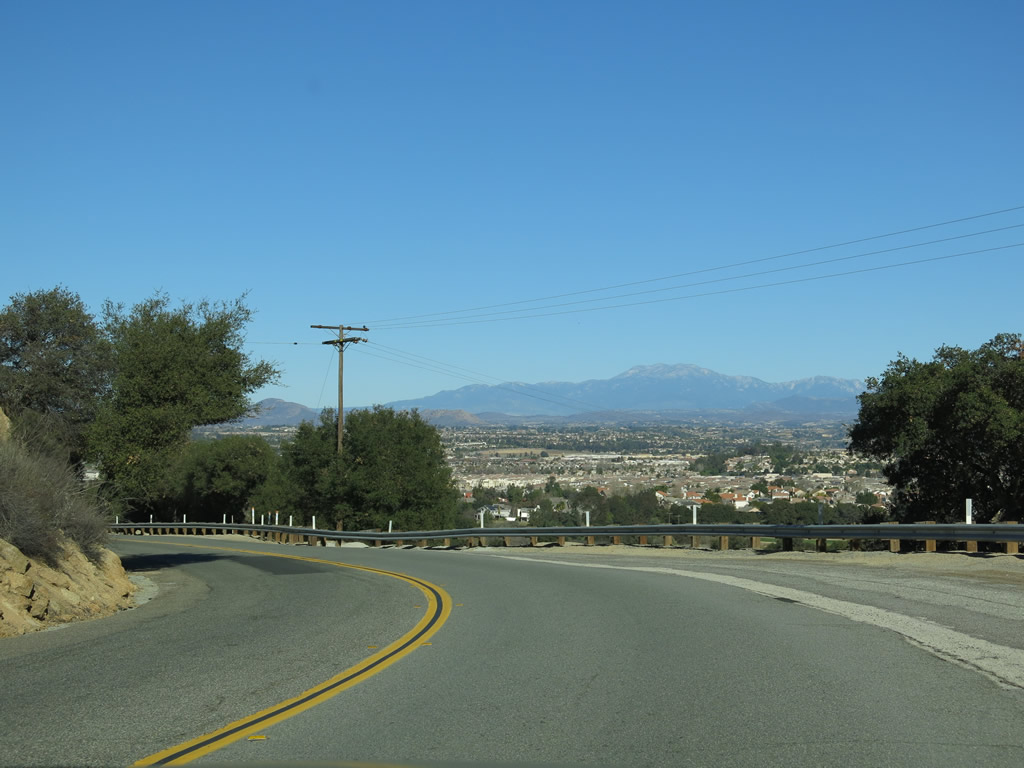
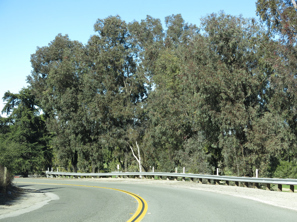
| Rainbow Canyon Road proceeds downhill into Temecula. A series of twists and turns yield terrific views of not only Temecula Valley but also distant mountain peaks. Live oaks and boulders line the undeveloped sections of highway. A U.S. Border Patrol Checkpoint may operate along this stretch of roadway from time to time. Photos taken 01/21/13. |
|
|
|
|
|
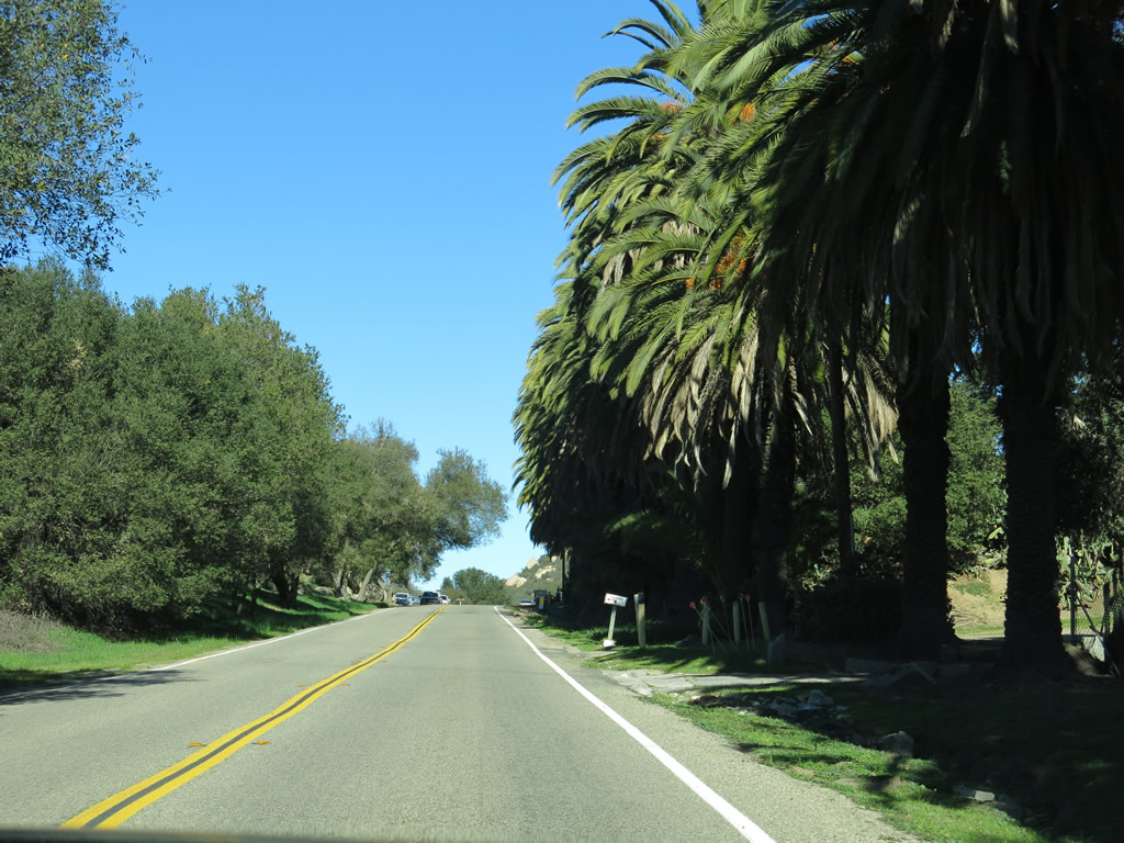
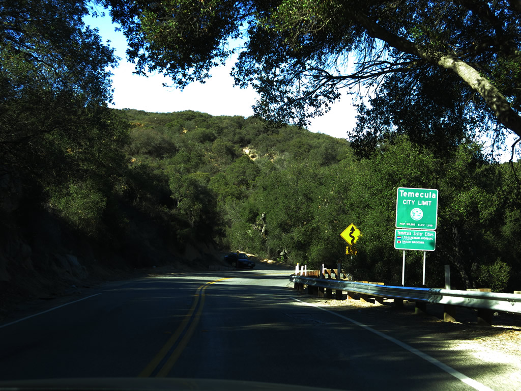
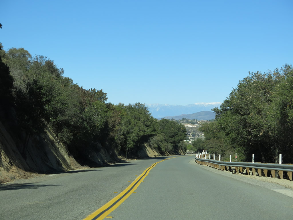
| Northbound Rainbow Canyon Road enters the city of Temecula (population 100,097 as of the 2010 Census, elevation 1,175 feet, and incorporated on December 1, 1989). Photos taken 01/21/13. |
|
|
|
|
|
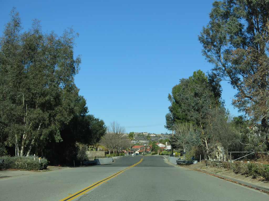
| As a result of entering the city, more housing development becomes visible in the distance along Rainbow Canyon Road. Photos taken 01/21/13. |
|
|
|
|
|
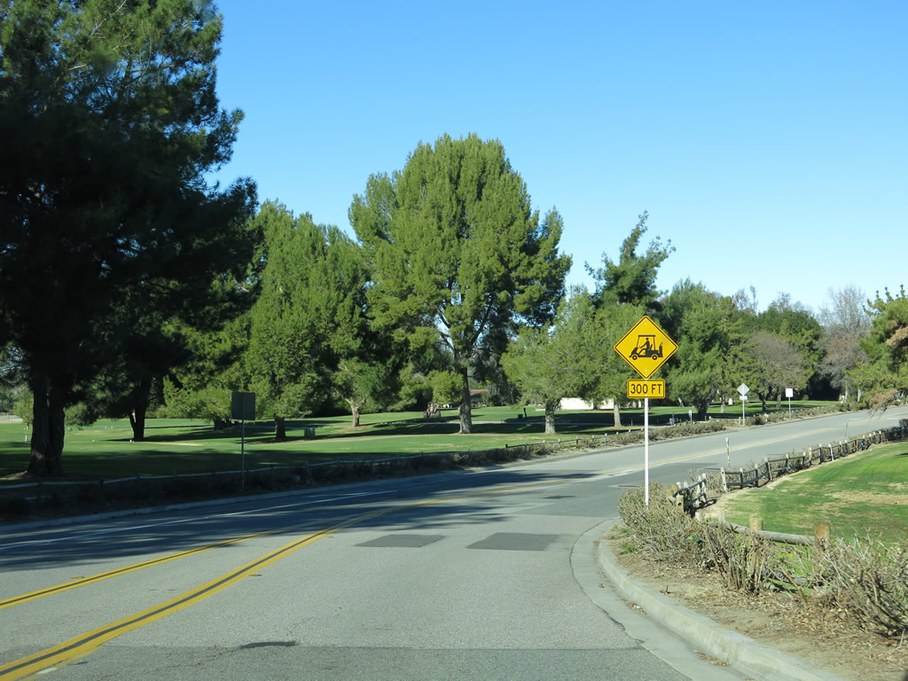
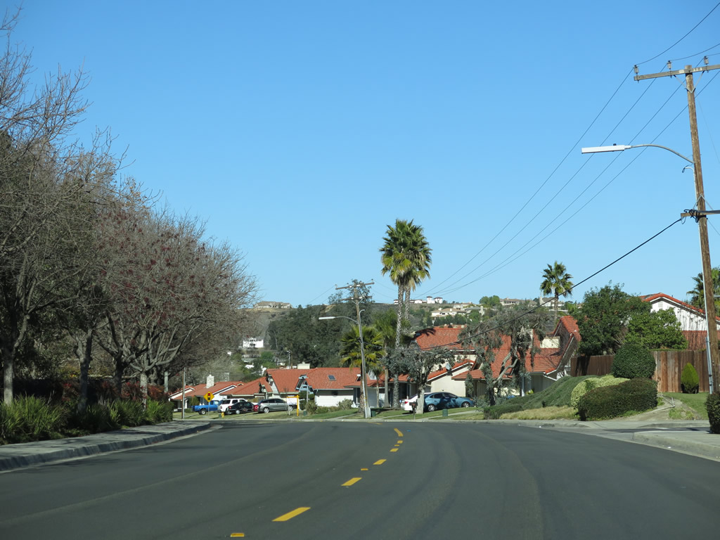
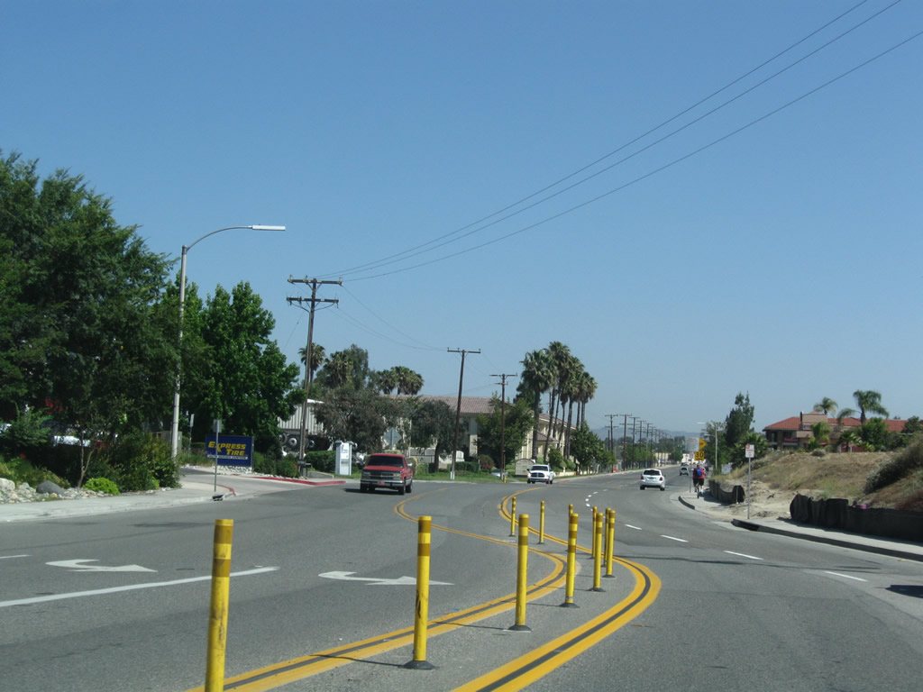
| Upon reaching the floor of Temecula Valley, Rainbow Canyon Road proceeds past a golf course and into a residential area. Photos taken 01/21/13. |
|
|
|
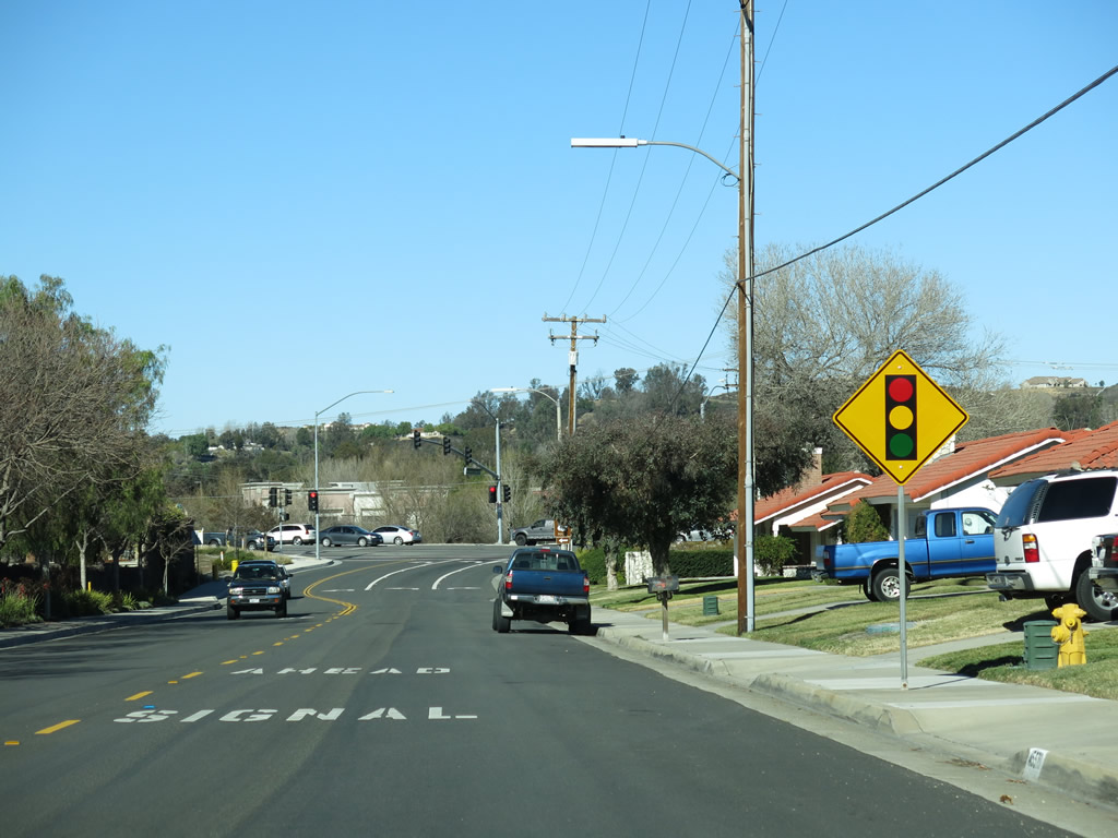
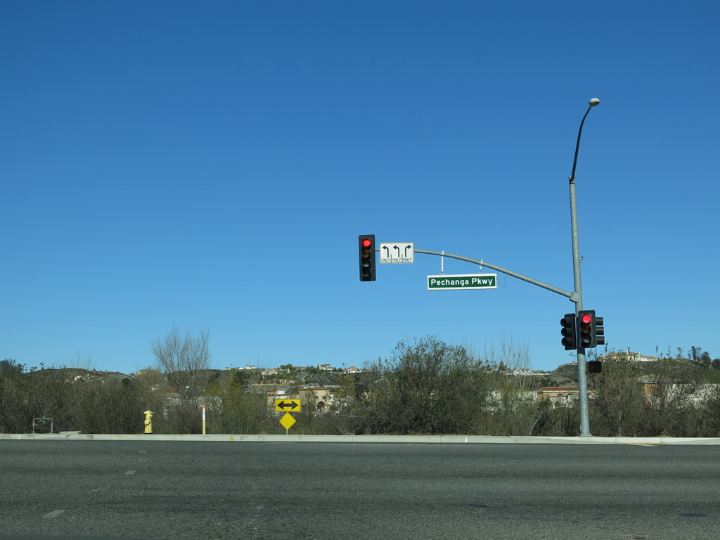
Soon thereafter, northbound Rainbow Canyon Road (old U.S. 395) approaches and meets Pechanga Parkway (Riverside County S-16). Turn left at the traffic signal for U.S. 395 and CR S-16 north to California 79 and Old Town Temecula. Turn right for CR S-16 south to Pechanga and Pala. Photos taken 01/21/13. |
|
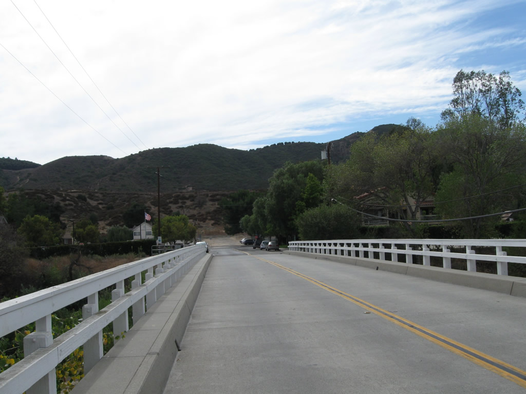
Historic U.S. 395 (Pechanga Parkway / CR S-16) north passes over Temecula Creek on this bridge. Photos taken 01/21/13. |
|
|
|
| North of the Pechanga Resort and Casino, Riverside County S-16 (Pechanga Parkway) meets Rainbow Canyon Road (old U.S. 395). The two routes join together for a short distance along Pechanga Parkway until they meet California 79 (Temecula Parkway). At the California 79 intersection, turn left for California 79 and Historic U.S. 395 northwest to Old Town Temecula or turn right for California 79 (Temecula Parkway) southeast toward Temecula Wine Country, Aguanga (via California 371), and Warner Springs in San Diego County. As of 2009, California 79 was essentially unsigned from northbound Pechanga Parkway. The Temecula Parkway intersection marks the northern terminus of Riverside County S-16. Photos taken 01/21/13 and 06/27/09. |
|
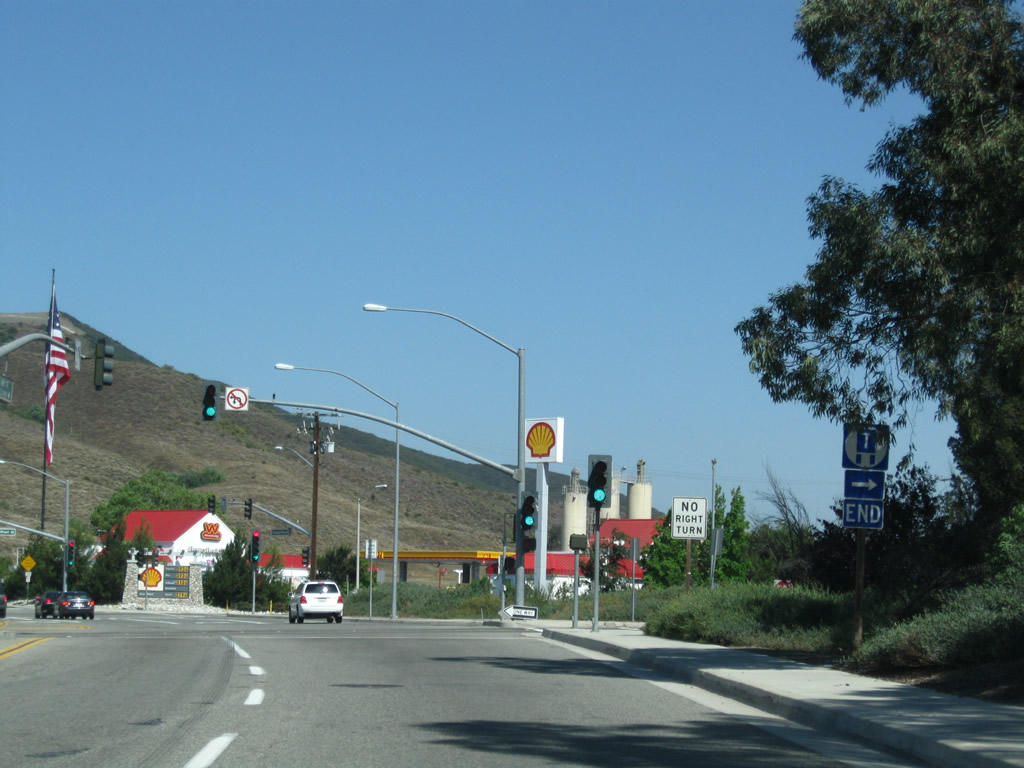
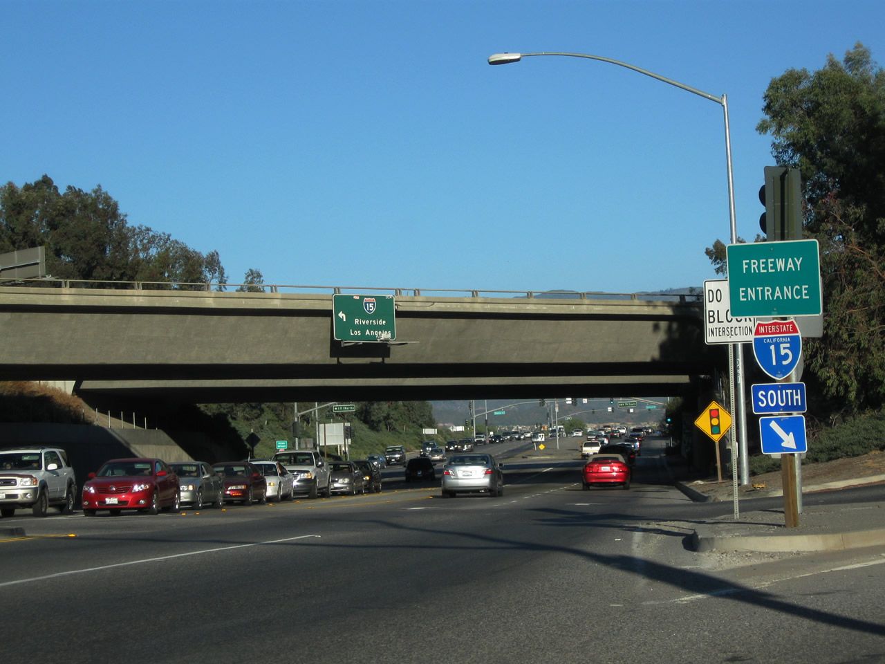
California 79 turns north onto the Interstate 15 on-ramp. Historic U.S. 395 proceeds under the freeway to connect to Old Town Front Street. The next traffic signal proceeds under the freeway to connect with Interstate 15 south to San Diego. Photo taken 06/27/09. |
|
An End Truck Route sign is posted prior to the turnoff to Interstate 15 south in Temecula. Photo taken 06/27/09. |
|
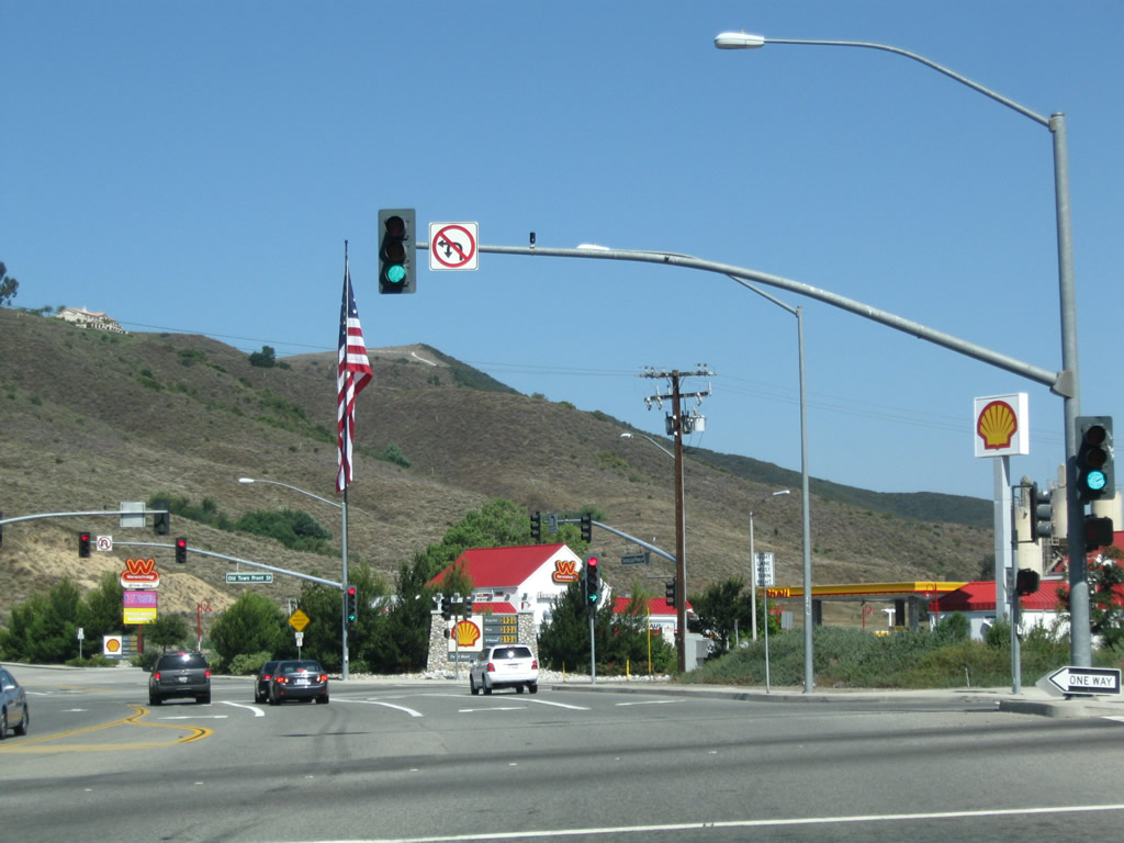
Turn left the signal for Interstate 15; proceed ahead for U.S. 395 north. Photo taken 06/27/09. |
|
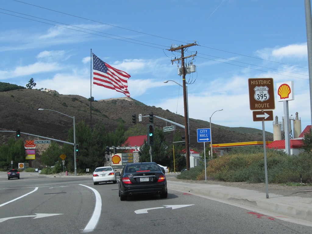
After passing the Interstate 15 diamond interchange in the city of Temecula, this Historic U.S. 395 route marker is posted prior to the intersection with Old Town Front Street in Old Town Temecula. Photo taken 10/02/11. |
|
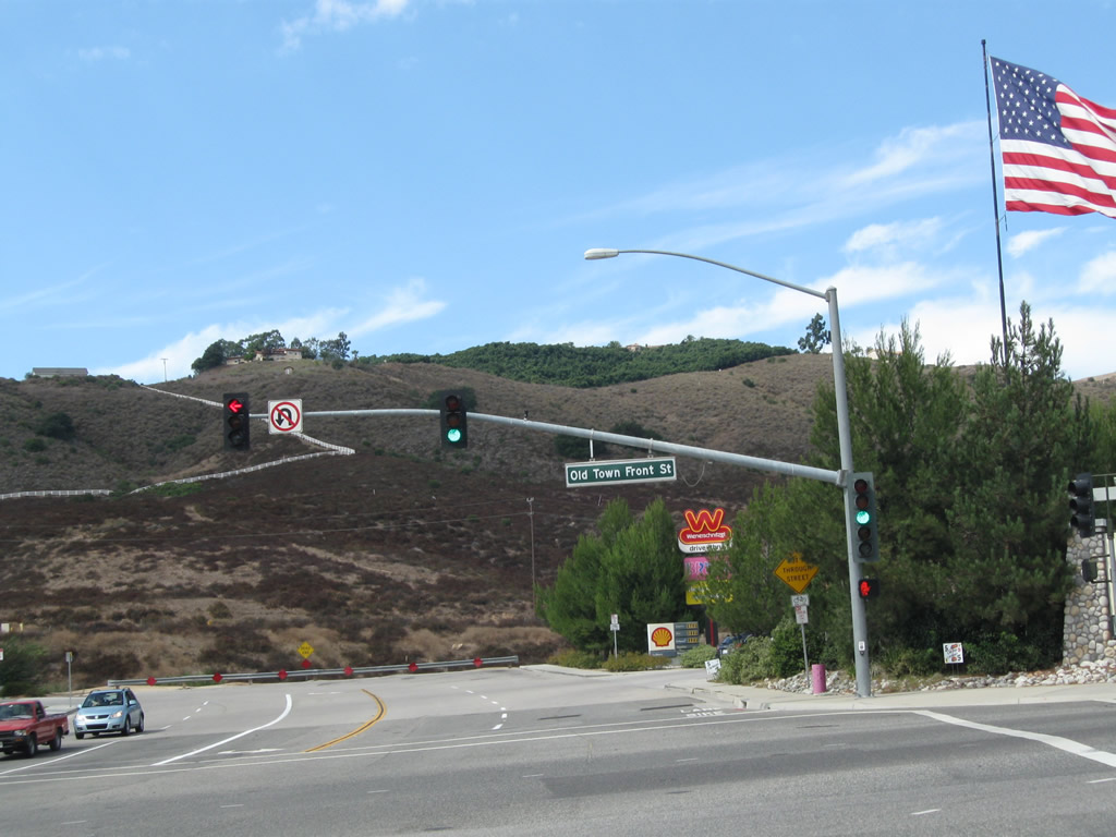
At Old Town Front Street, U.S. 395 turns right (north) into Old Town Temecula. Photo taken 10/02/11. |
|
Leaving Temecula Parkway, Old Town Front Street proceeds north toward Old Town Temecula with four lanes. Photo taken 06/27/09. |
|
Historic U.S. 395 (Old Town Front Street) was also part of former California 71 and former California 79 before the former was truncated and the latter was rerouted onto the Interstate 15 freeway. Photo taken 06/27/09. |
|
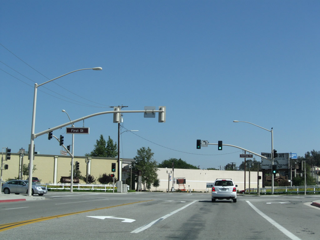
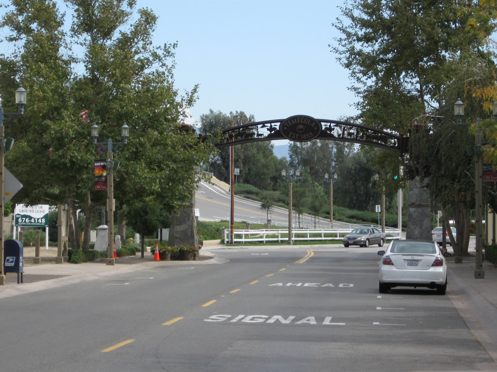
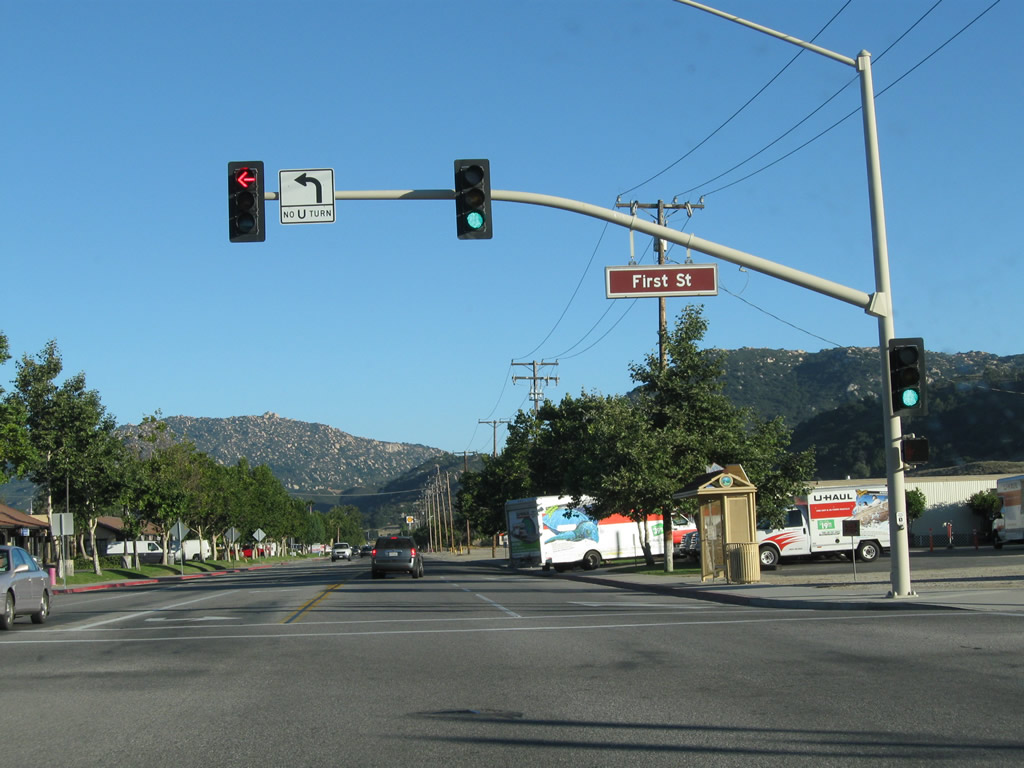
Northbound Historic U.S. 395 (Old Town Front Street) approaches First Street. Turn right on First Street to Santiago Road. Photo taken 06/27/09. |
|
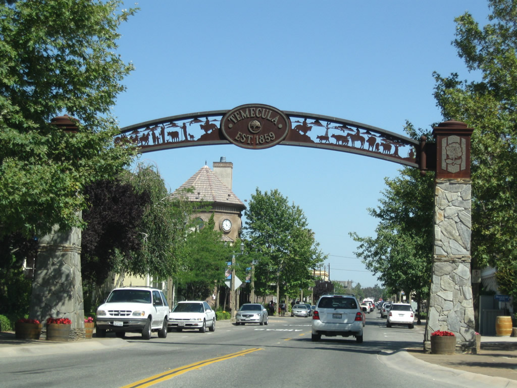
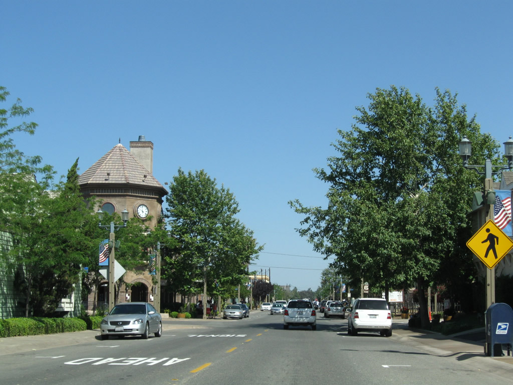
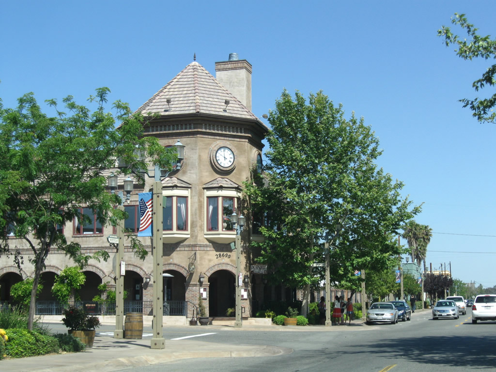
Northbound U.S. 395 (Old Town Front Street) enters Old Town Temecula, home to a variety of restaurants, stores, and civic areas including City Hall. Photo taken 06/27/09. |
|
Historic and modern buildings with historic character line Old Town Front Street. Here, northbound Old Town Front Street approaches Second Street. Photo taken 06/27/09. |
|
A clock is mounted on this building, which houses a restaurant. Photo taken 06/27/09. |
|
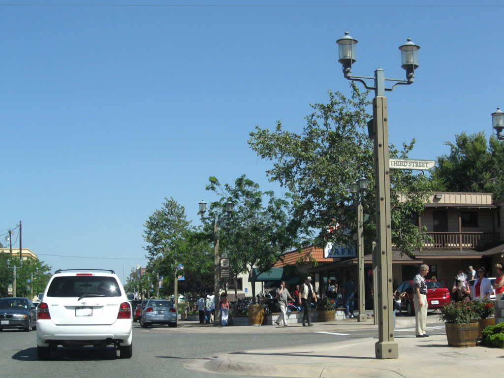
Northbound Old Town Front Street meets Third Street. Photo taken 06/27/09. |
|
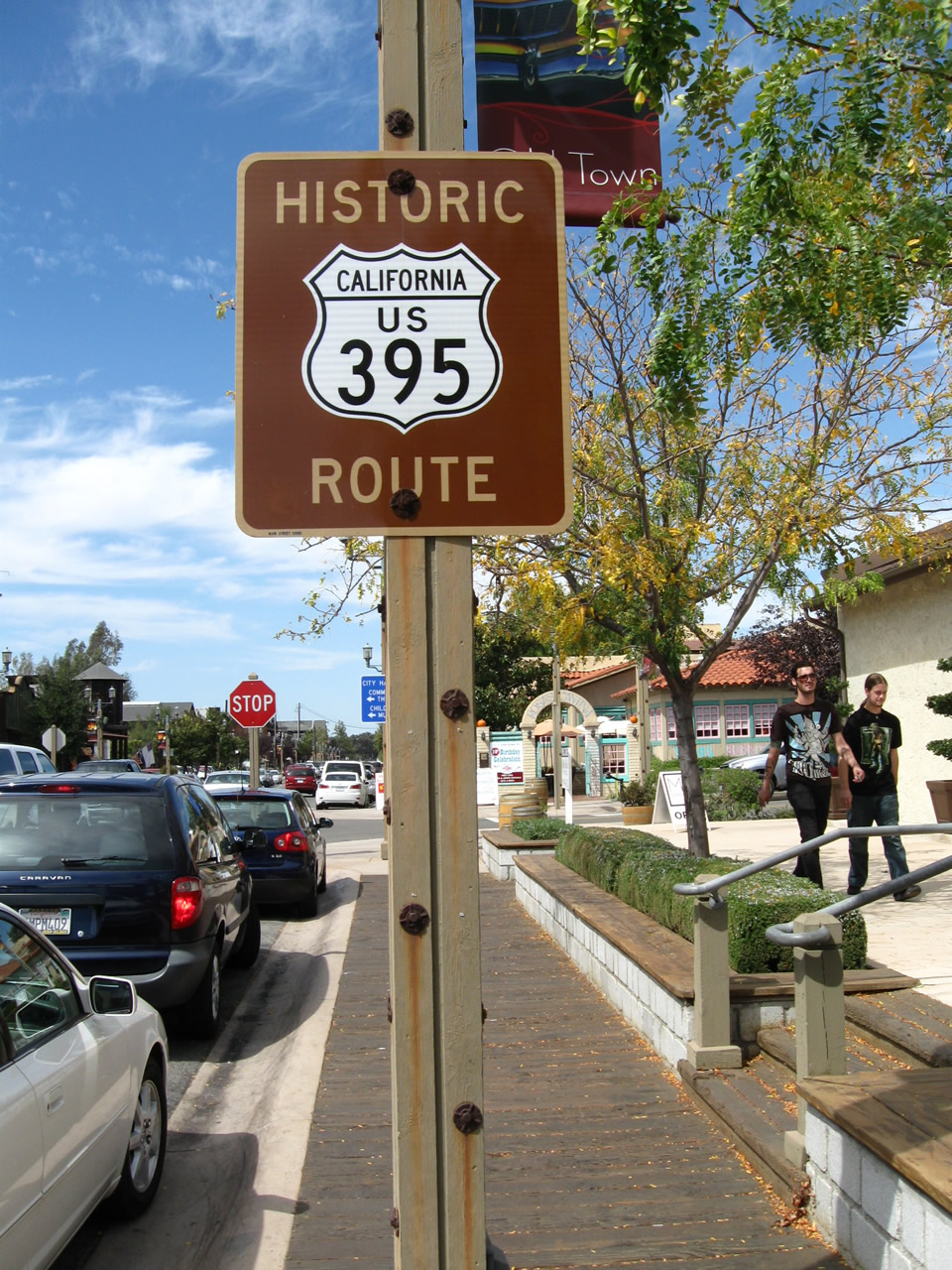
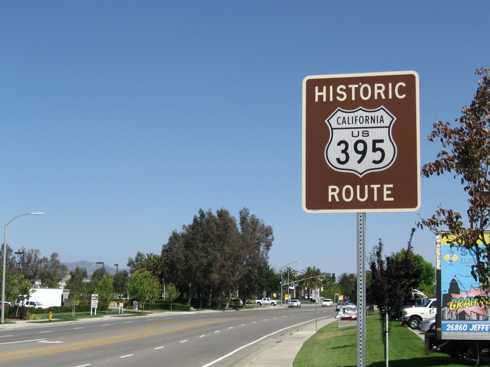
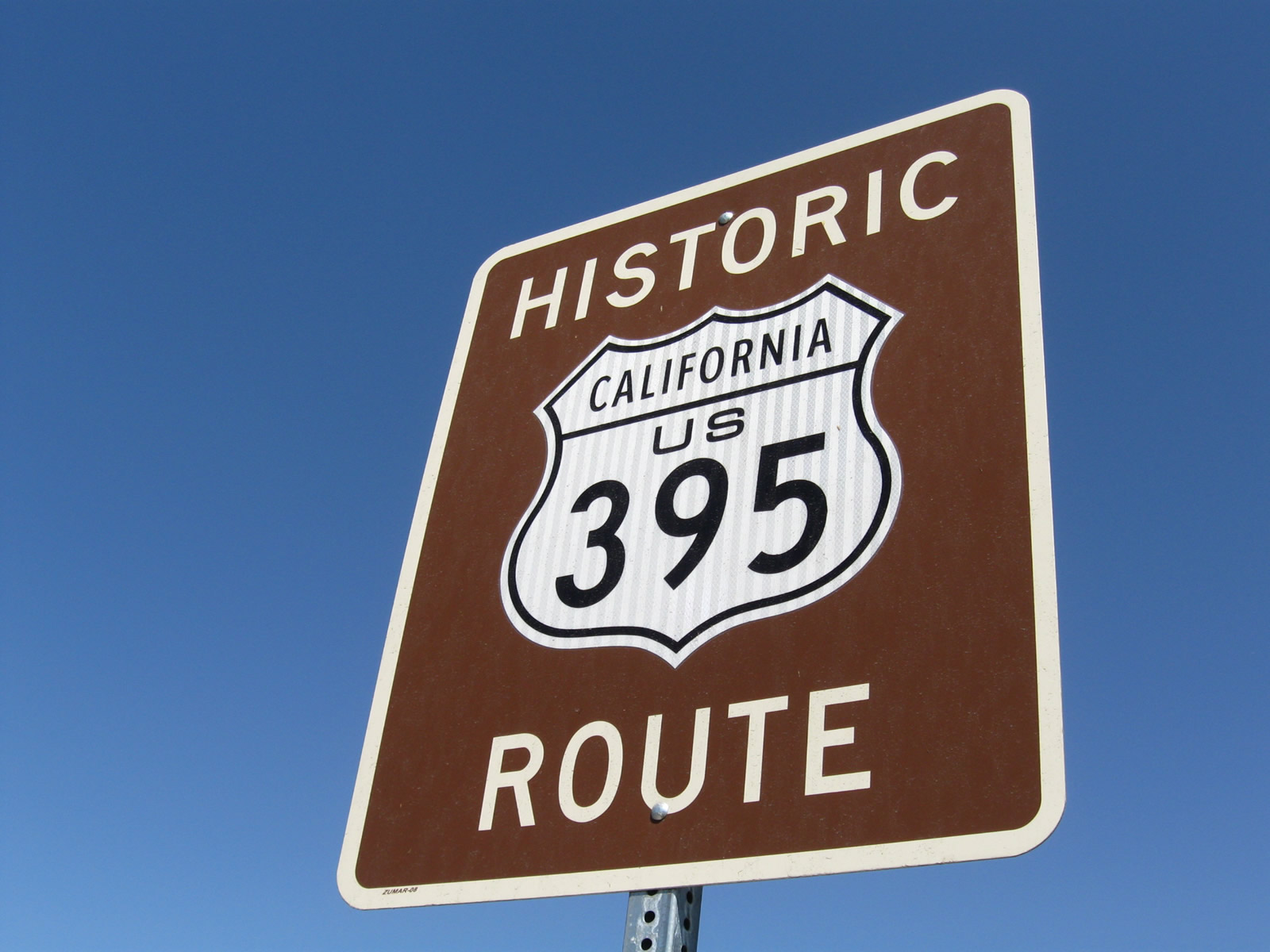
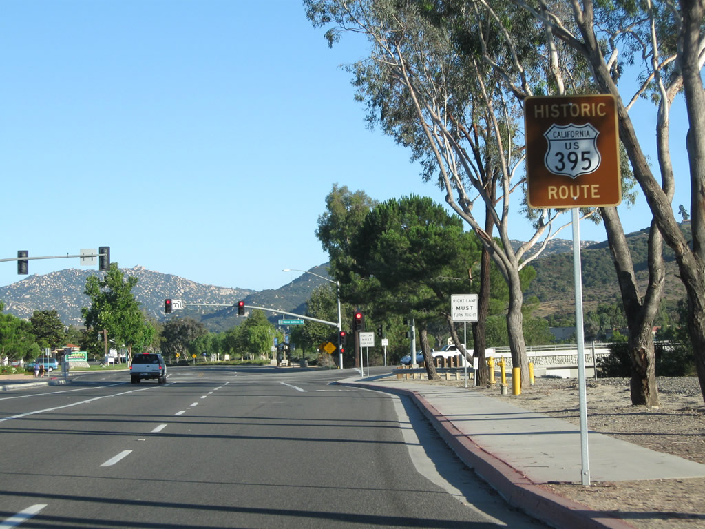
A Historic U.S. 395 route marker is posted along northbound Old Town Front Street in Old Town Temecula. The historic route is fairly well-signed through Temecula, Murrieta, and Lake Elsinore, in addition to a fair number of signs in unincorporated San Diego County to the south (especially through Fallbrook and Bonsall). Photo taken 10/02/11. |
|
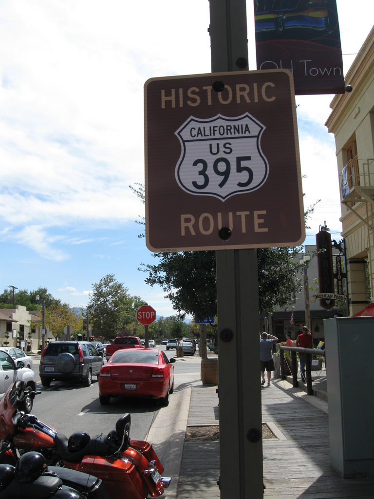
This close-up of the Historic U.S. 395 Route marker shows the sign detail. Photo taken 10/02/11. |
|
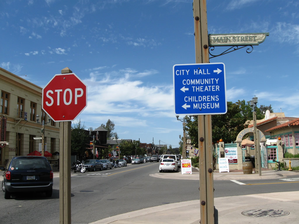
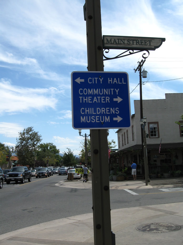
Northbound Historic U.S. 395 (Old Town Front Street) meets Main Street in Old Town Temecula. Turn right (east) on Main Street to Temecula City Hall or turn left (west) to the community theatre and childrens museum. Photo taken 10/02/11. |
|
|
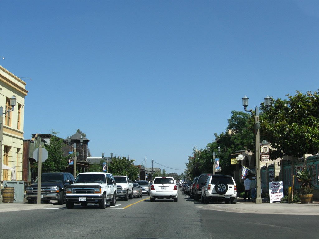
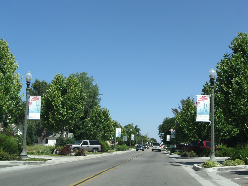
This series of pictures follows Old Town Front Street north between the Main Street and Fourth Street intersections in Old Town Temecula. A series of antique stores, gift shops, tasting rooms, and restaurants line the historic route. Photos taken 06/27/09. |
|
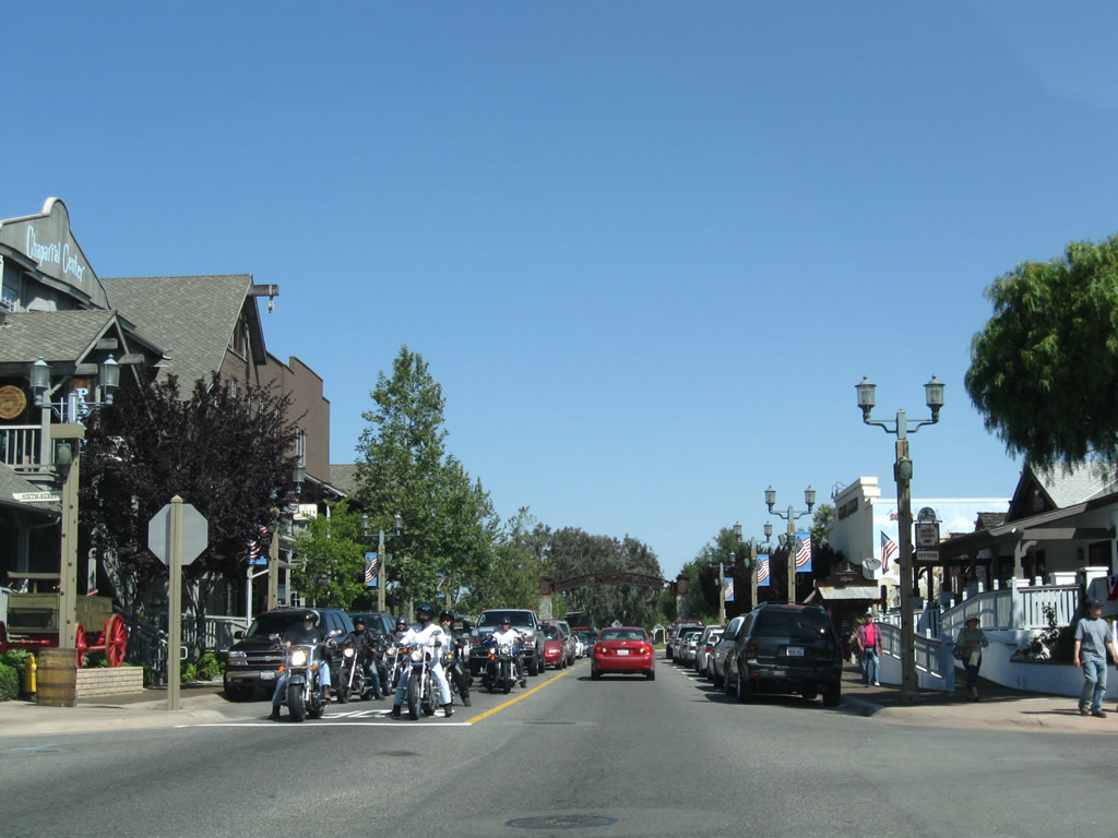
Northbound Historic U.S. 395 (Old Town Front Street) meets Sixth Street at this four-way stop. Photo taken 06/27/09. |
|
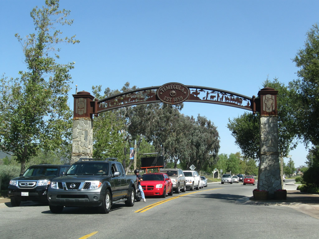
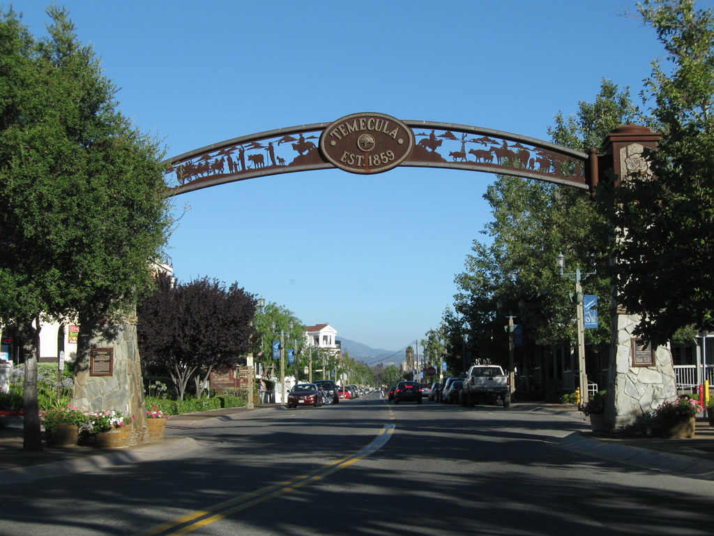
Another arch spans over Historic U.S. 395 (Old Town Front Street) at the north end of Old Town Temecula between Sixth Street and Moreno Road. Photo taken 06/27/09. |
|
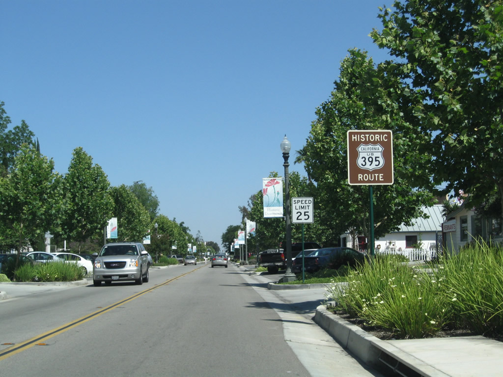
Upon leaving Old Town, Historic U.S. 395 (Old Town Front Street) widens out to five lanes and sees less dense development, including some strip malls and standalone restaurants separate from adjacent developments. The next traffic signal will be with Rancho California Road, which travels east to Temecula Wine Country and west to De Luz Road. At this intersection, Historic U.S. 395 changes names from Old Town Temecula Road to Jefferson Avenue. Photo taken 06/27/09. |
|
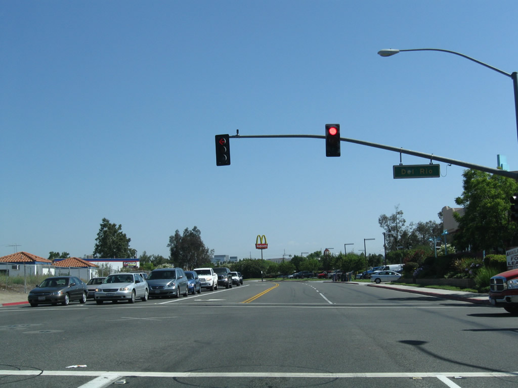
Northbound Historic U.S. 395 (Jefferson Avenue) approaches Del Rio Road, which travels north alongside Temecula Creek. Photo taken 06/27/09. |
|
Historic U.S. 395 follows Jefferson Avenue between Rancho California Road and Ivy Street in the city of Murrieta several miles northwest of here. Photo taken 06/27/09. |
|
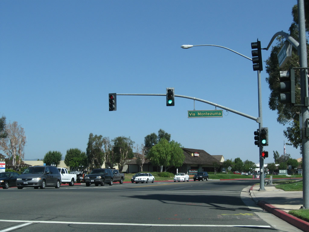
Northbound Historic U.S. 395 (Jefferson Avenue) meets Via Montezuma at this traffic signal. Photo taken 06/27/09. |
|
Power lines converge over Historic U.S. 395 (Jefferson Avenue) as we approach Overland Drive. Photo taken 06/27/09. |
|
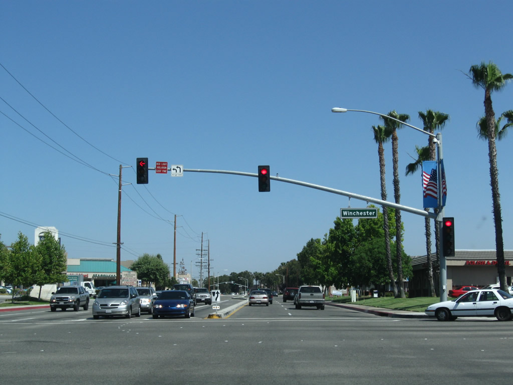
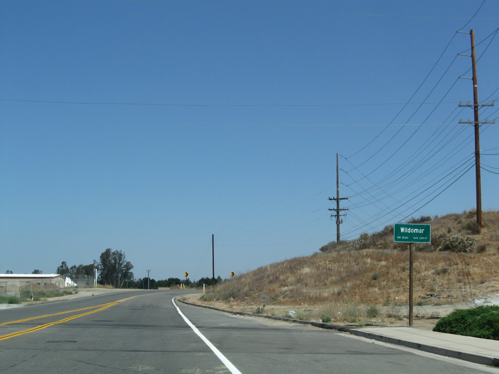
Northbound Historic U.S. 395 (Jefferson Avenue) meets Winchester Road at this traffic signal. Historically, California 79 turned right at this intersection to proceed northeast toward San Jacinto. U.S. 395 and California 71 proceeded northwest on Jefferson Avenue toward Murrieta, Wildomar, and Lake Elsinore. Photo taken 06/27/09. |
|
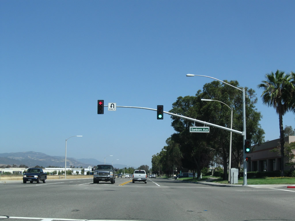
The next traffic signal along Jefferson Avenue north is with Sanborn Avenue. Photo taken 06/27/09. |
|
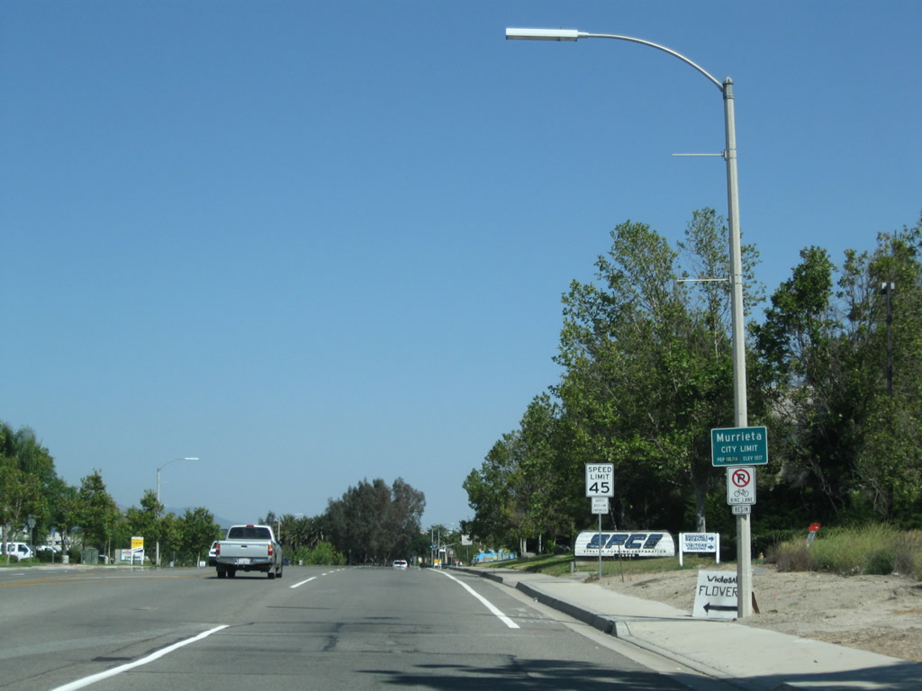
Northbound Historic U.S. 395 (Jefferson Avenue) leaves Temecula and enters the city of Murrieta, "The Future of Southern California." Murrieta is located at the southern merge between Interstate 15 and Interstate 215. As a result of a massive residential expansion and growth, the city had 103,466 residents as of the 2010 census. Incorporated on July 1, 1991, Murrieta sits at an elevation of 1,017 feet in the Temecula Valley. Photo taken 06/27/09. |
|
|
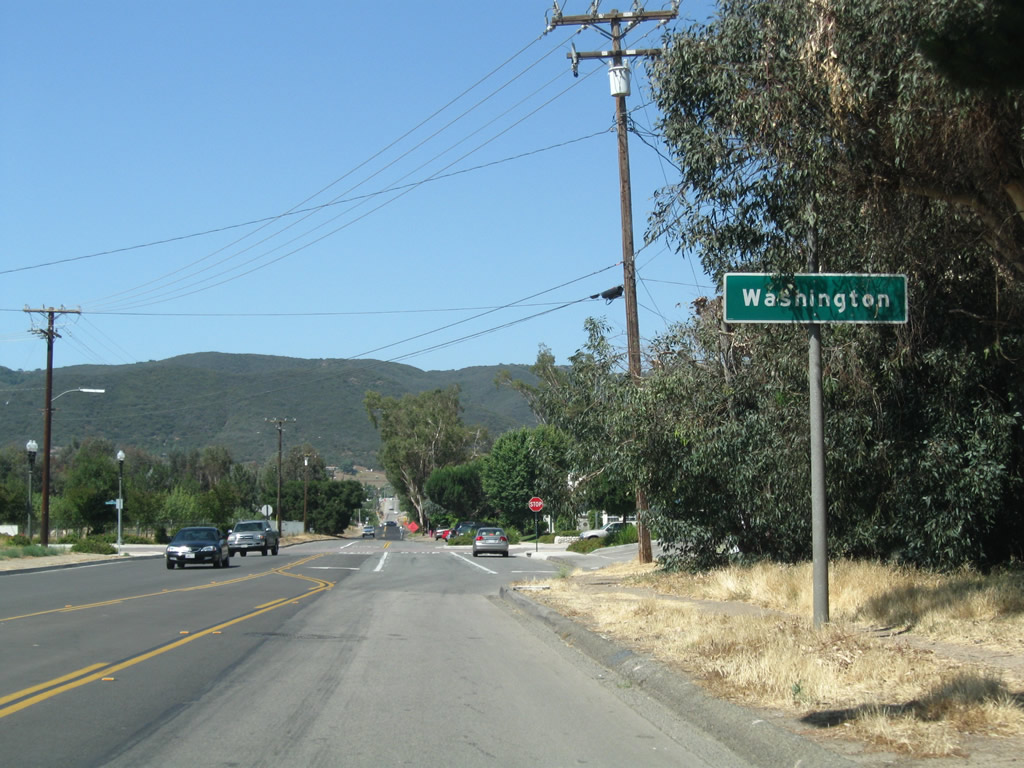
A Historic U.S. 395 route marker is posted after the city limits of Murrieta at the intersection of Jefferson Avenue and Auto Mall Parkway. An effort began in San Diego and Riverside Counties to sign the original alignment of U.S. 395, and signs were in place by 2009 for U.S. 395 in Murrieta. Temecula's historic 395 route signs were added in 2010. Photos taken 06/27/09. |
|
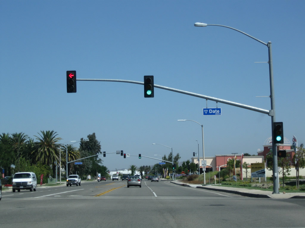
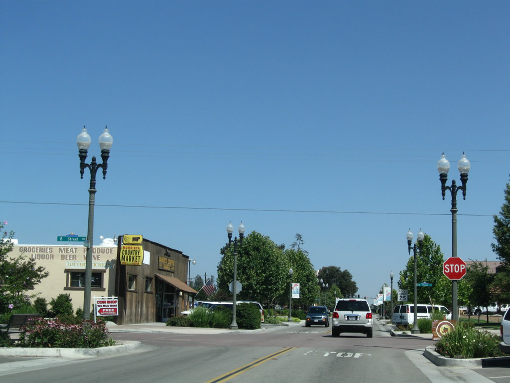
Northbound Historic U.S. 395 (Jefferson Avenue) approaches Date Street. Many east-west streets that intersect Historic U.S. 395 in Murrieta take their names from trees in alphabetical order from south to north (Cherry, Date, Elm, Fig, Guava, Hawthorn / Murrieta Hot Springs, Ivy, Juniper, Kalmia, Lemon, Magnolia, and Nutmeg). Photo taken 06/27/09. |
|
At the time this series of pictures was taken, much of the southern areas of Murrieta along Historic U.S. 395 (Jefferson Avenue) were less developed than other areas east of here. Photo taken 06/27/09. |
|
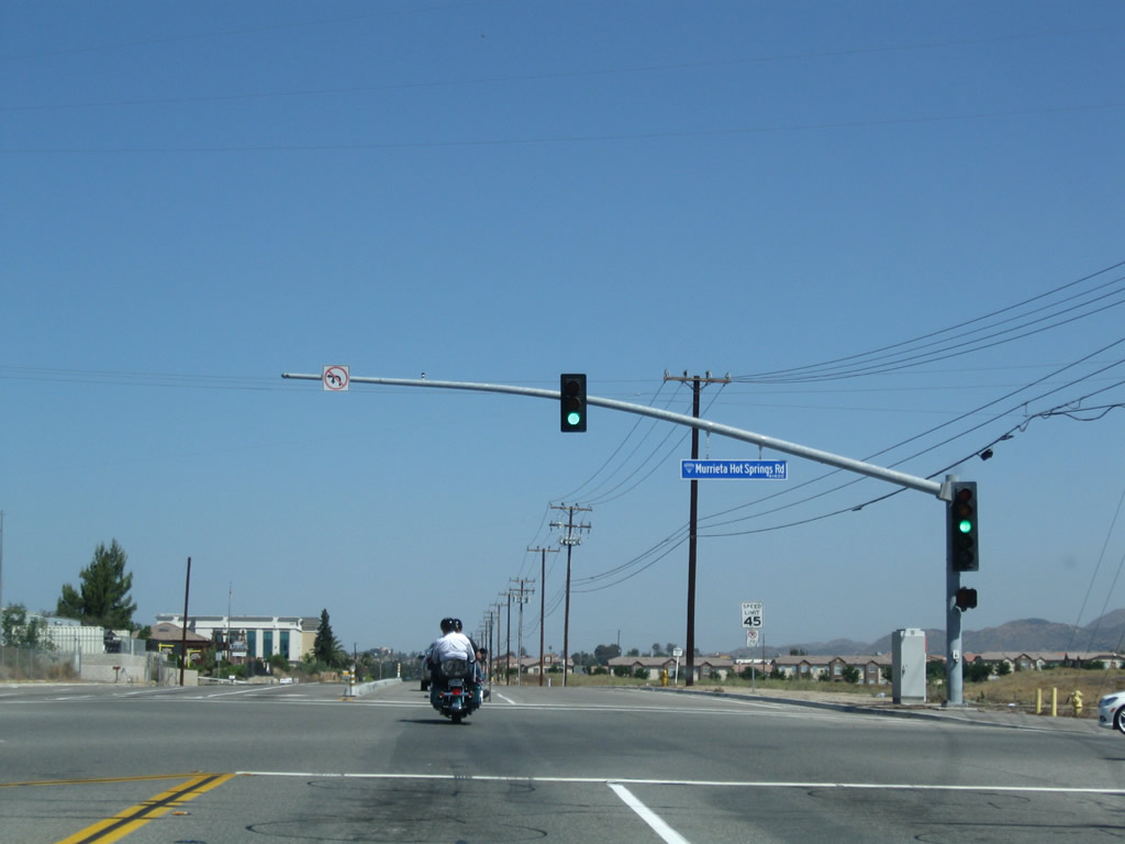
Northbound Historic U.S. 395 (Jefferson Avenue) approaches Murrieta Hot Springs Road, which travels east to Interstate 15, Interstate 215, and Murrieta Hot Springs. The historic hot springs, which actually exist and still produce hot water, are located on the grounds of Calvary Chapel Conference Center at Murrieta Hot Springs. Photo taken 06/27/09. |
|
Another Historic U.S. 395 route marker is posted after the intersection with Murrieta Hot Springs Road. Photo taken 06/27/09. |
|
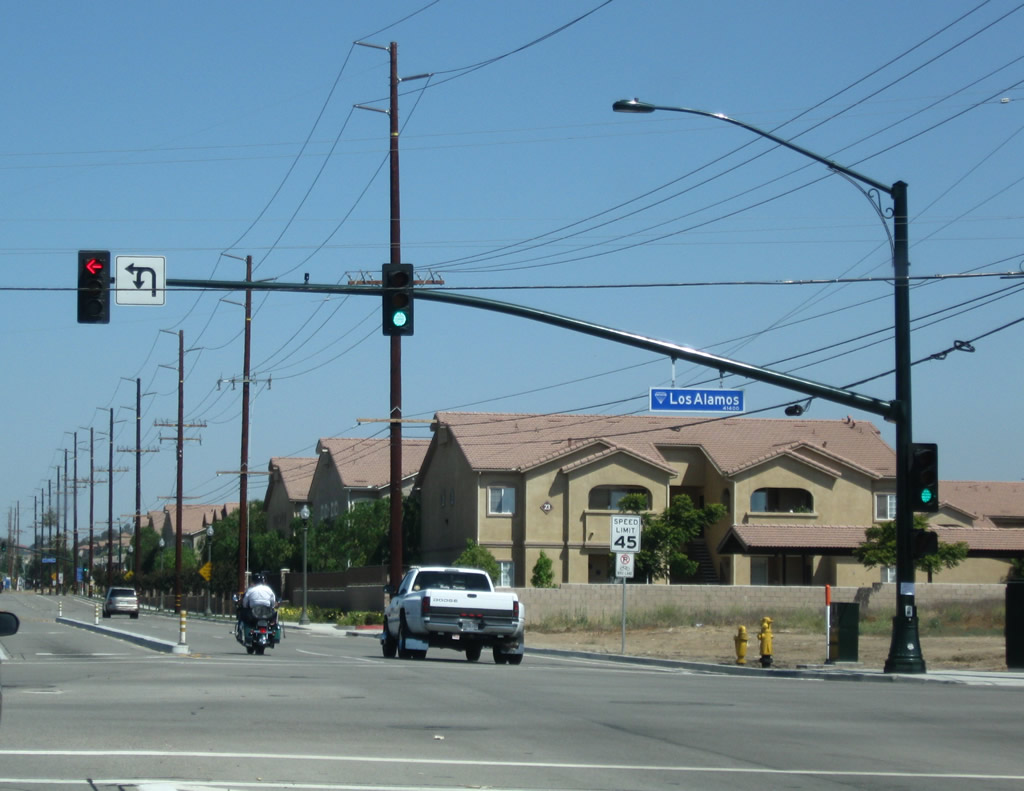
Northbound Historic U.S. 395 (Jefferson Avenue) meets Ivy Street west and Los Alamos Road east. Historic U.S. 395 turns west onto Ivy Street at this traffic signal. Jefferson Avenue will continue north, staying east of downtown Murrieta, and connecting with Nutmeg Street near its north end. At this point, Jefferson Avenue does not rejoin Historic U.S. 395 at its north end, and instead dead-ends just north of Grizzly Ridge Drive. Photo taken 06/27/09. |
|
Another Historic U.S. 395 route marker is posted on westbound Ivy Street after the intersection with Jefferson Avenue in Murrieta. Ivy Street carries Historic U.S. 395 west to Washington Avenue, where it will again turn north and pass through downtown Murrieta. Photo taken 06/27/09. |
|
Historic U.S. 395 only travels for two long blocks on Ivy Street between Jefferson Avenue and Washington Avenue. The intervening intersection is with Adams Avenue (four-way stop sign). Some new development was underway along the south side of Ivy Street; this is part of the transition of various parts of Murrieta from rural to suburban to urban. Photo taken 06/27/09. |
|
At Washington Avenue, Historic U.S. 395 turns north and leaves Ivy Street. Turn right to follow Historic U.S. 395 north through downtown Murrieta. Photo taken 06/27/09. |
|
Historic U.S. 395 turns right from westbound Ivy Street onto northbound Washington Street at this stop sign. Photo taken 06/27/09. |
|
A historic downtown Murrieta stone marker is located at the northeastern corner of the intersection between Ivy Street and Washington Avenue. Photo taken 06/27/09. |
|
After making the turn from Ivy Street west to Washington Avenue north, another Historic U.S. 395 route marker is posted as we enter downtown Murrieta. Photo taken 06/27/09. |
|
Southern Magnolia trees line both sides of Historic U.S. 395 (Washington Avenue) as it passes through downtown Murrieta. Photo taken 06/27/09. |
|
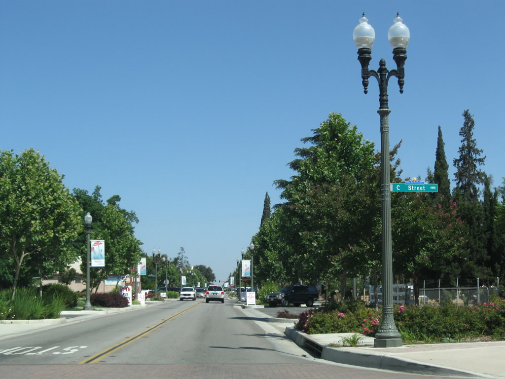
Northbound Historic U.S. 395 (Washington Avenue) meets C Street. Ornate historic street lights are part of the streetscape in downtown Murrieta. Photo taken 06/27/09. |
|
Soon thereafter, Historic U.S. 395 north approaches B Street. Turn right on B Street to Town Square Park and Murrieta City Hall. Photo taken 06/27/09. |
|
This view looks north along Historic U.S. 395 (Washington Avenue) in downtown Murrieta between B Street and A Street. Photo taken 06/27/09. |
|
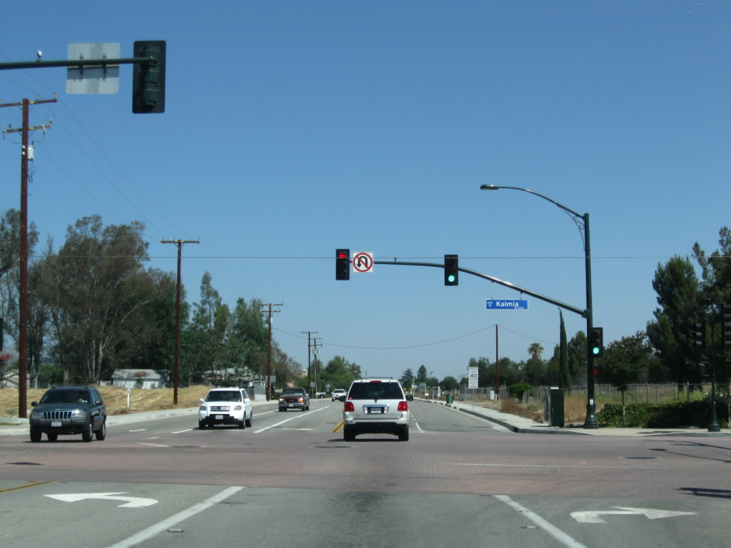
The north end of downtown Murrieta via Historic U.S. 395 is near the intersection of Washington Avenue and Kalmia Street, which travels east to meet Interstate 15. Photo taken 06/27/09. |
|
Another Historic U.S. 395 route marker is posted on northbound Washington Avenue just north of Kalmia Street and downtown Murrieta. Photo taken 06/27/09. |
|
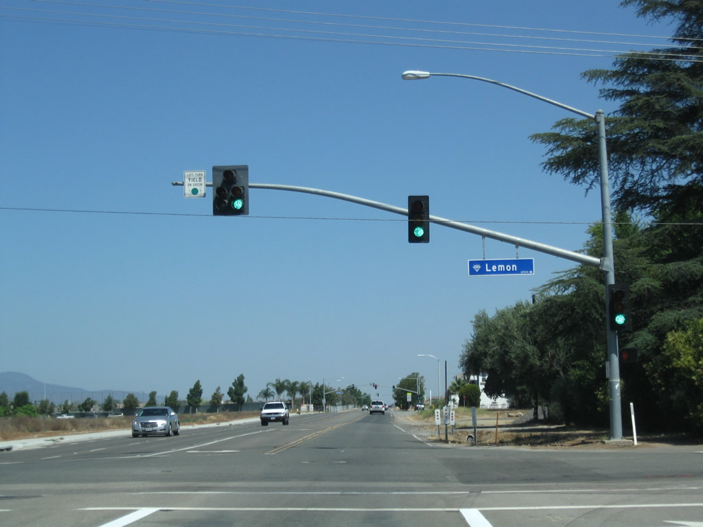
Northbound Historic U.S. 395 (Washington Avenue) meets Lemon Street at this traffic signal. Photo taken 06/27/09. |
|
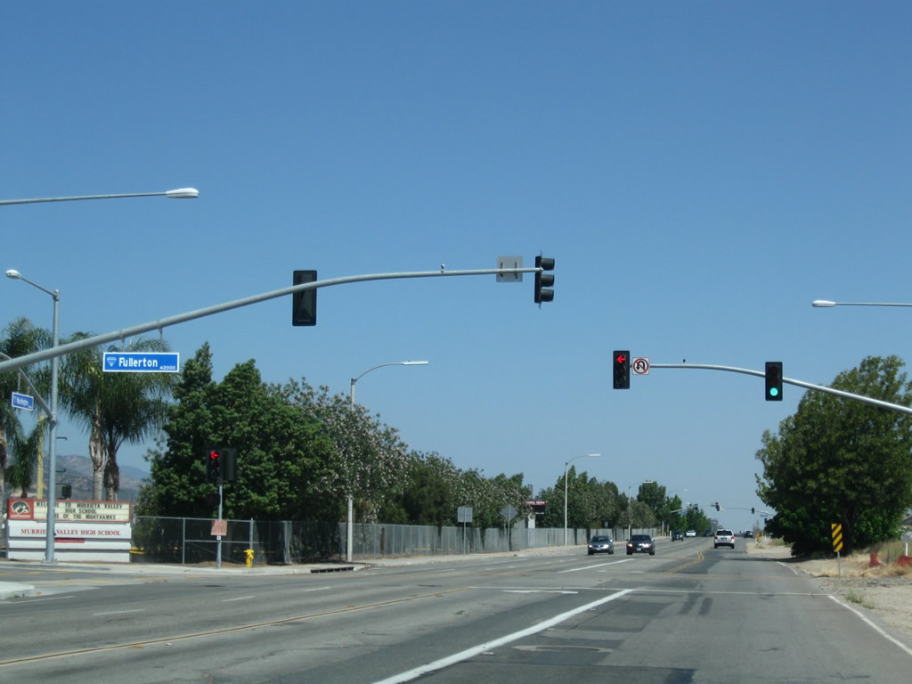
The next two signalized intersections along Historic U.S. 395 (Washington Avenue) north connect to Fullerton Road and Magnolia Street. Turn left at Fullerton Road to Murrieta High School. Photo taken 06/27/09. |
|
Northbound Historic U.S. 395 (Washington Avenue) approaches Jerry Allen Street in Murrieta. Photo taken 06/27/09. |
|
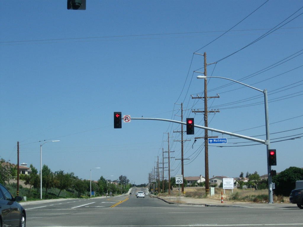
Soon thereafter, Historic U.S. 395 (Washington Avenue) meets Nutmeg Street. Photo taken 06/27/09. |
|
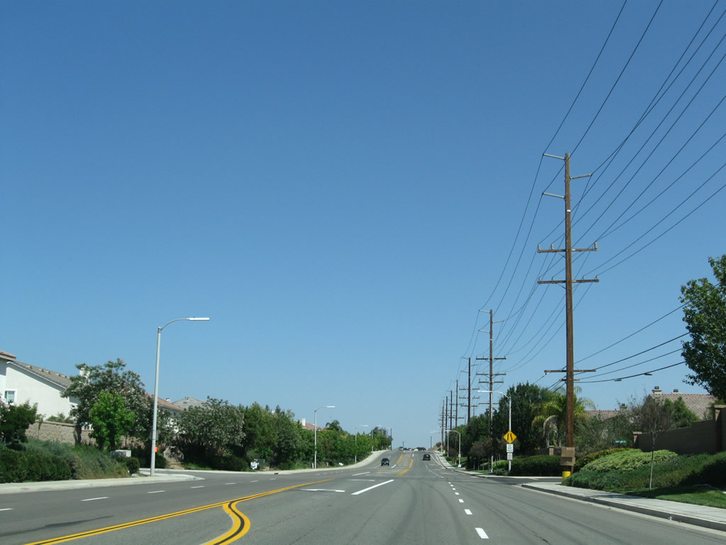
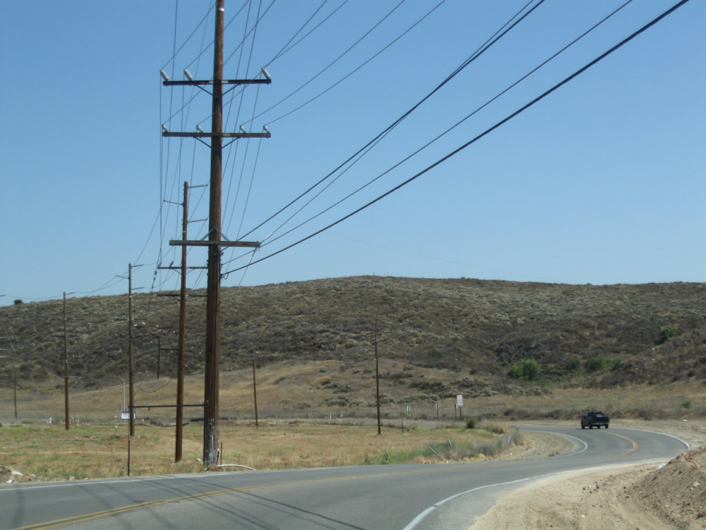
In northern Murrieta, Historic U.S. 395 passes by a few more master-planned developments before reaching the city limits of Wildomar. Photo taken 06/27/09. |
|
Historic U.S. 395 leaves Murrieta and enters the city of Wildomar, which incorporated on July 1, 2008, and had a population of 32,176 as of the 2010 Census. The city is rapidly growing with new residential developments planned or under construction within its boundaries between Temecula and Lake Elsinore along the busy Interstate 15 corridor, which was completed as a freeway in 1985. Photo taken 06/27/09. |
|
This stretch of Historic U.S. 395 in southern Wildomar has not been realigned and follows a path likely to match that of the original route of U.S. 395. After U.S. 395 was rerouted to the Interstate 215 corridor, this stretch of U.S. 395 became part of the California 71 corridor. Ahead, Washington Avenue changes into Palomar Street. Photo taken 06/27/09. |
|
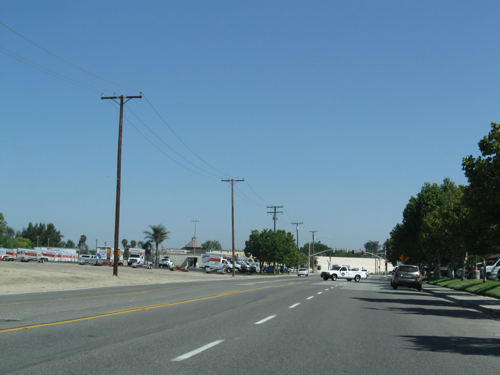
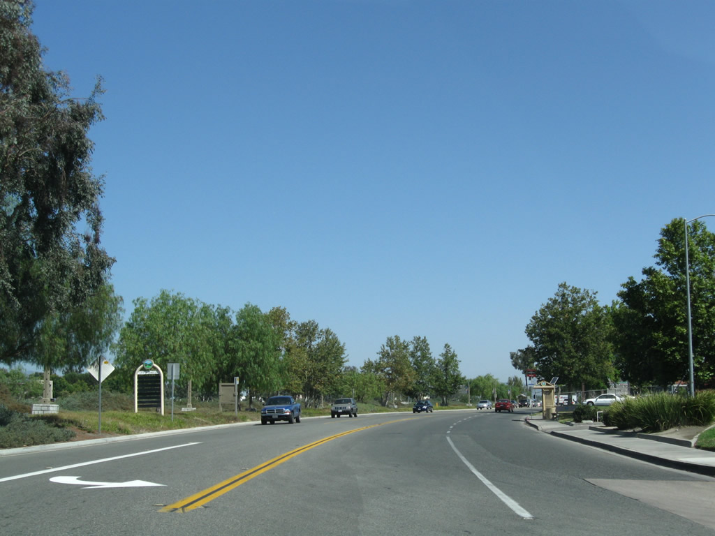
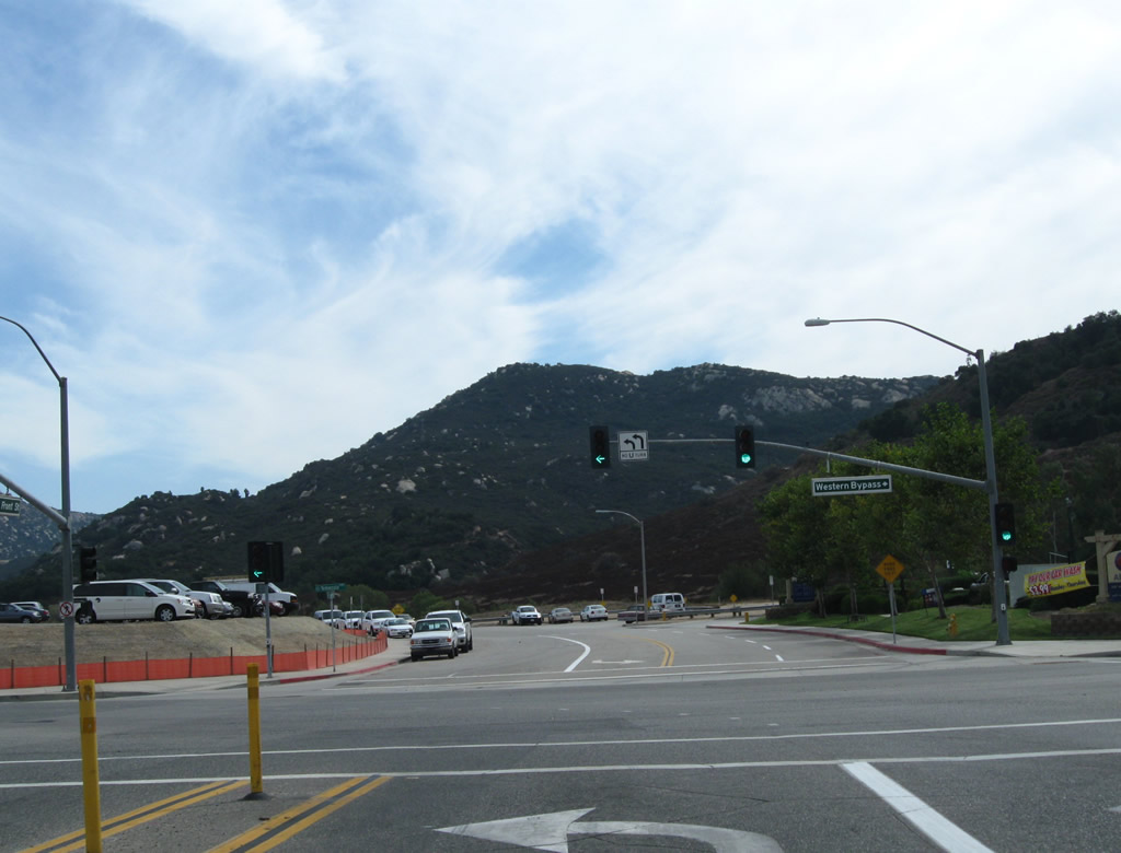
Given the rapid development of the Interstate 15 corridor between Temecula and Lake Elsinore, further development of the Historic U.S. 395 corridor through Murrieta and Wildomar is likely. Photo taken 06/27/09. |
|
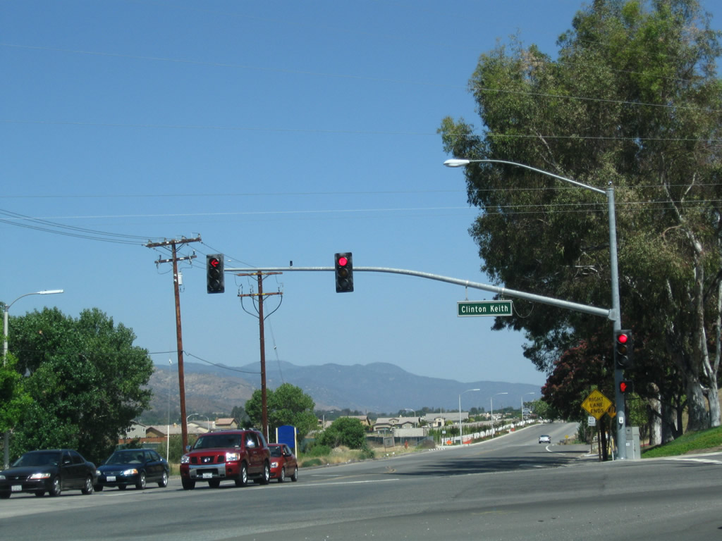
Northbound Historic U.S. 395 (Palomar Street) approaches Clinton Keith Road. At the traffic signal, turn right on Clinton Keith Road east to Interstate 15. Photo taken 06/27/09. |
|
Soon thereafter, northbound Historic U.S. 395 (Palomar Street) meets Clinton Keith Road. Turn right on Clinton Keith Road east to Interstate 15 or continue ahead on Palomar Street for the continuation of Historic U.S. 395 and California 71. Photo taken 06/27/09. |
| Historic U.S. 395 south |
|
Historic U.S. 395 (Old Town Front Street) approaches Rancho California Road. Turn left (east) on Rancho California Road to the Temecula Wine Country or proceed ahead into Old Town Temecula. Photo taken 07/17/11. |
|
Southbound Historic U.S. 395 (Old Town Front Street) enters Old Town Temecula. Photo taken 07/17/11. |
|
This Historic U.S. 395 route marker is posted along southbound Old Town Front Street just prior to the Main Street intersection in Old Town Temecula. Photo taken 10/02/11. |
|
Southbound U.S. 395 (Old Town Front Street) meets Main Street. Turn left (east) to the Temecula City Hall or right (west) for more shops and a historic bridge to cross the flood control channel to Pujol Street. Photo taken 10/02/11. |
|
|
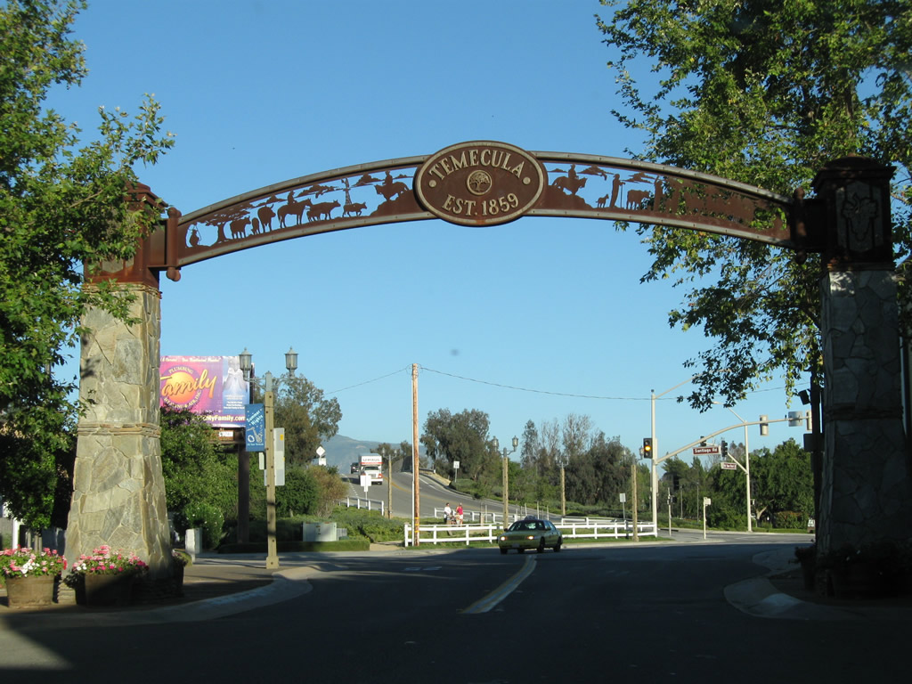
A decorative arch over Old Town Front Street ushers travelers out of Old Town Temecula and back toward the Interstate 15 freeway. Photos taken 10/02/11 and 07/17/11. |
|
Southbound Old Town Front Street meets First Street at this traffic signal. Photo taken 07/17/11. |
|
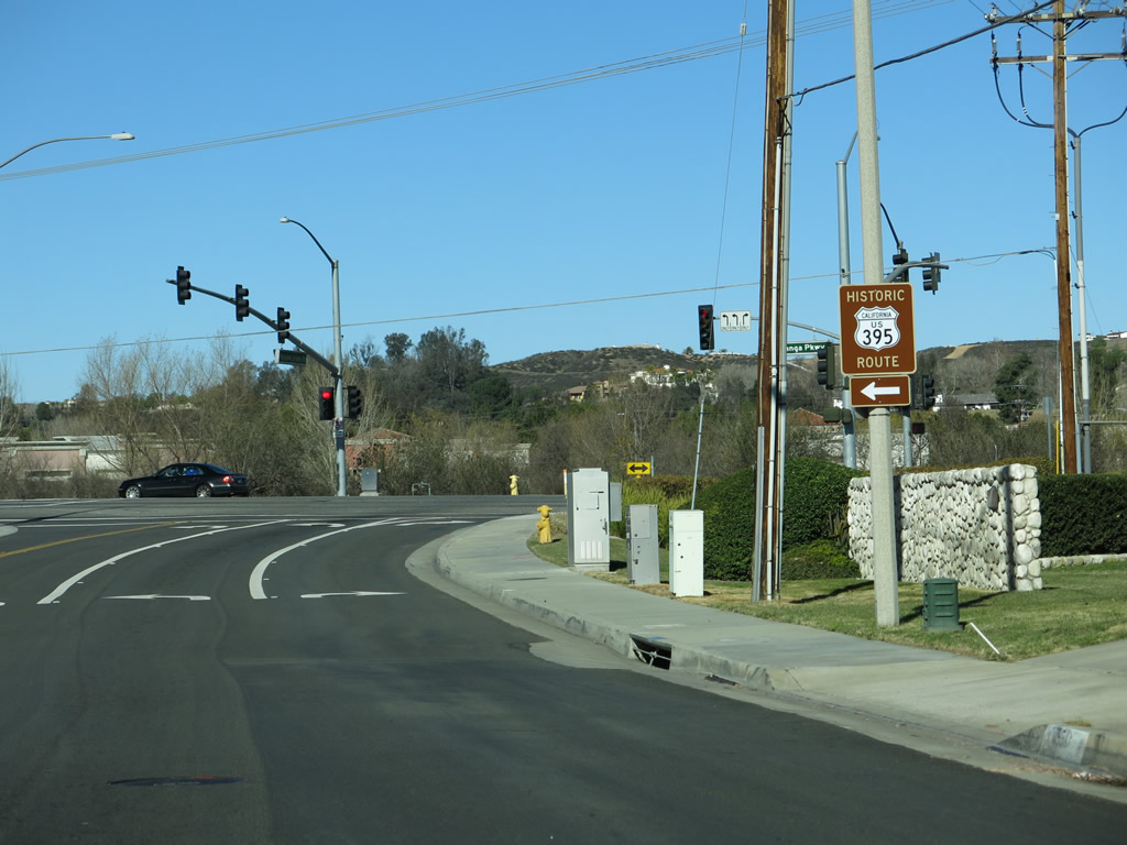
At the south end of Old Town Front Street, a trailblazer historic route marker sign points the way for the continuation of Old U.S. 395. Turn left onto California 79 south for Historic U.S. 395 south to Rainbow Valley Road. Photo taken 10/02/11. |
|
Southbound Old Town Front Street meets Temecula Parkway , which connects to Interstate 15 and California 79. Photo taken 10/02/11. |
|
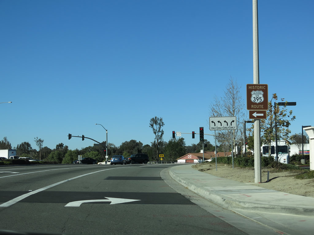
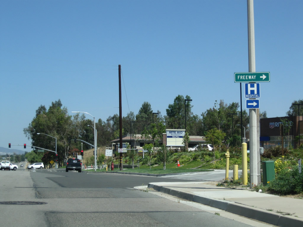
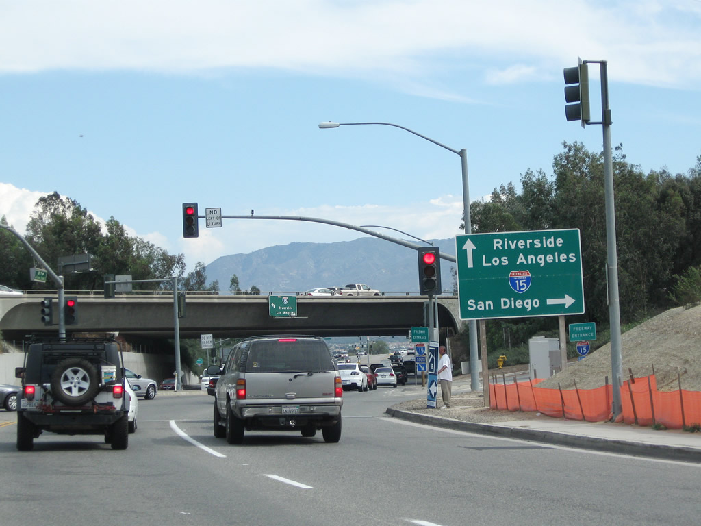
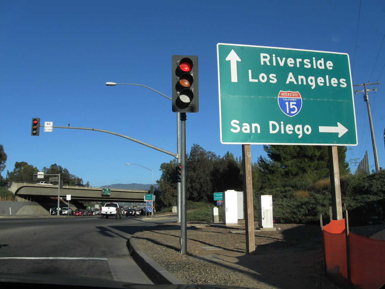
Traveling on Temecula Parkway, Historic U.S. 395 approaches Interstate 15 and California 79 just south of Old Town Temecula. The first right turn connects to Interstate 15 south to Escondido and San Diego. The next left turn connects to Interstate 15 north to Corona / Riverside and California 79 north to Beaumont. Continue straight ahead for Historic U.S. 395 and California 79 south toward Pechanga and Warner Springs. Photo taken 10/02/11. |
|
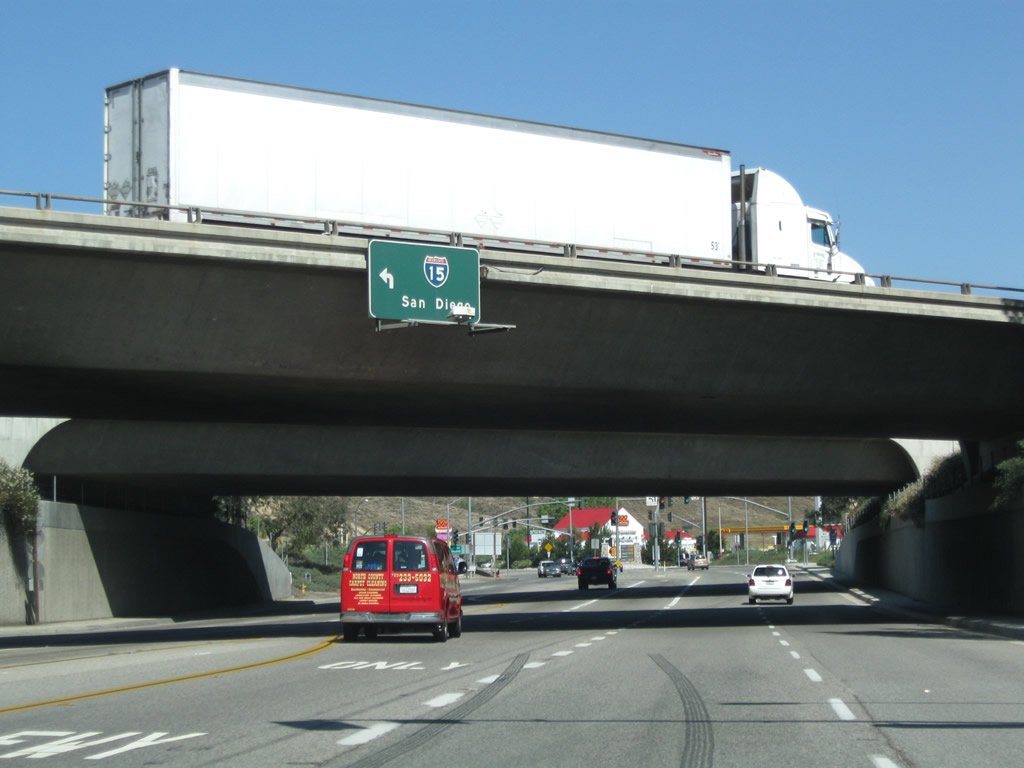
Historic U.S. 395 (Temecula Parkway) meets Interstate 15 at this diamond interchange. Photo taken 07/17/11. |
|
Turn right here for the on-ramp to Interstate 15 south to Escondido and San Diego. The next left connects to Interstate 15 north to Riverside and San Bernardino. Historic U.S. 395 (Temecula Parkway) proceeds south along with California 79 toward Pechanga and Warner Springs. Photo taken 07/17/11. |
|
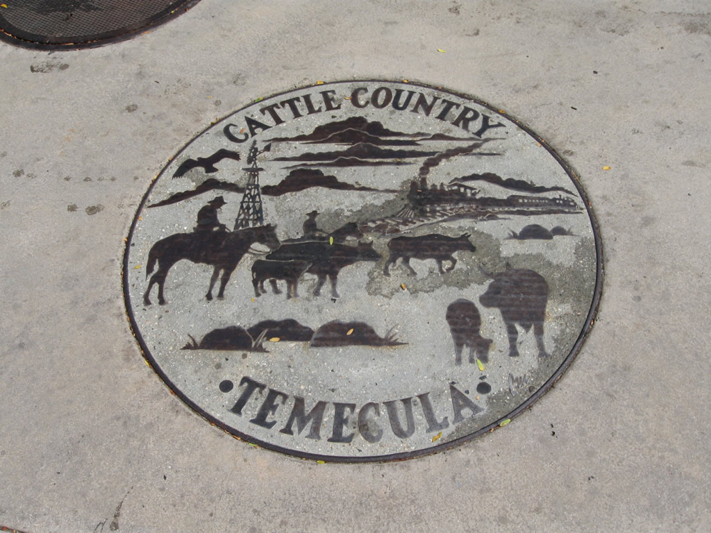
Engraved into the pavement along Old Town Front Street are several logos, such as this one for Temecula Cattle Country. Photo taken 10/02/11. |
|
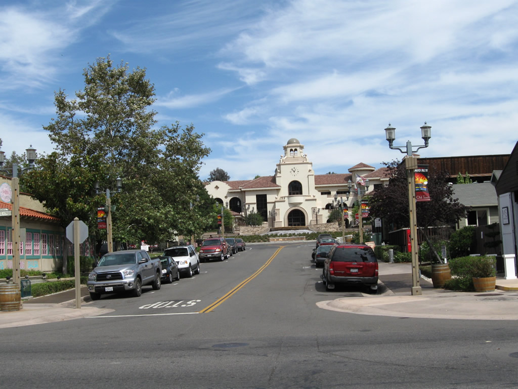
At the intersection between U.S. 395 (Old Town Front Street) and Main Street, this view looks east on Main Street toward Temecula City Hall. Photo taken 10/02/11. |
|
|
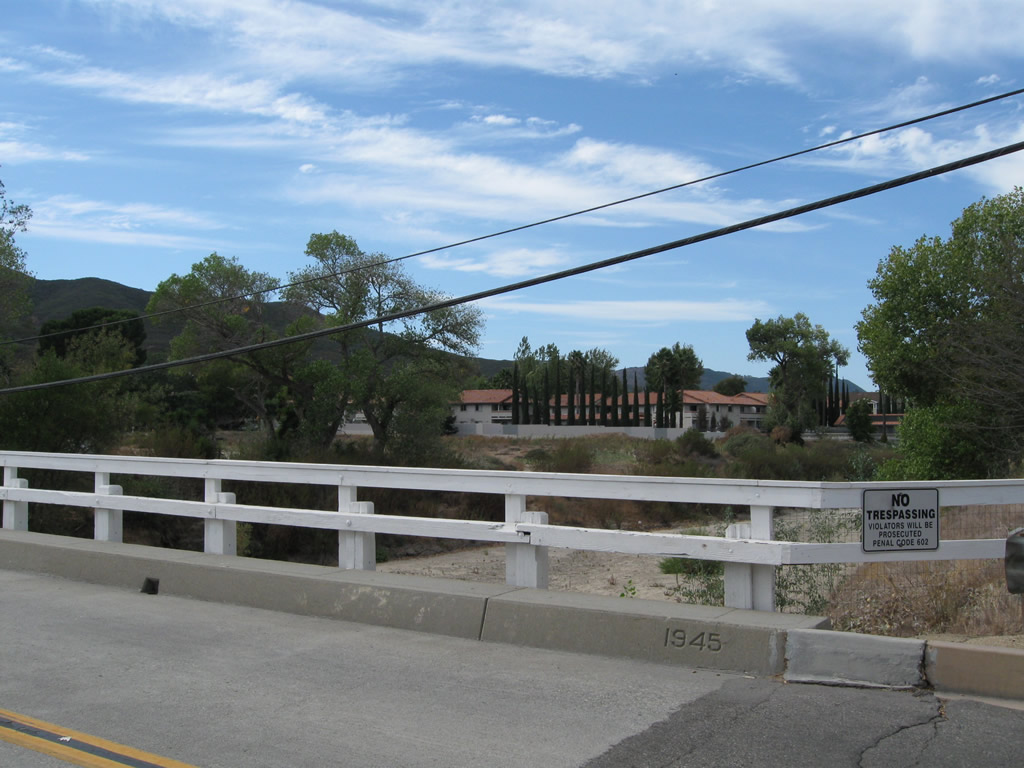
Main Street crosses over a flood control channel on a 1945 bridge, as stenciled into the concrete curb. The bridge connects Old Town Temecula with Pujols Street. Photos taken 10/02/11. |
Page Updated February 21, 2013.