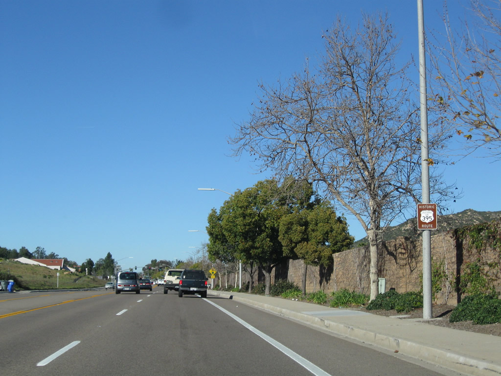
| Historic U.S. 395 north |
|
|
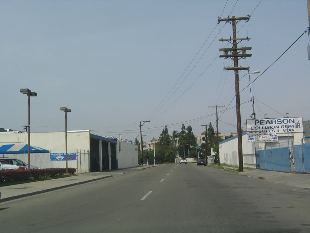
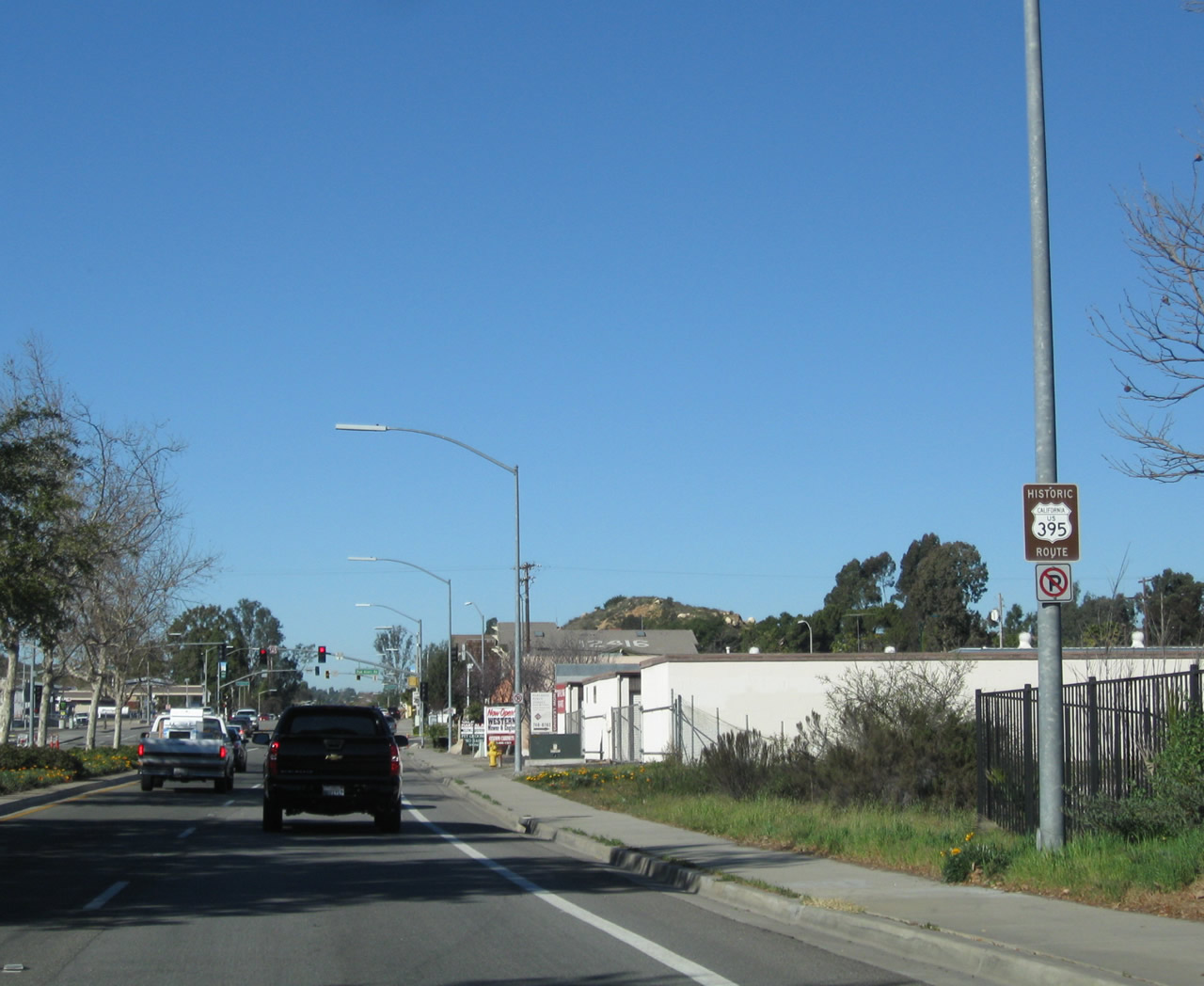
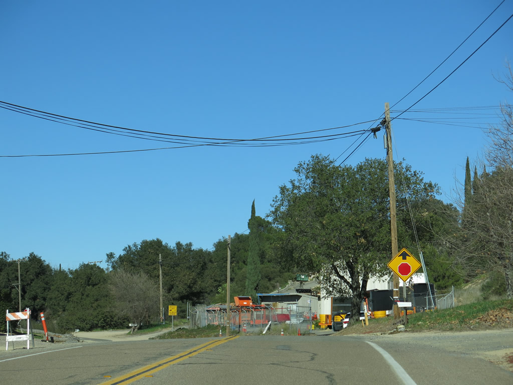
Fairmount Avenue (old U.S. 395) north of Business Loop I-8 and Historic U.S. 80 (El Cajon Boulevard) in City Heights. Changes to this stretch of roadway were evident with the closure and demolition of former Pearson Ford. Photo taken 03/27/05 and 08/29/12. |
|
|
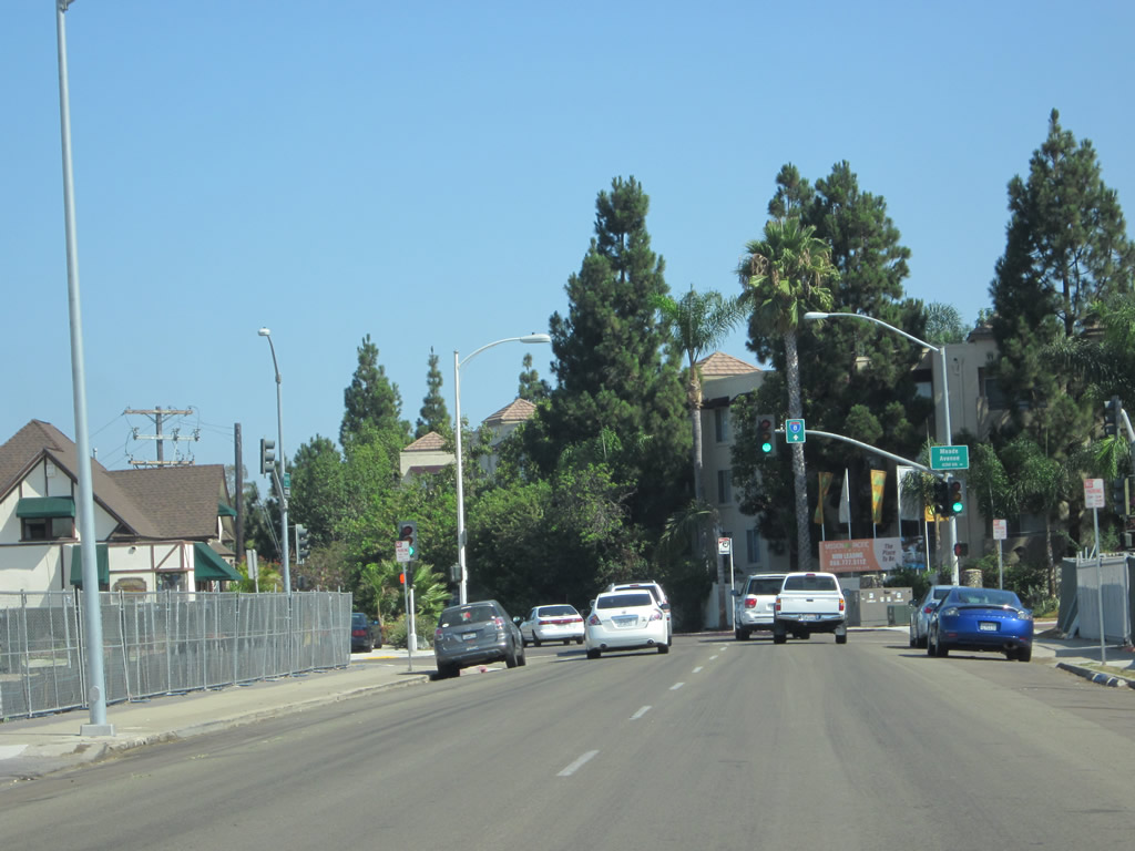
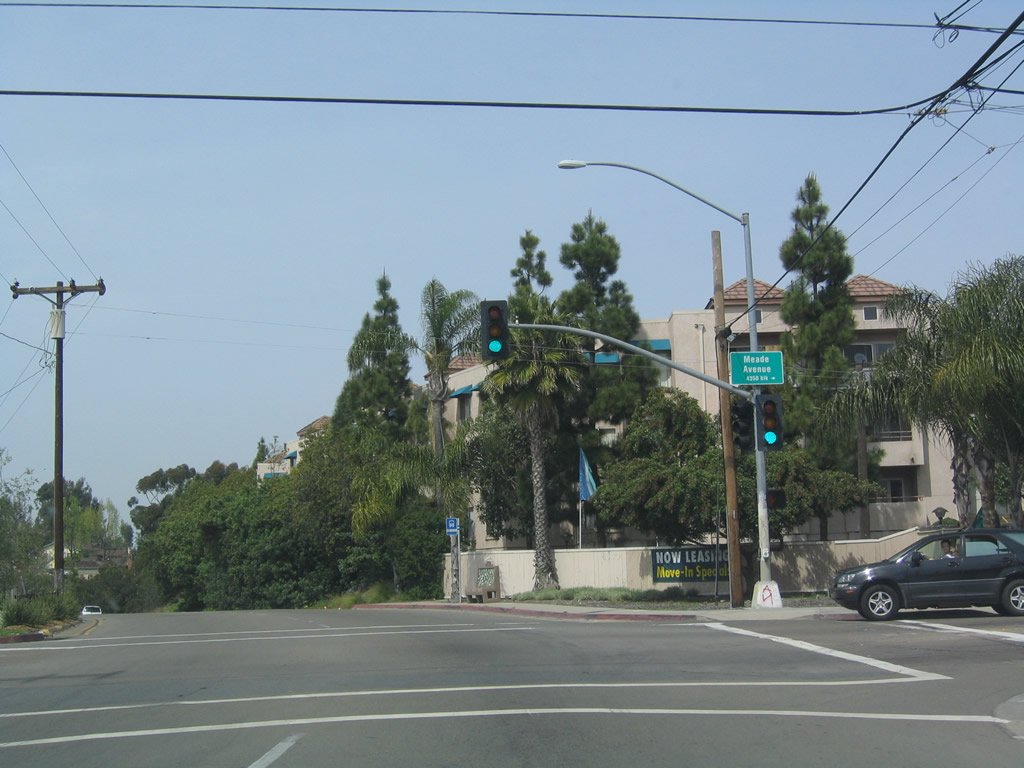
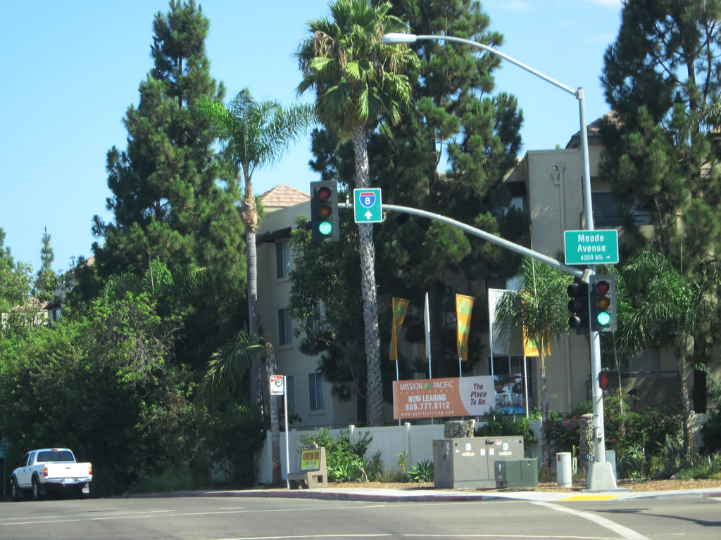
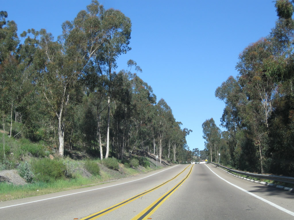
The one-way configuration of Fairmount Avenue ends at Meade Avenue; from here north to Interstate 8, Fairmount Avenue assumes a near-freeway standard (aside from access to the residential Talmadge Row). Photo taken 03/27/05 and 08/29/12. |
|
|
|
|
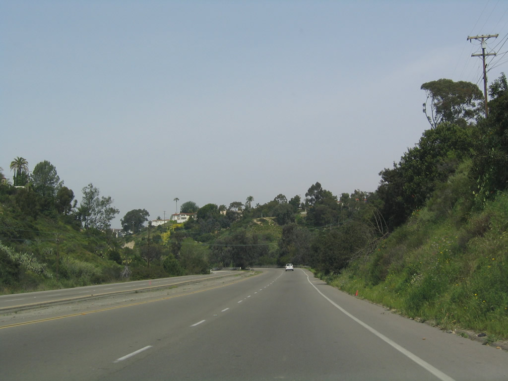
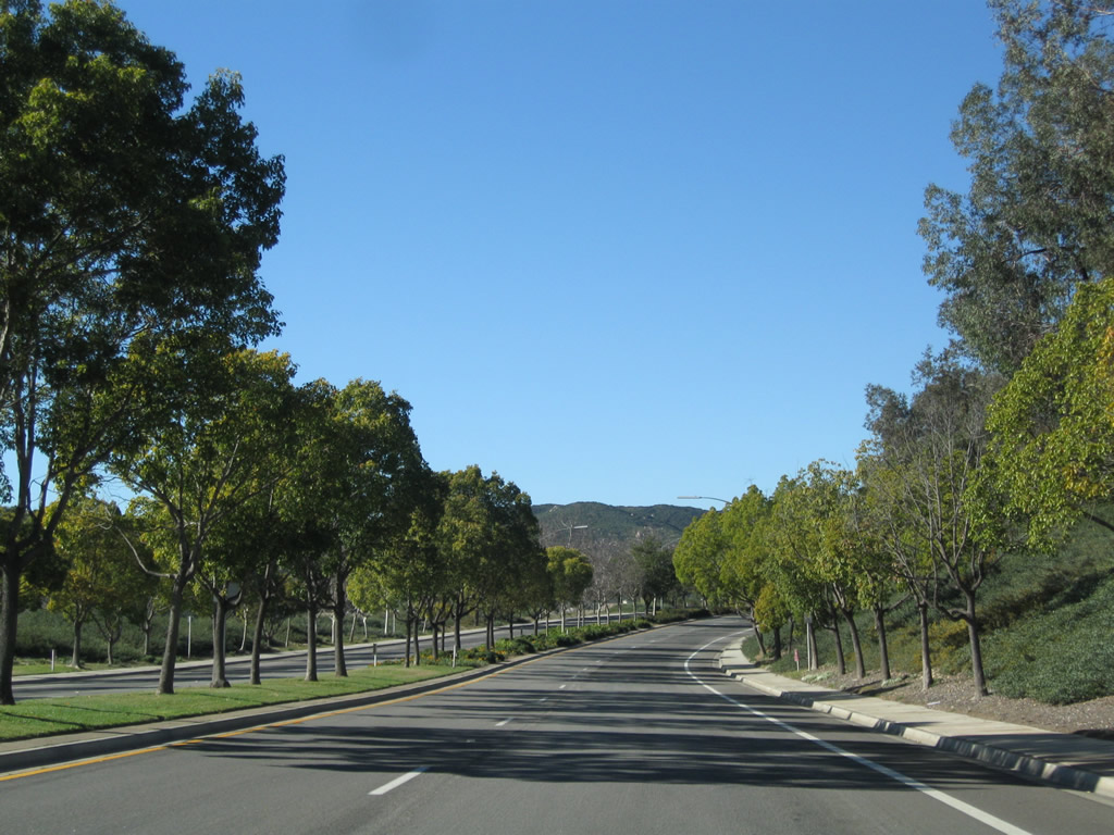
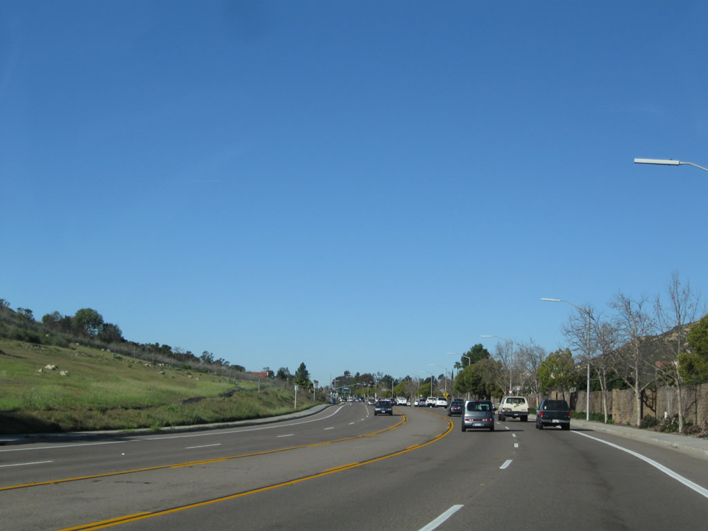
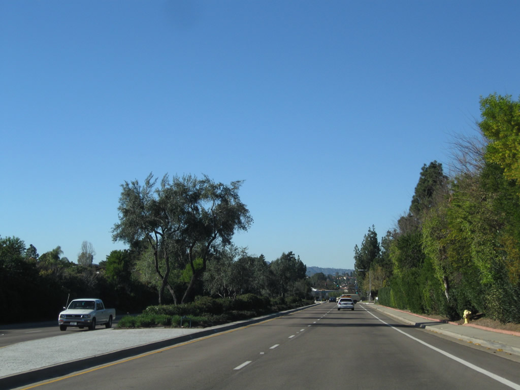
Southbound Historic U.S. 395 (Fairmount Avenue) carries two lanes in each direction as it descends from Talmadge toward Mission Gorge. Photos taken 03/27/05 and 08/29/12. |
|
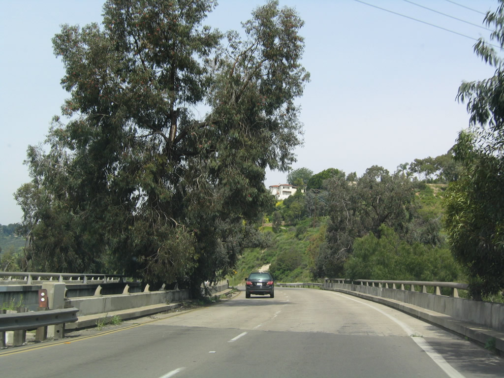
Fairmount Avenue crosses over Aldine Drive; access to Aldine Drive from Fairmount Avenue is limited to southbound traffic. Photo taken 03/27/05. |
|
Traffic from Aldine Drive merges onto Fairmount Avenue north. Photo taken 03/27/05. |
|
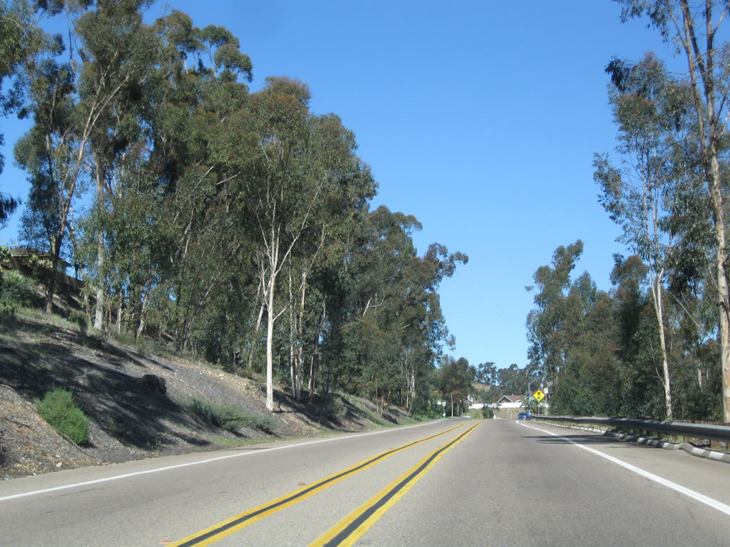
Turn right from Fairmount Avenue north into Talmadge Row, a small residential neighborhood located to the east of the roadway. Photo taken 08/29/12. |
|
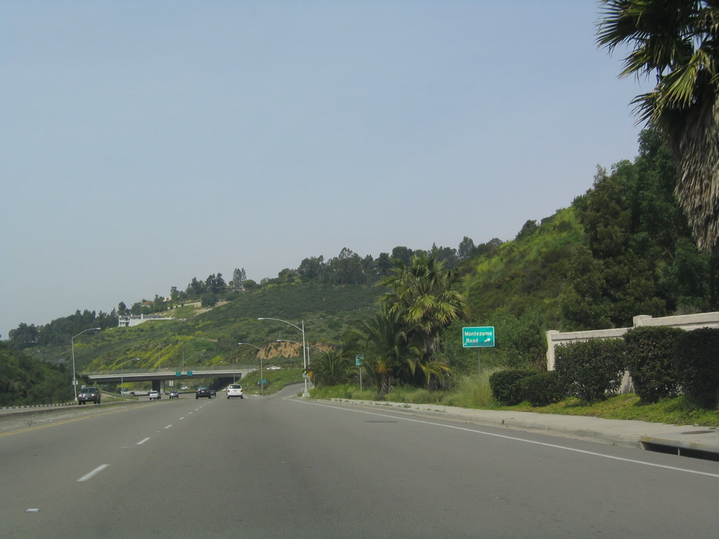
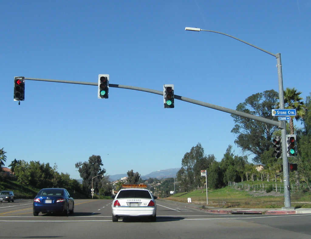
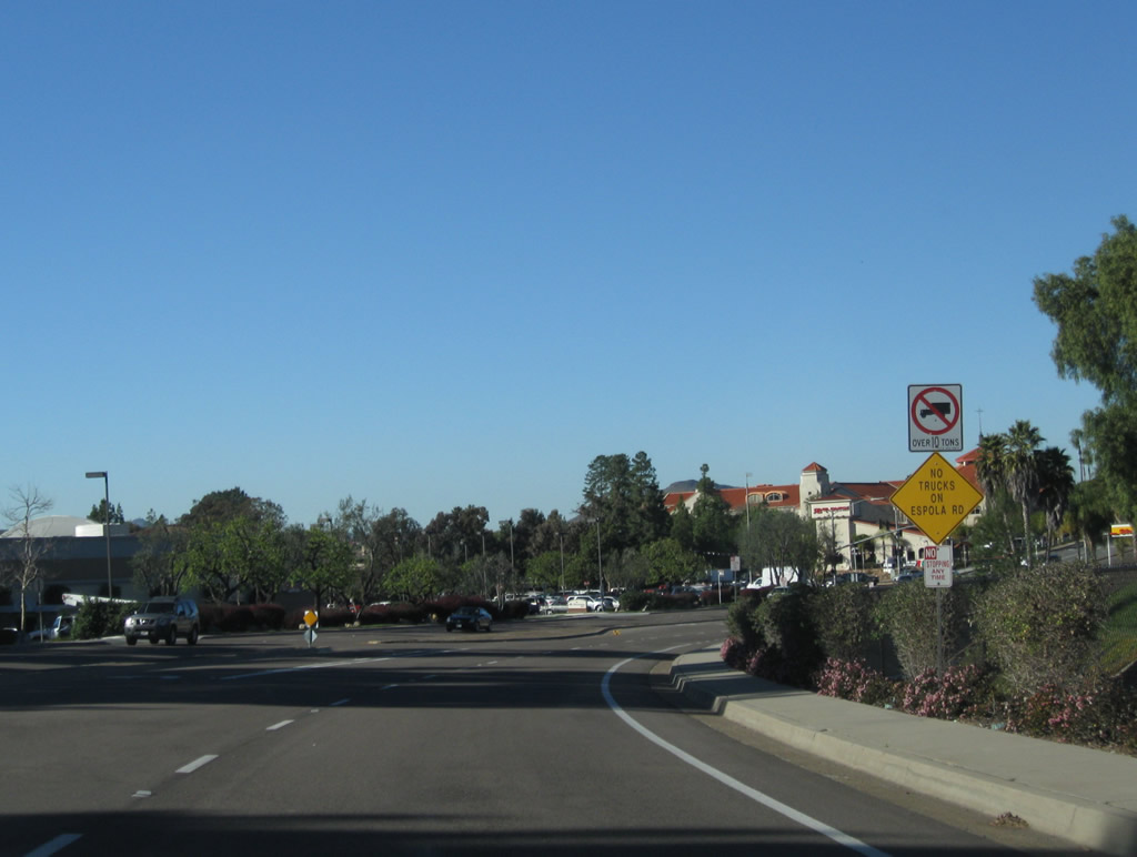
The next exit along Fairmount Avenue (Old U.S. 395) north is the connection to Montezuma Road east to San Diego State University. Photo taken 03/27/05. |
|
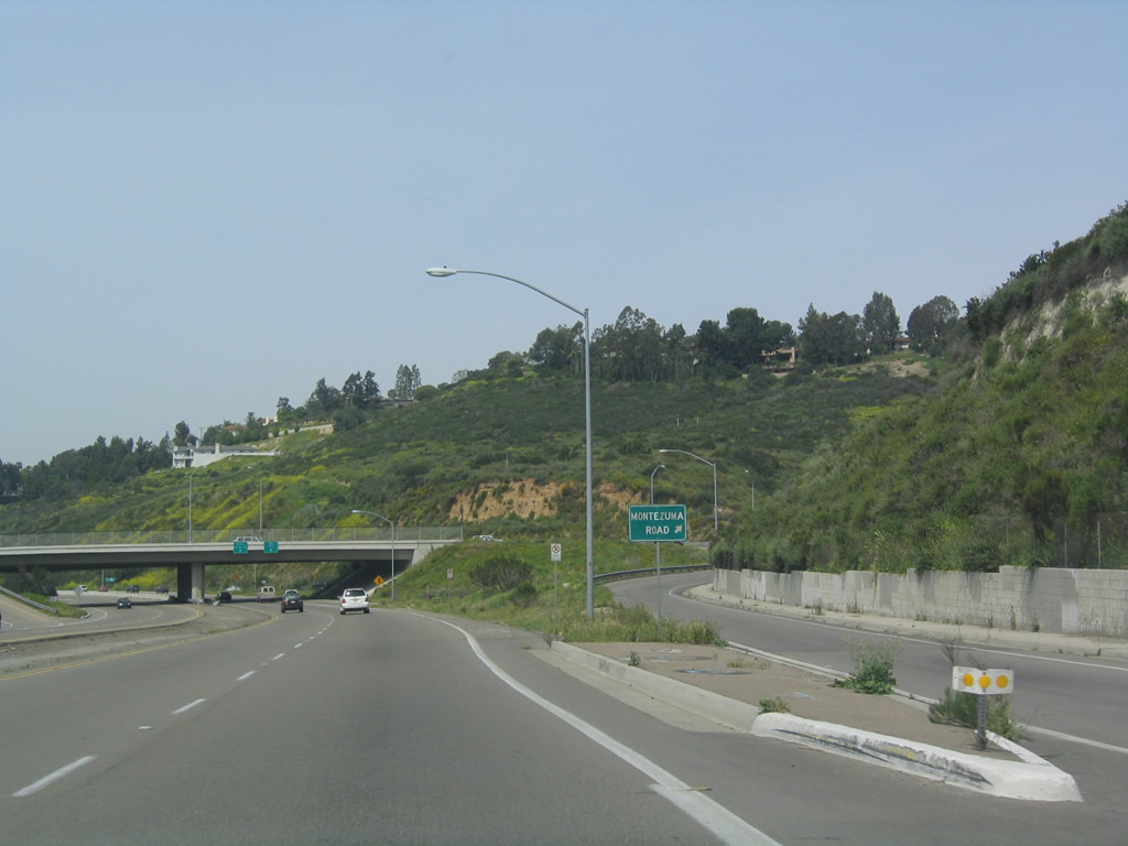
Northbound Fairmount Avenue meets Montezuma Road east; the next interchange is with Interstate 8. Photo taken 03/27/05. |
|
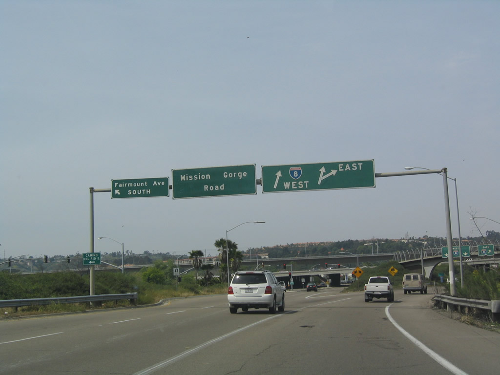
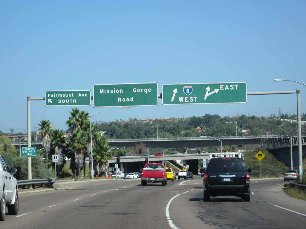
The left lane connects to Mission Gorge Road east and Fairmount Avenue north. Stay right to connect to Interstate 8 east and west. Photo taken 03/27/05. |
|
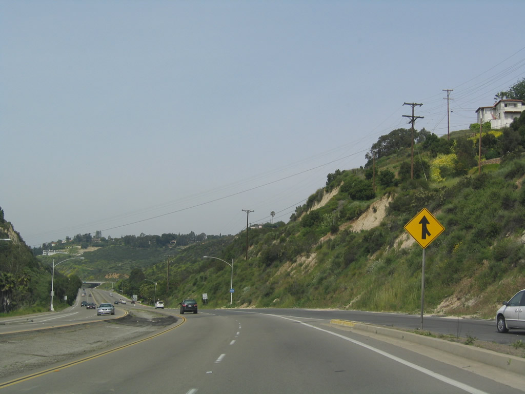
Stay left for Mission Gorge Road. As traffic merges onto northbound from Montezuma Road, the northbound lanes add an auxiliary third lane. Photo taken 03/27/05. |
|
|
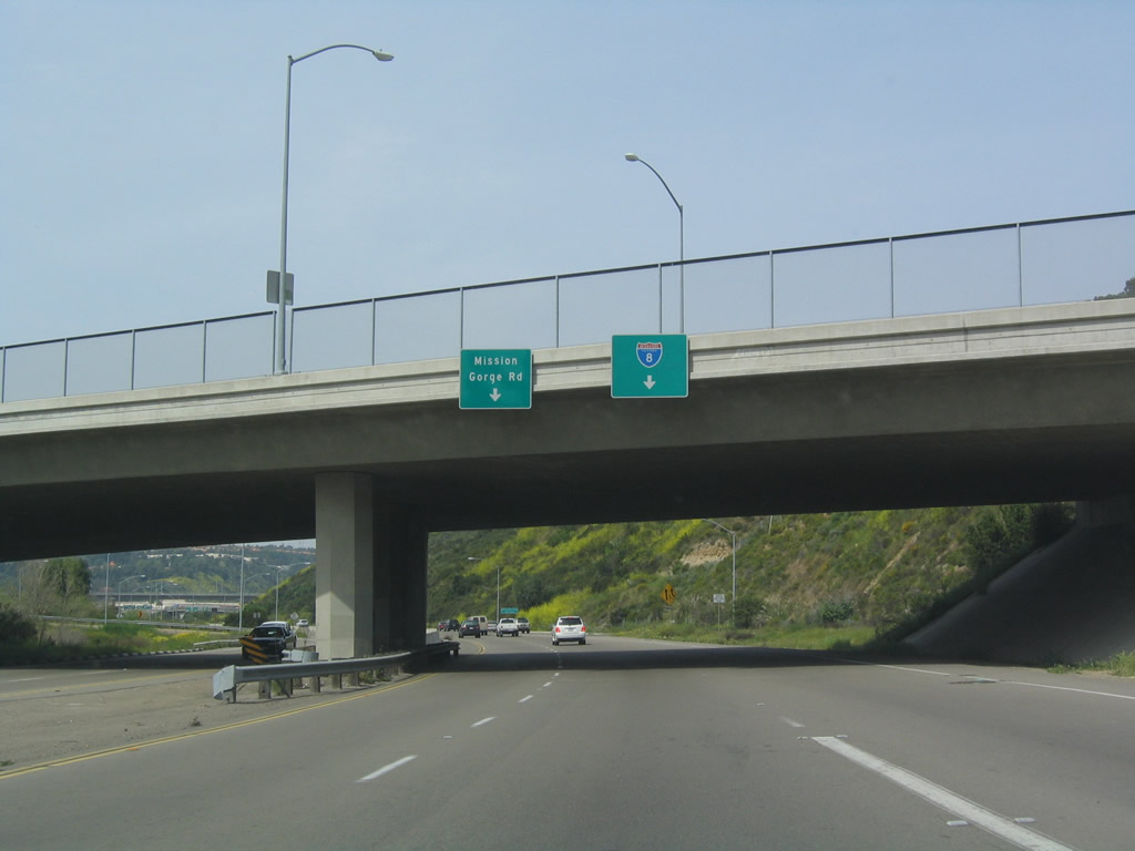
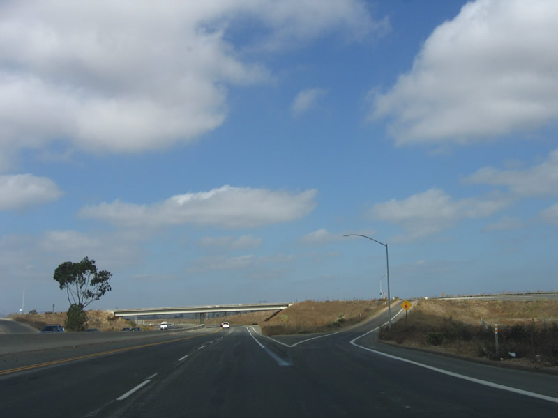
Northbound Fairmount Avenue becomes Mission Gorge Road as it enters the Interstate 8 interchange. Turn left at the signal ahead to U-turn to Camino del Rio South and reconnect to southbound Fairmount Avenue. Photos taken 03/27/05 and 08/29/12. |
|
|
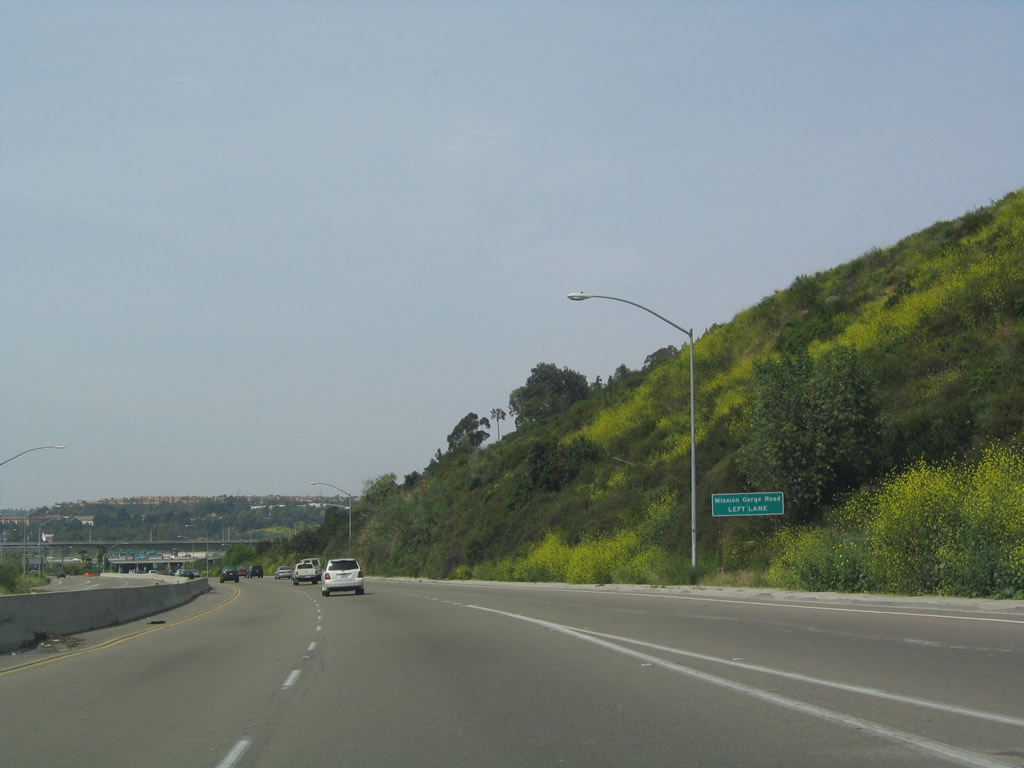
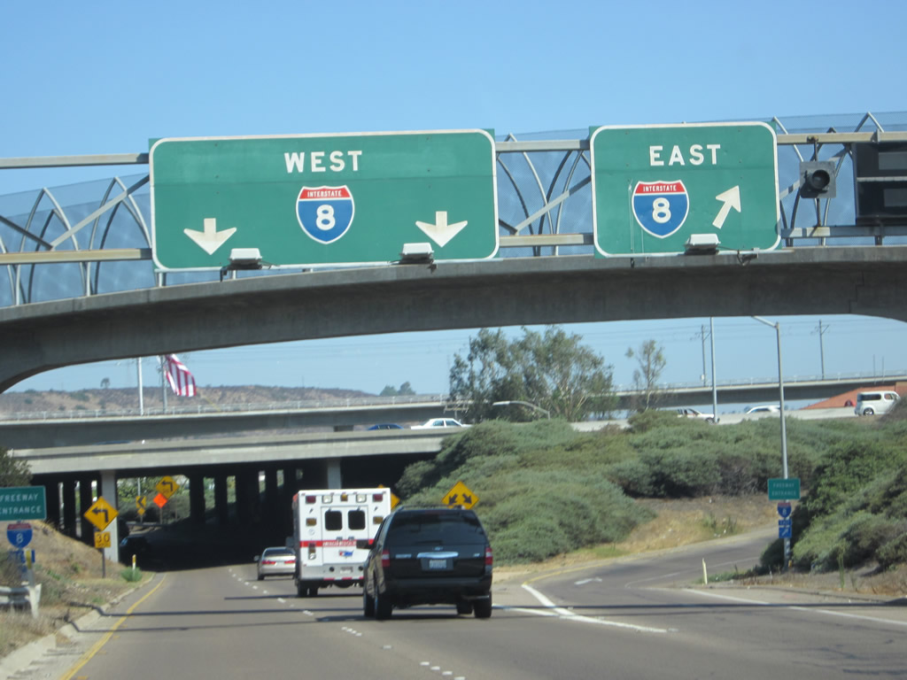
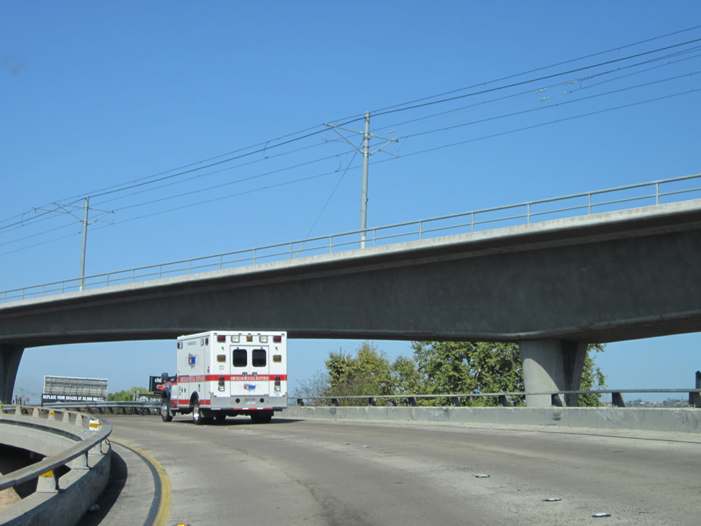
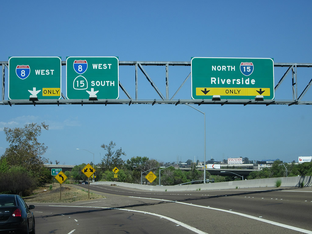
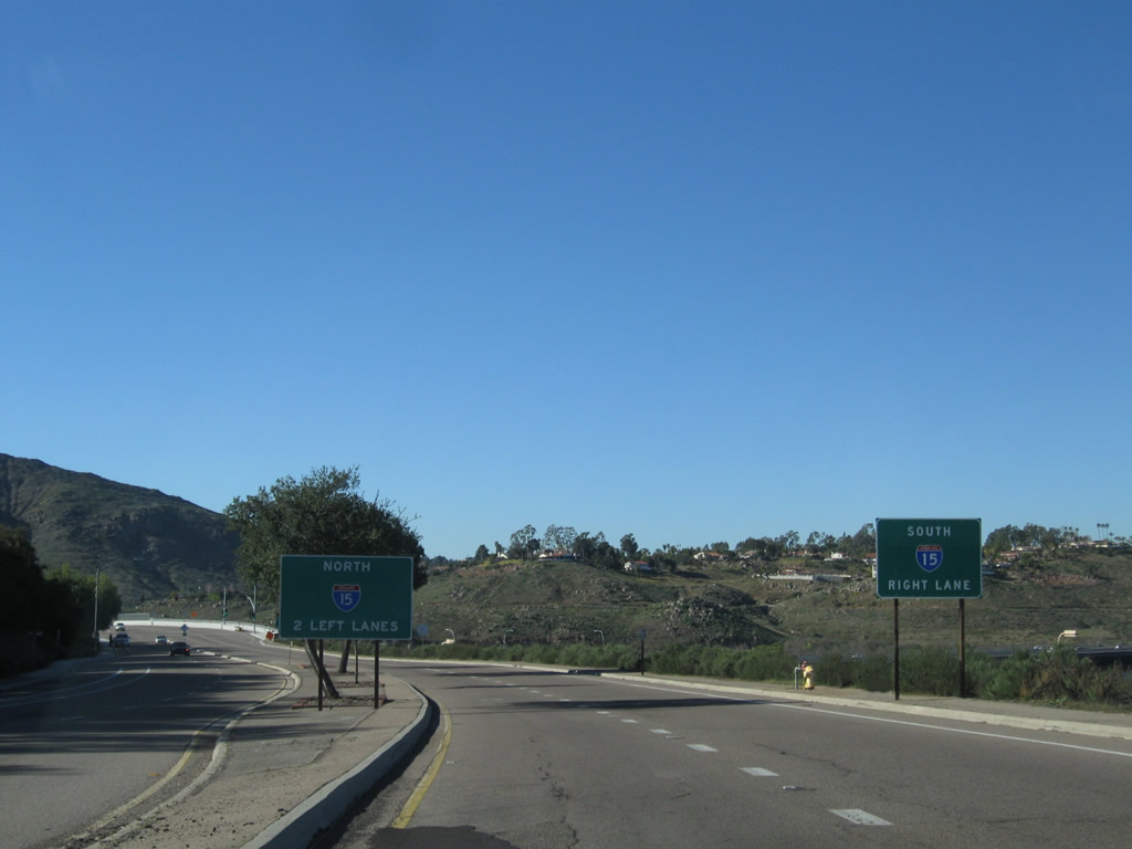
A two-lane exit carries traffic from Fairmount Avenue north to Interstate 8. Stay right to connect to Interstate 8 east to La Mesa, El Cajon, and El Centro. Stay left to connect to Interstate 8 west to downtown, the airport, beaches, and Interstate 5. Photos taken 03/27/05 and 08/29/12. |
|
|
|
|
|
|
|
|
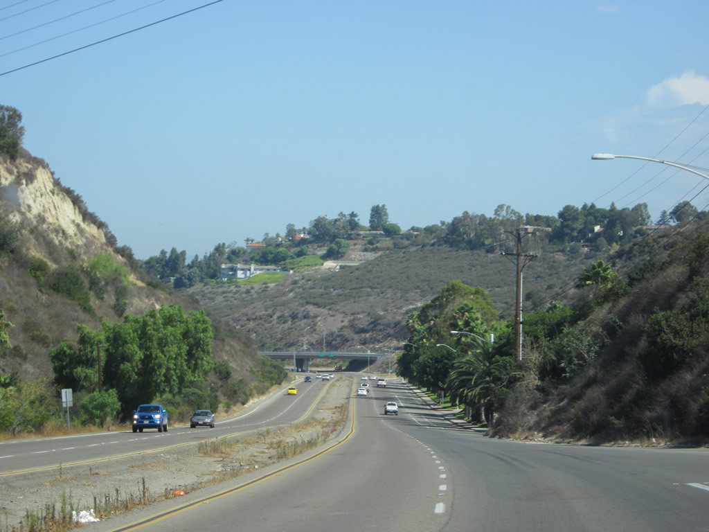
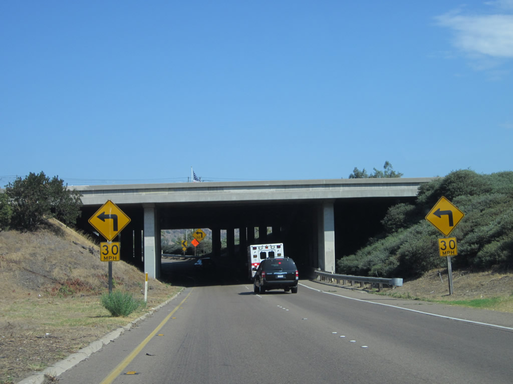
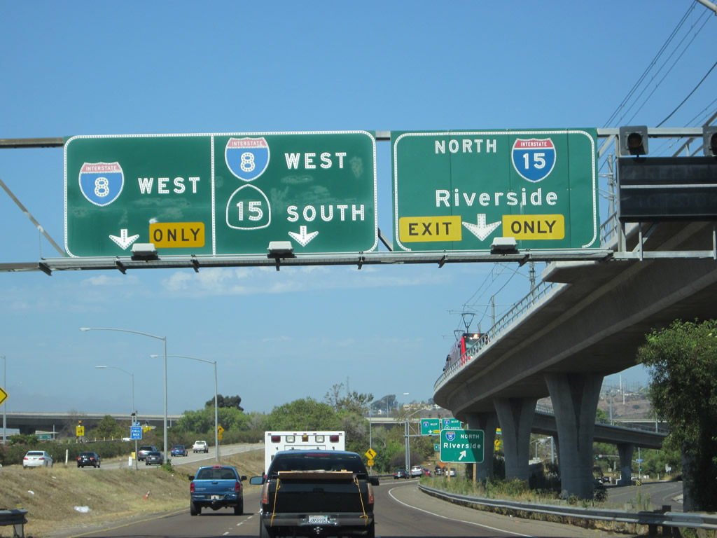
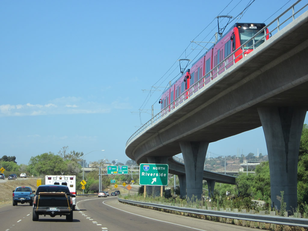
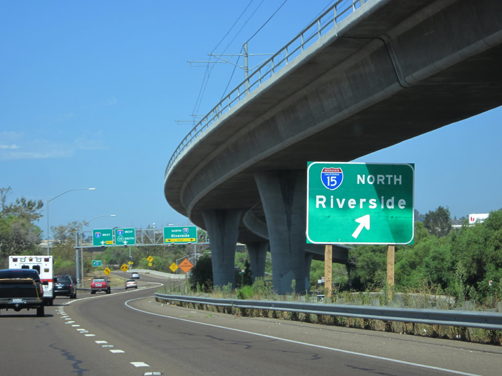
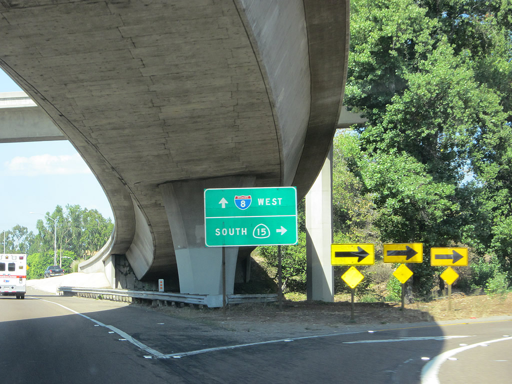
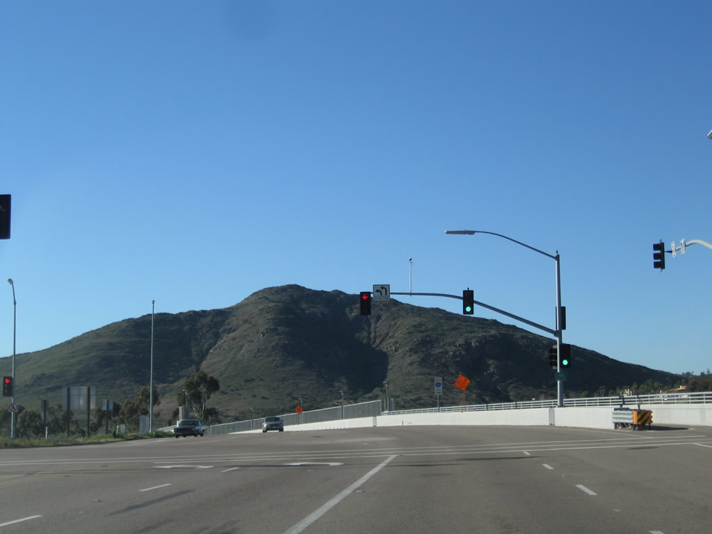
| This series of pictures follows the winding ramp as it leads from northbound Fairmount Avenue to Interstate 8 west and Interstate north, and Interstate 15 south. Following the twists and turns, an on-ramp from Mission Gorge Road brings traffic onto the collector lanes, and soon the lanes split between Interstate 8 (left lane) and Interstate 15 north (right lane). A second ramp then connects to California 15 (Interstate 15) south. None of these ramps were part of Old U.S. 395, since U.S. 395 was already tranferred to the Cabrillo Freeway by the time this freeway ramp was built. Photos taken 08/29/12. |
|
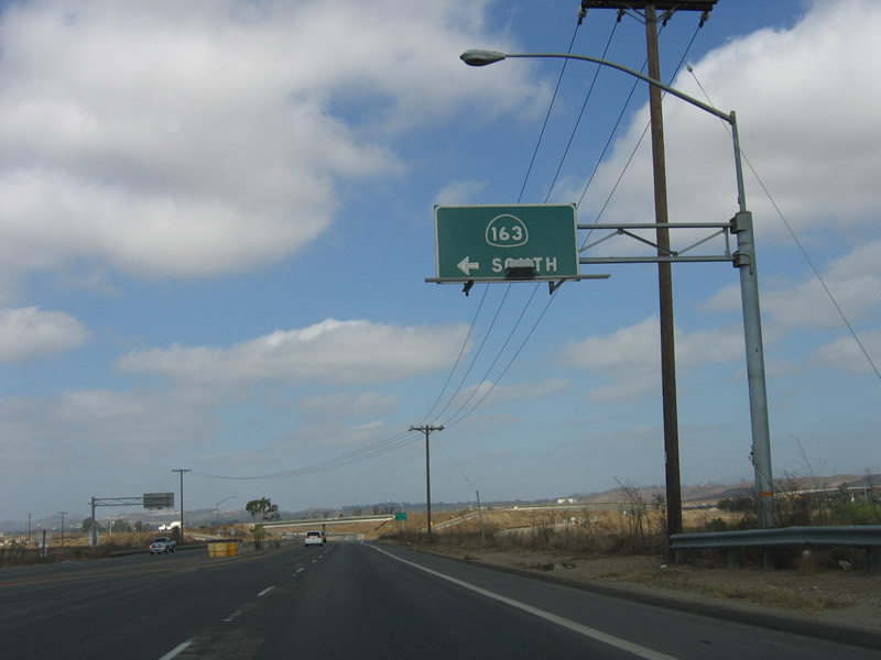
An extant section of former U.S. 395 expressway passes through Miramar Marine Corps Air Station on a path parallel to Interstate 15. The expressway begins at California 163 (Cabrillo Freeway), has interchanges at Harris Plant Road and Miramar Way, and ends at Miramar Road in Mira Mesa. Here, northbound U.S. 395 (Kearny Villa Road) meets the on-ramp to California 163 southbound. Photo taken 10/08/05. |
|
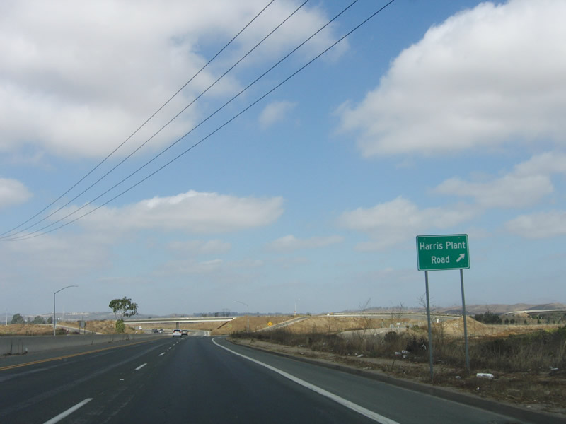
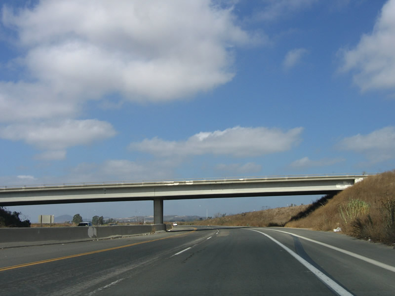
The first interchange on this expressway section of Kearny Villa Road serves Harris Plant Road. Photo taken 10/08/05. |
|
Signage at this intersection is substandard at best and has not been changed since the existing section of Interstate 15 was built east of here. Photo taken 10/08/05. |
|
Kearny Villa Road passes under Harris Ranch Road. Photo taken 10/08/05. |
|
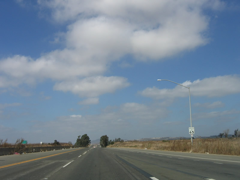
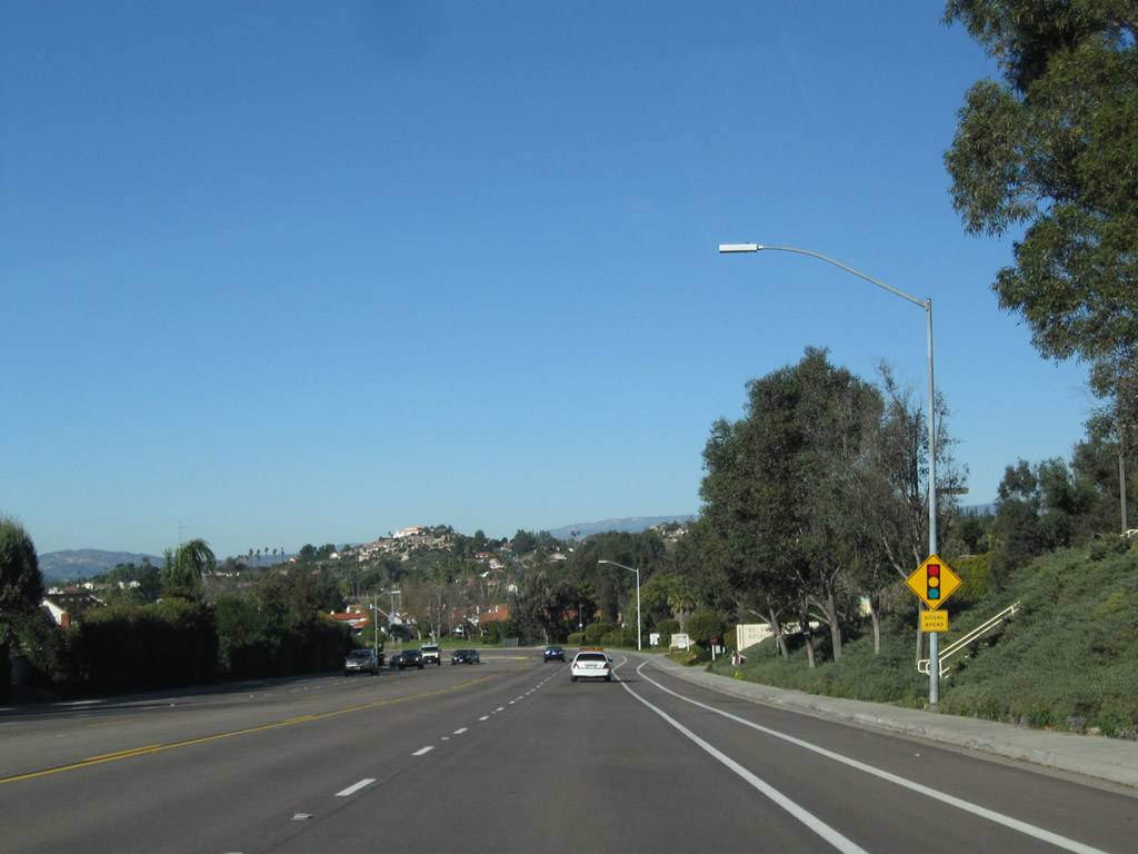
The speed limit along Kearny Villa Road is 65 miles per hour, similar to Interstate 15. Photo taken 10/08/05. |
|
|
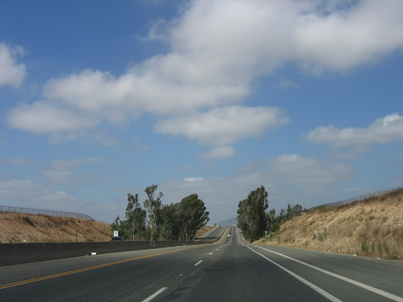
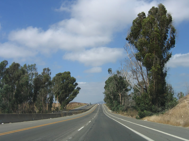
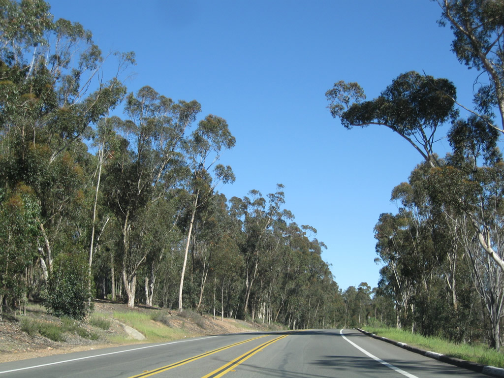
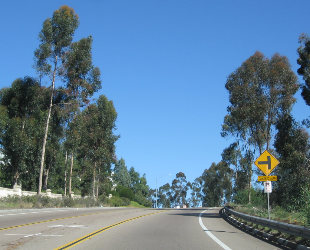
A hallmark of old highway construction, a stand of eucalyptus trees sits along both sides of Old U.S. 395 between Harris Plant Road and Miramar Way. Photos taken 10/08/05. |
|
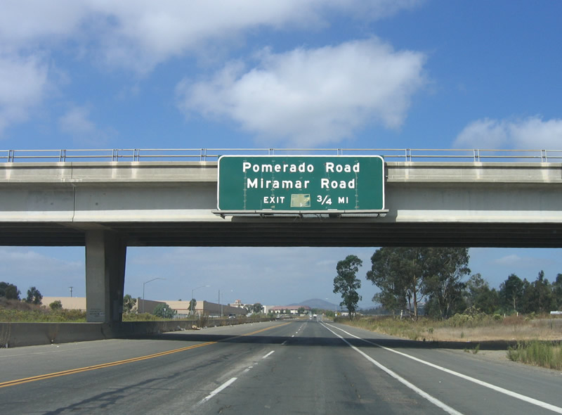
The next exit along northbound Kearny Villa Road (old U.S. 395) is Miramar Way. Follow Miramar Way east to Interstate 15. Photo taken 10/08/05. |
|
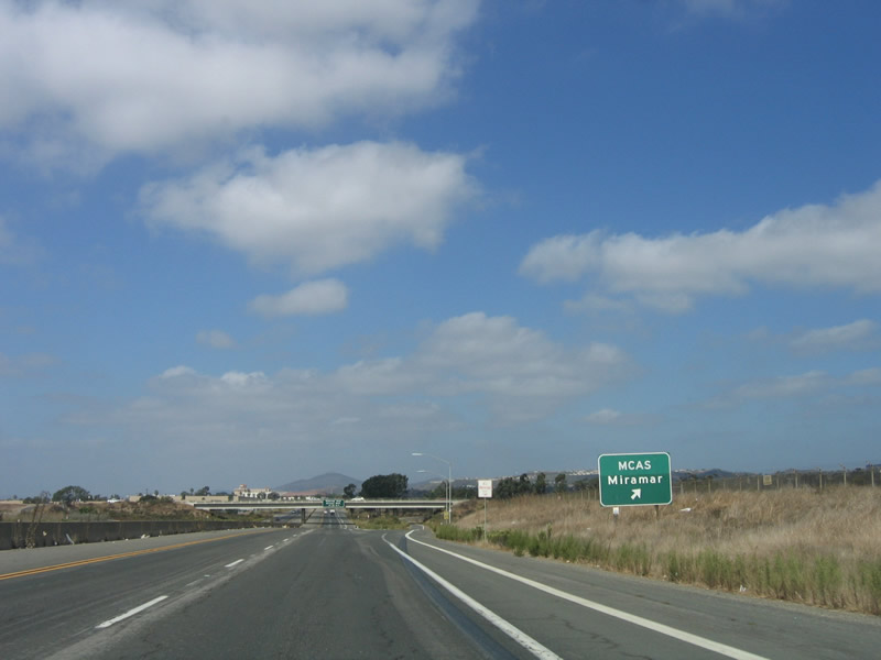
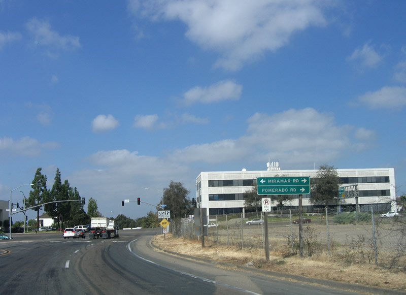
Although this sign implies that the next exit is for Miramar Road and Pomerado Road, the expressway actually ends at a traffic signal with Miramar Road. To Pomerado Road, follow Miramar Road east over Interstate 15 to Scripps Ranch. Photo taken 10/08/05. |
|
Leaving Miramar Marine Corps Air Station, Kearny Villa Road enters the community of Mira Mesa. Photo taken 10/08/05. |
|
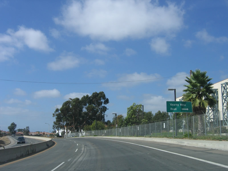
As Kearny Villa Road passes by the Federal Aviation Administration TRACON, the expressway approaches Kearny Mesa Road. This roadway splits off to the north, while the expressway turns northwest to its end at Miramar Road. The October 2003 wildfires threatened this area, including the TRACON, which had the potential to disrupt air traffic. Photo taken 10/08/05. |
|
Northbound Kearny Villa Road meets Miramar Road at this intersection. Previously, the old alignment of U.S. 395 bended to the right (northeast) to directly connect to Pomerado Road, which is the continuation of the old alignment. However, the streets have been realigned since then to allow for a normal four-way intersection at Miramar Road. To continue north on the old alignment, turn right and follow Pomerado Road into the Scripps Ranch community. Photo taken 10/08/05. |
|
Between Scripps Ranch and Rancho Bernardo, U.S. 395 had two separate alignments. The older and original alignment followed Pomerado Road as it winds through Scripps Ranch, Poway, and Rancho Bernardo. The newer alignment was much straighter, basically following today's Interstate 15 corridor through Rancho Peñasquitos. Photo taken 02/11/11. |
|
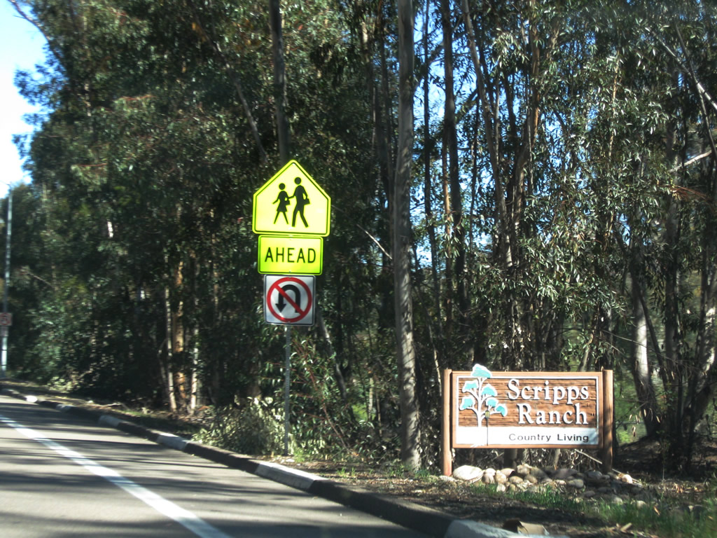
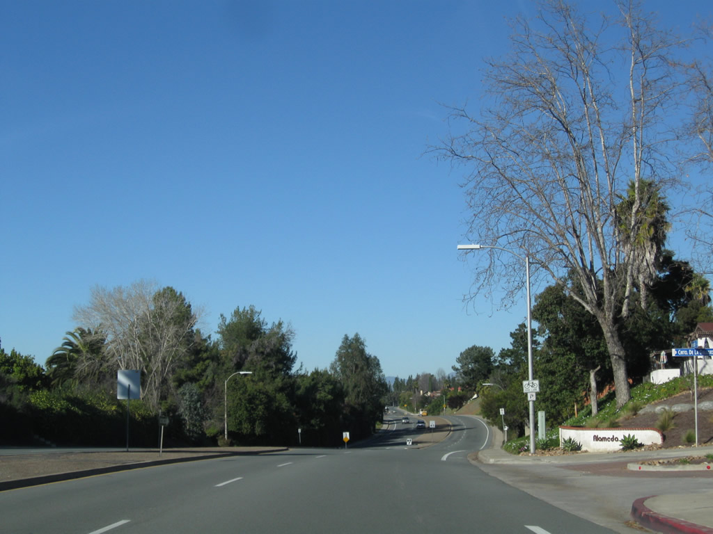
A monument sign welcomes motorists into the community of Scripps Ranch, which is part of the city of San Diego. Photo taken 02/11/11. |
|
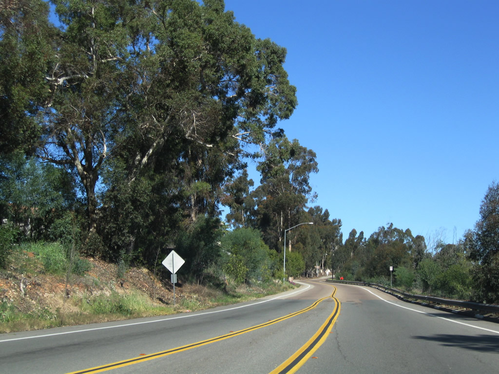
After the intersection with Willow Creek Road, northbound U.S. 395/Pomerado Road approaches Scripps Ranch Boulevard. Turn left to the old Scripps Ranch business center or continue straight toward Poway. Photo taken 02/11/11. |
|
|
|
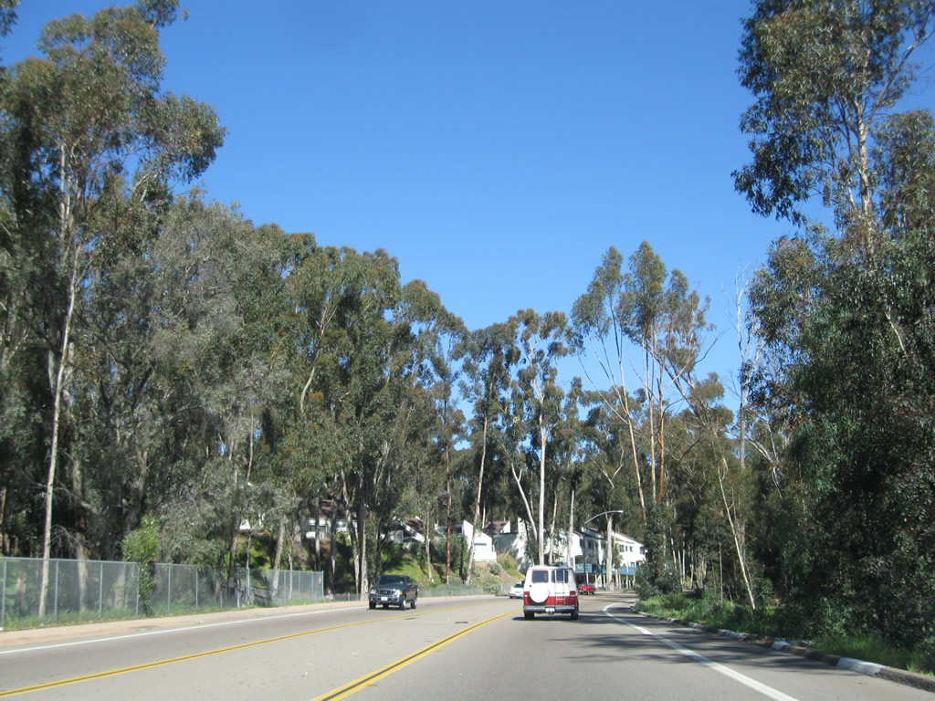
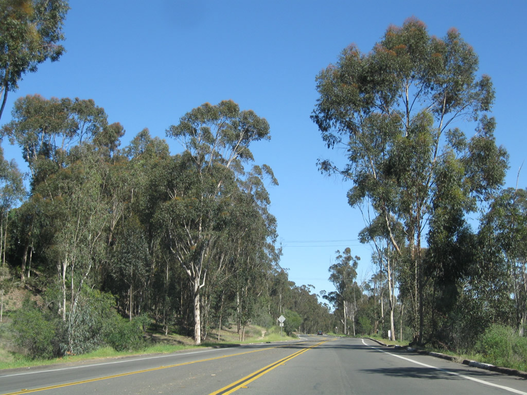
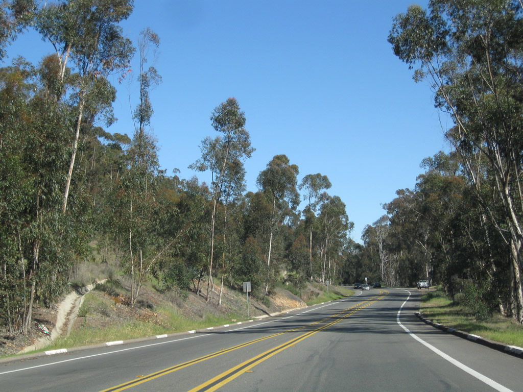
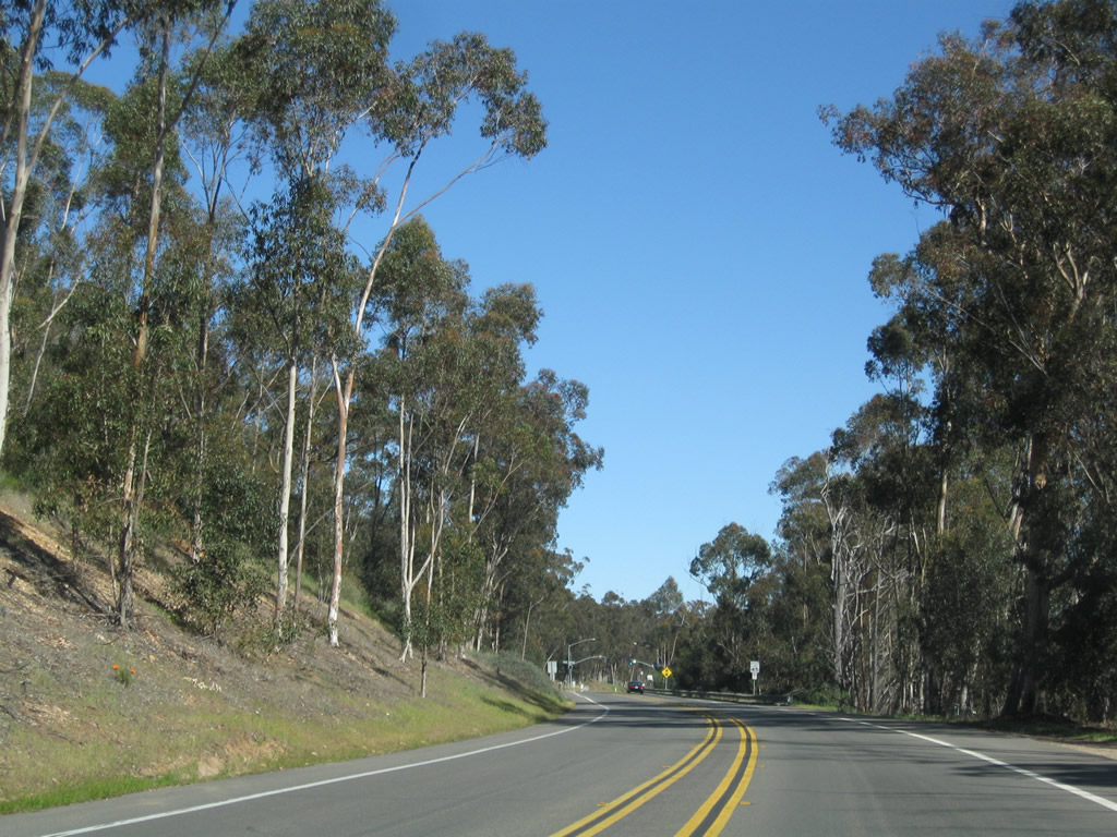
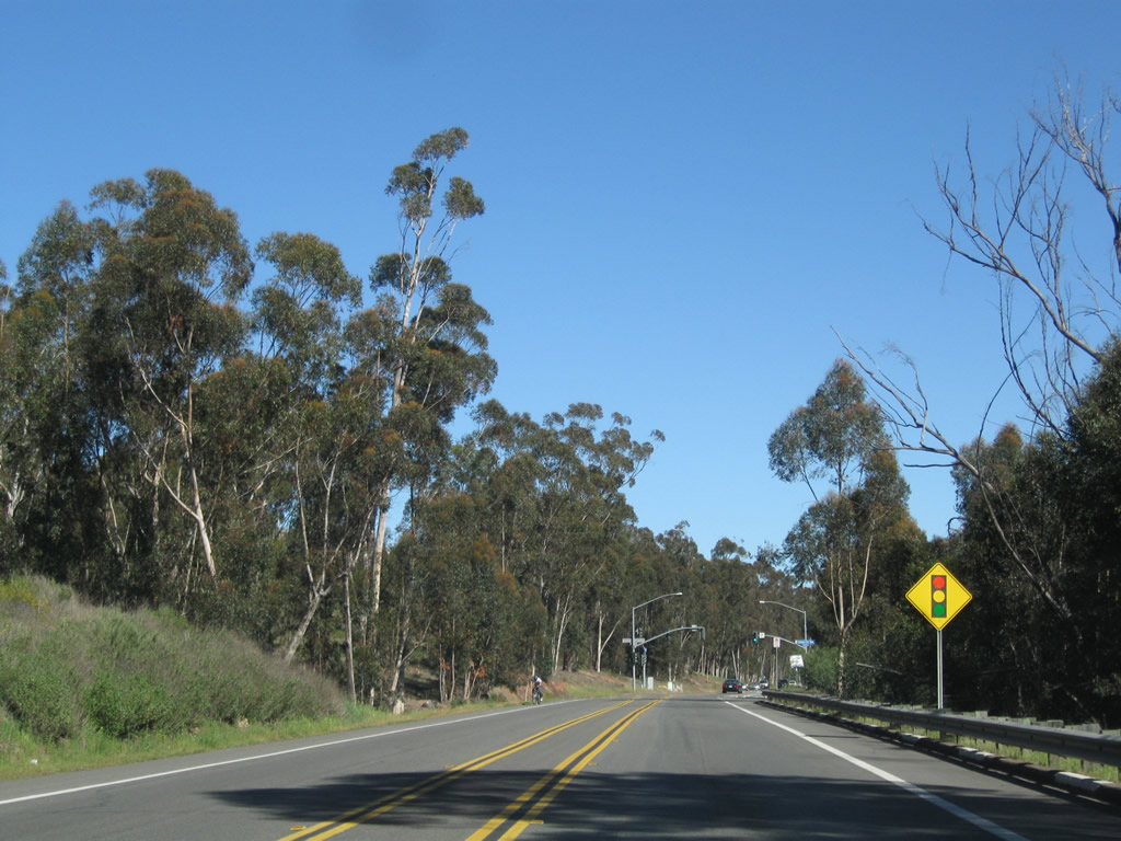
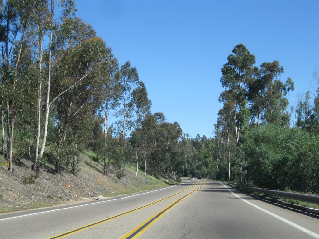
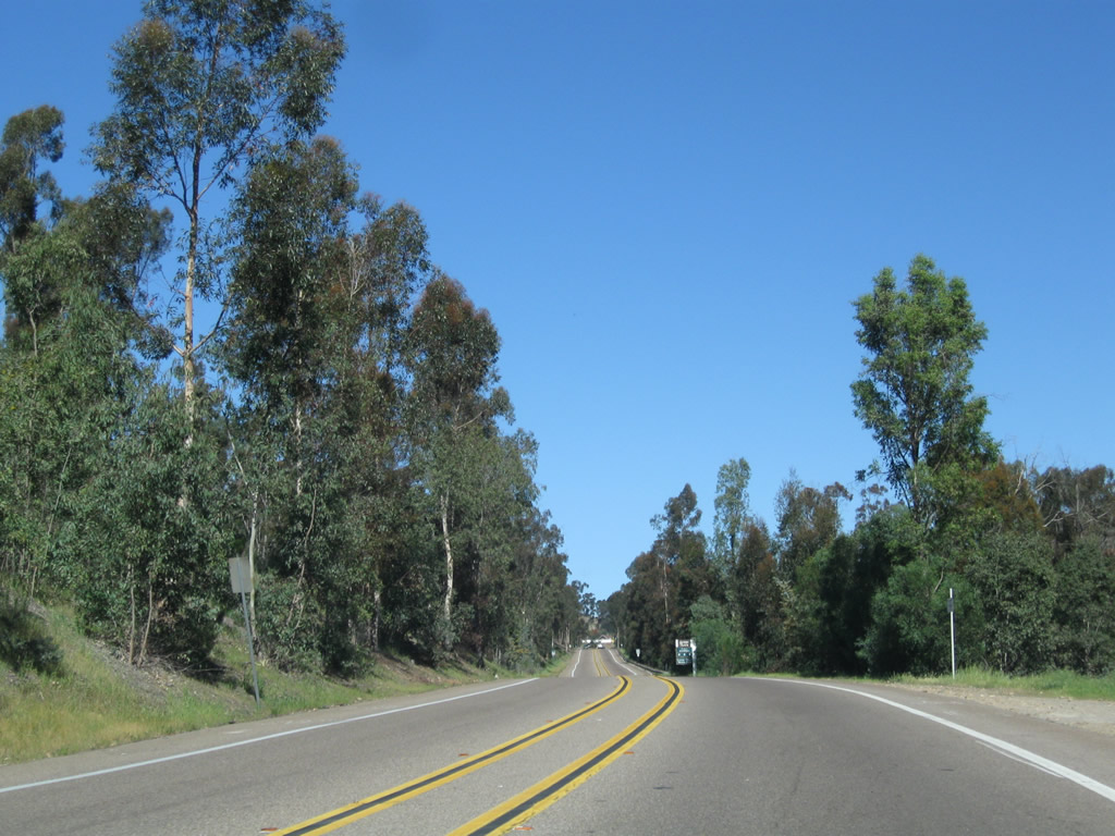
Pomerado Road continues northeast as a two-lane arterial. Most residential development in Scripps Ranch (built starting in 1969) is located away from Pomerado Road, making this drive like driving through the country. The road is unique for passing through the eucalyptus woodlands of Scripps Ranch, which were planted in the late 1800s (imported from Australia). This stretch is located between Scripps Ranch Boulevard and Chabad Center Driveway. Photos taken 02/11/11. |
|
|
|
|
|
|
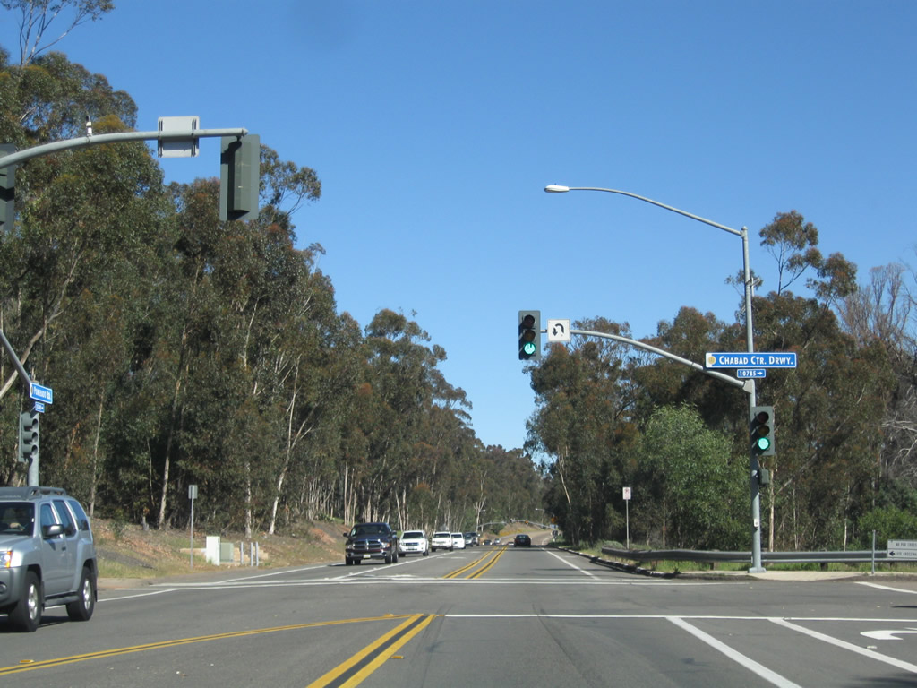
Northbound Pomerado Road approaches Chabad Center Driveway and Avenida Magnifica in Scripps Ranch. Turn left on Avenida Magnifica to Jerabek Neighborhood Park. Photos taken 02/11/11. |
|
|
|
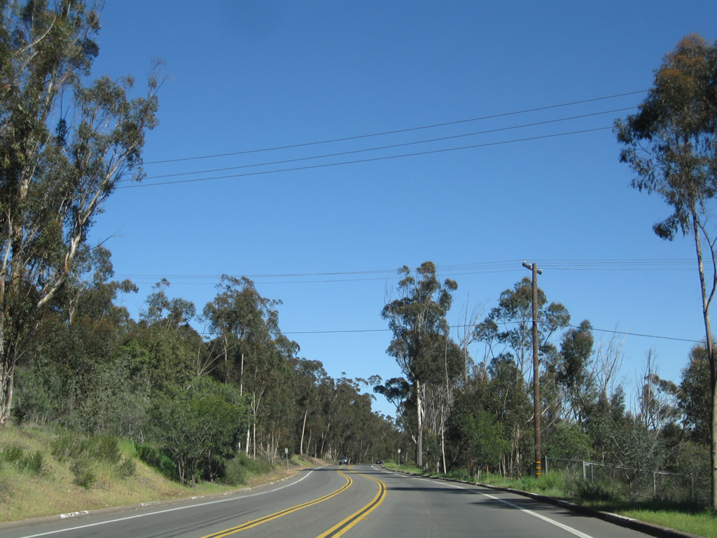
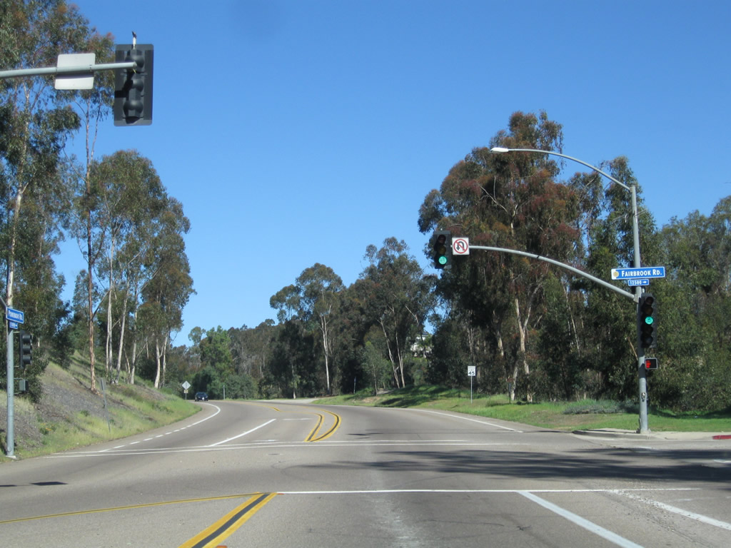
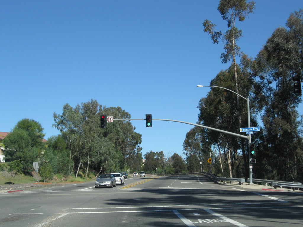
Historic U.S. 395/Pomerado Road continues northeast past Fairbrook Road, connecting to Semillon Road as we pass through the eucalyptus woodlands of Scripps Ranch. Photos taken 02/11/11. |
|
|
|
|
|
|
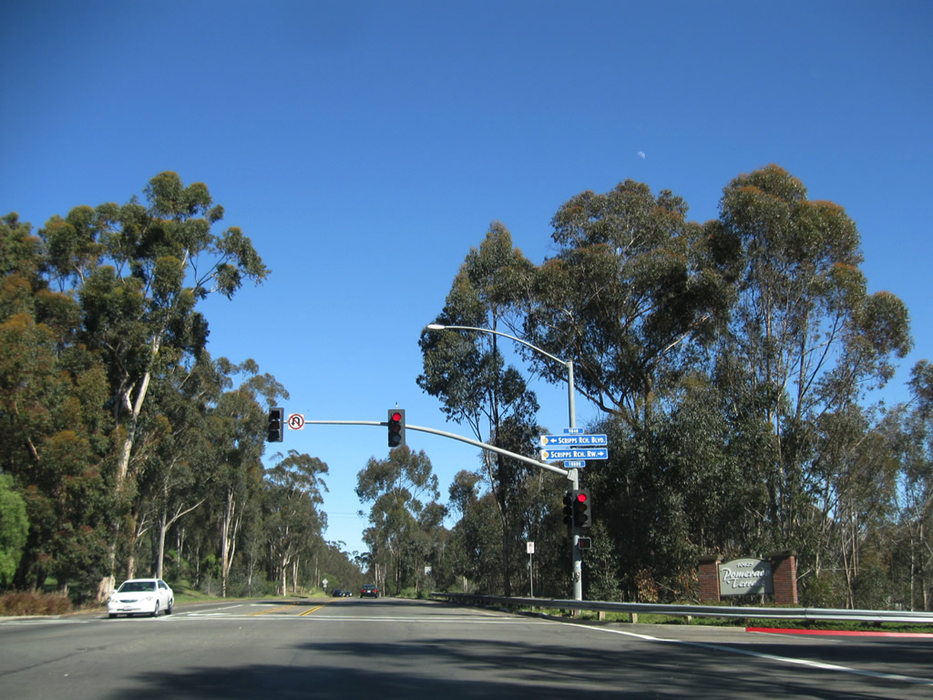
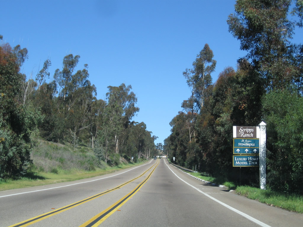
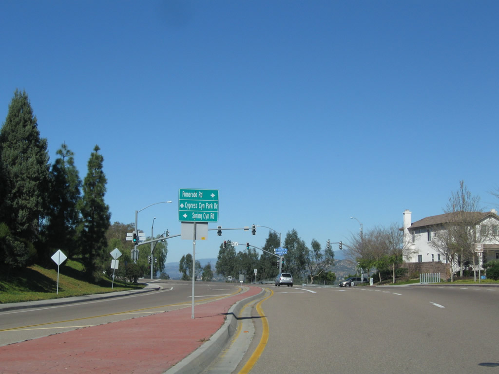
Northbound Pomerado Road continues northeast after Semillon Road, connecting to Spring Canyon Road near Cypress Canyon Park. Turn right here to continue north on U.S. 395 and Pomerado Road toward Poway. Photos taken 02/11/11. |
|
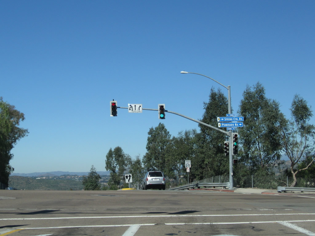
At this traffic signal, Pomerado Road and U.S. 395 turn right, while Spring Canyon Road launches to the left (west). Ahead is Cypress Canyon Park Drive. Photo taken 02/11/11. |
|
Leaving Spring Canyon Road, northbound Pomerado Road proceeds almost due east briefly, then will curve north into Poway. The development on the right side of this picture is Stonebridge Estates (also known as Rancho Encantada). Photo taken 02/11/11. |
|
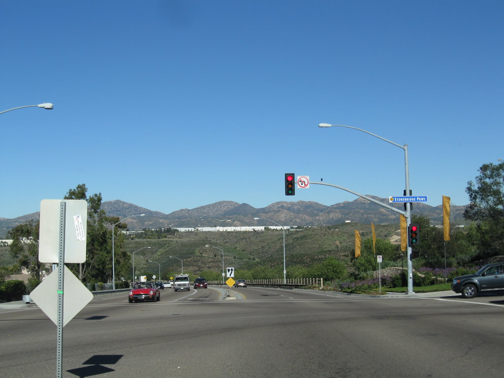
The next traffic signal along Pomerado Road north is Stonebridge Parkway. This long road serves the Stonebridge Estates neighborhood, but it is just a cul-de-sac. It does not offer any connections for through traffic. For those wishing to connect to California 67, follow Pomerado Road north to either Scripps Poway Parkway or Poway Road east. Photo taken 02/11/11. |
|
Northbound Pomerado Road meets Stonebridge Parkway. Ahead, former U.S. 395 will descend into Poway. Photo taken 02/11/11. |
|
Descending into Poway, a mesa with a business park comes into view in the hills ahead on Pomerado Road north. Photo taken 02/11/11. |
|
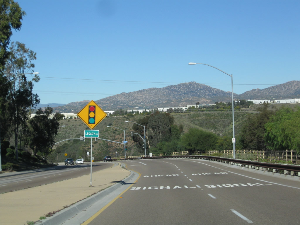
Northbound Pomerado Road next approaches Legacy Road. Photo taken 02/11/11. |
|
A concrete barrier now separates the two directions of travel along this downhill stretch of Pomerado Road. Realignments through the years have changed this section of Pomerado Road; an old section of Pomerado Road is nearby is techincally the original 395 alignment. Once in Poway, there is a left turn to drive a segment of the old alignment. Photo taken 02/11/11. |
|
Nearing the bottom of the hill, Pomerado Road leaves San Diego and enters the city of Poway, "The City in the Country." An independent city separate from San Diego, Poway incorporated on December 1, 1980. Poway had a population of 47,811 as of the 2010 Census. Photo taken 02/11/11. |
|
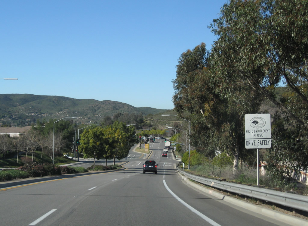
This sign advises that red light camera photo enforcement is in use in the city of Poway. Photo taken 02/11/11. |
|
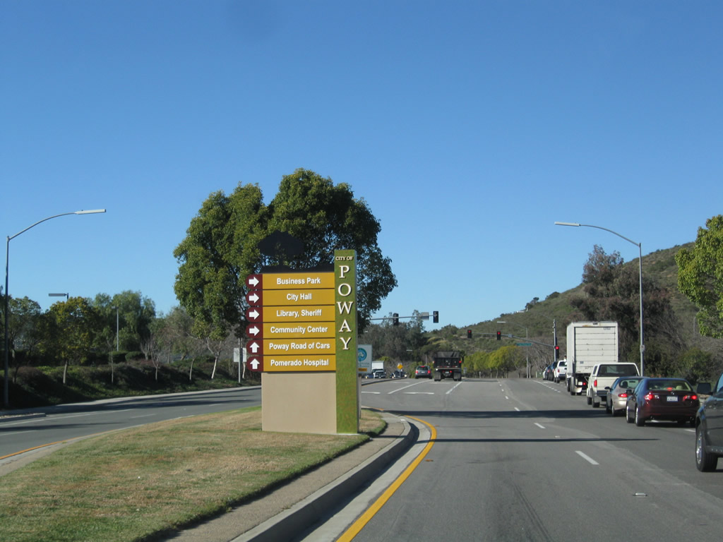
After the Creek Road signalized intersection, a more colorful wayfinder sign welcomes people into Poway. Travel north on Pomerado Road to Pomerado Hospital. Turn right on Scripps Poway Parkway to the business park. Use Scripps Poway Parkway east to Community Road north to the Poway Civic Center, which is located just west of the intersection of Community Road and Civic Center Drive. Photo taken 02/11/11. |
|
At the bottom of the hill, Pomerado Road meets Scripps Poway Parkway. Follow Scripps Poway Parkway east to California 67 or west to Interstate 15. East of the business park area, Scripps Poway Parkway is an expressway leading out to California 67 north of Lakeside. Photo taken 02/11/11. |
|
The remainder of Pomerado Road through Poway will be at least two lanes in each direction, often with a landscaped median barrier. Photo taken 02/11/11. |
|
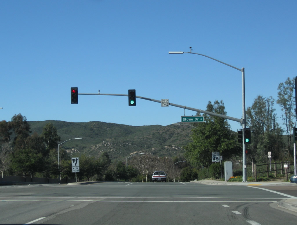
Northbound Pomerado Road meets Stowe Drive. Photo taken 02/11/11. |
|
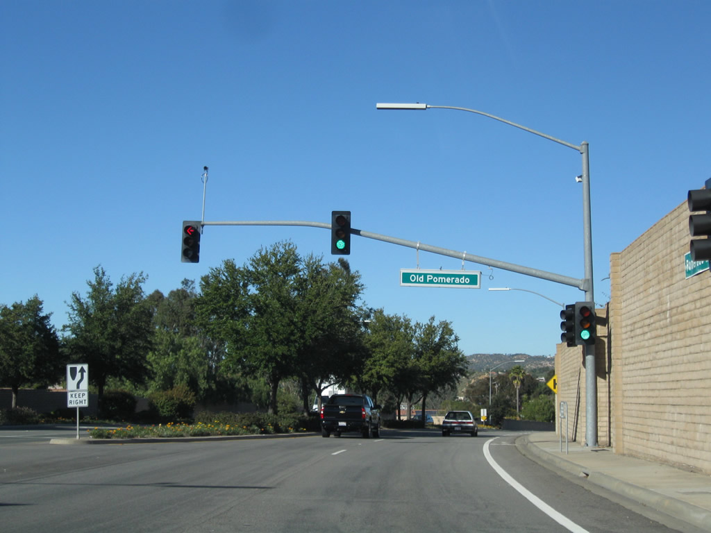
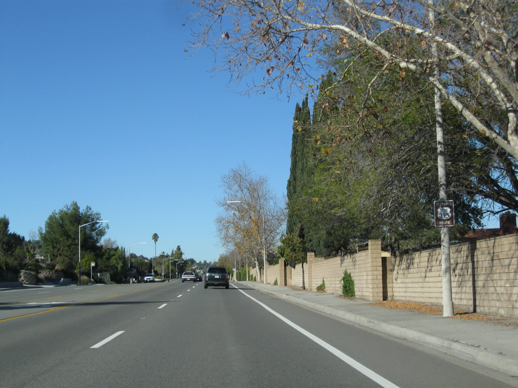
Portions of Pomerado Road through southern Poway were realigned, including a significant portion that today is known as Old Pomerado Road. Turn left here to see the old alignment of U.S. 395, which extends south into a residential area, ending before Scripps Poway Parkway. Photo taken 02/11/11. |
|
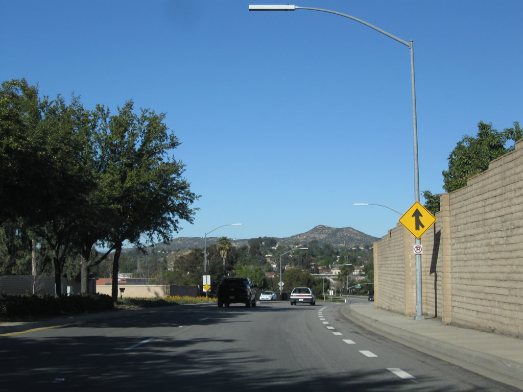
Soundwalls separate Pomerado Road from adjacent residential development, particularly on the east side of the road. Photo taken 02/11/11. |
|
Sporadically, Historic U.S. 395 trailblazers are posted along Pomerado Road as we pass through Poway. This particular sign is found on northbound Pomerado Road after the Metate Lane signalized intersection. Photo taken 02/11/11. |
|
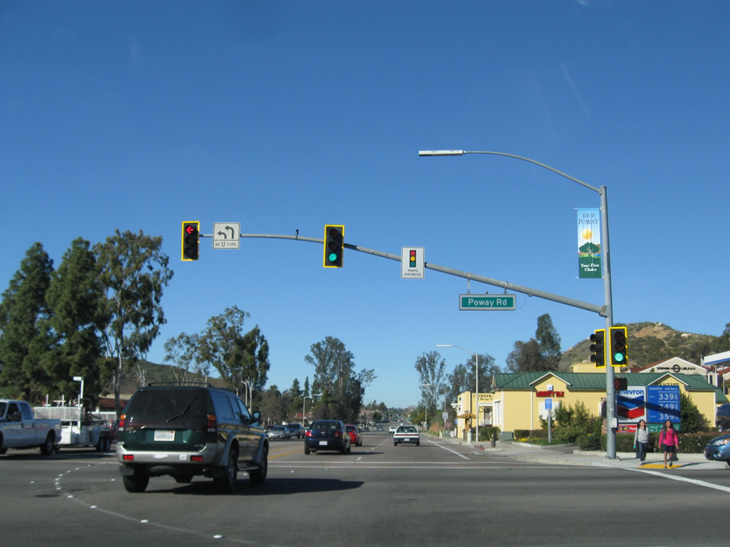
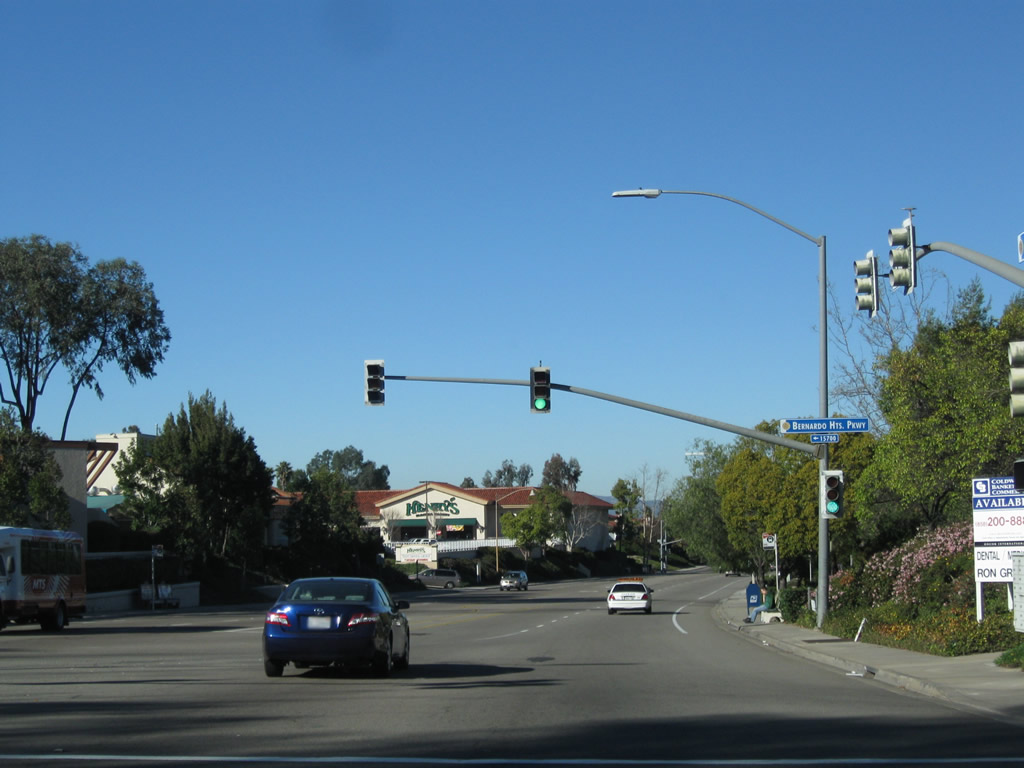
Northbound Pomerado Road meets San Diego County S-4 (Poway Road) at this traffic signal. Turn left to follow Poway Road (San Diego County S-4) west to Interstate 15 in San Diego (communities of Sabre Springs and Rancho Peñasquitos). Turn right to follow Poway Road (San Diego County S-4) east to California 67 about midway between El Cajon and Ramona. Photo taken 02/11/11. |
|
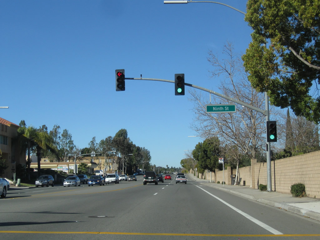
Near Pomerado Elementary School, northbound Pomerado Road meets Ninth Street. Photo taken 02/11/11. |
|
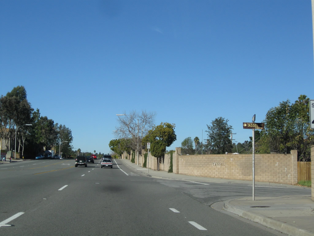
Just a block ahead, northbound Pomerado Road meets Tassel Road. Note the design feature of engraving the street name into the sound wall for this residential neighborhood. Photo taken 02/11/11. |
|
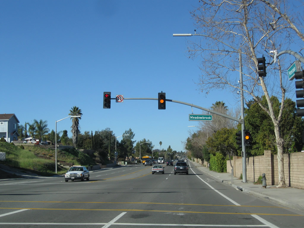
Near Meadowbrook Middle School, northbound Pomerado Road meets Meadowbrook Lane. Photo taken 02/11/11. |
|
Another Historic U.S. 395 route marker is posted on Pomerado Road north after Meadowbrook Lane. Photo taken 02/11/11. |
|
Pomerado Road continues north in Poway between Meadowbrook Lane and Ted Williams Parkway. Photo taken 02/11/11. |
|
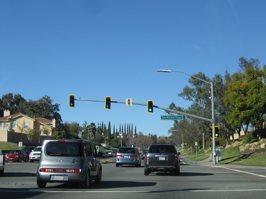
After Glen Oaks Road, northbound Pomerado Road meets Ted Williams Parkway. Turn left here to follow Ted Williams Parkway west to California 56 en route to Carmel Valley. Most of Ted Williams Parkway is an expressway with three or four through lanes in each direction. Original plans called for this segment of Ted Williams Parkway to be part of California 56, but the city of Poway cancelled plans for the easterly extension through its city (along with California 125) after it was incorporated in 1980. Photo taken 02/11/11. |
|
After the Ted Williams Parkway intersection, another historic U.S. 395 route shield is posted on northbound Pomerado Road. Photo taken 02/11/11. |
|
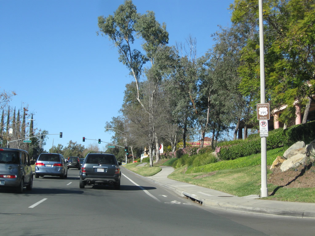
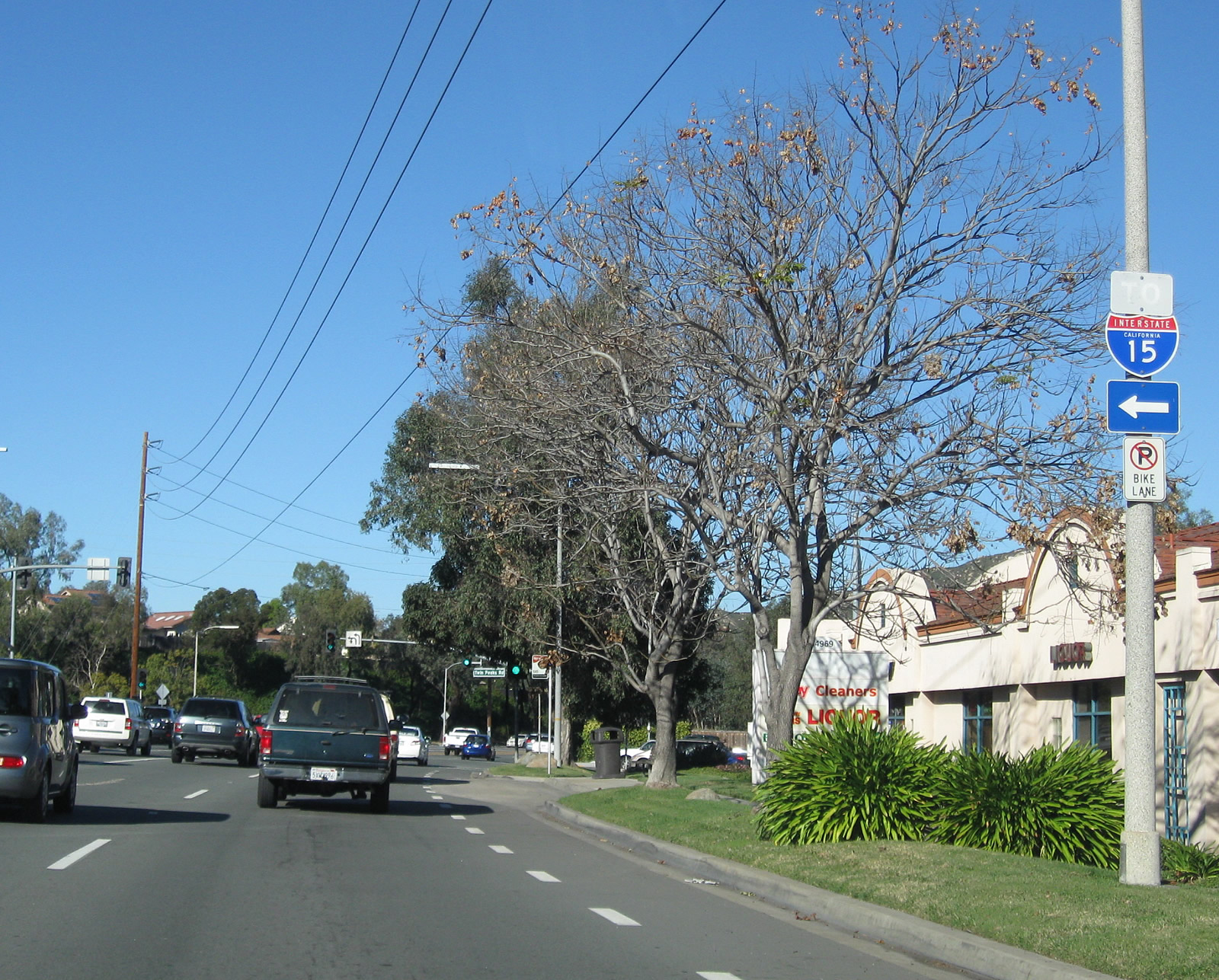
An Interstate 15 trailblazer is posted on northbound Pomerado Road prior to the Camino del Norte / Twin Peaks Road intersection. Turn left here for Camino del Norte northwest to Interstate 15. Turn right for Twin Peaks Road east to Espola Road (San Diego County S-5) in eastern Poway. Photo taken 02/11/11. |
|
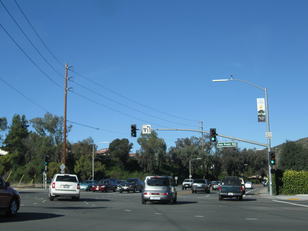
Northbound Pomerado Road meets Camino del Norte west and Twin Peaks Road east. Photo taken 02/11/11. |
|
|
|
Pomerado Road continues north through northern Poway, exiting the city and reentering the city of San Diego (community of Rancho Bernardo) near the Bernardo Heights Parkway intersection. Photos taken 02/11/11. |
|
Northbound Pomerado Road meets Bernardo Heights Parkway at this traffic signal (shortly after the Pomerado Hospital entrance). Once again, we are in the city of San Diego. Photo taken 02/11/11. |
|
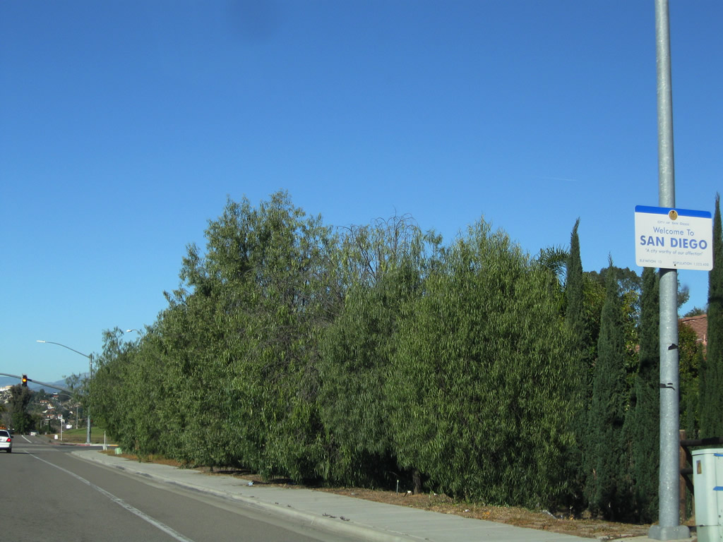
The city of San Diego ("America's Finest City") was founded on July 16, 1769, and incorporated on March 27, 1850. The city had a population of 1,307,402 as of the 2010 Census. This sign also states that San Diego is a "City Worthy of Our Affection," a phrase coined by former Mayor Dick Murphy that would place installation of this sign during his term (between December 2000 and July 2005). The population figure cited on this sign is from the 2000 Census. Photo taken 02/11/11. |
|
Northbound Pomerado Road meets Stone Canyon Road, which travels east back into the city of Poway. Continue straight ahead into Rancho Bernardo, the northernmost community of the city of San Diego (aside from San Pasqual Valley). Photo taken 02/11/11. |
|
Pomerado Road travels downhill near the Seven Oaks subdivision of Rancho Bernardo. Like sections in Poway, this segment of Pomerado Road was realigned in places to provide the current alignment and grade. Photo taken 02/11/11. |
|
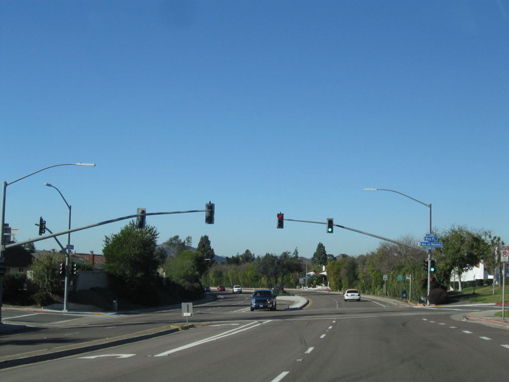
Northbound Pomerado Road meets Higa Place and Avenida la Valencia. Photo taken 02/11/11. |
|
Medians are mostly landscaped south of Rancho Bernardo Road in Rancho Bernardo. Photo taken 02/11/11. |
|
This view is seen along northbound after Caminito Vecinos. Photo taken 02/11/11. |
|
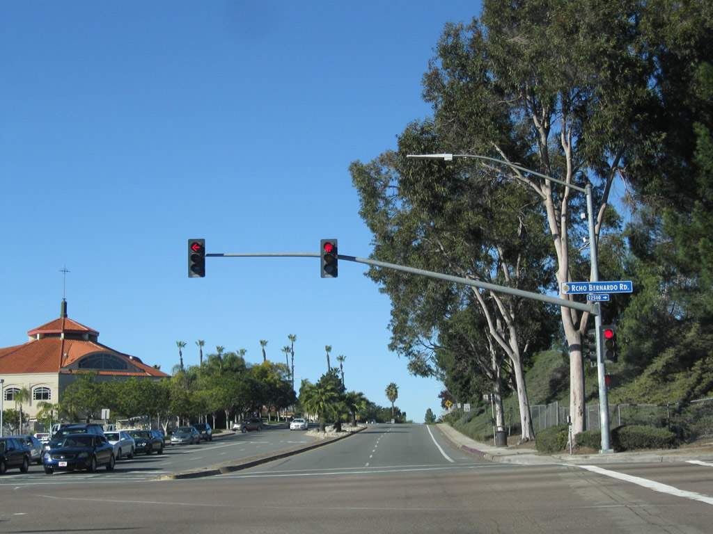
Northbound Pomerado Road approaches San Diego County S-5 (Rancho Bernardo Road). At this intersection, Rancho Bernardo travels west to Interstate 15 in Rancho Bernardo and 4S Ranch in unincorporated San Diego County. To the east, CR S-5 proceeds east into Poway, changing into Espola Road. San Diego County S-5 travels east and south along Espola Road, ultimately joining with San Diego County S-4 (Poway Road). Photo taken 02/11/11. |
|
At Rancho Bernardo Road, the San Diego County S-5 designation transfers from Rancho Bernardo Road onto Pomerado Road. San Diego County S-5 will follow Pomerado Road north until its northern terminus at Interstate 15 near Highland Valley Road. Photo taken 02/11/11. |
|
|
|
|
|
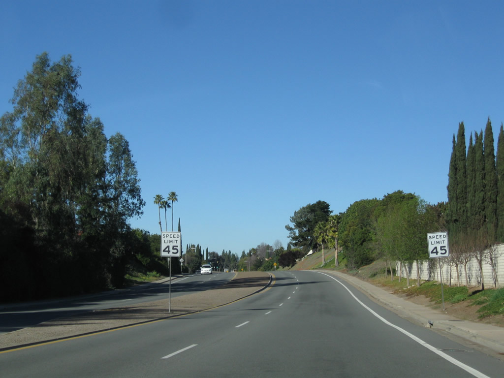
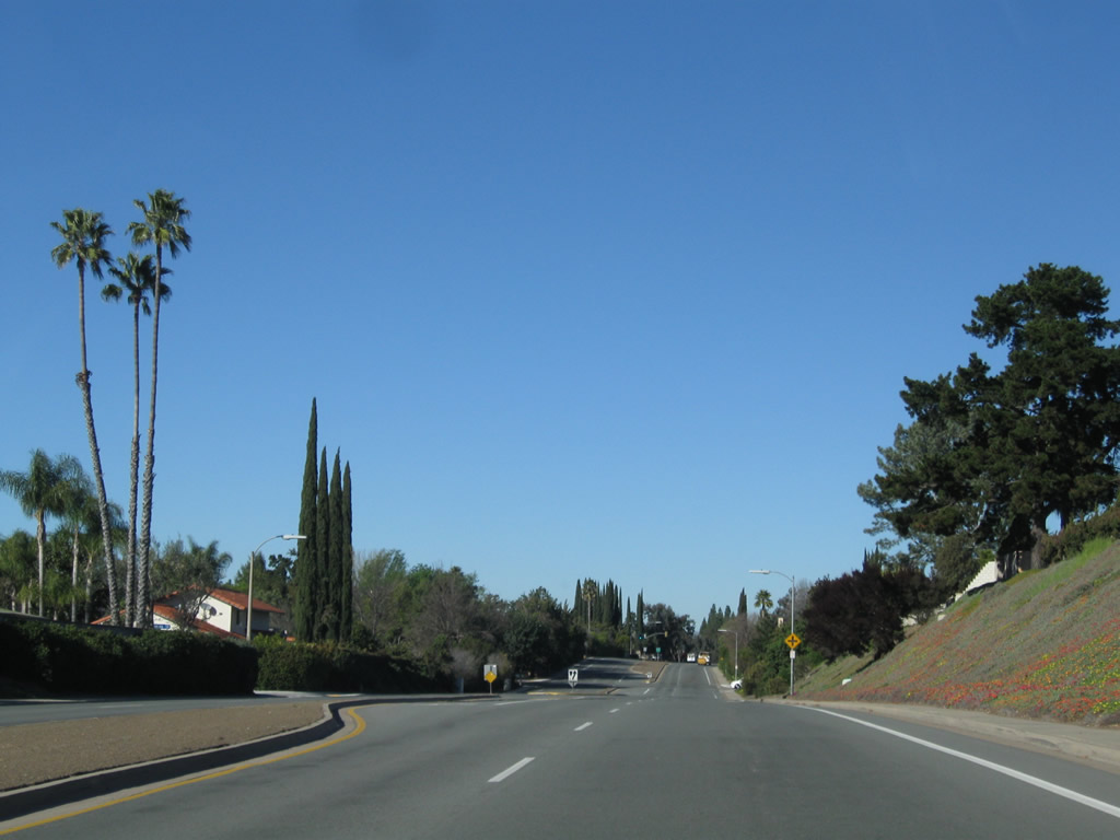
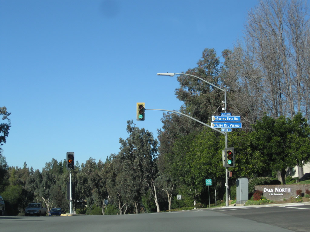
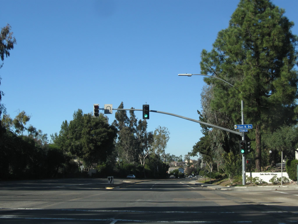
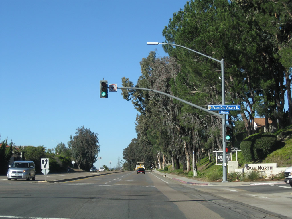
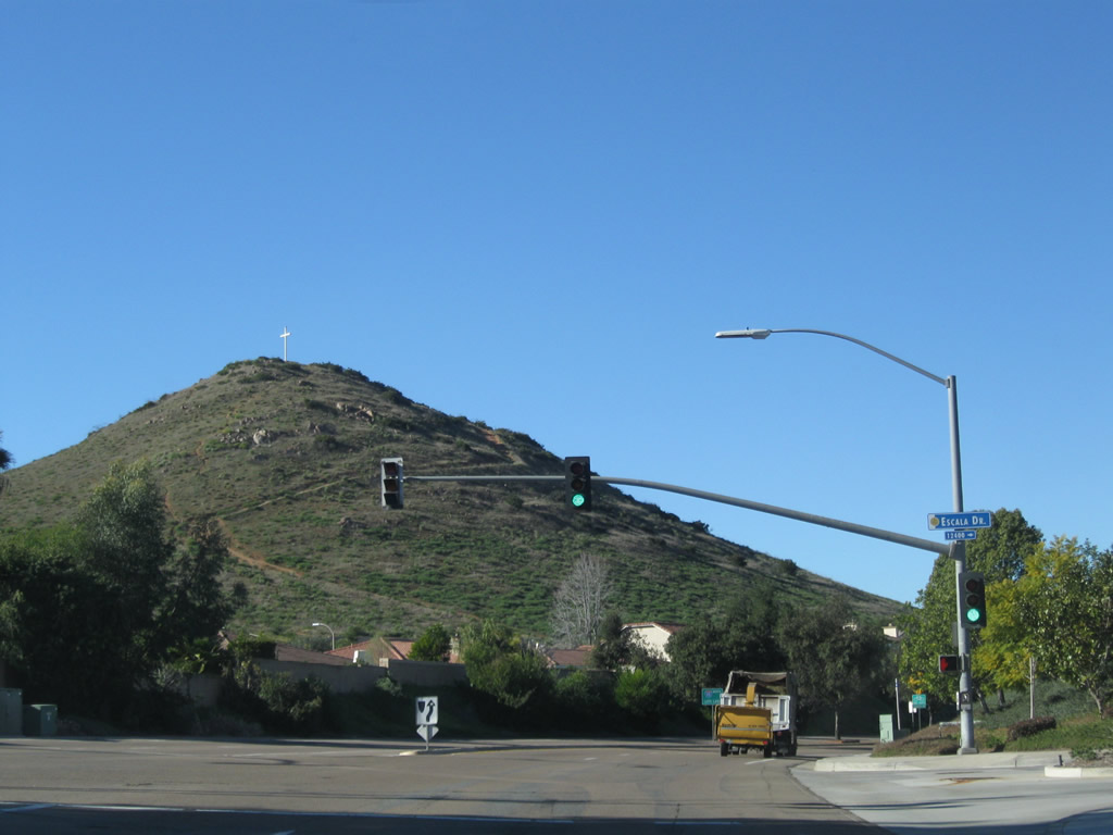
| Historic U.S. 395 (San Diego County S-5) proceeds north along Pomerado Road through the community of Rancho Bernardo, which was built in phases from the original Mexican land grant of Rancho San Bernardo. The road continues with four lanes and a hardscape, asphalt center median, serving the neighborhoods of Oaks North and Bernardo Trails. At Paseo del Verano, turn right to the Bernardo Winery, which was among only developments here before Rancho Bernardo was subdivided and built in the 1960s. At the Escala Drive intersection, Battle Mountain (with a white cross at its peak) comes into view. This mountain, along with adjacent open space and nearby residences, burned in the 2007 Witch Creek Fire. Much of this area has since been rebuilt, with little physical evidence remaining of the fire. Photos taken 02/11/11. |
|
|
|
|
|
|
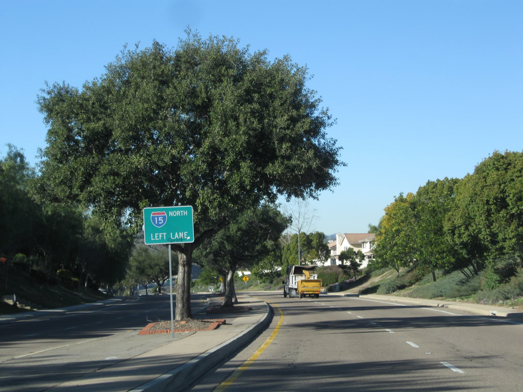
A series of signs in the median of Pomerado Road between Escala Drive and Highland Valley Road advise of the pending interchange with Interstate 15. Due to the interchange's location near Lake Hodges, all access to Interstate 15 is afforded via a left turn to both north and south Interstate 15. Landscaping returns to the medians as we approach Highland Valley Road. Photo taken 02/11/11. |
|
Northbound Pomerado Road approaches Highland Valley Road east to Ramona and Paseo Monte Batalla into a residential community. Photo taken 02/11/11. |
|
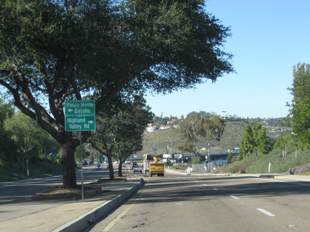
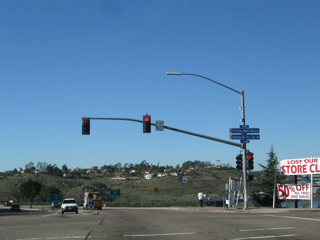
U.S. 395/Pomerado Road meets Highland Valley Road and Paseo Monte Batalla at this signalized intersection. The next intersection will be the junction with Interstate 15. Photo taken 02/11/11. |
|
The first ramp from northbound Pomerado Road will connect to Interstate 15 north to Escondido. The second left will connect to Interstate 15 south to San Diego. Photo taken 02/11/11. |
|
Northbound Pomerado Road meets the on-ramp to Interstate 15 north. Turn here to continue north on Historic U.S. 395 or continue straight to the Lake Hodges pedestrian bridge, which was built on the same alignment as the original U.S. 395 bridge over the lake. Photo taken 02/11/11. |
|
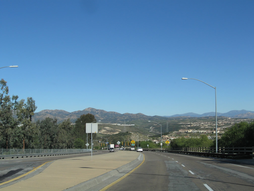
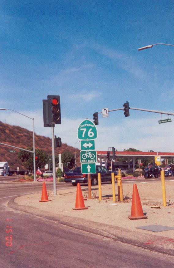
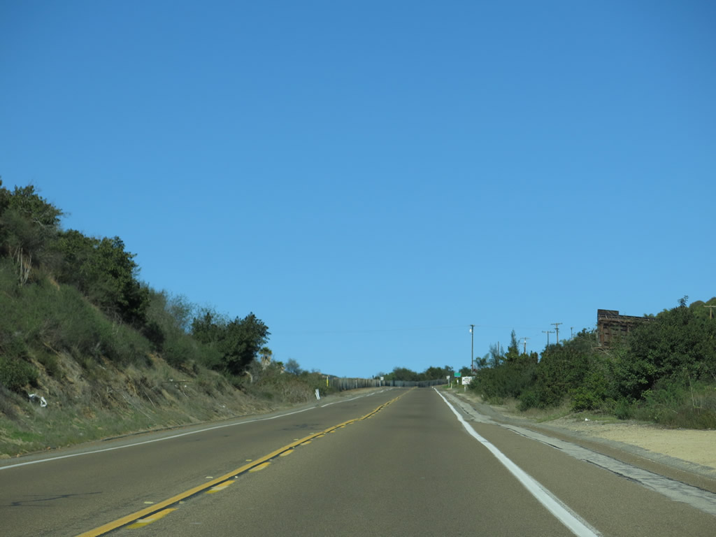
Looking at the 1950s alignment of U.S. 395: Northbound Old Highway 395 approaches California 76 in northern San Diego County. All of the second generation of Historic U.S. 395 is still intact between Escondido and the San Diego-Riverside County Line, just like the original alignment. The second generation route is mostly known as Old Highway 395. Despite its name, "Old Highway 395" is not the original alignment of U.S. 395 in northern San Diego County. It represents the more direct route taken to avoid Vista and Fallbrook (and later bypassed by Interstate 15). Photo taken 08/00. |
|
Historic U.S. 395 runs in tandem with San Diego County S-13 (Mission Road) into the city of Fallbrook. The two separate south of Downtown, with Historic U.S. 395 following Main Avenue on a parallel alignment to Mission Road to the east. Photo taken 06/07/08. |
|
Main Avenue north after Hawthorne Street in Downtown Fallbrook. County Road S-13 is two blocks to the west. Photo taken 06/07/08. |
|
Historic U.S. 395 rejoins County Road S-13 (Mission Road) one block north of Ivy Street. Photo taken 06/07/08. |
|
Mission Road provides the main route from Downtown Fallbrook to Interstate 15. Photo taken 06/07/08. |
|
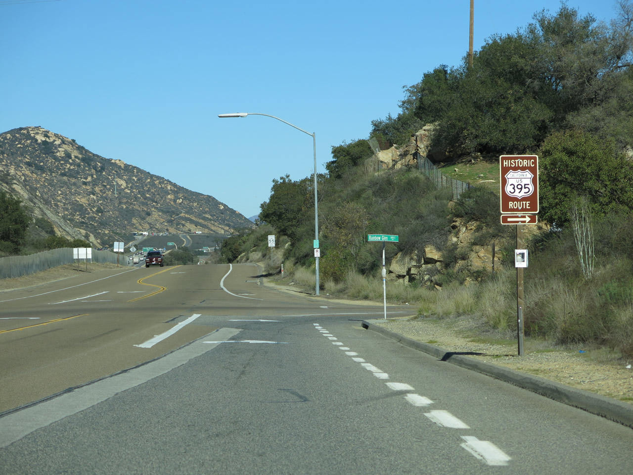
County Road S-13 (Mission Road) curves southward just to the west, and leads east with Historic U.S. 395 to Old Highway 395 by a diamond interchange (Exit 51) with Interstate 15. Photo taken 06/07/08. |
|
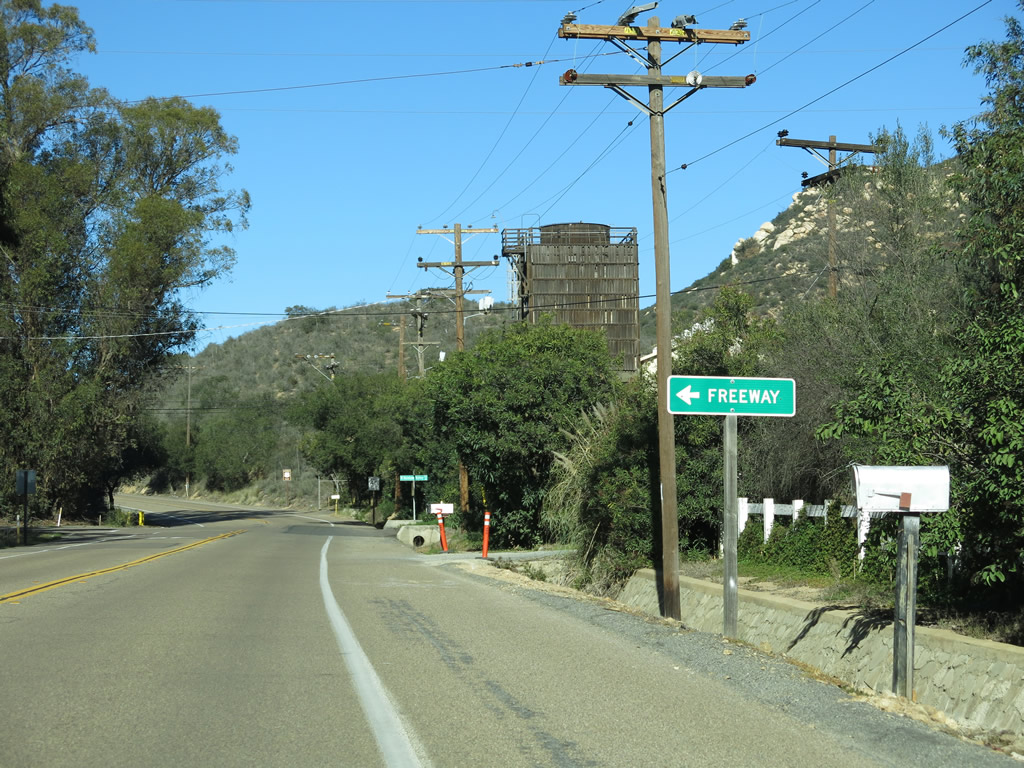
Leaving the Mission Road interchange (Exit 51) with I-15, Old Highway 395 continues north toward Rainbow. Mission Road changes names into Old Highway 395. Photo taken 01/21/13. |
|
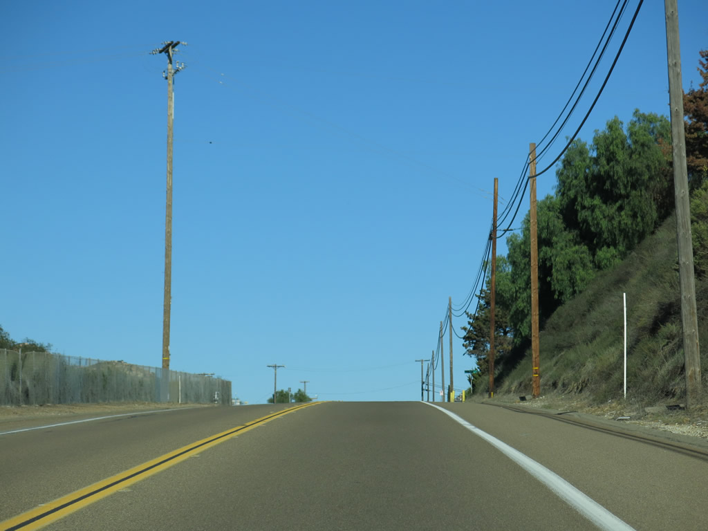
Two-lane Old Highway 395 proceeds along the east side of Interstate 15 as a frontage road. Photo taken 01/21/13. |
|
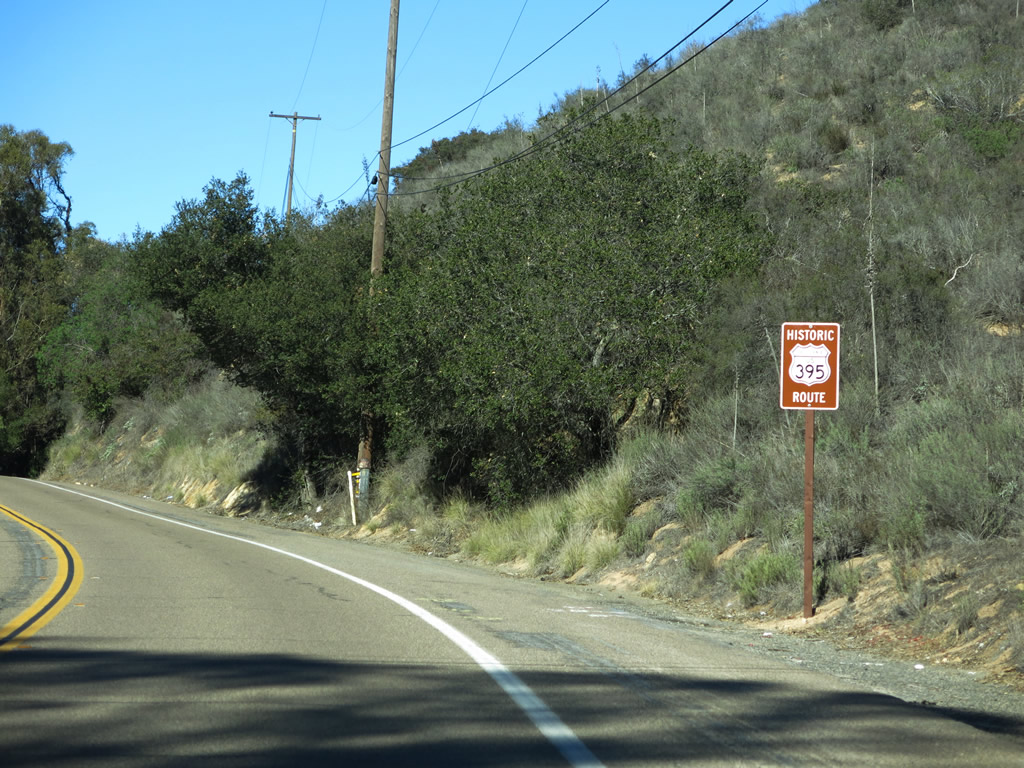
A Historic U.S. 395 route marker is posted shortly thereafter. Photo taken 01/21/13. |
|
Old Highway 395 heads uphill toward Rainbow. Photo taken 01/21/13. |
|
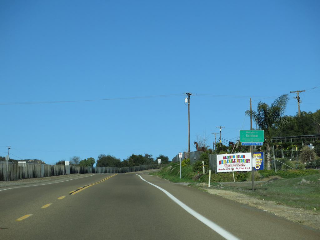
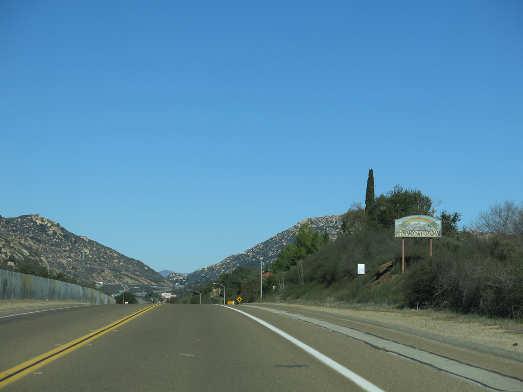
Northbound Old Highway 395 enters the unincorporated community of Rainbow. Photo taken 01/21/13. |
|
The highway again gains elevation once inside Rainbow, which is the northernmost community along old U.S. 395 in San Diego County. Photo taken 01/21/13. |
|
A more colorful Rainbow sign, perhaps befitting its name, is posted soon thereafter. Photo taken 01/21/13. |
|
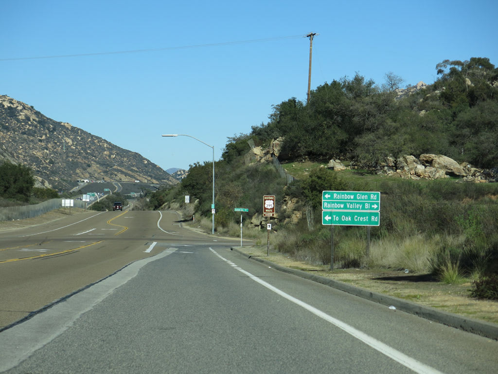
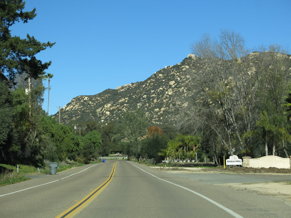
Old Highway 395 splits at the intersection with Rainbow Valley Boulevard. The original route turned right here into the center of the community, while the bypass route continued straight ahead. We will follow the first generation of Historic U.S. 395 by turning right ahead. Photo taken 01/21/13. |
|
A Historic U.S. 395 route marker is posted at the intersection with Rainbow Valley Boulevard. Photo taken 01/21/13. |
|
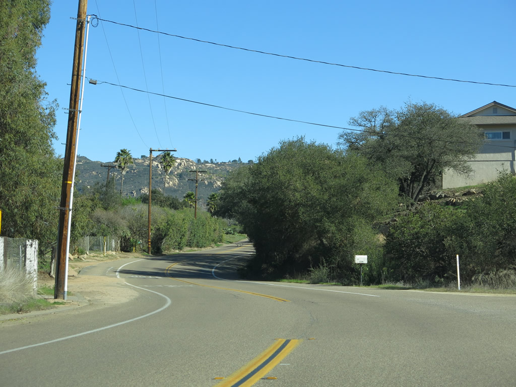
Leaving Old Highway 395, Historic U.S. 395 proceeds east along Rainbow Valley Boulevard. Photo taken 01/21/13. |
|
Historic U.S. 395 (Rainbow Valley Boulevard) passes through orchards and ranches in Rainbow. Photo taken 01/21/13. |
|
Historic U.S. 395 curves north along Rainbow Valley Boulevard. At this intersection, turn right for Camino Rainbow south or continue ahead for Eighth Street east and Rice Canyon Road south. Photo taken 01/21/13. |
|
A Historic U.S. 395 route marker is posted along Rainbow Valley Boulevard as the roadway curves north. Photo taken 01/21/13. |
|
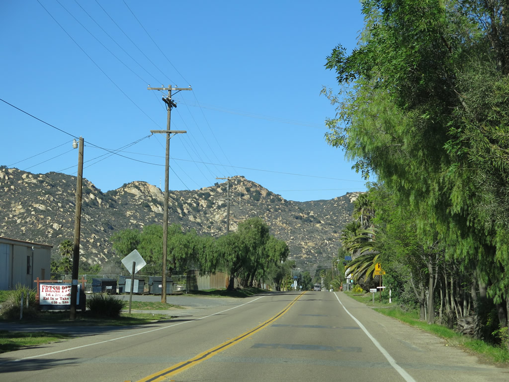
Northbound Historic U.S. 395 (Rainbow Valley Boulevard) proceeds north through Rainbow. Photo taken 01/21/13. |
|
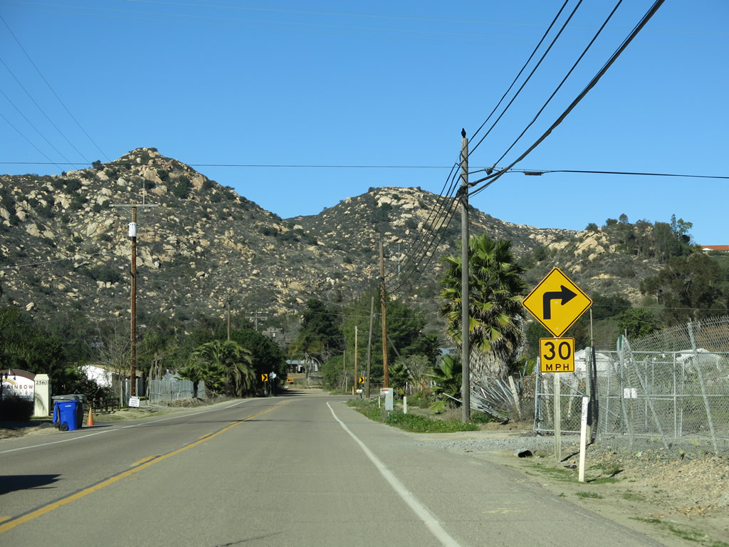
Another sharp turn takes Rainbow Valley Boulevard northeast. Photo taken 01/21/13. |
|
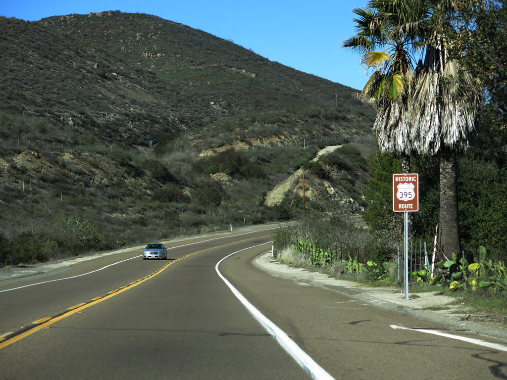
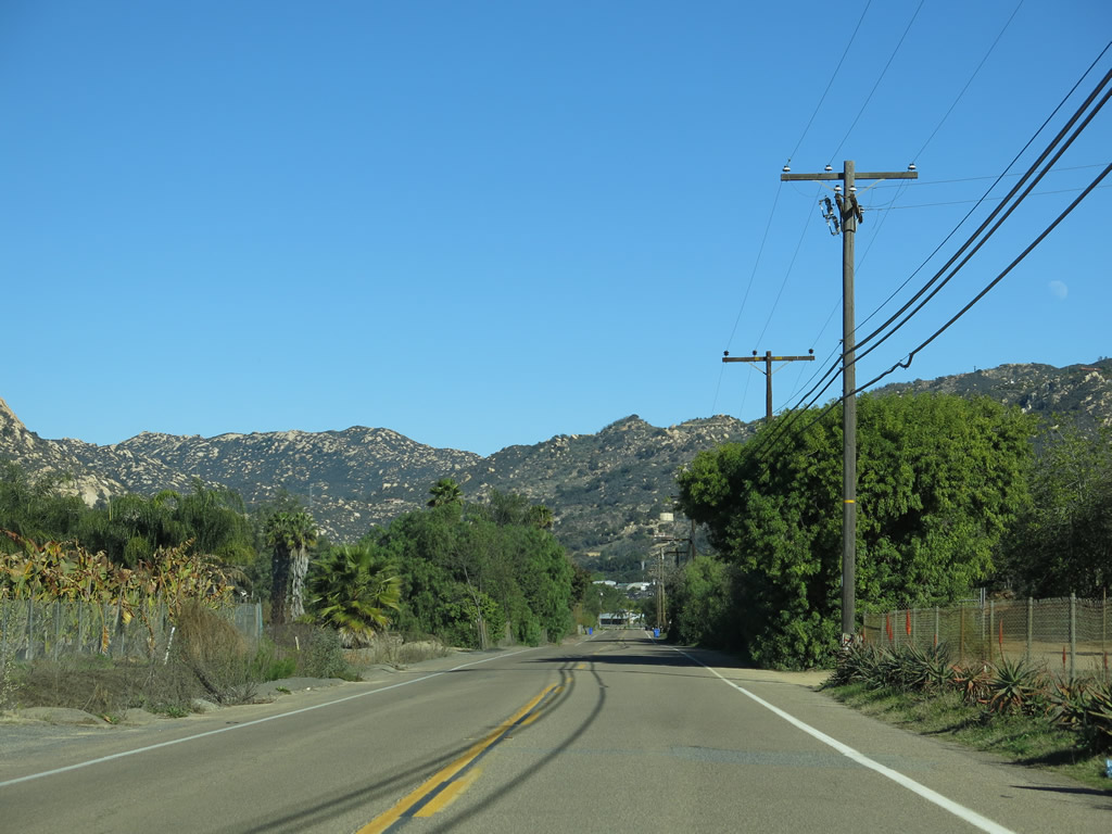
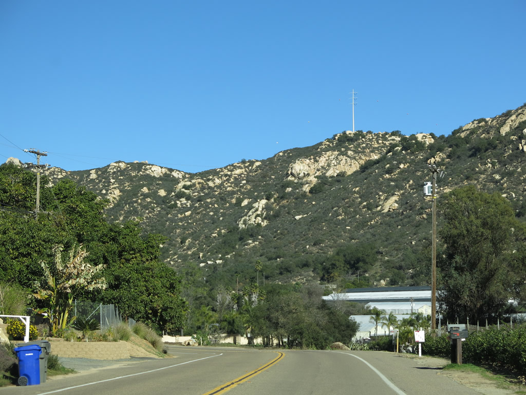
Rainbow lies in a valley surrounded by mountains as seen in these pictures. Note the San Diego Gas & Electric power pole located on top of the tallest peak in this picture. Photo taken 01/21/13. |
|
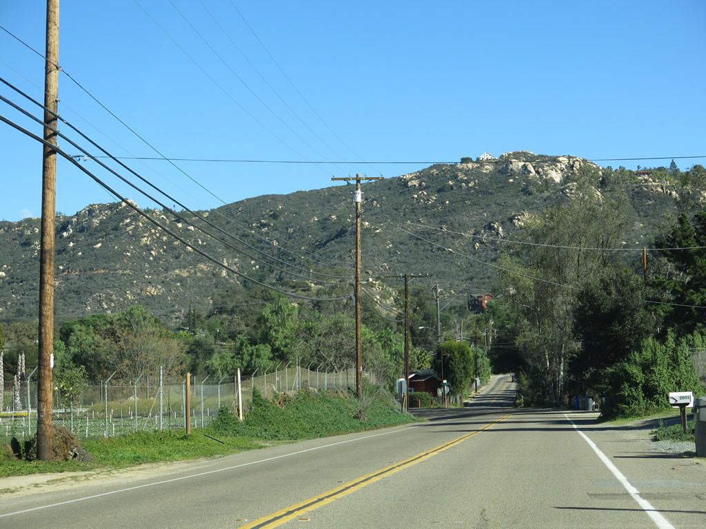
Most of the businesses along Historic U.S. 395 in Rainbow appear to be agricultural or horticultural in nature. Photo taken 01/21/13. |
|
Northbound Rainbow Valley Boulevard approaches West Rainbow Valley Boulevard, which travels west to Old Highway 395 and Interstate 15. Historic U.S. 395 proceeds north along Rainbow Valley Boulevard. Photo taken 01/21/13. |
|
After the West Rainbow Valley Boulevard intersection, another Historic U.S. 395 route marker is posted along northbound Rainbow Valley Boulevard. Photo taken 01/21/13. |
|
Northbound Rainbow Valley Boulevard approaches Old Highway 395. Turn right ahead for Historic U.S. 395 north. Around this point, Historic U.S. 395 leaves San Diego County and enters Riverside County. Photo taken 01/21/13. |
Page Updated February 21, 2013.