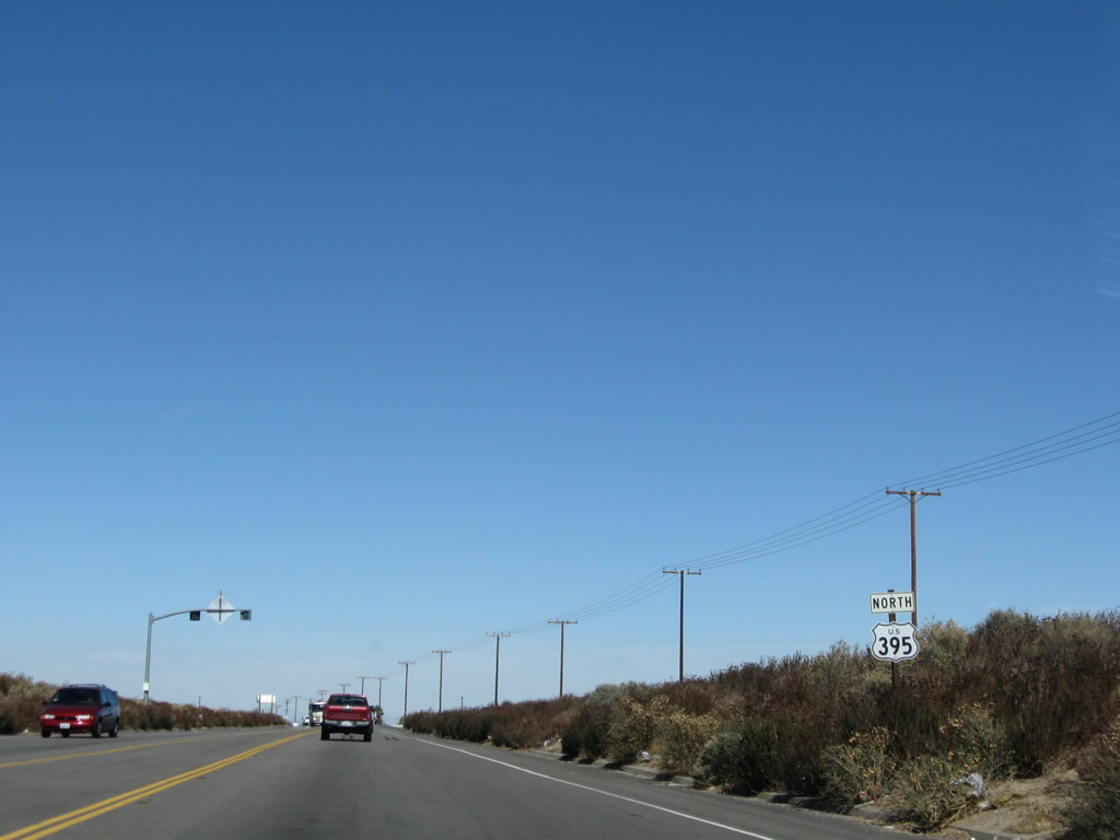
| U.S. 395 north |
|
|
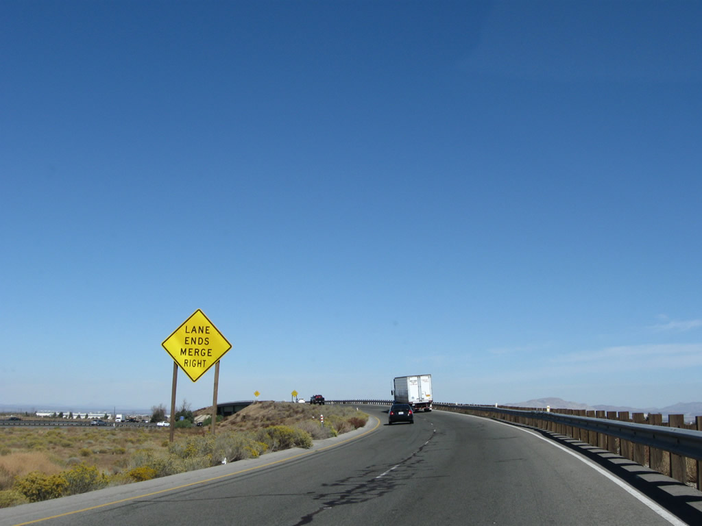
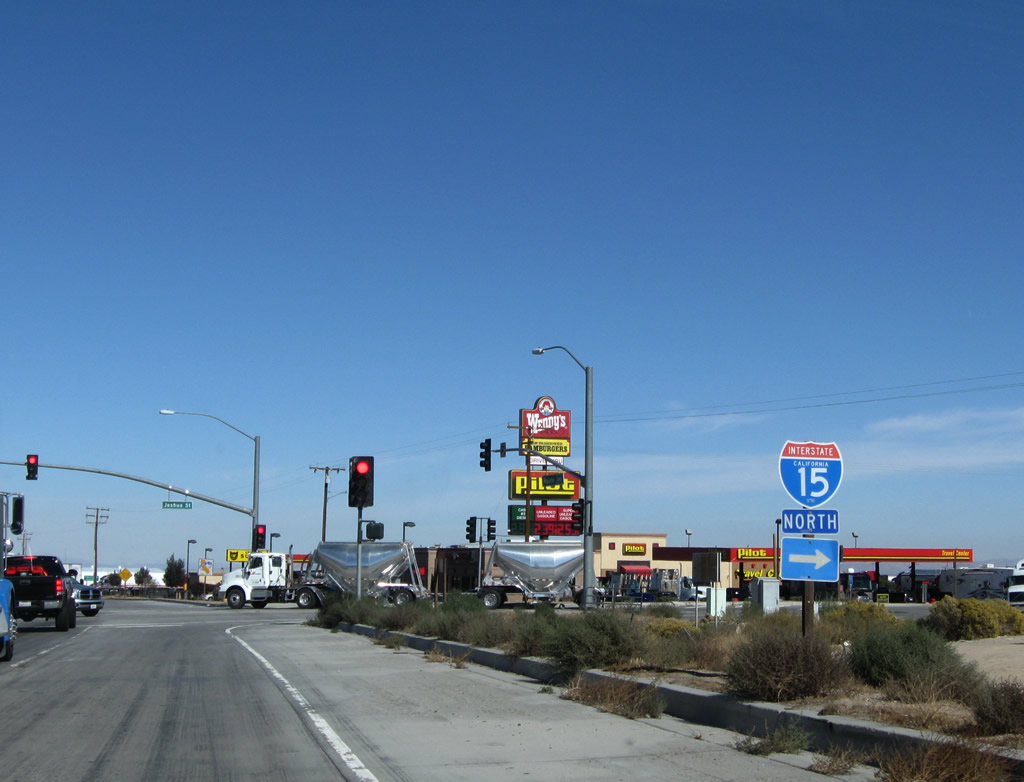
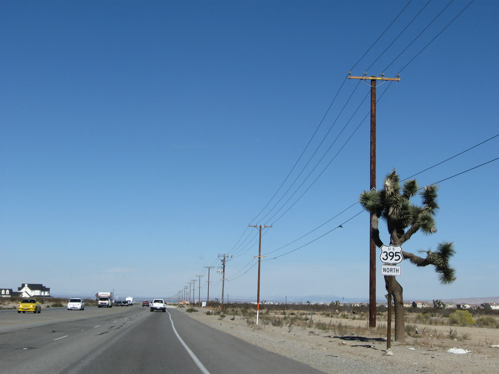
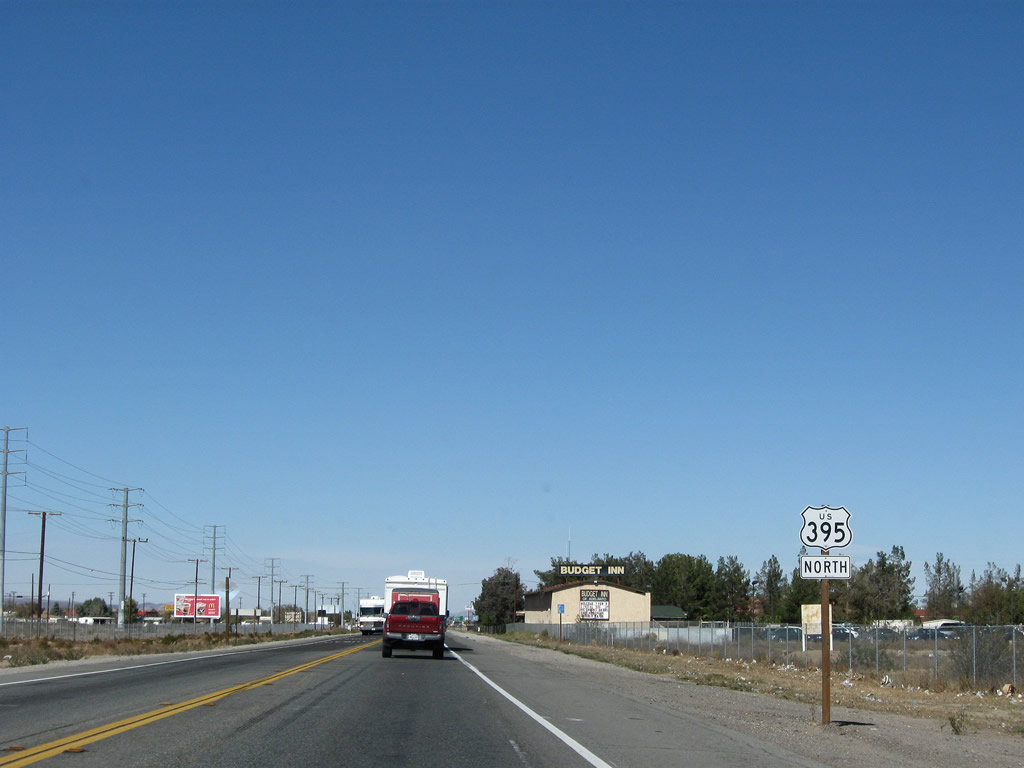
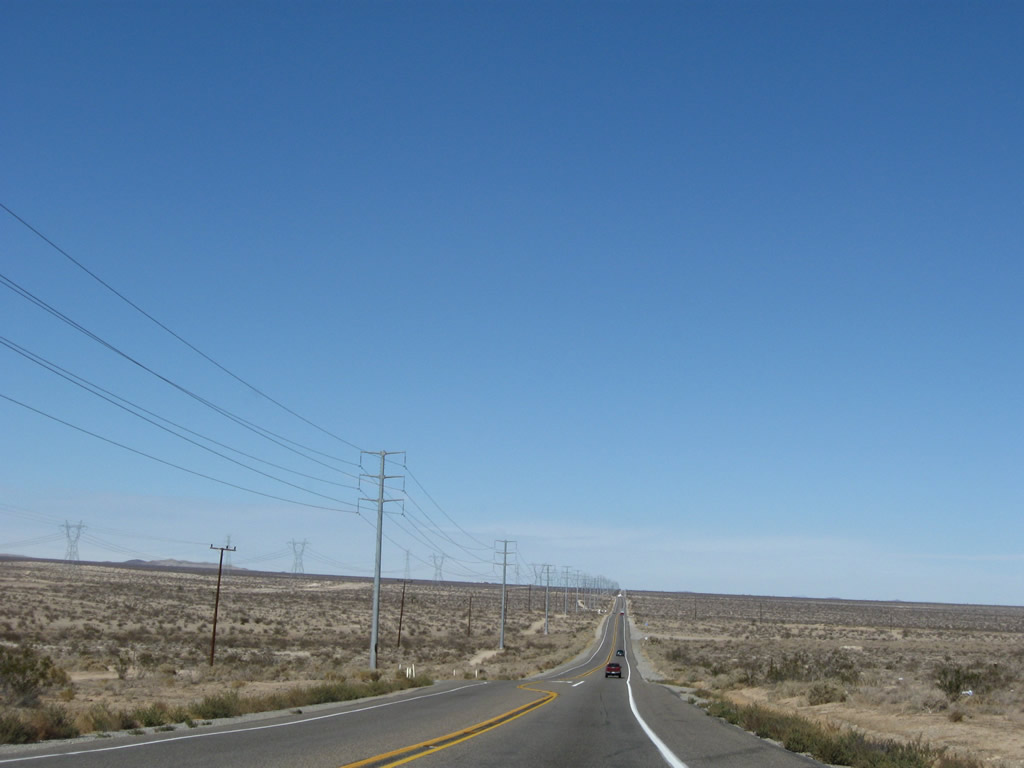
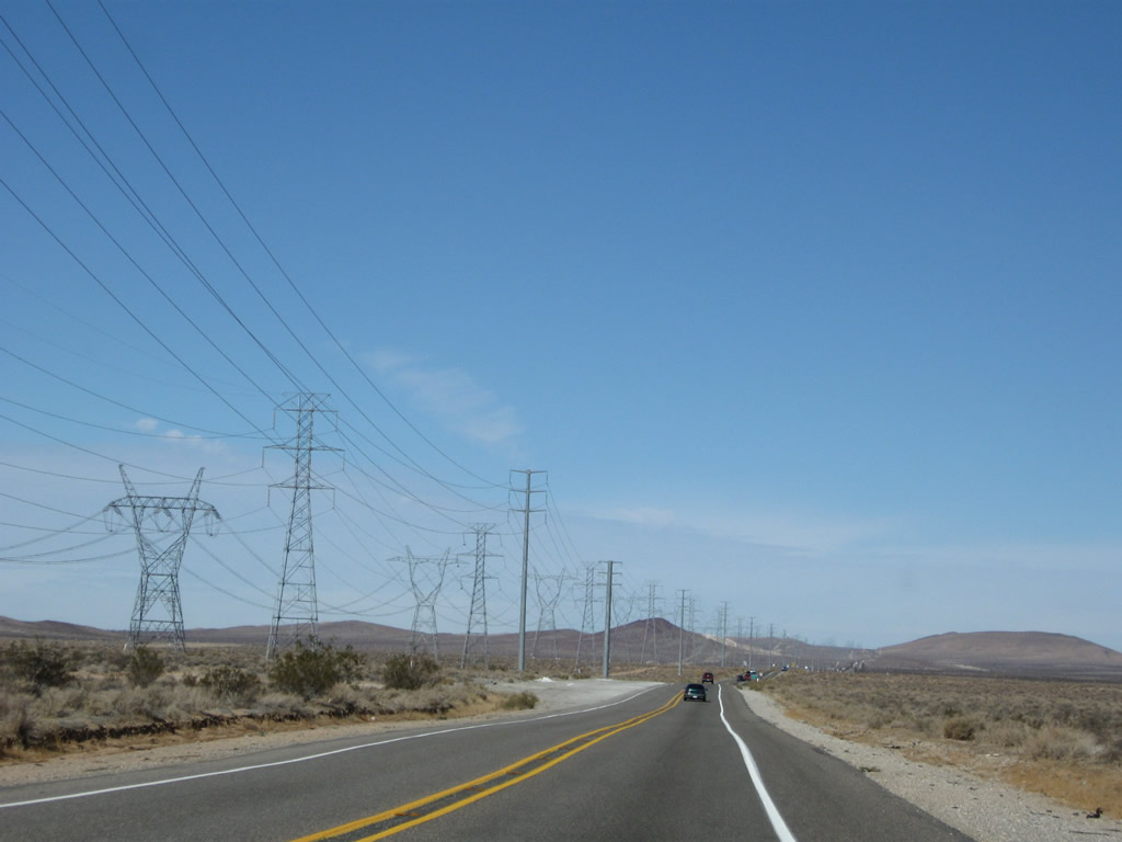
Two lanes make the transition from Interstate 15 north to U.S. 395 north at Exit 141. The interchange is a wye directional interchange with only two movements available: between Interstate 15 north and U.S. 395 north and from U.S. 395 south to Interstate 15 south. Long-range plans call for the eventual conversion of U.S. 395 through Hesperia and Adelanto into a freeway, but for now the ramp leaving U.S. 395 narrows to one northbound lane and approaches an intersection with Joshua Street. Photos taken 11/10/08. |
|
|
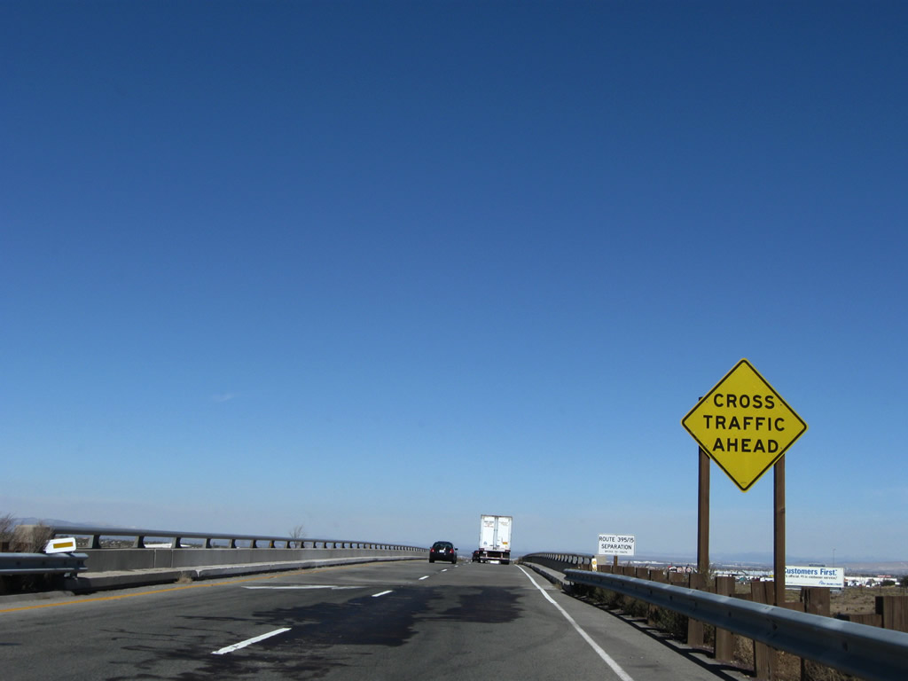
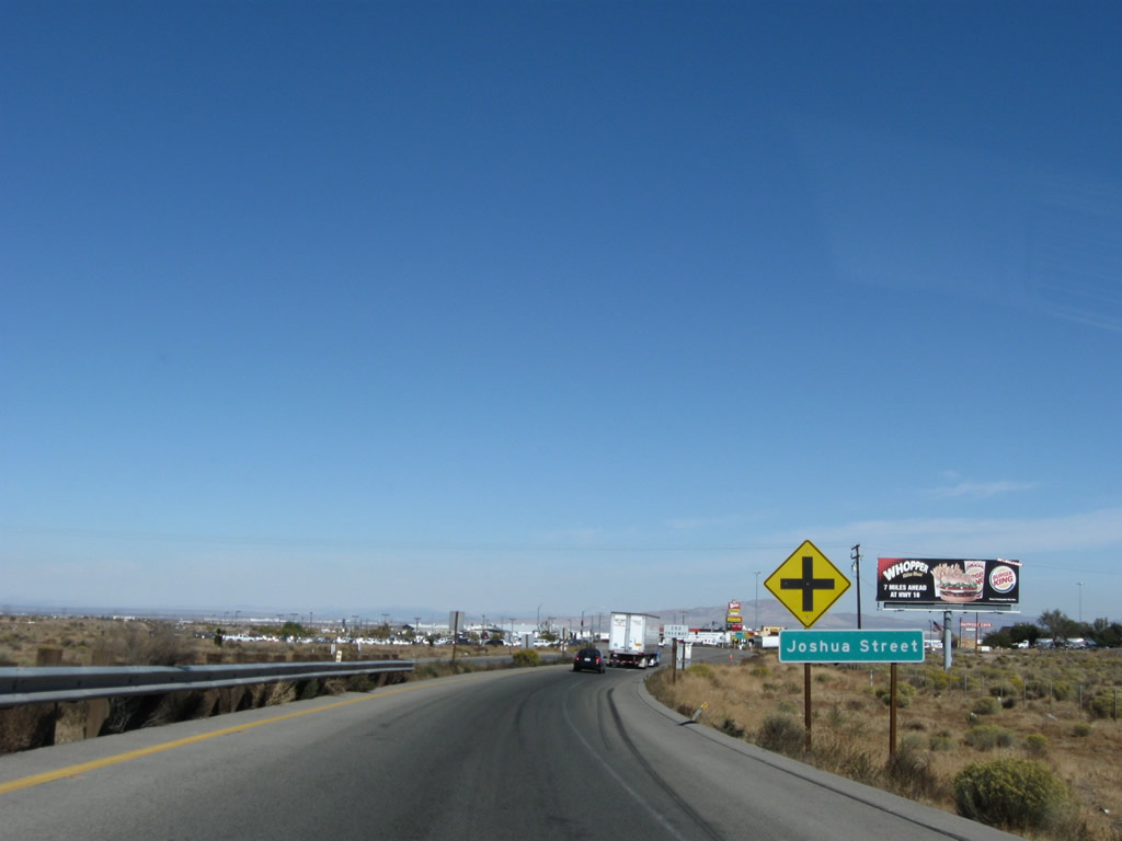
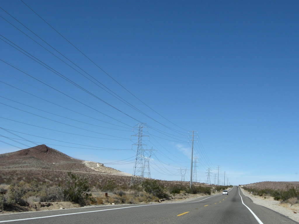
U.S. 395 begins in the city of Hesperia. Incorporated in June 1988, Hesperia had 62,582 people living in the city as of the 2000 Census. Situated near Cajon Pass and Cajon Summit, Hesperia sits at an elevation of 3,186 feet in the Mojave Desert. The next traffic signal is with Joshua Street; use Joshua Street east to return to Interstate 15 north. Joshua Street also brings motorists from Interstate 15 south to U.S. 395 north as there is no direct ramp from Interstate 15 south to U.S. 395 north. Photos taken 11/10/08. |
|
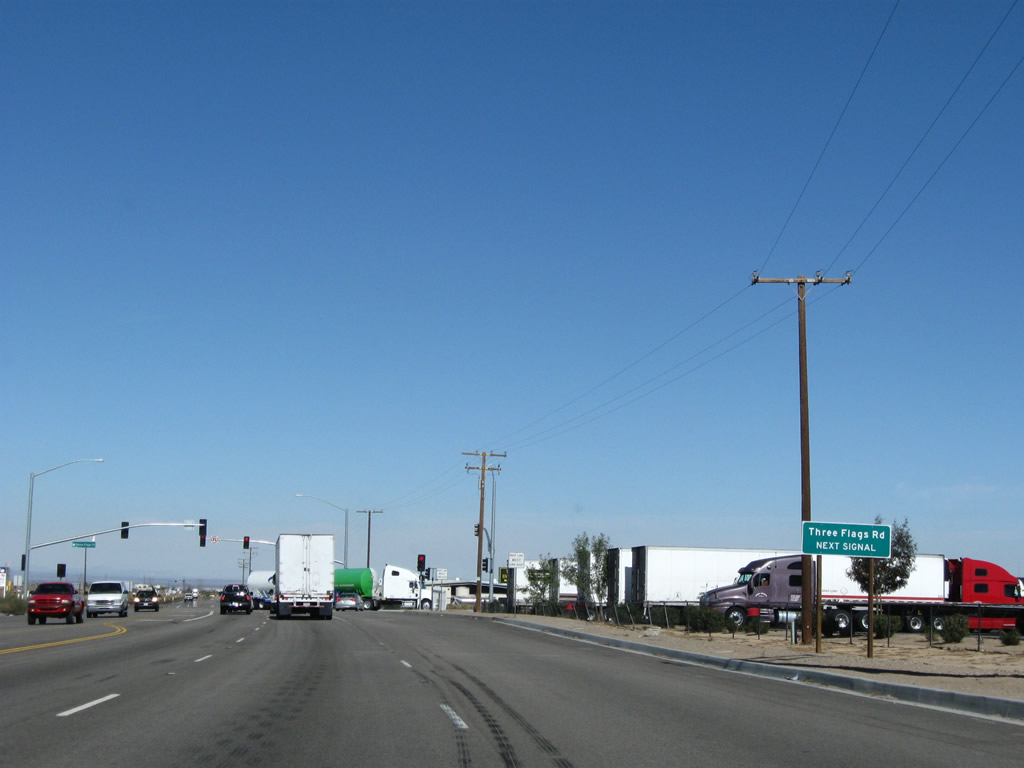
After Joshua Street, the next signalized intersection along northbound U.S. 395 is with Three Flags Road. The entire route of U.S. 395 is designated as Three Flags Highway, and Three Flags Road is likely named in honor of that designation. Although U.S. 395 today does not reach the United States-Mexico border, it is still intended that would be the southern terminus of the Three Flags Highway (via Interstate 15 and Interstate 5 south). Briefly U.S. 395 widens to have two northbound lanes, but this will narrow again quickly. Photo taken 11/10/08. |
|
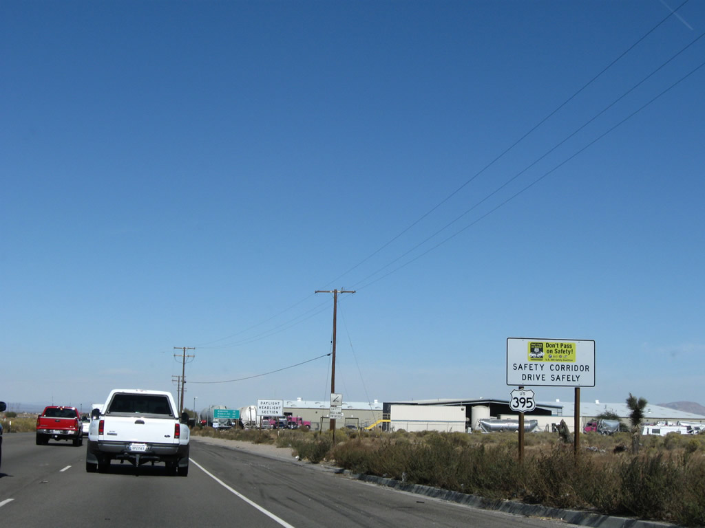
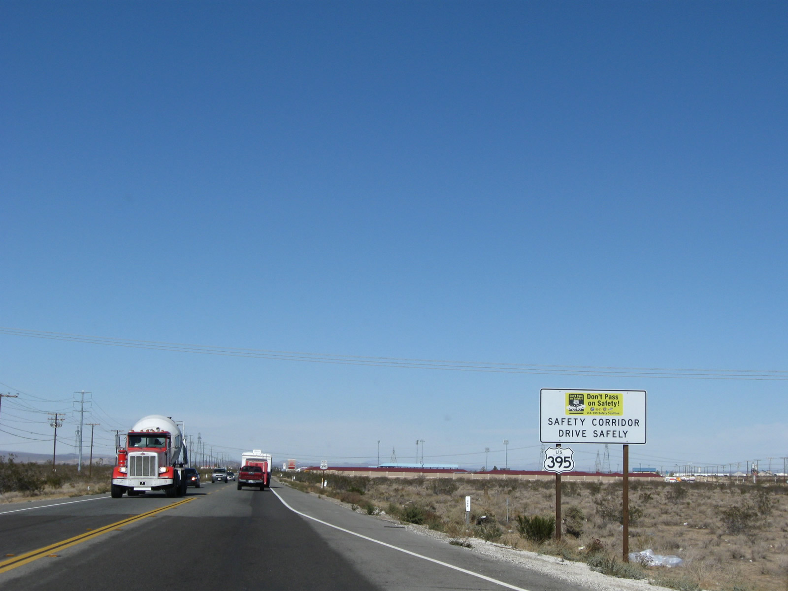
Shortly after the Three Flags Road intersection, the first U.S. 395 north reassurance shield is posted alongside a safety corridor sign. Photo taken 11/10/08. |
|
|
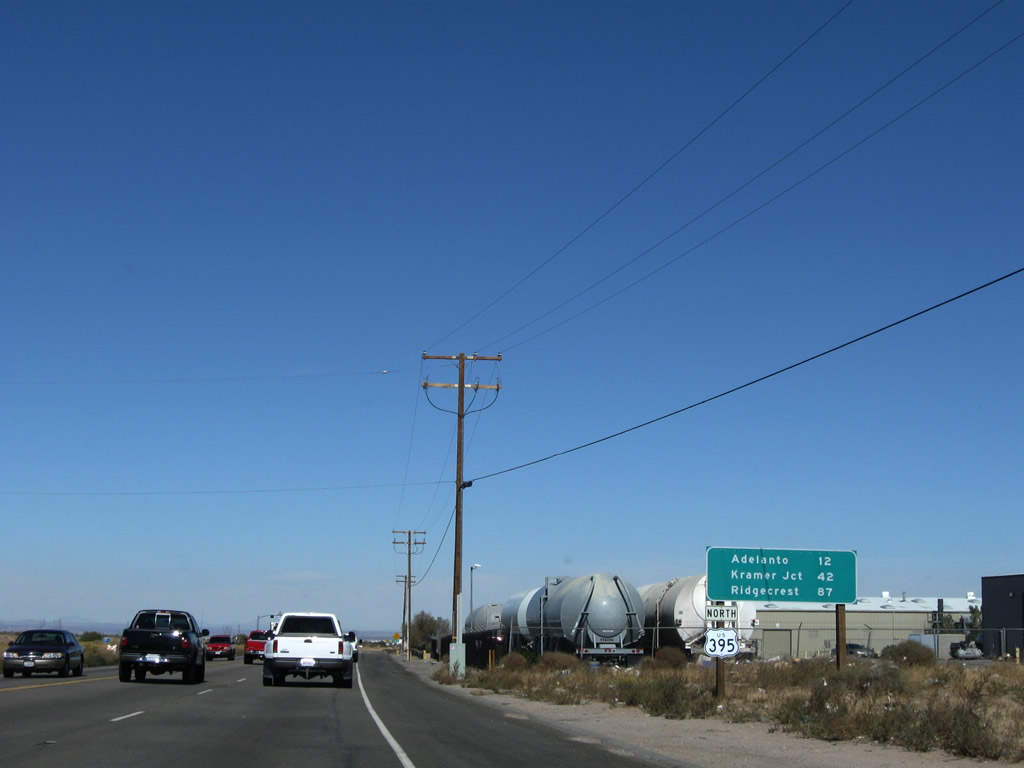
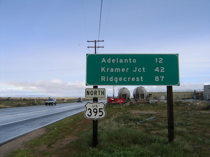
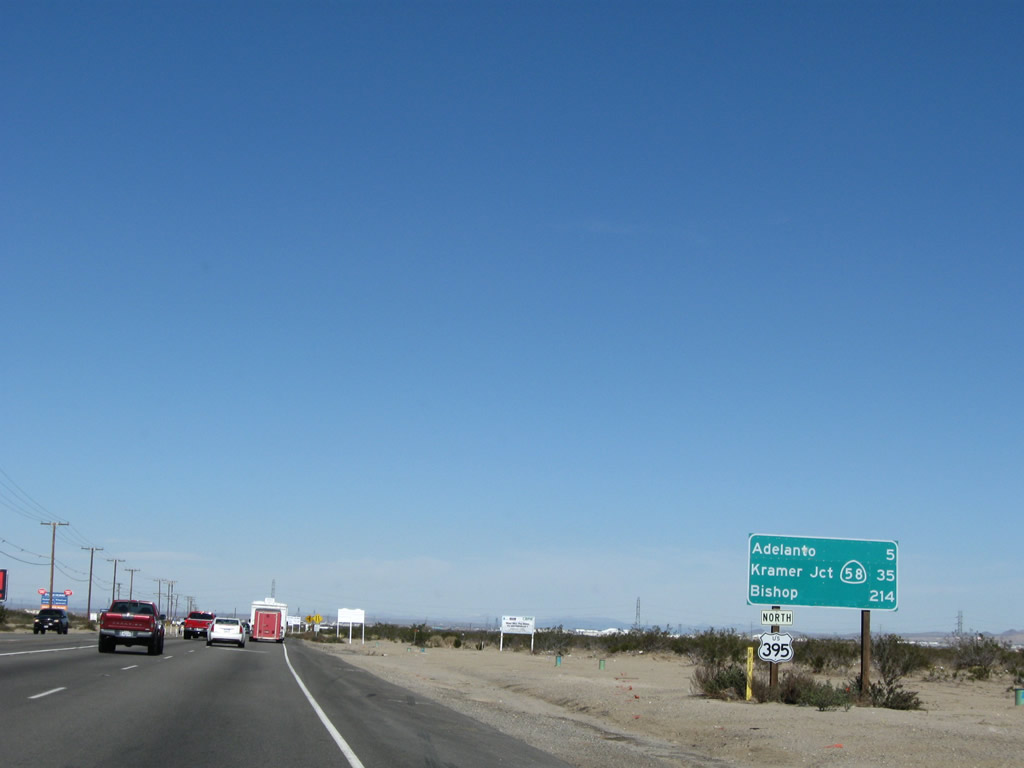
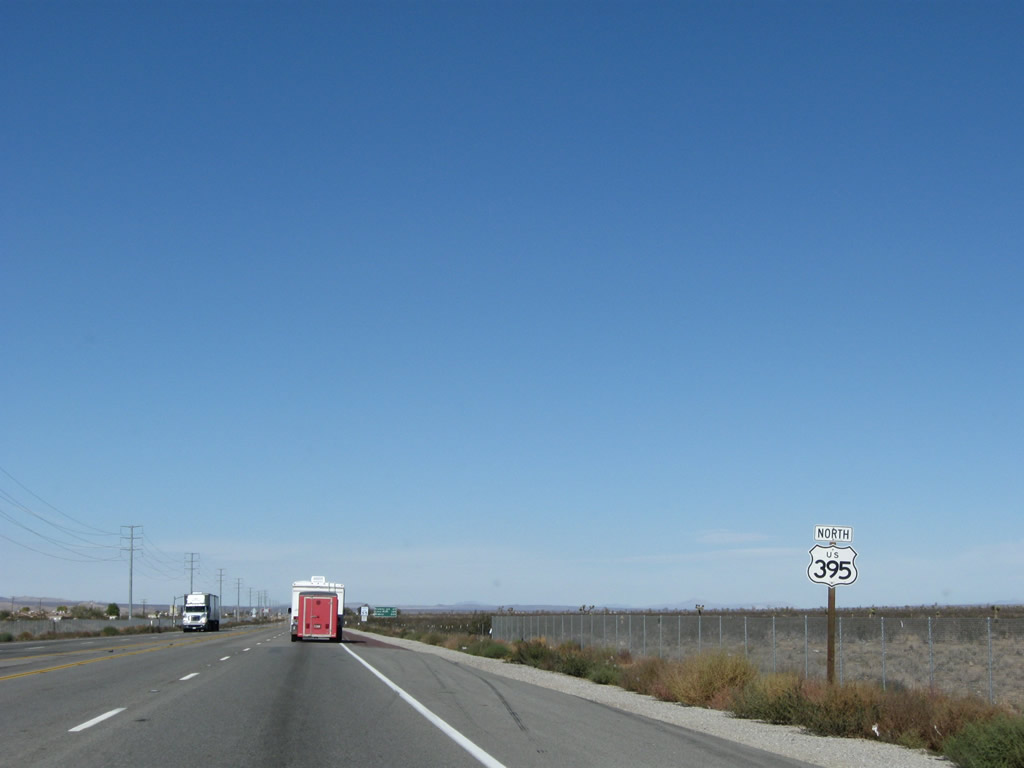
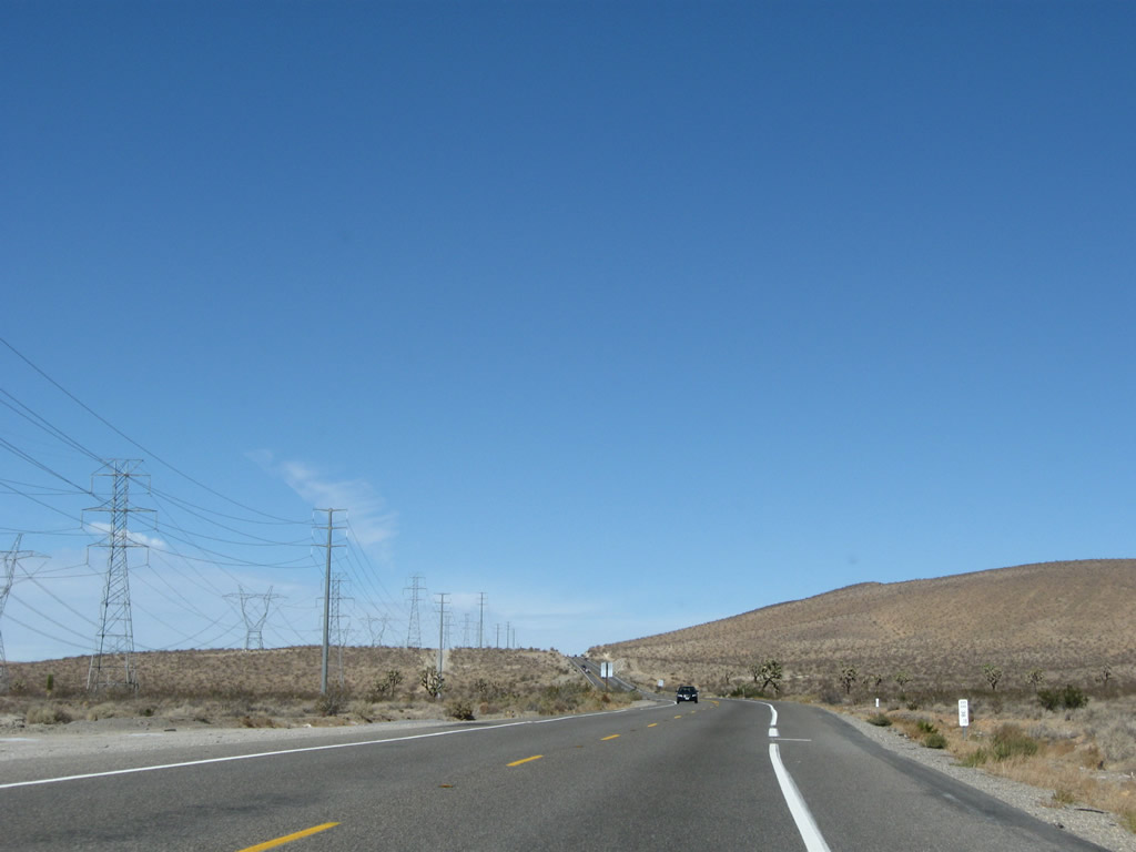
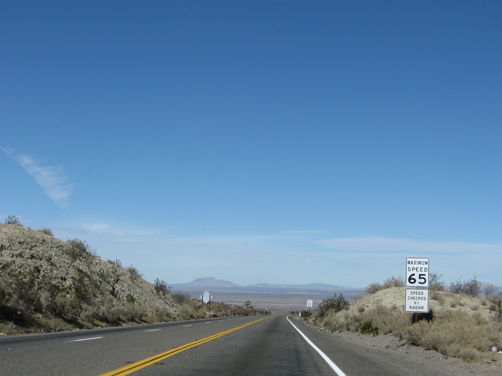
This mileage sign for U.S. 395 north is posted after the intersection with Three Flags Road, including the distance to Adelanto (12 miles), Kramer Junction (California 58, 42 miles), and Ridgecrest (California 178, 87 miles). Omitted is Victorville, the western portion of which U.S. 395 passes before entering Adelanto. Photos taken 11/10/08 and 02/20/05. |
|
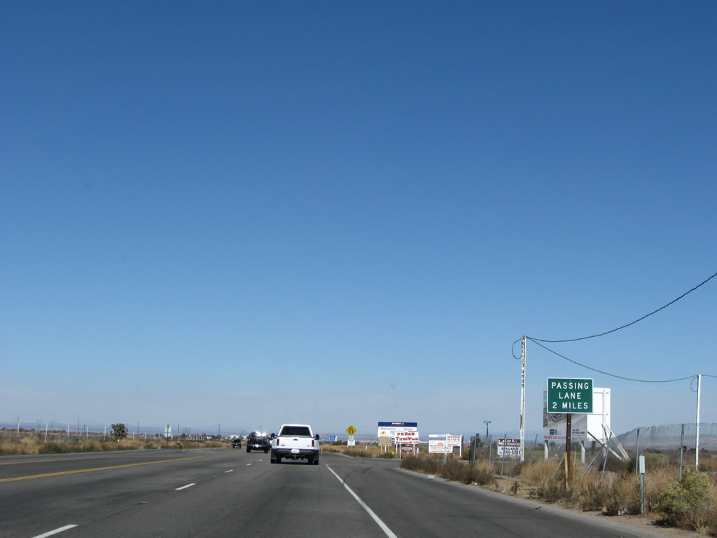
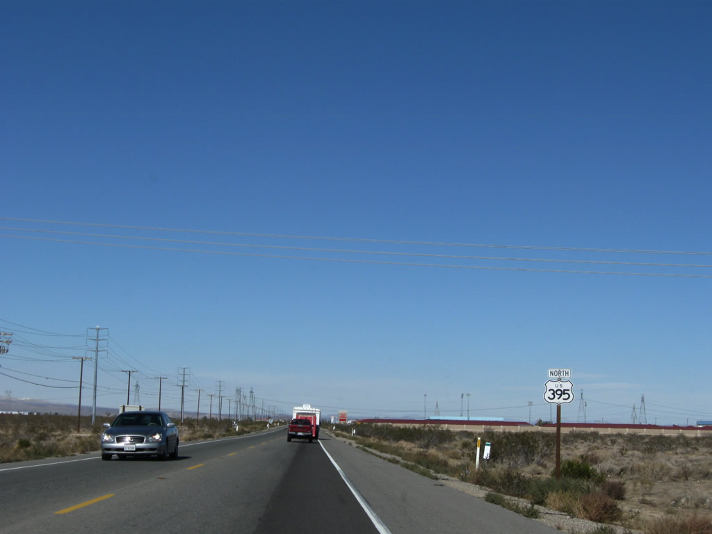
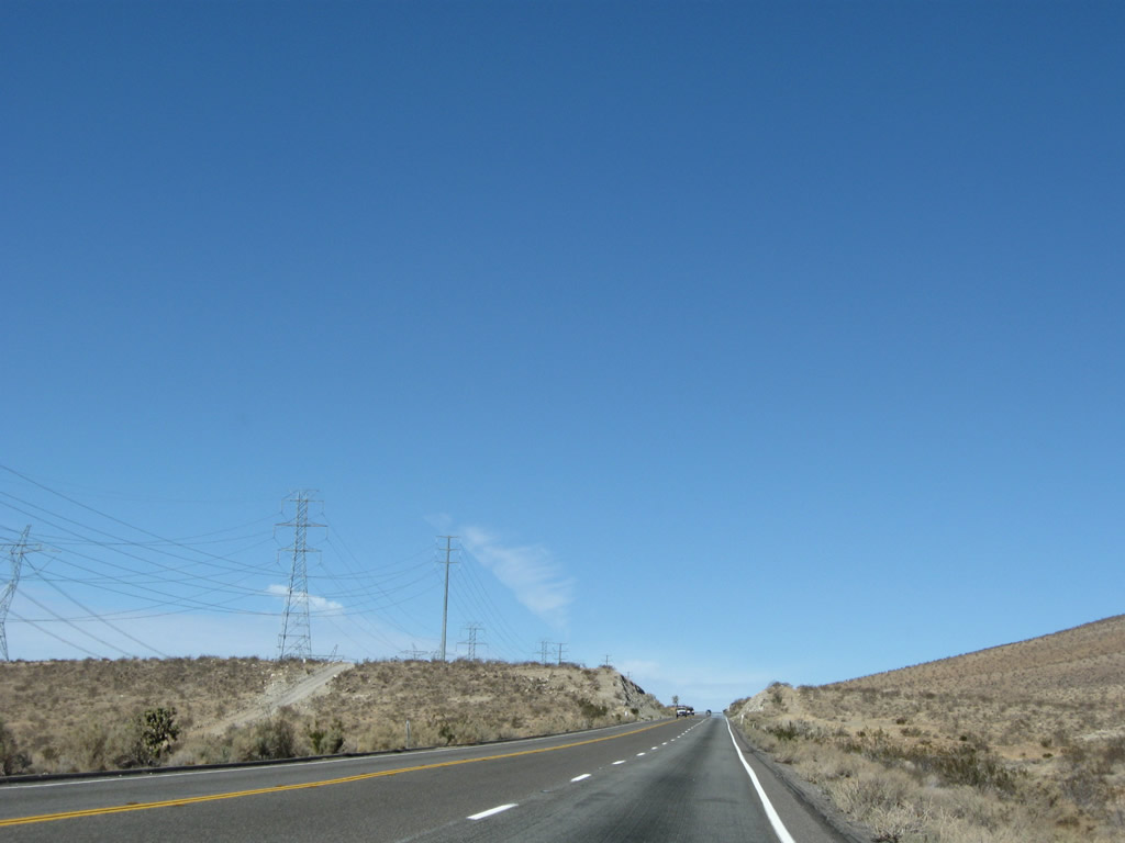
The second lane ends ahead; the next passing lane is two miles ahead. Watch for slowing or stopped traffic through this section of highway. Photo taken 11/10/08. |
|
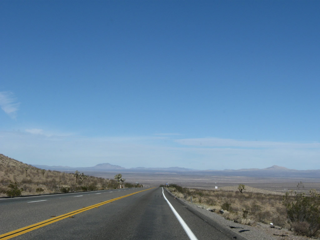
Continuing north, U.S. 395 has a very brief jog as it approaches the Oro Grande Wash. Photo taken 11/10/08. |
|
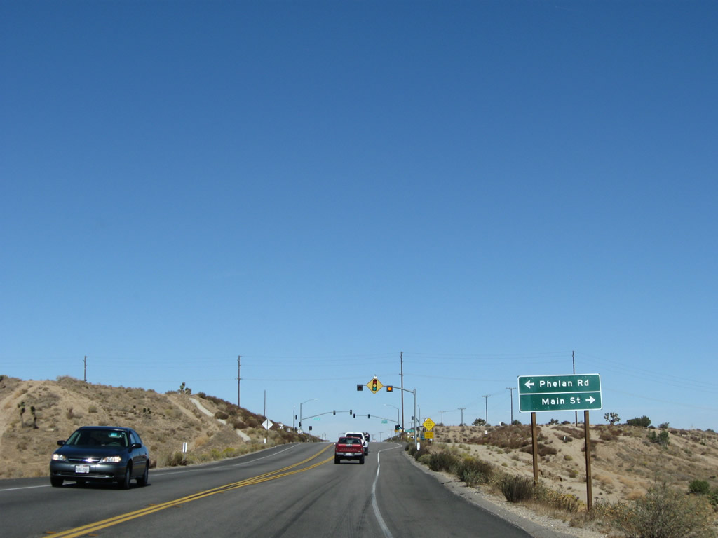
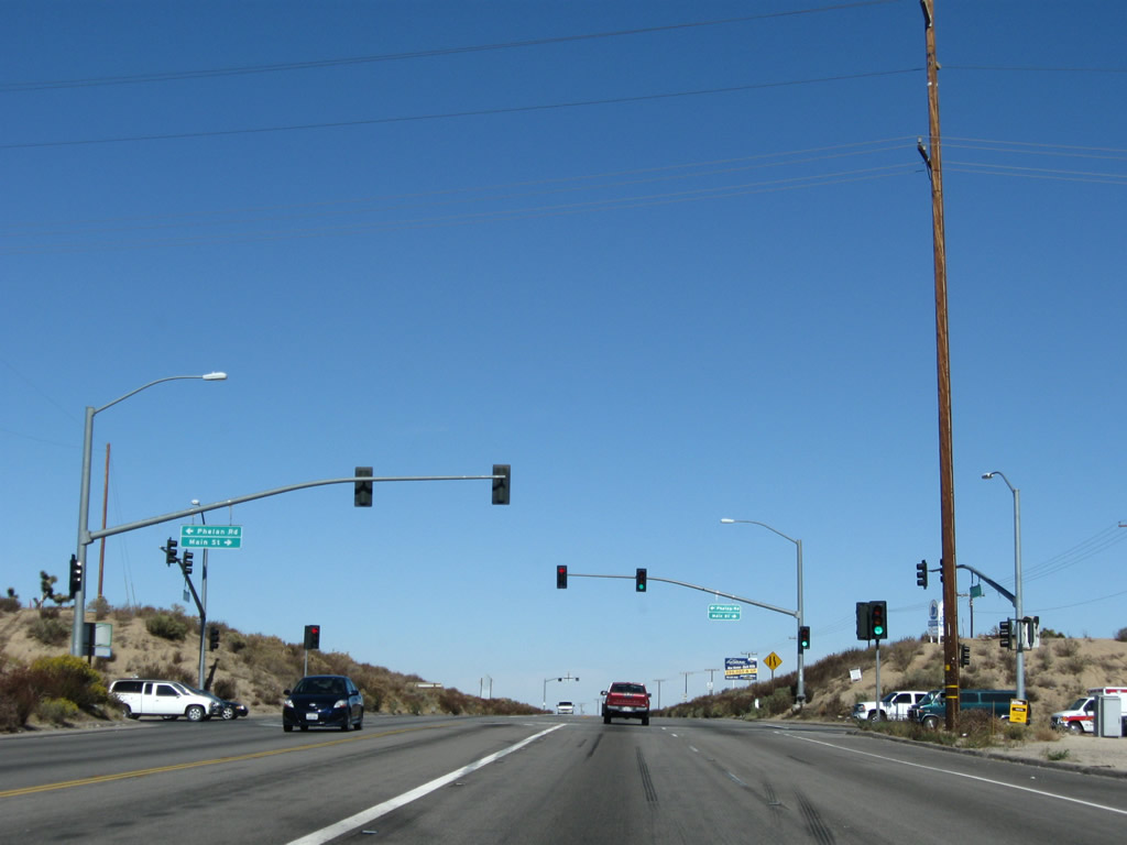
The next signalized intersection along U.S. 395 north is with Phelan Road and Main Street. Use Phelan Road west to the unincorporated community of Phelan located close to the California 138/Pearblossom Highway corridor near the San Bernardino-Los Angeles County Line. To the east, Main Street travels into downtown Hesperia. Photo taken 11/10/08. |
|
Northbound U.S. 395 meets Phelan Road west and Main Street east. Photo taken 11/10/08. |
|
This U.S. 395 north reassurance shield is posted after the Phelan Road-Main Street intersection in Hesperia. Photo taken 11/10/08. |
|
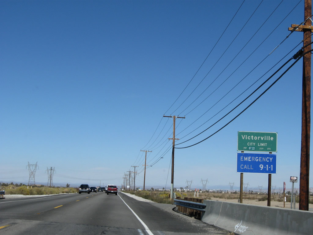
U.S. 395 leaves Hesperia and enters the western portion of the city of Victorville, avoiding downtown Victorville, which is on the Interstate 15 corridor (population 64,029 as of the 2000 Census, incorporated on September 21, 1962, and elevation of 2,730 feet). On U.S. 395, the city limits between Hesperia and Victorville is formed by the eastern branch of the California Aqueduct (part of the State Water Project). The California Aqueduct is nearing the end of its 444-mile journey from the California Delta to Southern California. This is the eastern branch of the aqueduct, which travels south toward a connection with Lake Perris and the San Gorgonio Pass. The western branch of the aqueduct stays closer to Interstate 5, connecting to Pyramid Lake and Castaic Lake north of Los Angeles. Photo taken 11/10/08. |
|
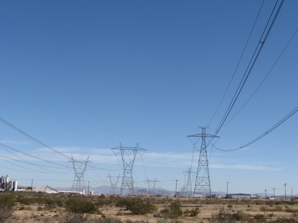
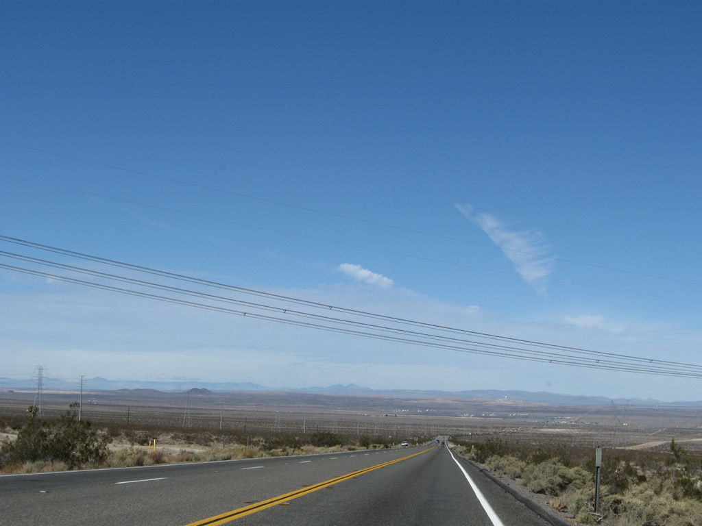
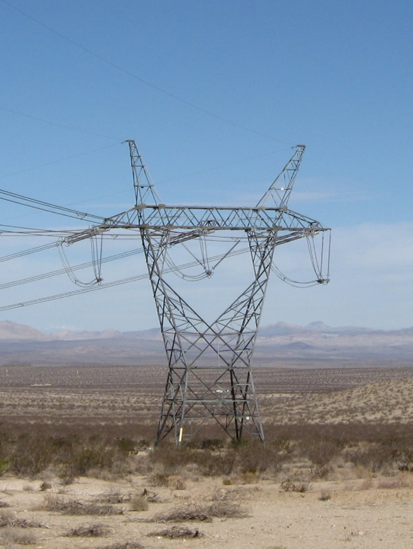
A set of Los Angeles Department of Water and Power power lines cross over U.S. 395 a short distance after entering Victorville. These two single-circuit lines lead north to the Victorville substation, where they meet Path 46 and Path 61 lines. Most likely these lines are charged to 230kV. Photo taken 11/10/08. |
|
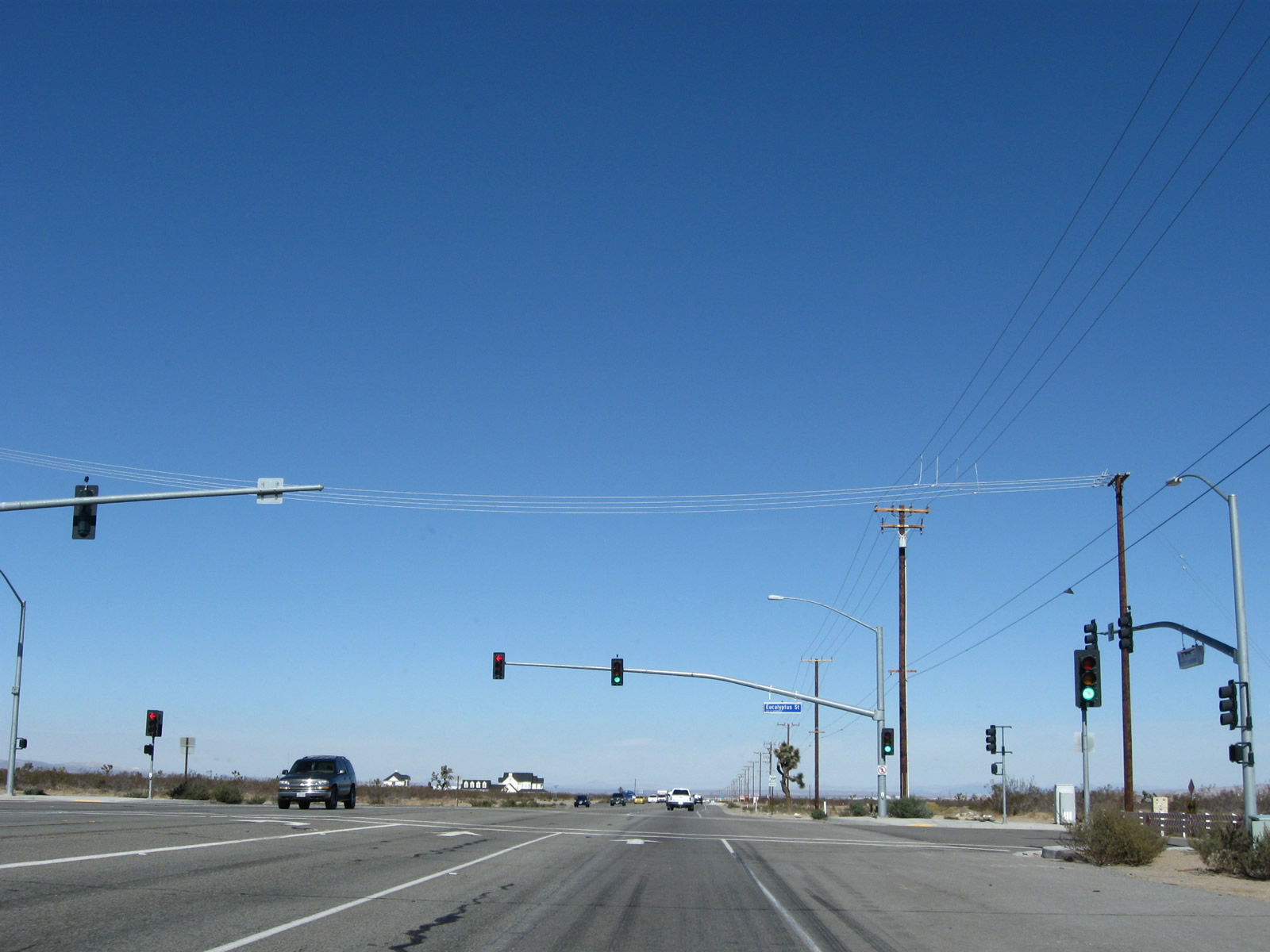
Northbound U.S. 395 meets Eucalyptus Street at this traffic signal. Eucalyptus Street used to be known as Goodwin Drive. Photo taken 11/10/08. |
|
A U.S. 395 north reassurance shield is posted after the Eucalyptus Street signalized intersection. Photo taken 11/10/08. |
|
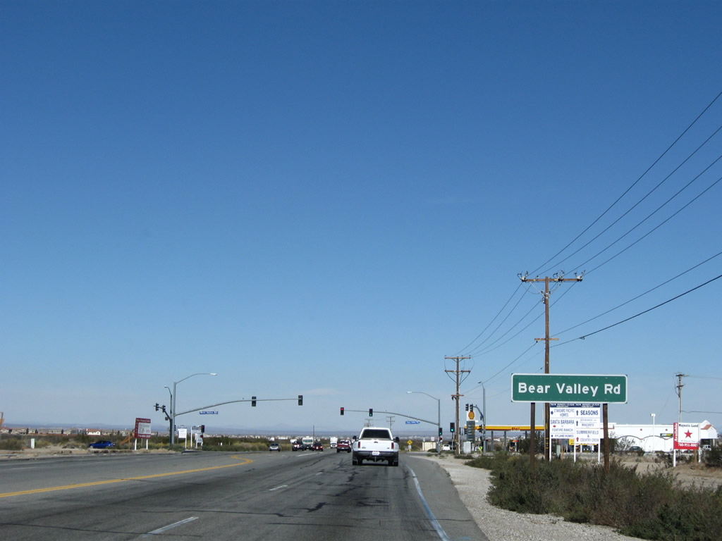
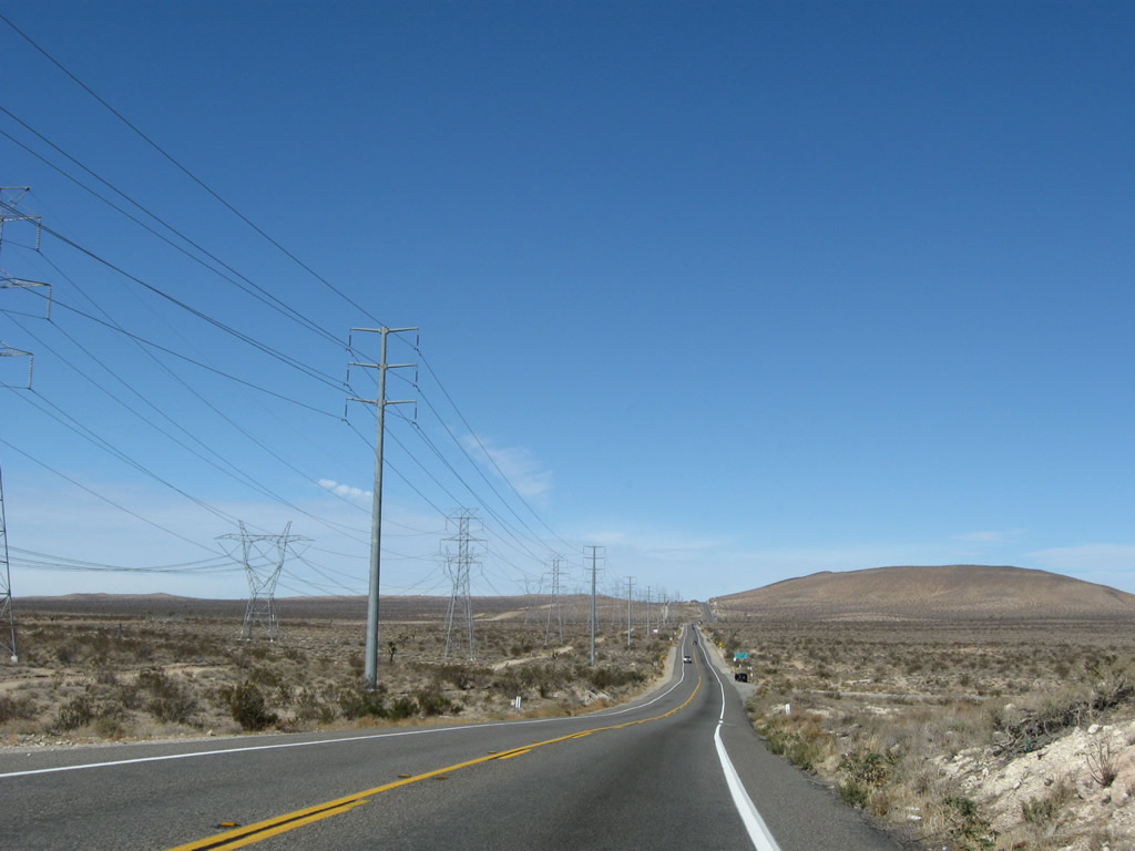
The next intersection along U.S. 395 north is with Bear Valley Road. To Interstate 15, take Bear Valley Road east (about 2.5 miles east of here). As Interstate 15 curves toward the northeast and U.S. 395 takes a more due north route through the Mojave Desert, the two routes will become more and more separated. By the time U.S. 395 meets Interstate 80, U.S. 395 is in Reno. Meanwhile, Interstate 15 meets Interstate 80 in Salt Lake City, over 500 miles east of Reno. Photo taken 11/10/08. |
|
Bear Valley Road travels east to Hesperia and west to Baldy Mesa. Photo taken 11/10/08. |
|
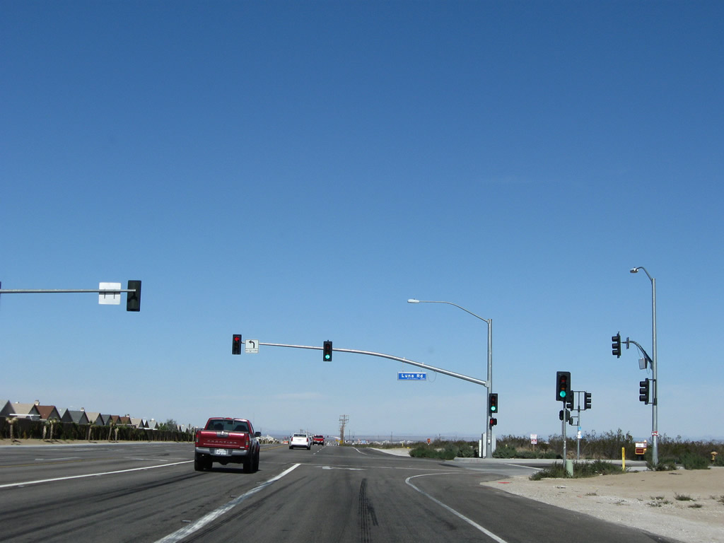
The next traffic signal along U.S. 395 north is with Luna Road. Photo taken 11/10/08. |
|
Northbound U.S. 395 approaches Dos Palmas Road at this intersection in Victorville. Dos Palmas Road provides residential access east and west of U.S. 395; this traffic signal was new since 2005. Photo taken 11/10/08. |
|
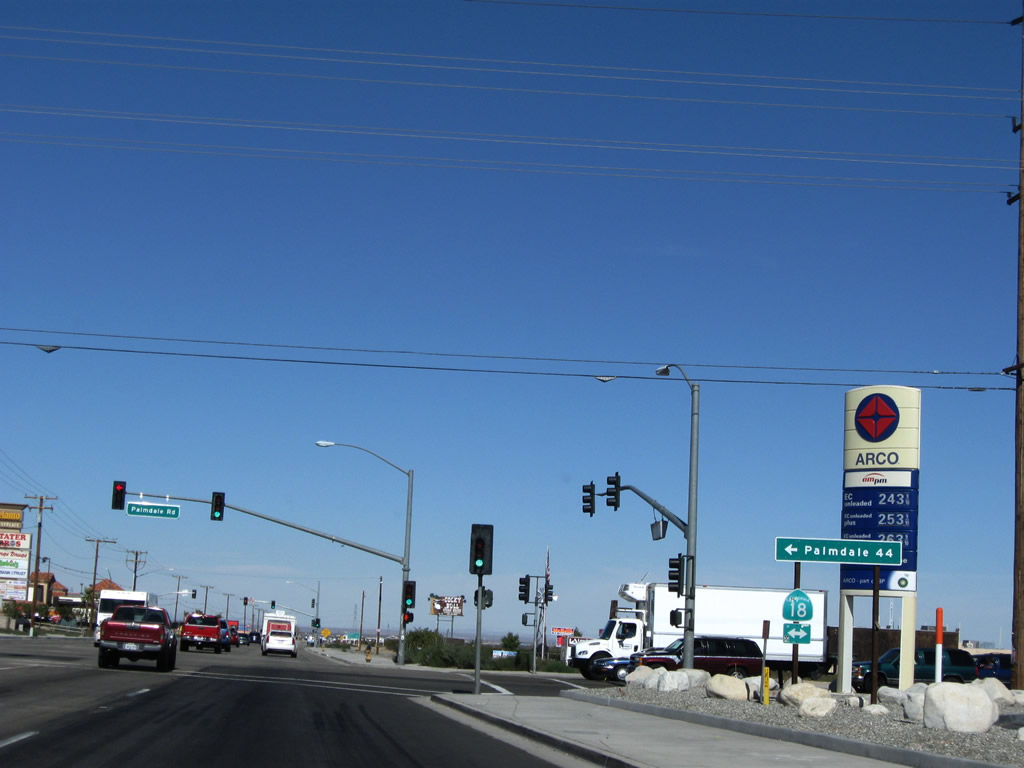
Soon thereafter, U.S. 395 (Three Flags Highway) north approaches California 18 (Palmdale Road). California 18 is a major east-west state route that leads west to Palmdale (via a connection with California 138) or east to downtown Victorville. Between California 18 and the Adelanto Road split, U.S. 395 serves as the city limits between Victorville to the east and Adelanto to the west. Photo taken 11/10/08. |
|
This mileage sign along U.S. 395 provides the distance to Adelanto (five miles), Kramer Junction (California 58, 35 miles), and Bishop (U.S. 6, 214 miles). Photo taken 11/10/08. |
|
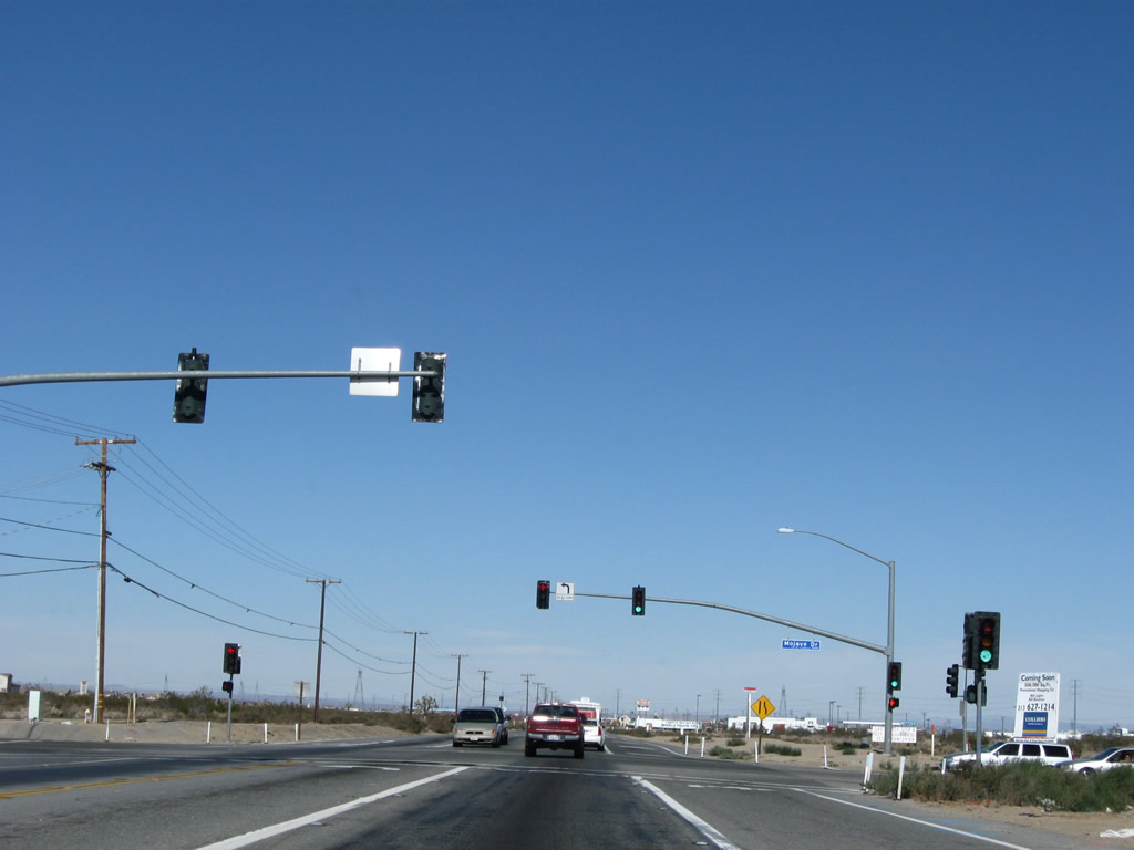
Northbound U.S. 395 approaches the signalized intersection with Mojave Drive, which travels east to downtown Victorville and west into southern Adelanto. Photo taken 11/10/08. |
|
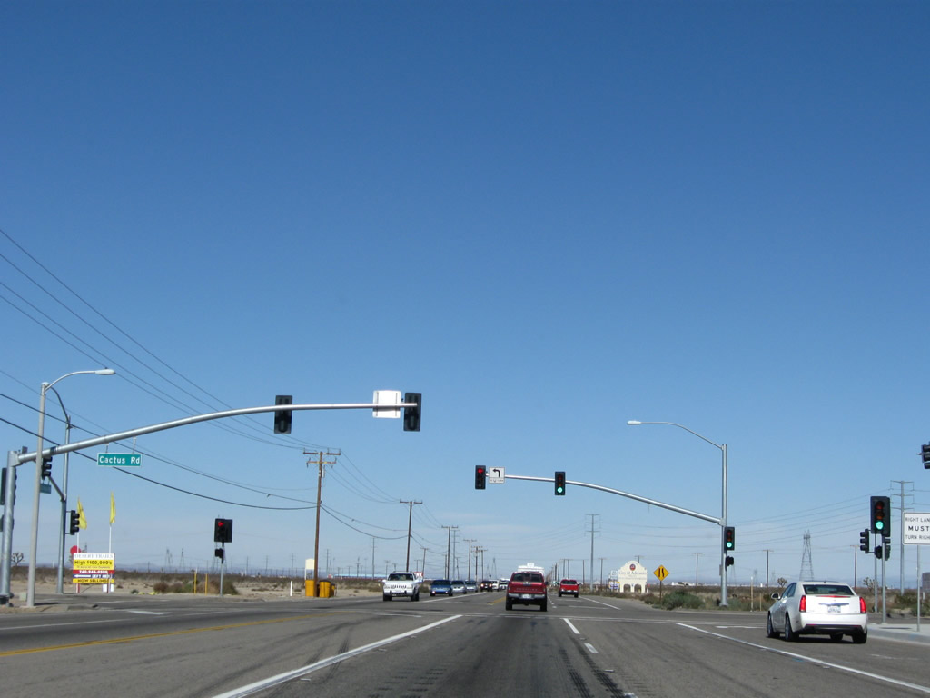
A relatively new traffic signal is posted at Cactus Road in western Victorville and southern Adelanto. New housing development soared in this part of the Mojave Desert in the early to mid-2000s, resulting in housing subdivisions along both sides of U.S. 395. While U.S. 395 itself has not been widened and has seen an increased number of traffic signals, eventual plans call for an expressway replacement for U.S. 395 to facilitate both local and through traffic. Photo taken 11/10/08. |
|
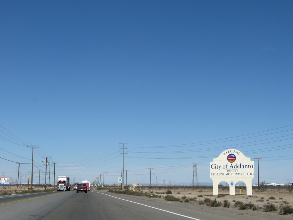
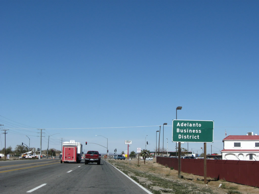
Almost like a billboard, a welcome sign greets northbound motorists as U.S. 395 leaves the city of Victorville and enters the city of Adelanto. Home to 18,130 people as of the 2000 Census, Adelanto has seen marked population growth as new residential subdivisions have been developed. Adelanto was incorporated on December 22, 1970. Photo taken 11/10/08. |
|
|
|
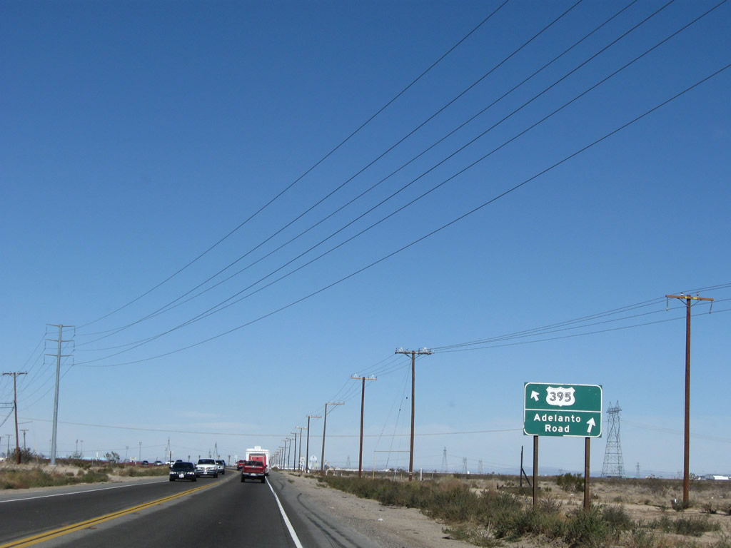
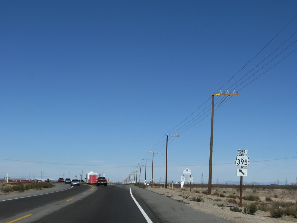
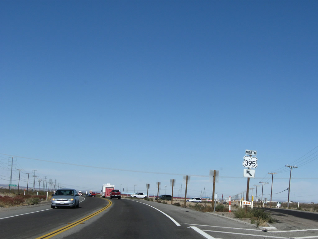
Ahead, northbound U.S. 395 splits. Stay right to turn onto Adelanto Road north, or follow U.S. 395 as it veers a bit toward the northwest. Adelanto Road travels north past the western edge of Southern California Logistics Airport. Through a connection with Colusa Road, motorists may connect to Helendale Road north to Silver Lakes, Helendale, and National Trails Highway (old U.S. 66-91) about midway between Victorville and Barstow. The U.S. 395-Adelanto Road intersection marks the point where U.S. 395 enters Adelanto. Photos taken 11/10/08. |
|
In an effort to prevente head-on collisions along U.S. 395, the two lane highway is designated a traffic safety corridor. Photo taken 11/10/08. |
|
Another reassurance marker for U.S. 395 north stands beyond the Adelanto Road turnoff. Photo taken 11/10/08. |
|
A Los Angeles Department of Water and Power 500kV power line crosses over U.S. 395 shortly thereafter. This particular line begins at the Rinaldi Substation near the confluence of Interstate 5 and Interstate 405 in the city of Los Angeles, travels northeast and then east through the mountains, then travels east to meet Path 46 at the Victorville Substation. At Victorville, the Path 46 lines travel northeast toward power facilities (such as McCullough Substation) around Hoover Dam and points east. Photo taken 11/10/08. |
|
After passing by Maverick Stadium on the east side of U.S. 395, another set of Los Angeles Department of Water and Power lines cross over U.S. 395. (This view looks to the east.) In sequence, the first line to pass overhead is Path 27, which is a high voltage direct current line leading from a power plant near Delta, Utah and traveling southwest to a major substation just west of here in Adelanto. The second line is a 500kV power line that travels southwest to the Rinaldi substation, ending at the same place as the 500kV power line seen in the previous photobox (Victorville Substation). The third line is also 500kV but is of a slightly different design than the other 500kV power line. This particular line also travels southwest into the city of Los Angeles, but it terminates at the DWP Receiving Station E substation near the intersection of Whitnall Highway and Cahuenga Boulevard. Photo taken 11/10/08. |
|
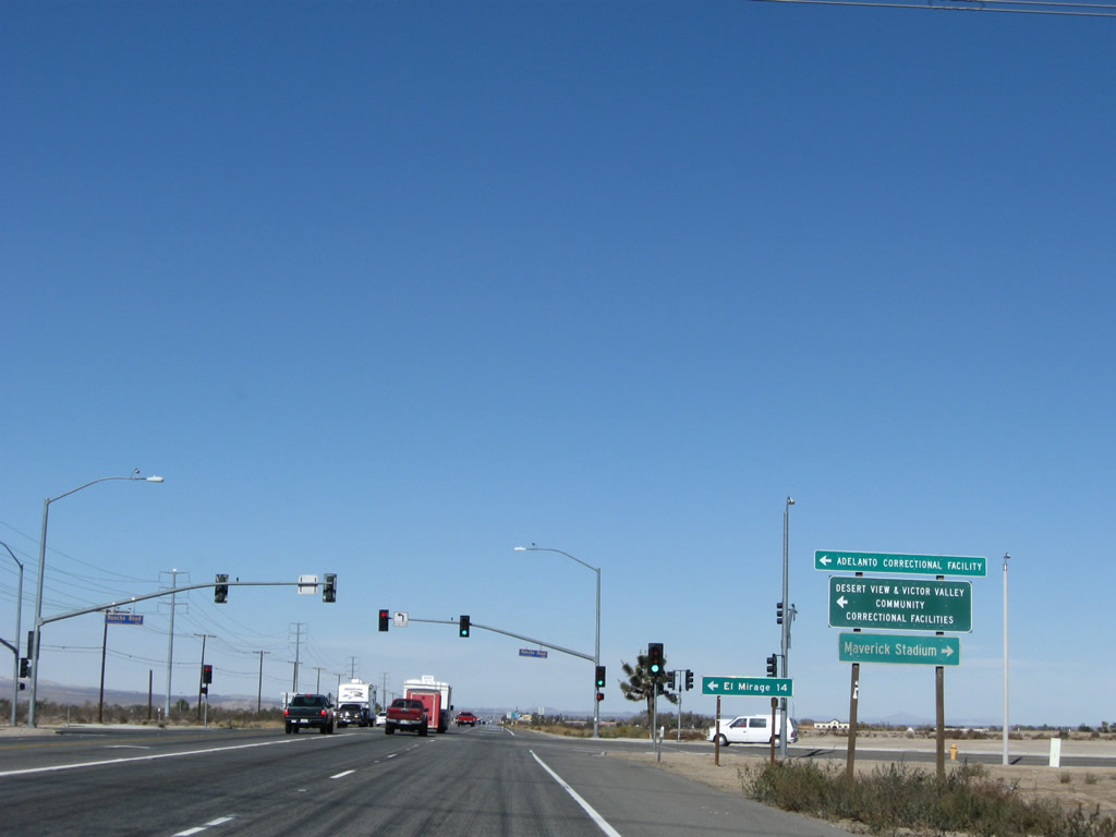
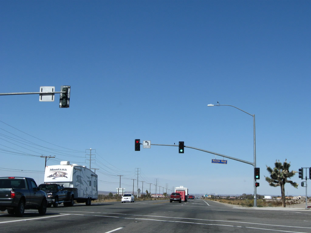
The next signalized intersection along U.S. 395 north is with Rancho Road. Use Rancho Road west to the Adelanto Correctional Facility and east to Maverick Station. Photo taken 11/10/08. |
|
Meeting Rancho Road, U.S. 395 proceeds north. Turn left to follow Rancho Road west to El Mirage. In Adelanto, the street signs are blue with yellow lettering. Photo taken 11/10/08. |
|
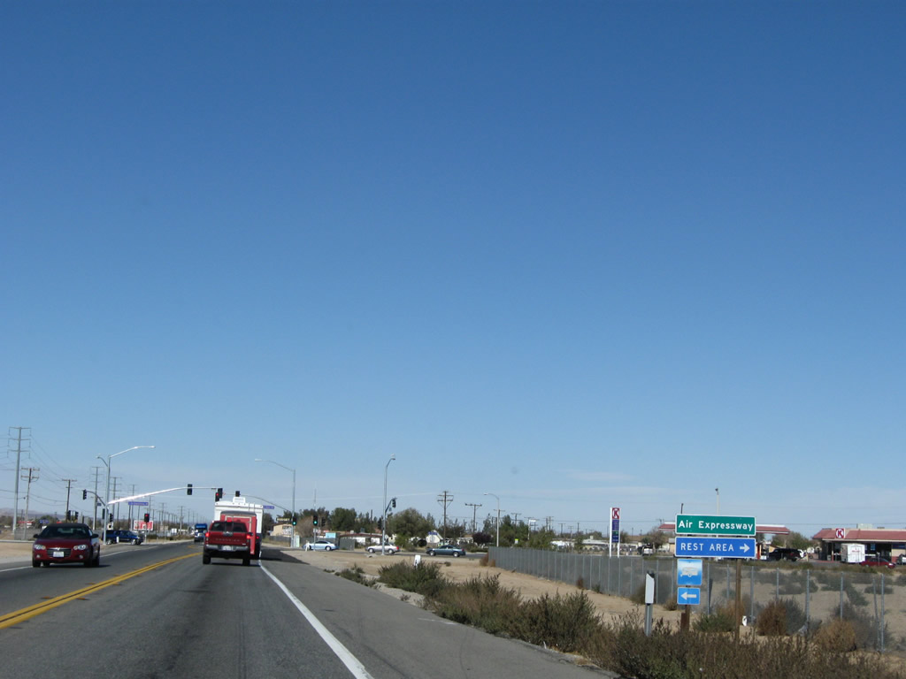
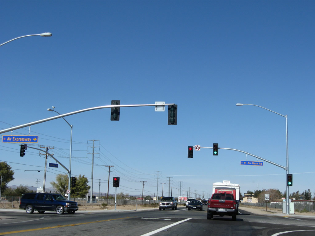
The next intersection along U.S. 395 north is with Air Expressway. Use Air Expressway east to the Southern California Logistics Airport (formerly George Air Force Base) and the Federal Correctional Institution Victorville. To the east, Air Expressway ends at Historic U.S. 66-91 northwest of downtown Victorville. Photo taken 11/10/08. |
|
U.S. 395 north meets Air Base Road west and Air Expressway east. Turn left on Air Base Road for residential access in Adelanto. The northwestern corner of this signalized intersection is preserved as Richardson Park. Photo taken 11/10/08. |
|
U.S. 395 shield assembly posted beyond the Air Expressway intersection. Photo taken 11/10/08. |
|
The next intersection along U.S. 395 north is with Bartlett Avenue. Downtown Adelanto is located east of U.S. 395 at the intersection of Bartlett Avenue and Jonathan Street. Turn right here for most motorist services, post office, police station, fire station, and library. Photo taken 11/10/08. |
|
Another U.S. 395 north reassurance shield is posted shortly after the Bartlett Avenue intersection. Photo taken 11/10/08. |
|
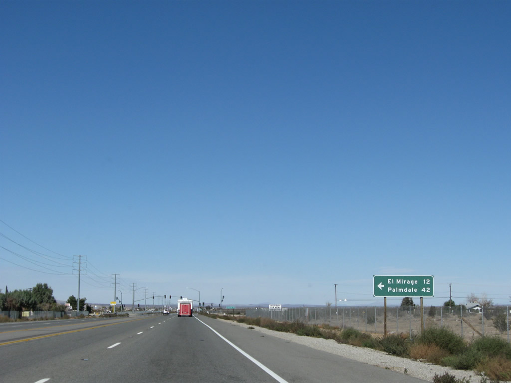
The next signalized intersection along U.S. 395 north is with Chamberlaine Way. Use Chamberlaine Way west to Koala Road and El Mirage Road west to El Mirage (12 miles) and Palmdale (42 miles). El Mirage is an off road vehicle (ORV) area inclusive of a dry lake bed. At the San Bernardino-Los Angeles County Line, El Mirage Road changes into Avenue P. At 240th Street East, Avenue P ends, but through traffic can shift onto Palmdale Road west to Palmdale via 240th Street East south or Avenue O west to Lake Los Angeles via 240th Street East north. Photo taken 11/10/08. |
|
Northbound U.S. 395 meets Chamberlaine Way at this traffic signal. Photo taken 11/10/08. |
|
A U.S. 395 north reassurance shield is posted shortly thereafter. Photo taken 11/10/08. |
|
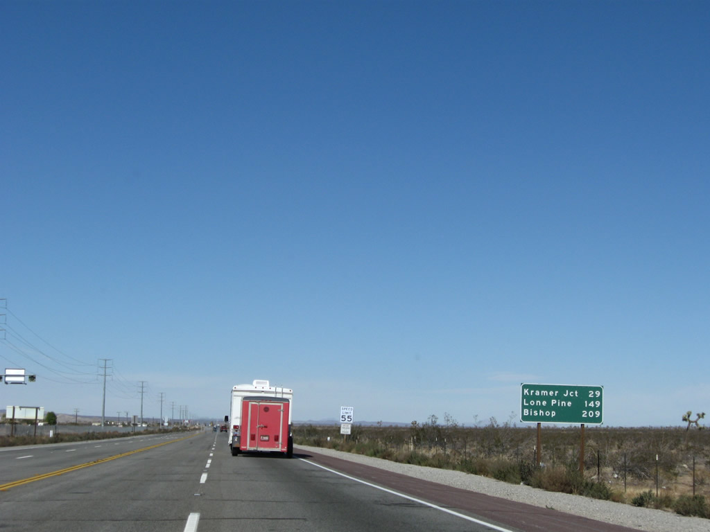
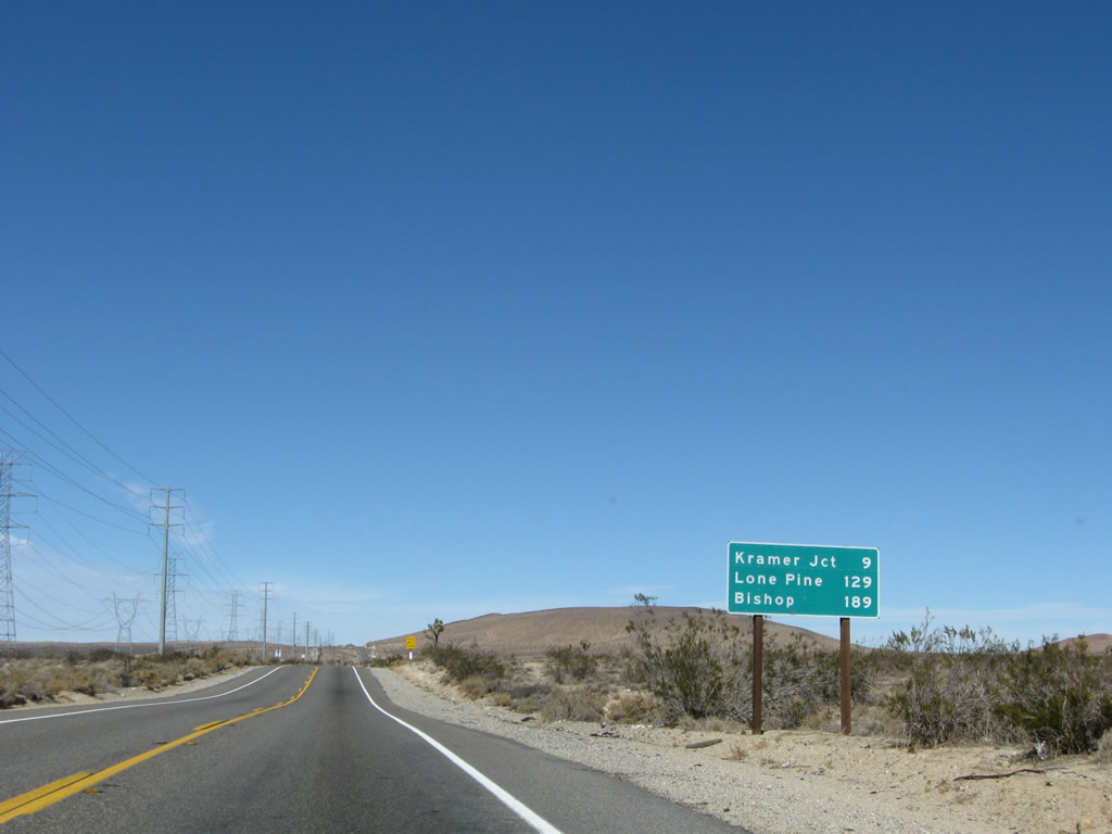
This mileage sign provides the distance to Kramer Junction (California 58, 29 miles), Lone Pine (149 miles), and Bishop (U.S. 6 and California 168 west, 209 miles). Photo taken 11/10/08. |
|
|
|
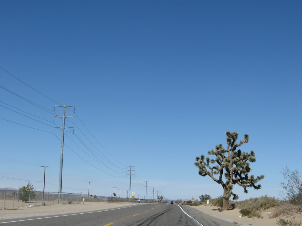
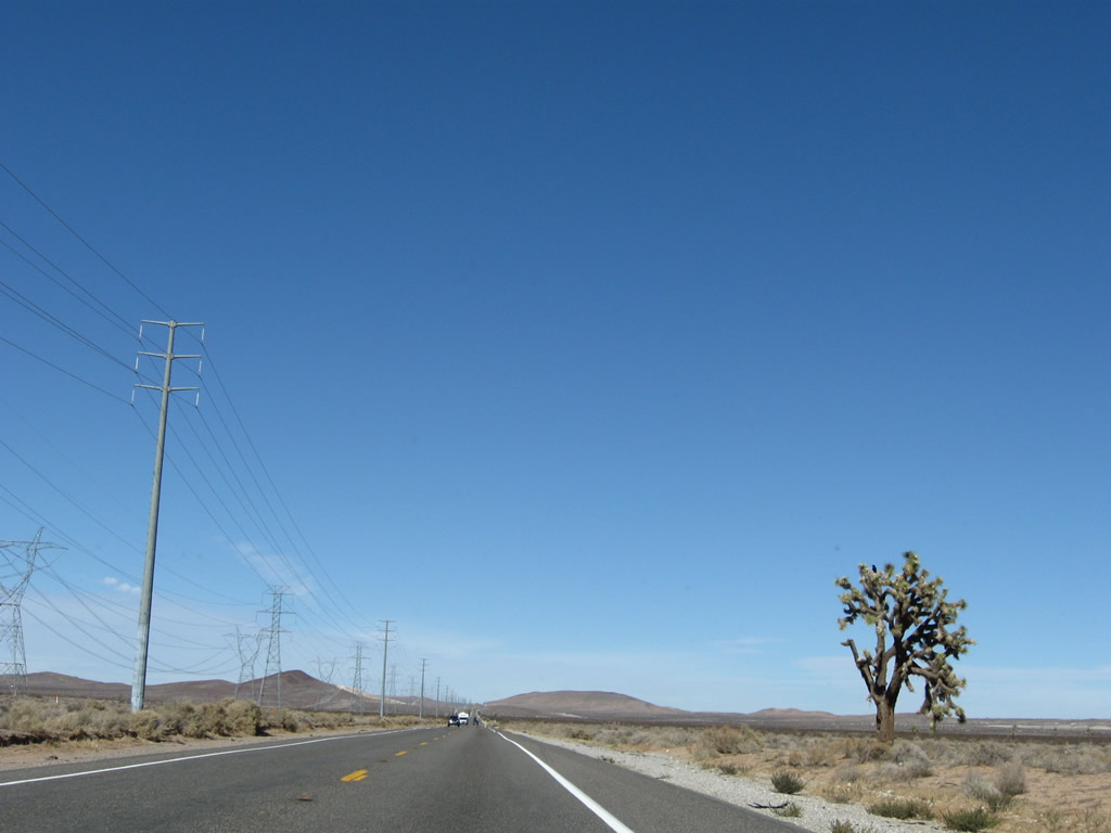
A towering Joshua tree is found on the side of the highway. As we pull out of Adelanto, U.S. 395 sees less and less development. The vast, mostly undeveloped Mojave Desert awaits. Passing is not permitted except in designated zones; passing is restricted due to high traffic counts and accident rates. Photos taken 11/10/08. |
|
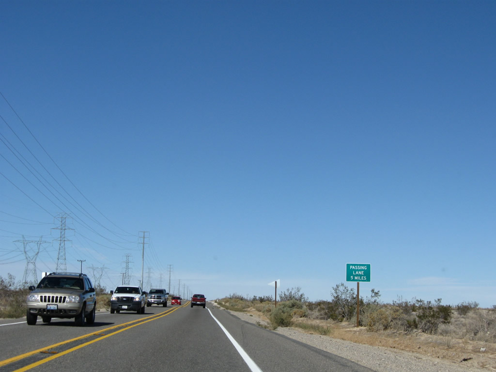
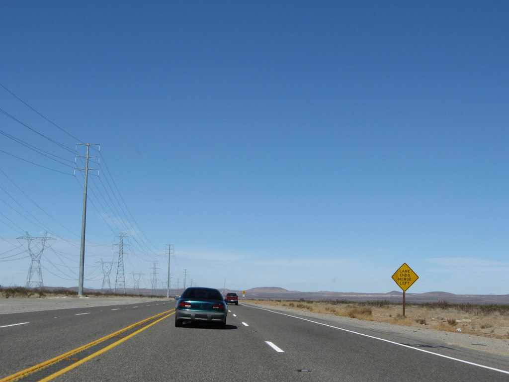
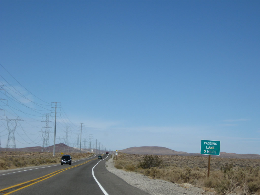
A passing lane is available for northbound traffic in five miles. Through this segment of highway, watch for fast-moving traffic and oncoming traffic attempting an illegal pass. Photo taken 11/10/08. |
|
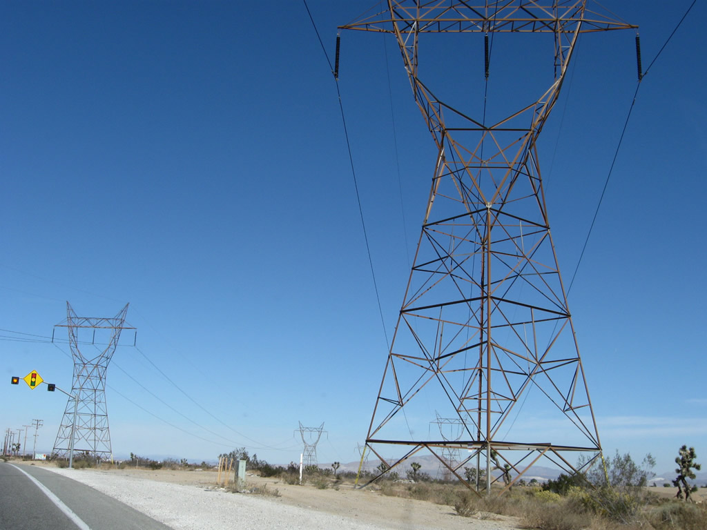
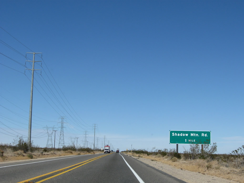
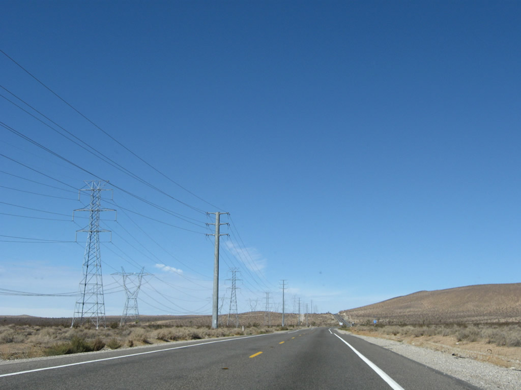
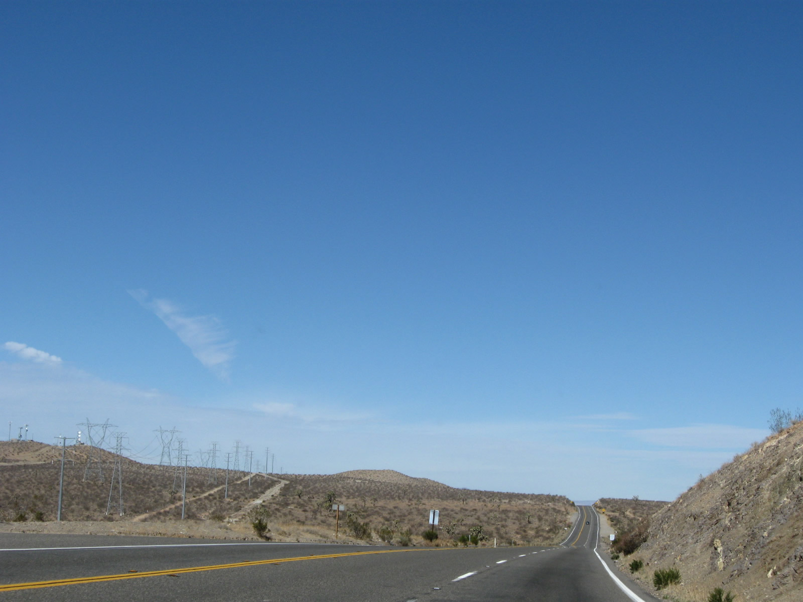
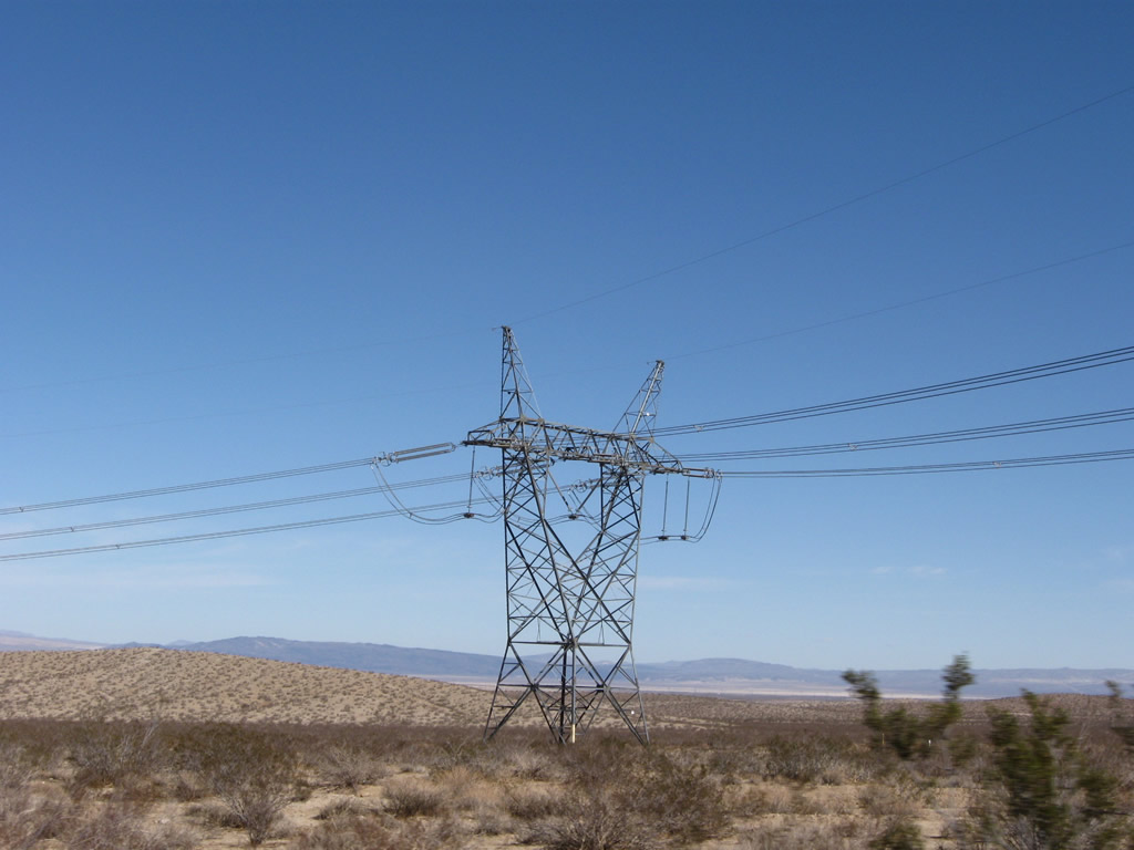
The next major intersection along U.S. 395 north is with Shadow Mountain Road (one mile). A 500kV power line owned by the Los Angeles Department of Water and Power comes alongside U.S. 395 and will parallel the highway almost all the way to Kramer Junction (intersection with California 58). This 500kV power line is part of Path 64, which connects the Adelanto, Marketplace, and Mead substations. A companion 230kV double circuit power line follows the Path 64 500kV power line; it connects a substation located at the intersection of California 18 (Palmdale Road) & Vincent Drive with an electrical substation at Kramer Junction. West of here is El Mirage Off Road Vehicle area. Photo taken 11/10/08. |
|
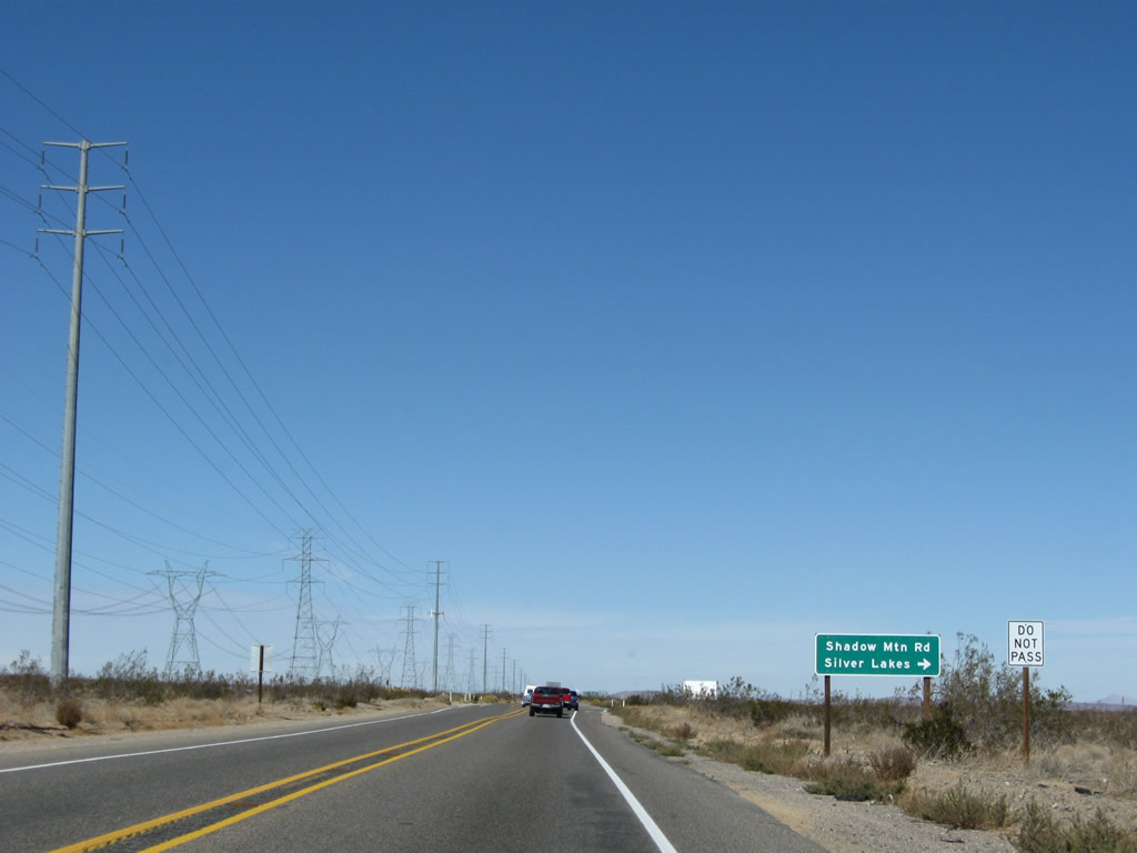
Use Shadow Mountain Road east to Silver Lakes, where it connects to U.S. 66-91/National Trails Highway in Helendale. Photo taken 11/10/08. |
|
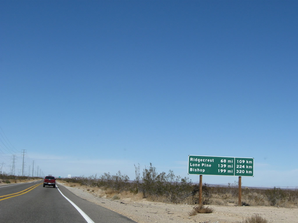
This mileage sign provides the distance to Ridgecrest (California 178, 68 miles), Lone Pine (139 miles), and Bishop (U.S. 6, 199 miles). Photo taken 11/10/08. |
|
|
|
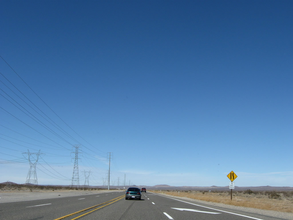
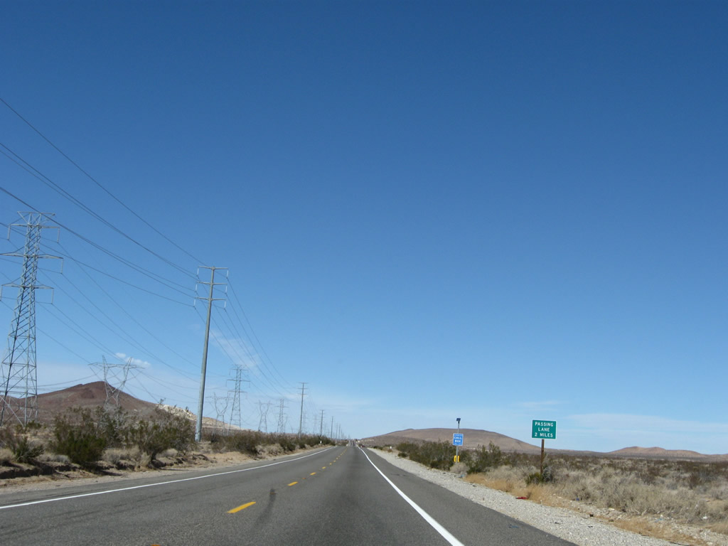
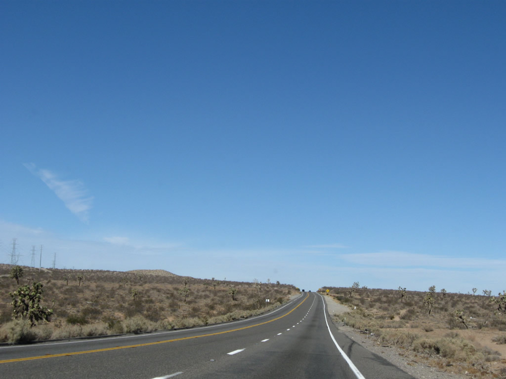
The passing lane briefly allows for slower traffic to move right, but the passing lane abruptly ends, and the two-lane highway continues. Photos taken 11/10/08. |
|
|
|
|
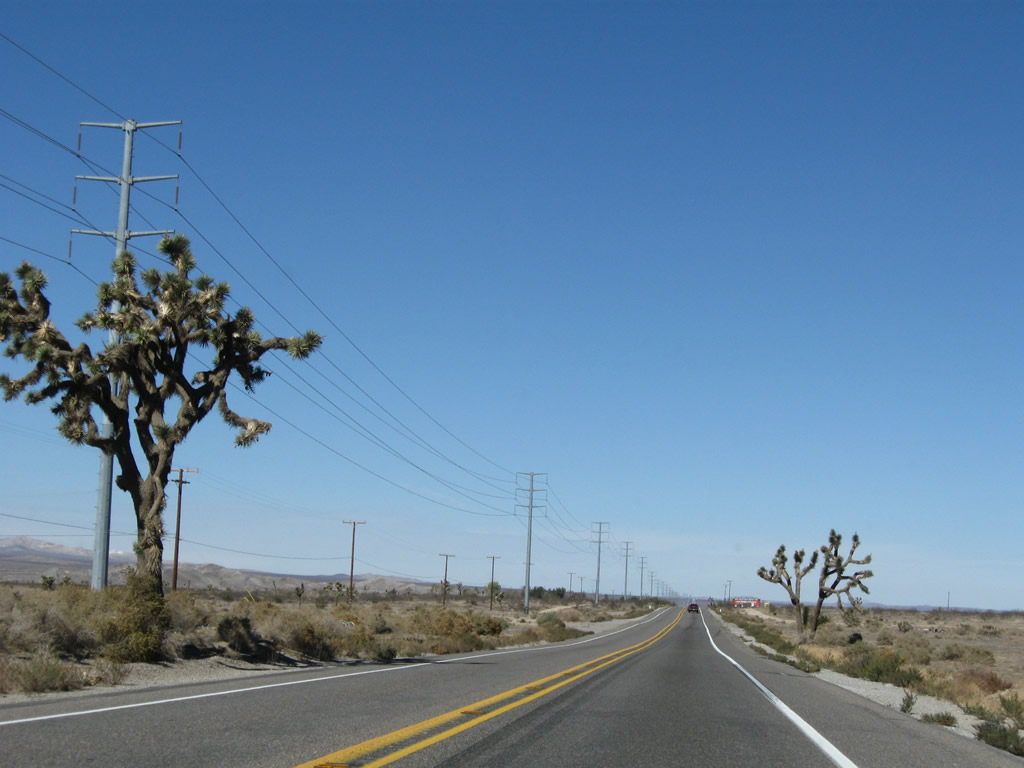
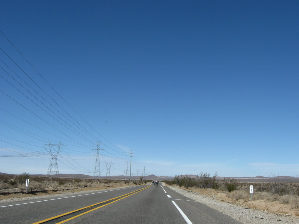
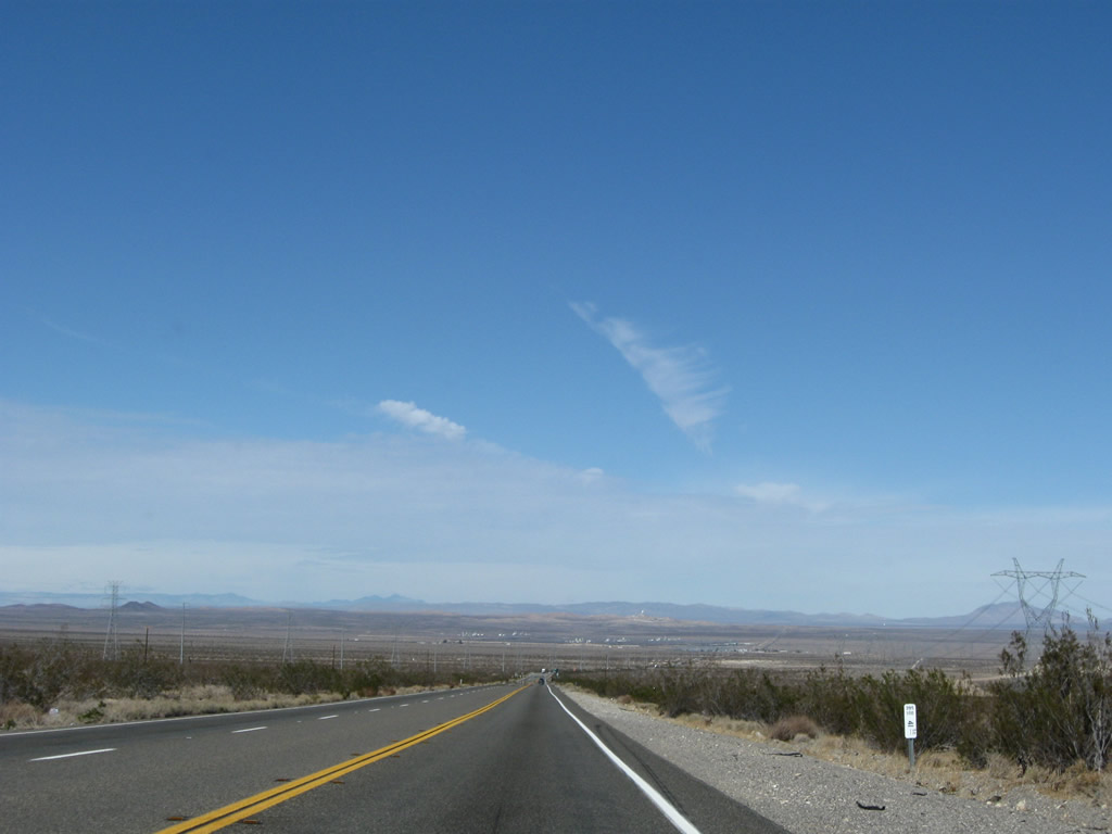
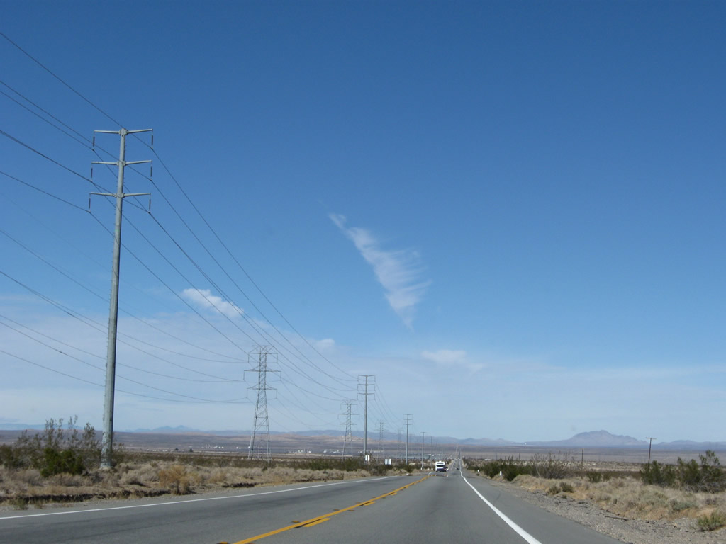
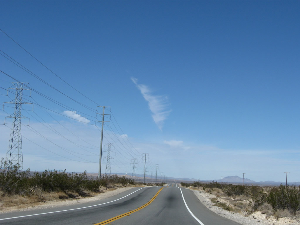
U.S. 395 continues north through the remote Mojave Desert. Even the power lines, which parallel the U.S. highway, remain fairly static with the rest of the open scenery. An occasional Joshua tree breaks the monotony, as do the fast-moving cars along the highway. At the point where U.S. 395 gains a passing lane, the highway ascends into the Kramer Hills, then begins a descent into Kramer Junction. Photos taken 11/10/08. |
|
|
|
|
|
|
|
|
|
|
|
|
|
|
|
The 500kV Path 64 power line crosses over U.S. 395; the line will turn northeast toward Interstate 15 en route to the Marketplace and Mead substations. Photos taken 11/10/08. |
|
|
|
Leaving the Kramer Hills, U.S. 395 flattens out for the final approach into Kramer Junction (also known as Four Corners). This small settlement situated at the intersection with California 58 offers an antique store with some old highway signs, gas, and food. Photos taken 11/10/08. |
|
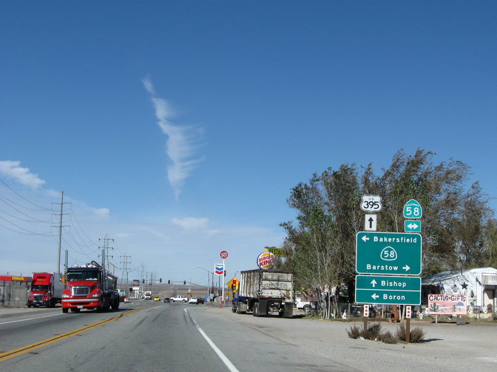
Northbound U.S. 395 approaches the junction with California 58 in Kramer Junction (Four Corners). California 58 is a major east-west expressway corridor that connects Barstow to the east with Bakersfield to the west. While portions of California 58 are built to freeway standards (including the relatively new Mojave Bypass in Kern County), long segments in San Bernardino County remain only two lanes just like U.S. 395. Traffic counts are even higher on California 58, and plans call for short to mid-range plans to construct California 58 to freeway standards between California 99 and Interstate 15. California 58 follows the original alignment of former U.S. 466, which was decommissioned in 1964. Photo taken 11/10/08. |
|
Gas stations are located on three of the four corners of the U.S. 395 and California 58 intersection. Turn left to follow California 58 west to Boron, Mojave, Tehachapi, and Bakersfield. Turn right to follow California 58 to Barstow and Interstate 40, which picks up the journey east toward Needles, Flagstaff, and Albuquerque. Photo taken 11/10/08. |
Page Updated March 8, 2010.