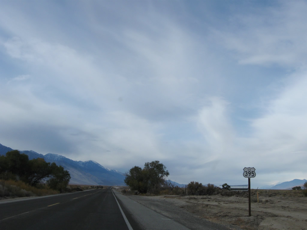
| U.S. 395 north |
|
|
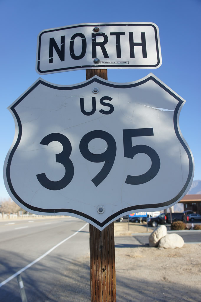
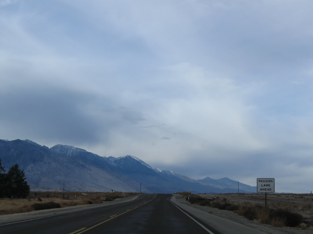
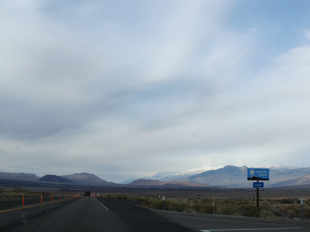
This U.S. 395 north reassurance shield is posted after the intersection with California 136 in Lone Pine. All motorist services are available in Lone Pine, which is the first in a series of communities that line U.S. 395 through the scenic Eastern Sierra. Photos taken 11/10/08 and 01/15/12 by Martin Grahl. |
|
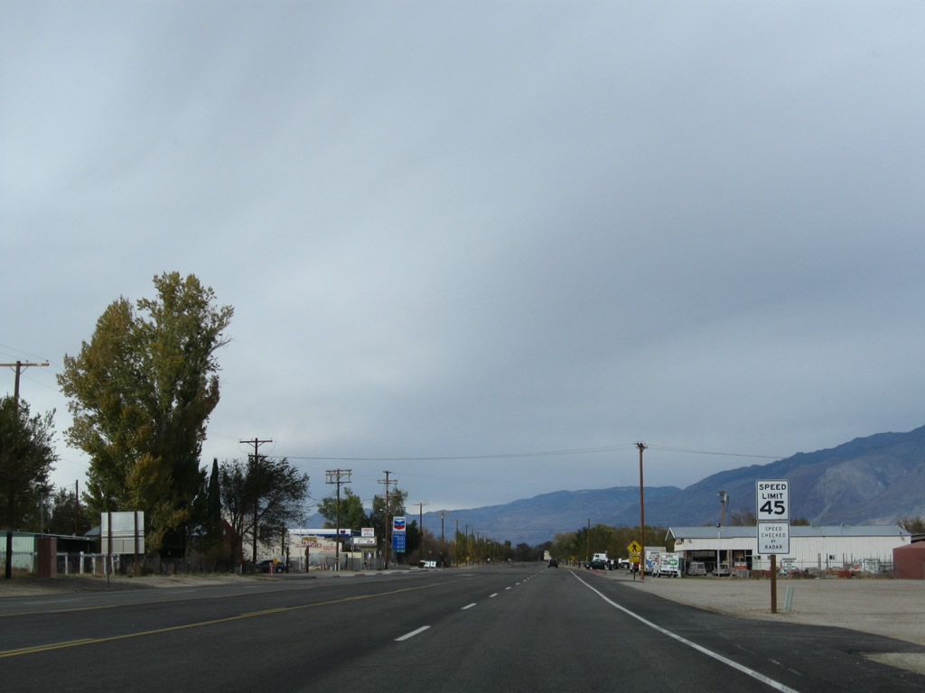
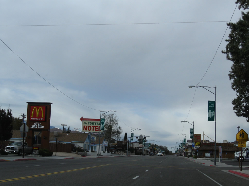
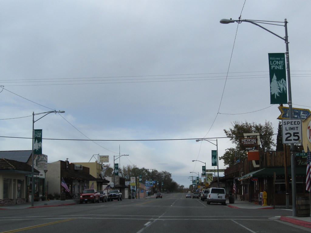
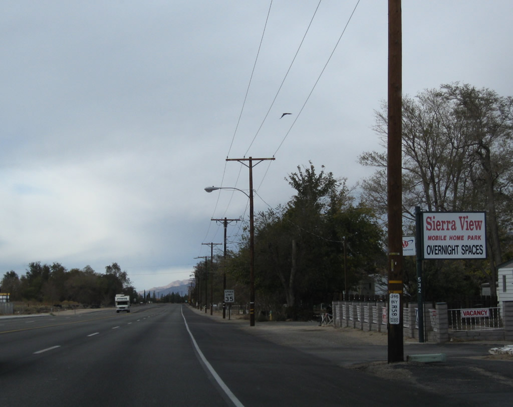
As the speed limit reduces for the community of Lone Pine (population 2,035 as of the 2010 Census), more businesses line U.S. 395. Motels, restaurants, and gas stations are all available in Lone Pine. Photo taken 11/10/08. |
|
Northbound U.S. 395 meets the turnoff to Lone Pine Airport. Photo taken 11/10/08. |
|
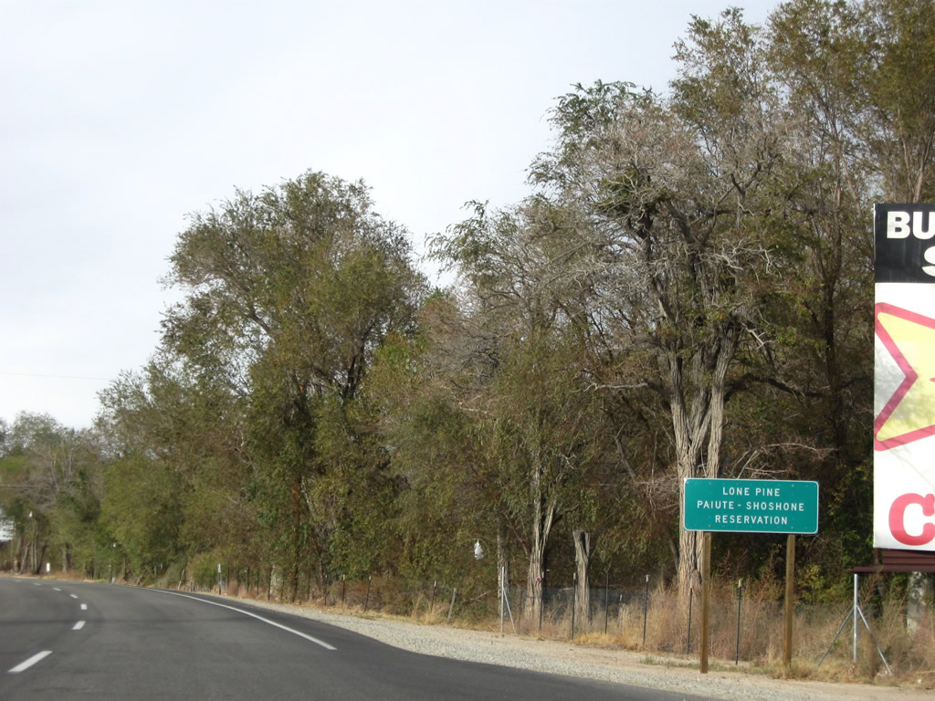
U.S. 395 enters the Lone Pine Paiute-Shoshone Reservation prior to entering downtown Lone Pine. Photo taken 11/10/08. |
|
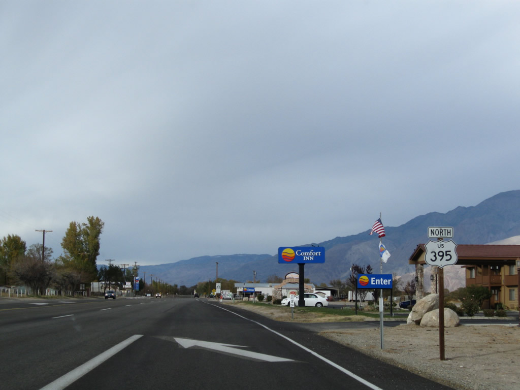
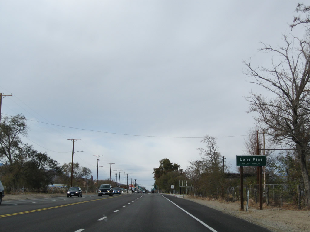
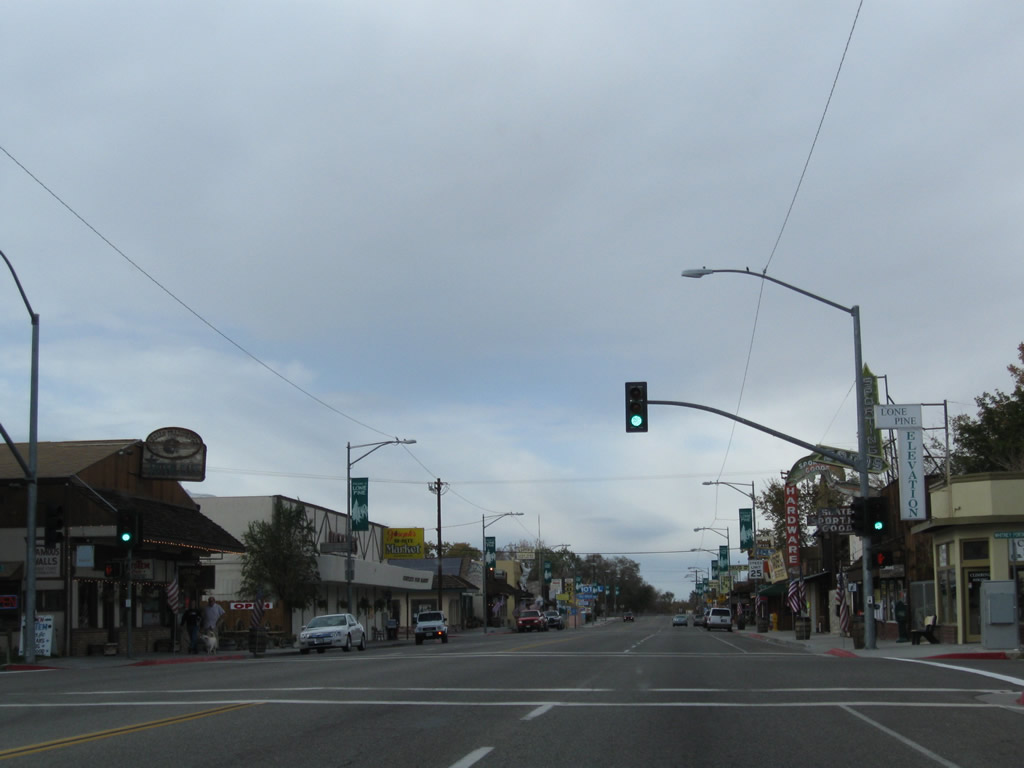
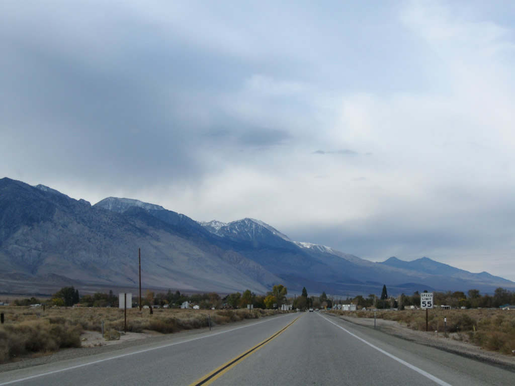
Northbound U.S. 395 enters Lone Pine proper (even though the unofficial entrance sign is posted south of the California 136 intersection). The speed limit continues to reduce all the way down to 25 miles per hour. Photo taken 11/10/08. |
|
|
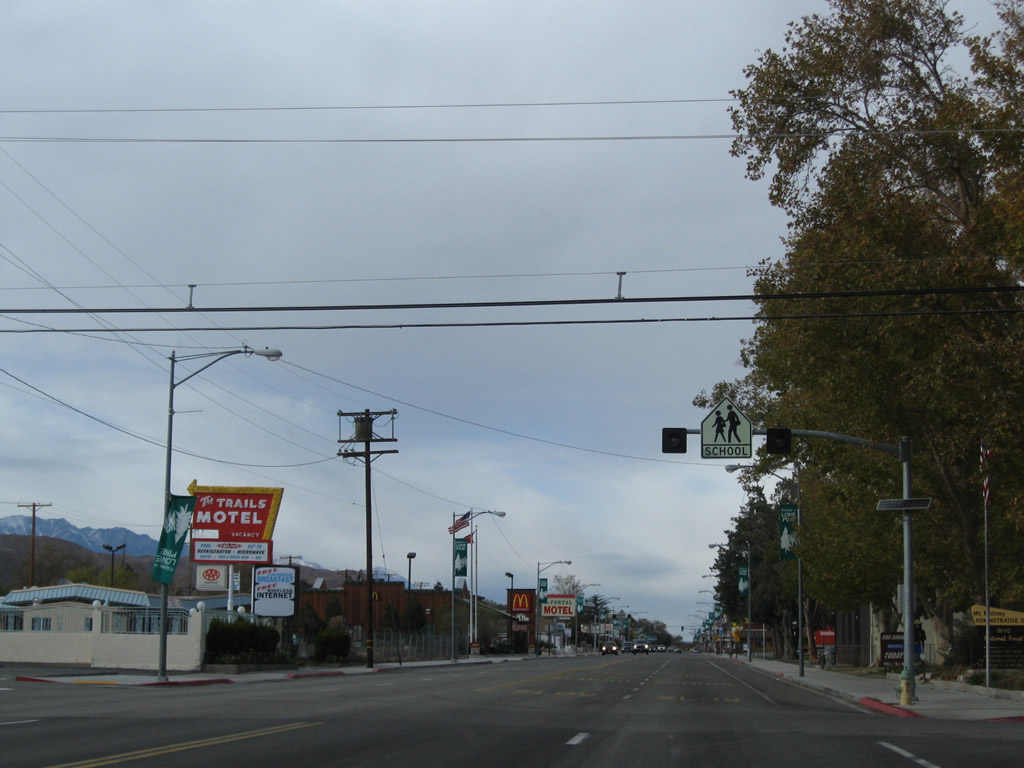
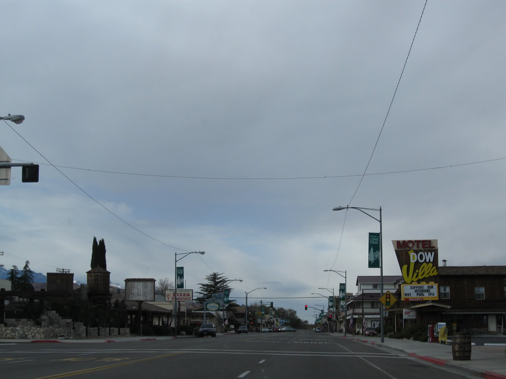
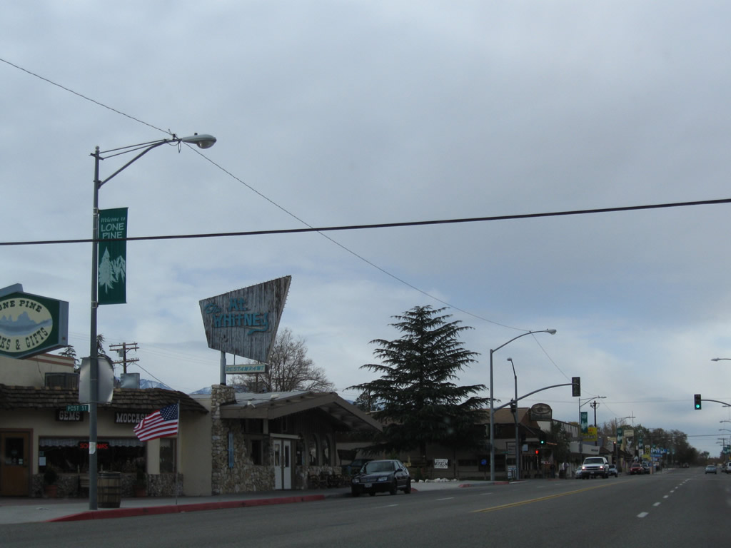
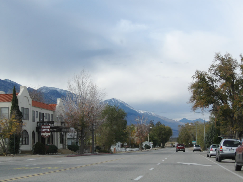
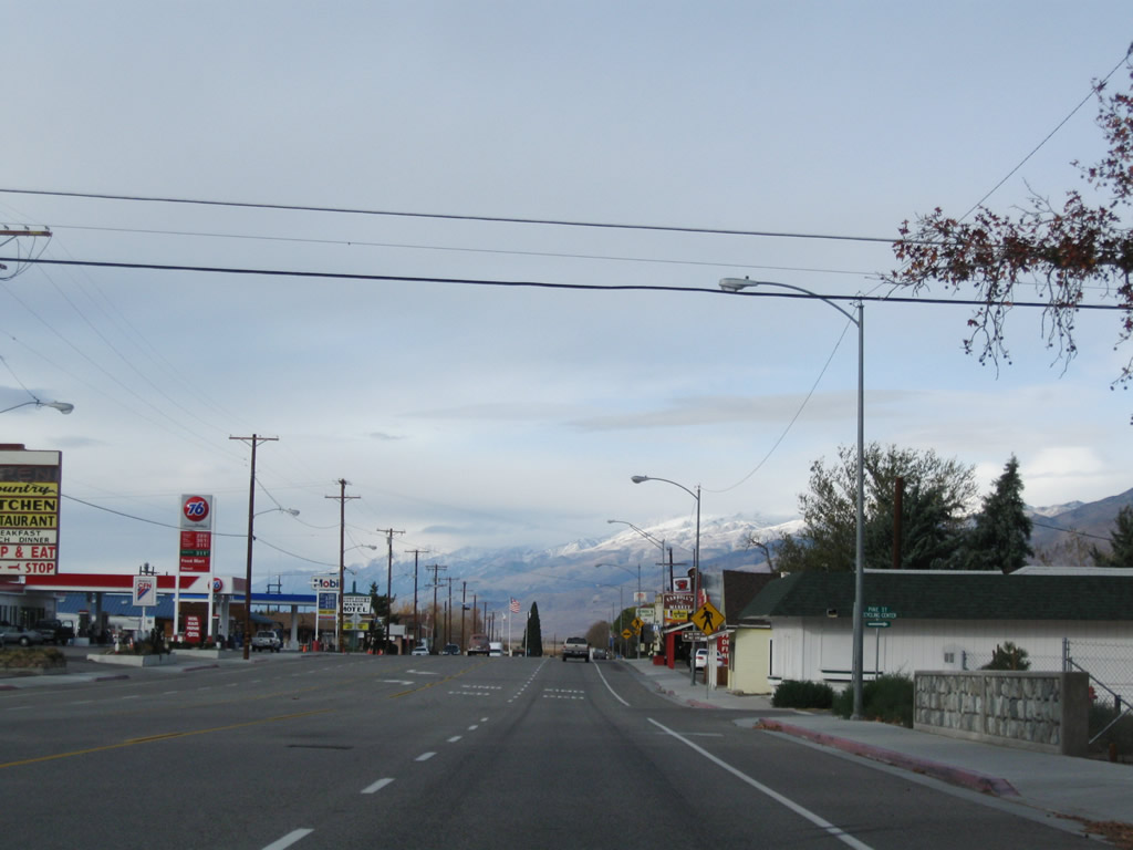
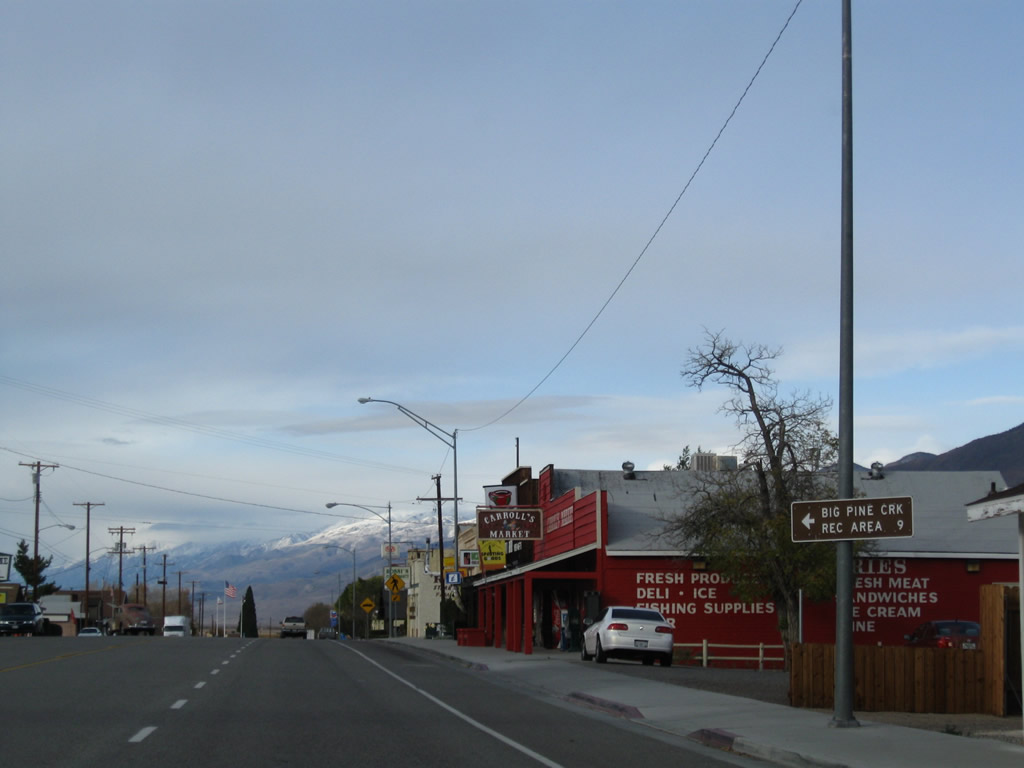
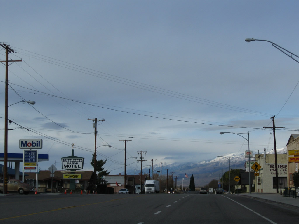
Proceeding north through Downtown Lone Pine, a series of restaurants, shops, and motels line both sides of U.S. 395. Residential areas are located off the main street. Photos taken 11/10/08. |
|
|
|
|
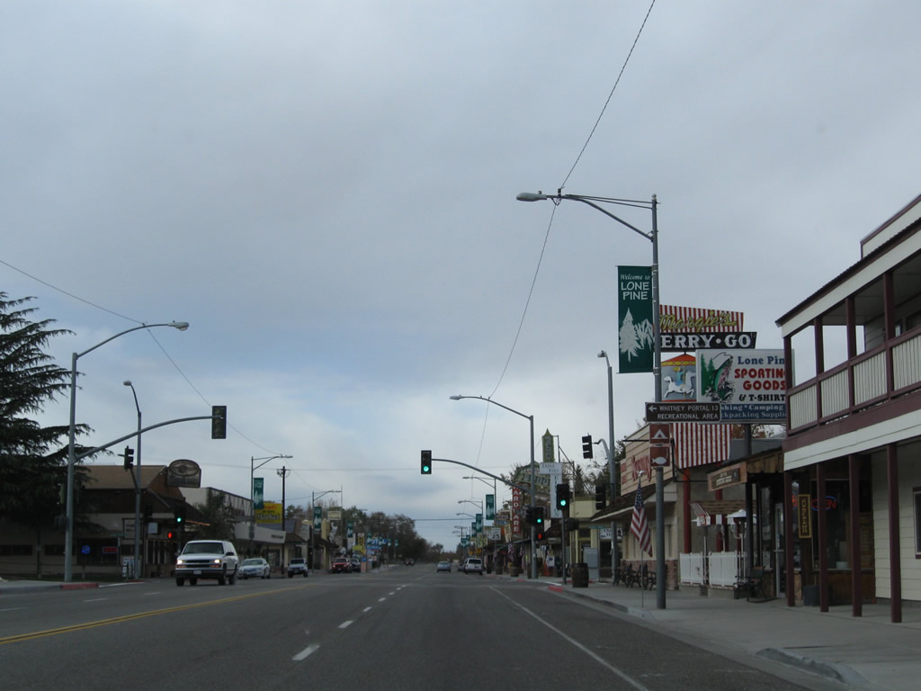
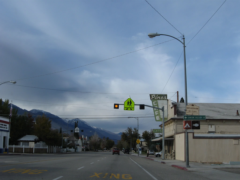
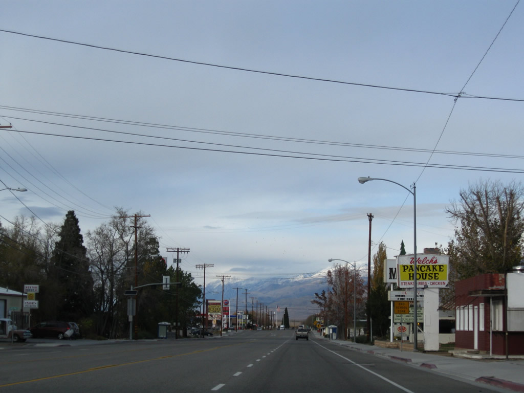
The main intersection in town is the traffic signal between U.S. 395 and Whitney Portal Road. Use Whitney Portal Road west along Pine Creek to the Whitney Portal staging areas for groups planning to climb to Mount Whitney, the tallest peak in the Lower 48 States. Camping and hiking around the Portal area is also available. Recreation related to the Sierra Nevada has come to define the economy in the Eastern Sierra, especially Lone Pine with its proximity to a major attraction such as Mount Whitney. Photos taken 11/10/08. |
|
|
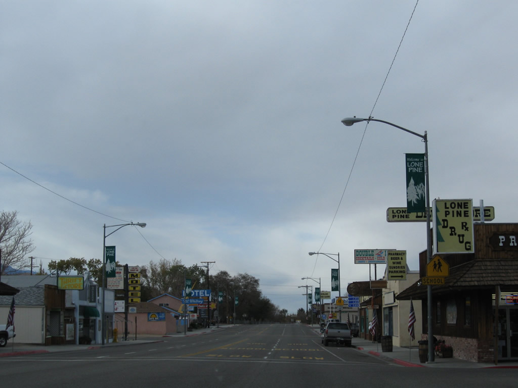
After the intersection with Whitney Portal Road, U.S. 395 passes through the northern section of downtown Lone Pine. Eventually the shops and restaurants become less common, and eventually the U.S. highway regains its rural attributes. The highway retains four lanes through Lone Pine. Photos taken 11/10/08. |
|
|
|
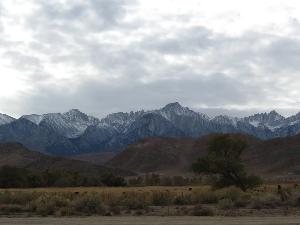
A giant "L-P" in the Alabama Hills signifies "Lone Pine." This kind of community identification is common in the rural West, where a nearby hill or mountain has the community's letters carved into the hillside. Photo taken 11/10/08. |
|
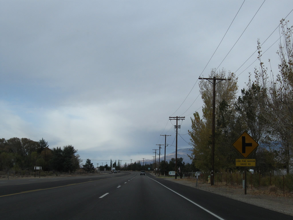
Northbound U.S. 395 approaches the turnoff to Lone Pine Narrow Gauge Road. Photo taken 11/10/08. |
|
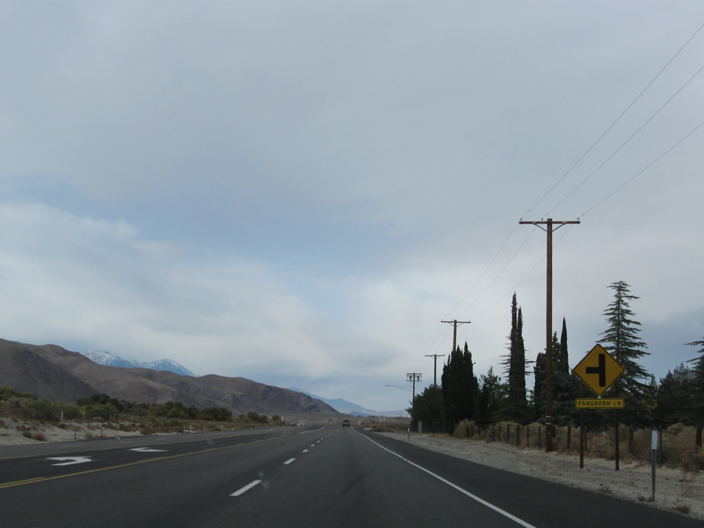
Near Mt. Whitney Cemetery, northbound U.S. 395 meets the left turn to Pangborn Lane. The victims of the calamitous 1872 Lone Pine Earthquake are buried at this cemetery (on the east side of U.S. 395). Photo taken 11/10/08. |
|
The four-lane highway again widens into a four-lane expressway with median divider. Photo taken 11/10/08. |
|
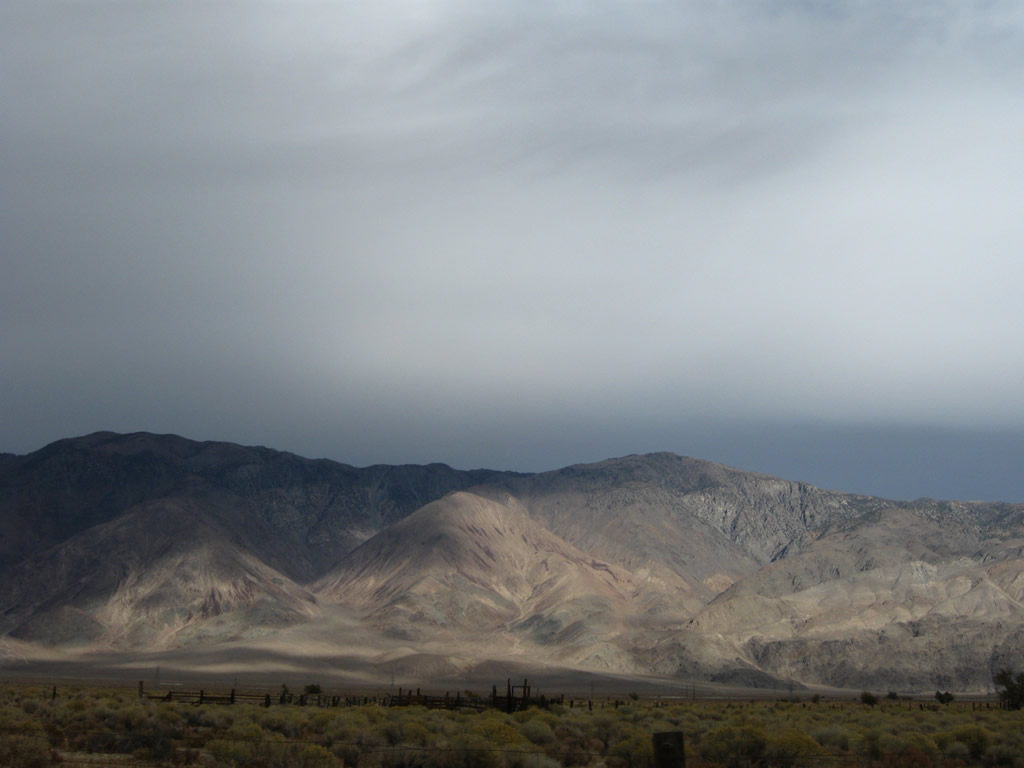
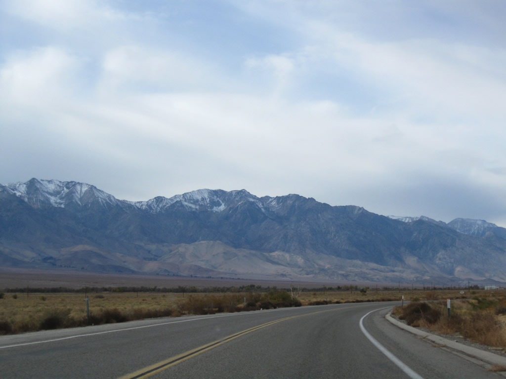
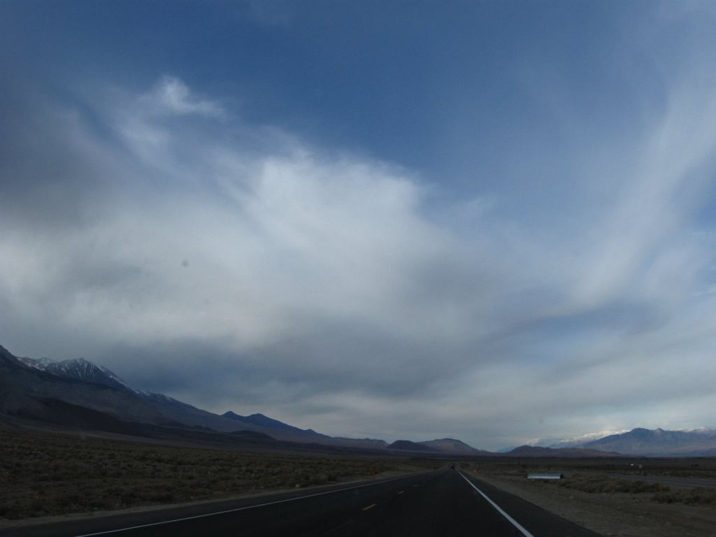
Late-day sun shines on the Inyo Mountains on the east side of the Owens Valley north of the community of Lone Pine as seen from U.S. 395. Photo taken 11/10/08. |
|
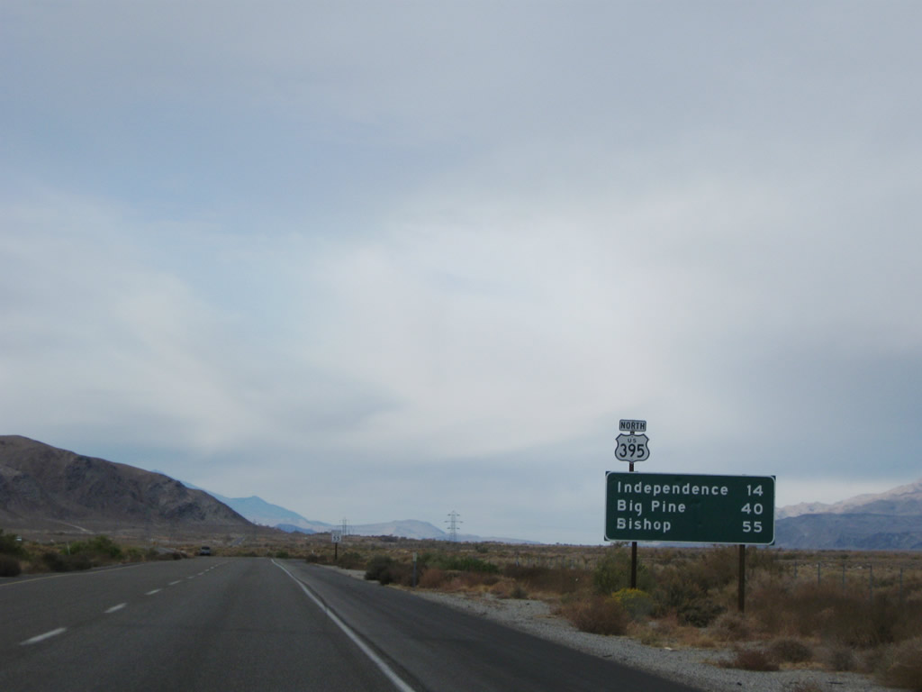
This mileage sign along U.S. 395 north provides the distance to Independence (14 miles), Big Pine (40 miles), and Bishop (55 miles). Photo taken 11/10/08. |
|
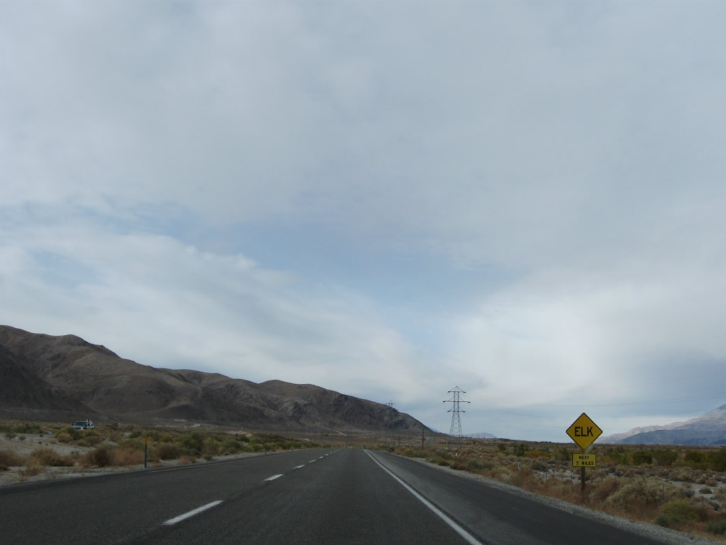
Watch for roaming elk along U.S. 395; elk are common along certain segments of the highway including the next five miles. Photo taken 11/10/08. |
|
|
|
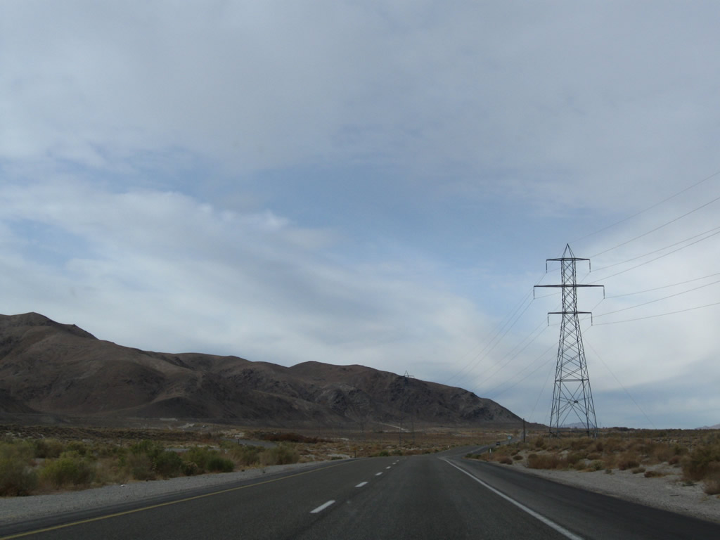
A power transmission line passes over U.S. 395. The U.S. 395 north reassurance shield is posted after the intersection with a service road that leads to the Los Angeles Aqueduct. The aqueduct, which carries water from Owens Valley south to Los Angeles, generally parallels U.S. 395 to the west; the Owens River generally stays to the east of the highway. Photo taken 11/10/08. |
|
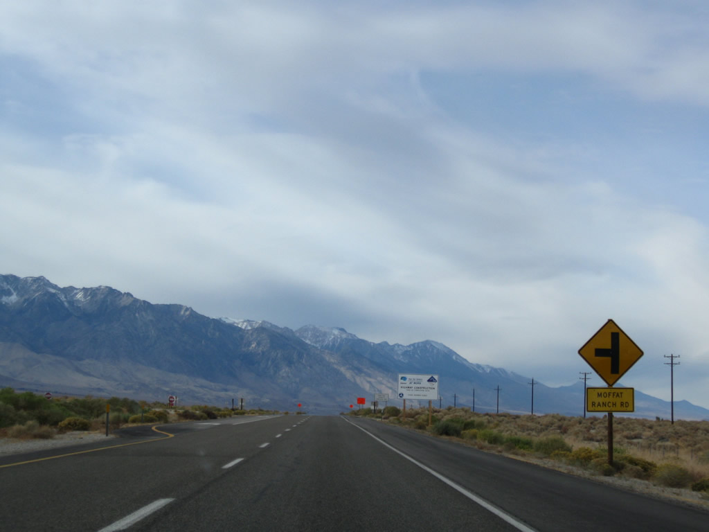
Northbound U.S. 395 approaches Moffat Ranch Road. This is an old alignment of U.S. 395 that reconnects to the modern route a few miles north of here. Photo taken 11/10/08. |
|
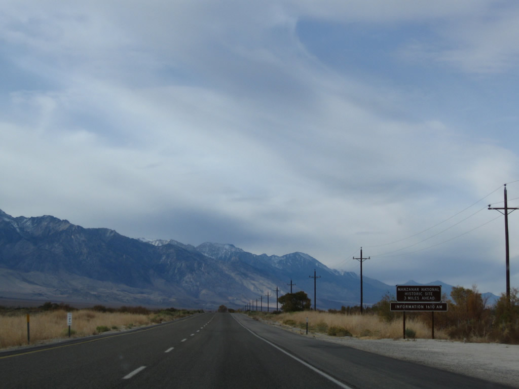
Three miles north of the Moffat Ranch Road intersection is Manzanar National Historic Site, an internment site for many of Japanese descent during World War II. The camp today is preserved as a historic site to learn of how many Japanese-Americans were imprisoned during the events of World War II. A museum is located on site. Photo taken 11/10/08. |
|
As the old alignment of U.S. 395 merges back onto the expressway, the four-lane segment temporarily came to an end at this point. This segment has been converted to four-lane expressway by 2010. When it was a two-lane highway, this segment of U.S. 395 often saw traffic delays after long weekends and required daytime headlights due to the increased danger due to passing. Photo taken 11/10/08. |
|
As the old alignment of U.S. 395 merges back onto the expressway, the four-lane segment temporarily came to an end at this point (as shown in the photos below). This segment has been converted to four-lane expressway by 2010. Photo taken 11/10/08. |
|
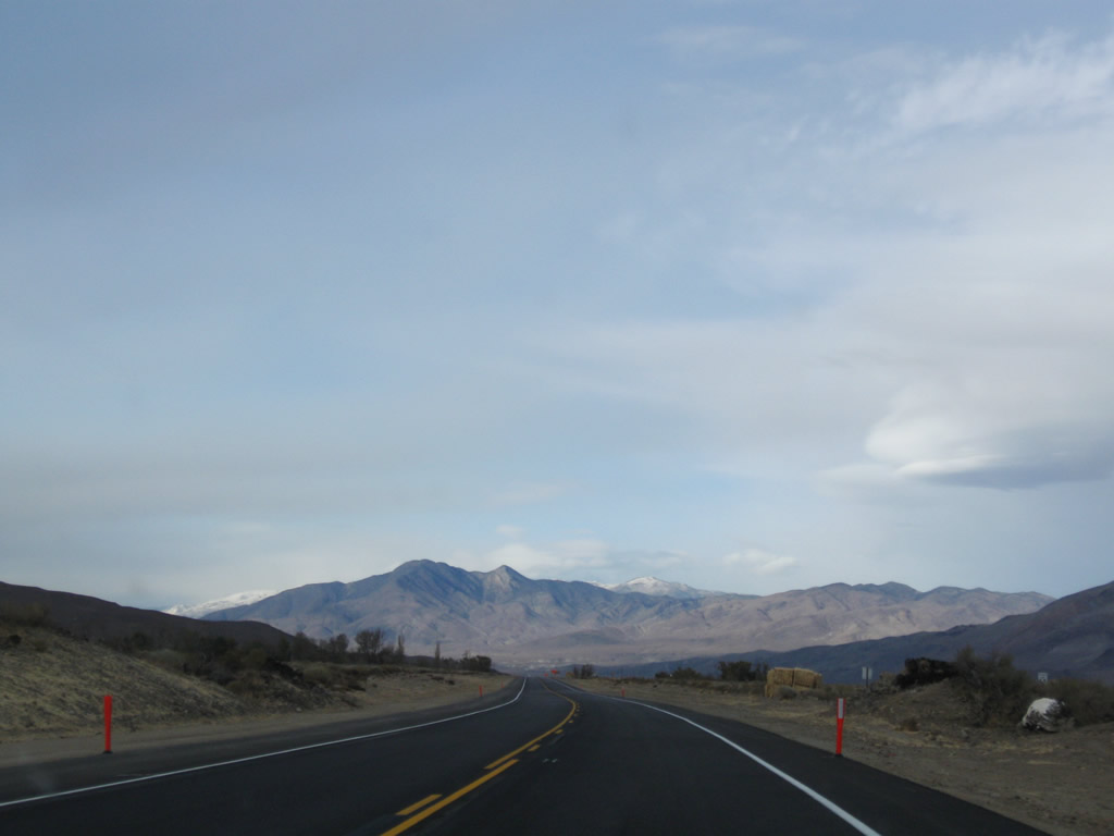
The towering, majestic Sierra Nevada continue to dominate the scene along the west side of U.S. 395. Photo taken 11/10/08. |
|
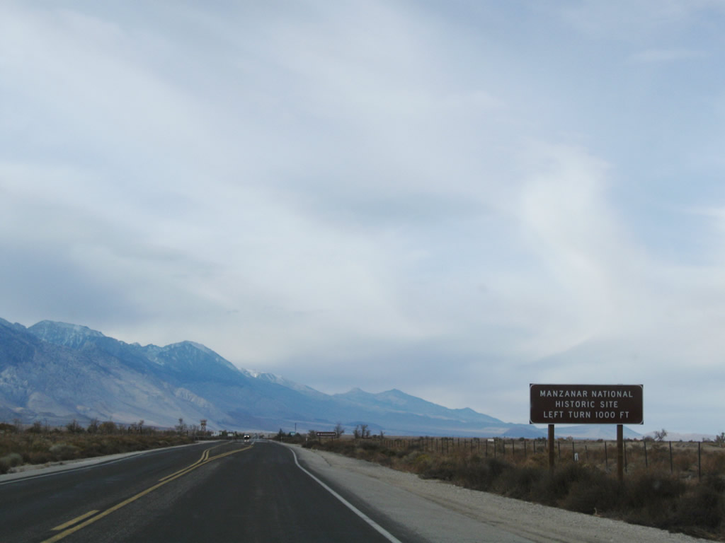
The next left connects to Manzanar National Historic Site. Photo taken 11/10/08. |
|
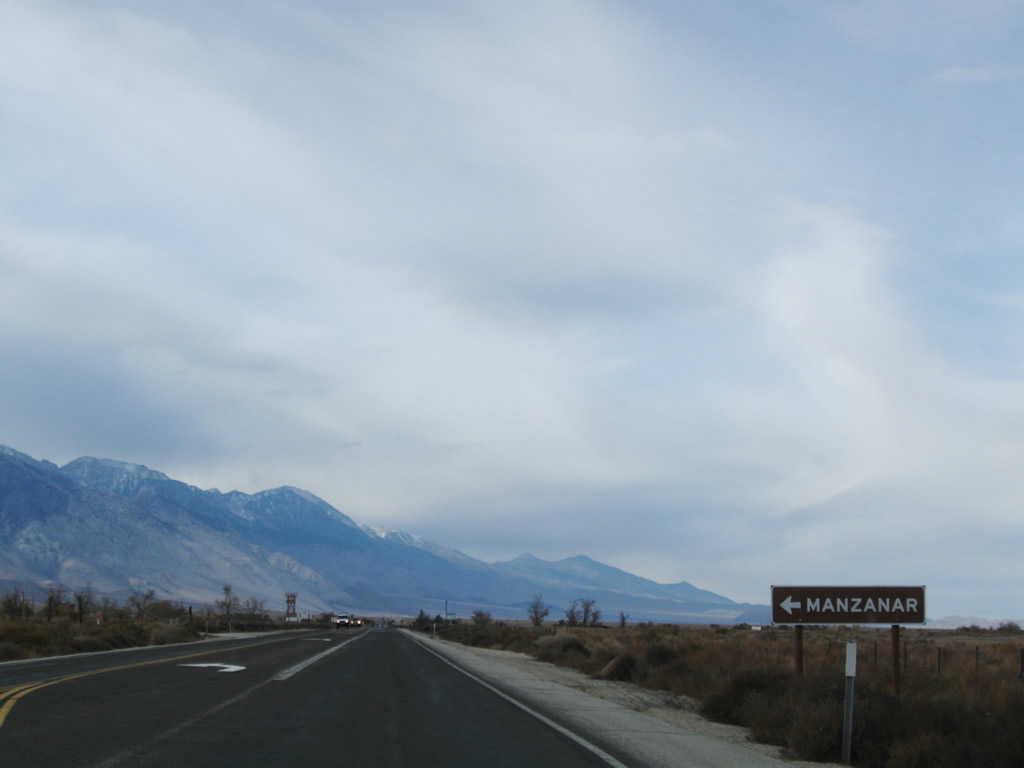
Northbound U.S. 395 (Three Flags Highway) meets the turnoff into Manzanar National Historic Site, operated by the National Park Service. Photo taken 11/10/08. |
|
This U.S. 395 north reassurance shield is posted shortly after the Manzanar entrance. This scene has changed as a result of the expressway widening of U.S. 395 through here. Photo taken 11/10/08. |
|
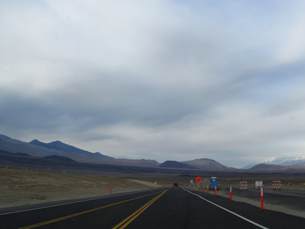
A brief passing area used to located here, but it has since been eliminated due to the overall expressway widening of this segment of U.S. 395. Photo taken 11/10/08. |
|
The community of Independence (seat of Inyo County) comes into view ahead. Like Lone Pine to the south and Big Pine to the north, U.S. 395 will pass directly through the downtown areas. Photo taken 11/10/08. |
|
U.S. 395 enters the unincorporated community of Independence, the seat of Inyo County. Independence sits at an elevation of 3,925 feet and had a population of 574 as of the 2000 Census. Unlike Bishop to the north, Independence is not an incorporated city. However, the county government is based here. Photo taken 11/10/08. |
|
Once in Independence, the speed limit again drops to 25 miles per hour and sees businesses on both sides of the highway. U.S. 395 again widens to four lanes. Photo taken 11/10/08. |
|
Approaching the center of town, U.S. 395 approaches the primary intersection with Market Street, which becomes Onion Valley Road west of here. Onion Valley Road was intended to become part of California 180 had that highway been extended east from Kings Canyon National Park over the Sierra Nevada to Independence. Since that highway will likely never be constructed, California 180 will probably never see the Eastern Sierra, and Onion Valley Road is maintained locally by Inyo County. Photo taken 11/10/08. |
|
At the intersection between U.S. 395 (known as Edwards Street through town) and Center Street sits the Inyo County Courthouse (east side of U.S. 395). Photo taken 11/10/08. |
|
Just like in Lone Pine, businesses and residences become less frequent as U.S. 395 starts to leave town. Ahead on the left is Dehy Park. Photo taken 11/10/08. |
|
Towering cottonwood trees line both sides of U.S. 395 as the U.S. highway prepares to leave Independence near Dehy Park. On the right ahead is Independence Airport, which offers commercial air service to Los Angeles. Photo taken 11/10/08. |
|
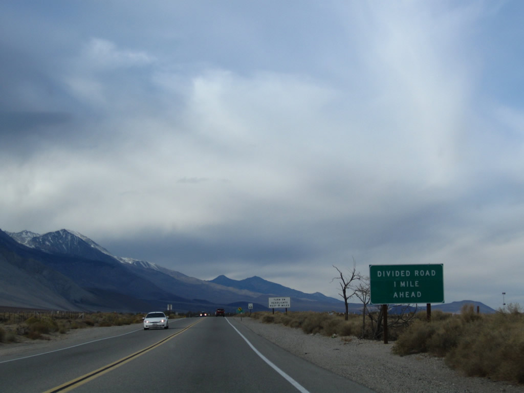
A guide sign advised of the pending divided highway ahead. This section of highway has also been widened to four lanes since the time this photo was taken, so this sign is likely gone now. Photo taken 11/10/08. |
|
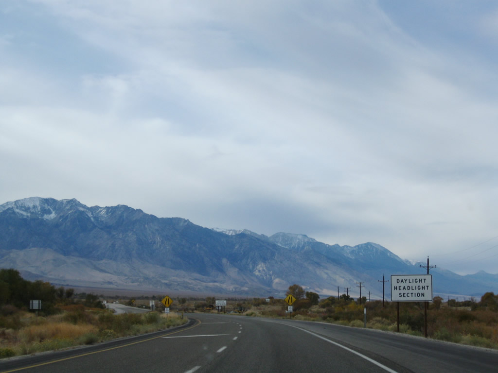
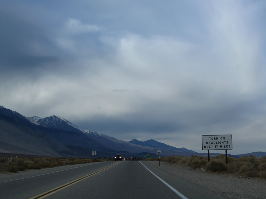
Daytime headlights are still required for the next 17 miles. Photo taken 11/10/08. |
|
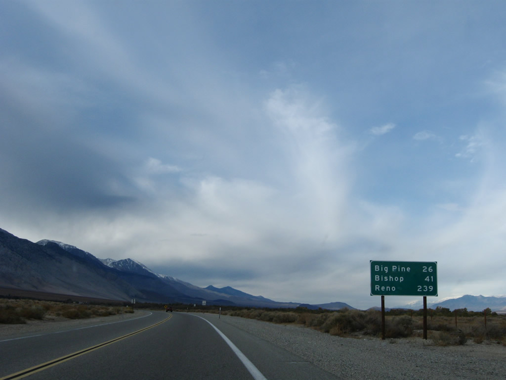
This mileage sign provides the distance to Big Pine (26 miles), Bishop (41 miles), and Reno (239 miles). Reno becomes the northbound control city and appears more frequently on the mileage signs. Photo taken 11/10/08. |
|
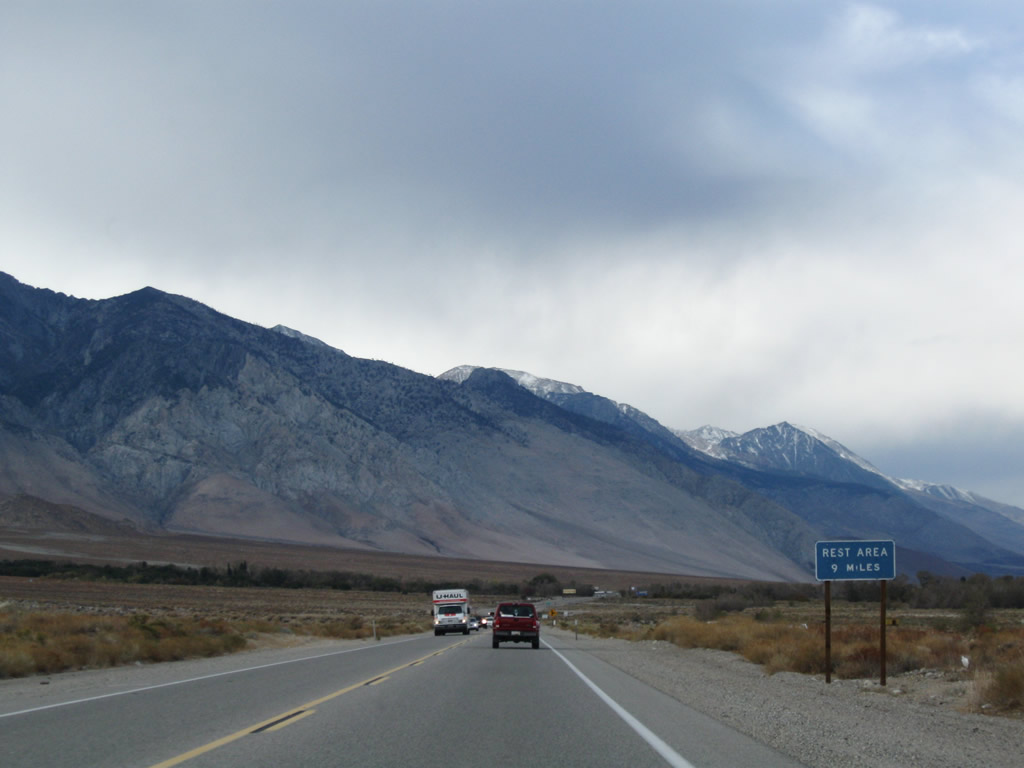
Nine miles ahead is a rest area that serves both directions of U.S. 395. Photo taken 11/10/08. |
|
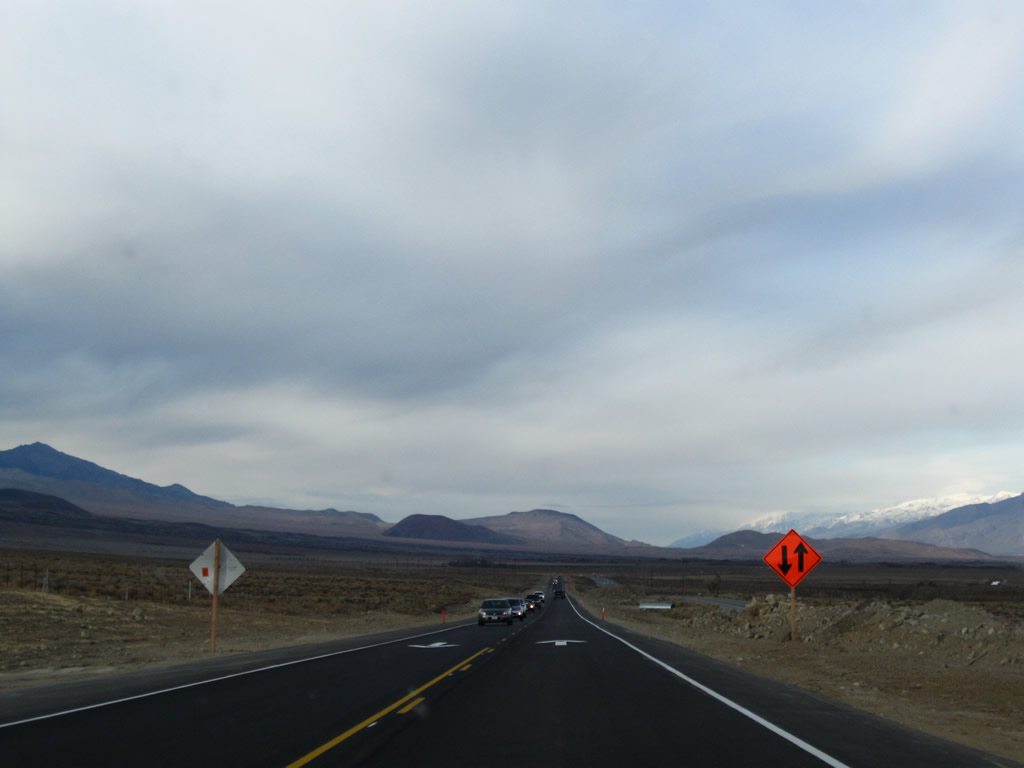
U.S. 395 again becomes a four-lane, divided highway a short distance ahead. Photo taken 11/10/08. |
|
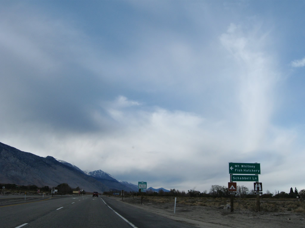
The next left connects U.S. 395 with Schabbell Lane and the Mount Whitney Fish Hatchery. A campground is located off Oak Creek between U.S. 395 and the fish hatchery. Photo taken 11/10/08. |
|
U.S. 395 enters the Fort Independence Indian Reservation. A casino and gas station are located on the west side of U.S. 395. Photo taken 11/10/08. |
|
U.S. 395 gain a scenic route designation after the casino turnoff. This designation will follow U.S. 395 north through Bishop toward Mammoth Lakes. Photo taken 11/10/08. |
|
|
Another two-lane segment of U.S. 395 has been converted into four-lane expressway. This series of photos shows the construction underway in 2008. Photos taken 11/10/08. |
|
|
|
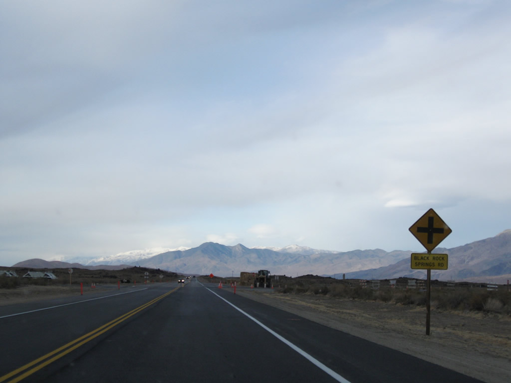
Northbound U.S. 395 approaches the intersection with Black Rock Springs Road within the construction zone. Photo taken 11/10/08. |
|
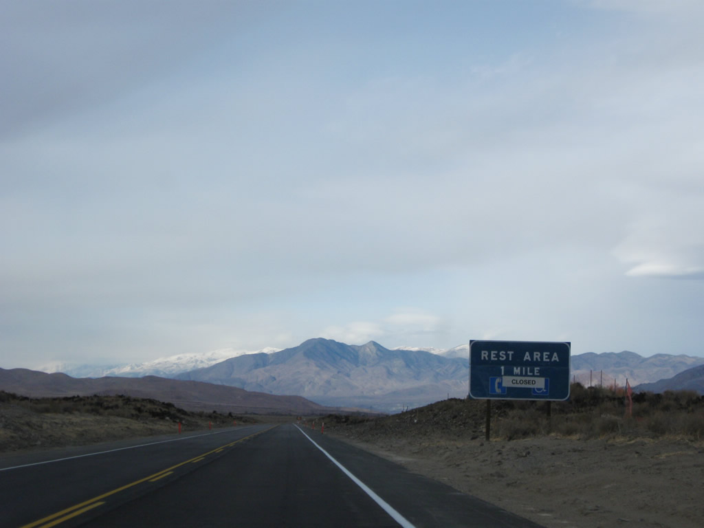
The next rest area is located about a mile north of the intersection with Black Rock Springs Road. Photo taken 11/10/08. |
|
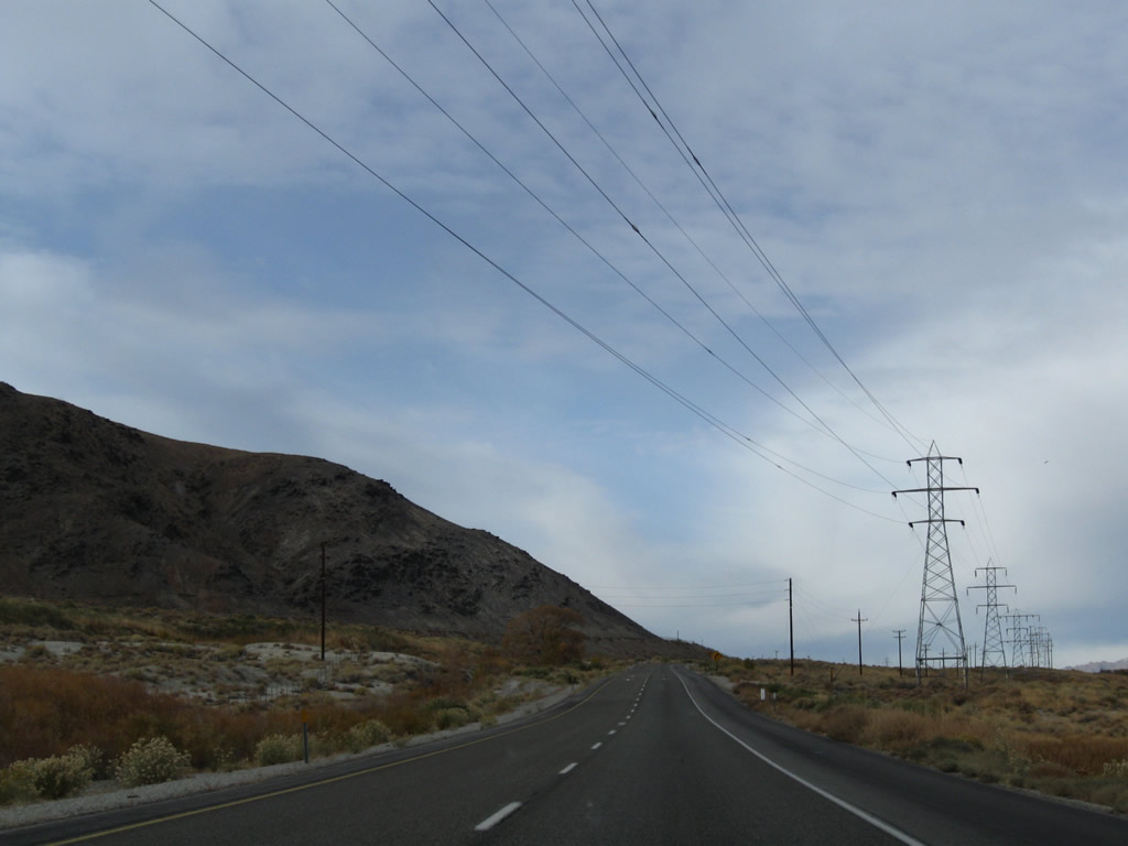
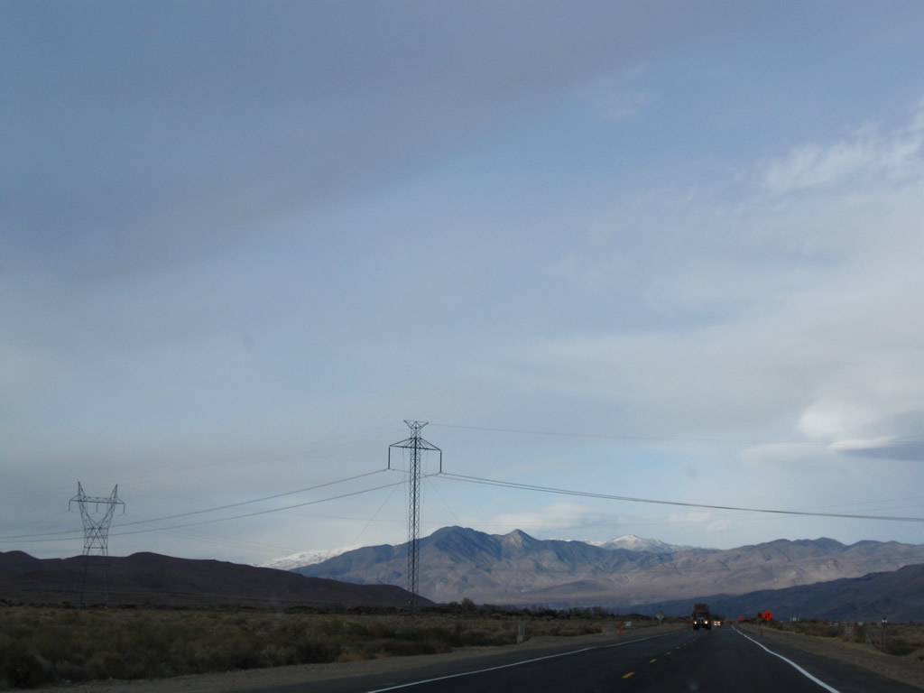
Once again, the 500kV Path 65 power line (Celilo, Oregon to Sylmar/Los Angeles) and its companion 230kV Los Angeles Department of Water and Power transmission line cross U.S. 395 again. The lines will generally stay west of U.S. 395 from here to north of Bishop. Photo taken 11/10/08. |
|
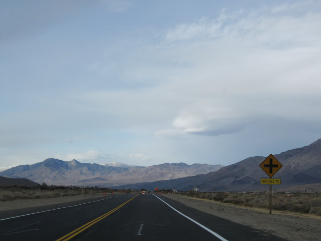
Northbound U.S. 395 approaches Goodale Road. Photo taken 11/10/08. |
|
This carriageway today serves southbound traffic on U.S. 395, but it briefly served northbound traffic in Fall 2008 in order to allow for refurbishment of the original two-lane highway into the new northbound lanes. Photo taken 11/10/08. |
|
Northbound U.S. 395 approaches Aberdeen Station Road to Taboose Creek Campground. Photo taken 11/10/08. |
|
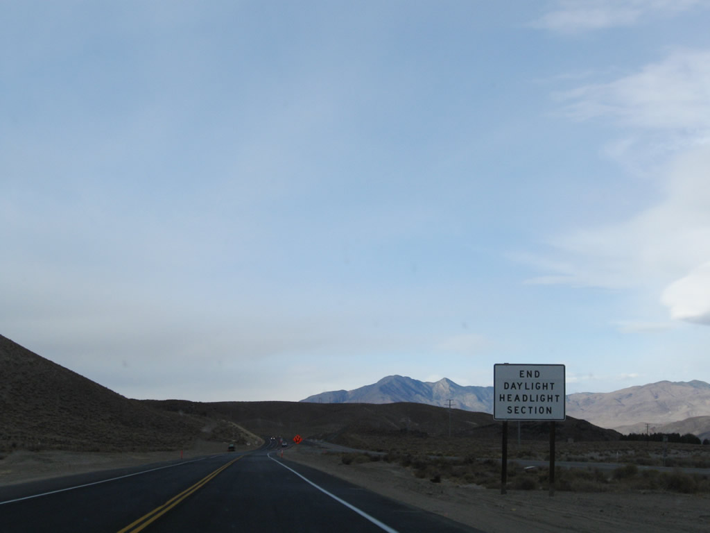
As the two-lane segment comes to an end, U.S. 395 sees the end of the long daytime headlight section (which is no longer required now that U.S. 395 is completely four lanes from Lone Pine to Big Pine via Independence). Photo taken 11/10/08. |
|
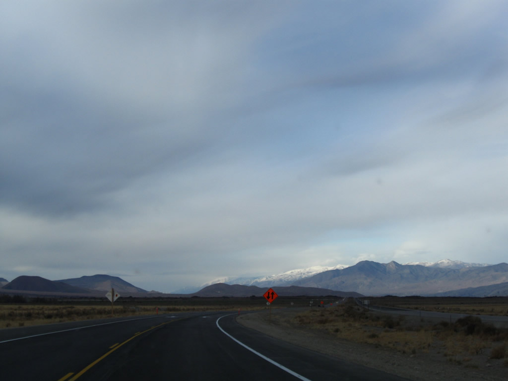
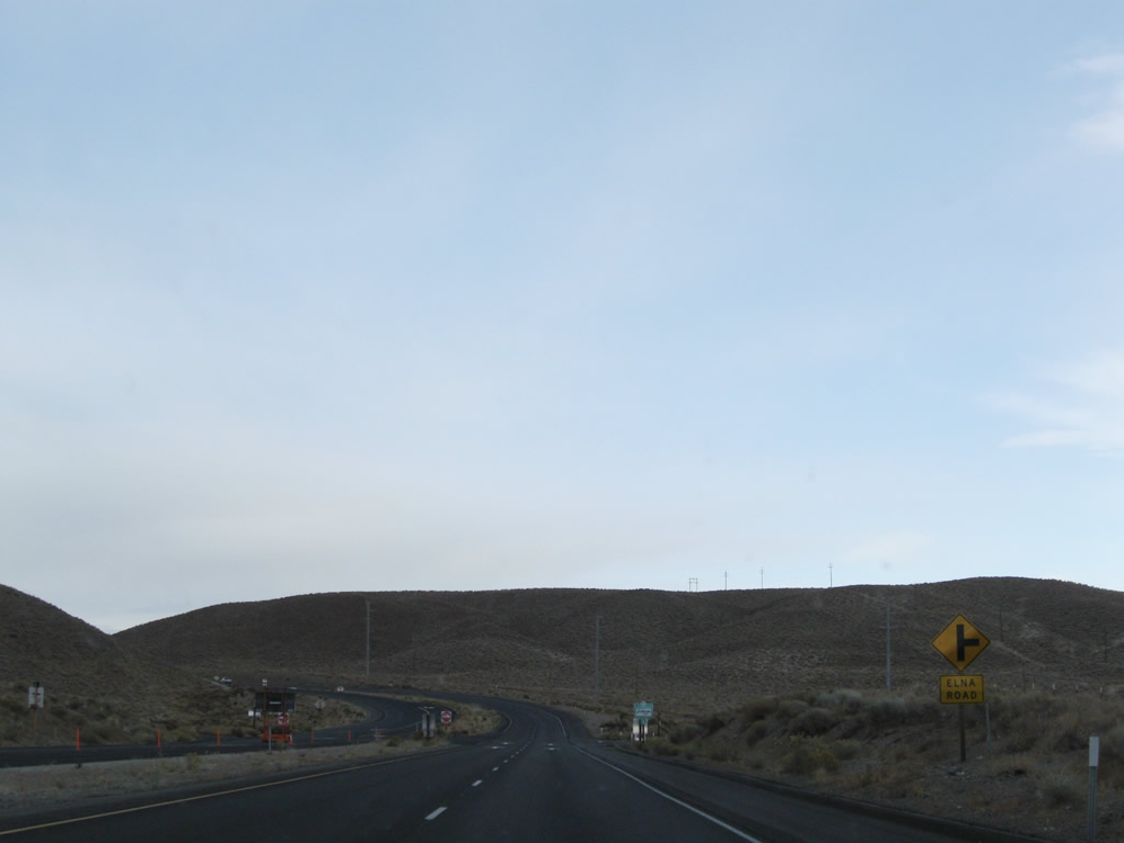
Continuing north, U.S. 395 again becomes a four-lane expressway. The next right connects to Elna Road. Photo taken 11/10/08. |
|
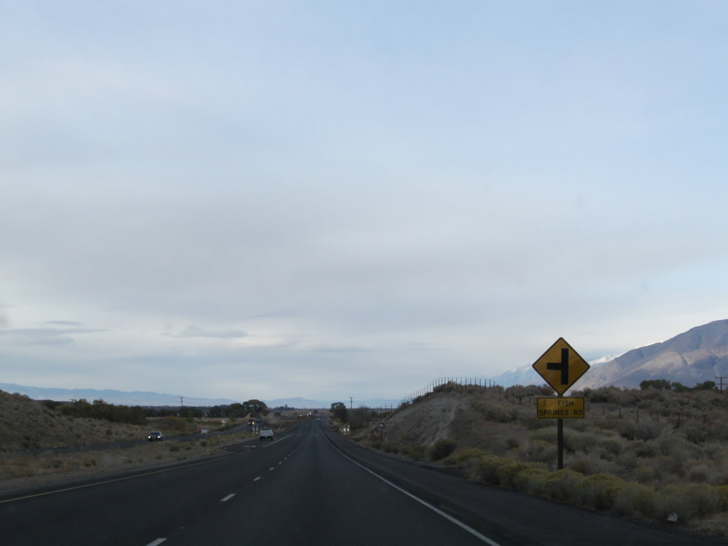
Northbound U.S. 395 meets South Fish Springs Road at this intersection. Photo taken 11/10/08. |
|
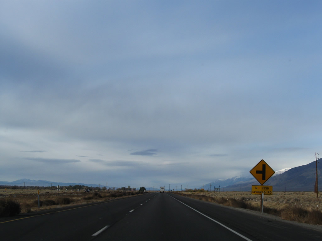
A bit further north, U.S. 395 meets North Fish Springs Road. Photo taken 11/10/08. |
|
|
|
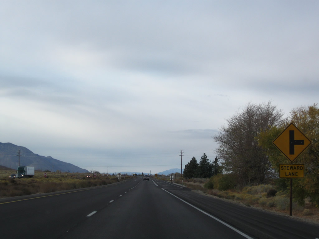
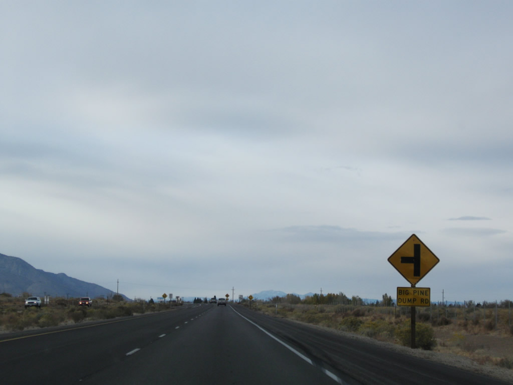
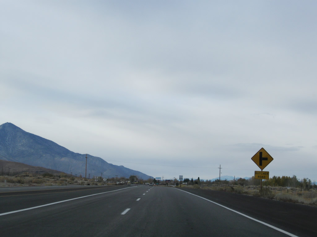
Soon thereafter is Steward Lane , Big Pine Dump Road , and Butcher Road. These intersections occur in sequence along U.S. 395 north. Photos taken 11/10/08. |
|
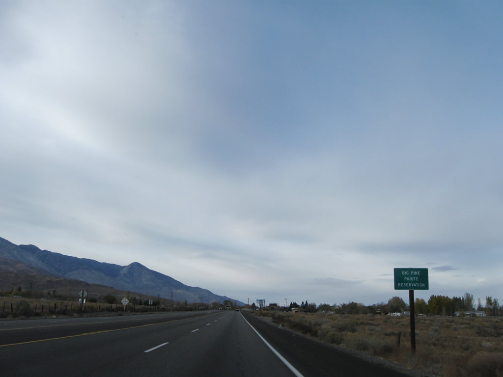
U.S. 395 enters the Big Pine Paiute Indian Reservation. Photo taken 11/10/08. |
|
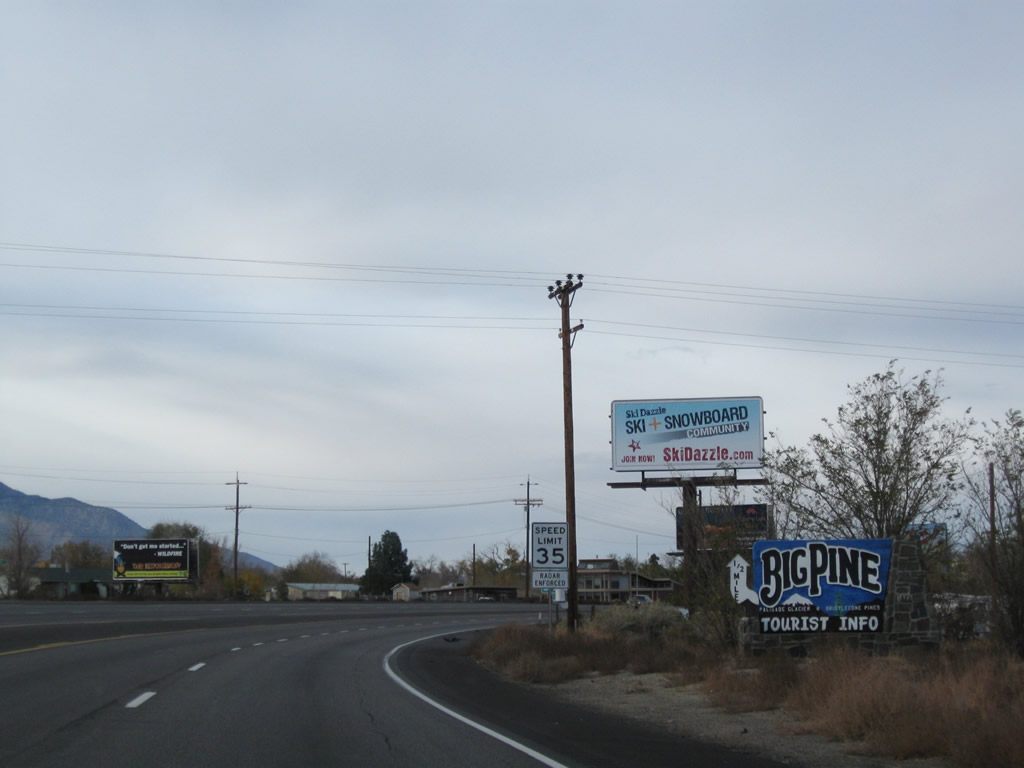
And soon thereafter, U.S. 395 enters the unincorporated community of Big Pine. Home to 1,350 people as of the 2000 Census, Big Pine sits at an elevation of 3,990 feet. Most motorist services are available here. Photo taken 11/10/08. |
|
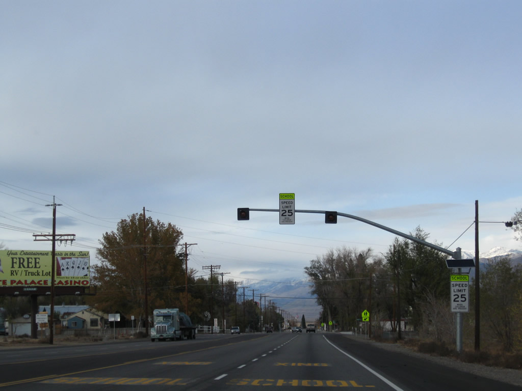
Once again, U.S. 395 sees a reduced speed limit through town, just like in Lone Pine and Independence to the south. Big Pine has four lanes of U.S. 395 through town. Photo taken 11/10/08. |
|
Businesses and residences line both sides of U.S. 395 through Big Pine. Photo taken 11/10/08. |
|
U.S. 395 crosses over Big Pine Creek in downtown Big Pine. Photo taken 11/10/08. |
|
The primary intersection in Big Pine is with Crocker Street, which becomes Glacier Lodge Road heading westbound. Glacier Lodge Road leads to the Big Pine Creek Recreation Area nine miles west of here. Photo taken 11/10/08. |
|
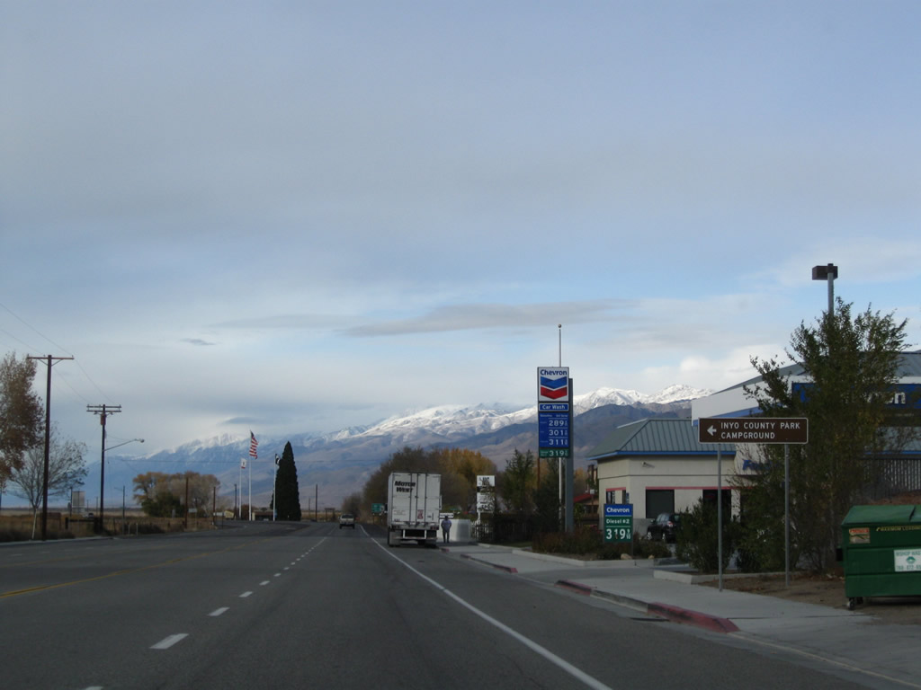
Downtown Big Pine has gas stations, restaurants, and shops. Photo taken 11/10/08. |
|
|
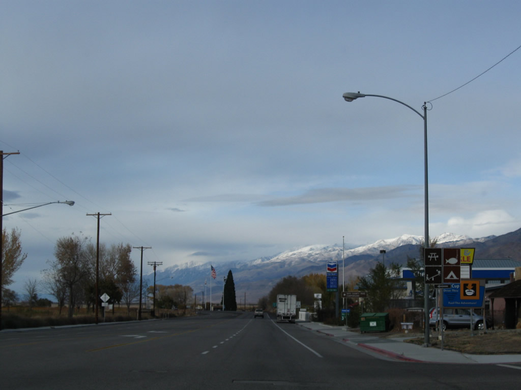
Northbound U.S. 395 meets Baker Creek Road, which travels west to an Inyo County Park campground. After this intersection is the junction with California 168. Photos taken 11/10/08. |
| |
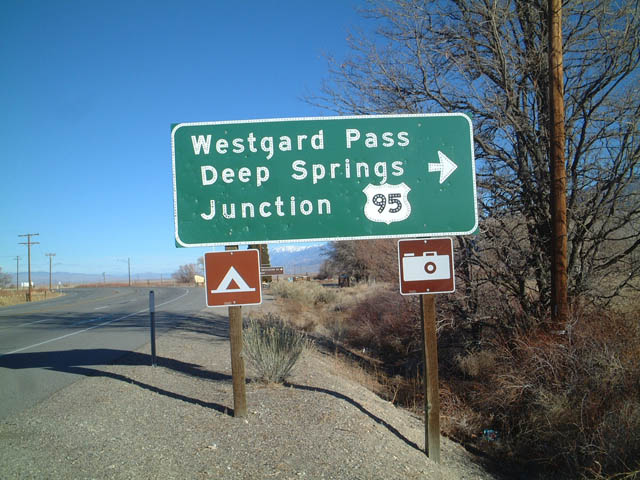
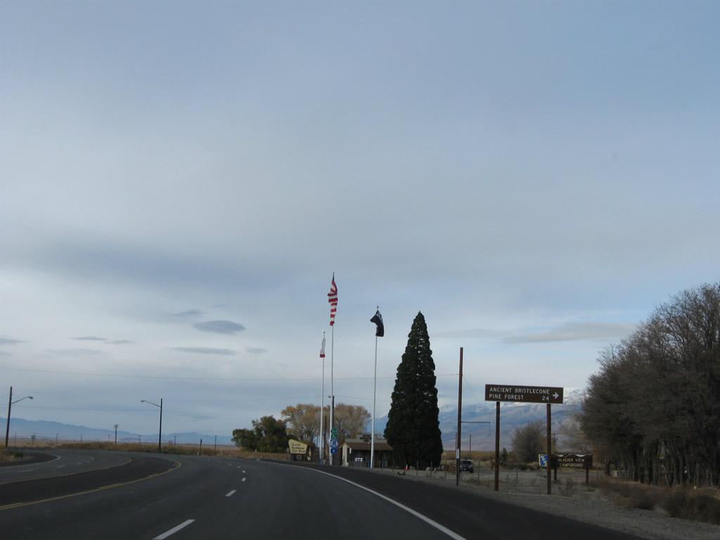
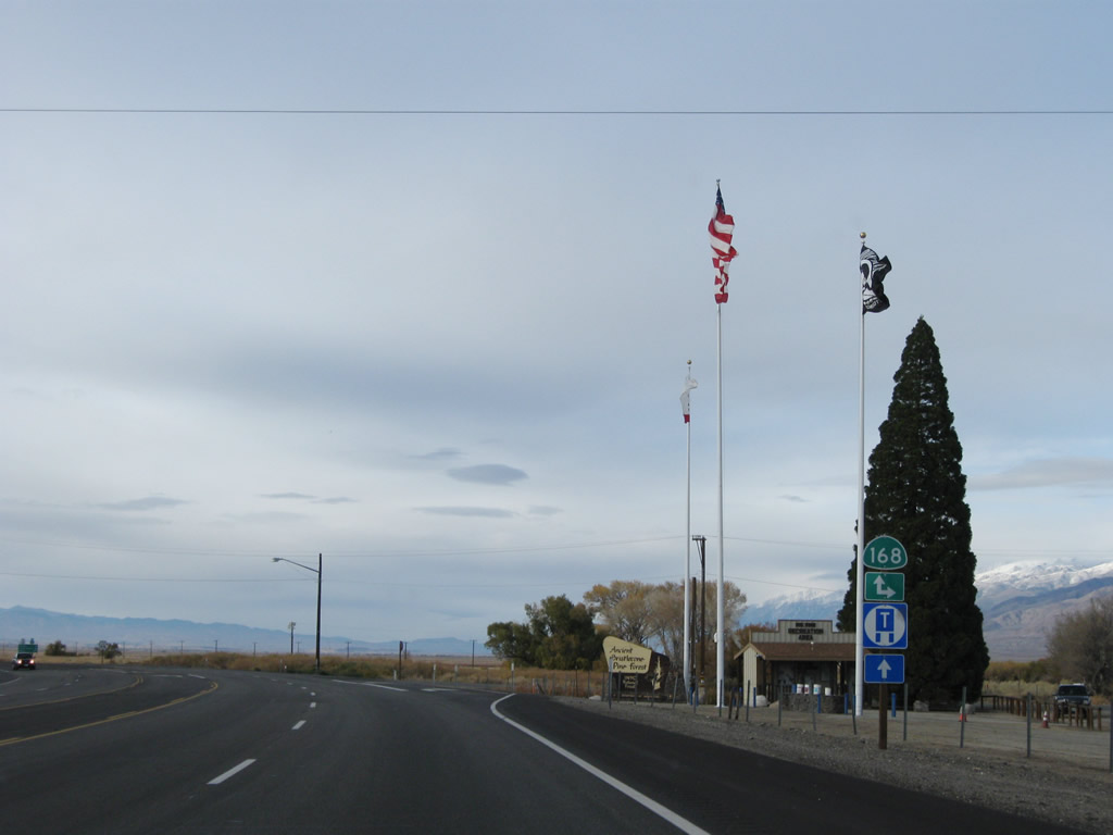
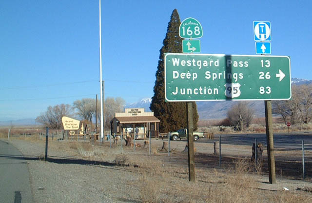
Shortly thereafter, northbound U.S. 395 approaches California 168 east to Westgard Pass and Fish Lake Valley. This state highway is very scenic but has a one-lane segment near the top of Westgard Pass (el. 7,271 feet). Photos taken 11/10/08 and 01/20/02. |
|
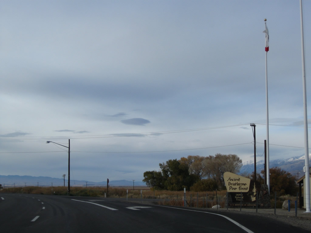
Follow California 168 east to the Ancient Bristlecone Pine Forest, which is located within the White Mountains. The Schulman Grove is located along White Mountain Road north of California 168; hike to see the grove containing Methuselah, the oldest living tree. Photo taken 11/10/08. |
| |
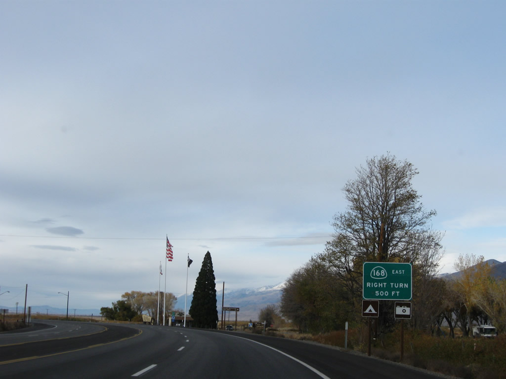
Turn right ahead for California 168 east to Westgard Pass, Ancient Bristlecone Pine Forest, and Fish Lake Valley. Continue straight ahead to follow U.S. 395 north and California 168 west to Big Pine and Bishop. The two routes will divide in Bishop. A visitors center is located at the southeast corner of this intersection. Turn left here to follow an old alignment of U.S. 395 between here and Bishop. Photos taken 11/10/08 and 01/20/02. |
|
The Ancient Bristlecone Pine Forest information center is located on the southeast corner of the intersection. U.S. 395 north and California 168 west share alignment from Big Pine north to Bishop. At Bishop, California 168 continues west to serve points of interest in the Inyo National Forest before ending. At one time, there was a plan to link California 168 in Bishop with California 168 between Fresno and Lakeshore, but that plan is pretty much dead. Photo taken 11/10/08. |
Page Updated January 23, 2012.