| U.S. 395 (north & California 168 west |
|
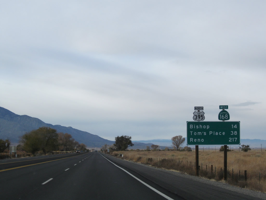
After the California 168 intersection, northbound U.S. 395 and westbound California 168 see a mileage sign that provides the distance to Bishop (14 miles), Tom's Place (38 miles), and Reno (217 miles). Photo taken 11/10/08. |
|
Northbound U.S. 395 and westbound California 168 approach Reynolds Road. Photo taken 11/10/08. |
|
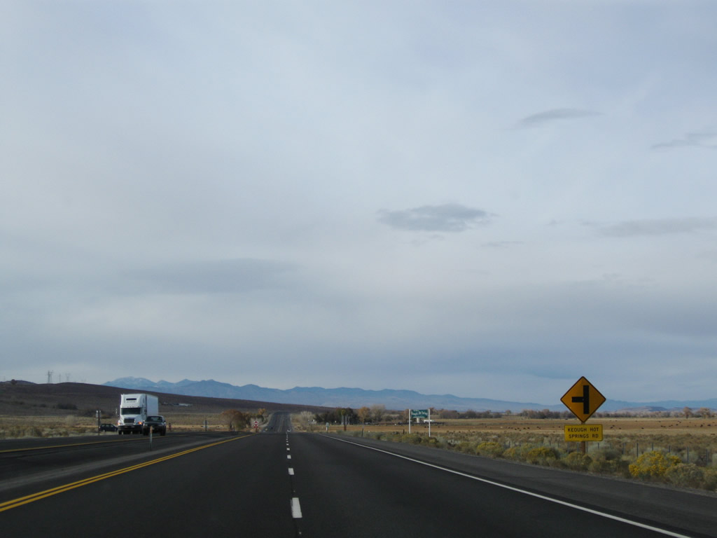
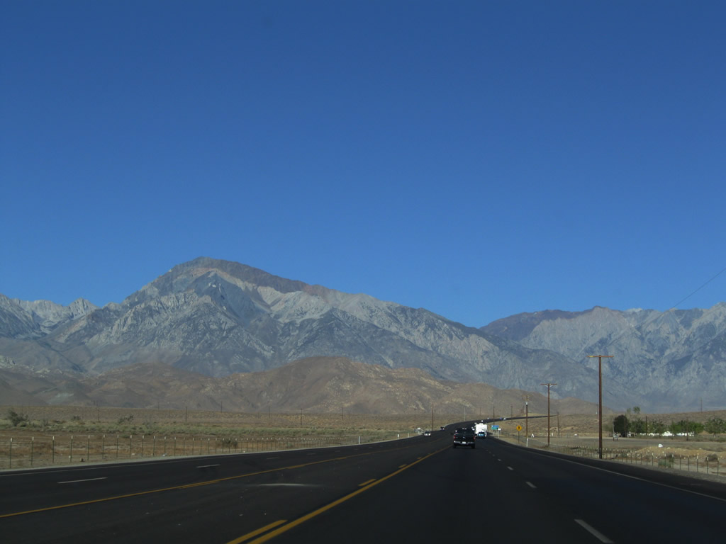
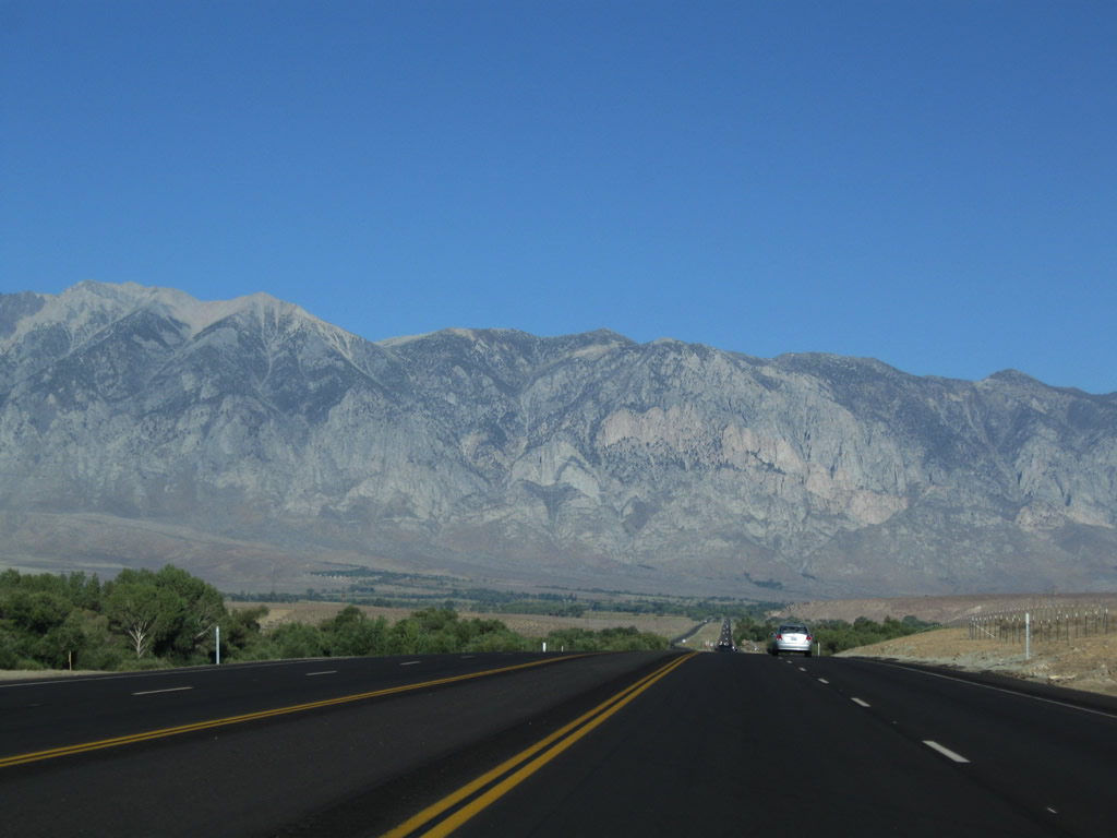
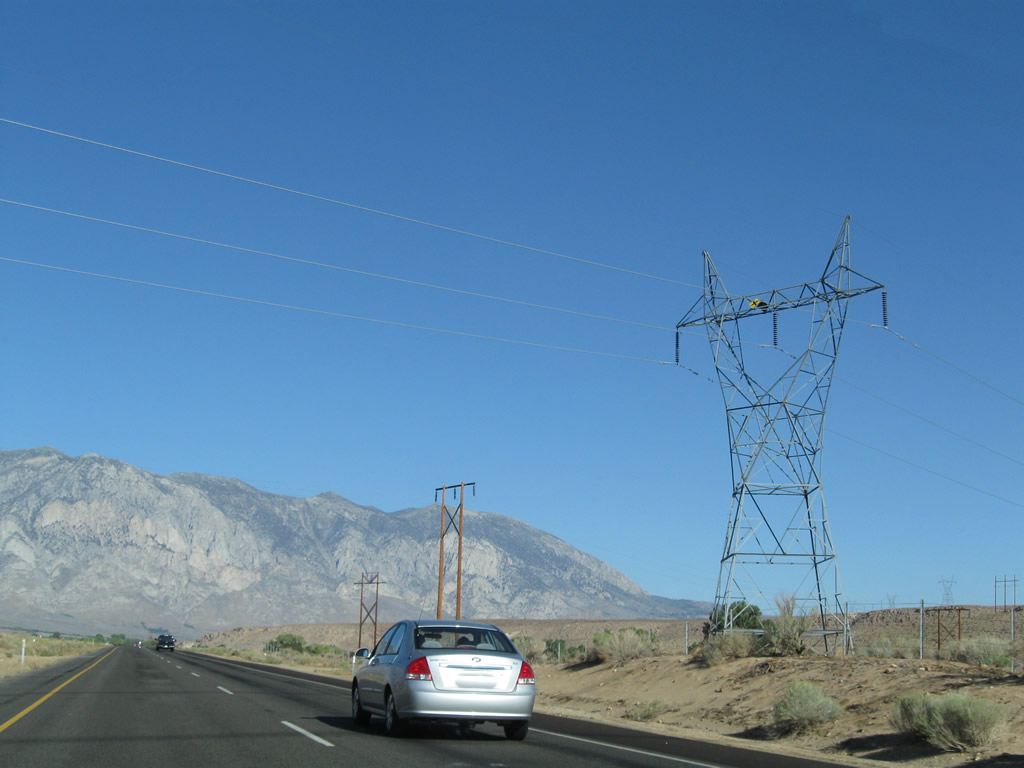
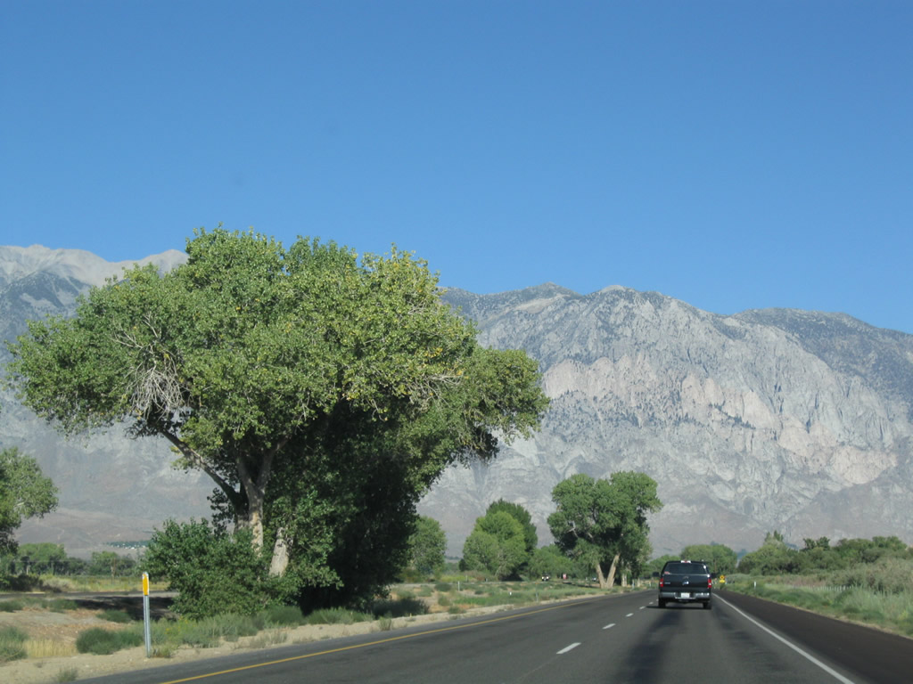
Several miles north, northbound U.S. 395 and westbound California 168 approach Keough Hot Springs Road. A swimming area is located under the Los Angeles Department of Water and Power transmission lines, and a nearby resort is located at the hot springs. Photo taken 11/10/08. |
|
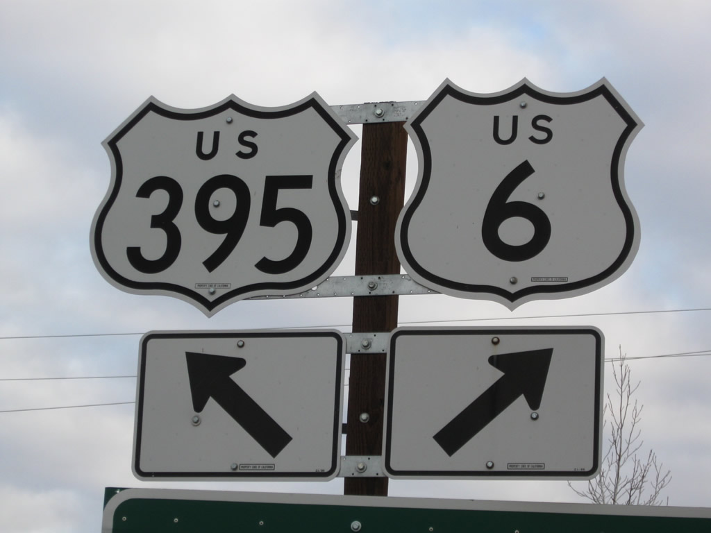
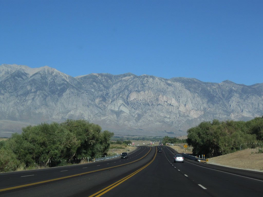
This U.S. 395 north and California 168 west reassurance shield assembly is posted shortly after the Keough Hot Springs Road intersection. Photo taken 11/10/08. |
|
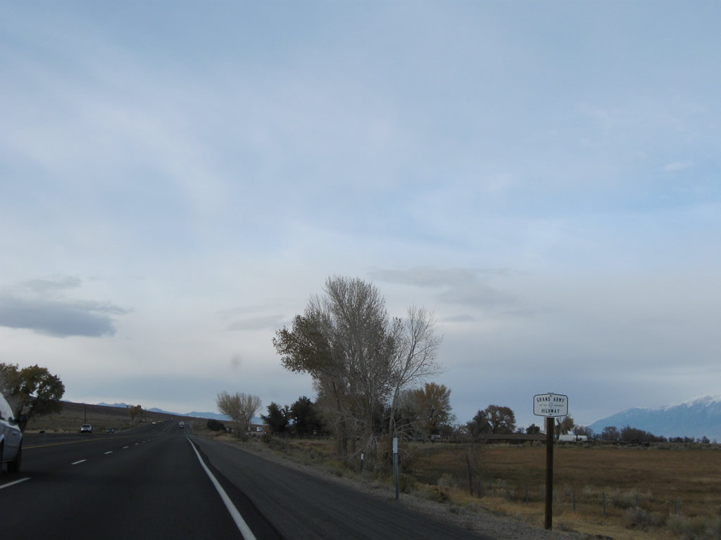
U.S. 395 is the Grand Army of the Republic Highway (in addition to being the Three Flags Highway and Midland Trail). U.S. 6 will carry the Grand Army of the Republic Highway northeast upon leaving Bishop. Photo taken 11/10/08. |
|
|
|
|
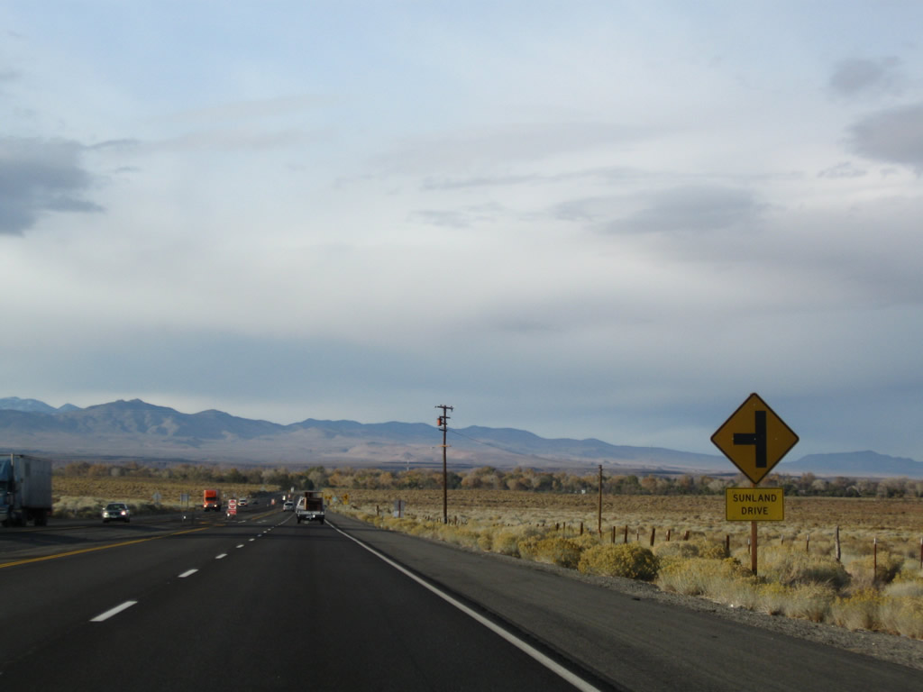
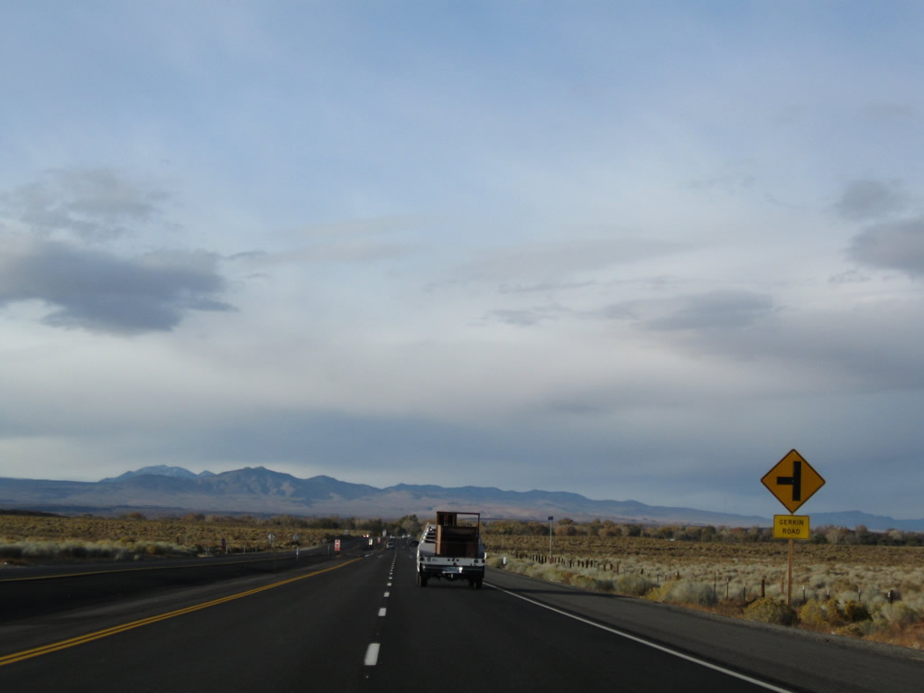
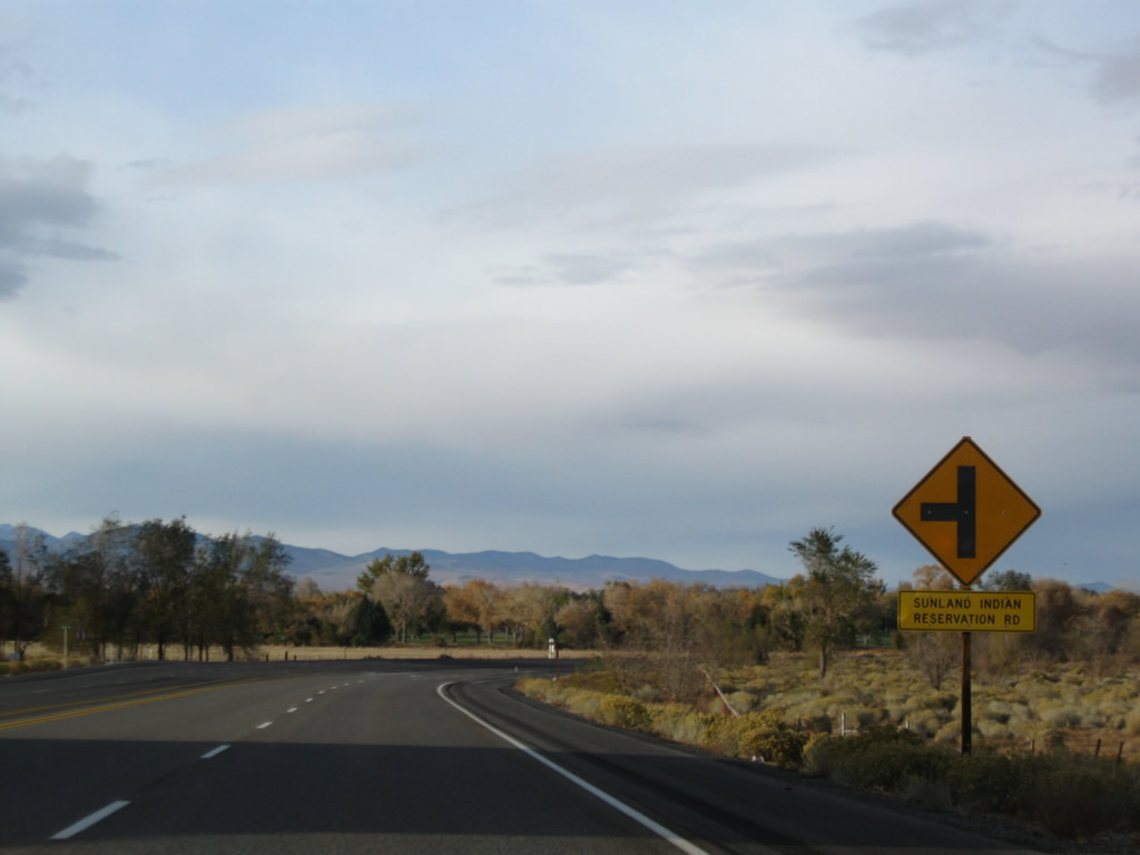
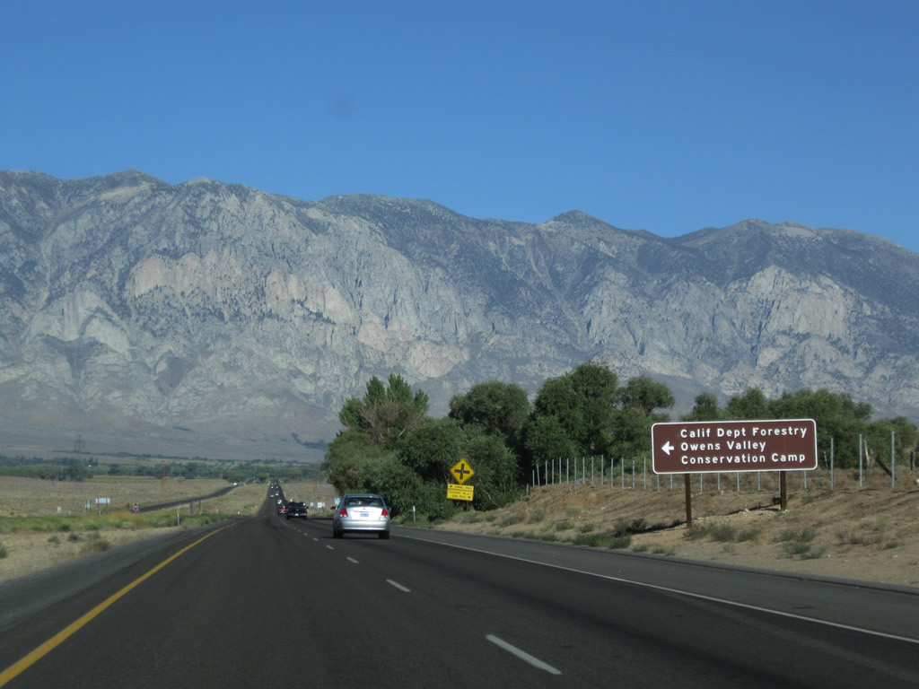
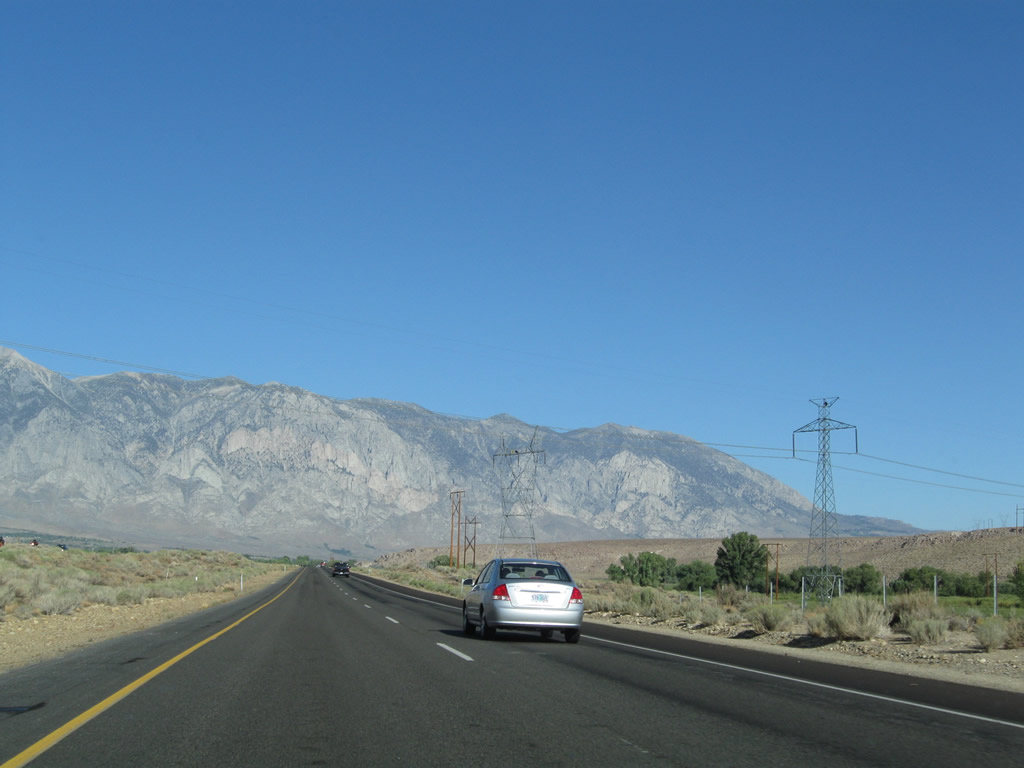
A series of roads intersect U.S. 395 and California 168: Sunland Drive, Gerkin Road, Warm Springs Road, and Sunland Indian Reservation Road. Photos taken 11/10/08. |
|
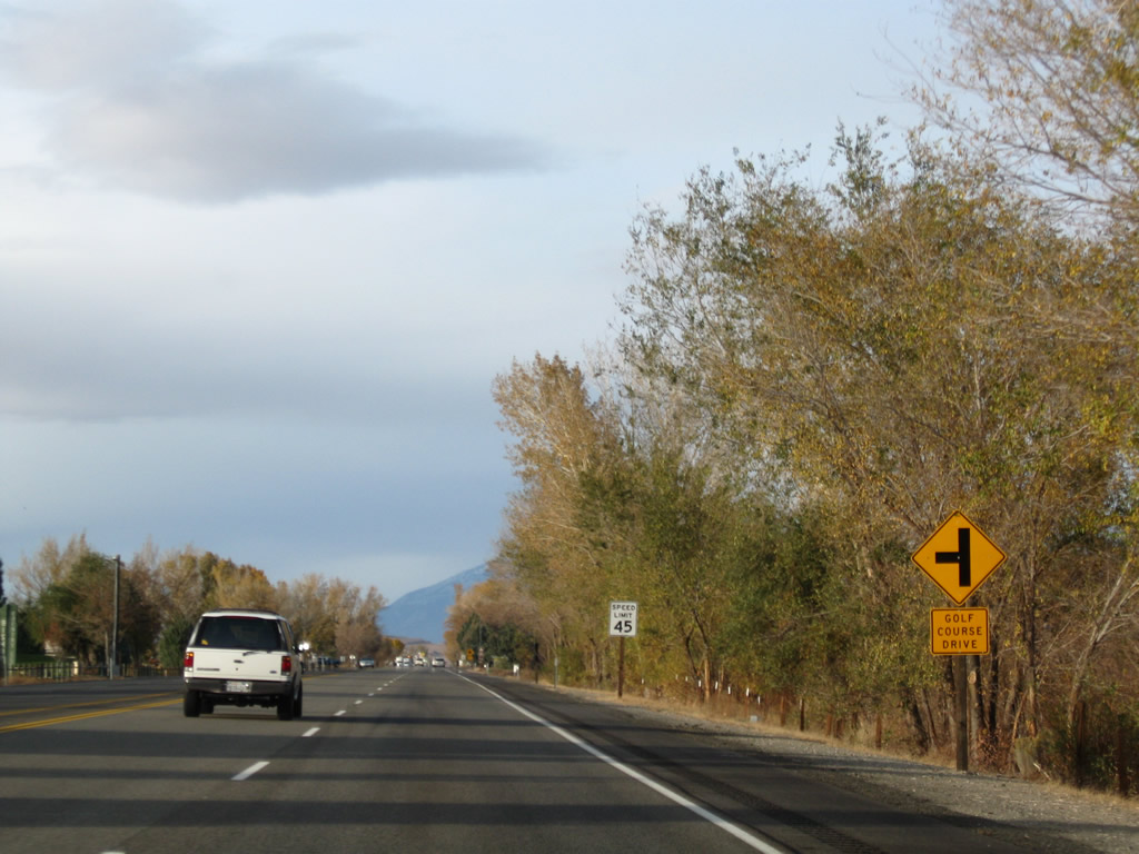
An early welcome sign for the city of Bishop is located near the golf course on the west side of the highway. Photo taken 11/10/08. |
|
The next left from U.S. 395 north connects to Golf Course Drive. Photo taken 11/10/08. |
|
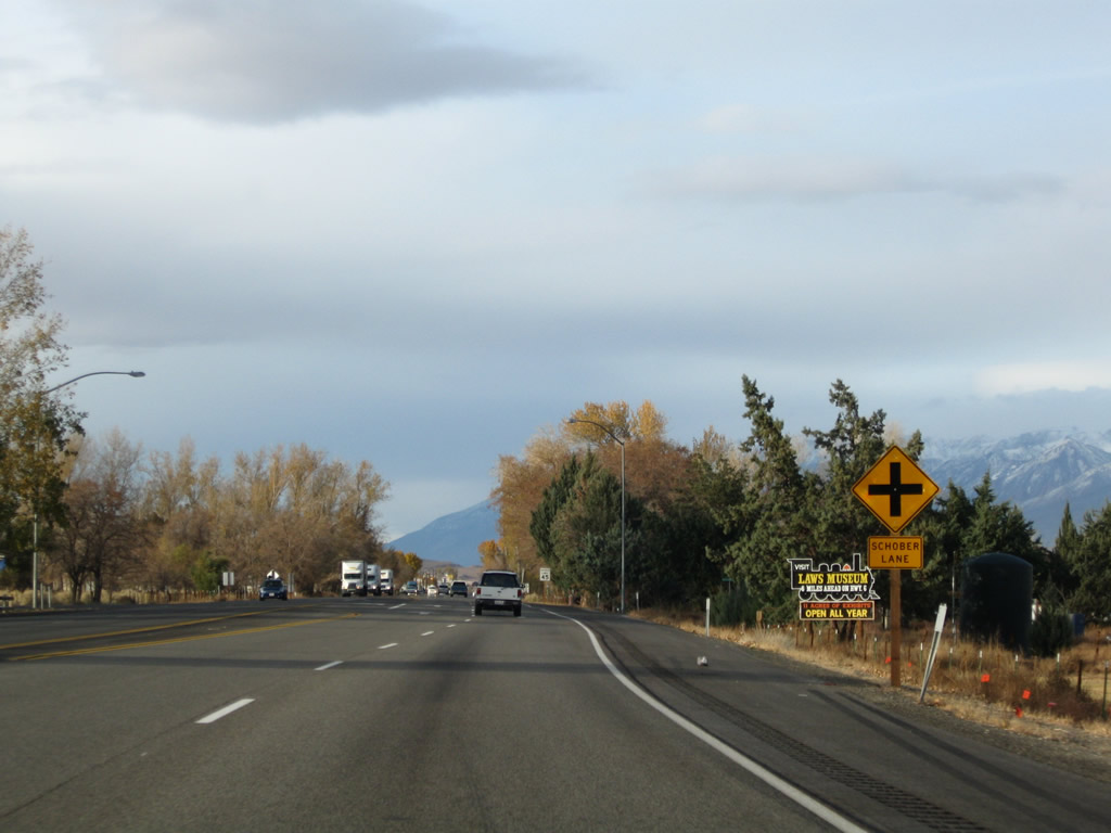
Northbound U.S. 395 and California 168 next approach Schober Lane. Photo taken 11/10/08. |
|
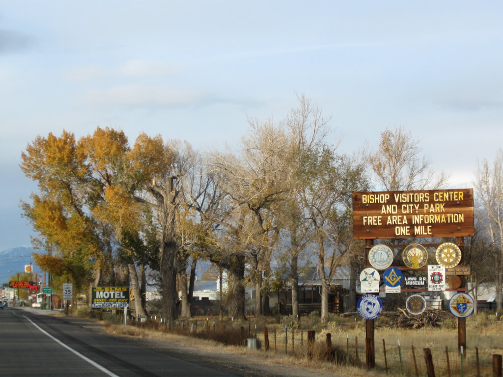
One mile ahead is the Bishop visitors center and city park. Photo taken 11/10/08. |
|
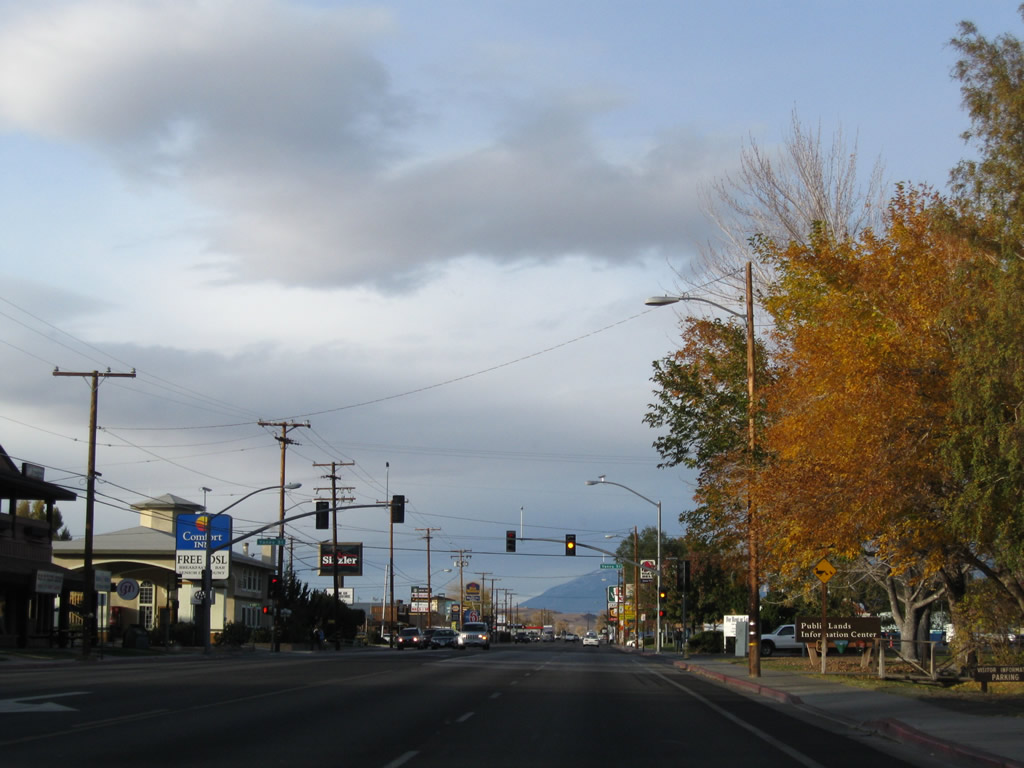
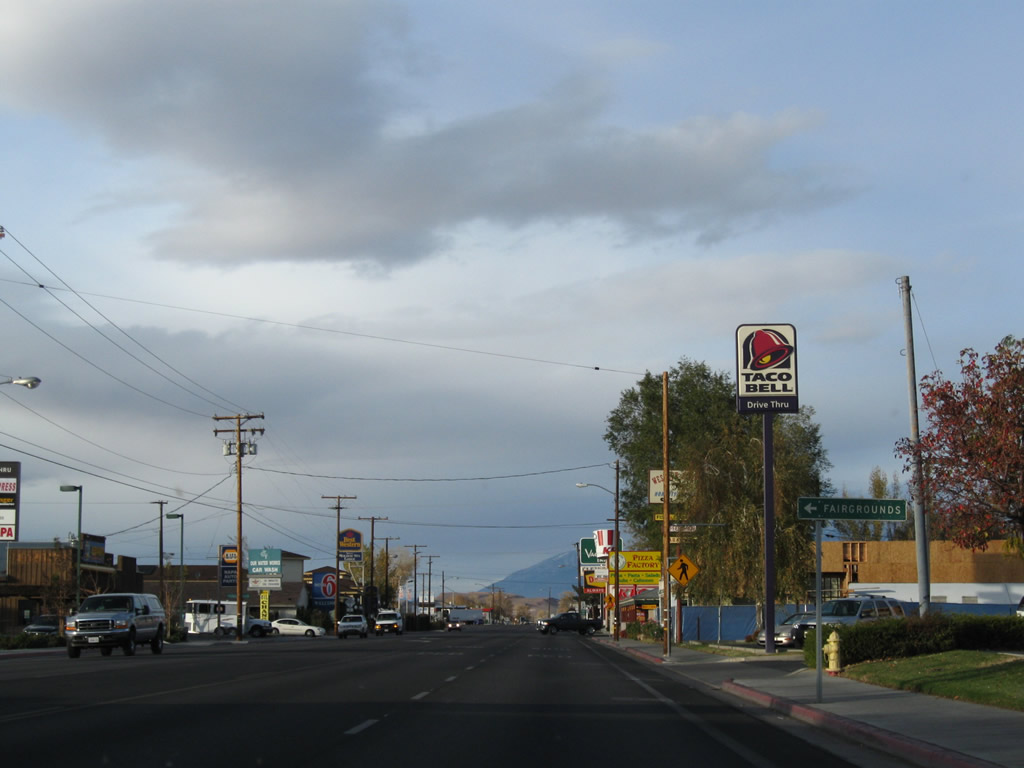
U.S. 395 and California 168 enter the city of Bishop. Home to 3,575 people as of the 2000 Census, Bishop sits at an elevation of 4,140 feet at the northern end of the Owens Valley. Situated at the confluence of U.S. 6 and U.S. 395, Bishop is known as the gateway to various attractions in the Eastern Sierra, such as Mammoth Lakes, Mono Lake, Yosemite National Park, and related recreational opportunities. Photo taken 11/10/08. |
|
A variable message sign (dynamic message sign) indicates the mountain passes along California 120 (Tioga Pass) and California 108 (Sonora Pass) were closed for the winter season at the time this picture was taken. Seasonal closures along these high Sierra passes is common during winter months. Photo taken 11/10/08. |
|
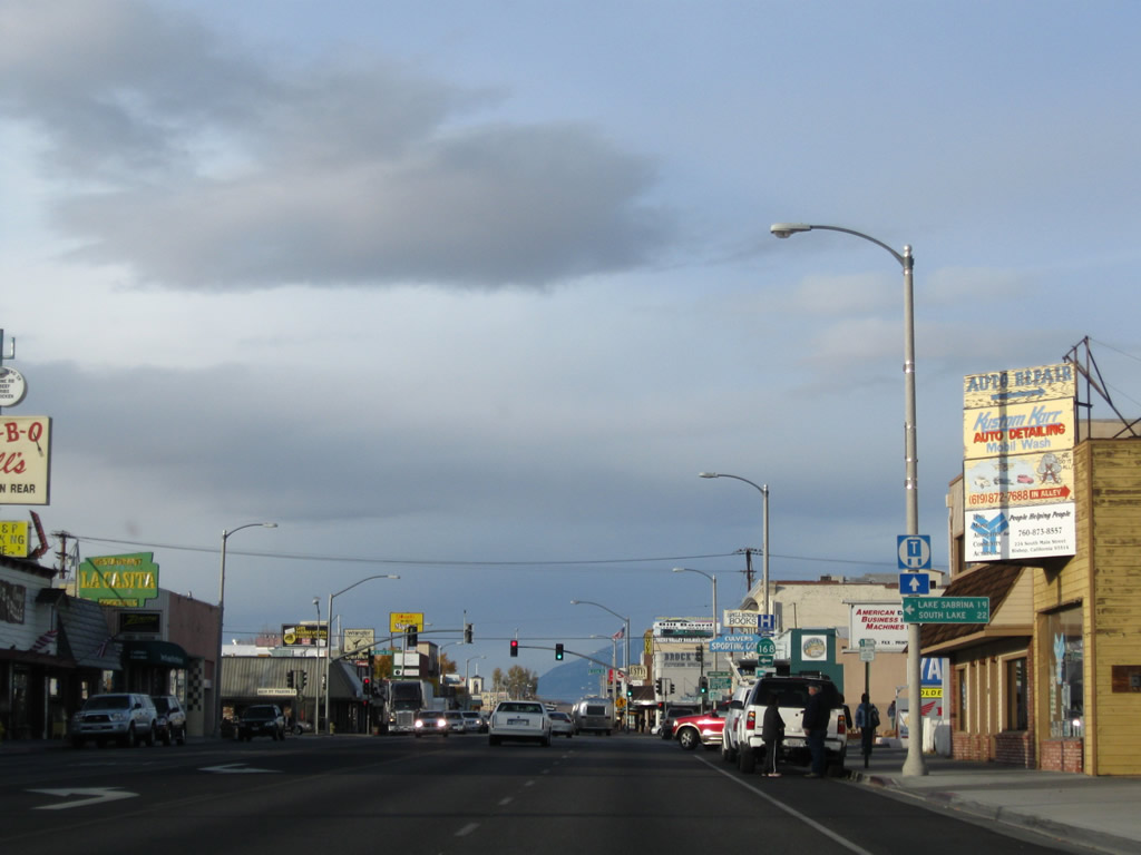
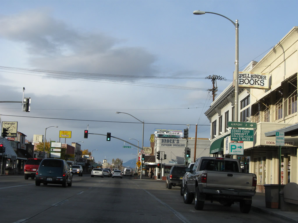
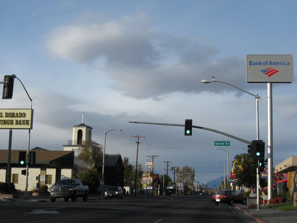
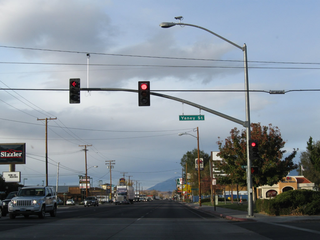
Entering downtown Bishop, businesses line both sides of U.S. 395. Ahead is the California 168 turnoff at Line Street. Use California 168 west to Lake Sabrina (19 miles) and South Lake (22 miles). Photo taken 11/10/08. |
|
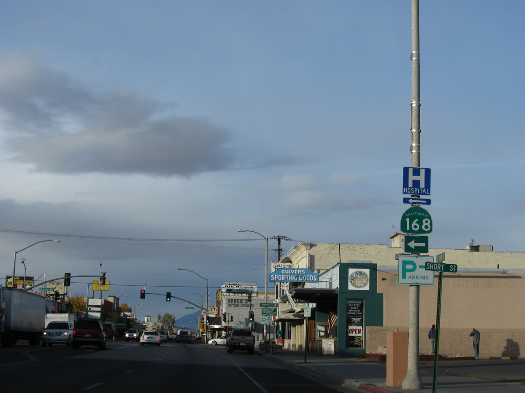
A California 168 trailblazer is posted at Short Street, about a block south of the Line Street traffic signal. Photo taken 11/10/08. |
|
A right turn on Line Street leads to the Bishop Airport (two miles). Photo taken 11/10/08. |
|
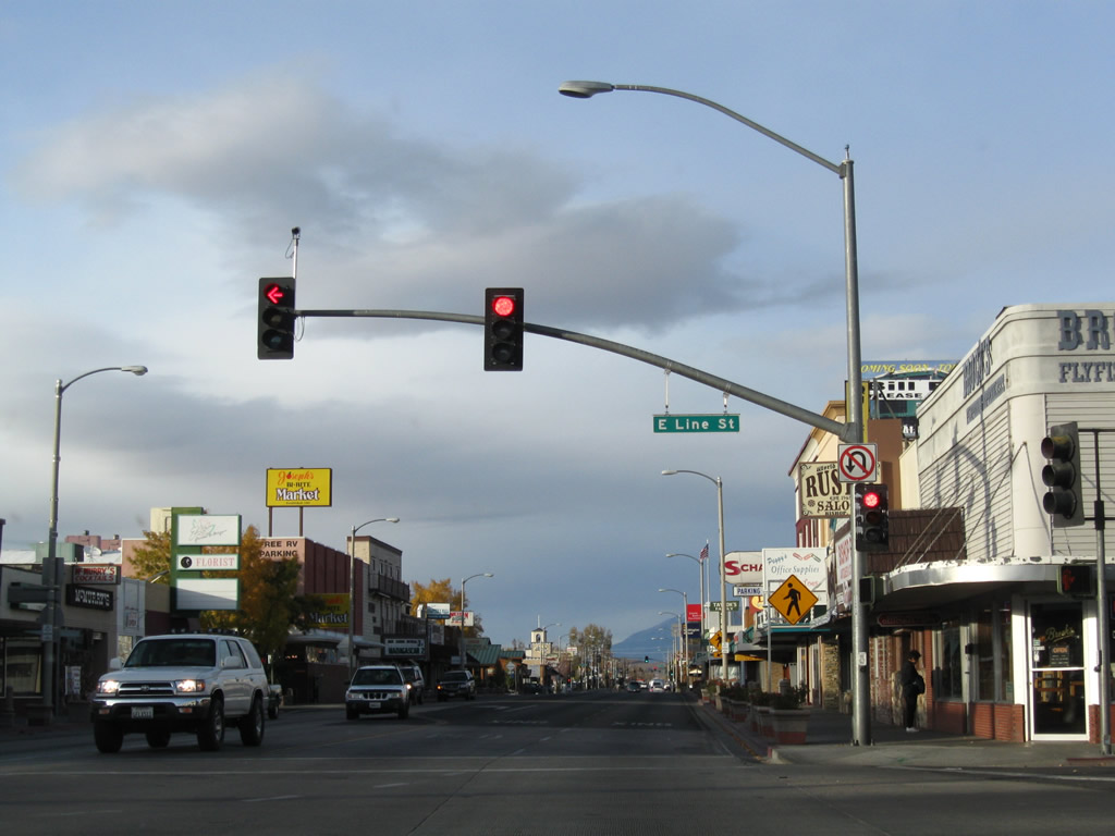
The routes divide at Line Street: U.S. 395 continues straight ahead, while California 168 turns west to a dead end en route to Lake Sabrina. Although there is a California 168 in Fresno, the Eastern Sierra branch does not connect with the Fresno County branch. The connecting road over the Sierra was never built. Photo taken 11/10/08. |
| U.S. 395 north |
|
|
|
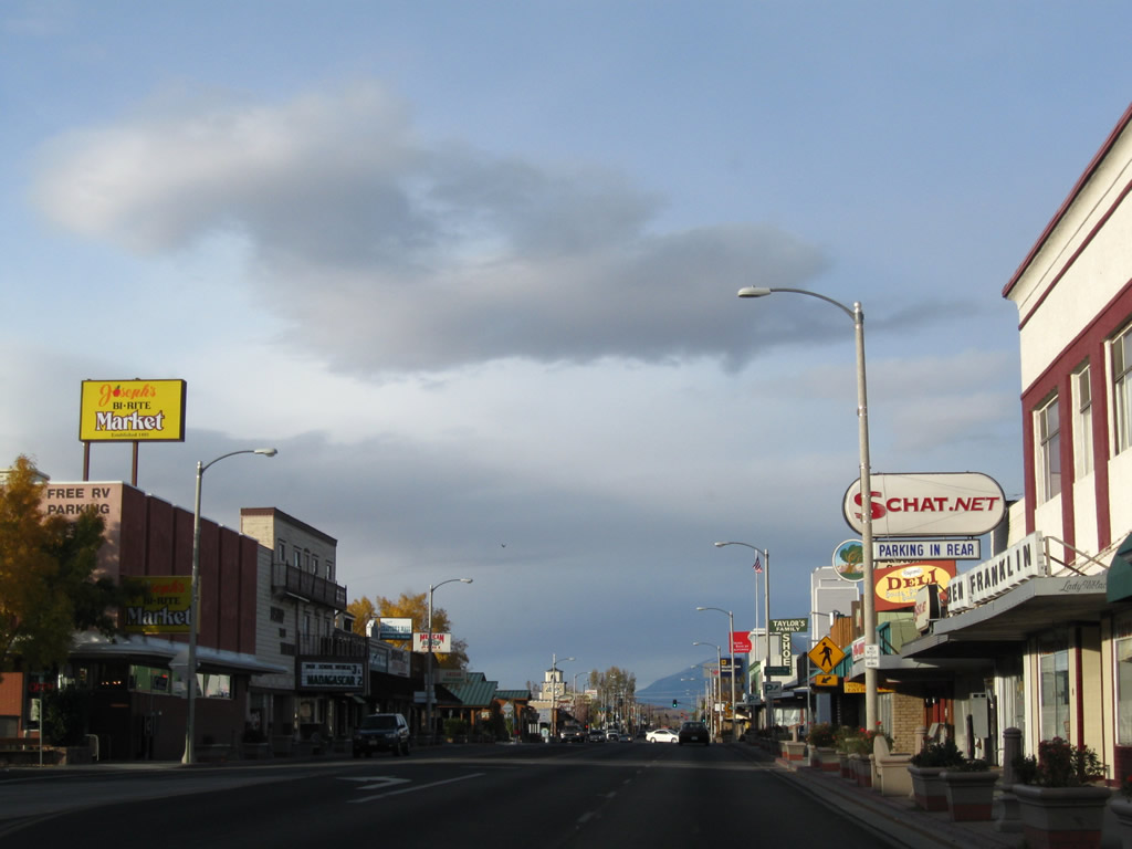
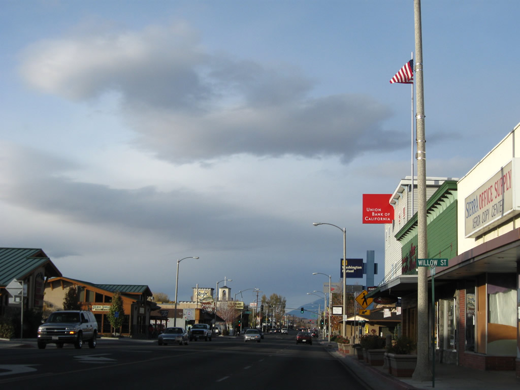
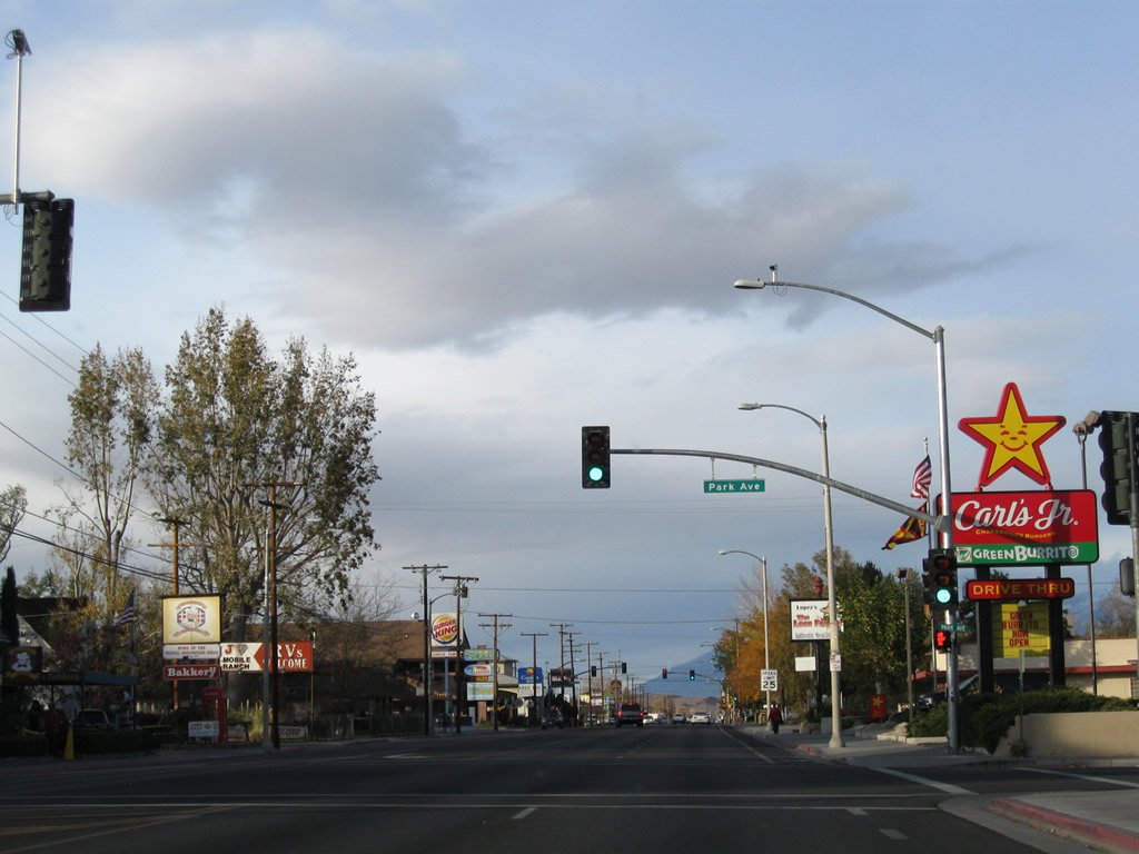
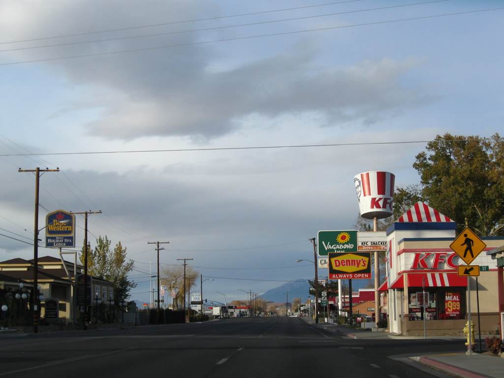
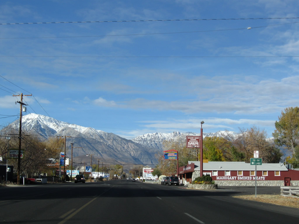
Nearly every motorist service is available in Bishop, making it a regional hub. Restaurants, shops, gas stations, motels, and adventure sports stores line both sides of U.S. 395. Schat's Bakkery is particularly well-known for visitors to Bishop. The aforementioned visitors center and park are on the right. Photos taken 11/10/08. |
|
|
|
|
|
|
|
|
|
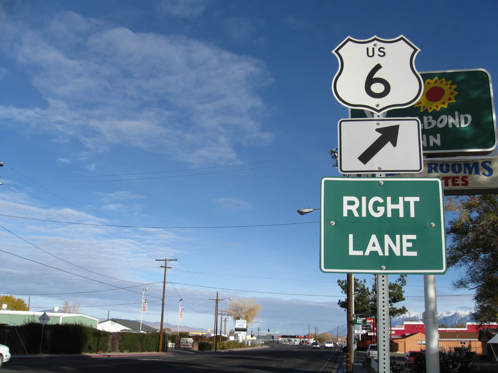
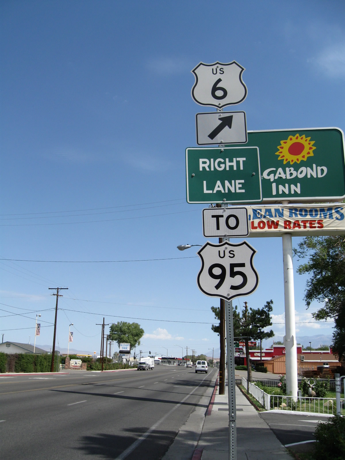
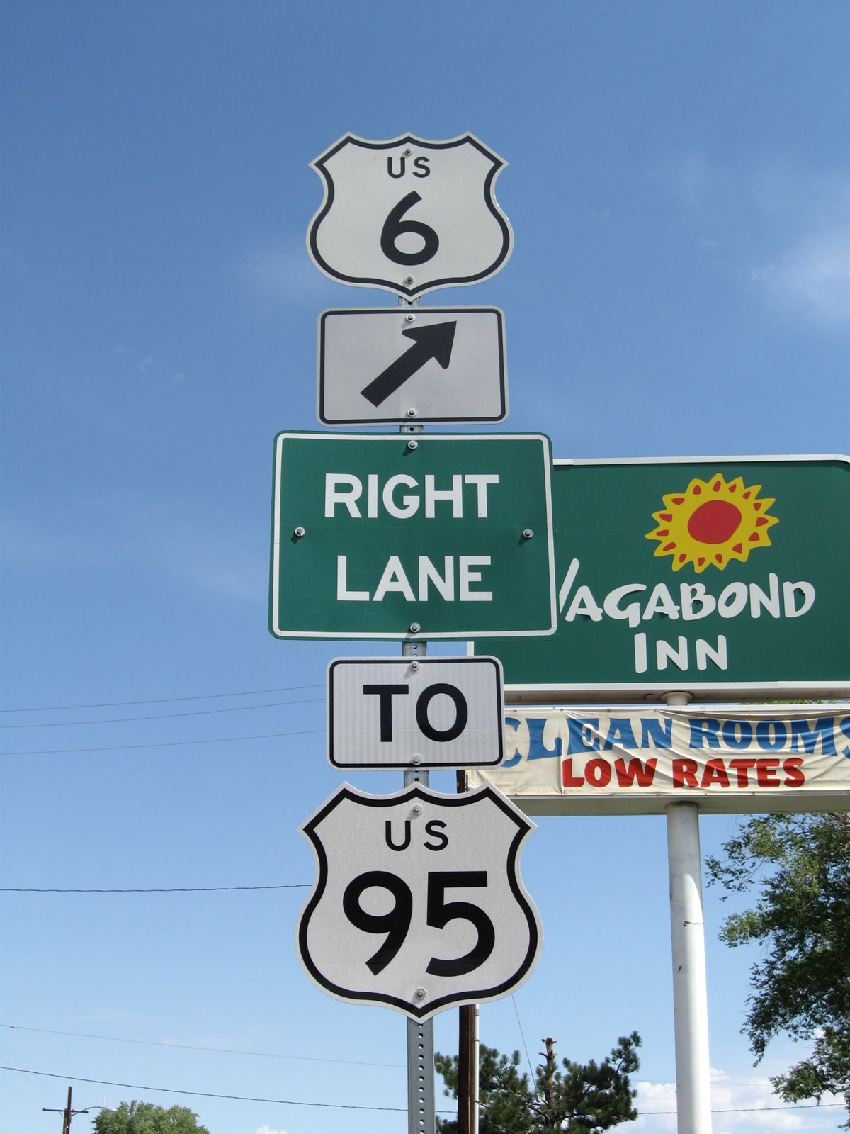
Continuing into northern Bishop, northbound U.S. 395 approaches U.S. 6, the Grand Army of the Republic Highway and Midland Trail. U.S. 6 travels north through the Chalfant Valley and Benton Valley before ascending to Montgomery Pass in Mineral County, Nevada. Prior to 1964, U.S. 395 between California 14 and this intersection were signed as U.S. 6 and U.S. 395. Photo taken 11/10/08 and 07/26/09. |
|
U.S. 6 travels north to Benton, northeast across Montgomery Pass, and then east to Tonopah, Nevada. Across the Silver State of Nevada, U.S. 6 competes with U.S. 50 for title of "Loneliest Road." After leaving Tonopah, U.S. 6 travels a good distance across the Great Basin to Ely in eastern Nevada. Photo taken 11/10/08. |
|
The right lane connects to U.S. 6 (Grand Army of the Republic Highway) east to Benton and Tonopah, while the left lane continues north on U.S. 395 (Three Flags Highway). The intersection between U.S. 6 and U.S. 395 is relatively rare in California, as it is one of the few intersections between two U.S. highways. (The only other intersection between two U.S. highways in California is between U.S. 101 and U.S. 199 north of Crescent City in Northern California.) Photo taken 11/10/08. |
|
After the intersection between U.S. 6 and U.S. 395, northbound U.S. 395 turns due west and travels directly toward the mountains. This creates a beautiful view in the morning (such as this one). Photo taken 11/10/08. |
|
A U.S. 395 north reassurance shield is posted shortly thereafter. Photo taken 11/10/08. |
|
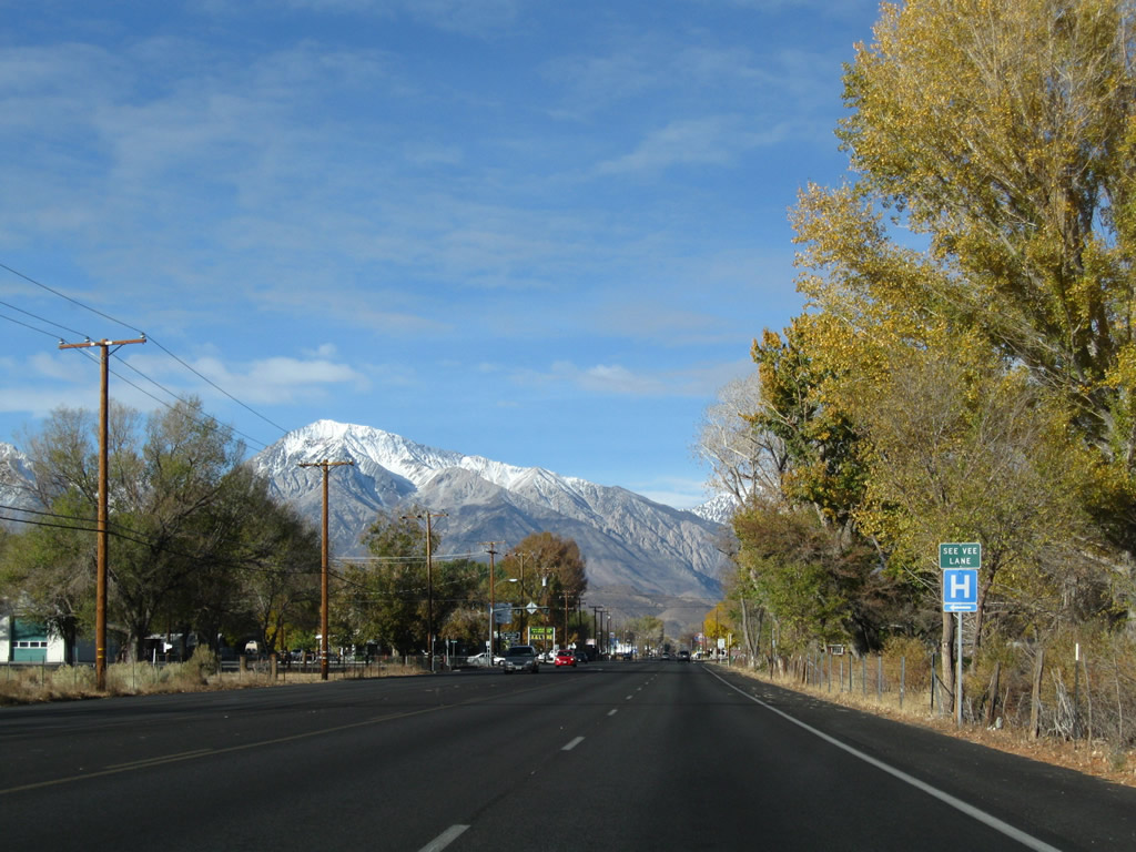
Northbound U.S. 395 approaches See Vee Lane. Turn left (south) here to the Inyo Hospital and California 168. Photo taken 11/10/08. |
|
Soon thereafter, U.S. 395 north approaches Tu-Su Lane. Photo taken 11/10/08. |
|
U.S. 395 crosses the North Fork of Bishop Creek on this five-lane bridge. Photo taken 11/10/08. |
|
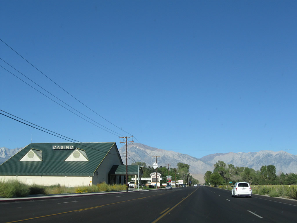
On the left is the Paiute Palace Casino and gas station. Photo taken 09/05/09. |
|
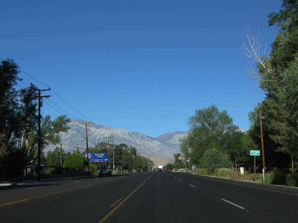
Northbound U.S. 395 approaches Brockman Lane and leaves the urbanized area around Bishop. Photo taken 09/05/09. |
|
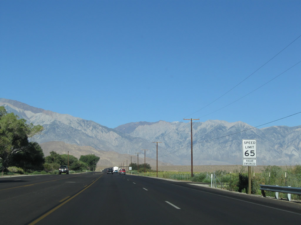
Leaving Bishop, the speed limit along U.S. 395 gradually increases back to 65 miles per hour, and the highway will again assume expressway characteristics. Photo taken 09/05/09. |
|
|
|
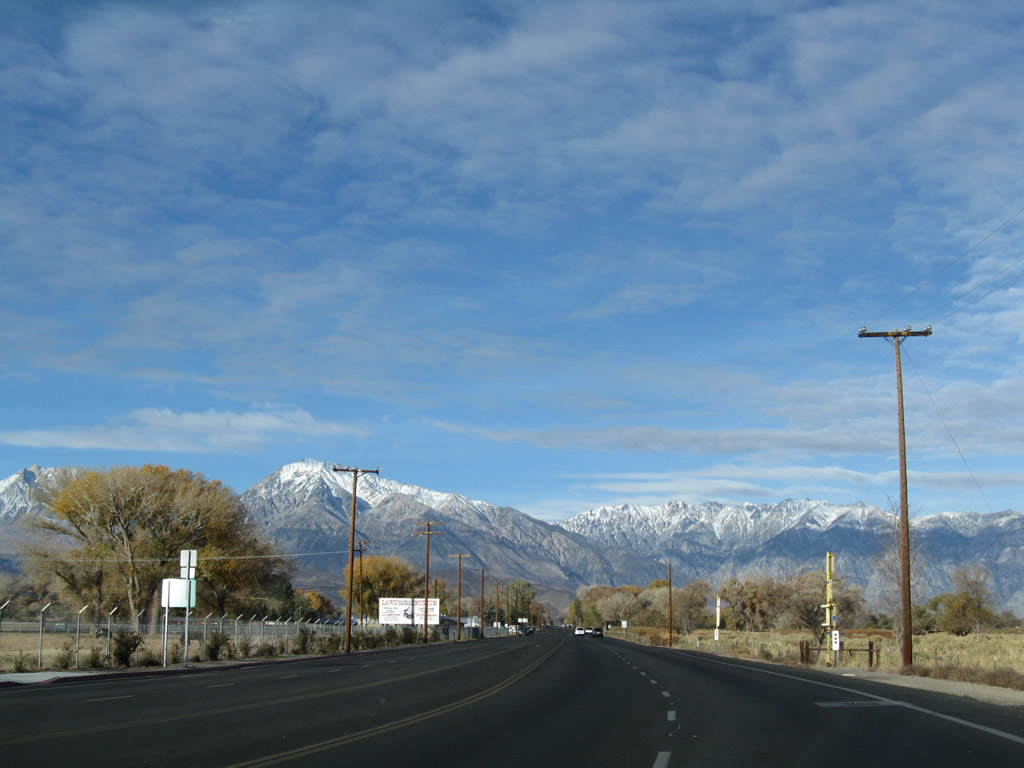
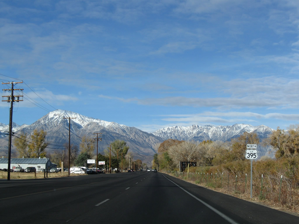
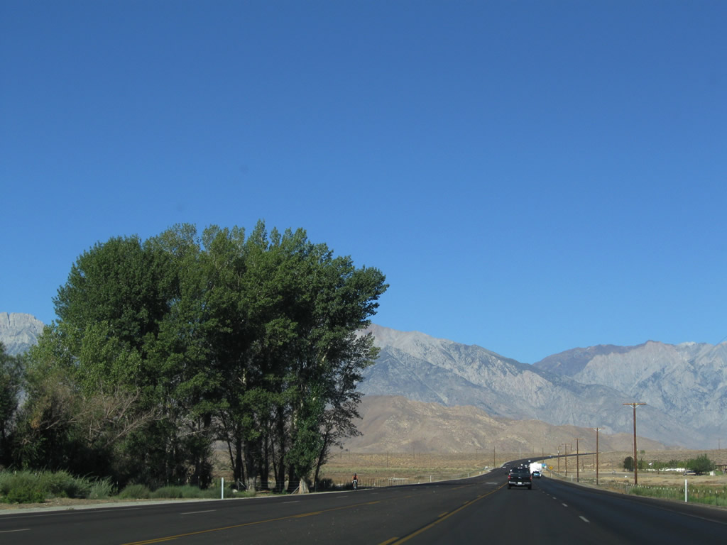
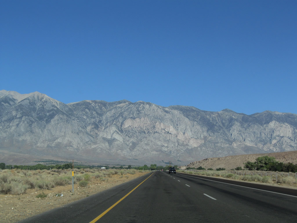
Bishop is blessed with an incredible view of the towering peaks of the Sierra Nevada looking to the west. Leaving town, U.S. 395 travels almost due west, and then turns north again for the climb up Sherwin Grade to Toms Place. Photos taken 09/05/09. |
|
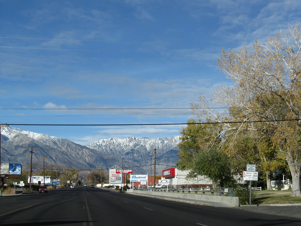
This sign provides the current status of several mountain passes: California 120 via Tioga Pass to Yosemite National Park, California 108 via Sonora Pass to Pinecrest Lake and Sonora, and California 89 via Monitor Pass to Markleeville in Alpine County. Photo taken 09/05/09. |
|
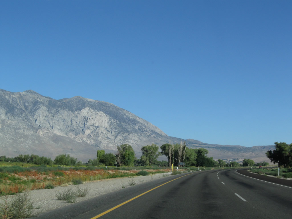
U.S. 395 curves northwest and begins to gain elevation. Photo taken 09/05/09. |
|
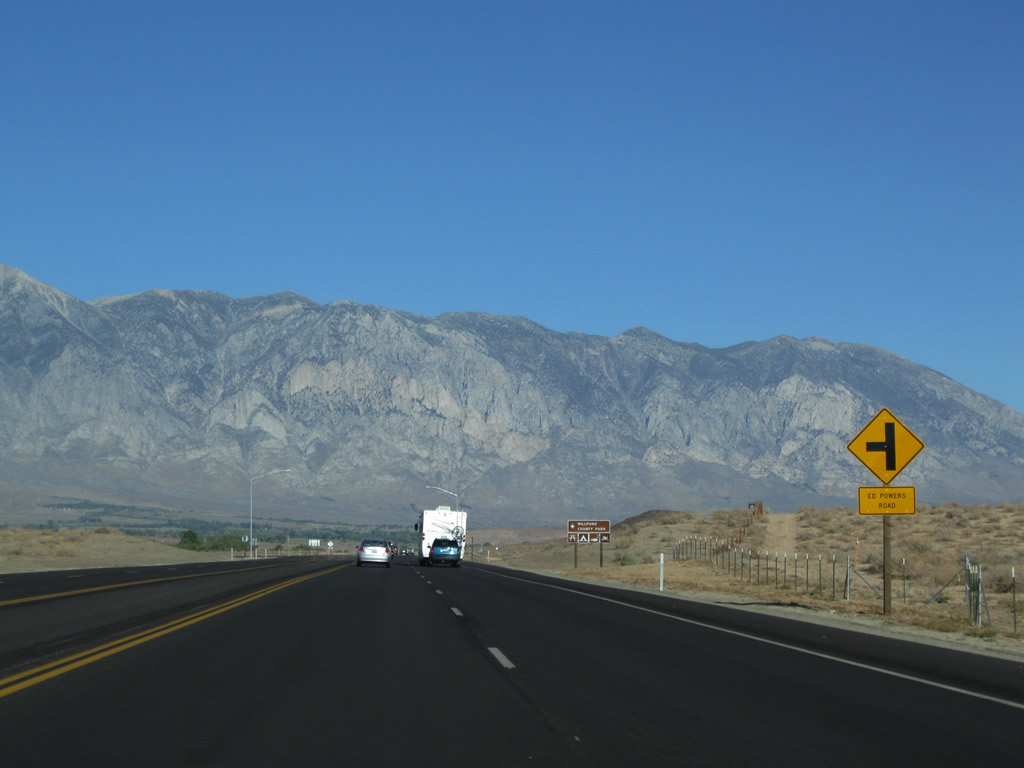
The next left connects U.S. 395 with Ed Powers Road south to Browns Millpond County Park and California 168. Photo taken 09/05/09. |
|
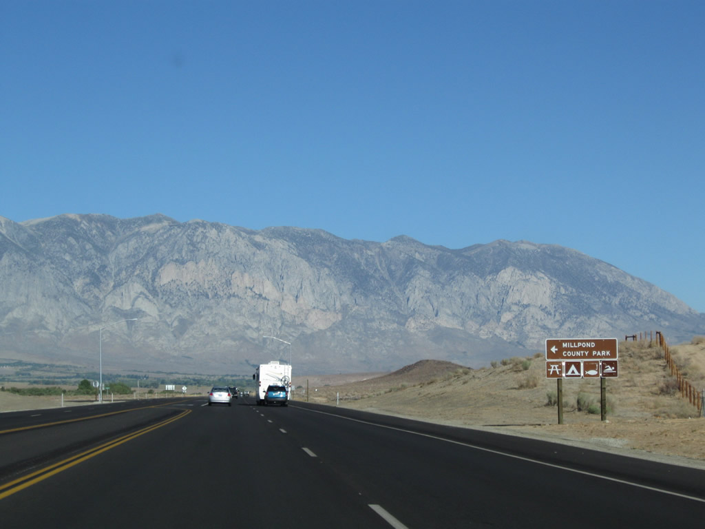
Millpond County Park features camping, picnicking, swimming, and fishing. The park is home to the annual Millpond Music Festival each fall. Photo taken 09/05/09. |
|
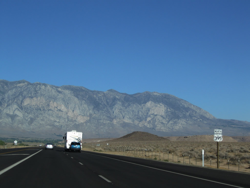
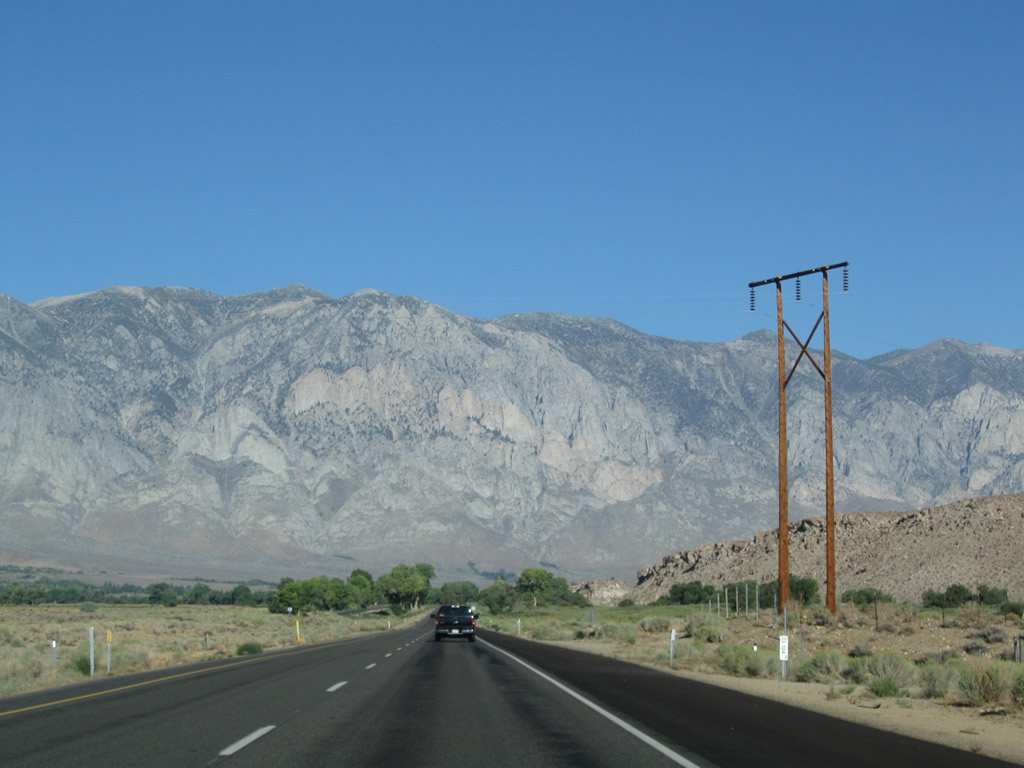
A U.S. 395 north reassurance shield is posted shortly after the Ed Powers Road turnoff. Photo taken 09/05/09. |
|
|
Continuing to turn toward the north, U.S. 395 rises over a hill and descends into Pleasant Valley. The highway soon gains a planted median. Photos taken 09/05/09. |
|
The next turnoff from U.S. 395 is with Sawmill Road to Millpond Park and Pleasant Valley Dam Road to Pleasant Valley Reservoir. Photo taken 09/05/09. |
|
|
|
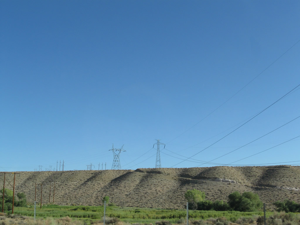
For a final time in the Eastern Sierra, the 500kV Path 65 power line (which links Celilo, Oregon to Sylmar in Los Angeles) and its companion 230kV Los Angeles Department of Water and Power transmission line cross U.S. 395. The Path 65 lines will curve northeast into Nevada, and remain generally east of U.S. 395 in largely unpopulated areas. The 230kV LADWP power line will split from Path 65 and follow the Owens River north into the Owens River Gorge to transmit power generated by hydroelectric facilities. Photos taken 09/05/09. |
|
|
|
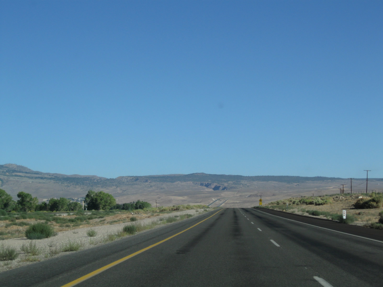
Now a full expressway, U.S. 395 proceeds northwest through Pleasant Valley. Photos taken 09/05/09. |
|
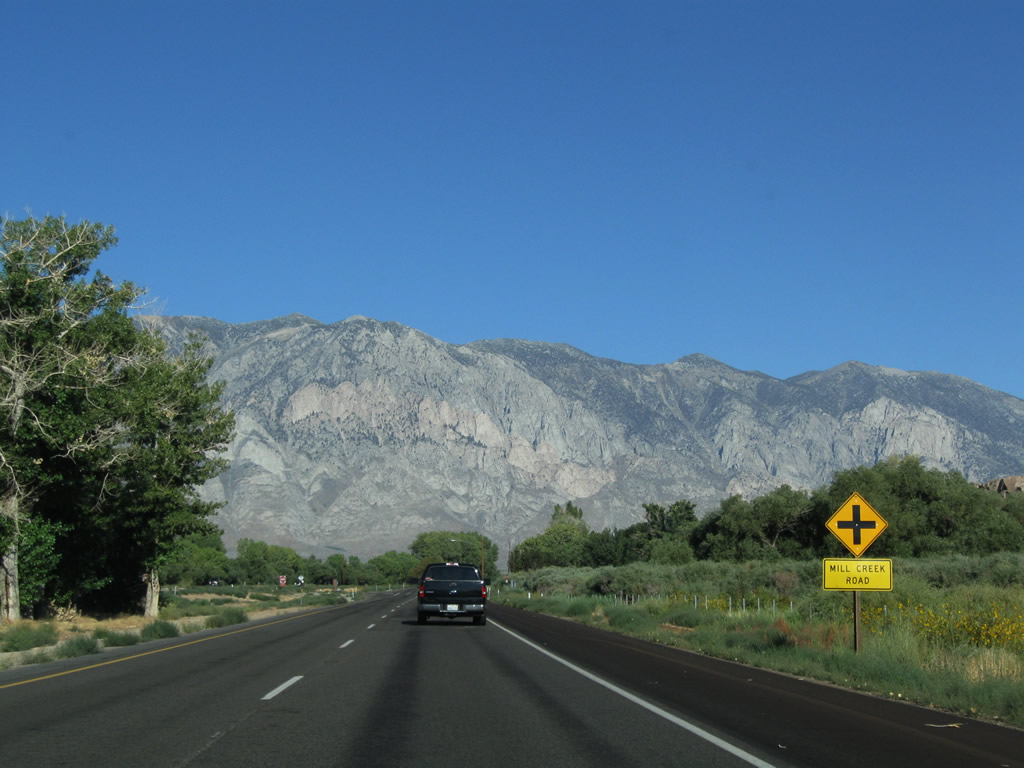
Northbound U.S. 395 approaches an intersection with Mill Creek Road. Photo taken 09/05/09. |
|
|
These scenes follow U.S. 395 north through Pleasant Valley toward Sherwin Grade. Photos taken 09/05/09. |
|
|
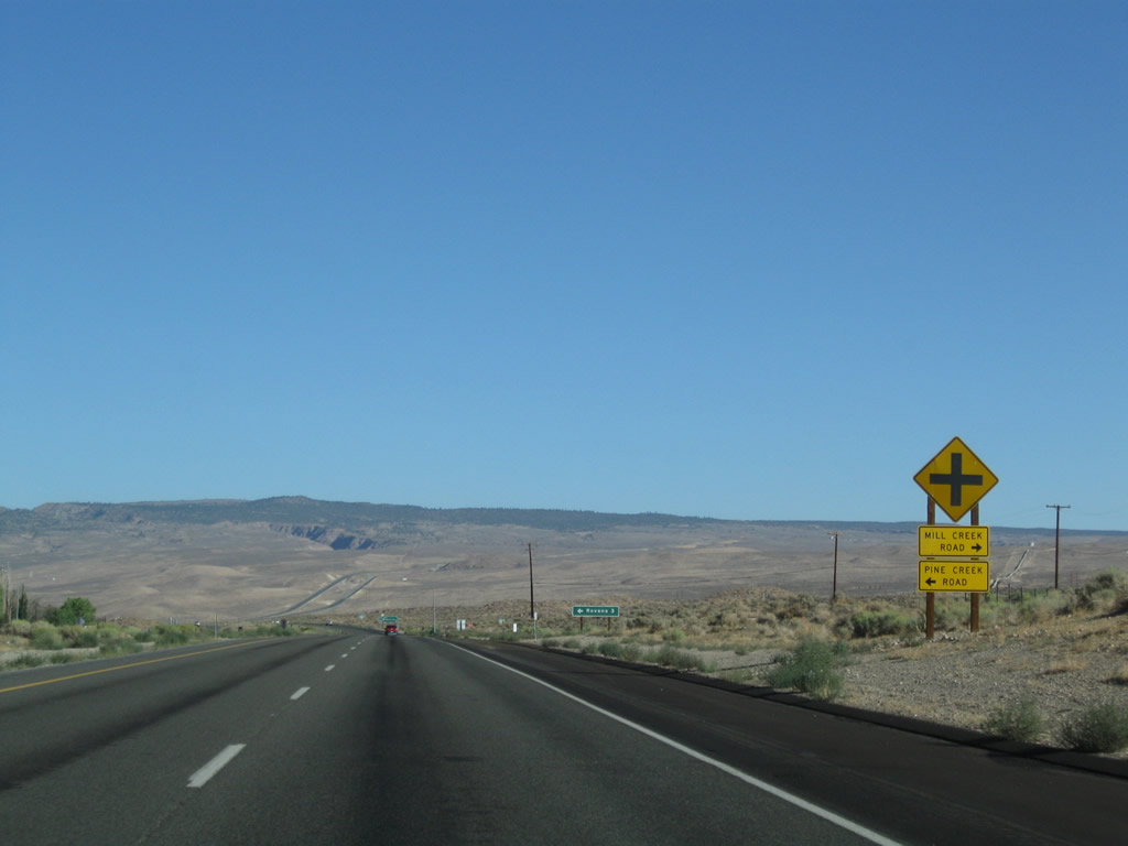
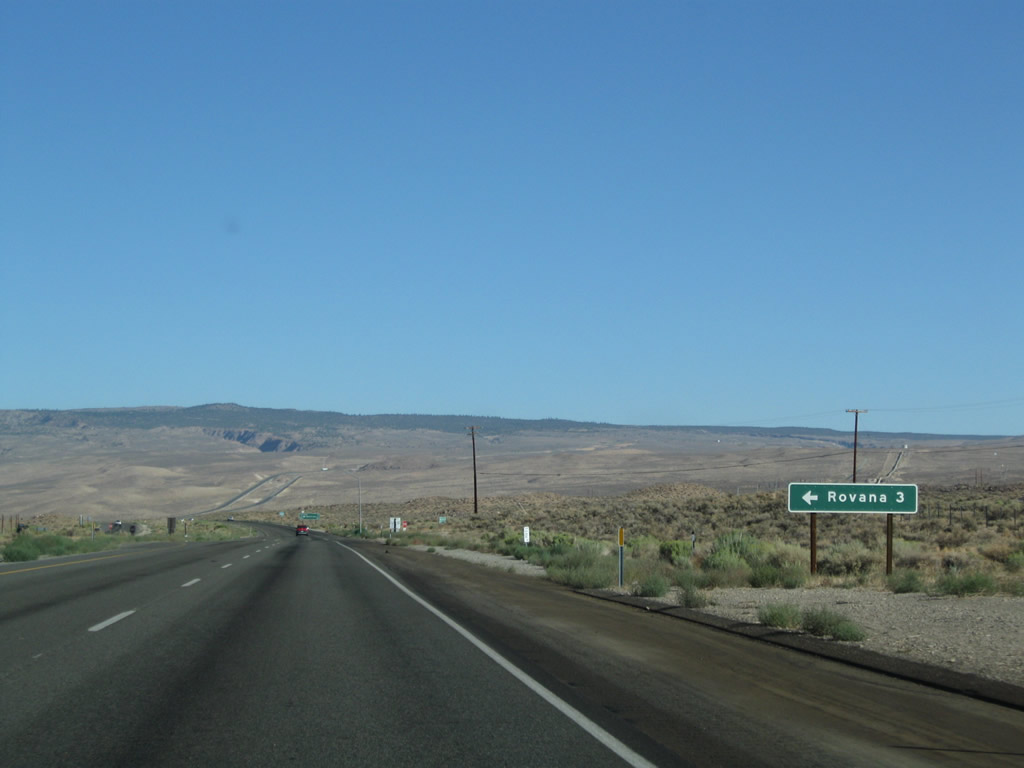
U.S. 395 north approaches its intersection with Mill Creek Road and Pine Creek Road west to Rovana, Tungsten Mill, and Pine Creek Trailhead. Photos taken 09/05/09. |
|
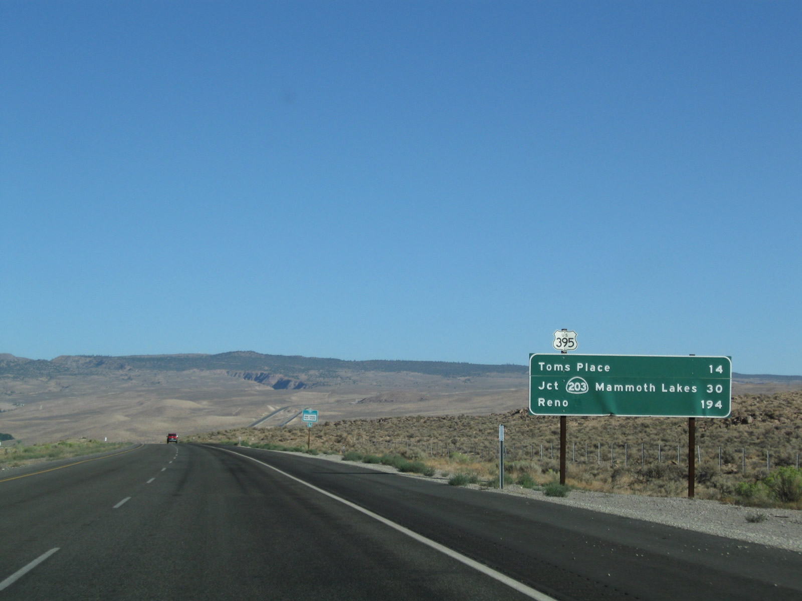
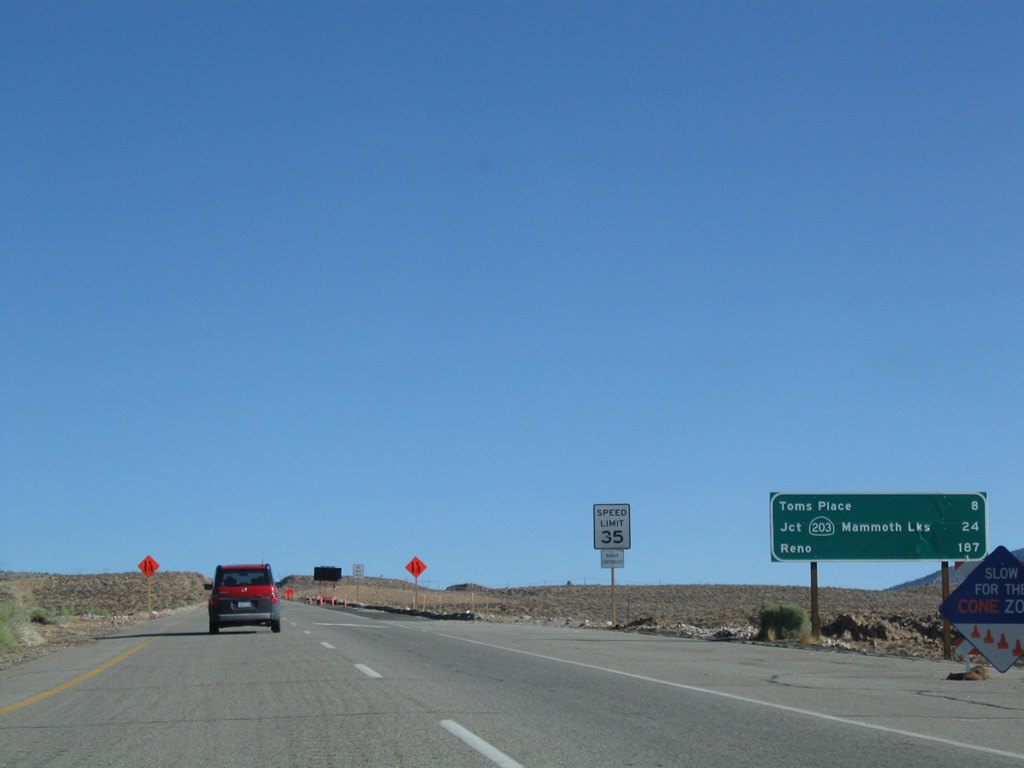
This mileage sign along U.S. 395 north provides the distance to Toms Place (16 miles), California 203 west to Mammoth Lakes and Devils Postpile National Monument (30 miles), and Reno (194 miles). Photo taken 09/05/09. |
|
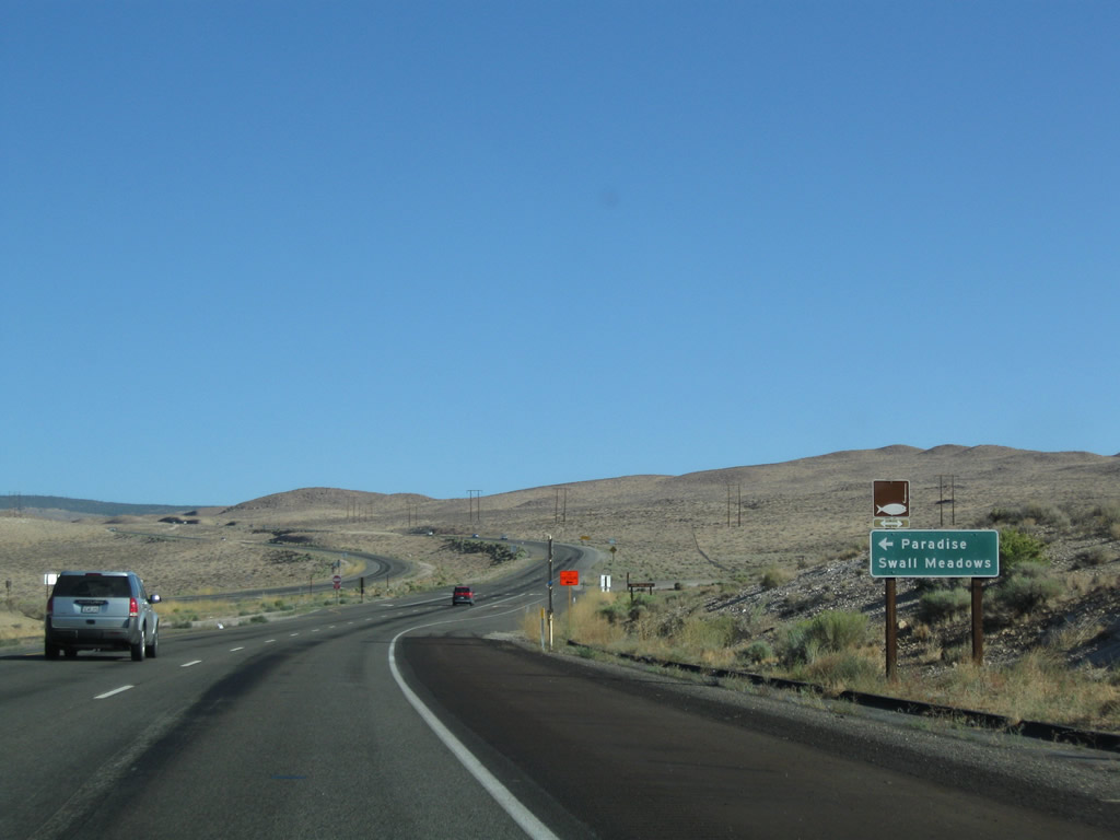
Northbound U.S. 395 approaches the turnoff to Lower Rock Creek Road, which is an old alignment of U.S. 395 that passes through the small community of Paradise. This old alignment provides an alternative between here and Toms Place by avoiding the modern Sherwin Grade (and ascending via the old grade along Rock Creek instead). Photo taken 09/05/09. |
|
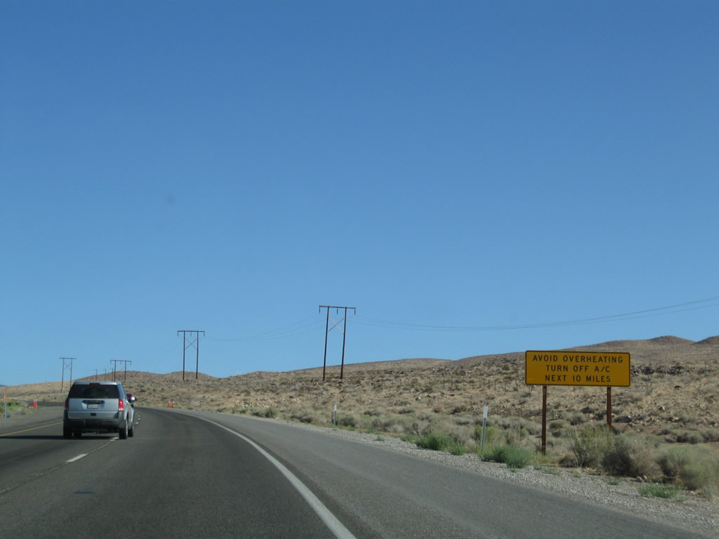
Gaining elevation, this sign warns northbound travelers to turn off the air conditioning for the next ten miles to avoid overheating the car. Photo taken 09/05/09. |
|
|
|
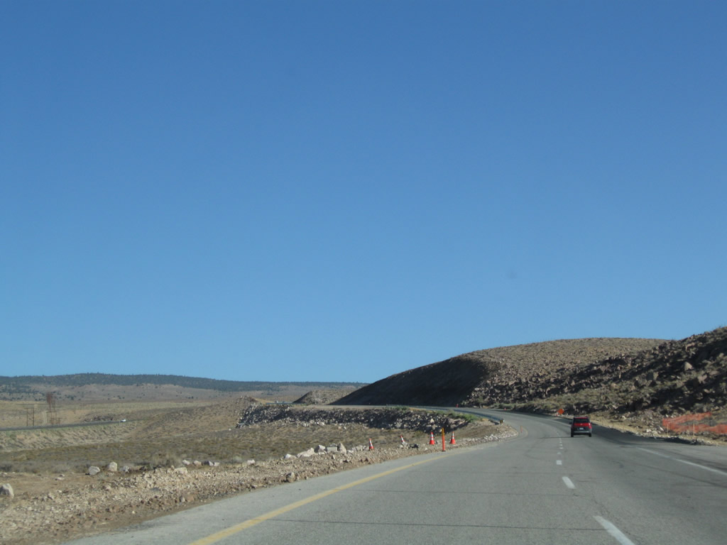
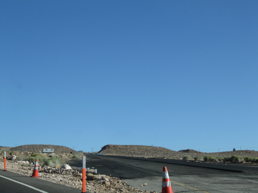
U.S. 395 begins its ascent up Sherwin Grade. During Fall 2009, the grade was under construction; northbound traffic was temporarily diverted onto the southbound lanes while the northbound side was being reconstructed. Through this area, U.S. 395 leaves Inyo County and enters Mono County. Photos taken 09/05/09. |
|
|
|
|
|
|
Page Updated March 31, 2010.