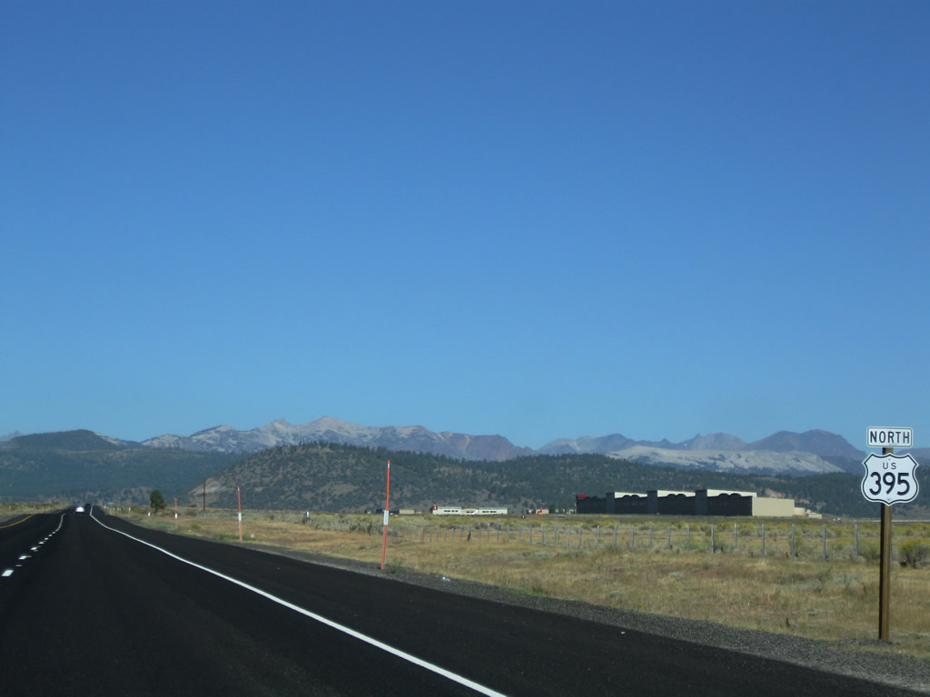
| U.S. 395 north |
|
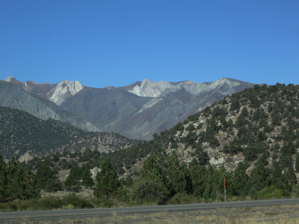
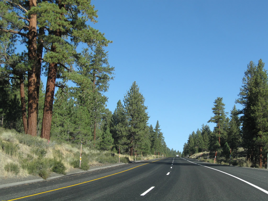
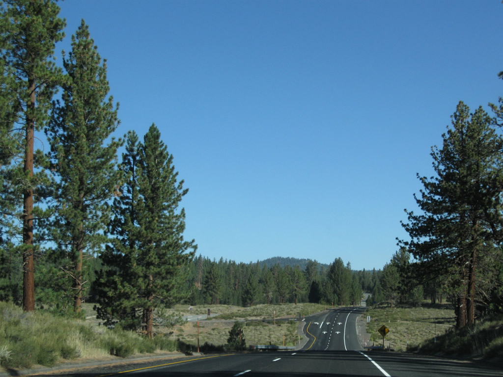
Still on Sherwin Grade, U.S. 395 continues toward Toms Place, the first community along U.S. 395 in Mono County. Home to such recreational sites as Mammoth Lakes, Mono Lake, and Devils Postpile, Mono County has some of the most beautiful mountain scenery in California. Photo taken 09/05/09. |
|
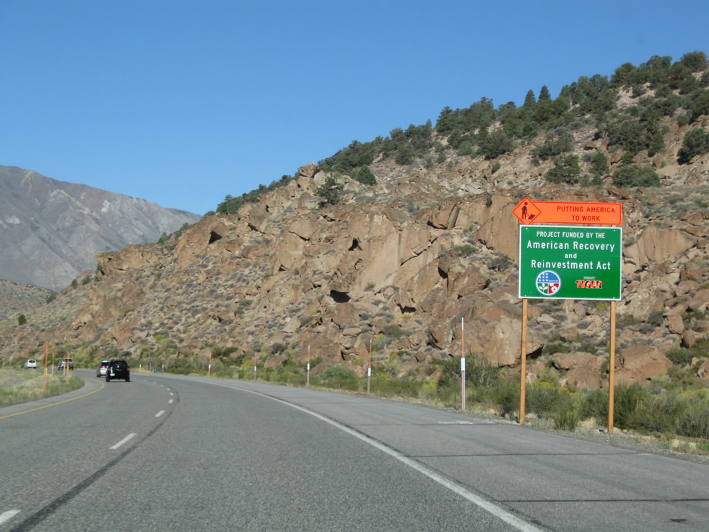
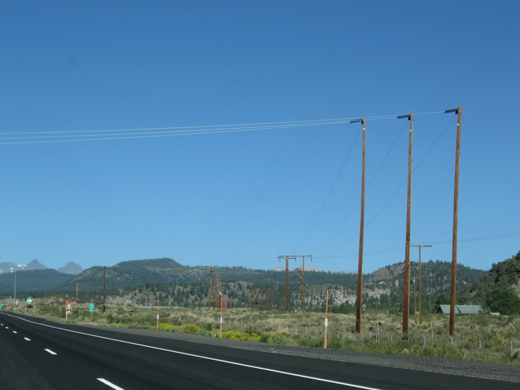
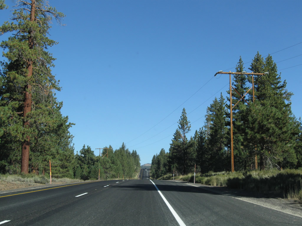
A power transmission line passes over U.S. 395 as the highway continues north and then northwest through Sherwin Grade. The divided expressway comes to an end although the passing lane continues. Photo taken 09/05/09. |
|
U.S. 395 reaches Sherwin Summit, elevation 7,000 feet. Photo taken 09/05/09. |
|
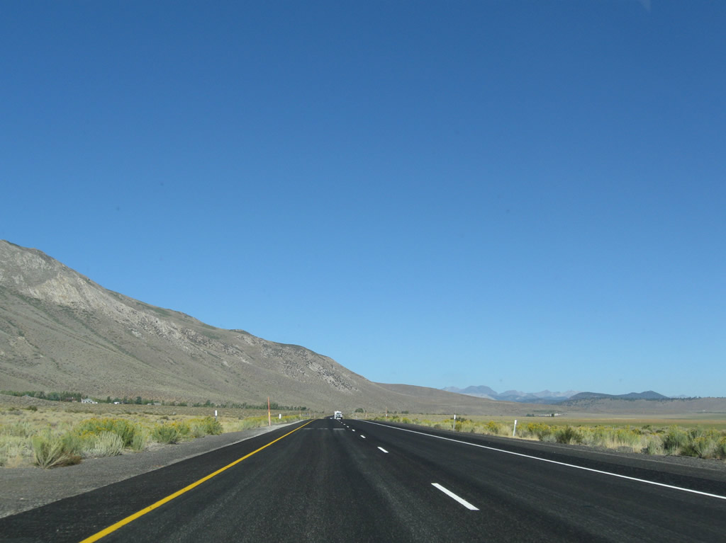
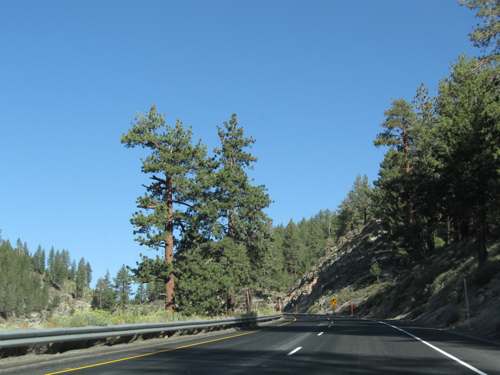
Northbound U.S. 395 approaches the turnoff to Lower Rock Creek Road (old U.S. 395, left turn). Photo taken 09/05/09. |
|
|
|
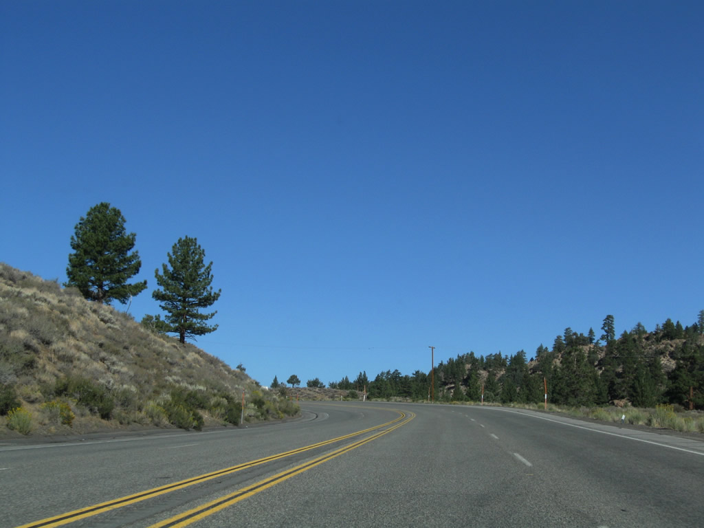
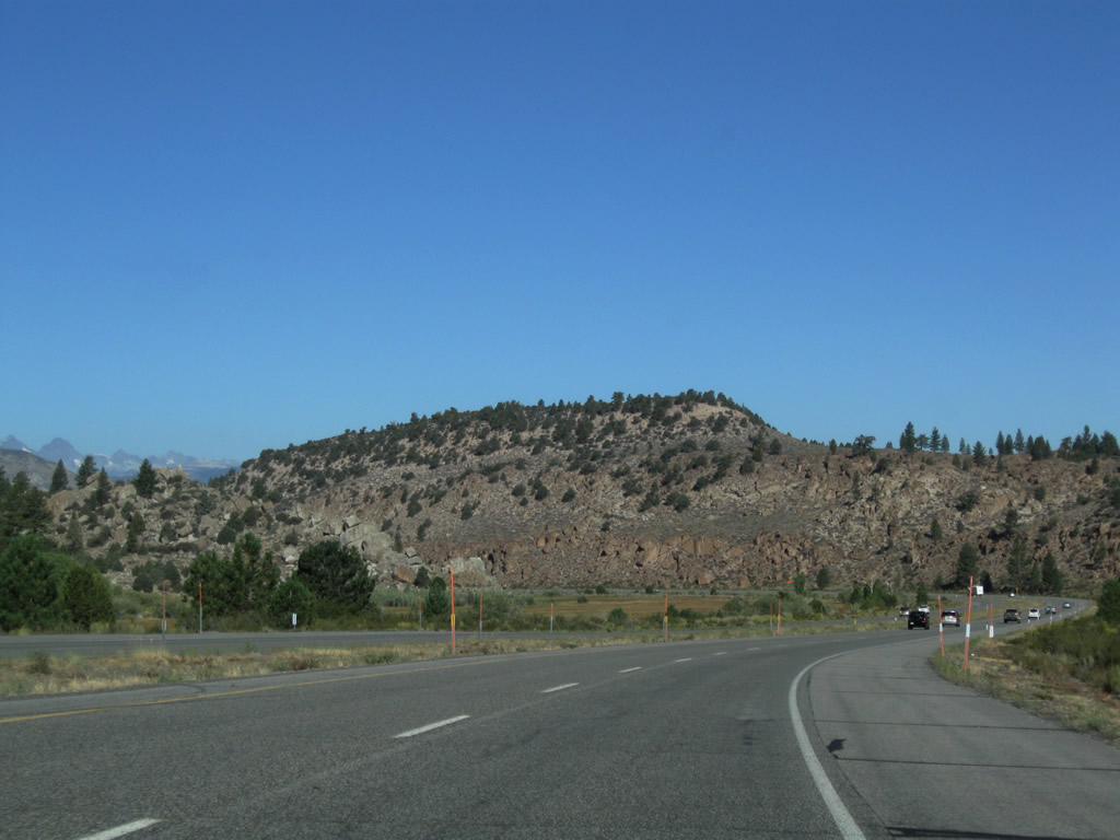
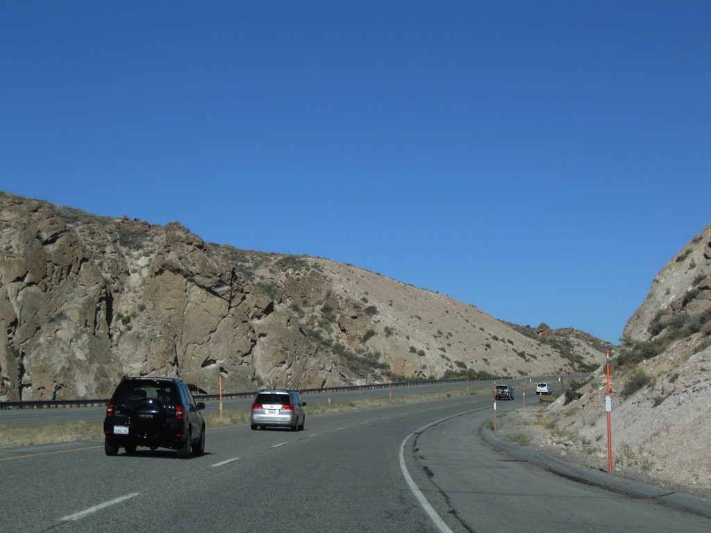
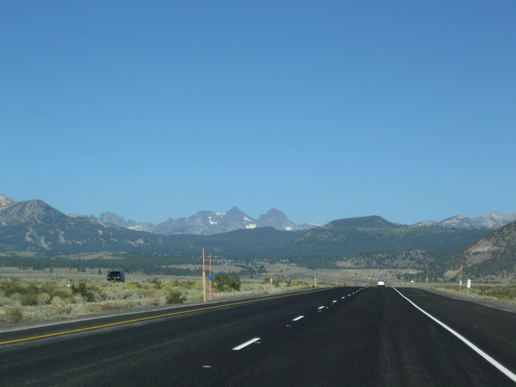
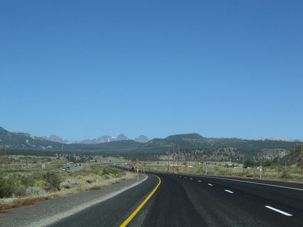
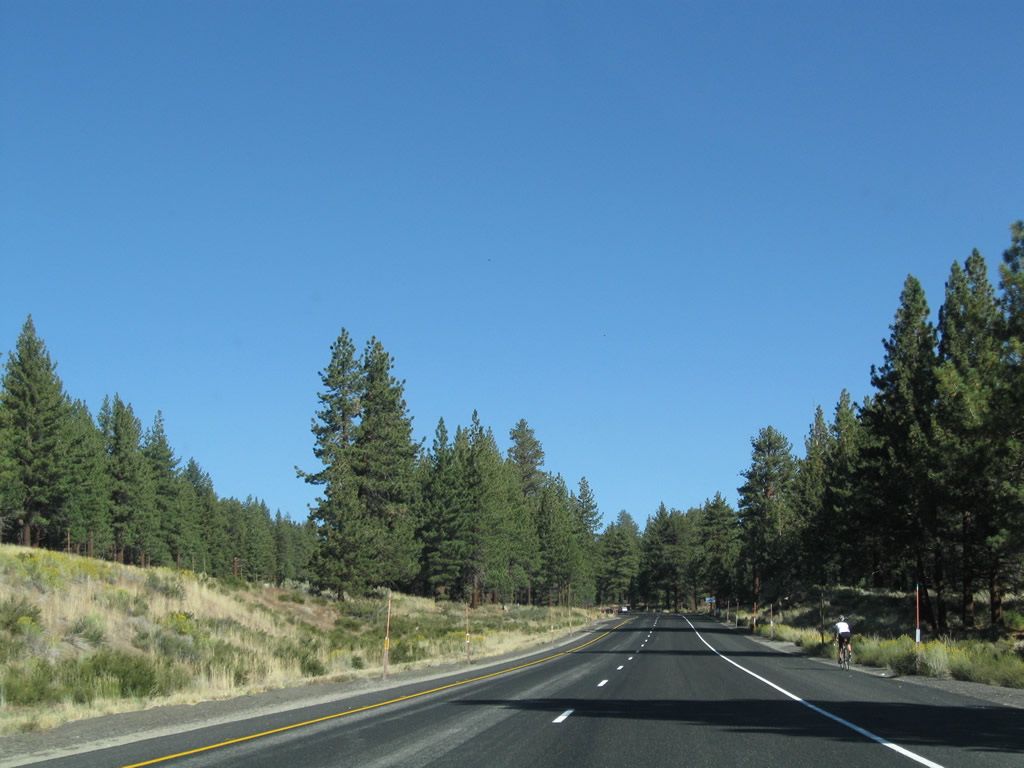
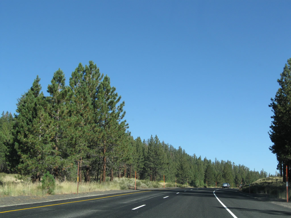
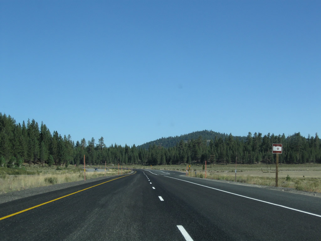
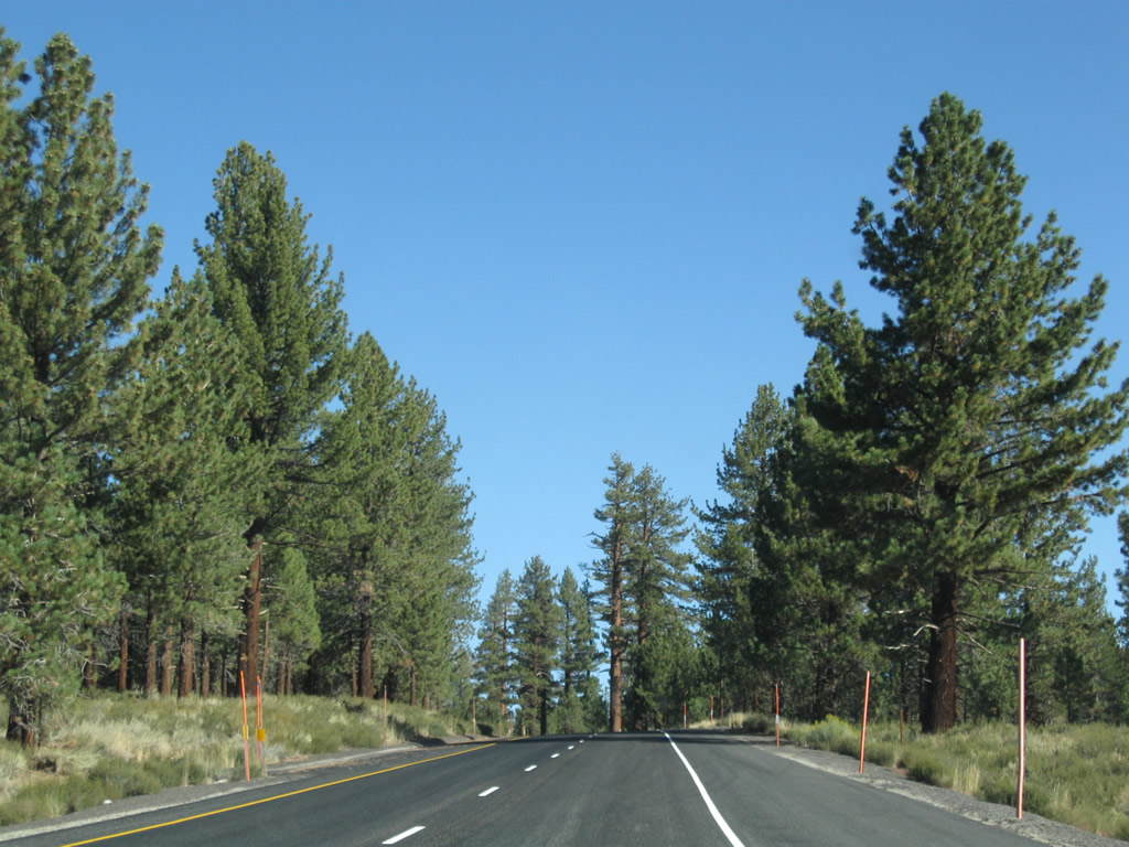
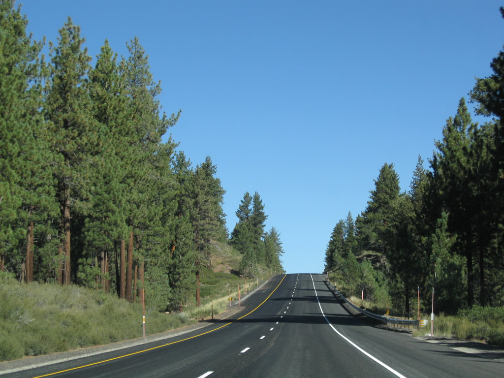
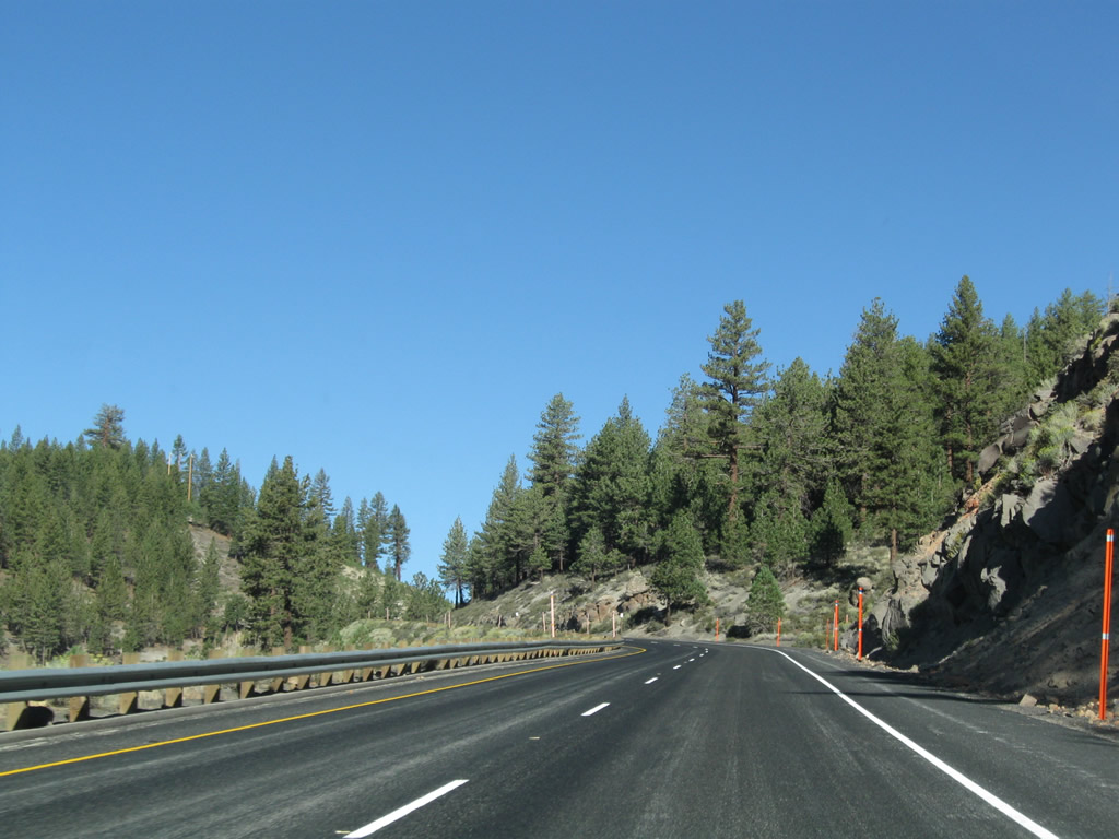
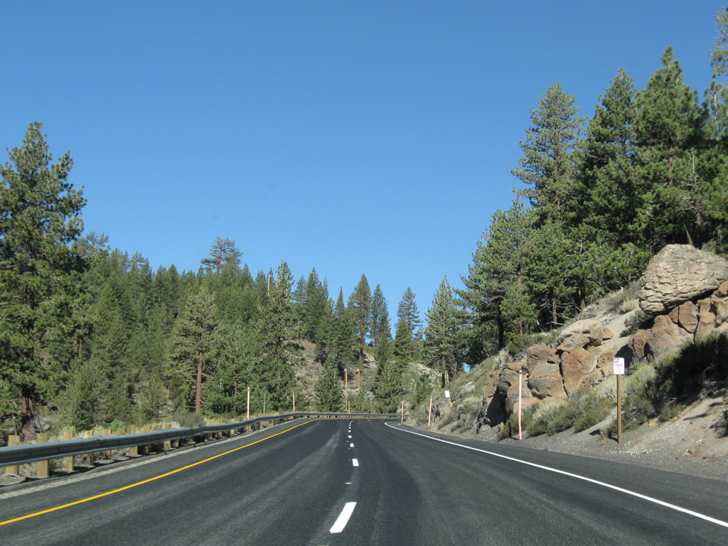
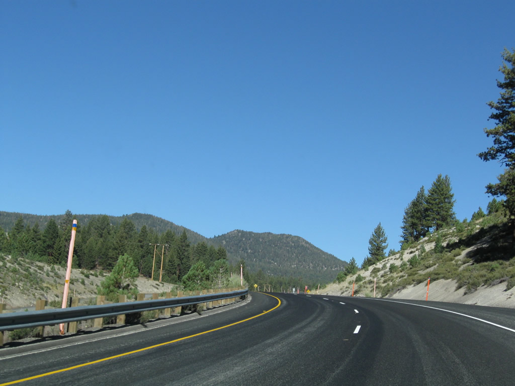
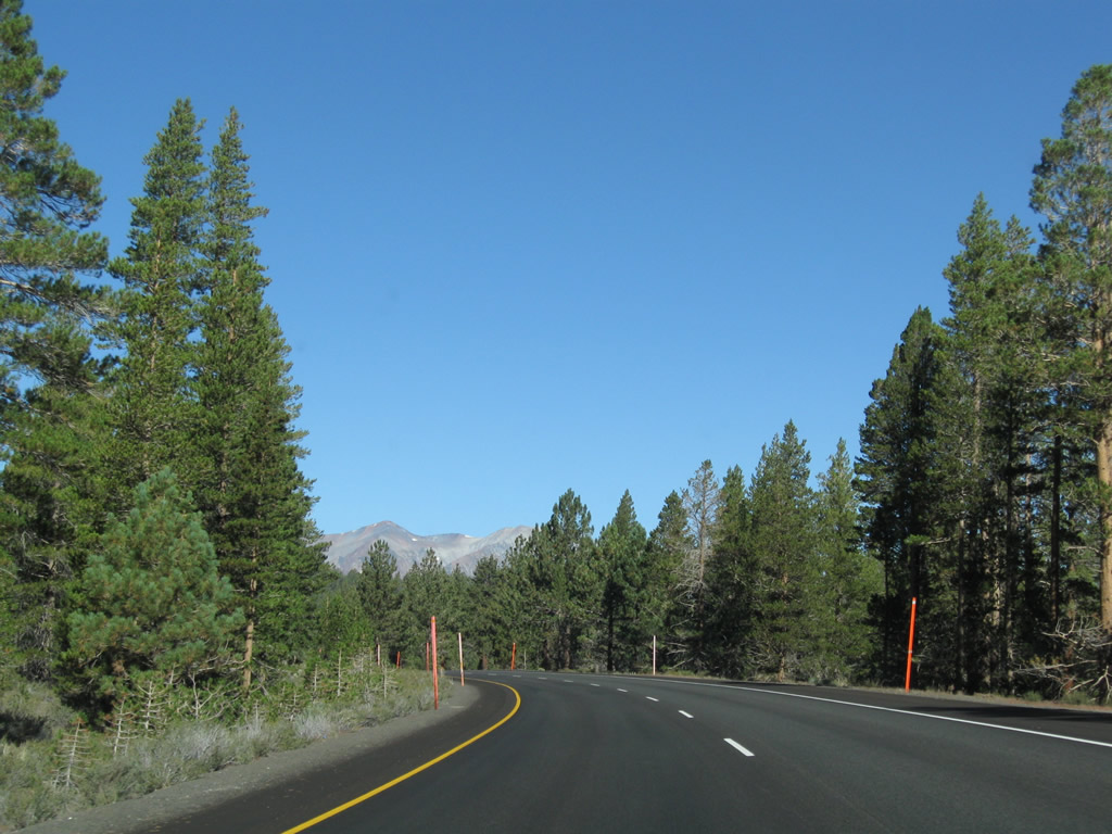
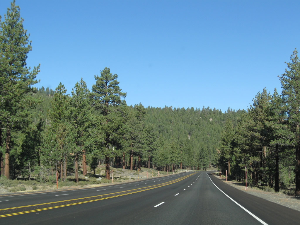
Now at the top of Sherwin Grade and after Lower Rock Creek Road (Historic U.S. 395) returns to the main corridor, U.S. 395 proceeds almost due west toward Toms Place and Crowley Lake. Photos taken 09/05/09. |
|
|
|
|
|
|
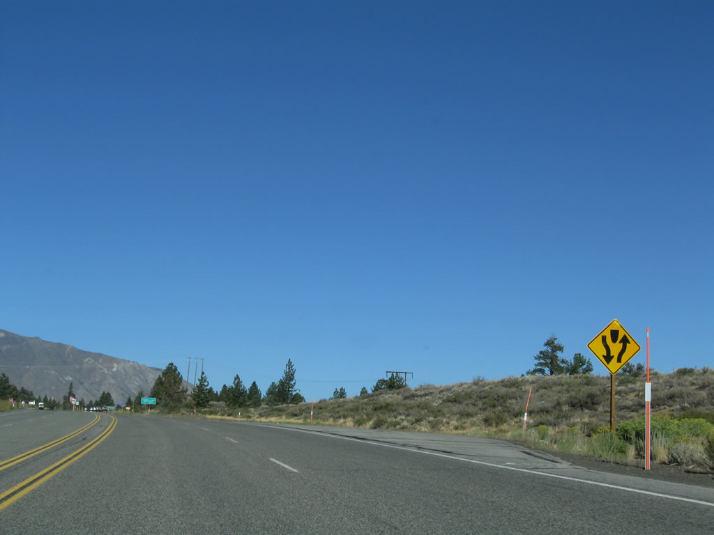
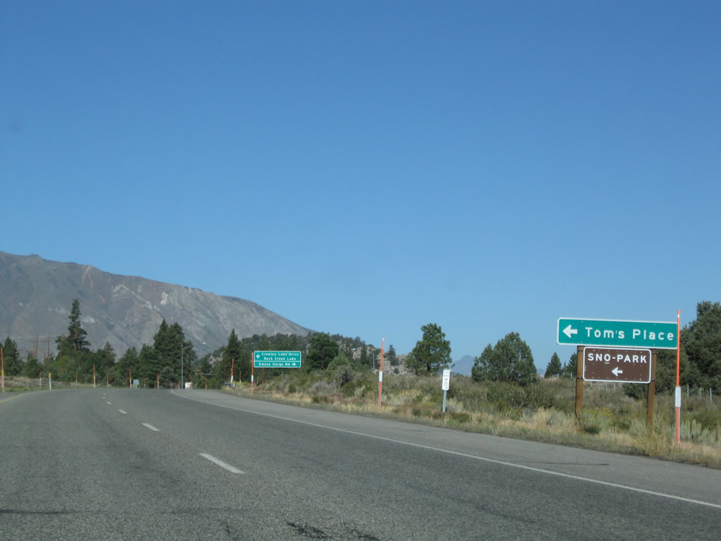
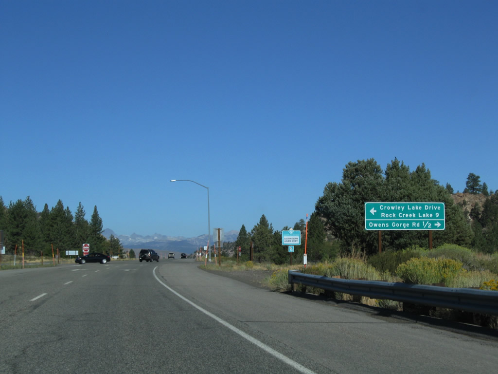
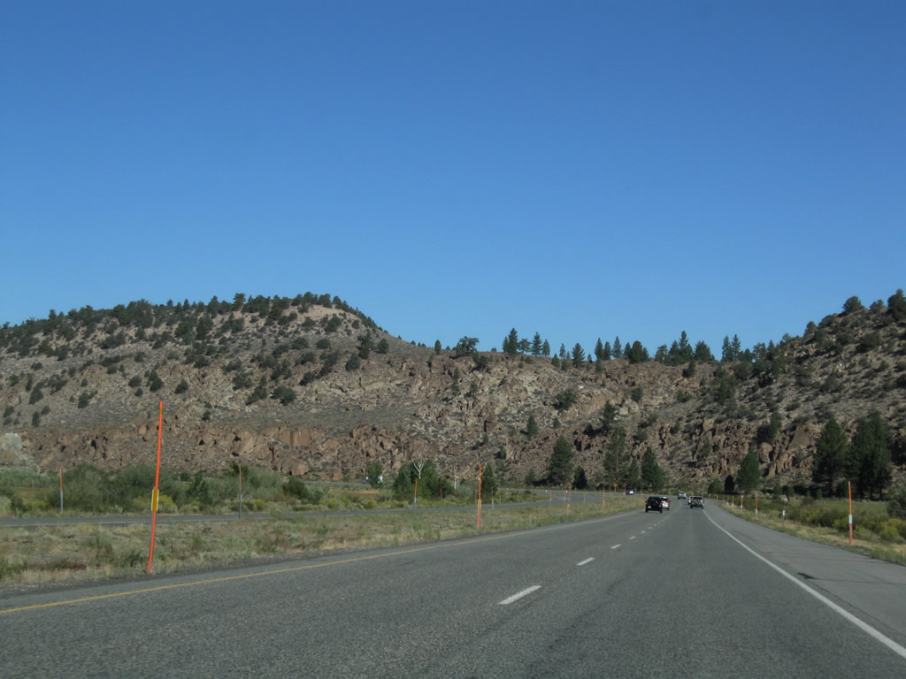
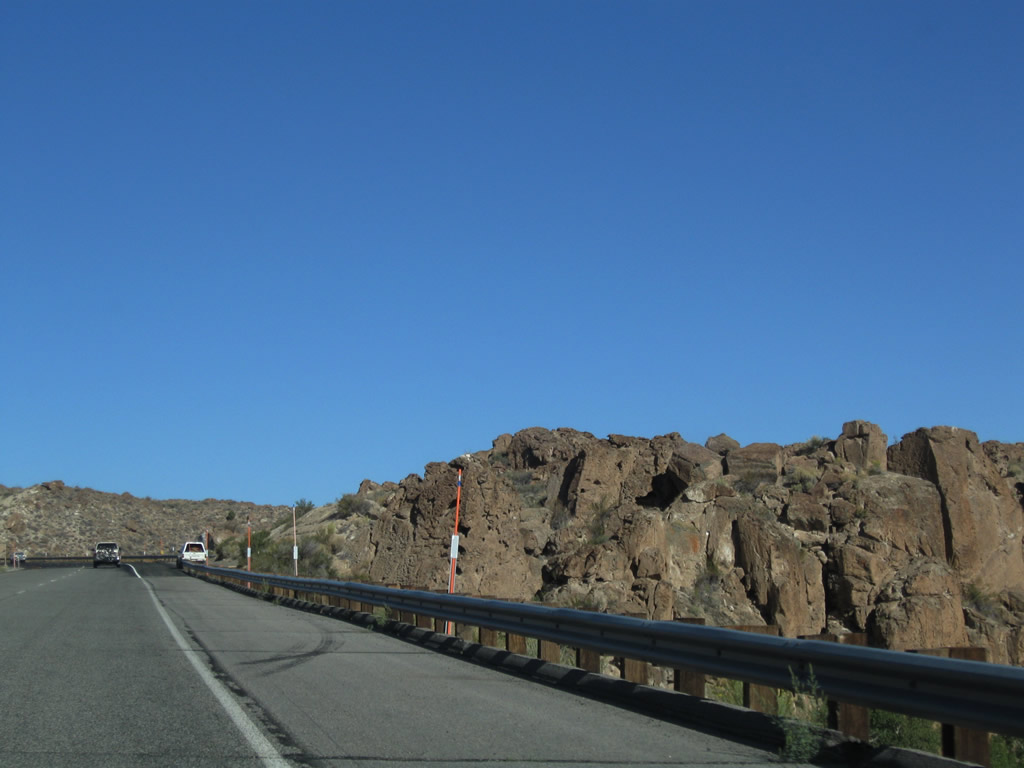
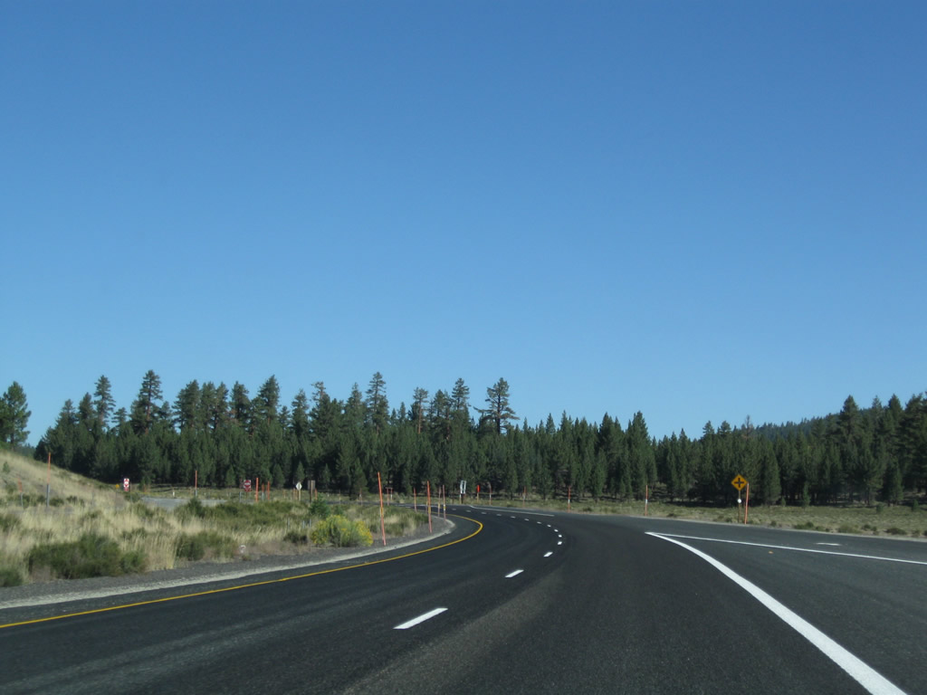
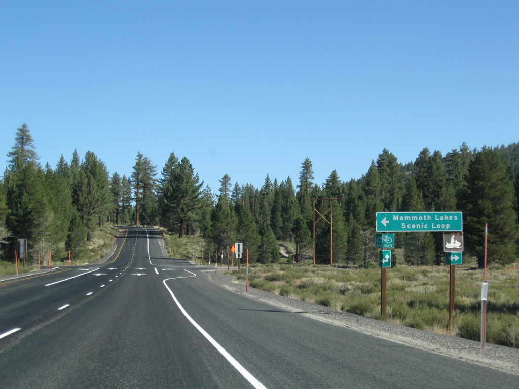
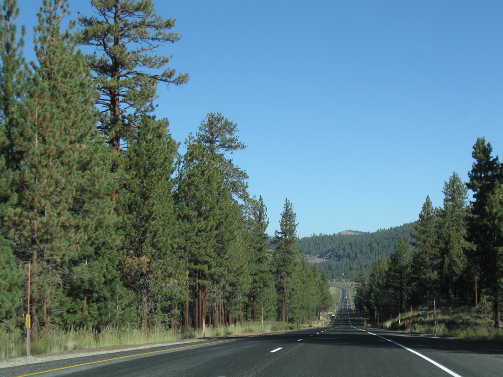
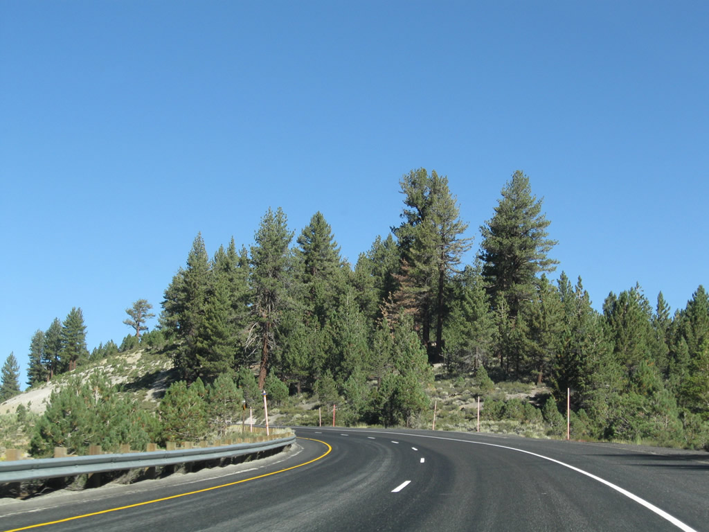
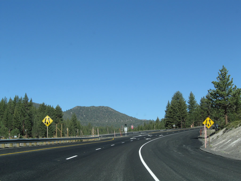
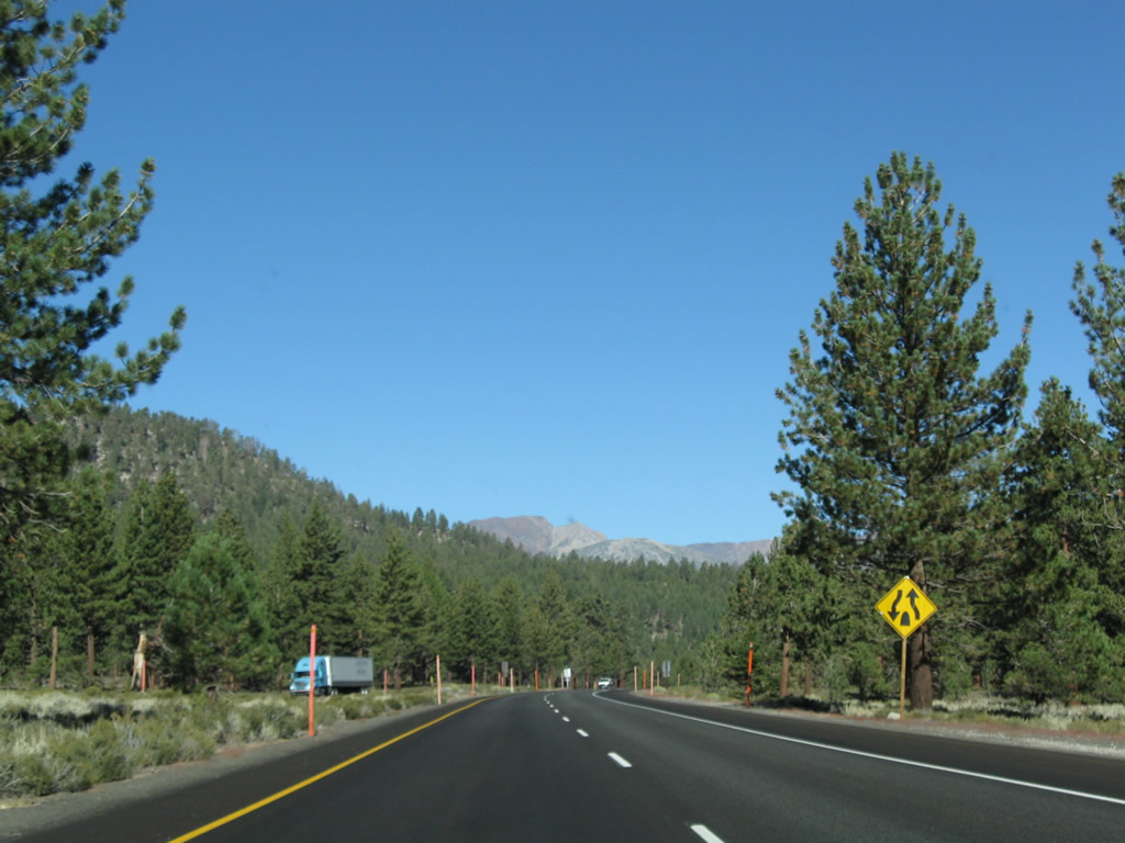
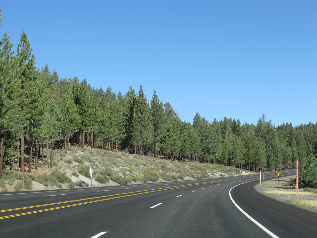
Northbound U.S. 395 approaches Toms Place. Turn left for Old U.S. 395 (Crowley Lake Drive) northwest and Rock Creek Road south to Rock Creek Lake. Turn right for Owens Gorge Road north to Crowley Lake Dam and Owens River Gorge. Photos taken 09/05/09. |
|
|
|
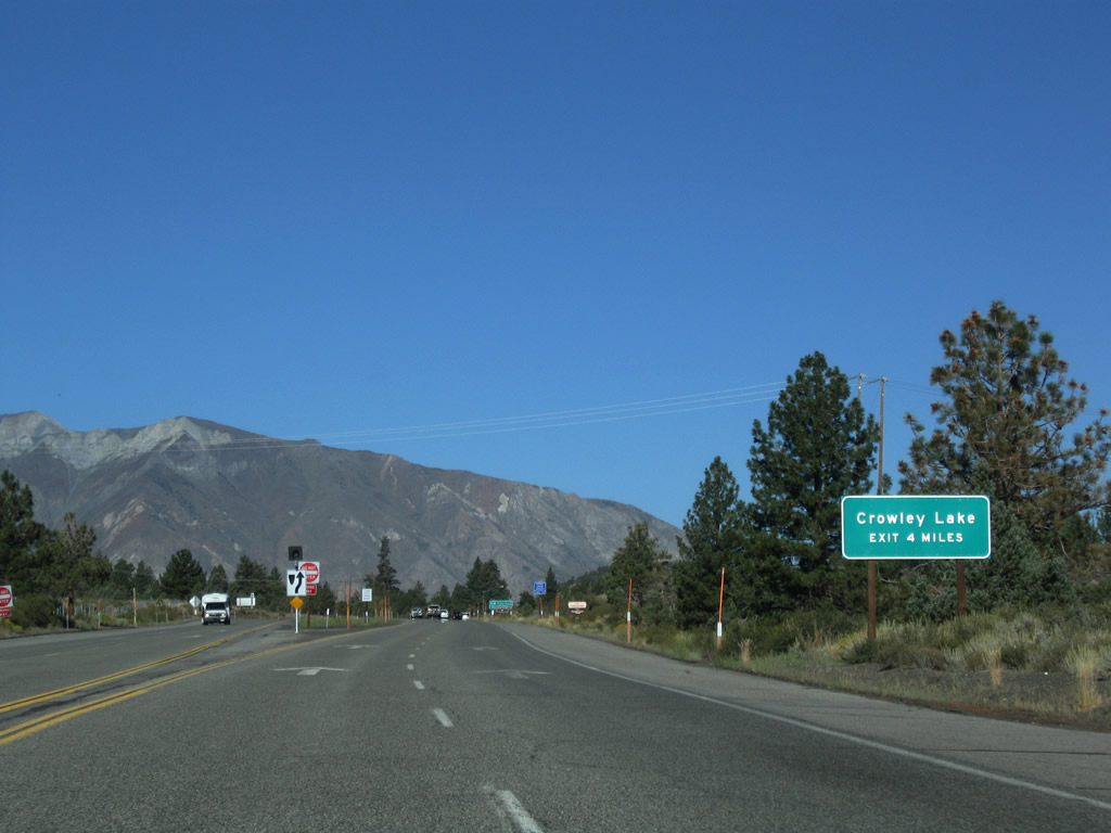
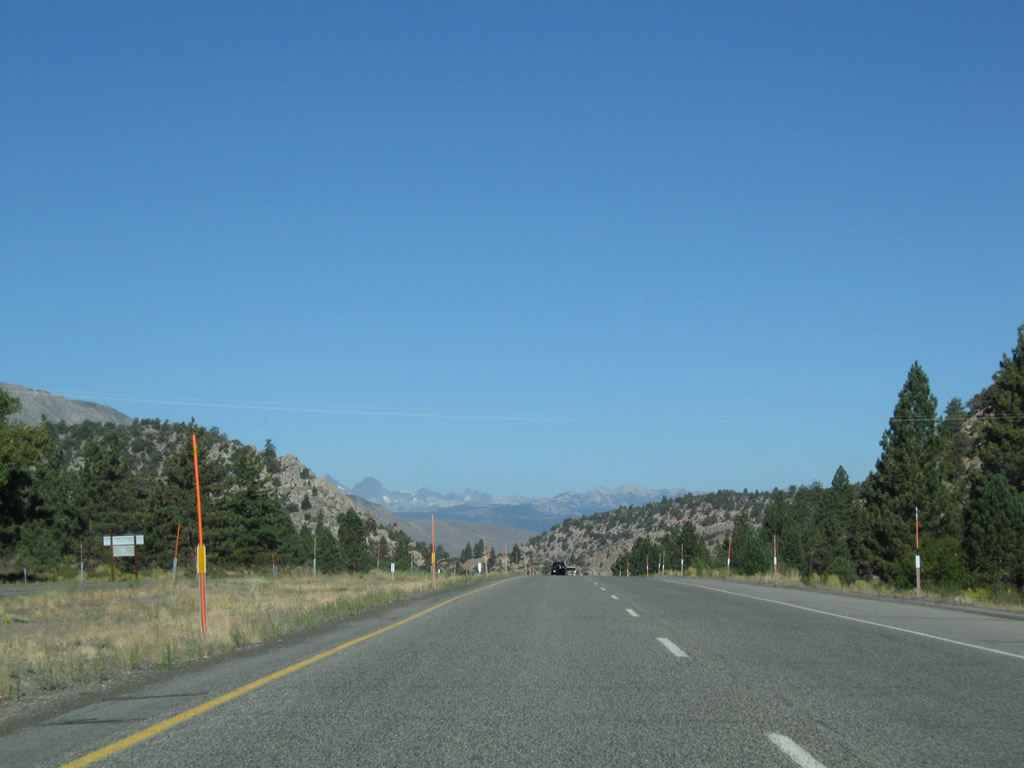
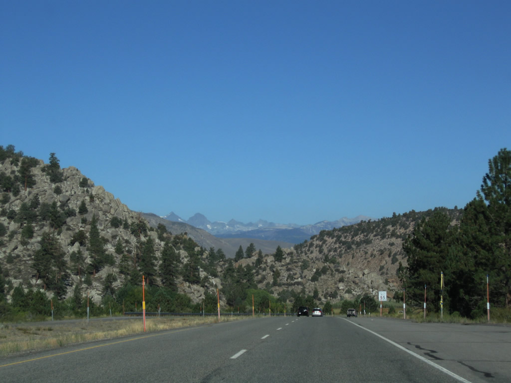
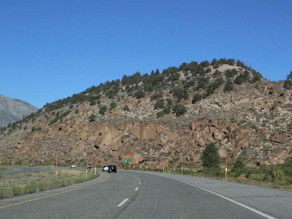
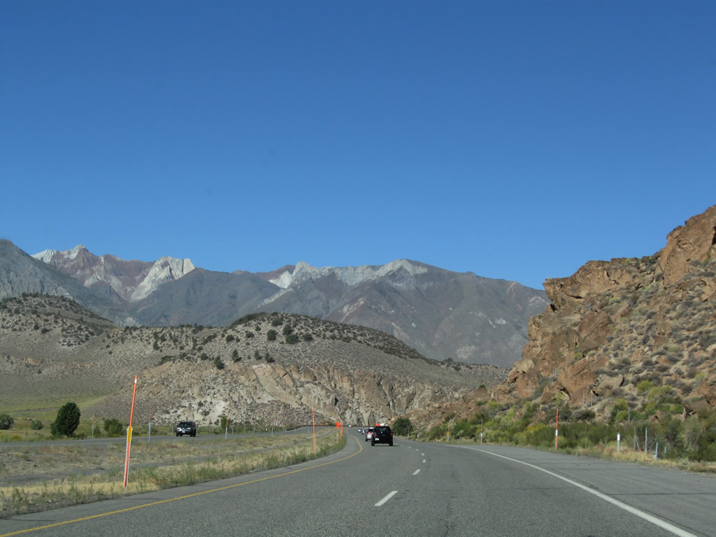
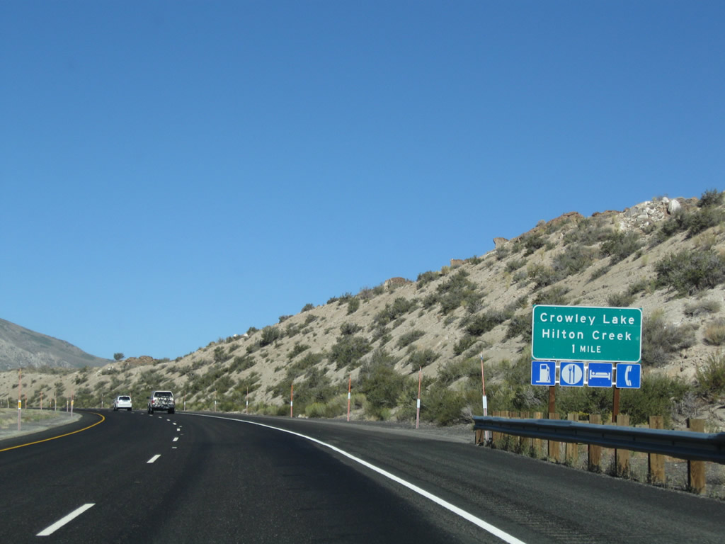
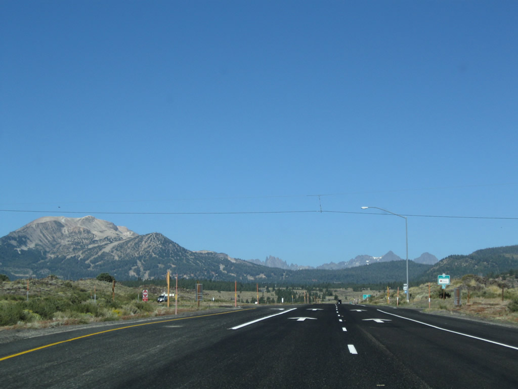
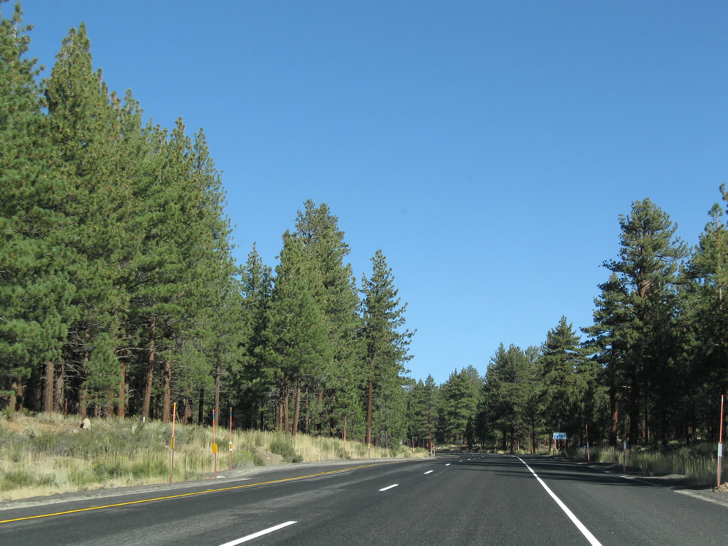
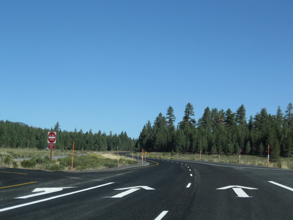
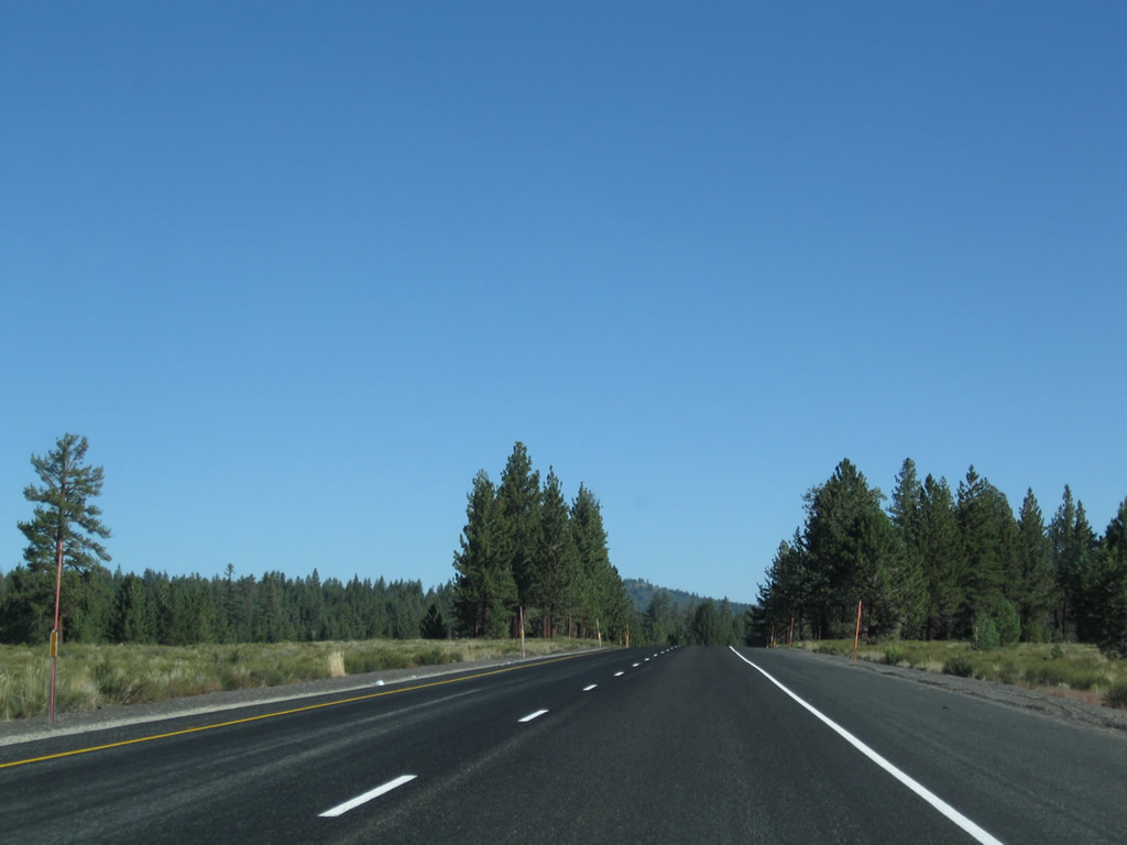
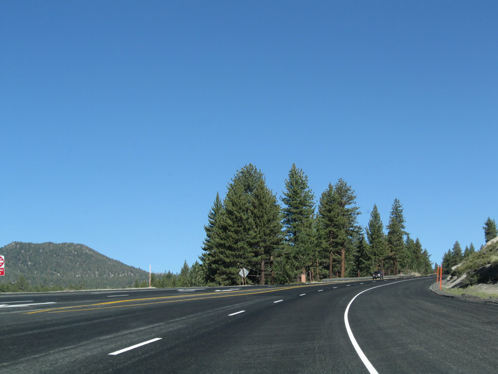
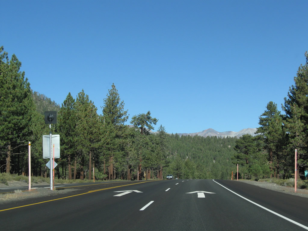
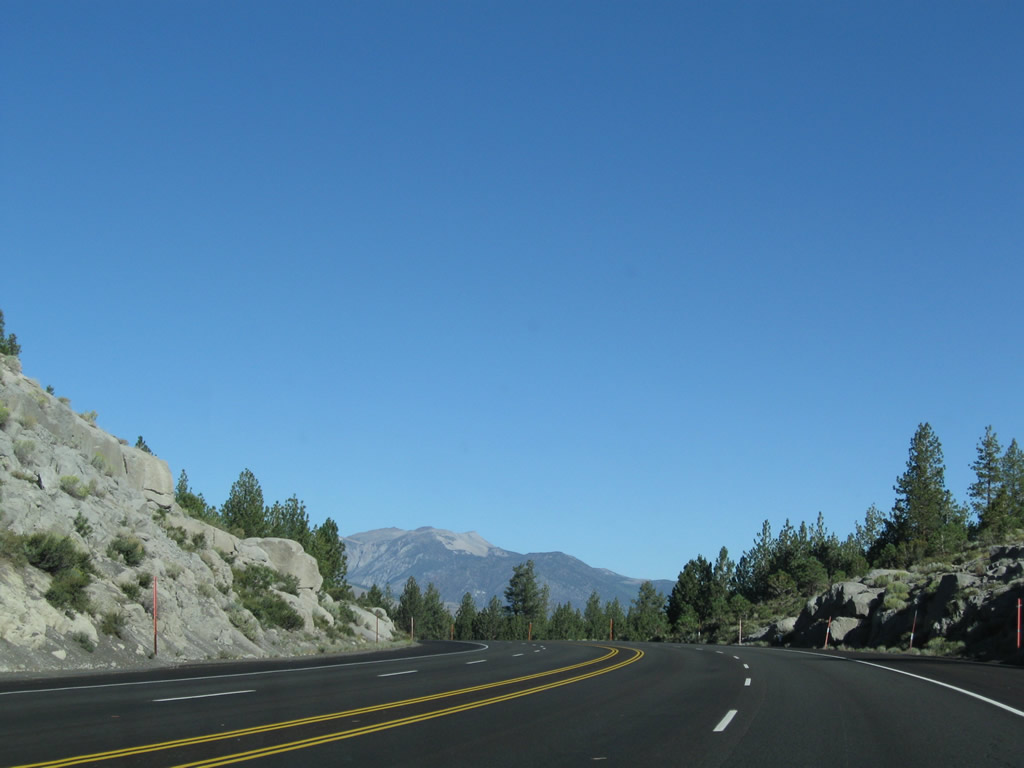
This series of photos follows U.S. 395 (Three Flags Highway) between Toms Place and Crowley Lake. The expressway upgrades to a brief freeway, with an interchange forthcoming for Crowley Lake. Views of the Sierra Nevada along this three-mile section of U.S. 395 are unparalleled; the mountains seem to soar to the west, while the highway passes through rock cuts and geological features. The old alignment (Crowley Lake Drive) follows the U.S. 395 freeway to the southwest of the freeway segment. Photos taken 09/05/09. |
|
|
|
|
|
|
|
|
|
|
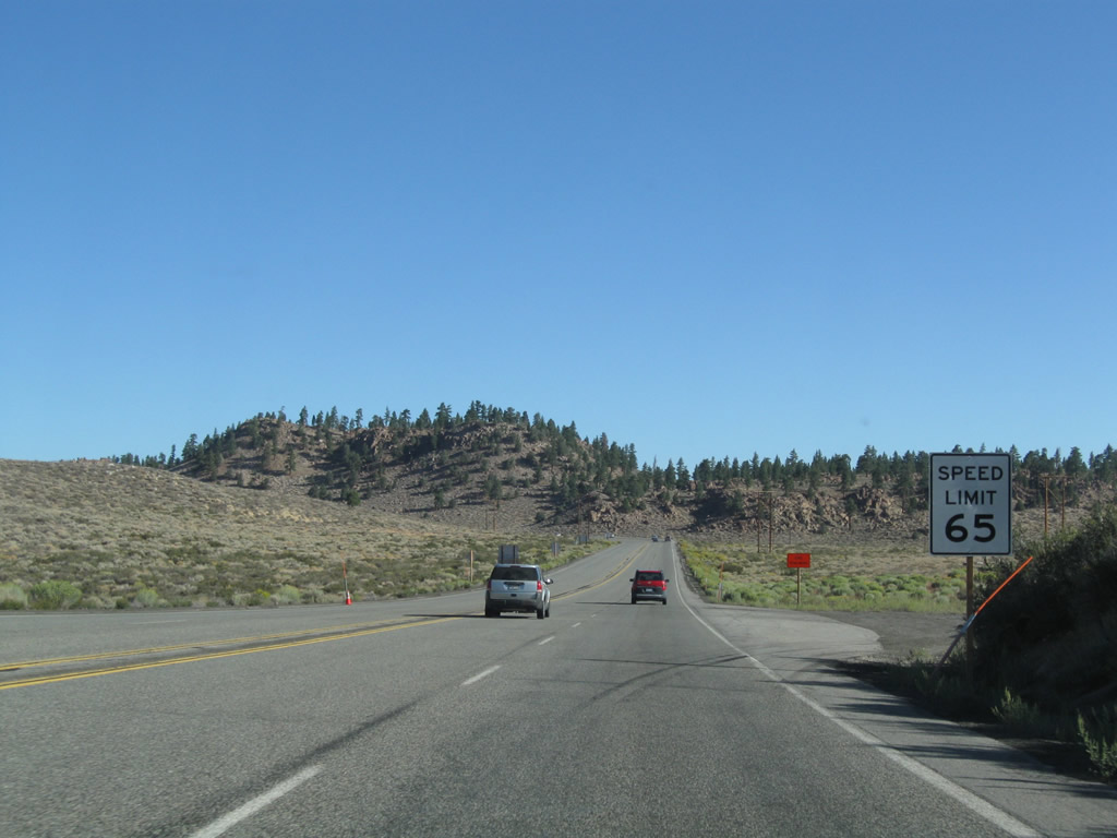
Northbound U.S. 395 approaches Exit 252, South Landing Road south to the community of Crowley Lake/Hilton Creek and north to South Landing. Built in 1970, this is the first interchange seen on U.S. 395 since the California 14 merge near Inyokern (Exit 101). Photo taken 09/05/09. |
|
Approaching Exit 252 along U.S. 395 north, Mt. Morrison (el. 12,268 feet) and McGee Mountain (el. 10,871 feet) come into view. Photo taken 09/05/09. |
|
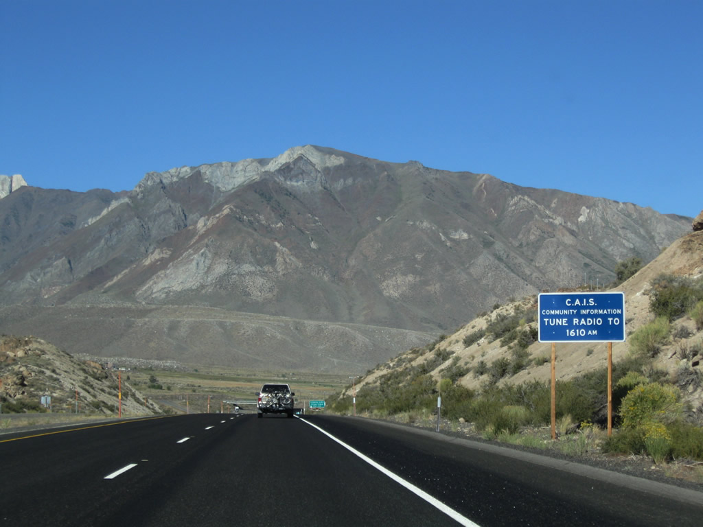
For information about the communities along U.S. 395, tune to AM 1610. Photo taken 09/05/09. |
|
The next right connects northbound U.S. 395 to Exit 252, South Landing Road south to the community of Crowley Lake/Hilton Creek and north to South Landing. Crowley Lake (formed by damming the Owens River) itself is located at South Landing, where there is a boat ramp and fishing access. Photo taken 09/05/09. |
|
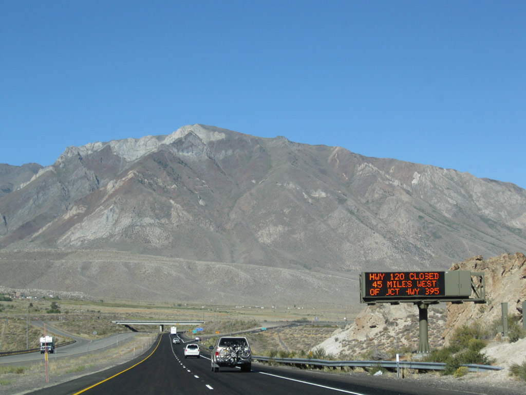
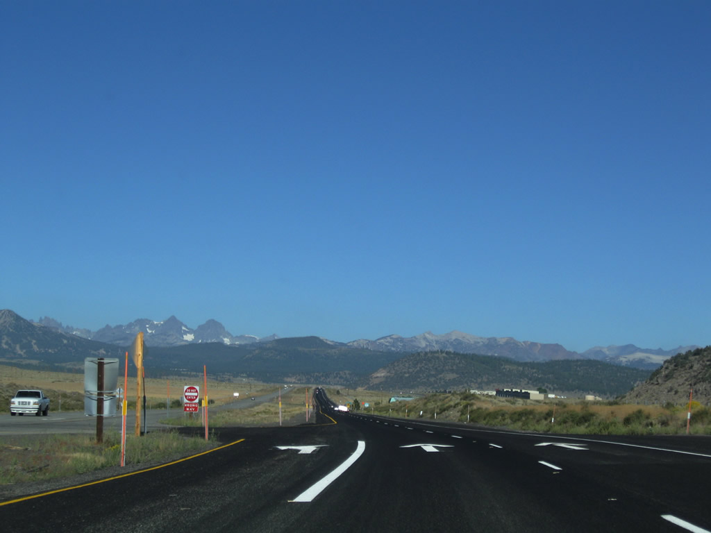
A dynamic message sign advises that California 120/Tioga Pass was closed at the time this photo was taken. Photo taken 09/05/09. |
|
Northbound U.S. 395 reaches Exit 252, South Landing Road south to the community of Crowley Lake and north to South Landing. Photo taken 09/05/09. |
|
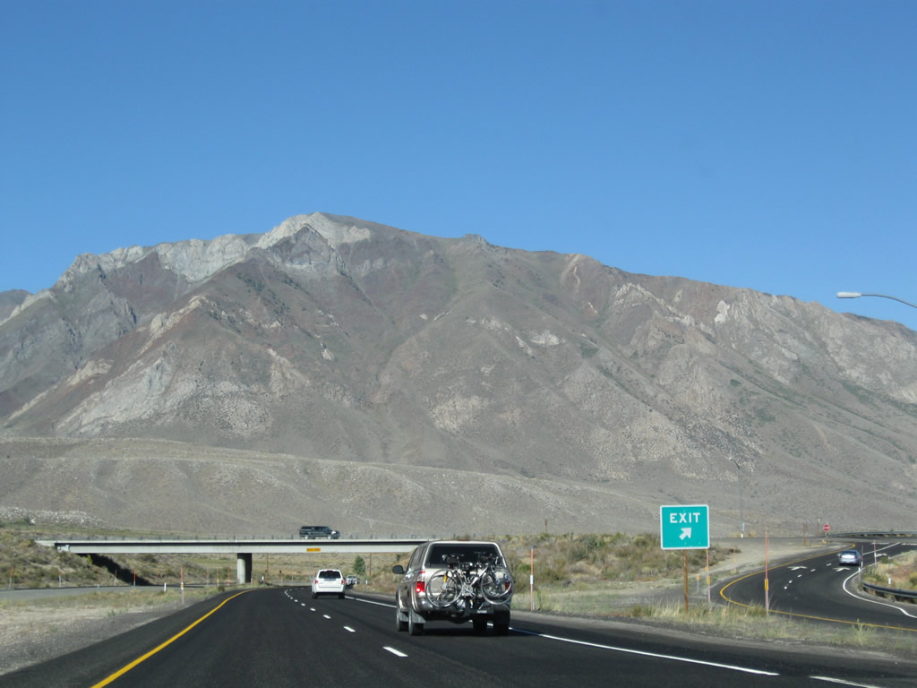
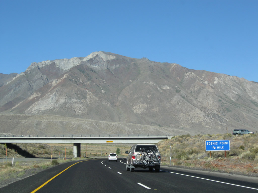
The next exit along U.S. 395 north is Exit 253, Crowley Lake Scenic Vista Point (one-half mile). Photo taken 09/05/09. |
|
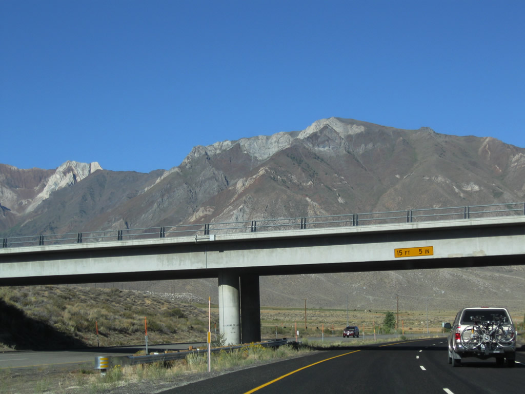
Northbound U.S. 395 passes under South Landing Road. This overpass is not Interstate standard (underpass is only 15'5" tall, not the minimum required 16 feet tall) and would require replacement if U.S. 395 were ever to meet modern Interstate standards. Photo taken 09/05/09. |
|
This U.S. 395 north reassurance shield assembly is posted after the on-ramp from South Landing Road. Photo taken 09/05/09. |
|
Northbound U.S. 395 reaches Exit 253, Crowley Lake Scenic Vista Point. This parking area provides views of the lake, but no services are available here. Photo taken 09/05/09. |
|
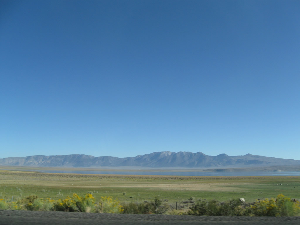
This view looks north from the westbound freeway toward Crowley Lake, which sits in the Long Valley Caldera. U.S. 395 will continue west then wrap northwest around the lake. Photo taken 09/05/09. |
|
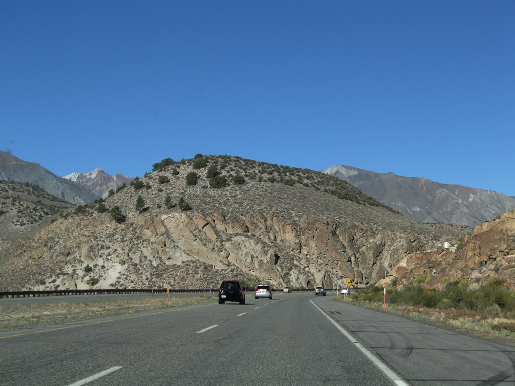
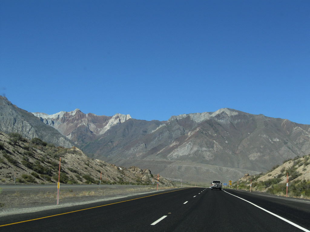
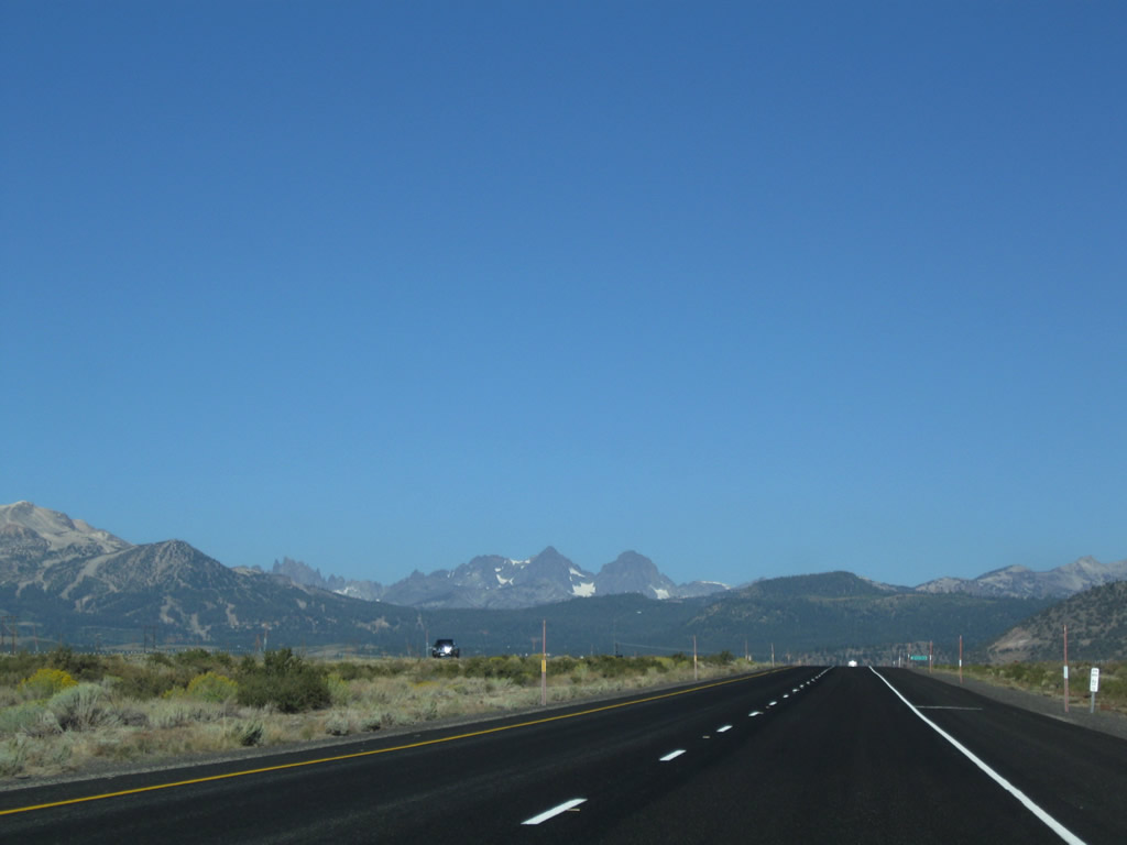
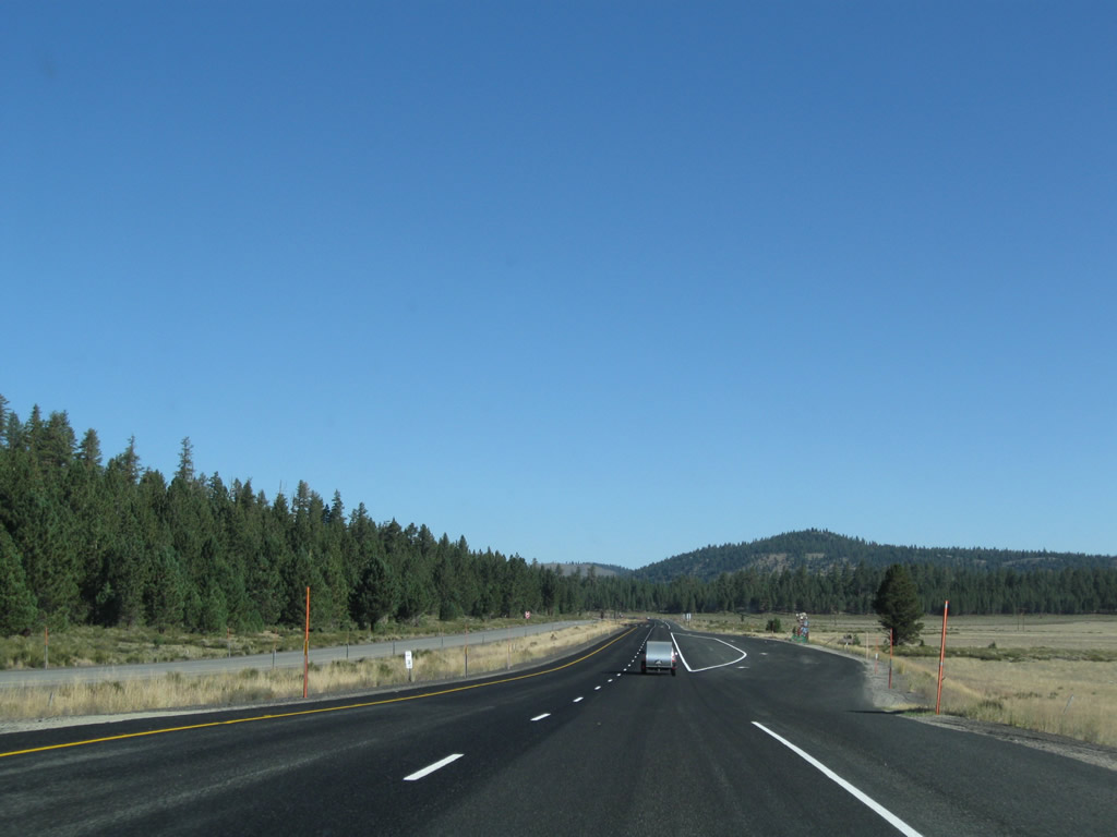
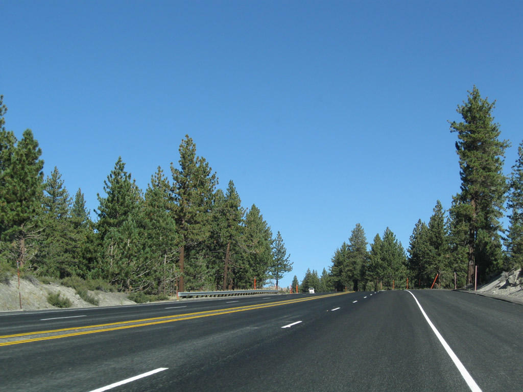
Continuing west, U.S. 395 sees more magnificent mountain views. Photo taken 09/05/09. |
|
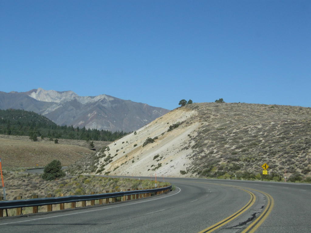
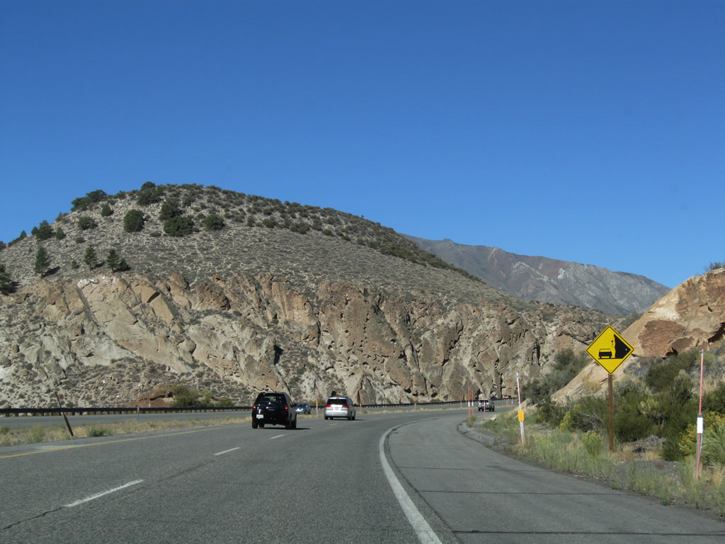
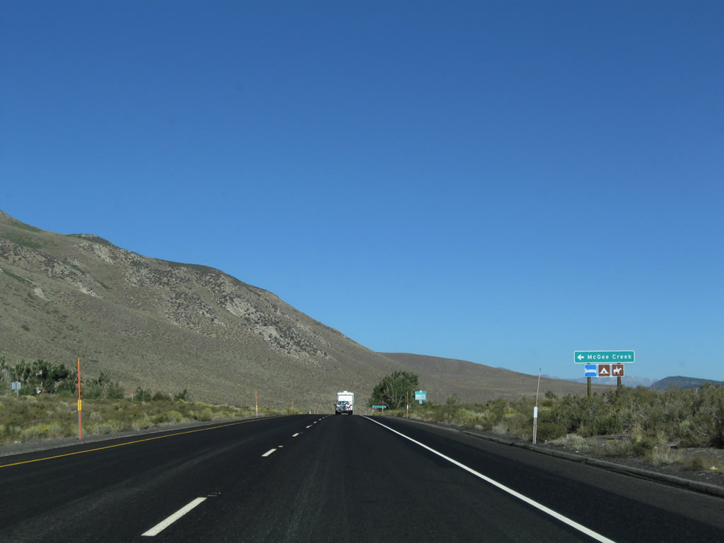
As the freeway again reverts to expressway, northbound U.S. 395 approaches the turnoff for McGee Creek Road south to McGee Creek. Photo taken 09/05/09. |
|
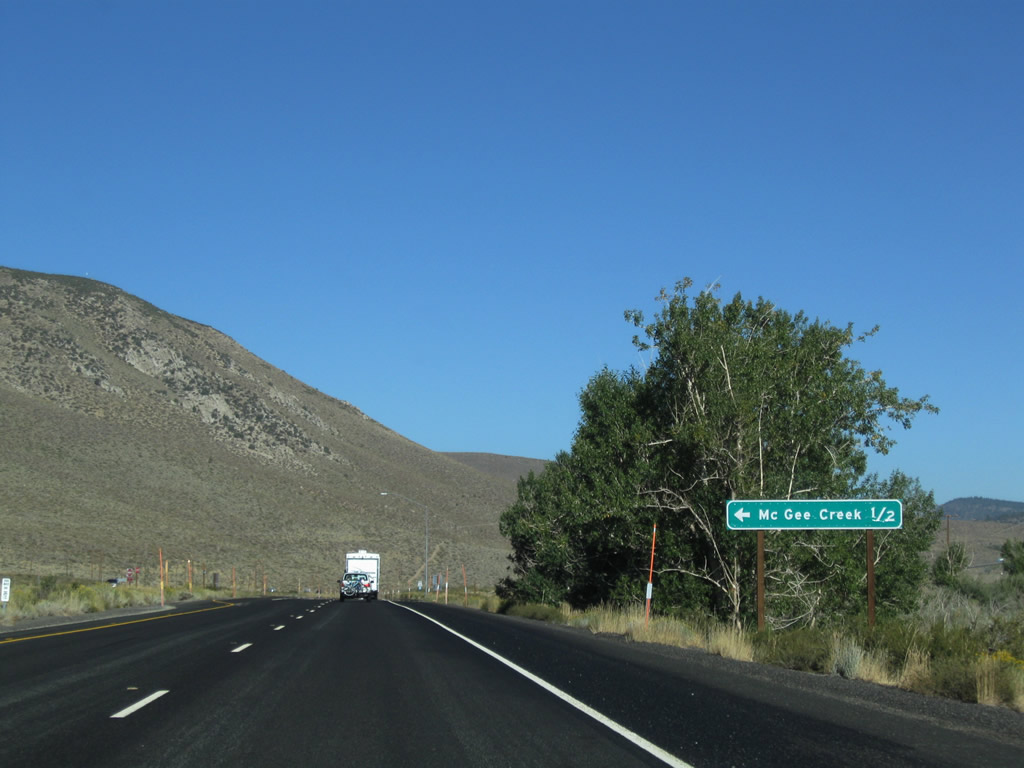
A mileage sign is posted along northbound U.S. 395 for McGee Creek Road south to McGee Creek (one-half mile). Use McGee Creek Road south to Old U.S. 395 / Crowley Lake Road. Photo taken 09/05/09. |
|
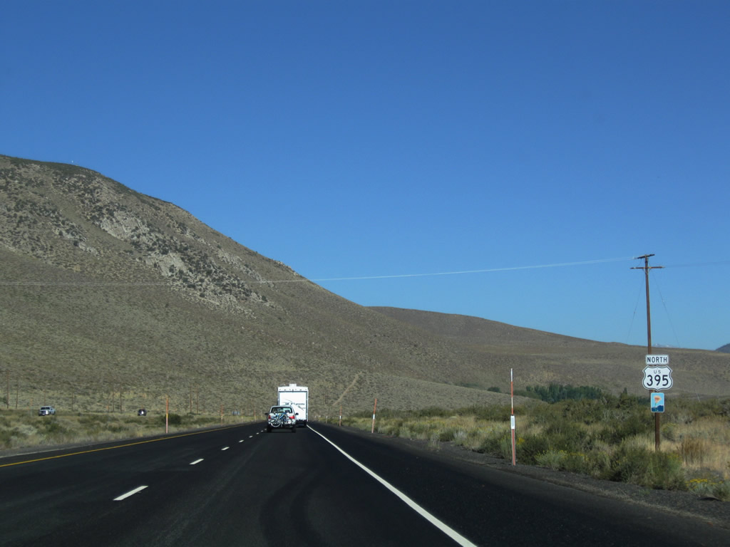
A U.S. 395 north reassurance shield is posted shortly thereafter. Photo taken 09/05/09. |
|
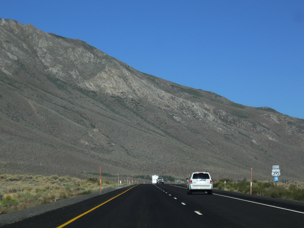
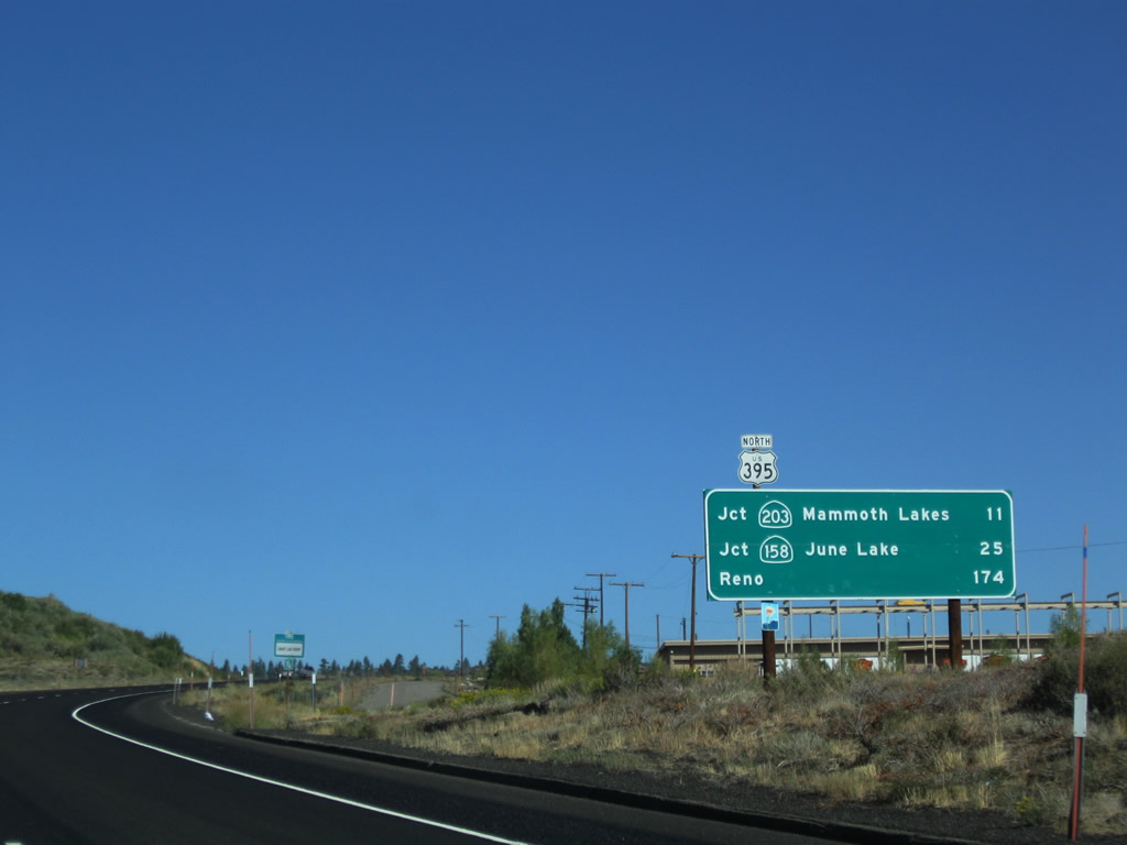
After the intersection with Old U.S. 395/Crowley Creek Road, this mileage sign provides the distance to Exit 263, California 203 to Mammoth Lakes (13 miles); California 158 to June Lake (25 miles), and Reno (174 miles). Photo taken 09/05/09. |
|
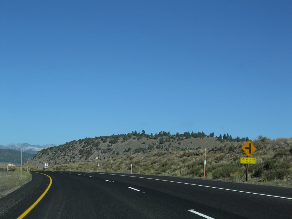
The next intersection along U.S. 395 north is with Mt. Morrison Road, which travels west for local access. Photo taken 09/05/09. |
|
Distant mountains rise behind U.S. 395 as we meet Mt. Morrison Road. Photo taken 09/05/09. |
|
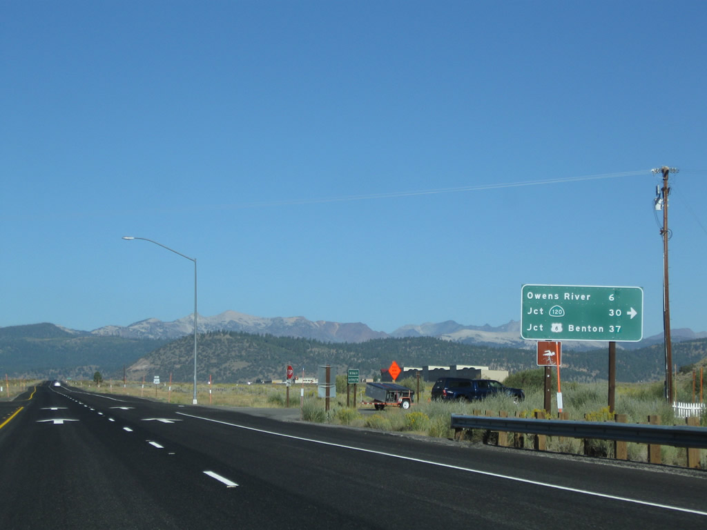
The next intersection along U.S. 395 north is with Benton Crossing Road, which travels northeast to Whitmore Hot Springs and Benton Crossing (over Owens River), then east through Watterson Canyon and over Watterson Divide. The road turns north to meet California 120 west of Benton near the seasonal closure gate. Photo taken 09/05/09. |
|
A mileage sign for Benton Crossing Road provides the distance to the Owens River crossing (six miles), California 120 (30 miles), and U.S. 6 in Benton (via California 120 east, 37 miles). Photo taken 09/05/09. |
|
Another U.S. 395 north reassurance shield is posted shortly thereafter. Photo taken 09/05/09. |
|
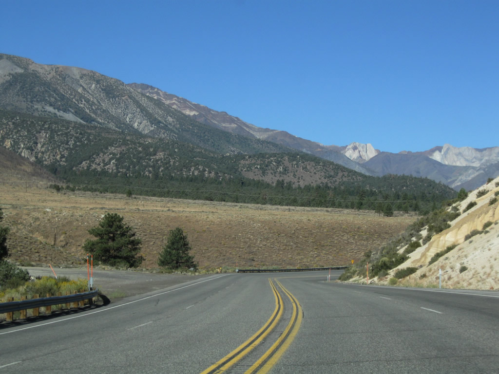
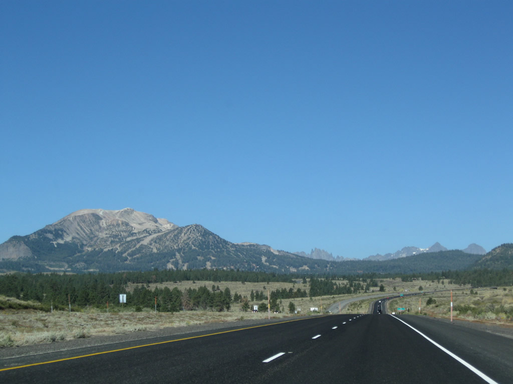
In the distance are the peaks near Mammoth Lakes. U.S. 395 will continue in a northwest direction until the California 203 interchange. Photo taken 09/05/09. |
|
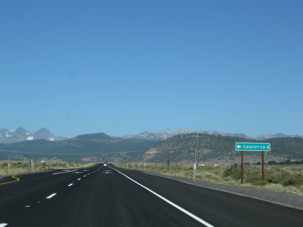
The next intersection along U.S. 395 north is Convict Lake Road. Use Convict Lake Road southwest to Convict Lake (two miles). Photo taken 09/05/09. |
|
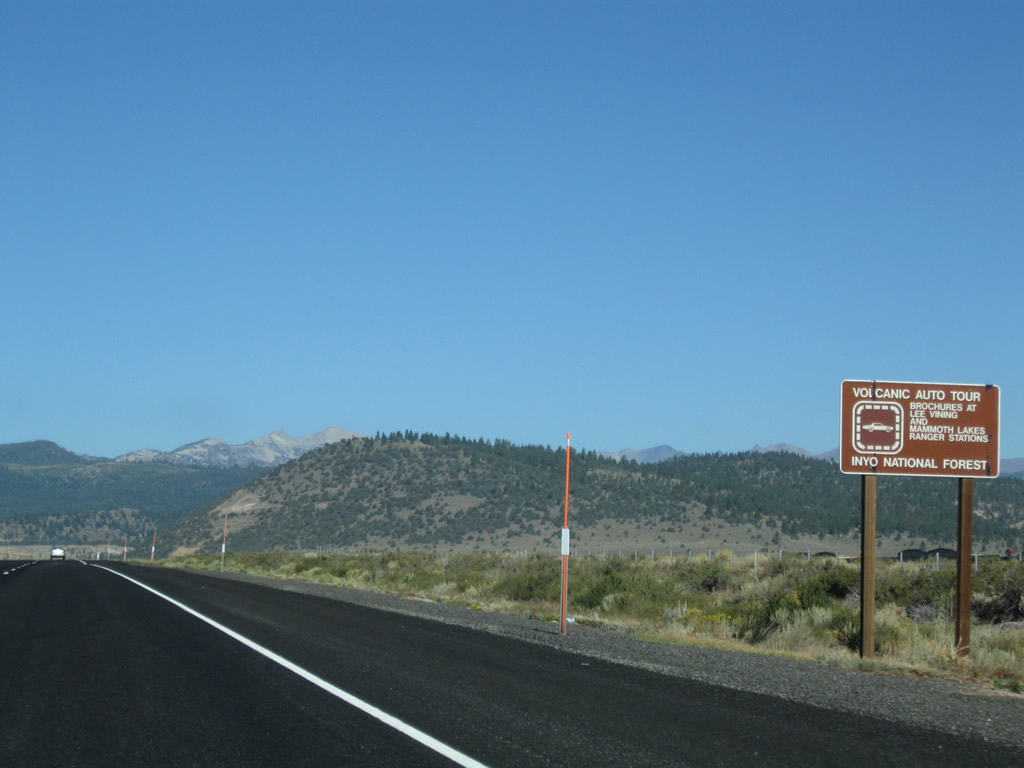
Much of the Eastern Sierra is geothermically active and has its geologic history steeped in volcanic changes to its terrain. Inyo National Forest offers a driving tour of some of the key sites (including hot springs and lava fields) along the U.S. 395 corridor. Information is available at the Inyo National Forest ranger stations in Mammoth Lakes and Lee Vining. Photo taken 09/05/09. |
|
The views along this section of U.S. 395 are unparalleled. Photo taken 09/05/09. |
|
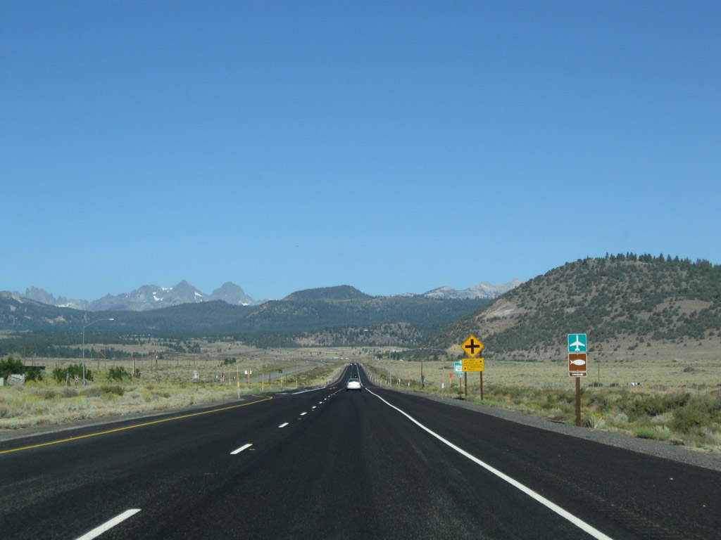
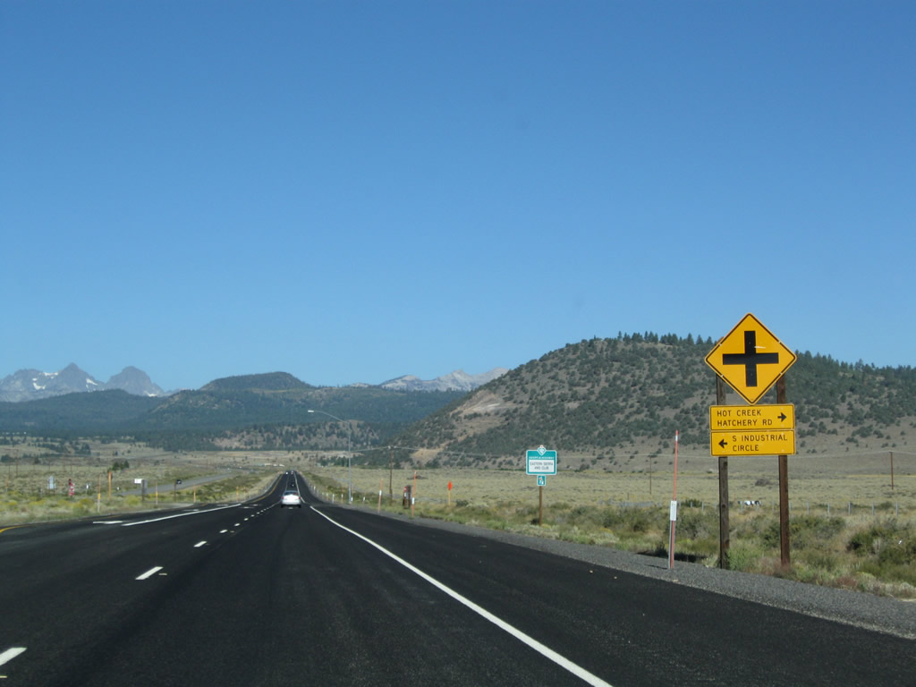
The next intersection along U.S. 395 north is with Hot Creek Hatchery Road to Mammoth Yosemite Airport. Photo taken 09/05/09. |
|
The runway for Mammoth Lakes Airport parallels U.S. 395 between Convict Lake Road and Hot Creek Hatchery Road. Photo taken 09/05/09. |
|
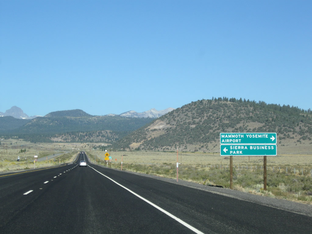
Northbound U.S. 395 approaches Hot Creek Hatchery Road to Mammoth Yosemite Airport and South Industrial Circle to Sierra Business Park. Photo taken 09/05/09. |
|
|
|
After the airport turnoff, U.S. 395 continues northwest. The next intersection along U.S. 395 is with Sherwin Creek Road and Old Highway 395 to Antelope Springs Road . Photos taken 09/05/09. |
|
A U.S. 395 north reassurance shield is posted shortly thereafter. Photo taken 09/05/09. |
|
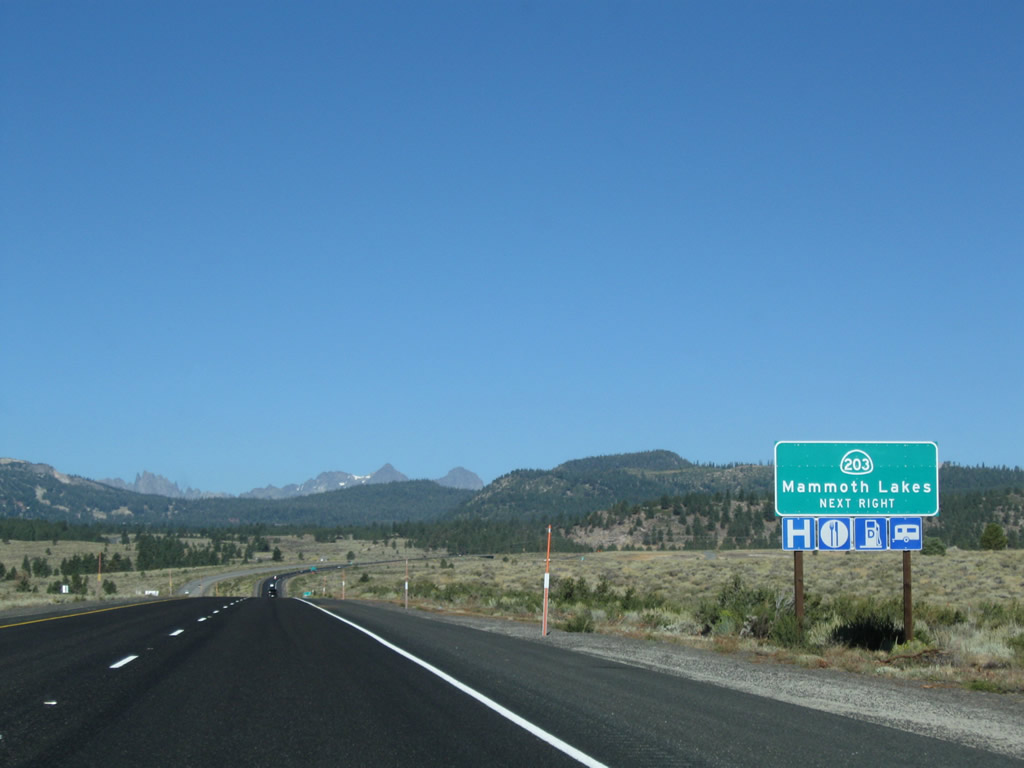
The next exit along U.S. 395 north is Exit 263, California 203 (Main Street) west to the town of Mammoth Lakes. Sitting at an elevation of 7,880 feet, Mammoth Lakes had a population of 7,093 people as of the 2000 Census. The town incorporated on August 20, 1984. Photo taken 09/05/09. |
|
Mammoth Lakes is known as a gateway community for Mammoth Ski Resort and various recreational opportunities around Mammoth Lakes. All motorist services are available in Mammoth Lakes. U.S. 395 avoids Mammoth Lakes by staying to the east of the town; use California 203 west into town. Photo taken 09/05/09. |
|
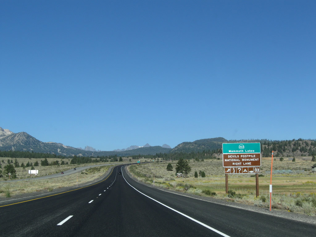
California 203 is a state route that connects U.S. 395 with the town of Mammoth Lakes and the Mammoth Ski Resort. Near the resort, California 203 reaches its western terminus at the point where cars are prohibited. A shuttle bus leaves the resort several times daily (not during winter) to bring visitors into the area, including Reds Meadow and Devils Postpile National Monument. Photo taken 09/05/09. |
|
Northbound U.S. 395 reaches Exit 263, California 203 (Main Street) west to the town of Mammoth Lakes, Devils Postpile National Monument, and Reds Meadow. Photo taken 09/05/09. |
|
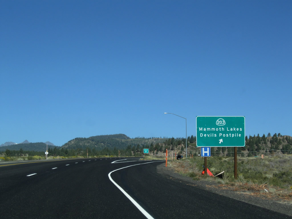
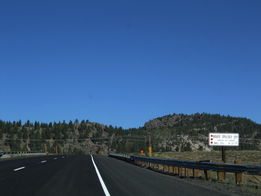
A Caltrans-standard Route 395/203 Separation bridge identification sign is posted on the U.S. 395 bridge over California 203. Photo taken 09/05/09. |
|
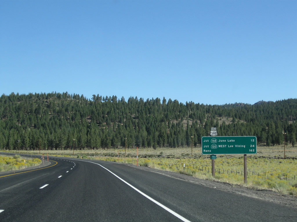
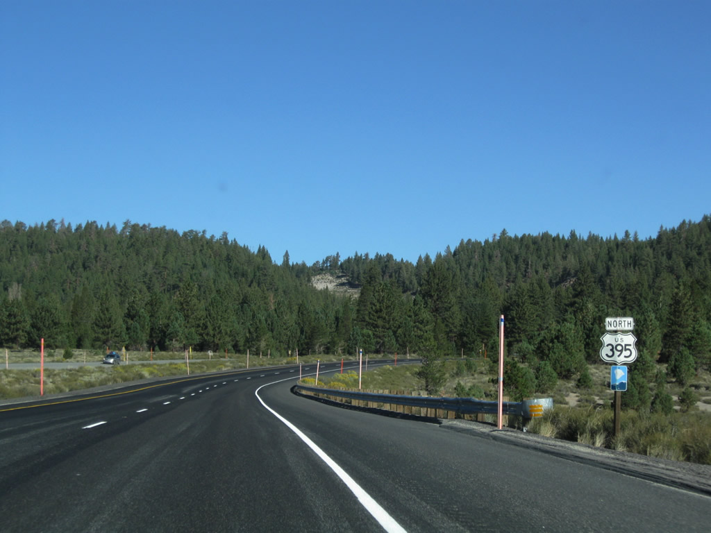
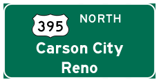
A U.S. 395 north reassurance shield and mileage sign are posted after the on-ramp from California 203. The mileage sign provides the distance to California 158 (June Lake Loop) (12 miles), California 120/Lee Vining (24 miles), and Reno (162 miles). Photo taken 09/05/09. |
|
|
| |
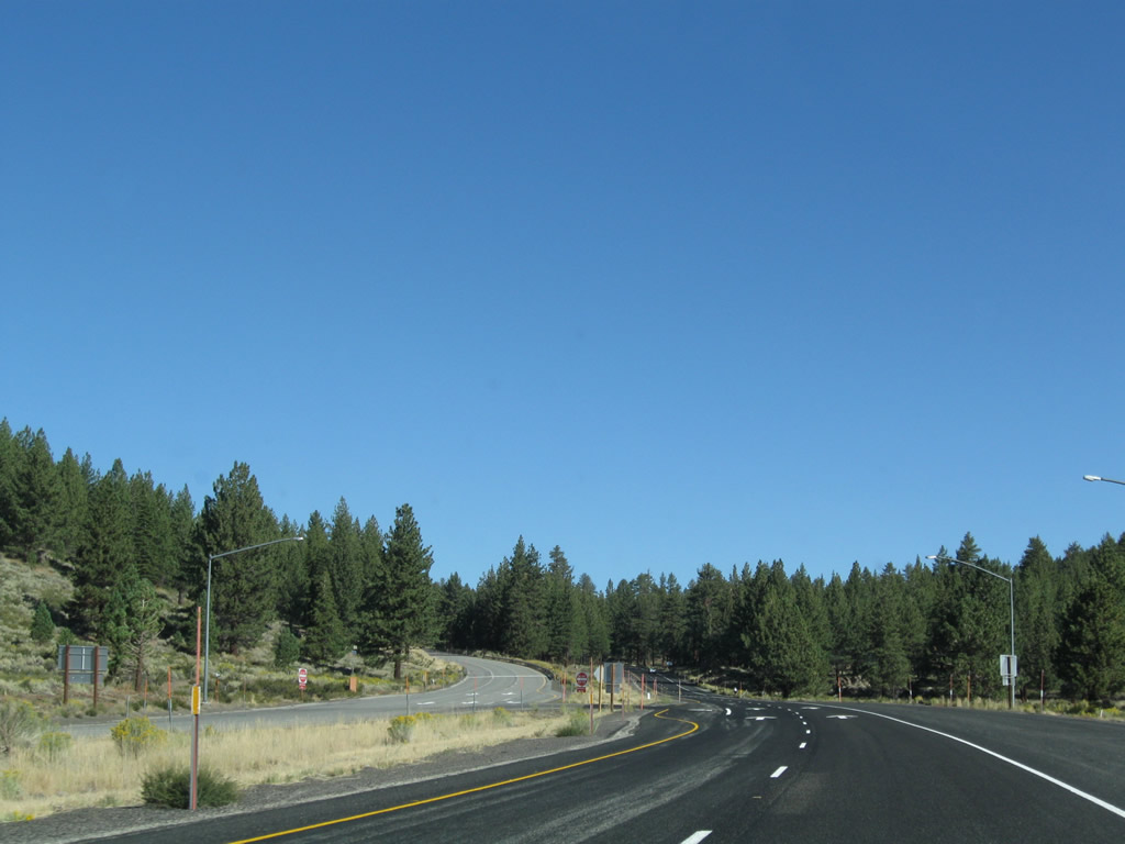
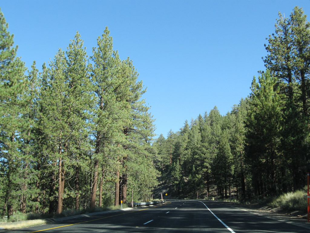
U.S. 395 retains four lanes in an expressway configuration. From here, U.S. 395 again turns north and will stay along this trajectory from here to Bridgeport (jct. California 182). Almost immediately after the interchange with California 203, U.S. 395 enters a forest. Two roadside parking areas for viewing wildlife and scenery are available along the way, as is a rest area with restrooms and water. Photos taken 09/05/09. |
|
|
|
|
|
|
|
|
|
|
|
|
|
After a two-mile advance sign for the aforementioned rest area, northbound U.S. 395 approaches the turnoff for Dry Creek Road (Mammoth Lakes Scenic Loop) south to Mammoth Lakes and California 203. Photo taken 09/05/09. |
|
|
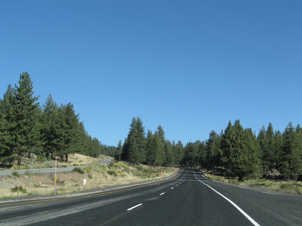
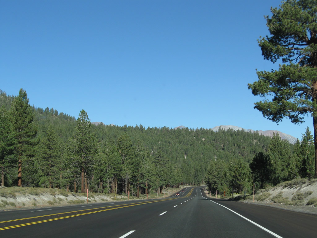
| U.S. 395 continues along an expressway alignment as the highway continues northeast toward June Lake, Lee Vining, and Mono Lake. Photos taken 09/05/09. |
|
|
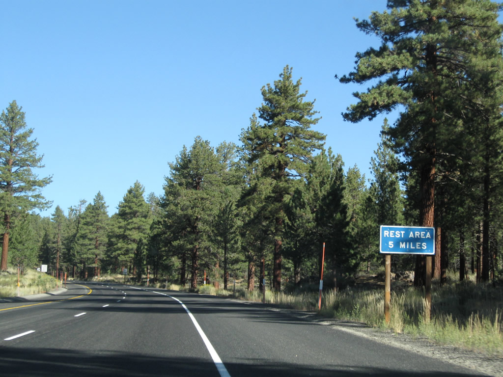
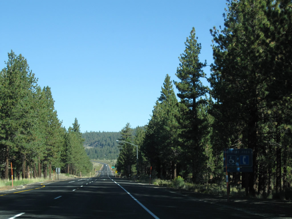
| Northbound U.S. 395 approaches the left turn into the rest area. Restrooms, water, and telephones are available at the rest area. Photos taken 09/05/09. |
|
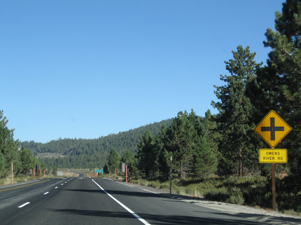
The next intersection along U.S. 395 north is with Owens River Road. Photo taken 09/05/09. |
|
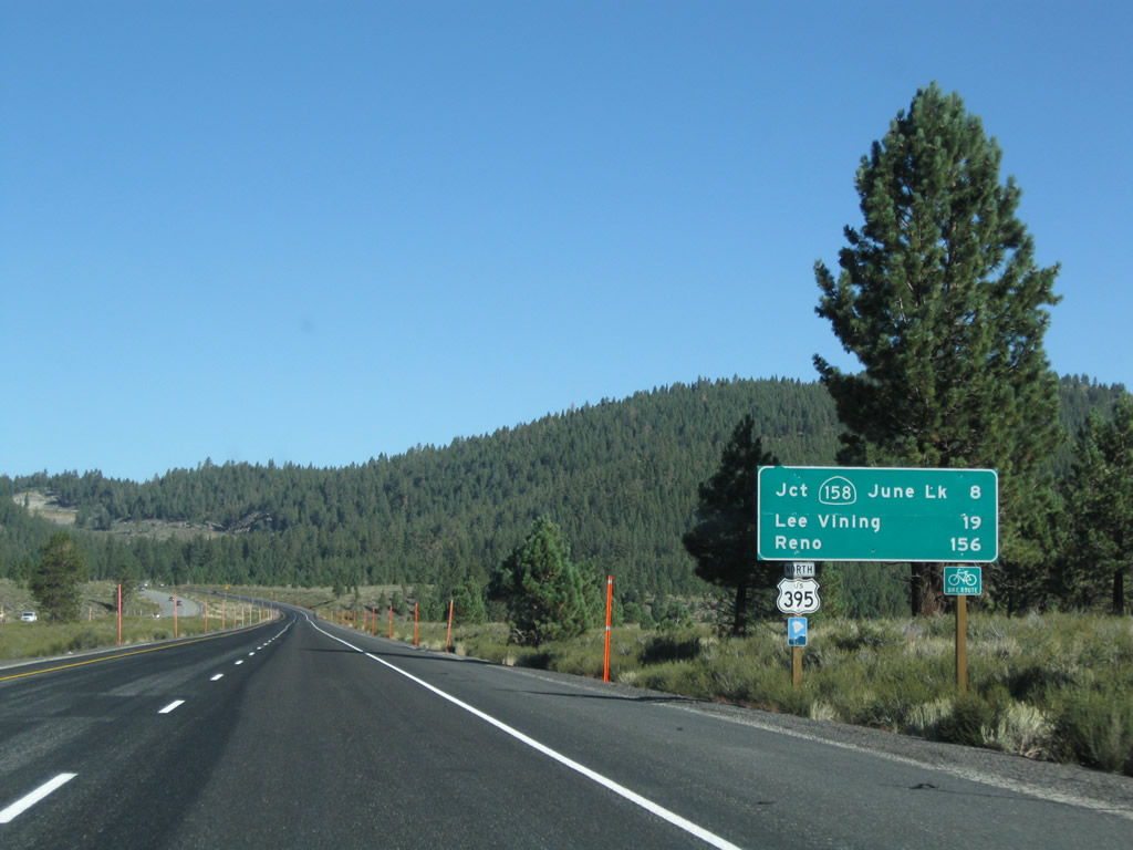
A mileage sign provides the distance to three major destinations served by U.S. 395 north: California 158 to June Lake Loop (eight miles), California 120 in Lee Vining to Yosemite National Park (19 miles); and Reno (156 miles). Photo taken 09/05/09. |
|
U.S. 395 continues northwest as an expressway as it gaines elevation en route to Deadman Summit (el. 8,036 feet). Photo taken 09/05/09. |
|
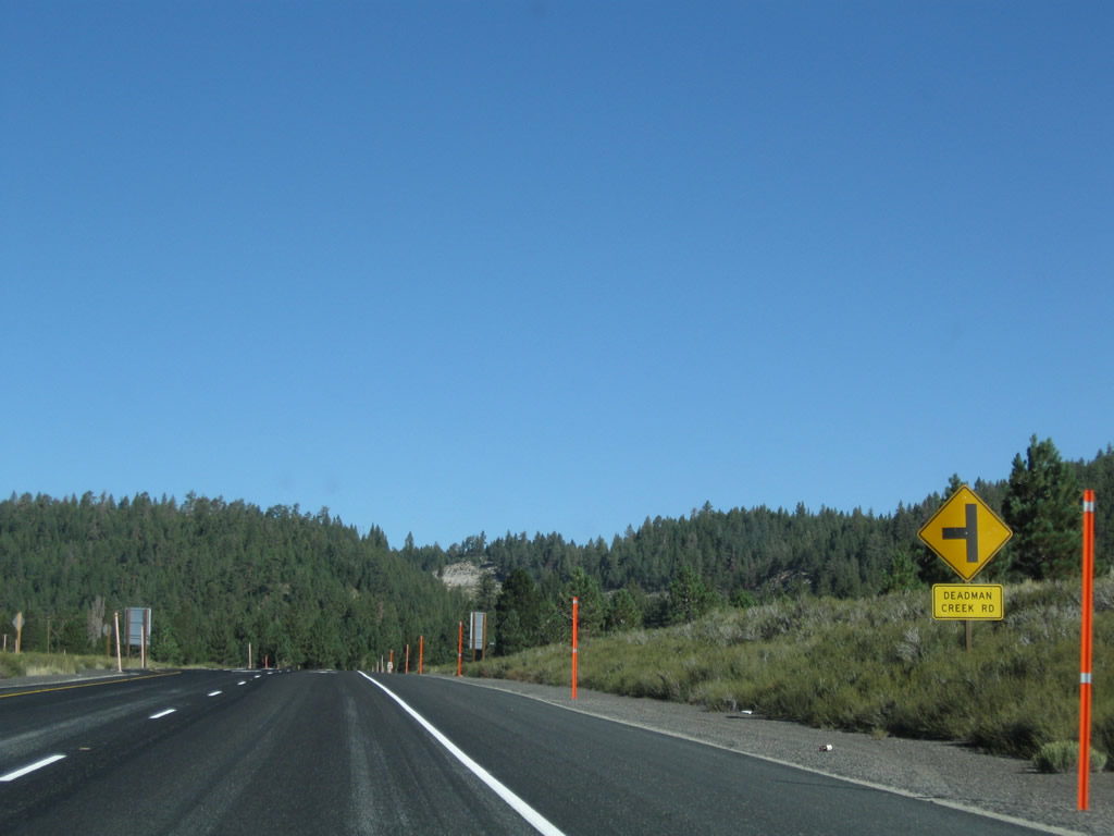
The next intersection along U.S. 395 north is with Deadman Creek Road. Deadman Creek itself feeds into the Owens River, which travels south into Owens Valley toward distant Owens Dry Lake (with water diverted to Los Angeles via an elaborate aqueduct system). Photo taken 09/05/09. |
|
Another U.S. 395 reassurance shield is posted after the Deadman Creek Road intersection. Photo taken 09/05/09. |
|
The next intersection along U.S. 395 north is with Glass Creek Road, which serves the small community of Crestview. Photo taken 09/05/09. |
|
|
| Between Crestview and Deadman Summit, U.S. 395 gains significant elevation. The expressway initially continues with each direction on its own alignment, but by the time we reach the summit, both directions of U.S. 395 share the same carriageway once again. Photos taken 09/05/09. |
|
|
|
|
|
|
|
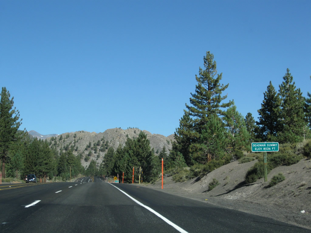
U.S. 395 reaches Deadman Summit (el. 8,036 feet). From here, the highway will descend toward the June Lake Loop and Pumice Valley. We leave the Owens River watershed for the first time since seeing Owens Lake, and we now enter the Mono Lake watershed. Photo taken 09/05/09. |
|
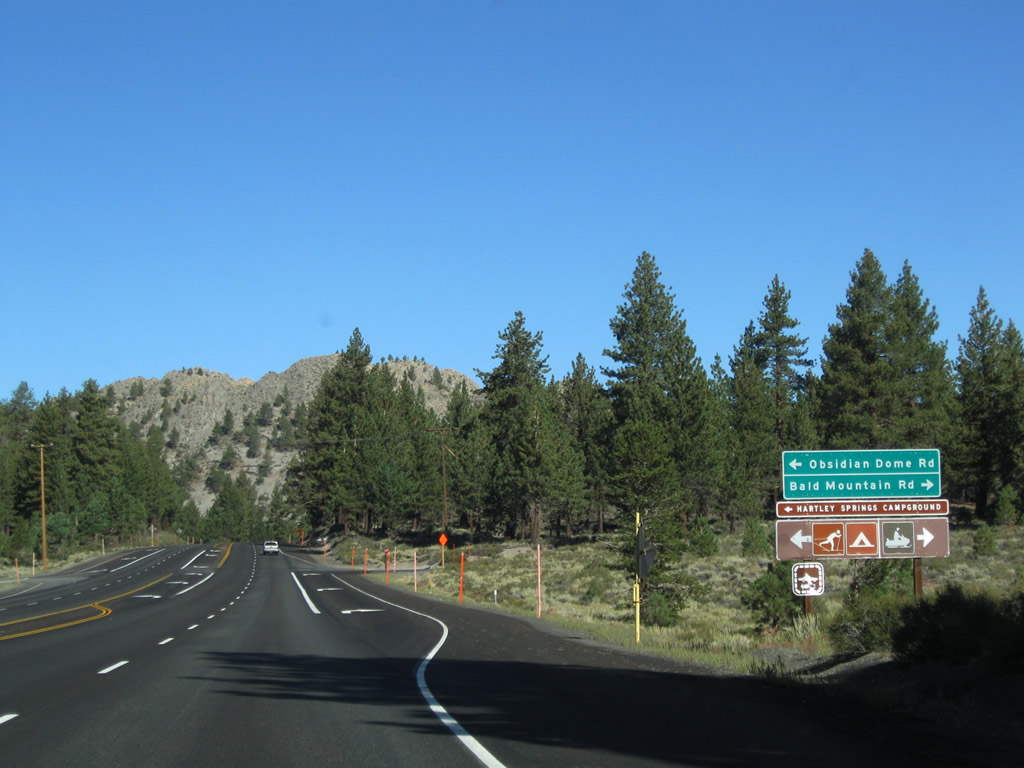
The next intersection along U.S. 395 north is with Obsidian Dome Road (west, left turn) and Bald Mountain Road (east, right turn). Use Obsidian Dome Road west to Hartley Springs Campground and Obsidian Dome. To the east, Bald Mountain Road (Logging Camp Road) leads to Bald Mountain Road. Photo taken 09/05/09. |
|
U.S. 395 passes by Wilson Butte (el. 8,509 feet). Photo taken 09/05/09. |
|
Shortly thereafter, U.S. 395 widens back into a divided expressway configuration. Photo taken 09/05/09. |
|
|
|
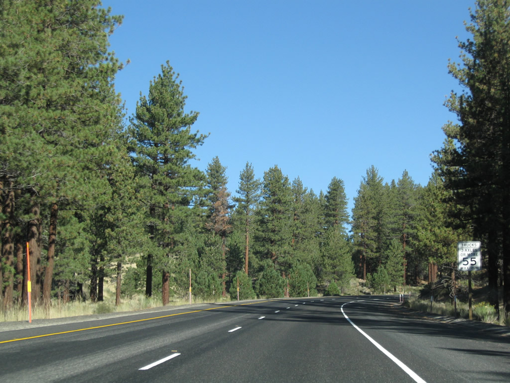
| U.S. 395 continues along its expressway segment, then loses its median barrier that separates the two directions of traffic. Photos taken 09/05/09. |
|
|
|
| Continuing north, U.S. 395 sees its median barrier end, but the highway still has four lanes. Photos taken 09/05/09. |
|
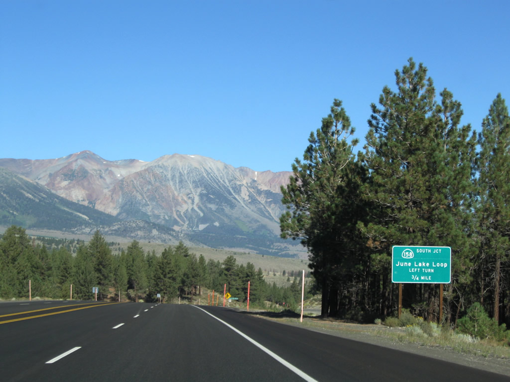
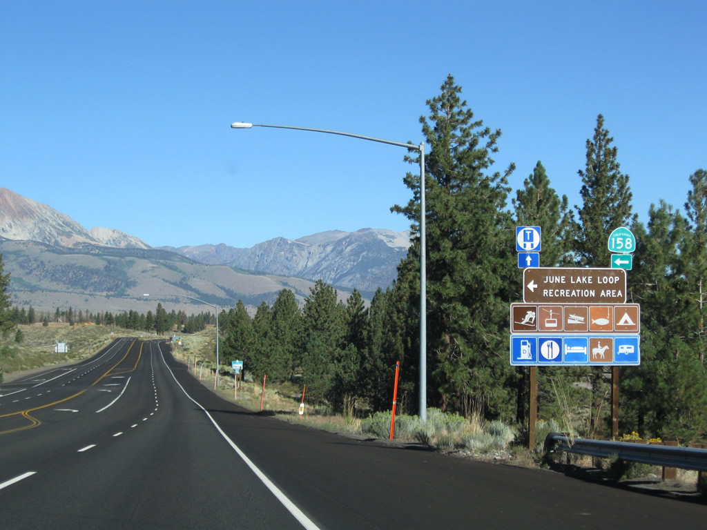
The next two intersections along U.S. 395 north are Pumice Mine Road and California 158 (June Lake Loop) west. California 158 is a short state route that begins at U.S. 395 near June Lake, loops past Gull Lake, Silver Lake, and Grant Lake, and rejoins U.S. 395 near the California 120 intersection. Portions of the highway are closed in winter. Through traffic should remain on U.S. 395. Photo taken 09/05/09. |
|
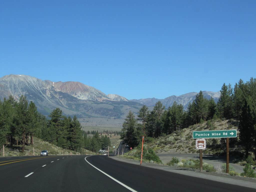
Northbound U.S. 395 meets Pumice Mine Road, which travels to the south end of the Mono Craters. Photo taken 09/05/09. |
|
At the bottom of the hill, northbound U.S. 395 meets California 158 (June Lake Loop) west to June Lake, Gull Lake, and Silver Lake. Various campgrounds, resorts, and trailheads are located along the path of the loop, which will reunite with U.S. 395 northeast of Grant Lake. All motorist services are located in the community of June Lake, which is located on the south shore of June Lake. Photo taken 09/05/09. |
Page Updated March 31, 2010.