| U.S. 395 north |
|
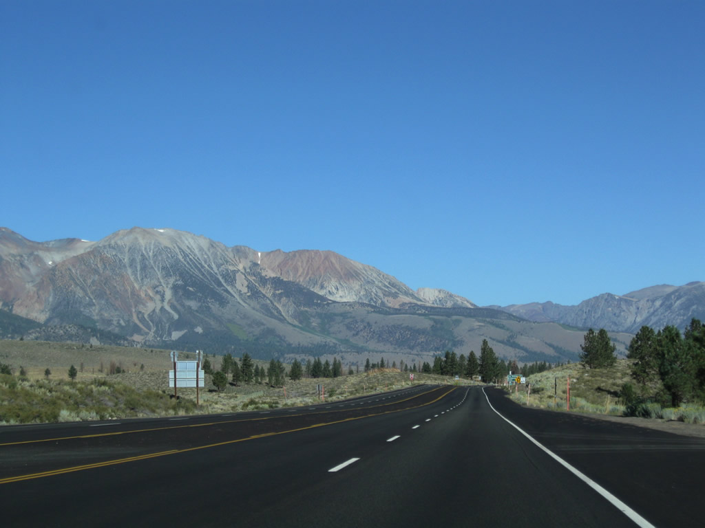
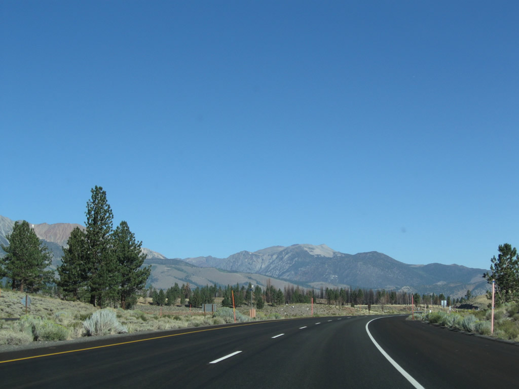
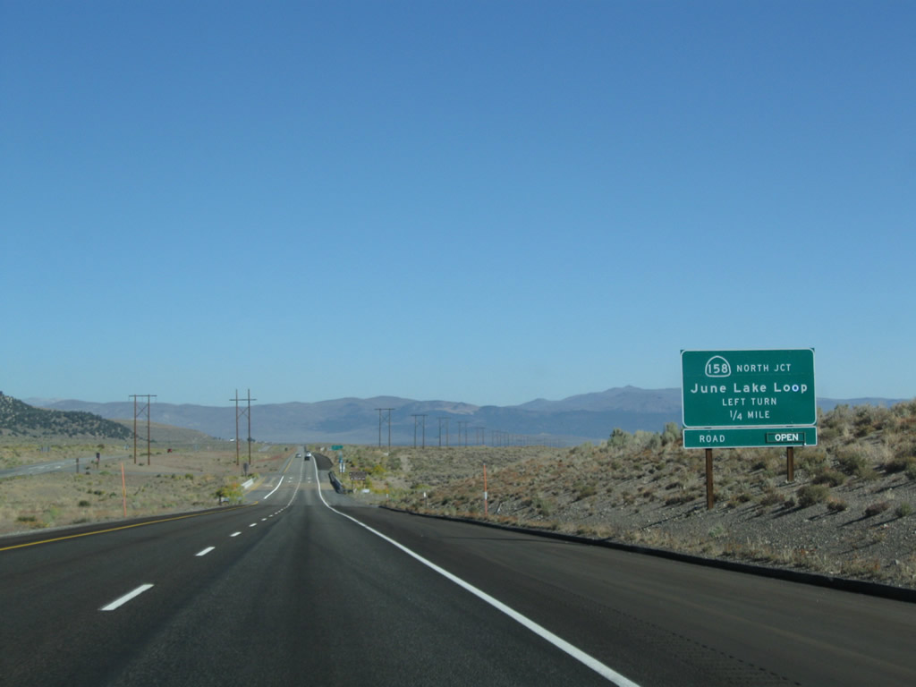
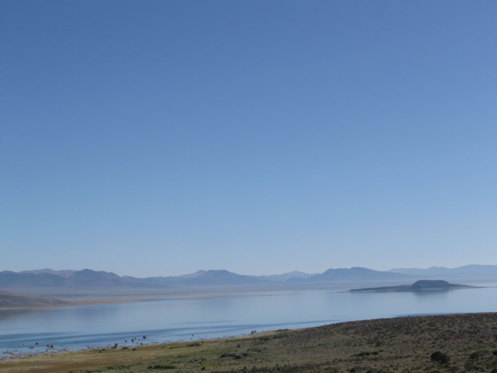
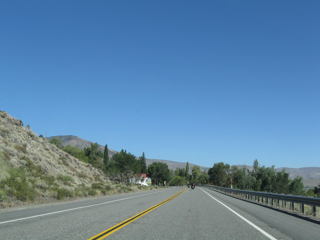
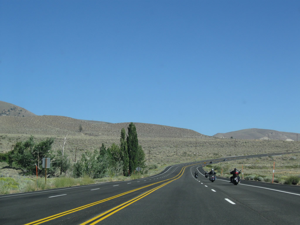
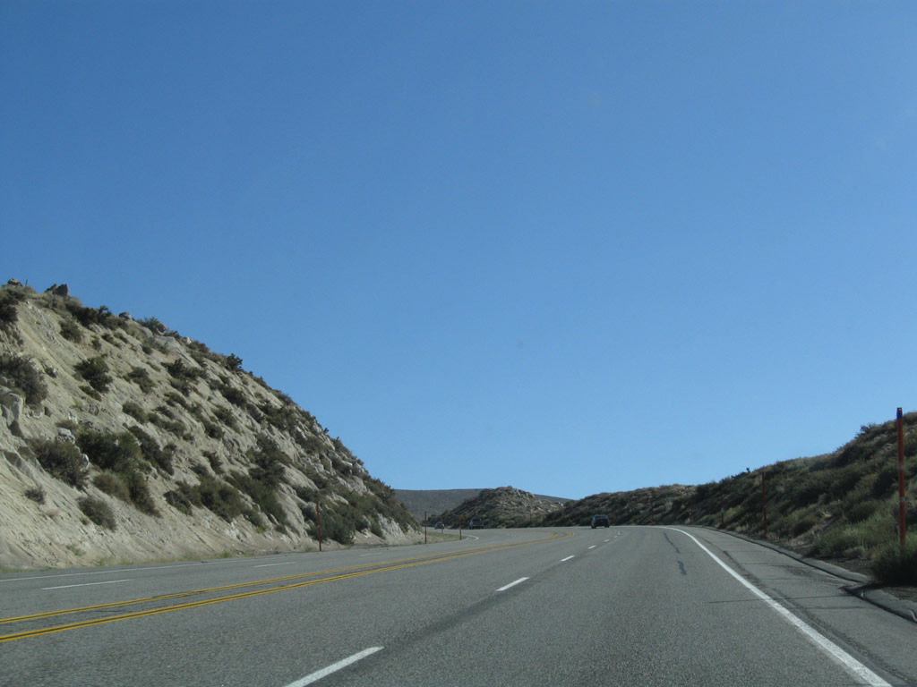
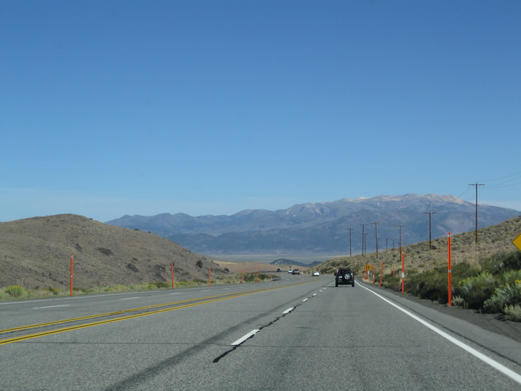
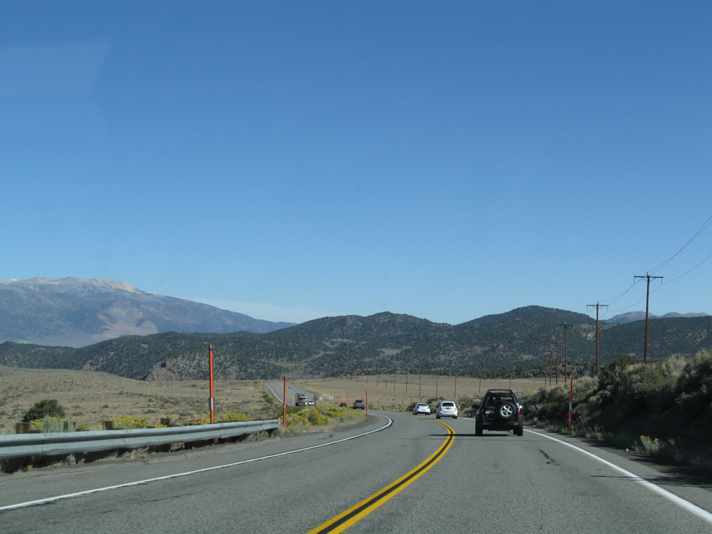
Leaving the southern California 158 (June Lake Loop) intersection, U.S. 395 proceeds north past the Aeolian Buttes into the Pumice Valley. Photo taken 09/05/09. |
|
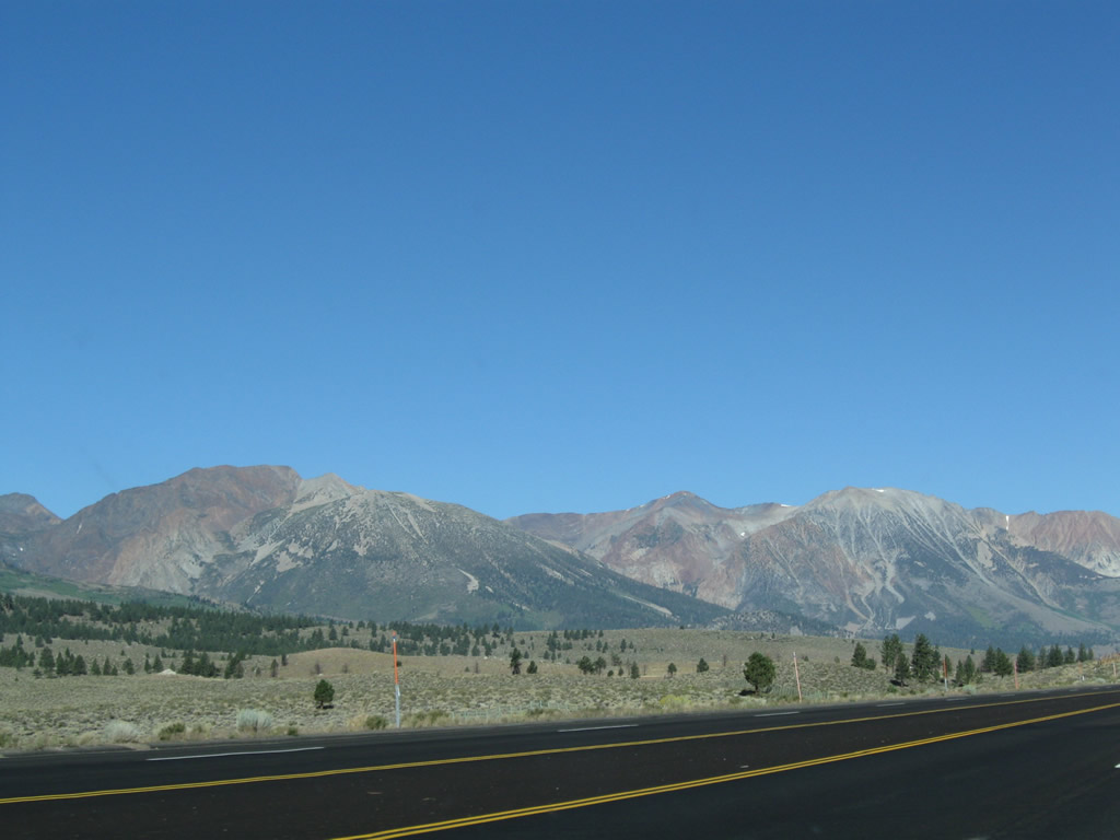
This view looks west at the Sierra Nevada, including Mt. Wood (el. 12,637 feet). California 158 follows the base of these mountains as it serves the various lakes along the scenic June Lake Loop. Photo taken 09/05/09. |
|
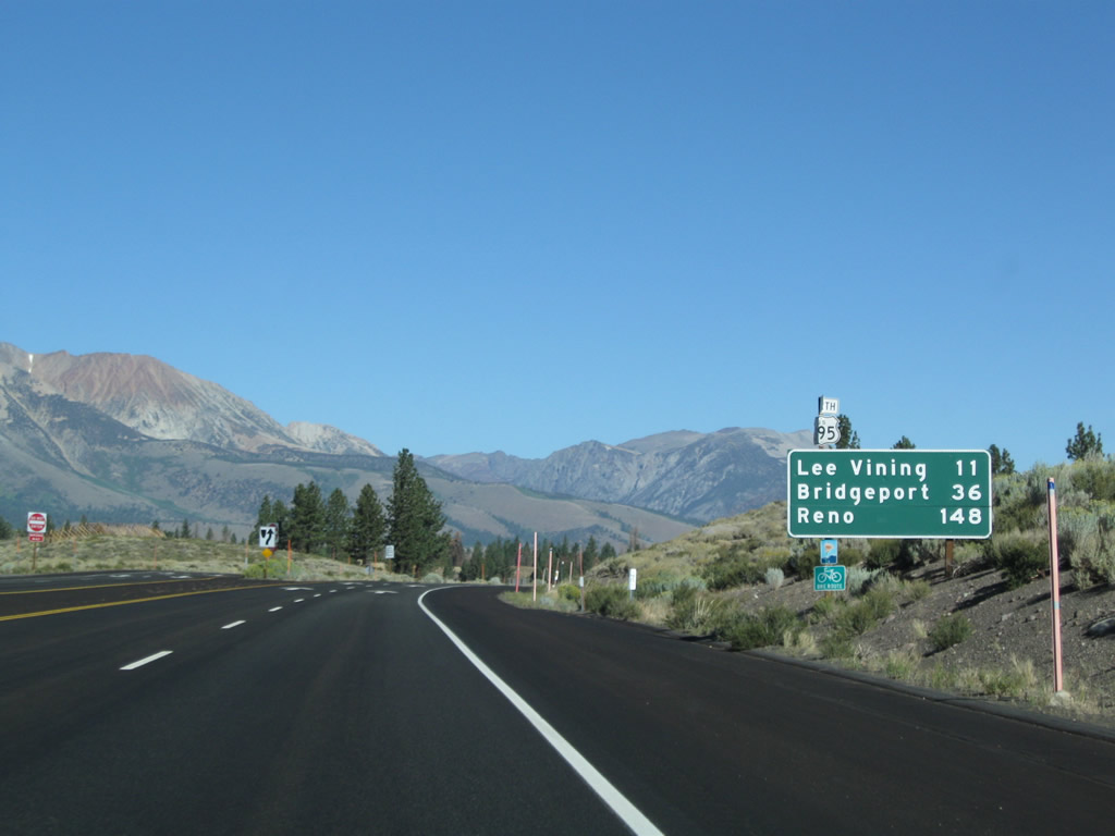
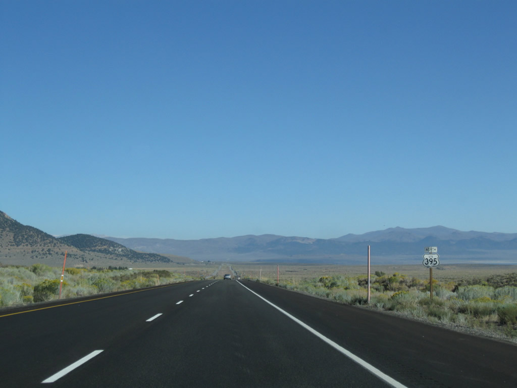
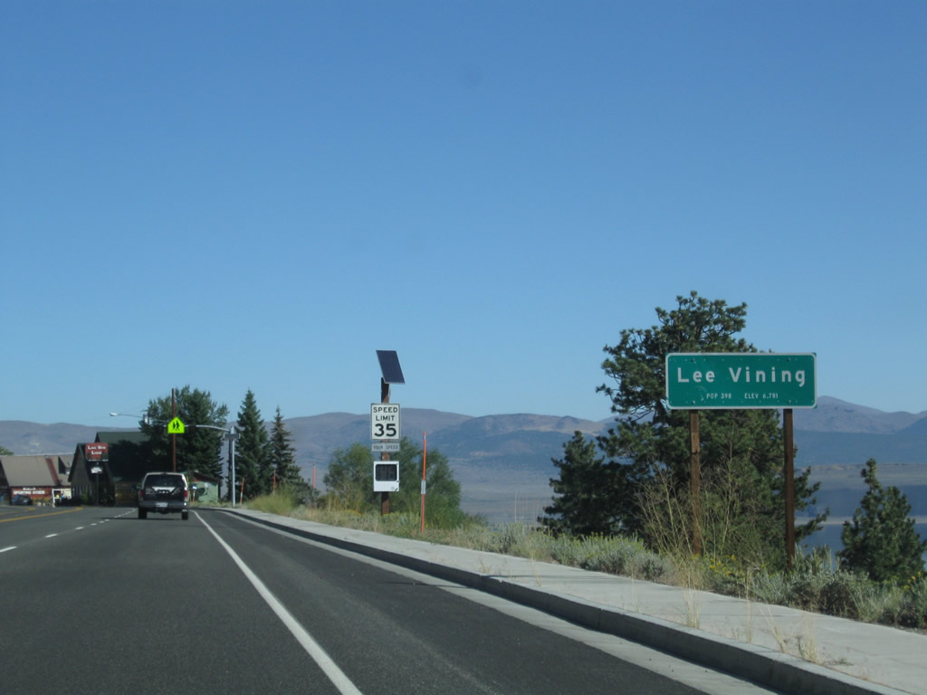
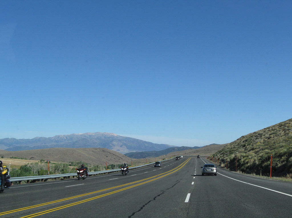
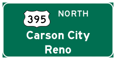
This mileage sign along U.S. 395 provides the distance to Lee Vining (California 120, 11 miles), Bridgeport (California 182, 36 miles), and Reno (148 miles). Photo taken 09/05/09. |
|
|
|
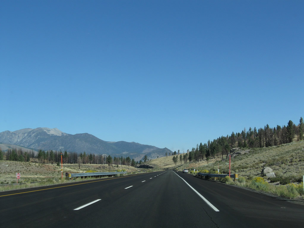
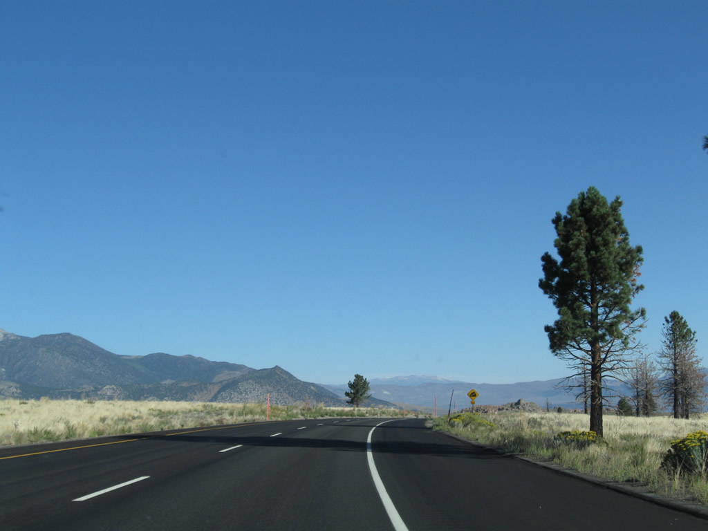
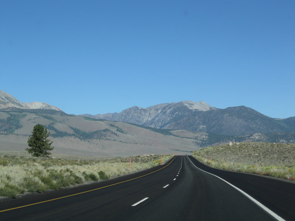
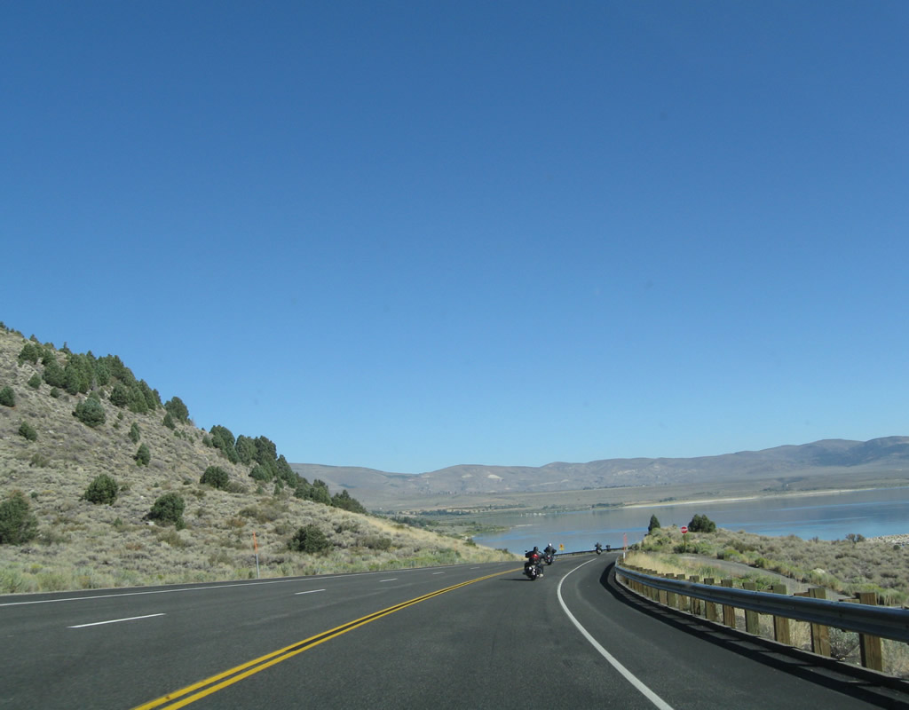
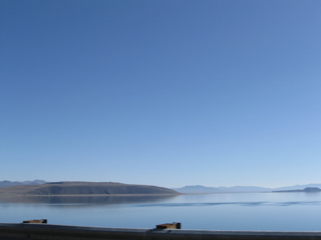
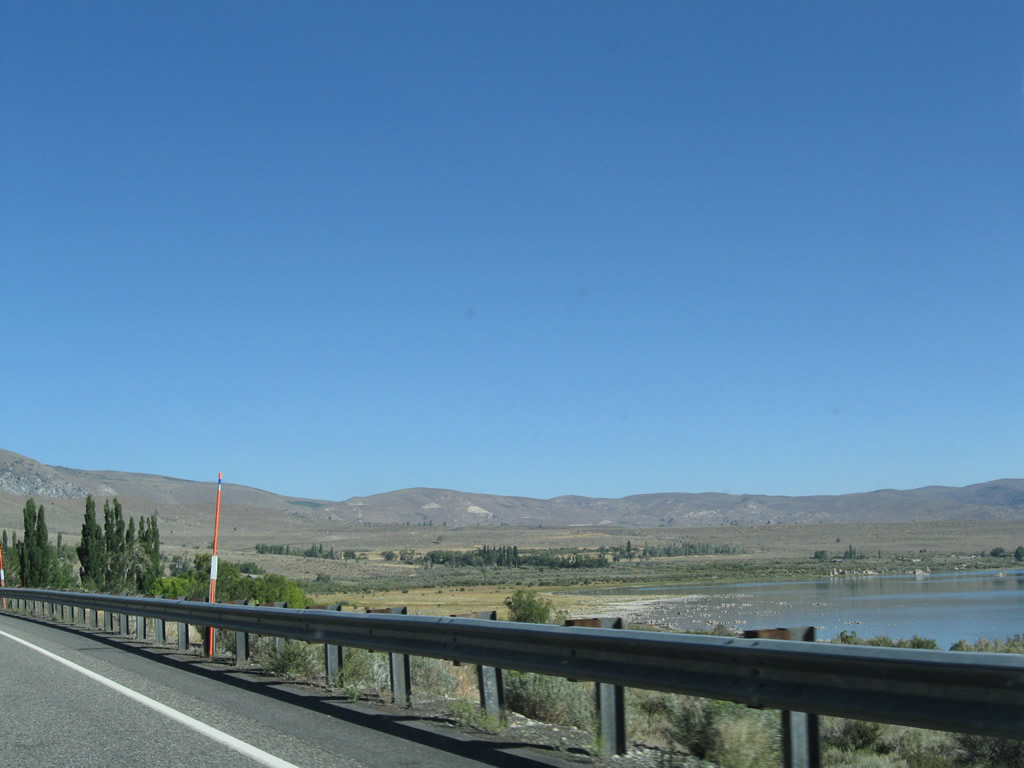
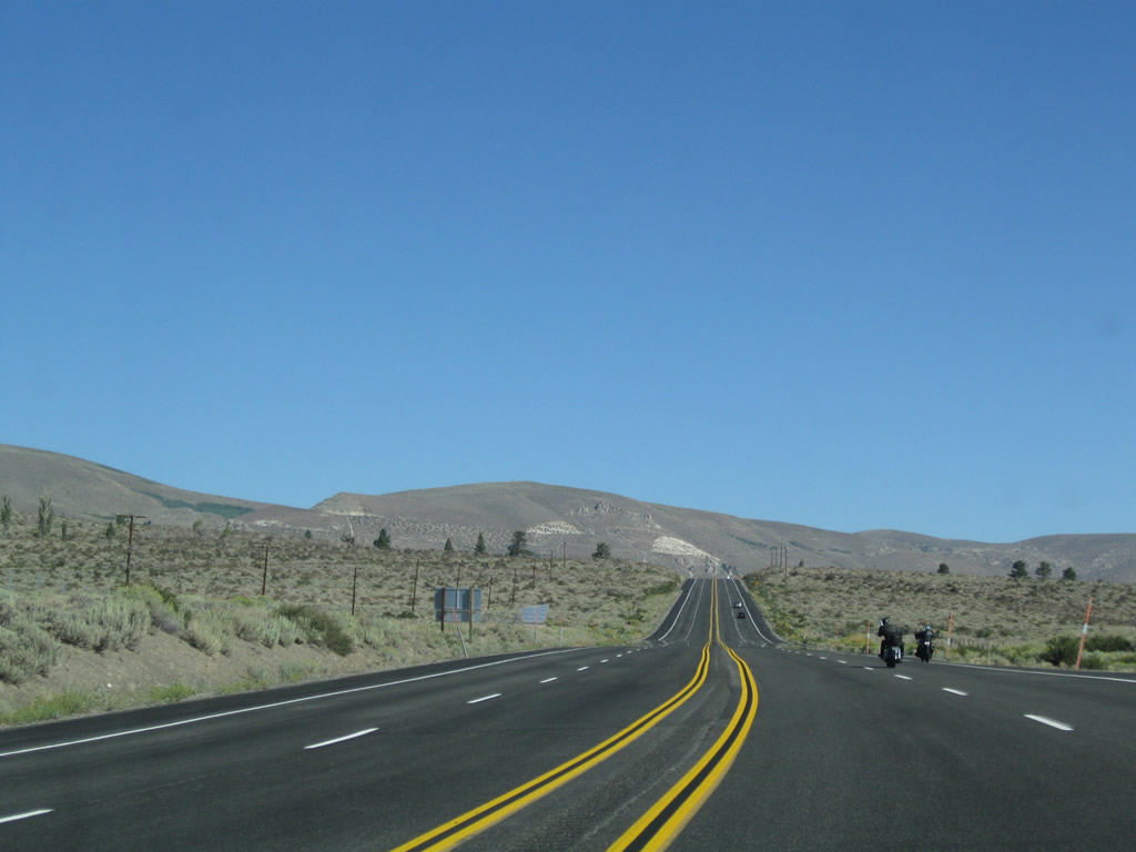
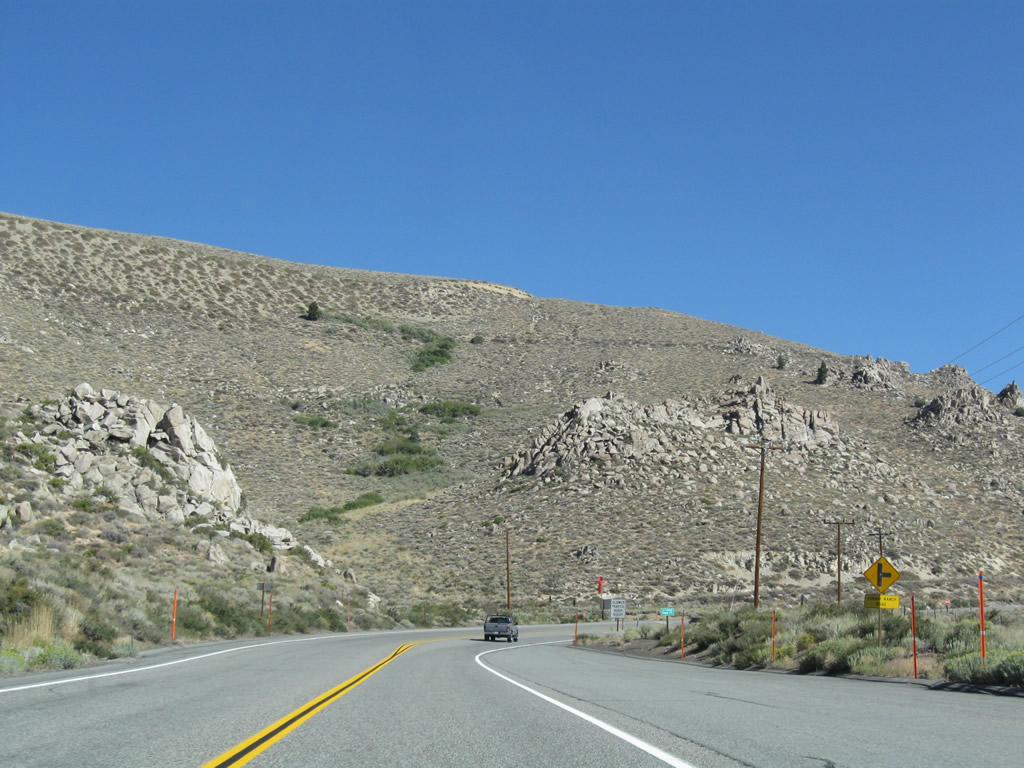
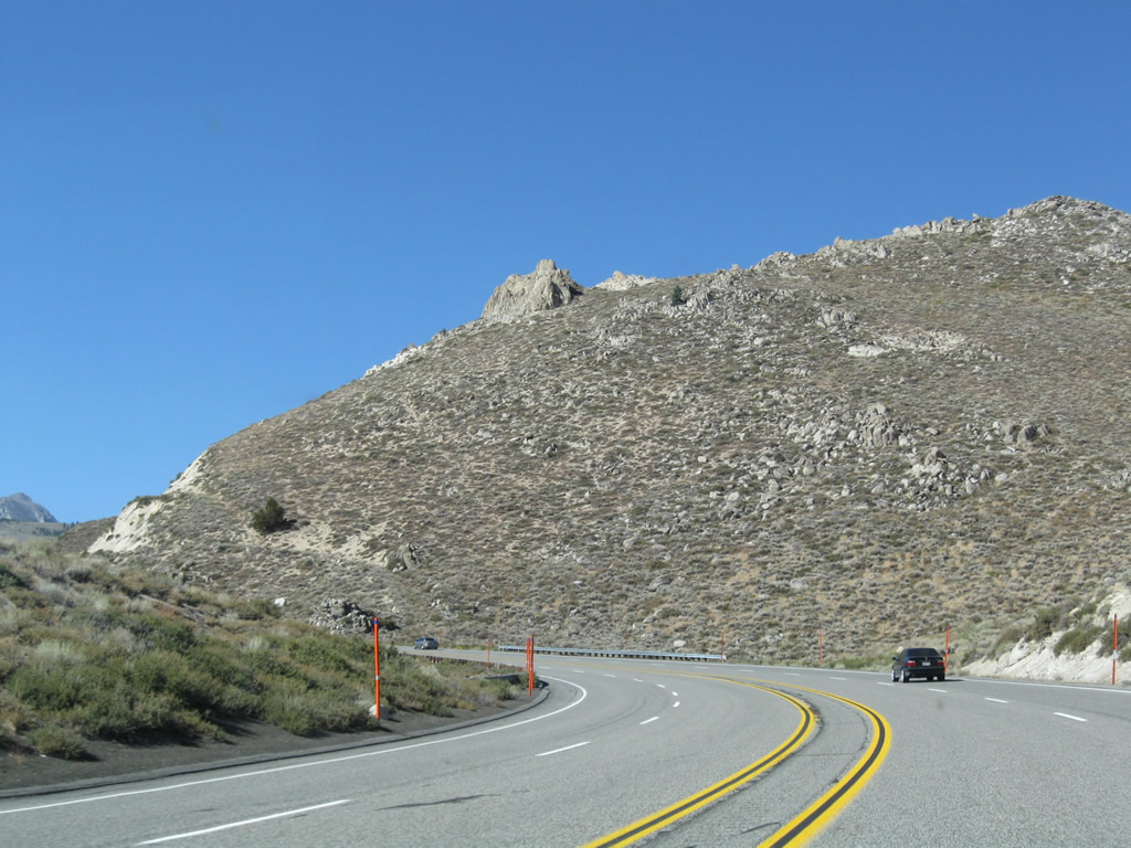
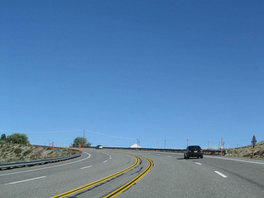
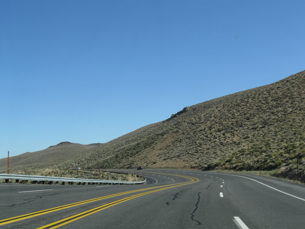
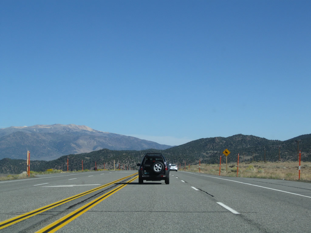
Continuing north, U.S. 395 passes through the western end of the Aeolian Buttes, then descends into the Pumice Valley. Photos taken 09/05/09. |
|
|
|
|
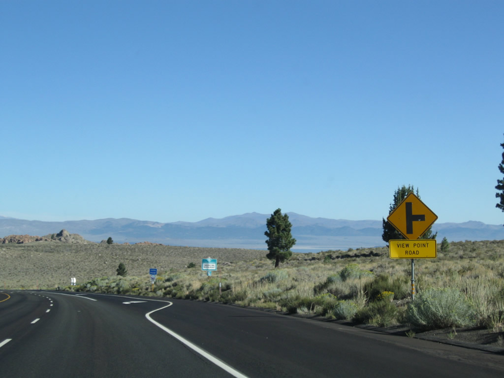
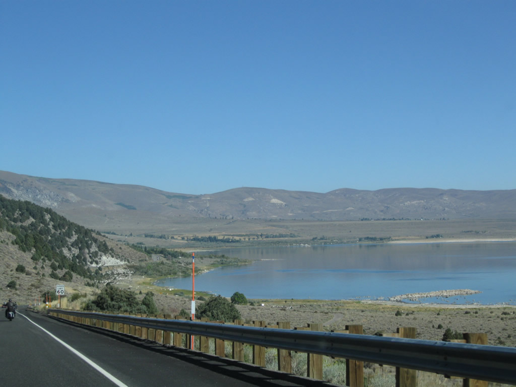
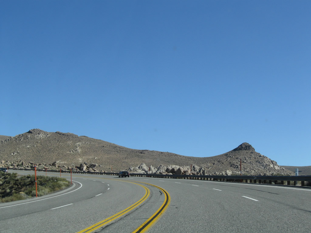
Now on the descent into Pumice Valley from Aeolian Buttes, U.S. 395 approaches View Point Road. Turn right to a Vista Point that offers compelling views of the valley below. Photo taken 09/05/09. |
|
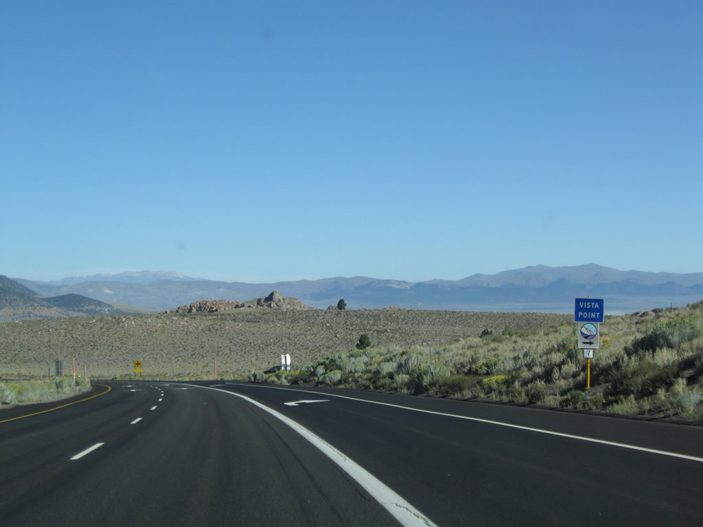
A small vista point sign is posted along with a tourist marker prior to the turnoff. Photo taken 09/05/09. |
|
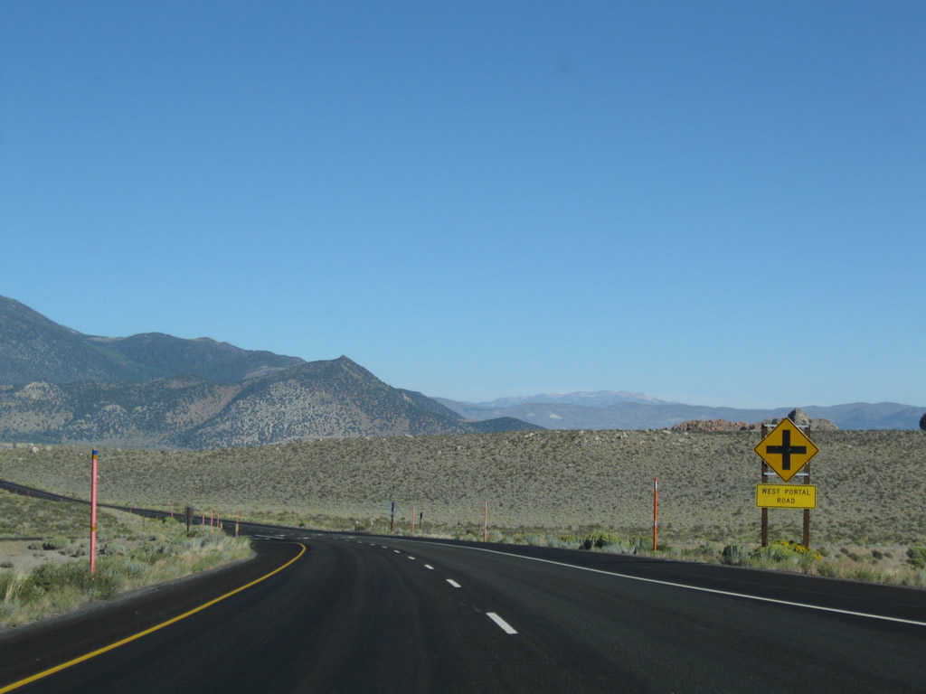
The next intersection along U.S. 395 north is with West Portal Road. Photo taken 09/05/09. |
|
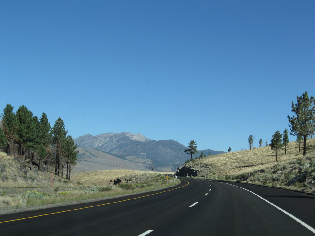
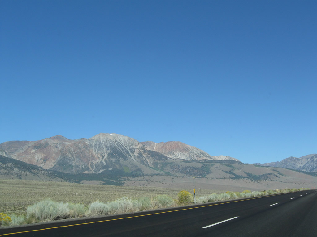
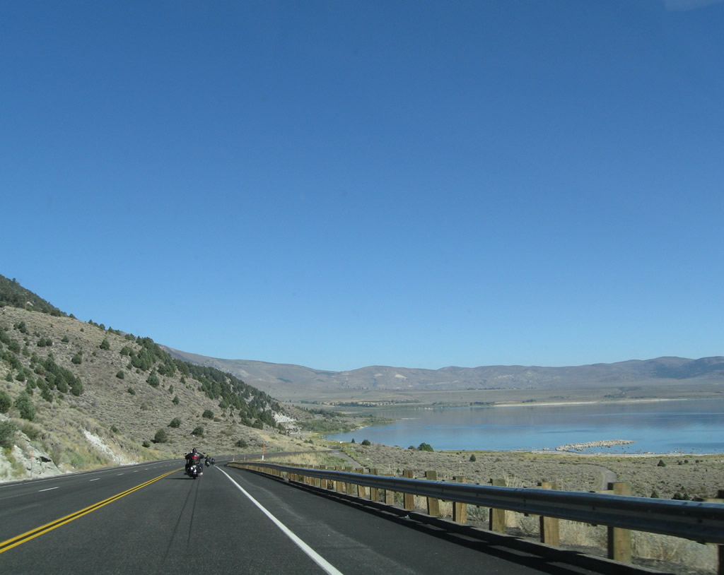
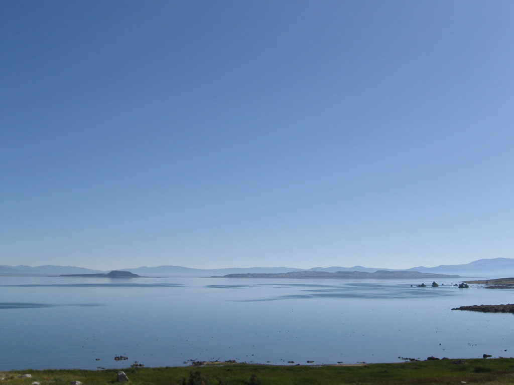
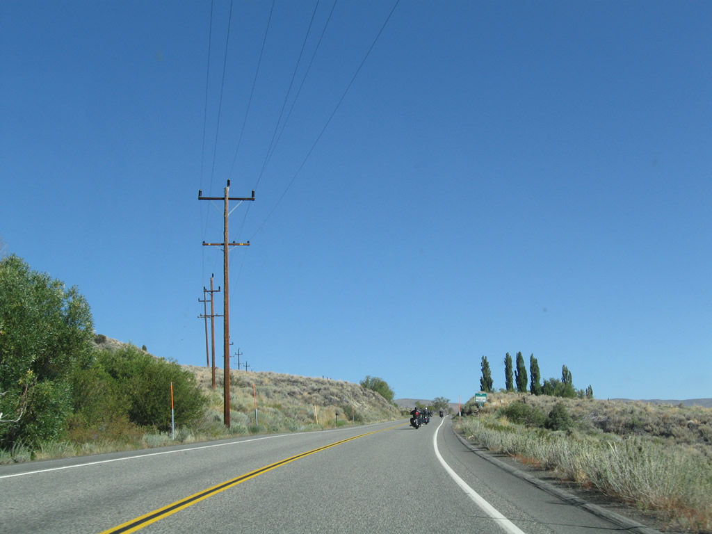
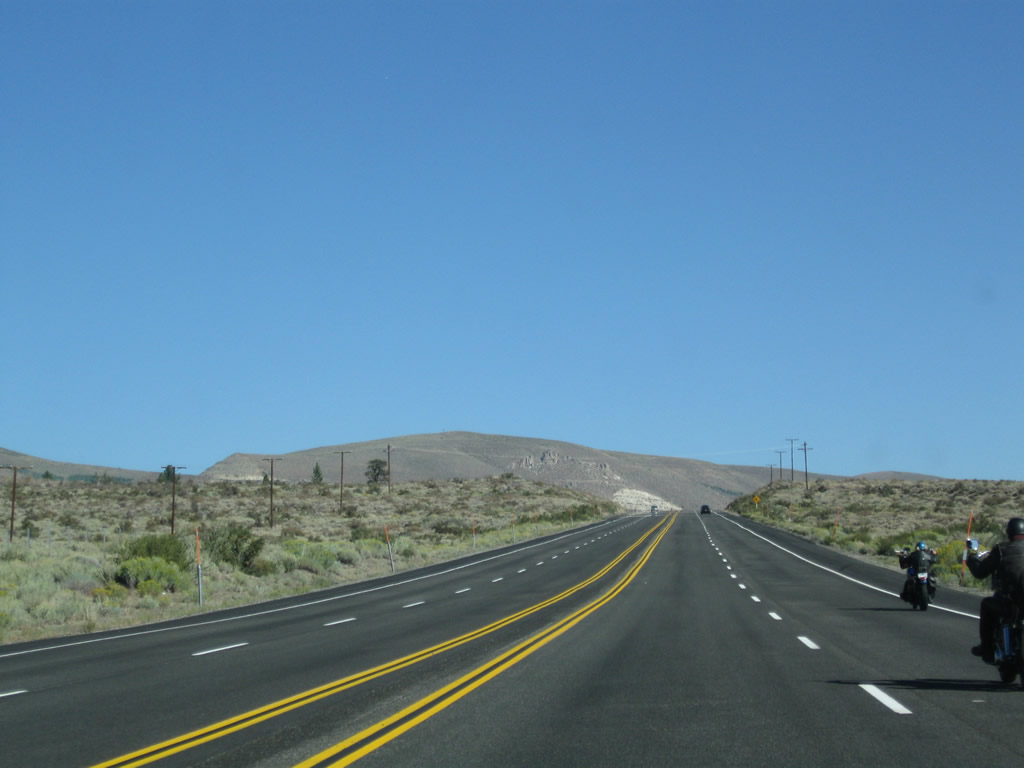
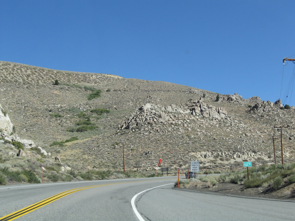
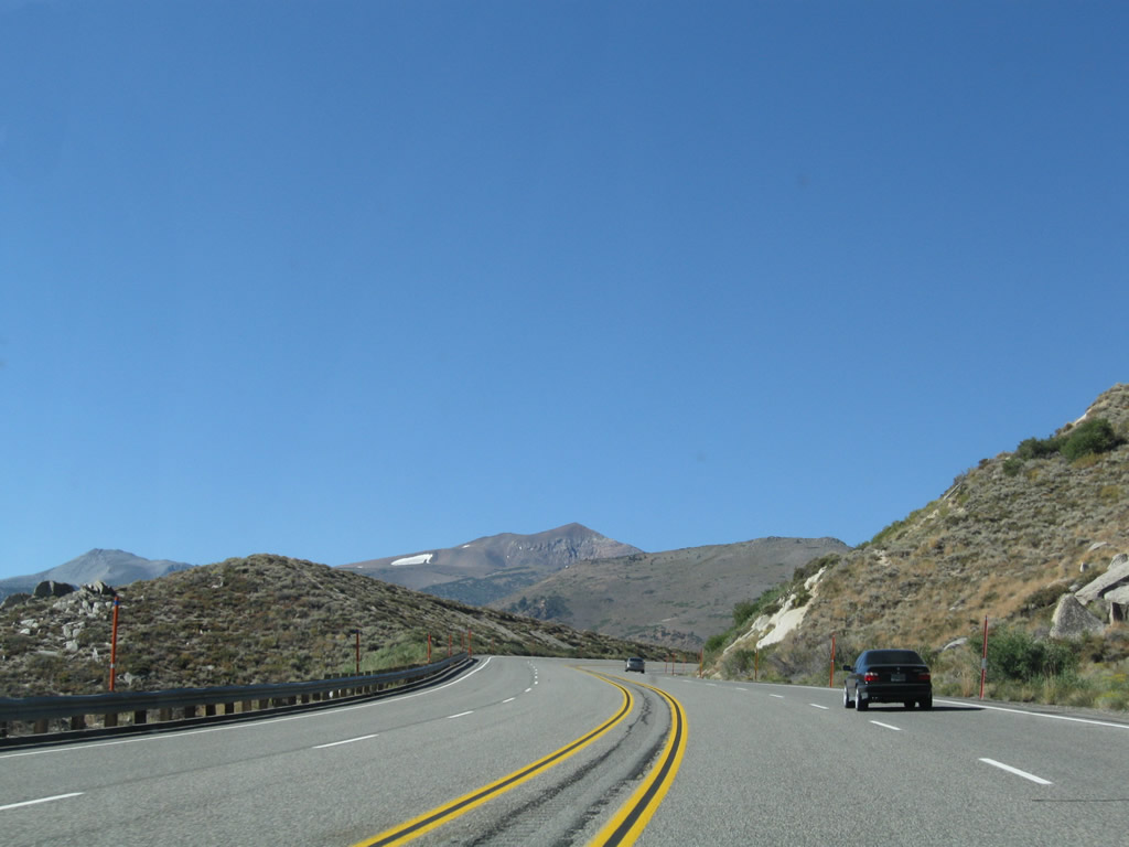
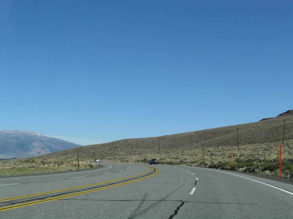
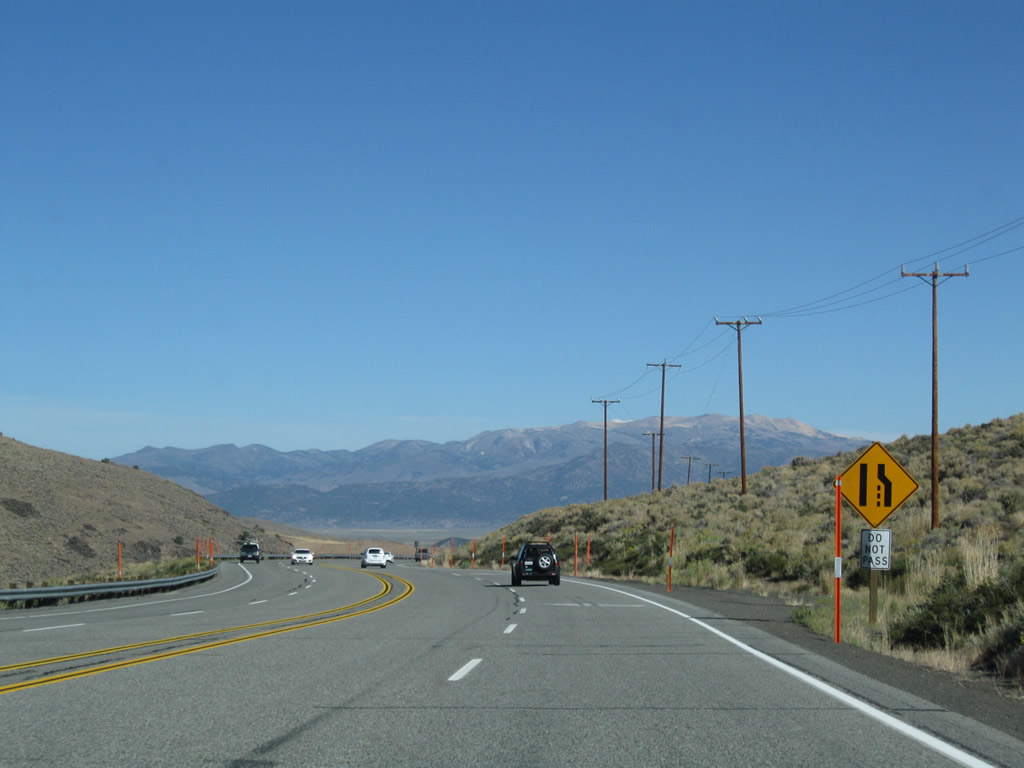
Continuing north, U.S. 395 again loses elevation as it descends into Pumice Valley. Photo taken 09/05/09. |
|
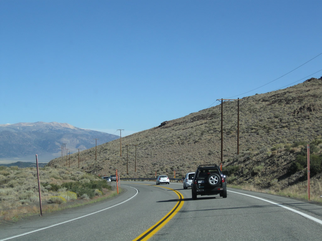
Mt. Wood remains dominant by looking to the west of the highway. Photo taken 09/05/09. |
|
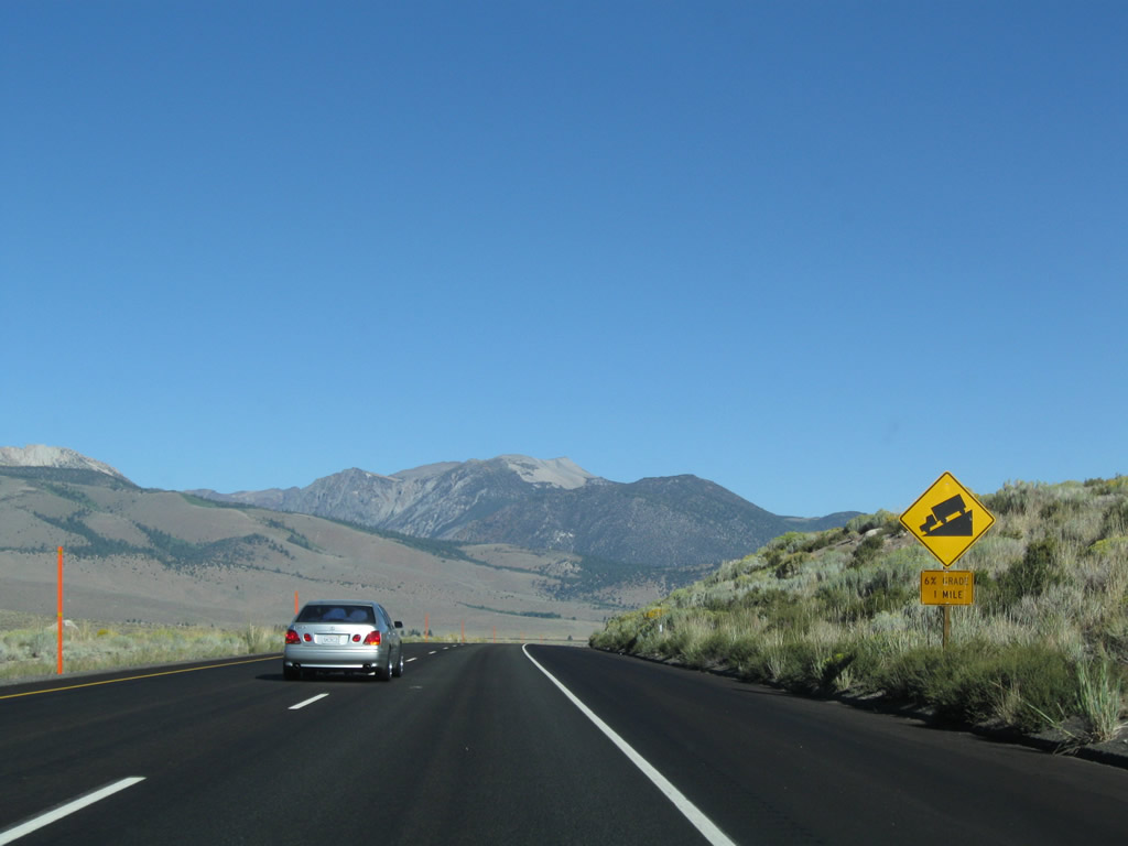
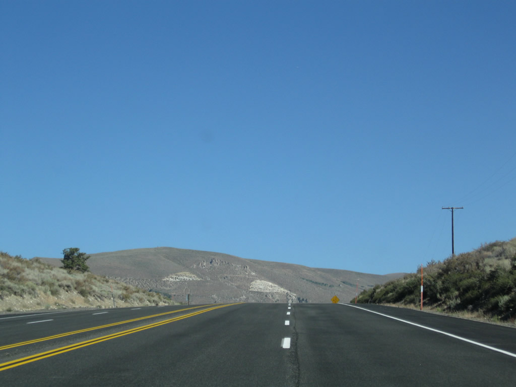
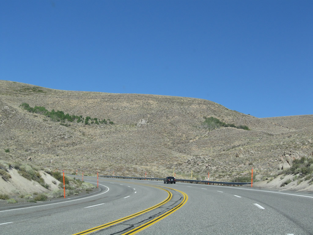
U.S. 395 will soon see a six percent downgrade. Photo taken 09/05/09. |
|
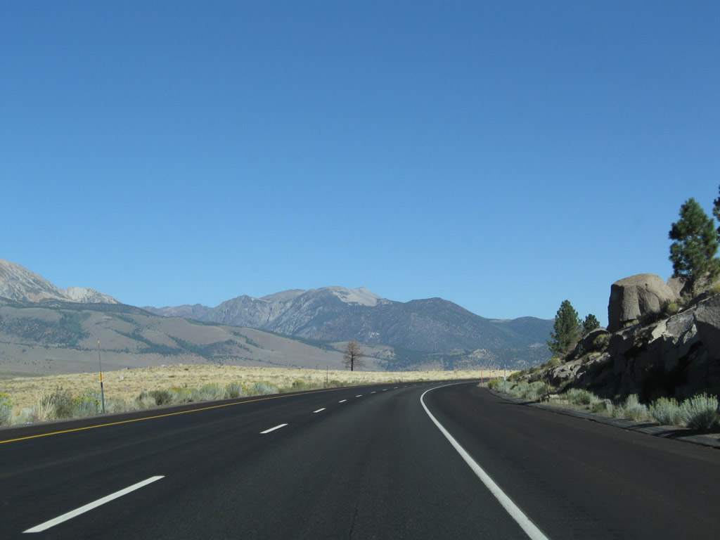
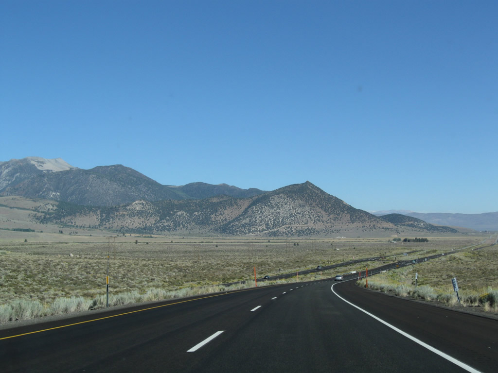
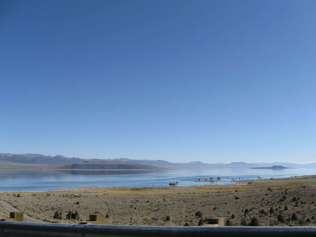
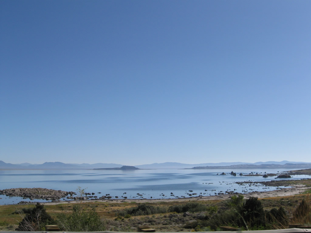
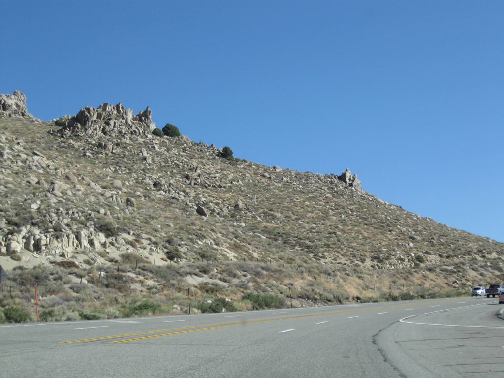
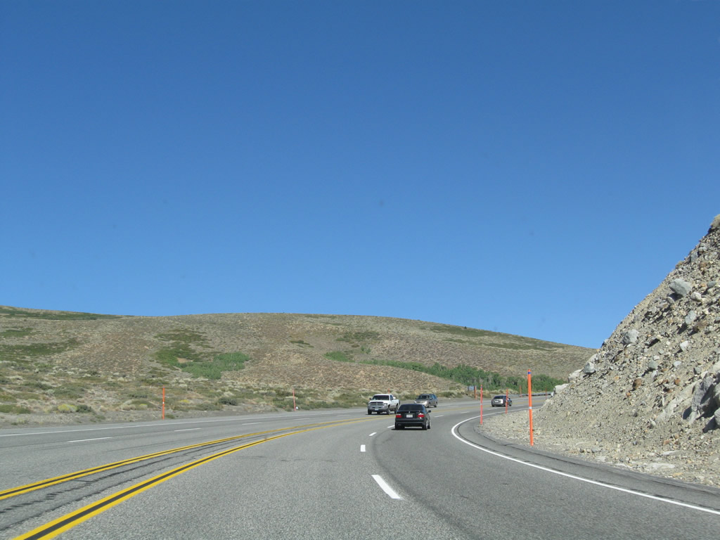
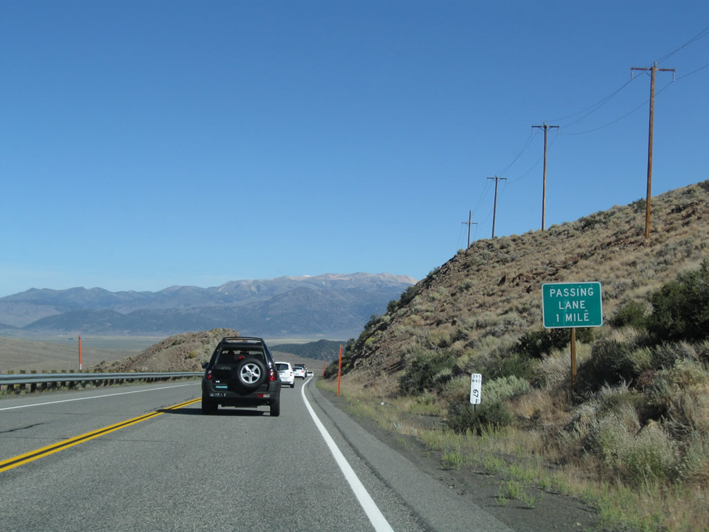
Sagebrush-covered Pumice Valley comes into view along northbound U.S. 395. Photo taken 09/05/09. |
|
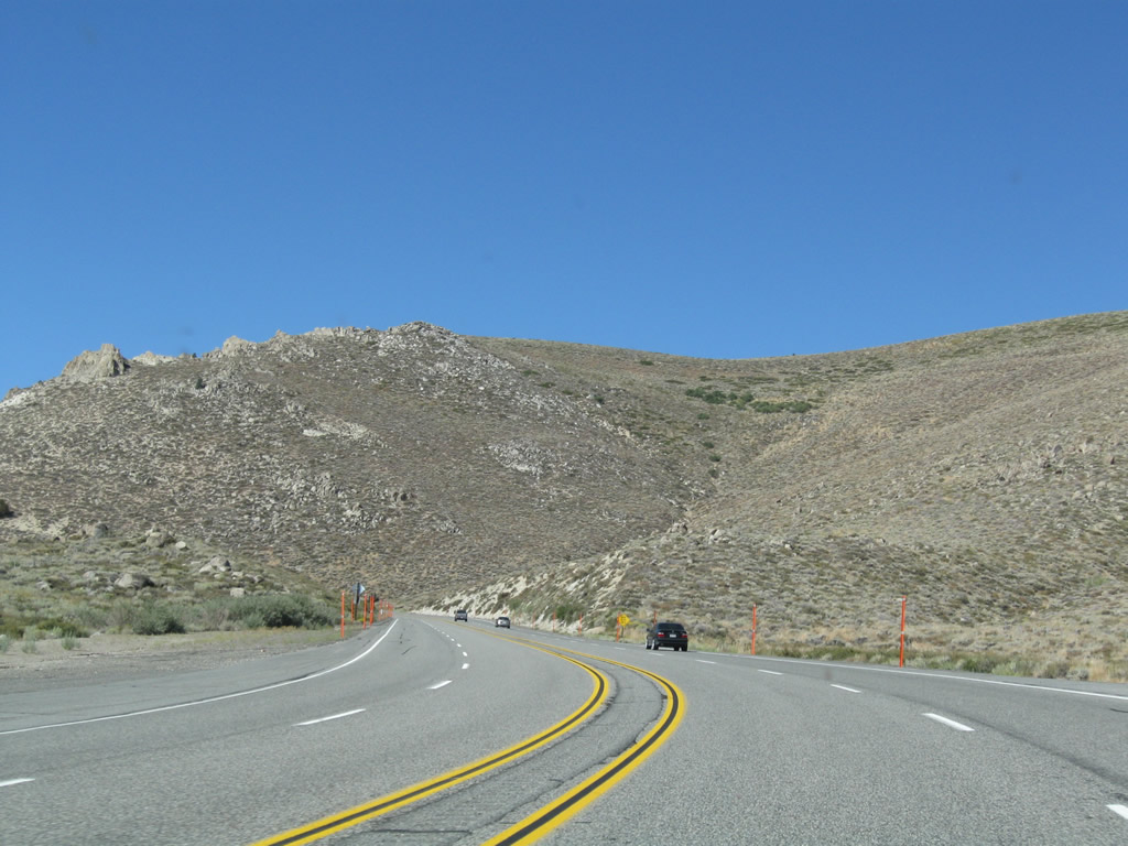
Upon reaching the floor of Pumice Valley is this U.S. 395 north reassurance shield. Photo taken 09/05/09. |
|
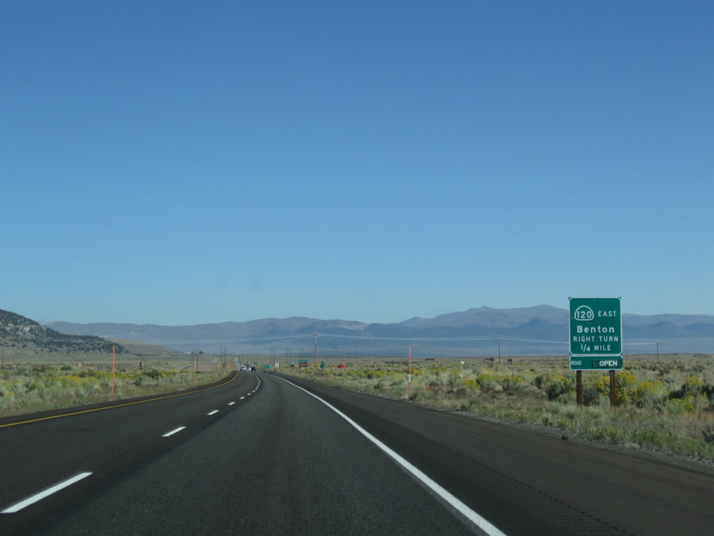
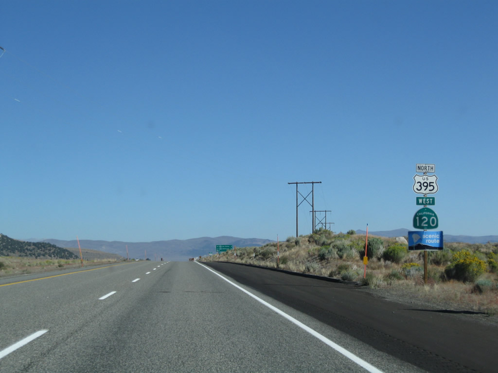
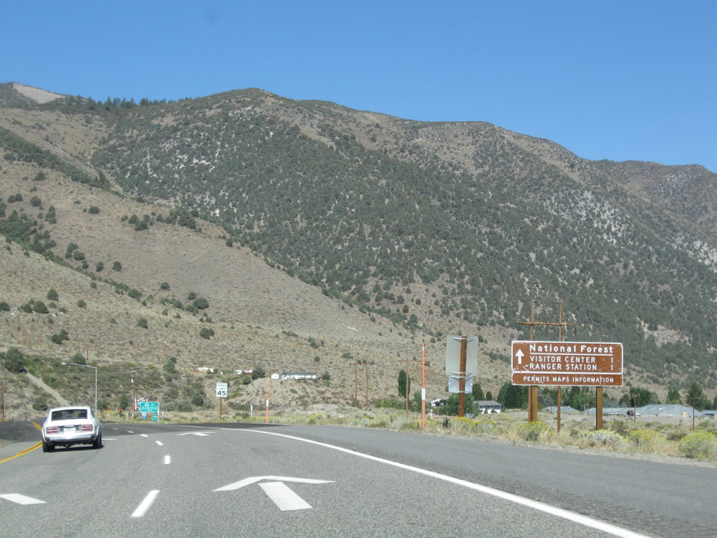
Northbound U.S. 395 approaches California 120 east to Benton via Sagehen Summit. California 120 is part of a major east-west corridor between Manteca (in the Central Valley) and Benton (U.S. 6) via Yosemite National Park and Tioga Pass. U.S. 395 north and California 120 west will merge for several miles between here and near Lee Vining. Photo taken 09/05/09. |
|
A standalone California 120 trailblazer is posted shortly thereafter. Photo taken 09/05/09. |
|
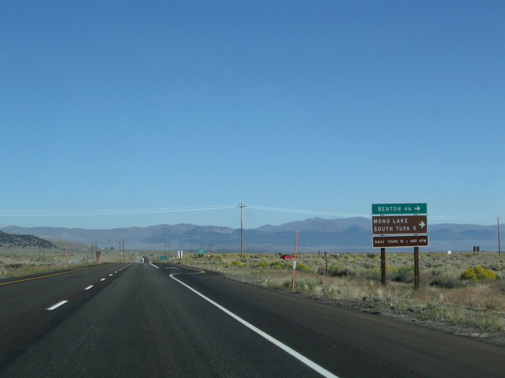
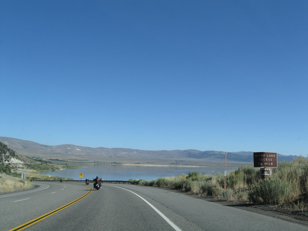
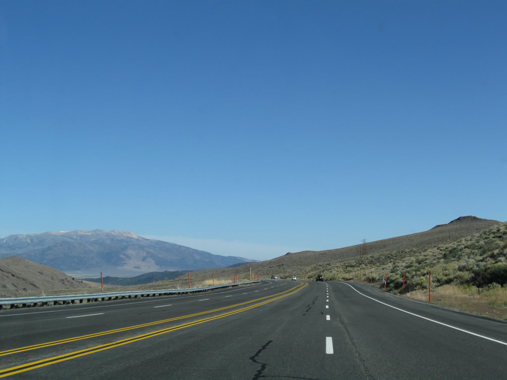
This mileage sign along U.S. 395 provides the distance to Benton (46 miles) and South Tufa Formations on the south shore of Mono Lake (five miles). California 120 is open seasonally, which means closures over Sagehen Summit during winter months. Photo taken 09/05/09. |
|
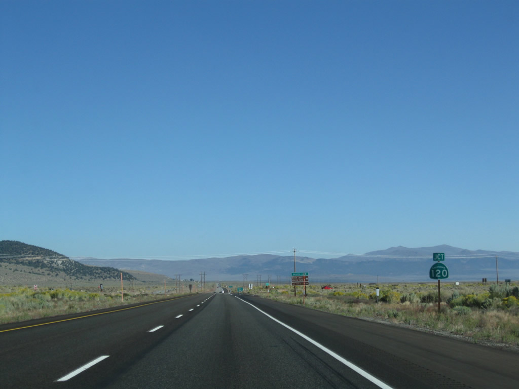
Northbound U.S. 395 meets California 120 east at this intersection. From here, California 120 west joins U.S. 395 north from here north to Lee Vining. Photo taken 09/05/09. |
| U.S. 395 north & California 120 west |
|
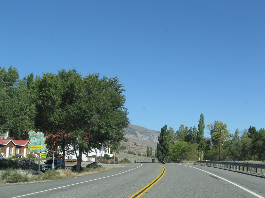
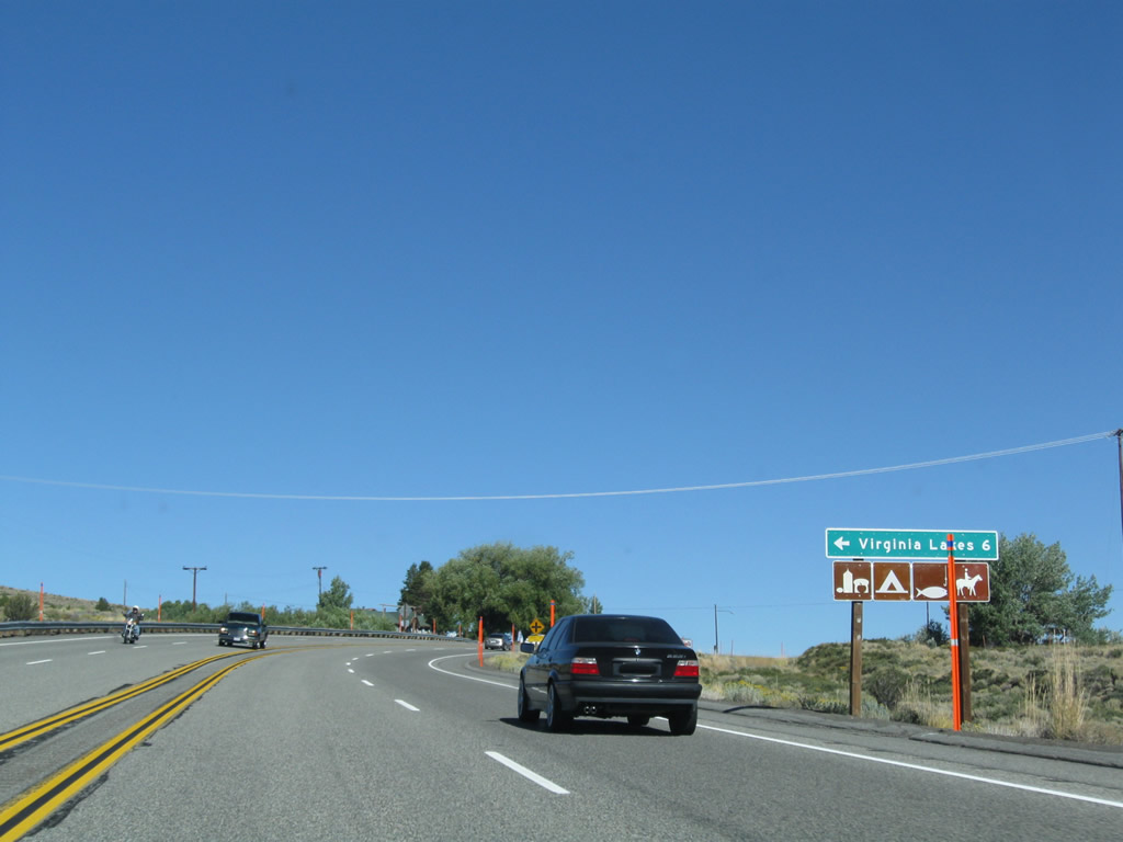
The next intersection along U.S. 395 north and California 120 west is with California 158 (June Lake Loop) south. This is the northern junction and the second intersection between U.S. 395 and California 158; this intersection is the northern terminus of that state route. Turn left here for Grant Lake and the other lakes located near June Lake. Photo taken 09/05/09. |
|
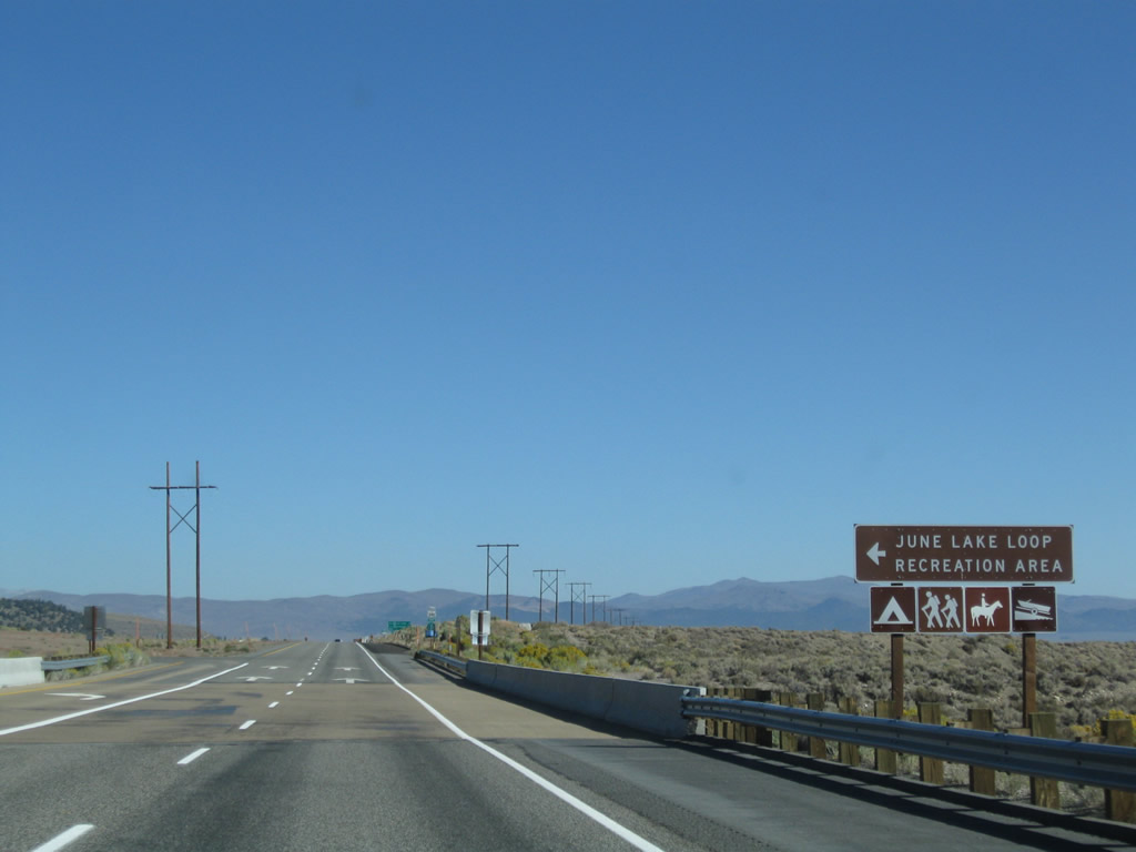
Crossing over Rush Creek, northbound U.S. 395 and westbound California 120 approach the junction with California 158 (June Lake Loop). This scenic route offers access to nearby trailheads, campgrounds, and lodges. Most motorist services are available in June Lake to the south of here. Photo taken 09/05/09. |
|
A reassurance shield assembly includes both U.S. 395 north and California 120 west, along with an official state scenic route marker. Photo taken 09/05/09. |
|
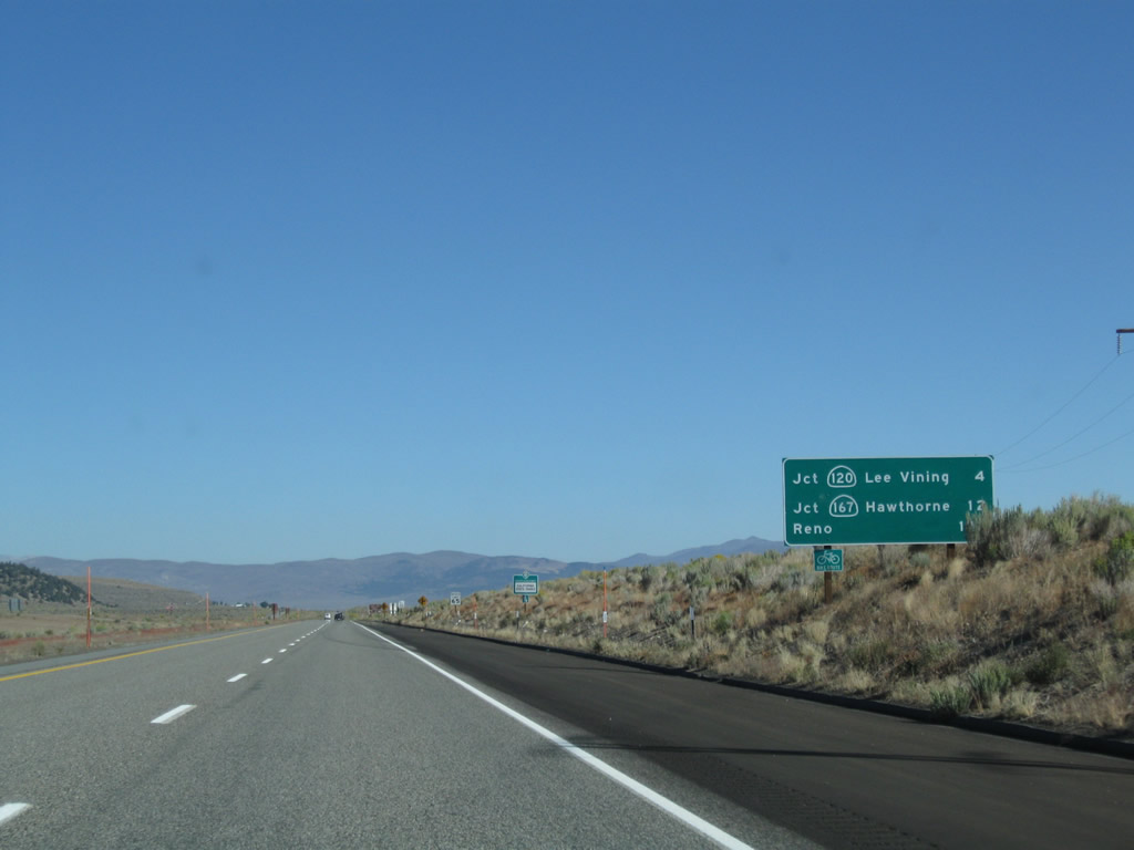
This mileage sign along U.S. 395 north and California 120 west provides the distance to Lee Vining (four miles), California 167 (12 miles), and Reno (149 miles). Photo taken 09/05/09. |
|
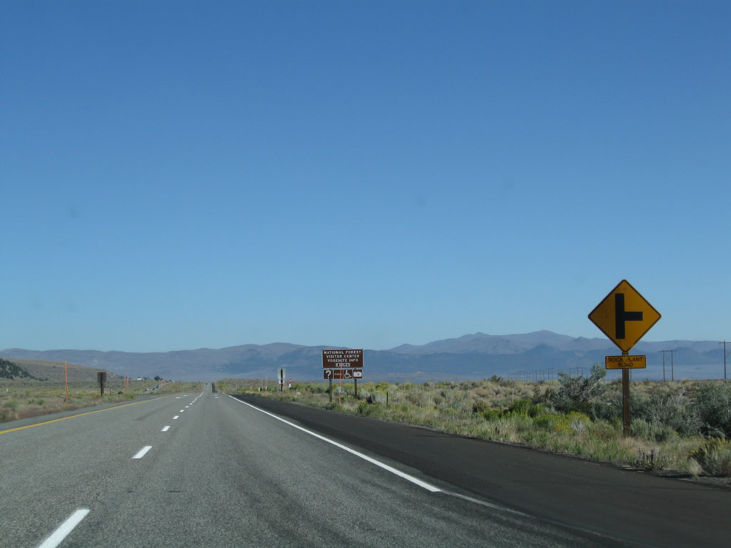
The next intersection along U.S. 395 north and California 120 west is with Rock Plant Road. Photo taken 09/05/09. |
|
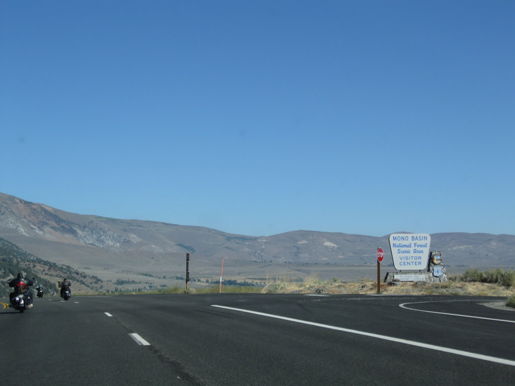
For information on the Mono Basin National Forest Scenic Area, continue north on U.S. 395 into Lee Vining. The Mono Lake Visitors Center is located just north of Lee Vining on a bluff the lake. Photo taken 09/05/09. |
|
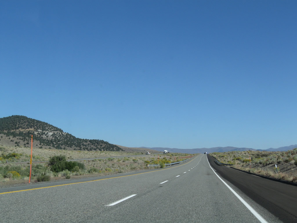
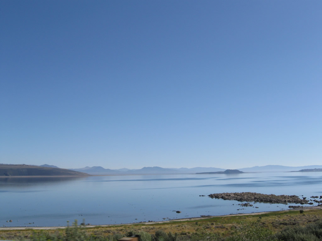
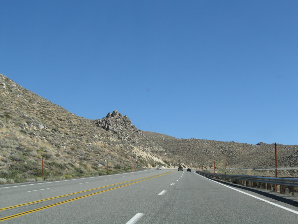
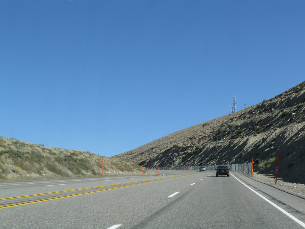
U.S. 395 and California 120 follow an expressway alignment through the Pumice Valley en route to Lee Vining. Photo taken 09/05/09. |
|
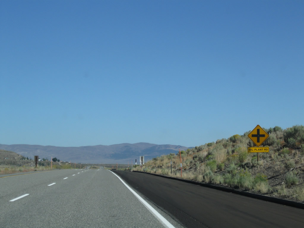
The next intersection along U.S. 395 north and California 120 west is with Oil Plant Road. Photo taken 09/05/09. |
|
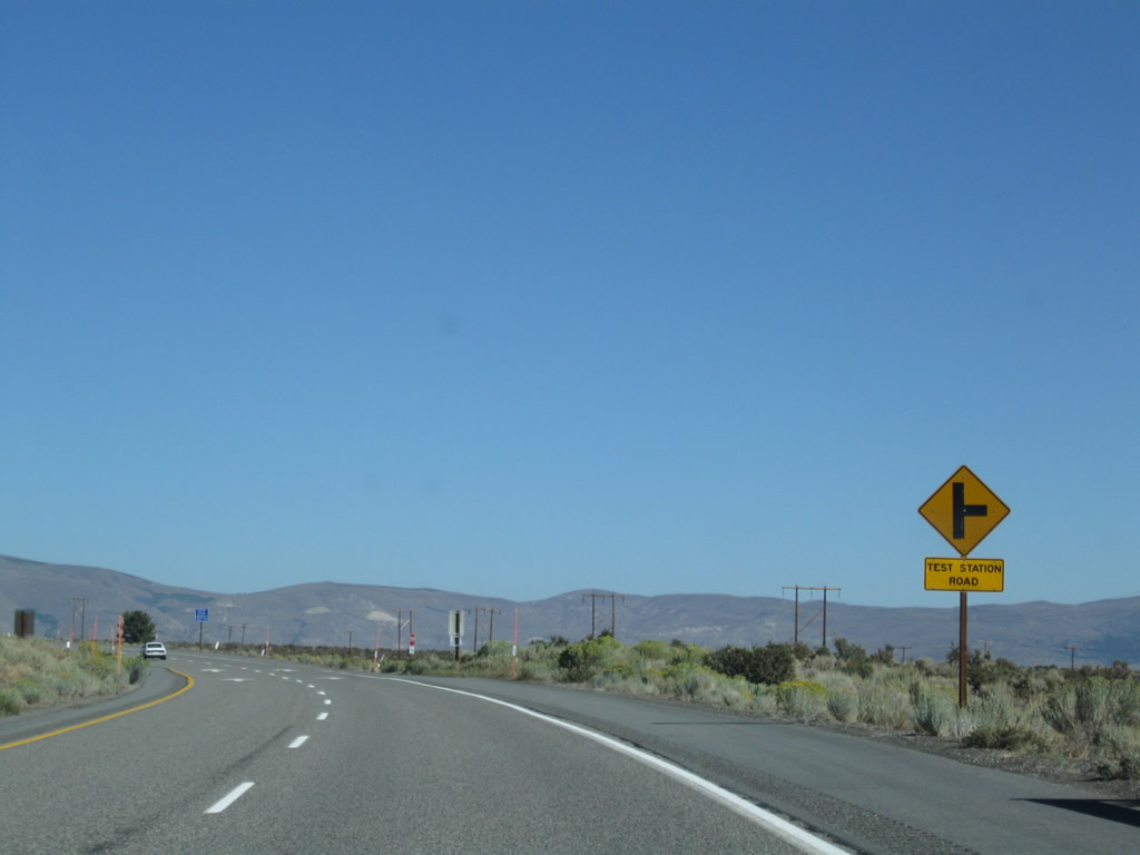
Continuing north, U.S. 395 north and California 120 west approach Test Station Road. Photo taken 09/05/09. |
|
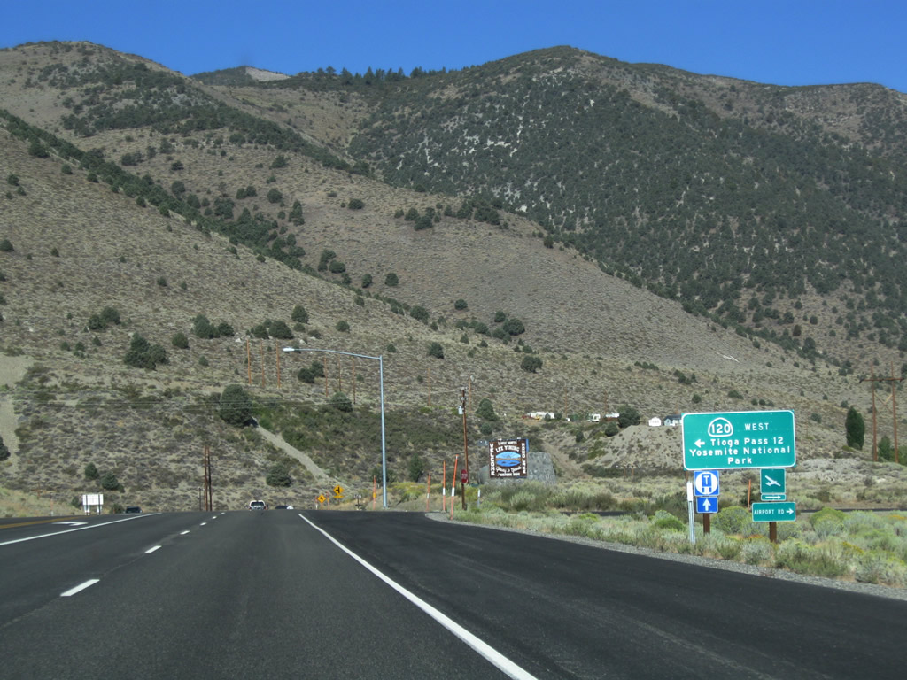
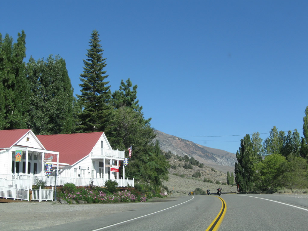
Soon thereafter, U.S. 395 north and California 120 west prepare to split. Turn left ahead for California 120 west to Tioga Pass and Yosemite National Park. Continue straight to follow U.S. 395 north into Lee Vining and Mono Lake. Photo taken 09/05/09. |
|
Use U.S. 395 north to the Mono Lake visitors center. Photo taken 09/05/09. |
|
California 120 travels west over Tioga Pass into Yosemite National Park. A fee is assessed on all vehicles traveling over Tioga Pass as part of entry into the national park. Additionally, this route over Tioga Pass is closed in winter. Tioga Pass is one of the highest mountain passes with a paved road passing over it (el. 9,945 feet). Once west of Yosemite, California 120 joins California 108 en route to Oakdale, then splits toward Manteca, becoming a freeway for the final distance to Interstate 5 and Interstate 205 in Lathrop. Photo taken 09/05/09. |
|
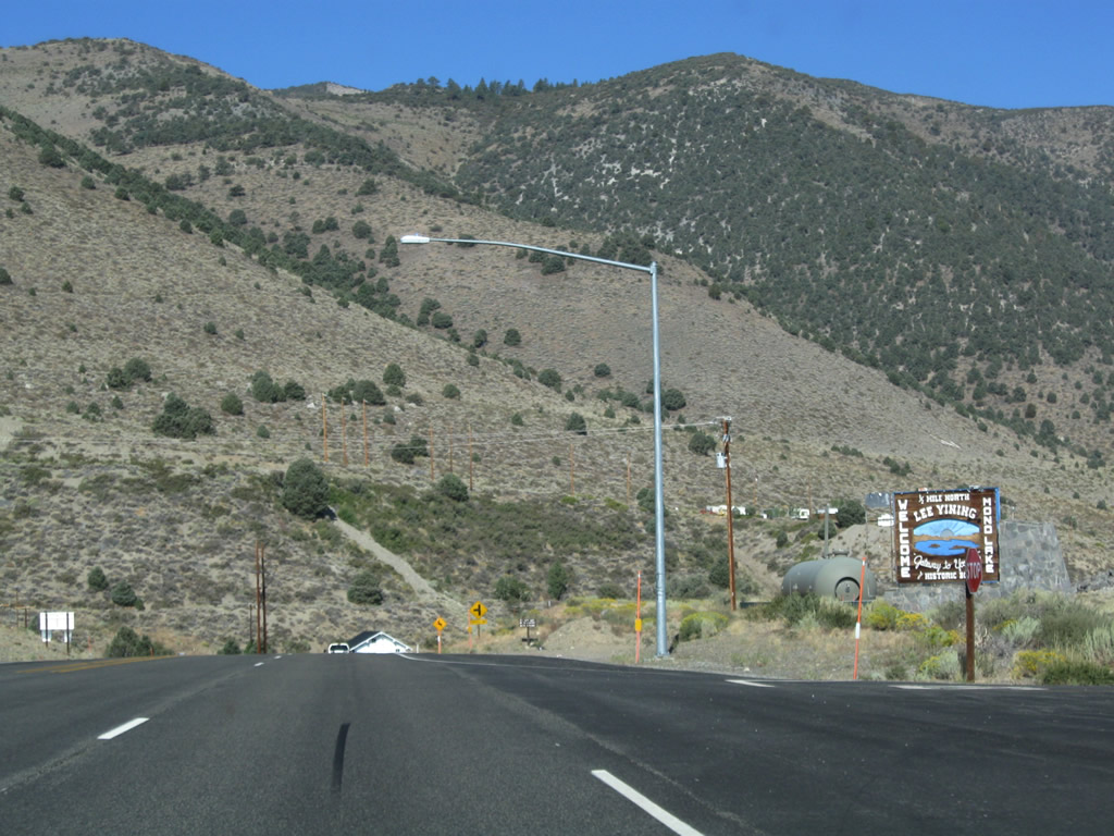
At the point where U.S. 395 and California 120 split, a sign welcomes visitors to Lee Vining, the Gateway to Yosemite. Photo taken 09/05/09. |
| U.S. 395 north |
|
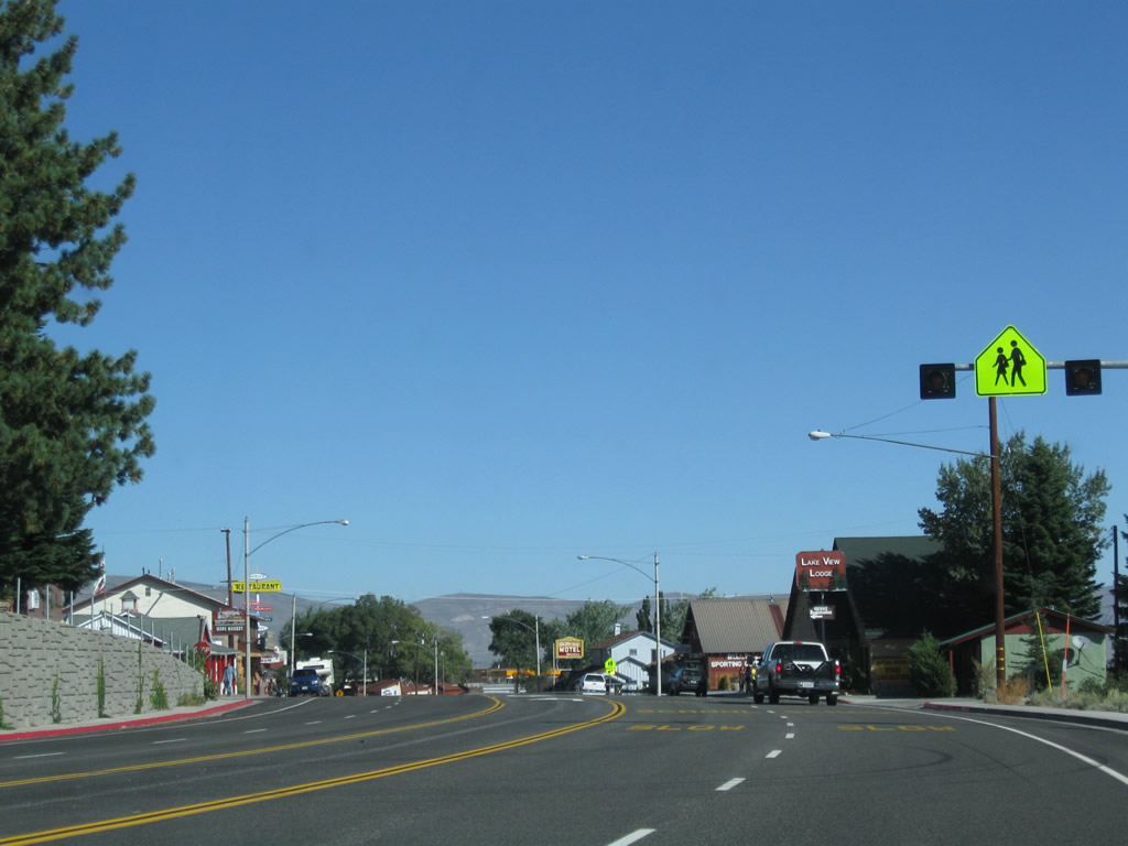
Entering an urban area for the first time since leaving Bishop, U.S. 395 sees a center turn lane and reduction in speed limit. Photo taken 09/05/09. |
|
U.S. 395 enters the unincorporated community of Lee Vining as Mono Lake comes into view on the east side of the highway. With its proximity to Yosemite National Park, Bodie State Historic Park, and Mono Lake, Lee Vining has established itself as a tourist destination. Photo taken 09/05/09. |
|
|
|
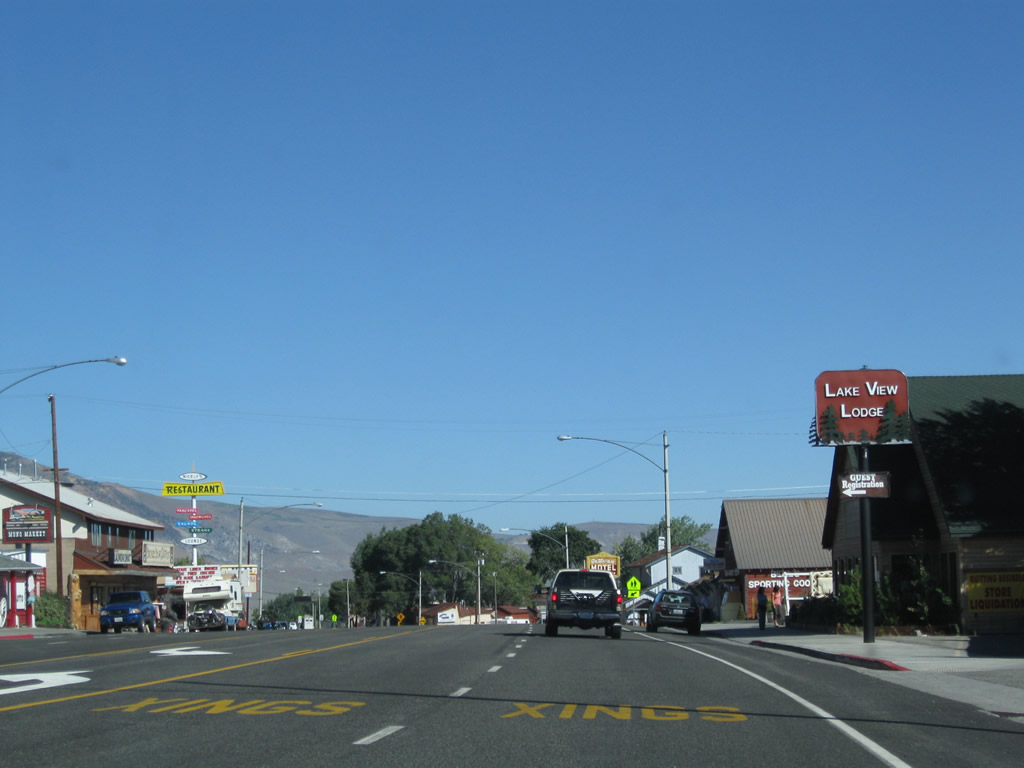
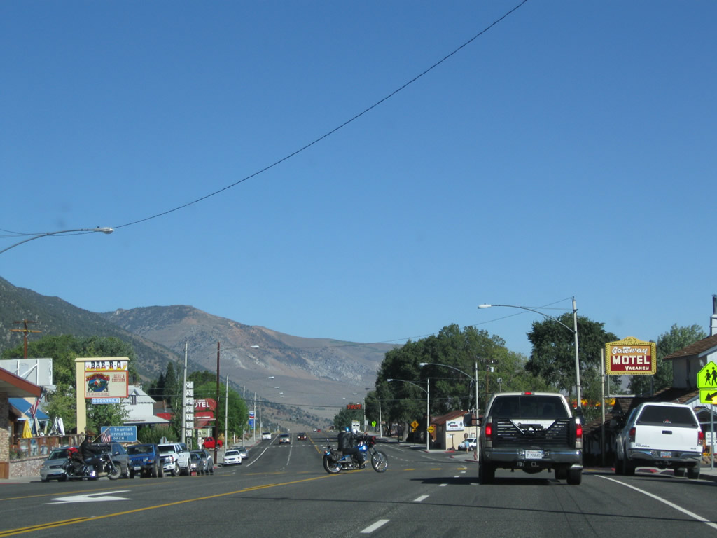
The highway widens to five lanes through Lee Vining (el. 6,781 feet), with two lanes in each direction and a center turning lane. Motorist services -- including gas, food, and lodging -- line both sides of U.S. 395. Photos taken 09/05/09. |
|
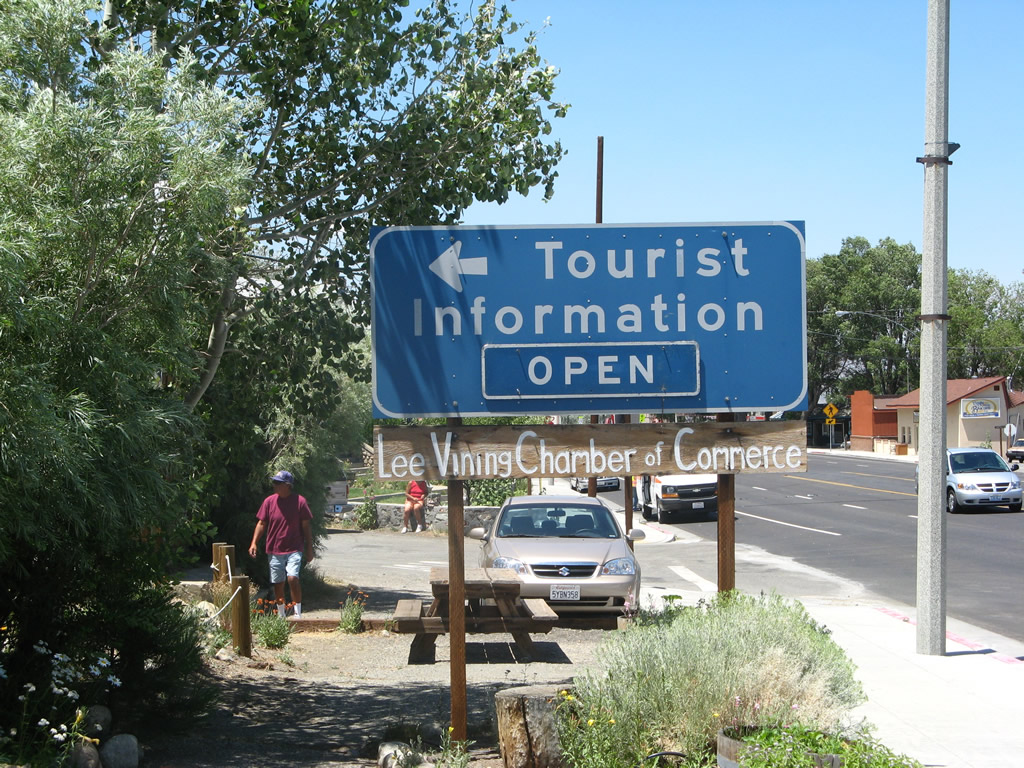
The Lee Vining Chamber is located near the center of town; look for it on the left side of the highway. Photo taken 07/09/07. |
|
|
Leaving Lee Vining, northbound U.S. 395 (Three Flags Highway) approaches the turnoff to Mono Basin National Forest Visitors Center. The center features views of Mono Lake and tourist information for the area around Mono Lake. Photo taken 09/05/09. |
|
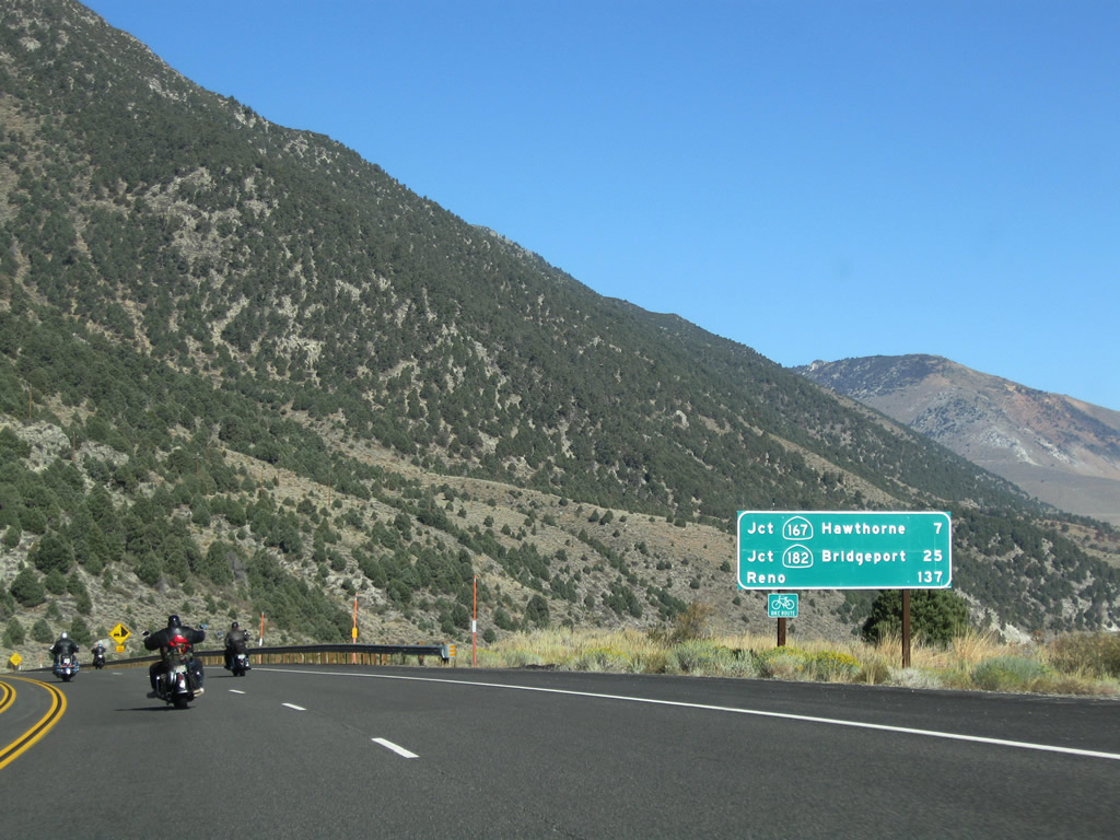
This mileage sign along U.S. 395 north provides the distance to the junction with California 167 (seven miles), California 182 in Bridgeport (25 miles), and Reno (137 miles). California 167 travels from U.S. 395 northeast to Hawthorne, Nevada, which sits on the U.S. 95 corridor in the Silver State. Photo taken 09/05/09. |
|
|
|
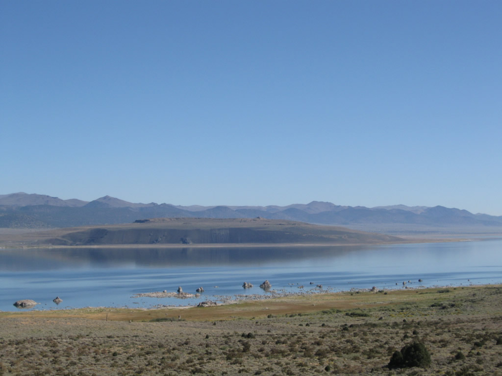
Descending from Lee Vining, the namesake of Mono County -- Mono Lake (el. 6,402 feet and rising) -- comes into view along the east side of the U.S. highway. A saline lake, the waters of Mono Lake are not suitable for drinking. However, Los Angeles Department of Water and Power diverted the waters of Rush Creek from Mono Lake in 1941 to its long-running aqueduct leading south to Owens Valley and from there to Los Angeles. Due to the environmental damage to the lake and resultant lowering of the lake level, this diversion ended in 1994 by order of the California State Water Resources Control Board. The elevation of the lake has continued to rise since diversions stopped. The largest islands in Mono Lake are Negit Island and Paoha Island. Photos taken 09/05/09. |
|
|
|
|
|
|
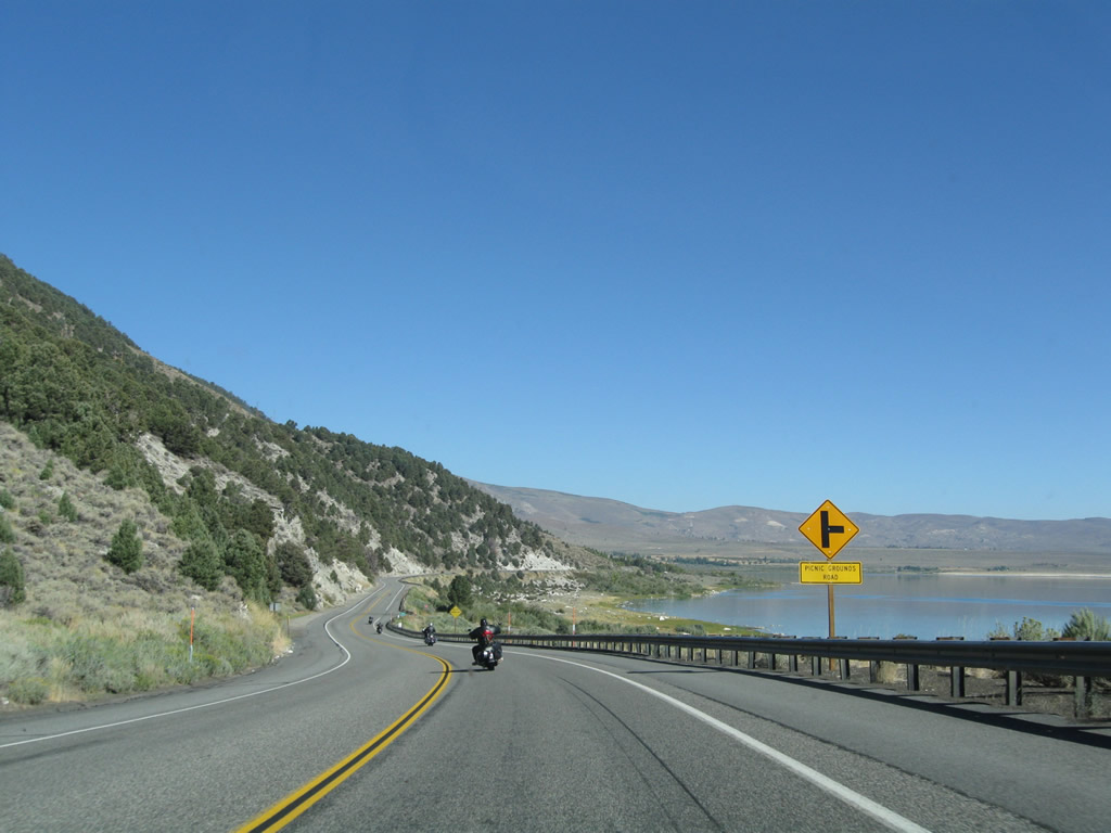
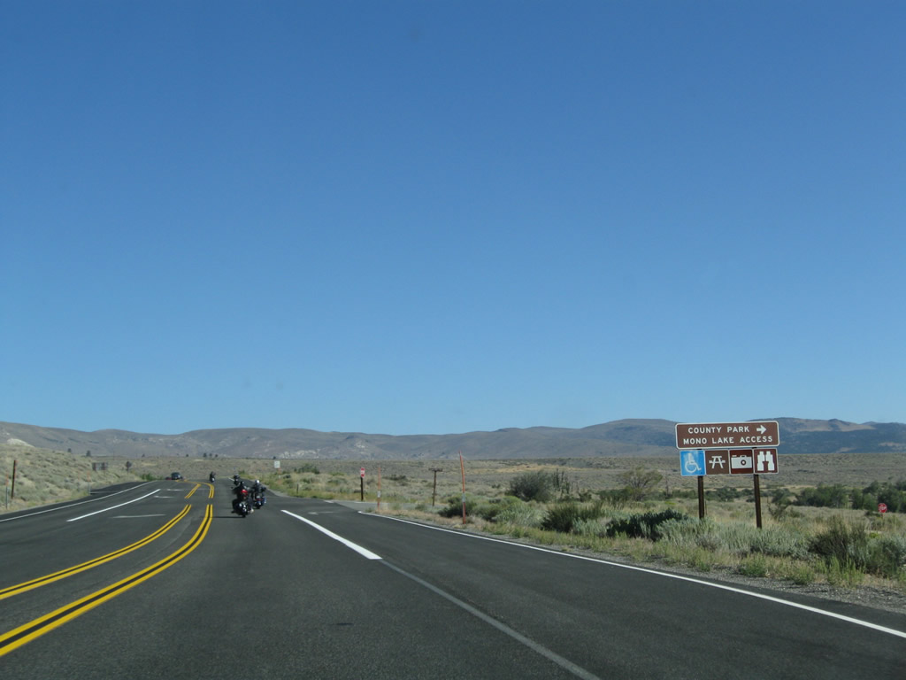
Although the next right (Picnic Grounds Road) leads to the shore of the lake, official access is provided four miles ahead at the park. Photos taken 09/05/09. |
|
|
|
Again looking at Mono Lake, the south shore of the lake is lined with odd formations known as tufa. Tufa were prevalent during the low water period in the 1980s before Los Angeles ceased its water diversions to the Los Angeles Aqueduct. The best place to see the tufa is via California 120 east of Lee Vining. Photos taken 09/05/09. |
|
|
|
|
|
|
Ahead on the left is the Tioga Lodge; U.S. 395 continues north past Mono Lake. Photos taken 09/05/09. |
|
|
|
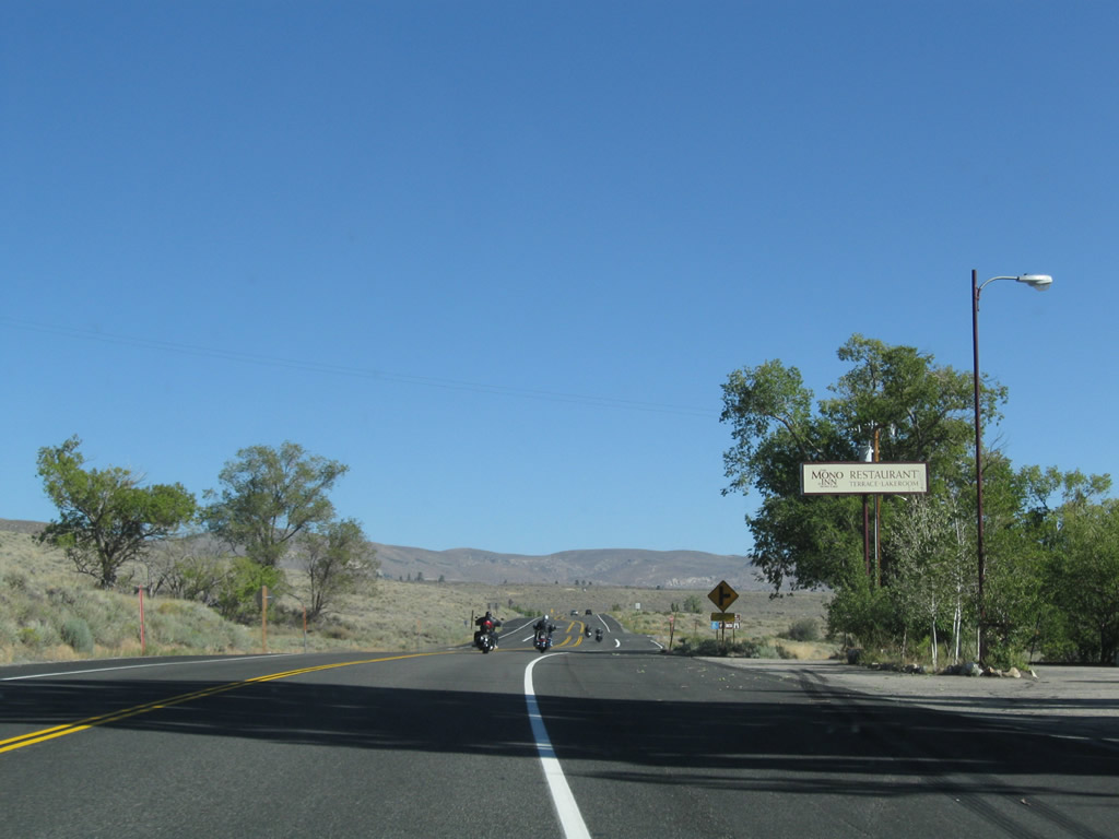
As Mono Lake leaves our view as we keep traveling northbound, U.S. 395 approaches the Mono Restaurant and the turnoff to Mono Lake County Park. The highway approaches Mono City, a small community on the northwest corner of the lake. As we begin to ascend Conway Summit, U.S. 395 again widens to four lanes but this time without a median barrier. Photos taken 09/05/09. |
|
|
|
|
|
|
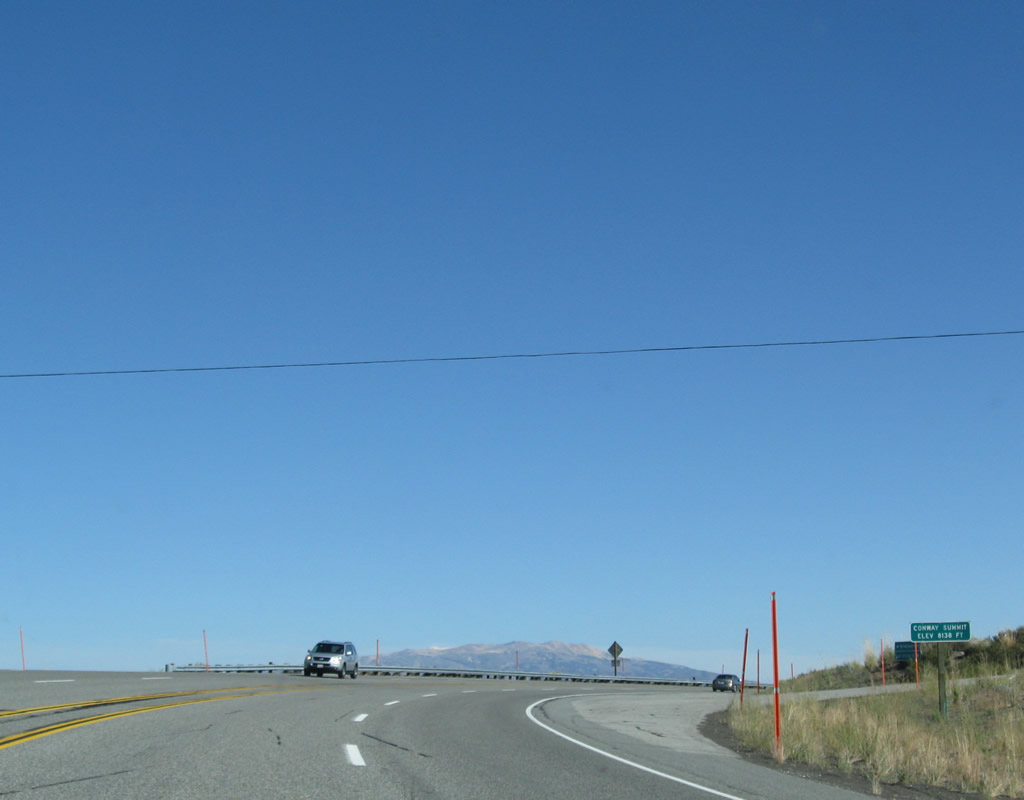
U.S. 395 leaves the Mono Basin National Scenic Area and ascends Conway Summit. The next major intersection along U.S. 395 will be with California 167 east. Photos taken 09/05/09. |
|
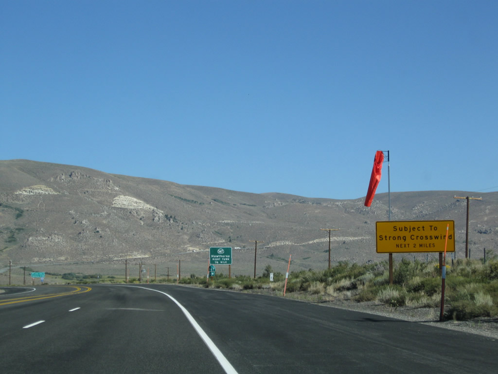
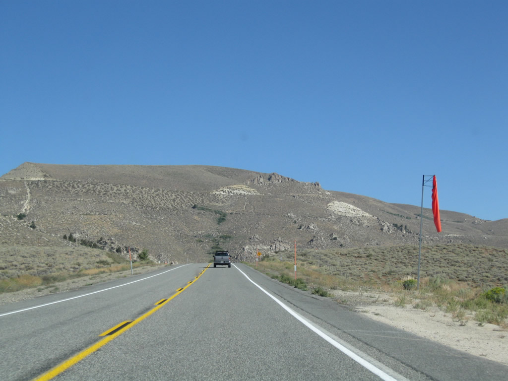
The drive up Conway Summit can be subject to strong crosswinds. A warning sign and windsock are posted prior to the California 167 intersection. Photo taken 09/05/09. |
|
|
|
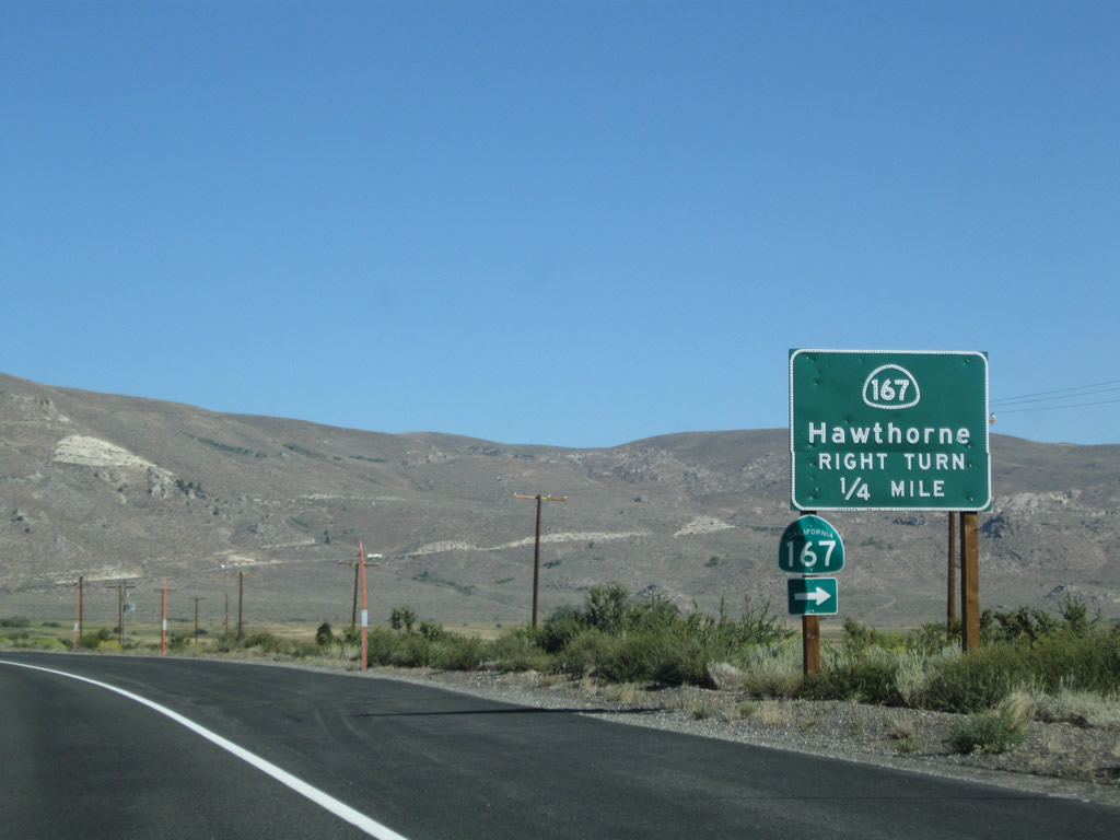
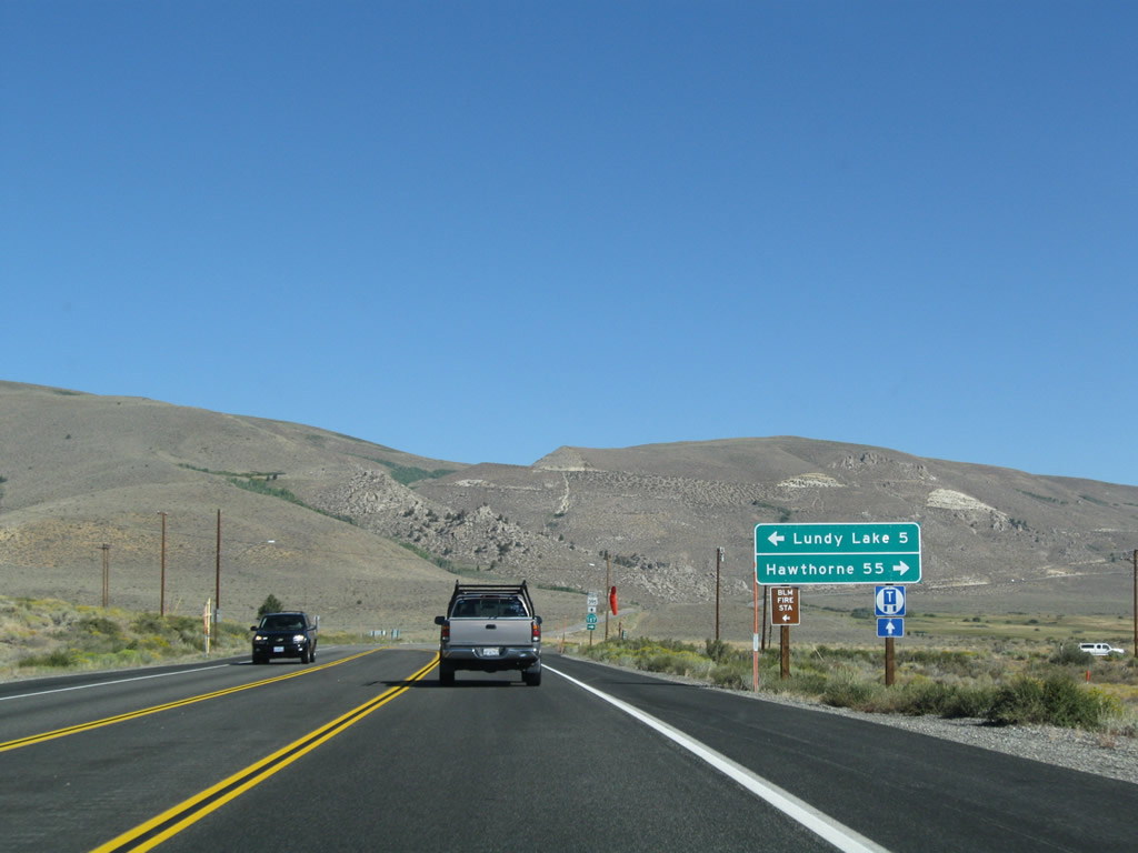
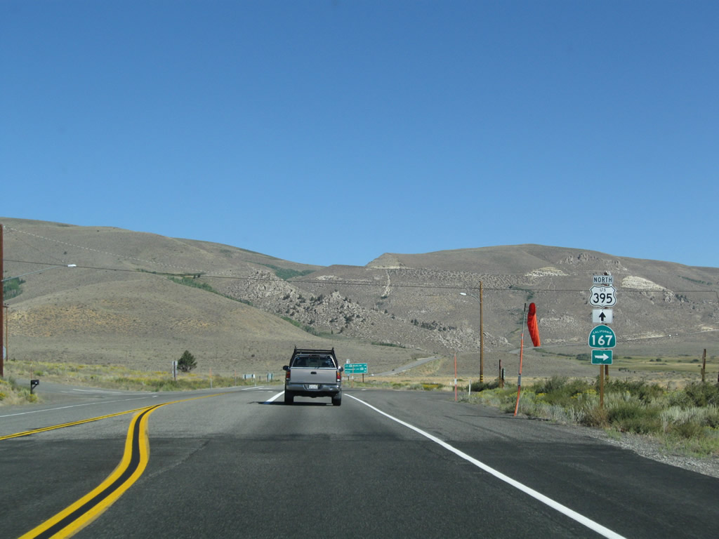
Northbound U.S. 395 approaches and reaches California 167, which travels northeast to Hawthorne, Nevada. Initially California 167 travels mostly east on an arrow-straight path toward the state line with Nevada. At the state line, California 167 changes into Nevada 359. From there, Nevada 359 travels over Anchorite Summit (el. 7,626 feet) in the Humboldt-Toiyabe National Forest and then turns north for the final distance to Hawthorne, which is 55 miles from here. Turn left at this intersection with Lundy Lake Road west to Lundy Lake campground. Photos taken 09/05/09. |
|
This mileage sign provides the distance to California 270 (Bodie Road) east to Bodie State Historic Park (12 miles), California 182 in Bridgeport (18 miles), and Reno (131 miles). Photo taken 09/05/09. |
|
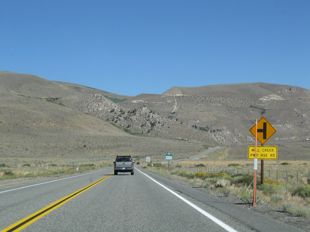
The next left connects U.S. 395 north with Mill Creek Power House Road, which travels west on a winding path that eventually connects to Lundy Lake Road. The top of Conway Pass comes into view in the distance ahead. Photo taken 09/05/09. |
|
|
| |
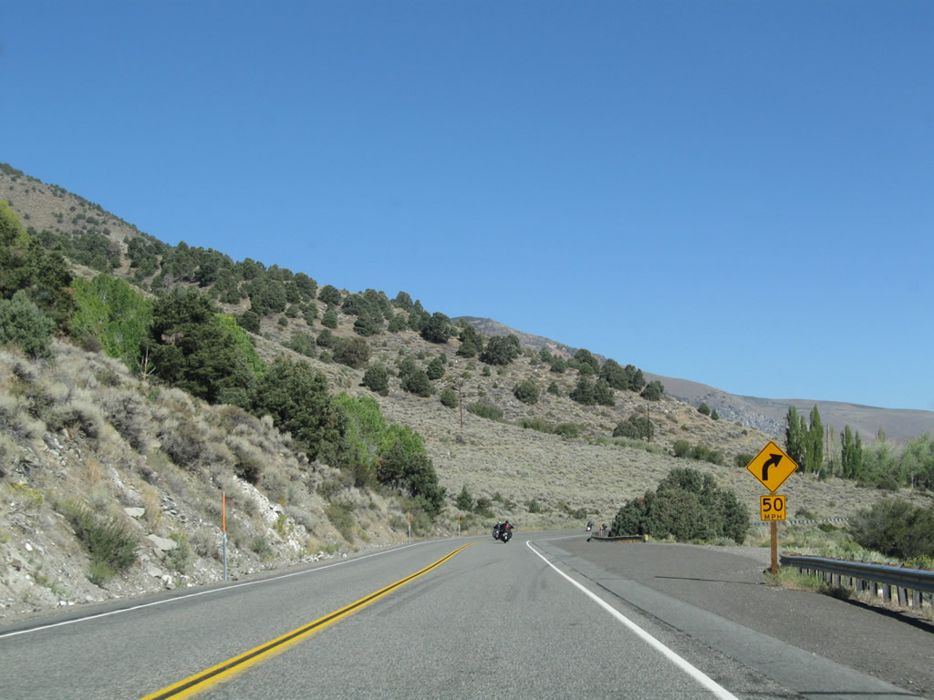
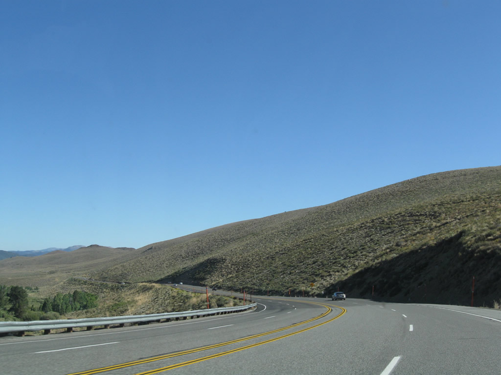
Proceeding north toward Conway Summit, U.S. 395 uses a series of switchbacks to make the grade as gentle as possible while still gaining significant elevation. The highway once again widens out to four lanes. Watch for fast moving traffic coming downhill. Photos taken 09/05/09. |
|
| | |
|
|
|
|
|
|
|
|
|
|
| Reaching the top of Conway Summit (el. 8,138 feet), a left turn connects U.S. 395 to Virginia Lakes Road to Trumbull Lake and Virginia Lakes. Conway Summit is the highest point along U.S. 395 in California and for its entire journey between Hesperia and the Canadian border. Photos taken 09/05/09. |
|
|
| Leaving Conway Summit, sagebrush covered hills becomes the rule. During winter, temperatures in these parts can be among the coldest in California, with nighttime lows dropping below zero degrees Fahrenheit in the coldest spells. Bodie State Historic Park and Bridgeport often make the list of lowest temperatures in California due to the high elevation and location in the rainshadow of the Sierra Nevada. Photos taken 09/05/09. |
|
|
|
|
|
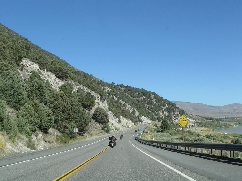
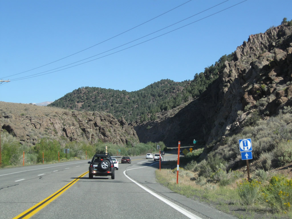
| U.S. 395 loses its passing lane briefly, then sees it reemerge prior to the California 270 junction. Photos taken 09/05/09. |
|
|
|
|
|
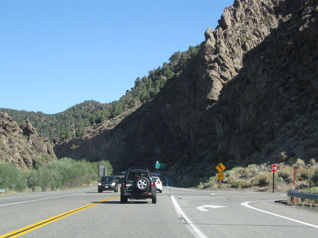
Northbound U.S. 395 approaches and meets California 270 (Bodie Road) at the upcoming intersection. California 270 travels east from U.S. 395 to the entrance to Bodie State Historic Park. Bodie is an old mining town that is preserved as part of the state park. Visitors can walk through the town and attend tours. However, no motorist services are in the park, and the last several miles of highway into the park (technically not part of California 270 but the logical continuation of the route to the park entrance) are dirt/graded road, unpaved. Photos taken 09/05/09. |
|
|
Page Updated April 25, 2010.