| U.S. 395 north |
|
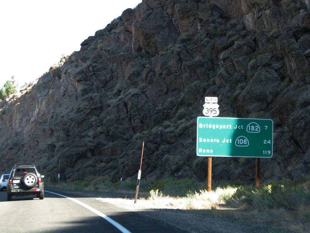
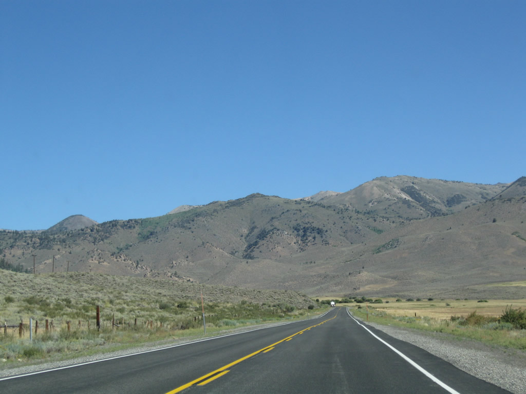
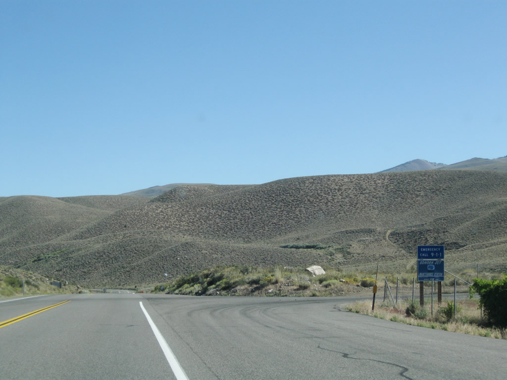
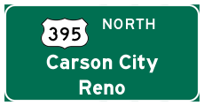
This mileage sign along U.S. 395 north provides the distance to the junction with California 182 in Bridgeport (seven miles), California 108 (24 miles), and Reno (119 miles). Between Conway Summit and Bridgeport, U.S. 395 slowly descends alongside Virginia Creek into Bridgeport Valley. Photo taken 09/05/09. |
|
|
|
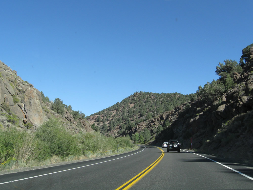
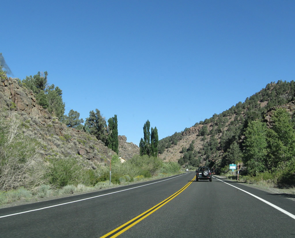
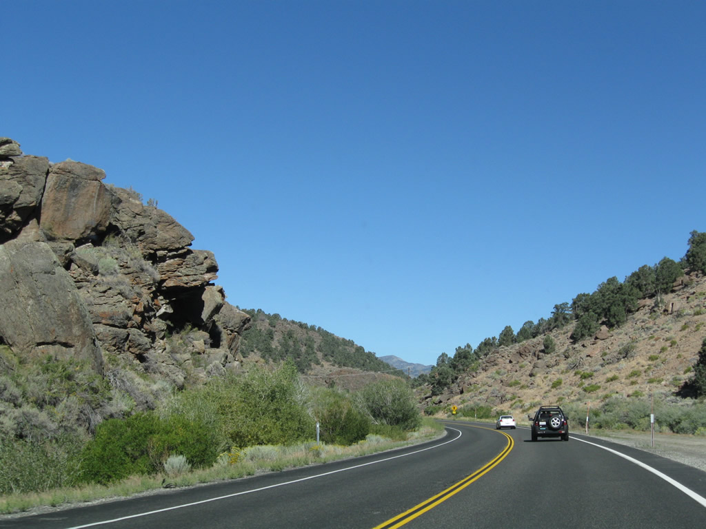
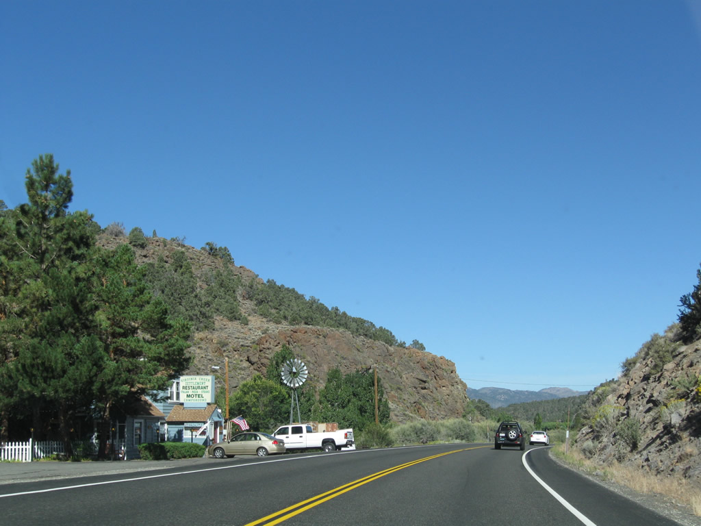
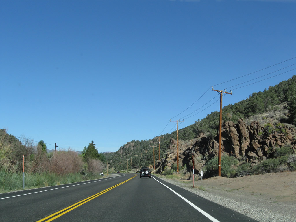
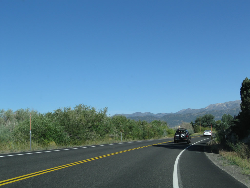
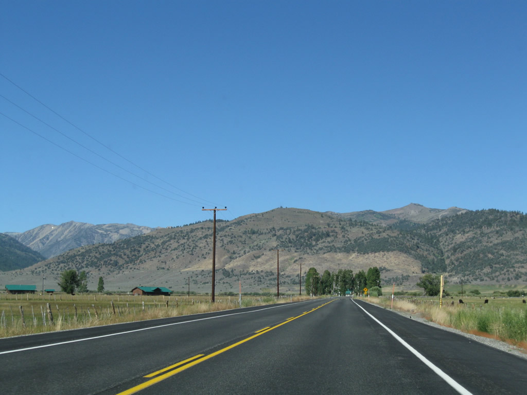
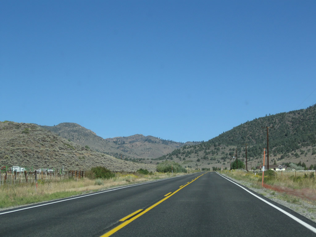
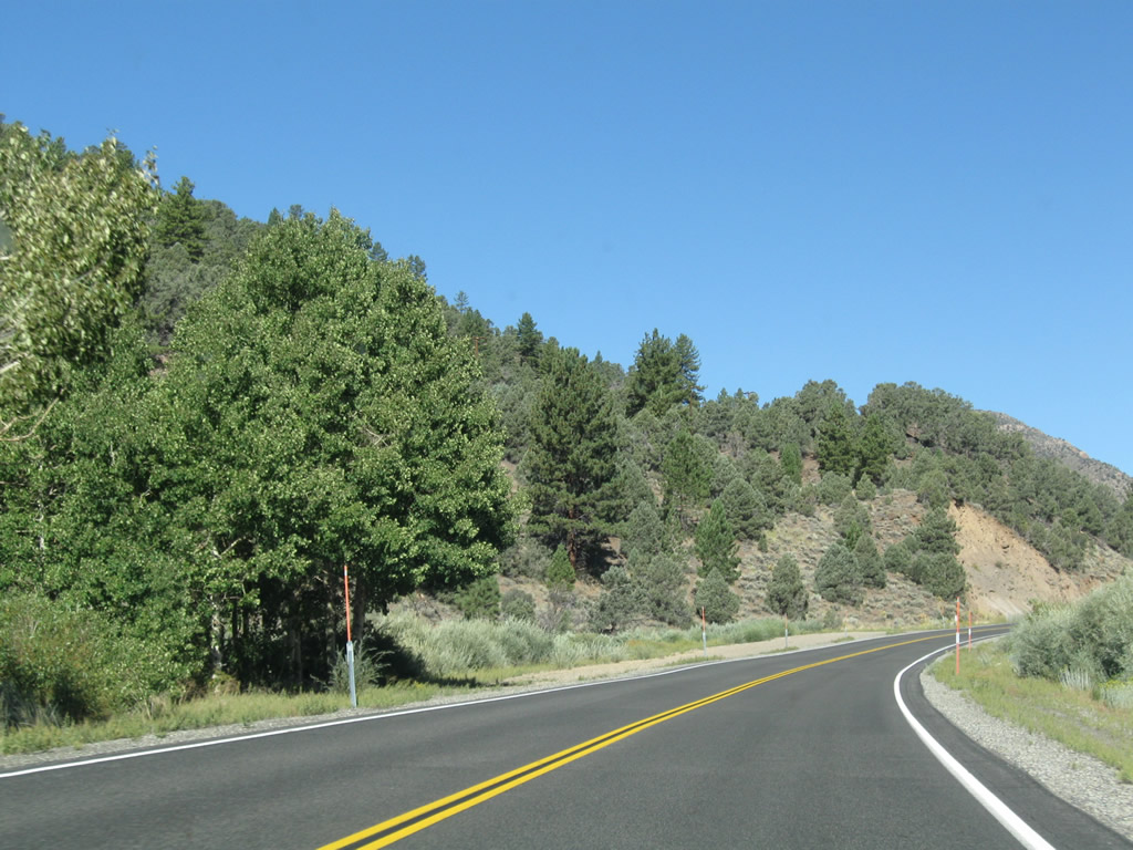
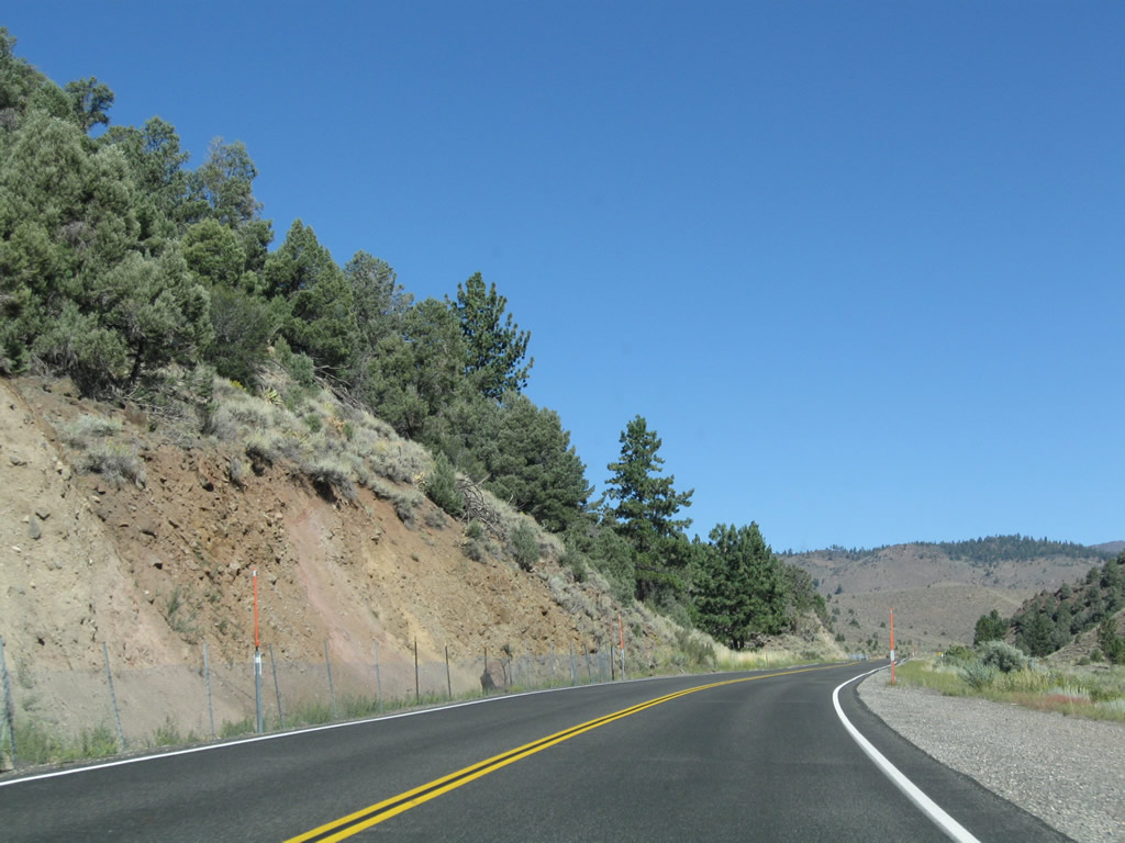
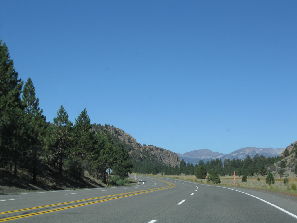
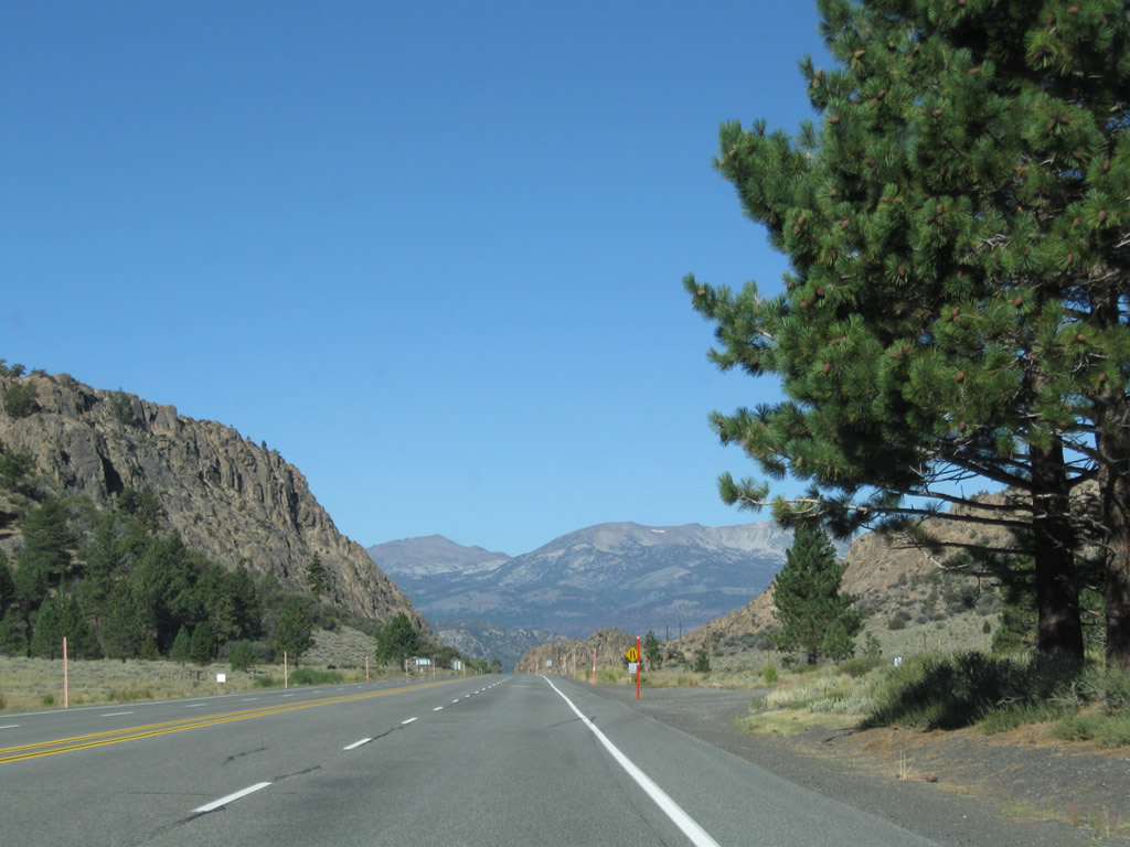
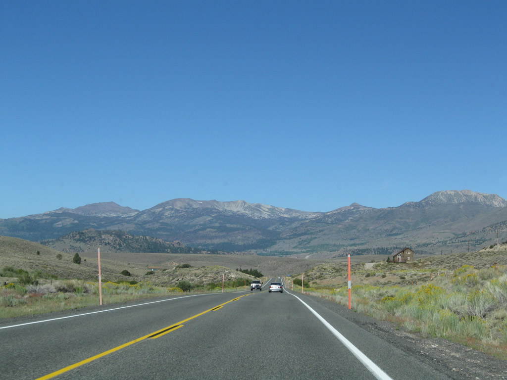
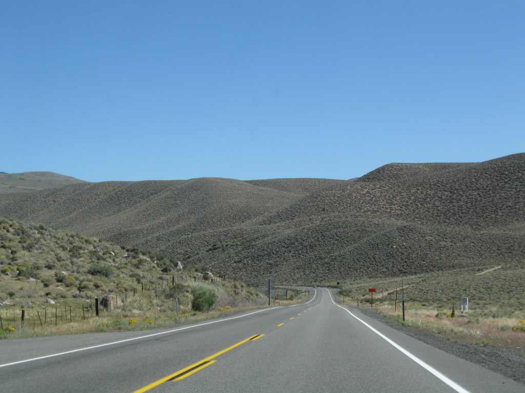
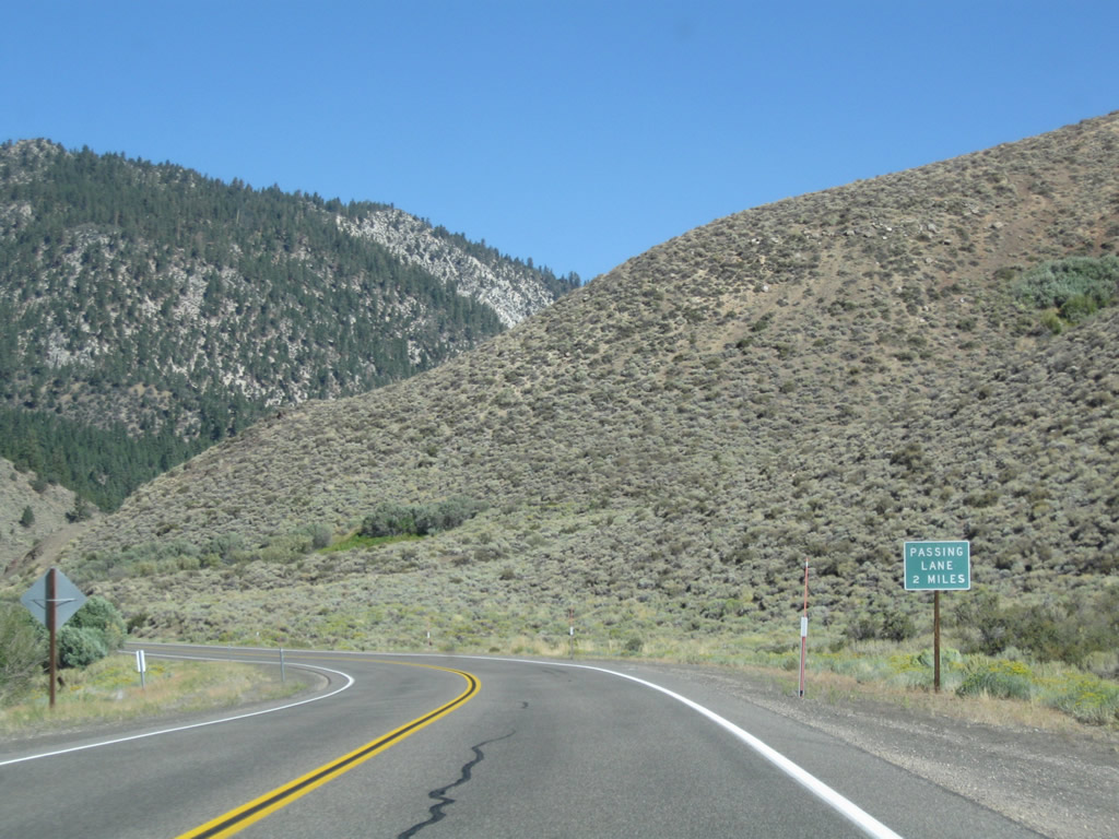
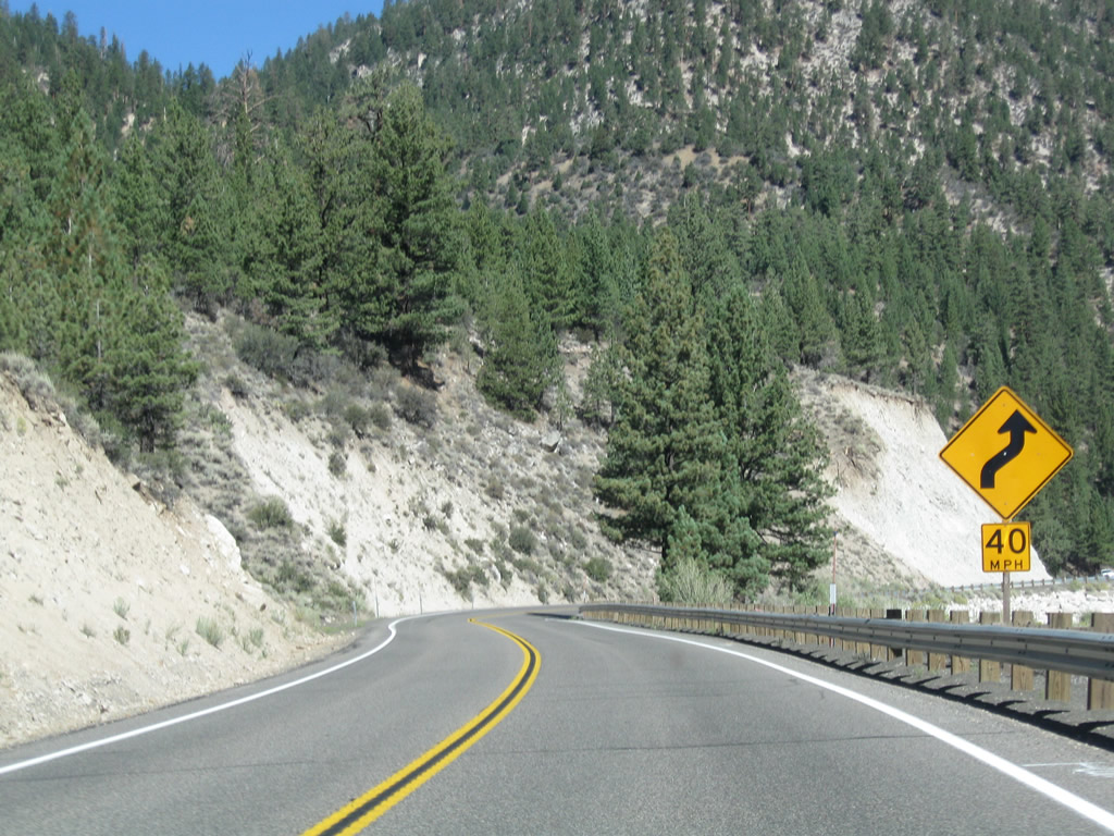
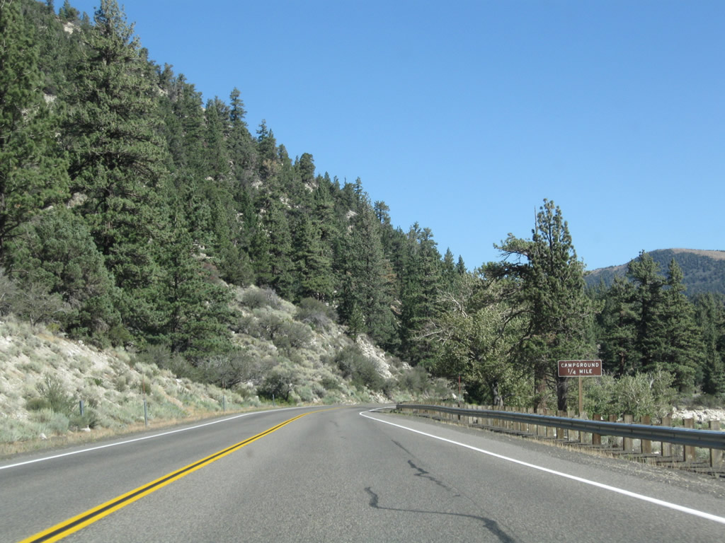
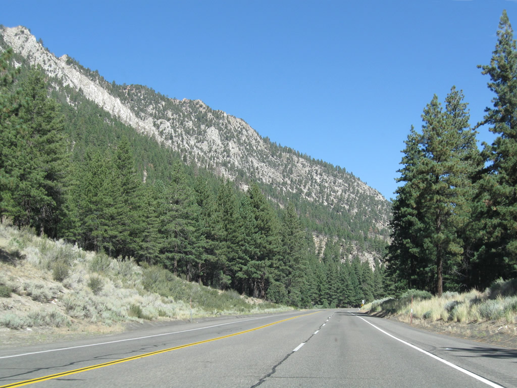
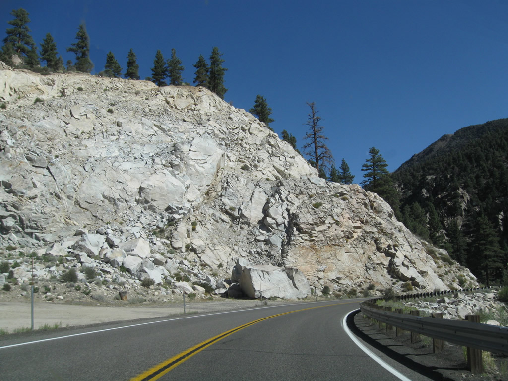
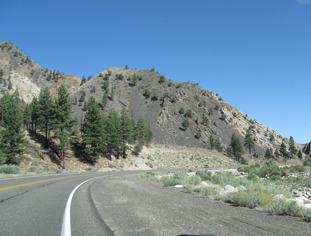
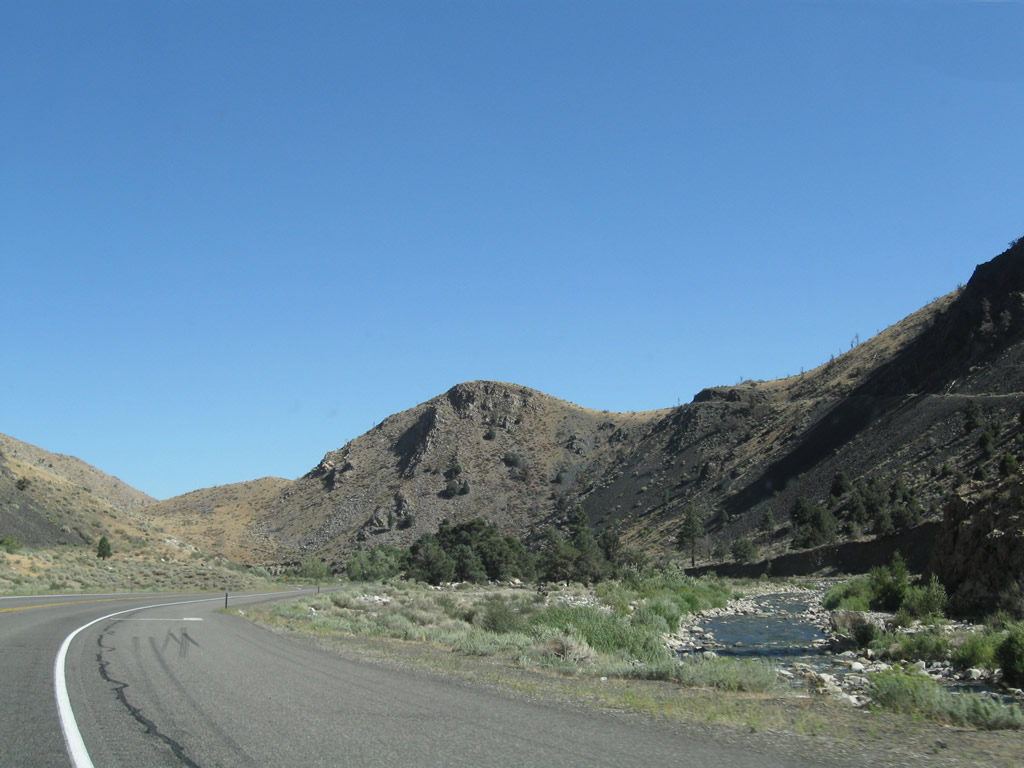
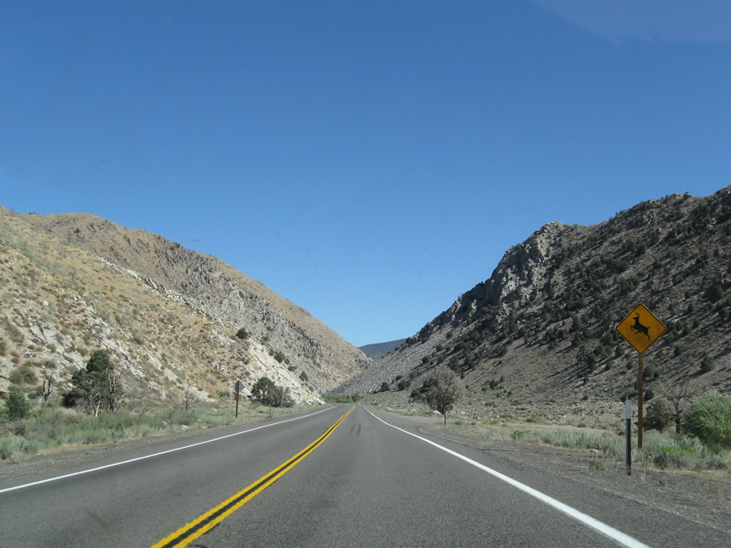
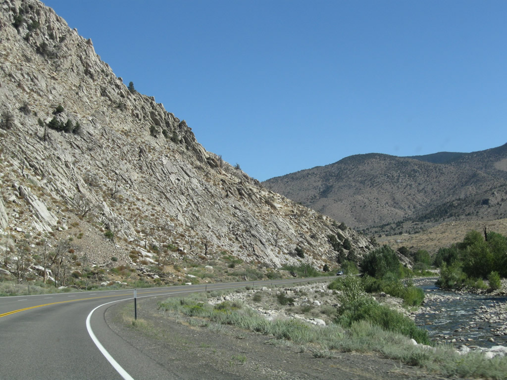
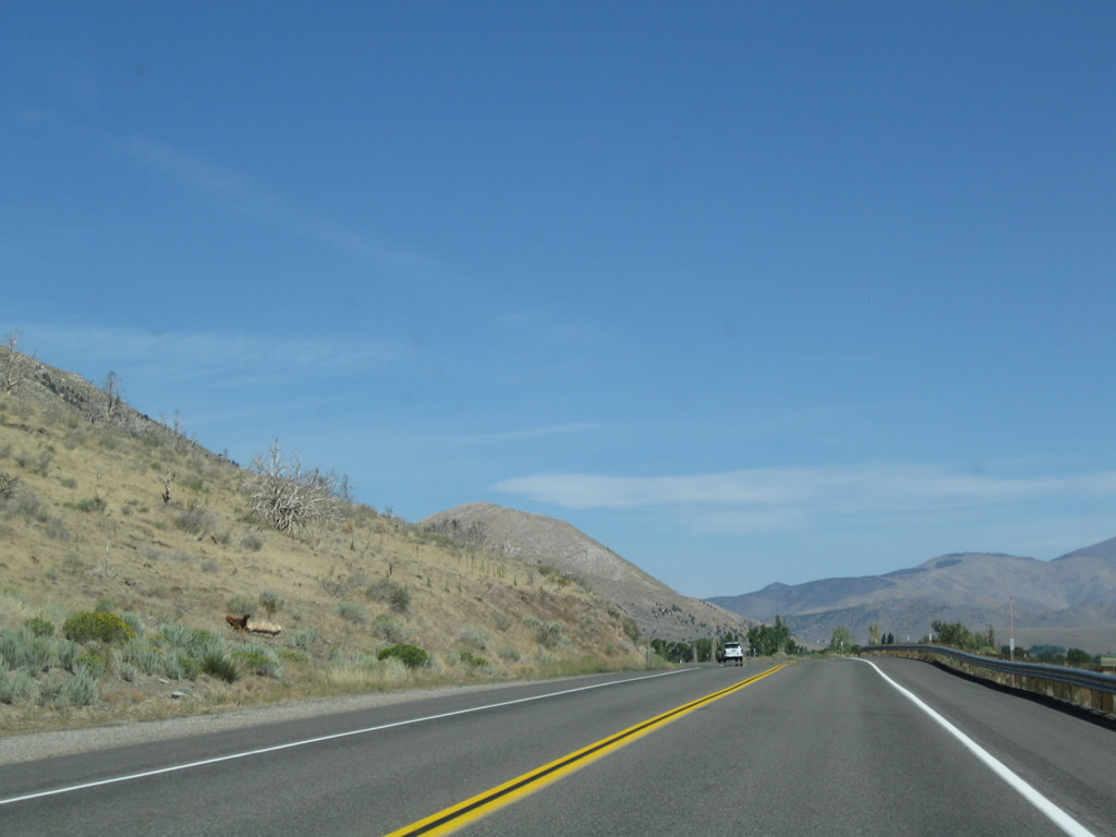
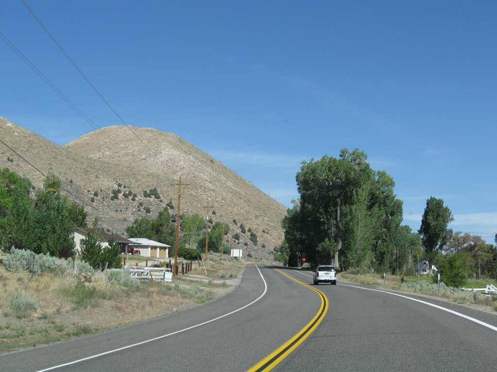
U.S. 395 continues north alongside Virginia Creek toward Bridgeport. The highway weaves through a canyon and gradually loses elevation en route to Bridgeport. At the end of this series of photos, U.S. 395 enters the small, unincorporated community of Willow Springs. Photos taken 09/05/09. |
|
|
|
|
|
|
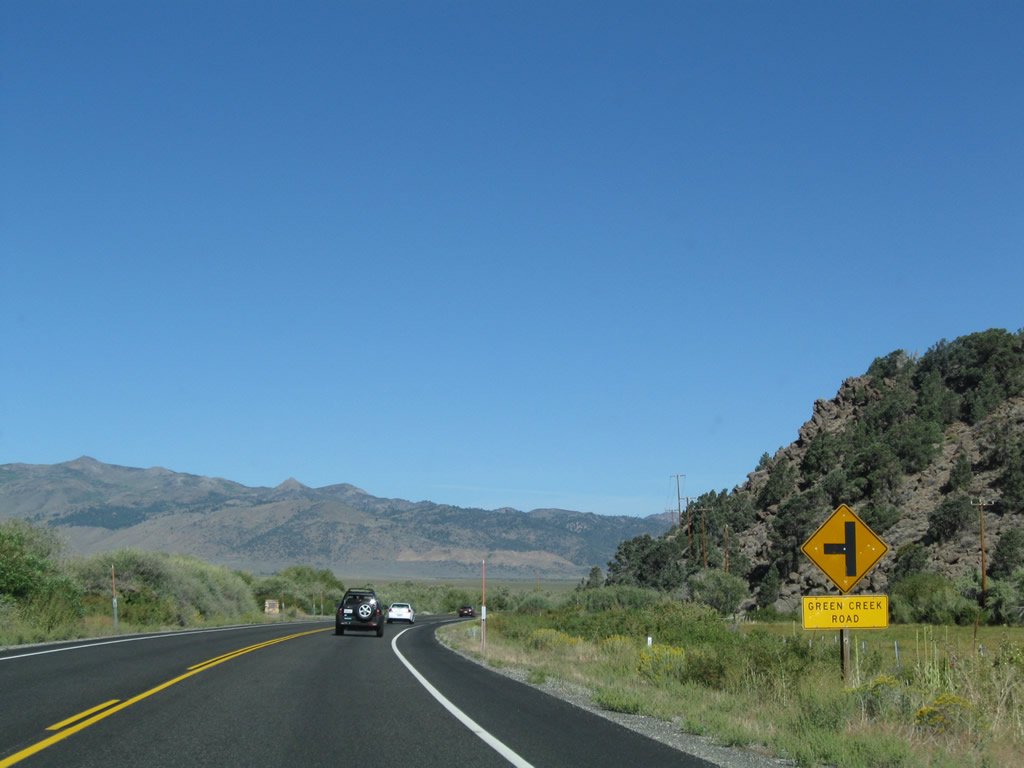
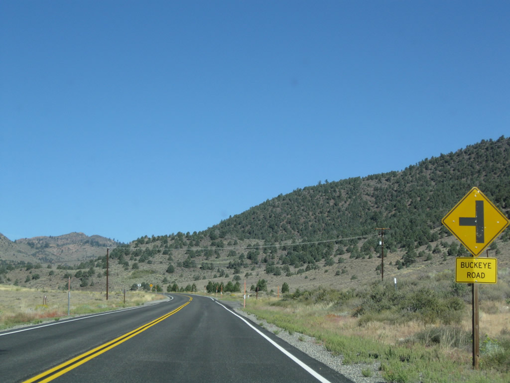
Northbound U.S. 395 (Three Flags Highway) approaches Green Creek Road. Photos taken 09/05/09. |
|
|
|
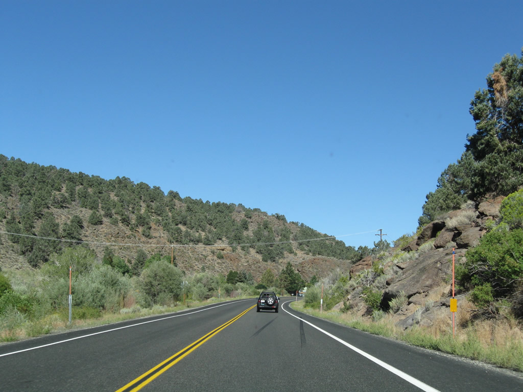
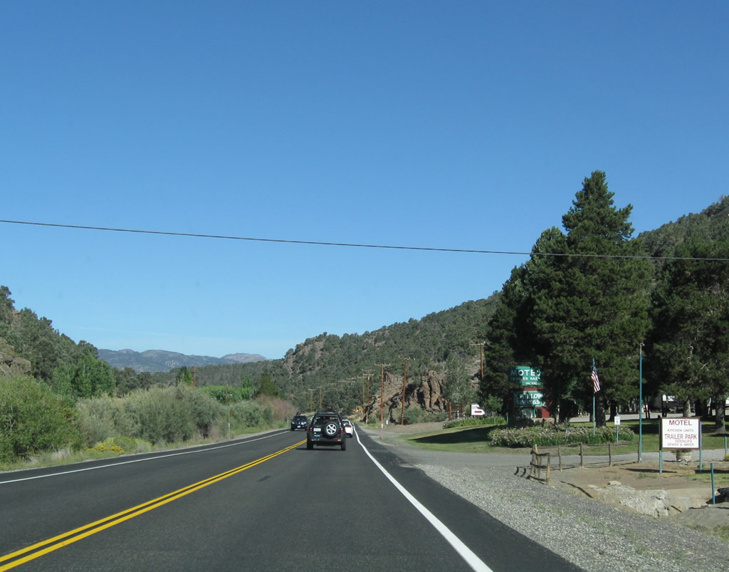
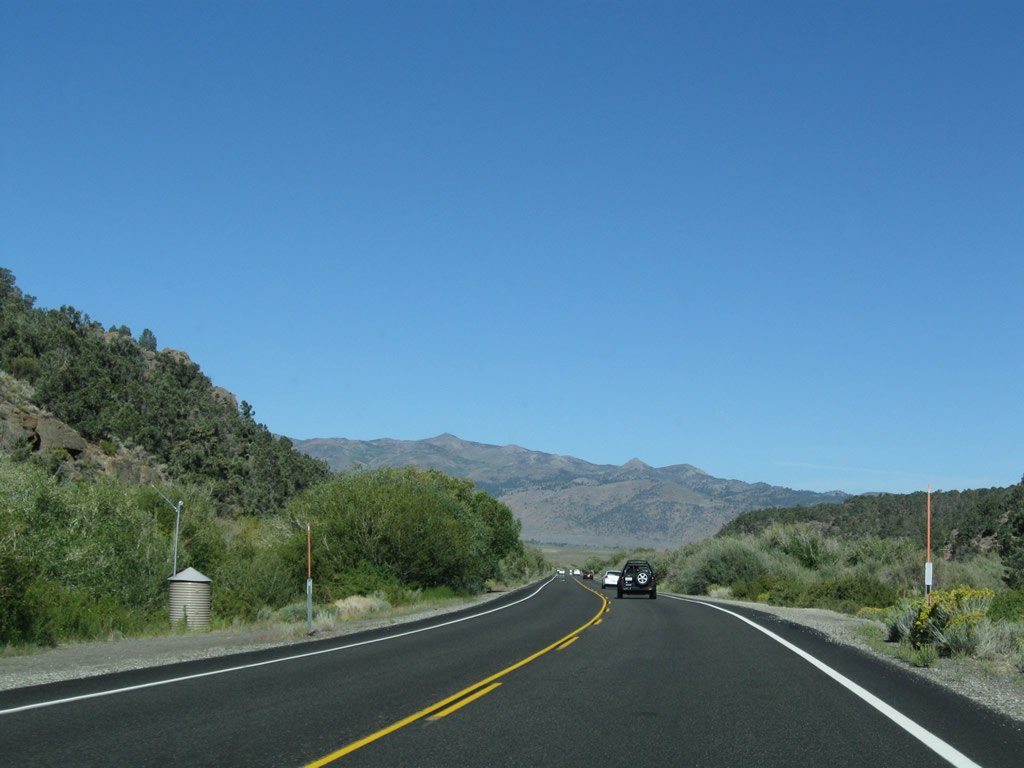
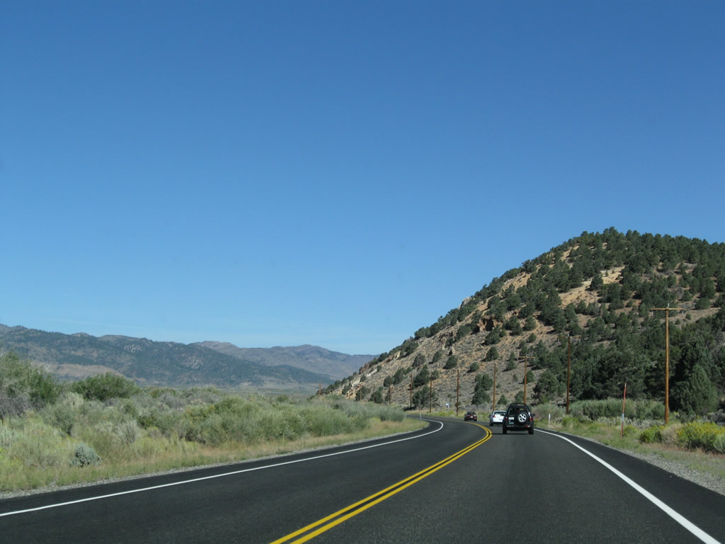
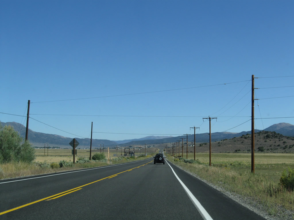
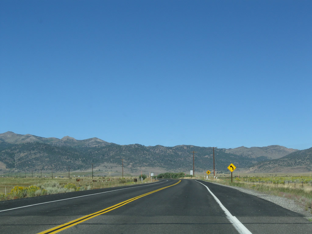
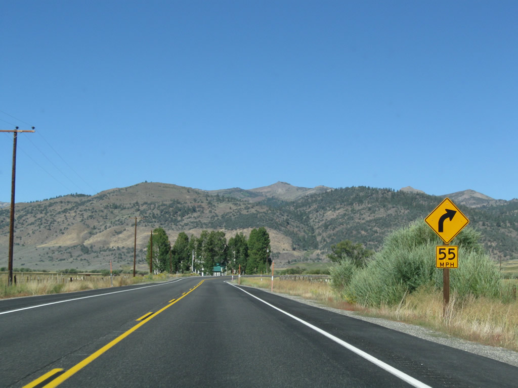
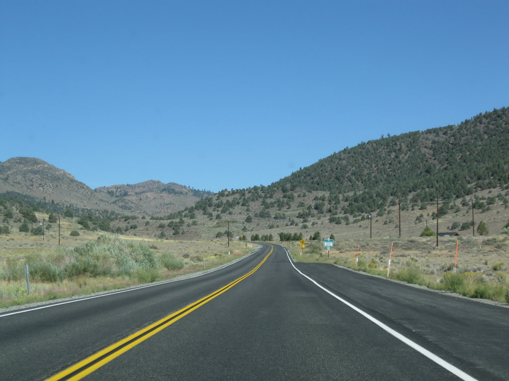
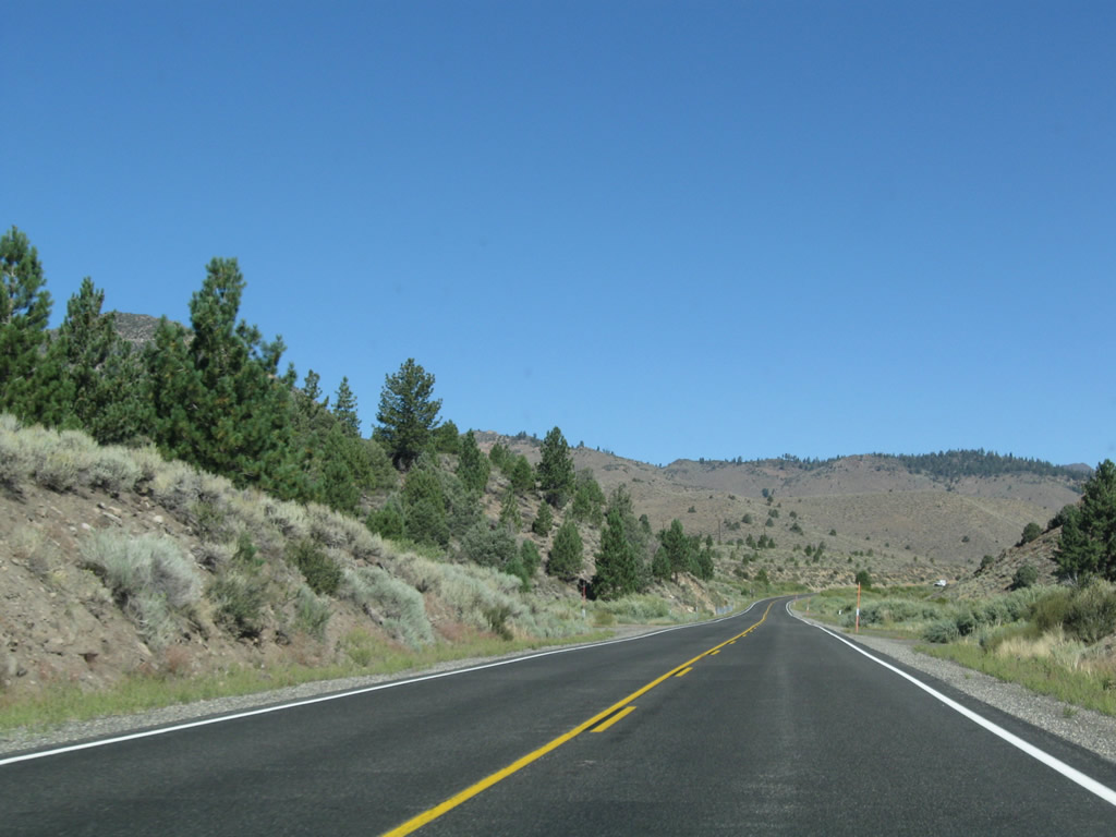
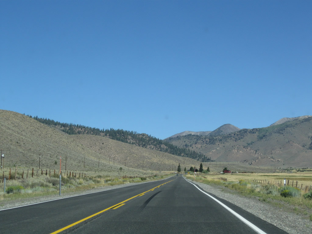
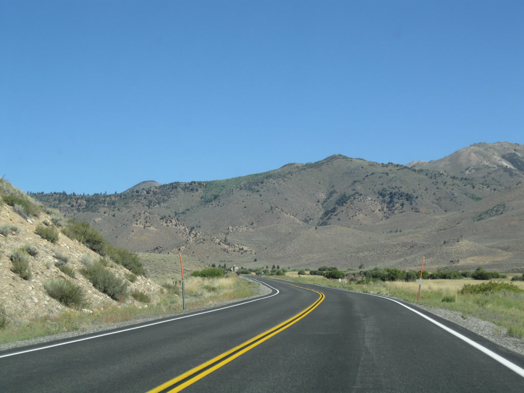
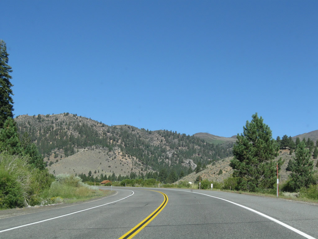
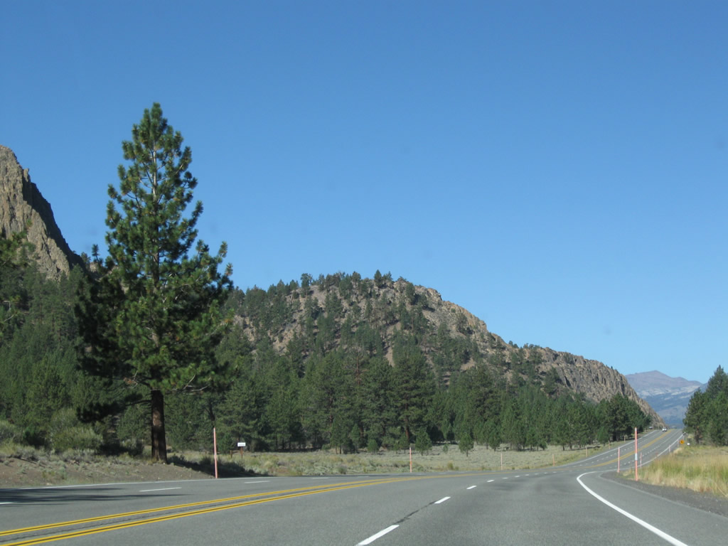
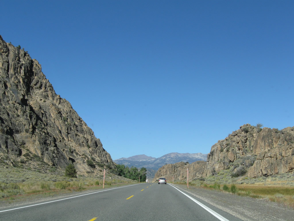
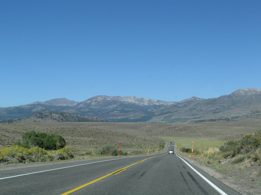
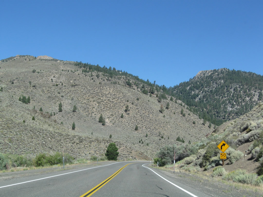
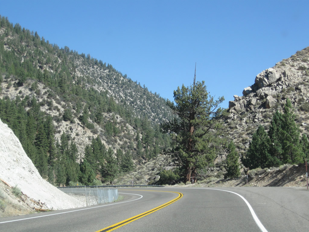
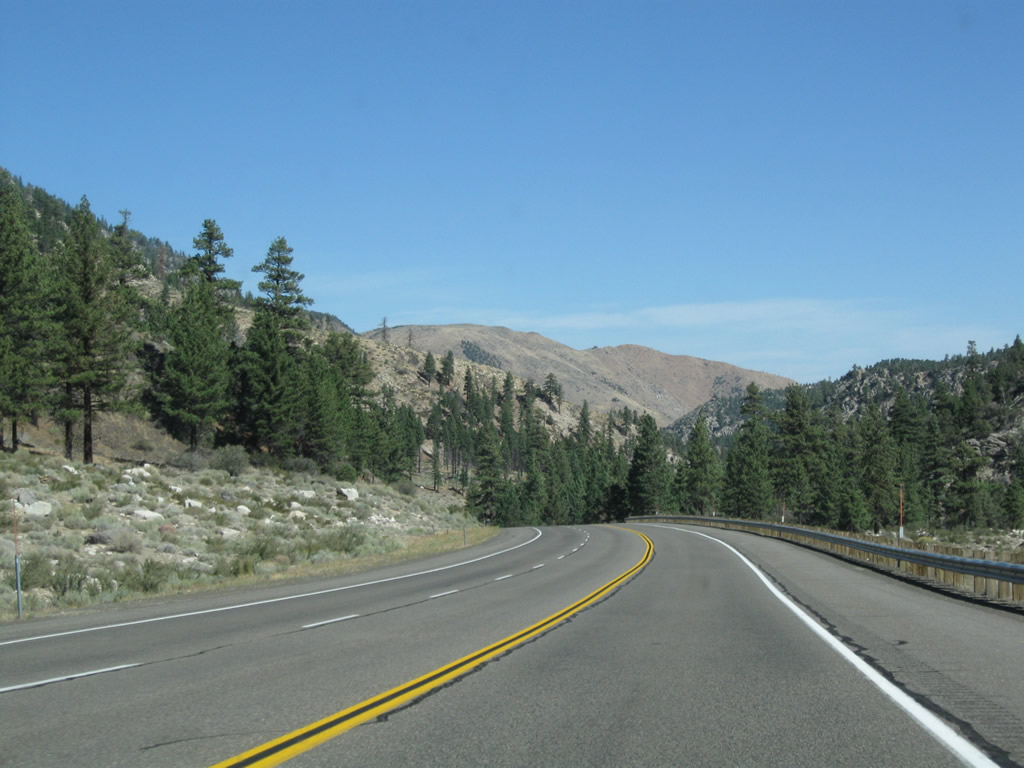
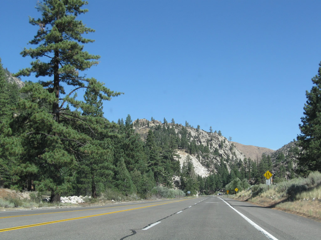
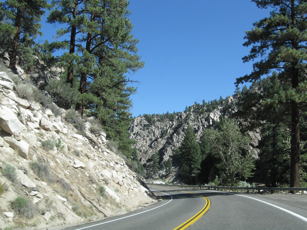
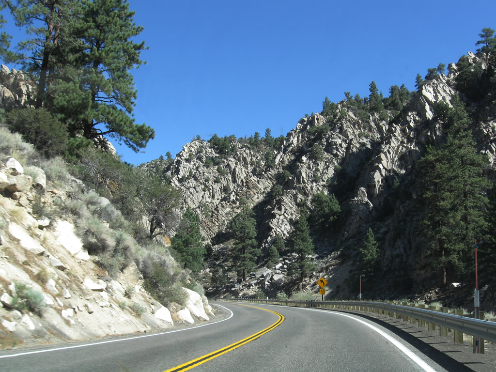
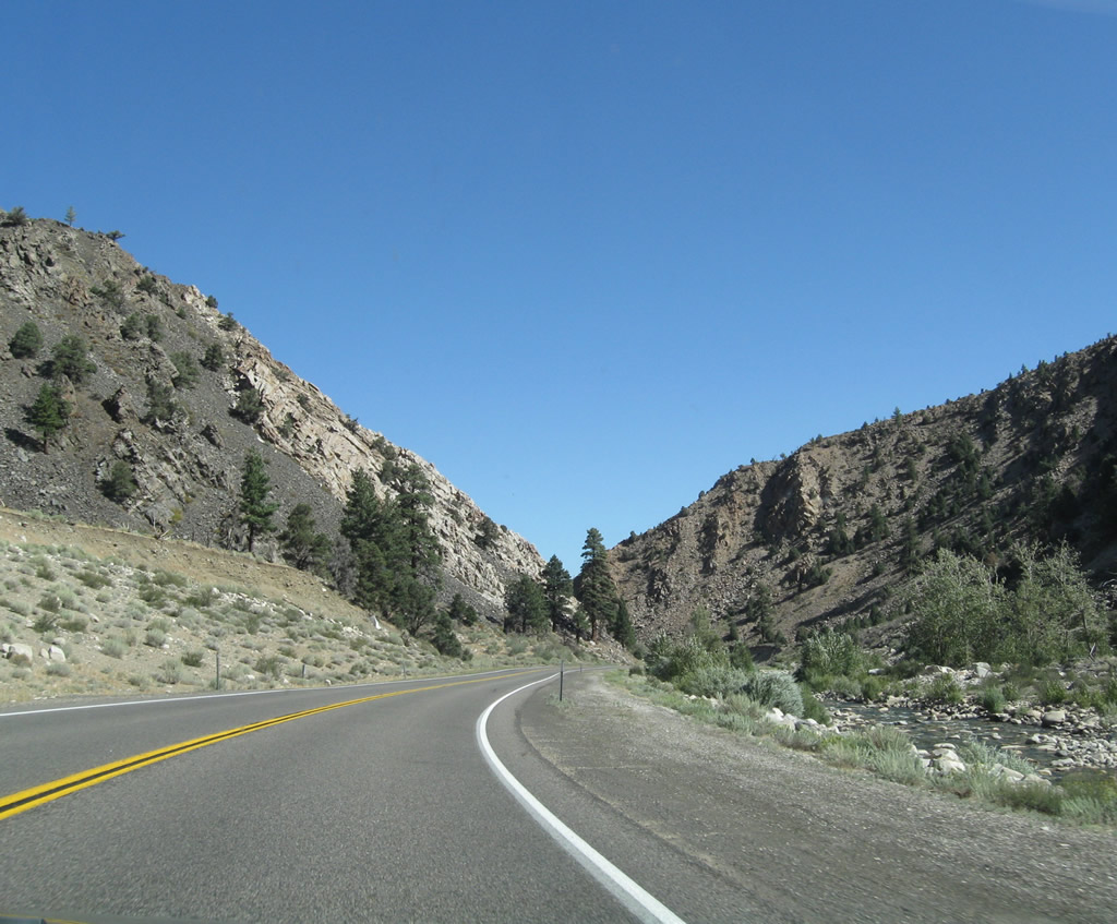
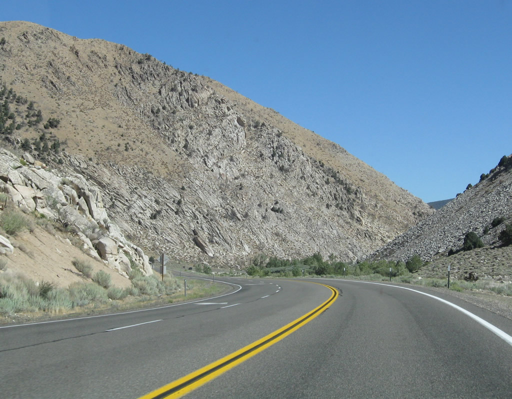
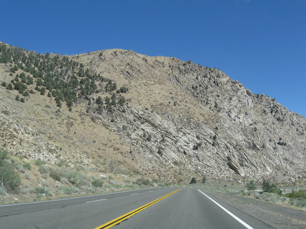
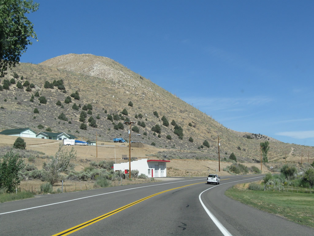
As we continue north, U.S. 395 splits away from Virginia Creek and aims north into Bridgeport Valley. Photos taken 09/05/09. |
|
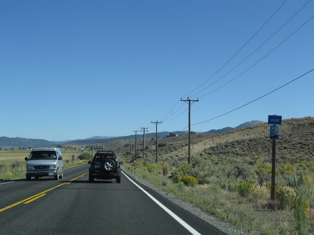
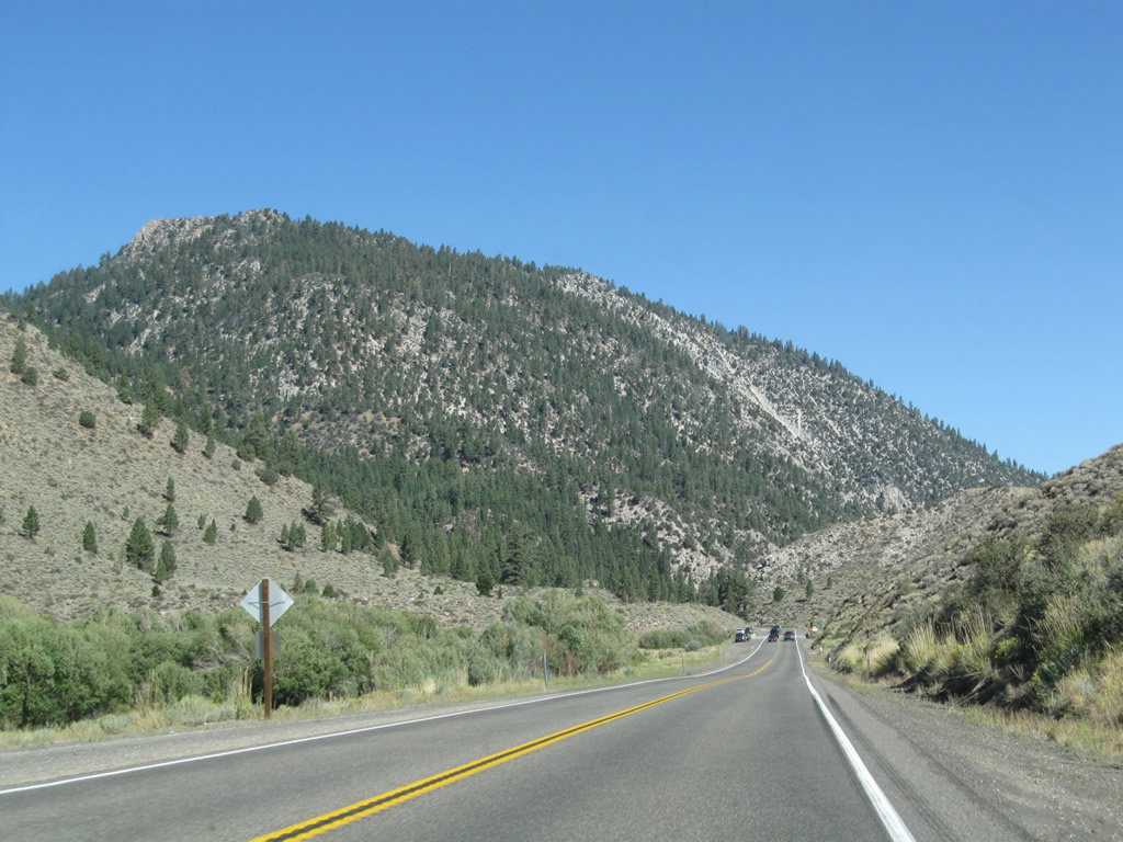
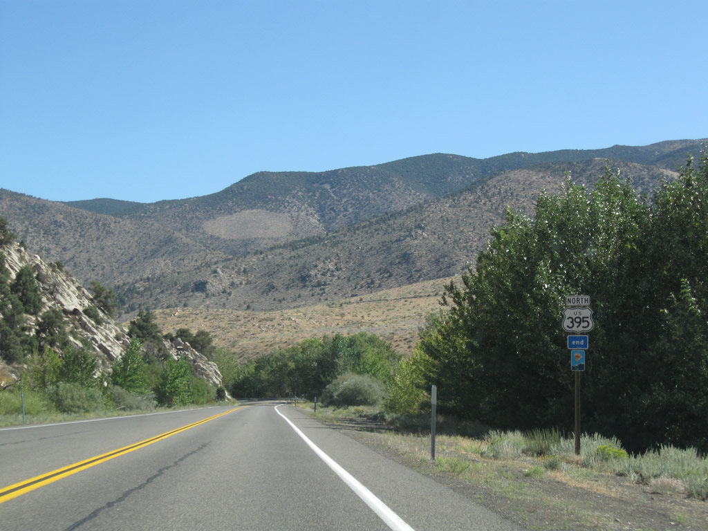
U.S. 395, which is an officially designated state scenic highway between the Inyo-Mono County Line and Walker. The scenic route has a break through the community of Bridgeport, and that gap is signed with this end shield. The scenic route resumes on the west side of Bridgeport. Photo taken 09/05/09. |
|
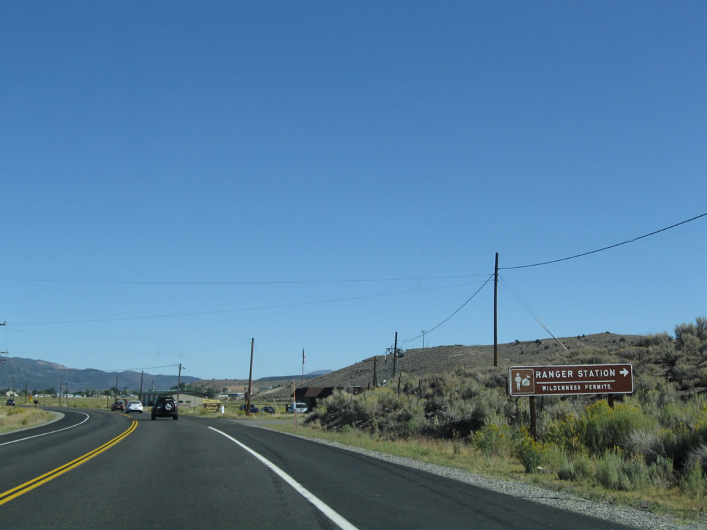
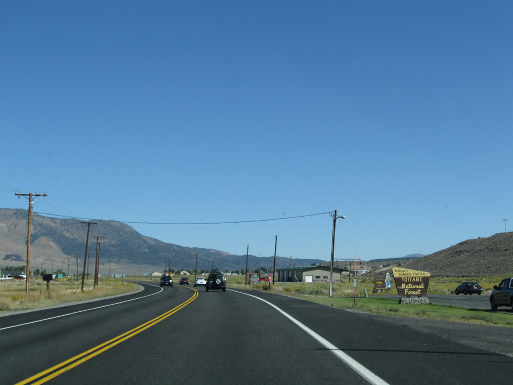
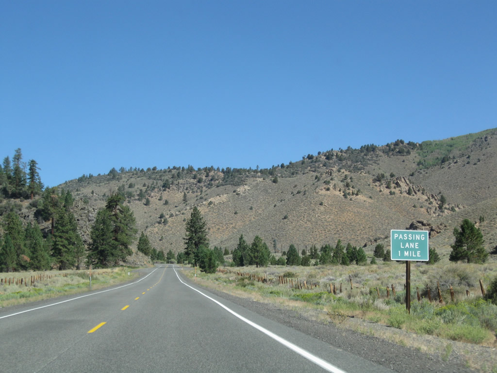
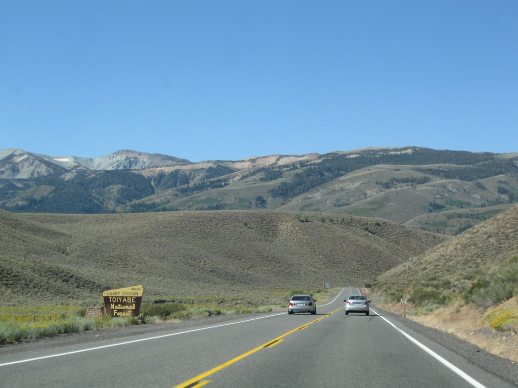
The next right turn connects with a Humboldt-Toiyabe National Forest ranger station, which also functions as a visitors center. Photo taken 09/05/09. |
|
For hiking in the wilderness or other activities, stop at the ranger station for assistance. Photo taken 09/05/09. |
|
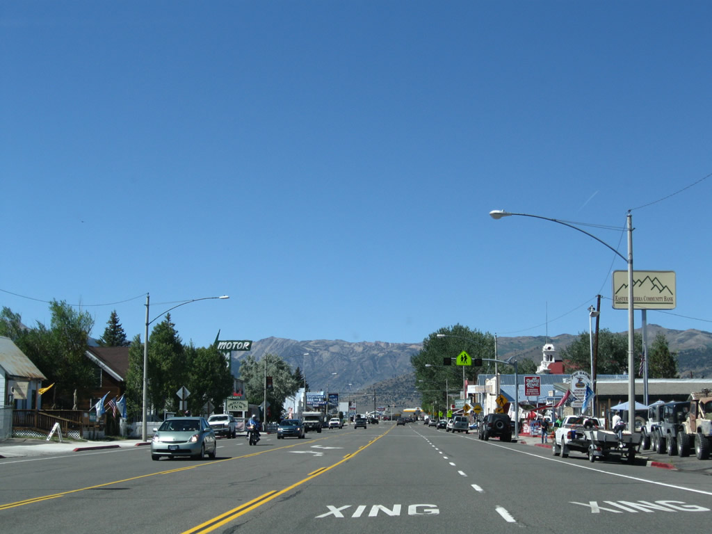
U.S. 395 enters the unincorporated community of Bridgeport (el. 6,463 feet), which is the county seat. Mono County had a total population of 12,853 as of the 2000 Census; Bridgeport and Lee Vining are part of that total. All motorist services are available in Bridgeport, especially after the California 182 intersection. Photo taken 09/05/09. |
|
The next intersection along U.S. 395 north is with Jack Sawyer Road. Turn right here to Travertine Hot Springs, a popular spot for scenic bathing. Photo taken 09/05/09. |
|
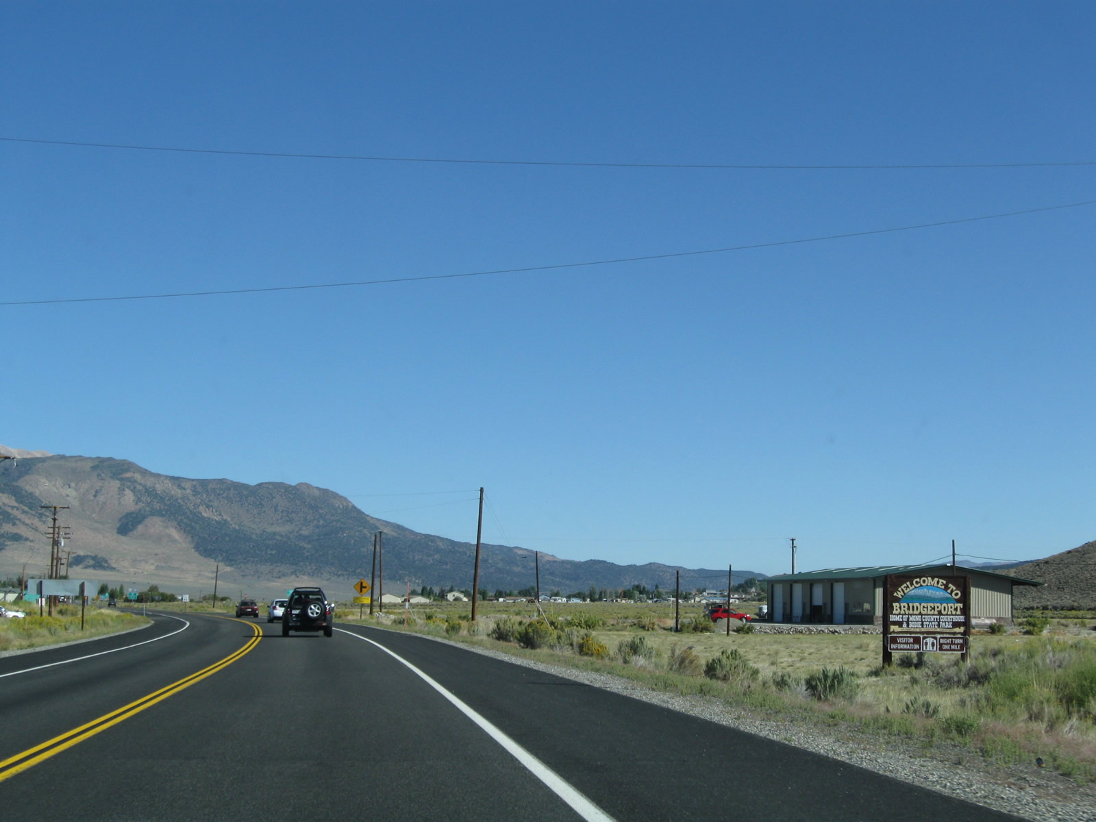
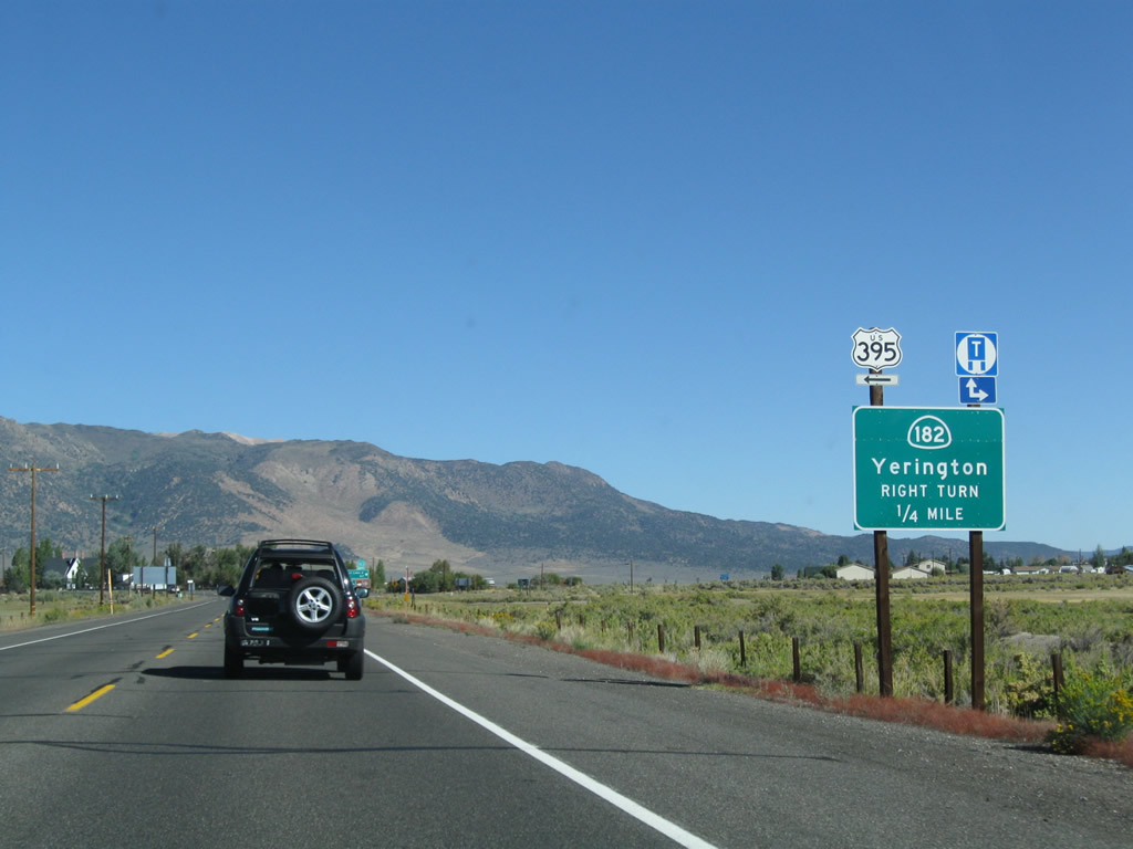
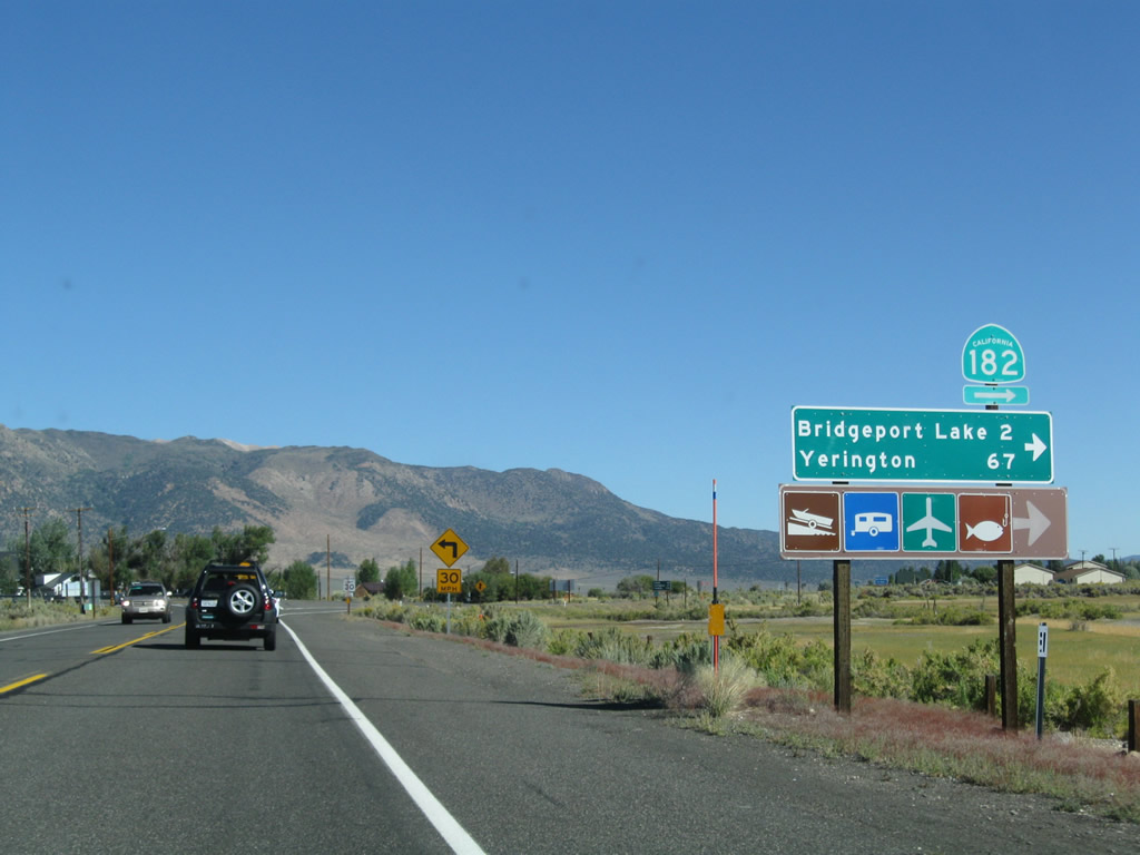
A half mile north of Jack Sawyer Road is the junction with California 182, which travels north from Bridgeport to Wellington, Smith Valley, and Yerington in Nevada. U.S. 395 will turn northwest at this point to pass through downtown Bridgeport. Photo taken 09/05/09. |
|
California 182 travels north along the East Walker River, passing Bridgeport Reservoir. Upon entering the state of Nevada, the route number changes to Nevada 338. This scenic state route proceeds northeast, then northwest to the small community of Sweetwater, then ascends to Sweetwater Summit (el. 6,812 feet). Descending into the Smith Valley, Nevada 338 meets with Nevada 208, which travels north to Yerington and west to Topaz Lake. Nevada 208 travels the remaining distance through the valley to Yerington, where it meets Alternate U.S. 95. Photo taken 09/05/09. |
|
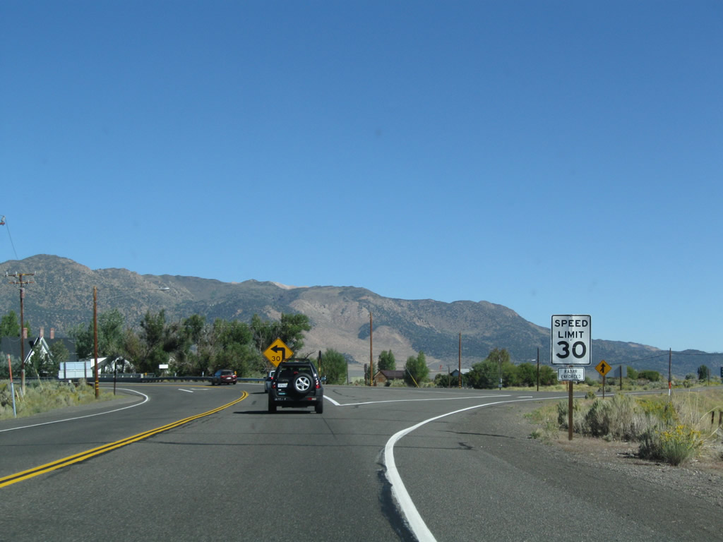
A ramp connects U.S. 395 north with California 182 north. The highway's speed limit reduces to 30 miles per hour as U.S. 395 curves northwest. Photo taken 09/05/09. |
|
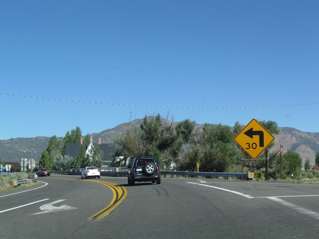
Immediately after the California 182 intersection, U.S. 395 turns west. Photo taken 09/05/09. |
|
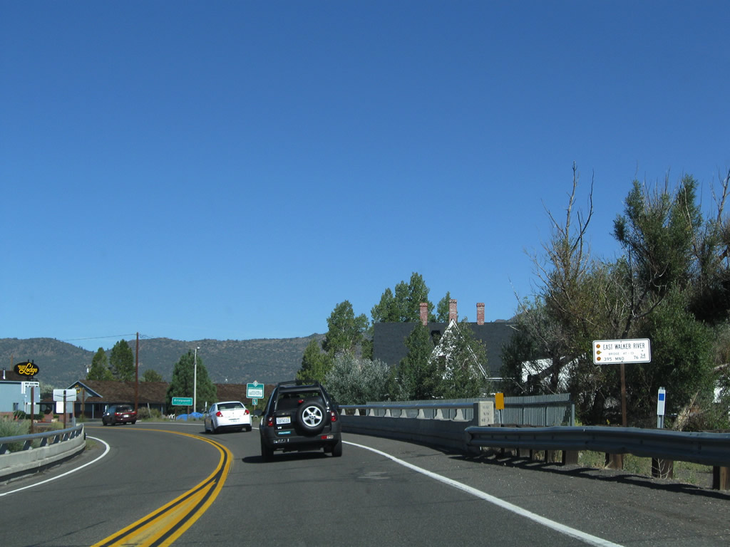
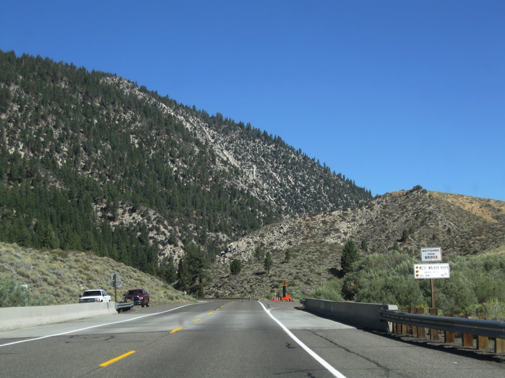
U.S. 395 crosses the East Walker River just before entering downtown Bridgeport. Photo taken 09/05/09. |
|
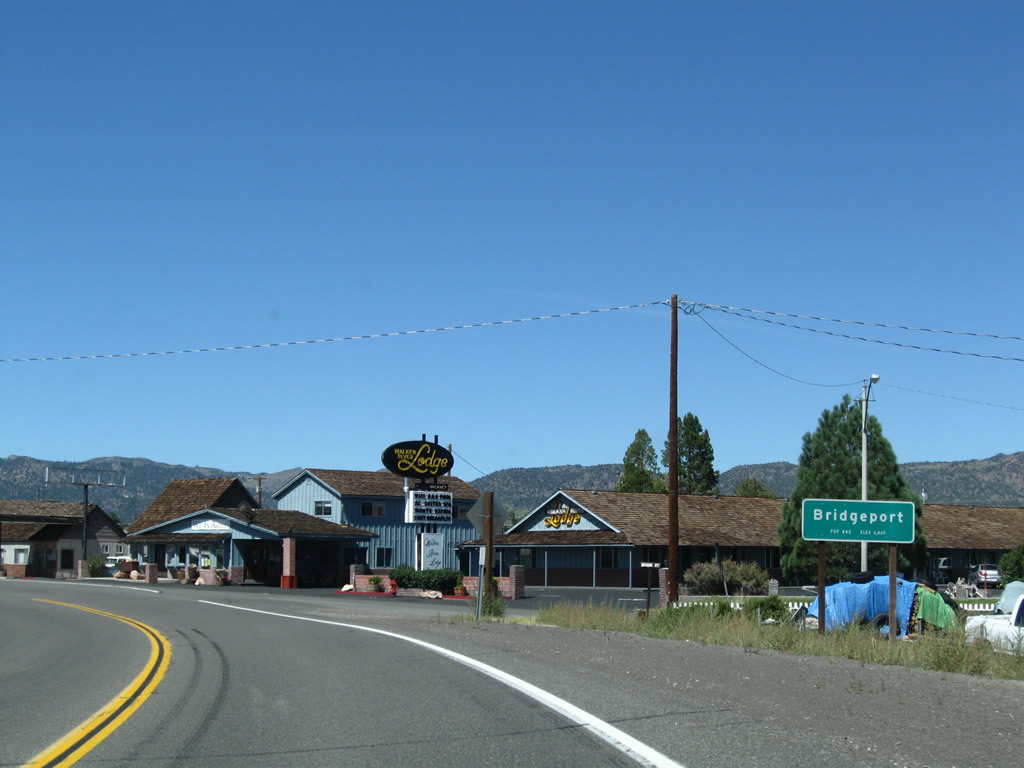
Shortly thereafter is the Caltrans entrance sign into Bridgeport, the seat of Mono County. Photo taken 09/07/09. |
|
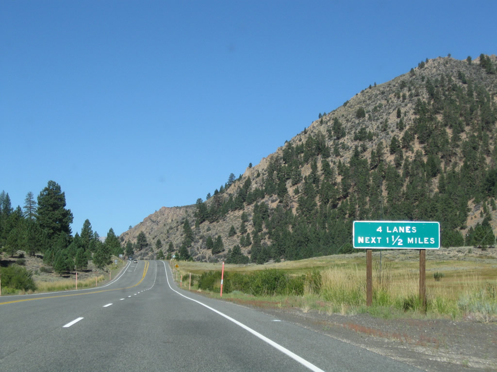
U.S. 395 widens to five lanes, with a center turn lane and two through lanes in each direction. Photo taken 09/07/09. |
|
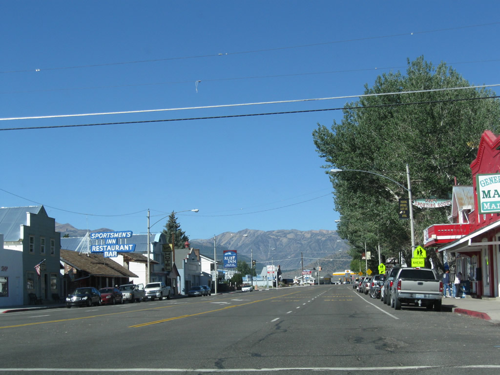
U.S. 395 passes through downtown Bridgeport. A museum is located ahead on the right. Photo taken 09/05/09. |
|
Motels, restaurants, gas stations, and stores line both sides of U.S. 395 through Bridgeport. On the right is the historic Mono County Courthouse. Photo taken 09/05/09. |
|
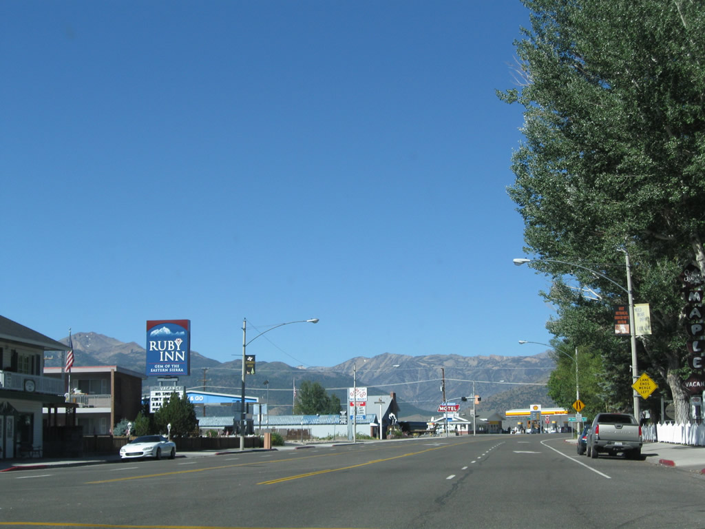
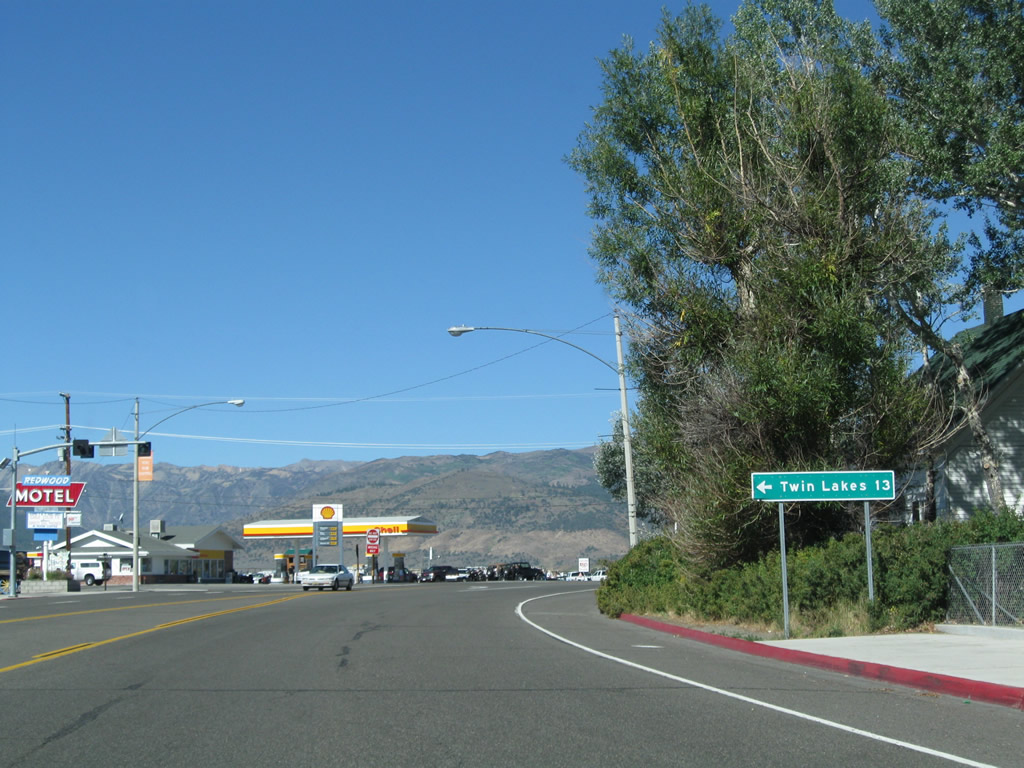
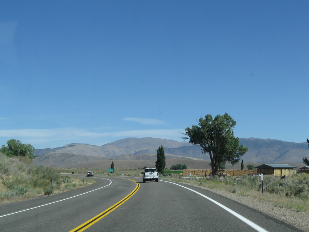
Now traveling almost due west, U.S. 395 approaches Twin Lakes Road, which travels southwest to Twin Lakes. A series of campgrounds are located in and around Twin Lakes, a popular spot for fishing. Photo taken 09/05/09. |
|
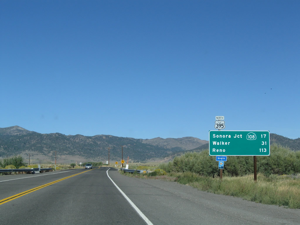
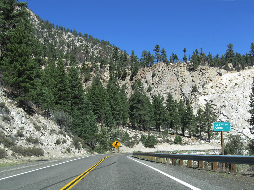
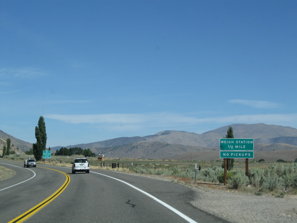
This mileage sign along U.S. 395 north provides the distance to the junction with California 108 (Sonora Pass Road) (17 miles), Walker (31 miles), and Reno (113 miles). The official scenic route resumes at this point. Photo taken 09/05/09. |
|
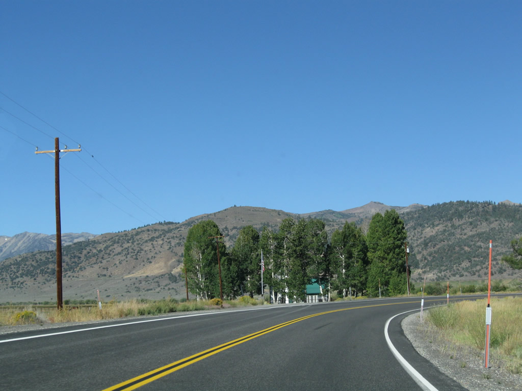
U.S. 395 makes a brief turn north, then turns west again to cross sprawling, rural Bridgeport Valley. Photo taken 09/05/09. |
|
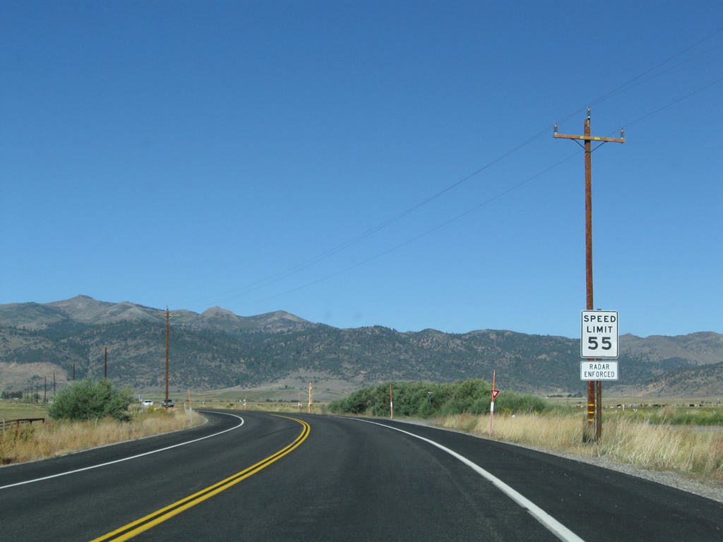
The speed limit raises to 55 miles per hour initially but not yet to 65 miles per hour for the journey across the valley. Photo taken 09/05/09. |
|
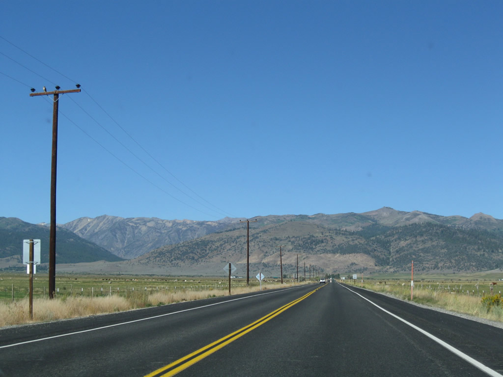
Crossing Bridgeport Valley, U.S. 395 makes a straight shot west between Bridgeport and Robinson Creek. Photo taken 09/05/09. |
|
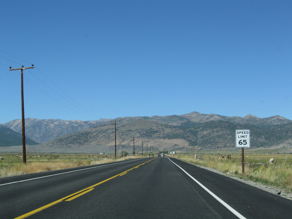
The speed limit along U.S. 395 north rises to 65 miles per hour. Photo taken 09/05/09. |
|
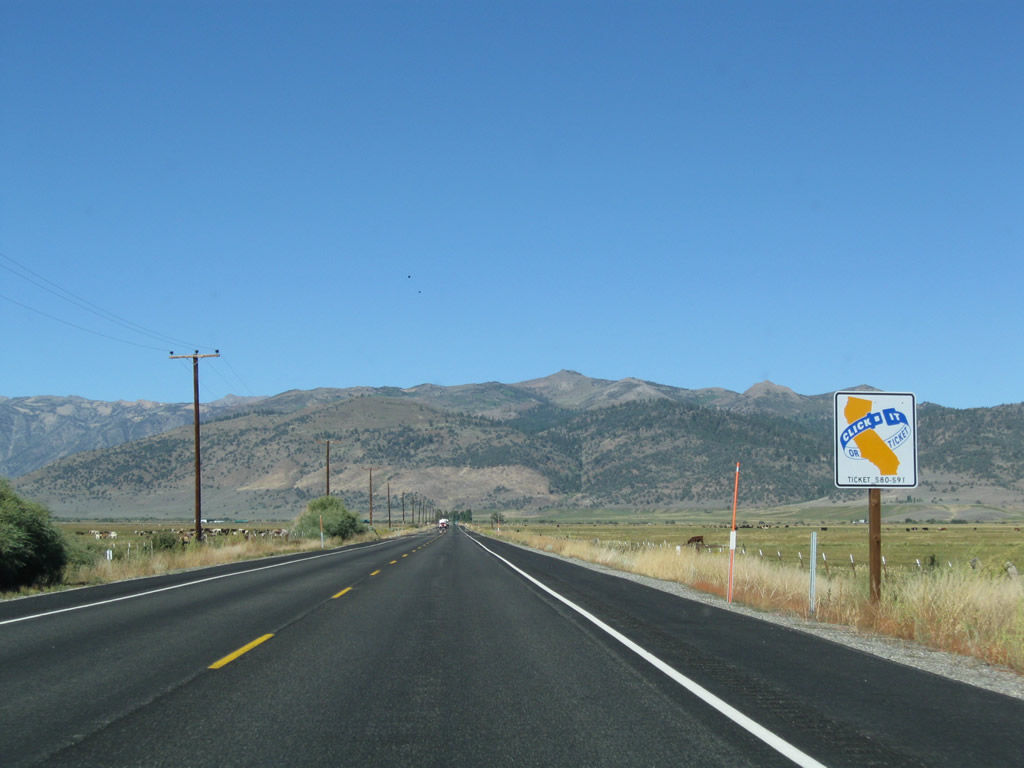
The statewide "Click or Ticket" campaign saw signs such as this one posted around 2004. By 2010, some of the original batch of signs were already gone elsewhere on the state route system. Photo taken 09/05/09. |
|
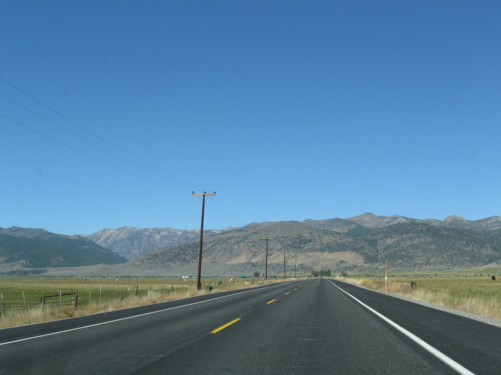
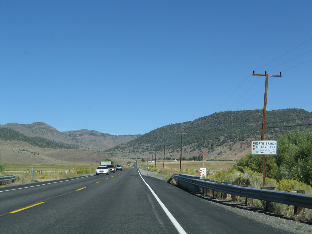
Ranching is a major economic activity in the fertile Bridgeport Valley. Photo taken 09/05/09. |
|
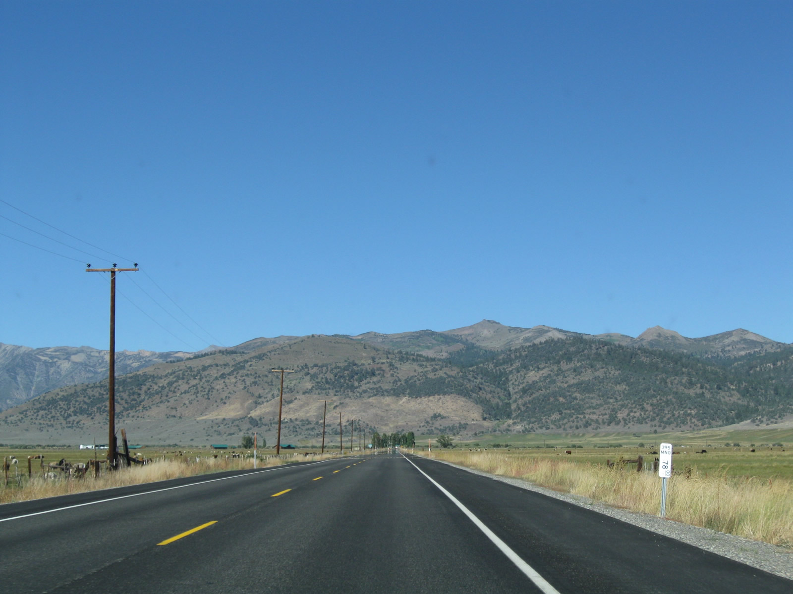
This picture was taken at postmile MON 78.00. Photo taken 09/05/09. |
|
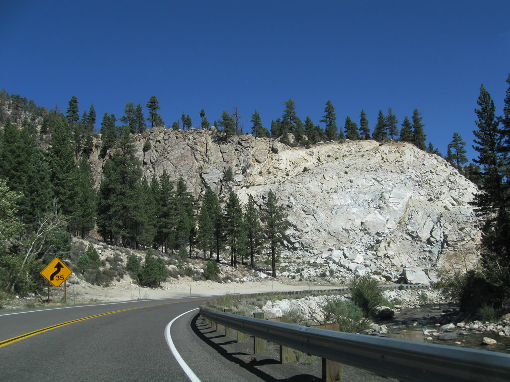
U.S. 395 approaches a 90-degree turn; the highway will turn north ahead. Photo taken 09/05/09. |
|
|
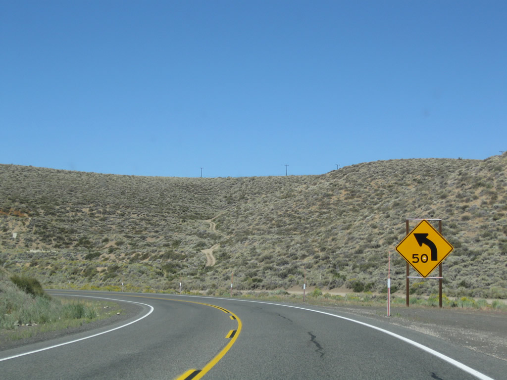
The suggested speed around this turn is 55 miles per hour. Probably at some point in the past, this curve was probably a hard turn and needed to be taken at a much slower speed. Photos taken 09/05/09. |
|
|
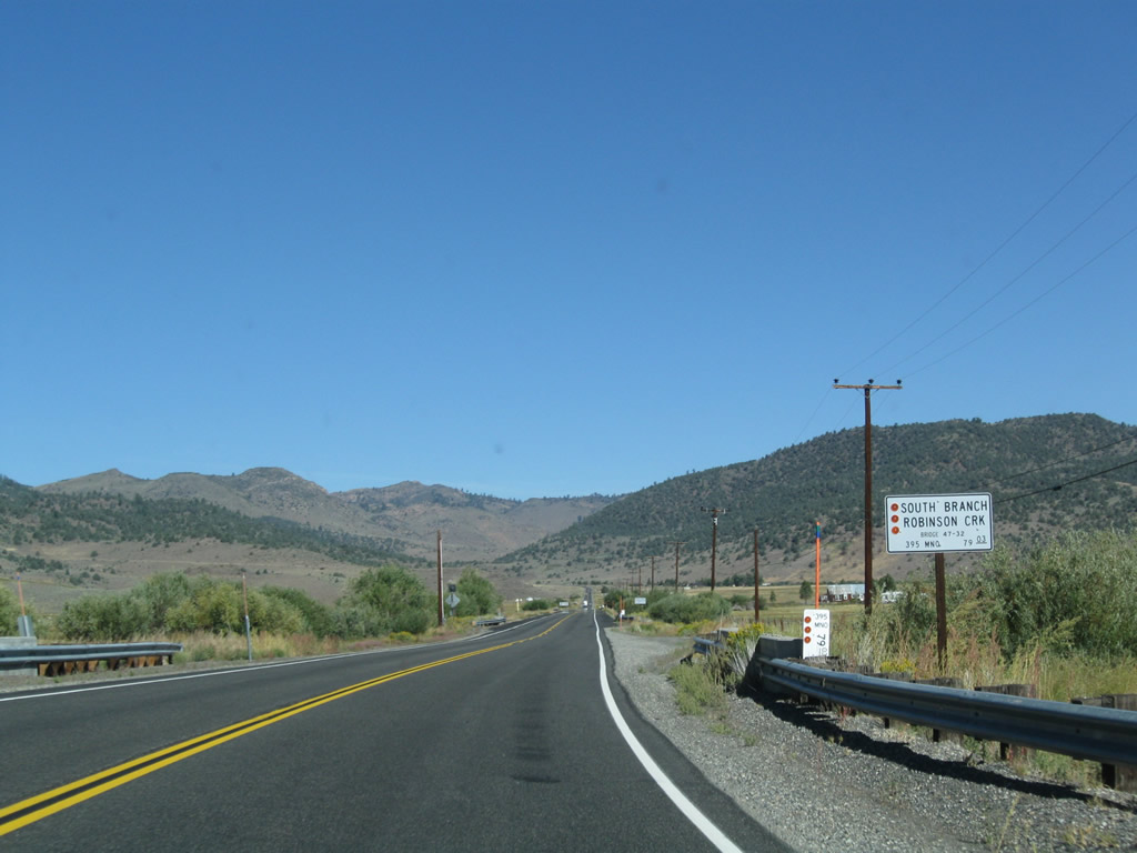
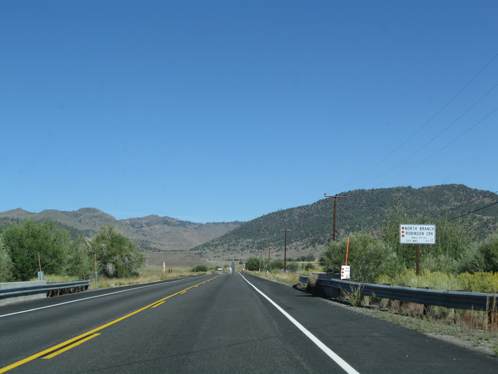
At the end of the curve, U.S. 395 crosses the South and North Branches of Robinson Creek. Photos taken 09/05/09. |
|
|
|
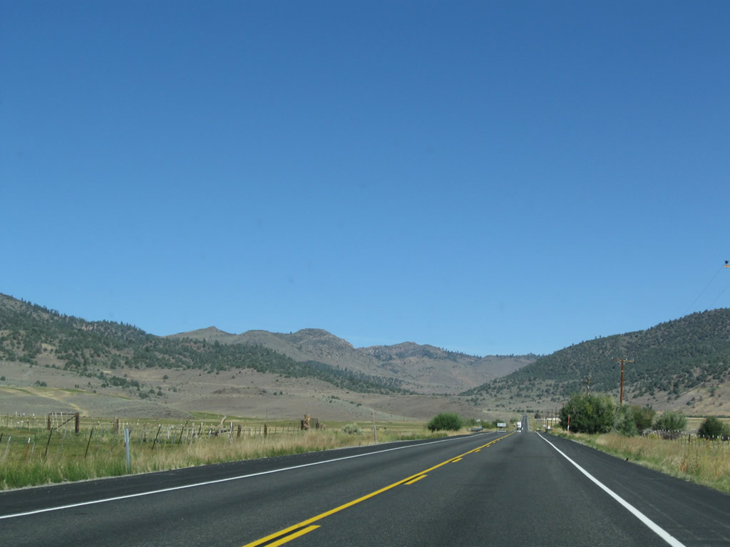
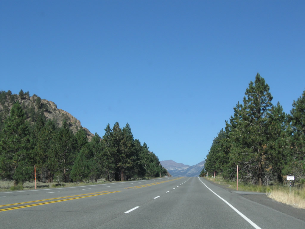
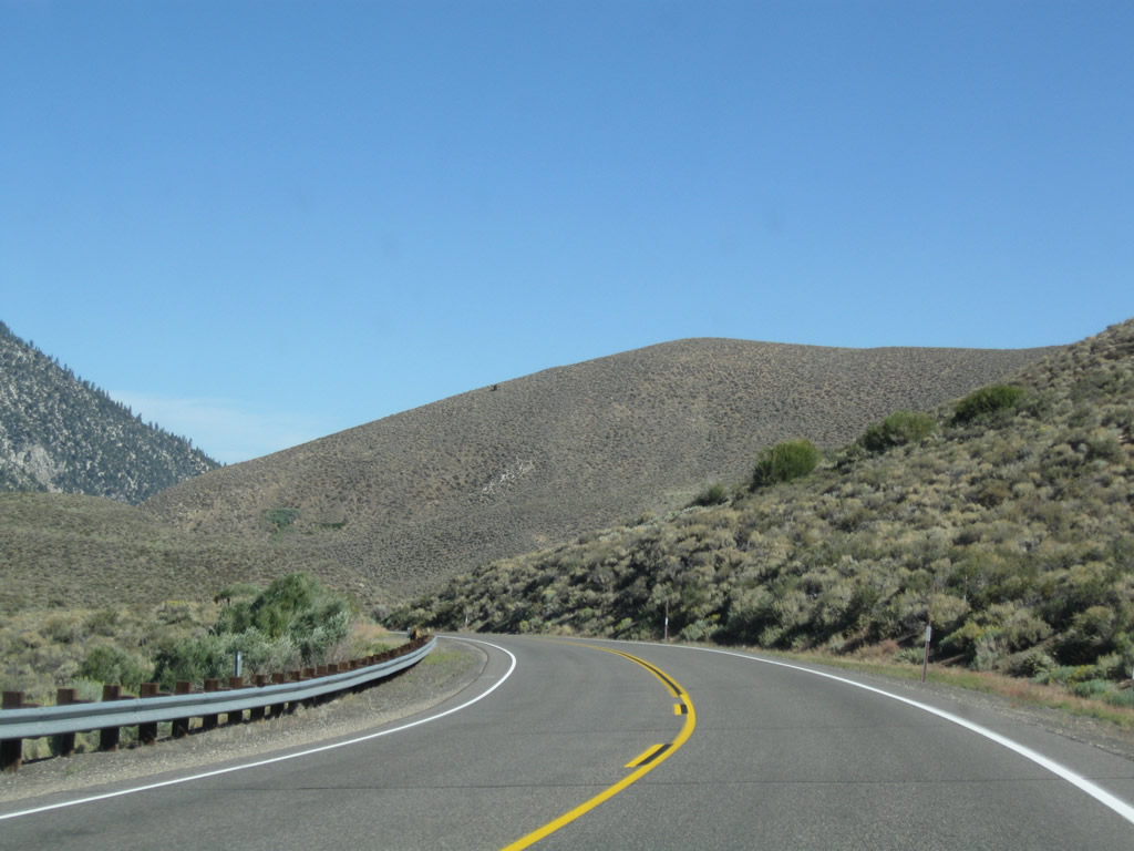
Now traveling due north again, this series of photos follows U.S. 395 as the two-lane highway leaves the Bridgeport Valley. Photos taken 09/05/09. |
|
|
|
|
|
|
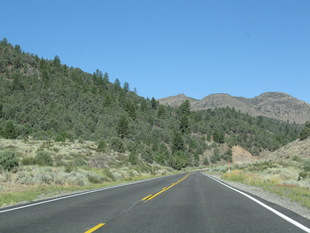
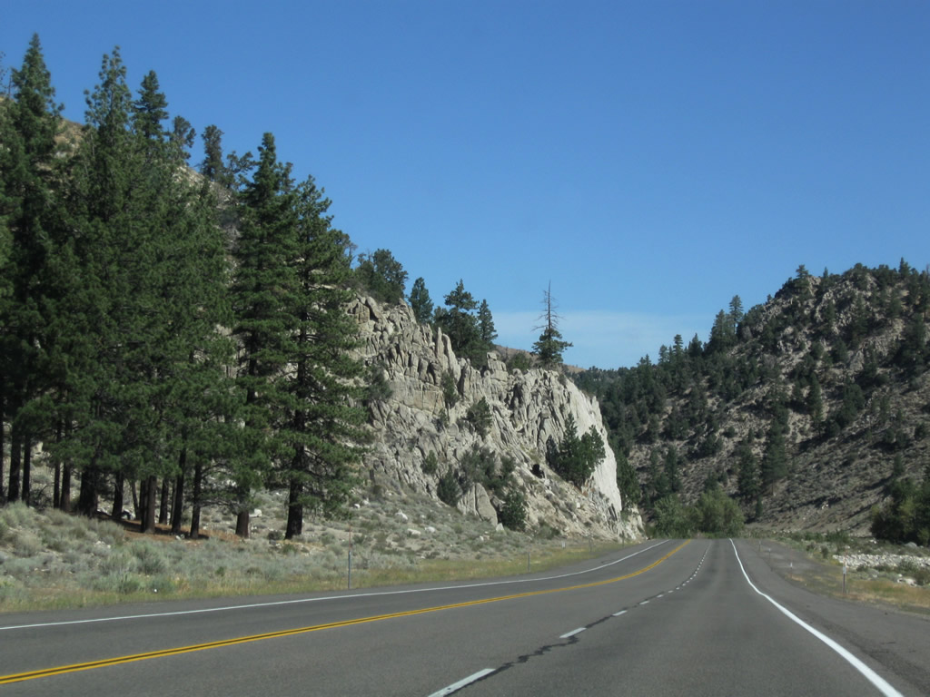
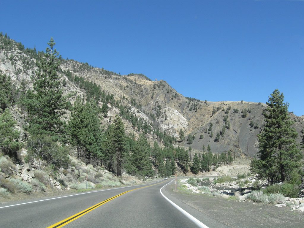
Following Swauger Creek, U.S. 395 begins its ascent to Devils Gate Pass (el. 7,519 feet). The highway will again turn due west prior to reaching the pass, connecting to California 108 at Sonora Junction. Photos taken 09/05/09. |
|
|
|
|
|
|
|
|
|
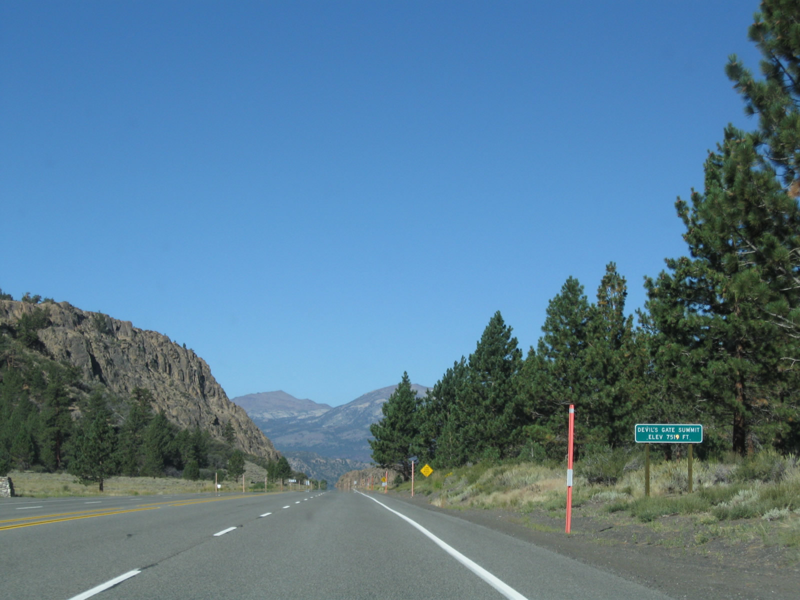
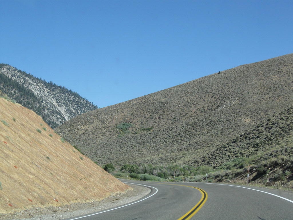
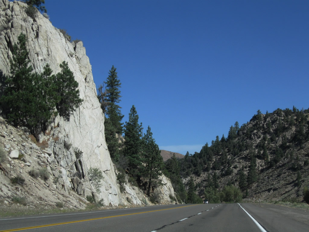
Curving west, U.S. 395 proceeds to the Devils Gate Pass at elevation 7,519 feet. The highway widens to four lanes for the passage over the summit. In the distance ahead looms Sonora Pass, where California 108 makes its way up and over the Sierra Nevada en route to the city of Sonora in Gold Country. Photos taken 09/05/09. |
|
|
|
|
|
|
|
|
|
Devils Gate offers magnificent scenery. Along the way, U.S. 395 passes by Fales Hot Springs. Photos taken 09/05/09. |
|
|
|
U.S. 395 descends from Devils Gate Pass toward the junction with California 108. Photos taken 09/05/09. |
|
|
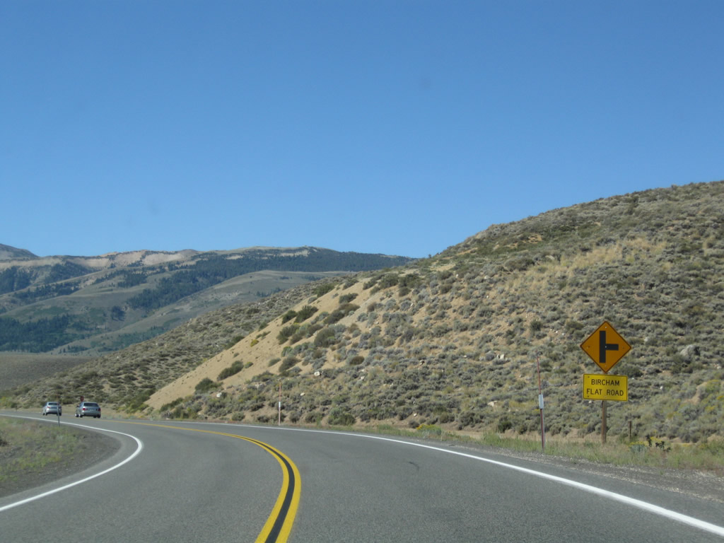
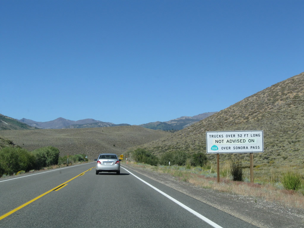
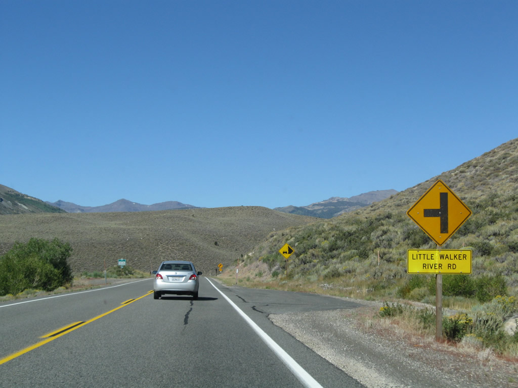
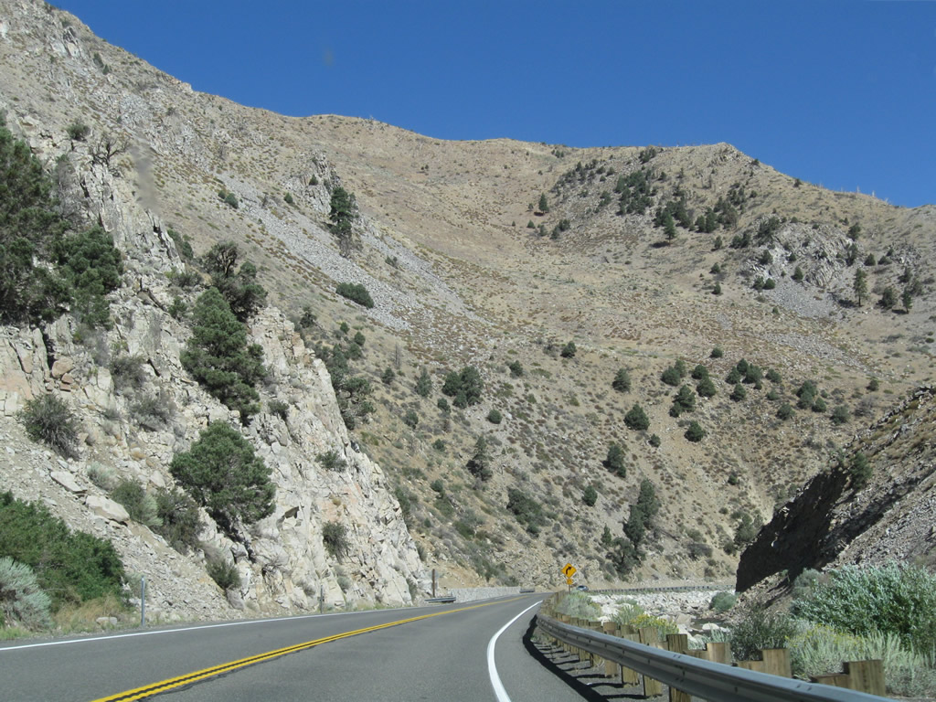
Northbound U.S. 395 approaches intersections with Bircham Flat Road, Wheeler Guard Station (part of Humboldt-Toiyabe National Forest), and Little Walker River Road. The Little Walker River and West Walker River have their confluence north of the intersection of U.S. 395 and California 108. An advance sign also warns about truck restrictions along California 108 over Sonora Pass. Photos taken 09/05/09. |
|
|
|
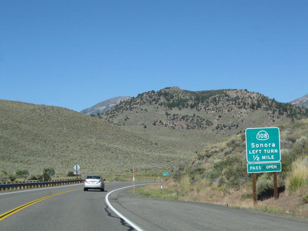
The next major intersection along U.S. 395 north is with California 108 (Sonora Pass Road) west to Sonora Pass, Kennedy Meadows, Strawberry, Pinecrest Lake, Dodge Ridge Ski Area, Twain Harte, Sonora, and Modesto. Photo taken 09/05/09. |
|
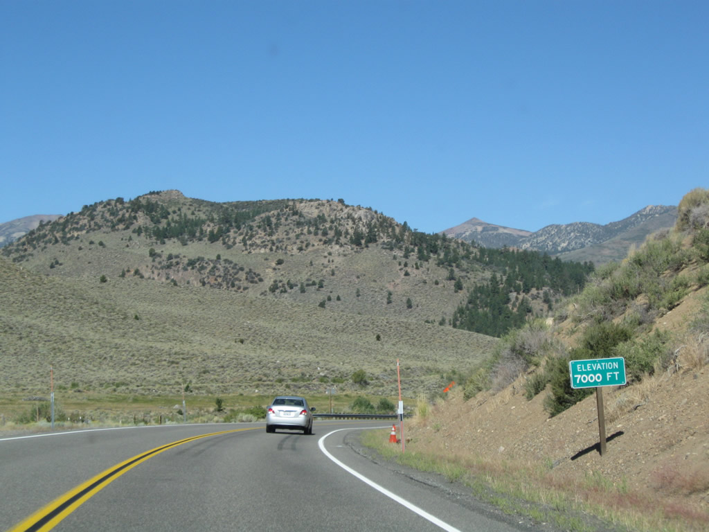
U.S. 395 returns to 7,000 feet, having dropped down from Devils Gate Pass. Photo taken 09/05/09. |
|
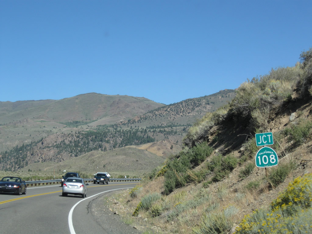
A California 108 trailblazer is posted shortly thereafter. A left turn connects to California 108 west to Sonora, with the route closed during winter months. Photo taken 09/05/09. |
|
The truck route continues north on U.S. 395; California 108 is not part of the truck route over Sonora Pass. Photo taken 09/05/09. |
|
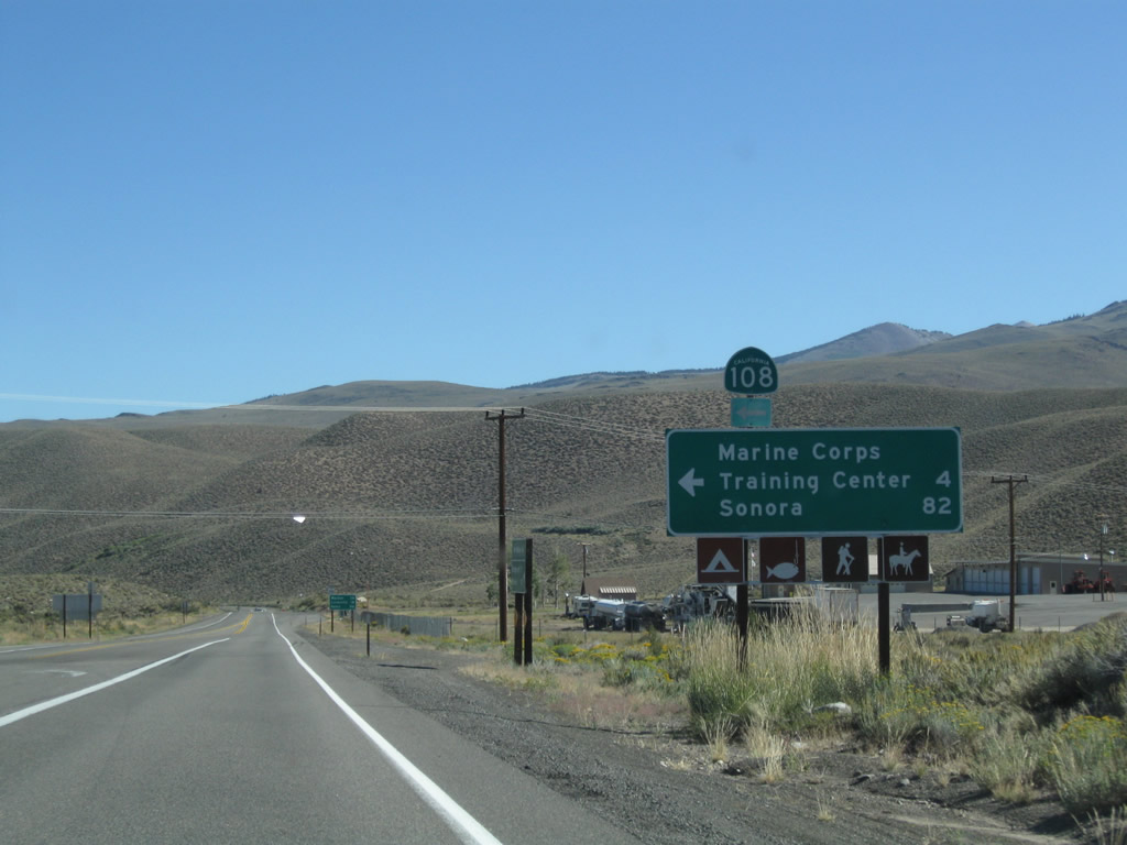
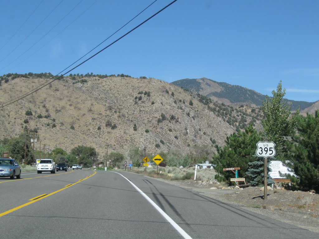
A mileage sign provides the distance along California 108 west to the Marine Corps Training Center (four miles) and the city of Sonora (82 miles). This intersection marks the eastern terminus of California 108. U.S. 395 will follow the Little Walker River for a short distance north, then continue along the West Walker River toward Walker. Photo taken 09/05/09. |
|
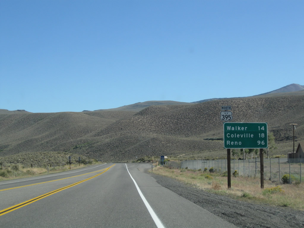
Leaving the California 108 intersection, this mileage sign along U.S. 395 north provides the distance to Walker (14 miles), Coleville (18 miles), and Reno (96 miles). Photo taken 09/05/09. |
|
A Caltrans Maintenance Station is located just north of the intersection of U.S. 395 and California 108. Photo taken 09/05/09. |
|
|
|
|
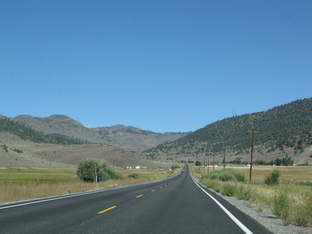
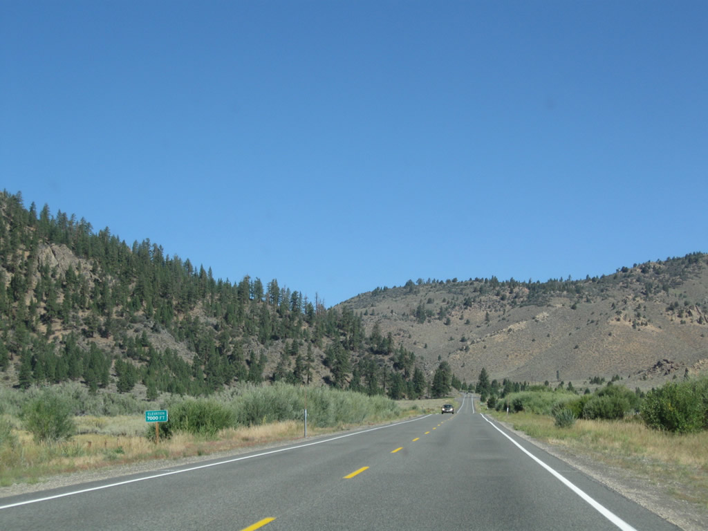
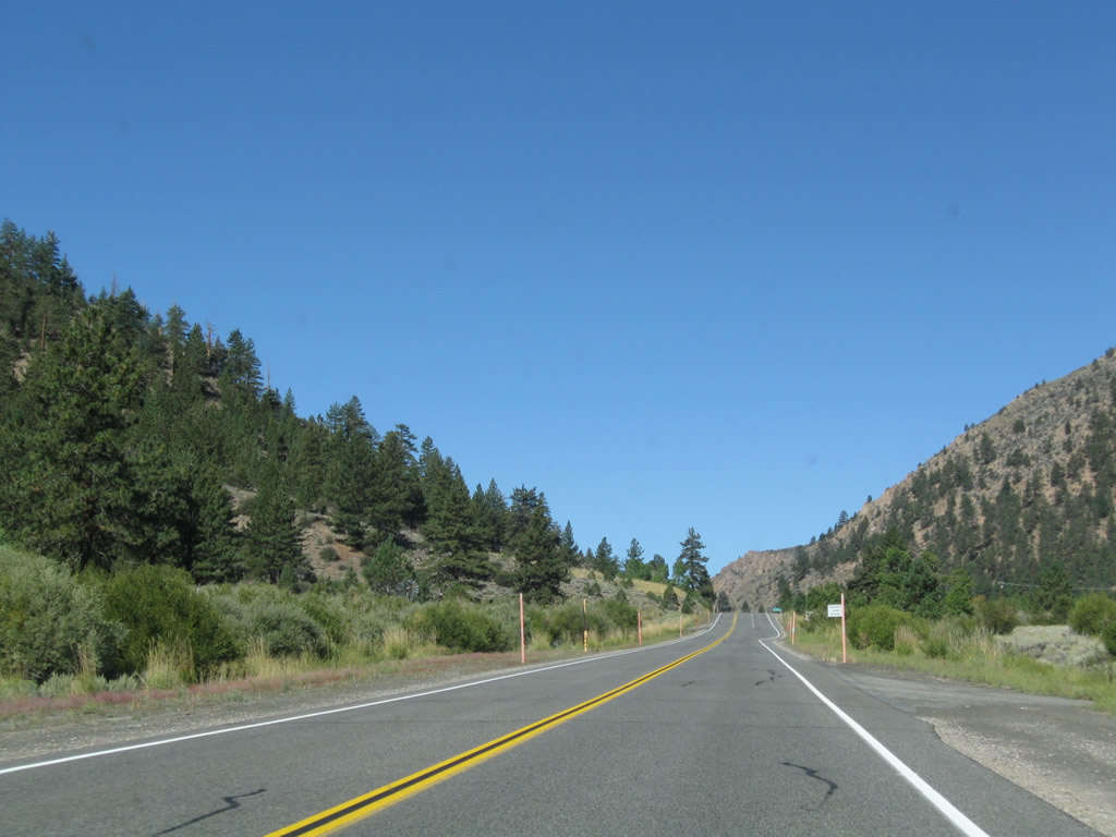
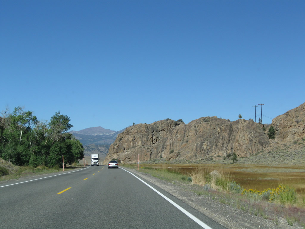
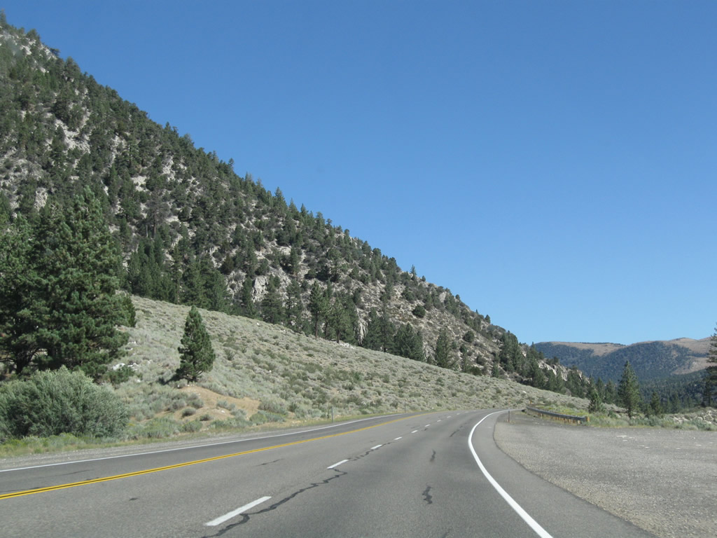
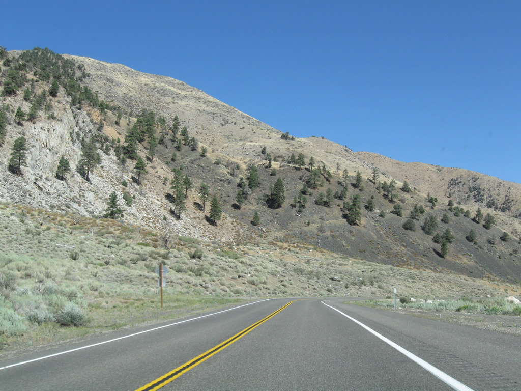
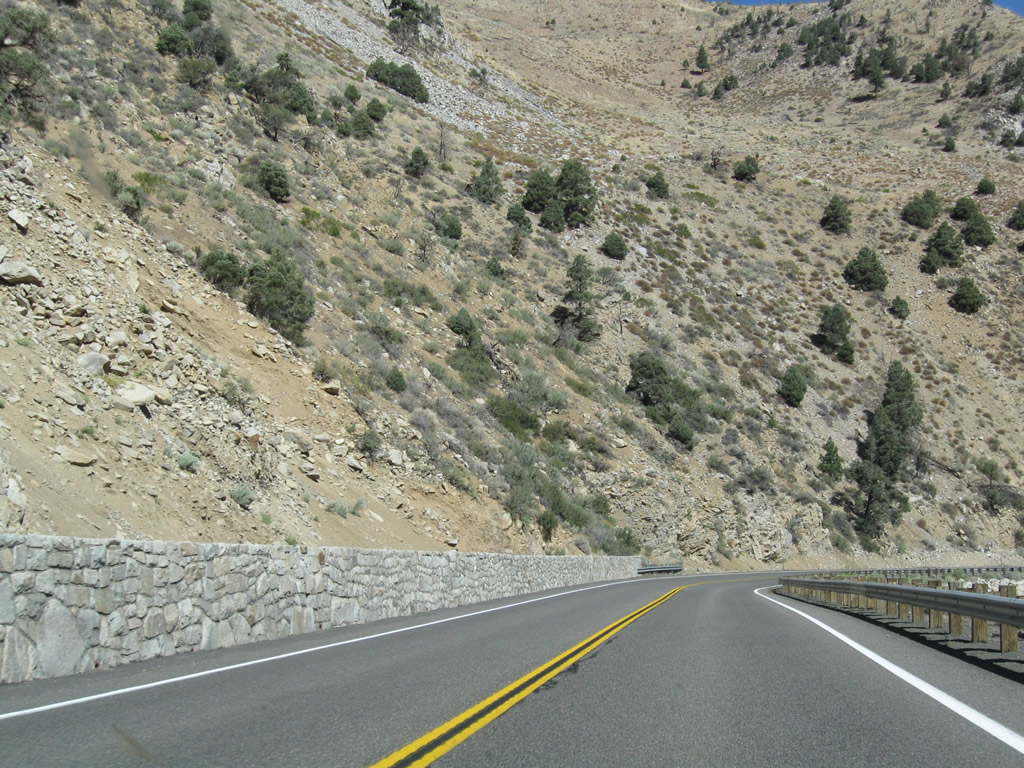
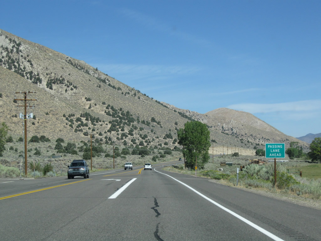
This series of photos follows U.S. 395 north after the California 108 intersection through sagebrush-covered and forested hills through the Humboldt-Toiyabe National Forest. The highway follows the West Walker River on a northerly trajectory toward the community of Walker. The Bootleg Campground is a national forest campground on the left side of the highway near the river. Photos taken 09/05/09. |
|
|
|
|
|
|
|
|
|
|
|
|
|
|
|
|
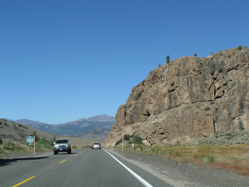
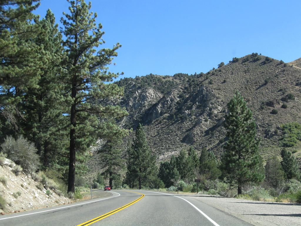
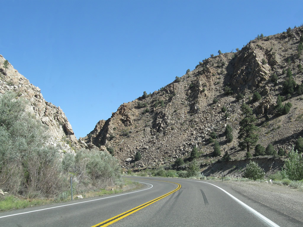
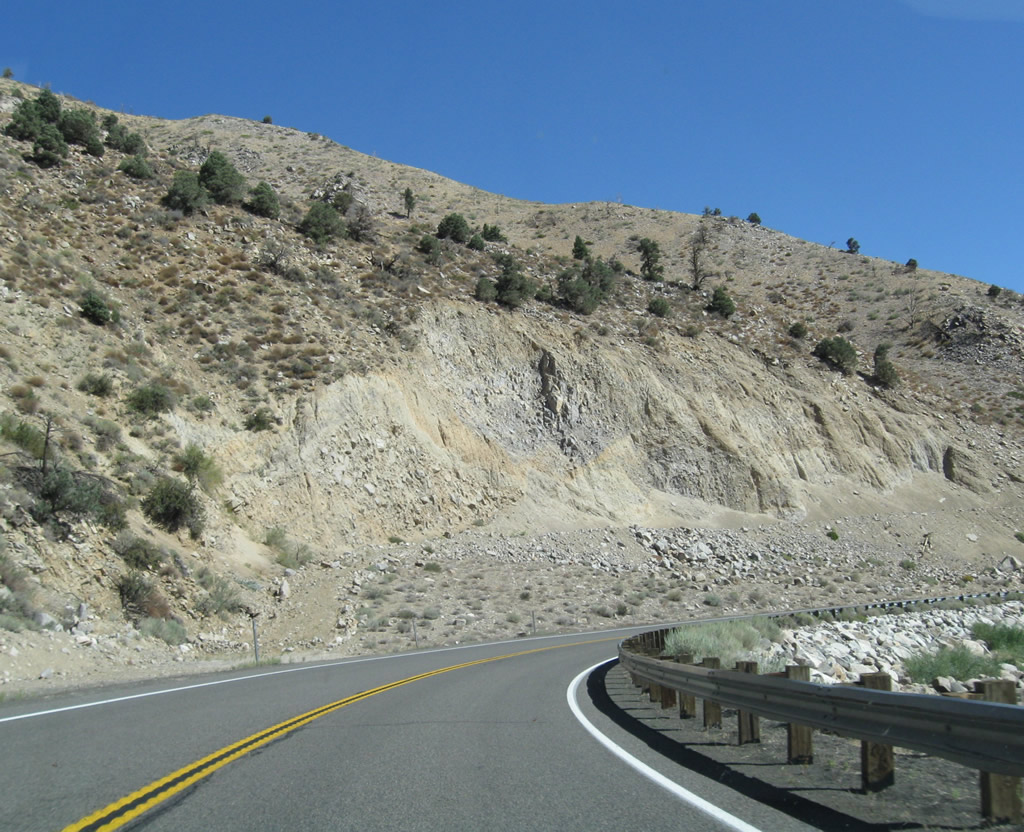
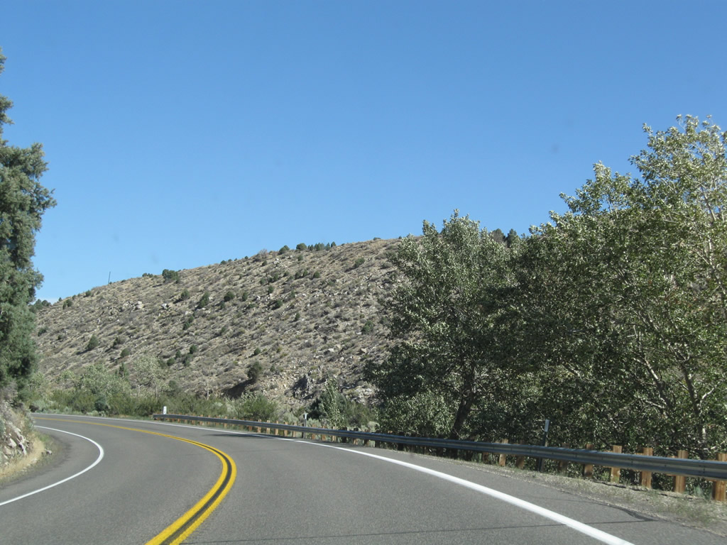
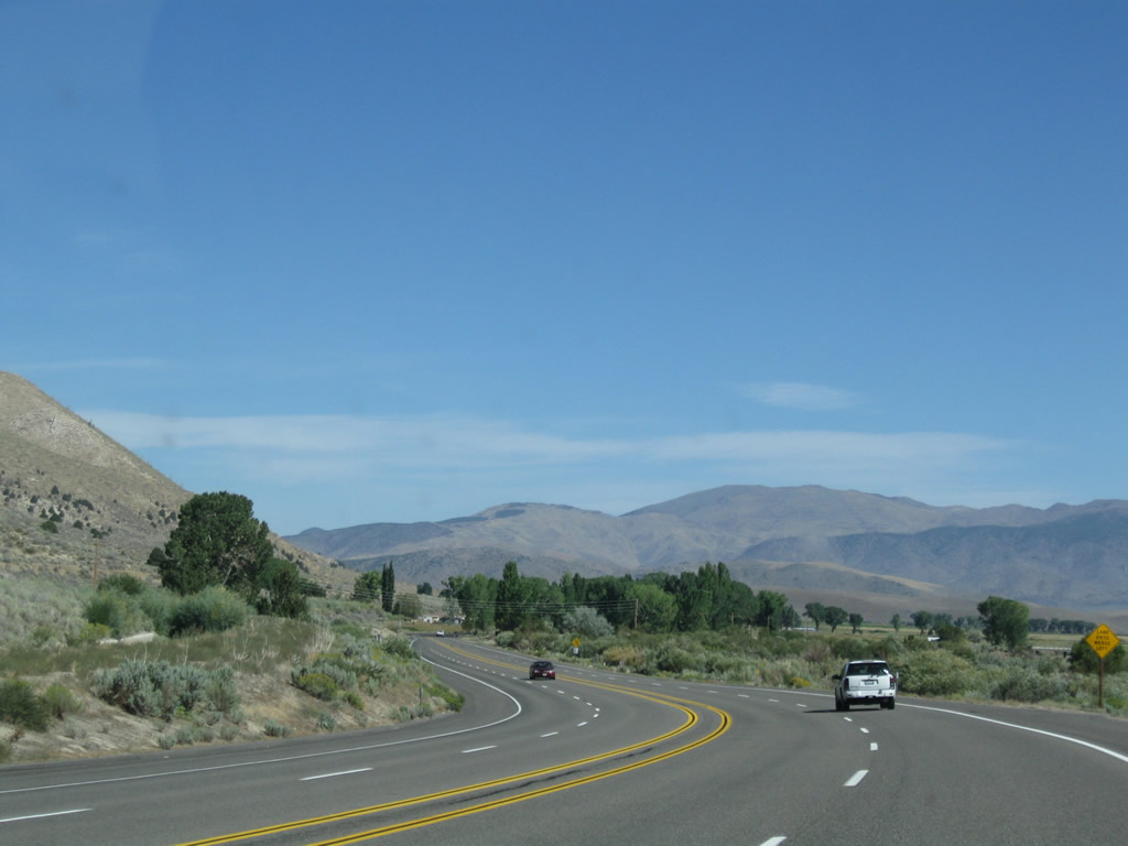
Paralleling the West Walker River, U.S. 395 sees a narrow stretch of highway with curves unlike any seen on its Eastern Sierra run thus far. To convert this U.S. highway into freeway standards, it will be difficult to construct such a high capacity roadway through this canyon. After these initial curves, U.S. 395 straightens out a bit but still remains somewhat meandering as it follows the river through the canyon. Only at the end does the highway finally gain some real estate ... at the same point where U.S. 395 enters the Antelope Valley and approaches the community of Walker. Photos taken 09/05/09. |
|
|
|
|
|
|
|
|
|
|
|
|
|
|
|
|
|
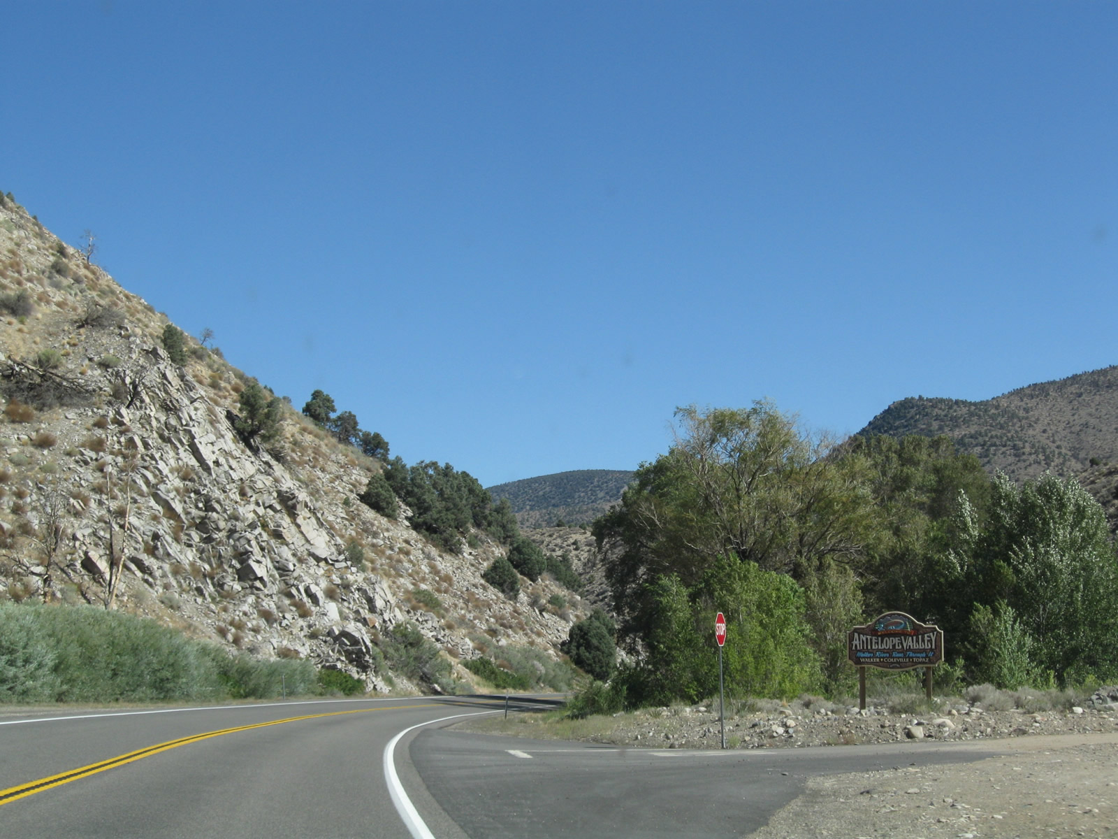
This U.S. 395 north reassurance shield is posted as the highway leaves the narrows and approaches the community of Walker. The official state scenic route ends at this point. Photo taken 09/05/09. |
|
Welcome to Antelope Valley. The sign indicates that the "Walker River Runs Through It" and that the Antelope Valley includes the communities of Walker, Coleville, and Topaz. Photo taken 09/05/09. |
|
U.S. 395 continues on a somewhat winding course before entering Walker. Photo taken 09/05/09. |
|
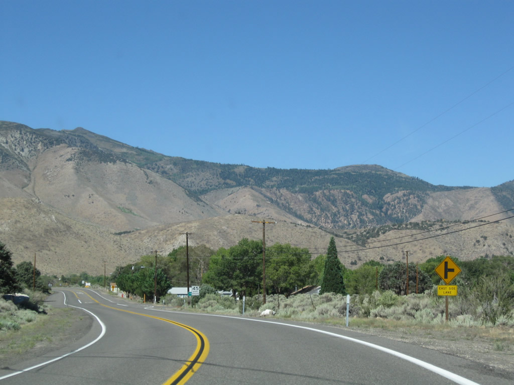
Northbound U.S. 395 approaches East Side Lane. East Side Lane travels north along the eastside of the Antelope Valley (as the name implies), while U.S. 395 again curves northwest. Photo taken 09/05/09. |
|
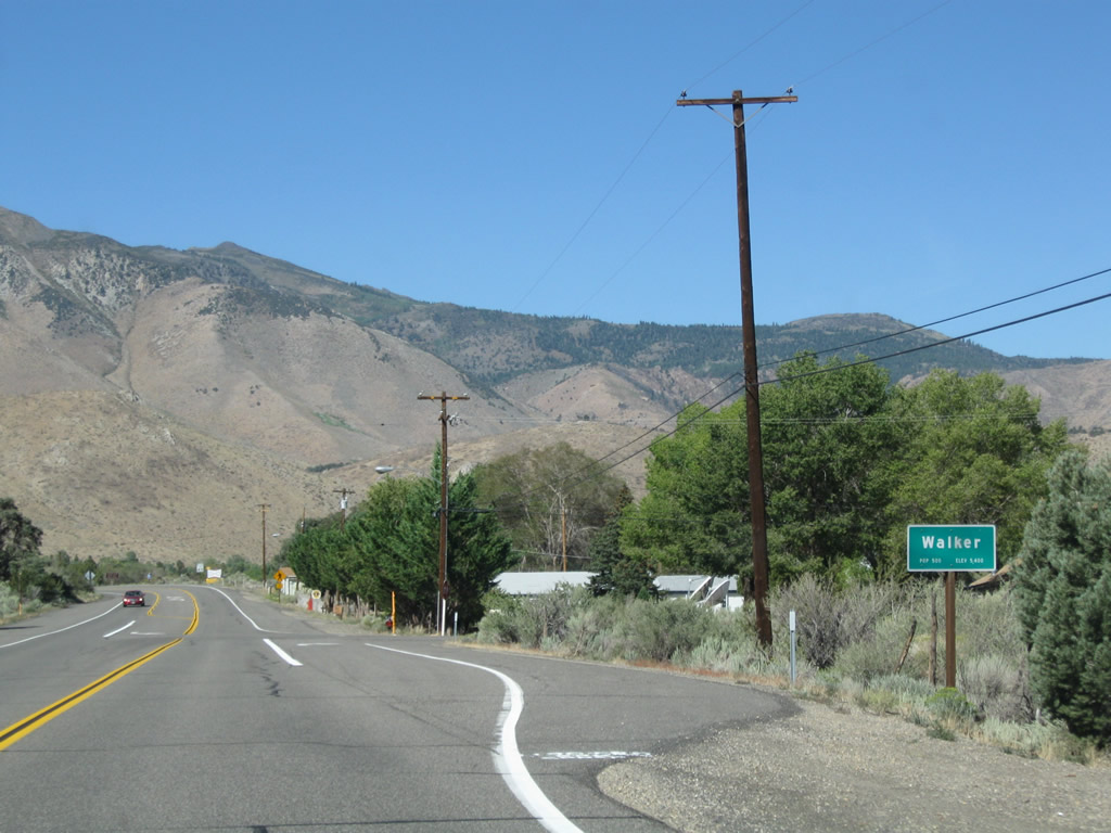
U.S. 395 enters the unincorporated community of Walker (population 500 per the Caltrans sign and elevation 5,400 feet). Photo taken 09/05/09. |
|
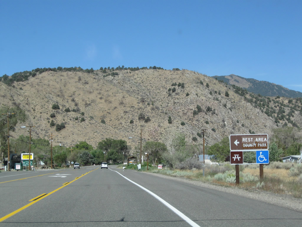
A final northbound rest area (before entering Nevada) along U.S. 395 is located in the Walker County Park in downtown Walker, one mile ahead on the left. Photo taken 09/05/09. |
|
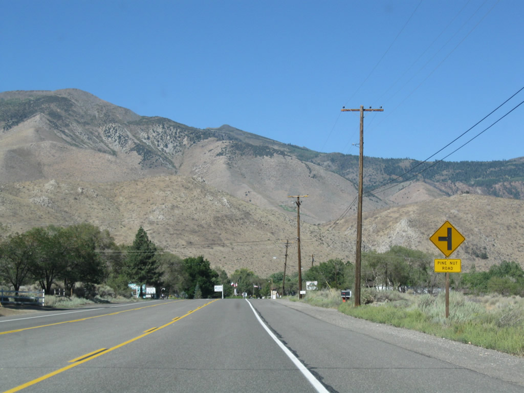
Northbound U.S. 395 approaches Pine Nut Road. Photo taken 09/05/09. |
|
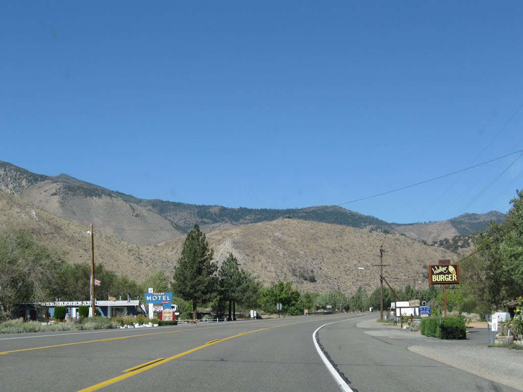
Some motorist services are found along U.S. 395 in Walker. Photo taken 09/05/09. |
|
A U.S. 395 north reassurance shield is posted shortly thereafter. Photo taken 09/05/09. |
|
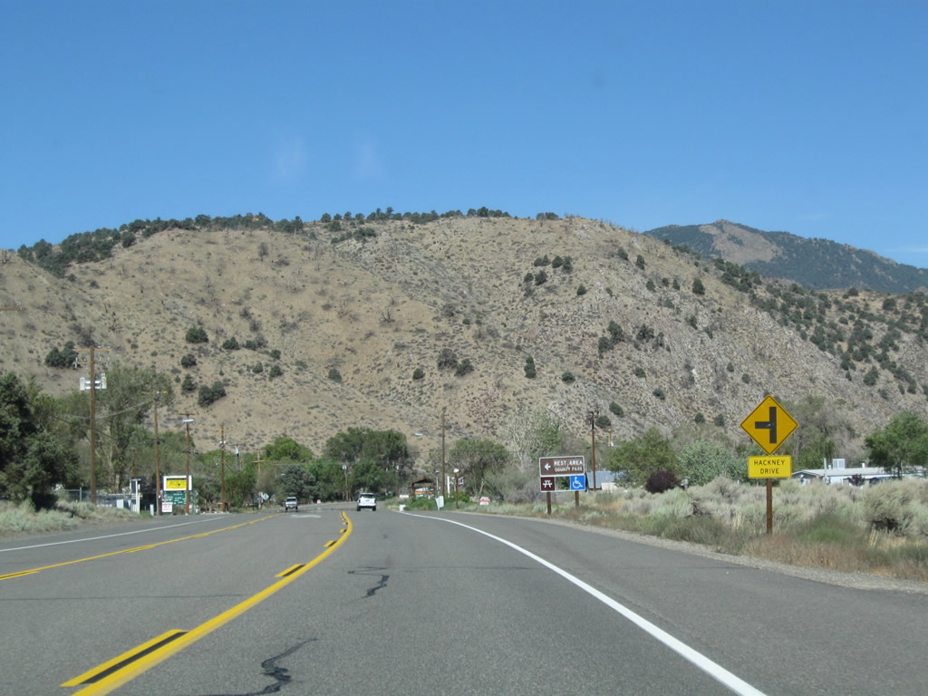
Northbound U.S. 395 approaches Hackney Drive. The highway turns from northwest to north again. Photo taken 09/05/09. |
|
Turn left onto Hackney Drive for the county park/rest area. Photo taken 09/05/09. |
|
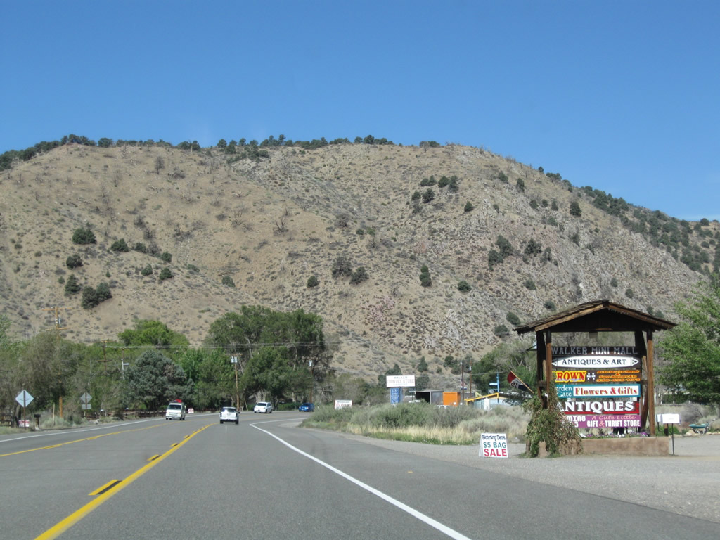
Ahead on the right is an antique store/mini-mall. Photo taken 09/05/09. |
|
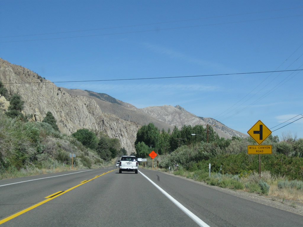
Northbound U.S. 395 approaches Mill Canyon Road. Photo taken 09/05/09. |
|
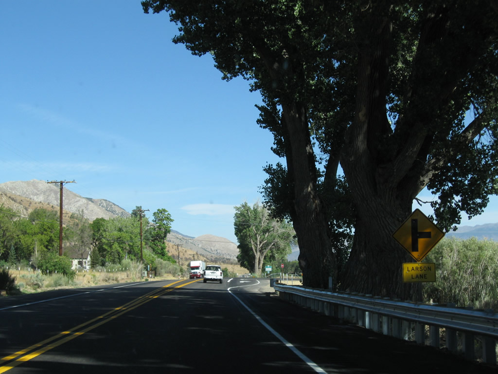
And soon thereafter, northbound U.S. 395 approaches Larson Lane. Photo taken 09/05/09. |
|
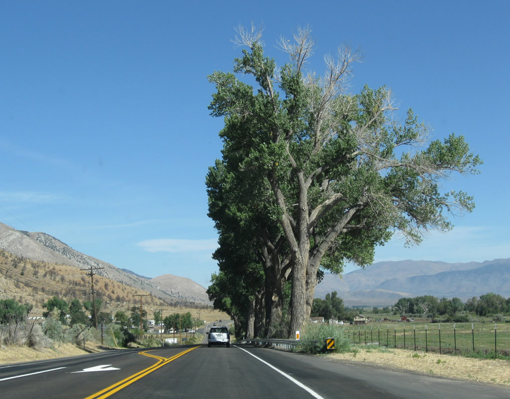
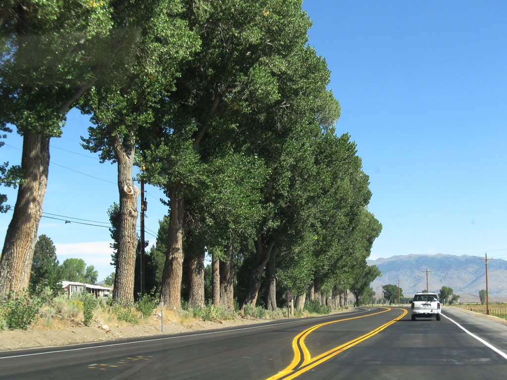
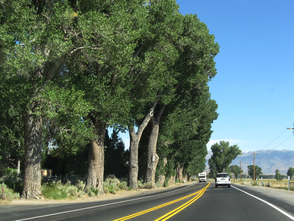
A line of cottonwood trees follows U.S. 395, offering a separation between the highway and nearby ranchland. Photo taken 09/05/09. |
|
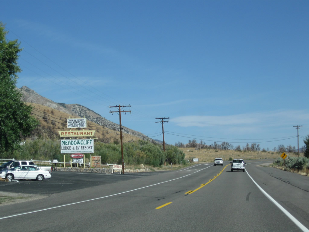
Partially obscured by wires, Meadowcliff rises on the west side of U.S. 395. Photo taken 09/05/09. |
|
The Meadowcliff Lodge and Restaurant are located on the west side of the highway. Photo taken 09/05/09. |
|
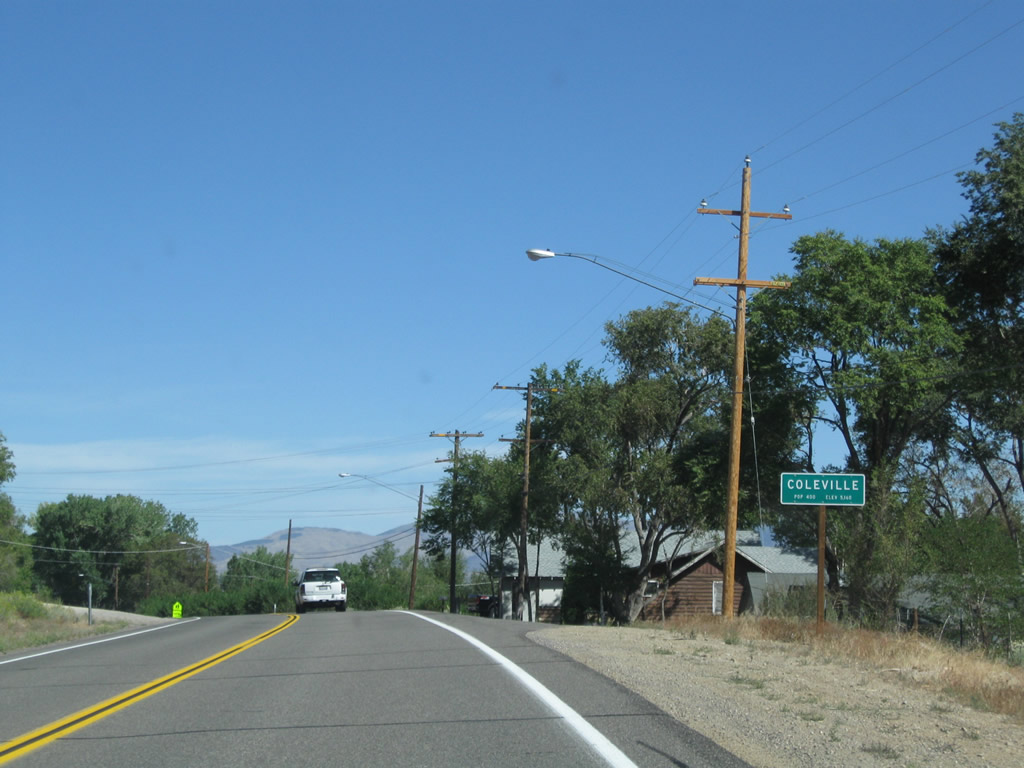
North of Meadowcliff, U.S. 395 enters the unincorporated community of Coleville, which is the second of three communities within the Antelope Valley in California (Walker is the first and Topaz is the third). The Caltrans sign lists elevation of 5,160 feet and a population of 400 people. Photo taken 09/05/09. |
|
Coleville is home to both a high school and post office. Photo taken 09/05/09. |
|
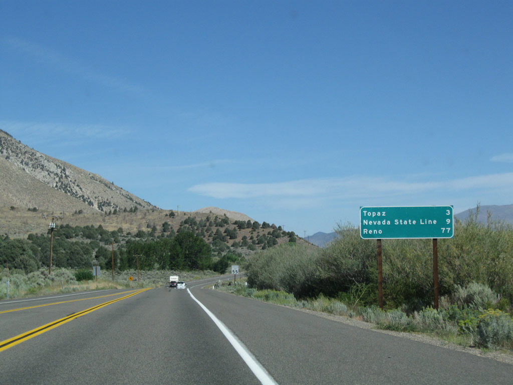
This mileage sign along U.S. 395 north provides the distance to Topaz (three miles), Nevada state line (nine miles, adjacent to Topaz Lake), and Reno (77 miles). Omitted are several Nevada destinations, including the Carson Valley (Gardnerville and Minden) and Carson City, the capital of Nevada. Photo taken 09/05/09. |
|
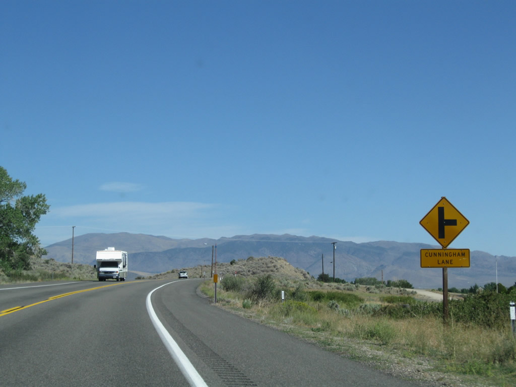
Northbound U.S. 395 (Three Flags Highway) approaches Cunningham Lane. Photo taken 09/05/09. |
|
After Cunningham Lane, the highway passes by an area burned by a prior fire. The Sierra Nevada rises to the west, while the Antelope Valley sprawls to the east. Photo taken 09/05/09. |
|
Northbound U.S. 395 approaches Monnegan Court, which serves a small residential community on the west side of the highway. A passing lane begins ahead for northbound traffic. Photo taken 09/05/09. |
|
A brief four-lane segment allows for passing for both directions of U.S. 395. Photo taken 09/05/09. |
|
U.S. 395 enters the unincorporated community of Topaz, which is the final community along U.S. 395 before reaching the state line with Nevada. Topaz has an elevation of 5,040 feet and a stated population of 100 per the Caltrans sign. Photo taken 09/05/09. |
|
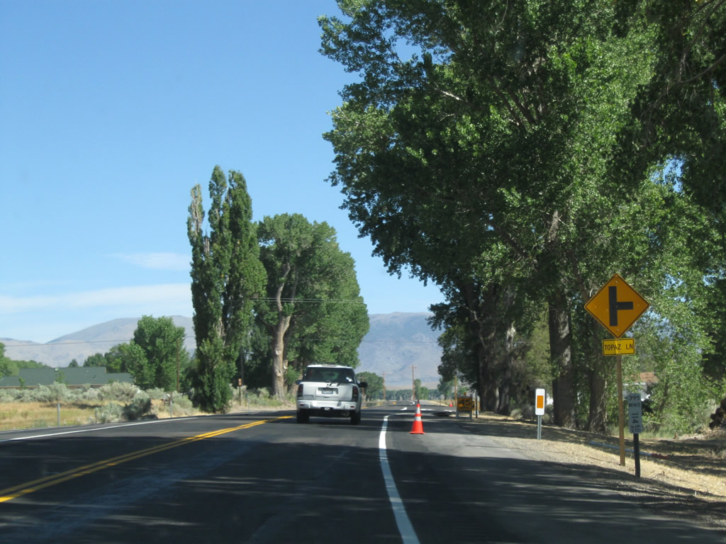
Northbound U.S. 395 approaches Topaz Lane east to serve ranch and agricultural areas, ending at Eastside Lane. Photo taken 09/05/09. |
|
|
|
A row of cottonwood trees line U.S. 395, a sign that the highway is approaching the state line. Photos taken 09/05/09. |
|
|
|
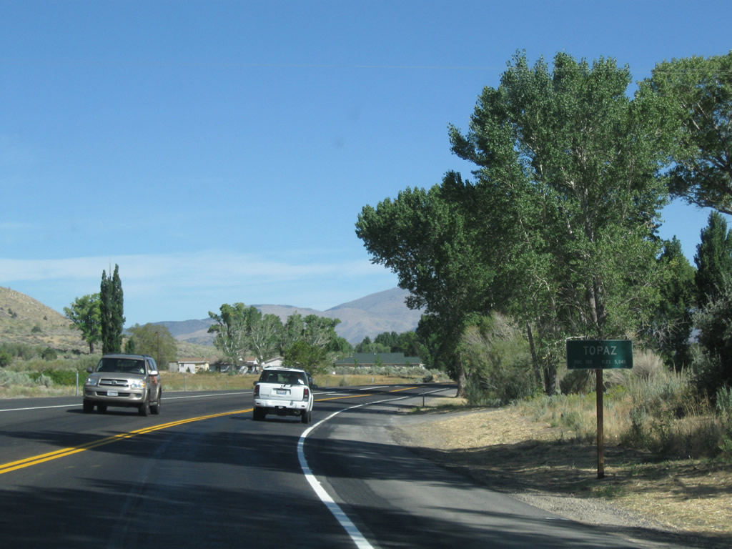
Continuing north, U.S. 395 proceeds through Topaz and passes by more cottonwoods and farming fields. Photos taken 09/05/09. |
|
|
|
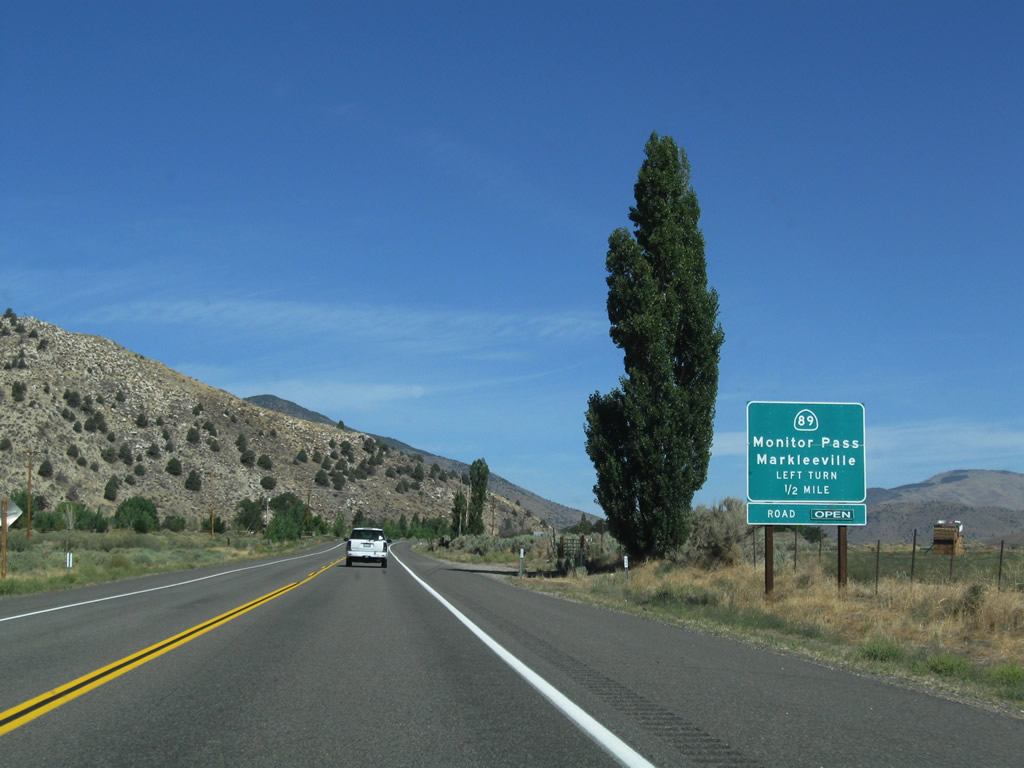
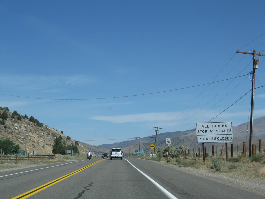
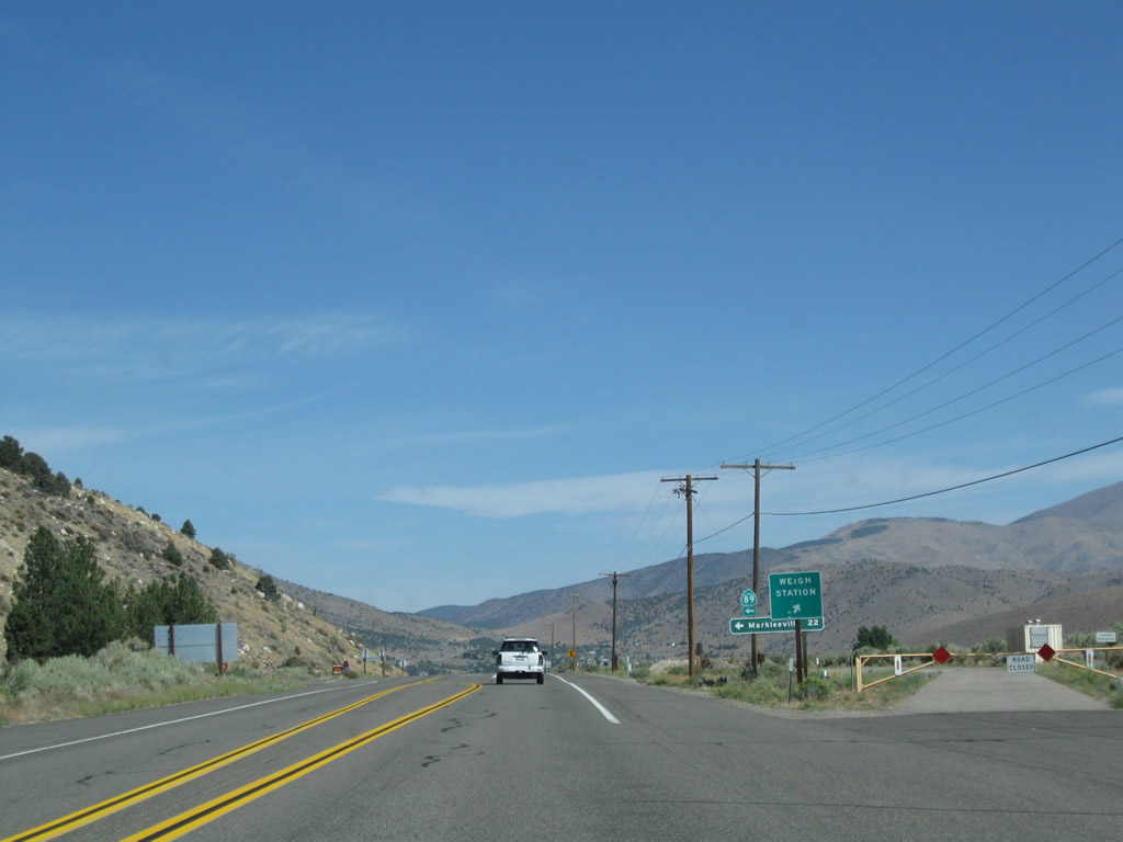
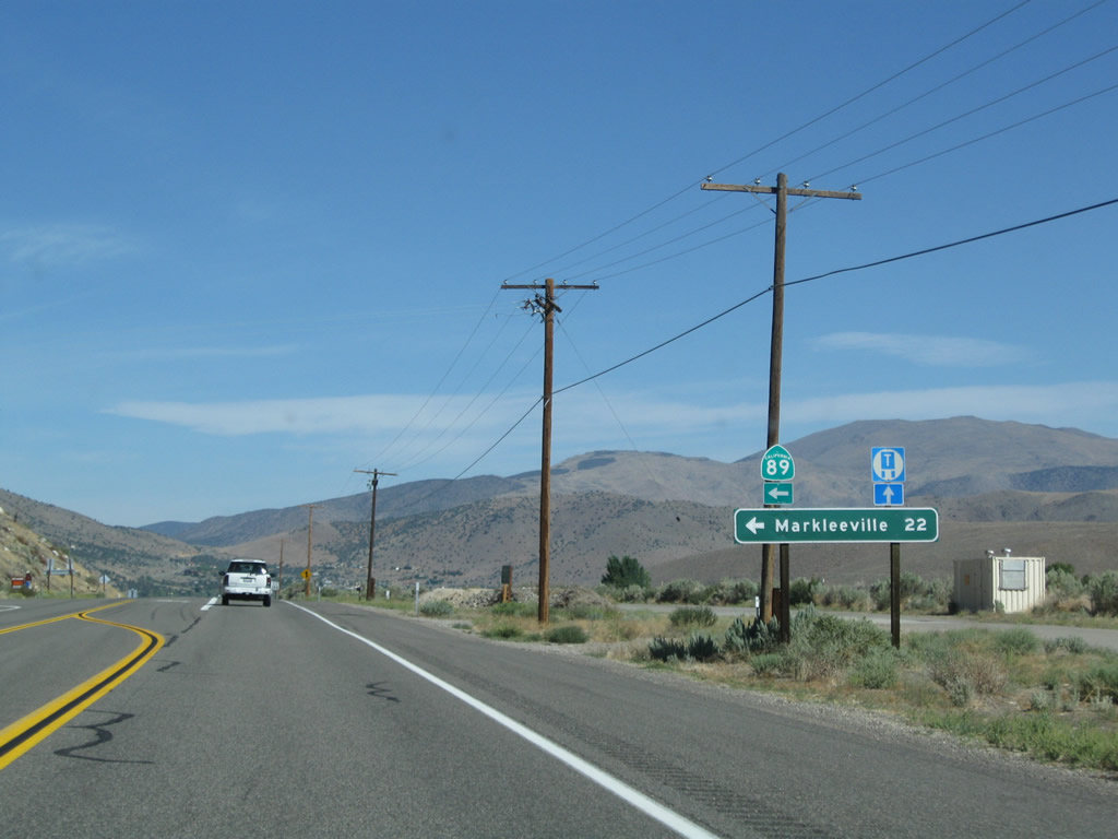
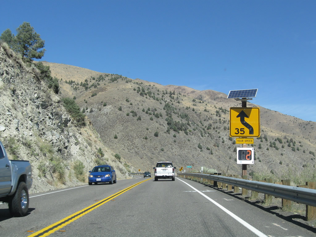
The final major intersection along U.S. 395 north before the Nevada state line is at Slinkard Junction. U.S. 395 meets California 89 at this intersection. California 89 travels west via Monitor Pass to California 4 en route to Angels Camp via Ebbetts Pass; Markleeville (seat of Alpine County); and California 88 en route to Jackson via Carson Pass. Both Monitor Pass and Ebbetts Pass are closed through the winter. California 89 is a major route in Northern California; it extends from here north to Lake Tahoe and Truckee, then proceeds northwest to Lassen National Volcanic Park and Mount Shasta, ending at Interstate 5. A weigh station and Caltrans maintenance station are located here. Photos taken 09/05/09. |
|
|
|
|
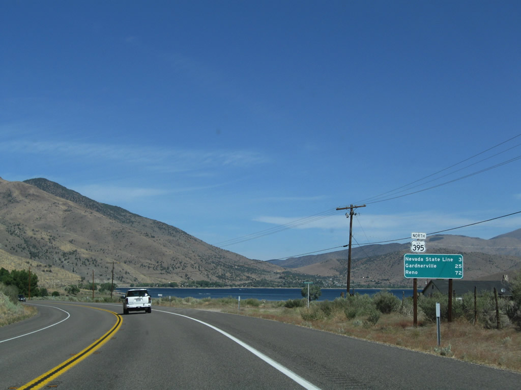
This mileage sign along U.S. 395 north provides the distance to the California-Nevada state line (three miles), Gardnerville (25 miles), and Reno (72 miles). Photo taken 09/05/09. |
|
|
|
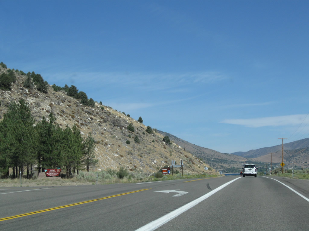
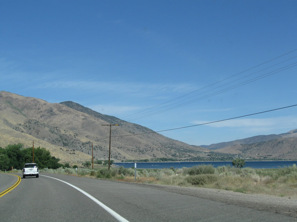
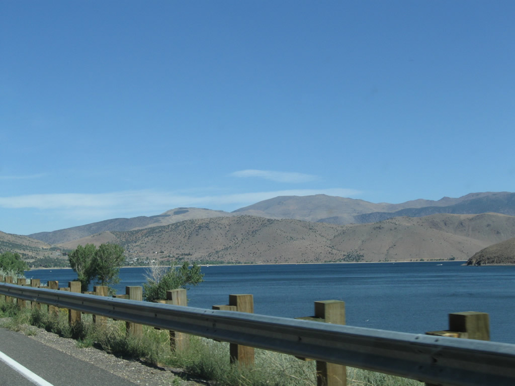
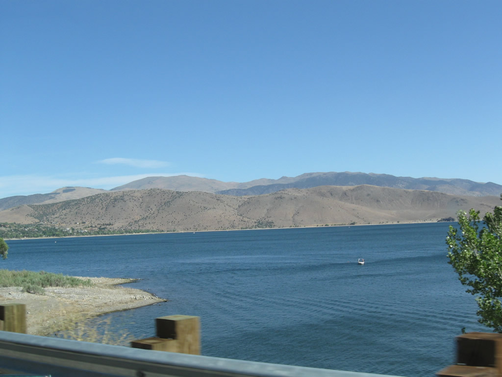
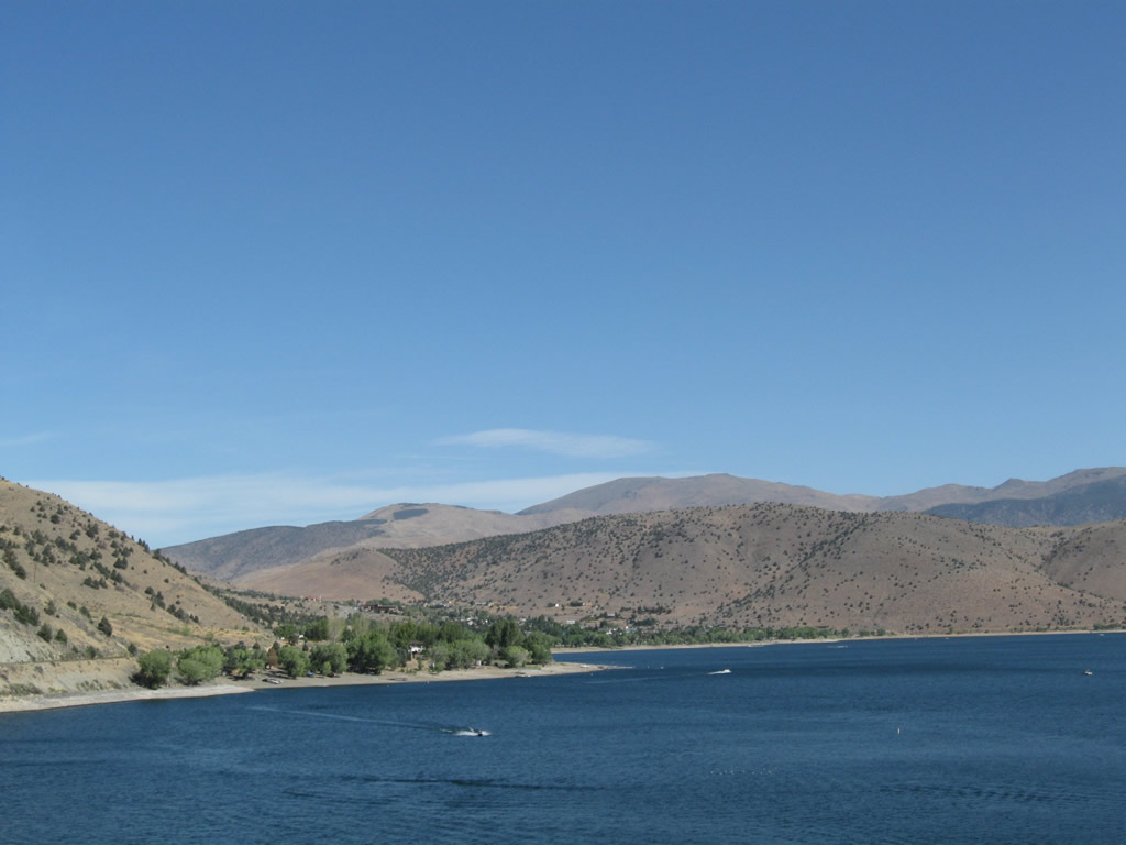
Topaz Lake comes into view in the distance ahead. This lake sits on the California-Nevada state line and stores water from along the West Walker River. U.S. 395 skirts the western edge of the lake, and the unincorporate community of Topaz Lake sits just north of the state line. Photos taken 09/05/09. |
|
|
|
|
|
|
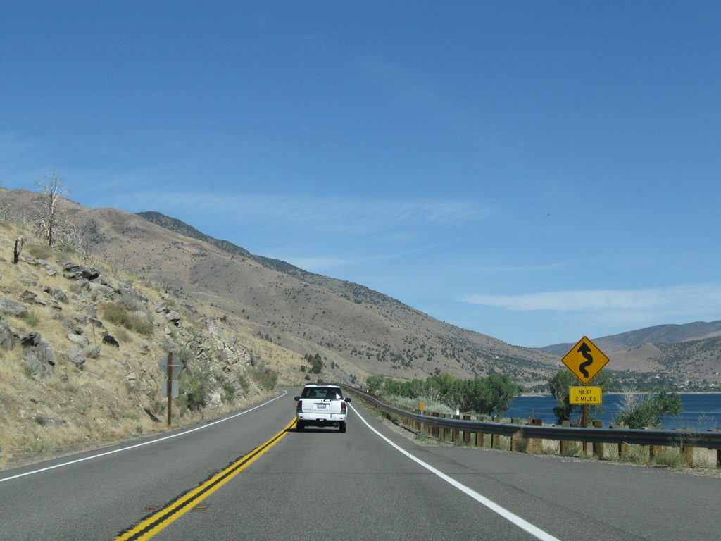
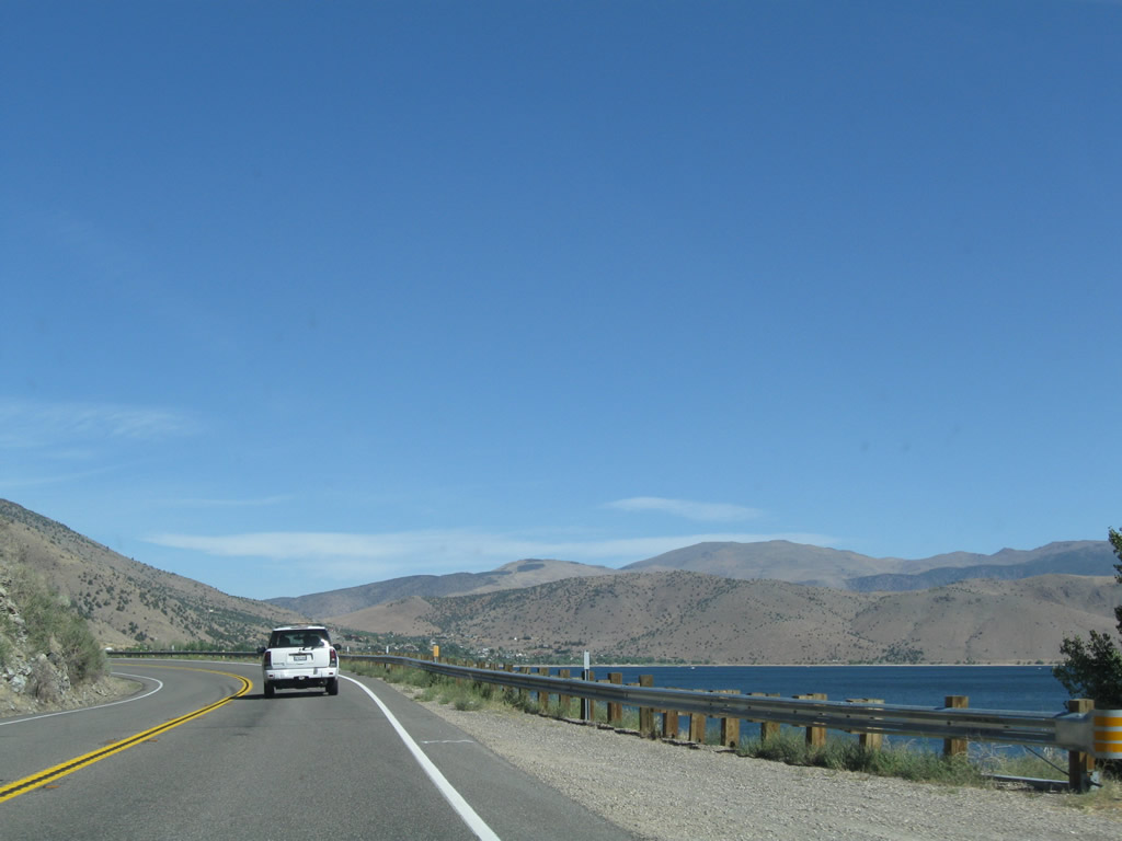
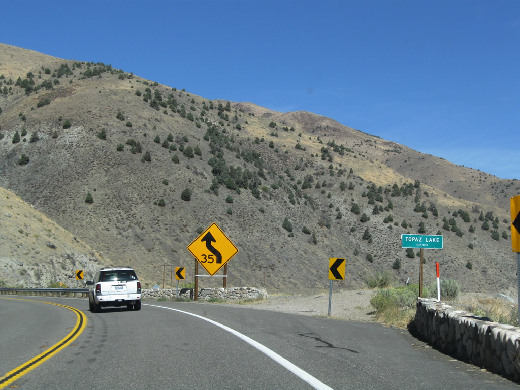
Passing along the west side of Topaz Lake, U.S. 395 sees some sharp curves. A few pullouts are available for motorists to view the gorgeous lake. Photos taken 09/05/09. |
|
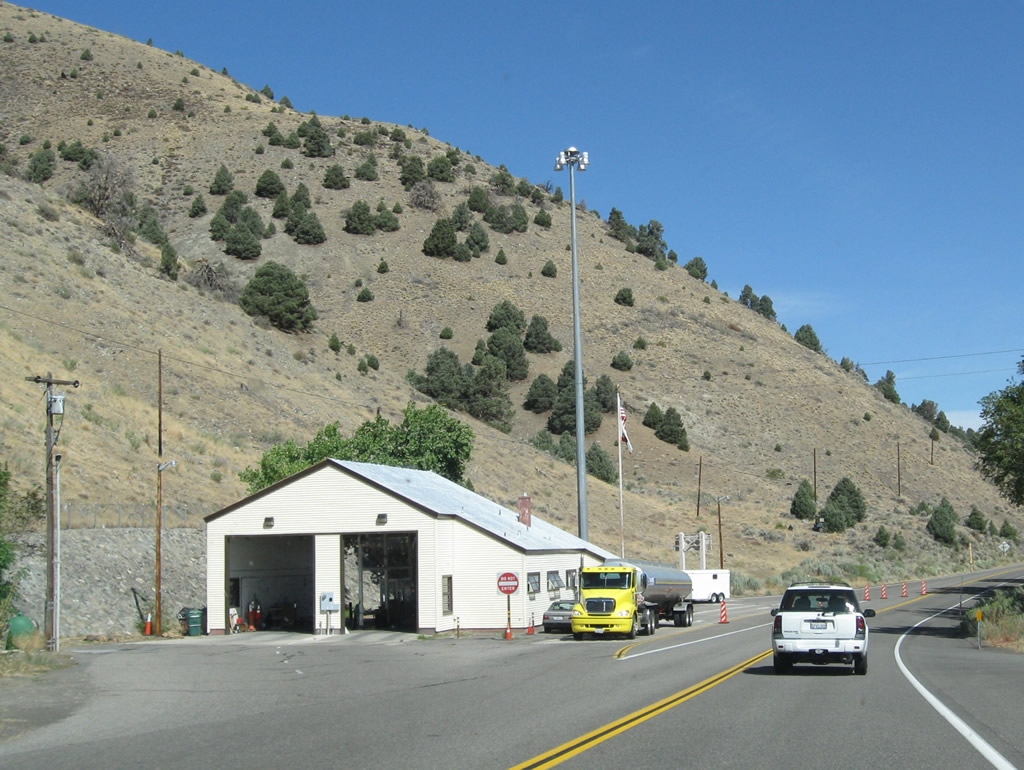
All southbound traffic must stop at the agricultural inspection station. Photo taken 09/05/09. |
|
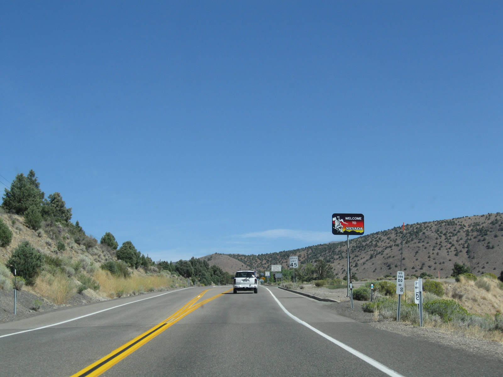
U.S. 395 leaves California and enters Nevada next to Topaz Lake. A set of reference markers (one Caltrans postmile and an NDOT milemarker) are posted in front of the Welcome to Nevada sign. The U.S. highway proceeds northward from there 83 miles through Carson Valley, Carson City, and Reno, Nevada. Photo taken 09/05/09. |