| U.S. 395 south |
|
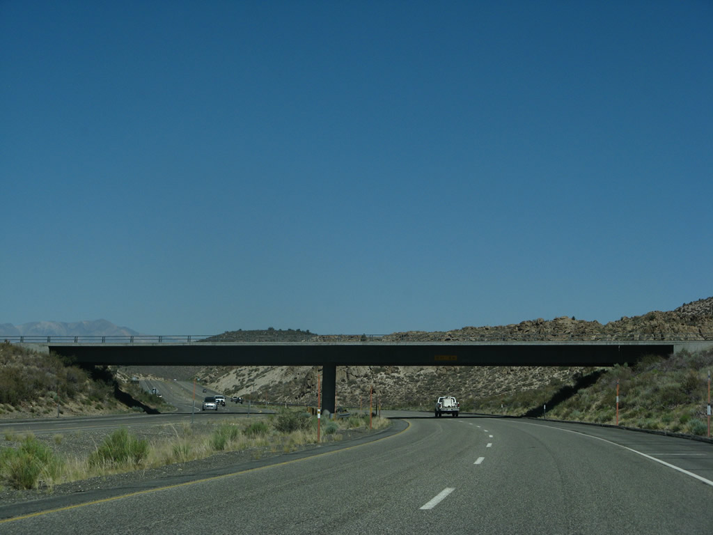
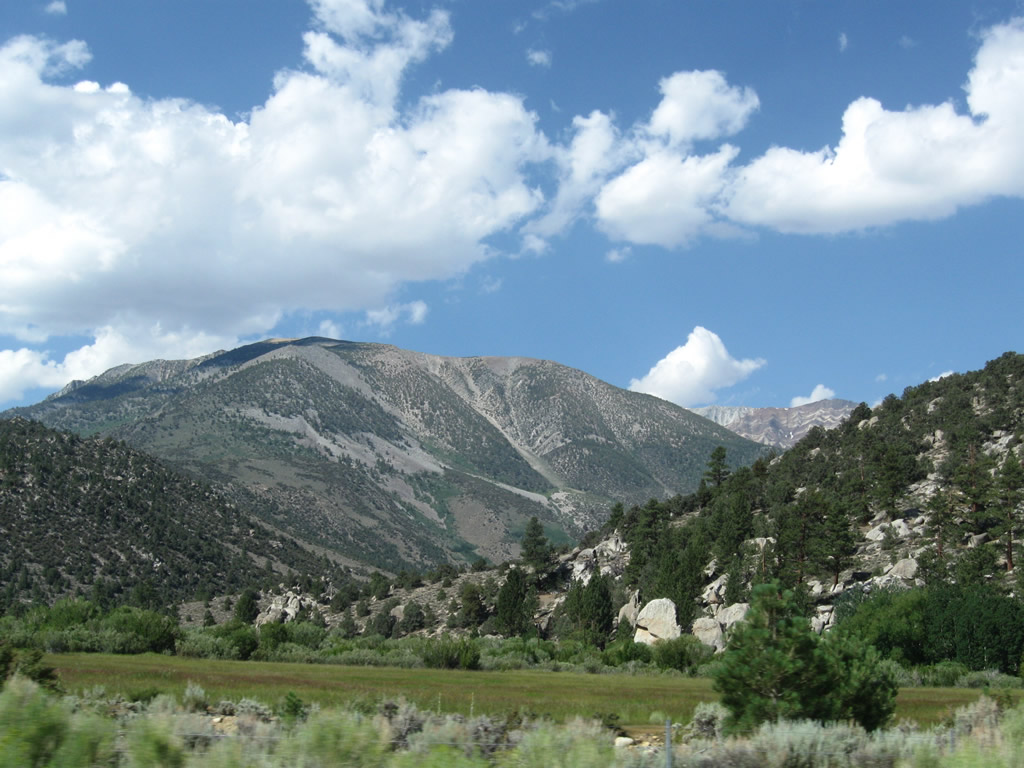
Leaving the California 158 (June Lake Loop) intersection, southbound U.S. 395 proceeds uphill toward Deadman Summit. The highway carries at least four lanes all the way to the Mammoth Lakes interchange. Photo taken 07/09/07. |
|
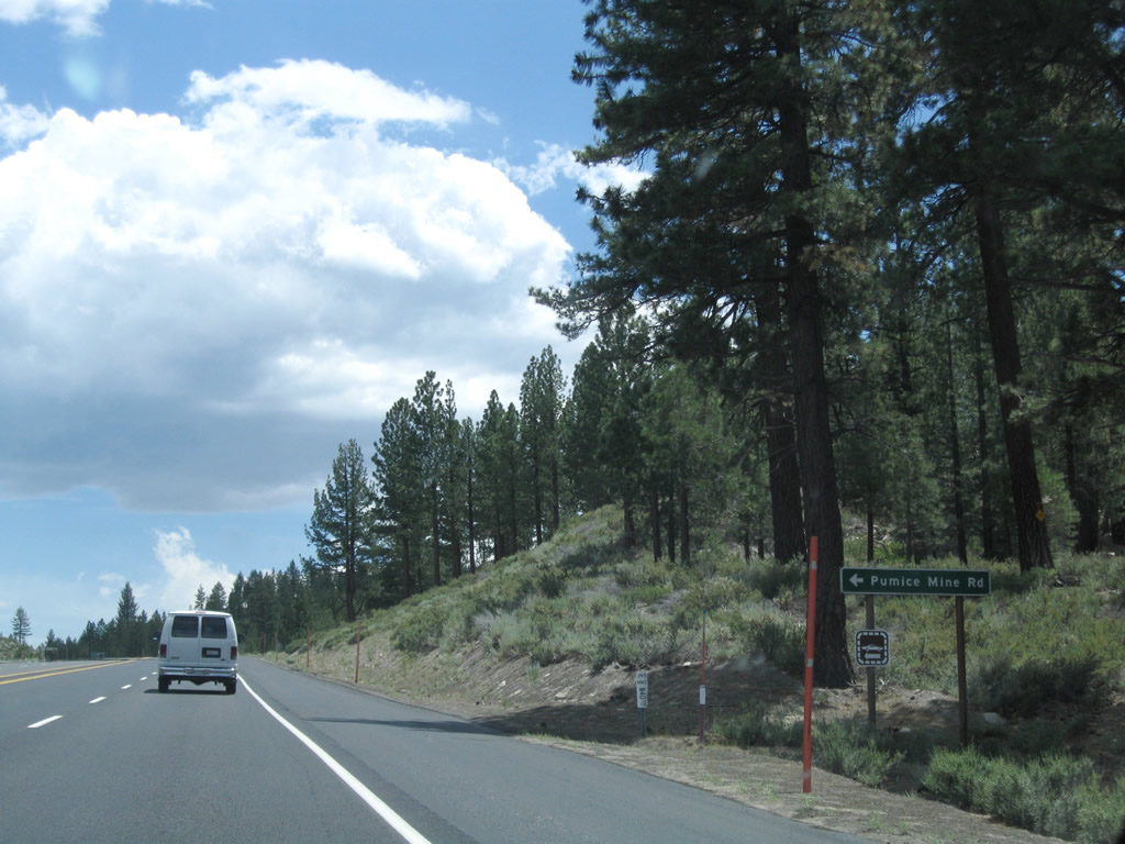
Southbound U.S. 395 approaches Pumice Mine Road east to Devils Punchbowl. Photo taken 07/25/09. |
|
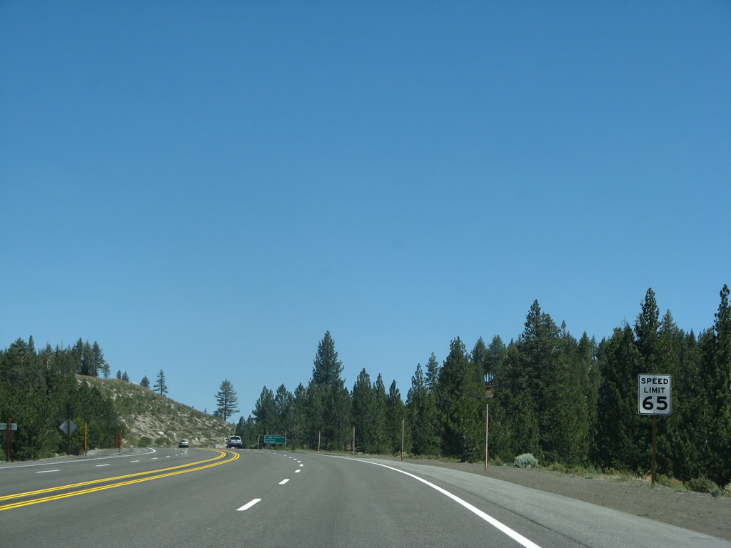
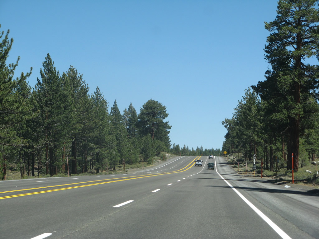
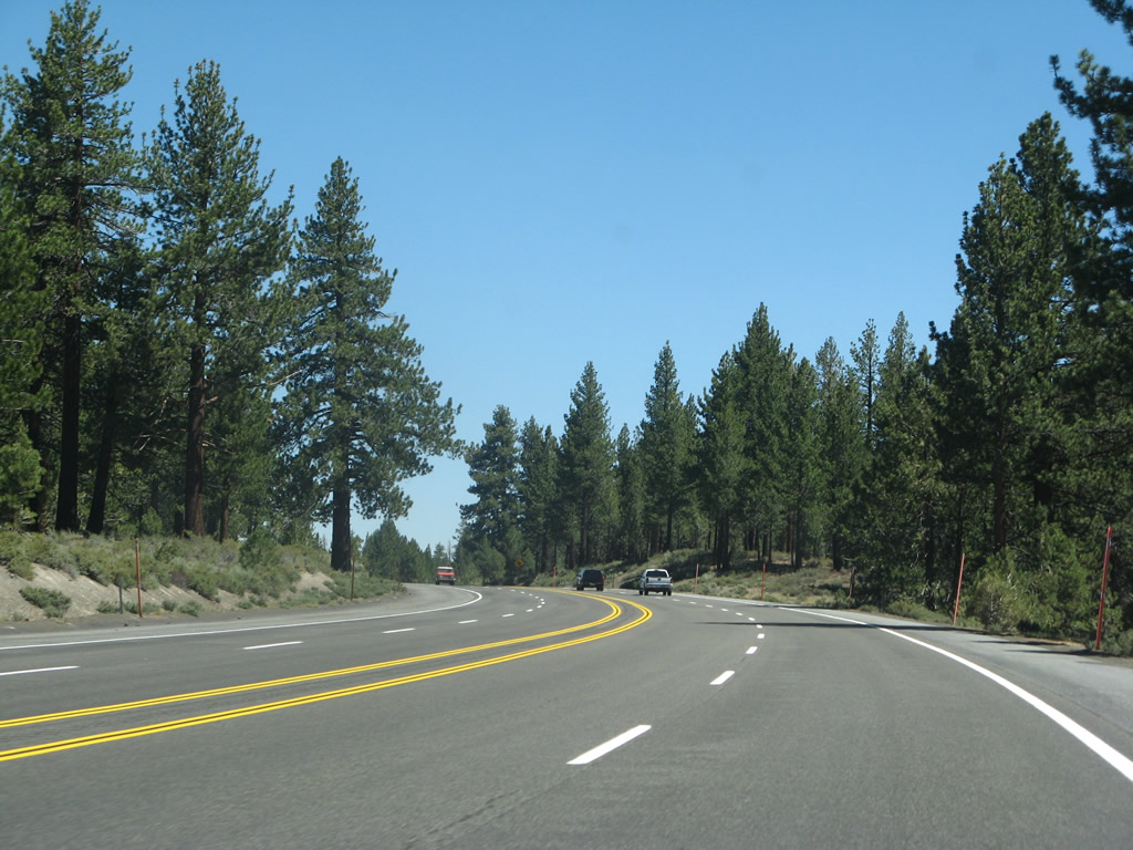
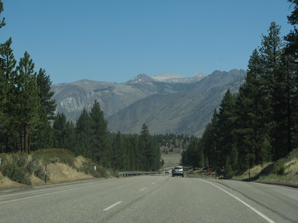
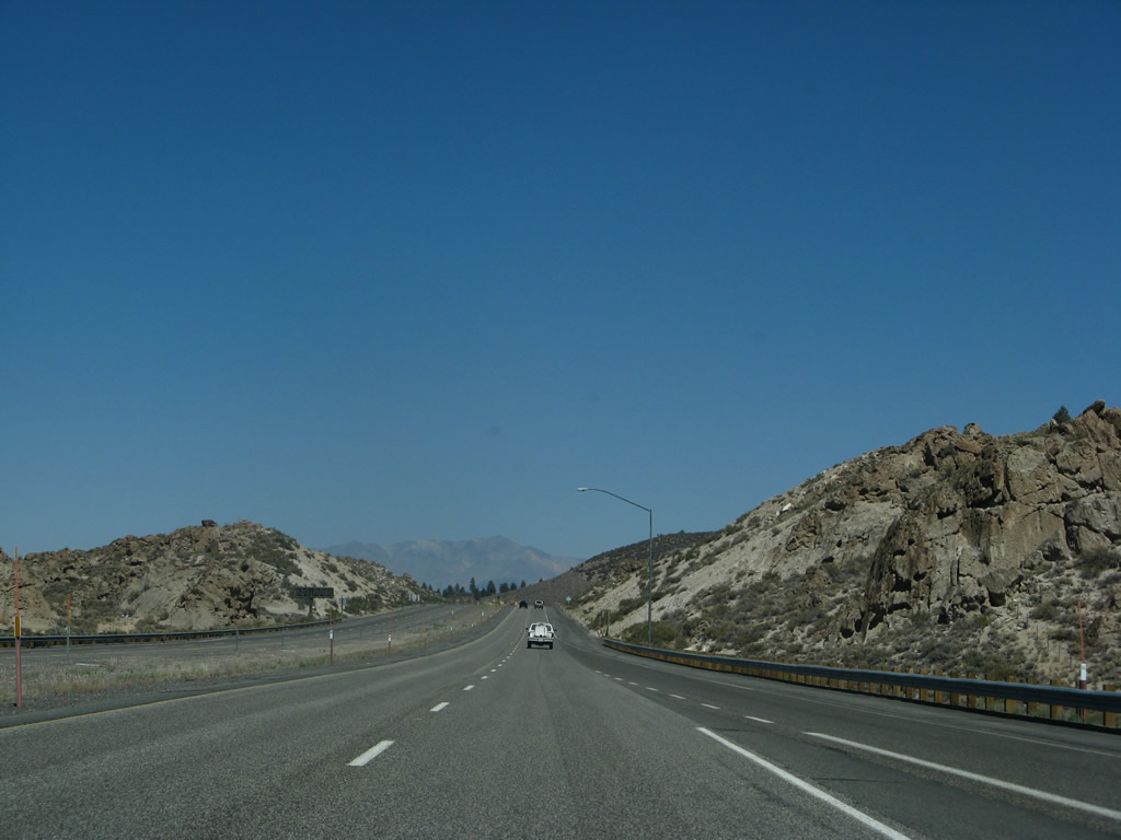
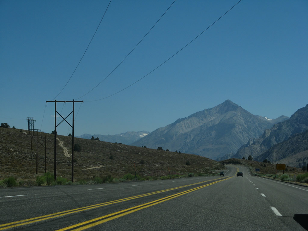
The speed limit along this undivided expressway segment of U.S. 395 is 65 miles per hour. Photo taken 07/09/07. |
|
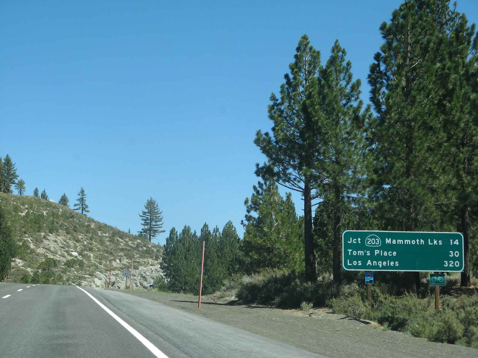
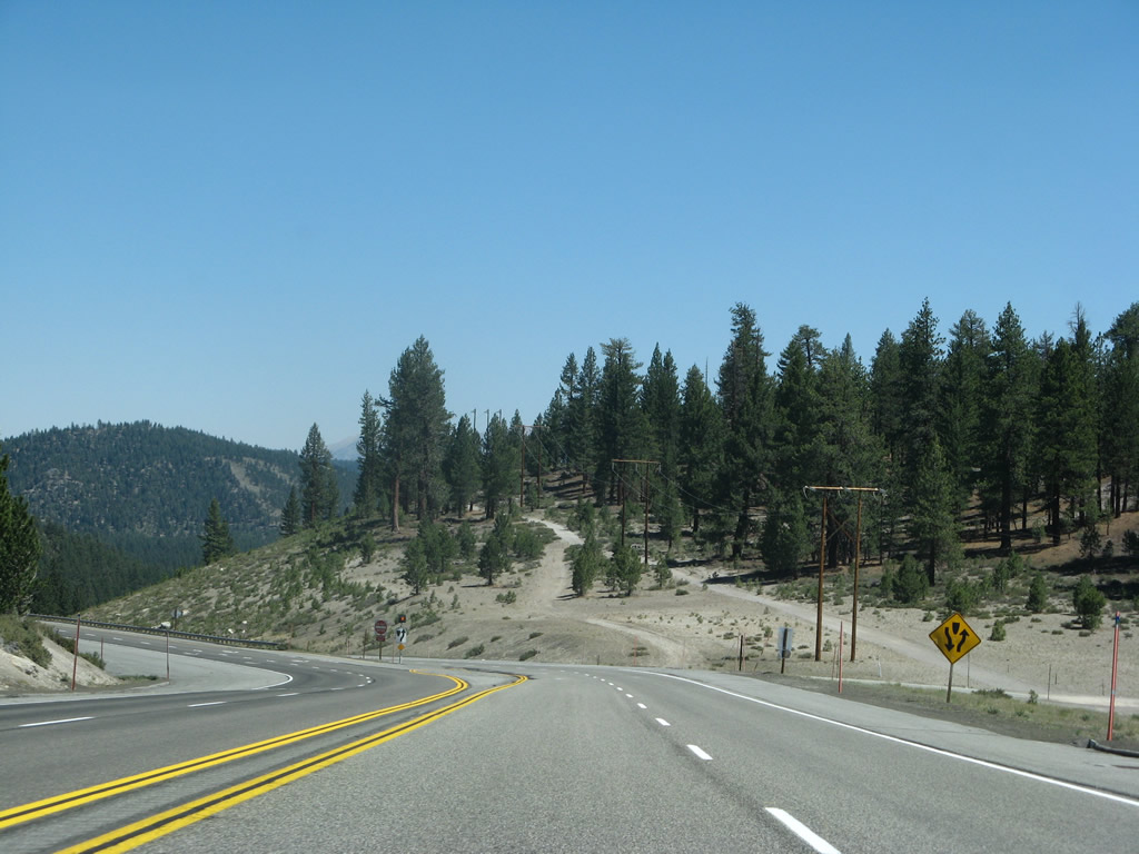
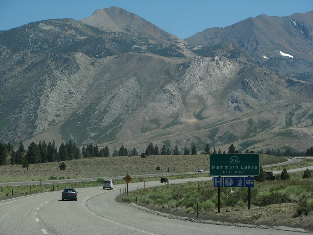
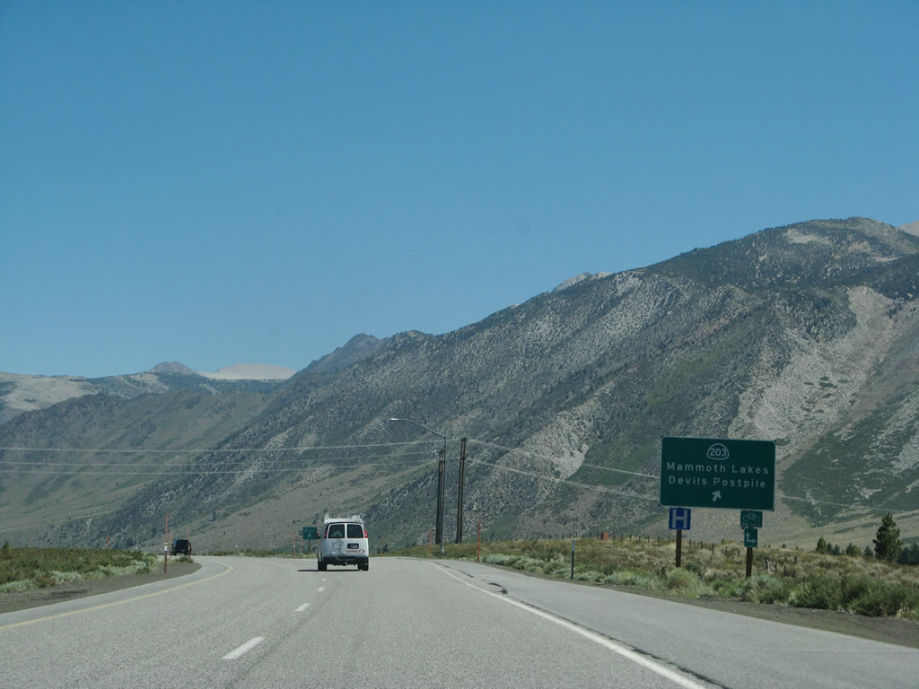
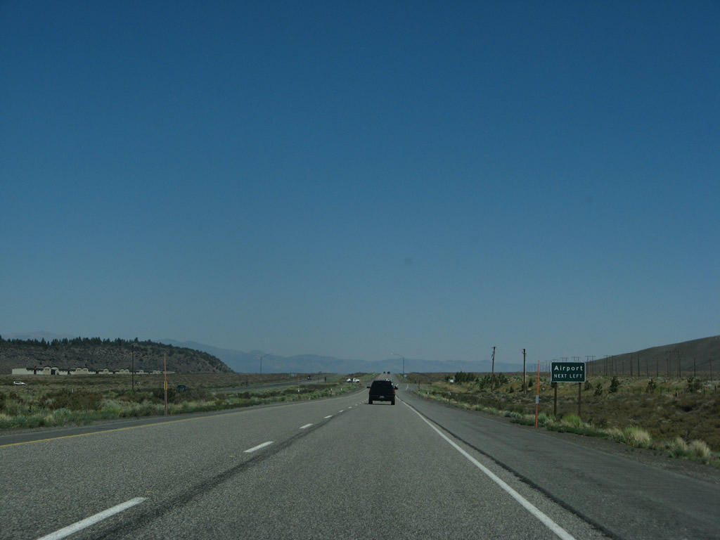
This mileage sign along southbound U.S. 395 provides the distance to California 203 west to Mammoth Lakes (14 miles), Tom's Place (30 miles), and Los Angeles (320 miles). Photo taken 07/09/07. |
|
|
|
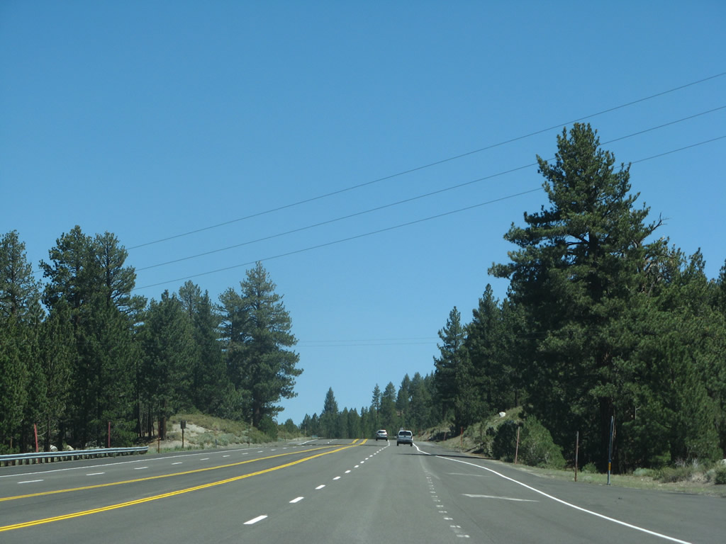
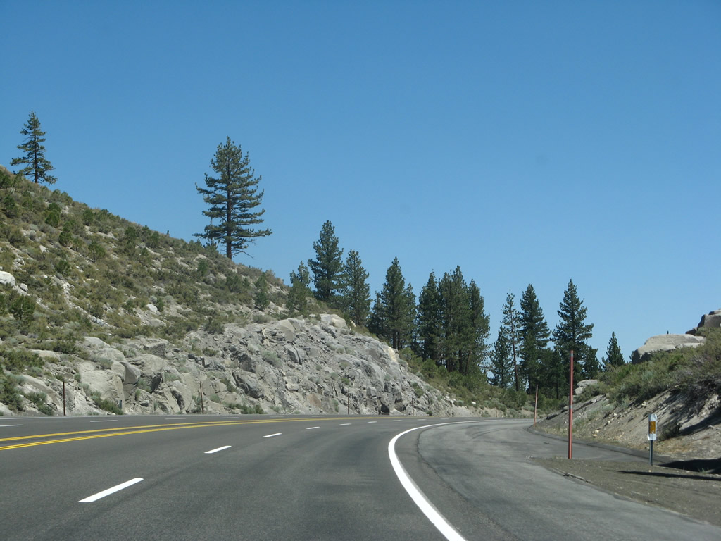
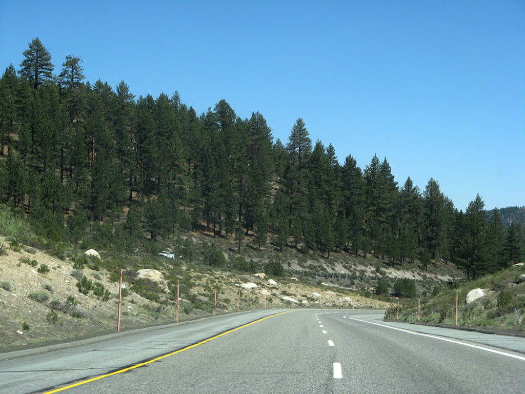
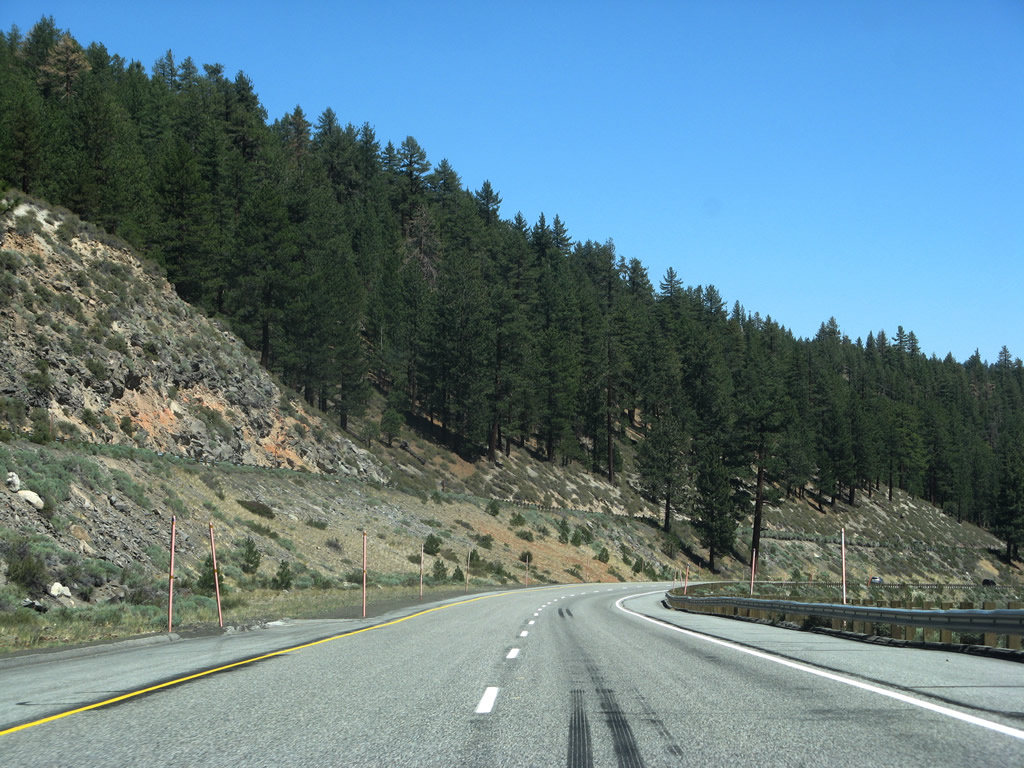
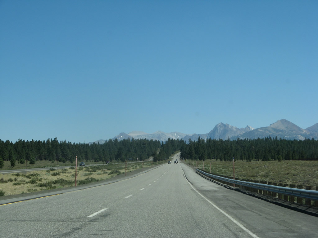
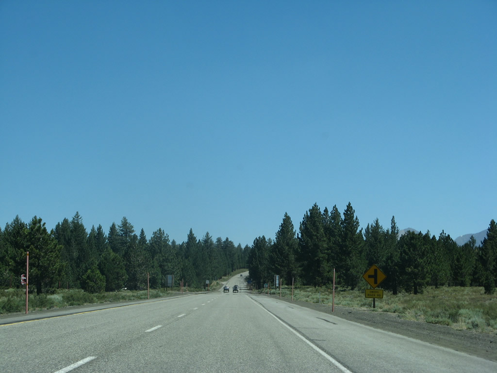
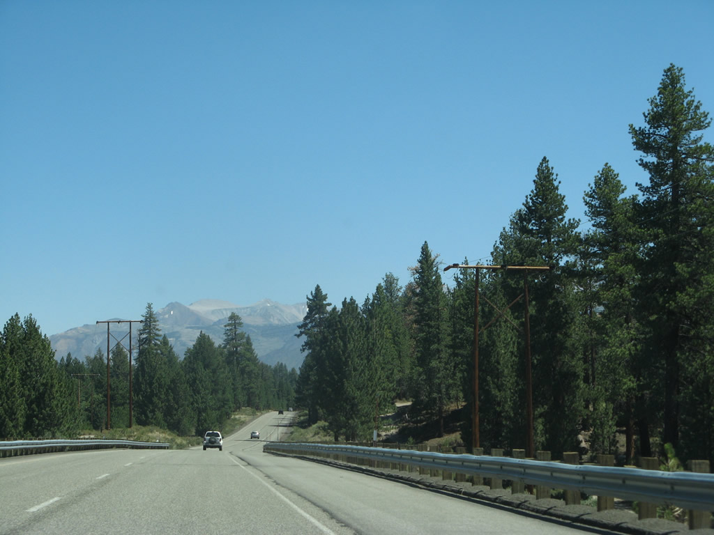
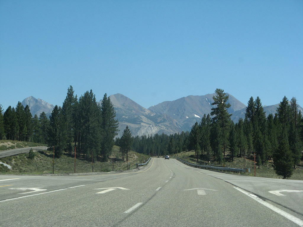
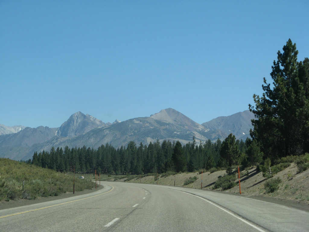
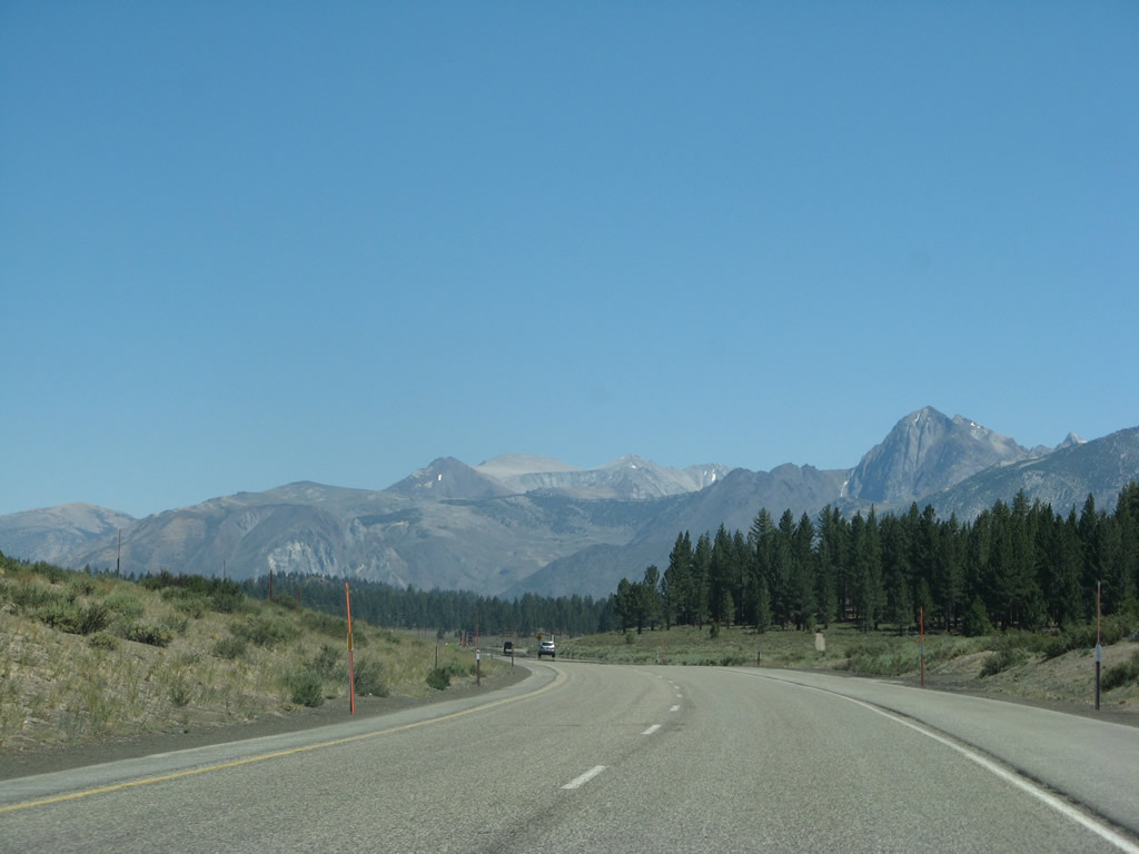
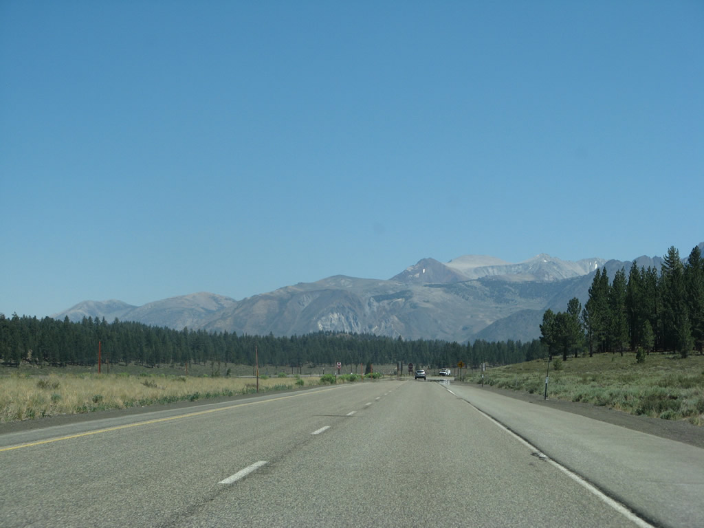
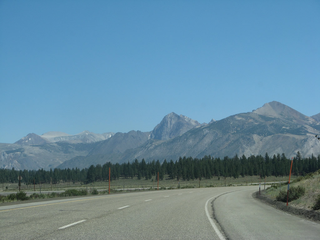
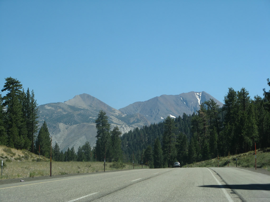
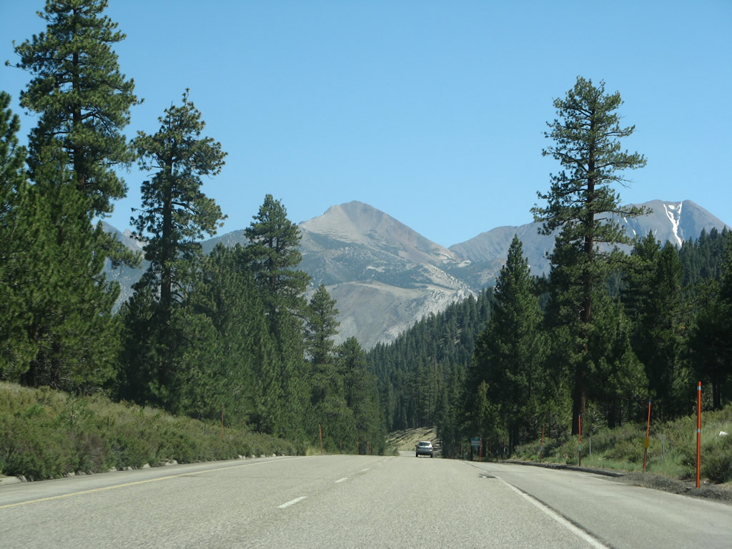
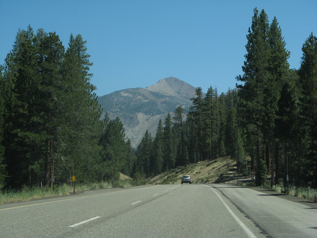
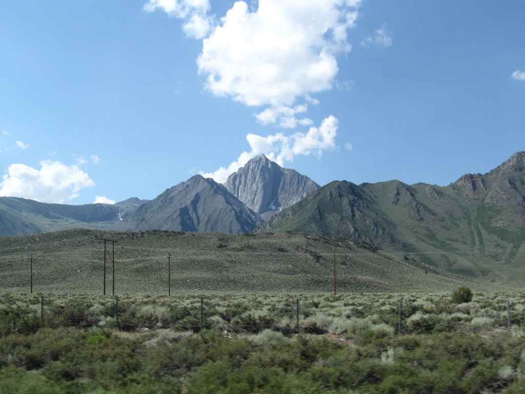
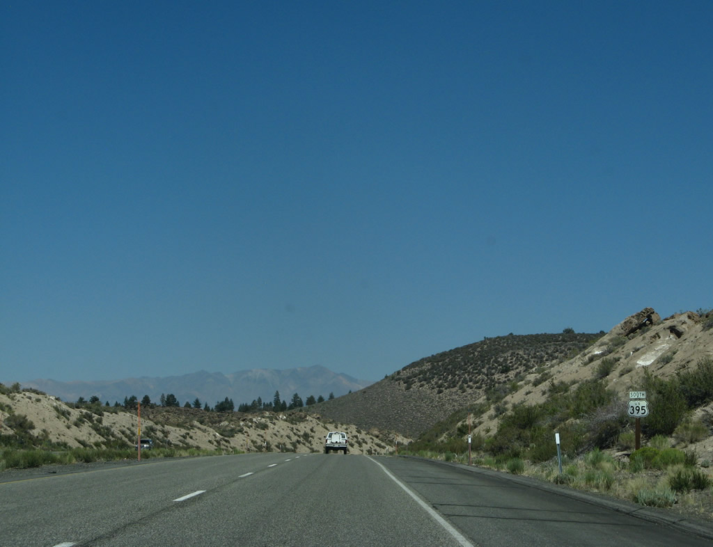
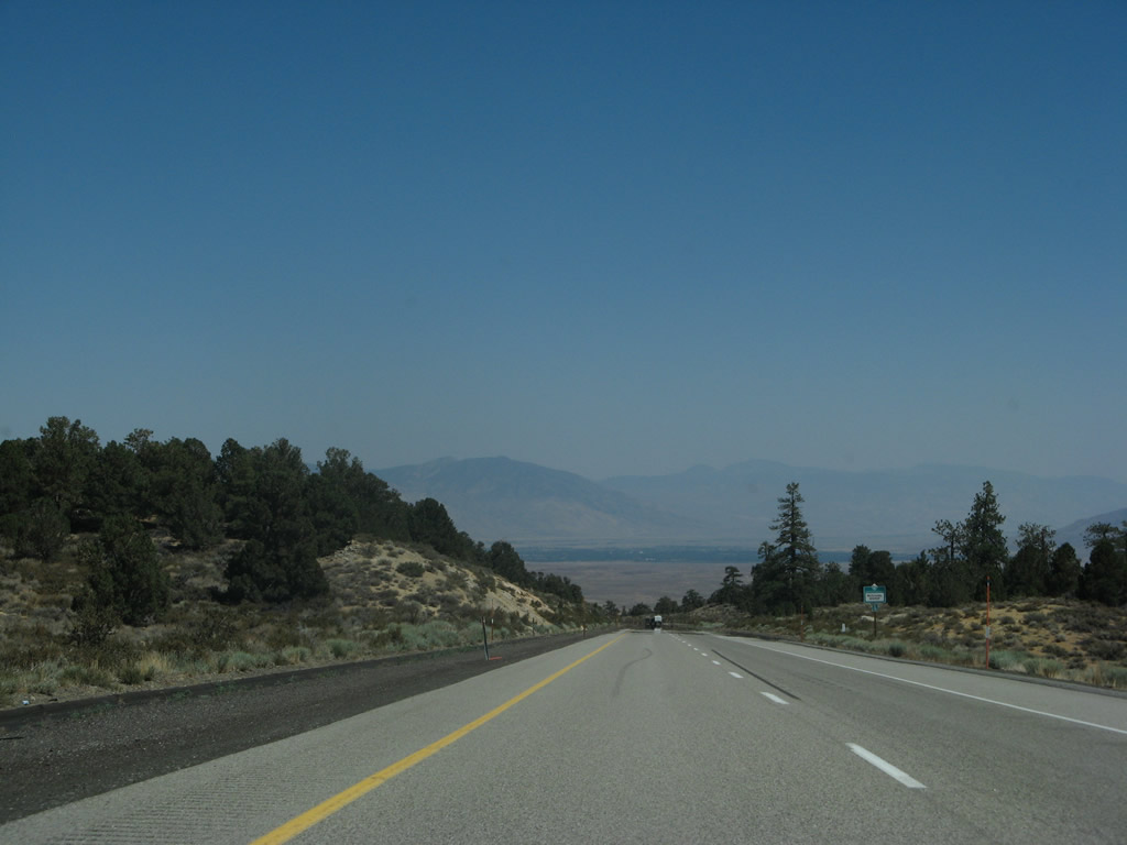
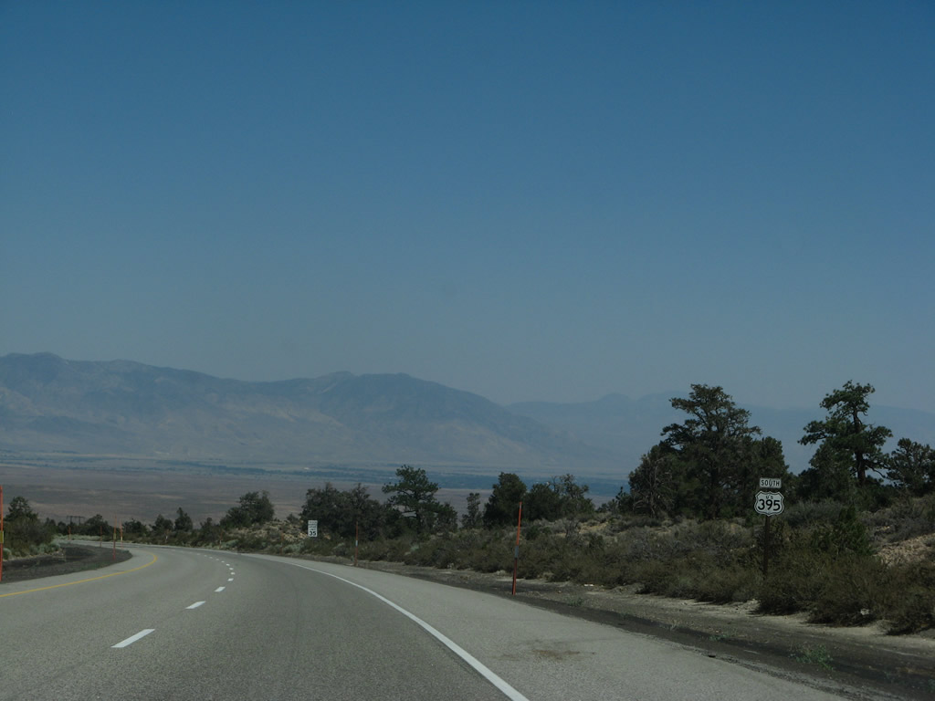
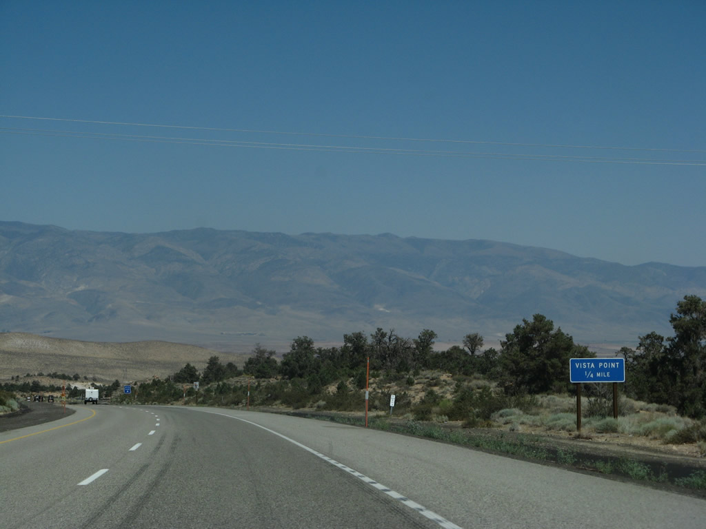
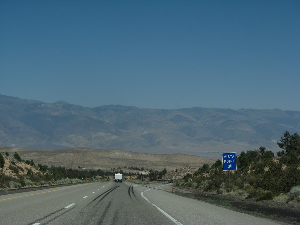
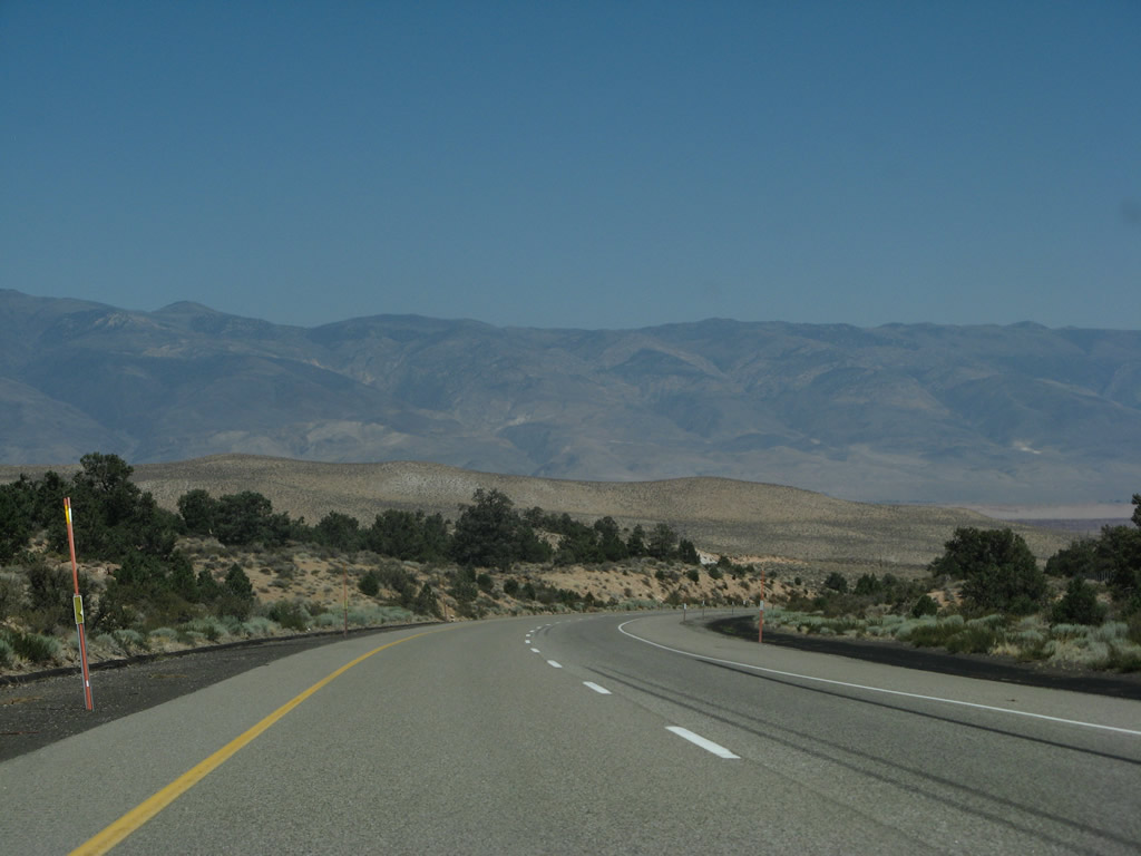
This series of photos follows four-lane U.S. 395 (Three Flags Highway) south toward Deadman Summit. A similar configuration of undivided expressway is also found along sections of U.S. 101 in Northwestern California. Photos taken 07/09/07. |
|
|
|
|
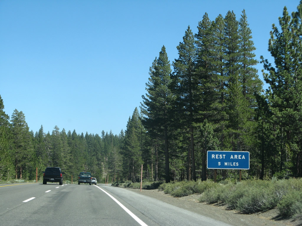
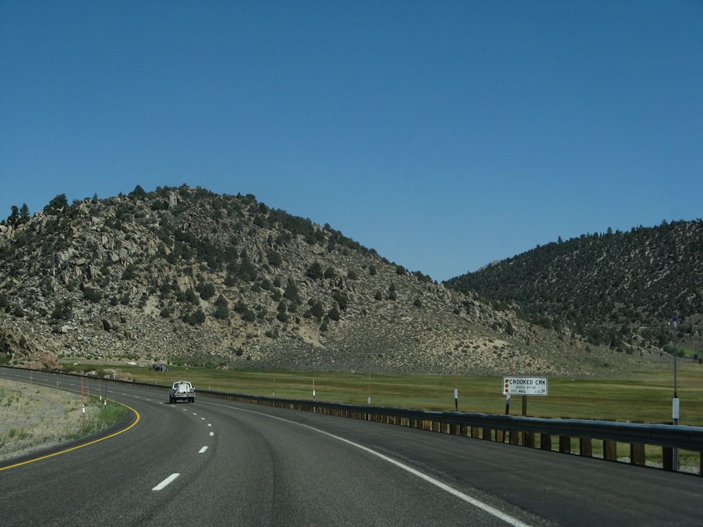
Five miles ahead on the right is a safety rest area, the first along U.S. 395 since reentering California near Topaz Lake. A total of three safety rest areas are found along this stretch of U.S. 395: Crestview (near Deadman Summit about six miles north of the junction with California 203), Division Creek (ten miles north of Independence), and Coso Junction (17 miles south of the junction with California 190). The rest area seen in Walker (connected to a county park) is not an official safety rest area. Photo taken 07/09/07. |
|
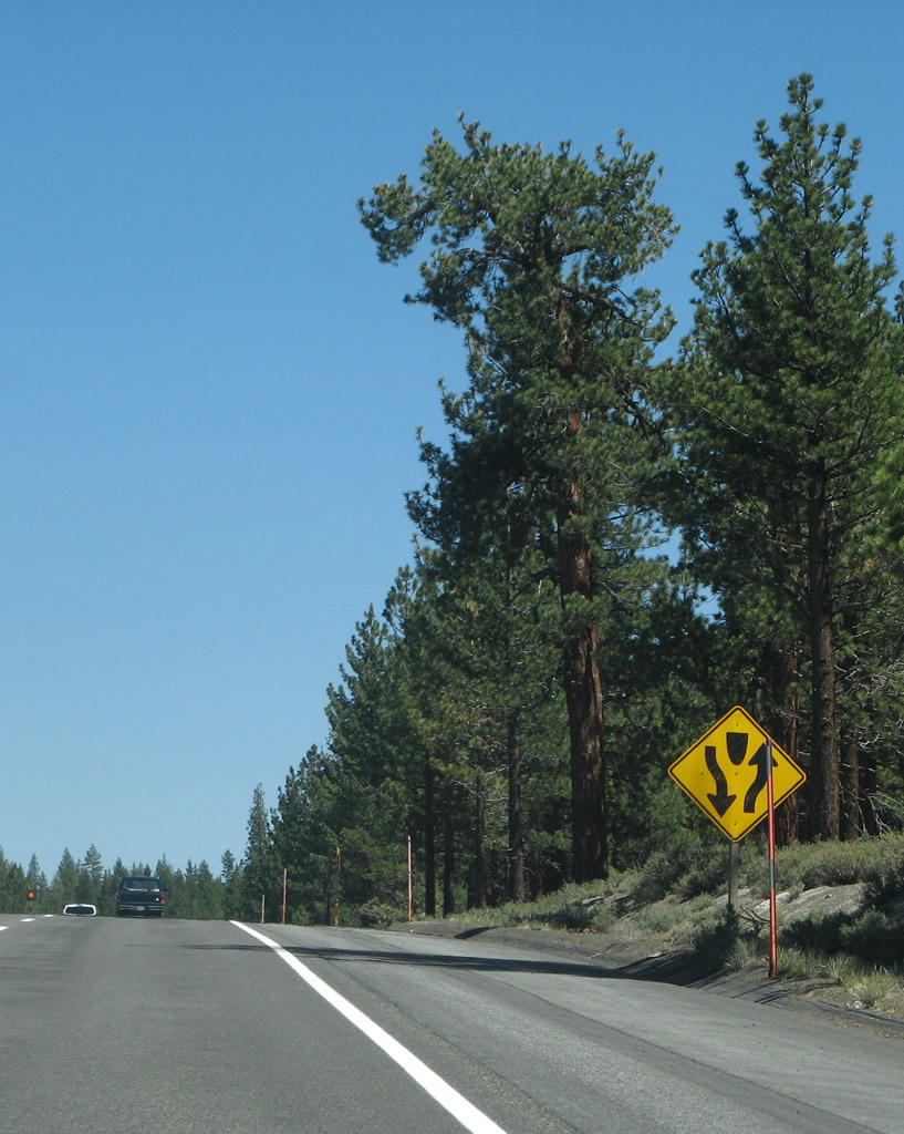
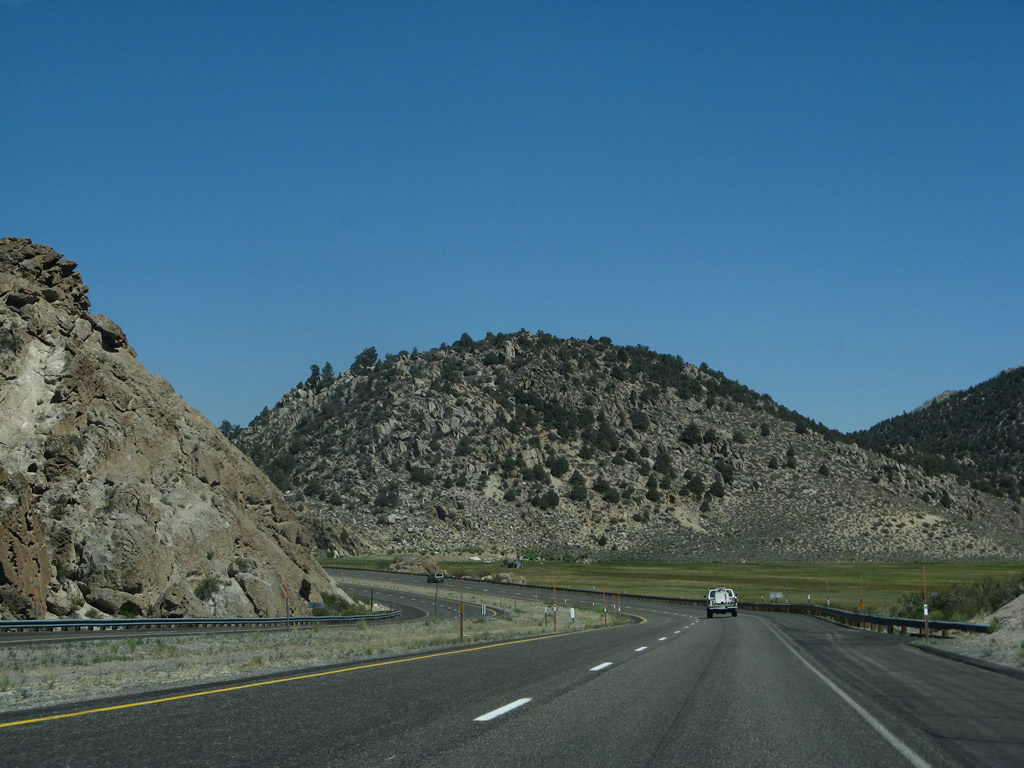
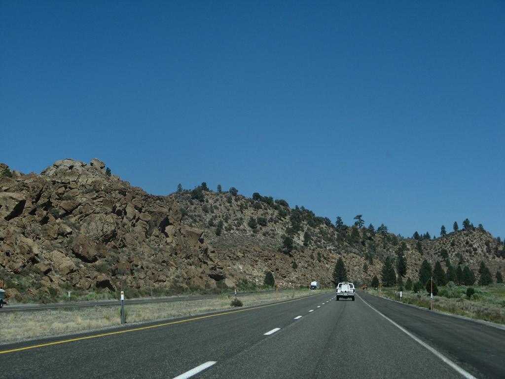
Soon thereafter, the divided highway segment ends and U.S. 395 reverts to a four-lane, undivided expressway configuration. Photo taken 07/09/07. |
|
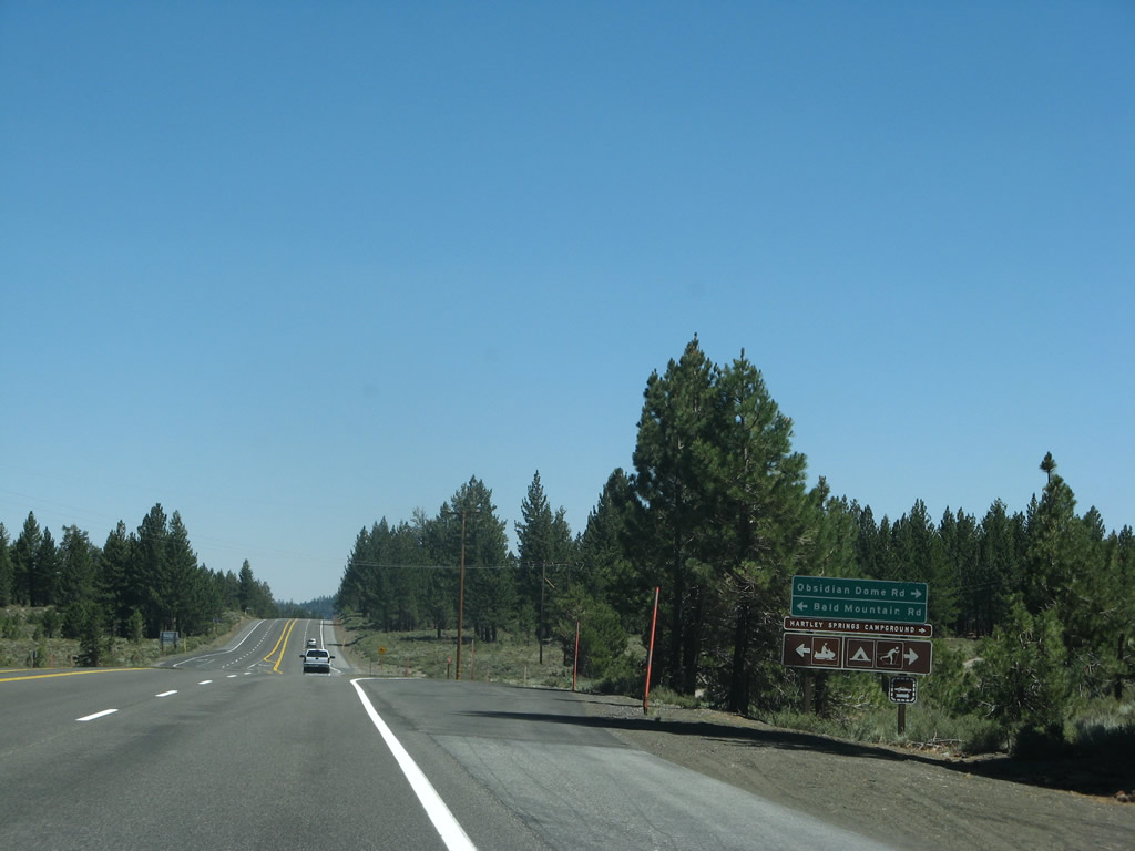
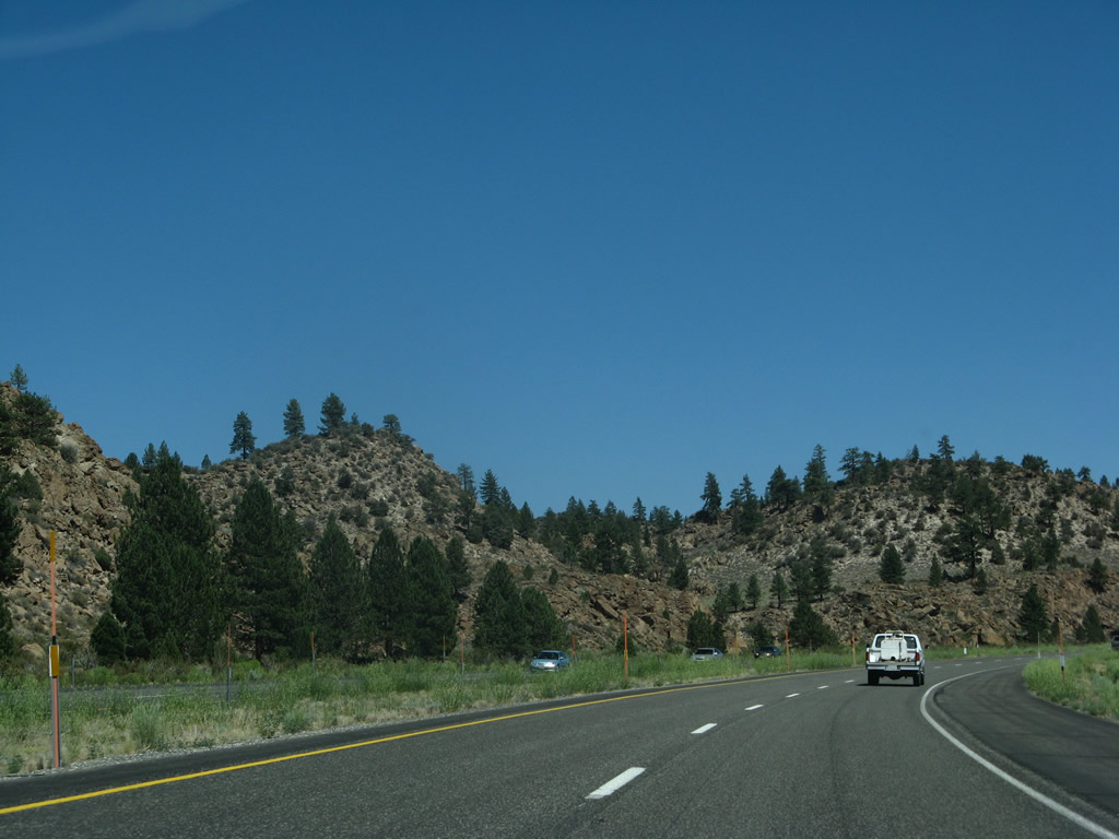
The next intersection along U.S. 395 south is with Obsidian Dome Road (a.k.a. Glass Flow Road, right) and Bald Mountain Road . Turn right here for the Hartley Springs Campground. Photo taken 07/09/07. |
|
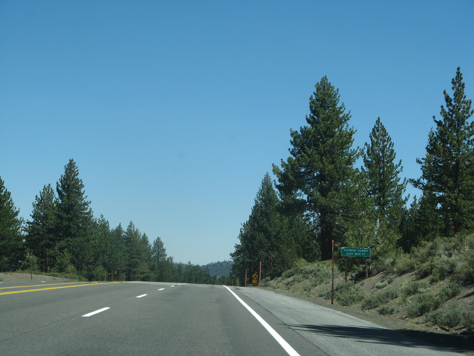
U.S. 395 reaches Deadman Summit (el. 8,041 feet). Photo taken 07/09/07. |
|
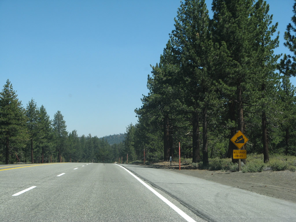
For the next two miles, U.S. 395 will see a descent approximating a six percent grade downhill. Photo taken 07/09/07. |
|
|
|
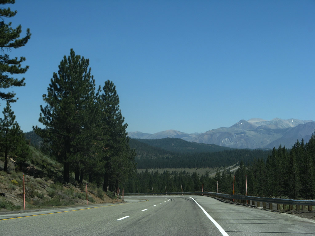
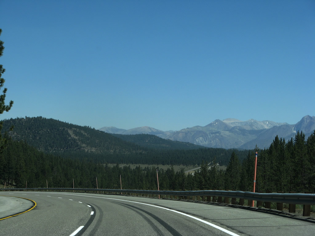
Descending from Deadman Summit, U.S. 395 starts as a four-lane, undivided highway, then widens to full expressway standards with median barrier. Prior to the beginning of the median barrier, U.S. 395 has a crossover between the two directions of traffic. Photos taken 07/09/07. |
|
|
|
|
|
|
|
Reaching the bottom of the six percent grade, southbound U.S. 395 meets Glass Creek Road in Crestview. Photo taken 07/09/07. |
|
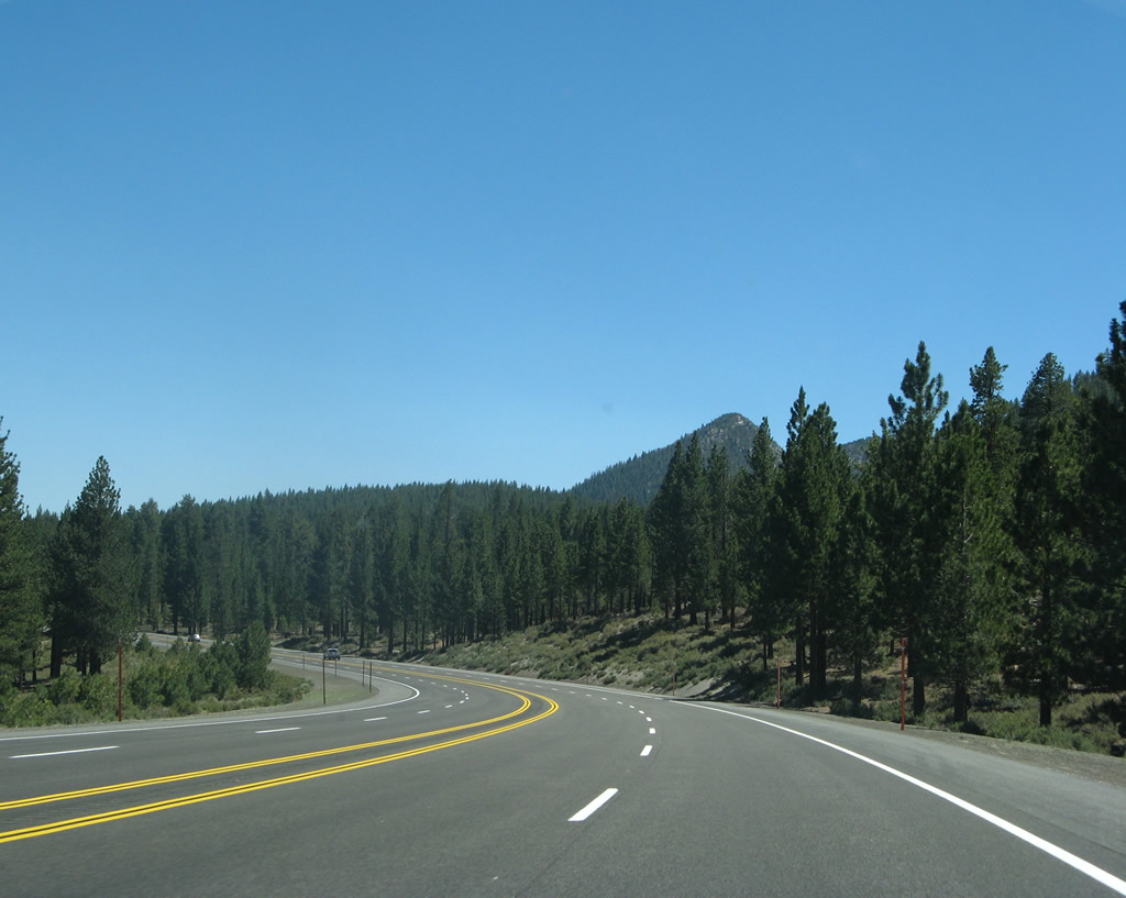
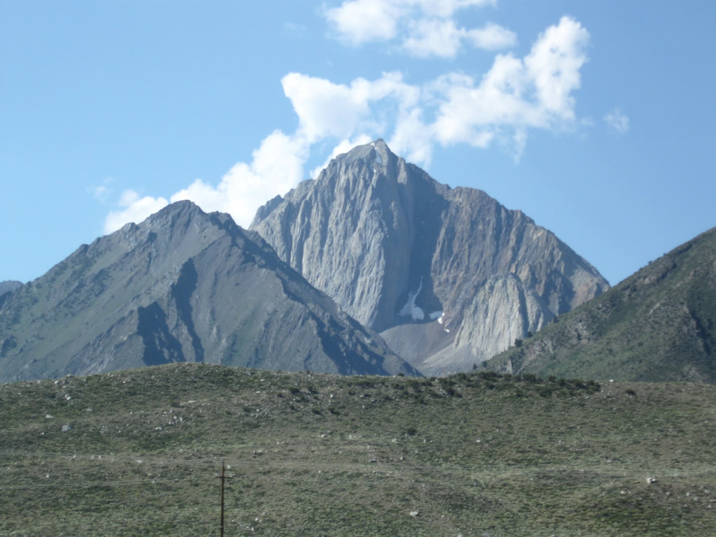
A line of mountains line the horizon as U.S. 395 leaves the Glass Creek Road intersection and proceeds southeast. These mountains, part of the Sierra Nevada, are visible along southbound U.S. 395 all the way to the California 203 interchange. The aforementioned, aptly-named Crestview Rest Area is two miles ahead on the right. Photo taken 07/09/07. |
|
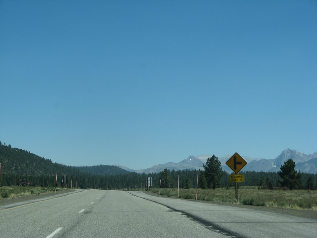
The next intersection along U.S. 395 south is with Deadman Creek Road west to a fire station and Deadman Creek campground. To Inyo Craters, follow U.S. 395 south to Mammoth Scenic Loop west. Photo taken 07/09/07. |
|
A U.S. 395 south reassurance shield is posted shortly thereafter. Photo taken 07/09/07. |
|
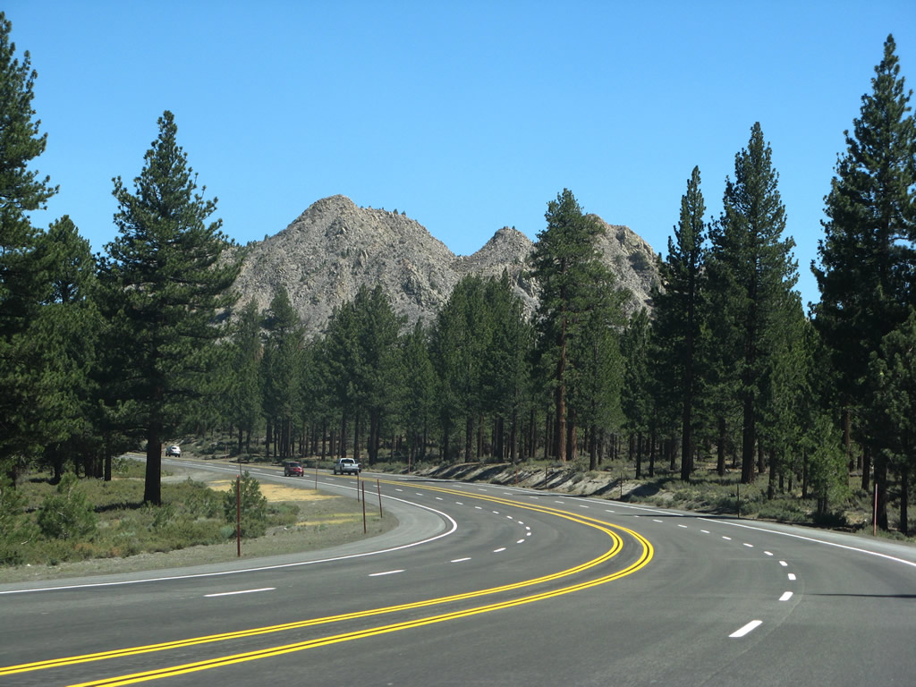
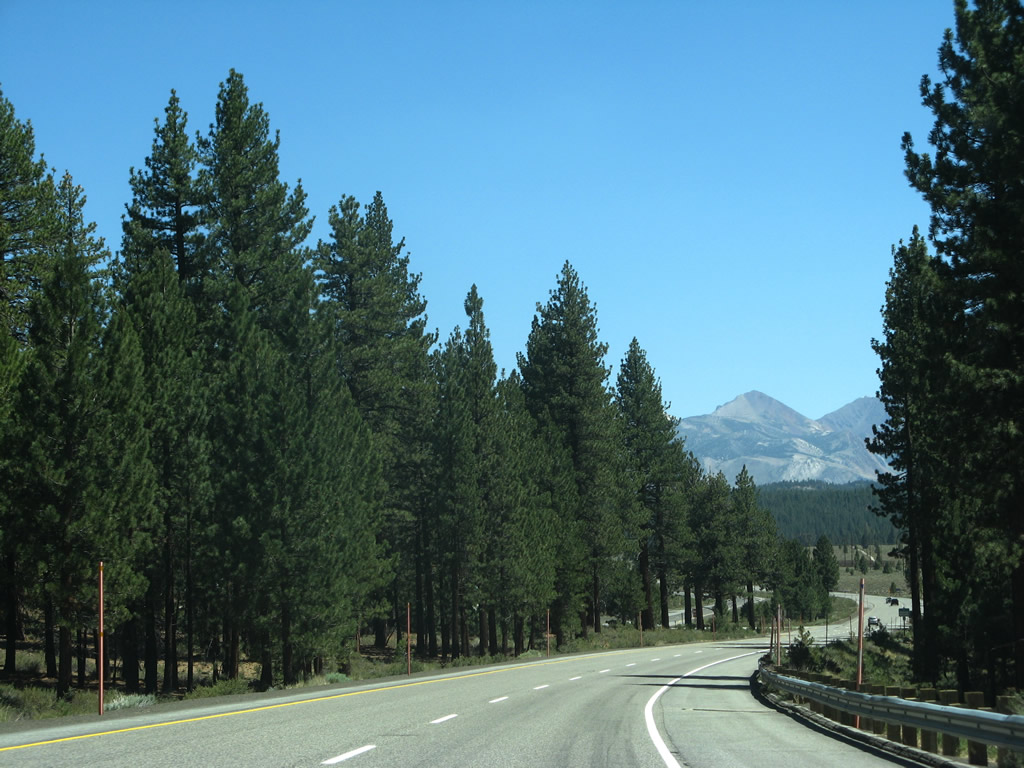
As the mountains rise above the treeline, U.S. 395 proceeds into another forest. Photo taken 07/09/07. |
|
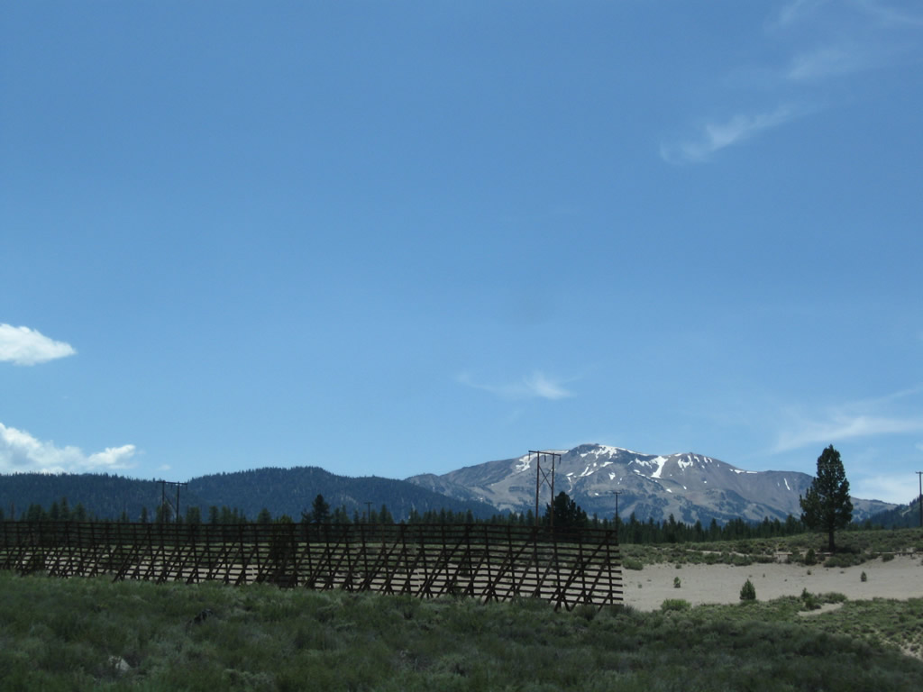
A tall, wooden snow fence rises west of U.S. 395. These fences -- which are common in areas that receive large snowfall in the winter -- help reduce the amount of snow that might blow onto the highway. Photo taken 07/25/09. |
|
The next left along U.S. 395 south connects to Owens River Road east to Big Springs Campground, Alpers-Owens River Ranch, the Owens River, and northern Long Valley. Photo taken 07/09/07. |
|
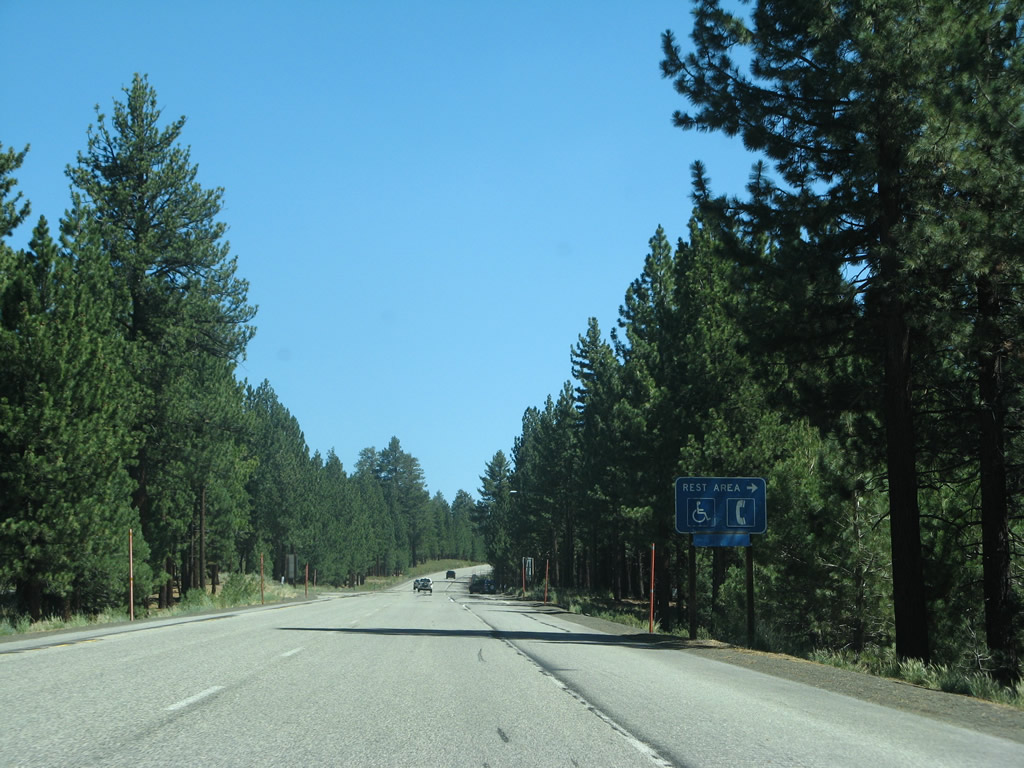
Southbound U.S. 395 reaches the turnoff to the Crestview Rest Area. Restrooms, water, and phone are found here; the rest area underwent reconstruction in 2010. Photo taken 07/09/07. |
|
Another U.S. 395 reassurance shield is posted after the turnoff to the rest area. U.S. 395 proceeds southeast toward the junction with California 203. Photo taken 07/09/07. |
|
|
|
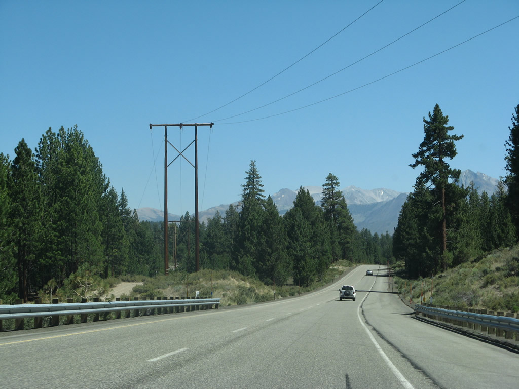
Continuing the descent from Crestview to the California 203 interchange at Casa Diablo Hot Springs, the 138kV power line that carries hydroelectric power from the Rush Creek Hydroelectric Project west of June Lake again crosses the highway. This power line will join with the power grid, providing power en route to Southern California. Photos taken 07/09/07. |
|
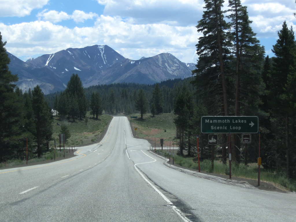
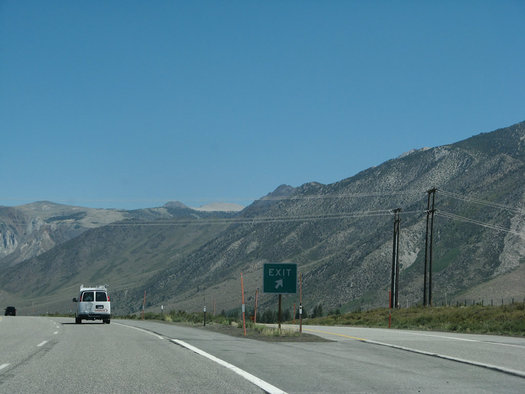
The next intersection along U.S. 395 south is with Mammoth Scenic Loop. Turn right here to follow the scenic loop south to Inyo Craters, the town of Mammoth Lakes, Earthquake Fault, Mammoth Mountain Ski Resort, and the actual Mammoth Lakes (including Lake Mary and smaller nearby lakes). An alternate route with far fewer curves is via U.S. 395 south to California 203 west. Photo taken 07/25/09. |
|
Southbound U.S. 395 meets Mammoth Scenic Loop (Dry Creek Road) at this intersection. A left here leads to Lookout Mountain and Dry Creek. Photo taken 07/09/07. |
|
This mileage sign along U.S. 395 south provides the distance to California 203 to Mammoth Lakes (five miles), Bishop (U.S. 6, 44 miles), and Los Angeles (310 miles via California 14). Photo taken 07/09/07. |
|
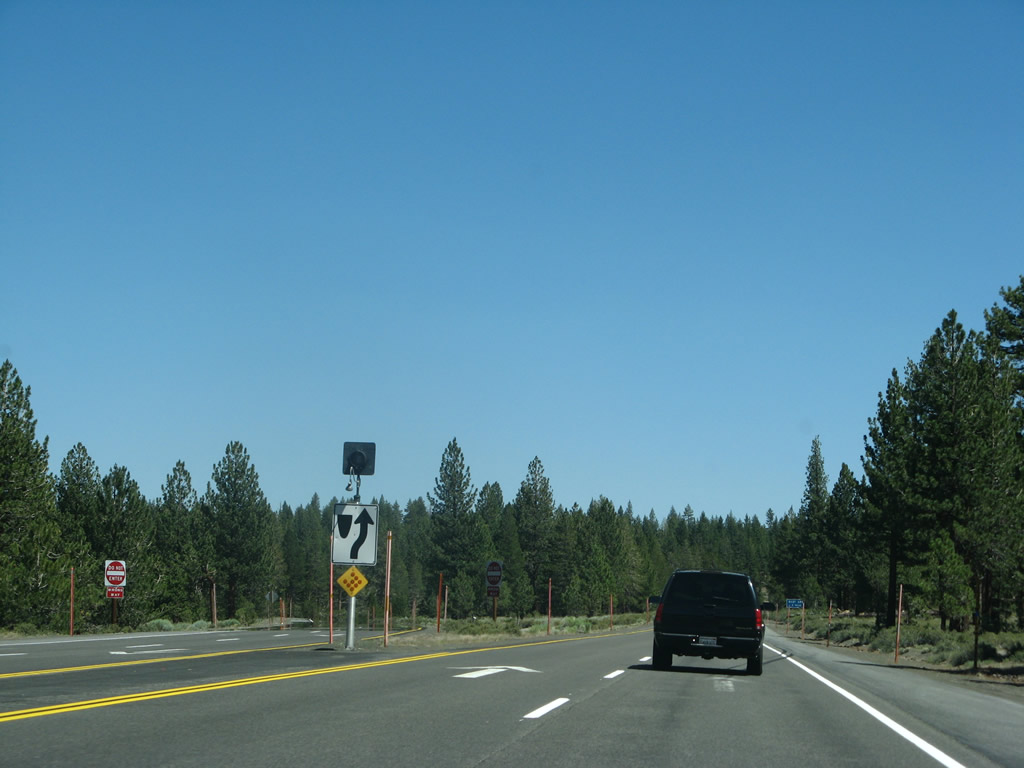
U.S. 395 meets a local road at this intersection. Photo taken 07/09/07. |
|
|
|
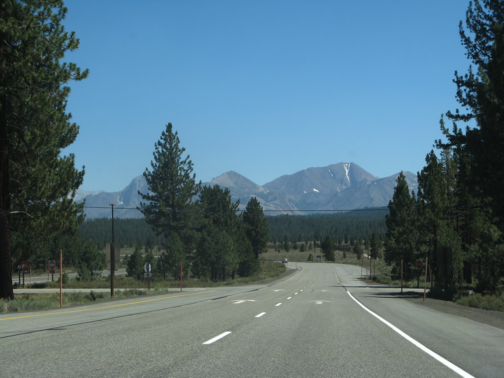
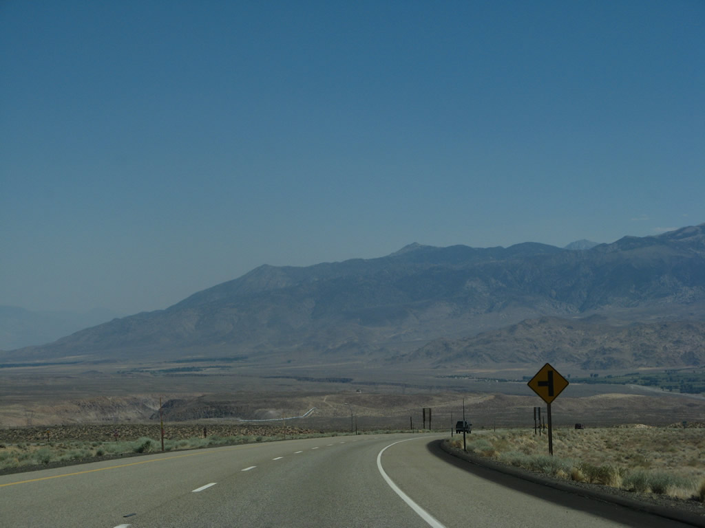
U.S. 395 proceeds south through the Inyo National Forest, with the distant peaks above Mammoth Lakes dominating the view as we continue to lose elevation. Photos taken 07/09/07. |
|
|
|
The expressway continues downhill toward the California 203 interchange. The expressway turns due south for the final distance prior to meeting California 203. Photos taken 07/09/07. |
|
|
|
|
Nearing Casa Diablo Hot Springs, southbound U.S. 395 approaches Exit 263, California 203 (Main Street) west to the town of Mammoth Lakes. This interchange also connects to an old alignment of U.S. 395 that connects to Casa Diablo Hot Springs on the east side of the highway. Photo taken 07/09/07. |
|
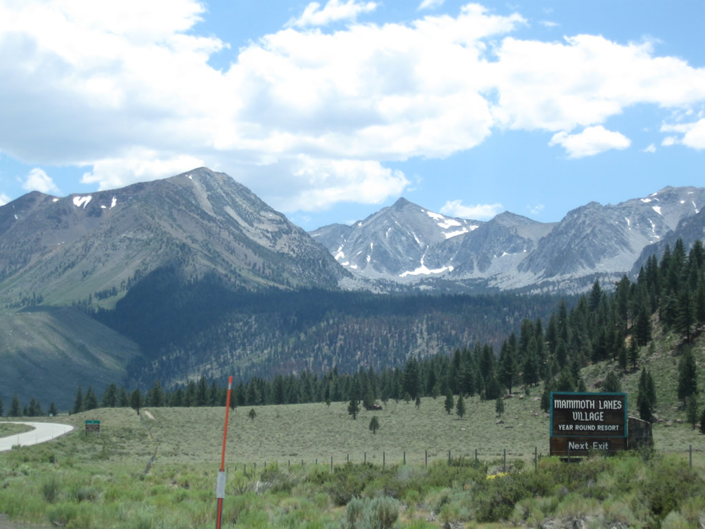
The town of Mammoth Lakes sits at an elevation of 7,880 feet and had a population of 7,093 people as of the 2000 Census. The town incorporated on August 20, 1984. Mammoth Lakes is known as a gateway community for Mammoth Ski Resort and various recreational opportunities around Mammoth Lakes. All motorist services are available in Mammoth Lakes. U.S. 395 avoids Mammoth Lakes by staying to the east of the town; use California 203 west into town. Photo taken 07/25/09. |
|
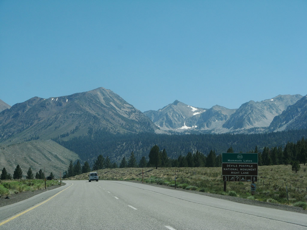
California 203 is a state route that connects U.S. 395 with the town of Mammoth Lakes and the Mammoth Ski Resort. Near the resort, California 203 reaches its western terminus at the point where cars are prohibited. A shuttle bus leaves the resort several times daily (not during winter) to bring visitors into the area, including Reds Meadow and Devils Postpile National Monument. Photo taken 07/09/07. |
|
Southbound U.S. 395 reaches Exit 263, California 203 (Main Street) west to the town of Mammoth Lakes, Devils Postpile National Monument, and Reds Meadow. Photo taken 07/09/07. |
|
The junction with California 203 is the first interchange along U.S. 395 south. Photo taken 07/09/07. |
|
Back on the mainline, U.S. 395 curves away from the mountains above Mammoth Lakes and aims southeast toward Crowley Lake and Owens Valley. Photo taken 07/09/07. |
|
As traffic merges onto U.S. 395 south from California 203, U.S. 395 will see some of the highest traffic counts since leaving Nevada. This increase is traffic is attributable to the popularity of Mammoth Lakes as a vacation destination, especially in winter months. Mammoth Mountain is viewed as having the best snow closest to Southern California. Photo taken 07/09/07. |
|
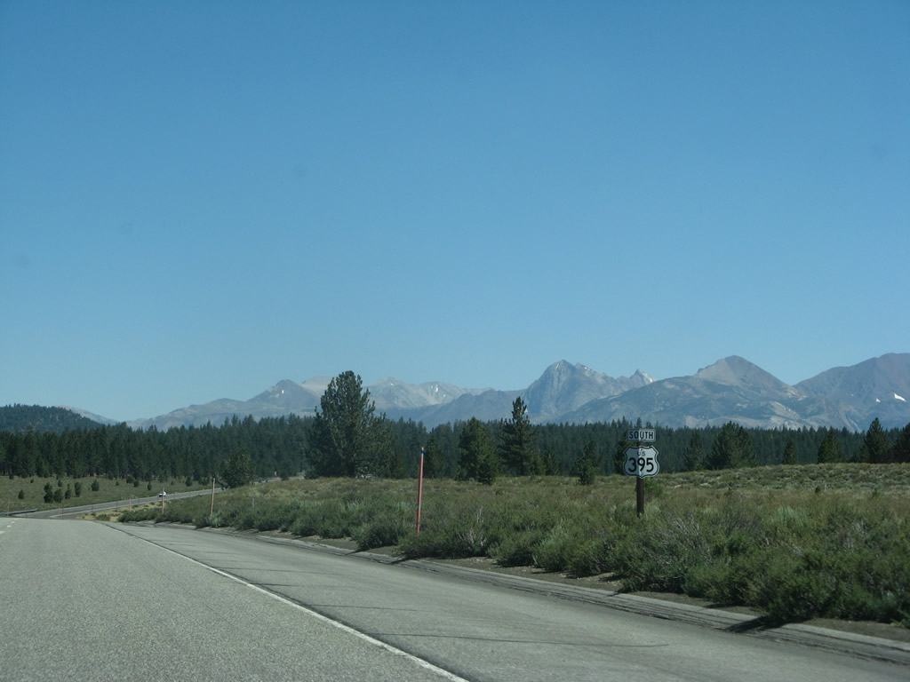
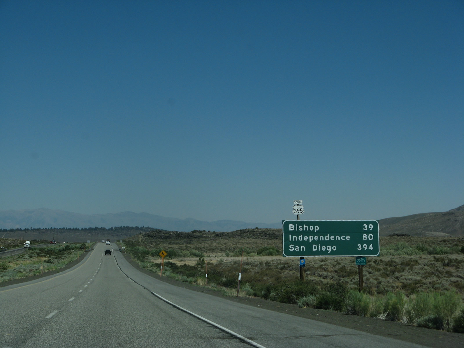
This mileage sign along U.S. 395 south provides the distance to Bishop (U.S. 6, 39 miles), Independence (80 miles), and San Diego (394 miles via U.S. 395 and Interstate 15). A reassurance marker and scenic route shield are posted along with the mileage sign. Photo taken 07/09/07. |
|
Shortly thereafter, U.S. 395 crosses over Mammoth Creek, which drains from Mammoth Lakes to Hot Creek and then the Owens River. Photo taken 07/09/07. |
|
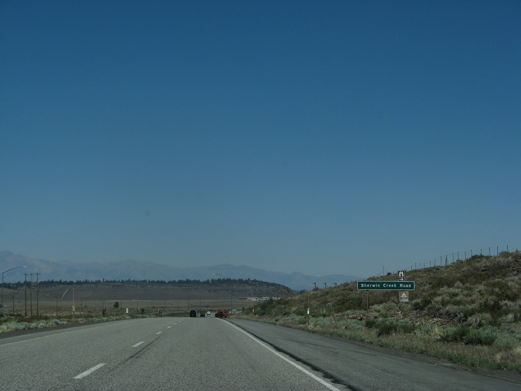
Southbound U.S. 395 (Three Flags Highway) approaches Sherwin Creek Road. Photo taken 07/09/07. |
|
|
|
|
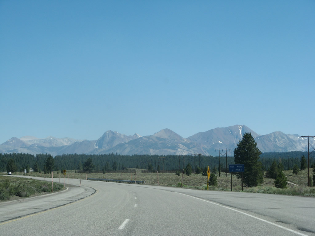
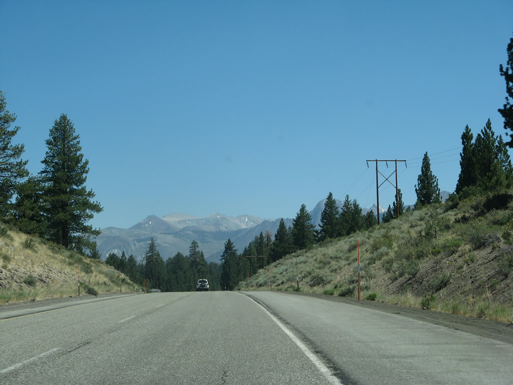
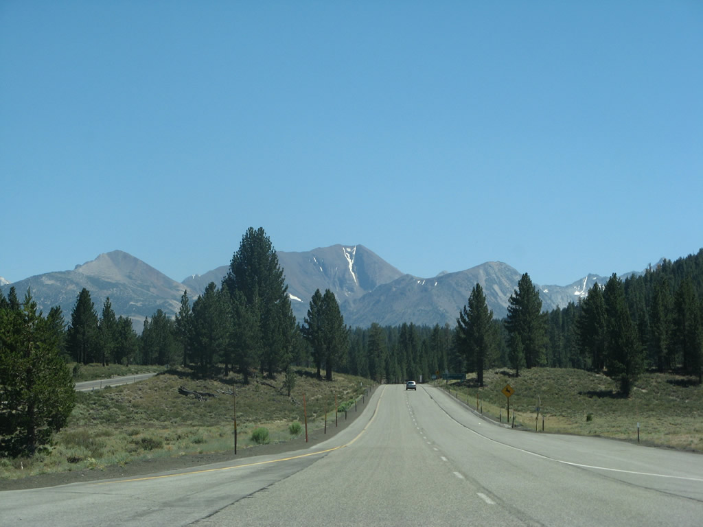
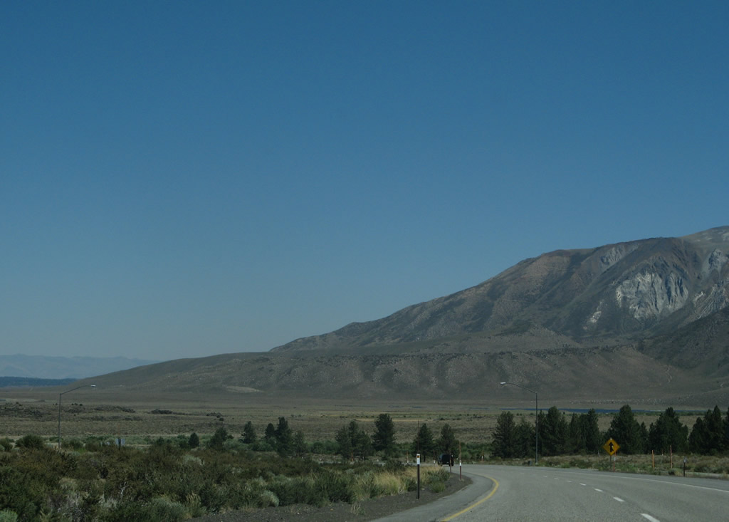
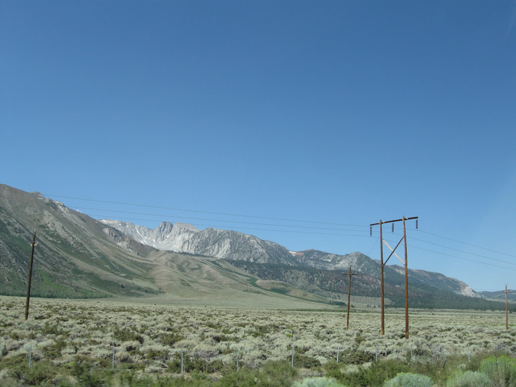
These views look southwest from U.S. 395 toward the peaks of the Sierra Nevada in Inyo National Forest. Photos taken 09/07/09. |
|
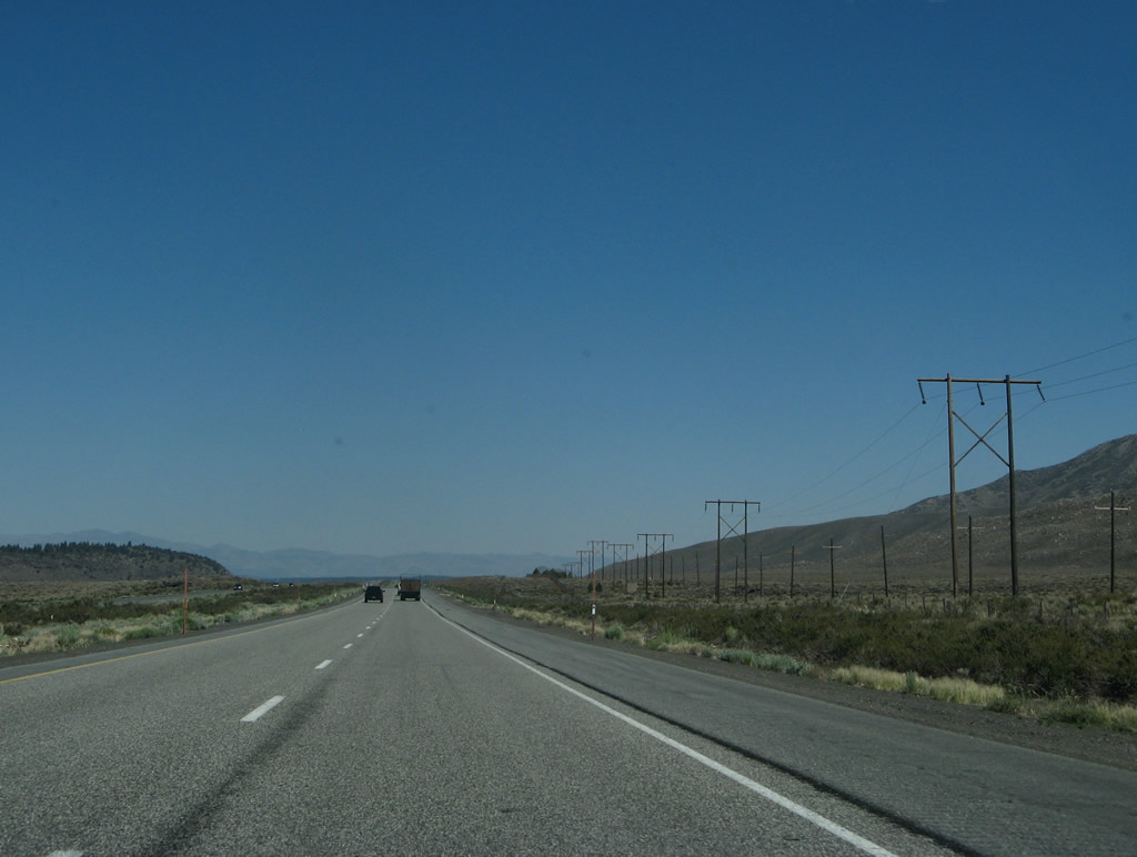
U.S. 395 continues as a four-lane expressway as it travels southeast toward Toms Place and Bishop. Photo taken 07/09/07. |
|
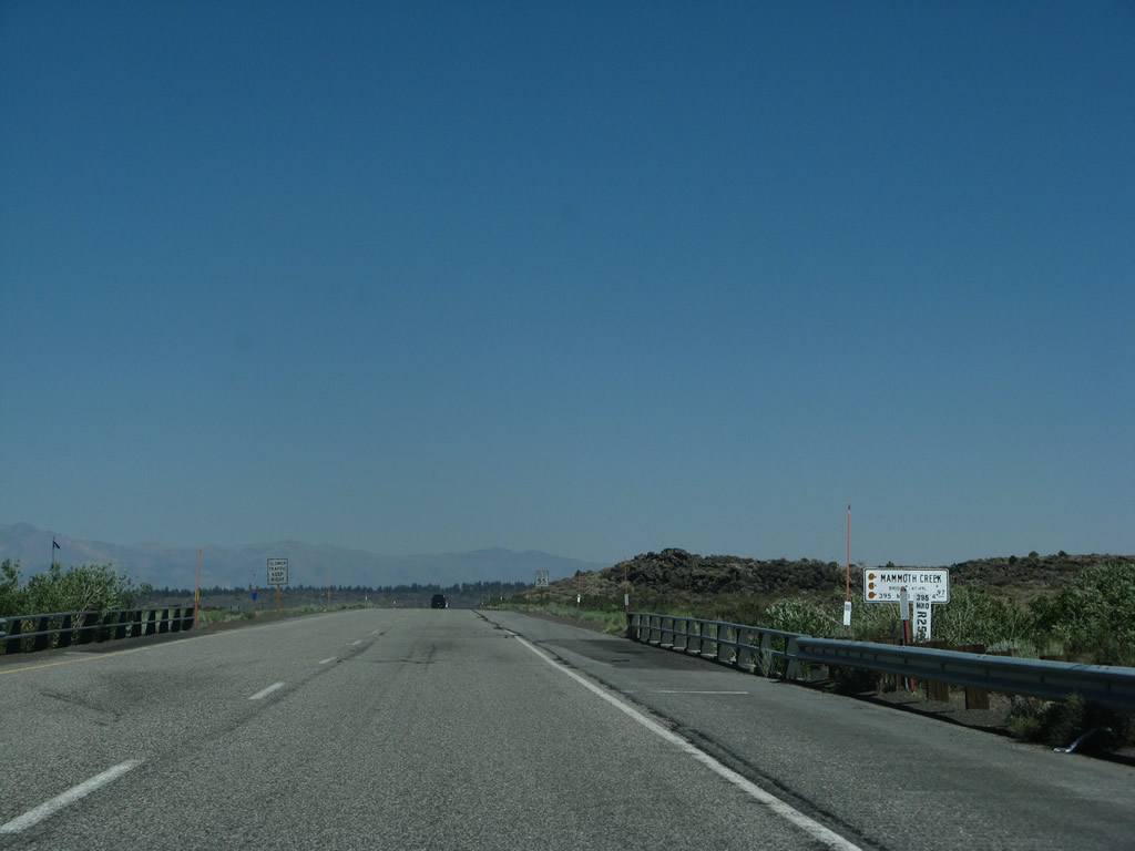
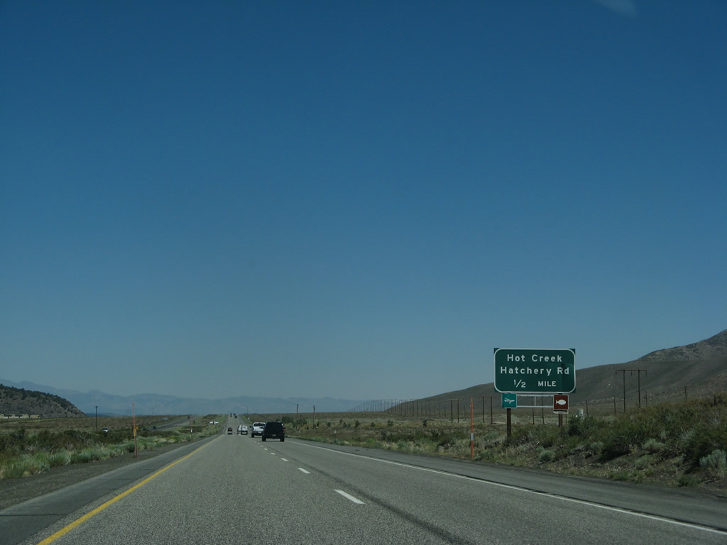
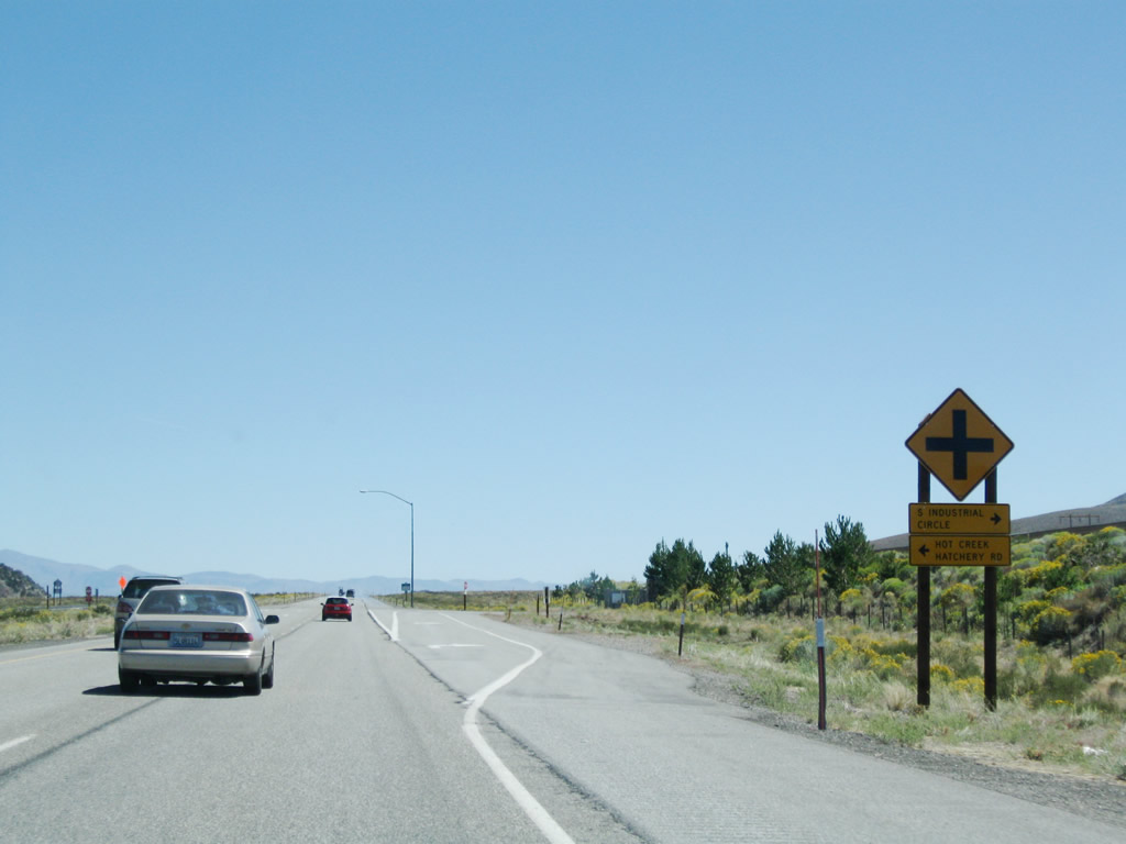
The next major intersection along southbound U.S. 395 (Three Flags Highway) is with Hot Creek Hatchery Road. This one-half mile advance sign was gone by 2009. Photo taken 07/09/07. |
|
|
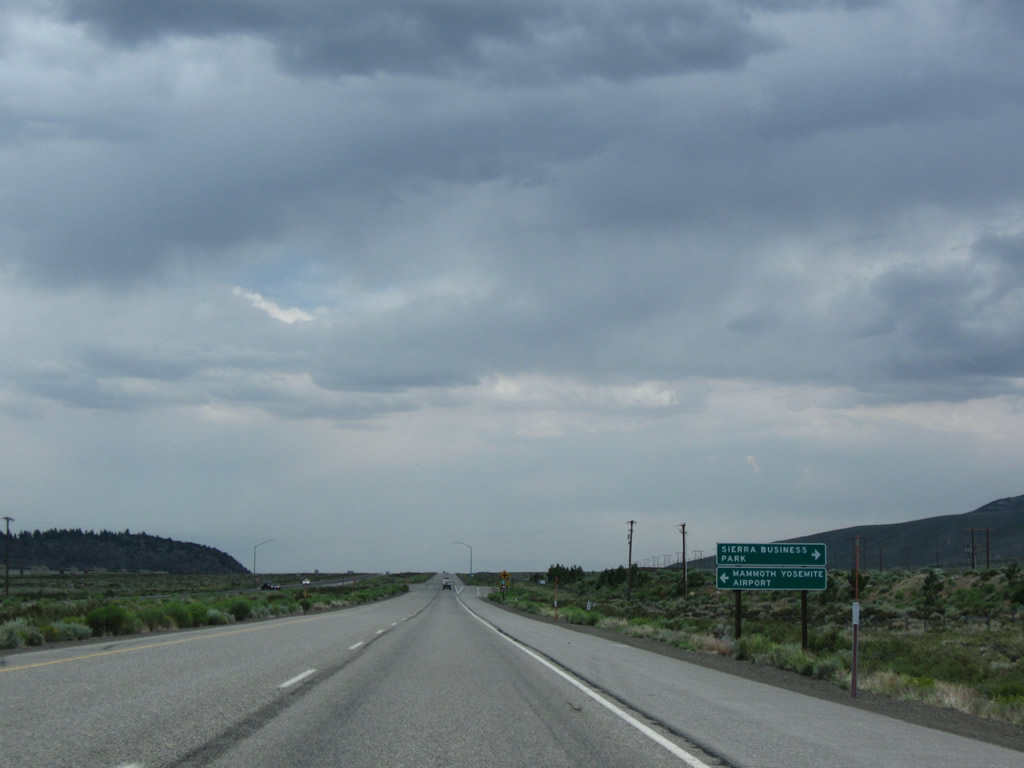
Turn left onto Hot Creek Hatchery Road to Mammoth Yosemite Airport, Hot Creek State Fish Hatchery, and Hot Creek Geological Site. The advance sign was changed between 2007 and 2009 to include access to the Sierra Business Park. Photos taken 07/09/07 and 07/19/09. |
|
Southbound U.S. 395 (Three Flags Highway) meets Hot Creek Hatchery Road and Industrial Circle to the business park. Photo taken 07/25/09. |
|
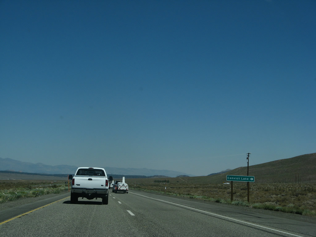
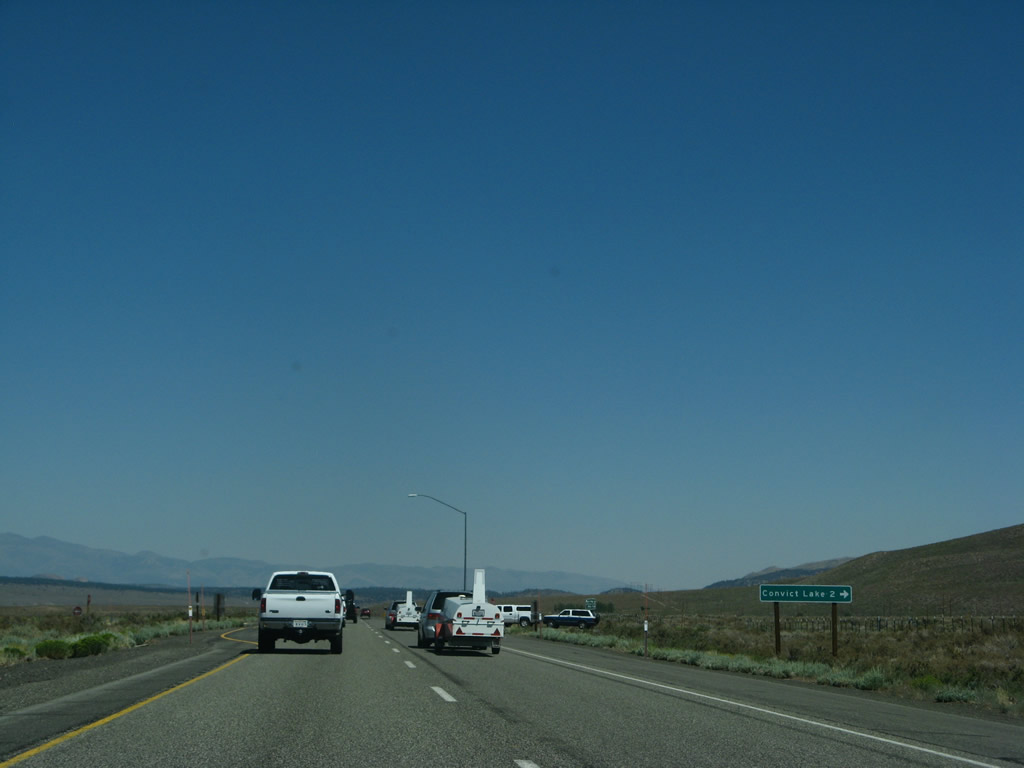
The next right connects U.S. 395 to Convict Lake Road west to Convict Lake, which features a resort with camping and fishing. Photo taken 07/09/07. |
|
A mileage sign advises that Convict Lake is about two miles west of here. Photo taken 07/09/07. |
|
This U.S. 395 south reassurance shield is posted after the Convict Lake Road intersection. Photo taken 07/19/09. |
|
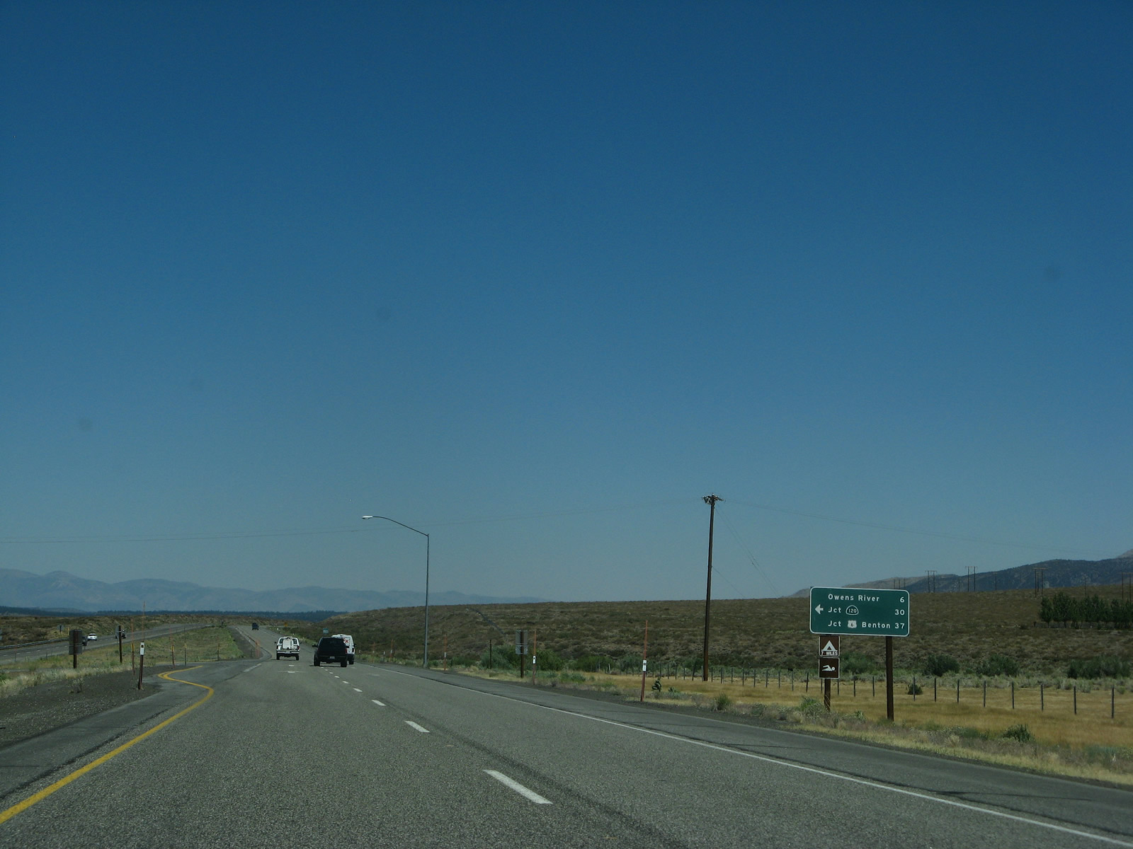
Continuing south, the next major intersection along U.S. 395 is with Benton Crossing Road. Turn left here to follow Benton Crossing Road travels northeast to Whitmore Hot Springs and Benton Crossing (over Owens River), then east through Watterson Canyon and over Watterson Divide. The road turns north to meet California 120 west of Benton near the seasonal closure gate. Photo taken 07/09/07. |
|
A mileage sign provides the distance to destinations via Benton Crossing Road east: Owens River crossing (six miles), California 120 (30 miles), and U.S. 6 in Benton (via California 120 east, 37 miles). Photo taken 07/09/07. |
|
|
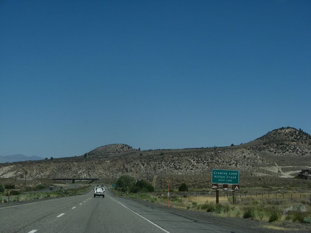
The next full interchange along U.S. 395 south will be Exit 252, South Landing Road to Crowley Lake and Hilton Creek (four miles). The next intersection is Old U.S. 395 / Crowley Lake Road. This four-mile advance sign is to avoid confusion between the old alignment's name and the exit to the lake. Photos taken 09/07/09. |
|
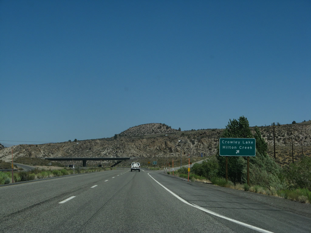
Southbound U.S. 395 meets Old U.S. 395 / Crowley Lake Road. Turn right here to follow the old alignment south to Hilton Creek. For the next four miles, U.S. 395 continues as an expressway, culminating with a freeway interchange with South Landing Road (Exit 252). Photo taken 09/07/09. |
|
This mileage sign along U.S. 395 south provides the distance to Tom's Place (eight miles), Bishop (32 miles), and San Bernardino (281 miles). Photo taken 09/07/09. |
|
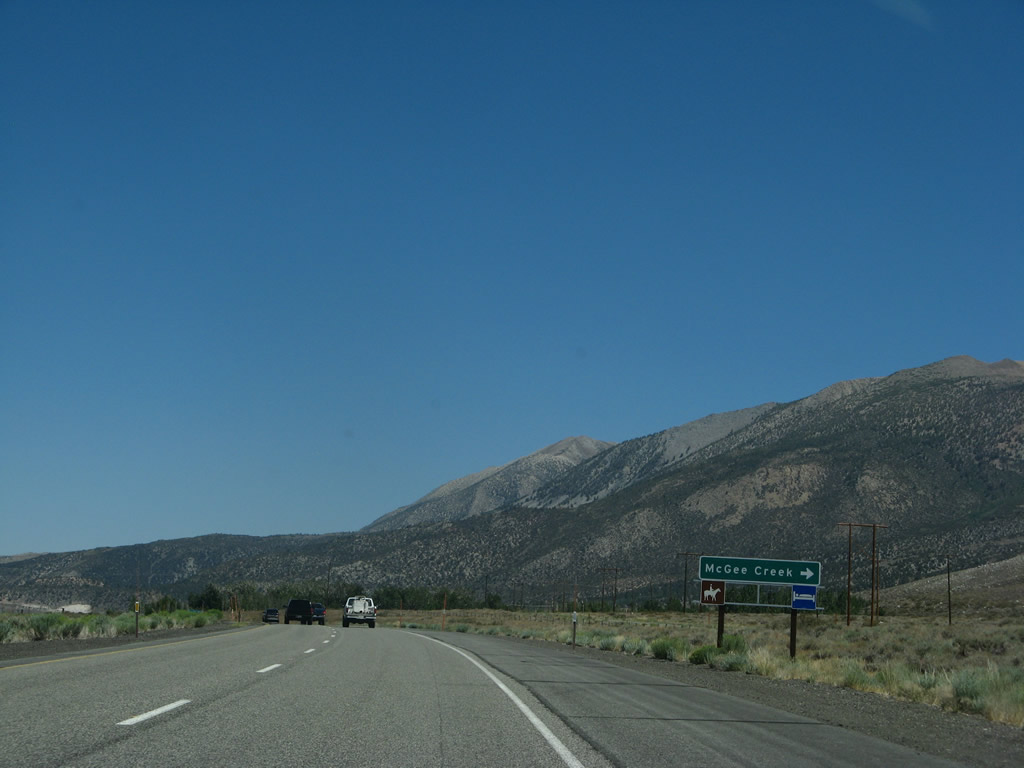
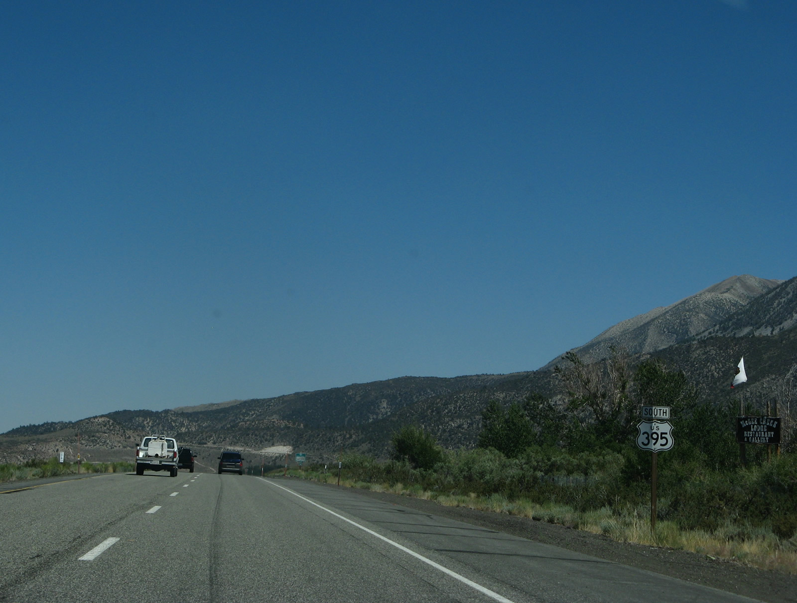
The next right turn from U.S. 395 connects to McGee Creek Road west to McGee Creek Lodge. Photo taken 07/09/07. |
|
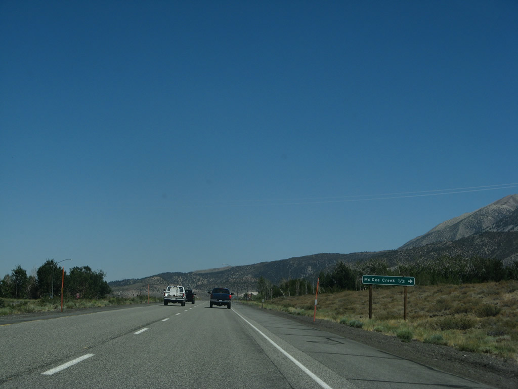
A mileage sign along U.S. 395 south provides the distance to McGee Creek via McGee Creek Road west (one-half mile). Photo taken 07/09/07. |
|
A U.S. 395 south reassurance shield is posted after the McGee Creek Road intersection. Photo taken 07/09/07. |
|
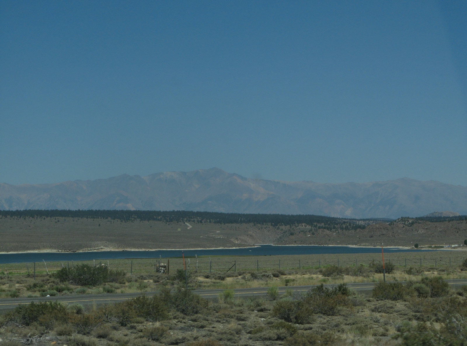
To the east, Crowley Lake comes into view. Crowley Lake (formed by damming the Owens River) itself is located at South Landing, where there is a boat ramp and fishing access. This reservoir is part of the elaborate system that carries water via the Los Angeles Aqueduct from Owens River to Southern California. Photo taken 07/09/07. |
|
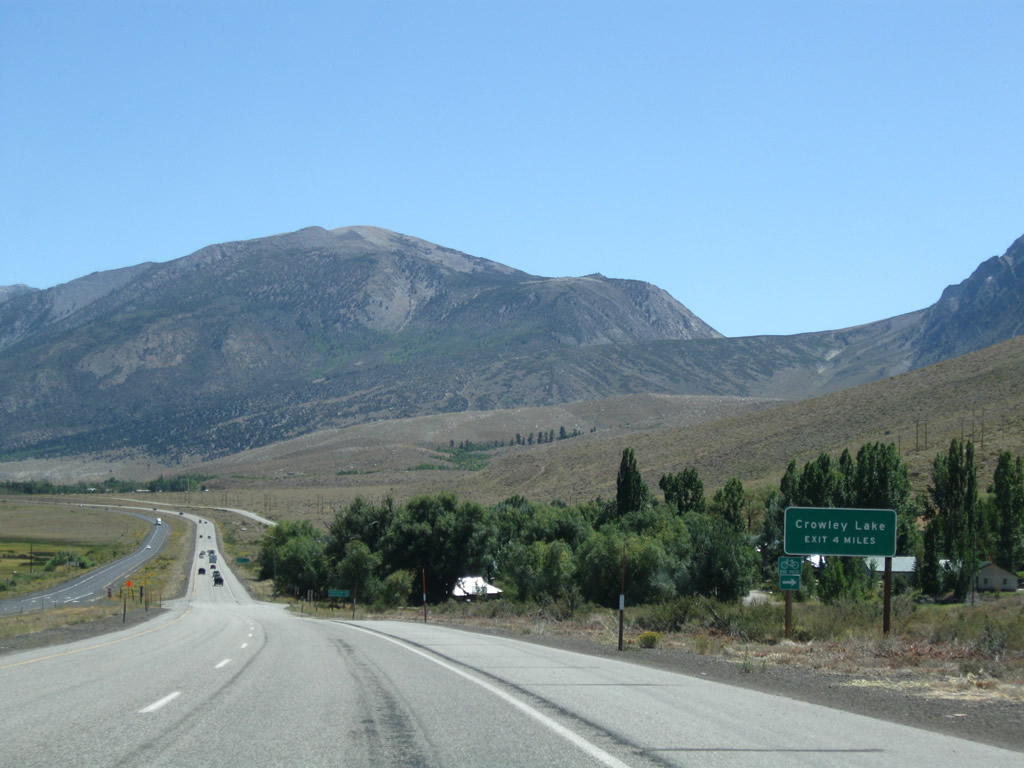
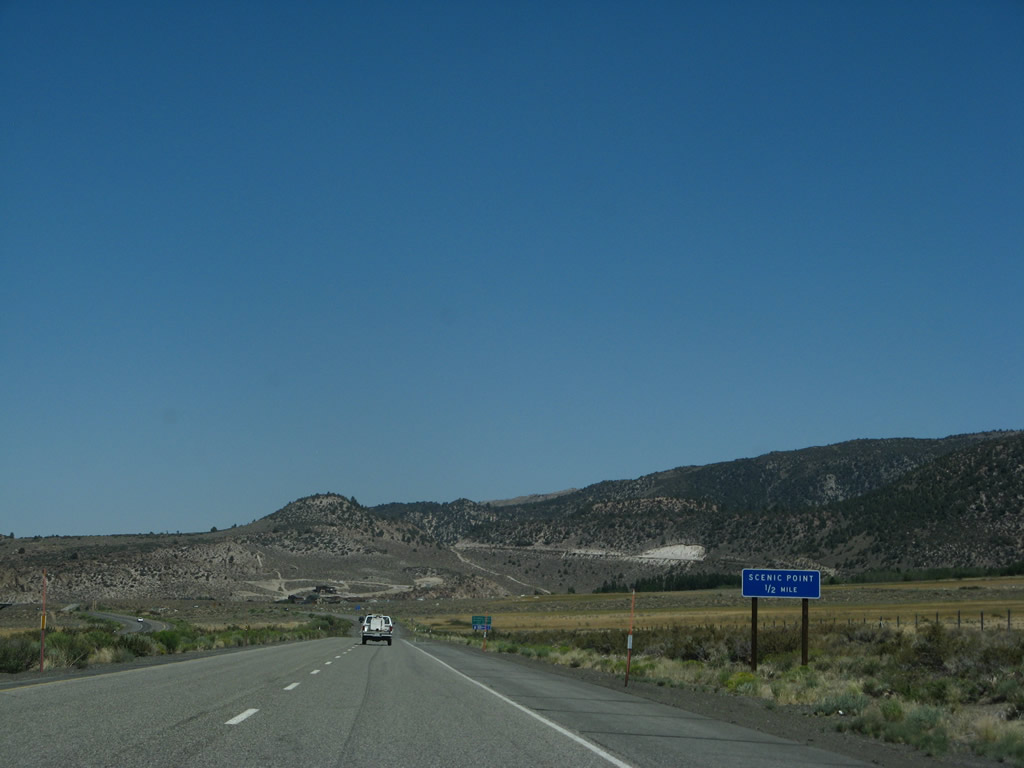
The next exit from U.S. 395 south is Exit 253, Crowley Lake Scenic Area. This parking area has no facilities but allows motorists to stop and view Crowley Lake on the other side of the freeway. Photo taken 07/09/07. |
|
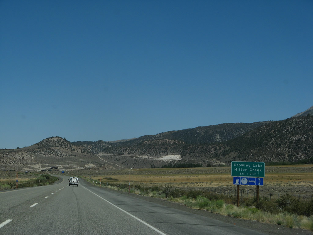
The second exit from U.S. 395 south is Exit 252, South Landing Road east to Crowley Lake and west to unincorporated community of Hilton Creek. Photo taken 07/09/07. |
|
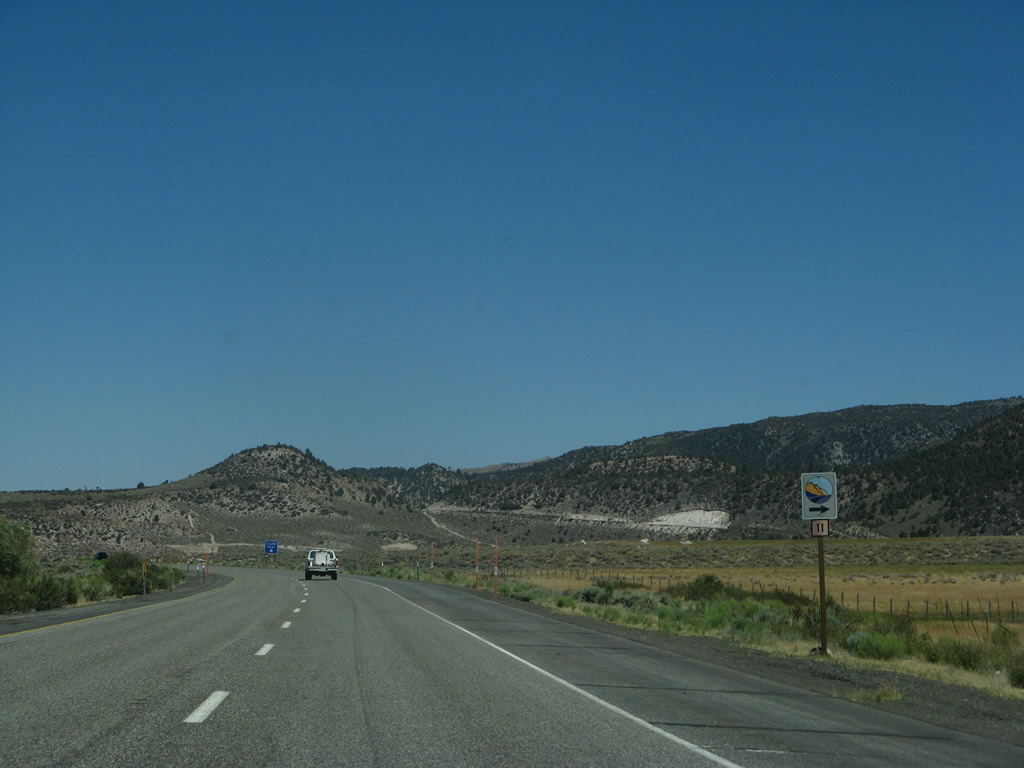
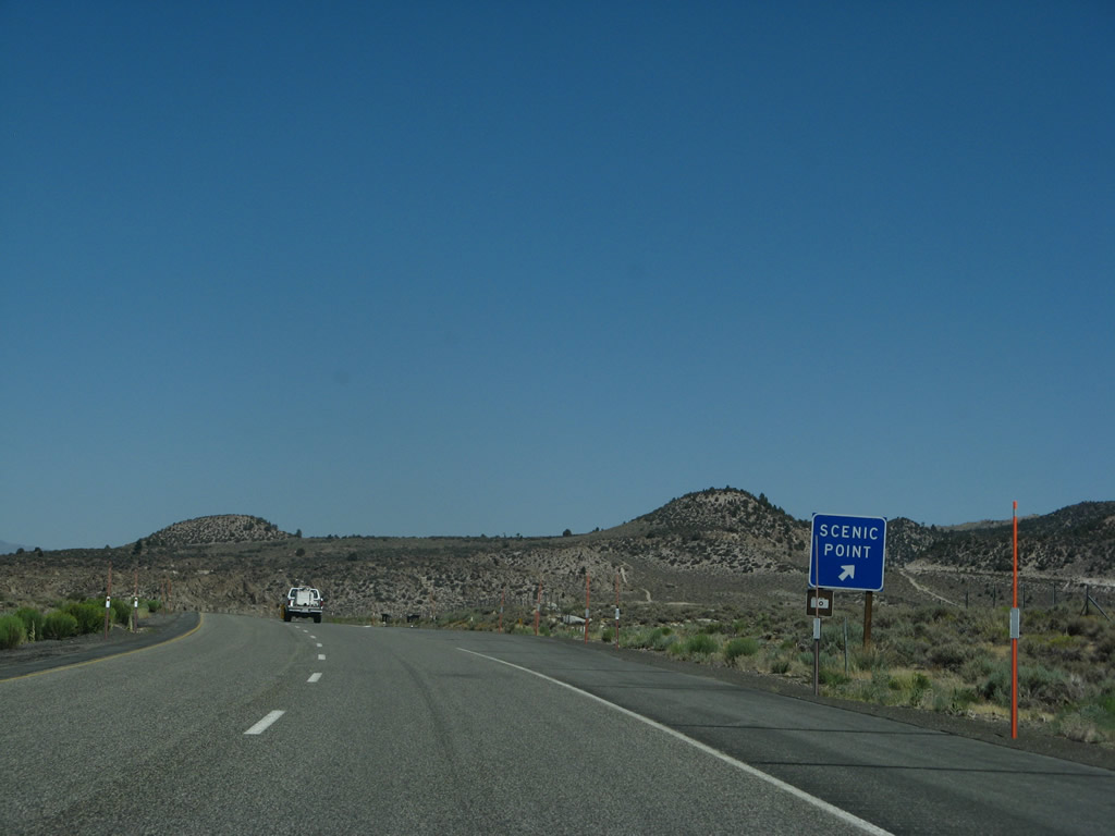
Signs such as these line the Eastern Sierra, showing points of interest. Photo taken 07/09/07. |
|
Southbound U.S. 395 reaches Exit 253, Crowley Lake Scenic Vista. Photo taken 07/09/07. |
|
After the scenic vista point, U.S. 395 south approaches Exit 252, South Landing Road east to Crowley Lake and west to unincorporated community of Hilton Creek. Photo taken 07/09/07. |
|
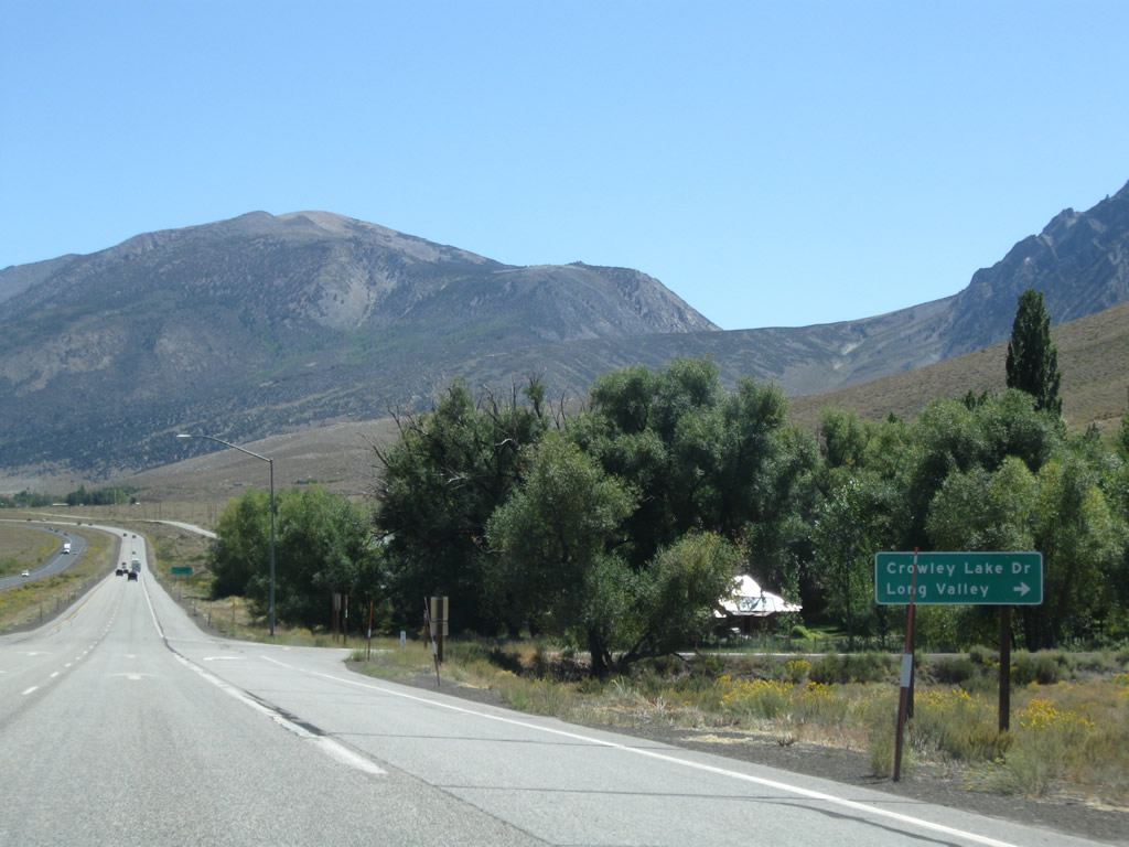
Southbound U.S. 395 reaches Exit 252, South Landing Road east to Crowley Lake and west to Hilton Creek, where it meets the old alignment of U.S. 395. The old alignment continues on its own route south of South Landing Road; it extends through Little Round Valley past Aspen Springs Ranch en route to Toms Place. Photo taken 07/09/07. |
|
U.S. 395 passes under the South Landing Road overcrossing. Photo taken 07/09/07. |
|
As traffic from South Landing Road merges onto U.S. 395 south, the highway almost feels like a freeway. However, the freeway feeling only last a short distance. Ahead, the highway again reverts to an expressway configuration. Photo taken 07/09/07. |
|
A standalone U.S. 395 south reassurance shield is posted shortly thereafter. Photo taken 07/09/07. |
|
|
|
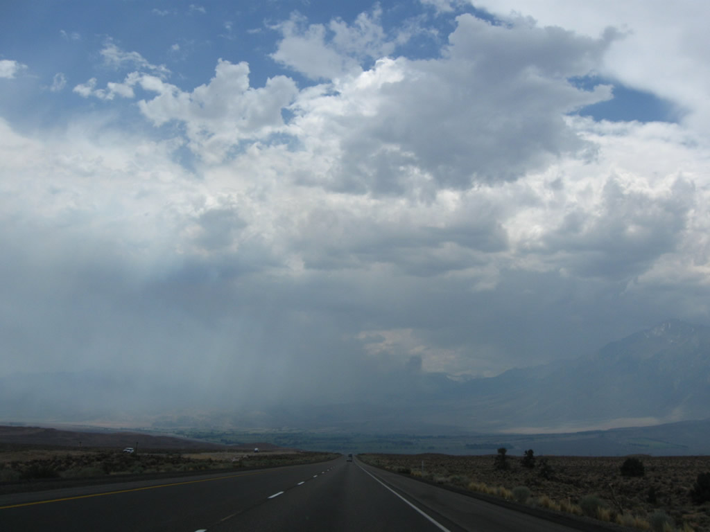
This series of photos follows U.S. 395 between Hilton Creek and Toms Place, passing through the edge of Little Round Valley. About midway between South Landing Road and Toms Place, U.S. 395 passes over Crooked Creek. This tributary leads into Crowley Lake. Photos taken 07/09/07, 07/19/09, and 09/07/09. |
|
|
|
|
|
|
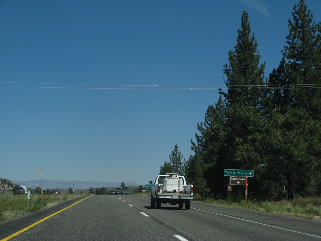
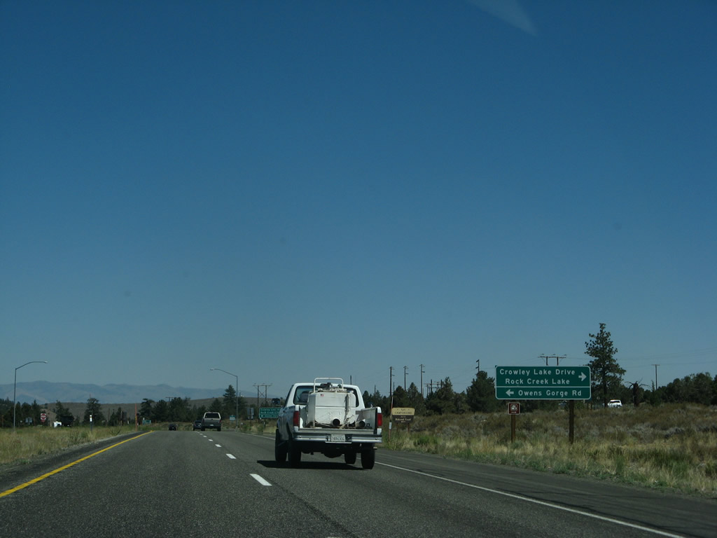
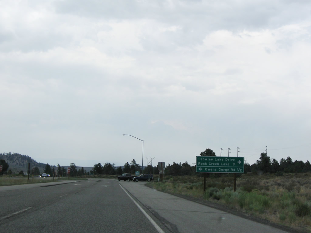
Southbound U.S. 395 next approaches the turnoff to Toms Place. Turn right for Old U.S. 395 (Crowley Lake Drive) northwest and Forest Service Road 12 (Rock Creek Road) south to Rock Creek Lake. Turn left for Forest Service Road 4S02/Owens Gorge Road north to Crowley Lake Dam and Owens River Gorge. Photos taken 07/09/07 and 07/25/09. |
|
|
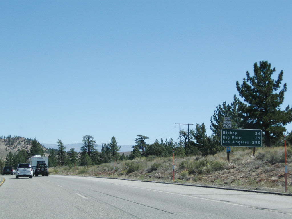
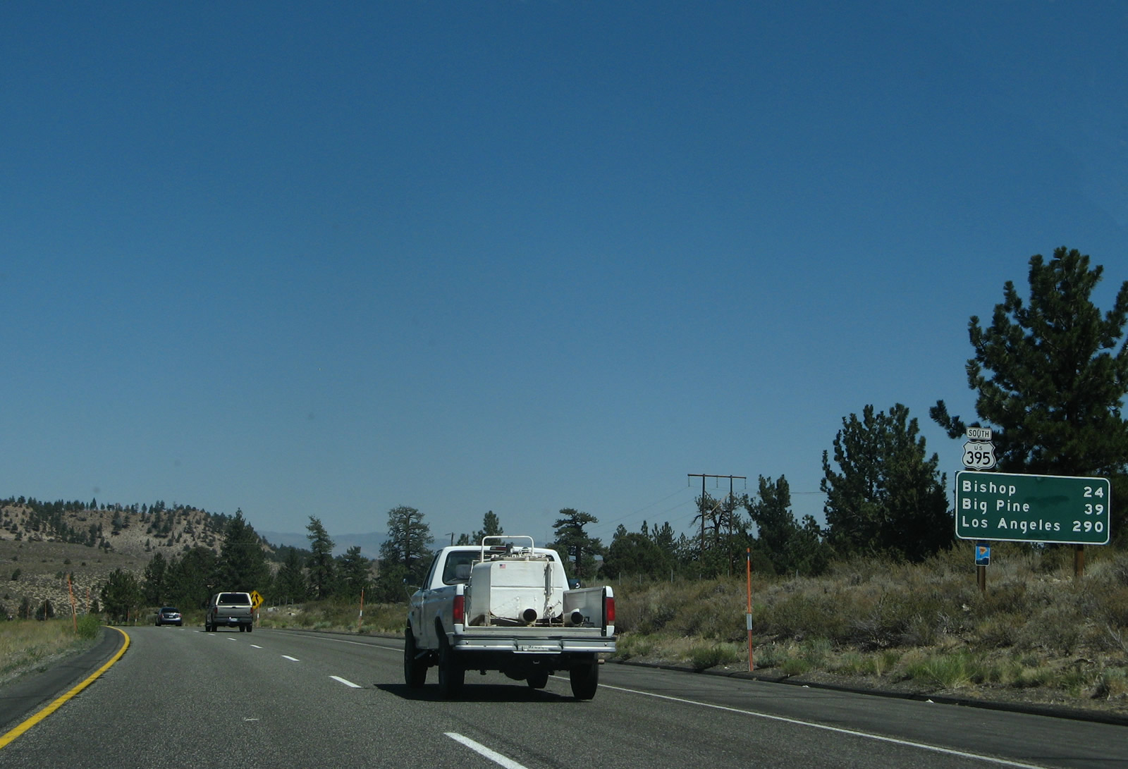
Another mileage sign provides the distance to Bishop (24 miles), Big Pine (39 miles), and Los Angeles (290 miles). Photos taken 07/09/07 and 07/19/09. |
|
The divided expressway segment ends as the highway reverts to a four-lane conventional highway with no dividing barrier. Photo taken 07/09/07. |
|
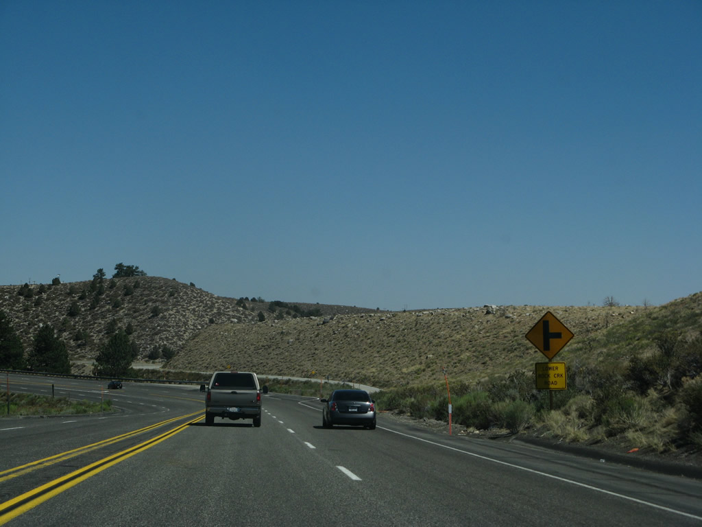
The next right turn connects to Lower Rock Creek Road, which is another extant segment of Old U.S. 395. The old alignment follows an alternate path down Sherwin Hill, and it passes through Paradise Estates and Rovana before rejoining U.S. 395 in Round Valley in Inyo County. Photo taken 07/09/07. |
|
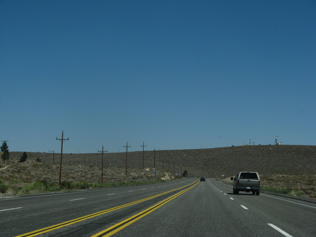
U.S. 395 sees more sagebrush covered hills as the highway approaches Sherwin Summit. Upon reaching the summit, U.S. 395 will proceed down Sherwin Grade into Round Valley, and the highway will not see such high elevation again for the rest of its southbound journey into the Owens Valley and Mojave Desert. Photo taken 07/09/07. |
|
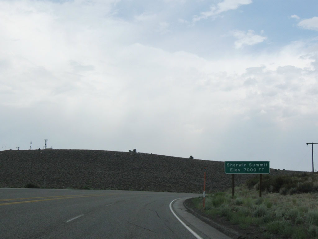
Southbound U.S. 395 ascends to and reaches Sherwin Summit (el. 7,000 feet). From here, U.S. 395 begins its descent into Bishop (el. 4,147 feet), a drop of almost 3,000 feet. Photo taken 07/19/09. |
|
|
|
|
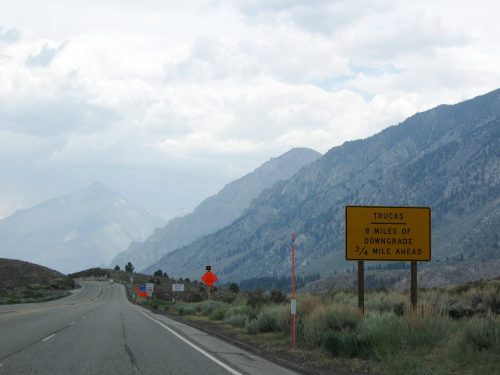
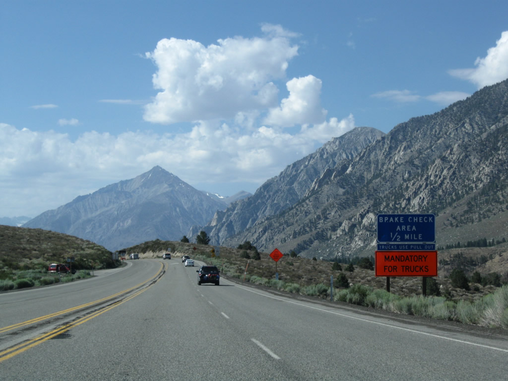
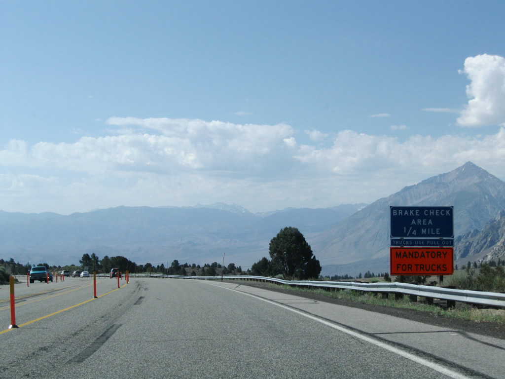
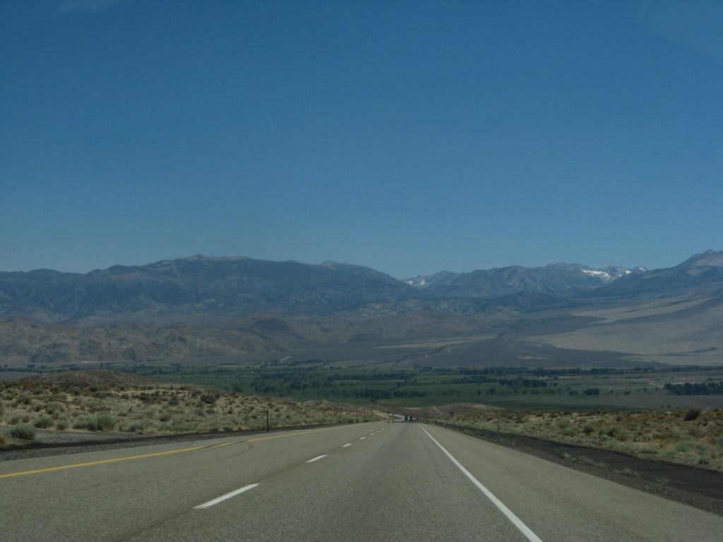
This series of photos follows U.S. 395 as it descends from Sherwin Summit into Round Valley en route to Bishop. The highway retains four lanes for the entire descent. A brake inspection area at the top of grade also allows for views looking toward Owens Valley; during 2009, work was underway to improve the roadway, so additional restrictions were in place at that time. A vista point is also available along the way. U.S. 395 then leaves Inyo National Forest and also Mono County; the highway next enters Inyo County and the sprawling Owens Valley. The pipes seen parallel to the highway carry water from Crowley Lake to the Los Angeles Aqueduct en route to Southern California. Photos taken 07/09/07, 07/19/09, 07/25/09, and 09/07/09. |
|
|
|
|
|
|
|
|
|
|
|
|
Page Updated May 1, 2010.