| U.S. 395 south |
|
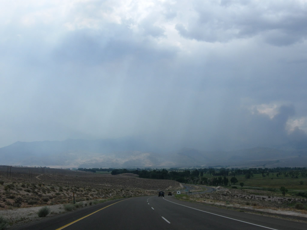
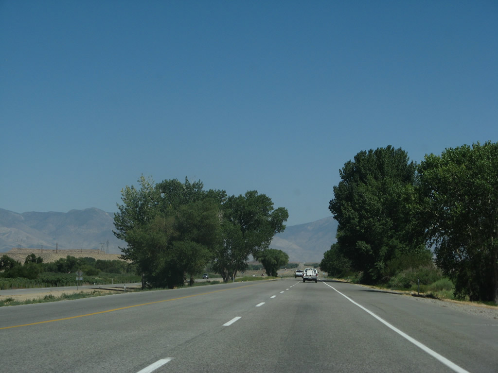
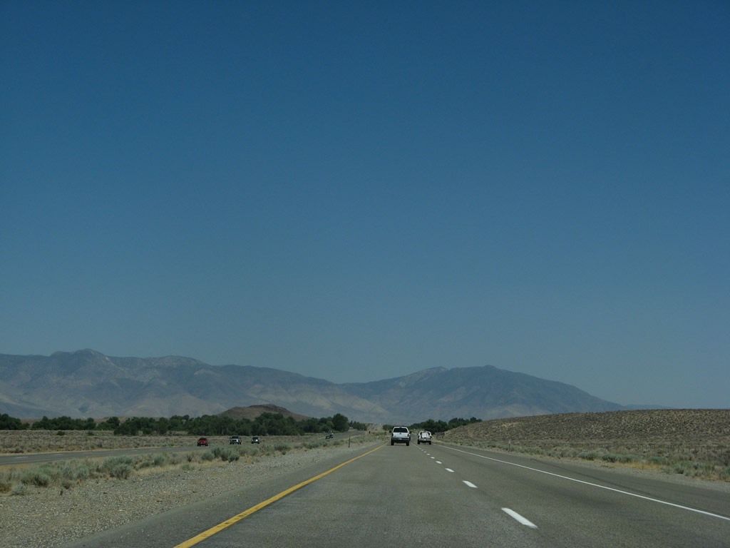
Leaving Mono County and descending Sherwin Grade, U.S. 395 proceeds south into Inyo County, through which we will travel south through the Owens Valley toward Inyokern and Ridgecrest in Kern County. Photo taken 07/19/09. |
|
The first signed intersection along U.S. 395 (Three Flags Highway) south is with Gorge Road, which travels west to Old U.S. 395 and Paradise Estates. Photo taken 07/09/07. |
|
Southbound U.S. 395 meets Gorge Road west to Paradise Estates. Photo taken 07/09/07. |
|
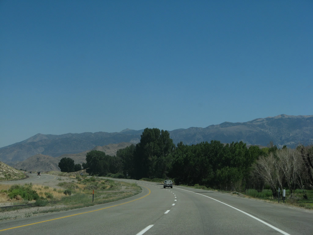
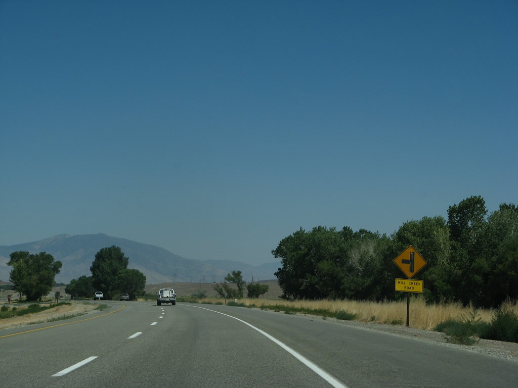
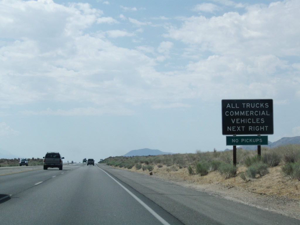
U.S. 395 remains a four-lane, divided expressway as it proceeds south between Gorge Road and Pine Creek Road/Mill Creek Road. Photo taken 07/09/07. |
|
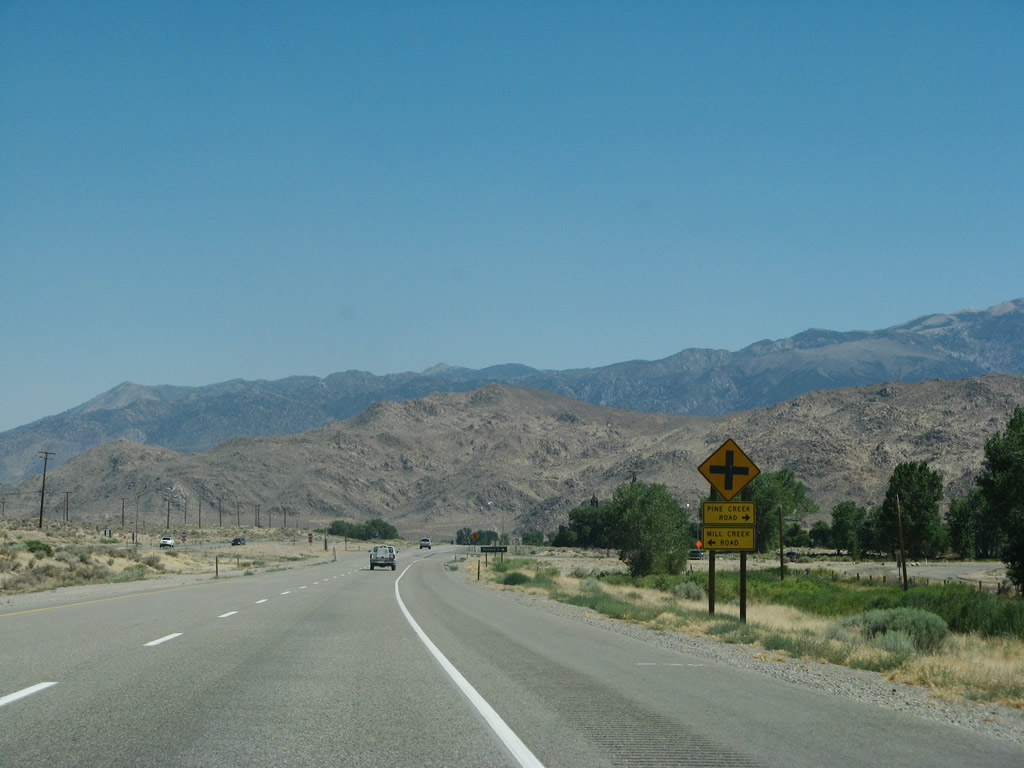
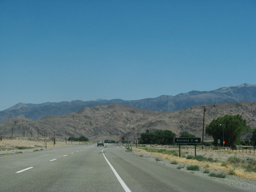
Southbound U.S. 395 approaches Pine Creek Road and Mill Creek Road. Mill Creek Road is a frontage road along the east side of U.S. 395; it will intersect the expressway again a couple miles southeast of here. Photo taken 07/09/07. |
|
Follow Pine Creek Road west to Rovana (three miles). At this point, Old U.S. 395 rejoins the main highway. Photo taken 07/09/07. |
|
To the west, the Sierra Nevada continue to dominate the view. Ahead, U.S. 395 slides southeast and then east toward Bishop. Photo taken 07/26/09. |
|
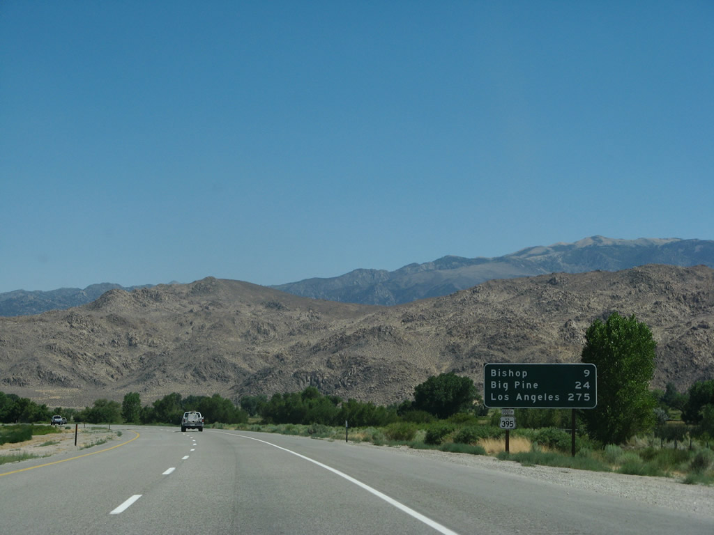
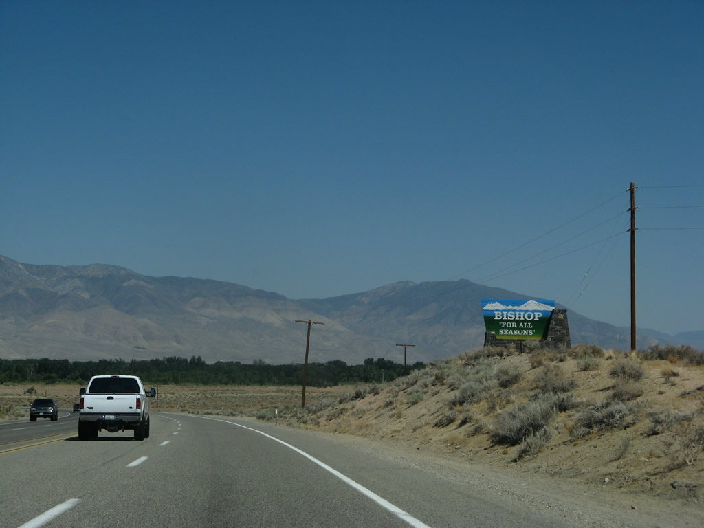
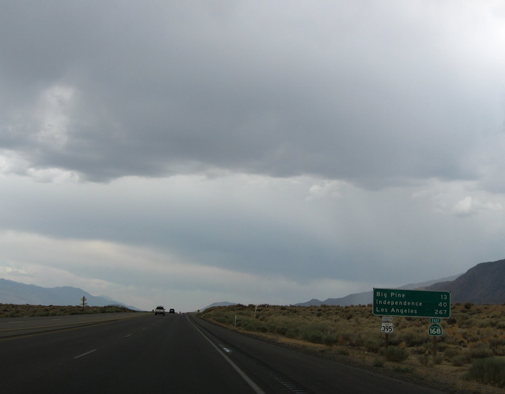
This mileage sign provides the distance to Bishop (U.S. 6, nine miles), Big Pine (California 168 east, 24 miles), and Los Angeles (275 miles). Photo taken 07/09/07.
|
|
|
|
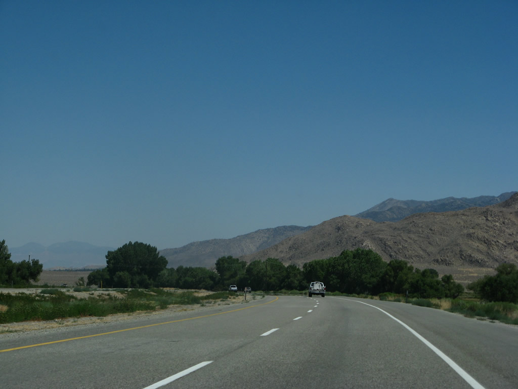
This series of photos follows U.S. 395 as it turns southeast and then east toward Bishop. The expressway retains at least four lanes all the way into the city. Along the way, U.S. 395 approaches Mill Creek Road (frontage road). Photos taken 07/09/07 and 07/19/09. |
|
|
|
|
|
|
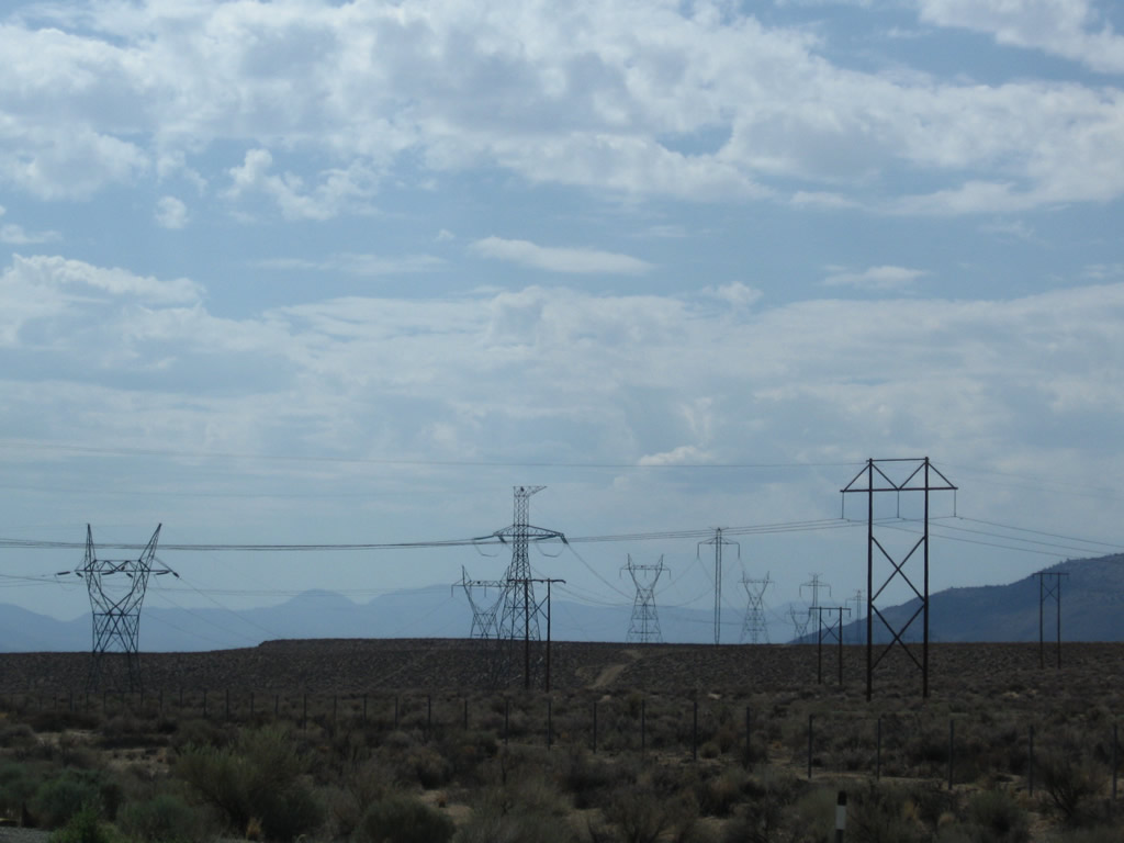
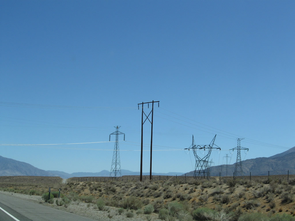
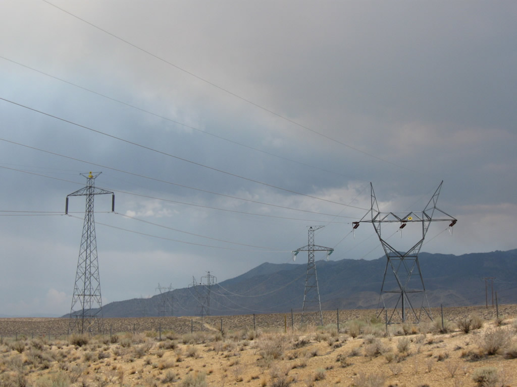
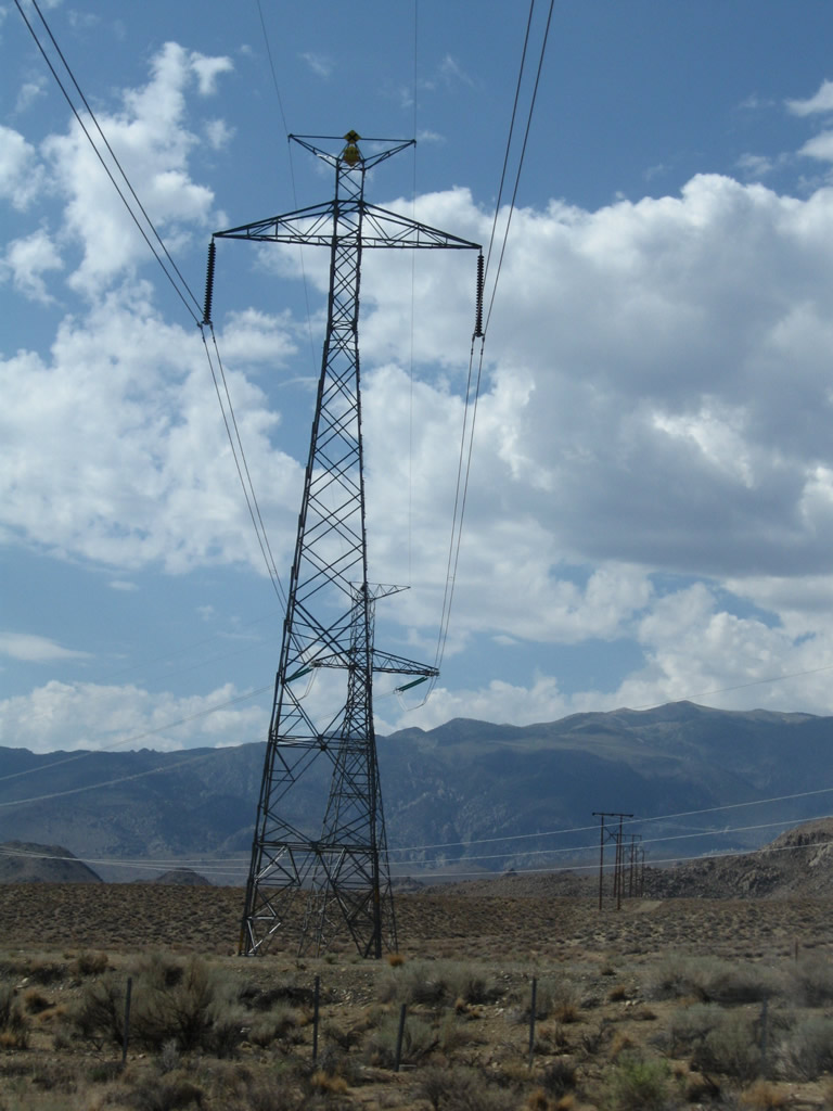
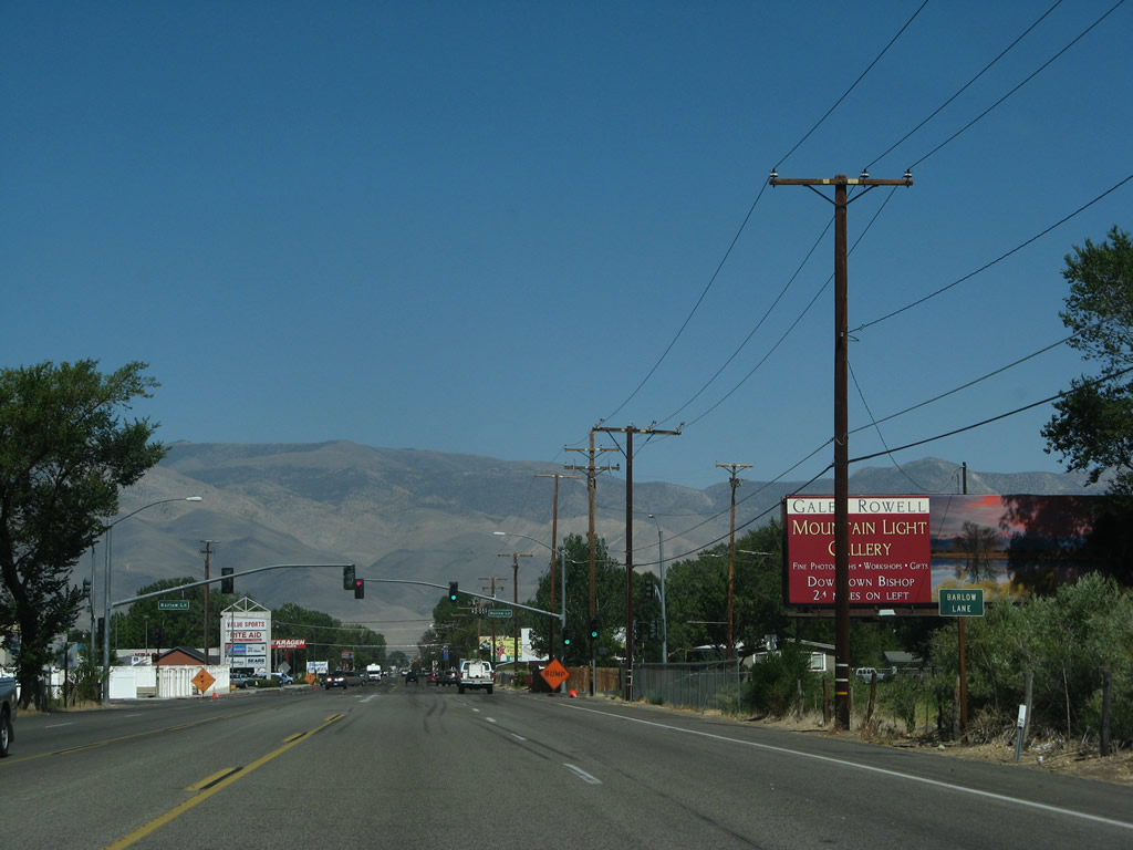
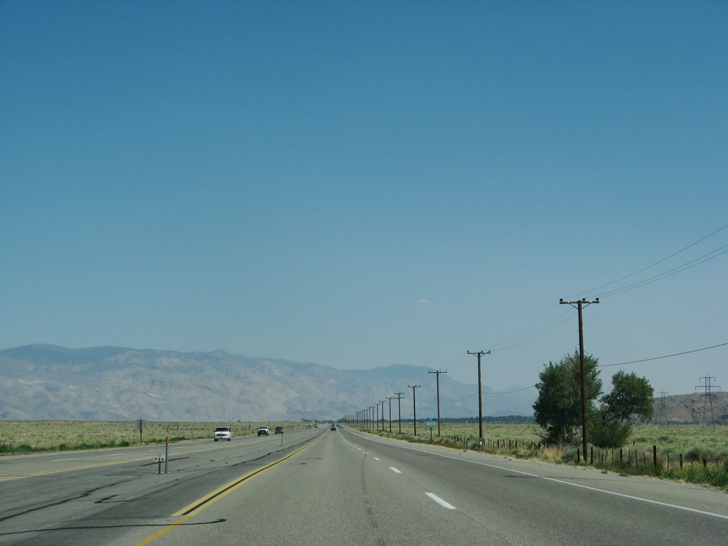
As U.S. 395 proceeds east, the highway approaches a series of power lines, some of which will follow the highway south through the Owens Valley all the way south to the Mojave Desert and beyond. The two longest of these power lines is the 500kV Path 65 high voltage direct current (HVDC) power line (which links Celilo, Oregon to Sylmar in Los Angeles) and its companion 230kV Los Angeles Department of Water and Power transmission line. The Path 65 HVDC line comes in from Nevada and remain generally west of U.S. 395 as the highway proceeds south through Owens Valley. The 230kV LADWP power line generally follows Path 65 from this point south all the way to the Mojave Desert en route to Greater Los Angeles. Photos taken 07/09/07, 07/19/09, 07/25/09, and 09/07/09. |
|
|
|
|
|
|
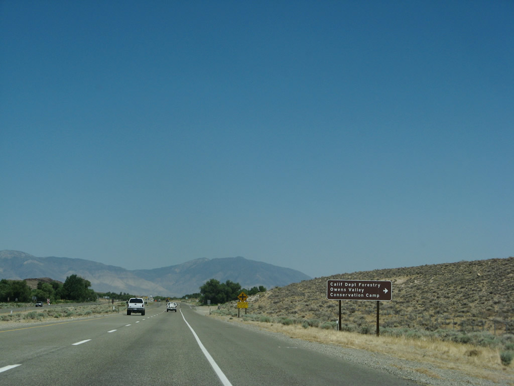
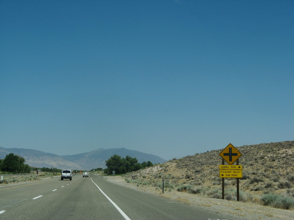
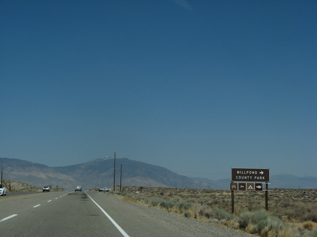
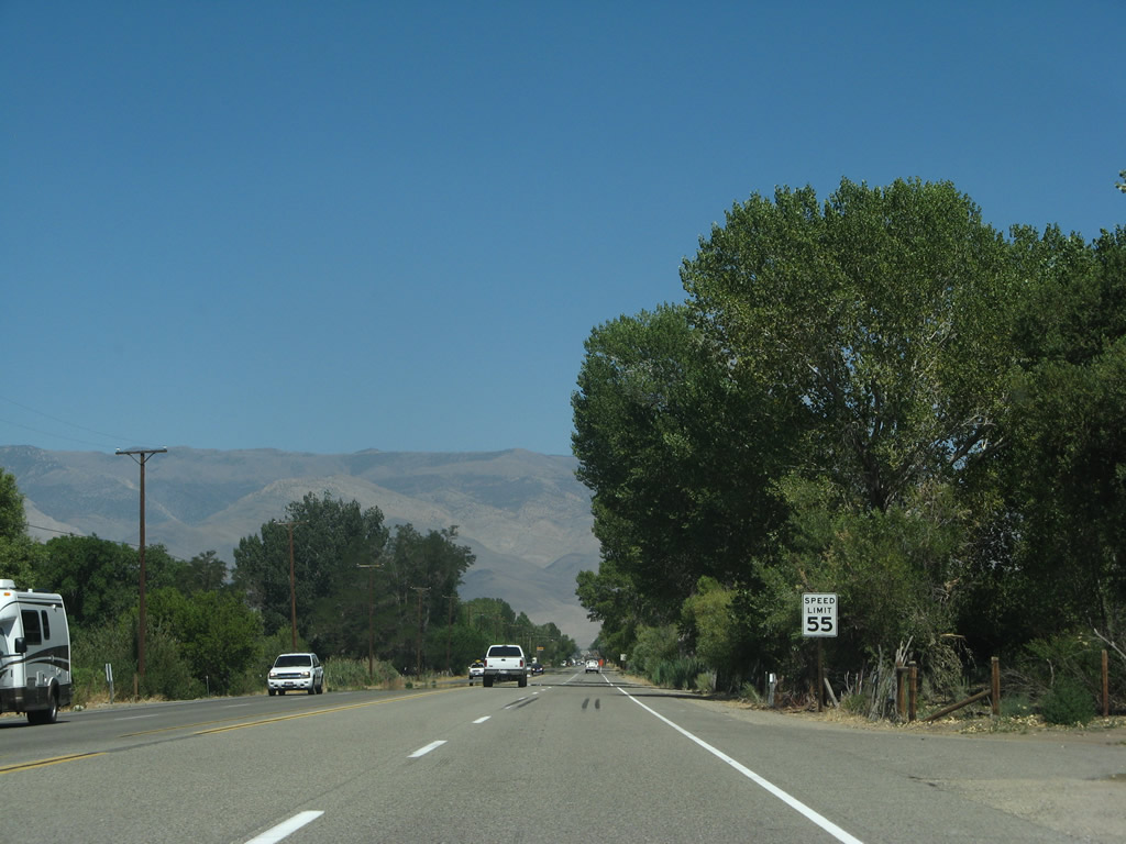
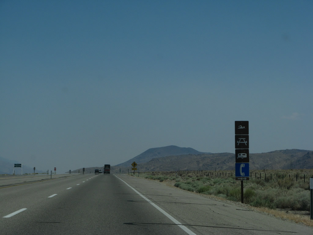
Southbound U.S. 395 approaches and reaches Sawmill Road south to the west side of Millpond County Park and Pleasant Valley Dam Road north to Pleasant Valley Reservoir. Photos taken 07/09/07.
|
|
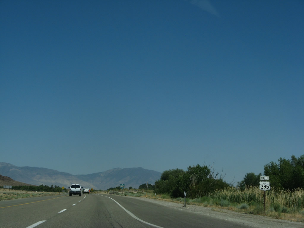
A U.S. 395 south reassurance shield is posted after the Sawmill Road intersection. Photo taken 07/09/07. |
|
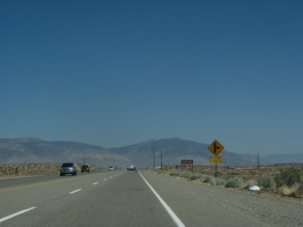
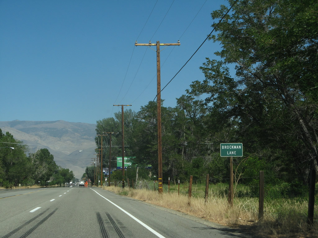
The next intersection along U.S. 395 south is with Ed Powers Road south to Rocking K. Photo taken 07/09/07. |
|
Use Ed Powers Road south to the main entrance to Millpond County Park. Photo taken 07/09/07. |
|
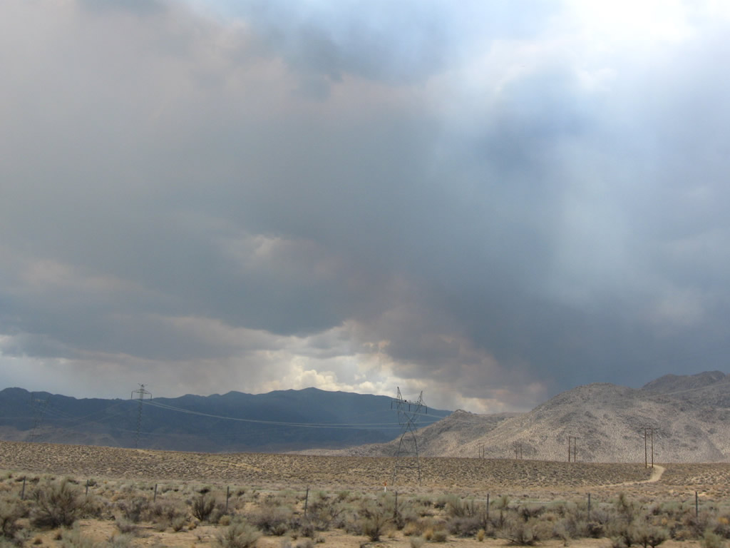
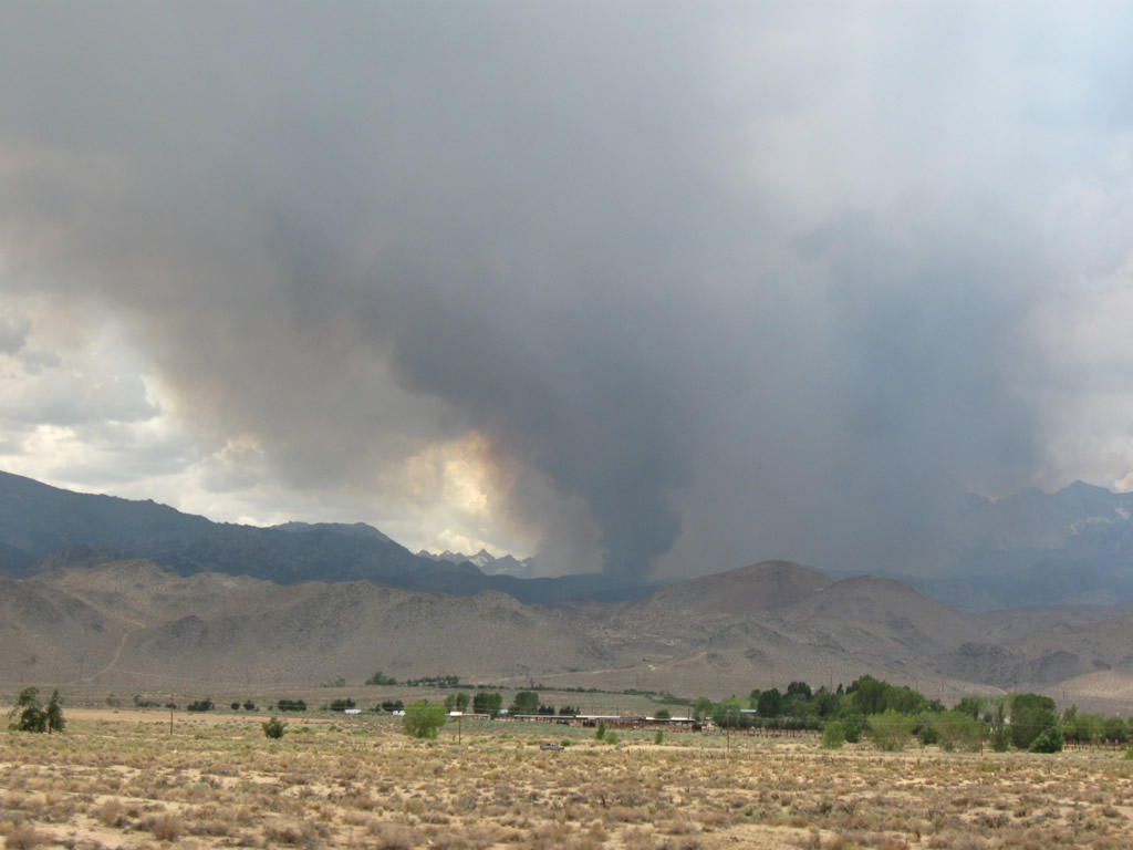
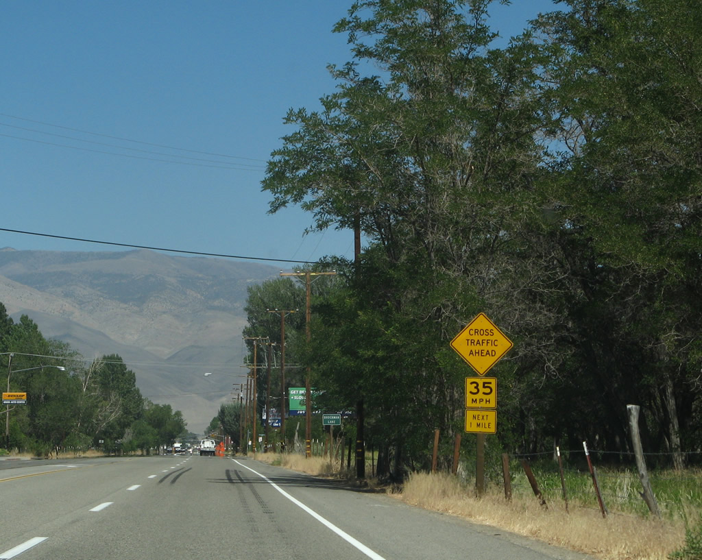
Lightning strikes from summer monsoon thunderstorms occassionally hit dry areas in the Sierra Nevada, resulting in wild fires. This view looks south near the Ed Powers Road intersection. Photo taken 07/19/09. |
|
A U.S. 395 south reassurance shield is posted after the Ed Powers Road intersection. Photo taken 07/19/09. |
|
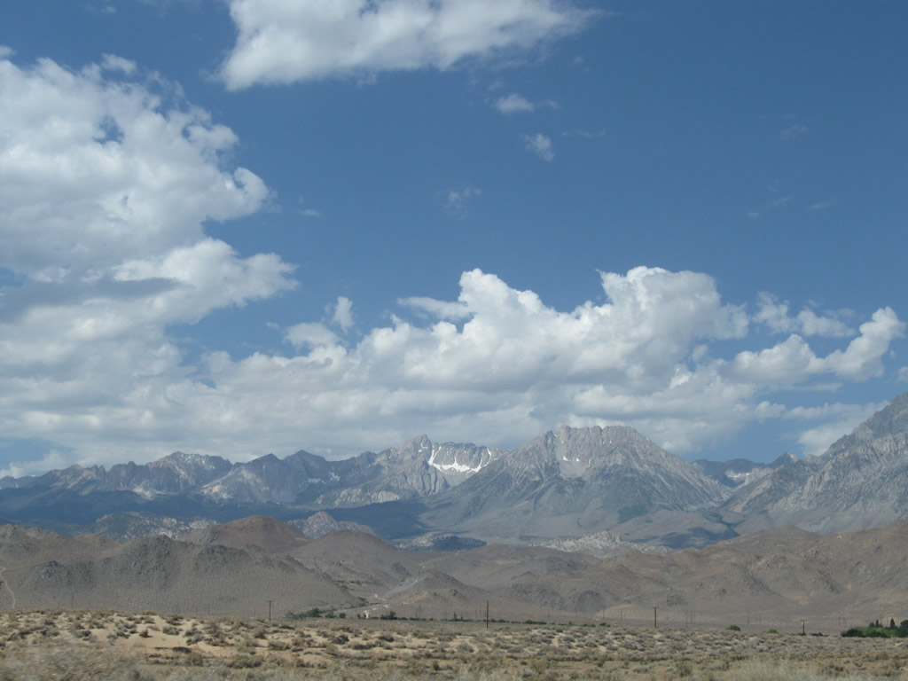
On another day about a week after the fires raged on the hillsides, the view toward the mountains was unfettered and all clear. Photo taken 07/26/09. |
|
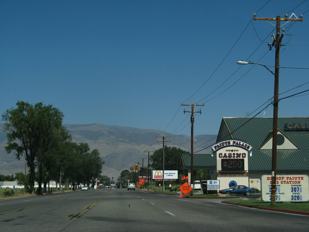
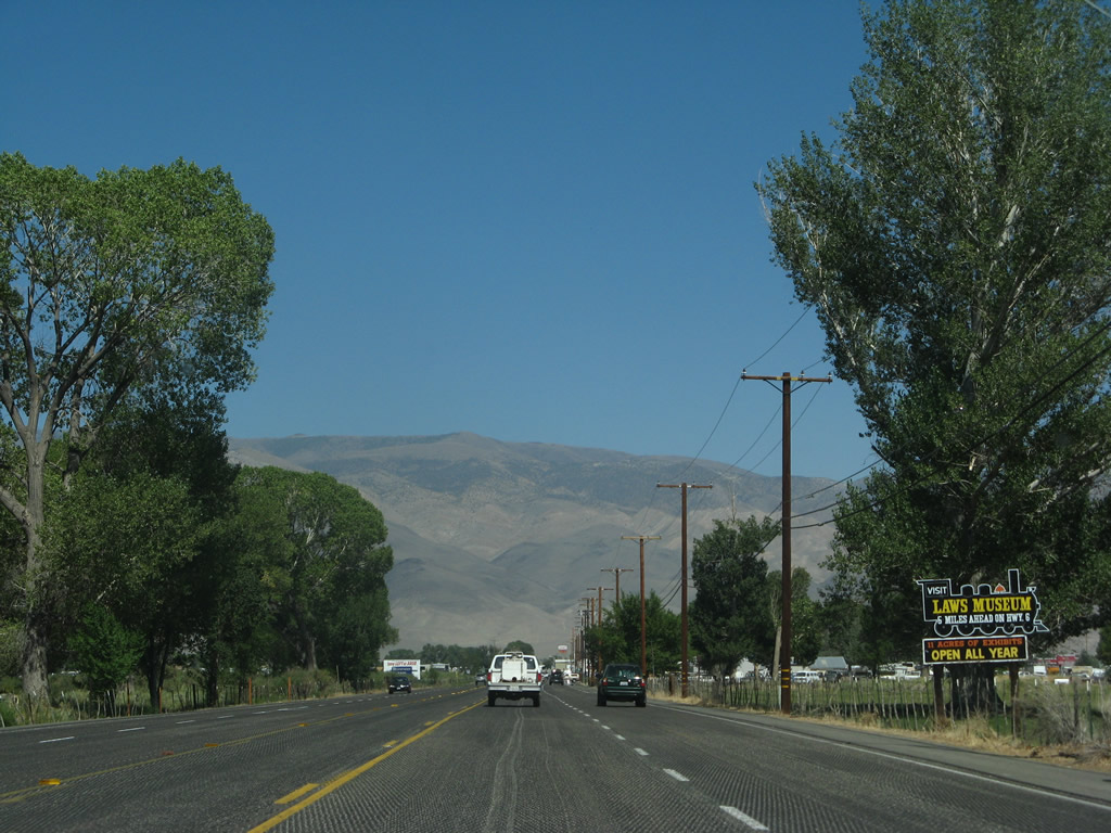
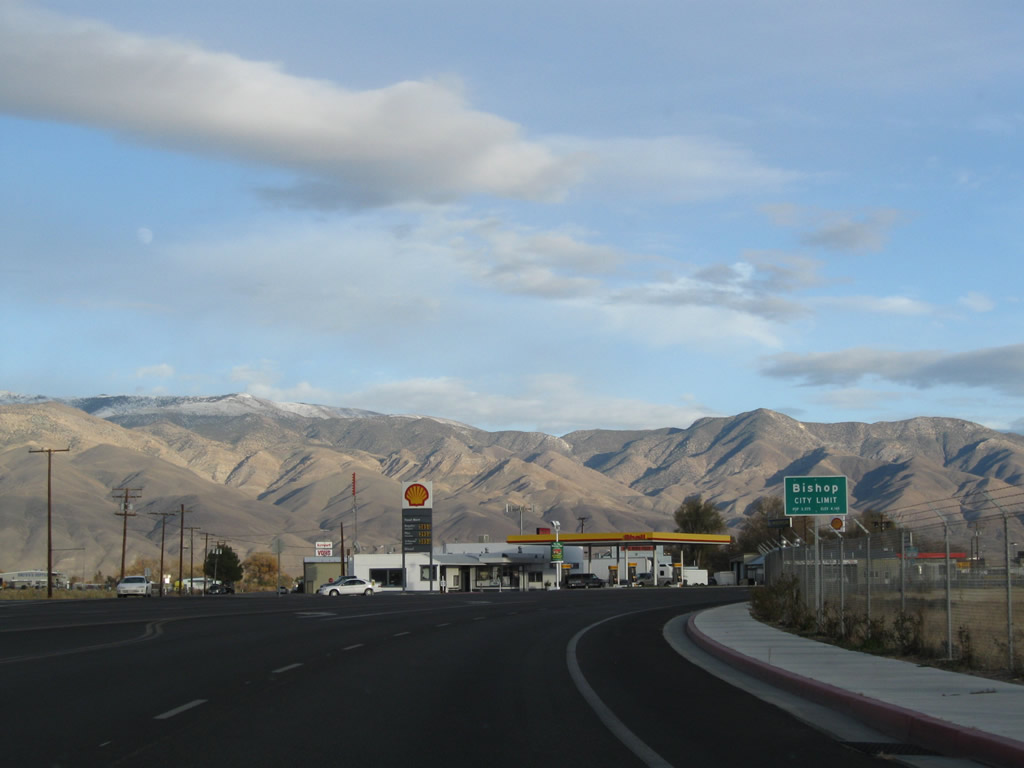
A welcome sign along U.S. 395 south indicates we are approaching the city of Bishop; the city limits are actually a bit further east, at the U.S. 6 junction. Situated at the confluence of U.S. 6 and U.S. 395, Bishop is known as the gateway to various attractions in the Eastern Sierra, such as Mammoth Lakes, Mono Lake, Yosemite National Park, and related recreational opportunities. All motorist services (food, gas, lodging, shopping, camping, amd Indian casino gaming) are available here. Photo taken 07/09/07. |
|
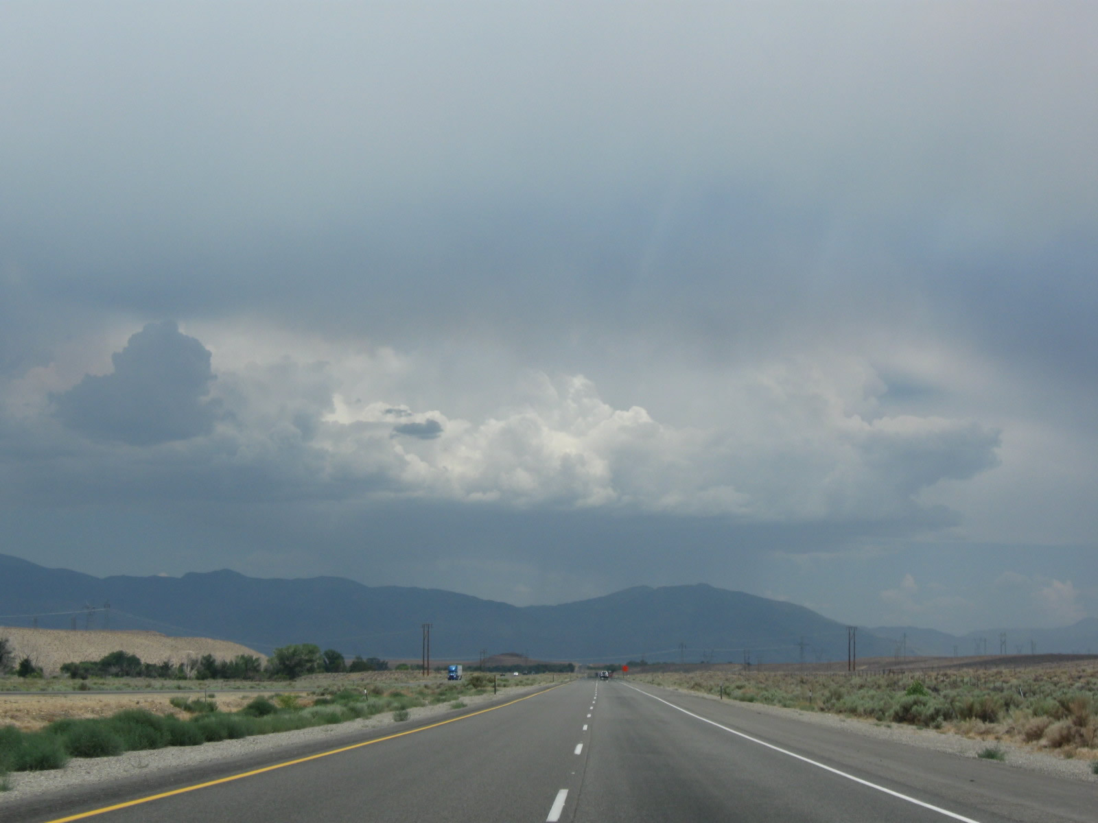
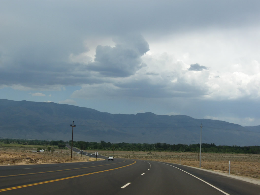
Storm clouds (and smoke from nearby fires) continued to gather on this warm summer afternoon in the Eastern Sierra. U.S. 395 proceeds almost due east toward Bishop. Photo taken 07/19/09. |
|
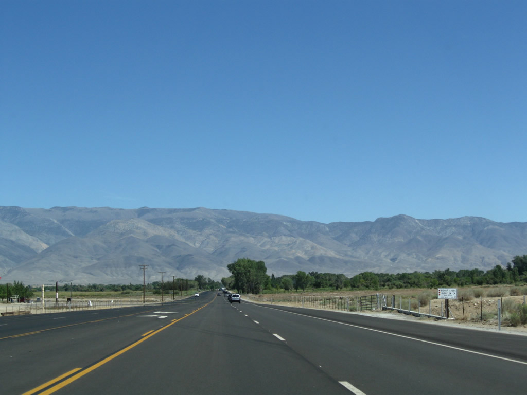
U.S. 395 travels in a straight line toward Bishop. The White Mountains rise to the east of town; U.S. 395 will again turn south upon reaching town. Photo taken 09/07/09.
|
|
|
|
This series of photos follows U.S. 395 east into Bishop. The expressway downgrades to a conventional five-lane highway (with center turn lane). The speed limit lowers as we approach the urbanized areas around Bishop. Photos taken 07/09/07 and 09/07/09. |
|
|
|
|
|
|
|
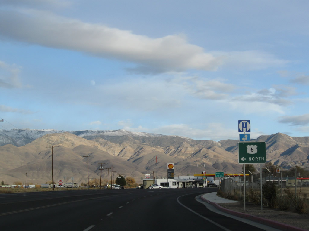
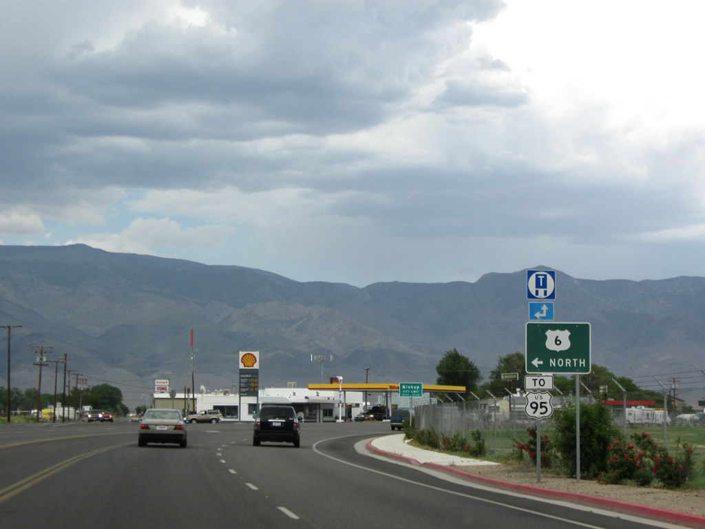
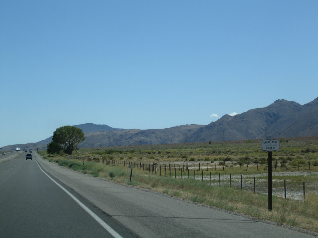
The next major intersection is with U.S. 6 (Grand Army of the Republic Highway) (also known as the Theodore Roosevelt Highway and the Midland Trail), which travels north to Benton and then east to Tonopah, Nevada and Provincetown, Massachusetts. Photo taken 07/09/07. |
|
Traveling almost due east, southbound U.S. 395 approaches U.S. 6 at the north end of Bishop. U.S. 6 travels northeast from Bishop toward Benton and Montgomery Pass, then turns east toward Tonopah and Ely. U.S. 6 is a 3,199 mile highway that extends across the Great Basin toward Colorado, then passes through the Great Plains and Midwest en route to Chicago and the Northeast. The highway used to begin in Long Beach in Southern California, but its western terminus was retracted to Bishop in order to eliminate a long overlap with U.S. 395 between Bishop and Inyokern. Photo taken 11/10/08.
|
|
|
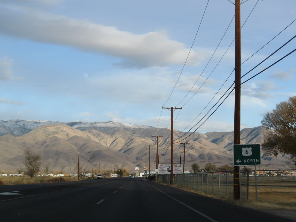
In the late 1990s, the section of U.S. 6 was signed almost entirely as north-south. By 2008, nearly every sign had been changed to east-west except for this guide sign (and the preceding one) on U.S. 395 south. U.S. 6 travels north to Benton, but then the route takes a turn northeast into Nevada and thence across the Great Basin. In 2009, a U.S. 95 trailblazer was added to this assembly. Turn left here at Wye Road to U.S. 6 north (east). After the curve, the next traffic signal is the actual junction with U.S. 6. Photos taken 11/10/08 and 07/19/09. |
|
U.S. 395 enters the city of Bishop. Home to 3,575 people as of the 2000 Census, Bishop sits at an elevation of 4,140 feet at the northern end of the Owens Valley. Photo taken 11/10/08. |
|
|
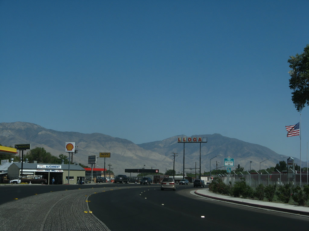
Rounding the bend after the wye connection to U.S. 6 east, U.S. 395 again turns south. The next traffic signal will be the connection to U.S. 6's mainline. The giant LLOGAS marquee was a presence at the western terminus of U.S. 6 for years, but it was dismantled and gone by 2008. Photos taken 11/10/08 and 07/09/07.
|
|
Southbound U.S. 395 meets U.S. 6 at this traffic signal, marking the western terminus of one of the longest U.S. highways. The Grand Army of the Republic Highway designation (along with Midland Trail and Roosevelt Highway) transfer onto U.S. 395 (Three Flags Highway) south; they split at the point where California 14 aims south toward Los Angeles near Inyokern. Photo taken 11/10/08. |
|
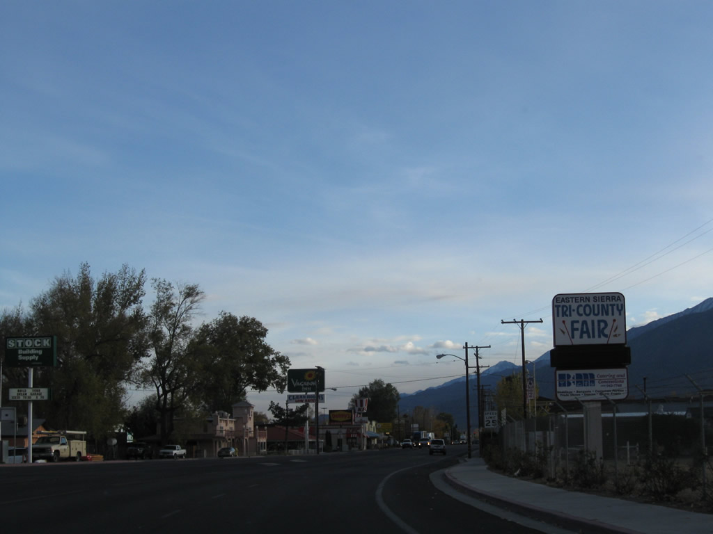
On the right ahead is the Tri-County Fairgrounds for Inyo County, Mono County, and Alpine County (all Eastern Sierra counties). The fair typically runs in the summer. Photo taken 11/10/08. |
|
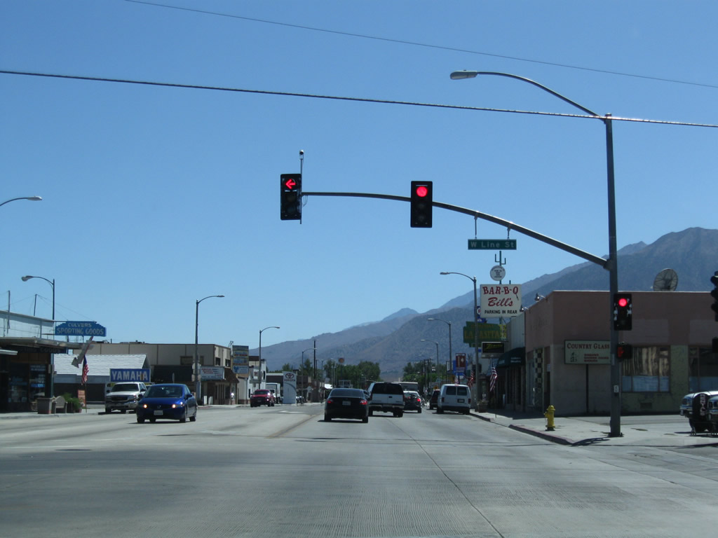
Again traveling south, U.S. 395 (and Historic U.S. 6) enters the business district of Bishop. Restaurants, motels, and gas stations line both sides of the highway. Photo taken 07/26/09. |
|
The next right connects U.S. 395 with Sierra Street, which leads west to the entrance to the Tri-County Fairgrounds. Photo taken 07/26/09. |
|
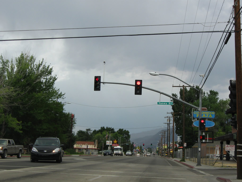
The next intersection along U.S. 395 south is with Yaney Street; it is signalized. Photo taken 07/26/09. |
|
Near Schat's Bakkery, southbound U.S. 395 approaches Park Street. Turn left for a parking area, including RV parking. Photo taken 07/26/09. |
|
Southbound U.S. 395 meets Park Street at this traffic signal. Photo taken 07/26/09. |
|
Southbound U.S. 395 meets Park Street at this traffic signal. Photo taken 07/26/09. |
|
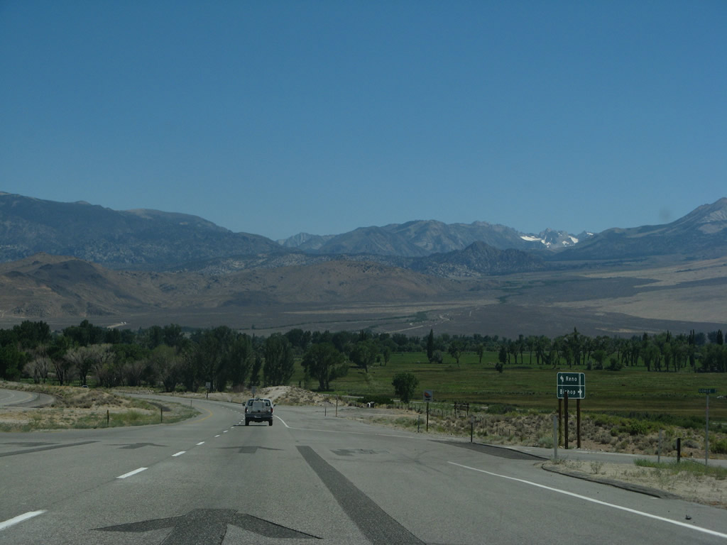
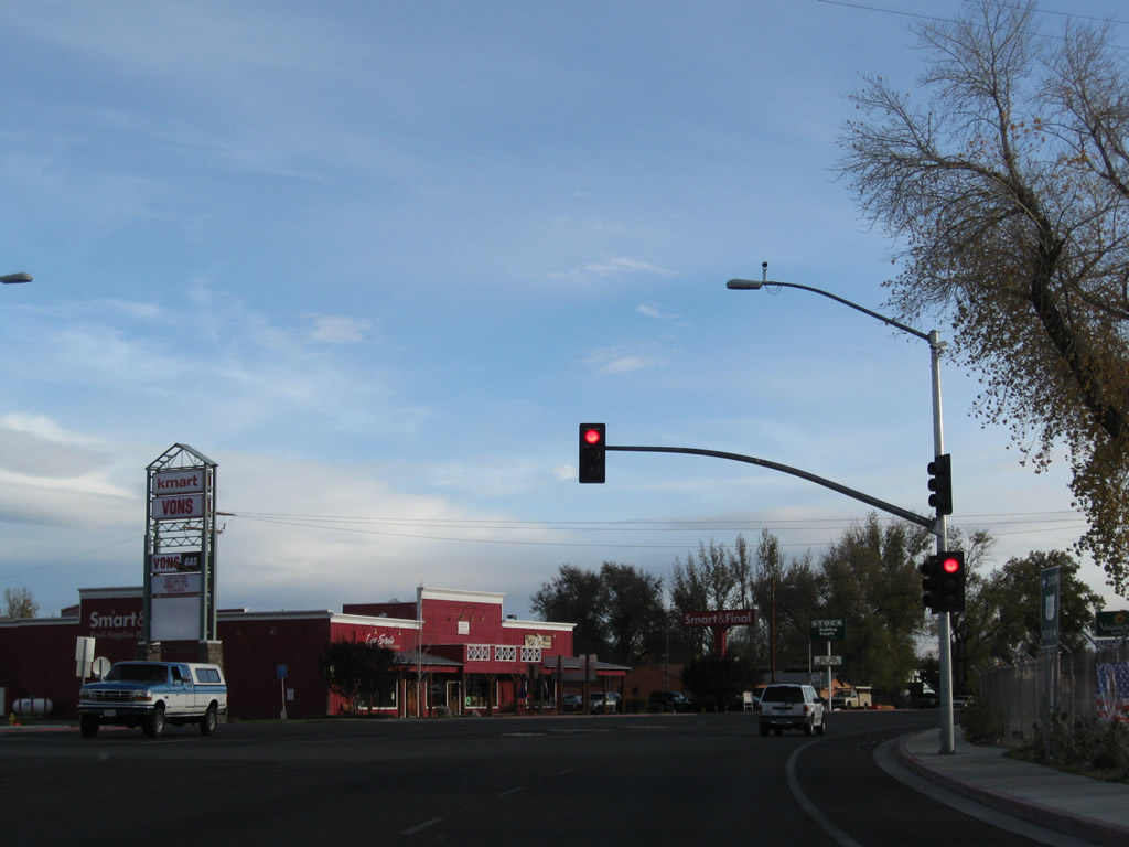
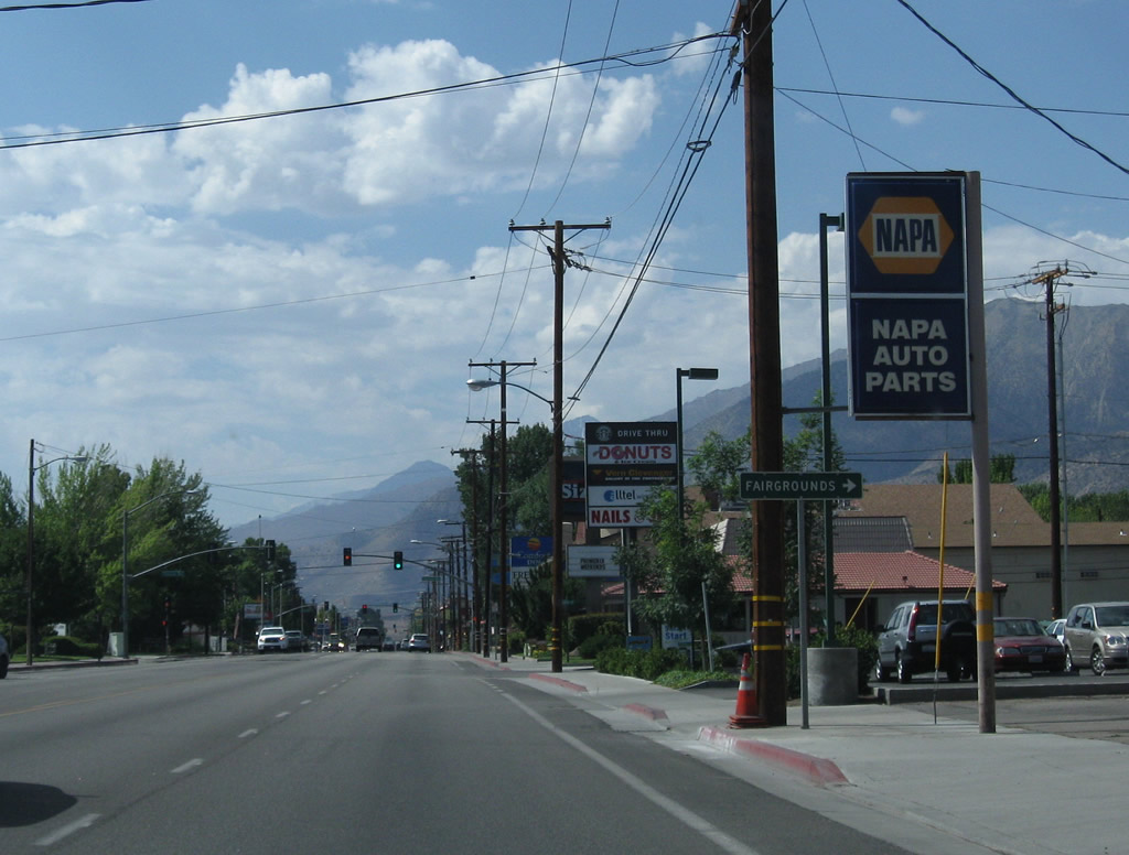
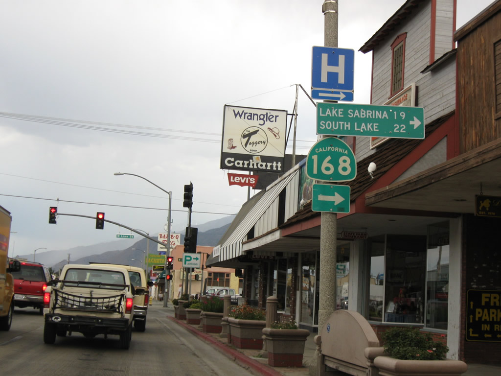
A variety of shops and restaurants line U.S. 395 as the U.S. highway passes through downtown Bishop. The next traffic signal connects U.S. 395 with California 168 west to Lake Sabrina. A planned connection over the Sierra Nevada via California 168 was never constructed, leaving an orphaned section of California 168 in Fresno County that does not and probably will never link to the section in Inyo County. Photo taken 07/26/09. |
|
Southbound U.S. 395 (known as Main Street through Bishop) approaches California 168 (West Line Street) west to Lake Sabrina (19 miles) and South Lake (22 miles). Photo taken 07/19/09. |
|
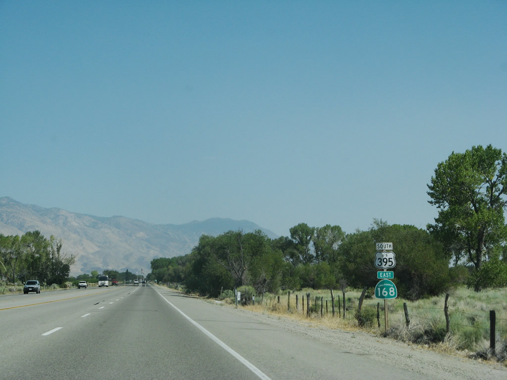
Southbound U.S. 395 (Main Street) meets California 168 (West Line Street) at this traffic signal. From here, U.S. 395 and California 168 proceed south on a shared alignment toward Big Pine. Photo taken 09/07/09. |
| U.S. 395 south & California 168 east |
|
|
|
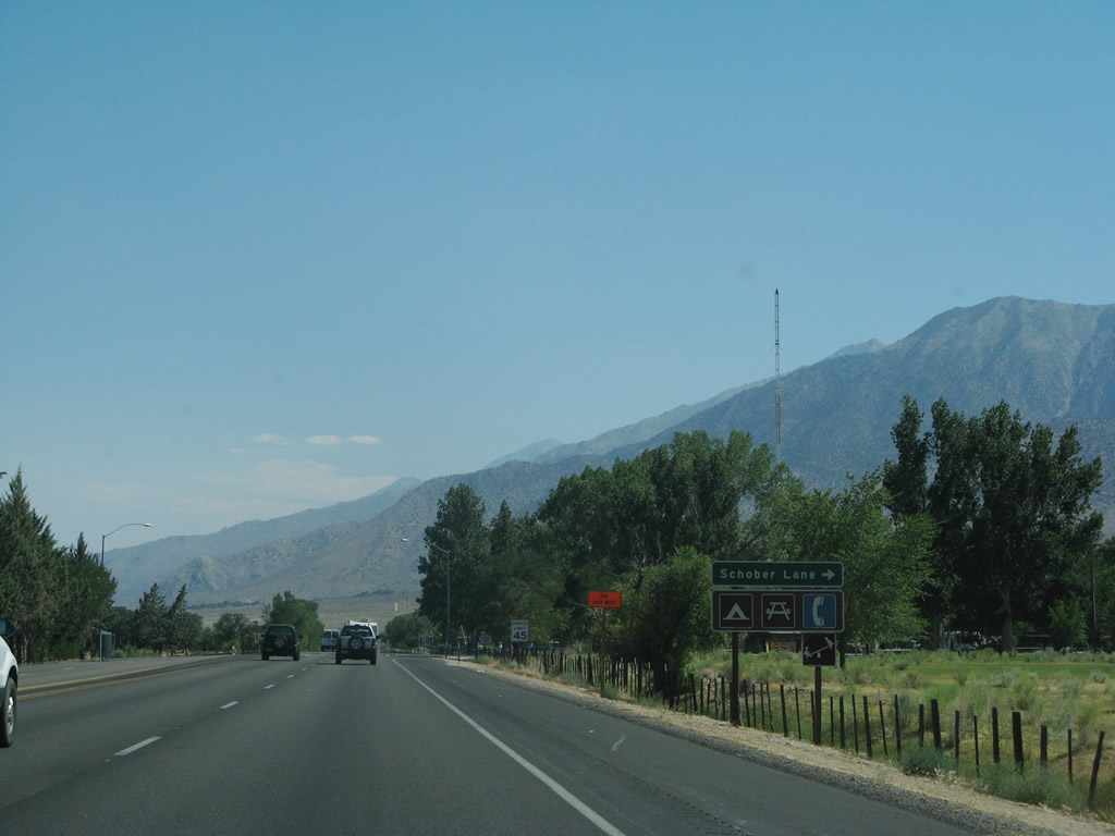
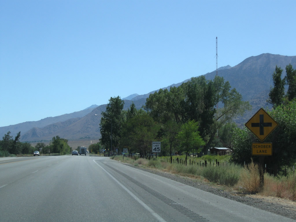
Leaving the city of Bishop, southbound U.S. 395 and eastbound California 168 approach Schober Lane. The 2007 photo shows the older signage; the 2009 photos show the replacements. Photos taken 07/09/07 and 09/07/09.
|
|
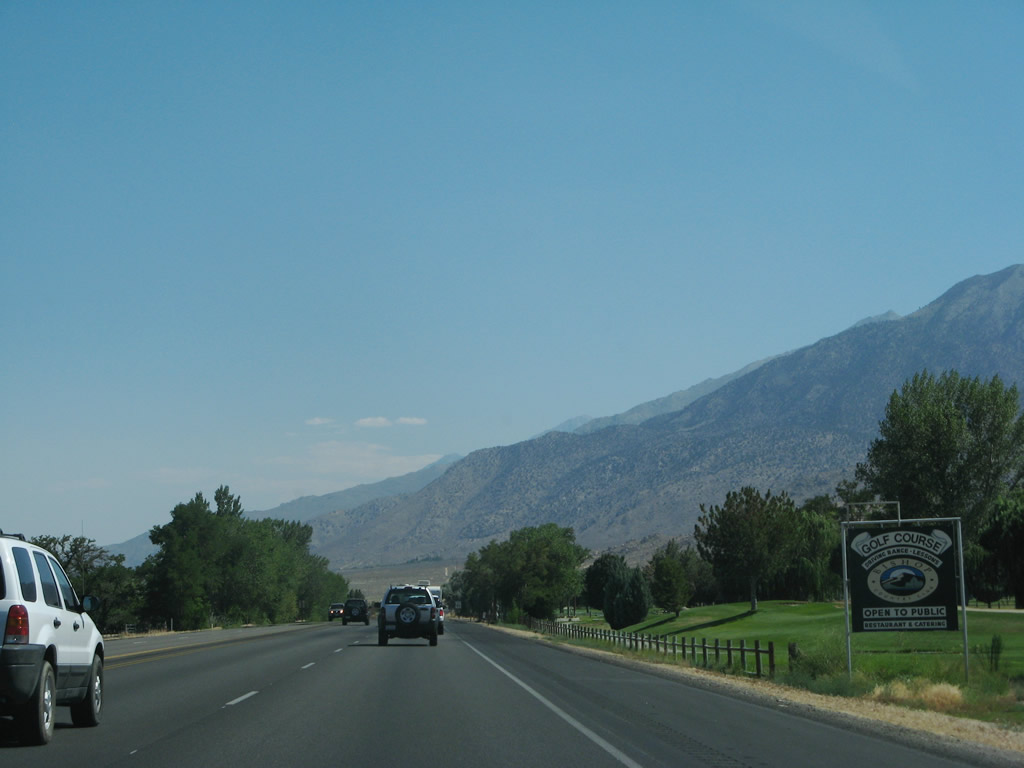
On the way out of town, U.S. 6-395 pass by the Bishop Golf Course. Photo taken 07/09/07. |
|
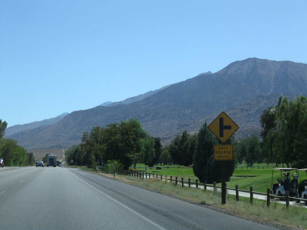
Southbound U.S. 395 and eastbound California 168 approach Golf Course Drive. Photo taken 09/07/09. |
|
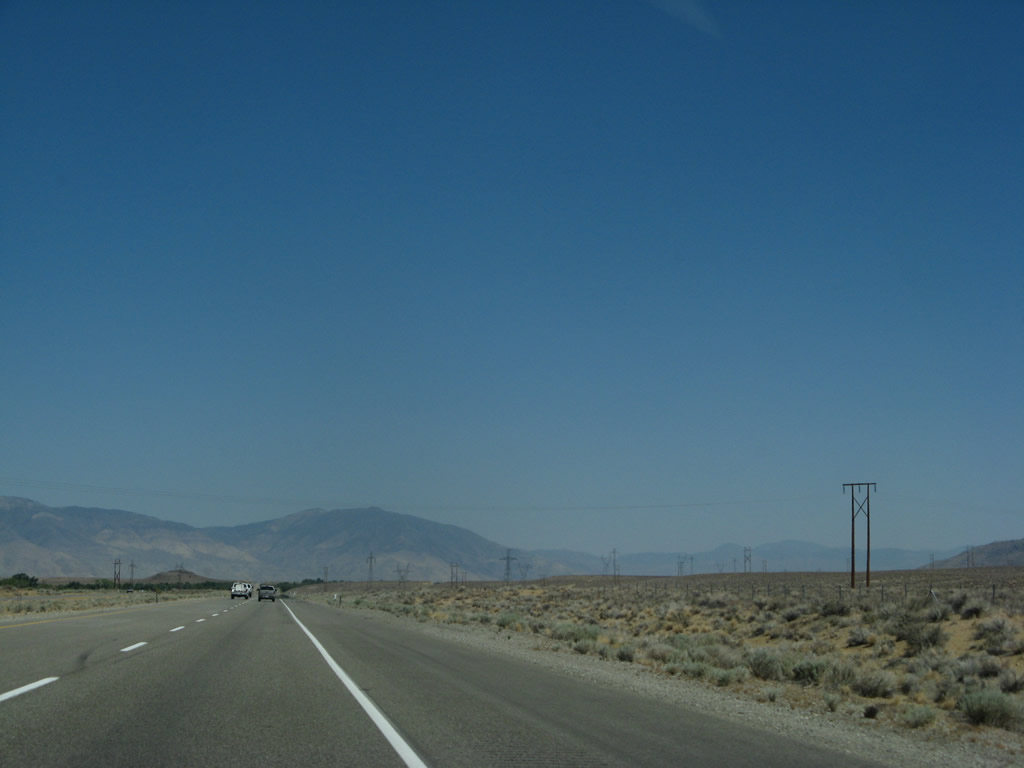
Continuing south, U.S. 395 and California 168 leave the Bishop area. Photo taken 09/07/09. |
|
This mileage sign along southbound U.S. 395 and eastbound California 168 (after the Sunland Indian Reservation Road intersection) provides the distance to Big Pine (13 miles), Independence (40 miles), and Los Angeles (267 miles). Photo taken 07/19/09. |
|
Southbound U.S. 395 and eastbound California 168 approach Gerkin Road, which connects to an old alignment of U.S. 395. Photo taken 07/09/07. |
|
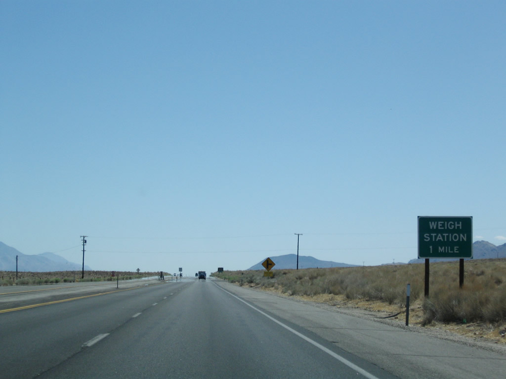
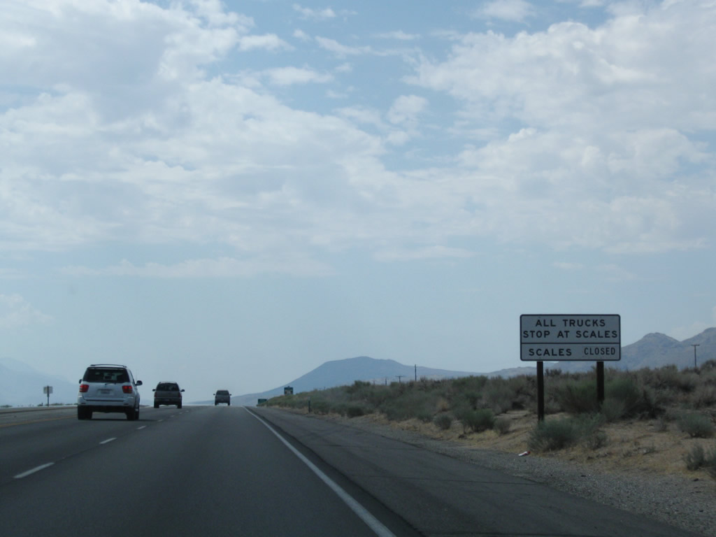
U.S. 395 and California 168 next approach Sunland Drive and a weigh station (one mile). Photo taken 09/07/09. |
|
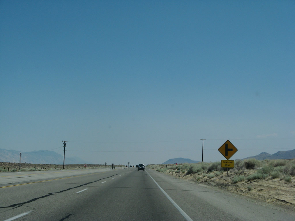
Southbound U.S. 395 and eastbound California 168 approach Sunland Drive. Photo taken 07/09/07.
|
|
|
|
|
|
| This series of photos shows the approach along U.S. 395 south and California 168 east for the weigh station. The button copy one-half mile sign was there in 2007 and gone by 2009. Photos taken 09/07/09, 07/26/09, and 07/09/07.
|
|
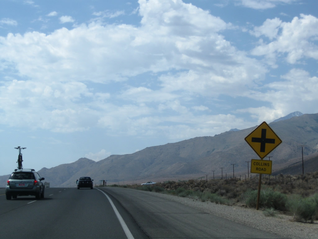
Southbound U.S. 395 and eastbound California 168 approach Collins Road, which travels west to Wilkerson Ranch. From here, the expressway will travel past Keough Hot Springs en route to Big Pine. Photo taken 07/26/09. |
|
A somewhat rare Grand Army of the Republic trailblazer is posted along southbound U.S. 395 and eastbound California 168 after the Collins Road intersection. Photo taken 07/26/09. |
|
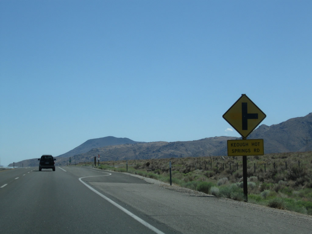
The next intersection along southbound is with Keough Hot Springs Road west to Keough Hot Ditch (on Old U.S. 395 under the Los Angeles Department of Water and Power and Path 65 power transmission lines) and the developed Keough Hot Springs resort. The developed hot springs have been in use since 1919. The discontinuous segment of old U.S. 395 can be seen near the hot ditch near the power lines, before to reaching the entrance to the hot springs resort. Photo taken 07/26/09. |
|
Southbound U.S. 395 and eastbound California 168 meet Keough Hot Springs Road. Photo taken 07/26/09. |
|
A reassurance shield assembly for U.S. 395 south and California 168 east are posted after the Keough Hot Springs Road intersection. Photo taken 07/09/07. |
|
Leveling off around 4,000 feet, southbound U.S. 395 and eastbound California 168 proceed on a route parallel to the Owens River, which flows to the east of the modern highway. An old alignment of U.S. 395 follows along to the west of the expressway. Ahead, U.S. 395 approaches the unincorporated community of Big Pine. Photo taken 07/09/07. |
|
This view looks west at the Sierra Nevada foothills and towering range. Photo taken 07/26/09. |
|
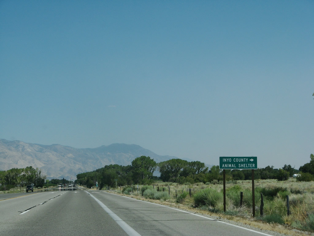
Southbound U.S. 395 and eastbound California 168 approach the intersection with Reynolds Road. Use Reynolds Road south to the Inyo County Animal Shelter. Photo taken 07/09/07. |
|
A reassurance shield assembly for U.S. 395 south and California 168 east are posted after the Reynolds Road intersection. Photo taken 07/09/07. |
|
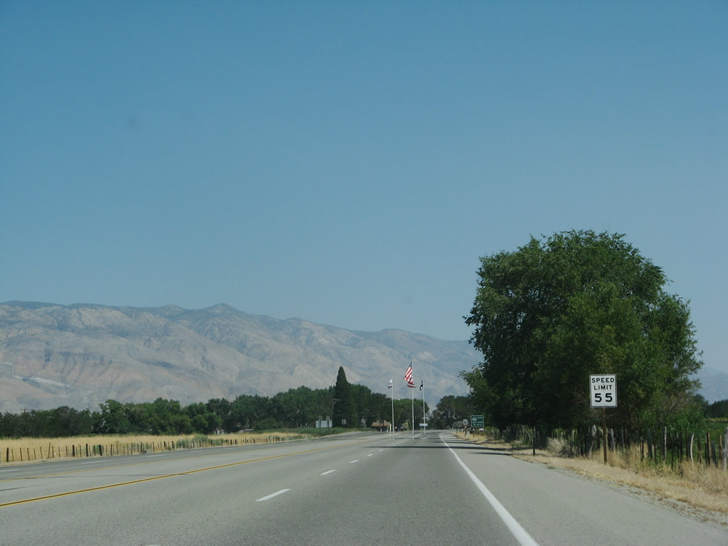
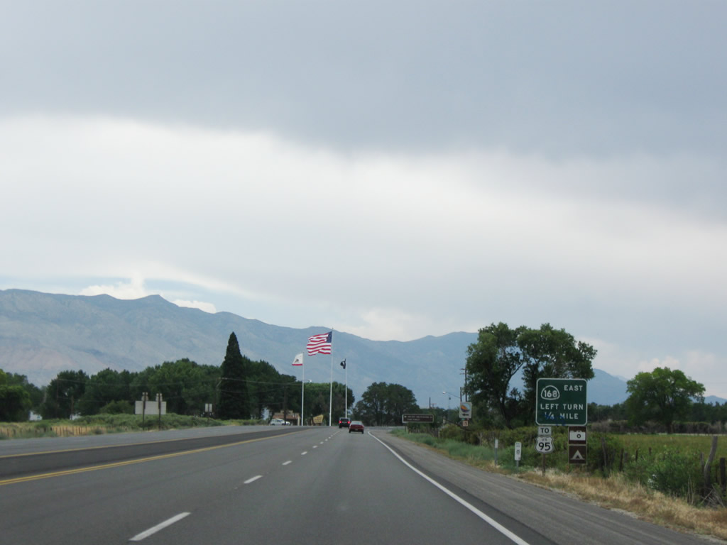
The speed limit decreases to 55 miles per hour as we approach the point where U.S. 395 and California 168 split. Photo taken 07/09/07. |
|
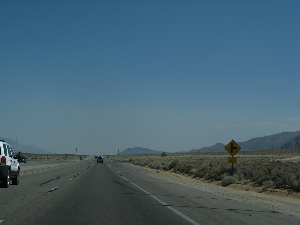
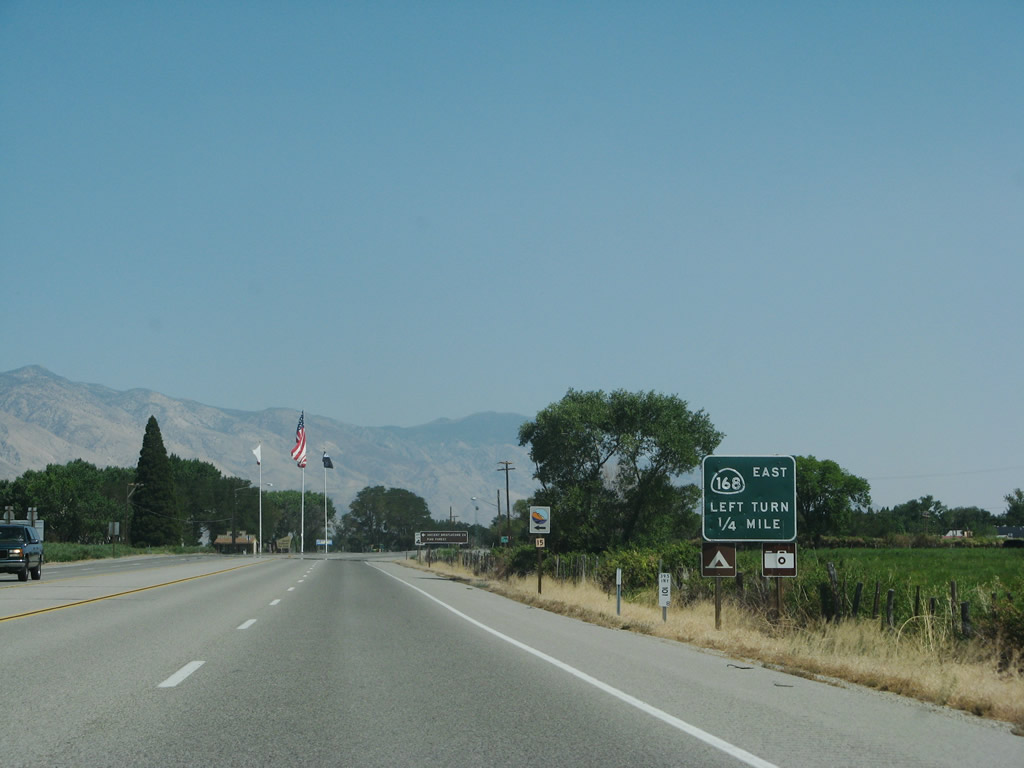
At the next intersection, California 168 turns east toward the Ancient Bristlecone Pine Forest, Westgard Pass, and Fishlake Valley, ending at California 266 (a continuation of Nevada 266 to the east and Nevada 264 to the north). The section of California 168 through scenic Westgard Pass is only one lane wide, but it is very short one-lane segment. Limited motorist facilities (gas, food, water) are available east of here on California 168 or California 266. The only change between 2007 and 2009 was the addition of a U.S. 95 trailblazer. It is true that taking either Nevada 264 or Nevada 266 will ultimately take the motorist to U.S. 95 either west or south of Tonopah, Nevada (respectively). Photo taken 07/09/07. |
|
|
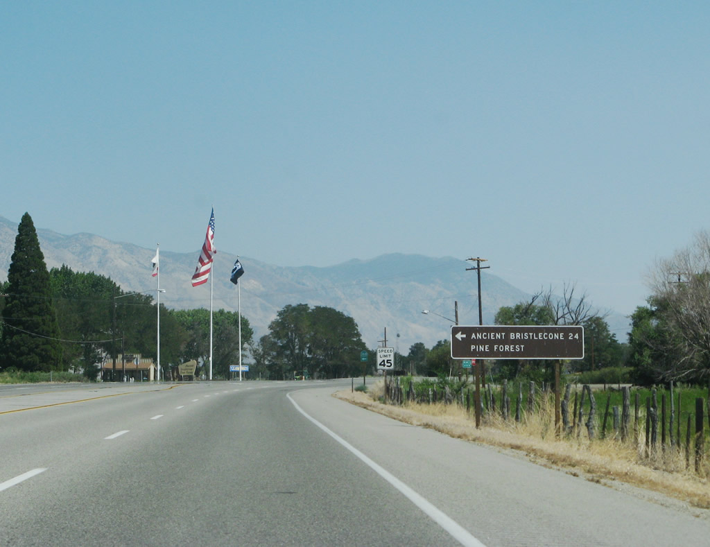
An Eastern Sierra scenic point of interest sign is posted prior to the California 168 turnoff, most likely for the Ancient Bristlecone Pine Forest in Inyo National Forest. Photo taken 07/09/07. |
|
Follow California 168 east to the Ancient Bristlecone Pine Forest in Inyo National Forest (24 miles via California 168 east and White Mountain Road north to Schulman Grove). A visitor center is located at the southeast corner of the upcoming intersection (turn left onto California 168, then right into the visitor center). Photo taken 07/09/07. |
|
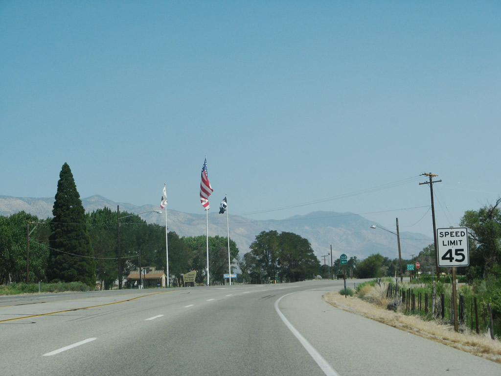
The three flags flying at the bristlecone pine forest visitor center are not the three flags for which U.S. 395 is named. Here are the United States, California, and POW-MIA (prisoner of war-missing in action) flags. U.S. 395 is named the Three Flags Highway, in honor of the three nations it originally connected: Mexico, United States, and Canada. Photo taken 07/09/07. |
|
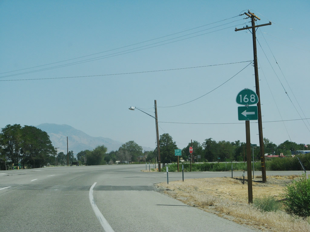
A neutered California 168 trailblazer is posted at the intersection between U.S. 395 south and California 168 east. From here, U.S. 395 (and Historic U.S. 6) proceed south into the community of Big Pine. Photo taken 07/09/07. |
| U.S. 395 south |
|
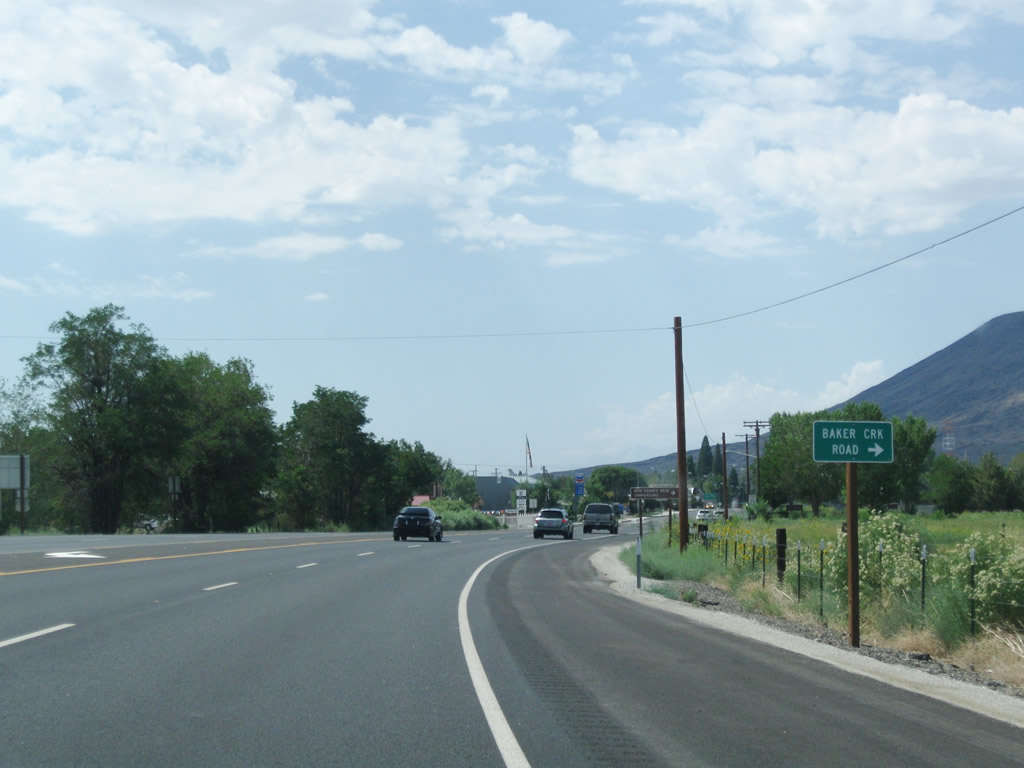
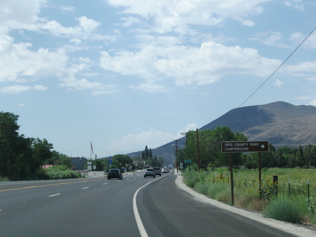
After the California 168 east intersection, U.S. 395 next approaches Baker Creek Road west to Baker Creek campground. Photo taken 07/26/09. |
|
The Baker Creek campground is operated as an Inyo County Park. Photo taken 07/26/09.
|
Page Updated May 10, 2010.