| U.S. 395 south |
|
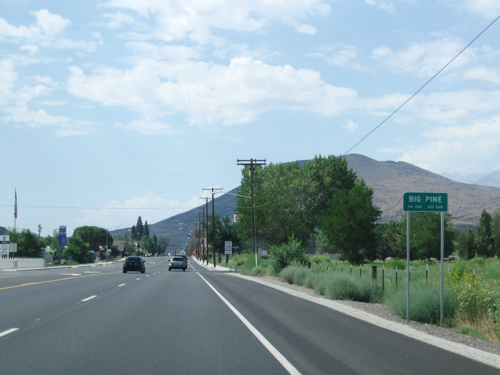
U.S. 395 enters the unincorporated community of Big Pine. Home to 1,350 people as of the 2000 Census, Big Pine sits at an elevation of 3,990 feet. Most motorist services are available here. Photo taken 07/26/09. |
|
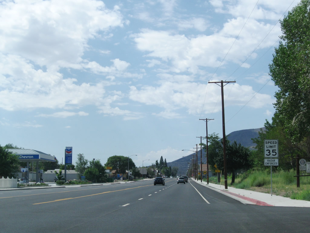
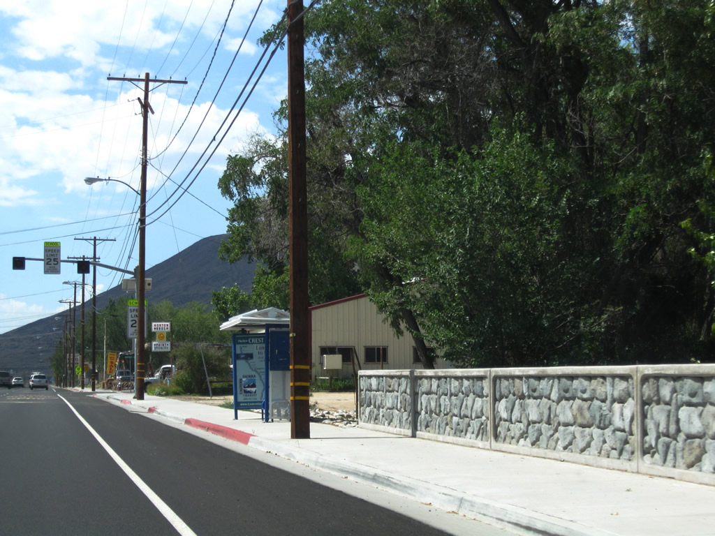
The speed limit reduces to 35 miles per hour through Big Pine. Photo taken 07/26/09. |
|
An unusual warning signal is posted along southbound U.S. 395 near the volunteer fire department in downtown Big Pine. When the alarm goes off during the night to call volunteers into the fire station, it can be heard throughout the community. Photo taken 07/26/09. |
|
Southbound U.S. 395 (Three Flags Highway) approaches Glacier Lodge Road west to Big Pine Creek campground and Glacier Lodge (nine miles). Photo taken 07/26/09. |
|
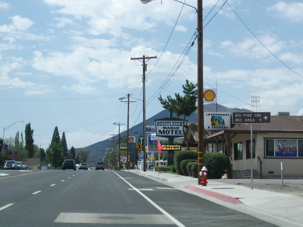
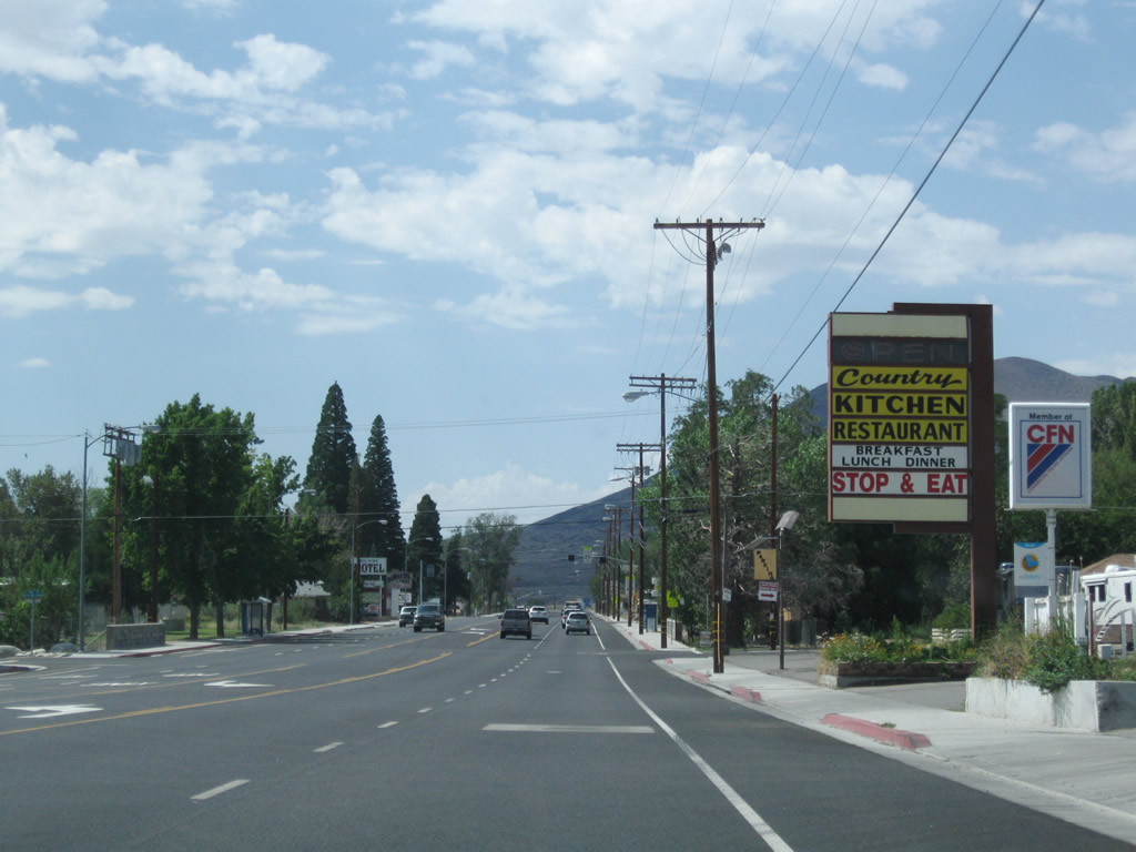
"Stop and Eat" at the Country Kitchen. U.S. 395 will soon leave the downtown area of Big Pine and resumes its fast journey south through the Owens Valley to the Mojave Desert. Photo taken 07/26/09. |
|
An unusual bridge railing lines U.S. 395 as it crosses over Big Pine Creek, which flows east into the Owens River. Photo taken 07/26/09. |
|
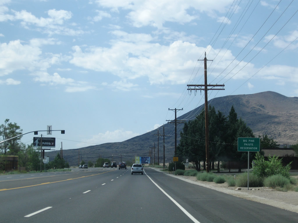
At the south end of Big Pine, U.S. 395 enters the Big Pine Paiute Indian Reservation. Photo taken 07/26/09. |
|
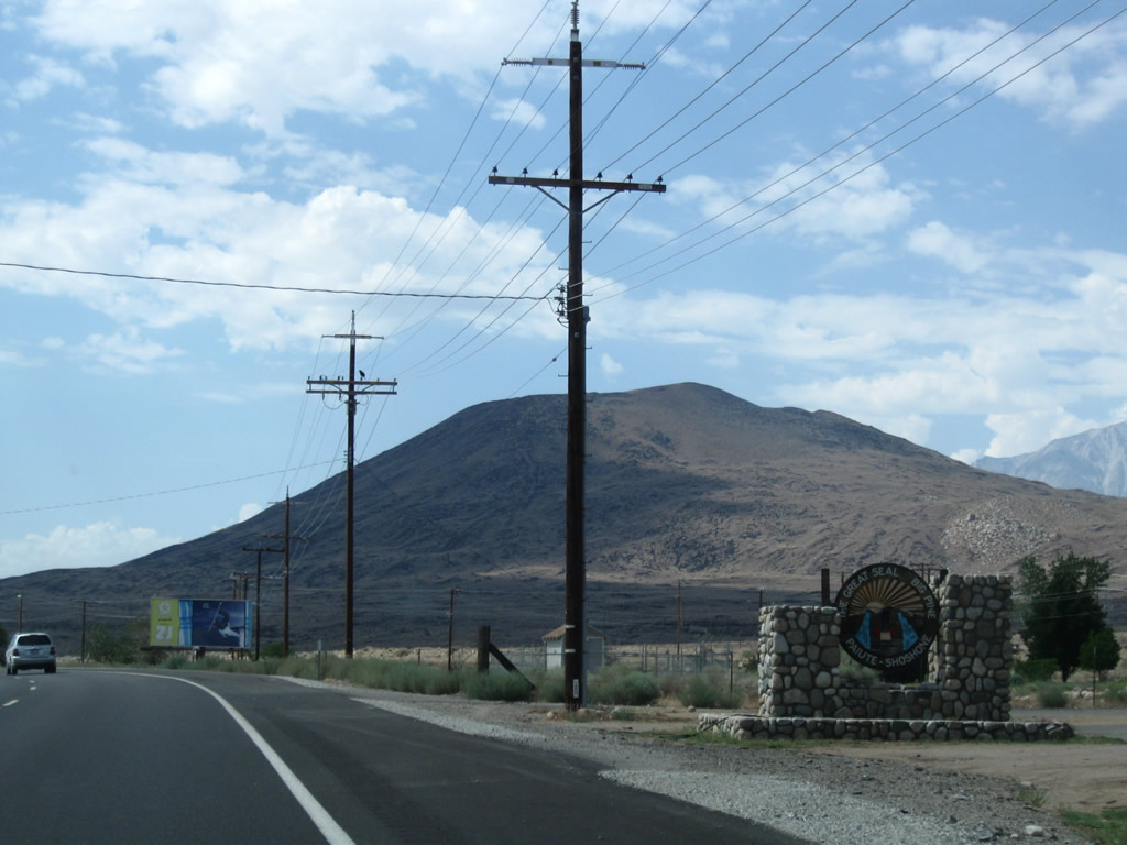
The Great Seal of Big Pine Paiute Shoshone is found along the west side of U.S. 395 as we leave town. Photo taken 07/26/09. |
|
Regaining a 55 mile per hour speed limit, southbound U.S. 395 approaches Butcher Lane (next left) within the Big Pine Paiute Indian Reservation. Photo taken 07/09/07. |
|
U.S. 395 widens again to gain a median barrier, and the next right connects to the Big Pine landfill. Photo taken 07/09/07. |
|
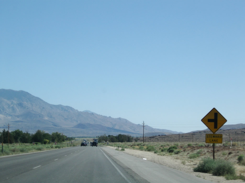
The next left connects U.S. 395 south with Steward Lane. Photo taken 07/09/07. |
|
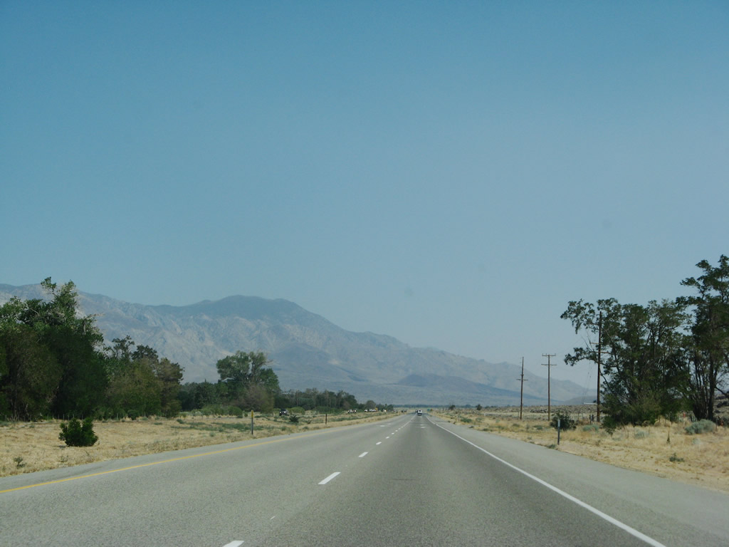
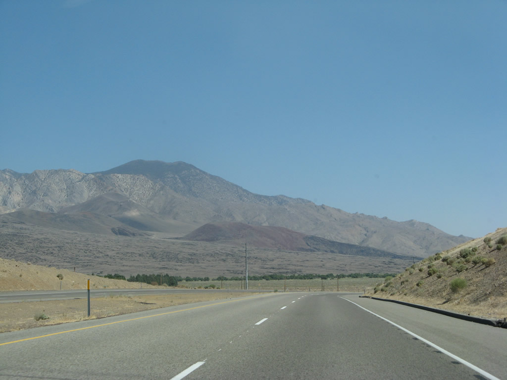
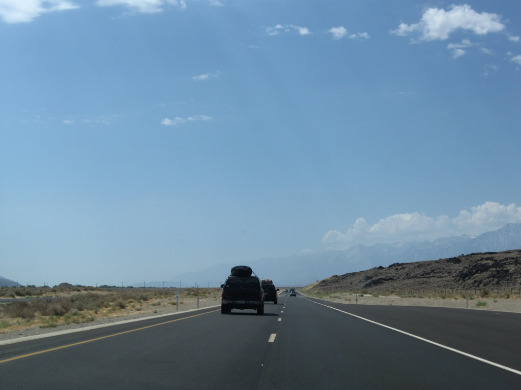
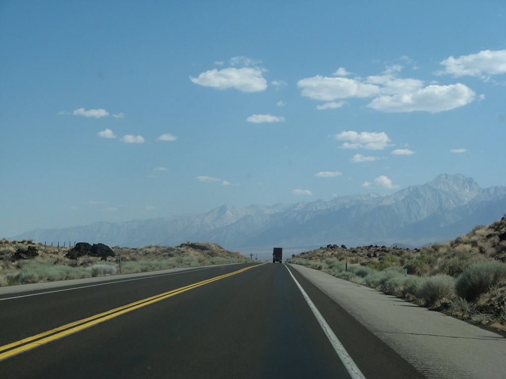
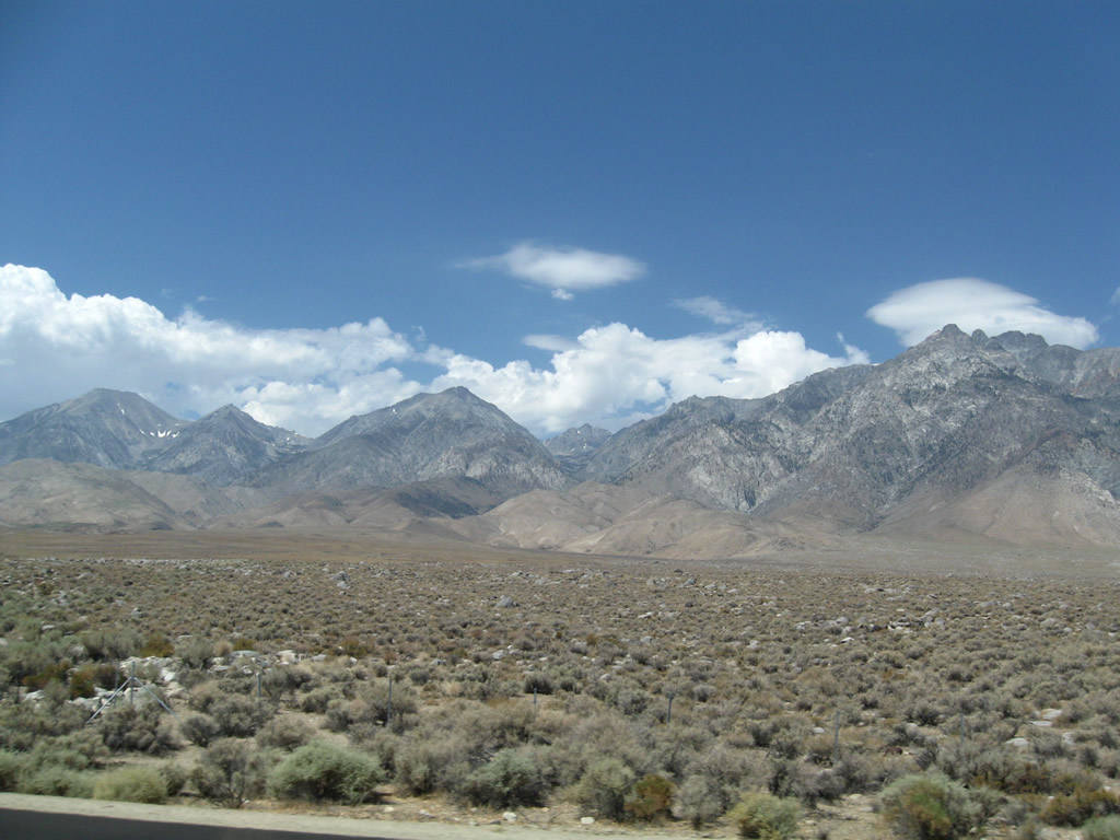
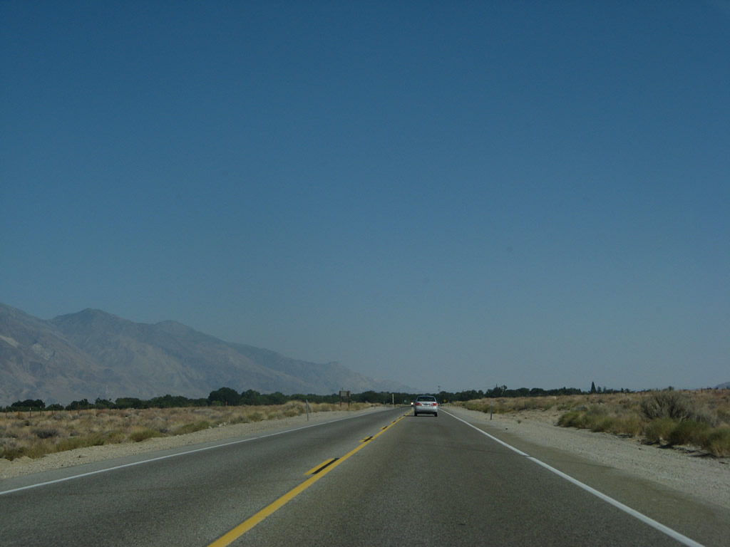
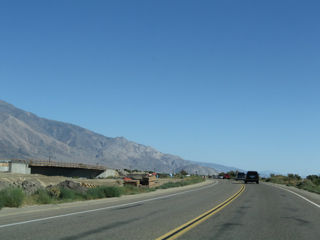
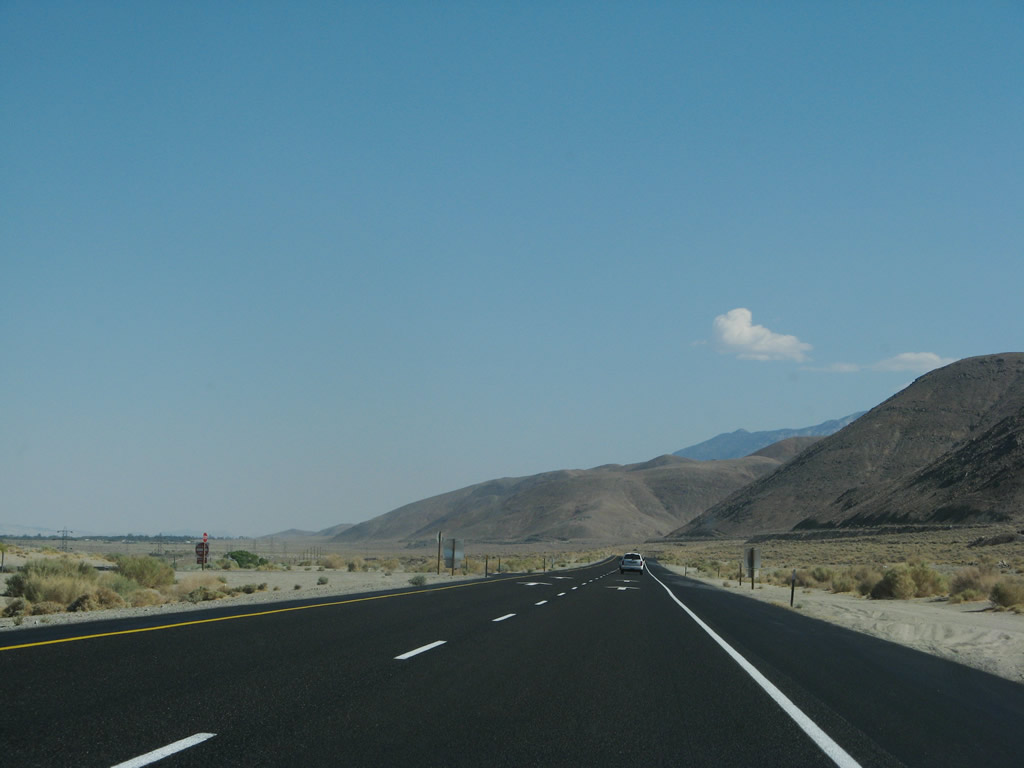
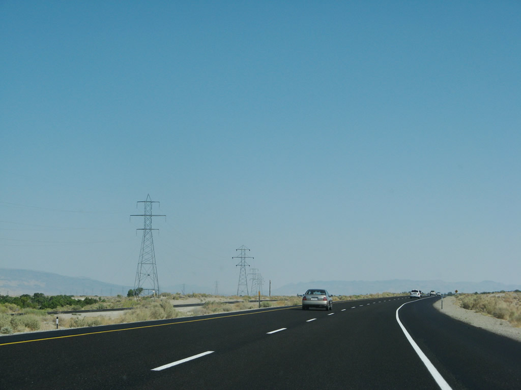
U.S. 395 proceeds south through the scenic Owens Valley toward Independence. Photo taken 07/09/07. |
|
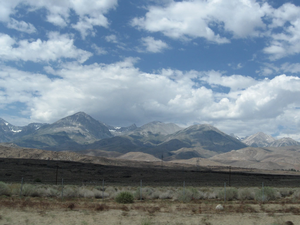
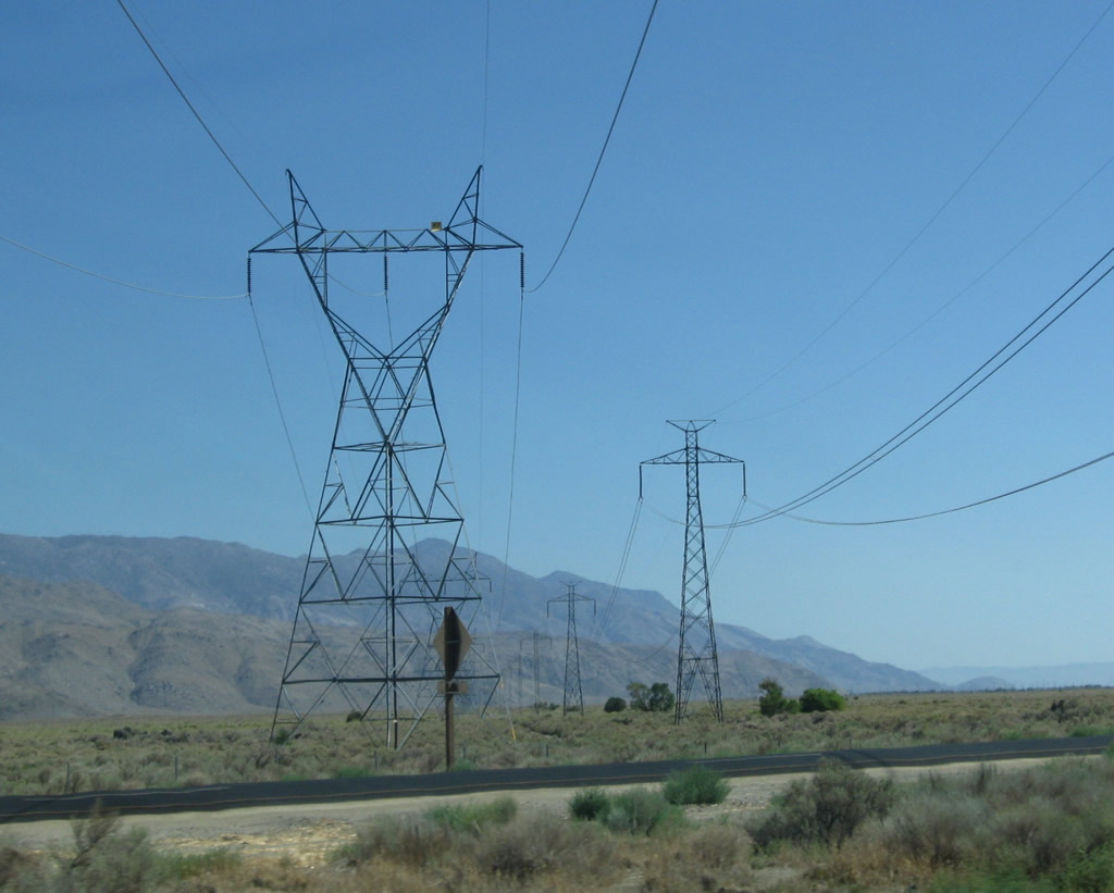
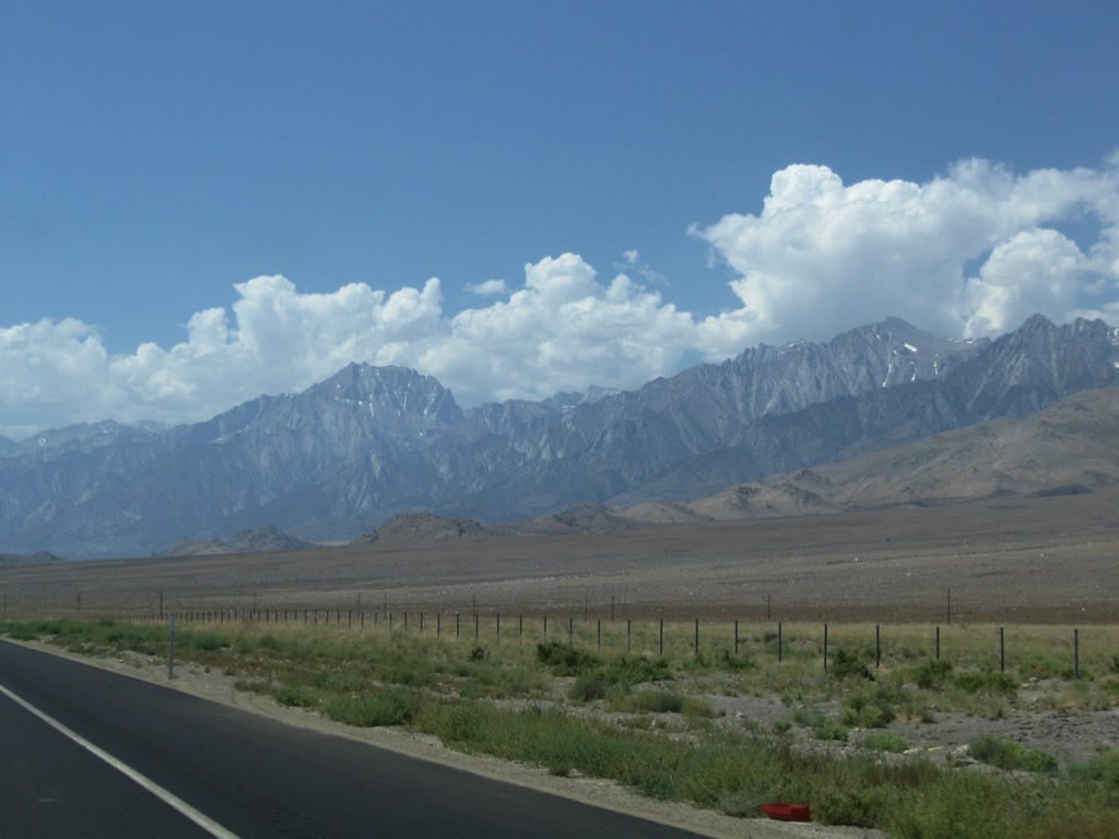
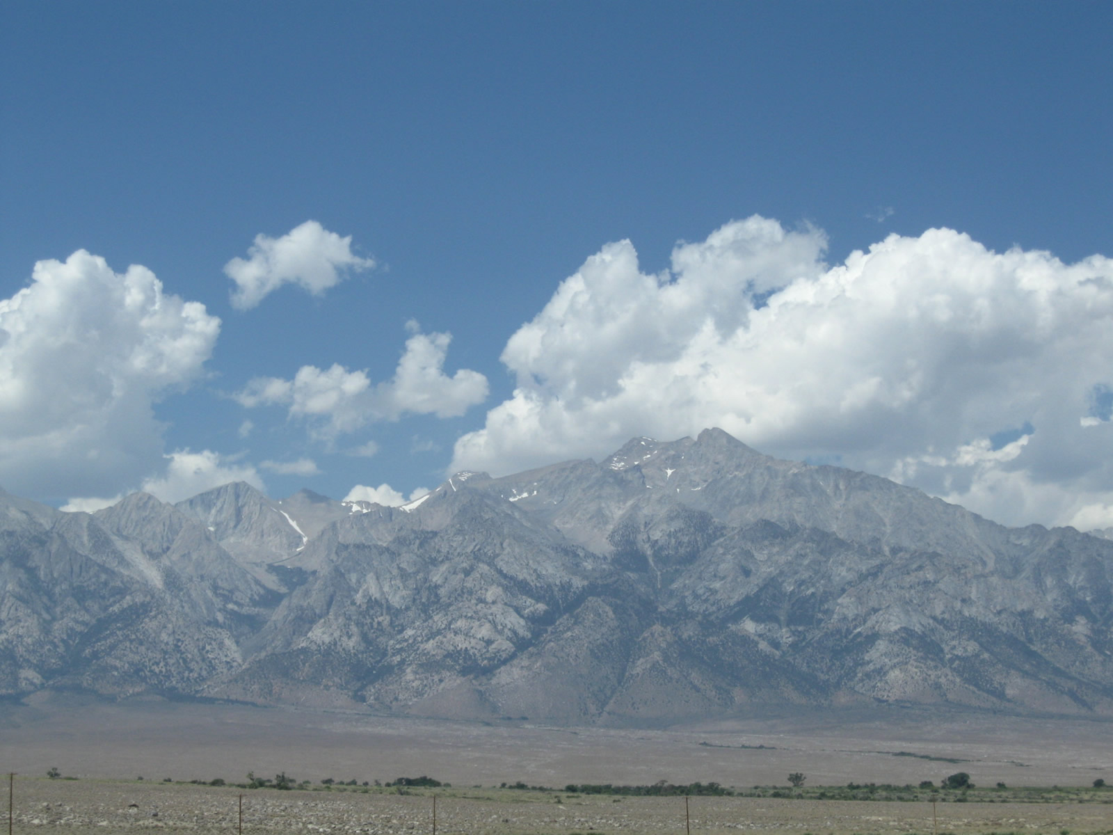
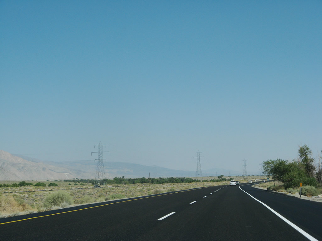
This view again looks west at the Sierra Nevada. The Path 65 and 230kV power lines both parallel U.S. 395 to the west of the U.S. highway; both of these LADWP lines are dwarfed by the towering rise of the mountains. Photo taken 07/26/09. |
|
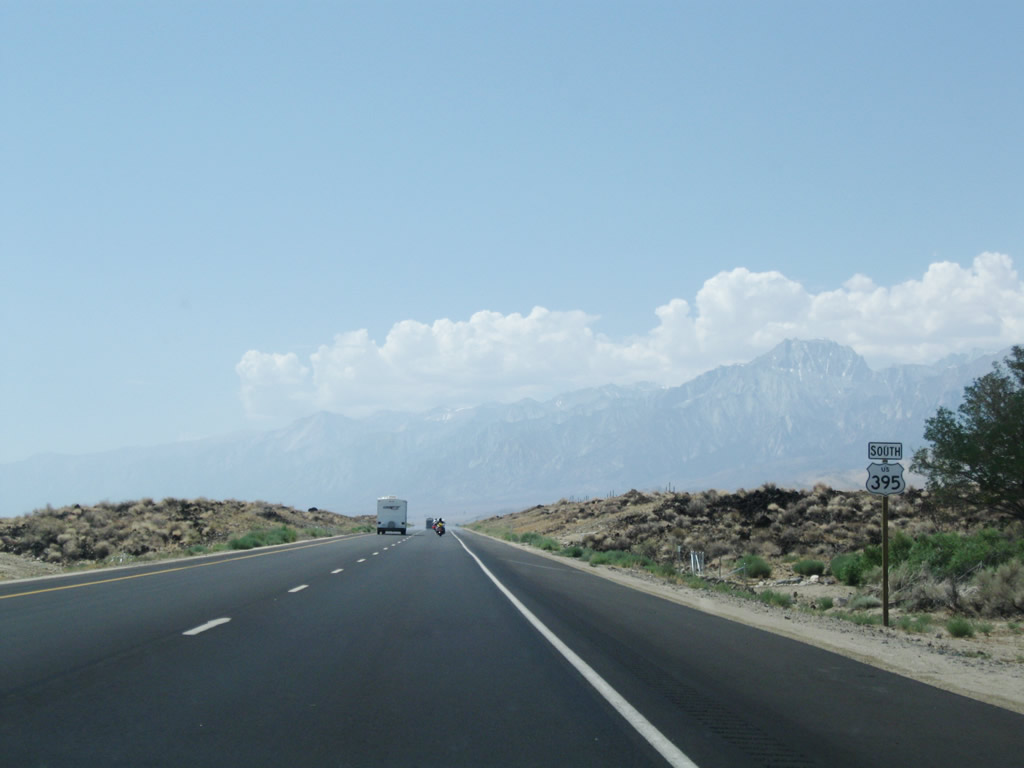
This mileage sign provides the distance to Independence (24 miles), Lone Pine (40 miles), and Los Angeles (250 miles). Photo taken 07/09/07. |
|
|
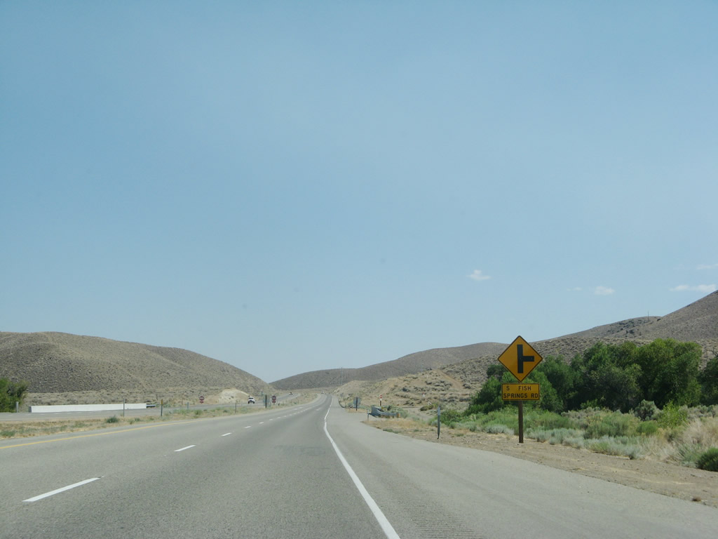
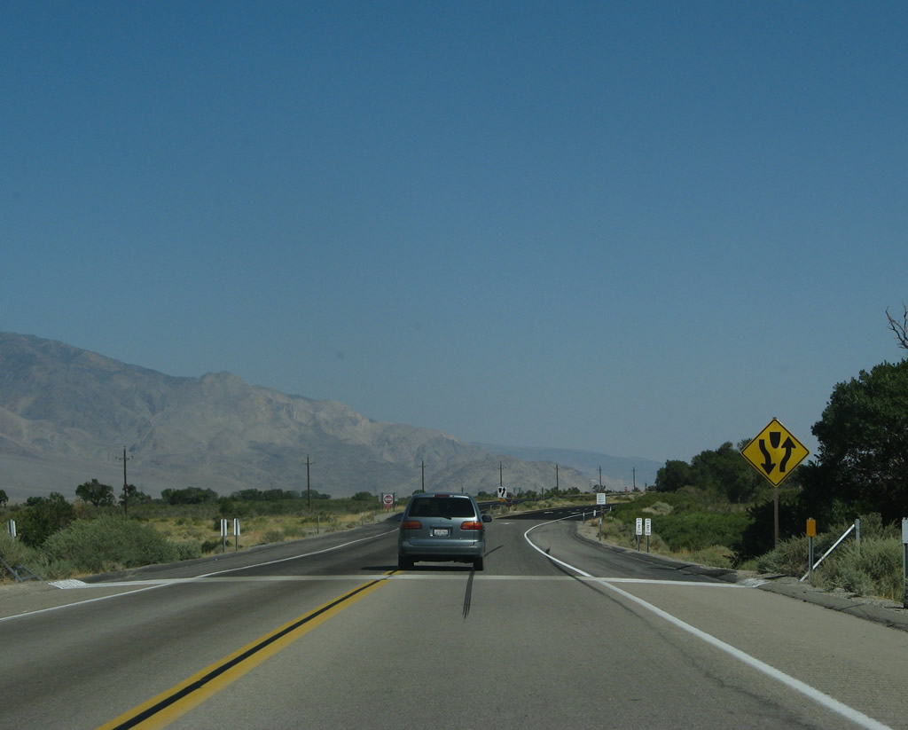
U.S. 395 approaches North Fish Springs Road. This is an old alignment of U.S. 395 that leads to Fish Springs, then merges back to the current alignment. Photos taken 07/19/09 and 07/26/09. |
|
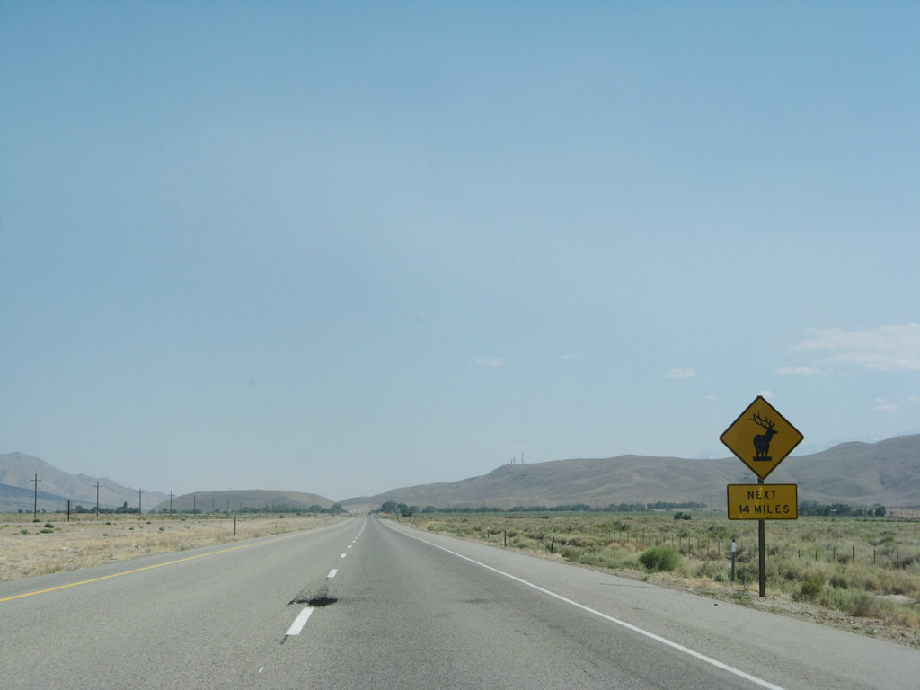
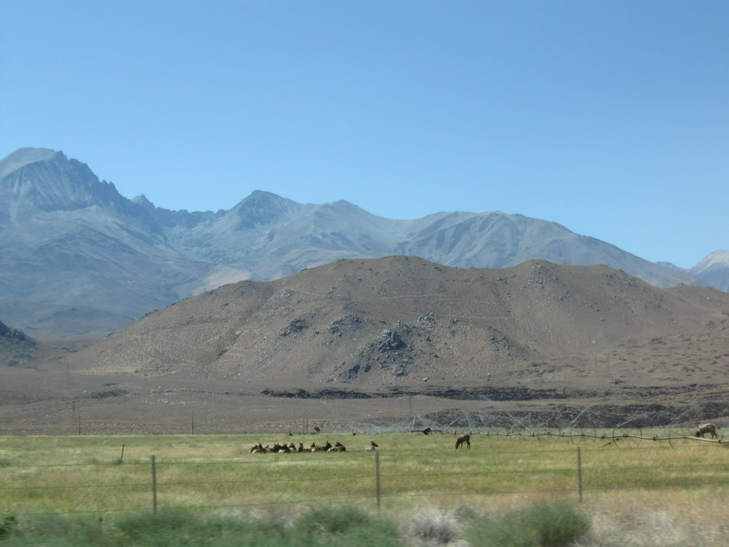
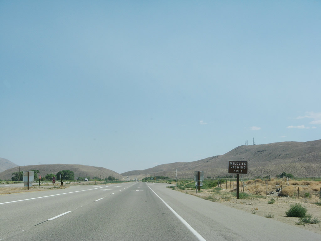
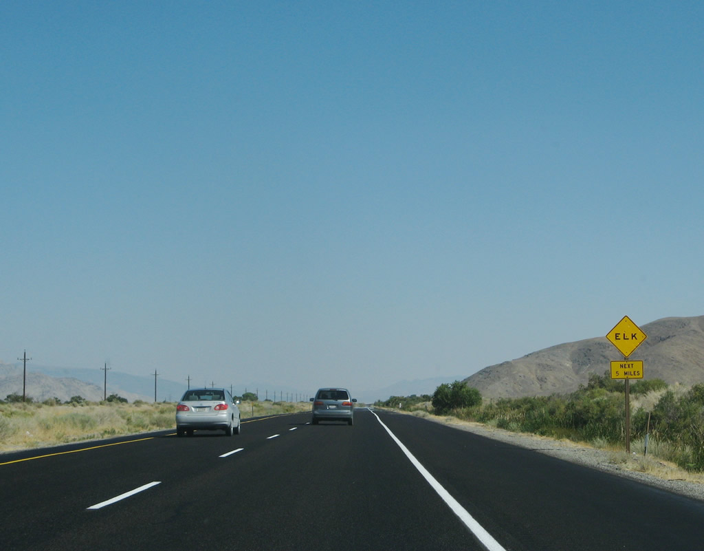
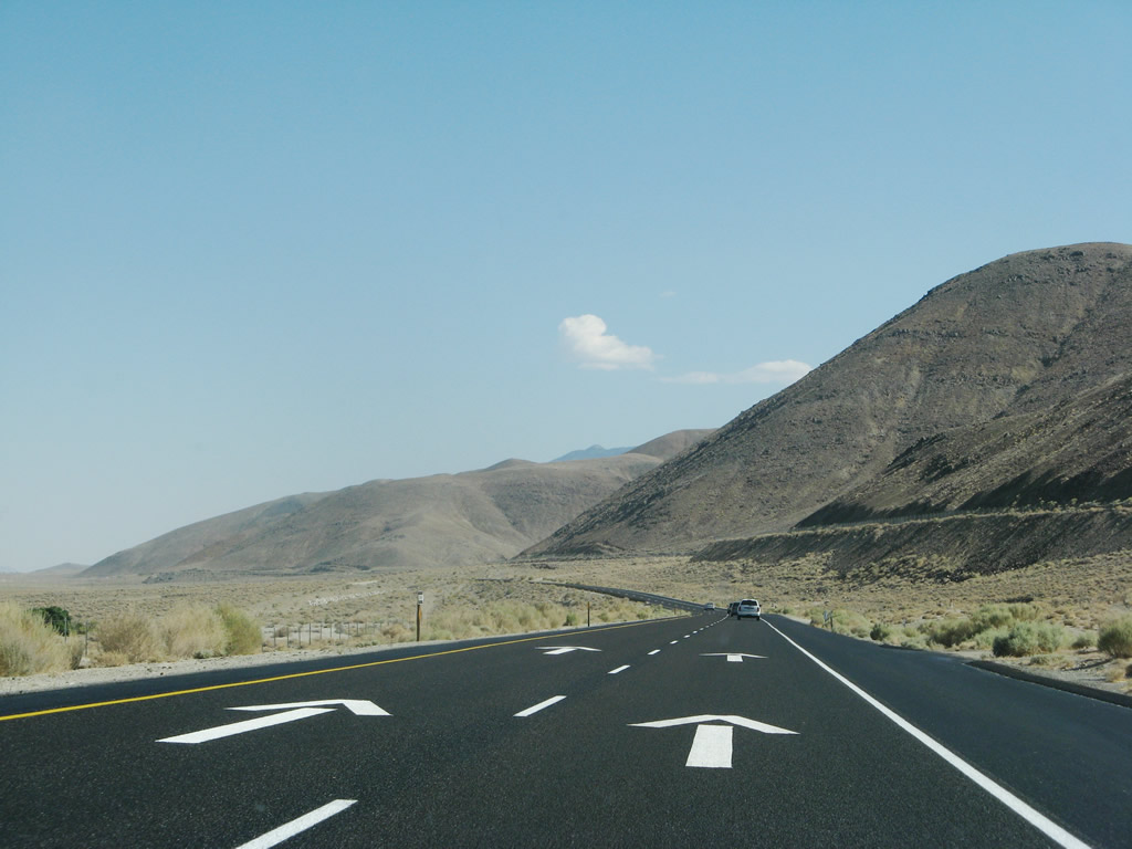
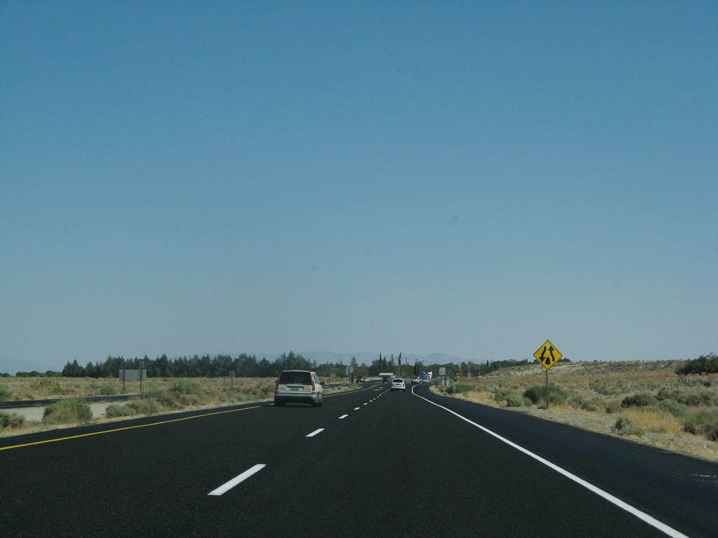
For the next 14 miles, watch for elk and deer on the highway, especially at dusk and dawn. Two wildlife viewing areas are available ahead on the right. Photo taken 07/09/07. |
|
|
|
It is actually fairly common to spot elk along this section of U.S. 395, as they often graze in the fields west of here. Pull off to the wildlife viewing area to see the herd of elk when in season. Photos taken 07/09/07 and 09/07/09. |
|
The old alignment of U.S. 395 returns to the mainline at the South Fish Springs Road intersection. Turn right here to follow South Fish Springs Road north to Fish Springs. Photo taken 07/09/07. |
|
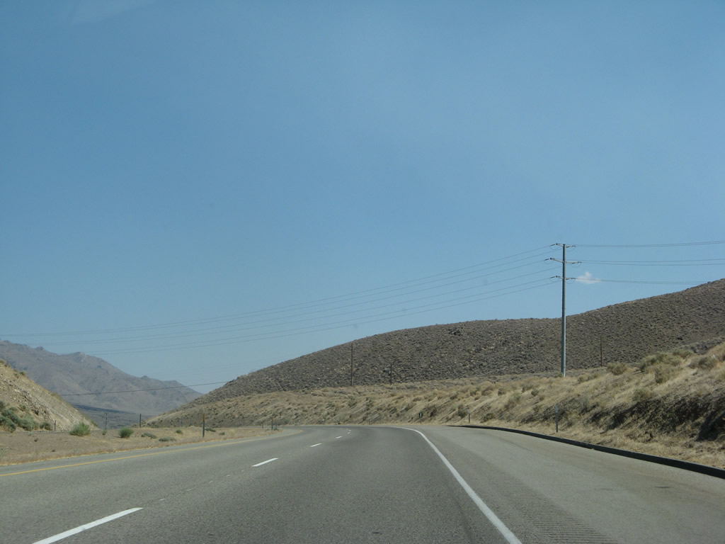
A subtransmission power line crosses over U.S. 395 as the highway curves near Tinemaha Reservoir (located east of U.S. 395 along the Owens River). Photo taken 07/09/07. |
|
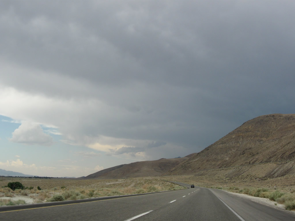
Mazourka Peak (el. 9,413 feet) rises in the distance as U.S. 395 curves southeast and again south in the Owens Valley. Photo taken 07/09/07. |
|
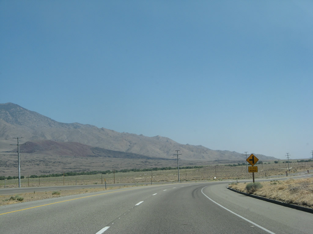
The next left from U.S. 395 south connects to Elna Road east. Photo taken 07/09/07. |
|
Back in 2007, the expressway and four-lane segment ended at Elna Road. However, by 2009, the highway was widened to its current four-lane expressway configuration south of this point. Photo taken 07/09/07. |
|
Looking at the same spot in 2009, the expressway continues unfettered through this same spot. Widening was underway closer to Independence, and plans call for eventual conversion of the entire length of U.S. 395 in the Owens Valley to four-lane expressway standards aside from segments through towns and cities. Photo taken 09/07/09. |
|
|
|
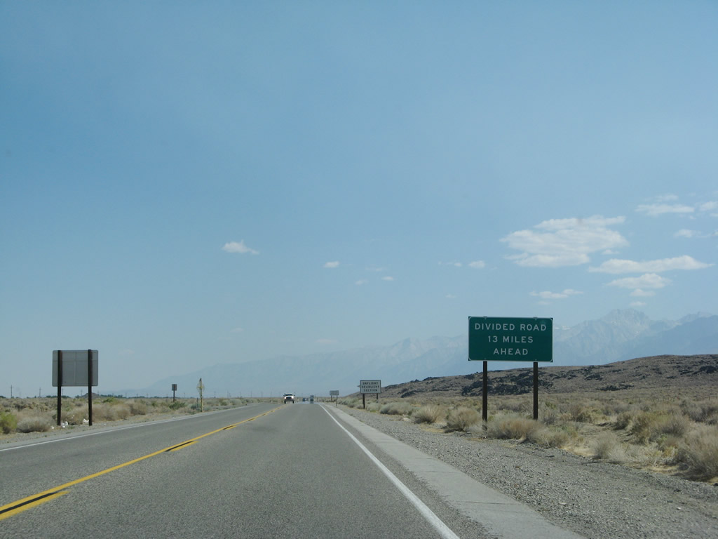
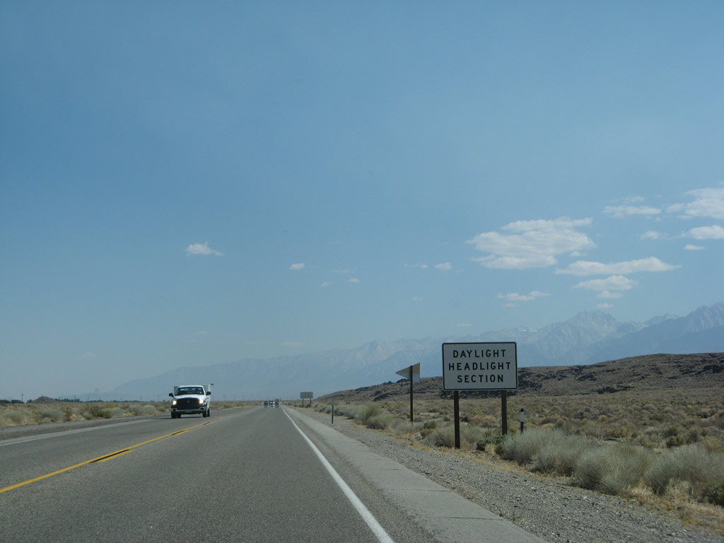
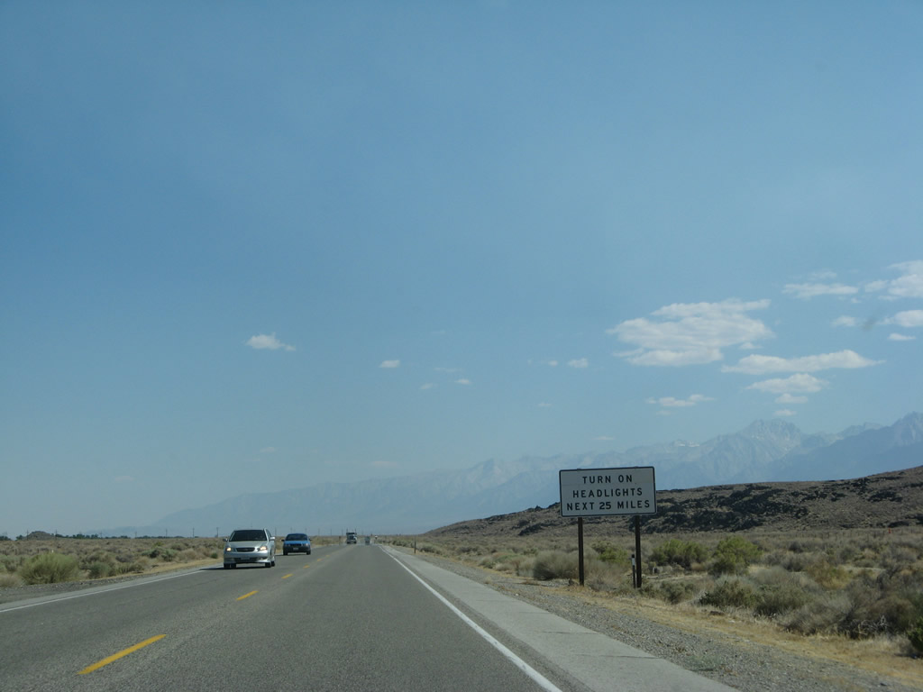
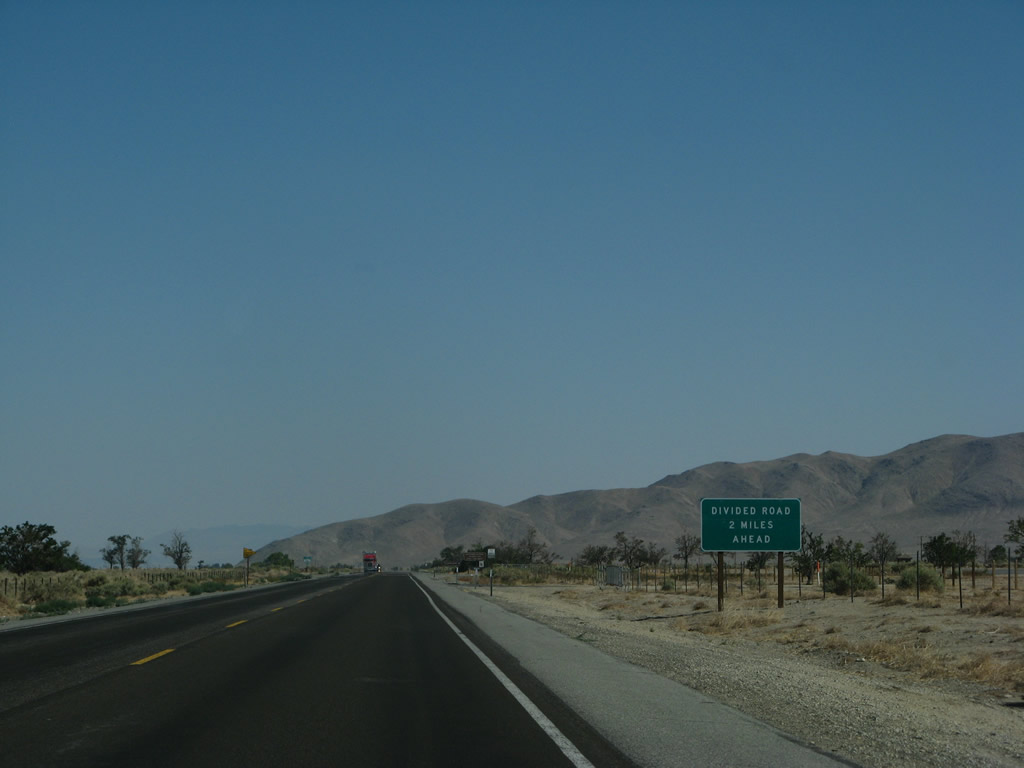
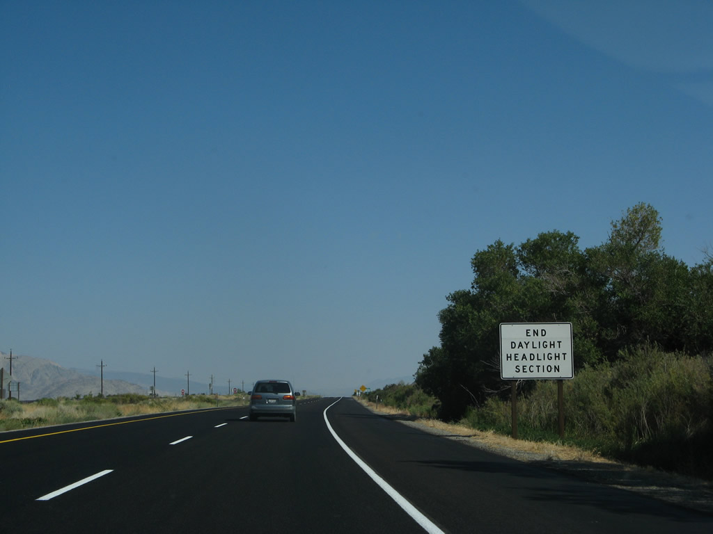
Again in 2007, these signs advised that the divided highway did not resume for another 14 miles; the next 25 miles of highway were designated as daytime headlights mandatory due to the high traffic volume. Now these signs are gone as the expressway segment through here is complete. Photos taken 07/09/07. |
|
|
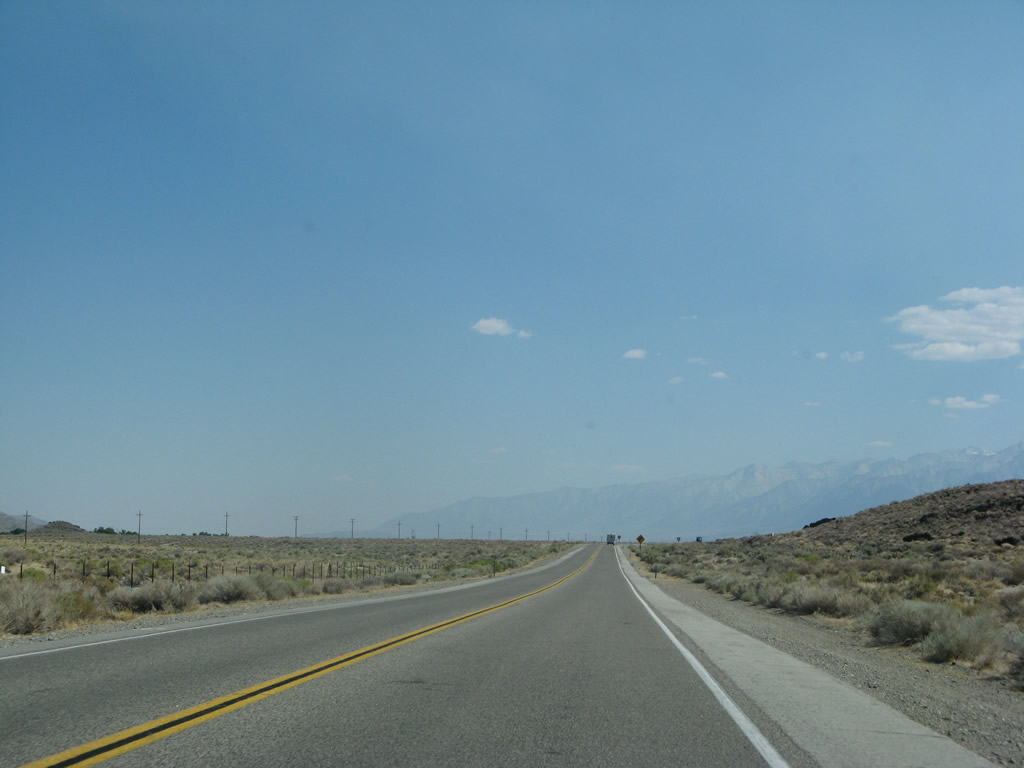
Compare U.S. 395 with two lanes or with four lanes. Photos taken 07/09/07 and 07/26/09. |
|
|
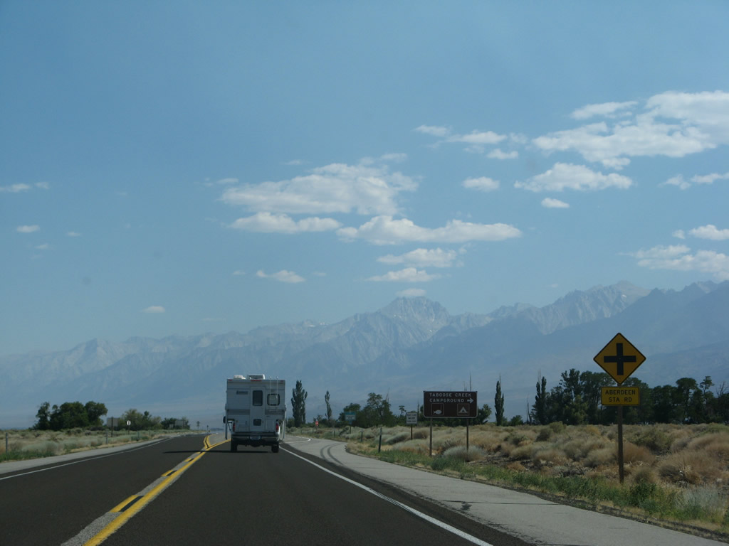
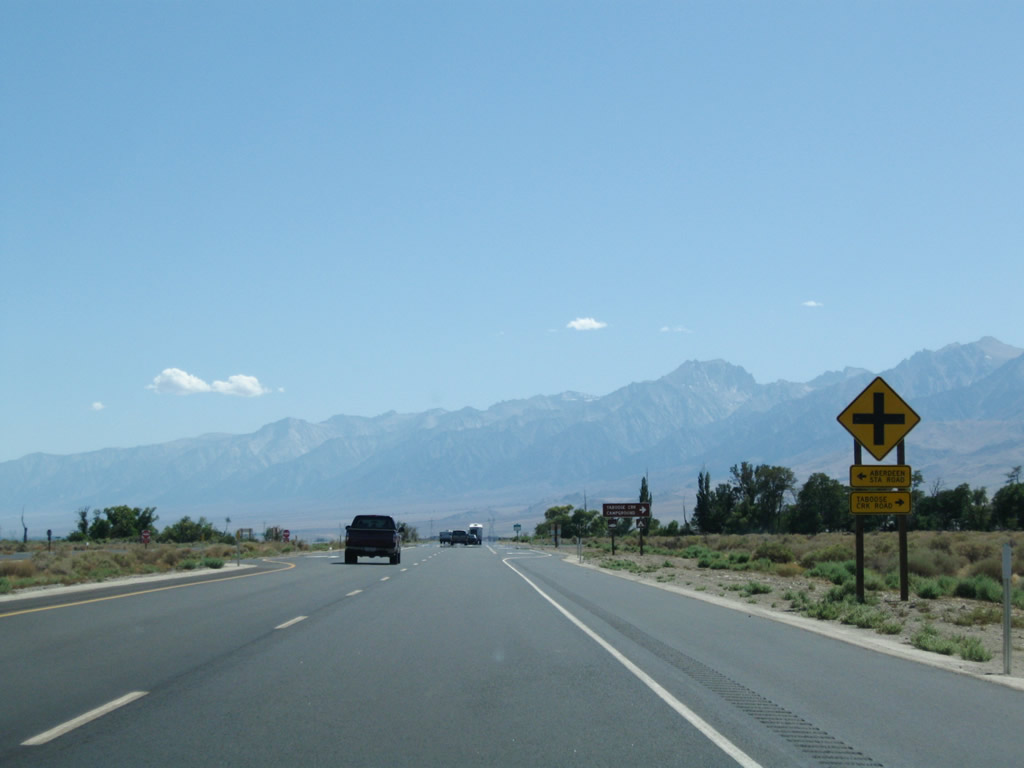
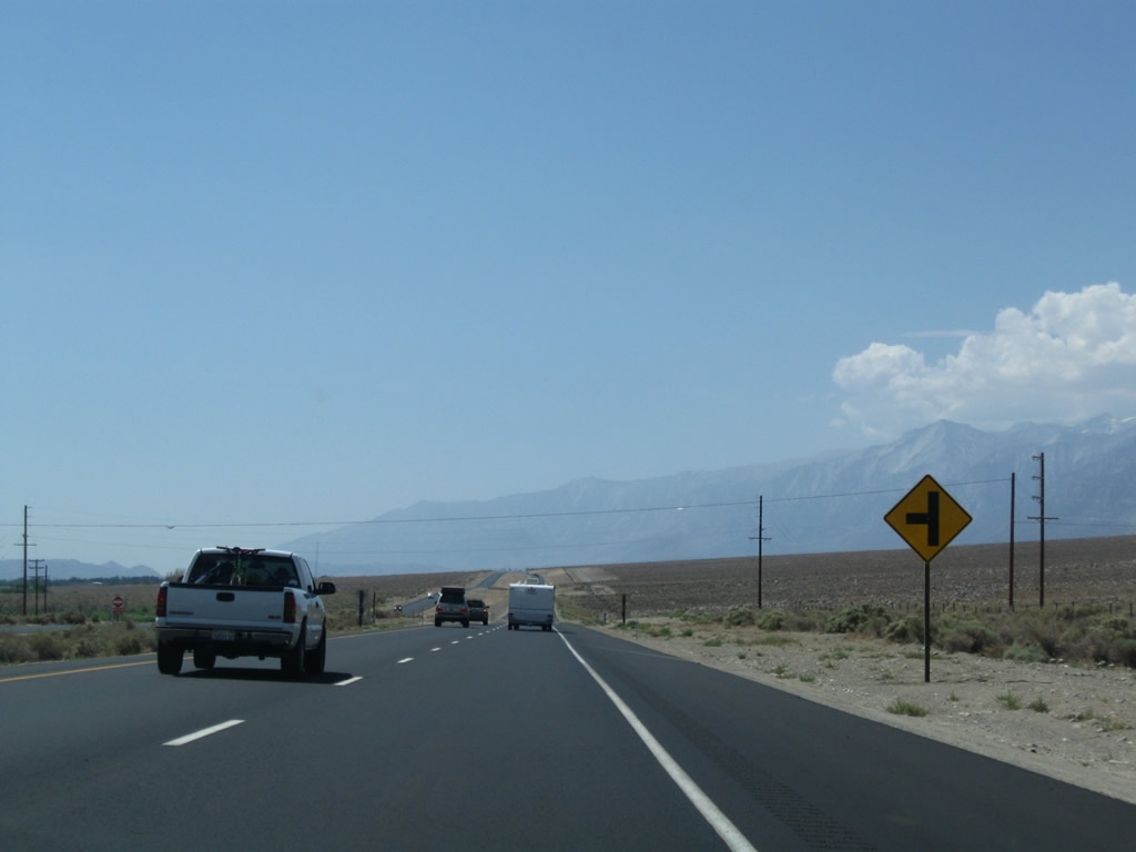
Southbound U.S. 395 approaches Aberdeen Station Road east and Taboose Creek Road west. Turn right here to connect to another old alignment that leads to Aberdeen. Photos taken 07/09/07 and 09/07/09. |
|
Turn right (west) on Taboose Creek Road to Taboose Creek Campground. Photo taken 09/07/09. |
|
|
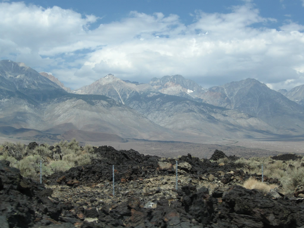
Volcanic rock lines the median of the new U.S. 395 expressway. Photos taken 07/26/09. |
|
|
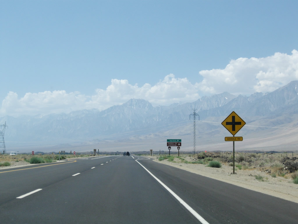
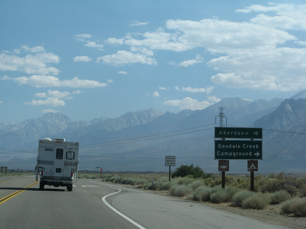
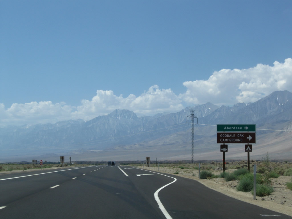
The next intersection along U.S. 395 south is with Goodale Road, which travels west into Aberdeen. Photos taken 07/09/07 and 07/26/09. |
|
|
Southbound U.S. 395 meets Goodale Road to Aberdeen. Photos taken 07/09/07 and 07/26/09. |
|
|
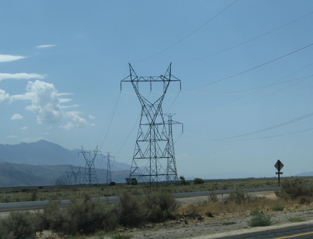
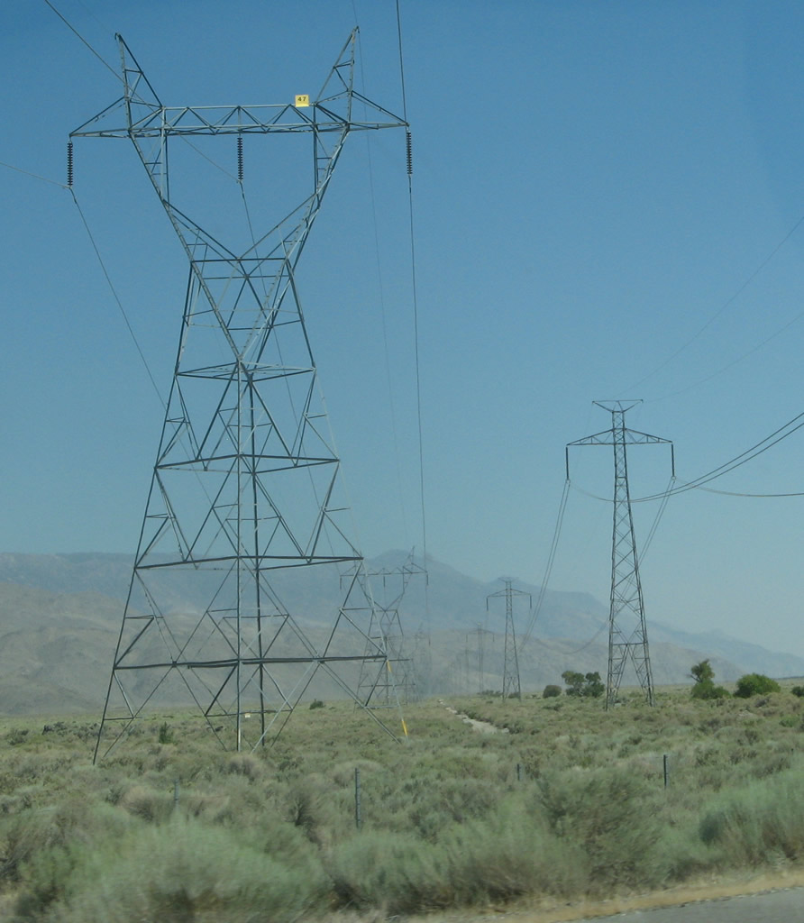
The Path 65 500kV HVDC line and 230kV line (both owned by Los Angeles Department of Water and Power) cross over U.S. 395 near Aberdeen. These lines will now stay to the east of the U.S. highway from here south through the Owens Valley. Photos taken 07/09/07 and 07/26/09. |
|
|
|
This view again looks west at the Sierra Nevada. Photo taken 07/26/09. |
|
|
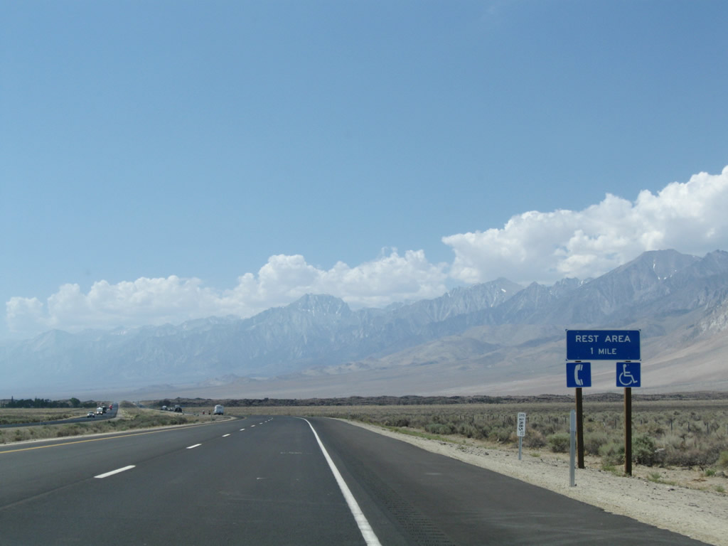
Southbound U.S. 395 approaches the Division Creek Rest Area (one mile). Signage for the rest area changed when the highway was expanded to four lanes. Photos taken 07/09/07 and 07/26/09. |
|
|
The two-lane highway sign was removed in favor of a one-half mile advance sign for the rest area. Photos taken 07/09/07 and 07/26/09. |
|
|
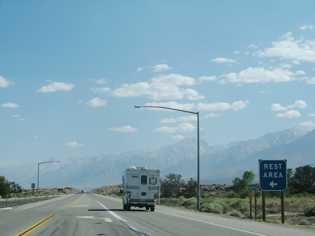
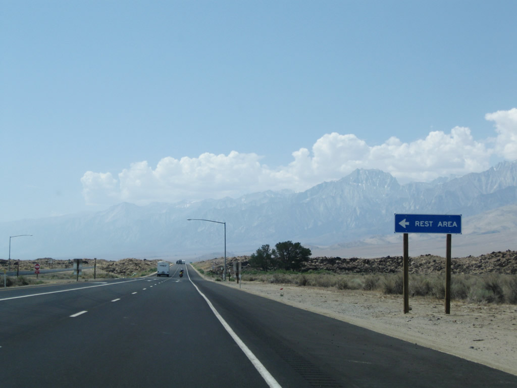
Southbound U.S. 395 meets the turnoff to the Division Creek Rest Area. Photos taken 07/09/07 and 07/26/09. |
|
A U.S. 395 south reassurance shield is posted after the rest area turnoff. Photo taken 07/26/09. |
|
Prior to road widening, this view shows U.S. 395 with only one lane in each direction in 2007. Photo taken 07/09/07. |
|
|
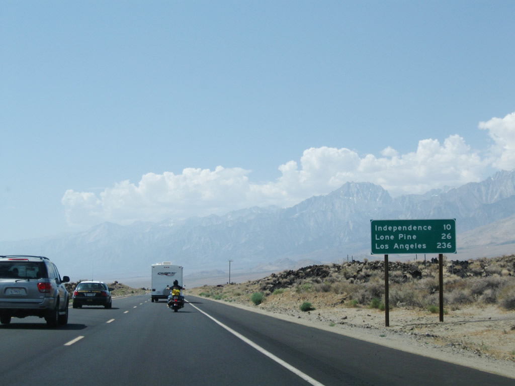
This mileage sign along U.S. 395 provides the distance to Independence (ten miles), Lone Pine (26 miles), and Los Angeles (236 miles). This sign was replaced in 2009 with the expansion of the highway to four lanes. Photos taken 07/09/07 and 07/26/09. |
|
|
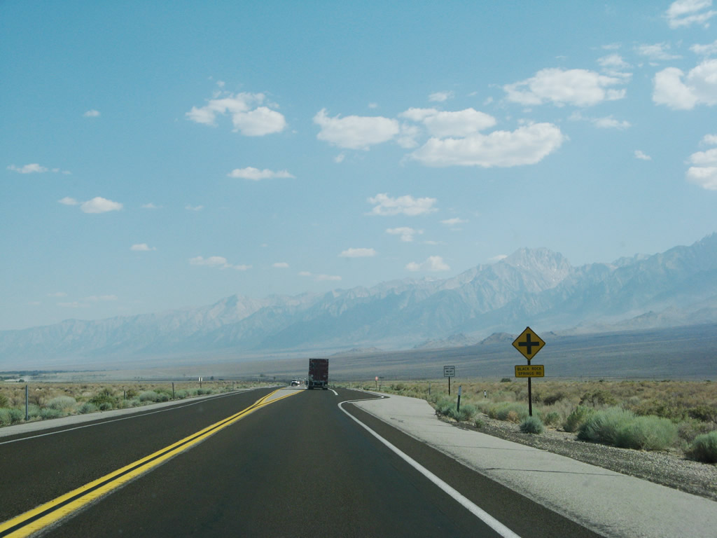
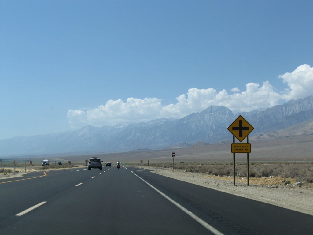
The next intersection along U.S. 395 (Three Flags Highway) south is with Black Rock Springs Road. A wildfire burned through this area in July 2007. Photos taken 07/09/07 and 07/26/09. |
|
|
A wildfire burned through this area in July 2007. Photos taken 07/09/07. |
|
|
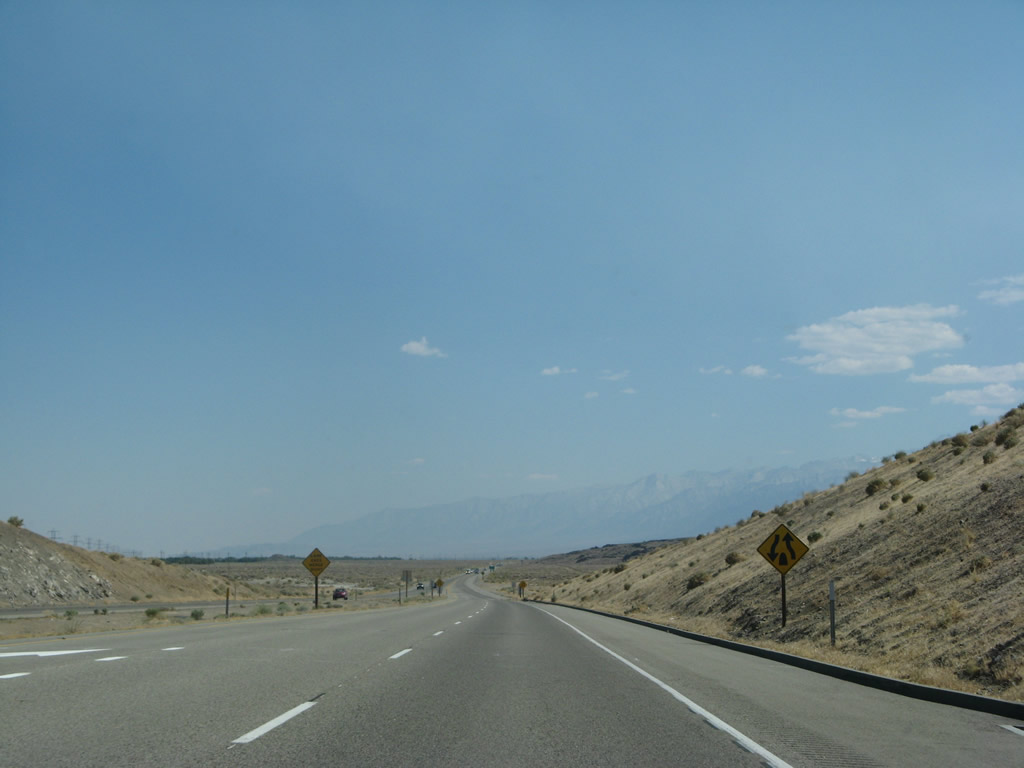
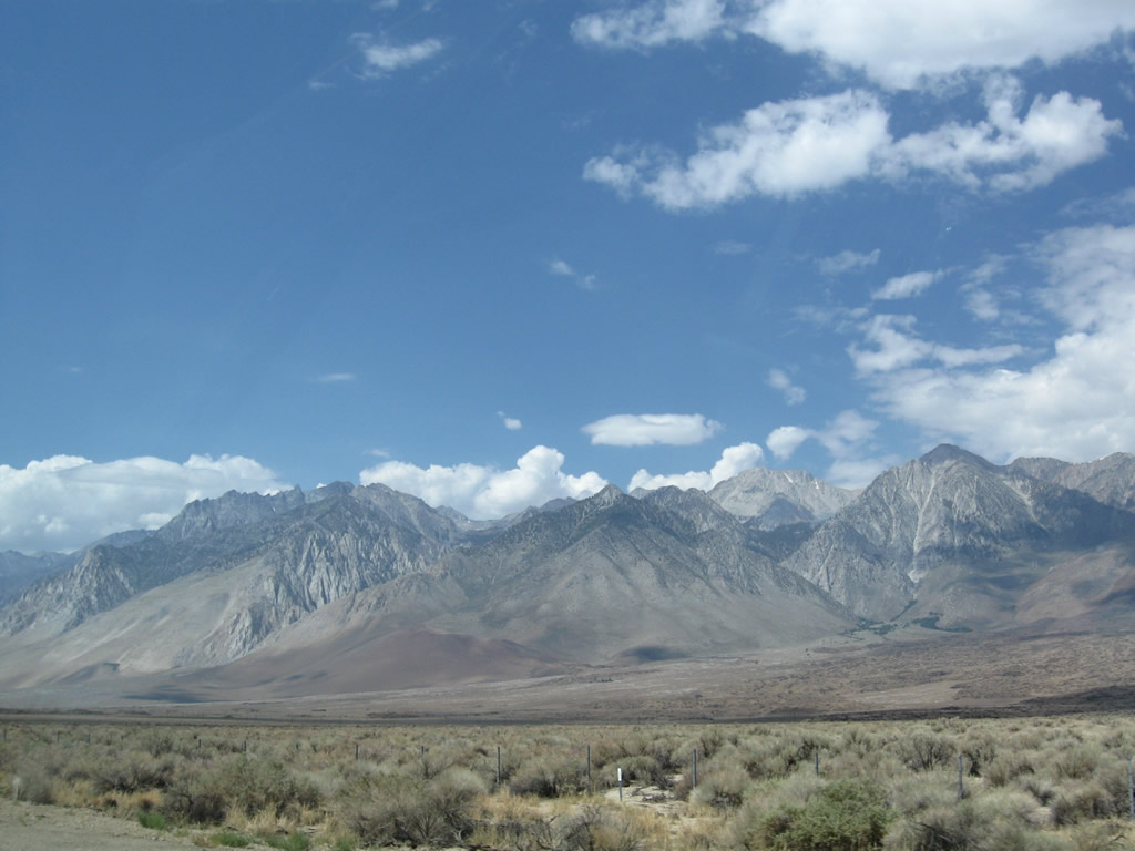
This series of photos follows U.S. 395 on the then-new four-lane expressway alignment. The eastern slope of the Sierra Nevada continues to dominate the view to the west of the highway. Photos taken 07/26/09. |
|
|
|
|
An older section of four-lane highway was in place in 2007 and became part of the longer expressway by 2009. A left turn near here connects to the site of Camp Independence via Fort Road along an old alignment of U.S. 395. The billboards herald our entry into the unincorporated community of Independence, the seat of Inyo County. Photos taken 07/09/07. |
|
|
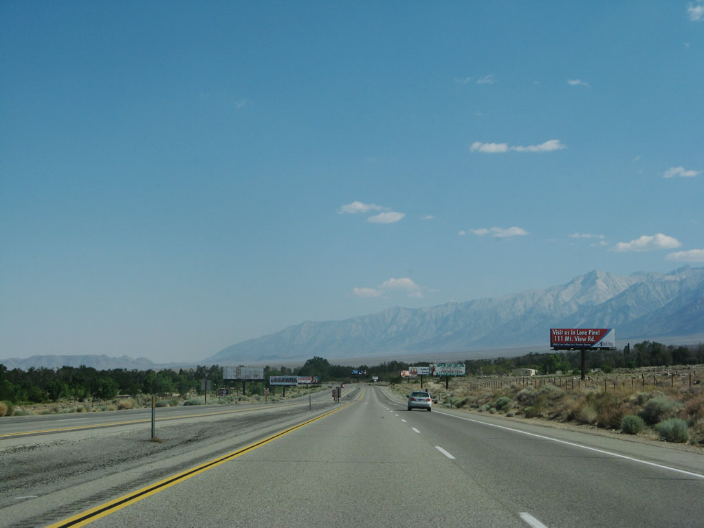
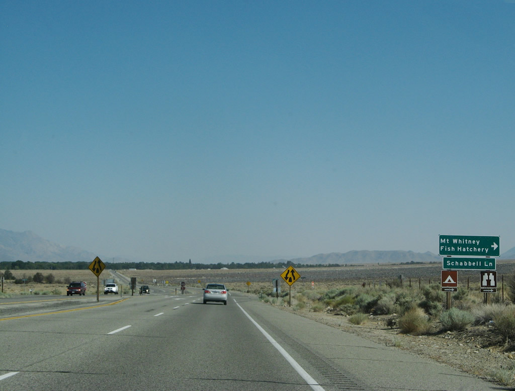
Near Camp Independence, southbound U.S. 395 approaches Miller Street, followed by Schabbell Lane to the Mount Whitney Fish Hatchery. Photos taken 07/09/07. |
|
Southbound U.S. 395 used to narrow to two lanes again prior to entering Independence, but that has since changed with the expressway widening project of 2009. By 2010, the route will be four lanes through Independence, with plans to continue expansion of the highway south of here. Photo taken 07/09/07. |
|
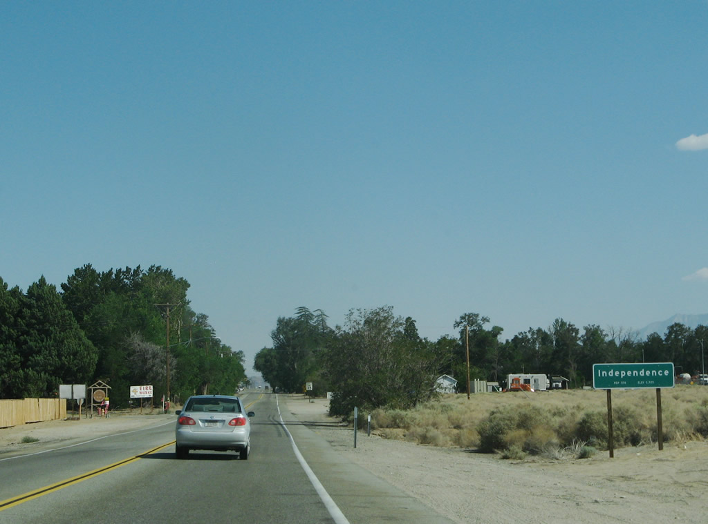
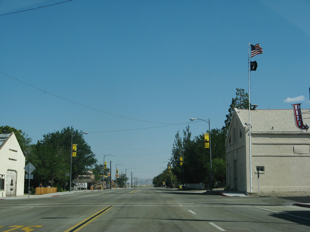
U.S. 395 enters the unincorporated community of Independence, the seat of Inyo County and the "Gateway to Discovery." Independence sits at an elevation of 3,925 feet and had a population of 574 as of the 2000 Census. Unlike Bishop to the north, Independence is not an incorporated city. However, the county government is based here. Most motorist services are available here. Photo taken 07/09/07. |
|
|
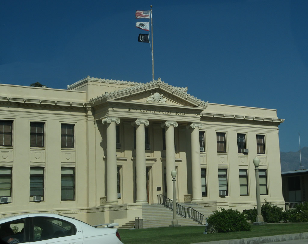
Passing through downtown Independence, U.S. 395 passes by a few motels and the Inyo County Courthouse. Photos taken 07/09/07. |
|
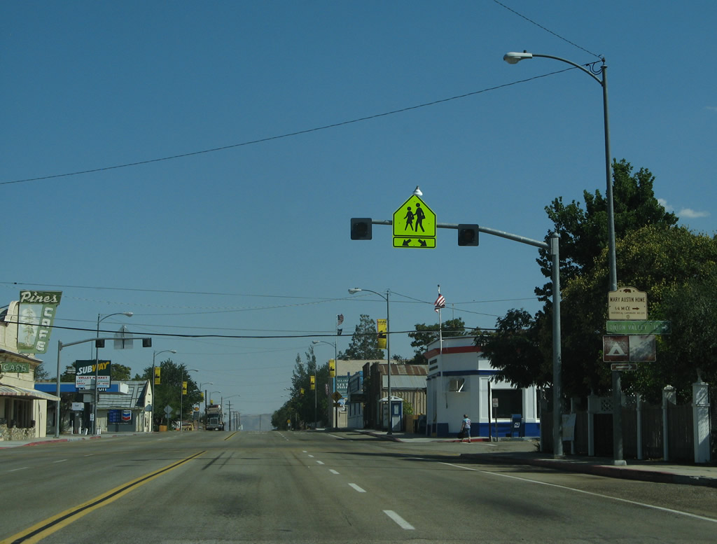
Southbound U.S. 395 approaches the intersection with Onion Valley Road in downtown Independence. A right turn here follows Onion Valley Road west to Seven Pines and Onion Valley (at an elevation of over 9,200 feet, the road climbs significantly above Owens Valley). Original plans called for Onion Valley Road to extend west across the Sierra Nevada to connect to California 180 in Kings Canyon National Park. This road link has been canceled. It is unclear if Onion Valley Road was ever signed as California 180 or built by the state highway department. Photos taken 07/09/07. |
|
|
U.S. 395 leaves Independence. Photos taken 07/09/07. |
|
|
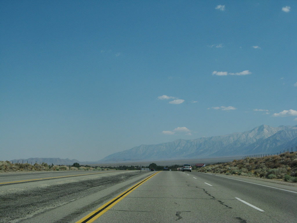
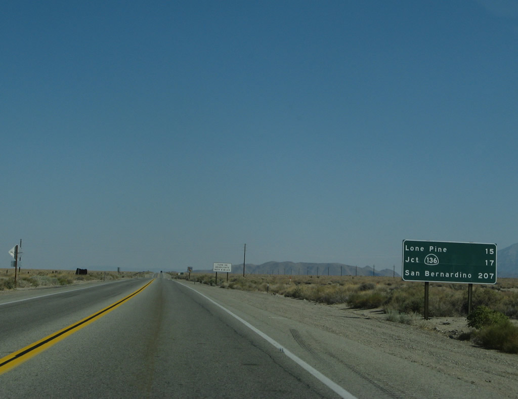
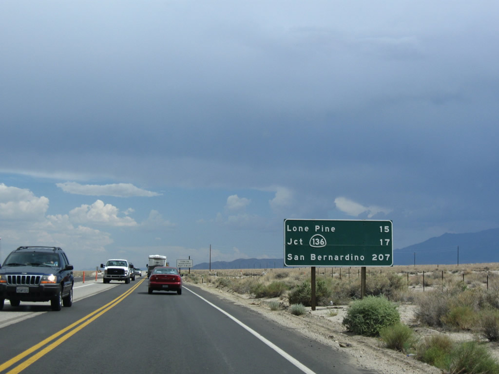
Leaving the urbanized area, this mileage sign along U.S. 395 south provides the distance to Lone Pine (15 miles), California 136 east (17 miles), and San Bernardino (207 miles). The 2009 photo shows ongoing construction to widen U.S. 395 to four lanes south of Independence. Photos taken 07/09/07 and 07/19/09. |
|
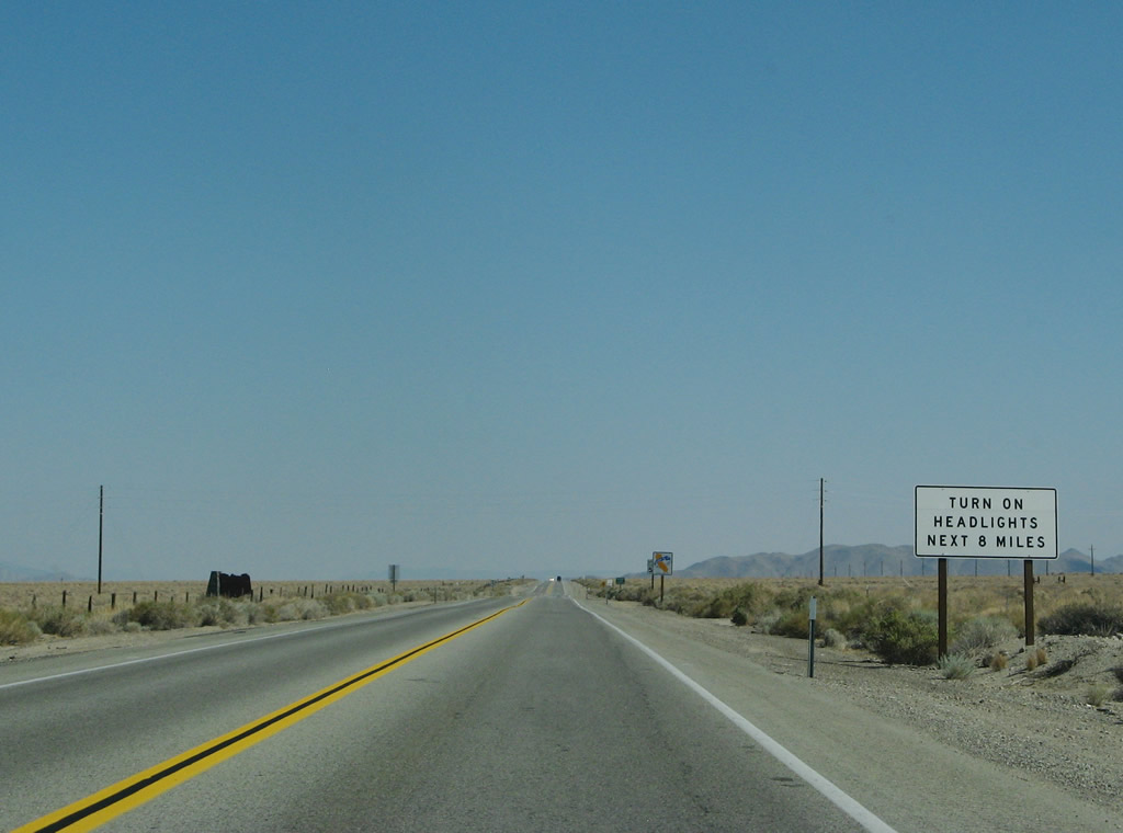
Prior to the expressway widening project, this section of U.S. 395 was a daytime headlights zone (for the next eight miles). Photo taken 07/09/07. |
|
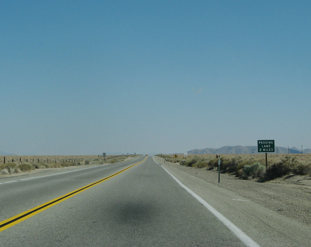
Back in 2007, a passing lane was two miles ahead. Now this section is four lanes. Photo taken 07/09/07. |
|
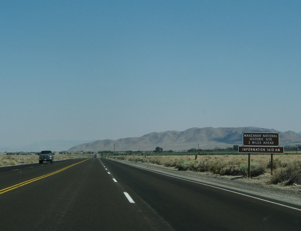
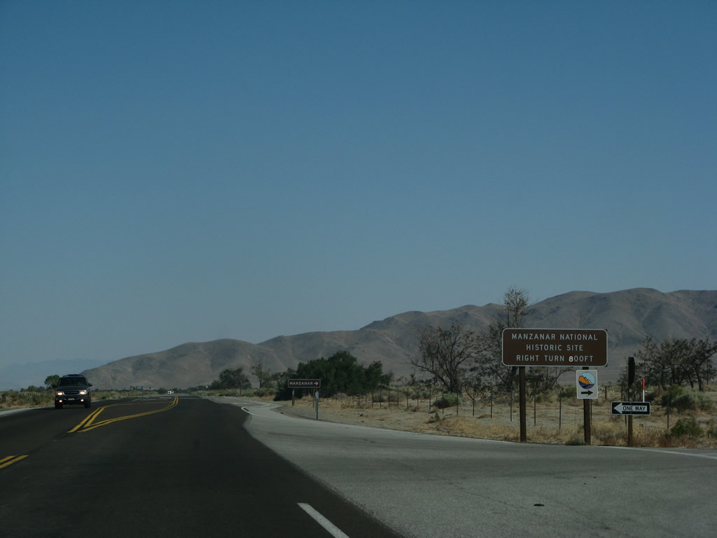
Southbound U.S. 395 approaches the turnoff for Manzanar National Historic Site (three miles). Manzanar was an internment site for many of Japanese descent during World War II. The camp today is preserved as a historic site to learn of how many Japanese-Americans were imprisoned during the events of World War II. A museum is located on site. Photo taken 07/09/07. |
|
The divided highway again resumes in two miles; however, construction in 2009 promised to bring this segment to four-lane expressway standards. Photo taken 07/09/07. |
|
|
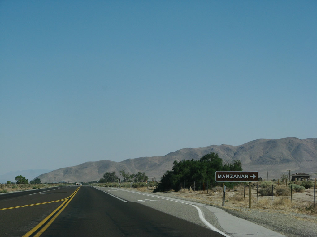
Southbound U.S. 395 meets the turnoff for Manzanar National Historic Site. This entrance has changed due to the expressway construction. Photos taken 07/09/07. |
|
|
The two-lane highway used to continue for another mile, then the expressway resumes. The 2009 photo shows construction underway to widen the expressway segment at the point where the Los Angeles Aqueduct passes under the highway (from the east side of the highway to the west side of the highway). Photos taken 07/09/07 and 09/07/09. |
|
|
|
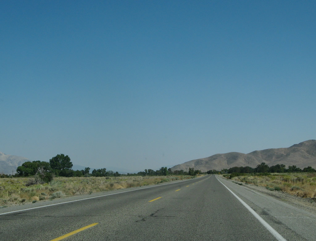
Watch for elk for the next five miles. Photo taken 07/09/07. |
|
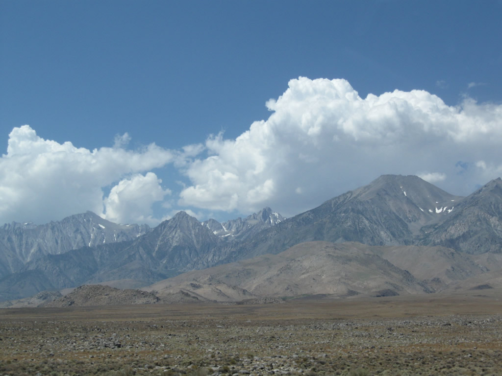
The view to the west continues to dominate Owens Valley. Several of these peaks exceed 13,000 feet. Ahead, U.S. 395 skirts the eastern edge of the Alabama Hills (after the Moffatt Ranch Road intersection). The Alabama Hills have been used for movie scenes for its remote location and unique geological formations (granite and volcanic rock). Photo taken 07/26/09. |
|
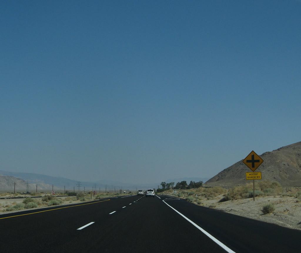
Southbound U.S. 395 approaches Moffatt Ranch Road. This road loops west to Movie Flat Road, offering access into the Alabama Hills Recreation Area, operated by the federal Bureau of Land Management. Natural rock arch formations can be seen by taking this loop. Inquiry locally for road conditions. Photo taken 07/09/07. |
|
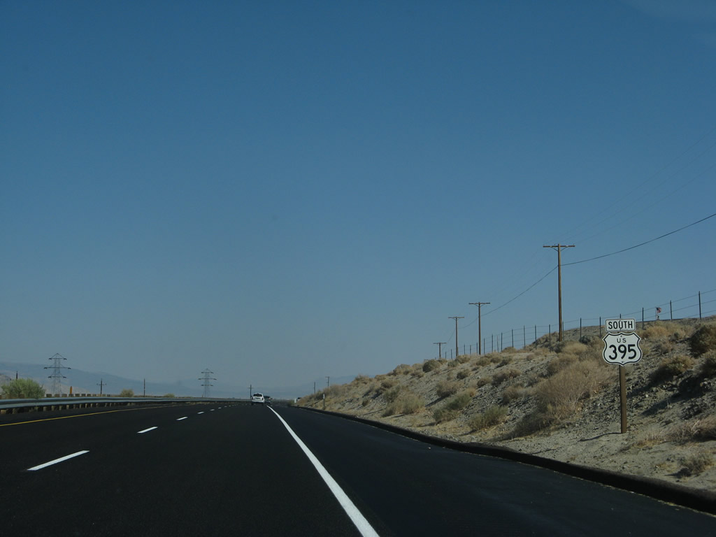
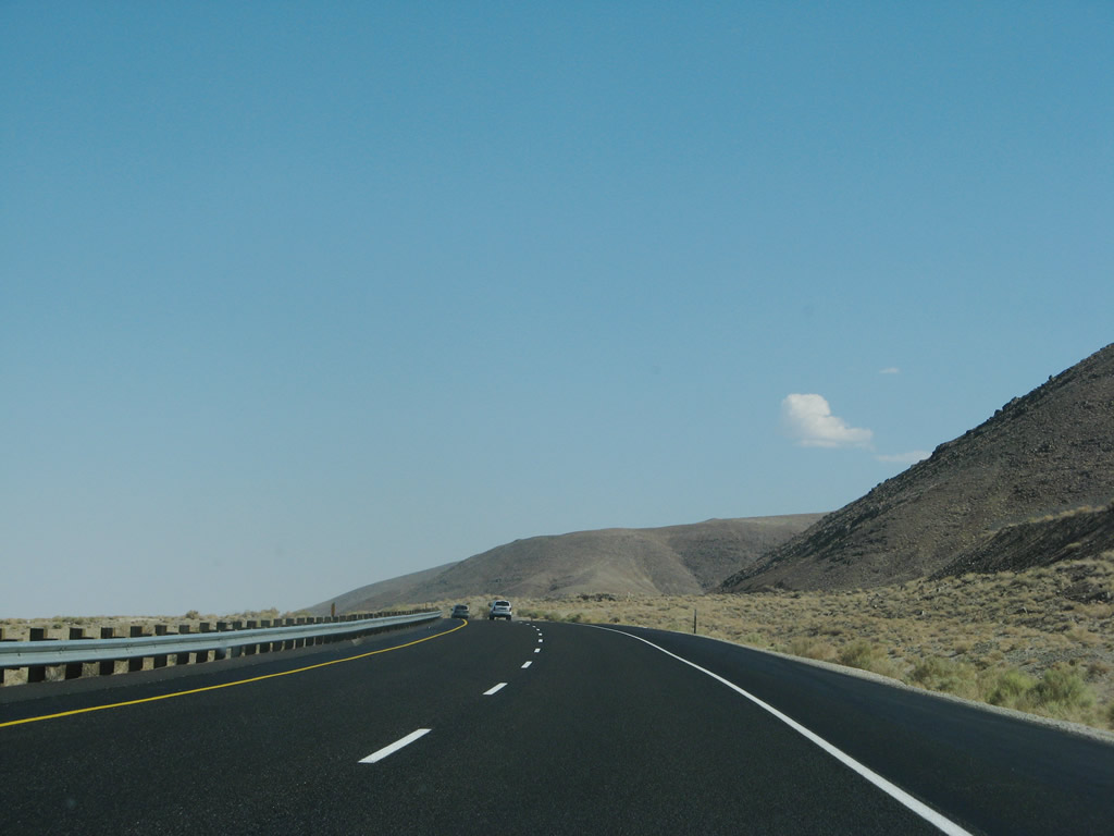
After the Moffatt Ranch Road intersection is this U.S. 395 south reassurance shield. Ahead, U.S. 395 will follow the eastern edge of the Alabama Hills for the remaining distance to Lone Pine. To the east of the highway is the Owens River, which lies on the floor of the Owens Valley. Photo taken 07/09/07. |
|
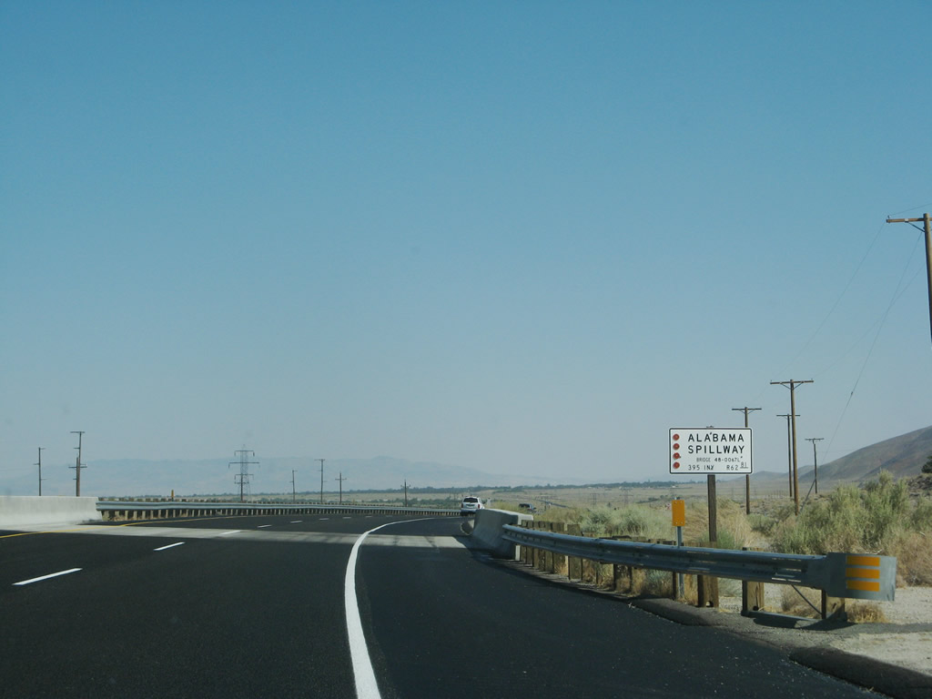
U.S. 395 passes over the Alabama Spillway, which links the Los Angeles Aqueduct to the west with the Owens River to the east. Photo taken 07/09/07. |
|
|
|
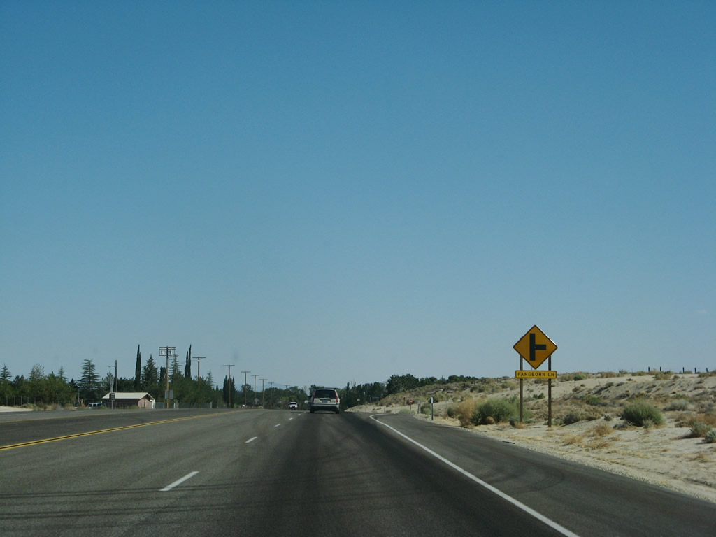
Continuing south, U.S. 395 skirts the eastern slope of the Alabama Hills, which rise in the middle of the Owens Valley between Manzanar and Lone Pine. The two carriageways (southbound and northbound) split for an extra-wide median then rejoin as the highway looses elevation as we approach Lone Pine. The final intersection before entering Lone Pine is with Pangborn Lane. Photos taken 07/09/07 and 07/19/09. |
|
|
|
v
|
|
|
|
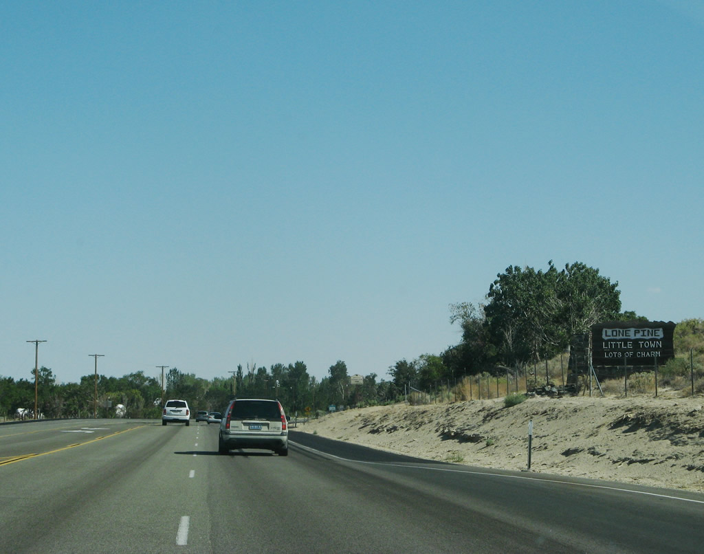
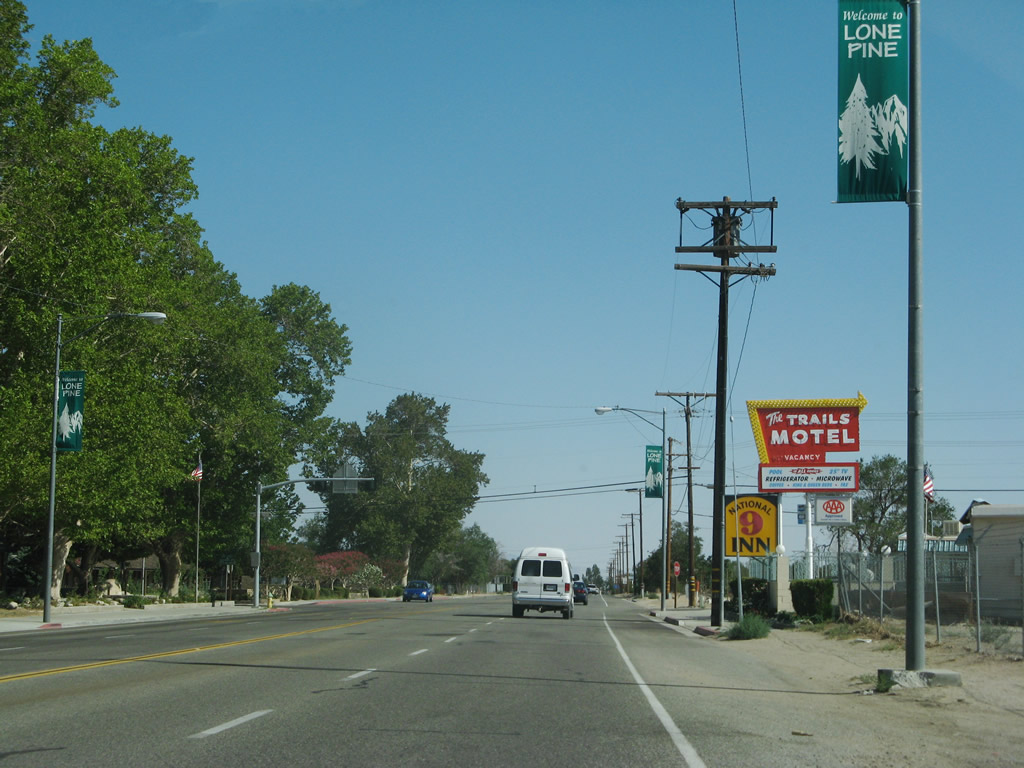
U.S. 395 enters the unincorporated community of Lone Pine "Little Town, Lots of Charm", the largest community along U.S. 395 since leaving Ridgecrest in the northern Mojave Desert. Home to 1,655 people as of the 2000 Census, Lone Pine sits at an elevation of 3,727 feet in the Owens Valley near the Alabama Hills. Access to hike Mount Whitney, the highest point in California and the Lower 48 States, can be had by traveling west from Lone Pine along Loma Portal Road. Photo taken 07/09/07. |
|
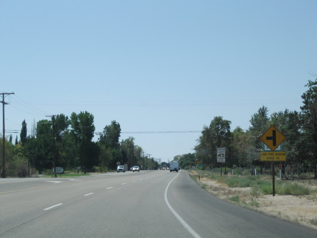
The next left from U.S. 395 south connects to Lone Pine Narrow Gauge Road. Photo taken 07/26/09. |
|
An official Caltrans community entrance sign is posted shortly thereafter for Lone Pine. Photo taken 07/19/09. |
|
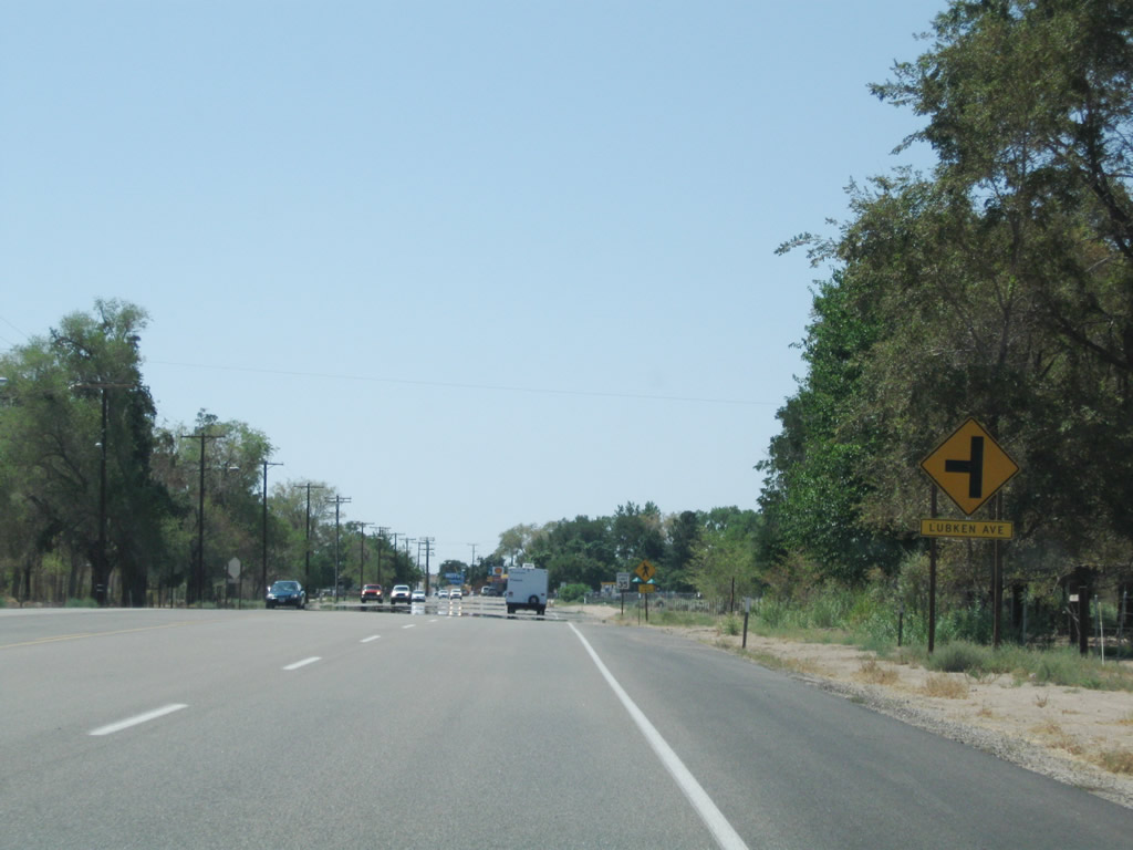
The next left from U.S. 395 south connects to Lubken Avenue. Photo taken 07/26/09. |
|
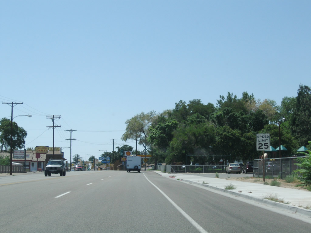
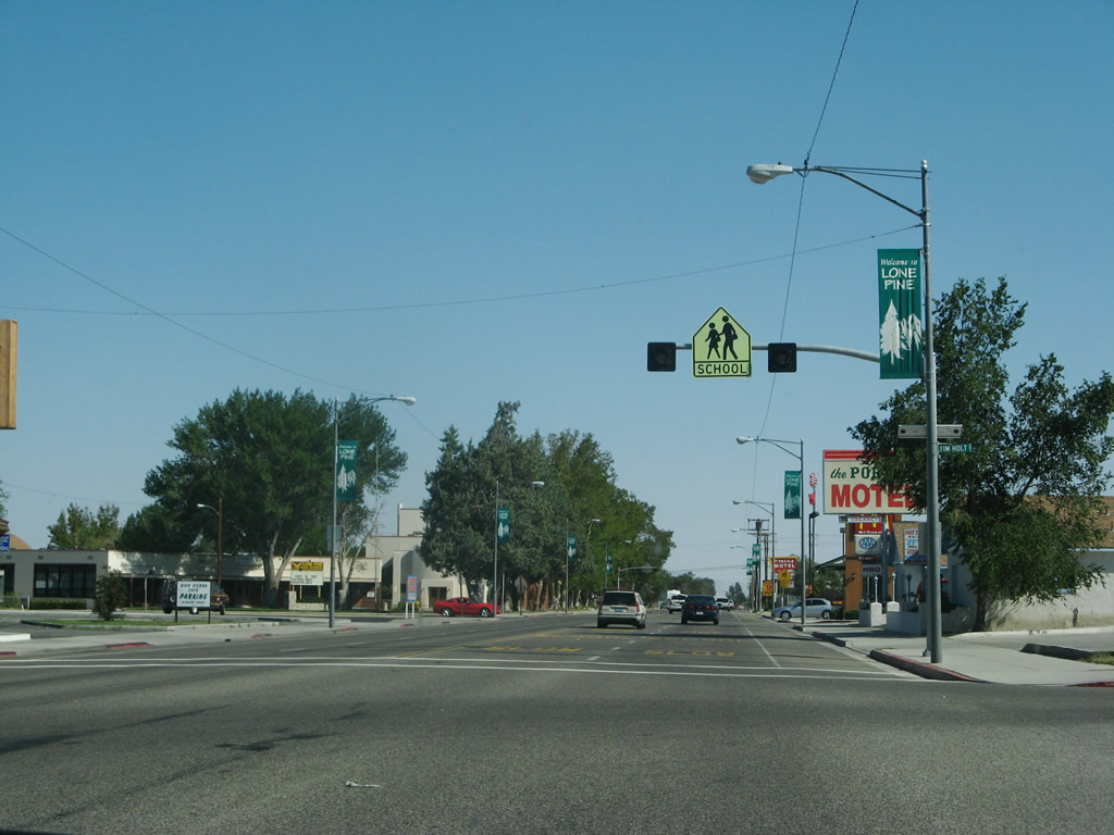
The speed limit drops to 25 miles per hour through downtown Lone Pine. Photo taken 07/26/09. |
|
|
|
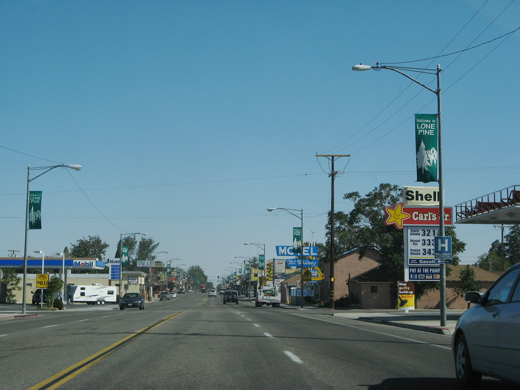
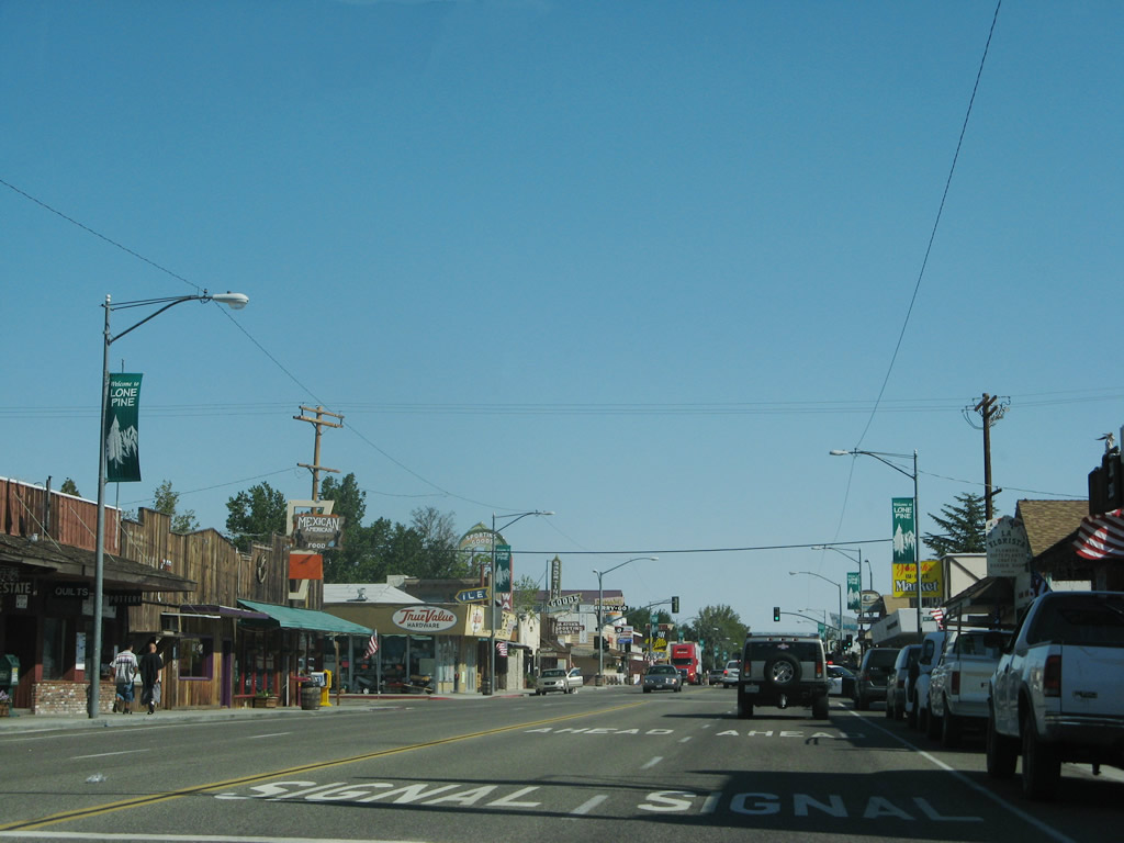
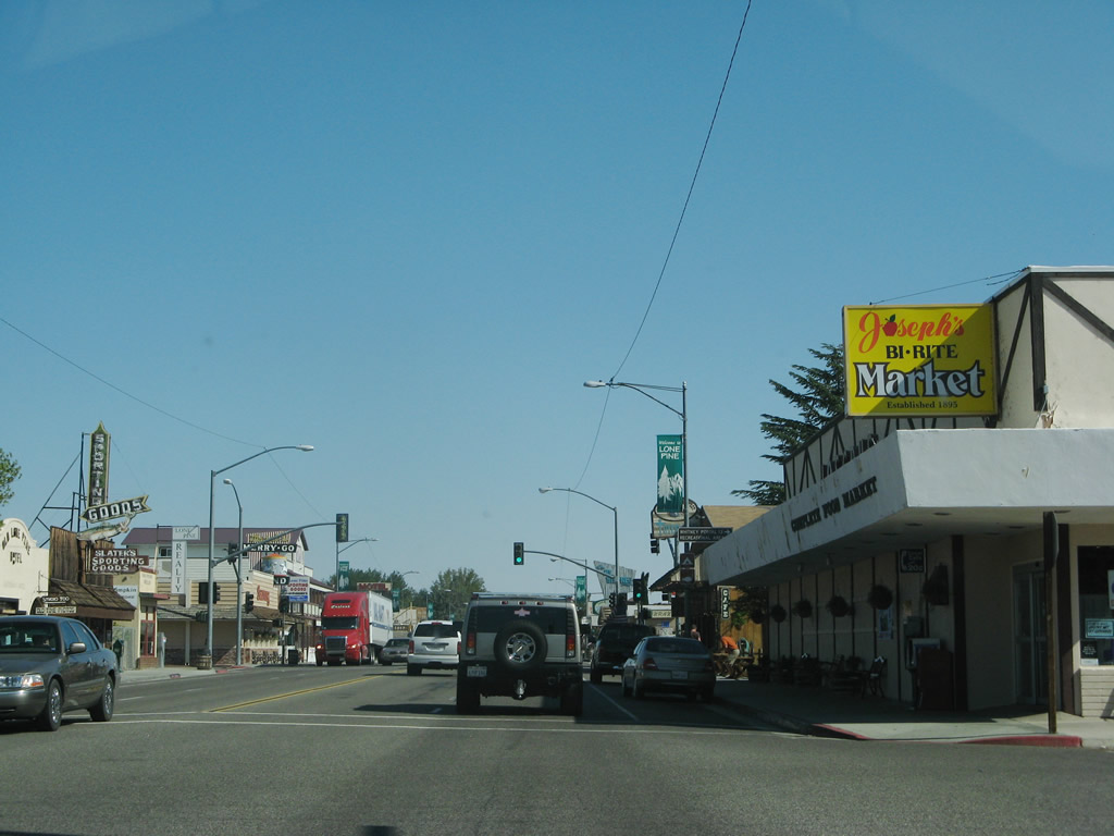
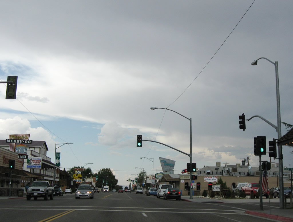
U.S. 395 passes through downtown Lone Pine. All motorist services are available here. Photos taken 07/09/07 and 07/26/09. |
|
|
|
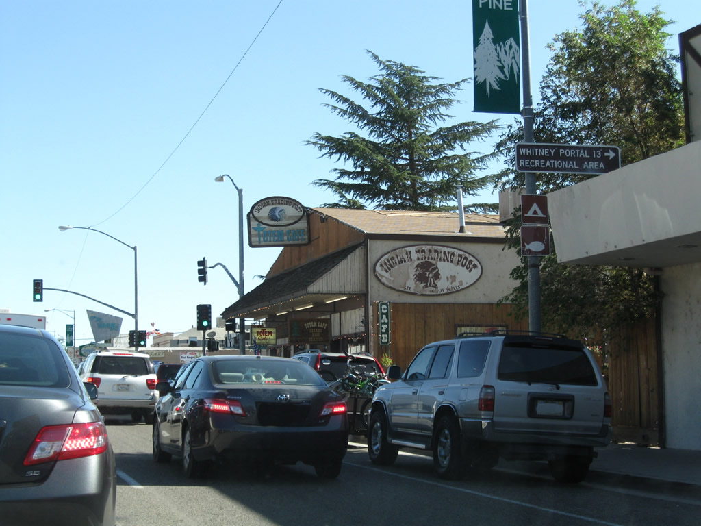
Southbound U.S. 395 approaches and meets Whitney Portal Road in downtown Lone Pine. Whitney Portal Road travels west alongside Lone Pine Creek to Whitney Portal, which sits at an elevation of 8,340 feet. Whitney Portal is a launching point for hikers wishing to traverse mountain trails to California's highest point, Mt. Whitney (el. 14,494 feet). Photos taken 07/09/07 and 07/26/09. |
|
|
|
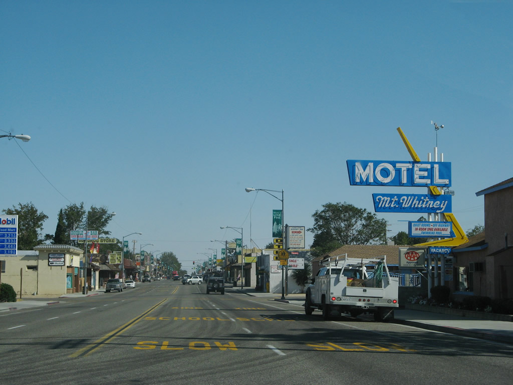
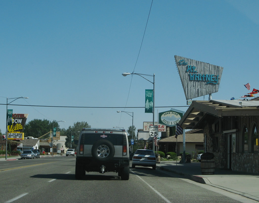
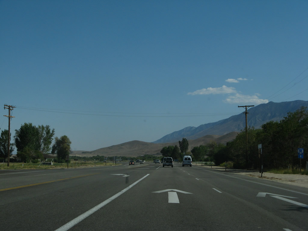
After passing the Whitney Portal Road intersection, U.S. 395 proceeds south out of town. Be sure to get gas and food before leaving, since it is a fair distance south to Olancha, Inyokern, and Ridgecrest. Photos taken 07/09/07 and 07/26/09. |
|
|
|
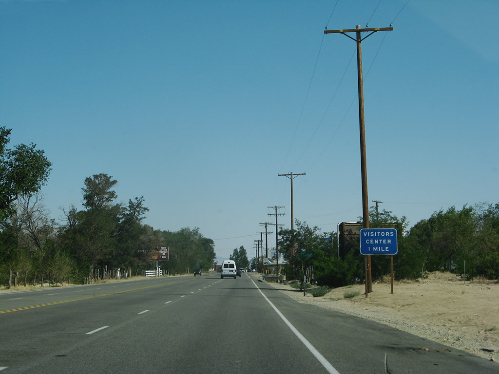
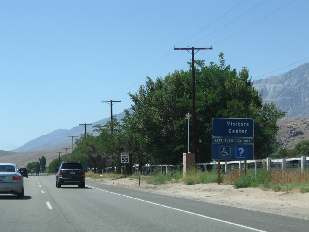
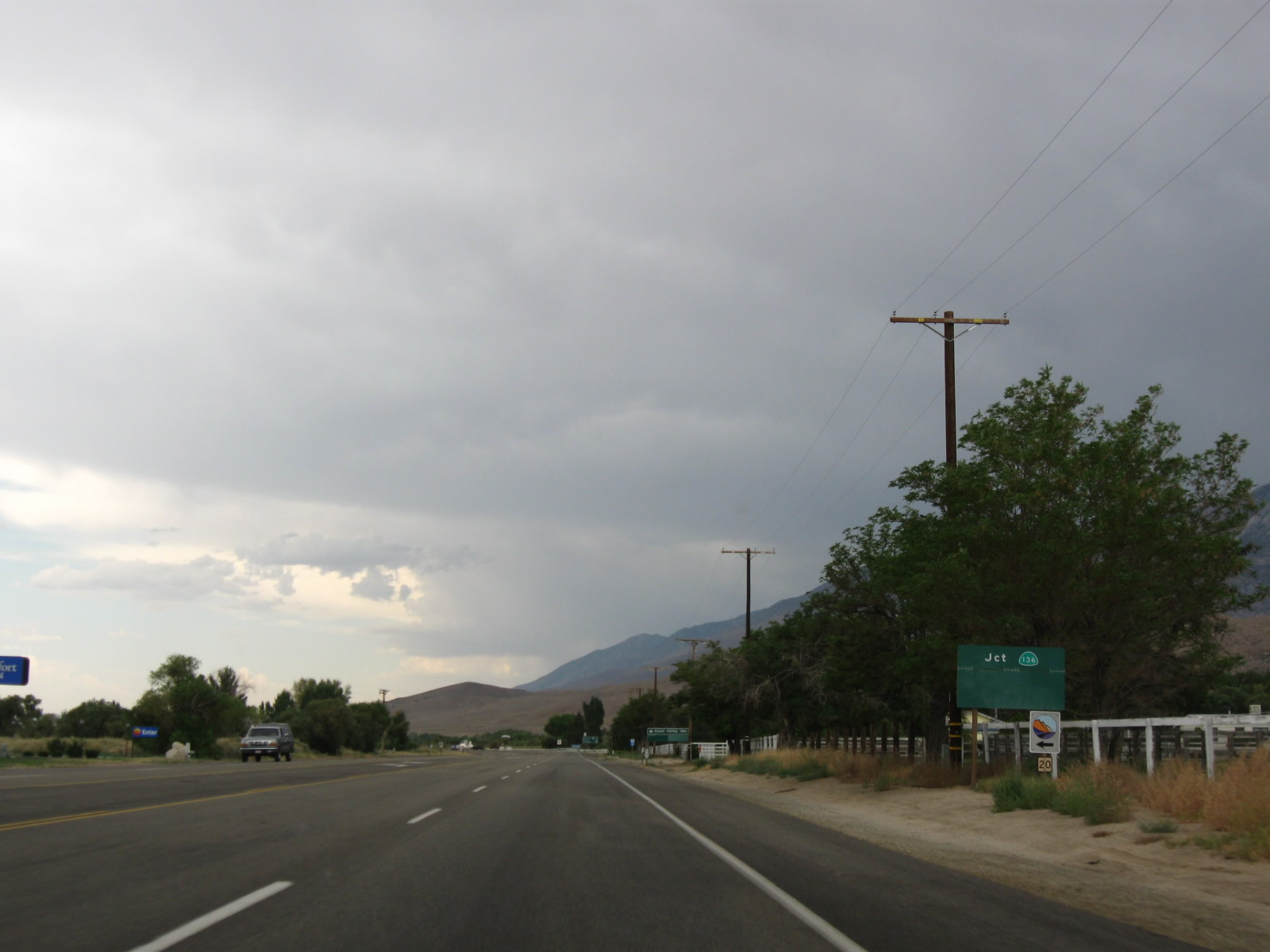
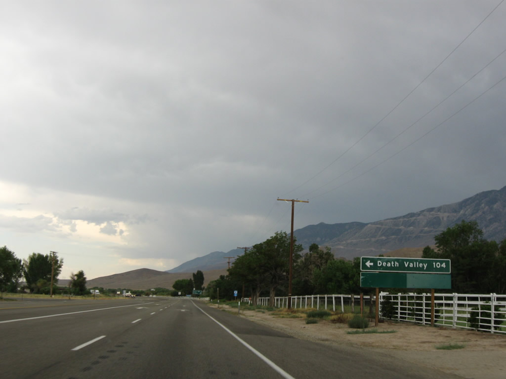
Southbound U.S. 395 approaches California 136, which travels southeast along the north and east shores of Owens Lake before meeting California 190. At their junction, California 190 then continues east into Death Valley National Park. A visitors center is located at the southeast corner of the intersection. Photos taken 07/09/07, 07/19/09, and 07/26/09. |
|
|
|
|
Leaving the California 136 east intersection, this mileage sign along U.S. 395 (Three Flags Highway) south provides the distance to California 190 at Olancha (21 miles), Coso Junction (38 miles), and Los Angeles (209 miles). Photo taken 07/19/09. |
Page Updated May 16, 2010.