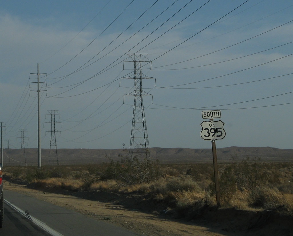
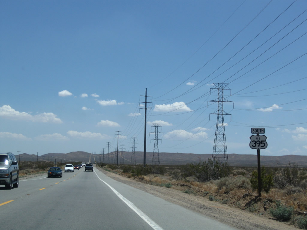
| U.S. 395 south |
|
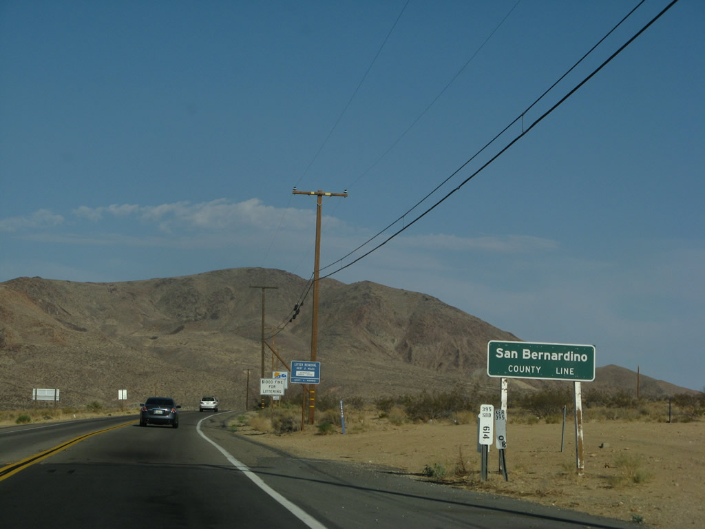
U.S. 395 leaves Kern County and enters San Bernardino County. Photo taken 07/09/07. |
|
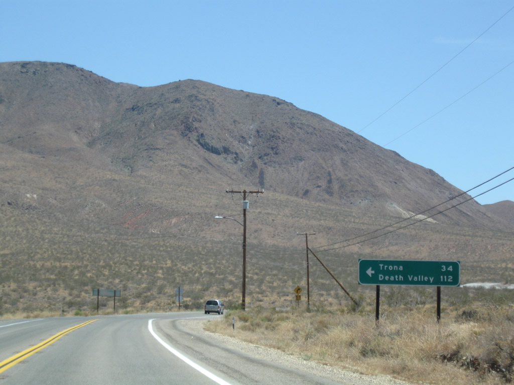
Now in San Bernardino County, southbound U.S. 395 approaches Trona Road, which travels northeast to meet California 178 in Saltwells Valley east of Ridgecrest, southwest of Trona, and west of Searles Dry Lake. Photo taken 07/26/09. |
|
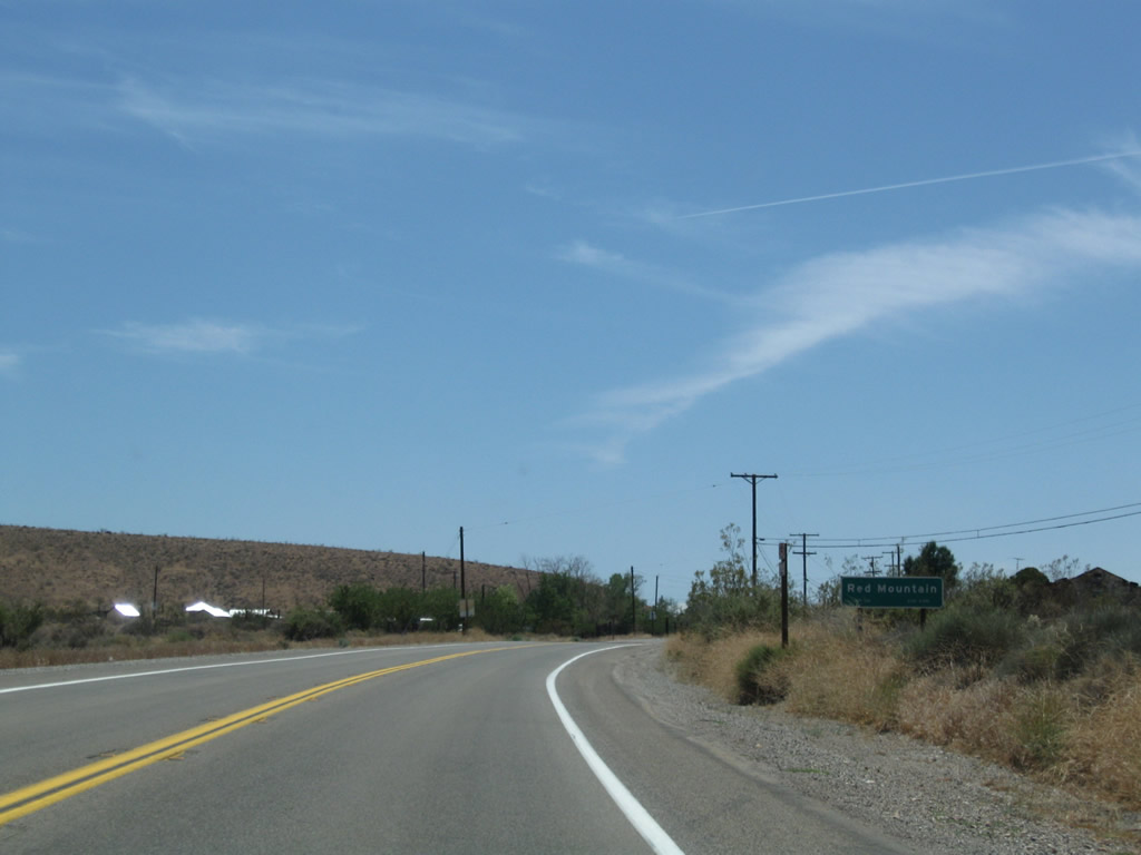
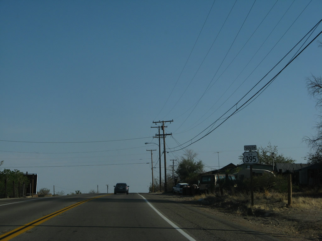
U.S. 395 enters the unincorporated community of Red Mountain, another former mining town. Along with Johannesburg, this area is part of the mining district at the northeastern end of the Rand Mountains and southwestern end of the Lava Mountains. Photo taken 07/26/09. |
|
A U.S. 395 south reassurance shield is posted shortly thereafter. Photo taken 07/09/07. |
|
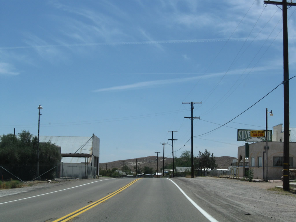
While some portions of Red Mountain are abandoned, other parts are still in use today. Some services are available here. Photo taken 07/26/09. |
|
Leaving Red Mountain, a U.S. 395 south reassurance shield is posted on an older, white-painted, wooden post. Photo taken 07/26/09. |
|
Yet another U.S. 395 reassurance shield is posted, making for three such markers in the span of only a few miles. Photo taken 07/26/09. |
|
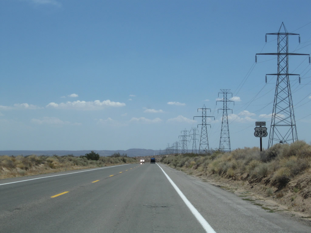
South of Red Mountain, this mileage sign provides the distance to Kramer Junction (22 miles), San Bernardino (92 miles), and San Diego (100 miles). Photo taken 07/26/09. |
|
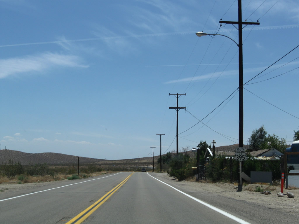
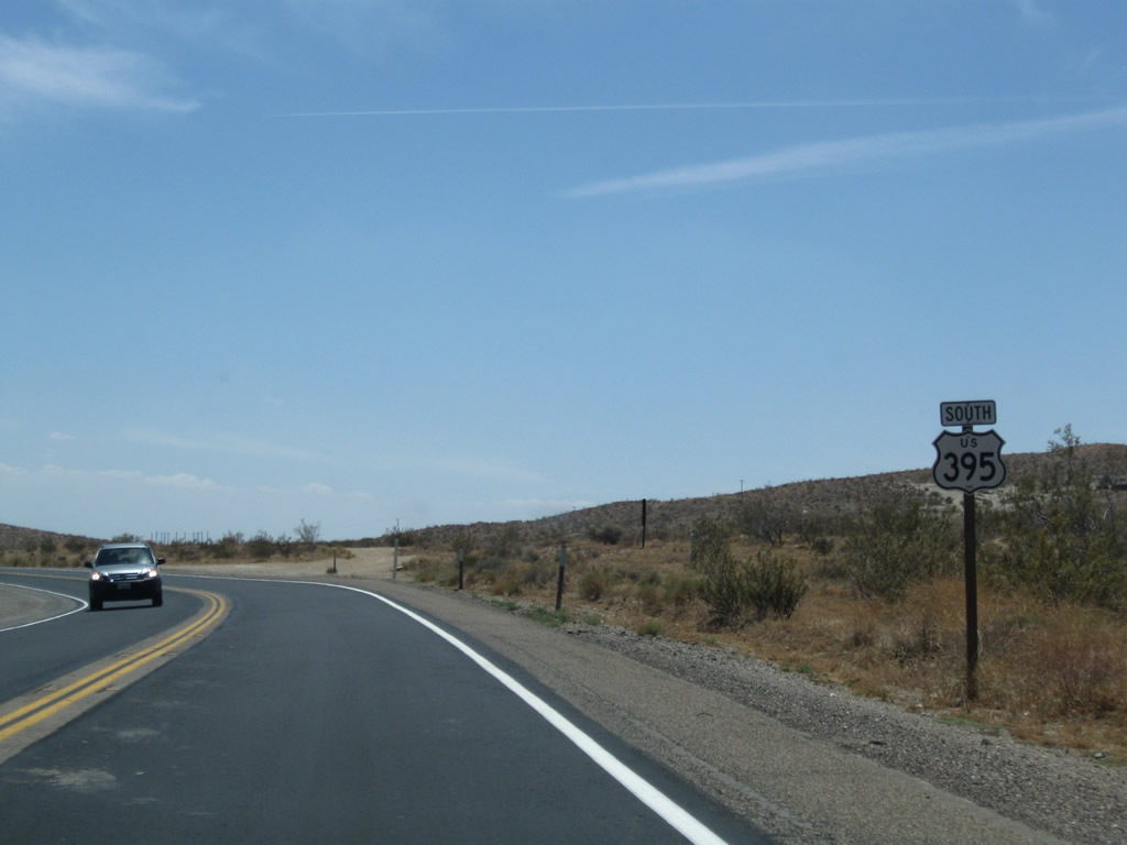
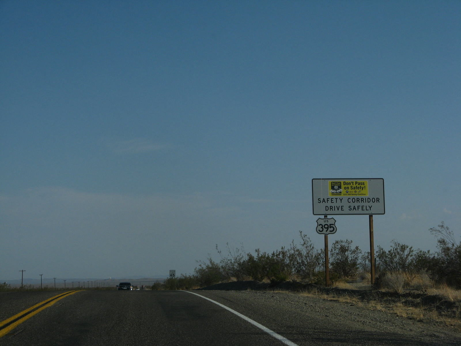
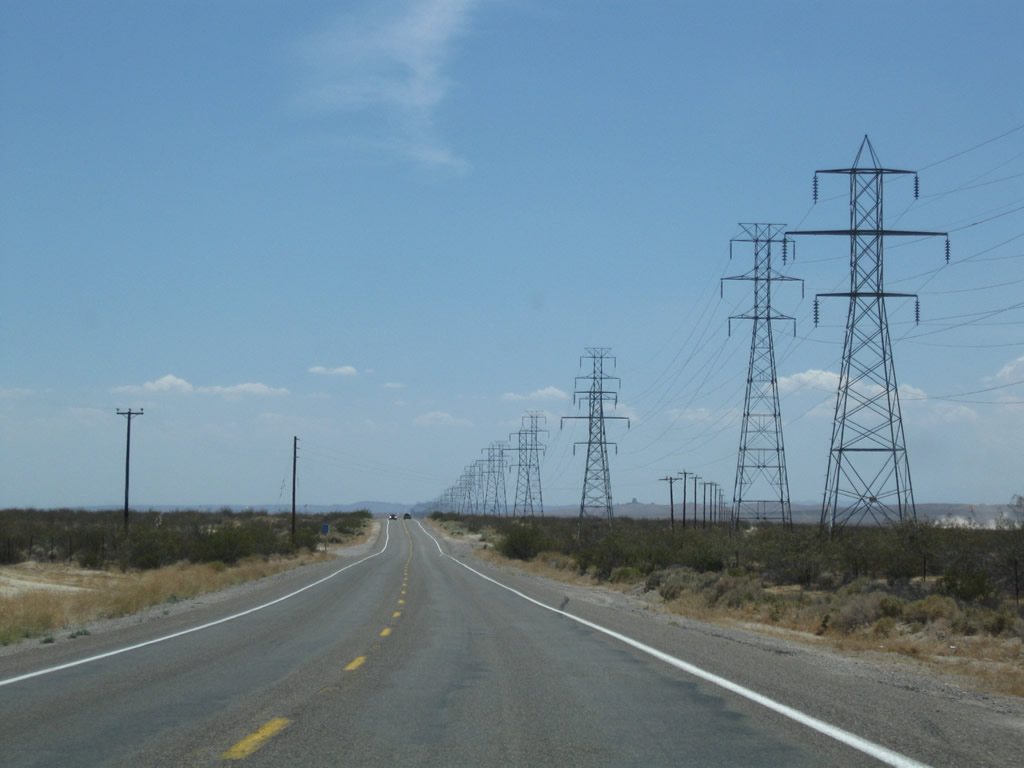
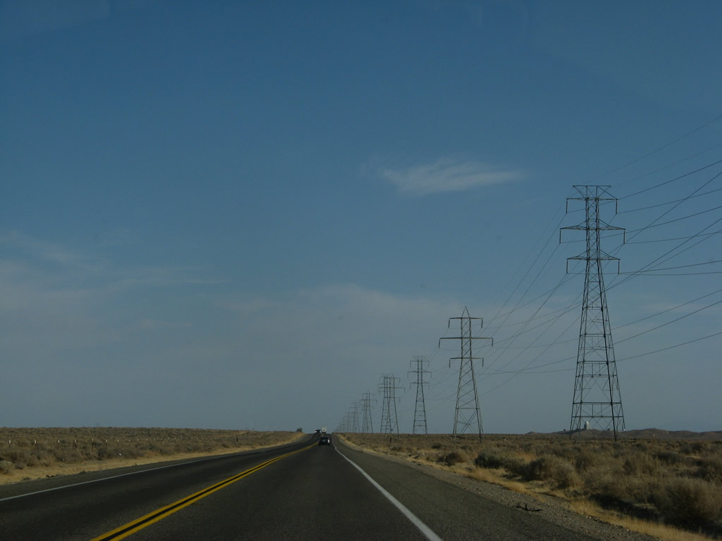
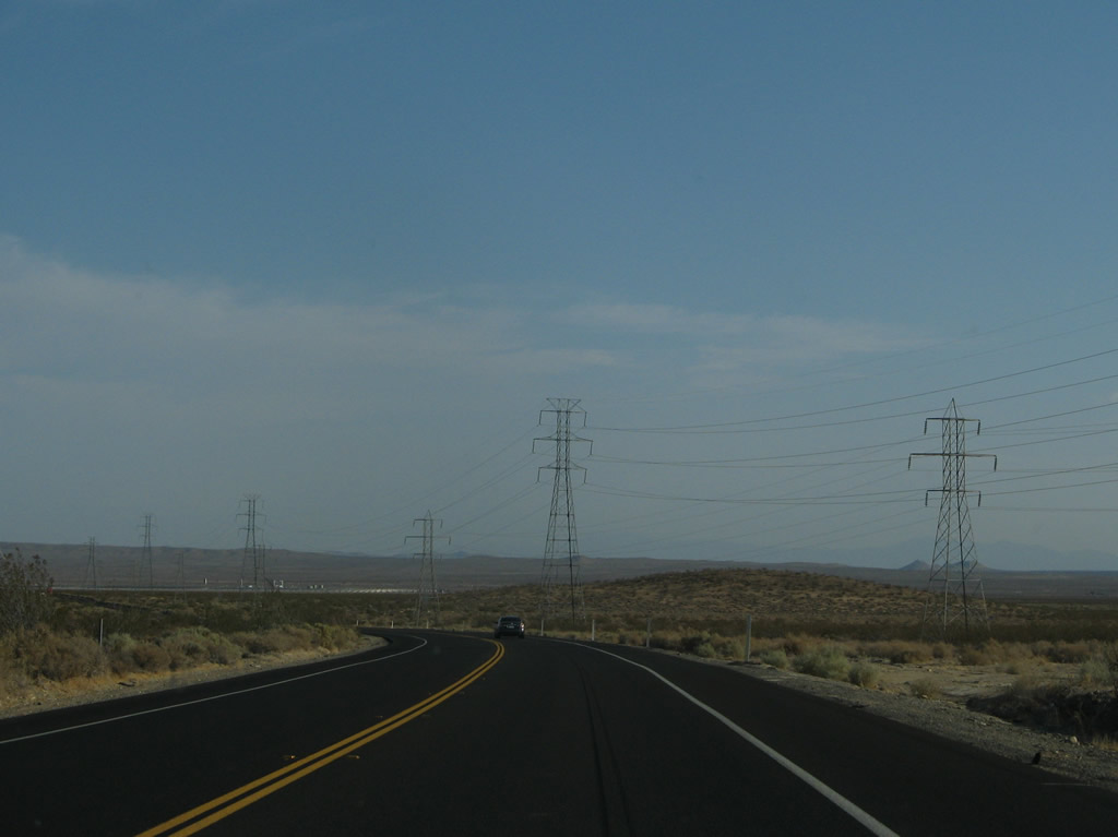
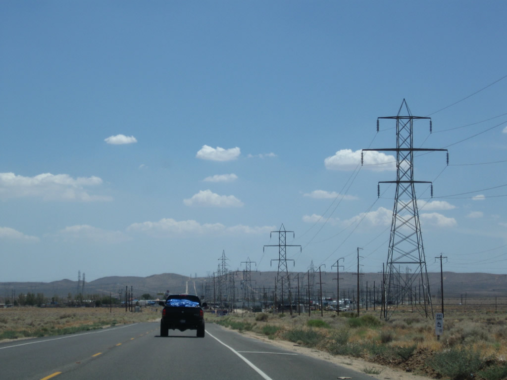
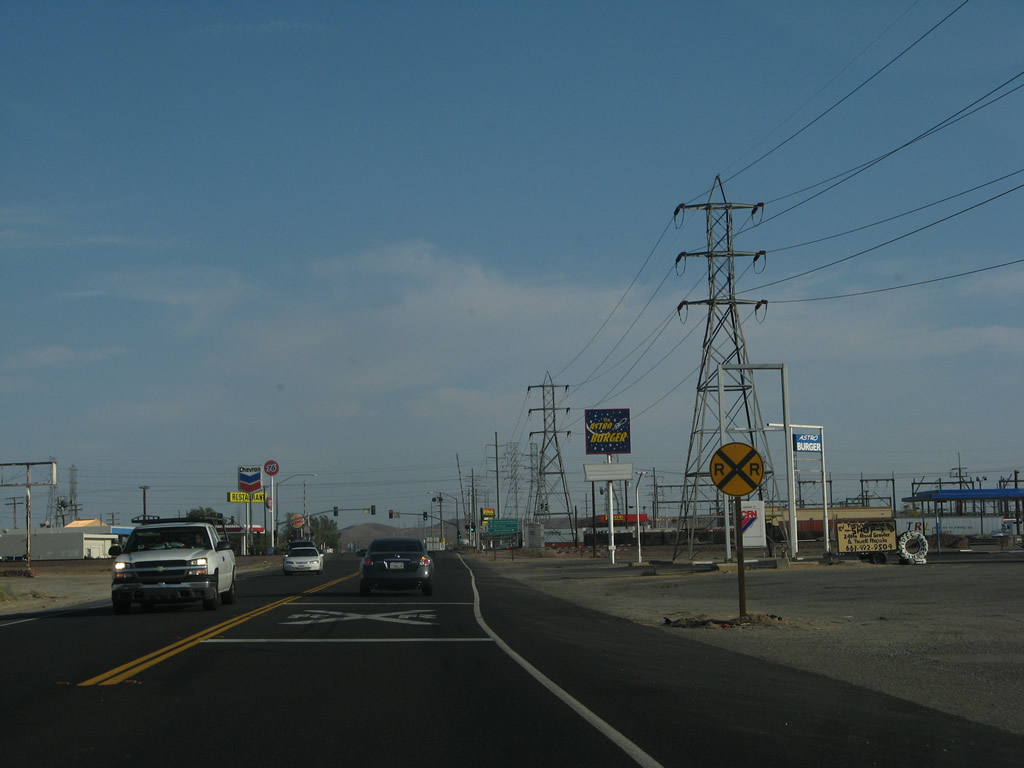
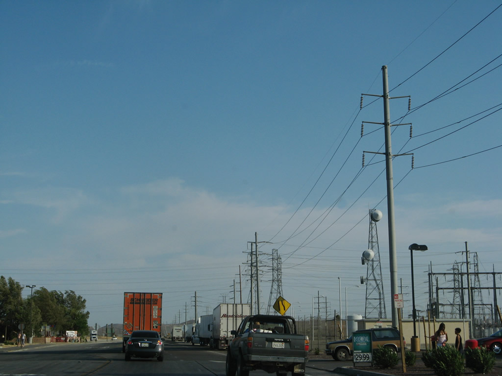
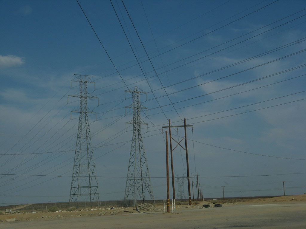
Between Red Mountain and Kramer Junction (Four Corners, California 58), U.S. 395 is a designated safety corridor. Headlights must be on both day and night due to the higher than average number of accidents on this section of highway. Below are a series of photos that show the two-lane highway, which is nearly arrow-straight, flat, two-lanes (with some four-lane segments), and miles of monotonous power lines. Photo taken 07/09/07. |
|
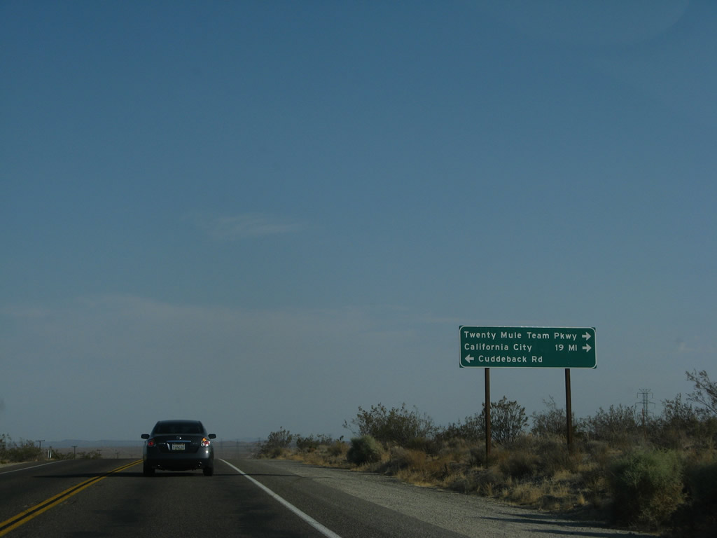
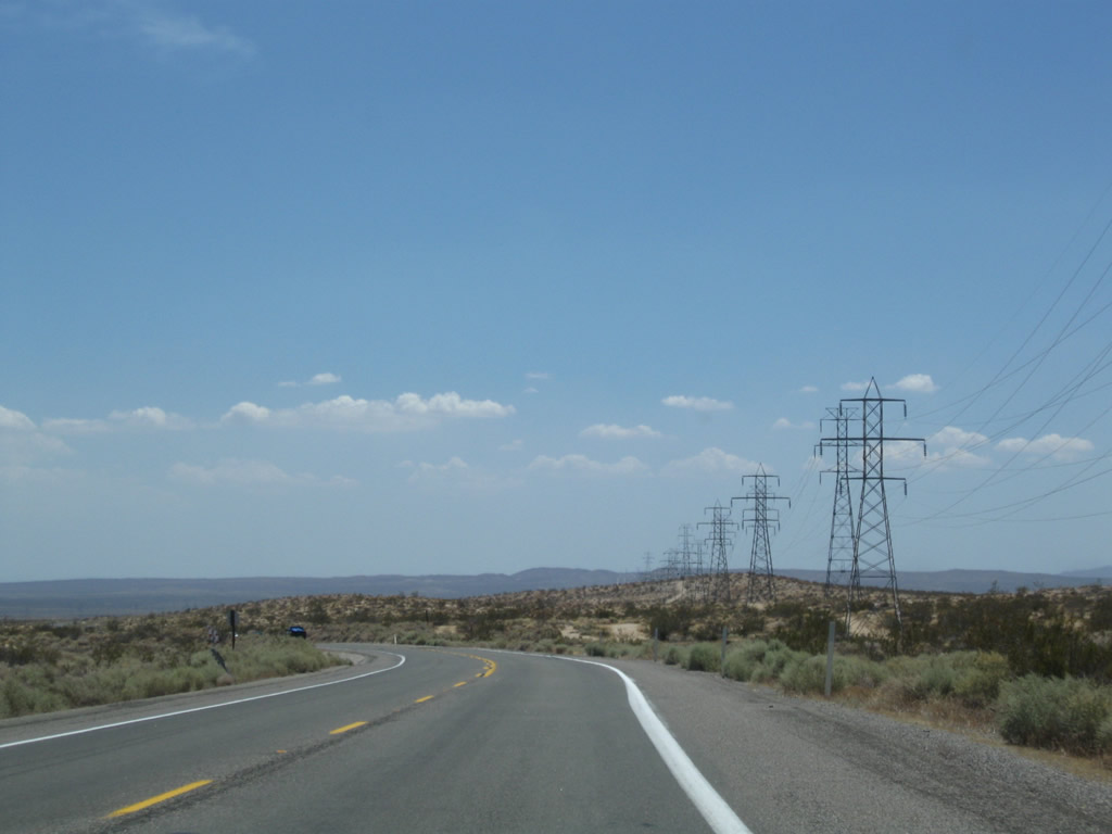
Southbound U.S. 395 (Three Flags Highway) approaches Twenty Mule Team Parkway southwest to California City and Cuddeback Road east to Cuddeback Dry Lake. Photo taken 07/09/07. |
|
|
|
|
|
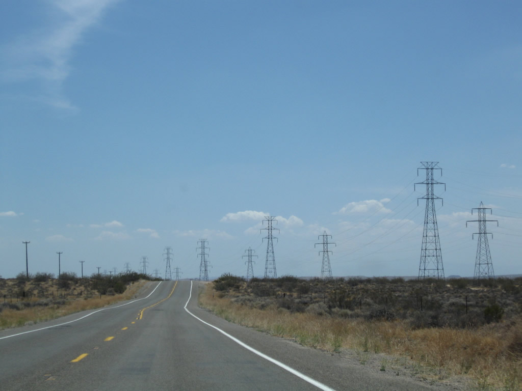
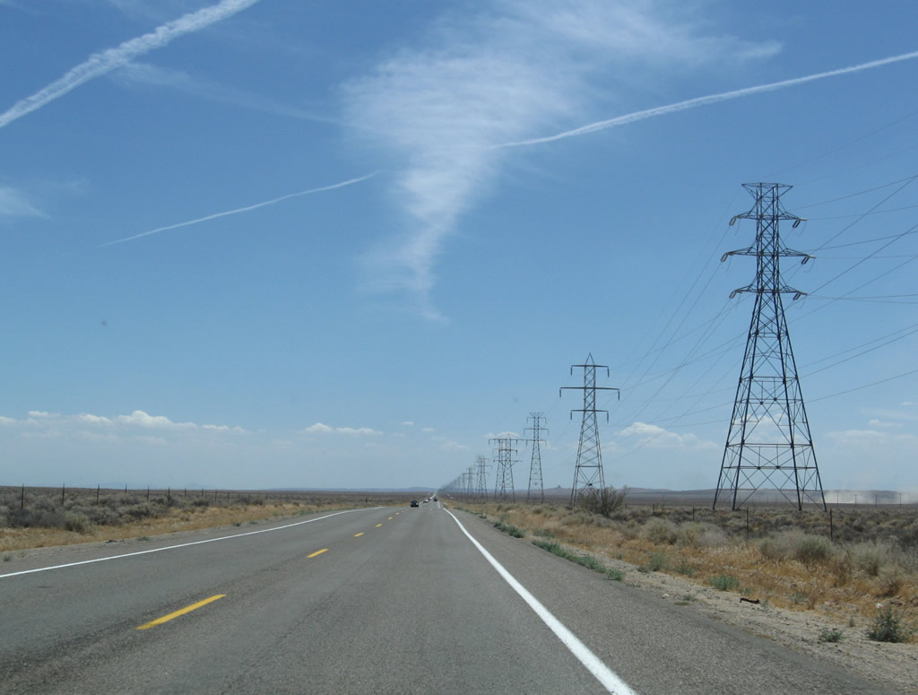
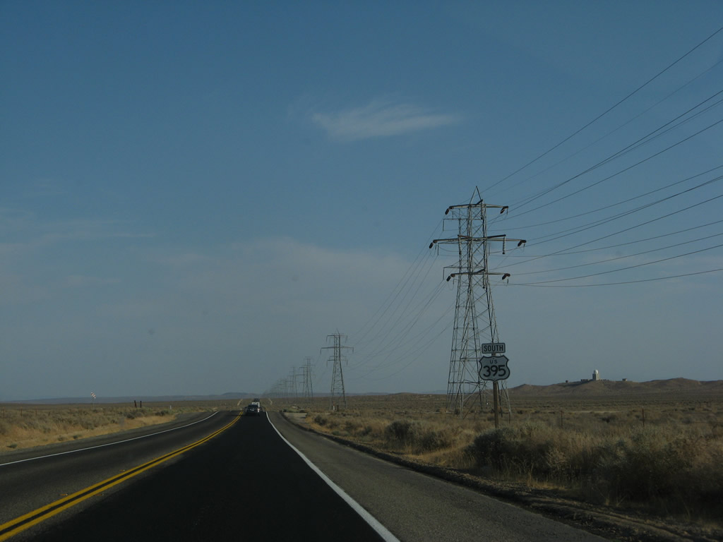
| This series of pictures follows U.S. 395 south between Twenty Mule Team Parkway/Cuddeback Road and Kramers Junction (Four Corners), where U.S. 395 meets California 58 (former U.S. 466). This continues for several miles: a two-lane, high speed roadway with side-by-side powerlines for dozens of miles. The monotony can be difficult, especially after the mountain scenery seen in the Eastern Sierra. Photos taken 07/09/07 and 07/26/09. |
|
A lone mileage sign along southbound U.S. 395 (Three Flags Highway) provides the distance to Kramers Junction (Four Corners, 12 miles), Interstate 15 in Hesperia (54 miles), and Riverside (92 miles). Omitted are the control cities of San Bernardino and San Diego, both of which have been seen on mileage signs along southbound throughout the Eastern Sierra. Photo taken 07/09/07. |
|
|
|
|
|
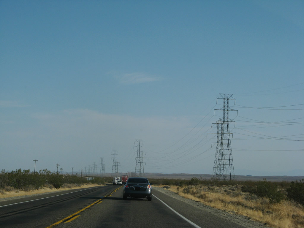
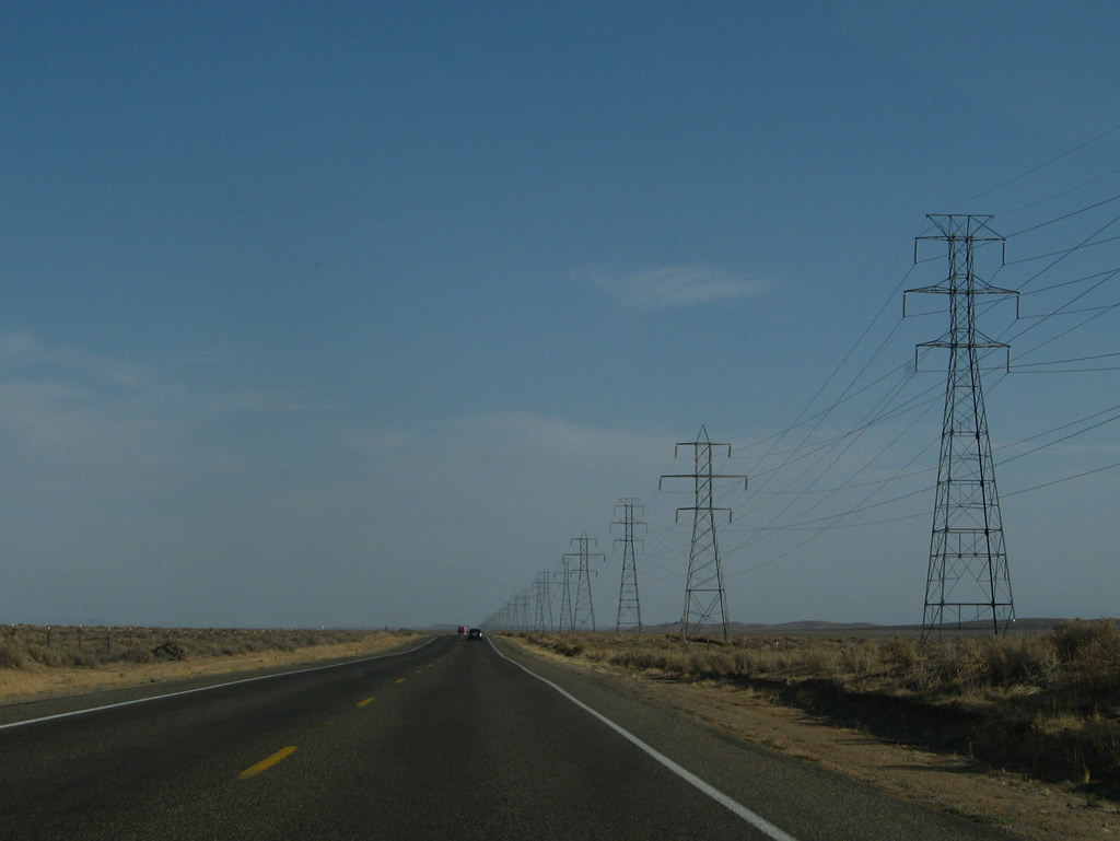
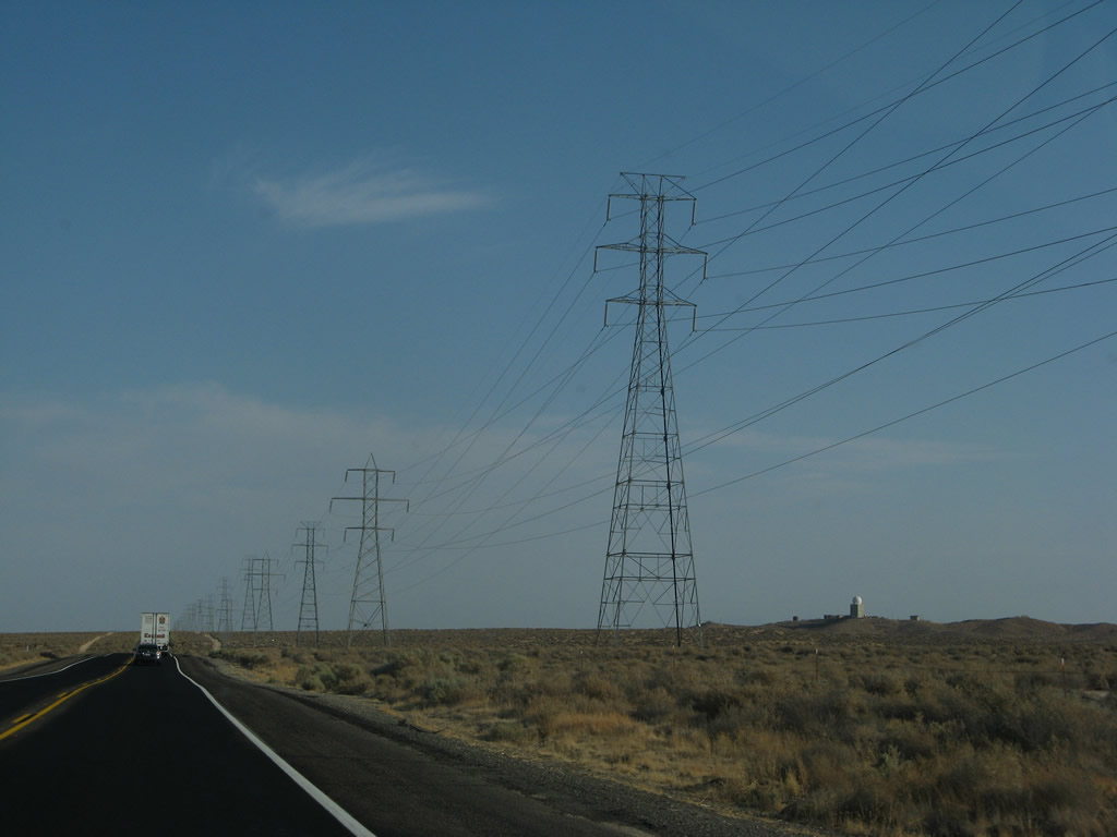
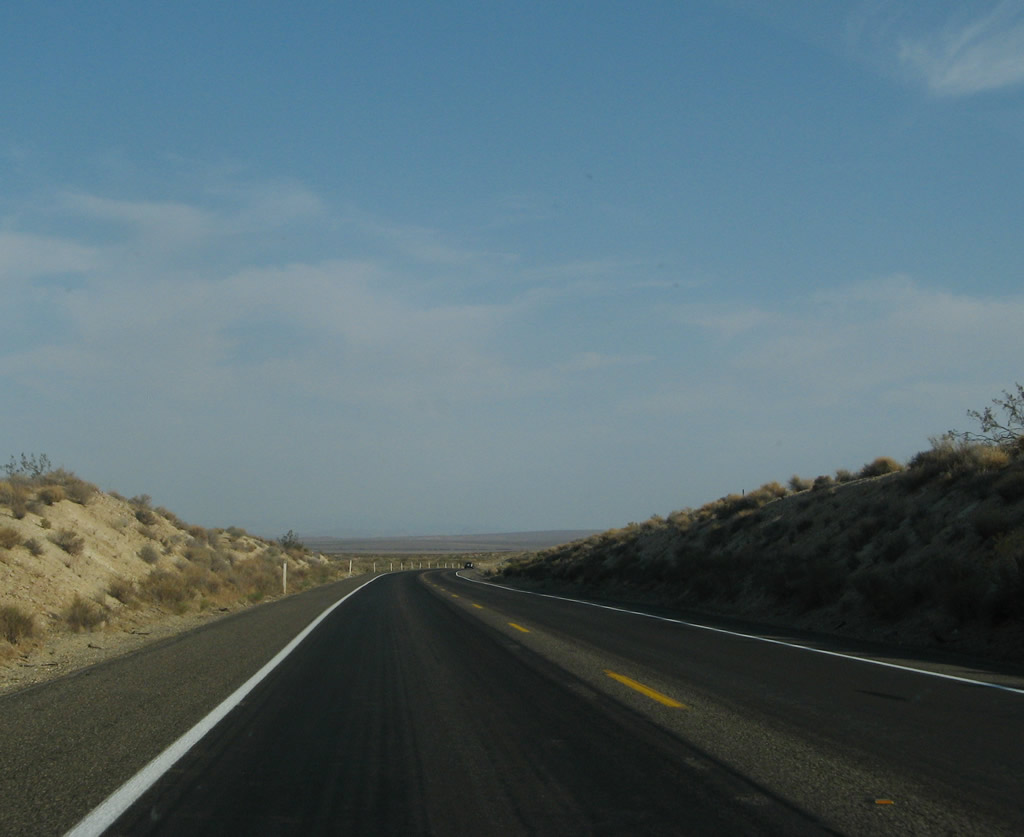
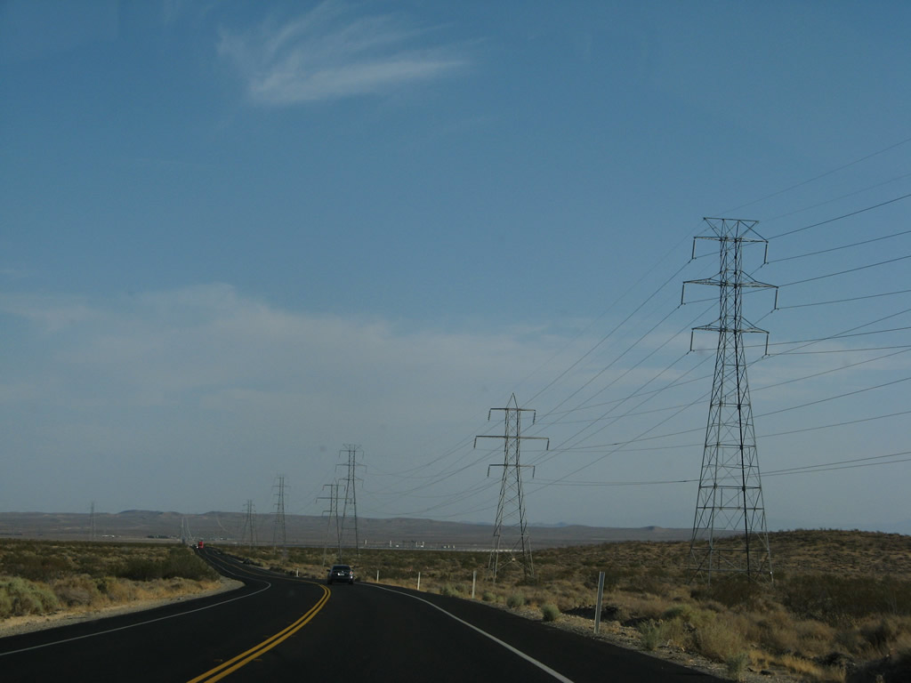
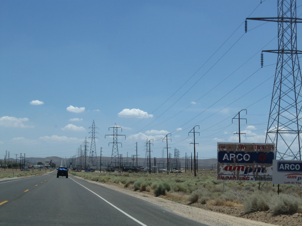
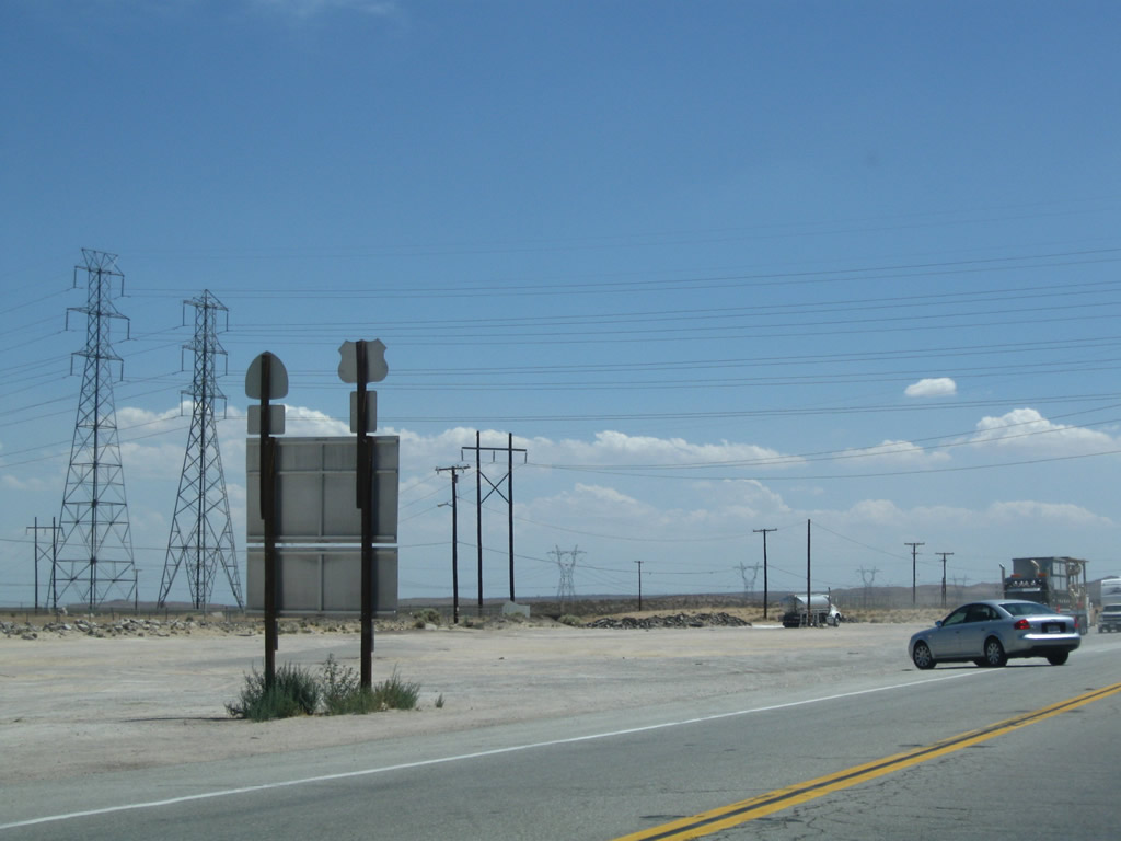
| The highway continues south through the Mojave Desert. Passing is allowed in certain segments but can be dangerous due to high speeds on U.S. 395. Photos taken 07/09/07 and 07/26/09. |
|
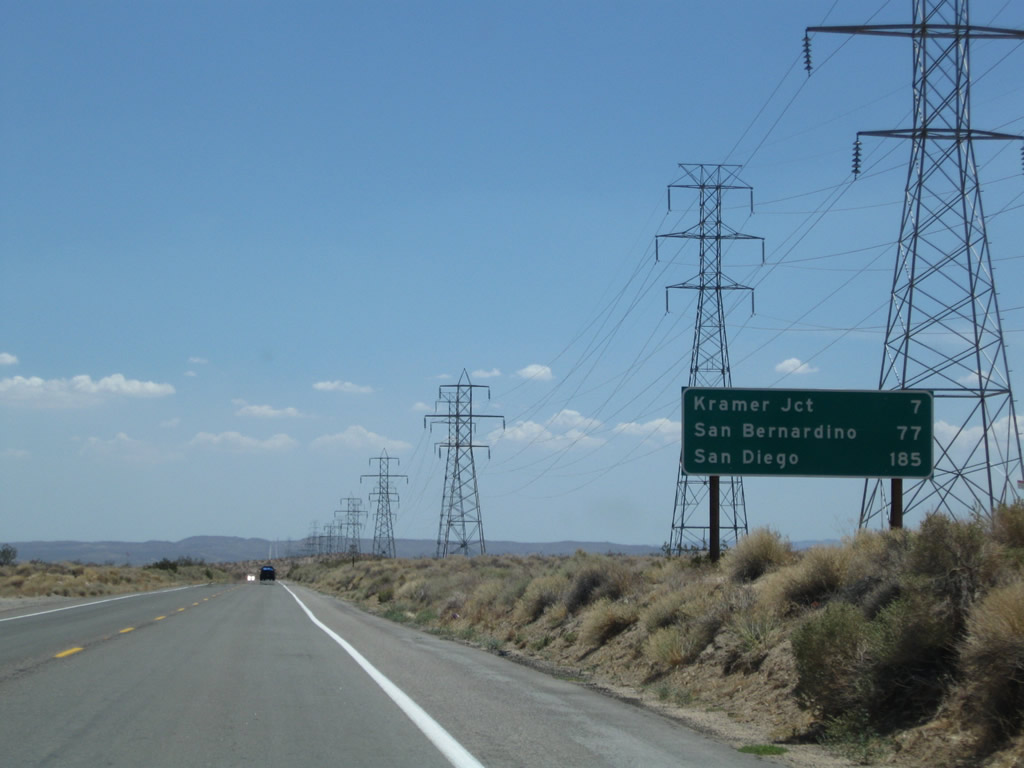
Another mileage continues the countdown to Kramers Junction (California 58 seven miles), San Bernardino (77 miles), and San Diego (185 miles). Photo taken 07/26/09. |
|
A reassurance shield for U.S. 395 south is posted shortly after the mileage sign. Photo taken 07/26/09. |
|
|
|
|
|
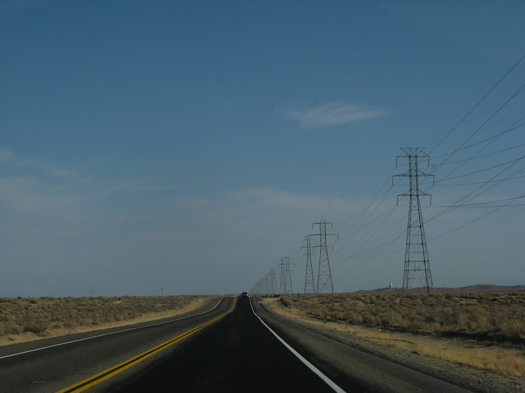
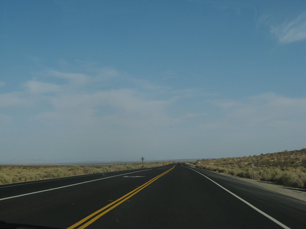
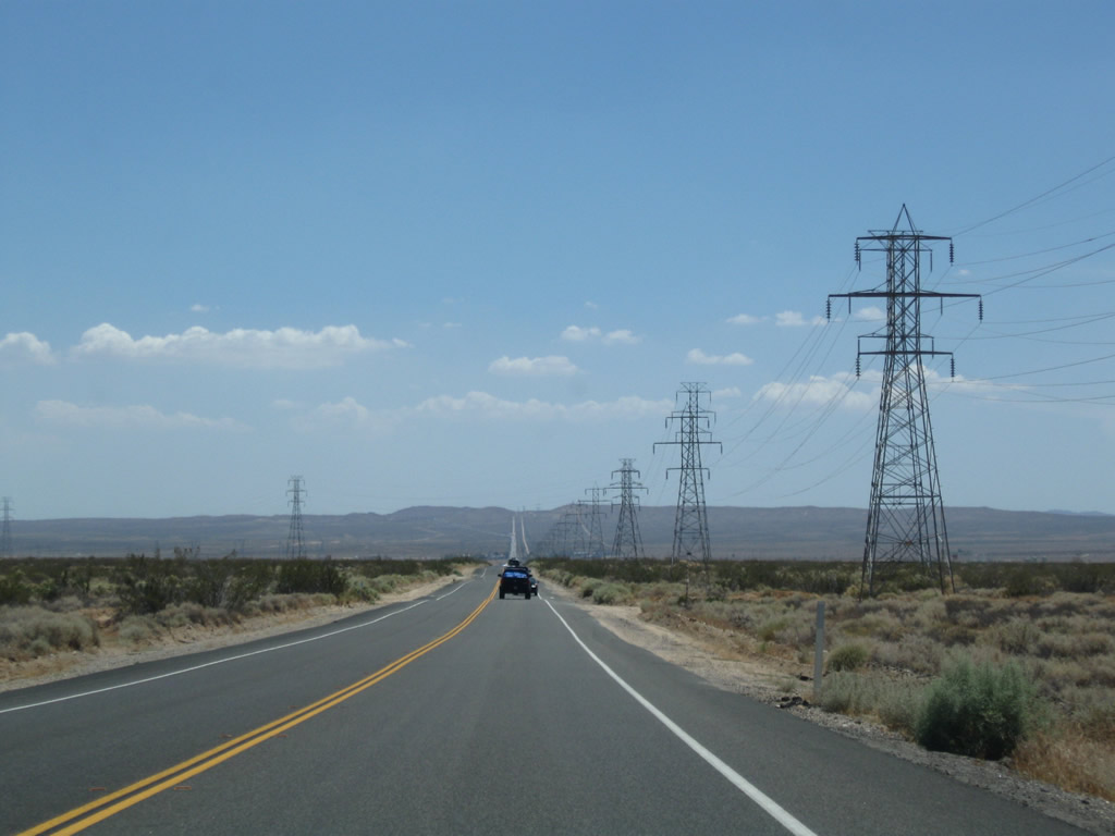
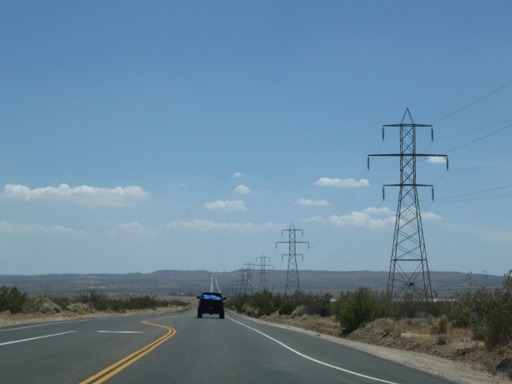
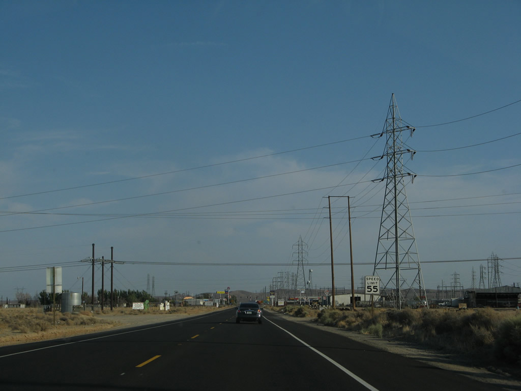
| After a brief bend in the road, U.S. 395 proceeds directly toward Kramers Junction (Four Corners), and the power lines continue to parallel the highway. At Kramers Junction are food and gas. Photos taken 07/09/07 and 07/26/09. |
|
|
|
|
|
|
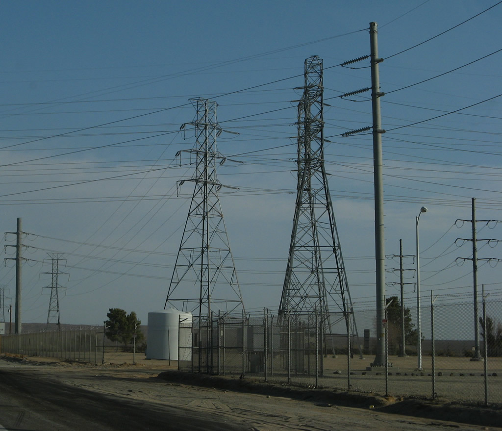
Coming into Kramers Junction, a decent-sized power substation connects power transmission lines owned by Southern California Edison and the Los Angeles Department of Water and Power. Some of the lines that have followed U.S. 395 since Bishop (smaller, older line) and Ridgecrest (larger 230kV) converge on this substation. Photo taken 07/09/07. |
|
The speed limit reduces to 55 miles per hour. Photo taken 07/09/07. |
|
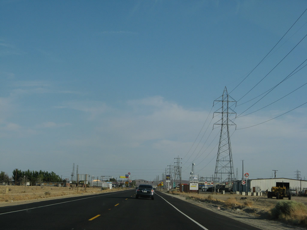
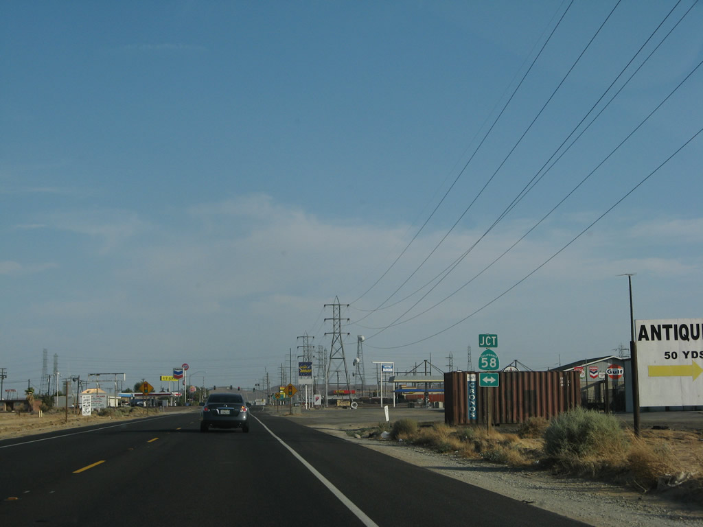
On the right side of the highway is an antique store, which has several older highway signs both within the store and on the exterior walls. This is a nice recommended stop. Photo taken 07/09/07. |
|
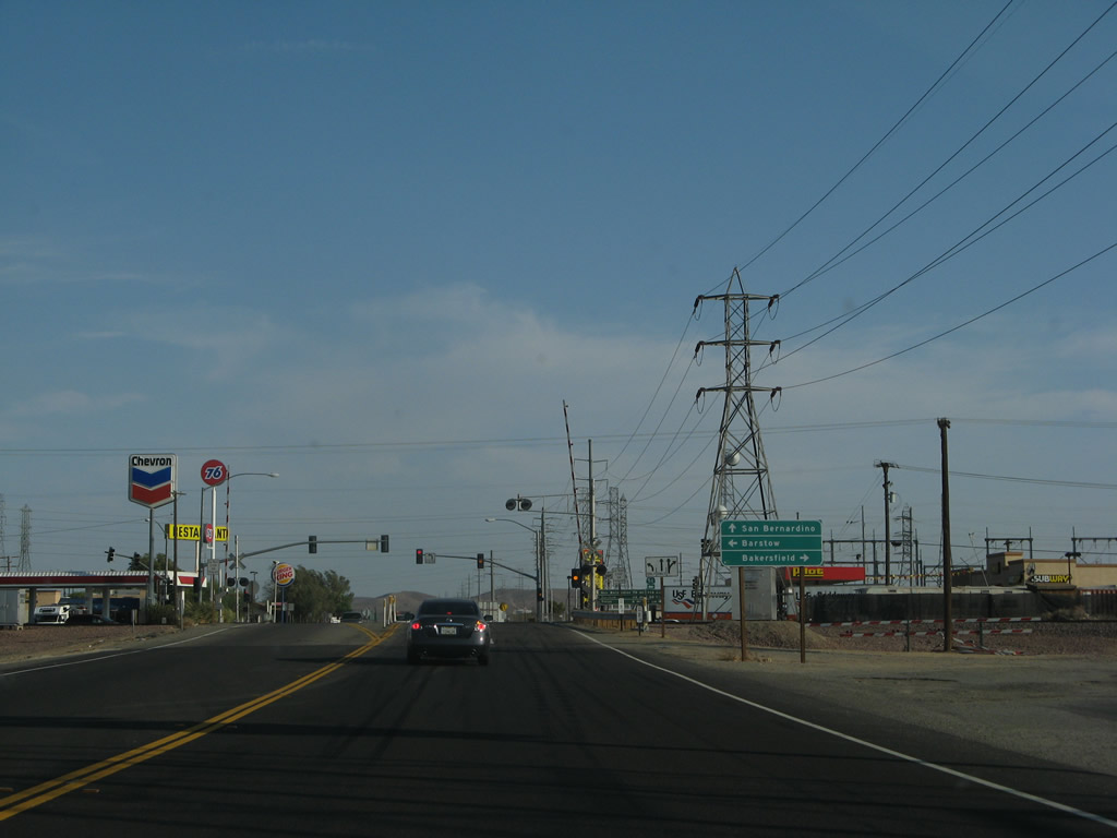
Southbound U.S. 395 approaches California 58, which originally was signed as U.S. 466 prior to 1964. California 58 meets U.S. 395 Kramer Junction, which is also known as Four Corners. California 58 is a major east-west expressway corridor that connects Barstow to the east with Bakersfield to the west. While portions of California 58 are built to freeway standards (including the relatively new Mojave Bypass in Kern County), long segments in San Bernardino County remain only two lanes just like U.S. 395. Traffic counts are even higher on California 58, and plans call for short to mid-range plans to construct California 58 to freeway standards between California 99 and Interstate 15. California 58 follows the original alignment of former U.S. 466, which was decommissioned in 1964. Photo taken 07/09/07. |
|
Prior to the California 58 intersection, U.S. 395 crosses a major railroad at-grade. Delays here can occur at any hour of day or night due to passing trains. Eventual plans call for an at-grade separation for both California 58 and the railroad, but that is not the case as of 2010. Photo taken 07/09/07. |
|
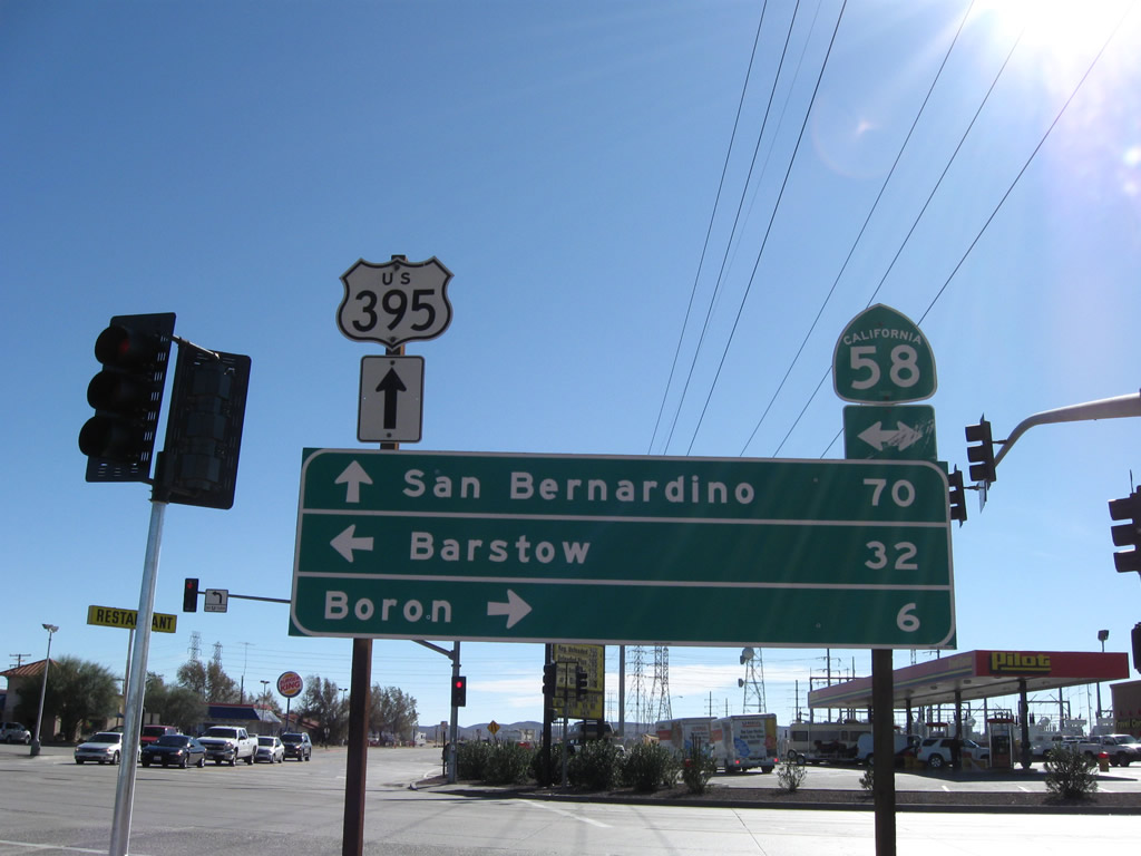
Turn right for California 58 west to Mojave and Bakersfield; turn left for California 58 east to Barstow and points east via Interstate 40. Continue straight ahead for U.S. 395 south to Hesperia, San Bernardino, Riverside, and San Diego. Photo taken 07/09/07. |
|
|
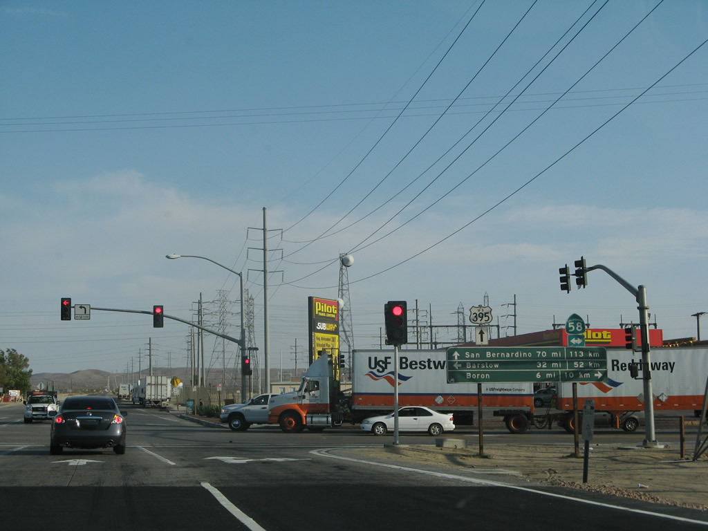
Southbound U.S. 395 meets California 58 at this traffic signal after the railroad crossing. Turn left to follow California 58 east to Barstow or turn right to follow California 58 west to Mojave and Bakersfield. Signage changed between 2007 and 2008. Gas stations are located on three of the four corners of the U.S. 395 and California 58 intersection. Photos taken 07/09/07 and 11/10/08. |
|
This view looks at the eastern half of the U.S. 395-California 58 intersection, looking south. Photo taken 07/09/07. |
|
Heavy traffic is common after the California 58 intersection due to the nearby gas stations and restaurants. Photo taken 07/09/07. |
|
On the right ahead is the aforementioned power substation. Photo taken 07/09/07. |
|
The position of the U.S. 395 and California 58 shields on top of the guide signs for northbound traffic makes it easy to spot the type of shield when traveling in the opposite direction (southbound). Photo taken 07/26/09. |
|
Looking to the southeast, two major power lines cross over U.S. 395: a 230kV and 220kV set. The one on the left has followed U.S. 395 since leaving Ridgecrest, and the one on the right comes from a solar electric generation plant from near Barstow. Photo taken 07/26/09. |
|
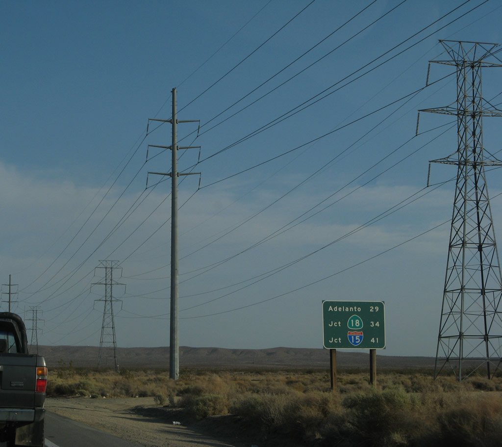
Leaving Kramers Junction (Four Corners), this mileage sign along U.S. 395 southbound provides the distance to Adelanto (29 miles), California 18 (34 miles), and Interstate 15 in Hesperia (41 miles). Photo taken 07/09/07. |
|
|
A U.S. 395 south reassurance shield is posted shortly thereafter. The highway leading south of Kramers Junction is comparable to the highway north of Kramers Junction, as U.S. 395 again has power lines paralleling it. Photos taken 07/09/07 and 07/26/09. |
Page Updated May 23, 2010.