
State Route 24 East

 East
East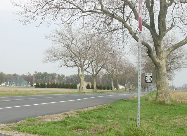
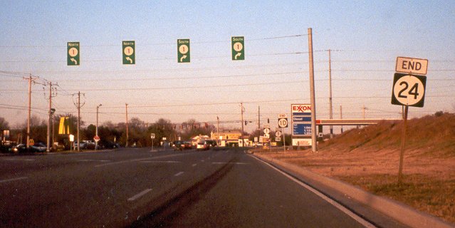
MD 348 (Laurel Road) curves southeast from the town of Sharptown to become SR 24 (Sharptown Road). The first eastbound shield for SR 24 appears at the split with Rider Road.
03/23/03
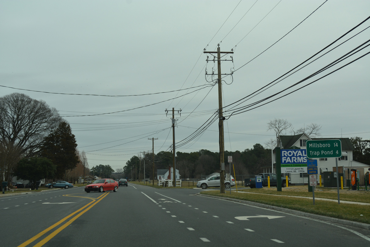
SR 24 continues east from U.S. 13 (Sussex Highway) along Laurel Road. The rural highway connects Laurel with Trap Pond State Park in four miles and Millsboro in 14 miles.
01/16/17

SR 24 (Laurel Road) passes through the community of Sandy Fork at Shiloh Church Road.
01/16/17
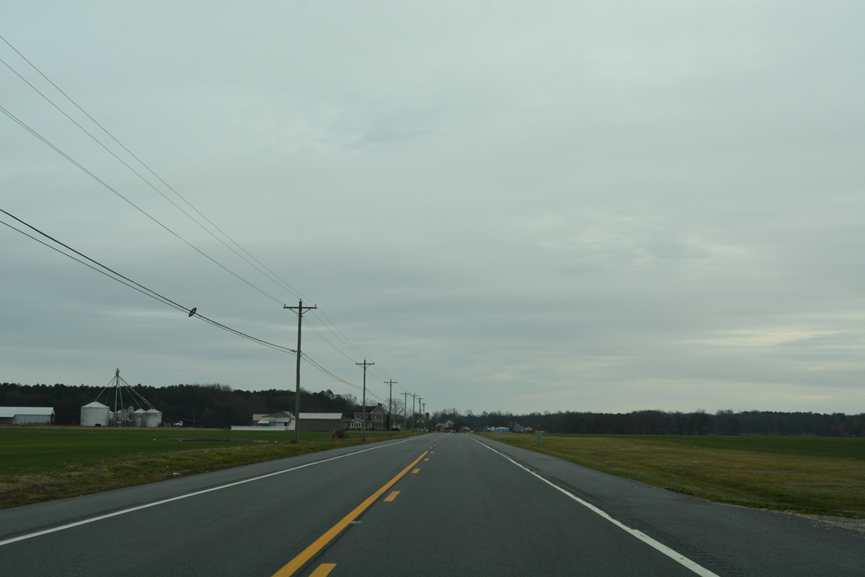
Continuing south, SR 24 (Laurel Road) runs across agricultural and forest land north of James Branch Nature Preserve over a three mile course.
01/16/17
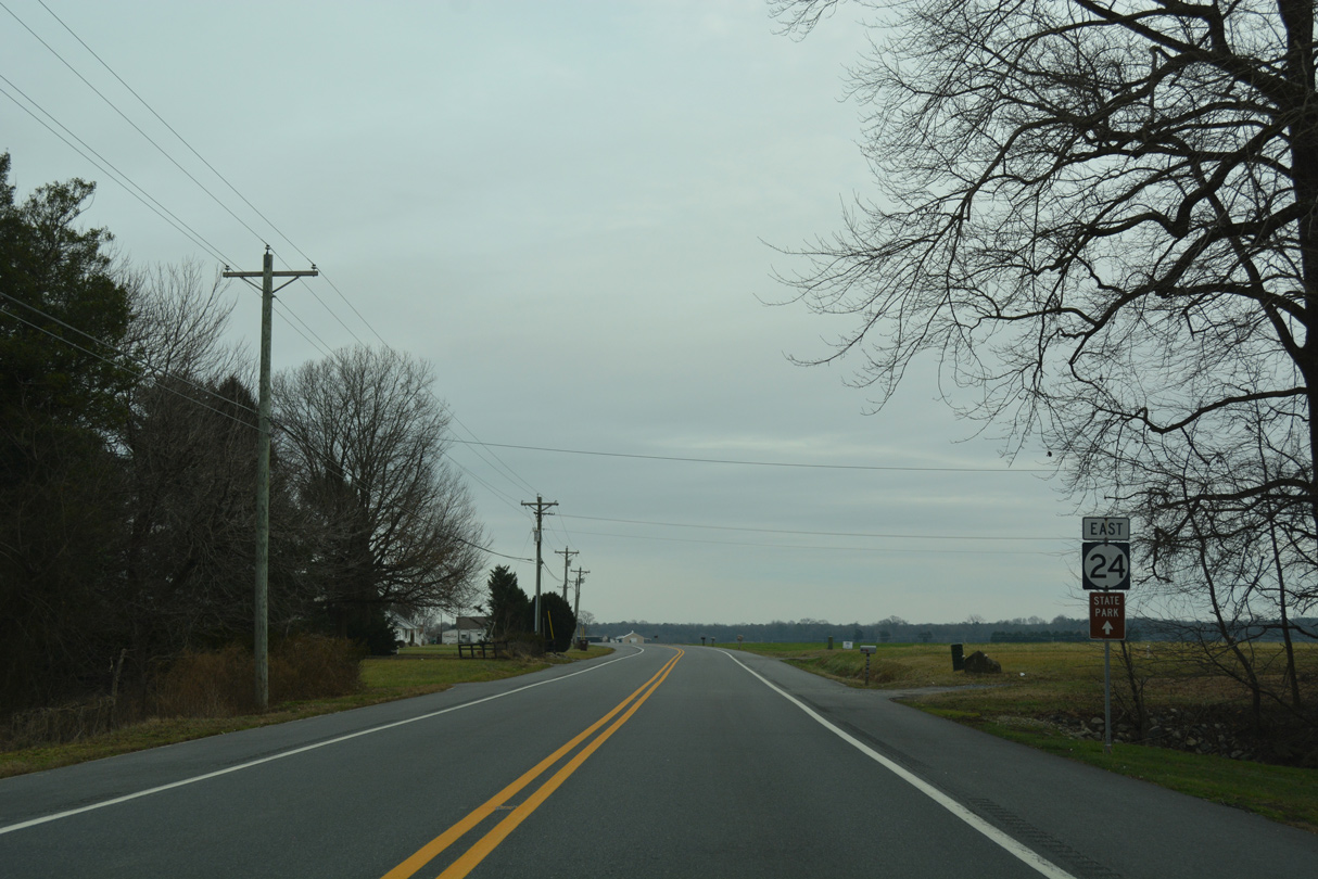
Crossing Gordon Branch, drivers pass by this reassurance marker for SR 24.
01/16/17
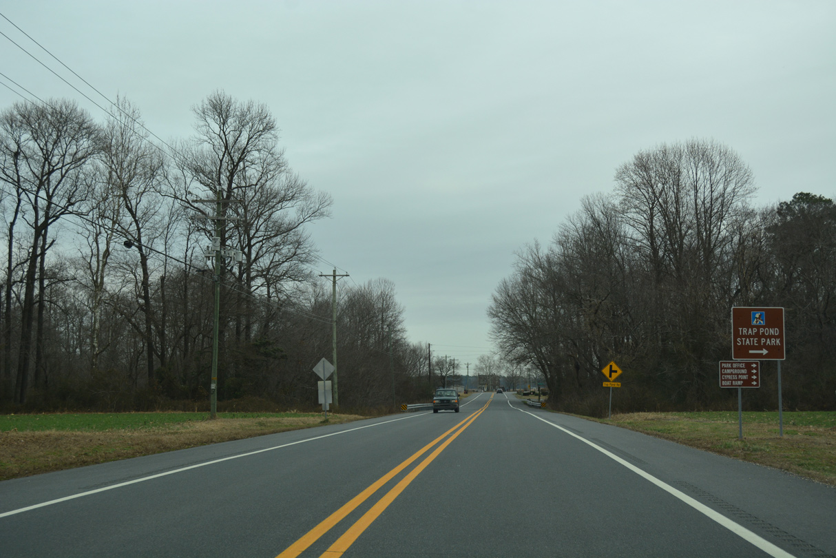
Eastbound SR 24 reaches the settlement of Pepper and Trap Pond Road south. Trap Pond State Park lies a short distance to the south.
01/16/17
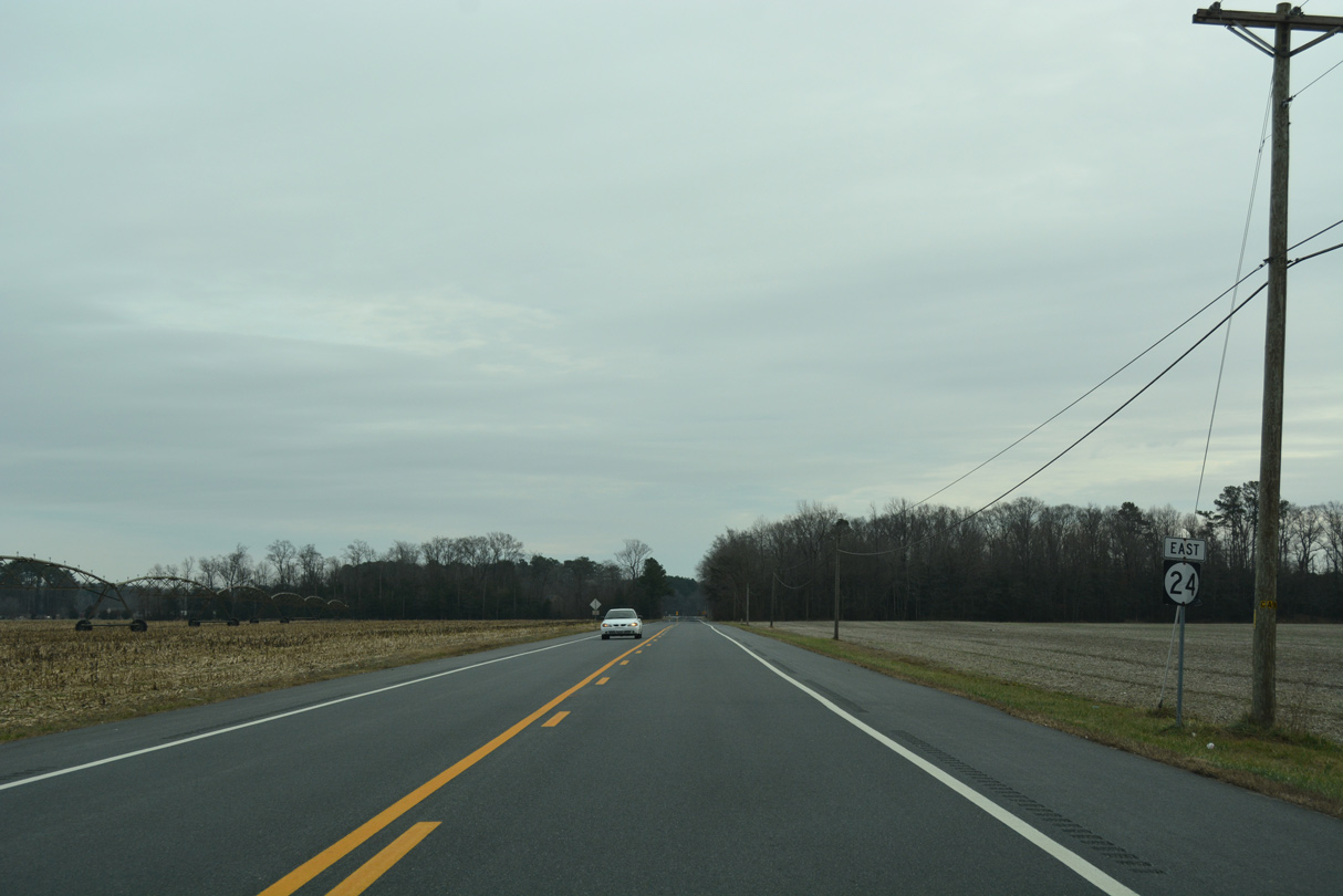
Reassurance marker posted after the intersection with Little Hill Road on SR 24 east. Little Hill Road branches southward from Laurel Road to run along the east side of Trap Pond State Park.
01/16/17
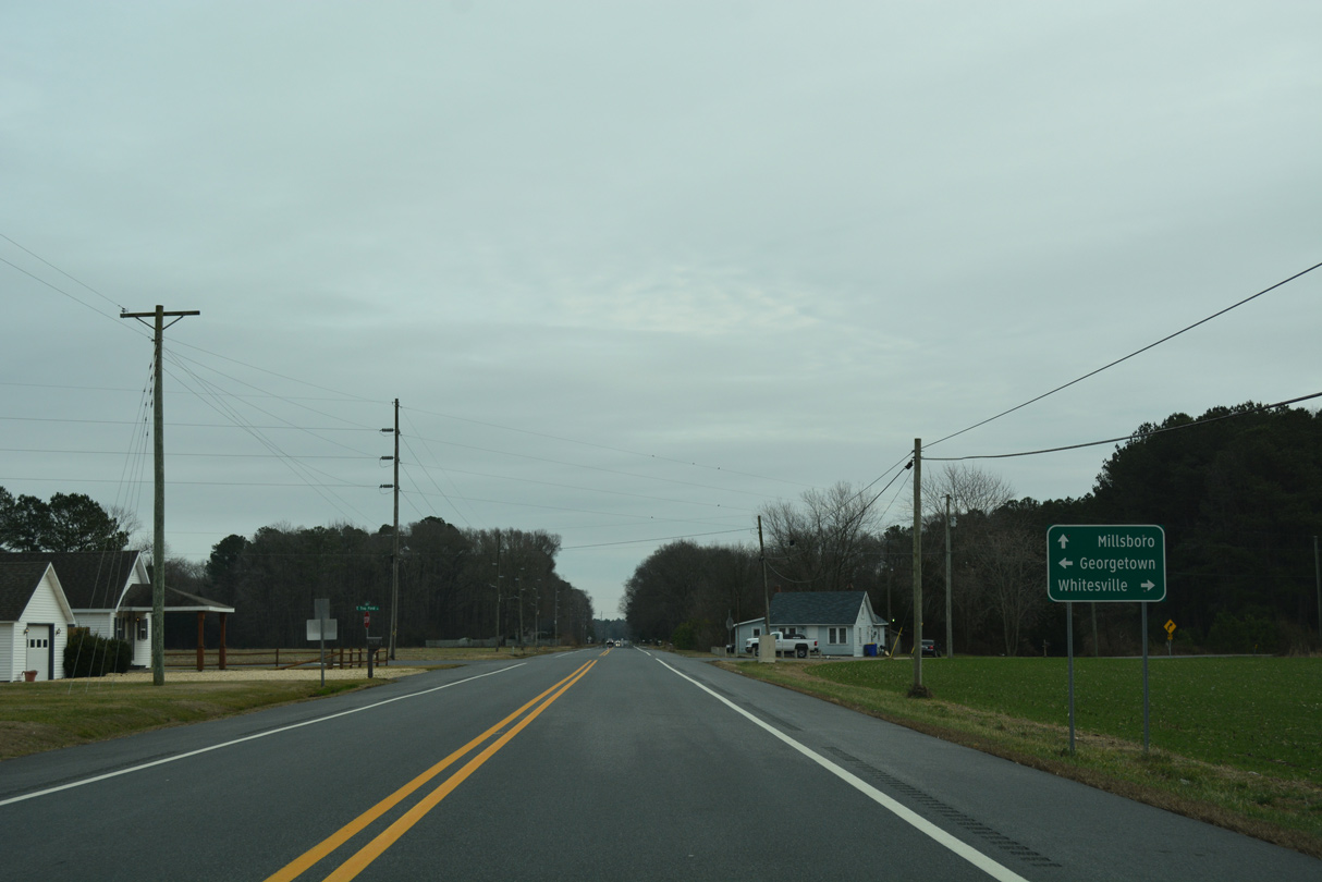
Whaleys Road meanders north from Whitesville, Pepperbox and Trap Pond State Park to intersect SR 24 at Whaleys Crossroads. East Trap Pond Road extends north from the junction to Hitchens Crossroads, Jones Crossroads (SR 20) and U.S. 113 in Georgetown.
01/16/17
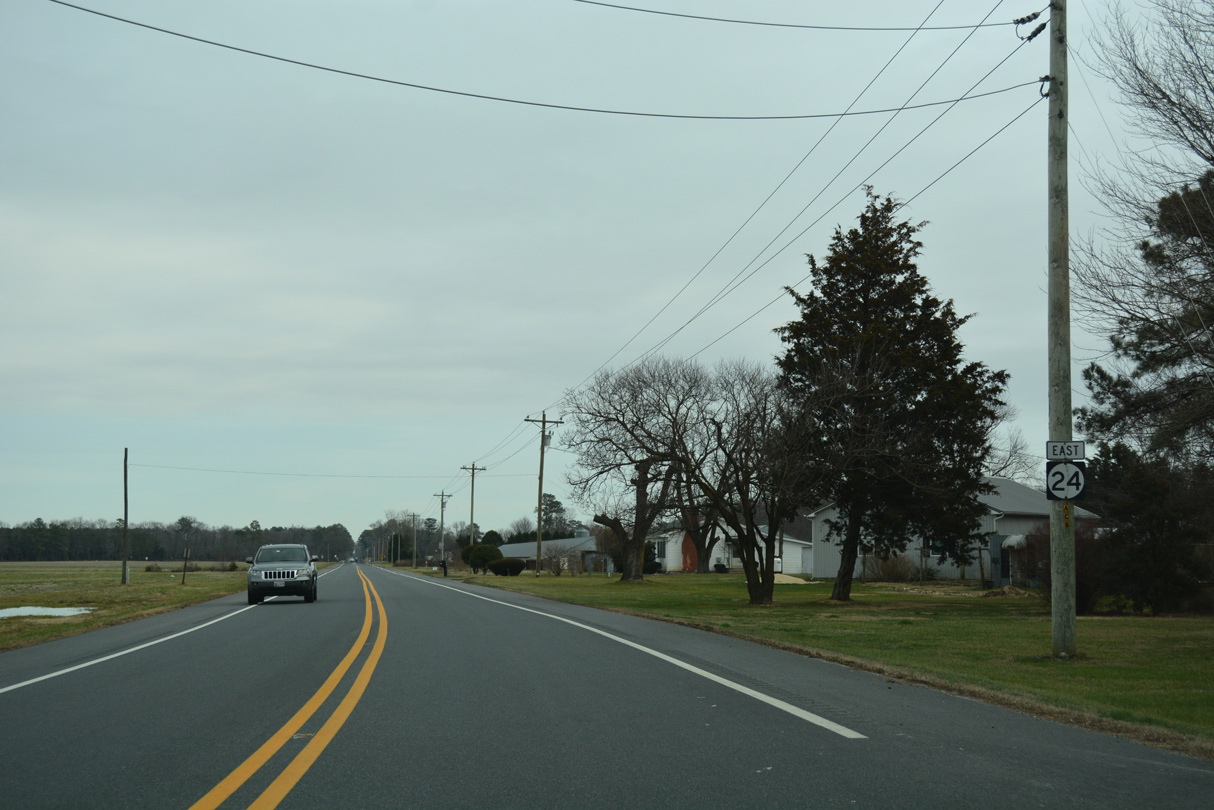
2.3 miles further east along Laurel Road, SR 24 intersects Lowes Crossing Road south to Gumboro at the settlement of Lowes Crossroads.
01/16/17

A 2.8 mile straight away on SR 24 east concludes as the state route meets Millsboro Highway. Millsboro Highway was formerly part of SR 30 until Summer 2022.
01/16/17

Millsboro Highway (old SR 30) connects with SR 26 (Nine Foot Road) east at Shaft Ox Corner, 0.92 miles to the south. SR 26 proceeds from there to Dagsboro and ultimately Bethany Beach. Millsboro Highway continues south to SR 54 at Gumboro.
01/16/17
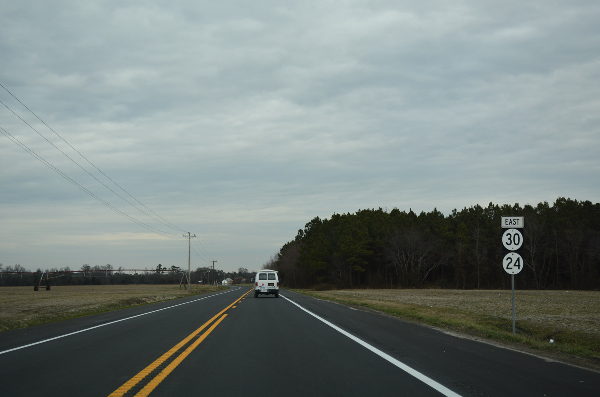
Advancing north toward the settlement of Mission, SR 30 formerly overlapped with SR 24 north 5.81 miles to U.S. 113 at Millsboro. SR 30 was dropped from the concurrent alignment in Summer 2022.
01/15/17
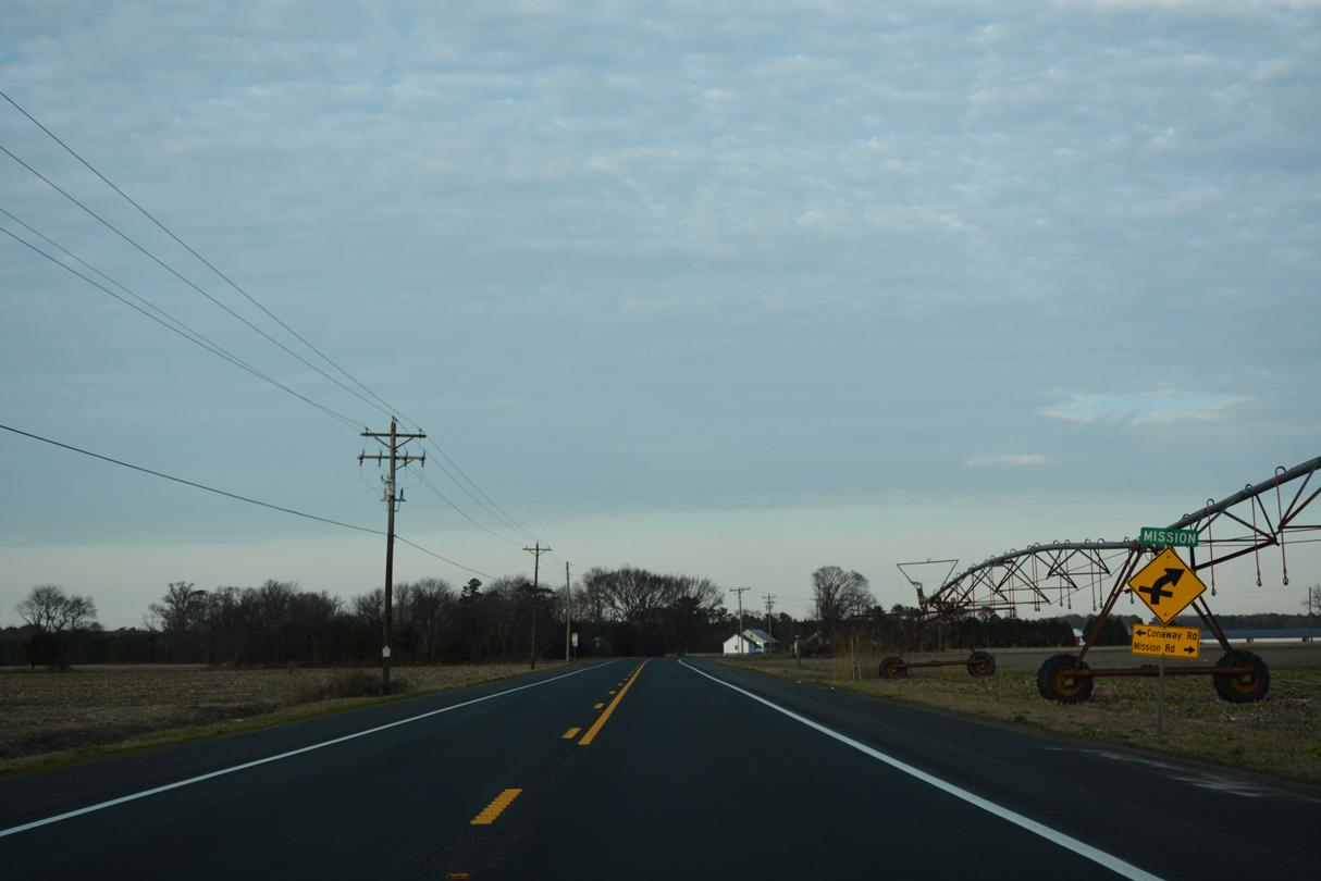
A staggered intersection joins SR 24 (Millsboro Highway) with Conaway Road north and Mission Road south. Conaway Road (Road 431) travels north from Mission to SR 20 at Workmans Corners.
01/15/17
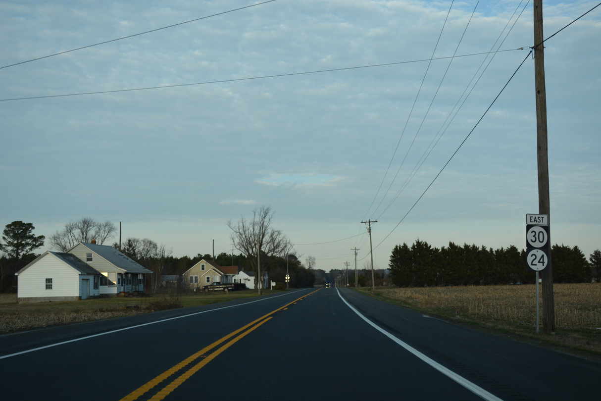
Millsboro Highway makes a straight away north across farm land between Mission and Phillips Hill.
01/15/17
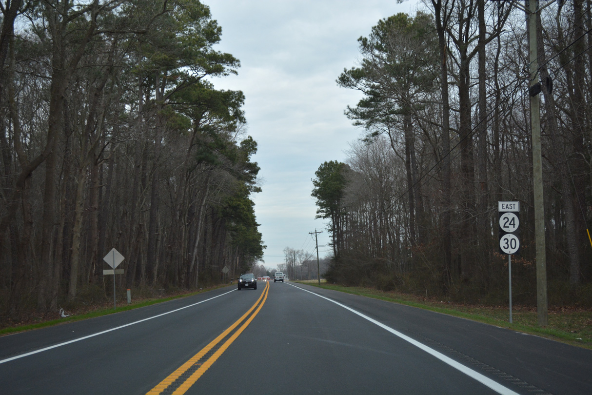
Another set of shields for SR 24/30 east appeared after Millsboro Highway intersects Careys Camp Road.
01/16/17
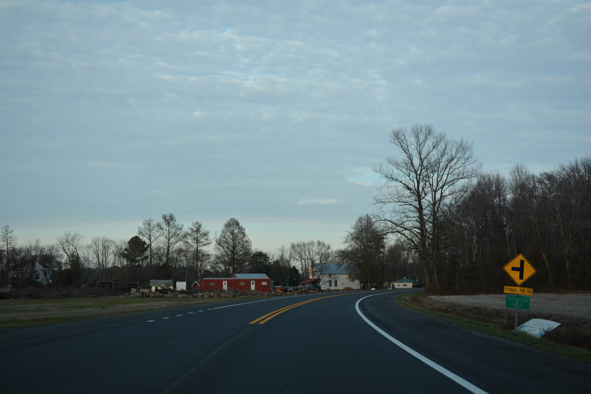
SR 24 east reaches the community of Phillips Hill at Revel and Phillips Hill Roads.
01/15/17
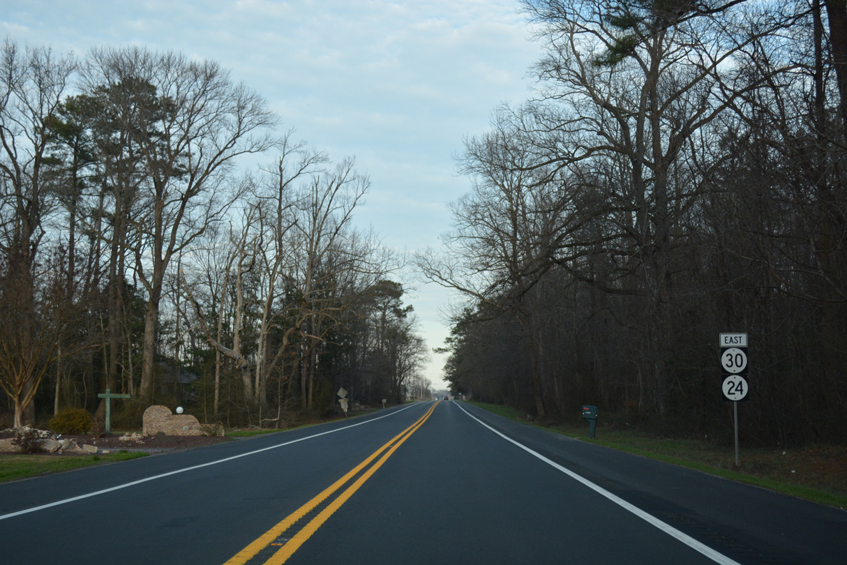
Several rural subdivisions spread to the east and north as SR 24 advances to the west side of Millsboro.
01/15/17
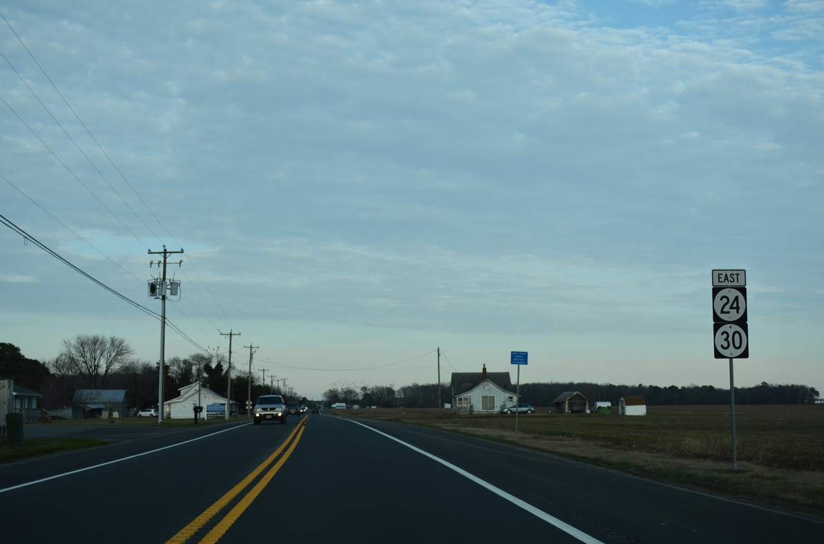
Eastbound shield assembly for SR 24/30 posted after Lewis Road north and Mumford Road south and just ahead of the Millsboro town line.
01/15/17

SR 24 curves east from Godwin School Road (Rd 328A) along Laurel Road past the Plantation Lake I subdivision to U.S. 113/SR 20 in Millsboro. SR 30 was decommissioned along SR 24 in 2022, but a new shield for the route was added here in 2025.
12/27/25

Traffic lights were added along SR 24 (Laurel Road) at Plantation Lakes Boulevard north and Bramble Drive south at the Plantation Lakes development in 2025.
12/27/25

U.S. 113 represents the primary highway through the interior of Sussex County south to Dagsboro and the Ocean City, Maryland vicinity and north to Milford.
12/27/25

U.S. 113 (Dupont Boulevard) travels west of Downtown Millsboro along a commercial arterial. Beyond Millsboro, the four lane divided highway becomes rural both south to Selbyville and north to Georgetown.
12/27/25
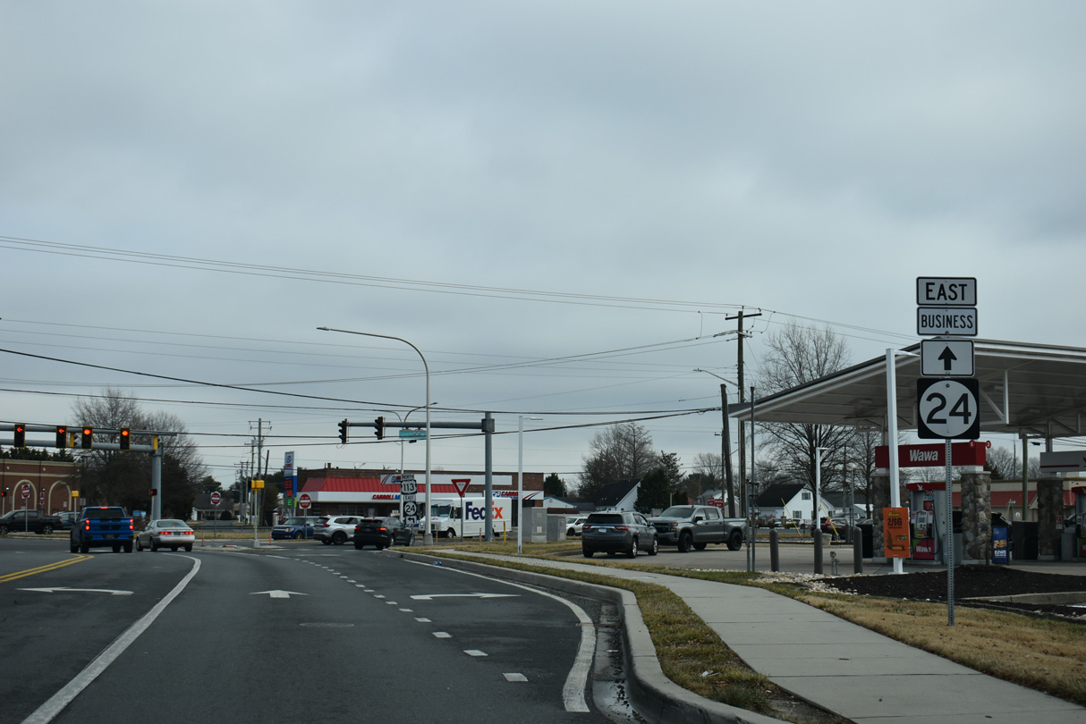
As of September 2025, SR 24 turns northwest alongside U.S. 113/SR 20 (Dupont Highway) from Washington Street to the North Millsboro Bypass. SR 24 Business (Washington Street) follows the former route northeast to Downtown Millsboro.
12/27/25
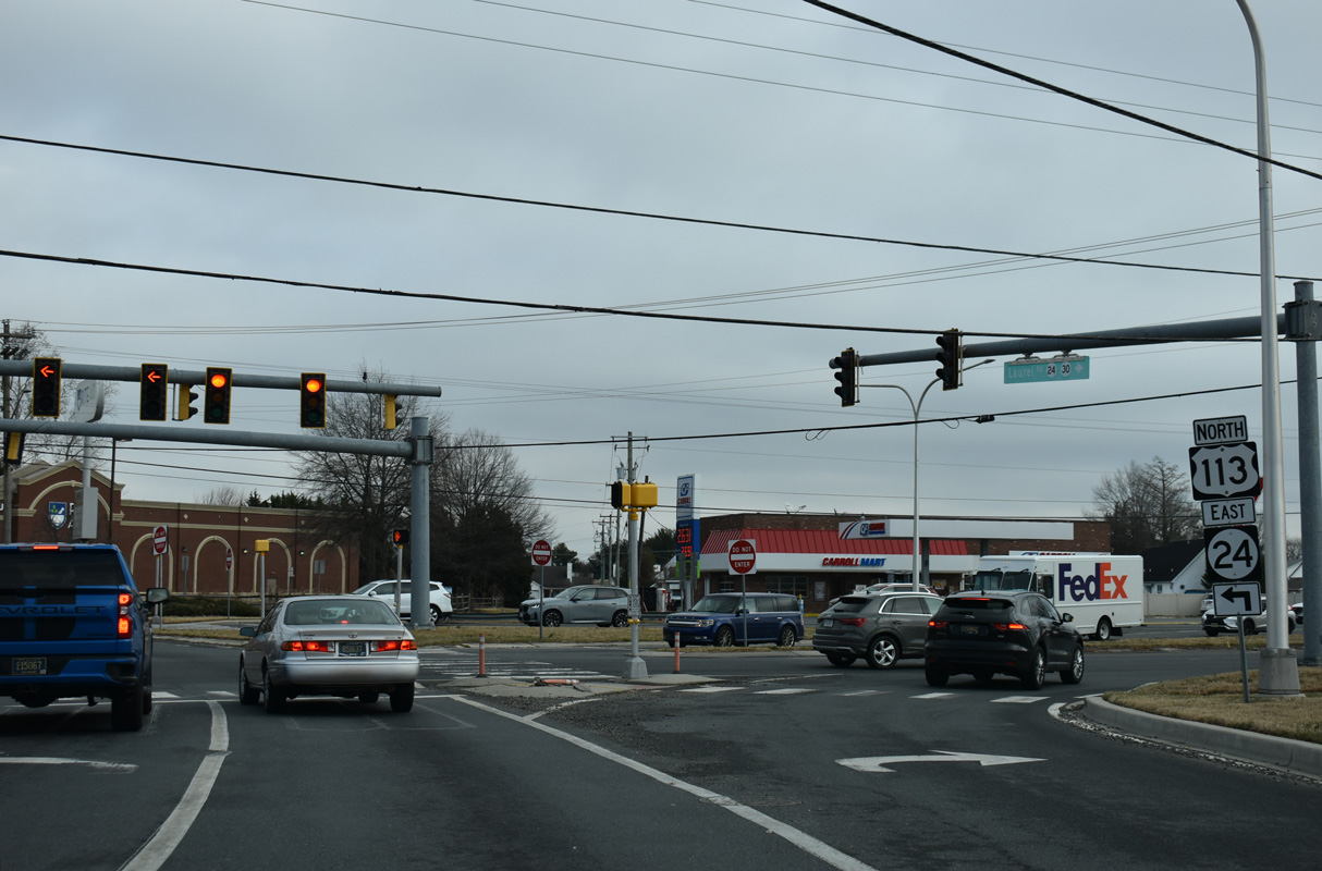
Prior to 2004, U.S. 113 extended north to Dover. The route south ends at U.S. 13 in Pocomoke City, Maryland.
12/27/25
East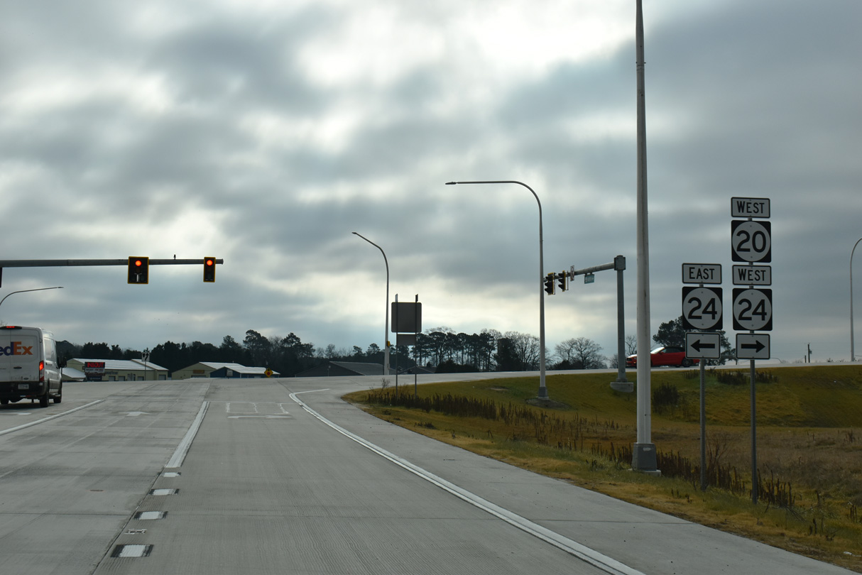
SR 24 east and SR 20 west part ways with U.S. 113 (Dupont Boulevard) north at Exit 12 for the North Millsboro Bypass. SR 20 continues west onto Hardscrabble Road toward Seaford while SR 24 resumes eastward along the two-lane bypass.
12/27/25

The North Millsboro Bypass commences east from the ramp taking SR 20 south from Hardscrabble Road onto U.S. 113 (Dupont Boulevard) south. The entrance ramp for U.S. 113 north follows.
12/27/25

U.S. 113 continues north from SR 20, SR 24 and the North Millsboro Bypass seven miles to U.S. 9 at Georgetown.
12/27/25

U.S. 113 runs 25.7 miles north from SR 20/24 to SR 1 at Milford. SR 1 north from there leads to Dover.
12/27/25

The North Millsboro Bypass elevates across Fox Run Road (Rd 326) and a Norfolk Southern Railroad line east beyond this confirming marker for SR 24.
12/27/25

The North Millsboro Bypass crosses northern reaches of Millsboro Pond on a pair of bridges.
12/27/25
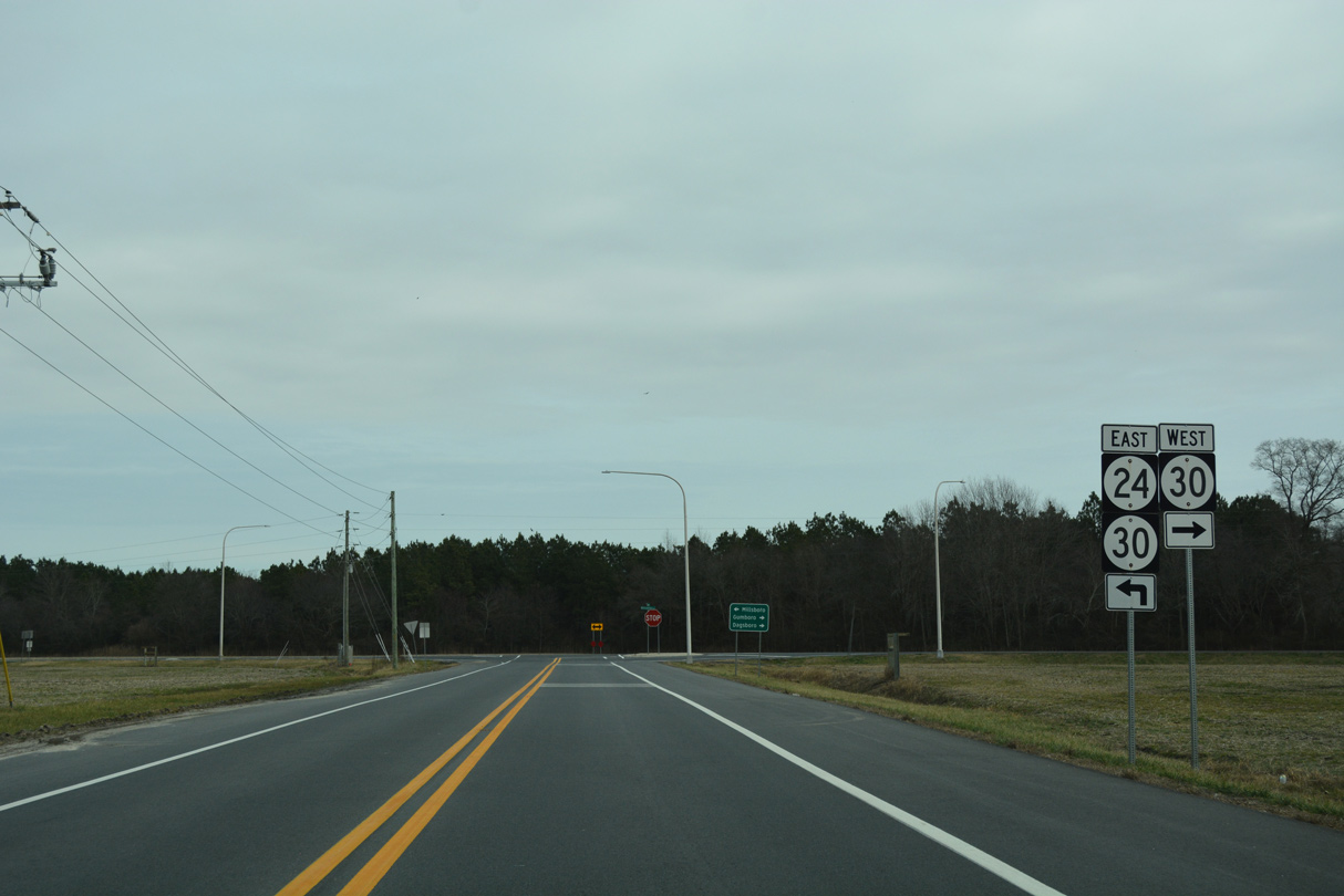
The Gravel Hill Road Connector (Rd 248B) links SR 24 (North Millsboro Bypass) with SR 30 (Gravel Hill Road) just east of Millsboro Pond.
12/27/25
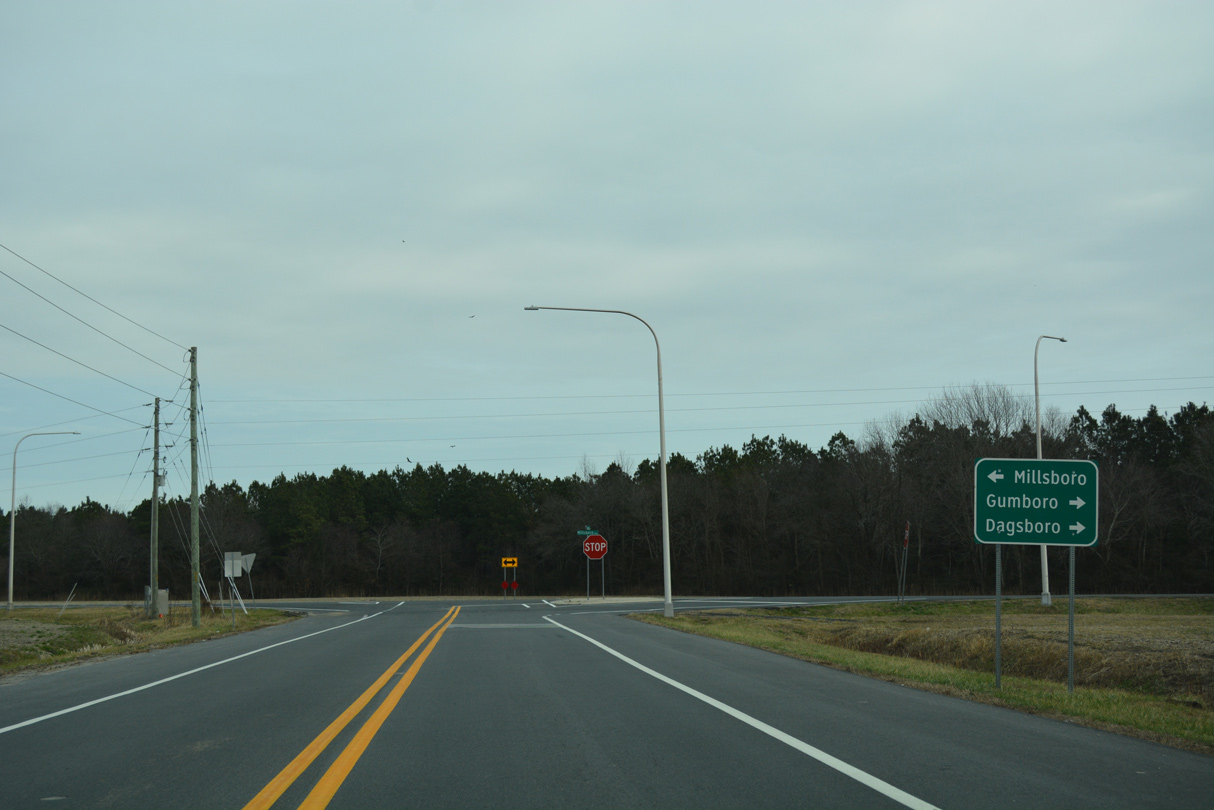
SR 30 (Gravel Hill Road) south ties into SR 24 Business to the north of Downtown Millsboro.
12/27/25

North from Millsboro, SR 30 (Gravel Hill Road) continues to Zoar, Milton and Milford.
12/27/25
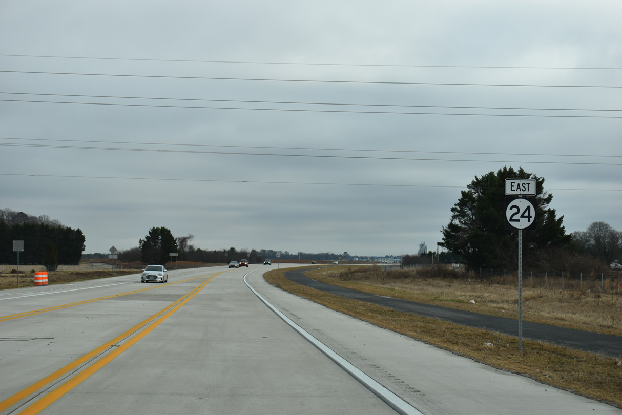
Continuing east from the Gravel Hill Road Connector along the North Millsboro Bypass.
12/27/25
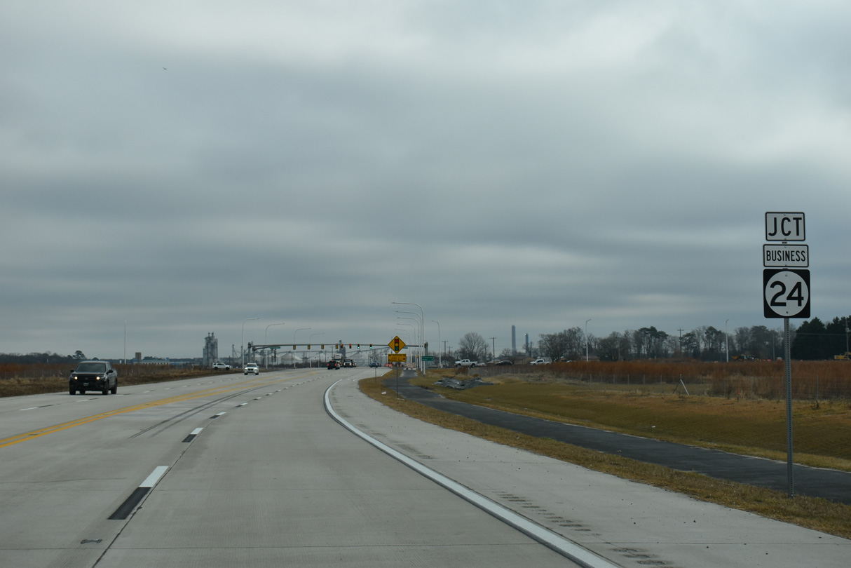
SR 24 Business returns to SR 24 (North Millsboro Bypass) north from Millsboro along John J. Williams Highway.
12/27/25

John J. Williams Highway was realigned northward to a signalized intersection with the North Millsboro Bypass across from Hollyville Road.
12/27/25

SR 24 Business leads one mile southwest to State Street in Downtown Milford. Hollyville Road (Rd 305) runs 5.8 miles north to SR 5 at Hollyville.
12/27/25

SR 24 follows John J. Williams Highway east from SR 24 Business to Angola and Midway.
12/27/25
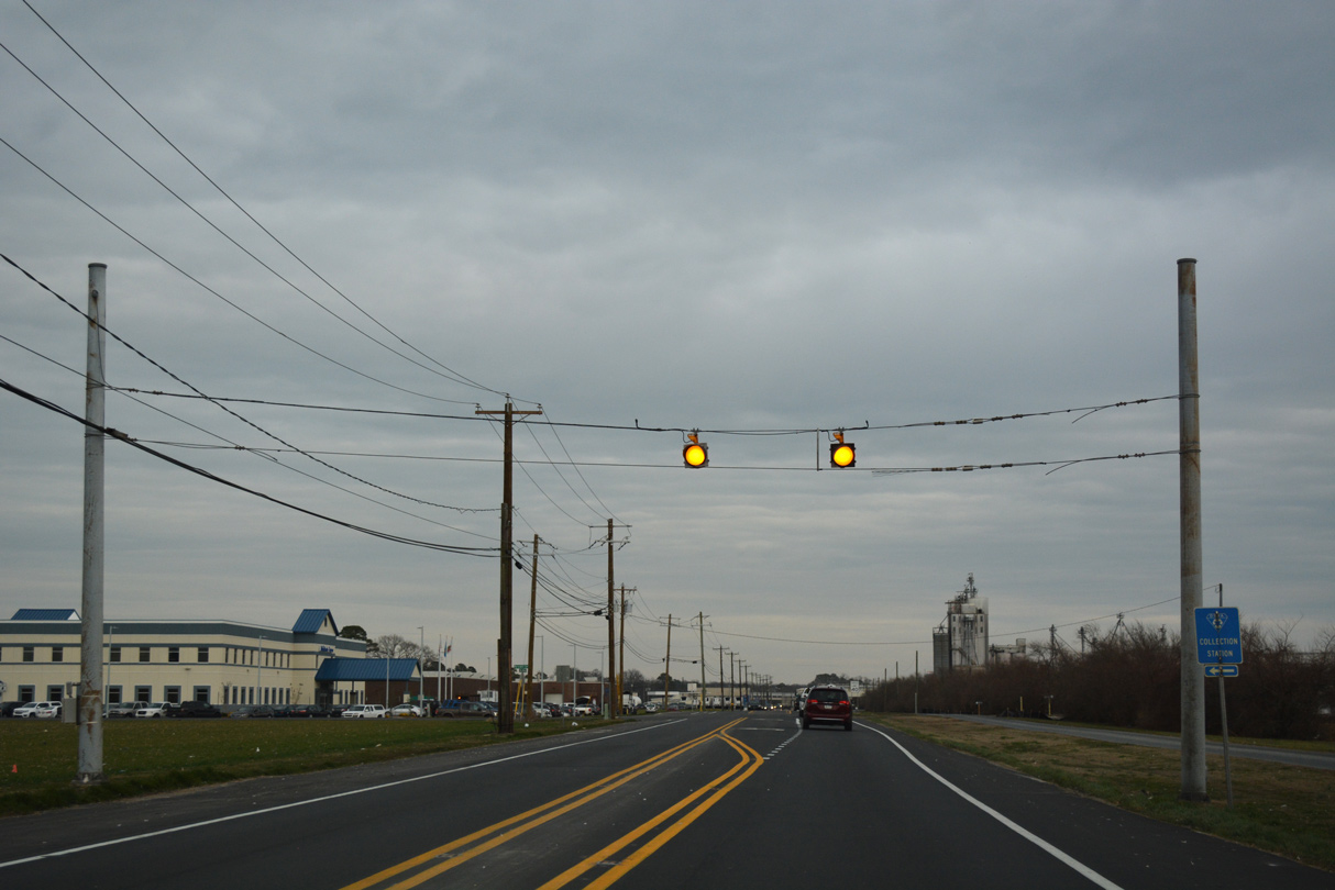
A set of flashers advise caution as SR 24 (John J. Williams Highway) slows through the vicinity of the Mountaire Farms poultry plant.
01/16/17
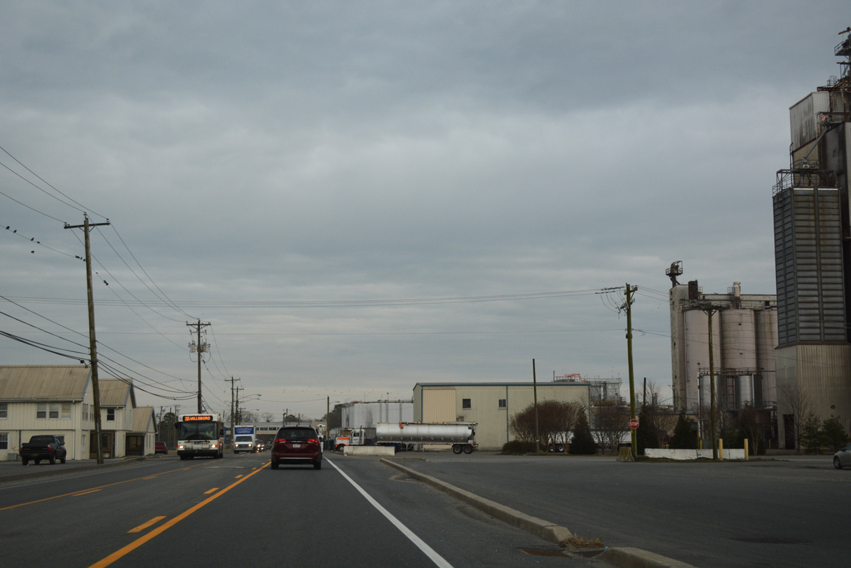
SR 24 expands to include a continuous center turn lane between the two sides of the Mountaire Farms poultry plant.
01/16/17
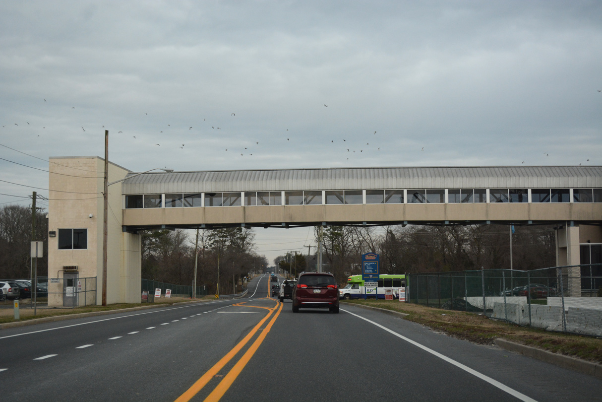
A pedestrian bridge spans SR 24 from the main parking area of the Mountaire Farms Millsboro complex just ahead of Longwood Pond and Swan Creek.
01/16/17
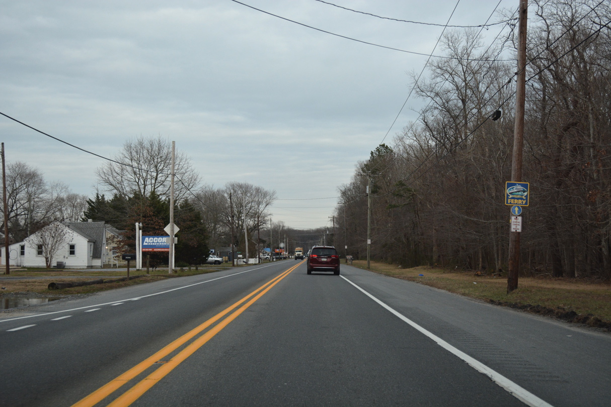
A trailblazer directs motorists eastward along SR 24 after Swan Creek to the Cape May Lewes Ferry.
01/16/17
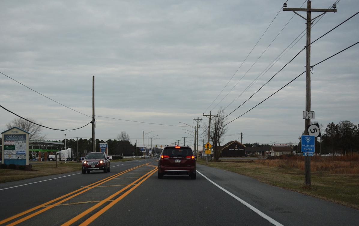
Progressing east, SR 24 (John J. Williams Highway) passes through the rural community of Warwick before making an S-curve and turning northeast through increasingly suburban areas to SR 5 (Oak Orchard Road).
01/16/17
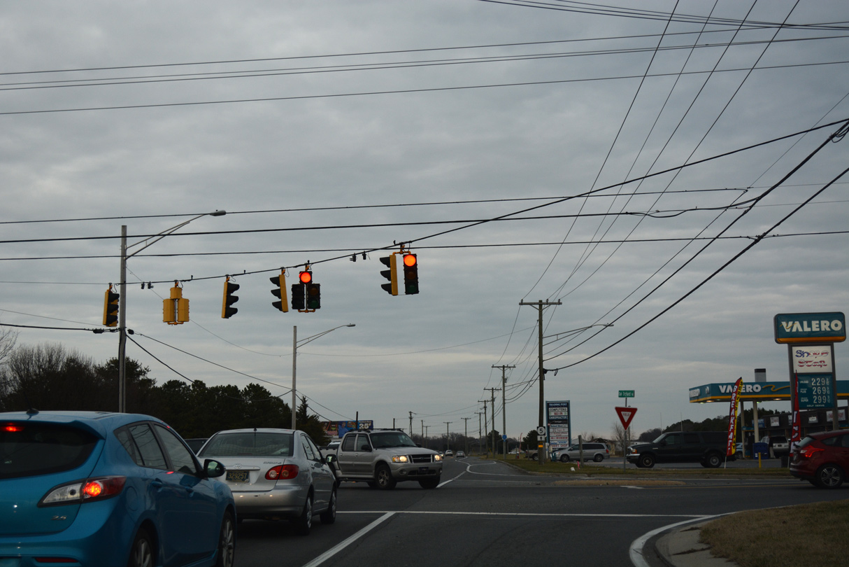
No shields are posted for the spur of SR 5 (Oak Orchard Road) south to the Oak Orchard community off Indian River. Mt. Joy Road stems northwest from the traffic light west to SR 30 and Mt. Joy.
01/16/17
 North East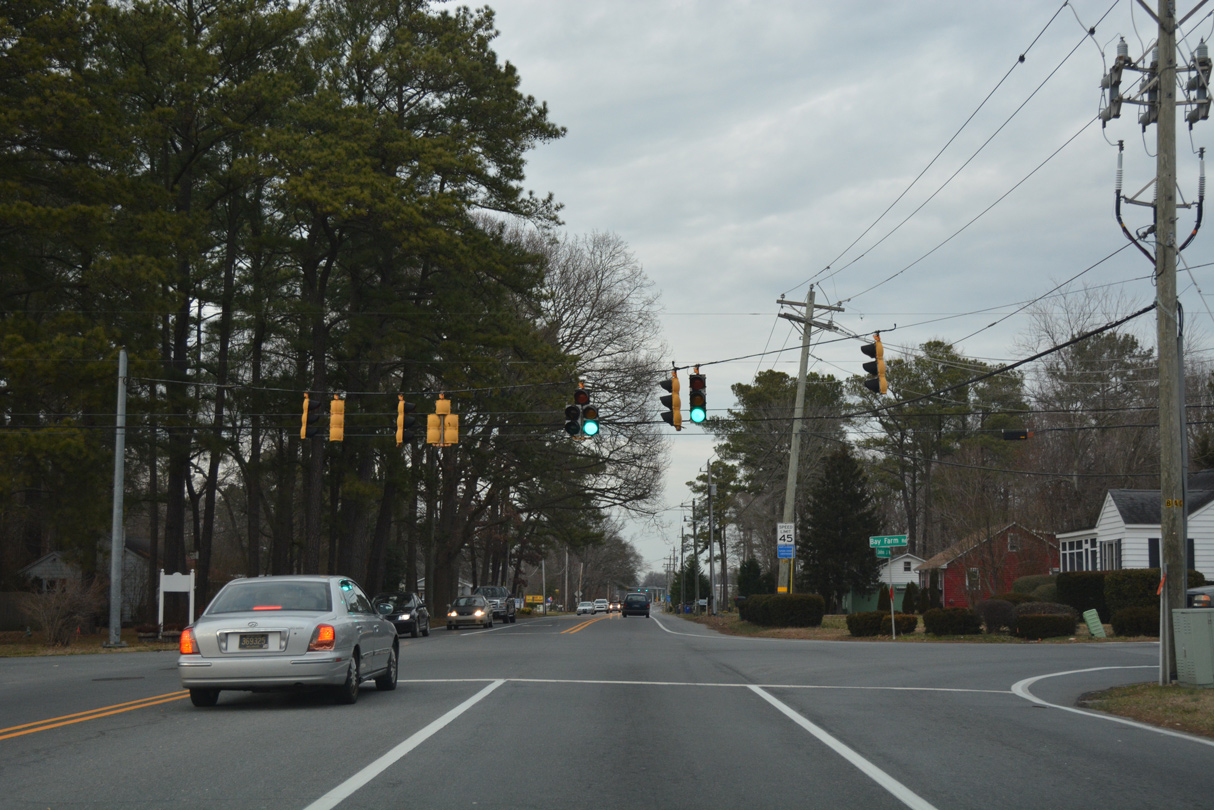
Autumn Road south and Bay Farm Road west come together at this traffic light along John J. Williams Highway north. Bay Farm Road angles southeast to Long Neck Shores and The Peninsula golf course community.
01/16/17
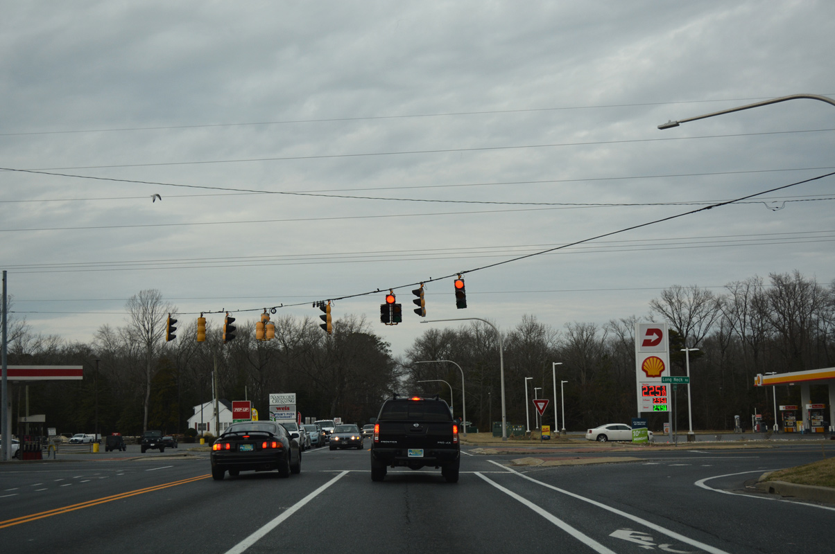
Entering the commercialized intersection with SR 5/23 (Indian Mission Road) north and SR 23 (Long Neck Road) south on SR 24 (John J. Williams Highway). SR 24 continues northeast to Angola and Midway.
01/16/17
East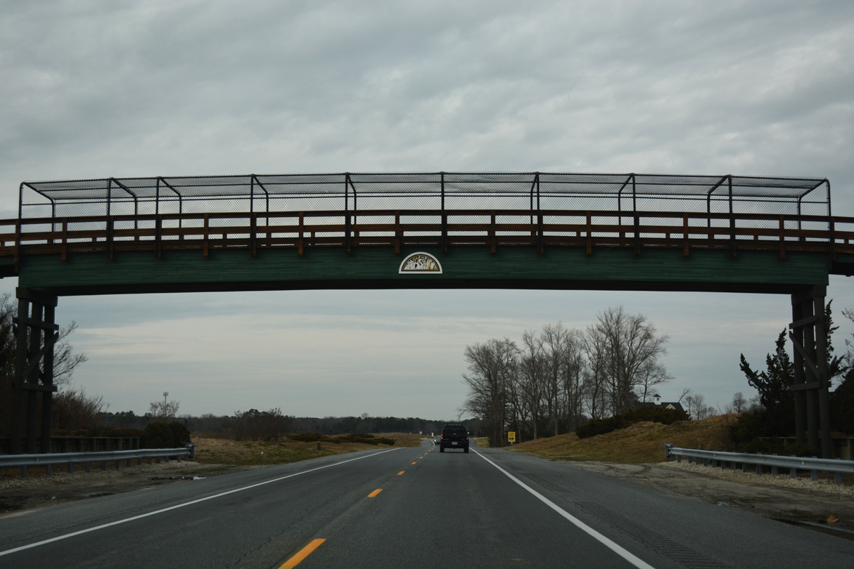
Continuing northeast along John J. Williams Highway, SR 24 is unmarked from SR 23 to the Baywoods golf course community. An overpass carries golf carts about the state route ahead of Greens Way.
01/16/17
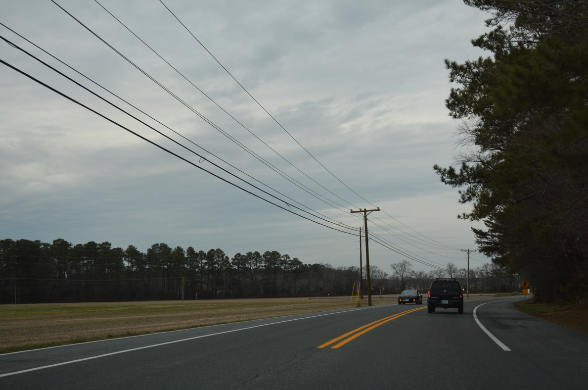
SR 24 turns east across Pine Water Neck to the community of Angola and intersection with Hollymount Road west and Sloan Road east.
01/16/17
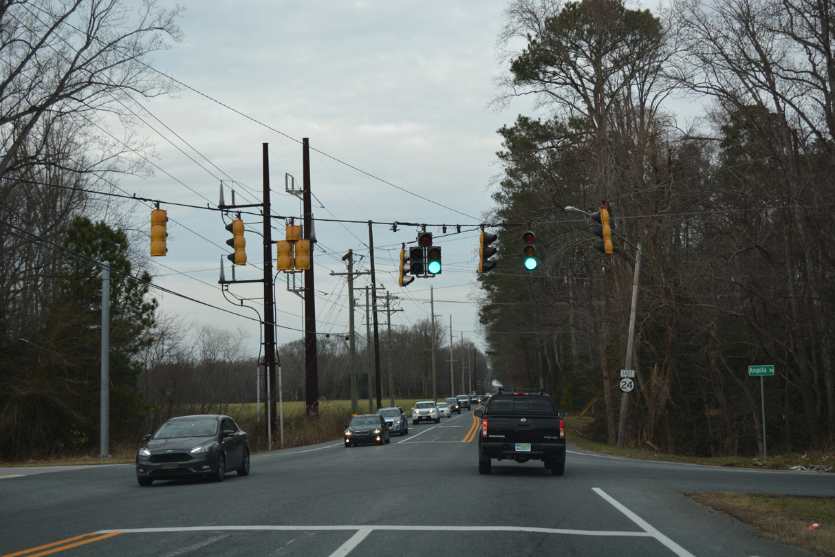
SR 24 east crosses Burton Pond ahead of the Angola by the Bay community. A traffic light follows with Angola Road east and Robinsonville Road north. Angola Road serves an array of communities spreading eastward along Angola Neck toward Rehoboth Bay.
01/16/17
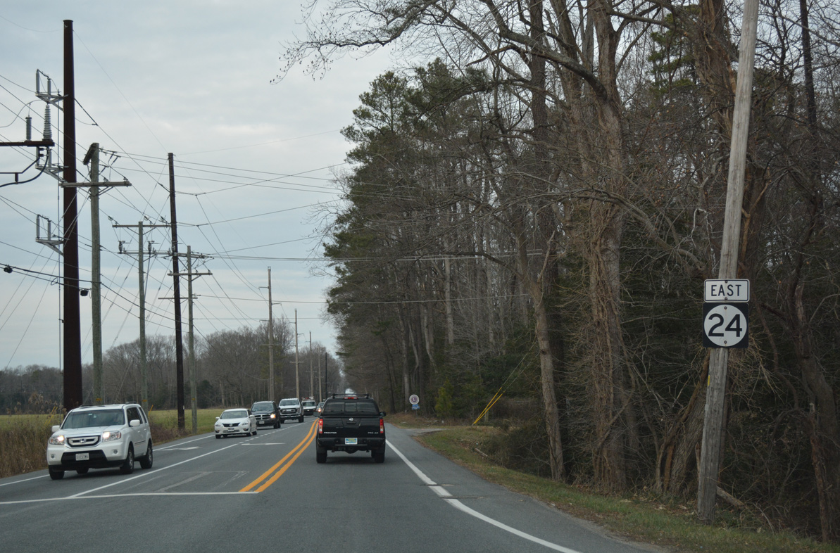
A reassurance shield for SR 24 east appears at Angola Road where John J. Williams Highway parallels a wooded area along Sarah Run.
01/16/17

Camp Arrowhead Road stems south from SR 24 and Fairfield Road, the entrance to the Fox Hollow subdivision, to Marshtown and Burton Point at the southern tip of Angola Neck.
01/16/17
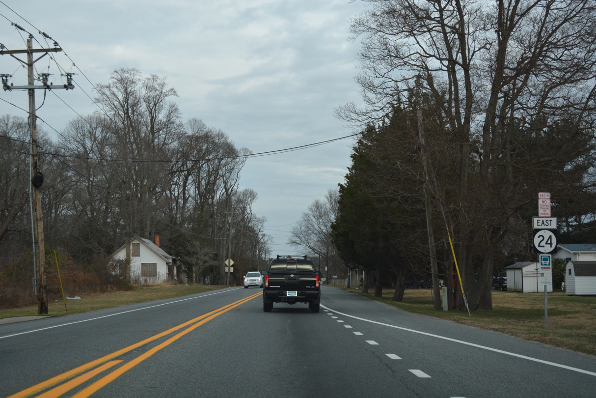
East of Camp Arrowhead, this reassurance marker for SR 24 precedes Love Creek.
01/16/17
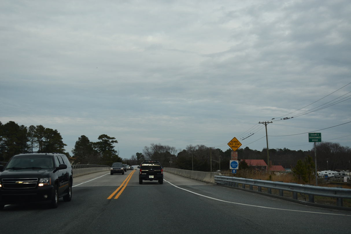
Built in 1992, the Eugene D. Bookhammer Bridge carries SR 24 across Love Creek. Love Creek flows south to the open waters of Rehoboth Bay nearby.
01/16/17
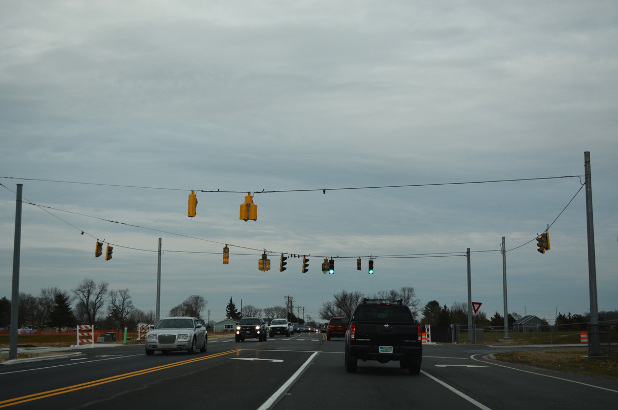
The signalized intersection along SR 24 for Beacon Middle School doubles as the main access point for Love Creek Elementary School, which was under construction in 2017.
01/16/17
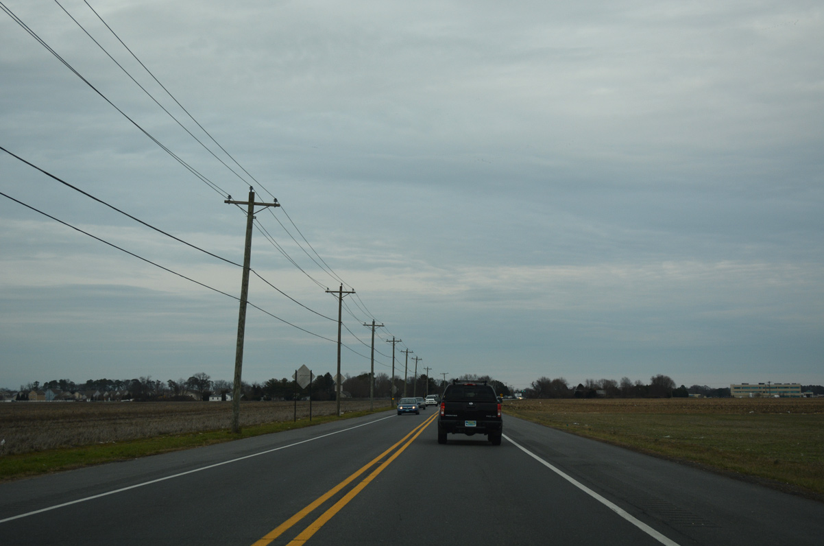
Remaining agricultural areas await development as SR 24 advances northeast to SR 1D (Plantation Road).
01/16/17
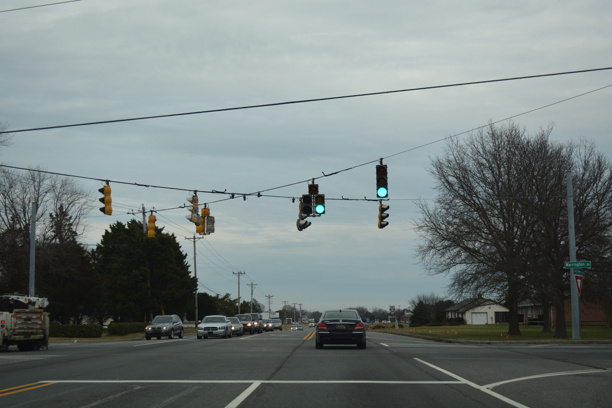
Unmarked at the traffic light with Plantation Road north and Warrington Road south, SR 1D turns north from SR 24 (John J. Williams Highway) to SR 23 at Belltown. Plantation Road was also formerly a part of SR 24 Alt.
01/16/17
 South East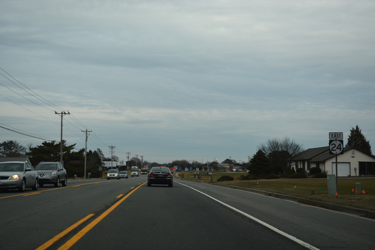
SR 1D/24 overlap 0.72 miles east along John J. Williams Highway to SR 1 (Coastal Highway). The arterial expands with a center turn lane to Bryn Mawr Drive and the Maplewood subdivision.
12/22/24

Expansion of John J. Williams Highway to a five lane boulevard between Plantation Road and SR 1 included adding traffic lights at Beebe Road and Hudson Way.
12/22/24
End shields for SR 1D/24 precede SR 1. Coastal Highway heads northwest toward Lewes and Five Points and south to Rehoboth Beach and Dewey Beach.
12/22/24
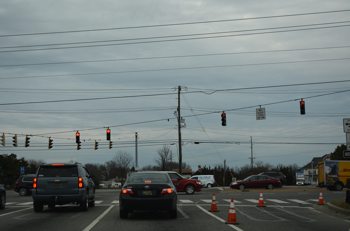
Construction in 2016-17 for a new Royal Farms gas station at the southwest corner of SR 24 at Coastal Highway removed both sign assemblies for SR 1. Replacements were added by 2019, but the north shield was gone by 2024.
12/22/24
Photo Credits:
- Adam Froehlig: 03/23/03
- Alex Nitzman: 01/15/17, 01/16/17, 12/22/24, 12/27/25
Connect with:


Page Updated Monday January 12, 2026.