
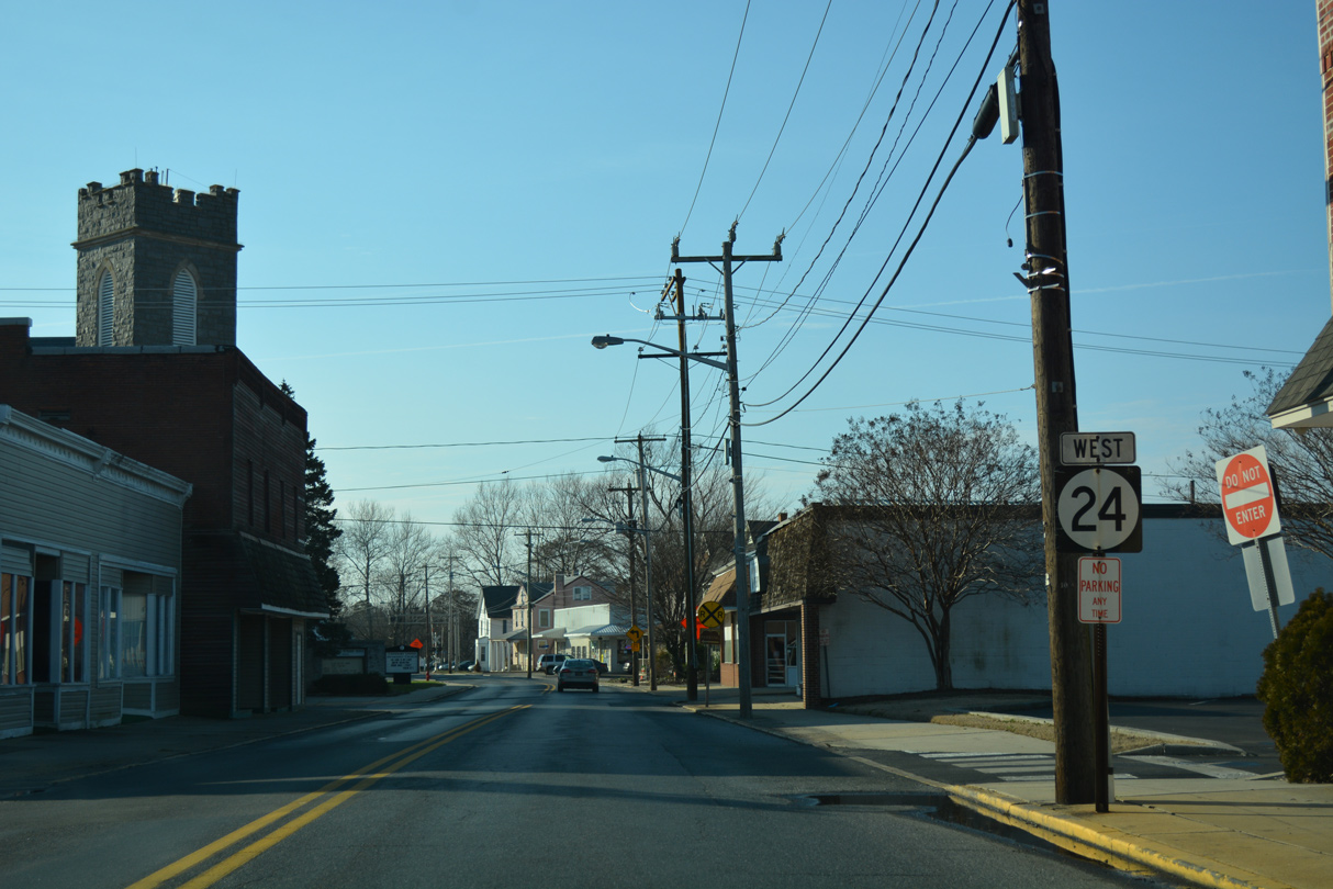
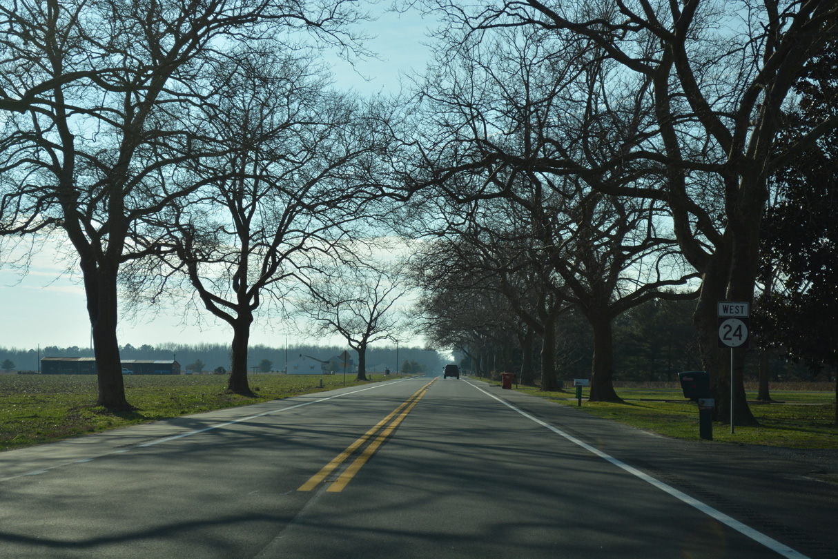
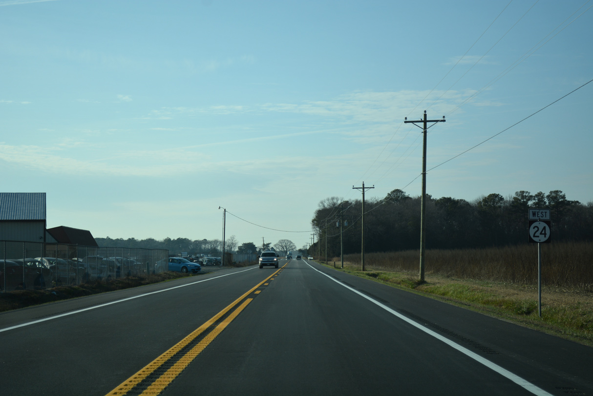
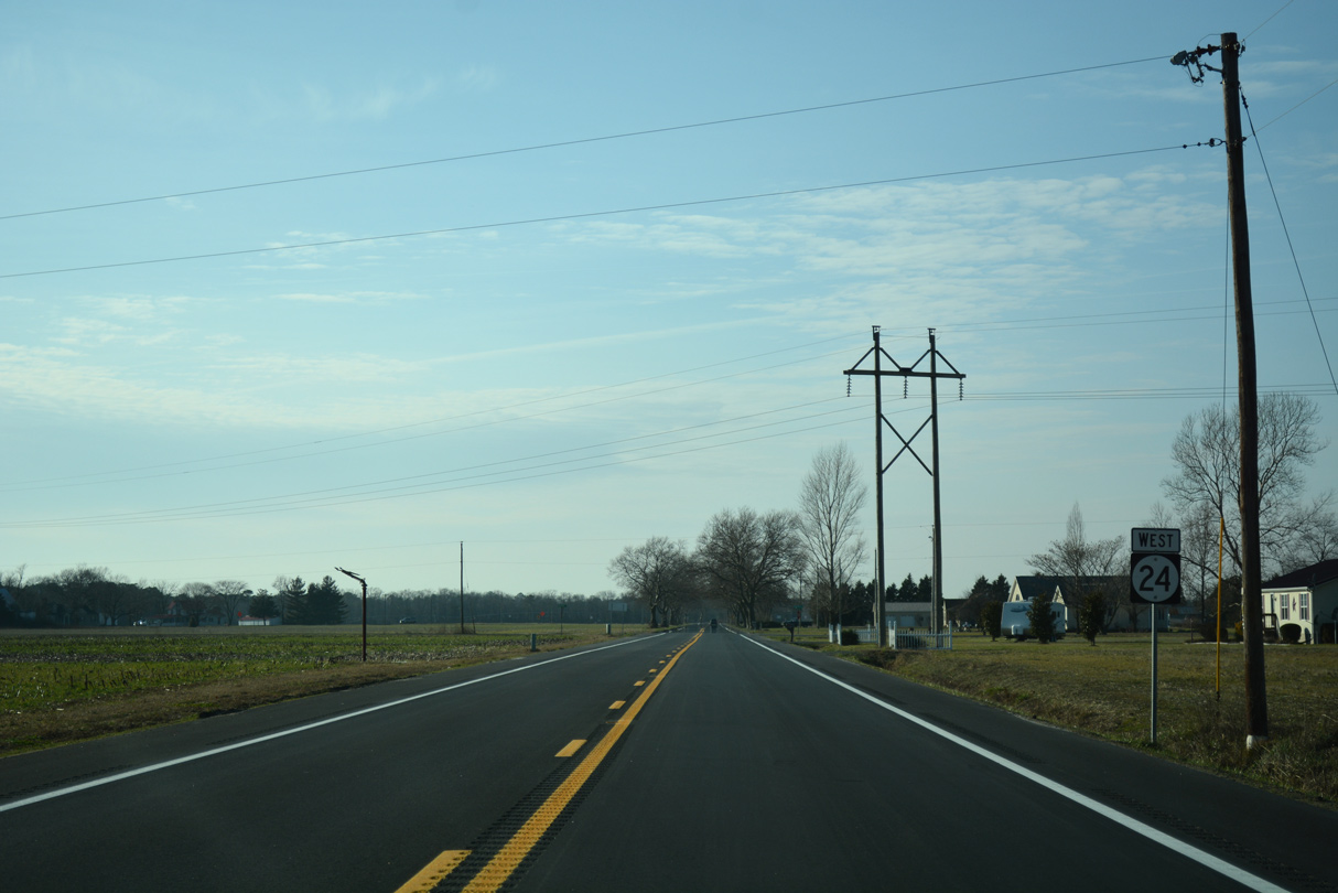
State Route 24 West

 North
North 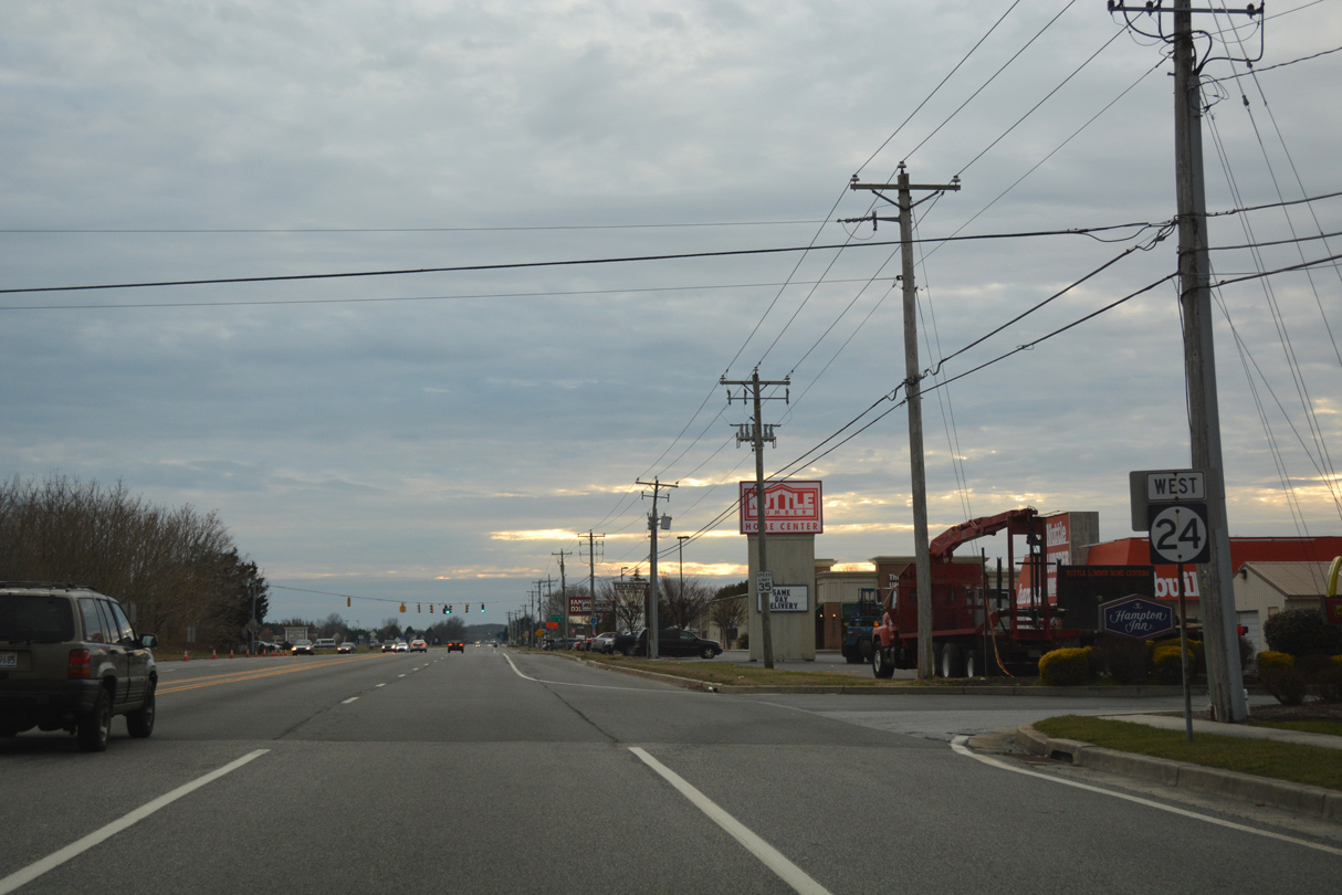
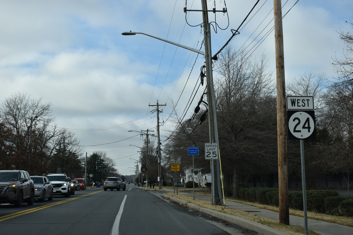
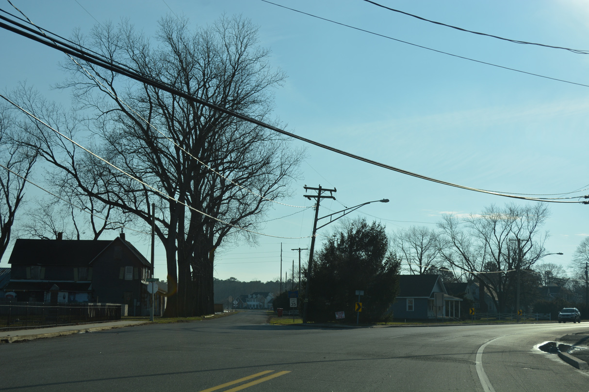
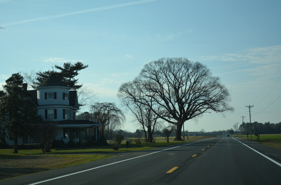
John J. Williams initially carries four overall lanes from SR 1 (Coastal Highway) to Hudson Way and the north entrance to Rehoboth Mall. Future road work will extend the four lane section of SR 24 south to the split with SR 1D (Plantation Road).
01/16/17
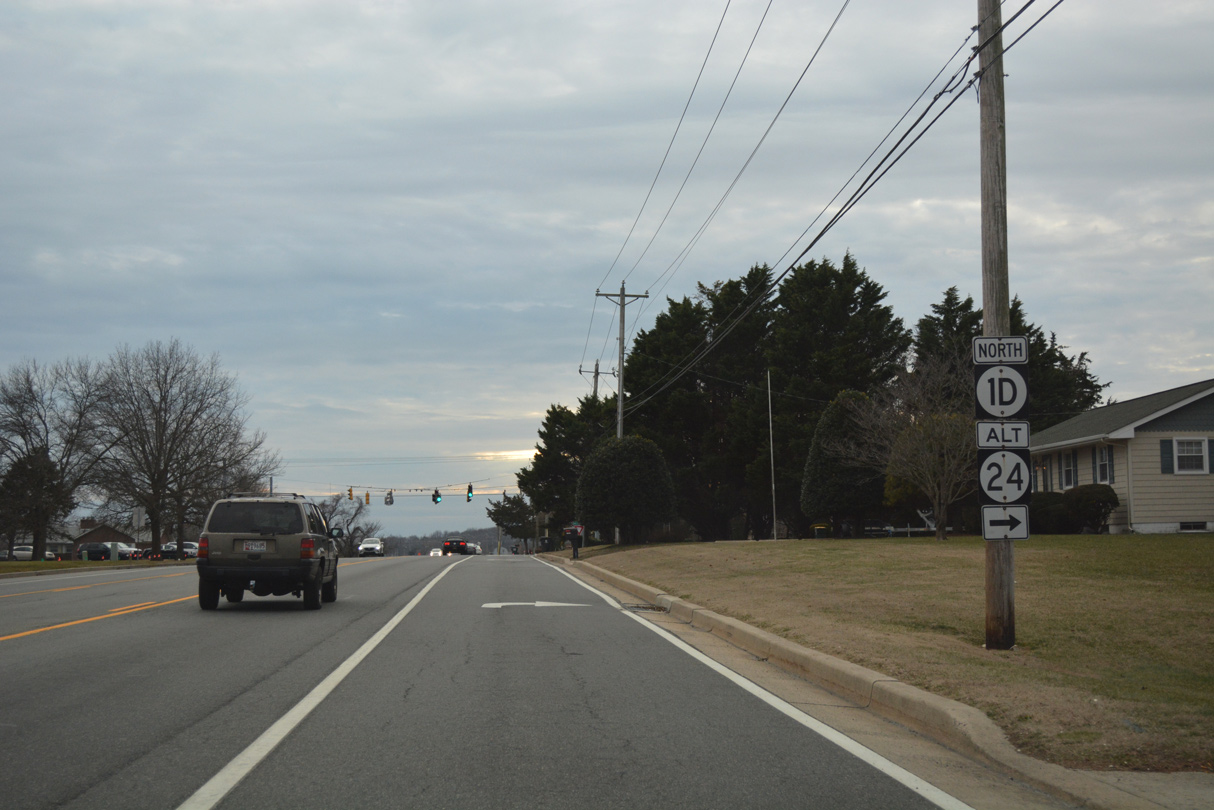
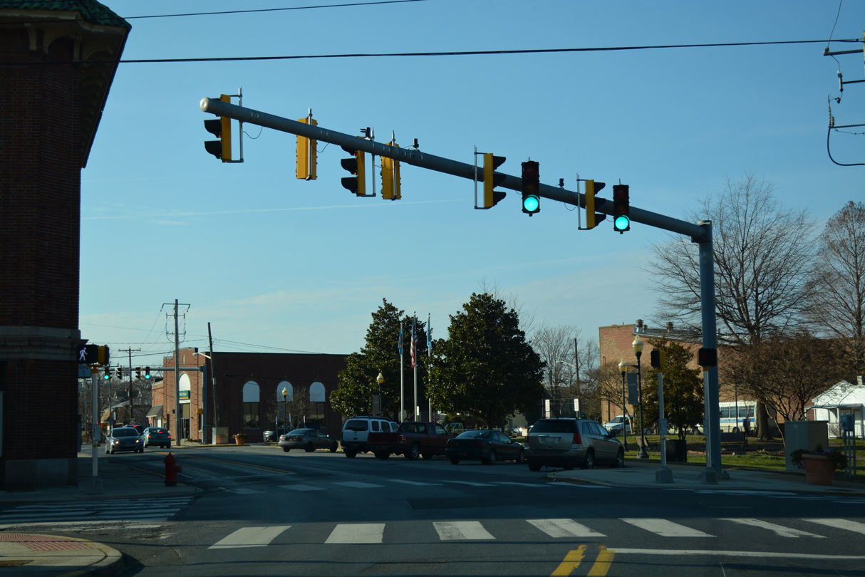
SR 1D partitions with SR 24 west for Plantation Road to run along the west side of the Midway and Five Points area. The route formerly overlapped with SR 24 Alternate, though remnant signage is still posted.
01/16/17
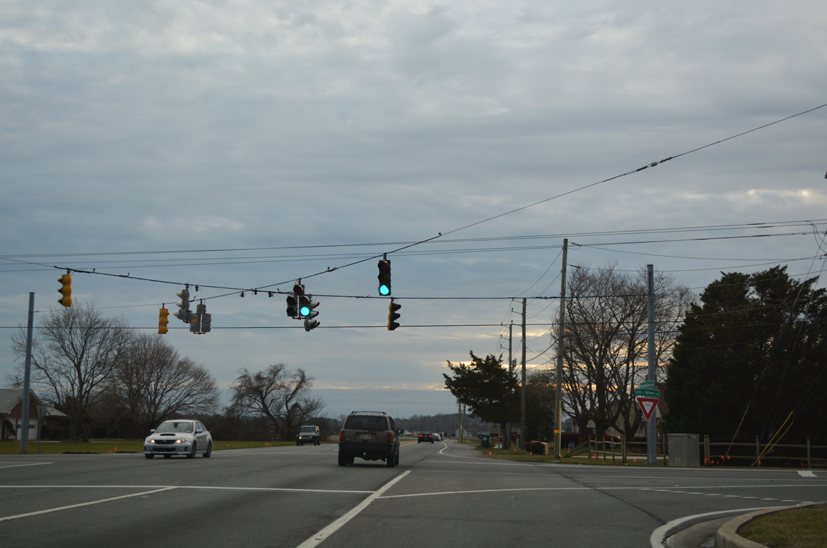
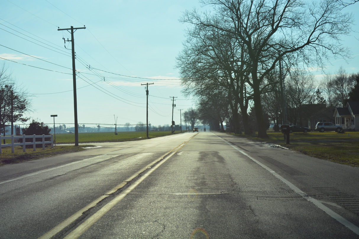
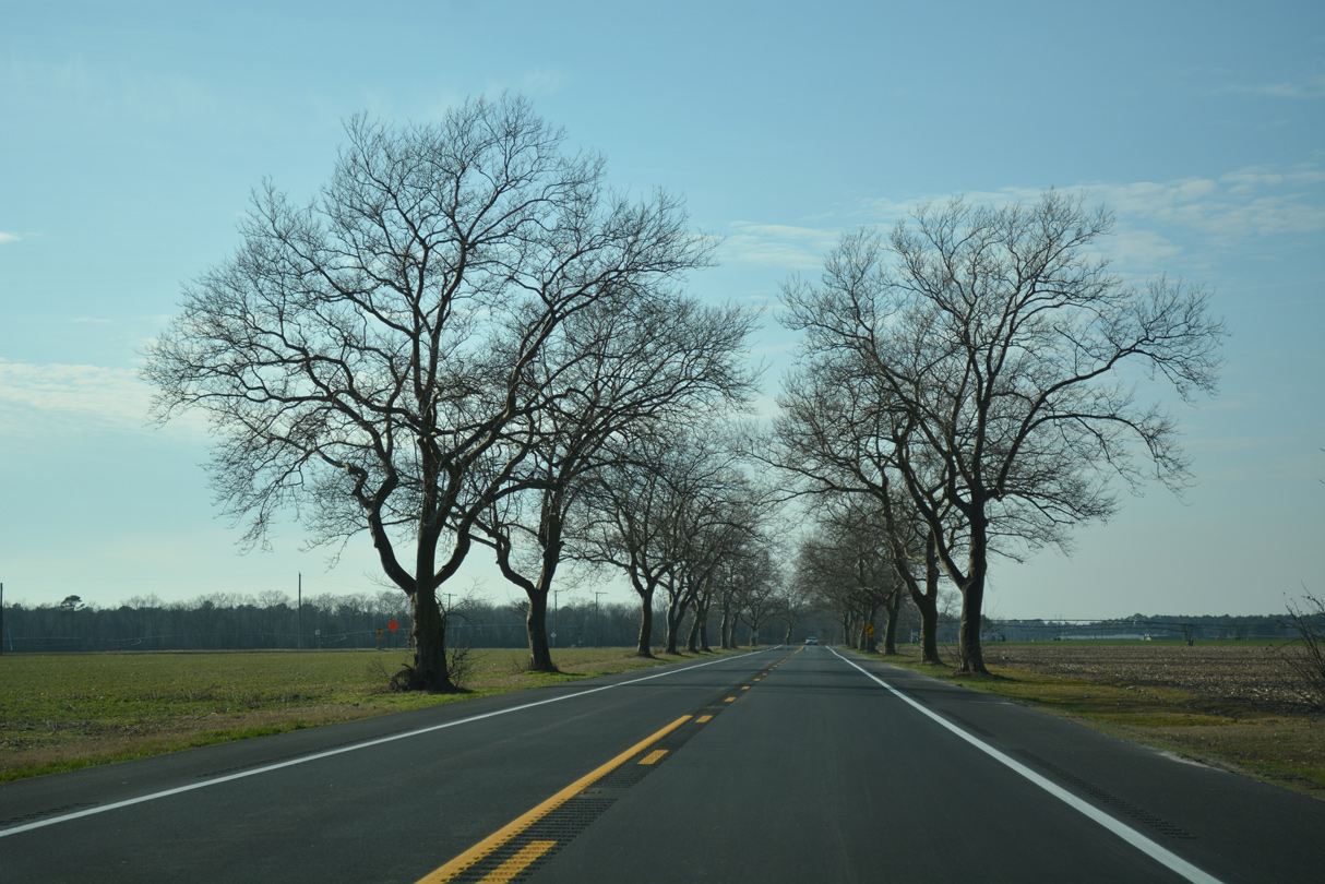
Plantation Road provides an alternate route to SR 1 northward to SR 23 south at Belltown. Warrington Road ties into the traffic light with SR 24 from Old Landing Road and the Breezewood subdivision.
01/16/17
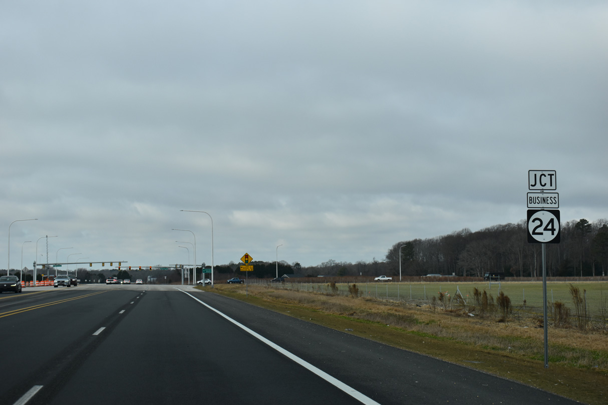
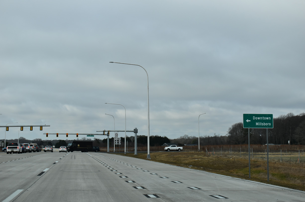
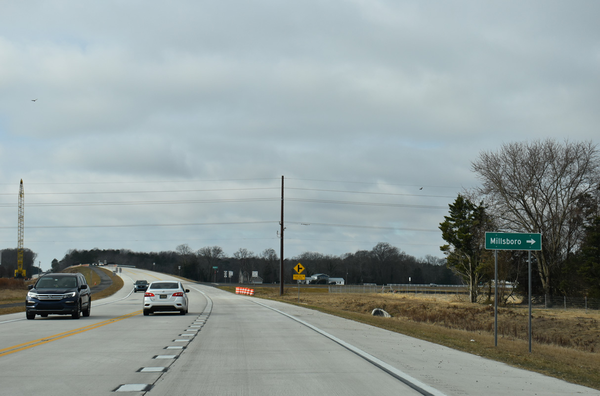
SR 24 (John J. Williams Highway) shifts north ahead of SR 24 Business and the North Millsboro Bypass. SR 24 Business follows the previous alignment of SR 24 leading southwest to Downtown Millsboro.
12/27/25
Construction of the North Millsboro Bypass included the realignment of John J. Williams Highway (SR 24 Business) north and Hollyville Road west to a new signalized intersection.
12/27/25
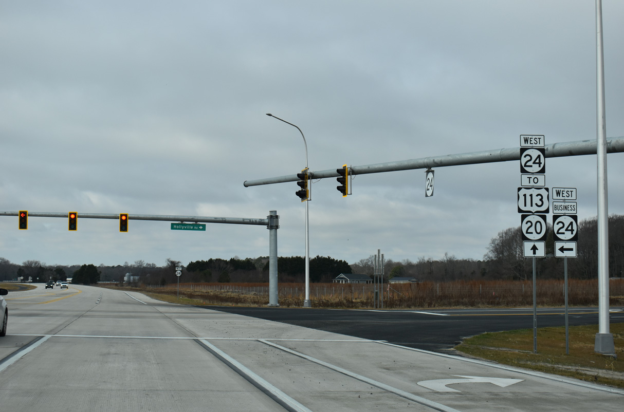
SR 24 Business (John J. Williams Highway) angles 1.5 miles southwest across Millsboro to SR 24 along Laurel Road. Hollyville Road (Rd 305) extends 5.8 miles north from Millsboro to SR 5 at Hollyville.
12/27/25
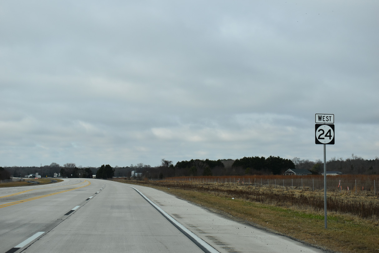
Opened to traffic on September 26, 2025, the North Millsboro Bypass is a controlled access roadway taking SR 24 west 2.1 miles to SR 20 (Hardscrabble Road) at U.S. 113 (Dupont Boulevard).
12/27/25
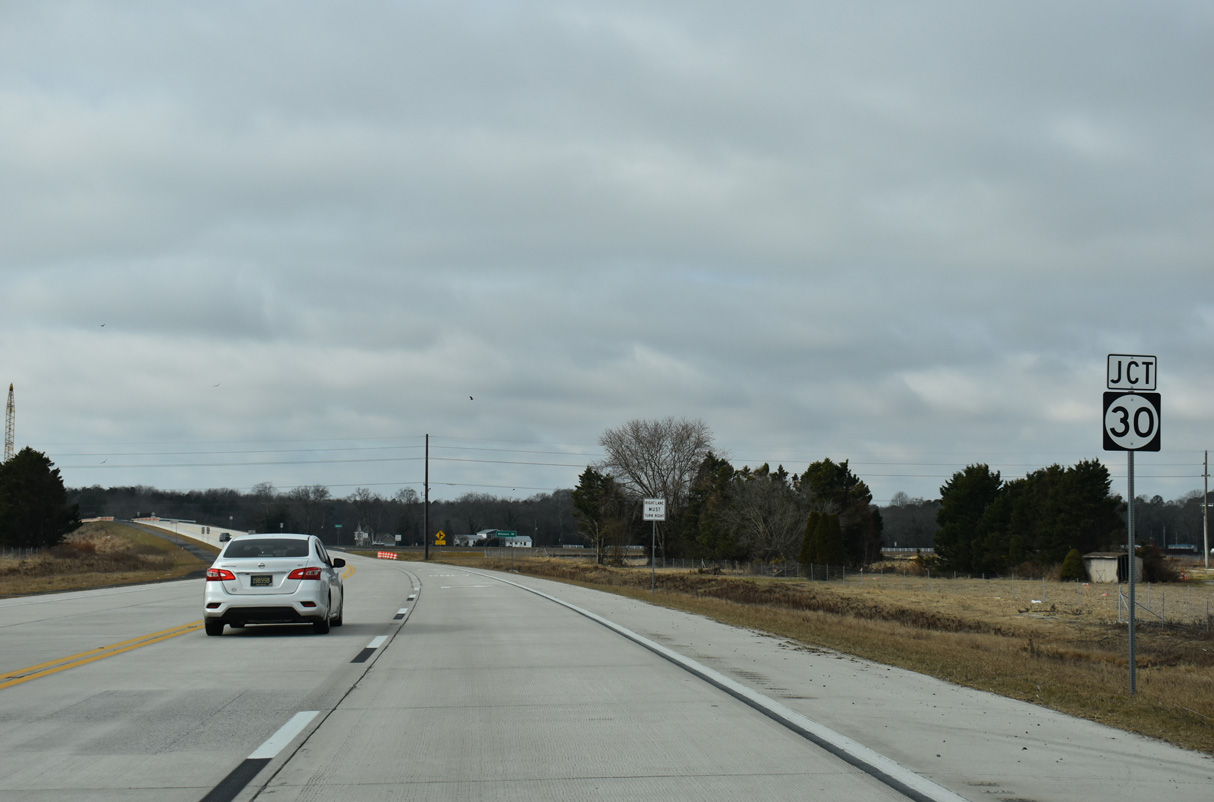
SR 24 (North Millsboro Bypass) west next meets SR 30 at grade separated intersection.
12/27/25
SR 30 (Gravel Hill Road) runs 0.7 miles south to John J. Williams Highway just ahead of the bridge taking SR 24 Business across the Indian River into the town of Millsboro.
12/27/25
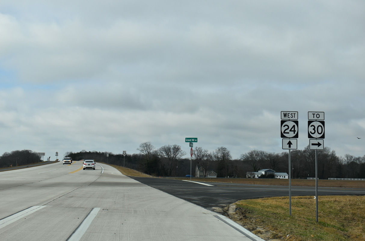
Inventoried as Reference Road 248B, the connector linking SR 24 (North Millsboro Bypass) and SR 30 (Gravel Hill Road) is 0.32 miles long. SR 30 travels north to Zoar, Milton and Milford.
12/27/25
SR 24 continues west across SR 30 (Gravel Hill Road) and northern reaches of Millsboro Pond.
12/27/25
SR 24 (North Millsboro Bypass) enters the Millsboro town limits west from Millsboro Pond.
12/27/25
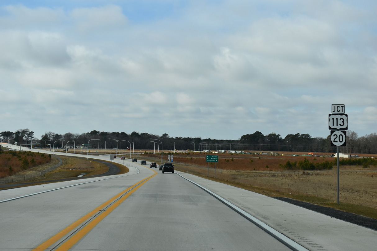
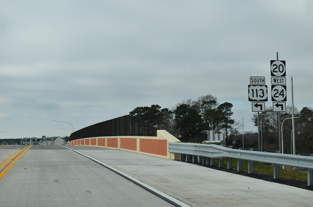
The North Millsboro Bypass spans Fox Run Road (Rd 326) west ahead of a parclo B2 interchange (Exit 12) with U.S. 113/SR 20 (Dupont Boulevard).
12/27/25
U.S. 113 (Dupont Boulevard) is a four lane, divided highway joining Millsboro north with the Sussex County seat of Georgetown and the city of Milford.
12/27/25
U.S. 113 travels 25.7 miles north from SR 24 to SR 1 at Milford. SR 1 continues from there toward Dover and Wilmington.
12/27/25
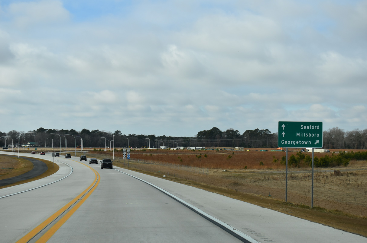
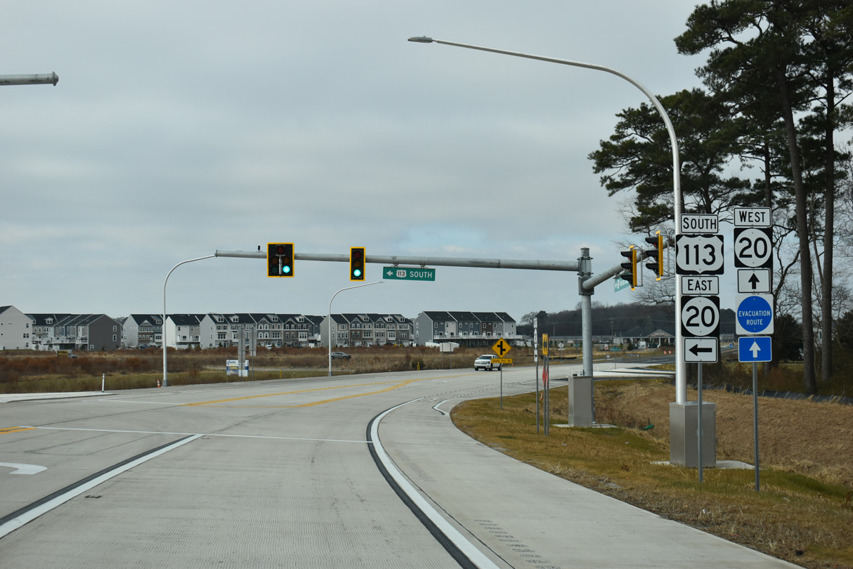
The exit for U.S. 113 north departs from SR 24 (North Millsboro Bypass) west ahead of the signalized intersection with Betts Pond Road (Rd 20B). U.S. 113 meets U.S. 9 at Georgetown in seven miles.
12/27/25
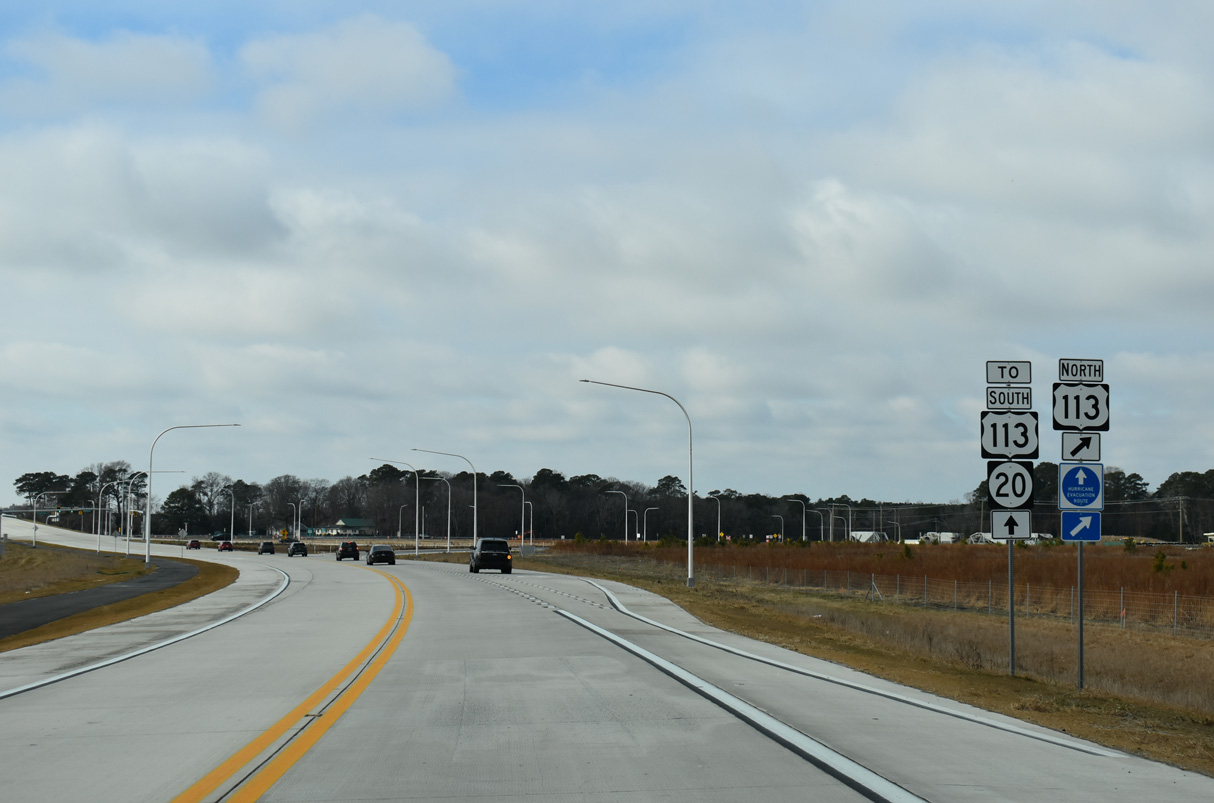
The North Millsboro Bypass transitions onto SR 20 (Hardscrabble Road) west from the exchange with U.S. 113 (Dupont Boulevard). SR 20 east combines with U.S. 113 south and SR 24 west at the forthcoming entrance ramp.
12/27/25
SR 20 (Harscrabble Road) travels 16 miles west from U.S. 113 in Millsboro to U.S. 13 in Seaford.
12/27/25
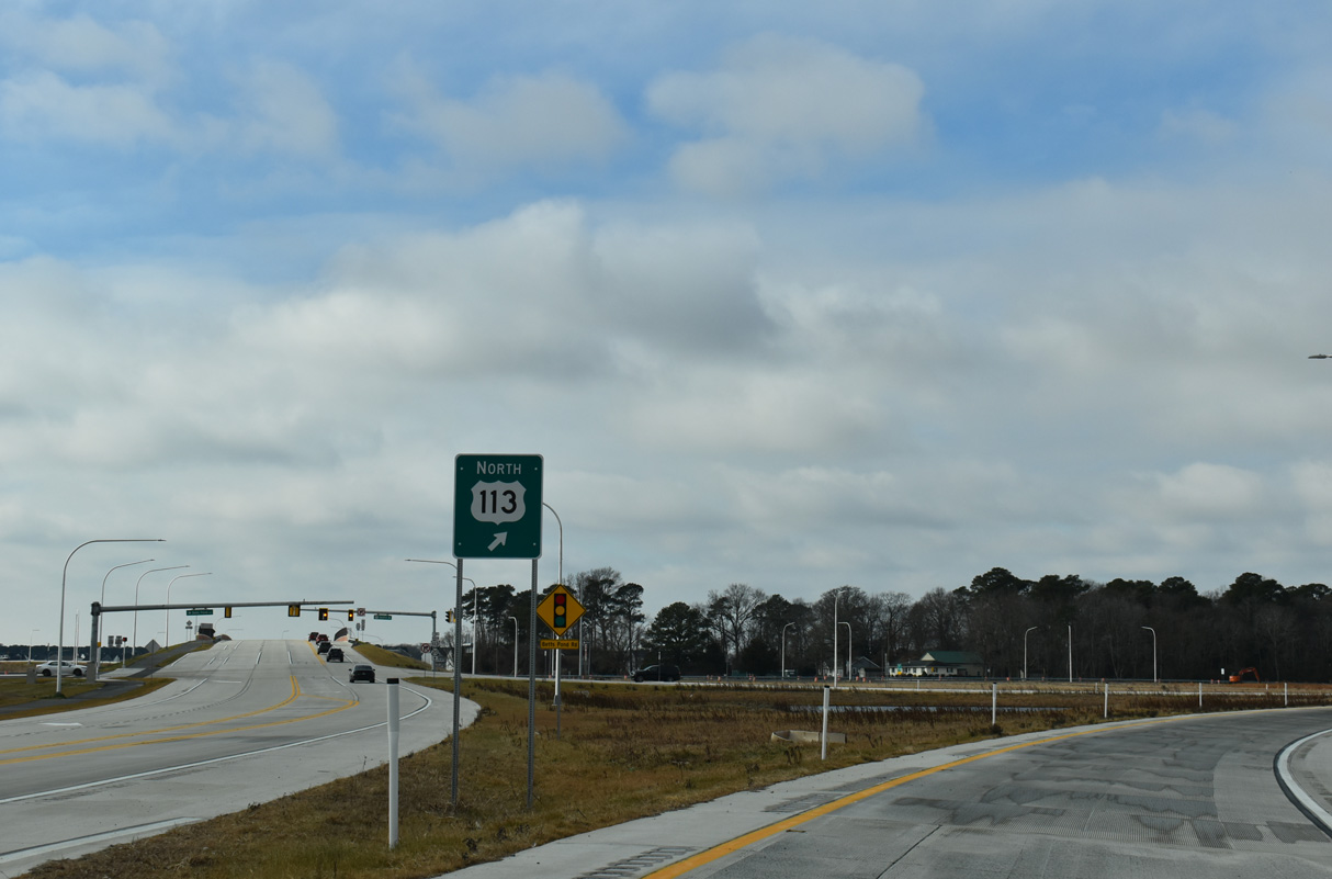
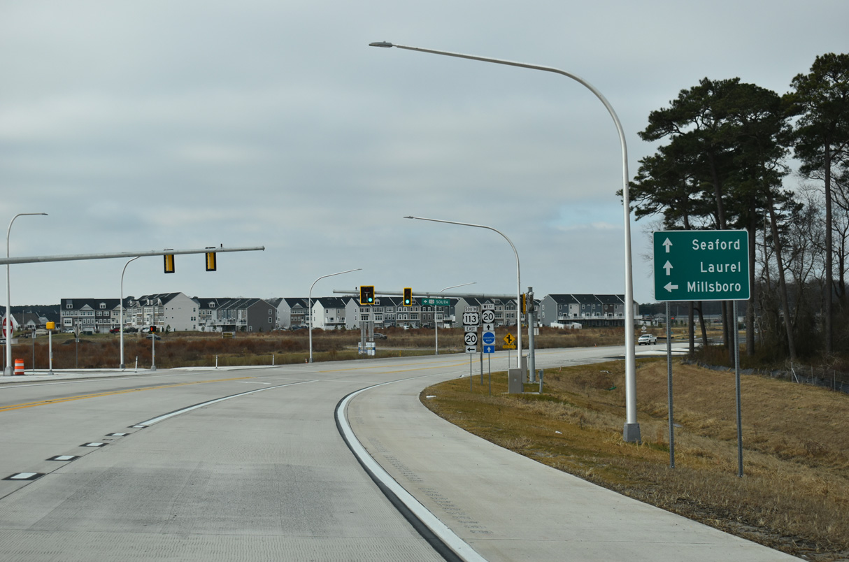
SR 20 east and SR 24 west overlap with U.S. 113 (Dupont Boulevard) 1.6 miles south from the North Millsboro Bypass to SR 24 Business (Washington Street) southwest of Downtown Millsboro.
12/27/25
U.S. 113/SR 20-24 (Dupont Boulevard) advance southeast through a commercial strip to Laurel Road and SR 24 Business (Washington Street) southwest of Downtown Millsboro.
12/30/17
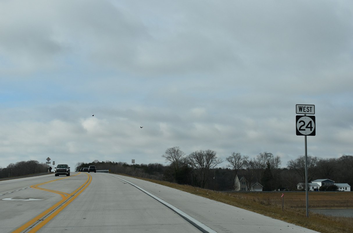
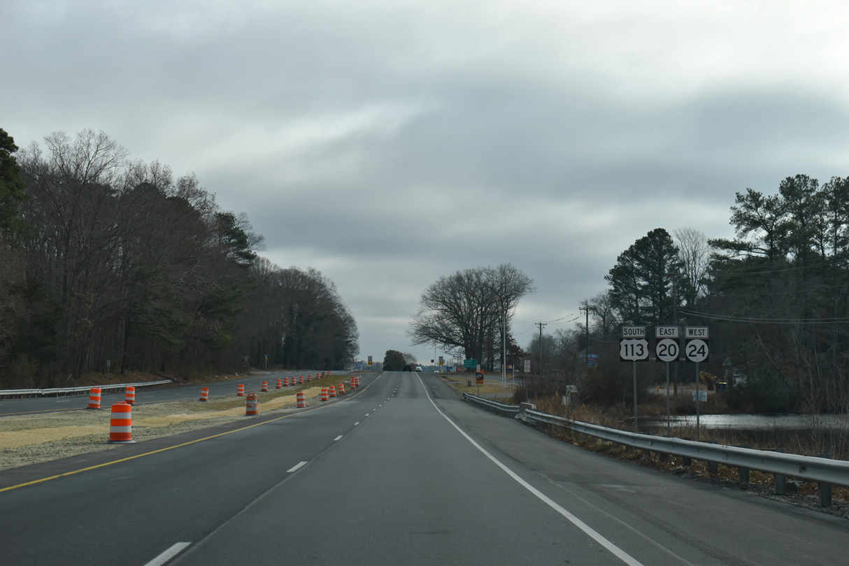
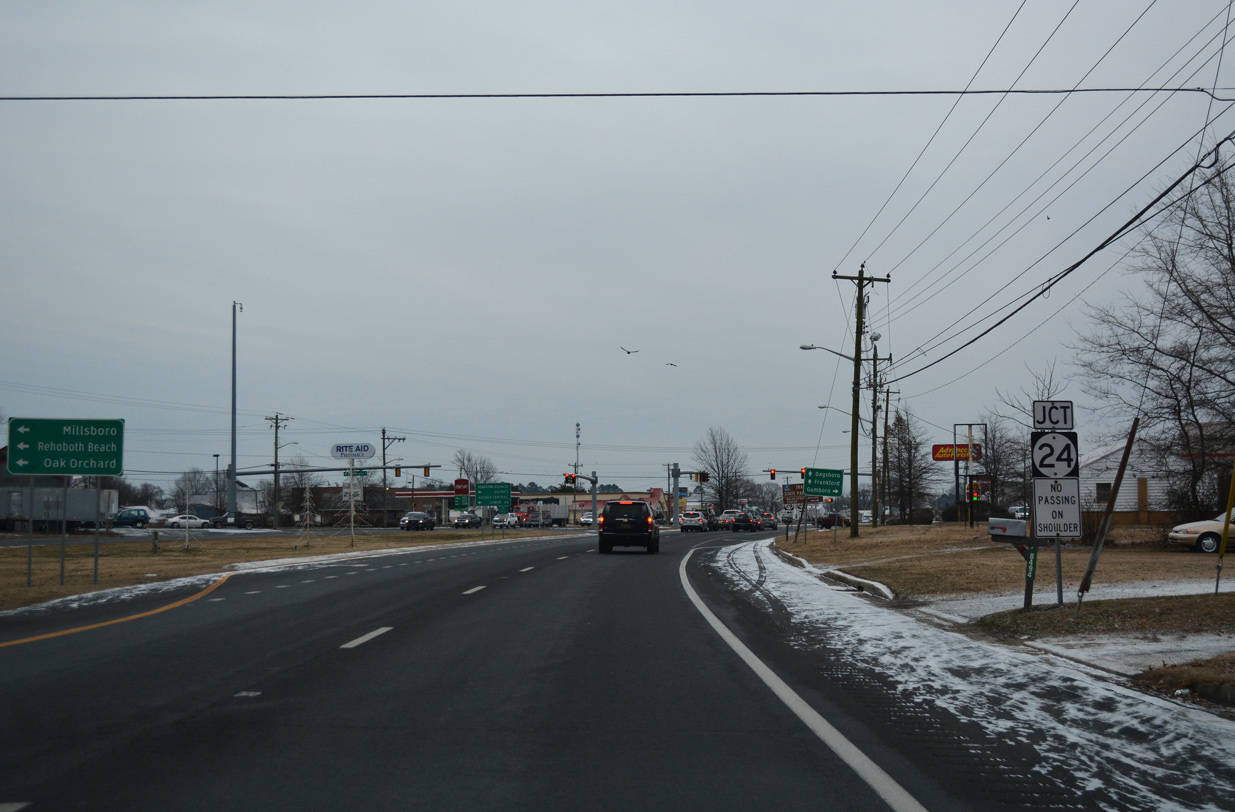
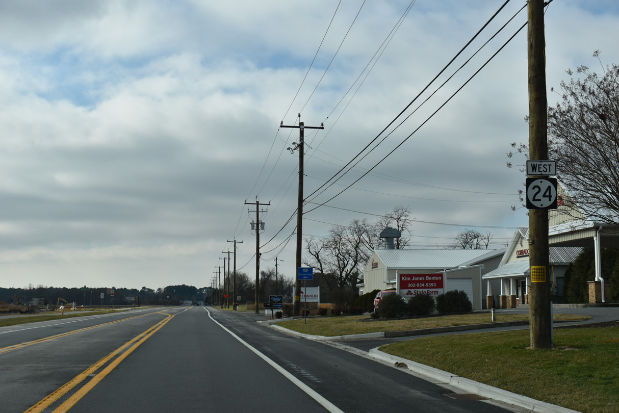
SR 24 follows Laurel Road west from U.S. 113/SR 20 (Dupont Boulevard) and SR 24 Business (Washington Street) to the Millsboro town line, and Millsboro Highway from there southwest to Mission.
12/27/25

SR 24 (Millsboro Highway) follows the Millsboro town line west between the Retreat at Millstone and Plantation Lakes developments.
12/27/25
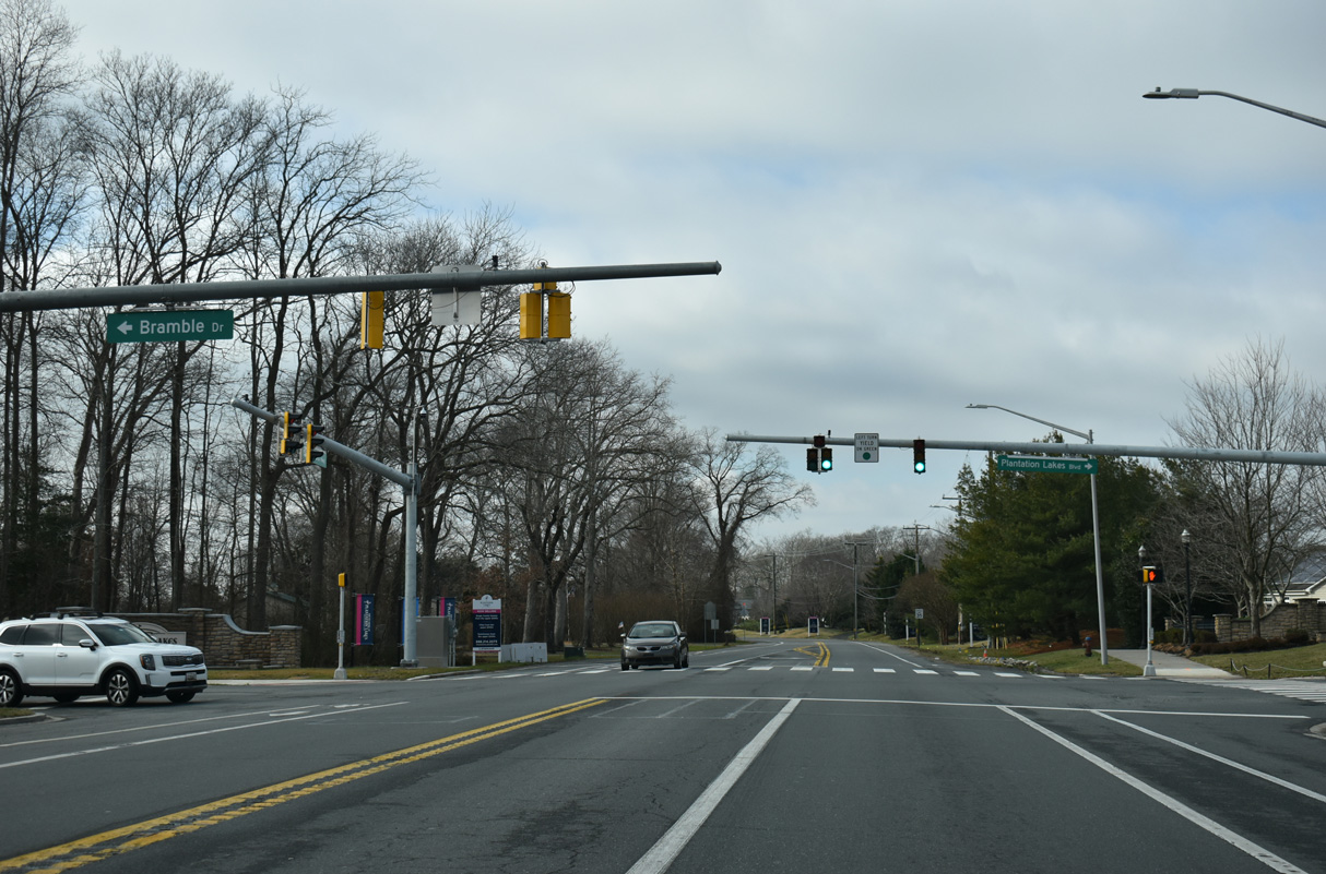
Coinciding with expansion of the Plantation Lakes development to the south, traffic lights were added along SR 24 (Millsboro Highway) at Bramble Drive south and Plantation Lakes Boulevard north in 2025.
12/27/25
SR 24 (Millsboro Highway) shifts southward from Godwin School Road (Rd 328A) toward Phillips Hill.
12/27/25
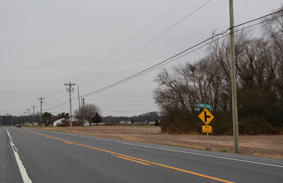
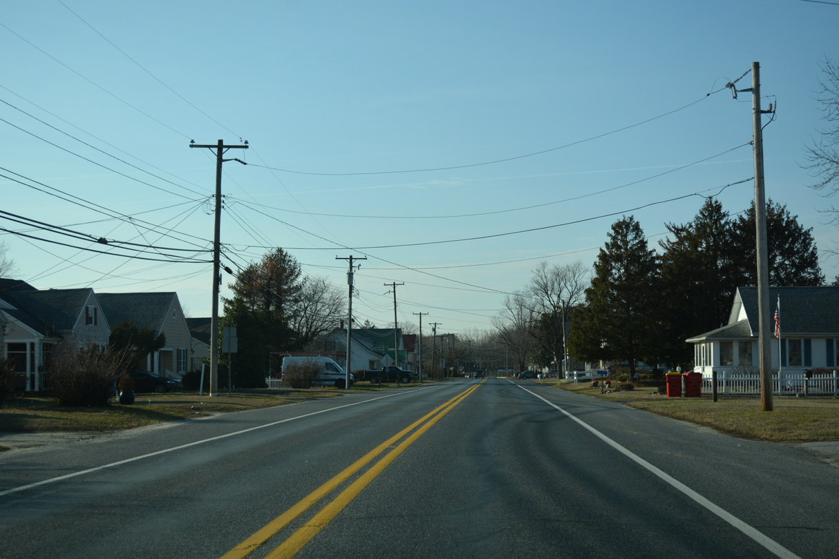
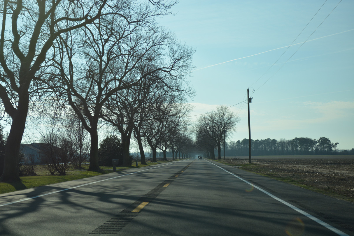
SR 24 (Laurel Road) west enters Sandy Fork at Shiloh Church Road. The rural community may be best known as the hometown of professional wrestling's Briscoe Brothers.
01/16/17
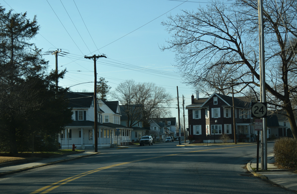
4th Street takes SR 24 west from U.S. 13 (Sussex Highway) to Market Street through Laurel. No confirming marker is posted on this stretch.
01/15/17
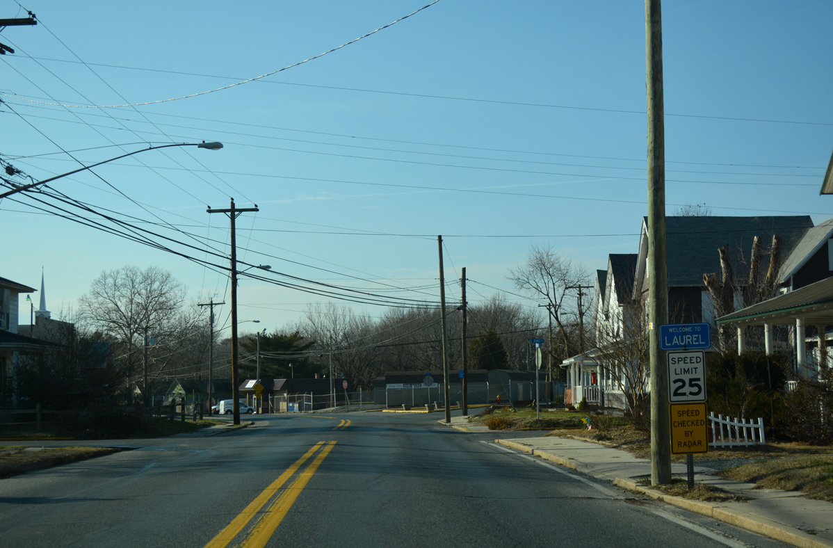
Entering the town limits of Laurel, speed limits lower to 25 miles per hour as SR 24 makes an S-curve from King Street across Copper Branch.
01/15/17
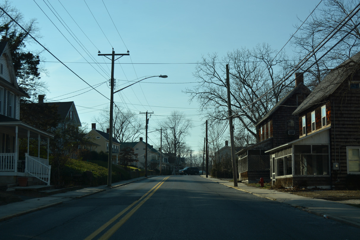
Fourth Street west ahead of Willow Street. Willow Street crosses Records Pond Dam to the north.
01/15/17
An older shield assembly appears at the curve of SR 24 west from 4th Street to Market Street.
01/15/17
The first of two traffic lights along Market Street west through Downtown Laurel operates at Delaware Avenue. Delaware Avenue arcs northeast to U.S. 13 at Sycamore Road.
01/15/17
Central Avenue (historic U.S. 13 Alternate) bisects Downtown Laurel south to Laurel High School and north across Broad Creek to Seaford Road.
01/15/17
SR 24 narrows on the curve leading southwest from Central Avenue to West Street. An at-grade Norfolk Southern Railroad crossing lies ahead.
01/15/17
SR 24 (West Street) west at 6th Street. Beyond the town line, 6th Street becomes Portsville Road en route to the rural community Portsville.
01/15/17
Hastings Drive splits from West Street as SR 24 exits Laurel along Sharptown Road west.
01/15/17
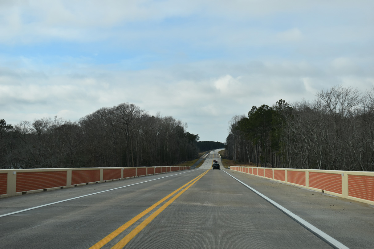
Continuing west, SR 24 (Sharptown Road) passes by the Holly Woods Park subdivision after Little Creek. The remainder of the 6.6 mile drive to Maryland is rural.
01/15/17
Laurel Airport (N06) lies at the corner of SR 24 (Sharptown Road) with Airport Road west and Dickerson Road south.
01/15/17
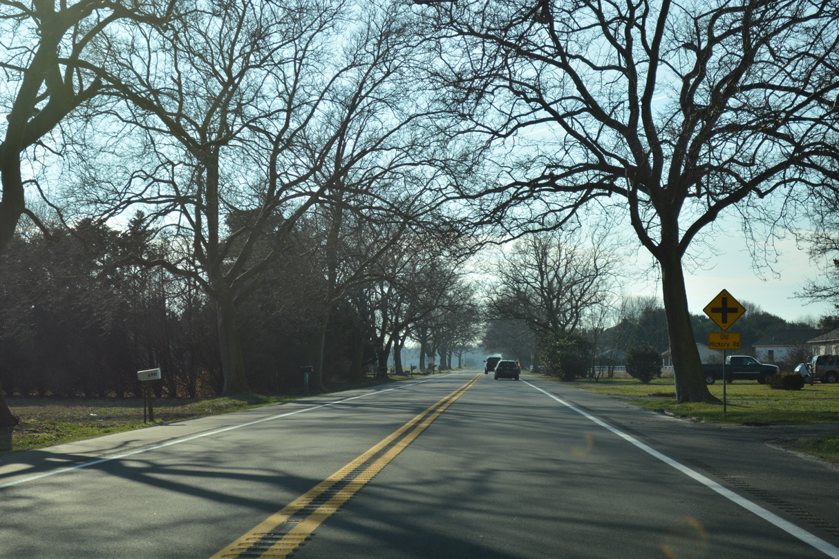
SR 24 resembles a canopy road leading west from Horsey Church Road to a point just past Old Hickory Road.
01/15/17
A reassurance marker for SR 24 stands west of Old Hickory Road.
01/15/17

Mount Pleasant Road heads north from SR 24 to Portsville, where Shell Bridge Road links the road with the town of Bethel.
01/15/17
SR 24 follows a linear alignment west past Elm Grove Road and this shield assembly.
01/15/17
Approaching Columbia Road on Sharptown Road west. Columbia Road links SR 24 with Columbia and SR 54 south at Packing House Corner.
01/15/17
The last shield for SR 24 west is posted after Columbia Road.
01/15/17
Rider Road converges with a tree lined section of Sharptown Road just ahead of the Maryland state line.
01/15/17
MD 348 (Laurel Road) takes over for the ending SR 24 west. The state route curves northwest along a 1.39 mile alignment to MD 313 at the Sharptown bypass.
01/15/17
Photo Credits:
- Alex Nitzman: 01/15/17, 01/16/17, 12/30/17, 12/27/25
Connect with:
Page Updated Monday January 12, 2026.