
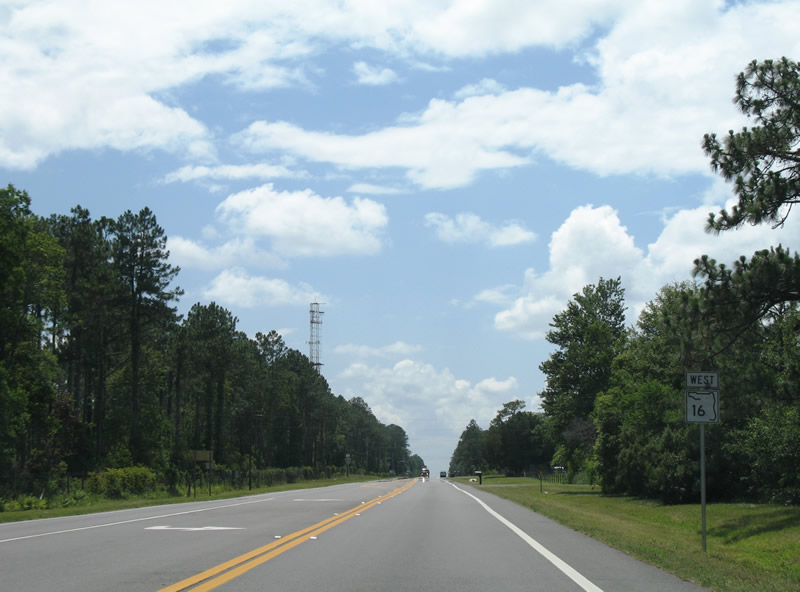
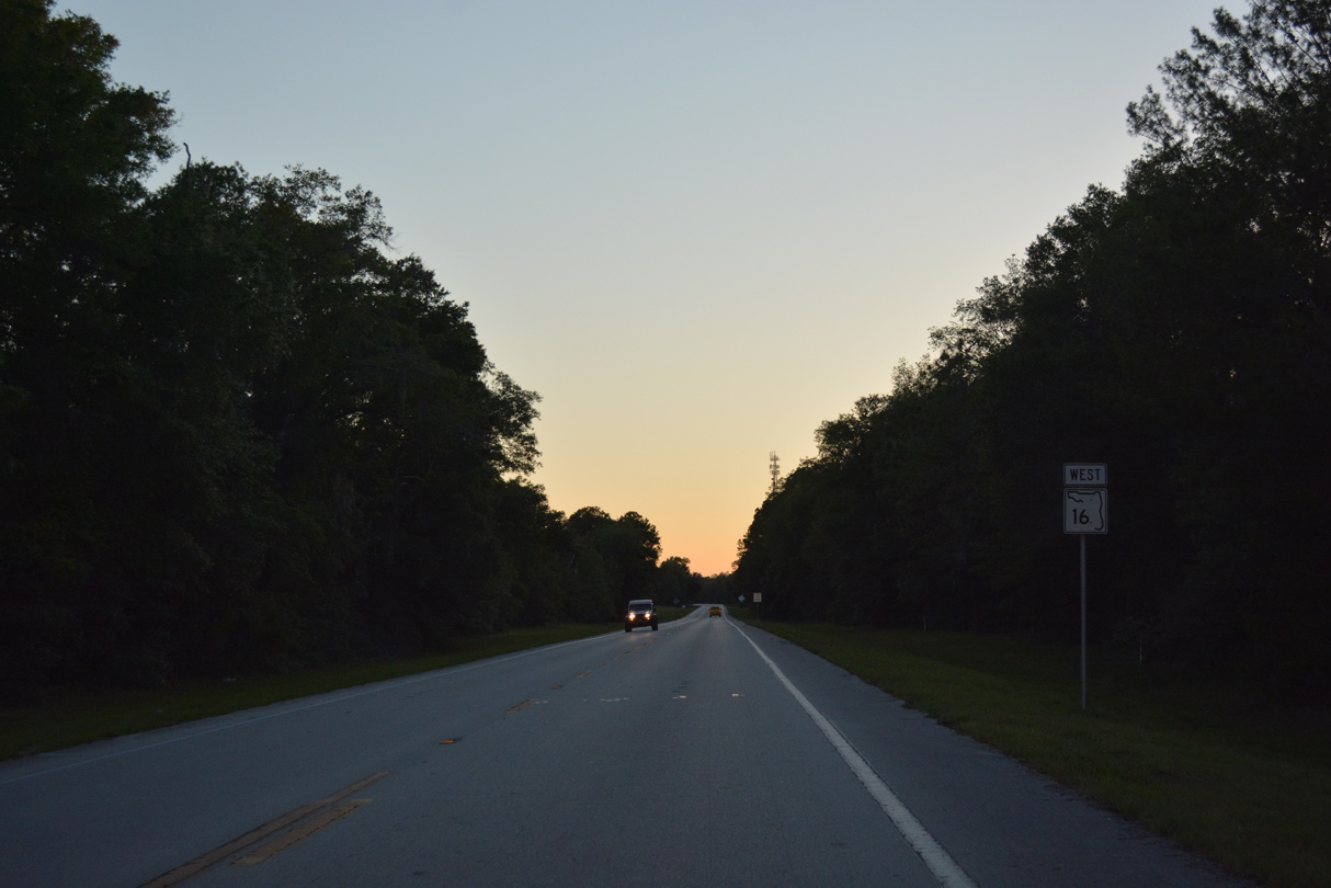
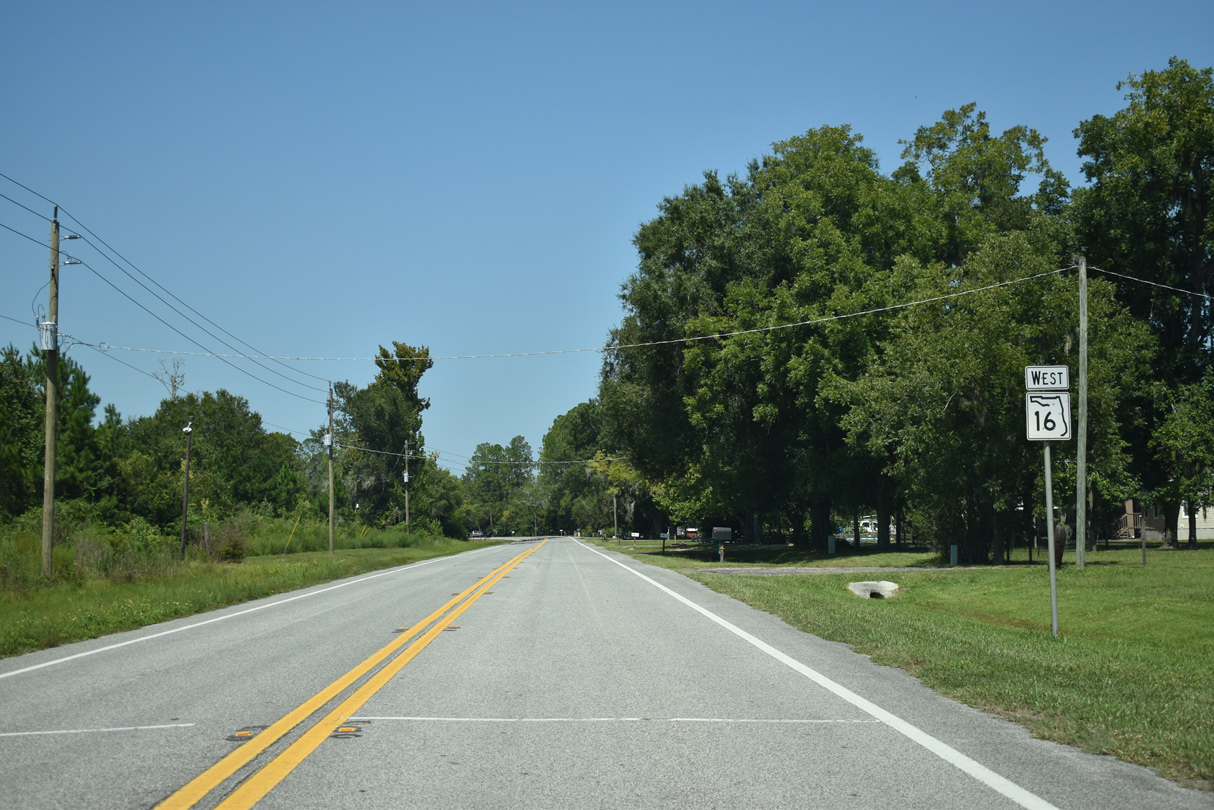
State Road 16 West - Penney Farms to Raiford

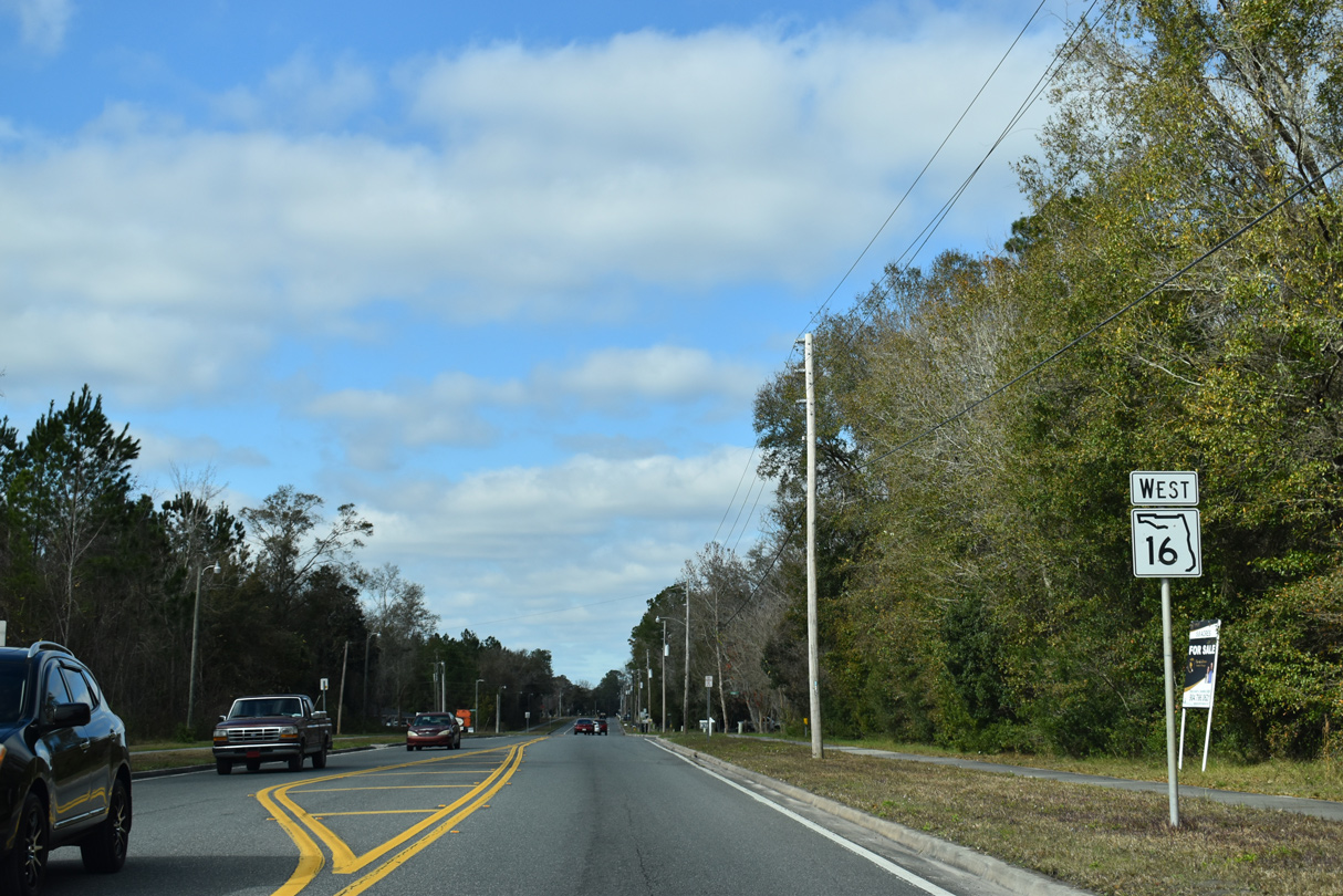
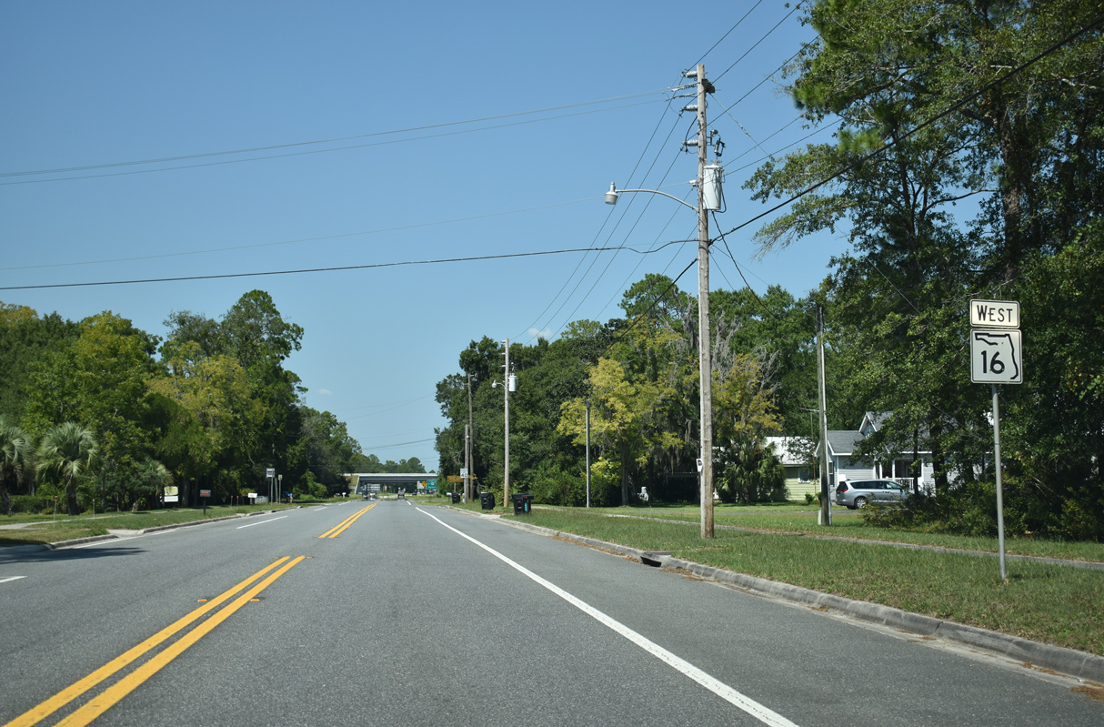
 West
West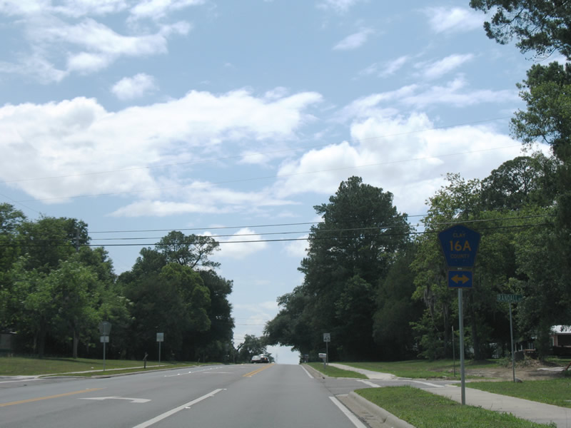
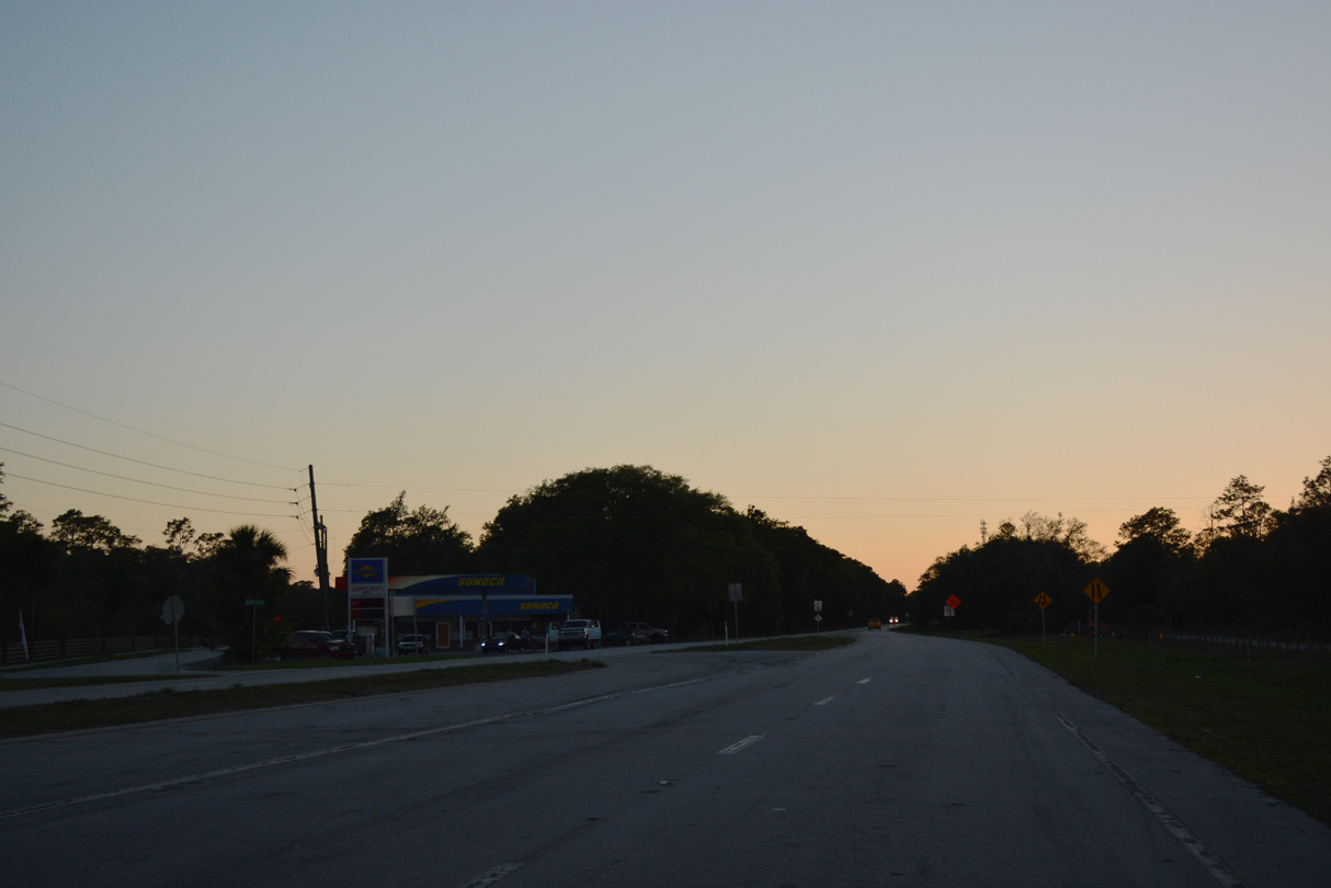
SR 16 crosses Governors Creek and leaves the city of Green Cove Springs just ahead of CR 16A. CR 16A forms a rural loop both south and north of the state road.
06/13/08
06/13/08
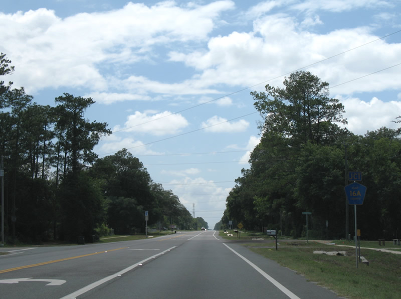
Randall Road (CR 16A) concludes a 1.2 mile loop at the succeeding intersection of SR 16 westbound.
06/13/08
06/13/08
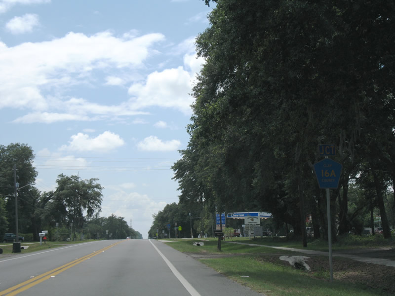
SR 16 west at County Road 16A (Randall Road) north.
06/13/08
06/13/08
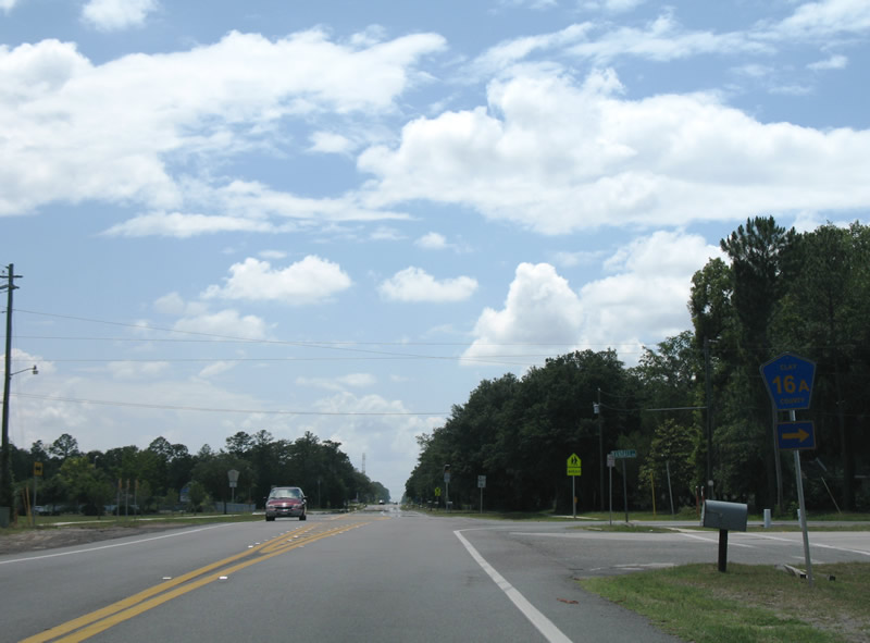
Westbound reassurance marker posted after Randall Road.
06/13/08
06/13/08
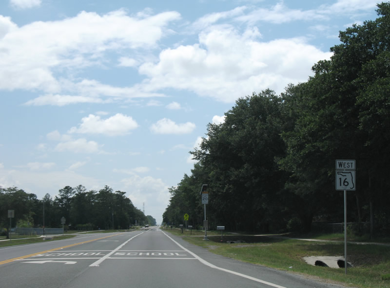
The 1.51 mile route of CR 16A south of SR 16 concludes west of Clay High School.
06/13/08
06/13/08
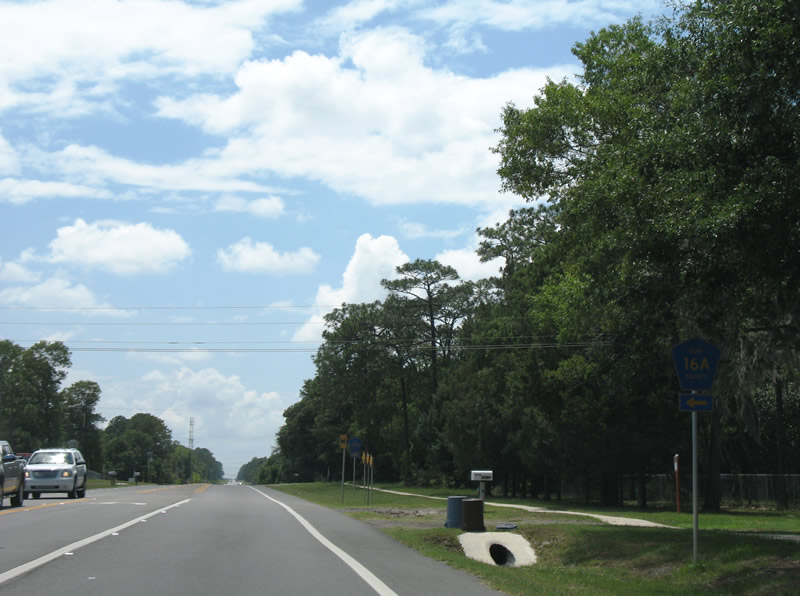
County Road 16A leads south and east to Rich Road through a rural residential area.
06/13/08
06/13/08
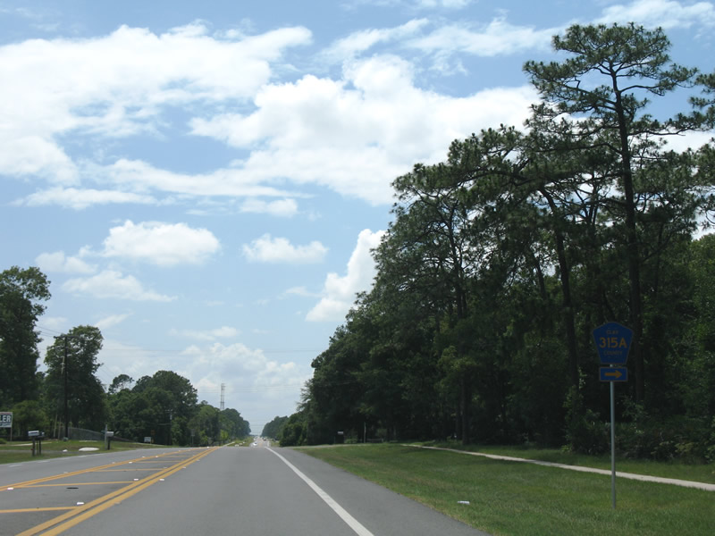
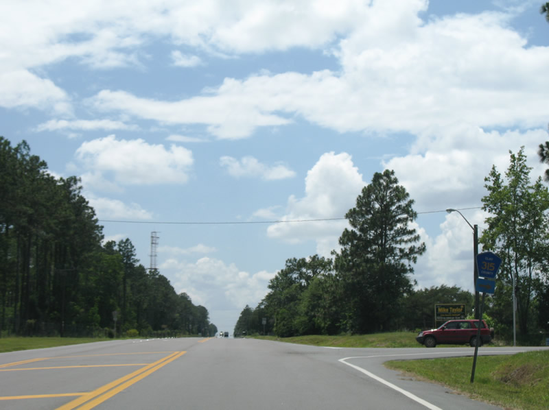
County Road 315A follows at the ensuing intersection of SR 16 west succession. The 1.1 mile long route provides a cutoff for CR 315 north to northwest Green Cove Springs.
06/13/08
06/13/08
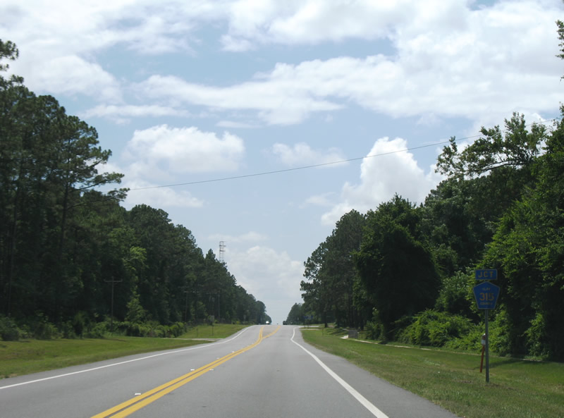
SR 16 advances 0.7 miles west from CR 315A to intersect CR 315 north. The county road serves suburban areas of west Green Cove Springs.
06/13/08
06/13/08
County Road 315 constitutes a 4.19 mile loop around Green Cove Springs northeast to U.S. 17.
06/13/08
06/13/08
SR 16 continues west after the connection between the two branches of Clay County Road 315. This confirming marker was gone by 2011.
06/13/08
06/13/08
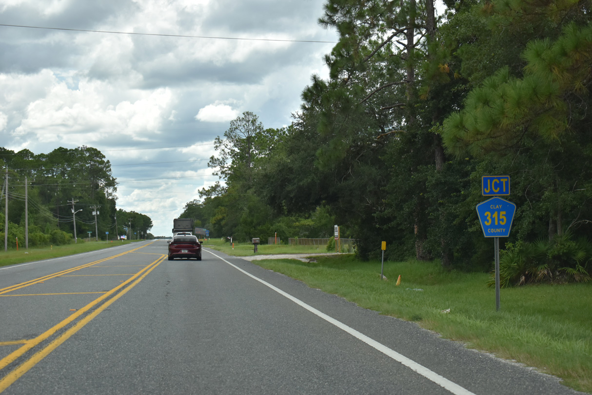
County Road 315 (Springbank Road) heads south from SR 16 along a 14.47 mile course southwest to SR 21.
08/12/25
08/12/25
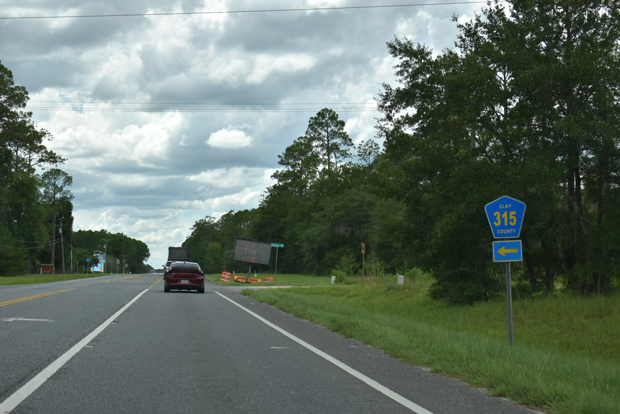
Westbound SR 16 at CR 315 south. CR 315 travels through vastly undeveloped rural areas to Sharron Road and Belmore Wildlife Management Area. CR 315 west along Sharron Road is unpaved.
08/12/25
08/12/25
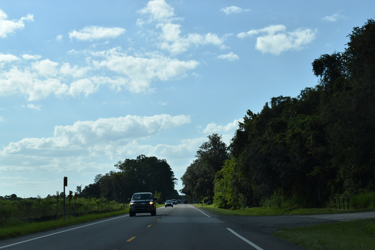
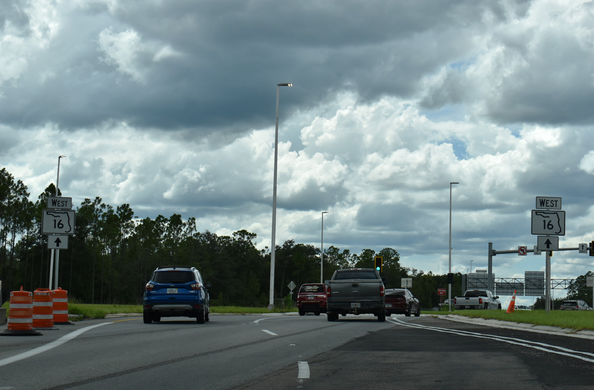
Leaving CR 315 south and the Clay County Fairgrounds, SR 16 proceeds west to the diverging diamond interchange (Exit 20) with the First Coast Expressway.
08/12/25
08/12/25
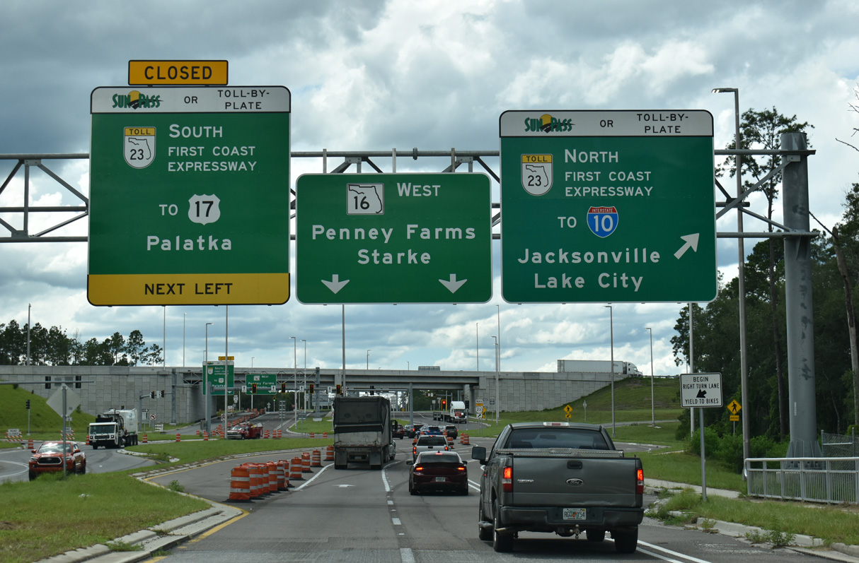
SR 16 crosses Peters Creek ahead of the northbound entrance ramp for SR 23 (First Coast Expressway) to SR 21 (Blanding Boulevard) at Middleburg.
08/12/25
08/12/25
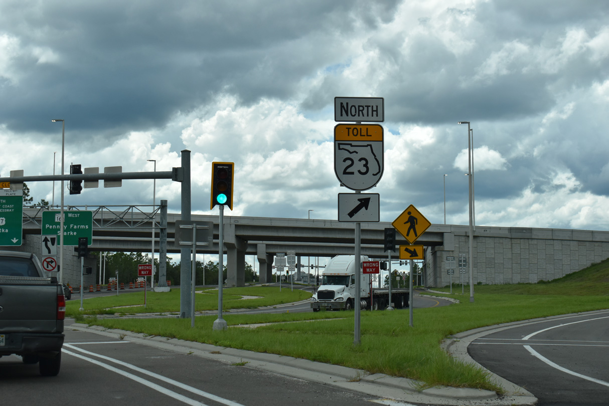
SR 23 travels 26.4 miles north from SR 16 to Interstate 10 and U.S. 90 in Jacksonville.
08/12/25
08/12/25
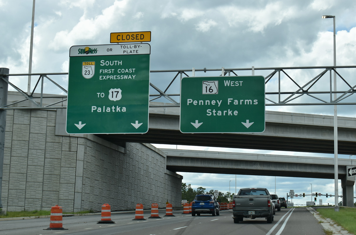
The First Coast Expressway opened to traffic between U.S. 17 south of Green Cove Springs and SR 21 (Blanding Boulevard) at Middleburg on August 9, 2025. Not opening at that time were the ramps on the southside of the exchange with SR 16.
08/12/25
08/12/25
08/12/25
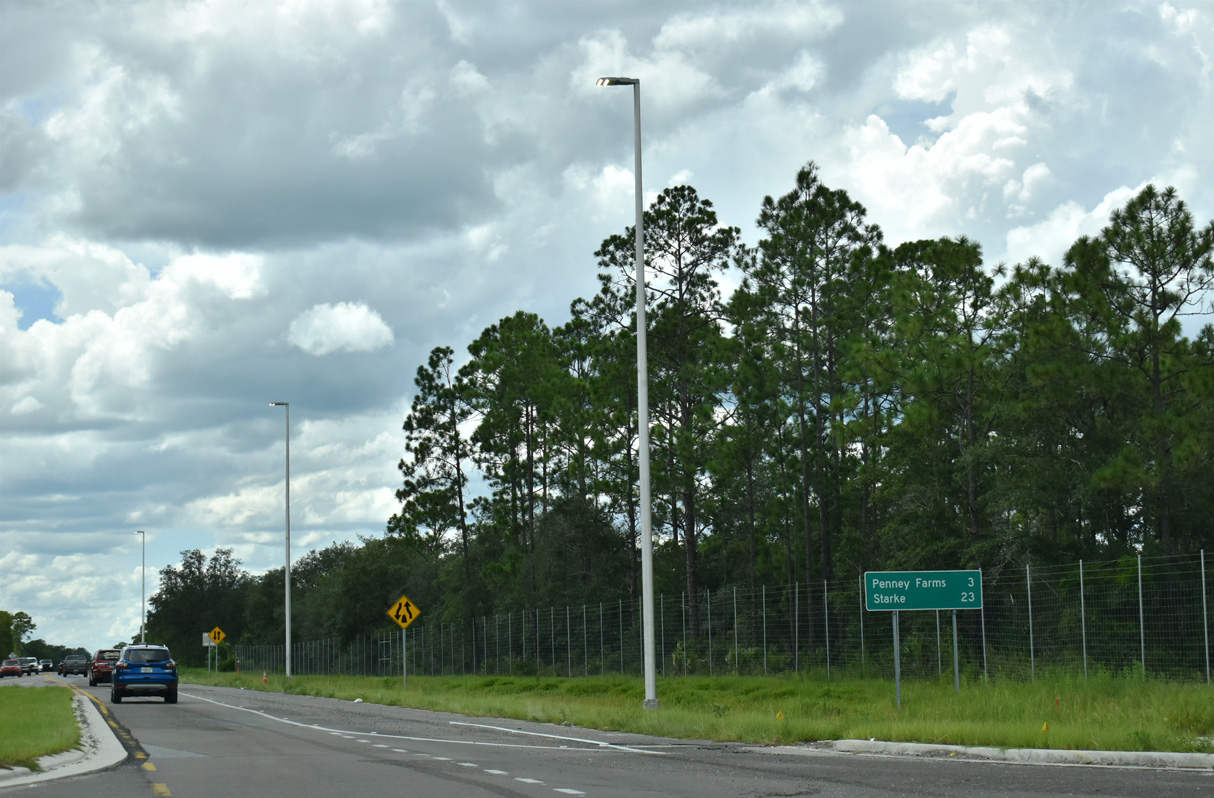
SR 16 continues 1.3 miles west from SR 23 to the settlement of Pass Station and the Penney Farms town line.
08/12/25
08/12/25
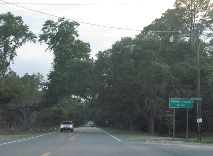
Entering the incorporated town of Penney Farms on SR 16 west at Paso Fino Road.
06/13/08
06/13/08
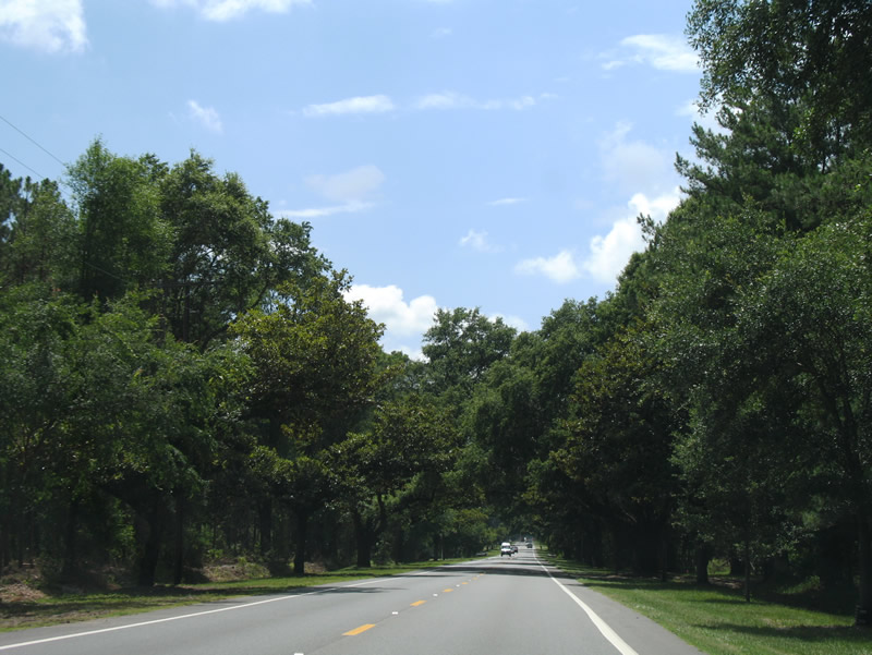
SR 16 west of Little Dairy Road north and Saunders Road south in Penney Farms.
06/13/08
06/13/08
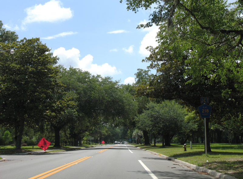
County Road 218 meets SR 16 at Poling Boulevard in Penney Farms.
06/13/08
06/13/08
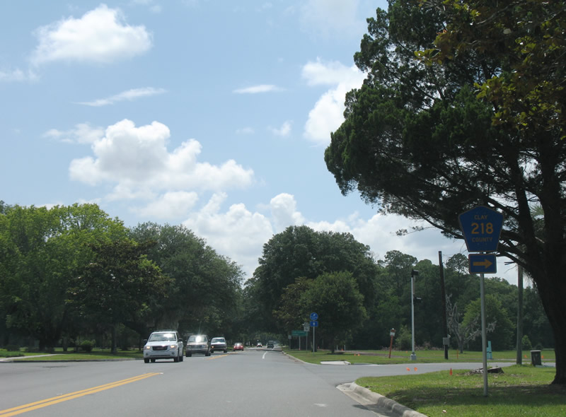
County Road 218 arcs northwest from SR 16 in Penney Farms to the Lake Asbury community and Middleburg.
06/13/08
06/13/08
SR 16 converges with the south end of CR 215 from Middleburg ahead of this confirming marker.
05/27/17
05/27/17
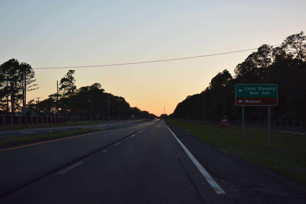
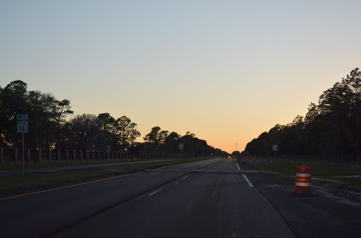
SR 16 runs along the north side of Camp Blanding by the Main Gate to the military installation.
05/27/17
05/27/17
Unsigned CR 16A follows Kingsley Lake Road southwest from SR 16 for 1.51 miles.
05/27/17
05/27/17
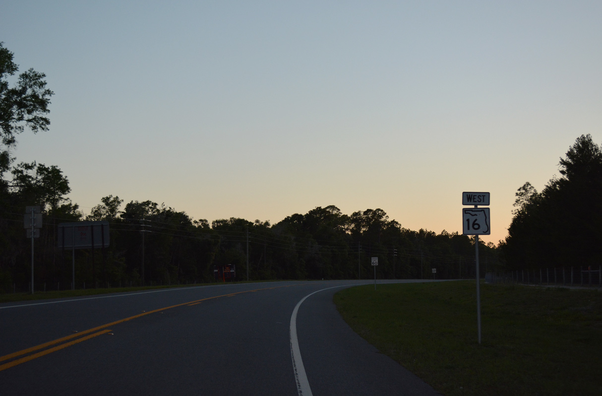
SR 16 narrows to two lanes west of Kingsley Lake Road (CR 16A).
05/27/17
05/27/17
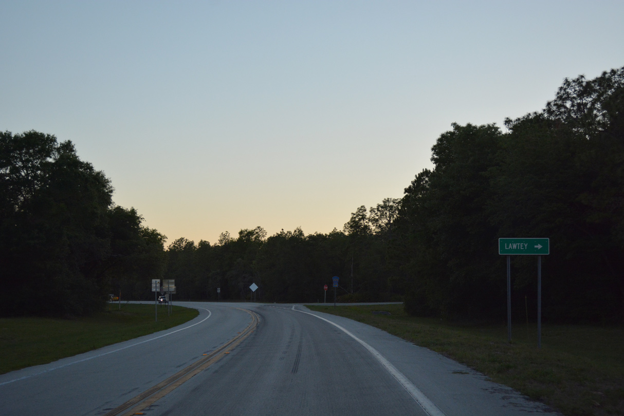
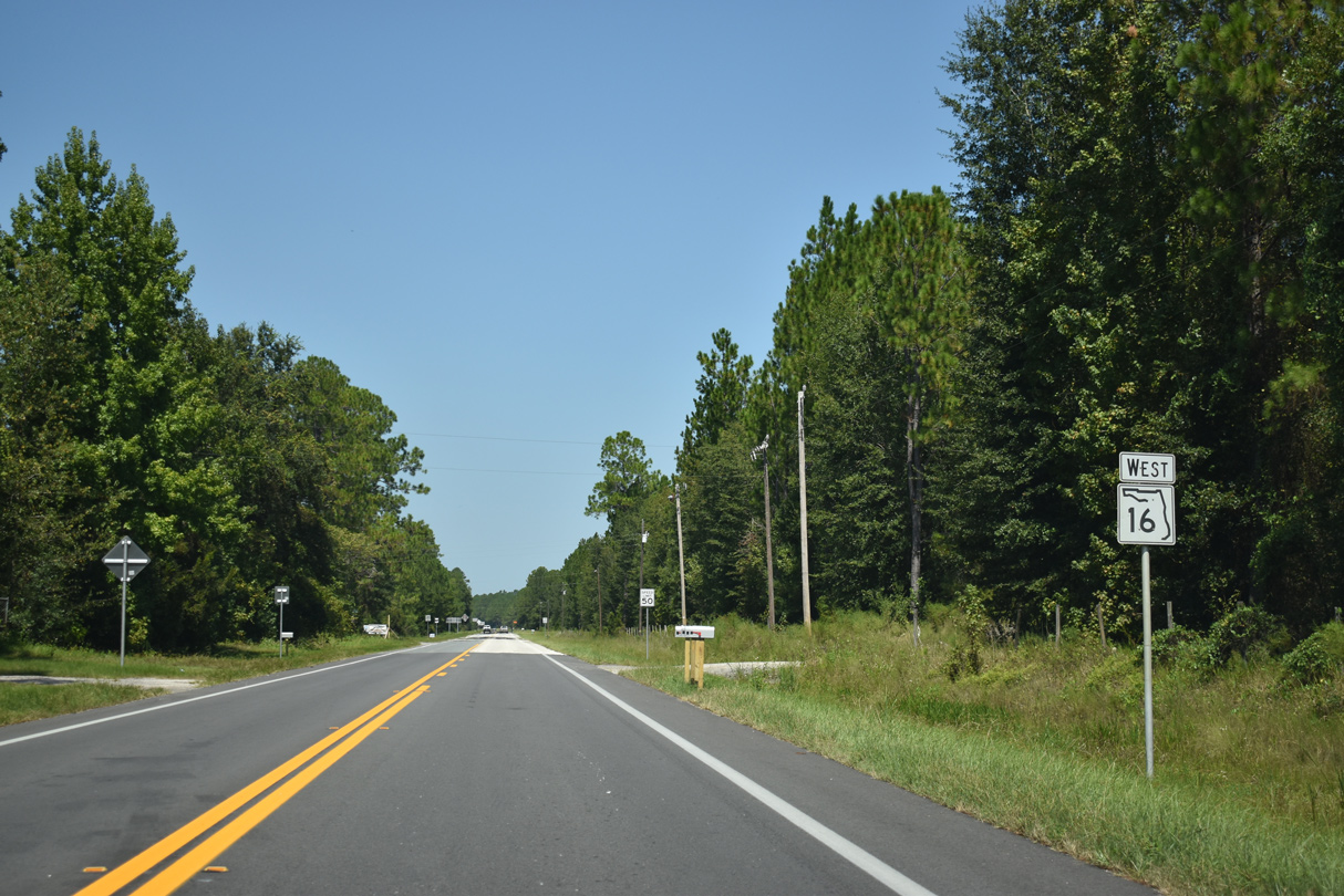
County Road 215 angles northwest 6.43 miles from SR 16 to U.S. 301 in the city of Lawtey.
05/27/17
05/27/17
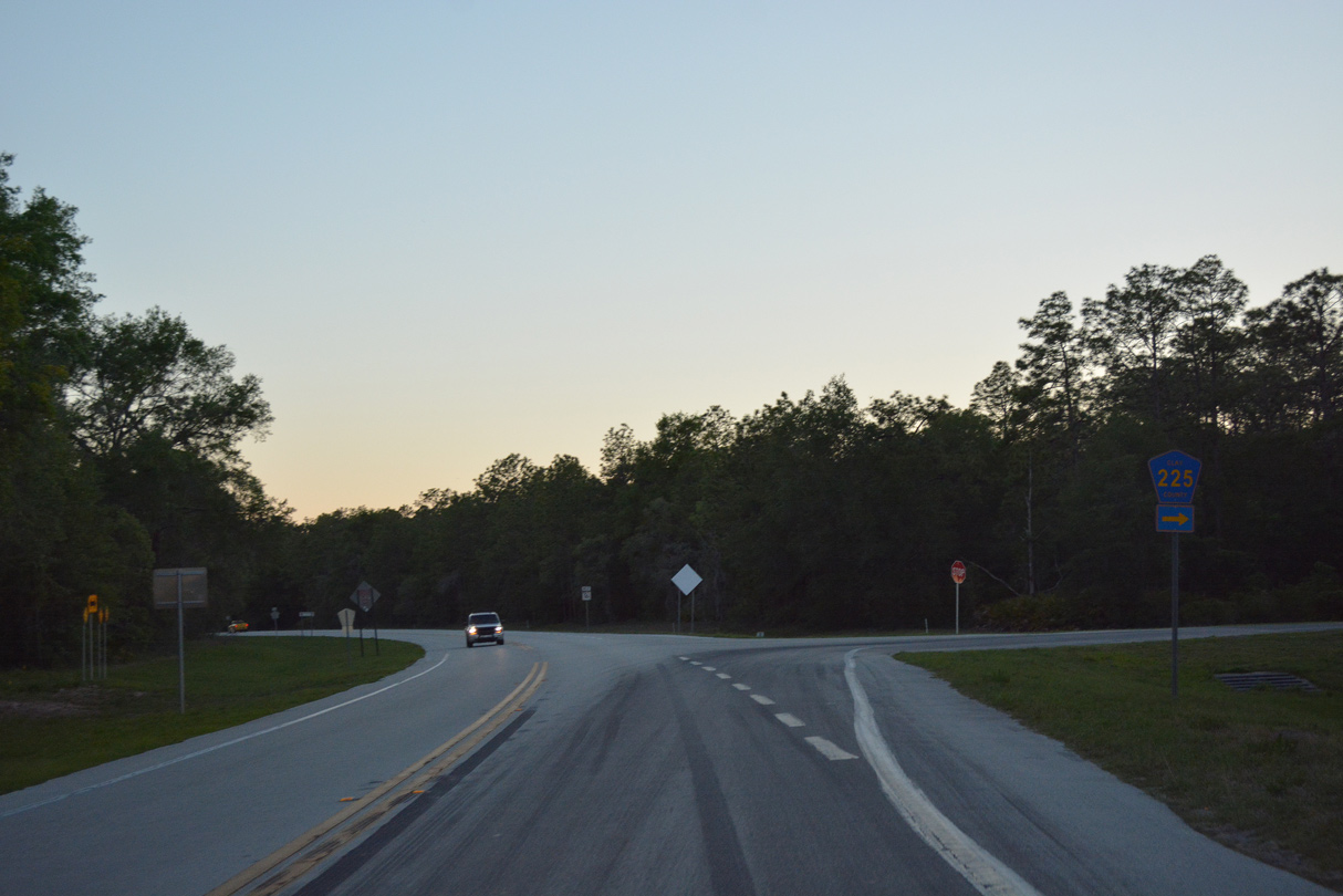
CR 225 meets SR 16 again west of Lawtey and northwest of Starke.
05/27/17
05/27/17
05/27/17

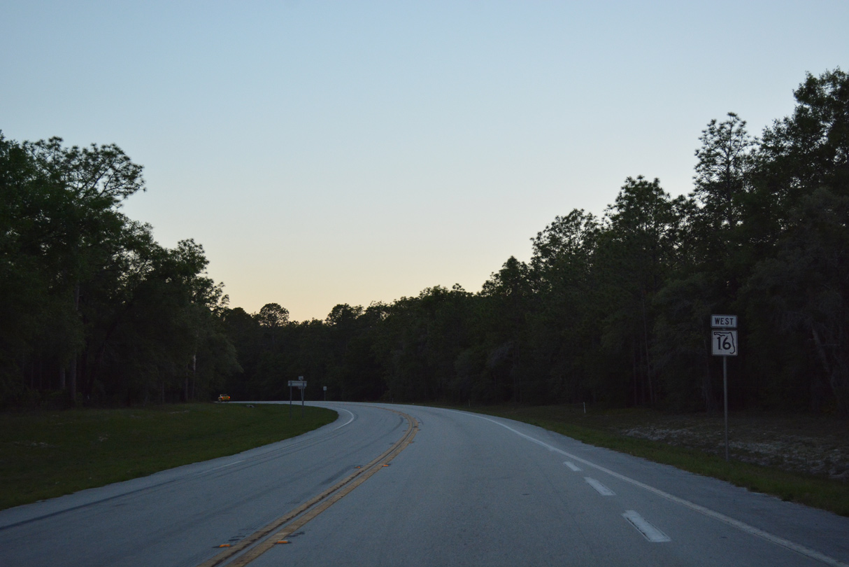
Heading south from Kingsley Lake Road (CR 16A), SR 16 meets SR 230 to the west of Kingsley Lake.
05/27/17
05/27/17
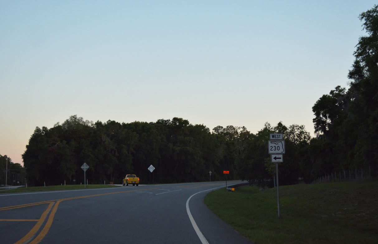
Paralleling SR 16 to the south, SR 230 comprises a 7.36 mile long loop west to U.S. 301 in Starke.
05/27/17
05/27/17
05/27/17
05/27/17
Entering the city of Starke, SR 16 west transitions onto Brownlee Street.
05/27/17
05/27/17
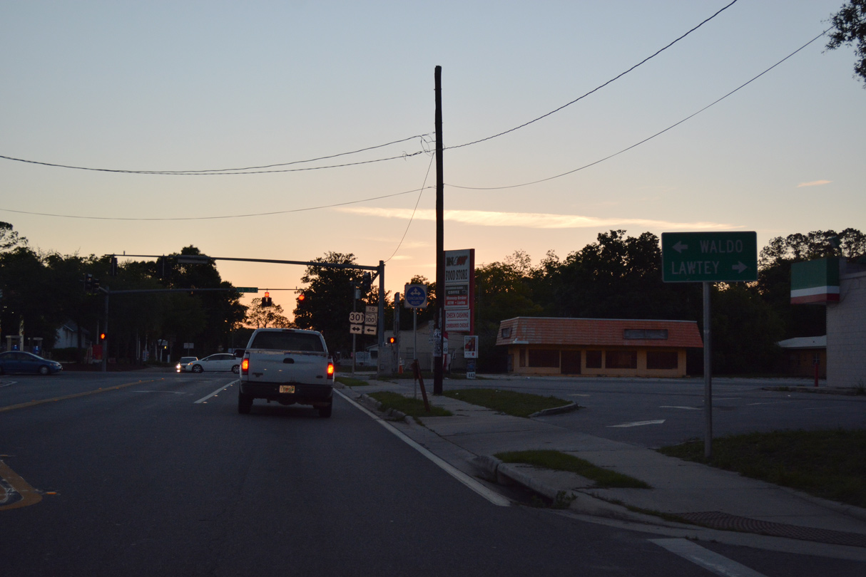
SR 16 (Brownlee Street) intersects U.S. 301 (Temple Avenue) north of Downtown Starke.
05/27/17
05/27/17
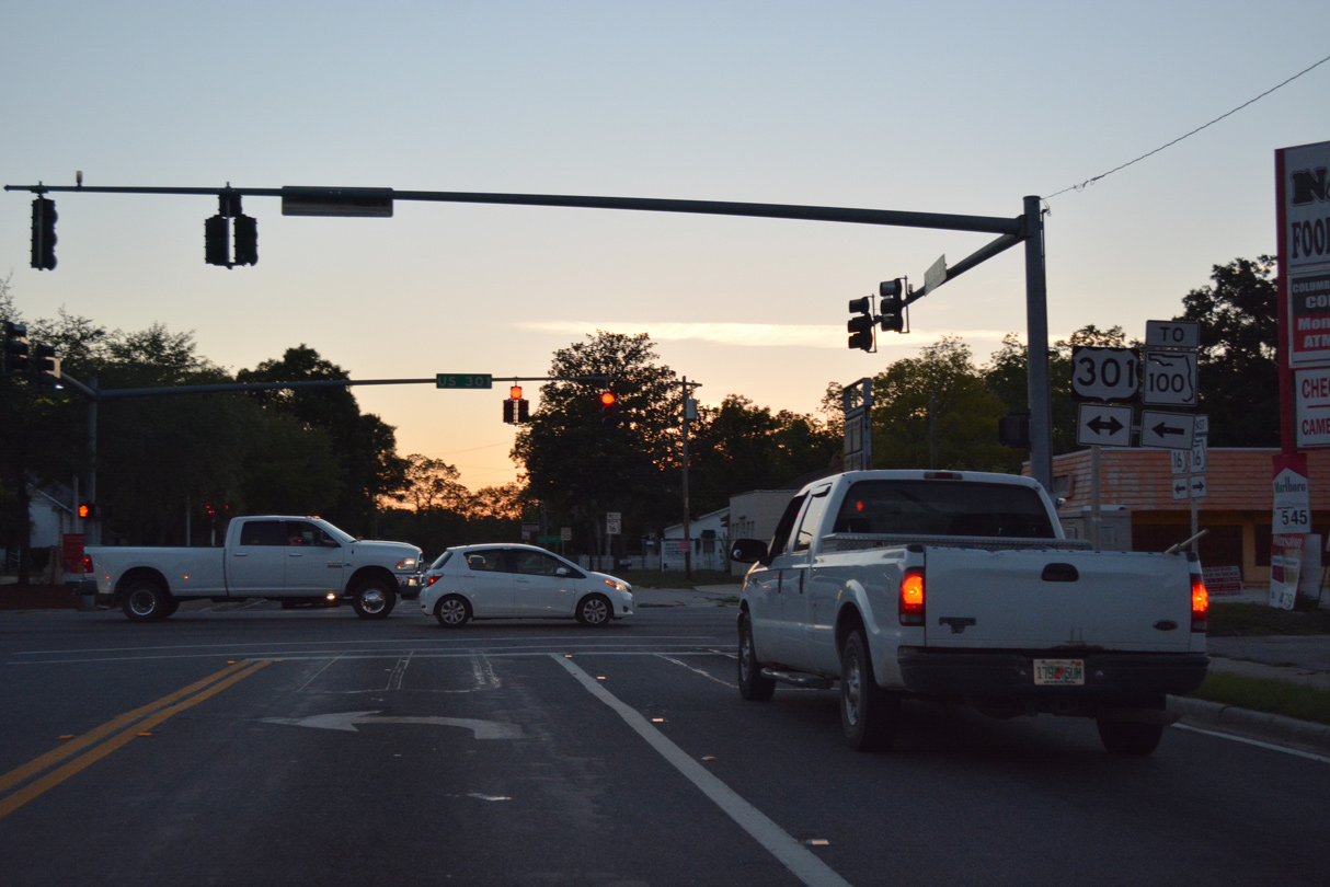
U.S. 301 connects with SR 100 (Madison Street) a half mile south of SR 16. U.S. 301 continues from Starke south to Hampton and Waldo and north beyond Lawtey to Jacksonville.
05/27/17
05/27/17
01/20/19
01/18/10
CR 229 commences north from SR 16 along Weldon Street in Starke. The county road runs 26.21 miles northwest to Raiford and U.S. 90 at Sanderson. This vintage shield was replaced with a SR 229 marker by 2022.
01/20/19
01/20/19
01/20/19
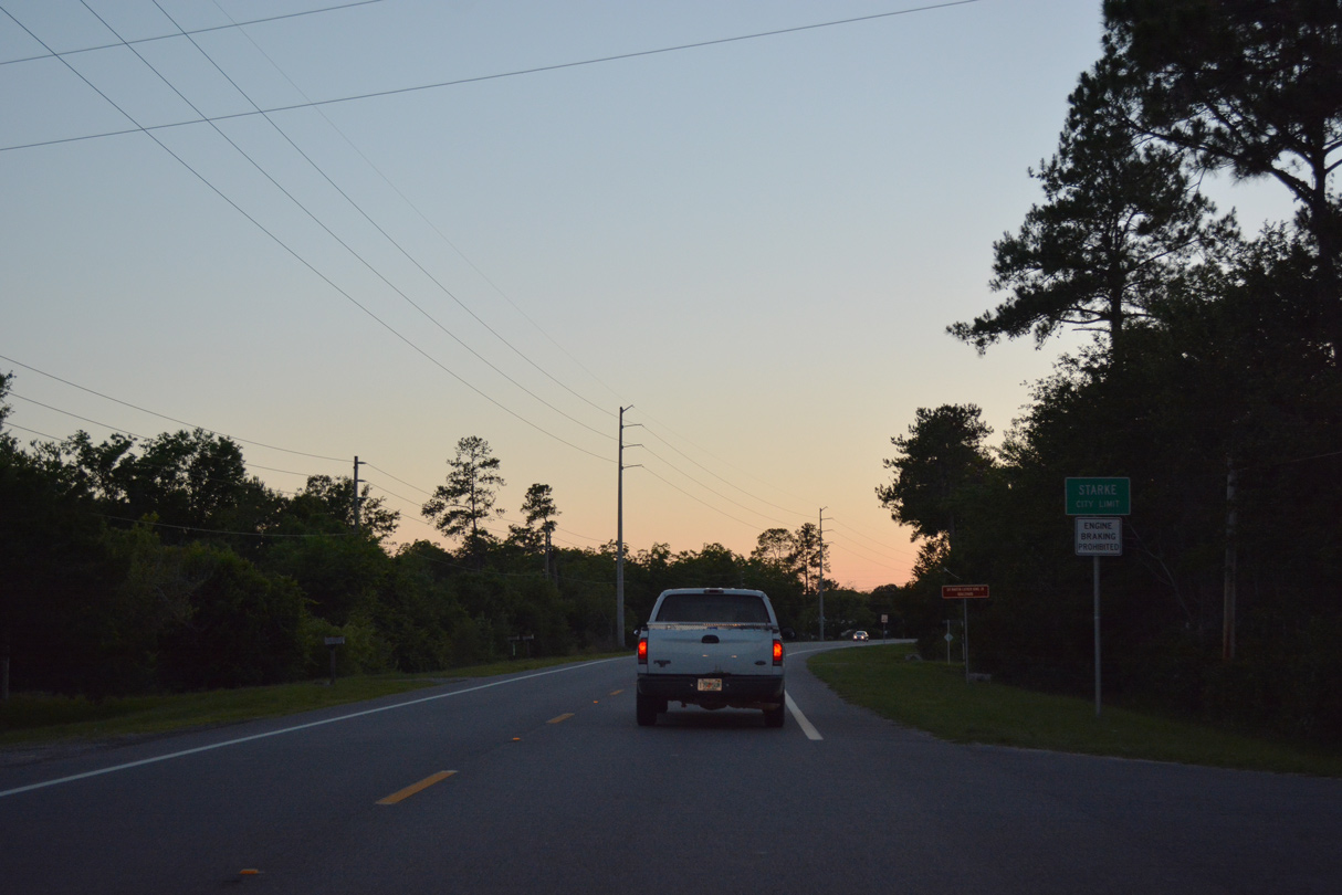
SR 16 west vacates the Starke city limits beyond Harley Circle and the Douglas Estates subdivision.
09/17/19
09/17/19
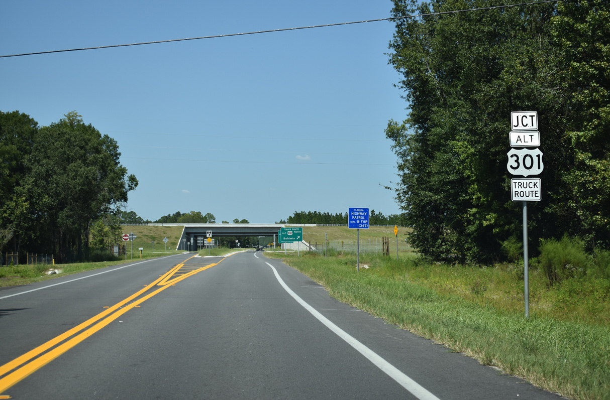
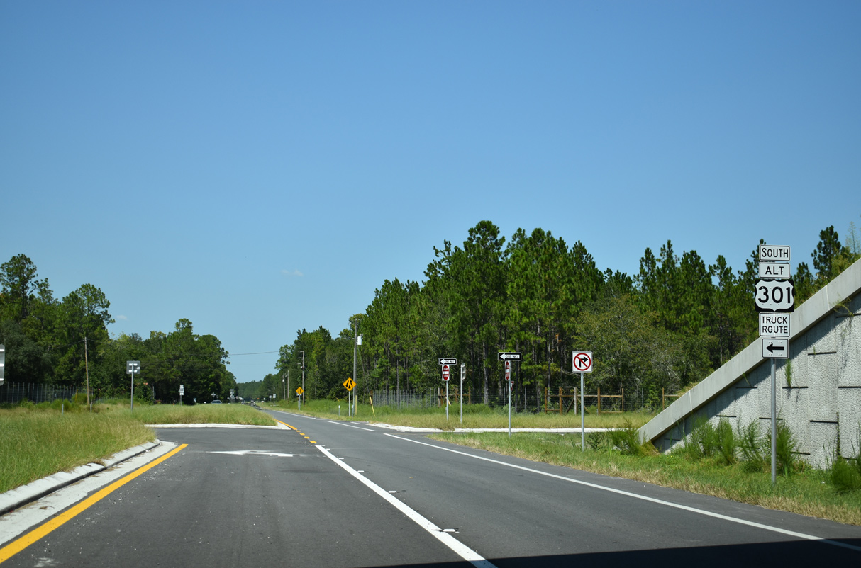
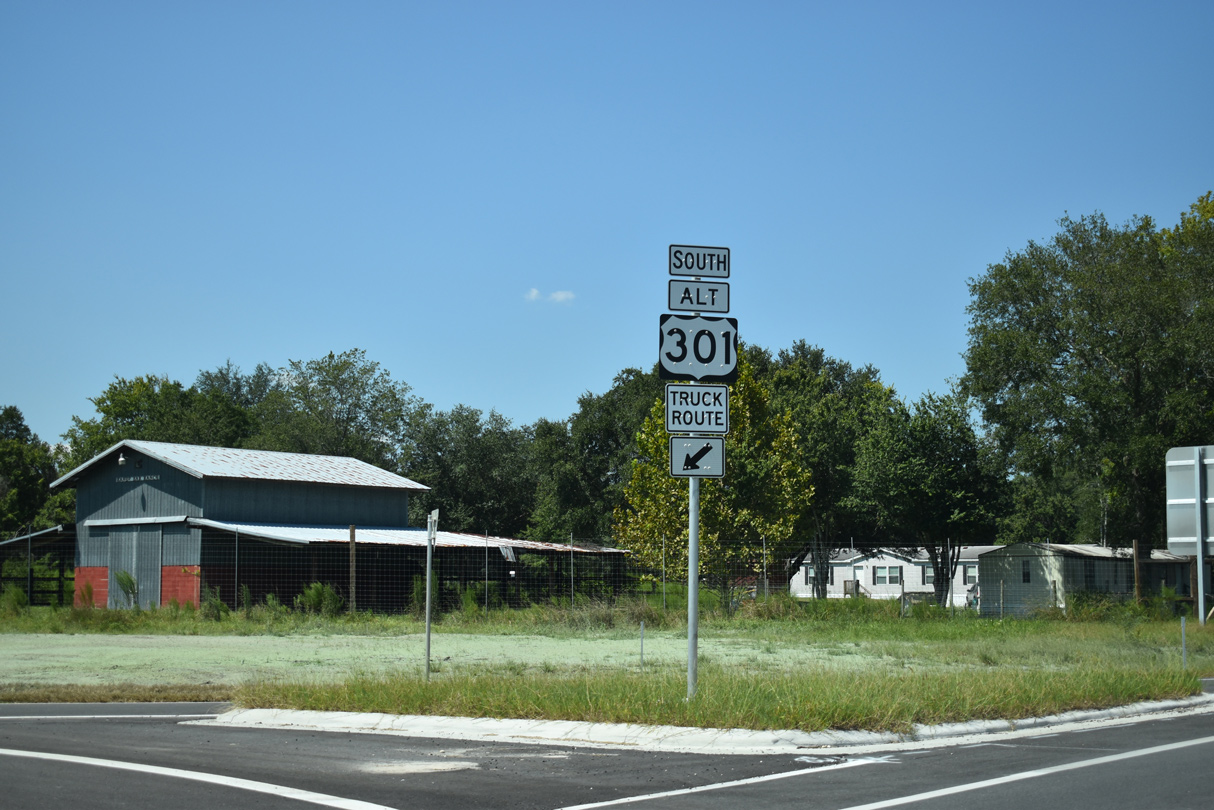
U.S. 301 ALT (Starke Truck Route) meets SR 16 at a diamond interchange between NW 173rd Street and NW 177th Street.
09/17/19
09/17/19
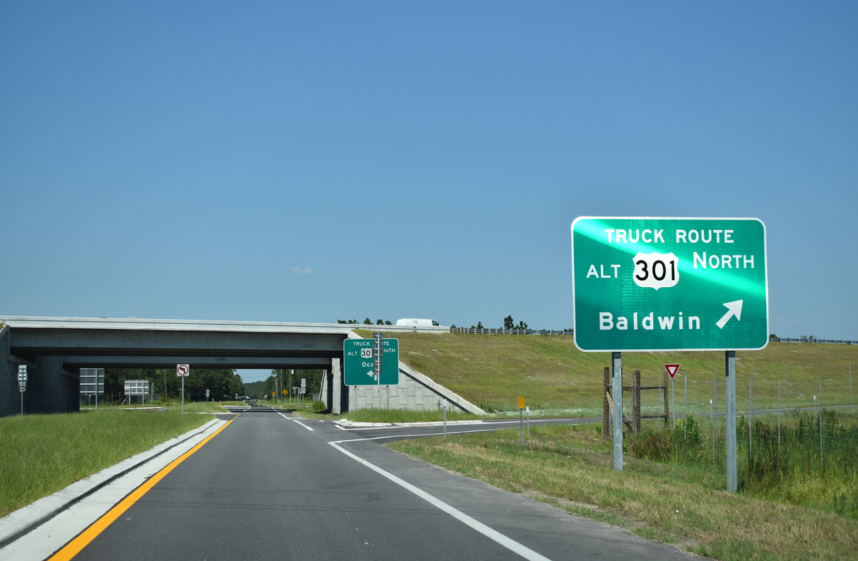
U.S. 301 ALT provides a bypass of Starke for through traffic along U.S. 301 north to Baldwin and Jacksonville.
09/17/19
09/17/19
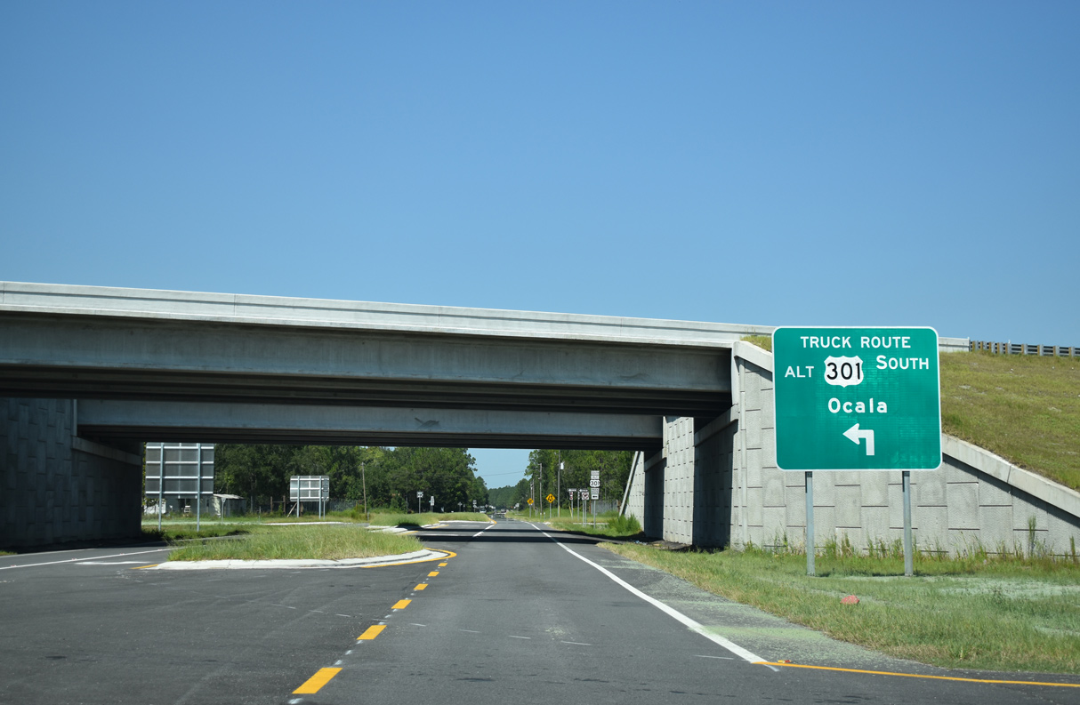
A limited access freeway, the Starke Truck Route opened to traffic in September 2019.
09/17/19
09/17/19
09/17/19
U.S. 301 ALT returns to U.S. 301 just south of the Starke city limits. U.S. 301 continues from there to Hampton, Waldo and Ocala.
09/17/19
09/17/19
09/17/19
09/17/19
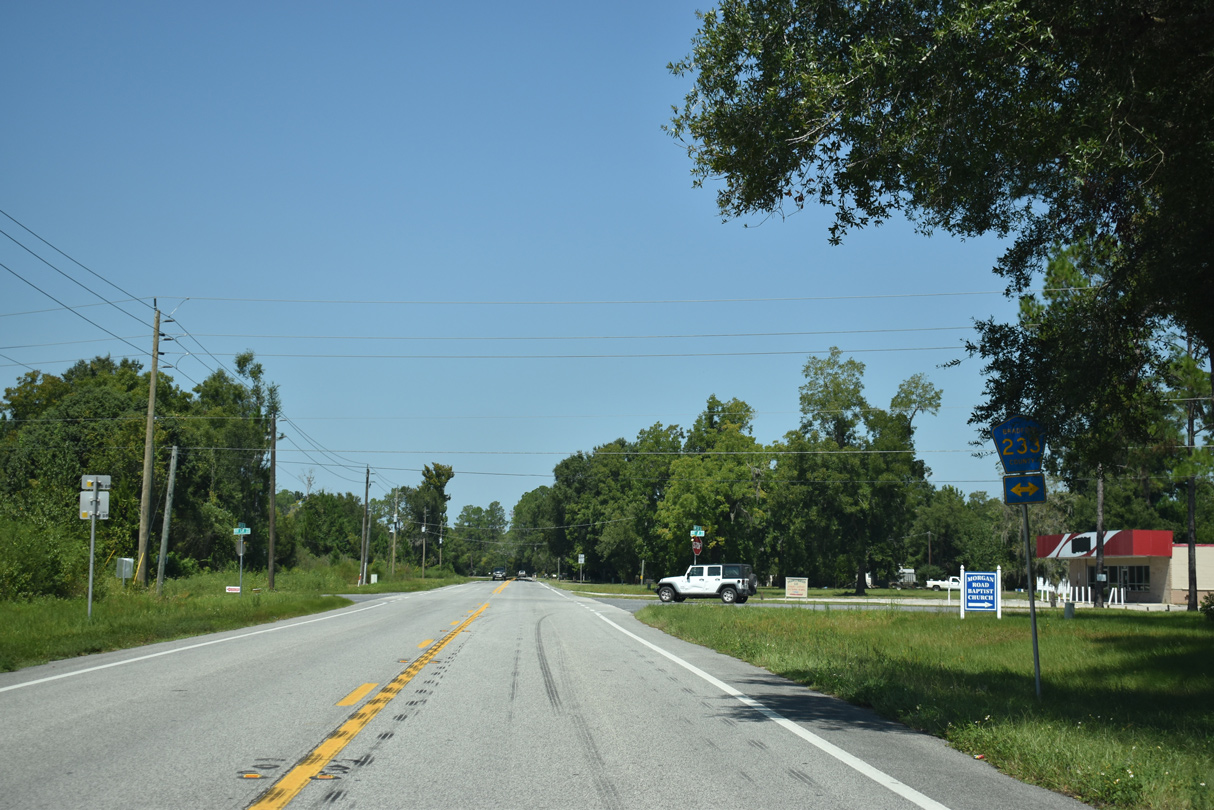
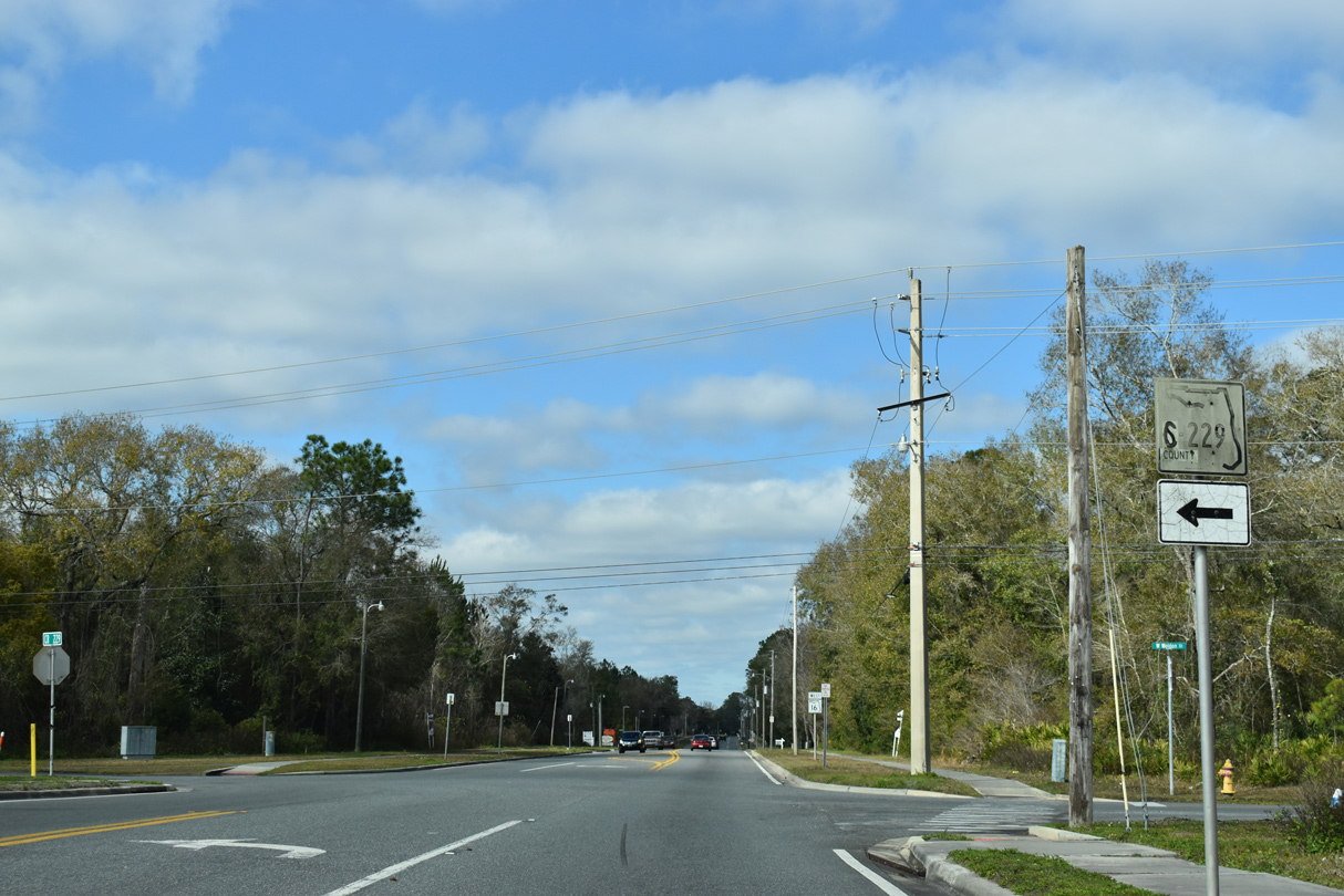
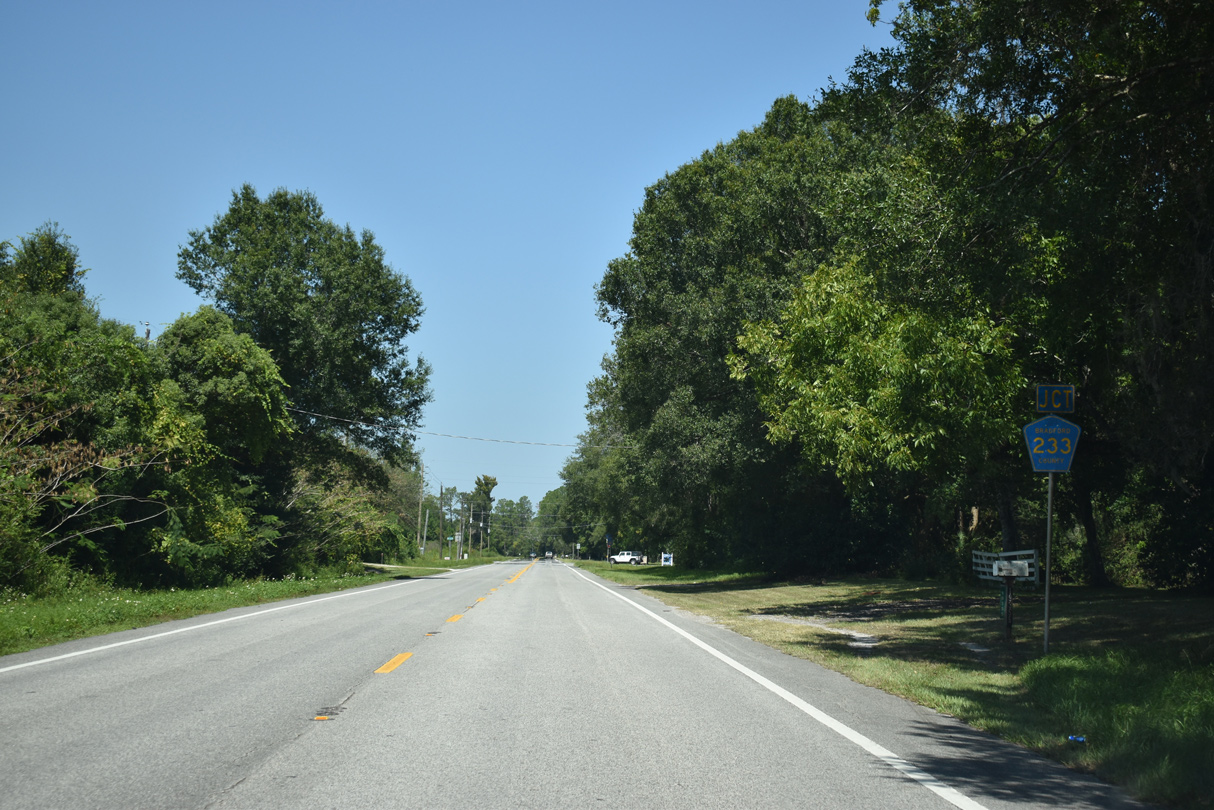
CR 233 stems 5.45 miles west from U.S. 301 to CR 229A.
09/17/19
09/17/19
09/17/19
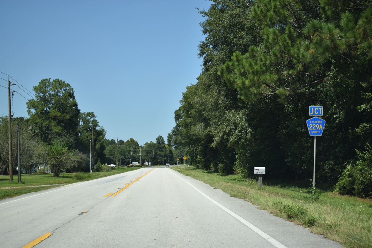
CR 229A leads 2.29 miles west from SR 16 at Heilbronn to CR 233 and CR 229.
09/17/19
09/17/19
09/17/19
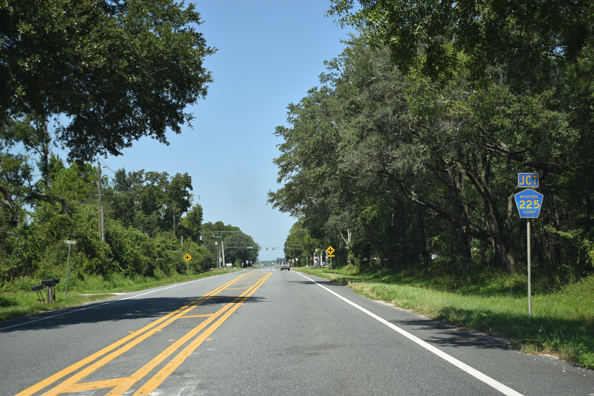
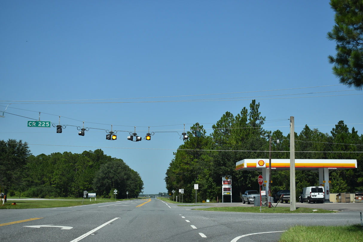
CR 225 returns to SR 16, 5.71 miles west from U.S. 301 at Lawtey.
09/17/19
09/17/19
Continuing southwest from SR 16, CR 225 advances 6.49 miles to SR 100.
09/17/19
09/17/19
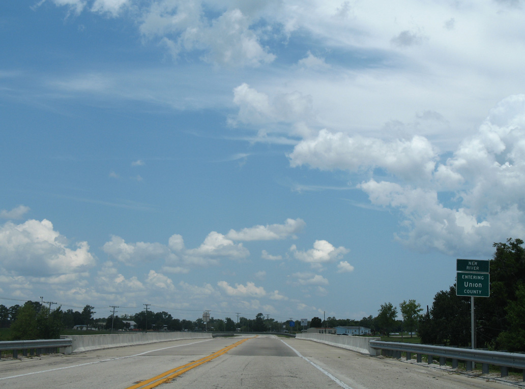
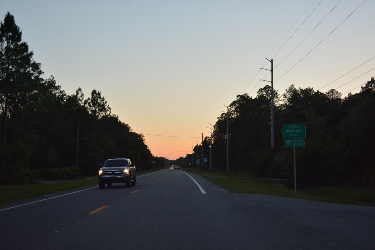
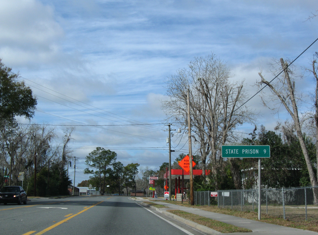
SR 16 crosses the New River and Union County line north by the Florida State Prison complex.
07/04/06
07/04/06
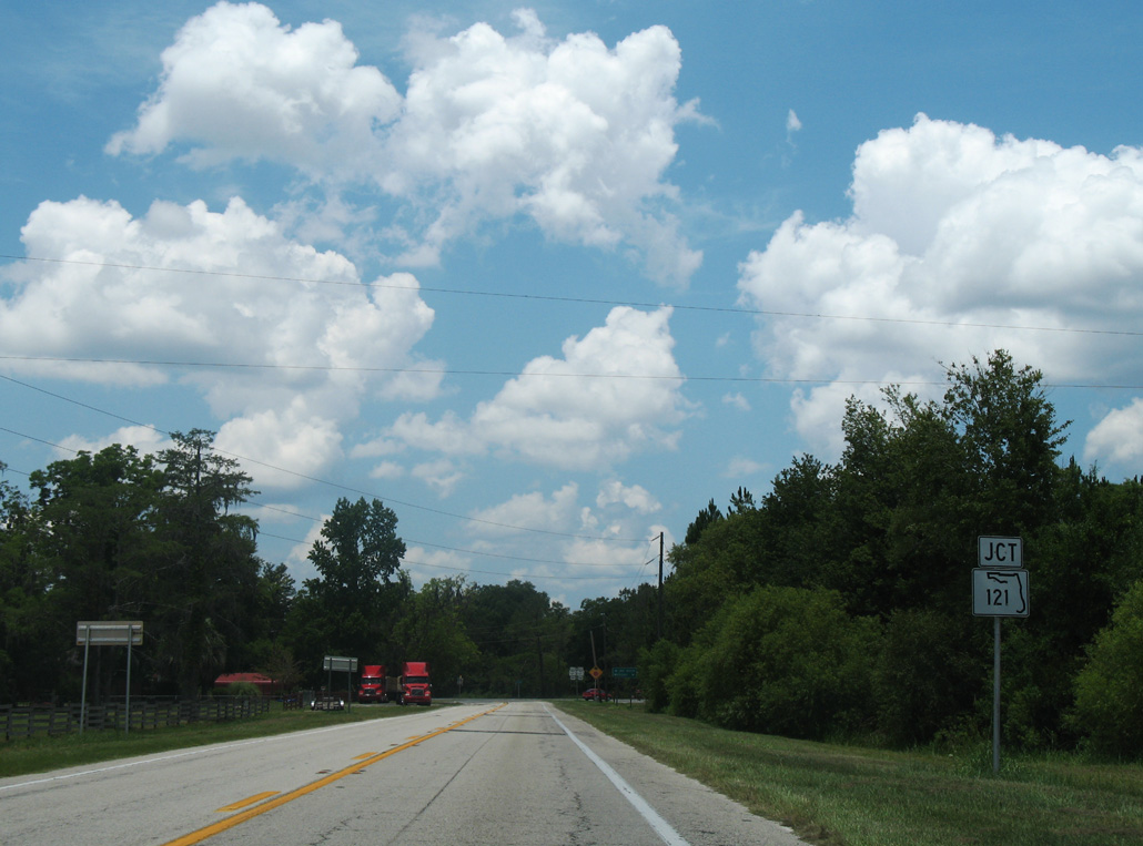
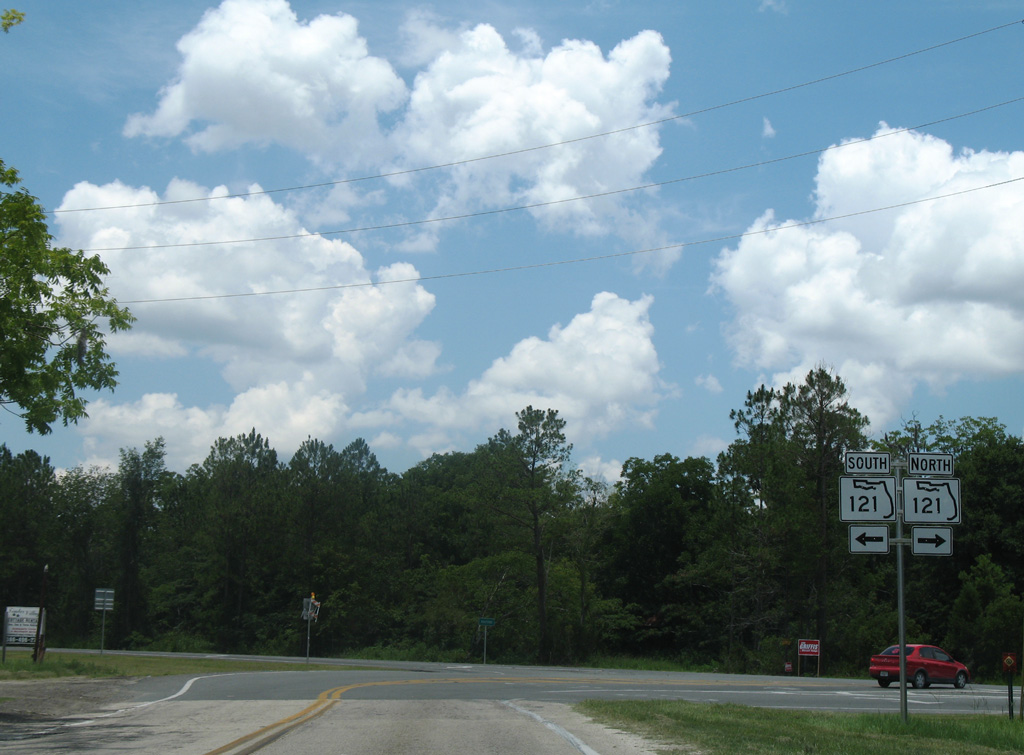
Turning west, SR 16 proceeds from CR 199 to SR 121 at eastern reaches of the Raiford town limits.
07/04/06
07/04/06
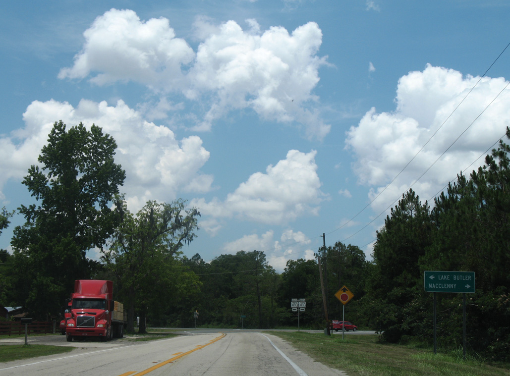
SR 121 connects the Union County seat of Lake Butler with the Baker County seat of Macclenny.
07/04/06
07/04/06
07/04/06

Photo Credits:
- Alex Nitzman: 07/04/06, 06/13/08, 08/12/25
- ABRoads: 01/18/10, 05/27/17
- Brent Ivy: 01/20/19
- Alex Nitzman, JP Nasiatka: 09/17/19
Connect with:
Page Updated Thursday August 14, 2025.