
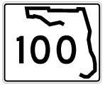
State Road 100 West - Palatka to Keystone Heights
 North
North  West
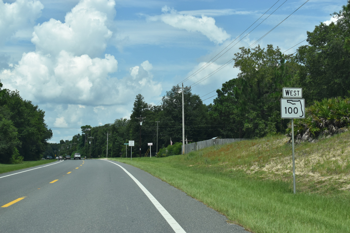
West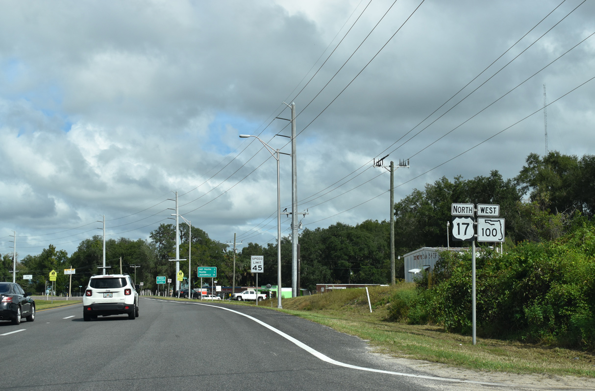
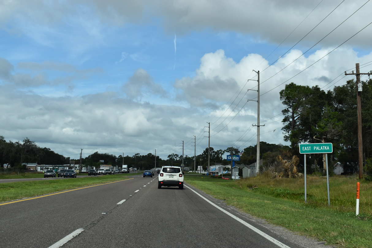
U.S. 17/SR 100 overlap along a four lane highway north from San Mateo into East Palatka.
11/06/19
11/06/19
11/06/19
11/06/19
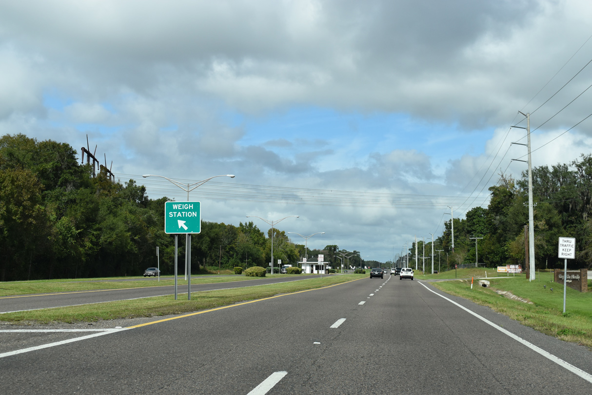
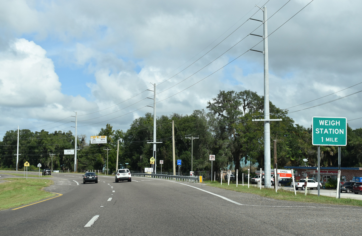
A weigh station operates between the roadways of U.S. 17/SR 100 ahead of East Palatka.
11/06/19
11/06/19
11/06/19
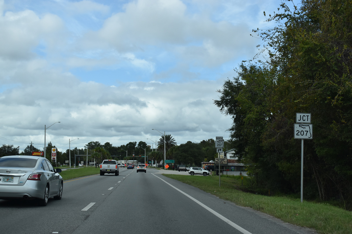
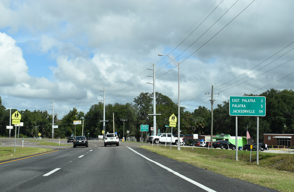
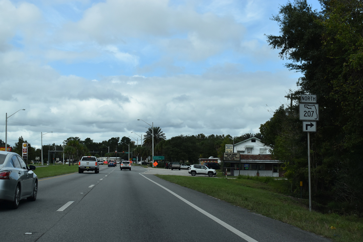
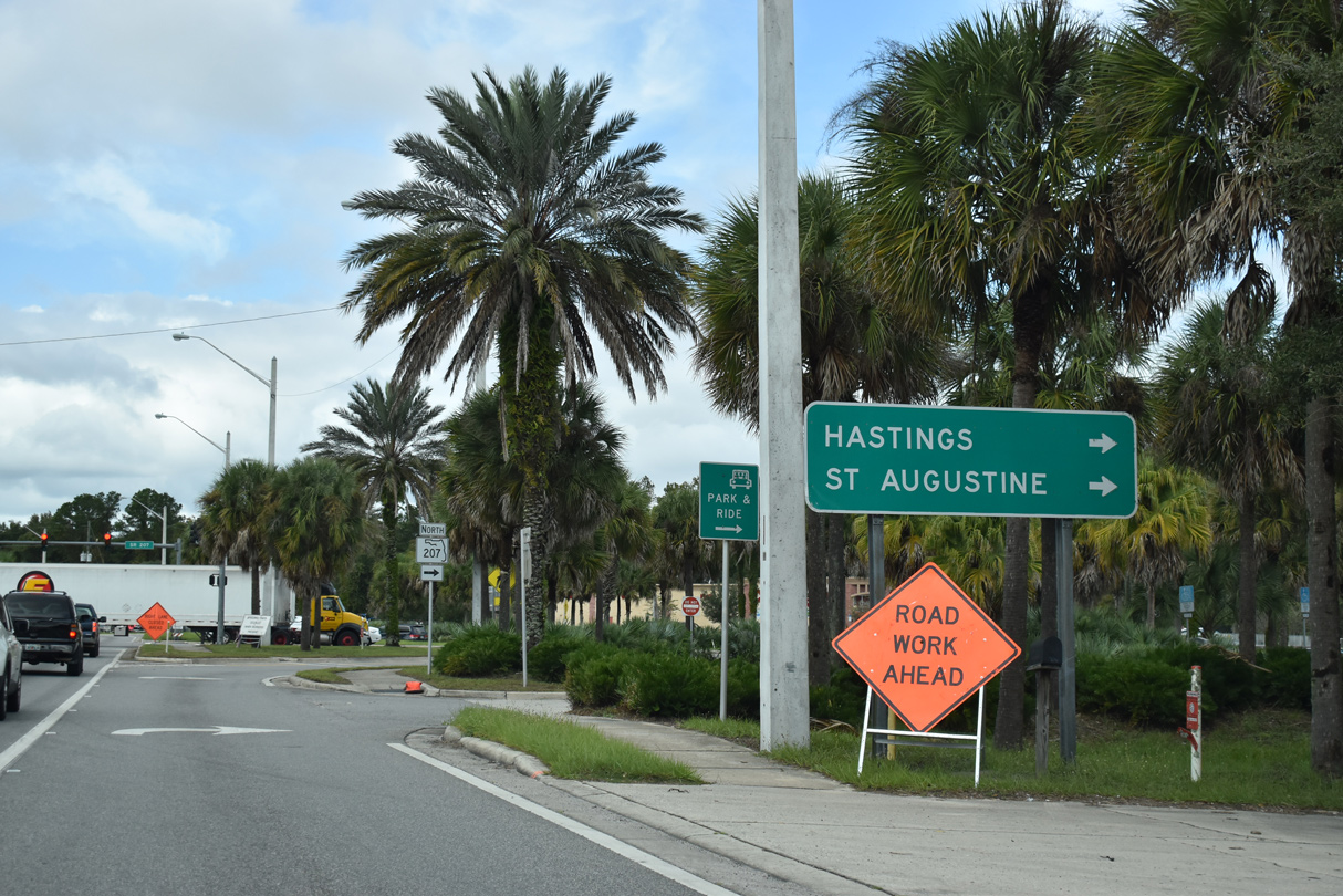
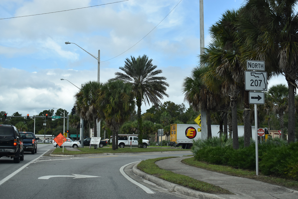
SR 207 heads north from U.S. 17/SR 100 at East Palatka to Hastings in St. Johns County.
11/06/19
11/06/19
11/06/19
SR 207 travels 24.43 miles overall between U.S. 17/SR 100 and U.S. 1 at St. Augustine.
11/06/19
11/06/19
11/06/19
West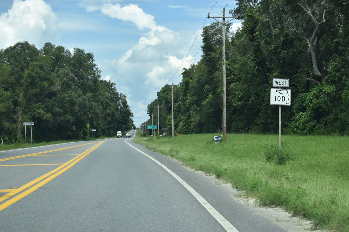
07/28/18
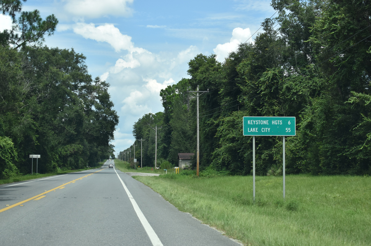
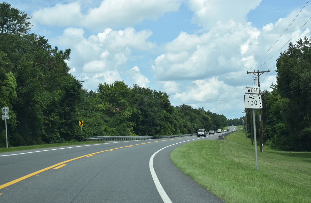
State Road 100 continues six miles northwest from SR 26 at Putnam Hall to Keystone Heights.
07/28/18
07/28/18
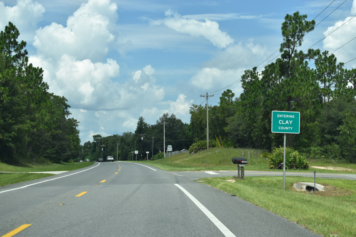
The Clay County line crosses SR 100 at a rural area between Halfmoon Lake and Oldfield Pond.
07/28/18
07/28/18
07/28/18
07/28/18
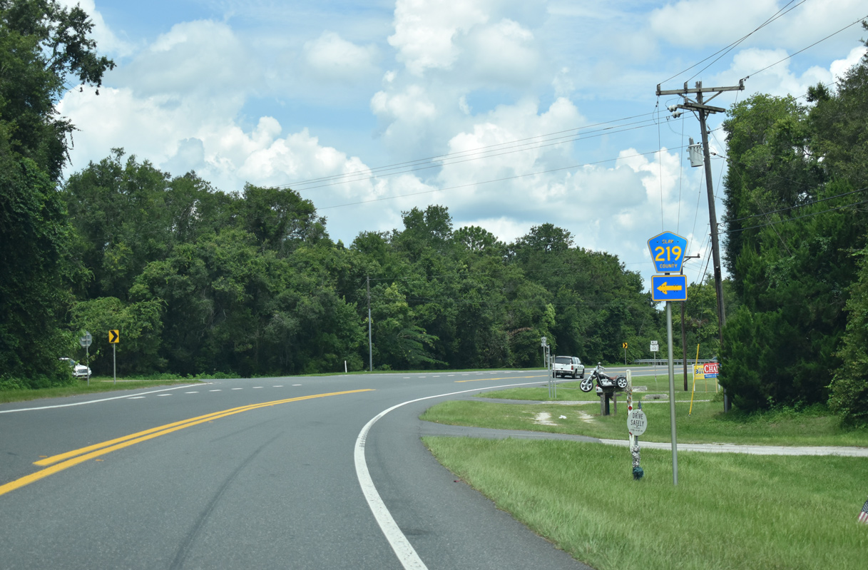
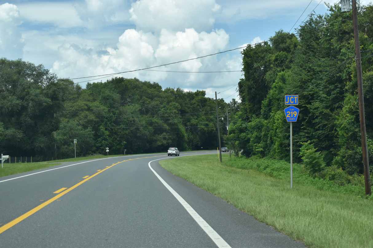
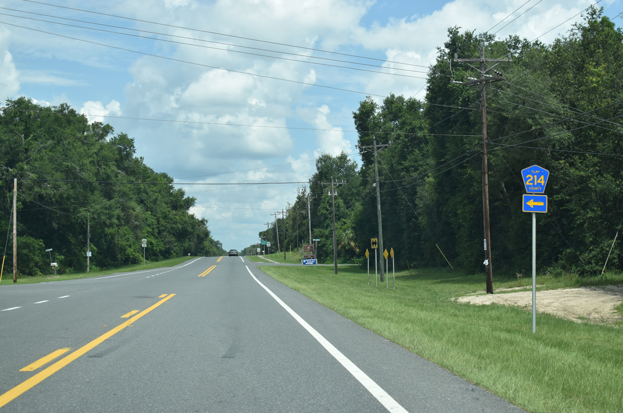
County Road 219 branches southwest from SR 100 to Swan Lake. The rural highway navigates along a 3.68 mile course to SR 26 near Melrose.
07/28/18
07/28/18
SR 100 turns northwest from CR 219 through wetland areas associated with Oldfield Pond.
07/28/18
07/28/18
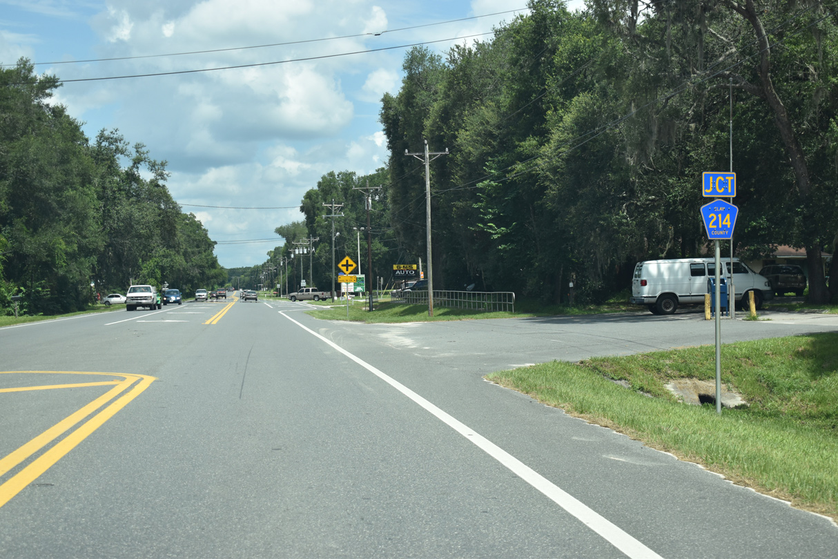
The western branch of County Road 214 encircles Lakes Geneva and Hutchinson 4.64 miles from SR 100 to SR 21 near Santa Fe Lake.
07/28/18
07/28/18
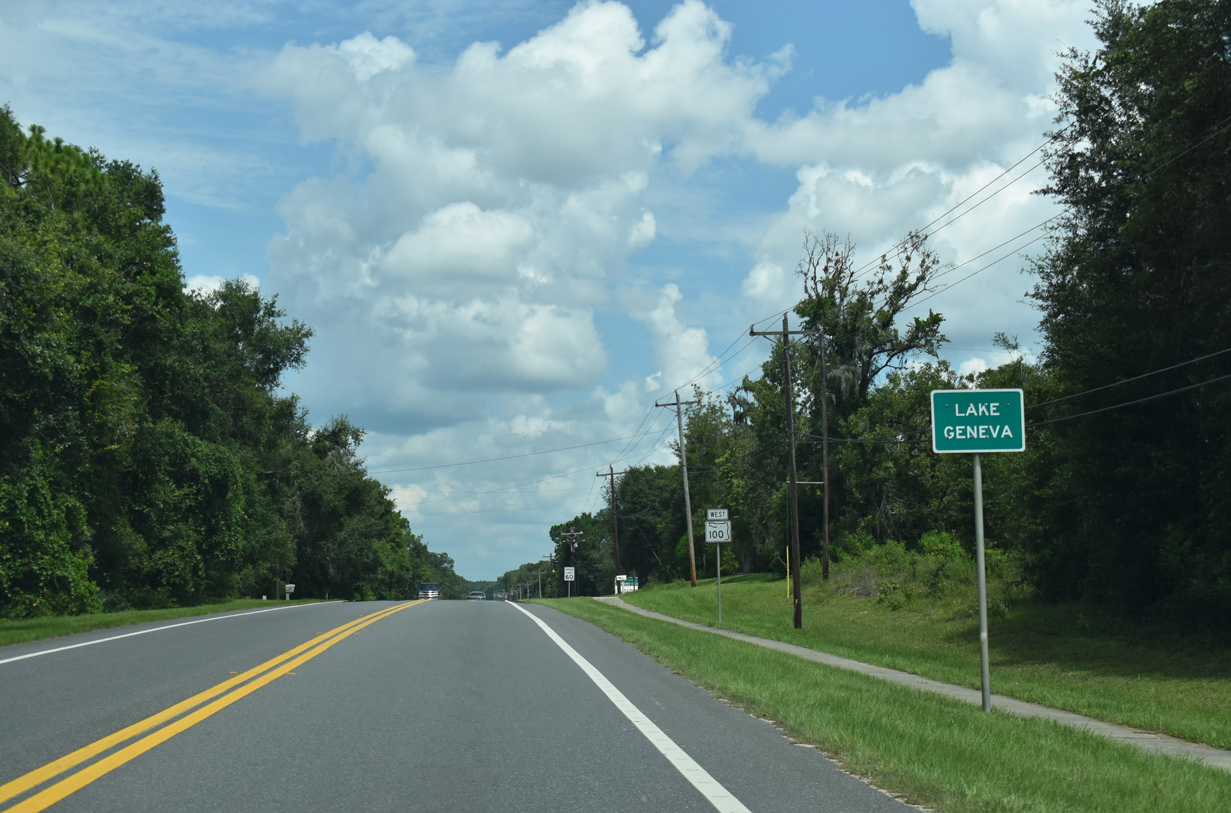
The unincorporated community of Lake Geneva lies along SR 100 to the southeast of Keystone Heights.
07/28/18
07/28/18
07/28/18
An implied overlap with SR 100 leads CR 214 northward 0.75 miles through Lake Geneva to its eastern branch toward Smith Lake.
07/28/18
07/28/18
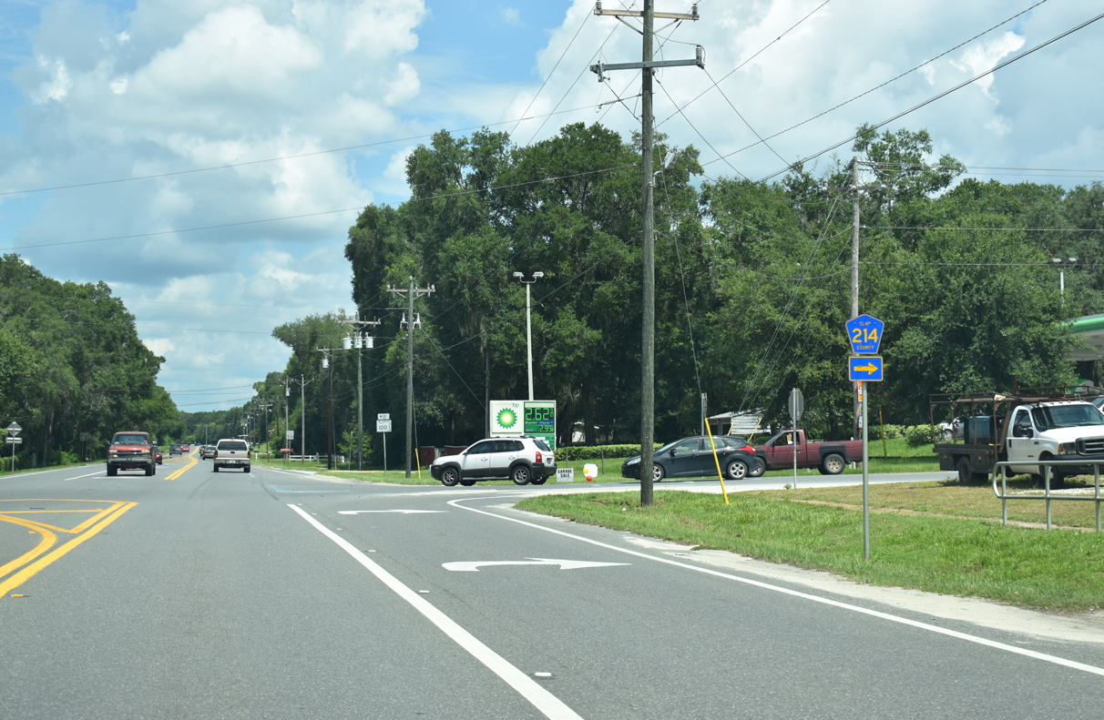
Clay County Road 214 extends another 6.58 miles from State Road 100 to CR 315C north to SR 21.
07/28/18
07/28/18
07/28/18
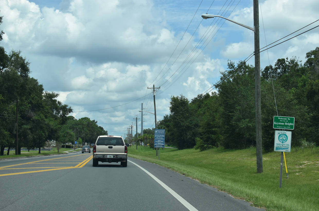
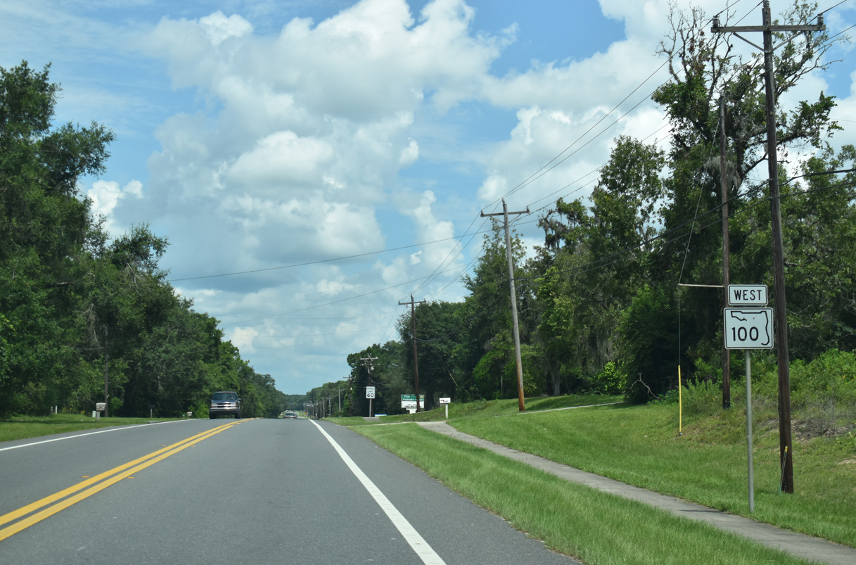
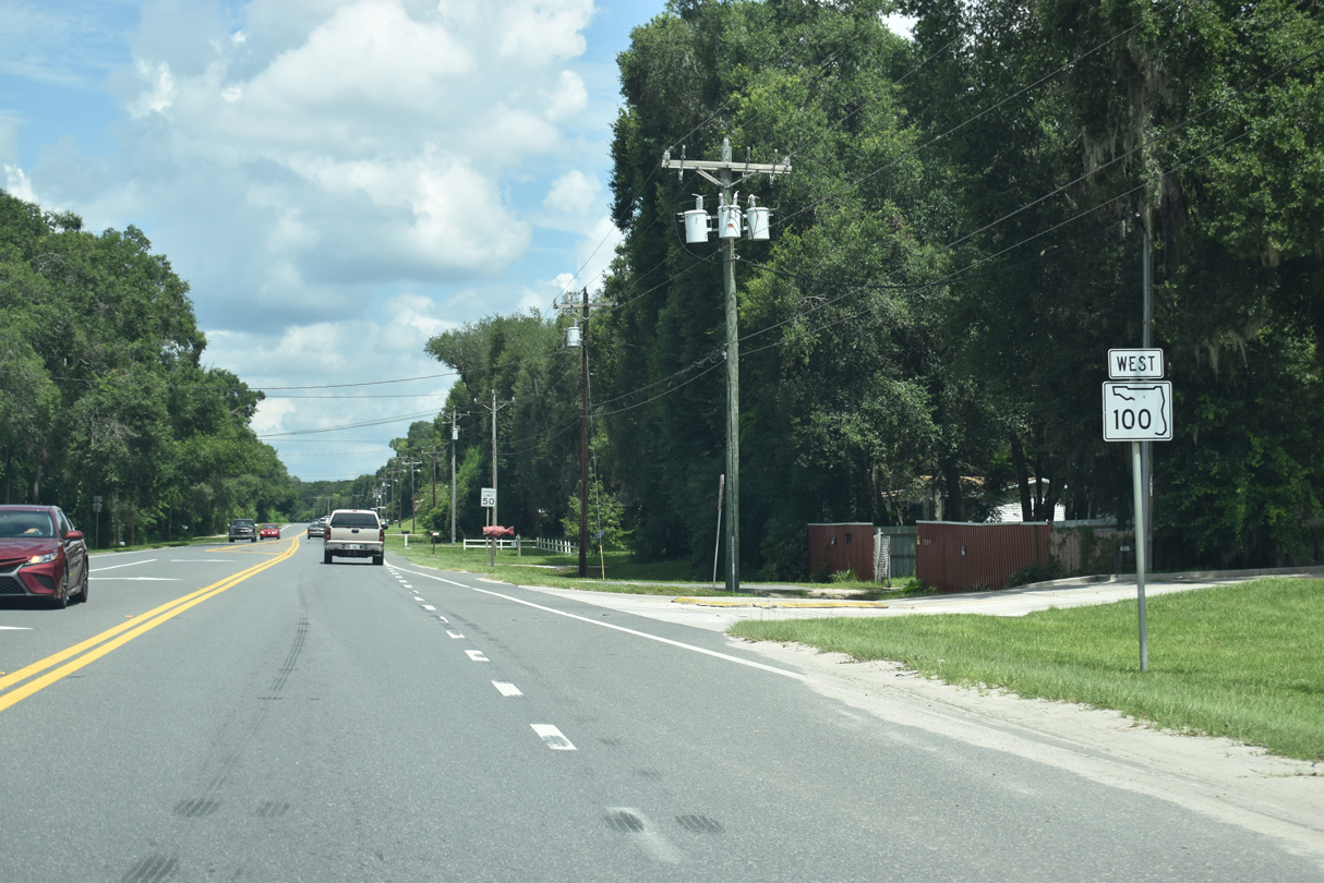
SR 100 advances 0.9 miles from CR 214 west to the city of Keystone Heights.
07/28/18
07/28/18
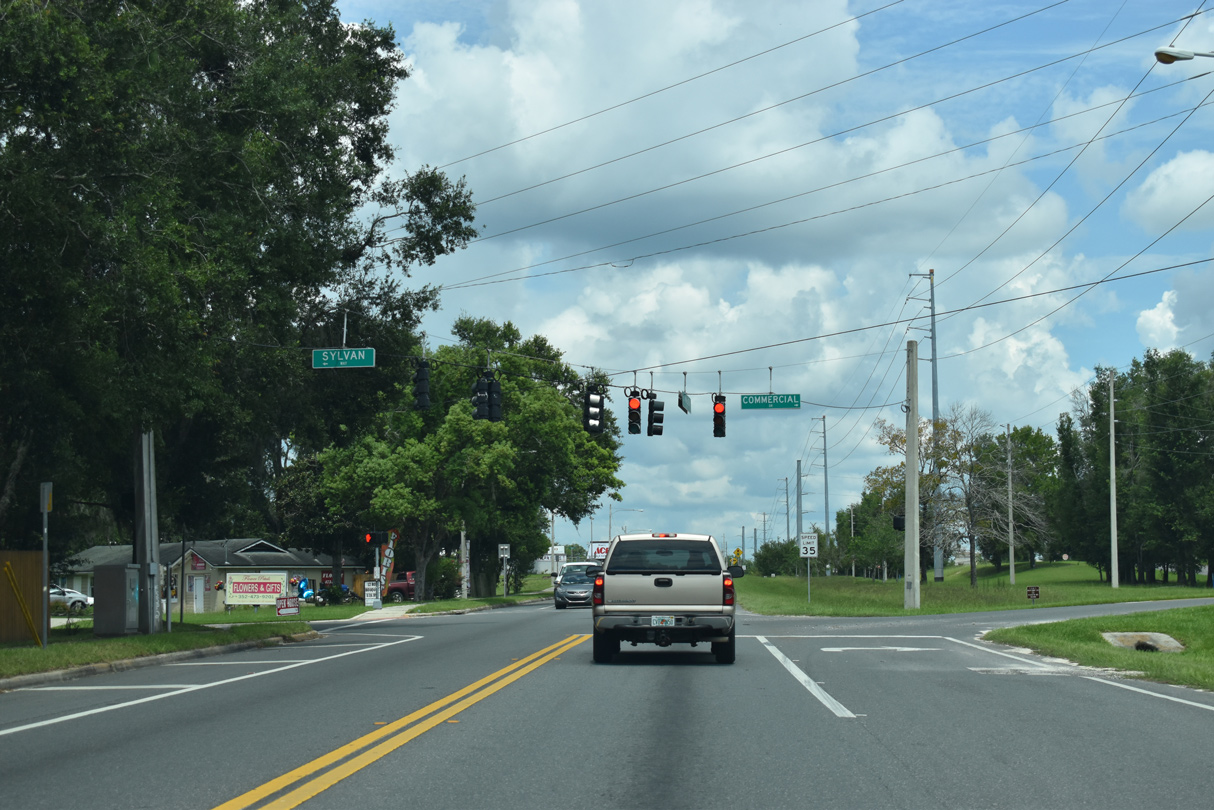
The Keystone Heights residential street grid spreads west of SR 100 and north of Lake Geneva. Sylvan Way provides a cutoff to SR 21 south from SR 100 at Commercial Drive.
07/28/18
07/28/18
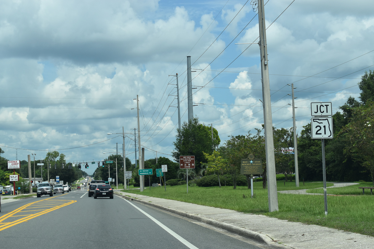
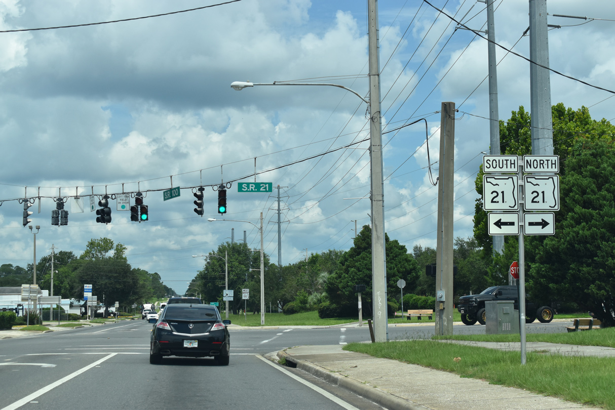
Entering the Keystone Heights business district, SR 100 (Walker Drive) crosses paths with SR 21 (Lawrence Boulevard).
07/28/18
07/28/18
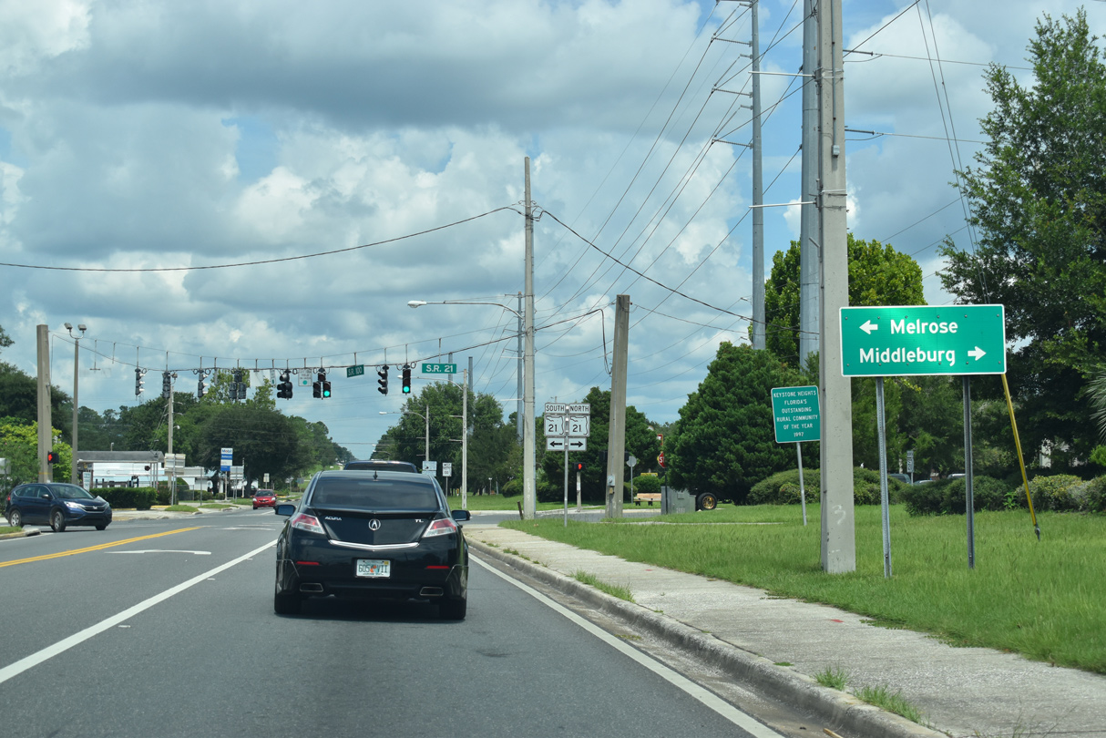
State Road 21 heads south from Keystone Heights to SR 26 at Melrose and SR 20 east of Hawthorne. Northeast along Camp Blanding, SR 21 continues to Mike Roess Gold Head Branch State Park, SR 16 and Middleburg.
07/28/18
07/28/18
With 2018 traffic counts of 83,500 vehicles per day (vpd), State Road 21 constitutes a major arterial route through northern Clay County into the city of Jacksonville. Within Keystone Heights, SR 21 is a much less traveled route with 2018 traffic counts dropping to 7,200 vpd.
07/28/18
07/28/18

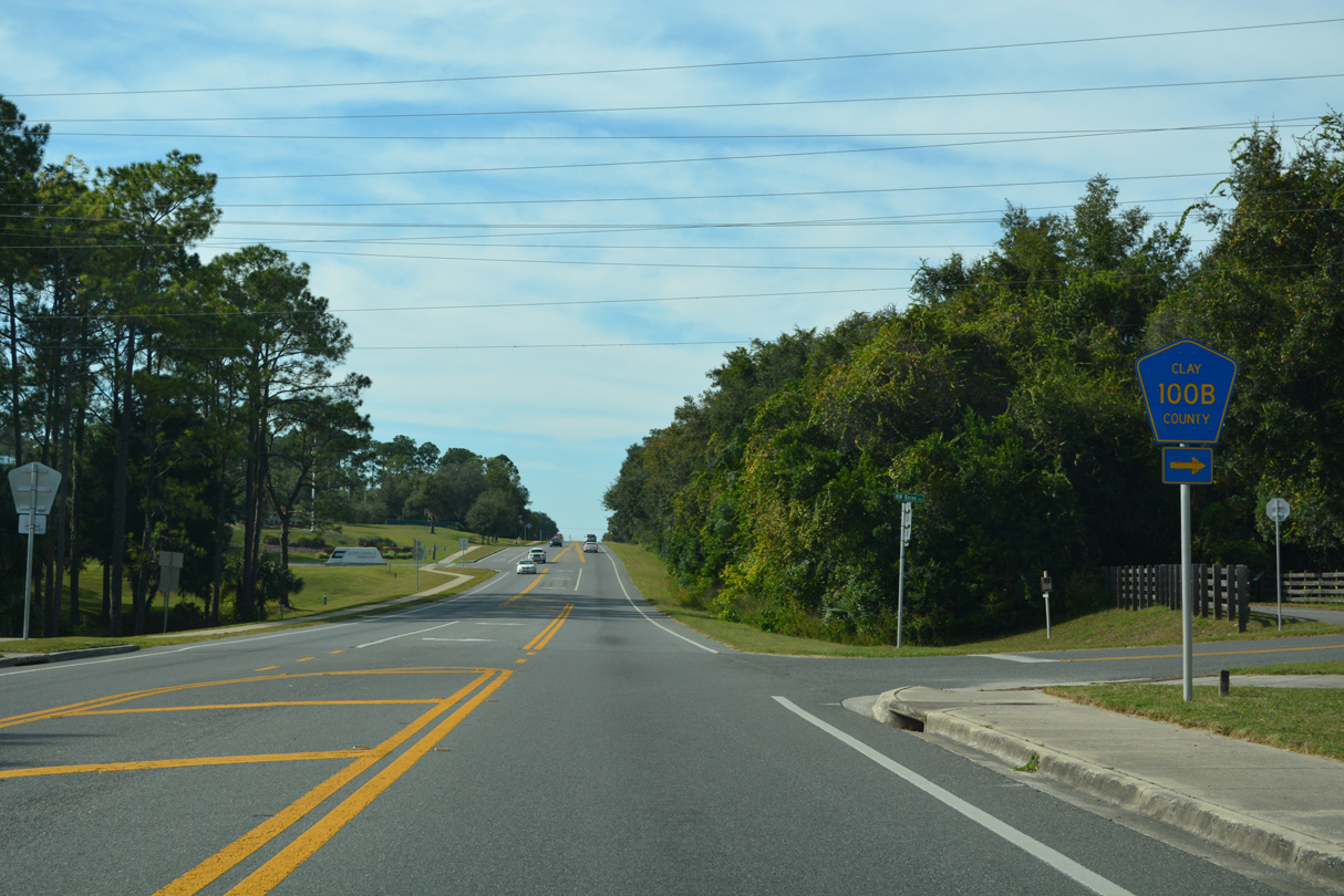
10/16/22
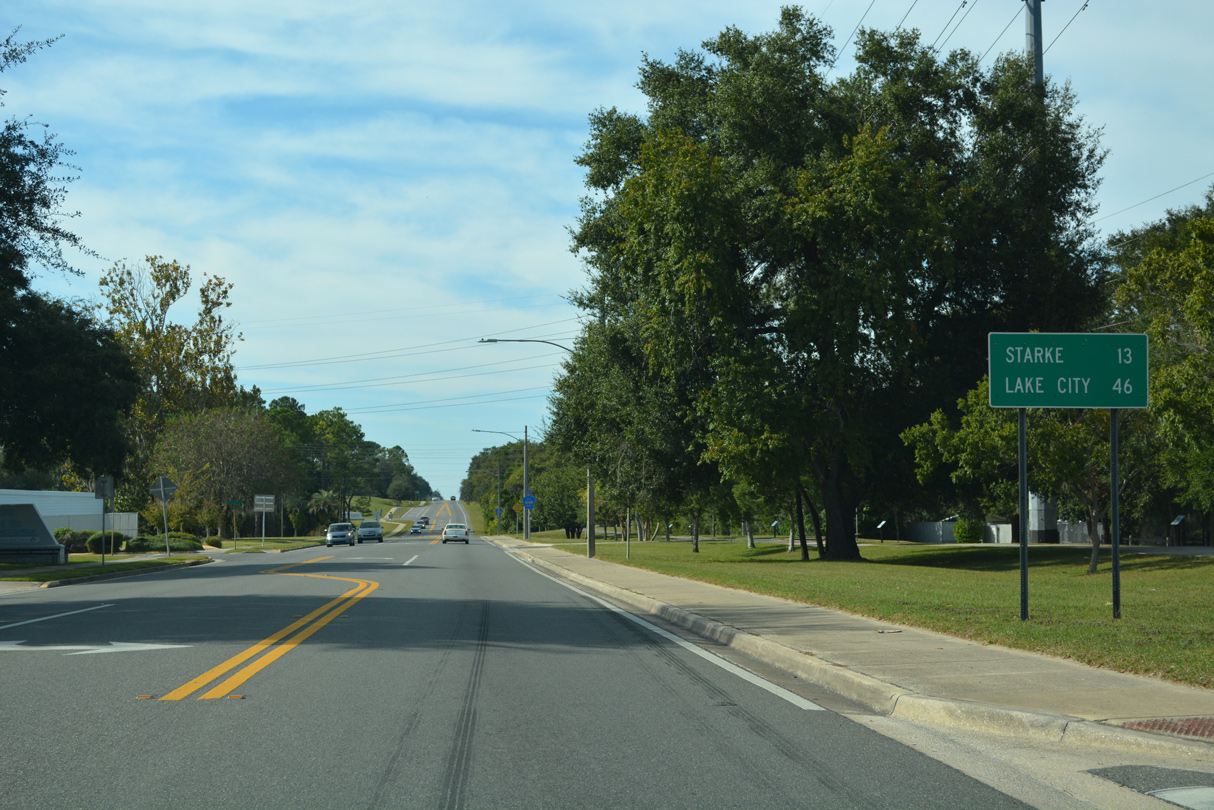
10/16/22
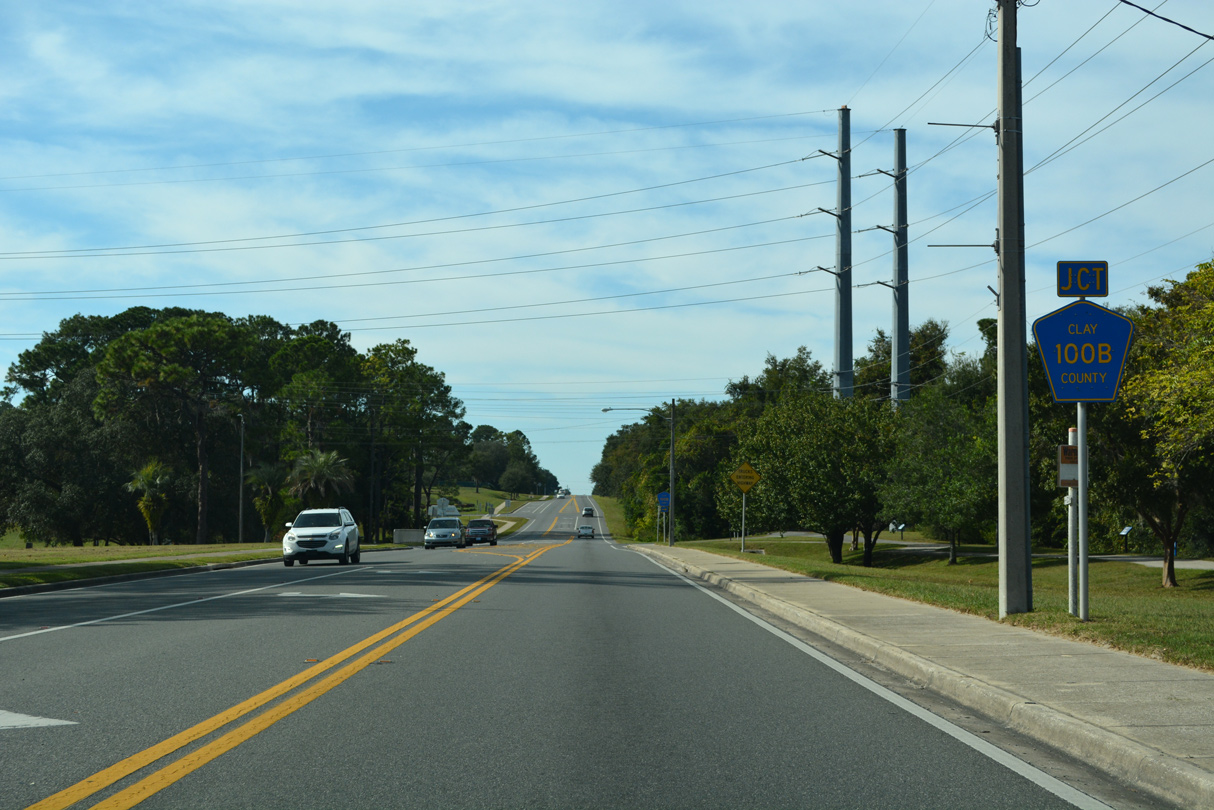
CR 100B comprises a short residential loop north from SR 100 (Walker Drive) to Park of the Palms.
10/16/22
10/16/22
10/16/22
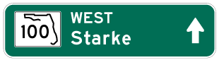
Photo Credits:
- Alex Nitzman, JP Nasiatka: 11/06/19
- ABRoads: 07/28/18
- Alex Nitzman: 10/16/22
Connect with:
Page Updated Monday October 24, 2022.