
U.S. 21/176/321 North - Columbia


 North
North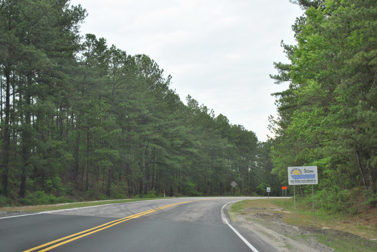
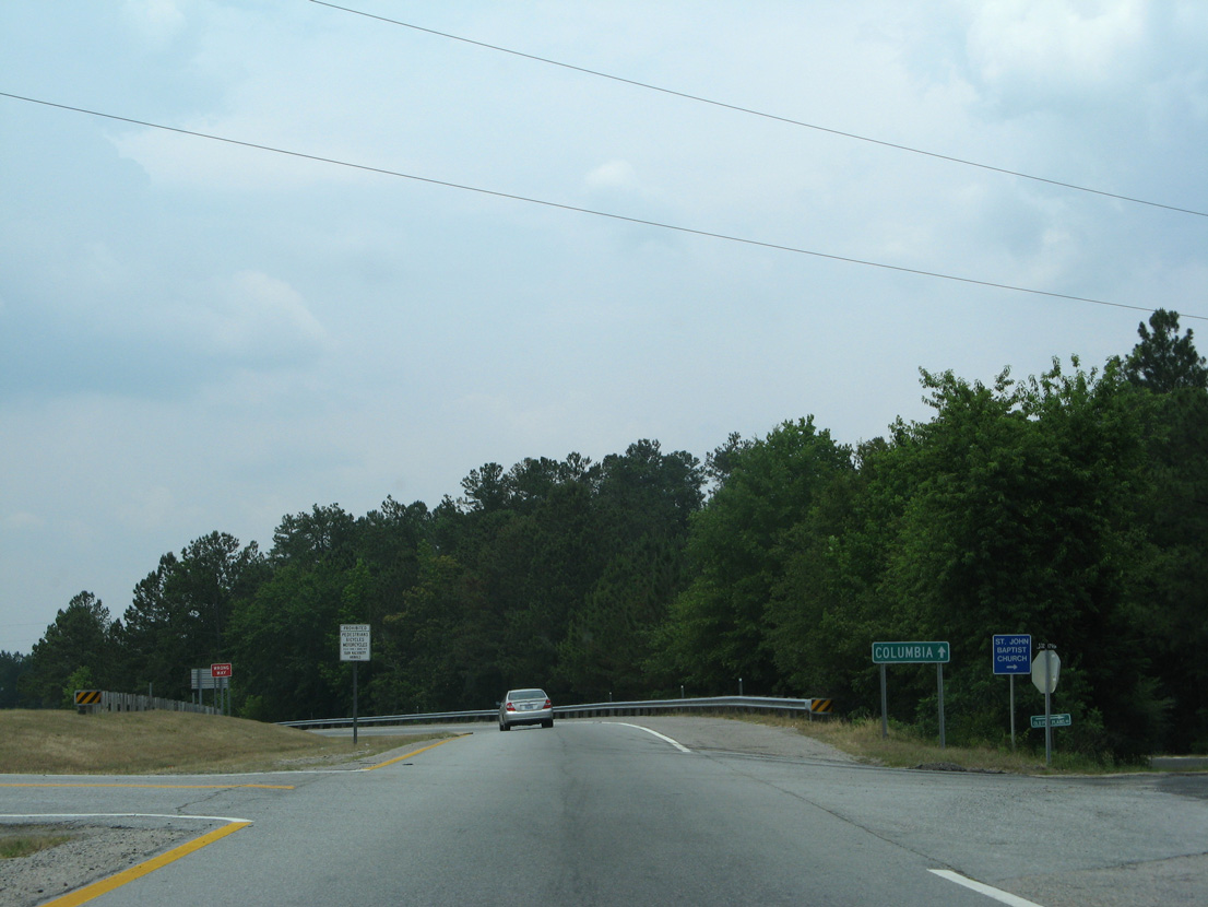
U.S. 21/176 (Old State Road) combine northbound 6.12 miles ahead of the Lexington County line.
04/15/12
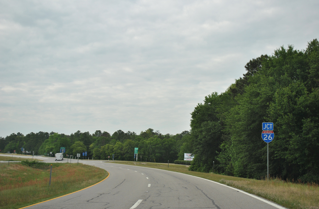
U.S. 21/176 (Charleston Highway) curve northwest into a parclo B2 interchange (Exit 119) with Interstate 26.
04/15/12
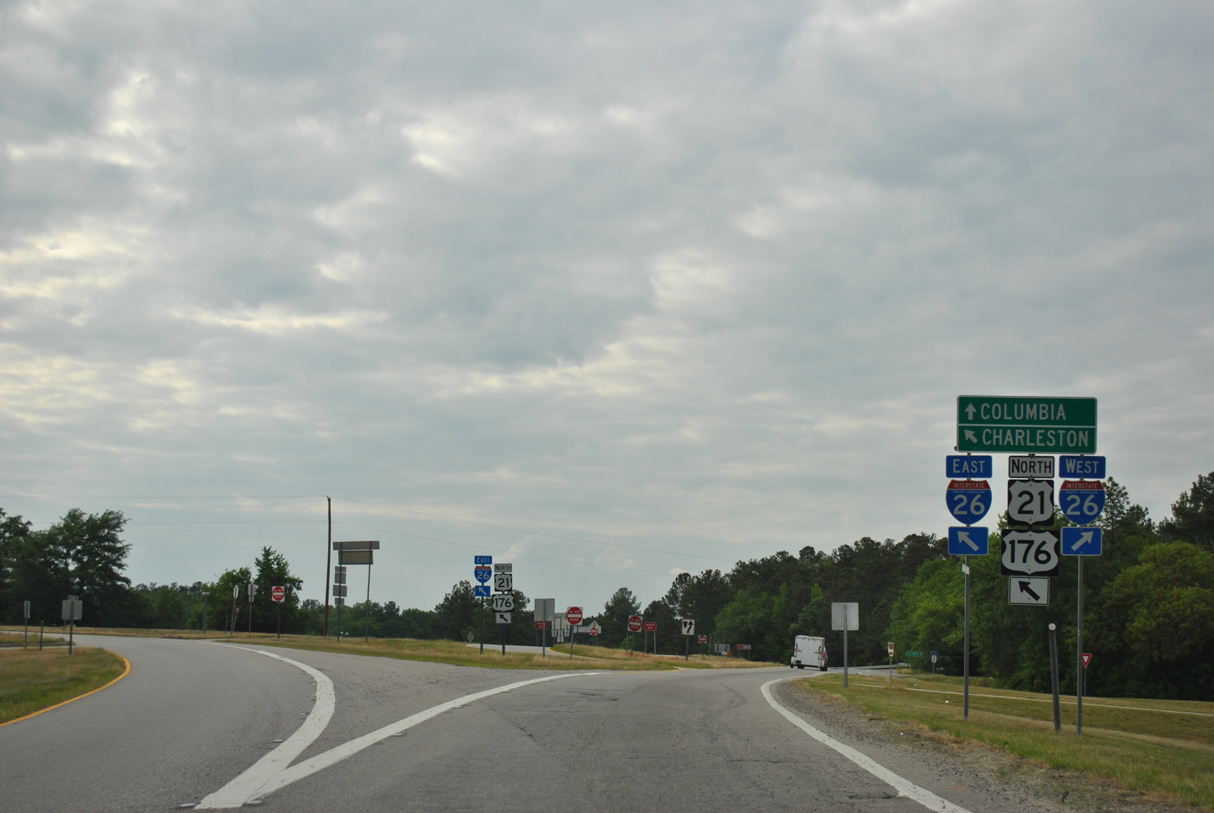
K avenue ties into the westbound entrance ramp for I-26 to Columbia from the east.
04/15/12
Old Pine Plains Road stems north from the ramps joining I-26 and U.S. 21/176 to 12th Street Extension.
06/01/07
 North
North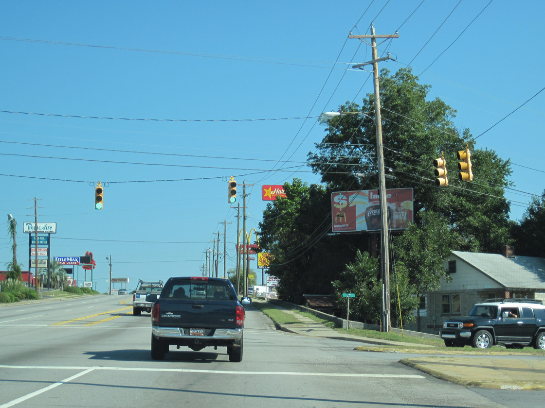
U.S. 21/176/321 (Charleston Highway) north at Lafayette Avenue in Cayce.
10/03/10

Charleston Highway (U.S. 21 Connector) extends 0.85 miles north from U.S. 21/176/321 at Knox Abott Drive to U.S. 1 (Meeting Street) by Triangle City in West Columbia.
10/03/10
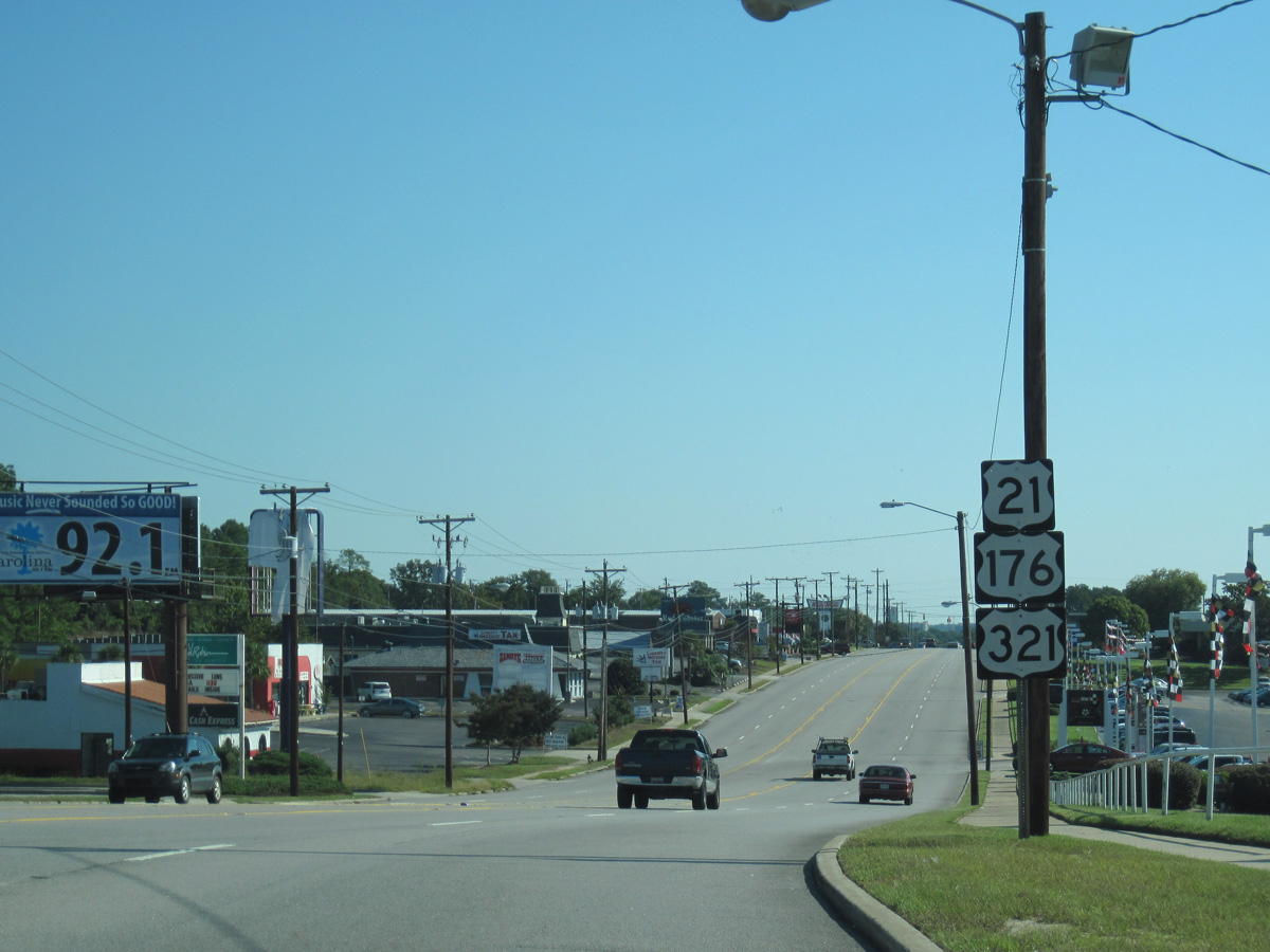
U.S. 21/176/321 line Knox Abbott Drive 1.83 miles east to Blossom Street at the Columbia city line.
10/03/10
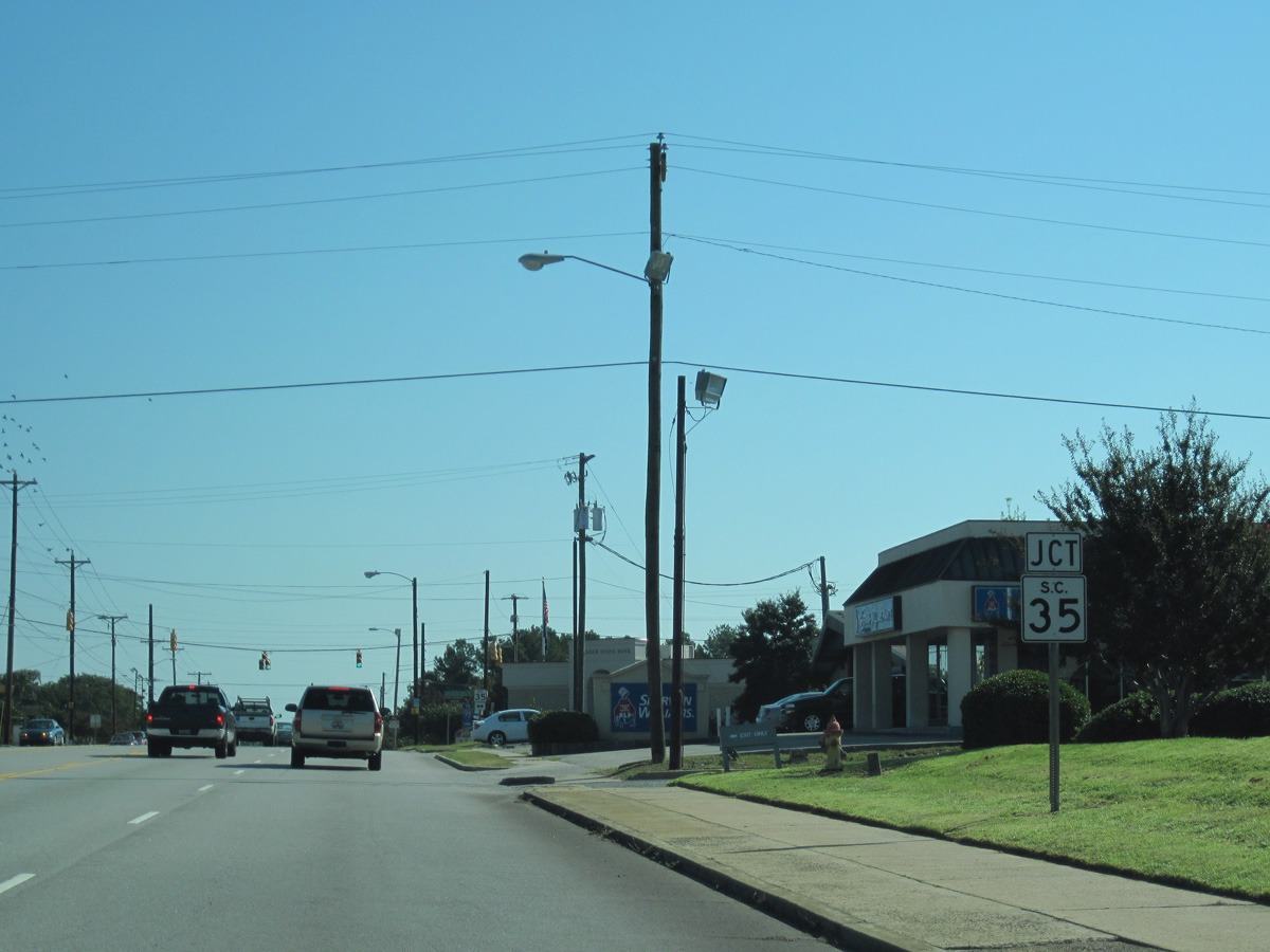
S.C. 35 (12th Street) intersects U.S. 21/176/321 south from Triangle City in West Columbia.
10/03/10
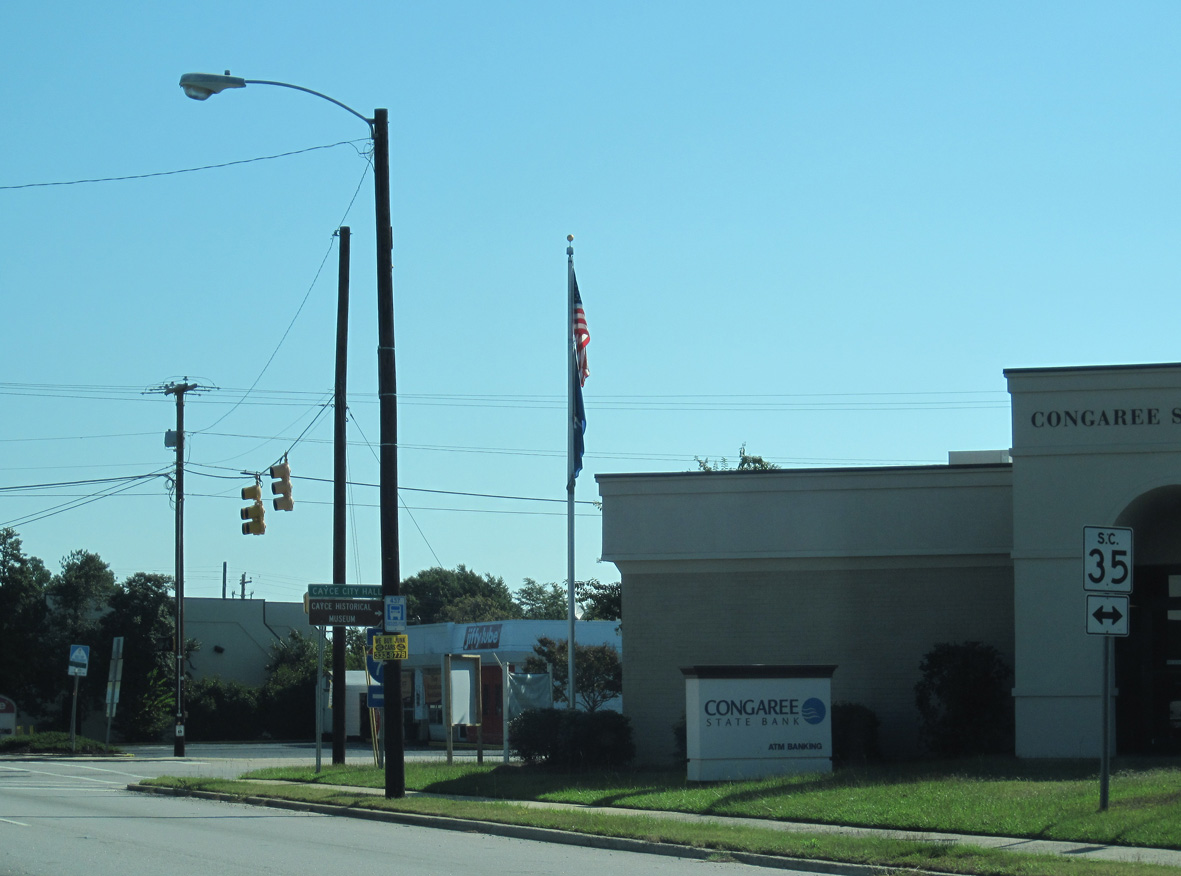
S.C. 35 constitutes a 5.63 mile long route from Interstate 77 in Cayce north to U.S. 378 (Sunset Drive) in West Boulevard.
10/03/10
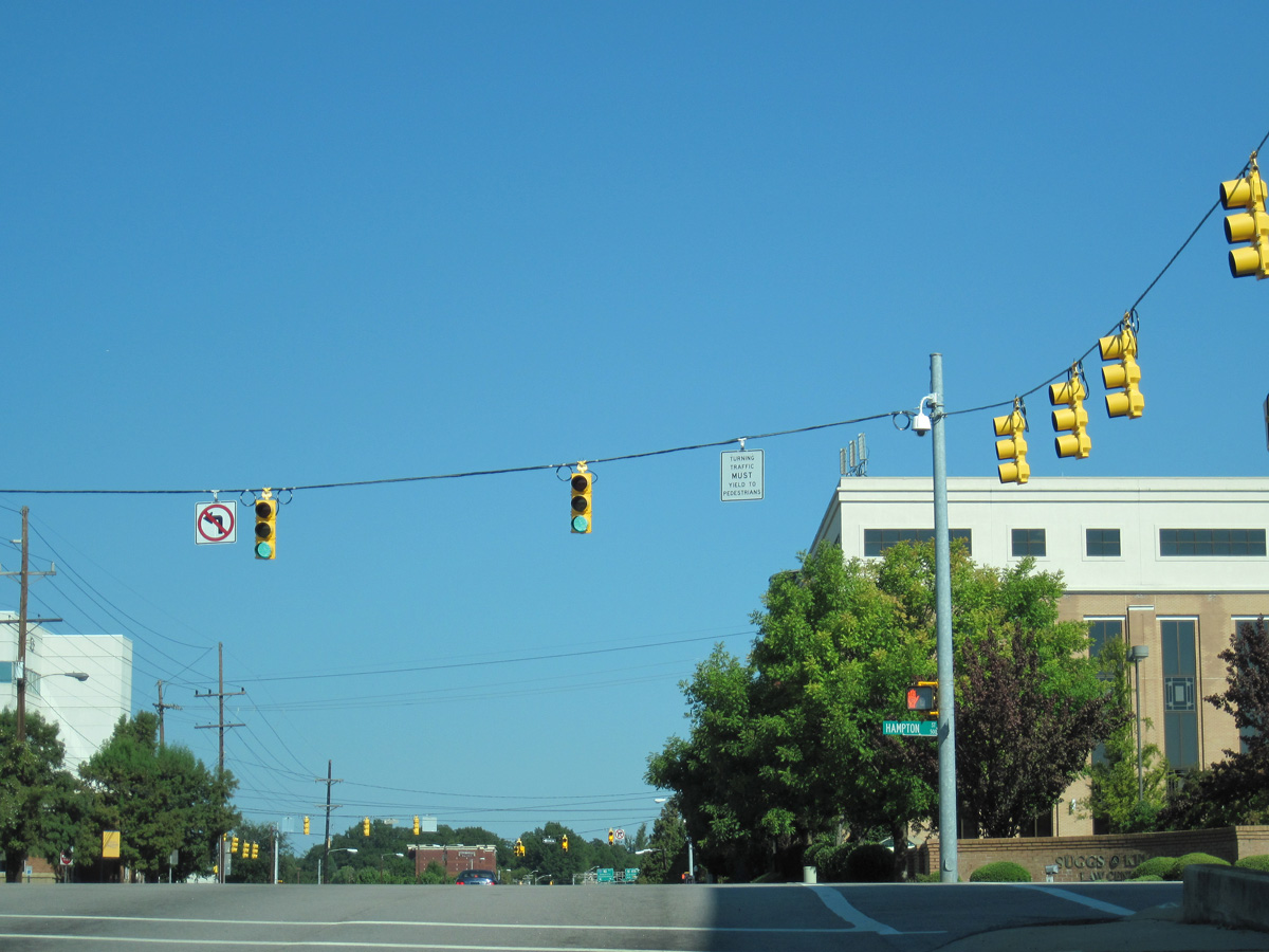
S.C. 12 partitions into a couplet of Hampton Street east and Taylor Street west from the freeway along Jarvis Klapman Boulevard to West Columbia and Park Street by Downtown Columbia.
10/03/10
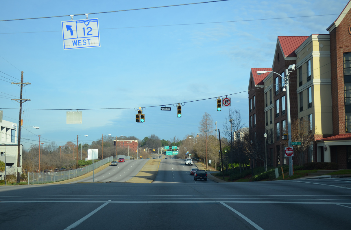
S.C. 12 lines Taylor Street west from U.S. 1 (Millwood Avenue) and the Waverly neighborhood to the Main Street District at Downtown Columbia and Williams Street one block from Huger Street.
10/03/10
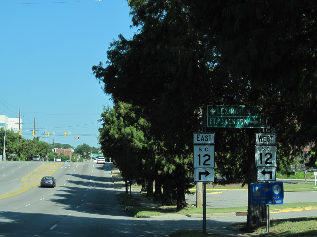
S.C. 12 spans the Congaree River along Jarvis Klapman Boulevard west to U.S. 378 (Sunset Boulevard) and S.C. 35 (12th Street) by West Columbia City Hall.
12/31/12
Huger Street north at Laurel Street.
11/21/21
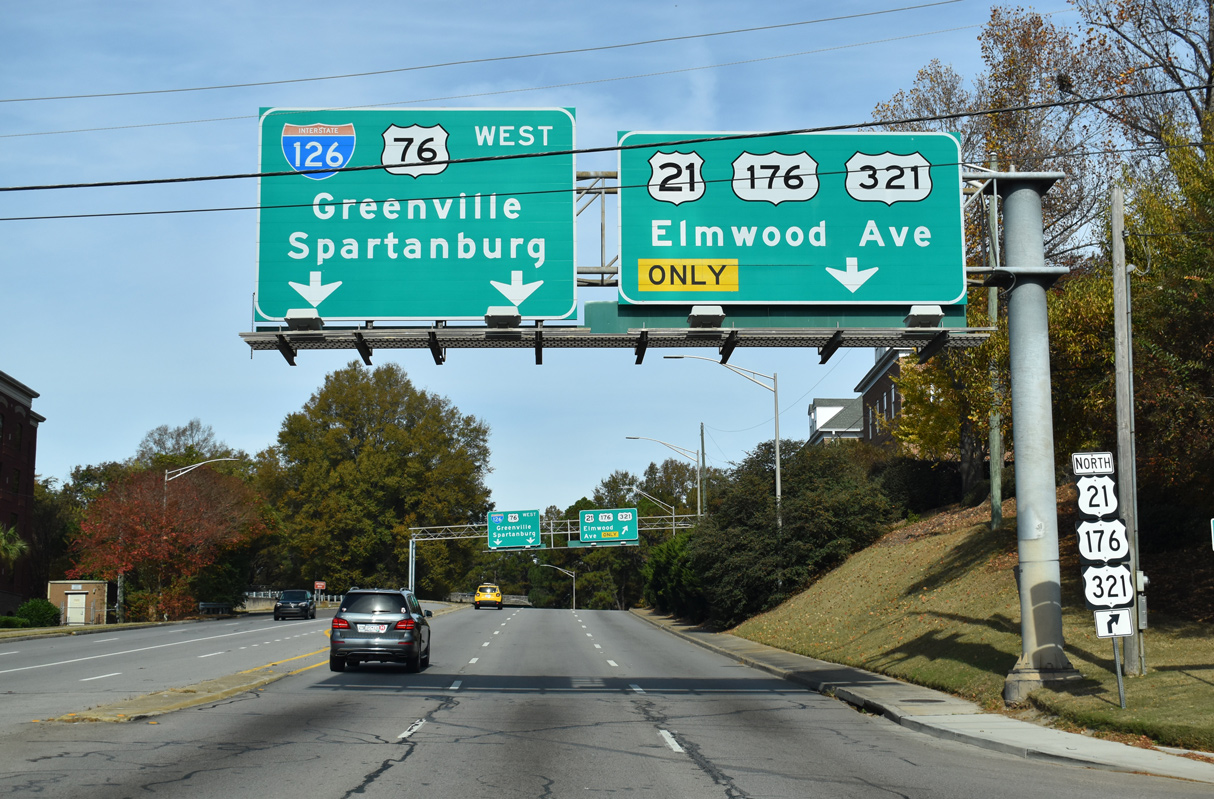
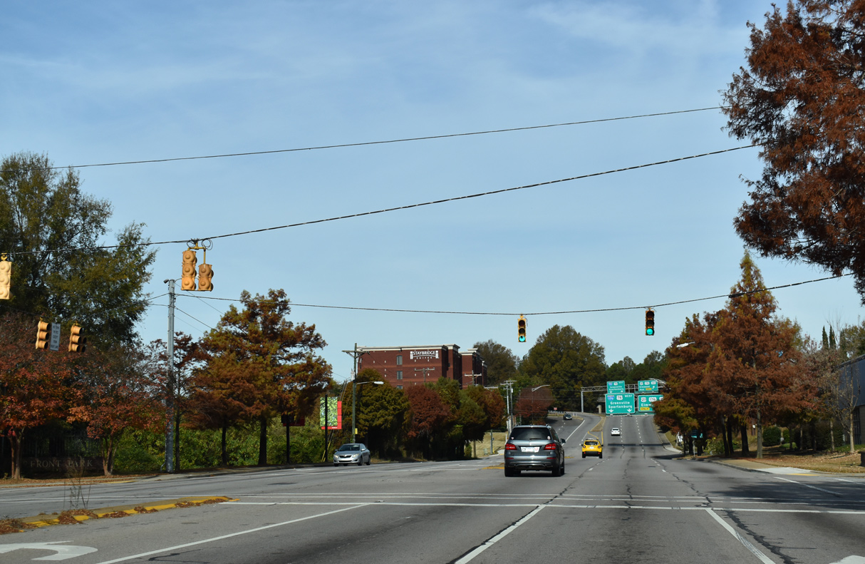
U.S. 21/176/321 (Huger Street) enter a three-wye interchange with Interstate 126 west and U.S. 76 (Elmwood Avenue) north of Richland Street.
11/21/21
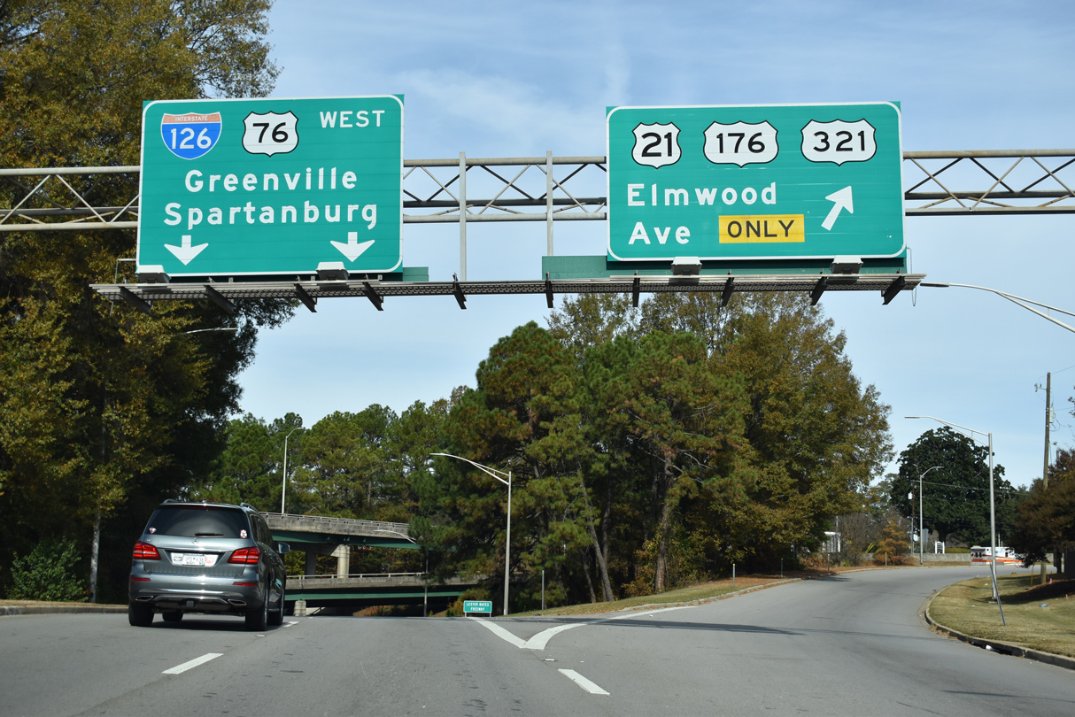
I-126/U.S. 76 run 3.20 miles west from the Huger Street north entrance ramp to Interstate 26 at St. Andrews. U.S. 21/176/321 north combine with U.S. 76 east for 0.65 miles along Elmwood Avenue.
11/21/21
North  East
East
Confirming markers for U.S. 21/76/176/321 stand along Elmwood Avenue beyond the end of Interstate 126 between Gadsden and Lincoln Streets.
05/24/19
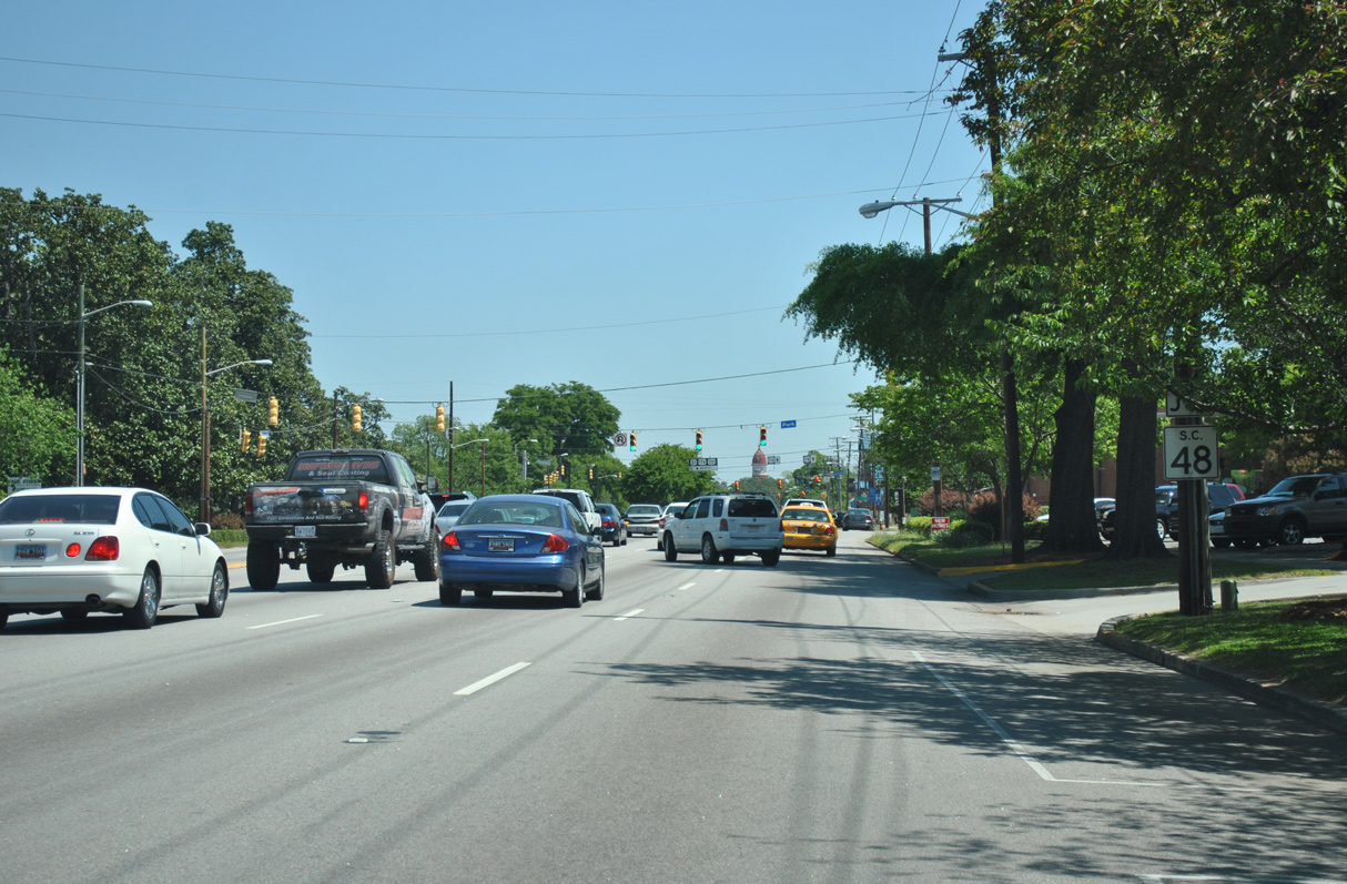
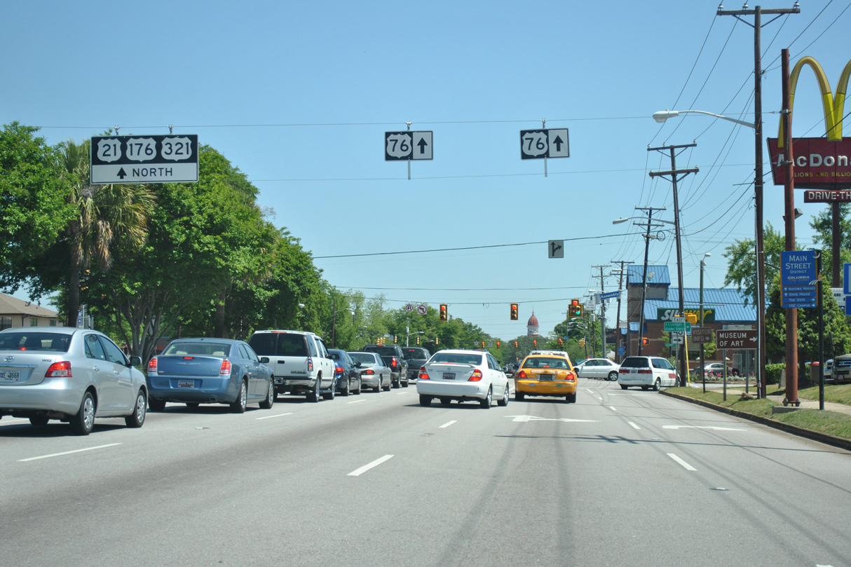
Elmwood Avenue proceeds two blocks east from Lincoln Street to intersect the west end of S.C. 48 (Assembly Street).
04/14/12
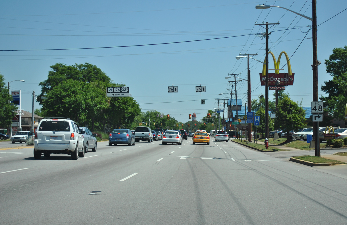
Assembly Street leads S.C. 48 south through Downtown Columbia to the State Capitol and the University of South Carolina (USC).
04/14/12
U.S. 21/176/321 part ways with U.S. 76 (Elmwood Avenue) one block east of S.C. 48 (Assembly Street) at Main Street.
04/14/12
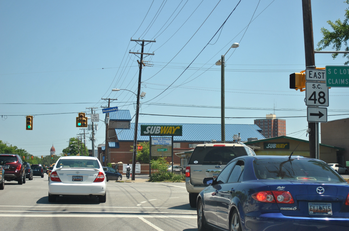
S.C. 48 runs 28.98 miles overall from Columbia to U.S. 601 east of Gadsden.
04/14/12
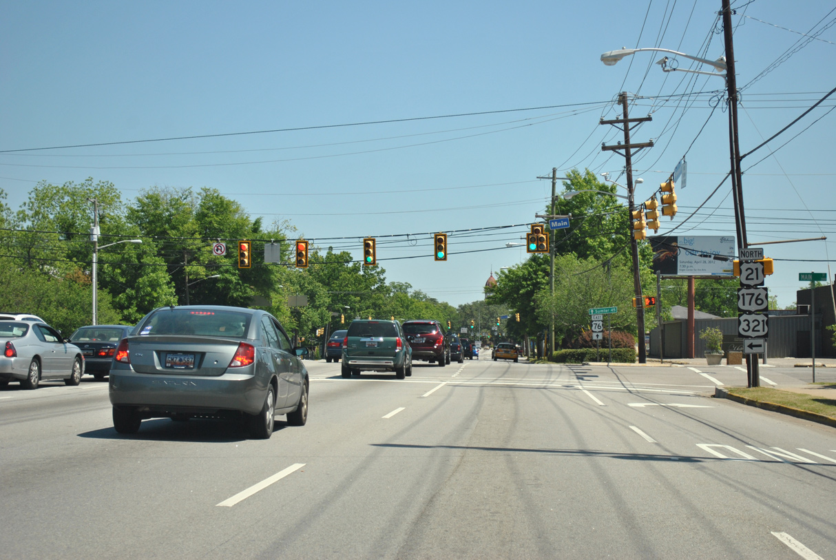
U.S. 76 extends east along Elmwood Avenue three blocks to S.C. 277 at Bull Street. U.S. 21/176/321 continue another 0.51 miles north on Main Street into Elmwood Park.
04/14/12
North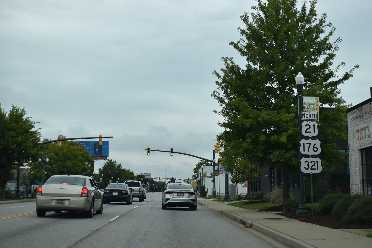
U.S. 21/176/321 (Main Street) intersects Confederate Avenue between the Elmwood Park Historic District and the Belleview neighborhood.
09/20/21
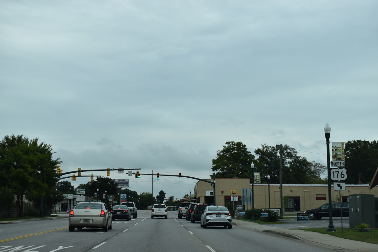
U.S. 176 branches 1.01 miles northwest from U.S. 21/321 (Main Street) along River Drive to S.C. 16 (Sunset Drive) at Three Points. U.S. 176 continues west across the Broad River to St. Andrews.
09/20/21
Photo Credits:
- ABRoads: 10/03/10, 04/14/12, 04/15/12, 11/21/21
- Andy Field: 06/01/07
- Alex Nitzman: 12/31/12
- Brent Ivy: 05/24/19, 09/20/21, 11/21/21
Connect with:
Page Updated Thursday December 30, 2021.