
U.S. 95 - North
 North
North
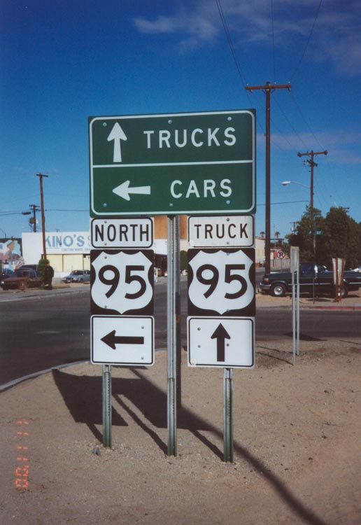
Begin Northbound U.S. 95/Truck U.S. 95 at the Truck Crossing at the International Border. This is the first U.S. 95 signage heading northbound at the truck crossing. As shown by the sign, U.S. 95 turns left (west) toward the auto crossing, then turns north through downtown San Luis. Truck U.S. 95 goes straight north from this point, bypassing downtown, and reunites with U.S. 95 about a half mile northwest of here.
11/10/00
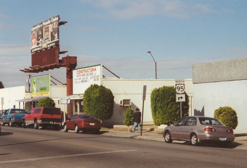
From the truck crossing, U.S. 95 goes west for a block or two, then turns north, as indicated by this sign, to enter downtown San Luis. If you were to turn left at this intersection, you'd cross into Mexico via the auto crossing.
11/10/00
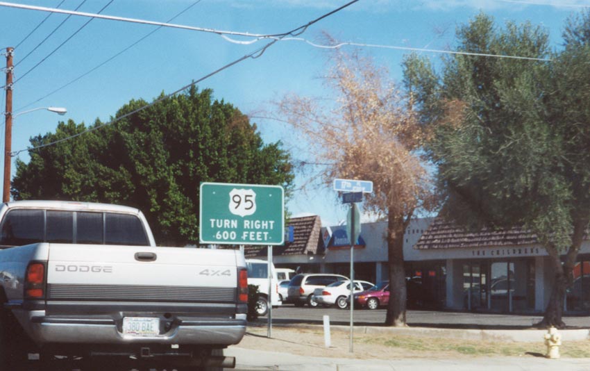
U.S. 95 turn right sign in San Luis at 17th Street in San Luis. At this point, northbound U.S. 95 is parallel to the border heading westerly. The right turn will take travelers into downtown San Luis and eventually northbound out of town.
11/10/00
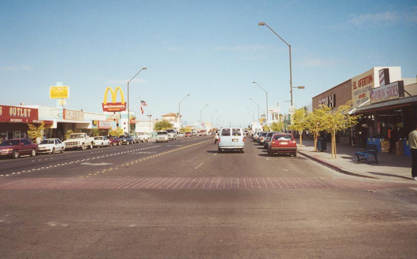
Strip malls, restaurants and other commercial establishments line U.S. 95 north as it runs through downtown San Luis. The boulevard is four lanes wide with a center turn lane.
11/10/00
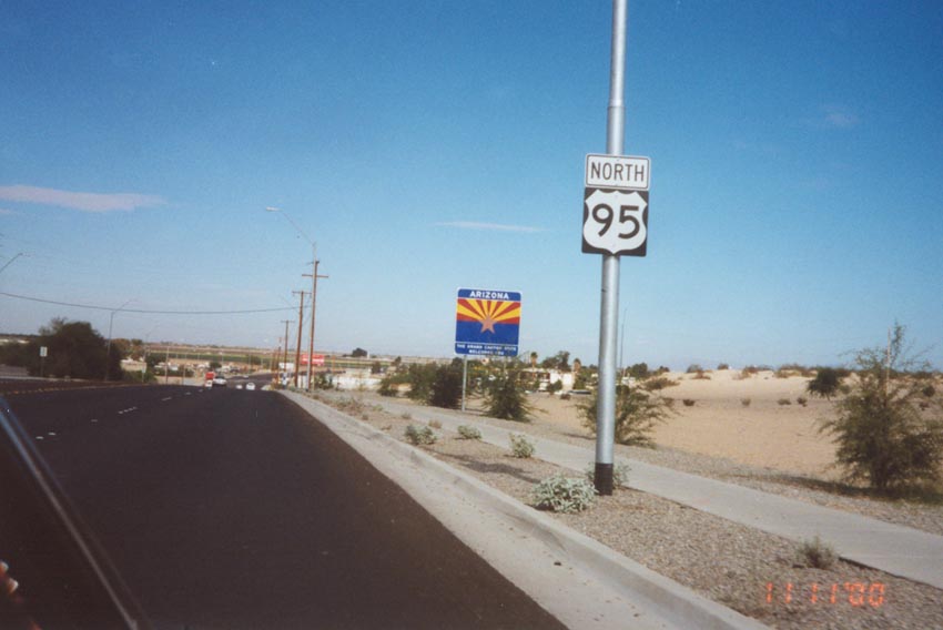
After leaving downtown is this U.S. 95 north shield and an Arizona Welcome Sign. This welcome sign is actually several miles north of the international border, beyond the northern city limits of San Luis.
11/10/00
After the junction with Business Loop I-8 in Yuma, U.S. 95 travels due east on 16th Street (signed as "north") toward its junction with Interstate 8.
10/05/02
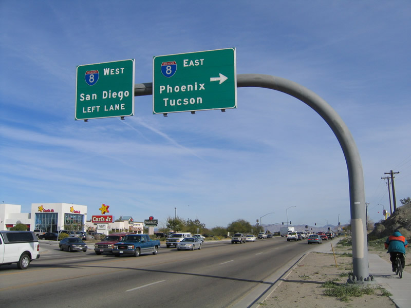
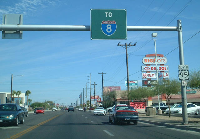
U.S. 95 (16th Street) east (north) approaches its Interstate 8 just north of Yuma. The south side of this interchange (hidden by the hill) has a proliferation of fast food, motels, and chain restaurants near the freeway entrance/exit ramps. The control cities for Interstate 8 are San Diego (west) and Tucson (east) with Phoenix listed for the connection via SR 85.
01/14/05
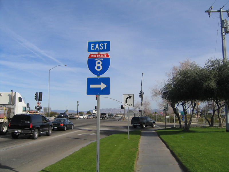
This trailblazer shield for Interstate 8 east is posted after the overhead signs shown in the previous photo. The interchange with Interstate 8 is a standard diamond with traffic signals at both intersections. The next right connects to Interstate 8 east to Gila Bend, and the next left connects to Interstate 8 west to Winterhaven.
01/14/05
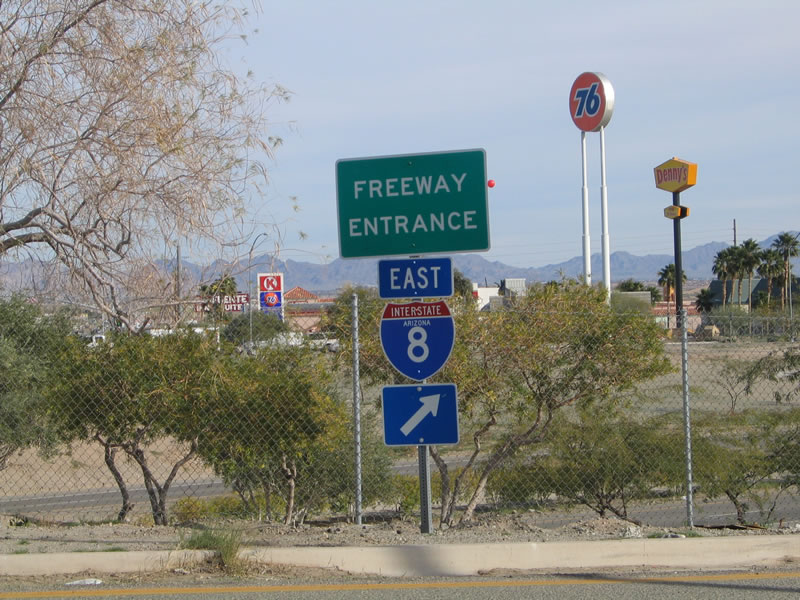
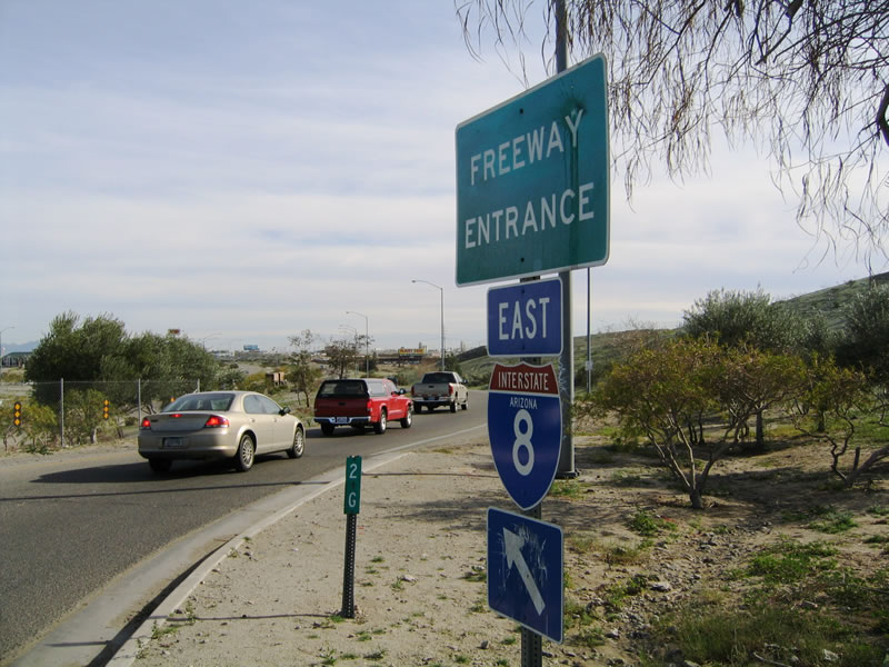
A freeway entrance assembly for Interstate 8 east used to be in place for the ramps onto Interstate 8 from U.S. 95. However, these signs were removed in 2006. Today, there is a trailblazer for Interstate 8 but no "freeway entrance" sign.
01/14/05
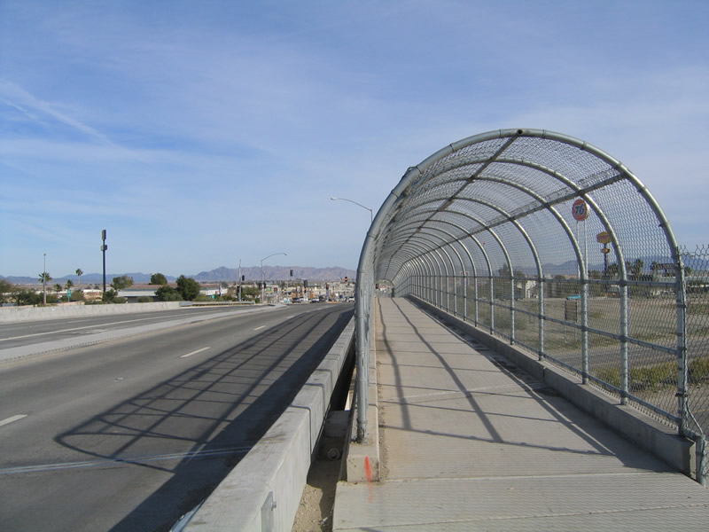
A chain link fence-enclosed pedestrian walkway crosses Interstate 8 along northbound U.S. 95. At this exact moment, there was no traffic on the U.S. 95 bridge! But this is a rarity, as the bridge is usually quite busy with traffic.
01/14/05
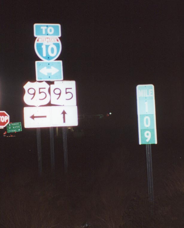
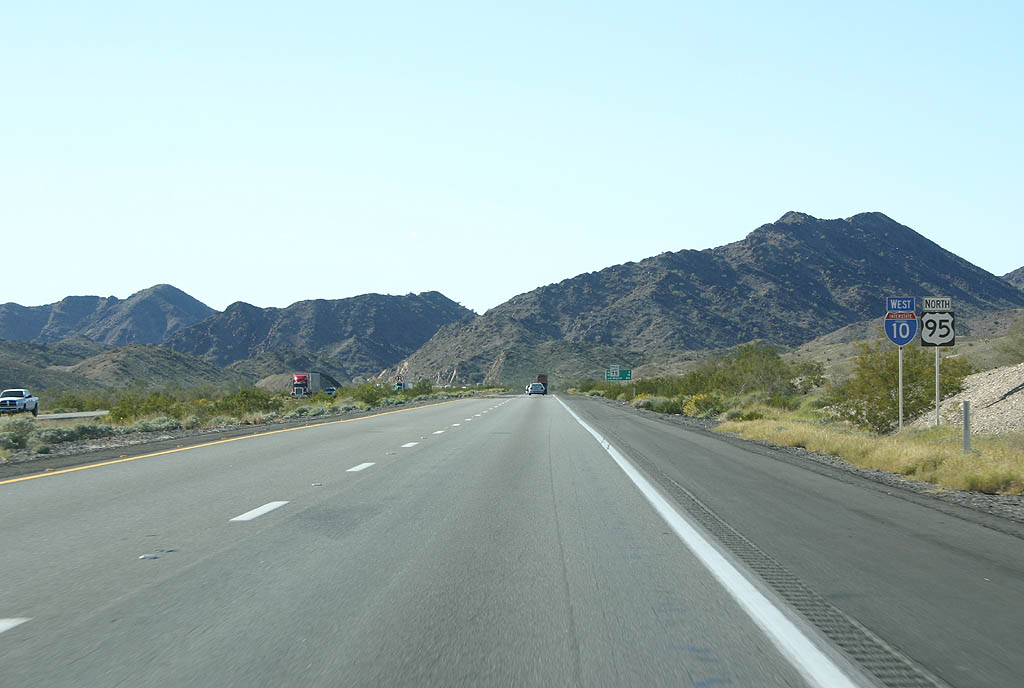
Junction Business Loop I-10 and SR 95 along northbound U.S. 95. Business Loop I-10 is shown here as "To Interstate 10." Note the milepost 109 of U.S. 95, indicating this sign is 109 miles north of the International Border with Mexico at San Luis.
11/10/00
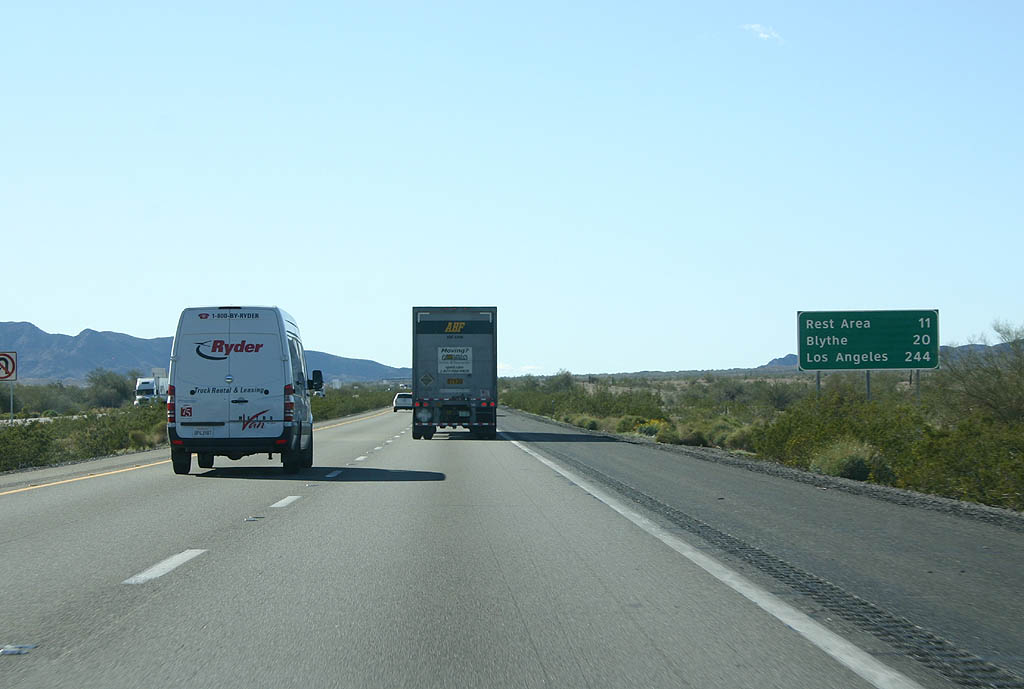
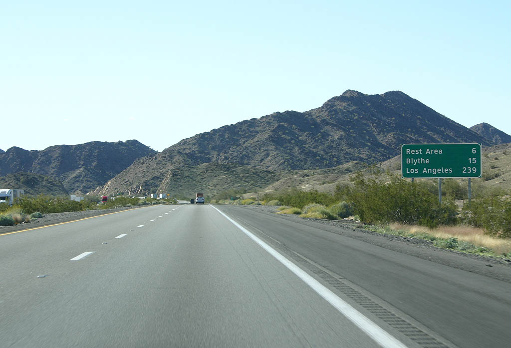
Distance sign to the rest area (11 miles), Blythe (20 miles) and Los Angeles (244 miles).
02/14/09
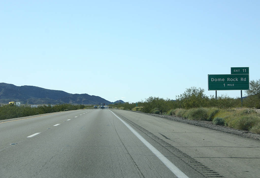
I-10/U.S. 95 advance one mile west to Exit 11 for Dome Rock Road.
02/14/09
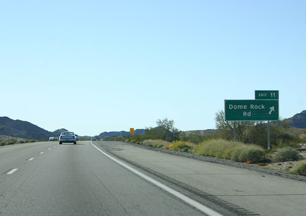
Exit 11 departs I-10/U.S. 95 west for Dome Rock Road.
02/14/09
Confirming markers for I-10 west and U.S. 95 north posted after the entrance ramp from Dome Rock Road.
02/14/09
I-10/U.S. 95 advance 15 miles west to Blythe, California.
02/14/09
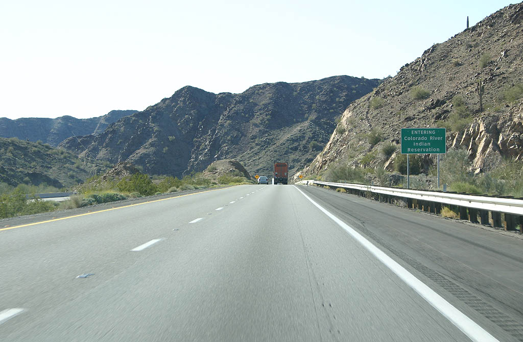
Entering the Colorado River Indian Reservation, I-10/U.S. 95 pass through the Dome Rock Mountains via Gonzales Wash.
02/14/09
An remnant road cut along former U.S. 60, 70 and 95 is visible along the north side of Interstate 10. This stretch of freeway was one of the first built.
02/14/09
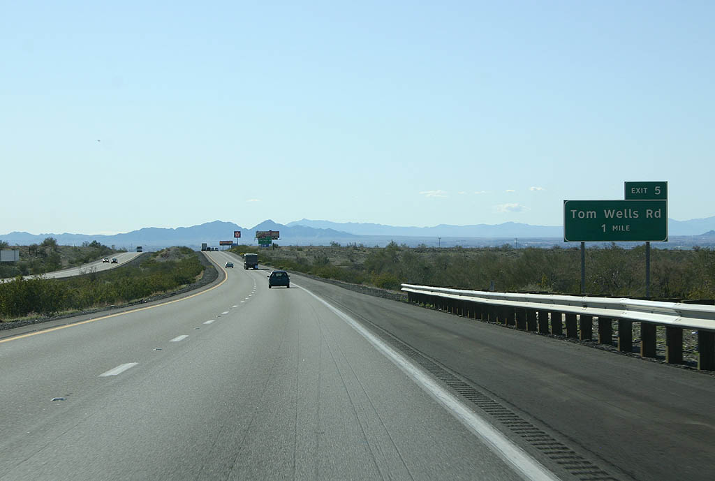
I-10/U.S. 95 west meet Tom Wells Road at a diamond interchange (Exit 5) in one mile.
02/14/09
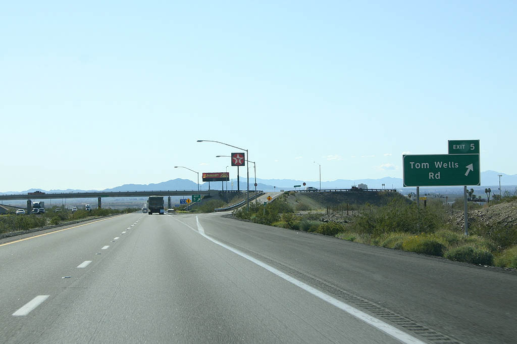
Tom Wells Road heads south from Exit 5. Beyond a truck stop along the north side of the exchange is an original section of U.S. 60-70, including a 1930s-era bridge.
02/14/09
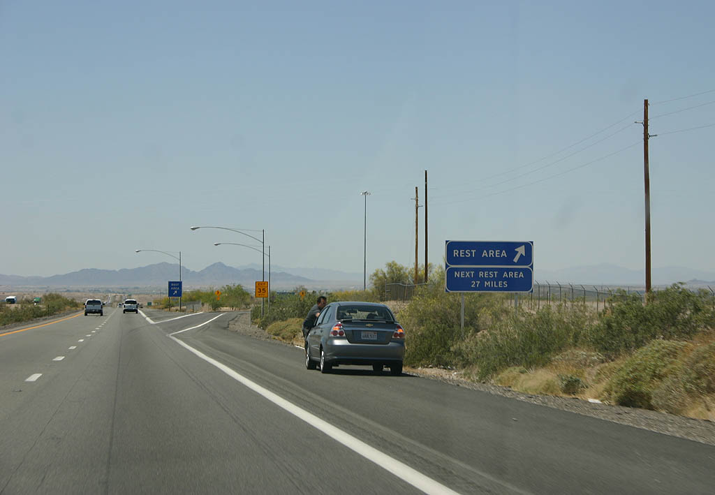
The Ehrenberg Rest Area is a half mile west of the Tom Wells Road entrance ramp.
02/14/09
Interstate 10 and U.S. 95 remain co-signed west across the Colorado River.
04/19/08
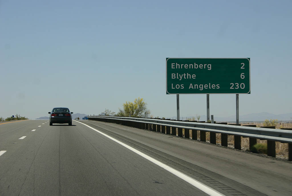
Distance sign to Ehrenberg, Blythe and Los Angeles, California.
04/19/08
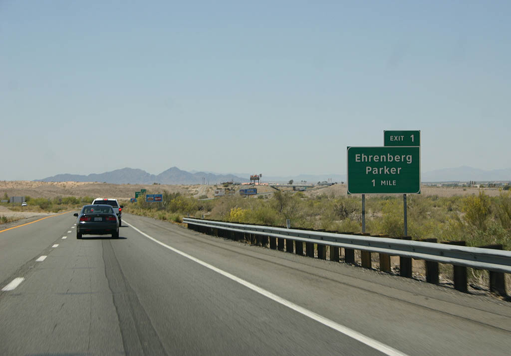
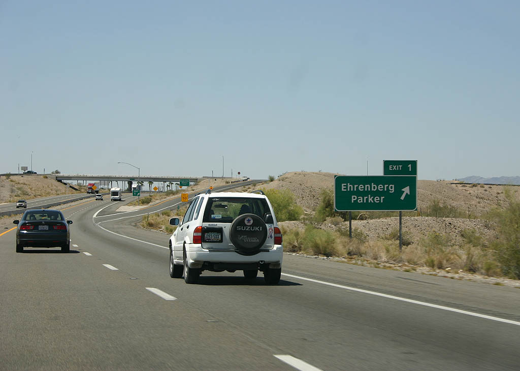
A diamond interchange with a roundabout on the south side joins I-10/U.S. 95 at Exit 1 with Poston Road and the Frontage Road system.
04/19/08
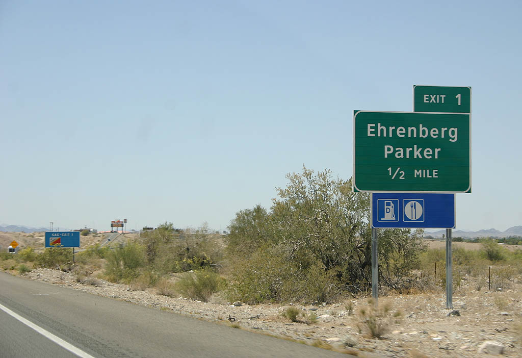
Ehrenberg is the sister town to Blythe, and is probably best known for its gas station.
04/19/08
Poston Road links I-10/U.S. 95 at Exit 1 with Ehrenburg Poston Highway north toward Mohave Road and Parker.
04/19/08
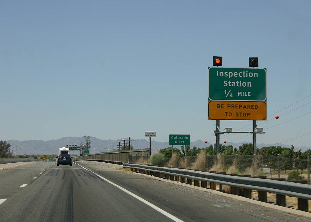
The California Agricultural Inspection station is located immediately across the Colorado River. These signs were placed by ADOT instead of Caltrans.
04/19/08
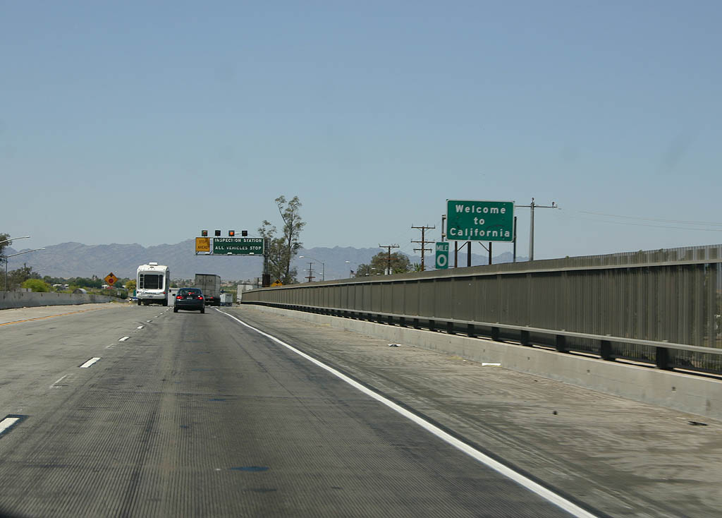
Midway across the Colorado River, Interstate 10 west and U.S. 95 north enter California.
04/19/08
Photo Credits:
- Andy Field: 11/10/00, 10/05/02
- AARoads: 01/14/05
- Kevin Trinkle: 04/19/08, 02/14/09
Connect with:
Page Updated Tuesday May 04, 2010.