
U.S. 95 - South
 South
South
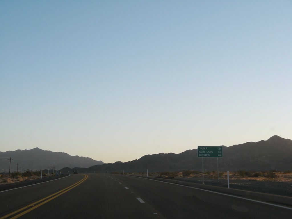
This distance sign is posted on southbound U.S. 95 after the intersection with Imperial Dam Road within the Yuma Proving Grounds. Distances to Yuma, San Luis, and the International Border with Mexico are provided.
01/15/07
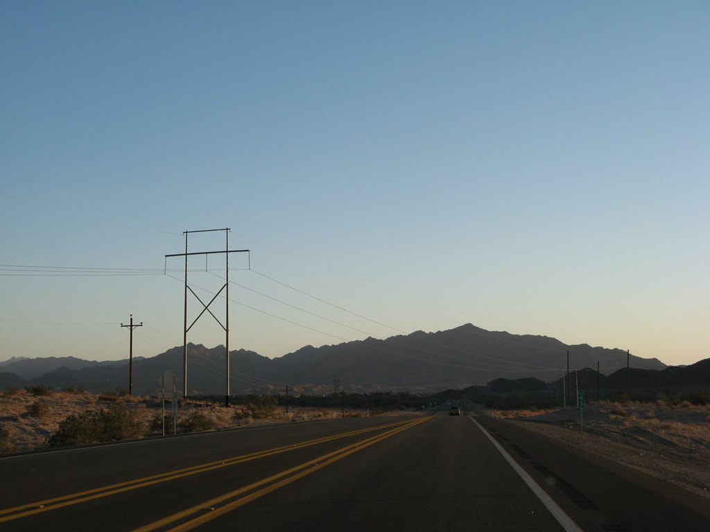
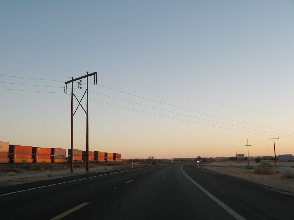
Between Quartzsite and Yuma, this power line parallels U.S. 95.
01/15/07
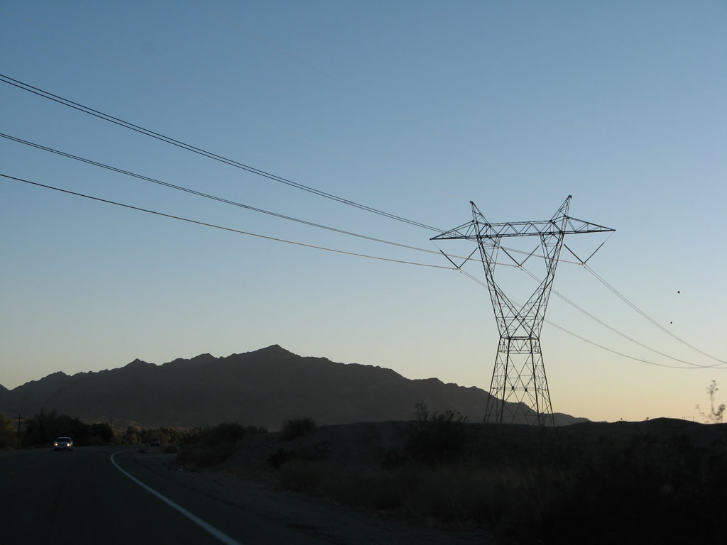
A 500kV power line, which forms part of the Southwest Powerlink between Palo Verde Nuclear Generating Station and the Imperial Valley crosses U.S. 95 at this point. Part of Path 46, this powerline connects the Imperial Valley substation with the North Gila substation, which in turn connects to the Palo Verde Nuclear Generating Station.
01/15/07
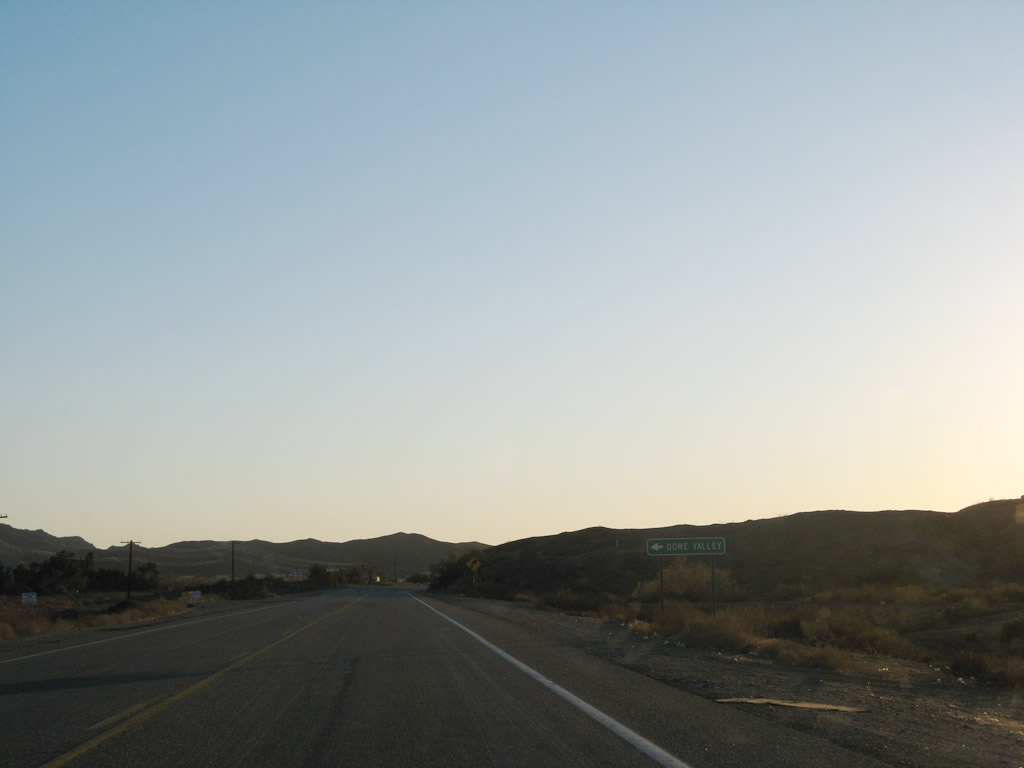
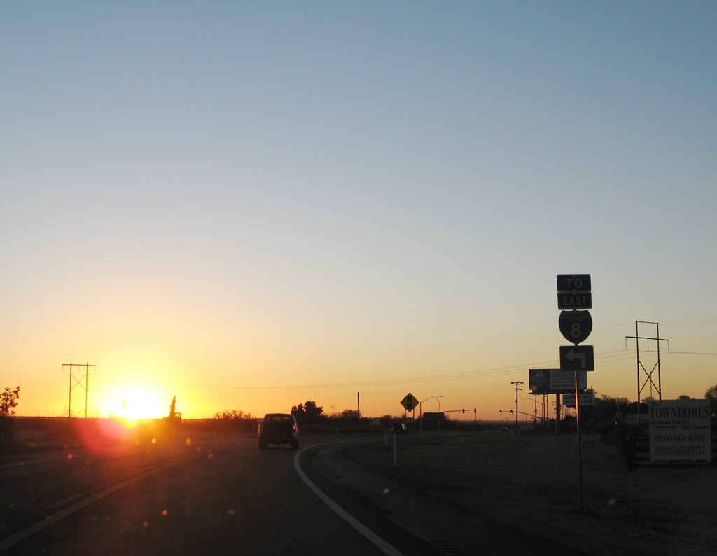
Shortly thereafter, U.S. 95 approaches Dome Valley Road, which travels east to Old U.S. 80 in Dome Valley and connects to Interstate 8 east en route to Gila Bend and Casa Grande. Continue straight ahead to follow U.S. 95 southwest to Yuma.
01/15/07
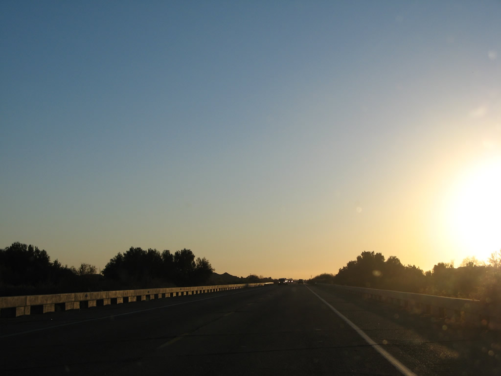
U.S. 95 crosses the Gila River on this 1993 bridge. Look to the west to see the McPhaul Suspension Bridge, which used to provide the primary crossing for north-south travelers over the Gila River. Since U.S. 95 was not commissioned in Arizona until the 1960s, the suspension bridge was never part of the signed U.S. highway.
01/15/07
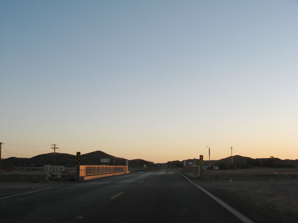
U.S. 95 crosses an irrigation canal at this bridge, then changes direction from southbound to westbound. The US highway will travel for about twelve miles due west across the fertile Colorado River valley to the city of Yuma. This can cause some confusion, because U.S. 95 and Interstate 8 parallel each other for this distance.
01/15/07
Crossing under another power line, U.S. 95 briefly parallels the Union Pacific Railroad.
01/15/07
Now traveling west, U.S. 95 south approaches Fortuna Road (Avenue 11E), which travels south to Interstate 8. Through traffic to Yuma may find the freeway to be faster than U.S. 95. Interstate 8 and U.S. 95 parallel each other between Interstate 8's Exits 12 and 2.
01/15/07
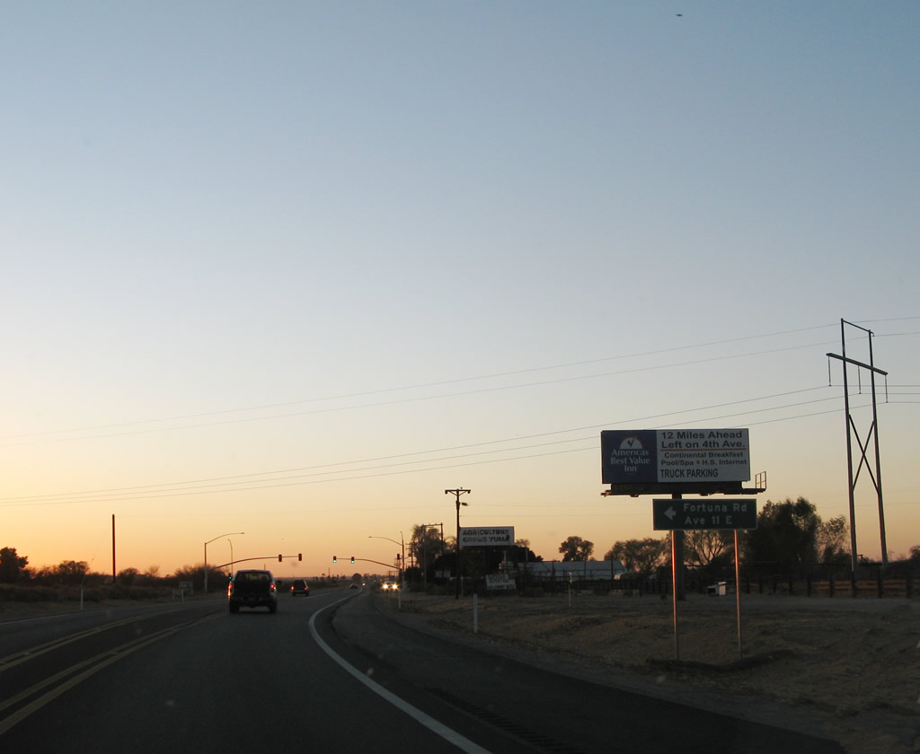
The Fortuna Road intersection is governed by a traffic signal. From here, U.S. 95 widens to four lanes undivided highway. Farmland dominates on both sides of the highway as the road travels toward Yuma.
01/15/07
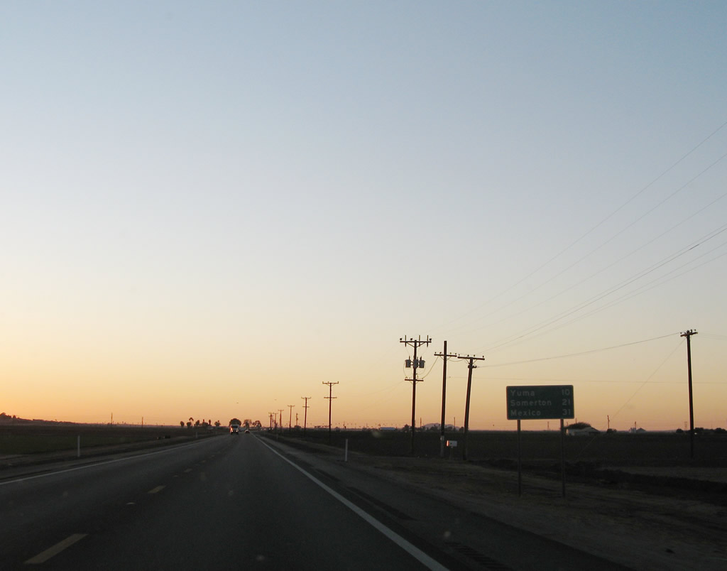
After the Fortuna Road intersection, this distance sign provides the distance to Yuma (10 miles), Somerton (21 miles), and the international border with Mexico (31 miles).
01/15/07
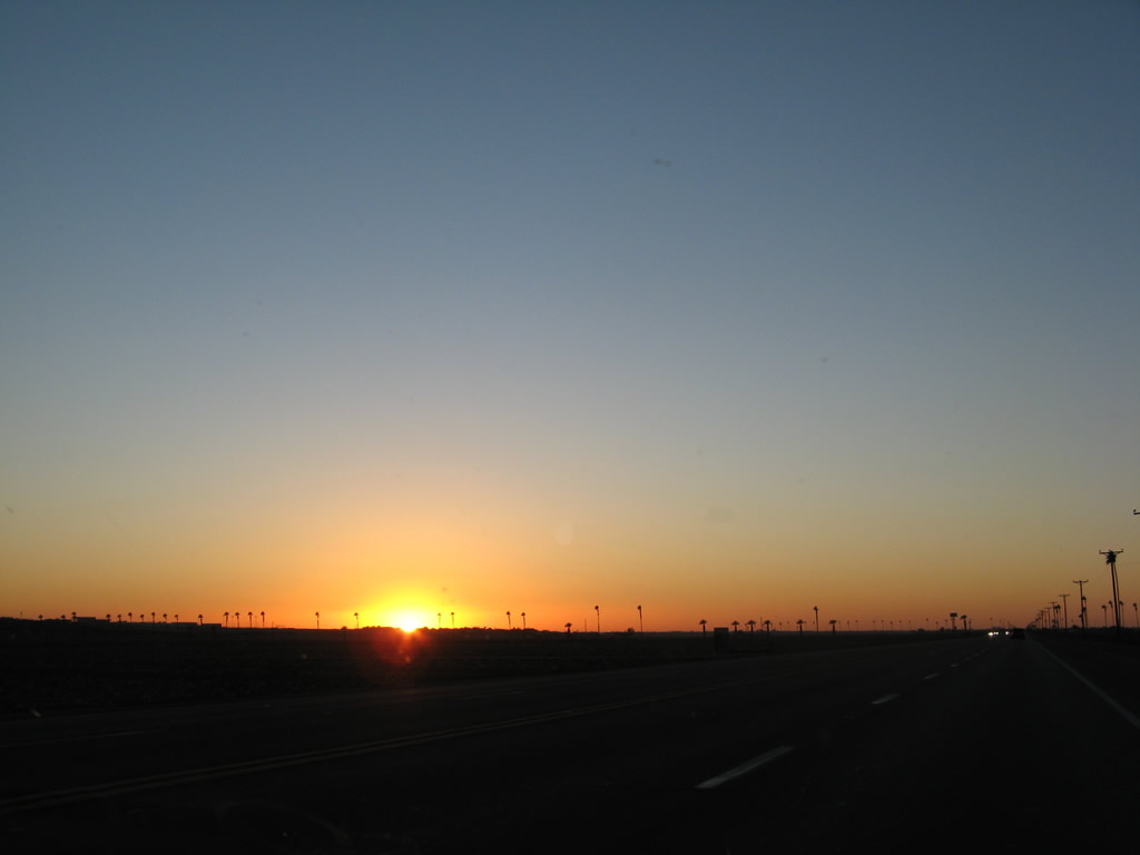
The winter sun sets over the pastoral farmland of the Colorado River Valley, illuminating palm trees as it sets into the horizon. In the distance, Yuma twinkles into life.
01/15/07
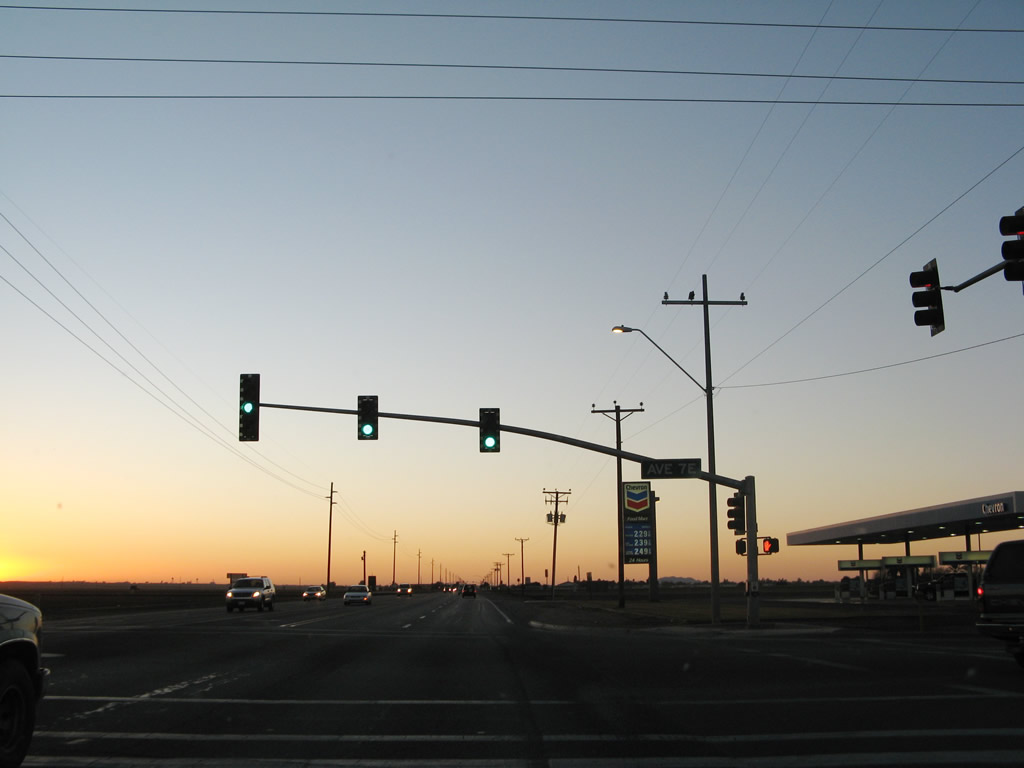
The next traffic signal on U.S. 95 west is with Avenue 7E, which travels south to Interstate 8 Exit 7 and Business Loop I-8/Old U.S. 80. At this point, we ran out of daylight for any more photography of this final distance into Yuma.
01/15/07
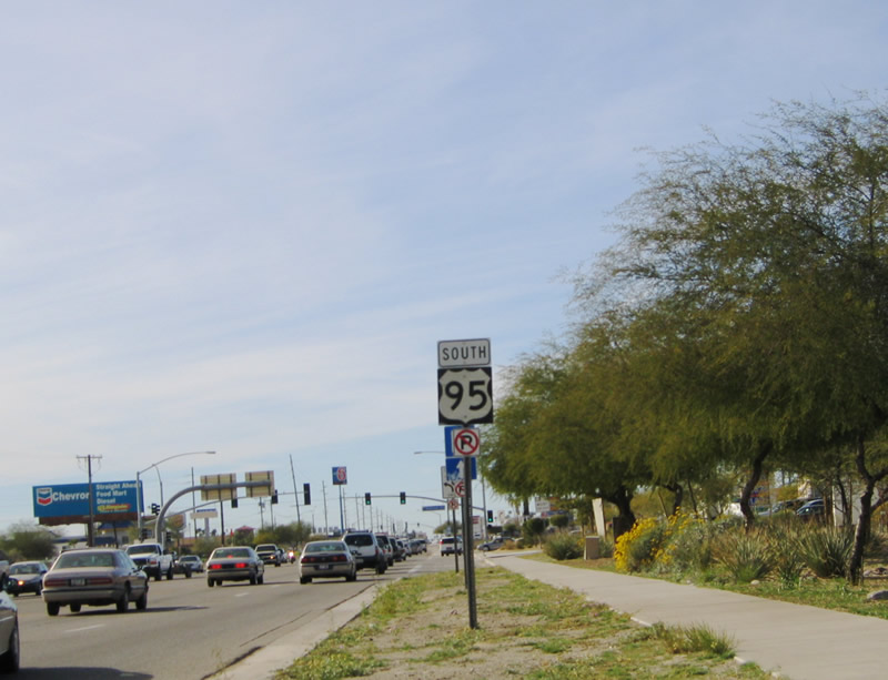
Suburban development encroaches onto the farmland until U.S. 95 arrives at the Interstate 8 interchange, which has all kinds of motorist service available (gas, food, lodging). After passing through this congested interchange, U.S. 95 continues west through Yuma. This U.S. 95 south reassurance shield is posted on westbound 16th Street in Yuma after the Interstate 8 interchange (Exit 2).
01/14/05
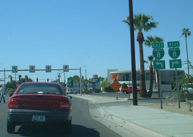
U.S. 95 (16th Street) approaches its junction with Business Loop I-8 in Yuma.
10/05/02
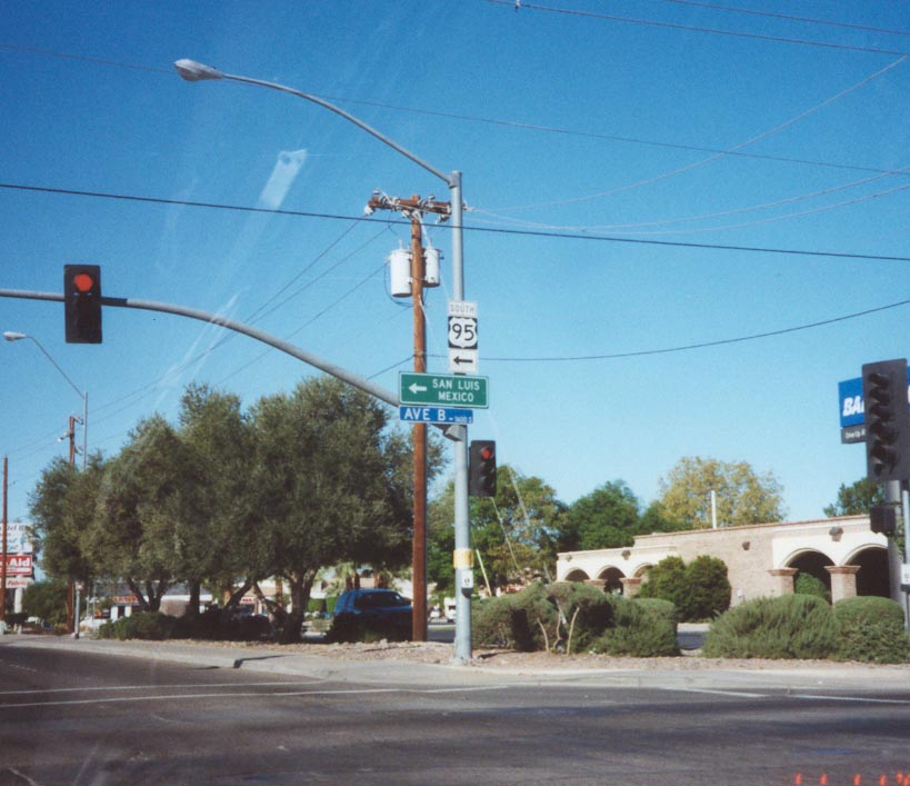
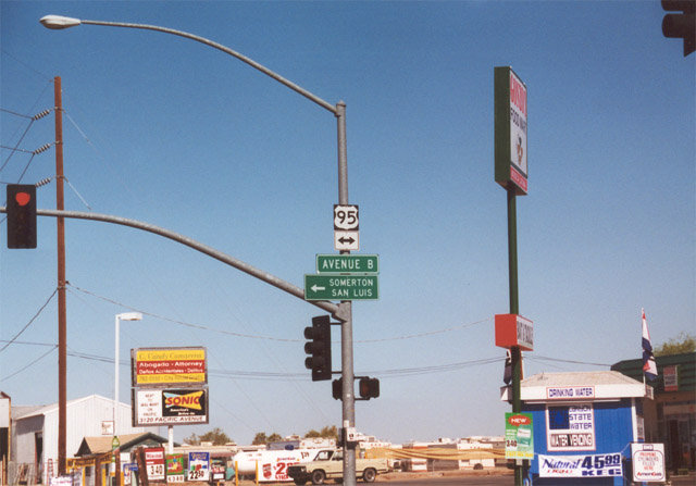
Southbound U.S. 95 finally turns southerly at this intersection between 16th Street and Avenue B in Yuma. 16th Street continues straight west from this point toward the Colorado River.
11/10/00
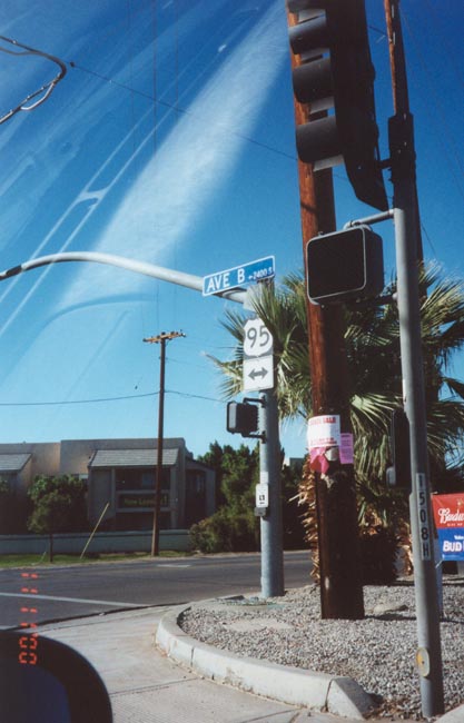
U.S. 95 shield on a traffic signal mast arm along Avenue B in Yuma. Avenue B carries U.S. 95 from 16th Street south out of Yuma.
11/10/00
05/01/01
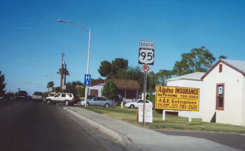
U.S. 95 south leaves Yuma en route toward San Luis.
11/10/00
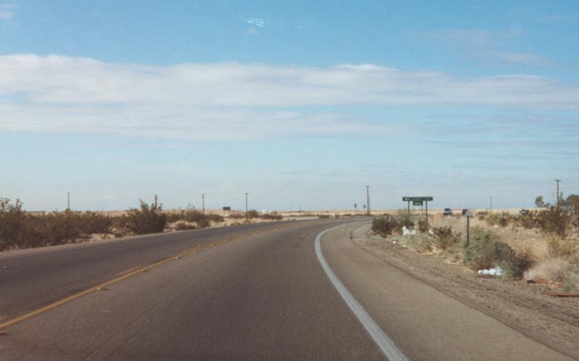
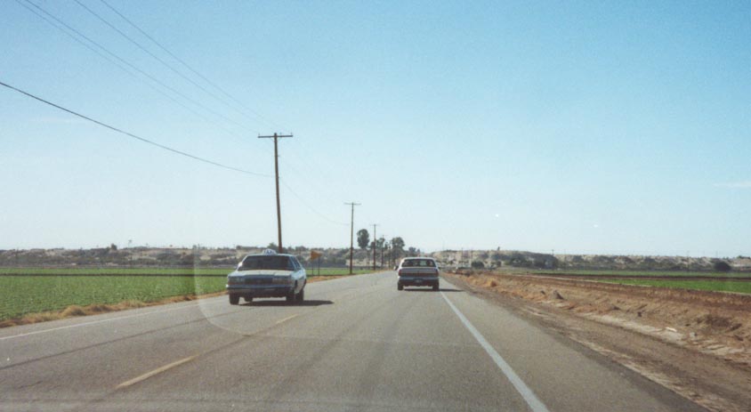
U.S. 95 more or less parallels the Colorado River south from Yuma to San Luis, passing through some agricultural areas close to the river and some desert regions further away, such as the terrain shown in this photo.
11/10/00
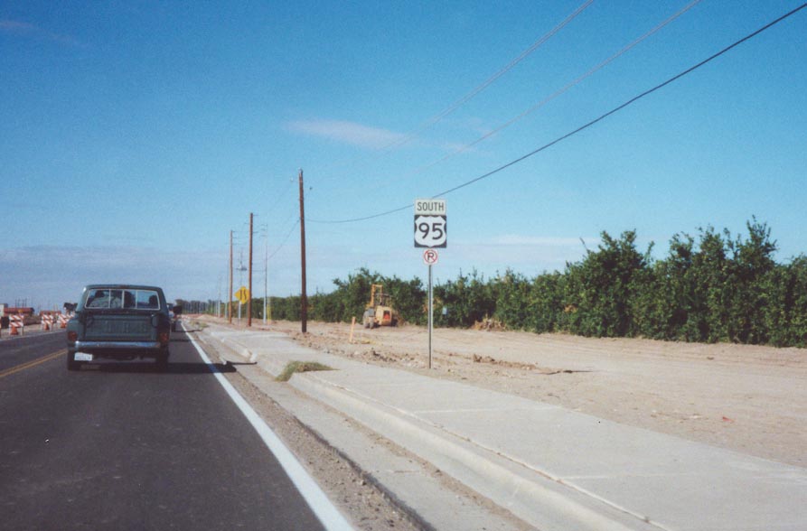
As shown in this photo, U.S. 95 south of Yuma is gradually being widened to four lanes, with an ultimate facility with four lanes between Yuma and San Luis. Through the town of Somerton, U.S. 95 was under construction at the time of this photo. By April 2001, the highway had been widened to four lanes.
11/10/00
The houses in the distance mark a recent development south of Yuma. Projects such as this are appearing even in areas such as Yuma due to the soaring popularity of such homes.
11/10/00

U.S. 95 also passes by some agricultural areas south of Yuma.
11/10/00
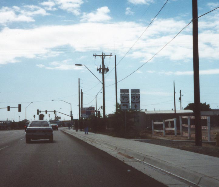
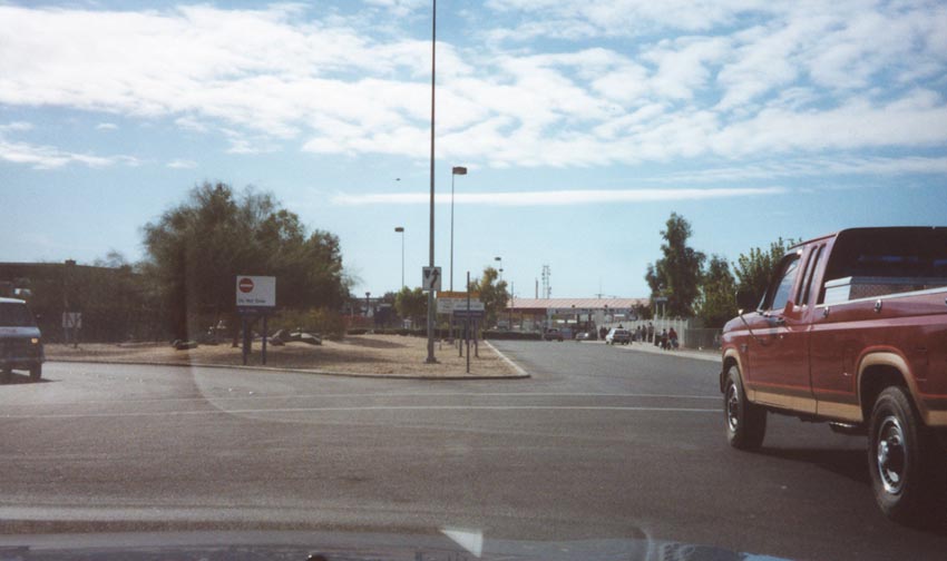
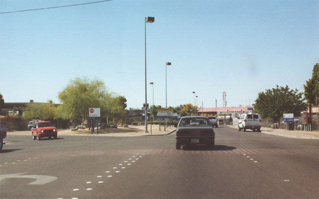
Southbound U.S. 95 at the Truck U.S. 95 split. Truck U.S. 95 avoids downtown San Luis and feeds directly into the commercial port of entry. Mainline U.S. 95 enters downtown San Luis, provides a direct connection into the non-commercial port of entry, then turns east briefly to rejoin Truck U.S. 95. U.S. 95 then turns south into the commercial port of entry, where it ends.
11/10/00

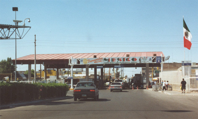
Signage on southbound U.S. 95 at the International Border that guns and ammunition are illegal in Mexico.
11/10/00
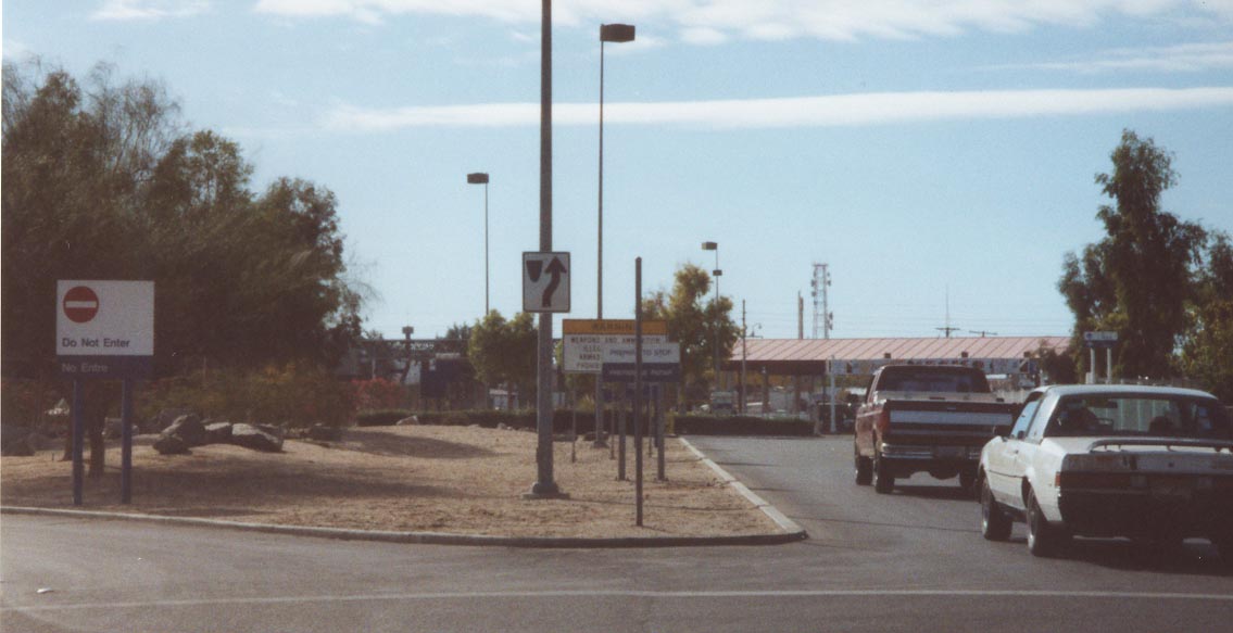
These photos show the primary border crossing at San Luis. Another border crossing is located just to the east of this point for commercial vehicles. Although not well signed along southbound, U.S. 95 does not actually cross into Mexico at this point. It turns east to parallel the border for a few blocks, meets Truck U.S. 95, then ends as it enters the commercial port of entry. The reason it is not well-signed on southbound is clear: most travelers do not need to enter through the commercial port of entry, and they can cross into Mexico here.
11/10/00
05/01/01
Photo Credits:
- Andy Field: 11/10/00, 05/01/01, 10/05/02, 01/15/07
- AARoads: 11/10/00, 01/14/05
Connect with:
Page Updated Tuesday May 04, 2010.