New York 390 South
05/10/05 & 07/02/05 photos taken by Alex Nitzman.
| New York 390 South | |
|---|---|
 |
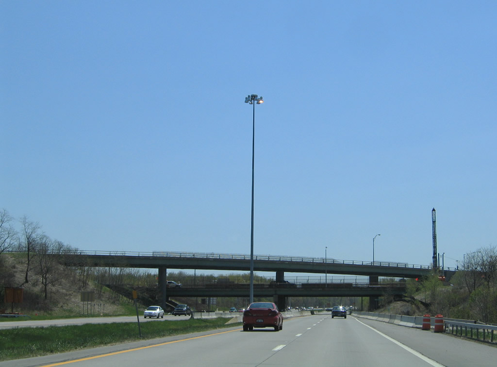
New York 390 begins in a marshy area from a trumpet interchange with Lake Ontario State Parkway in north Greece. The road is designated the Assemblyman Roger J. Robach Memorial Lakeway from the parkway south to New York 104. Photo taken 05/10/05. |
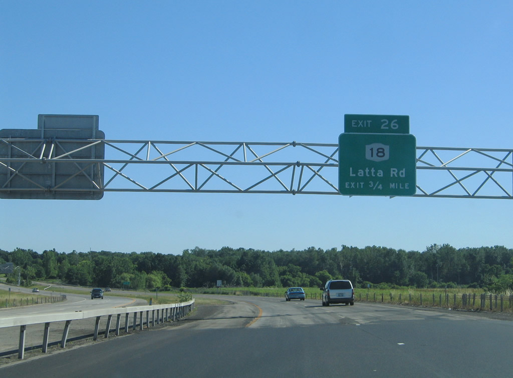 |
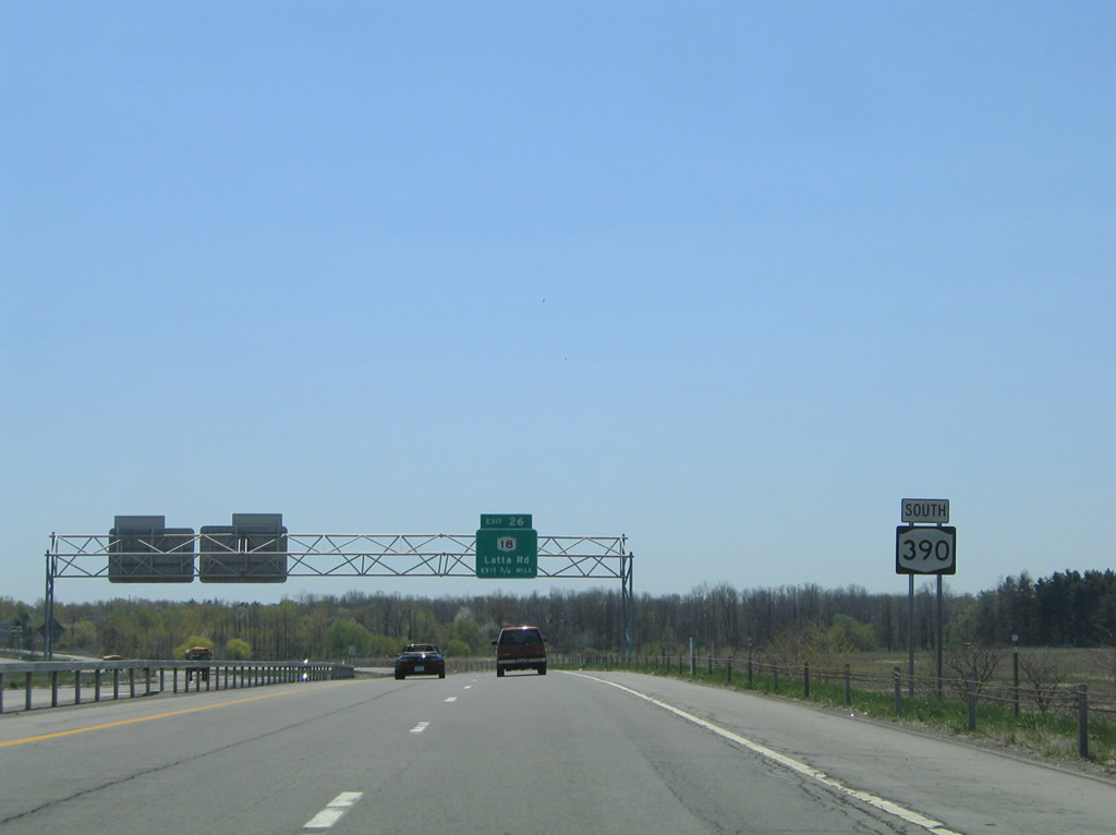
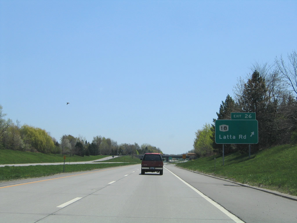
The first southbound interchange of Rochester's Outer Loop southbound is that of the Exit 26 diamond interchange with New York 18 (Latta Road). Photo taken 07/02/05. |
 |
New York 18 follows Latta Road east from New York 261 (Manitou Road) in Greece to Dewey Avenue at Mount Read. Commercial vehicles may enter New York 390 from this point southward. Photo taken 05/10/05. |
 |
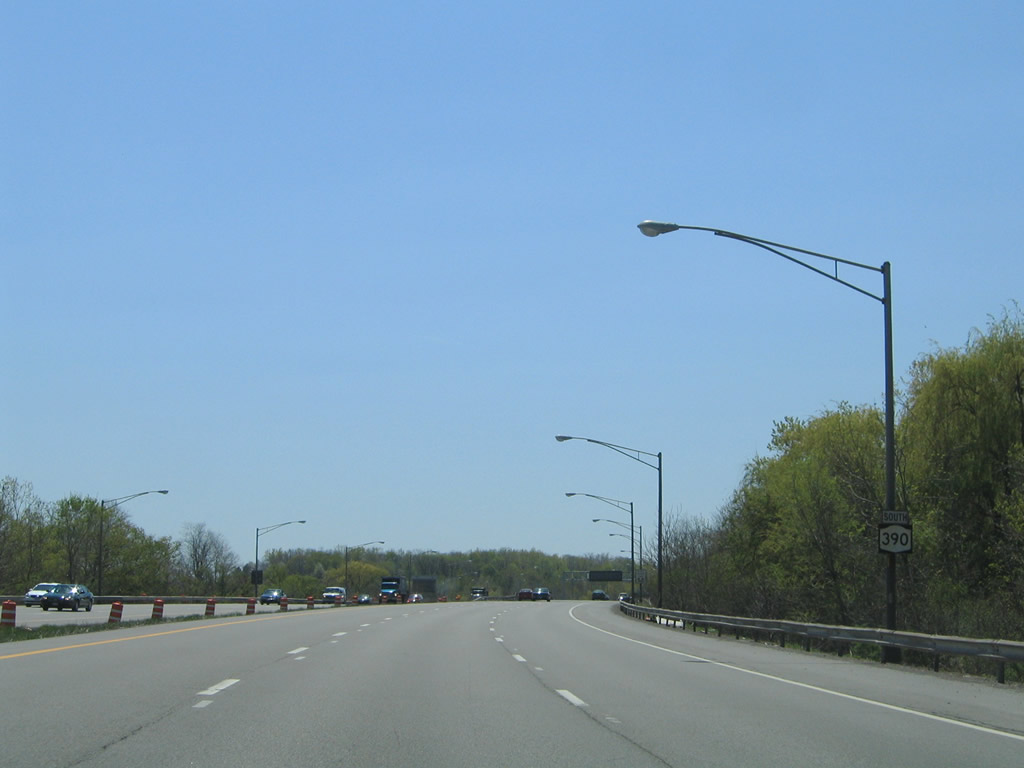
Southbound reassurance shield posted for New York 390 after the on-ramp from Latta Road. Photo taken 05/10/05. |
 |
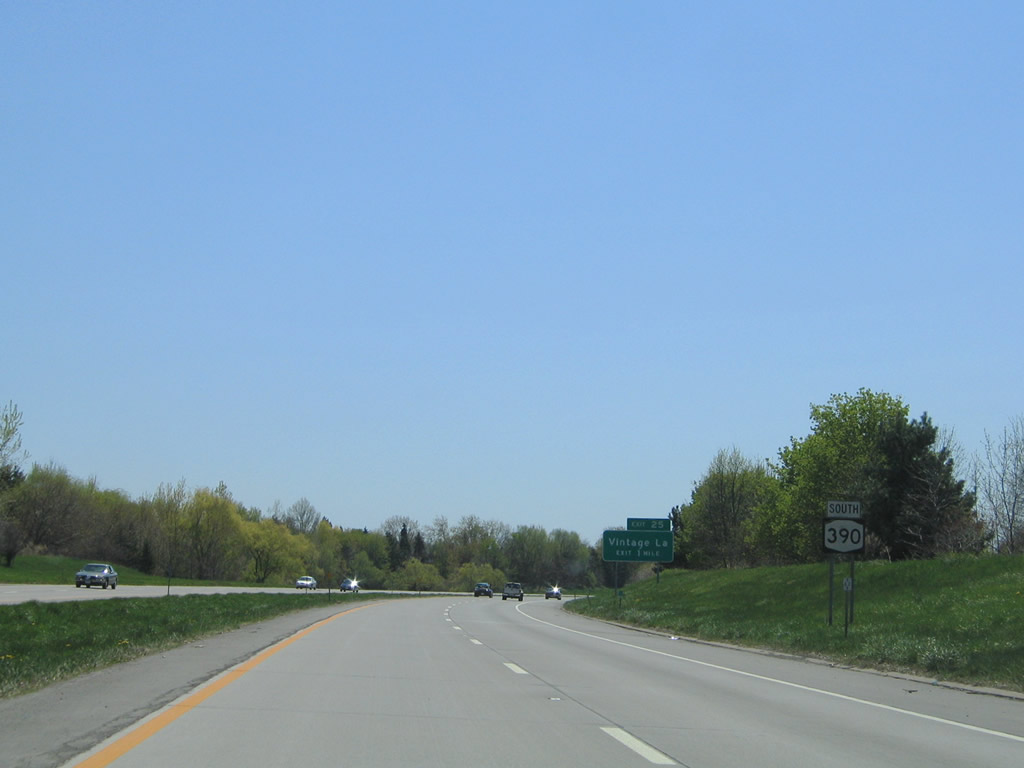
Vintage Lane meets New York 390 at the Exit 25 parclo interchange. Photo taken 05/10/05. |
 |
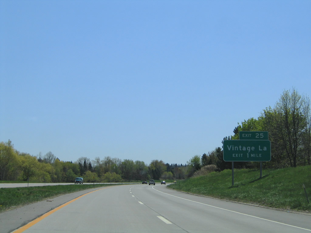
Exit 25 departs New York 390 south for Vintage Lane. Vintage Lake serves residential areas east to Mt. Read Boulevard at Dorsey Road and west to Long Pong Road at Mill Road. Photo taken 05/10/05. |
 |
A third auxiliary lane joins New York 390 south from Exit 25 to New York 104 (Exit 24). Photo taken 05/10/05. |
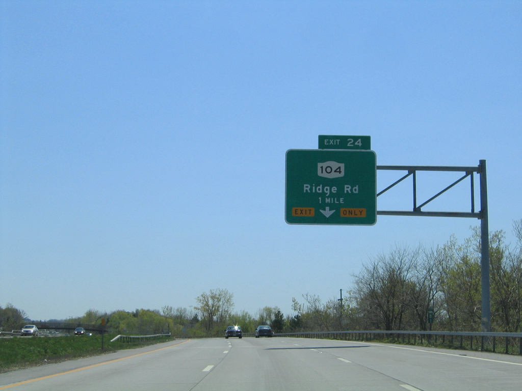 |
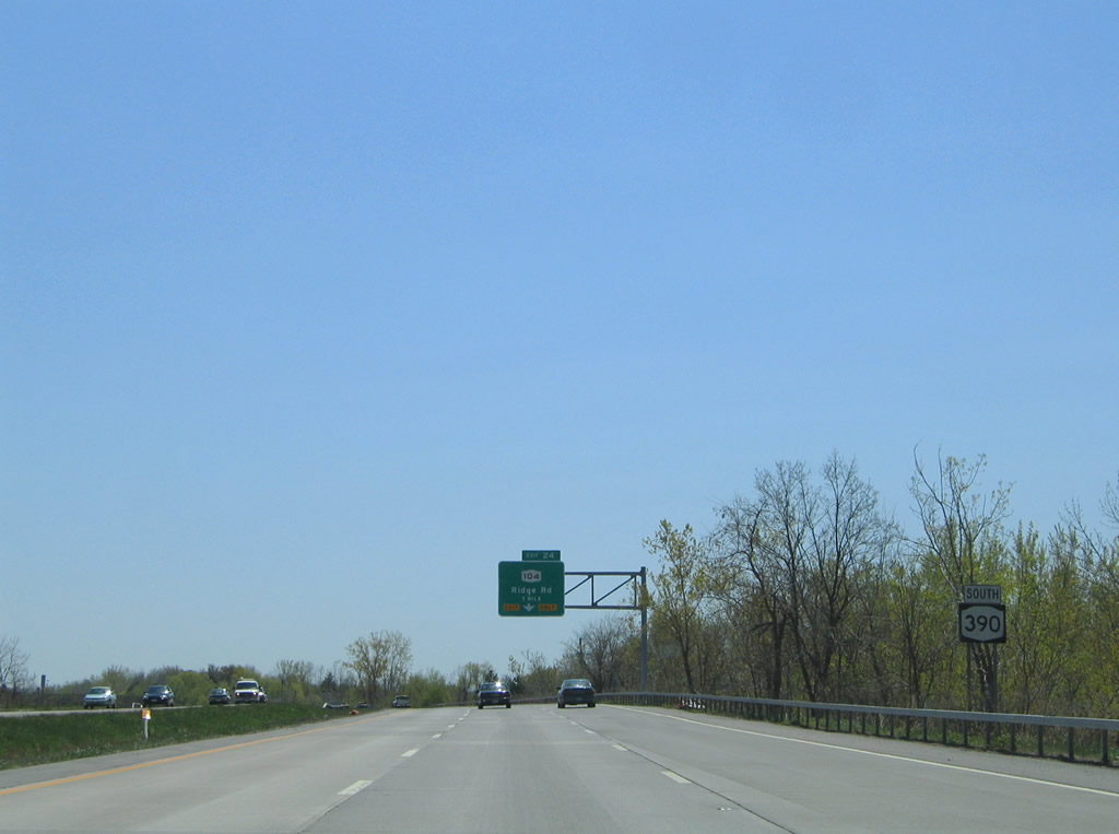
New York 104, the former U.S. 104 (pre-1972), crosses paths with New York 390 at a directional-cloverleaf interchange (Exit 24). The state route follows West Ridge Road through Greece and northwest Rochester. Photo taken 05/10/05. |
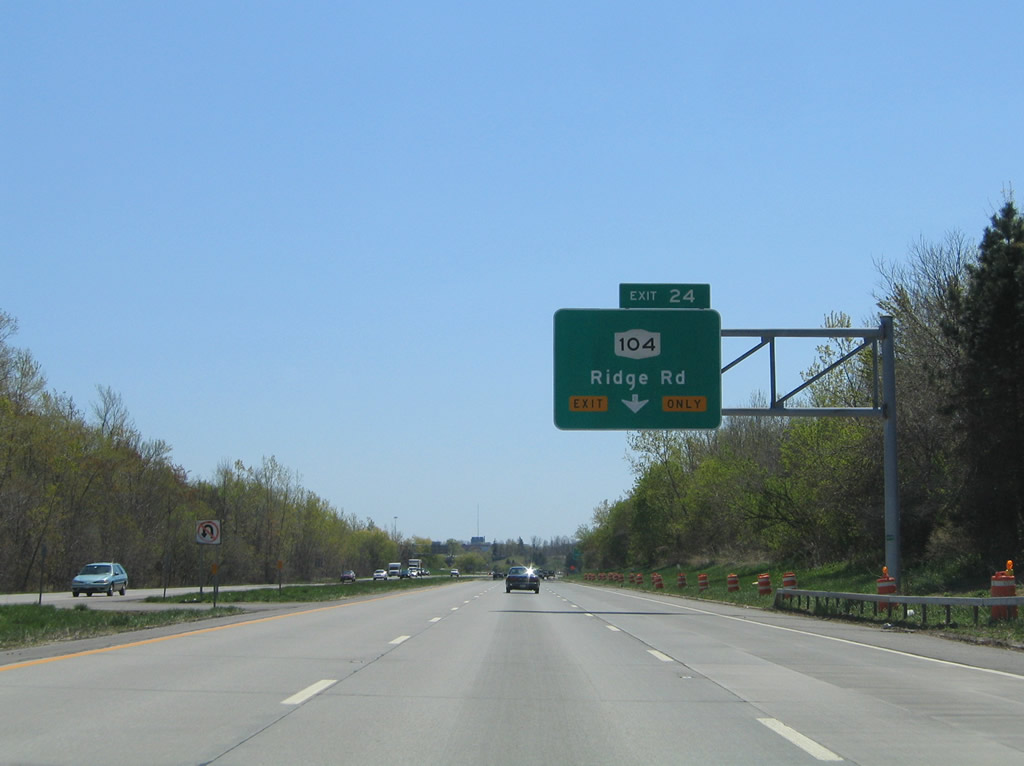 |
New York 104 travels 182.41 miles overall between Niagara Falls and Williamstown. West Ridge Road serves industrial areas along the Greece/Rochester line east from New York 390 to Maplewood Park and the Genesee River. Photo taken 05/10/05. |
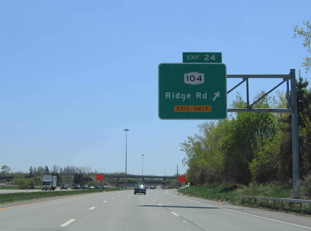 |
Exit 24 leaves New York 390 south for New York 104 (West Ridge Road). New York 104 upgrades to a freeway east of the Genesee River to Rochester General Hospital and New York 590 (Sea Breeze Expressway). Westward the arterial ventures to the Mall at Greece Ridge among other shopping centers. Photo taken 05/10/05. |
 |
 |
A high flyover carries drivers from New York 104 (West Ridge Road) west onto New York 390 south. Photo taken 05/10/05. |
 |
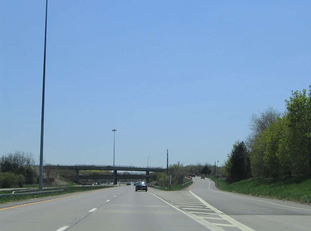
New York 390 upgrades to a six-lane freeway from New York 104 (Exit 24) southward to Interstates 390 and 490. Photo taken 05/10/05.Photo taken 05/10/05. |
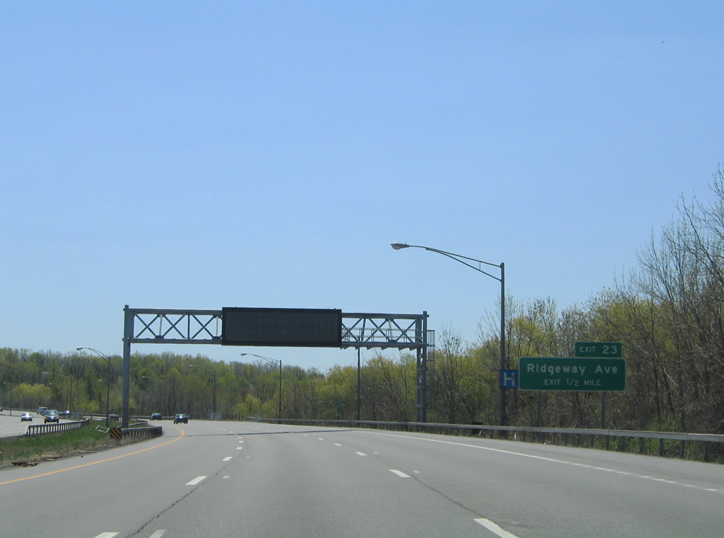 |
Ridgeway Avenue (Exit 23) meets the freeway at a partial cloverleaf interchange next. Photo taken 05/10/05. |
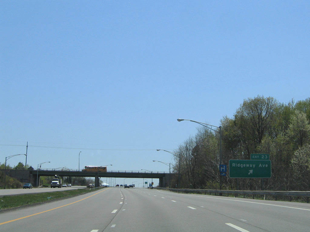 |
Ridgeway Avenue travels east by Kodak (industrial) Park to New York 104 (West Ridge Road) at Lake Avenue. Westward the highway ends at New York 386 in South Greece. Photo taken 05/10/05.Photo taken 05/10/05. |
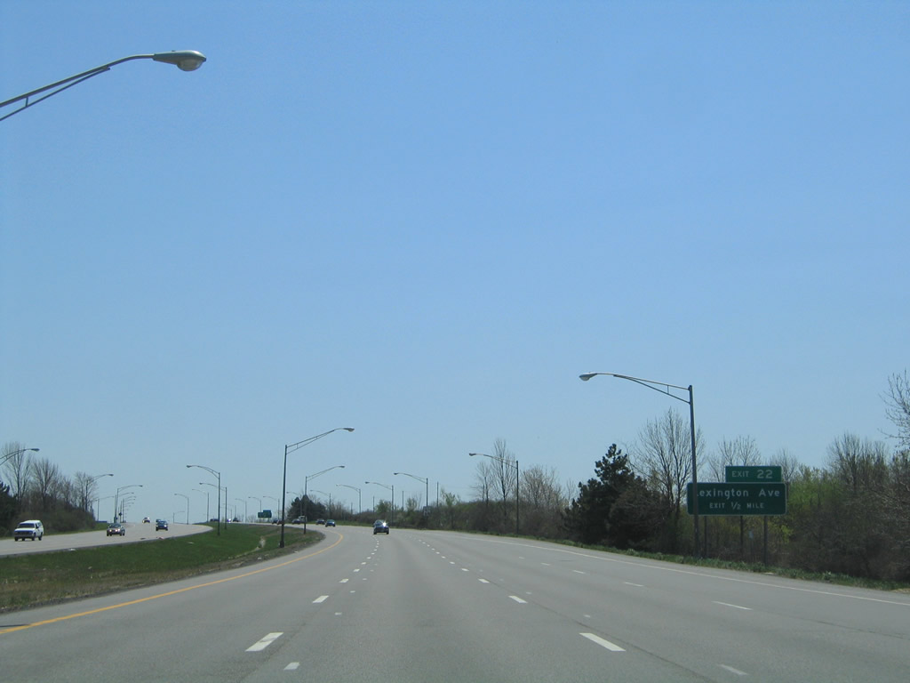 |
Lexington Avenue begins from New York 390 and its southbound frontage road (Pinewild Drive) and heads east to Kodak Park from Exit 22. Photo taken 05/10/05. |
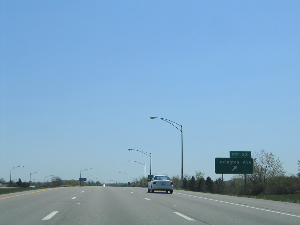 |
Southbound at the Exit 22 ramp departure for Lexington Avenue. Lexington Avenue continues to Lake Avenue from its trumpet interchange with New York 390. Photo taken 05/10/05.Photo taken 05/10/05. |
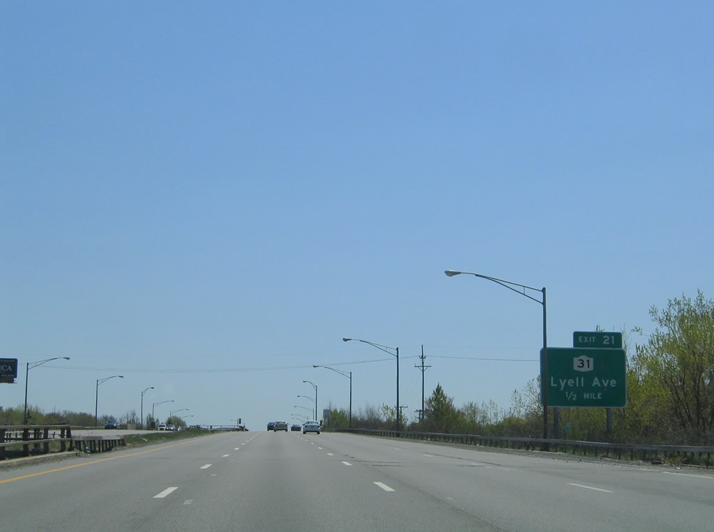 |
New York 31 (Lyell Avenue) interchanges with New York 390 at a parclo interchange in northeast Gates (Exit 21). Photo taken 05/10/05. |
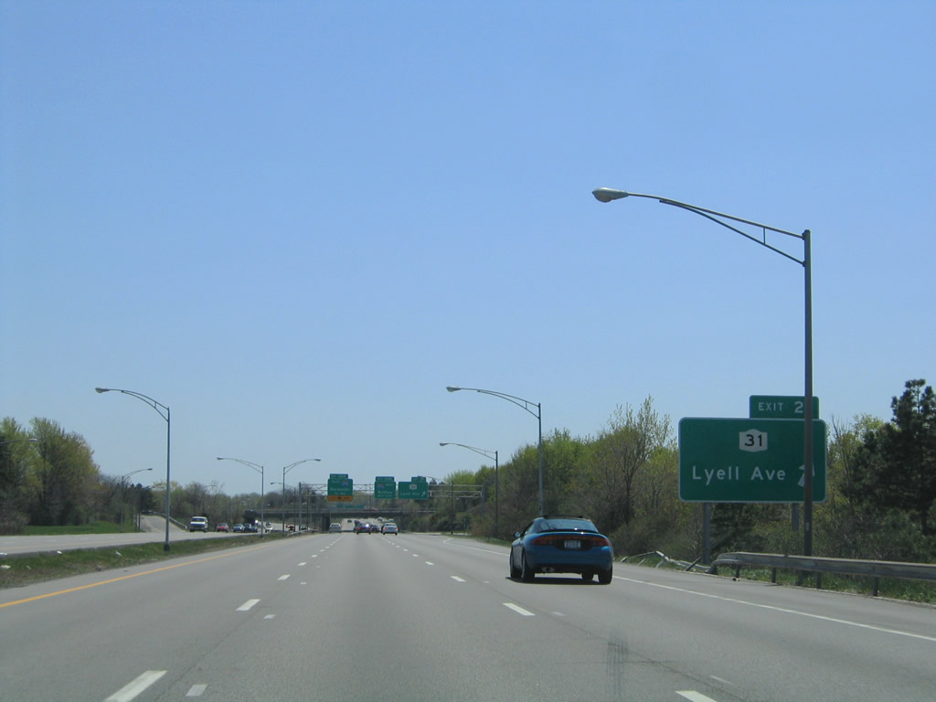 |
Approaching the southbound off-ramp for New York 31 (Lyell Avenue). New York 31 follows Lyell Avenue east to Broad Street and downtown Rochester. Photo taken 05/10/05. |
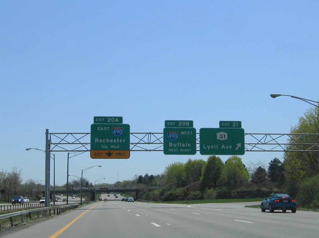 |
The first signs of Interstate 490 (Exits 20A/B) appear at the Exit 21 off-ramp to New York 31 (Lyell Avenue). New York 31 totals 208.74 miles overall between Niagara Falls and Vernon Center. Locally the route follows Spencerport Road west from Lyell Avenue through Gates. Photo taken 05/10/05. |
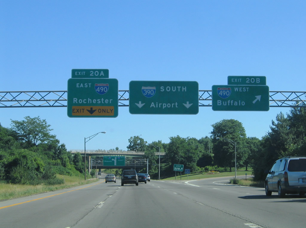 |
New York 390 quickly enters the symmetrical directional stack interchange with Interstate 490 and the southbound beginning of Interstate 390. Exit 20B departs almost immediately south of Lyell Avenue for Interstate 490 west to Chili and Interstate 90 to Buffalo as Interstate 390 begins. Photo taken 07/02/05. |
 |
 |
Page Updated August 13, 2009.
|
About Contact Glossary |
In The News Interstate Guide |
Social Media:
 |
|
© 2000-25 AARoads.com | All Rights Reserved | Privacy Policy / Terms of Use
|
||