

U.S. Highway 77 South (IH 37 to US 83)
This section of US 77 travels south between Corpus Christi and Harlingen. US 77 is one of the two primary links to the Rio Grande Valley, and is four lane divided expressway/freeway the entire way. South of Kingsville, the road travels through Kenedy county, which is predominantly ranchland owned by the King, Kenedy, Armstrong and Yturria ranches.
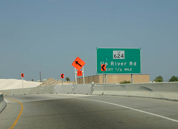
After departing the short IH 37 overlap, the first exit serves FM 624 and Up River Road. Photo taken July 11, 2005.
| 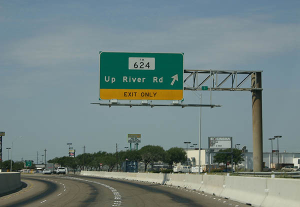
FM 624 is the only exit on the short section of US 77 freeway south of IH 37 at the time of this photo. FM 624 travels north to Orange Grove and SH 359. Photo taken July 11, 2005.
| 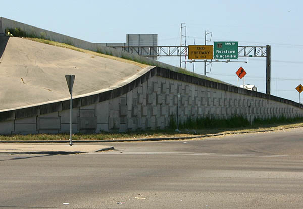
Looking up at the freeway from the frontage road, where the freeway presently returns to a divided highway. Photo taken July 11, 2005.
| 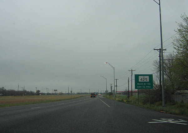
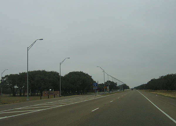
Jumping south to Kingsville, the next road junction is FM 425, which serves Kingsville NAS. Photo taken February 19, 2006.
| 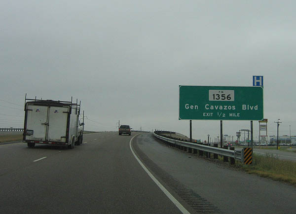
Advance signage for FM 1356, General Cavazos Boulevard. Photo taken February 19, 2006.
| 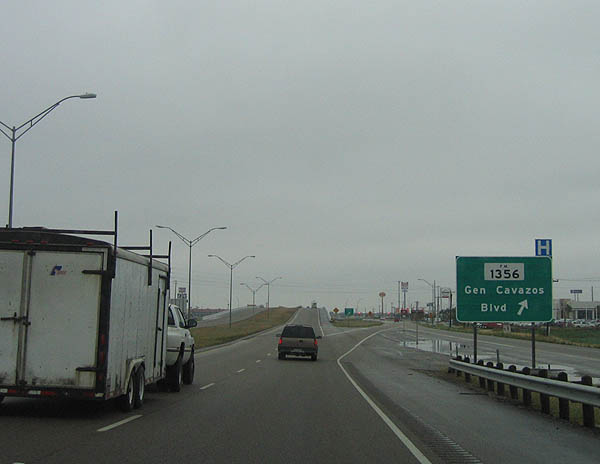
FM 1356 exits here, which travels through Kingsville to the city limits. Photo taken February 19, 2006.
| 
Now on the expressway, the next turnoff is RM 628. Use RM 628 to reach Loyola Beach and Kaufer-Hubert Memorial Park. Photo taken February 19, 2006.
| |

RM 628 departs here, on a 12 mile jaunt to FM 1546. Photo taken February 19, 2006.
| 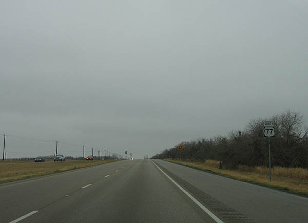
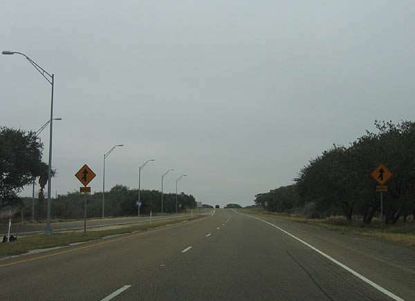
This is a typical panorama along US 77 southbound. Photo taken February 19, 2006.
| 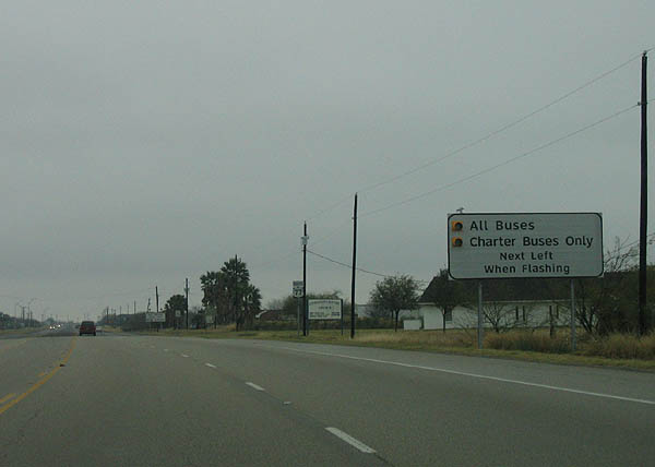
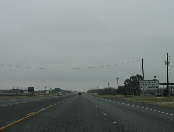
Advance signage for a weigh station and bus checkpoint. Photo taken February 19, 2006.
| 
There is a weigh station located along US 77. Photo taken February 19, 2006.
| 
Advance signage for Sarita and Raymondsville. This section of US 77 is desolate as it traverses ranchland. Photo taken February 19, 2006.
| 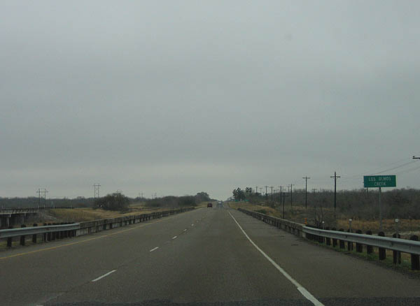
Crossing Los Olmos Creek. Photo taken February 19, 2006.
| 
Kenedy County is one of the least populated counties in Texas. The only town, Sarita, has a population under 100. Photo taken February 19, 2006.
| 
US 77 is one of the future branches of IH 69, as noted by this sign. Photo taken February 19, 2006.
| 
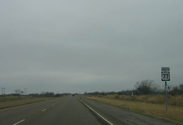
These views of US 77 will not change through Kenedy county. Photo taken February 19, 2006.
| 
The scrub cover varies at times, as seen in this picture. Reassurance markers are placed 2 miles apart. Photo taken February 19, 2006.
| 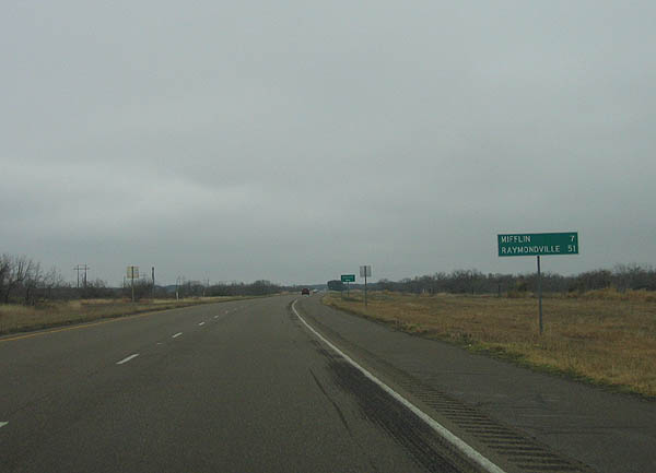
Distance sign to Mifflin and Raymondsville. Photo taken February 19, 2006.
| 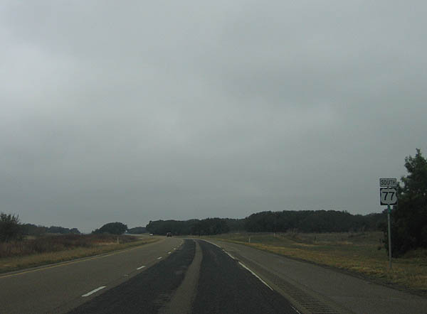
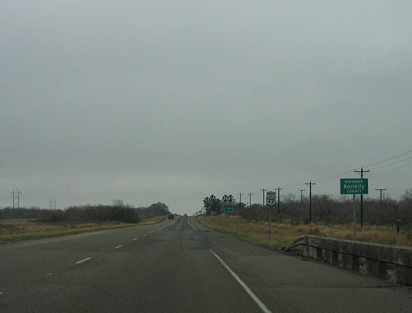
Photo taken February 19, 2006.
| 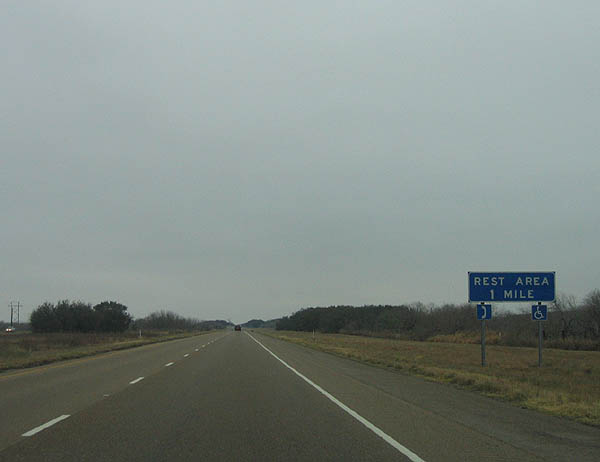
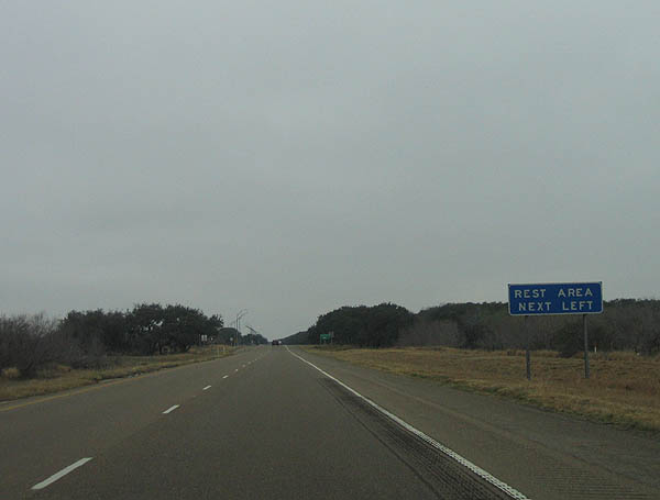
One of the few services in Kenedy County is a rest area. Photo taken February 19, 2006.
| 
The rest area is built in the median between both directions of US 77. Photo taken February 19, 2006.
| 
The rest area exits here. Photo taken February 19, 2006.
| 
In Kenedy County, US 77 is for all intents a freeway due to the lack of roads in the county. Photo taken February 19, 2006.
| 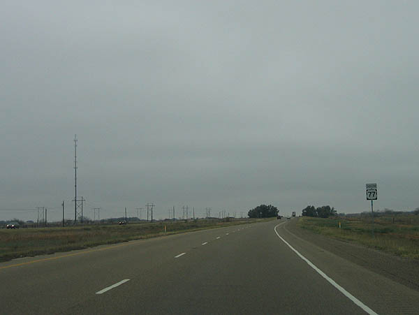
Photo taken February 19, 2006.
|
Photo taken February 19, 2006.
| 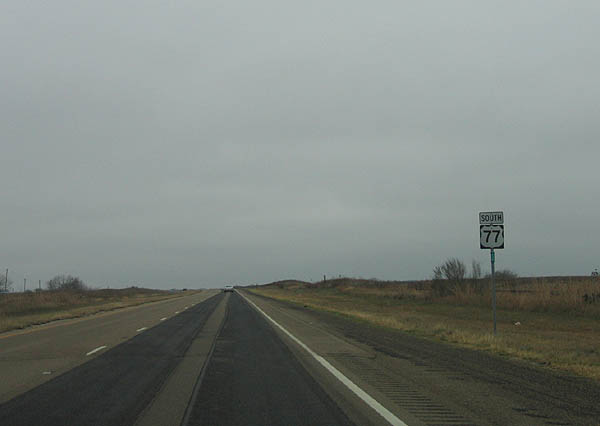
Photo taken February 19, 2006.
| 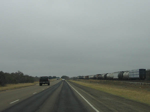
US 77 paralells the Union Pacific railroad tracks, as seen in this picture. The southbound lanes are the original 2-lane road, while the northbound lanes are newer. Photo taken February 19, 2006.
| 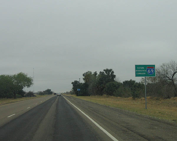
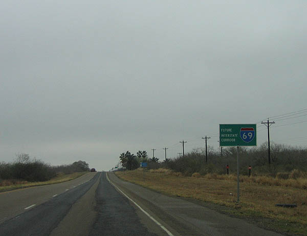
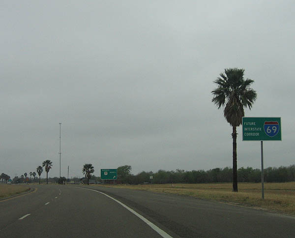
Future Interstate Corridor signs are common along this section of US 77. Photo taken February 19, 2006.
| 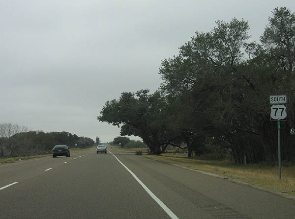
Photo taken February 19, 2006.
| 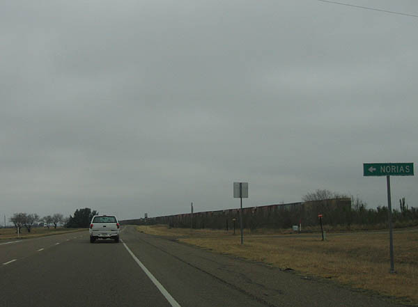
Use this connecting road to reach Norias. Photo taken February 19, 2006.
| 
Photo taken February 19, 2006.
| 
Photo taken February 19, 2006.
| 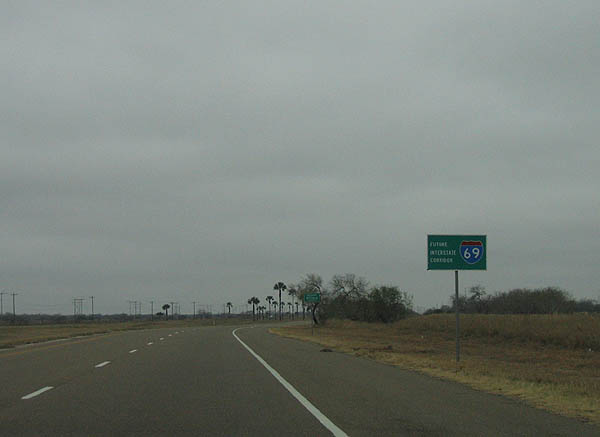
Photo taken February 19, 2006.
| 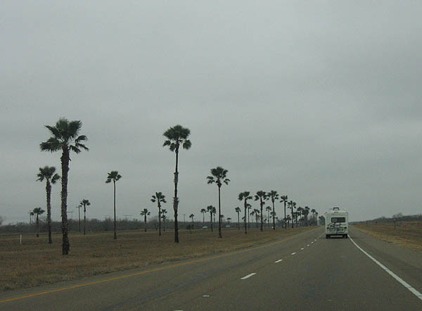
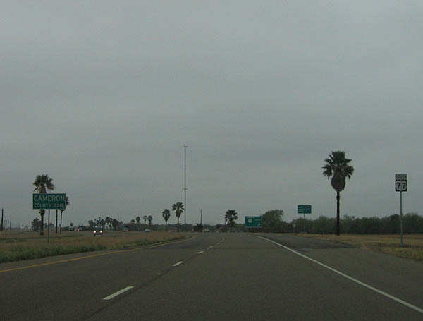
Nearing the south end of Kenedy County, palm trees are visible as the road approaches Cameron county. Photo taken February 19, 2006.
| 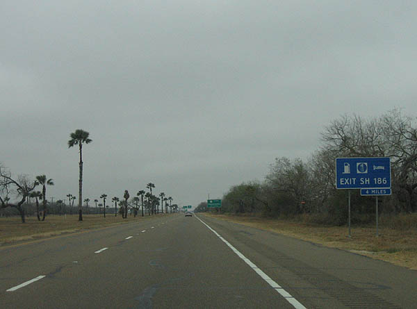
Approaching Raymondsville, this sign shows to exit SH 186 for motorist amenities. Photo taken February 19, 2006.
| 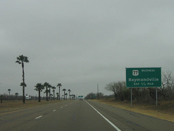
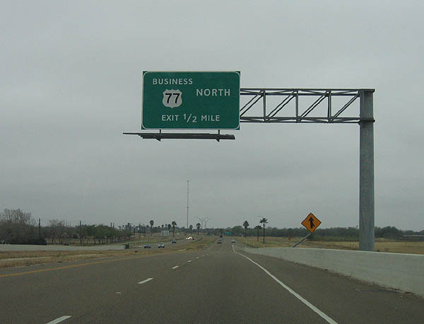
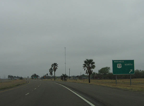
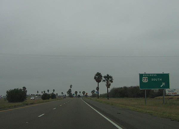
The first Raymondsville exit is Business US 77. Photo taken February 19, 2006.
| 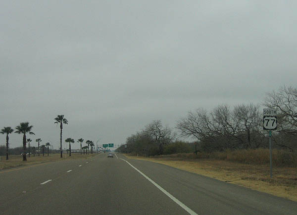
Photo taken February 19, 2006.
| 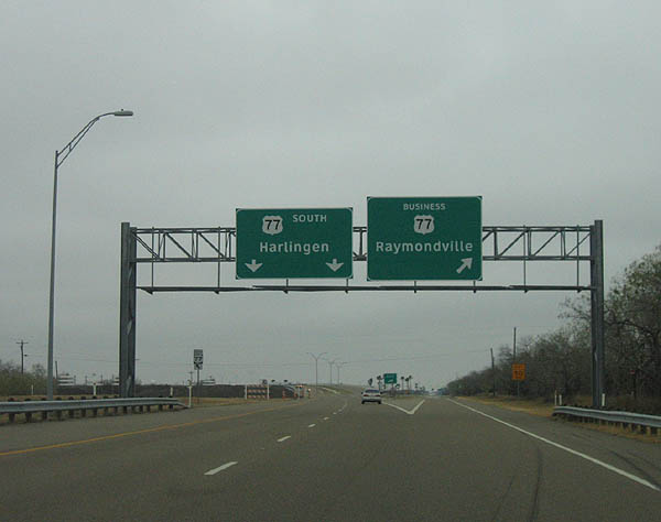
US 77 splits from Business US 77 here. BU 77 paralells the railroad tracks into Raymondsville, while US 77 bypasses the Business Loop. Photo taken February 19, 2006.
| 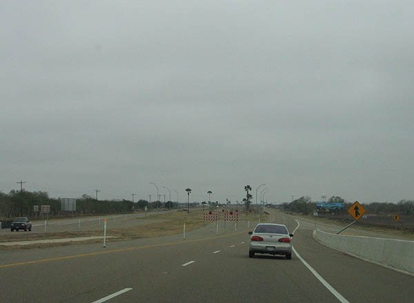
Between Raymondsville and Harlingen, the four lane divided highway has had overpasses added in the median. This picture shows the road curiving back to meet the original divided highway. Photo taken February 19, 2006.
| 
The next road junction is FM 1762. Photo taken February 19, 2006.
| 
FM 1762 travels west to meet BU-77 in Raymondsville, and east to a county road. Photo taken February 19, 2006.
| 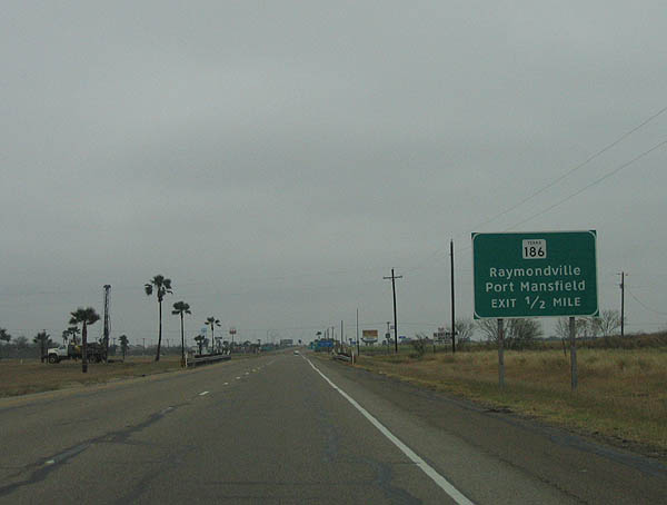
Advance signage for SH 186 serving Raymondsville and Port Mansfield. Photo taken February 19, 2006.
| 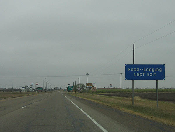
Use SH 186 to reach food and lodging. Photo taken February 19, 2006.
| 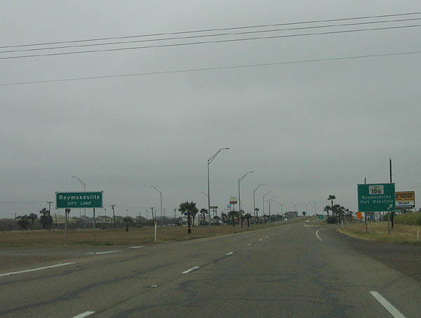
This photo shows the Raymondsville city limits and a crossing road before the expressway exit. Photo taken February 19, 2006.
| 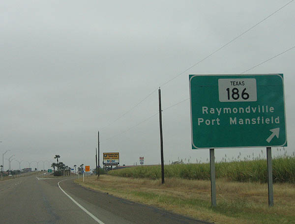
SH 186 travels between Port Mansfield and FM 606 on the east end, and US 281 on the west end. Photo taken February 19, 2006.
| 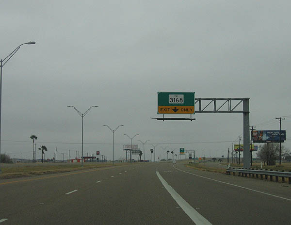
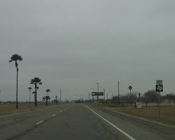
The next exit is FM 3168. Photo taken February 19, 2006.
| 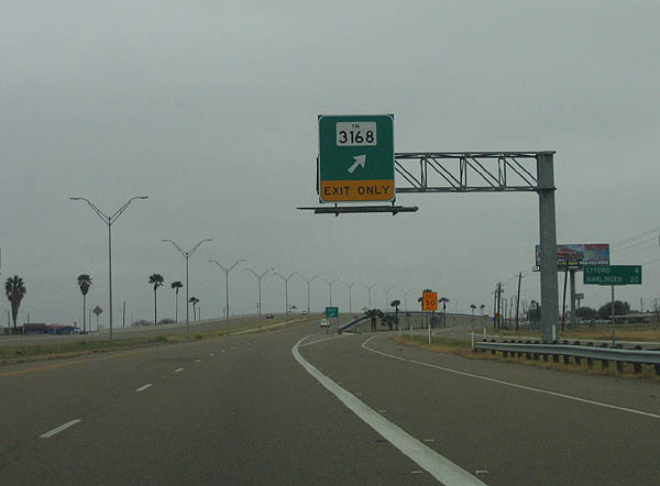
FM 3168 begins at BU 77-W and travels eastward to Wood Avenue. Photo taken February 19, 2006.
| 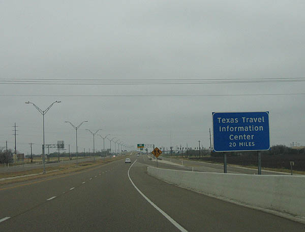
This sign notes a TxDOT state travel center located 20 miles ahead, in Harlingen. Photo taken February 19, 2006.
| 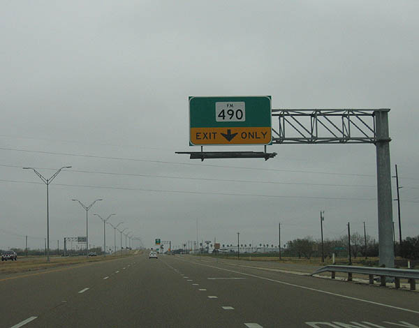
The next exit serves FM 490. Photo taken February 19, 2006.
| 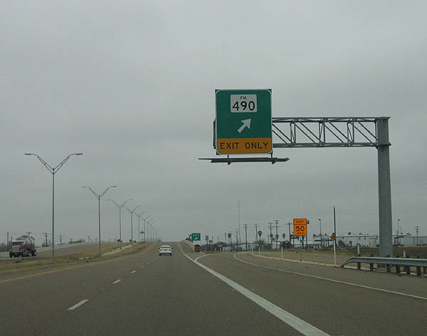
FM 490 begins in Rio Grande City at FM 755 and travels to FM 1420 at Willamar. Photo taken February 19, 2006.
| 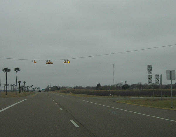
The next junction is Spur 56, which connects BU 77-W and US 77. Photo taken February 19, 2006.
| 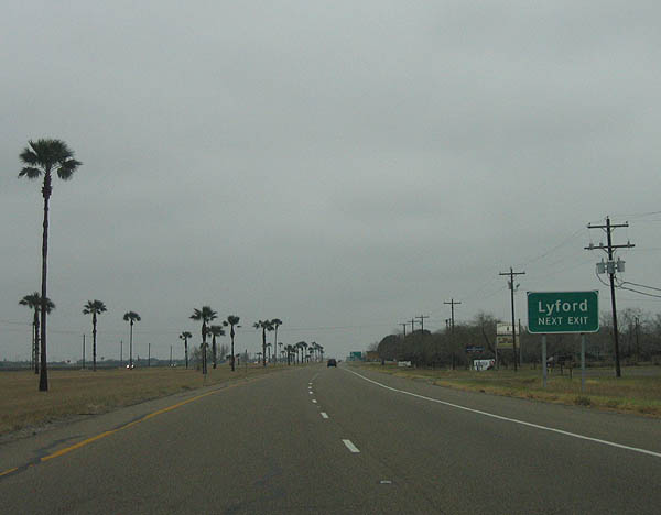
Use the next exit to reach Lyford. Photo taken February 19, 2006.
| 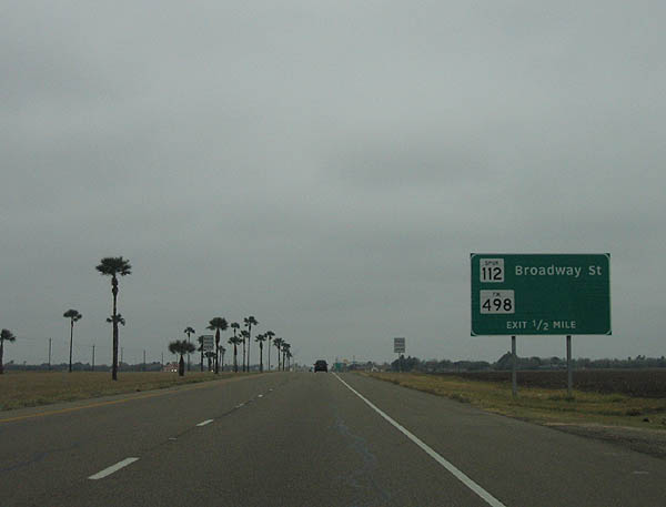
Advance signage for Spur 112 and FM 498. Photo taken February 19, 2006.
| 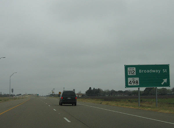
Spur 112 connects BU 77-W at Lyford and US 77, while FM 498 travels between BU 77-W and FM 1420. Photo taken February 19, 2006.
| 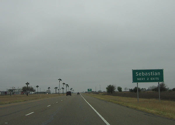
Use the next two exits to reach Sebastian. Photo taken February 19, 2006.
| 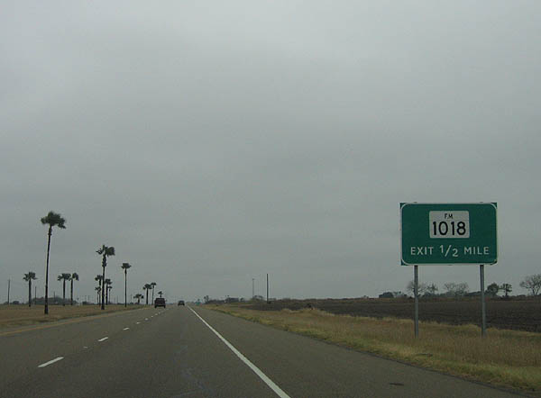
Advance signage for FM 1018. Photo taken February 19, 2006.
| 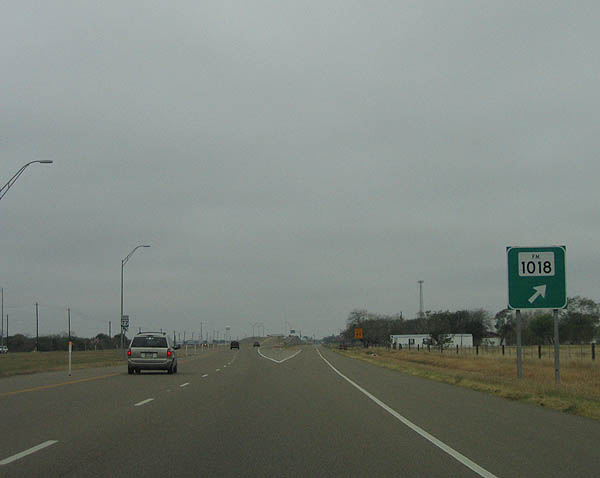
FM 1018 begins at BU 77-W and travels east to FM 1420 in Santa Monica. Photo taken February 19, 2006.
| 
The next exit is where BU 77-W merges back into US 77. Photo taken February 19, 2006.
| 
Entering Cameron County ahead of the exit for BU 77. Photo taken February 19, 2006.
| 
Yet another reminder that US 77 is future IH 69. Photo taken February 19, 2006.
| 
BU 77-W rejoins US 77 here. Photo taken February 19, 2006.
| 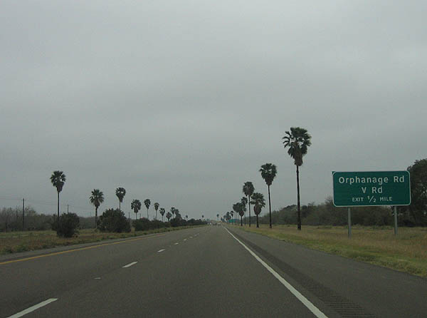
Advance signage for Orphanage Road and V Road. Photo taken February 19, 2006.
| 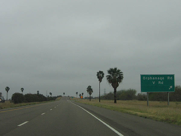
Orphanage Road and V Road exit here. Photo taken February 19, 2006.
| 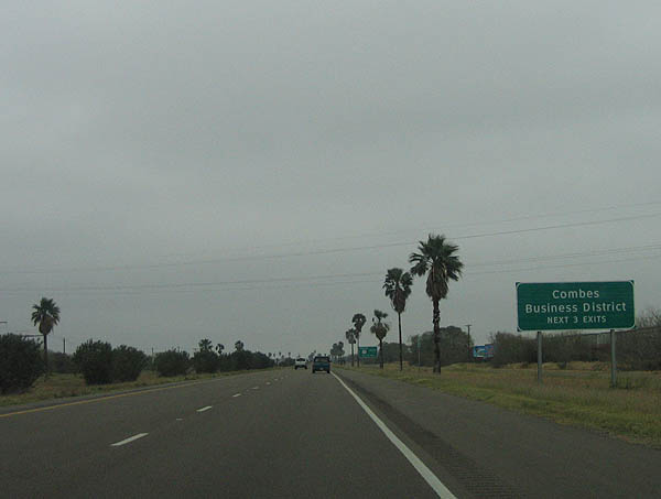
Use the next three exits for the Combes business district. Photo taken February 19, 2006.
| 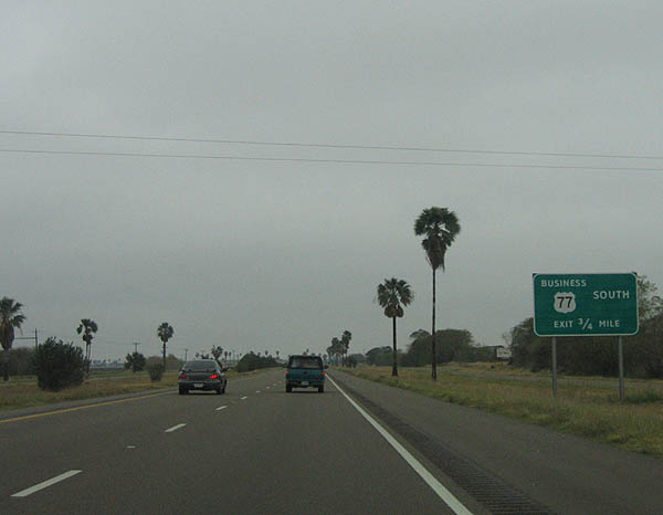
Advance signage for BU 77-X. Photo taken February 19, 2006.
| 
Business US 77-X serves Combes and continues south to Harlingen. Photo taken February 19, 2006.
| 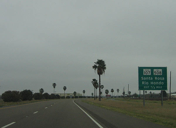
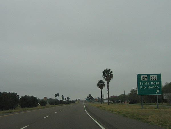
Advance signage for SH 107 and FM 508. Photo taken February 19, 2006.
| 
SH 107 paralells US 83 and eventually meets US 83 at Mission, while FM 508 travels east to meet FM 1420. Photo taken February 19, 2006.
| 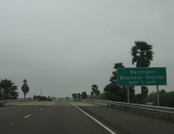
Use the next 7 exits for Harlingen. Photo taken February 19, 2006.
| 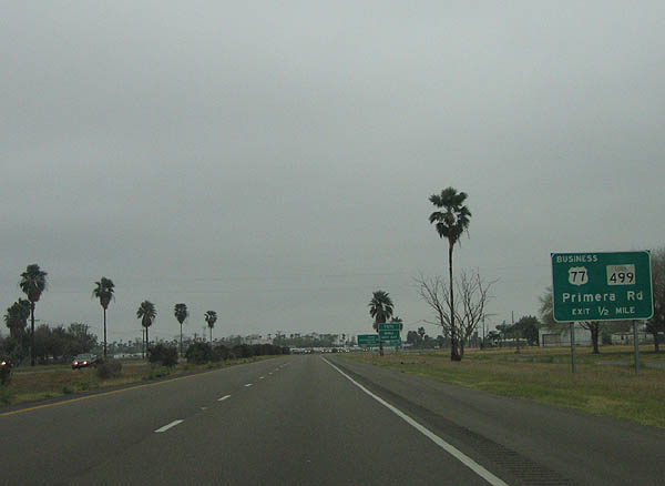
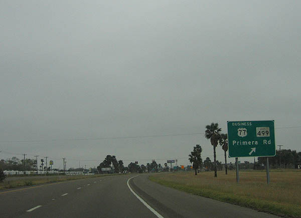
The next exit is BU 77-X and Loop 499. Photo taken February 19, 2006.
| 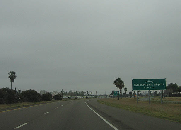
Use Loop 499 to reach Valley International Airport at Harlingen. Photo taken February 19, 2006.
| 
Loop 499 wraps around the north and east side of Harlingen. Photo taken February 19, 2006.
| 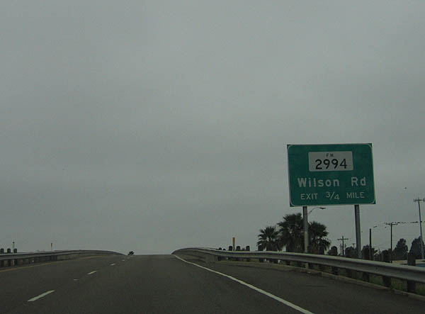
The next exit is FM 2994 and Wilson Road. Photo taken February 19, 2006.
| 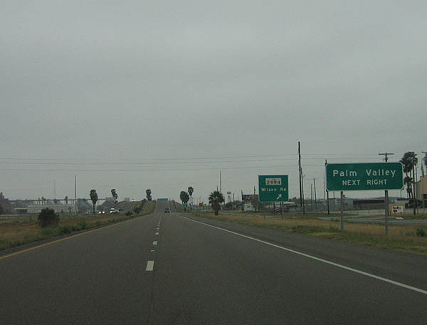
Use FM 2994 to reach Palm Valley. Photo taken February 19, 2006.
| 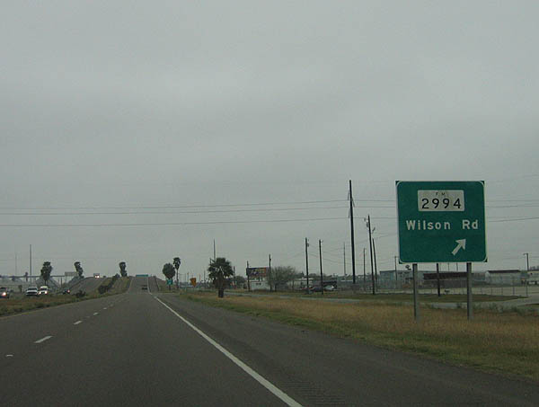
FM 2994 travels west to meet FM 800. Photo taken February 19, 2006.
| 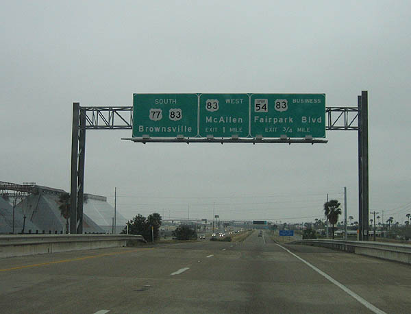
Approaching US 83, the next exit is Business US 83-S and Spur 54. Photo taken February 19, 2006.
| 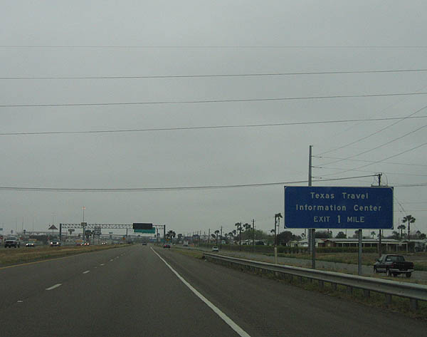
Use Tyler and Harrison Streets to reach the TxDOT Travel Information Center, in one mile. Photo taken February 19, 2006.
| 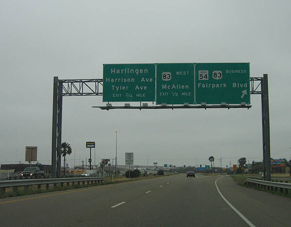
Spur 54 and BU 83-S exit here. The next two exits are US 83 and Tyler/Harrison Streets. Photo taken February 19, 2006.
| 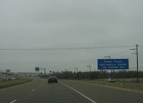
Use Harrison Street for the TxDOT Travel Information Center. Photo taken February 19, 2006.
| 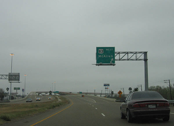
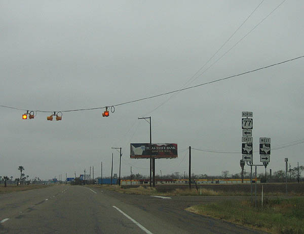
US 83 West exits here. Photo taken February 19, 2006.
| 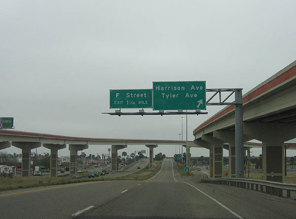
Tyler and Harrison Streets exit here. South of here, US 77 South is overlapped with US 83 East for the remaining mileage on both roads to Brownsville and Mexico. Photo taken February 19, 2006.
| |
Page Updated May 4, 2006.
|
About Contact FAQ |
Spotlights Interstate Guide |
Social Media:
 |
|
© 2000-25 AARoads.com | All Rights Reserved | Privacy Policy / Terms of Use
|
||